Trails in Germany
36,852 hiking trails, each with its route, climb, walking time and grade.
All trails, page 396 of 768
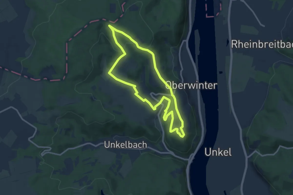
Easy · Summit
Oberwinterer Rundwanderweg 3
7.1 km · ↑ 155 m · 2 h 7 min
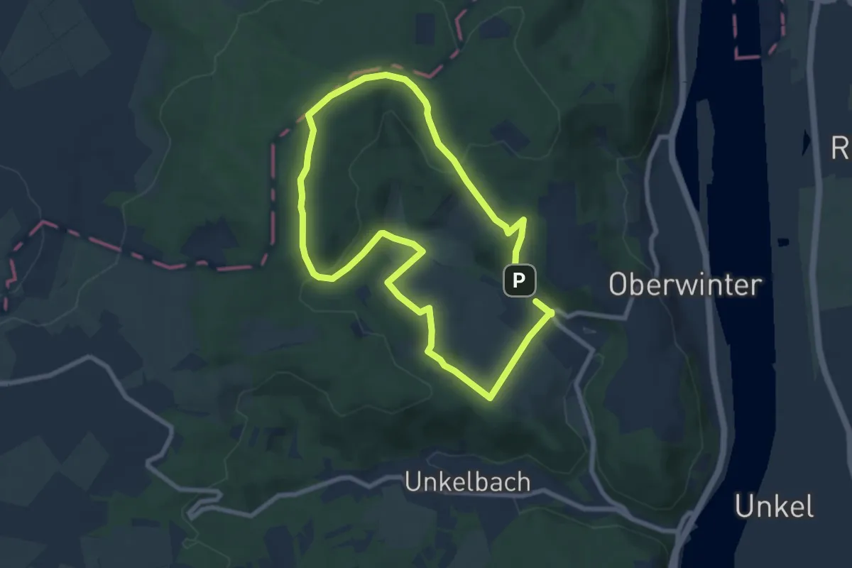
Easy · Summit
Oberwinterer Rundwanderweg 4
6.2 km · ↑ 159 m · 1 h 54 min
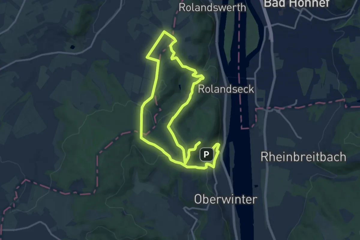
Medium · Summit
Oberwinterer Rundwanderweg 5
9.0 km · ↑ 296 m · 2 h 53 min
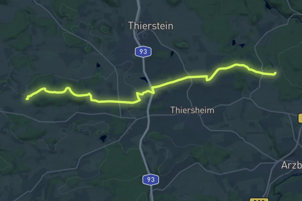
Demanding · Trail
Oberwoltersgrün - Steinhäuser
23.6 km · ↑ 313 m · 6 h 16 min
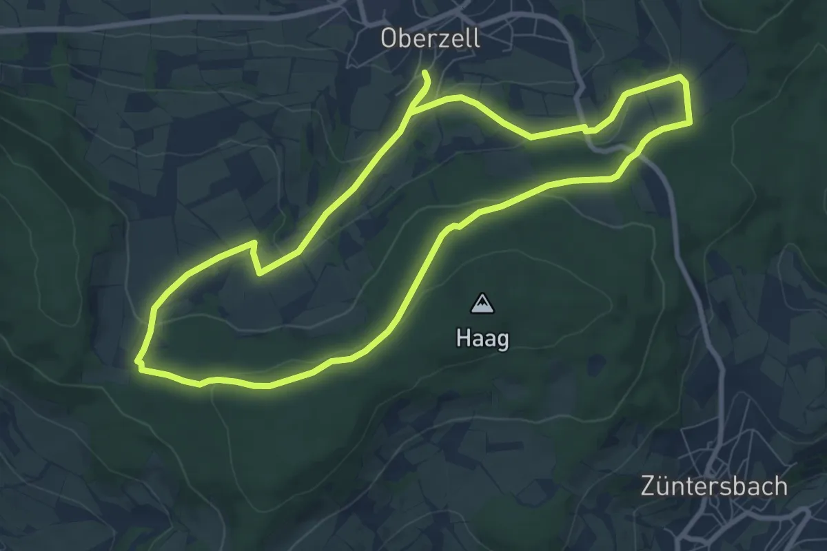
Easy · Trail
Oberzell - Rundwanderweg Haag
7.7 km · ↑ 197 m · 2 h 21 min
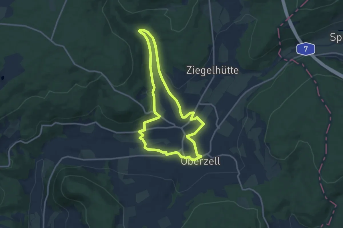
Easy · Trail
Oberzell - Rundwanderweg Hemmersbach
7.7 km · ↑ 139 m · 2 h 13 min
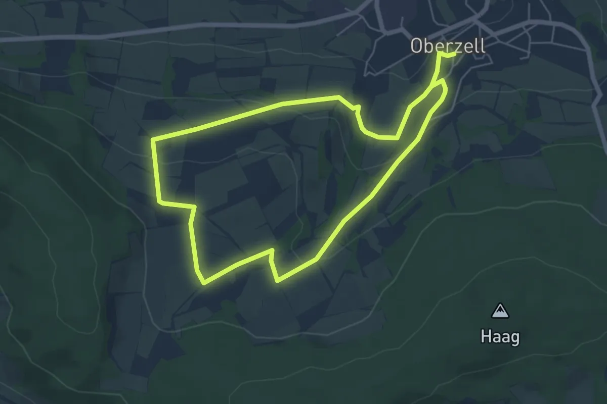
Easy · Trail
Oberzell - Rundwanderweg Hirschberg
4.7 km · ↑ 119 m · 1 h 26 min
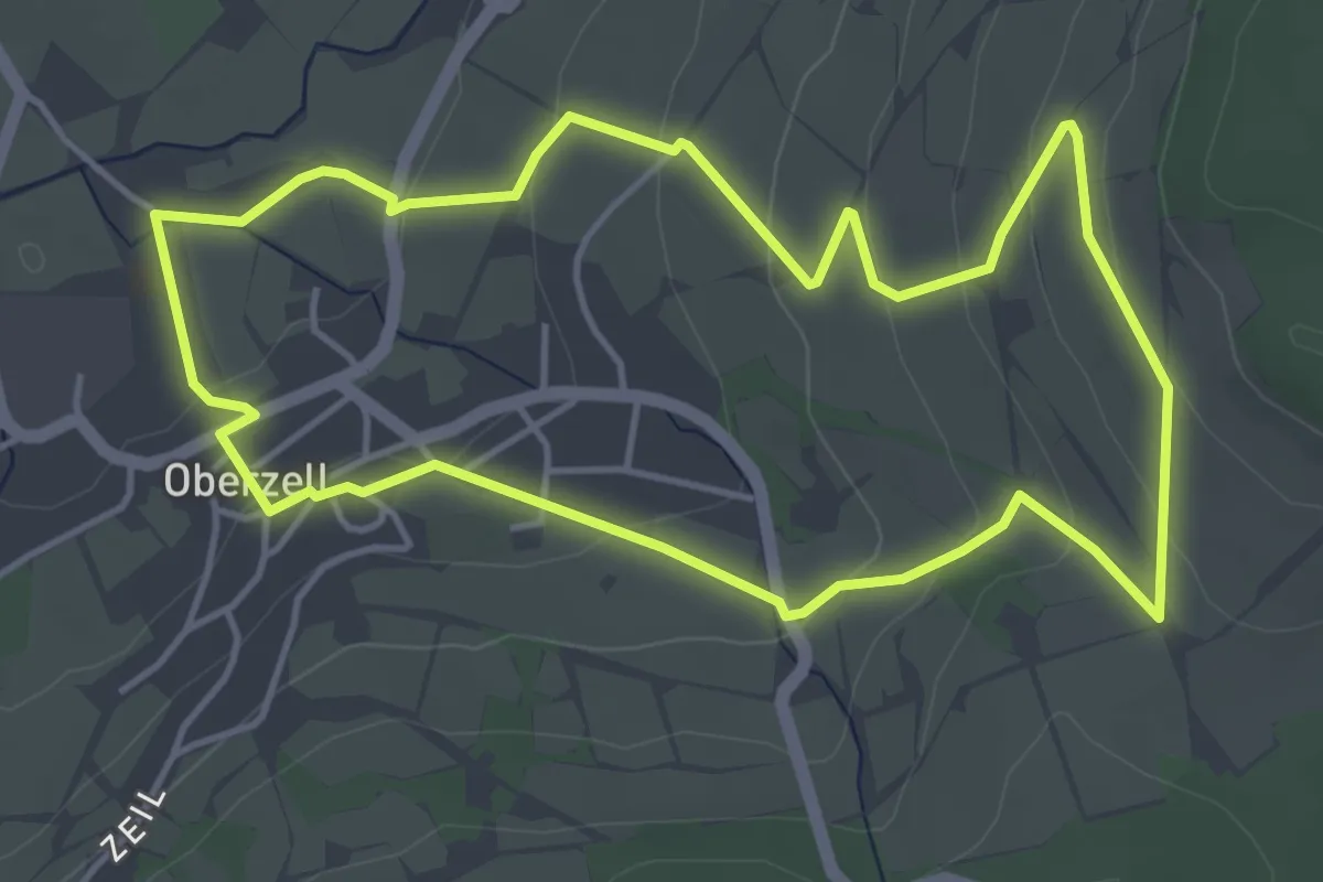
Easy · Trail
Oberzell - Rundwanderweg Sandberg
4.3 km · ↑ 148 m · 1 h 24 min
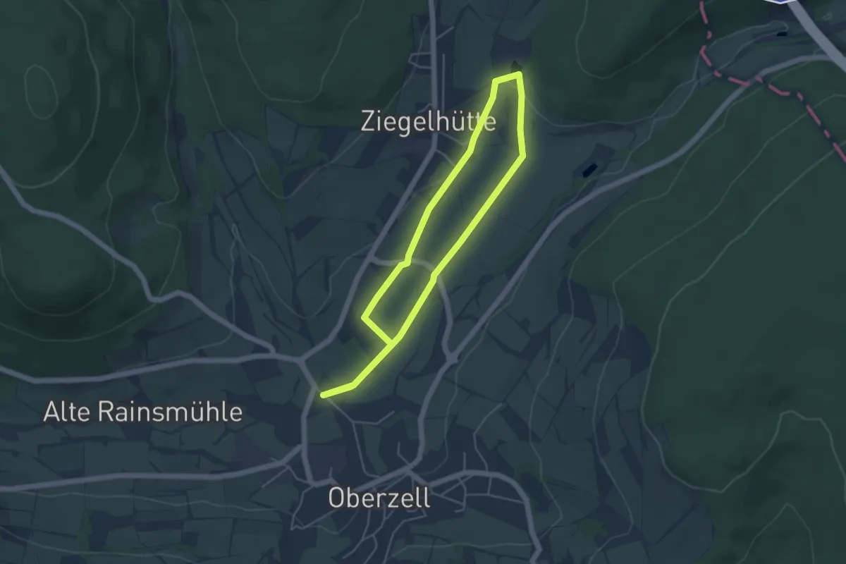
Easy · Trail
Oberzell - Rundwanderweg Sinngrund
3.9 km · ↑ 33 m · 1 h 2 min
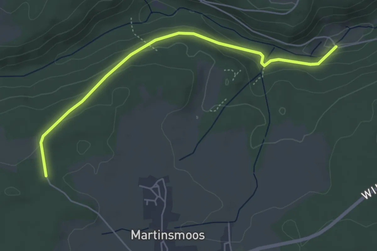
Easy · Trail
Ob Feld - Weikenmühle
4.7 km · ↑ 159 m · 1 h 28 min
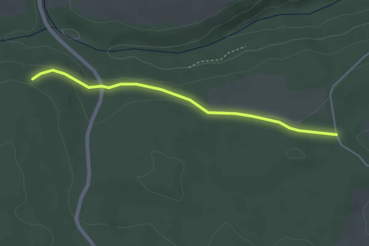
Easy · Trail
Ob Feld - Zwerenberger Wegle
3.2 km · ↑ 55 m · 52 min
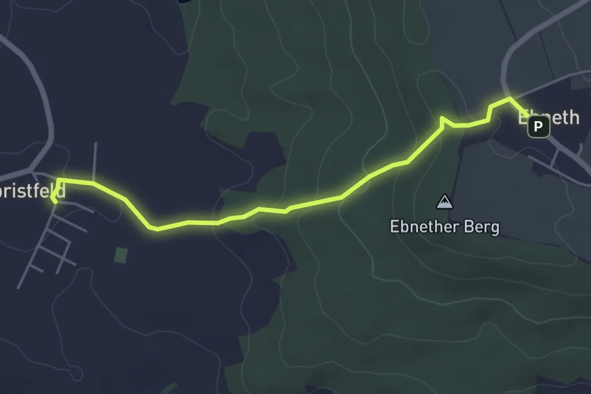
Easy · Trail
Obristfelder Stiege
4.2 km · ↑ 127 m · 1 h 16 min
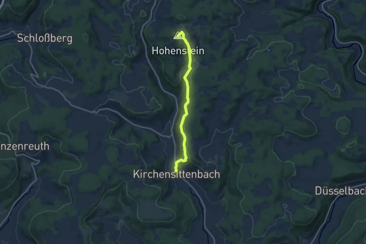
Medium · Summit
Obstangerweg
8.1 km · ↑ 347 m · 2 h 40 min
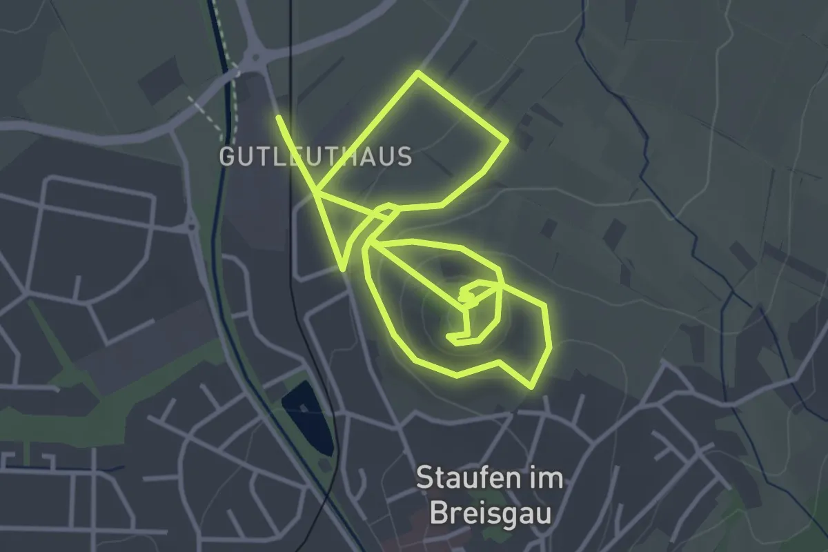
Easy · Trail
Obstbaumpfad
4.1 km · ↑ 189 m · 1 h 24 min
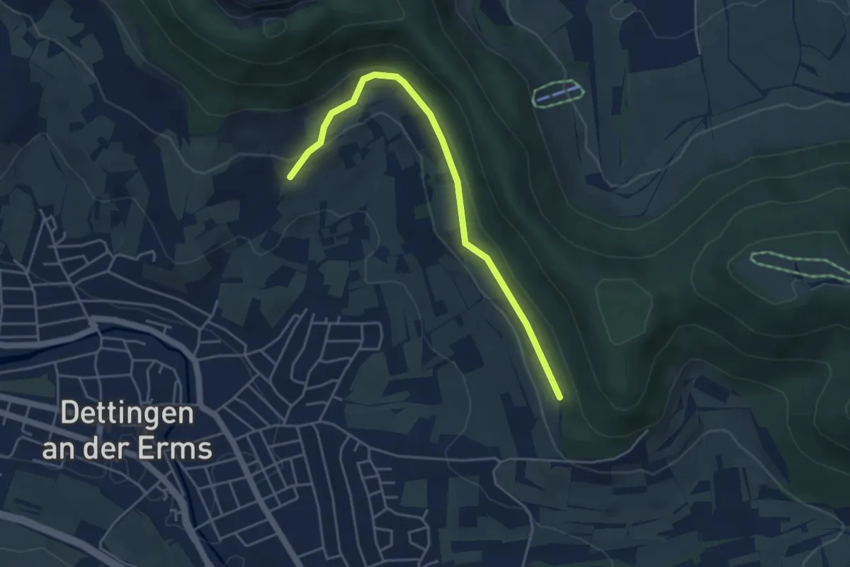
Easy · Trail
Obstbaumweg
4.2 km · ↑ 111 m · 1 h 15 min
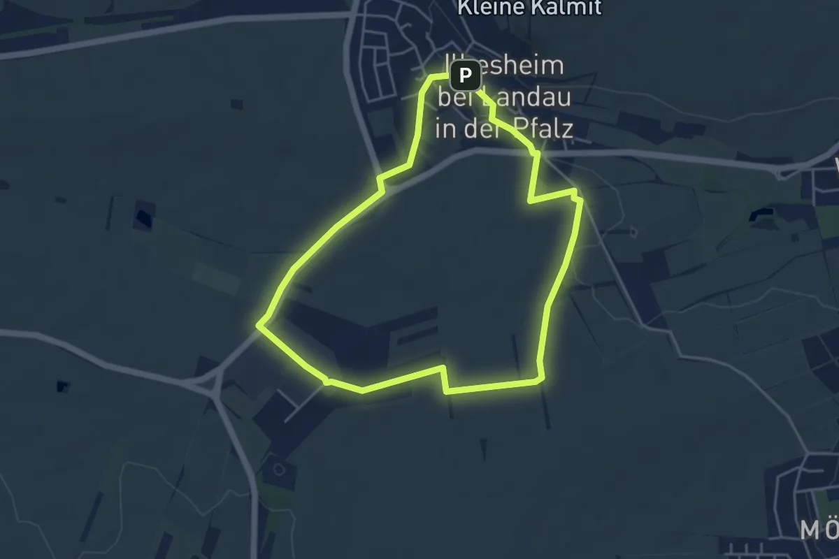
Easy · Trail
Obstblütenweg
4.1 km · ↑ 35 m · 1 h 6 min
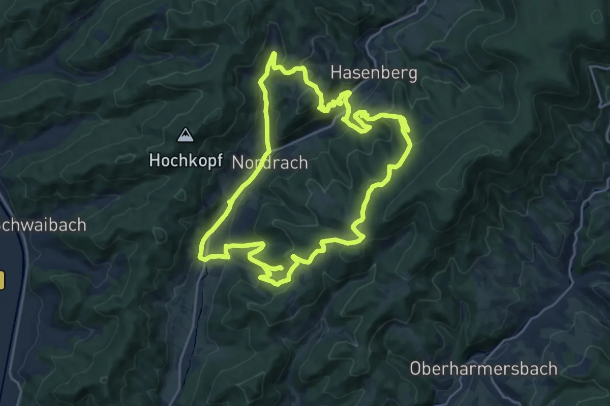
Medium · Trail
Obstbrennerweg
15.6 km · ↑ 680 m · 5 h 23 min
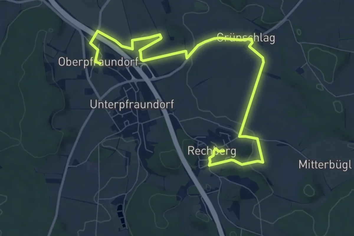
Medium · Trail
Obsterlebnisweg: Obst und Bibel
10.9 km · ↑ 271 m · 3 h 9 min
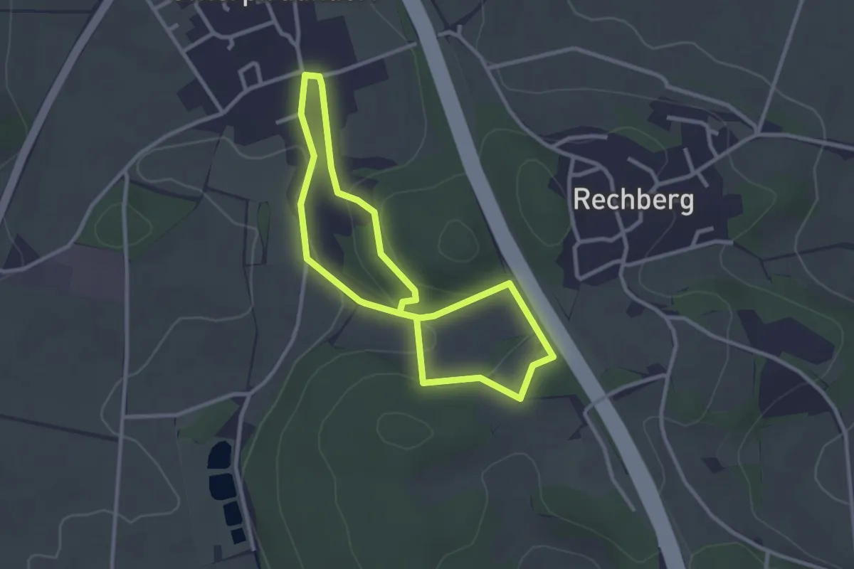
Easy · Trail
Obsterlebnisweg: Obst und Brauchtum
2.4 km · ↑ 65 m · 45 min
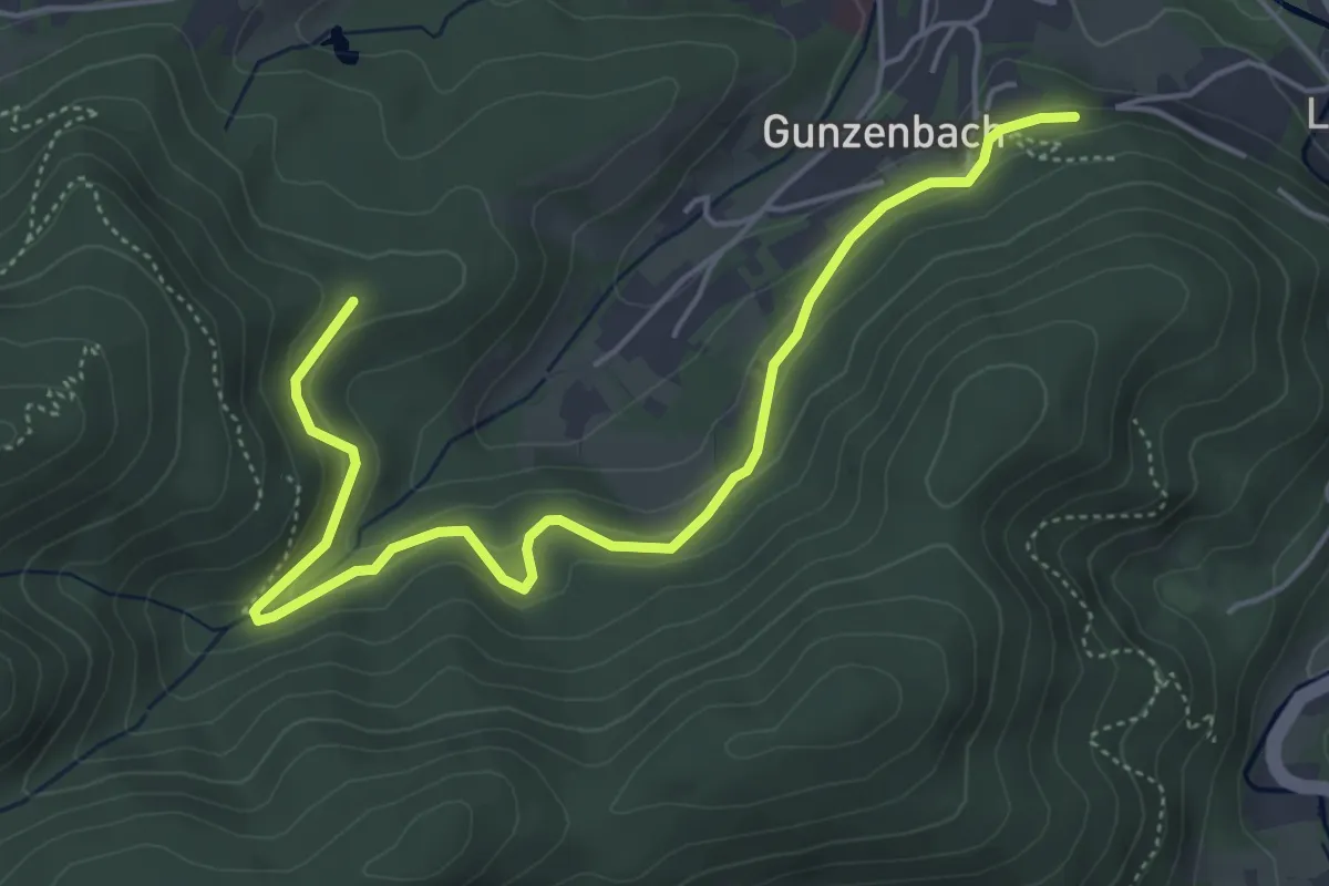
Easy · Trail
Obstgut Leisberg - Rappenhalde
5.5 km · ↑ 237 m · 1 h 49 min
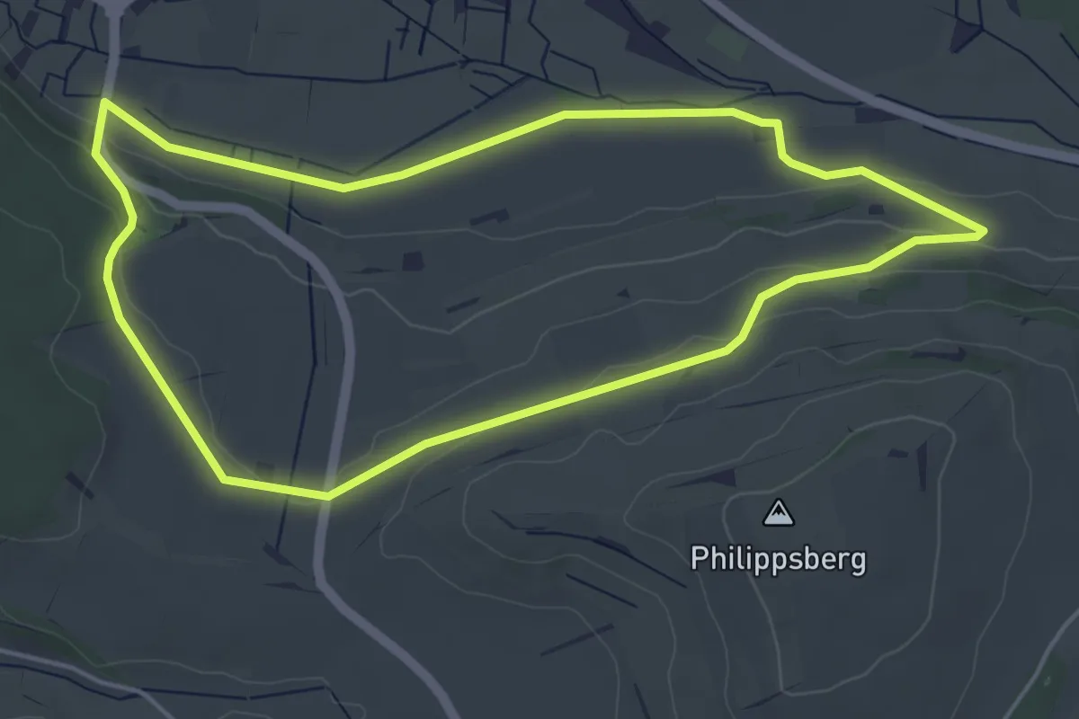
Easy · Trail
Obstlehrpfad
4.7 km · ↑ 85 m · 1 h 21 min
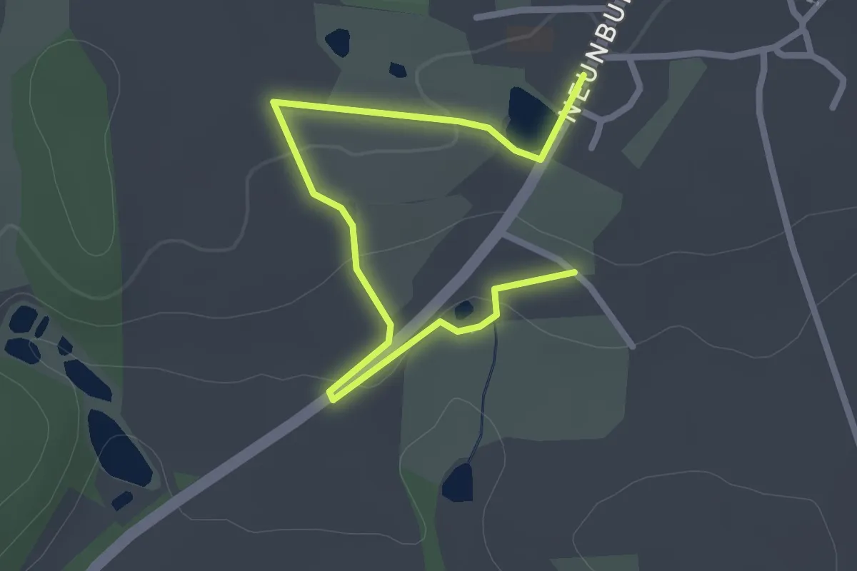
Easy · Trail
Obstlehrpfad Dieterskirchen
2.8 km · ↑ 34 m · 44 min
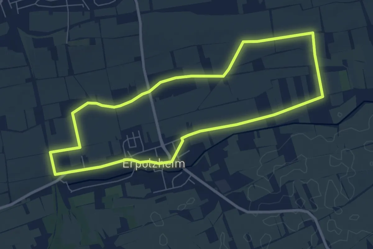
Easy · Trail
Obst, Spargel und Wein
6.4 km · ↑ 22 m · 1 h 39 min
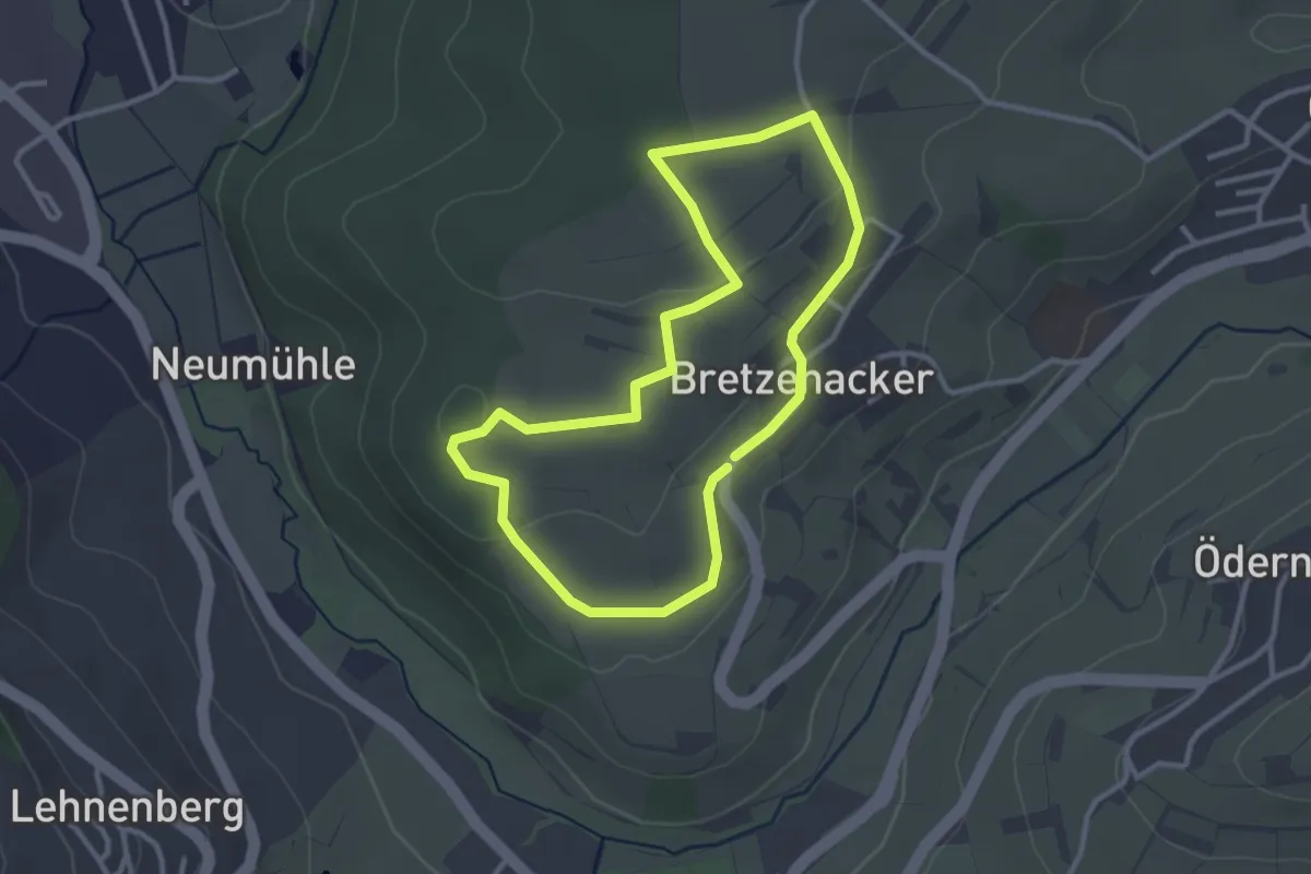
Easy · Trail
Obst- und Gehölzweg
2.8 km · ↑ 38 m · 46 min
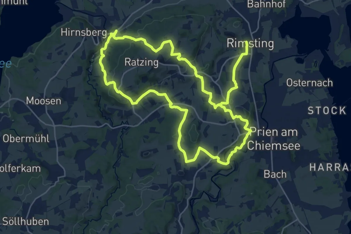
Demanding · Trail
Obst- und Kulturweg (OKW)
18.2 km · ↑ 471 m · 5 h 34 min
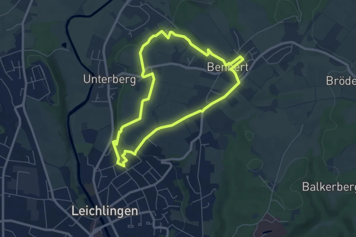
Medium · Trail
Obstweg [4]
5.0 km · ↑ 94 m · 1 h 28 min
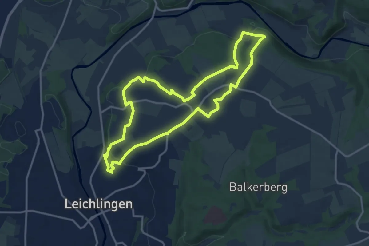
Medium · Trail
Obstweg Leichlingen
8.3 km · ↑ 169 m · 2 h 27 min
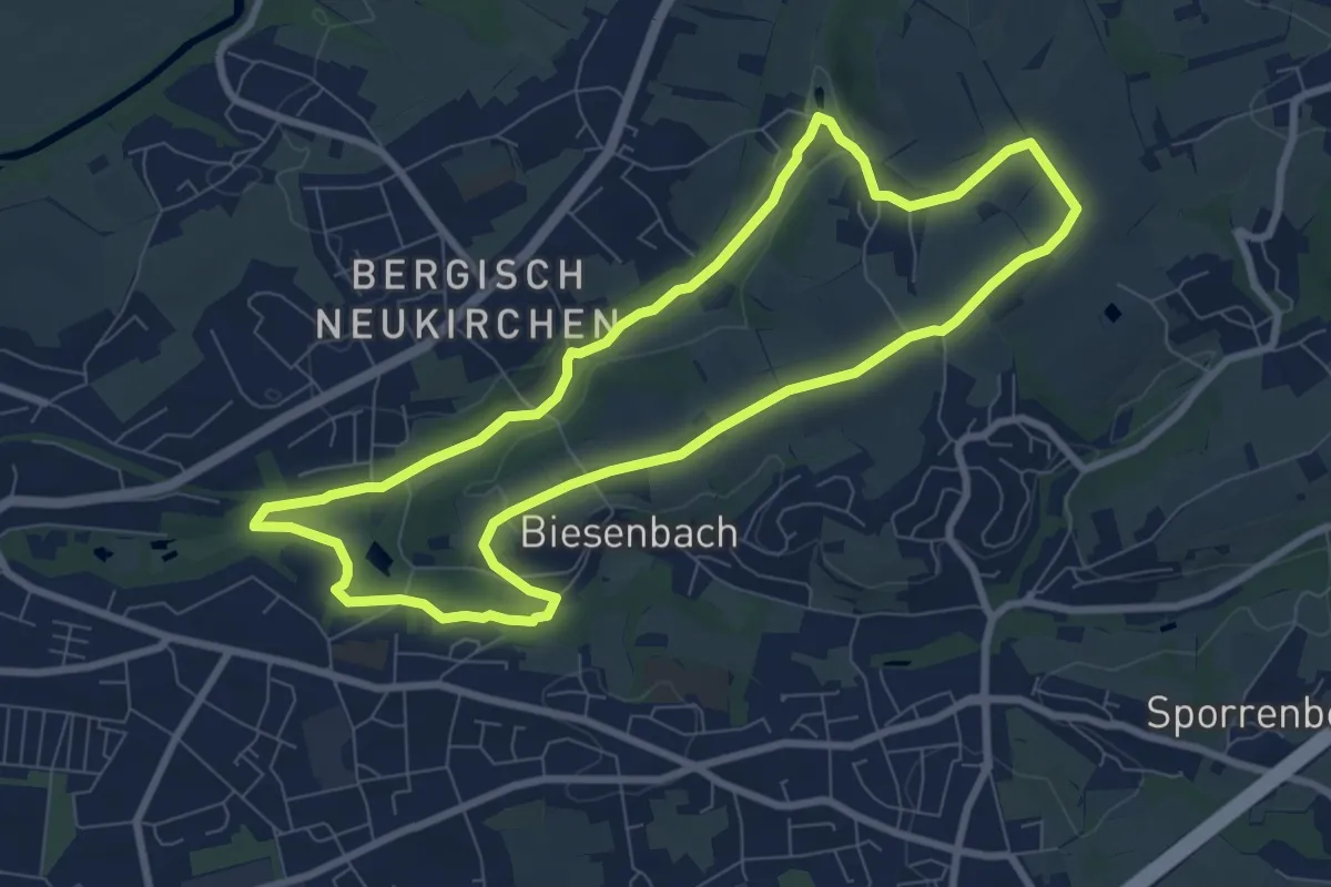
Easy · Trail
Obstweg Leverkusen
7.5 km · ↑ 65 m · 2 h 1 min
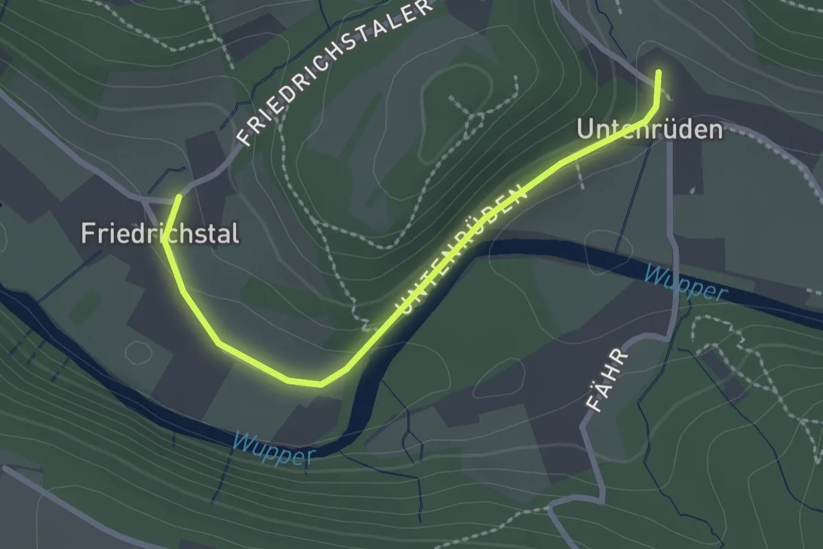
Easy · Trail
Obstweg Solingen
2.1 km · ↑ 42 m · 36 min
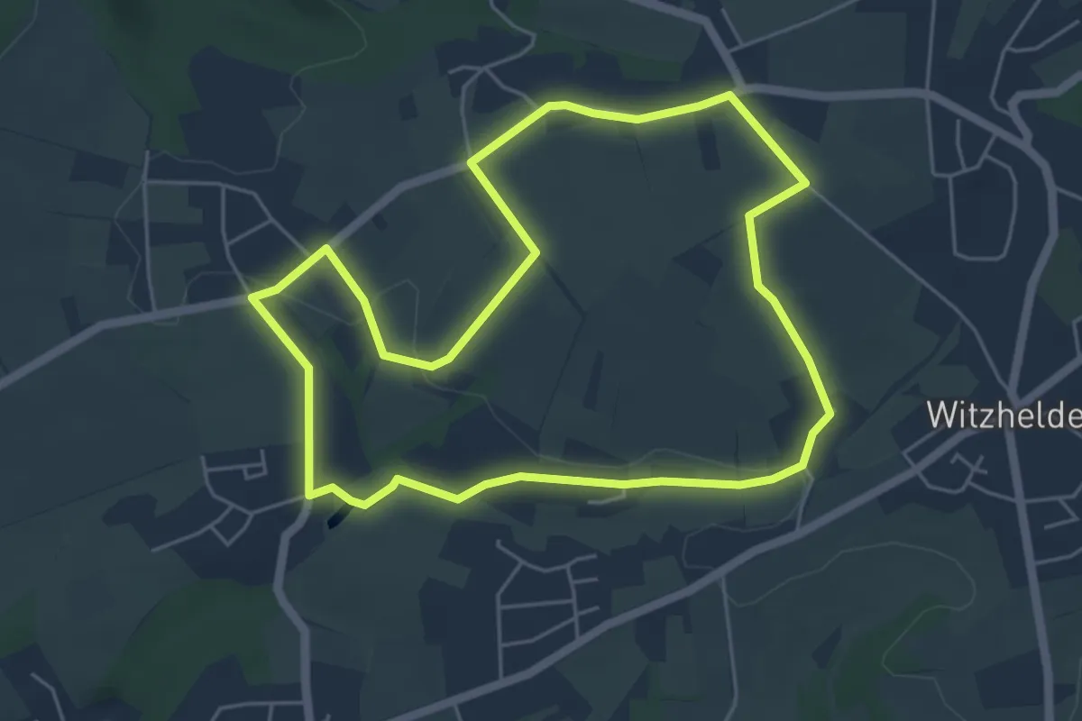
Easy · Trail
Obstweg Witzhelden
4.7 km · ↑ 66 m · 1 h 19 min
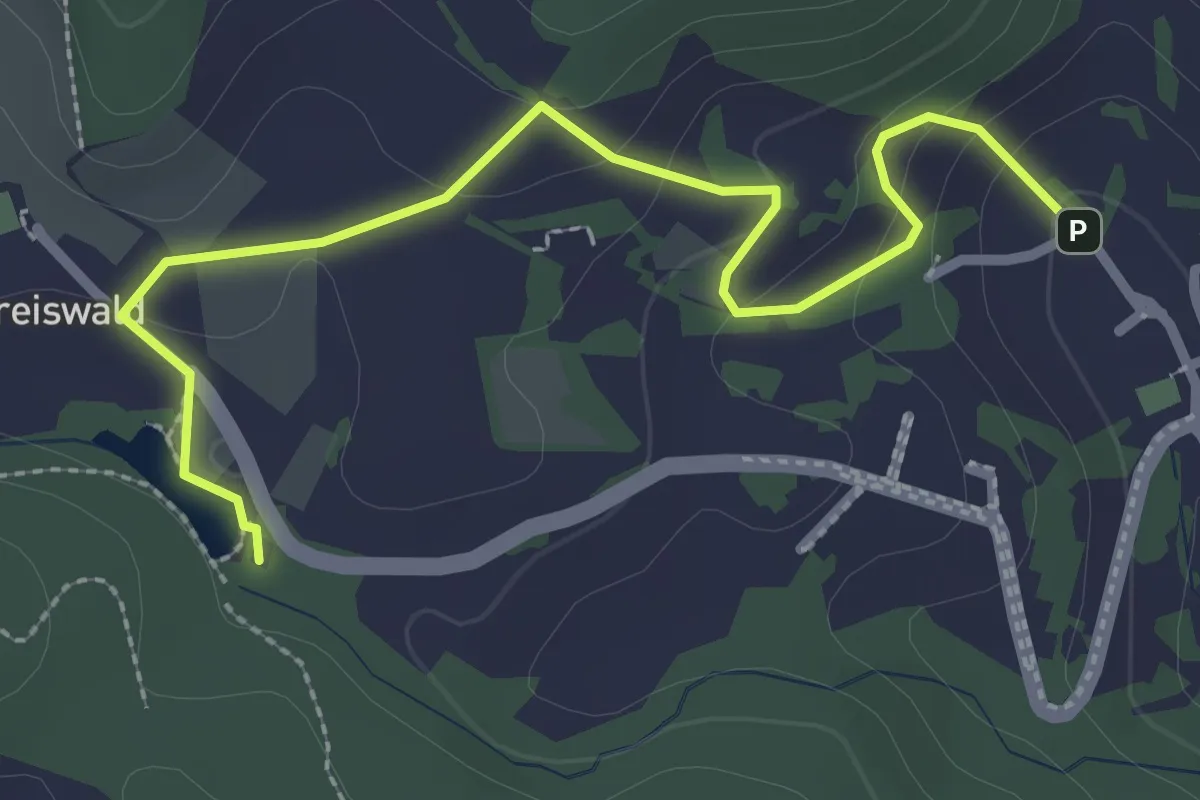
Easy · Trail
Obstwiesenlehrpfad Albersbach
2.9 km · ↑ 118 m · 56 min
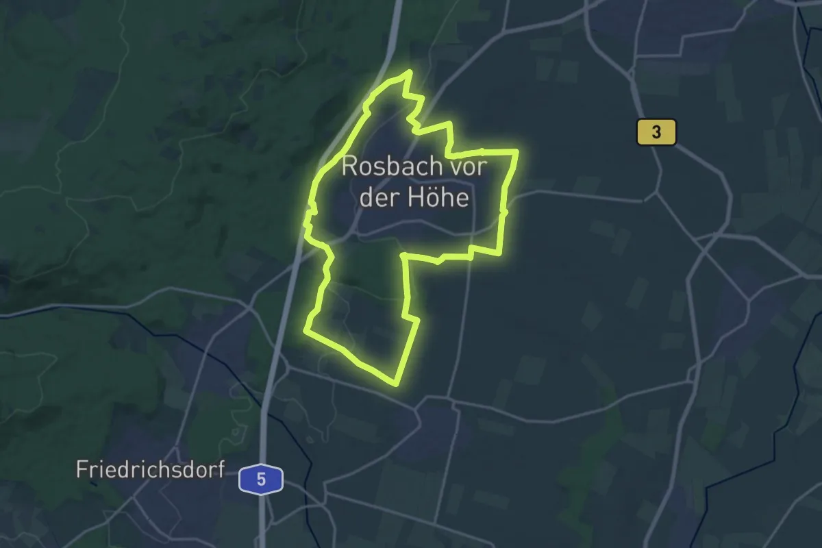
Medium · Trail
Obstwiesen-Route
16.1 km · ↑ 185 m · 4 h 26 min
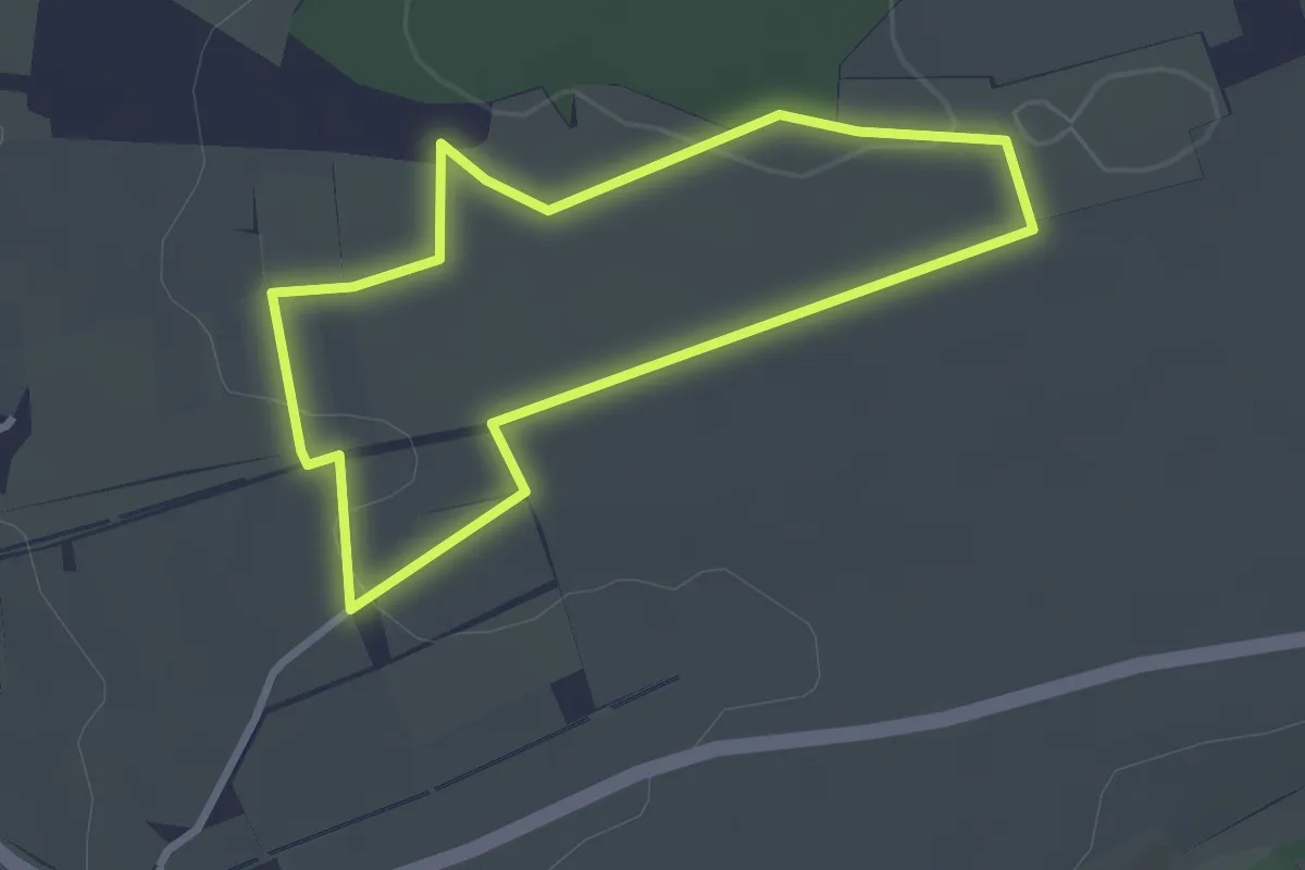
Easy · Trail
Obstwiesenweg Remseck
2.5 km · ↑ 21 m · 40 min
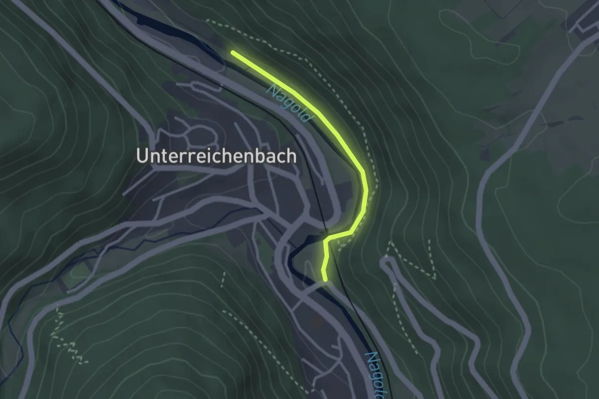
Easy · Trail
Ochsenbrücke - Unterreichenbach Badeplatzbrücke
2.2 km · ↑ 33 m · 35 min
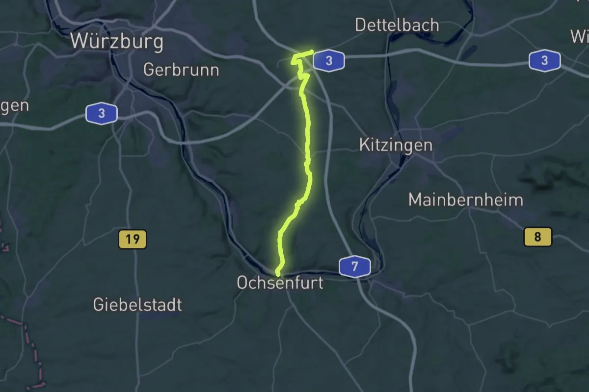
Medium · Trail
Ochsenfurt - Dettelbach Bhf
16.6 km · ↑ 230 m · 4 h 36 min
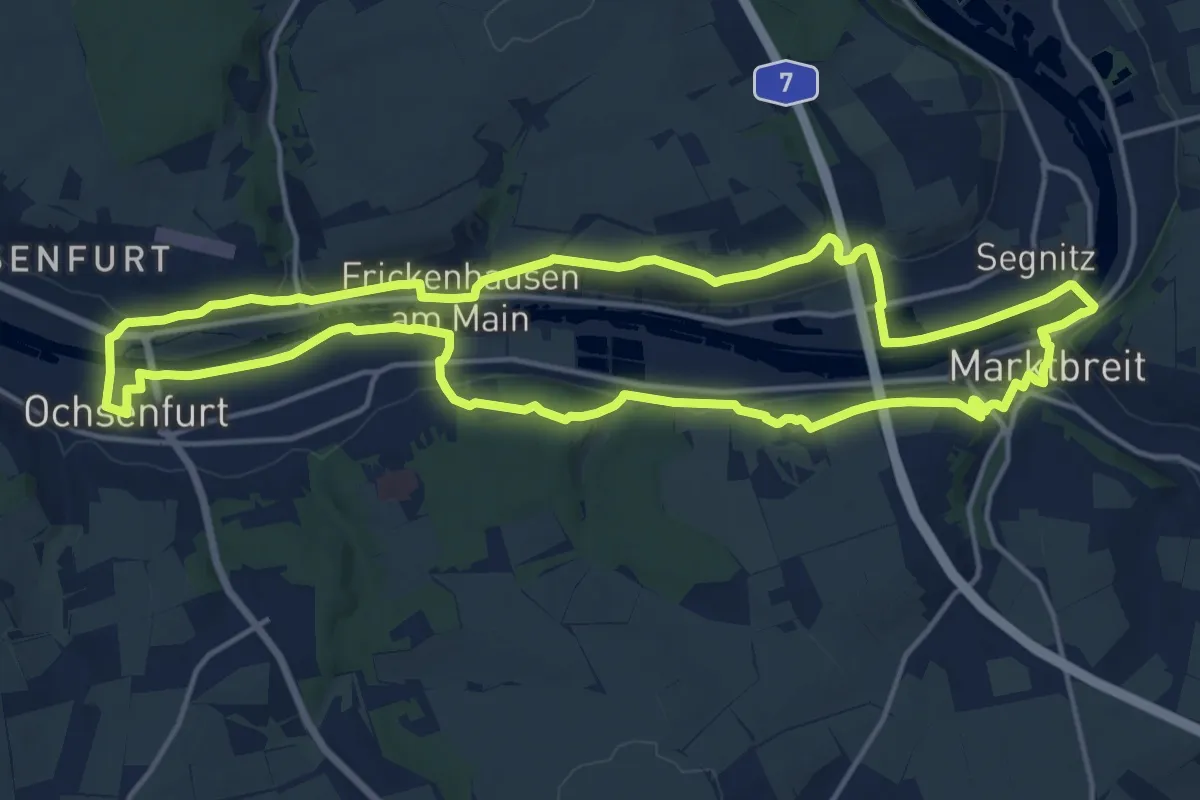
Medium · Trail
Ochsenfurt Maindreieck Runde
15.5 km · ↑ 250 m · 4 h 25 min
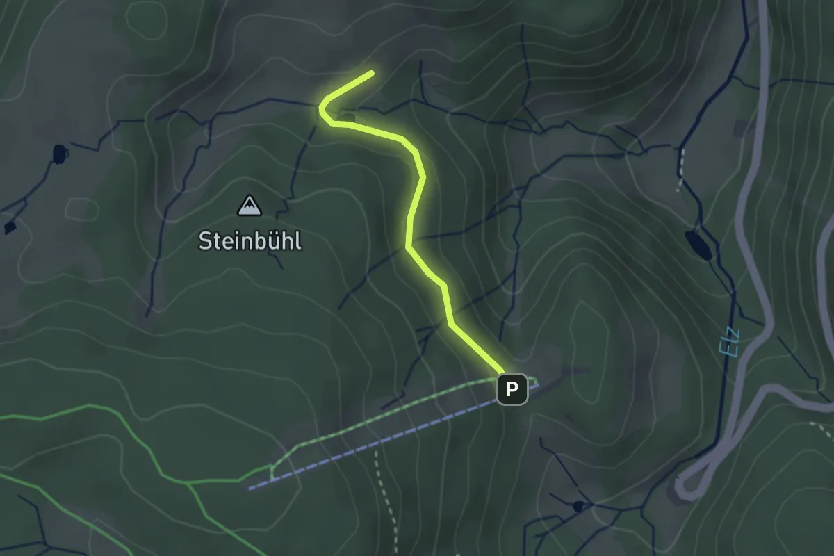
Easy · Trail
Ochsenhof - Lift- und Wanderhäusle Rohrhardsberg
2.2 km · ↑ 74 m · 41 min
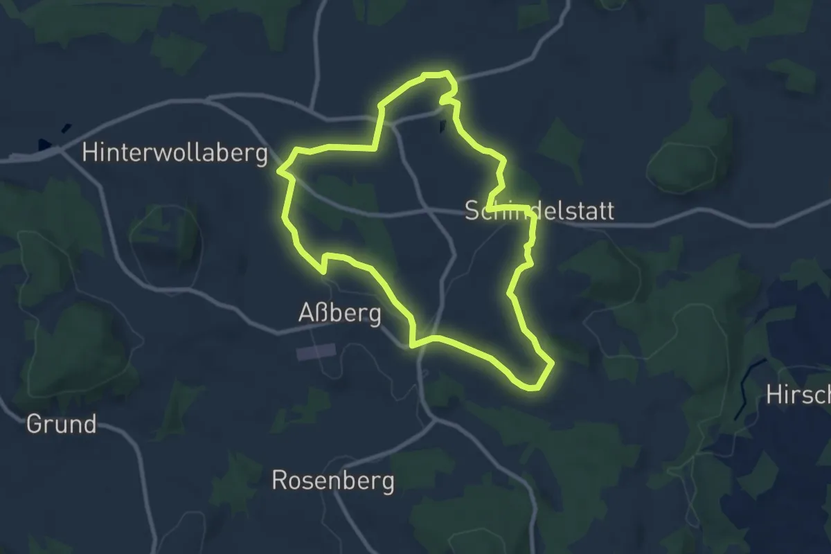
Easy · Trail
Ochsenhöheweg
7.7 km · ↑ 178 m · 2 h 19 min
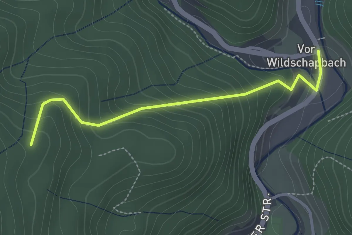
Easy · Trail
Ochsenhütte - Vor Wildschapbach
2.5 km · ↑ 209 m · 1 h 2 min
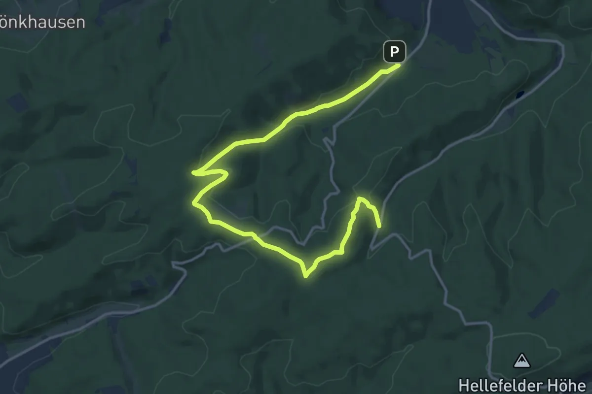
Easy · Summit
Ochsenkopf-Rundweg
6.8 km · ↑ 248 m · 2 h 11 min
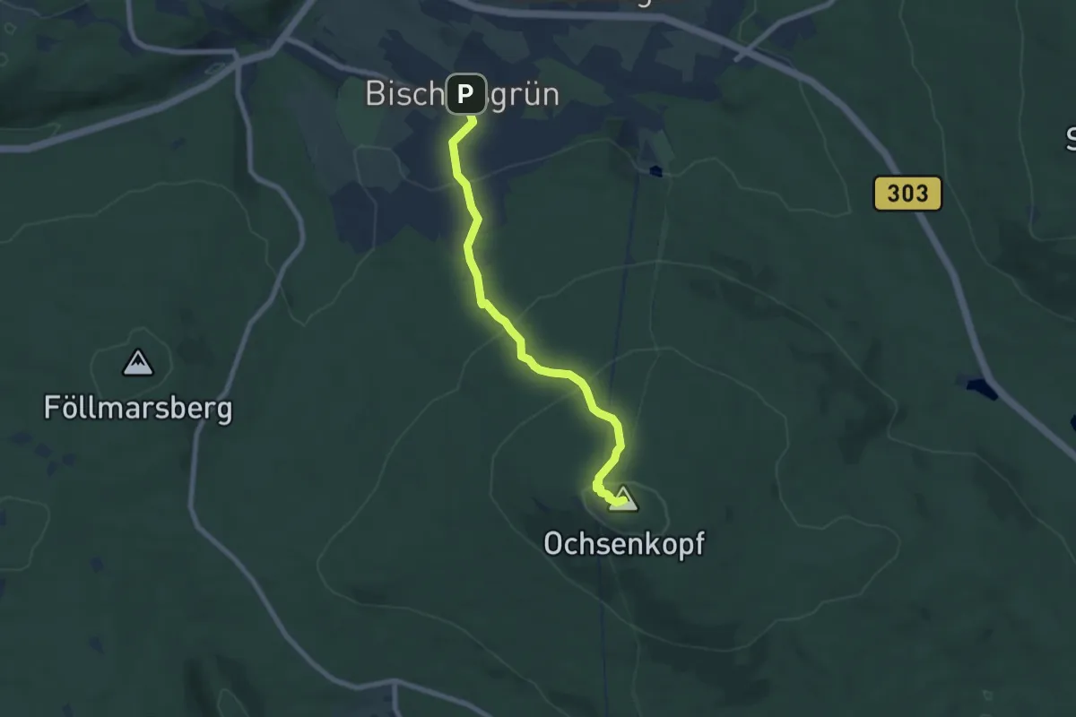
Medium · Summit
Ochsenkopfweg
6.4 km · ↑ 333 m · 2 h 14 min
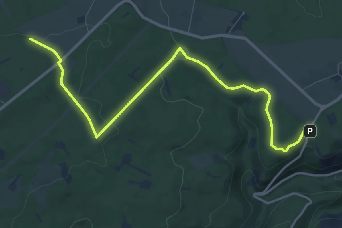
Medium · Trail
Ochsenkopf-Weg
9.7 km · ↑ 141 m · 2 h 36 min
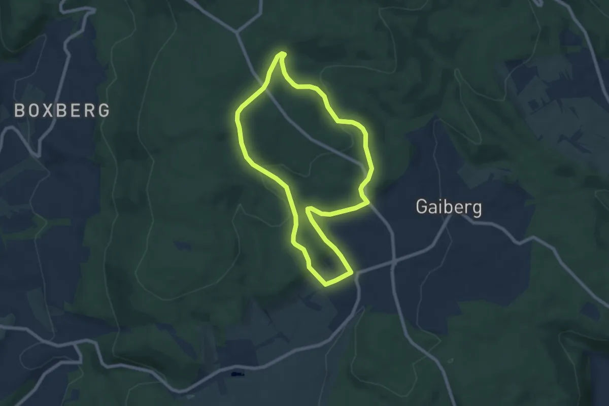
Easy · Trail
Ochsenpferch-Weg
5.7 km · ↑ 160 m · 1 h 47 min
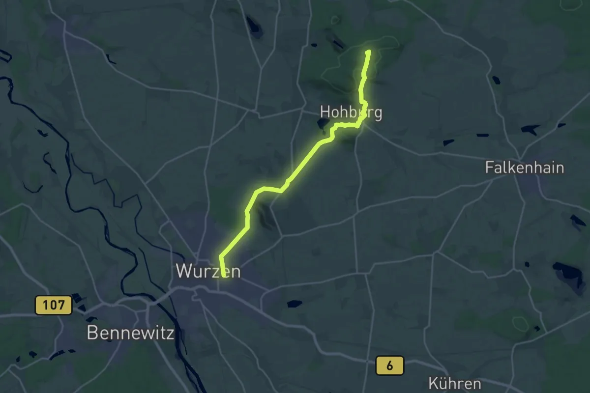
Demanding · Summit
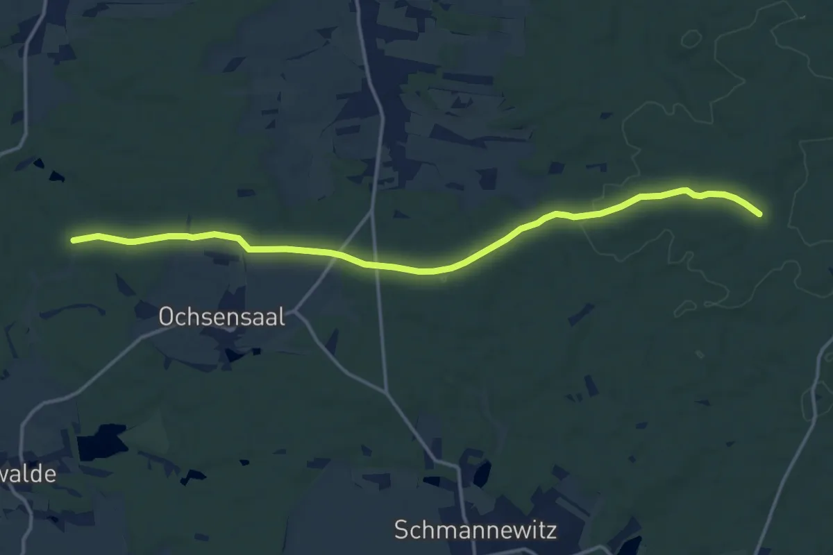
Ochsensaal-Hohburg
18.4 km · ↑ 175 m · 4 h 43 min
Medium · Trail
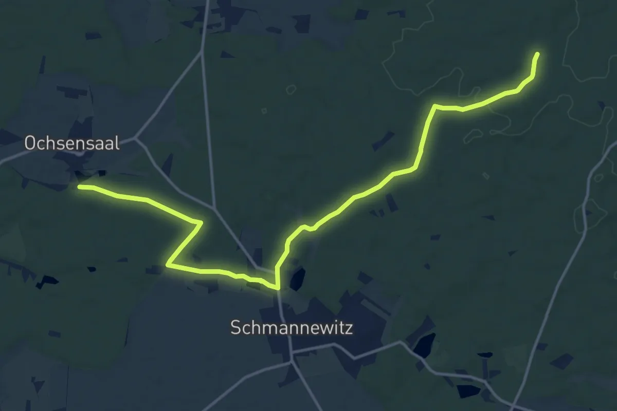
Ochsensaal-Jägereiche
13.3 km · ↑ 54 m · 3 h 16 min
Medium · Trail
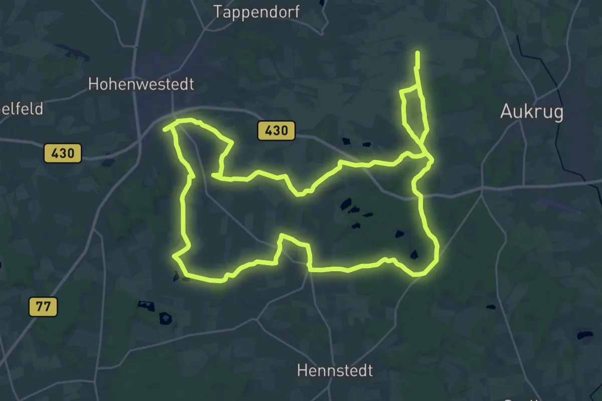
Ochsensaal - Schmannewitz - Jägereiche
14.8 km · ↑ 126 m · 3 h 46 min
Demanding · Trail
Ochsenschleichweg
27.2 km · ↑ 203 m · 7 h 14 min
Medium · Summit
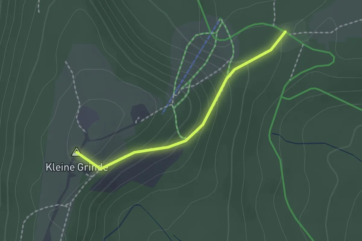
Ochsenstall - Hornisgrinde Windpark
1.5 km · ↑ 101 m · 34 min