Trails in Germany
36,852 hiking trails, each with its route, climb, walking time and grade.
All trails, page 397 of 768
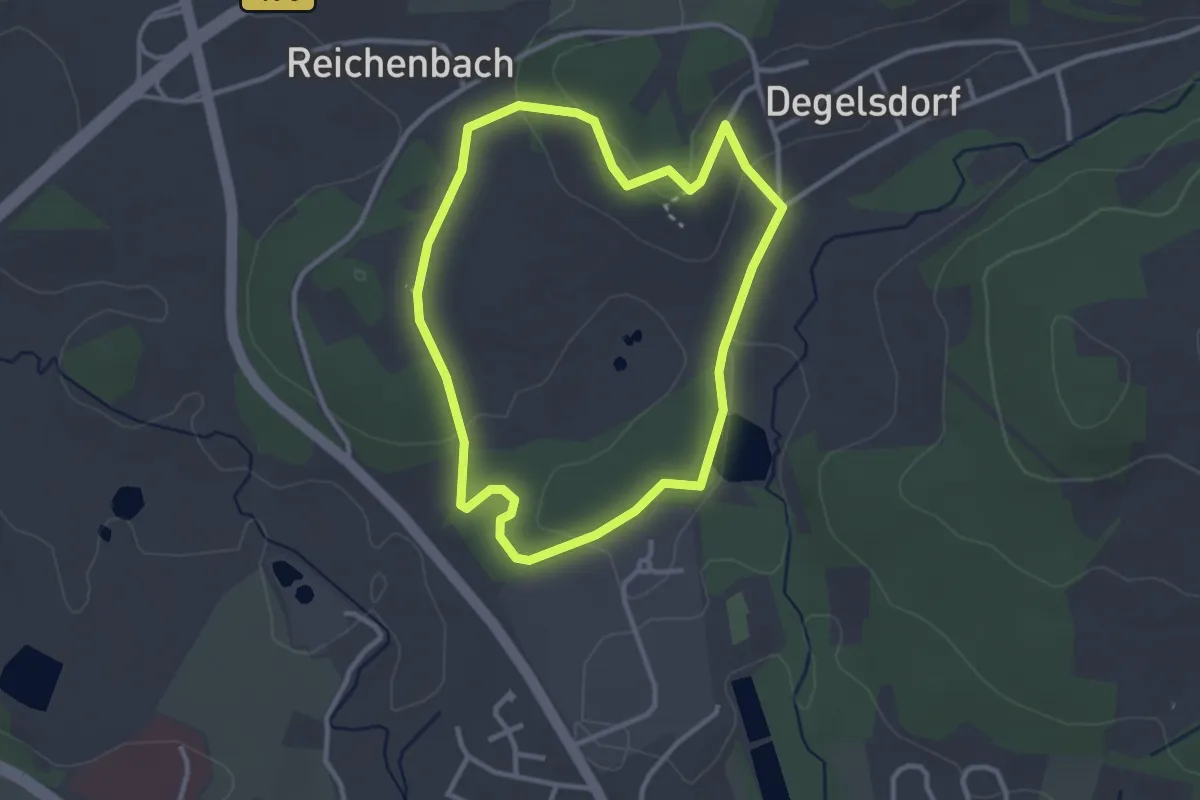
Easy · Summit
Ochsentour
2.7 km · ↑ 48 m · 46 min
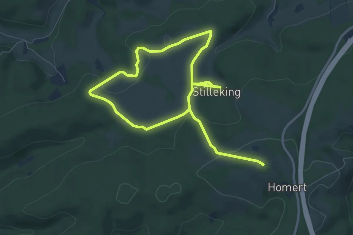
Medium · Summit
Ochsentour
10.2 km · ↑ 208 m · 2 h 51 min
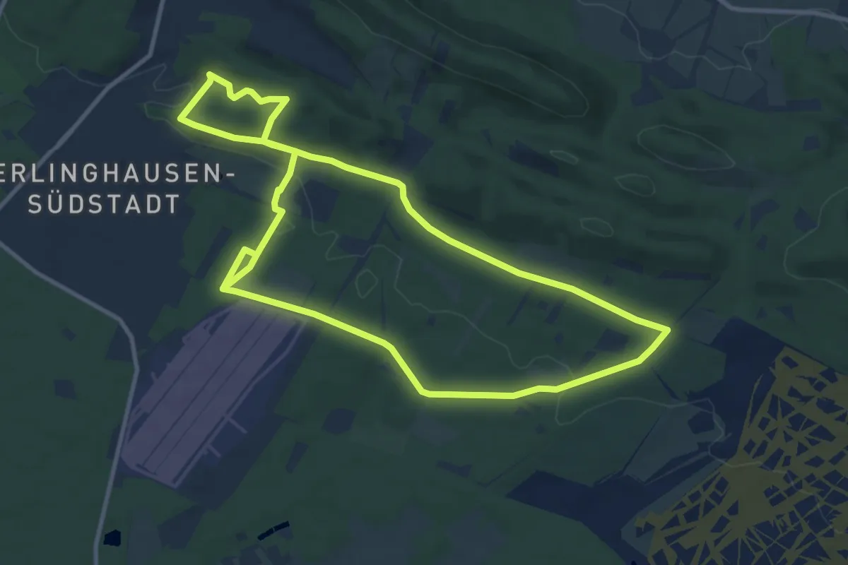
Medium · Trail
Ochsentour
9.0 km · ↑ 174 m · 2 h 37 min
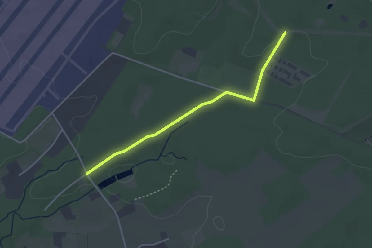
Easy · Trail
Ochsentour (Zuweg Bokelfenner Straße)
2.9 km · ↑ 18 m · 44 min
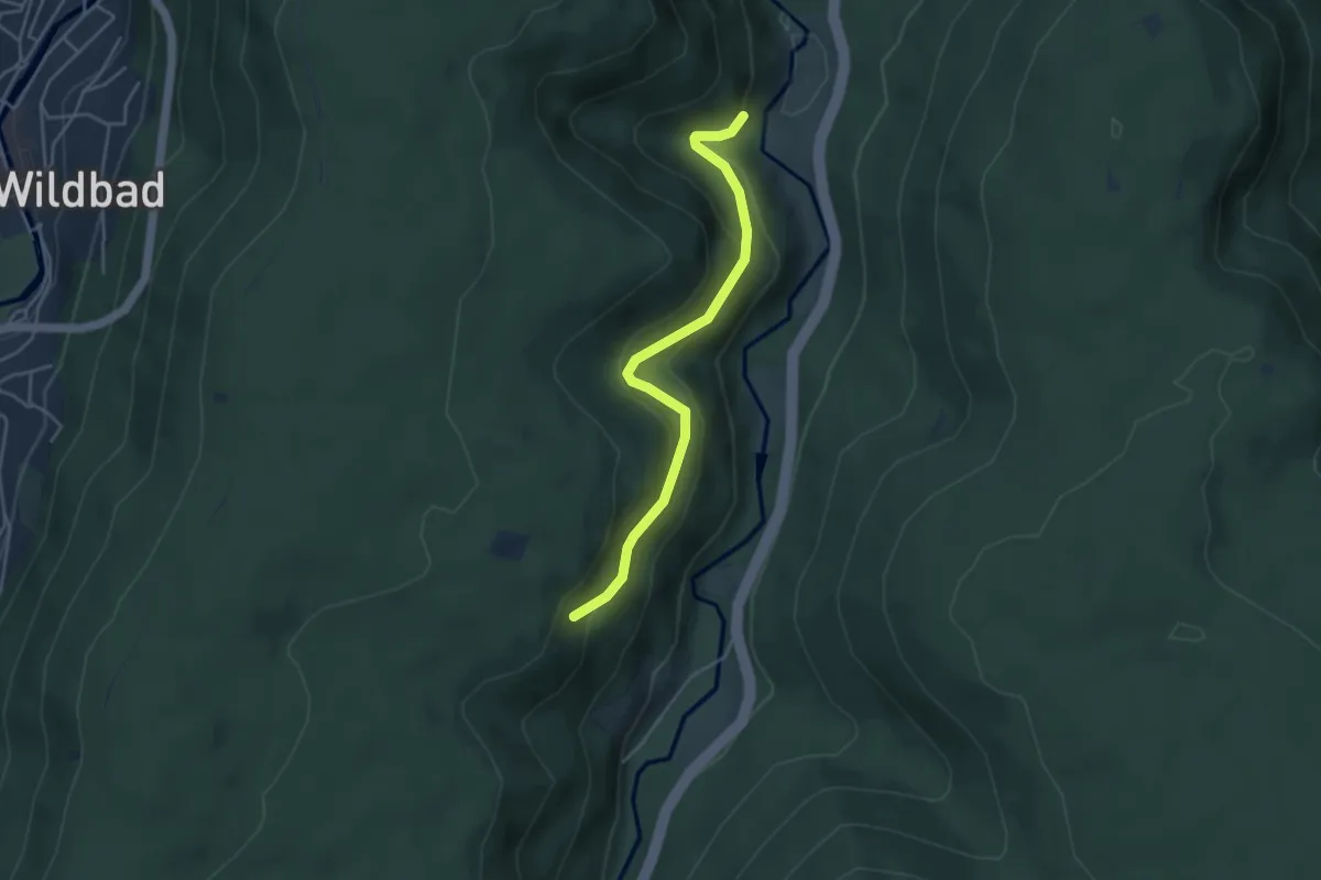
Easy · Trail
Ochsenwald - Blumenauerteich
3.9 km · ↑ 201 m · 1 h 22 min
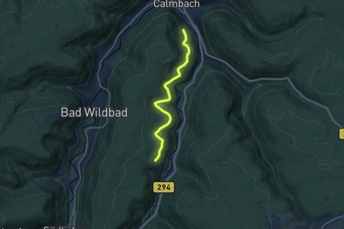
Medium · Trail
Ochsenwald - Jörgenteich
9.1 km · ↑ 342 m · 2 h 54 min
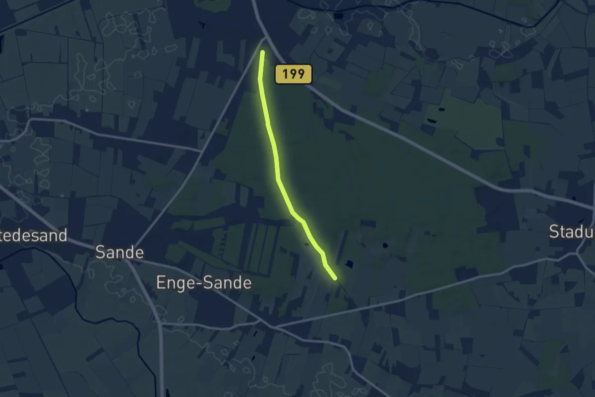
Easy · Trail
Ochsenweg im Langenberger Forst
7.1 km · ↑ 35 m · 1 h 45 min
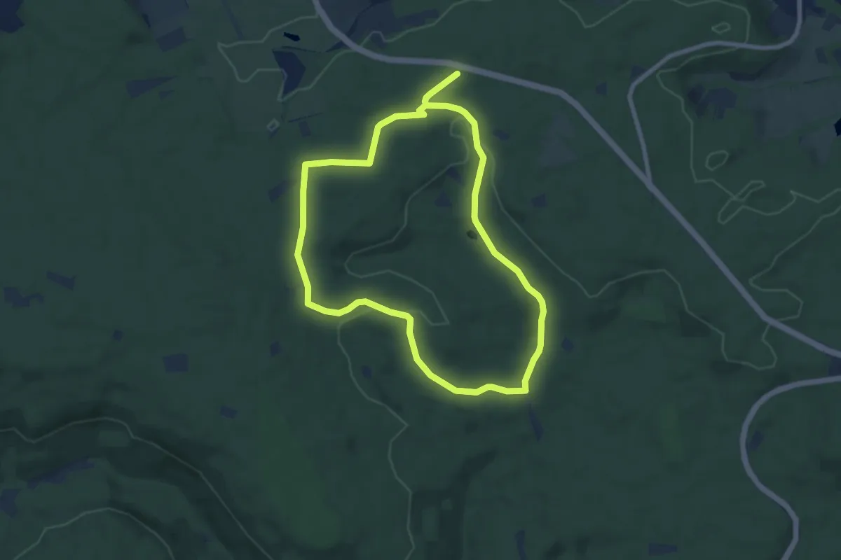
Easy · Trail
Ochsenweiher Rundweg
6.3 km · ↑ 85 m · 1 h 46 min
Easy · Trail
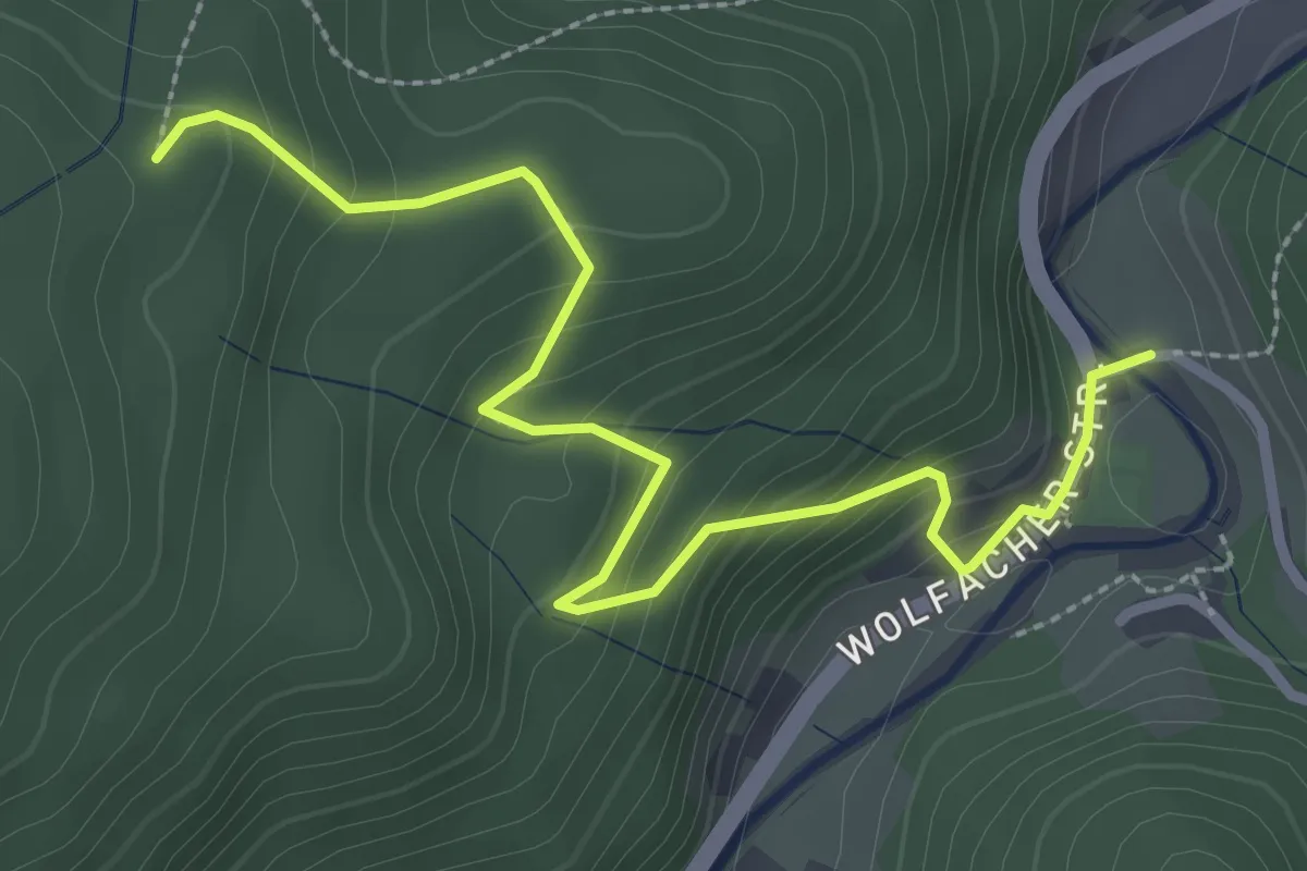
Ochsenwirts Eiche - Ochsenhütte
3.1 km · ↑ 233 m · 1 h 14 min
Easy · Trail
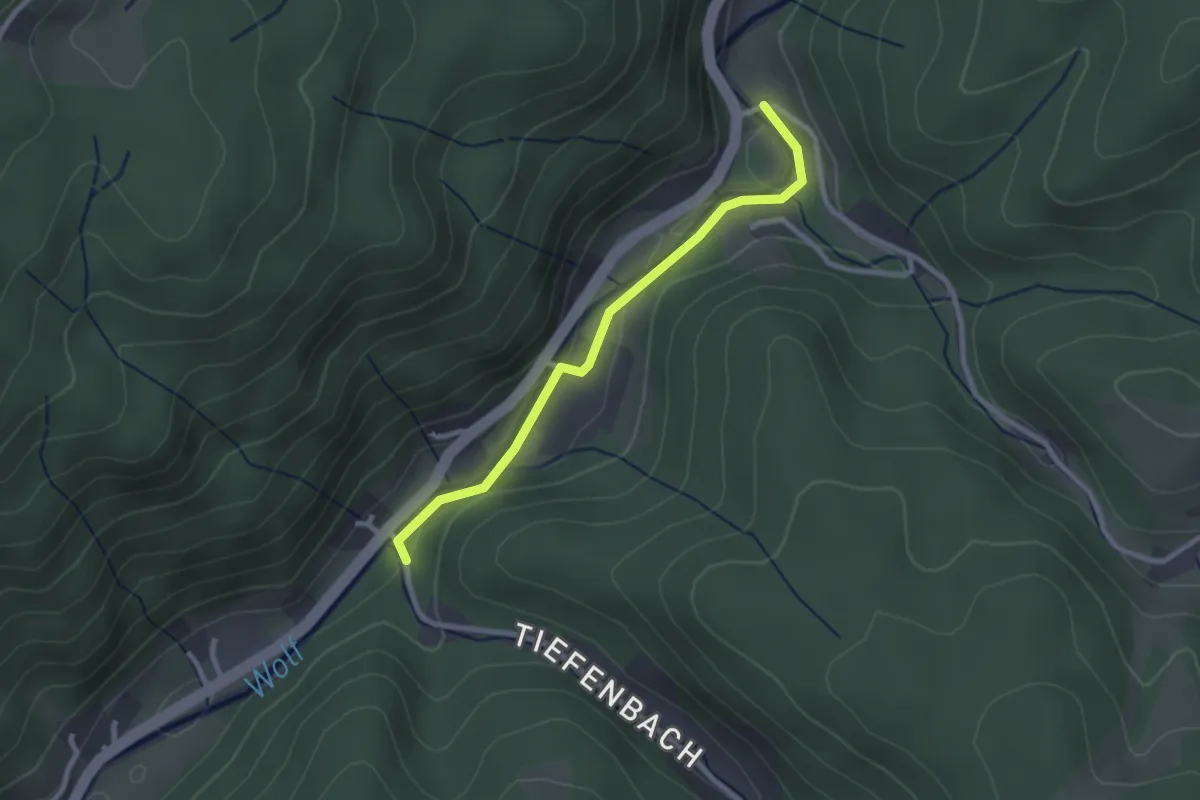
Ochsenwirts Eiche - Vor Tiefenbach
2.4 km · ↑ 29 m · 37 min
Easy · Trail
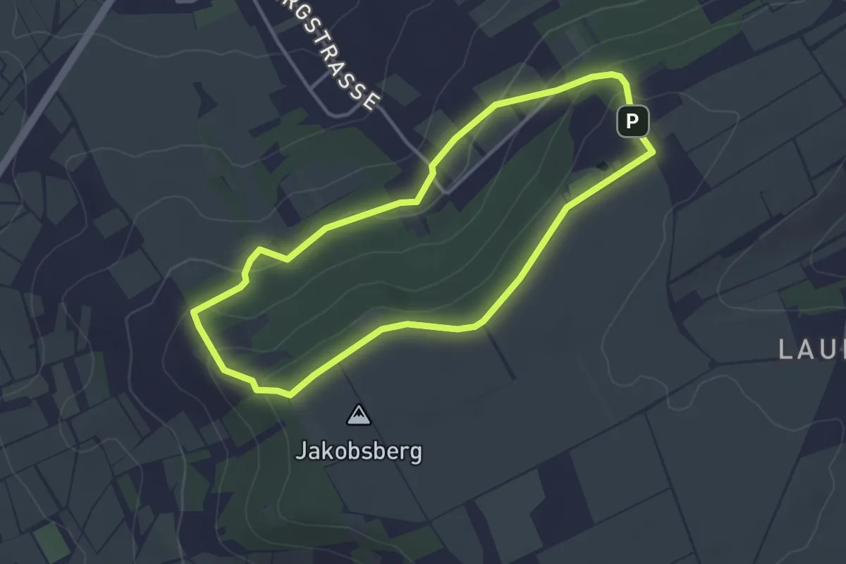
Ockenheim: Balkon Rheinhessens
3.1 km · ↑ 91 m · 58 min
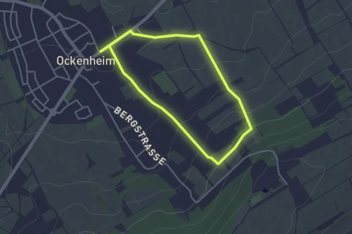
Easy · Trail
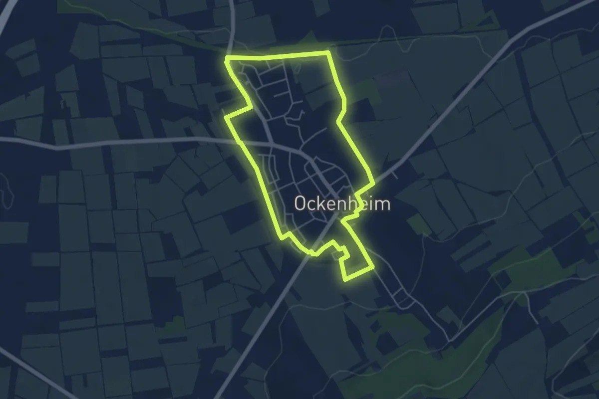
Ockenheim: Generationenweg
4.4 km · ↑ 35 m · 1 h 10 min
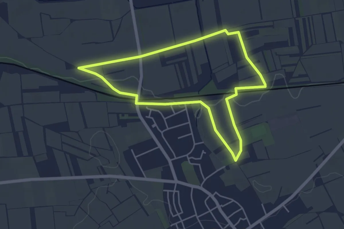
Easy · Trail
Ockenheim: Klingelspfad
2.5 km · ↑ 83 m · 48 min
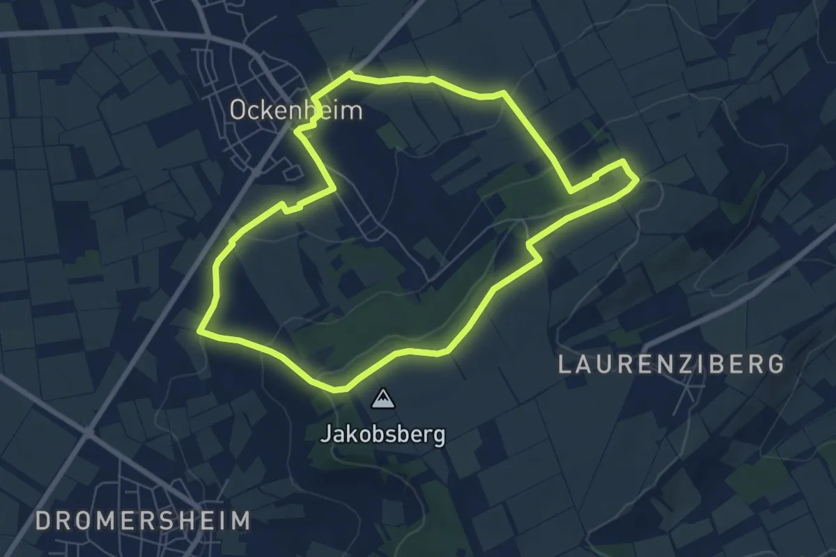
Easy · Trail
Ockenheim: Scharfes Gericht
3.7 km · ↑ 26 m · 59 min
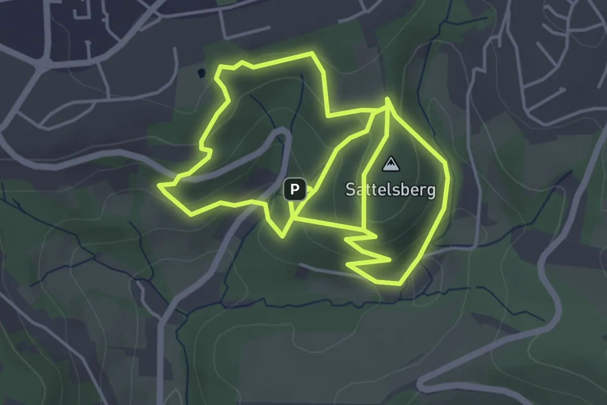
Easy · Trail
Ockenheim: Schönhölle Spelzenberg
6.3 km · ↑ 161 m · 1 h 55 min
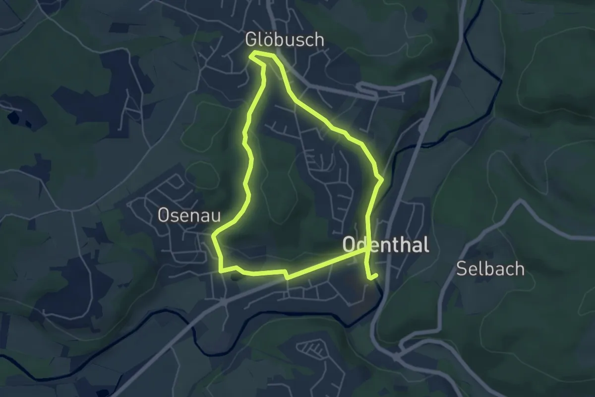
Easy · Summit
Odental Rundweg A1
4.1 km · ↑ 180 m · 1 h 24 min
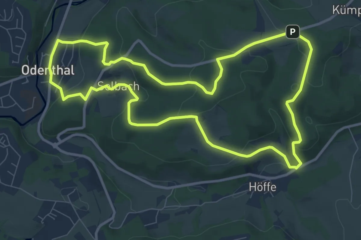
Easy · Trail
Odenthal Rundweg A1
4.1 km · ↑ 98 m · 1 h 15 min
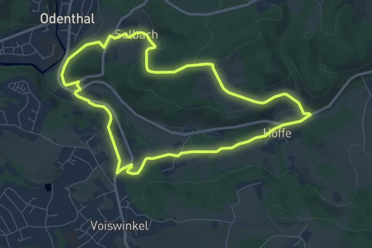
Easy · Trail
Odenthal Rundweg A2
7.6 km · ↑ 227 m · 2 h 23 min
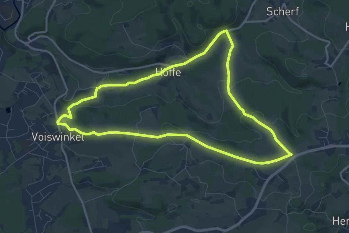
Easy · Trail
Odenthal Rundweg A3
6.4 km · ↑ 170 m · 1 h 59 min
Easy · Trail
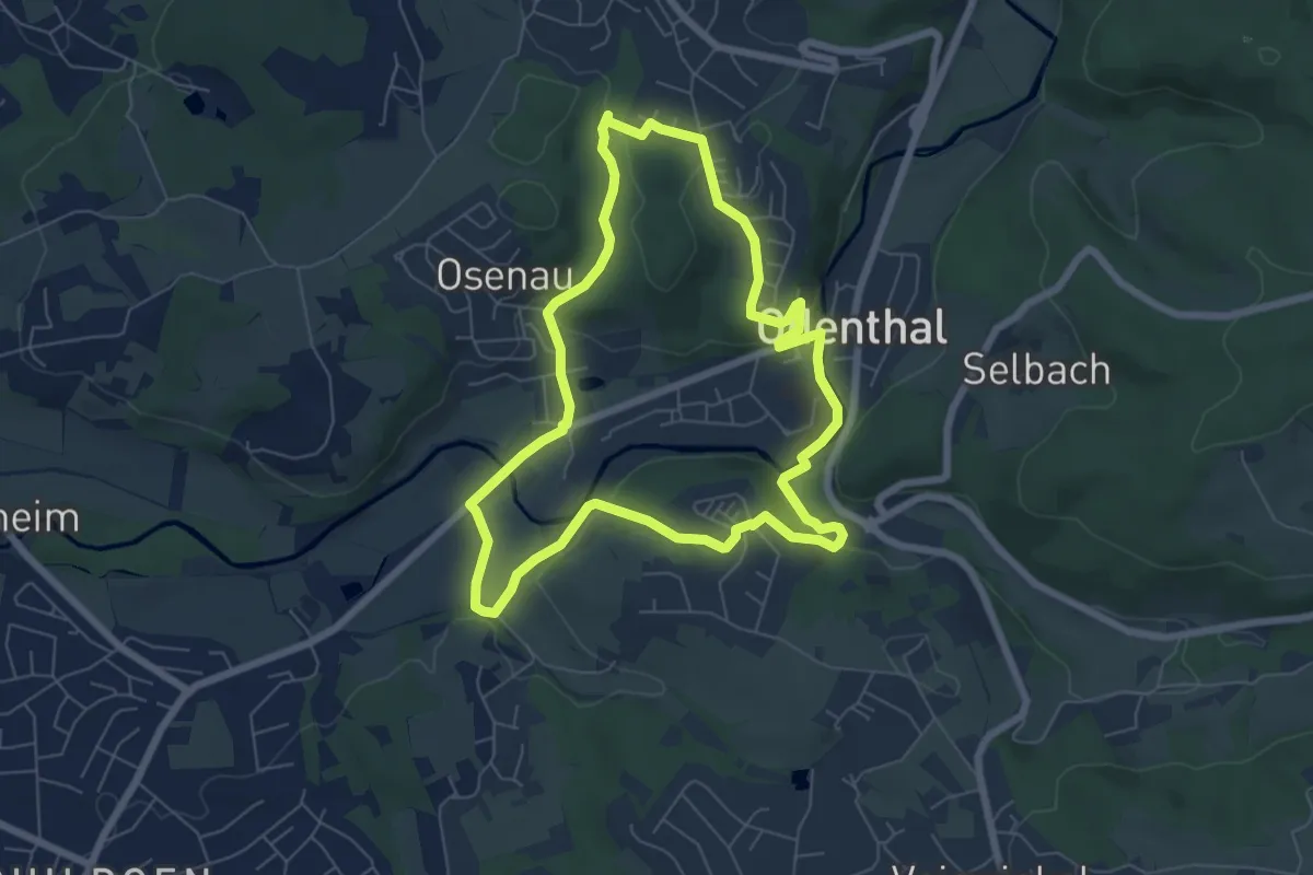
Odenthal Rundweg A4
7.8 km · ↑ 158 m · 2 h 18 min
Easy · Trail
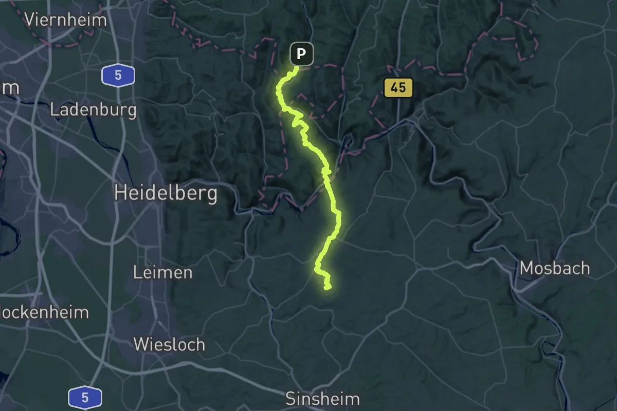
Odenthal Rundweg A4
5.9 km · ↑ 138 m · 1 h 46 min
Demanding · Summit
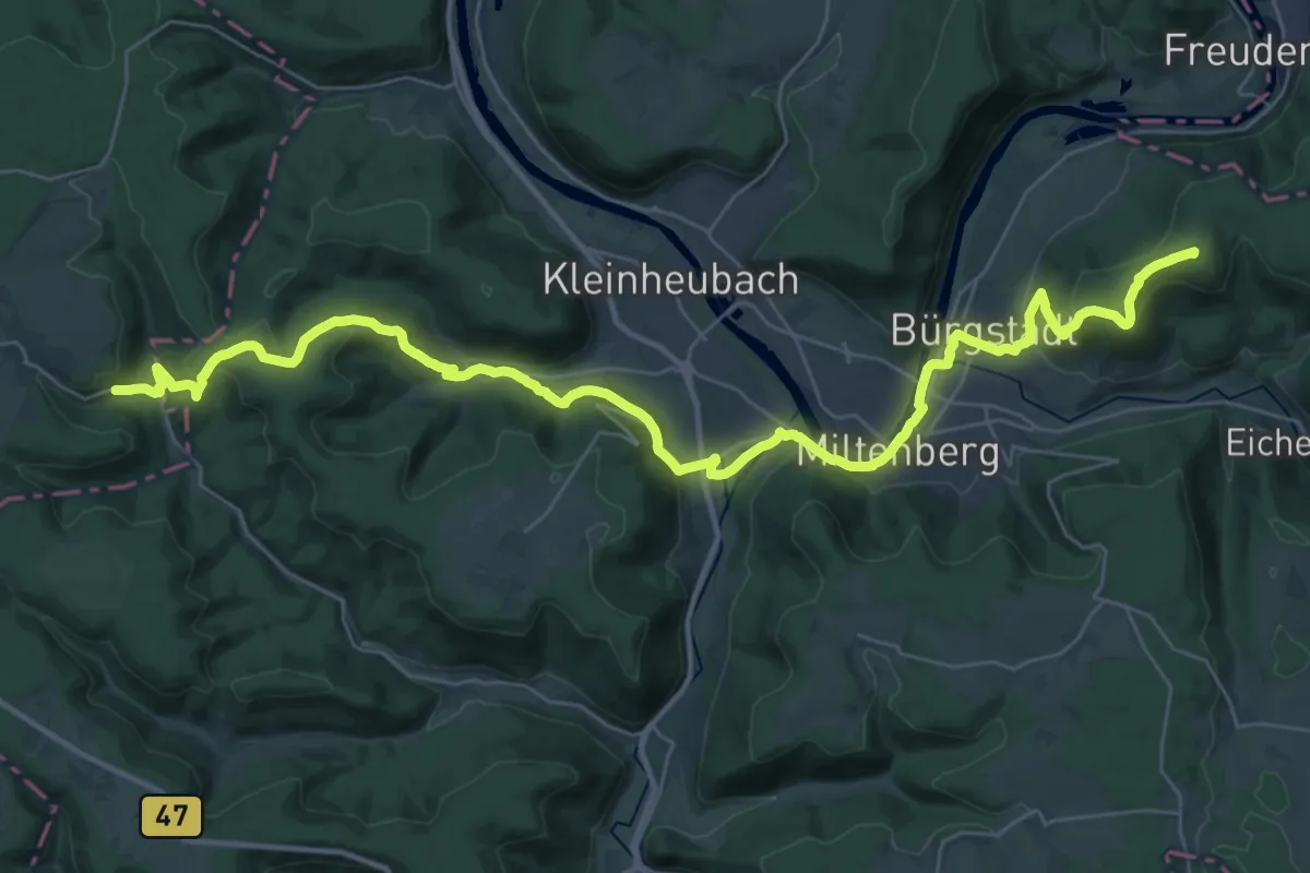
Odenwaldklub HW 17, Reinheim - Grasellenbach - Neidenstein
58.9 km · ↑ 1756 m · 17 h 42 min
Demanding · Summit
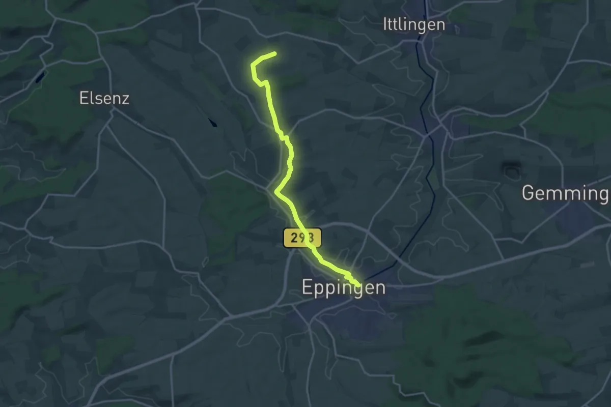
Odenwaldklub HW 18, Vier-Länder-Weg (Teilstück Michaelstadt - Wertheim)
40.7 km · ↑ 1157 m · 12 h 7 min
Medium · Trail
Odenwaldklub HW 19, Offenbach - Hirschhorn - Eppingen
14.6 km · ↑ 66 m · 3 h 36 min
Demanding · Trail
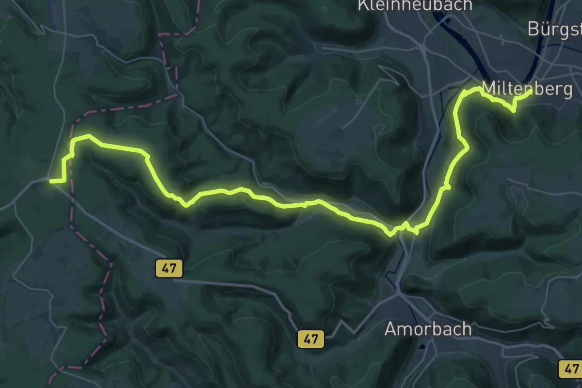
Odenwaldklub HW 20, Bensheim - Michelstadt - Miltenberg
19.5 km · ↑ 709 m · 6 h 13 min
Demanding · Trail
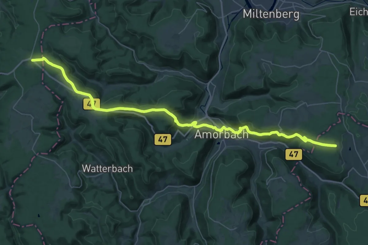
Odenwaldklub HW 22, Bensheim - Erbach - Walldürn
20.0 km · ↑ 426 m · 5 h 57 min
Demanding · Trail
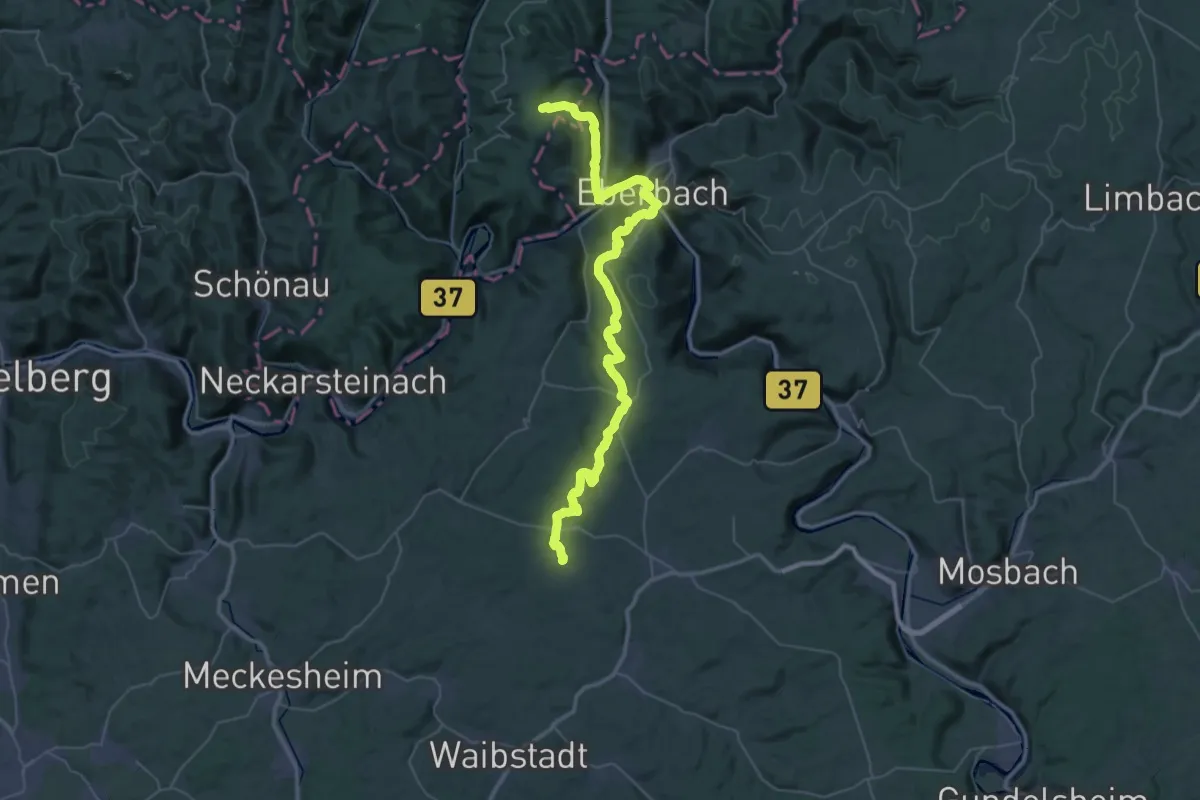
Odenwaldklub HW 23, Groß Umstadt -Höchst (Odw.) - Reichartshausen
24.5 km · ↑ 555 m · 7 h 27 min
Medium · Trail
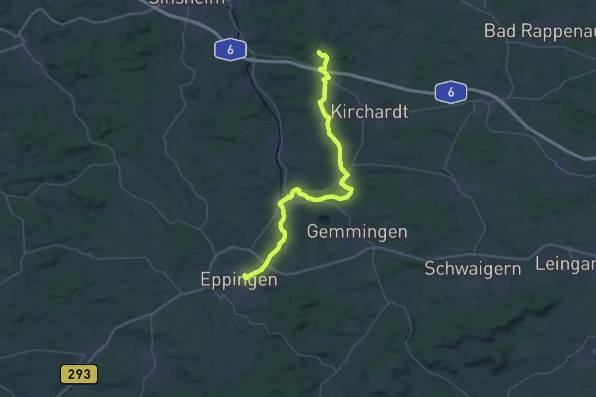
Odenwaldklub HW 25, Bad König - Eberbach - Eppingen
16.9 km · ↑ 256 m · 4 h 46 min
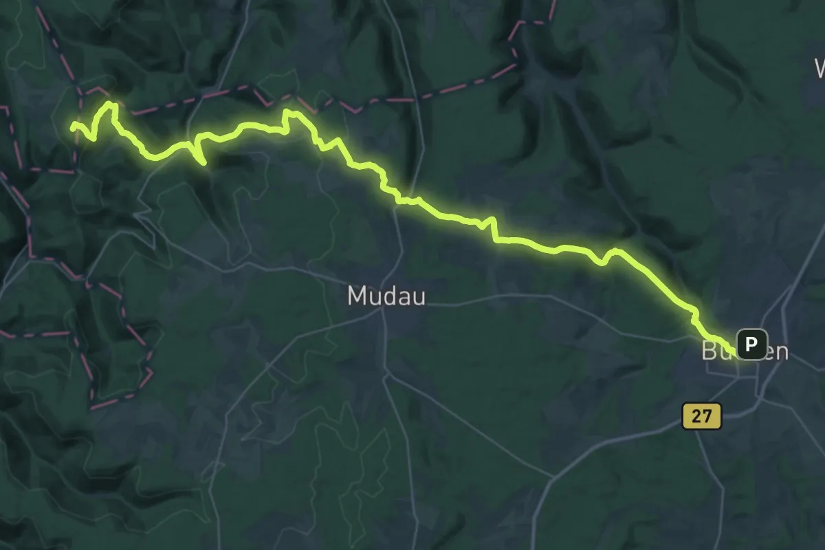
Demanding · Summit
Odenwaldklub HW 26, Laudenbach - Hesselbach - Buchen
48.1 km · ↑ 1346 m · 14 h 16 min
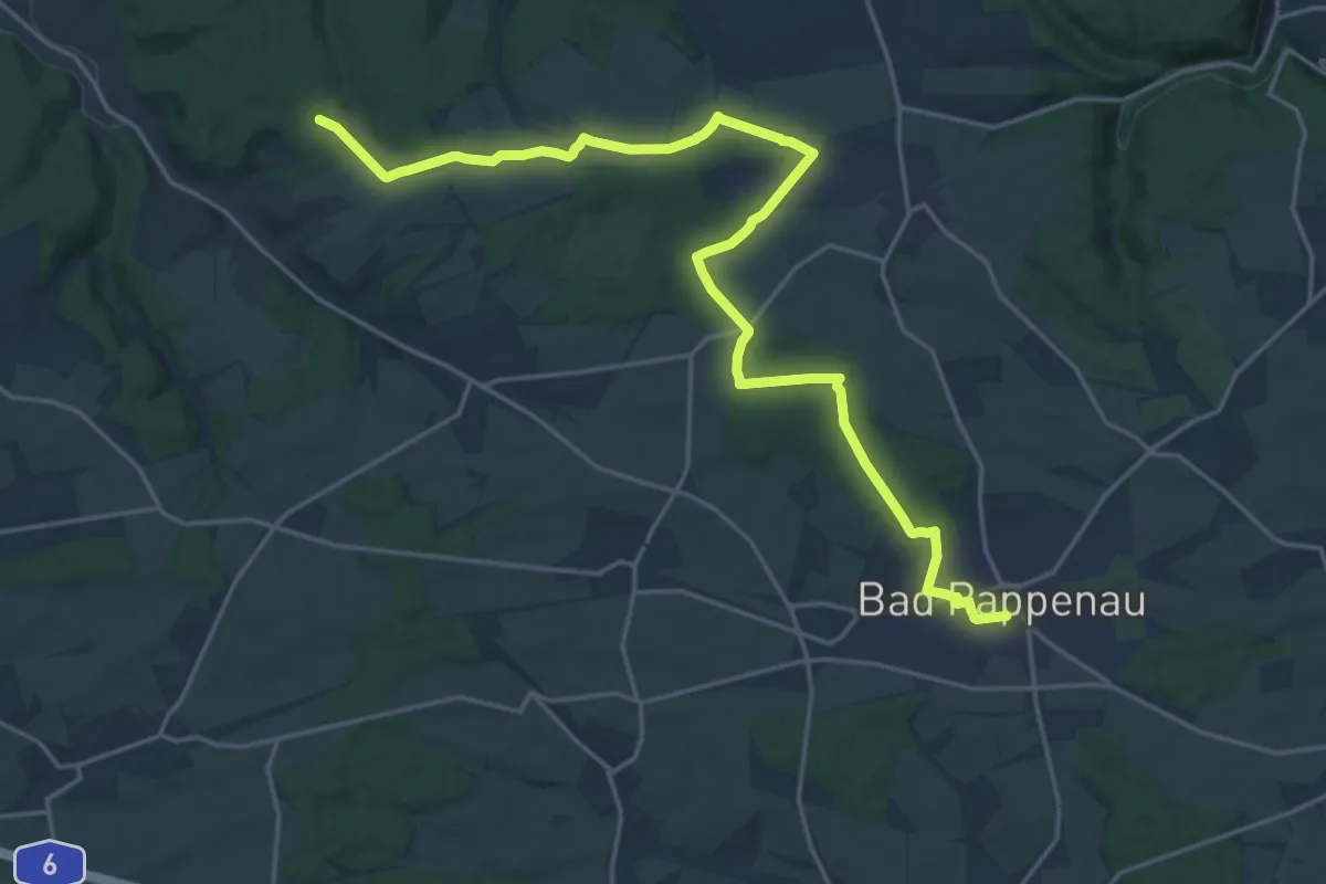
Demanding · Trail
Odenwaldklub HW 27, Seligenstadt - Waldbrunn - Bad Rappenau
22.3 km · ↑ 256 m · 5 h 49 min
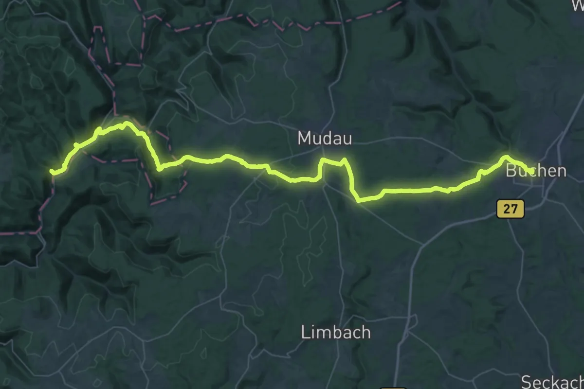
Demanding · Trail
Odenwaldklub HW 30, Weinheim - Gammelsbach - Buchen
26.6 km · ↑ 563 m · 7 h 50 min
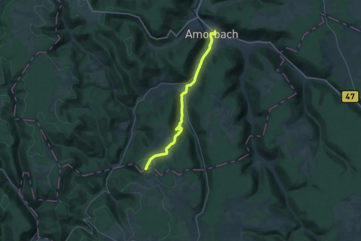
Demanding · Summit
Odenwaldklub HW 31, Amorbach - Mülben - Bad Rappenau
20.5 km · ↑ 416 m · 5 h 45 min
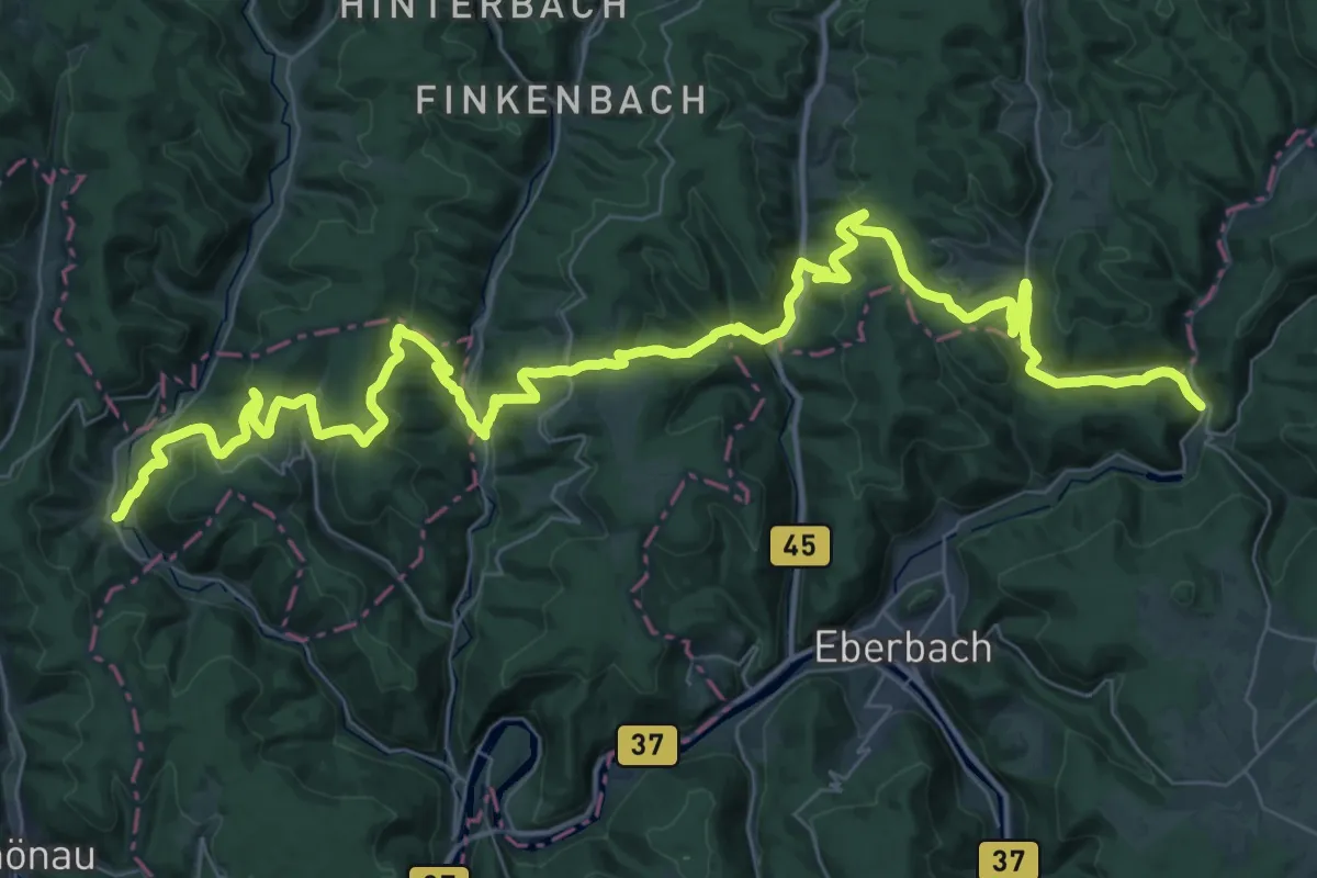
Demanding · Trail
Odenwaldklub HW 32, Leutershausen - Rothenberg - Wagenschwend
29.1 km · ↑ 1010 m · 9 h 28 min
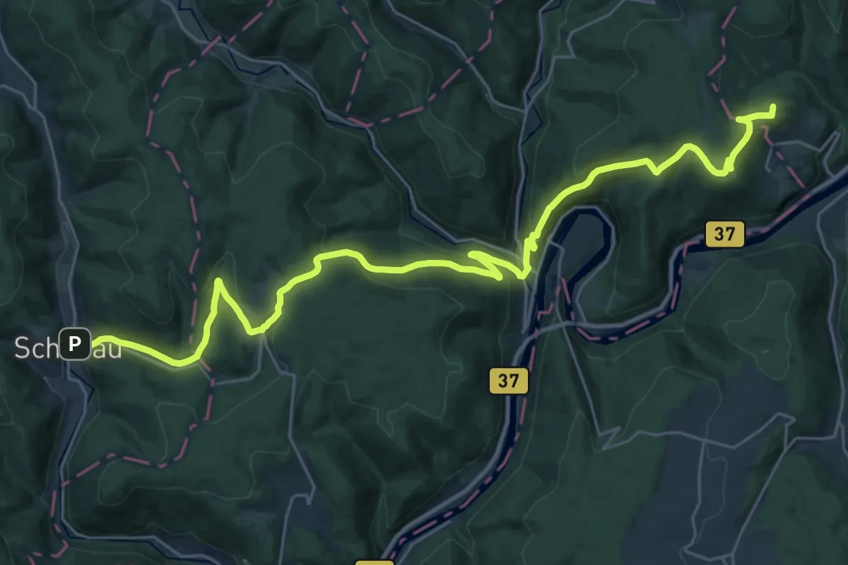
Demanding · Summit
Odenwaldklub HW 34, Ladenburg - Eberbach - Osterburken
31.1 km · ↑ 1115 m · 9 h 45 min
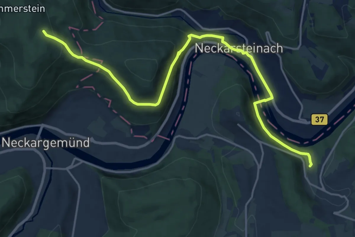
Medium · Trail
Odenwaldklub HW 36 - HD-Handschuhsheim - Neckargerach - Oberschefflenz
13.7 km · ↑ 442 m · 4 h 12 min
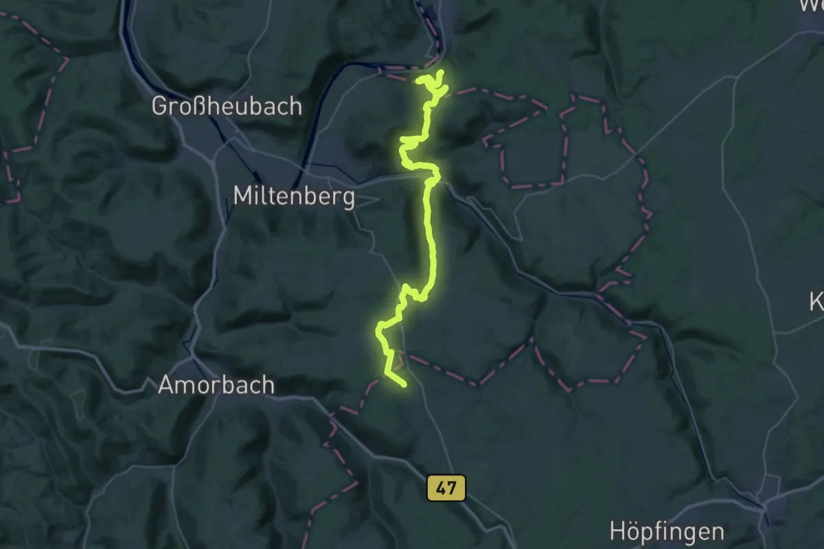
Demanding · Trail
Odenwaldklub HW 39
18.6 km · ↑ 617 m · 5 h 55 min
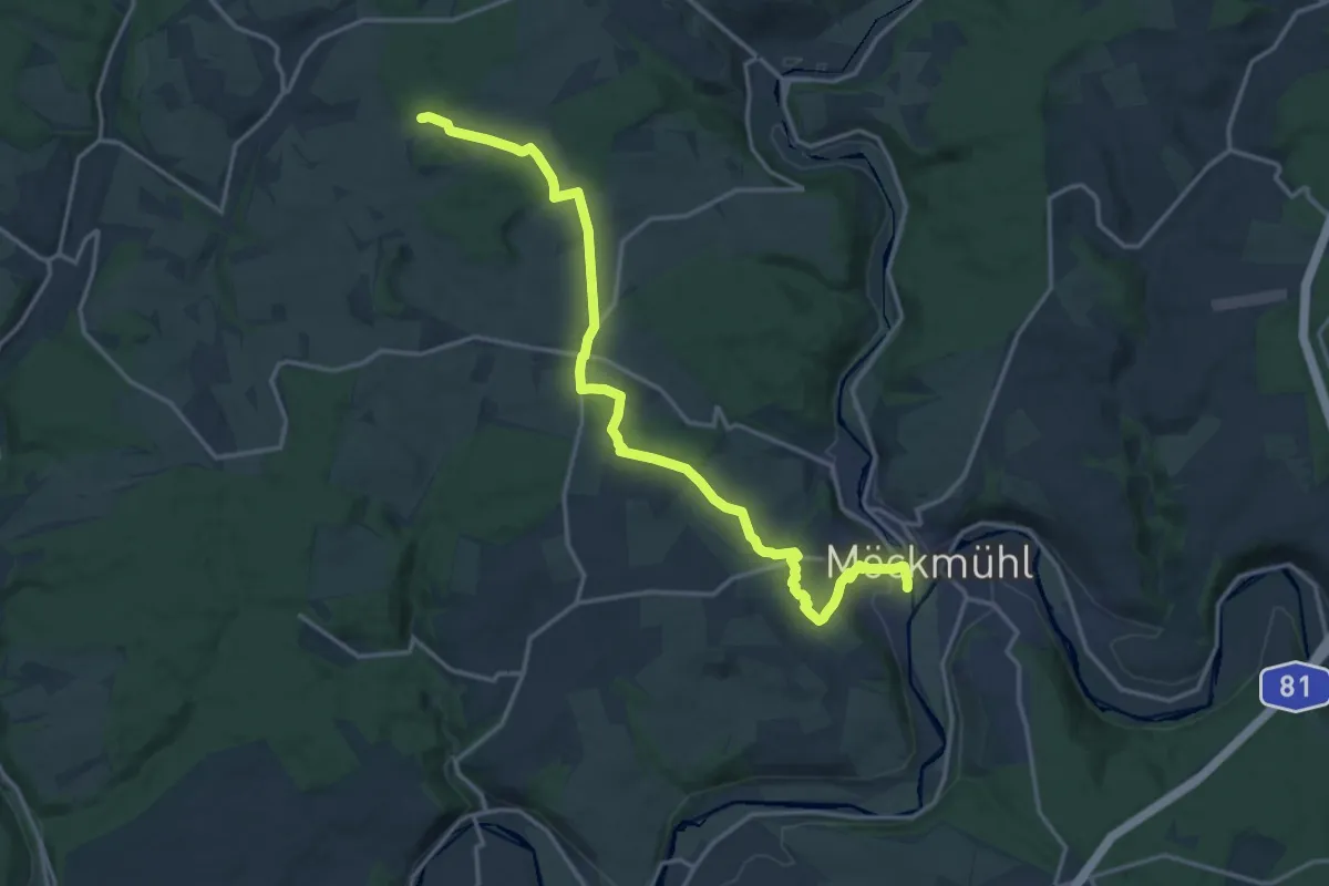
Medium · Trail
Odenwaldklub HW 40, HD-Rohrbach - Mosbach - Möckmühl (Jagst)
17.1 km · ↑ 324 m · 4 h 45 min
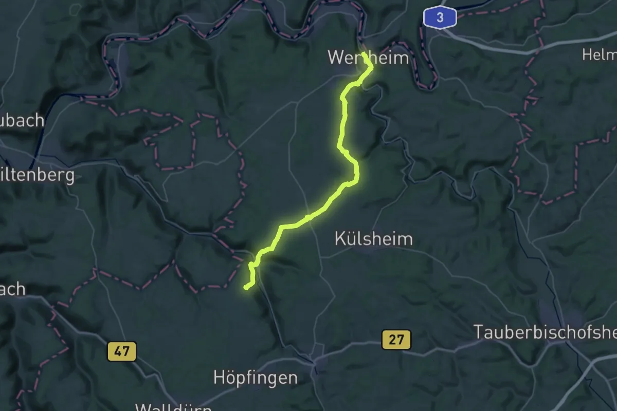
Demanding · Trail
Odenwaldklub HW 41, Wertheim - Walldürn - Buchen
18.7 km · ↑ 551 m · 5 h 46 min
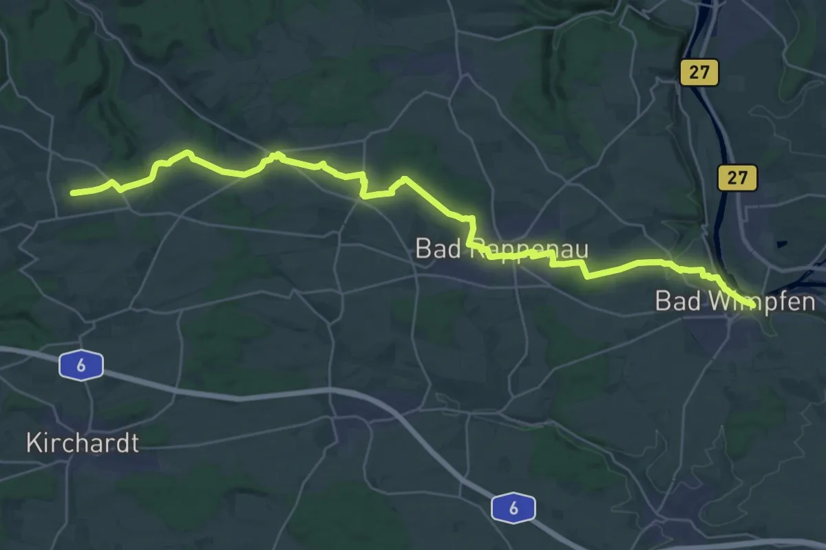
Medium · Trail
Odenwaldklub HW 44, Wiesloch - Steinsfurt - Bad Wimpfen
16.5 km · ↑ 161 m · 4 h 32 min
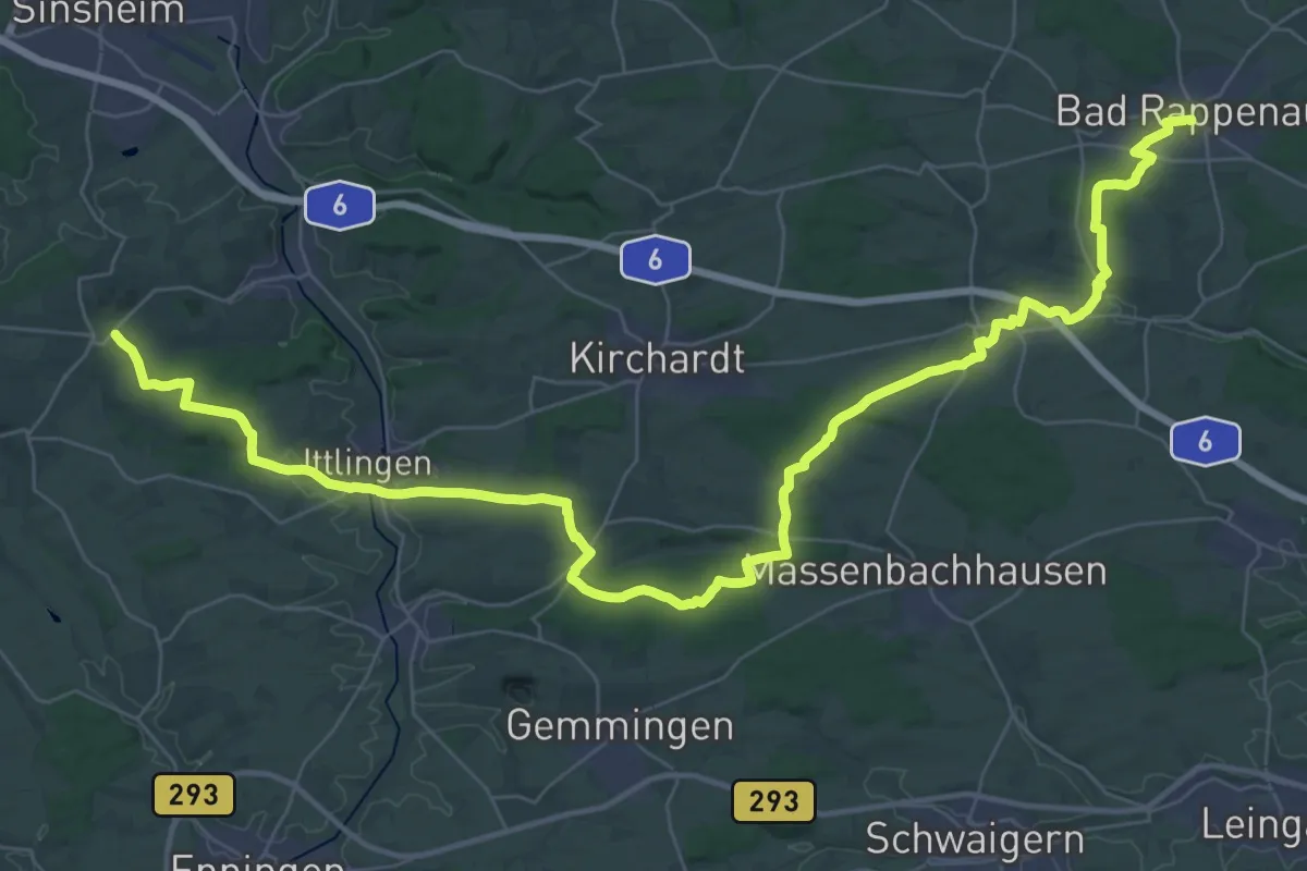
Demanding · Trail
Odenwaldklub HW 46, Waghäusel - Steinsberg -Bad Rappenau
25.6 km · ↑ 283 m · 7 h 2 min
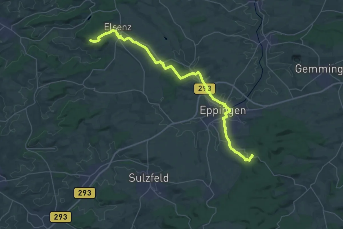
Demanding · Summit
Odenwaldklub HW 48, Pfalz-Kraichgau-Weg, Germersheim - Odenheim - Eppingen
29.5 km · ↑ 388 m · 7 h 48 min
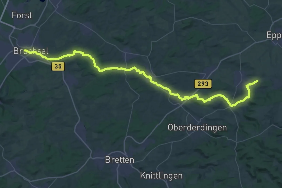
Demanding · Trail
Odenwaldklub HW 50, Sickingenweg, Bruchsal - Ravensburg
28.1 km · ↑ 538 m · 8 h 7 min
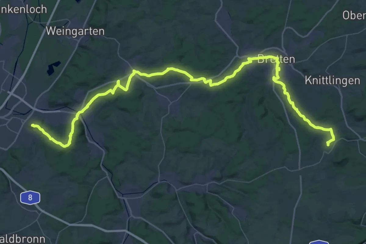
Demanding · Summit
Odenwaldklub HW 54, Turmbergweg, KA. Durlach (Turmberg) - Bretten - Ölbronn
66.0 km · ↑ 1196 m · 18 h 10 min
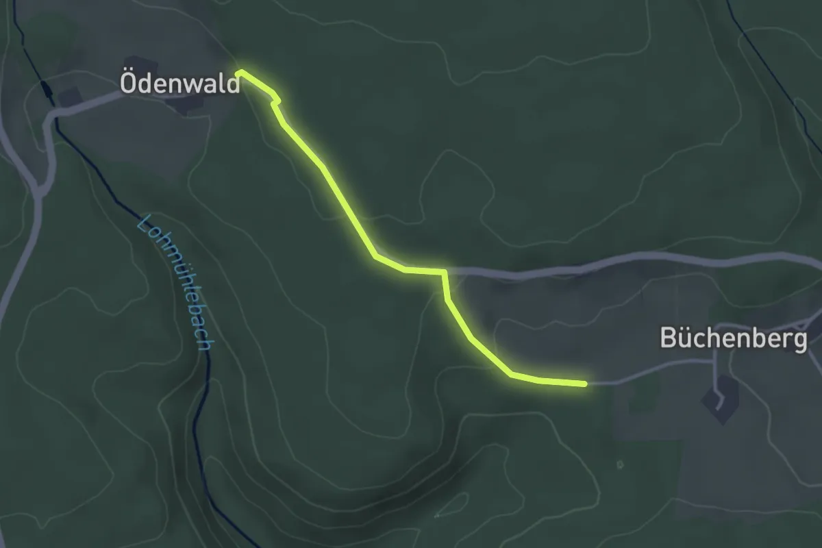
Easy · Trail
Ödenwald - Lohmühlensteig
2.8 km · ↑ 79 m · 50 min
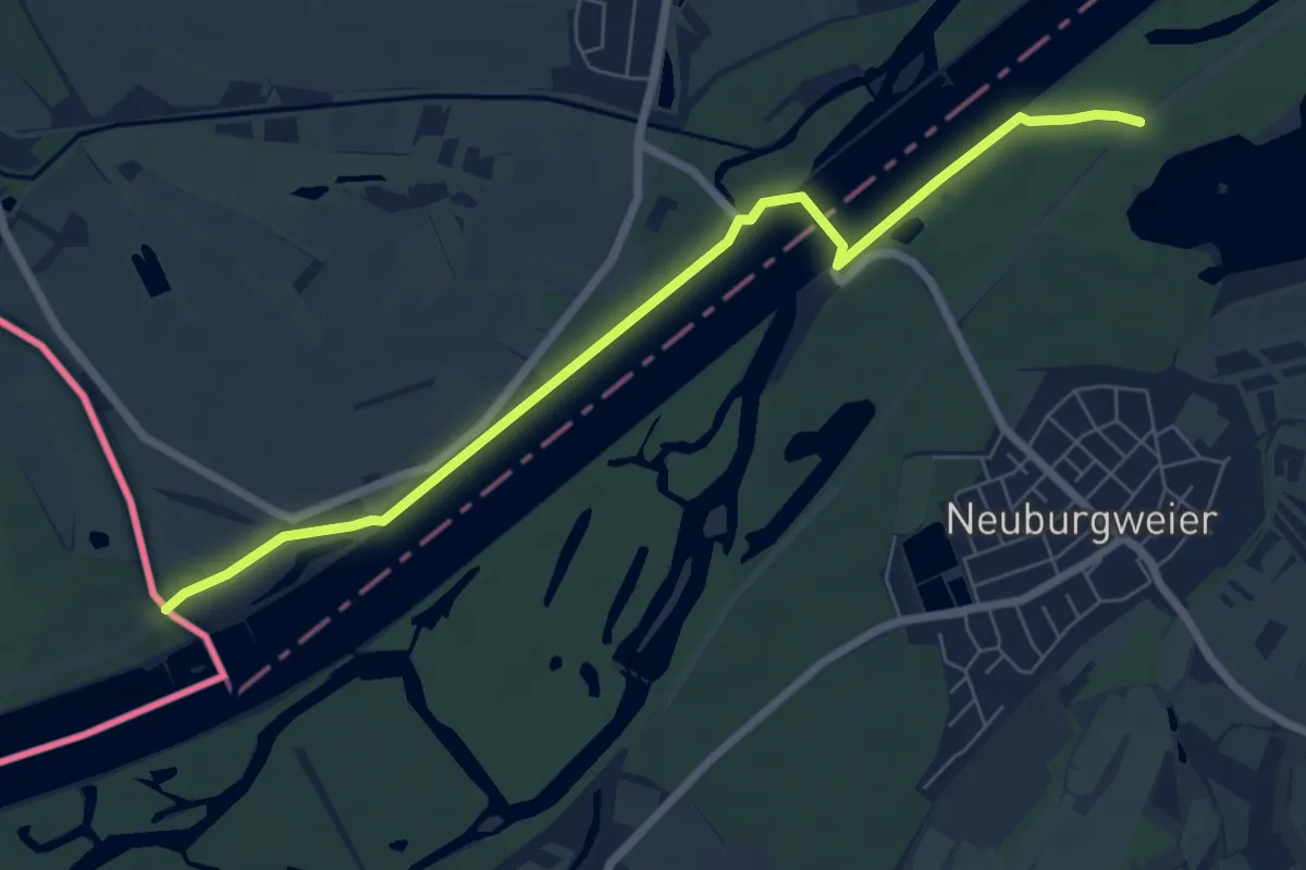
Easy · Trail
Odenwald-Vogesen-Weg Teil 2
7.1 km · ↑ 13 m · 1 h 42 min
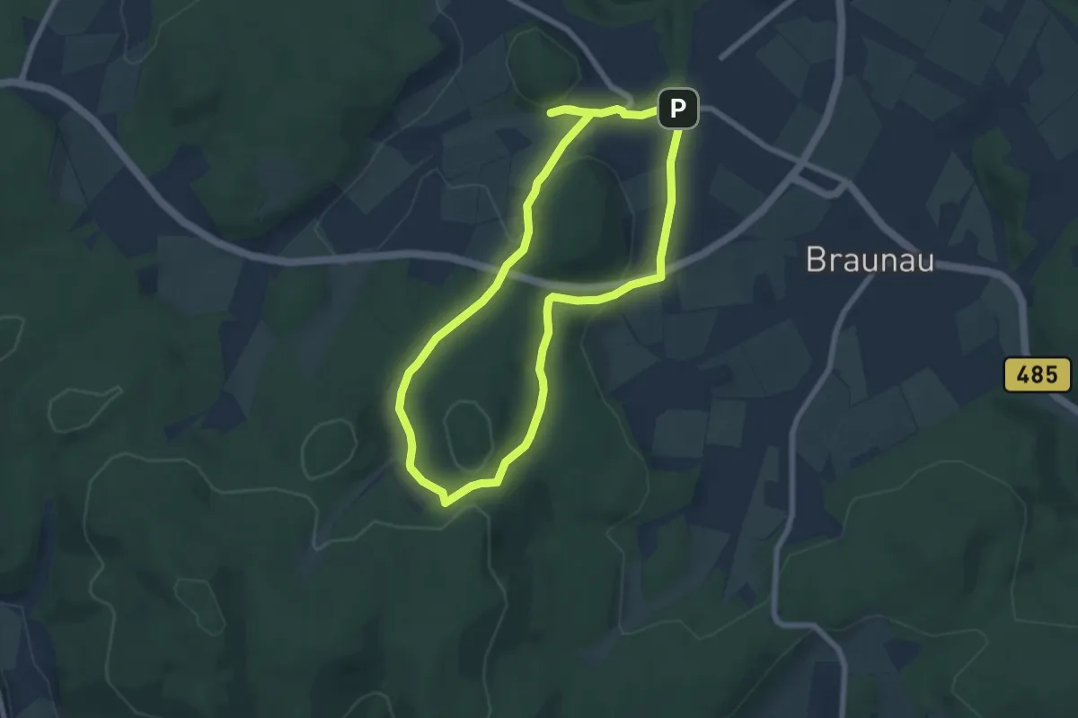
Easy · Trail
Odershausen - O1
6.1 km · ↑ 140 m · 1 h 50 min
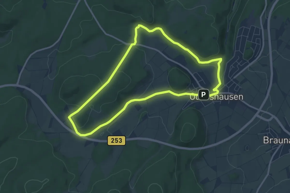
Easy · Trail
Odershausen - O4
7.0 km · ↑ 130 m · 2 h 3 min
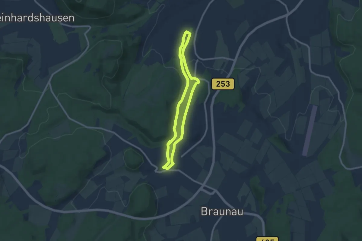
Easy · Trail
Odershausen - O6
5.9 km · ↑ 107 m · 1 h 42 min