Trails in Germany
36,852 hiking trails, each with its route, climb, walking time and grade.
All trails, page 403 of 768
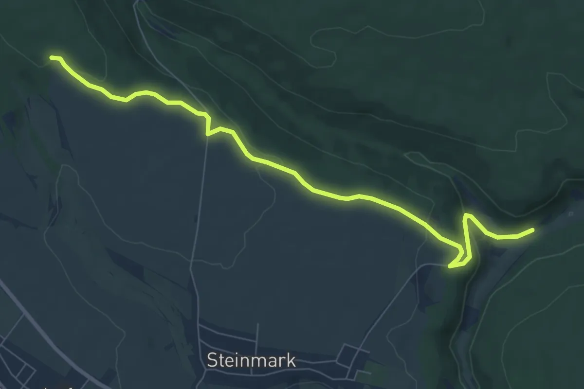
Easy · Trail
Ortswanderweg Esselbach 2
7.5 km · ↑ 190 m · 2 h 11 min
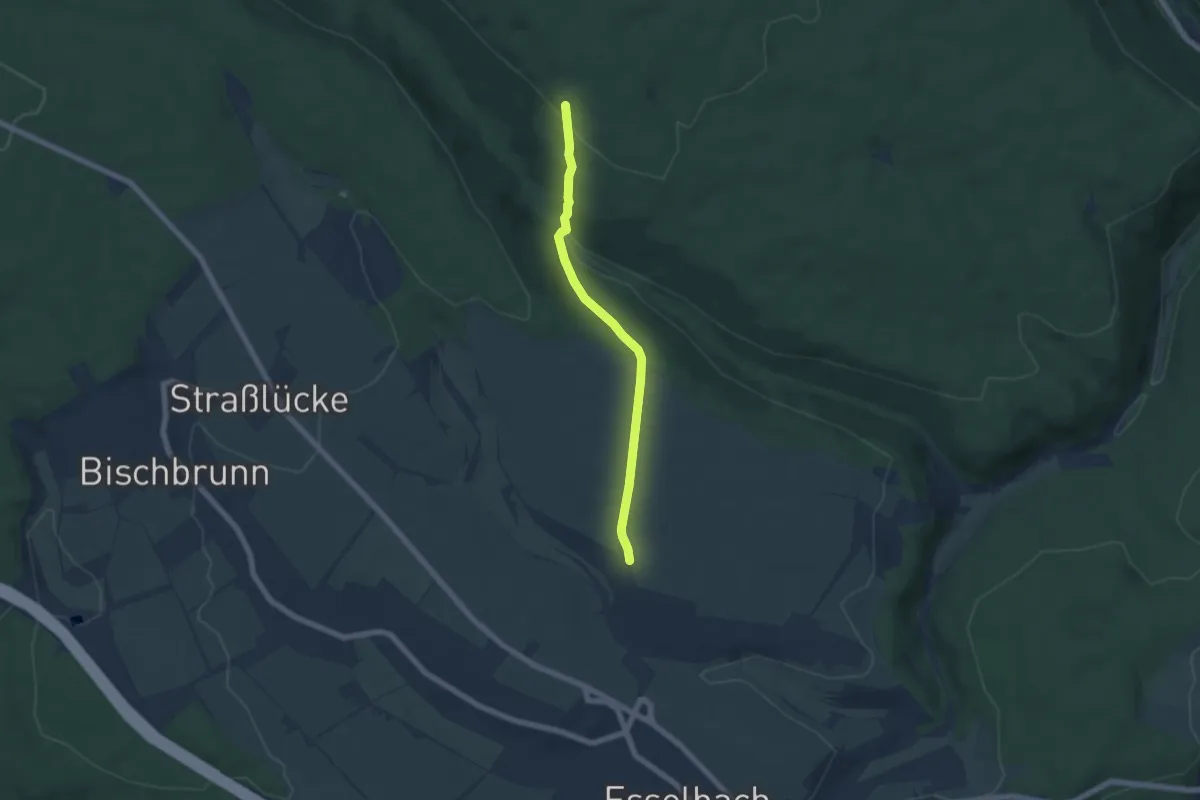
Medium · Trail
Ortswanderweg Esselbach 3
5.1 km · ↑ 185 m · 1 h 37 min
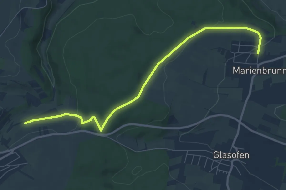
Easy · Trail
Ortswanderweg Esselbach 4
7.3 km · ↑ 137 m · 2 h 1 min
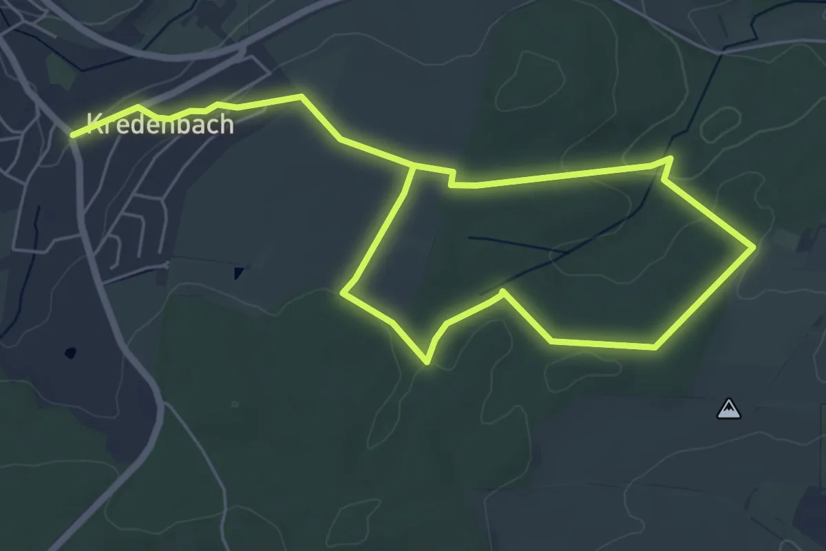
Easy · Trail
Ortswanderweg Esselbach 5
4.3 km · ↑ 74 m · 1 h 14 min
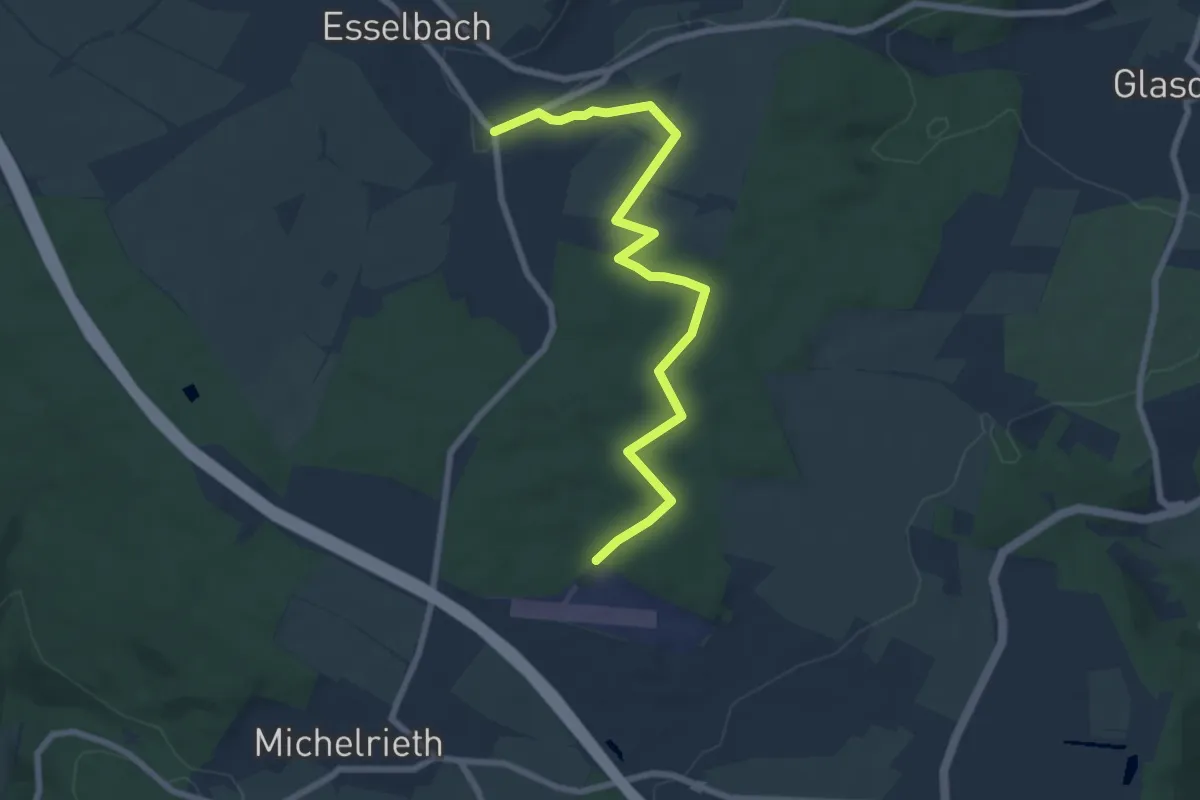
Easy · Trail
Ortswanderweg Esselbach 6
7.5 km · ↑ 83 m · 1 h 57 min
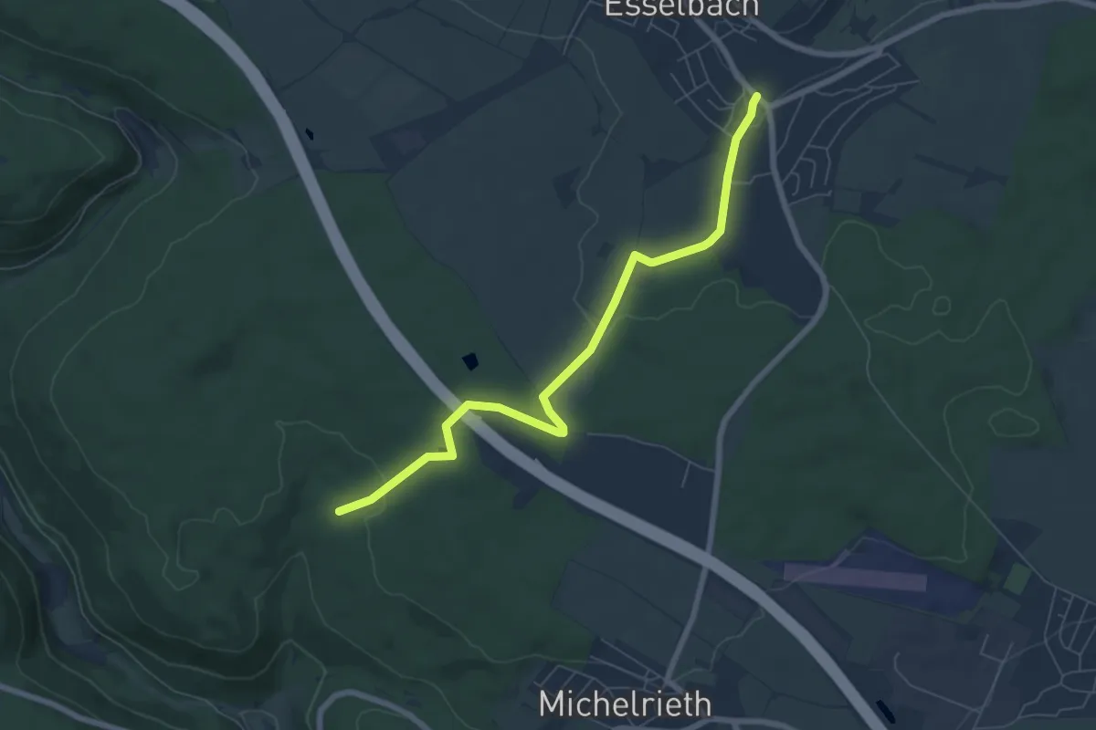
Easy · Trail
Ortswanderweg Esselbach 7
6.6 km · ↑ 140 m · 1 h 51 min
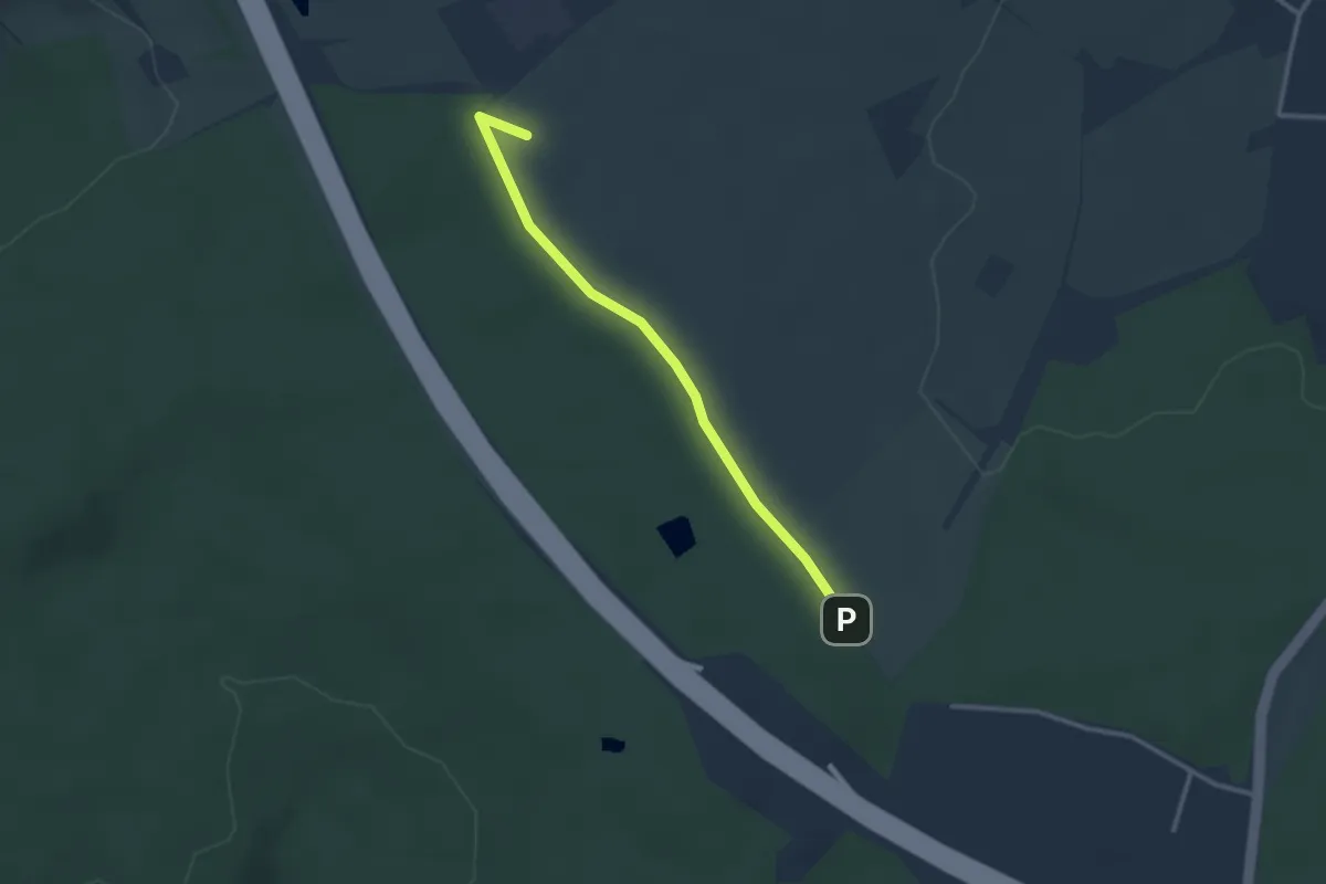
Easy · Summit
Ortswanderweg Esselbach 8
2.6 km · ↑ 13 m · 38 min
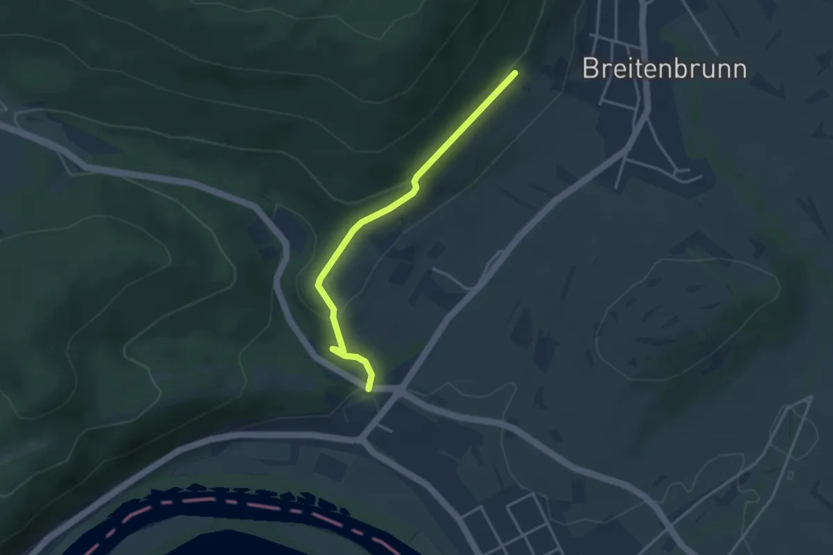
Easy · Trail
Ortswanderweg Faulbach 1
3.0 km · ↑ 115 m · 58 min
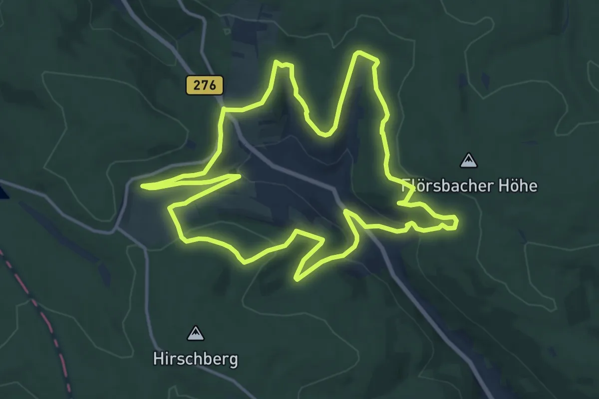
Medium · Trail
Ortswanderweg Flörsbachtal 1
11.5 km · ↑ 364 m · 3 h 40 min
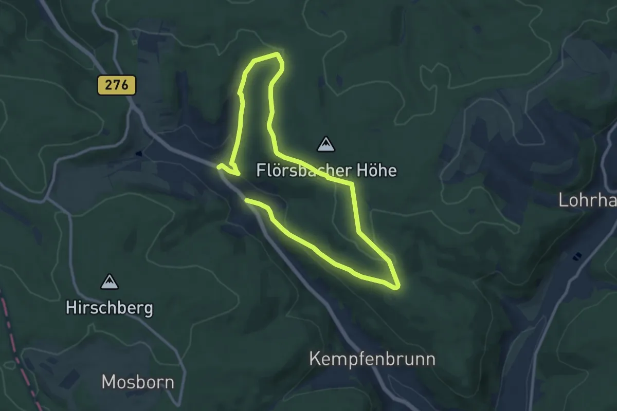
Medium · Trail
Ortswanderweg Flörsbachtal 2
14.3 km · ↑ 364 m · 4 h 9 min
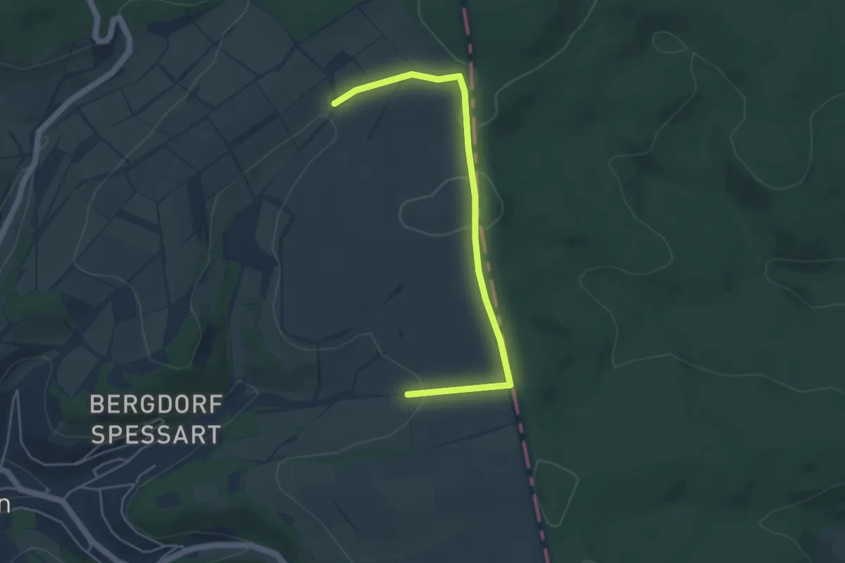
Easy · Summit
Ortswanderweg Flörsbachtal 3
2.2 km · ↑ 47 m · 40 min
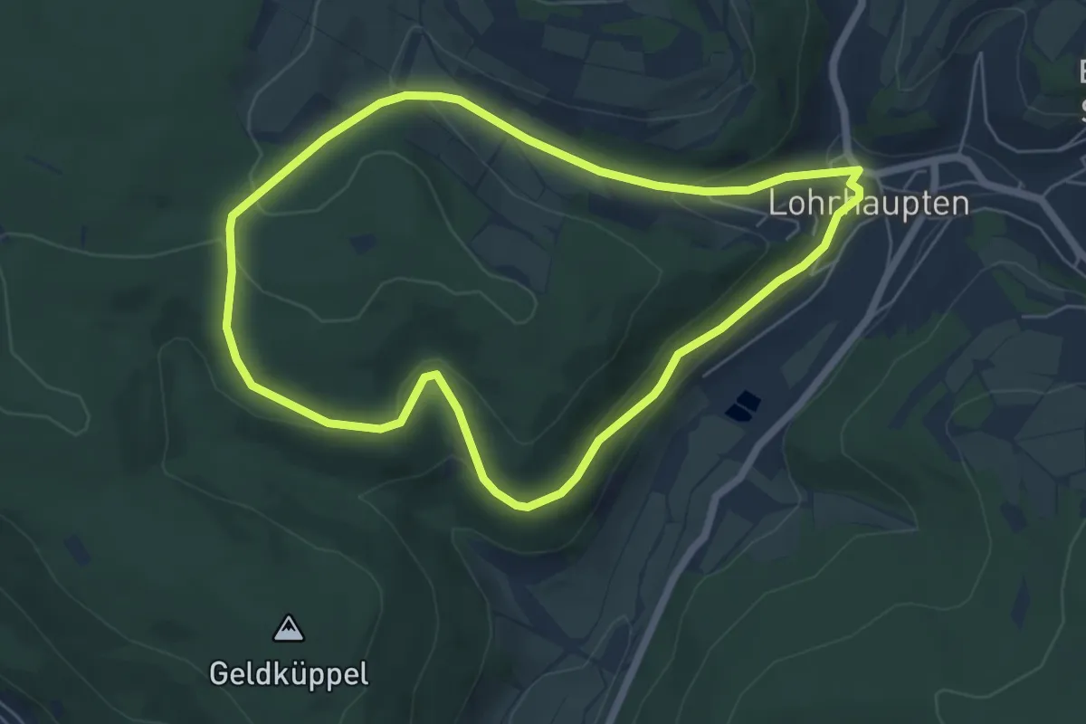
Easy · Trail
Ortswanderweg Flörsbachtal 4
5.3 km · ↑ 170 m · 1 h 42 min
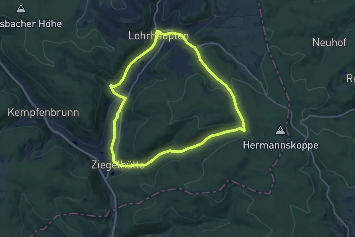
Medium · Trail
Ortswanderweg Flörsbachtal 5
10.3 km · ↑ 255 m · 3 h 7 min
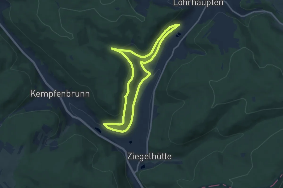
Easy · Trail
Ortswanderweg Flörsbachtal 6
6.7 km · ↑ 167 m · 2 h 2 min
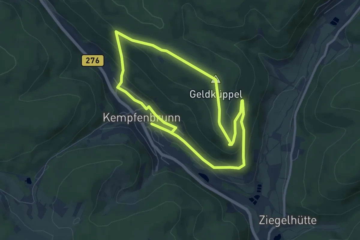
Easy · Summit
Ortswanderweg Flörsbachtal 7
6.3 km · ↑ 193 m · 1 h 59 min
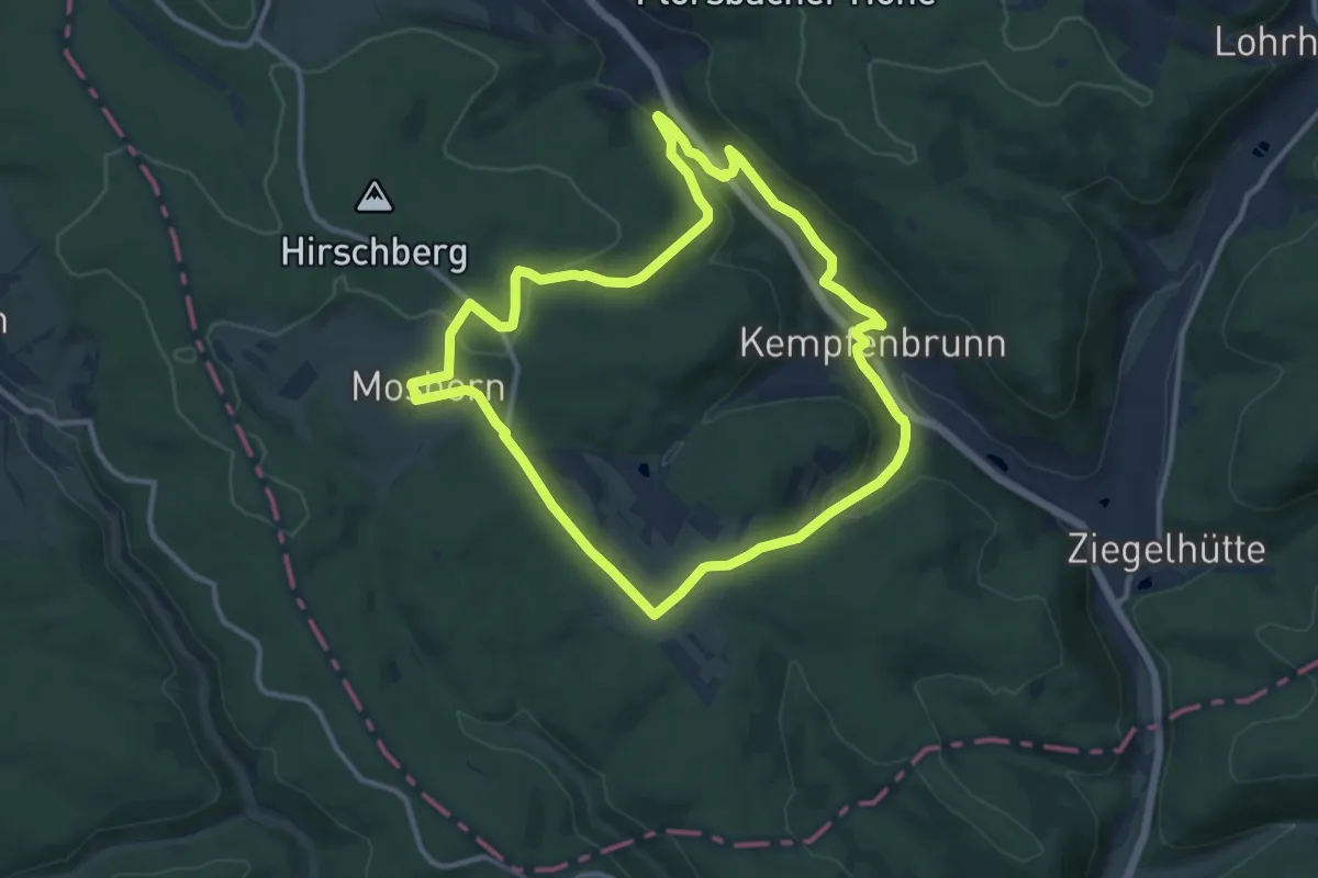
Medium · Trail
Ortswanderweg Flörsbachtal 8
10.3 km · ↑ 259 m · 3 h 8 min
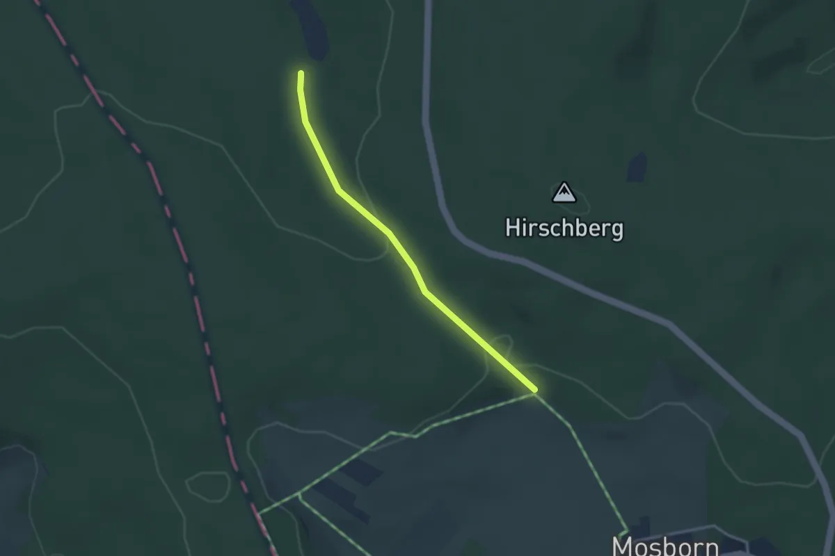
Easy · Trail
Ortswanderweg Flörsbachtal 9
1.3 km · ↑ 44 m · 24 min
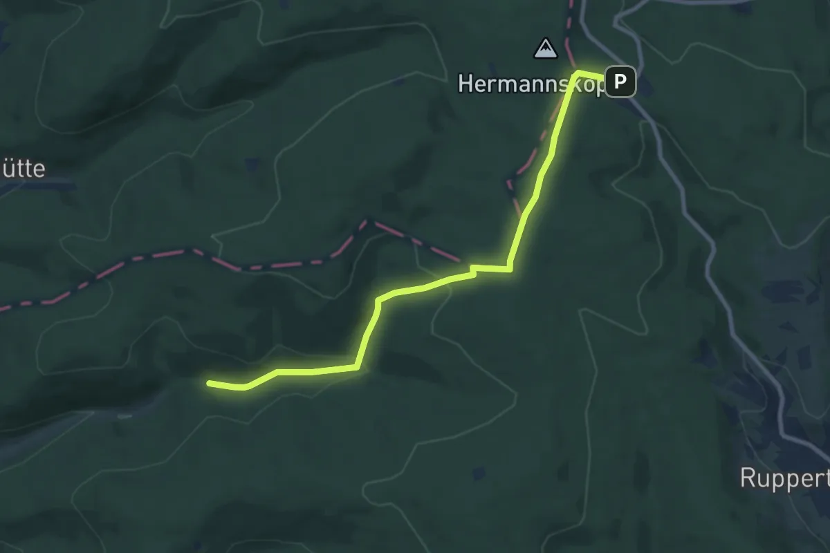
Medium · Trail
Ortswanderweg Frammersbach 1
8.1 km · ↑ 251 m · 2 h 27 min
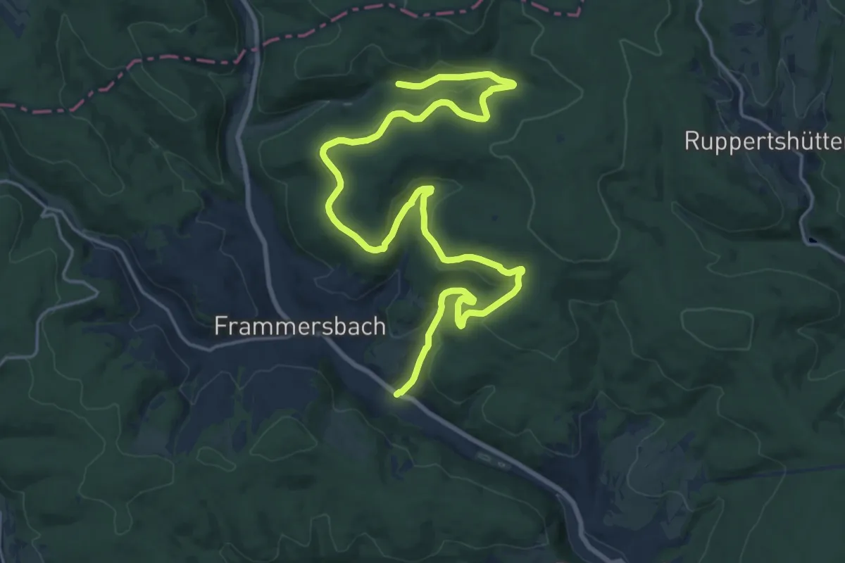
Demanding · Trail
Ortswanderweg Frammersbach 2
22.7 km · ↑ 583 m · 6 h 38 min
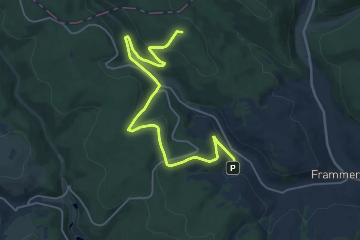
Medium · Summit
Ortswanderweg Frammersbach 3
12.1 km · ↑ 341 m · 3 h 36 min
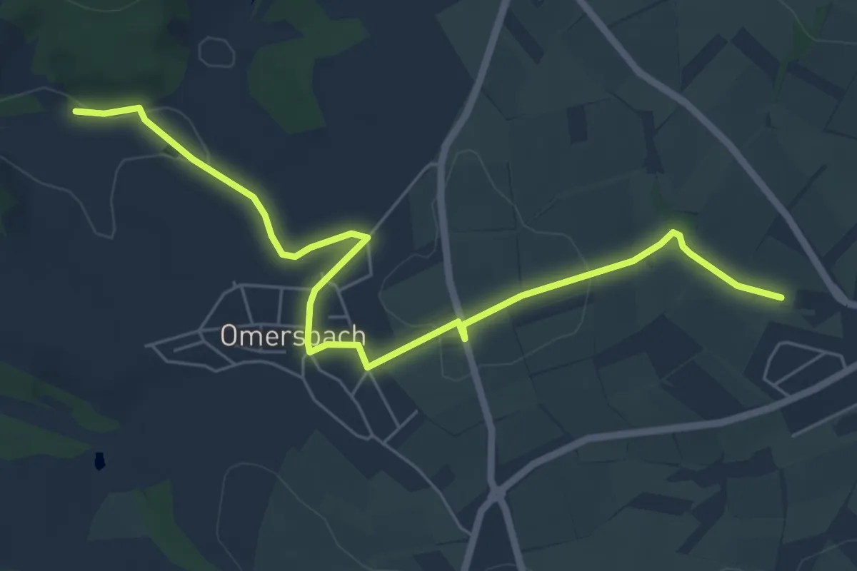
Easy · Trail
Ortswanderweg Geiselbach 1
6.3 km · ↑ 118 m · 1 h 44 min
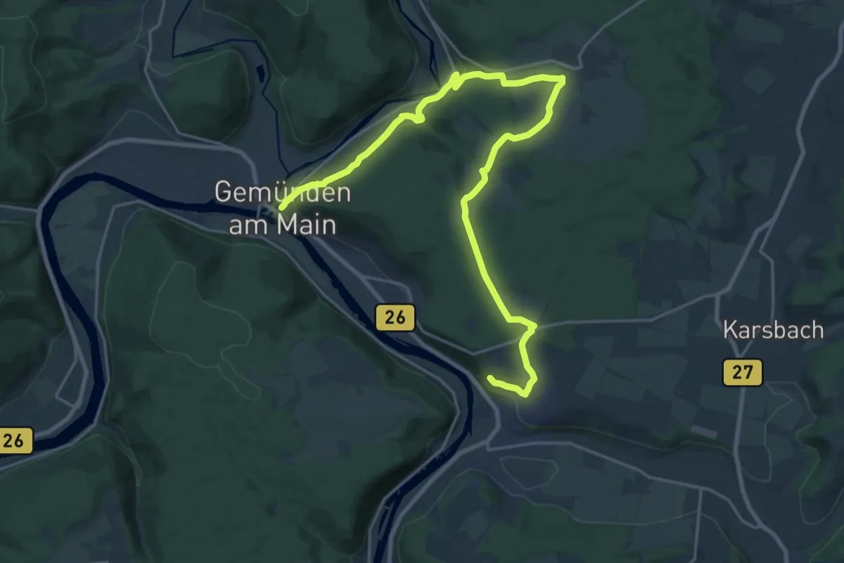
Demanding · Trail
Ortswanderweg Gemünden 1
23.3 km · ↑ 639 m · 6 h 53 min
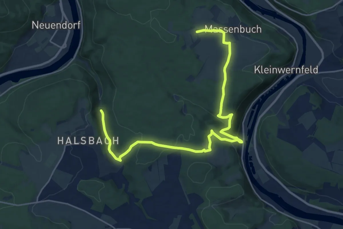
Demanding · Trail
Ortswanderweg Gemünden 4
18.1 km · ↑ 573 m · 5 h 32 min
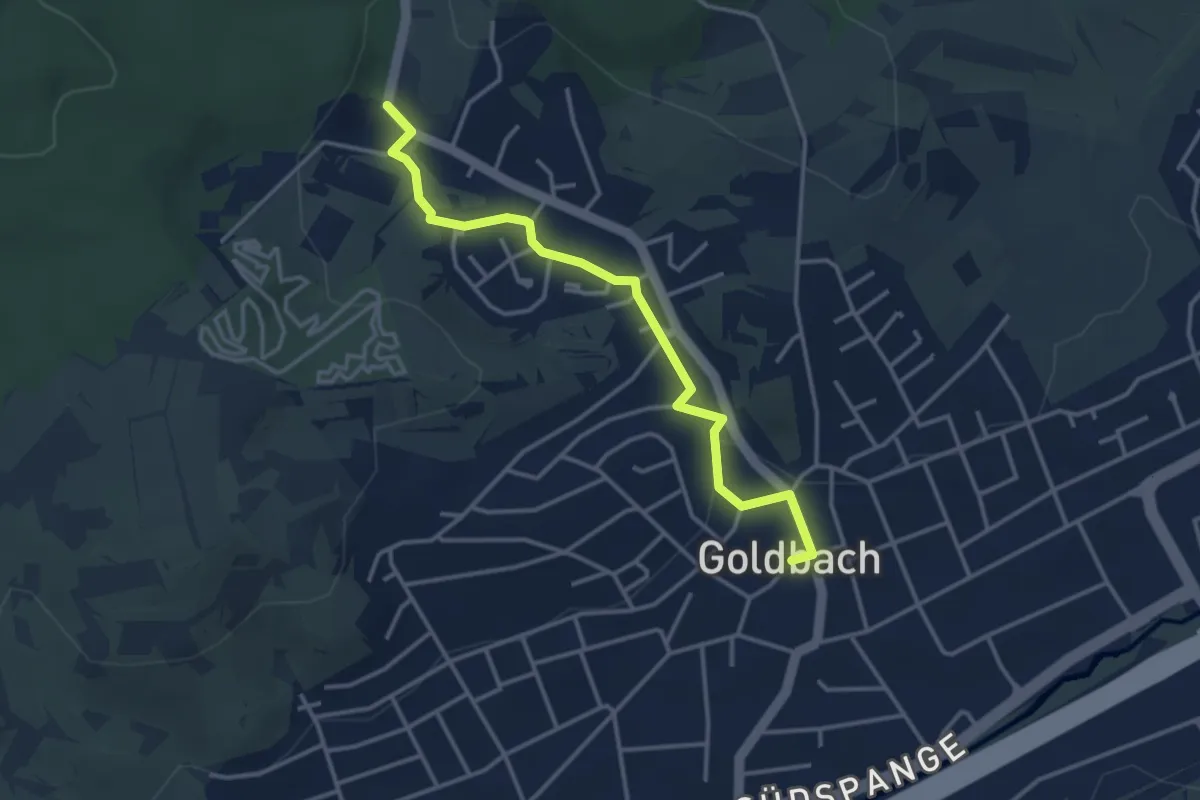
Easy · Trail
Ortswanderweg Goldbach 1
3.4 km · ↑ 45 m · 53 min
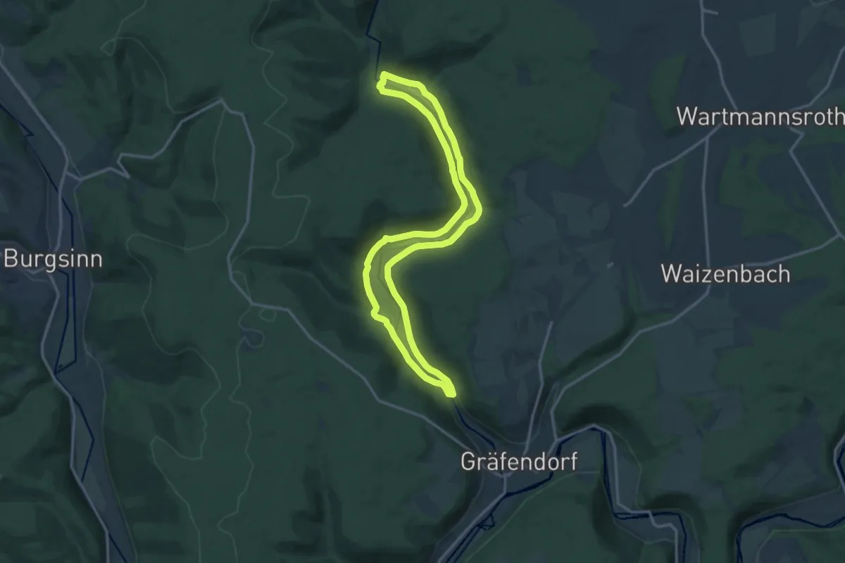
Medium · Trail
Ortswanderweg Gräfendorf 1
12.6 km · ↑ 125 m · 3 h 25 min
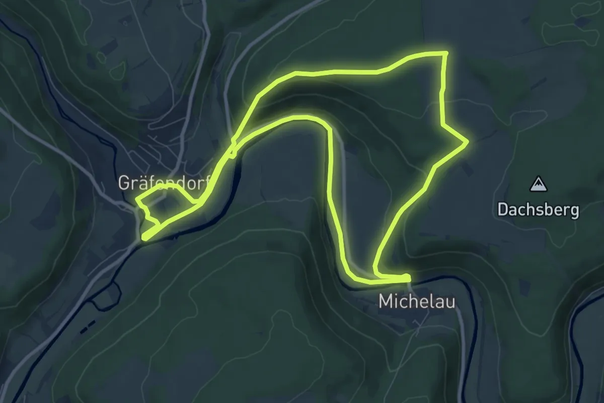
Medium · Trail
Ortswanderweg Gräfendorf 2
9.0 km · ↑ 186 m · 2 h 38 min
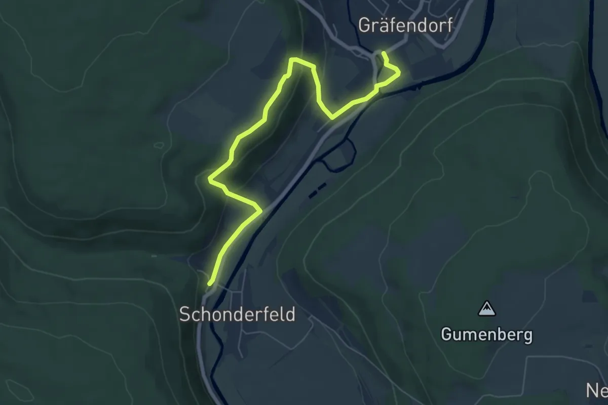
Easy · Trail
Ortswanderweg Gräfendorf 3
6.4 km · ↑ 219 m · 1 h 59 min
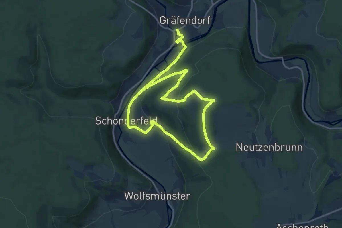
Medium · Trail
Ortswanderweg Gräfendorf 5
16.9 km · ↑ 421 m · 4 h 53 min
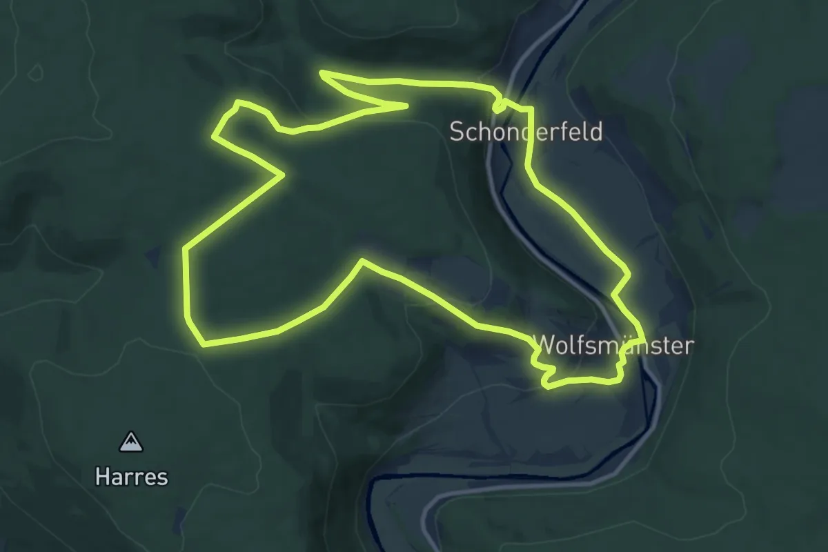
Medium · Trail
Ortswanderweg Gräfendorf 6
11.2 km · ↑ 260 m · 3 h 22 min
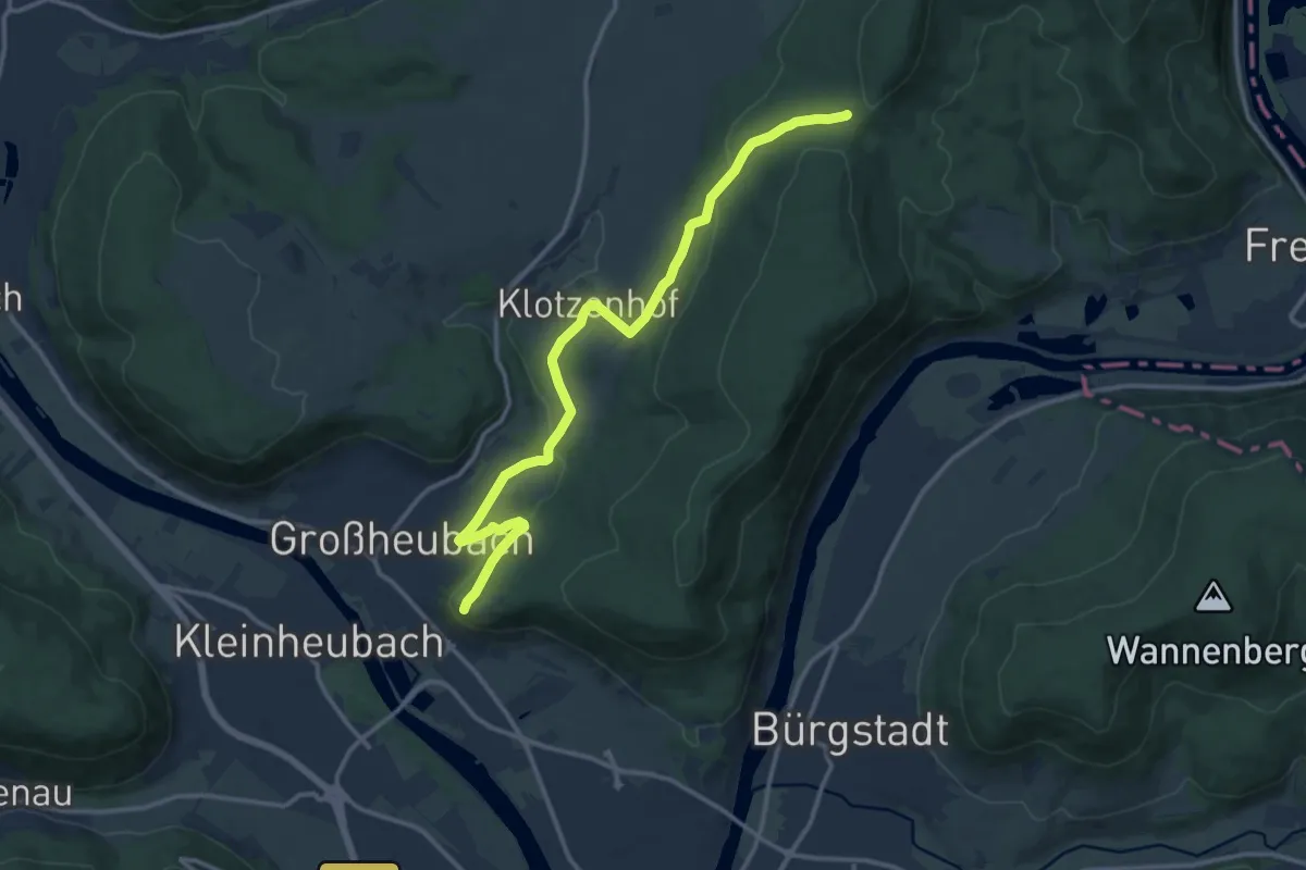
Medium · Trail
Ortswanderweg Großheubach G1
13.1 km · ↑ 336 m · 3 h 49 min
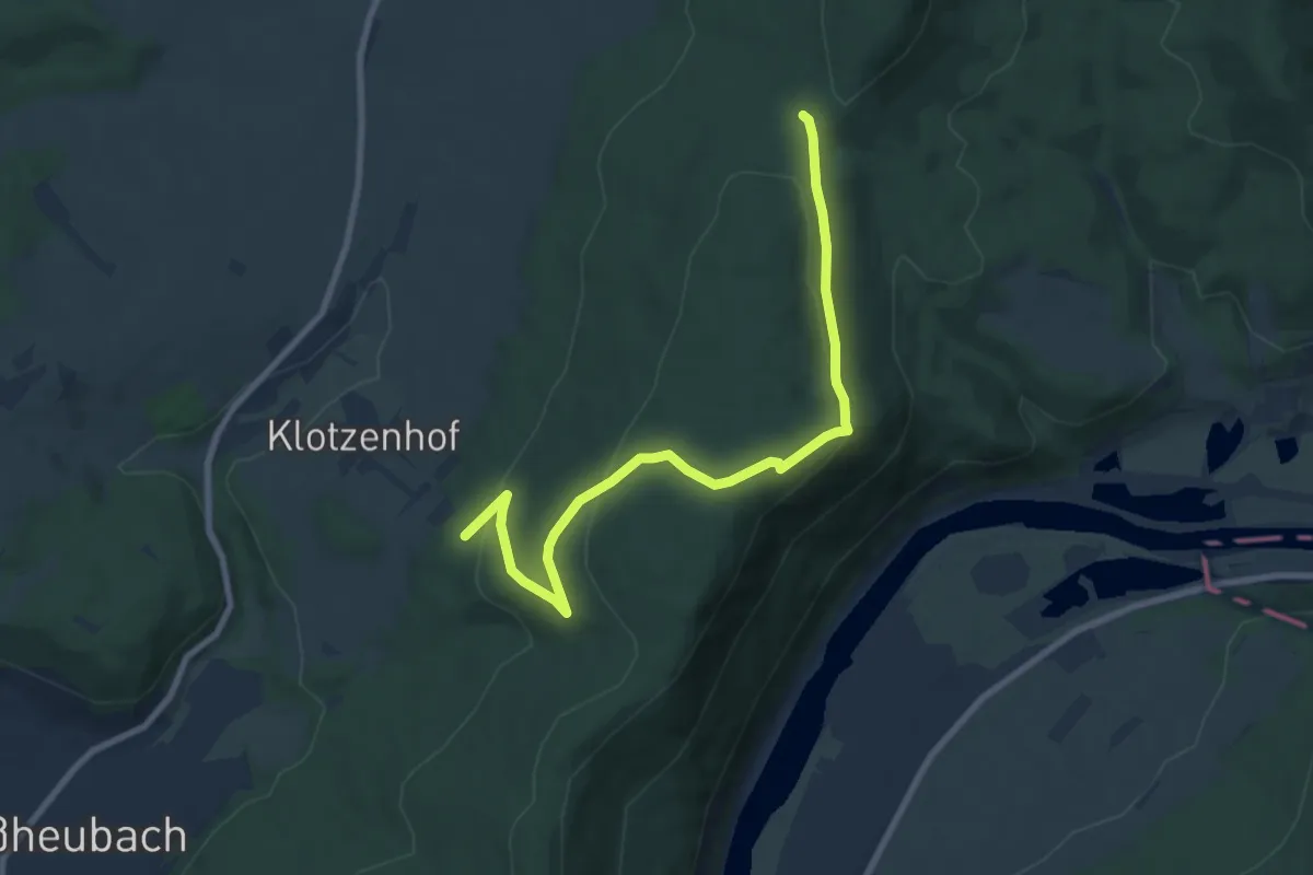
Medium · Trail
Ortswanderweg Großheubach G2
8.6 km · ↑ 243 m · 2 h 33 min
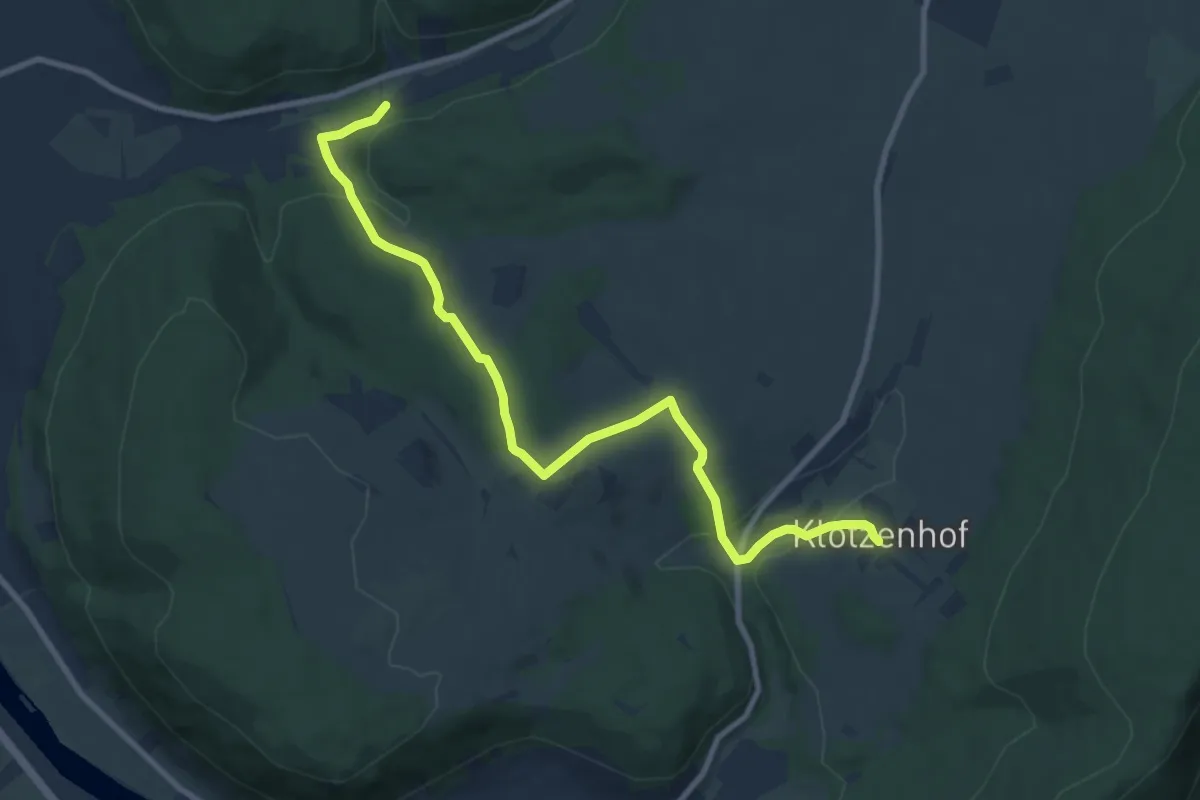
Medium · Trail
Ortswanderweg Großheubach G3
9.6 km · ↑ 291 m · 2 h 54 min
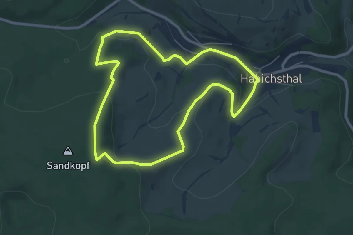
Easy · Trail
Ortswanderweg Habichsthal H1
4.7 km · ↑ 156 m · 1 h 31 min
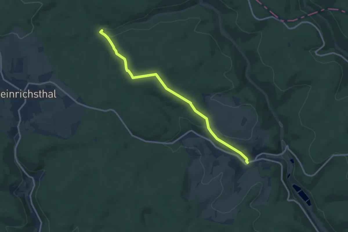
Medium · Trail
Ortswanderweg Habichsthal H2
8.2 km · ↑ 244 m · 2 h 28 min
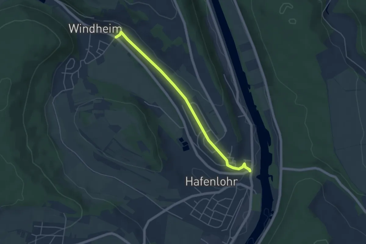
Easy · Trail
Ortswanderweg Hafenlohr 1
4.2 km · ↑ 42 m · 1 h 5 min
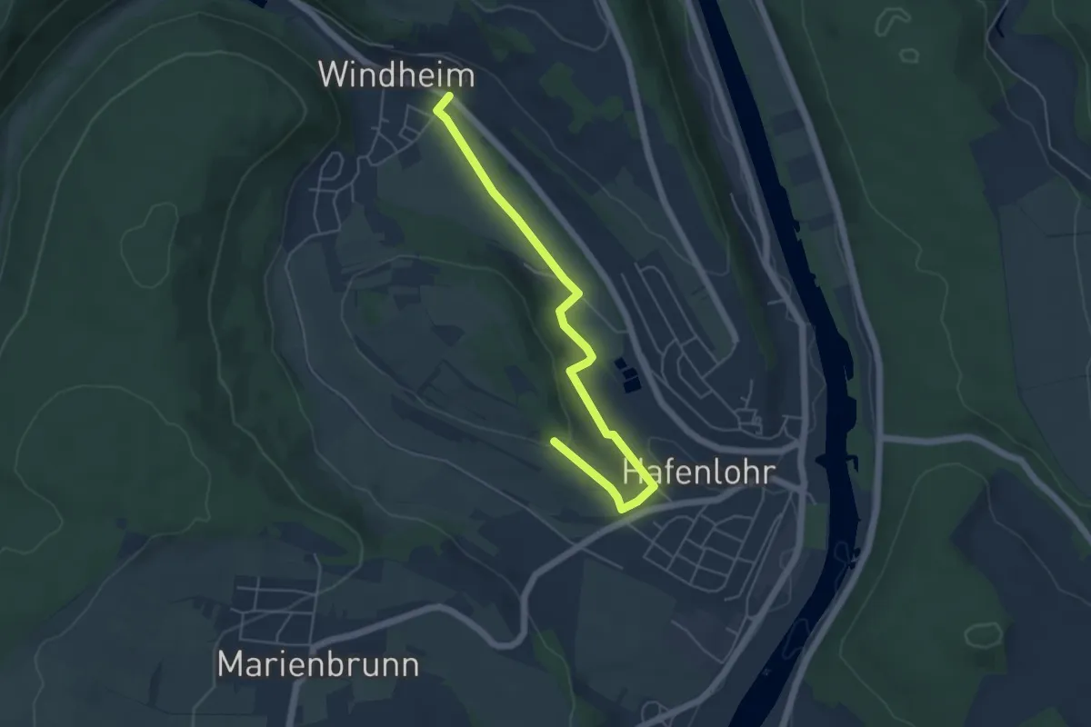
Easy · Trail
Ortswanderweg Hafenlohr 2
5.0 km · ↑ 109 m · 1 h 25 min
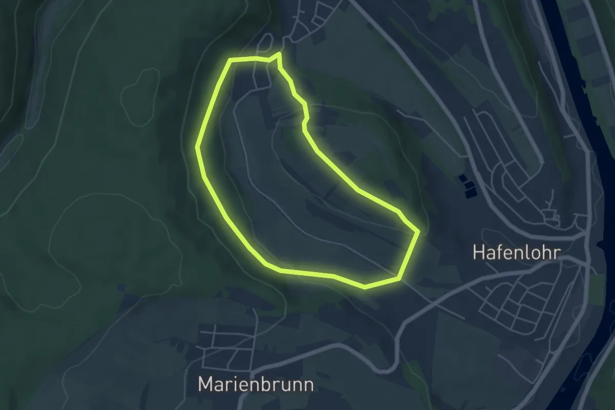
Easy · Trail
Ortswanderweg Hafenlohr 3
4.0 km · ↑ 108 m · 1 h 14 min
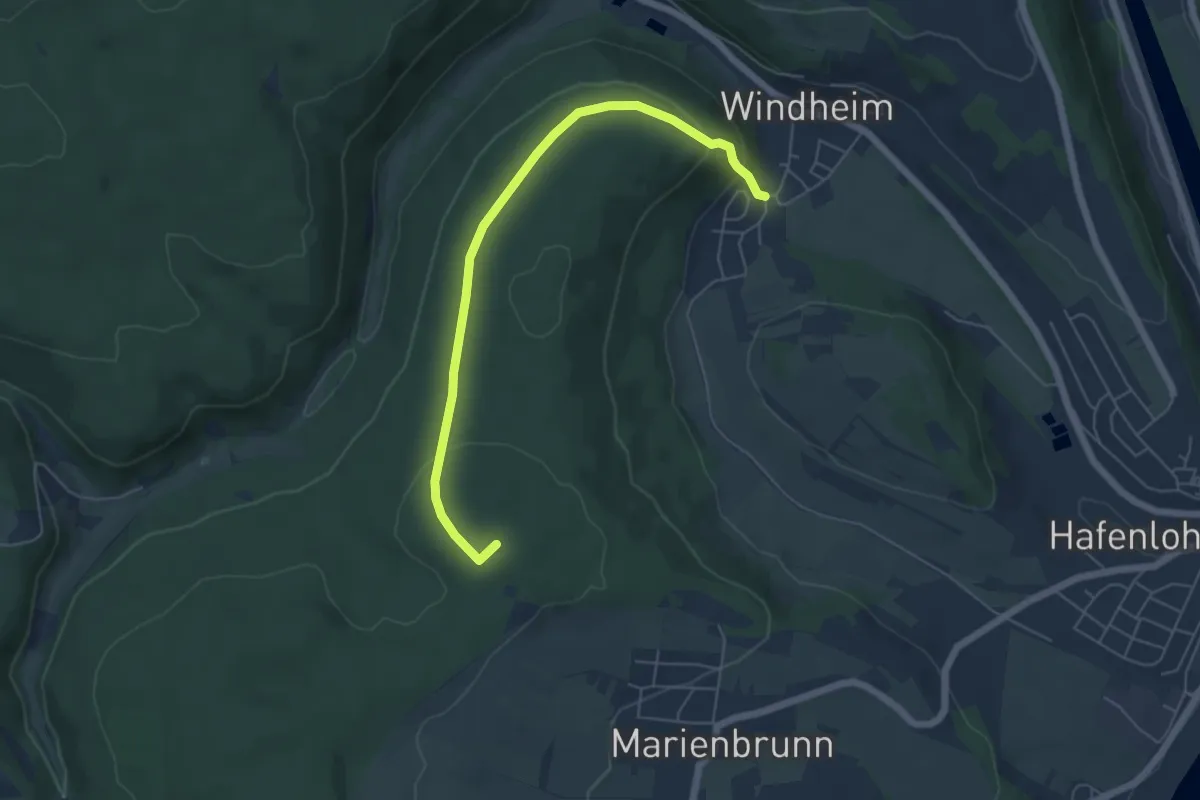
Easy · Summit
Ortswanderweg Hafenlohr 4
5.4 km · ↑ 156 m · 1 h 37 min
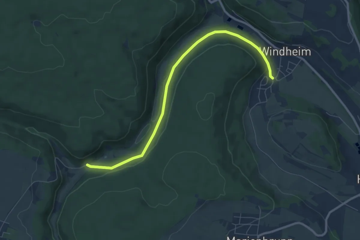
Easy · Trail
Ortswanderweg Hafenlohr 5
6.9 km · ↑ 106 m · 1 h 52 min
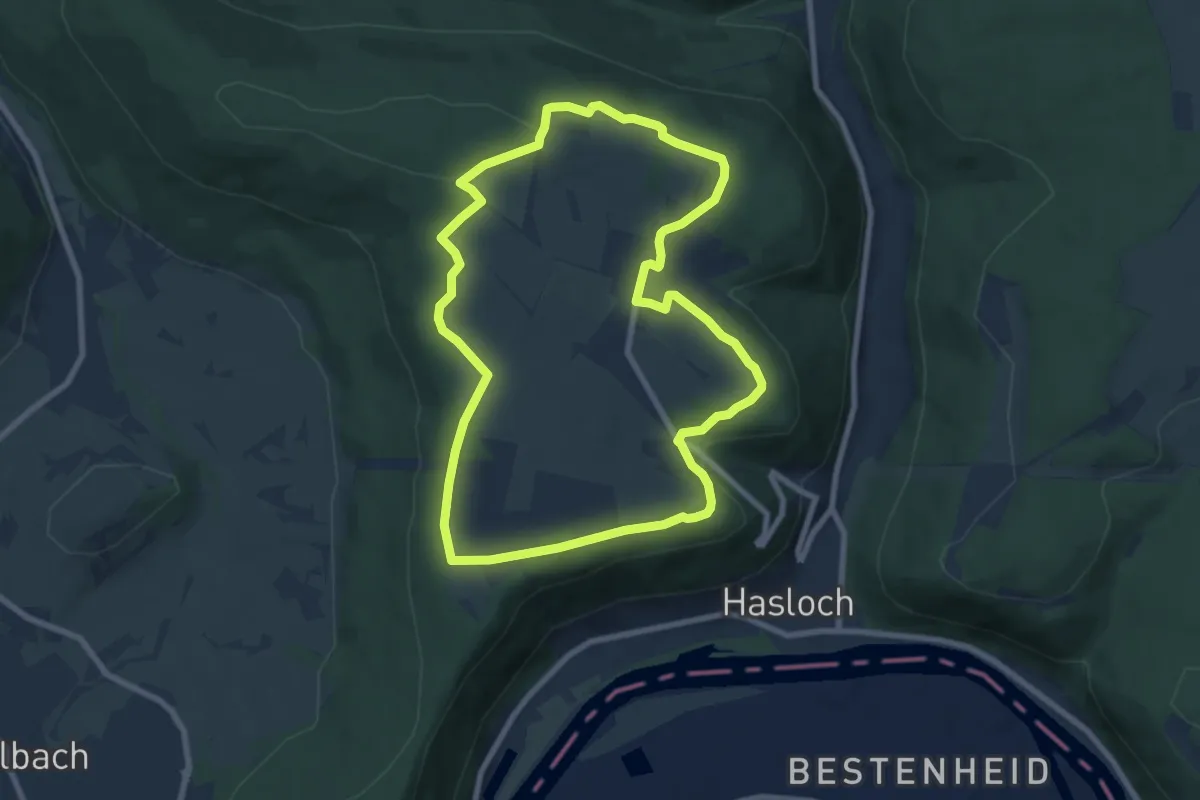
Easy · Trail
Ortswanderweg Hasselberg 1 Panoramaweg
7.4 km · ↑ 122 m · 2 h 7 min
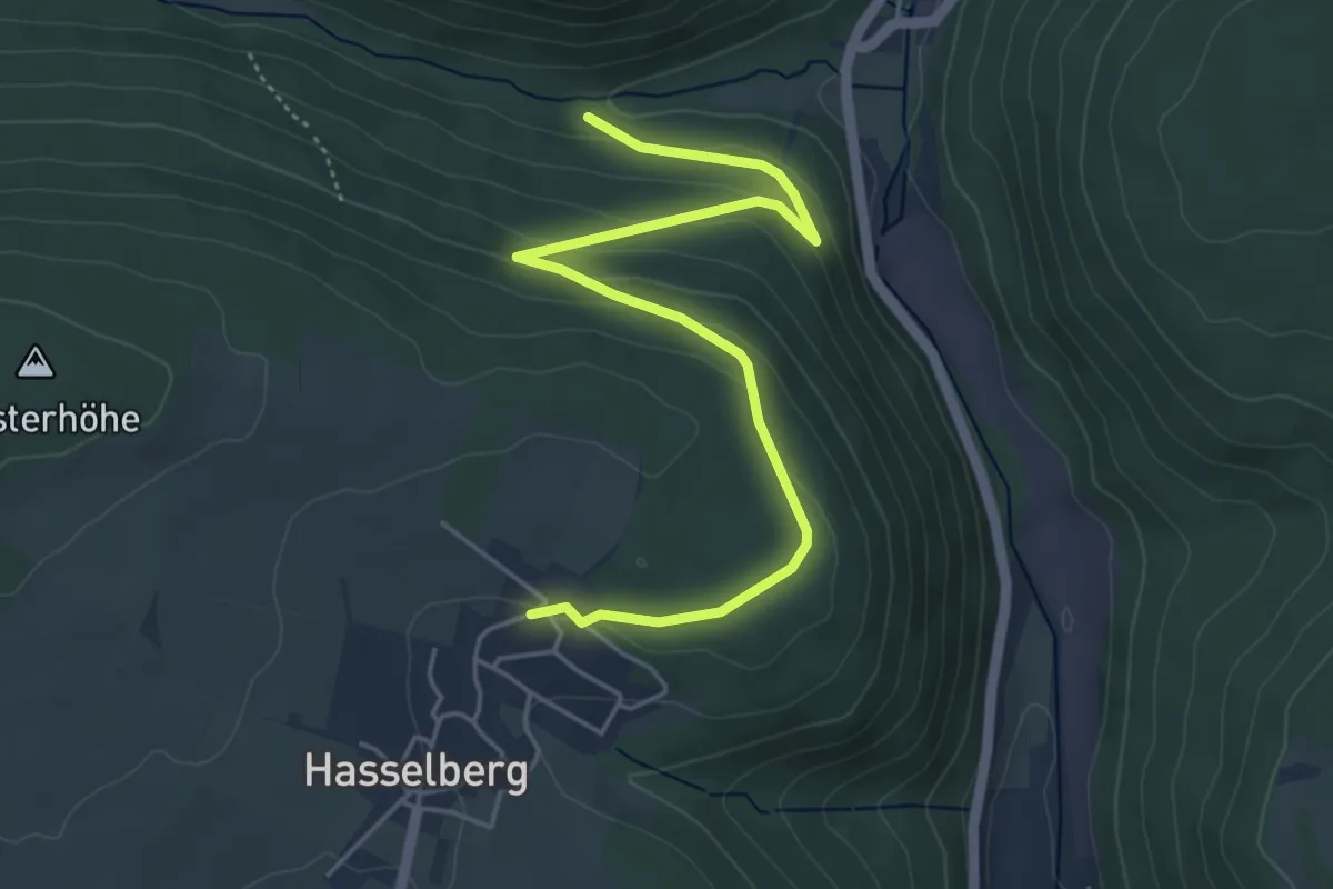
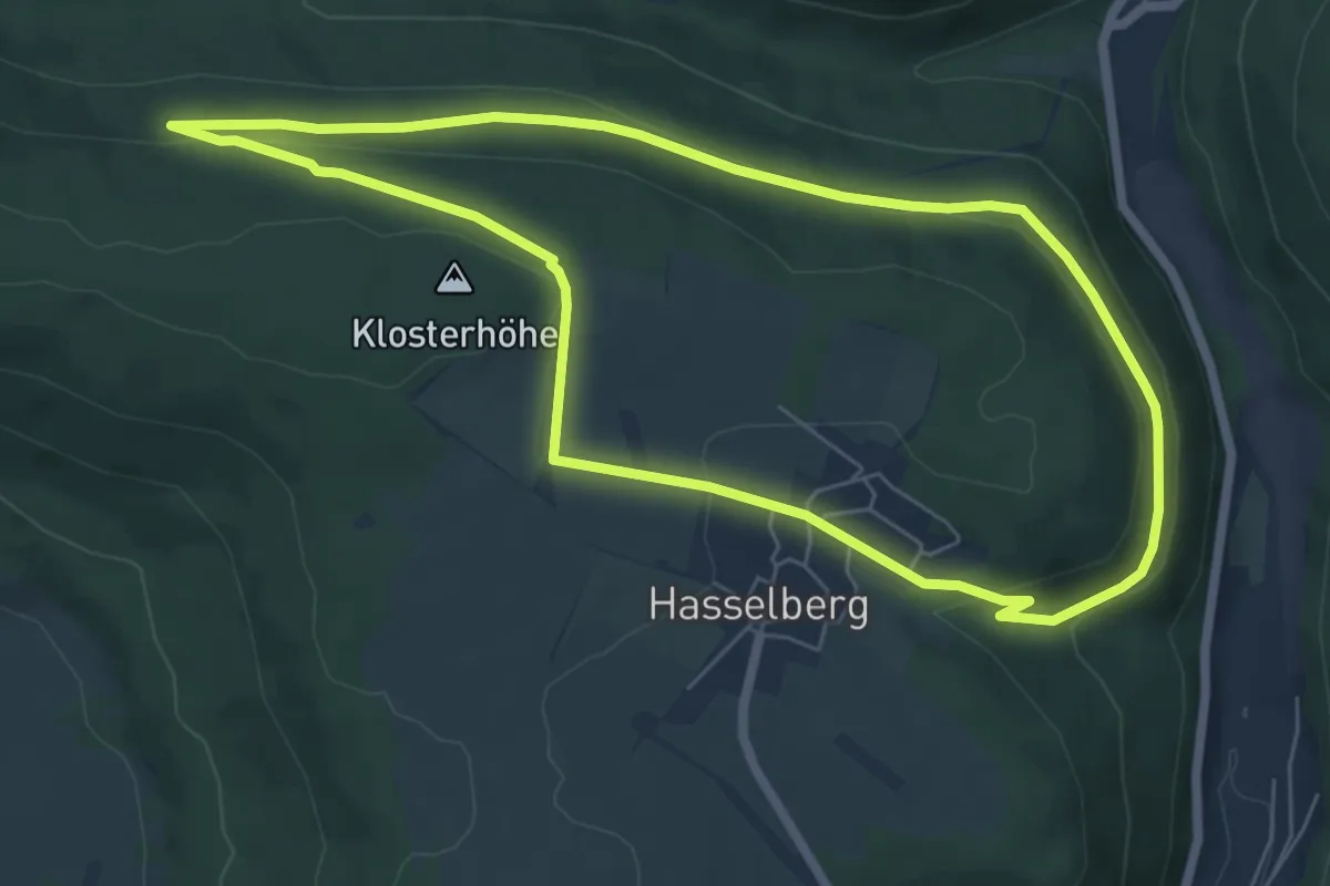
Easy · Trail
Ortswanderweg Hasselberg 2
5.0 km · ↑ 146 m · 1 h 30 min
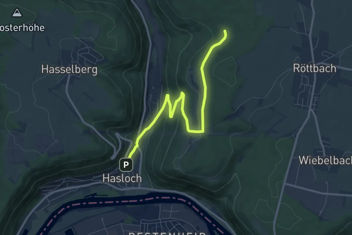
Easy · Trail
Ortswanderweg Hasselberg 3
5.9 km · ↑ 127 m · 1 h 46 min
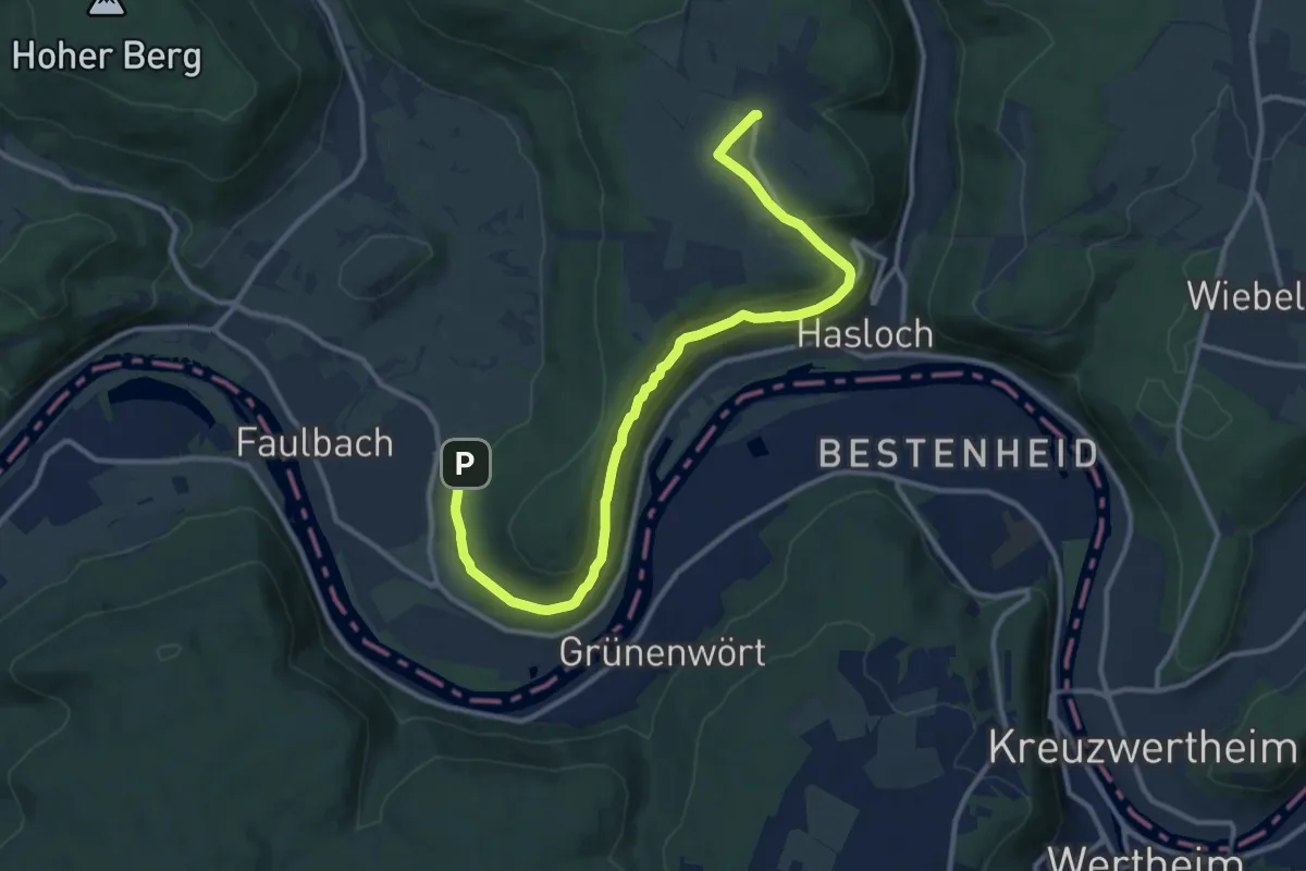
Easy · Trail
Ortswanderweg Hasselberg 4
8.0 km · ↑ 212 m · 2 h 21 min
Medium · Trail
Ortswanderweg Hasselberg 5
12.5 km · ↑ 312 m · 3 h 37 min
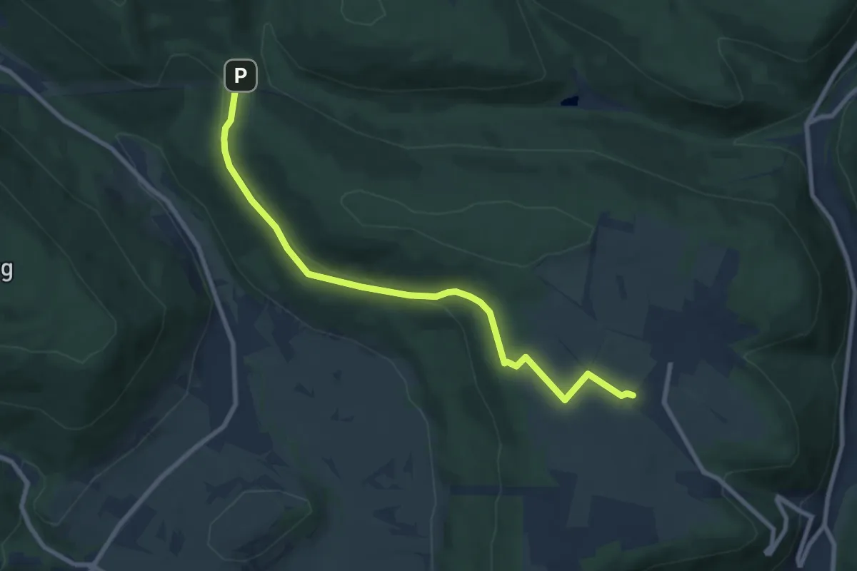
Easy · Trail
Ortswanderweg Hasselberg 6
7.6 km · ↑ 157 m · 2 h 8 min
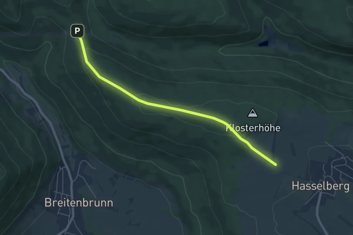
Easy · Trail
Ortswanderweg Hasselberg 7
5.2 km · ↑ 123 m · 1 h 30 min
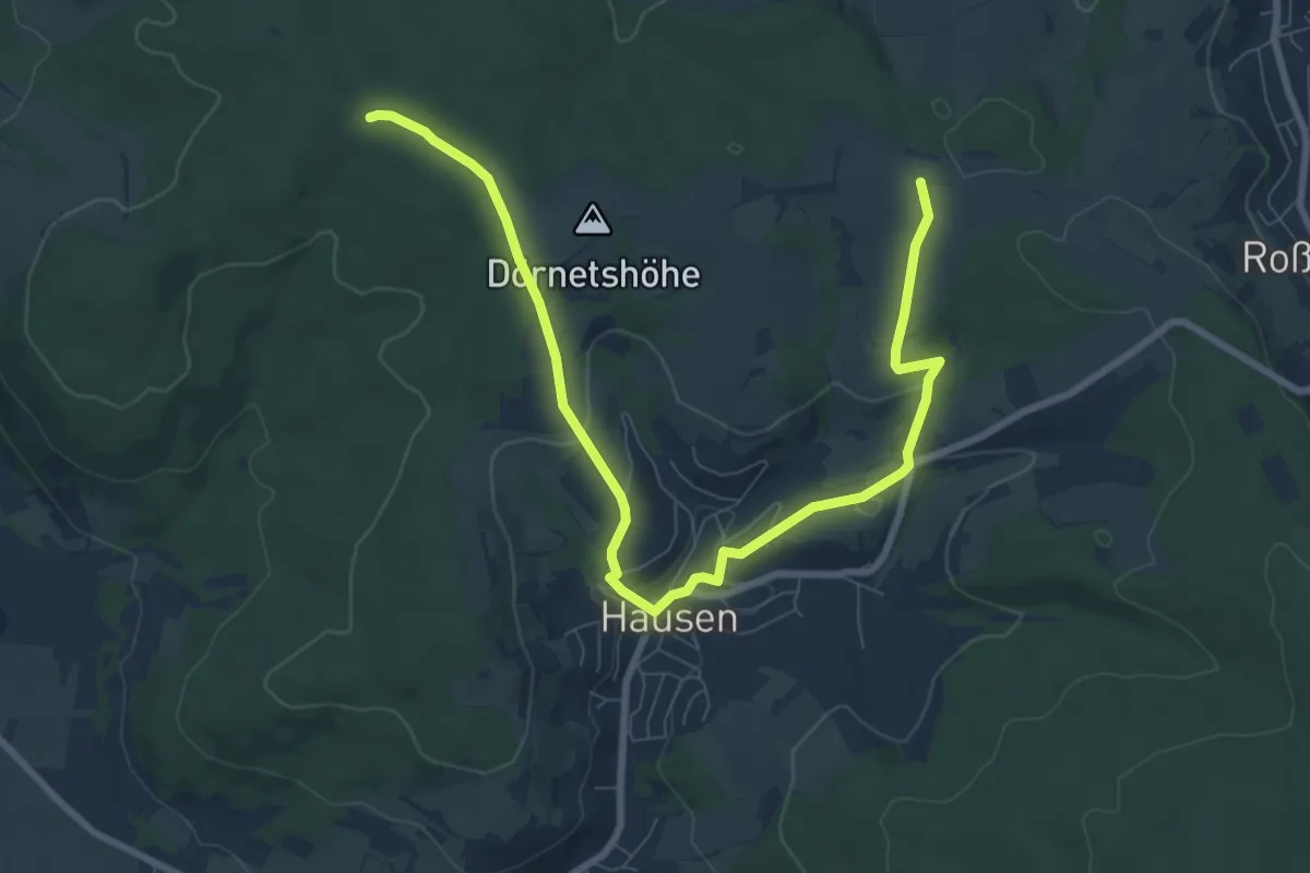
Medium · Trail
Ortswanderweg Hausen 1
9.3 km · ↑ 212 m · 2 h 39 min
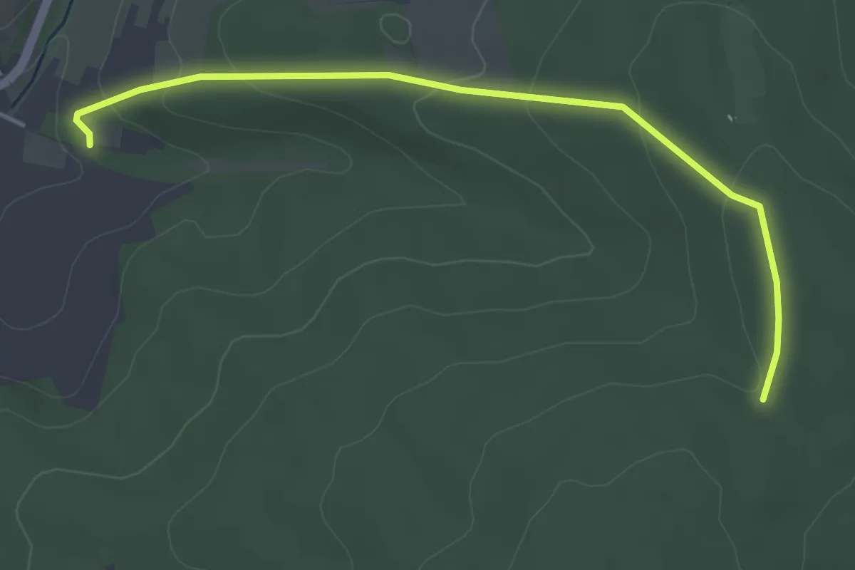
Easy · Trail
Ortswanderweg Hausen 2
4.0 km · ↑ 139 m · 1 h 15 min