Trails in Germany
36,852 hiking trails, each with its route, climb, walking time and grade.
All trails, page 404 of 768
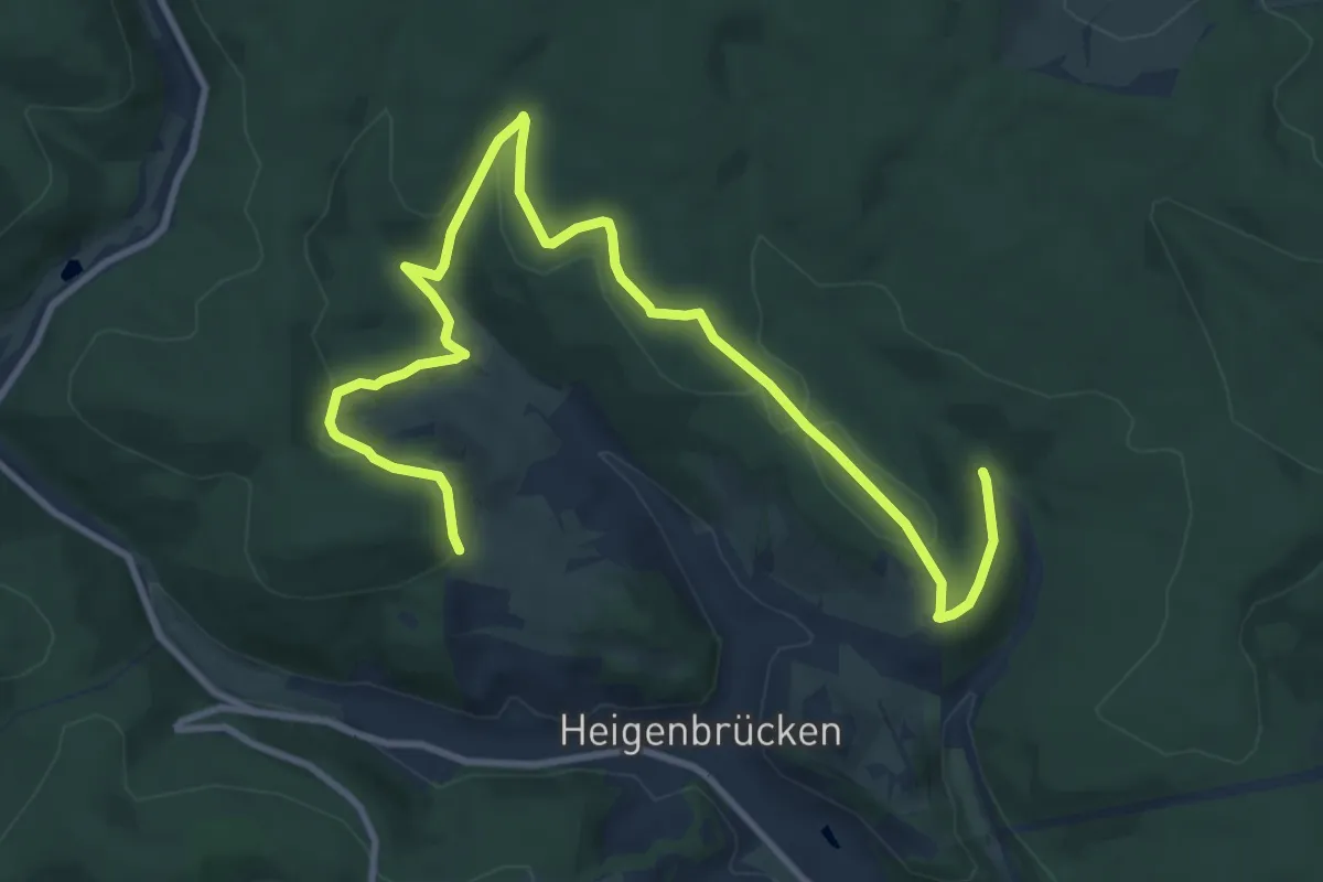
Medium · Trail
Ortswanderweg Heigenbrücken 1
12.2 km · ↑ 315 m · 3 h 34 min
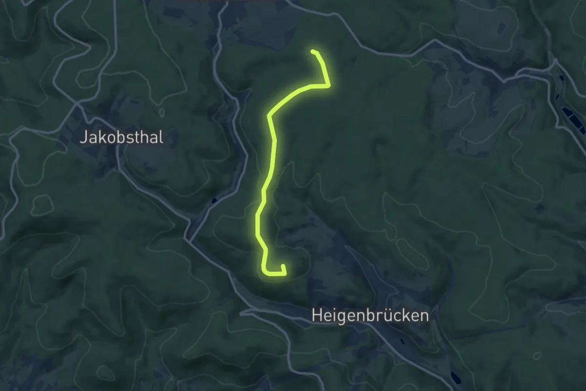
Medium · Summit
Ortswanderweg Heigenbrücken 2
9.0 km · ↑ 178 m · 2 h 30 min
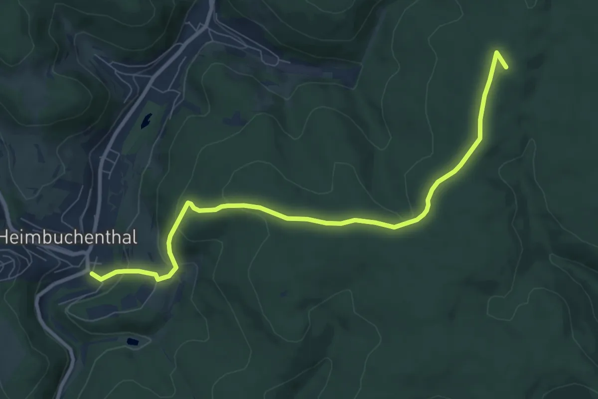
Medium · Summit
Ortswanderweg Heimbuchenthal 2
8.2 km · ↑ 252 m · 2 h 29 min
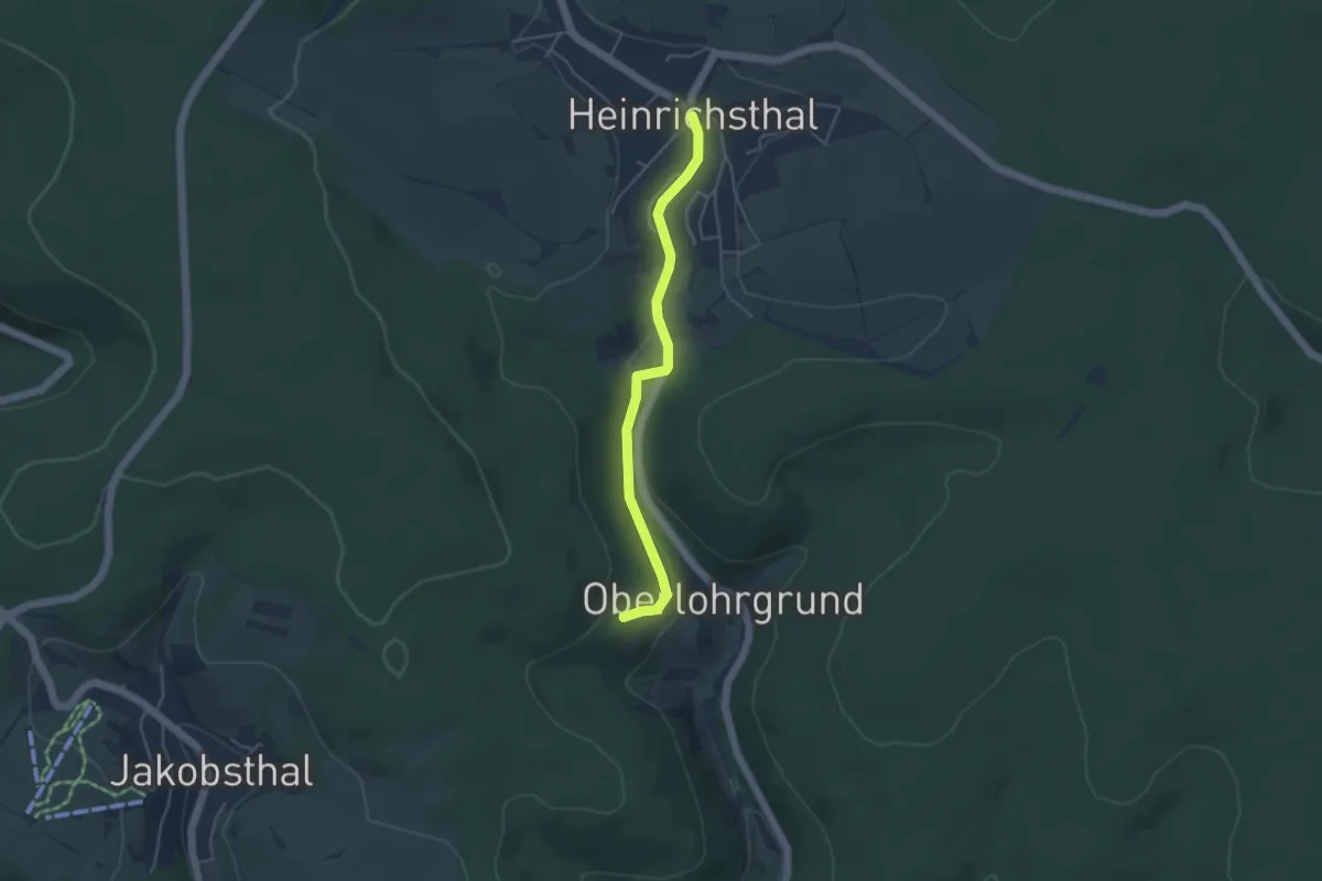
Easy · Trail
Ortswanderweg Heinrichsthal 1
3.8 km · ↑ 85 m · 1 h 6 min
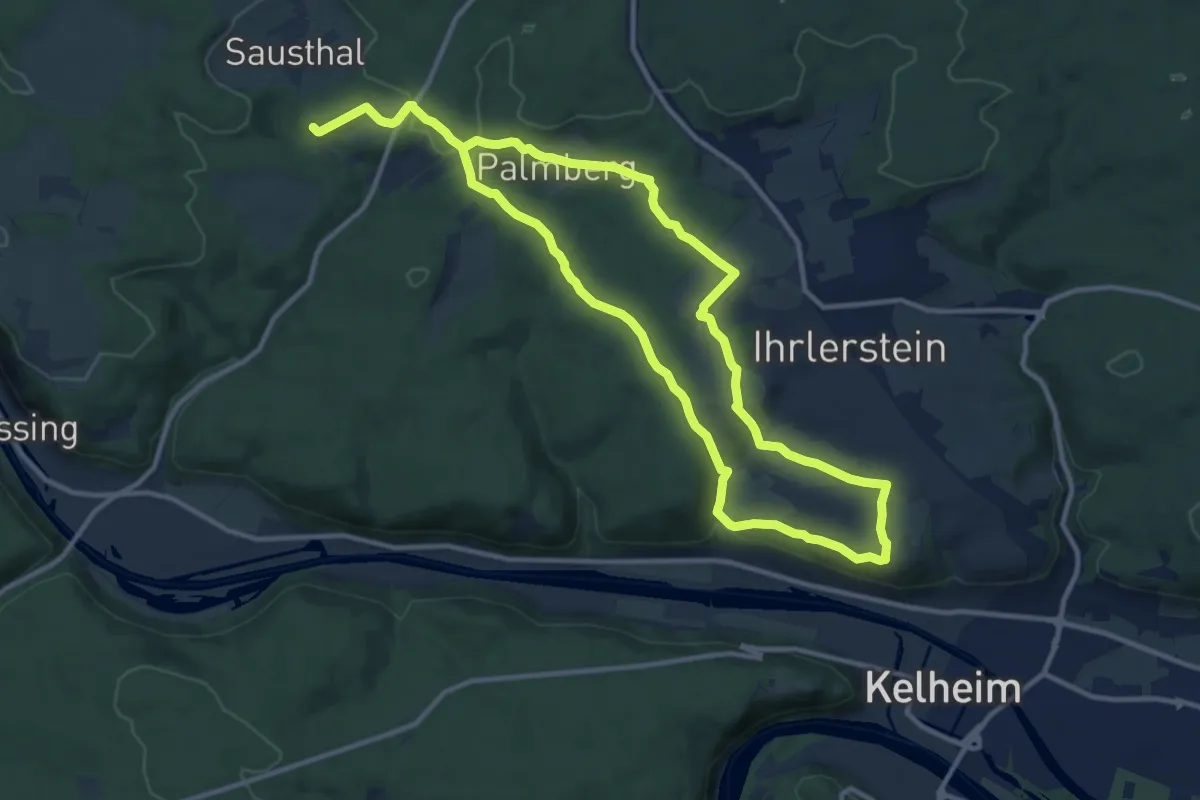
Demanding · Trail
Ortswanderweg Ihrlerstein
21.1 km · ↑ 522 m · 6 h 6 min
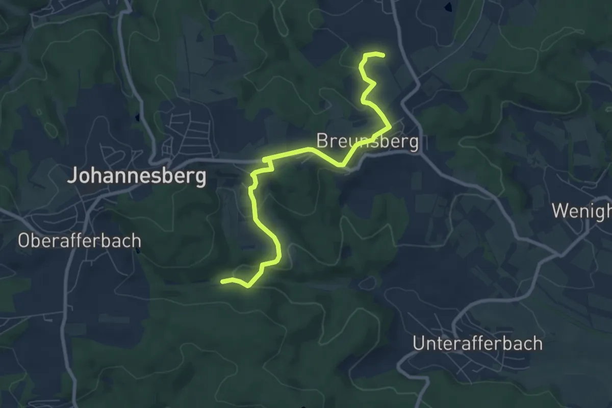
Easy · Trail
Ortswanderweg Johannesberg 1
7.2 km · ↑ 200 m · 2 h 8 min
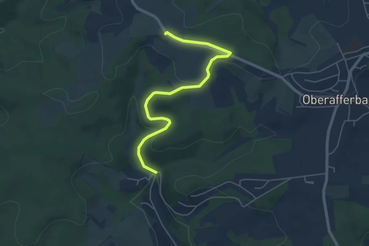
Easy · Trail
Ortswanderweg Johannesberg 2
4.4 km · ↑ 122 m · 1 h 18 min
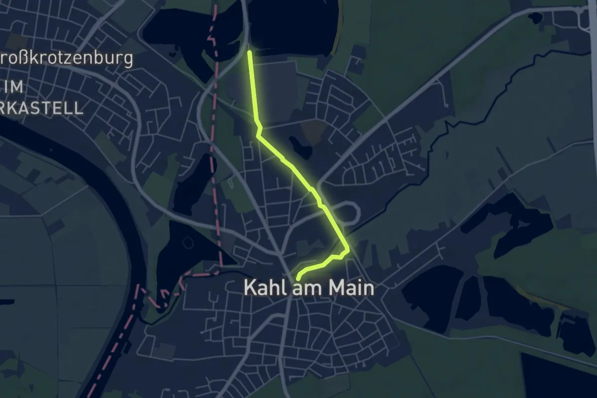
Easy · Trail
Ortswanderweg Kahl 1
4.1 km · ↑ 4 m · 59 min
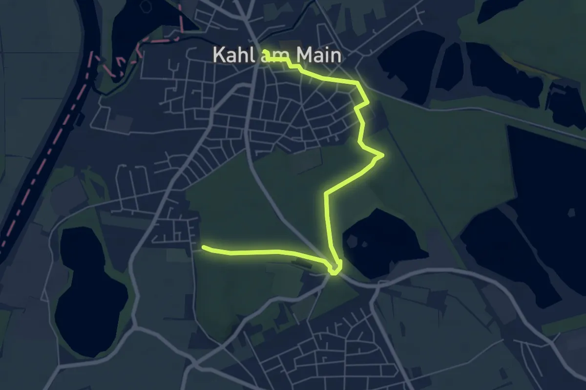
Easy · Trail
Ortswanderweg Kahl 2
6.4 km · ↑ 17 m · 1 h 33 min
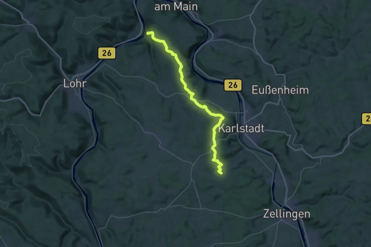
Demanding · Summit
Ortswanderweg Karlstadt 10
34.5 km · ↑ 611 m · 9 h 28 min
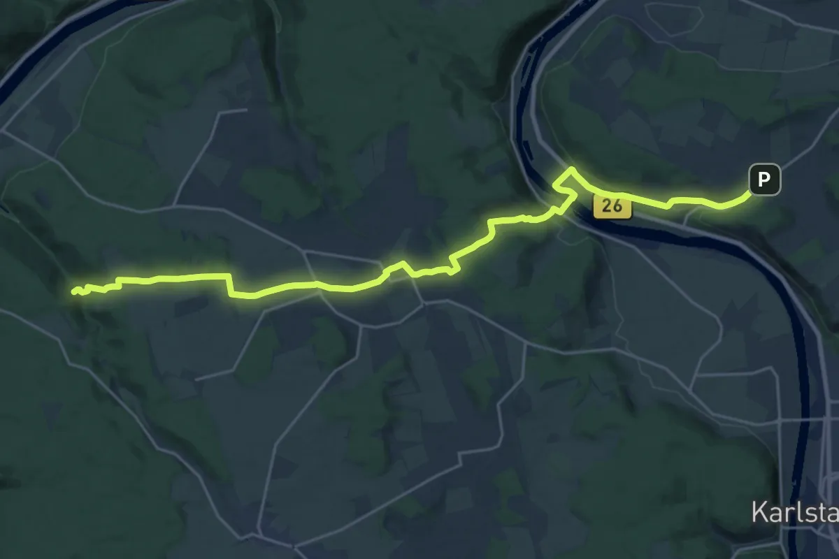
Demanding · Trail
Ortswanderweg Karlstadt 3
24.1 km · ↑ 484 m · 6 h 44 min
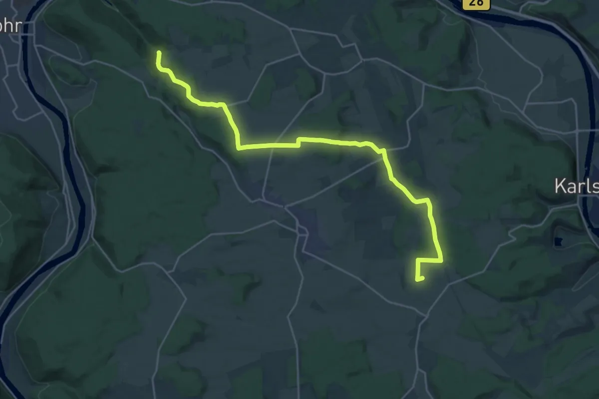
Demanding · Summit
Ortswanderweg Karlstadt 6
22.4 km · ↑ 383 m · 6 h 6 min
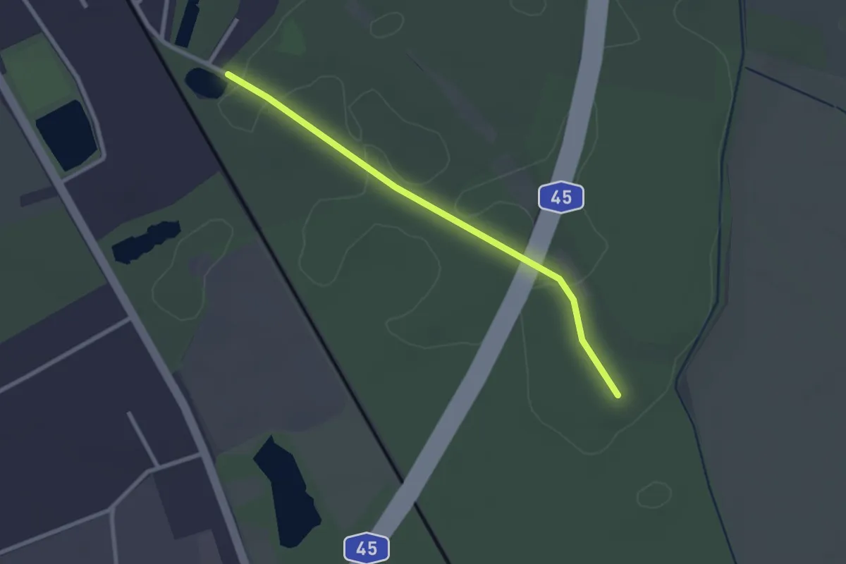
Easy · Trail
Ortswanderweg Karlstein 1
2.3 km · ↑ 8 m · 34 min
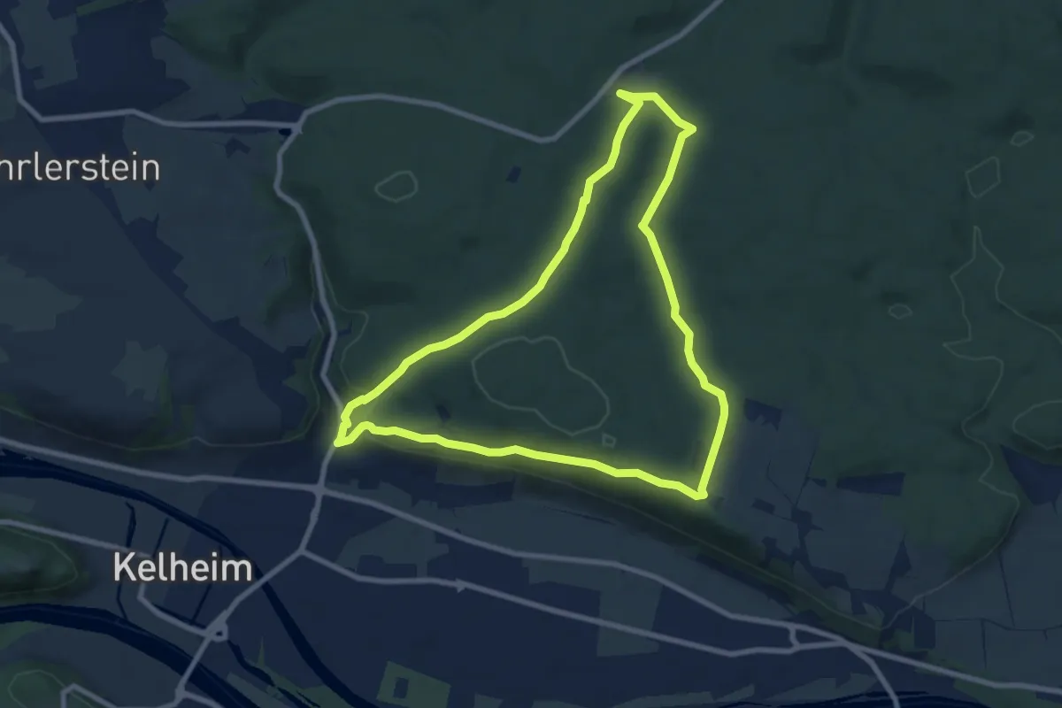
Easy · Summit
Ortswanderweg Kelheim 4
7.7 km · ↑ 197 m · 2 h 21 min
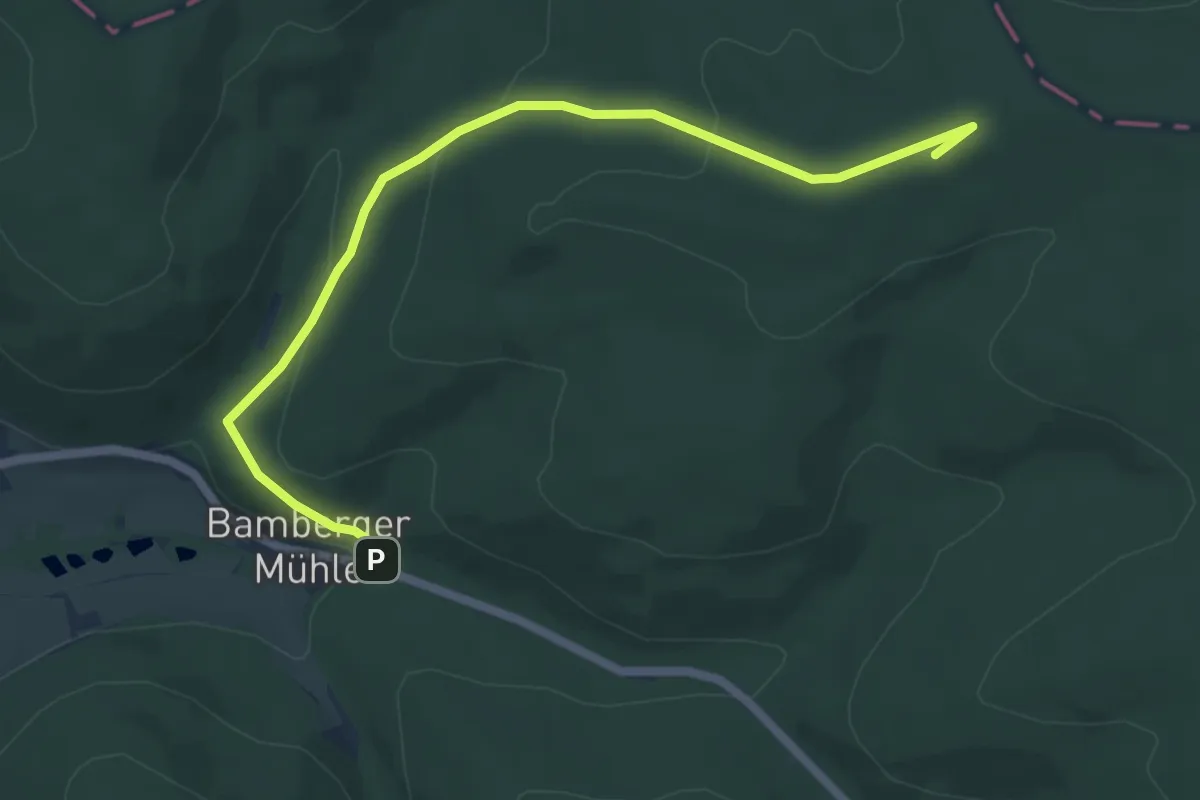
Easy · Summit
Ortswanderweg Kleinkahl 1
5.9 km · ↑ 195 m · 1 h 49 min
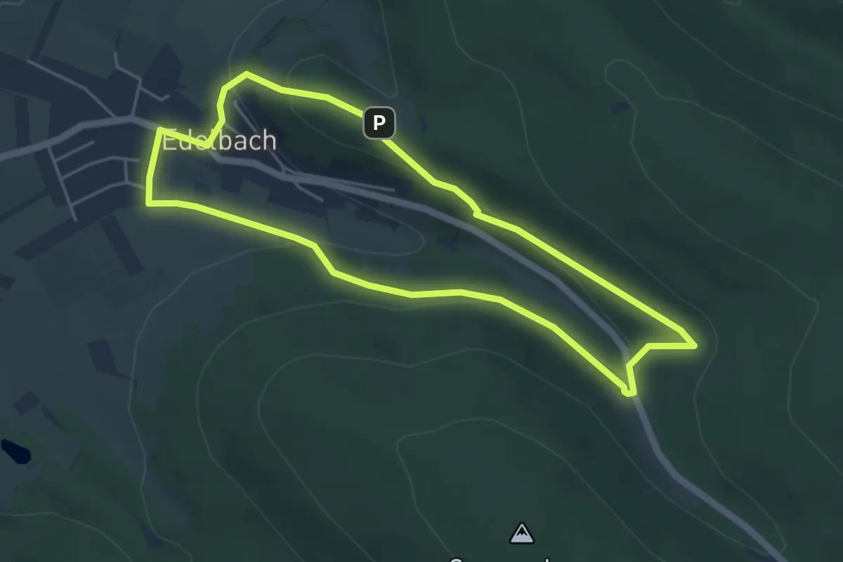
Easy · Summit
Ortswanderweg Kleinkahl 2
4.1 km · ↑ 141 m · 1 h 20 min
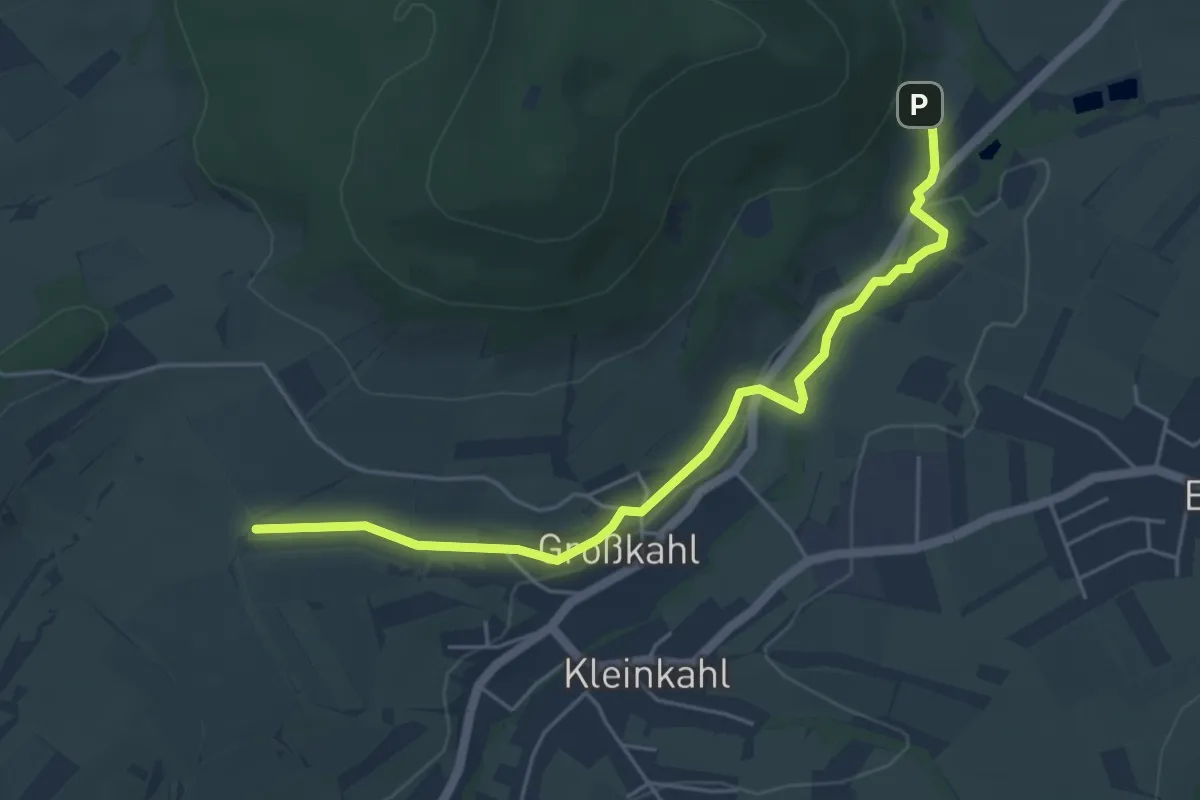
Easy · Trail
Ortswanderweg Kleinkahl 3
4.9 km · ↑ 81 m · 1 h 20 min
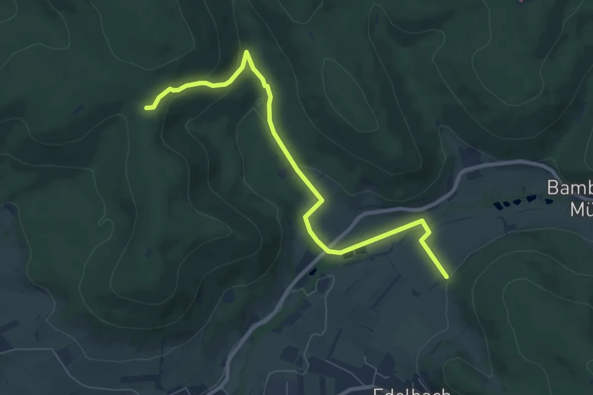
Easy · Trail
Ortswanderweg Kleinkahl 4
7.0 km · ↑ 201 m · 2 h 5 min
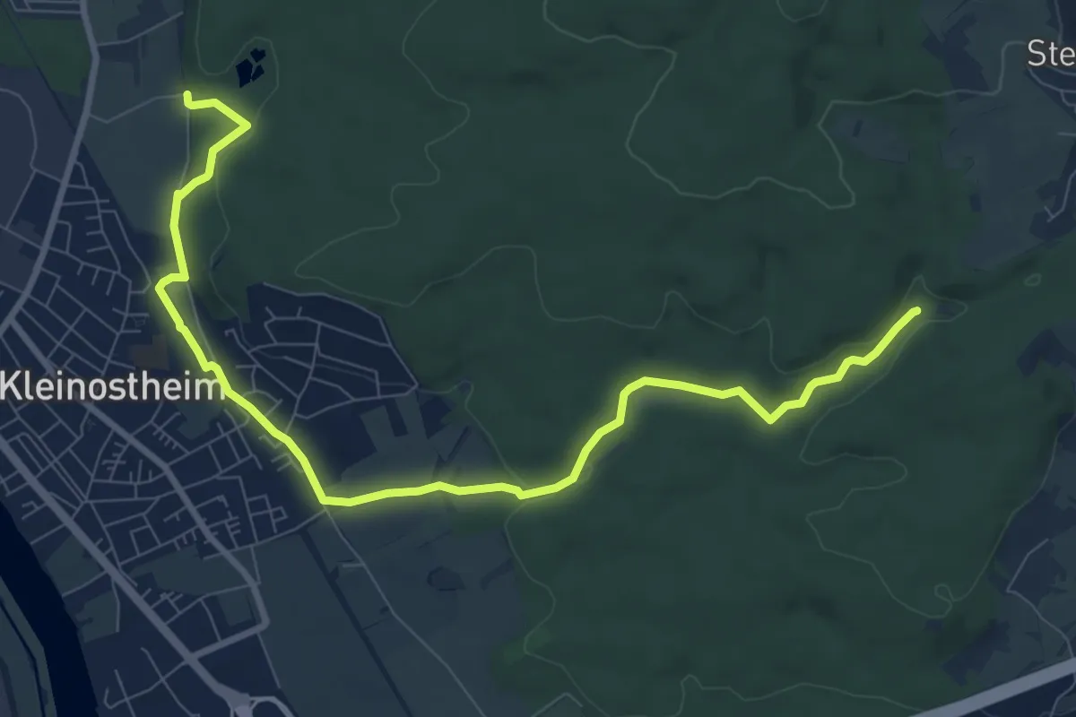
Medium · Trail
Ortswanderweg Kleinostheim1
9.8 km · ↑ 147 m · 2 h 38 min
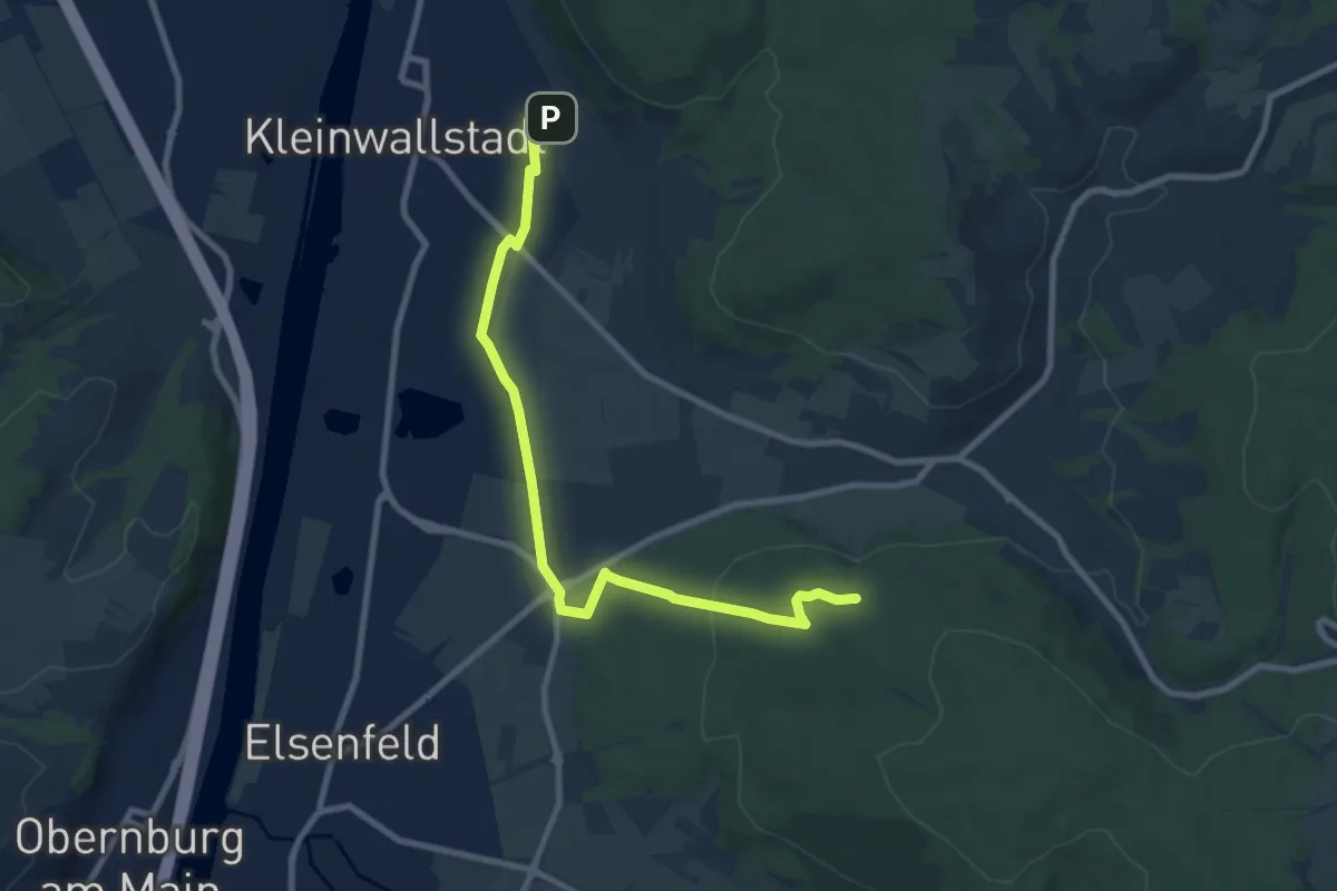
Medium · Trail
Ortswanderweg Kleinwallstadt 1
8.6 km · ↑ 147 m · 2 h 21 min
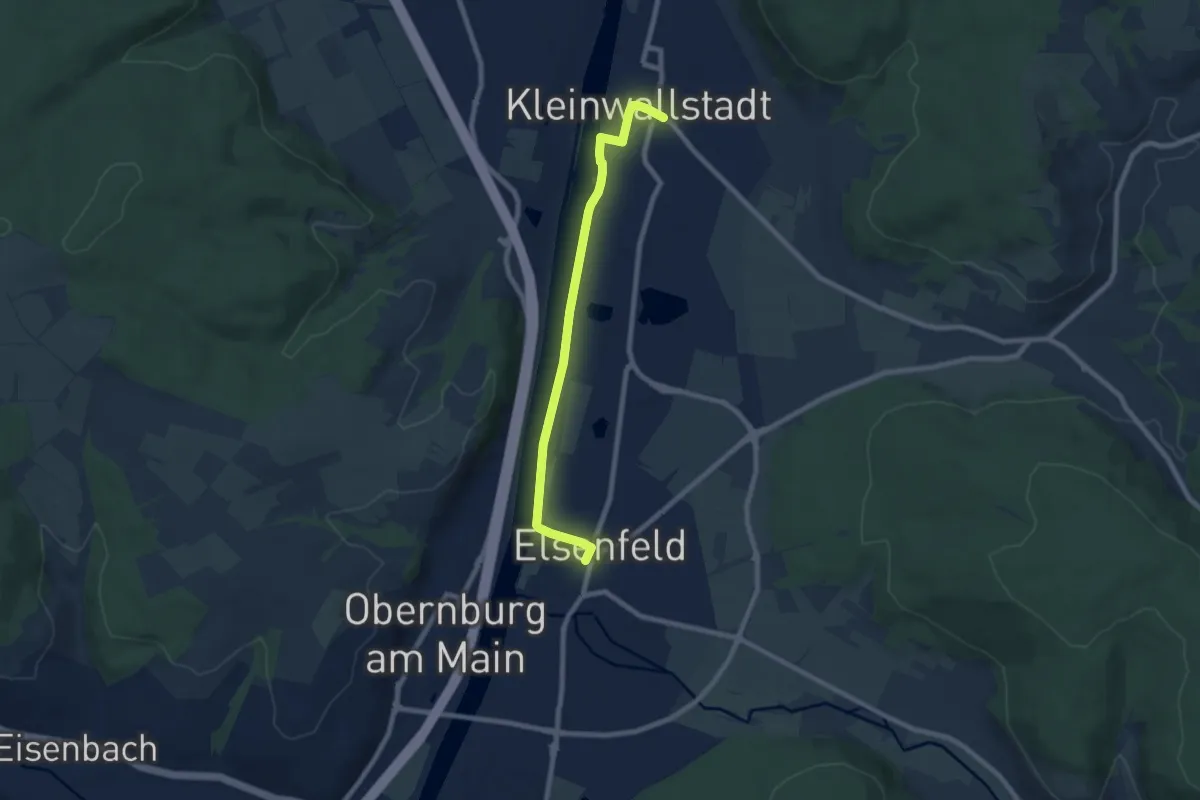
Easy · Trail
Ortswanderweg Kleinwallstadt 2
7.2 km · ↑ 9 m · 1 h 44 min
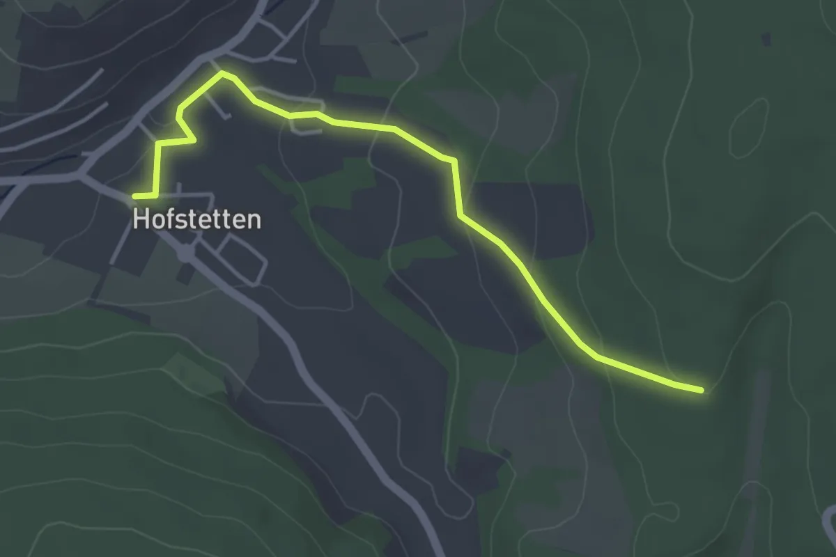
Easy · Trail
Ortswanderweg Kleinwallstadt 3
3.7 km · ↑ 116 m · 1 h 7 min
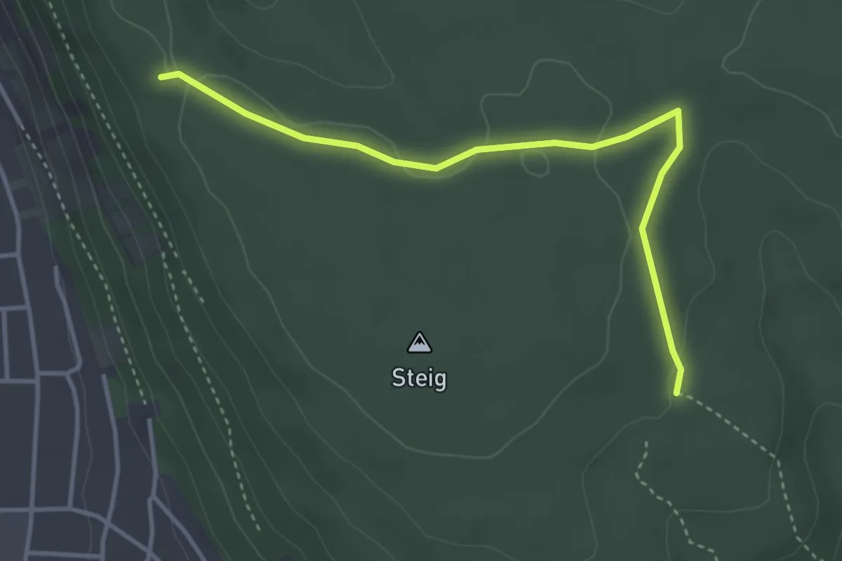
Easy · Trail
Ortswanderweg Klingenberg 1
3.5 km · ↑ 52 m · 57 min
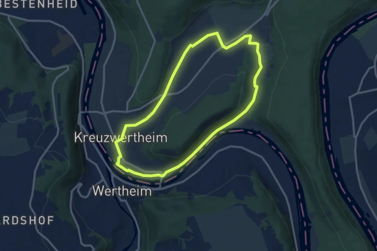
Easy · Trail
Ortswanderweg Kreuzwertheim 1
6.8 km · ↑ 39 m · 1 h 47 min
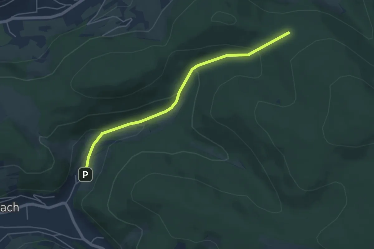
Easy · Trail
Ortswanderweg Leidersbach 1
4.2 km · ↑ 155 m · 1 h 19 min
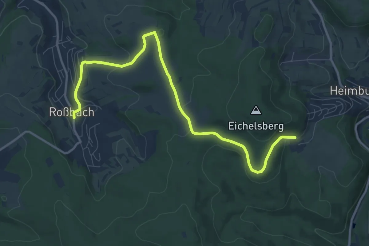
Medium · Trail
Ortswanderweg Leidersbach 2
9.4 km · ↑ 179 m · 2 h 37 min
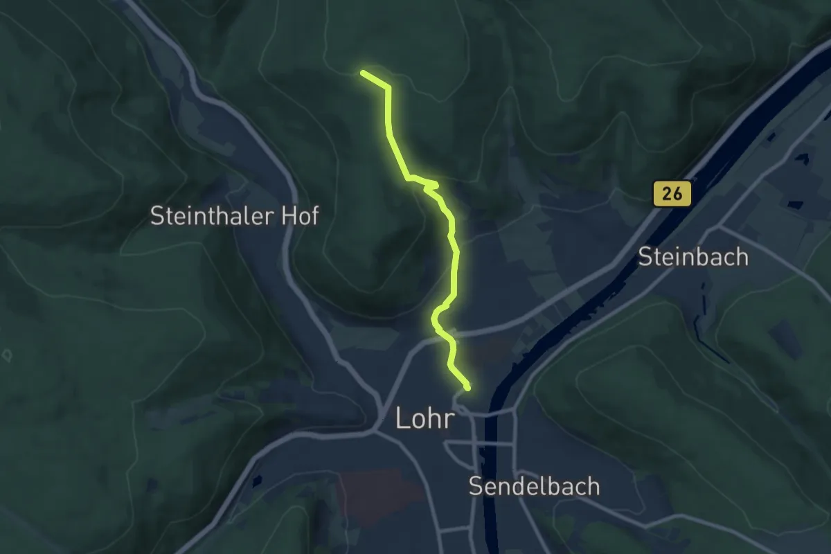
Easy · Trail
Ortswanderweg Lohr 1
6.7 km · ↑ 244 m · 2 h 6 min
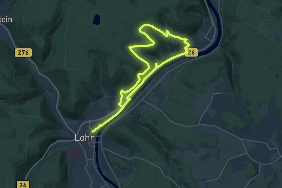
Medium · Trail
Ortswanderweg Lohr 2
15.0 km · ↑ 406 m · 4 h 37 min
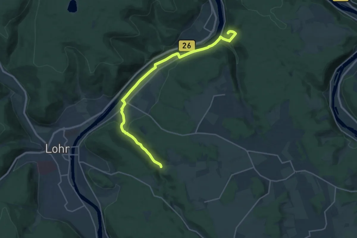
Medium · Trail
Ortswanderweg Lohr 3
17.0 km · ↑ 254 m · 4 h 33 min
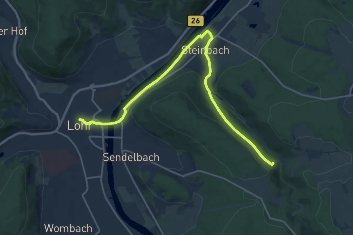
Medium · Trail
Ortswanderweg Lohr 4 Sieben-Zwerge-Weg
12.3 km · ↑ 175 m · 3 h 16 min
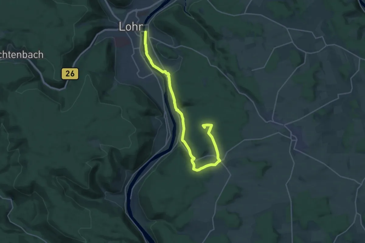
Demanding · Summit
Ortswanderweg Lohr 5
20.3 km · ↑ 417 m · 5 h 42 min
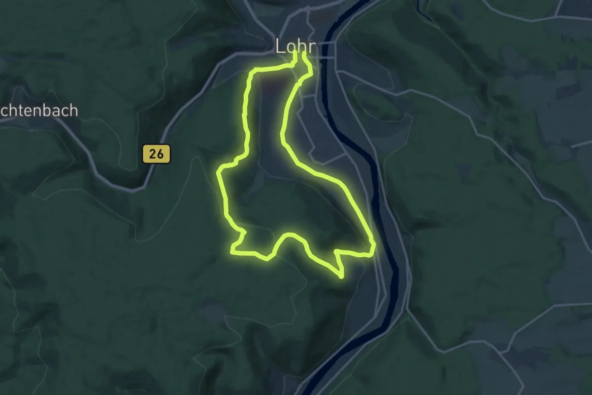
Medium · Trail
Ortswanderweg Lohr 6
13.6 km · ↑ 332 m · 4 h 7 min
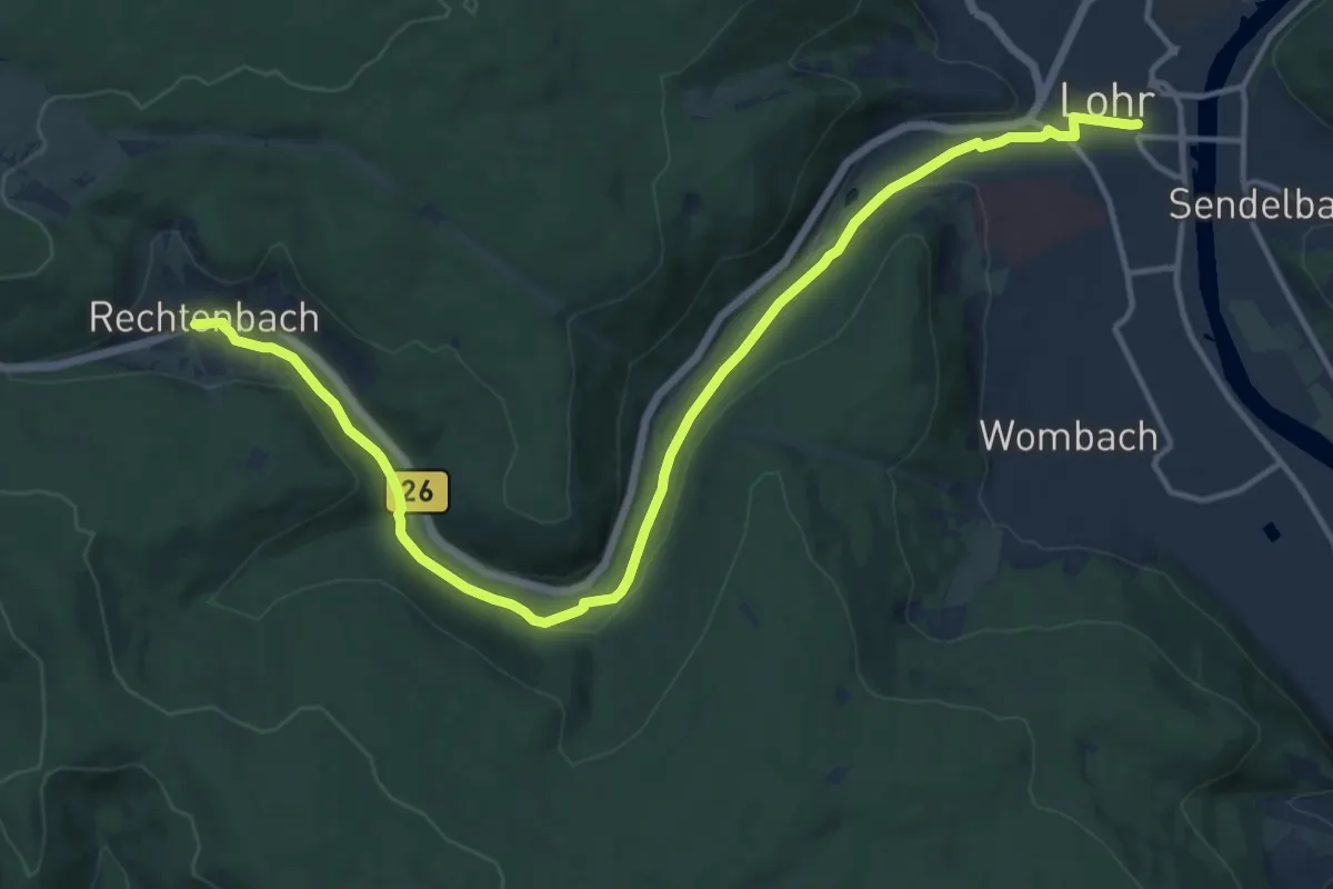
Medium · Trail
Ortswanderweg Lohr 7
15.0 km · ↑ 241 m · 4 h 4 min
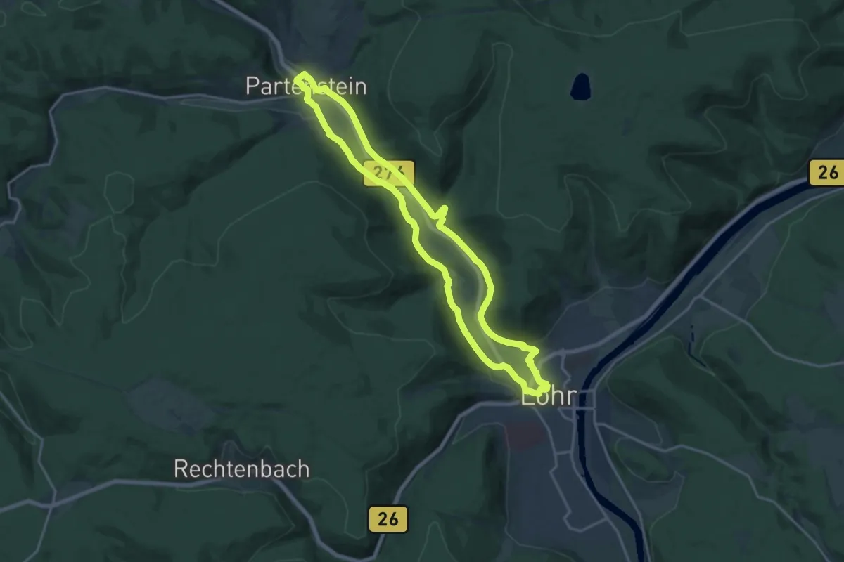
Medium · Trail
Ortswanderweg Lohr 8
14.9 km · ↑ 199 m · 4 h 9 min
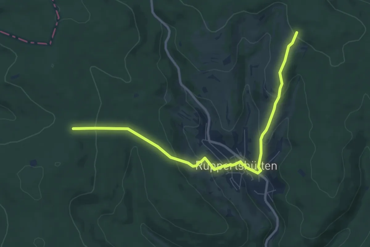
Medium · Trail
Ortswanderweg Lohr 9
8.2 km · ↑ 324 m · 2 h 38 min
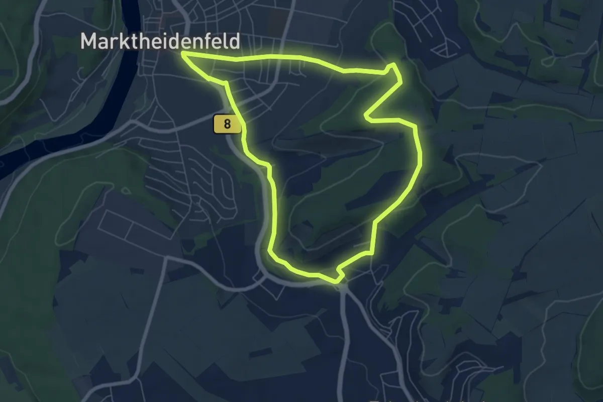
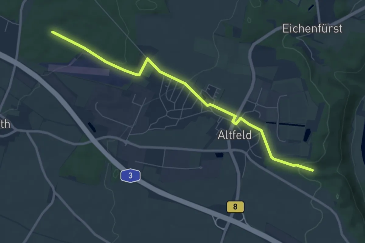
Easy · Summit
Ortswanderweg Marktheidenfeld 2
6.3 km · ↑ 137 m · 1 h 52 min
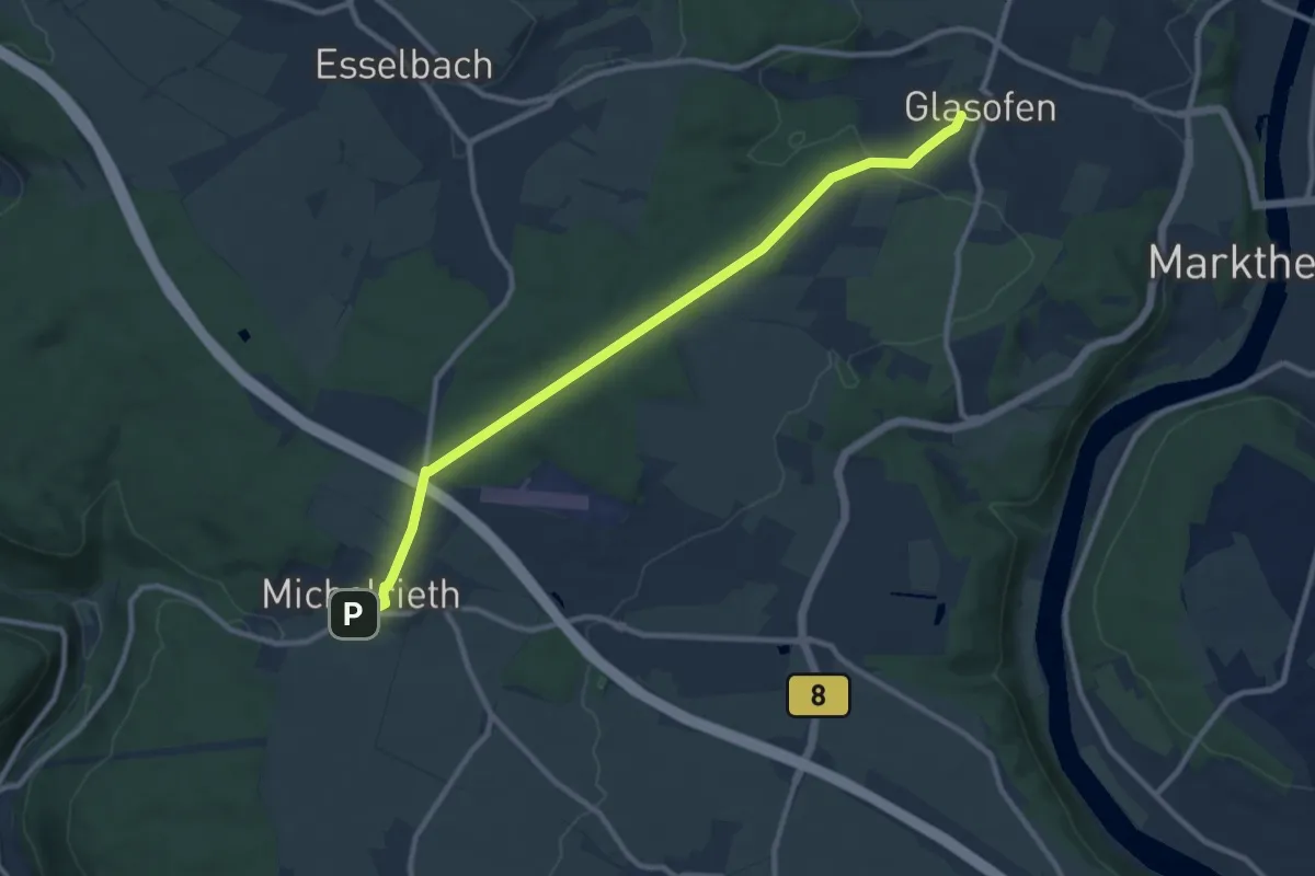
Easy · Trail
Ortswanderweg Marktheidenfeld 3
7.0 km · ↑ 128 m · 1 h 56 min
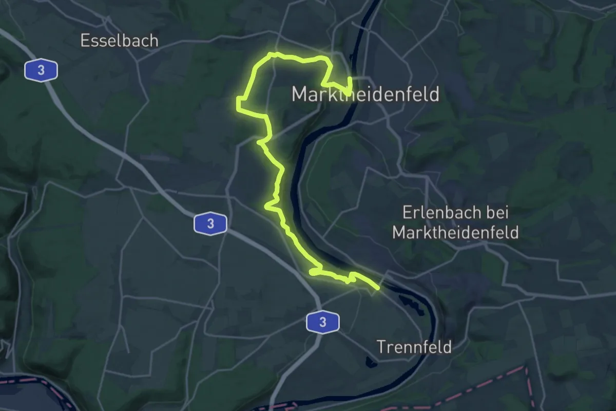
Medium · Trail
Ortswanderweg Marktheidenfeld 4
9.8 km · ↑ 156 m · 2 h 39 min
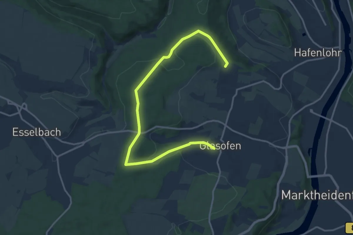
Demanding · Trail
Ortswanderweg Marktheidenfeld 5
23.3 km · ↑ 504 m · 6 h 35 min
Medium · Trail
Ortswanderweg Marktheidenfeld 6
11.4 km · ↑ 197 m · 3 h 7 min
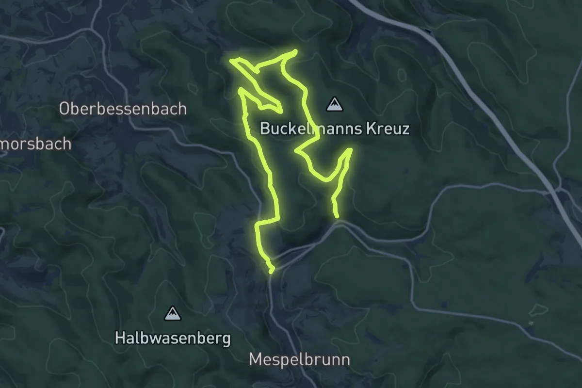
Medium · Trail
Ortswanderweg Mespelbrunn 1
10.9 km · ↑ 326 m · 3 h 27 min
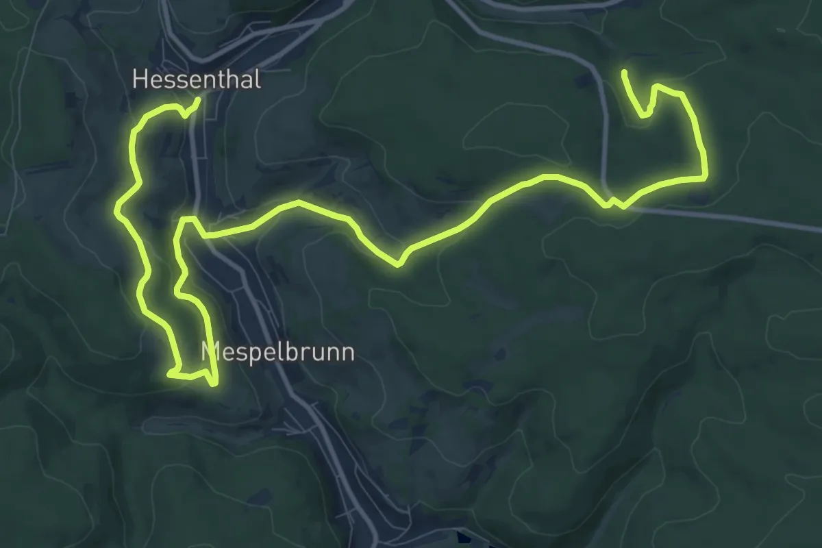
Medium · Trail
Ortswanderweg Mespelbrunn 2
15.1 km · ↑ 514 m · 4 h 41 min
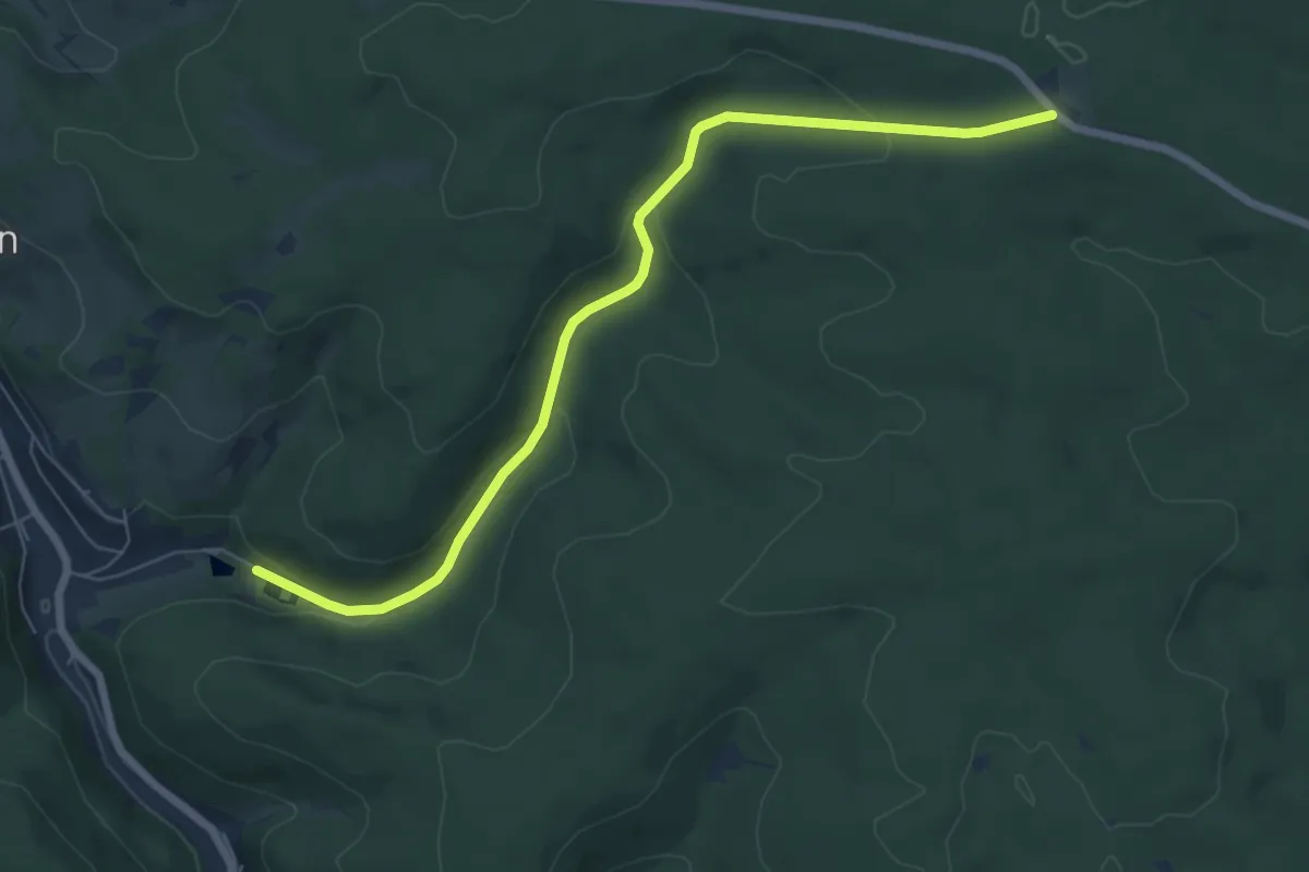
Easy · Trail
Ortswanderweg Mespelbrunn 3
6.7 km · ↑ 219 m · 2 h 3 min
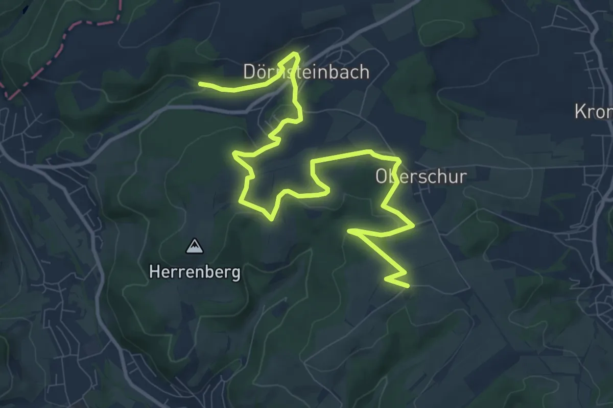
Medium · Trail
Ortswanderweg Mömbris 1
11.8 km · ↑ 252 m · 3 h 21 min
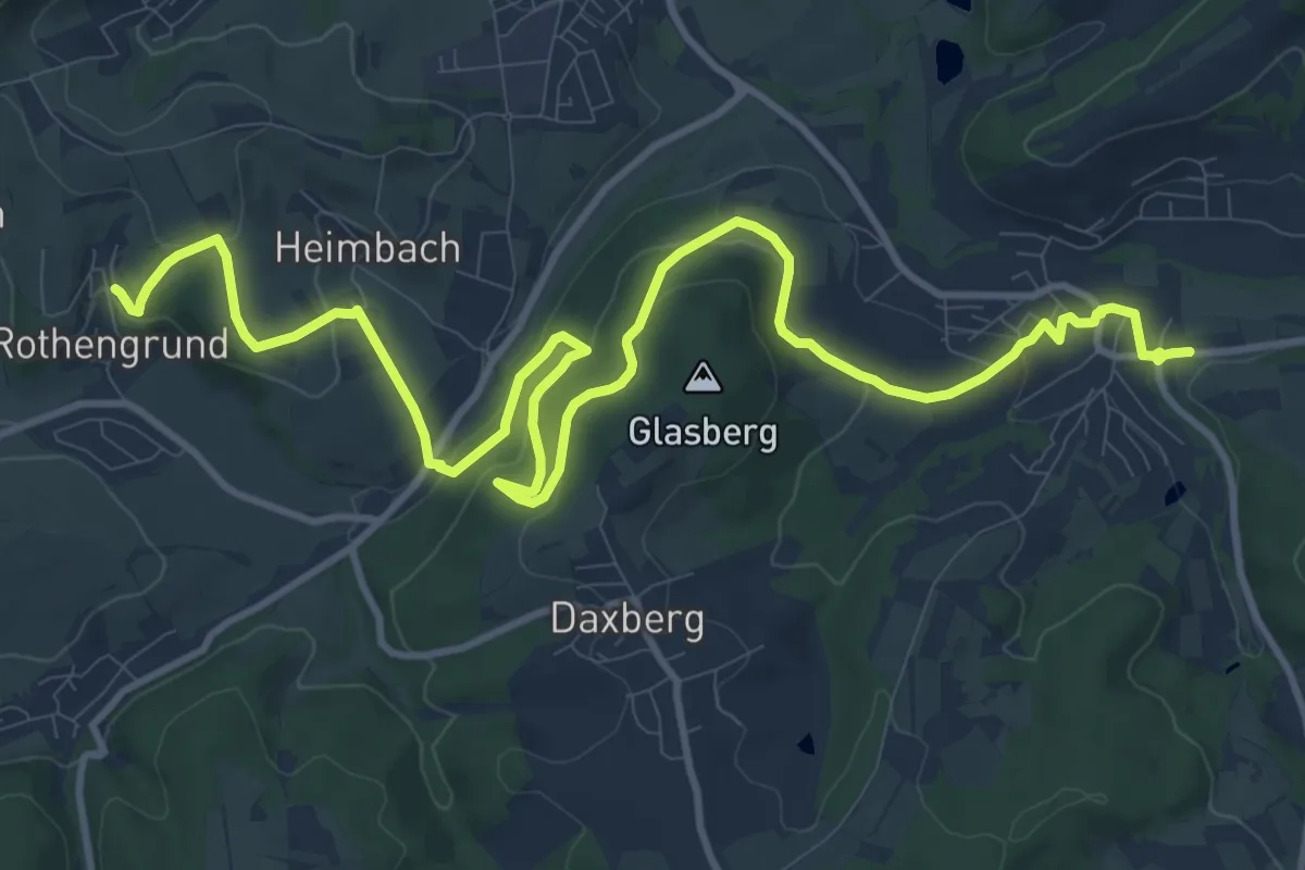
Medium · Trail
Ortswanderweg Mömbris 2
14.7 km · ↑ 521 m · 4 h 36 min
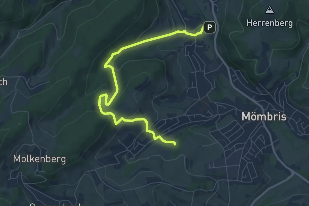
Medium · Trail
Ortswanderweg Mömbris 3
7.7 km · ↑ 331 m · 2 h 33 min
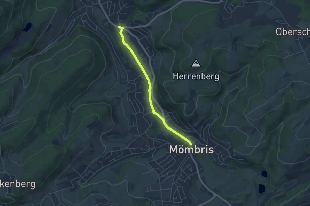
Easy · Trail
Ortswanderweg Mömbris 4
4.6 km · ↑ 13 m · 1 h 7 min
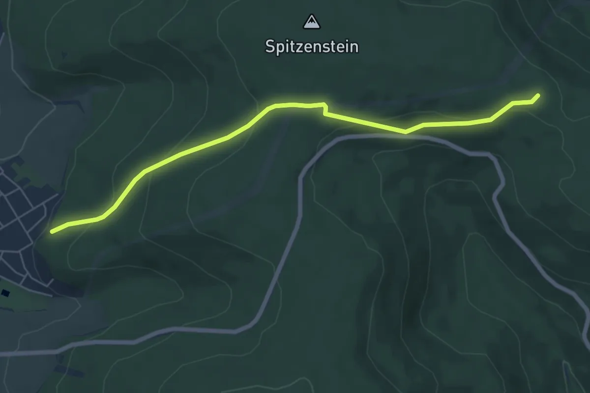
Easy · Trail
Ortswanderweg Mönchberg 1
5.7 km · ↑ 227 m · 1 h 50 min