Trails in Germany
36,852 hiking trails, each with its route, climb, walking time and grade.
All trails, page 407 of 768
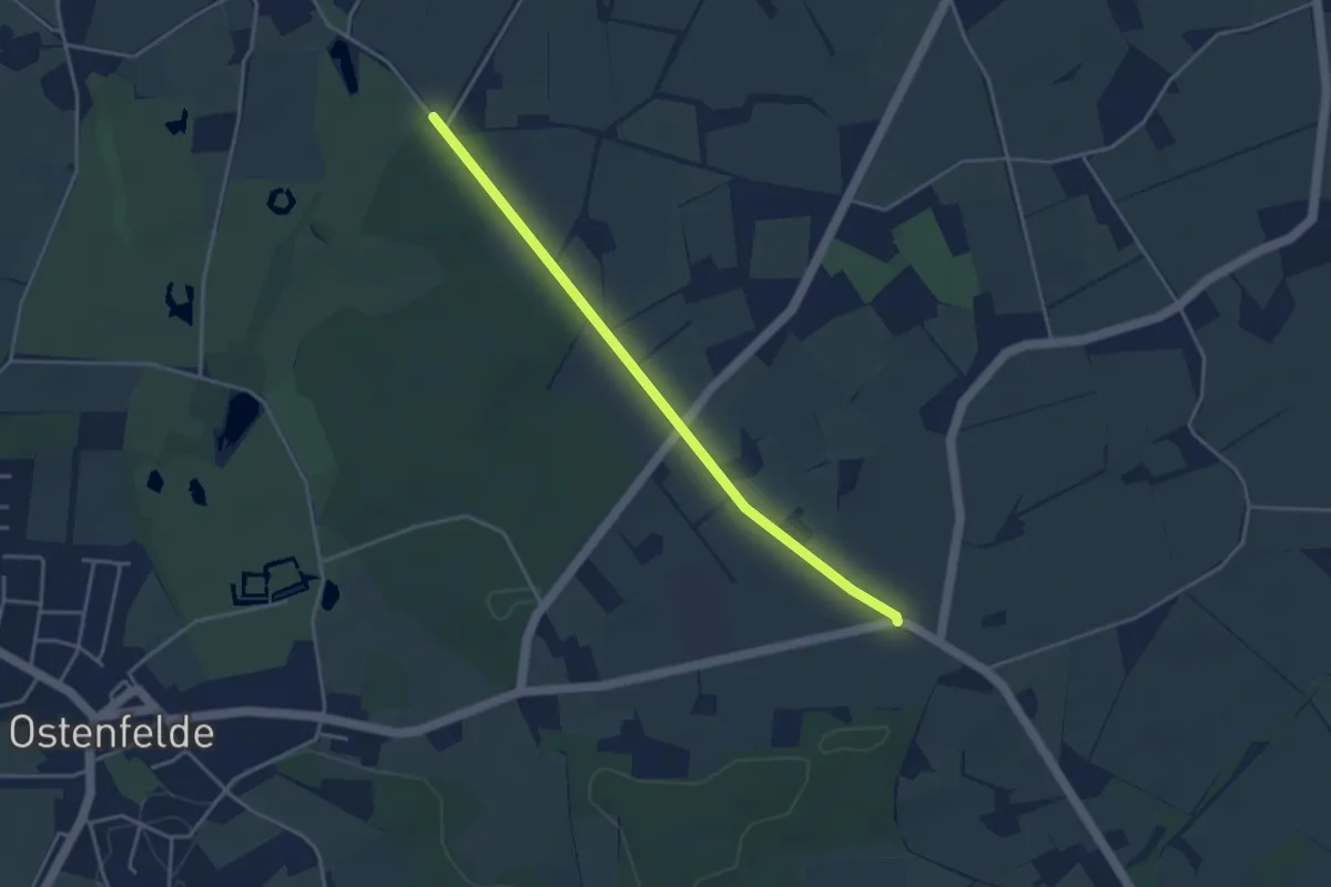
Easy · Trail
Ostenfelde Rundweg 4
1.7 km · ↑ 9 m · 26 min
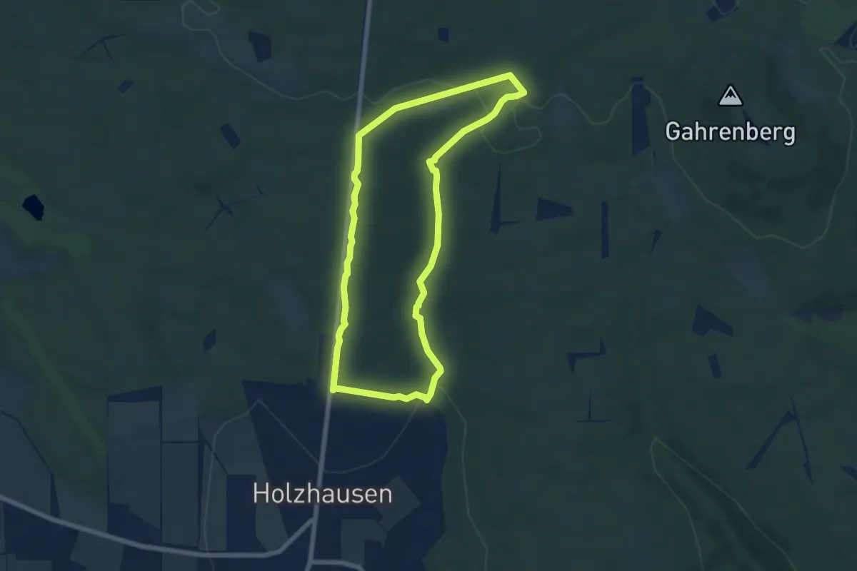
Easy · Trail
Osterbach-Rundwanderweg
5.3 km · ↑ 117 m · 1 h 34 min
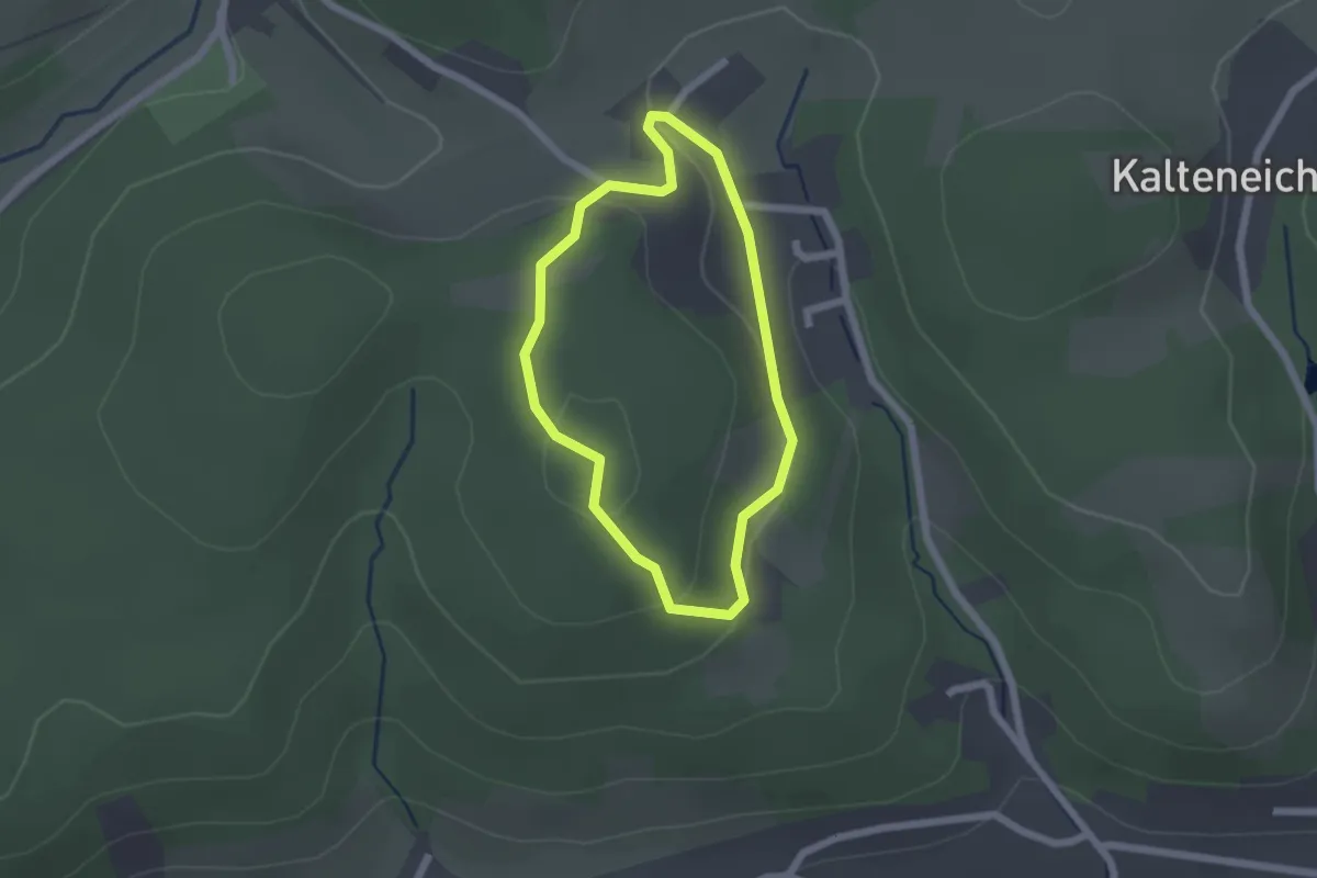
Easy · Trail
Osterbecke
1.5 km · ↑ 45 m · 29 min
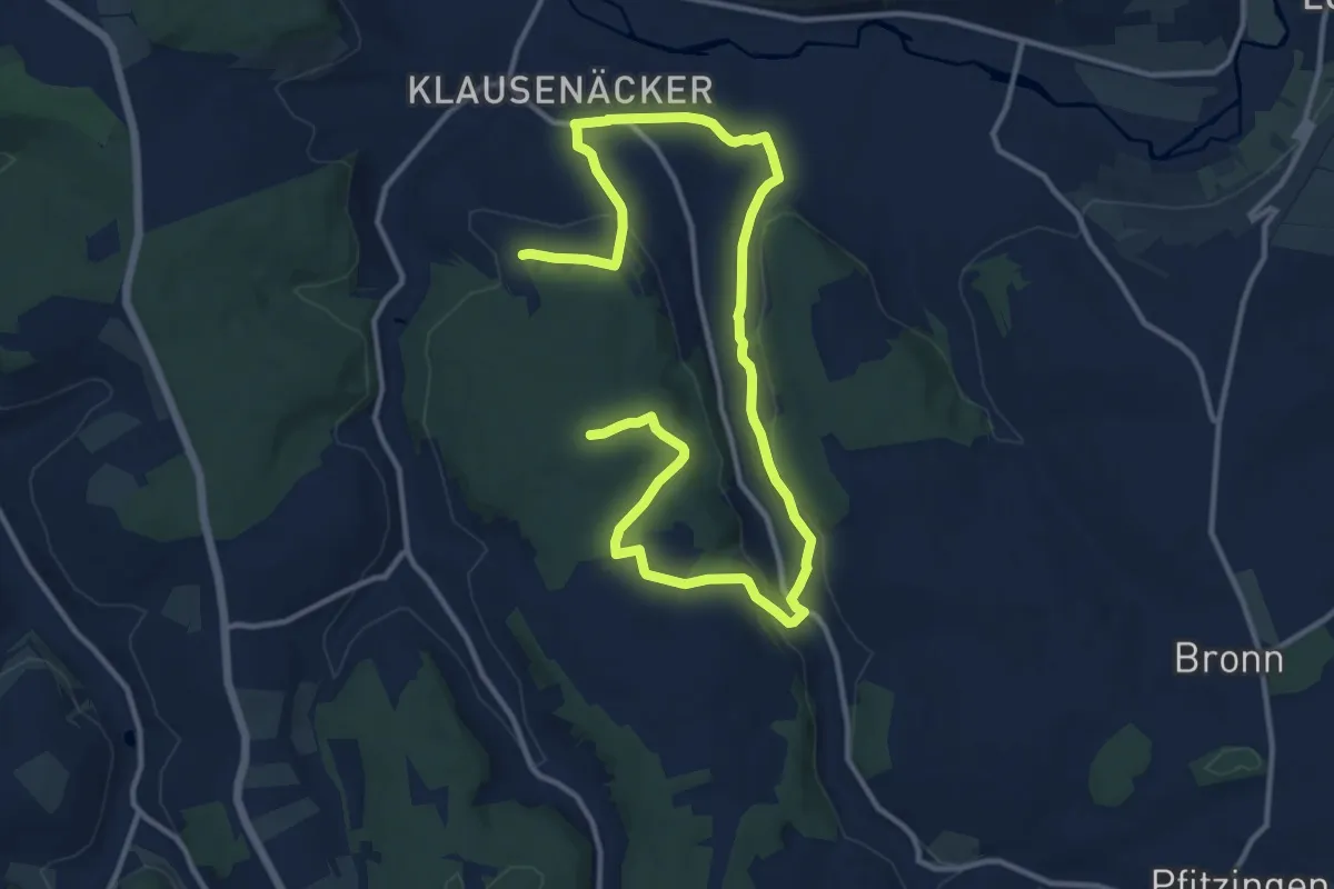
Medium · Trail
Osterbergweg
17.5 km · ↑ 425 m · 5 h 3 min
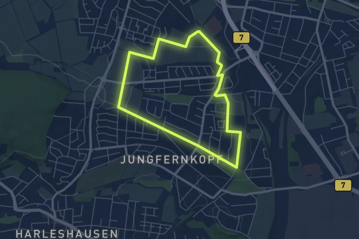
Easy · Trail
Osterbergweg
4.8 km · ↑ 63 m · 1 h 20 min
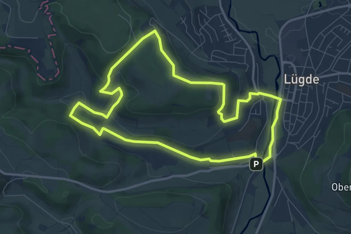
Easy · Summit
Osterbergweg
7.1 km · ↑ 147 m · 2 h 6 min
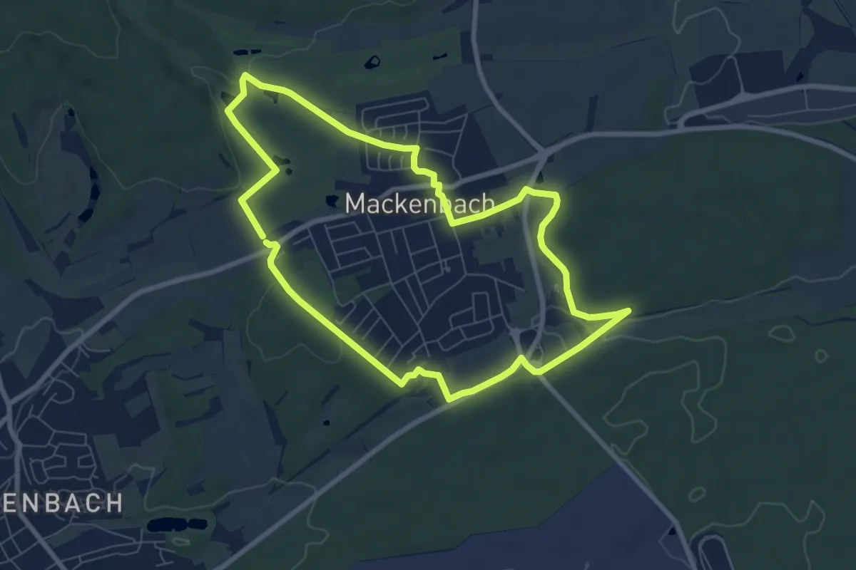
Easy · Trail
Osterbubenweg
6.9 km · ↑ 100 m · 1 h 56 min
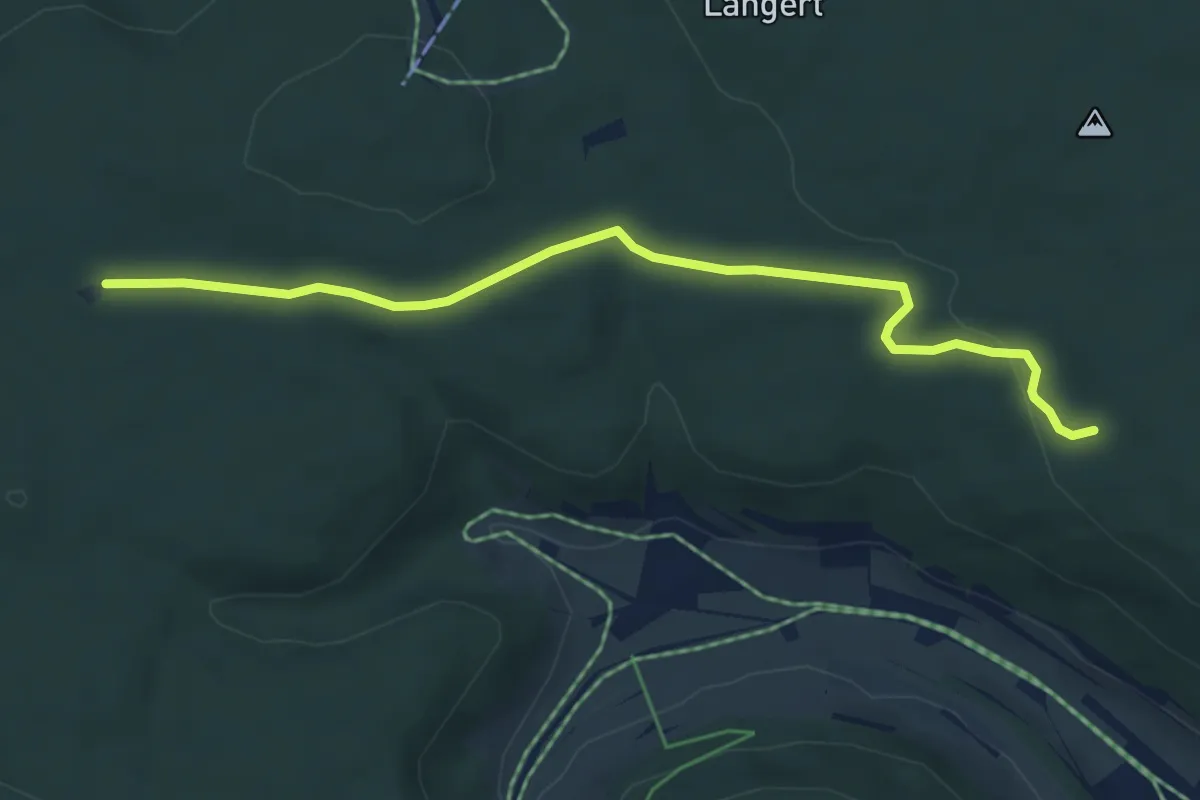
Easy · Trail
Osterbuchhütte - Kuckukshütte
5.4 km · ↑ 88 m · 1 h 27 min
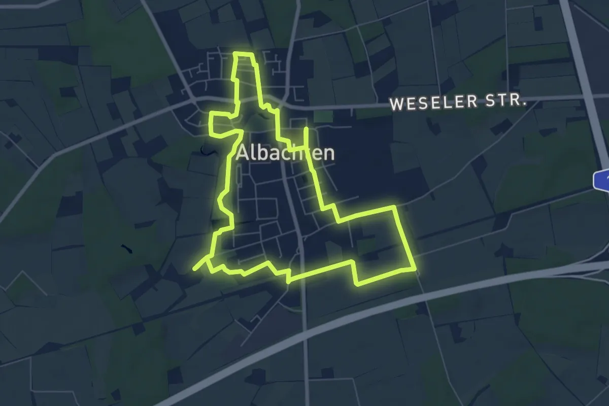
Easy · Trail
Osterbummel 2024
6.6 km · ↑ 8 m · 1 h 39 min
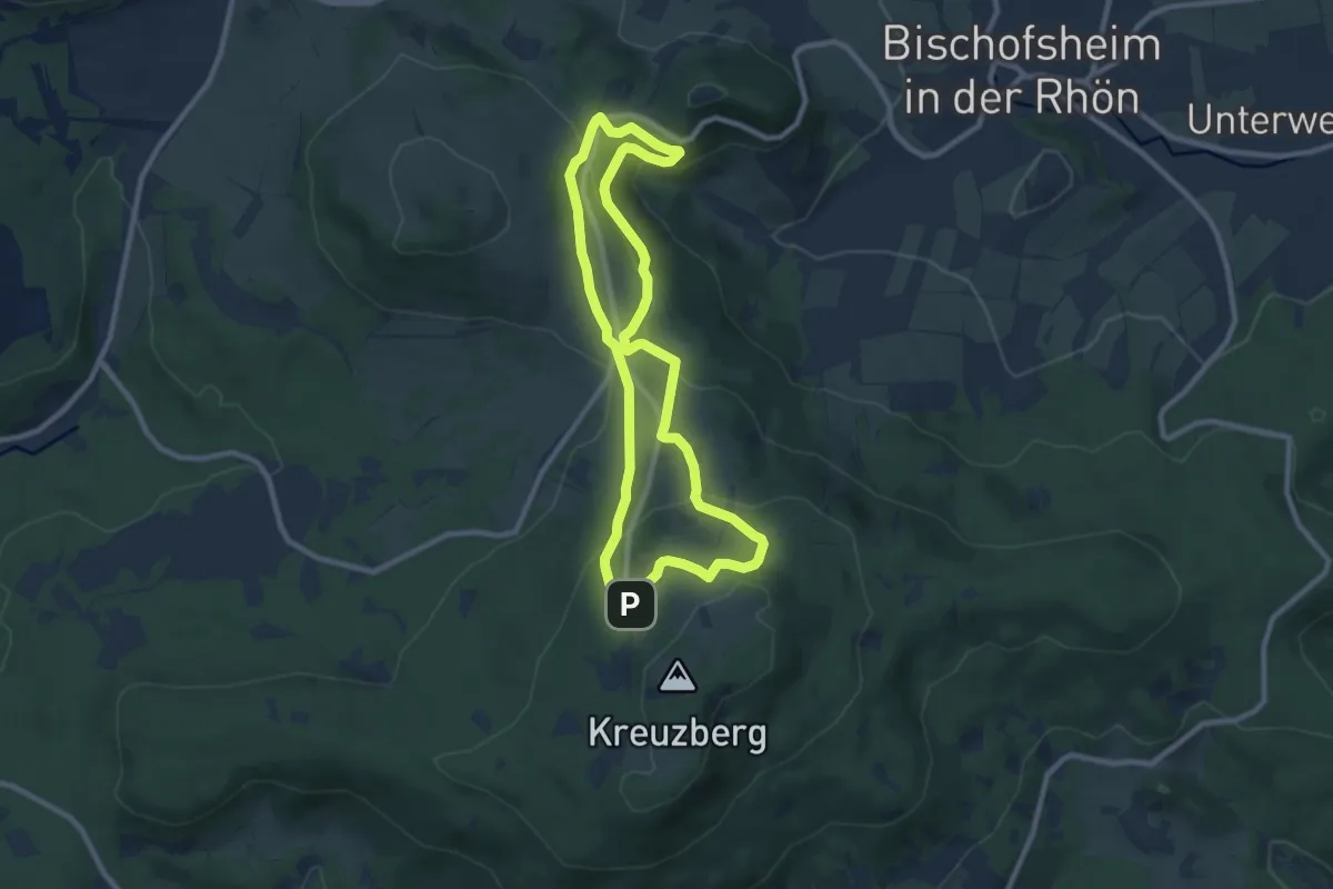
Medium · Trail
Osterburg - Gemündener Hütte und Kreuzberg
8.1 km · ↑ 317 m · 2 h 42 min
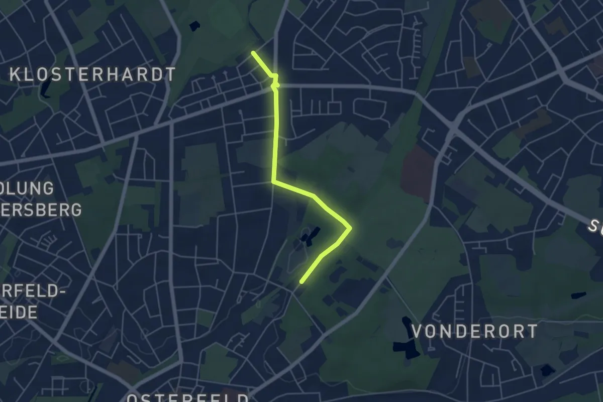
Easy · Trail
Osterfelder Rundwanderweg
2.0 km · ↑ 4 m · 31 min
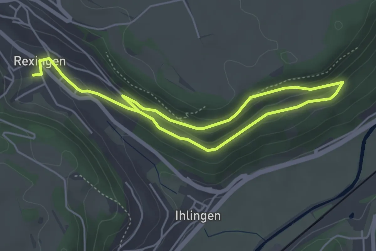
Easy · Trail
Osterhalde NSG
6.4 km · ↑ 226 m · 2 h
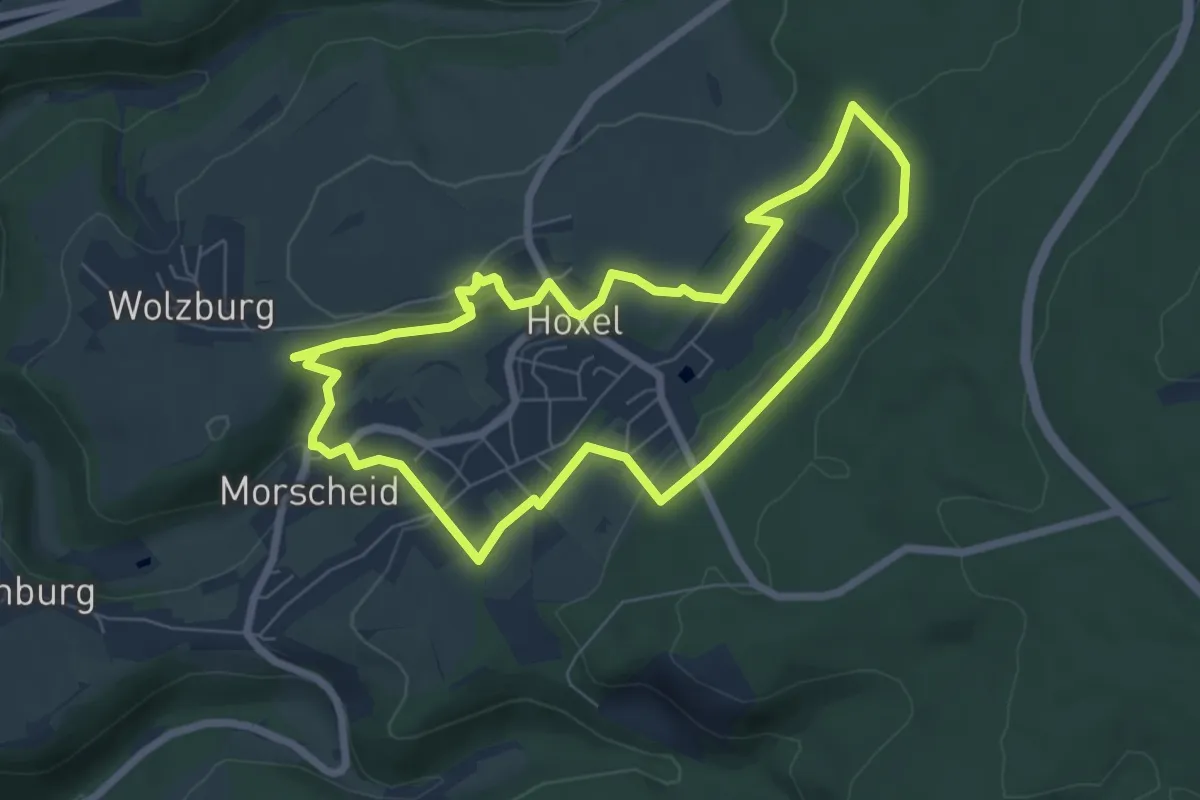
Easy · Trail
Oster-Höhlen Weg
6.2 km · ↑ 136 m · 1 h 50 min
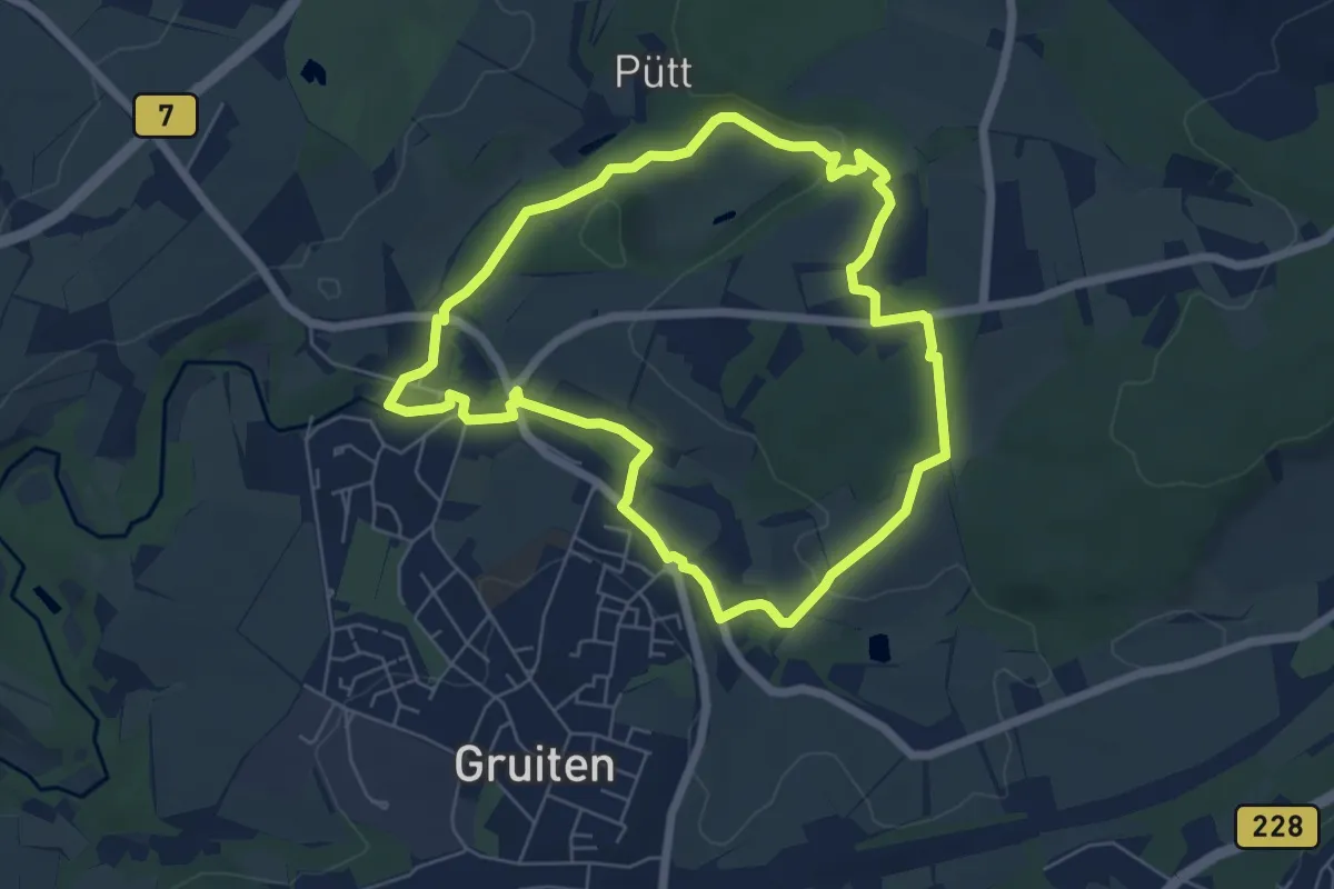
Easy · Trail
Osterholz Rundweg A1
5.5 km · ↑ 60 m · 1 h 30 min
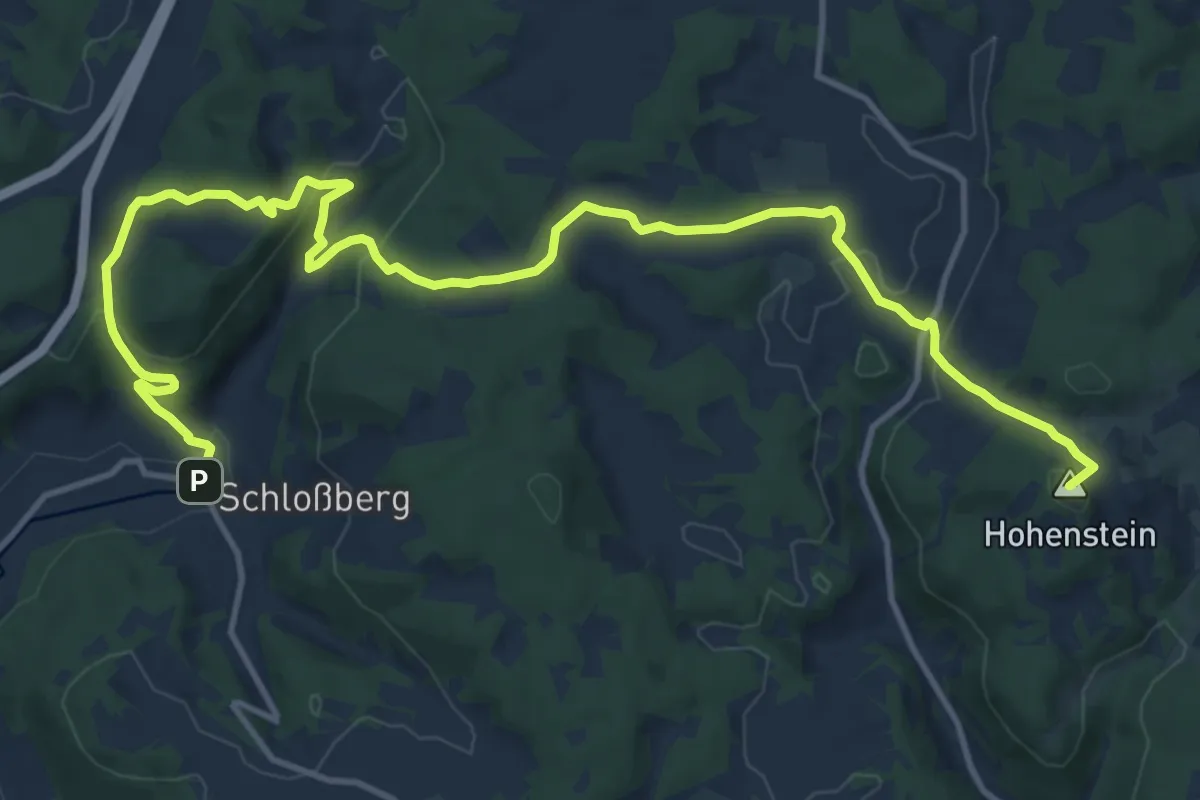
Medium · Summit
Osternohe – Hohenstein
15.8 km · ↑ 629 m · 5 h 6 min
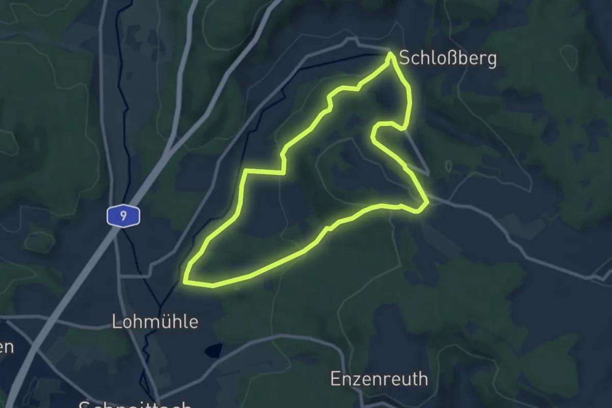
Easy · Trail
Osternohe – Lohmühle
6.9 km · ↑ 201 m · 2 h 10 min
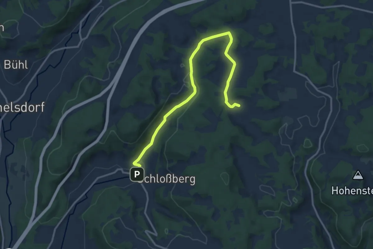
Medium · Trail
Osternoher Wanderweg Blau 3
9.9 km · ↑ 237 m · 2 h 51 min
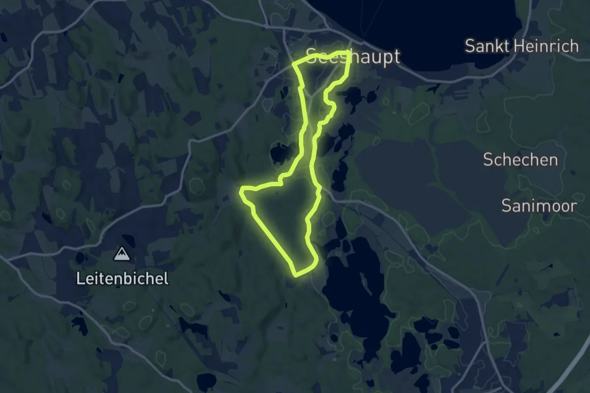
Medium · Trail
Osterseen-Wanderweg 10
9.7 km · ↑ 71 m · 2 h 34 min
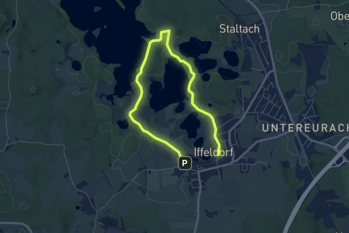
Medium · Trail
Osterseen-Wanderweg 23
8.2 km · ↑ 78 m · 2 h 7 min
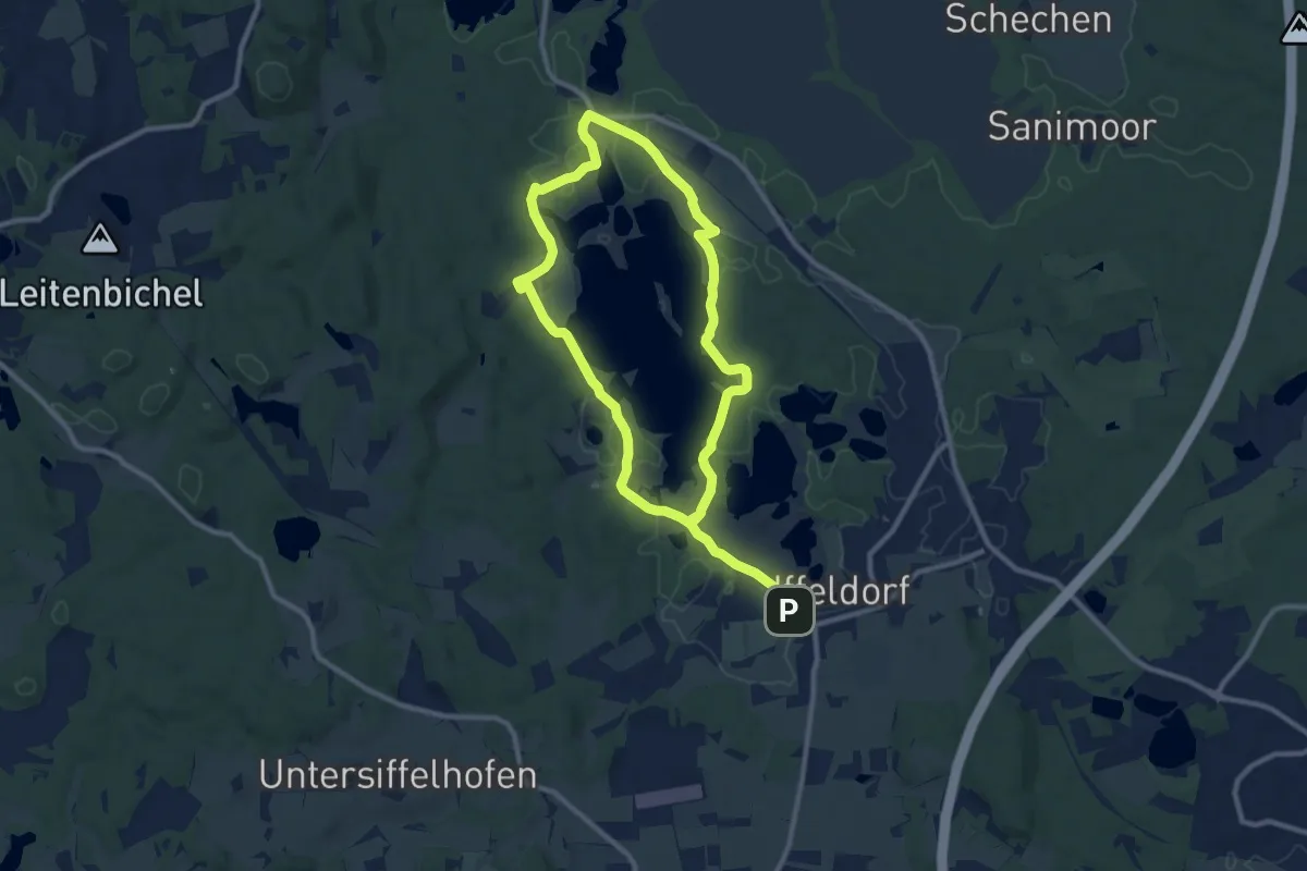
Medium · Trail
Osterseen-Wanderweg 25
17.4 km · ↑ 175 m · 4 h 30 min
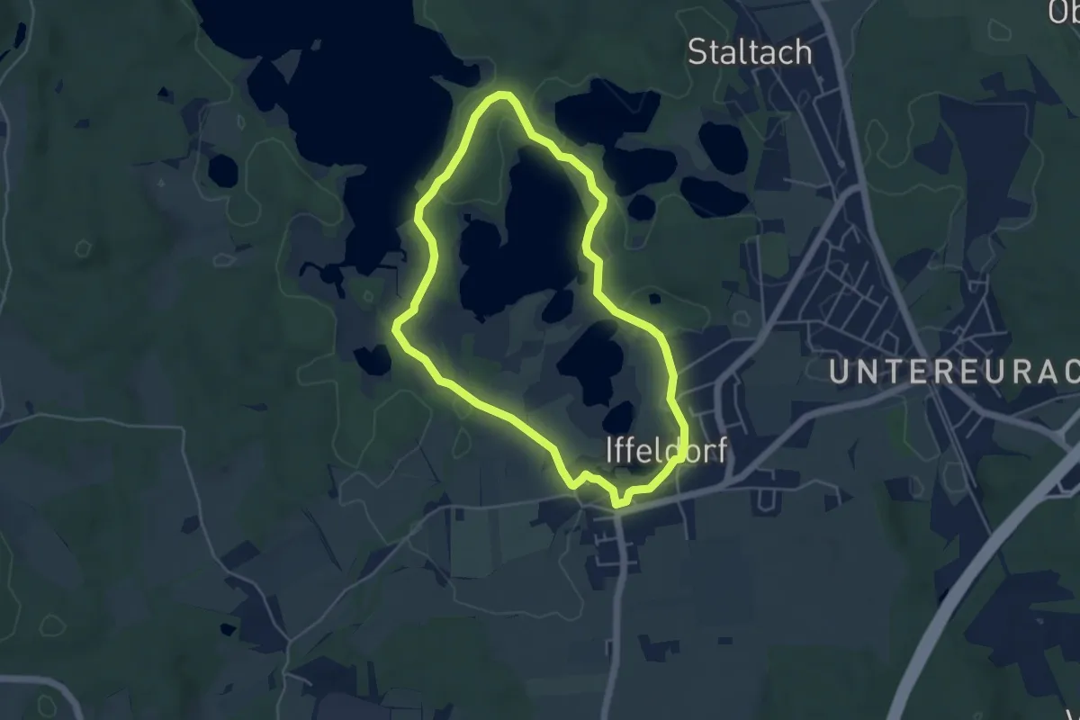
Easy · Trail
Osterseen-Wanderweg 5
4.3 km · ↑ 38 m · 1 h 10 min
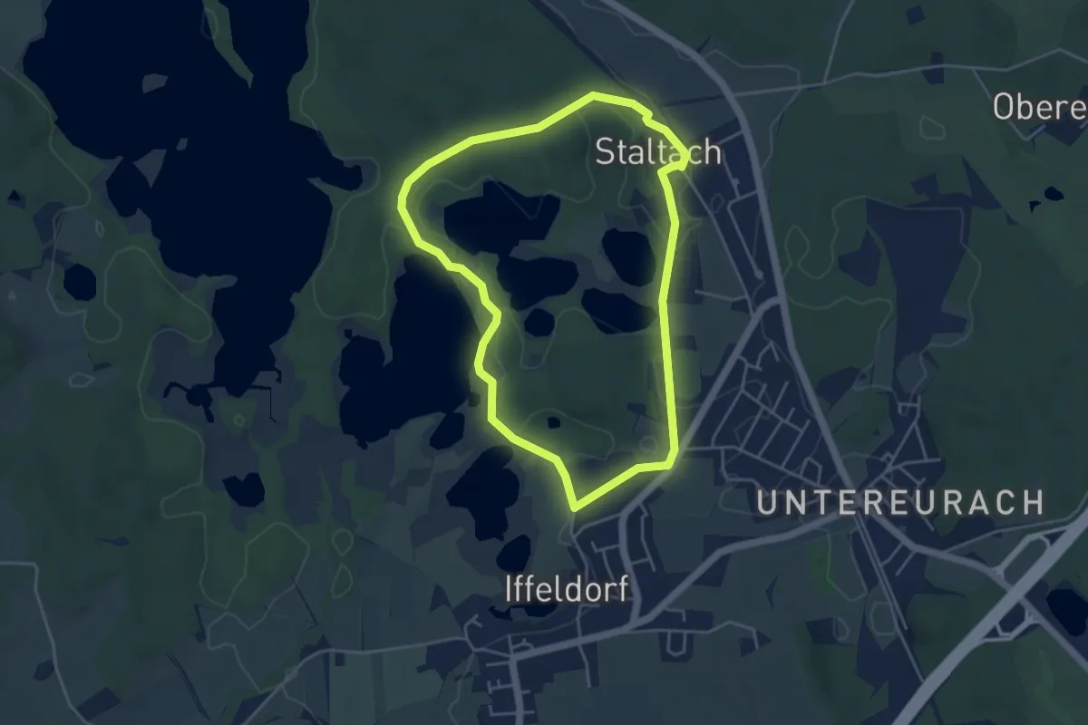
Easy · Trail
Osterseen-Wanderweg 6
4.1 km · ↑ 34 m · 1 h 6 min
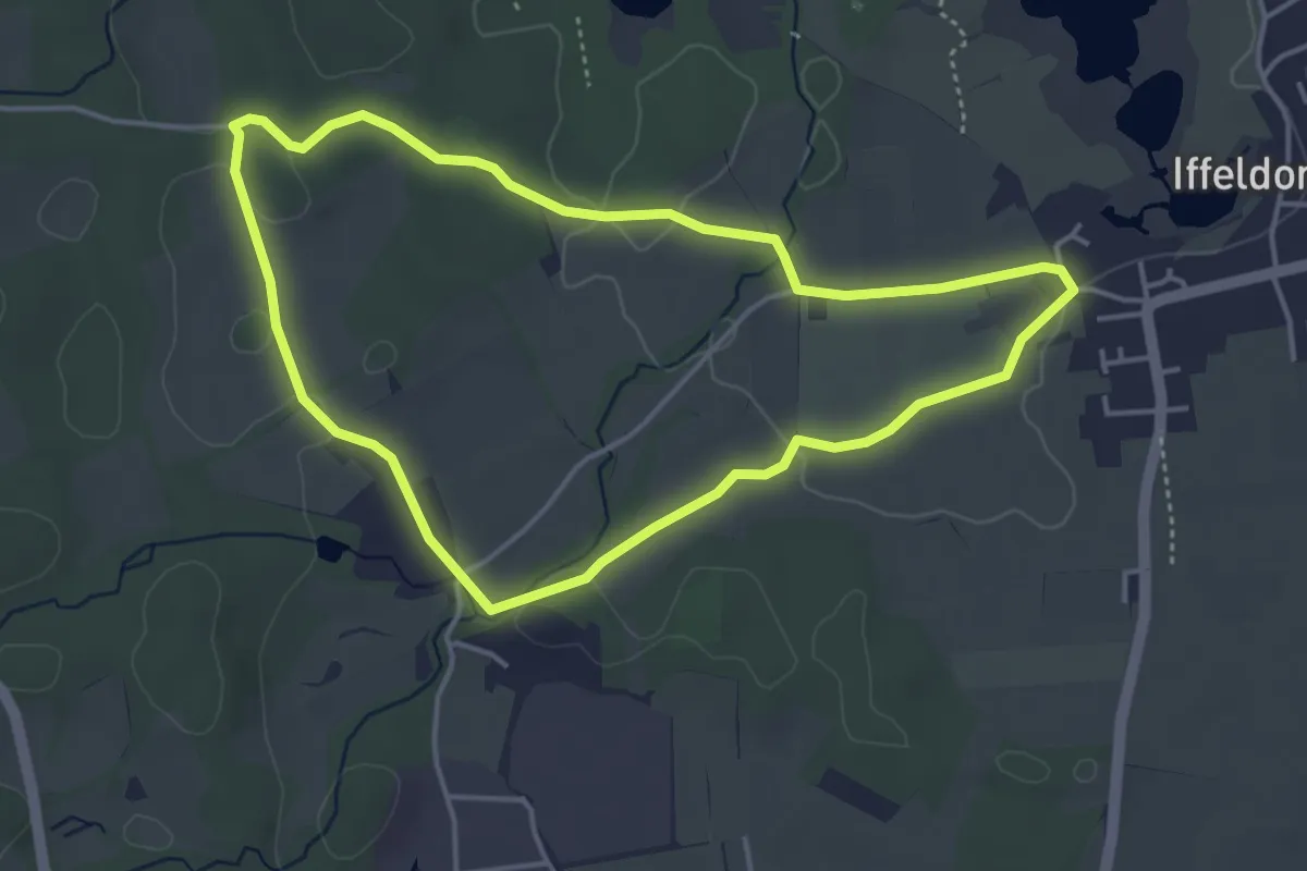
Easy · Trail
Osterseen-Wanderweg 8
4.0 km · ↑ 27 m · 1 h 4 min
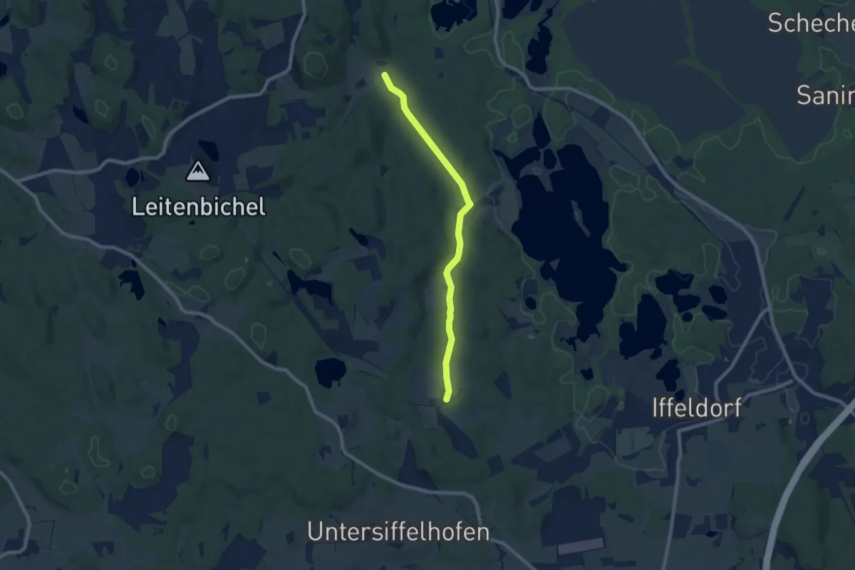
Easy · Trail
Osterseen-Wanderweg 9
7.4 km · ↑ 64 m · 1 h 53 min
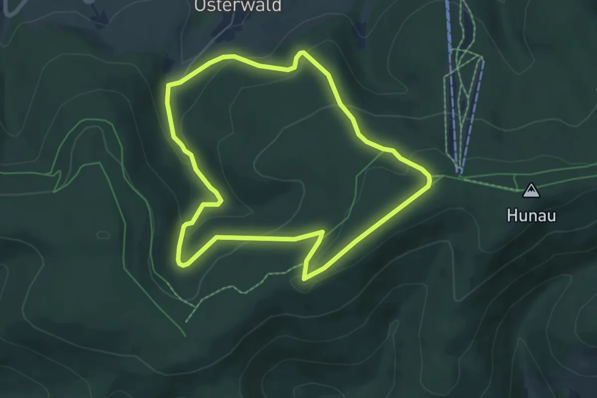
Easy · Trail
Osterwald Rundweg O2
5.1 km · ↑ 195 m · 1 h 41 min
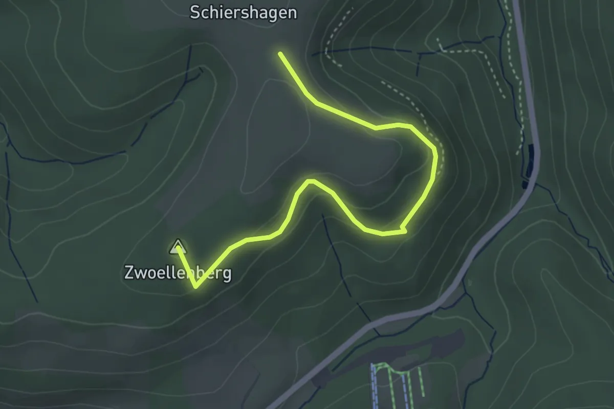
Easy · Summit
Osterwald Rundweg O3
3.8 km · ↑ 123 m · 1 h 9 min
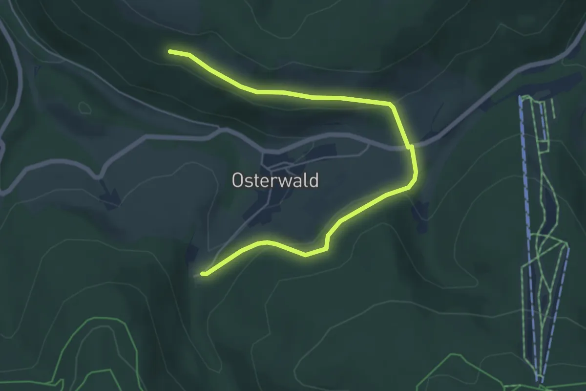
Easy · Trail
Osterwald Rundweg O4
5.2 km · ↑ 130 m · 1 h 30 min
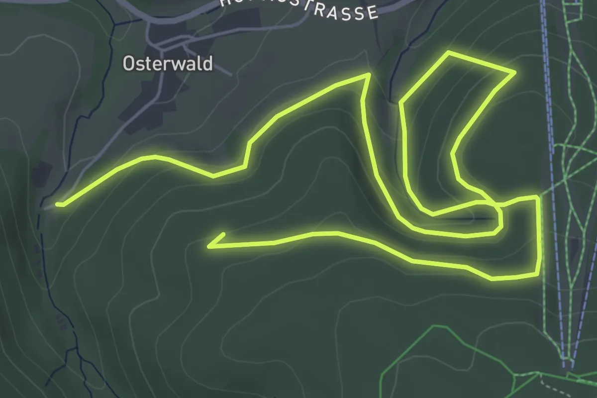
Medium · Summit
Osterwald Rundweg O5
9.8 km · ↑ 361 m · 3 h 5 min
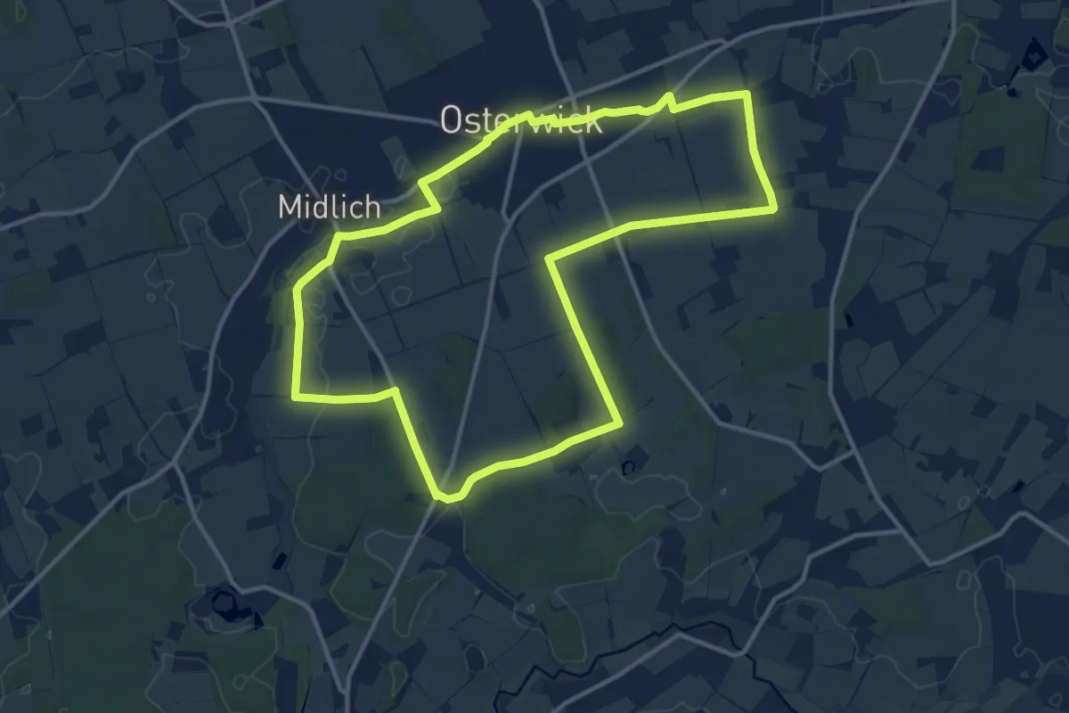
Medium · Trail
Osterwick Rundweg O1
11.4 km · ↑ 61 m · 2 h 59 min
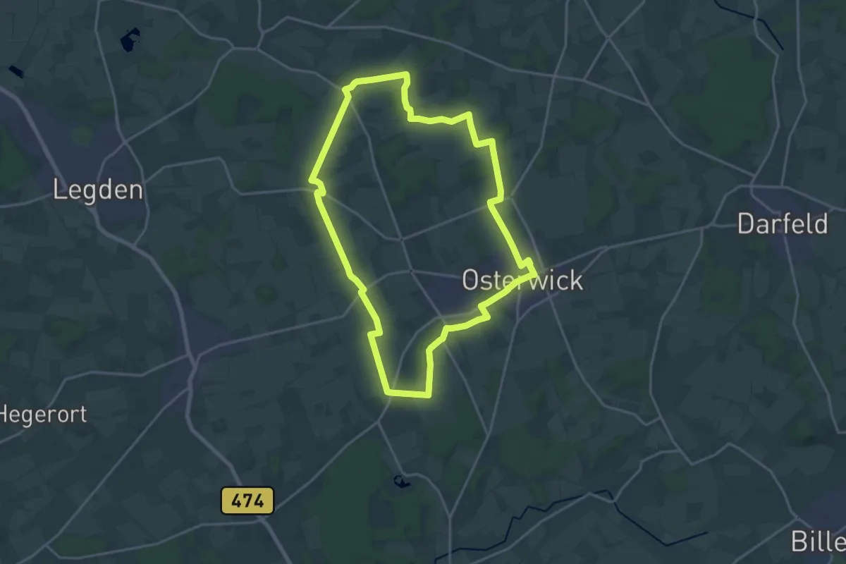
Medium · Trail
Osterwick Rundweg O3
16.3 km · ↑ 57 m · 4 h 12 min
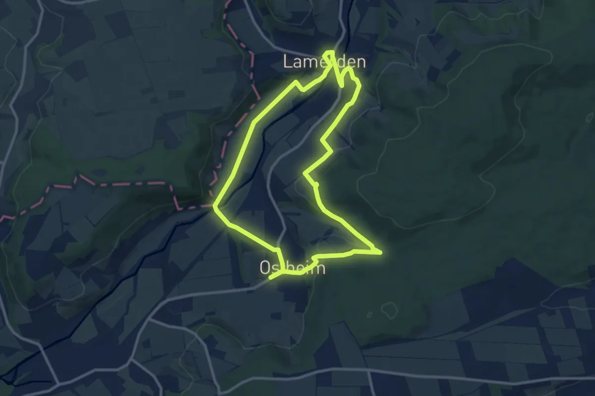
Medium · Trail
Ostheim - O1
8.5 km · ↑ 166 m · 2 h 29 min
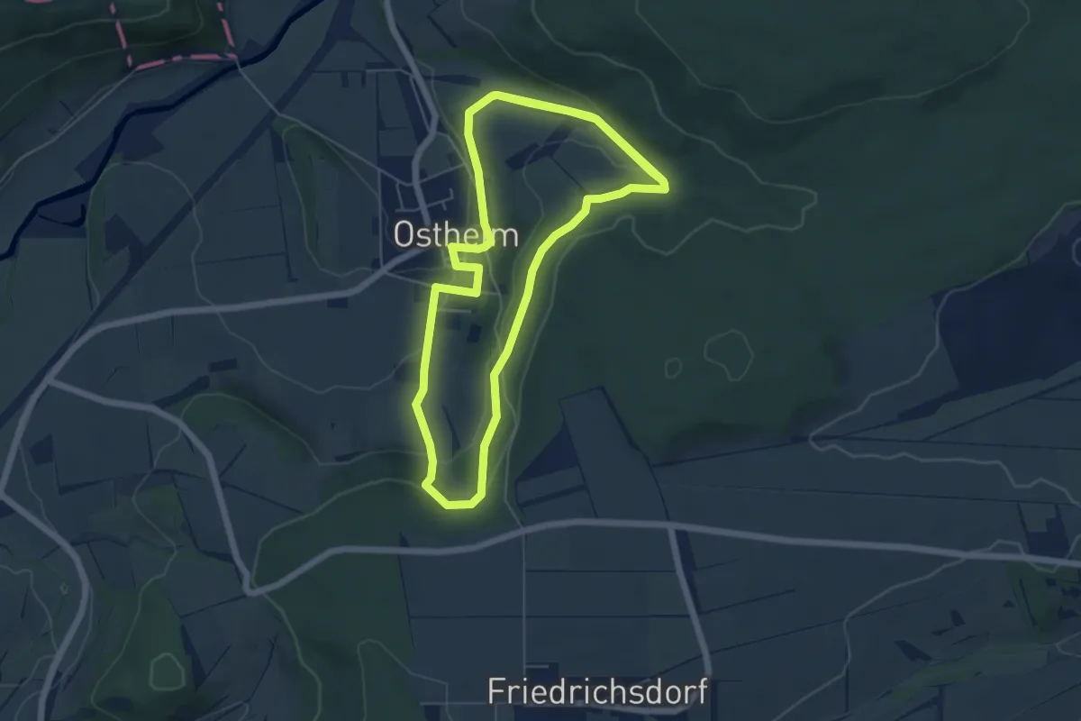
Easy · Trail
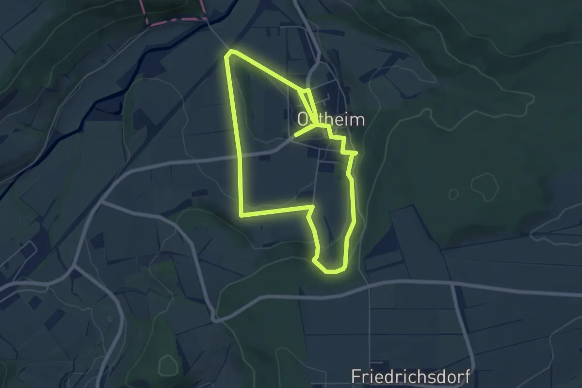
Ostheim - O2
5.5 km · ↑ 121 m · 1 h 40 min
Easy · Trail
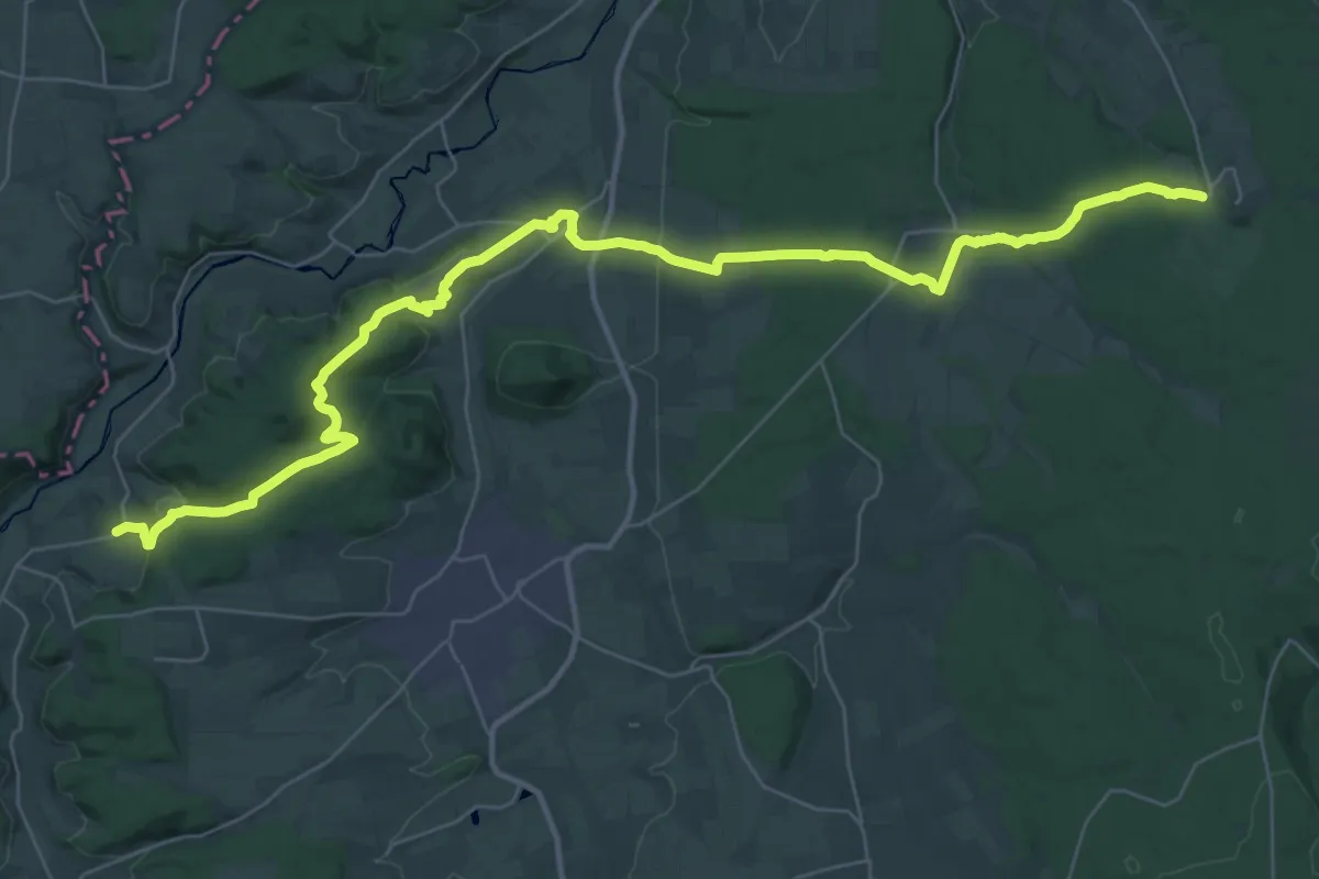
Ostheim - O3
5.0 km · ↑ 121 m · 1 h 31 min
Demanding · Trail
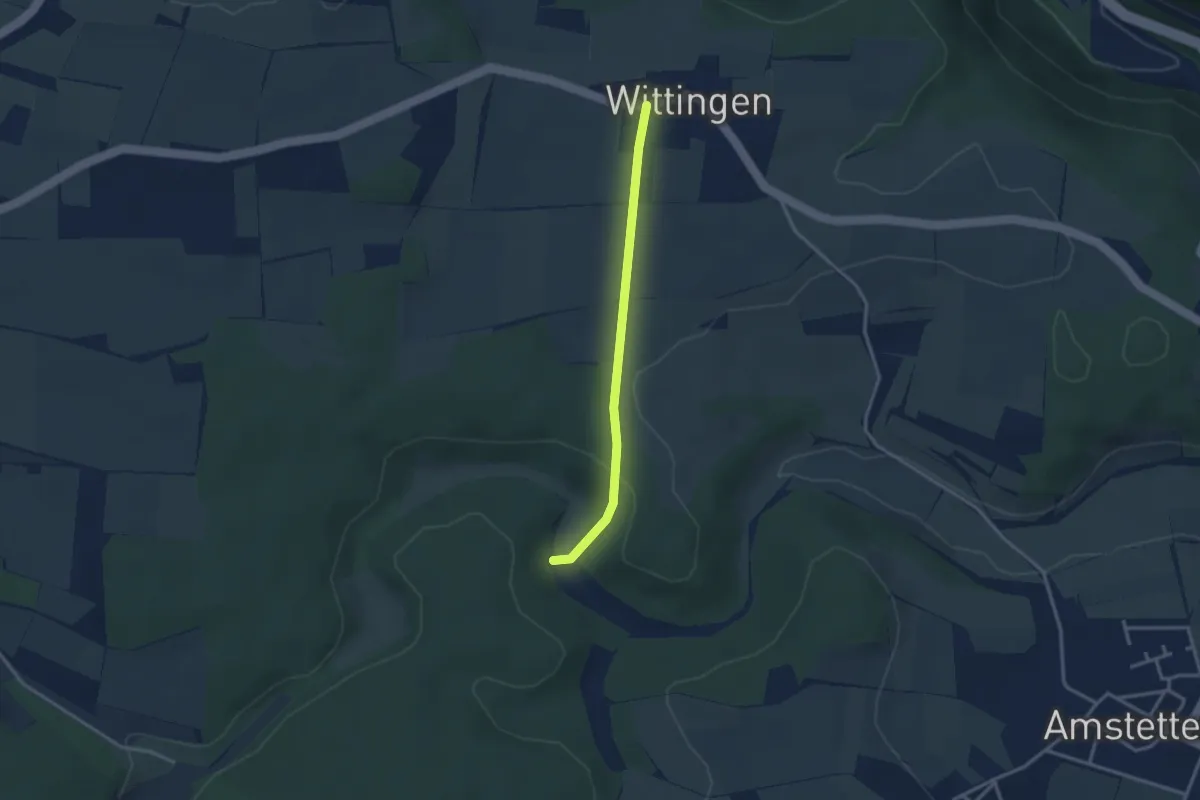
Ostheim - Sababurg
20.4 km · ↑ 548 m · 6 h 14 min
Easy · Trail
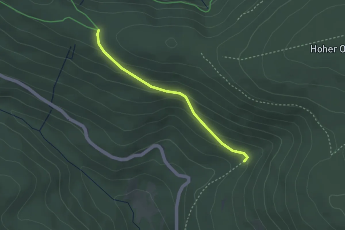
Ostlandkreuz - Wittingen - Lontal
2.6 km · ↑ 59 m · 45 min
Easy · Trail
Östl. Dreikohlplatten - Studentenloch
2.5 km · ↑ 109 m · 49 min
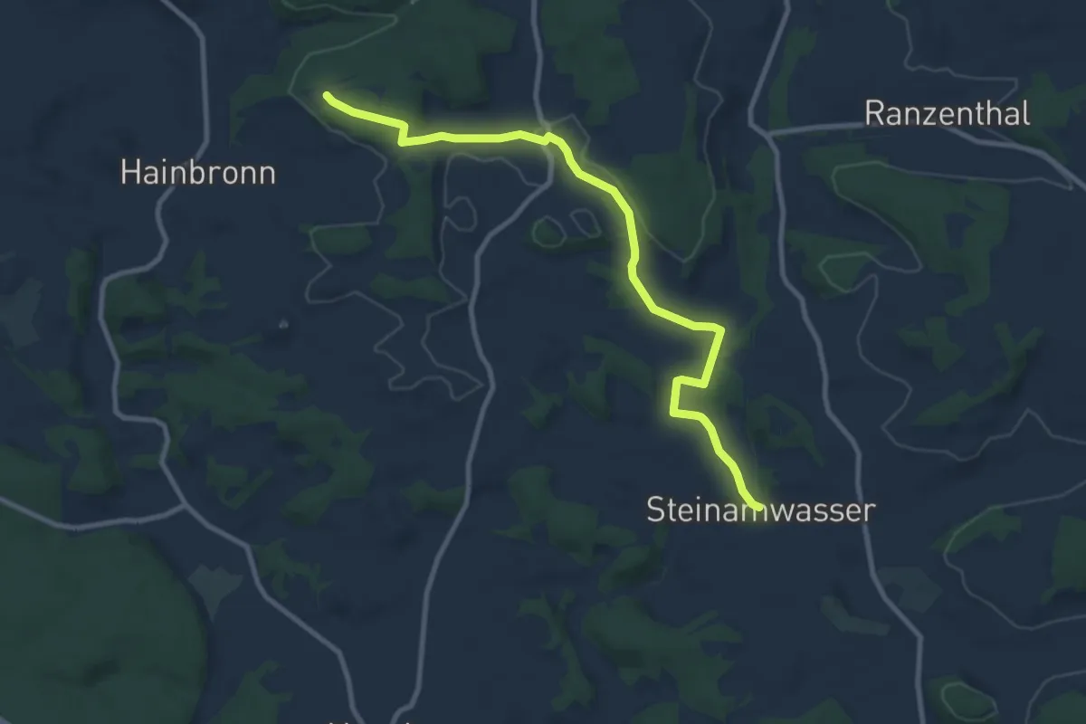
Medium · Trail
Östlicher Albrandweg Thurnau - Steinamwasser (Teil 2)
9.3 km · ↑ 160 m · 2 h 32 min
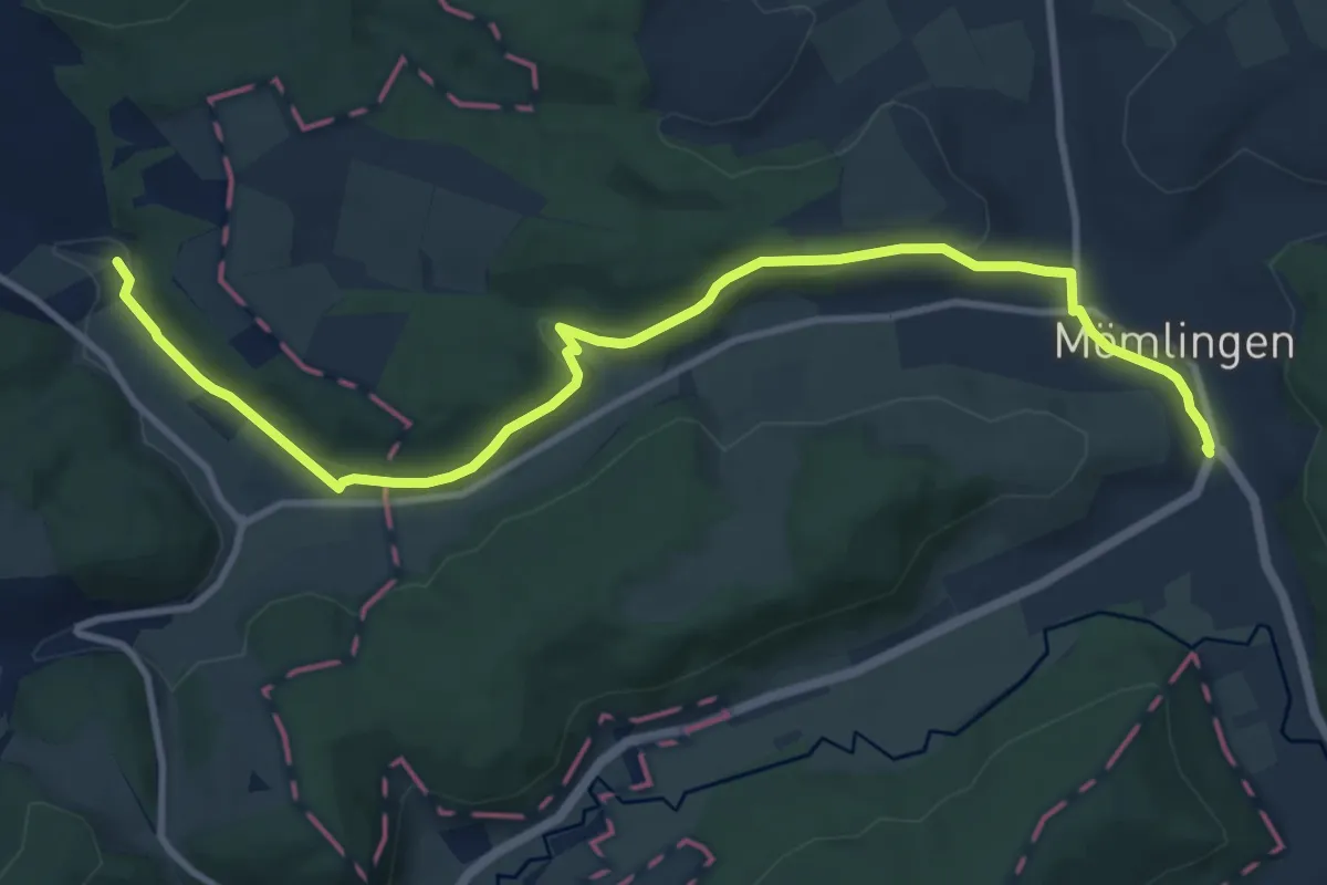
Medium · Trail
Östlicher Kreiswanderweg
11.2 km · ↑ 194 m · 3 h 4 min
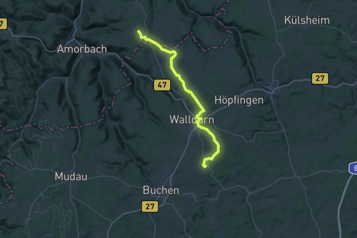
Demanding · Summit
Östlicher Limesweg
40.3 km · ↑ 514 m · 10 h 37 min
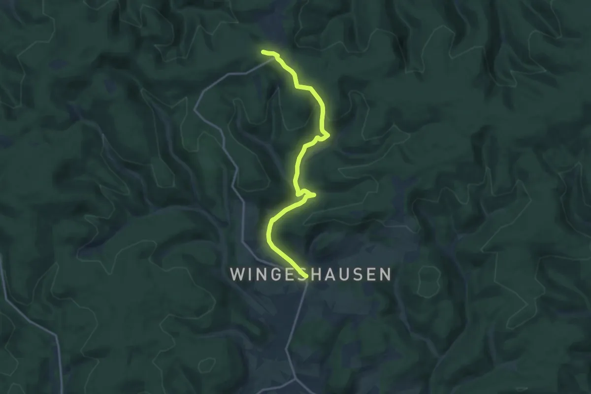
Medium · Trail
östlicher Rothaarsteig-Zuweg Aue-Wingeshausen
11.3 km · ↑ 308 m · 3 h 21 min
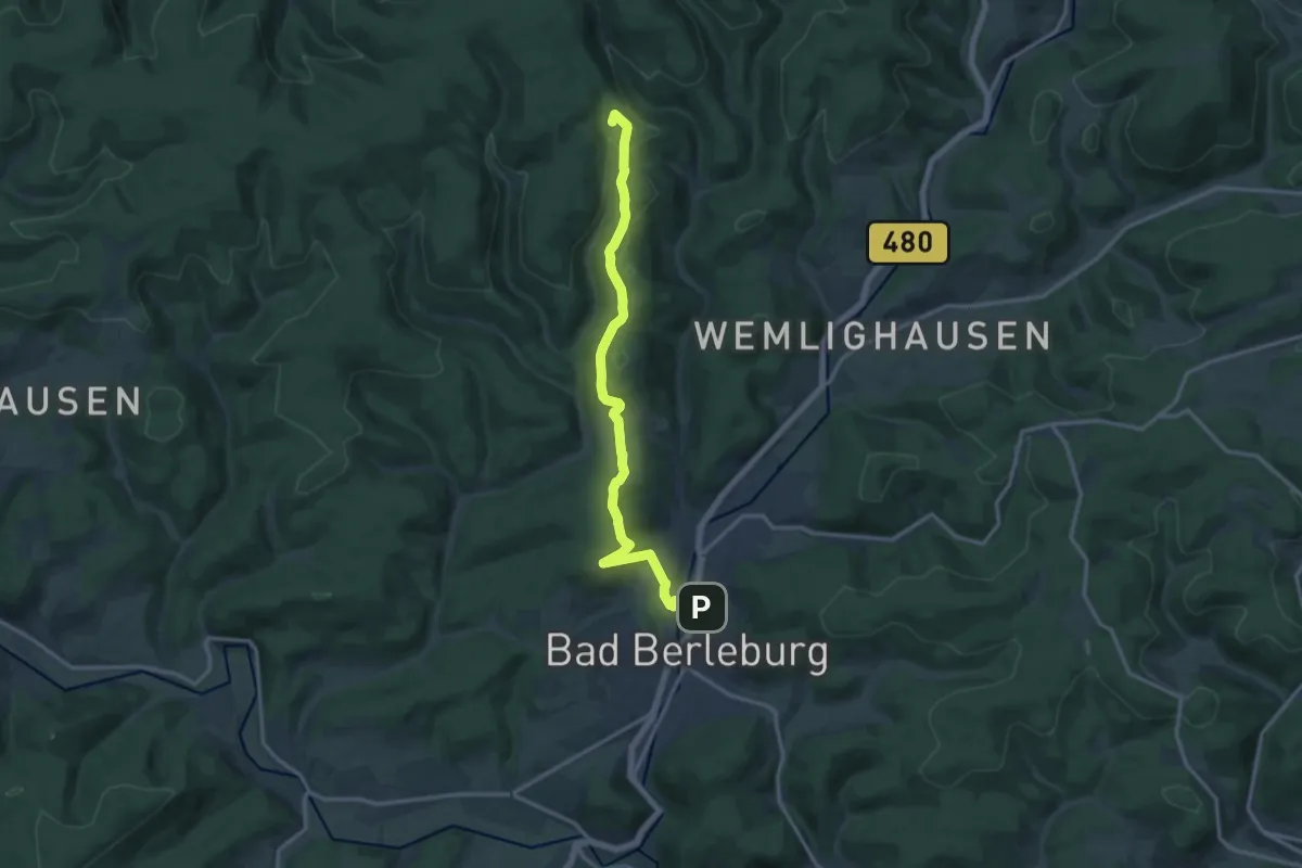
Medium · Summit
östlicher Rothaarsteig-Zuweg Bad Berleburg
13.0 km · ↑ 400 m · 3 h 56 min
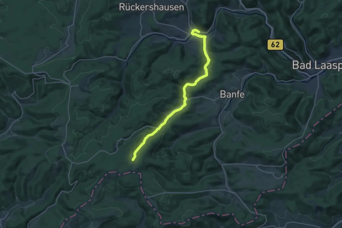
Medium · Trail
östlicher Rothaarsteig-Zuweg Feudingen
17.6 km · ↑ 327 m · 4 h 52 min
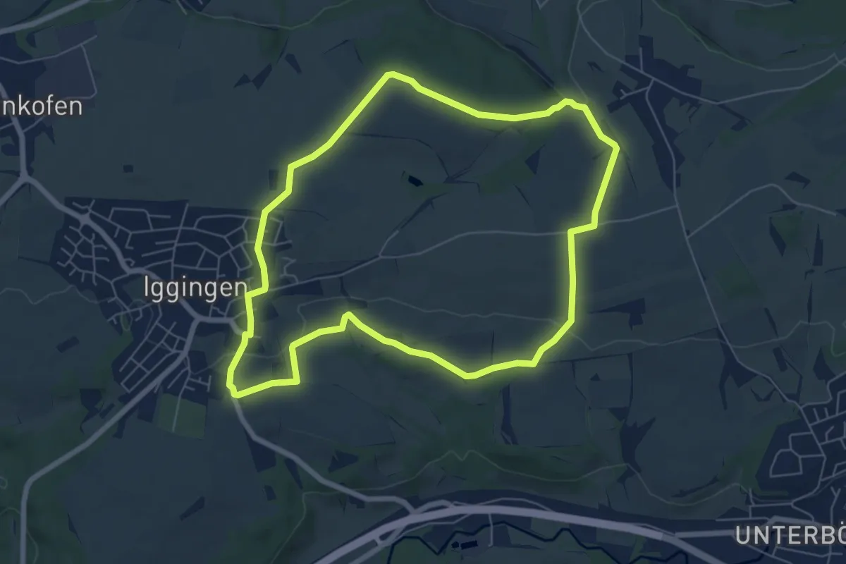
Easy · Trail
Östlich von Iggingen mit Blick auf die Alb
6.2 km · ↑ 96 m · 1 h 46 min
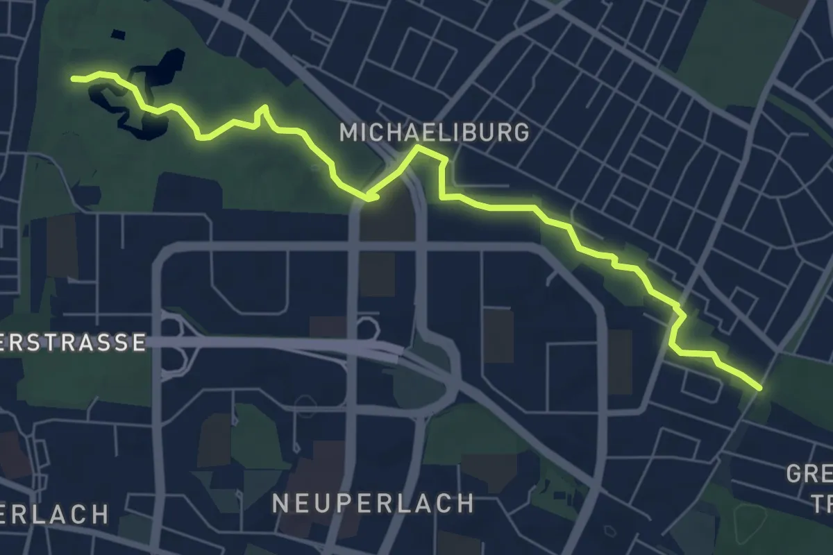
Easy · Trail
Ostpark - Friedenspromenade
7.3 km · ↑ 13 m · 1 h 45 min
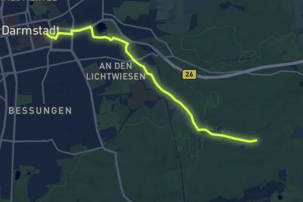
Medium · Trail
Ostparkweg
11.0 km · ↑ 69 m · 2 h 44 min
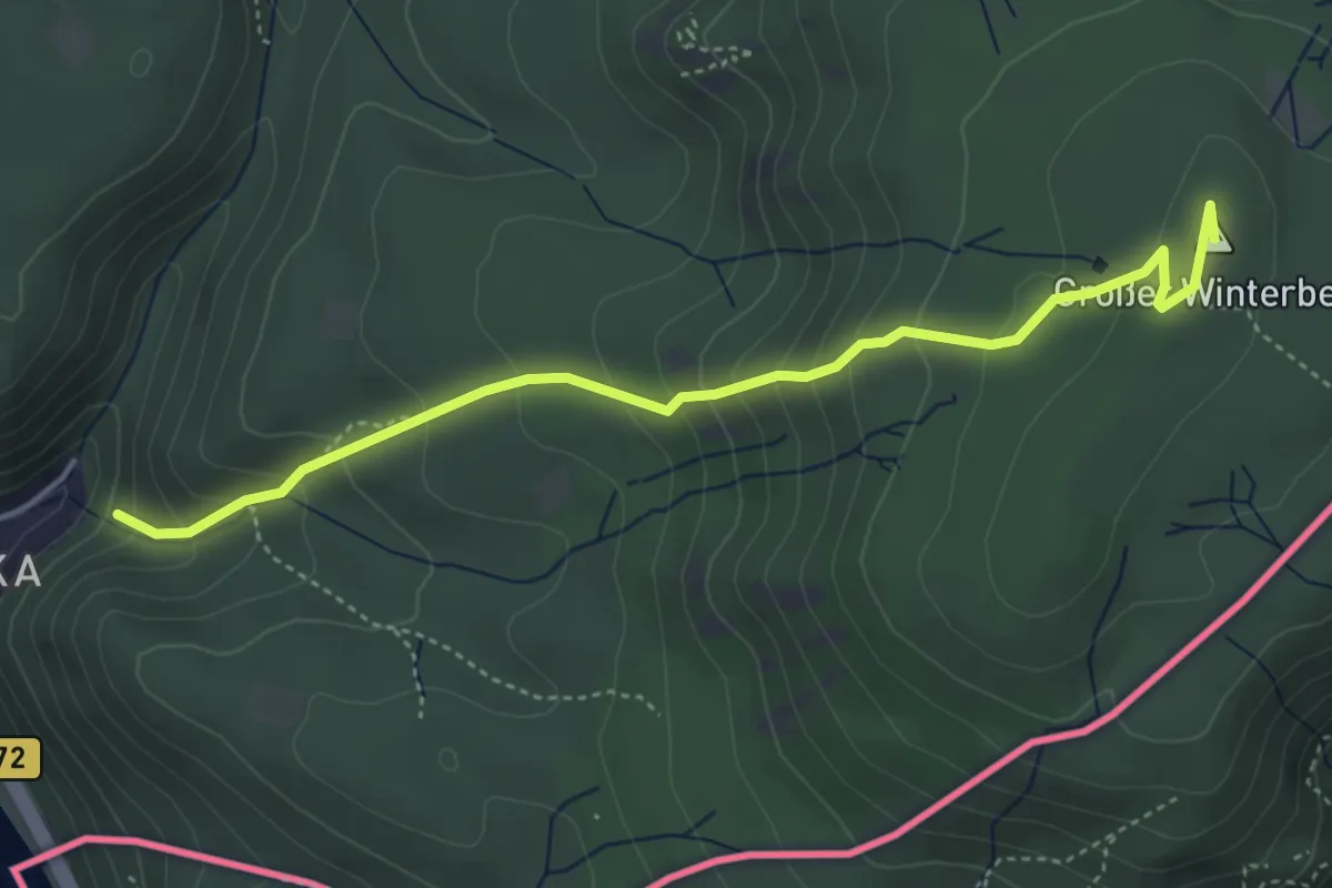
Medium · Summit
Ostrauer Mühle - Sebnitz
4.2 km · ↑ 340 m · 1 h 43 min
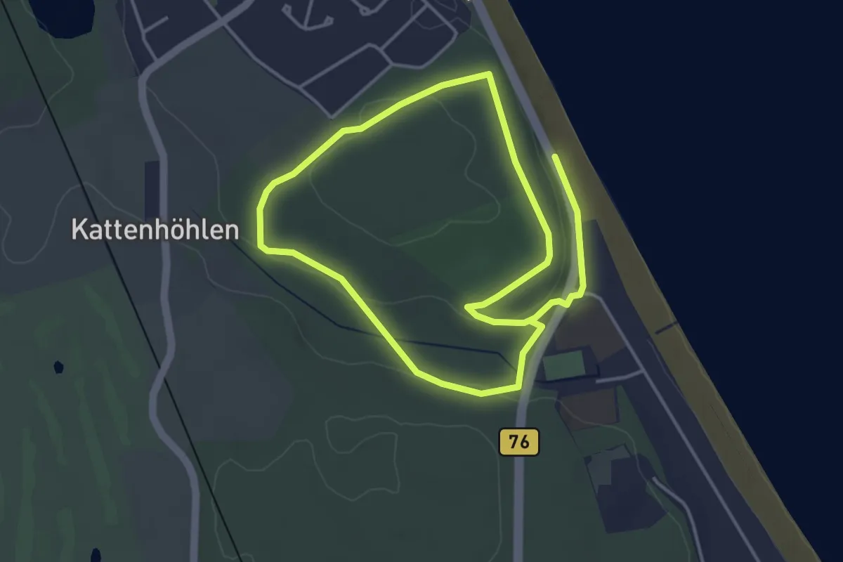
Easy · Trail
Ostsee-Therme Kurz
6.2 km · ↑ 64 m · 1 h 37 min
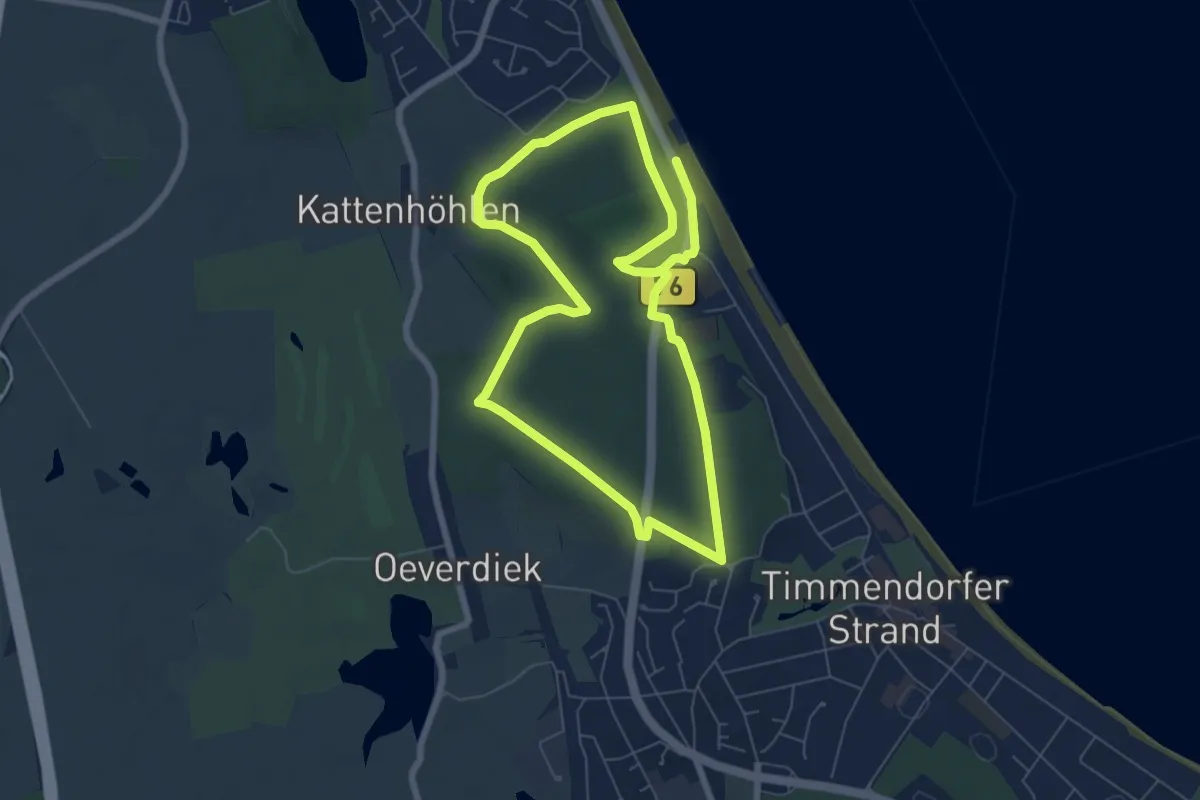
Medium · Trail
Ostsee-Therme Lang
11.2 km · ↑ 146 m · 2 h 58 min