Trails in Germany
36,852 hiking trails, each with its route, climb, walking time and grade.
All trails, page 408 of 768
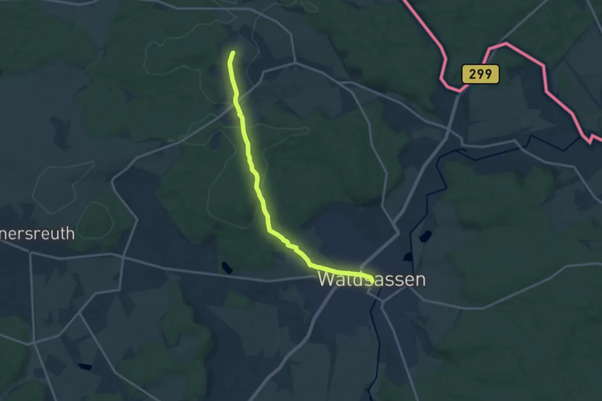
Medium · Summit
Ostweg (FGV)
10.3 km · ↑ 183 m · 2 h 50 min
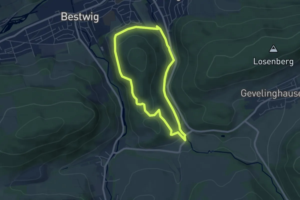
Easy · Trail
Ostwig Rundweg O4
4.7 km · ↑ 118 m · 1 h 25 min
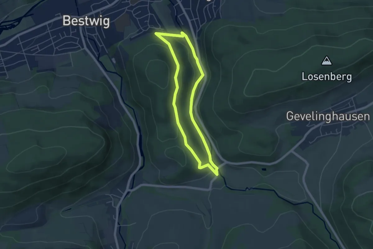
Easy · Trail
Ostwig Rundweg O5
4.1 km · ↑ 116 m · 1 h 17 min
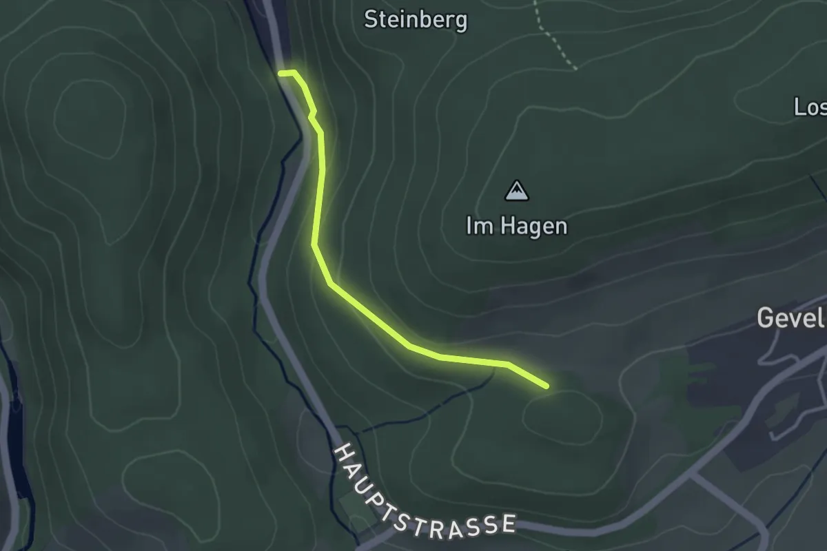
Easy · Trail
Ostwig Rundweg O6
2.5 km · ↑ 84 m · 46 min
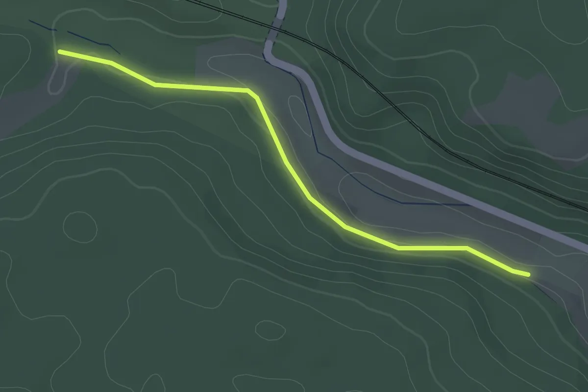
Easy · Trail
Otlengrund - Schopfloch
2.4 km · ↑ 32 m · 38 min
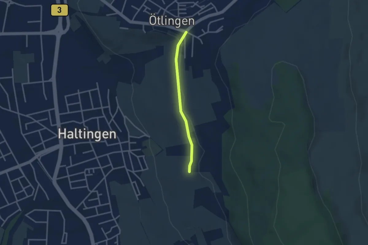
Easy · Trail
Ötlingen Oberdorf - Marktfrauenweg
2.1 km · ↑ 31 m · 34 min
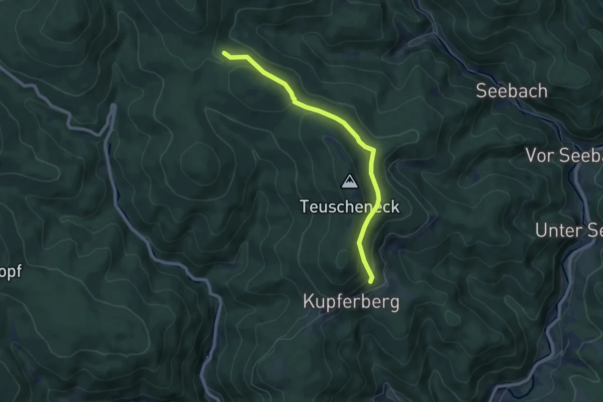
Easy · Cabin
Otmarhütte - Seebensattel
5.4 km · ↑ 261 m · 1 h 51 min
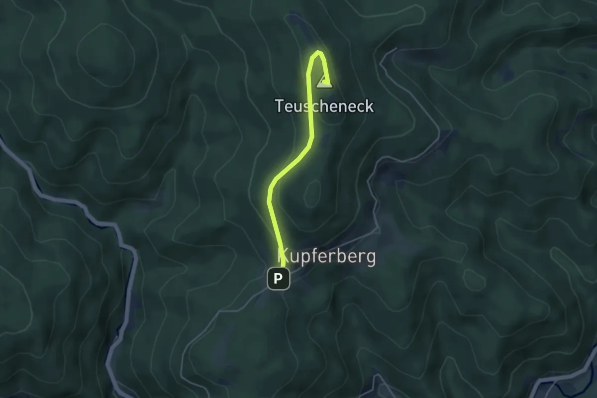
Easy · Summit
Otmarhütte - Vorderer Kupferberg
3.2 km · ↑ 150 m · 1 h 6 min
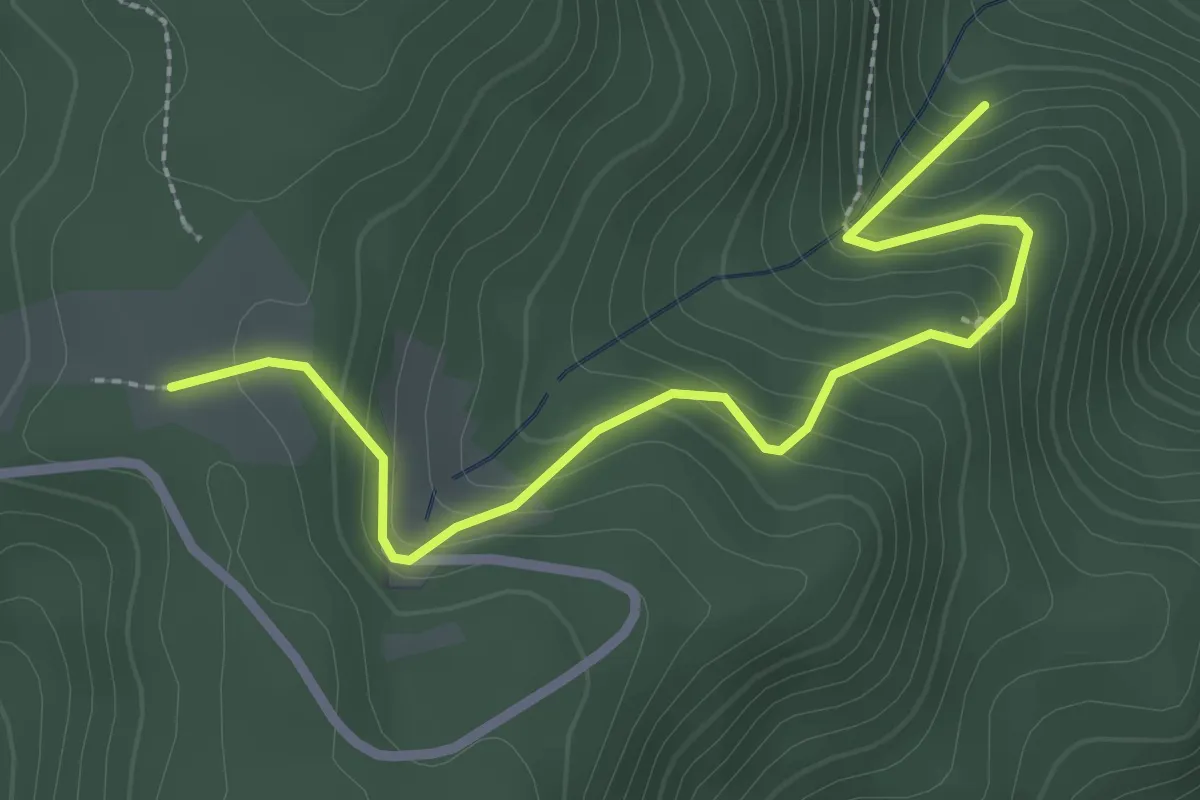
Easy · Trail
Otschenfeld - Wasserschlecke
2.8 km · ↑ 231 m · 1 h 9 min
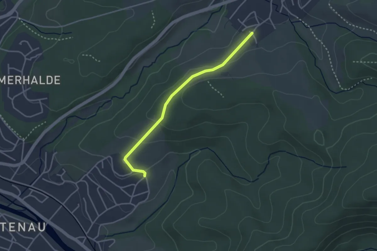
Easy · Trail
Ottenau Am Neufeld - Sulzbach Mennäcker
2.8 km · ↑ 81 m · 50 min
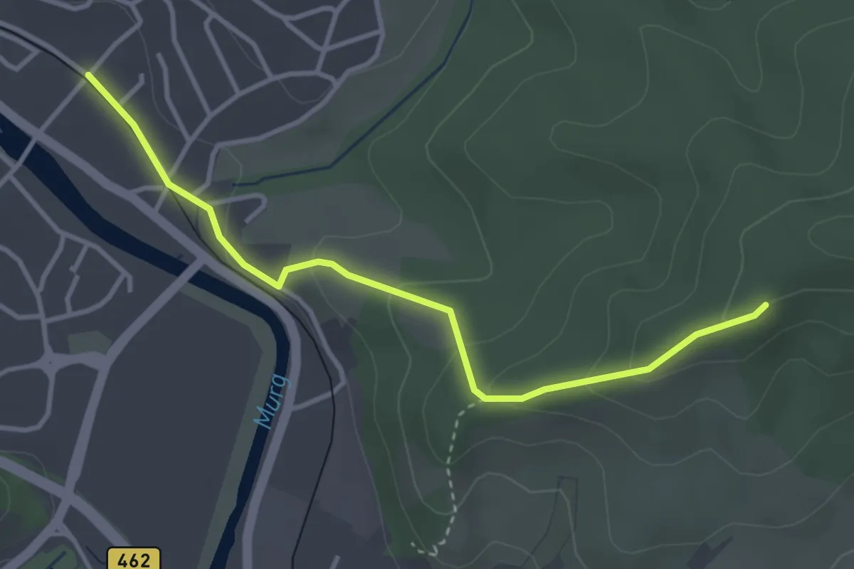
Easy · Trail
Ottenau Haltepunkt - Vorderer Wald
3.4 km · ↑ 147 m · 1 h 7 min
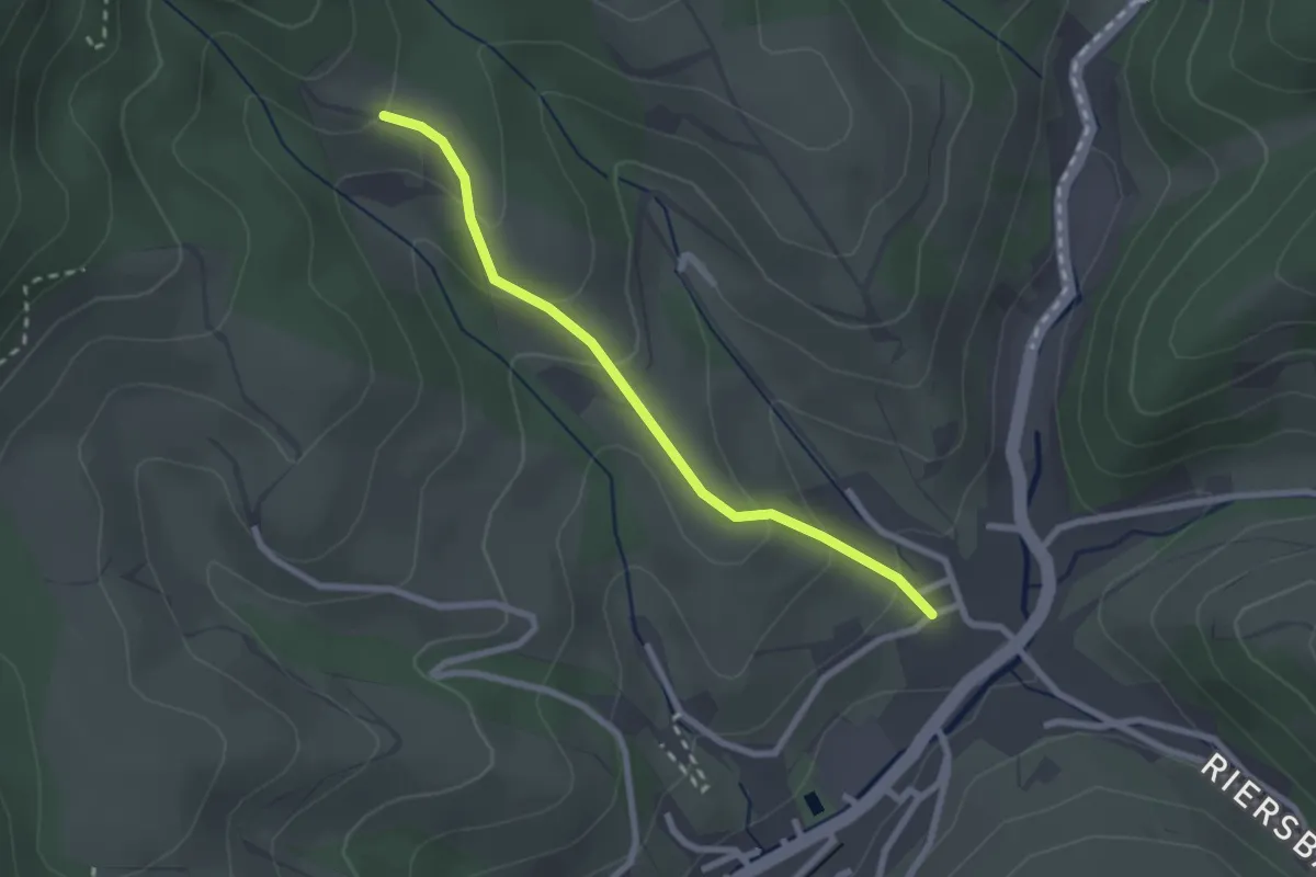
Easy · Trail
Ottenbach Bei den Eichen - Riersbach Leimengasse
2.2 km · ↑ 124 m · 48 min
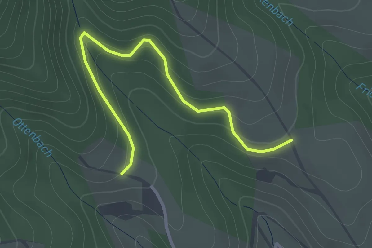
Easy · Trail
Ottenbach Bei den Eichen - Zabern
2.5 km · ↑ 120 m · 51 min
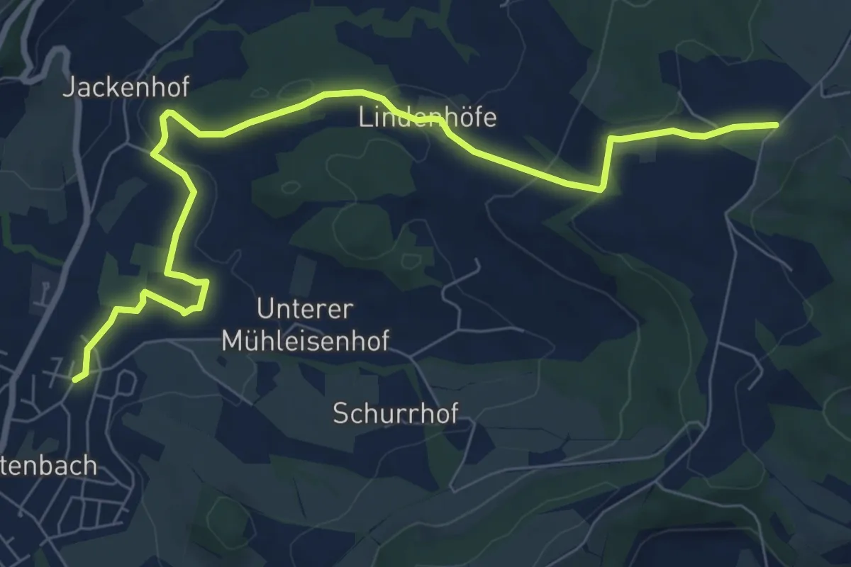
Medium · Trail
Ottenbach - Saurenhof
8.3 km · ↑ 187 m · 2 h 21 min
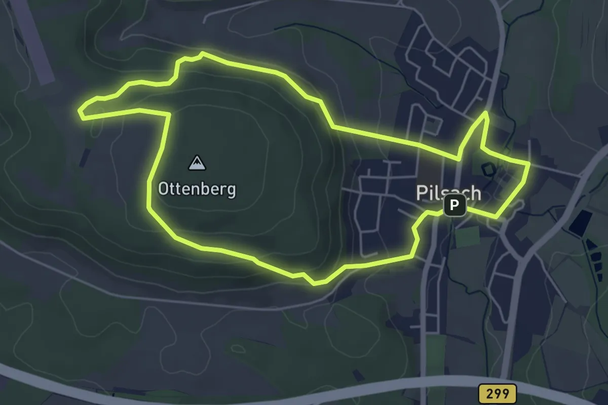
Easy · Trail
Ottenbergrunde
4.9 km · ↑ 152 m · 1 h 33 min
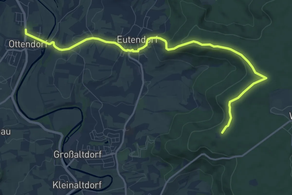
Medium · Summit
Ottendorf - Eisbachtal
11.3 km · ↑ 257 m · 3 h 13 min
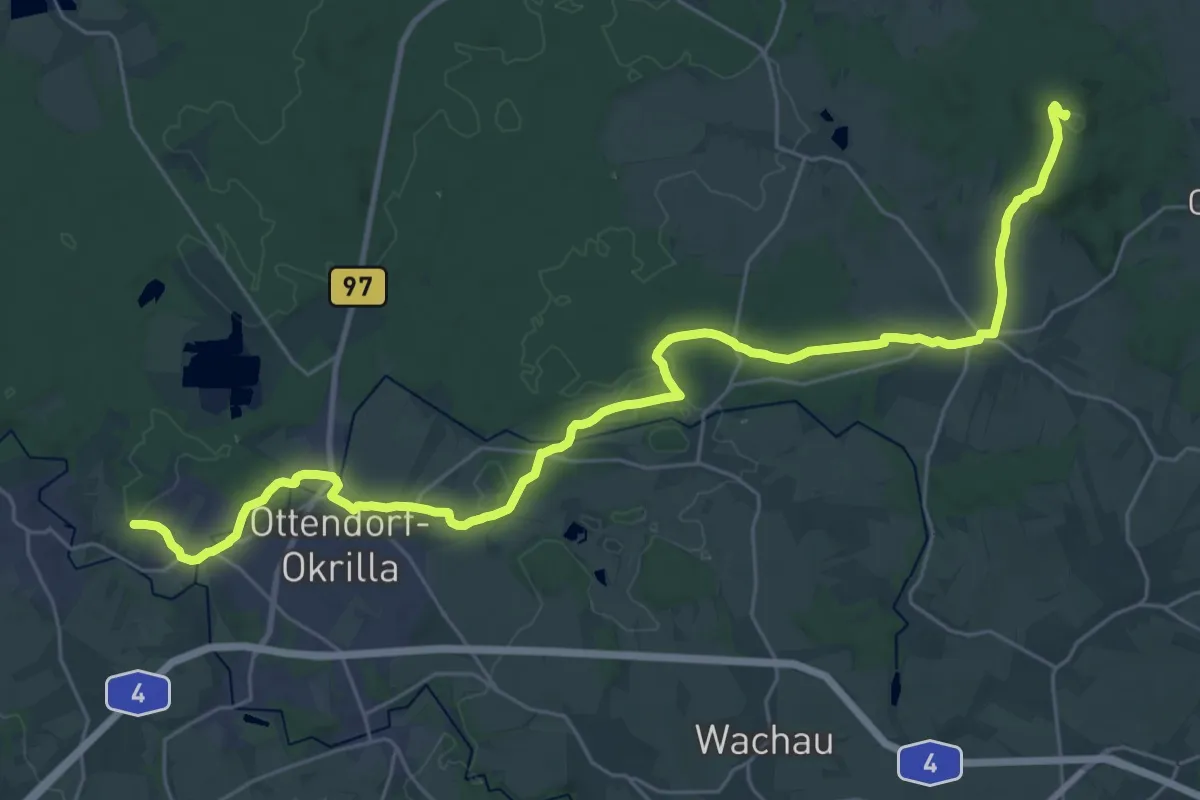
Demanding · Summit
Ottendorfer Keulenbergweg
32.0 km · ↑ 329 m · 8 h 16 min
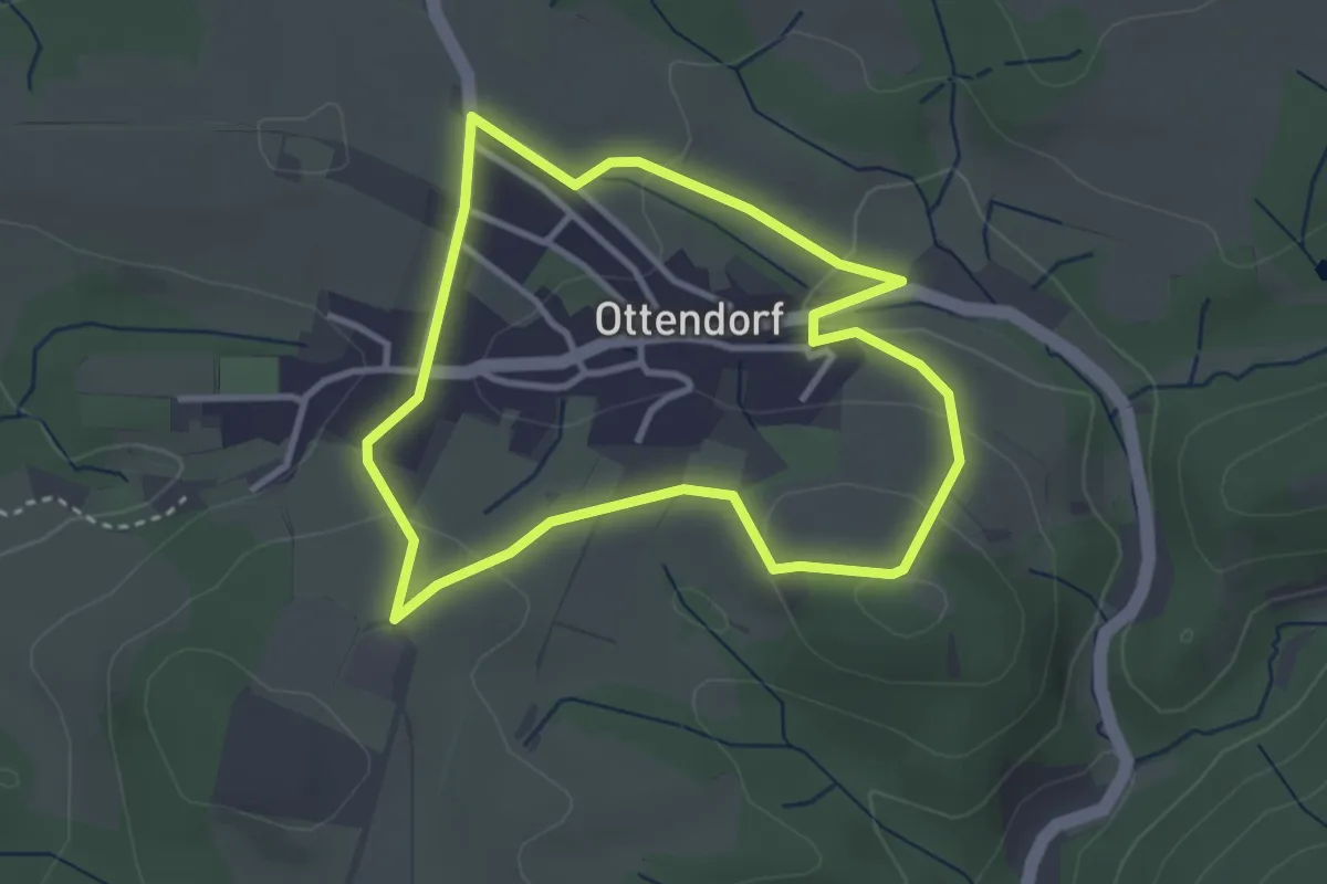
Easy · Trail
Ottendorfer Rundgang
2.8 km · ↑ 81 m · 53 min
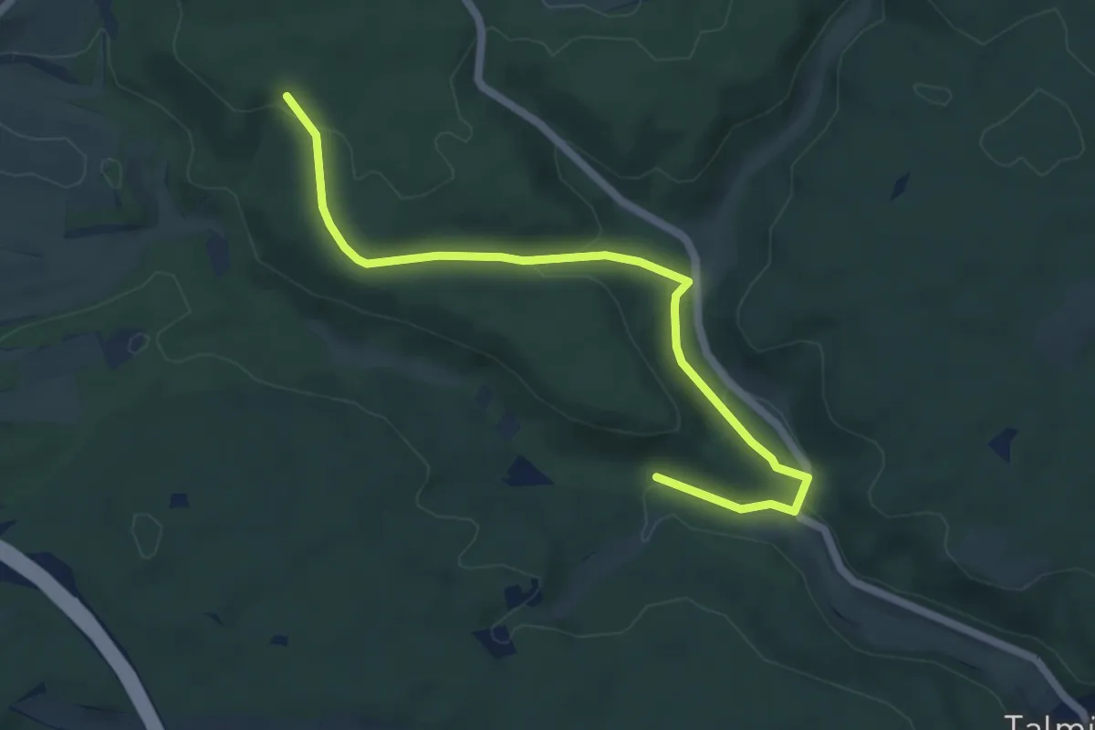
Easy · Trail
Ottengrund - Hohe Wacht
5.7 km · ↑ 135 m · 1 h 39 min
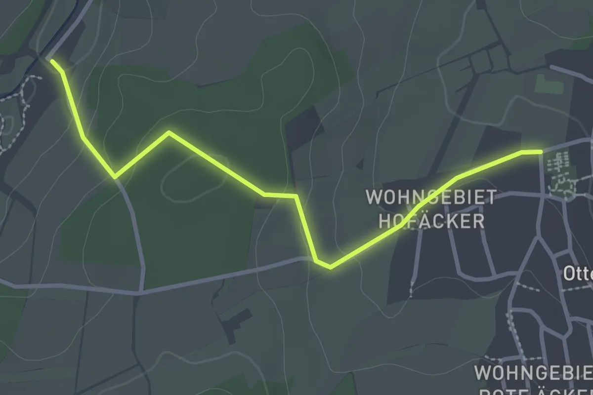
Easy · Trail
Ottenhausen Ehem. Schloss - Hochmühle
2.8 km · ↑ 81 m · 50 min
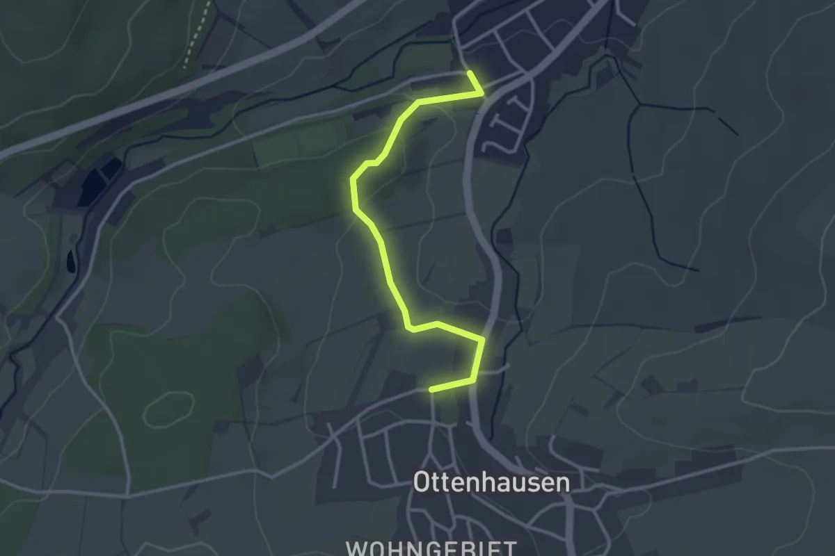
Easy · Trail
Ottenhausen Ehem. Schloss - Weiler Im Laile
2.8 km · ↑ 70 m · 49 min
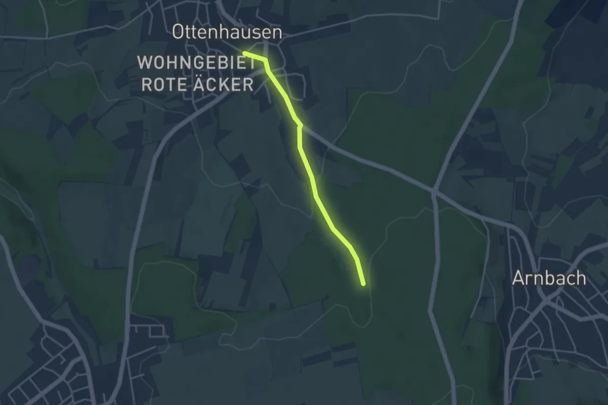
Easy · Trail
Ottenhausen Schule - Kühbach
3.0 km · ↑ 90 m · 54 min
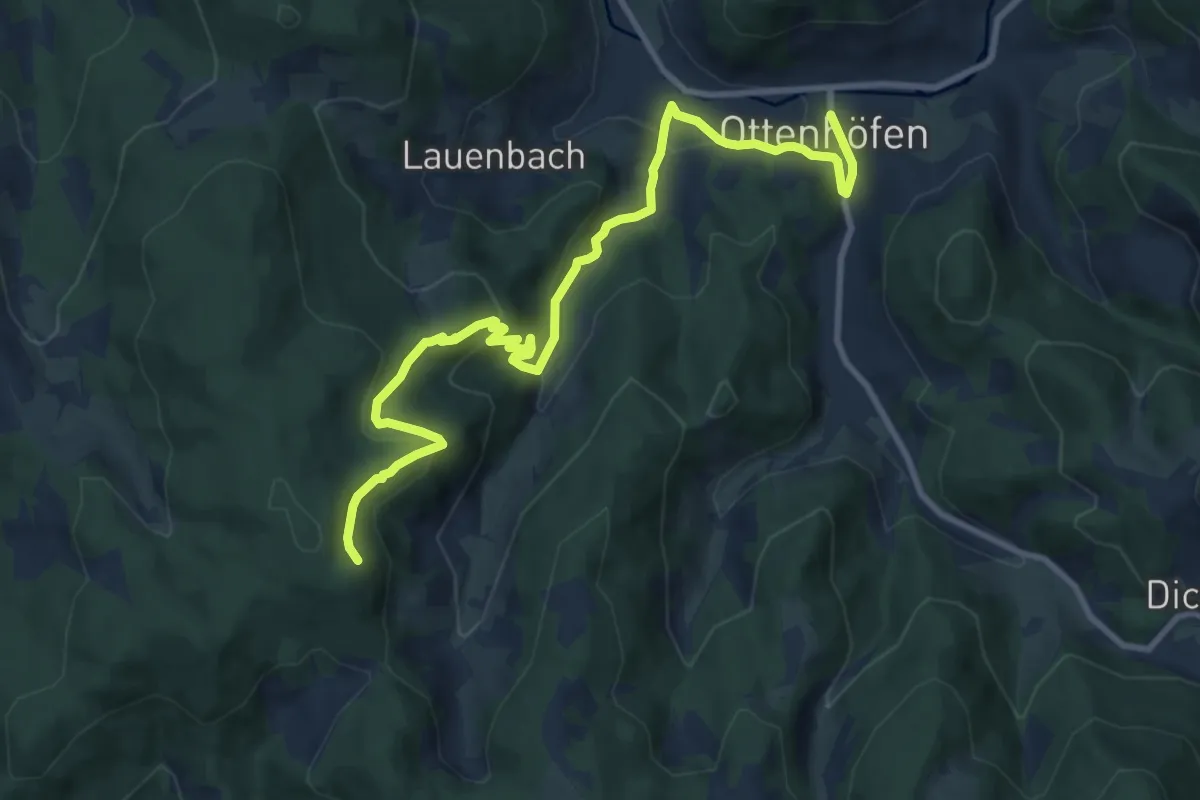
Demanding · Trail
Ottenhöfen - Rappenschrofen
10.5 km · ↑ 519 m · 3 h 36 min
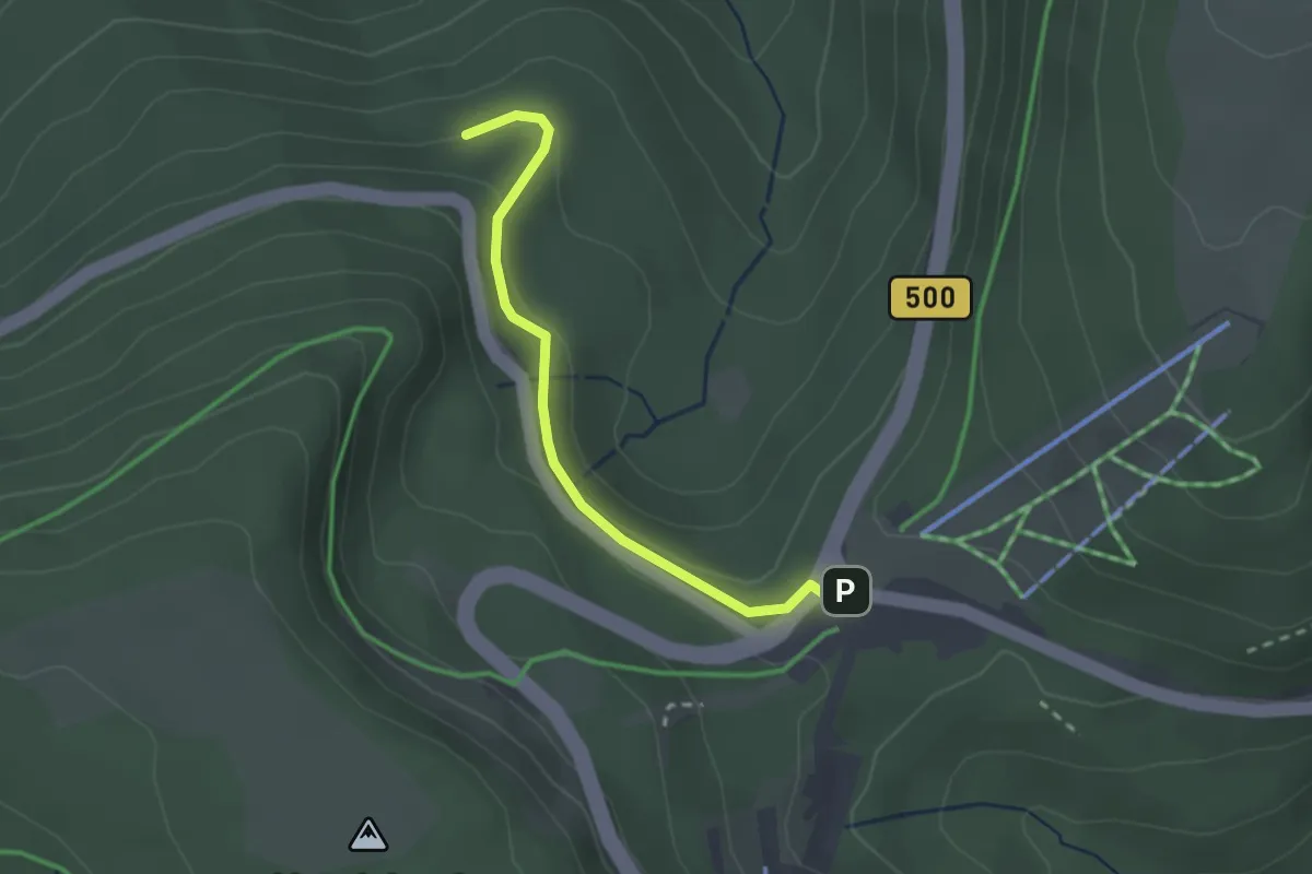
Easy · Trail
Ottenhöfen - Ruhestein
2.3 km · ↑ 78 m · 42 min
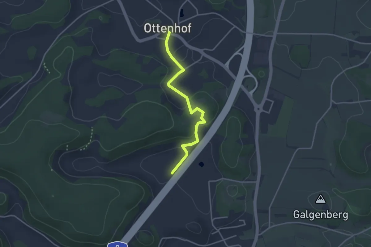
Easy · Trail
Ottenhof - Fränkisches Wunderland
2.7 km · ↑ 61 m · 46 min
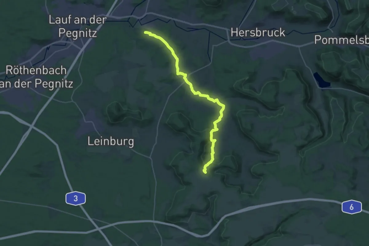
Demanding · Trail
Ottensoos-Klingenhof
25.4 km · ↑ 679 m · 7 h 28 min
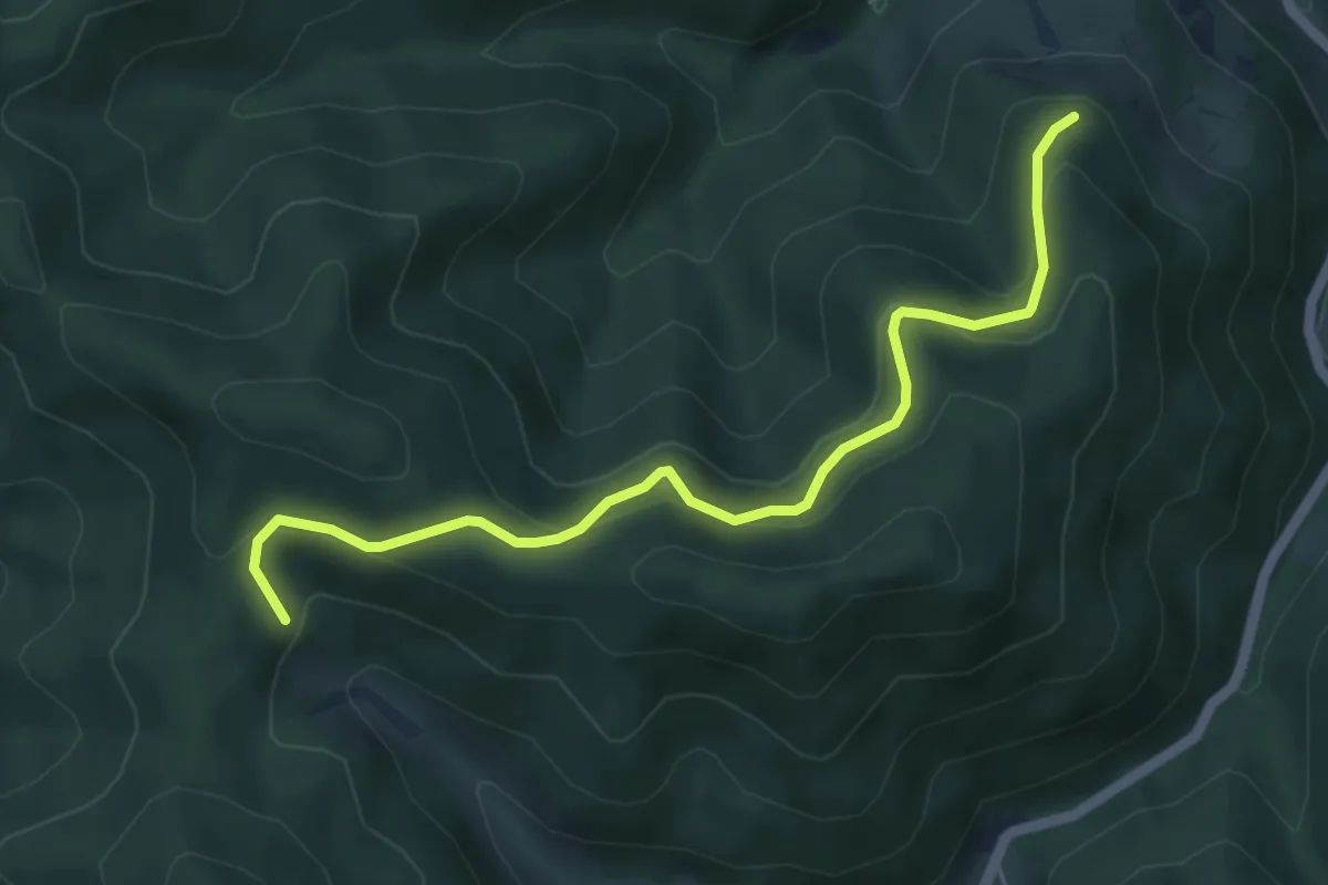
Medium · Trail
Otter - Antoniushütte
5.2 km · ↑ 329 m · 1 h 56 min
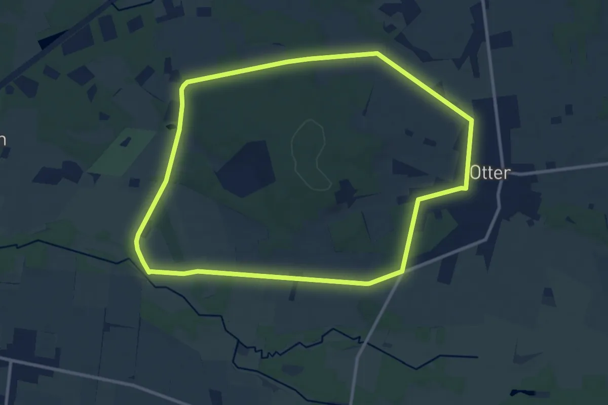
Medium · Trail
Otterberg Wanderweg
8.2 km · ↑ 35 m · 2 h 8 min
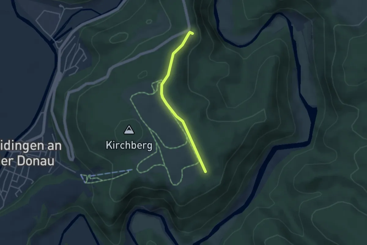
Easy · Trail
Otterntäle - Knopfmacherfelsen
2.8 km · ↑ 59 m · 48 min
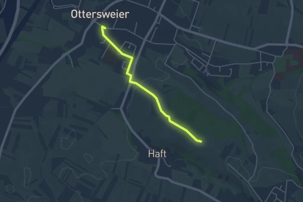
Easy · Trail
Ottersweier Kirche - Läufelsberg
3.1 km · ↑ 52 m · 51 min
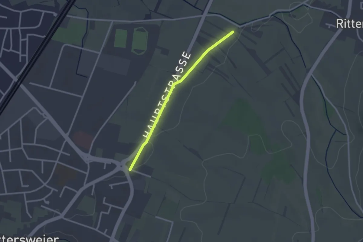
Easy · Trail
Ottersweier Maria Linden - Beim Friedenskreuz
2.1 km · ↑ 5 m · 30 min
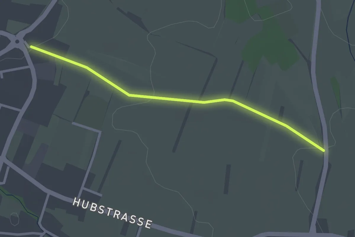
Easy · Trail
Ottersweier Maria Linden - Lindenfeld
2.4 km · ↑ 36 m · 38 min
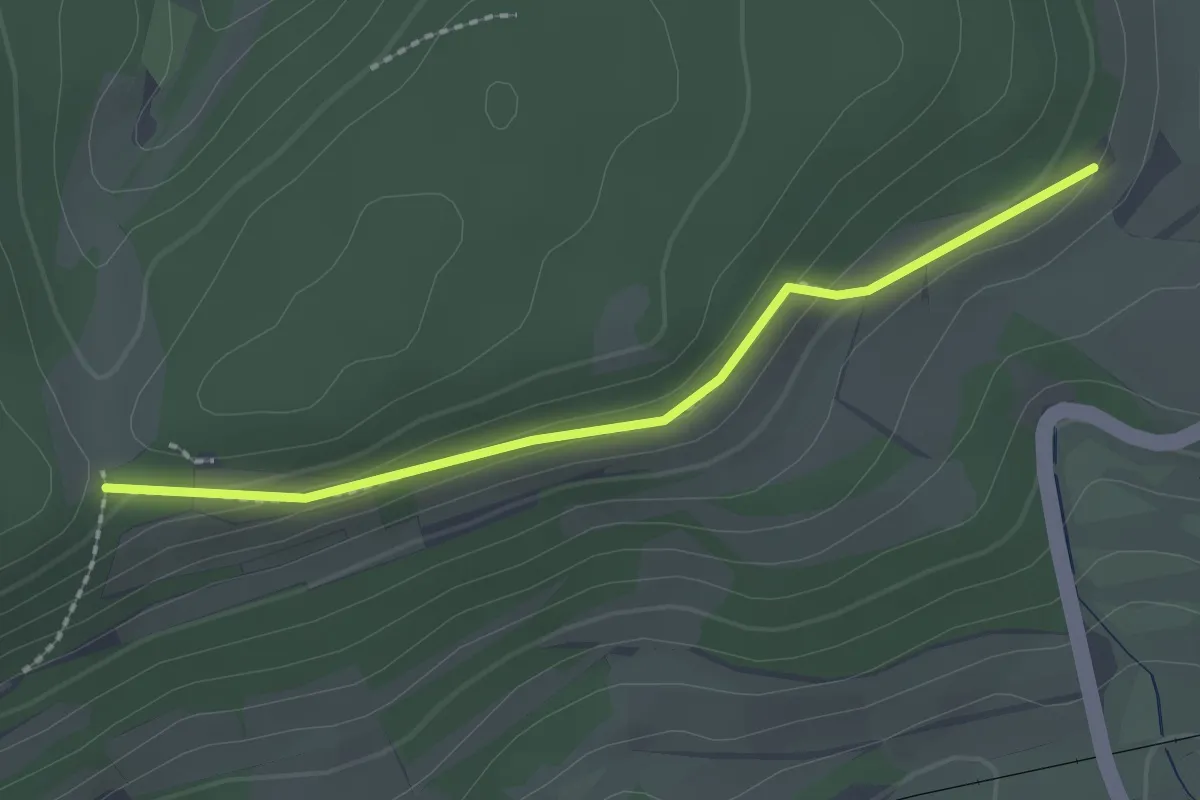
Easy · Trail
Ottilienhöhe - Wannen
2.1 km · ↑ 67 m · 38 min
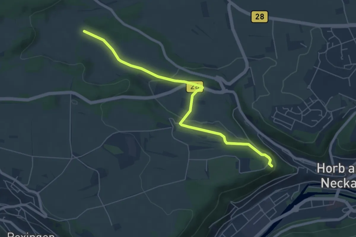
Easy · Trail
Ottilienkapelle Schütteturm - Faulstätt
5.7 km · ↑ 93 m · 1 h 33 min
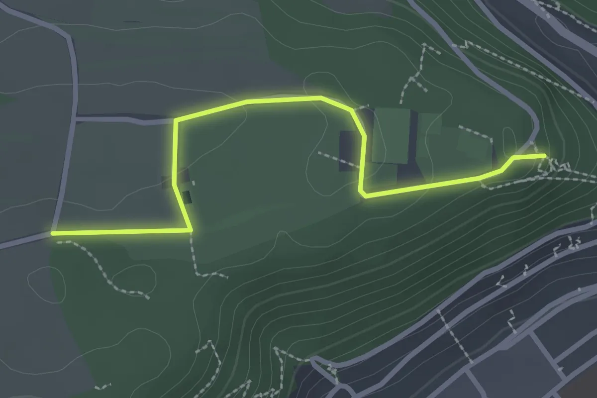
Easy · Trail
Ottilienkapelle Schütteturm - Schütte-Camping
2.5 km · ↑ 38 m · 40 min
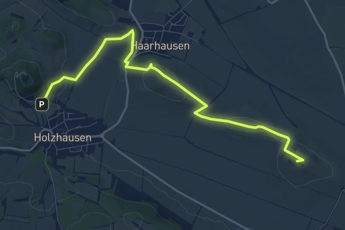
Medium · Summit
Otto-Knöpfer-Weg
9.9 km · ↑ 209 m · 2 h 48 min
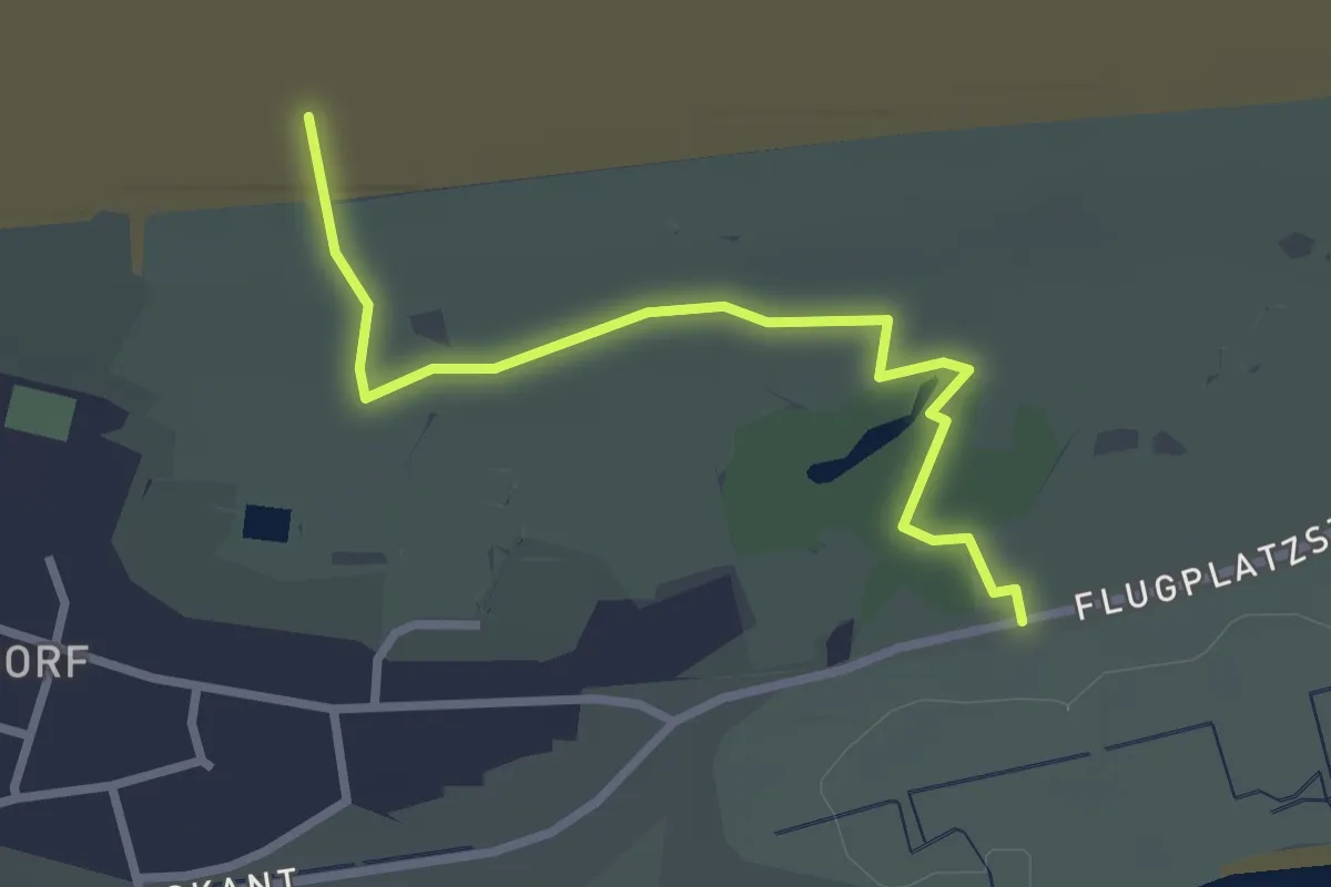
Easy · Trail
Otto-Leege-Pfad
2.4 km · ↑ 4 m · 35 min
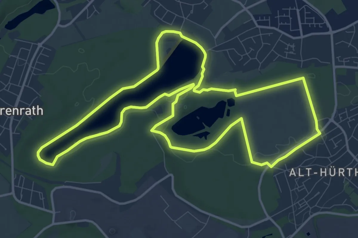
Medium · Trail
Otto-Maigler-Runde
10.6 km · ↑ 35 m · 2 h 44 min
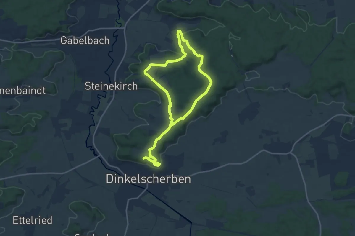
Medium · Summit
Otto-Schneider-Rundweg
9.2 km · ↑ 136 m · 2 h 35 min
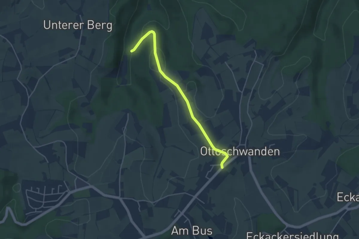
Easy · Trail
Ottoschwanden Heidacker - Wildgumme
3.7 km · ↑ 86 m · 1 h 4 min
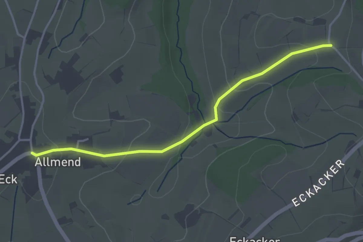
Easy · Trail
Ottoschwanden Hipp - Höllenberg
3.3 km · ↑ 110 m · 1 h 2 min
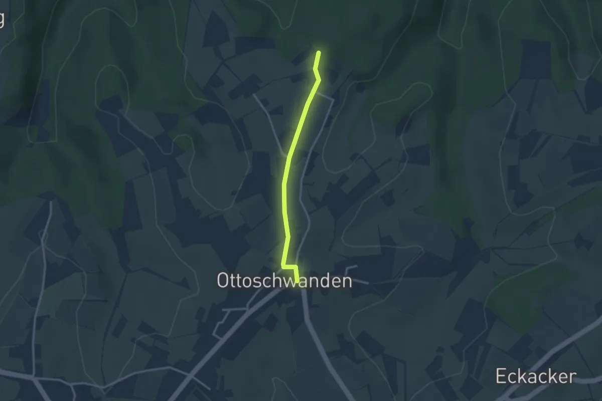
Easy · Trail
Ottoschwanden Hipp - Schutzhof
2.3 km · ↑ 23 m · 35 min
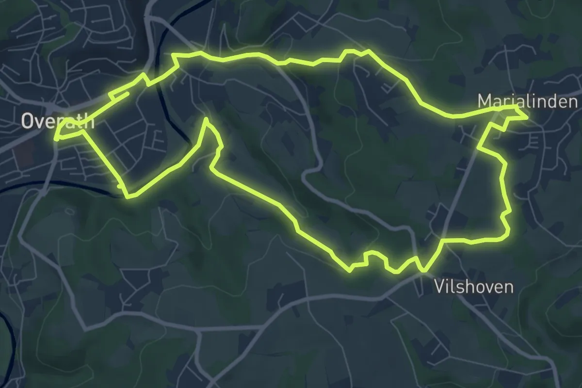
Medium · Trail
Overather Pilgerweg [16]
8.7 km · ↑ 211 m · 2 h 38 min
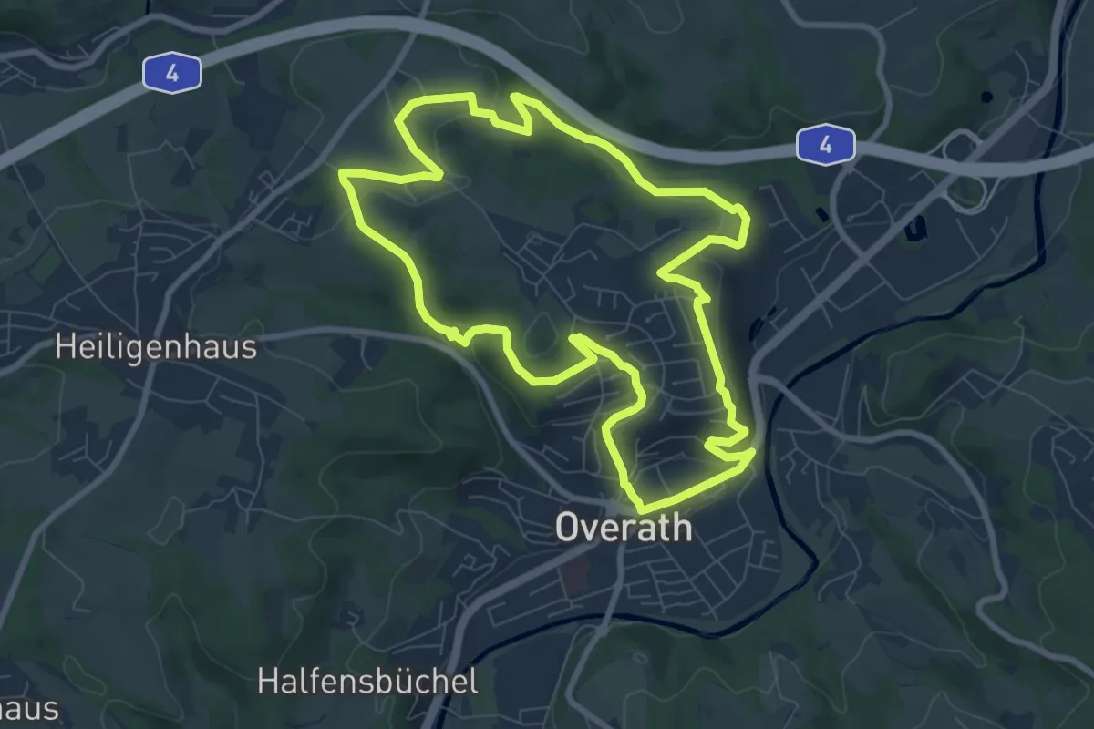
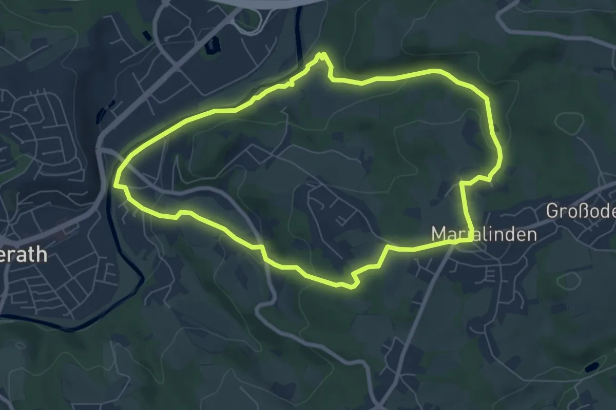
Easy · Trail
Overath Rundwanderweg Nord
7.7 km · ↑ 200 m · 2 h 22 min
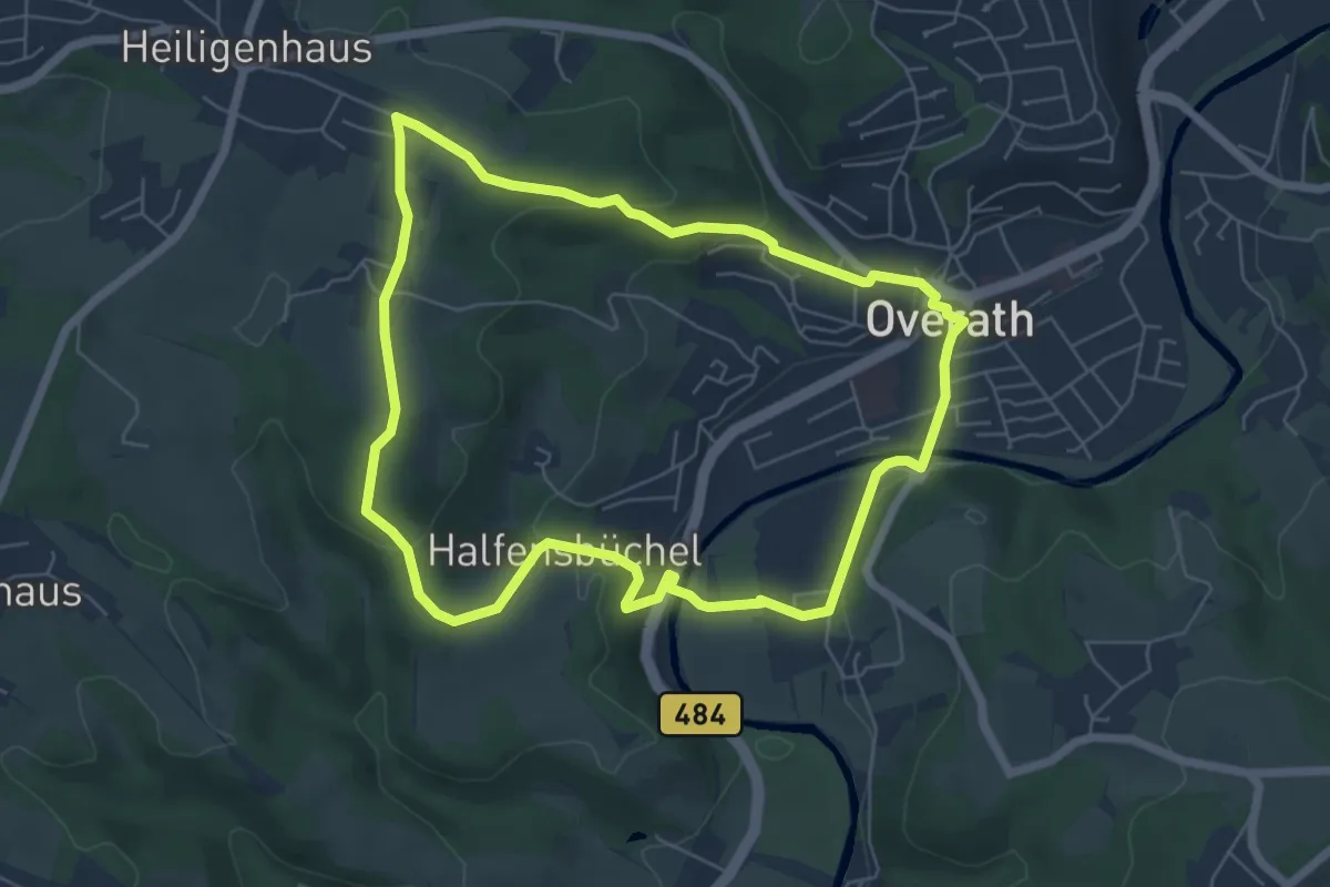
Medium · Trail
Overath Rundwanderweg Ost
6.3 km · ↑ 168 m · 1 h 56 min
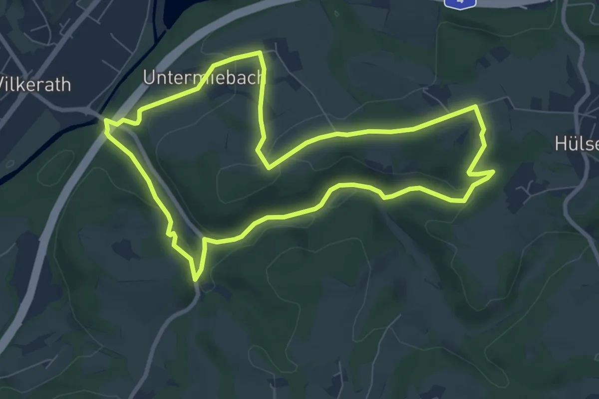
Easy · Trail
Overath Rundwanderweg West
5.7 km · ↑ 155 m · 1 h 45 min
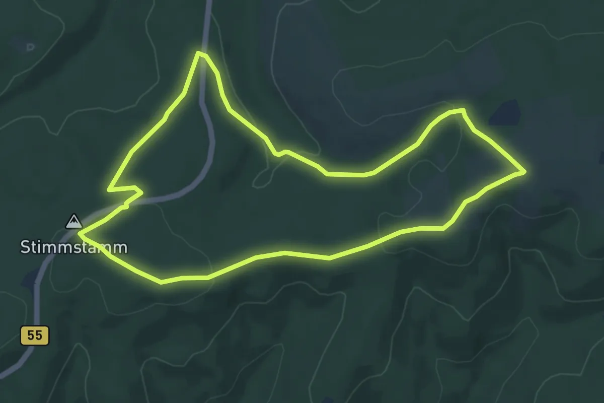
Easy · Trail
Overath-Vilkerath Rundweg A4 Entdeckertour romantisches Schlingenbach
6.7 km · ↑ 134 m · 1 h 57 min
Easy · Summit
[O} Warstein Kapellenrundweg
6.4 km · ↑ 111 m · 1 h 50 min