Trails in Germany
36,852 hiking trails, each with its route, climb, walking time and grade.
All trails, page 409 of 768
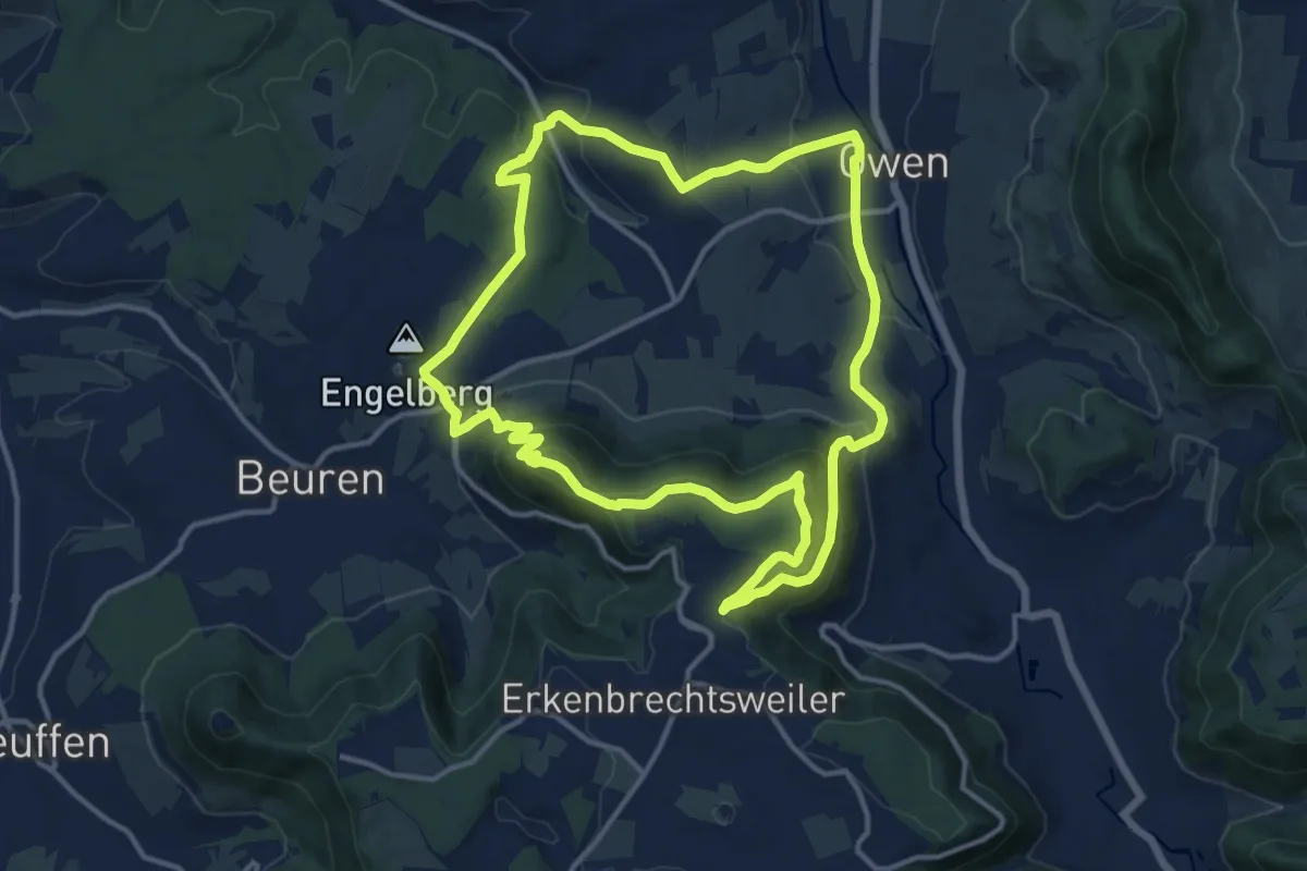
Medium · Trail
Owen 2 - Maiwasenrunde
13.0 km · ↑ 501 m · 4 h 21 min
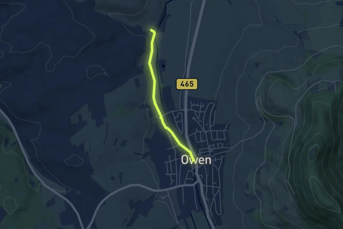
Easy · Trail
Owen - Dettingen
3.7 km · ↑ 31 m · 56 min
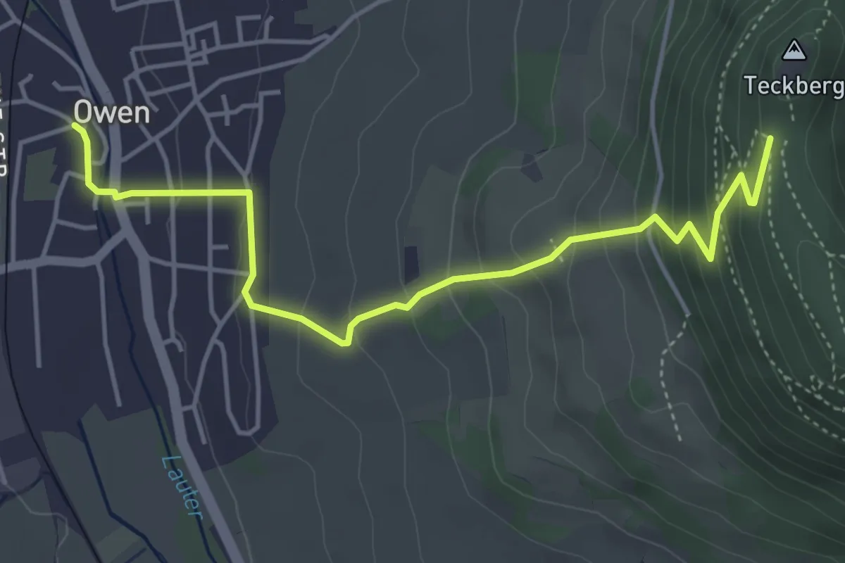
Medium · Trail
Owen - Teck
4.6 km · ↑ 352 m · 1 h 51 min
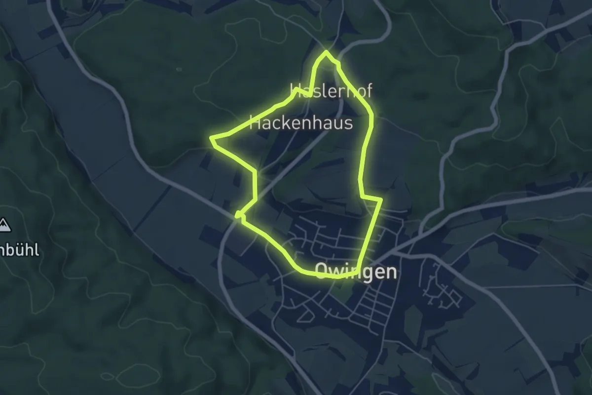
Easy · Trail
Owinger Lyrikweg
4.5 km · ↑ 89 m · 1 h 19 min
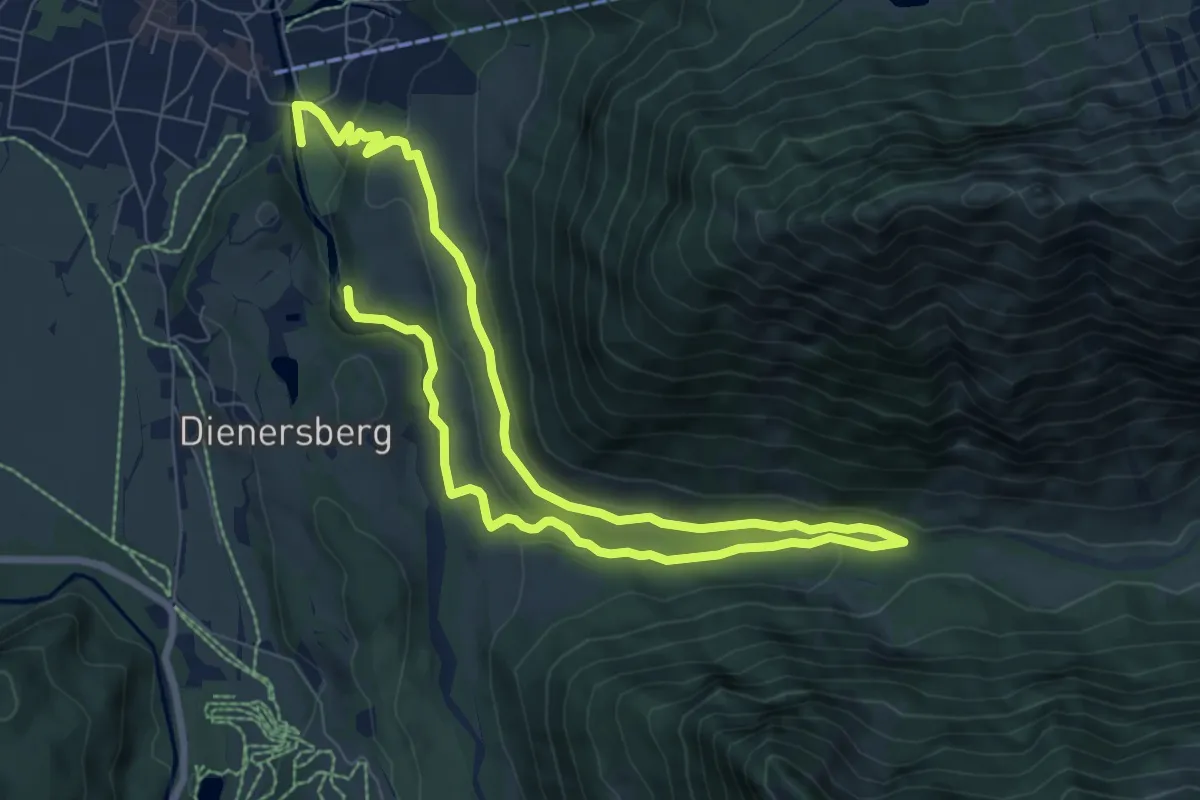
Medium · Trail
O - Winterwanderung ins Oytal
12.7 km · ↑ 299 m · 3 h 39 min
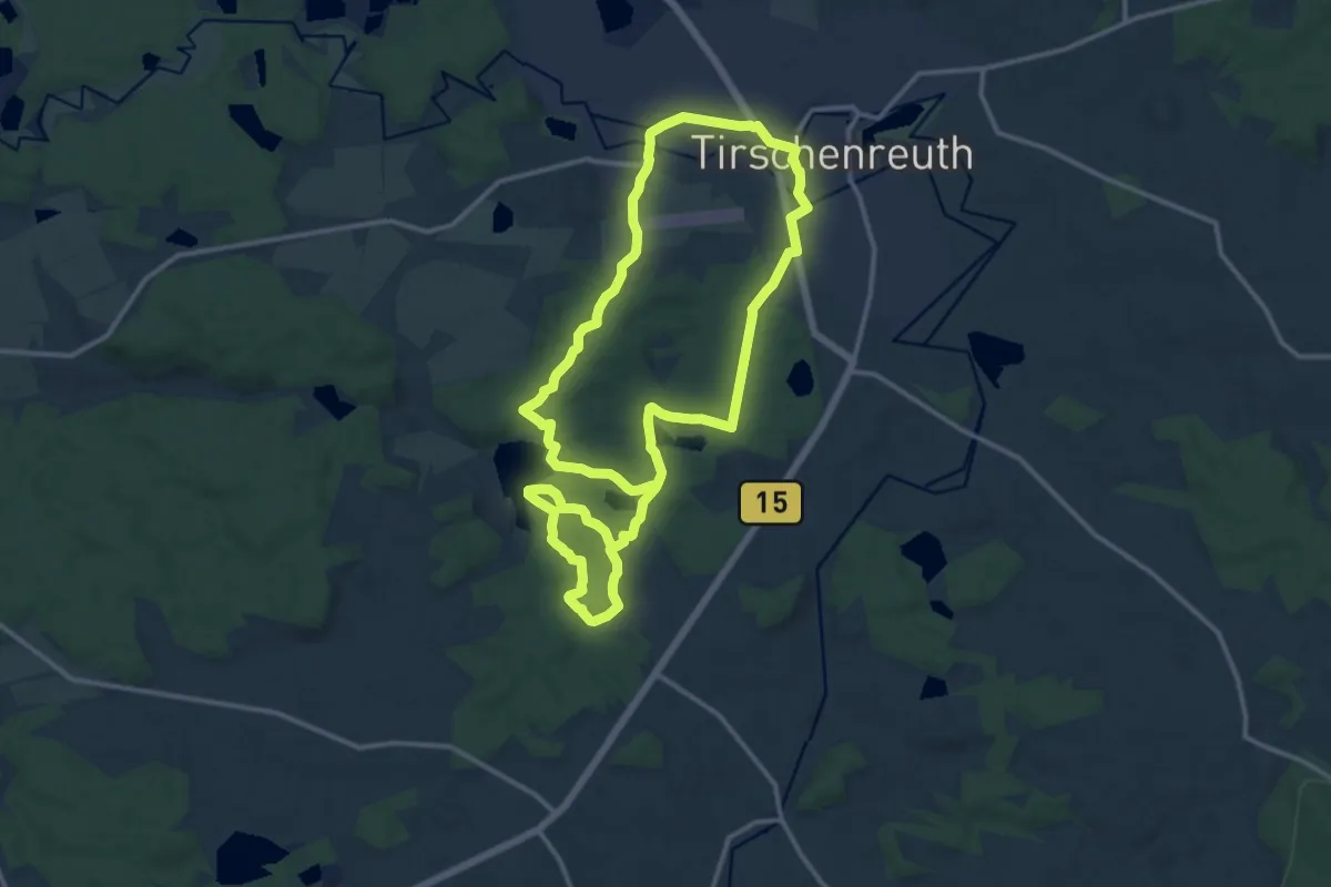
Medium · Summit
OWV-Heim, Kl. Teufelsküche, Sägmühle, Großparkplatz
12.5 km · ↑ 167 m · 3 h 29 min
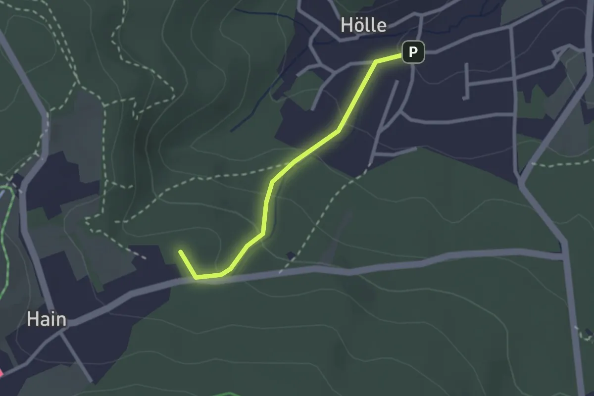
Easy · Summit
Oybin - Hain (gelber Strich)
1.9 km · ↑ 100 m · 40 min
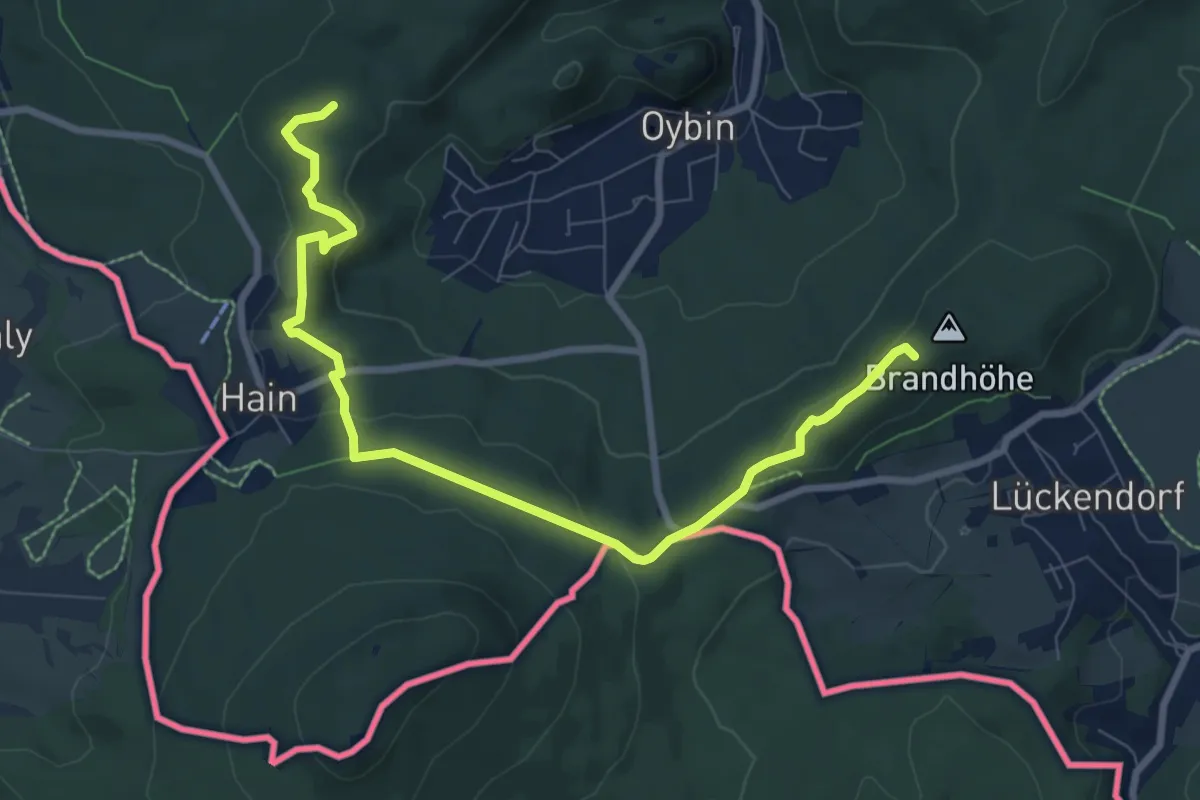
Medium · Summit
Oybin Rundweg (gelber Punkt)
8.5 km · ↑ 271 m · 2 h 36 min
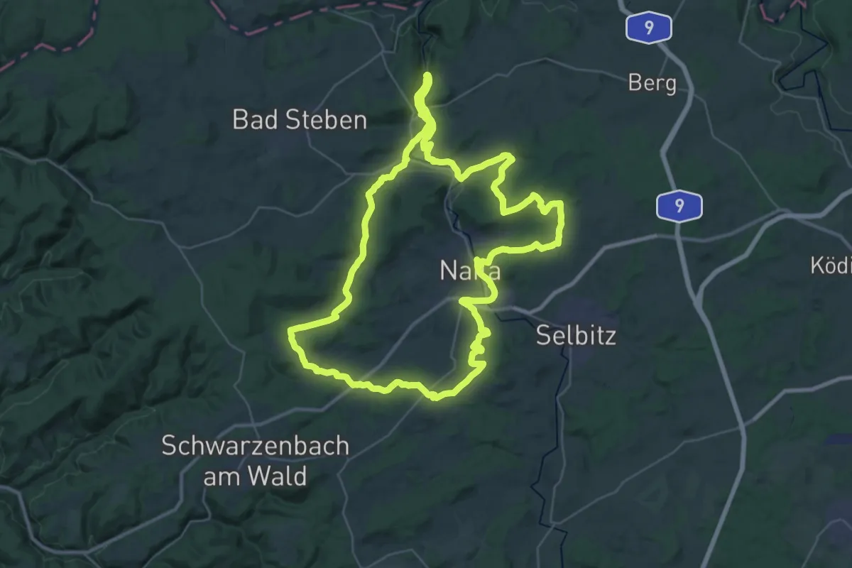
Demanding · Trail
Ozünder-Weg
34.5 km · ↑ 598 m · 9 h 56 min
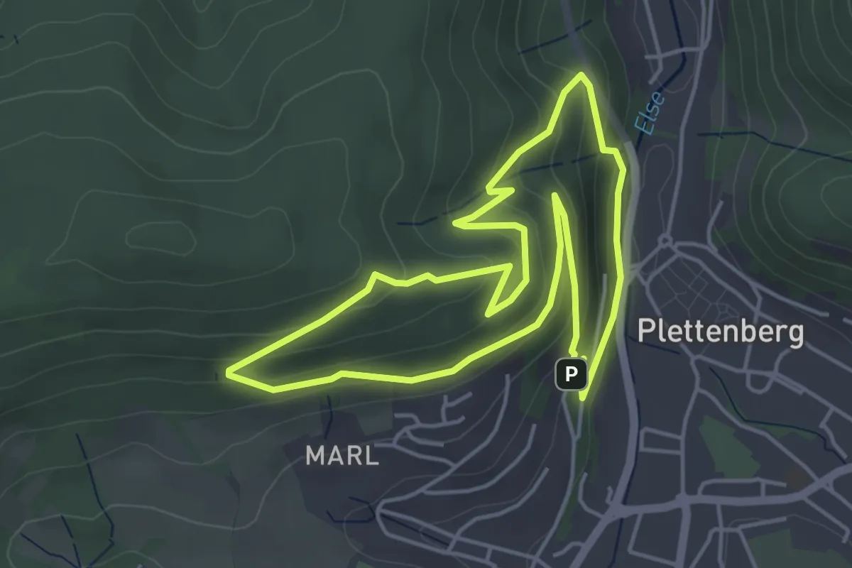
Easy · Trail
[P1] kurzer Hestenberg-Rundweg
4.1 km · ↑ 236 m · 1 h 32 min
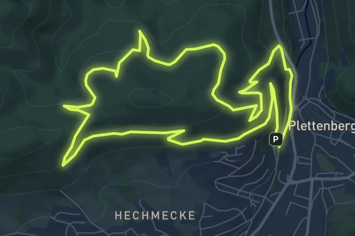
Medium · Trail
[P2] Hestenberg-Rundweg
7.7 km · ↑ 375 m · 2 h 44 min
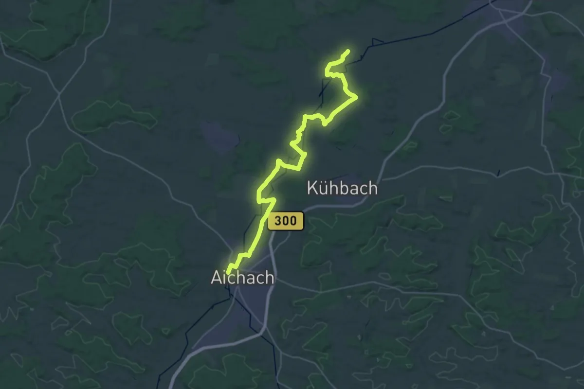
Demanding · Trail
Paartalwanderweg
31.9 km · ↑ 74 m · 7 h 42 min
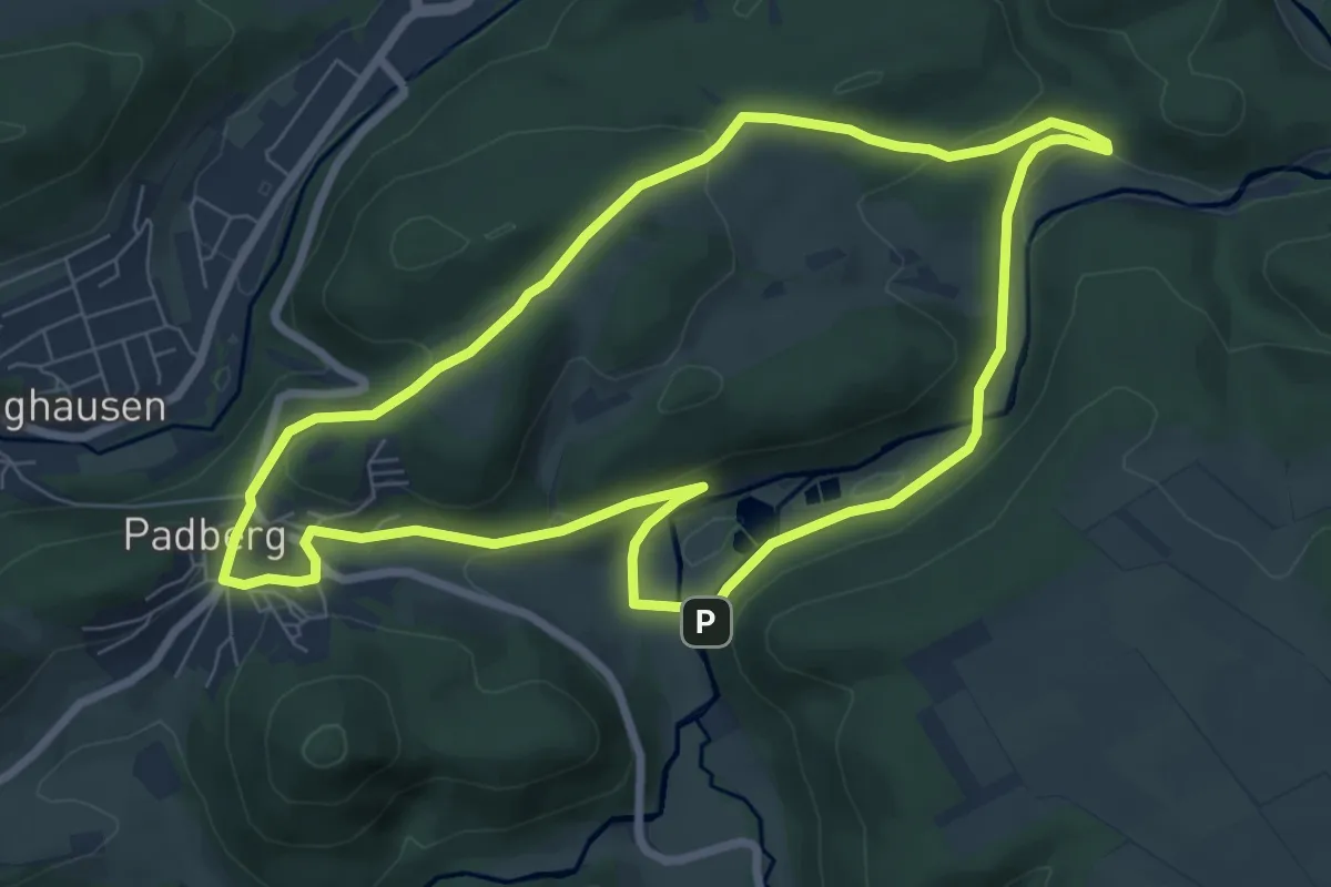
Easy · Trail
Padberg 1 Rundweg
6.8 km · ↑ 176 m · 2 h 6 min
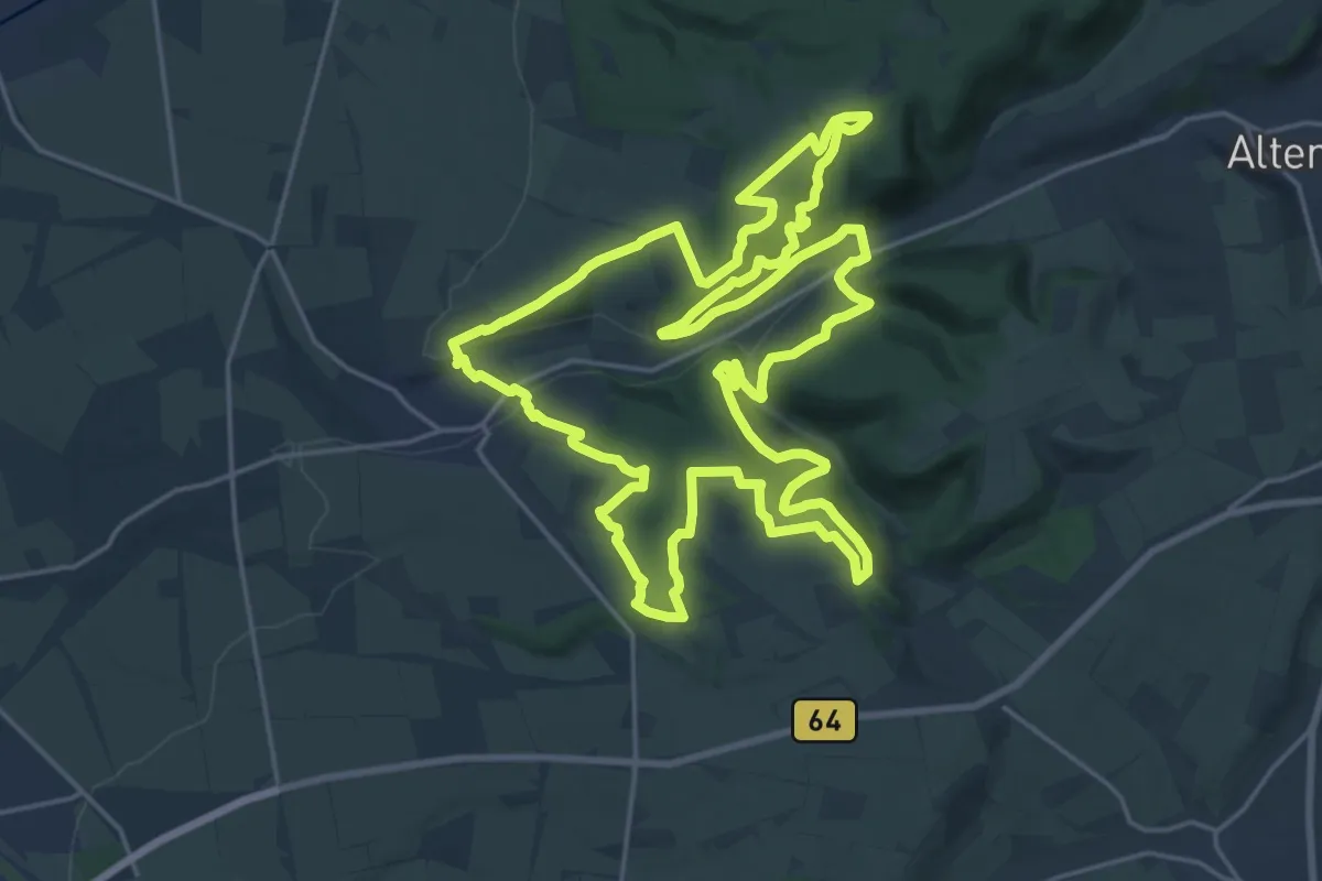
Demanding · Summit
Paderborner Höhenweg
21.4 km · ↑ 583 m · 6 h 37 min
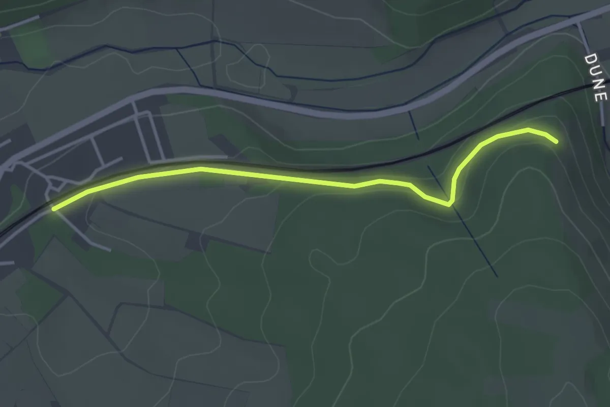
Easy · Trail
Paderborner Höhenweg - Querverbindung
3.2 km · ↑ 97 m · 58 min
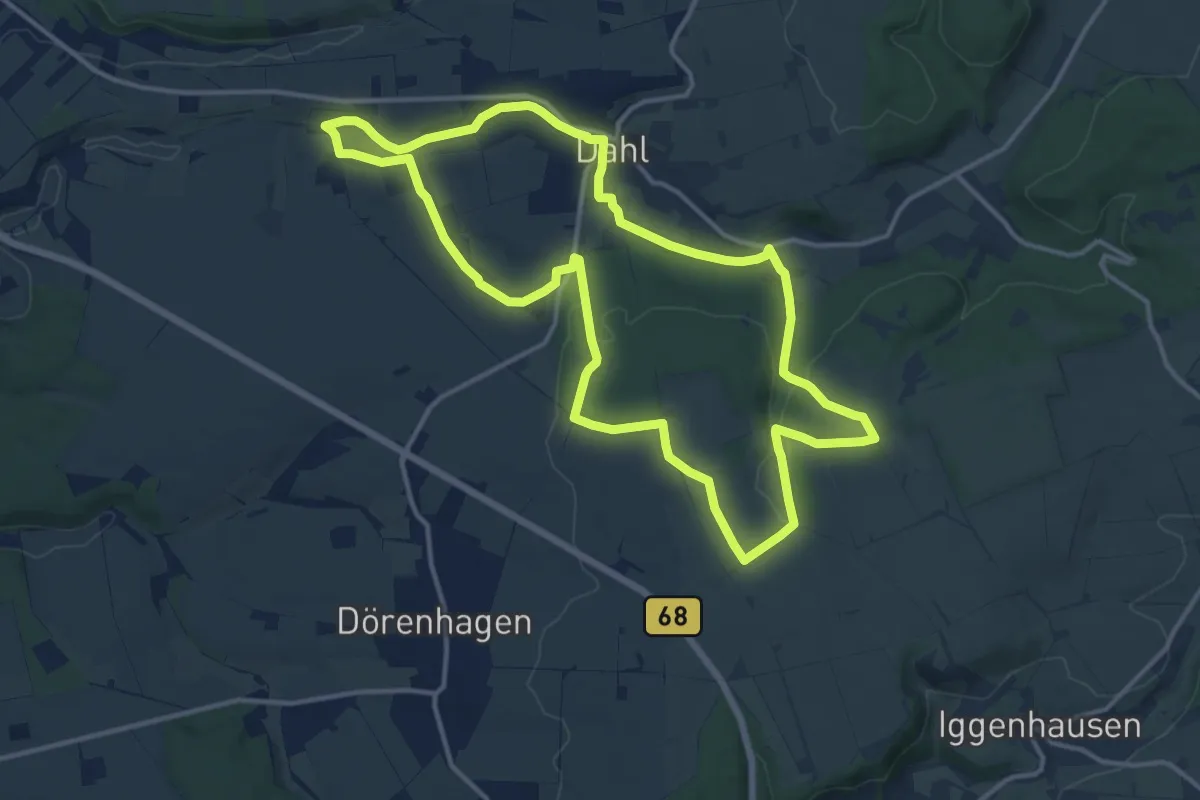
Medium · Trail
Paderborner Karstrundweg
12.7 km · ↑ 233 m · 3 h 40 min
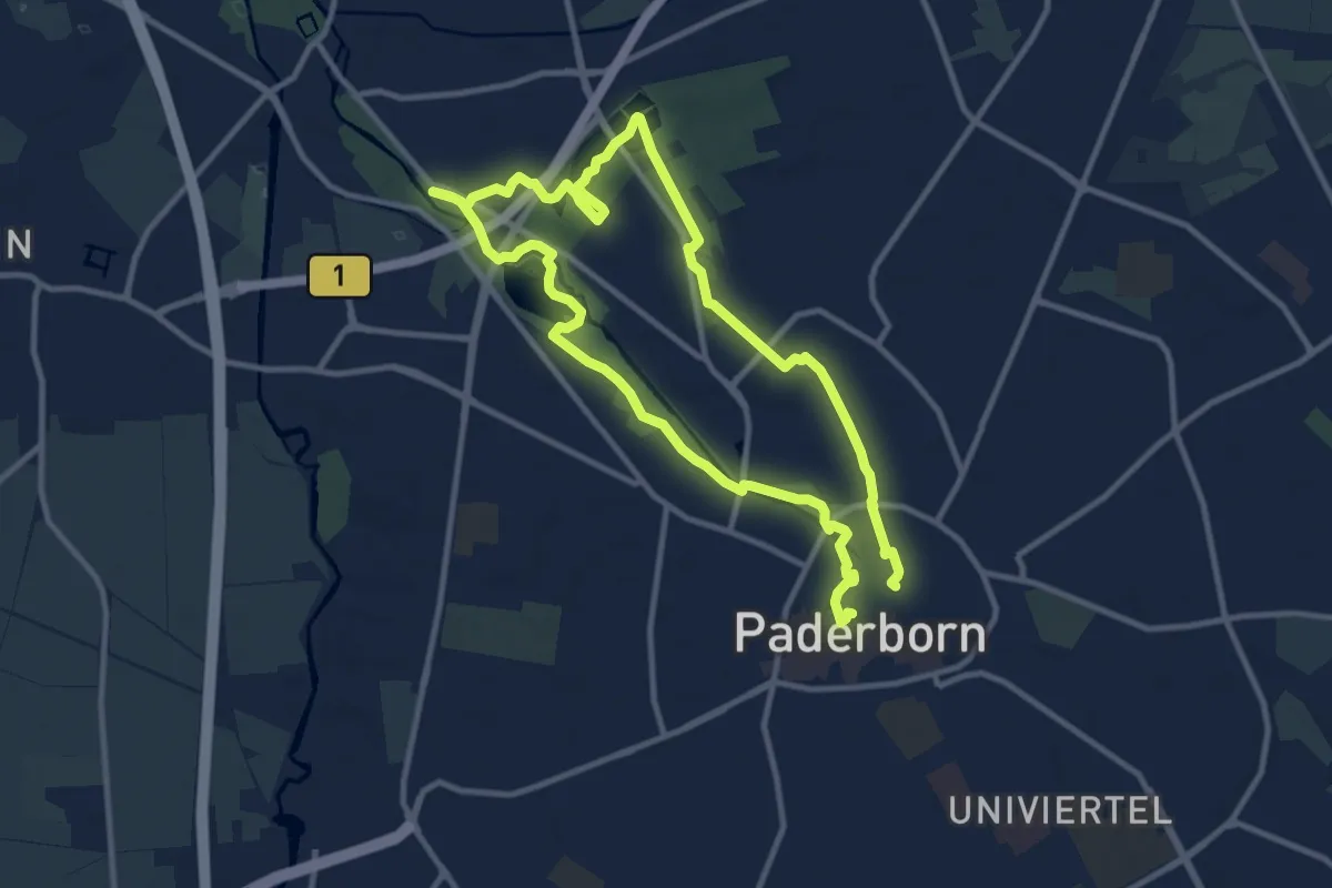
Medium · Trail
Pader-Wanderung
8.9 km · ↑ 26 m · 2 h 17 min
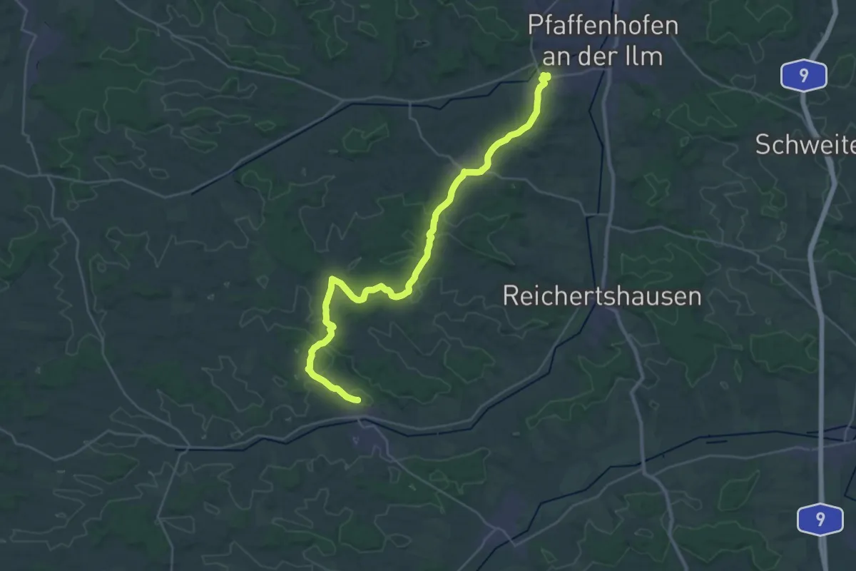
Medium · Trail
PAF per Pedes - 1. Etappe von Pfaffenhofen / Niederscheyern nach Jetzendorf
15.4 km · ↑ 159 m · 4 h 13 min
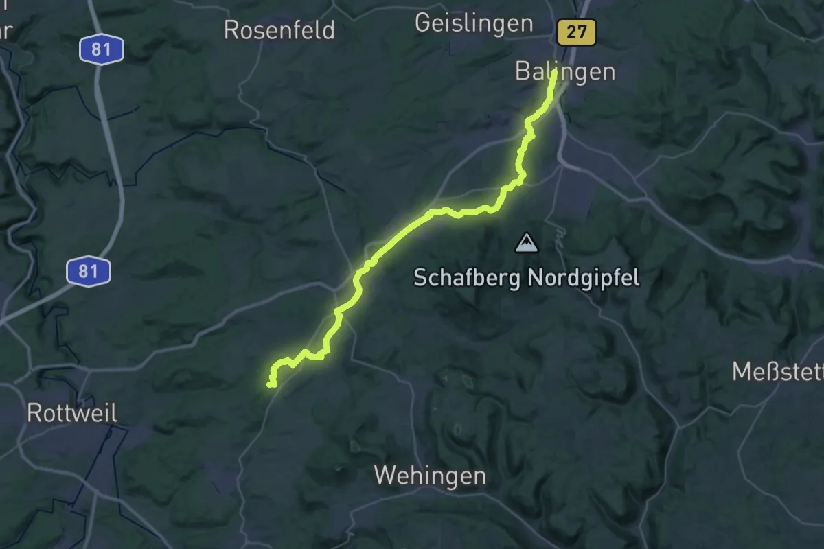
Demanding · Pilgrim path
Palmbühl-Pilgerweg
18.6 km · ↑ 290 m · 5 h 12 min
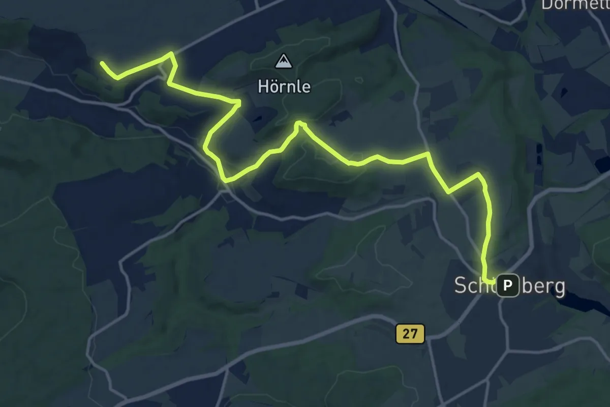
Medium · Pilgrim path
Palmbühl-Variante
8.1 km · ↑ 106 m · 2 h 16 min
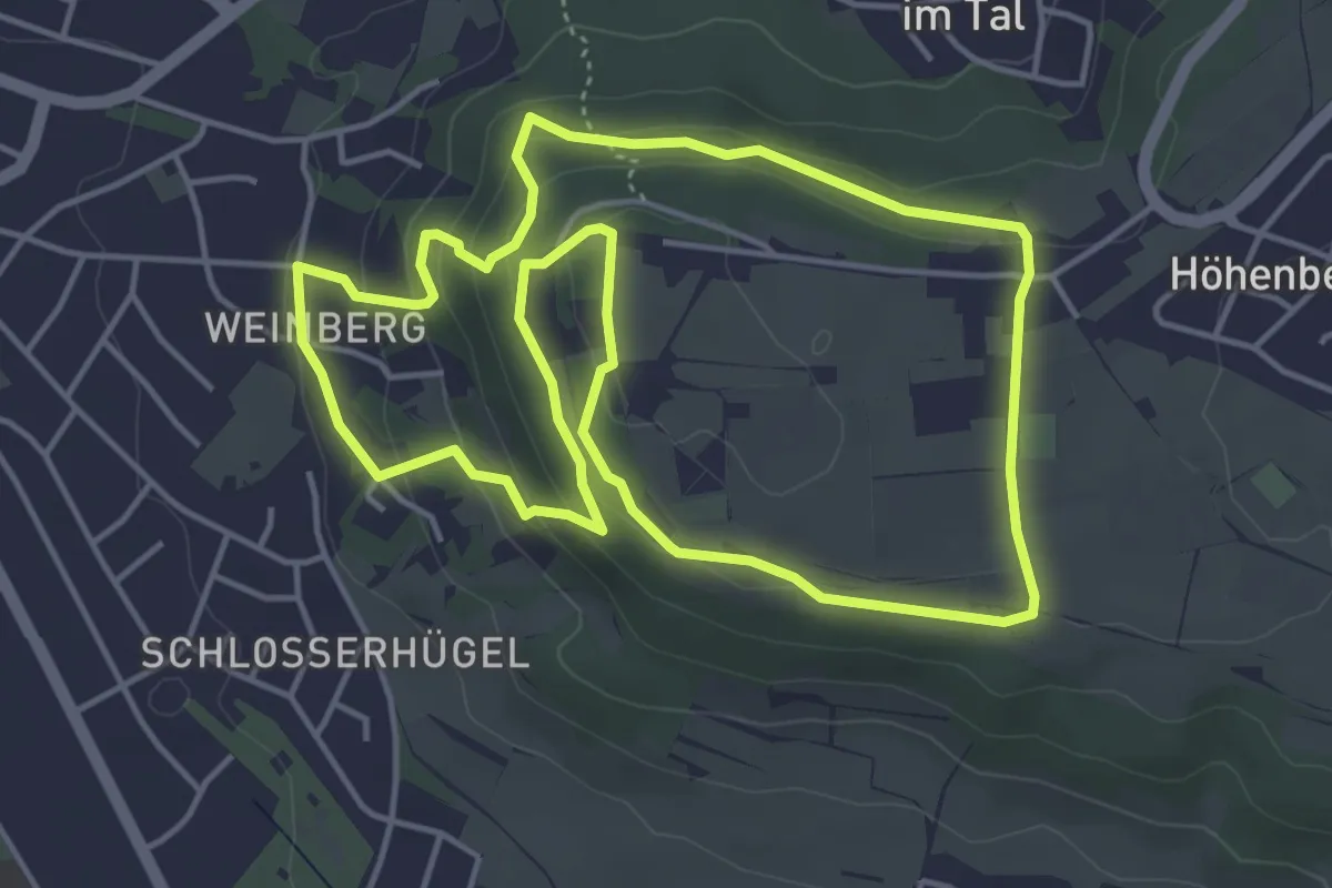
Medium · Trail
Panaromaweg Neumarkt
4.6 km · ↑ 177 m · 1 h 31 min
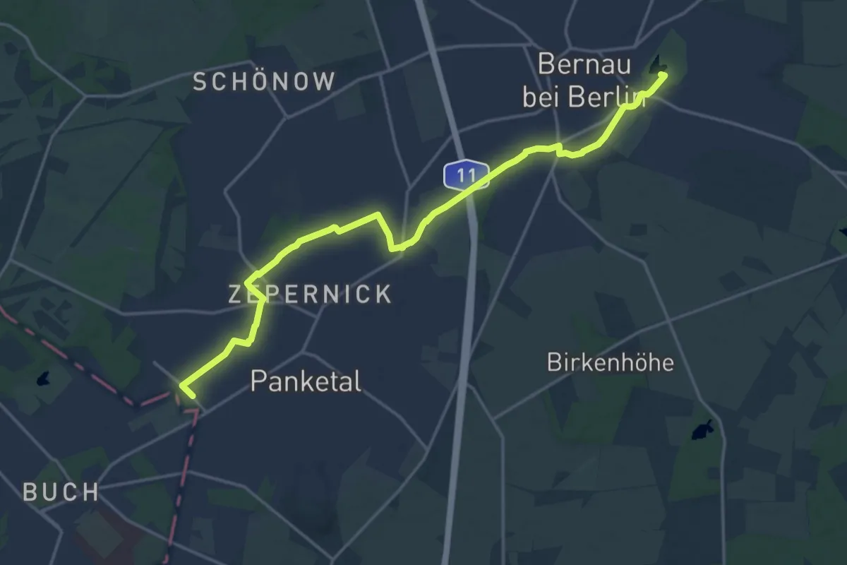
Medium · Trail
Pankeweg
16.5 km · ↑ 21 m · 3 h 56 min
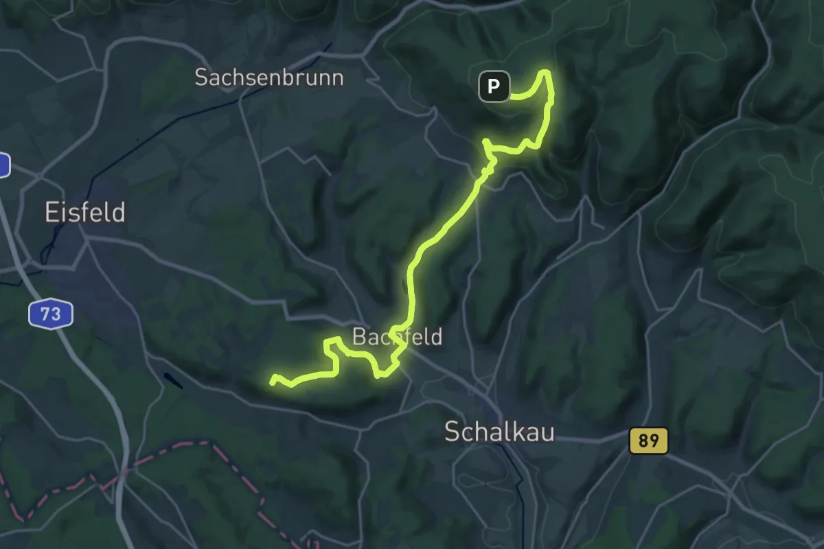
Demanding · Summit
Pankrazweg
23.6 km · ↑ 700 m · 7 h 5 min
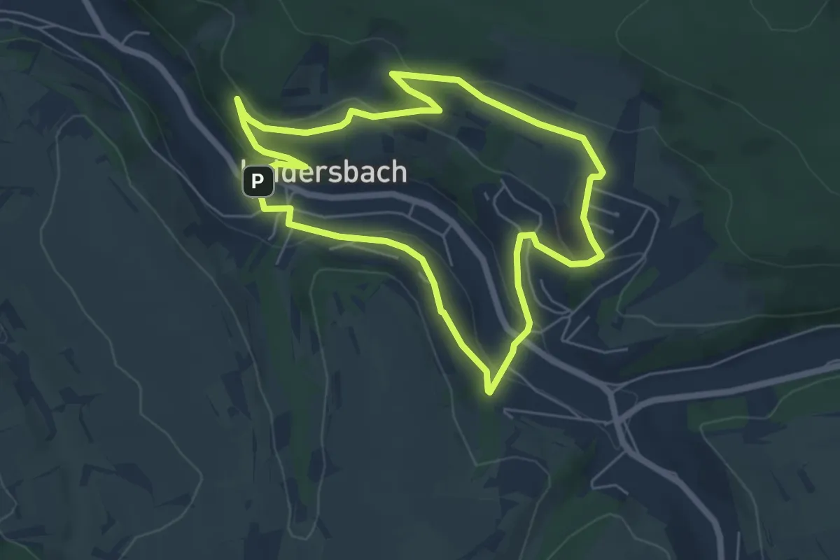
Easy · Trail
Panorama Besinnungsweg
5.2 km · ↑ 157 m · 1 h 38 min
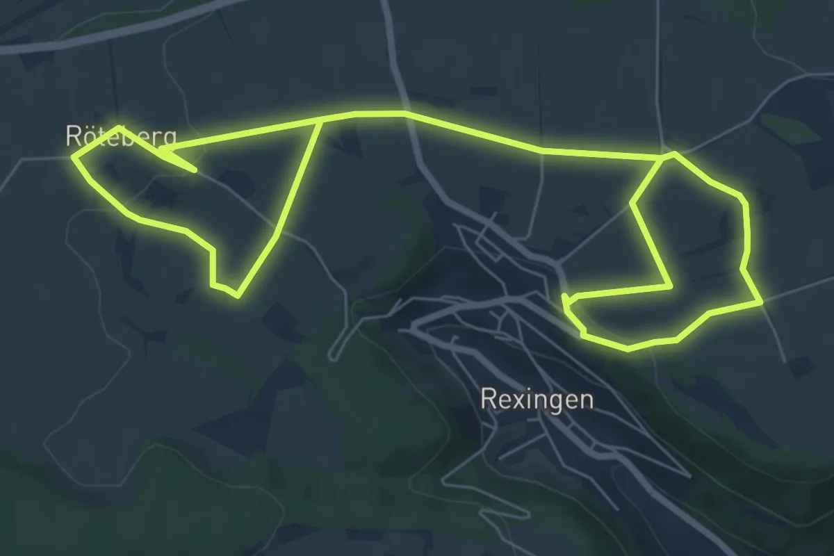
Medium · Trail
Panoramablicke
11.6 km · ↑ 158 m · 3 h 5 min
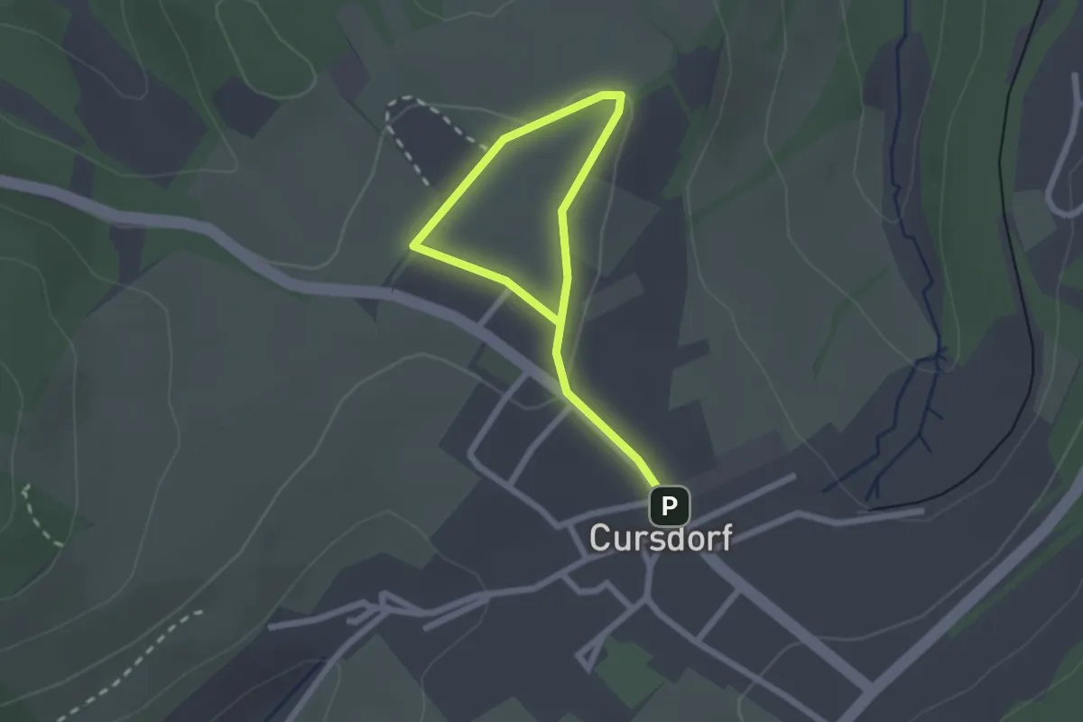
Easy · Trail
Panorama-Fitnesspfad Cursdorf
2.7 km · ↑ 14 m · 39 min
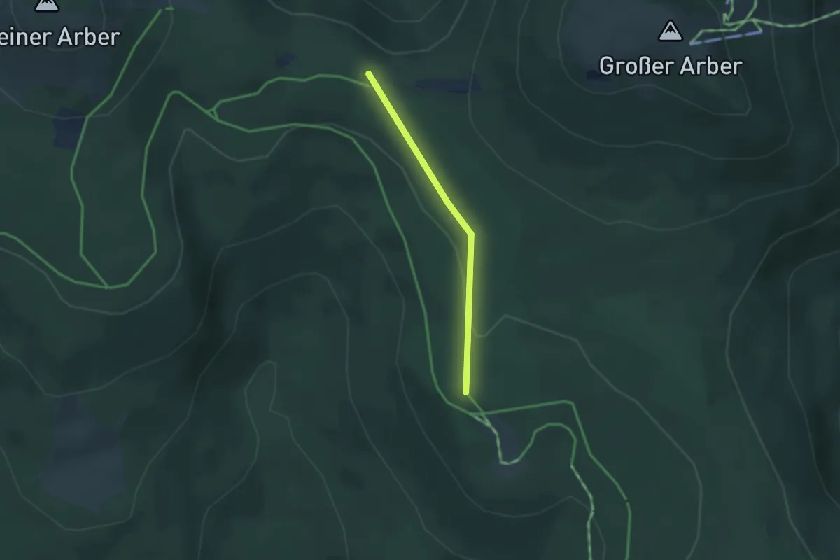
Medium · Trail
Panoramahöhenweg
2.1 km · ↑ 24 m · 33 min
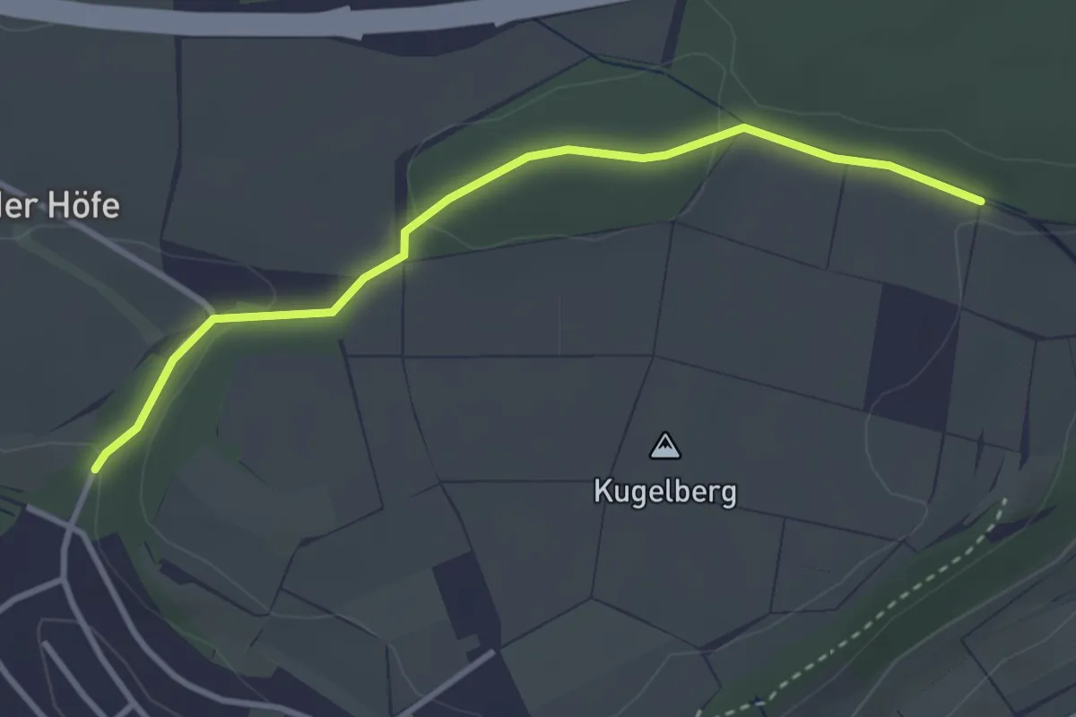
Easy · Trail
Panorama- Höhenweg
3.2 km · ↑ 64 m · 53 min
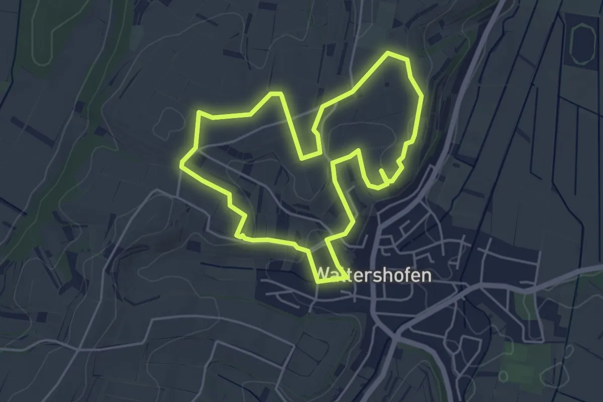
Easy · Trail
Panoramapfad Nord Waltershofen
4.2 km · ↑ 70 m · 1 h 13 min
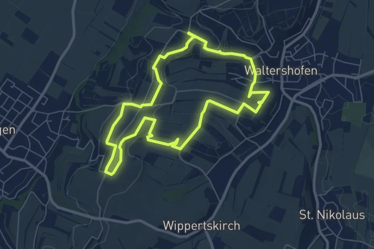
Easy · Trail
Panoramapfad Süd Waltershofen
5.7 km · ↑ 67 m · 1 h 35 min
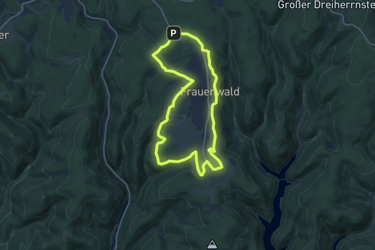
Medium · Summit
Panoramaring
10.4 km · ↑ 219 m · 3 h 4 min
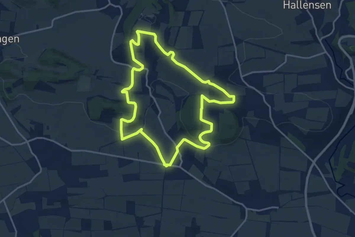
Medium · Trail
Panoramarunde
9.7 km · ↑ 204 m · 2 h 52 min
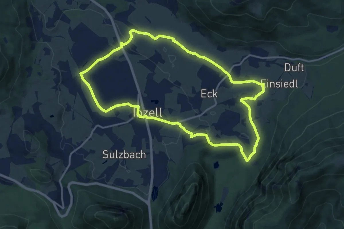
Medium · Trail
Panorama-Runde
9.9 km · ↑ 83 m · 2 h 40 min
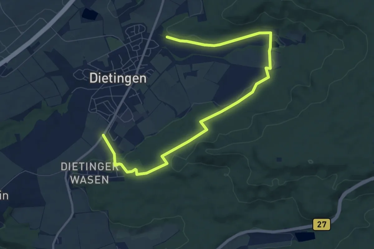
Medium · Trail
Panorama-Runde
10.4 km · ↑ 175 m · 2 h 50 min
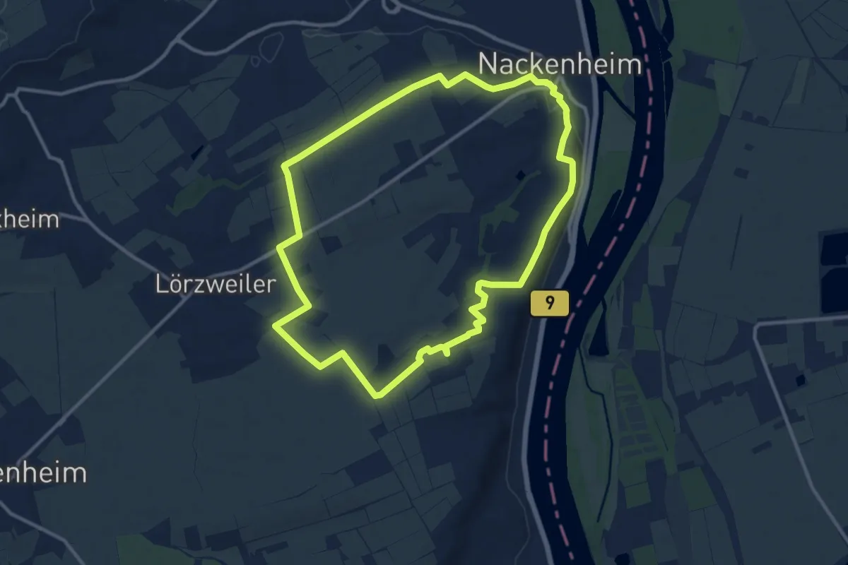
Medium · Trail
Panoramarunde im fröhlichen Weinberg Nackenheim
10.5 km · ↑ 159 m · 2 h 59 min
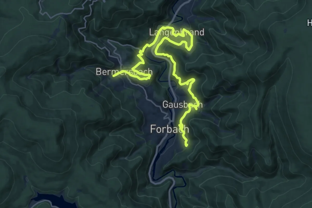
Medium · Trail
Panorama-Runde – Rund um Forbach
11.3 km · ↑ 484 m · 3 h 53 min
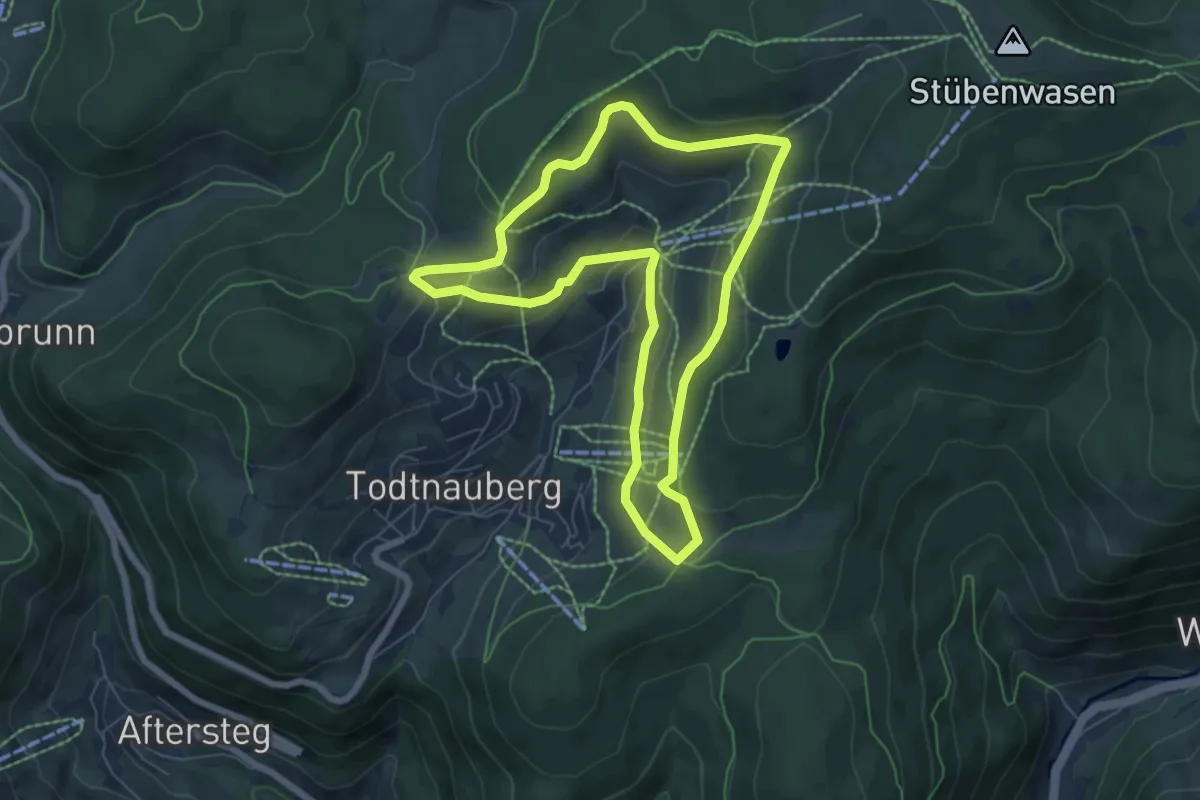
Easy · Trail
Panoramarunde Todtnauberg
6.2 km · ↑ 196 m · 1 h 58 min
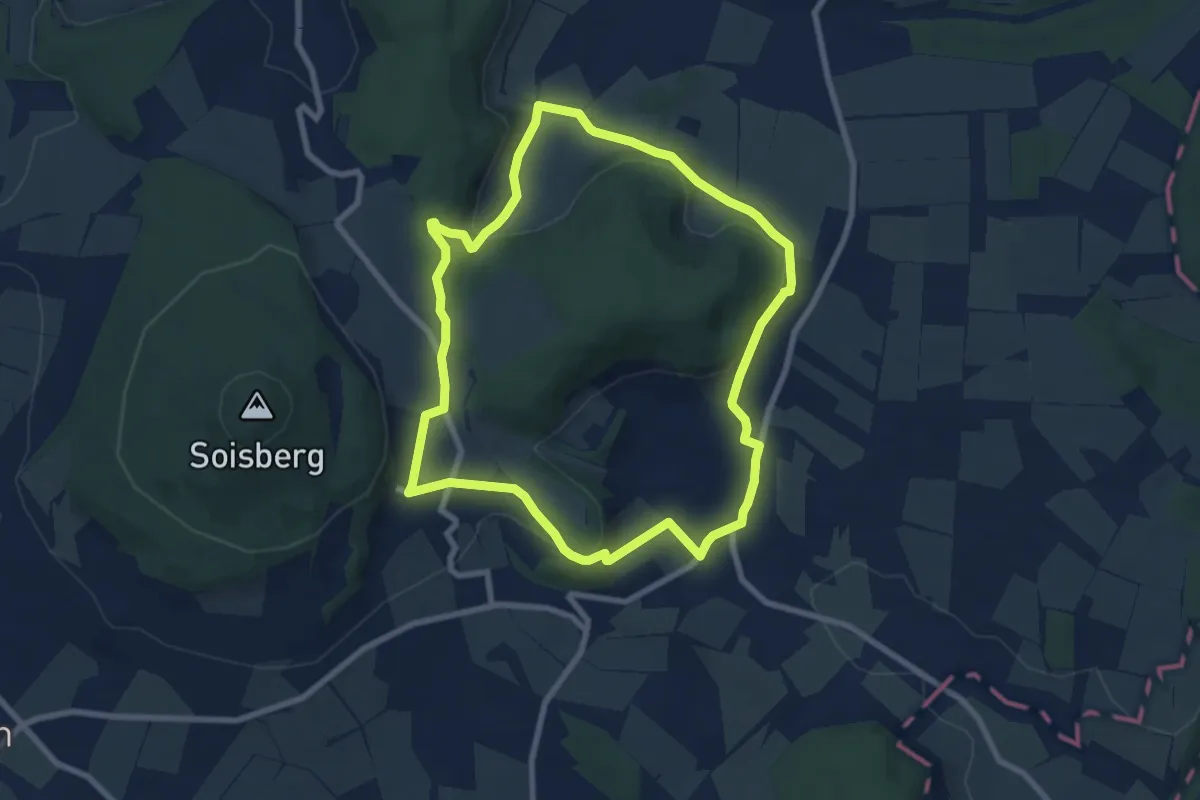
Easy · Summit
Panorama Rundwanderweg
7.1 km · ↑ 208 m · 2 h 14 min
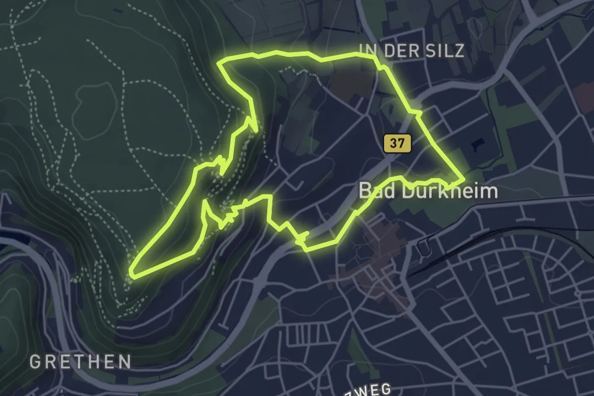
Easy · Trail
Panoramarundwanderweg Drachenfelsclub
4.7 km · ↑ 197 m · 1 h 36 min
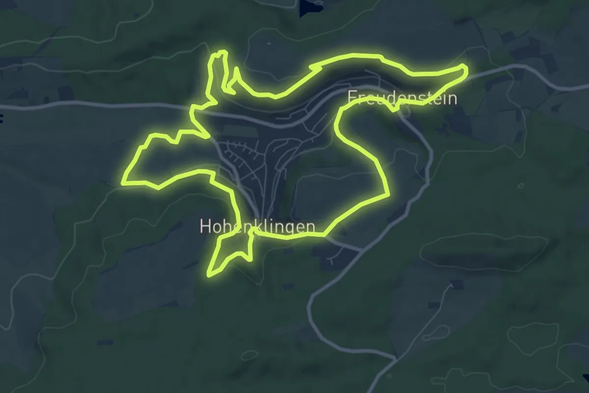
Medium · Trail
Panorama-Rundwanderweg Freudenstein-Hohenklingen
9.6 km · ↑ 224 m · 2 h 54 min
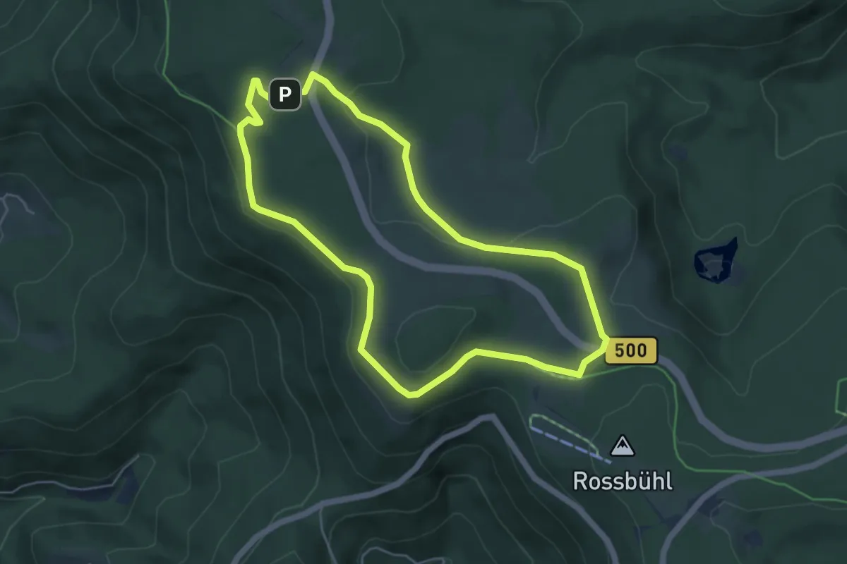
Easy · Trail
Panoramarundweg
4.6 km · ↑ 110 m · 1 h 23 min
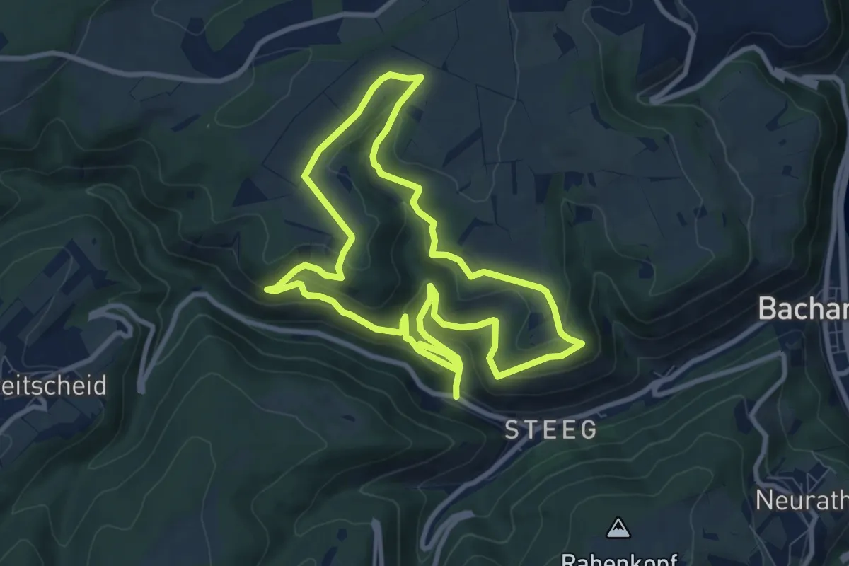
Easy · Summit
Panoramarundweg
8.0 km · ↑ 314 m · 2 h 39 min
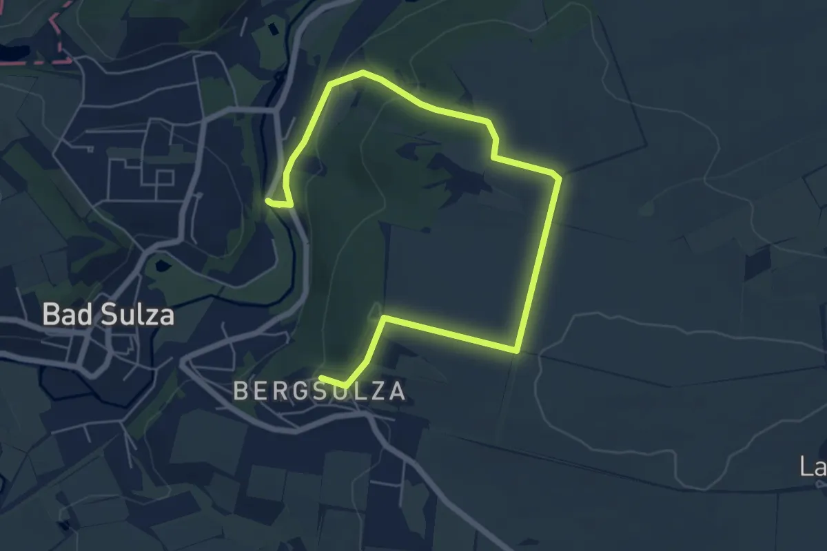
Easy · Trail
Panorama Rundweg
7.0 km · ↑ 155 m · 2 h
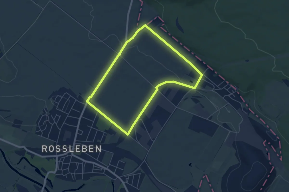
Easy · Trail
Panorama Rundweg
4.8 km · ↑ 42 m · 1 h 17 min
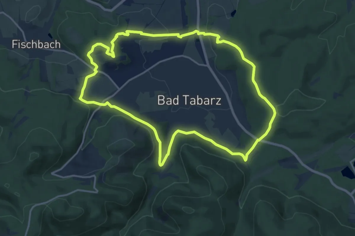
Medium · Summit
Panorama-Rundweg
10.7 km · ↑ 255 m · 3 h 13 min
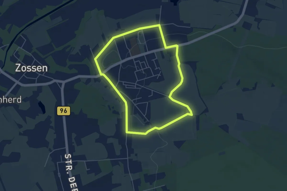
Easy · Trail
PanoramaRundweg
4.4 km · ↑ 22 m · 1 h 9 min
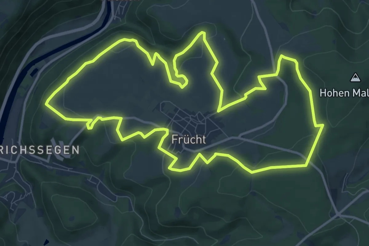
Medium · Trail
Panorama-Rundweg - Frücht
11.0 km · ↑ 276 m · 3 h 20 min
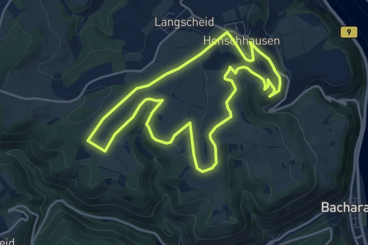
Medium · Trail
Panoramarundweg (Hahn, roter Pfeil)
8.9 km · ↑ 163 m · 2 h 35 min