Trails in Germany
36,852 hiking trails, each with its route, climb, walking time and grade.
All trails, page 415 of 768
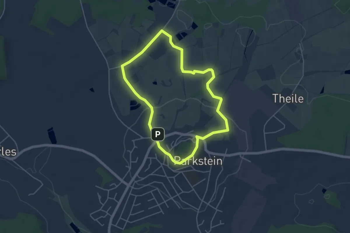
Easy · Summit
Parkstein Ringweg 1a
3.7 km · ↑ 101 m · 1 h 9 min
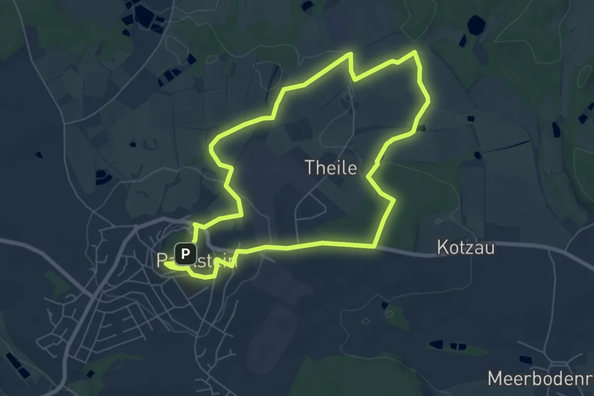
Easy · Summit
Parkstein Ringweg 2
5.7 km · ↑ 120 m · 1 h 42 min
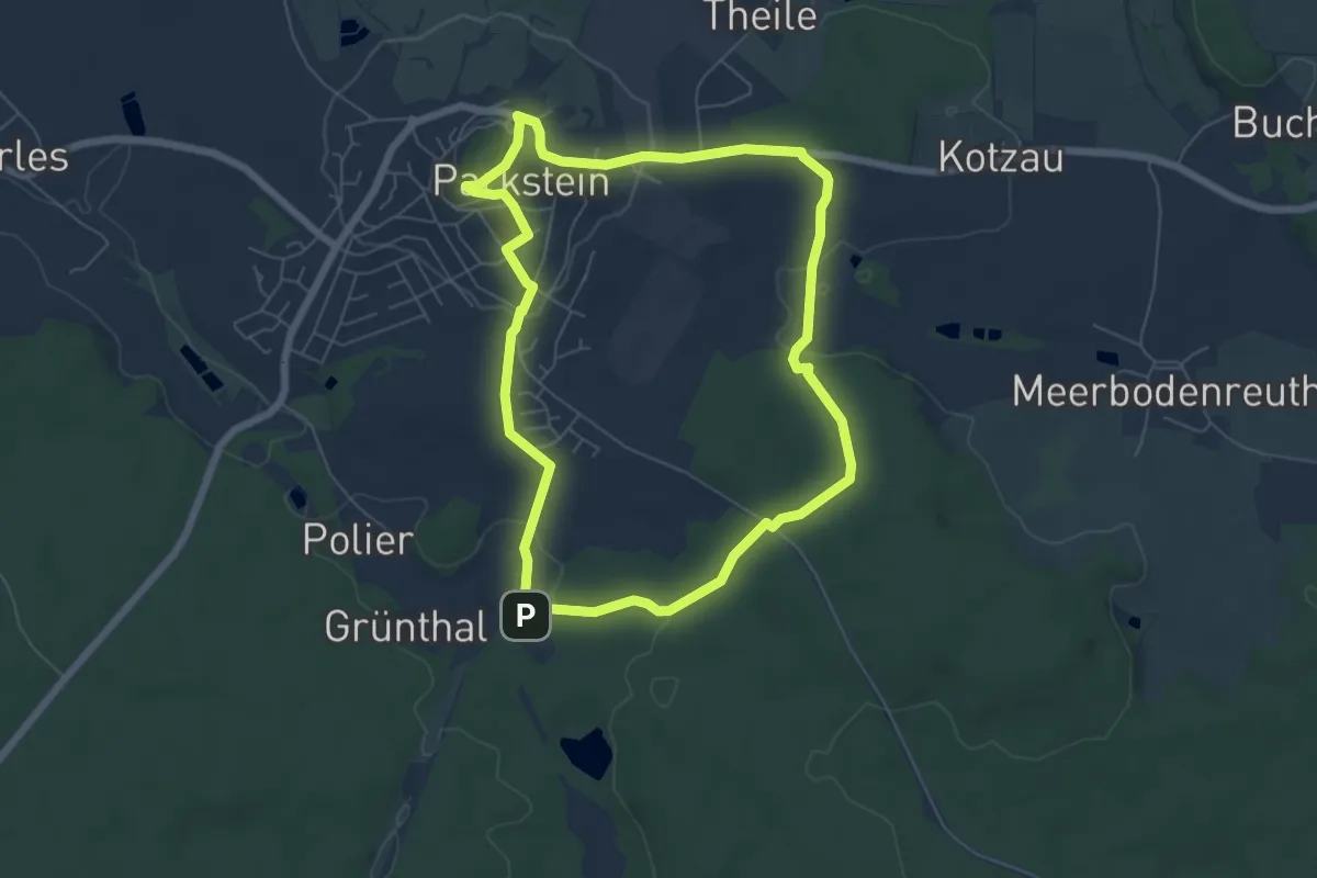
Easy · Summit
Parkstein Ringweg 3
5.8 km · ↑ 158 m · 1 h 47 min
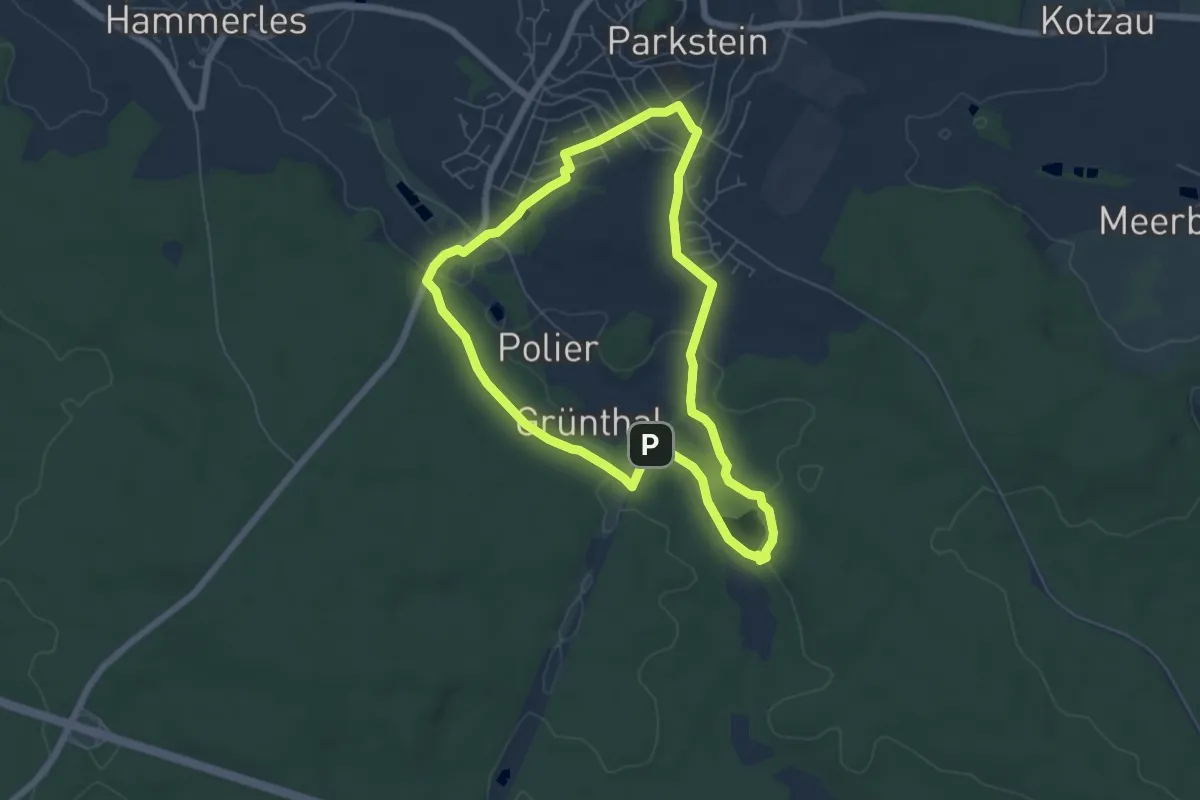
Easy · Trail
Parkstein Ringweg 4
5.6 km · ↑ 104 m · 1 h 37 min
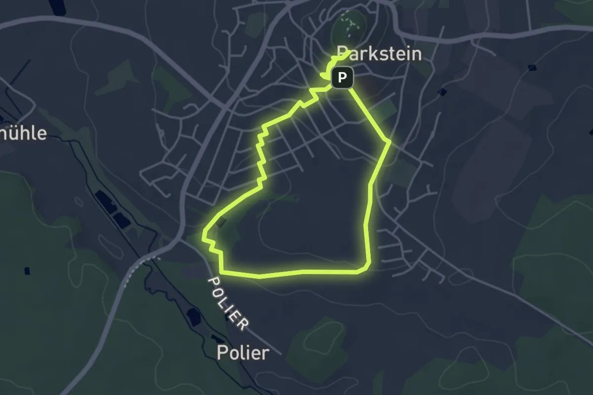
Easy · Summit
Parkstein Ringweg 4a
3.4 km · ↑ 108 m · 1 h 5 min
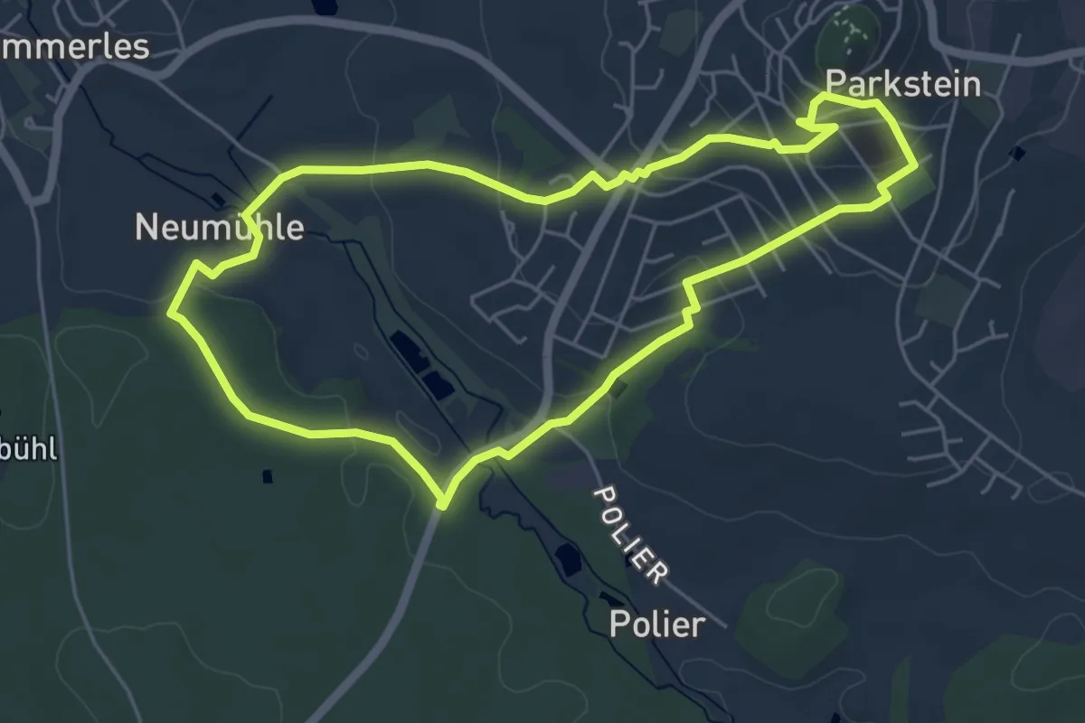
Easy · Summit
Parkstein Ringweg 5
4.6 km · ↑ 137 m · 1 h 27 min
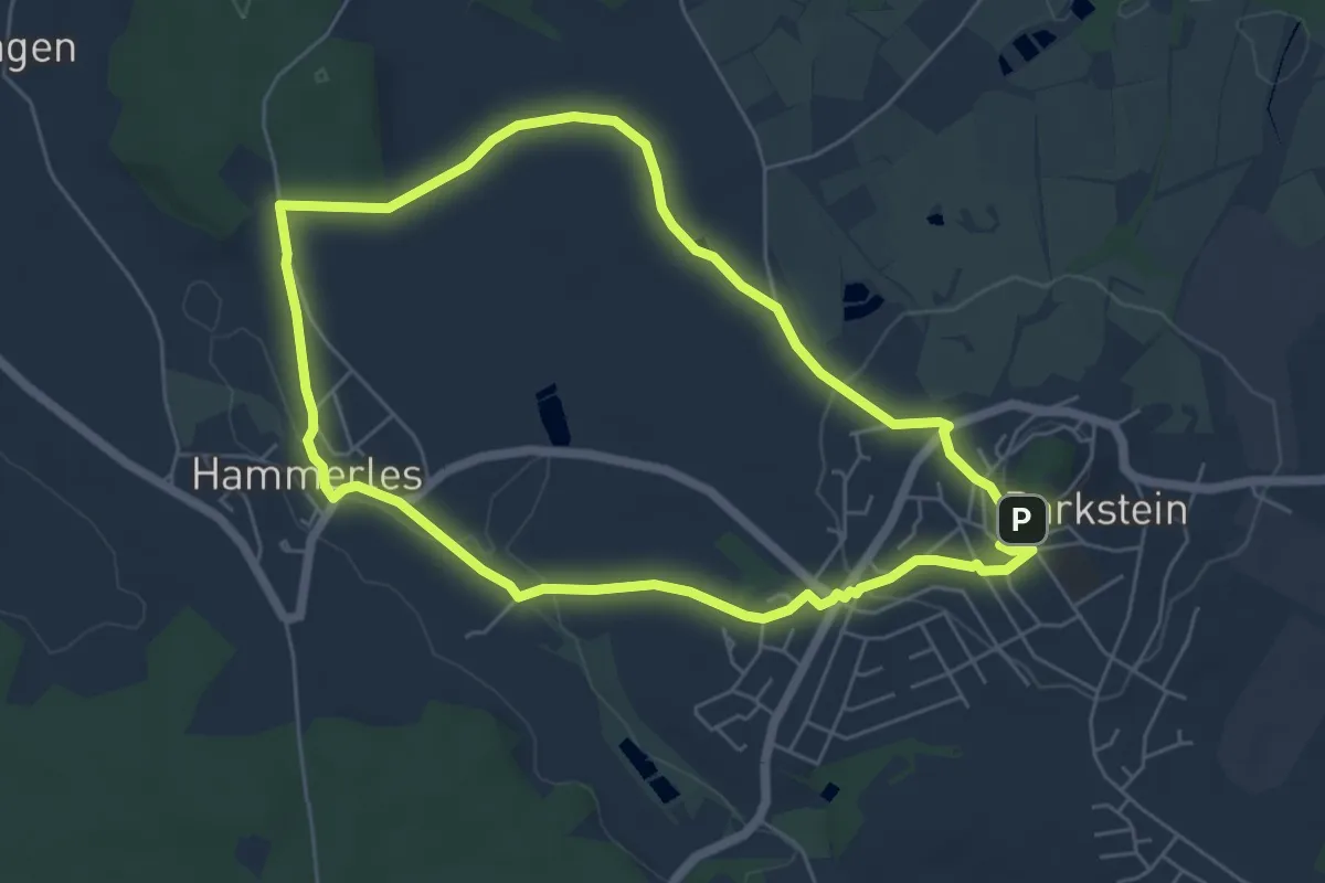
Easy · Summit
Parkstein Ringweg 6
5.4 km · ↑ 135 m · 1 h 38 min
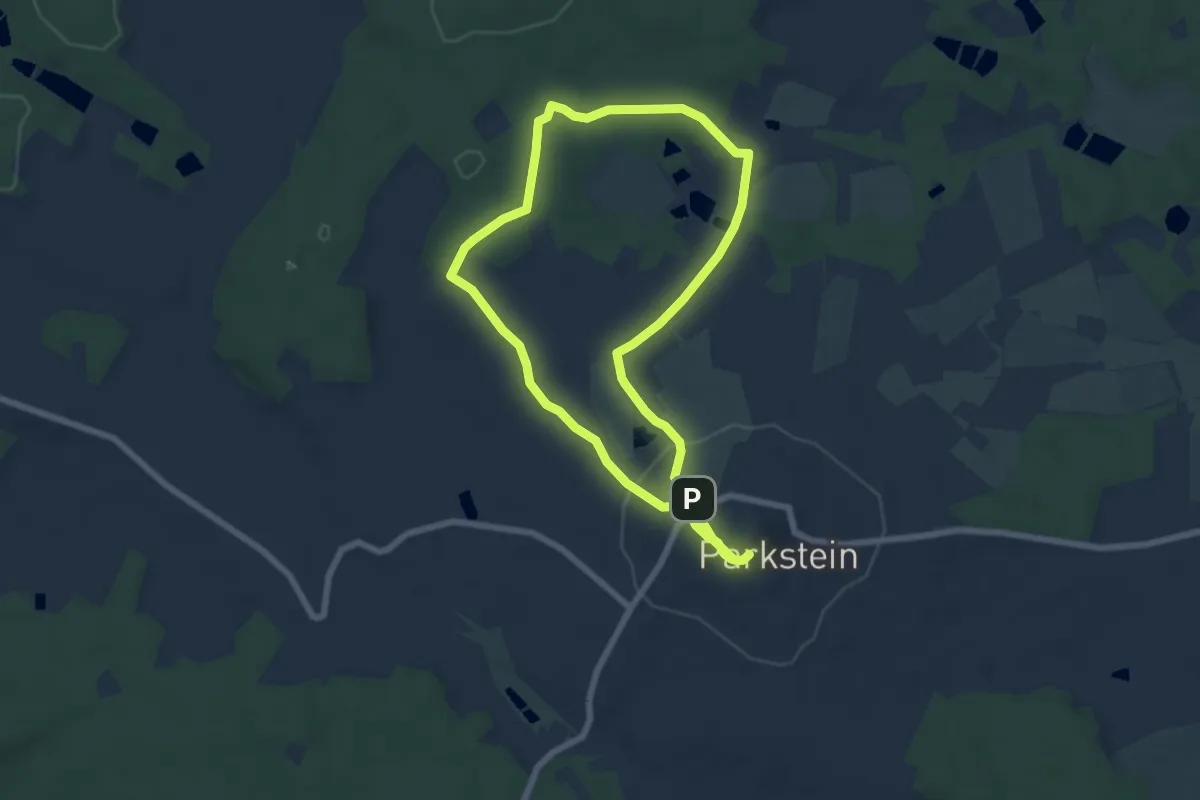
Easy · Summit
Parkstein Ringweg 7
6.3 km · ↑ 147 m · 1 h 53 min
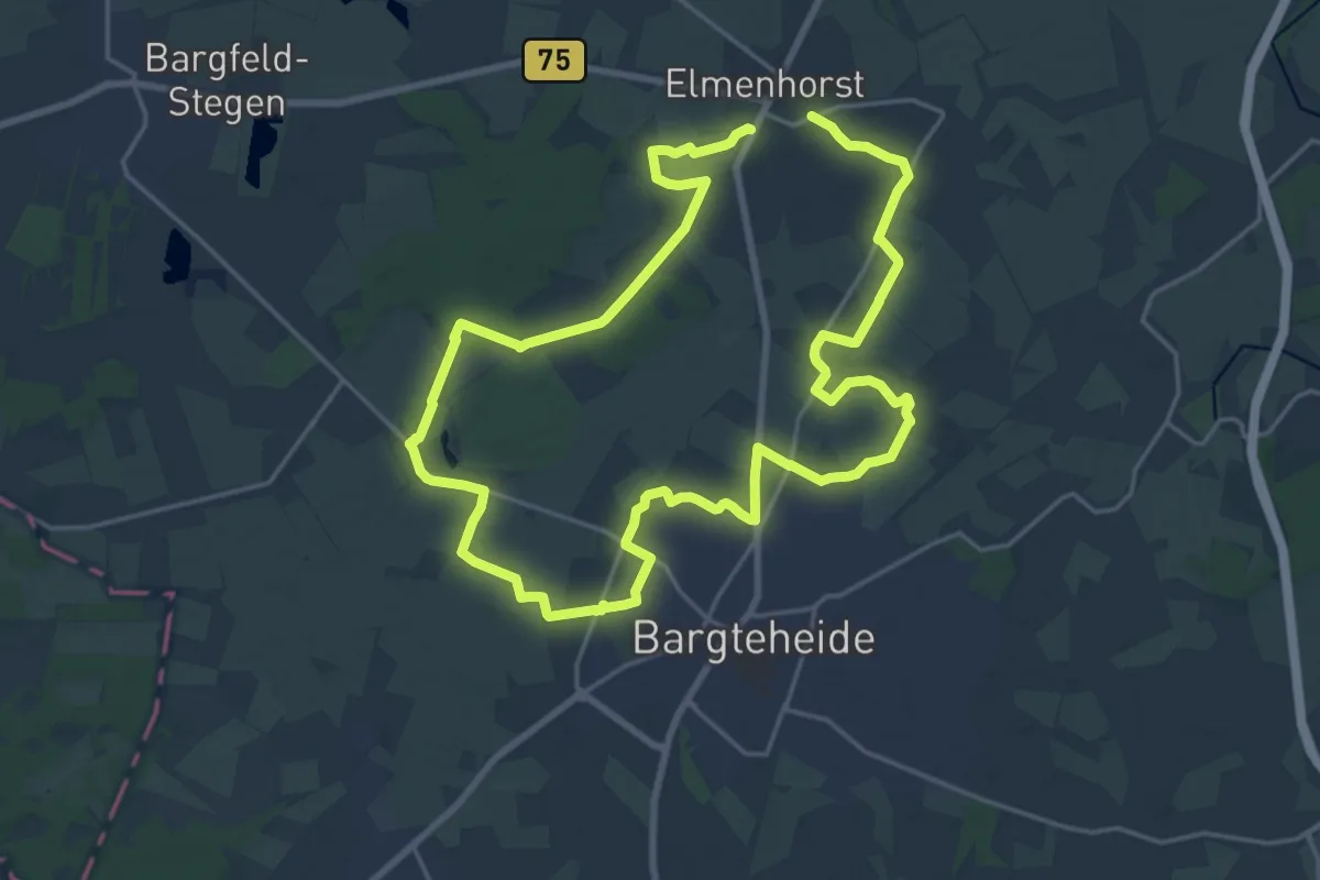
Medium · Trail
Parks und Gärten rund um Elmenhorst
16.3 km · ↑ 47 m · 4 h 11 min
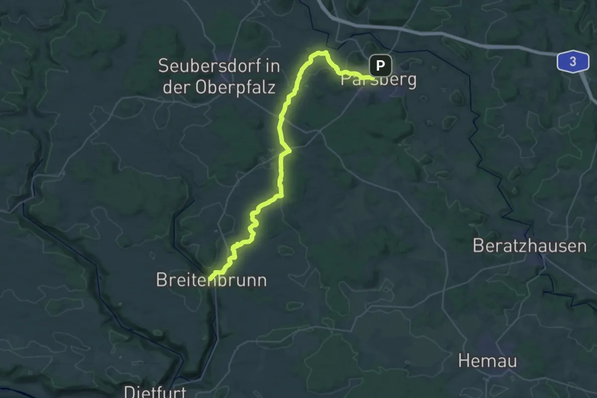
Medium · Trail
Parsberg – Breitenbrunn
17.6 km · ↑ 274 m · 5 h 2 min
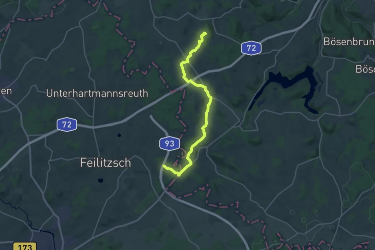
Medium · Summit
Partnerschaftsweg Hof - Plauen
17.7 km · ↑ 268 m · 4 h 46 min
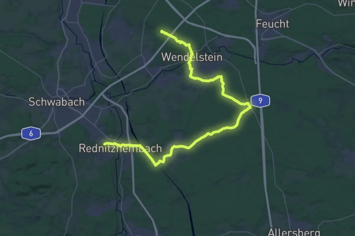
Demanding · Summit
Parzifal-Weg Teil 1
45.9 km · ↑ 410 m · 11 h 44 min
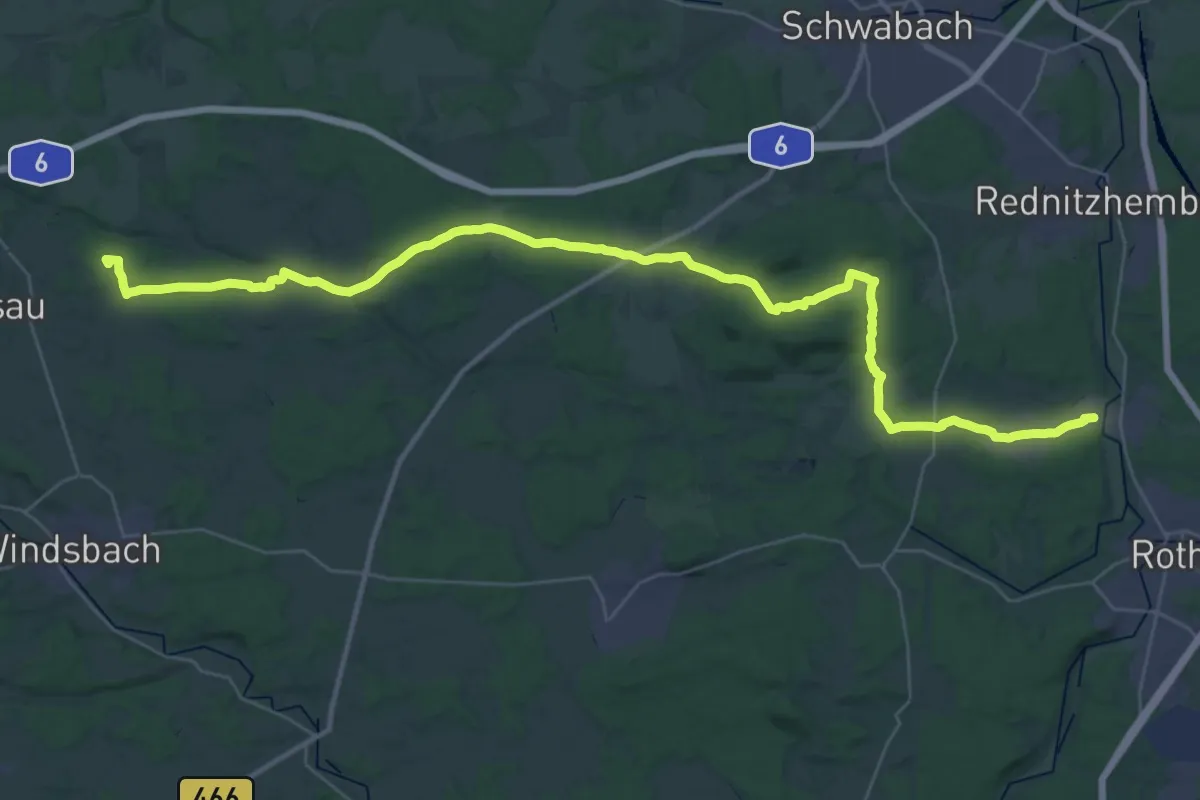
Demanding · Summit
Parzifal-Weg Teil 2
44.2 km · ↑ 619 m · 11 h 47 min
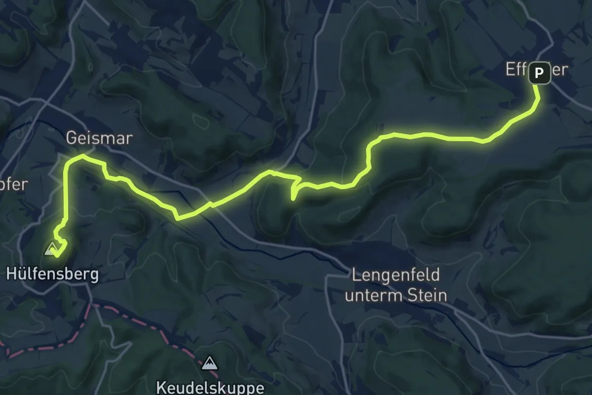
Demanding · Summit
Paschalis-Gratze-Weg
19.4 km · ↑ 535 m · 5 h 45 min
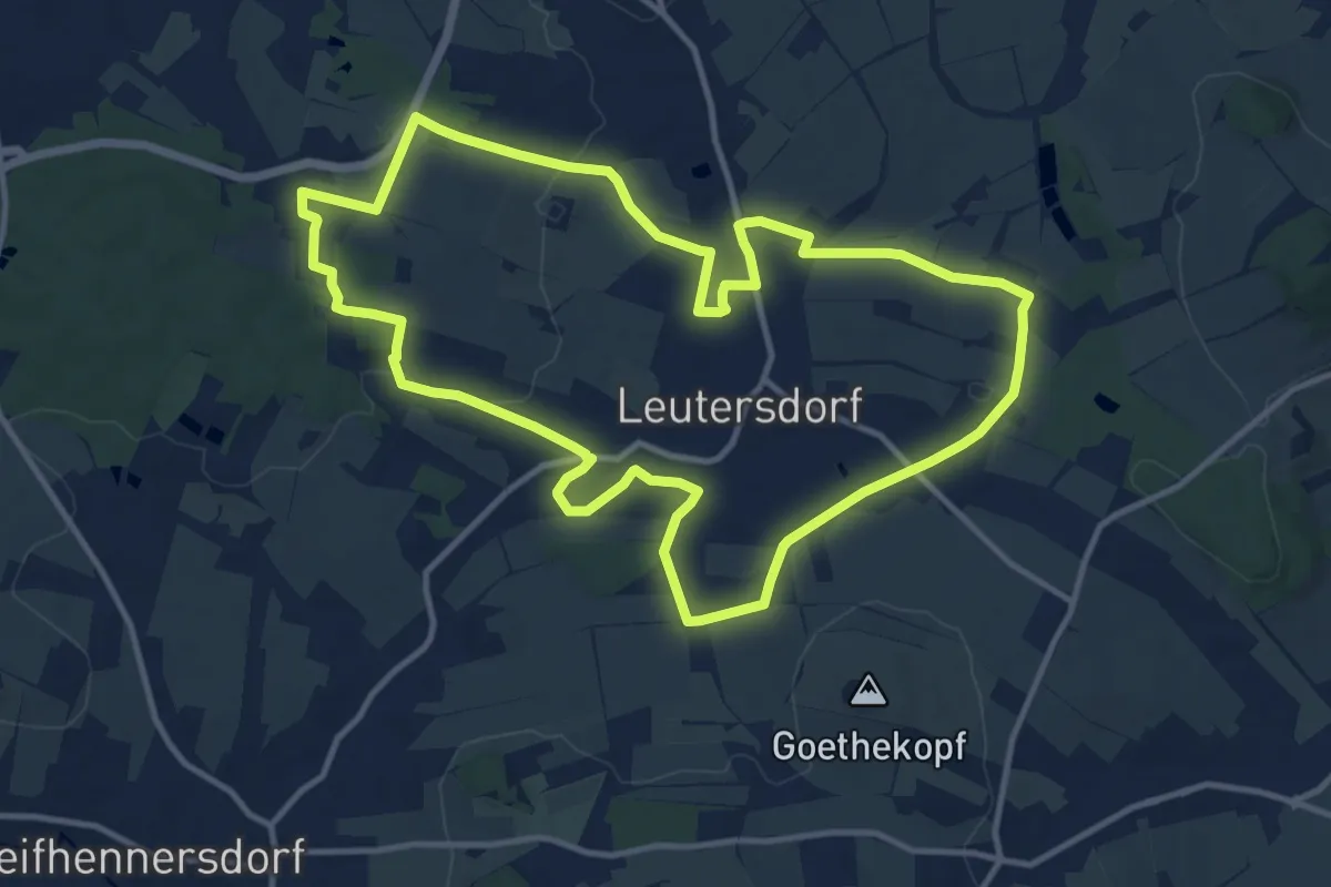
Medium · Summit
Pascherrunde Leutersdorf
11.6 km · ↑ 125 m · 3 h 10 min
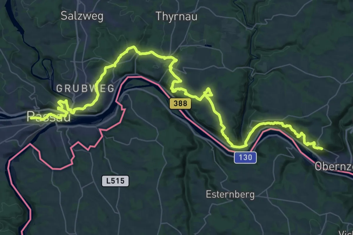
Demanding · Trail
Passau - Obernzell Donausteig Etappe
24.9 km · ↑ 986 m · 8 h 19 min
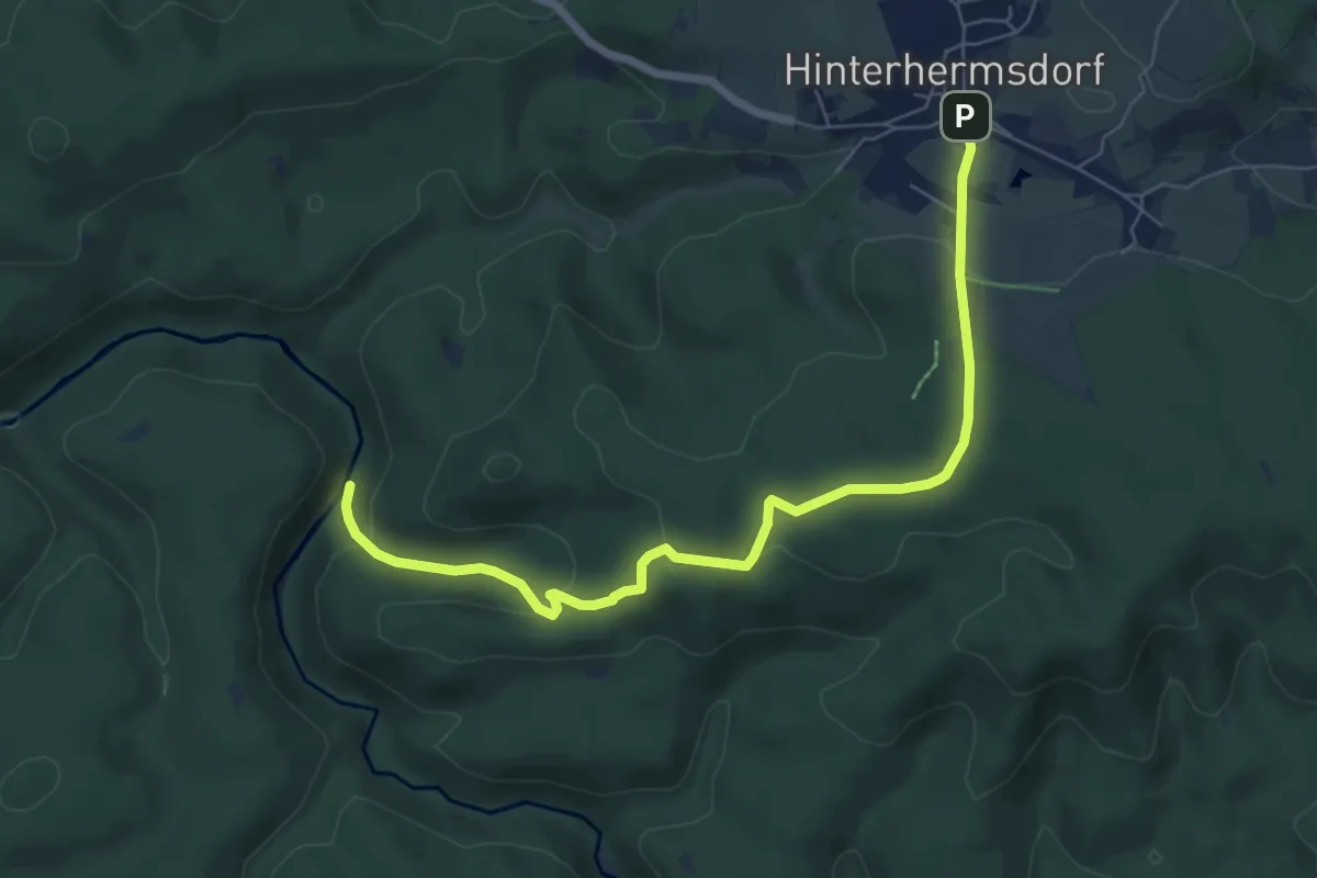
Easy · Trail
Paßgrund
6.6 km · ↑ 226 m · 2 h 3 min
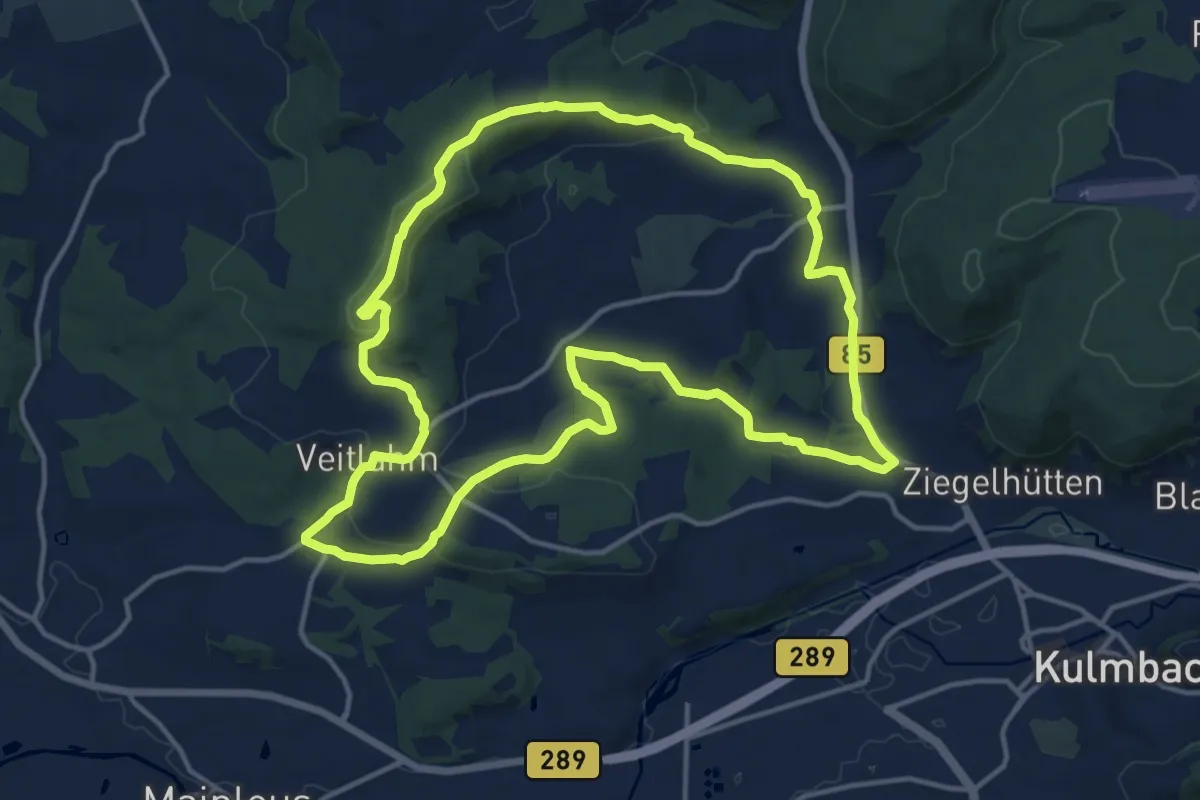
Medium · Trail
Patersberg-Weg Kurzvariante Sued RWF 66
14.0 km · ↑ 271 m · 4 h 5 min
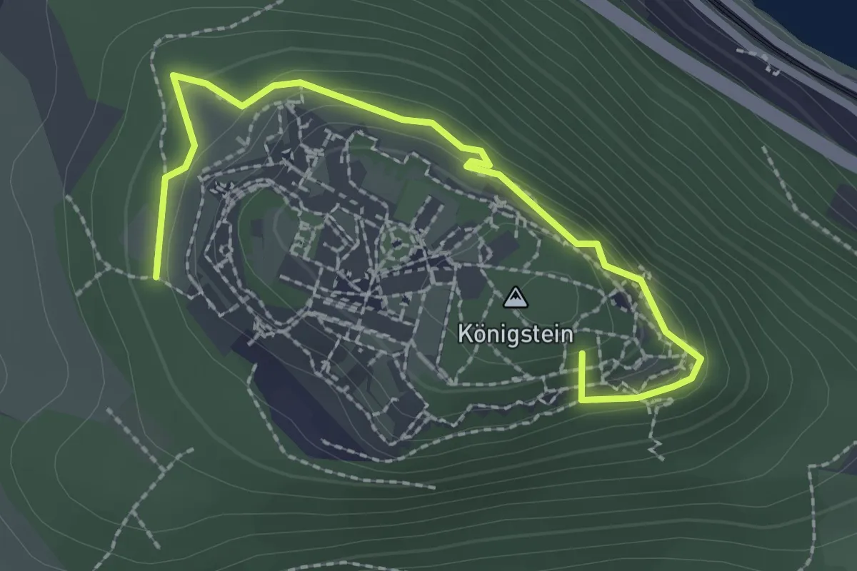
Easy · Summit
Patrouillenweg
2.4 km · ↑ 106 m · 47 min
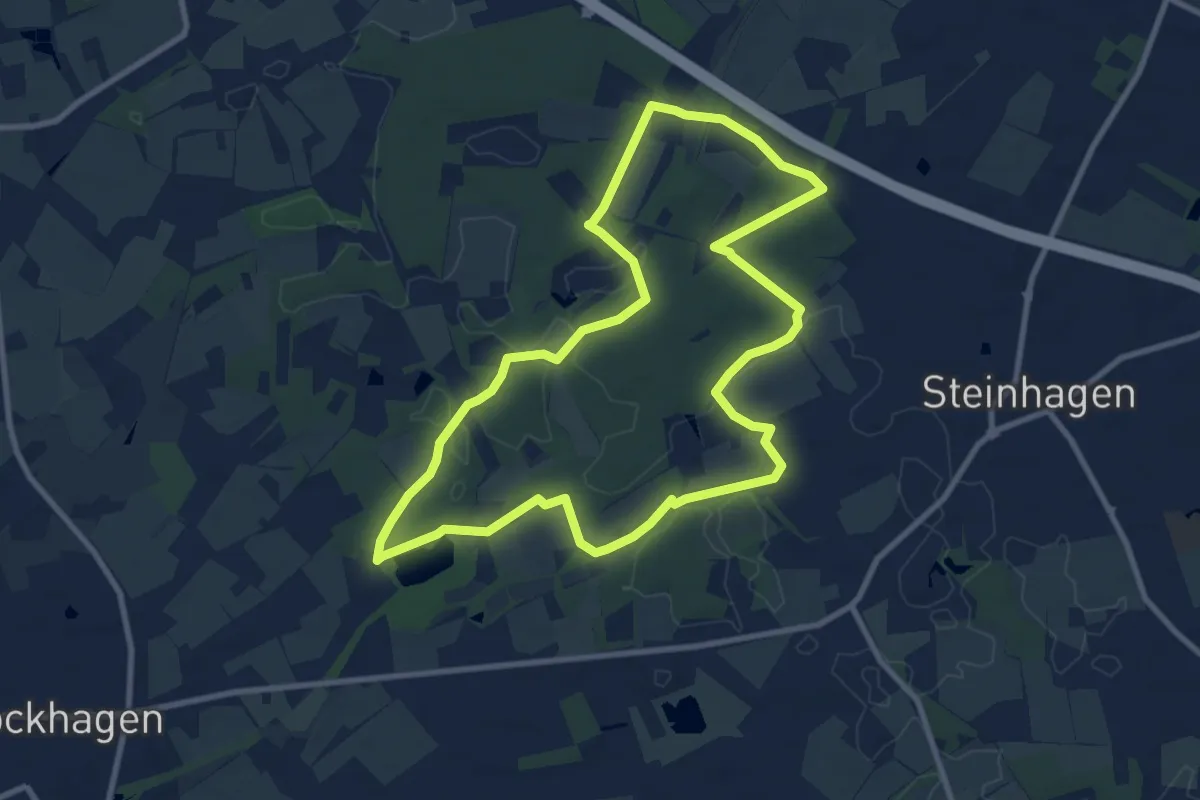
Medium · Trail
Patthorster Hexenpatt
8.6 km · ↑ 41 m · 2 h 14 min
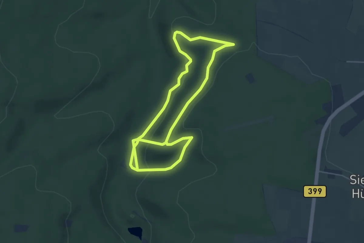
Easy · Trail
Paul-Boesch-Weg
3.8 km · ↑ 79 m · 1 h 9 min
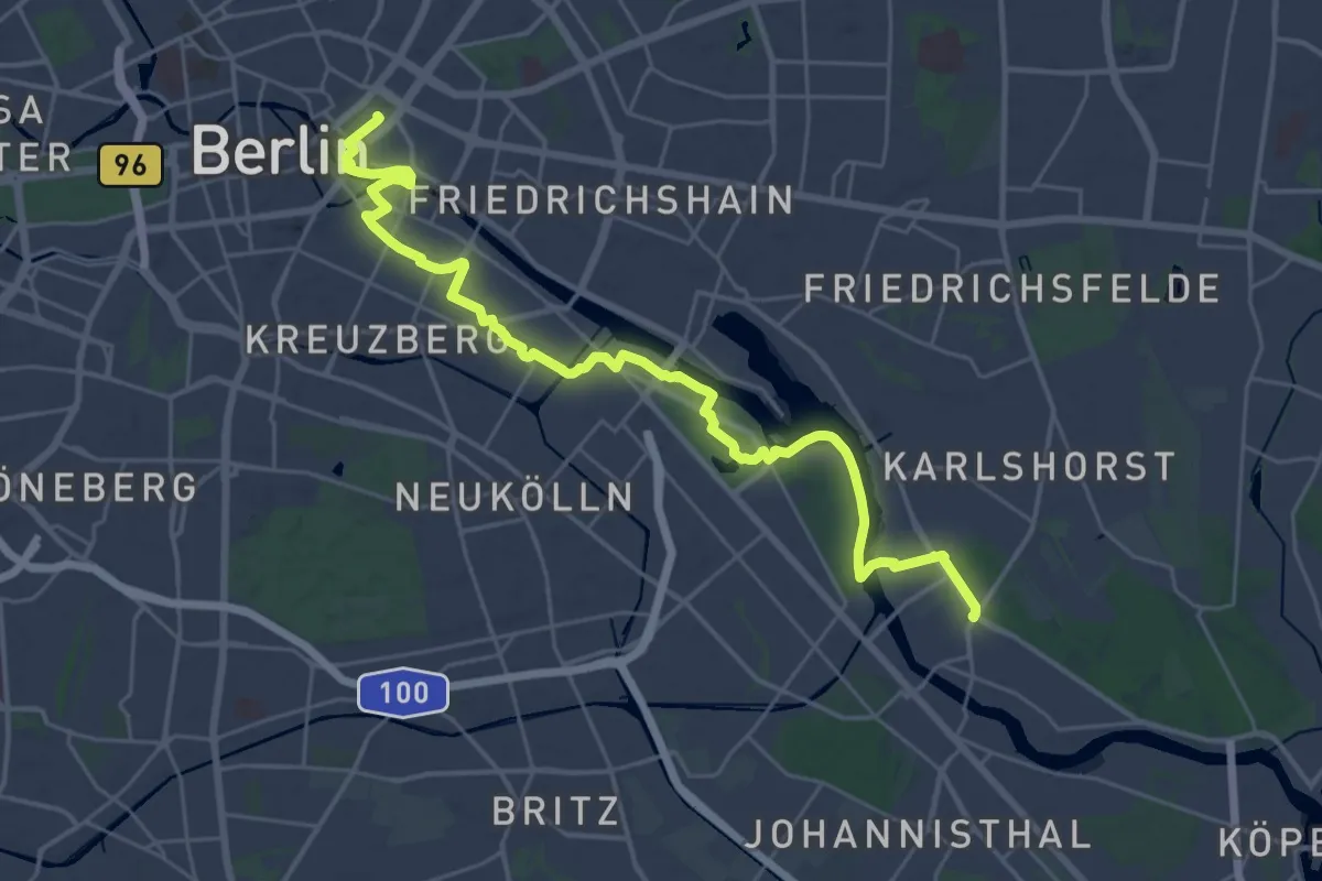
Demanding · Trail
Paul-Gerhardt-Weg Etappe 1
29.1 km · ↑ 76 m · 7 h 3 min
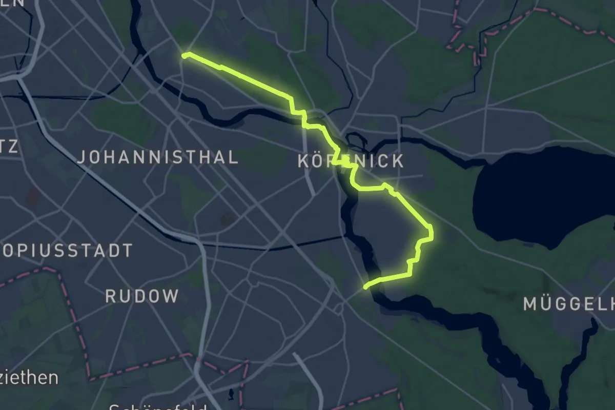
Demanding · Trail
Paul-Gerhardt-Weg Etappe 2
24.6 km · ↑ 69 m · 5 h 58 min
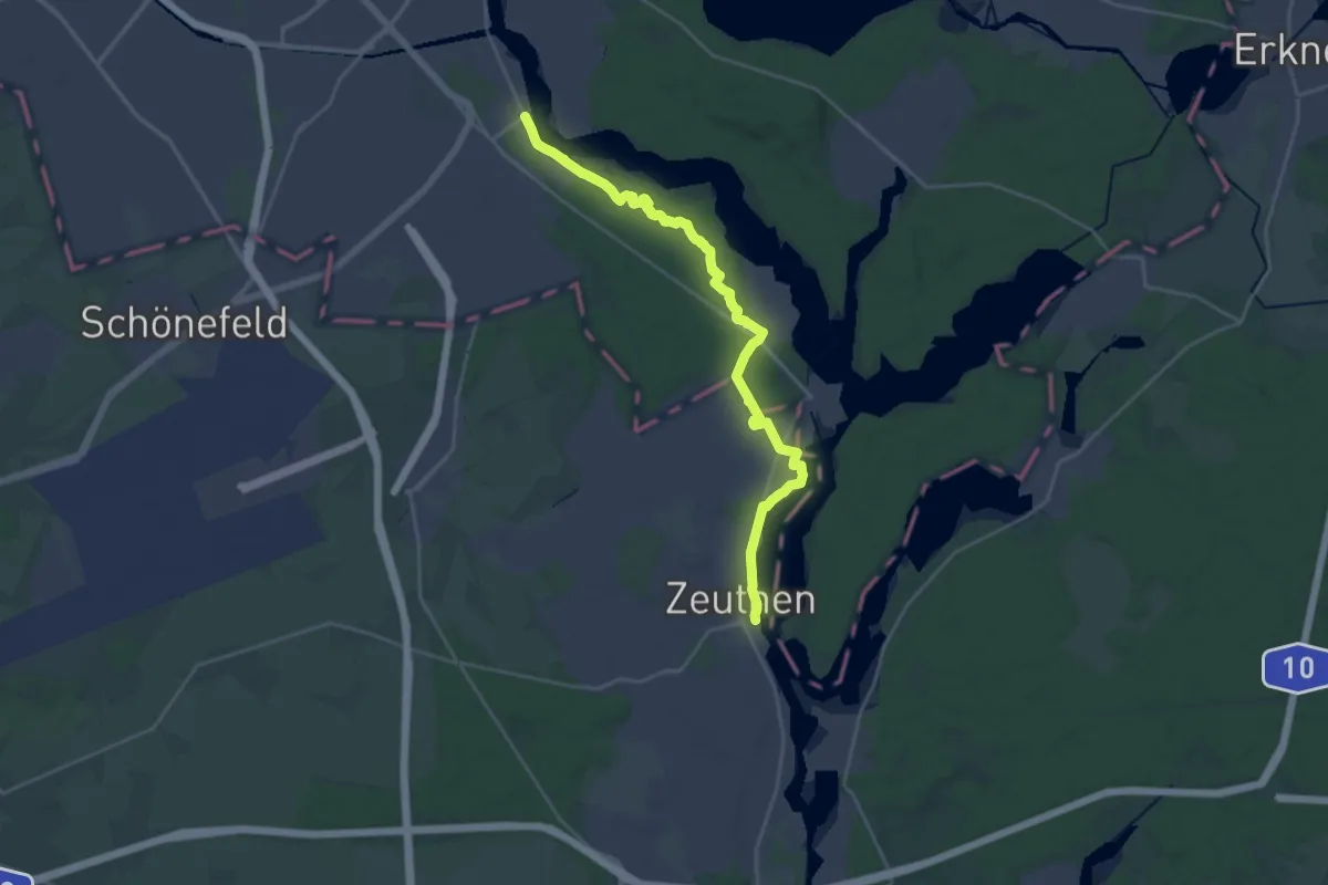
Demanding · Trail
Paul-Gerhardt-Weg Etappe 3
23.1 km · ↑ 56 m · 5 h 34 min
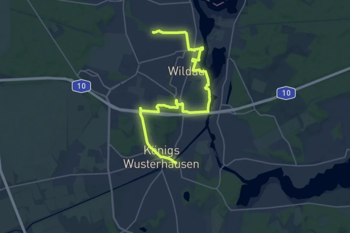
Demanding · Summit
Paul-Gerhardt-Weg Etappe 4
19.0 km · ↑ 110 m · 4 h 44 min
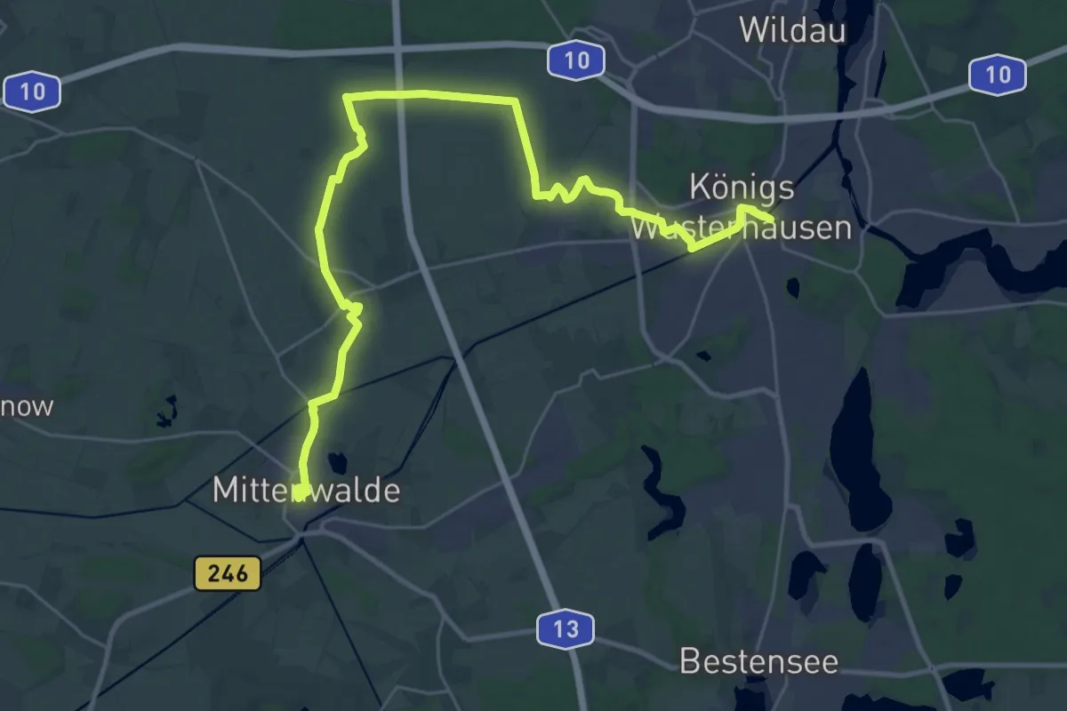
Demanding · Trail
Paul-Gerhardt-Weg Etappe 5
30.4 km · ↑ 37 m · 7 h 15 min
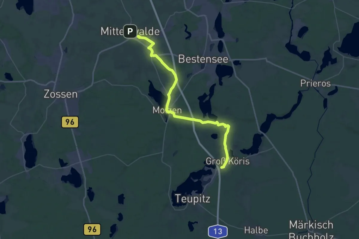
Demanding · Trail
Paul-Gerhardt-Weg Etappe 6
20.0 km · ↑ 94 m · 5 h 12 min
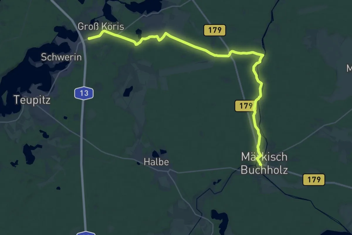
Demanding · Trail
Paul-Gerhardt-Weg Etappe 7
28.3 km · ↑ 66 m · 6 h 49 min
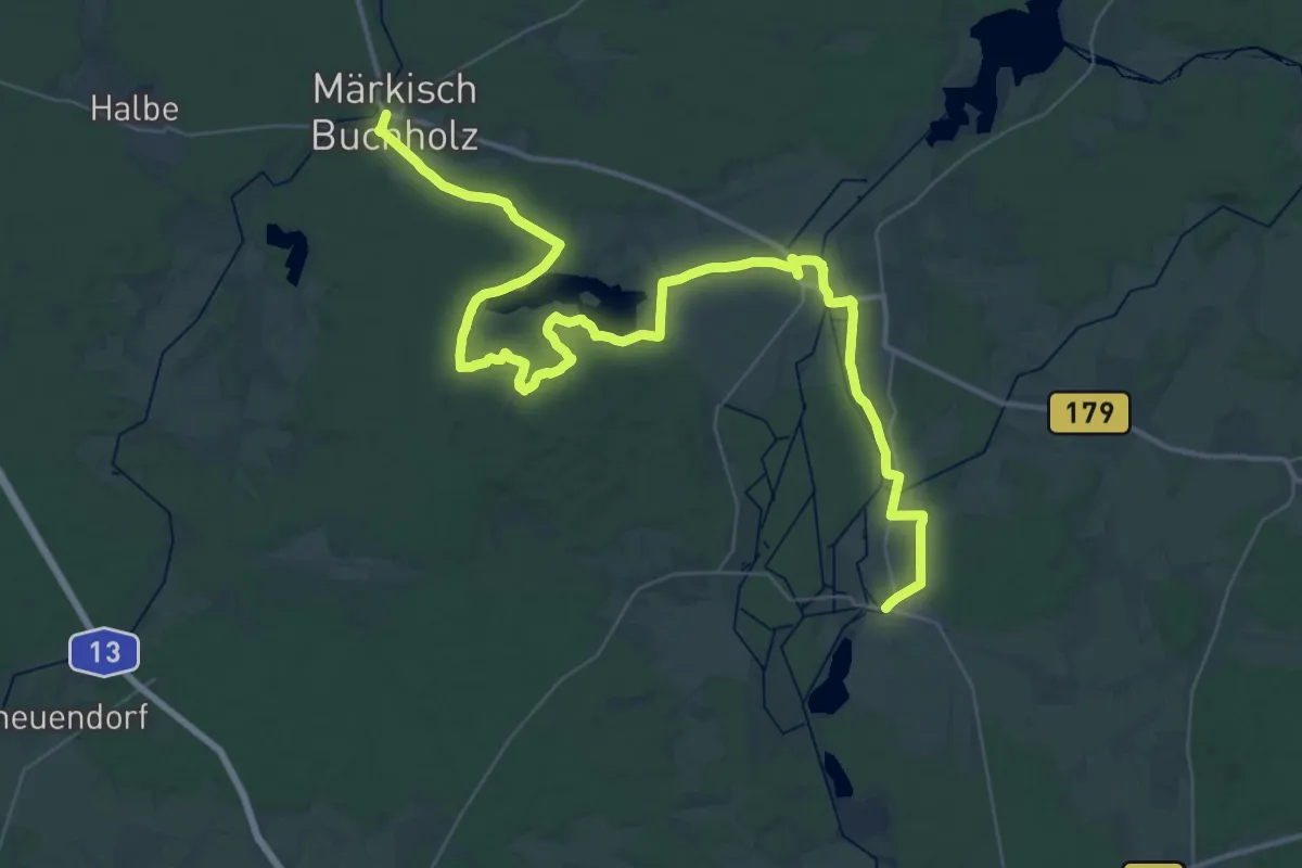
Demanding · Trail
Paul-Gerhardt-Weg Etappe 8
26.3 km · ↑ 57 m · 6 h 42 min
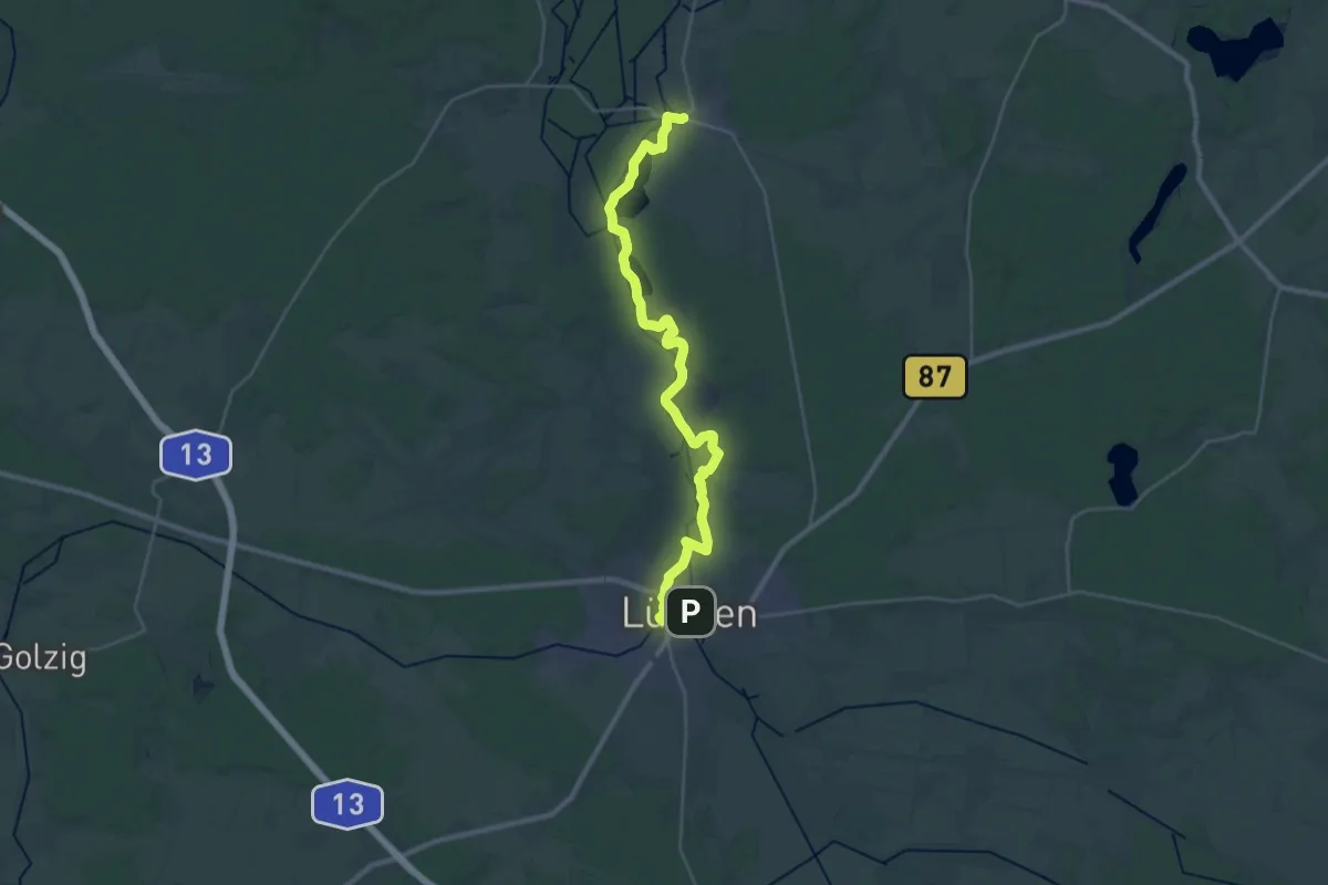
Demanding · Trail
Paul-Gerhardt-Weg Etappe 9
30.0 km · ↑ 45 m · 7 h 11 min
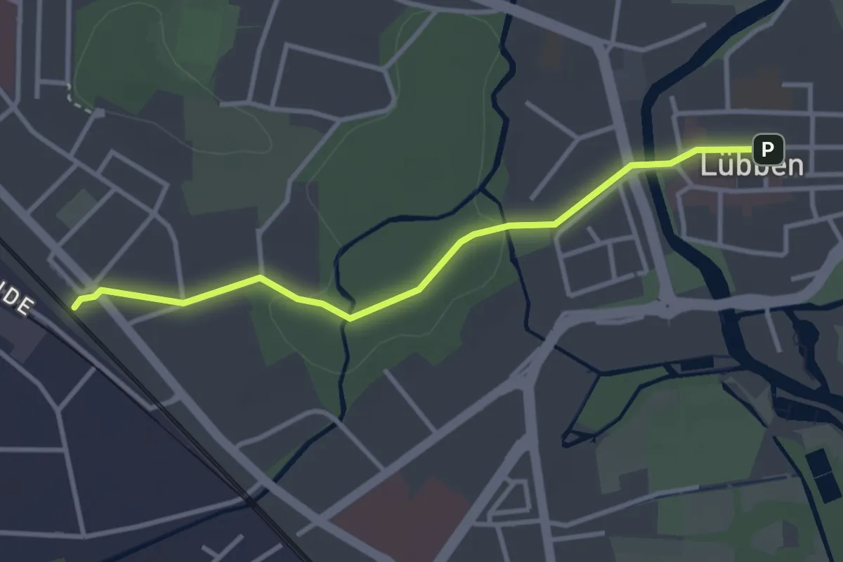
Easy · Trail
Paul-Gerhardt-Weg Zubringerweg
2.9 km · ↑ 9 m · 42 min
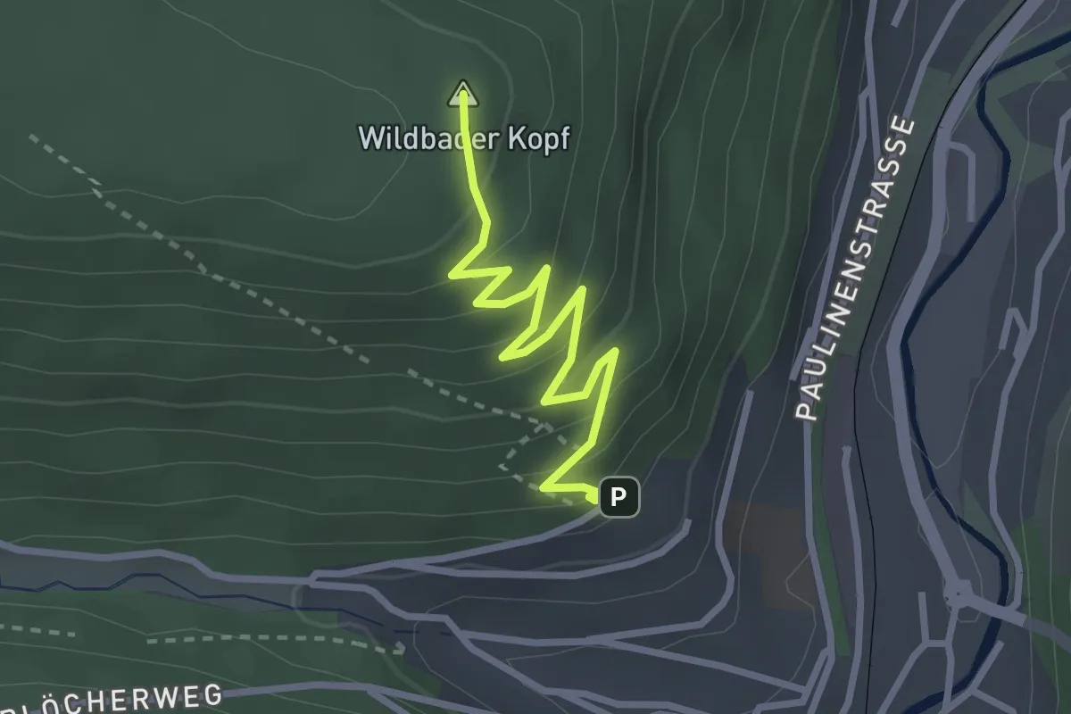
Easy · Summit
Paulinenhöhe - Wildbader Kopf
2.7 km · ↑ 188 m · 1 h 3 min
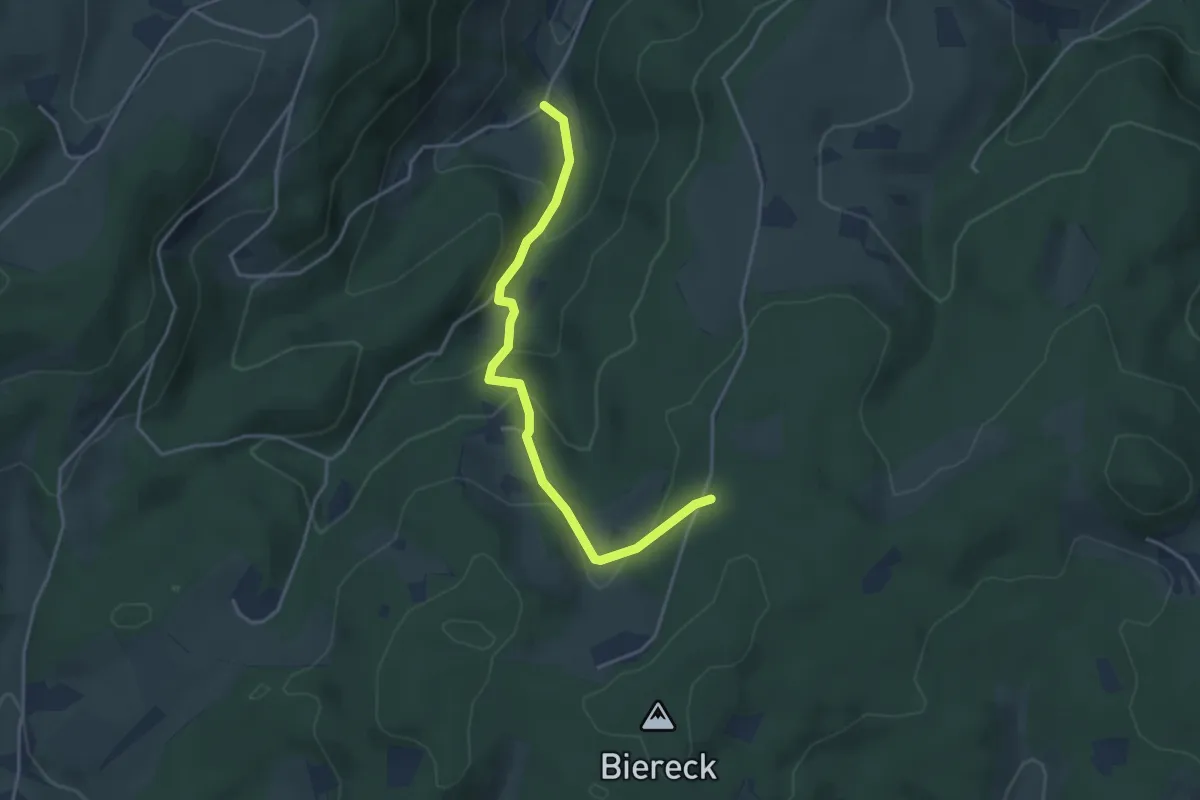
Easy · Trail
Paulismühle - Abzweig Munde
3.8 km · ↑ 228 m · 1 h 23 min
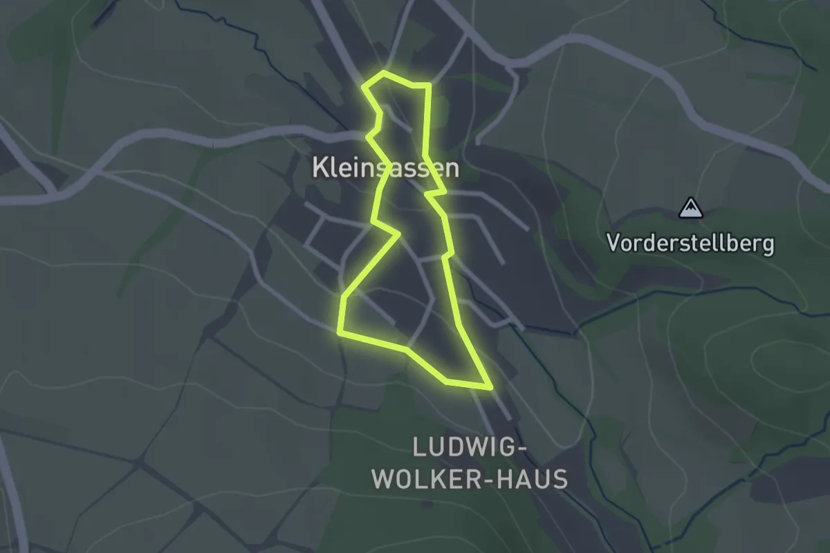
Easy · Trail
Paul-Klüber-Malerrundweg
1.7 km · ↑ 29 m · 29 min
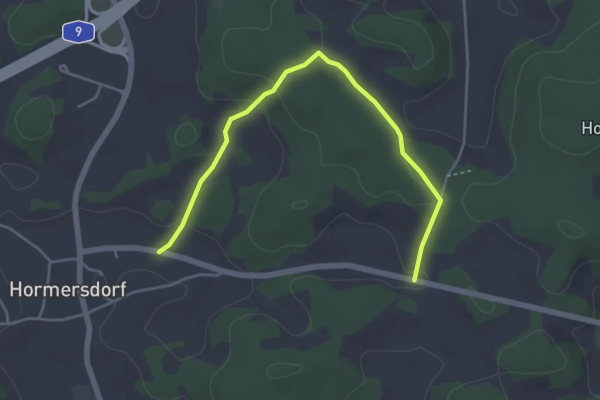
Easy · Trail
Paul-Pfinzing-Weg
3.7 km · ↑ 75 m · 1 h 2 min
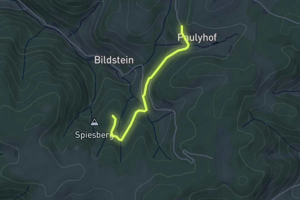
Easy · Trail
Paulyhof - Spiesberg
3.0 km · ↑ 103 m · 56 min
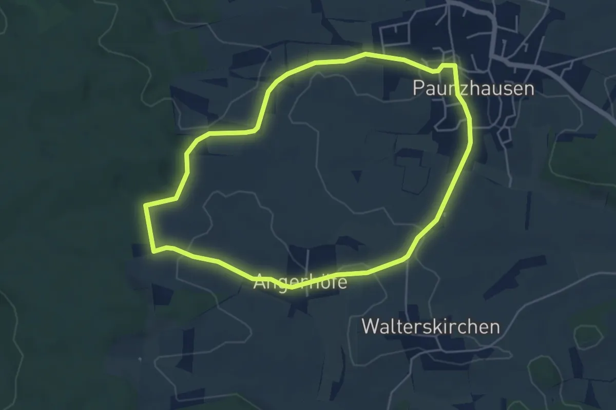
Easy · Trail
Paunzhausener Wege (6 / orange-kurz)
4.4 km · ↑ 37 m · 1 h 11 min
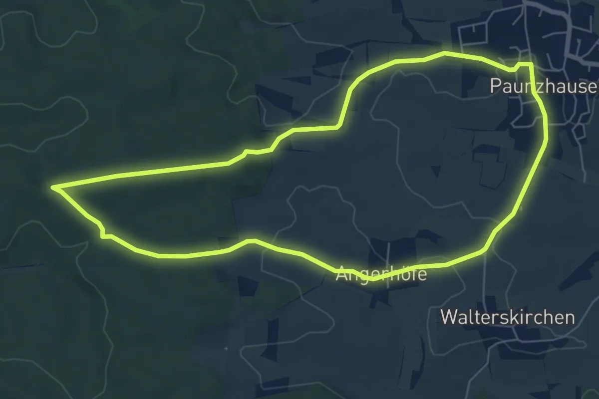
Easy · Trail
Paunzhausener Wege (6 / orange-lang)
5.9 km · ↑ 81 m · 1 h 40 min
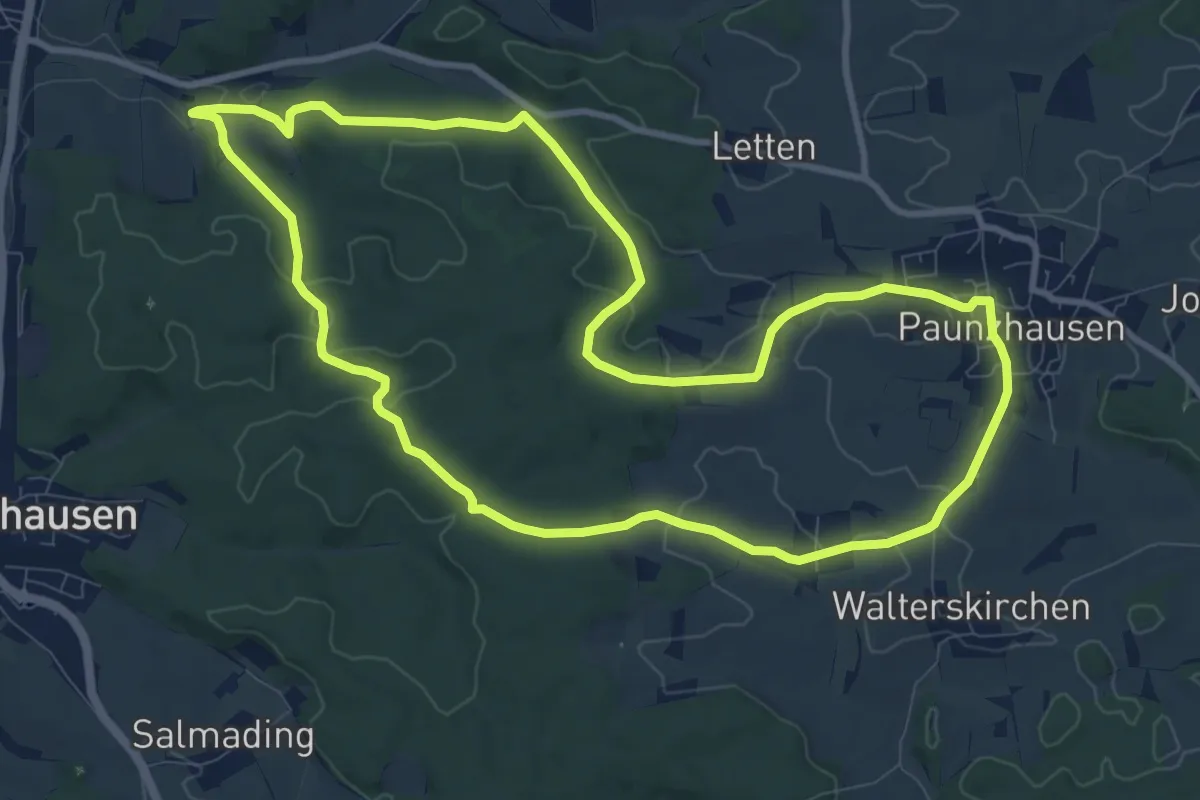
Medium · Trail
Paunzhausen-Ilmmünster-Weg (3 / lila)
9.8 km · ↑ 155 m · 2 h 47 min
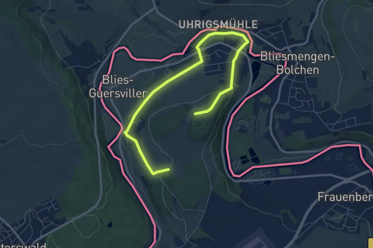
Easy · Trail
Paysages de la Blies
4.5 km · ↑ 94 m · 1 h 19 min
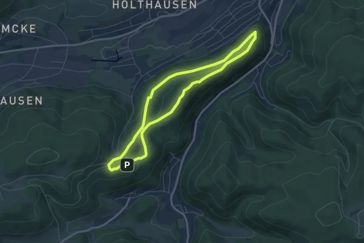
Easy · Summit
[PE2] Rundwanderweg um die Sundhelle
5.5 km · ↑ 194 m · 1 h 48 min
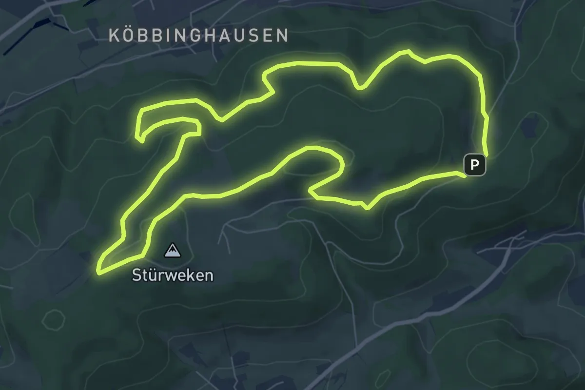
Easy · Summit
[PE3] Rundwanderweg um Dingeringhausen
7.7 km · ↑ 227 m · 2 h 24 min
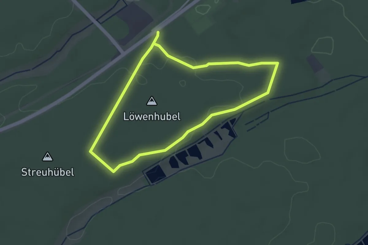
Easy · Trail
Pechhüttenweg
2.9 km · ↑ 28 m · 47 min
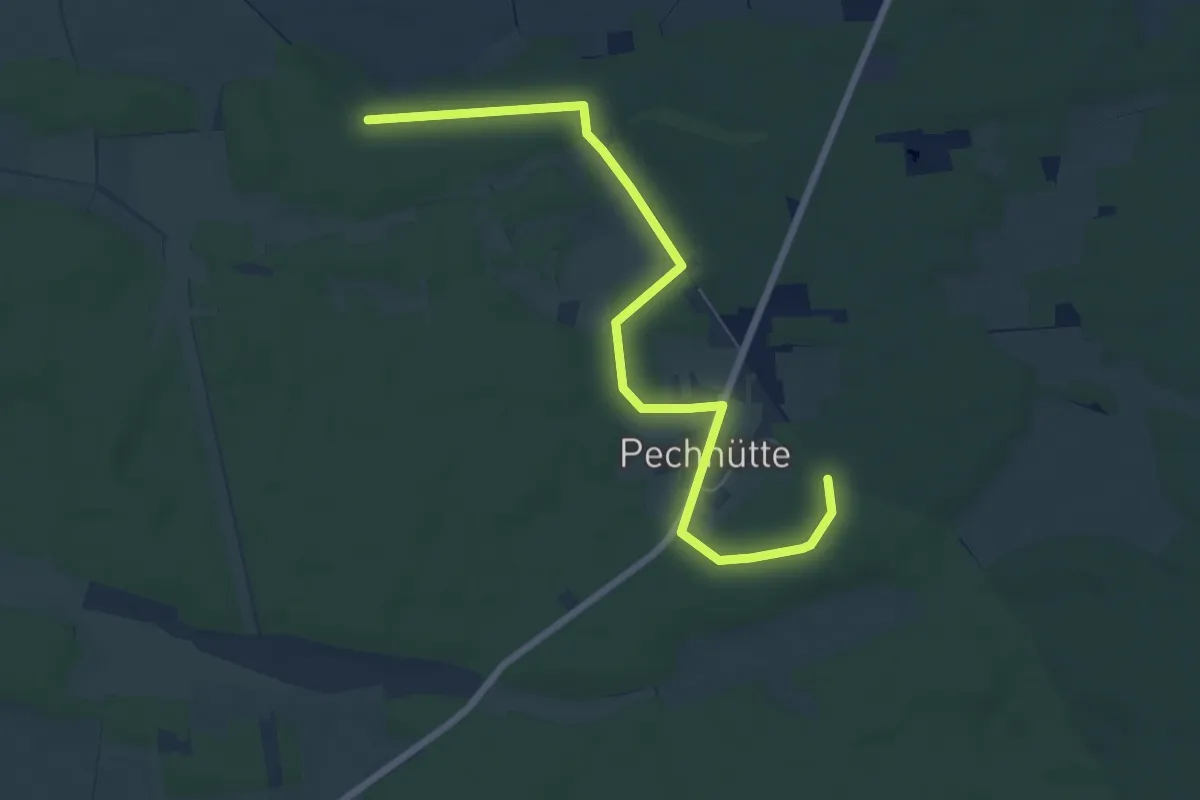
Easy · Trail
Pechhütte Wanderweg
7.1 km · ↑ 40 m · 1 h 45 min
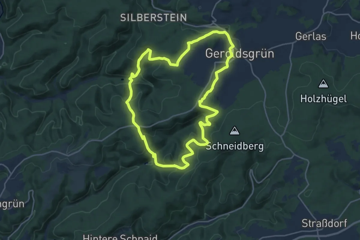
Medium · Trail
Pechkratzerweg DÖ 92
13.5 km · ↑ 592 m · 4 h 39 min
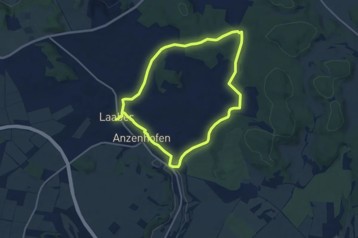
Easy · Trail
Pechtalweg
7.9 km · ↑ 140 m · 2 h 16 min
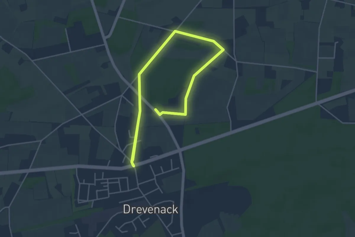
Easy · Trail
Peddenberg Rundweg A5
3.0 km · ↑ 4 m · 45 min
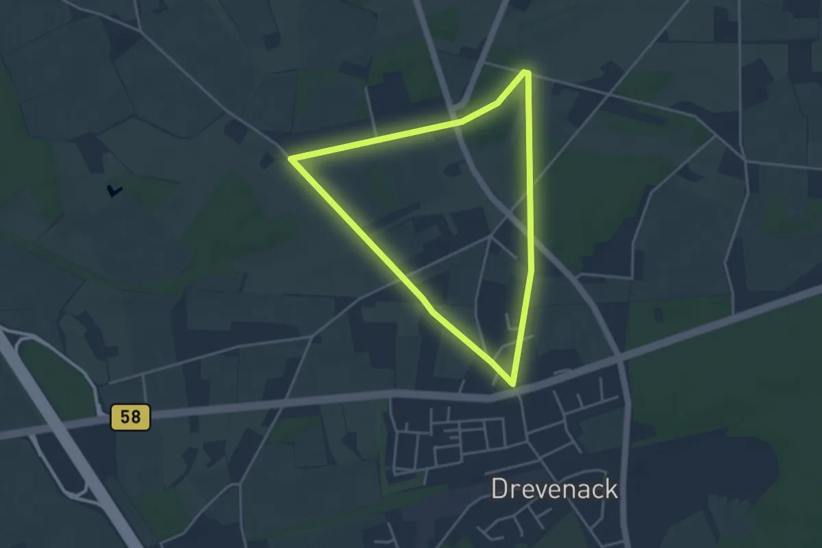
Easy · Trail
Peddenberg Rundweg A6
3.1 km · ↑ 4 m · 47 min