Trails in Germany
36,852 hiking trails, each with its route, climb, walking time and grade.
All trails, page 416 of 768
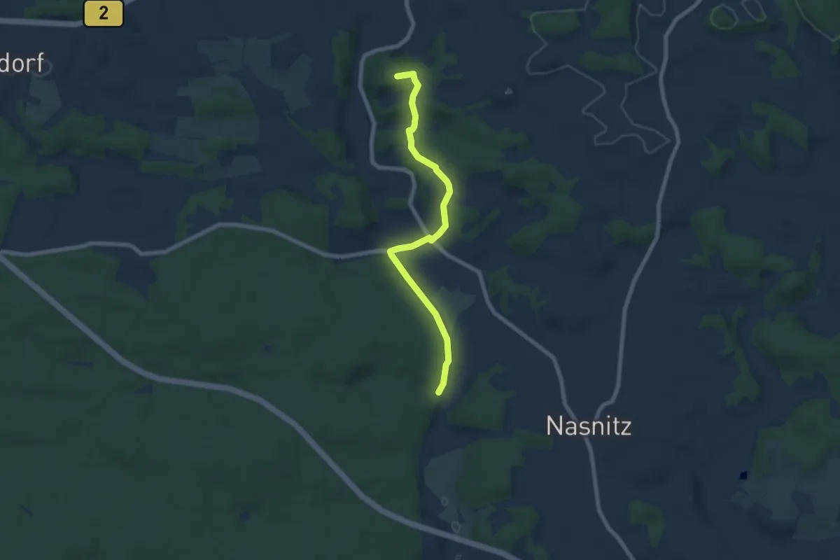
Easy · Summit
Pegnitz-Hubertussteig
6.0 km · ↑ 141 m · 1 h 43 min
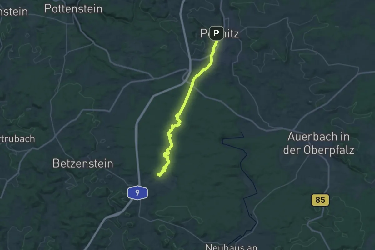
Demanding · Summit
Pegnitz - Plech
24.9 km · ↑ 357 m · 6 h 39 min
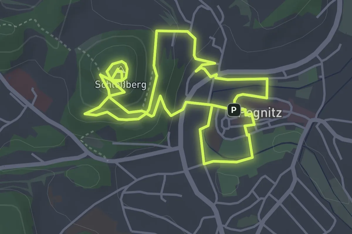
Easy · Summit
Pegnitz Stadtspaziergang
4.0 km · ↑ 148 m · 1 h 19 min
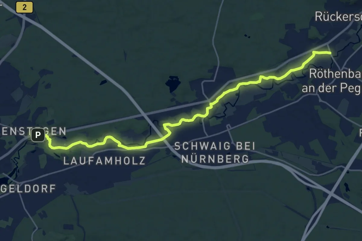
Demanding · Trail
Pegnitztalweg
20.2 km · ↑ 100 m · 5 h
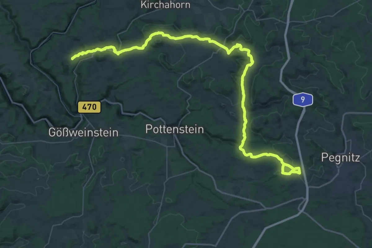
Demanding · Trail
Pegnitz - Weiße Marter bei Köttweinsdorf
24.9 km · ↑ 407 m · 7 h 7 min
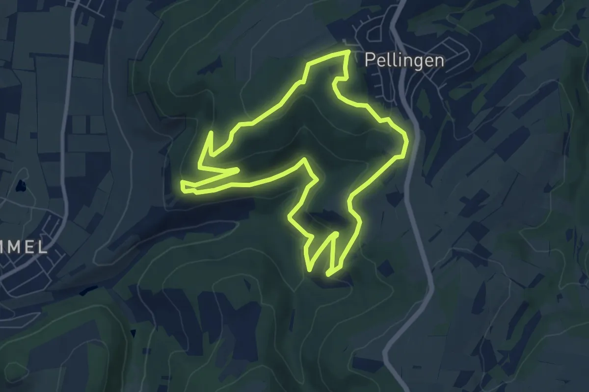
Easy · Trail
Pellinger Schanzen - Wanderroute 1
7.3 km · ↑ 224 m · 2 h 18 min
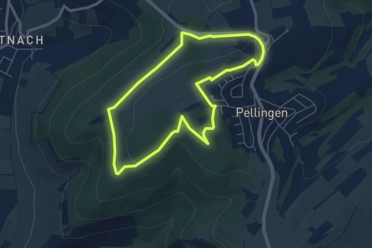
Easy · Trail
Pellinger Schanzen - Wanderroute 2
4.8 km · ↑ 82 m · 1 h 22 min
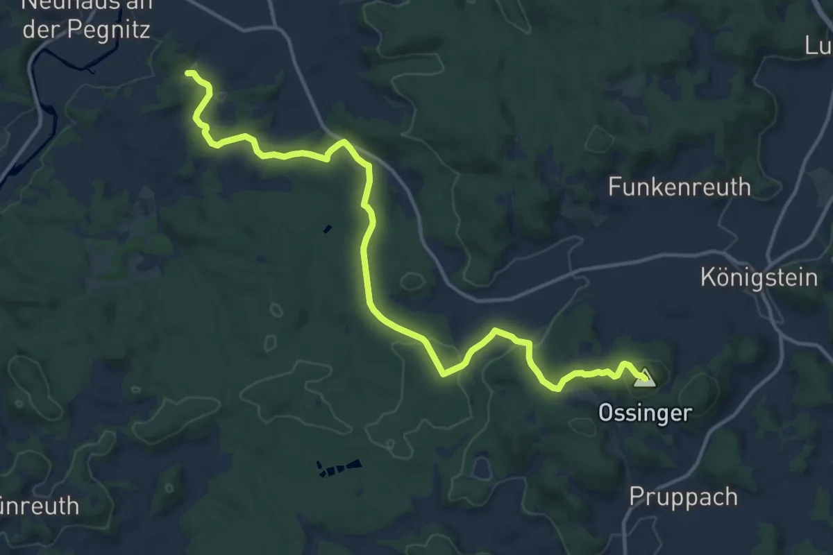
Medium · Summit
Pendolino-Wanderung
14.2 km · ↑ 326 m · 4 h 4 min
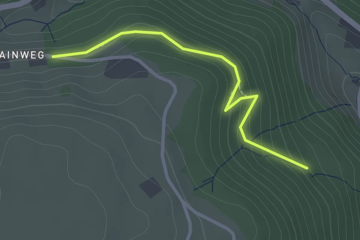
Easy · Trail
Pension Wissler - Winterhalde
2.1 km · ↑ 129 m · 47 min
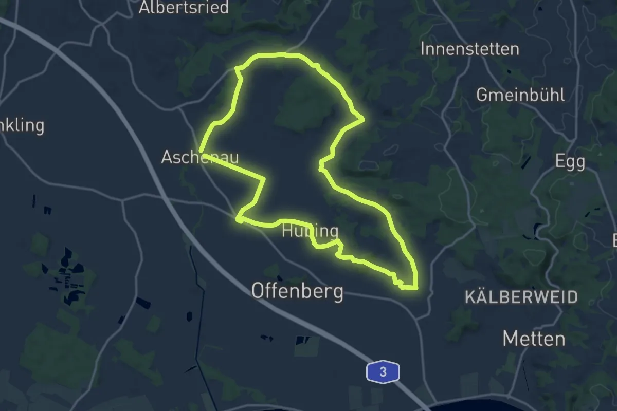
Medium · Summit
Penzenrieder Weg
13.5 km · ↑ 196 m · 3 h 48 min
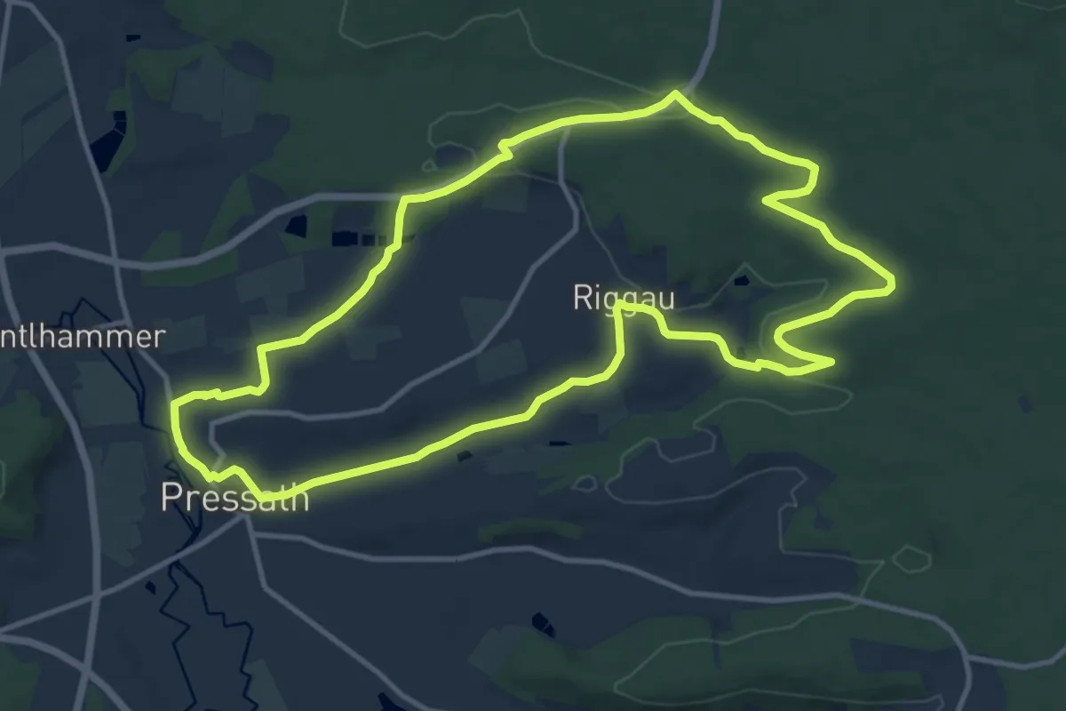
Medium · Trail
Permanenter IVV-Wanderweg Pressath
11.3 km · ↑ 177 m · 3 h 12 min
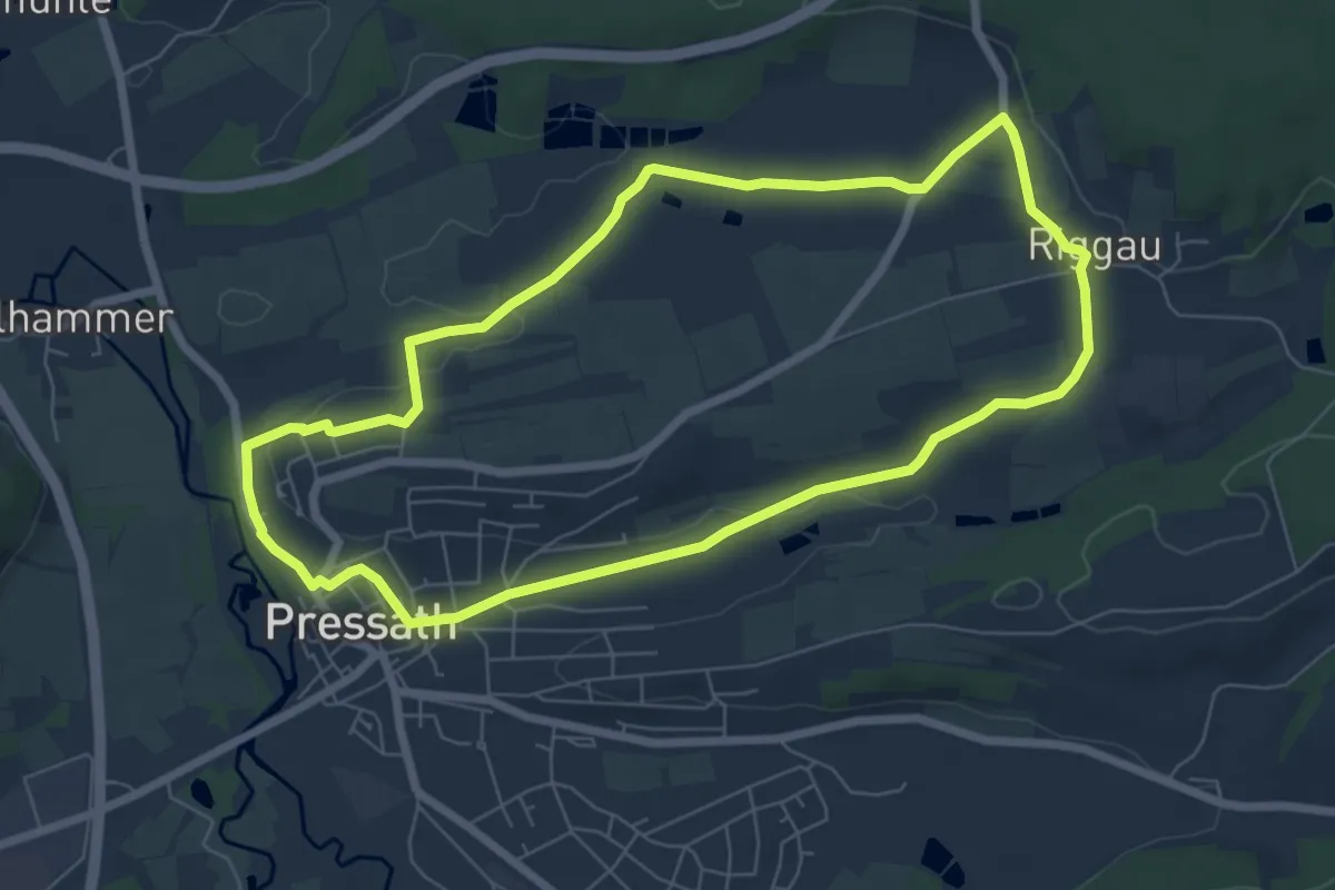
Easy · Trail
Permanenter IVV-Wanderweg Pressath 7km
6.4 km · ↑ 89 m · 1 h 48 min
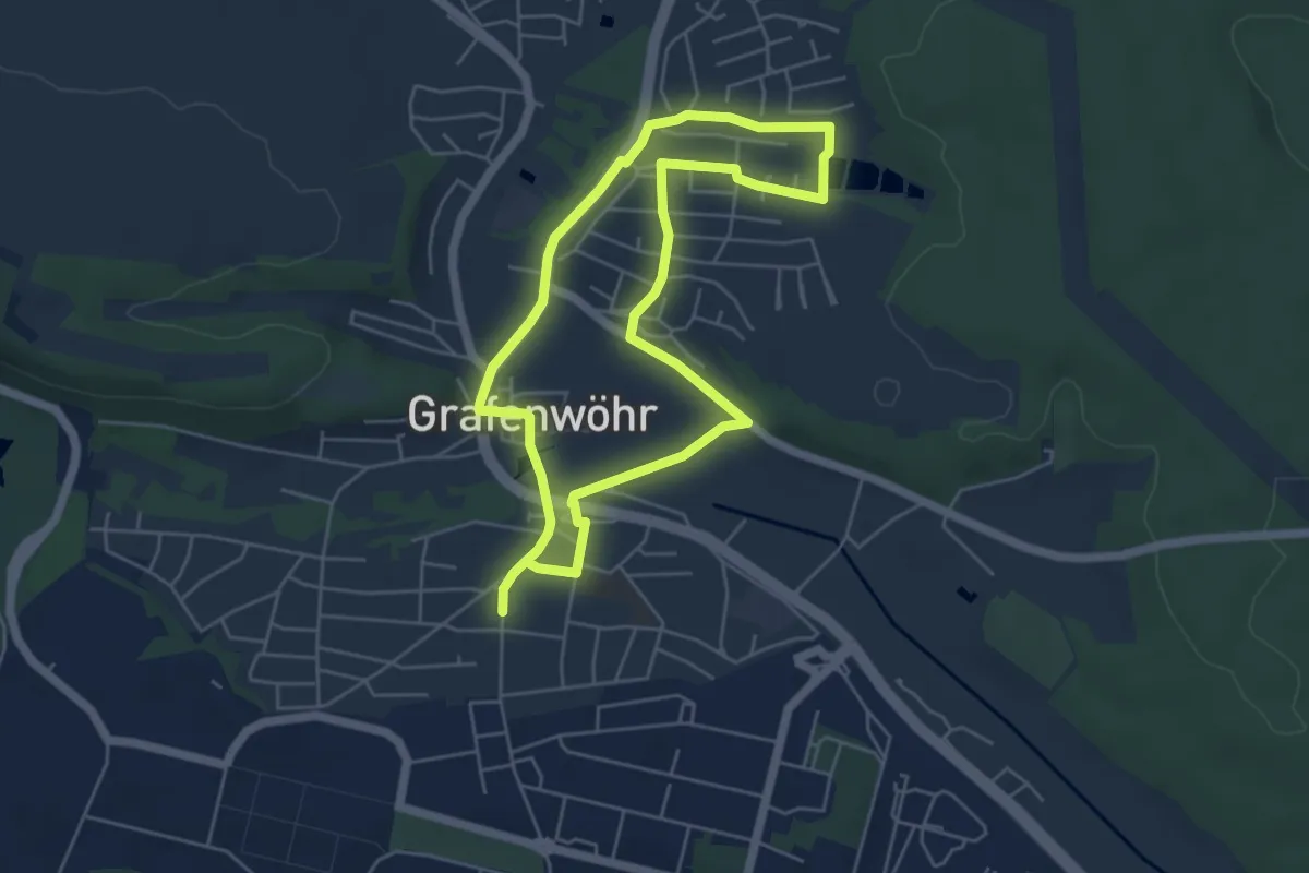
Easy · Trail
Permanenter IVV-Weg Grafenwöhr
4.6 km · ↑ 44 m · 1 h 14 min
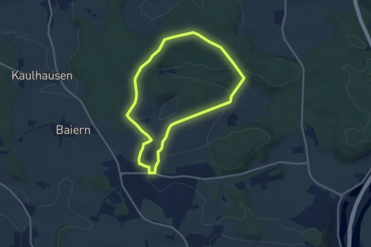
Easy · Trail
Permanenter Wanderweg (grün)
6.0 km · ↑ 109 m · 1 h 45 min
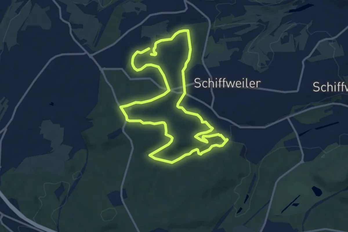
Medium · Trail
Permanenter Wanderweg Itzenplitz
8.7 km · ↑ 206 m · 2 h 37 min
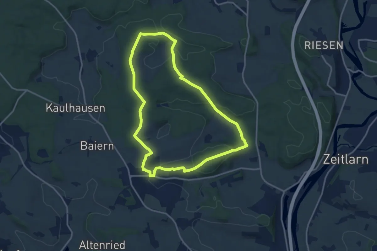
Medium · Trail
Permanenter Wanderweg (rot)
9.5 km · ↑ 193 m · 2 h 47 min
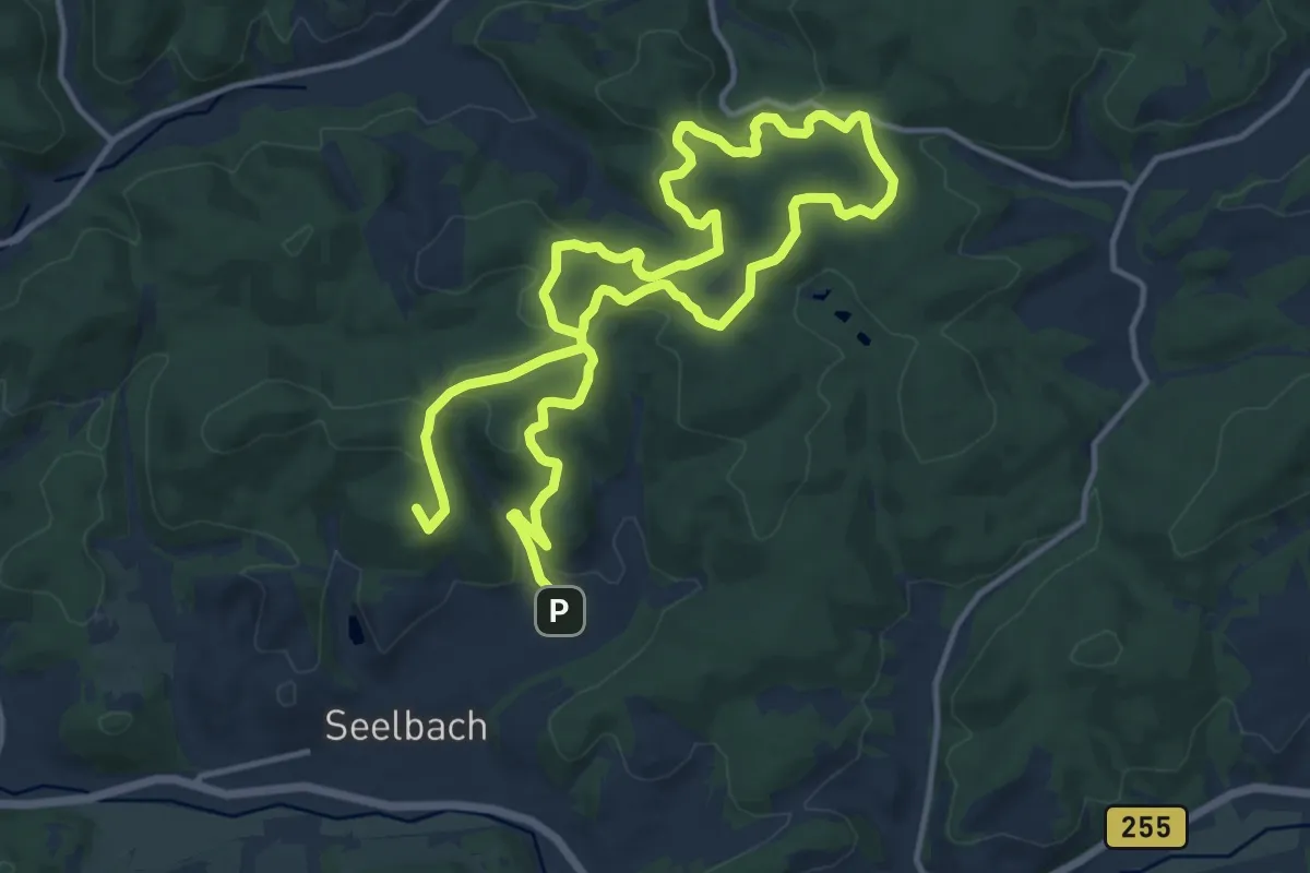
Demanding · Summit
Permanent Wanderweg Wanderfreunde Aartal e. V.
21.4 km · ↑ 534 m · 6 h 13 min
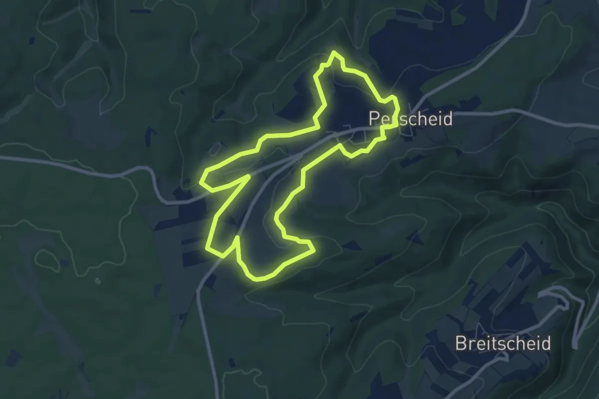
Easy · Trail
Perscheid II (blau)
6.7 km · ↑ 122 m · 1 h 56 min
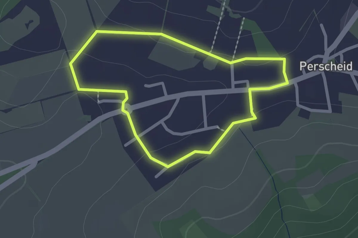
Easy · Trail
Perscheid III (gelb)
1.7 km · ↑ 19 m · 28 min
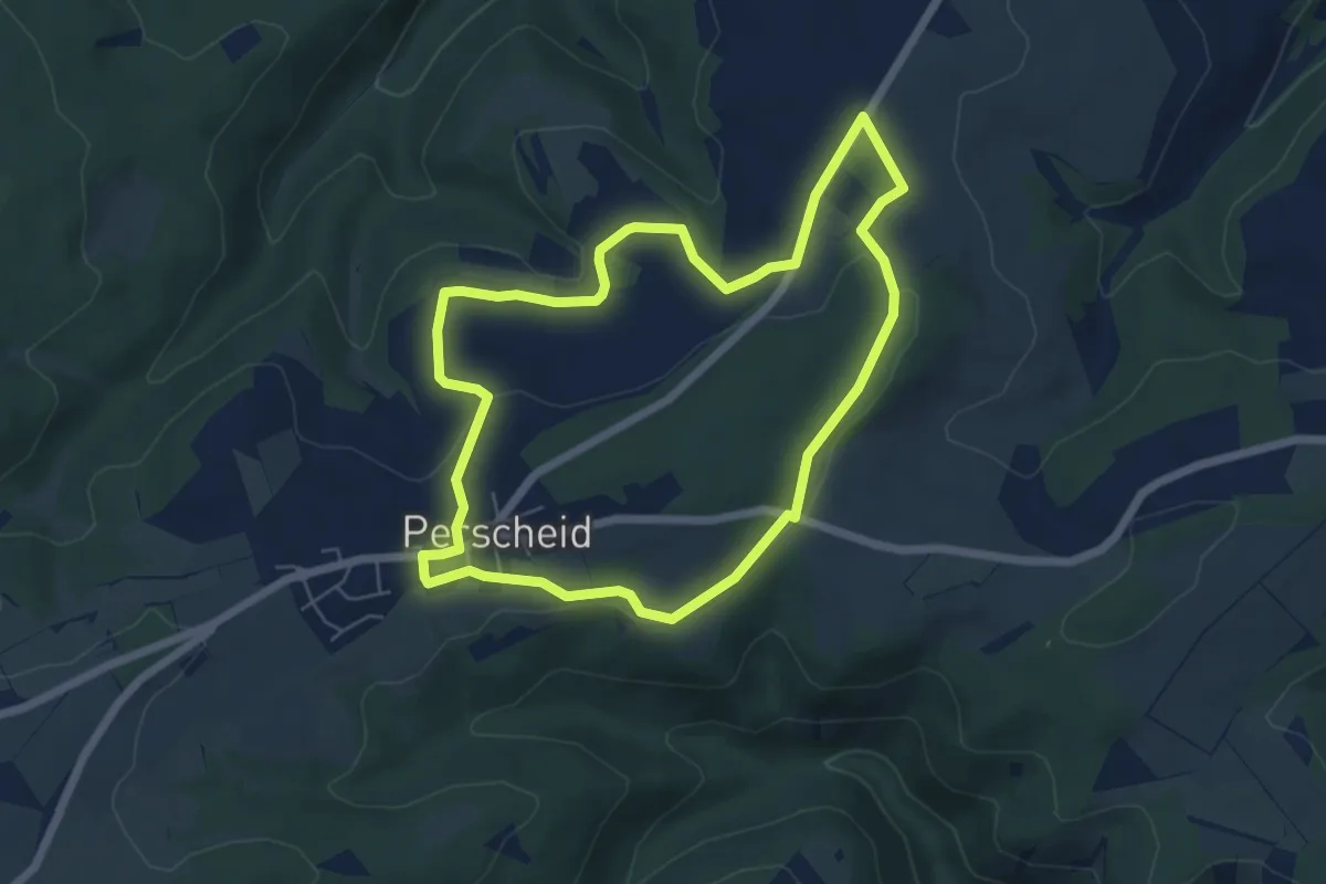
Easy · Trail
Perscheid I (rot)
5.5 km · ↑ 103 m · 1 h 35 min
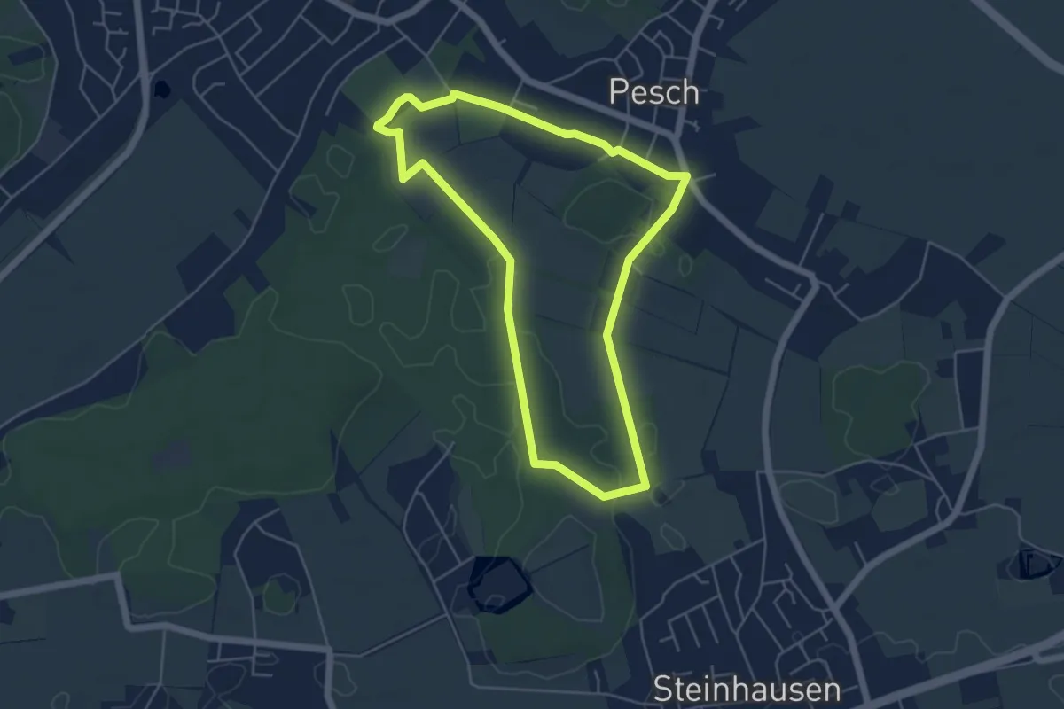
Easy · Trail
Pesch Rundweg A7
4.4 km · ↑ 4 m · 1 h 6 min
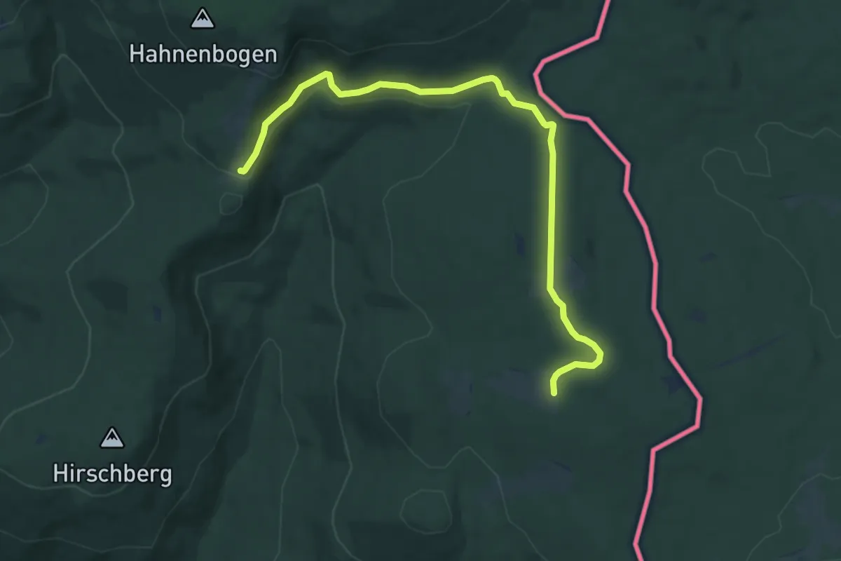
Medium · Trail
Pestwurz
9.1 km · ↑ 178 m · 2 h 33 min
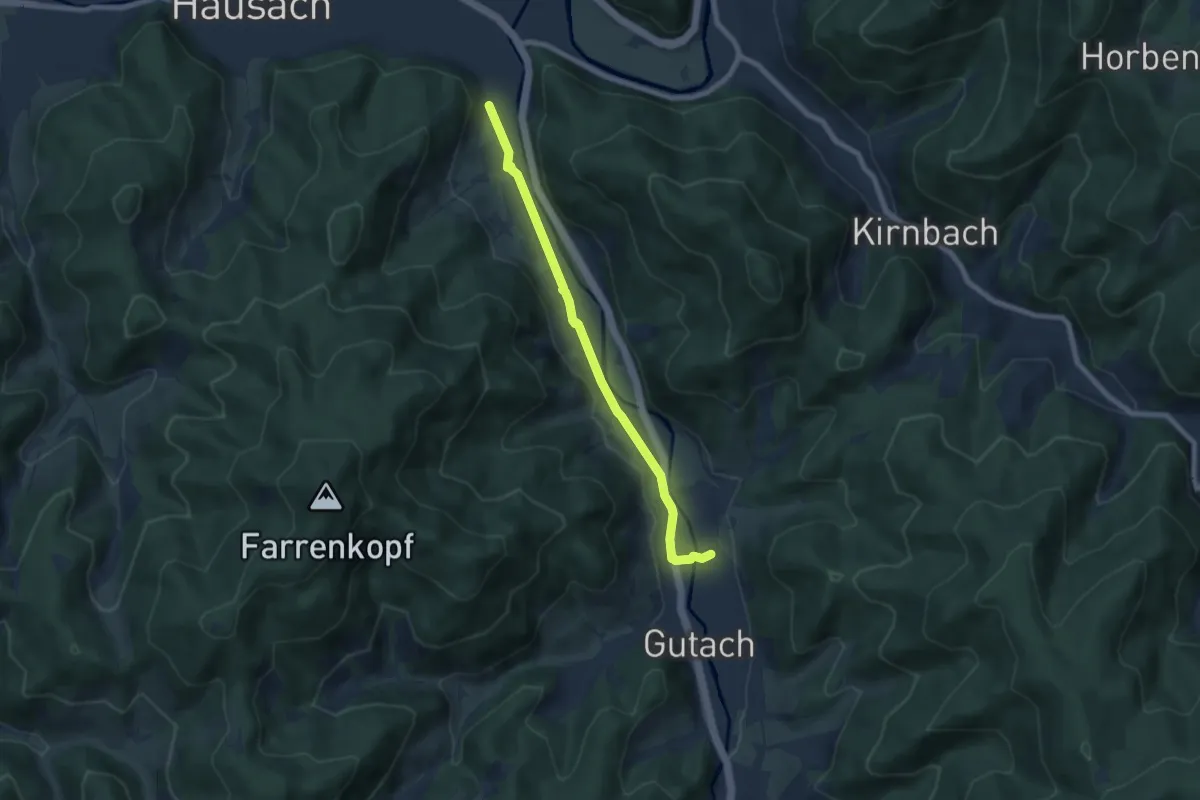
Easy · Trail
Peterbauernhof - Ramsbach
6.6 km · ↑ 46 m · 1 h 40 min
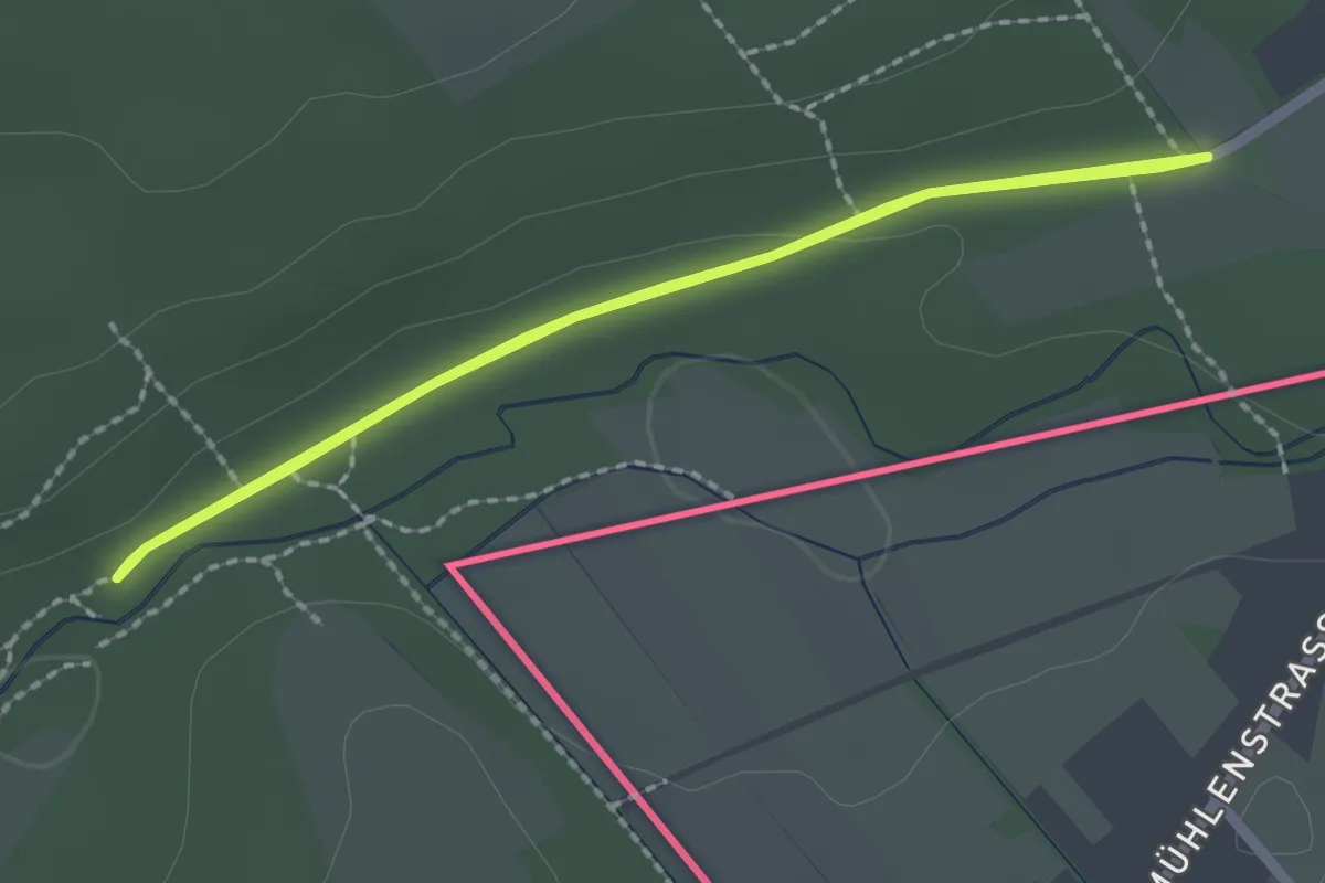
Easy · Trail
Petergensfeld (Grünes Rechteck)
1.7 km · ↑ 13 m · 28 min
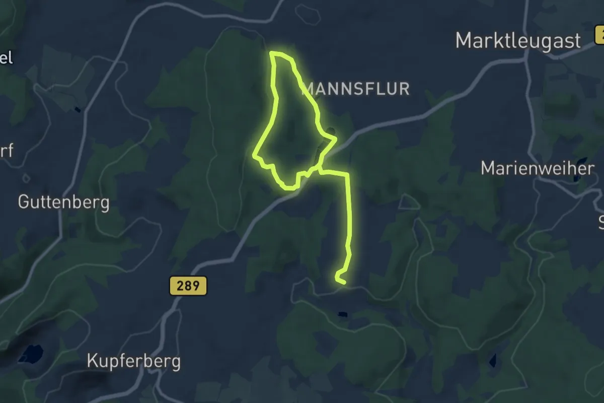
Easy · Summit
Peterlesstein-Weg KU 22
5.4 km · ↑ 131 m · 1 h 37 min
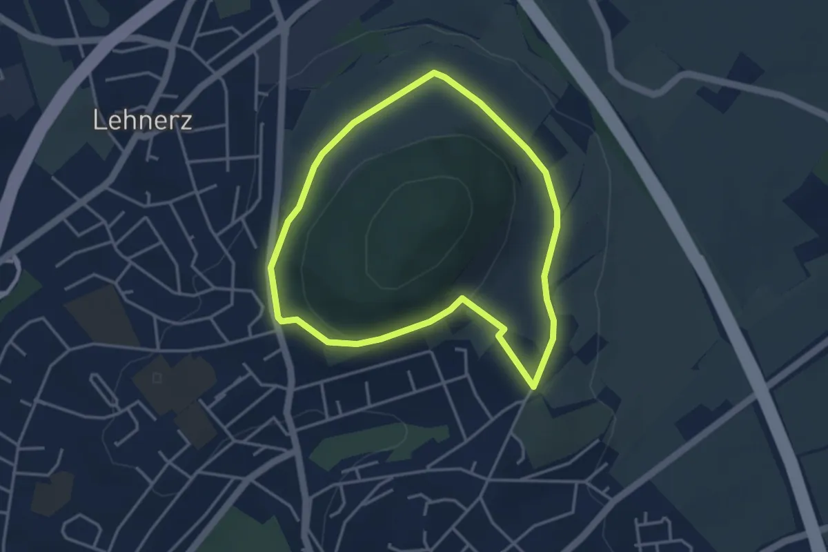
Easy · Trail
Petersberg 1
3.0 km · ↑ 51 m · 52 min
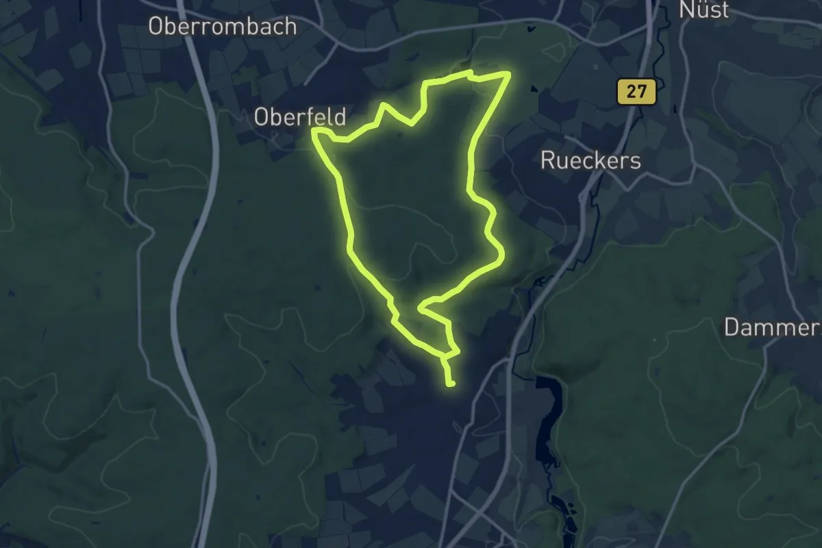
Medium · Trail
Petersberg 10
10.9 km · ↑ 224 m · 3 h 13 min
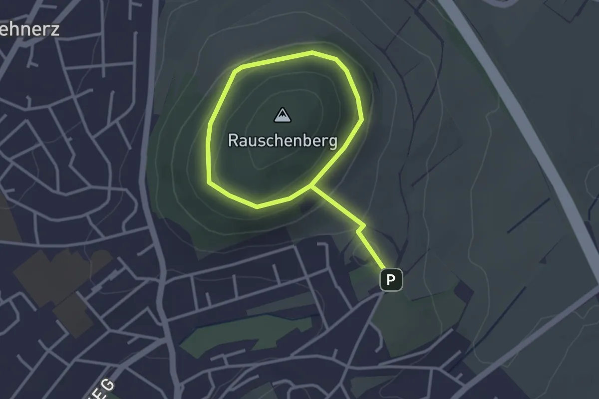
Easy · Trail
Petersberg 2
3.9 km · ↑ 112 m · 1 h 10 min
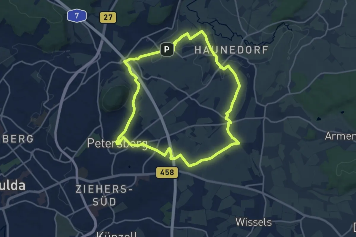
Medium · Summit
Petersberg 3
11.8 km · ↑ 109 m · 3 h 11 min
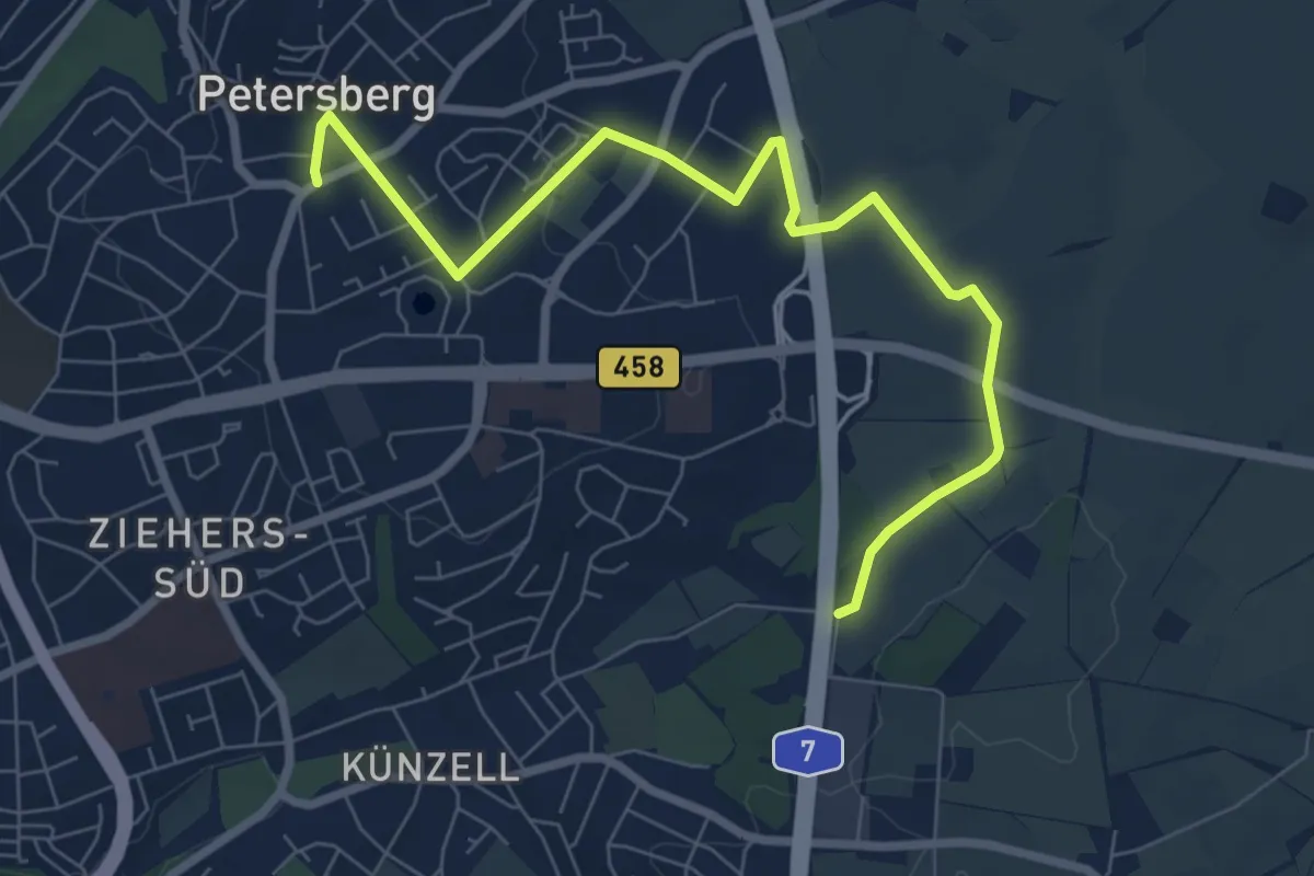
Easy · Trail
Petersberg 4
7.6 km · ↑ 47 m · 1 h 54 min
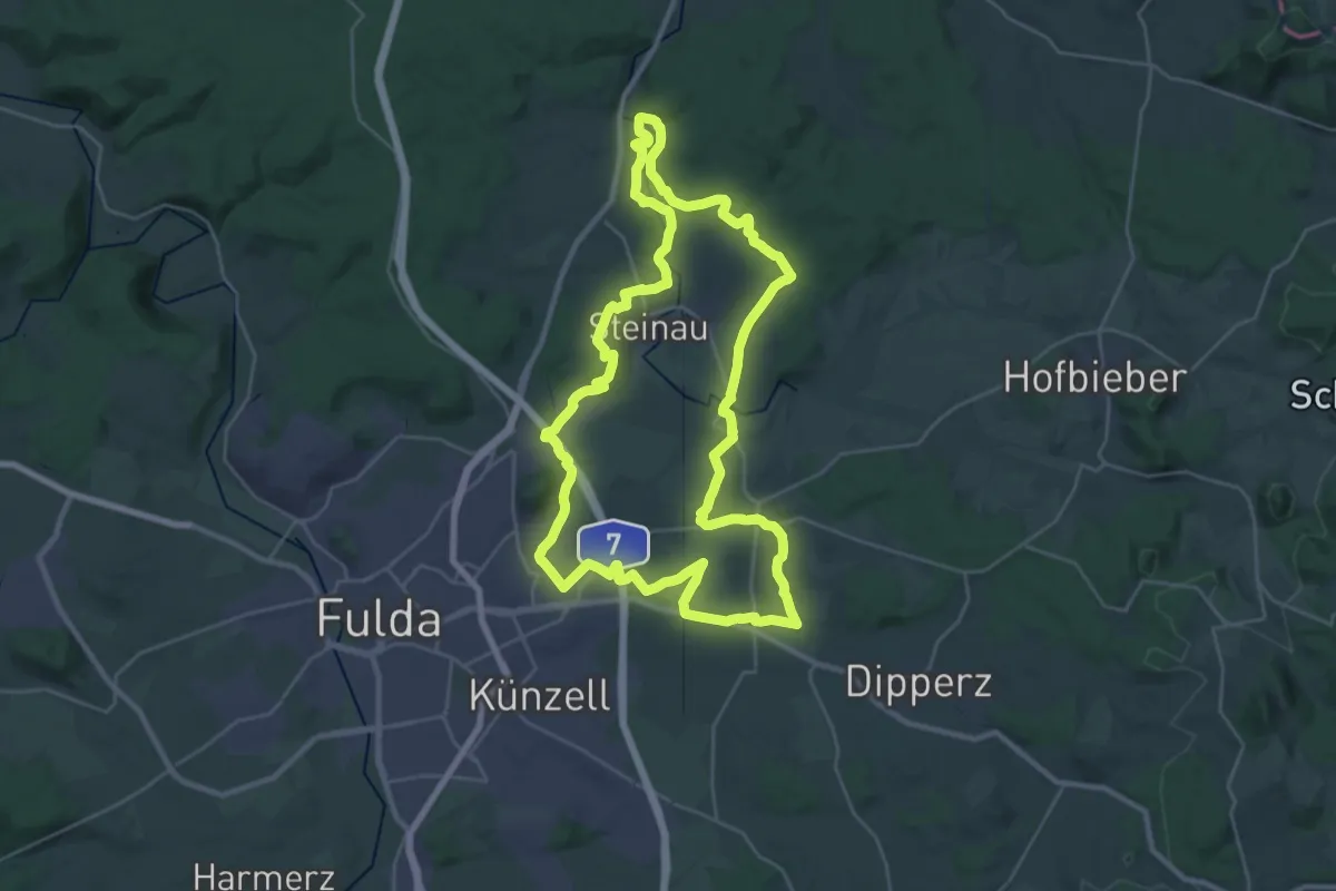
Demanding · Summit
Petersberg 5
28.4 km · ↑ 362 m · 7 h 53 min
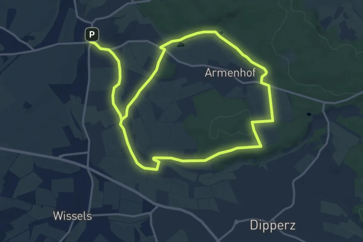
Medium · Summit
Petersberg 6
8.6 km · ↑ 93 m · 2 h 21 min
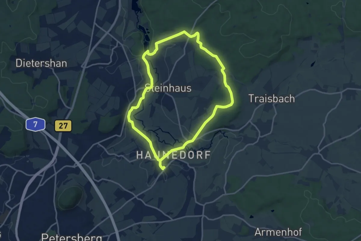
Medium · Trail
Petersberg 7
10.4 km · ↑ 124 m · 2 h 53 min
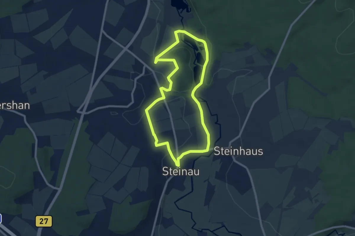
Easy · Trail
Petersberg 8
5.6 km · ↑ 61 m · 1 h 32 min
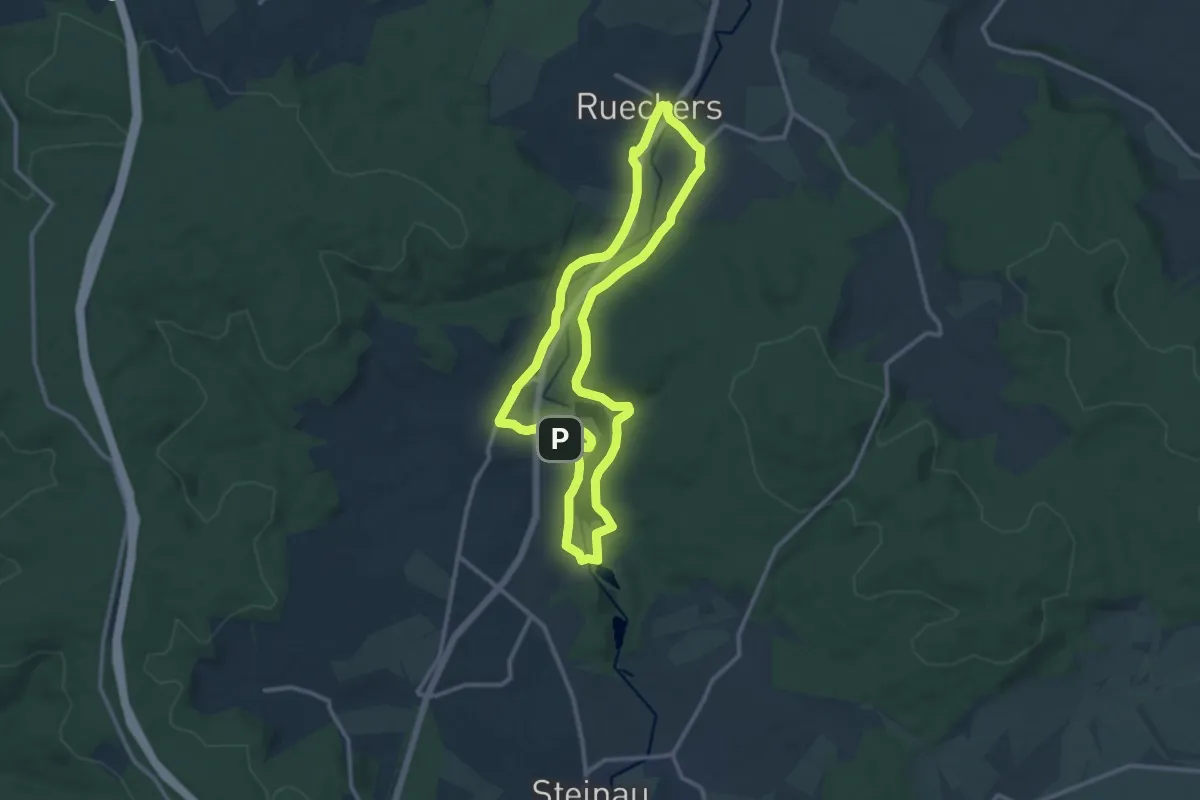
Medium · Trail
Petersberg 9
10.6 km · ↑ 133 m · 2 h 57 min
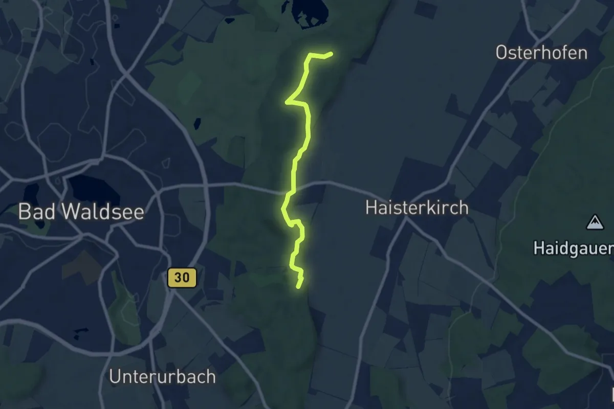
Easy · Trail
Petersberg - Tannenbühl
6.3 km · ↑ 70 m · 1 h 39 min
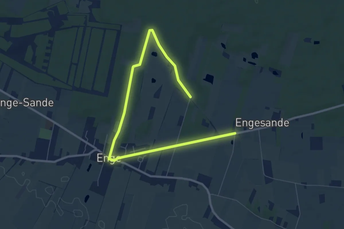
Easy · Trail
Petersburger Weg
8.0 km · ↑ 46 m · 1 h 59 min
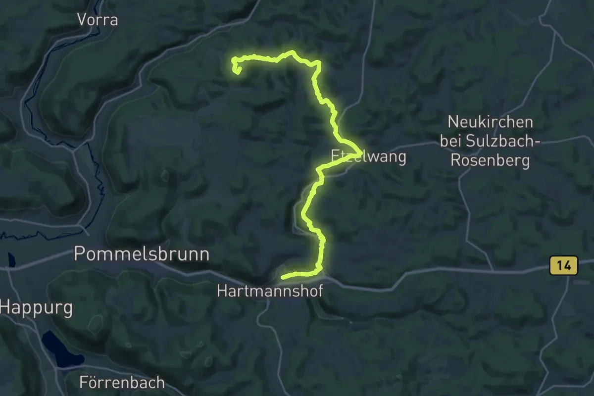
Demanding · Summit
Peter-Schöner-Weg (Rotpunkt)
22.8 km · ↑ 571 m · 6 h 37 min
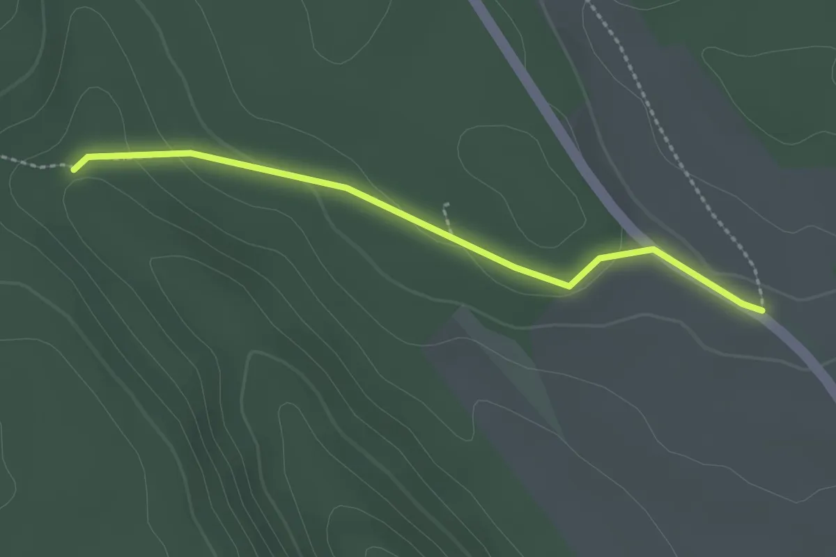
Easy · Trail
Petershöhe - Winterhalde
2.2 km · ↑ 53 m · 38 min
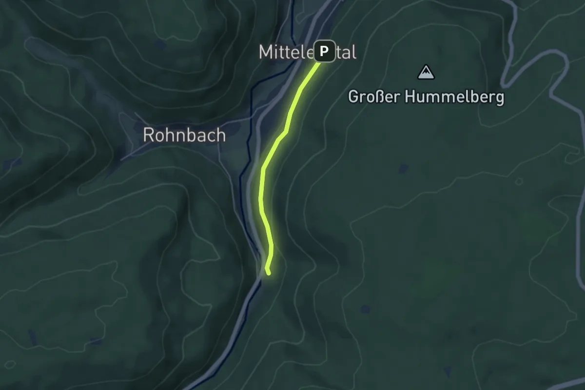
Easy · Trail
Petersmühle - Hummelbergtalweg
3.3 km · ↑ 55 m · 53 min
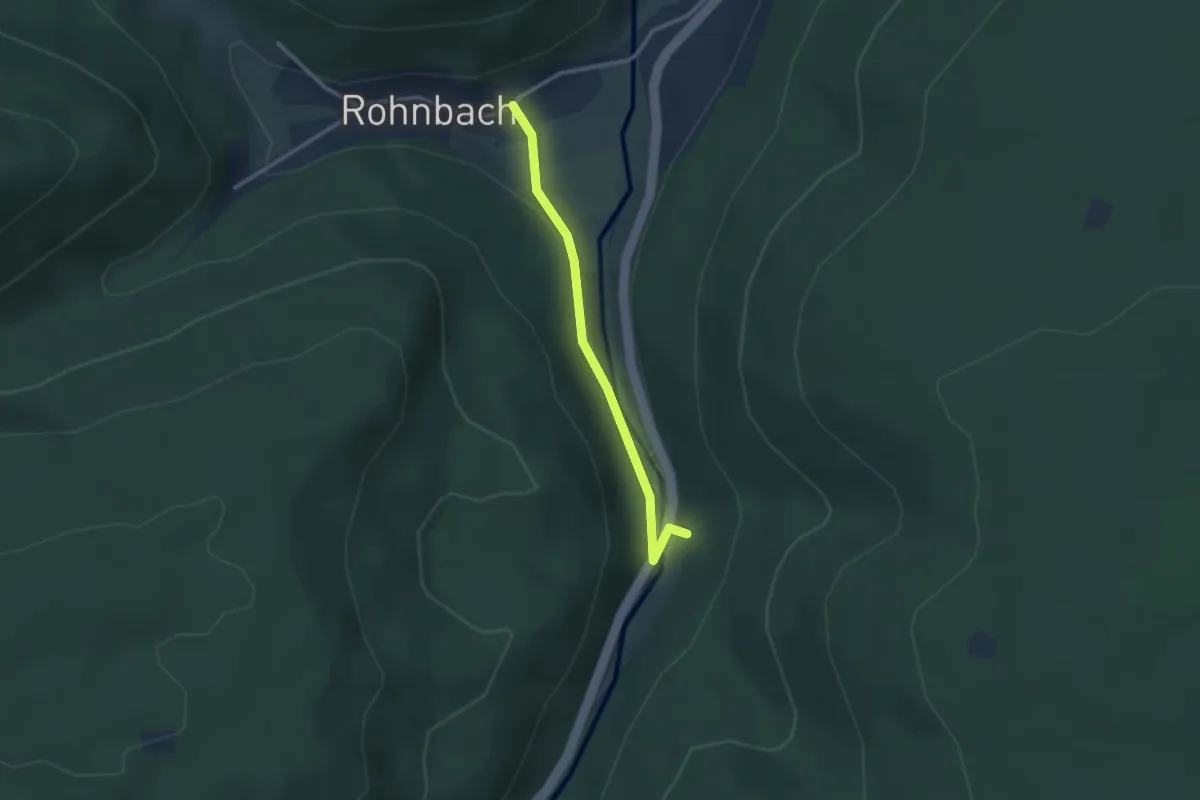
Easy · Trail
Petersmühle - Rohnbach Brückle
2.4 km · ↑ 91 m · 46 min
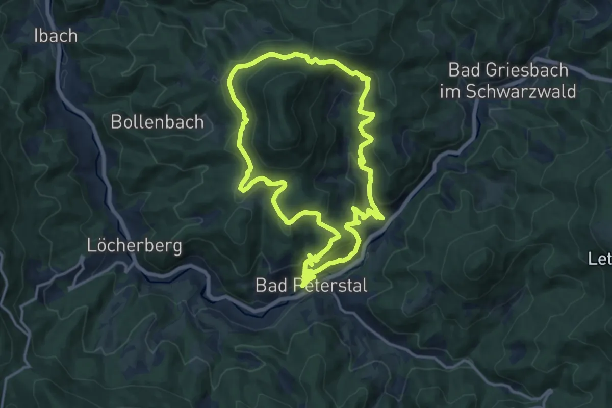
Medium · Trail
Peterstaler Schwarzwaldsteig
11.1 km · ↑ 715 m · 4 h 19 min
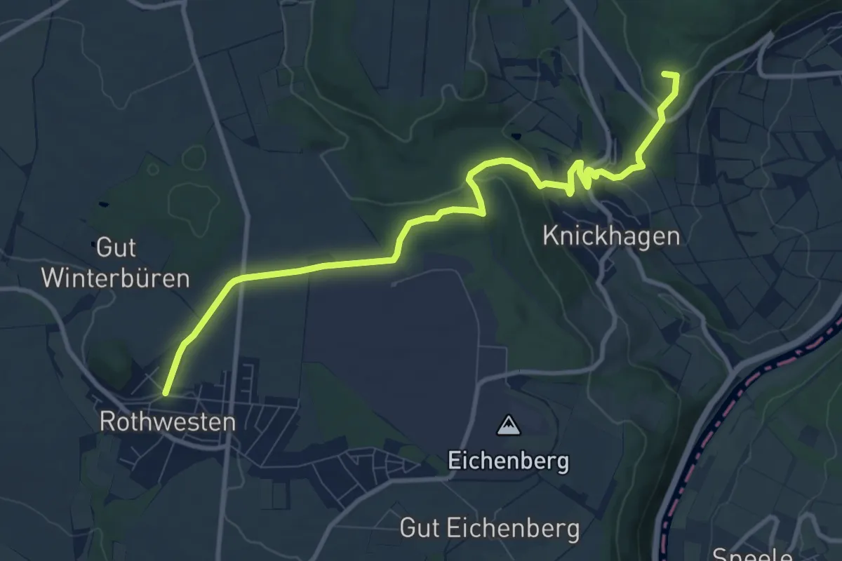
Medium · Summit
Petersweg
9.4 km · ↑ 232 m · 2 h 44 min
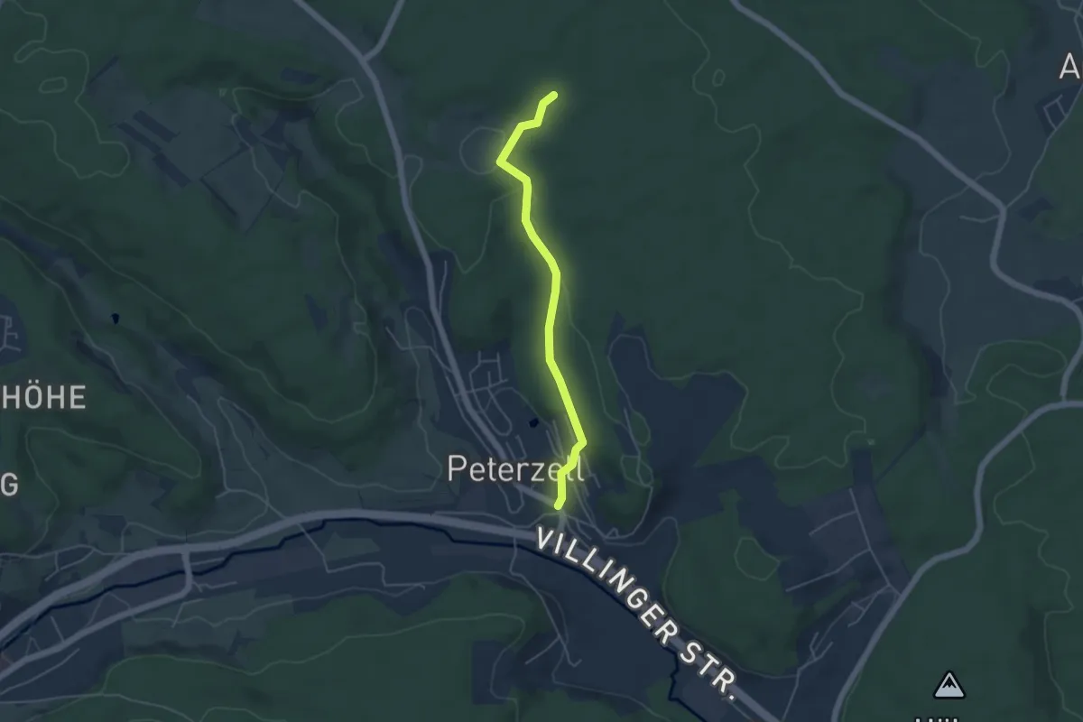
Easy · Trail
Peterzell Ehem. Hotel Krone - Kienmooswald
4.2 km · ↑ 92 m · 1 h 11 min
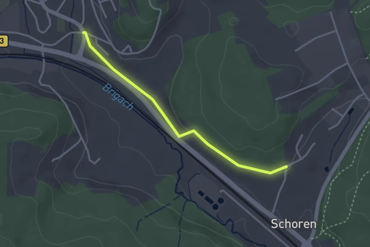
Easy · Trail
Peterzell Ehem. Hotel Krone Süd - Hagenmoos
2.8 km · ↑ 17 m · 41 min
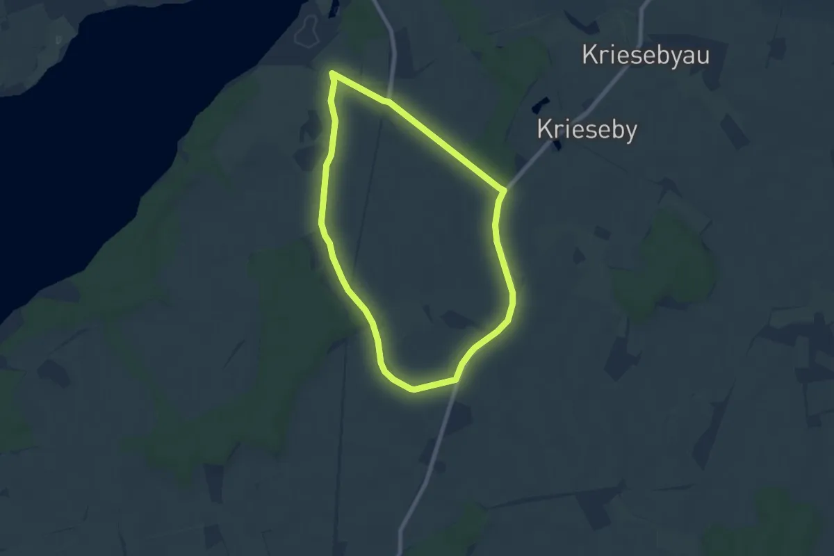
Easy · Trail
Petri-Route Rieseby
4.9 km · ↑ 18 m · 1 h 16 min
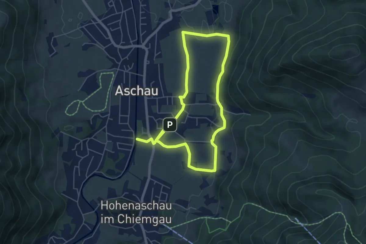
Medium · Trail
Petrusquelle - Trail
9.0 km · ↑ 127 m · 2 h 24 min
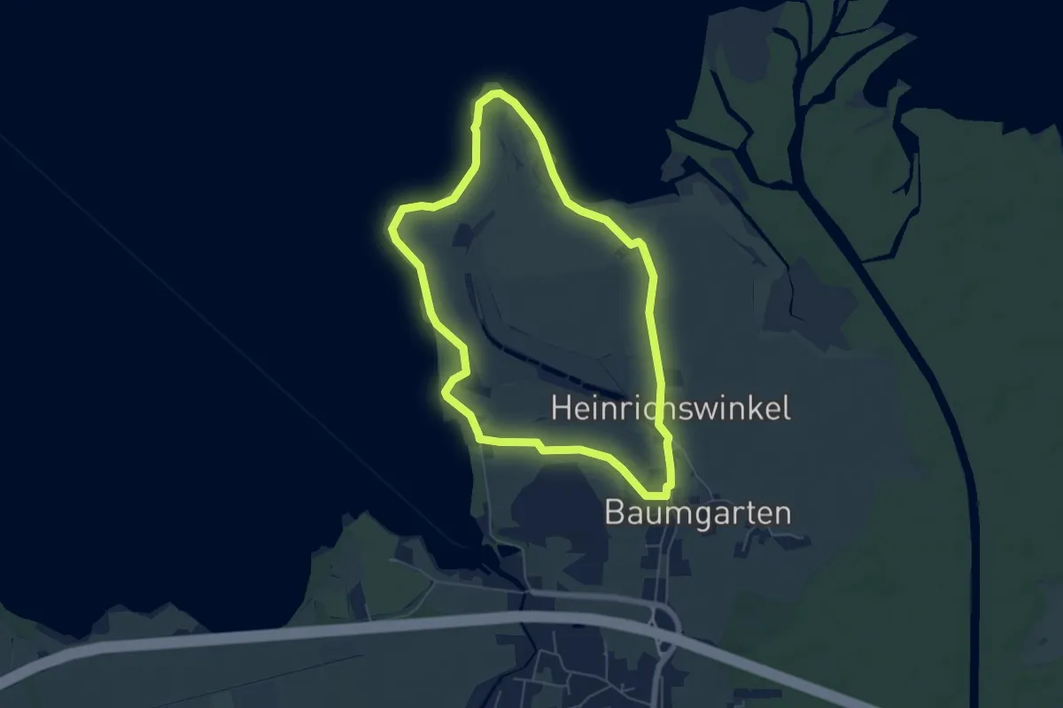
Easy · Trail
Petrusquelle - Trail
5.5 km · ↑ 0 m · 1 h 22 min