Trails in Germany
36,852 hiking trails, each with its route, climb, walking time and grade.
All trails, page 417 of 768
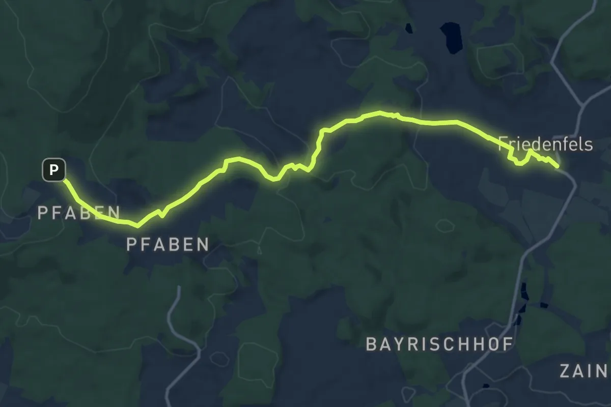
Medium · Trail
Pfaben - Friedenfels
12.6 km · ↑ 289 m · 3 h 36 min
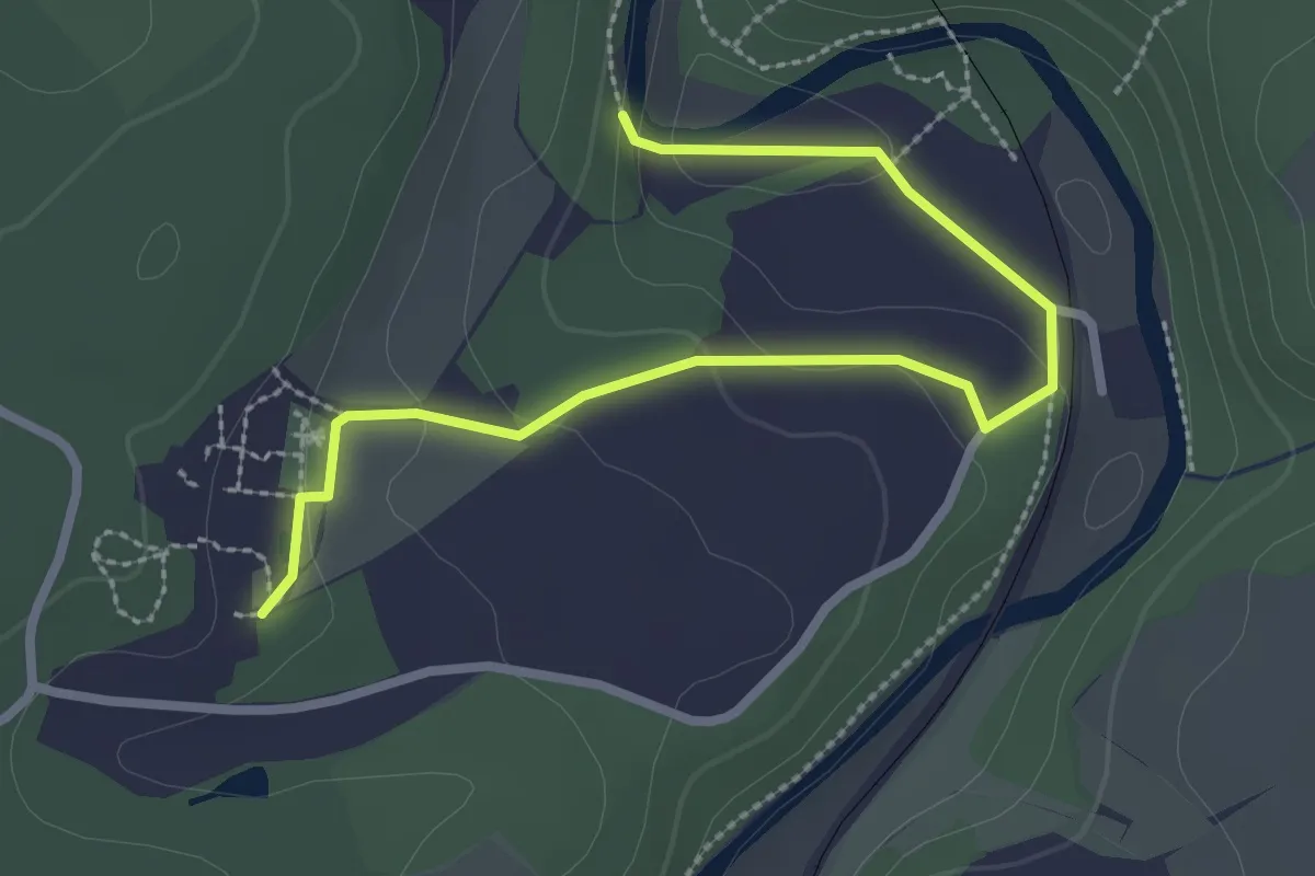
Easy · Trail
Pfad – Bäume des Jahres
2.8 km · ↑ 73 m · 50 min
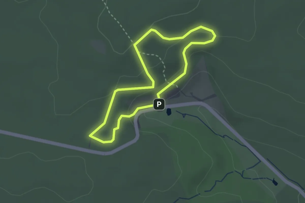
Easy · Trail
Pfad der Baumgiganten
2.2 km · ↑ 64 m · 41 min
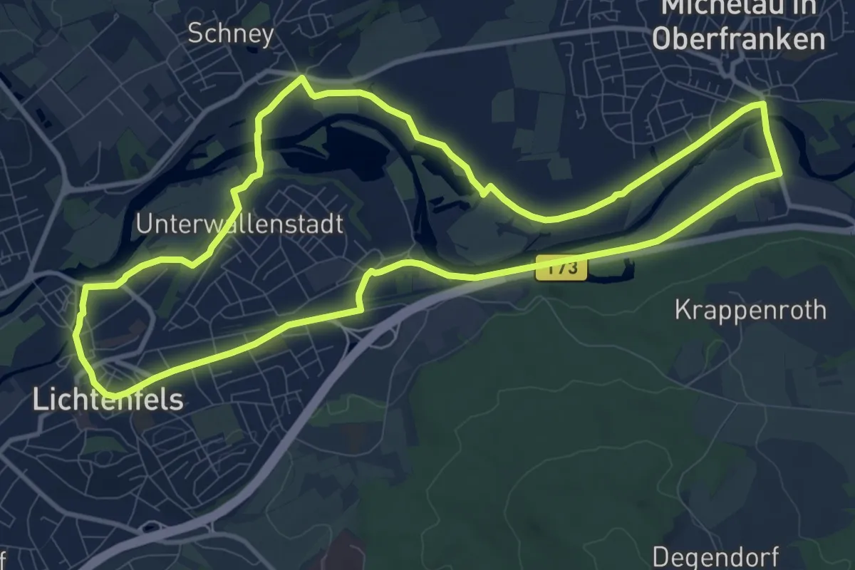
Medium · Trail
Pfad der Flechtkultur
10.2 km · ↑ 18 m · 2 h 36 min
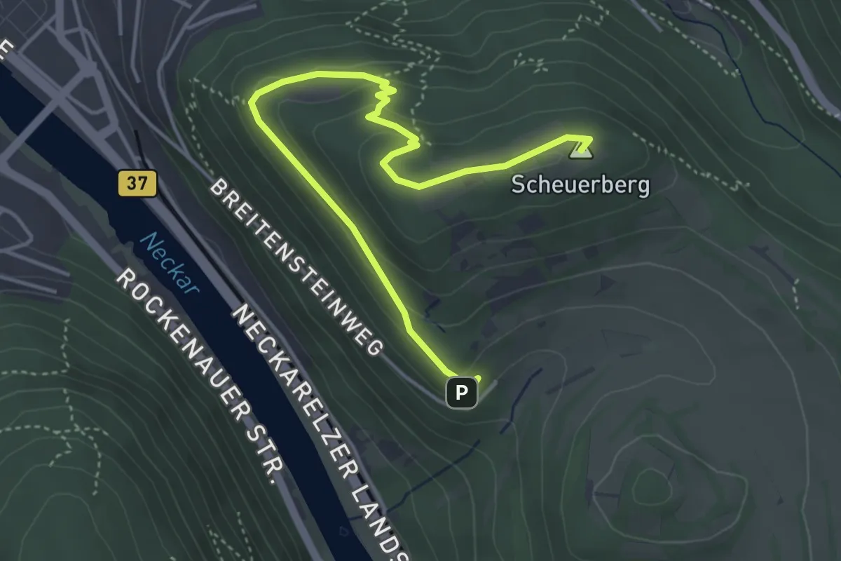
Easy · Summit
Pfad der Flussgeschichte
4.6 km · ↑ 162 m · 1 h 26 min
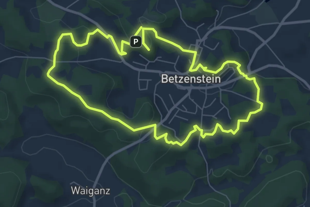
Easy · Trail
Pfad der Liebe
6.0 km · ↑ 128 m · 1 h 46 min
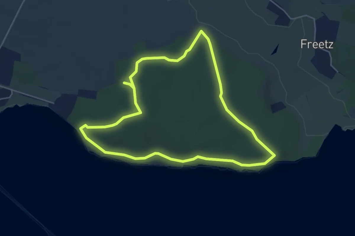
Easy · Trail
Pfad der Muße & Erkenntnis
3.6 km · ↑ 52 m · 1 h 1 min
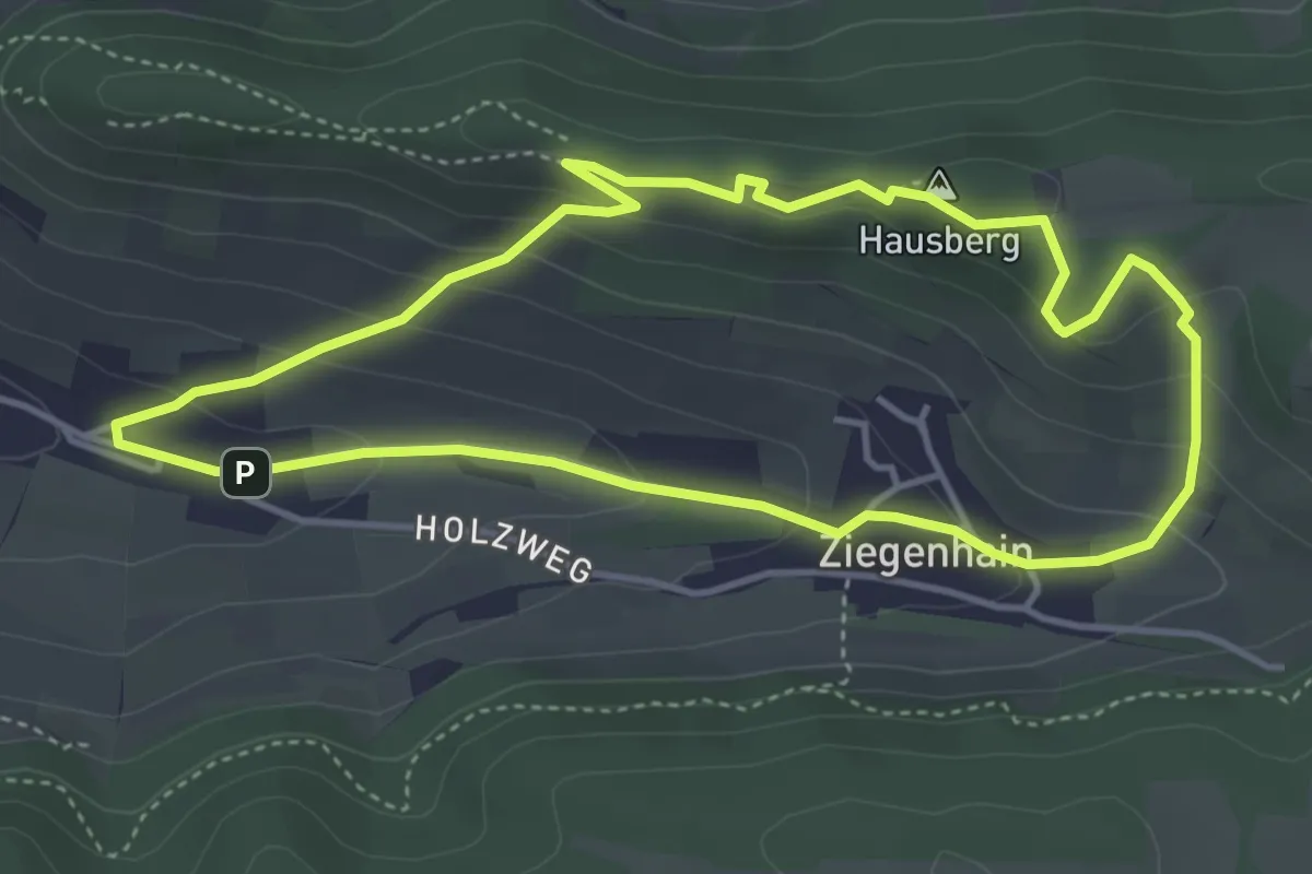
Easy · Summit
Pfad der Ottonen
3.8 km · ↑ 180 m · 1 h 20 min
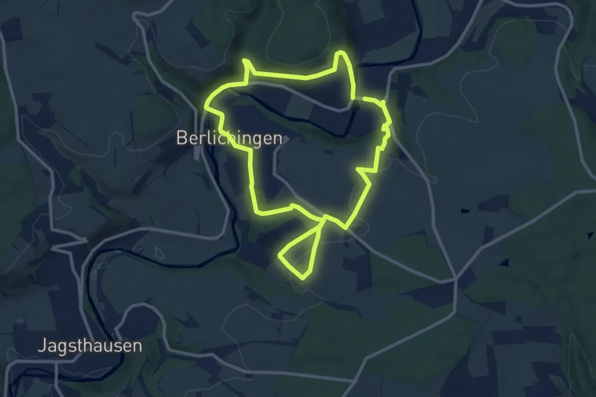
Easy · Trail
Pfad der Stille 2 - Schöntal
7.5 km · ↑ 239 m · 2 h 24 min
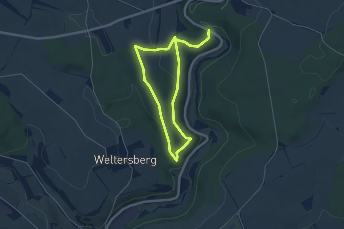
Easy · Trail
Pfad der Stille 3
3.7 km · ↑ 84 m · 1 h 6 min
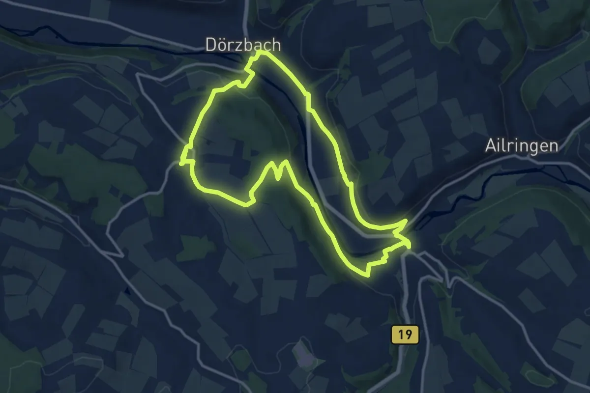
Medium · Trail
Pfad der Stille (Dörzbach)
10.4 km · ↑ 256 m · 3 h 10 min
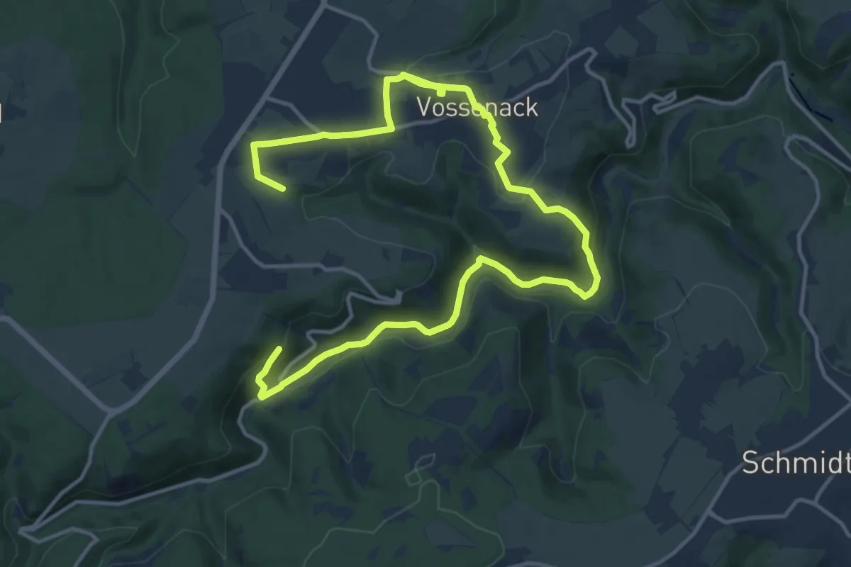
Medium · Trail
Pfad des Gedenkens
17.8 km · ↑ 362 m · 5 h
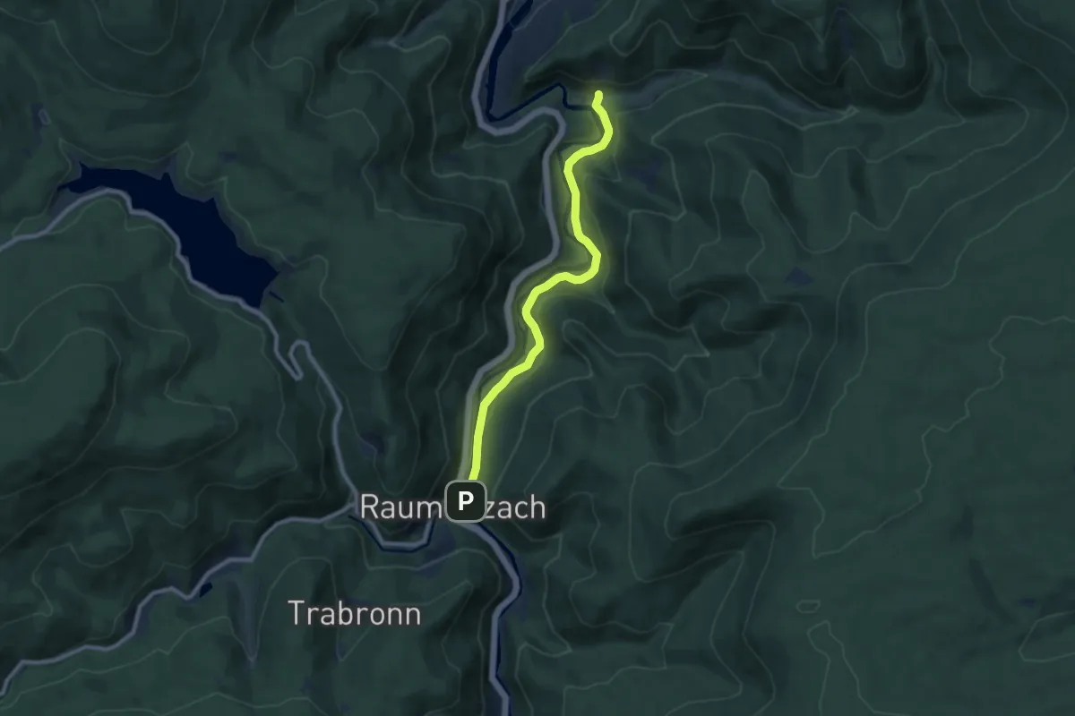
Medium · Trail
Pfadfinderzentrum - Sasbach
8.1 km · ↑ 198 m · 2 h 20 min
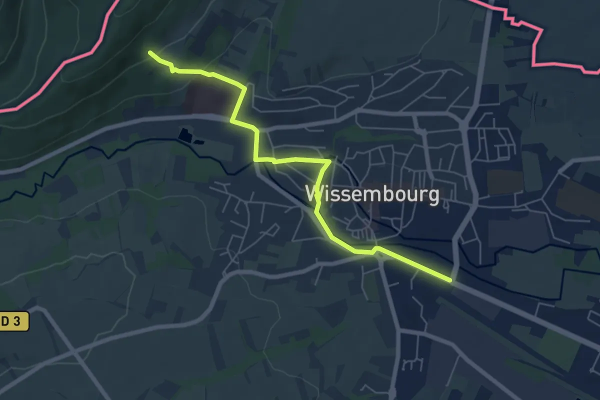
Easy · Trail
Pfaelzer Waldpfad Zuweg Wissembourg Bahnhof
5.6 km · ↑ 114 m · 1 h 33 min
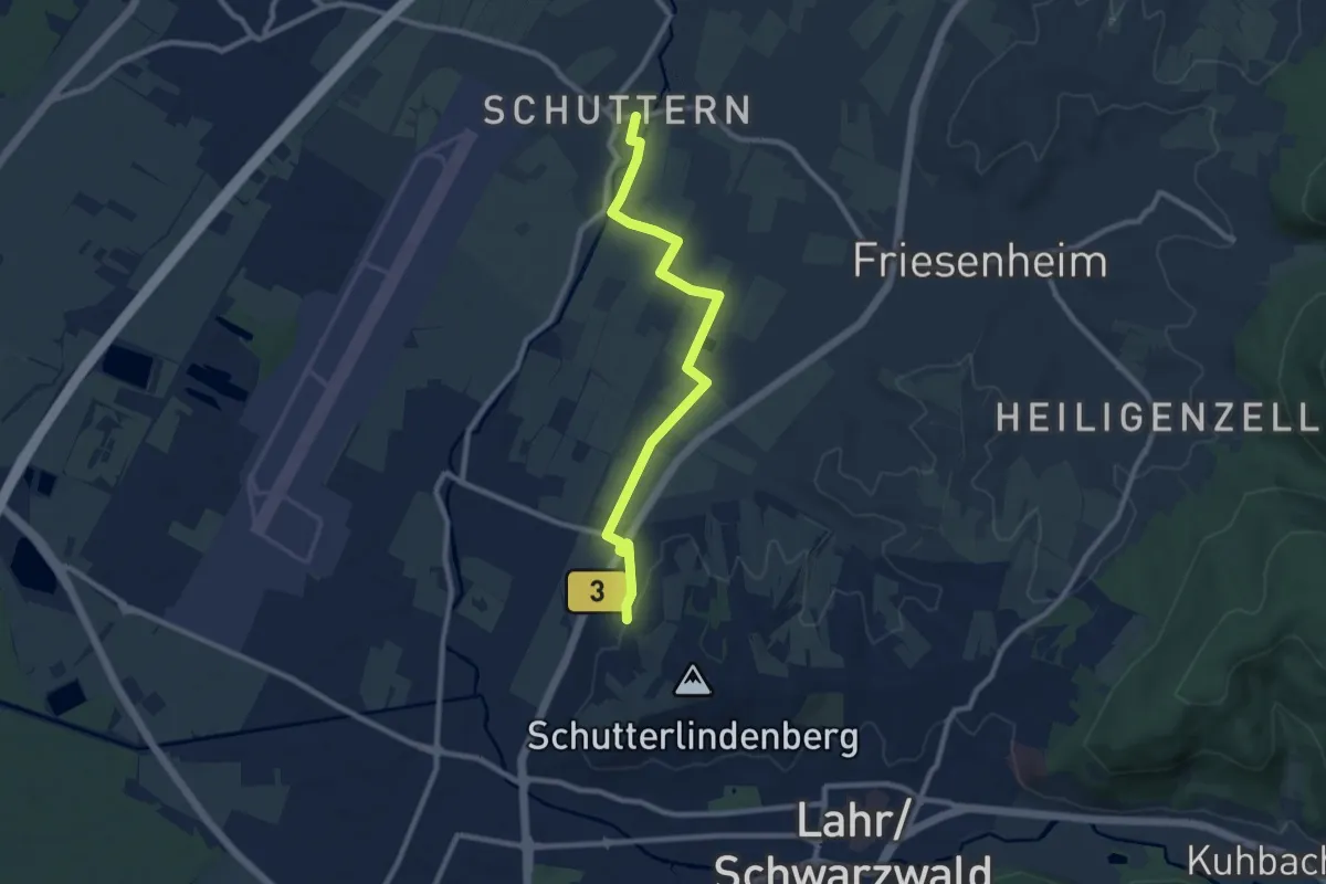
Medium · Trail
Pfaffenacker - Schuttern
9.0 km · ↑ 48 m · 2 h 13 min
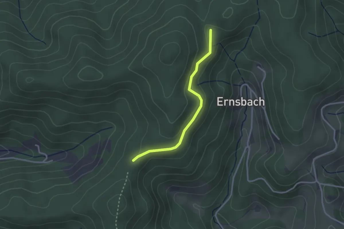
Easy · Trail
Pfaffenbacher Eck - Schnaitbergeck
2.3 km · ↑ 86 m · 44 min
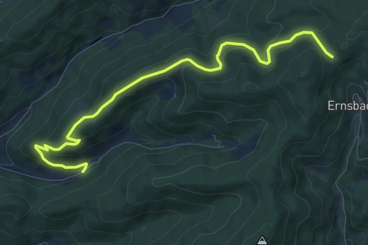
Medium · Trail
Pfaffenbach Huberhof - Schnaitbergeck
9.2 km · ↑ 378 m · 2 h 59 min
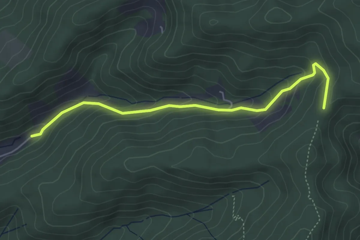
Easy · Trail
Pfaffenbach Männlehof - Pfaffenbacher Eck
4.4 km · ↑ 254 m · 1 h 35 min
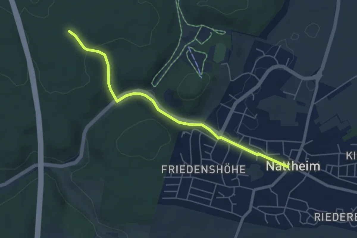
Easy · Trail
Pfaffenberg - Nattheim
4.5 km · ↑ 119 m · 1 h 19 min
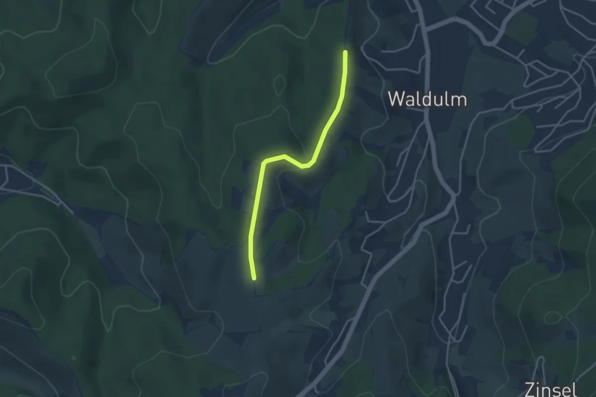
Easy · Trail
Pfaffenberg - Scherd
2.8 km · ↑ 78 m · 50 min
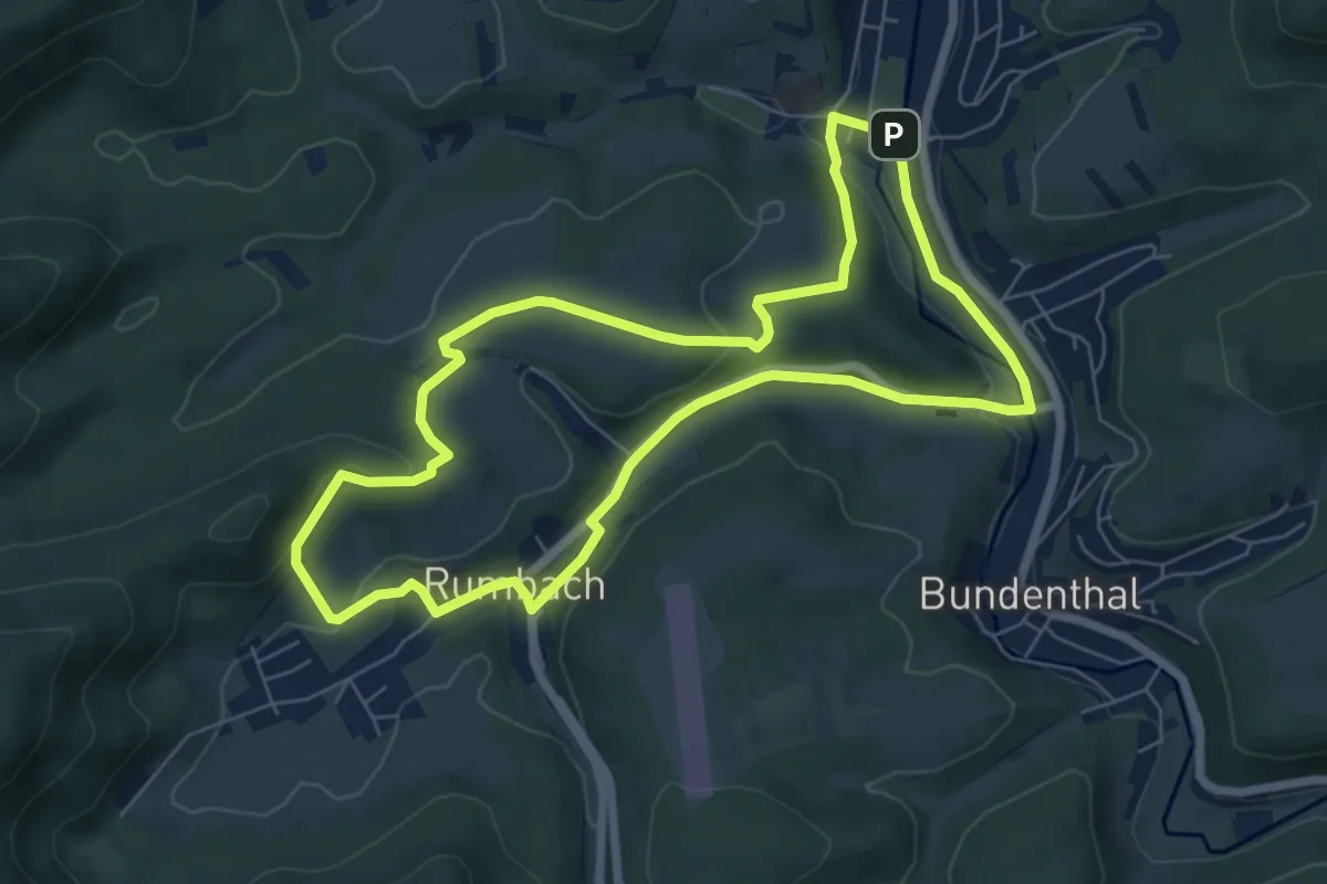
Easy · Summit
Pfaffenberg-Tour
6.5 km · ↑ 132 m · 1 h 54 min
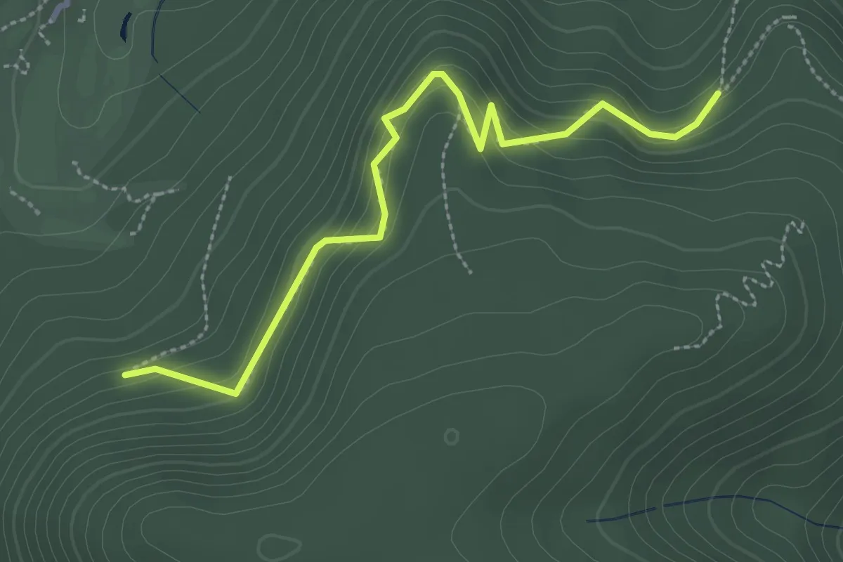
Easy · Trail
Pfaffenbrunnen - Waldeneck
2.8 km · ↑ 210 m · 1 h 7 min
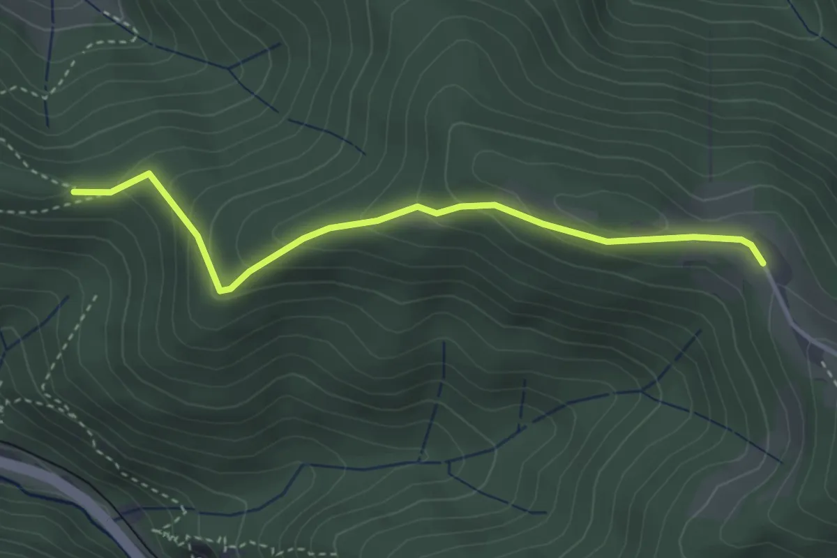
Easy · Trail
Pfaffeneck - Nessellachen Rösslehof
3.4 km · ↑ 202 m · 1 h 14 min
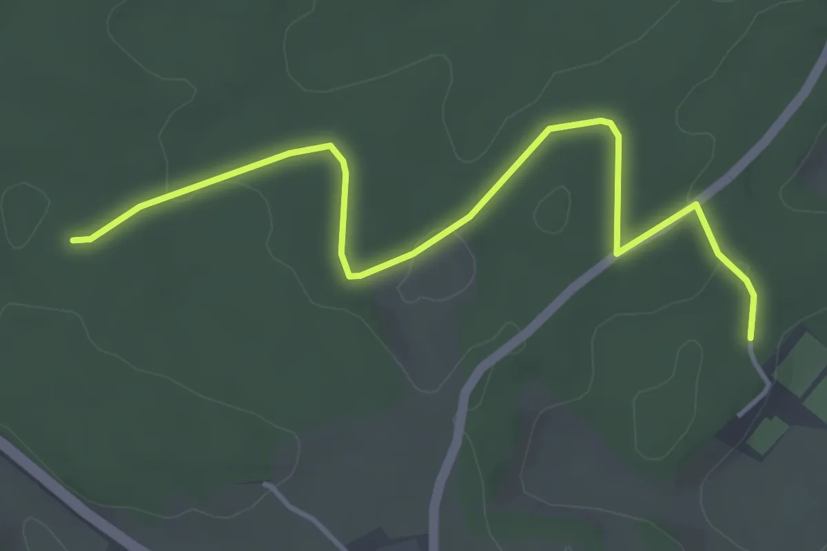
Easy · Trail
Pfaffenholz - Strut
4.2 km · ↑ 40 m · 1 h 5 min
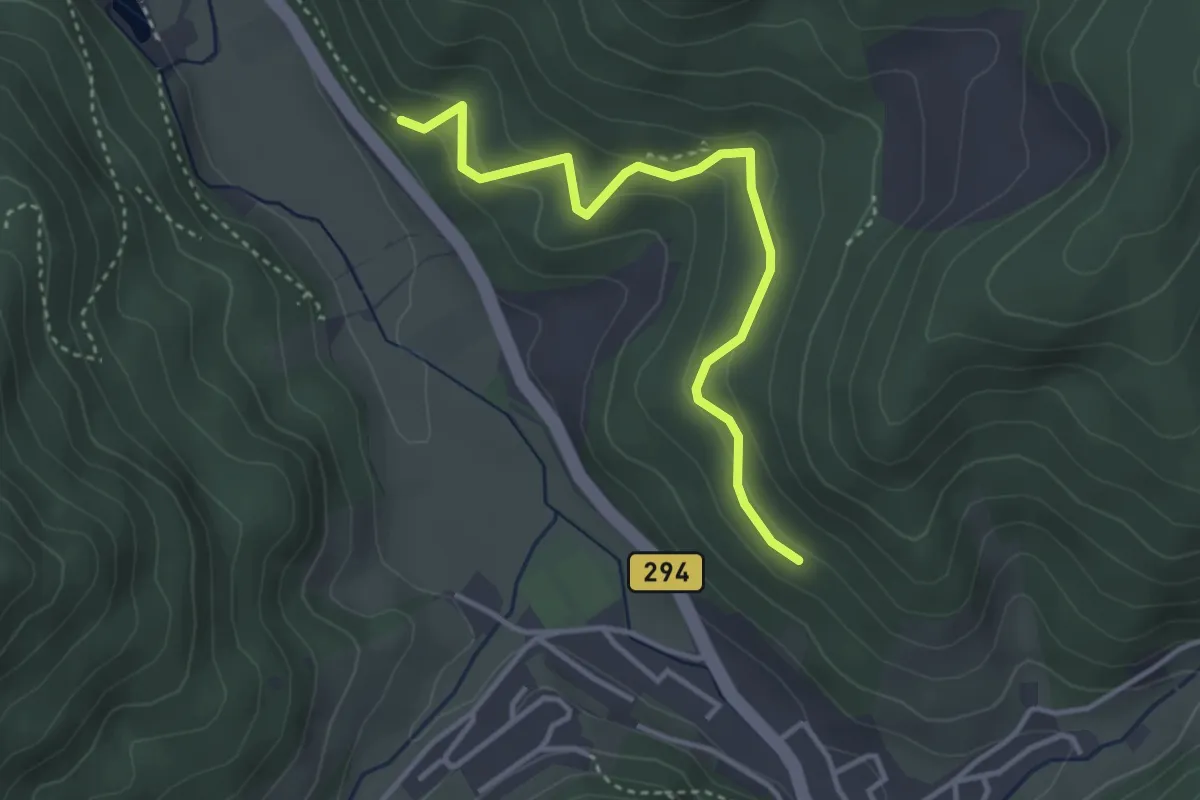
Medium · Trail
Pfaffenkähner - Vulkanweg
3.4 km · ↑ 222 m · 1 h 17 min
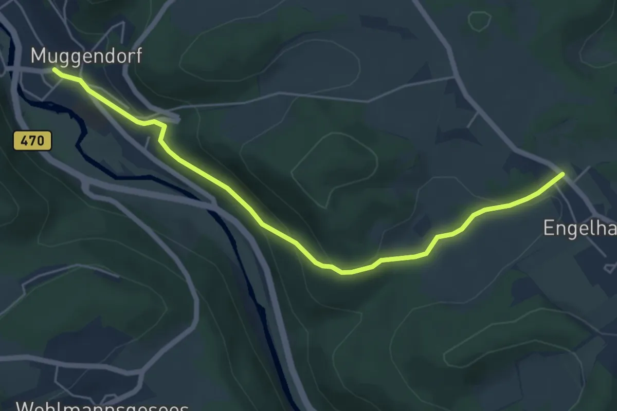
Easy · Trail
Pfaffenleithenweg
5.1 km · ↑ 212 m · 1 h 40 min
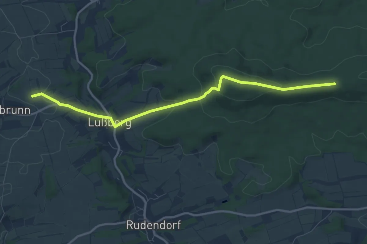
Medium · Trail
Pfaffenritt
8.3 km · ↑ 238 m · 2 h 28 min
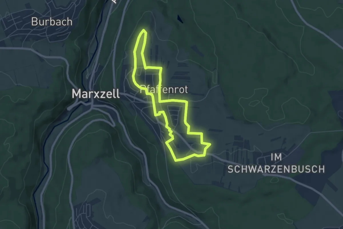
Easy · Trail
Pfaffenroter Kreuzweg
5.4 km · ↑ 52 m · 1 h 27 min
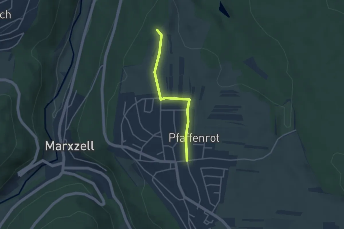
Easy · Trail
Pfaffenrot Lorenzstraße - Wegkreuz Maretrain
2.4 km · ↑ 31 m · 39 min
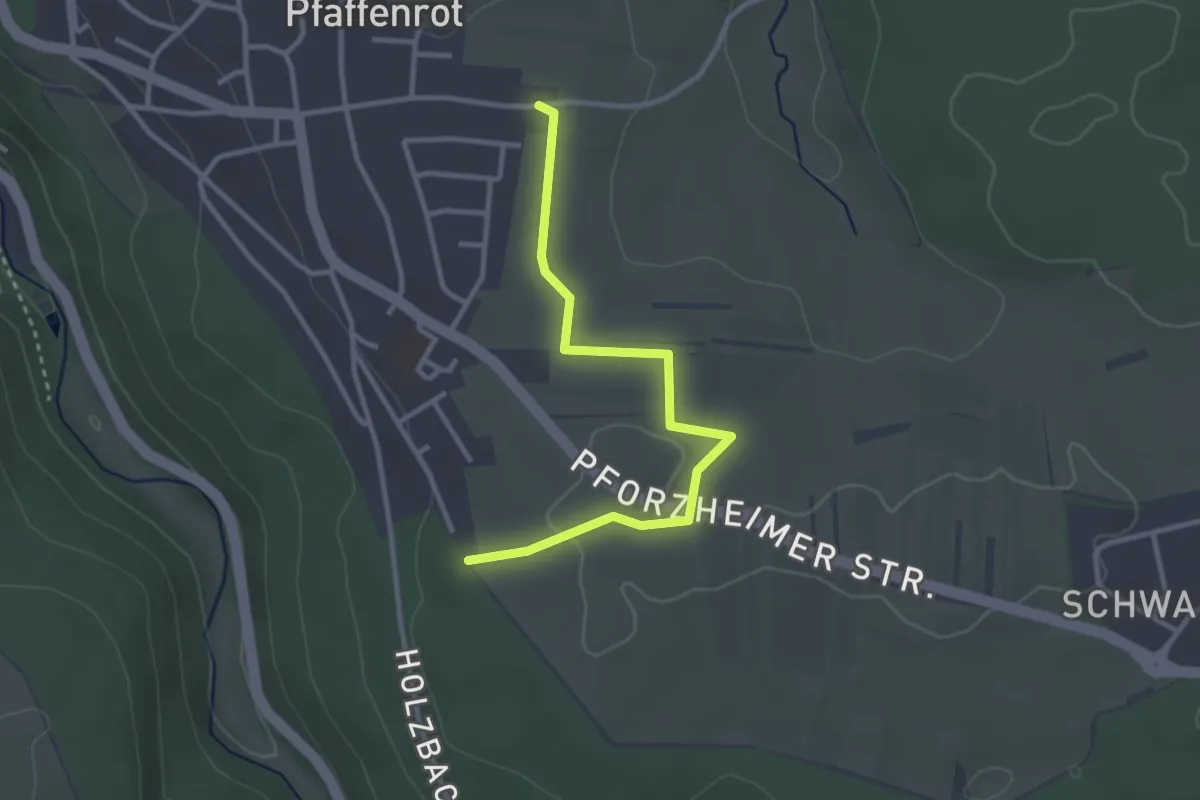
Easy · Trail
Pfaffenrot Weinbrünnlestraße - Pfaffenrot Blumenstraße
3.0 km · ↑ 27 m · 46 min
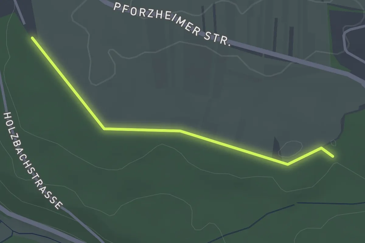
Easy · Trail
Pfaffenrot Weinbrünnlestraße - Weinbrünnlehütte
2.6 km · ↑ 33 m · 41 min
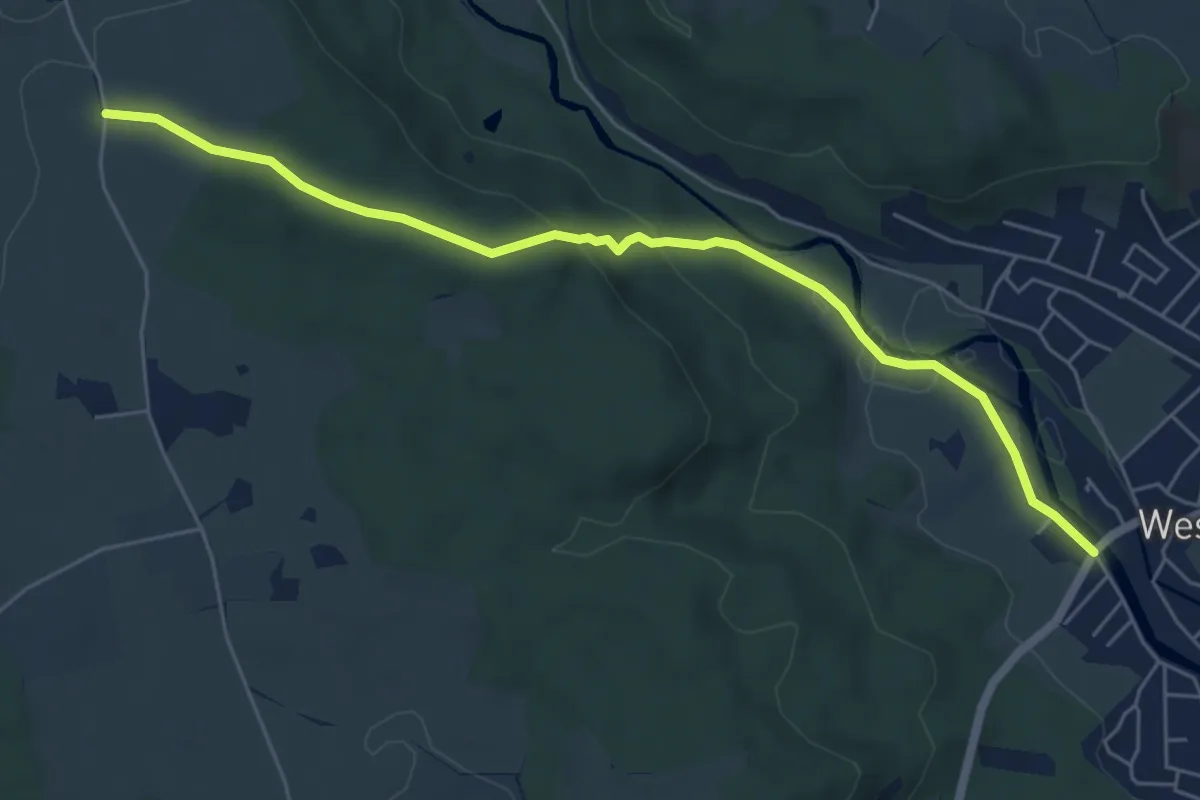
Medium · Trail
Pfaffensteig
6.1 km · ↑ 161 m · 1 h 47 min
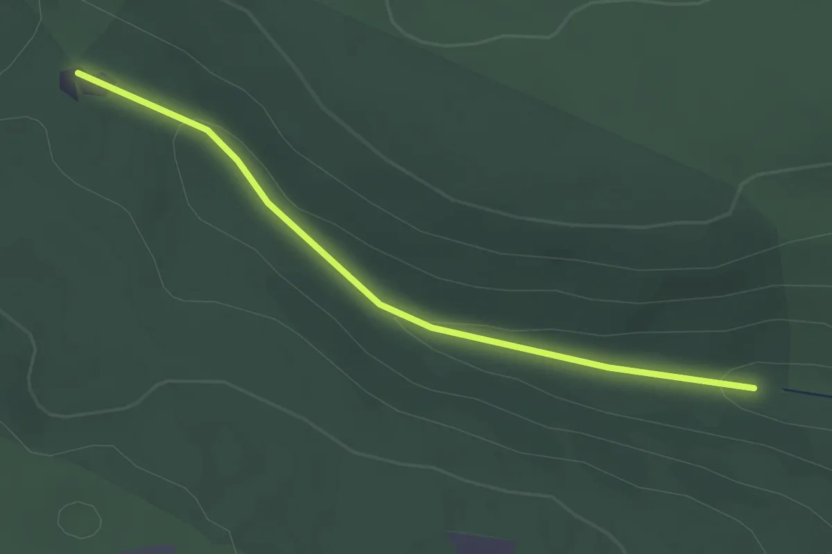
Easy · Trail
Pfaffentalbrunnen - Wendthütte
2.5 km · ↑ 51 m · 42 min
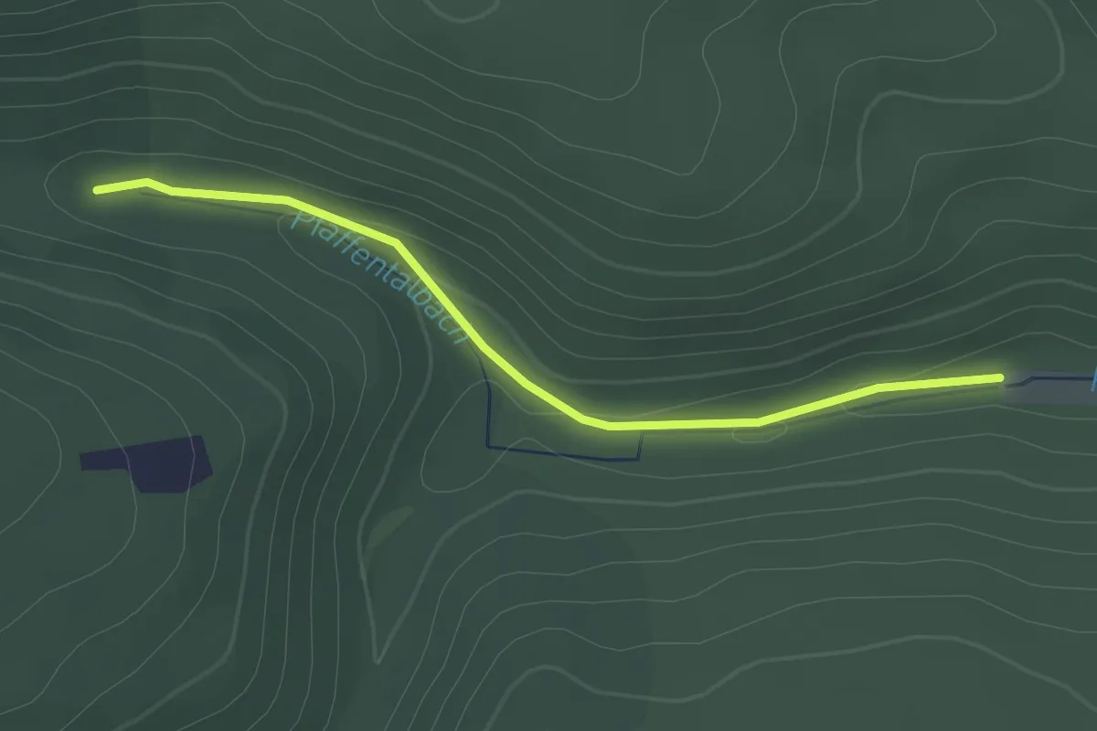
Easy · Trail
Pfaffental - Pfaffentalbrunnen
2.2 km · ↑ 34 m · 35 min
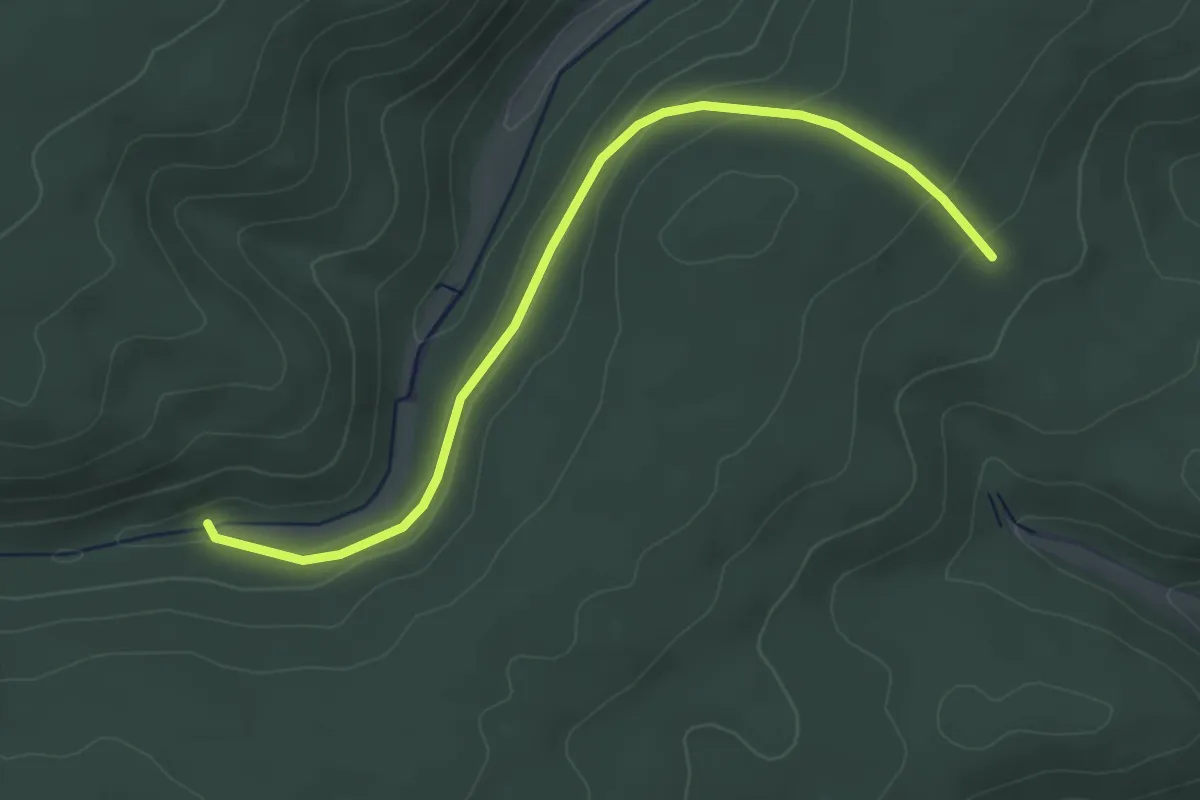
Easy · Trail
Pfaffental - Rehlachen
4.1 km · ↑ 106 m · 1 h 12 min
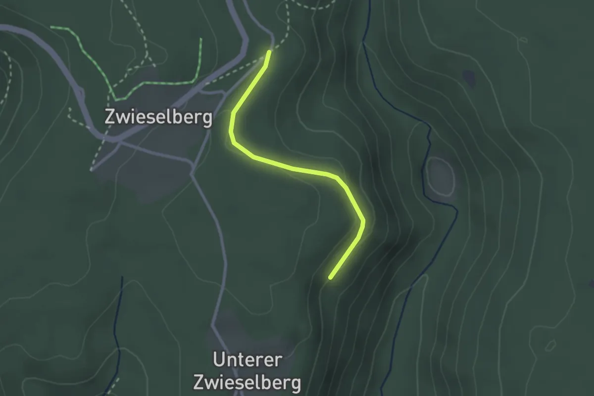
Easy · Trail
Pfaffenwald - Oberer Grätlestobel
2.1 km · ↑ 56 m · 37 min
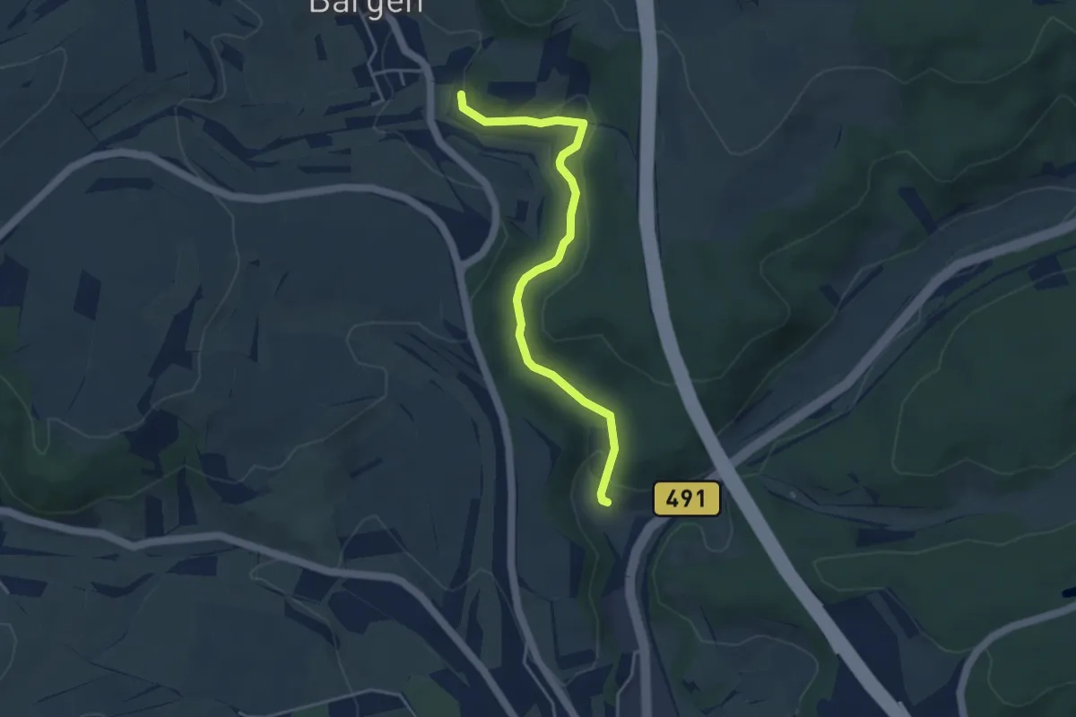
Easy · Trail
Pfaffenwinkel - Kreuzhalde
4.0 km · ↑ 110 m · 1 h 11 min
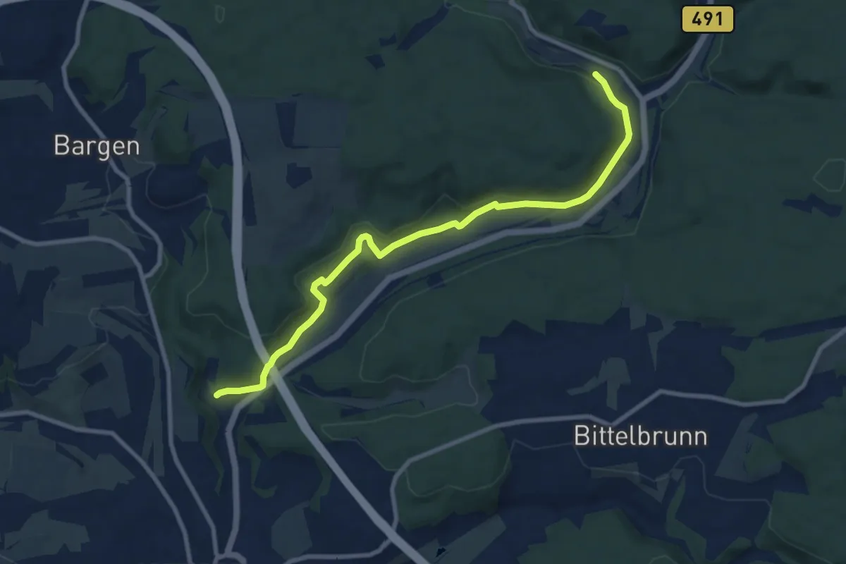
Medium · Trail
Pfaffenwinkel - Schopfloch
8.6 km · ↑ 247 m · 2 h 35 min
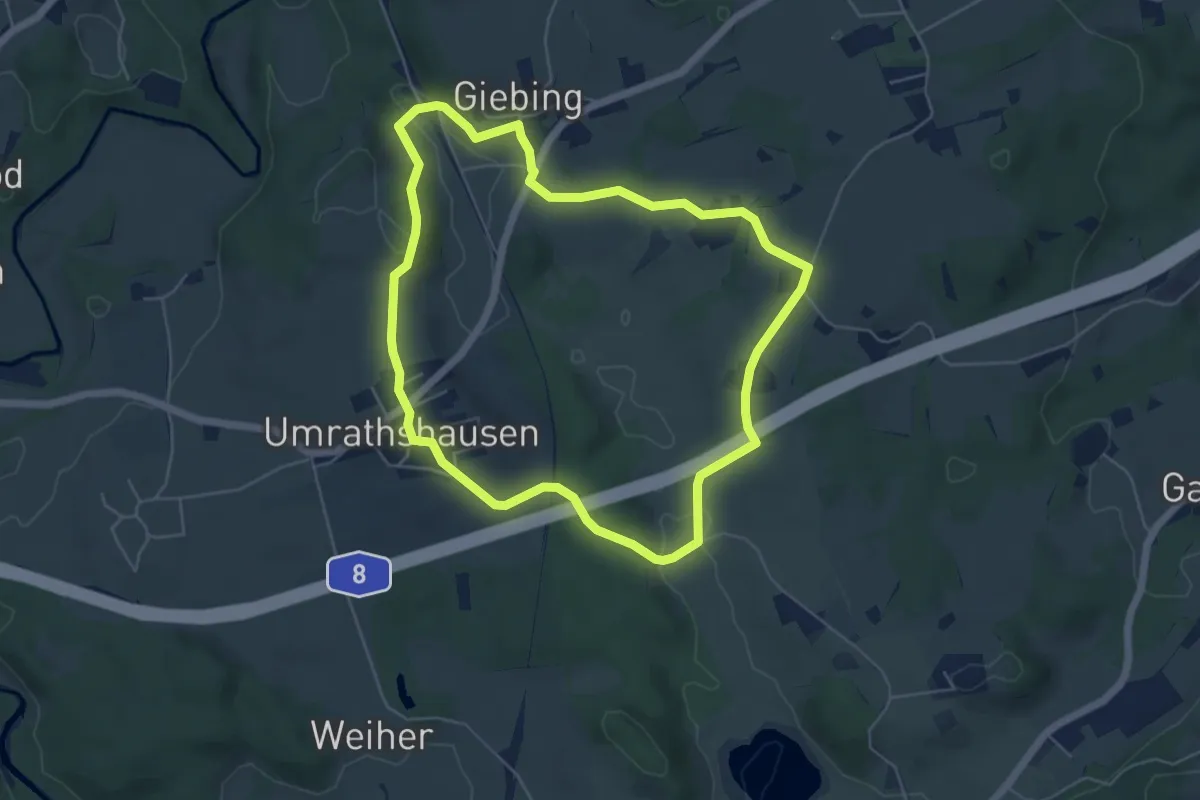
Easy · Trail
Pfaffinger-Runde
5.2 km · ↑ 92 m · 1 h 30 min
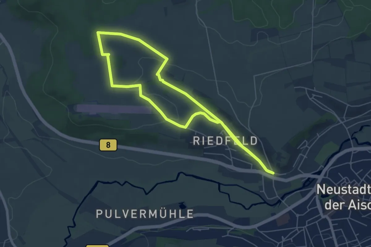
Easy · Trail
Pfalzbachschluch
5.1 km · ↑ 71 m · 1 h 27 min
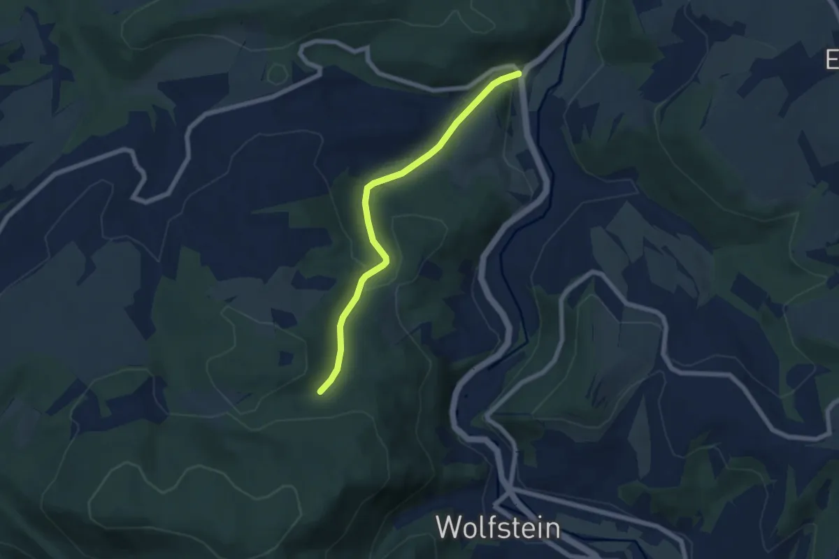
Easy · Trail
Pfälzer Höhenweg Zuweg Reckweilerhof
5.2 km · ↑ 179 m · 1 h 37 min
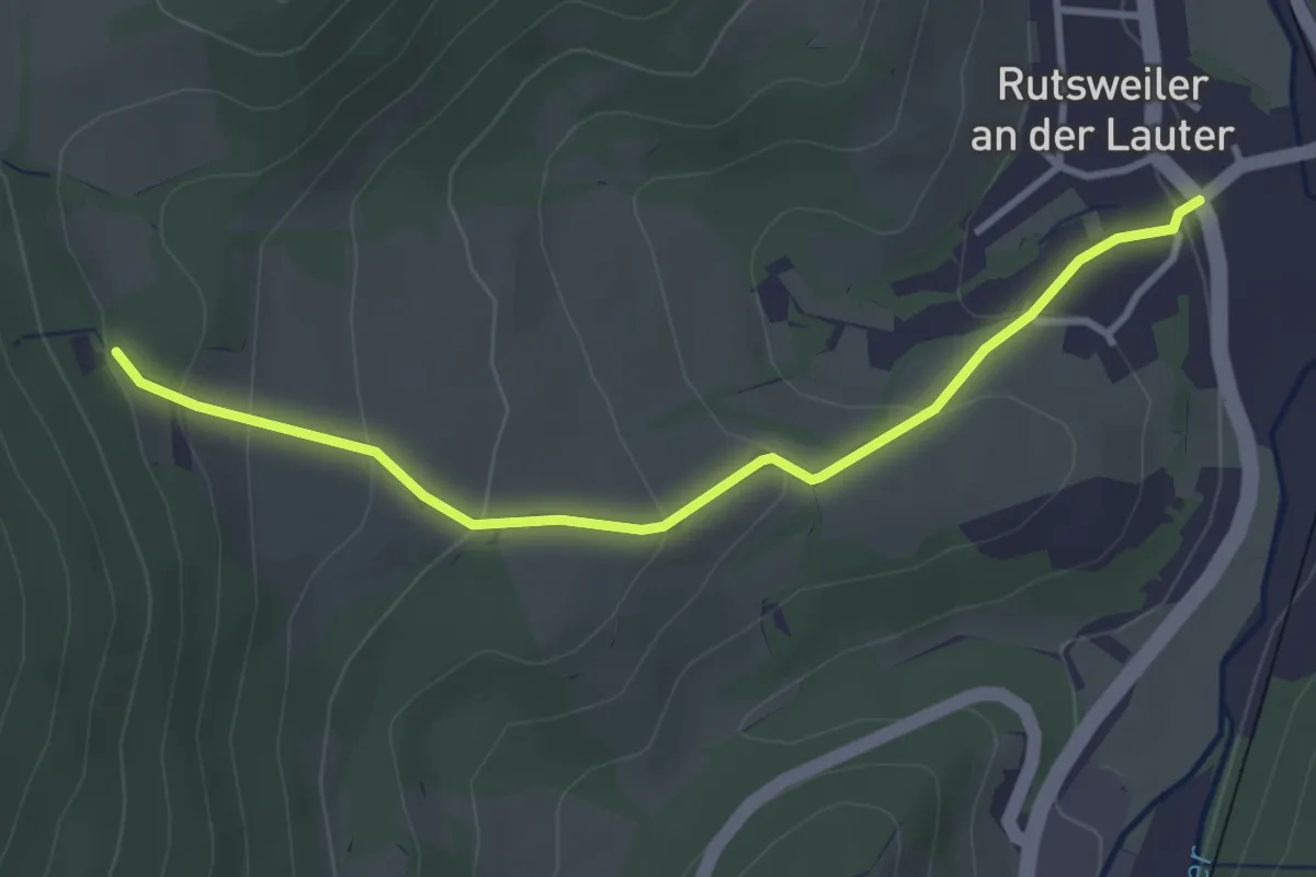
Easy · Cabin
Pfälzer Höhenweg Zuweg Rutsweiler
3.3 km · ↑ 179 m · 1 h 10 min
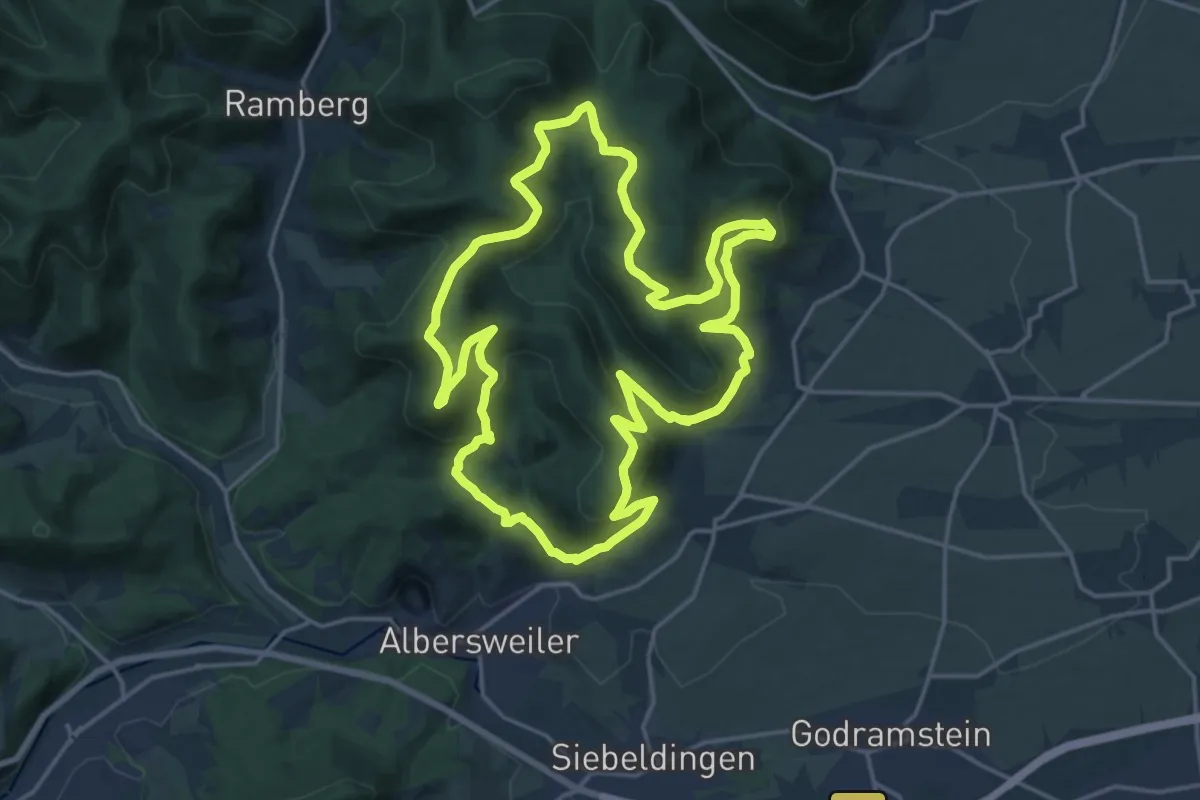
Medium · Summit
Pfälzer Hüttentour
18.0 km · ↑ 768 m · 6 h 10 min
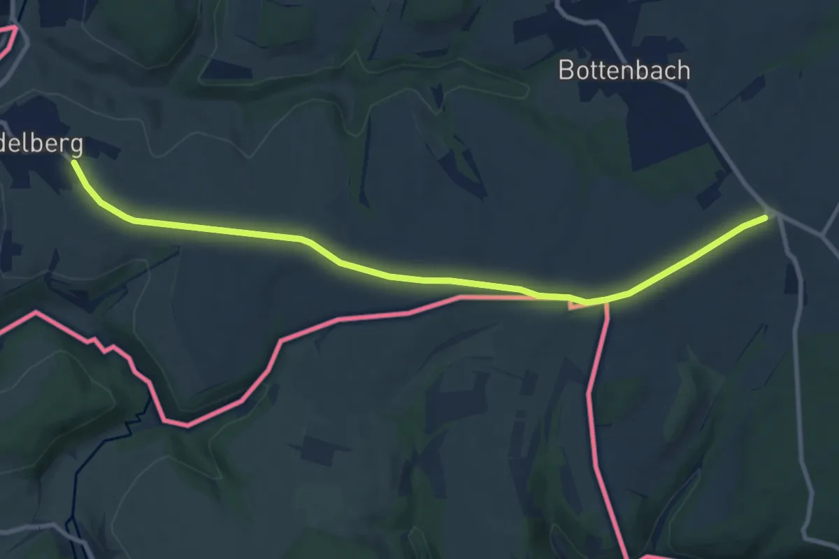
Medium · Trail
Pfälzer Jakobsweg Südroute
8.9 km · ↑ 71 m · 2 h 16 min
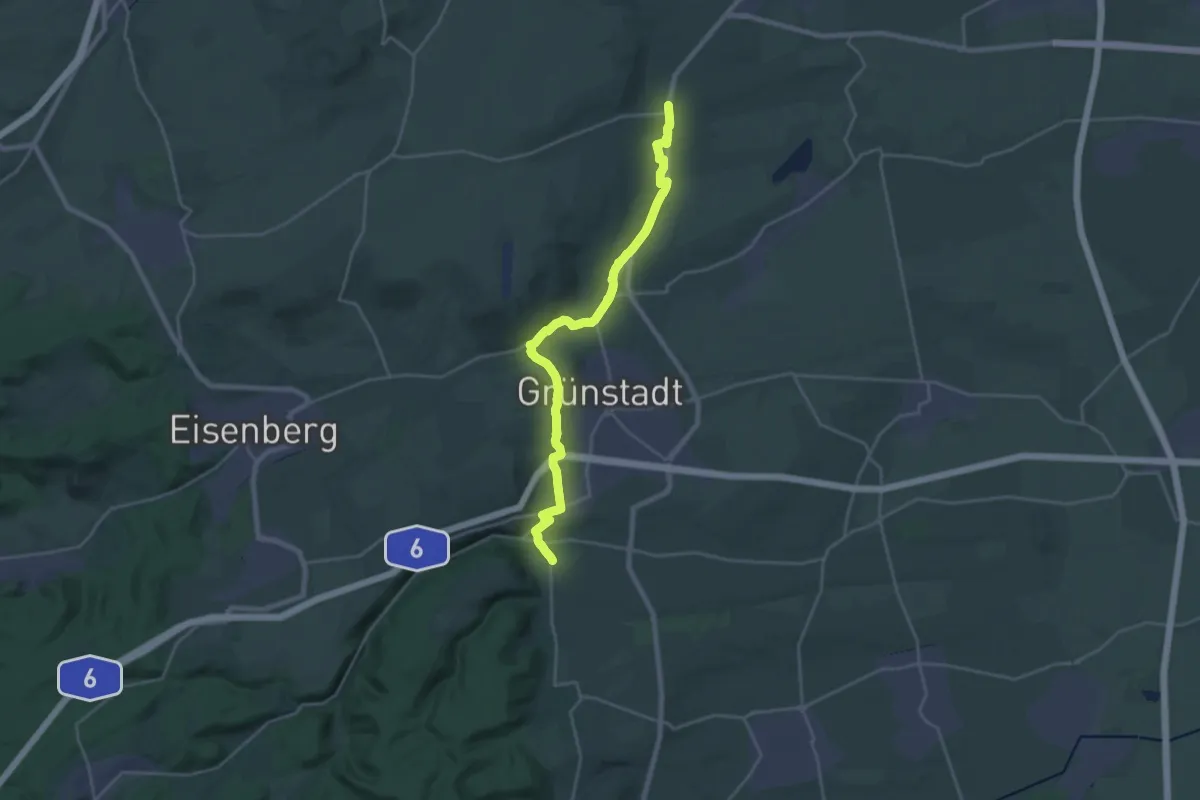
Demanding · Trail
Pfälzer Mandelpfad - Etappe 1
23.3 km · ↑ 376 m · 6 h 19 min
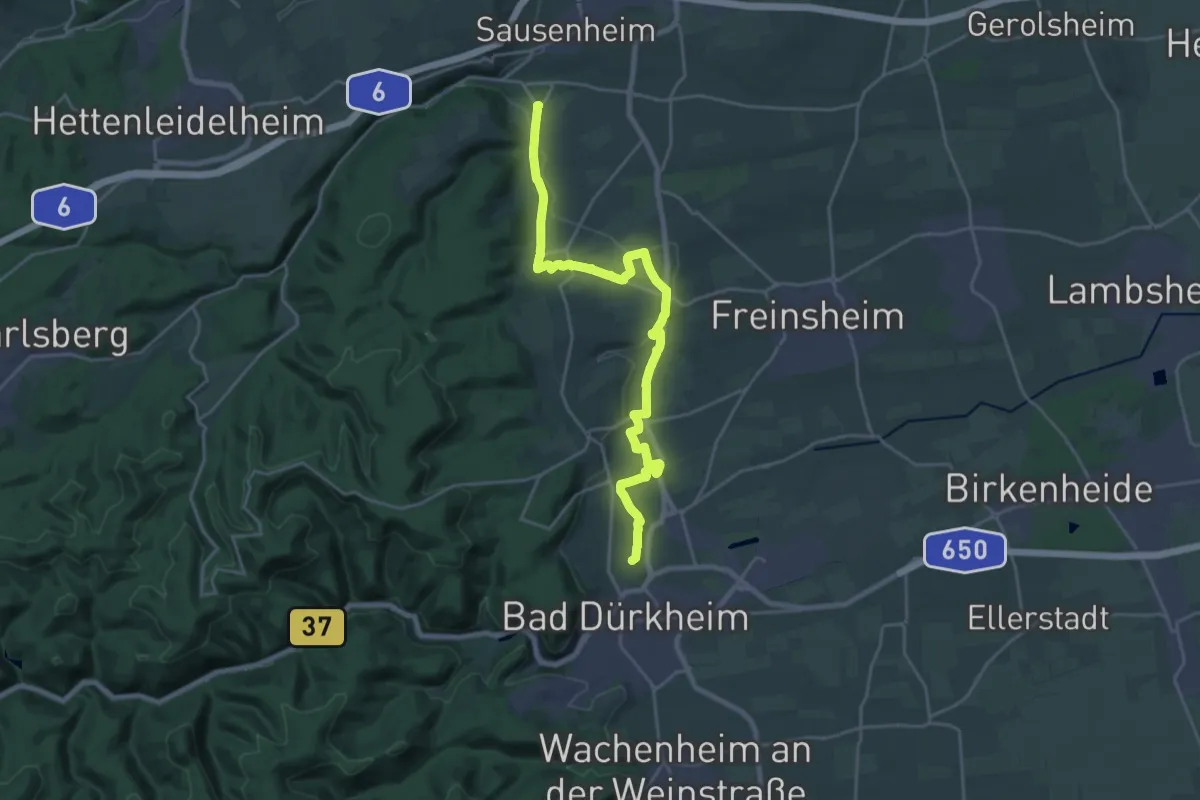
Demanding · Summit
Pfälzer Mandelpfad - Etappe 2
23.5 km · ↑ 279 m · 6 h 9 min
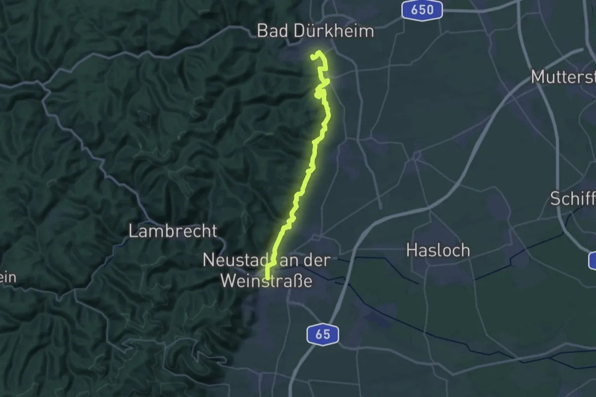
Medium · Trail
Pfälzer Mandelpfad - Etappe 3
16.4 km · ↑ 363 m · 4 h 55 min
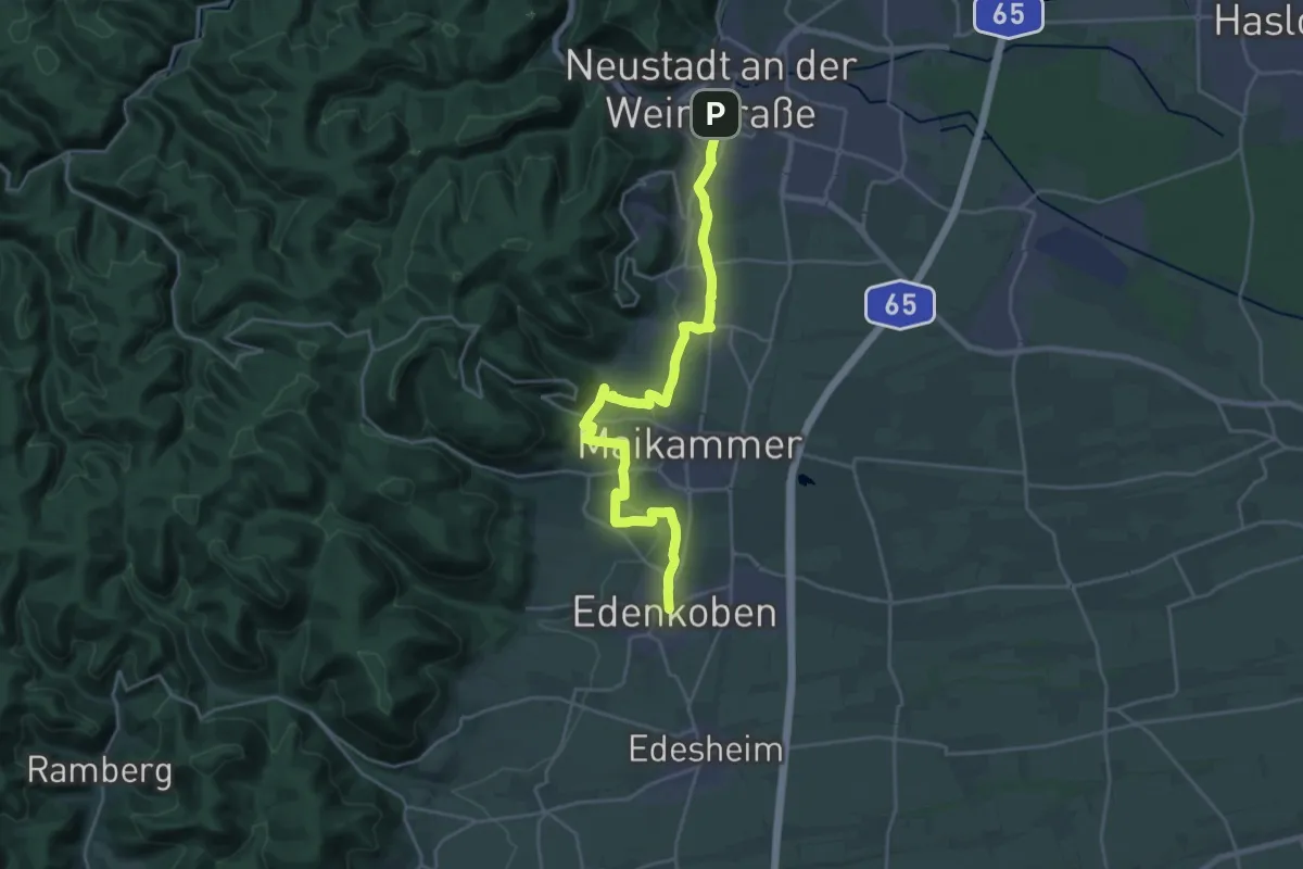
Demanding · Trail
Pfälzer Mandelpfad - Etappe 4
23.6 km · ↑ 305 m · 6 h 14 min