Trails in Germany
36,852 hiking trails, each with its route, climb, walking time and grade.
All trails, page 419 of 768
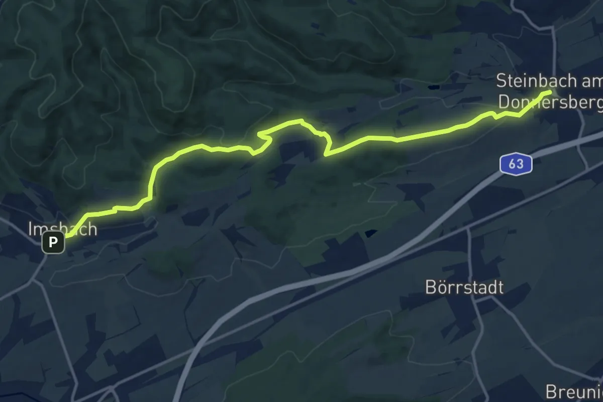
Medium · Trail
Pfälzerwald Weißes Dreieck #3
13.7 km · ↑ 380 m · 4 h 3 min
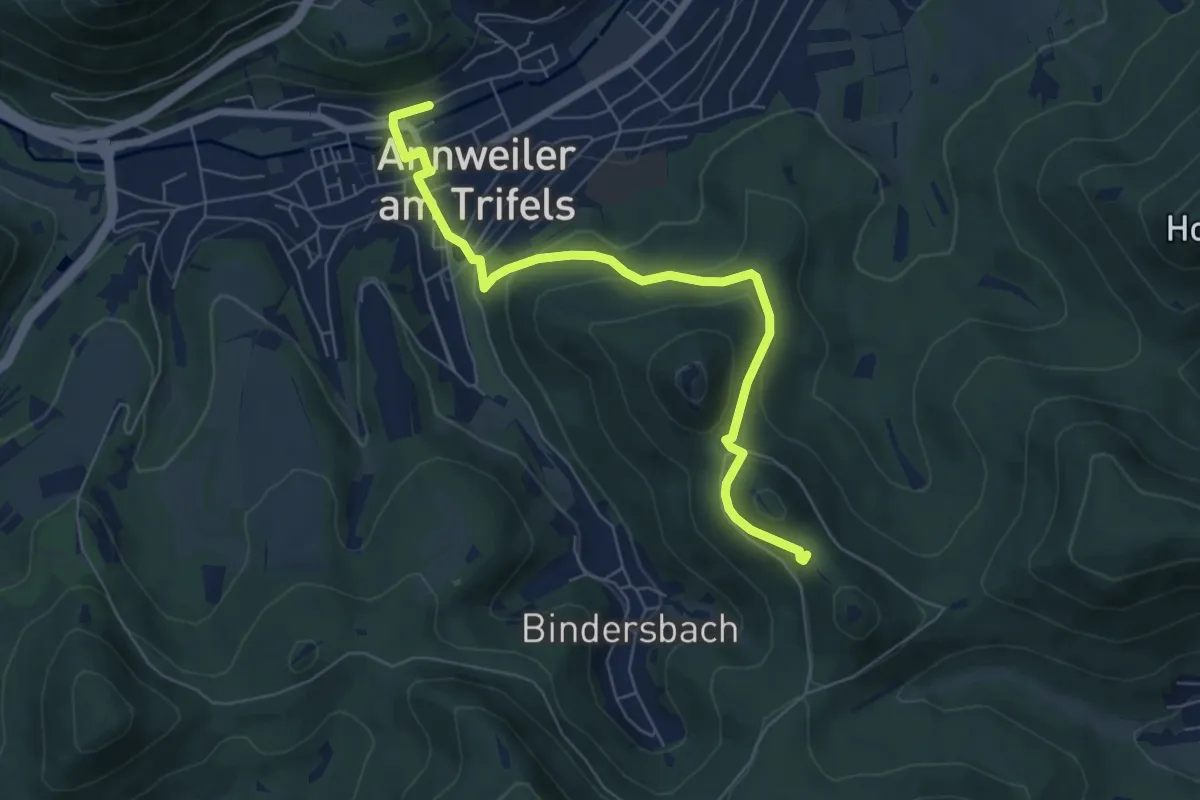
Easy · Summit
Pfälzerwald Weißes Dreieck : Annweiler <=> Waldhambach
6.4 km · ↑ 255 m · 2 h 4 min
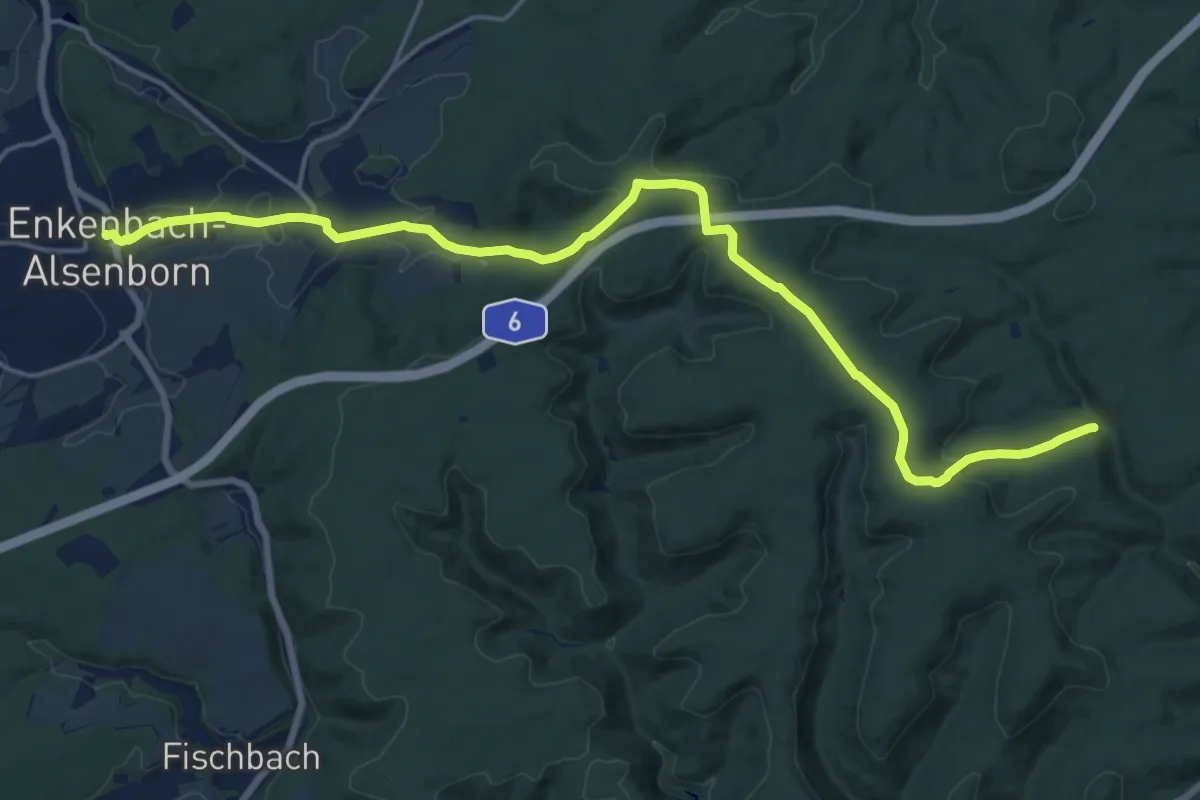
Demanding · Trail
Pfälzerwald Weiß-Gelber Balken
18.8 km · ↑ 325 m · 5 h 9 min
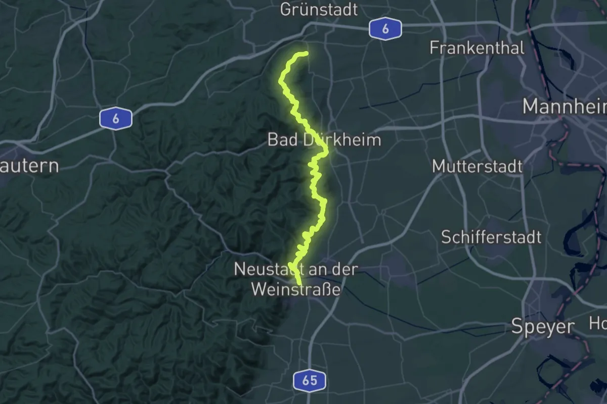
Demanding · Trail
Pfälzerwald Weiß-Roter Balken
36.8 km · ↑ 1299 m · 12 h 3 min
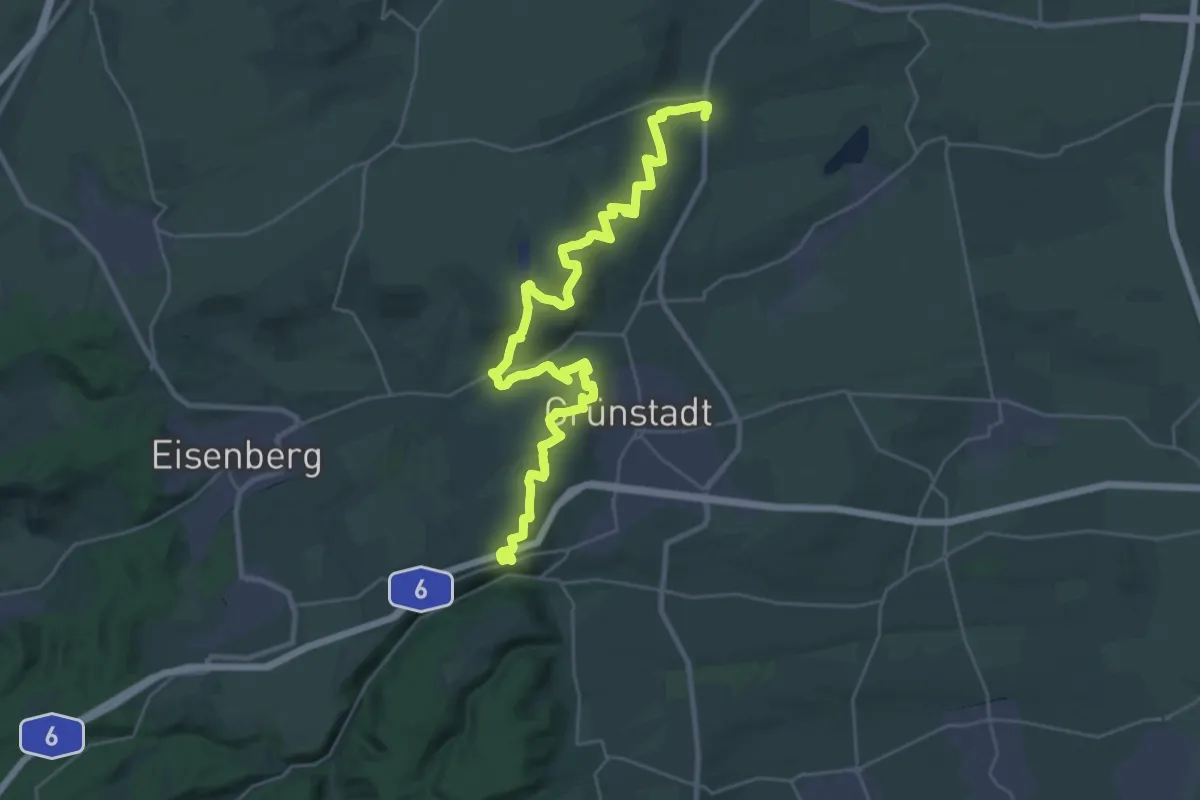
Medium · Trail
Pfälzer Weinsteig - Etappe 1
16.8 km · ↑ 501 m · 5 h 14 min
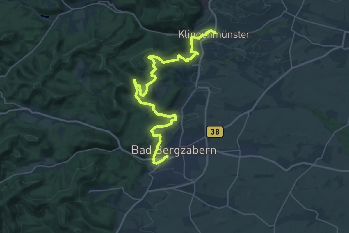
Demanding · Trail
Pfälzer Weinsteig - Etappe 10
24.5 km · ↑ 804 m · 7 h 32 min
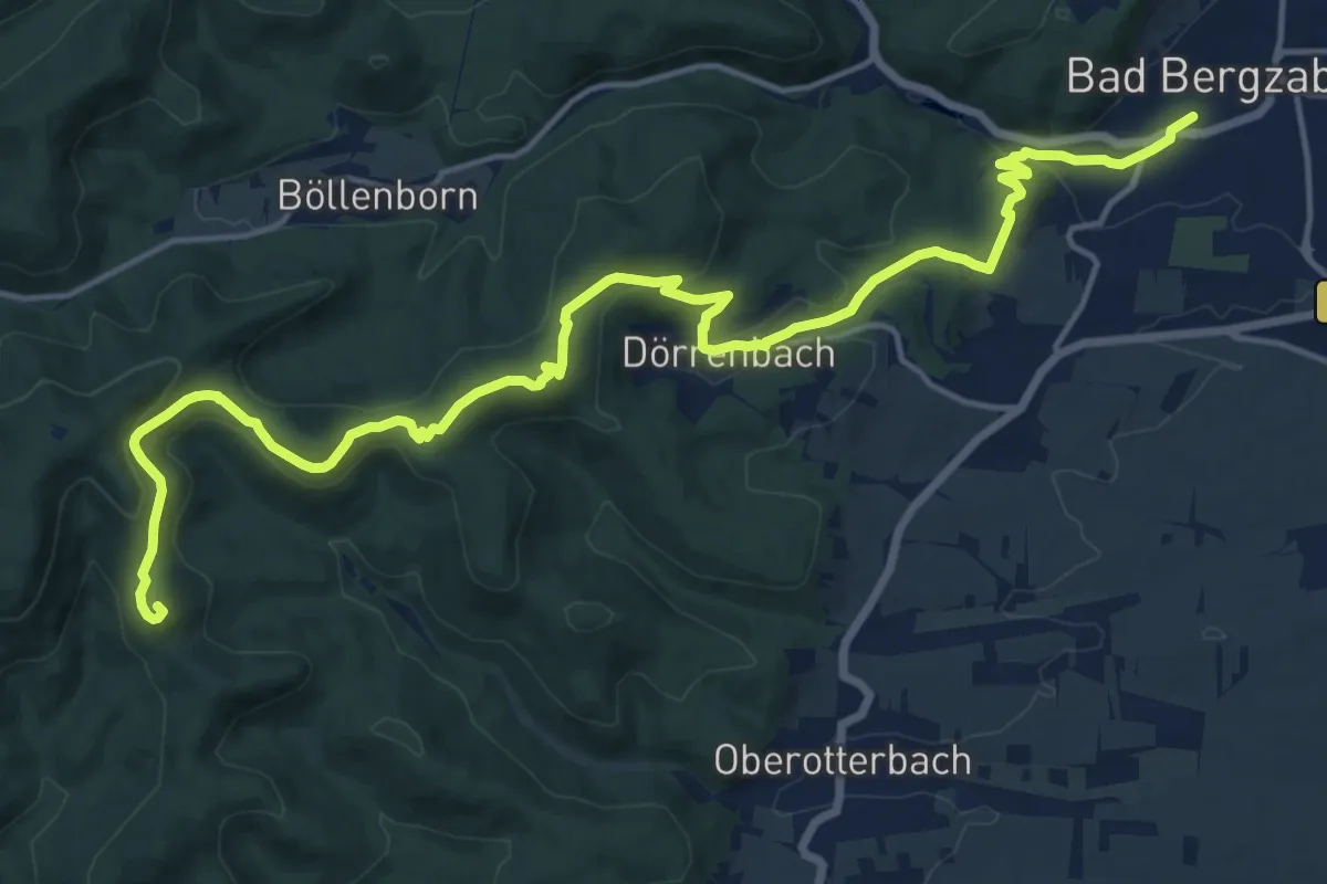
Demanding · Summit
Pfälzer Weinsteig - Etappe 11
19.2 km · ↑ 607 m · 5 h 50 min
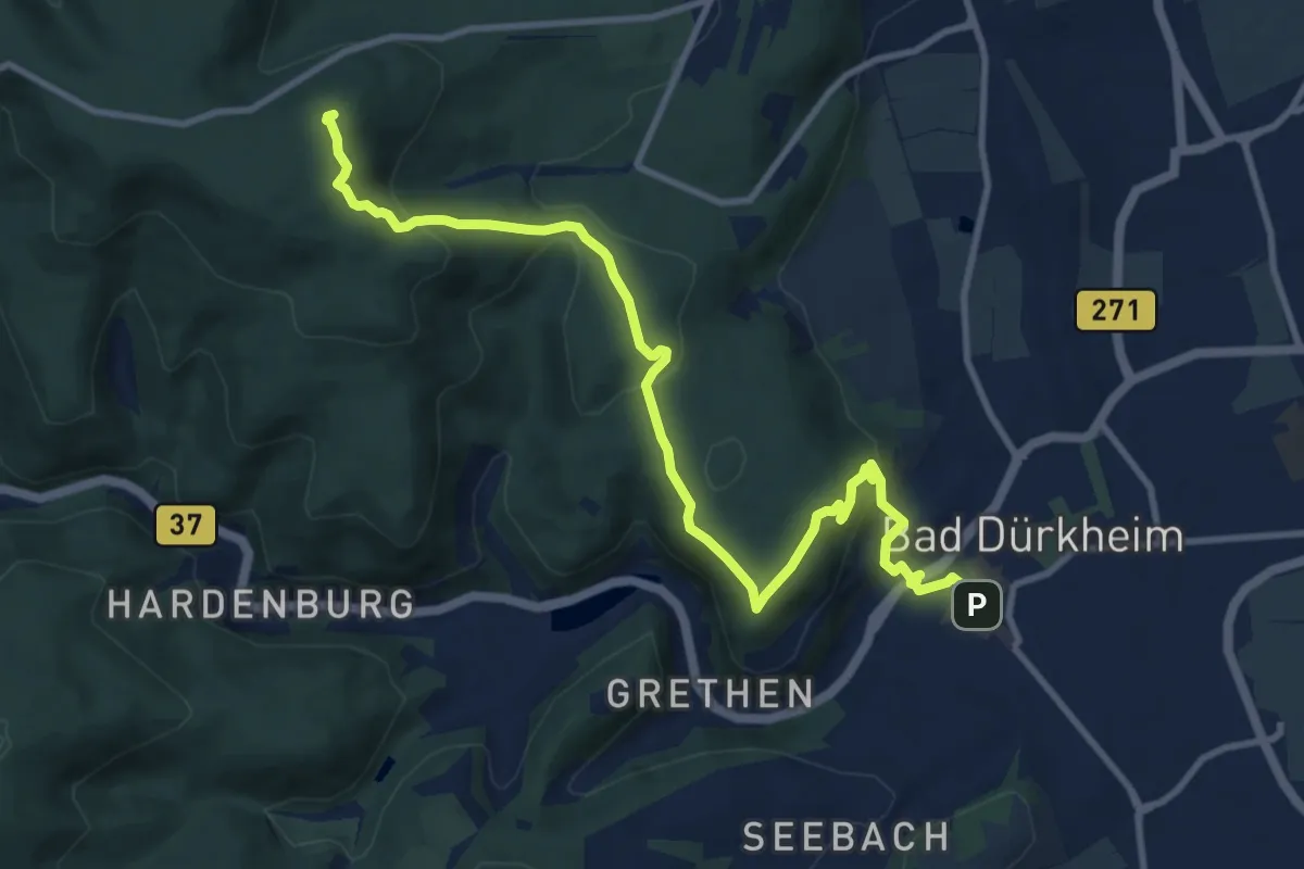
Medium · Summit
Pfälzer Weinsteig - Etappe 2
11.4 km · ↑ 423 m · 3 h 37 min
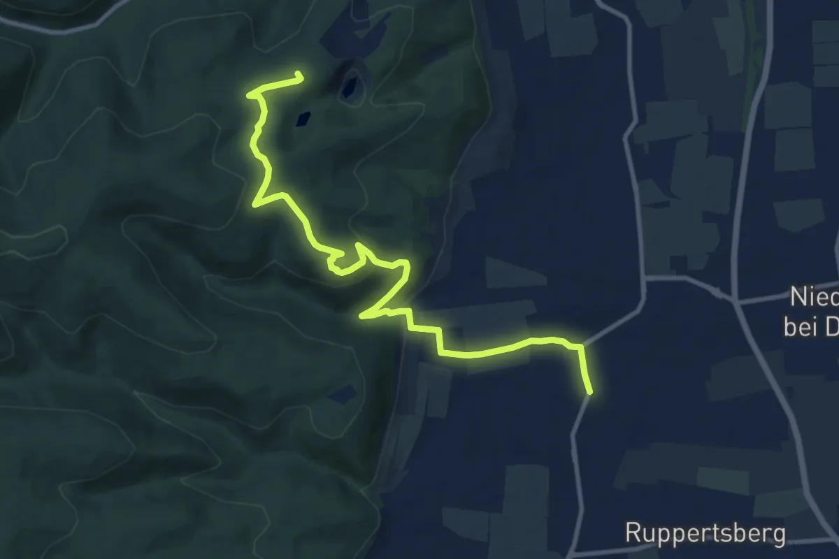
Medium · Summit
Pfälzer Weinsteig - Etappe 3
10.5 km · ↑ 306 m · 3 h 8 min
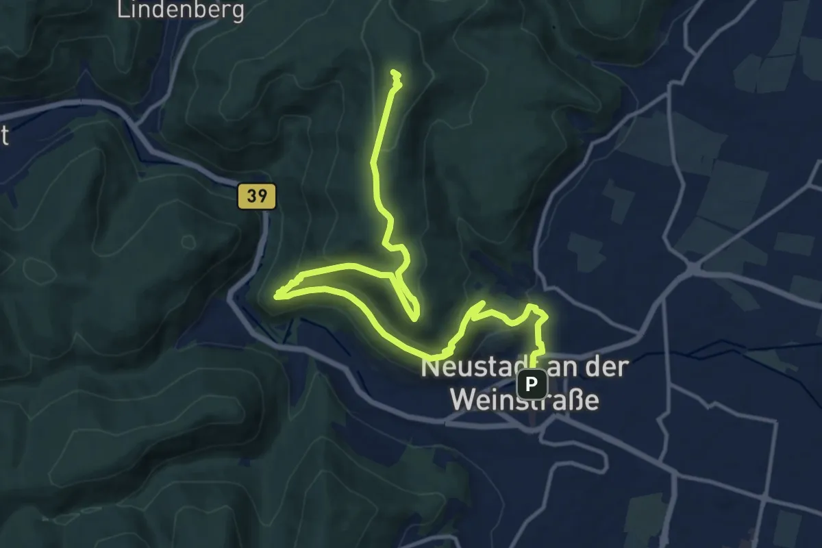
Medium · Summit
Pfälzer Weinsteig - Etappe 4
15.3 km · ↑ 576 m · 4 h 52 min
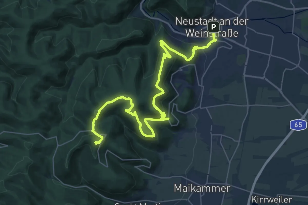
Demanding · Summit
Pfälzer Weinsteig - Etappe 5
28.1 km · ↑ 1207 m · 9 h 14 min
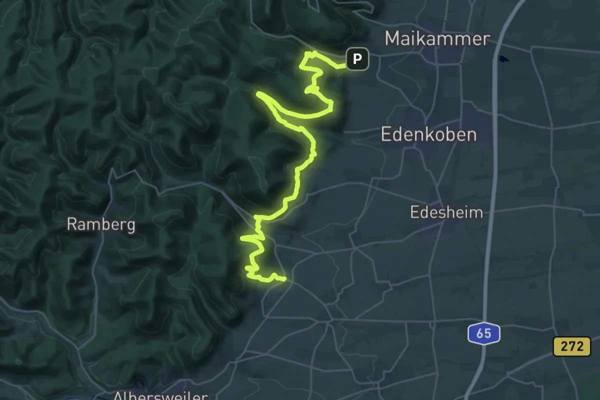
Medium · Trail
Pfälzer Weinsteig - Etappe 6
16.8 km · ↑ 739 m · 5 h 47 min
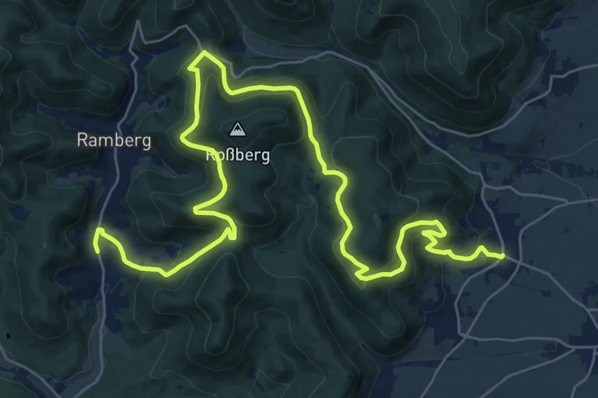
Medium · Trail
Pfälzer Weinsteig - Etappe 7
13.9 km · ↑ 515 m · 4 h 36 min
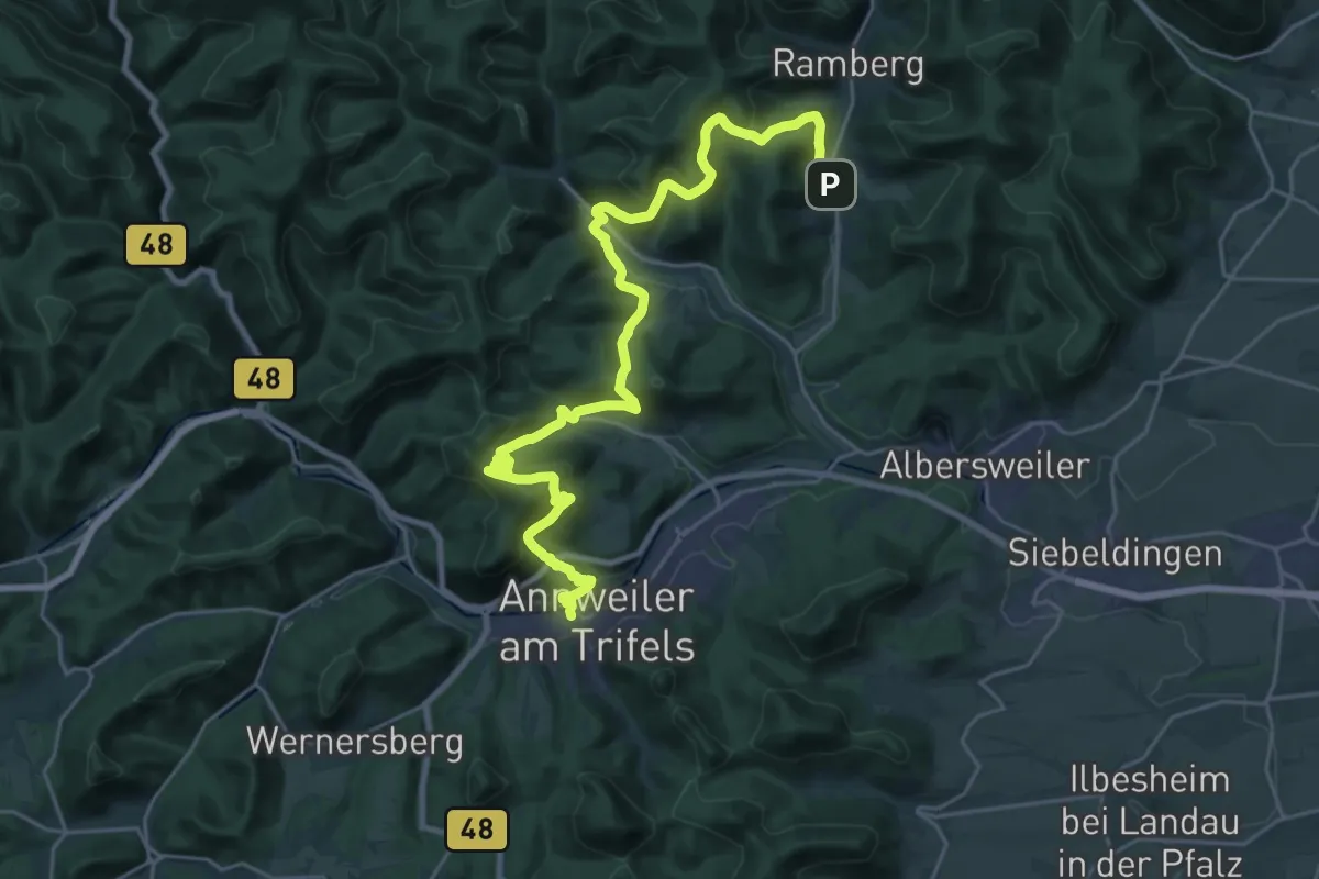
Medium · Trail
Pfälzer Weinsteig - Etappe 8
14.4 km · ↑ 688 m · 5 h 6 min
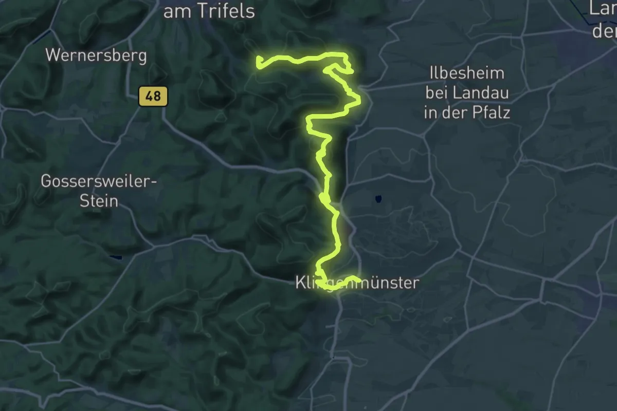
Demanding · Summit
Pfälzer Weinsteig - Etappe 9
29.4 km · ↑ 1192 m · 9 h 31 min
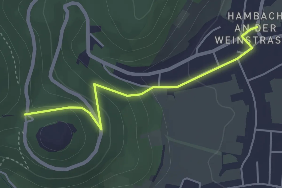
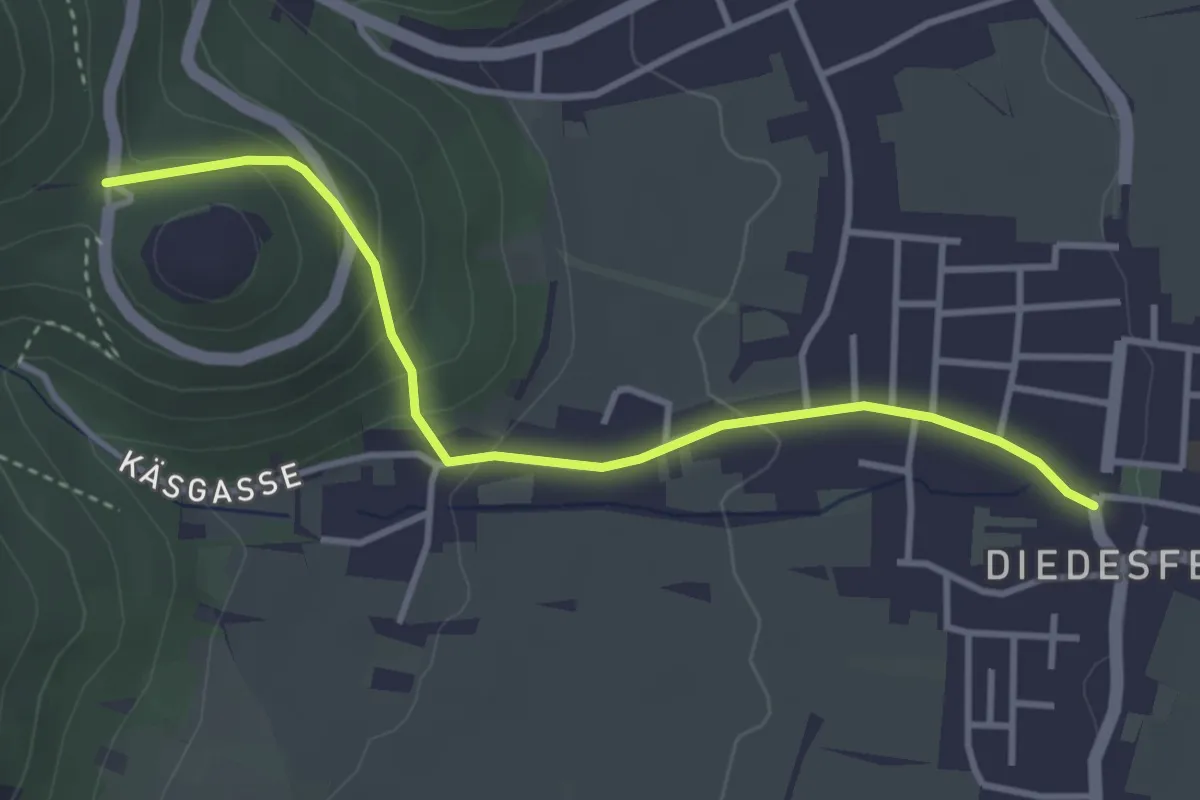
Easy · Trail
Pfälzer Weinsteig Zuweg
3.1 km · ↑ 164 m · 1 h 5 min
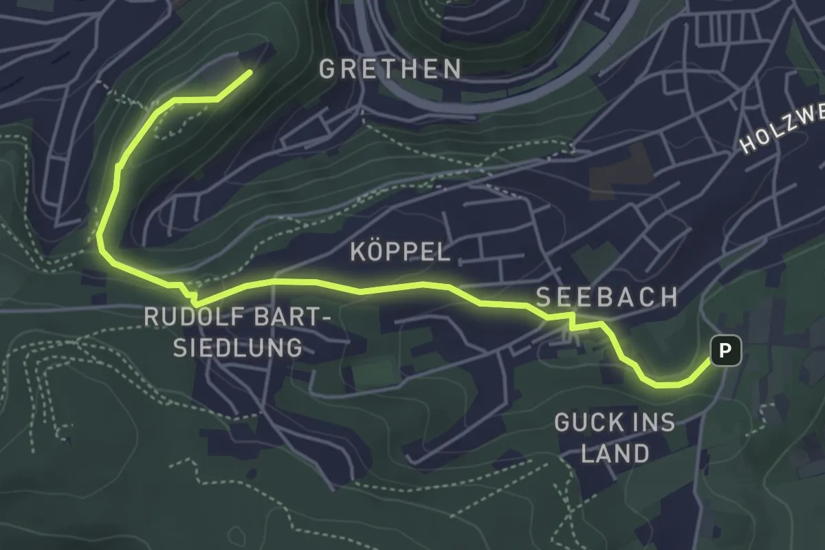
Easy · Trail
Pfälzer Weinsteig Zuweg
3.5 km · ↑ 163 m · 1 h 10 min
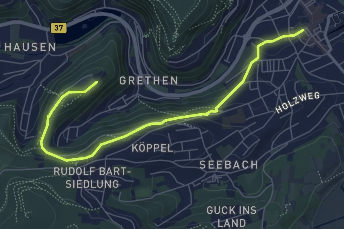
Easy · Trail
Pfälzer Weinsteig Zuweg
5.2 km · ↑ 150 m · 1 h 33 min
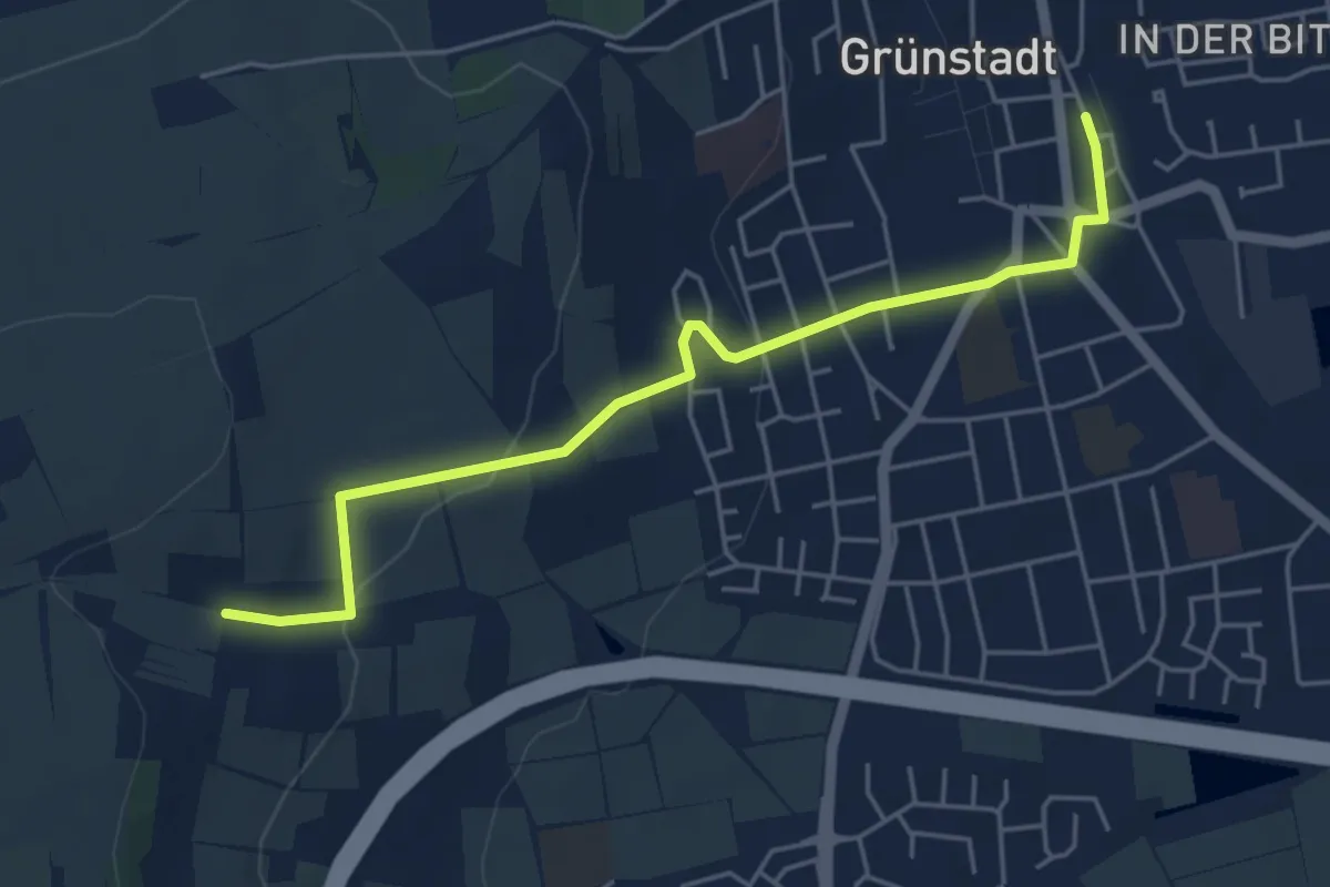
Easy · Trail
Pfälzer Weinsteig Zuweg
6.0 km · ↑ 184 m · 1 h 49 min
Easy · Trail
Pfälzer Weinsteig Zuweg
4.9 km · ↑ 123 m · 1 h 25 min
Easy · Summit
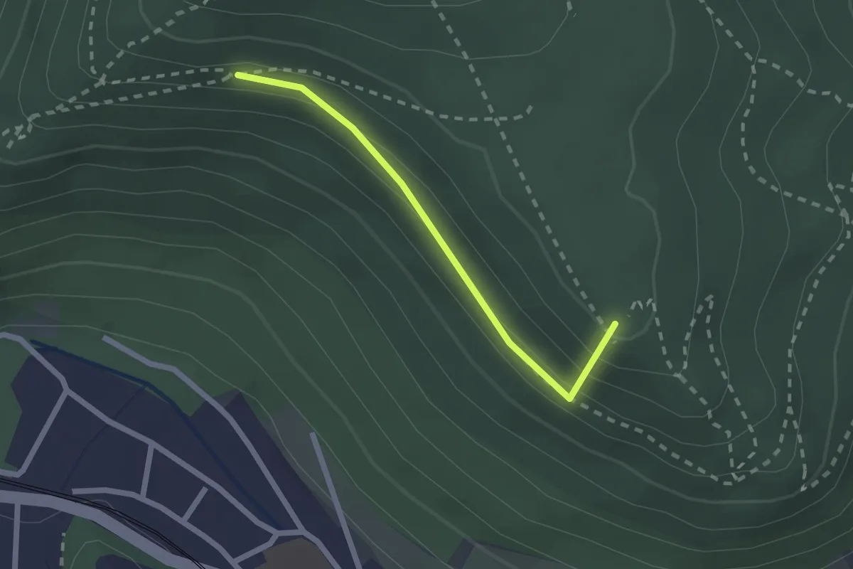
Pfälzer Weinsteig Zuweg
1.8 km · ↑ 117 m · 40 min
Medium · Trail
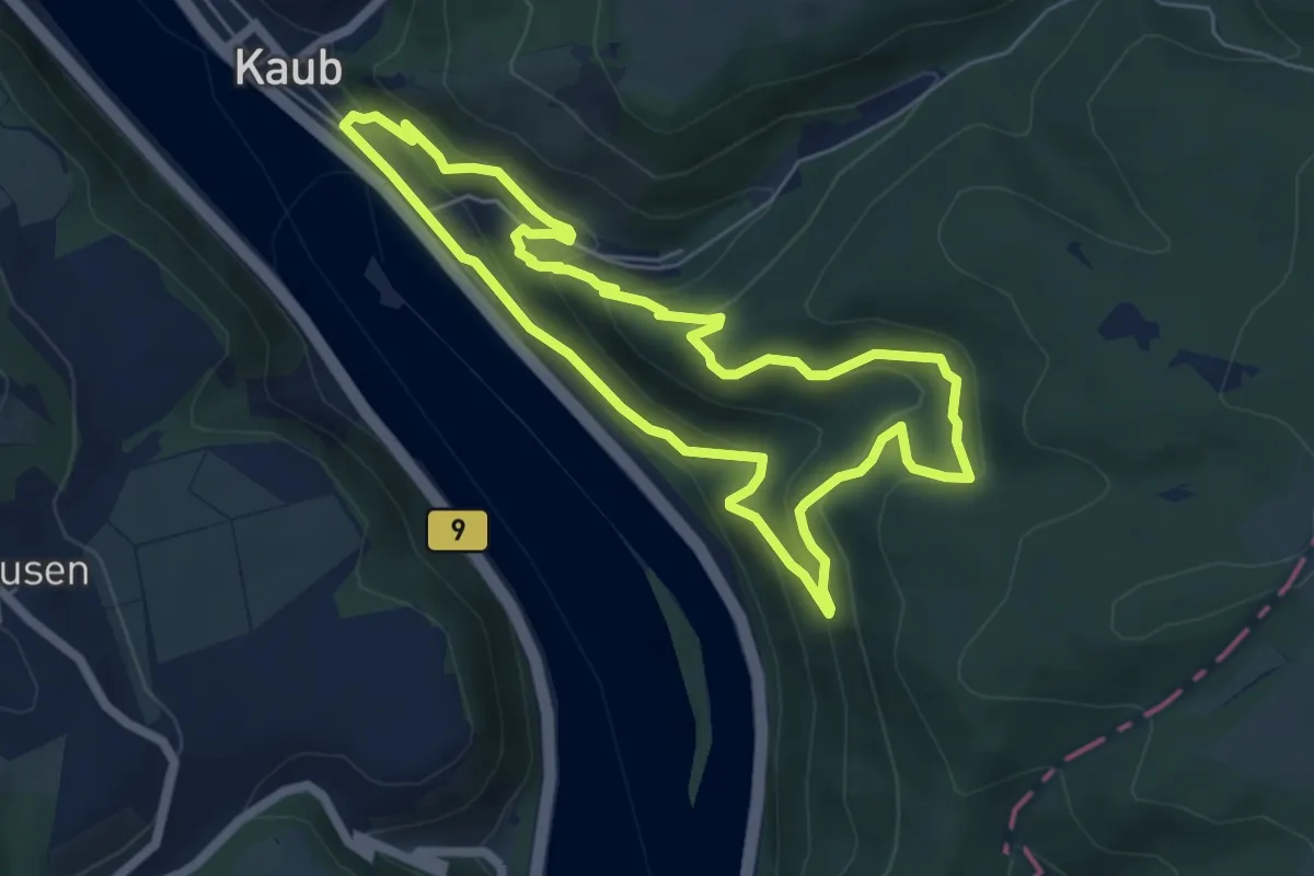
Pfalzgrafenstein-Trail
5.4 km · ↑ 340 m · 2 h 5 min
Demanding · Trail
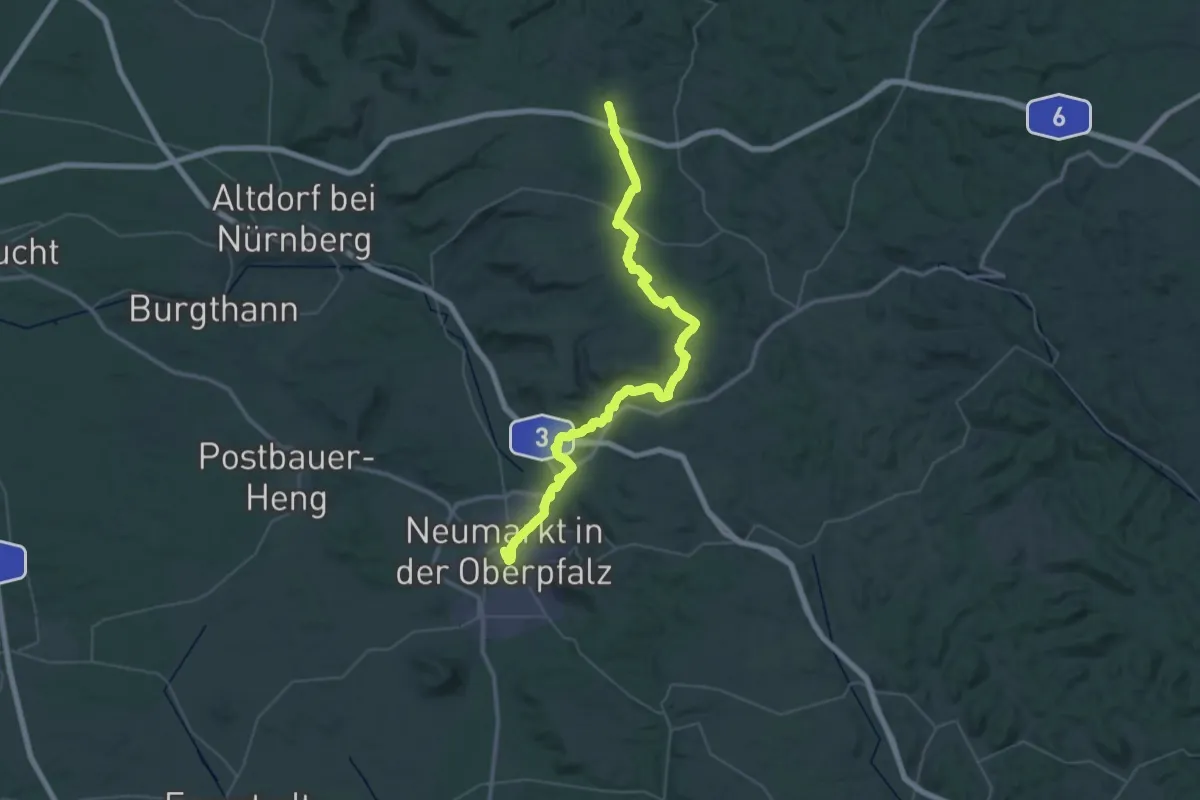
Pfalzgrafenweg
25.2 km · ↑ 335 m · 7 h 5 min
Demanding · Trail
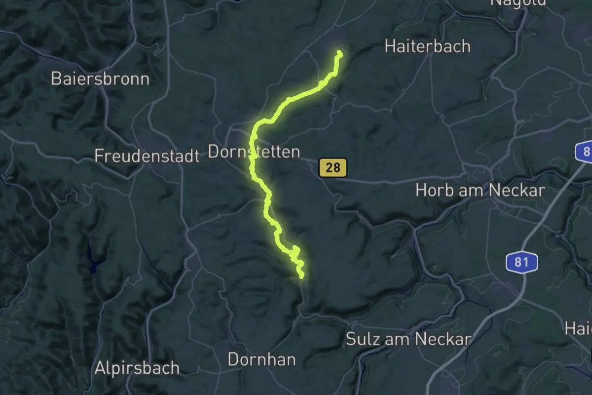
Pfalzgrafenweiler - Dornhan
22.5 km · ↑ 593 m · 6 h 58 min
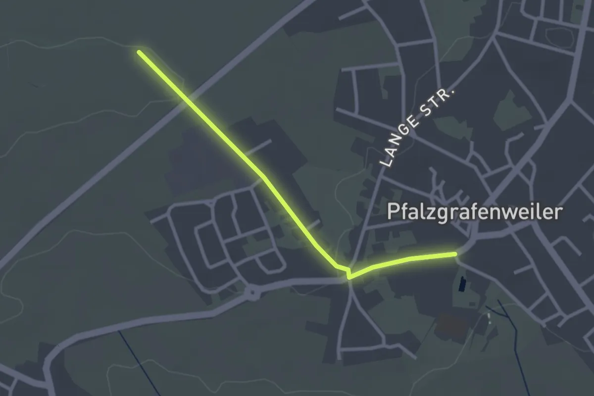
Easy · Trail
Pfalzgrafenweiler Schwimmbad - Jubiläumsplatz
2.3 km · ↑ 31 m · 37 min
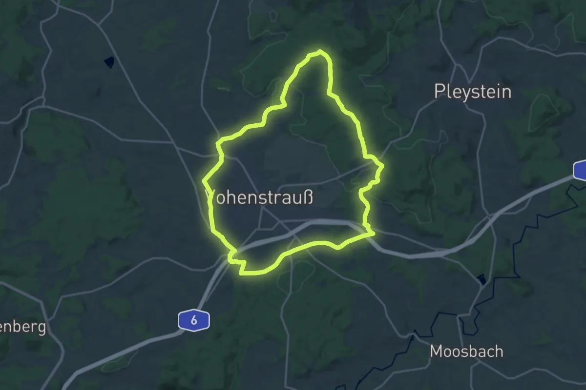
Medium · Trail
Pfalzgraf-Friedrich-Weg
16.2 km · ↑ 237 m · 4 h 34 min
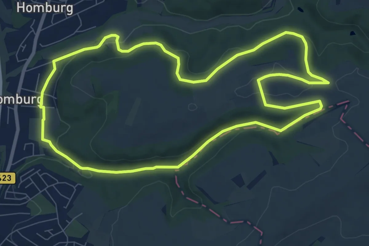
Medium · Trail
Pfänderbachtal Runde
8.1 km · ↑ 151 m · 2 h 21 min
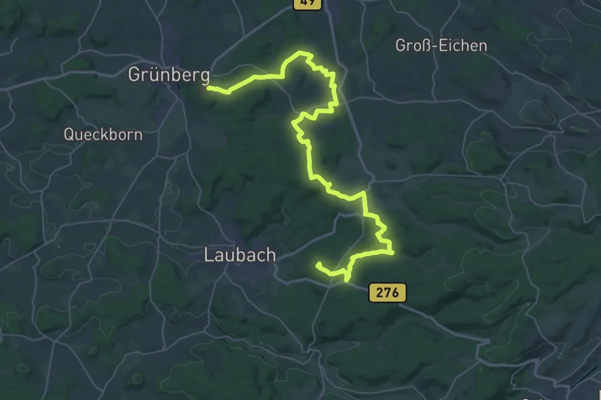
Demanding · Summit
Pfannenweg
35.9 km · ↑ 527 m · 9 h 36 min
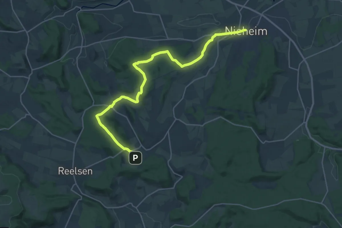
Demanding · Trail
Pfarrer-Lödige-Weg
20.9 km · ↑ 435 m · 5 h 53 min
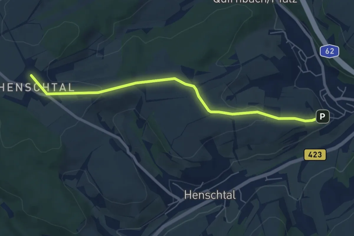
Easy · Trail
Pfarrer-Müller-Weg
2.7 km · ↑ 109 m · 51 min
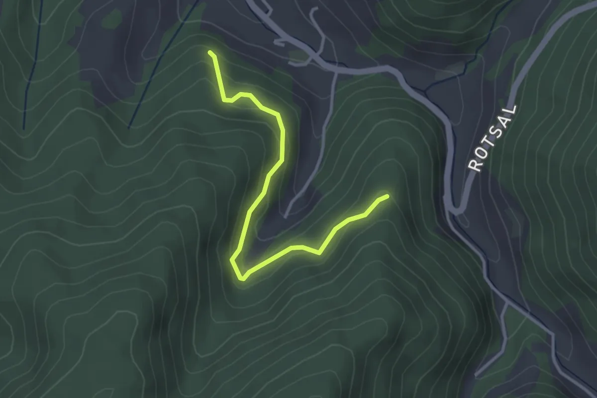
Easy · Trail
Pfarrwald - Sägerbühl
3.0 km · ↑ 241 m · 1 h 14 min
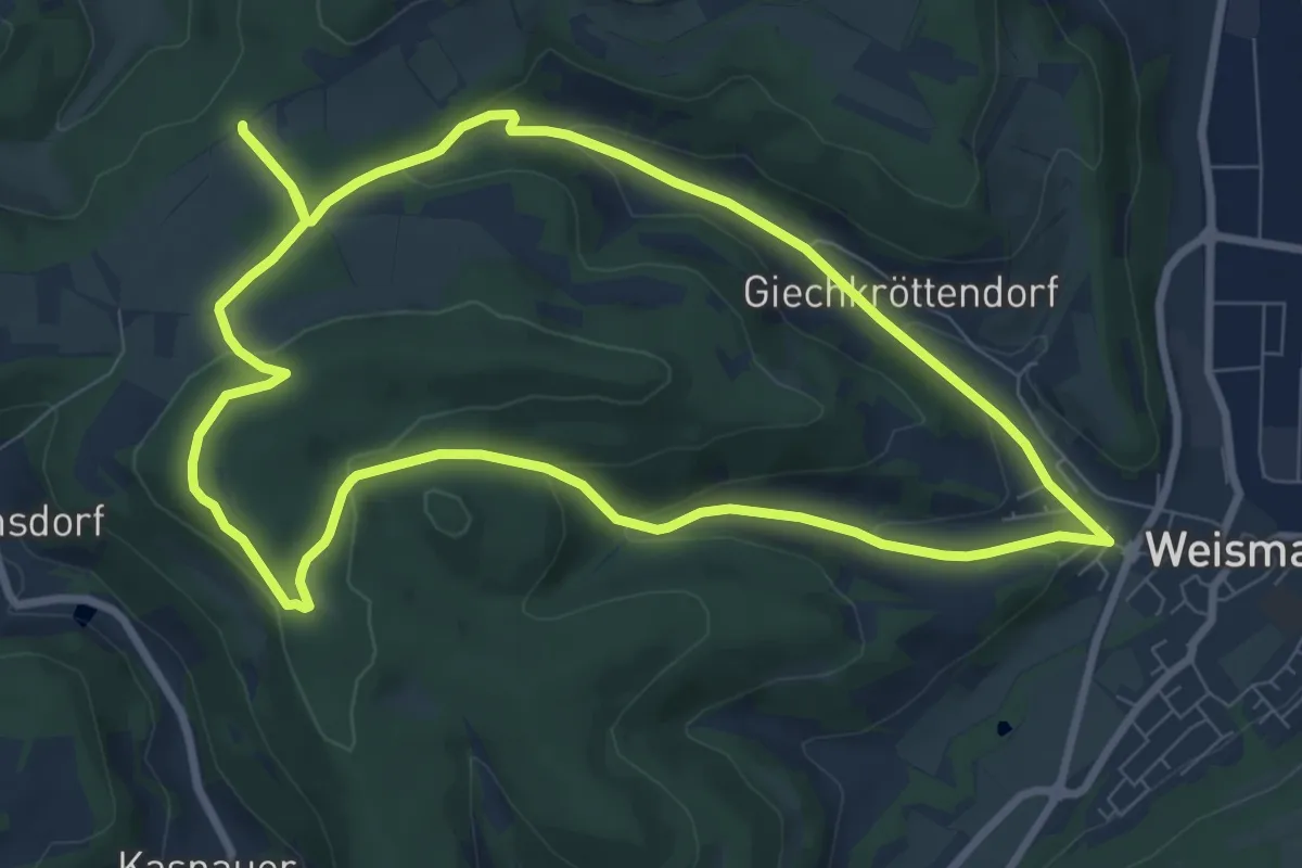
Medium · Summit
Pfauengrund Rundweg
8.1 km · ↑ 214 m · 2 h 29 min
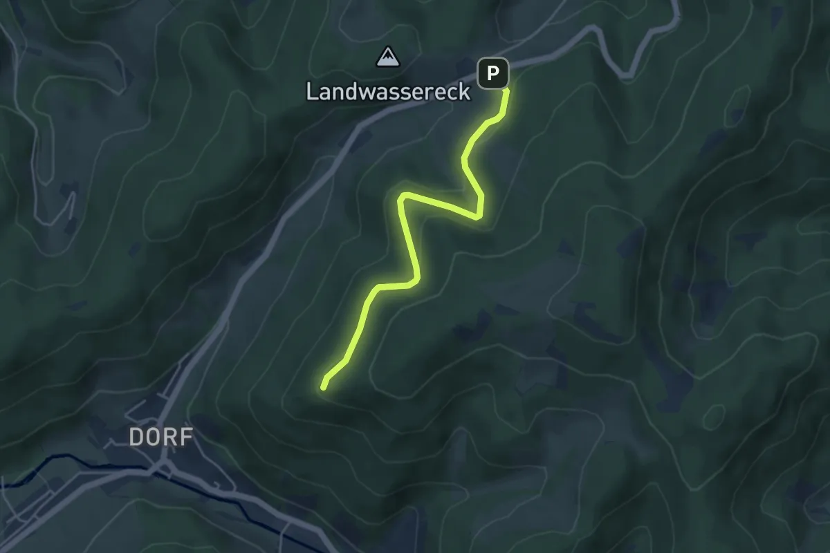
Easy · Trail
Pfauen - Landwassereck Parkplatz
4.0 km · ↑ 172 m · 1 h 19 min
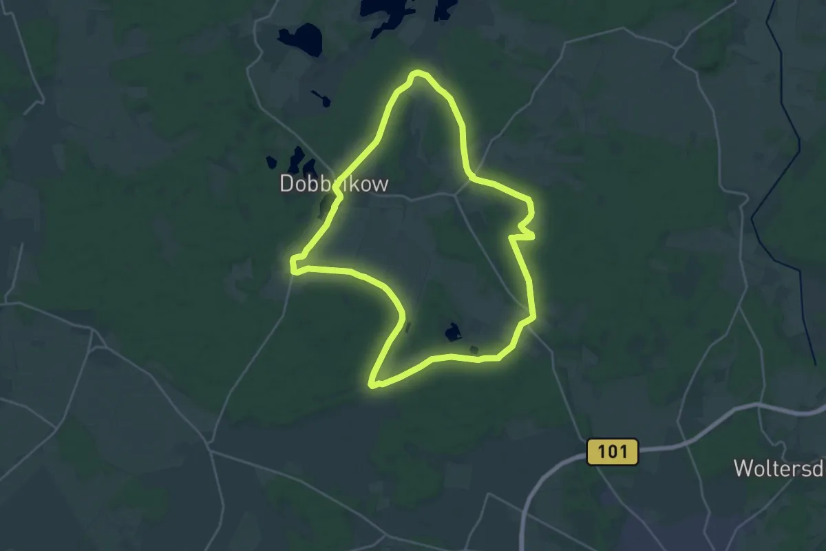
Demanding · Trail
Pfefferfliessroute
20.2 km · ↑ 89 m · 5 h 15 min
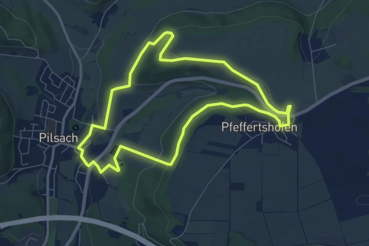
Easy · Trail
Pfeffertshofener Runde
6.3 km · ↑ 164 m · 1 h 56 min
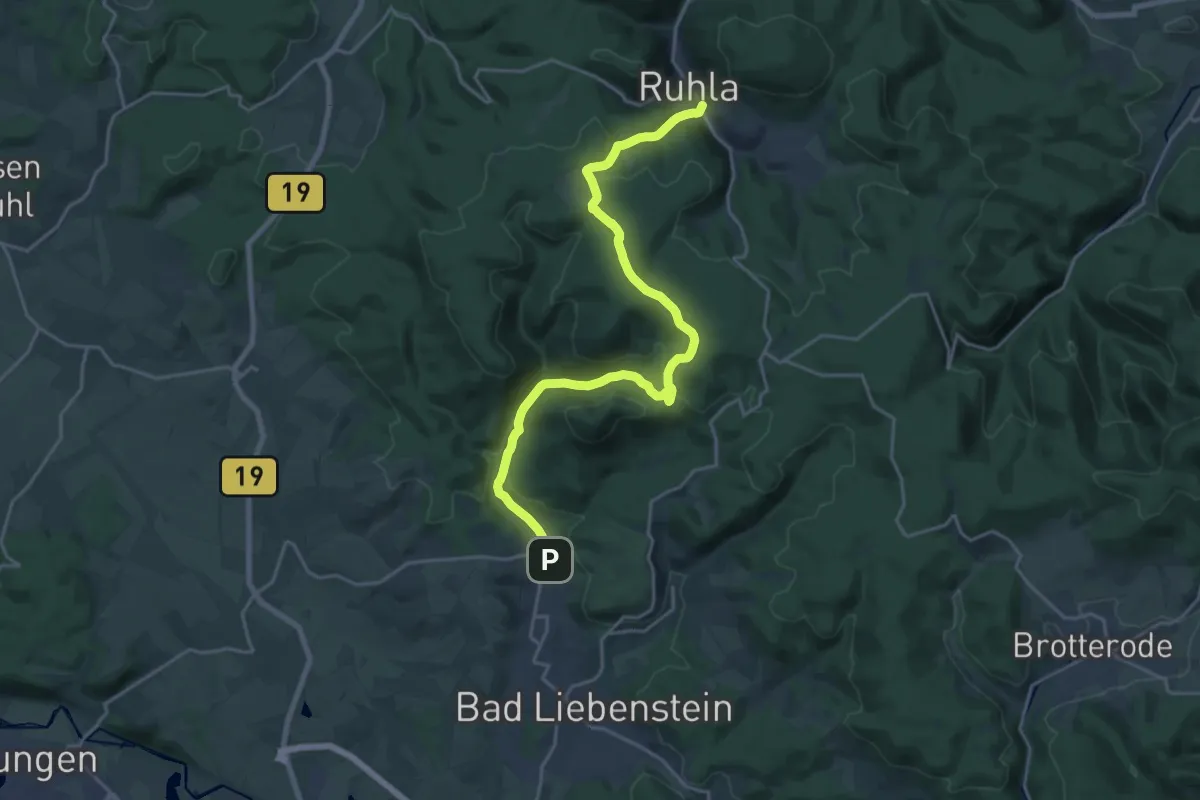
Demanding · Trail
Pfeifenweg
20.8 km · ↑ 629 m · 6 h 17 min
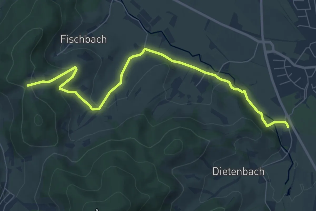
Medium · Trail
Pfeiferberg - Spielplatz am Engenwald
7.3 km · ↑ 265 m · 2 h 18 min
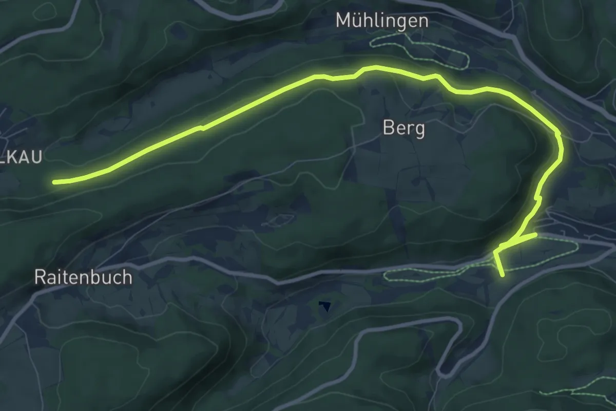
Medium · Trail
Pfeifferhalde
11.0 km · ↑ 263 m · 3 h 11 min
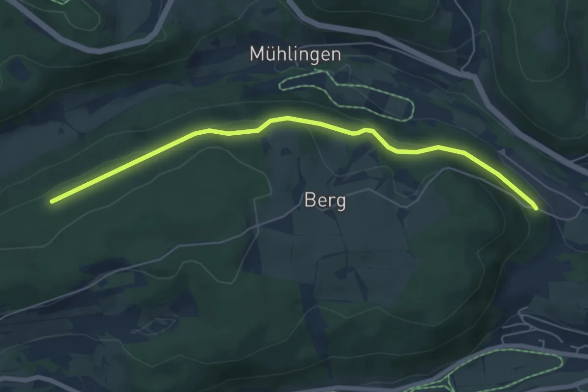
Easy · Trail
Pfeifferhalde - Prinz Max-Weg
5.4 km · ↑ 160 m · 1 h 37 min
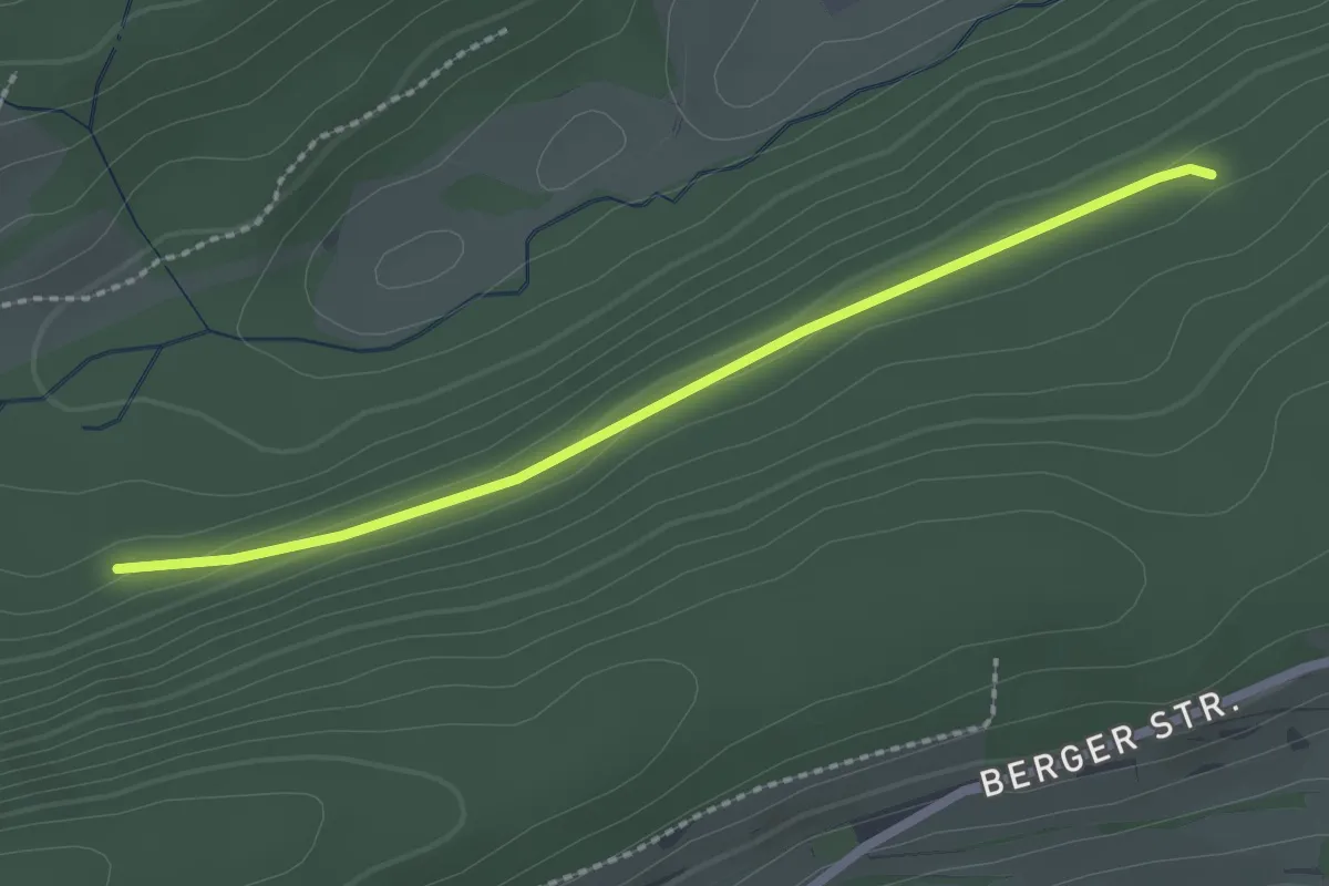
Easy · Trail
Pfeifferhalde - Vorderfalkau
2.2 km · ↑ 35 m · 36 min
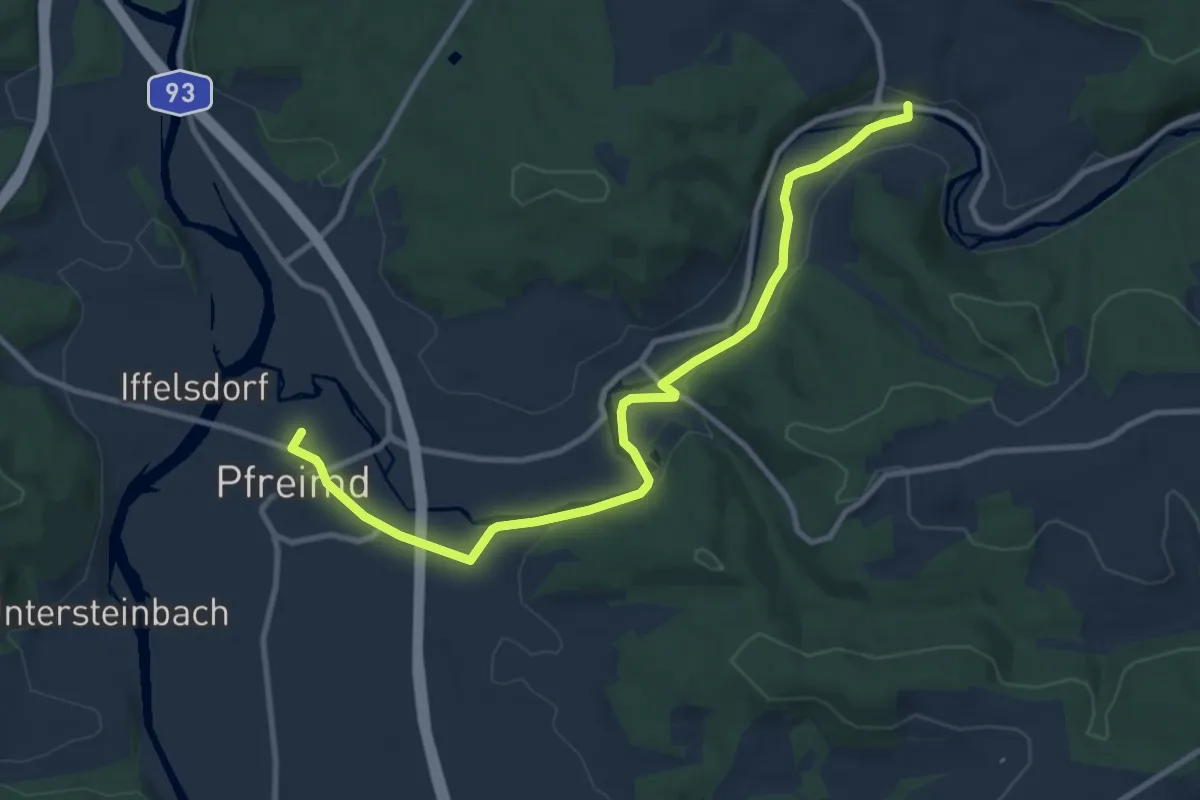
Medium · Trail
Pfeimd/Sportplatz - Stein
10.3 km · ↑ 56 m · 2 h 34 min
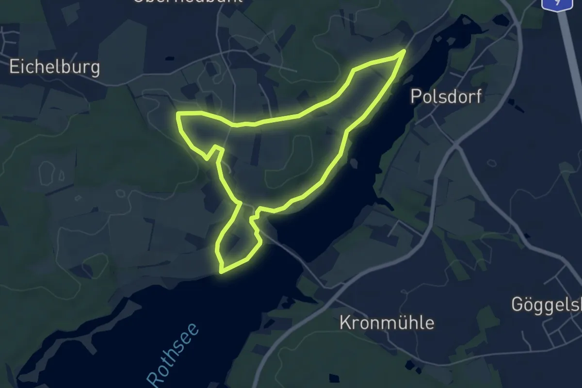
Easy · Trail
Pferdehofweg
5.0 km · ↑ 46 m · 1 h 21 min
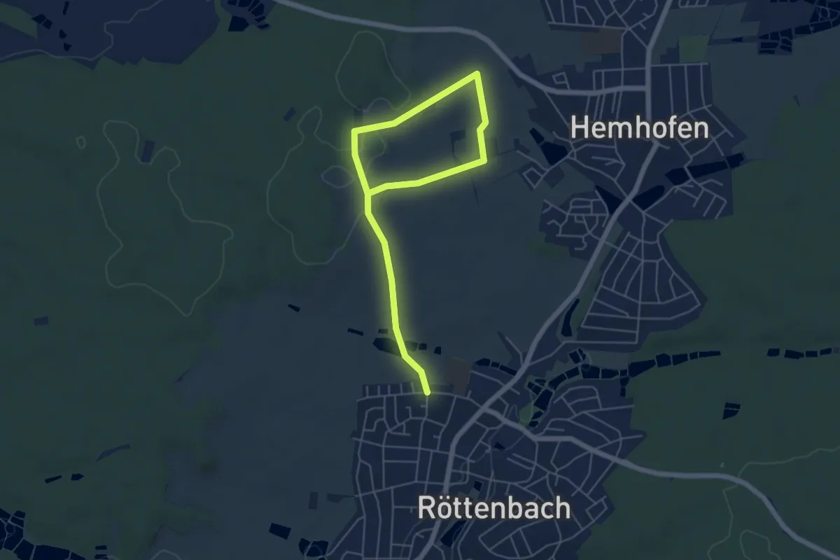
Easy · Trail
Pferdeweg
6.5 km · ↑ 85 m · 1 h 43 min
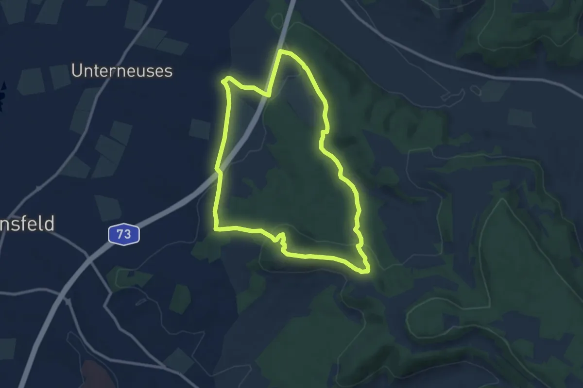
Easy · Summit
Pferdsfelder Kapellenweg
7.7 km · ↑ 165 m · 2 h 17 min
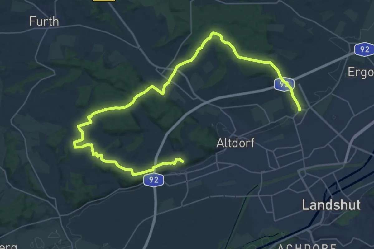
Medium · Trail
Pfettracher Rundwanderweg 3
16.2 km · ↑ 324 m · 4 h 44 min
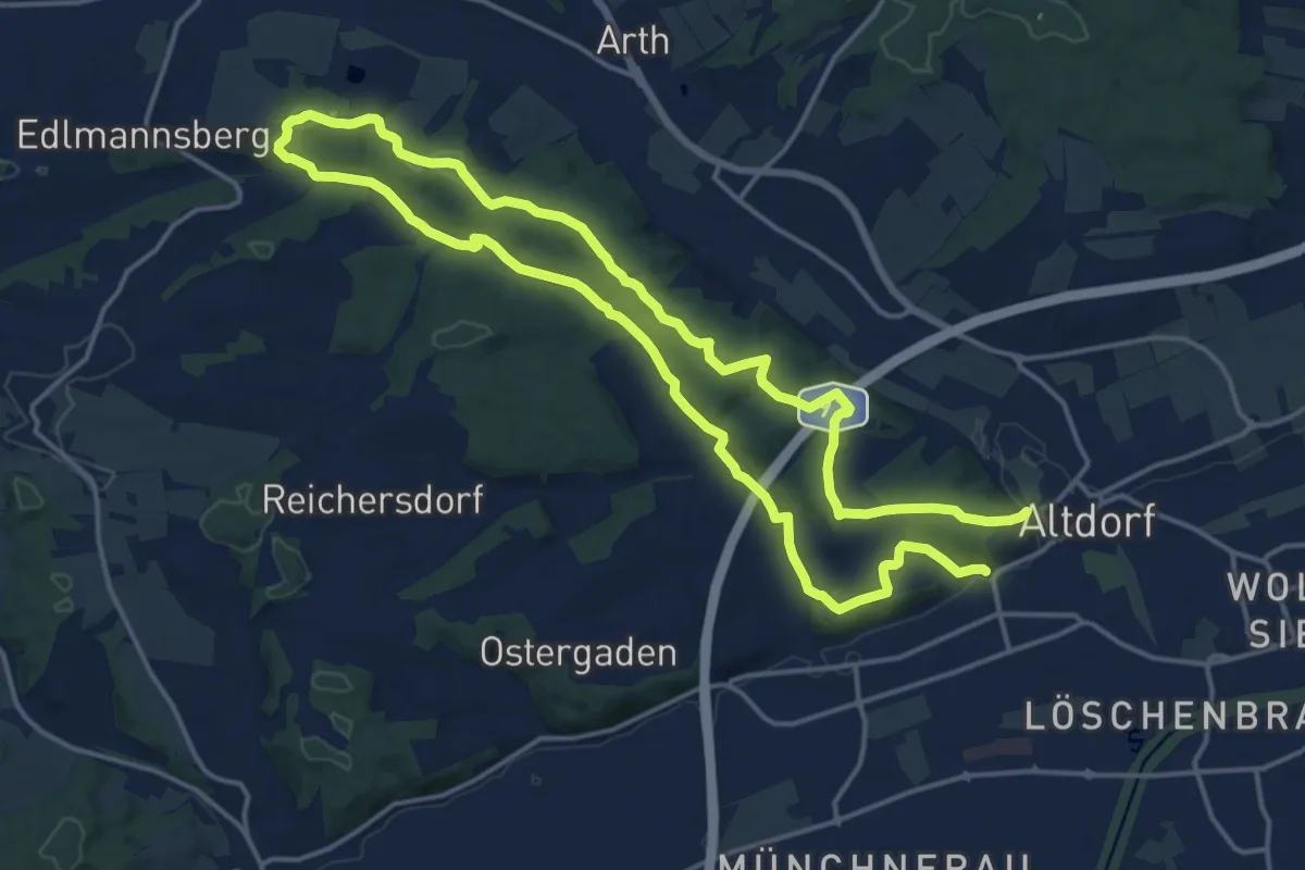
Medium · Trail
Pfettrach Rundwanderweg 1
14.9 km · ↑ 237 m · 4 h 14 min
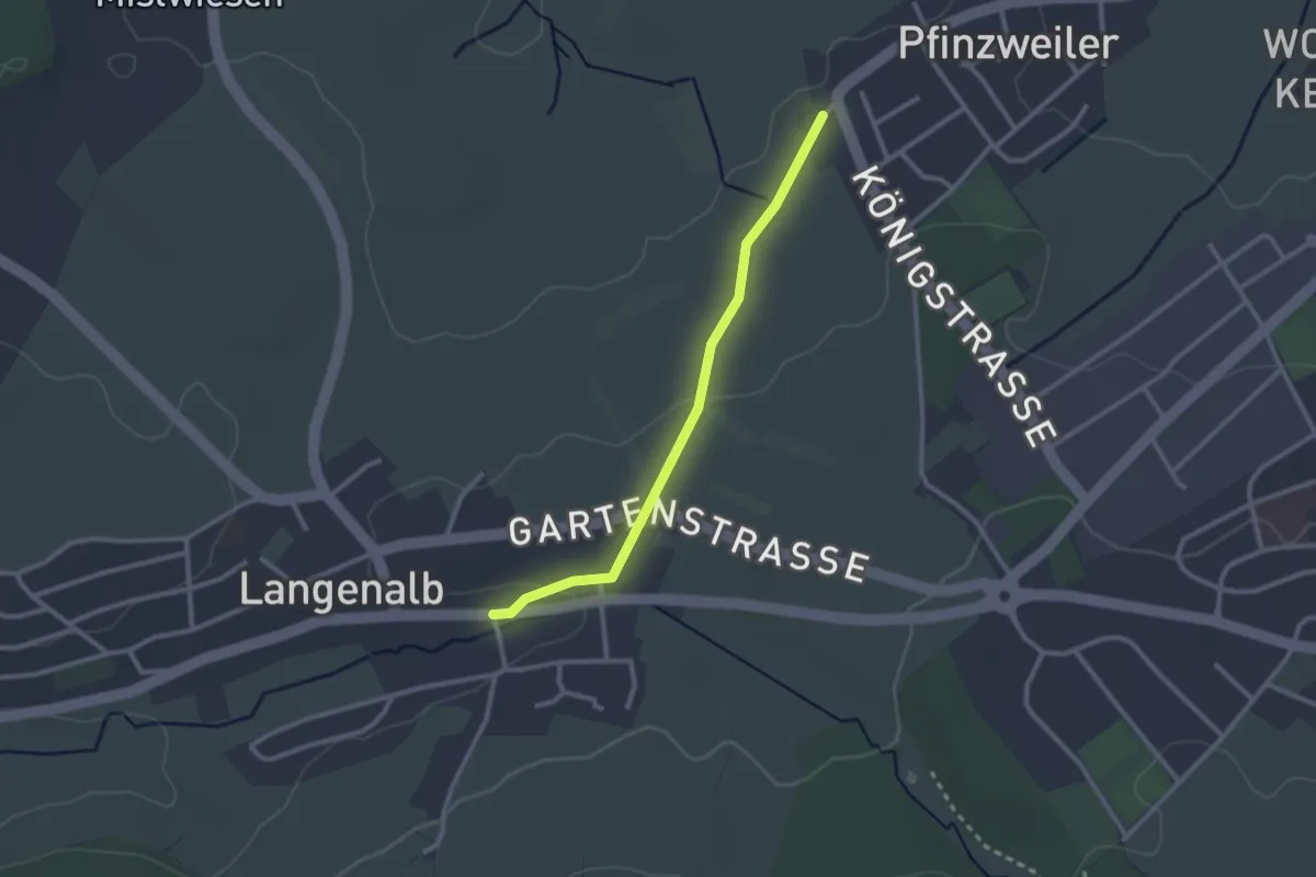
Easy · Trail
Pfinzweiler Burgwiesen - Langenalb Farrenstall
2.4 km · ↑ 27 m · 37 min
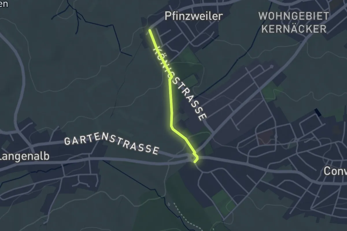
Easy · Trail
Pfinzweiler - Hasenstock
2.1 km · ↑ 43 m · 36 min