Trails in Germany
36,852 hiking trails, each with its route, climb, walking time and grade.
All trails, page 420 of 768
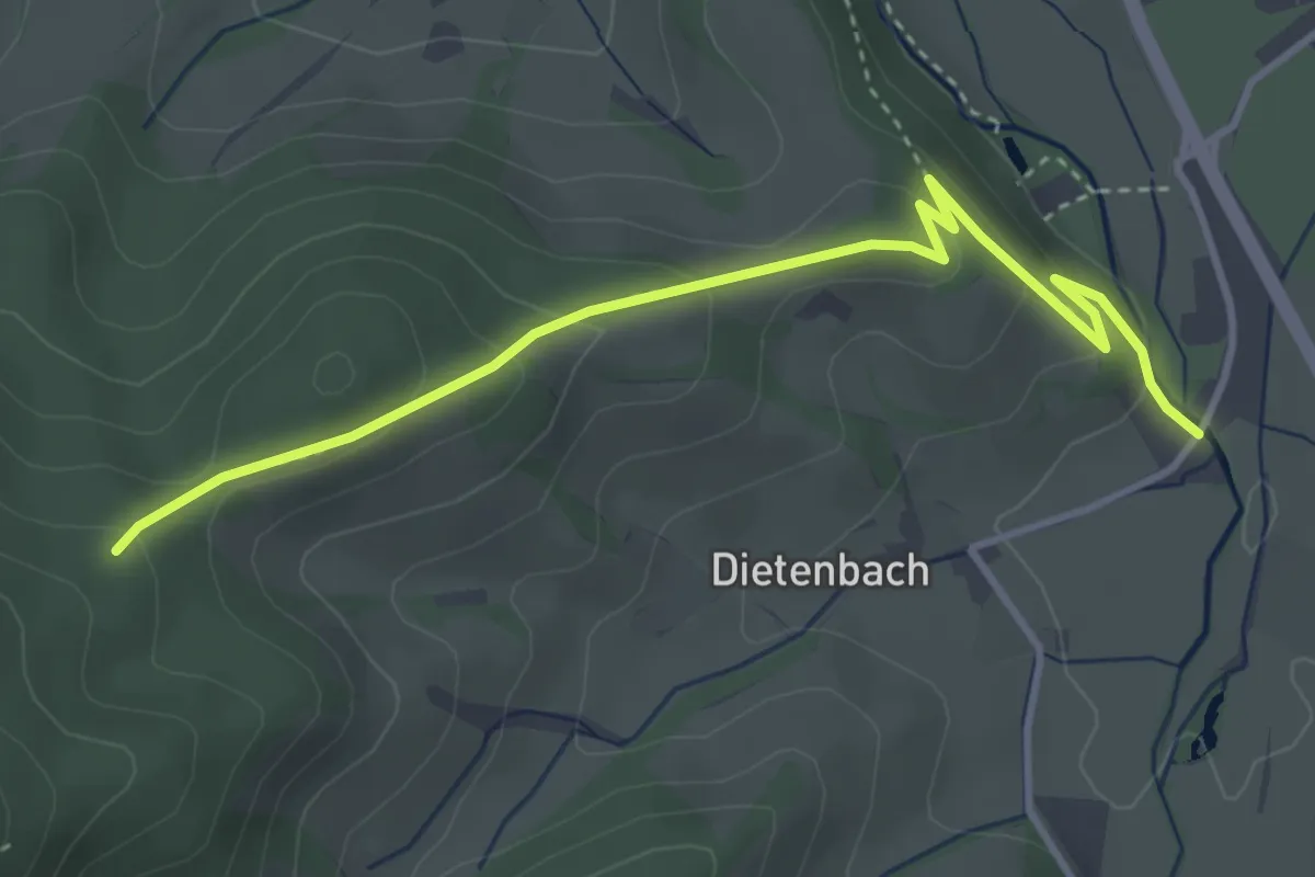
Medium · Trail
Pfisterhöhe - Rössle
4.0 km · ↑ 193 m · 1 h 21 min
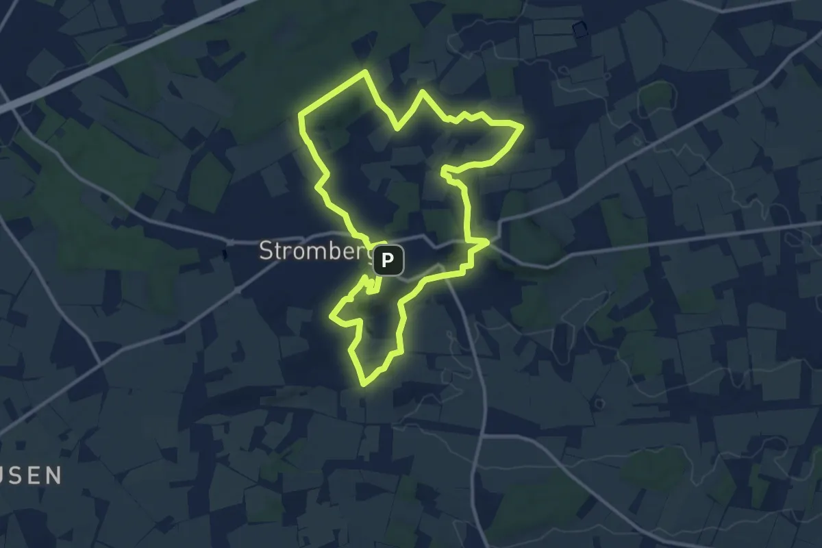
Medium · Summit
Pflaumenwanderweg
10.3 km · ↑ 116 m · 2 h 49 min
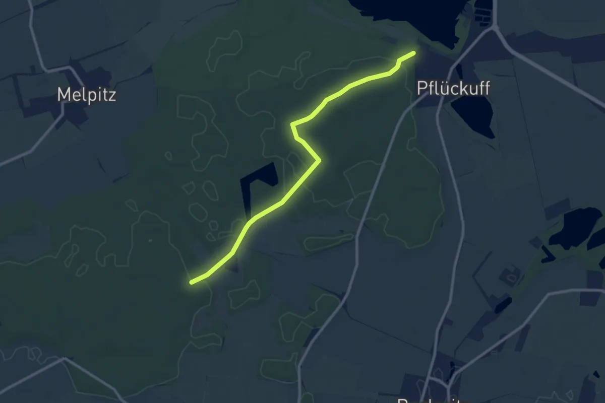
Medium · Trail
Pflückuff-Benkenteich
8.2 km · ↑ 55 m · 2 h 4 min
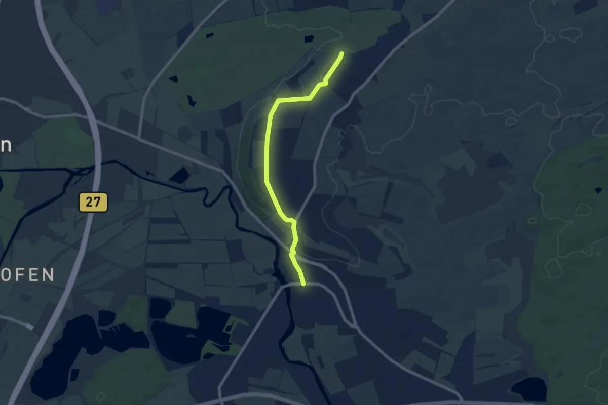
Easy · Trail
Pfohren Dorfplatz - Immenhöfe
6.6 km · ↑ 94 m · 1 h 46 min
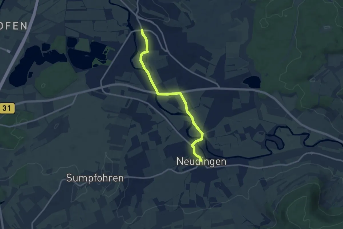
Medium · Trail
Pfohren Dorfplatz - Neudingen Gasthaus Storchen
8.4 km · ↑ 30 m · 2 h 2 min
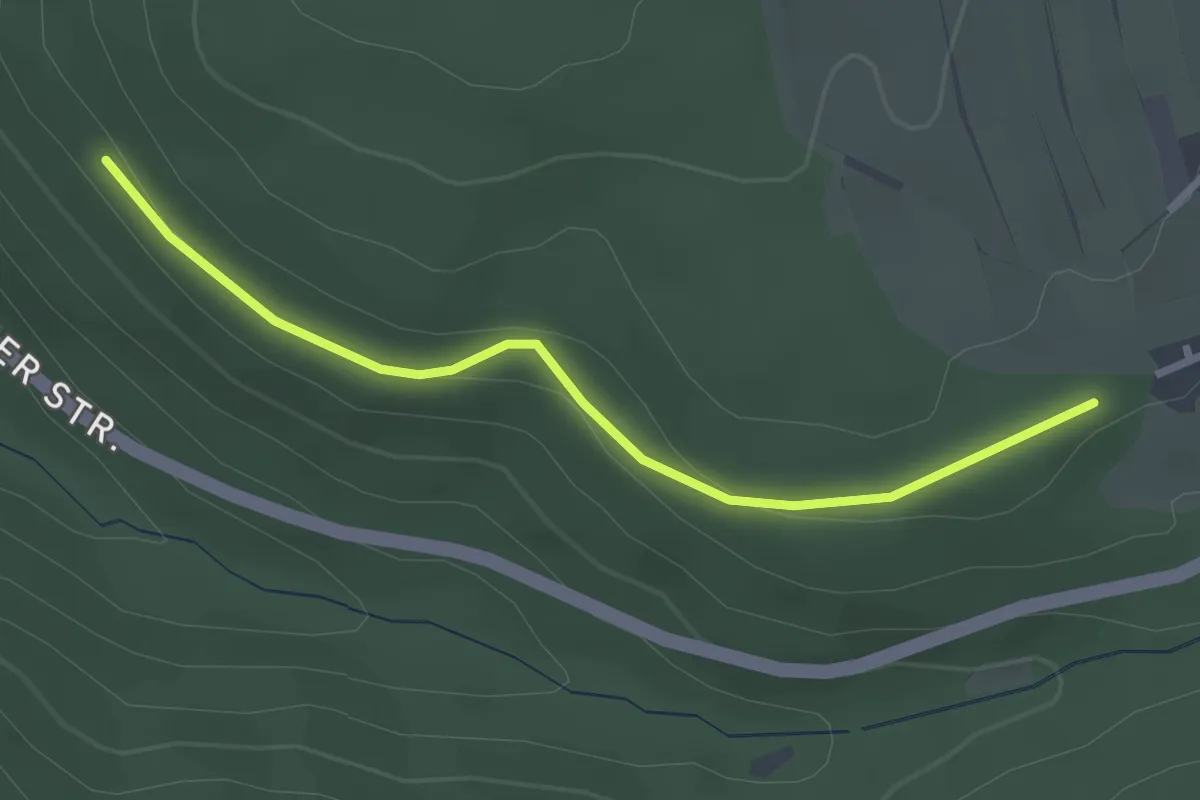
Easy · Trail
Pforzheimer Tor - Parkplatz Felsenmeer
2.7 km · ↑ 75 m · 48 min
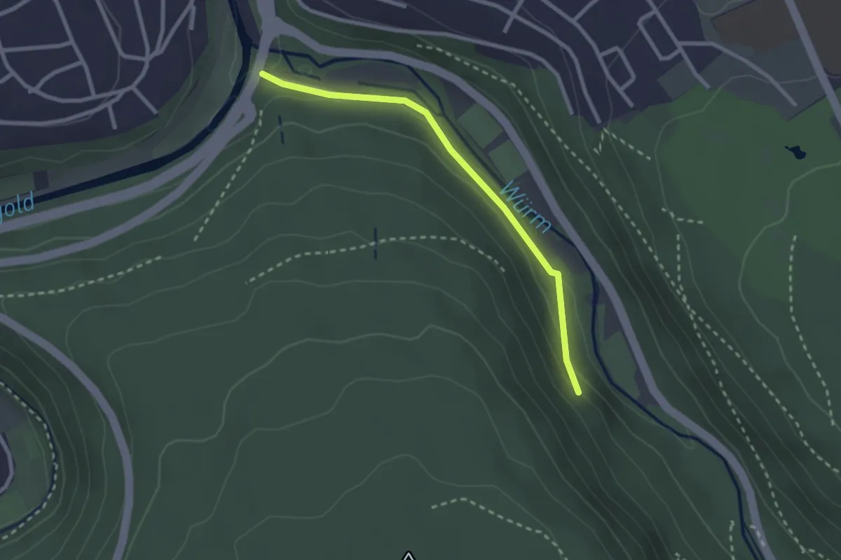
Easy · Trail
Pforzheim Kupferhammer - Kahlhardt
2.3 km · ↑ 58 m · 41 min
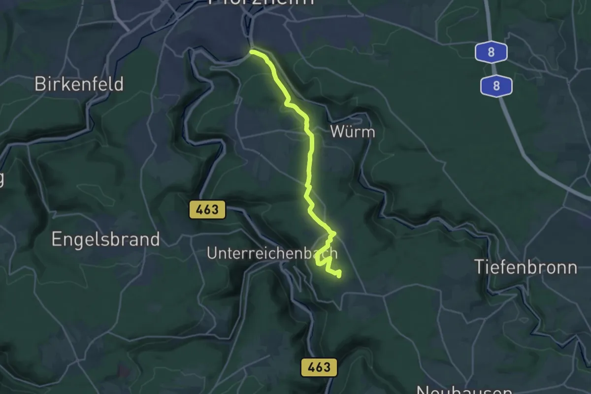
Medium · Summit
Pforzheim - Neuhausen
17.3 km · ↑ 363 m · 4 h 53 min
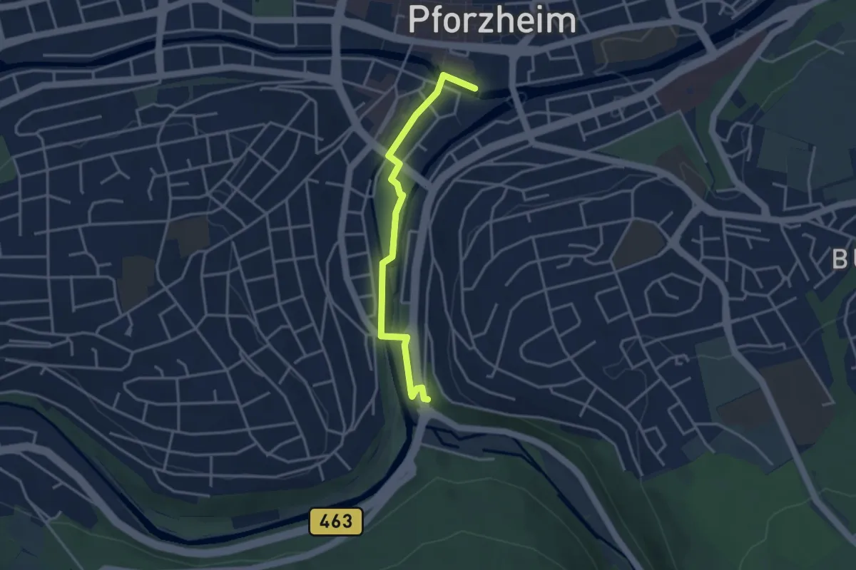
Easy · Trail
Pforzheim Waisenhausplatz - Haltestelle Kupferhammer
3.2 km · ↑ 30 m · 49 min
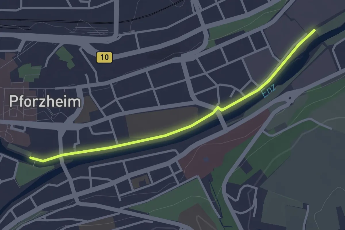
Easy · Trail
Pforzheim Waisenhausplatz - Kanzlersteg
2.8 km · ↑ 0 m · 40 min
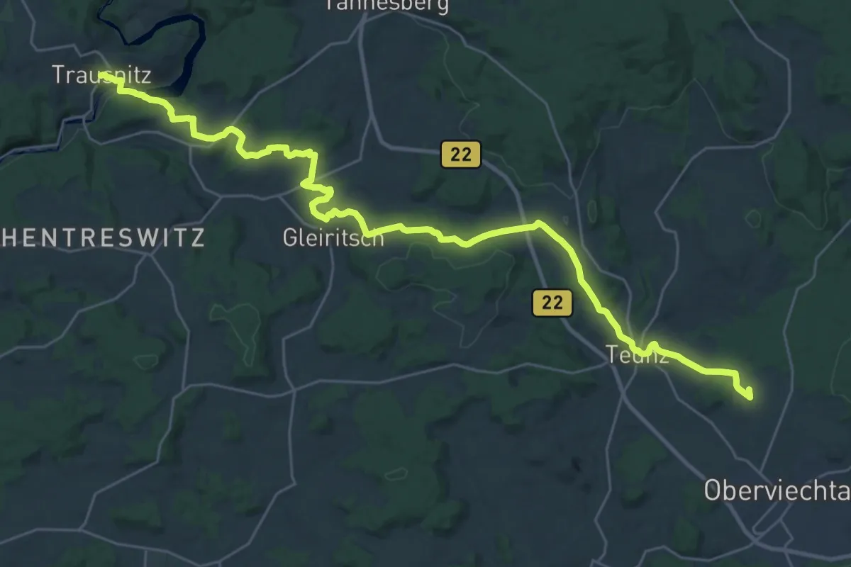
Demanding · Summit
Pfreimd-Schwarzach-Weg
32.0 km · ↑ 720 m · 9 h 6 min
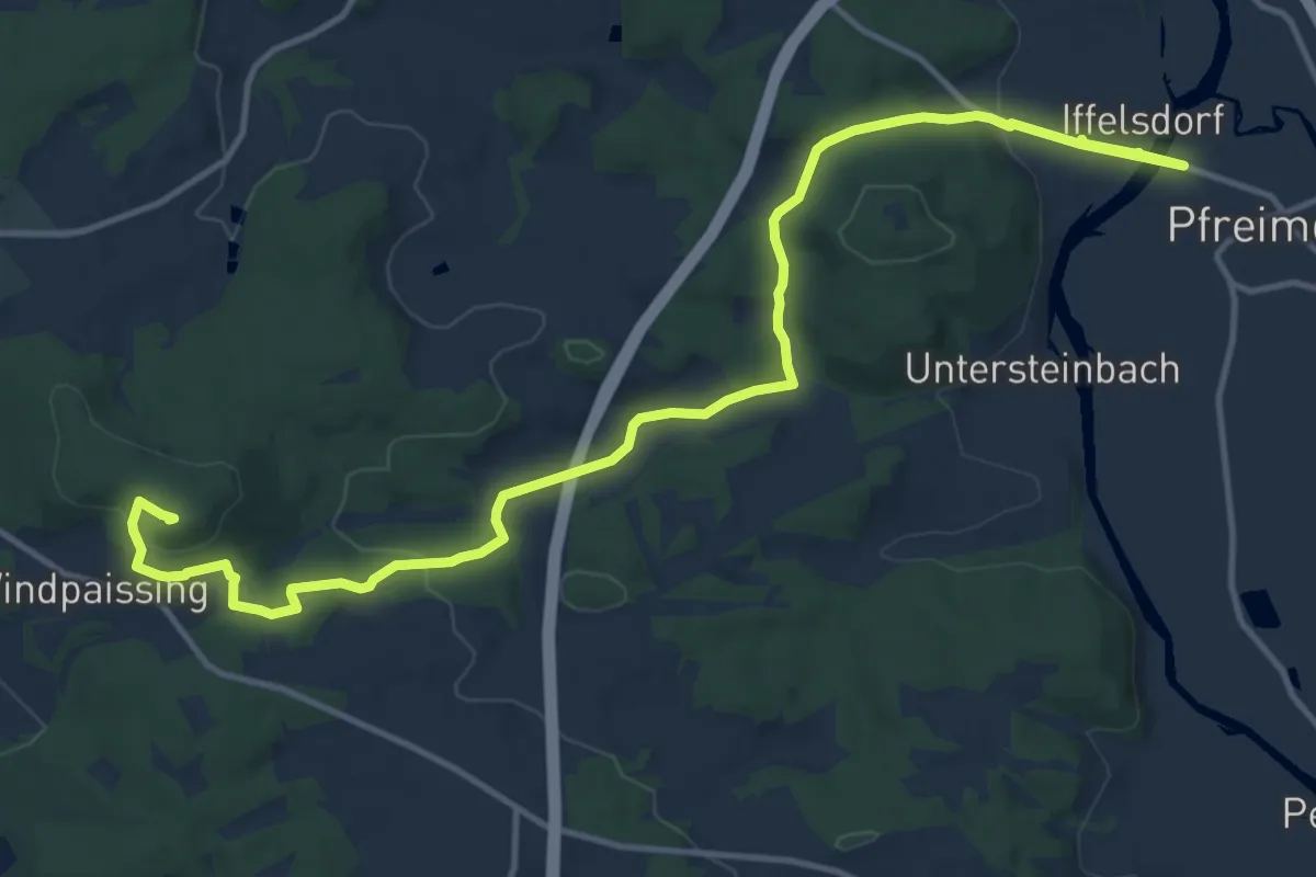
Medium · Summit
Pfreimd/Sportplatz-Kulm
15.6 km · ↑ 405 m · 4 h 33 min
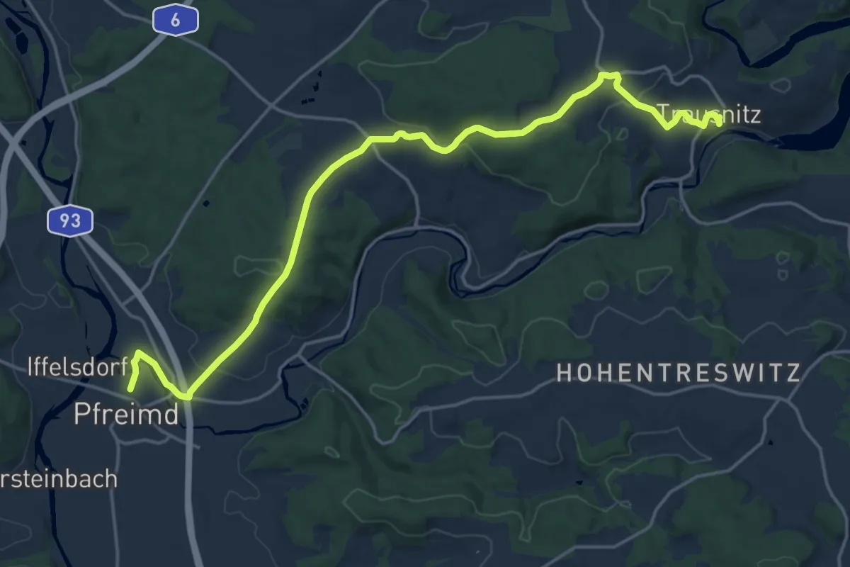
Demanding · Trail
Pfreimd/Sportplatz-SAD 32-Trausnitz
18.2 km · ↑ 380 m · 5 h 8 min
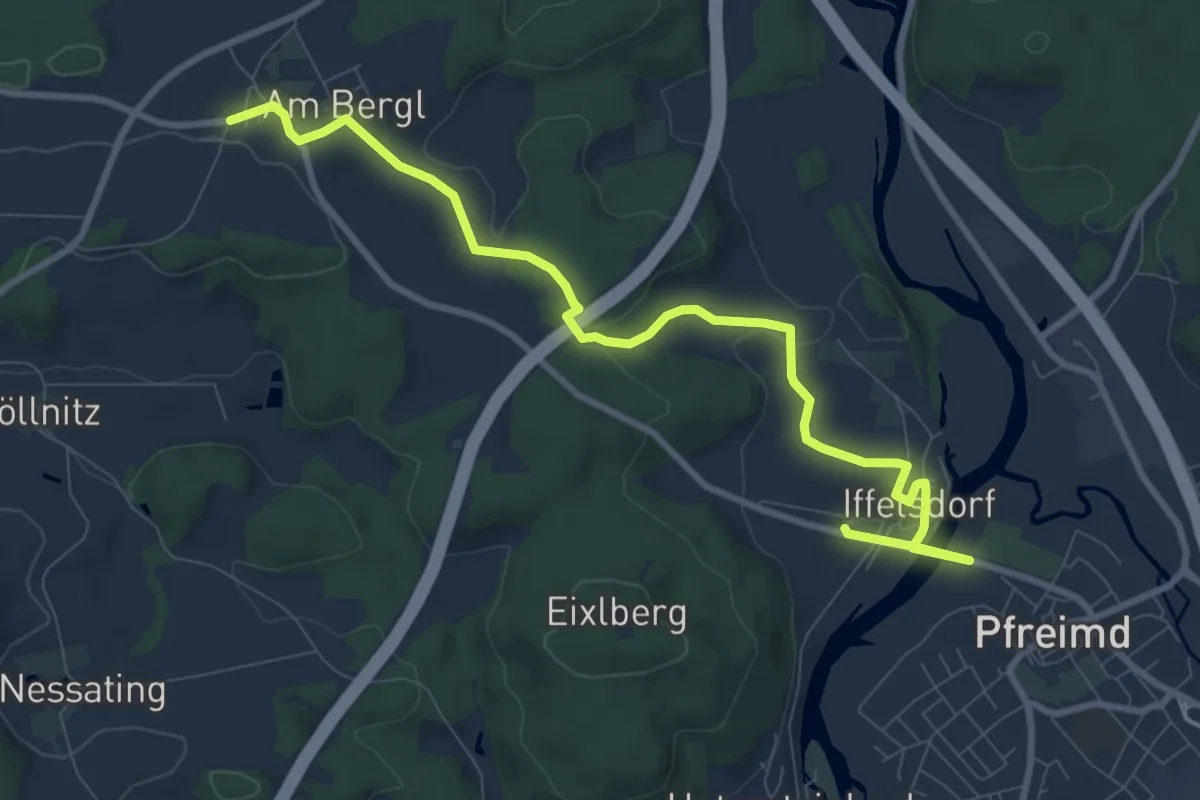
Medium · Trail
Pfreimd/Sportplatz-Saltendorf
9.7 km · ↑ 159 m · 2 h 38 min
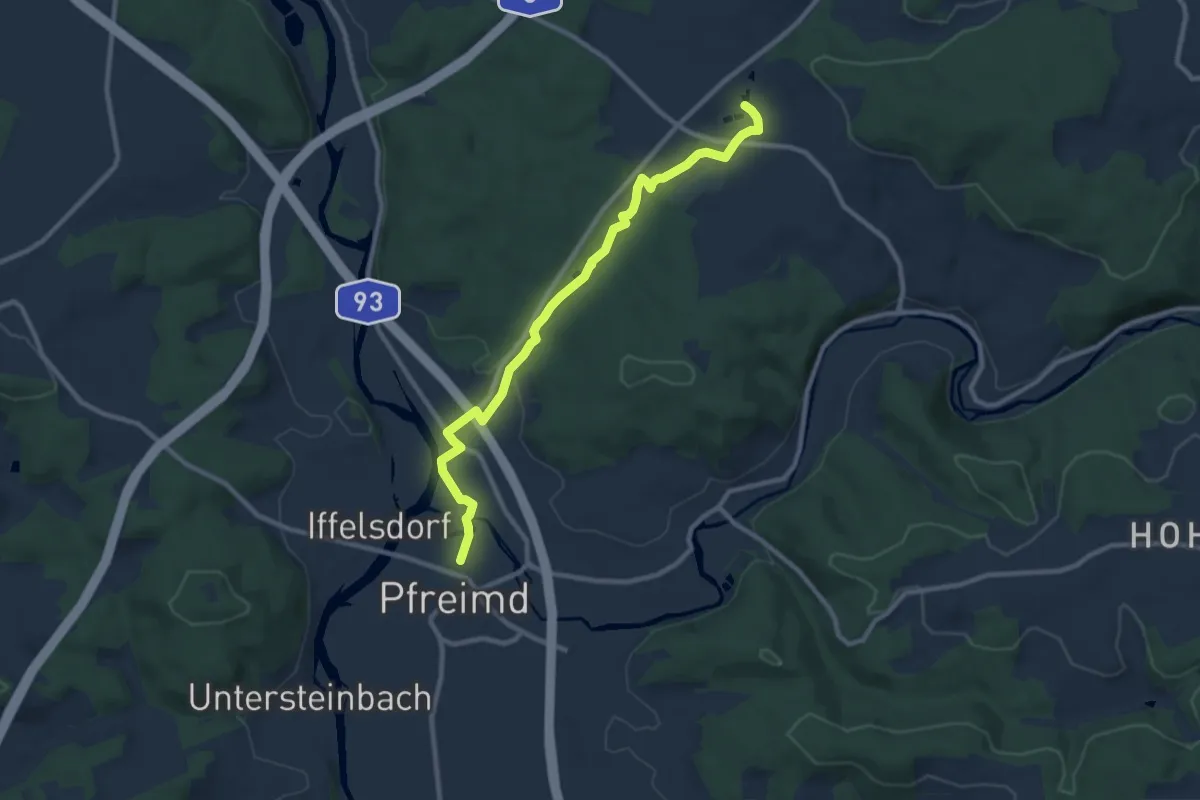
Medium · Trail
Pfreimd/Sportplatz - Weihern
9.4 km · ↑ 101 m · 2 h 26 min
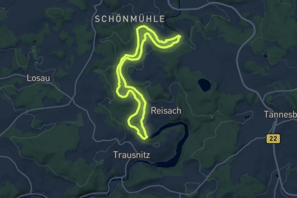
Medium · Trail
Pfreimdtal Uferpfad
11.9 km · ↑ 278 m · 3 h 35 min
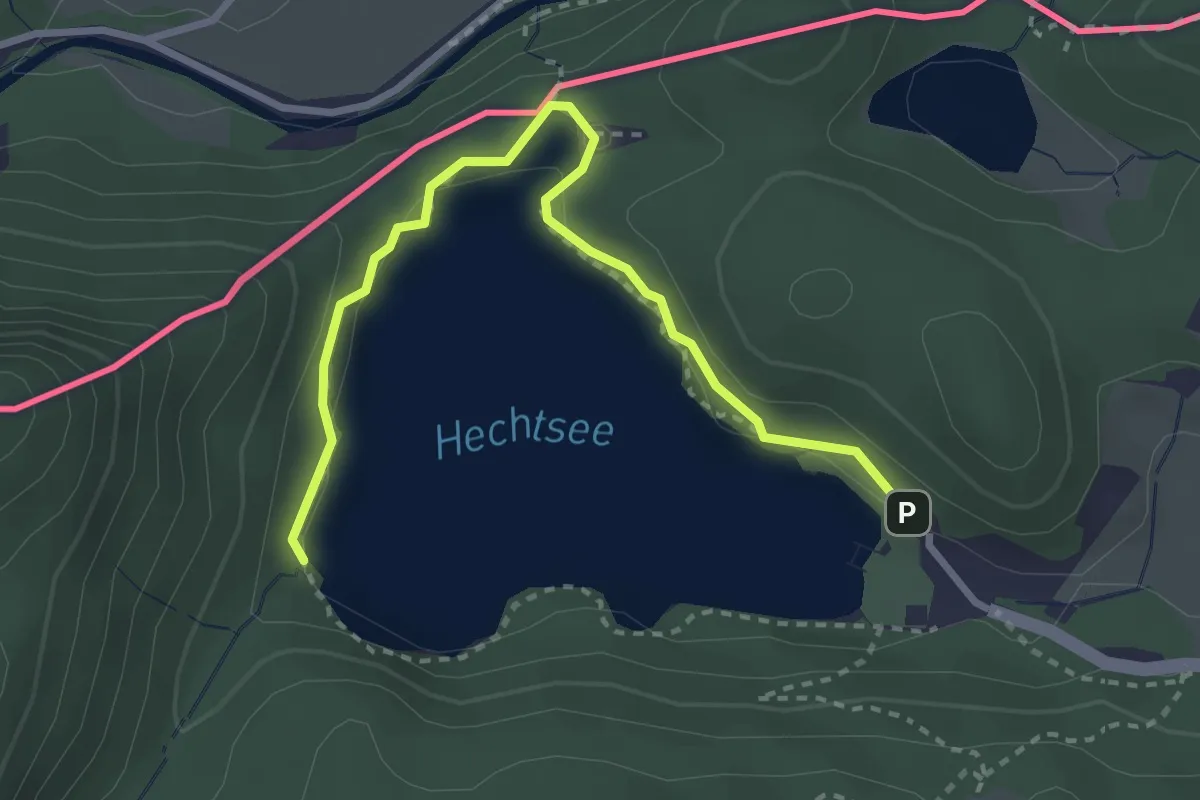
Easy · Trail
Pfrillsee-Runde
3.2 km · ↑ 43 m · 51 min
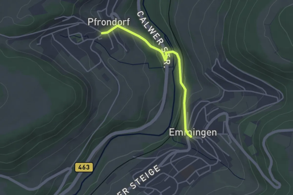
Easy · Trail
Pfrondorf Rathaus - Emmingen Rathaus
2.9 km · ↑ 126 m · 57 min
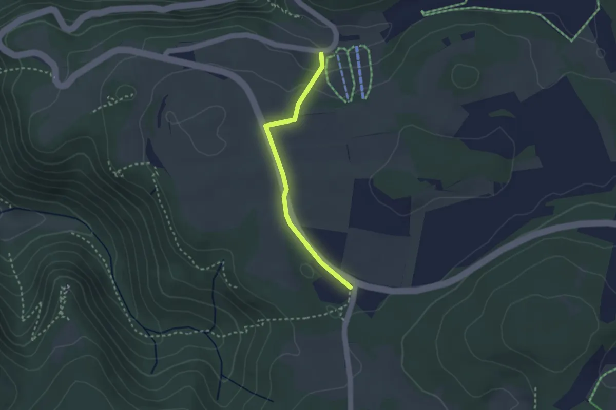
Easy · Trail
Pfulb - Fuchslöcher
2.4 km · ↑ 44 m · 39 min
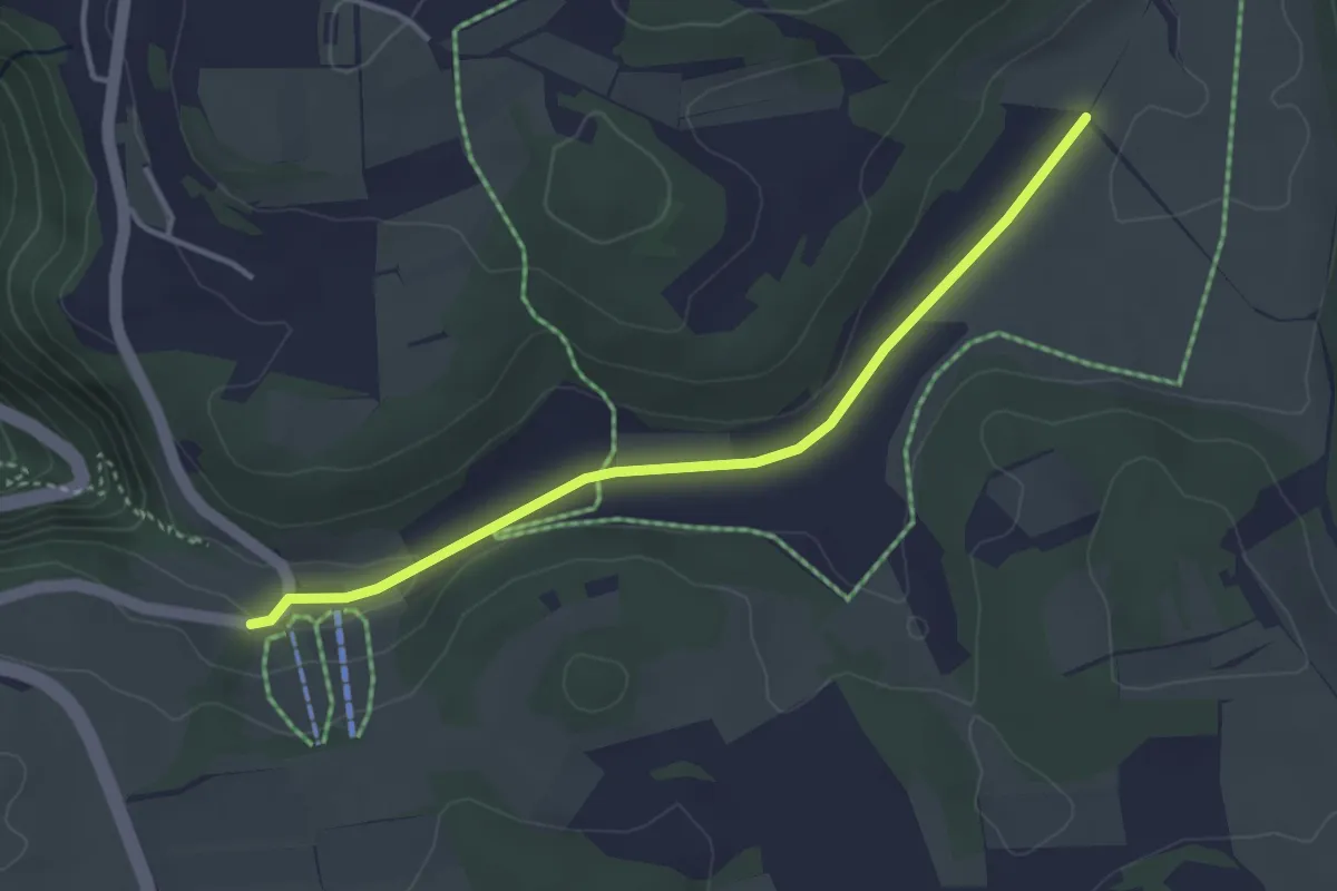
Easy · Trail
Pfulb - Hasental
3.5 km · ↑ 36 m · 54 min
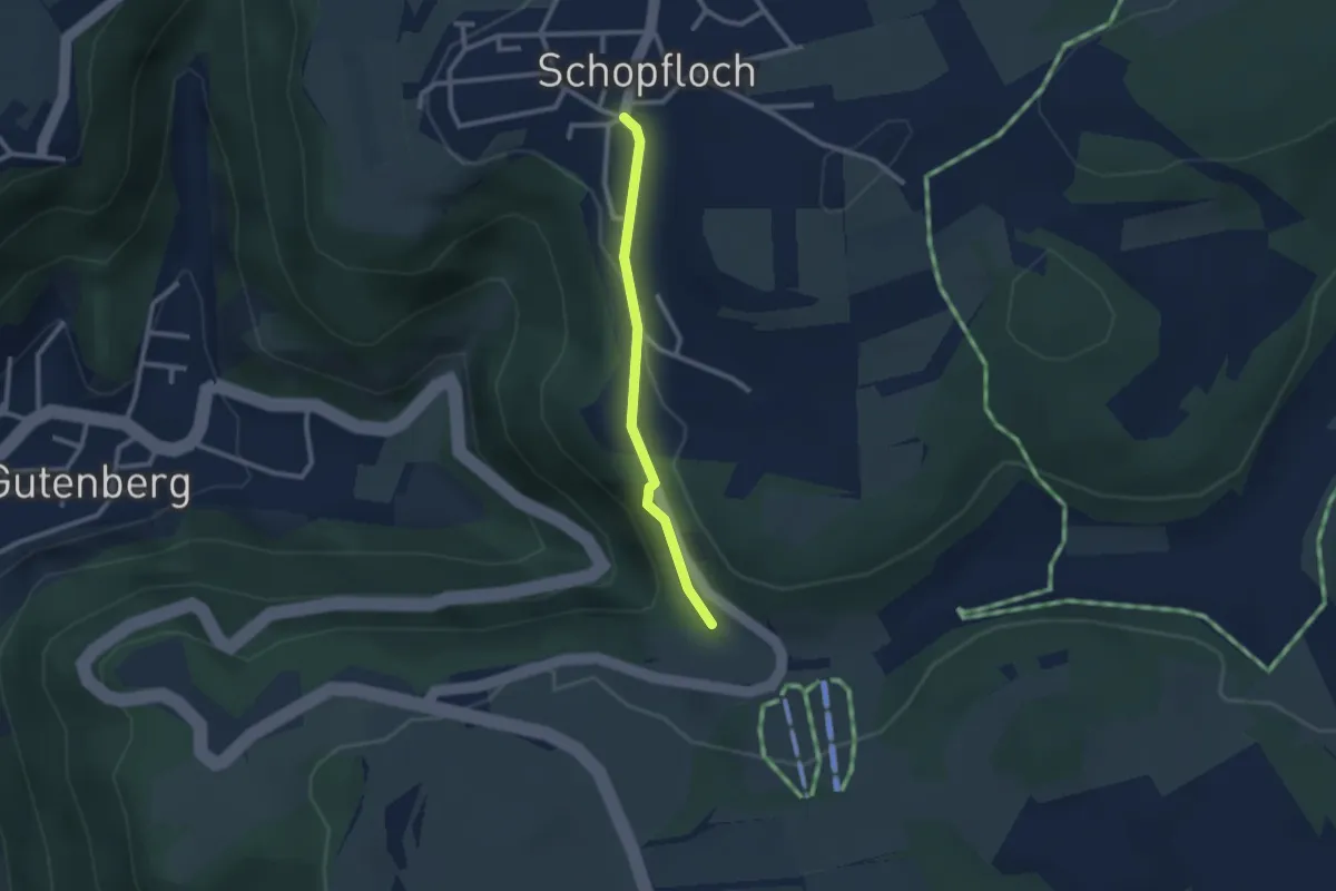
Easy · Trail
Pfulb - Schopfloch
2.1 km · ↑ 60 m · 38 min
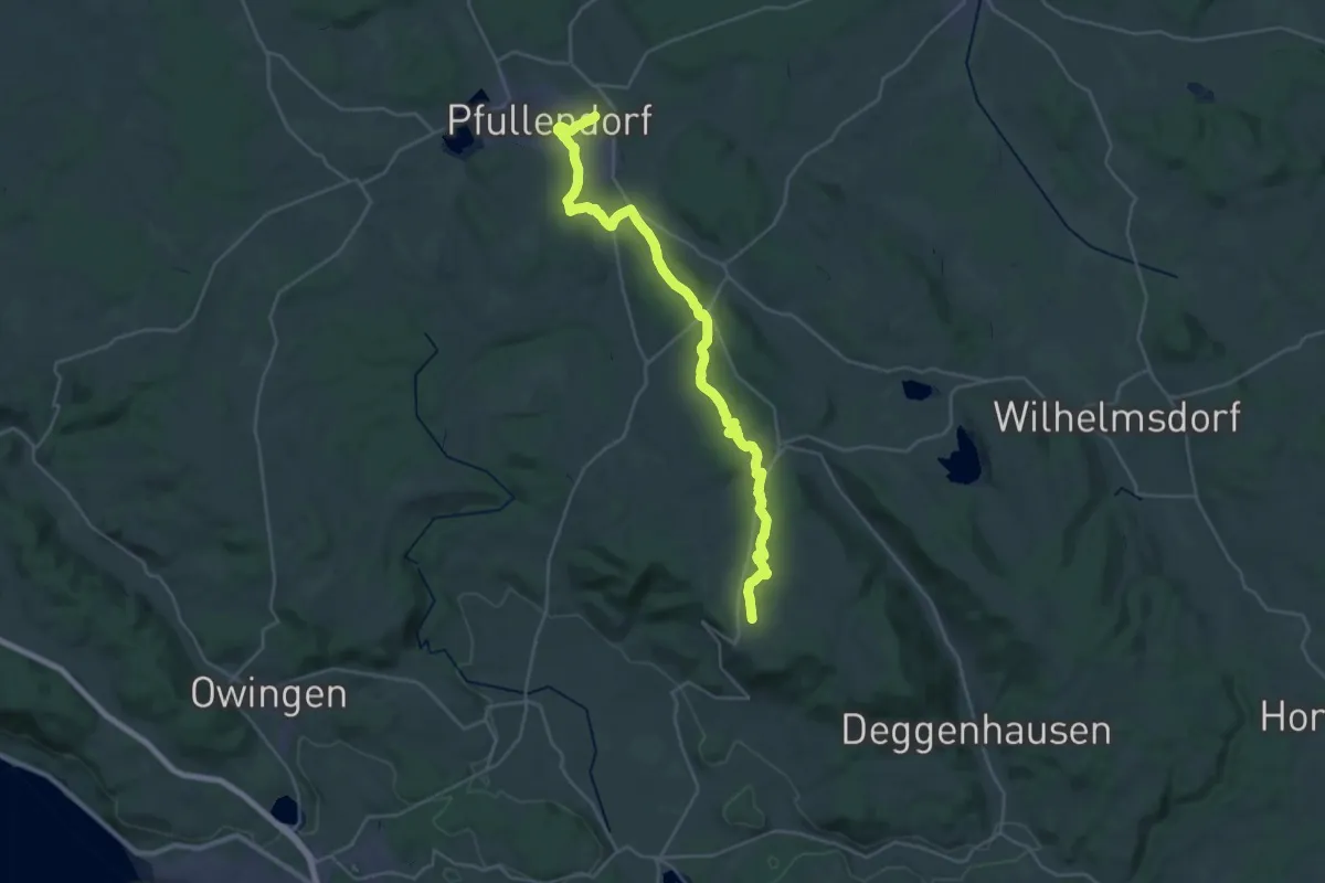
Medium · Trail
Pfullendorf - Heiligenberg
16.5 km · ↑ 337 m · 4 h 48 min
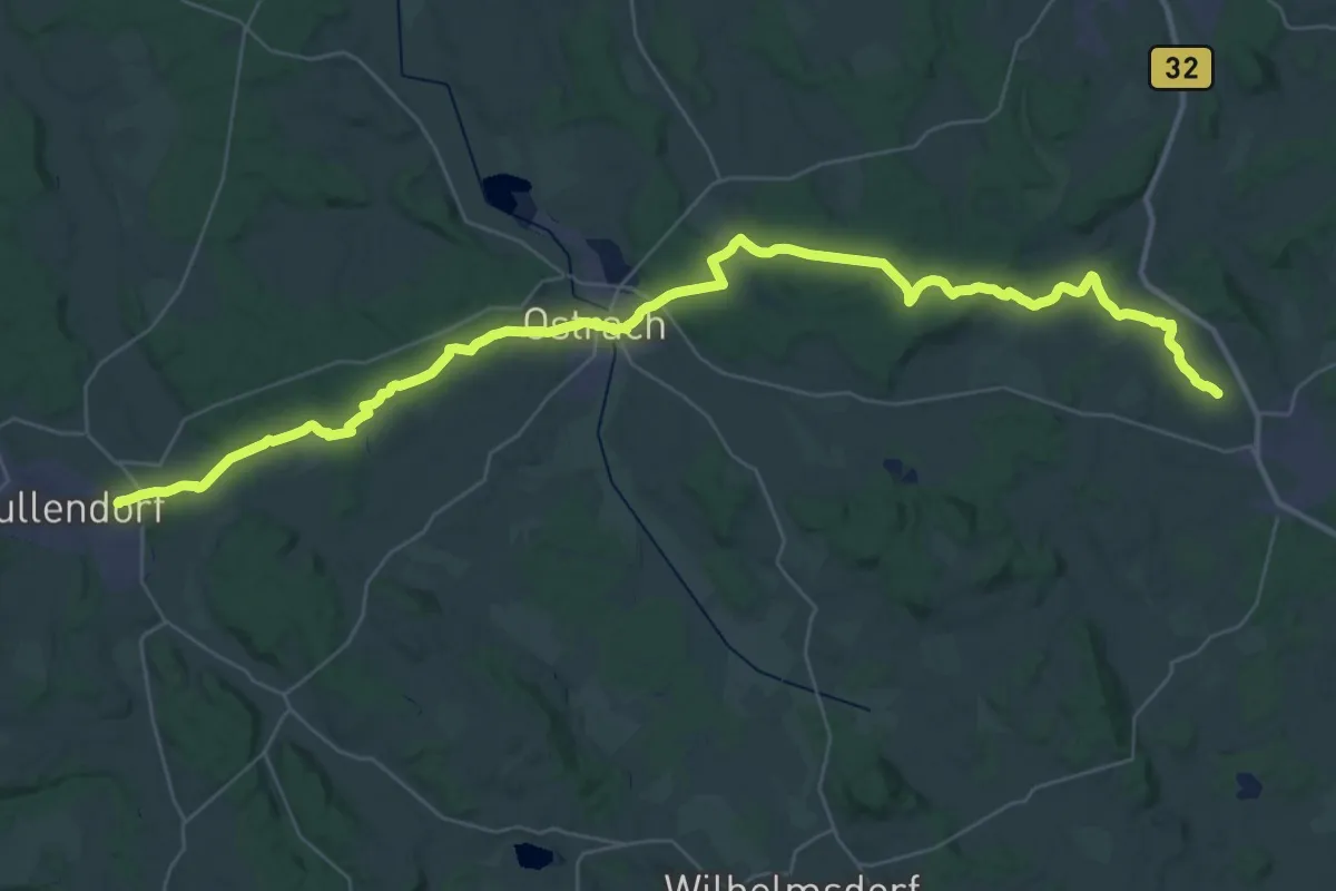
Demanding · Trail
Pfullingen - Altshausen
24.1 km · ↑ 407 m · 6 h 52 min
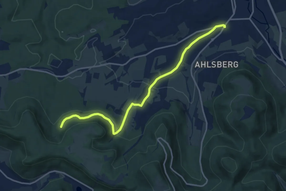
Medium · Trail
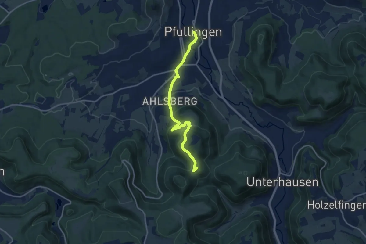
Pfullingen-Breitenbach
9.9 km · ↑ 242 m · 2 h 51 min
Medium · Summit
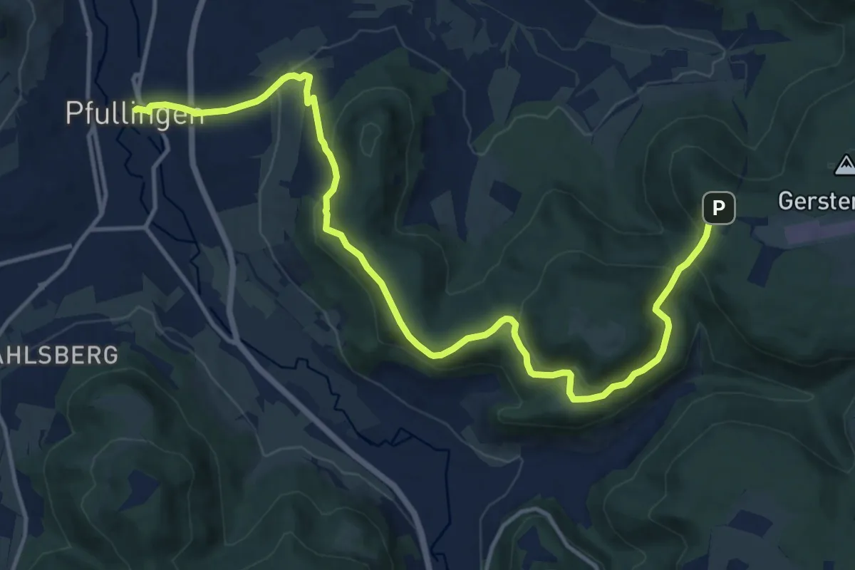
Pfullingen - Genkingen
10.2 km · ↑ 355 m · 3 h 11 min
Medium · Trail
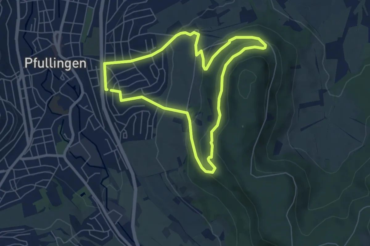
Pfullingen-Uebersberg
15.1 km · ↑ 552 m · 4 h 46 min
Easy · Trail
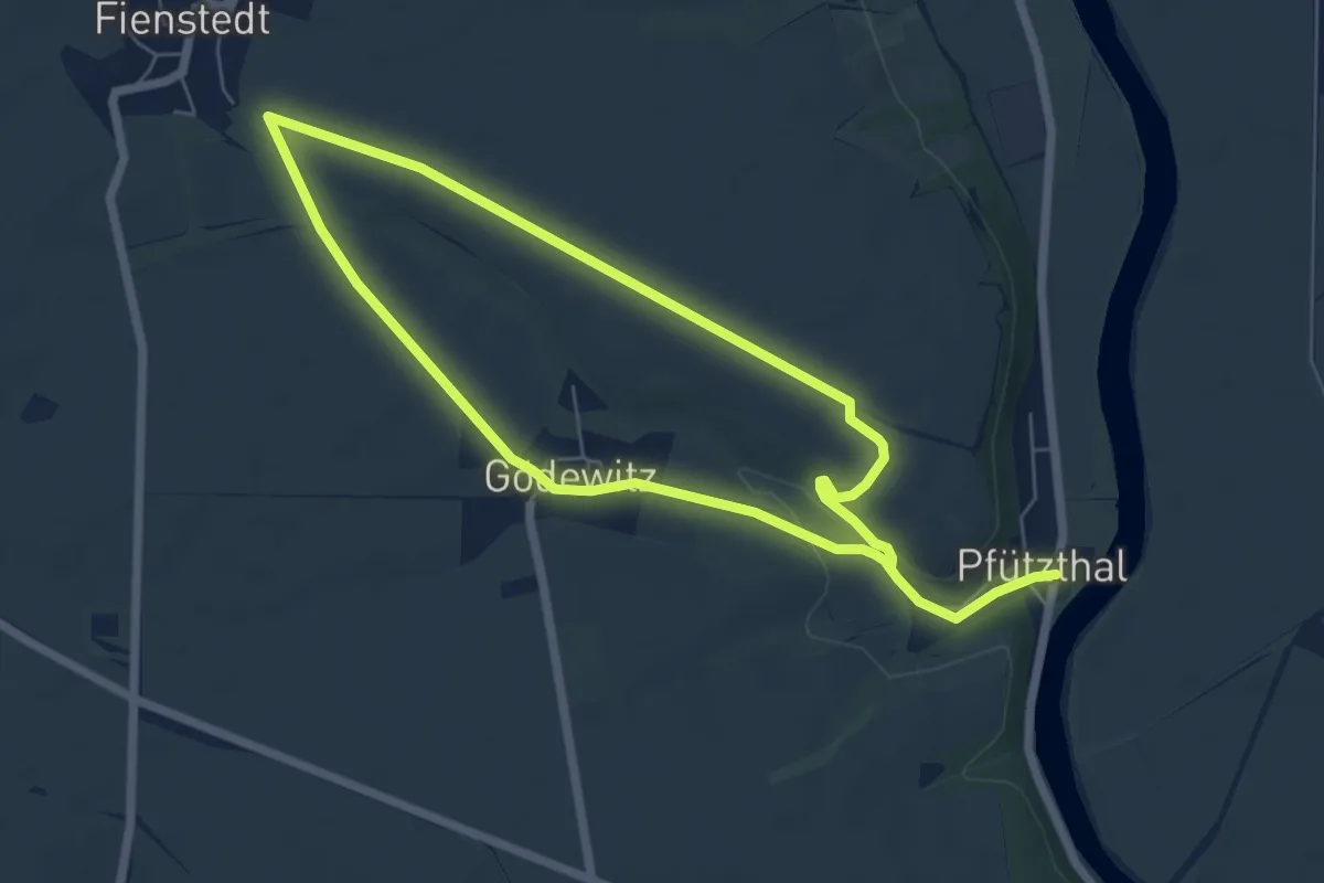
Pfullinger Sagenweg
5.2 km · ↑ 191 m · 1 h 43 min
Medium · Trail
Pfützthal-Fienstedt W 5.11
10.3 km · ↑ 109 m · 2 h 40 min
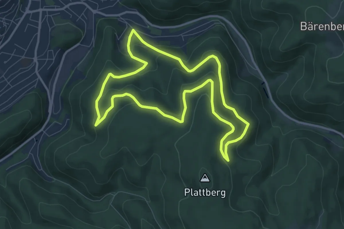
Medium · Trail
[PG1] Rundweg Bermketal
7.5 km · ↑ 335 m · 2 h 37 min
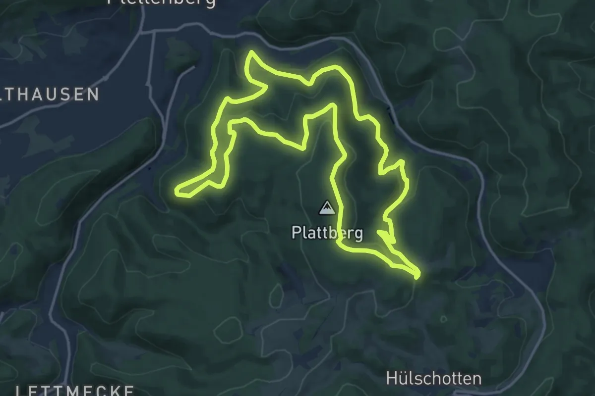
Medium · Summit
[PG2] Großer Rundweg Grünetal
12.9 km · ↑ 487 m · 4 h 16 min
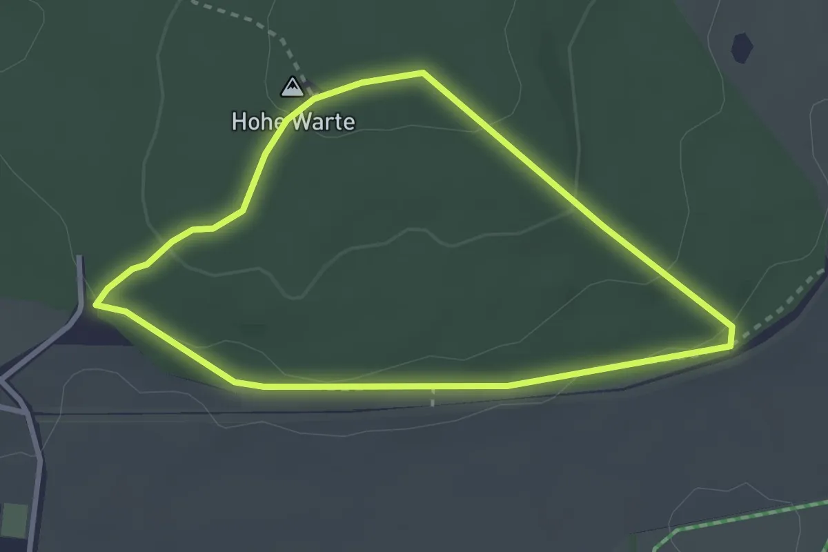
Easy · Summit
P Gestütshof St. Johann Rundwanderweg 1
2.6 km · ↑ 76 m · 48 min
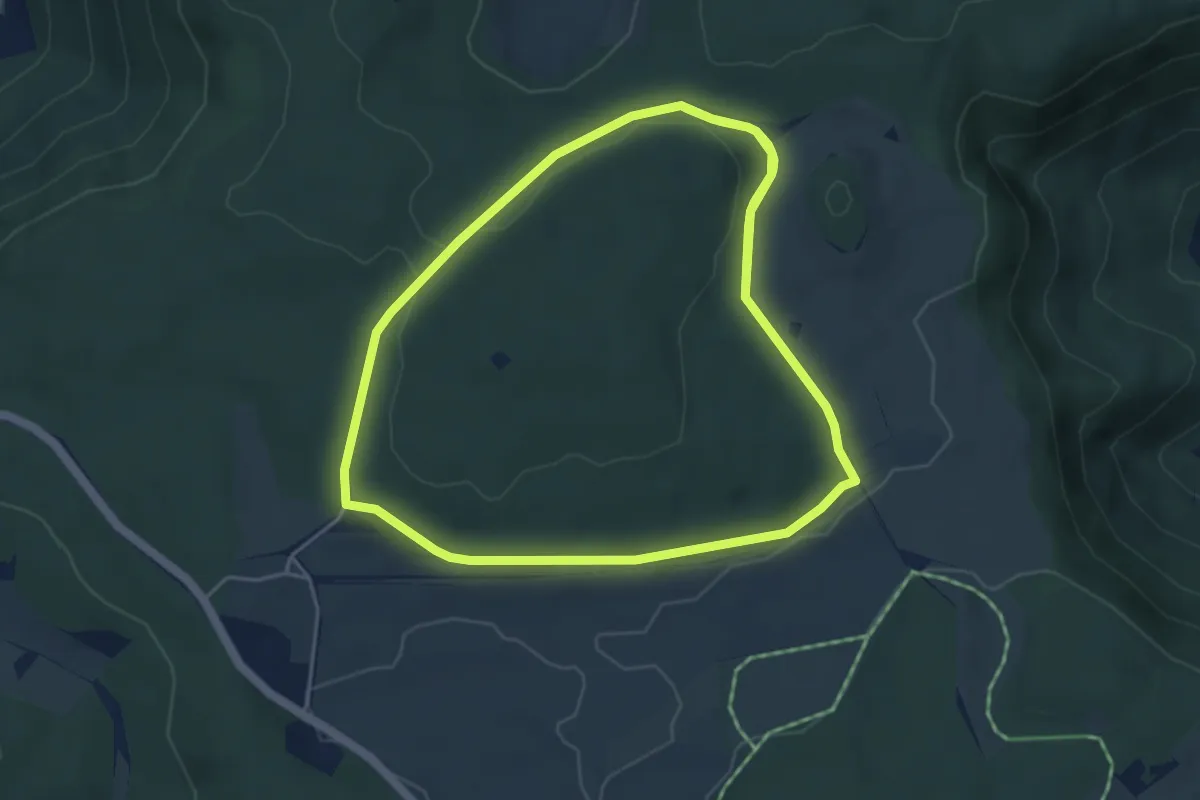
Medium · Trail
P Gestütshof St. Johann Rundwanderweg 2
9.2 km · ↑ 131 m · 2 h 27 min
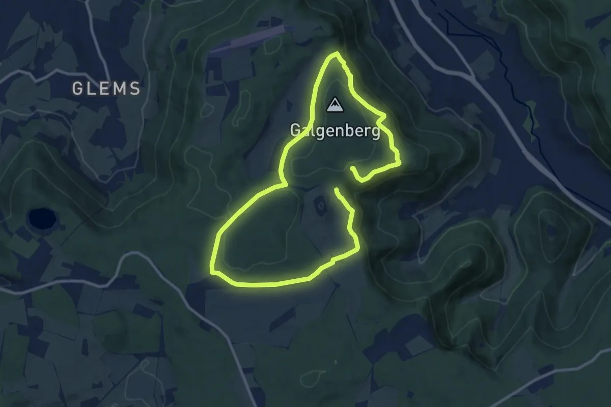
Easy · Trail
P Gestütshof St. Johann Rundwanderweg 3
8.0 km · ↑ 192 m · 2 h 25 min
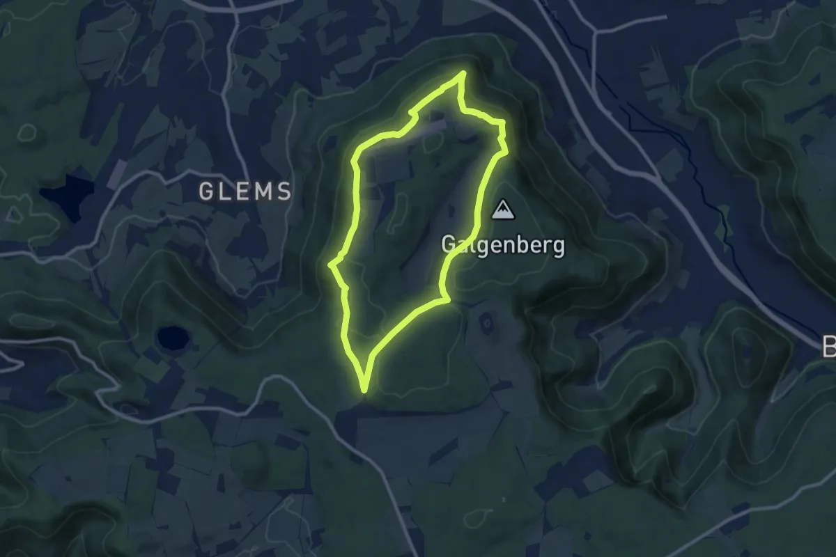
Medium · Trail
P Gestütshof St. Johann Rundwanderweg 4
8.2 km · ↑ 234 m · 2 h 34 min
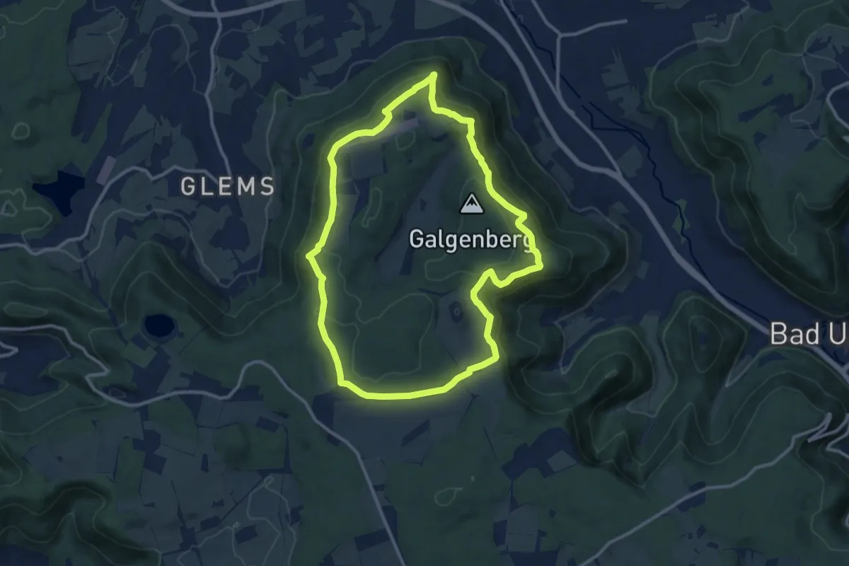
Medium · Trail
P Gestütshof St. Johann Rundwanderweg 5
10.4 km · ↑ 342 m · 3 h 21 min
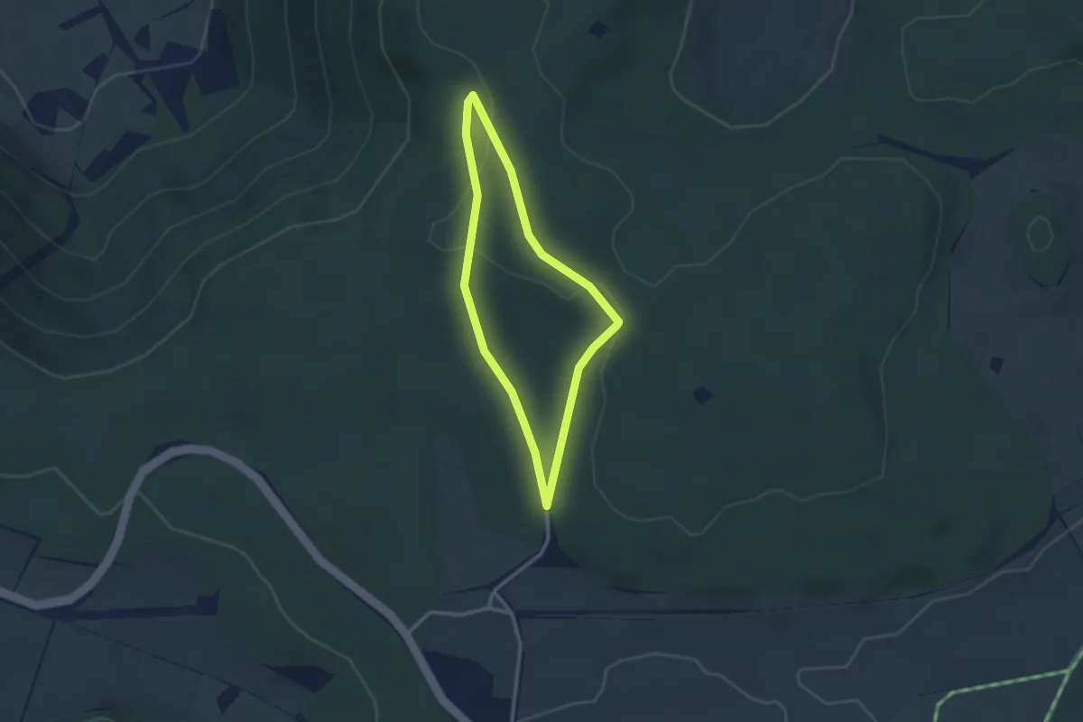
Easy · Trail
P Gestütshof St. Johann Rundwanderweg 6
2.3 km · ↑ 37 m · 39 min
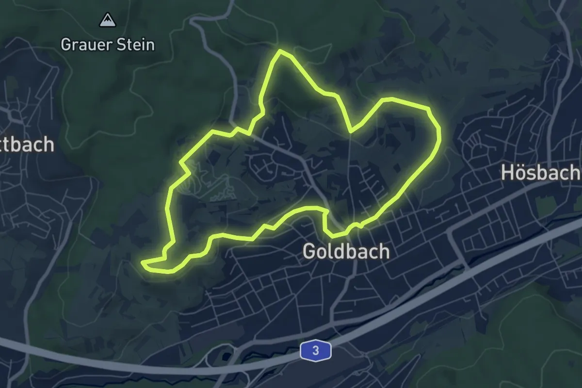
Easy · Trail
Philipp-Endemann-Weg
6.8 km · ↑ 179 m · 2 h 6 min
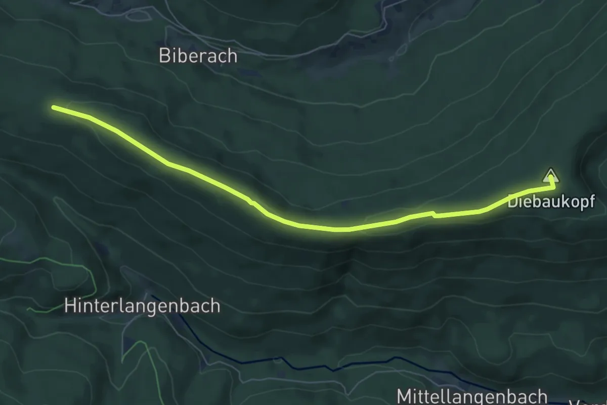
Easy · Summit
Philippenkopf - Beim Blindsee
6.8 km · ↑ 127 m · 1 h 54 min
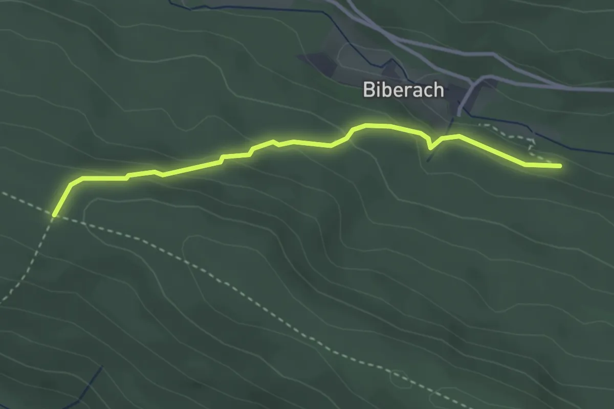
Easy · Trail
Philippenkopf - Herzogschwallung
2.9 km · ↑ 168 m · 1 h 3 min
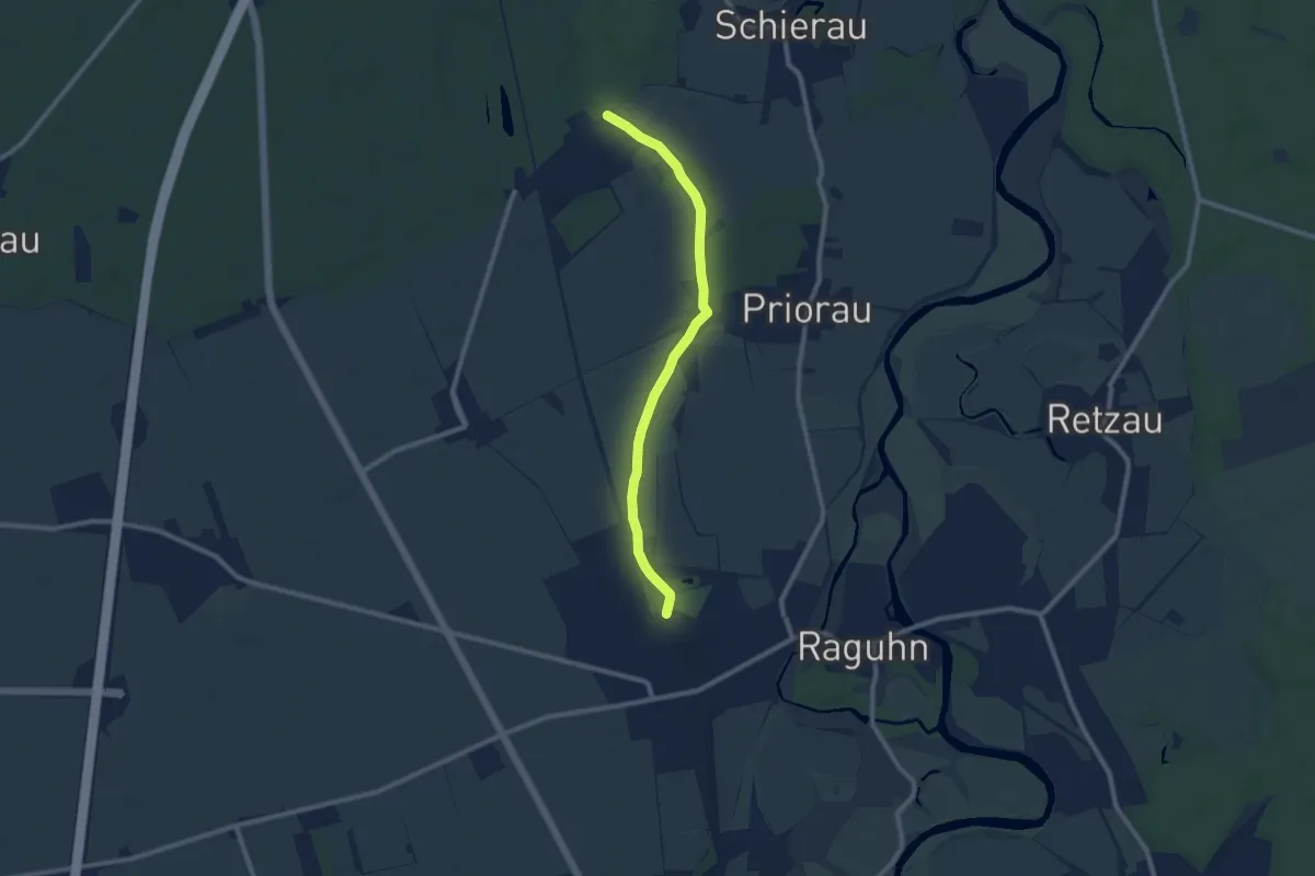
Medium · Trail
Philipp-von-Zesen-Gedenkwanderweg
8.1 km · ↑ 17 m · 1 h 57 min
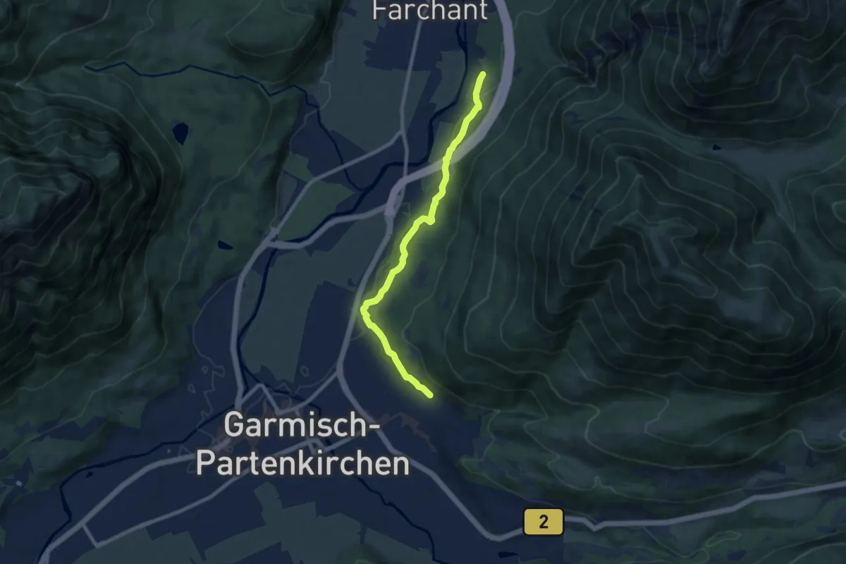
Easy · Trail
Philosophenweg
8.0 km · ↑ 222 m · 2 h 22 min
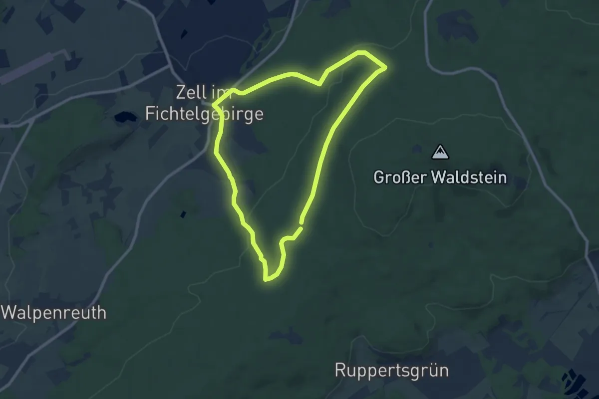
Easy · Trail
Philosophenweg
6.7 km · ↑ 136 m · 1 h 58 min
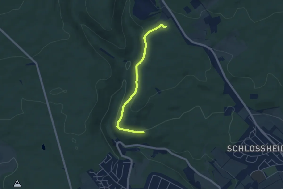
Easy · Trail
Philosophenweg
3.7 km · ↑ 120 m · 1 h 8 min
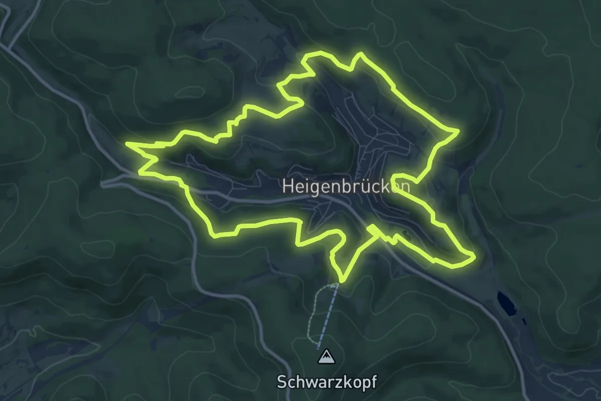
Medium · Summit
Philosophenweg
10.6 km · ↑ 333 m · 3 h 23 min
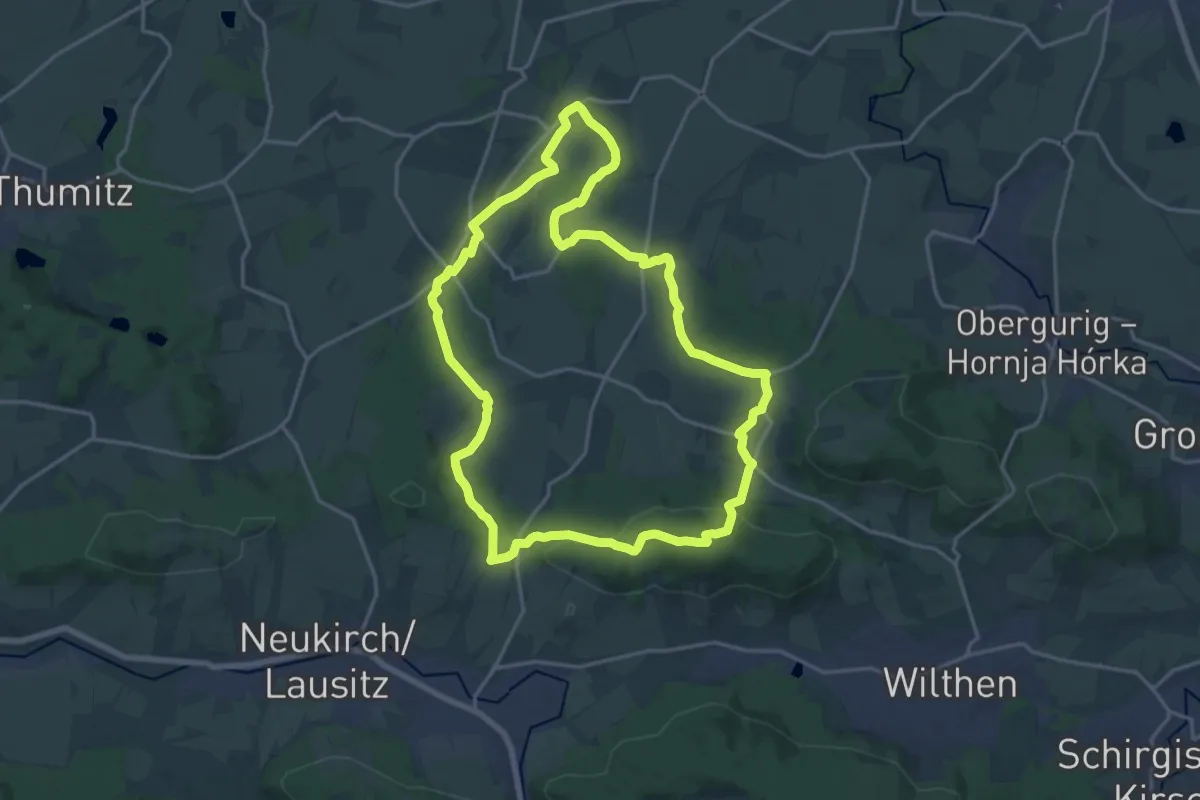
Medium · Summit
Pichorunde
16.9 km · ↑ 334 m · 4 h 56 min
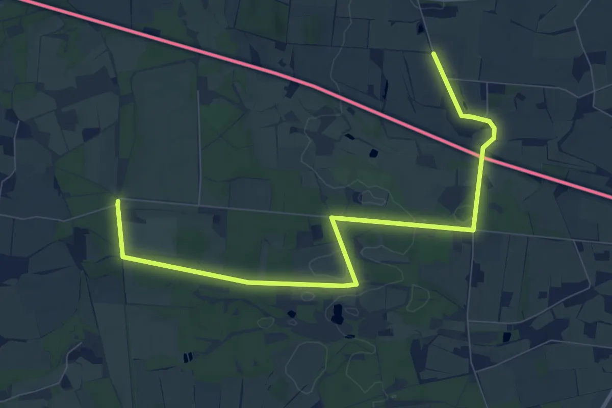
Medium · Summit
Pickmäijerroute
9.1 km · ↑ 61 m · 2 h 16 min
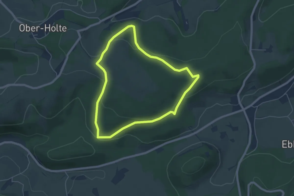
Easy · Trail
Piener Kopf Rundweg A3
4.0 km · ↑ 123 m · 1 h 16 min
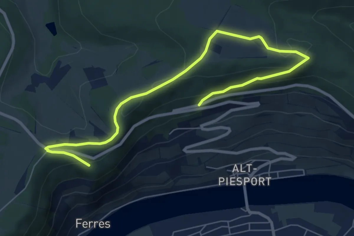
Easy · Trail
Piesporter Berg
7.2 km · ↑ 225 m · 2 h 11 min