Trails in Germany
36,852 hiking trails, each with its route, climb, walking time and grade.
All trails, page 423 of 768
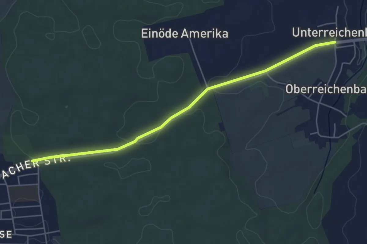
Easy · Trail
Planetenweg Weißenhorn
4.5 km · ↑ 54 m · 1 h 11 min
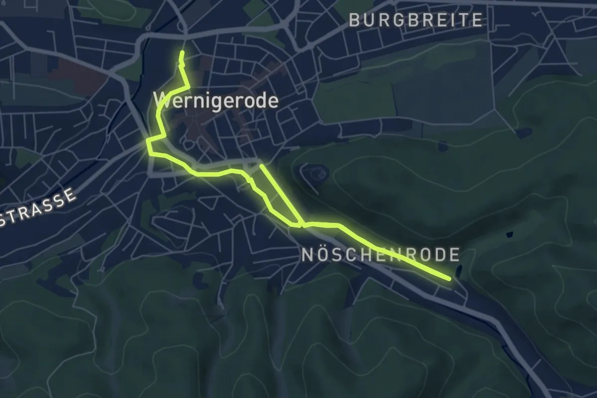
Medium · Trail
Planetenweg Wernigerode
8.5 km · ↑ 74 m · 2 h 10 min
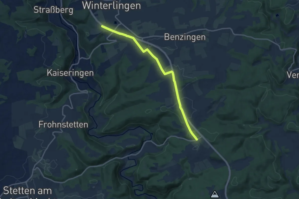
Medium · Trail
Planetenweg Winterlingen
10.8 km · ↑ 119 m · 2 h 49 min
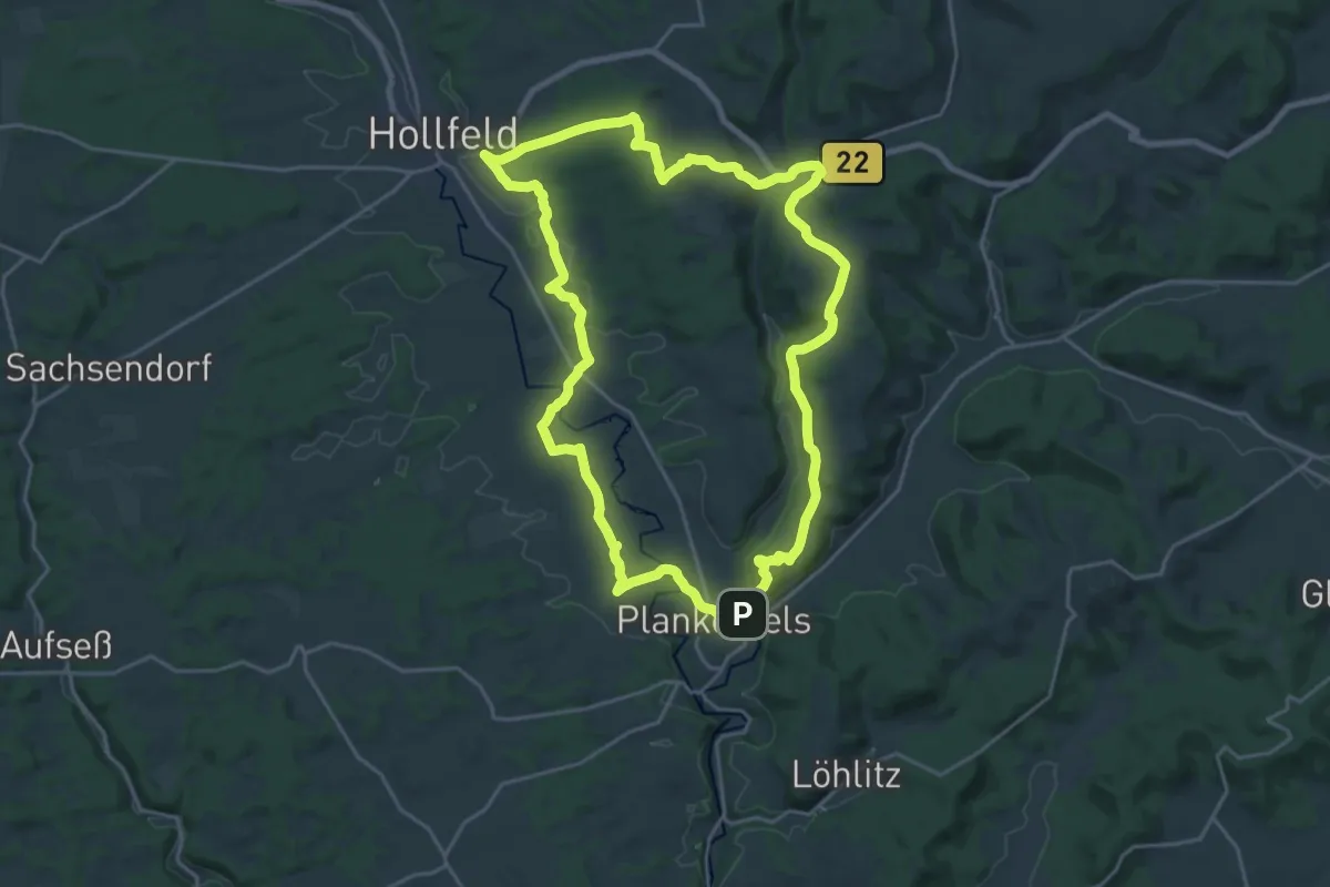
Demanding · Trail
Plankenfels Grün-Punkt-Rundweg
20.8 km · ↑ 390 m · 6 h 3 min
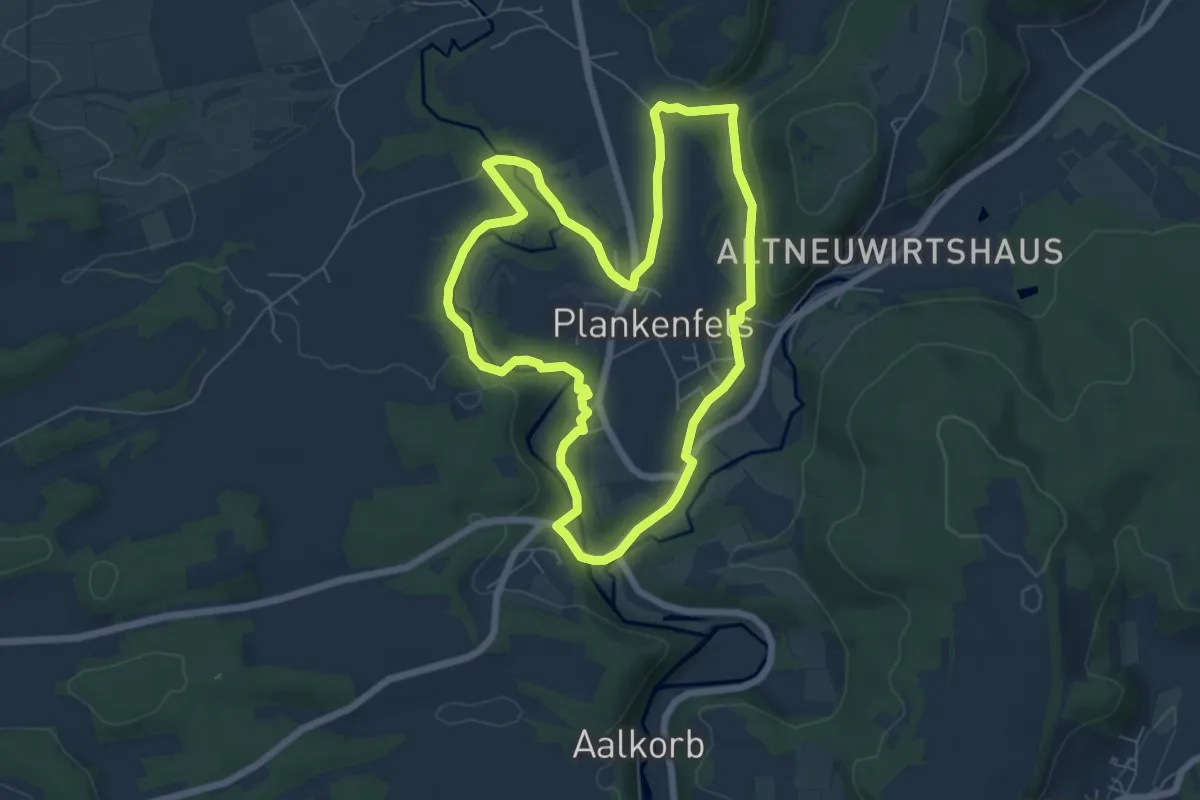
Easy · Trail
Plankenfels Rundwanderweg "3 Täler um Plankenfels"
6.1 km · ↑ 66 m · 1 h 40 min
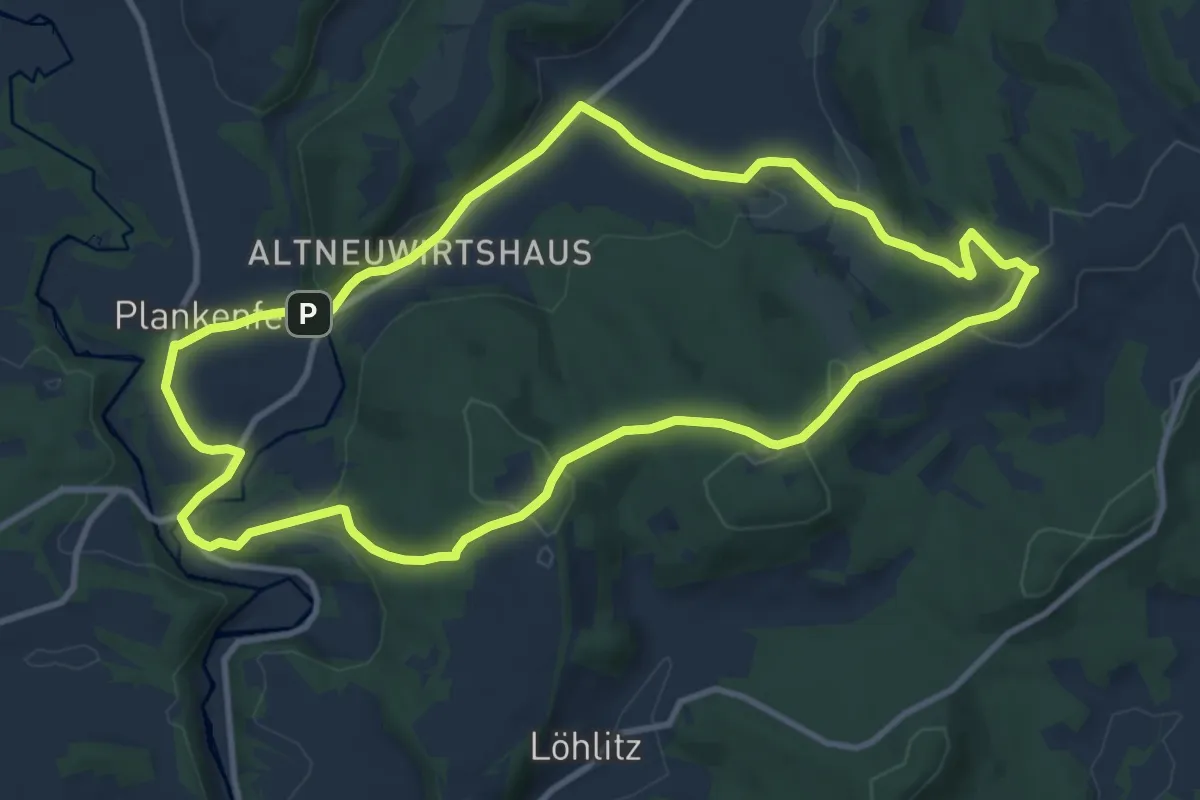
Medium · Summit
Plankenfels Rundwanderweg "Der Neubürg entgegen"
10.0 km · ↑ 199 m · 2 h 56 min
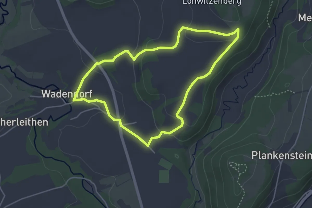
Easy · Trail
Plankenfels Rundwanderweg "Lobitze"
3.5 km · ↑ 83 m · 1 h 2 min
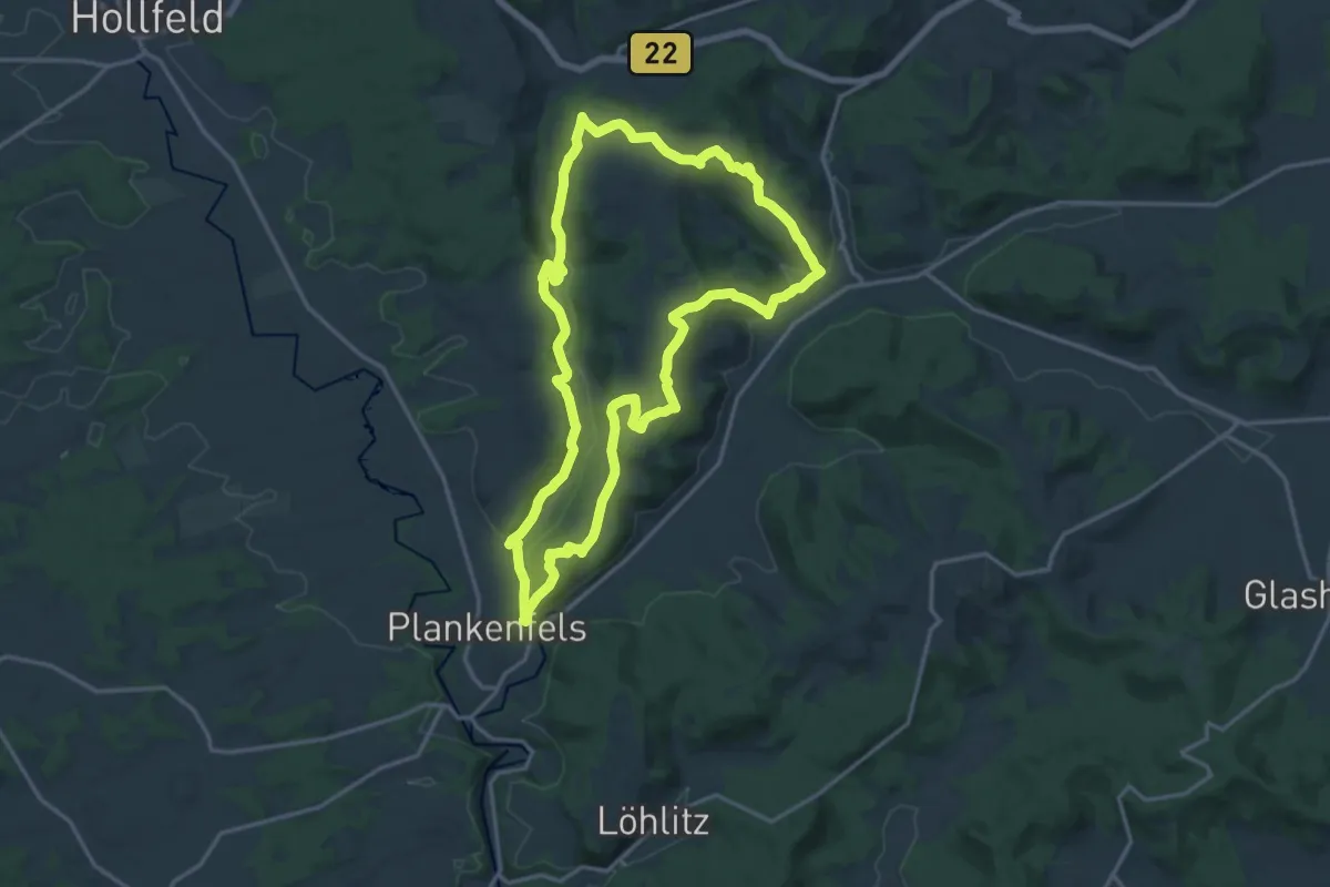
Medium · Summit
Plankenfels Rundwanderweg "Lochautalweg"
15.5 km · ↑ 404 m · 4 h 44 min
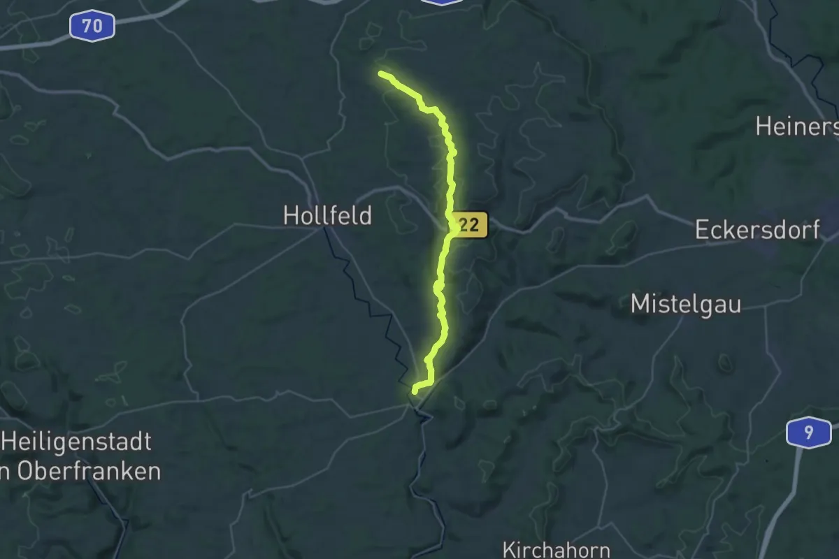
Medium · Trail
Plankenfels-Sanspareil
14.5 km · ↑ 215 m · 4 h 9 min
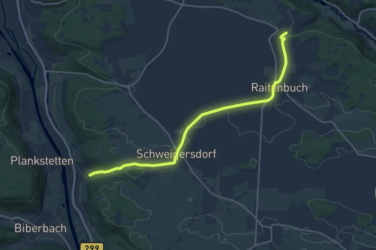
Medium · Trail
Plankstetten - Oening
11.9 km · ↑ 139 m · 3 h 7 min
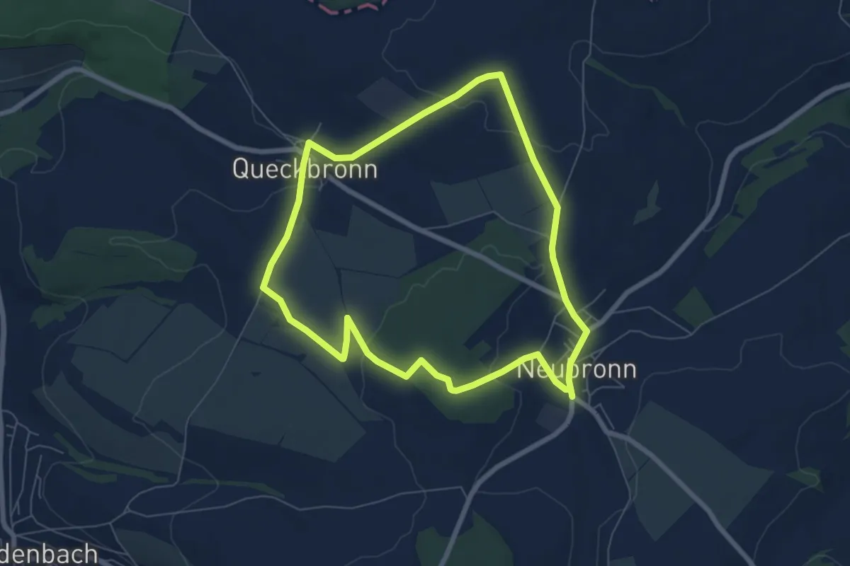
Easy · Trail
Plateauweg
6.2 km · ↑ 106 m · 1 h 47 min
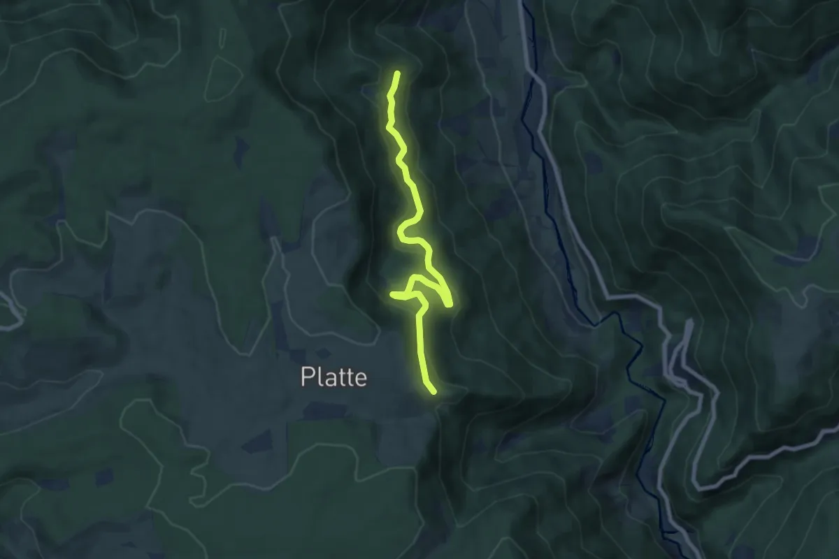
Easy · Trail
Platte Langeckerhof - Dümpfle
7.1 km · ↑ 298 m · 2 h 20 min
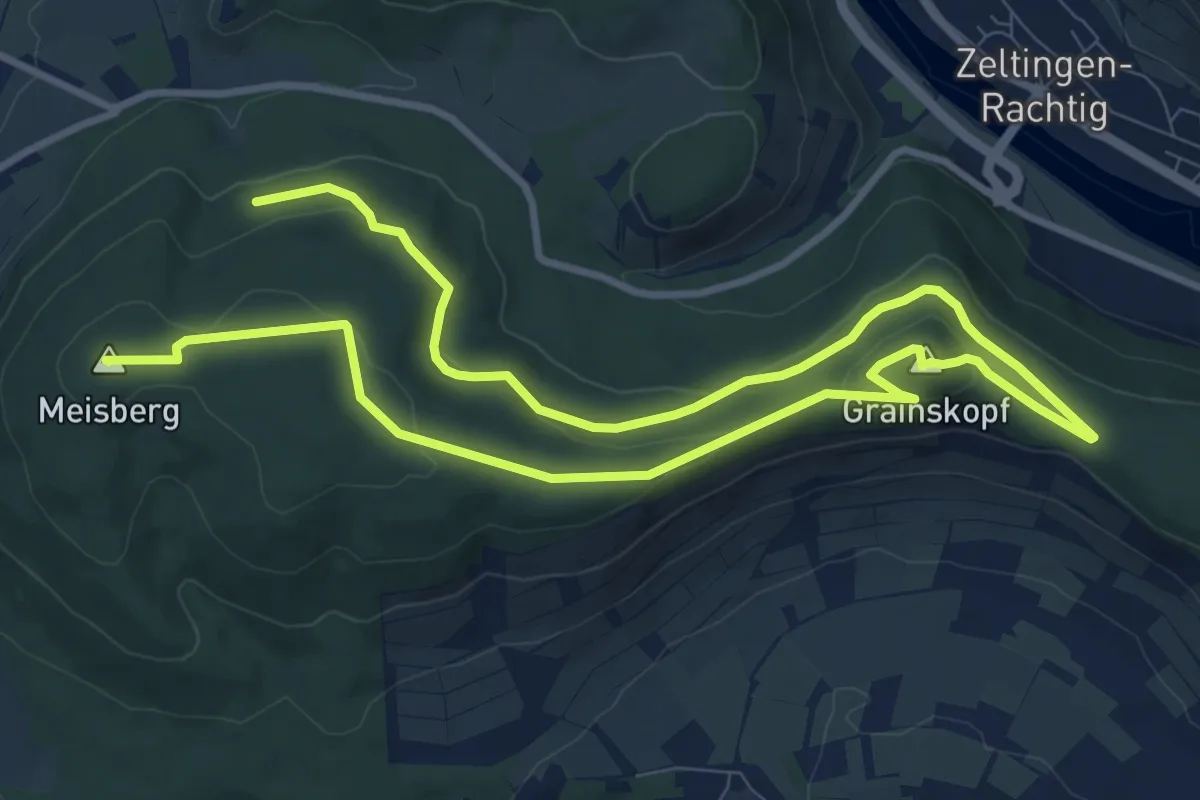
Medium · Summit
Platten 1
15.5 km · ↑ 336 m · 4 h 24 min
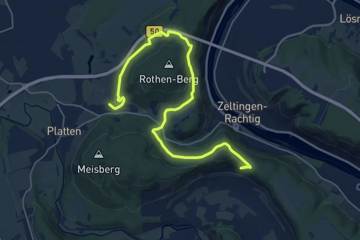
Medium · Trail
Platten 3
17.8 km · ↑ 476 m · 5 h 15 min
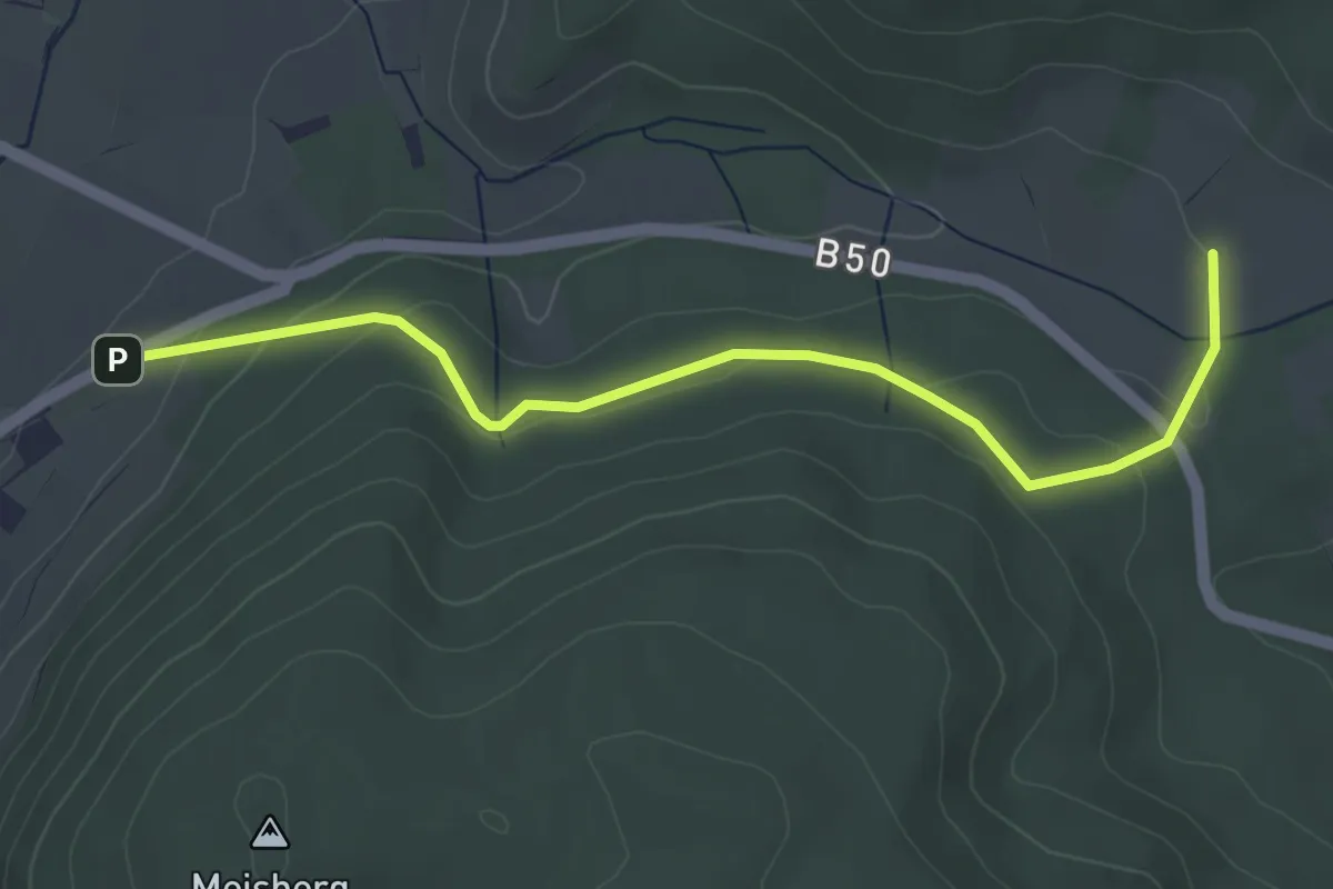
Easy · Trail
Platten 4
4.2 km · ↑ 164 m · 1 h 20 min
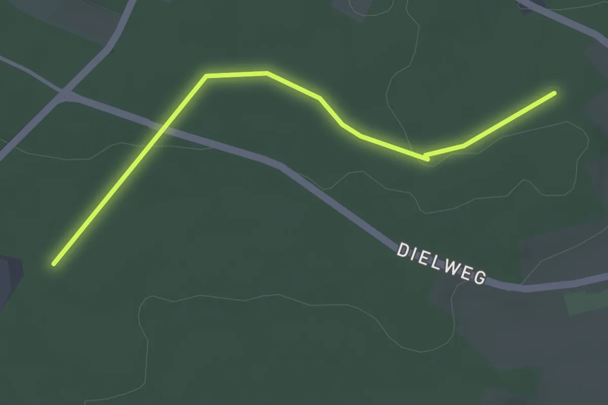
Easy · Trail
Platten - Lange Furchen
3.1 km · ↑ 35 m · 48 min
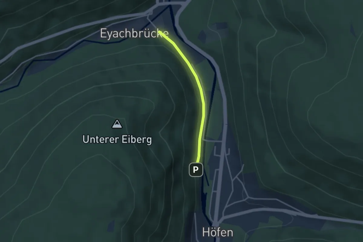
Easy · Trail
Plattenteich - Karl-Bierhalter-Haus
2.2 km · ↑ 39 m · 37 min
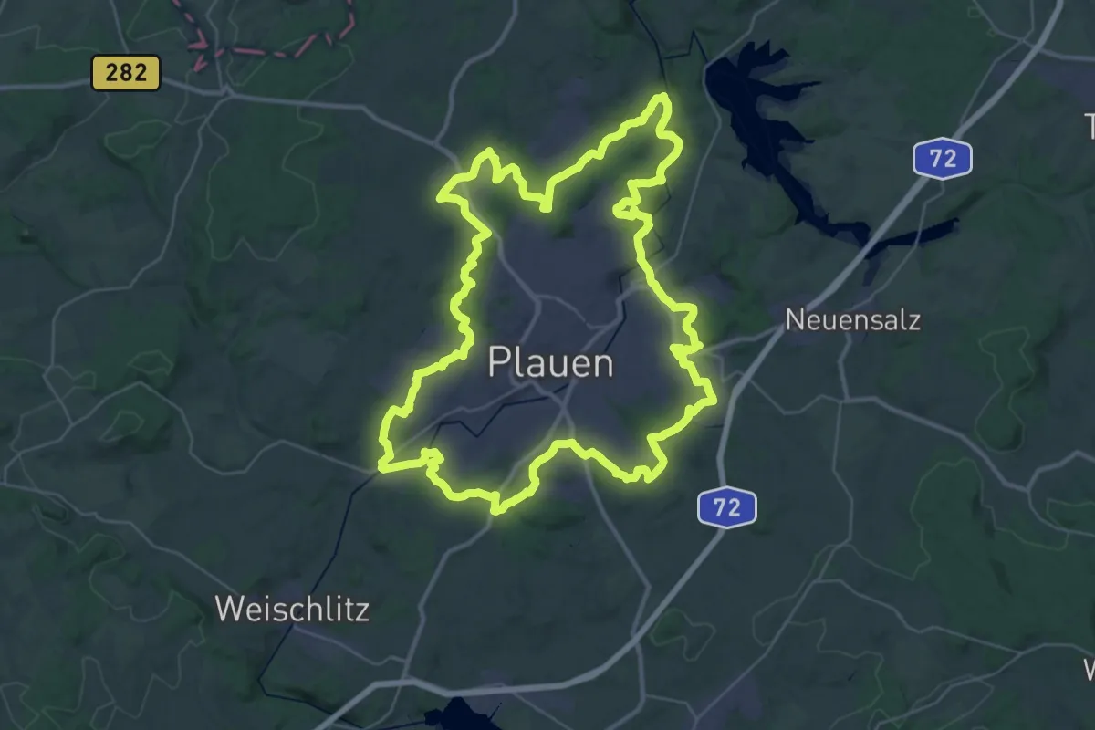
Demanding · Summit
Plauener Rundwanderweg
38.4 km · ↑ 600 m · 10 h 55 min
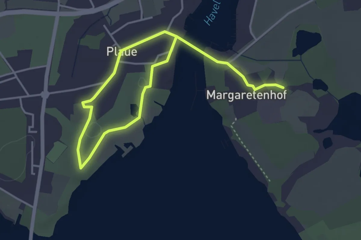
Easy · Trail
Plauer Fontaneweg
4.8 km · ↑ 18 m · 1 h 10 min
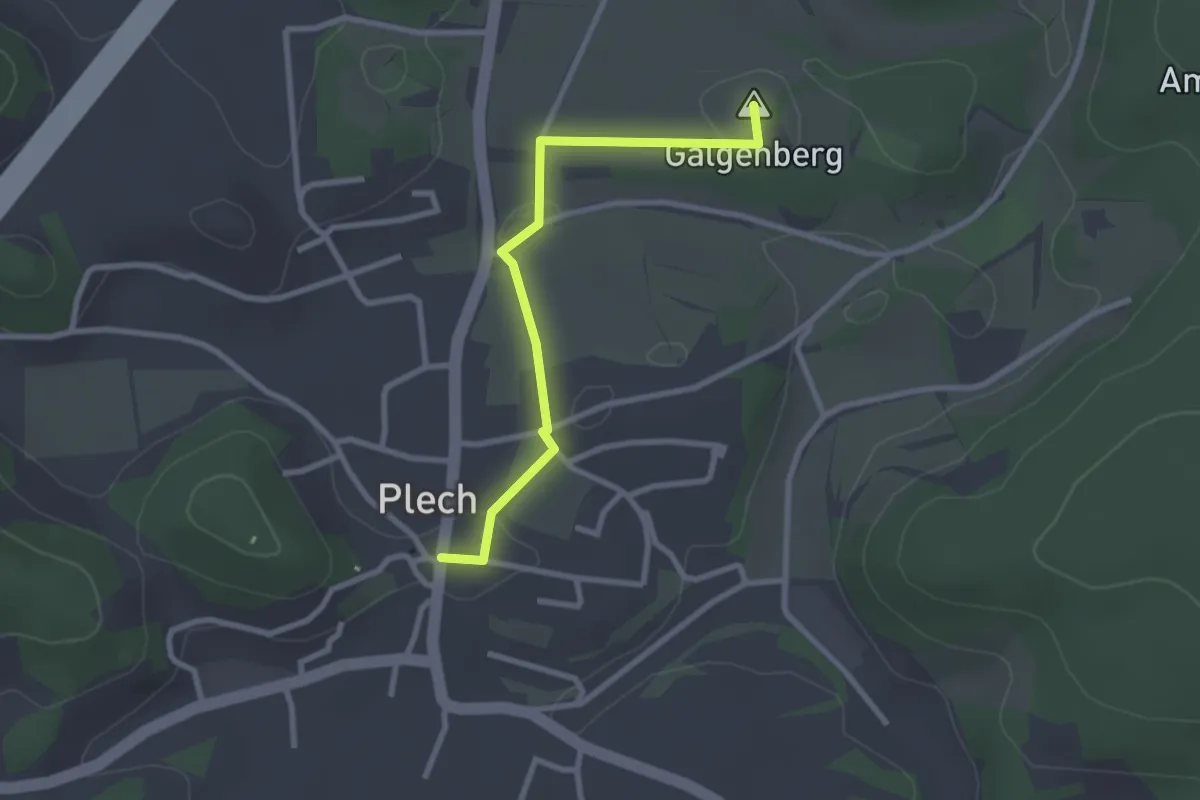
Easy · Summit
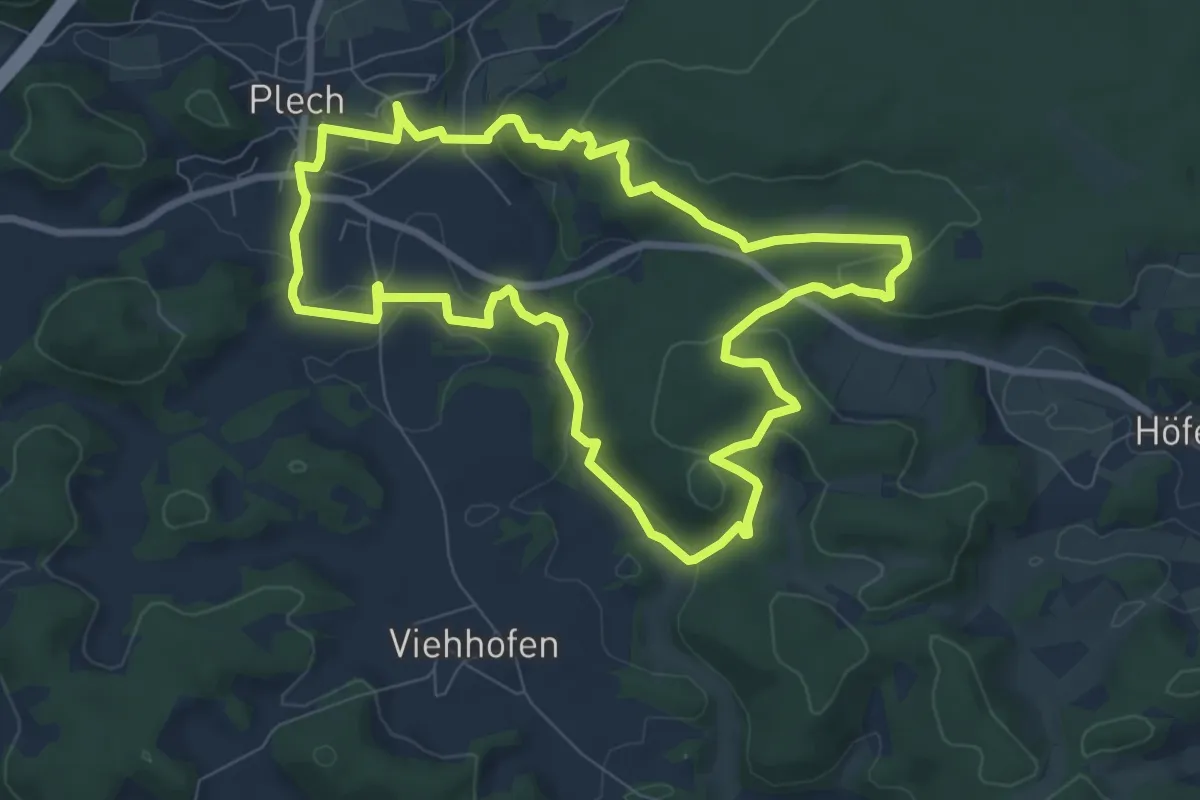
Plecher Galgen
2.5 km · ↑ 29 m · 39 min
Easy · Summit
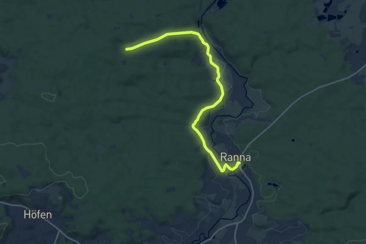
Plecher Höhlenweg
7.8 km · ↑ 194 m · 2 h 22 min
Medium · Trail
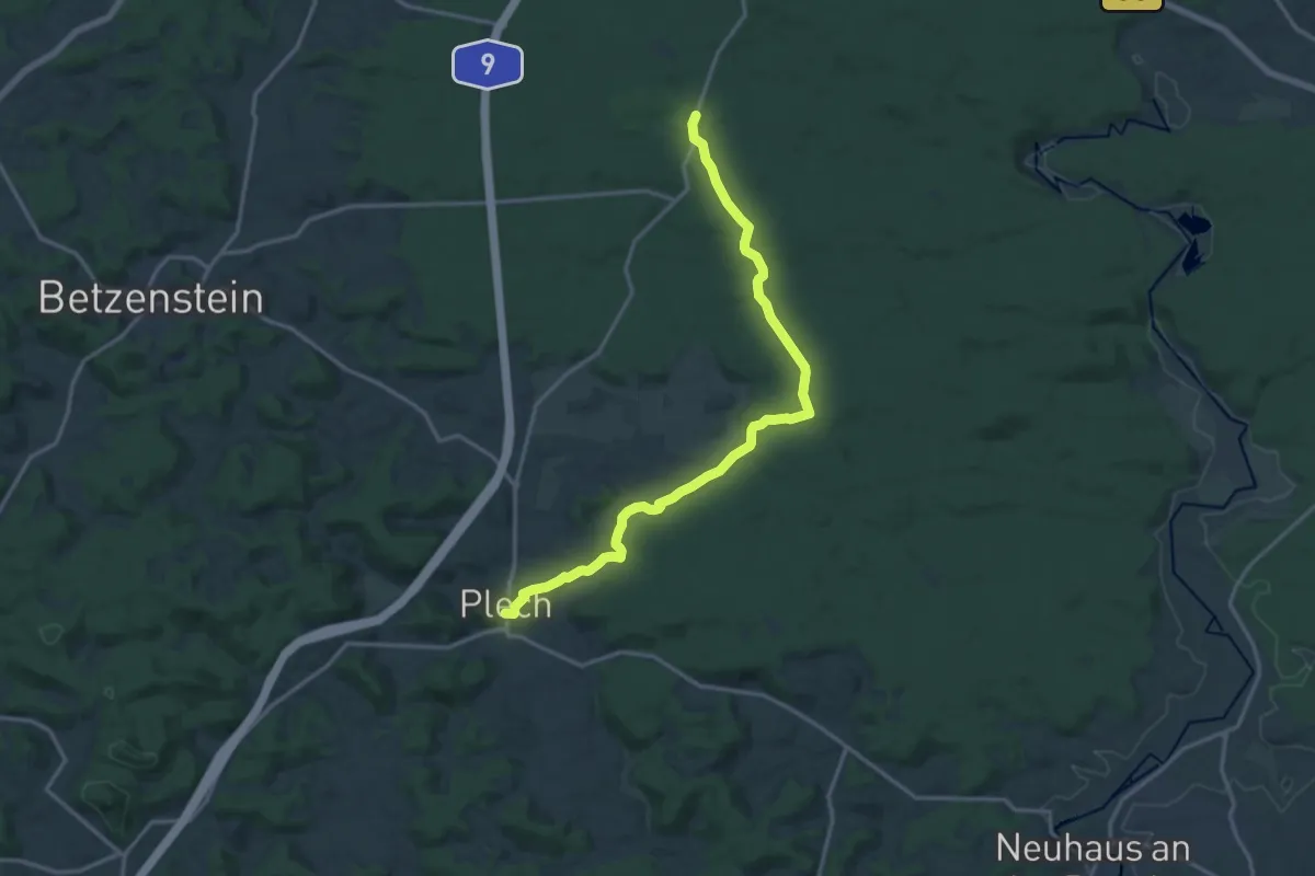
Plech-Fischstein-Ranna
11.9 km · ↑ 170 m · 3 h 11 min
Medium · Trail
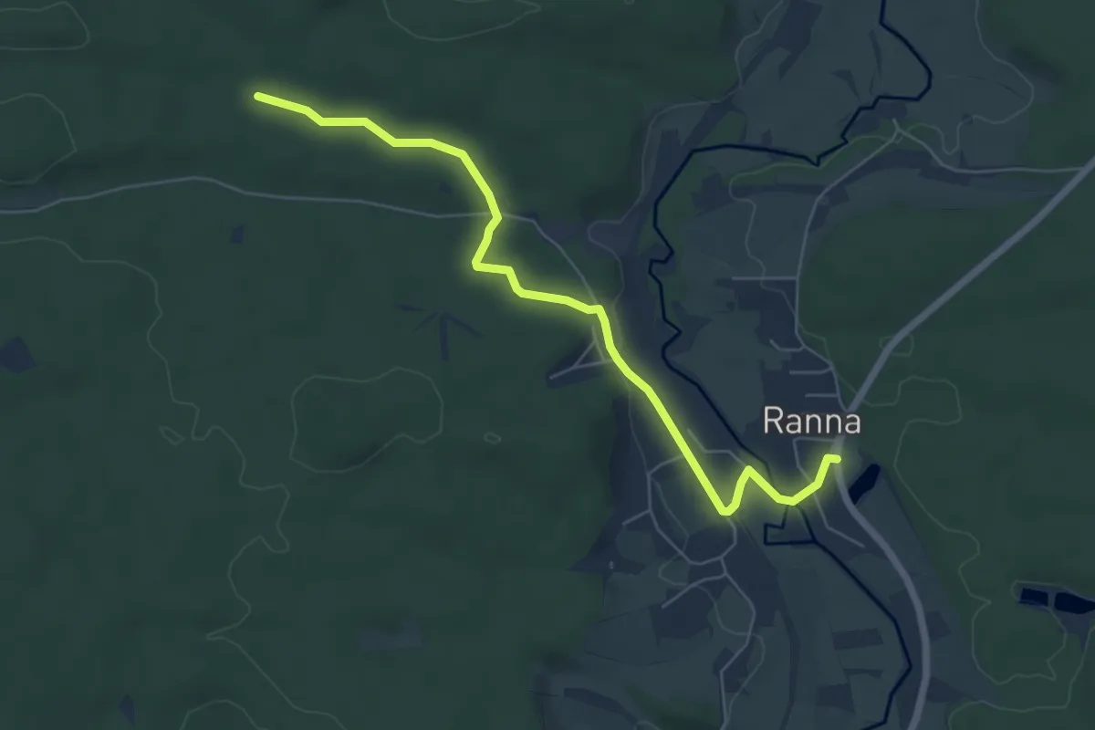
Plech-Pechbrunnen
15.7 km · ↑ 278 m · 4 h 18 min
Easy · Trail
Plech – Ranna
6.0 km · ↑ 65 m · 1 h 34 min
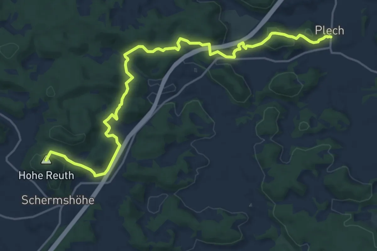
Medium · Summit
Plech – Spies
14.6 km · ↑ 522 m · 4 h 34 min
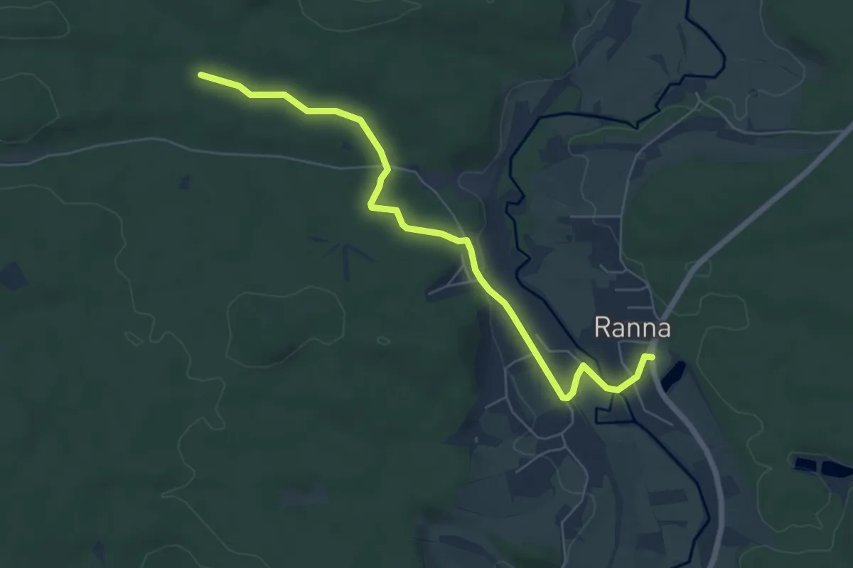
Easy · Trail
Plech-Teufelspredigtstuhl-Ranna
6.0 km · ↑ 65 m · 1 h 34 min
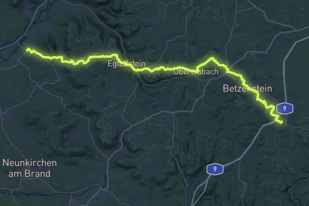
Demanding · Summit
Plech - Wiesenthau
71.1 km · ↑ 2062 m · 21 h 16 min
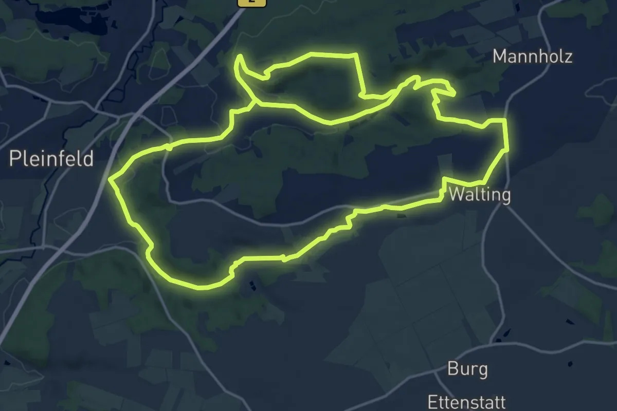
Medium · Trail
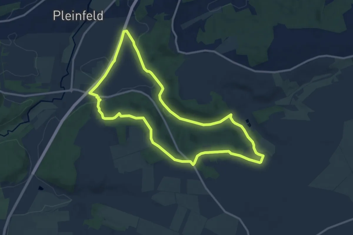
Pleinfeld 76
17.6 km · ↑ 313 m · 5 h 5 min
Easy · Trail
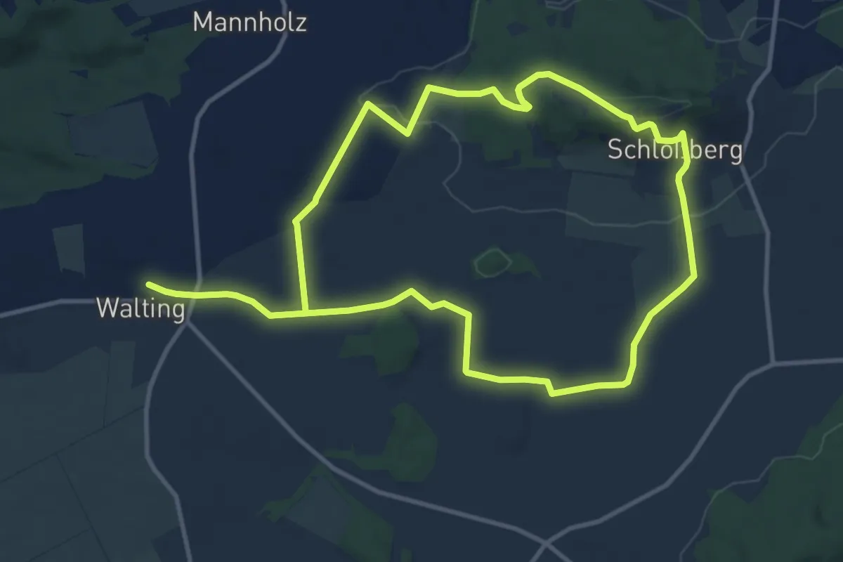
Pleinfeld 77
7.9 km · ↑ 153 m · 2 h 18 min
Medium · Summit
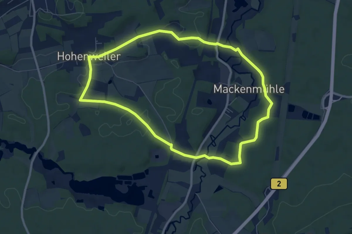
Pleinfeld 78
9.2 km · ↑ 177 m · 2 h 40 min
Easy · Trail
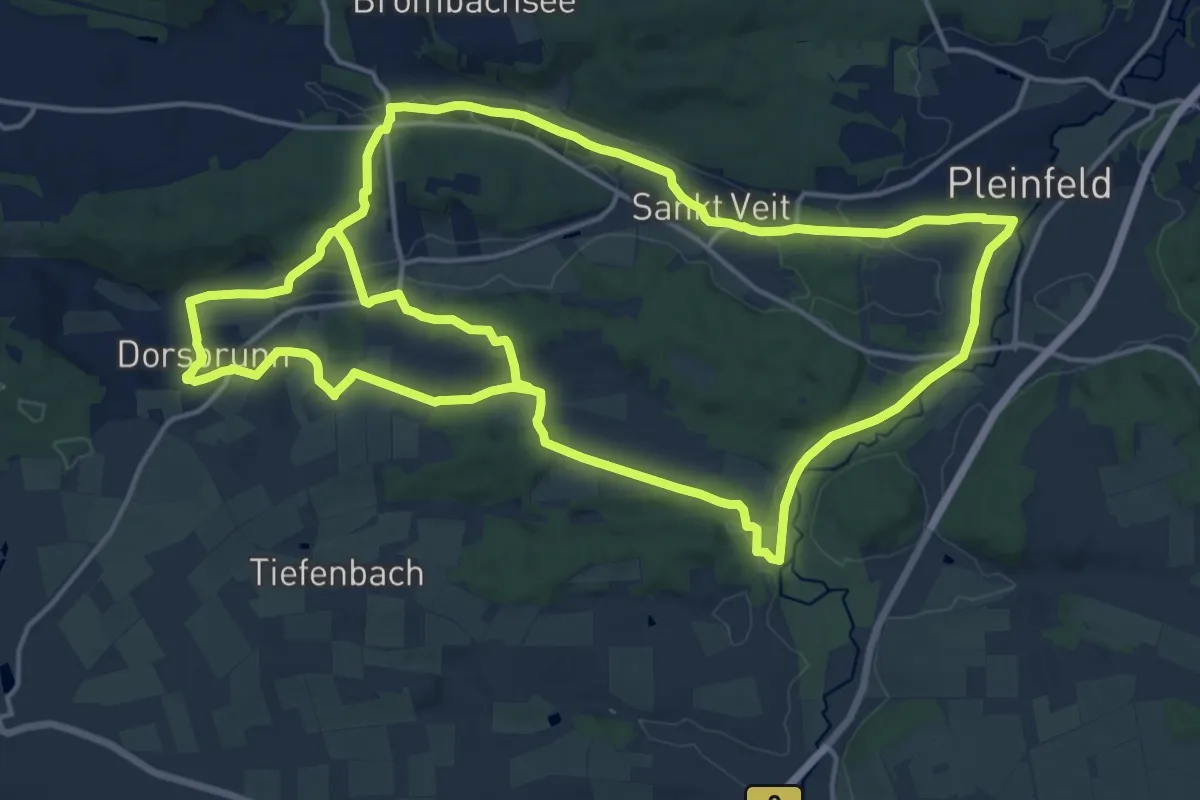
Pleinfeld 79
6.5 km · ↑ 105 m · 1 h 51 min
Medium · Trail
Pleinfeld 80
17.7 km · ↑ 245 m · 4 h 57 min
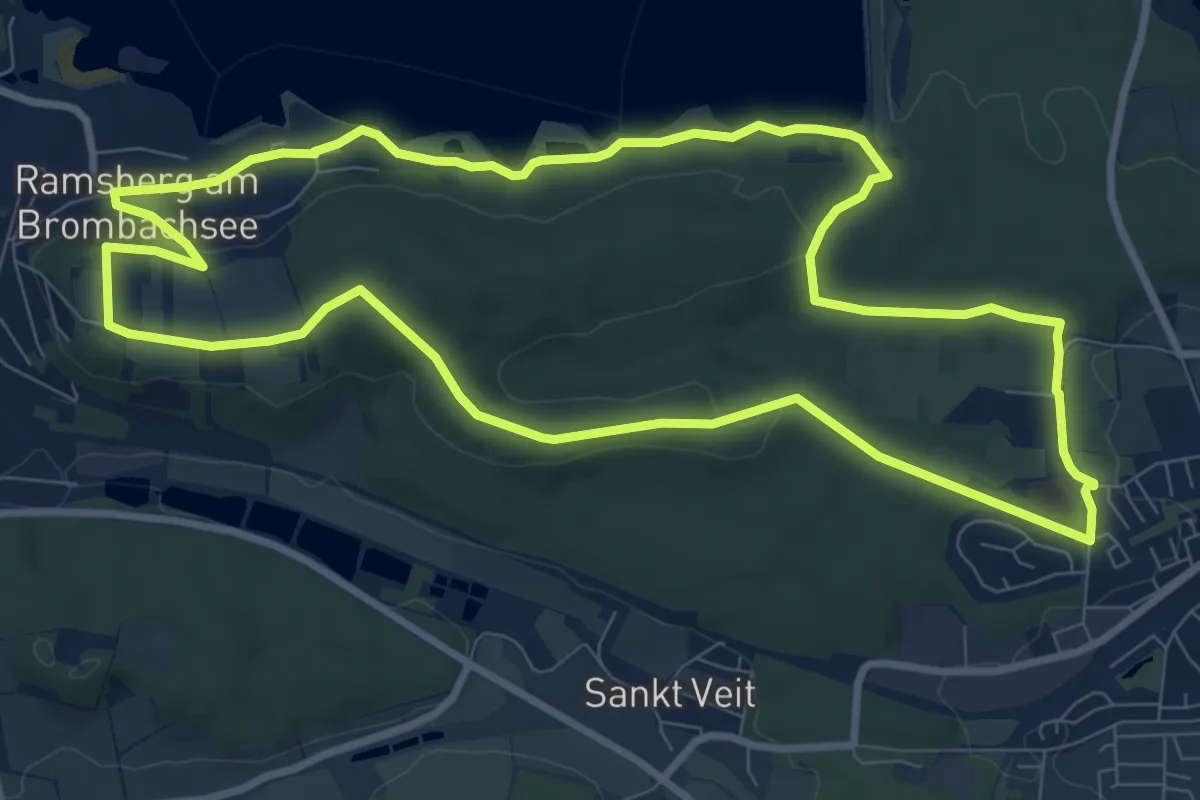
Medium · Trail
Pleinfeld 81
9.2 km · ↑ 159 m · 2 h 38 min
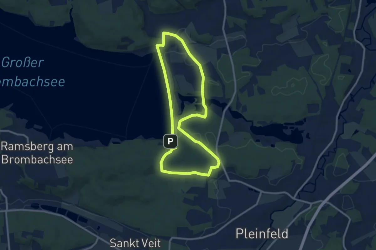
Easy · Trail
Pleinfeld 82
7.1 km · ↑ 115 m · 2 h 2 min
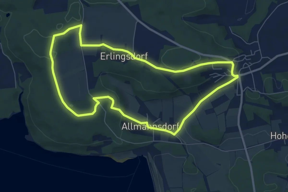
Easy · Trail
Pleinfeld 83
6.5 km · ↑ 126 m · 1 h 53 min
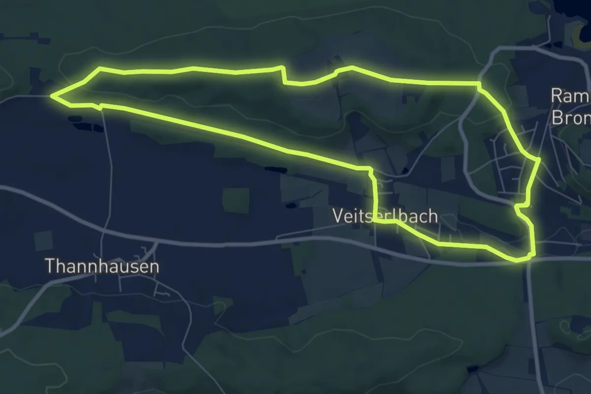
Easy · Summit
Pleinfeld 84
7.9 km · ↑ 102 m · 2 h 12 min
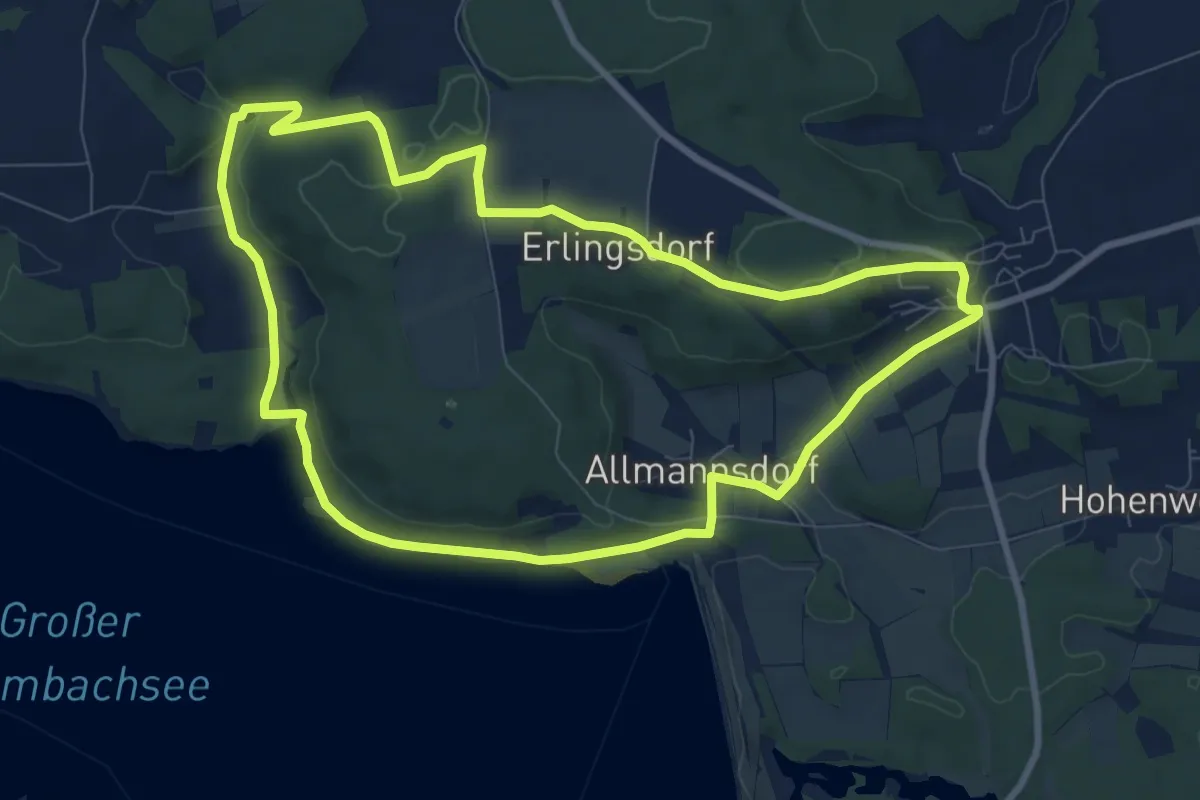
Medium · Trail
Pleinfeld 85
8.5 km · ↑ 157 m · 2 h 28 min
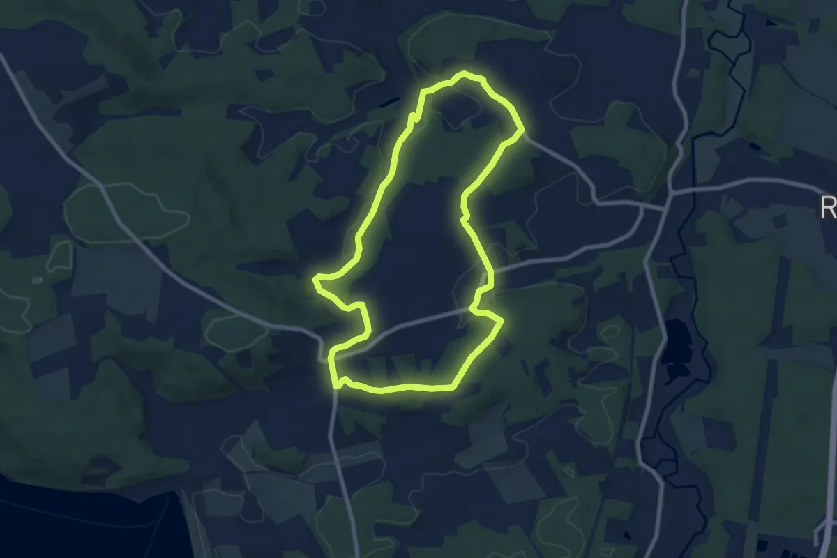
Easy · Trail
Pleinfeld 86
7.3 km · ↑ 121 m · 2 h 5 min
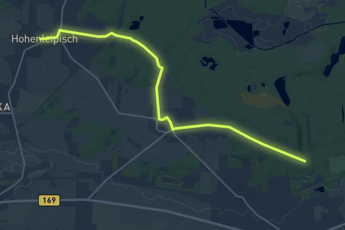
Medium · Trail
Plessa-Hohenleipisch
13.2 km · ↑ 95 m · 3 h 19 min
Medium · Trail
Plesse-Menschenrechtspfad
8.7 km · ↑ 154 m · 2 h 29 min
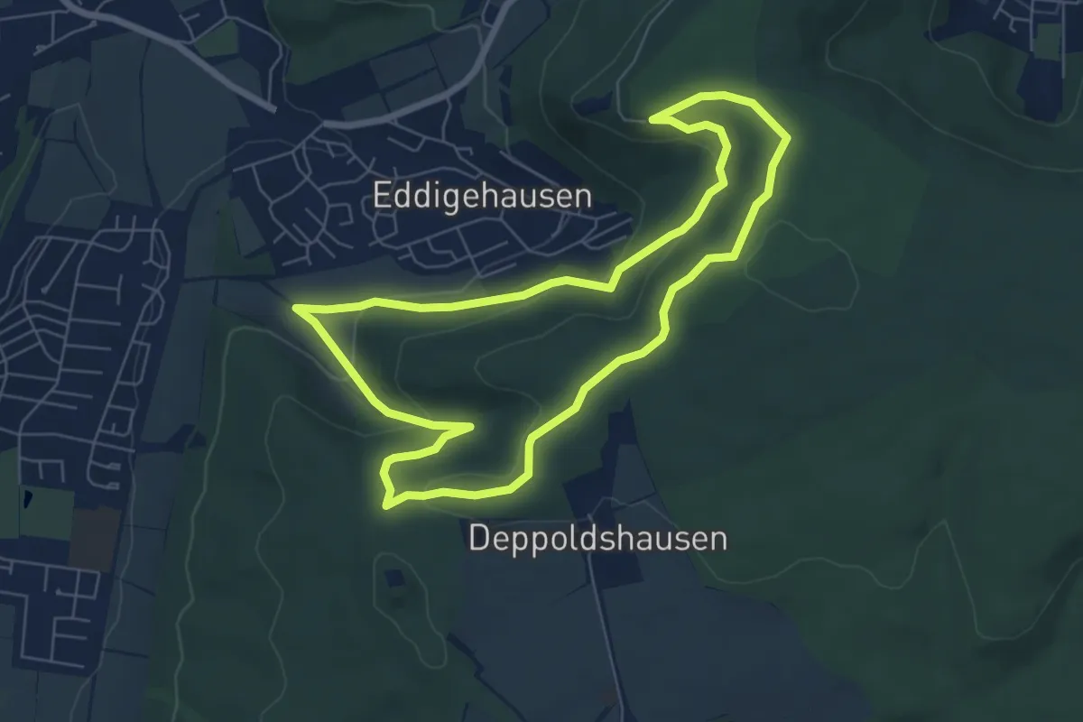
Easy · Summit
Plesse-Rundweg
6.0 km · ↑ 174 m · 1 h 52 min
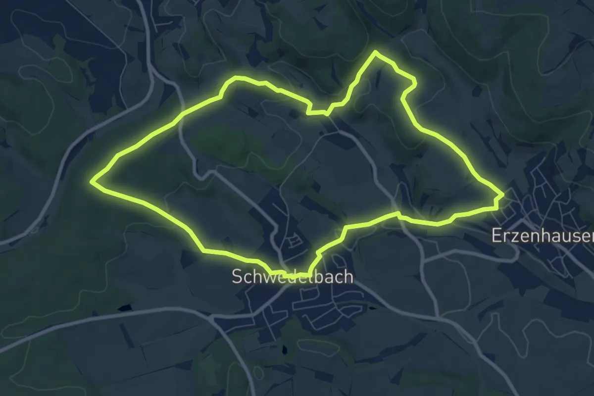
Medium · Summit
Pletschmühlweg
8.1 km · ↑ 163 m · 2 h 22 min
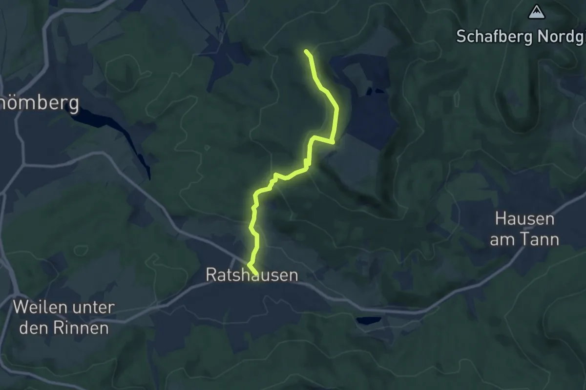
Medium · Trail
Plettenberg - Ratshausen
7.1 km · ↑ 391 m · 2 h 31 min
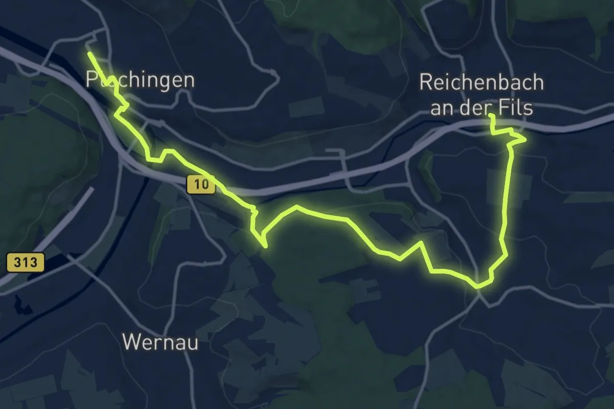
Medium · Trail
Plochingen - Hochdorf - Reichenbach
16.0 km · ↑ 243 m · 4 h 19 min
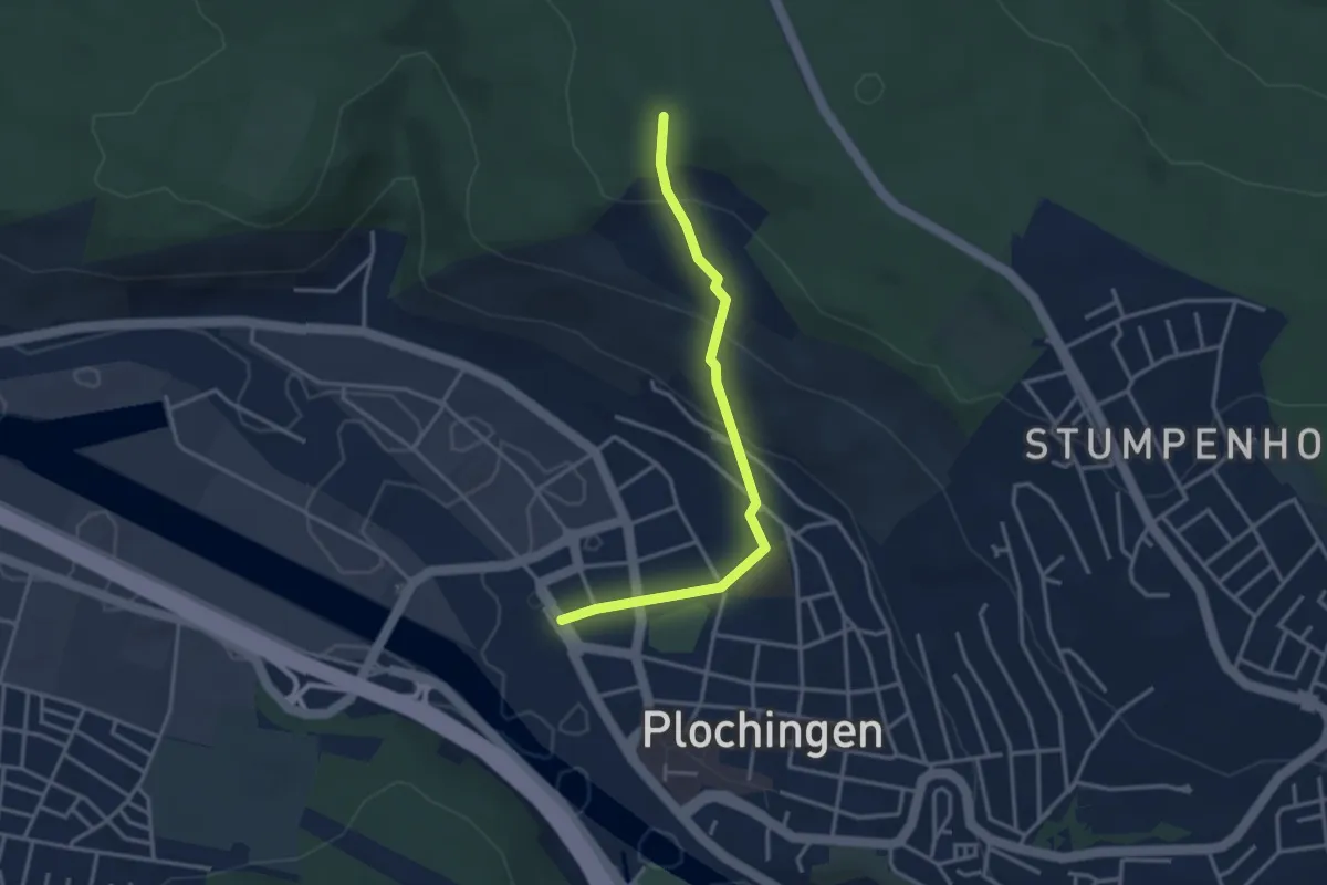
Easy · Trail
Plochingen - Plochinger Ebene
3.2 km · ↑ 176 m · 1 h 8 min
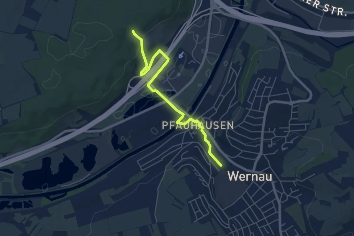
Easy · Trail
Plochinger Kopf - Wernau
5.2 km · ↑ 103 m · 1 h 27 min
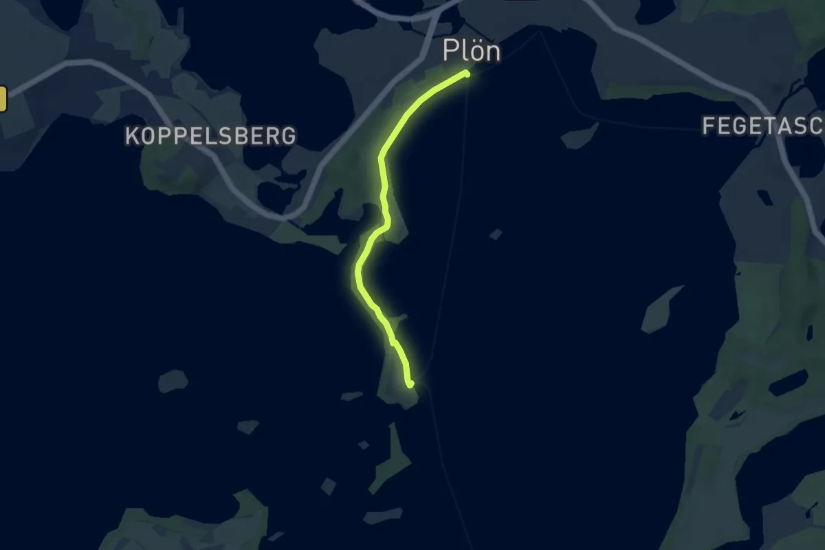
Easy · Trail
Plöner PlanetenPfad
5.3 km · ↑ 18 m · 1 h 17 min
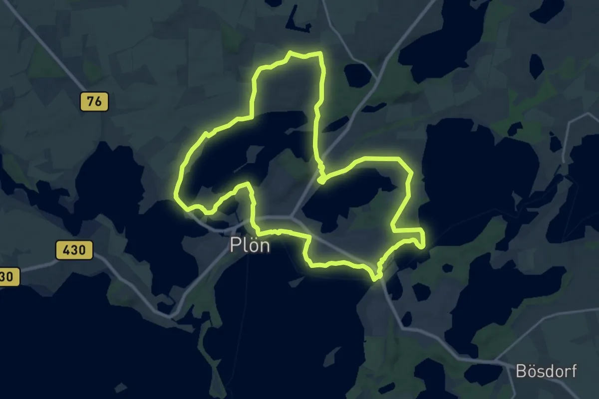
Medium · Trail
Plöner Seen
15.5 km · ↑ 143 m · 4 h 11 min