Trails in Germany
36,852 hiking trails, each with its route, climb, walking time and grade.
All trails, page 424 of 768
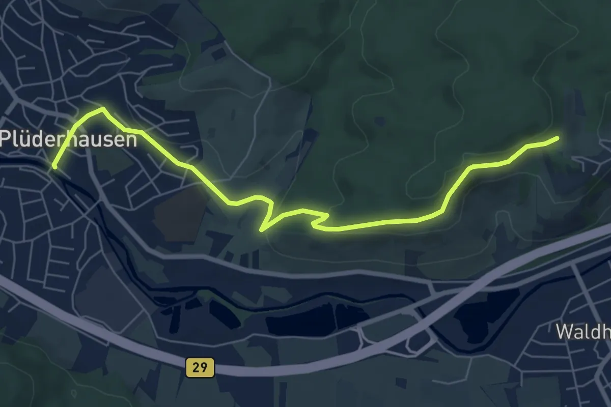
Easy · Trail
Plüderhausen - Burghalde - Elisabethenberg
6.6 km · ↑ 164 m · 1 h 55 min
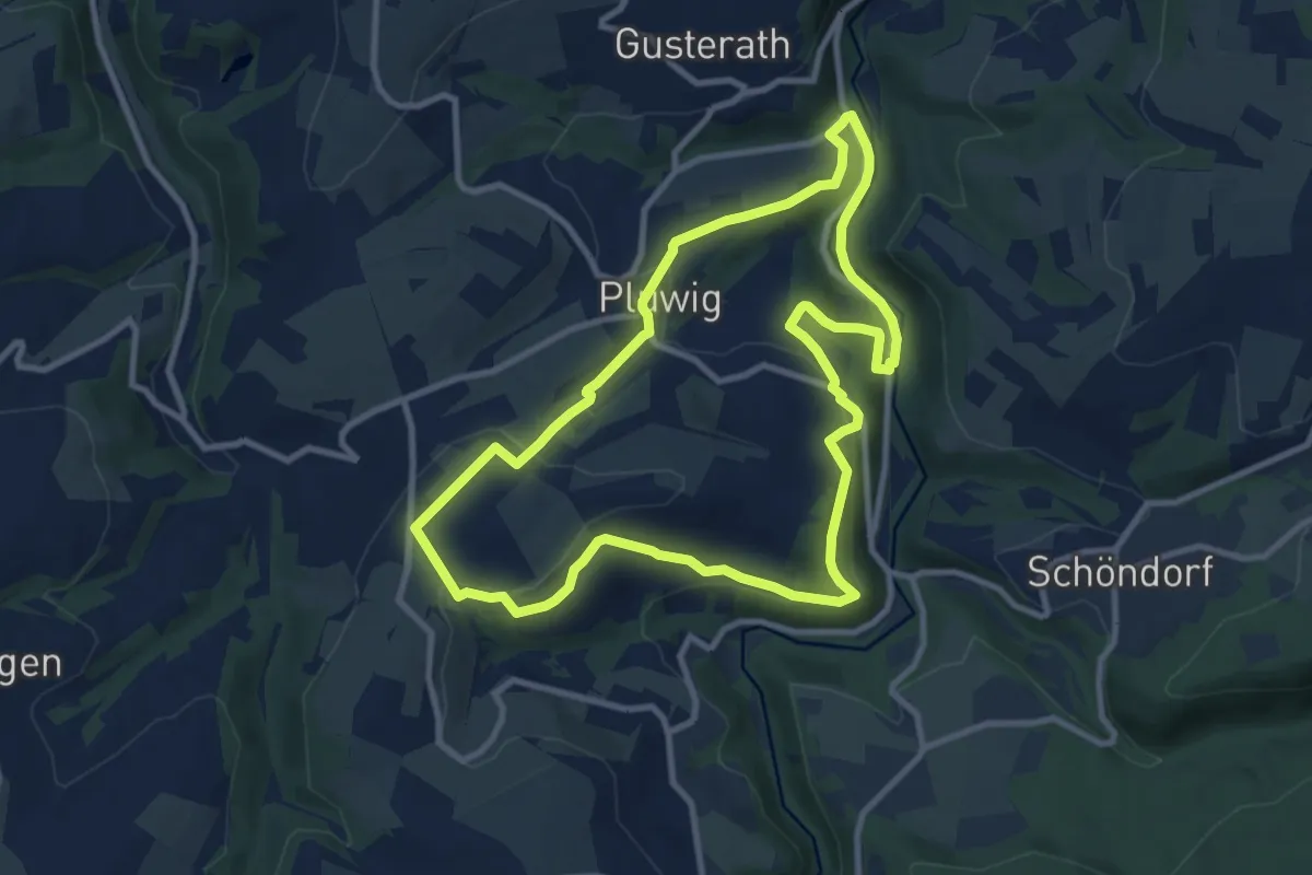
Medium · Trail
Pluwig 1
9.1 km · ↑ 291 m · 2 h 55 min
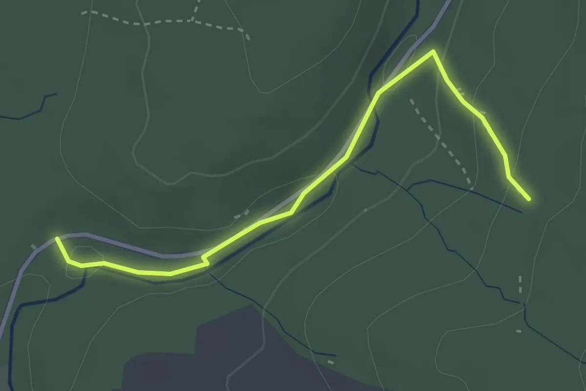
Medium · Trail
Pochermühle Nr 11
2.9 km · ↑ 85 m · 53 min
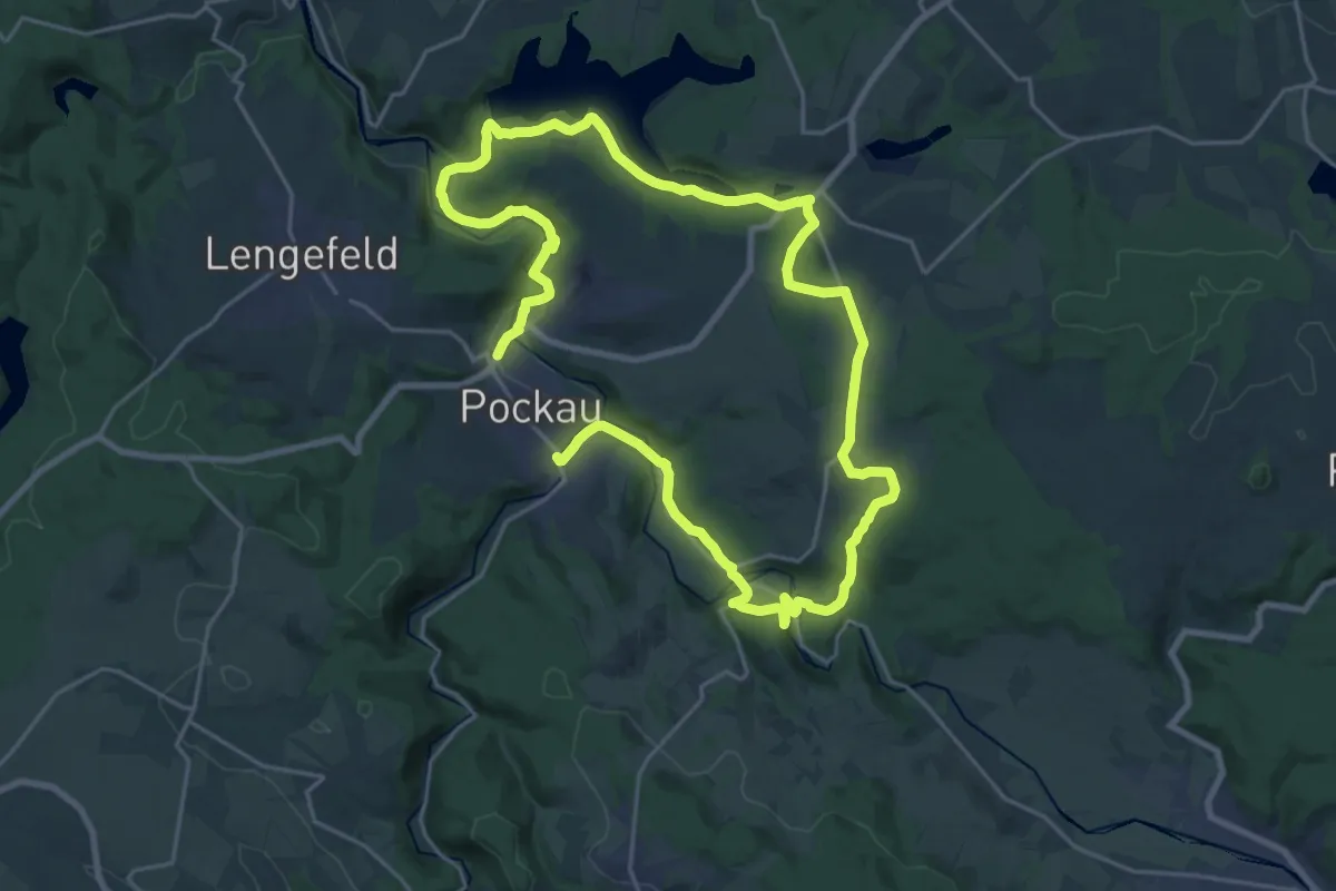
Demanding · Trail
Pockau-Saidenbachtalsperre-Forchheim-Wernsdorf-Nennigmühle-Pockau
18.2 km · ↑ 420 m · 5 h 27 min
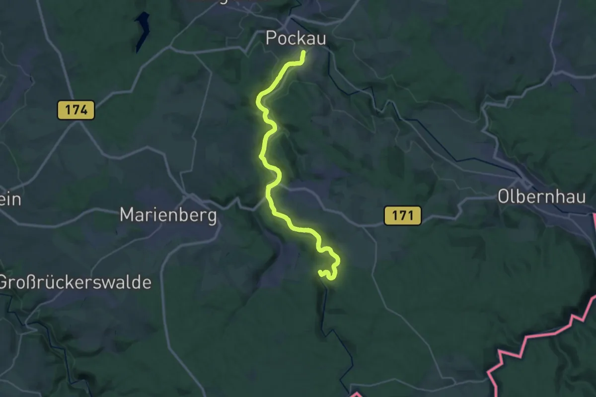
Demanding · Summit
Pockautalwanderweg
24.0 km · ↑ 372 m · 6 h 29 min
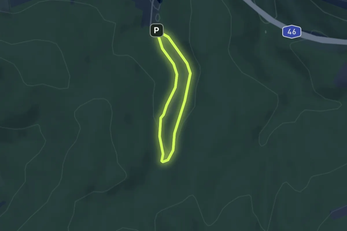
Easy · Trail
Poesie-Pfad
2.1 km · ↑ 45 m · 37 min
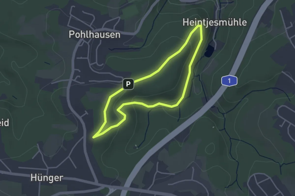
Easy · Trail
Pohlhausen Rundweg A1
2.7 km · ↑ 60 m · 48 min
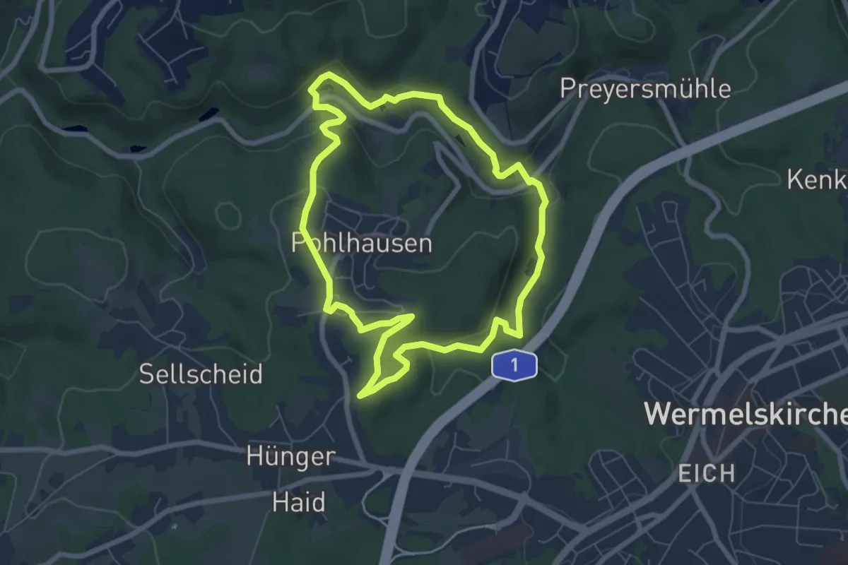
Easy · Trail
Pohlhausen Rundweg A2
5.9 km · ↑ 153 m · 1 h 48 min
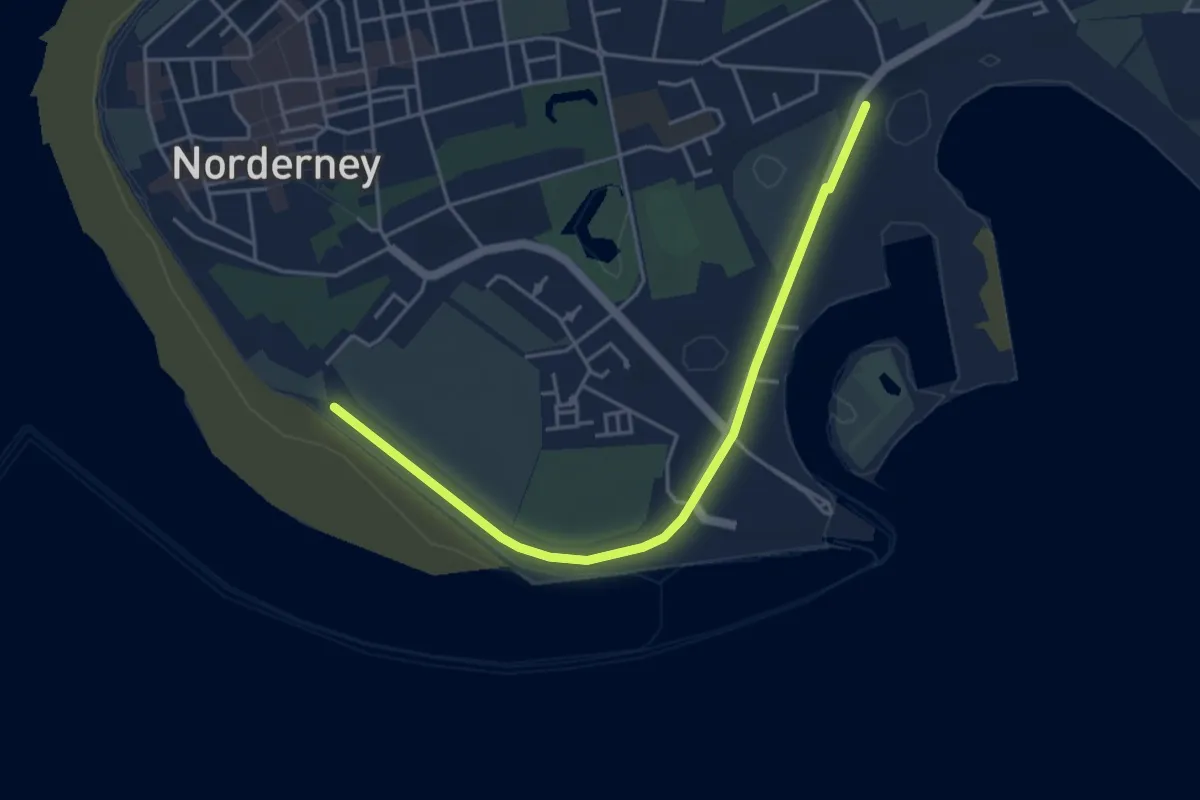
Easy · Trail
Polder-Wattweg
4.0 km · ↑ 0 m · 56 min
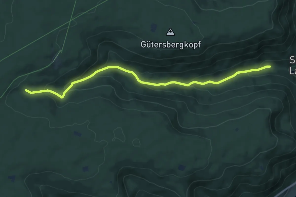
Easy · Trail
Pöllert - Schäferweghütte
7.8 km · ↑ 290 m · 2 h 28 min
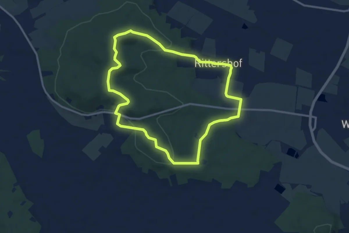
Easy · Summit
Pöllinger Rundtour (Extratour)
6.9 km · ↑ 143 m · 2 h 2 min
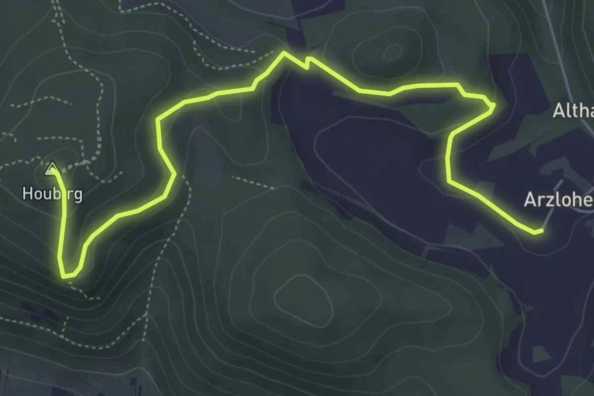
Medium · Summit
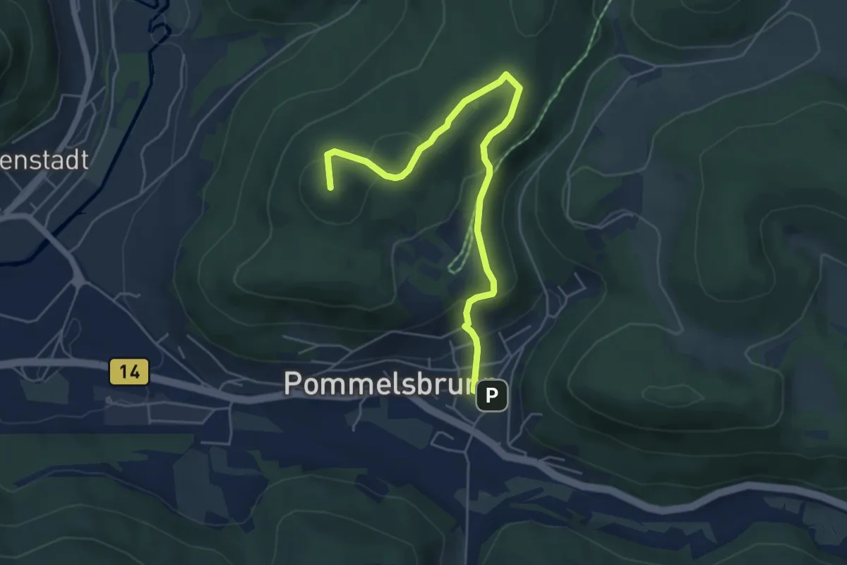
Pommelsbrunn–Arzlohe
6.2 km · ↑ 262 m · 2 h 2 min
Easy · Summit
Pommelsbrunn–Burgruine Lichtenstein–Pommelsbrunn
5.4 km · ↑ 200 m · 1 h 42 min
Medium · Trail
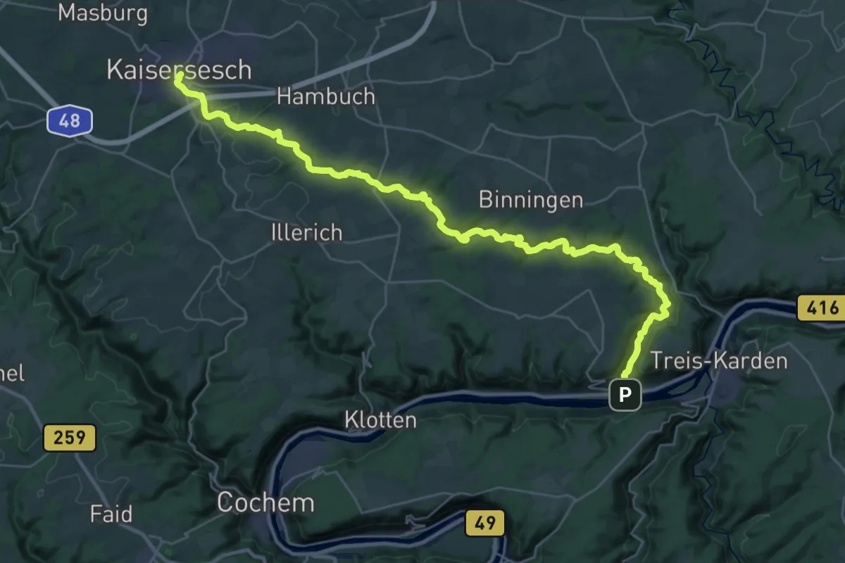
Pommerbachtal
17.3 km · ↑ 485 m · 5 h 13 min
Easy · Trail
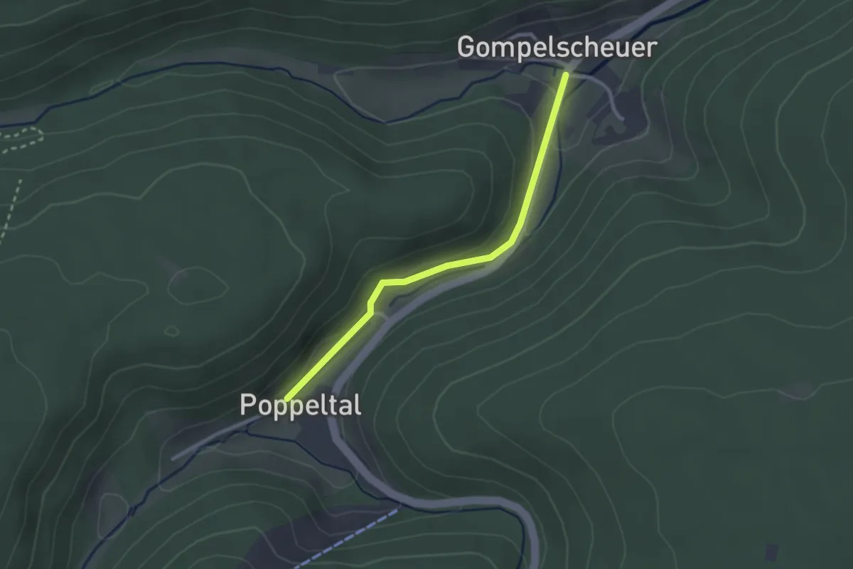
Poppeltal Gänsweide - Gompelscheuer Enzquelle
2.3 km · ↑ 54 m · 40 min
Demanding · Trail
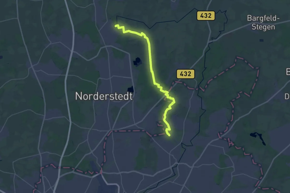
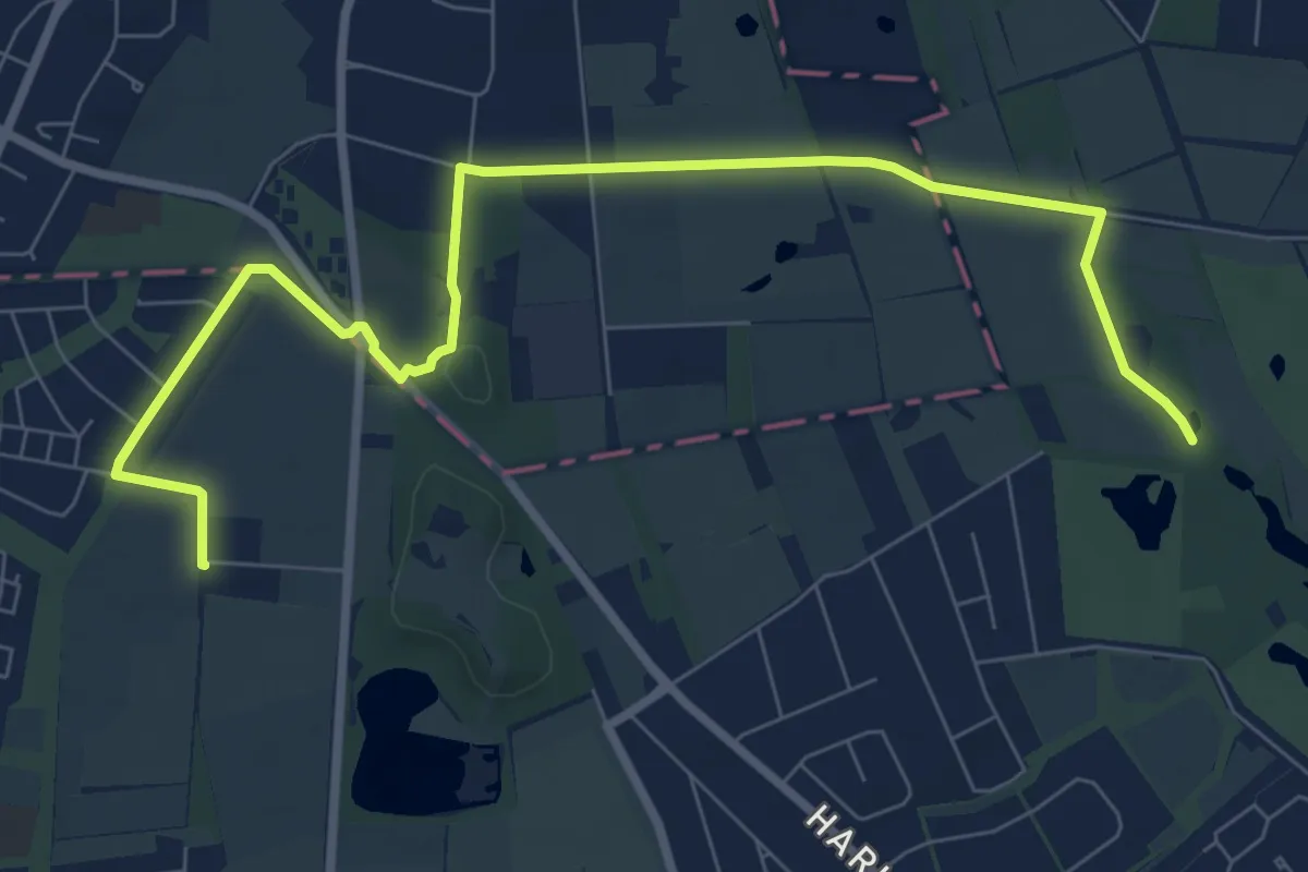
Poppenbüttel - Alsterquelle (P-AQ)
29.9 km · ↑ 65 m · 7 h 12 min
Medium · Trail
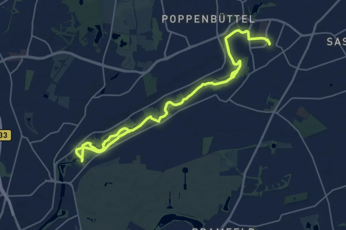
Poppenbüttel - Fuhlsbüttel (P-FL)
8.3 km · ↑ 22 m · 2 h
Medium · Trail
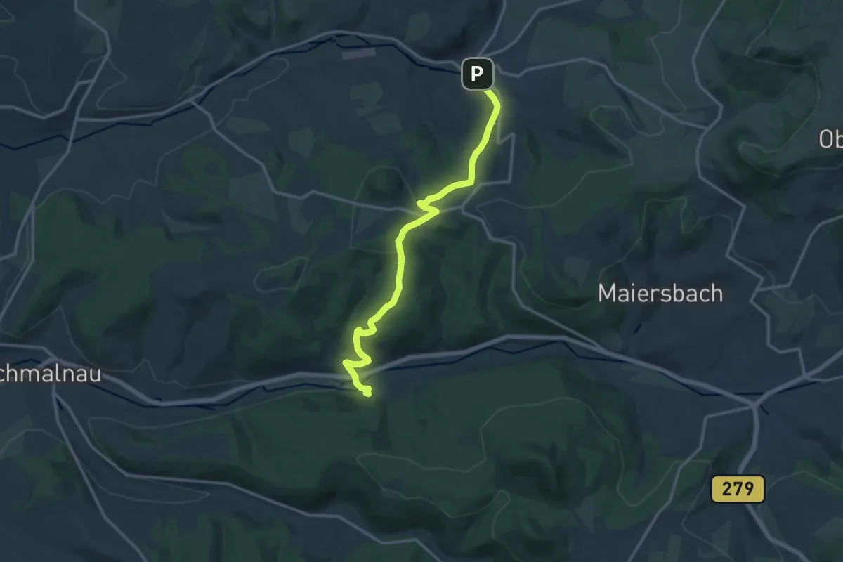
Poppenbüttel - Ohlsdorf (P-O)
17.4 km · ↑ 48 m · 4 h 12 min
Medium · Trail
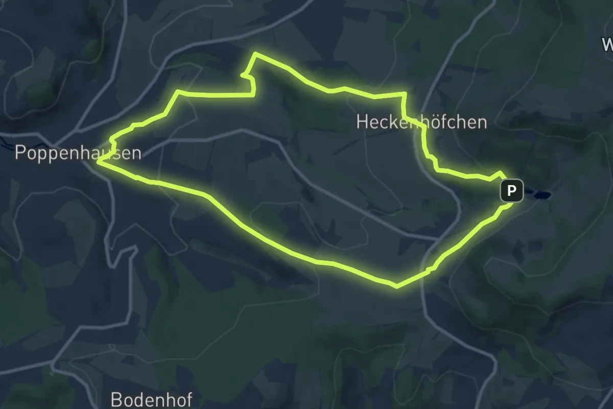
Poppenhausen - Altenfeld
12.1 km · ↑ 359 m · 3 h 39 min
Medium · Trail
Poppenhausen - Rhön-Rundweg 1
8.8 km · ↑ 236 m · 2 h 43 min
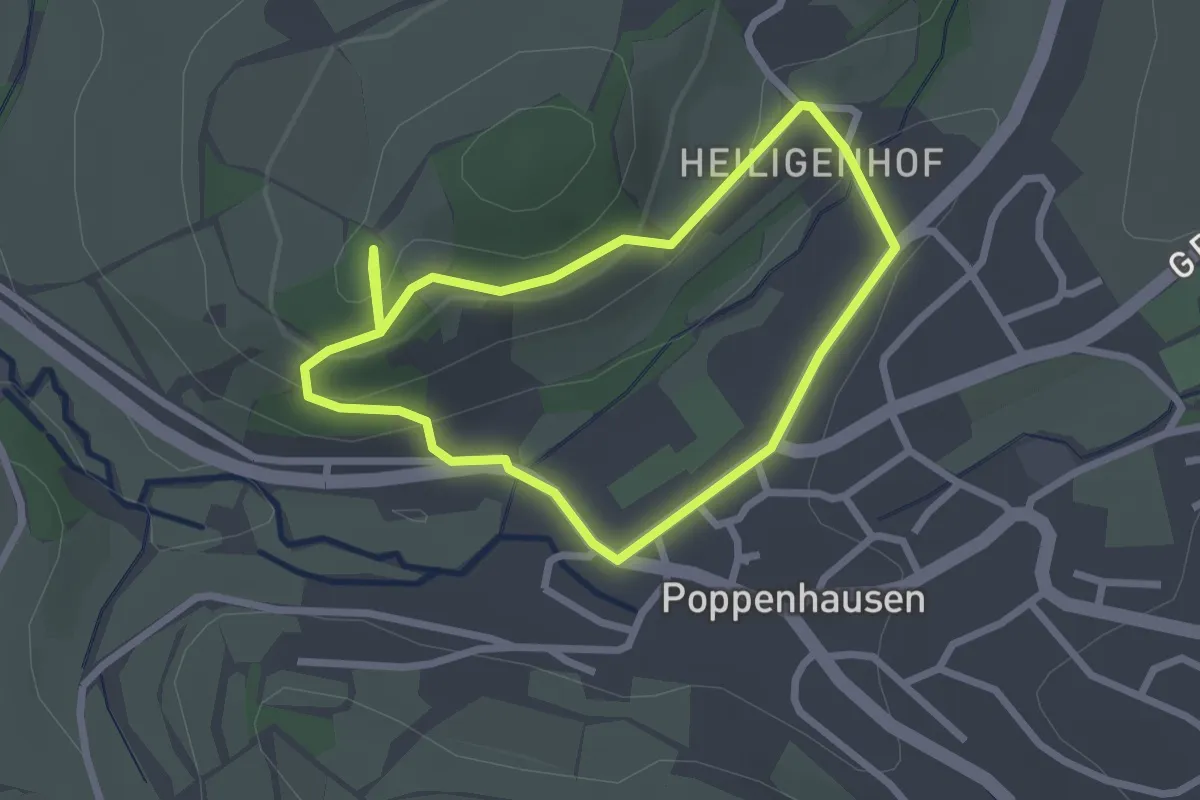
Easy · Trail
Poppenhausen - Rhön-Rundweg 3
2.1 km · ↑ 70 m · 40 min
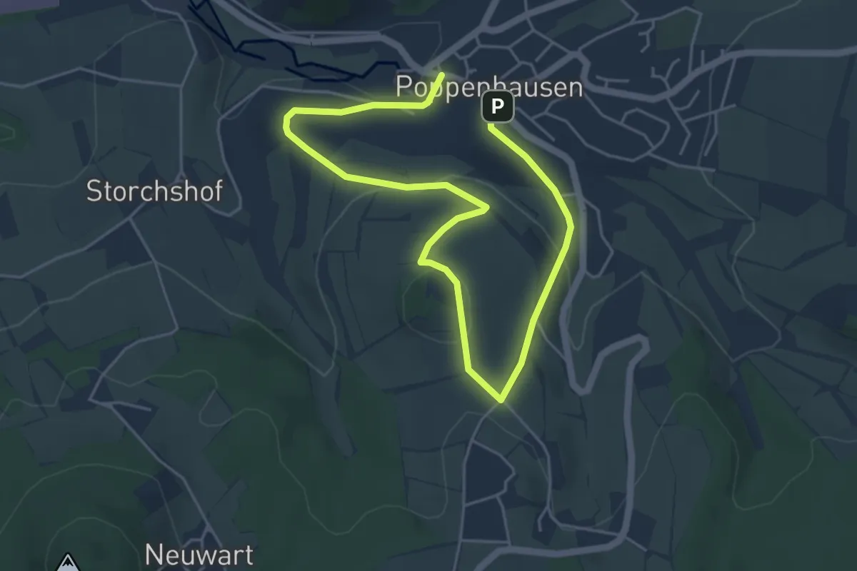
Easy · Summit
Poppenhausen - Rhön-Rundweg 4
3.1 km · ↑ 95 m · 59 min
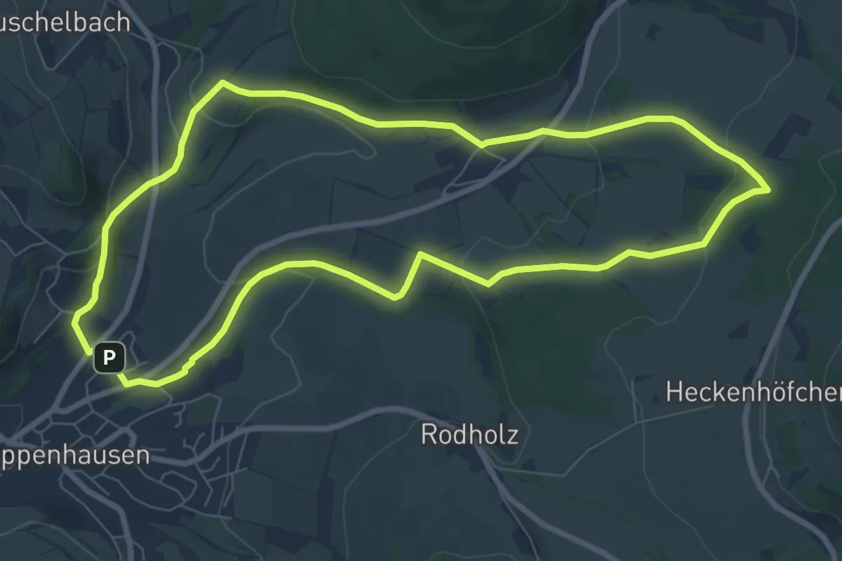
Easy · Trail
Poppenhausen - Rhön-Rundweg 5
7.0 km · ↑ 181 m · 2 h 9 min
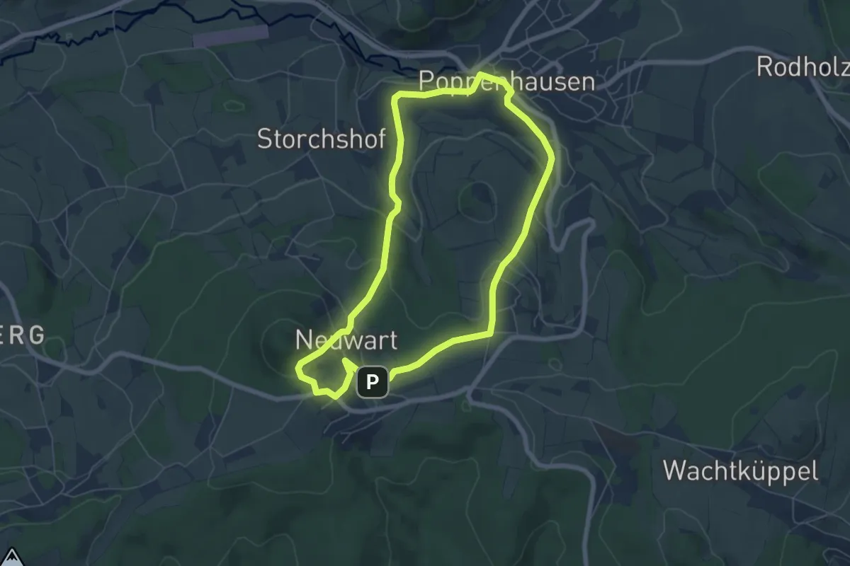
Easy · Trail
Poppenhausen - Rhön-Rundweg 8
5.5 km · ↑ 205 m · 1 h 49 min
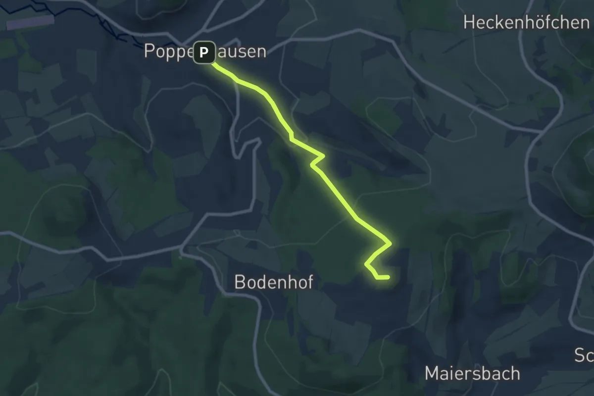
Easy · Summit
Poppenhausen - Wachtkueppel
6.1 km · ↑ 214 m · 1 h 54 min
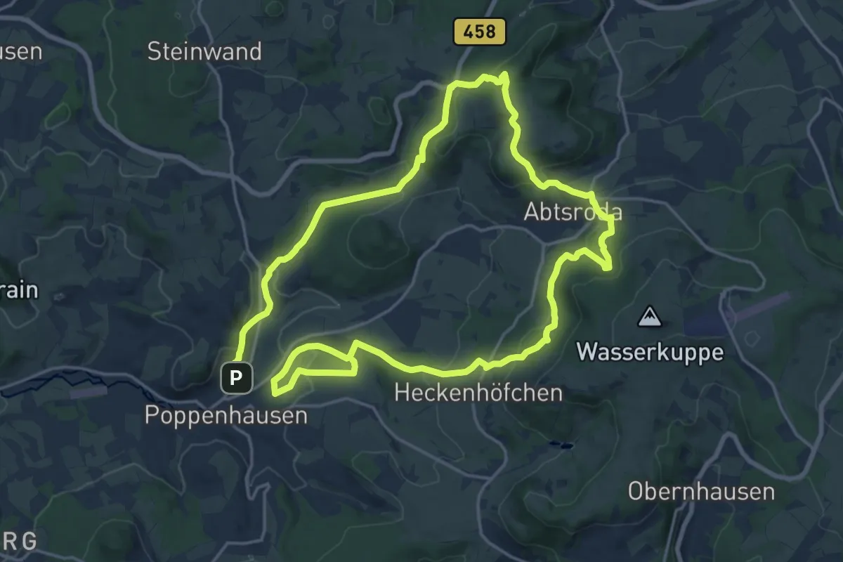
Medium · Summit
Poppenhausen Wanderweg 2
15.1 km · ↑ 529 m · 4 h 53 min
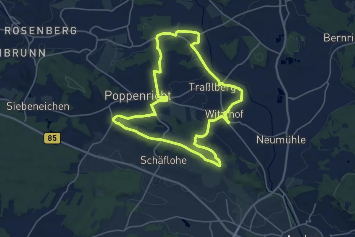
Medium · Trail
Poppenrichter Rundwanderweg
13.4 km · ↑ 214 m · 3 h 49 min
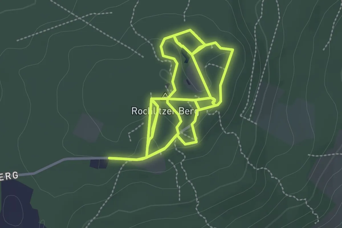
Easy · Summit
Porphyrlehrpfad
3.1 km · ↑ 45 m · 52 min
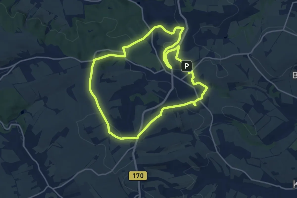
Medium · Summit
Possendorfer Rundweg
11.3 km · ↑ 234 m · 3 h 21 min
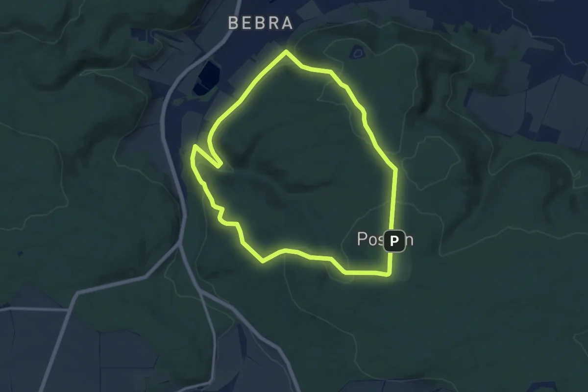
Medium · Summit
Possen-Rundweg
8.6 km · ↑ 233 m · 2 h 39 min
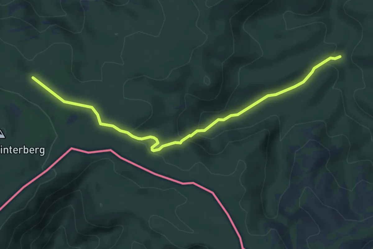
Medium · Trail
Postelwitz - Zeughaus
5.9 km · ↑ 198 m · 1 h 49 min
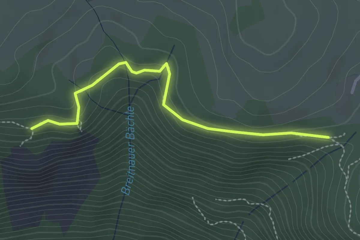
Medium · Trail
Posthaldefelsen - Am Neuhof
2.4 km · ↑ 94 m · 47 min
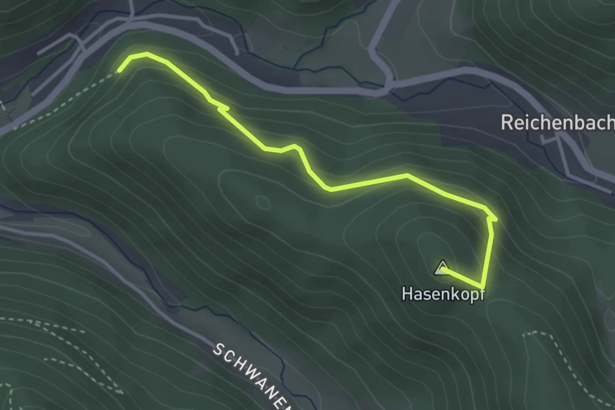
Easy · Summit
Posthof - Haseneckle
3.1 km · ↑ 251 m · 1 h 17 min
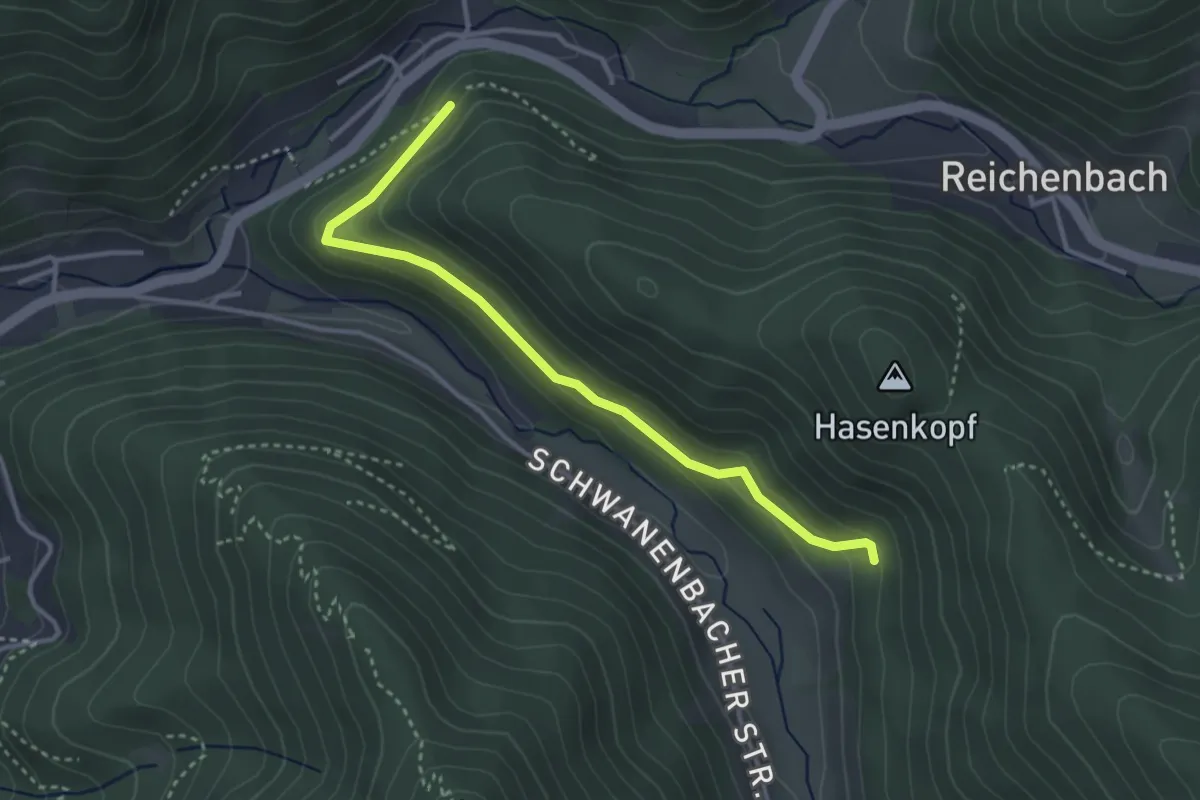
Easy · Trail
Posthof - Über dem Hasenhof
3.3 km · ↑ 149 m · 1 h 6 min
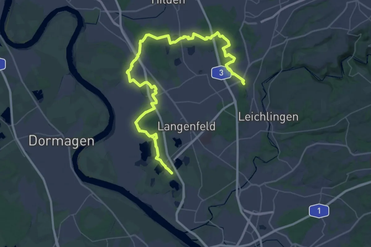
Demanding · Summit
Posthornweg
46.9 km · ↑ 170 m · 11 h 27 min
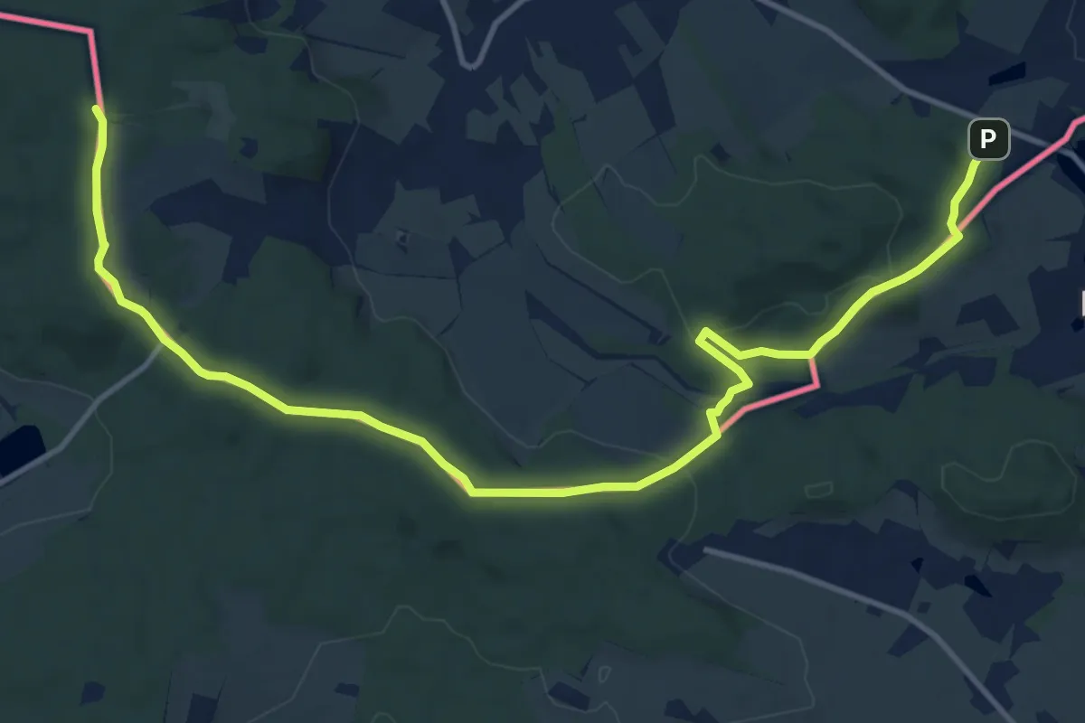
Medium · Summit
Po stopách červeného mravence
13.8 km · ↑ 409 m · 4 h 9 min
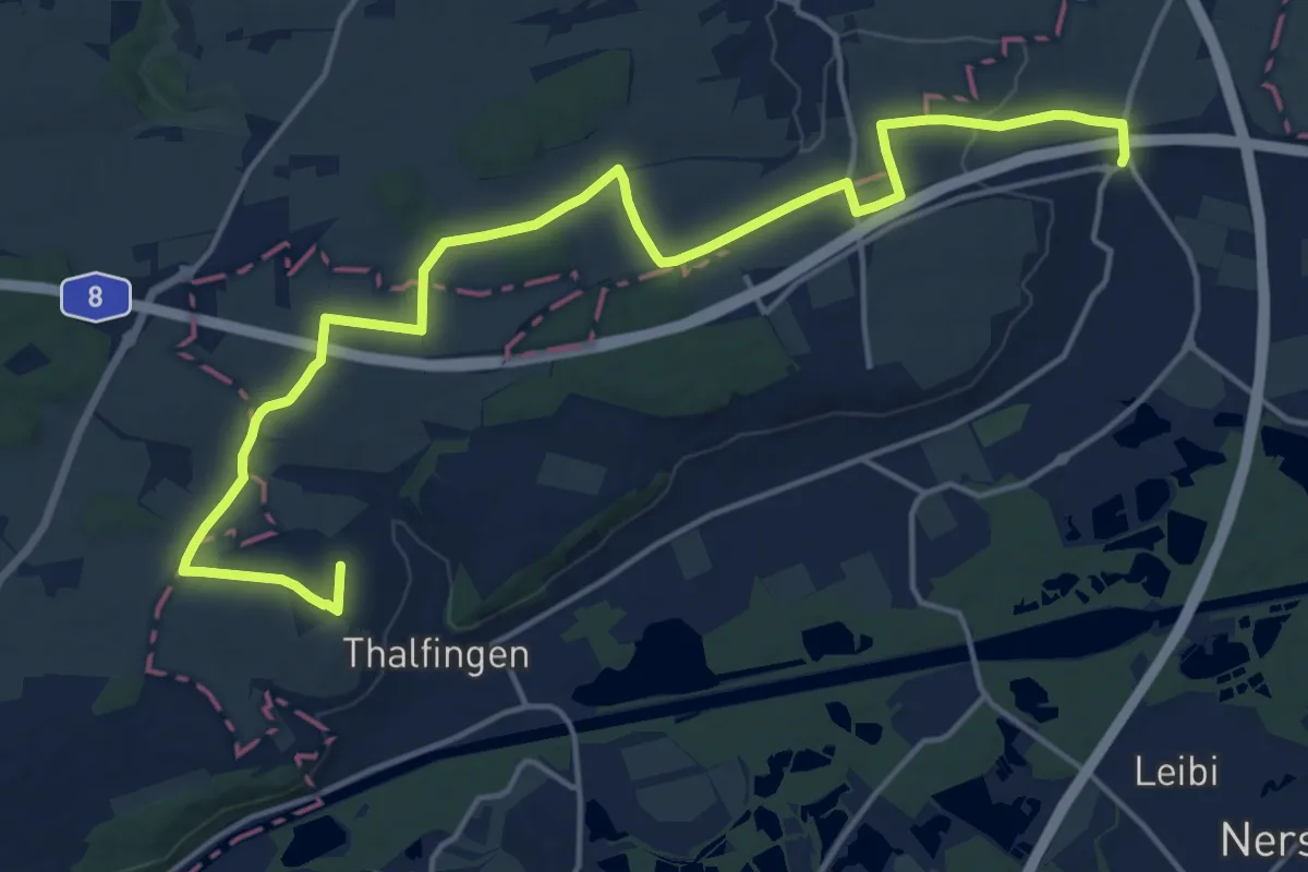
Demanding · Trail
Postweg
19.4 km · ↑ 219 m · 5 h 3 min
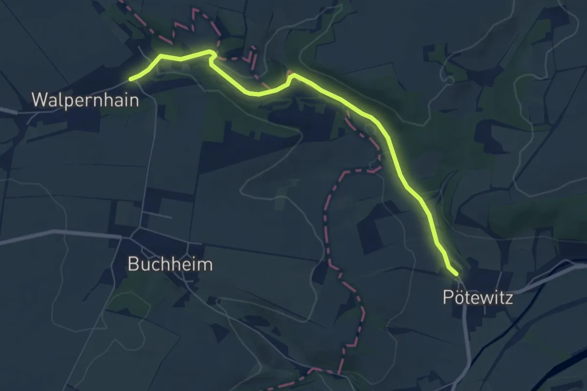
Easy · Trail
Pötewitz-Walpernhain
6.3 km · ↑ 87 m · 1 h 41 min
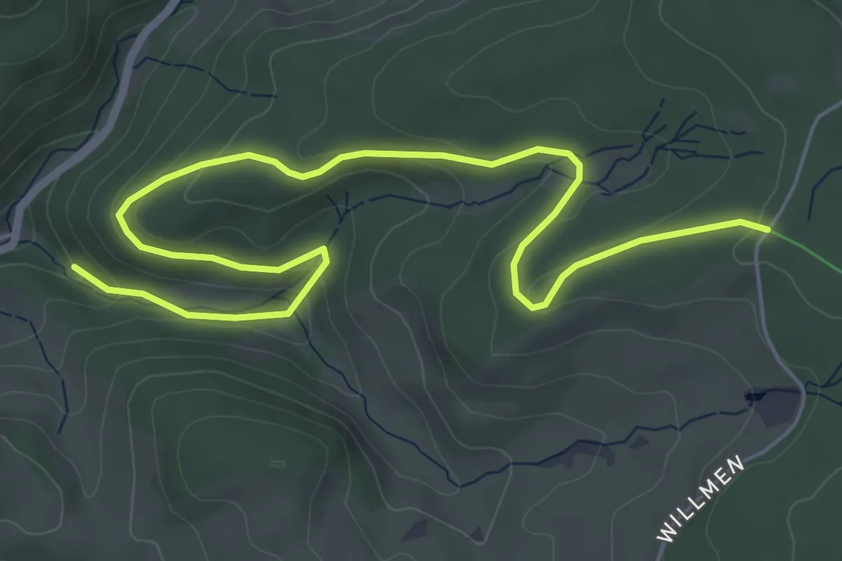
Easy · Trail
Potsdamer Platz - Unterer Willmendobel
7.2 km · ↑ 239 m · 2 h 13 min
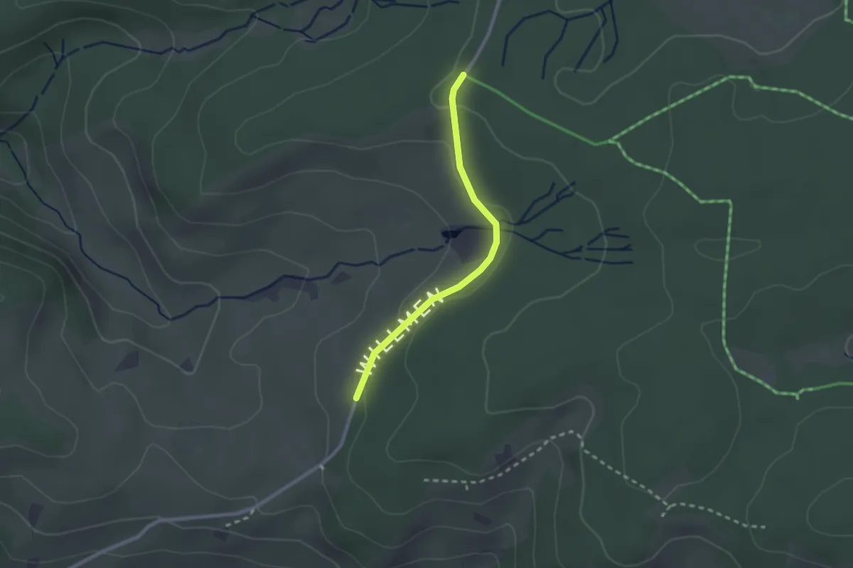
Easy · Trail
Potsdamer Platz - Wanderparkplatz Hirschmattenweg
2.1 km · ↑ 65 m · 38 min
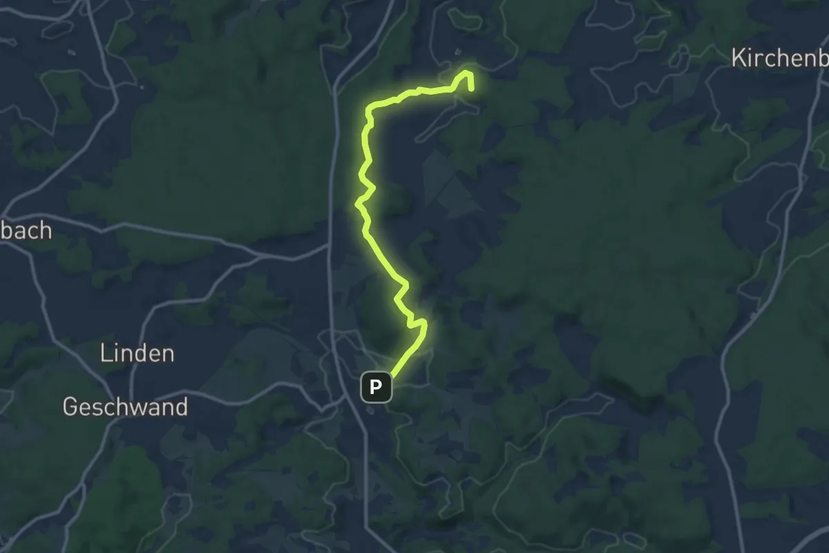
Medium · Summit
Pottenstein-Bärnfels
9.4 km · ↑ 221 m · 2 h 41 min
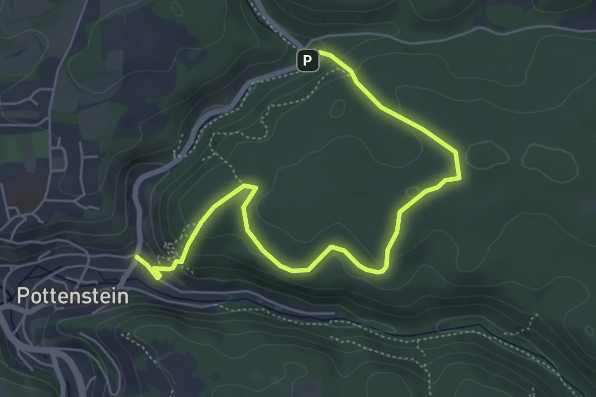
Medium · Trail
Pottenstein-Bergwachthütte-Mariental
5.7 km · ↑ 243 m · 1 h 53 min
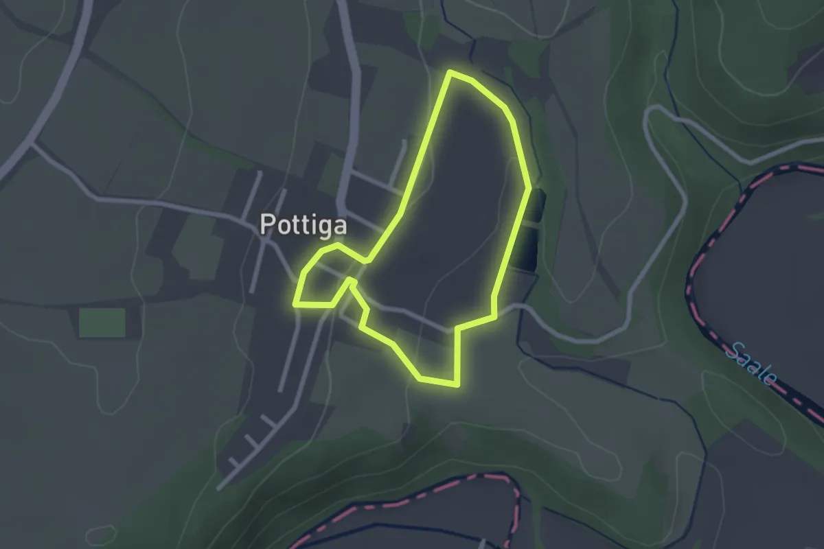
Easy · Trail
Pottiga für Familien - Die Dorfrunde
1.9 km · ↑ 32 m · 33 min
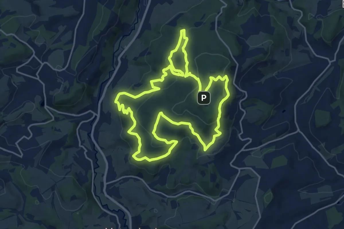
Medium · Summit
Potzberg Wanderweg
14.5 km · ↑ 662 m · 5 h 4 min
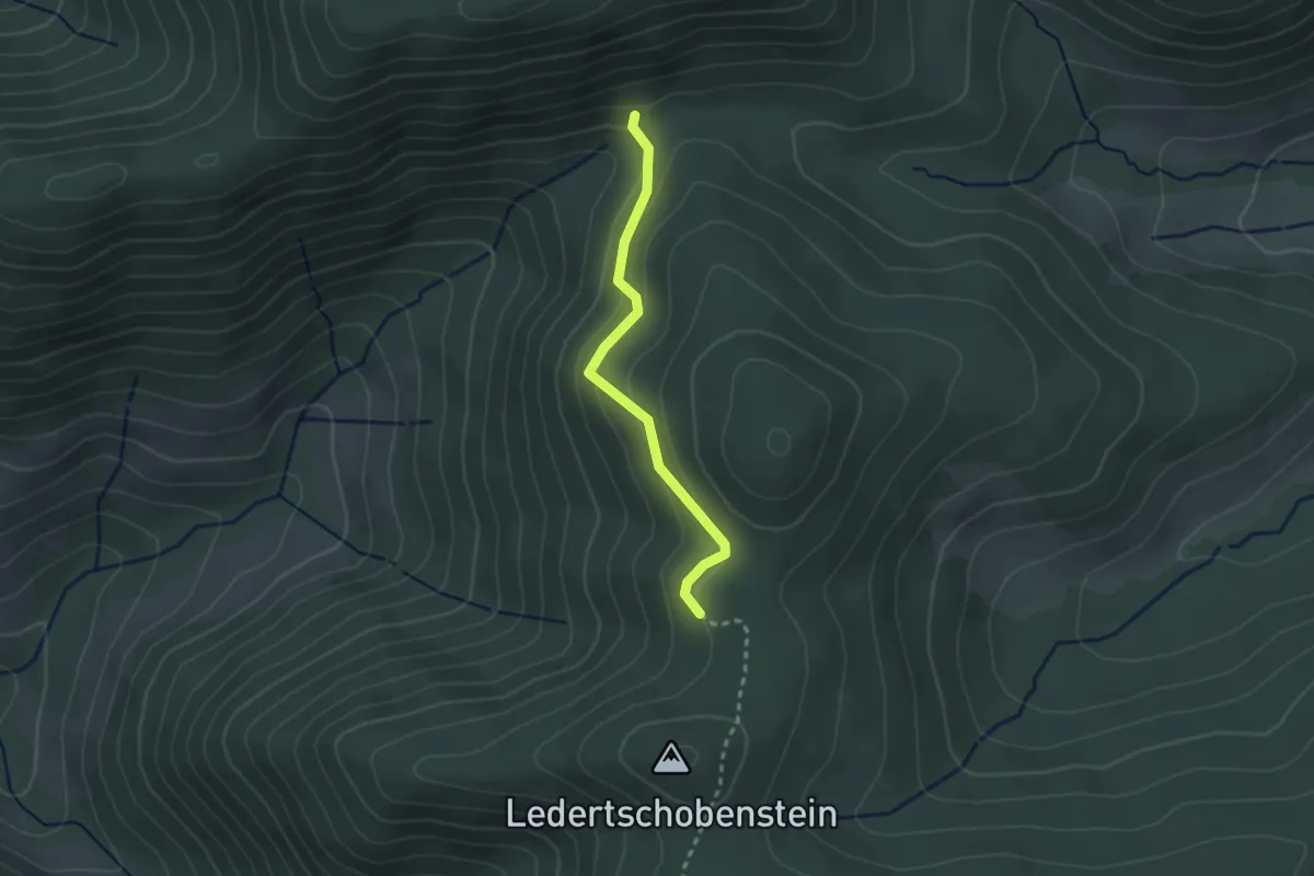
Easy · Trail
Präger Eck - Zinken
2.3 km · ↑ 115 m · 47 min
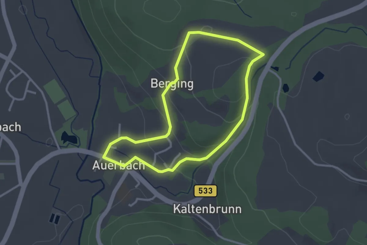
Easy · Trail
Prälatensteig
2.4 km · ↑ 97 m · 49 min
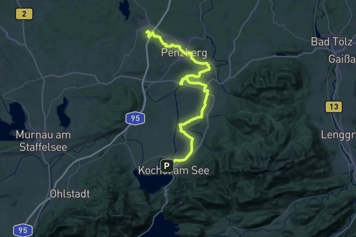
Demanding · Summit
Prälatenweg
55.2 km · ↑ 216 m · 13 h 30 min
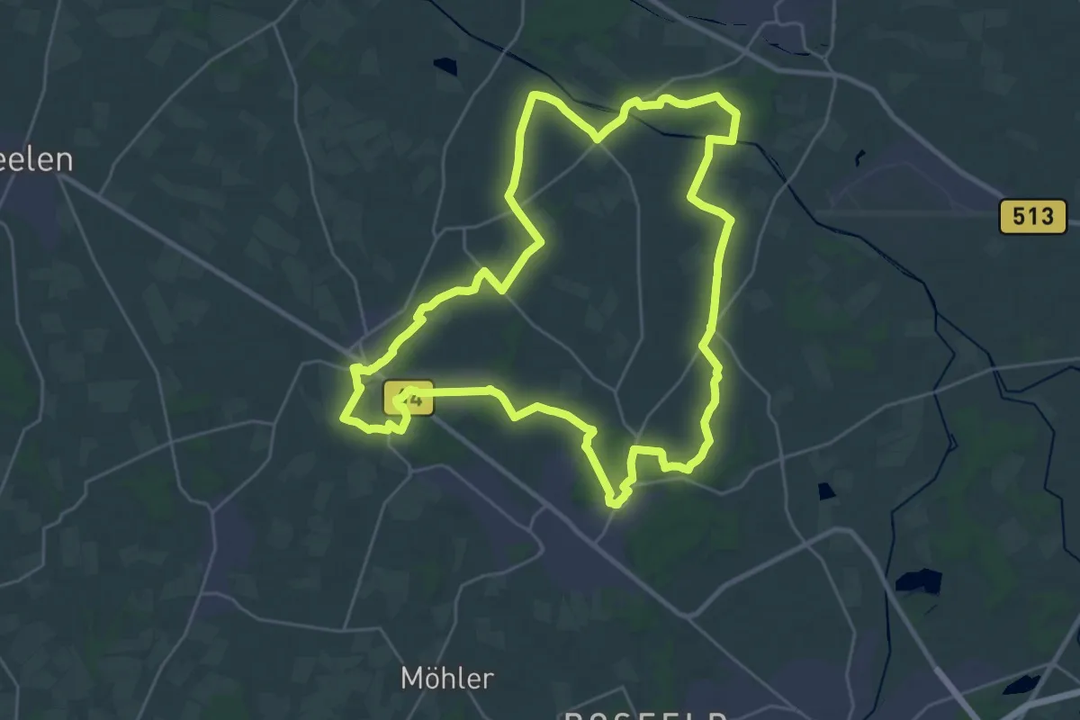
Demanding · Trail
Prälatenweg
25.4 km · ↑ 59 m · 6 h 29 min