Trails in Germany
36,852 hiking trails, each with its route, climb, walking time and grade.
All trails, page 426 of 768
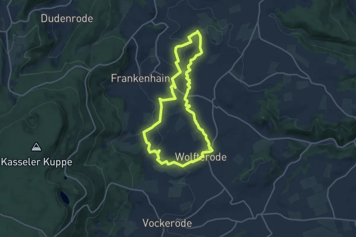
Medium · Summit
Premiumweg P2 Frankershäuser Karst
10.2 km · ↑ 210 m · 3 h 1 min
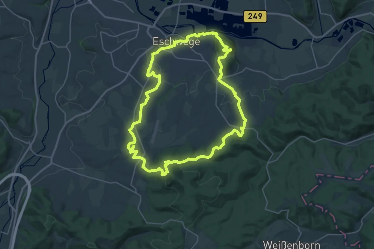
Demanding · Summit
Premiumweg P3 Blaue Kuppe - Leuchtberge
19.0 km · ↑ 548 m · 5 h 56 min
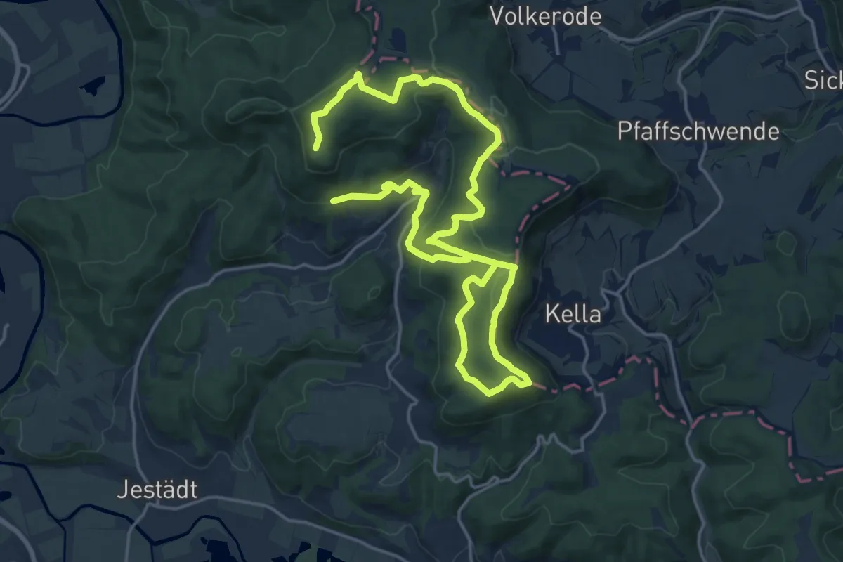
Medium · Summit
Premiumweg P4 Hessische Schweiz
12.5 km · ↑ 307 m · 3 h 52 min
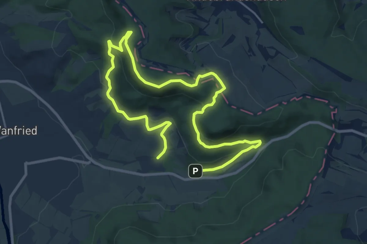
Medium · Summit
Premiumweg P5 Plesse
8.5 km · ↑ 246 m · 2 h 40 min
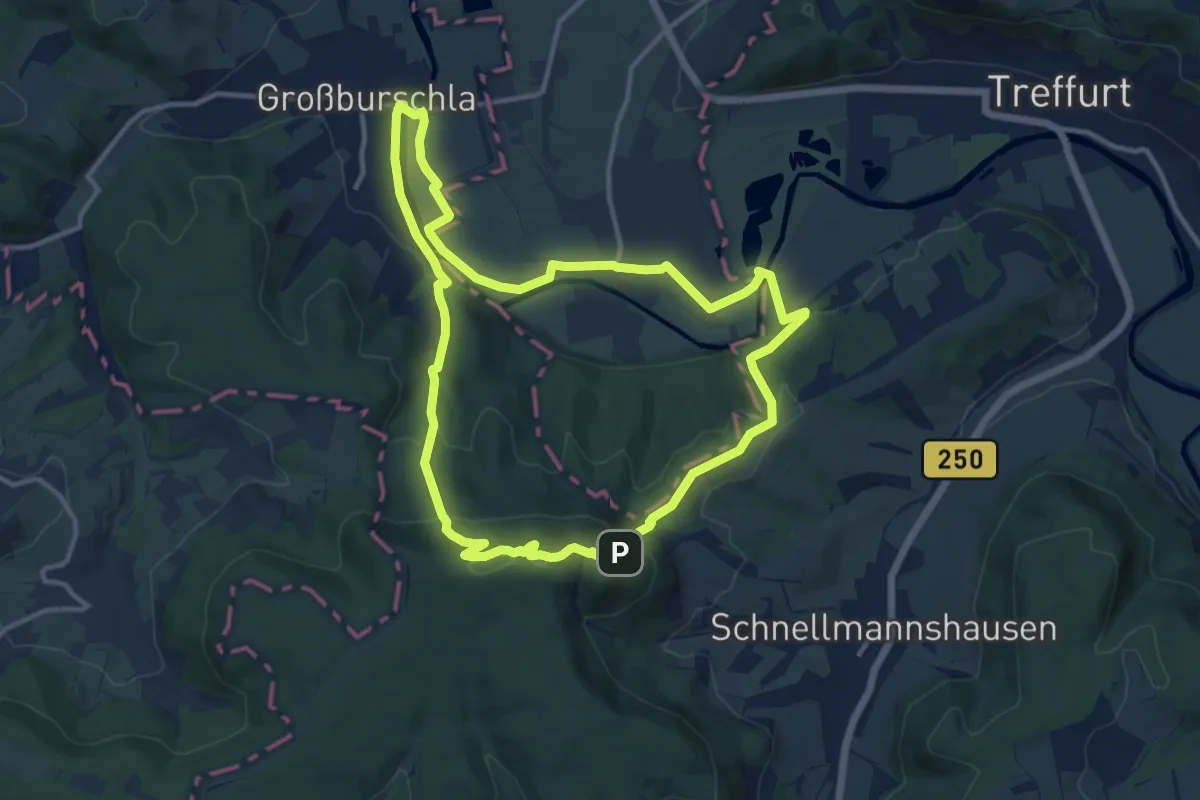
Medium · Summit
Premiumweg P6 Heldrastein
11.2 km · ↑ 335 m · 3 h 32 min
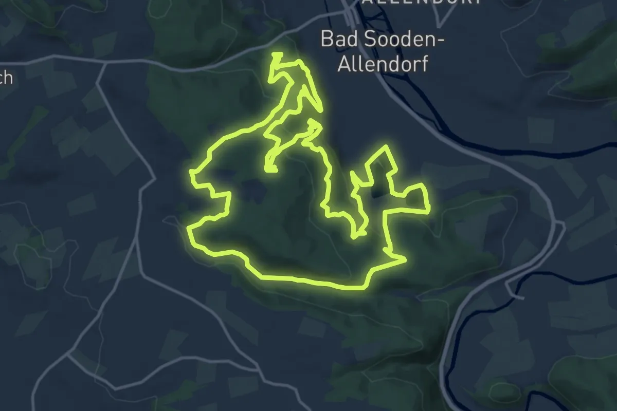
Medium · Trail
Premiumweg P7 Söder Wald
15.1 km · ↑ 564 m · 5 h
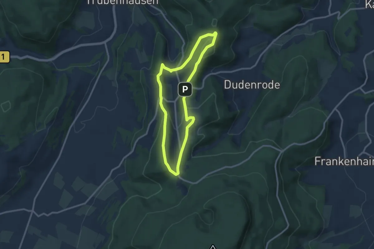
Easy · Summit
Premiumweg P8 Heiligenberg, Bühlchen
6.9 km · ↑ 192 m · 2 h 9 min
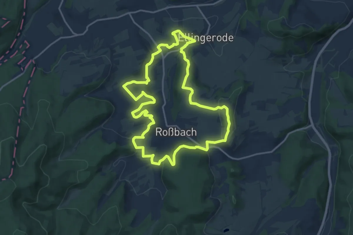
Medium · Summit
Premiumweg P 9 Wacholderpfad Roßbach
10.7 km · ↑ 283 m · 3 h 17 min
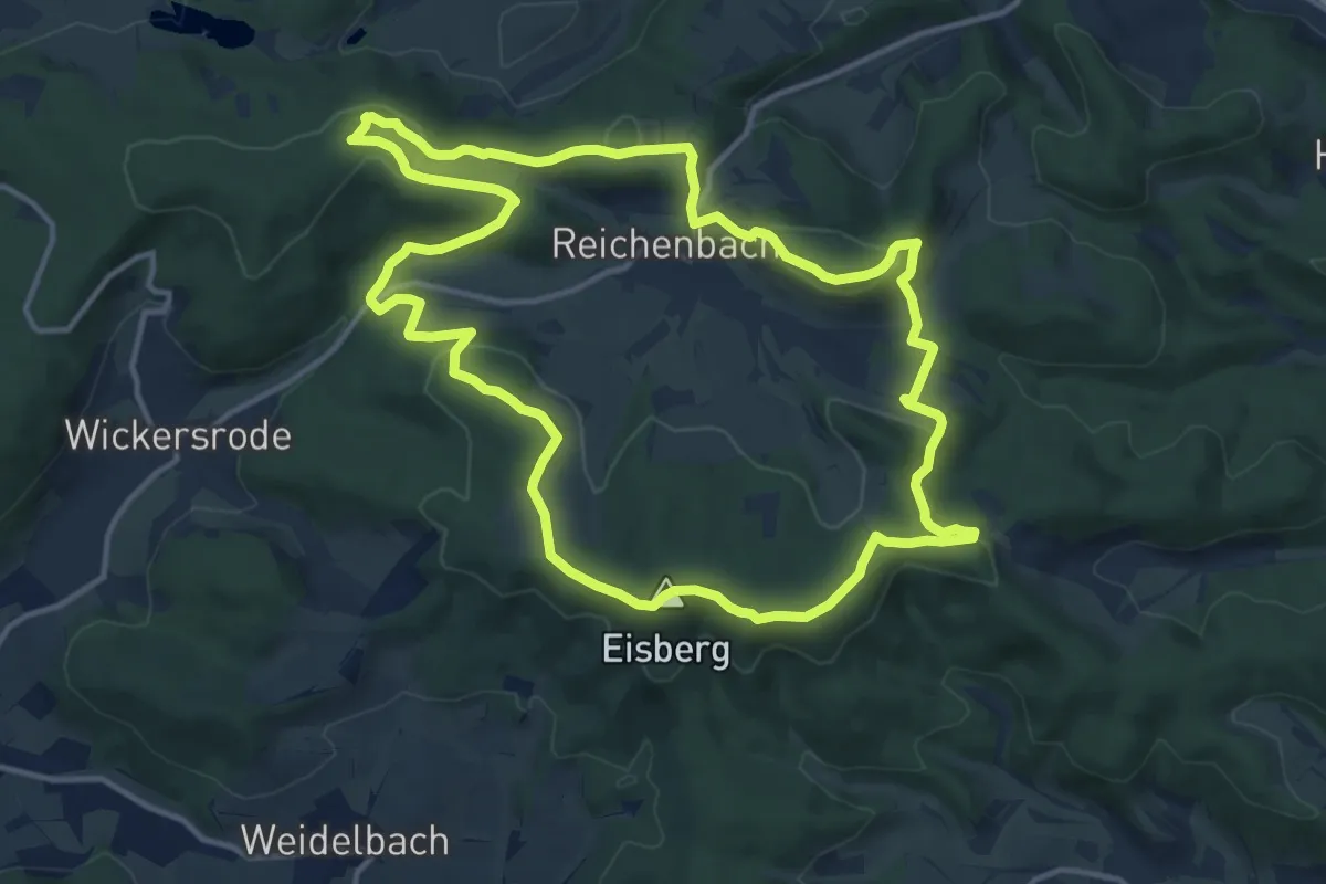
Medium · Summit
Premiumweg Reichenbach
12.6 km · ↑ 387 m · 3 h 59 min
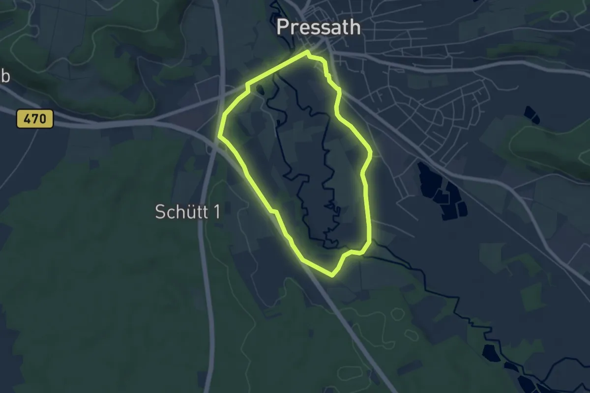
Easy · Trail
Pressather Rundwanderweg Nr. 1
4.6 km · ↑ 20 m · 1 h 11 min
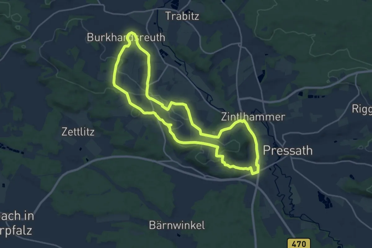
Medium · Trail
Pressather Rundwanderweg Nr. 2
13.4 km · ↑ 229 m · 3 h 51 min
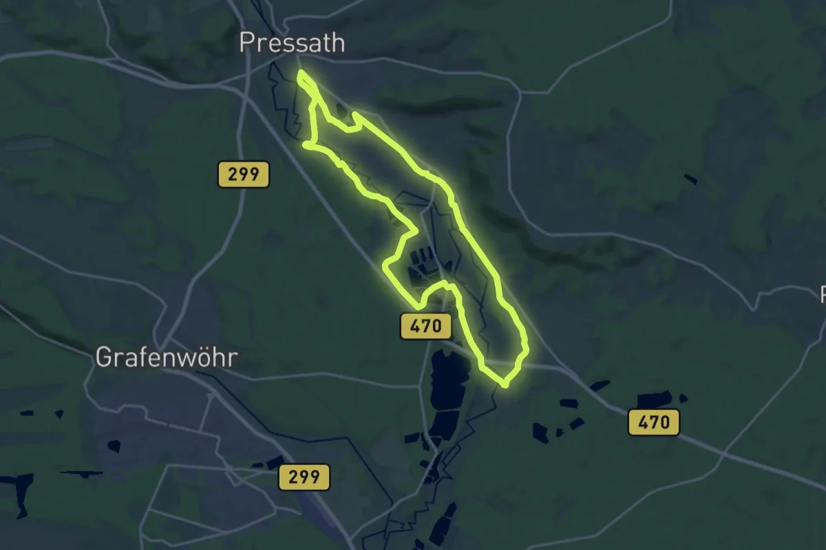
Medium · Trail
Pressather Rundwanderweg Nr. 3
16.4 km · ↑ 70 m · 4 h 15 min
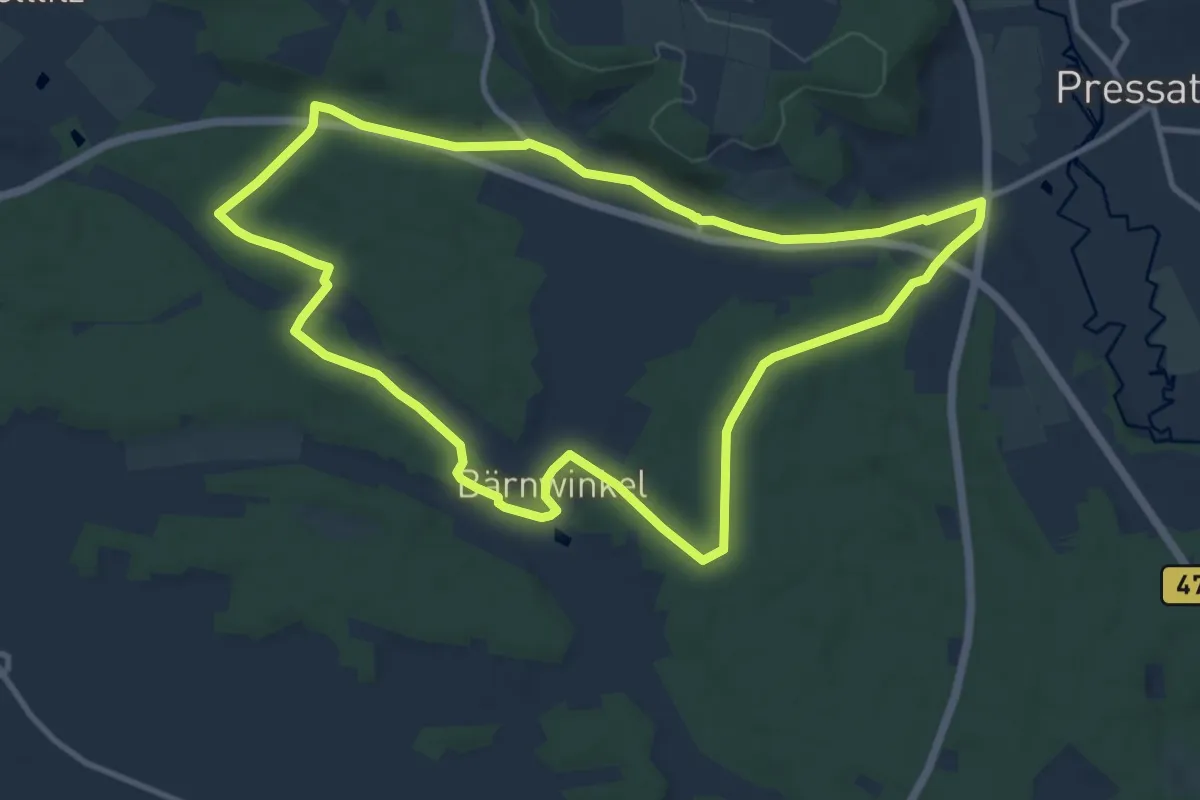
Medium · Trail
Pressather Rundwanderweg Nr. 4
10.4 km · ↑ 80 m · 2 h 46 min
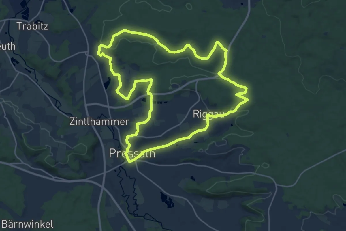
Medium · Trail
Pressather Rundwanderweg Nr. 5
16.6 km · ↑ 289 m · 4 h 47 min
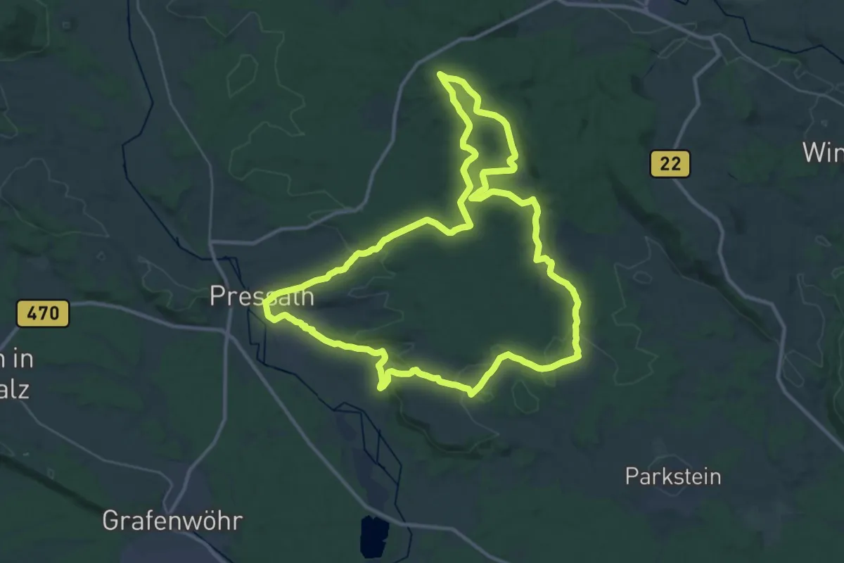
Demanding · Summit
Pressather Rundwanderweg Nr. 6
31.5 km · ↑ 536 m · 9 h 2 min
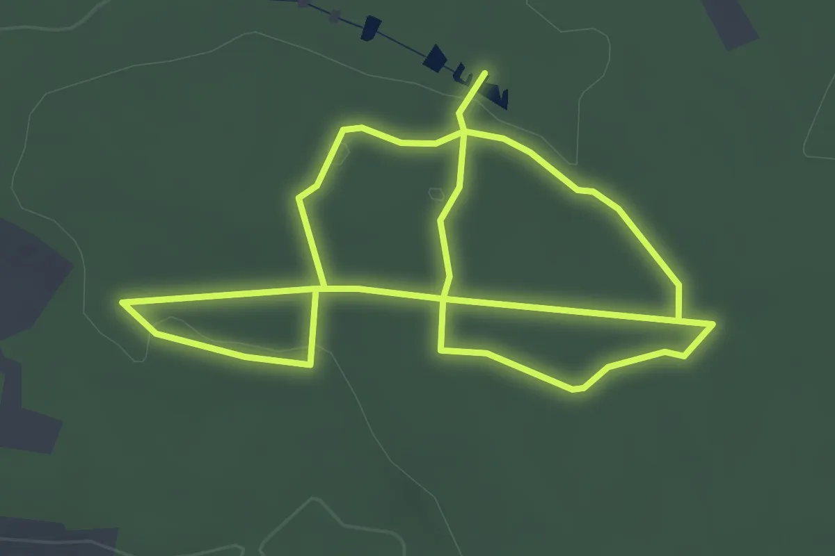
Easy · Trail
Pressather Walderlebnispfad "Winterleite"
6.4 km · ↑ 95 m · 1 h 43 min
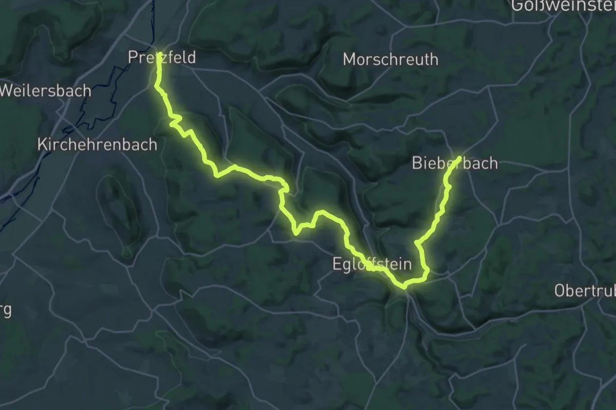
Demanding · Trail
Pretzfeld-Bieberbach
18.7 km · ↑ 393 m · 5 h 38 min
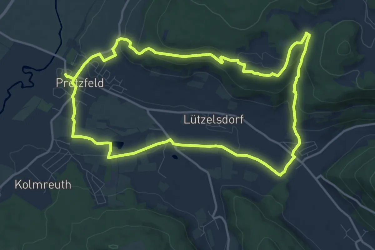
Medium · Trail
Pretzfelder Kirschenweg
9.9 km · ↑ 212 m · 2 h 56 min
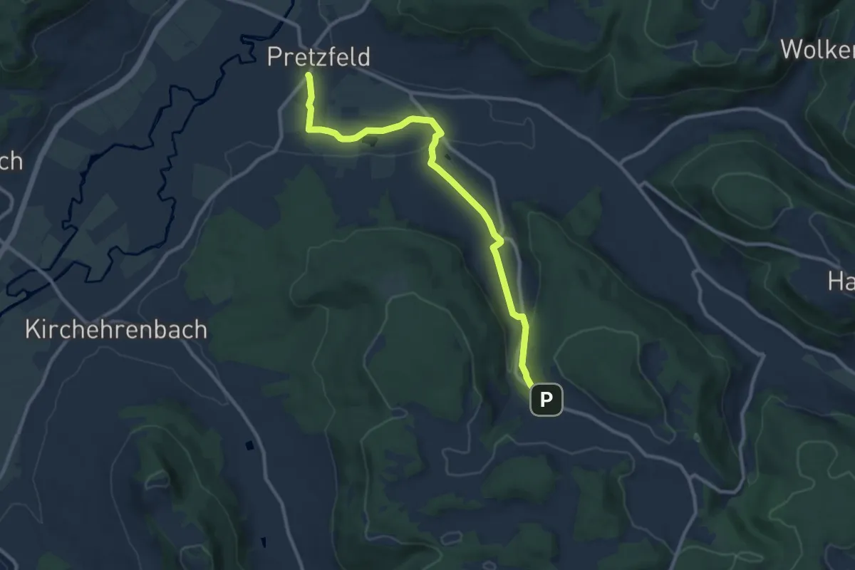
Medium · Trail
Pretzfeld - Hetzelsdorf
9.6 km · ↑ 167 m · 2 h 38 min
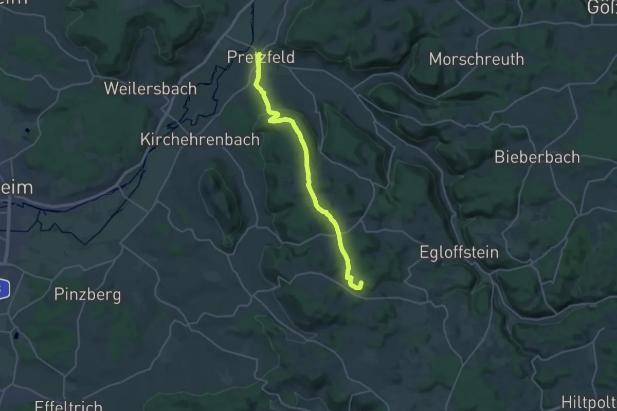
Demanding · Summit
Pretzfeld - Kasberg
18.7 km · ↑ 429 m · 5 h 21 min
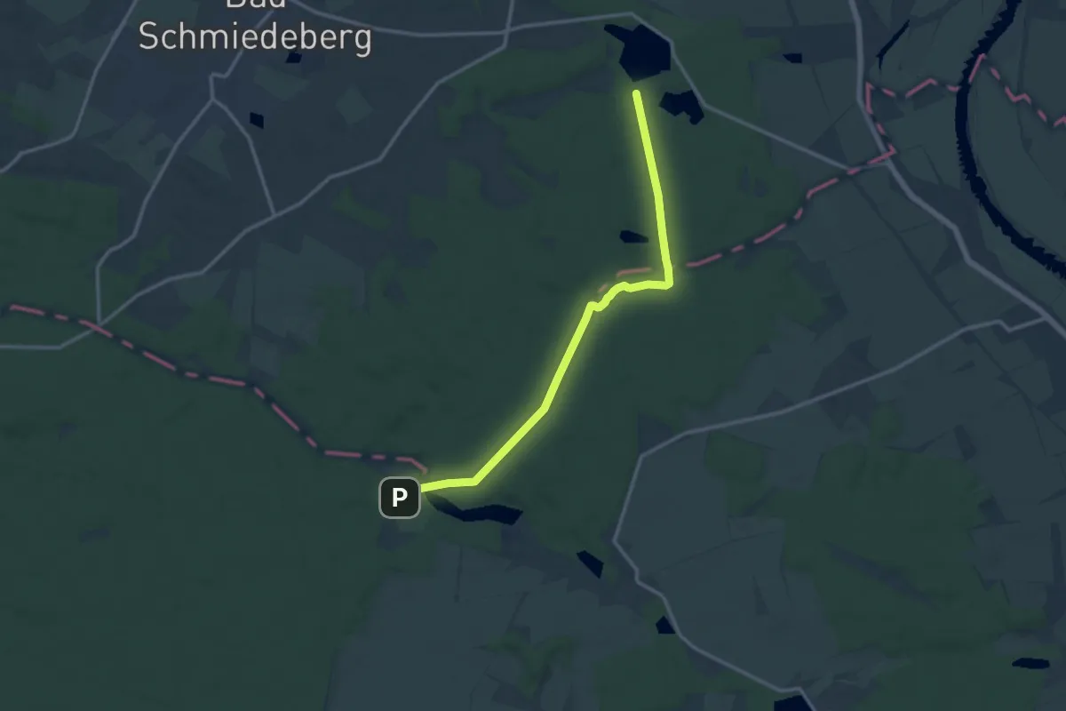
Medium · Trail
Pretzsch-Hachemühle
11.4 km · ↑ 95 m · 2 h 54 min
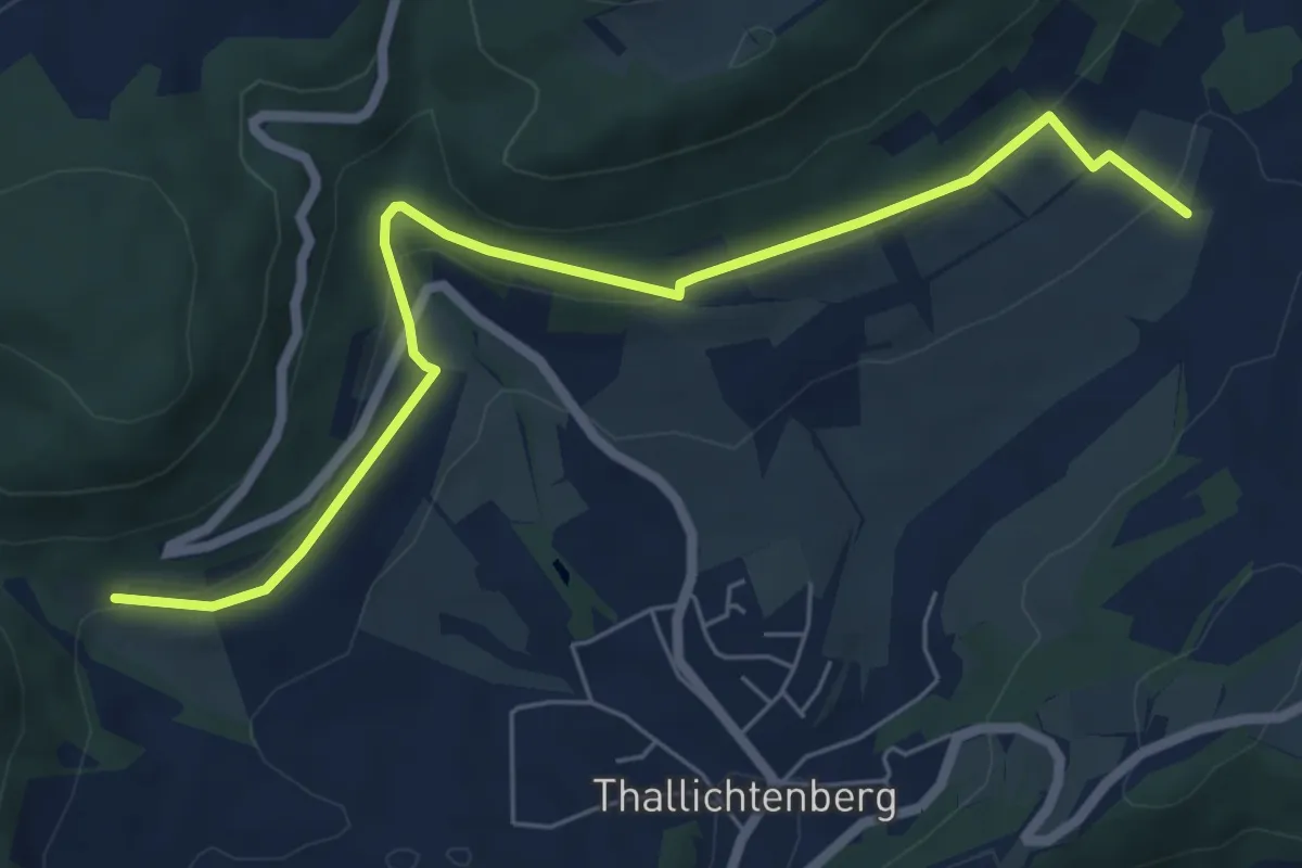
Easy · Trail
Preußensteig
3.2 km · ↑ 78 m · 1 h
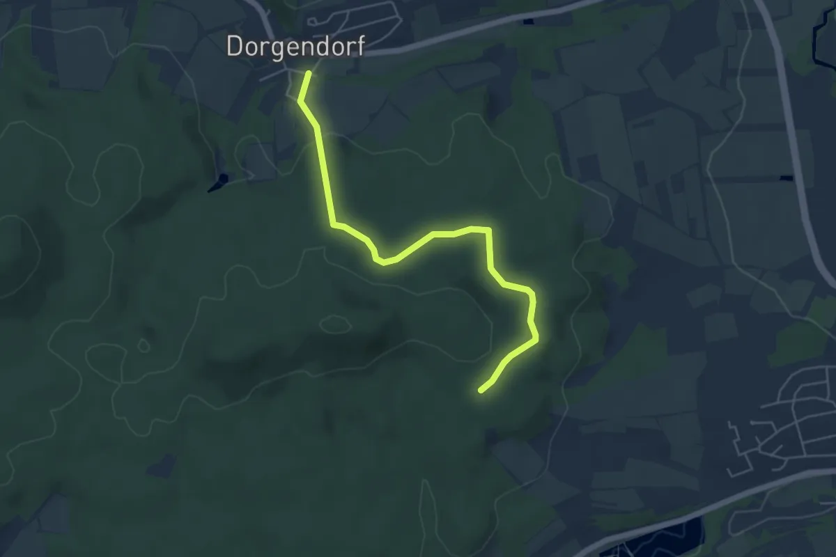
Easy · Trail
Priegendorf Cross and Hills
4.8 km · ↑ 108 m · 1 h 22 min
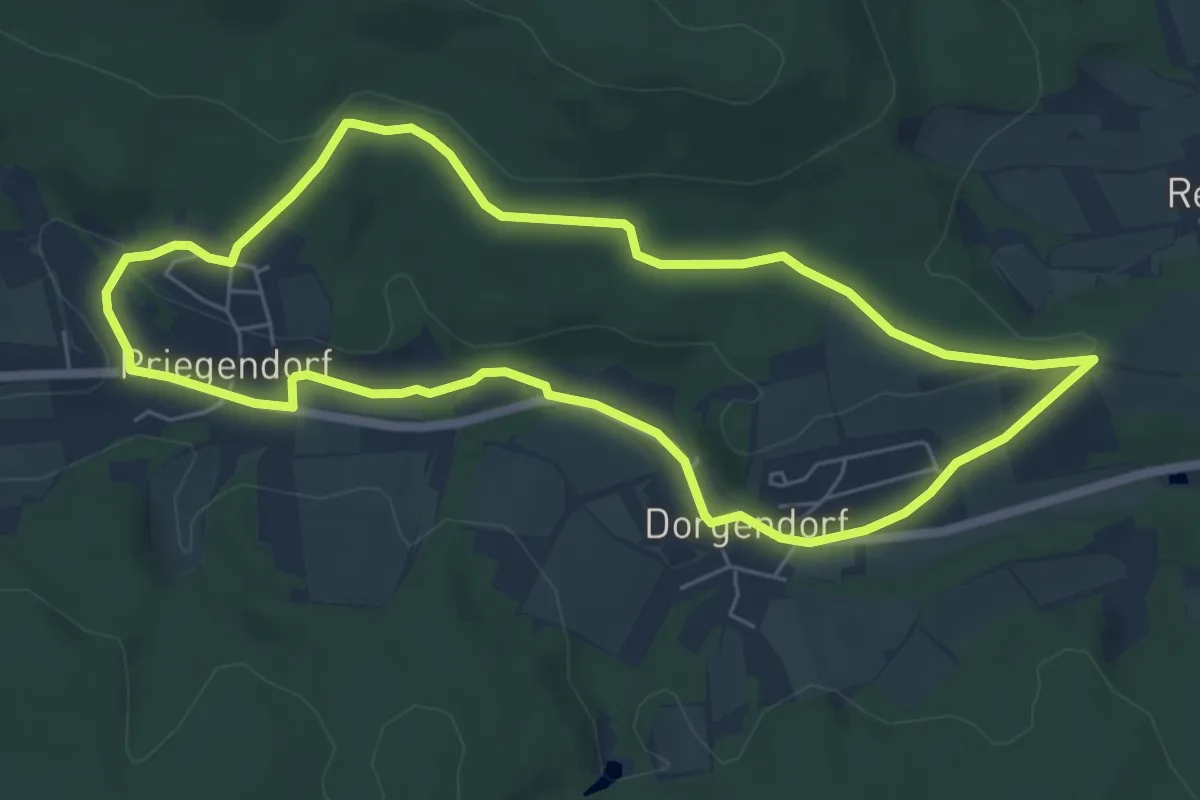
Easy · Trail
Priegendorf Veitenstein kurz
5.7 km · ↑ 90 m · 1 h 37 min
Medium · Trail
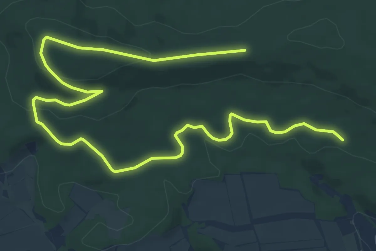
Priegendorf Veitenstein lang
11.2 km · ↑ 192 m · 3 h 4 min
Easy · Trail
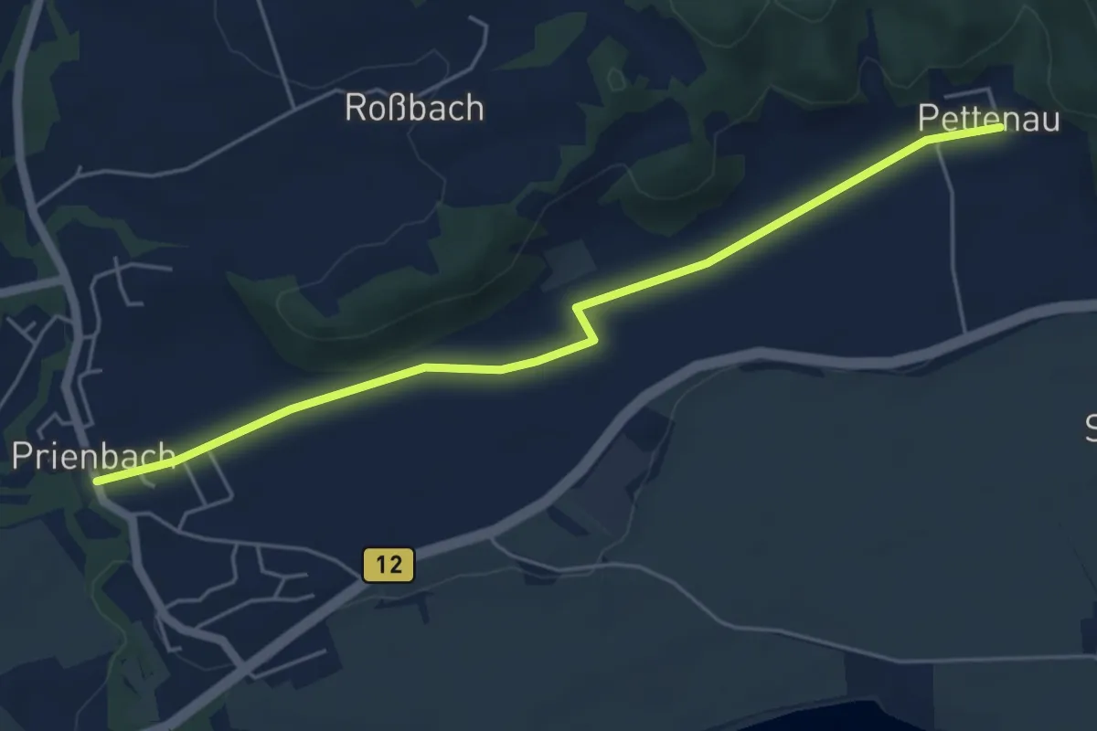
Prienbach-Pettenau
5.1 km · ↑ 23 m · 1 h 15 min
Easy · Trail
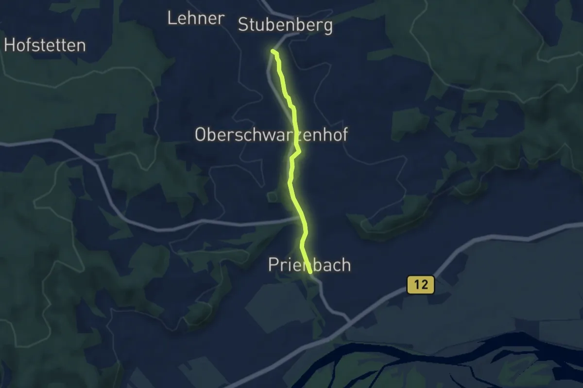
Prienbach - Stubenberg
4.3 km · ↑ 26 m · 1 h 5 min
Medium · Trail
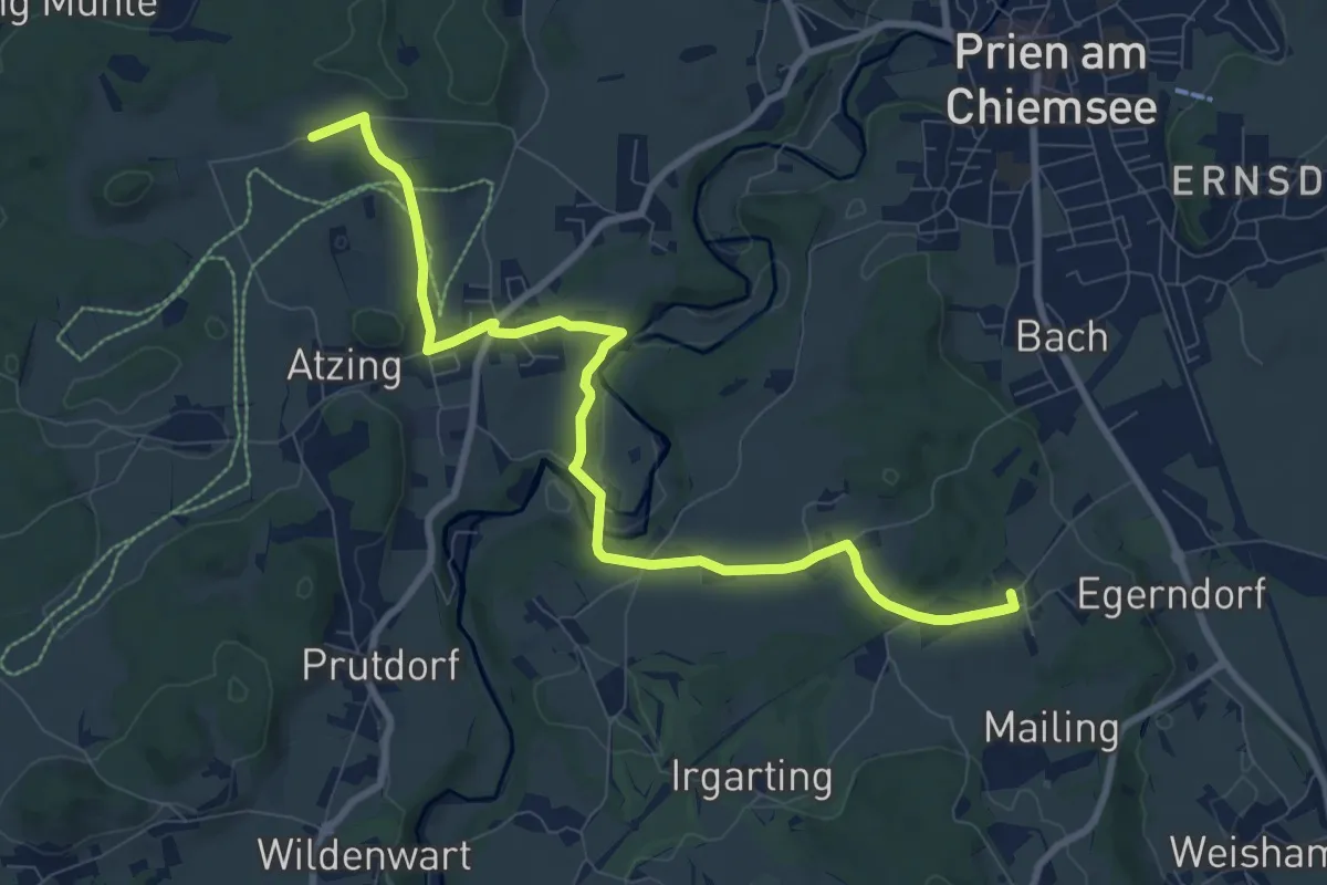
Priener Postkartenweg
9.6 km · ↑ 119 m · 2 h 31 min
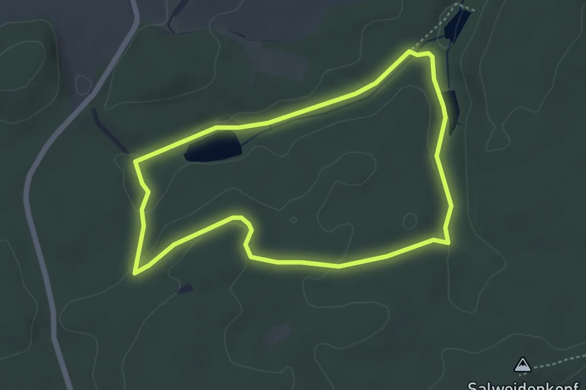
Easy · Trail
Primmtal Wanderweg Nr. 2
3.8 km · ↑ 59 m · 1 h 4 min
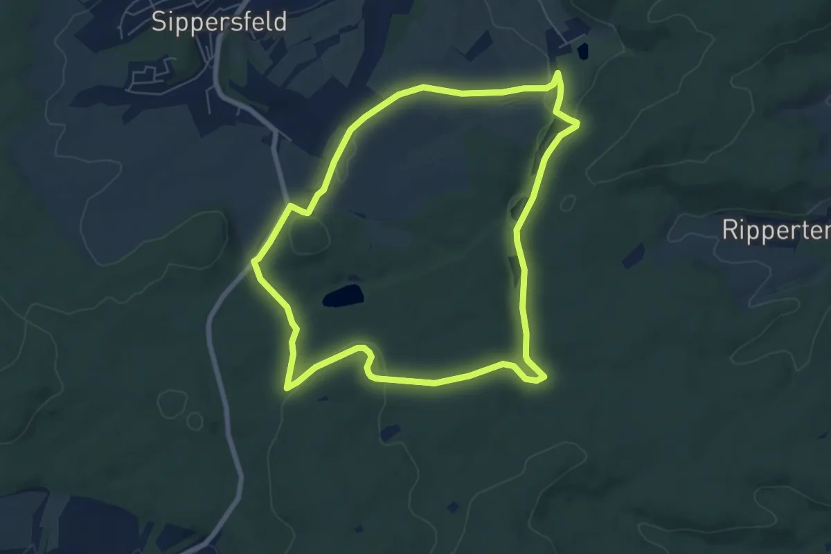
Easy · Trail
Primmtal Wanderweg Nr. 3
6.2 km · ↑ 103 m · 1 h 47 min
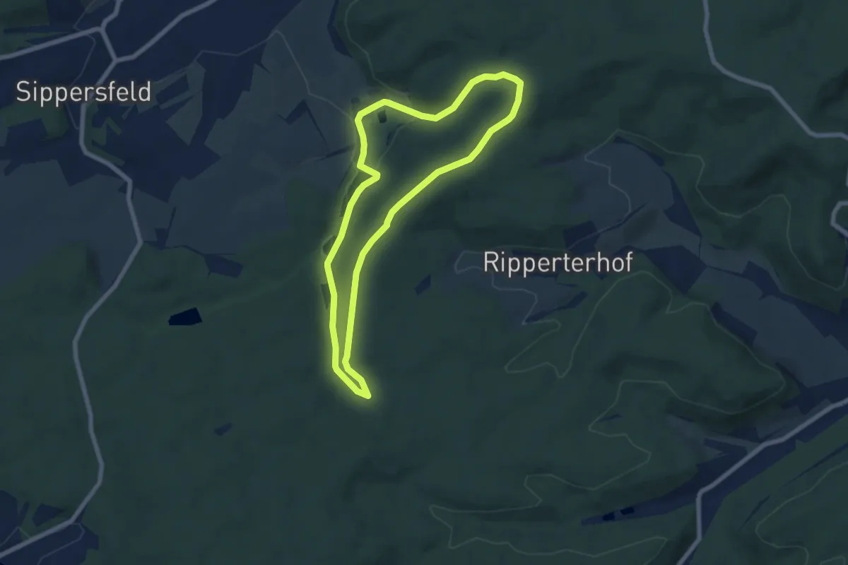
Easy · Trail
Primmtal Wanderweg Nr. 4
5.7 km · ↑ 96 m · 1 h 38 min
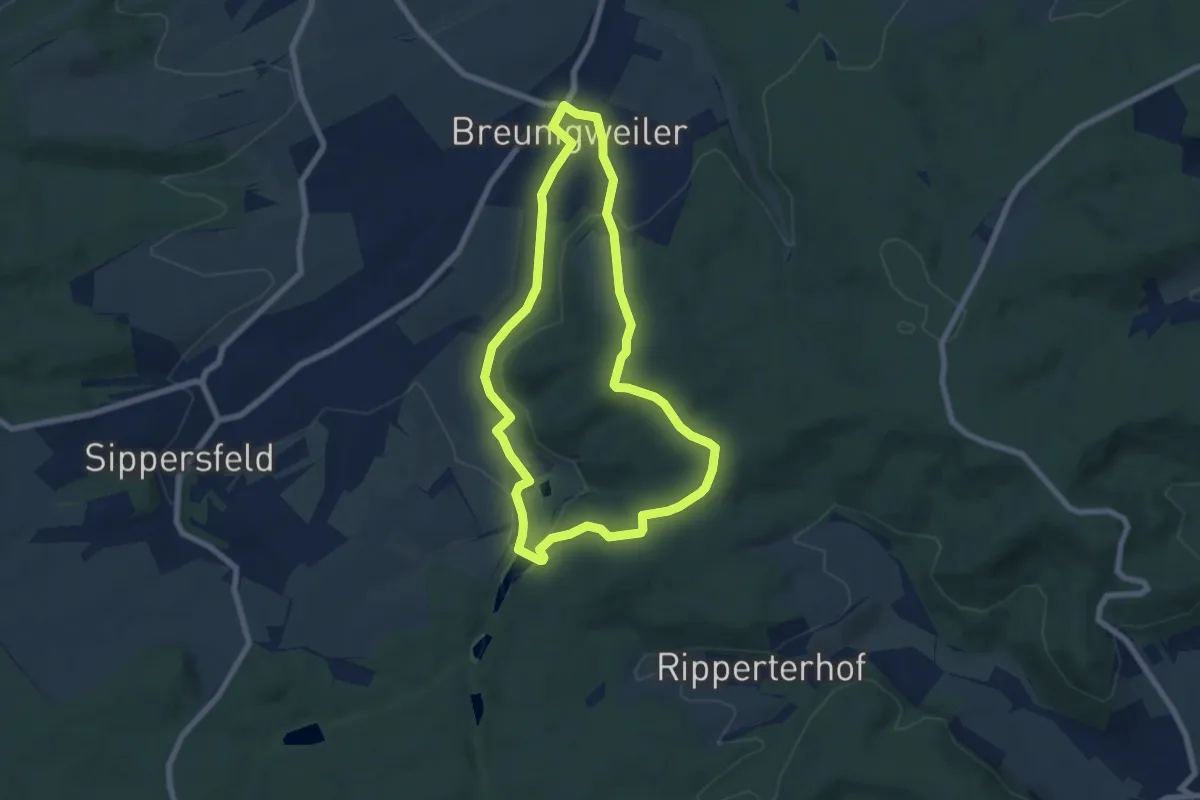
Easy · Trail
Primmtal Wanderweg Nr. 5
6.4 km · ↑ 134 m · 1 h 53 min
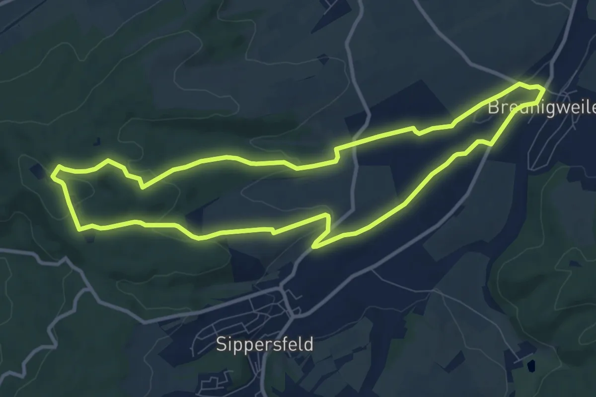
Medium · Summit
Primmtal Wanderweg Nr. 6
8.6 km · ↑ 183 m · 2 h 32 min
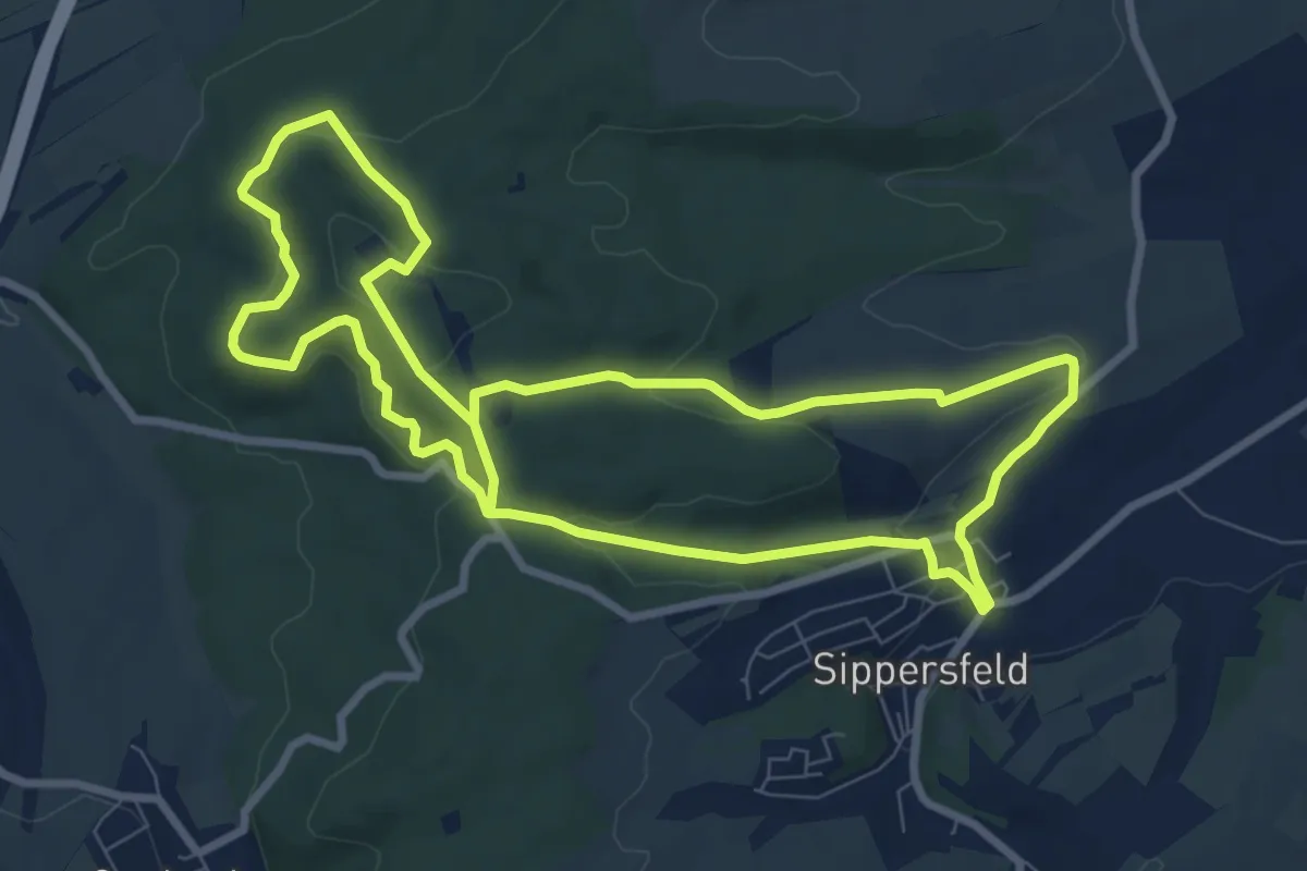
Medium · Summit
Primmtal Wanderweg Nr. 7
8.2 km · ↑ 222 m · 2 h 31 min
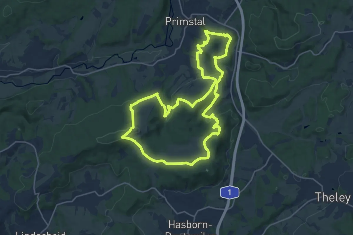
Medium · Summit
Primstaler Panoramapfad
13.9 km · ↑ 420 m · 4 h 22 min
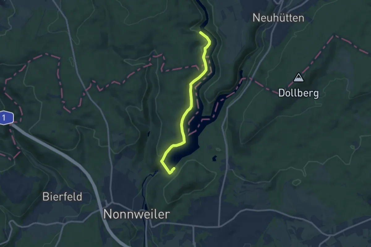
Easy · Trail
Prims-Tal-Weg
7.4 km · ↑ 217 m · 2 h 13 min
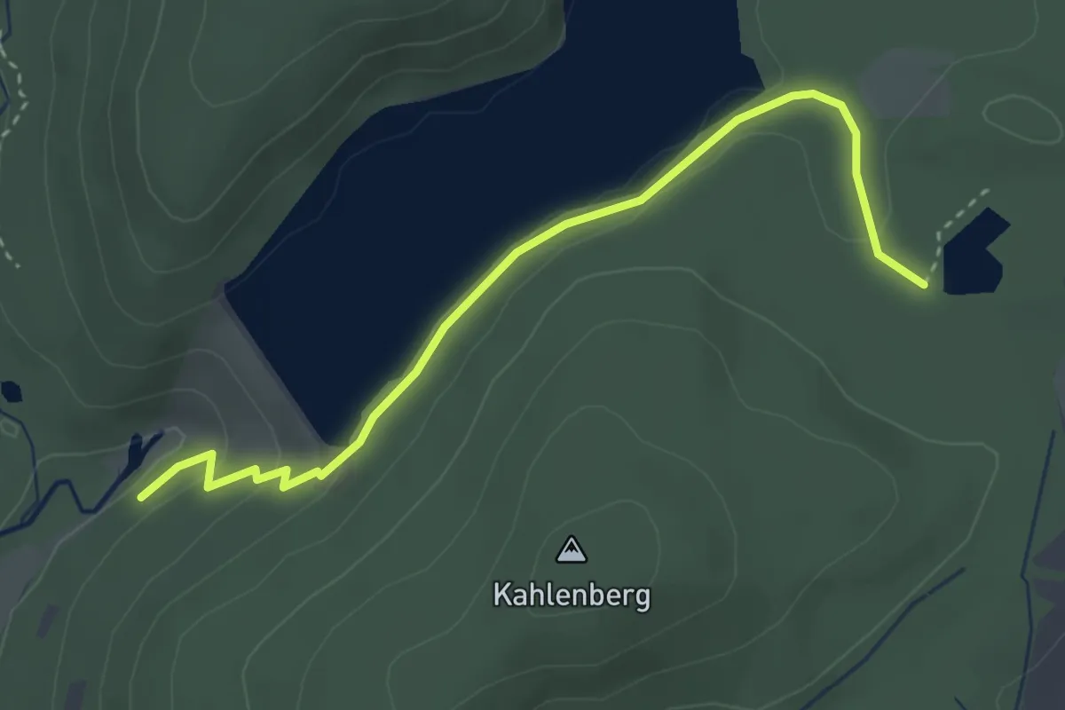
Easy · Trail
Primswanderweg
3.3 km · ↑ 74 m · 57 min
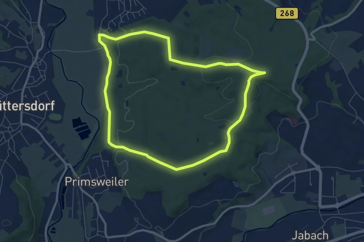
Easy · Trail
Primsweiler Rundweg
6.5 km · ↑ 117 m · 1 h 53 min
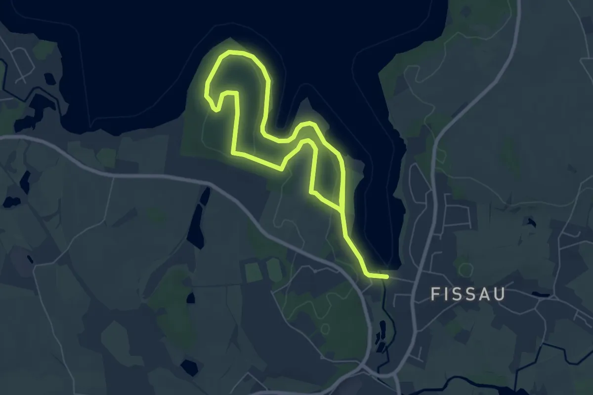
Easy · Trail
Prinzenholz-Route
4.7 km · ↑ 84 m · 1 h 21 min
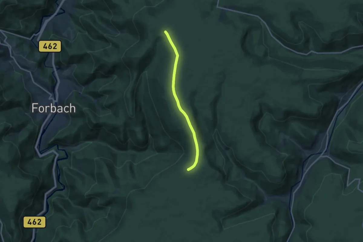
Medium · Trail
Prinzenhütte - Toter Mann
9.3 km · ↑ 95 m · 2 h 25 min
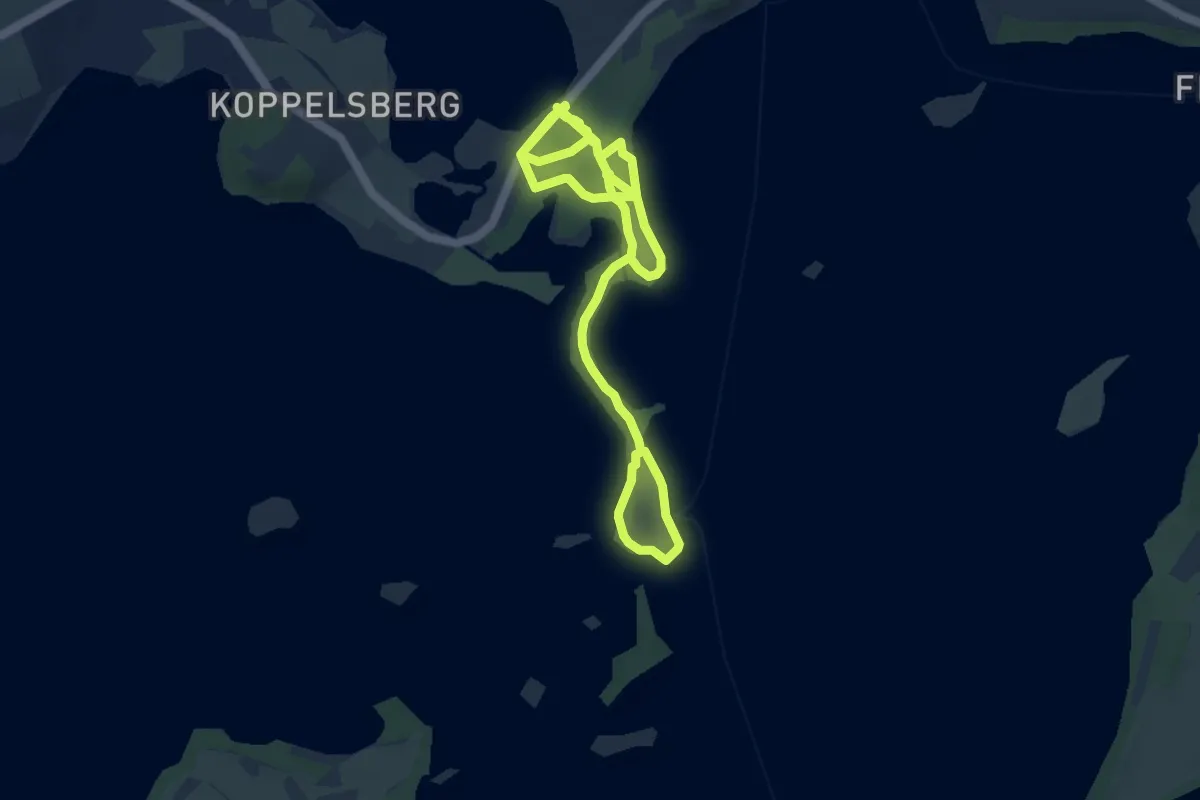
Medium · Trail
Prinzeninsel
11.1 km · ↑ 93 m · 2 h 50 min
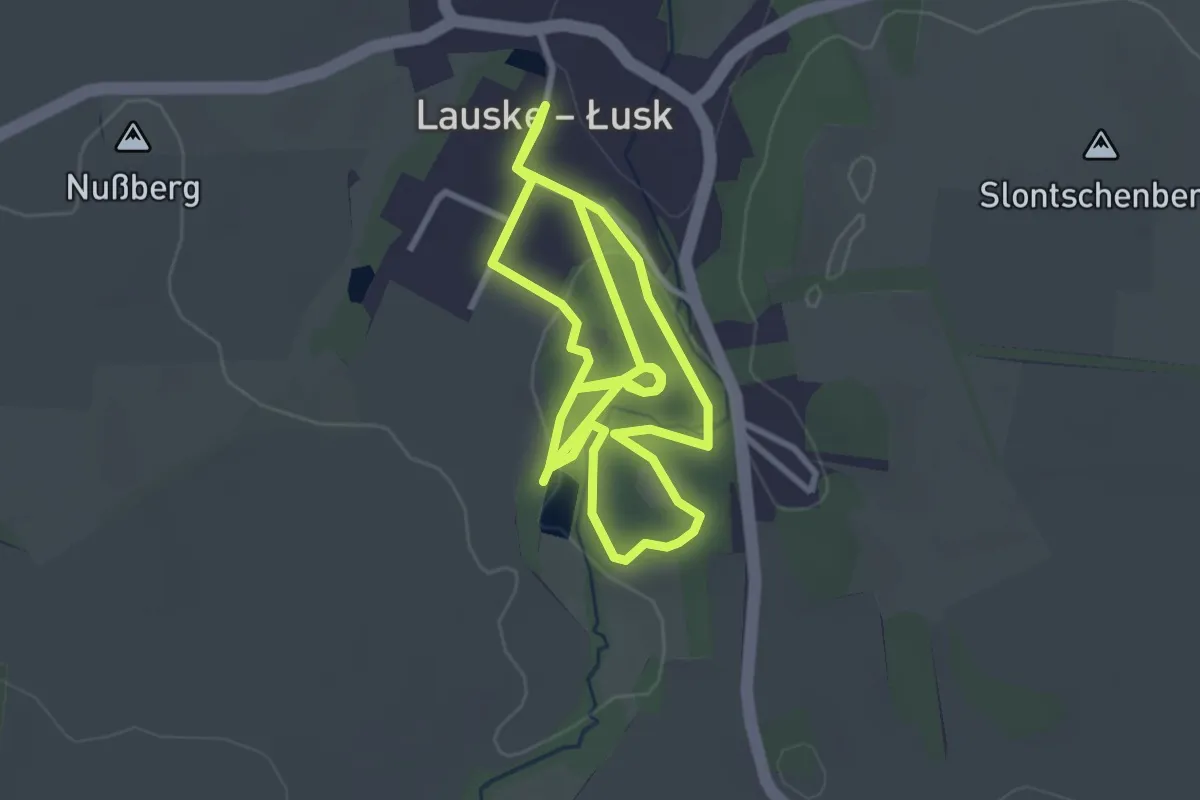
Easy · Trail
Prinzenpfad
5.7 km · ↑ 75 m · 1 h 31 min
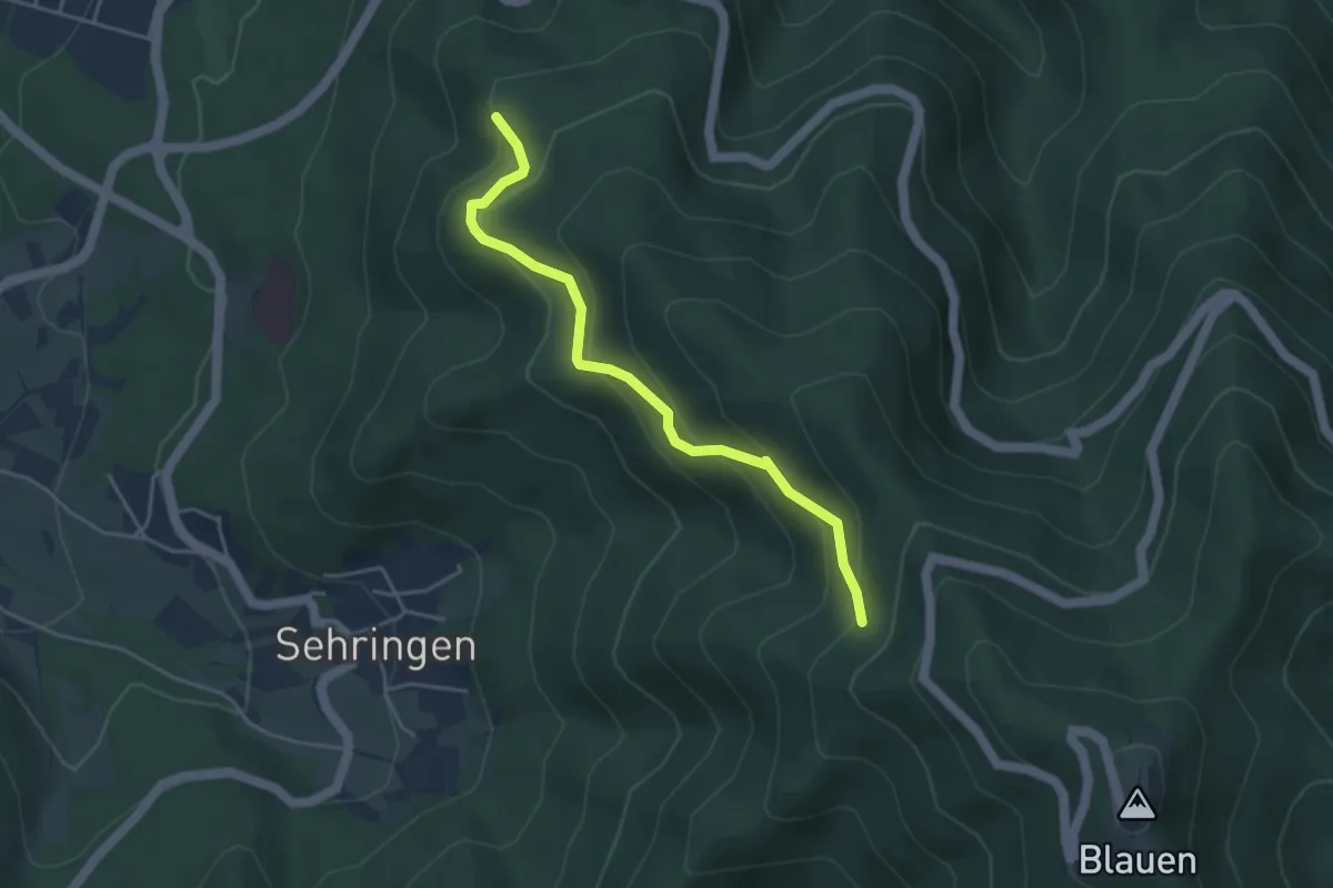
Medium · Trail
Prinzensitzhütte - Oberer Musbach
4.0 km · ↑ 347 m · 1 h 41 min
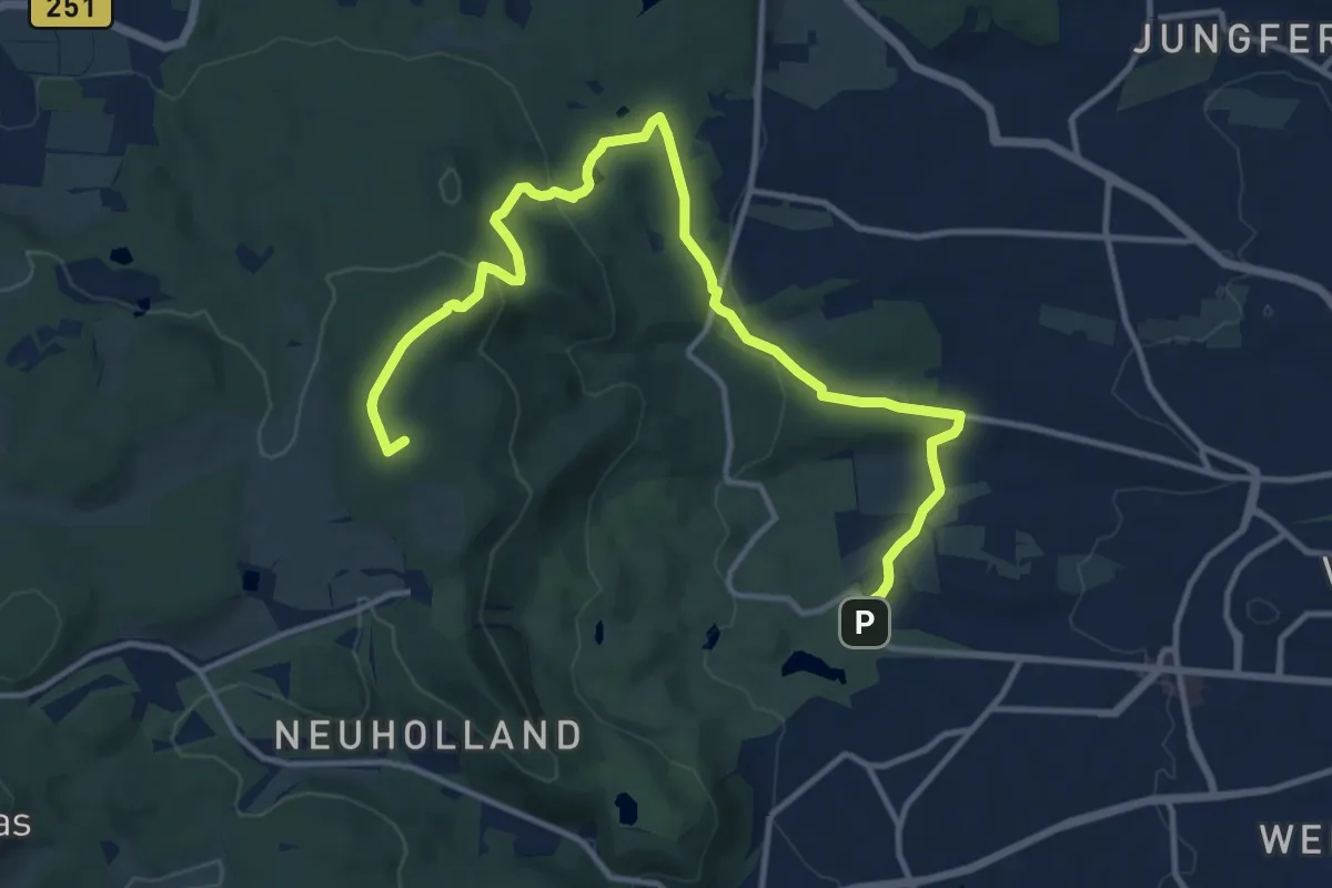
Medium · Summit
Prinzenweg
13.8 km · ↑ 376 m · 4 h 4 min
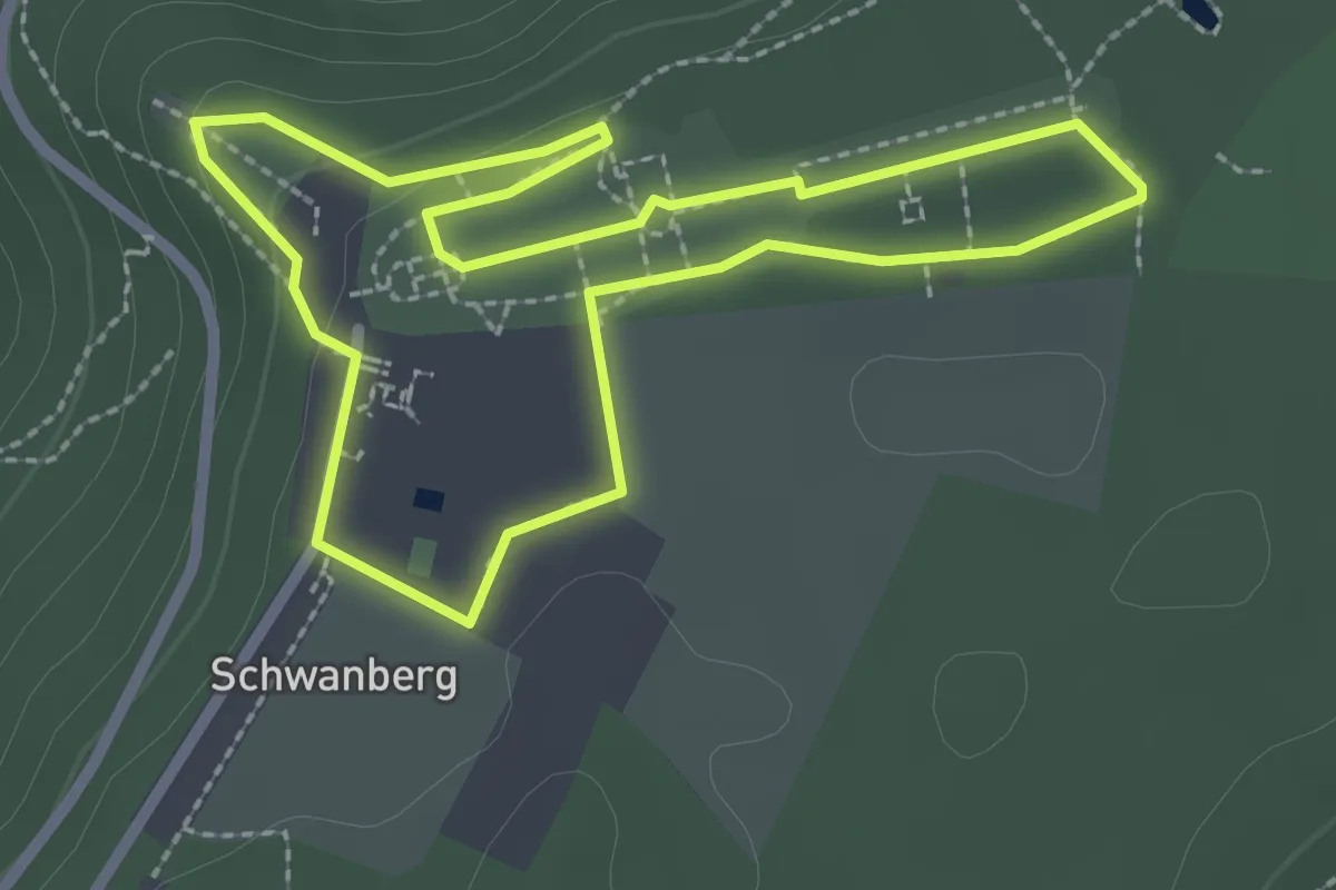
Easy · Trail
Prinzessin
2.2 km · ↑ 44 m · 39 min
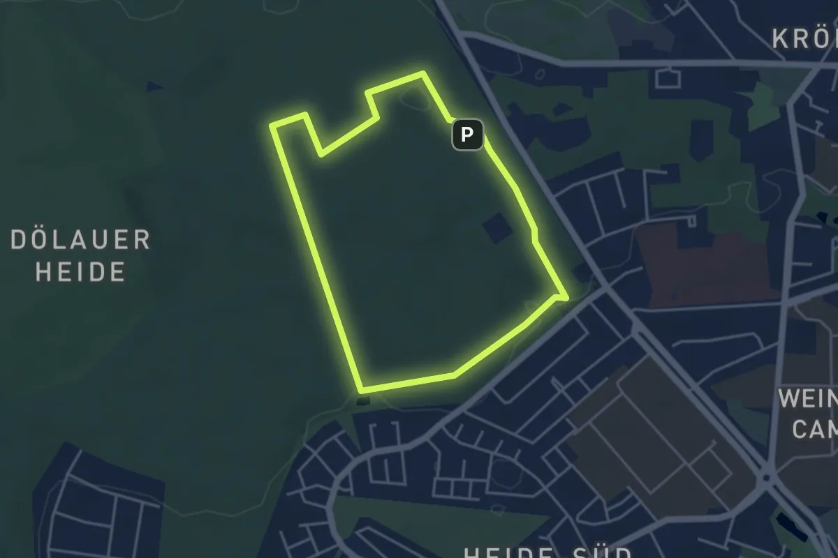
Easy · Trail
Prinzessinnenweg
3.4 km · ↑ 13 m · 52 min
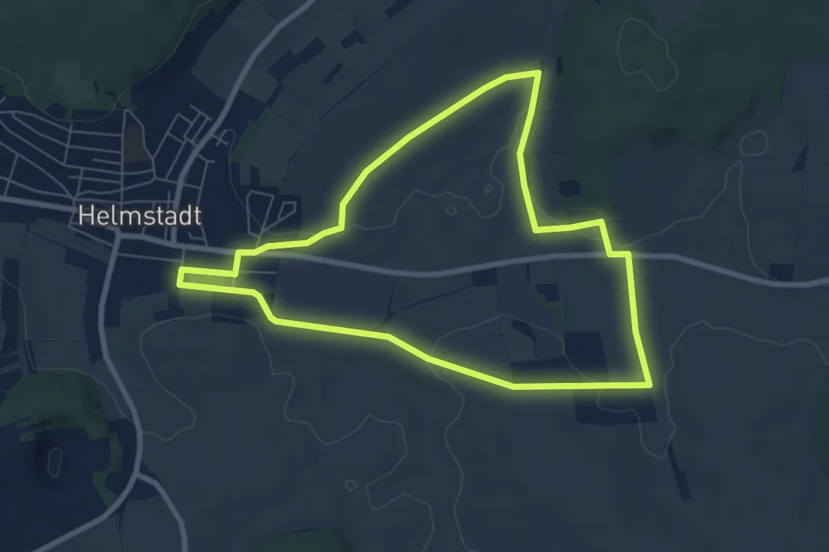
Easy · Trail
Prinz Ludwig Runde
6.2 km · ↑ 54 m · 1 h 40 min
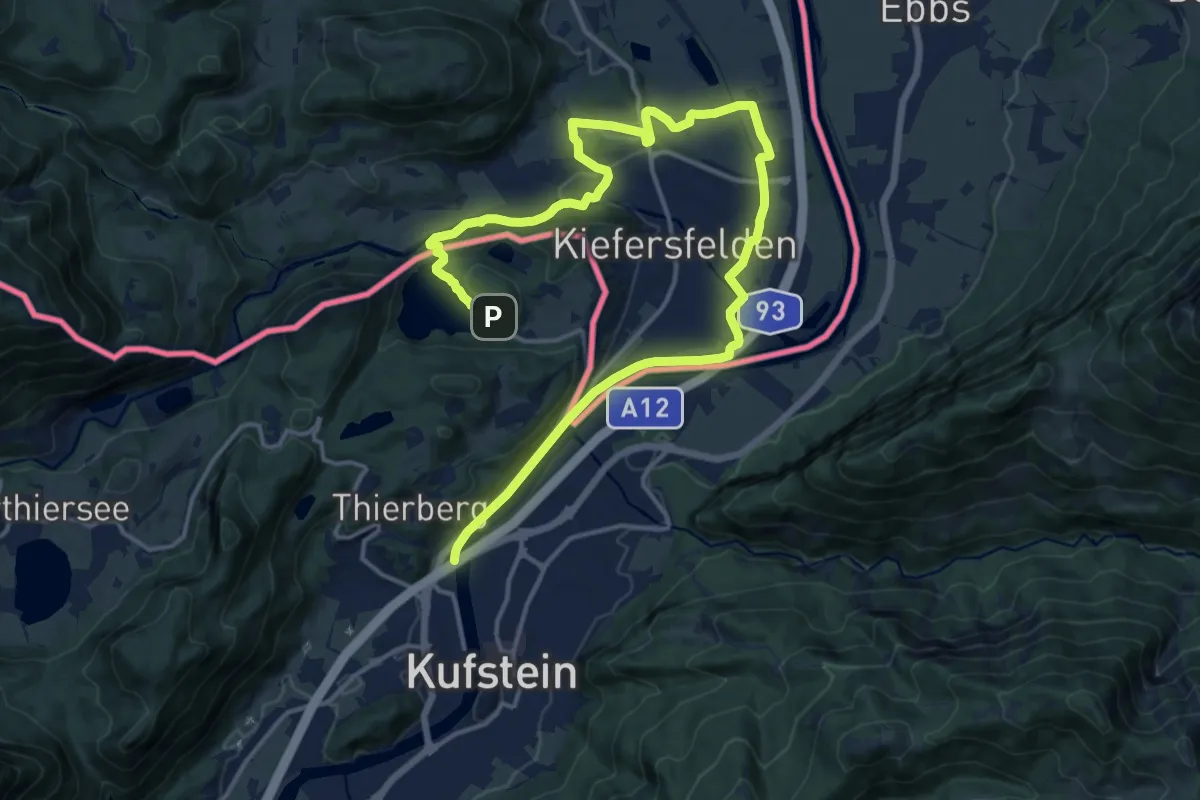
Demanding · Trail
Prinz Luitpold Weg
20.8 km · ↑ 247 m · 5 h 27 min