Trails in Germany
36,852 hiking trails, each with its route, climb, walking time and grade.
All trails, page 427 of 768
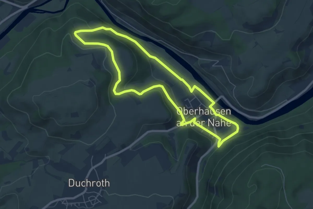
Easy · Trail
Prinzregent-Luitpold-Schleife
5.8 km · ↑ 140 m · 1 h 45 min
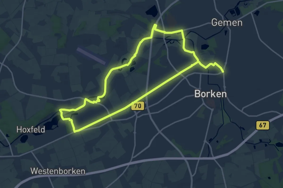
Demanding · Trail
Pröbsting Rundweg A1
21.9 km · ↑ 21 m · 5 h 13 min
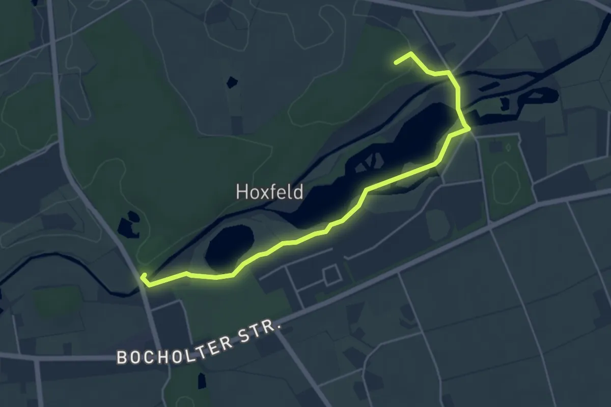
Easy · Trail
Pröbsting Rundweg A3
4.2 km · ↑ 26 m · 1 h 3 min
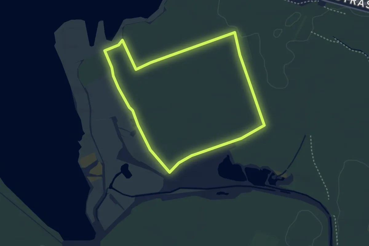
Easy · Trail
Prödeler Weg
3.2 km · ↑ 4 m · 49 min
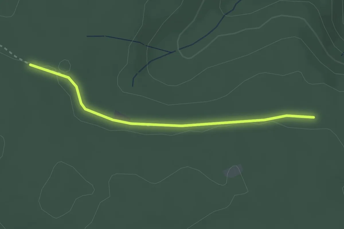
Easy · Trail
Professor-Endriss-Weg - Sandwaldhütte
2.4 km · ↑ 4 m · 35 min
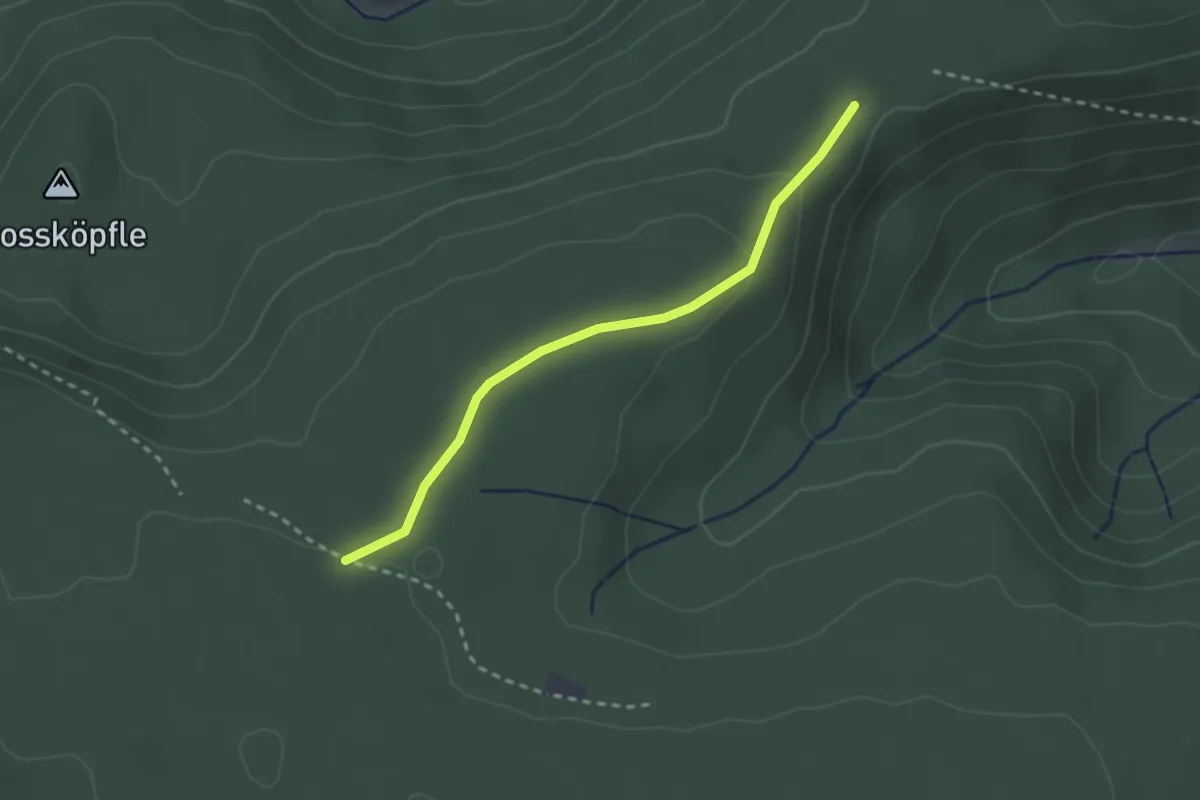
Easy · Trail
Professor-Endriss-Weg - Wasenhütte
2.3 km · ↑ 54 m · 40 min
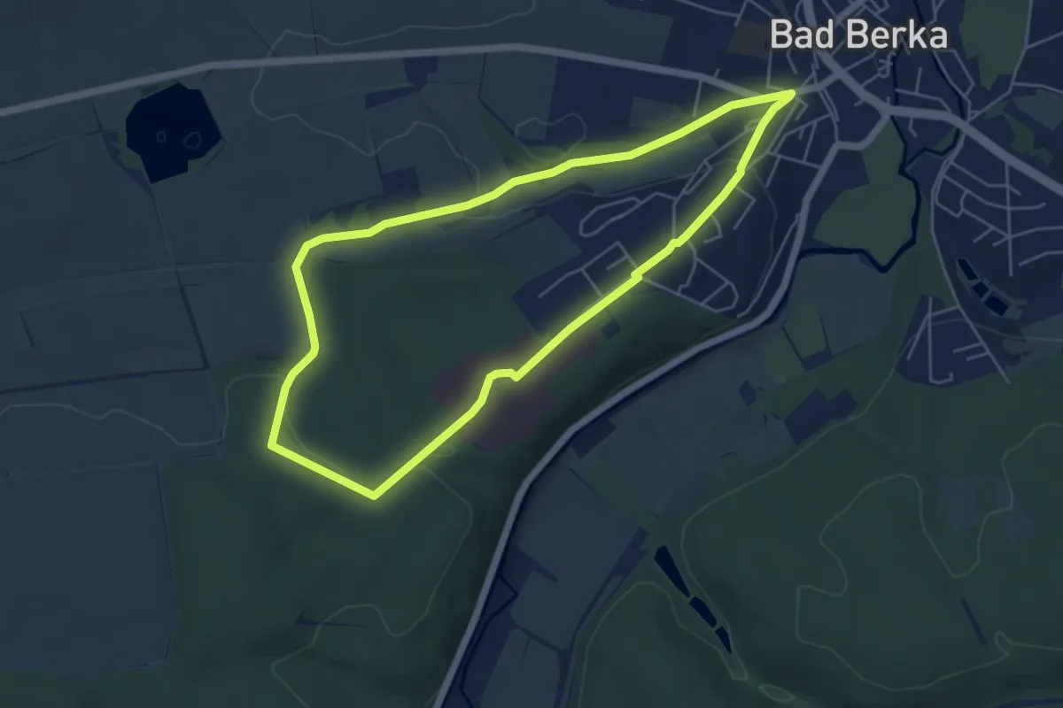
Easy · Trail
Prof.-Tegtmeier-Weg
4.7 km · ↑ 82 m · 1 h 22 min
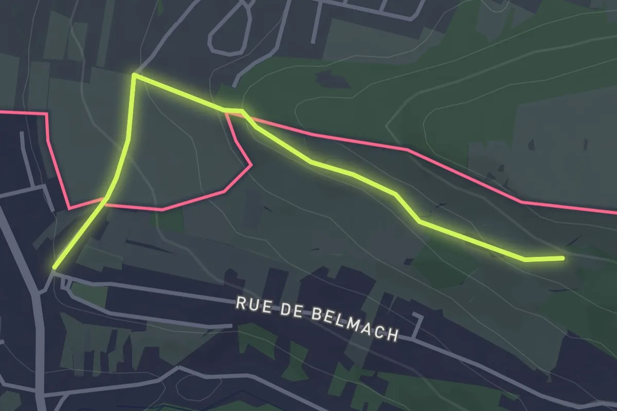
Easy · Trail
Promenade Circulaire d'Appach
3.1 km · ↑ 117 m · 59 min
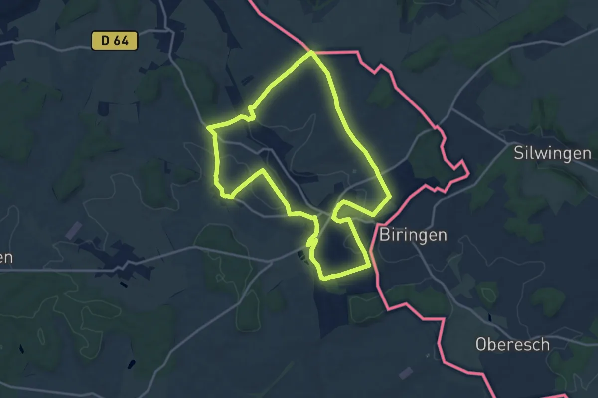
Medium · Trail
Promenade Circulaire de Waldwisse
11.7 km · ↑ 210 m · 3 h 23 min
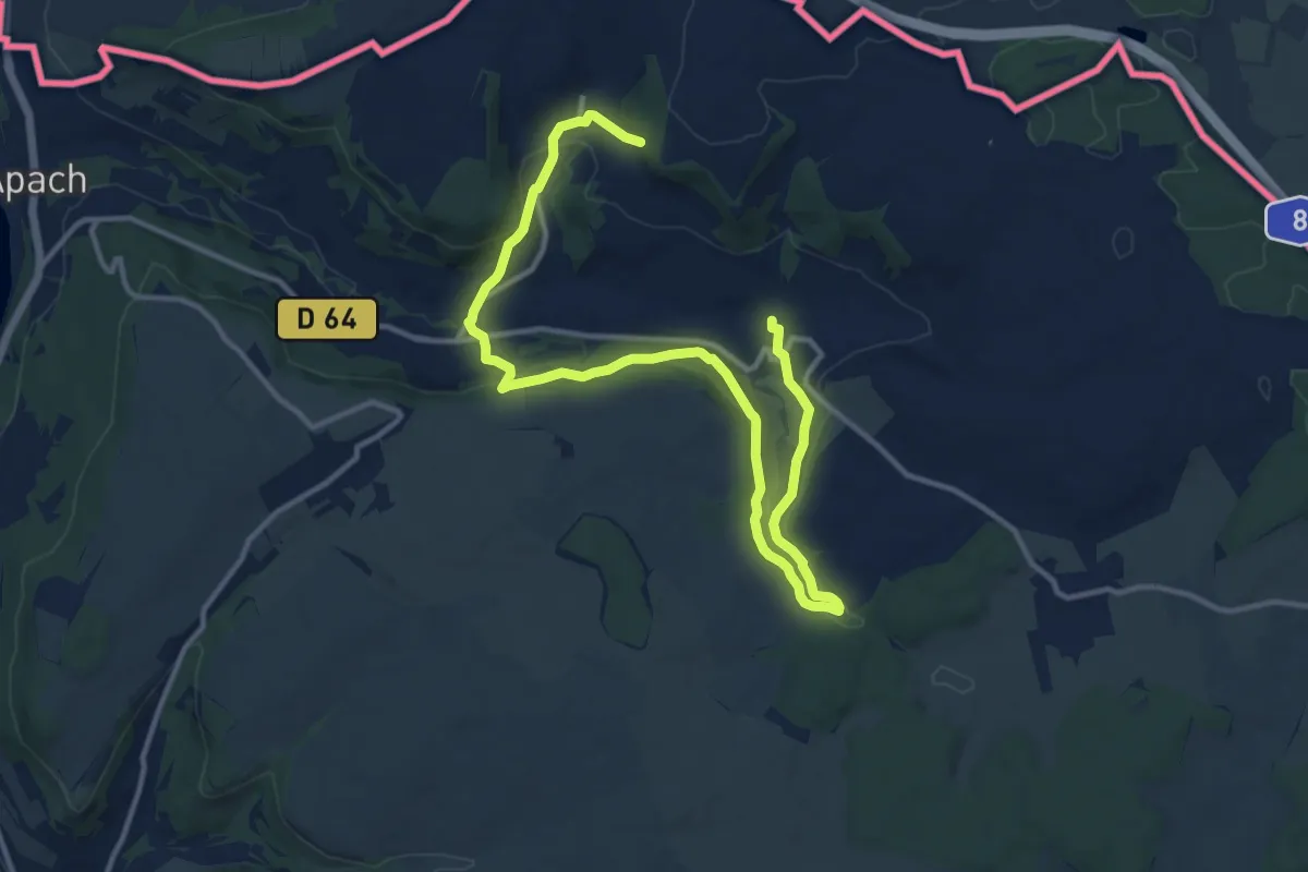
Medium · Trail
Promenade Circulaire Manderen Merschweiler
15.5 km · ↑ 427 m · 4 h 35 min
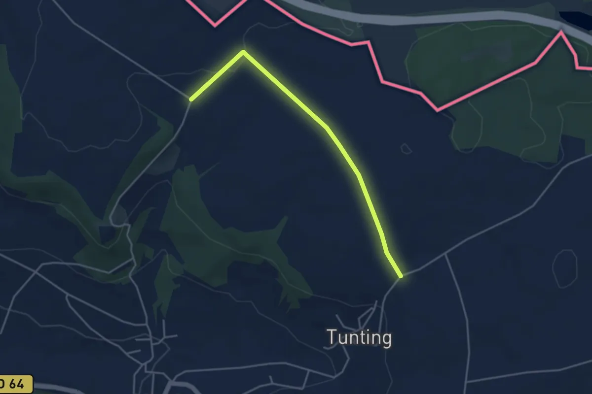
Easy · Trail
Promenade Circulaire Manderen-Ritzing
3.5 km · ↑ 43 m · 55 min
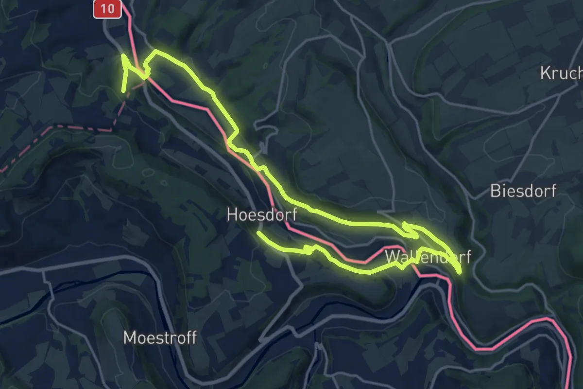
Demanding · Trail
Promenade du Souvenir
21.7 km · ↑ 503 m · 6 h 13 min
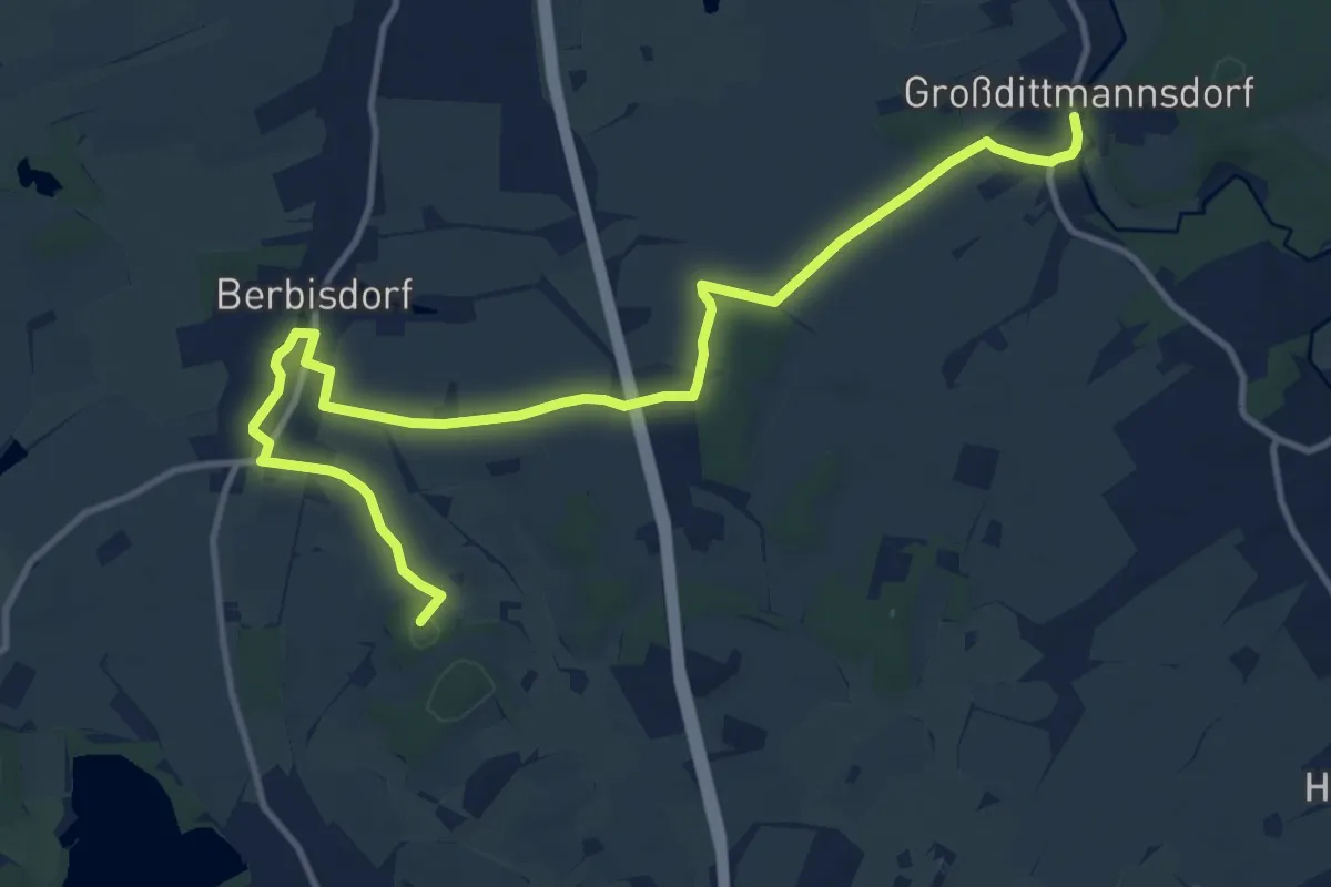
Medium · Summit
Promnitz-/Röderweg
13.1 km · ↑ 76 m · 3 h 16 min
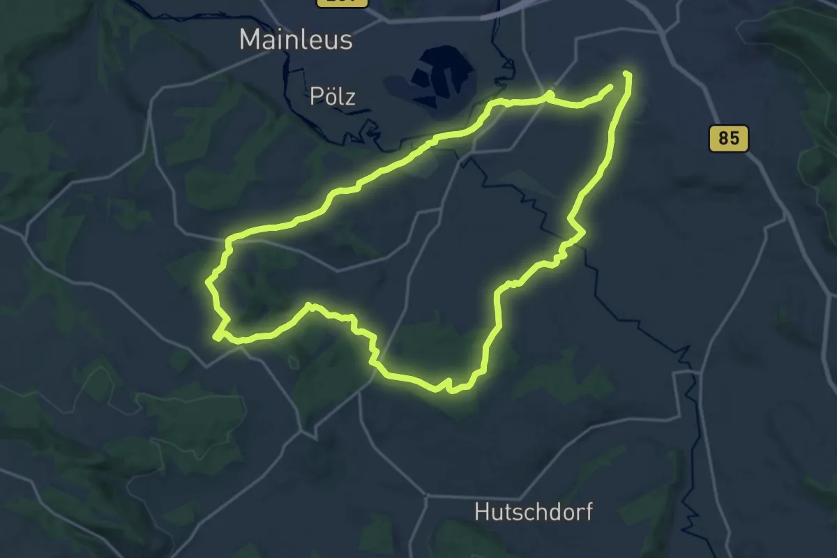
Medium · Trail
Proßer Leitenweg RWF 63
17.4 km · ↑ 240 m · 4 h 52 min
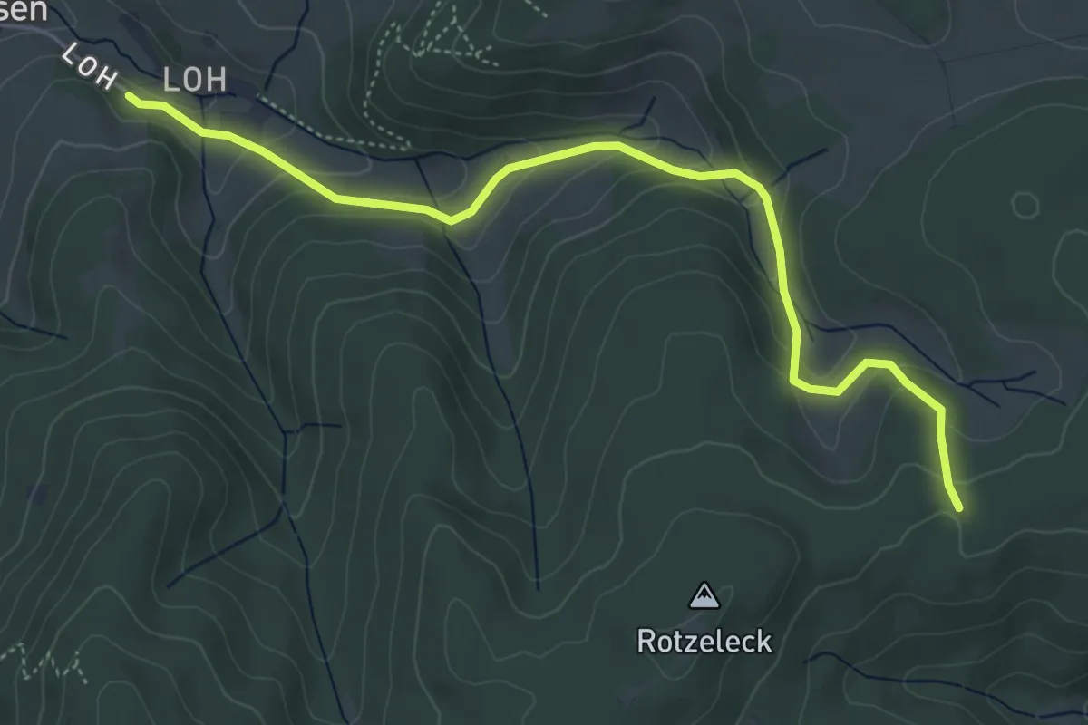
Easy · Trail
Protasihof - Schlegelsberg
5.3 km · ↑ 245 m · 1 h 47 min
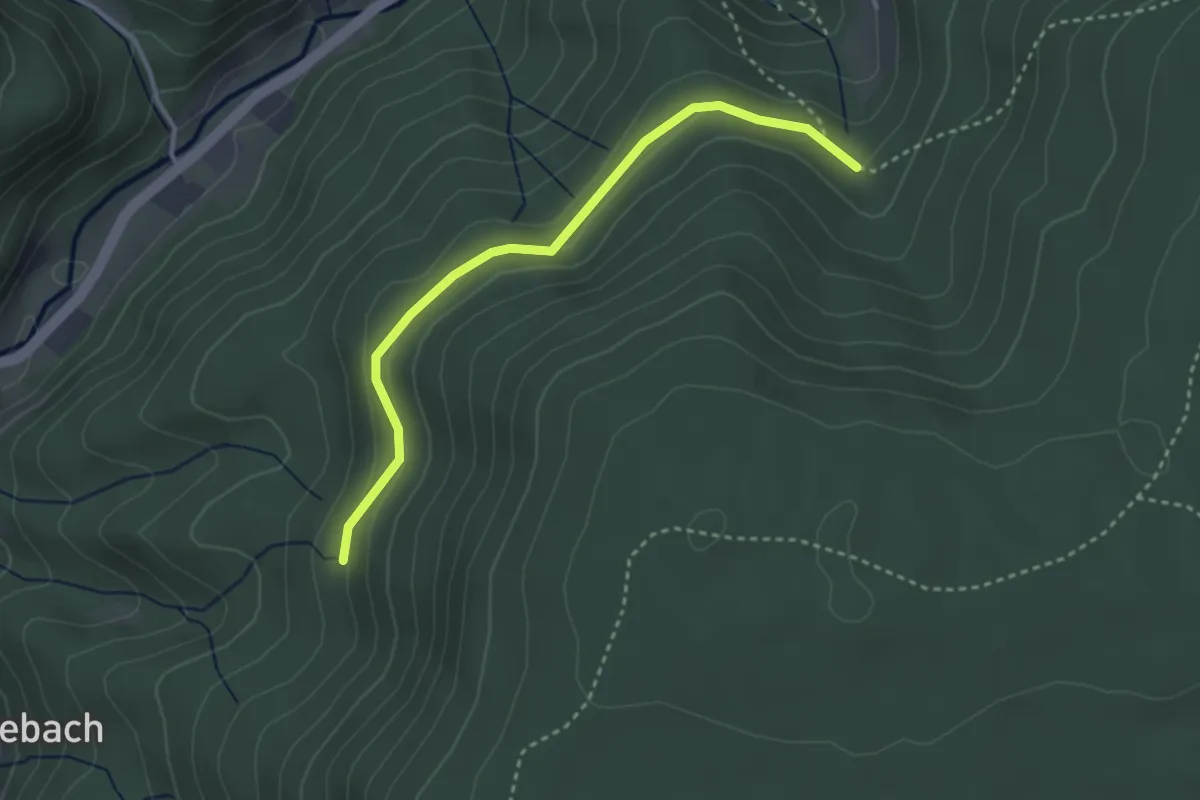
Easy · Trail
Prozessbrunnen - Schochs Platz
3.1 km · ↑ 97 m · 56 min
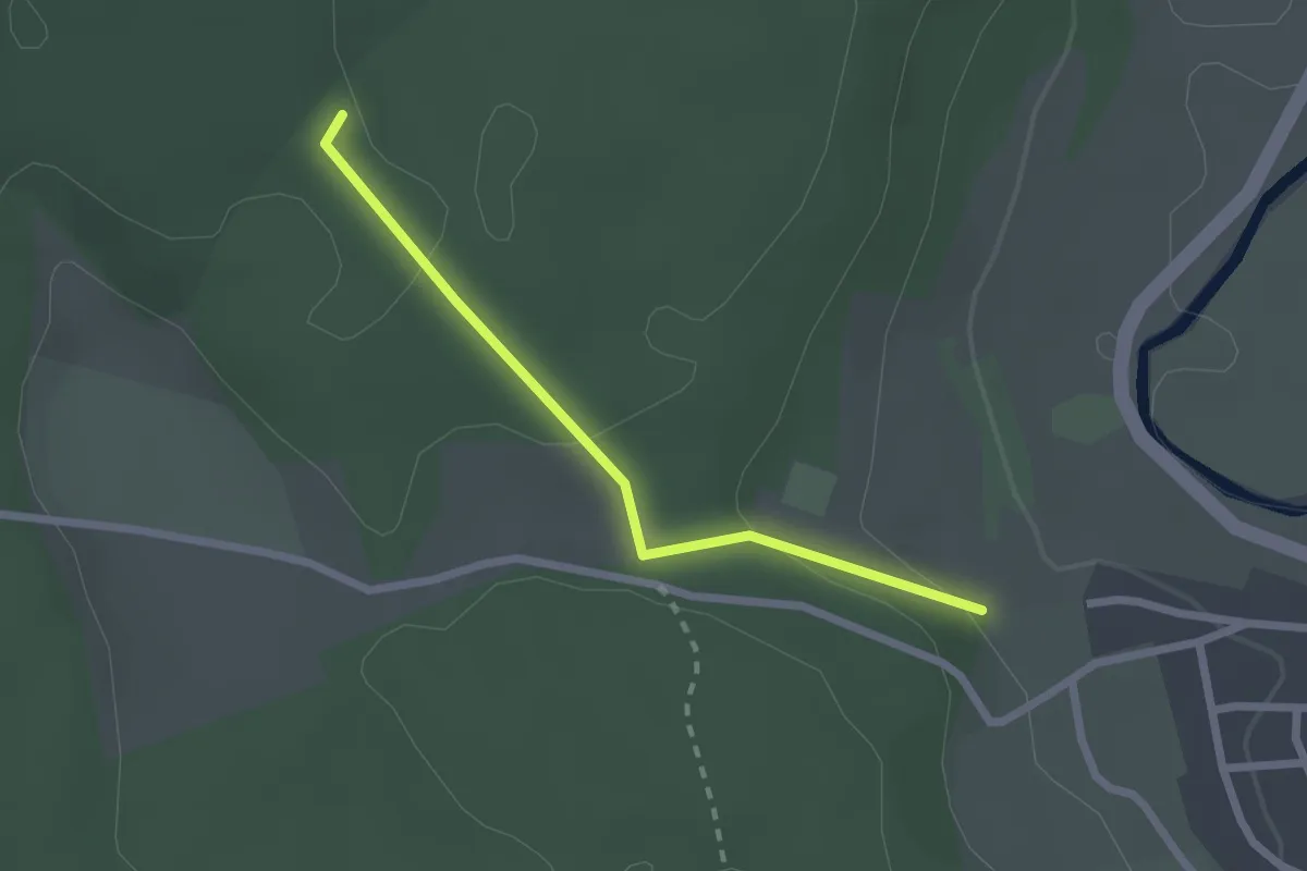
Easy · Trail
Prozessionsweg - Schlechte
2.0 km · ↑ 65 m · 37 min
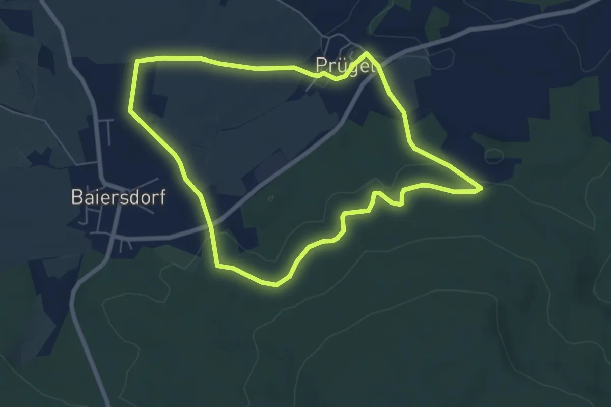
Easy · Trail
Prügeler Rundweg (Altenkunstadt)
5.3 km · ↑ 89 m · 1 h 31 min
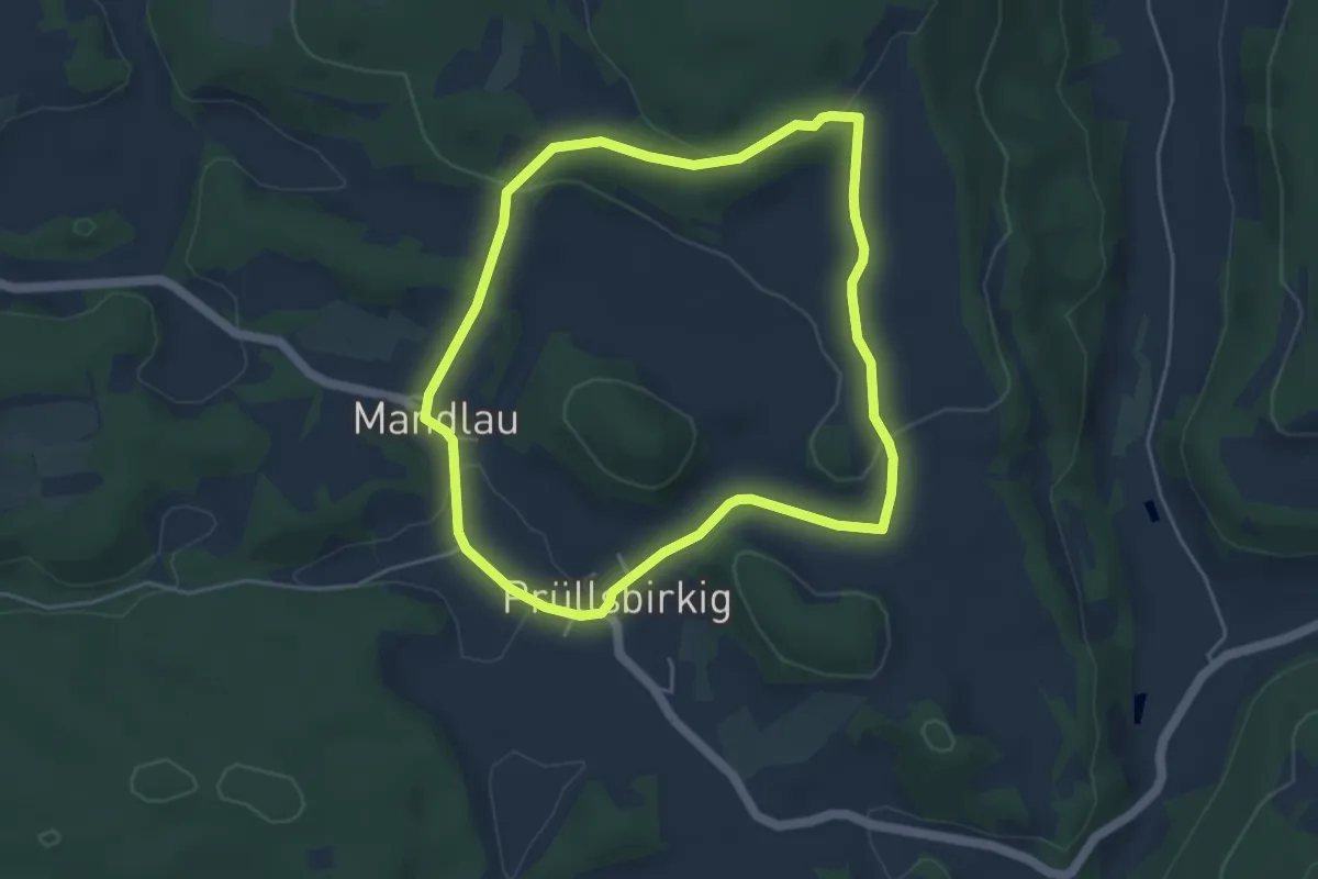
Easy · Trail
Prüllsbirkig Rundweg Grüner Ring
4.2 km · ↑ 106 m · 1 h 17 min
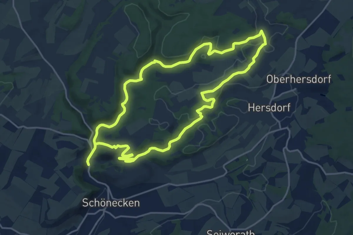
Medium · Trail
Prümer Land Tour Route 2
12.1 km · ↑ 237 m · 3 h 32 min
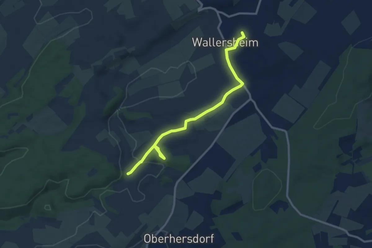
Easy · Trail
Prümer Land Tour Route 3
3.5 km · ↑ 67 m · 1 h 1 min
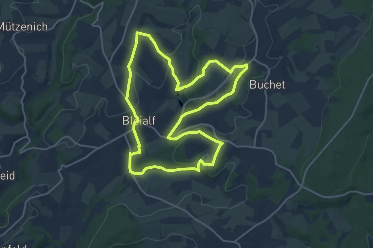
Medium · Trail
Prümer Land Tour Route 4 - Bergbaupfad Bleialf
10.3 km · ↑ 209 m · 3 h 1 min
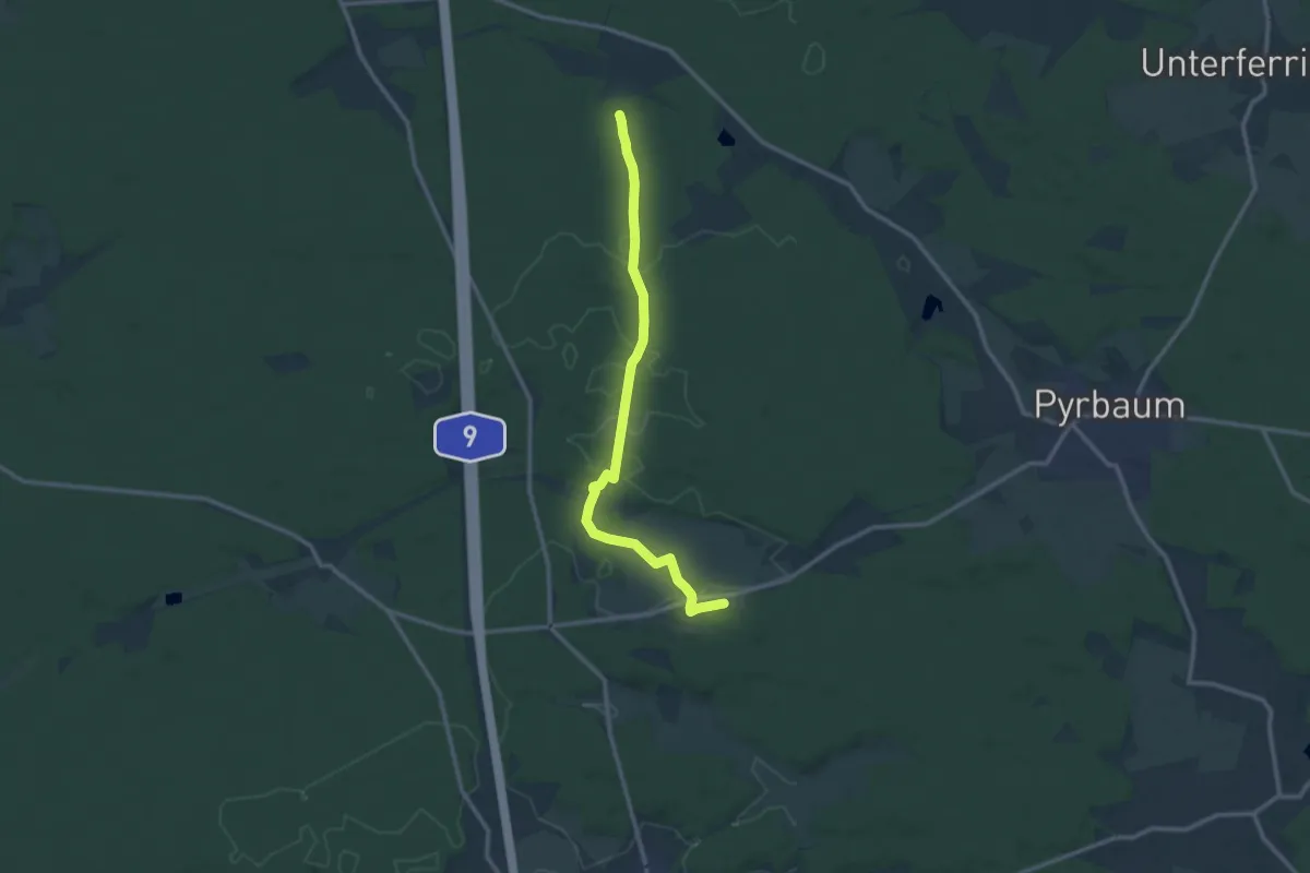
Medium · Trail
Pruppach-Sperberslohe
11.6 km · ↑ 96 m · 2 h 57 min
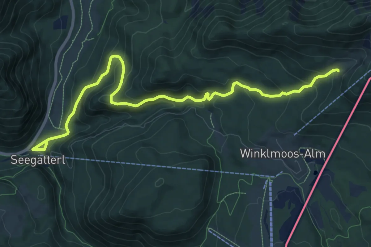
Medium · Trail
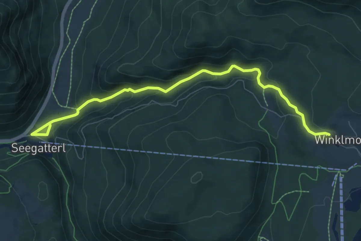
P Seegatterl - Dürrnbachalm
12.1 km · ↑ 649 m · 4 h 16 min
Medium · Trail
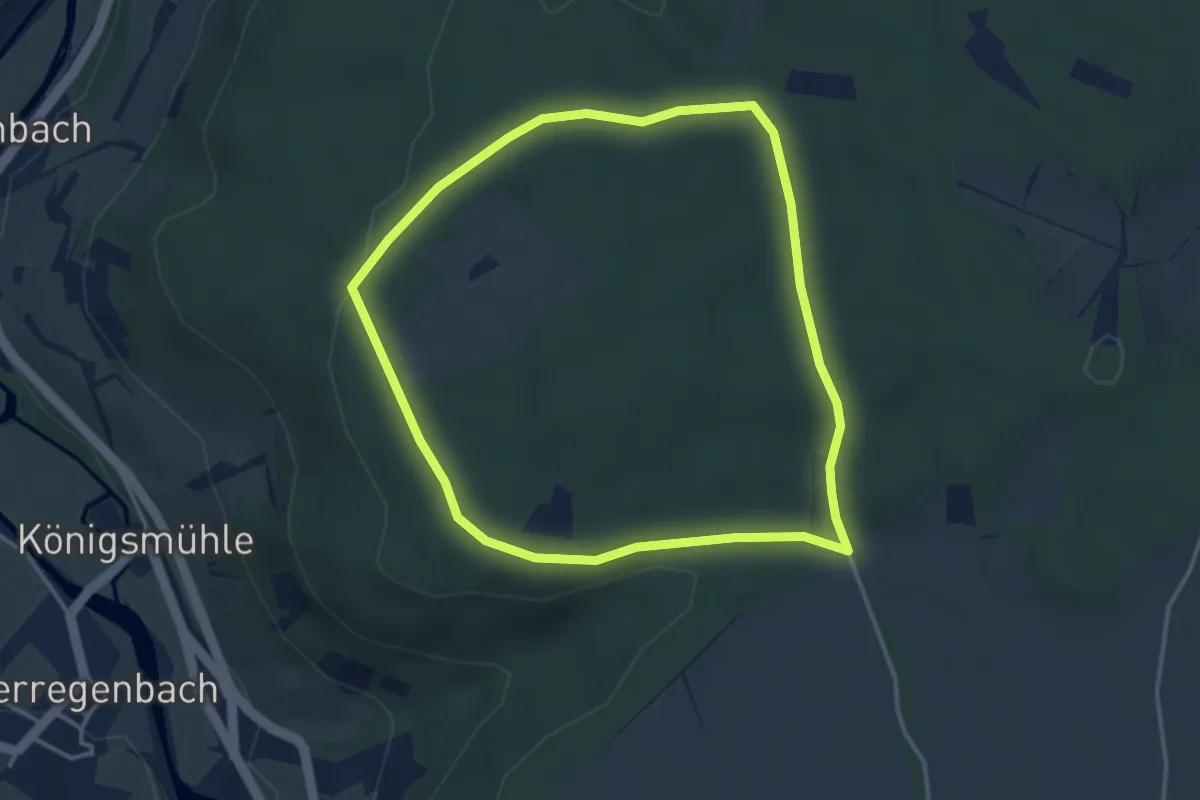
P Seegatterl zur Winklmoos - Alm
7.6 km · ↑ 395 m · 2 h 39 min
Easy · Trail
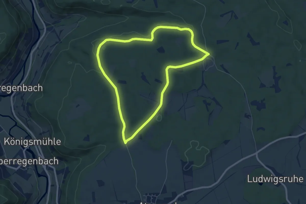
P Tränkbuck Rundwanderweg 1: Agnes-Günther-Weg
3.3 km · ↑ 41 m · 55 min
Easy · Trail
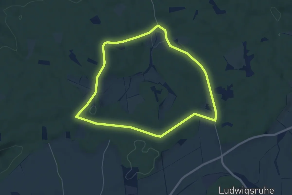
P Tränkbuck Rundwanderweg 2
6.0 km · ↑ 98 m · 1 h 43 min
Easy · Trail
P Tränkbuck Rundwanderweg 3: Lichte Eichen
5.0 km · ↑ 55 m · 1 h 22 min
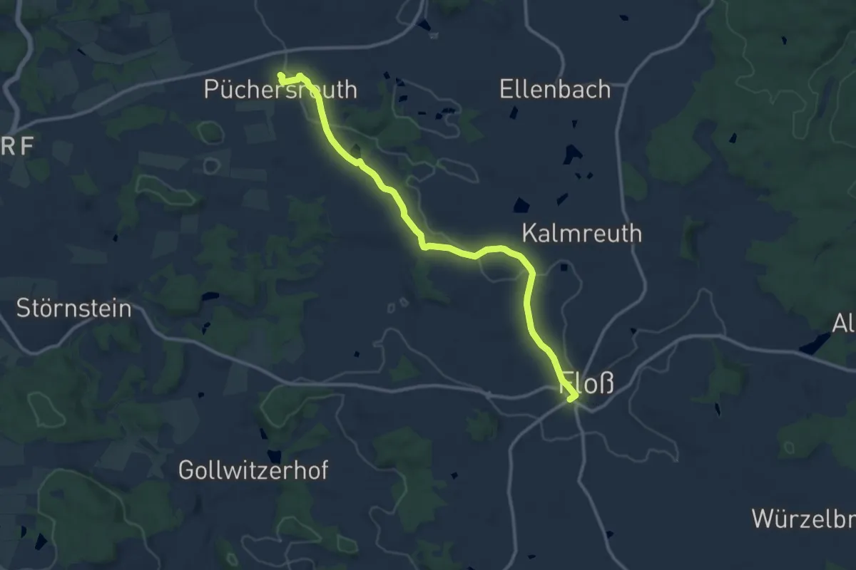
Medium · Trail
Püchersreuth - Floß
10.8 km · ↑ 143 m · 2 h 51 min
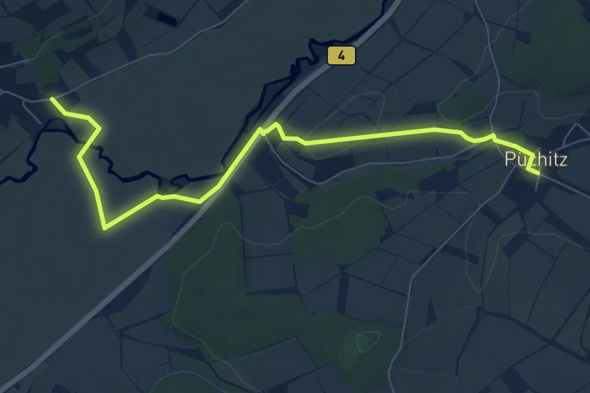
Easy · Trail
Püchitzer Transversale
7.4 km · ↑ 64 m · 1 h 52 min
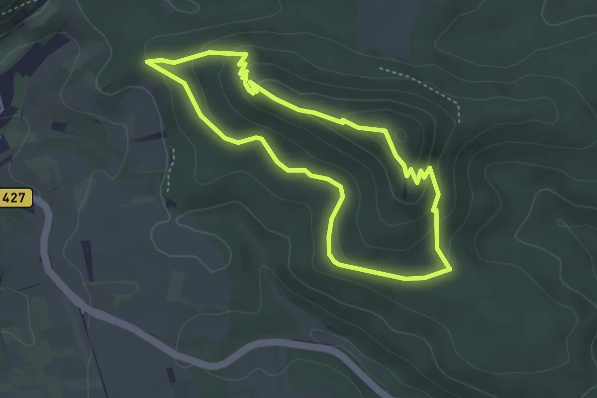
Medium · Trail
Puhlstein-Tour
3.5 km · ↑ 148 m · 1 h 11 min
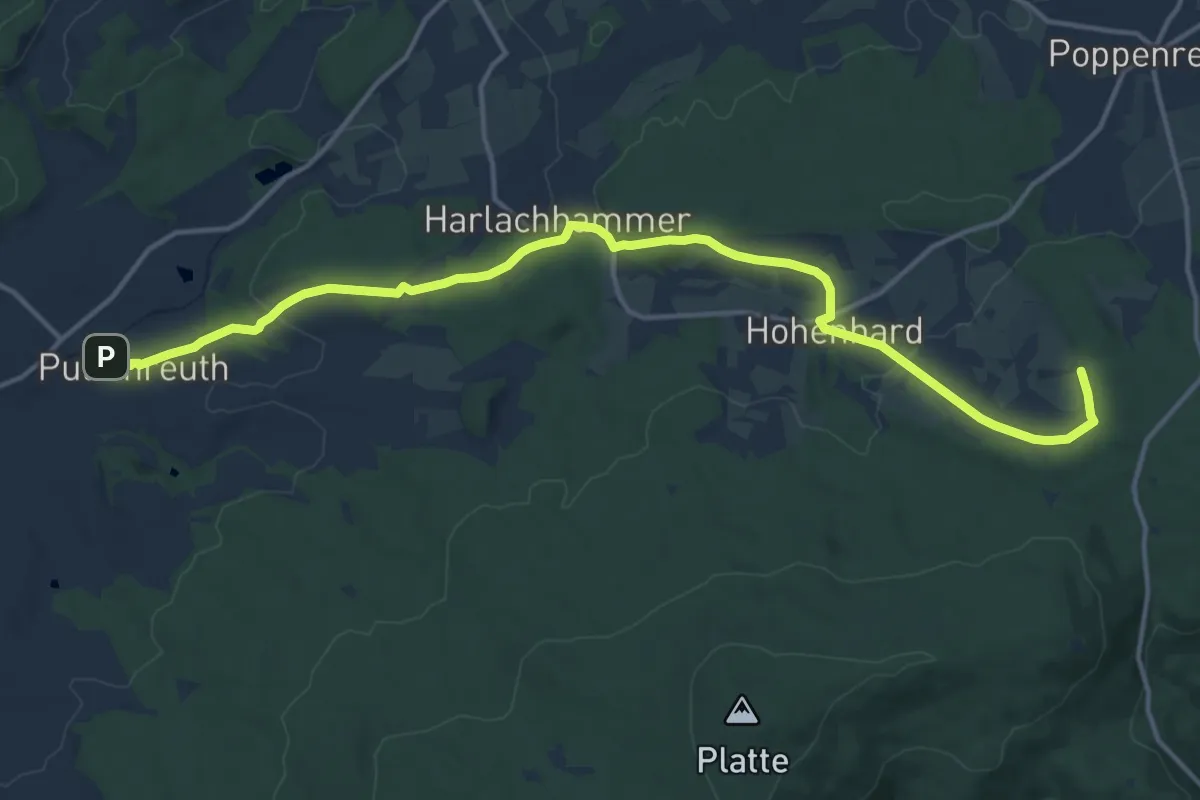
Medium · Trail
Pullenreuth-Marktredwitzer Haus
15.5 km · ↑ 394 m · 4 h 31 min
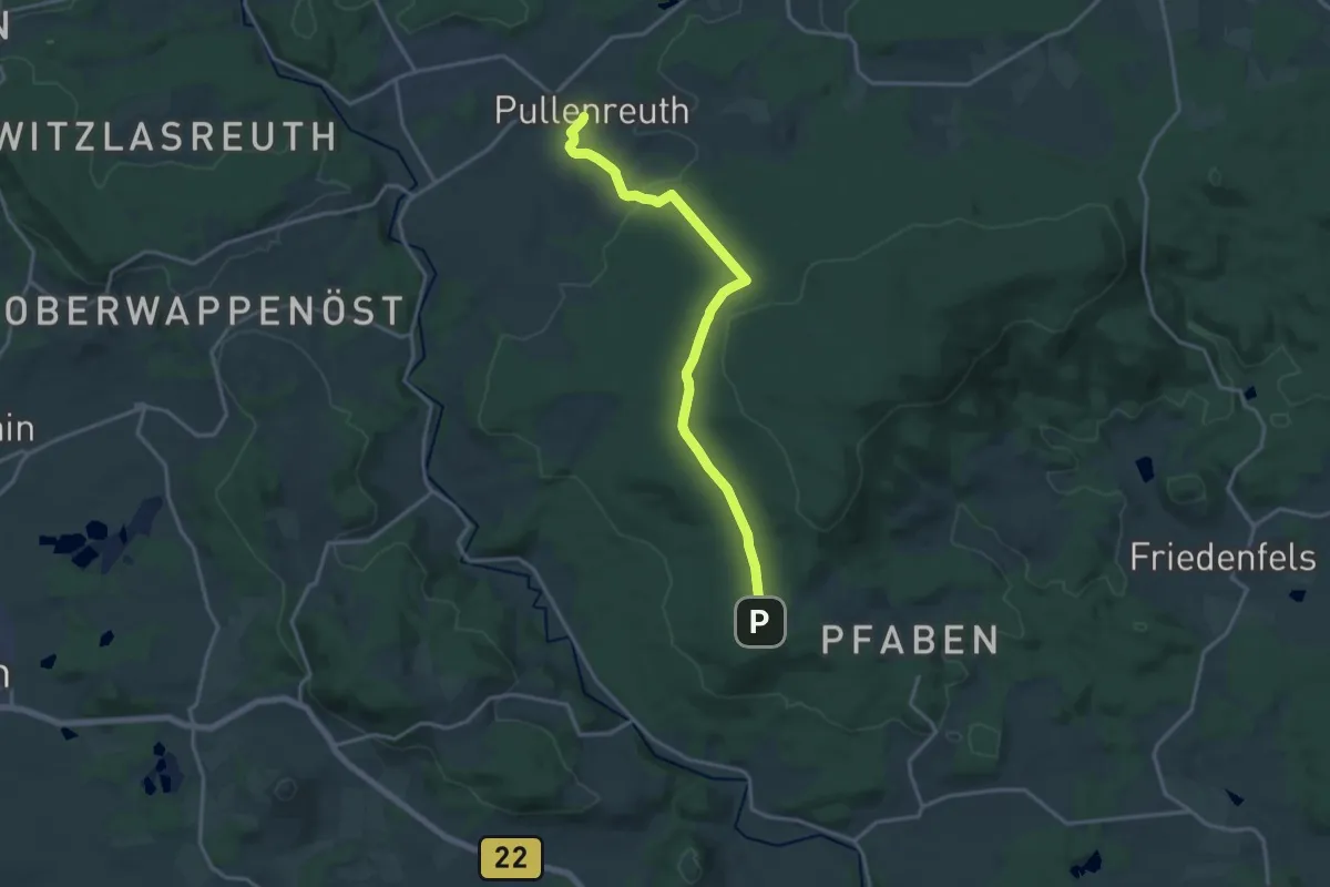
Medium · Trail
Pullenreuth-Pfaben
15.6 km · ↑ 327 m · 4 h 24 min
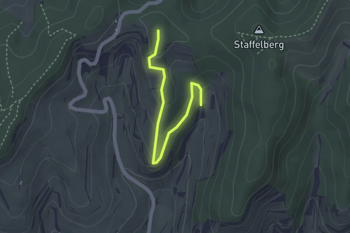
Easy · Trail
Pulverbuck - Eichholz
2.8 km · ↑ 135 m · 58 min
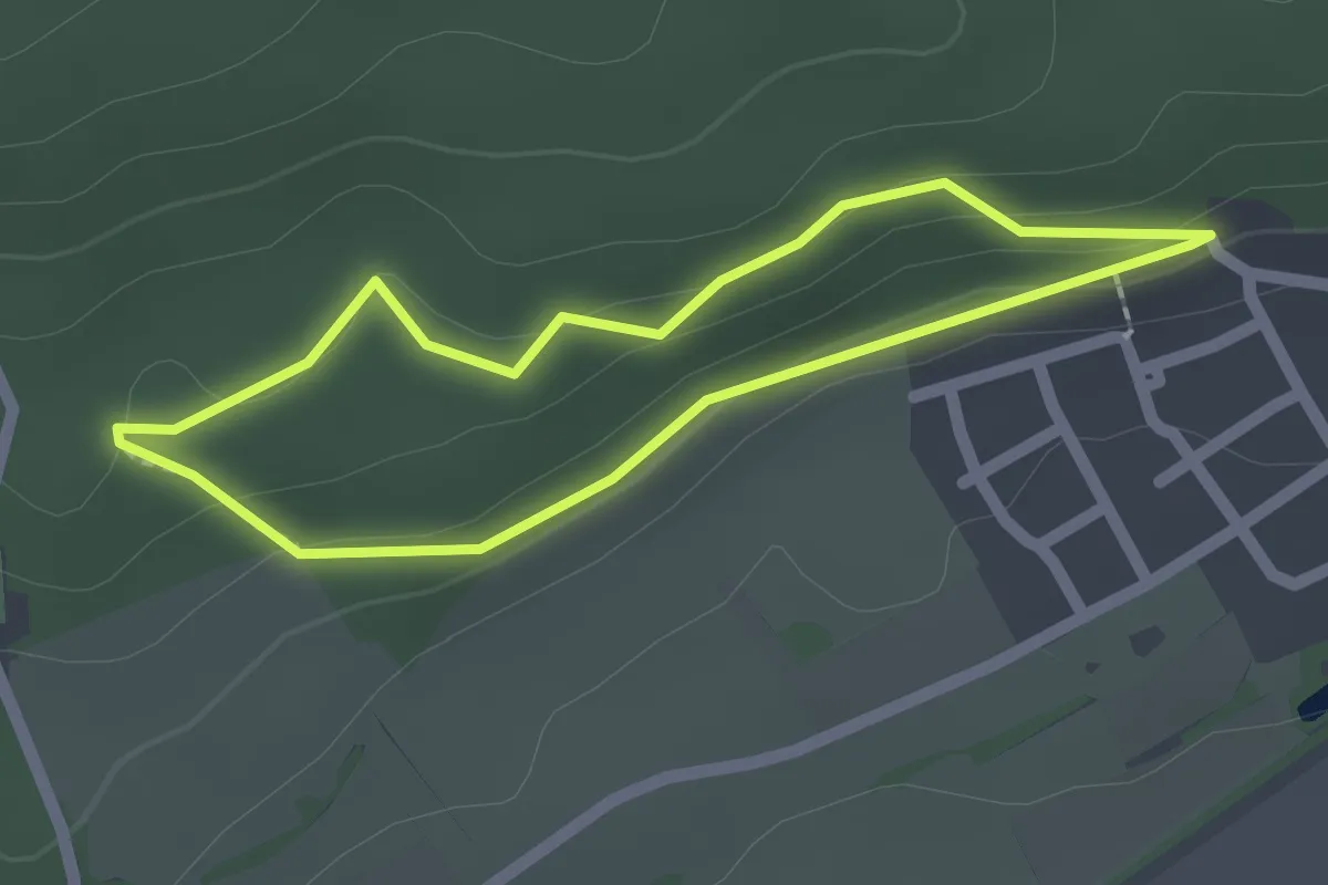
Easy · Trail
Pulverhäusle-Route
1.7 km · ↑ 39 m · 30 min
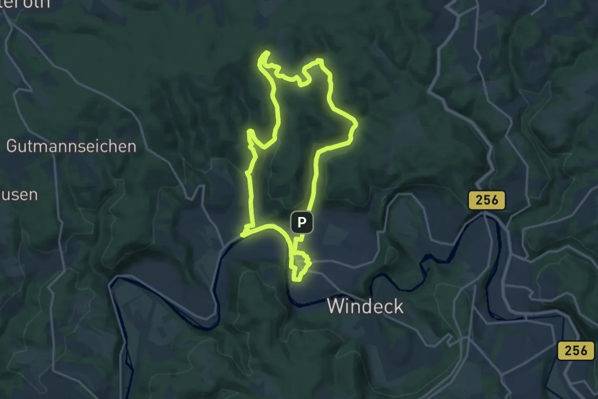
Medium · Trail
Pulvermühlenweg (Erlebnisweg Sieg Nr. 13)
12.9 km · ↑ 311 m · 3 h 54 min
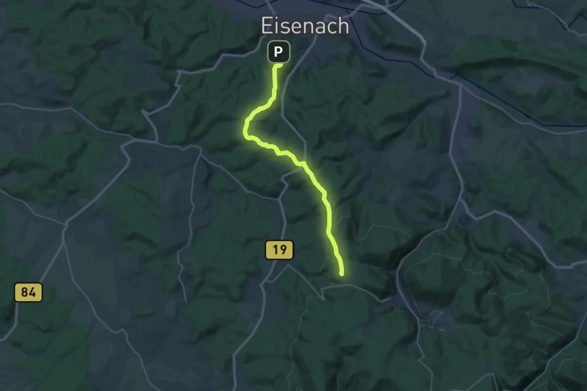
Demanding · Summit
Pummpälzweg
20.7 km · ↑ 405 m · 5 h 46 min
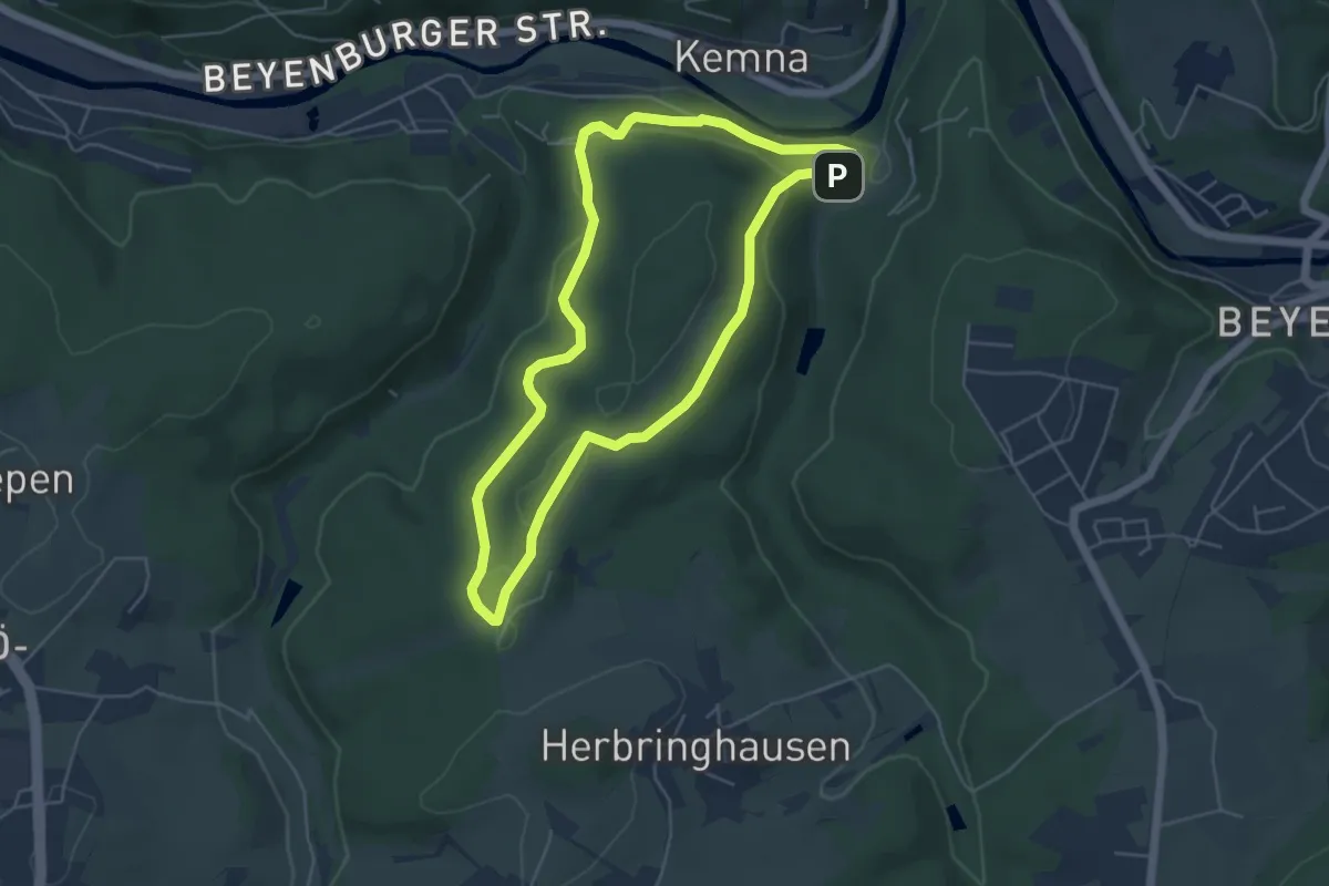
Easy · Trail
Pumpenhaus Rundweg A1
4.5 km · ↑ 117 m · 1 h 23 min
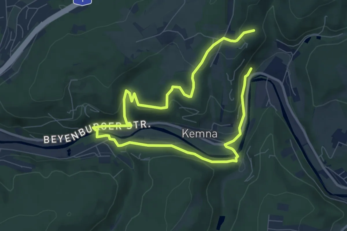
Easy · Trail
Pumpenhaus Rundweg A6
5.4 km · ↑ 132 m · 1 h 39 min
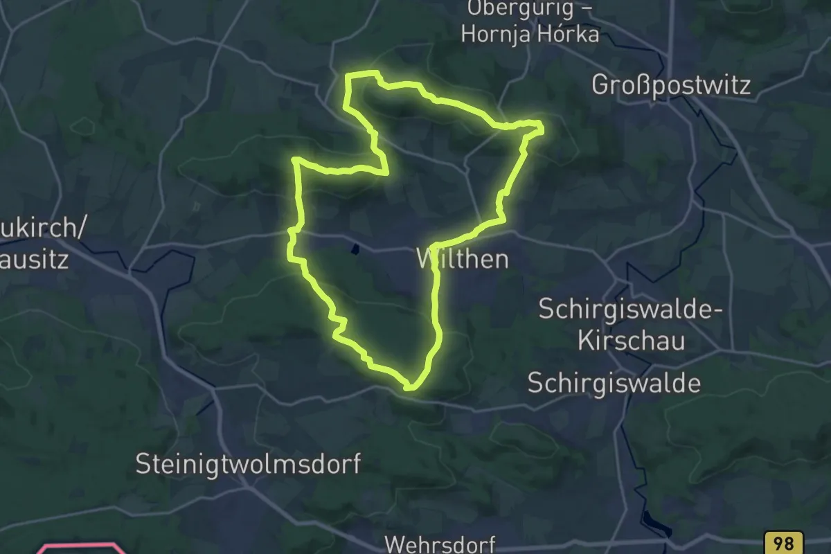
Demanding · Summit
Pumphut-Steig
17.3 km · ↑ 586 m · 5 h 36 min
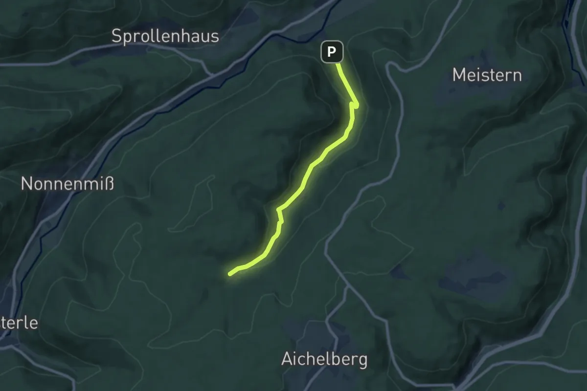
Easy · Trail
Pumpstation - Kälberbachquelle
6.7 km · ↑ 253 m · 2 h 8 min
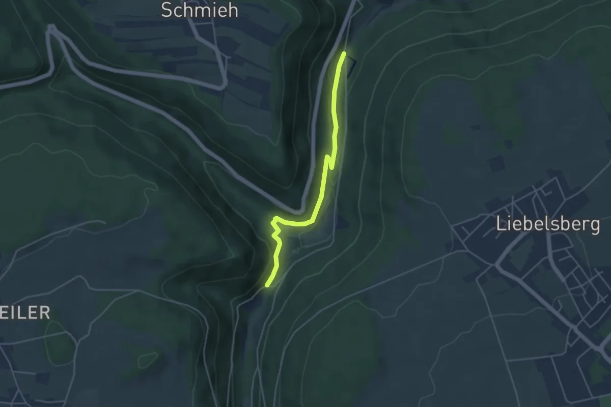
Easy · Trail
Pumpstation - Lautenbachhof
3.8 km · ↑ 117 m · 1 h 8 min
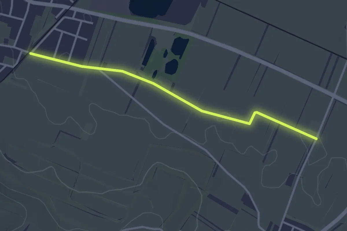
Easy · Trail
Pumpwerk - Leiselheimer Weg
3.2 km · ↑ 0 m · 45 min
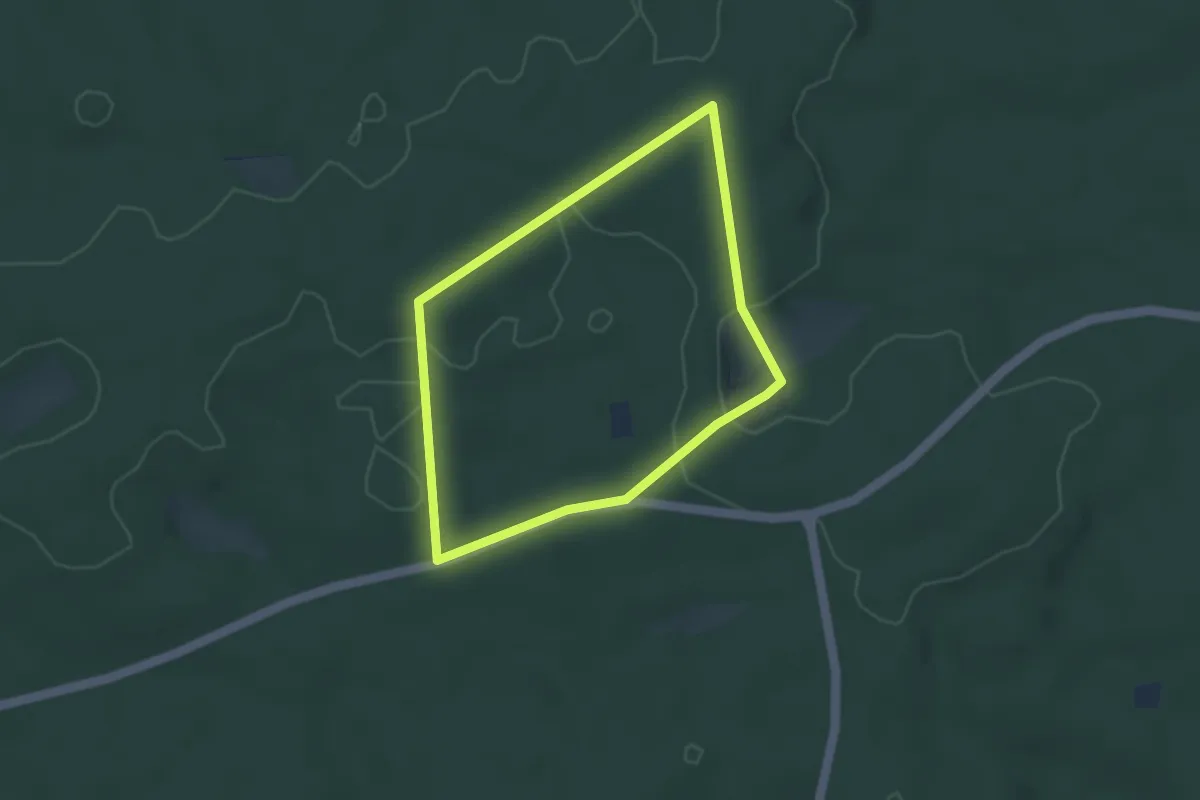
Easy · Trail
Punkt
3.1 km · ↑ 42 m · 52 min
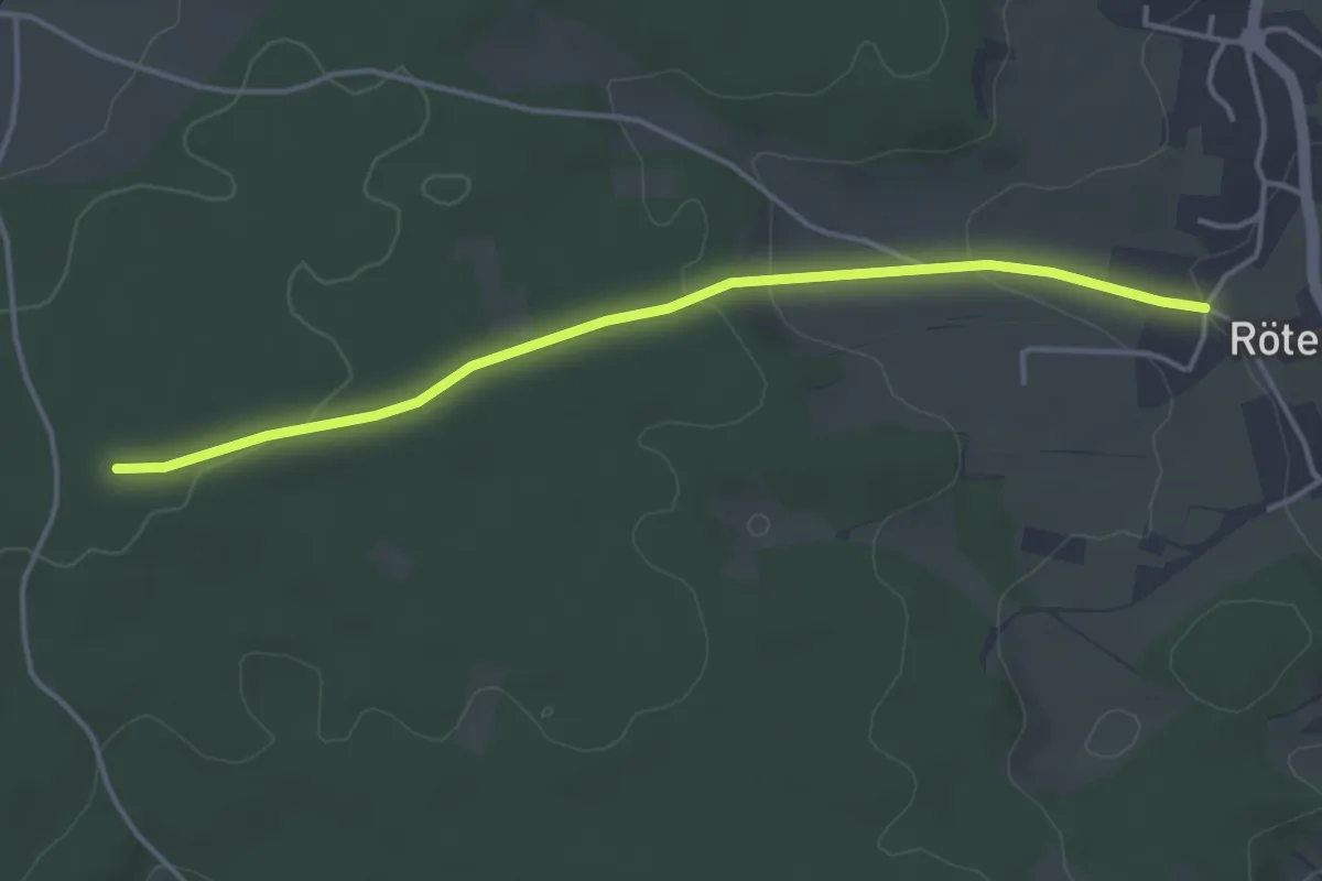
Easy · Trail
Punkt 688 - Rötenbach Jägerweg
3.9 km · ↑ 80 m · 1 h 5 min
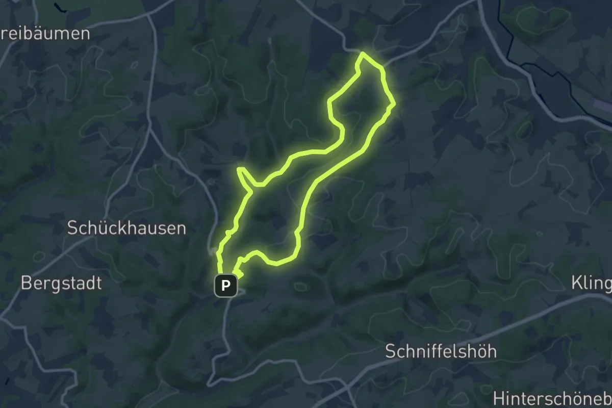
Medium · Trail
Purd Rundweg A3
8.6 km · ↑ 166 m · 2 h 31 min
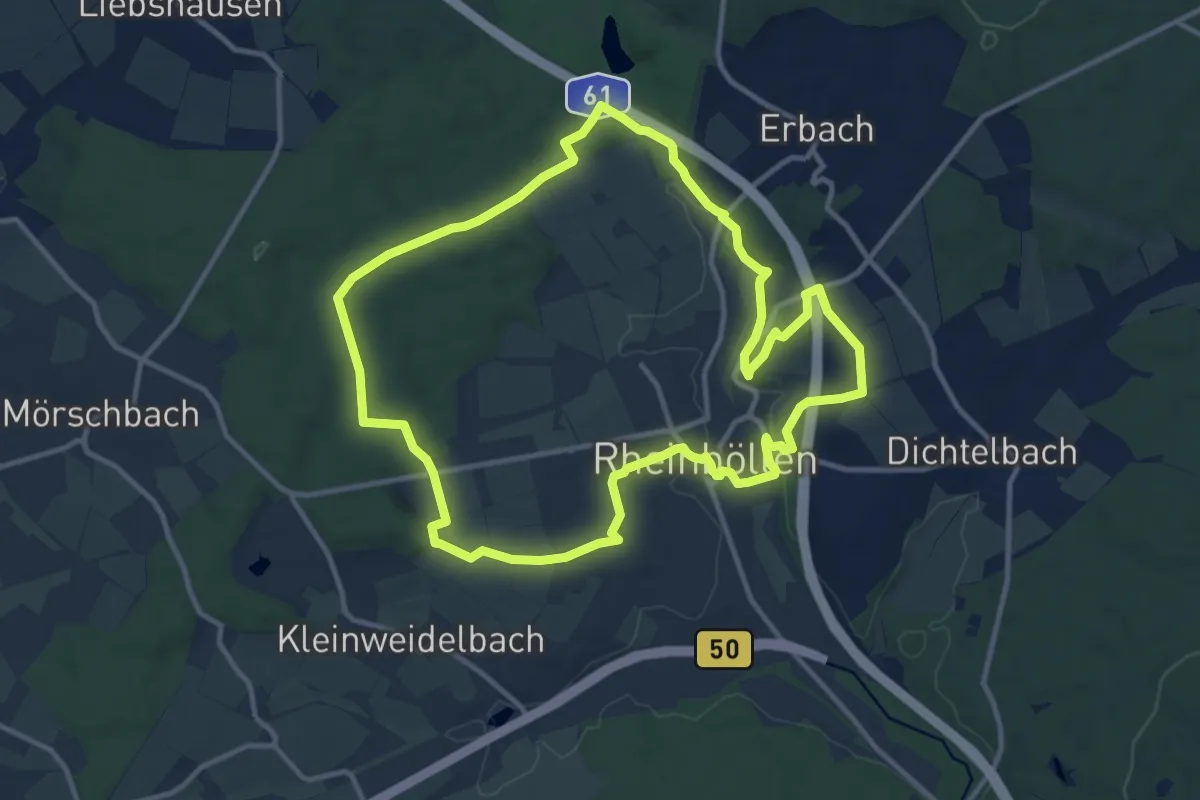
Medium · Trail
Puricelli-Rundweg
11.2 km · ↑ 187 m · 3 h 13 min
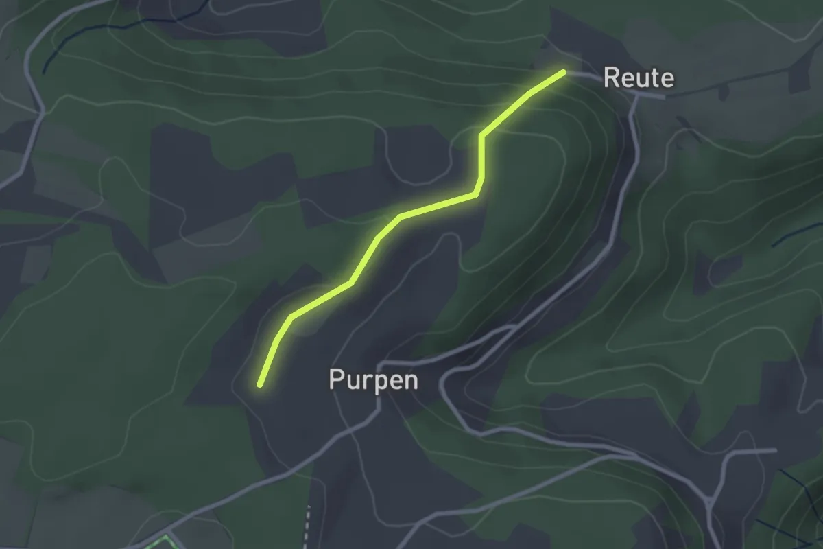
Easy · Trail
Purpenmoos - Reute
2.1 km · ↑ 94 m · 42 min