Trails in Germany
36,852 hiking trails, each with its route, climb, walking time and grade.
All trails, page 428 of 768
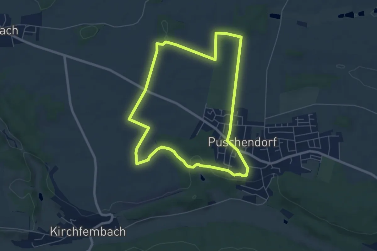
Easy · Trail
Puschendorf Wanderweg 3
5.5 km · ↑ 81 m · 1 h 33 min
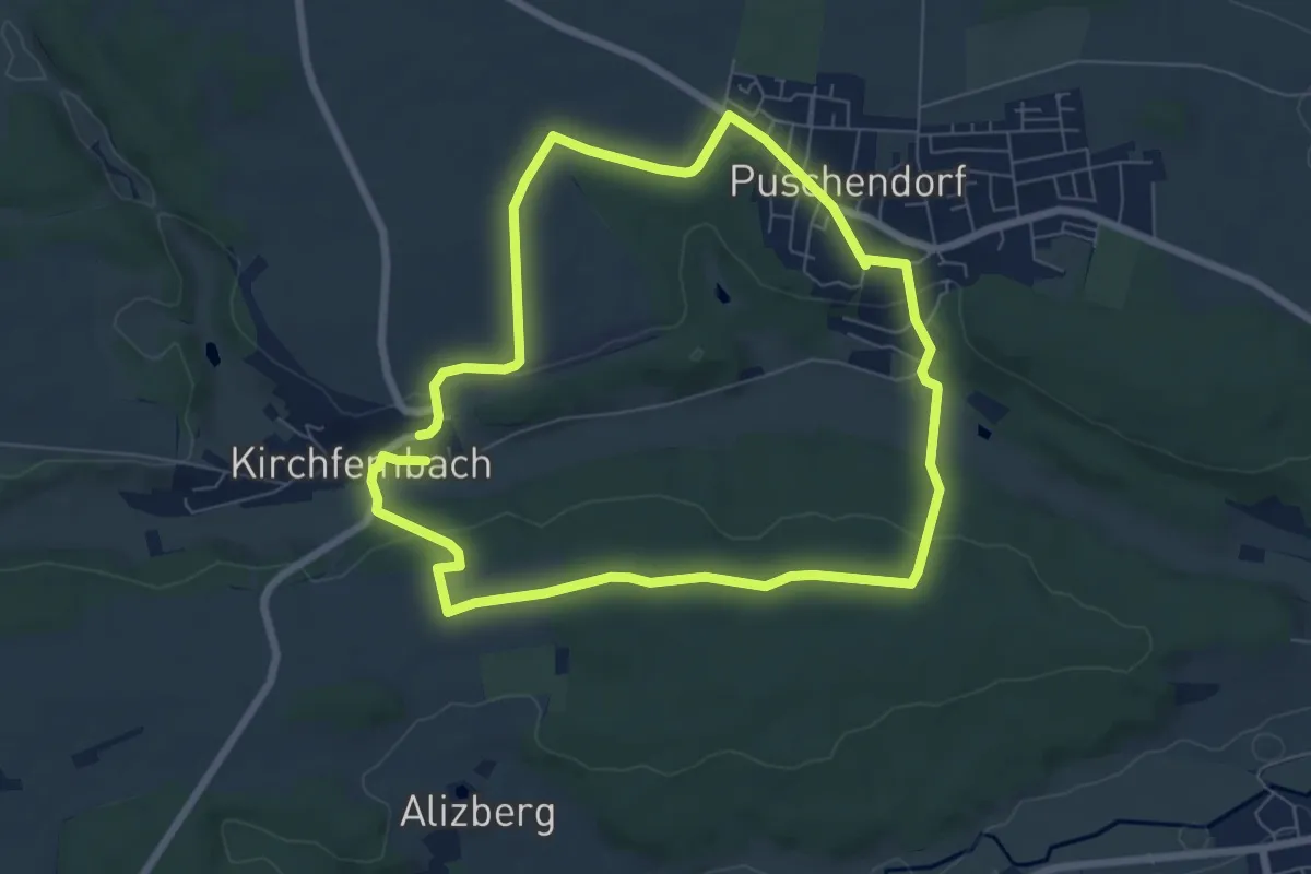
Easy · Trail
Puschendorf Wanderweg 4
6.4 km · ↑ 113 m · 1 h 51 min
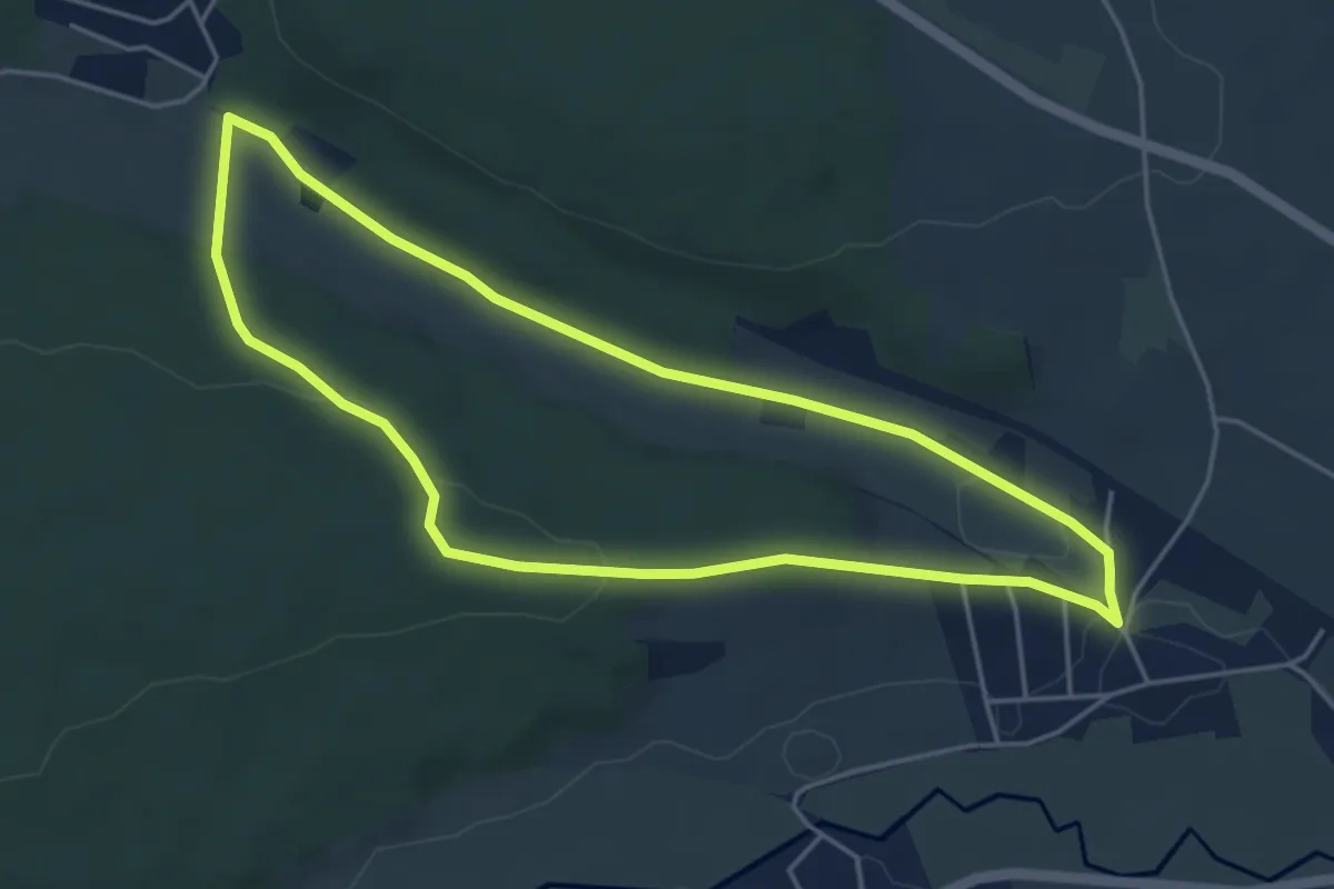
Easy · Trail
Puschendorf Wanderweg 5B
4.3 km · ↑ 69 m · 1 h 13 min
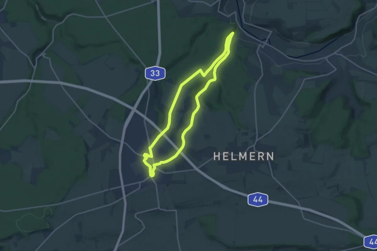
Medium · Trail
Puttenholz Pfad
11.2 km · ↑ 187 m · 3 h 13 min
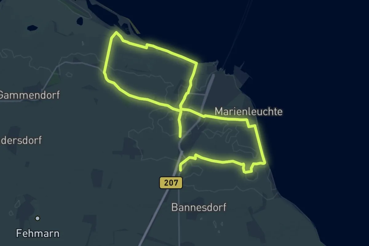
Demanding · Trail
Puttgarden Lang
29.6 km · ↑ 12 m · 7 h 1 min
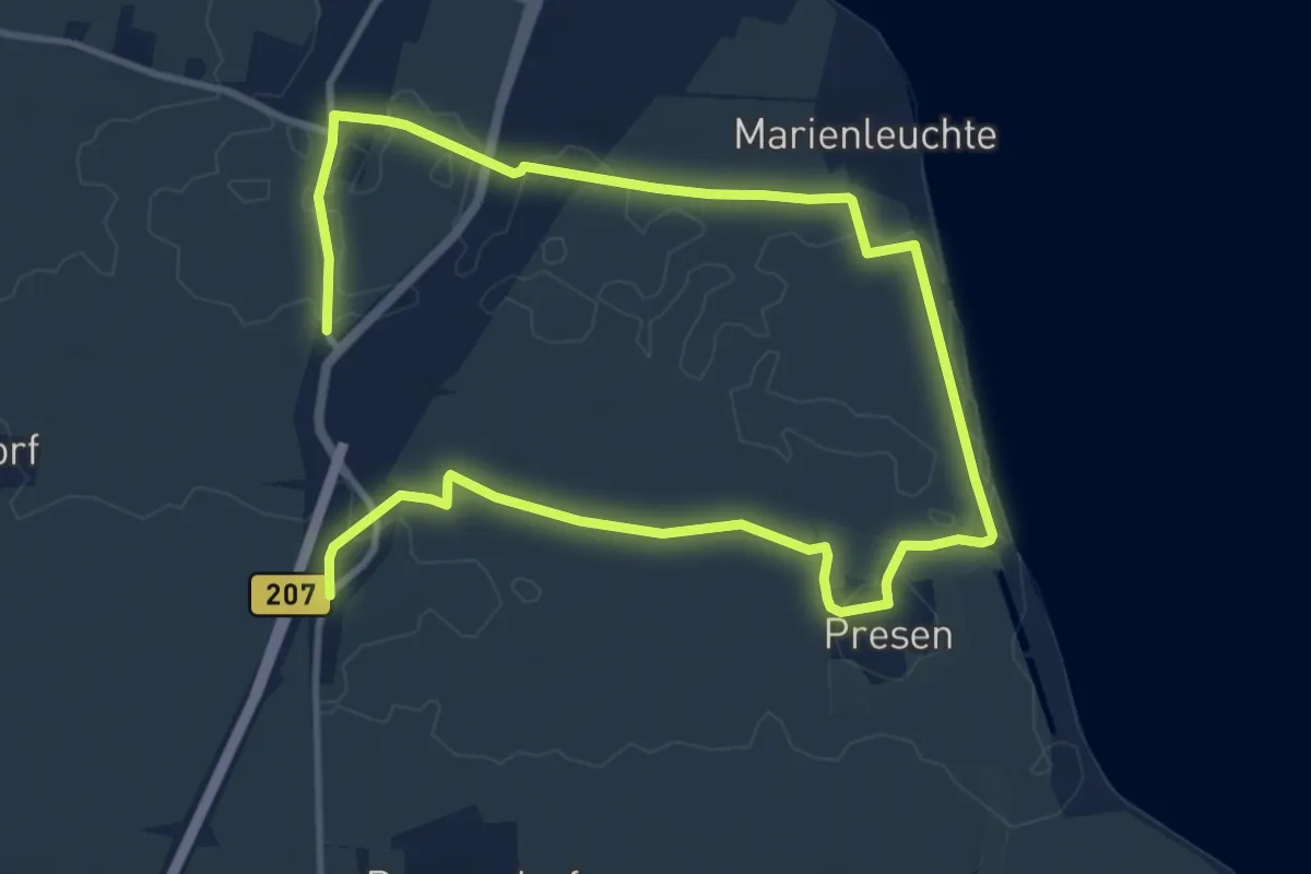
Medium · Trail
Puttgarden Süd-Ost
14.5 km · ↑ 4 m · 3 h 25 min
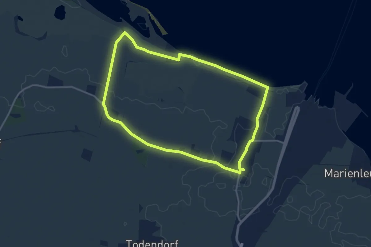
Easy · Trail
Puttgarden West
7.8 km · ↑ 4 m · 1 h 57 min
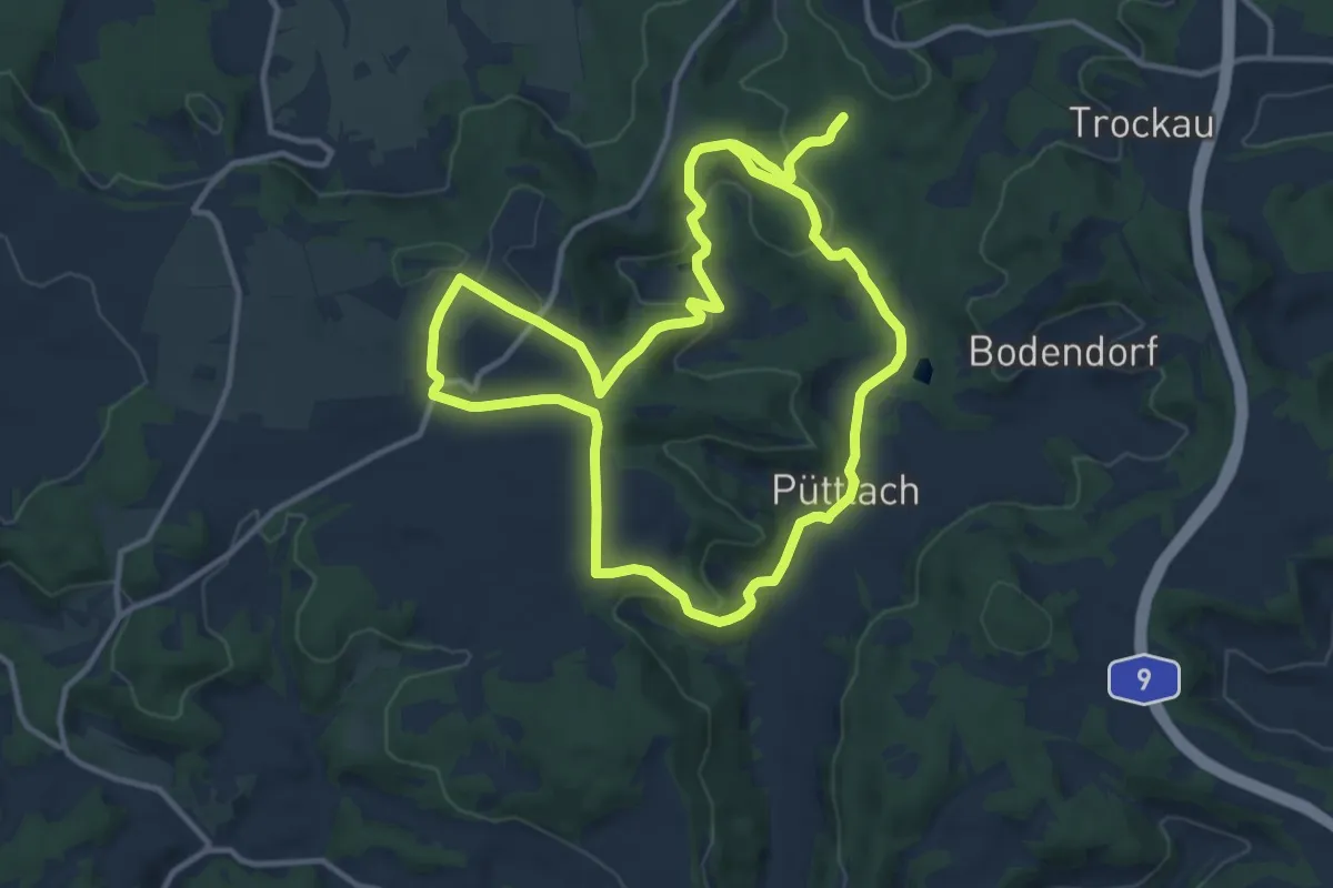
Medium · Summit
Püttlach-Hohenmirsbach
11.8 km · ↑ 343 m · 3 h 42 min
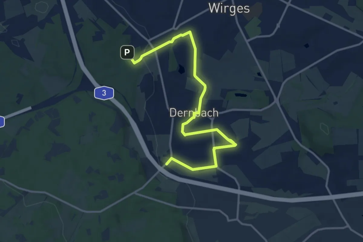
Medium · Trail
PW Heilbornweg 13 km
10.6 km · ↑ 127 m · 2 h 46 min
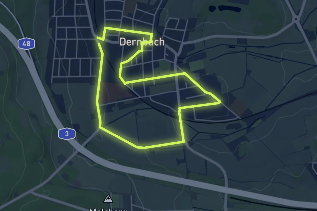
Easy · Trail
PW Heilbornweg 5 km
3.8 km · ↑ 39 m · 1 h 2 min
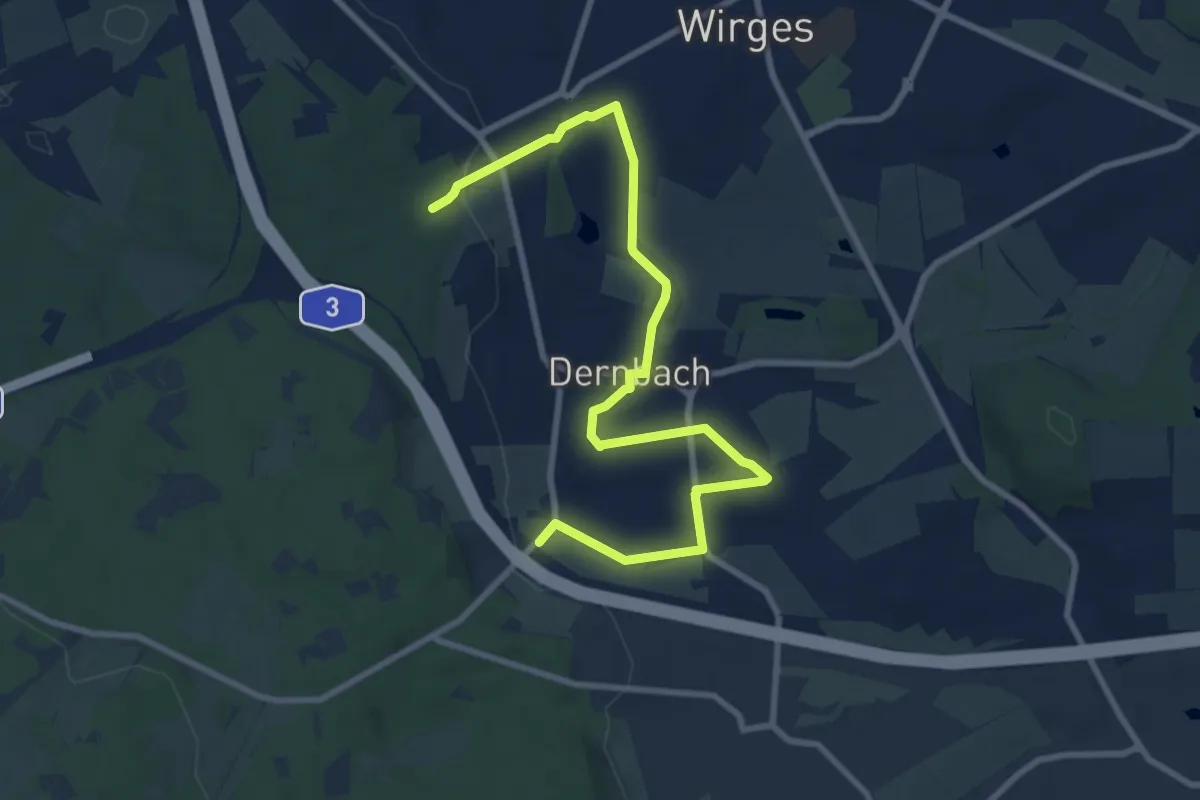
Medium · Trail
PW Heilbornweg 9 km
9.8 km · ↑ 119 m · 2 h 34 min
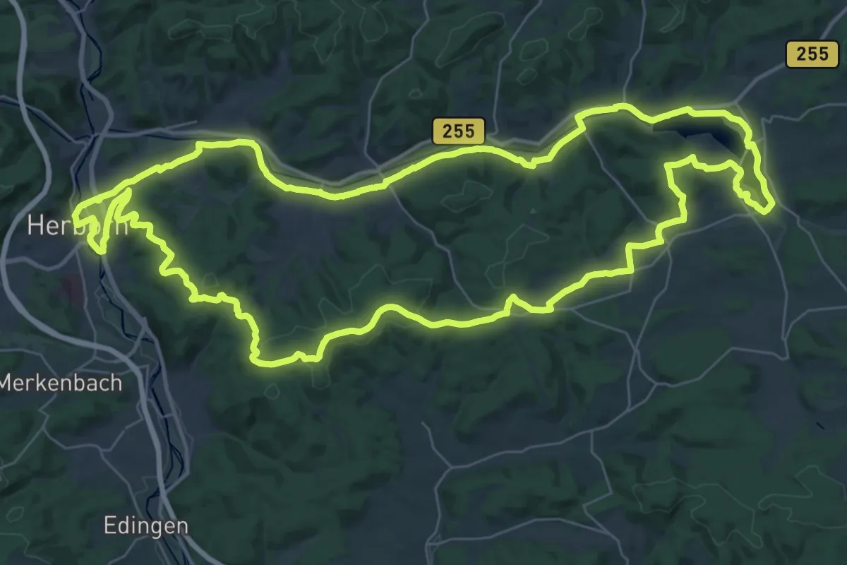
Demanding · Summit
PW Lahn-Dill-Berglandmarathon
39.3 km · ↑ 536 m · 11 h
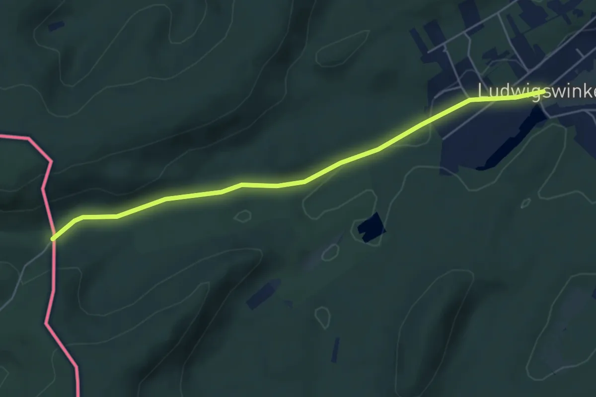
Easy · Trail
PWV Blaues Dreieck
5.0 km · ↑ 76 m · 1 h 21 min
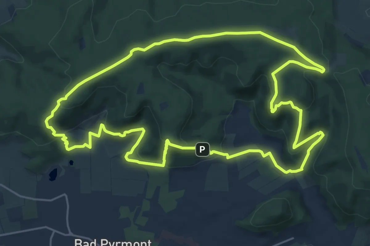
Medium · Summit
PY1 Pyrmonter Berg-Runde
14.4 km · ↑ 502 m · 4 h 42 min
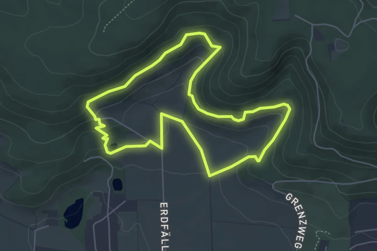
Easy · Trail
PY2 Rundweg Erdfälle
4.3 km · ↑ 160 m · 1 h 26 min
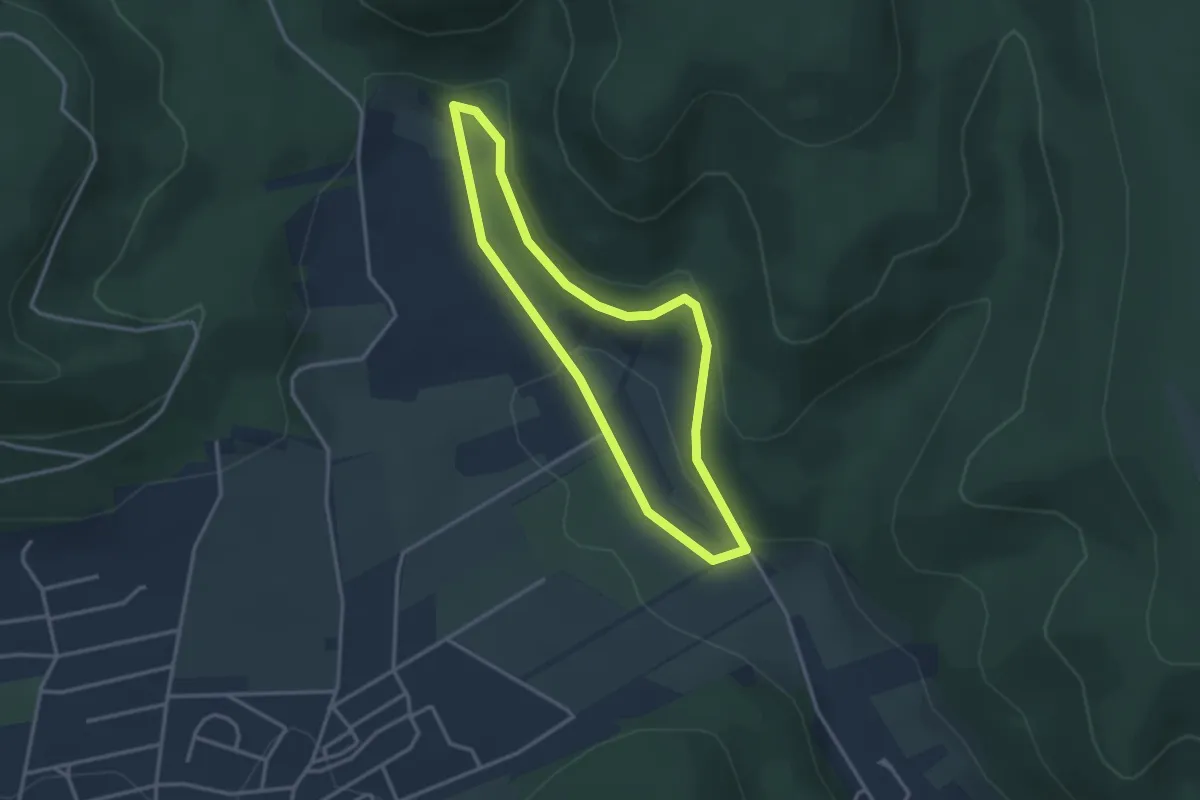
Easy · Trail
PY3 Rundweg Schellental (barrierearm)
2.6 km · ↑ 61 m · 47 min
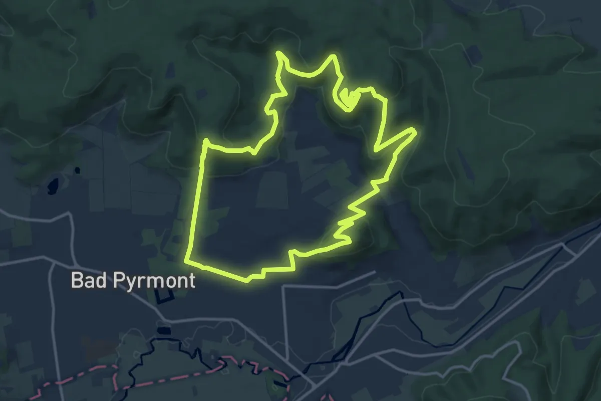
Medium · Summit
PY4 3-Türme-Tour
11.5 km · ↑ 511 m · 3 h 59 min
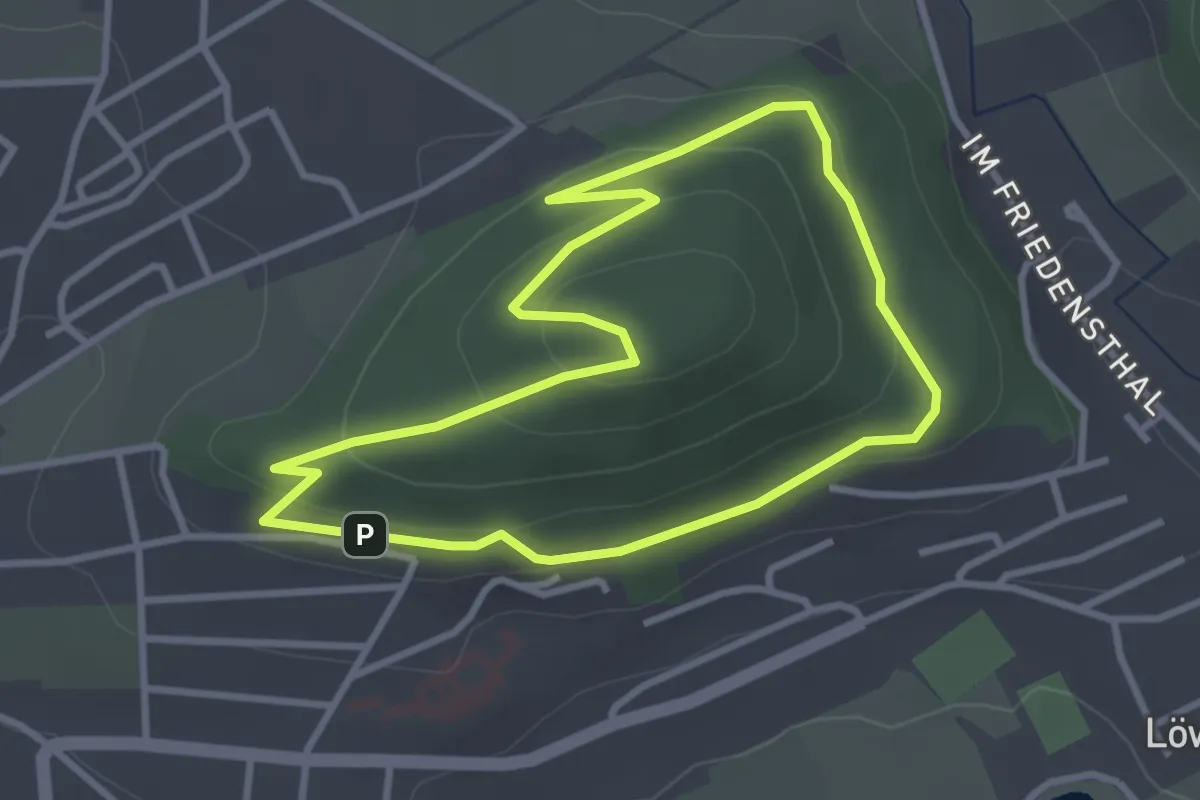
Easy · Trail
PY5 Der kleine König
2.8 km · ↑ 103 m · 55 min
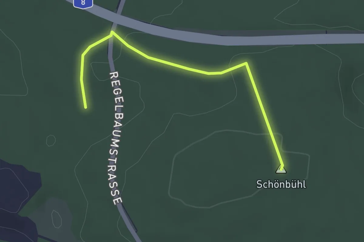
Easy · Summit
Pyramide - Ranntal Kutscherweg
2.8 km · ↑ 52 m · 47 min
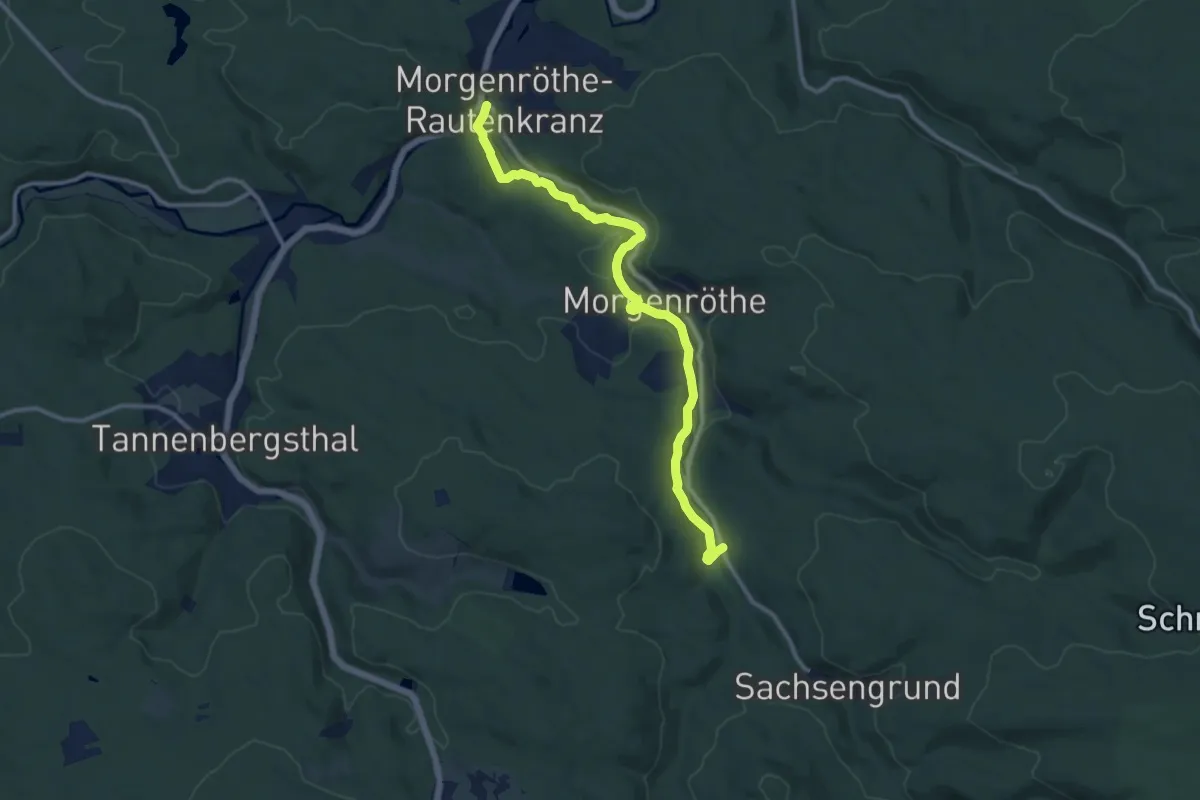
Medium · Trail
Pyratalweg
10.8 km · ↑ 227 m · 3 h 2 min
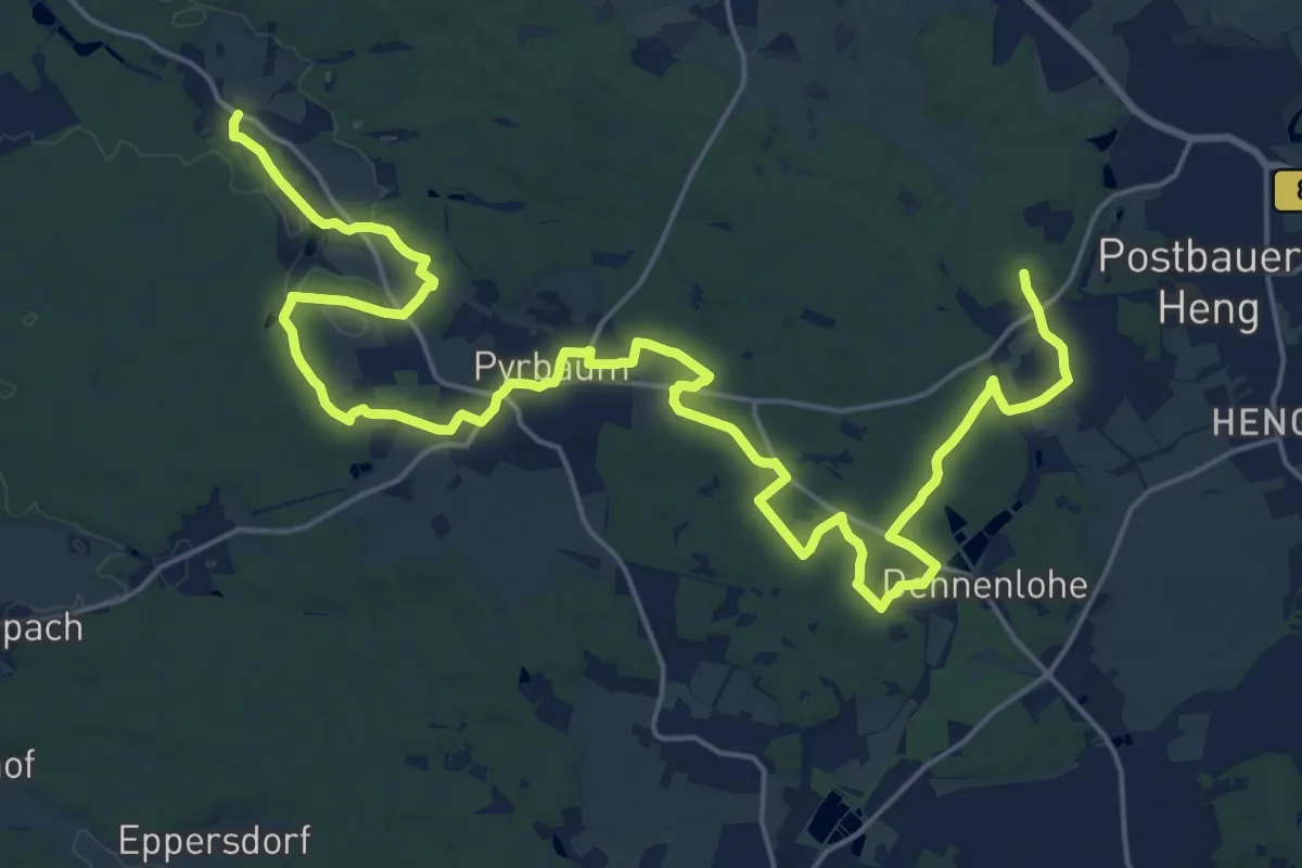
Demanding · Trail
Pyrbaumer Mühlenweg
29.1 km · ↑ 238 m · 7 h 23 min
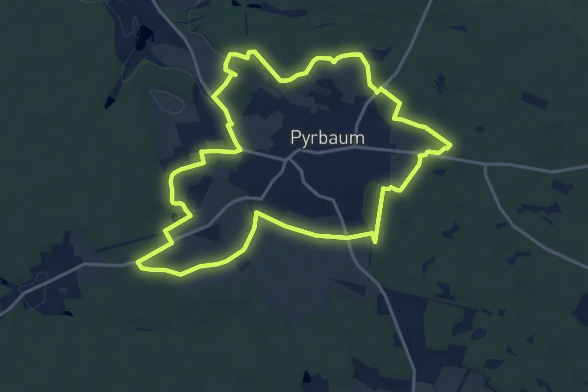
Medium · Trail
Pyrbaumer Rundgang
9.8 km · ↑ 105 m · 2 h 40 min
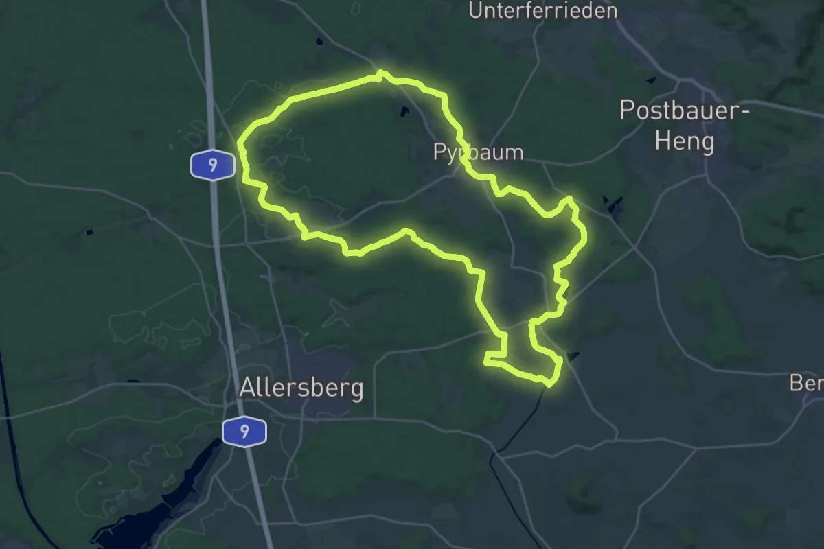
Demanding · Summit
Pyrbaumer Waldrunde
28.1 km · ↑ 187 m · 7 h 26 min
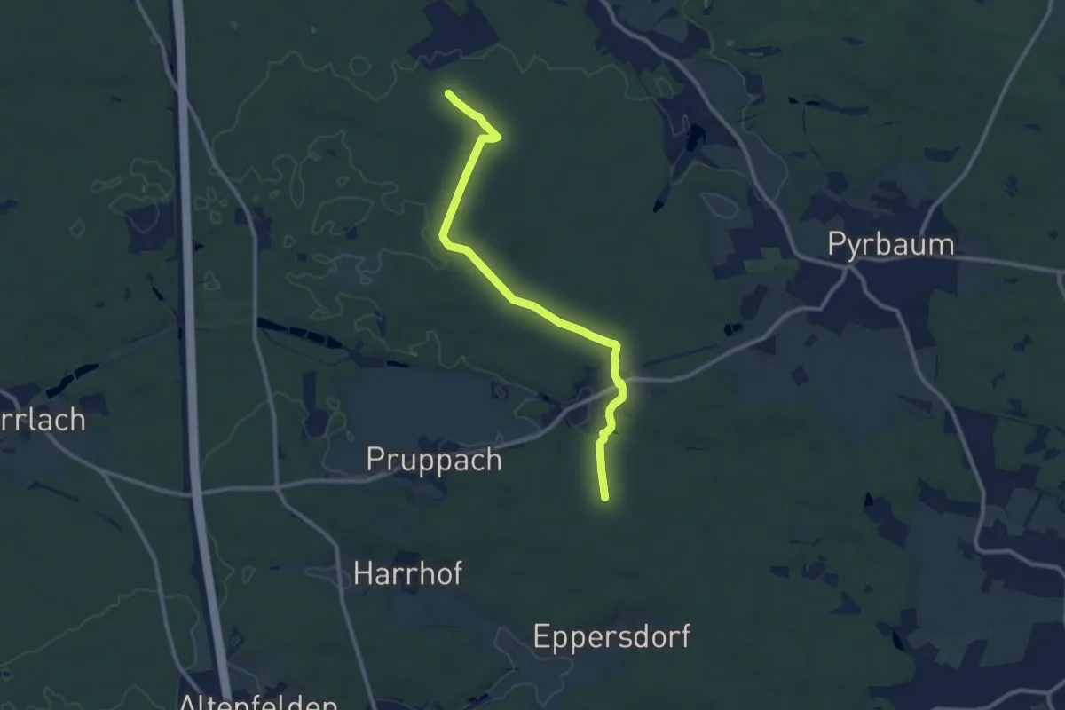
Medium · Trail
Pyrbaum Wanderweg No.3
9.5 km · ↑ 95 m · 2 h 27 min
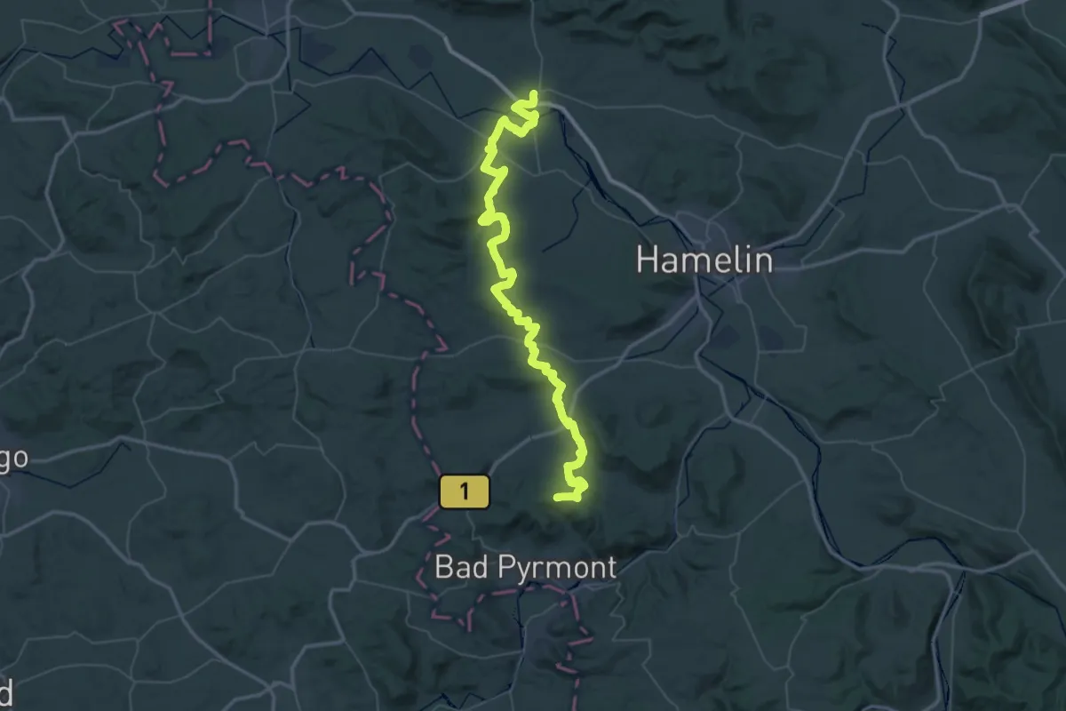
Demanding · Summit
Pyrmonter Weg
63.3 km · ↑ 985 m · 17 h 5 min
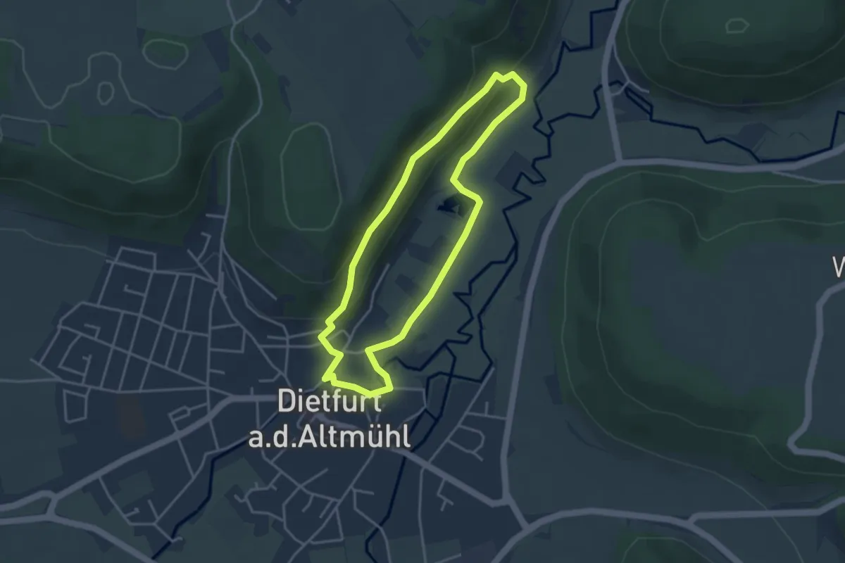
Medium · Trail
Qigong-Weg
3.2 km · ↑ 87 m · 59 min
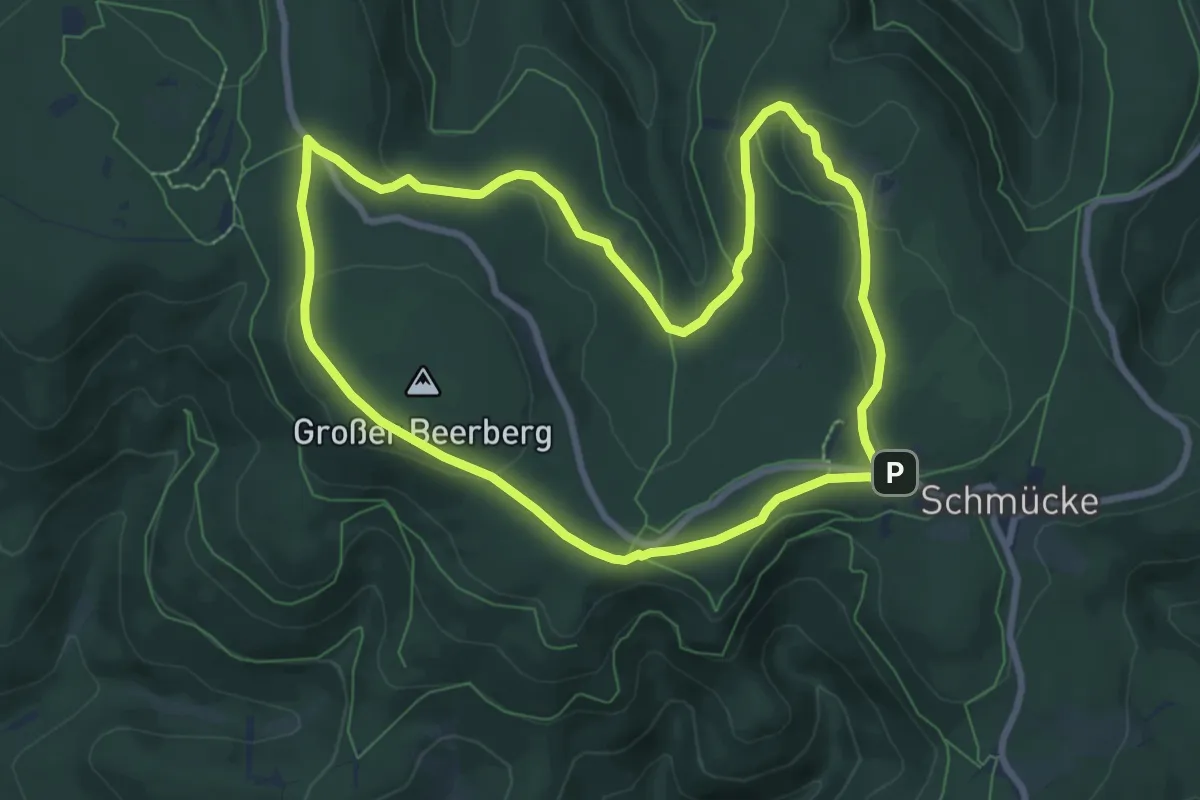
Medium · Summit
QR-Code: Rundwanderweg über Schneekopf und Plänkners Aussicht
7.6 km · ↑ 155 m · 2 h 14 min
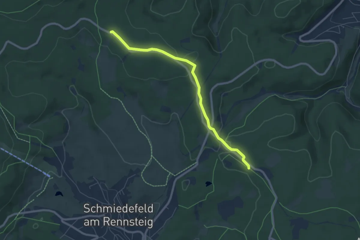
Easy · Trail
QR-Weg
5.6 km · ↑ 60 m · 1 h 27 min
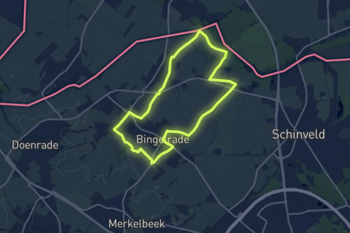
Medium · Trail
Quabeekgrub wandelroute
8.4 km · ↑ 48 m · 2 h 12 min
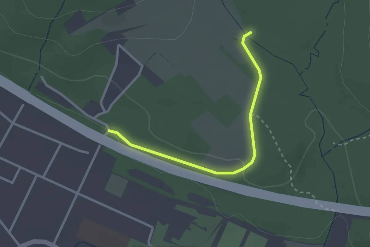
Easy · Trail
[Quadrat]
2.0 km · ↑ 24 m · 32 min
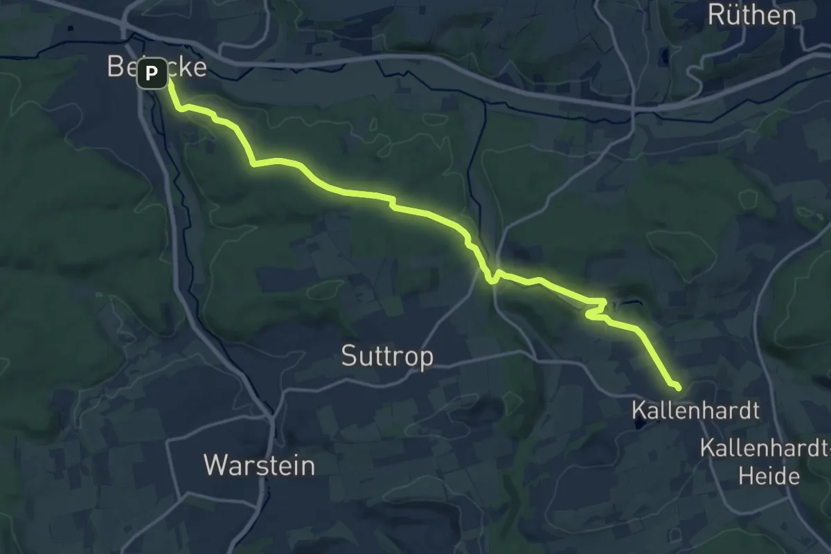
Medium · Trail
Quadrat Belecke - Körtlinghausen - Kallenhardt
16.1 km · ↑ 316 m · 4 h 29 min
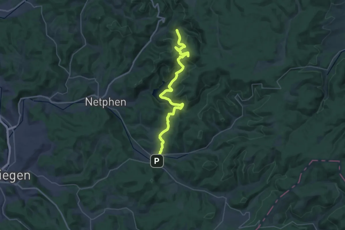
Demanding · Trail
[Quadrat] Deuz - Sohlbach
25.7 km · ↑ 854 m · 7 h 56 min
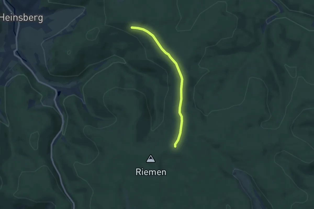
Easy · Summit
Quadrat Heinsberg - Dreiherrenstein
5.0 km · ↑ 72 m · 1 h 20 min
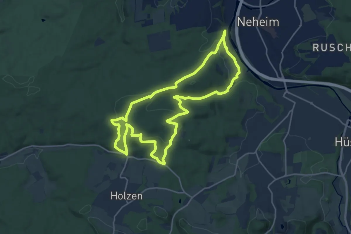
Medium · Summit
[Quadrat] Luerwald Rundweg
12.2 km · ↑ 321 m · 3 h 45 min
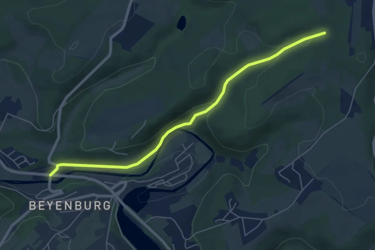
Easy · Trail
[Quadrat] Schwelm - Beyenburg
5.0 km · ↑ 140 m · 1 h 28 min
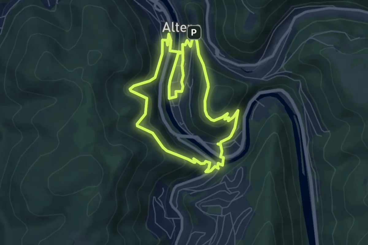
Easy · Summit
[Quadrat] Selve-Weg
6.0 km · ↑ 282 m · 2 h 6 min
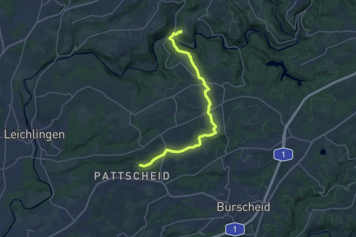
Medium · Trail
[Quadrat] Solingen - Talsperre Diepental
16.6 km · ↑ 414 m · 4 h 50 min
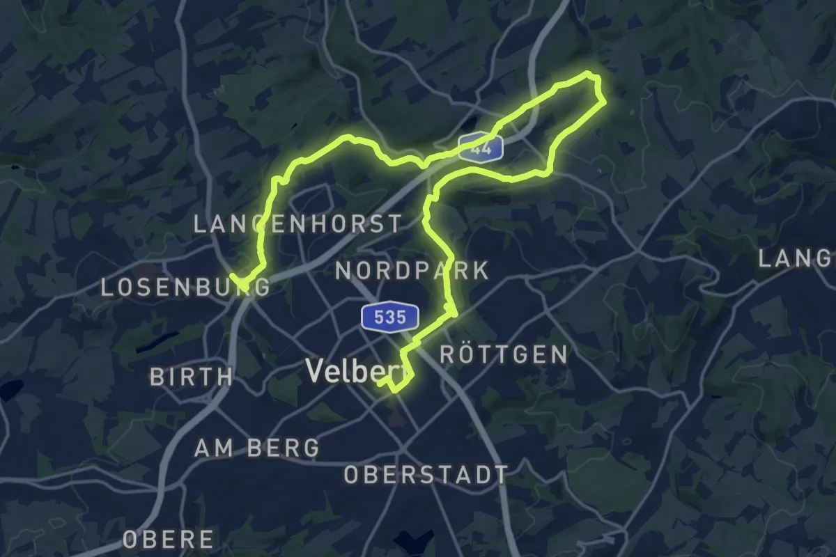
Demanding · Trail
Quadrat Wanderweg Velbert Nord
23.7 km · ↑ 473 m · 6 h 37 min
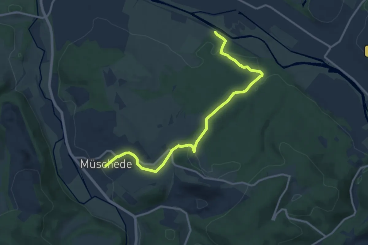
Medium · Trail
[Quadrat] Wanderweg von Müschede nach Bruchhausen
8.5 km · ↑ 235 m · 2 h 31 min
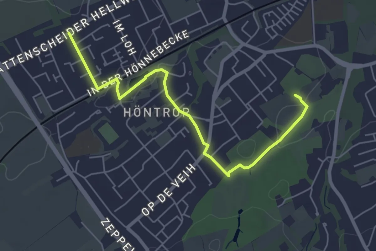
Easy · Trail
Quadrat Wattenscheid-Südpark
4.7 km · ↑ 35 m · 1 h 11 min
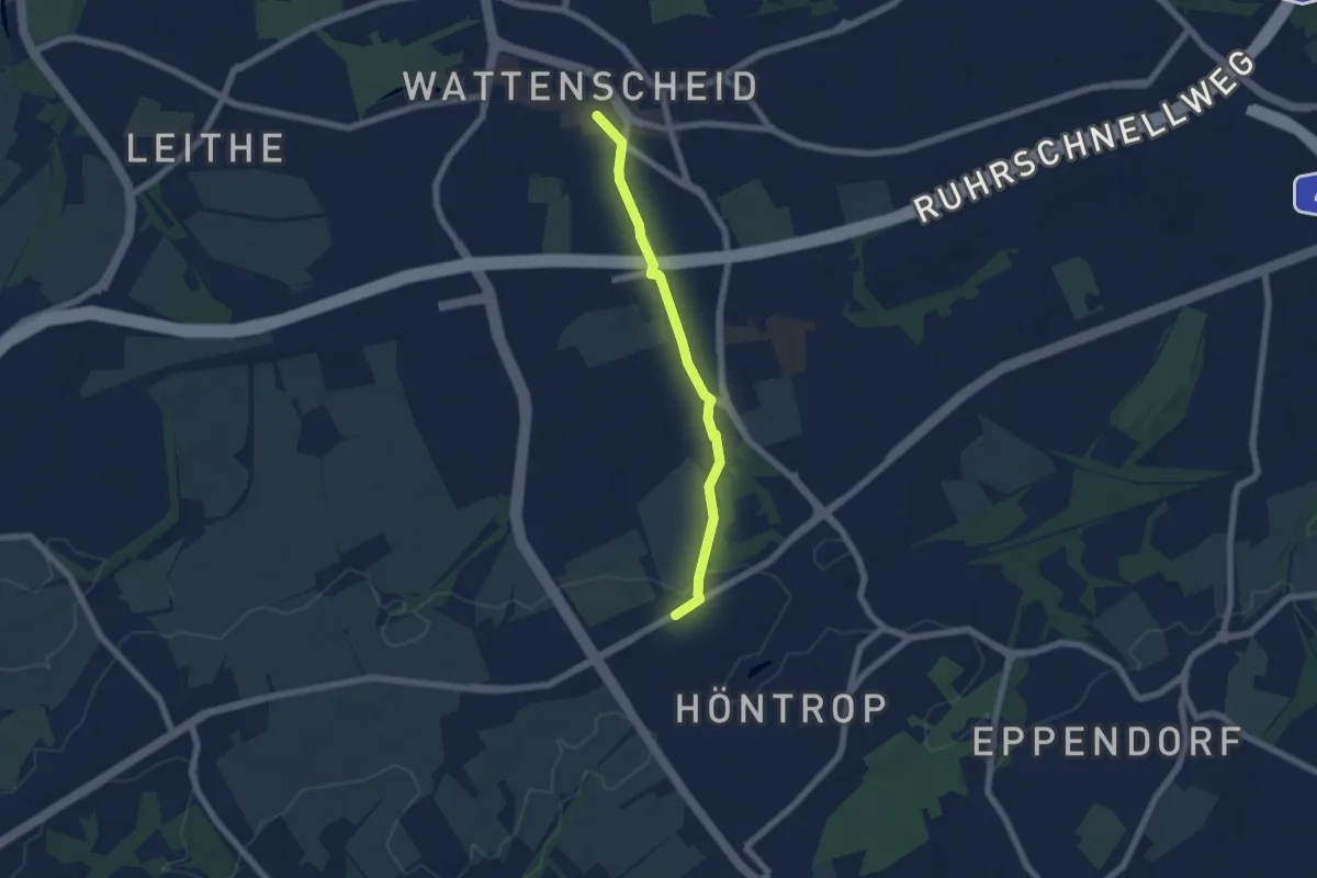
Easy · Trail
Quadrat Wattenscheid-Südpark
5.2 km · ↑ 36 m · 1 h 18 min
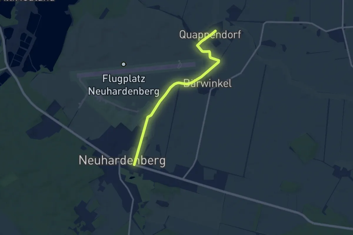
Easy · Trail
Quappenwanderweg
8.0 km · ↑ 13 m · 1 h 55 min
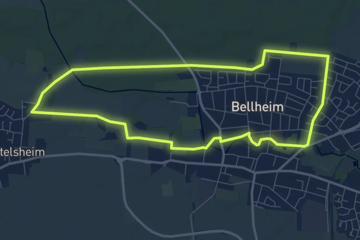
Easy · Trail
Queichmühlen Rundwanderweg
7.4 km · ↑ 13 m · 1 h 52 min
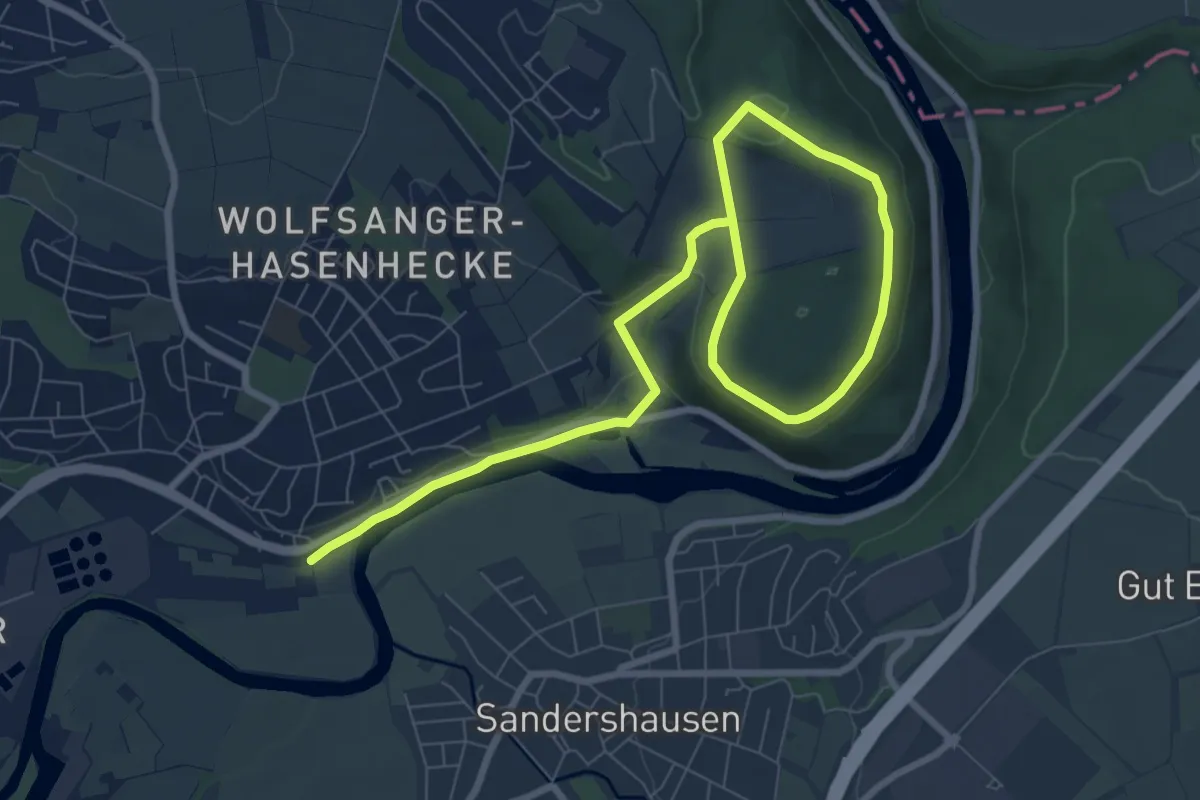
Easy · Trail
Quellbergweg
5.1 km · ↑ 70 m · 1 h 28 min
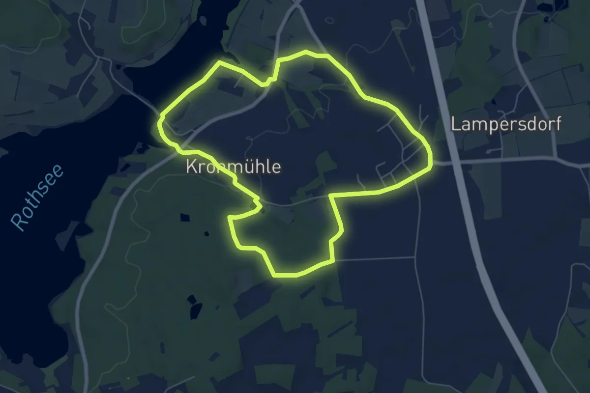
Easy · Trail
Quellen am Rothsee
6.1 km · ↑ 59 m · 1 h 39 min
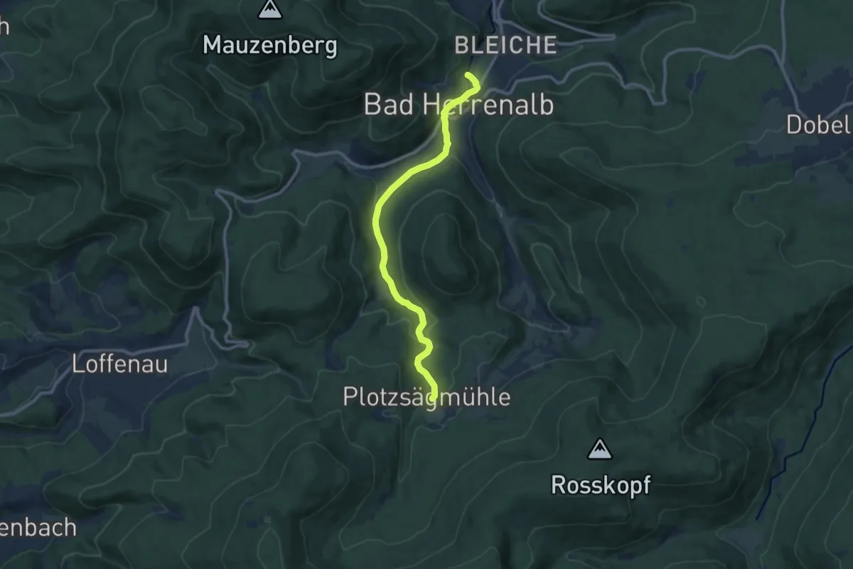
Medium · Trail
Quellenerlebnispfad
9.5 km · ↑ 211 m · 2 h 42 min
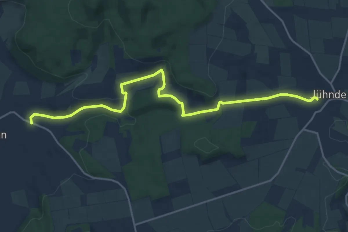
Medium · Trail
Quellenpfad Q1
11.1 km · ↑ 293 m · 3 h 16 min
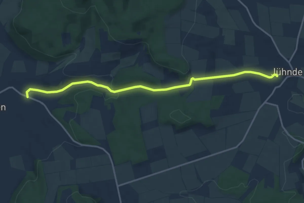
Medium · Trail
Quellenpfad Q2
8.9 km · ↑ 218 m · 2 h 34 min