Trails in Germany
36,852 hiking trails, each with its route, climb, walking time and grade.
All trails, page 429 of 768
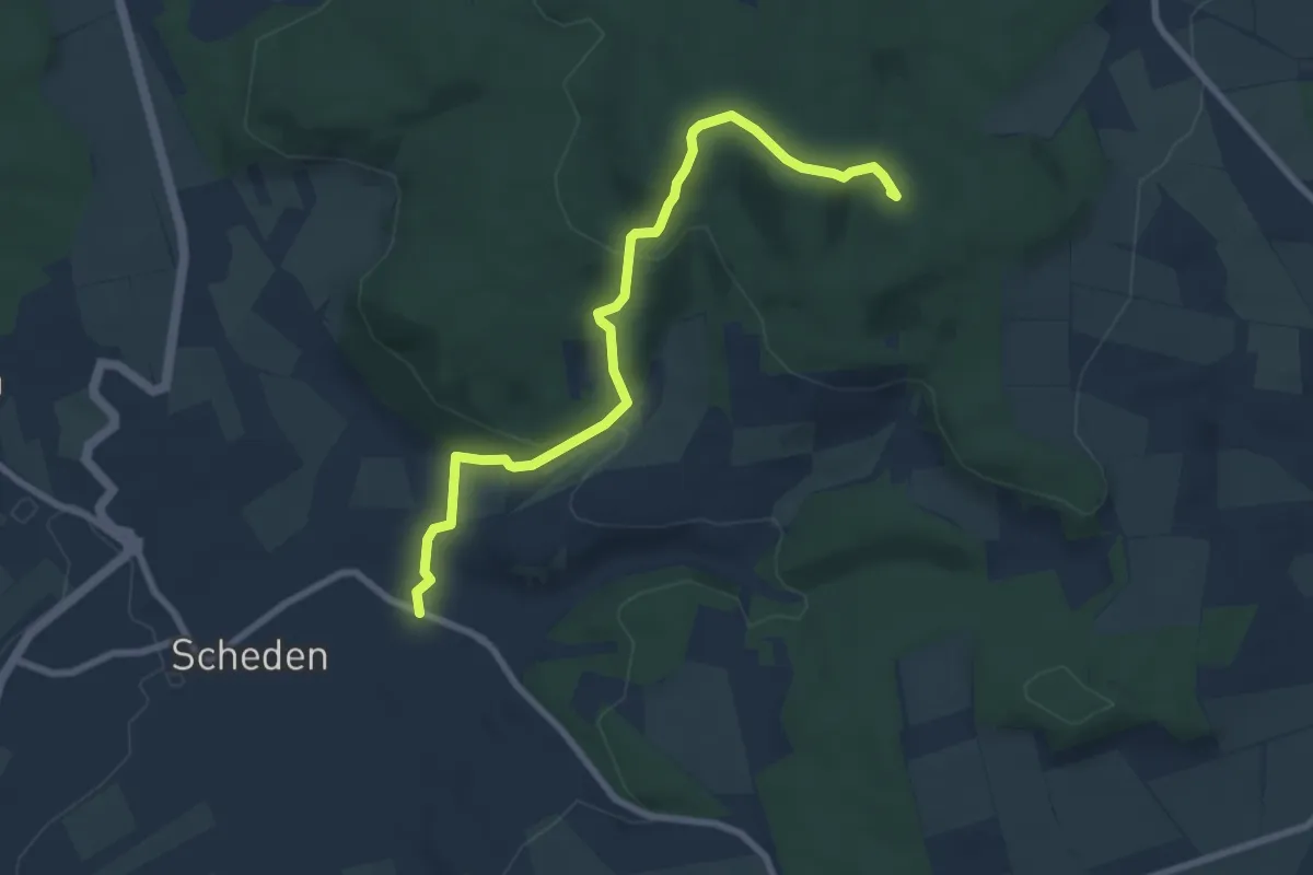
Easy · Summit
Quellenpfad Q3
7.4 km · ↑ 261 m · 2 h 18 min
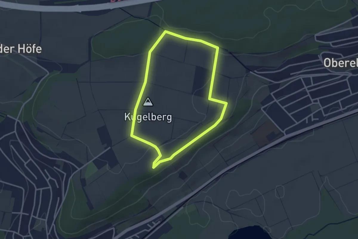
Easy · Summit
Quellenrundweg
2.7 km · ↑ 33 m · 44 min
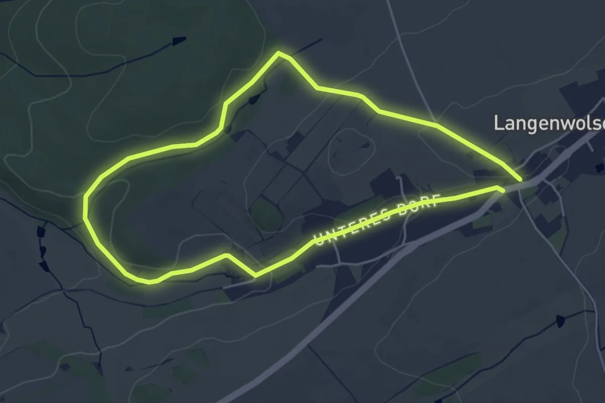
Easy · Trail
Quellenrundweg
4.0 km · ↑ 57 m · 1 h 8 min
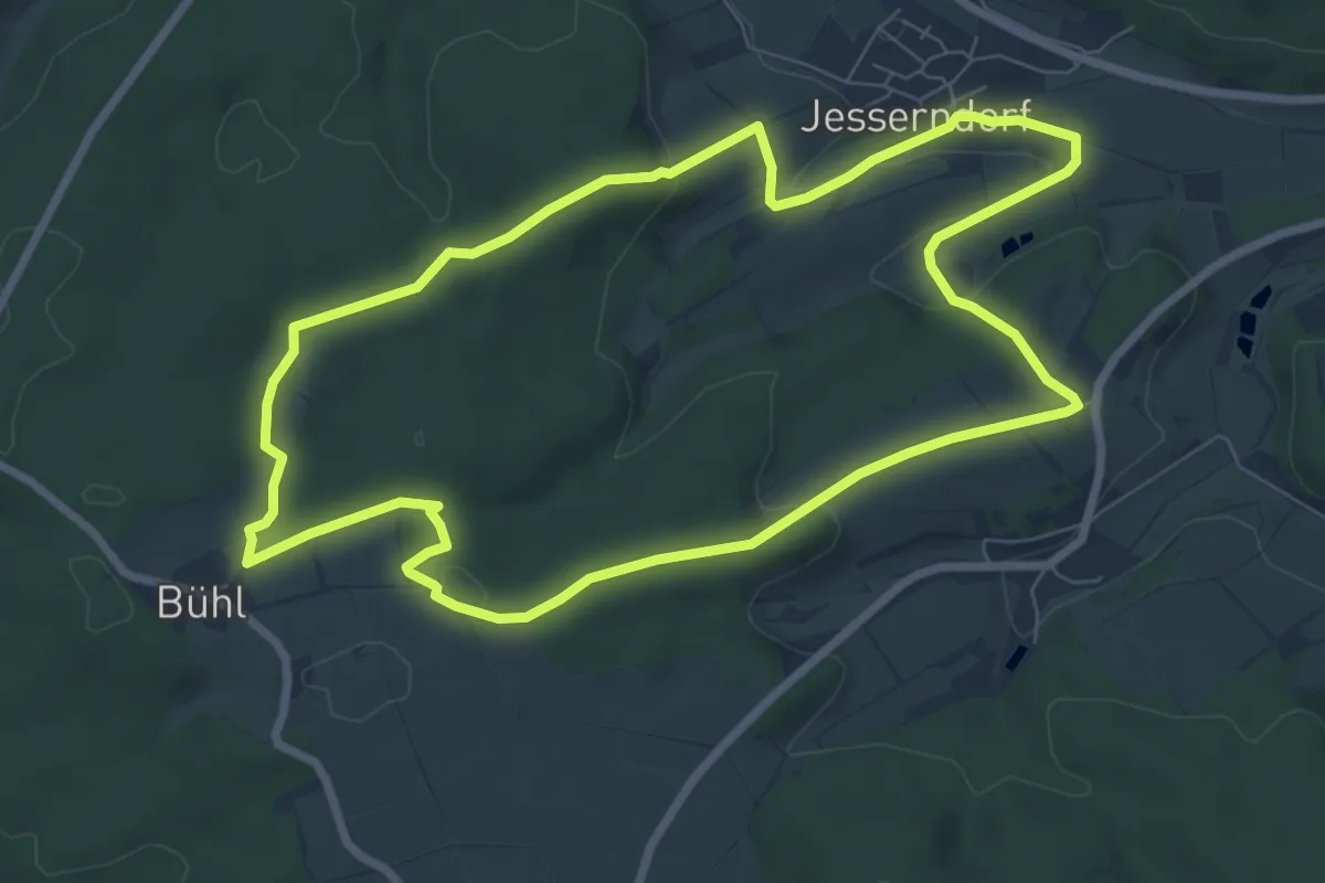
Easy · Trail
Quellen um Jesserndorf (Hauptweg)
7.3 km · ↑ 149 m · 2 h 9 min
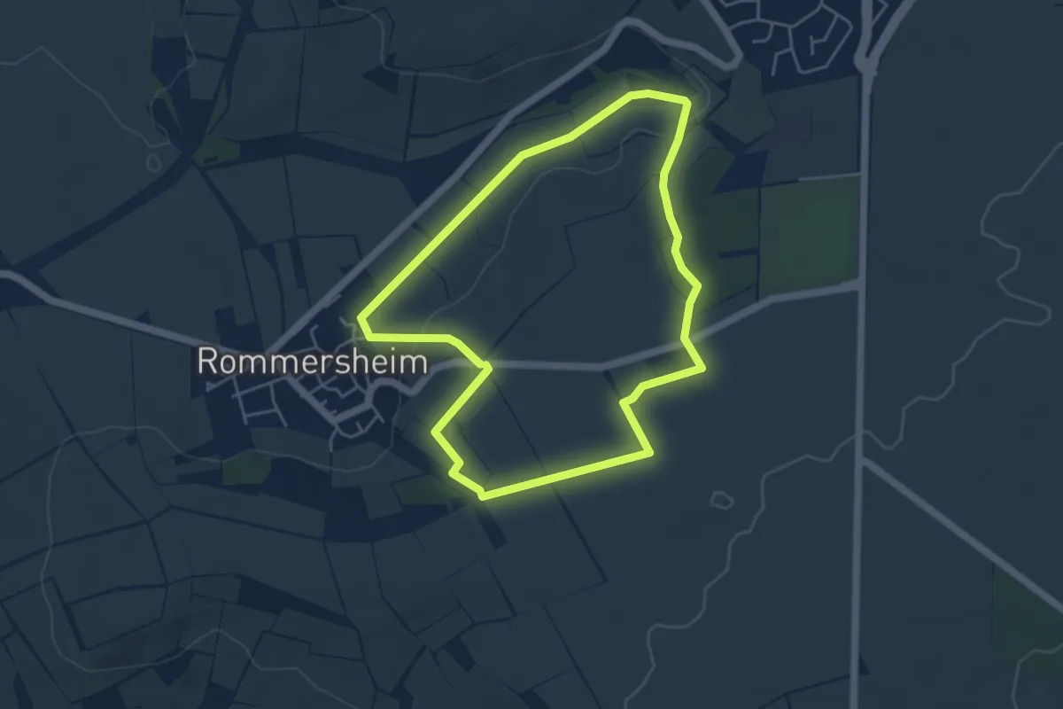
Easy · Trail
Quellen und Klauer
4.3 km · ↑ 62 m · 1 h 12 min
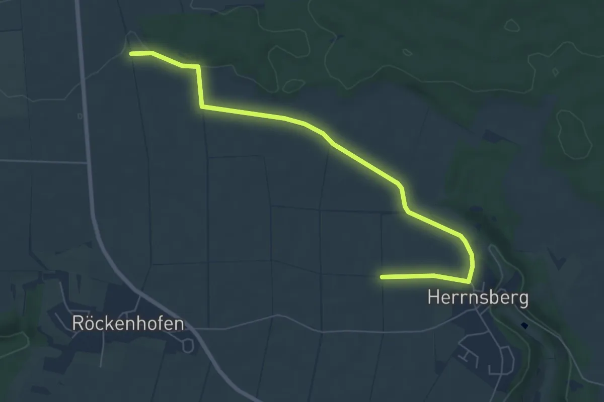
Easy · Trail
Quellenwanderweg
6.6 km · ↑ 54 m · 1 h 41 min
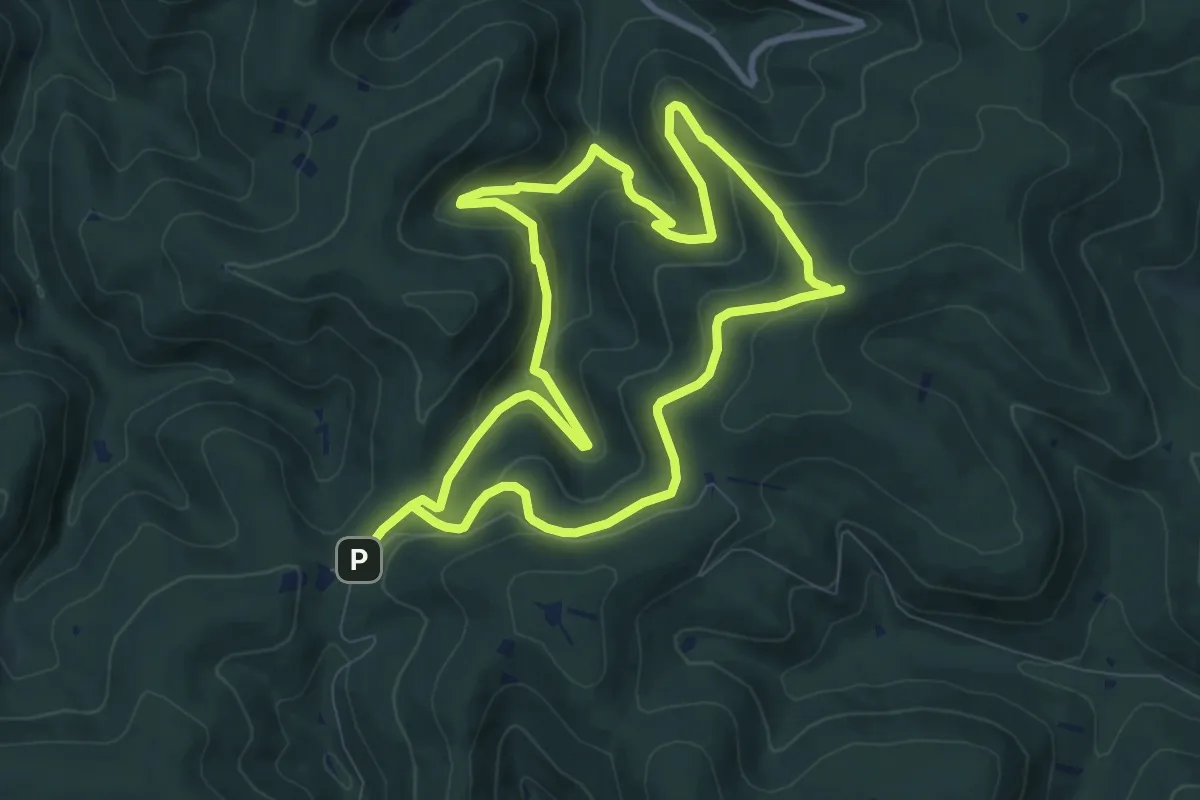
Medium · Trail
Quellenwanderweg
16.5 km · ↑ 751 m · 5 h 31 min
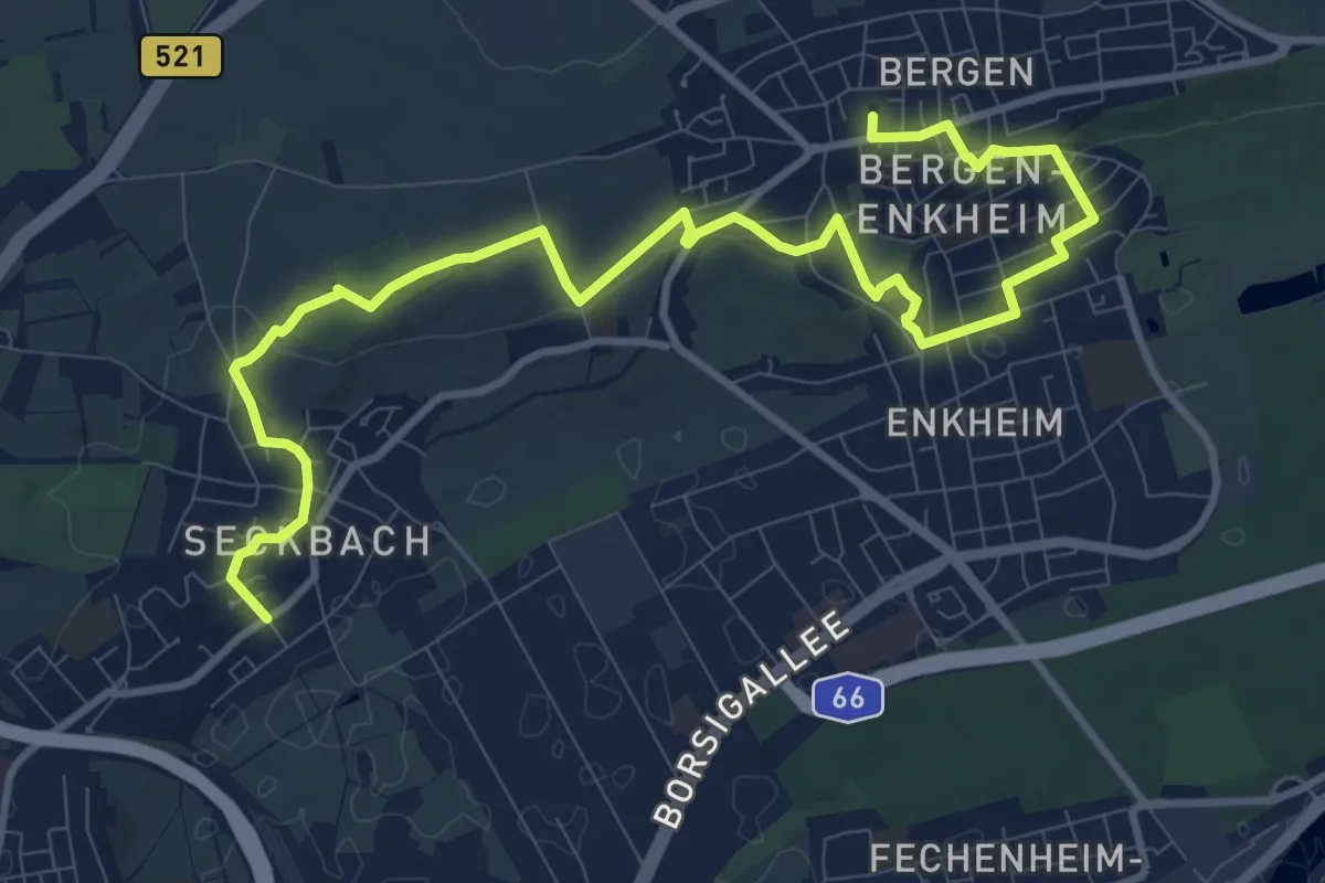
Medium · Trail
Quellenwanderweg
12.4 km · ↑ 226 m · 3 h 26 min
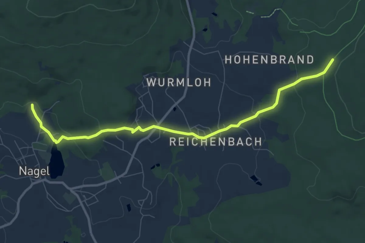
Easy · Trail
Quellenweg
7.9 km · ↑ 230 m · 2 h 22 min
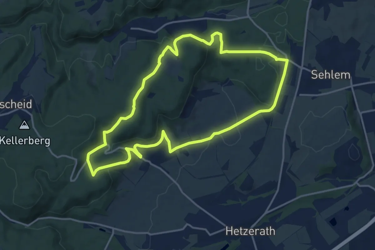
Medium · Summit
Quellenweg
10.9 km · ↑ 302 m · 3 h 23 min
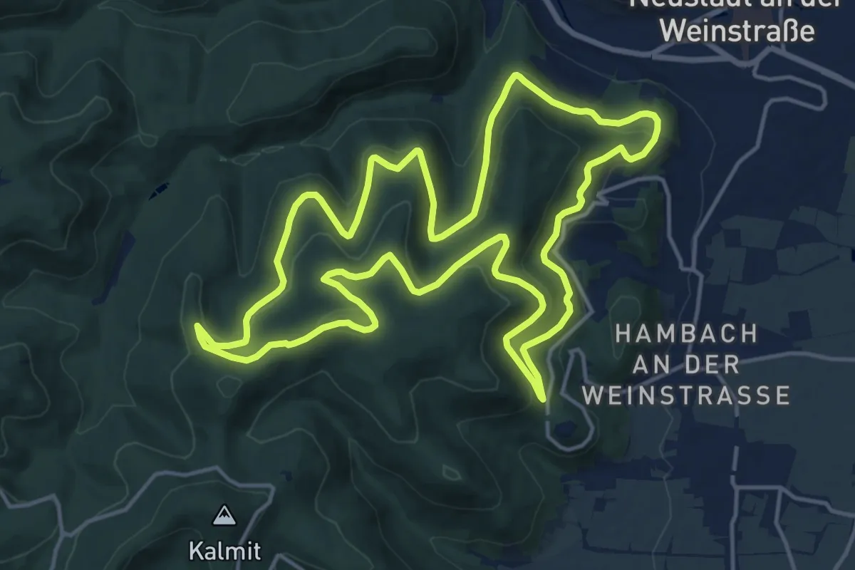
Medium · Summit
Quellenweg
15.3 km · ↑ 505 m · 4 h 55 min
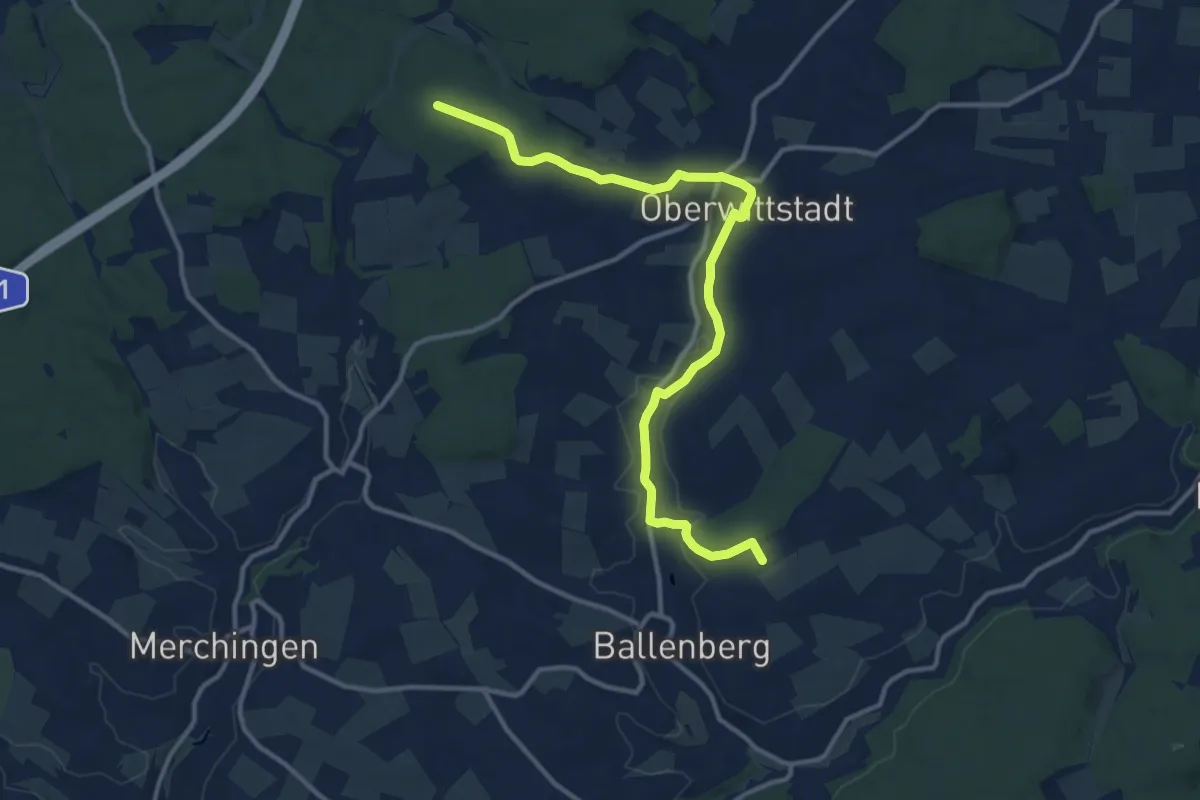
Medium · Trail
Quellenweg
12.6 km · ↑ 171 m · 3 h 21 min
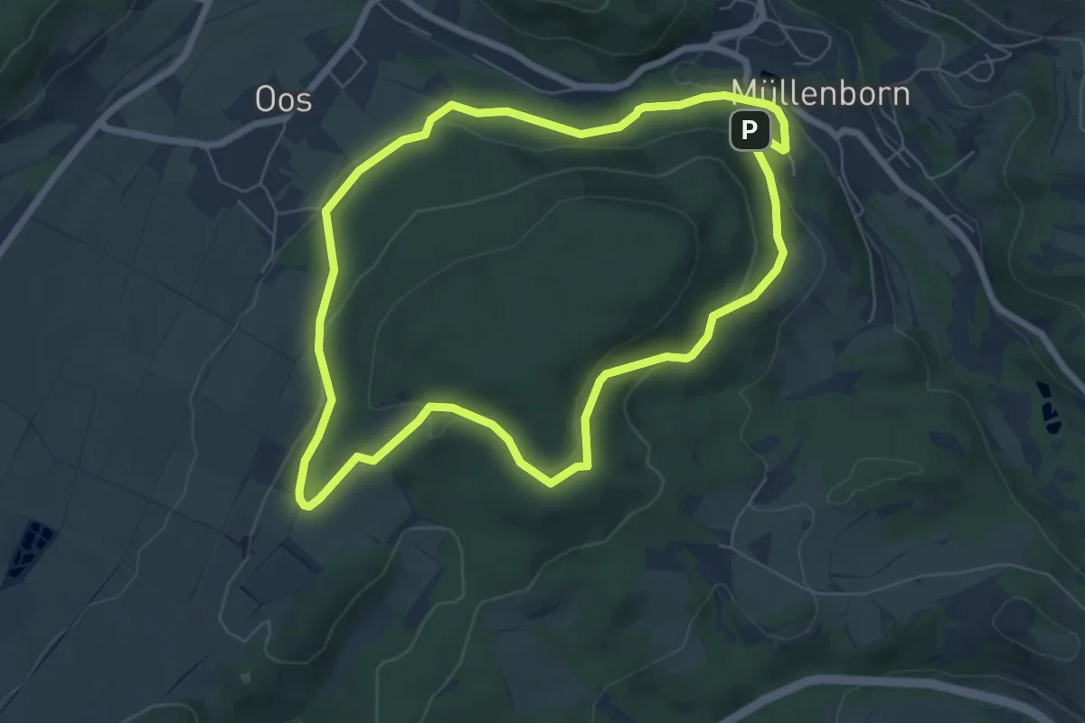
Easy · Trail
Quellenweg
6.3 km · ↑ 157 m · 1 h 54 min
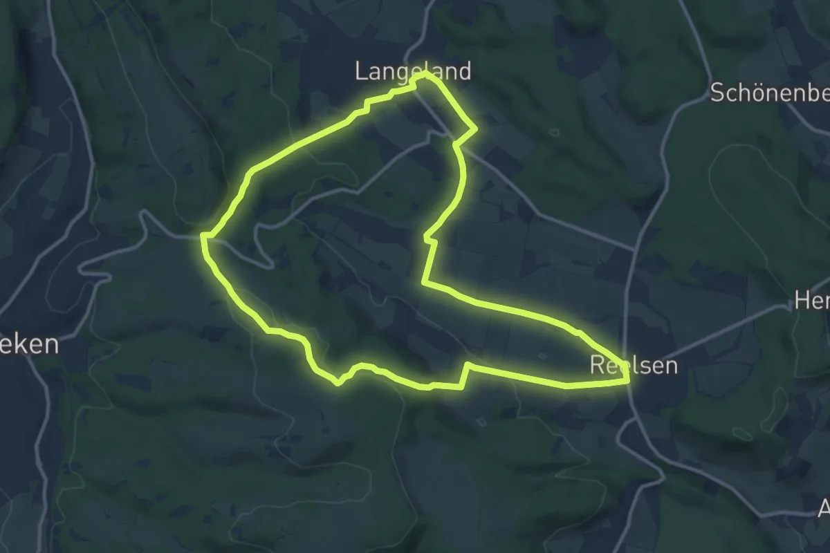
Medium · Summit
Quellenweg
11.2 km · ↑ 219 m · 3 h 17 min
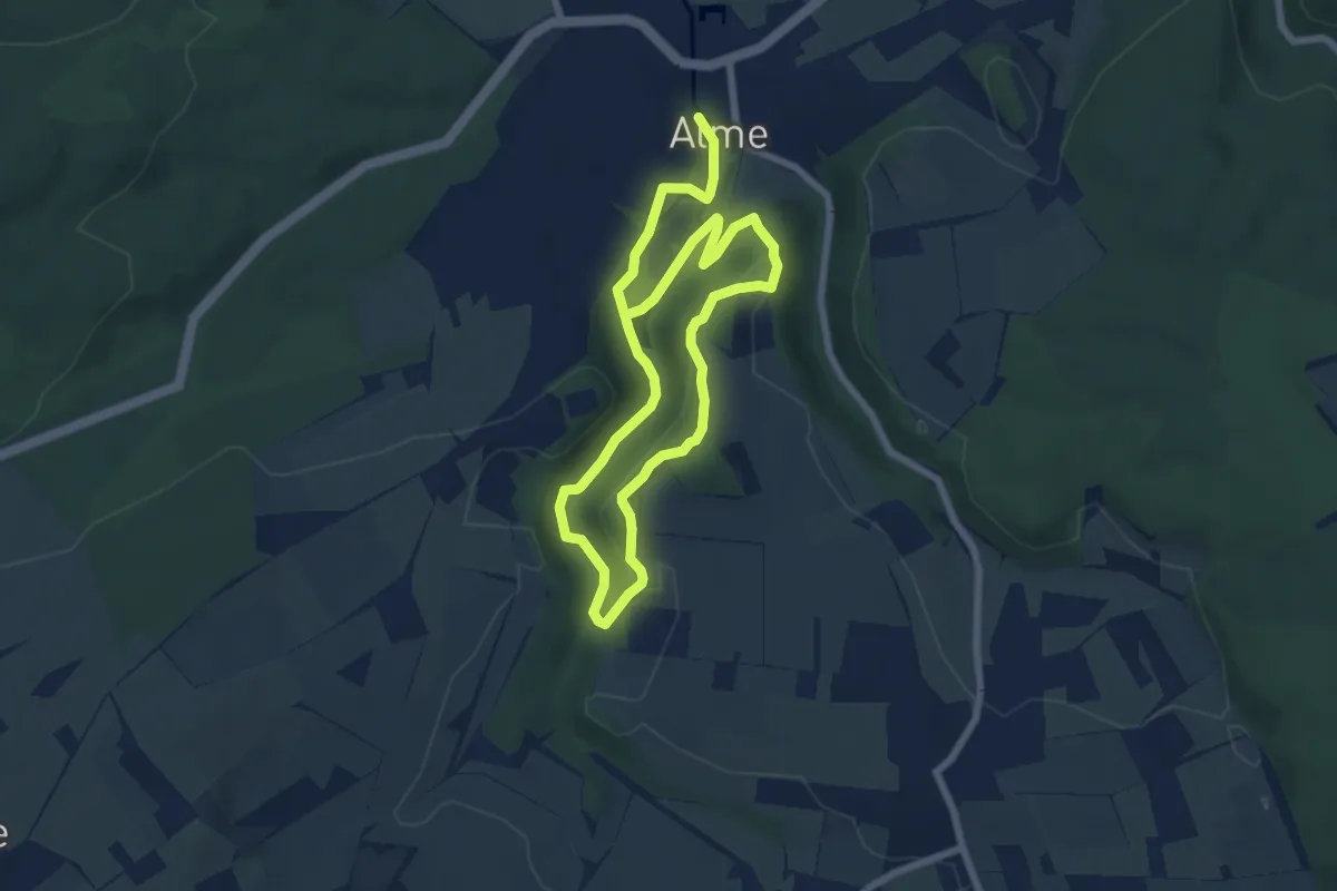
Medium · Summit
Quellenweg Alme
5.3 km · ↑ 147 m · 1 h 38 min
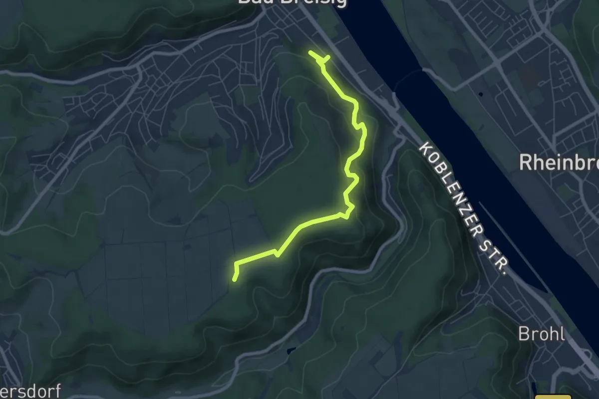
Medium · Trail
Quellenweg Bad Breisig
6.4 km · ↑ 234 m · 2 h 1 min
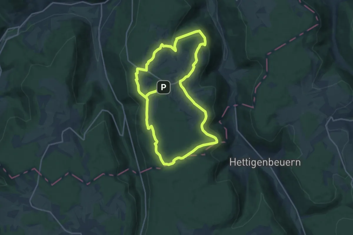
Medium · Summit
Quellenweg Beuchen
12.3 km · ↑ 212 m · 3 h 33 min
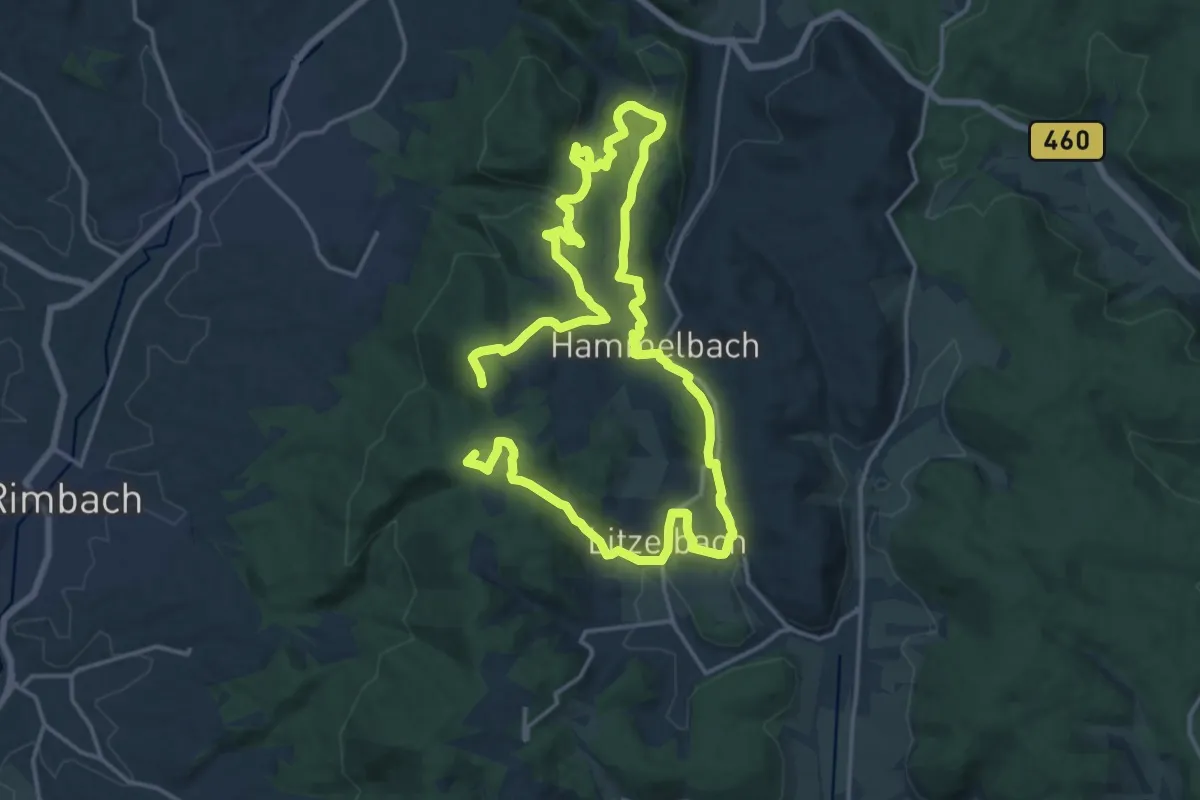
Medium · Summit
Quellenweg Hammelbach
14.1 km · ↑ 389 m · 4 h 21 min
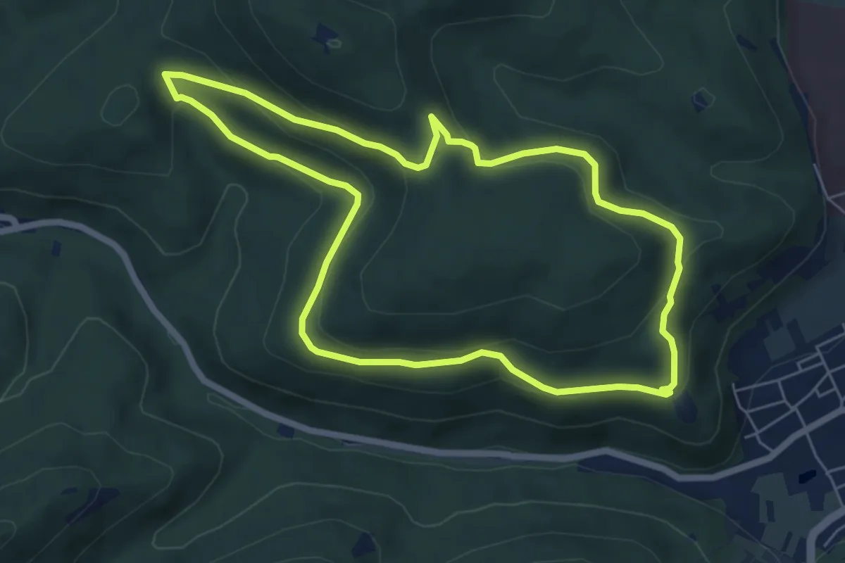
Easy · Trail
Quellenweg Klingenmünster
5.5 km · ↑ 193 m · 1 h 48 min
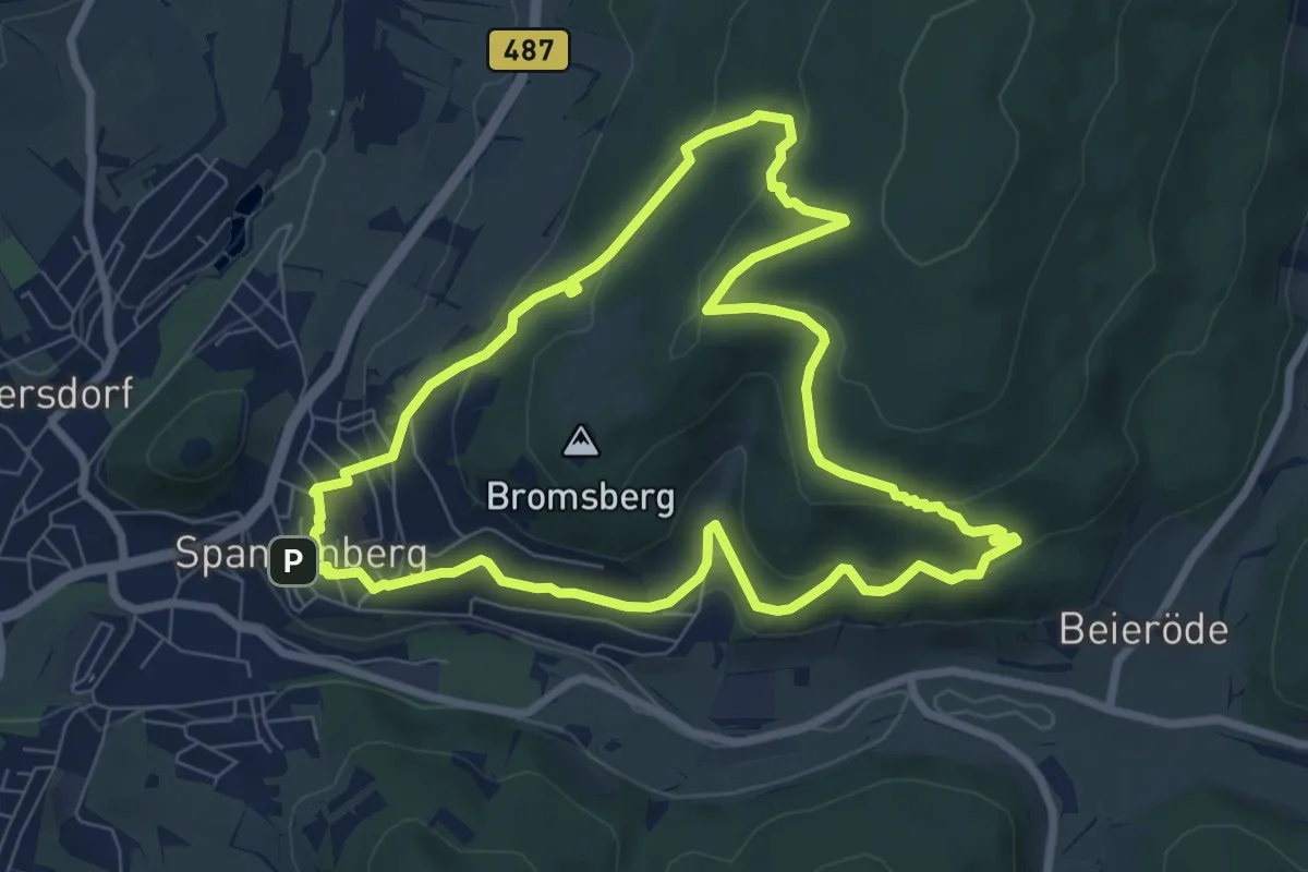
Easy · Trail
Quellpfad
7.4 km · ↑ 290 m · 2 h 29 min
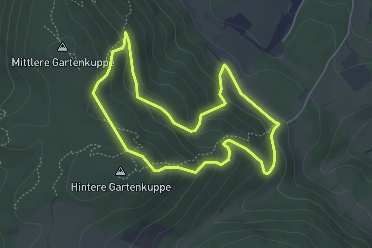
Easy · Summit
Quellweg
3.8 km · ↑ 207 m · 1 h 24 min
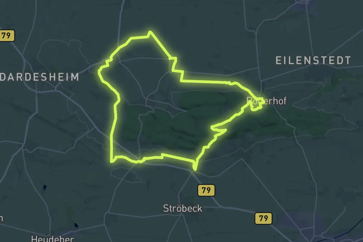
Demanding · Summit
Quellweg
30.3 km · ↑ 383 m · 8 h 24 min
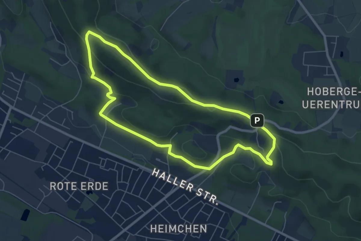
Easy · Summit
Quellweg
5.3 km · ↑ 137 m · 1 h 37 min
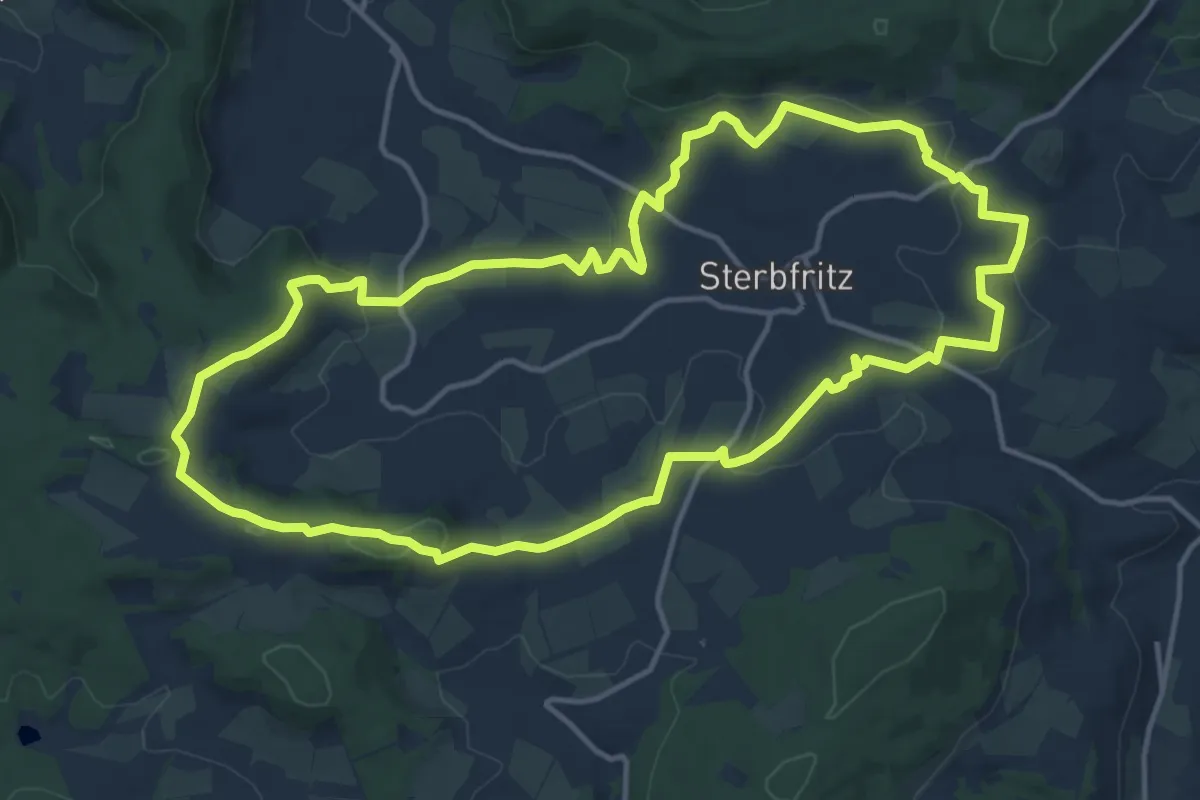
Medium · Summit
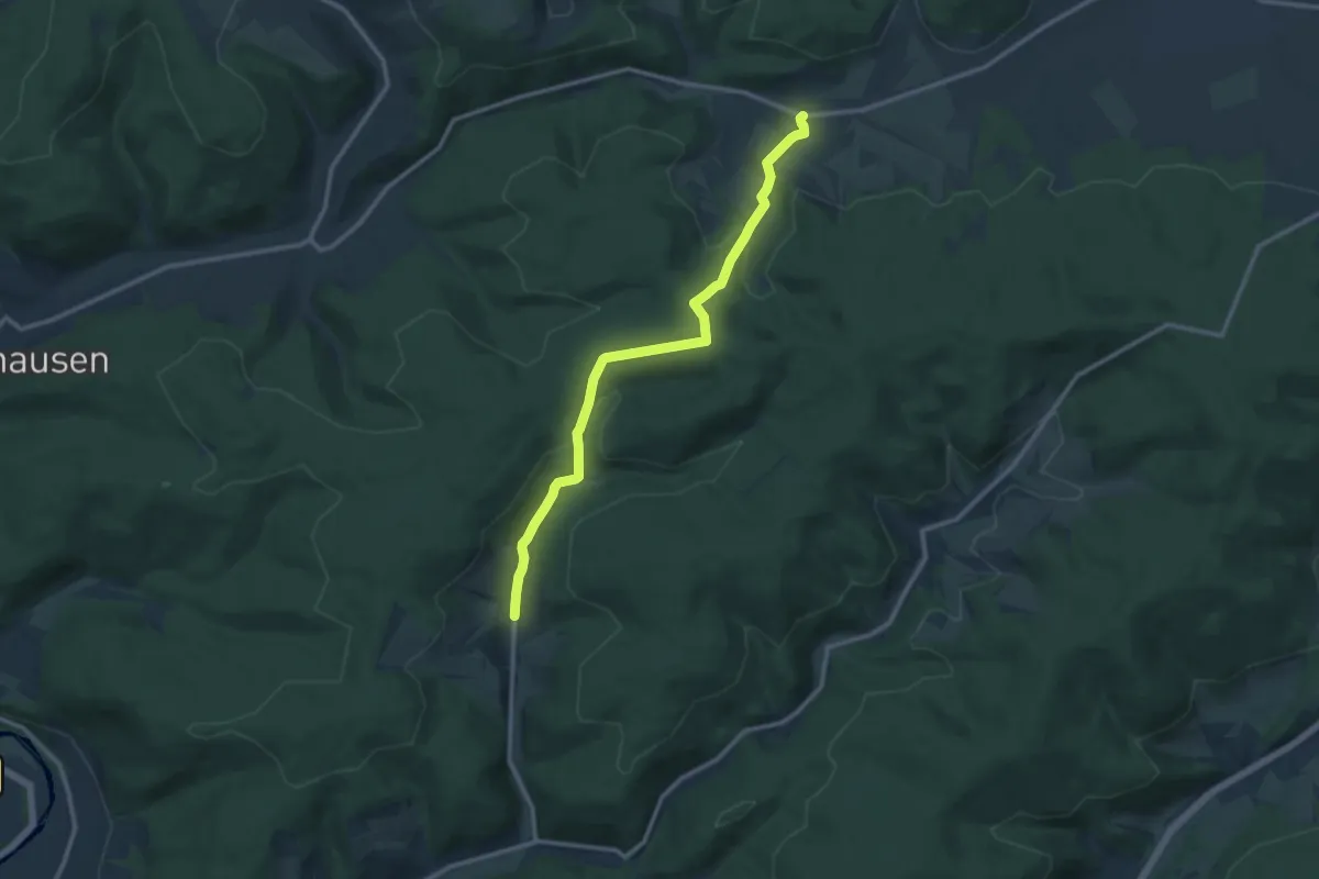
Quellwinkel Kinzig ( Spessartfährten )
13.6 km · ↑ 250 m · 3 h 56 min
Medium · Trail
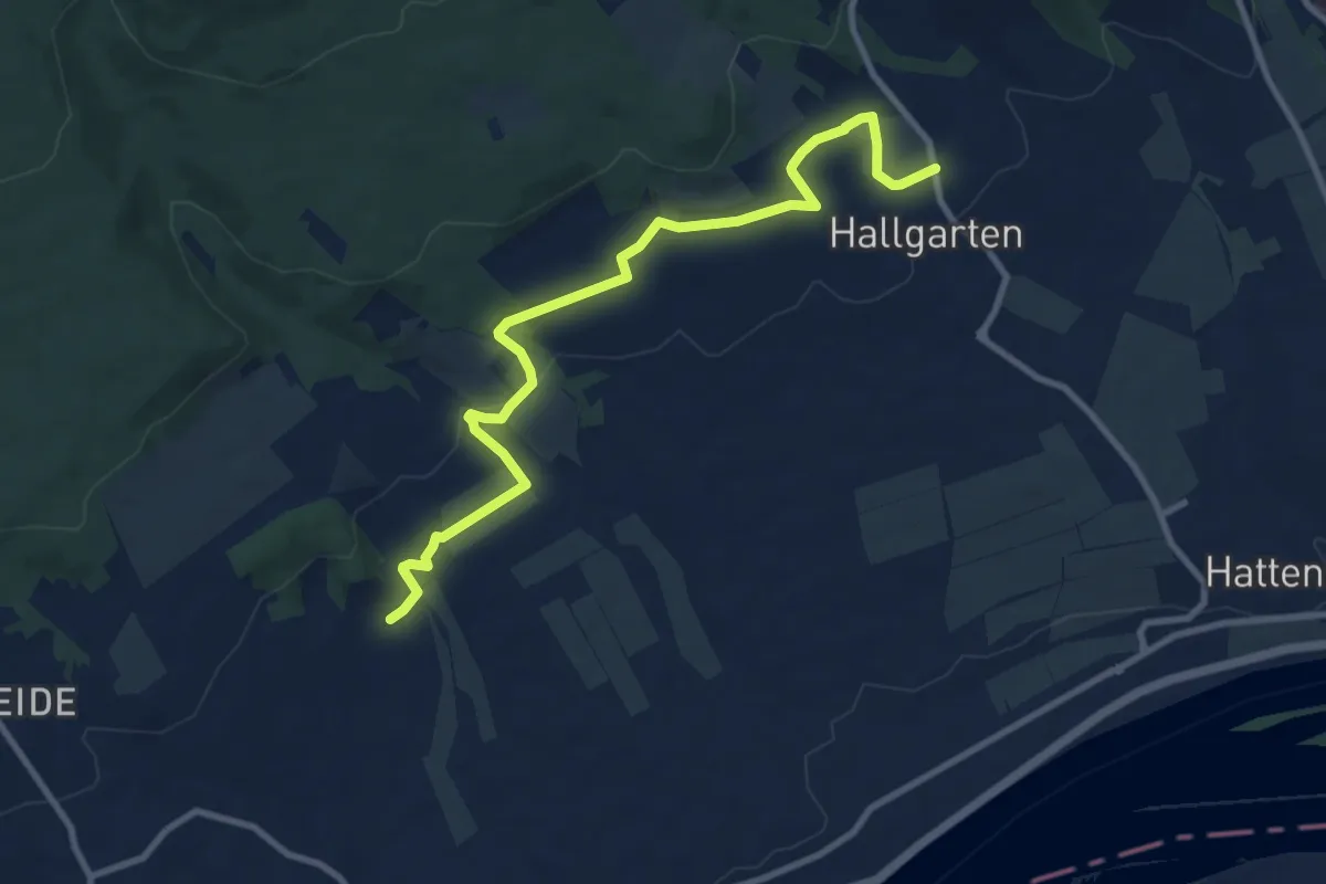
Quentel-Kehrenbach
10.7 km · ↑ 313 m · 3 h 12 min
Medium · Trail
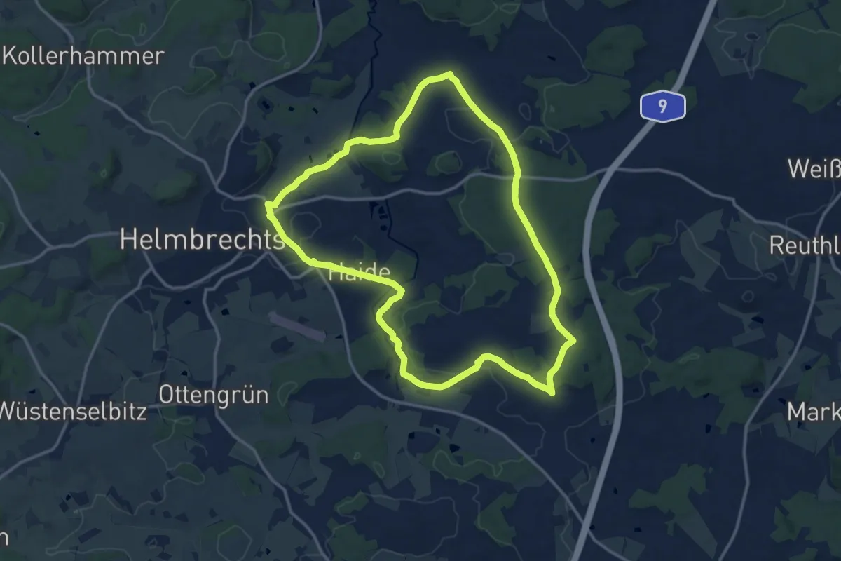
Quer-Flötenweg
9.8 km · ↑ 184 m · 2 h 43 min
Medium · Trail
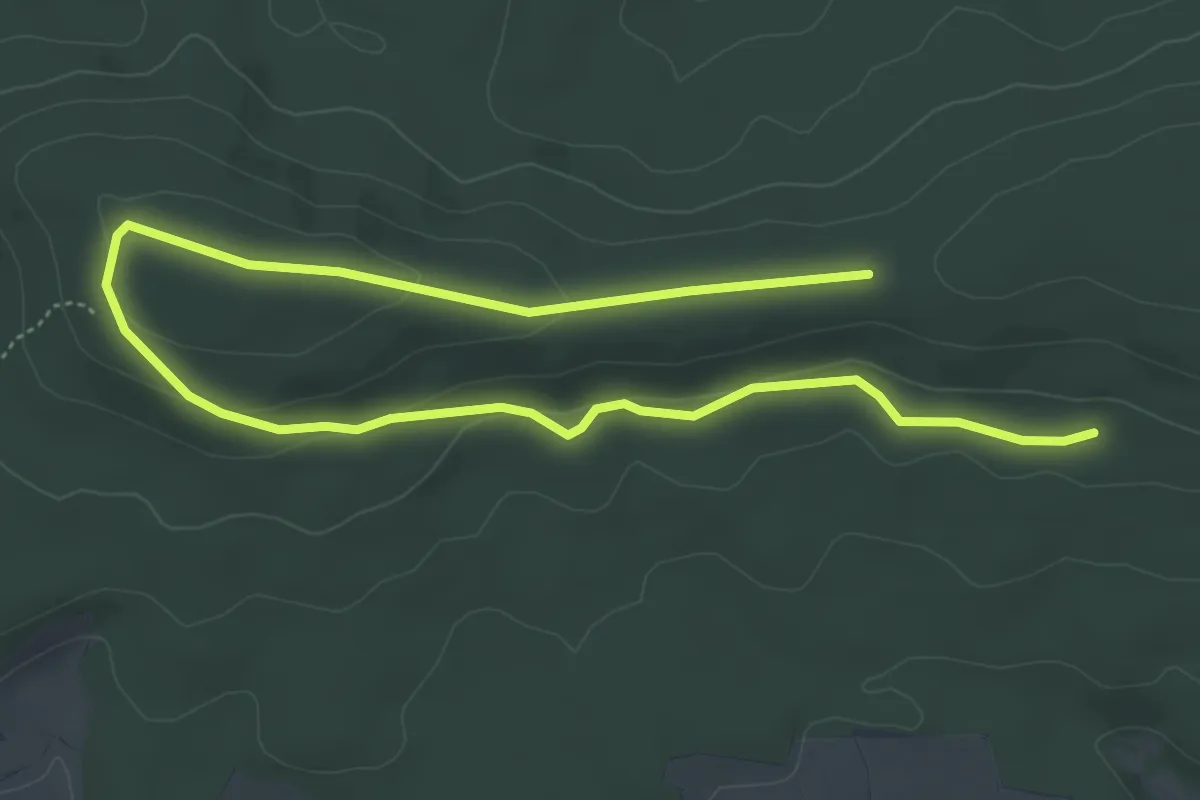
Querkela-Weg OS 12
12.1 km · ↑ 202 m · 3 h 28 min
Easy · Trail
Querkeltour
7.2 km · ↑ 127 m · 1 h 58 min
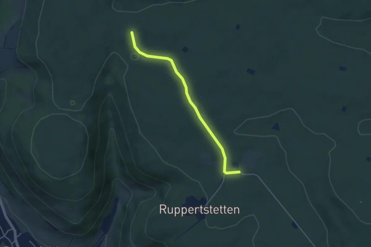
Easy · Trail
Querlinie Bernhardus - Jägerhaus
3.3 km · ↑ 51 m · 53 min
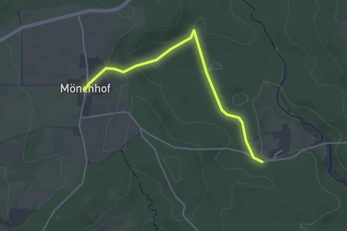
Easy · Trail
Querlinie des SAV (blauer Punkt)
3.3 km · ↑ 78 m · 56 min
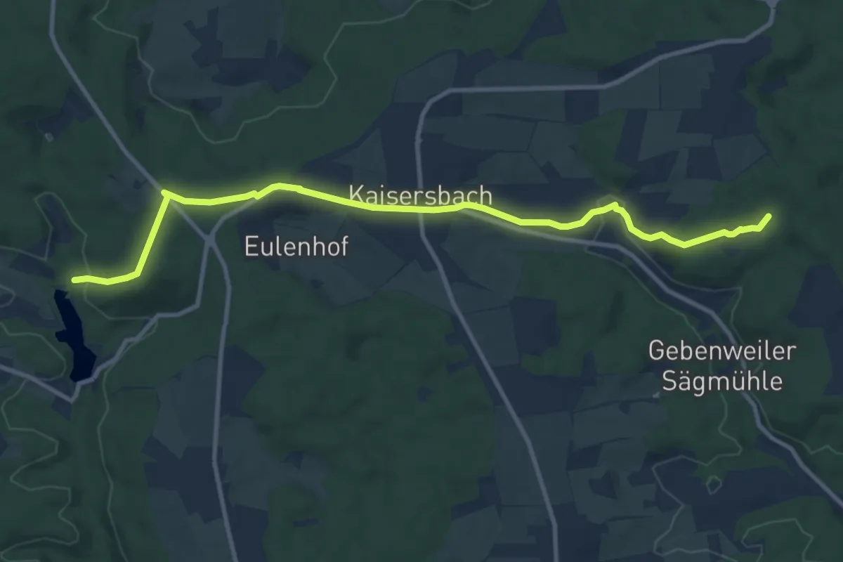
Medium · Trail
Querlinie des SAV (roter Punkt)
10.1 km · ↑ 270 m · 2 h 58 min
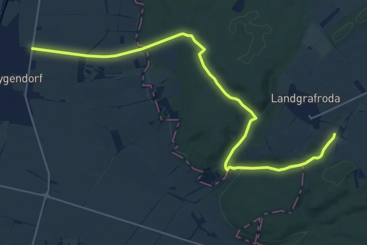
Medium · Trail
Quernetal-Heygendorf-Lodersleben
14.5 km · ↑ 330 m · 4 h 8 min
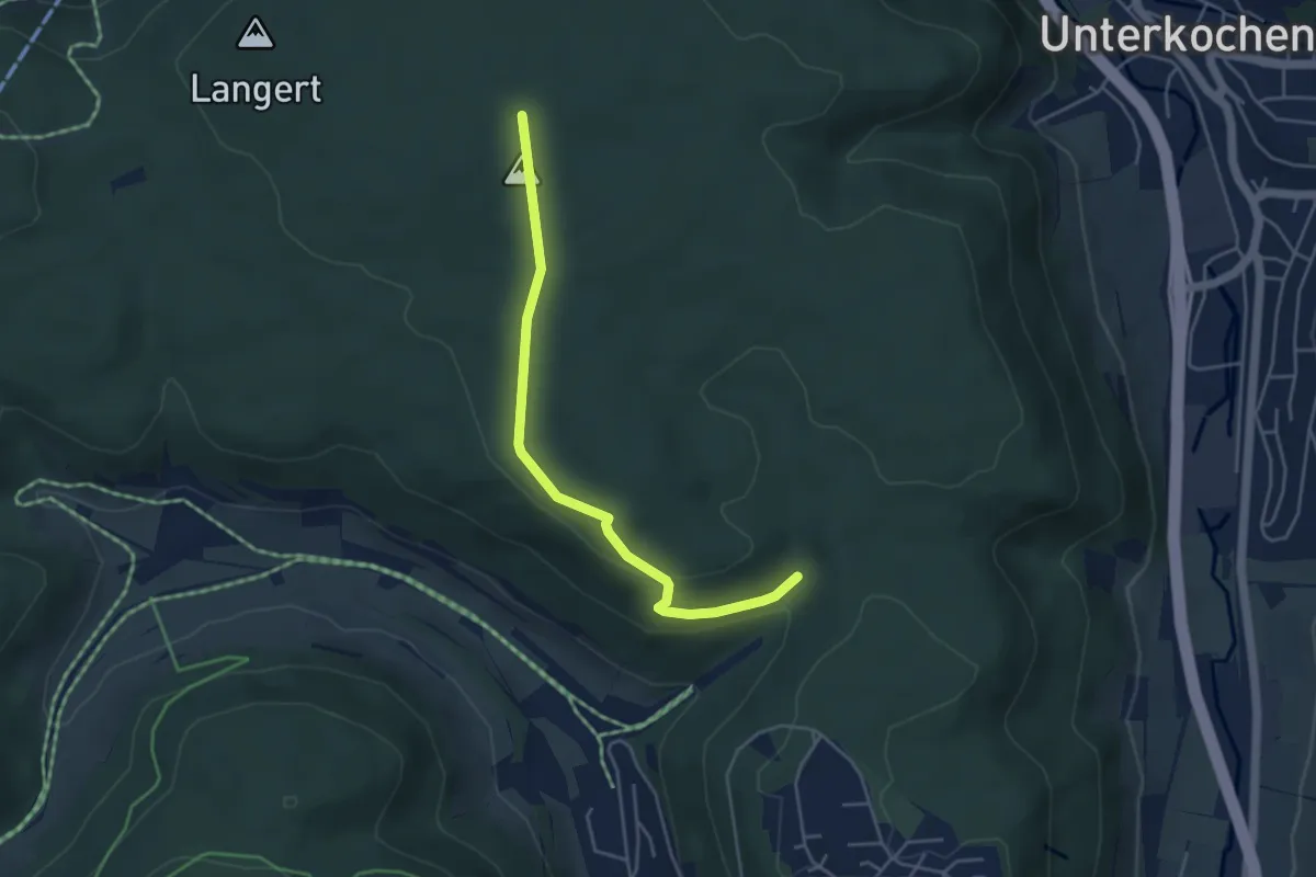
Easy · Trail
Querweg
4.2 km · ↑ 84 m · 1 h 10 min
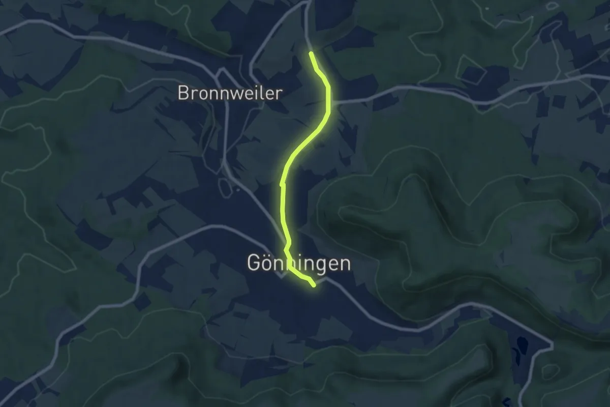
Easy · Trail
Querweg Alteburg Gönningen
5.2 km · ↑ 46 m · 1 h 19 min
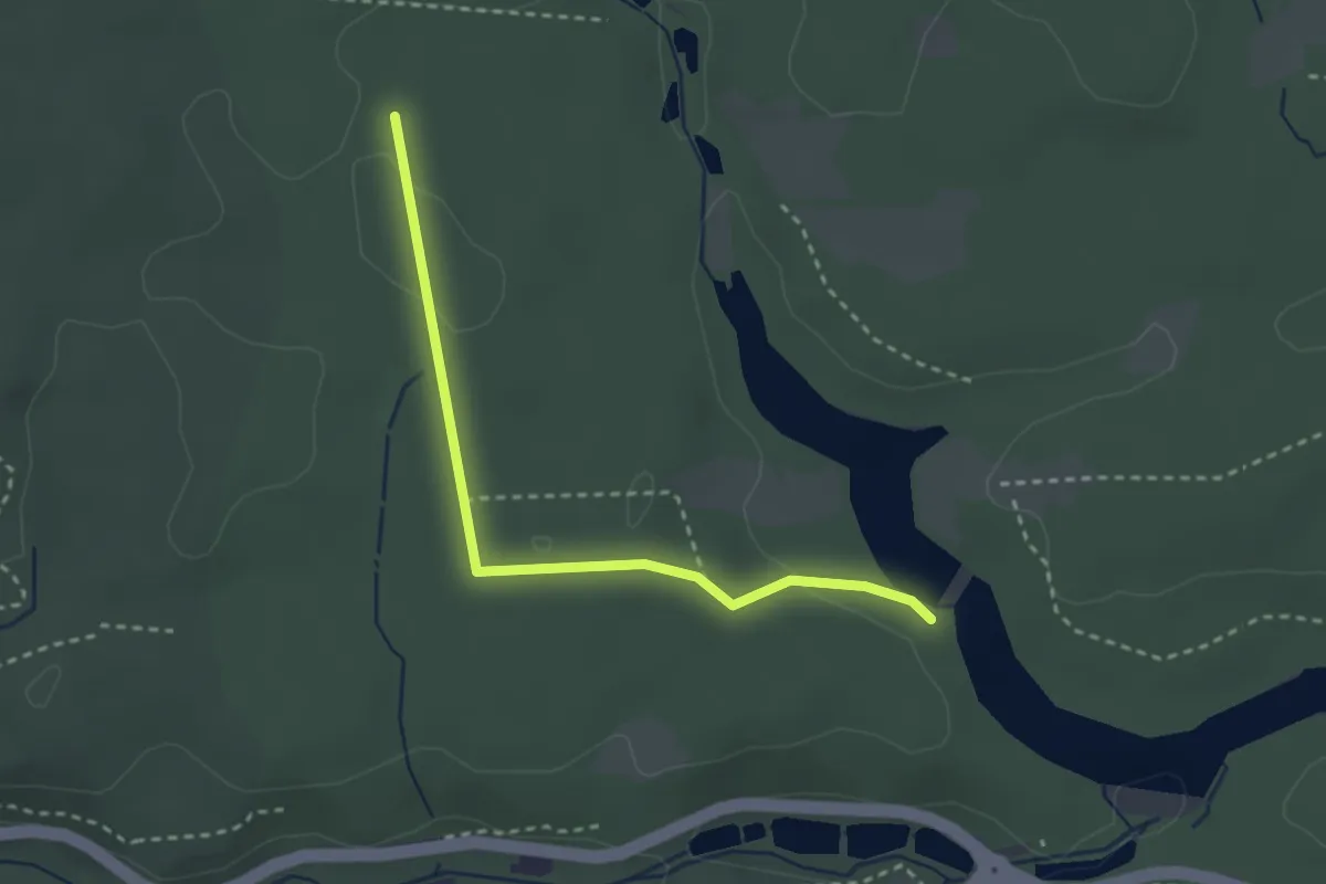
Easy · Trail
Querweg Bärensee - Glemstal
2.7 km · ↑ 25 m · 42 min
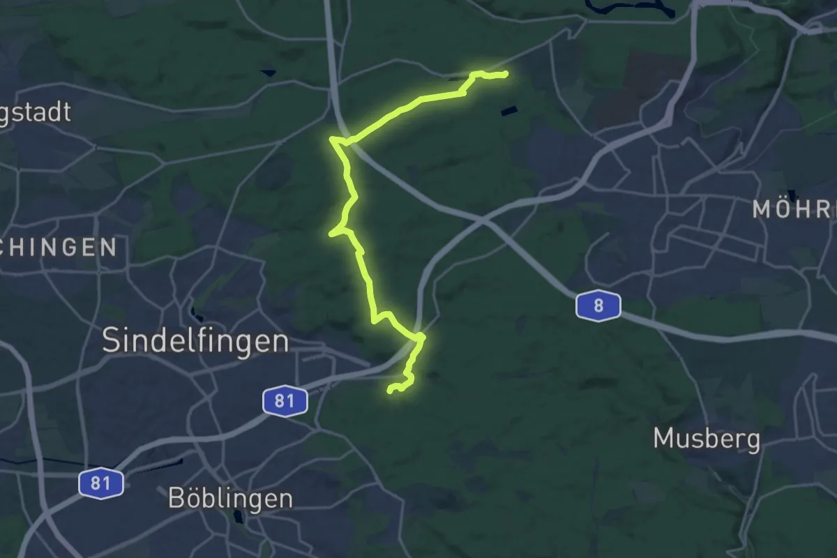
Demanding · Trail
Querweg Böblingen Lange Schläge - Büsnau
18.9 km · ↑ 314 m · 5 h 8 min
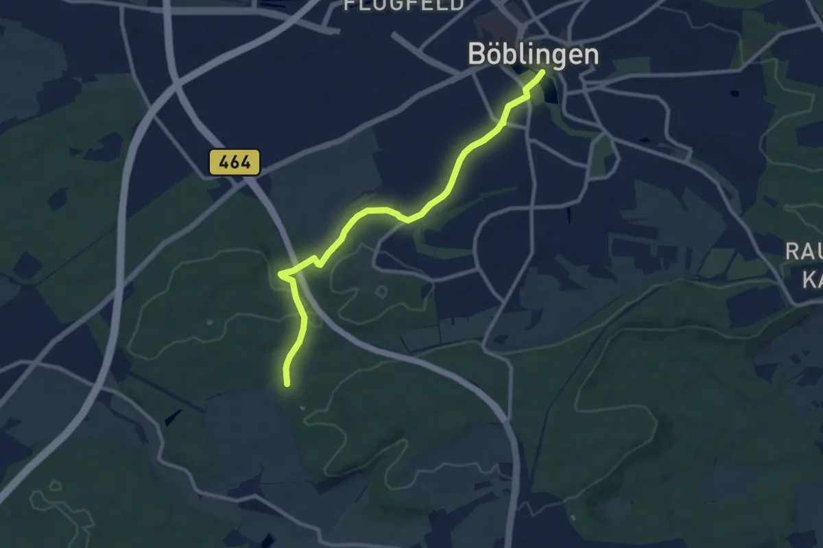
Medium · Trail
Querweg Böblingen - Mauren
8.5 km · ↑ 98 m · 2 h 14 min
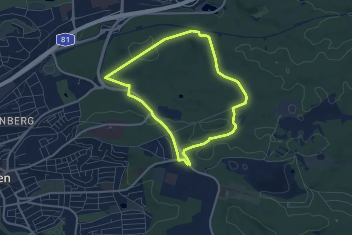
Easy · Trail
Querweg Böblingen Thermalbad - Berstlach
5.4 km · ↑ 80 m · 1 h 32 min
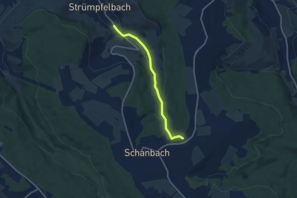
Easy · Trail
Querweg des SAV
5.7 km · ↑ 169 m · 1 h 43 min
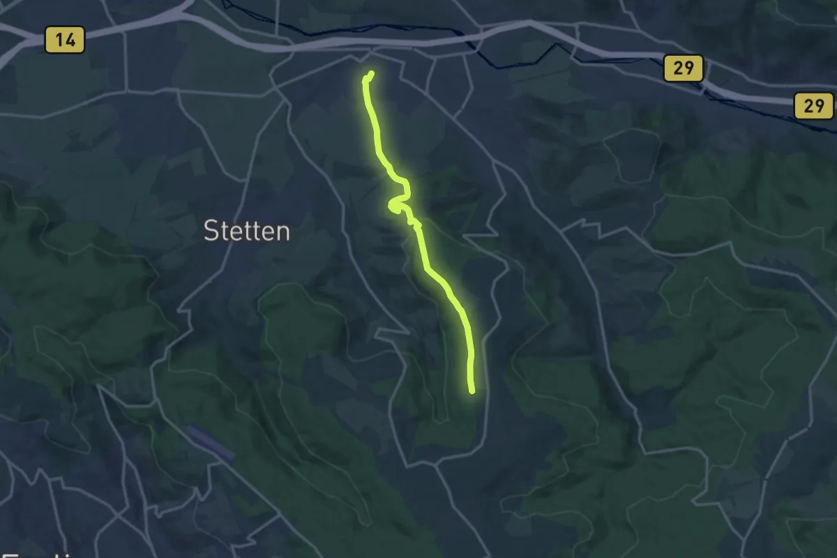
Medium · Trail
Querweg des SAV
11.7 km · ↑ 242 m · 3 h 17 min
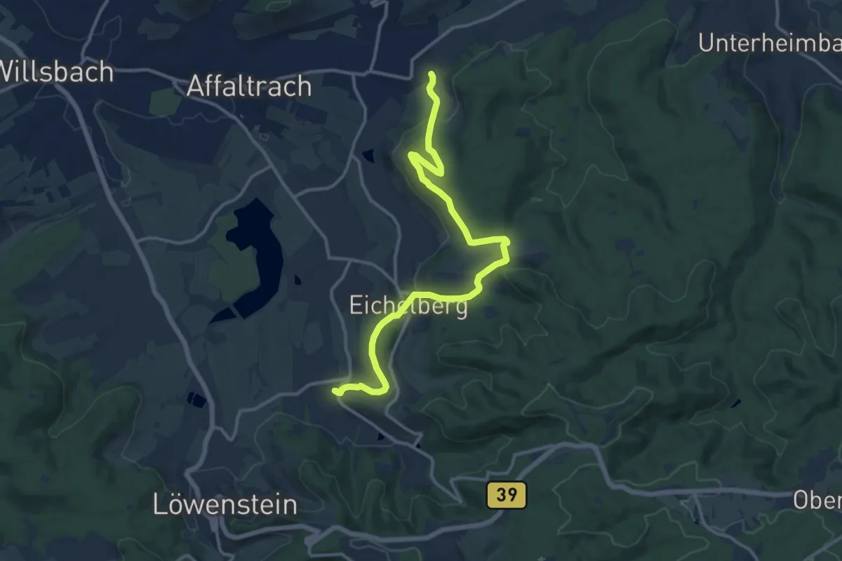
Medium · Trail
Querweg des SAV
12.9 km · ↑ 288 m · 3 h 40 min
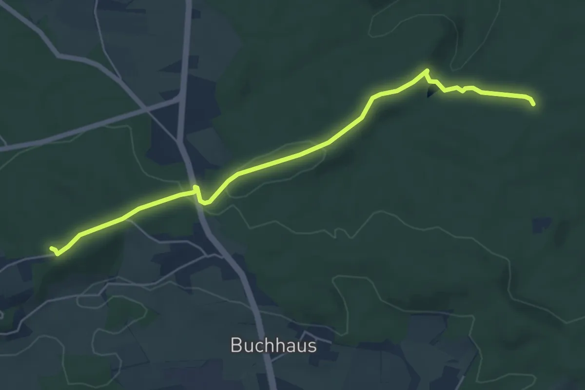
Easy · Trail
Querweg des SAV (blauer Punkt)
5.1 km · ↑ 113 m · 1 h 27 min
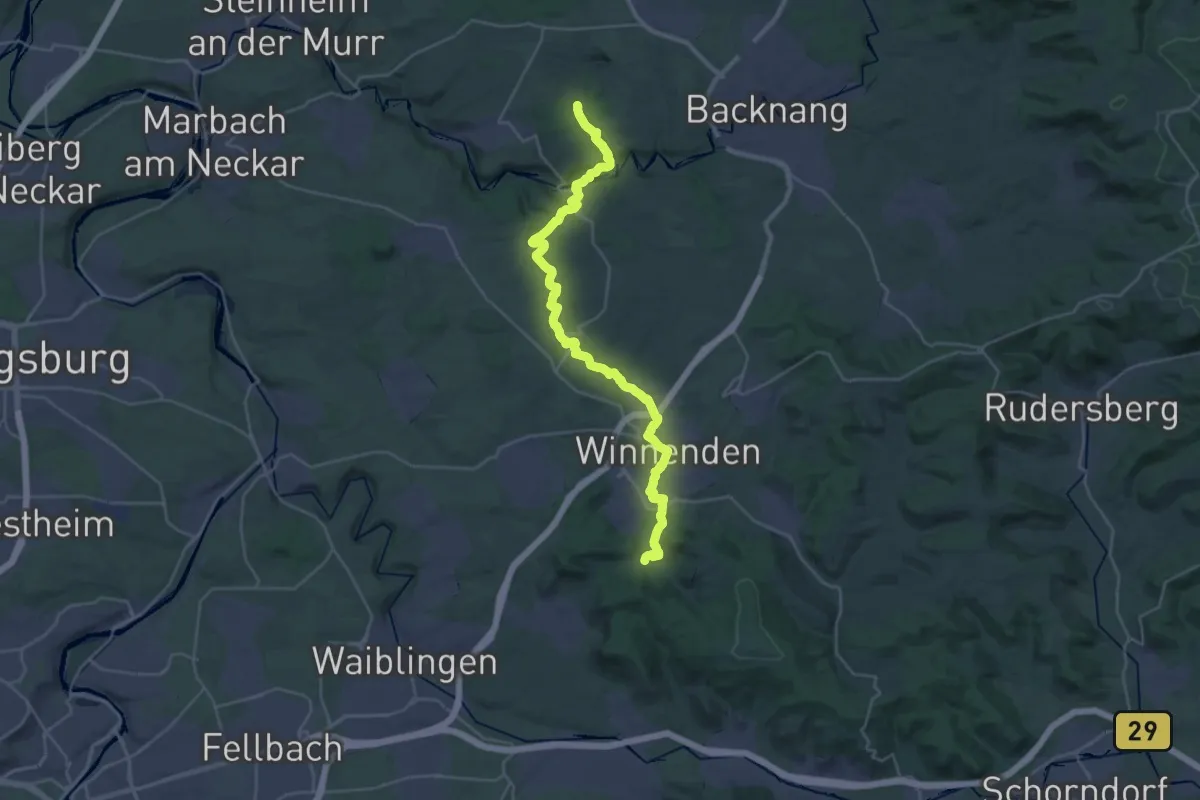
Medium · Trail
Querweg des SAV (blauer Punkt)
15.9 km · ↑ 205 m · 4 h 24 min
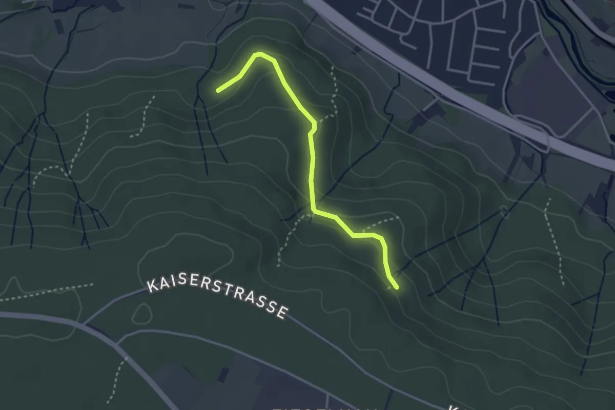
Easy · Trail
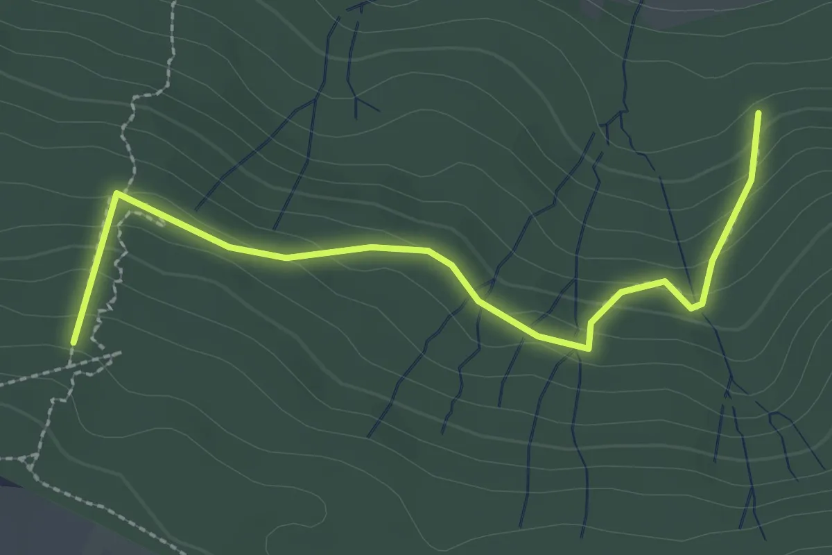
Querweg des SAV (blauer Punkt)
2.8 km · ↑ 108 m · 54 min
Easy · Trail
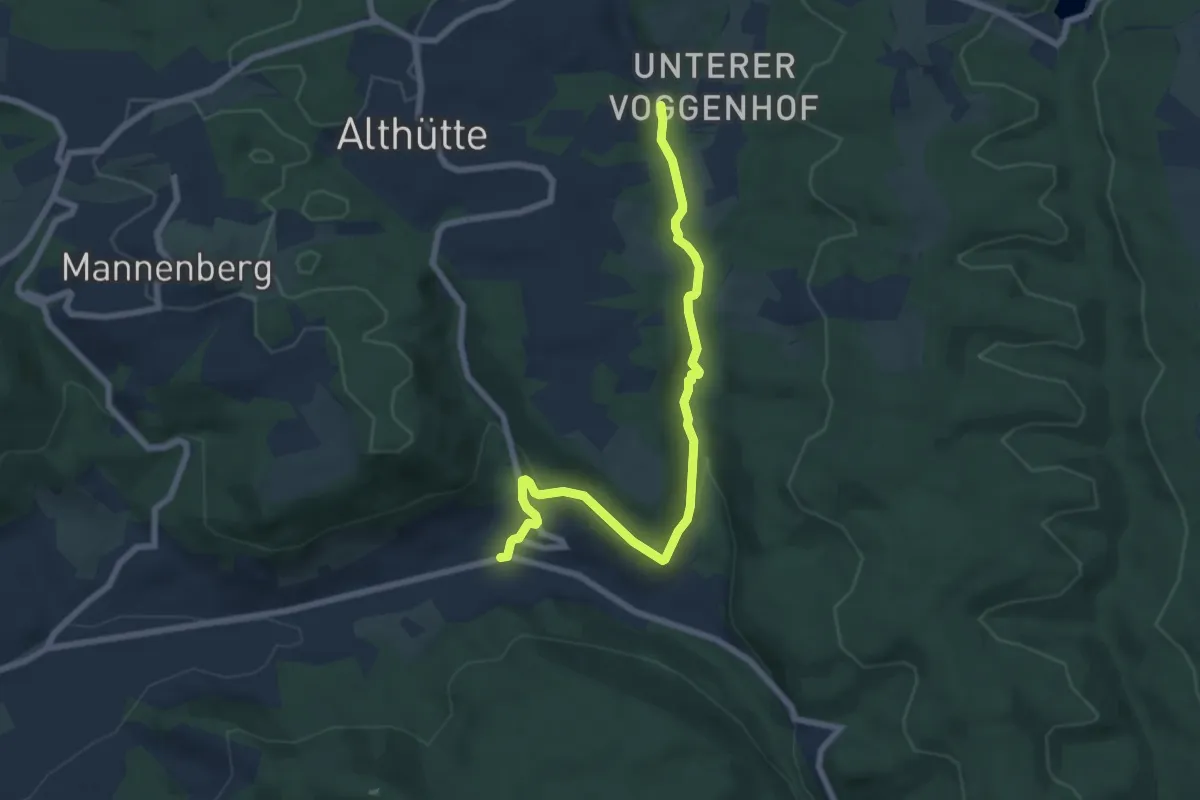
Querweg des SAV (blauer Punkt)
2.6 km · ↑ 154 m · 56 min
Easy · Trail
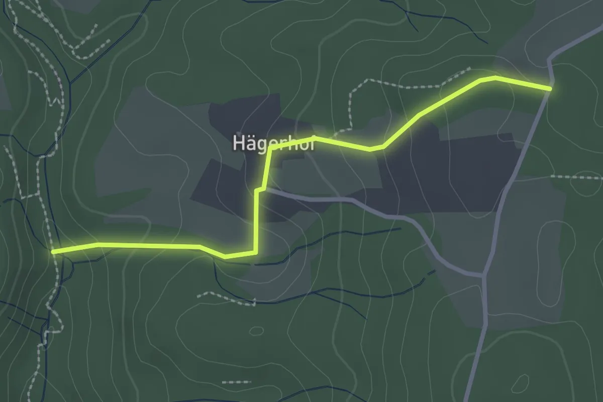
Querweg des SAV (blauer Punkt)
7.0 km · ↑ 195 m · 2 h 5 min
Easy · Trail
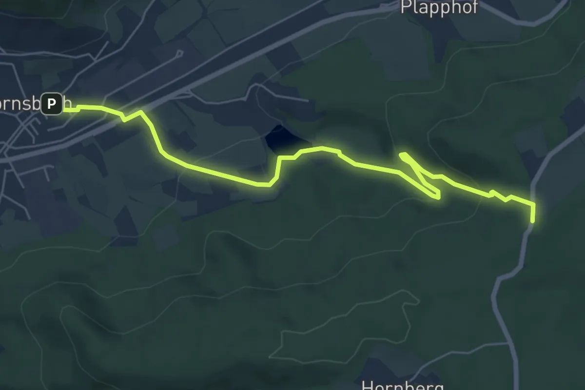
Querweg des SAV (blauer Punkt)
2.5 km · ↑ 110 m · 50 min
Easy · Trail
Querweg des SAV (blauer Punkt)
6.2 km · ↑ 224 m · 1 h 57 min