Trails in Germany
36,852 hiking trails, each with its route, climb, walking time and grade.
All trails, page 432 of 768
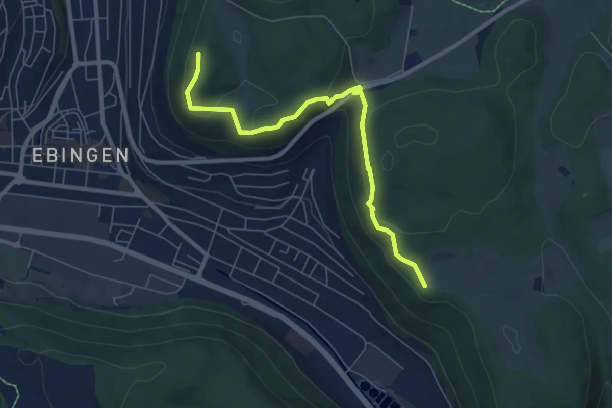
Easy · Summit
Querweg - Ebingen - Weg Nr. 7 - Schloßfelsen - Schleicherhütte
5.9 km · ↑ 251 m · 1 h 56 min
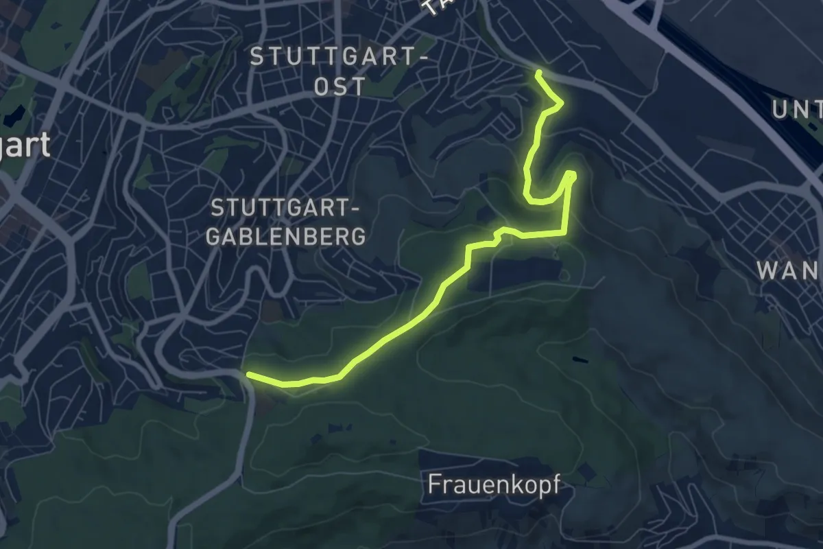
Easy · Trail
Querweg Geroksruhe - Wangen
7.5 km · ↑ 253 m · 2 h 19 min
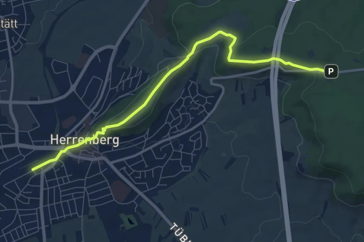
Easy · Trail
Querweg Herrenberg - Naturfreundehaus
7.9 km · ↑ 151 m · 2 h 12 min
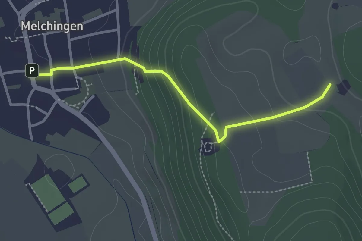
Easy · Trail
Querweg - Hohenmelchingen
2.5 km · ↑ 132 m · 52 min
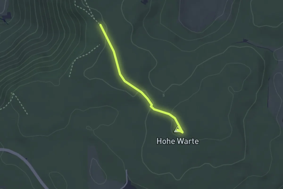
Easy · Summit
Querweg Hohe Warte - Grüner Fels
2.1 km · ↑ 50 m · 36 min
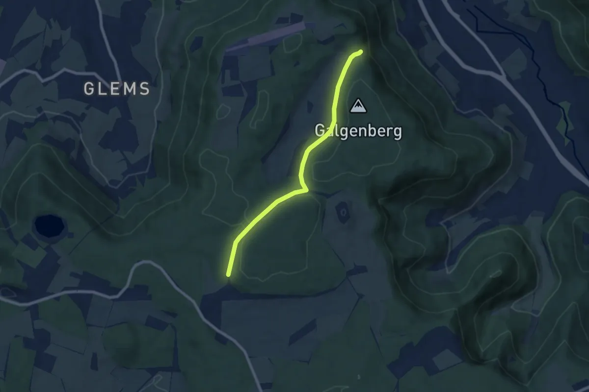
Easy · Trail
Querweg Höllenlöcher - Gestütshof St. Johann
6.1 km · ↑ 93 m · 1 h 39 min
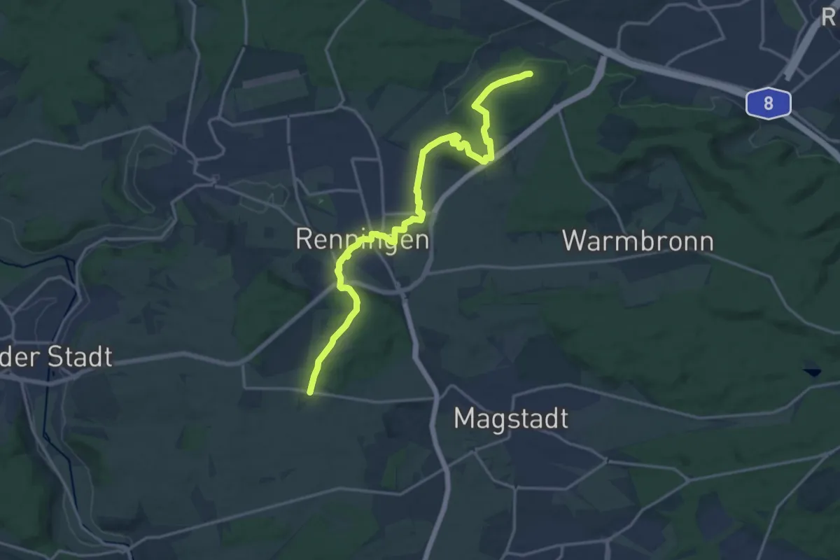
Medium · Trail
Querweg Ihinger Hof-Meisenberg
16.4 km · ↑ 209 m · 4 h 19 min
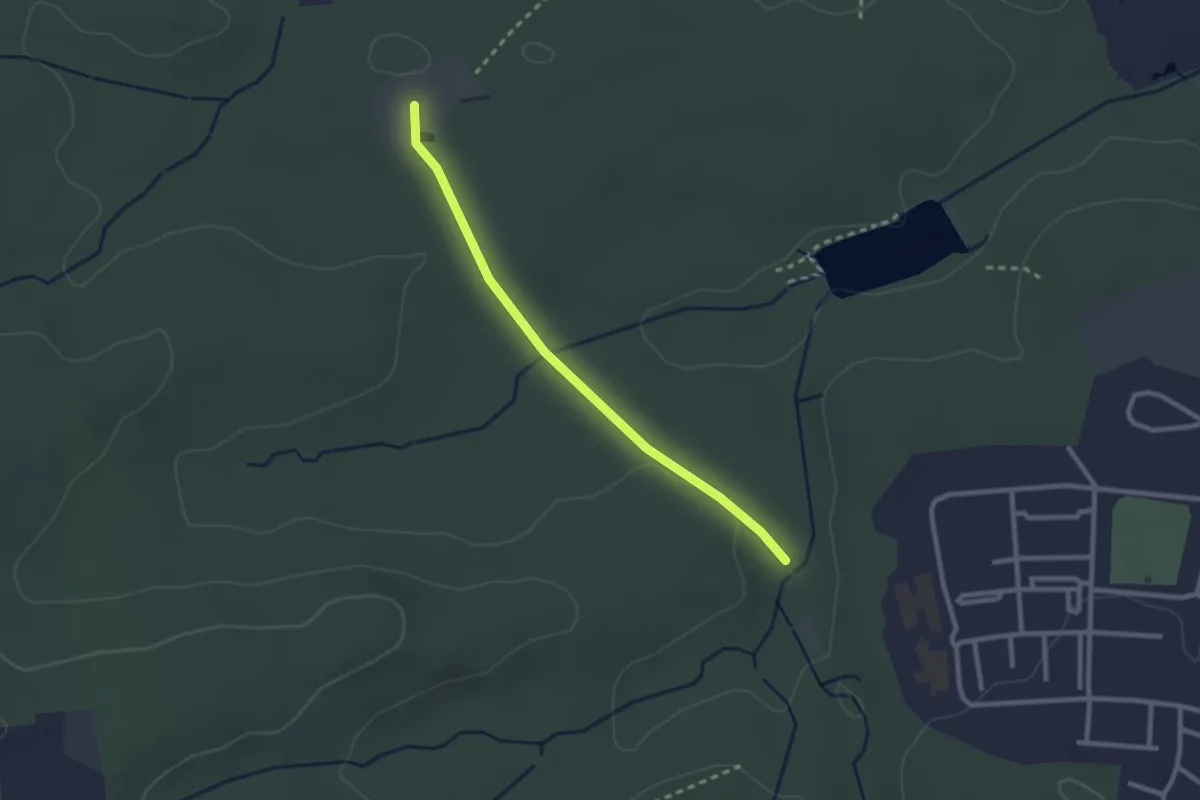
Easy · Trail
Querweg Katzenbacher Hof - Sallenwaldweg
2.3 km · ↑ 22 m · 35 min
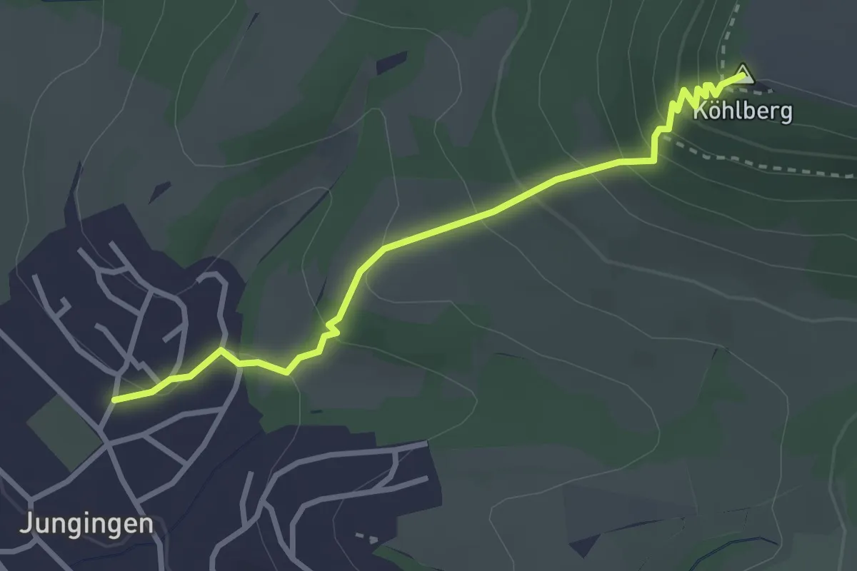
Easy · Summit
Querweg - Köhlberg - Jungingen - HW1
2.9 km · ↑ 220 m · 1 h 9 min
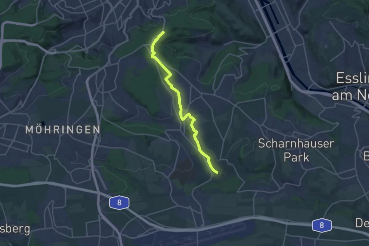
Medium · Trail
Querweg Körschtal - Stelle
14.8 km · ↑ 286 m · 4 h 7 min
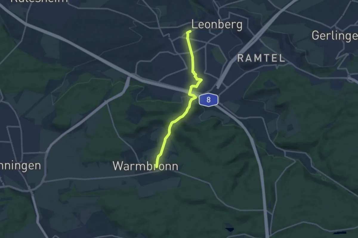
Medium · Trail
Querweg Leonberg Bhf - Warmbronn
9.9 km · ↑ 240 m · 2 h 51 min
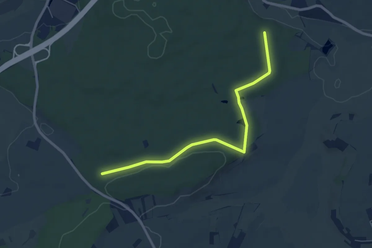
Easy · Trail
Querweg Mauren Plattenbrünnele
5.6 km · ↑ 52 m · 1 h 26 min
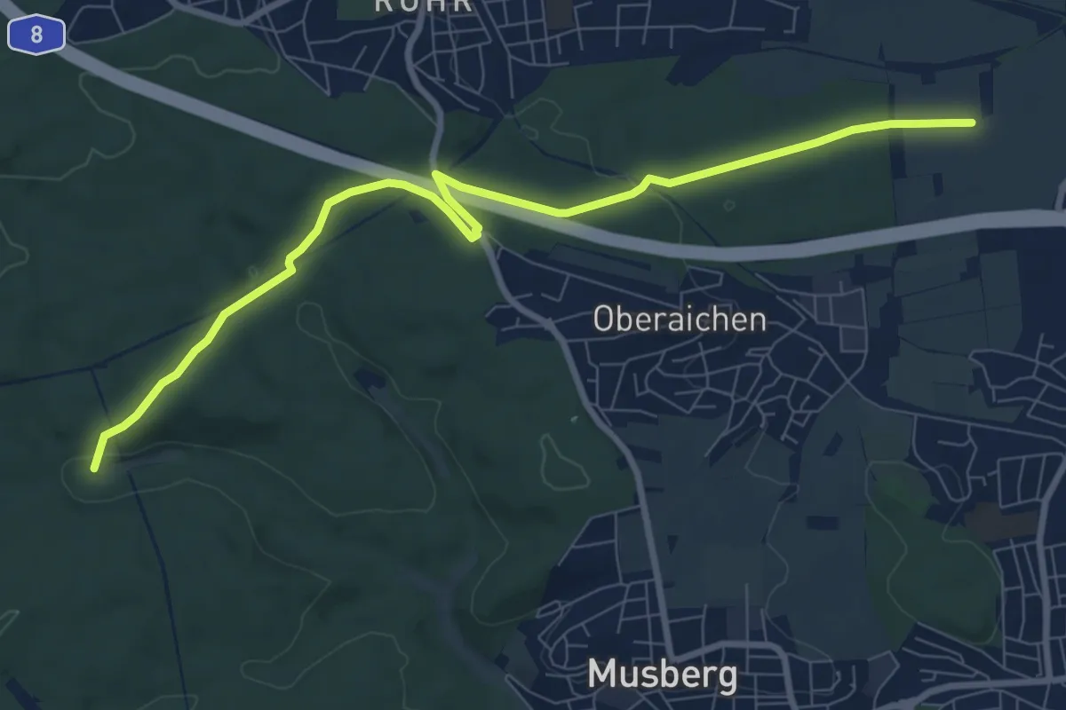
Medium · Trail
Querweg Möhringen - Mahdental
9.1 km · ↑ 172 m · 2 h 31 min
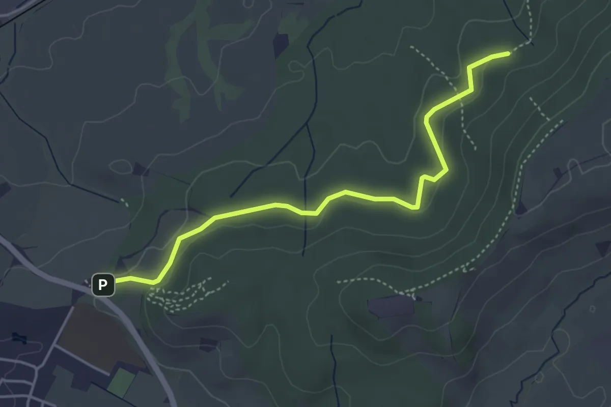
Easy · Trail
Querweg - Mössingen - Weg-10 - Abzweigung von weg 9 - Dicke Eiche - bis zum blauen Dreieck
4.2 km · ↑ 87 m · 1 h 11 min
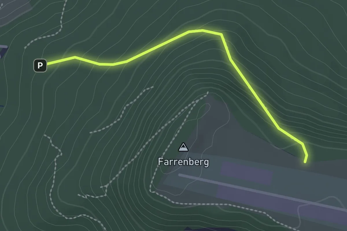
Medium · Trail
Querweg - Mössingen - Weg-7 - Abzweigung von Weg 4 - Farrenberg über Jägersteigle
2.3 km · ↑ 163 m · 54 min
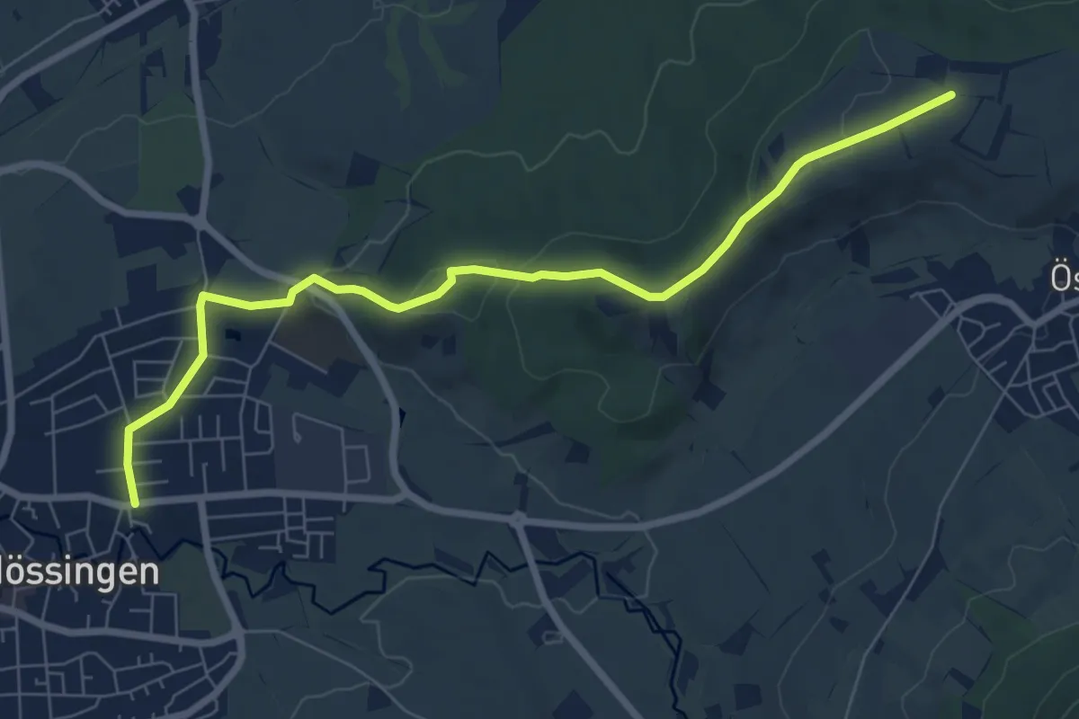
Easy · Trail
Querweg - Mössingen - Weg-9 - Abzweigung von Weg 8 - Schloßbuckel bis zum blauen Dreieck
7.5 km · ↑ 139 m · 2 h 5 min
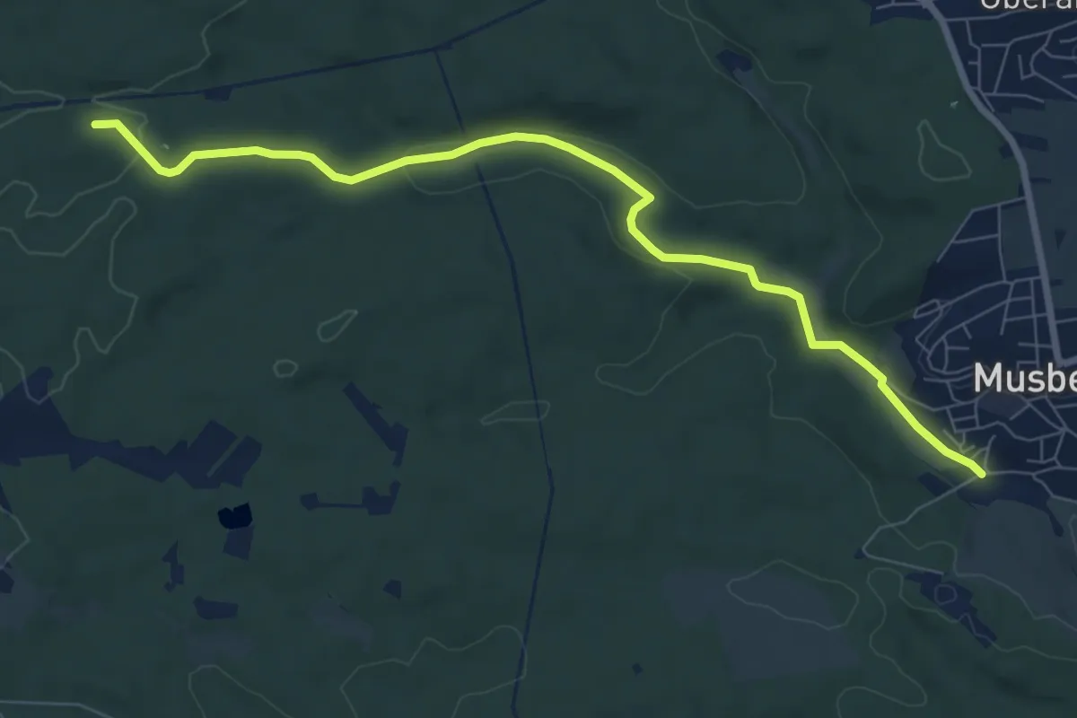
Medium · Trail
Querweg Musberg - Römer-/Panzerstraße
8.0 km · ↑ 116 m · 2 h 9 min
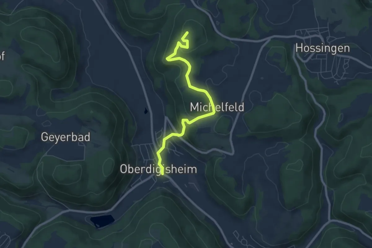
Easy · Summit
Querweg - Oberdigisheim - Weg Nr. 1 - Oberdigisheim - Baienberg - bis zur Weggabelung
6.5 km · ↑ 255 m · 2 h 5 min
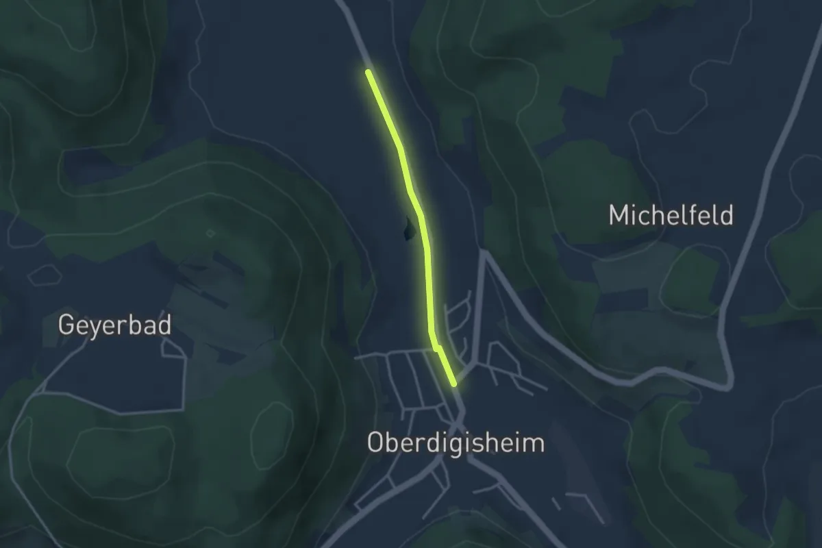
Easy · Trail
Querweg - Oberdigisheim - Weg Nr. 3 - Oberdigisheim - Tieringen
2.4 km · ↑ 13 m · 35 min
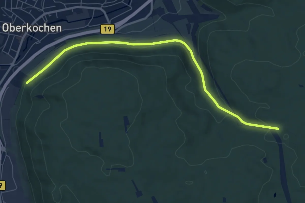
Easy · Trail
Querweg Oberkochen-Spitziger Fels
7.2 km · ↑ 187 m · 2 h 6 min
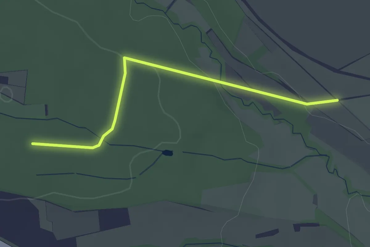
Easy · Trail
Querweg Plieningen (Silberlinde) - Zettach-Eiche
2.7 km · ↑ 56 m · 45 min
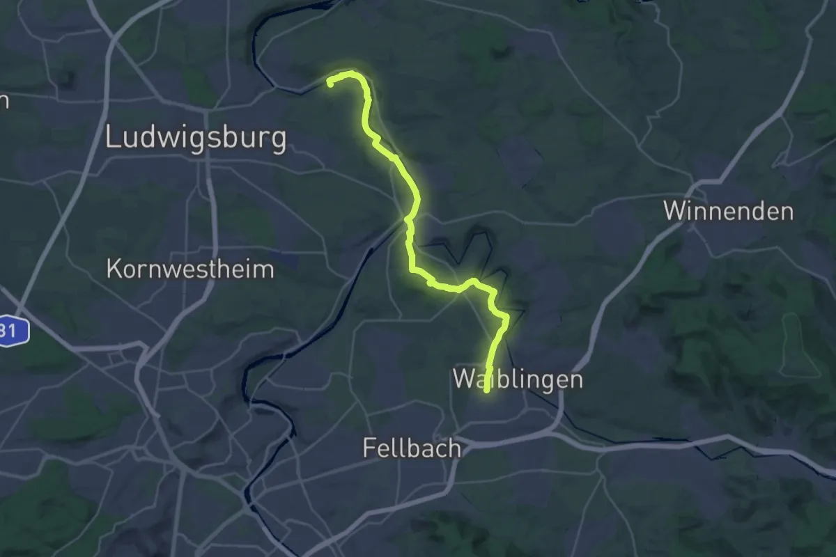
Demanding · Trail
Querweg Poppenweiler - Waiblingen
27.9 km · ↑ 304 m · 7 h 15 min
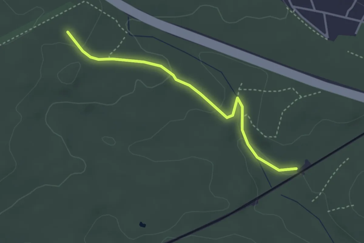
Easy · Trail
Querweg Römerstraße - Drei Brunnen
3.1 km · ↑ 68 m · 53 min
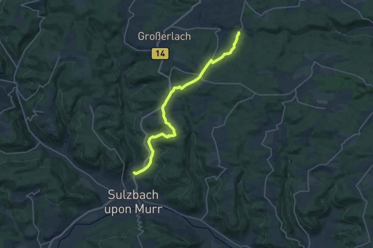
Medium · Trail
Querweg SAV (blauer Punkt)
15.7 km · ↑ 369 m · 4 h 31 min
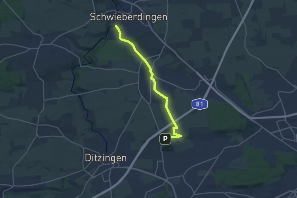
Medium · Trail
Querweg Schwieberdingen - Korntal
12.5 km · ↑ 107 m · 3 h 11 min
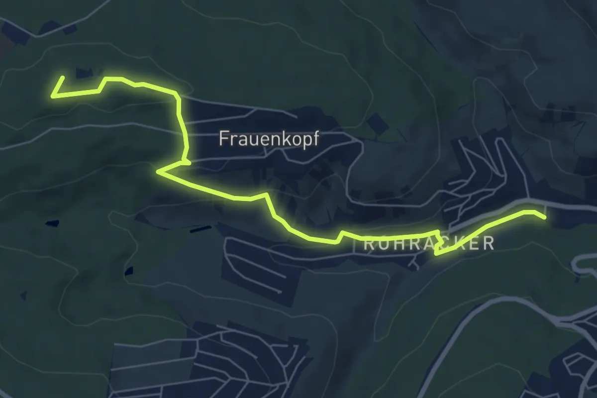
Easy · Summit
Querweg Stelle - Frauenkopf
7.0 km · ↑ 206 m · 2 h 6 min
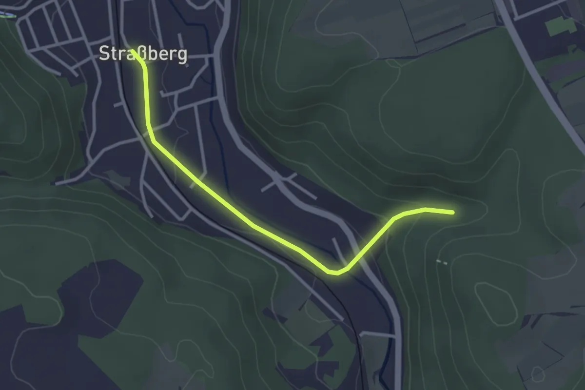
Easy · Trail
Querweg - Strassberg - Weg Nr. 3 - Verbindung zwischen Weg 2 und Weg 2 - in Strassberg ohne Burg Strassberg
2.9 km · ↑ 67 m · 49 min
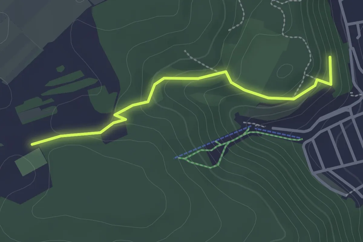
Easy · Trail
Querweg - Strassberg - Weg Nr. 4 - Verbindung zwischen Weg 1 und 2 - Härtschuh - Kapelle
2.5 km · ↑ 99 m · 48 min
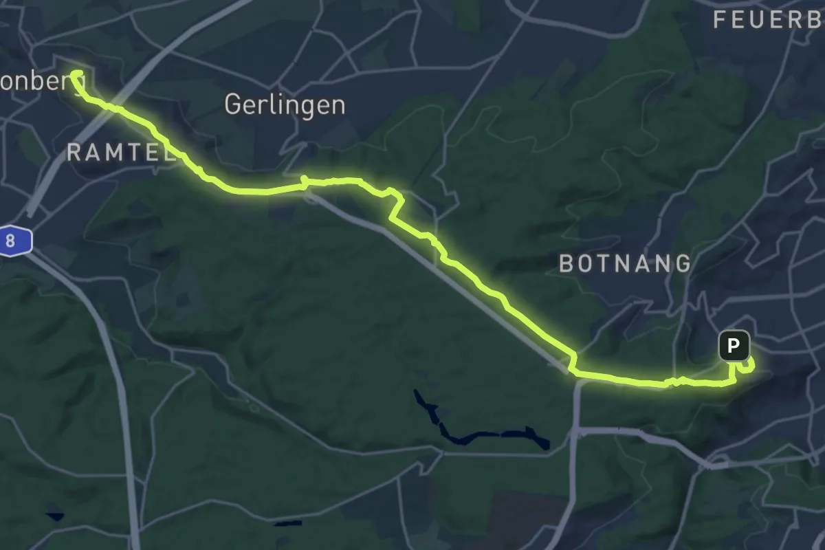
Demanding · Summit
Querweg Stuttgart Westbahnhof - Leonberg
25.8 km · ↑ 361 m · 6 h 52 min
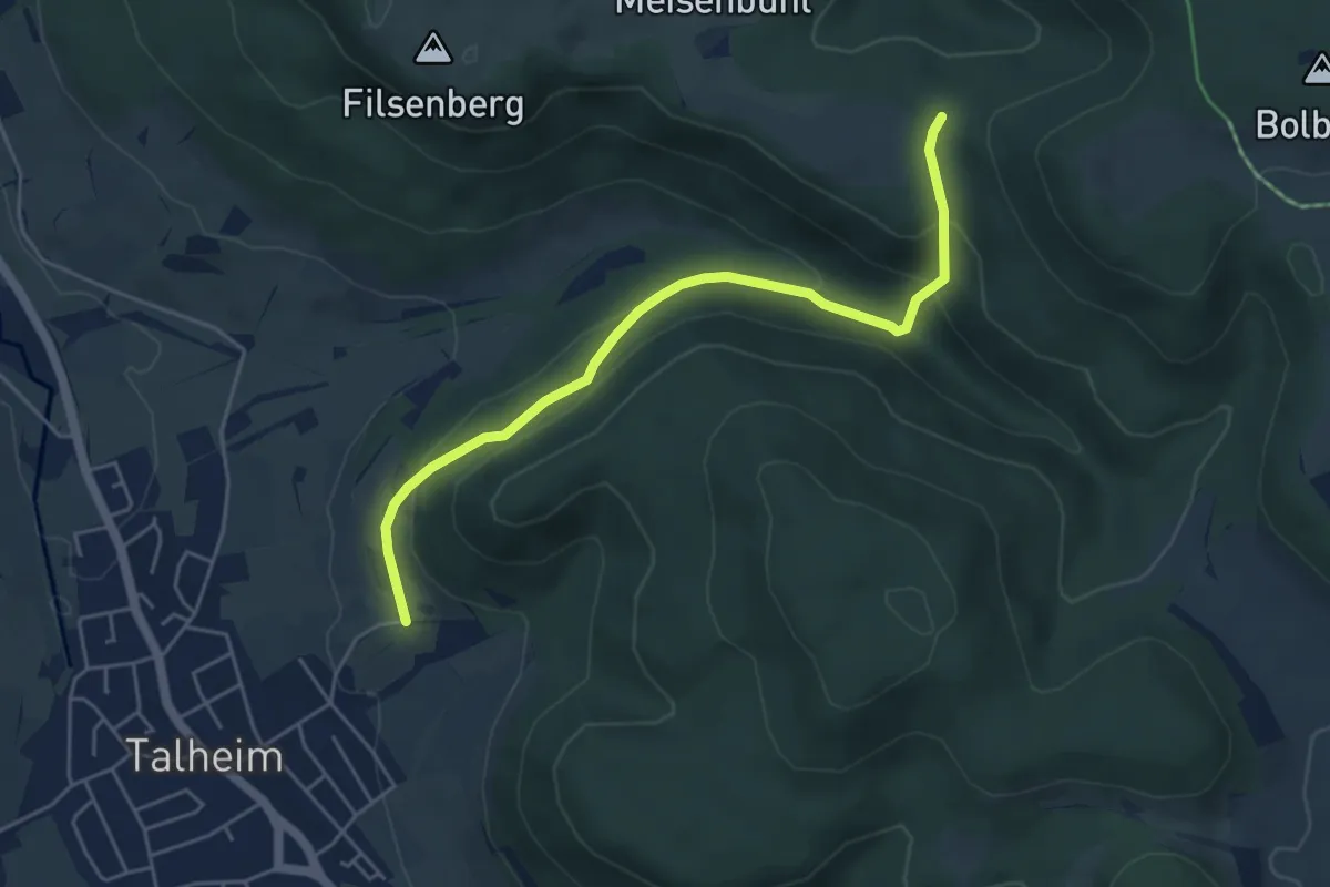
Easy · Trail
Querweg - Talheim - Weg-5 - Talheim - Kirchkopf - Lauberschlucht bis blauer Dreiblock
4.9 km · ↑ 230 m · 1 h 39 min
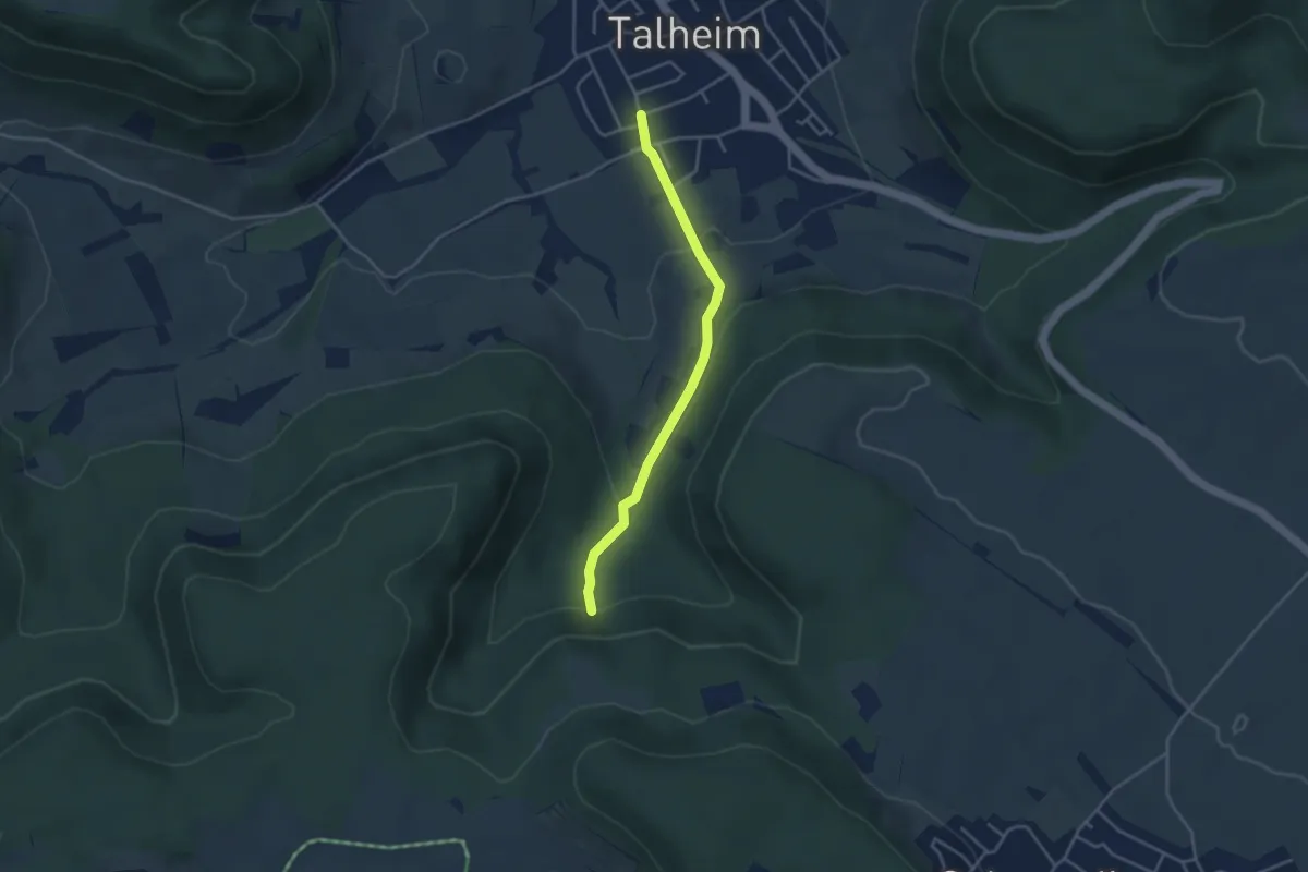
Easy · Trail
Querweg - Talheim - Weg-7 - Talheim - bis Ende Wasserfall aus Sicht Talheim
3.4 km · ↑ 129 m · 1 h 5 min
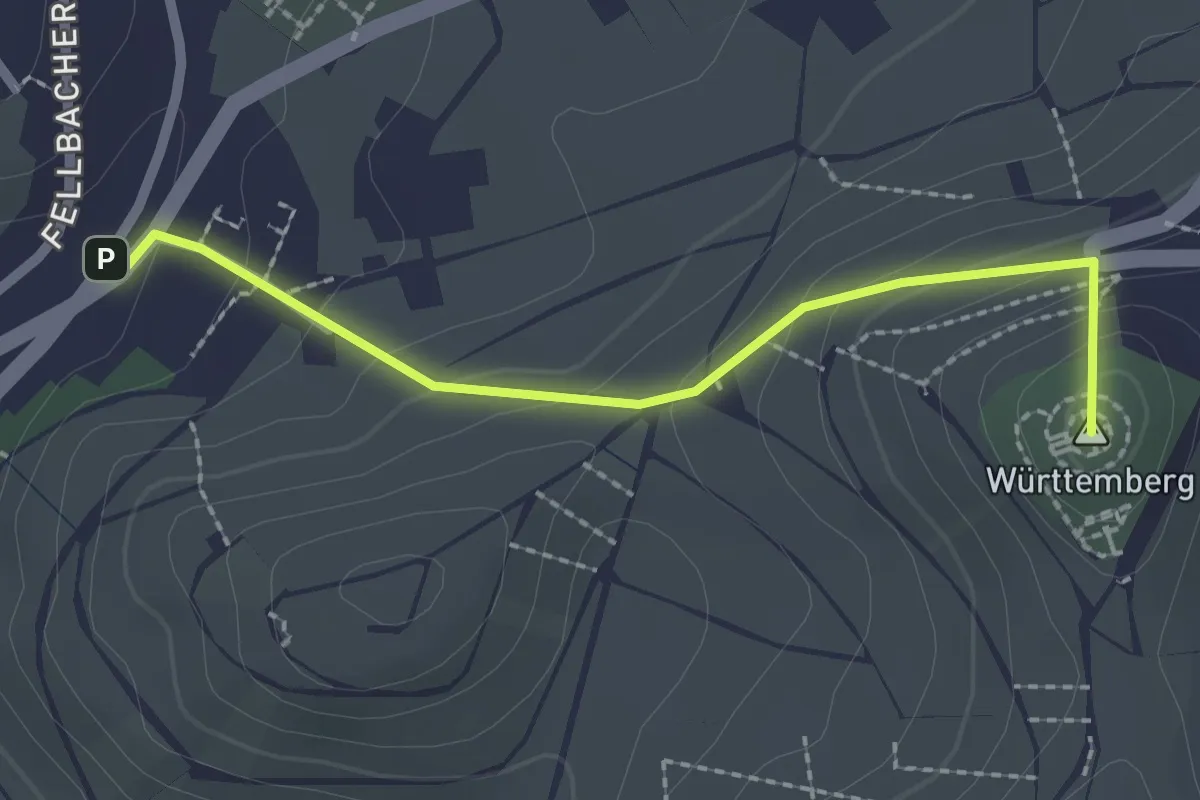
Easy · Summit
Querweg Untertürkheim Gehrenwaldstraße - Rotenberg
2.1 km · ↑ 136 m · 48 min
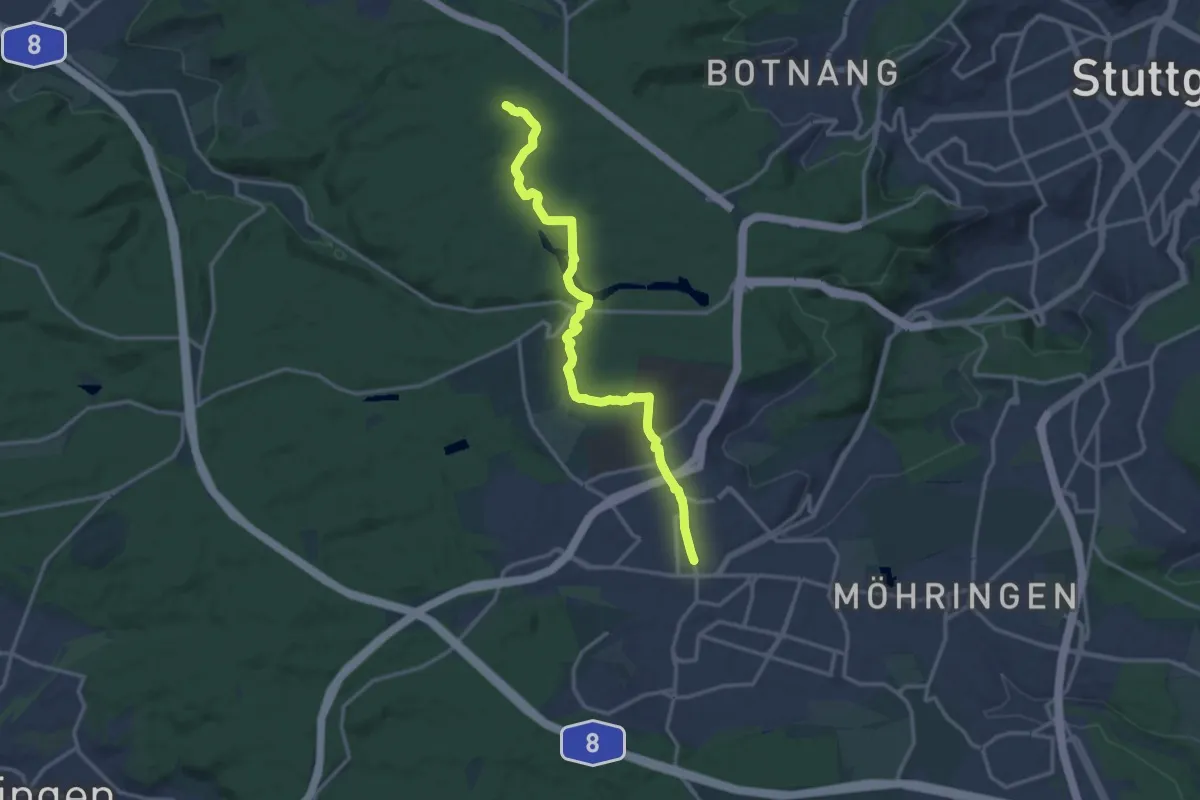
Medium · Trail
Querweg Vaihingen - Solitude
14.2 km · ↑ 156 m · 3 h 42 min
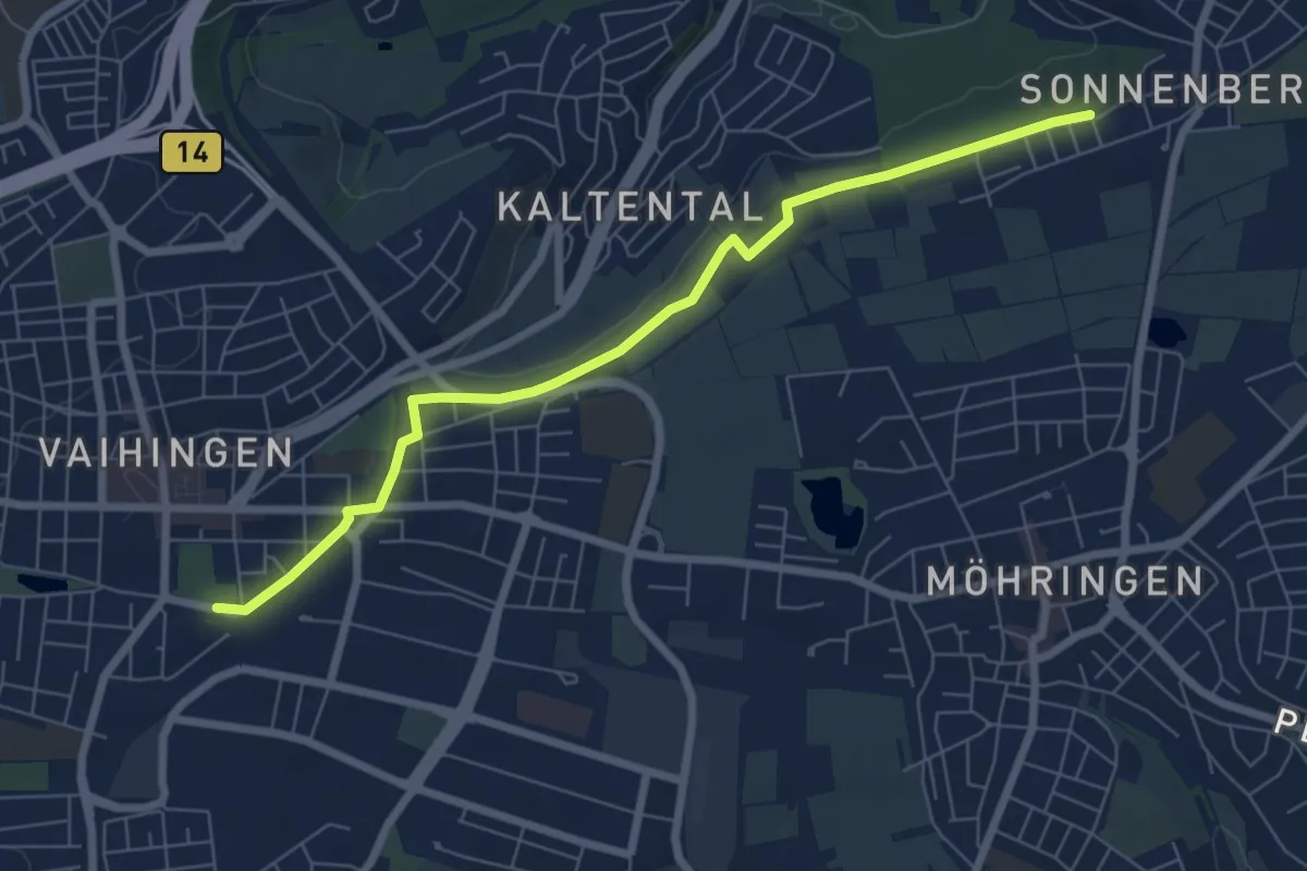
Easy · Trail
Querweg Vaihingen - Sonnenberg
7.0 km · ↑ 60 m · 1 h 47 min
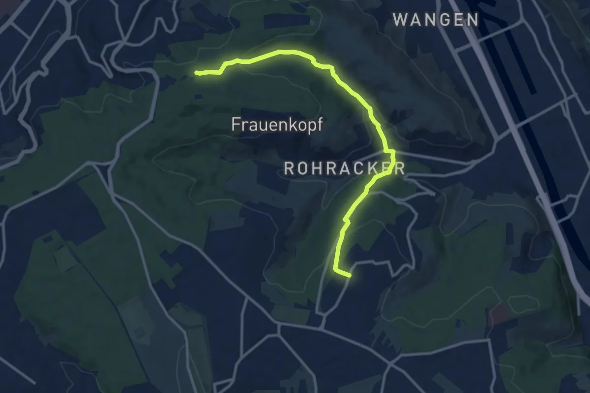
Medium · Trail
Querweg Waldebene Ost - Heumaden
9.7 km · ↑ 328 m · 3 h
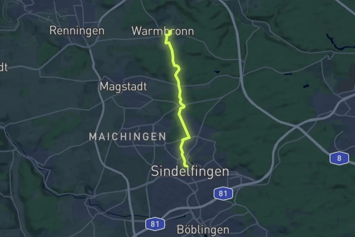
Medium · Trail
Querweg Warmbronn - Sindelfingen Martinskirche
14.4 km · ↑ 313 m · 4 h 5 min
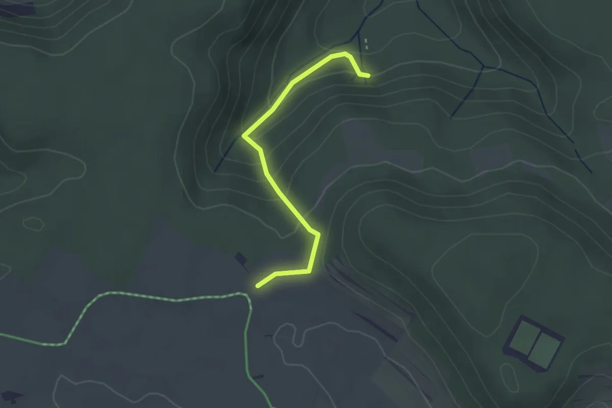
Easy · Trail
Querweg - Weg-5 - Wasserfall bis Rote Gabel
2.5 km · ↑ 145 m · 55 min
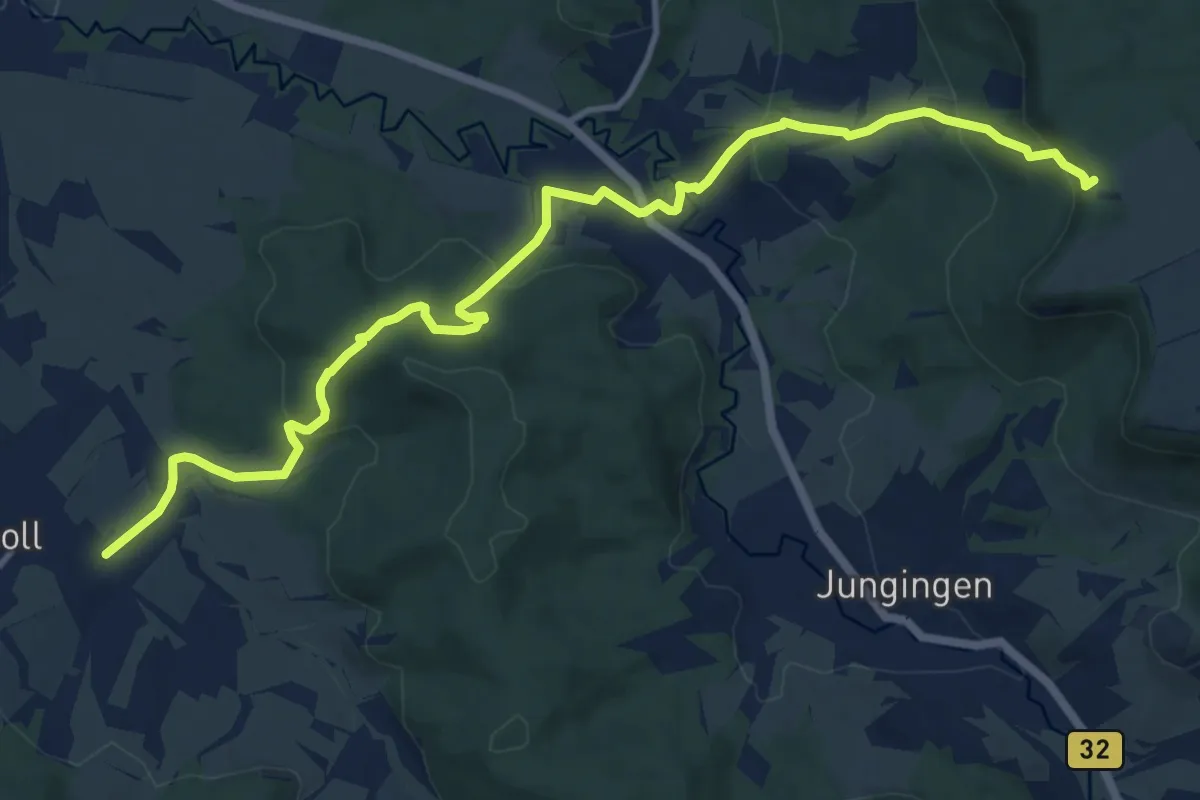
Medium · Trail
Querweg - Weilerwaldkopf - Kirchenköpfle - Schlatt - Potsdammer Platz - Linde Boll
13.1 km · ↑ 580 m · 4 h 21 min
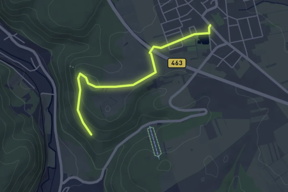
Easy · Trail
Querweg - Winterlingen - Weg Nr. 1 - Winterlingen - Sonnenhalde - bis Schmeientalweg
4.1 km · ↑ 74 m · 1 h 7 min
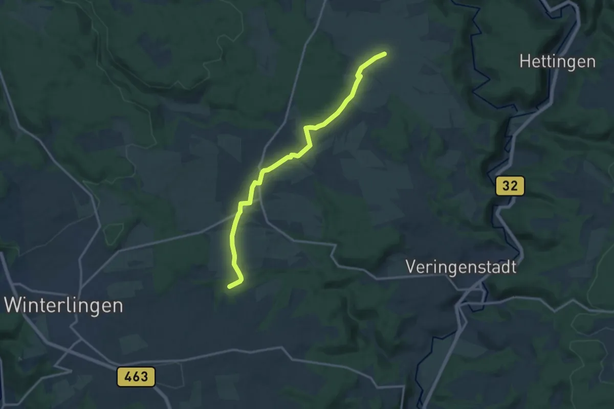
Medium · Trail
Querweg - Winterlingen - Weg Nr. 3 - Abzweigung von Weg 2 - Harthausen - Birkhof - Gaugrenze
11.8 km · ↑ 114 m · 3 h 2 min
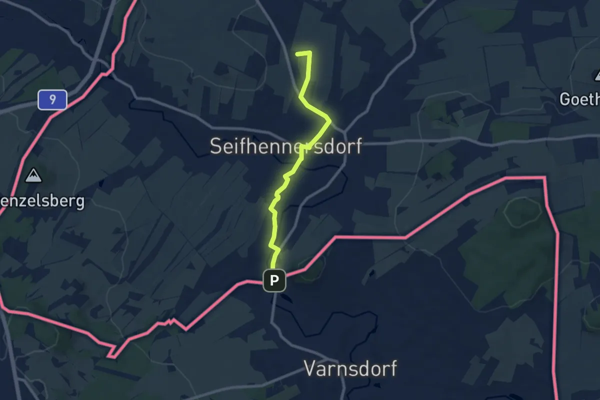
Easy · Summit
Querxenland - Grenze Warnsdorf
6.6 km · ↑ 37 m · 1 h 38 min
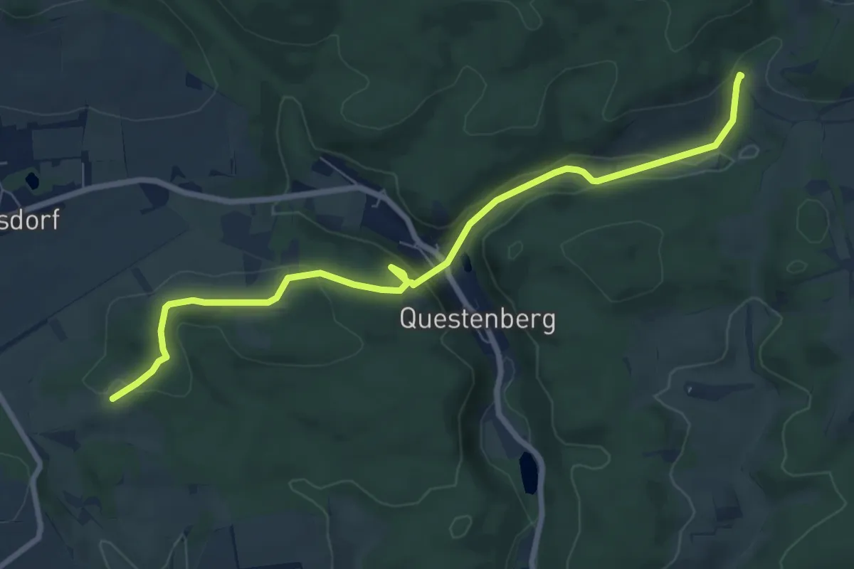
Medium · Summit
Queste-Wanderweg
3.7 km · ↑ 102 m · 1 h 9 min
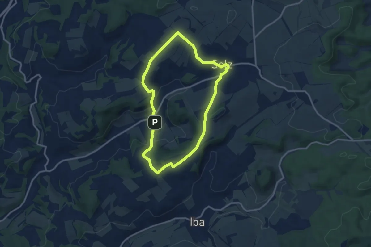
Easy · Summit
Quincunx Adel
7.4 km · ↑ 181 m · 2 h 15 min
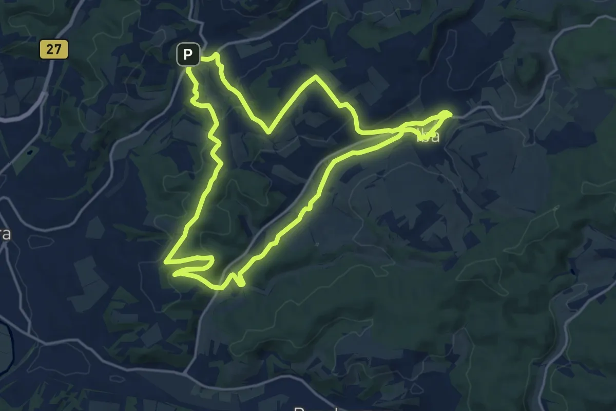
Medium · Trail
Quincunx Bergbau
14.2 km · ↑ 276 m · 4 h 9 min
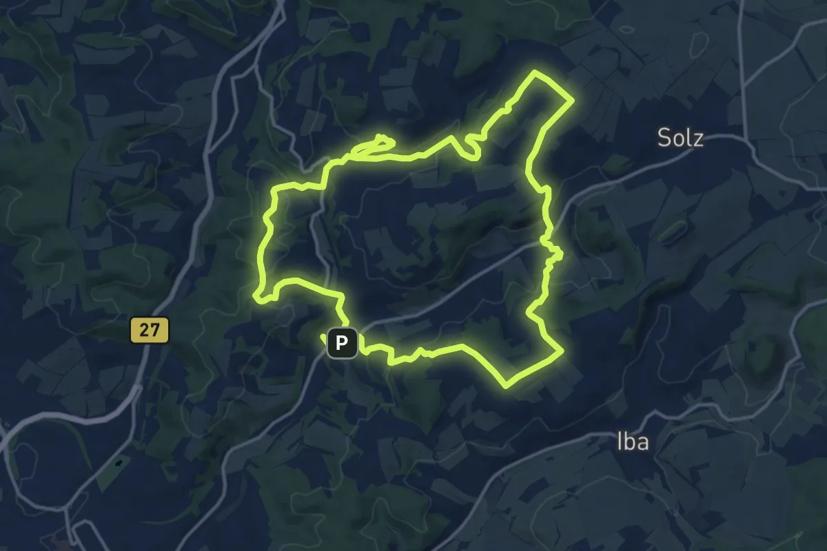
Medium · Summit
Quincunx Orchideen
13.9 km · ↑ 350 m · 4 h 14 min
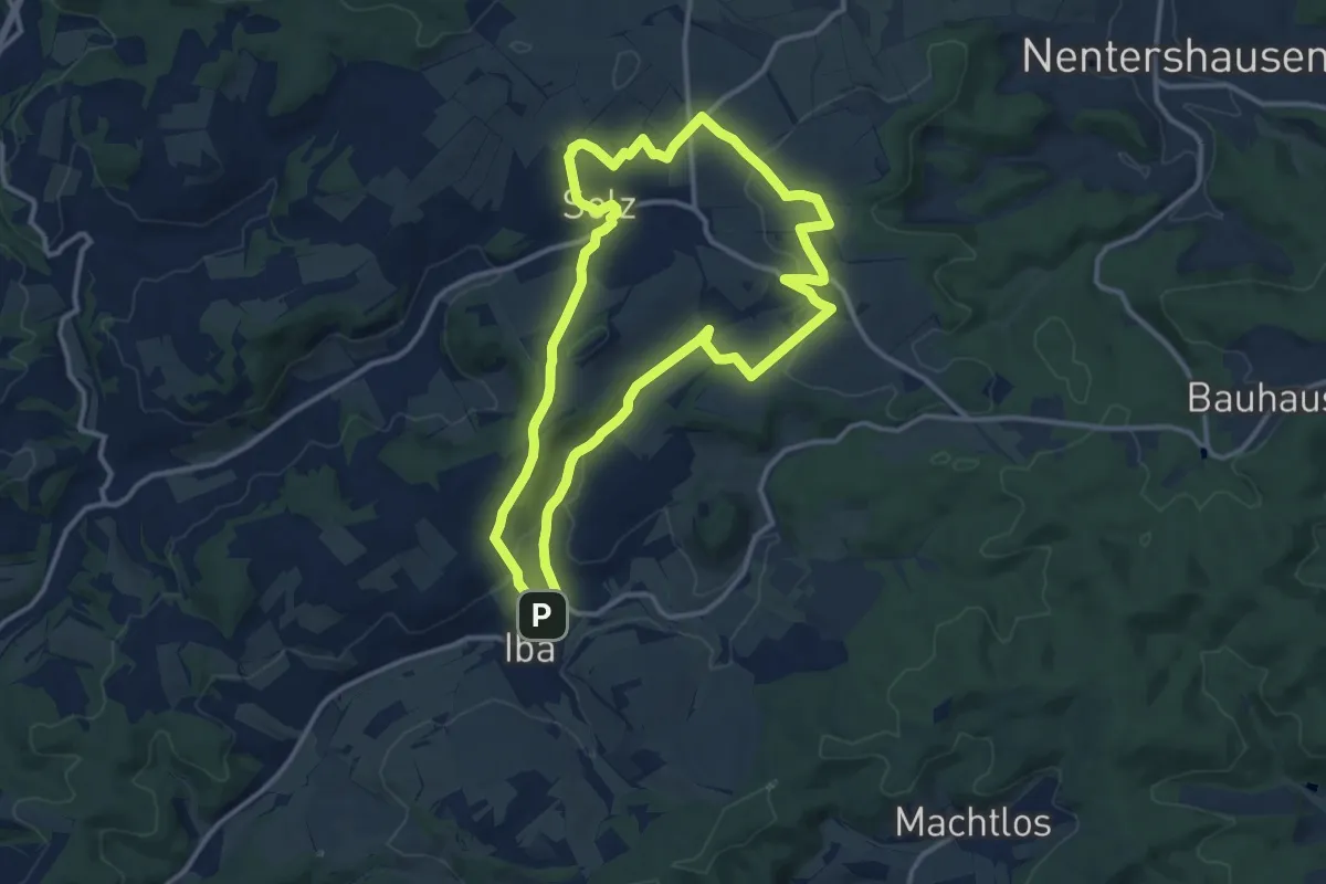
Medium · Summit
Quincunx Rotmilan
11.1 km · ↑ 251 m · 3 h 20 min
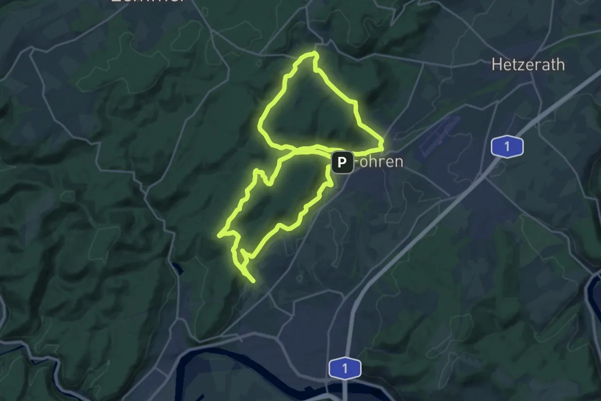
Demanding · Summit
R1
18.9 km · ↑ 493 m · 5 h 48 min
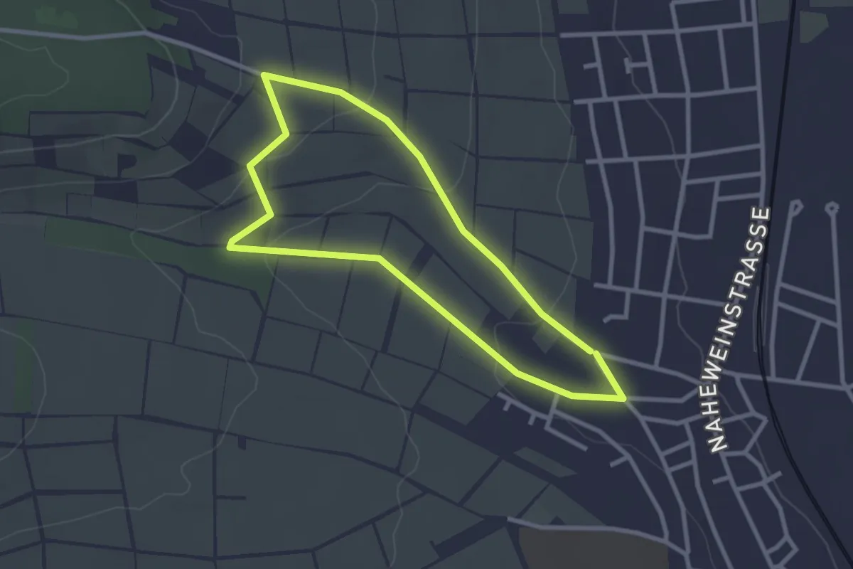
Easy · Trail
R1
2.4 km · ↑ 61 m · 44 min