Trails in Germany
36,852 hiking trails, each with its route, climb, walking time and grade.
All trails, page 433 of 768
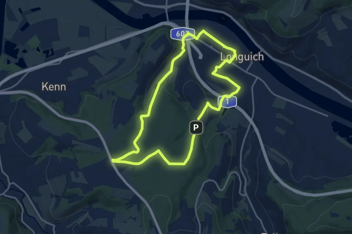
Medium · Trail
R11
9.5 km · ↑ 153 m · 2 h 43 min
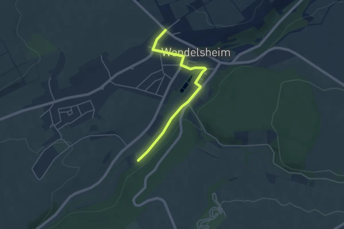
Easy · Trail
R12 Flonheim-Uffhofen -- R8 Wendelsheim
3.7 km · ↑ 33 m · 57 min
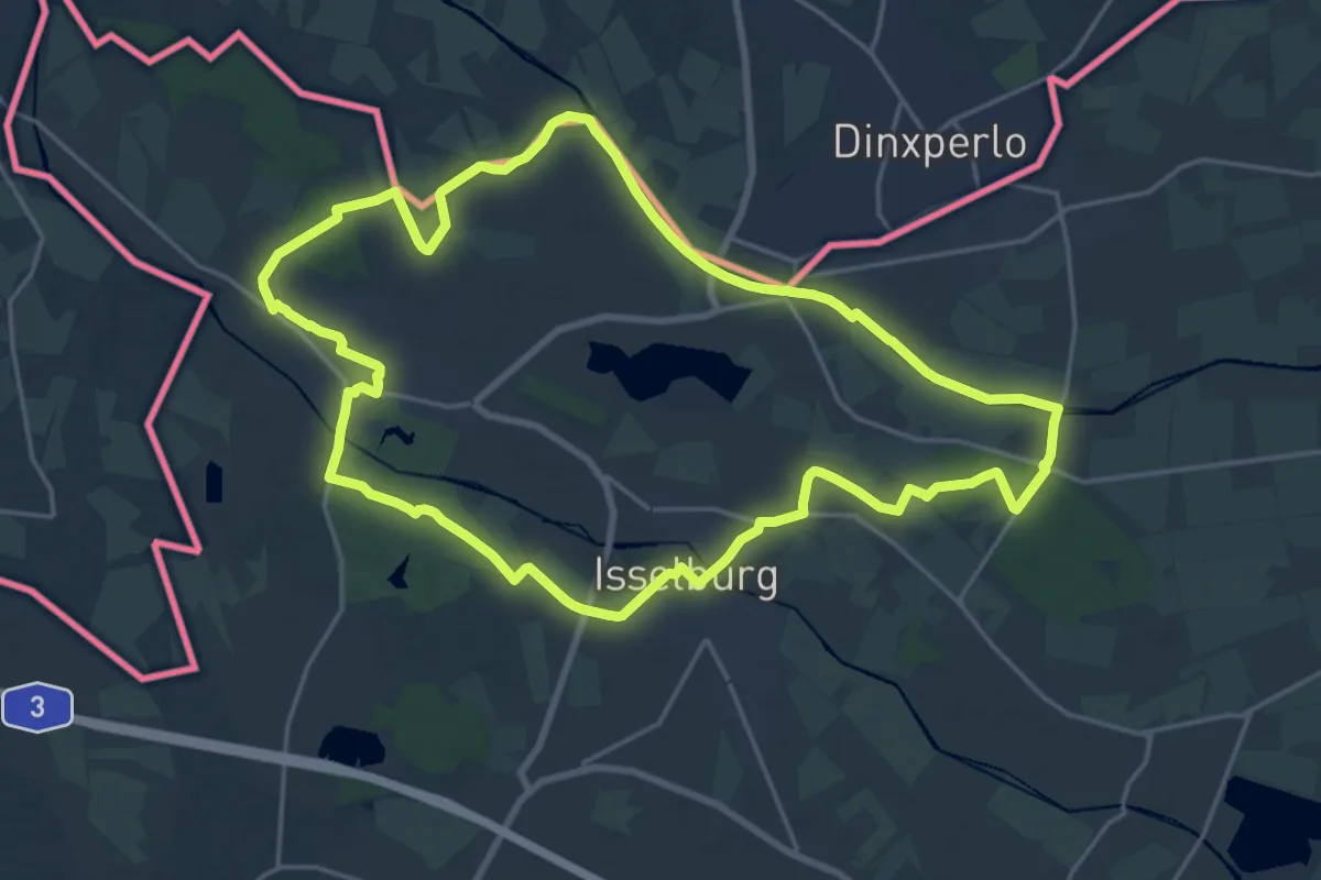
Medium · Trail
R 16: Rund um Isselburg
18.0 km · ↑ 27 m · 4 h 33 min
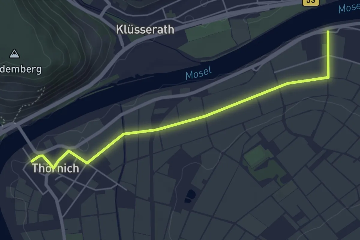
Easy · Trail
R17
2.4 km · ↑ 9 m · 37 min
Medium · Trail
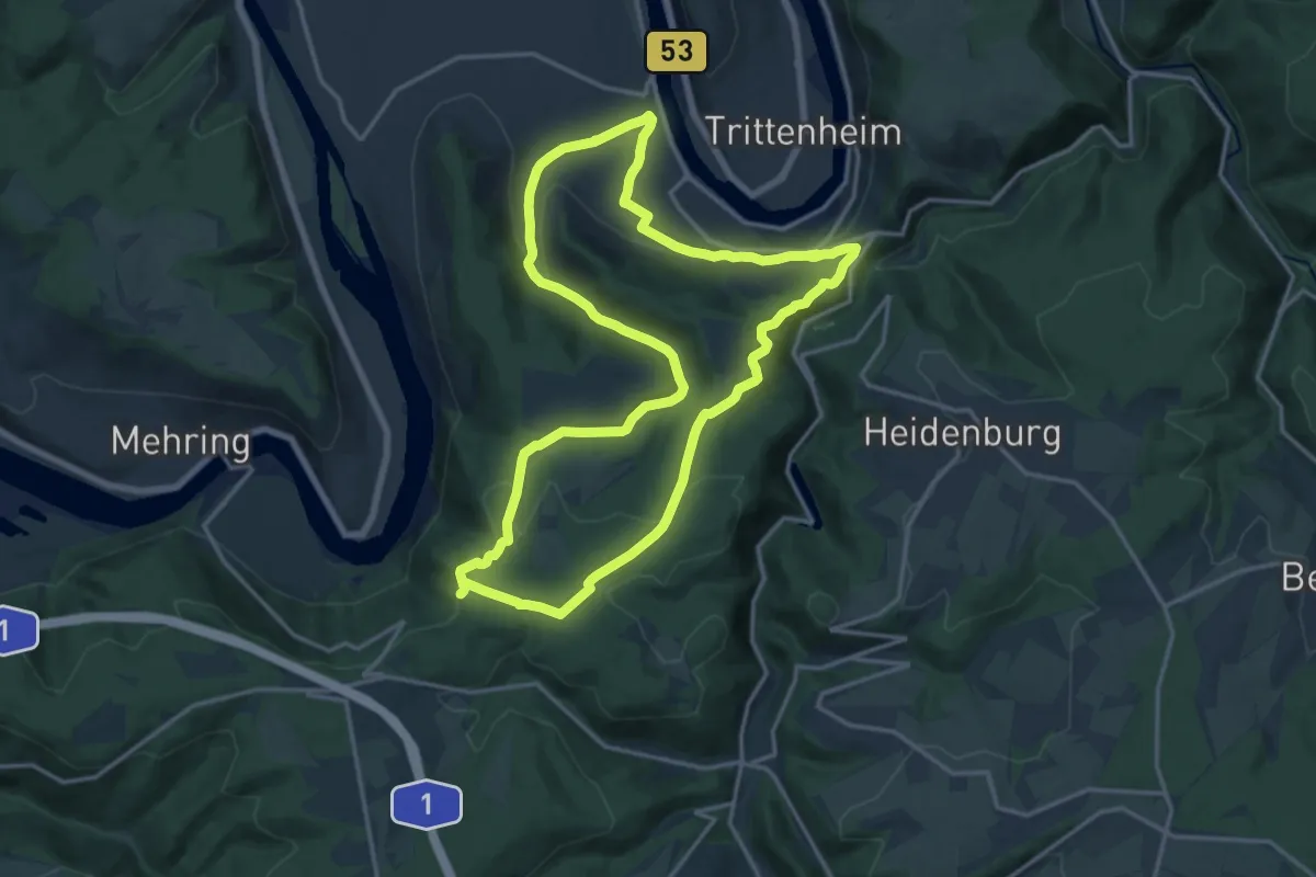
R18
15.5 km · ↑ 401 m · 4 h 45 min
Easy · Trail
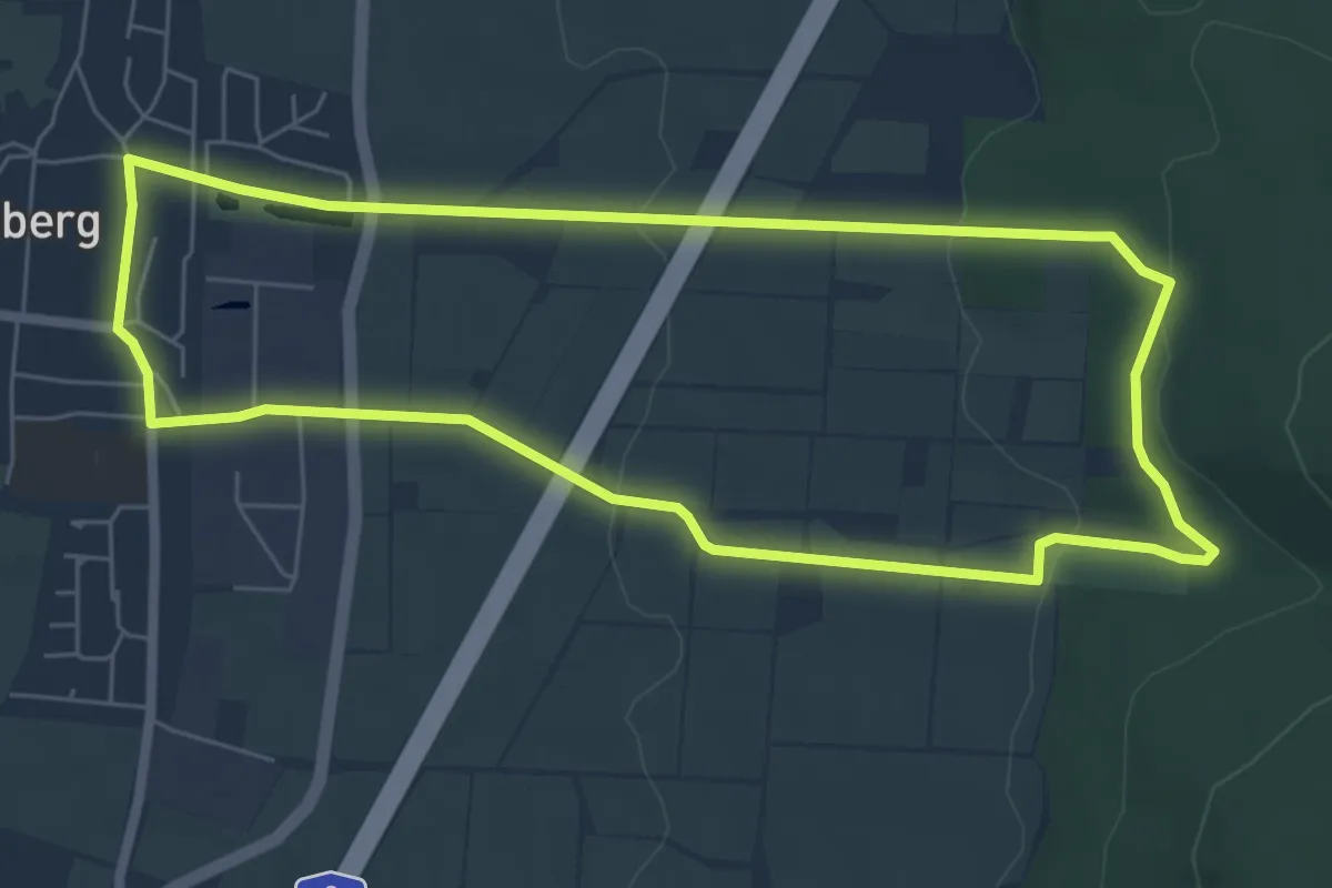
R1 Rundwanderweg Rodenberg Nr. 1
5.7 km · ↑ 124 m · 1 h 41 min
Easy · Trail
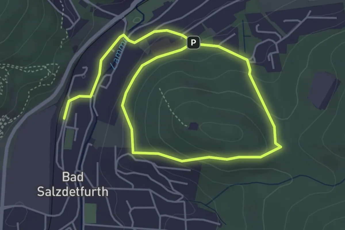
R1 Rundwanderweg um den Sothenberg
3.2 km · ↑ 113 m · 1 h 4 min
Demanding · Summit
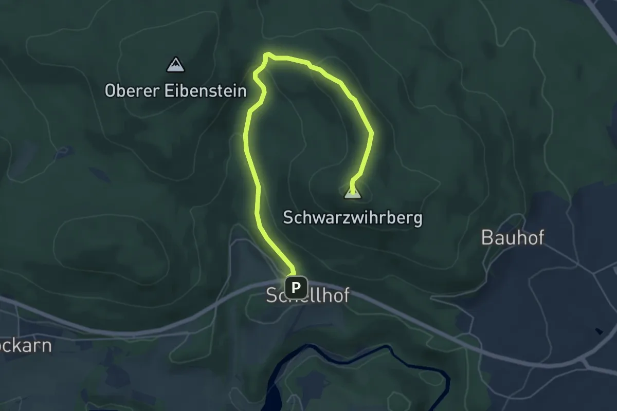
R 1 (Schwarzwihrberg)
5.7 km · ↑ 191 m · 1 h 46 min
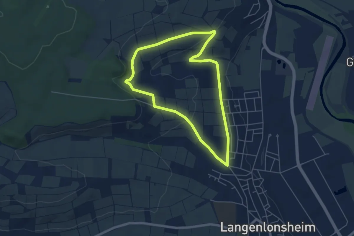
Easy · Trail
R2
4.3 km · ↑ 85 m · 1 h 15 min
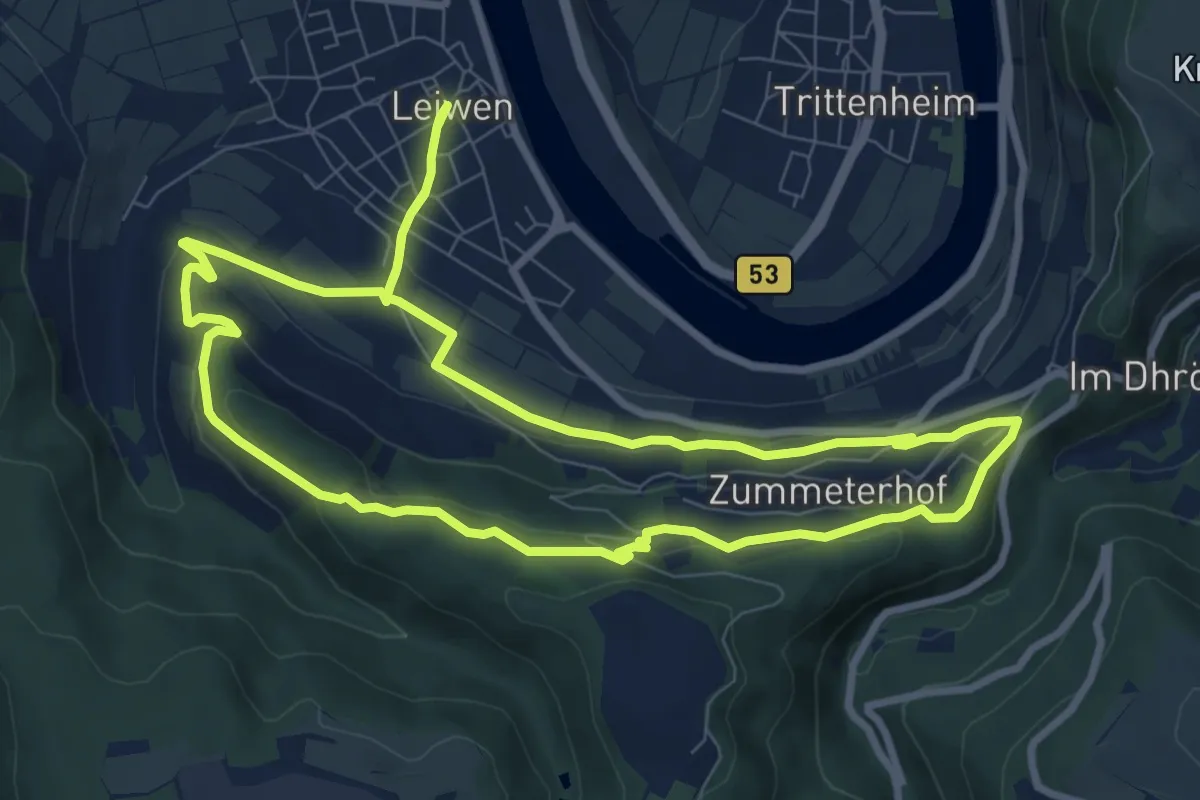
Medium · Summit
R20
8.4 km · ↑ 218 m · 2 h 35 min
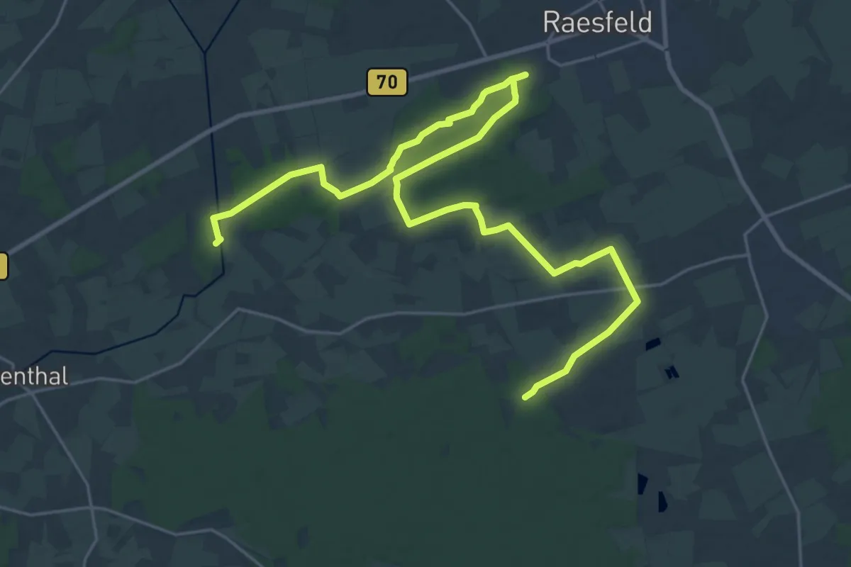
Medium · Trail
R27 von Raesfeld zum Kloster Marienthal
13.5 km · ↑ 43 m · 3 h 28 min
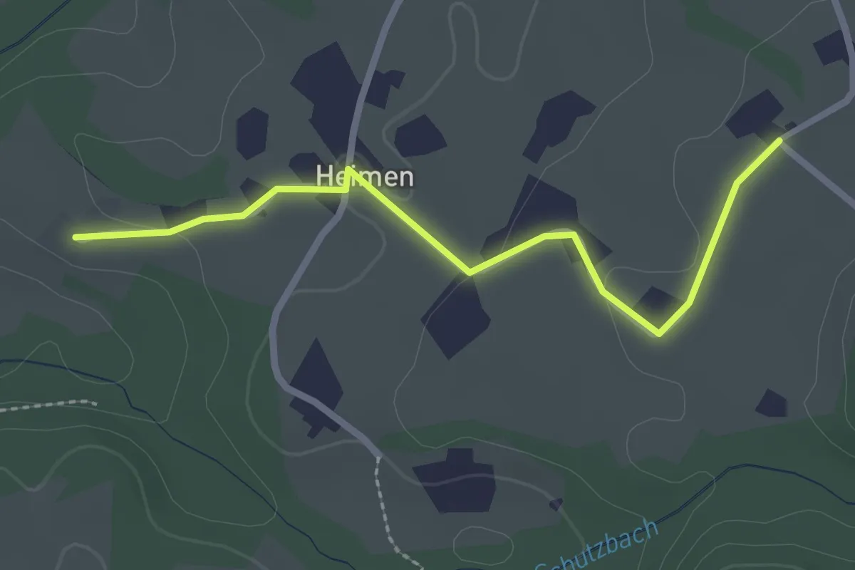
Easy · Trail
R2 Kapellenwanderweg
2.4 km · ↑ 38 m · 39 min
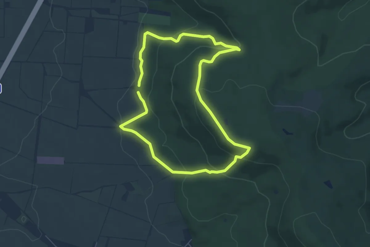
Easy · Trail
R2 Rundwanderweg Rodenberg Nr. 2
5.2 km · ↑ 225 m · 1 h 46 min
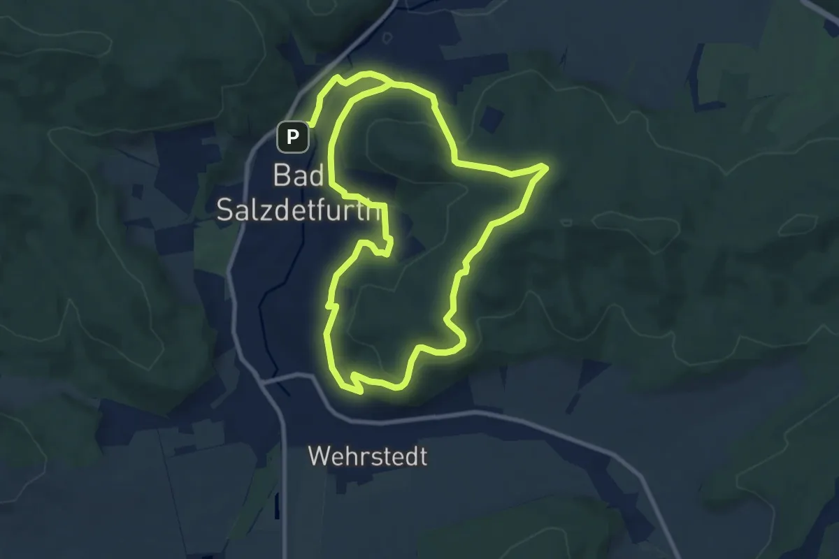
Easy · Summit
R2 Rundwanderweg Ziegenberg
7.8 km · ↑ 245 m · 2 h 28 min
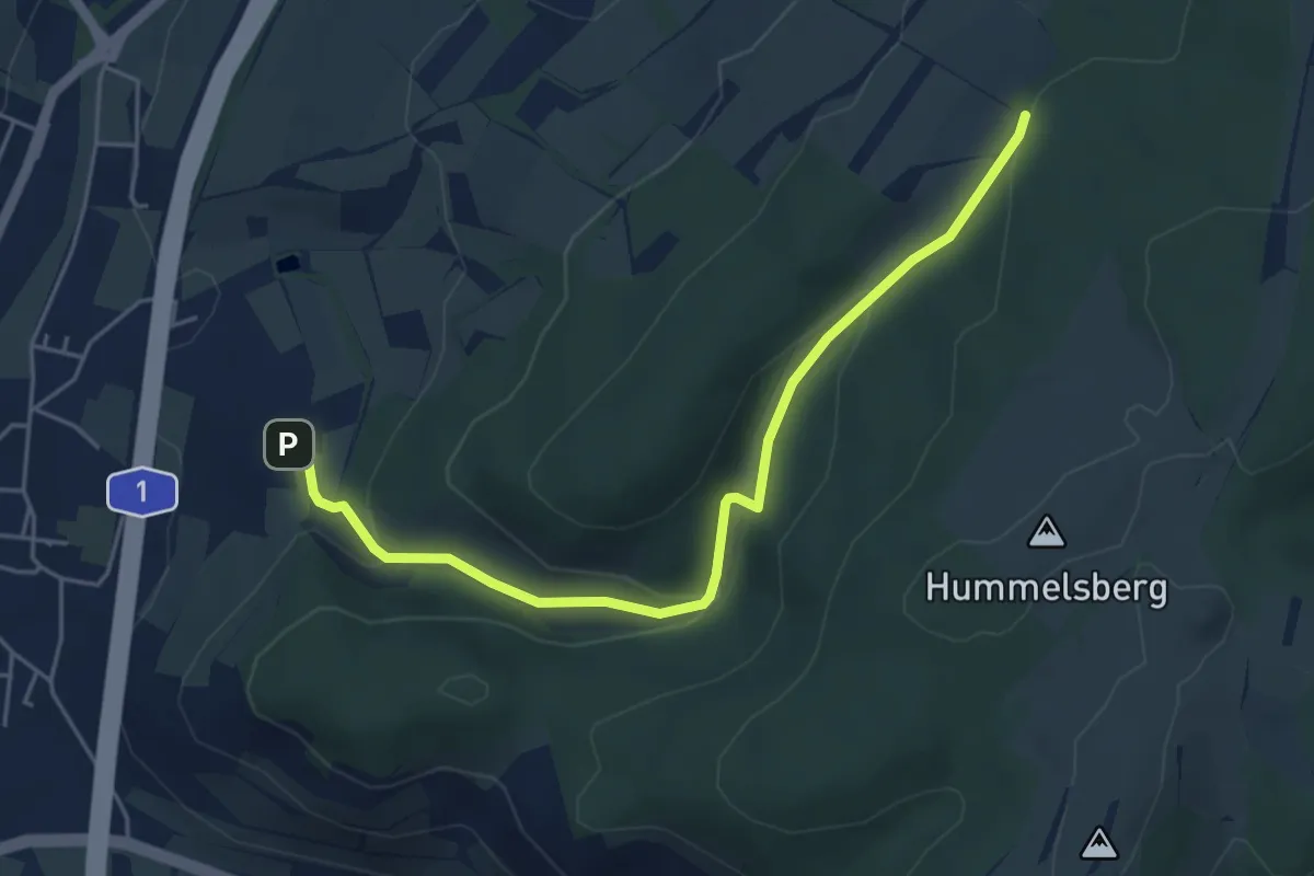
Easy · Trail
R3
5.0 km · ↑ 159 m · 1 h 31 min
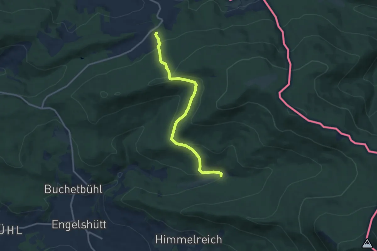
Medium · Trail
R 3 »Lambachweg« (Rittsteig)
8.4 km · ↑ 342 m · 2 h 43 min
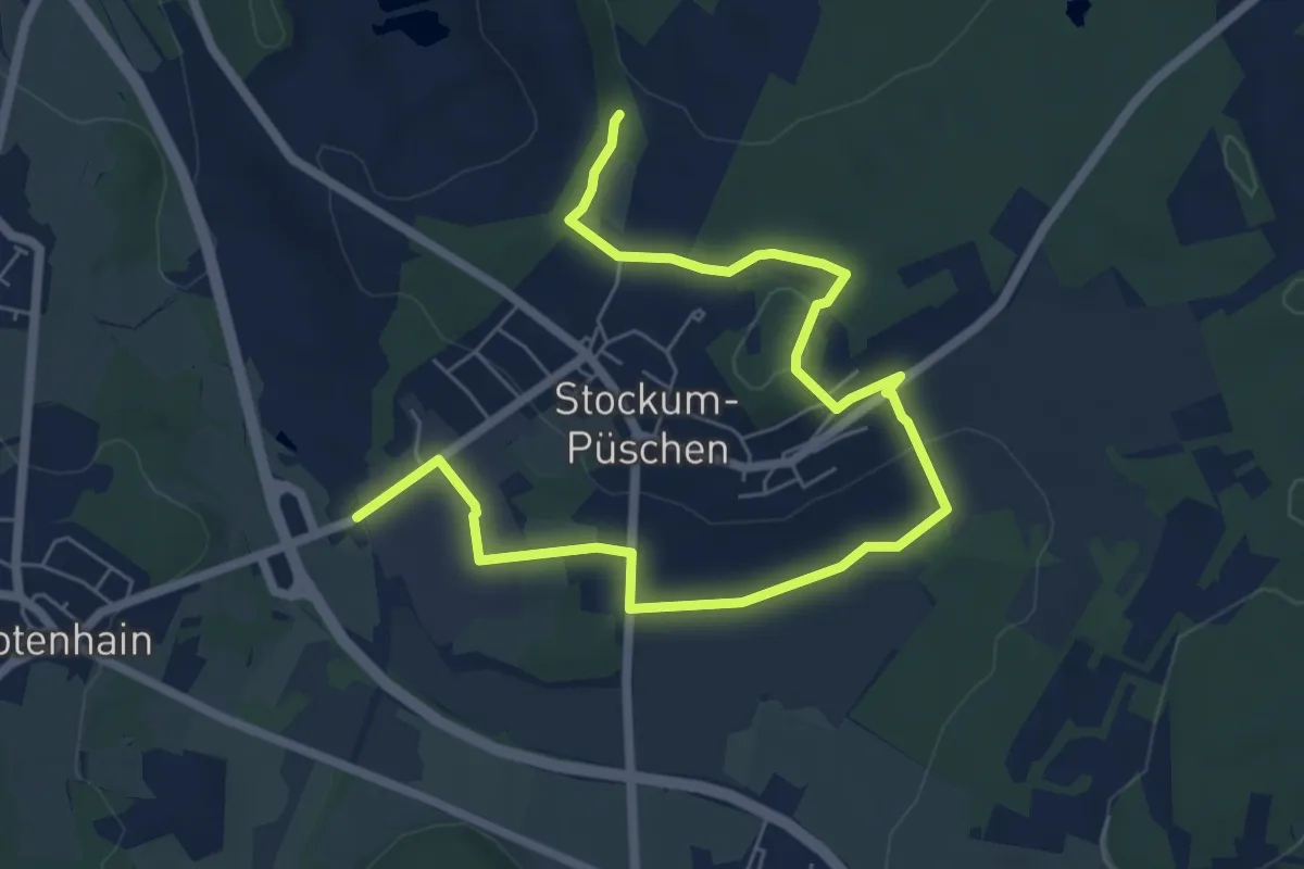
Easy · Summit
R3 Rund um den Stöffel
3.9 km · ↑ 43 m · 1 h 6 min
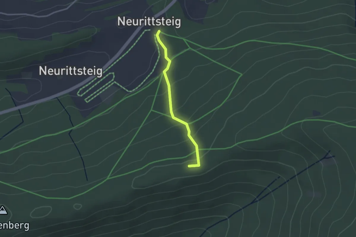
Easy · Trail
R 5 »Zum-Roten-Kreuz-Wanderweg«
2.1 km · ↑ 121 m · 46 min
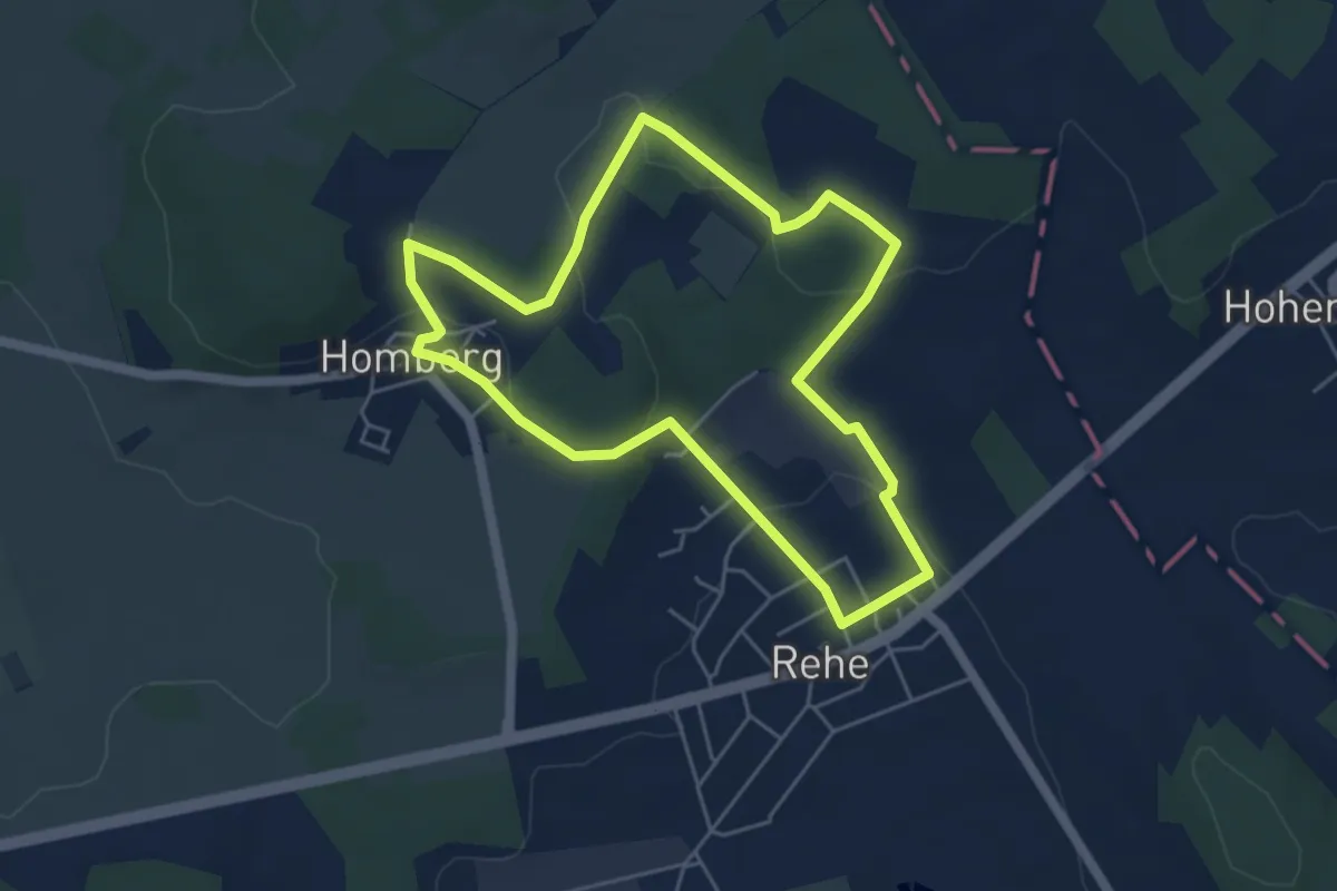
Easy · Trail
R6
4.5 km · ↑ 102 m · 1 h 21 min
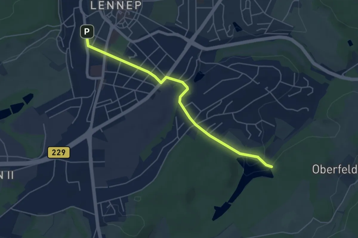
Easy · Trail
R6 Lennep - Wassermühle
4.4 km · ↑ 66 m · 1 h 11 min
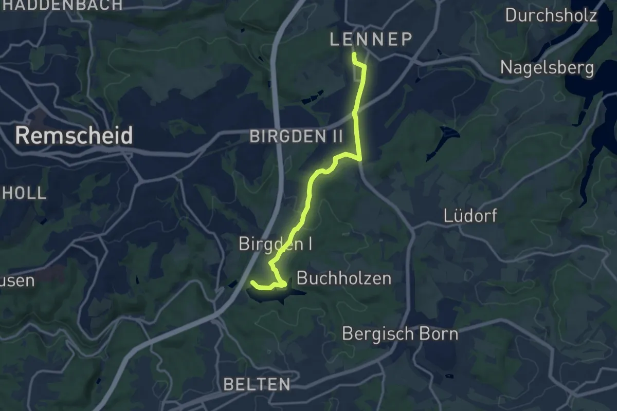
Easy · Trail
R7 Lennep - Eschbachtalsperre
5.0 km · ↑ 94 m · 1 h 25 min
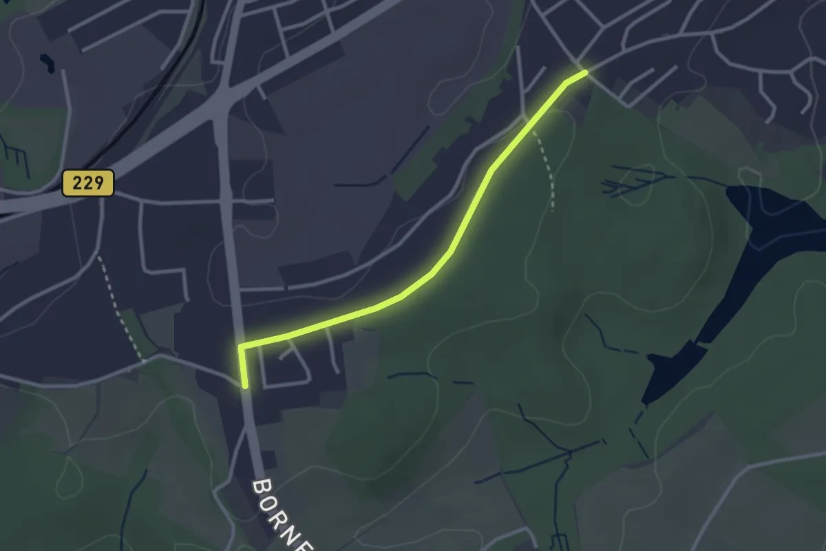
Easy · Trail
R8 Höhenweg - Wassermühle
2.5 km · ↑ 13 m · 36 min
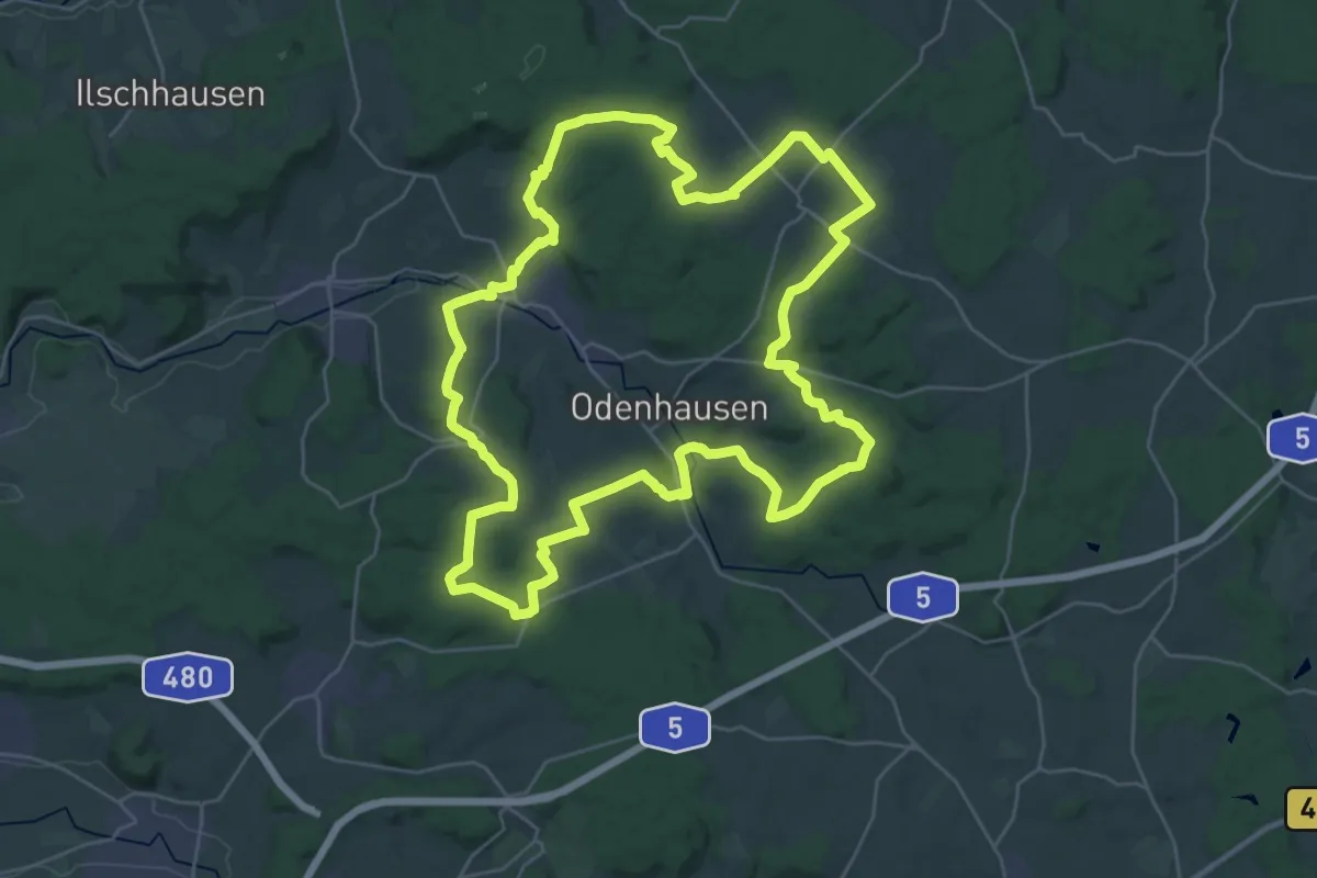
Demanding · Trail
Rabenauer Höhenweg
31.3 km · ↑ 418 m · 8 h 43 min
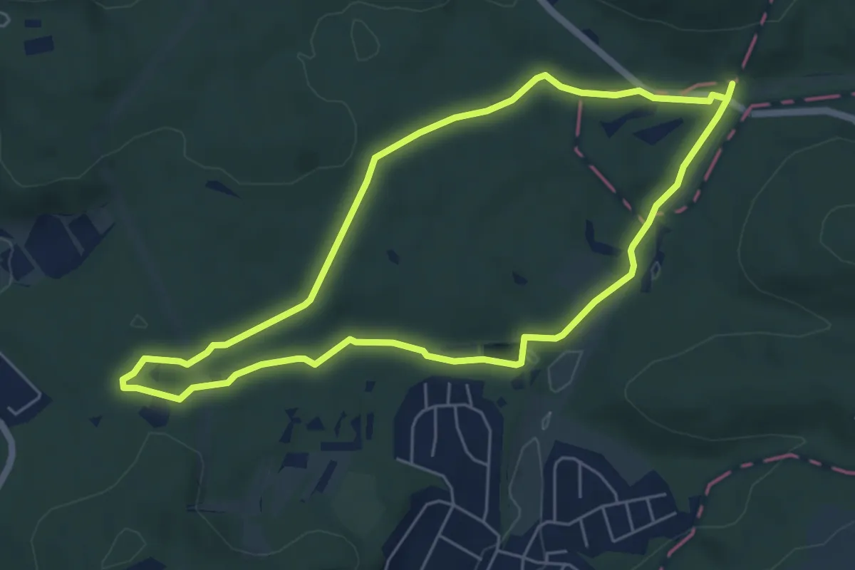
Easy · Trail
Rabenhorst Runde
5.0 km · ↑ 64 m · 1 h 24 min
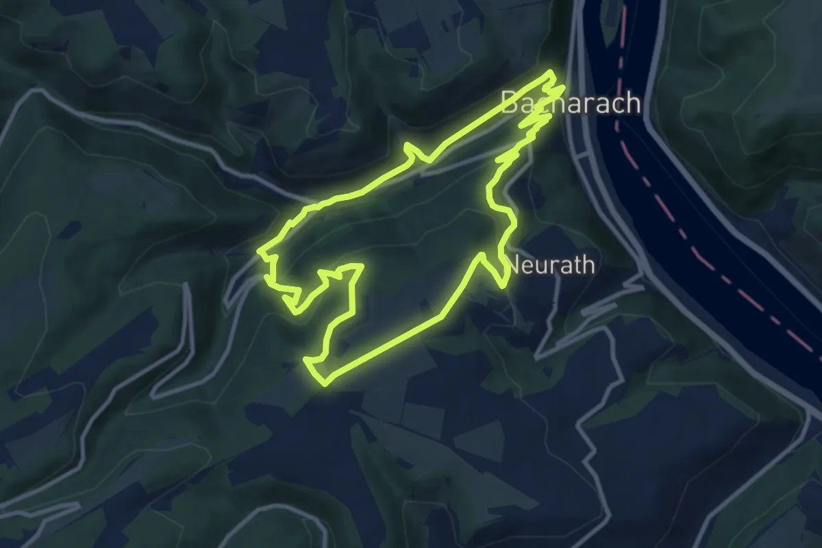
Medium · Trail
Rabenkopfrundweg
9.1 km · ↑ 400 m · 3 h 8 min
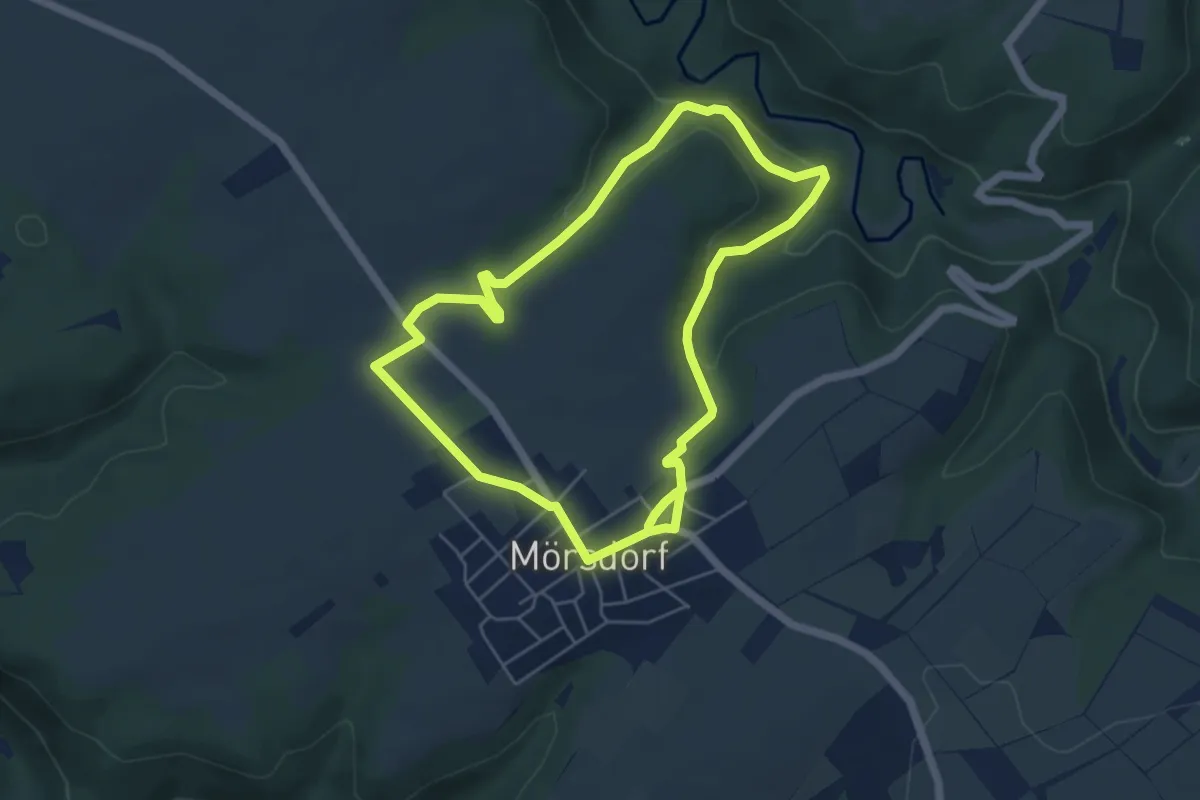
Demanding · Trail
Rabenlay-Runde
4.8 km · ↑ 134 m · 1 h 29 min
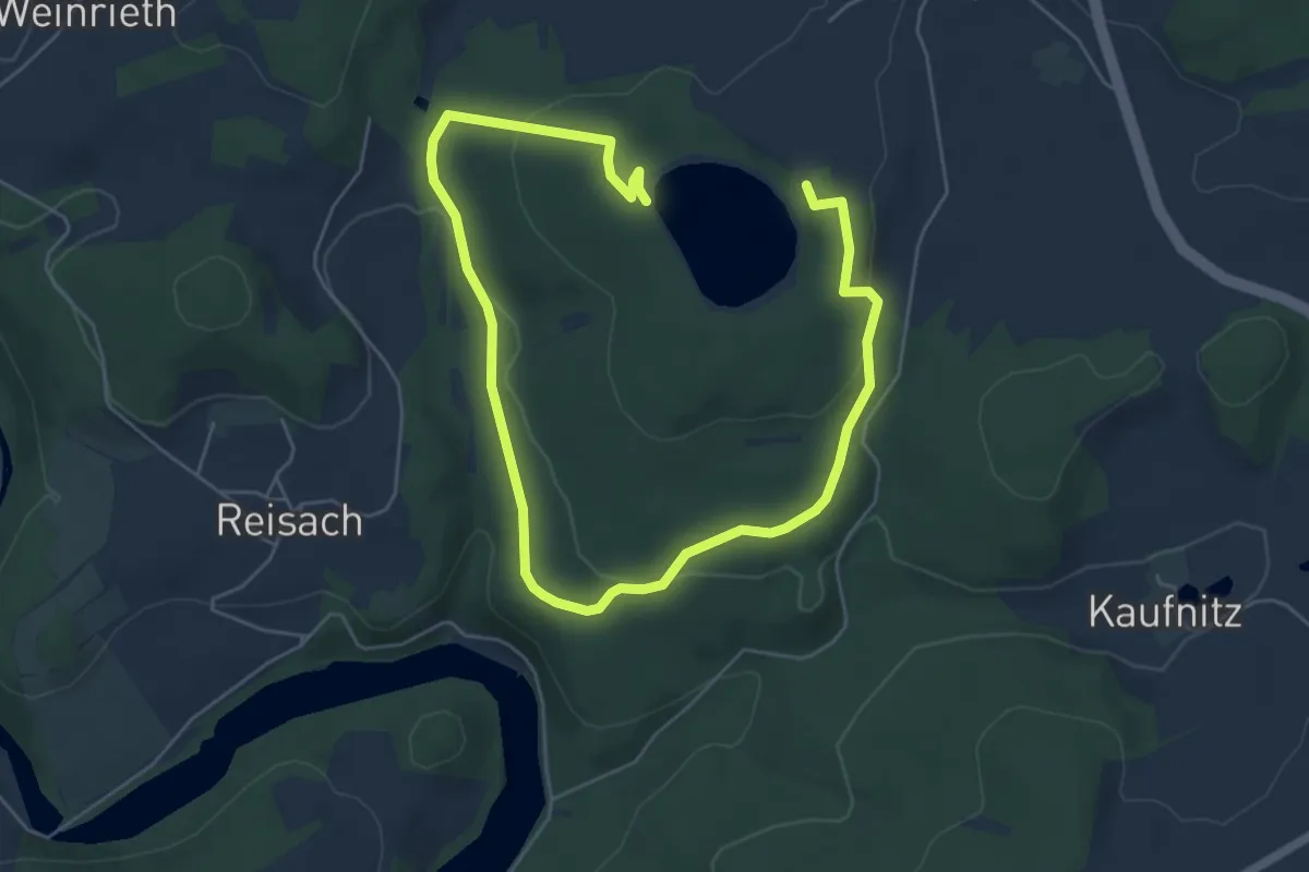
Easy · Trail
Rabenleite (Rundweg?)
8.0 km · ↑ 230 m · 2 h 23 min
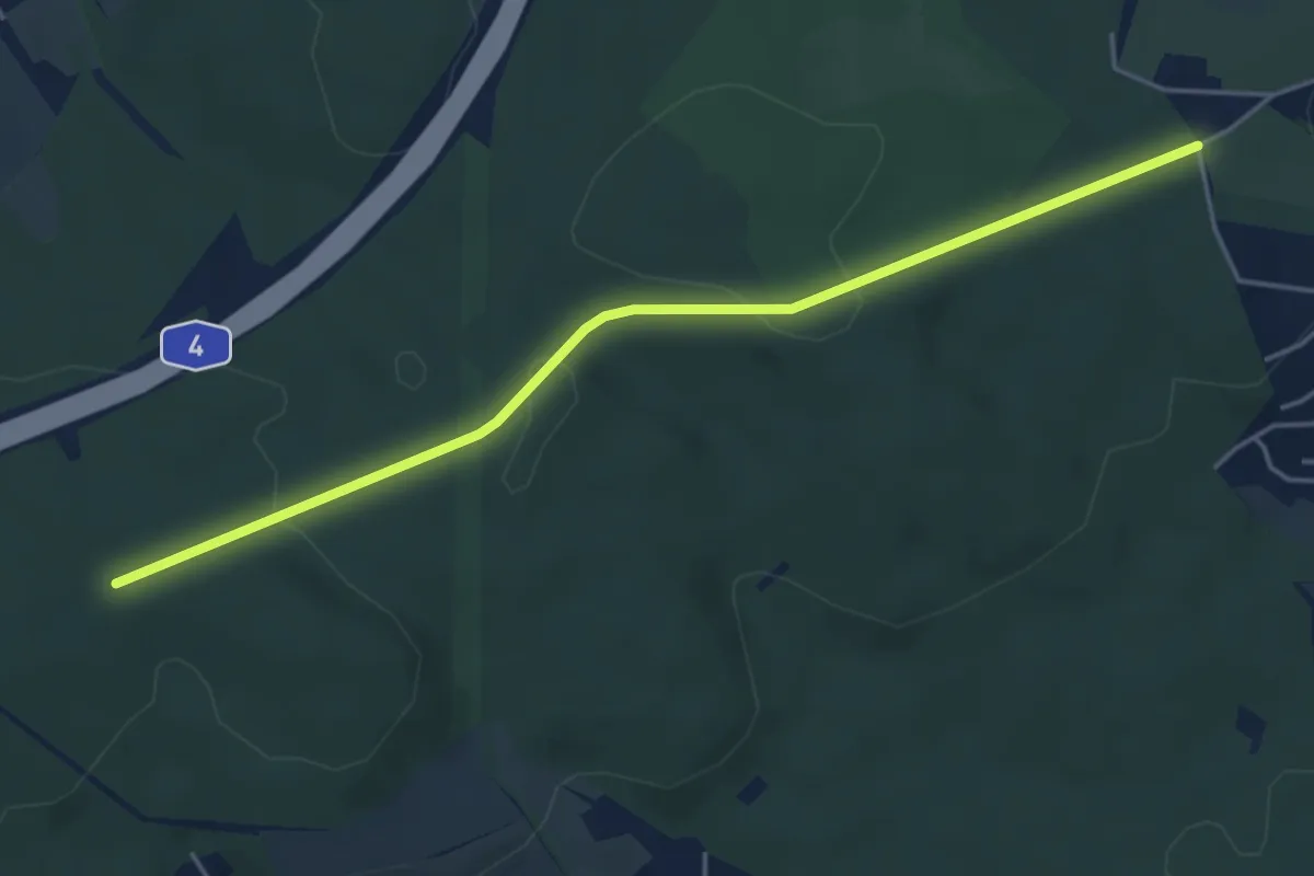
Easy · Trail
Rabenstein-Dachsbaude Grüna
4.4 km · ↑ 52 m · 1 h 9 min
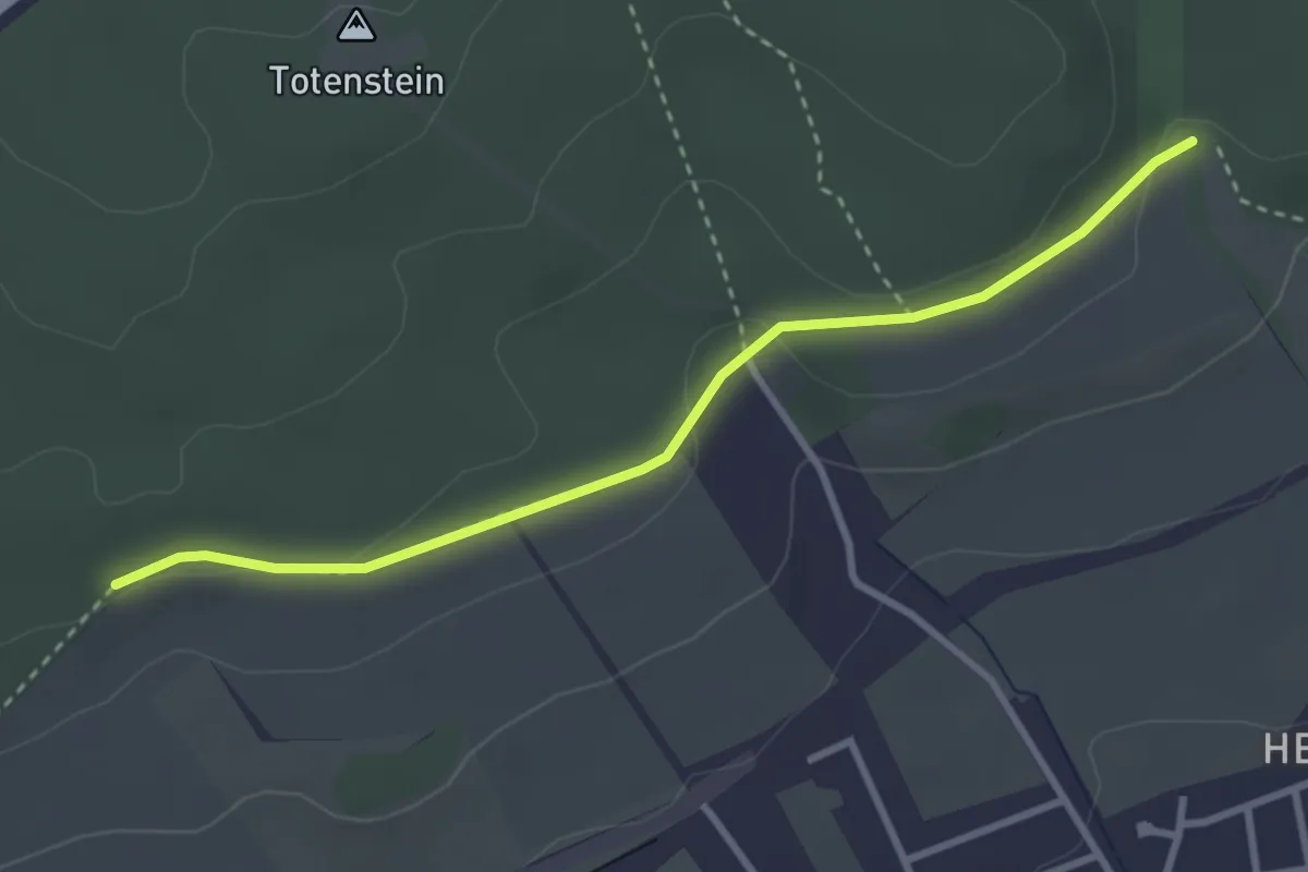
Medium · Trail
Rabensteiner Wald Südhang
3.0 km · ↑ 70 m · 51 min
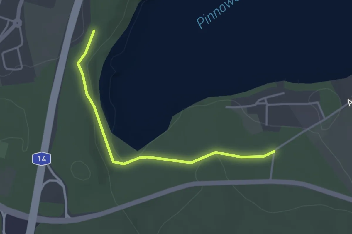
Easy · Trail
Raben Steinfelder Forst
1.4 km · ↑ 27 m · 24 min
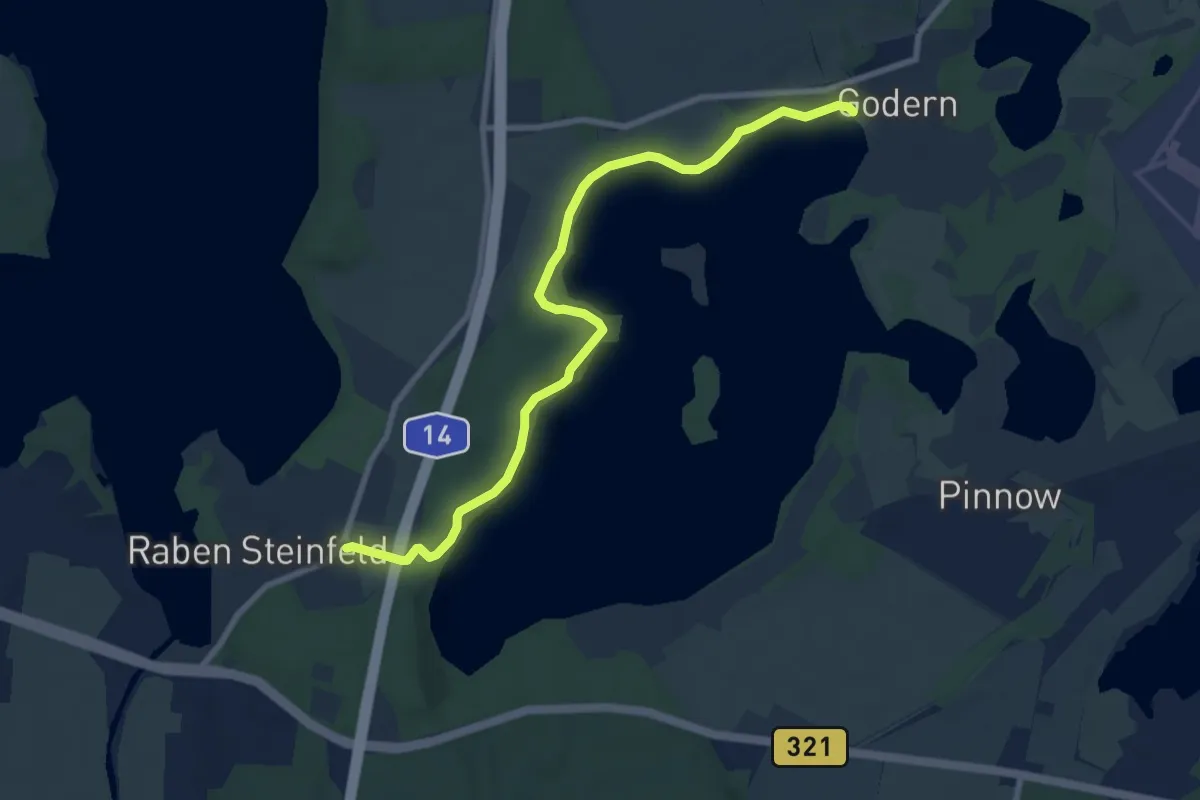
Easy · Trail
Raben Steinfeld - Godern
7.8 km · ↑ 178 m · 2 h 13 min
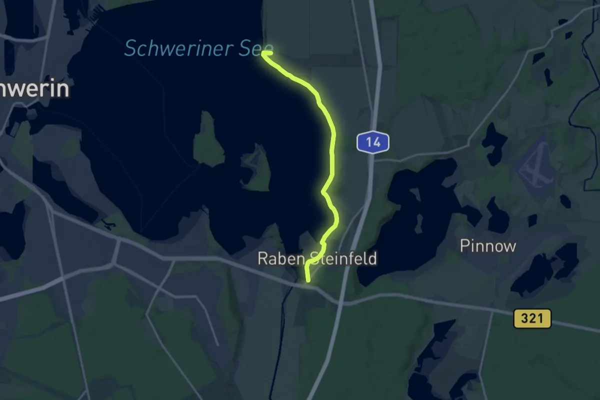
Medium · Trail
Raben Steinfeld - Görslow
10.8 km · ↑ 91 m · 2 h 45 min
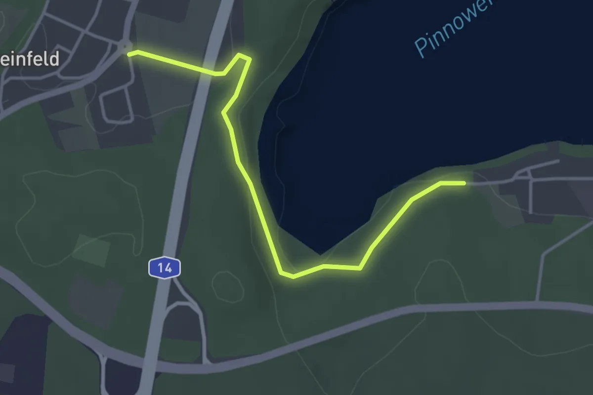
Easy · Trail
Raben Steinfeld - Pinnow
3.2 km · ↑ 62 m · 54 min
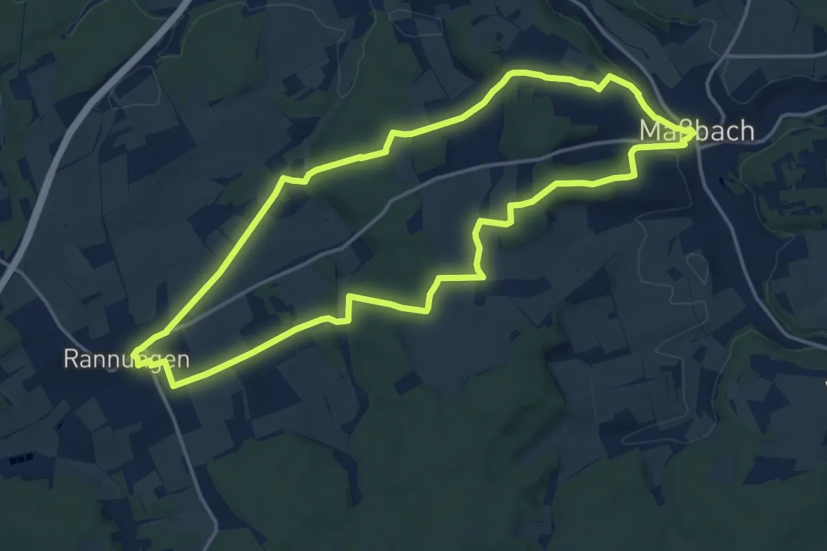
Medium · Trail
Rabenweg Rannungen
13.4 km · ↑ 266 m · 3 h 55 min
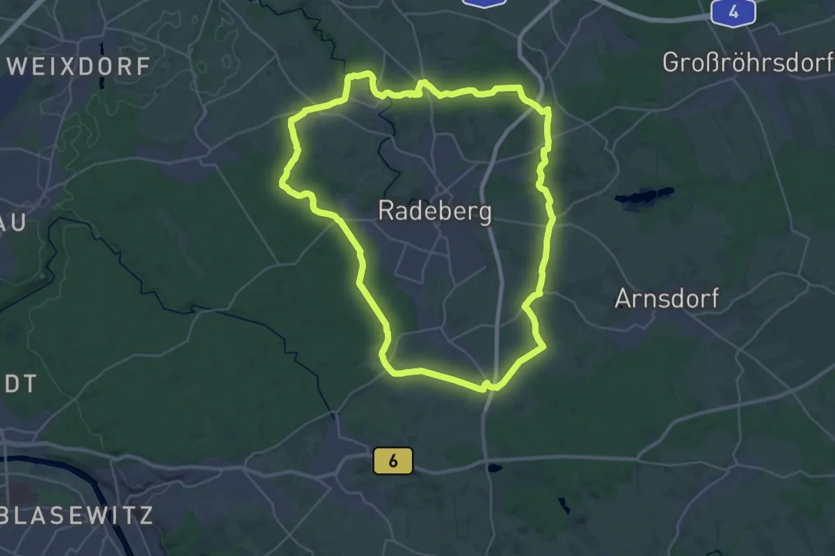
Demanding · Summit
Radeberger Rundwanderweg
25.2 km · ↑ 200 m · 6 h 43 min
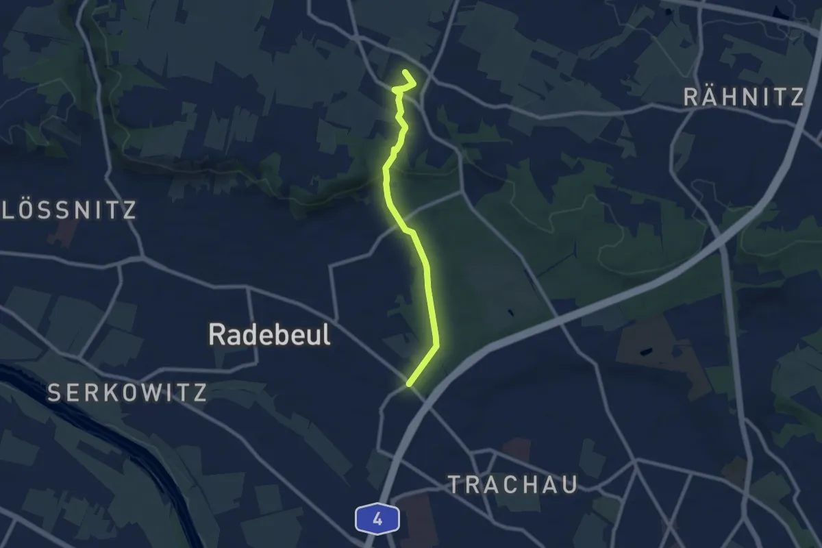
Easy · Summit
Radebeul-Ost - Moritzburg
6.5 km · ↑ 112 m · 1 h 46 min
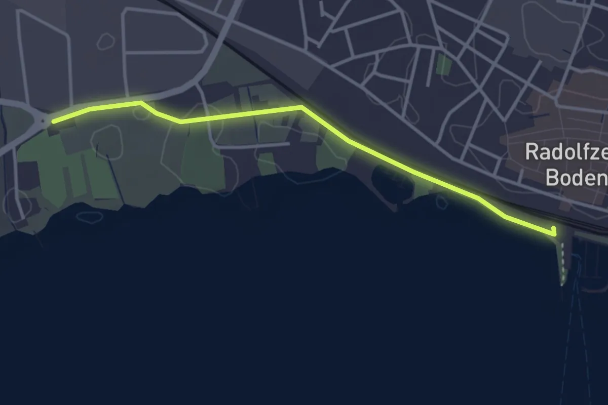
Easy · Trail
Radolfzell Bahnhof - Radolfzell Bodenseereiter
3.2 km · ↑ 17 m · 48 min
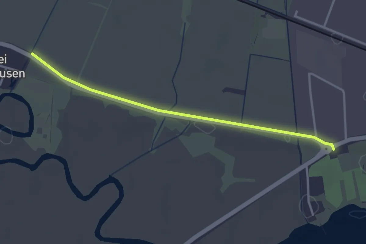
Easy · Trail
Radolfzell Bodenseereiter - Riedwiesen
2.8 km · ↑ 0 m · 40 min
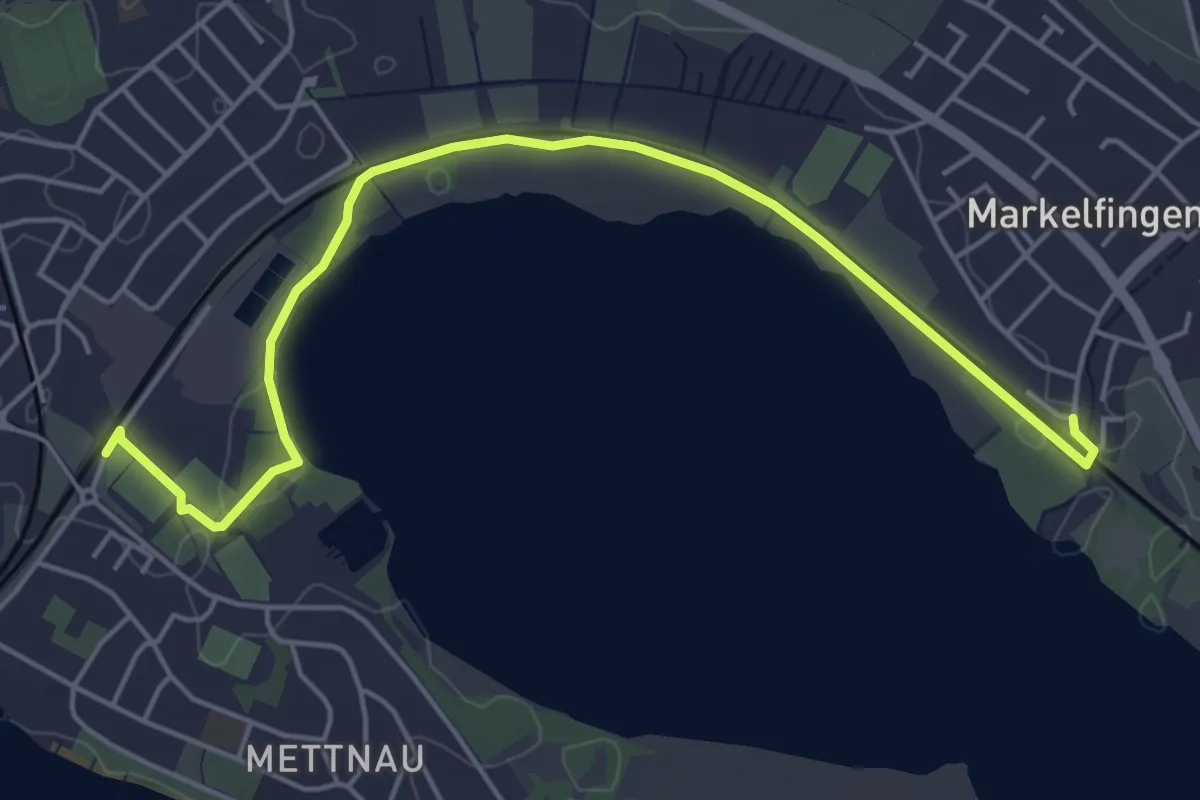
Easy · Trail
Radolfzell Schiesshüttenweg - Markelfingen Bahnhof
5.6 km · ↑ 22 m · 1 h 22 min
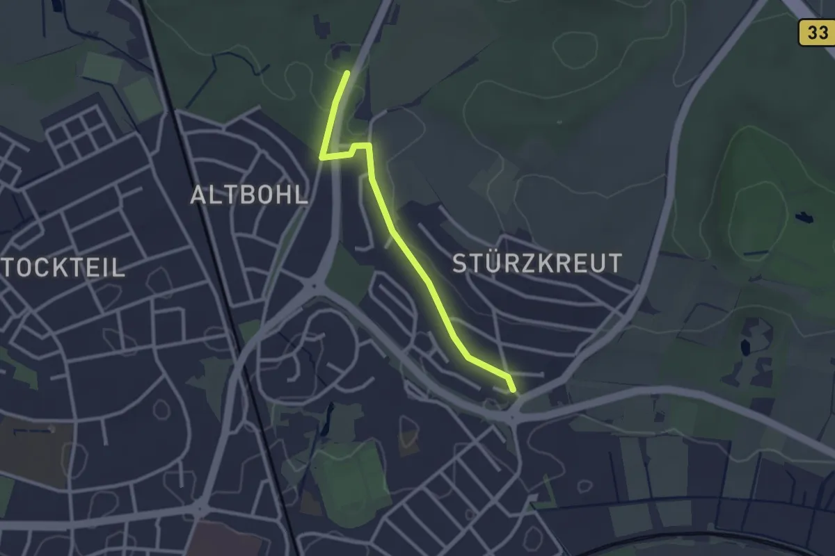
Easy · Trail
Radolfzell Weinburg - Alter Bohl
2.3 km · ↑ 24 m · 36 min
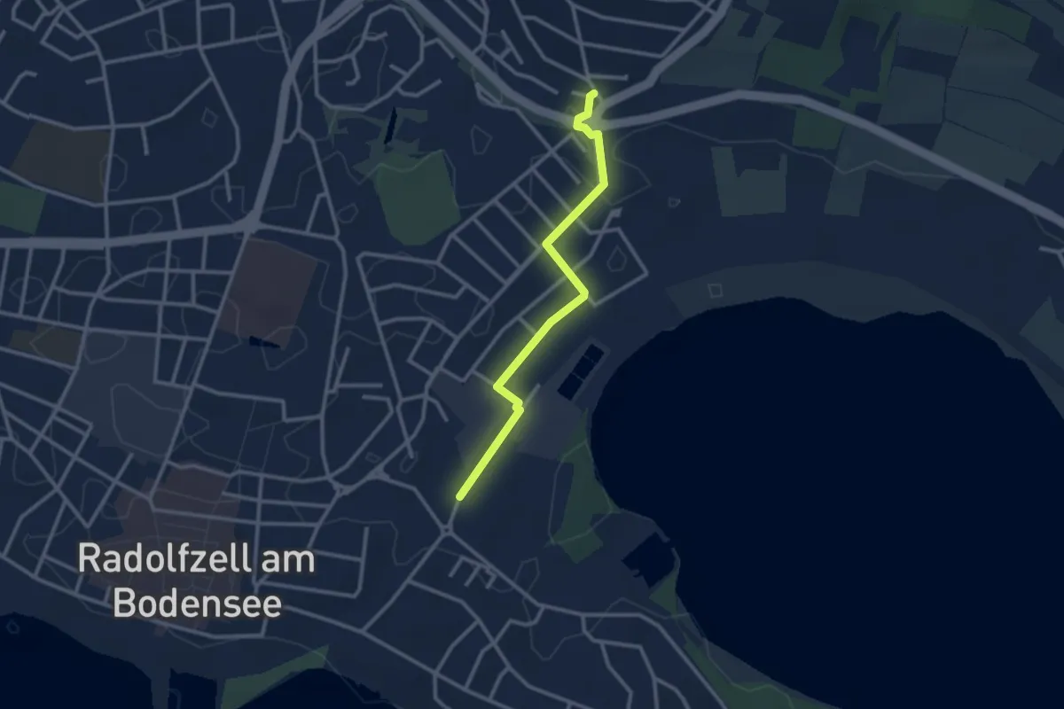
Easy · Trail
Radolfzell Weinburg - Radolfzell Schiesshüttenweg
2.6 km · ↑ 5 m · 37 min
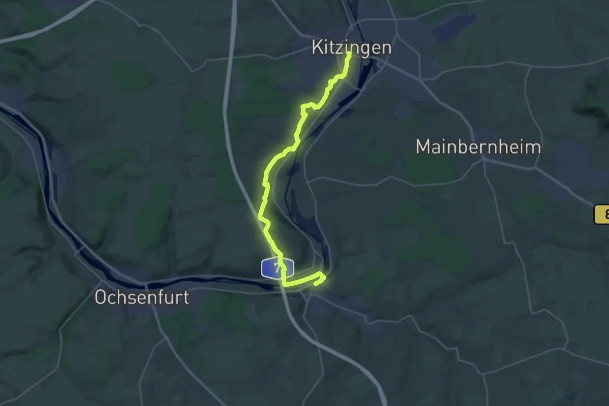
Demanding · Trail
Radroute Kitzingen - Marktbreit
23.5 km · ↑ 393 m · 6 h 24 min
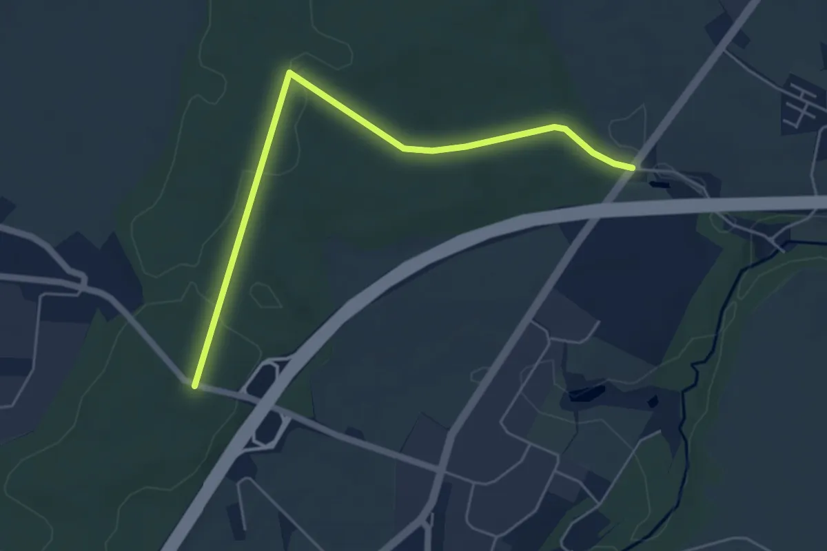
Easy · Trail
Rad-Rundwanderweg
4.9 km · ↑ 61 m · 1 h 17 min
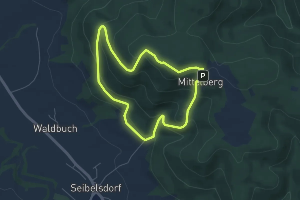
Easy · Summit
Radspitzweg KC 65
4.3 km · ↑ 245 m · 1 h 36 min
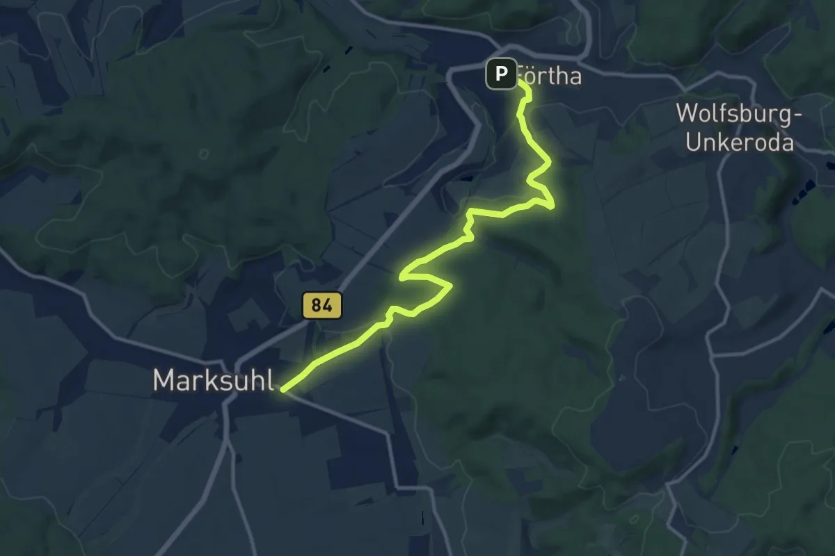
Medium · Trail
Rad- und Wanderweg Förtha-Marksuhl
11.4 km · ↑ 230 m · 3 h 11 min
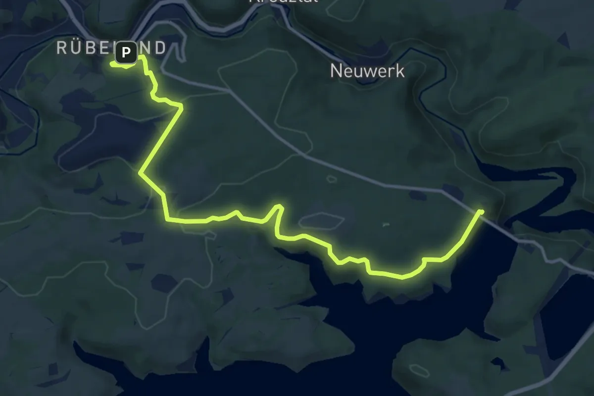
Medium · Trail
Rad- und Wanderweg "Himmel und Höhle"
12.3 km · ↑ 294 m · 3 h 33 min
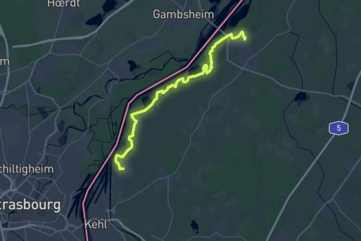
Medium · Trail
Rad- und Wanderweg Kehl-Freistett
17.4 km · ↑ 27 m · 4 h 25 min
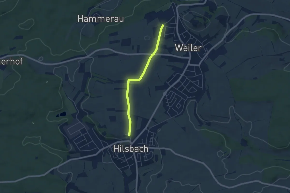
Easy · Trail
Rad- und Wanderweg Sinsheim Nr. 5
4.3 km · ↑ 31 m · 1 h 5 min