Trails in Germany
36,852 hiking trails, each with its route, climb, walking time and grade.
All trails, page 434 of 768
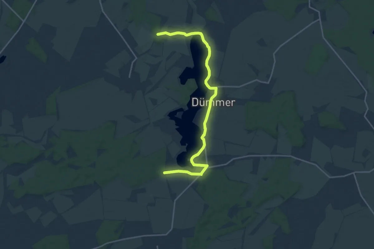
Medium · Trail
Rad-Wanderweg
13.9 km · ↑ 39 m · 3 h 22 min
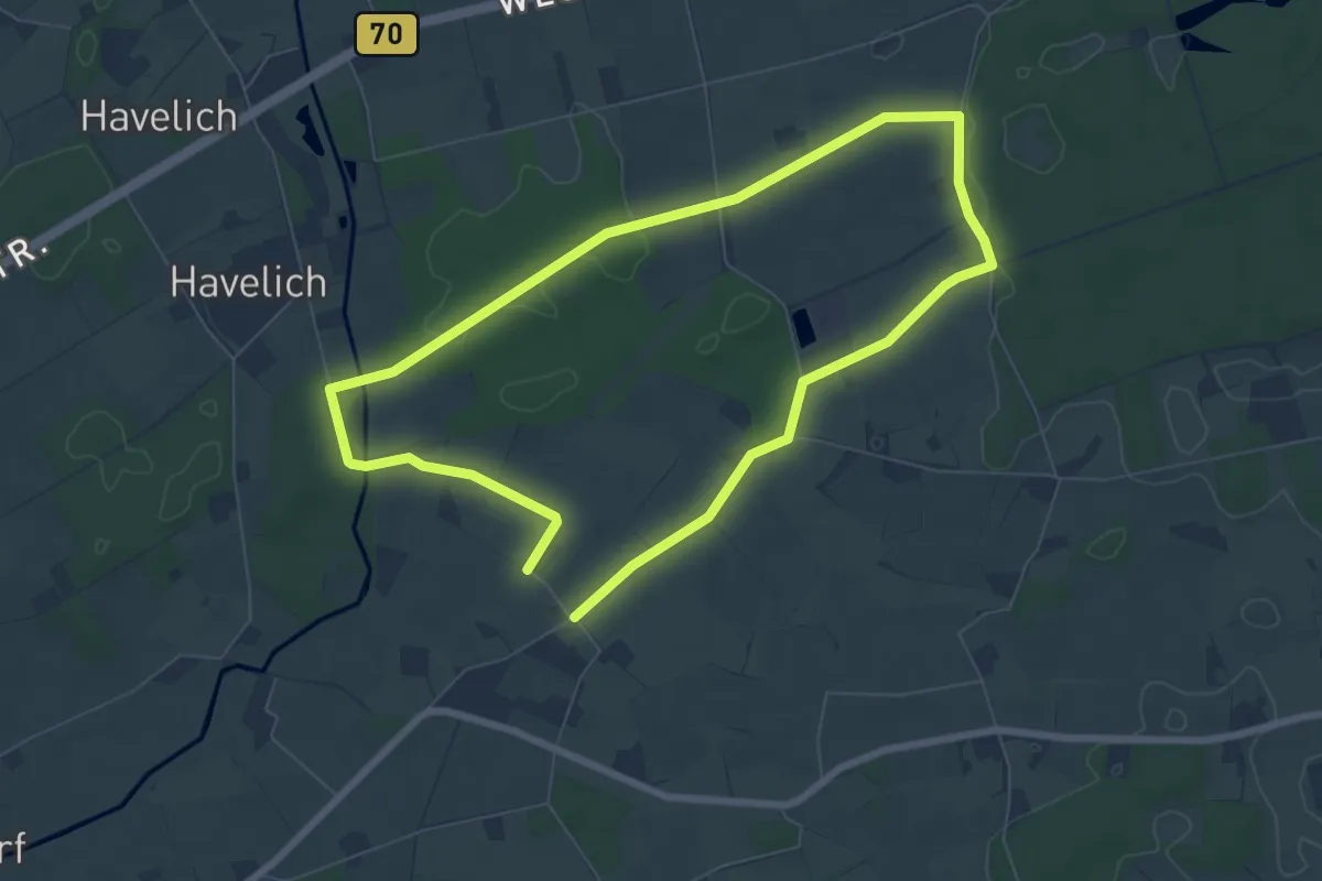
Easy · Trail
Raesfeld Wassermühle Rundweg A3
6.0 km · ↑ 23 m · 1 h 33 min
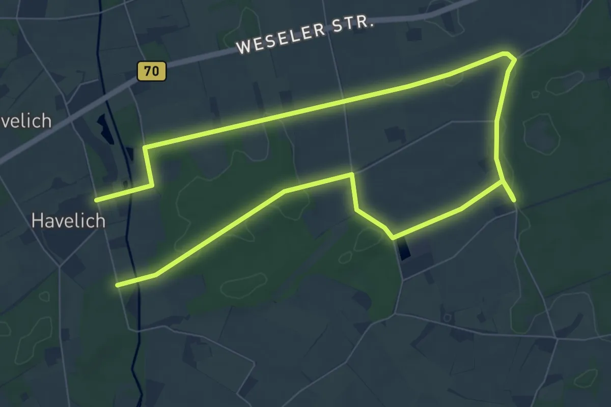
Easy · Trail
Raesfeld Wassermühle Rundweg A4
6.2 km · ↑ 27 m · 1 h 37 min
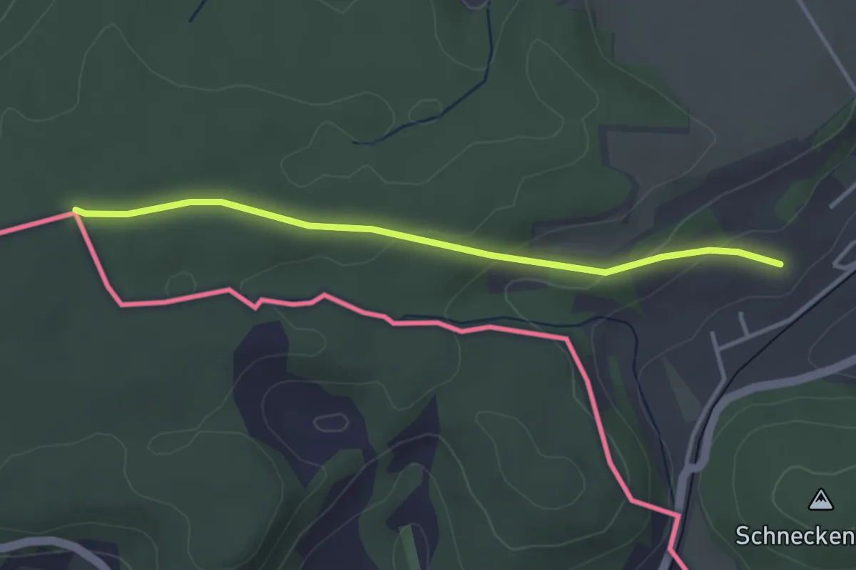
Easy · Trail
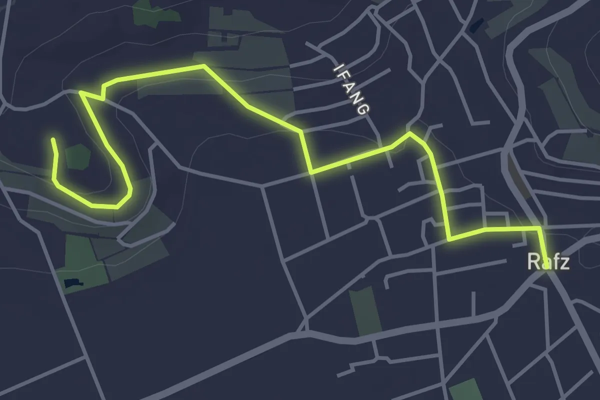
Rafzerstein - Lottstetten
3.3 km · ↑ 87 m · 58 min
Easy · Trail
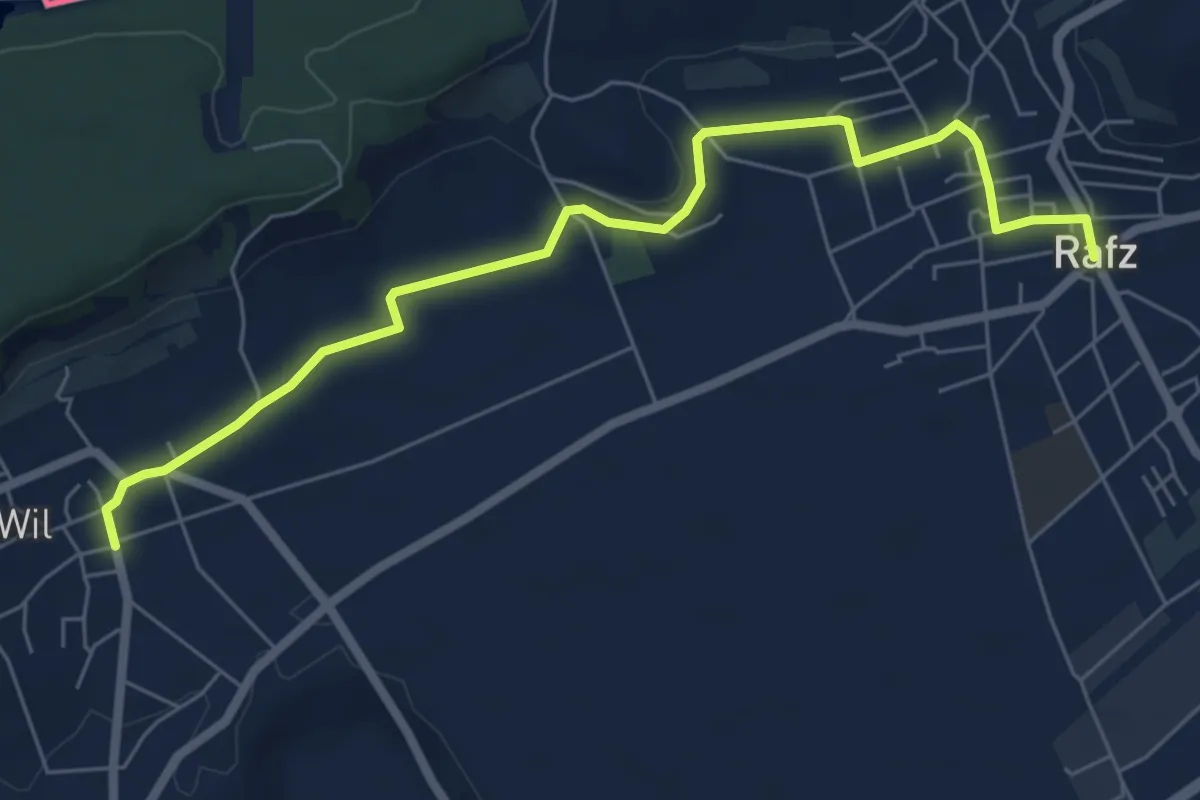
Rafz - Schürlibuck
4.5 km · ↑ 58 m · 1 h 11 min
Easy · Trail
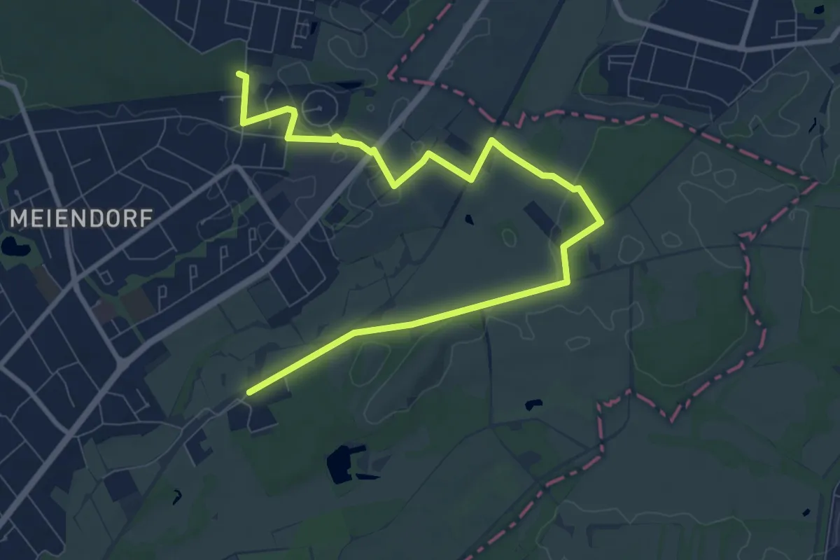
Rafz - Wil
6.9 km · ↑ 97 m · 1 h 50 min
Medium · Trail
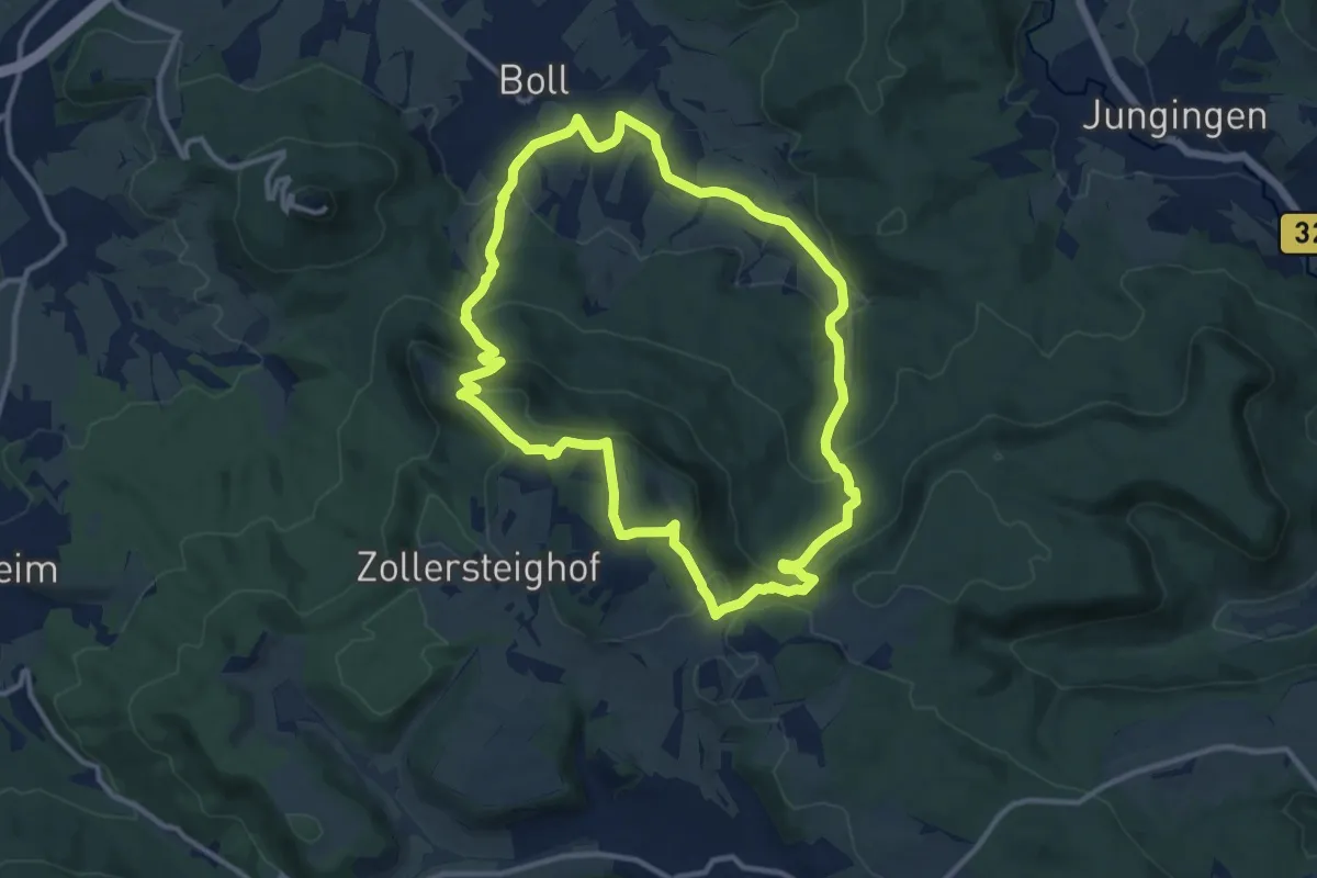
Rahlstedt -Volksdorf (RA-VD)
9.7 km · ↑ 56 m · 2 h 25 min
Demanding · Summit
Raichberg-Tour
11.0 km · ↑ 414 m · 3 h 39 min
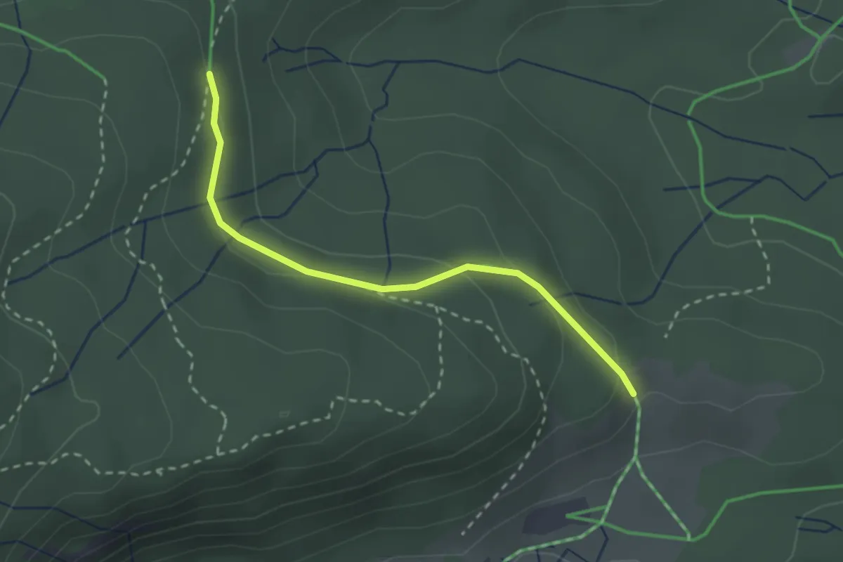
Easy · Trail
Raimartihöhe - Seewald
2.4 km · ↑ 84 m · 45 min
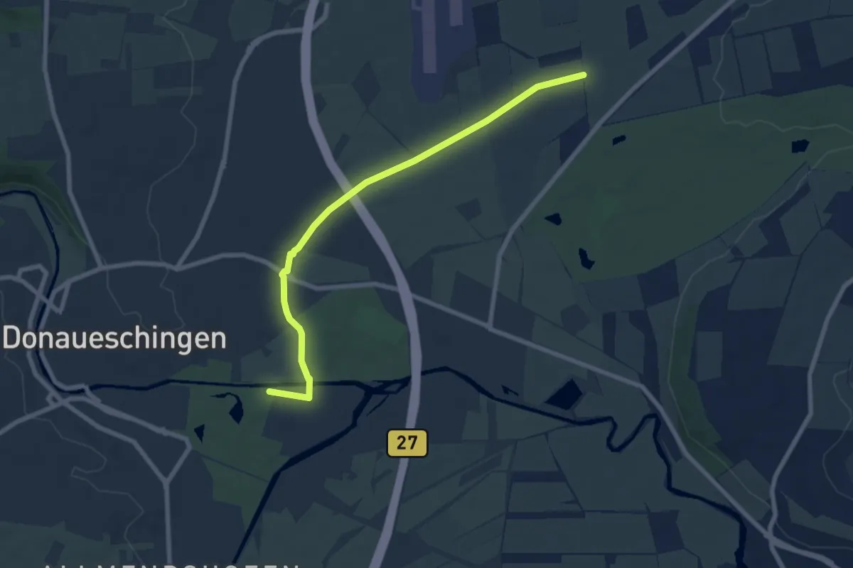
Easy · Trail
Raine Pfohren - Donaueschingen Schloßpark
6.8 km · ↑ 4 m · 1 h 37 min
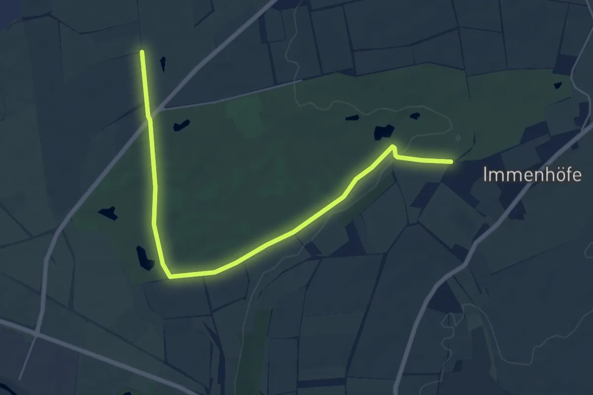
Easy · Trail
Raine Pfohren - Immenhöfe
6.2 km · ↑ 32 m · 1 h 33 min
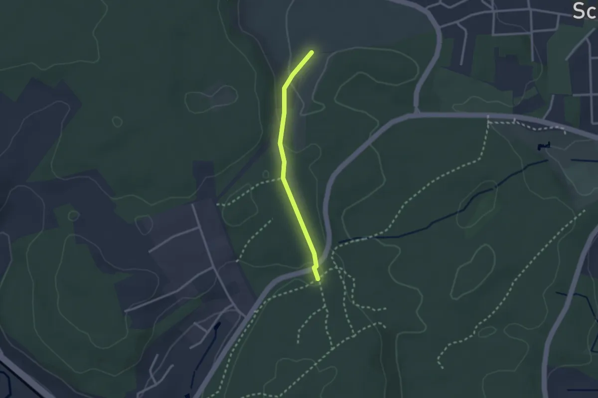
Easy · Trail
Rainhäuser - Lagerplatz
2.1 km · ↑ 41 m · 35 min
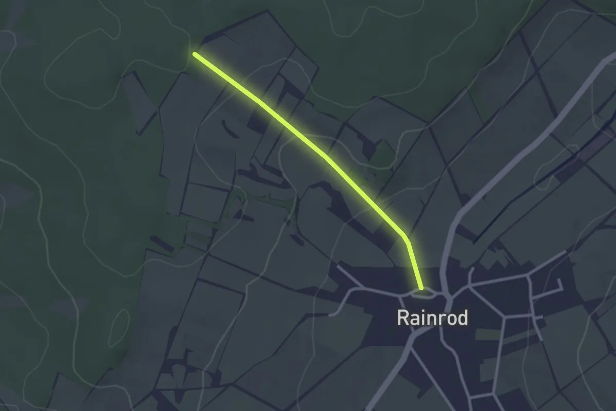
Easy · Trail
Rainrod IV
2.1 km · ↑ 68 m · 39 min
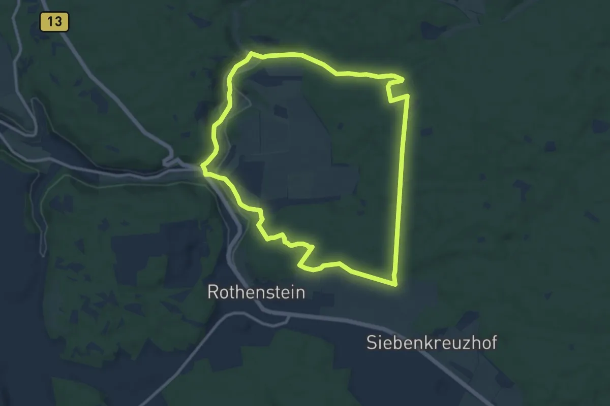
Medium · Trail
Raitenbuch Kuchentalweg
8.8 km · ↑ 137 m · 2 h 29 min
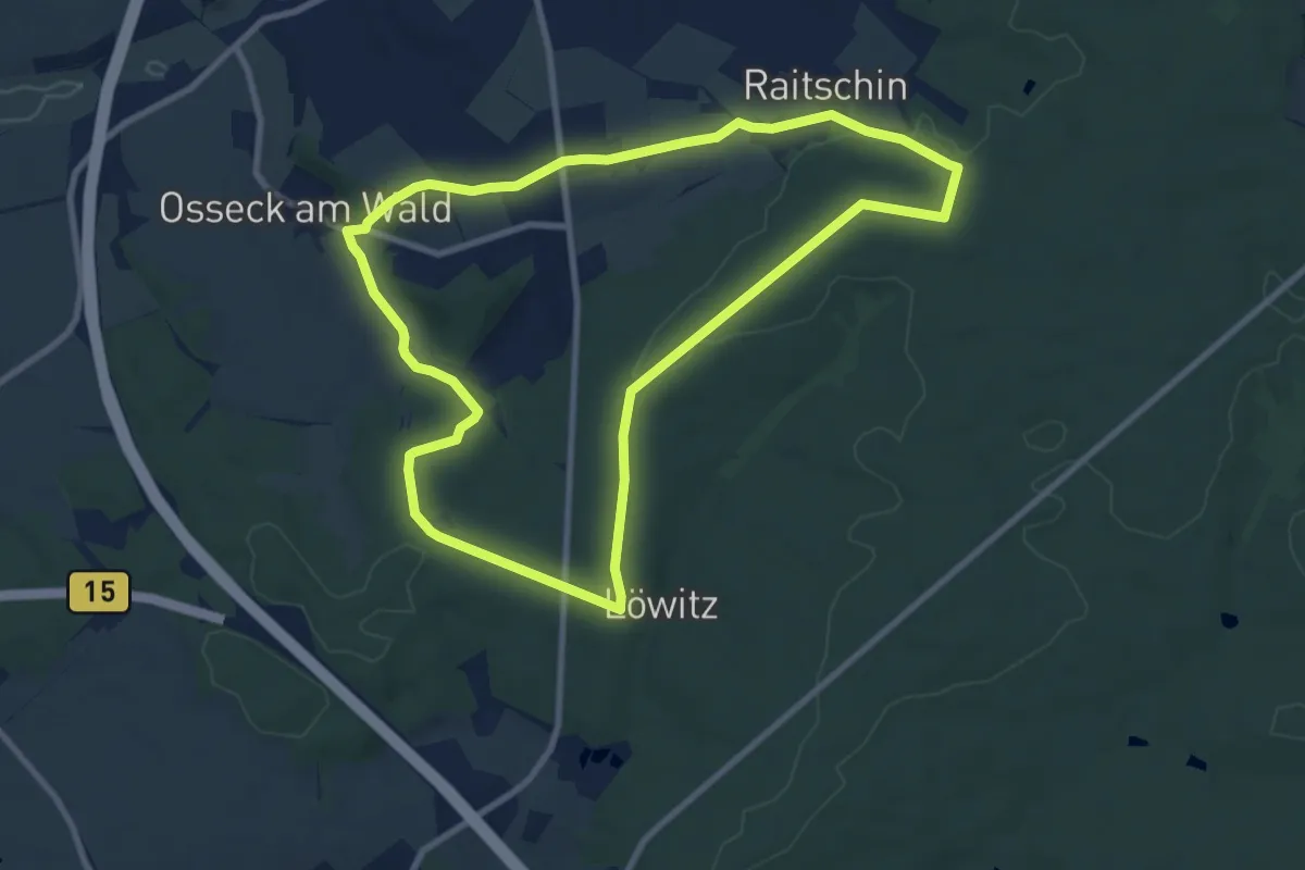
Medium · Trail
Raitschinerweg
8.4 km · ↑ 110 m · 2 h 21 min
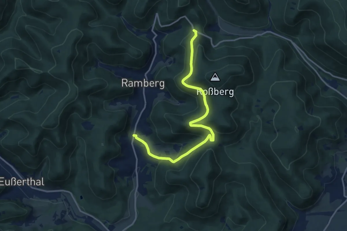
Easy · Trail
Ramberger Nr. 31
5.6 km · ↑ 160 m · 1 h 51 min
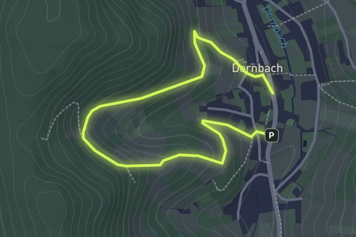
Easy · Trail
Ramberger Nr. 32
2.0 km · ↑ 116 m · 44 min
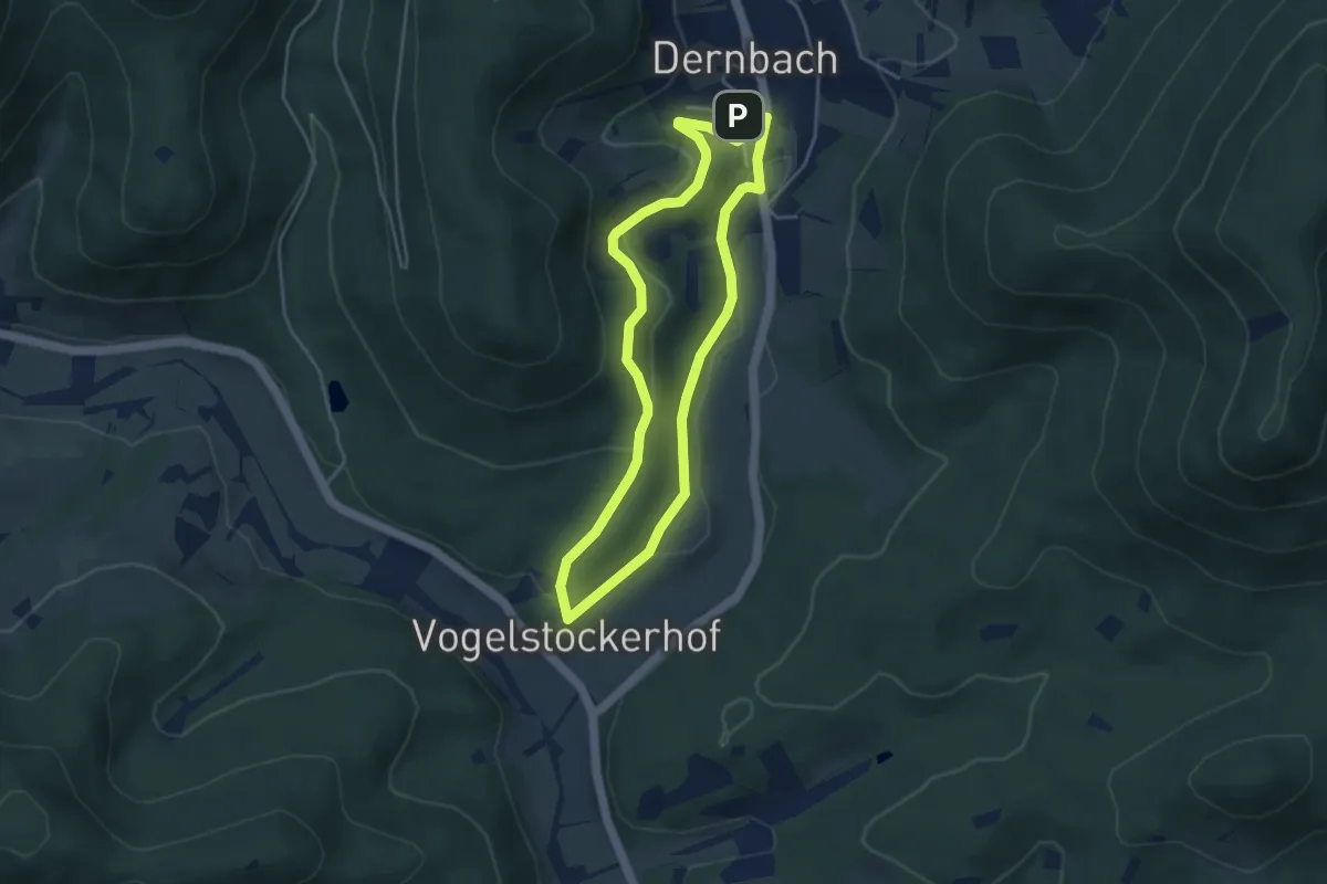
Easy · Trail
Ramberger Nr. 33
3.7 km · ↑ 105 m · 1 h 9 min
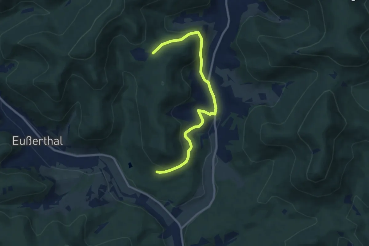
Easy · Trail
Ramberger Nr.36
7.1 km · ↑ 280 m · 2 h 17 min
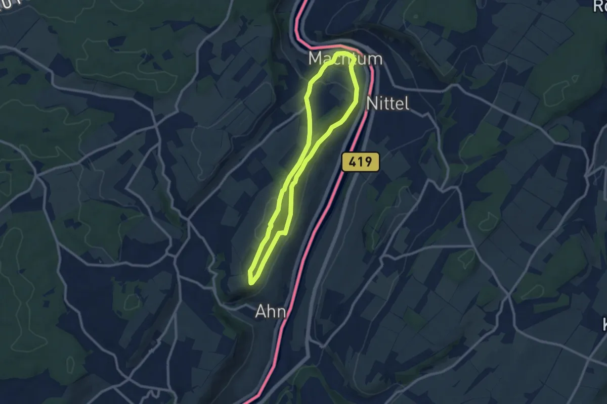
Easy · Trail
rambling route Machtum 1
7.5 km · ↑ 209 m · 2 h 19 min
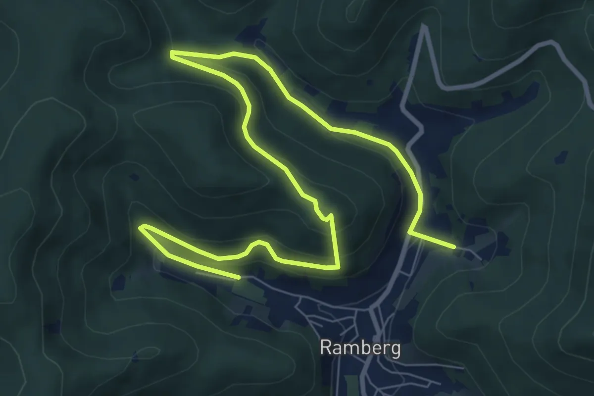
Medium · Trail
Ramburgweg
9.8 km · ↑ 443 m · 3 h 16 min
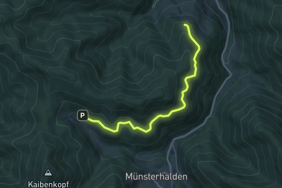
Medium · Trail
Rammelsbach - Antoniushütte
5.7 km · ↑ 321 m · 2 h 3 min
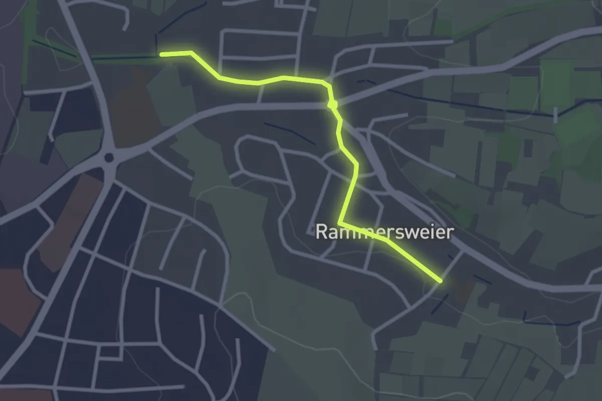
Easy · Trail
Rammersweier Grundschule - Winkelbach
2.5 km · ↑ 13 m · 36 min
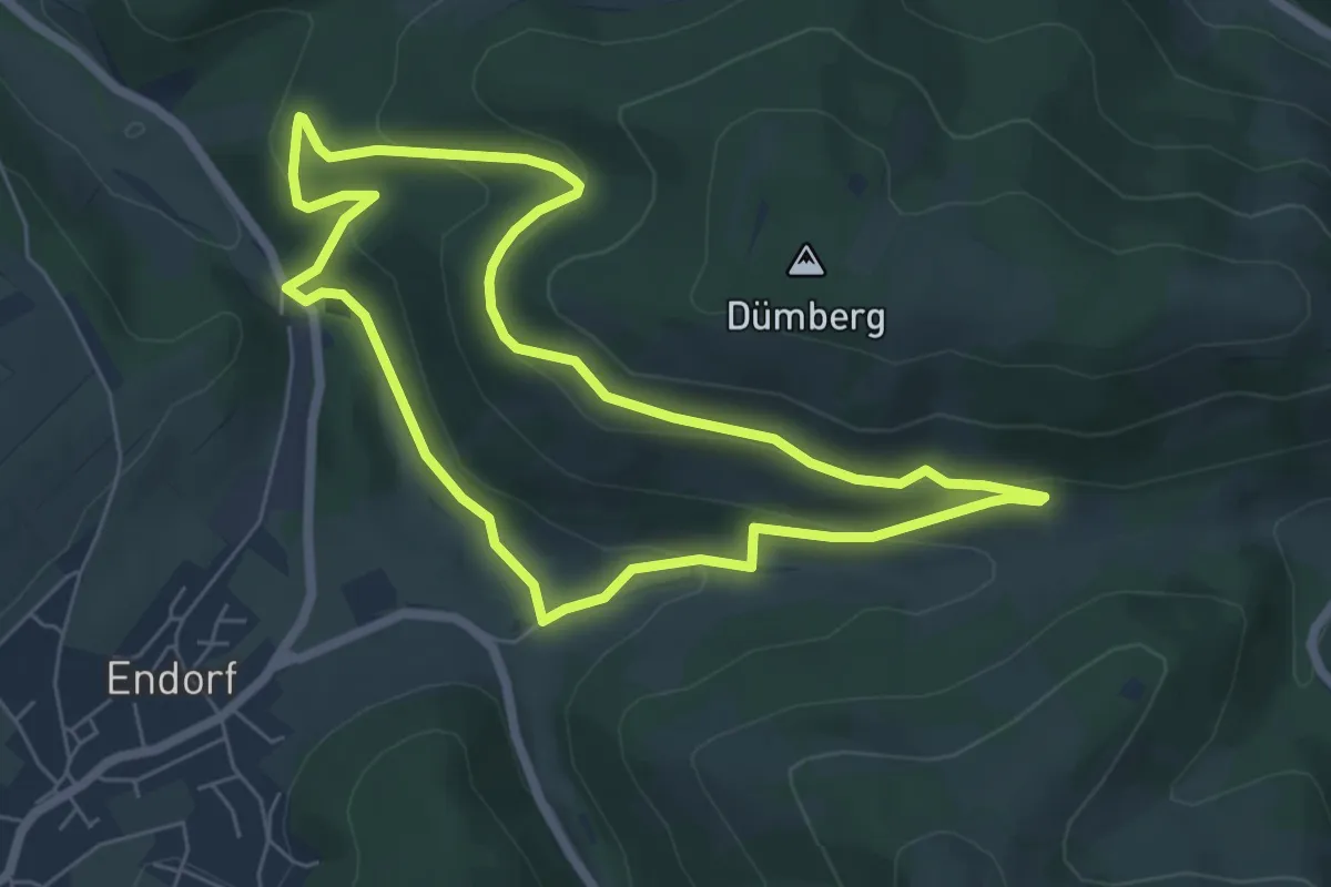
Easy · Trail
Rammstall Rundweg A1
5.4 km · ↑ 204 m · 1 h 48 min
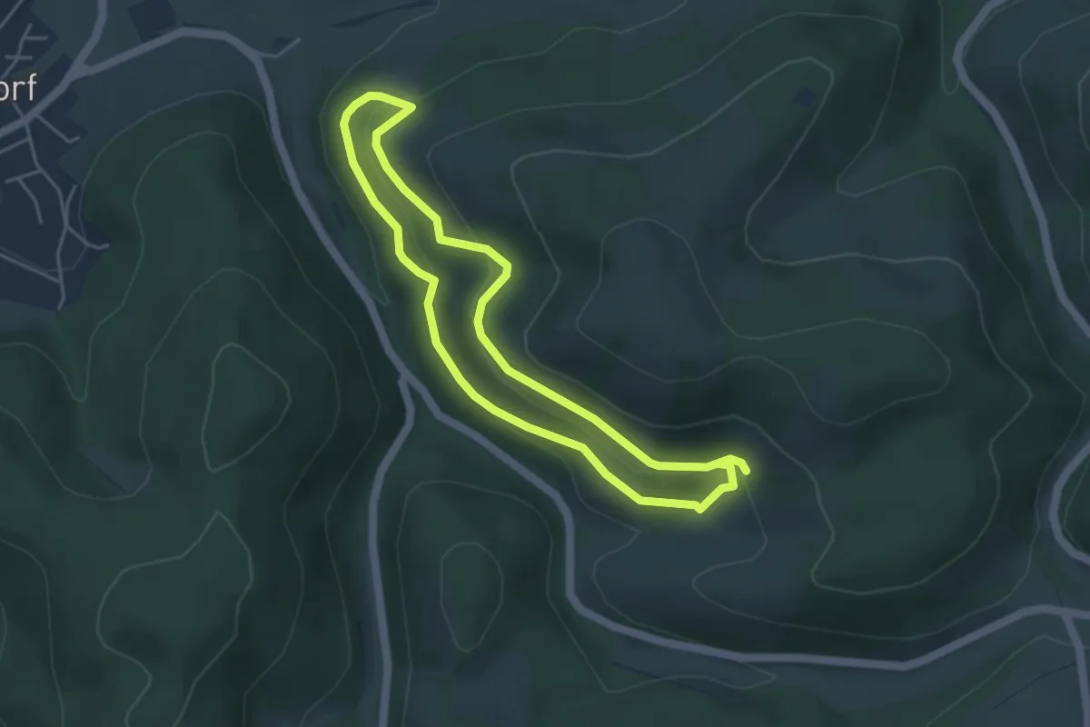
Easy · Trail
Rammstall Rundweg A2 (aufgegeben)
3.7 km · ↑ 182 m · 1 h 18 min
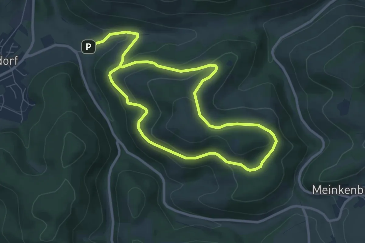
Easy · Summit
Rammstall Rundweg A3
5.6 km · ↑ 258 m · 1 h 56 min
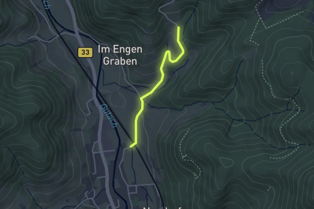
Easy · Trail
Ramsbach - Am Berg
2.6 km · ↑ 99 m · 49 min
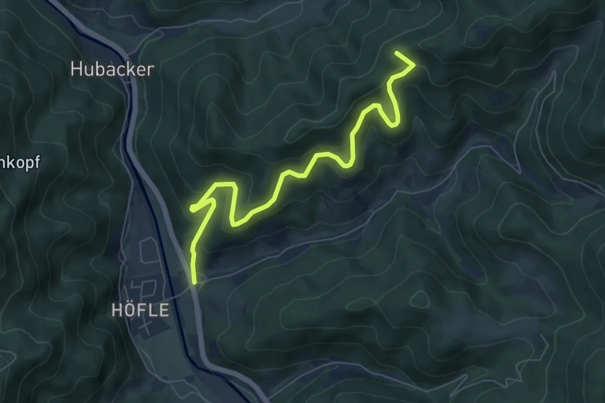
Medium · Summit
Ramsbach Bierhäusle - Rinken
6.8 km · ↑ 488 m · 2 h 40 min
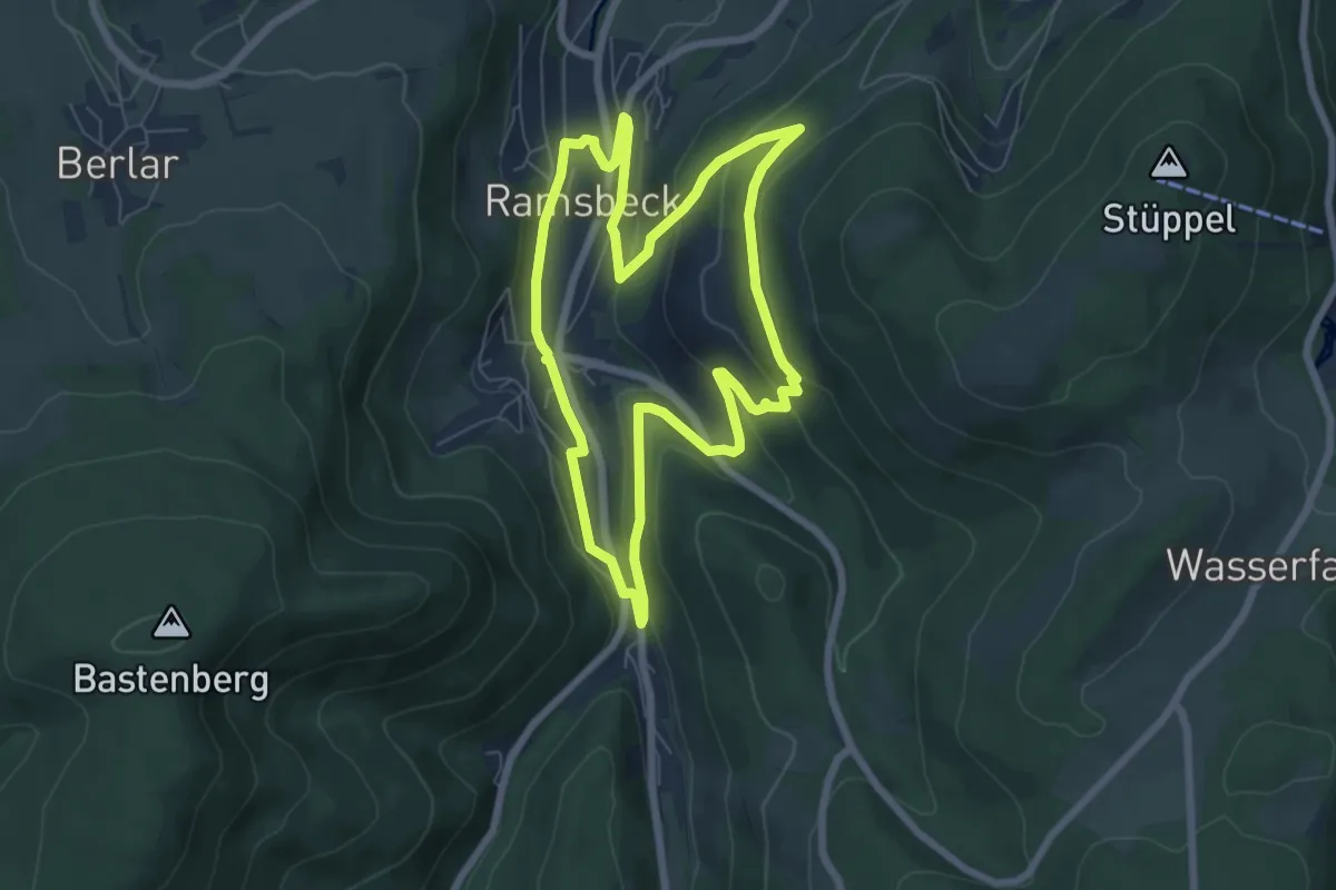
Easy · Trail
Ramsbeck Rundweg R1
6.1 km · ↑ 197 m · 1 h 58 min
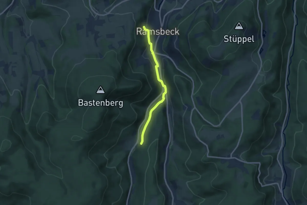
Easy · Trail
Ramsbeck Rundweg R2
6.3 km · ↑ 196 m · 1 h 55 min
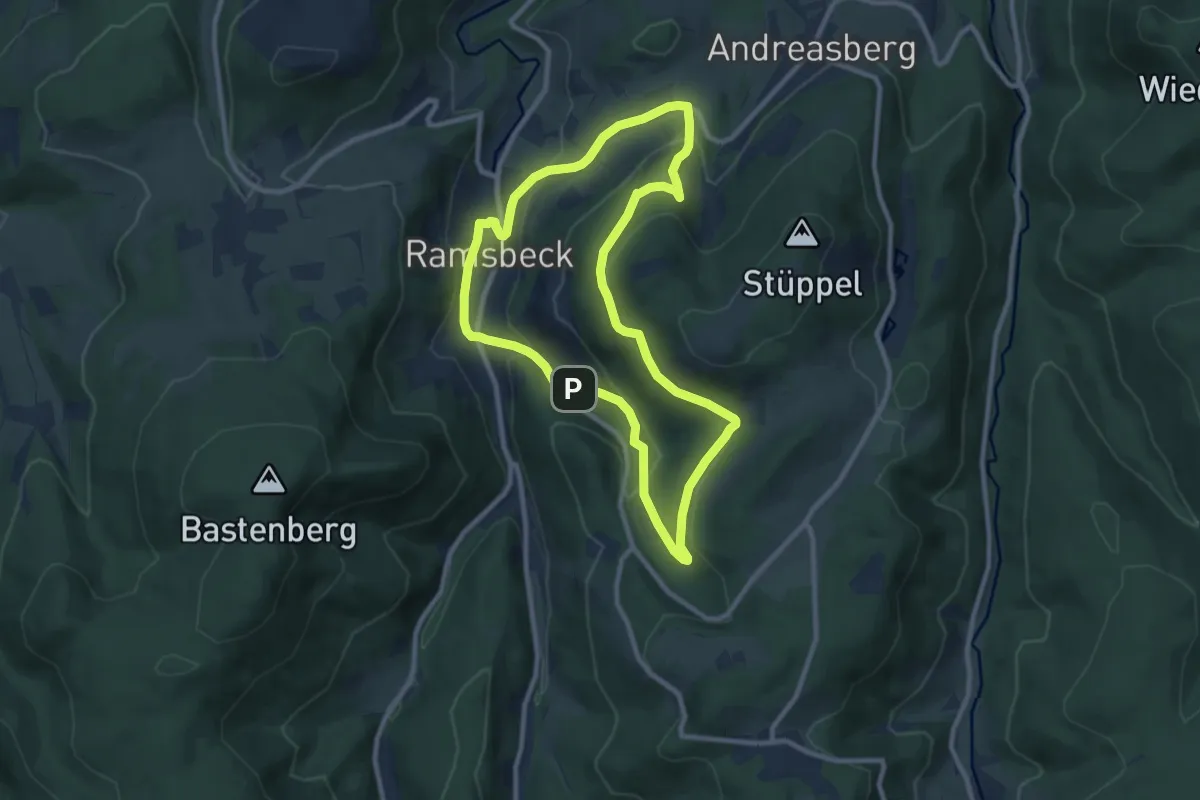
Medium · Trail
Ramsbeck Rundweg R7
8.3 km · ↑ 299 m · 2 h 43 min
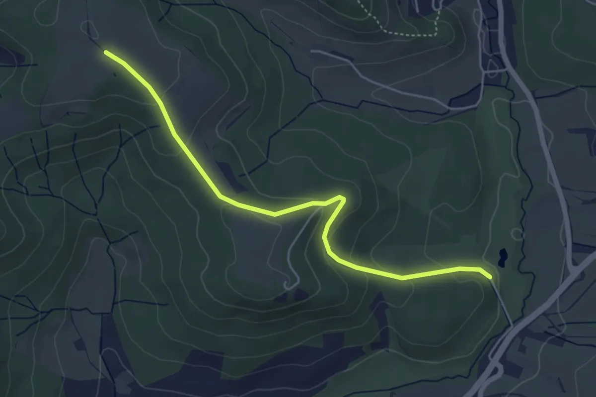
Easy · Trail
Ramsberg
4.5 km · ↑ 178 m · 1 h 27 min
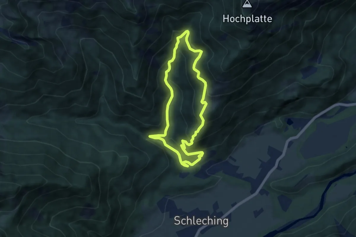
Medium · Trail
Ramsen-Rundweg
6.4 km · ↑ 468 m · 2 h 36 min
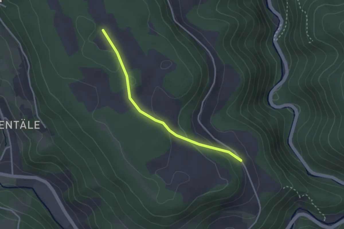
Easy · Trail
Ramsteiner Höhe - Vorderer Ramstein Kapellhof
2.5 km · ↑ 83 m · 46 min
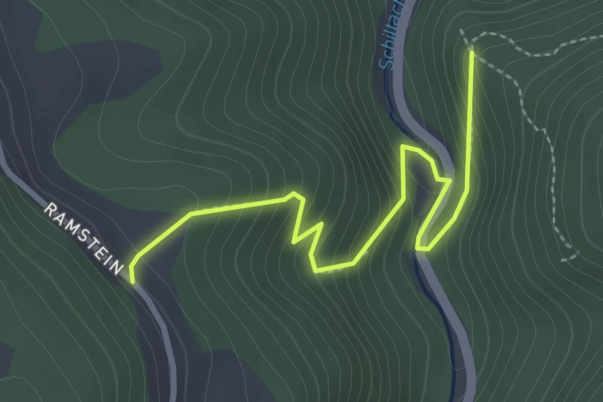
Easy · Trail
Ramstein Harzerhof - Ehemalige Burg Berneck
2.6 km · ↑ 201 m · 1 h 2 min
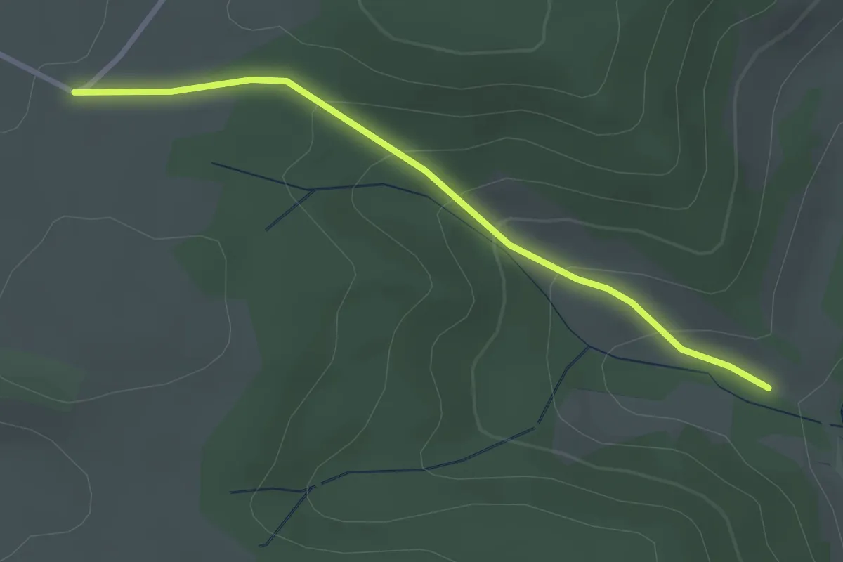
Easy · Trail
Randen - An der Eschach
2.7 km · ↑ 143 m · 56 min
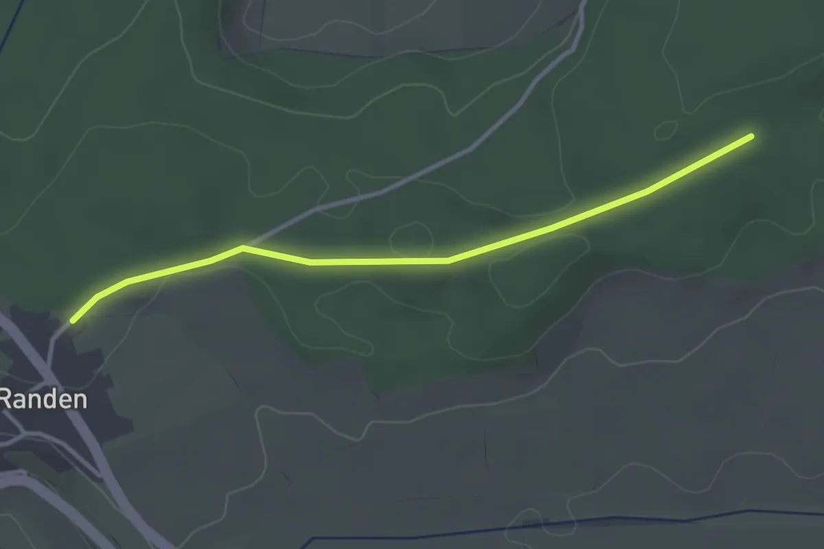
Easy · Trail
Randen Blauer Stein Straße - Am Blauen Stein
3.1 km · ↑ 16 m · 45 min
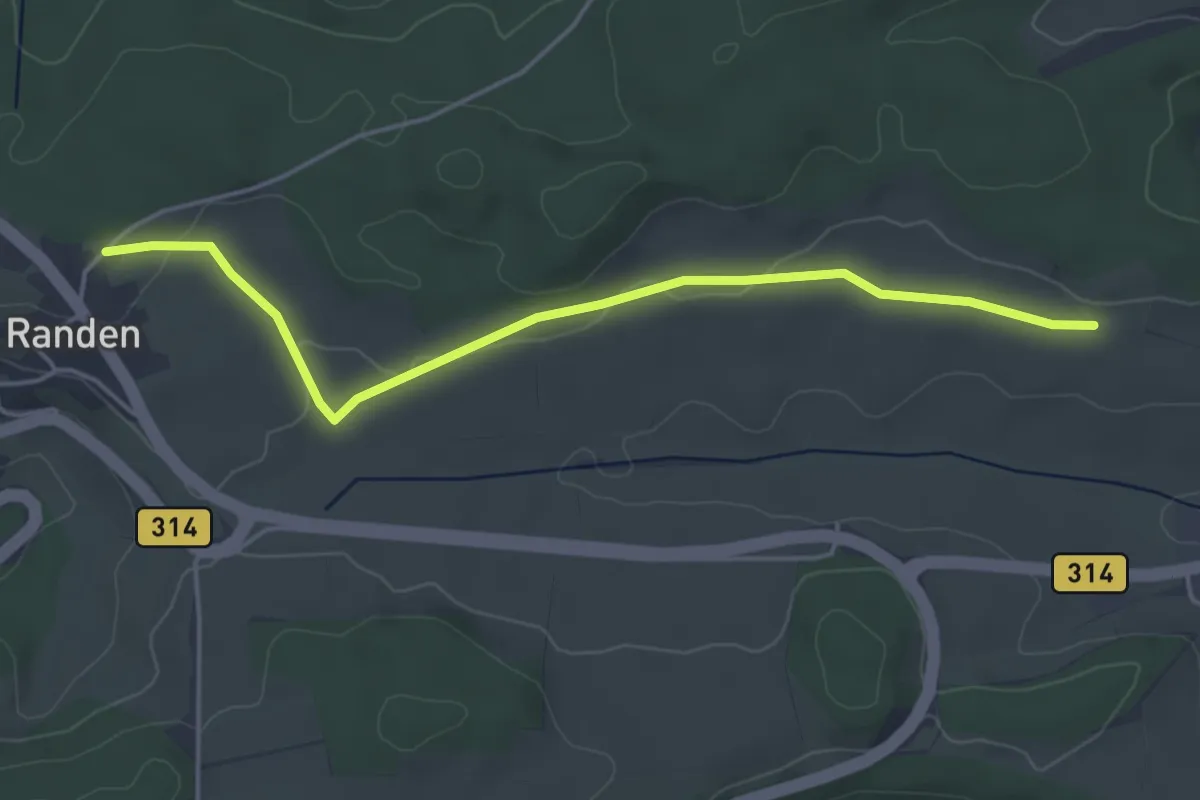
Easy · Trail
Randen Blauer Stein Straße - Feldkreuz
4.5 km · ↑ 72 m · 1 h 14 min
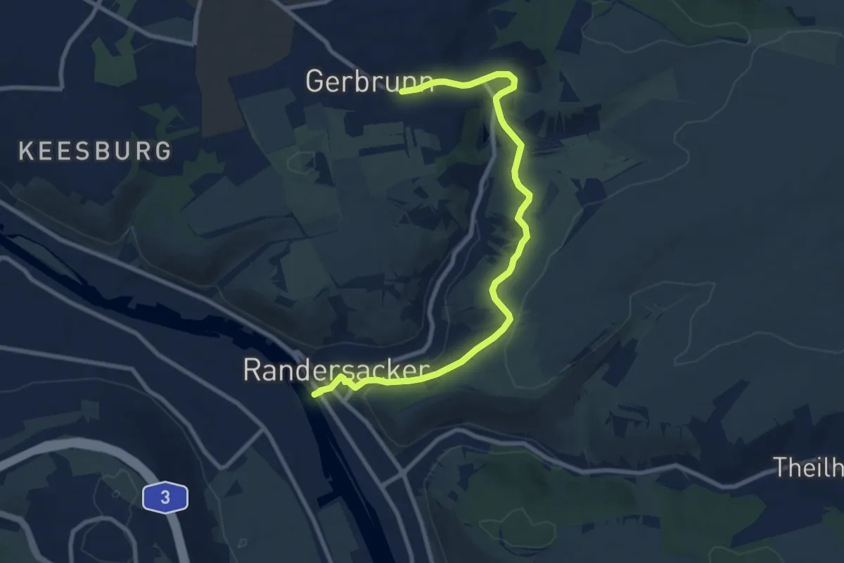
Medium · Trail
Randersacker - Gerbrunn
8.9 km · ↑ 256 m · 2 h 39 min
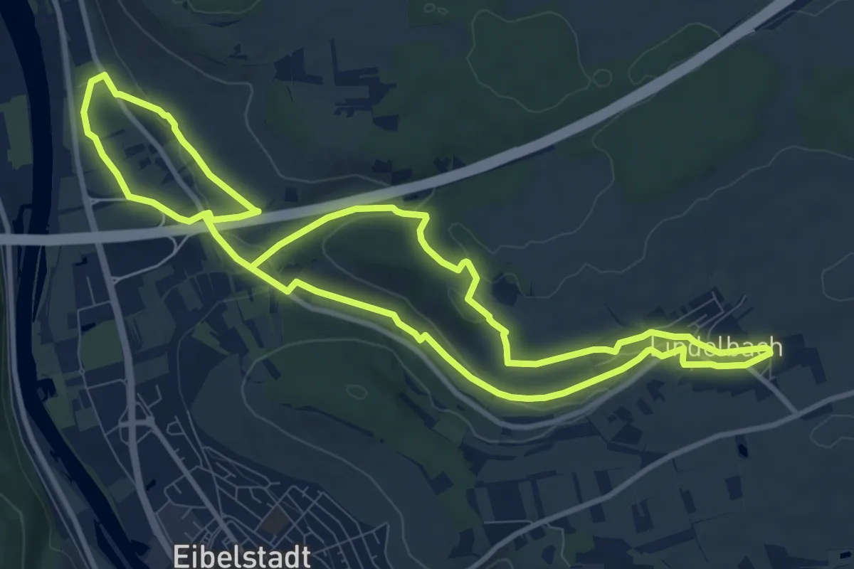
Medium · Trail
Randersacker R1
9.4 km · ↑ 156 m · 2 h 41 min
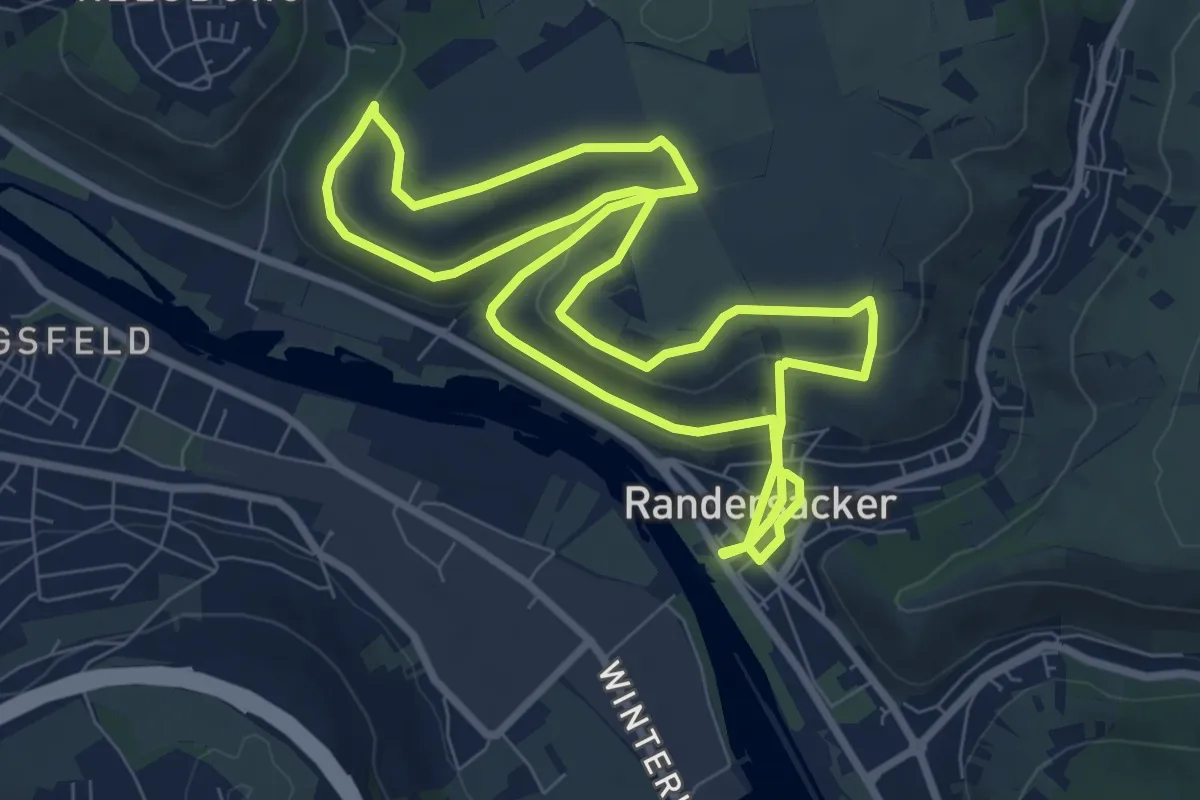
Easy · Summit
Randersacker R2 Lämmerberg Pfülben
8.0 km · ↑ 175 m · 2 h 23 min
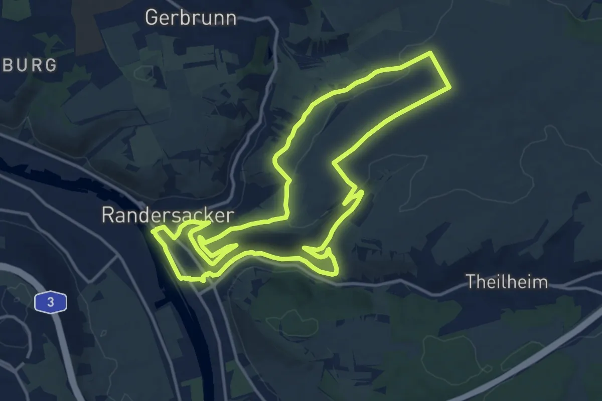
Medium · Summit
Randersacker R3 Ewig Leben
12.2 km · ↑ 206 m · 3 h 29 min
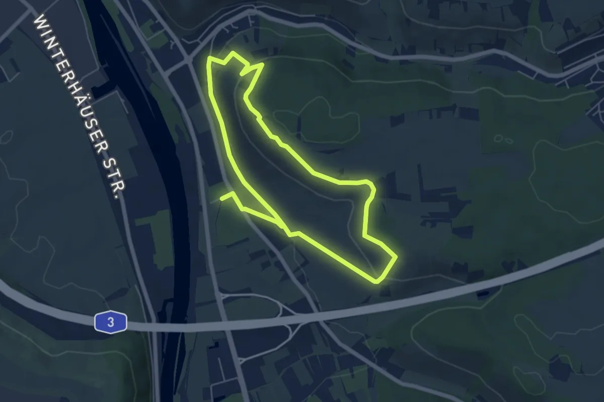
Easy · Trail
Randersacker R4
4.8 km · ↑ 139 m · 1 h 30 min
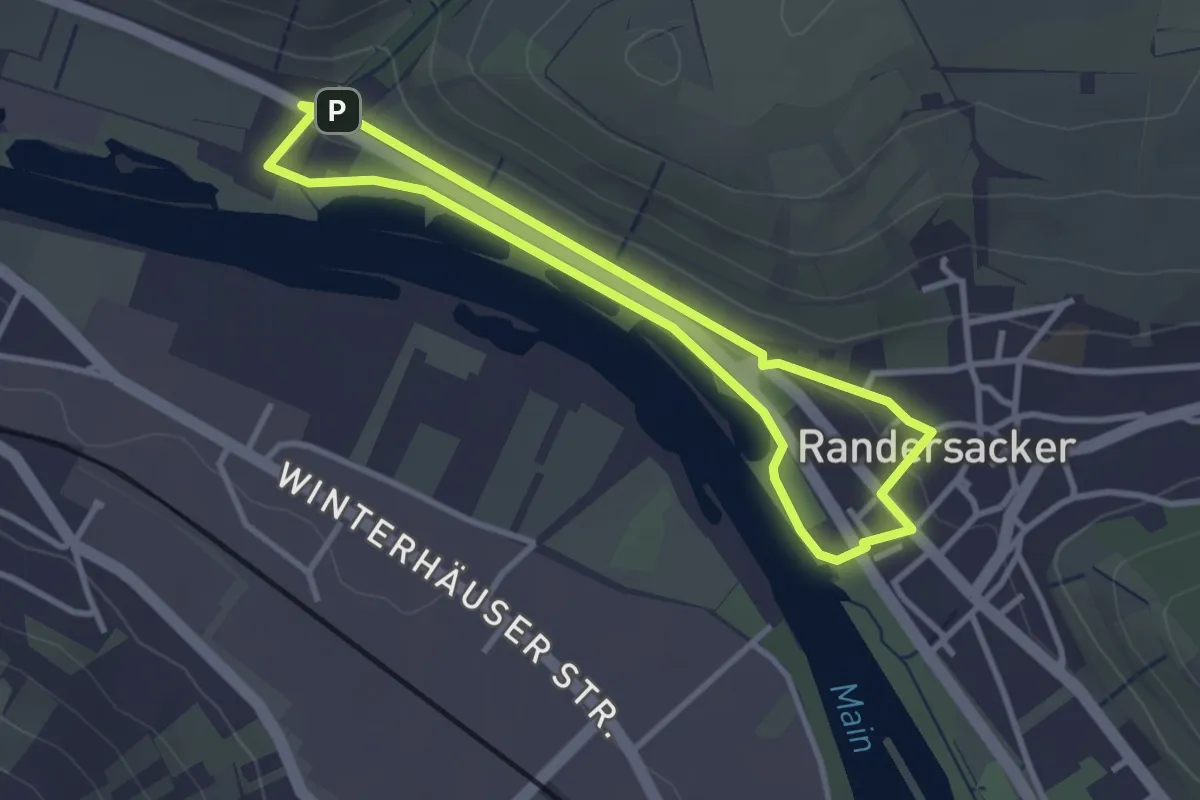
Easy · Trail
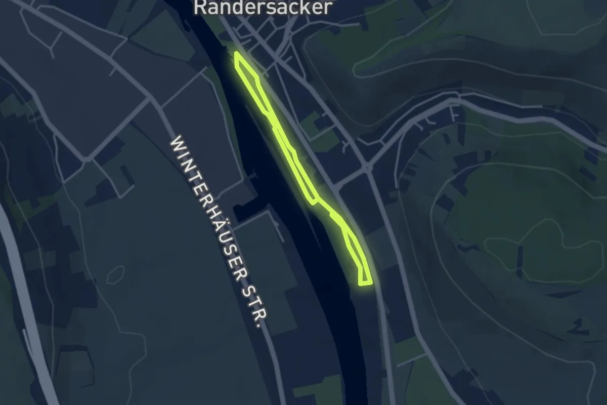
Randersacker R5 Fischerweg
2.7 km · ↑ 18 m · 42 min
Easy · Trail
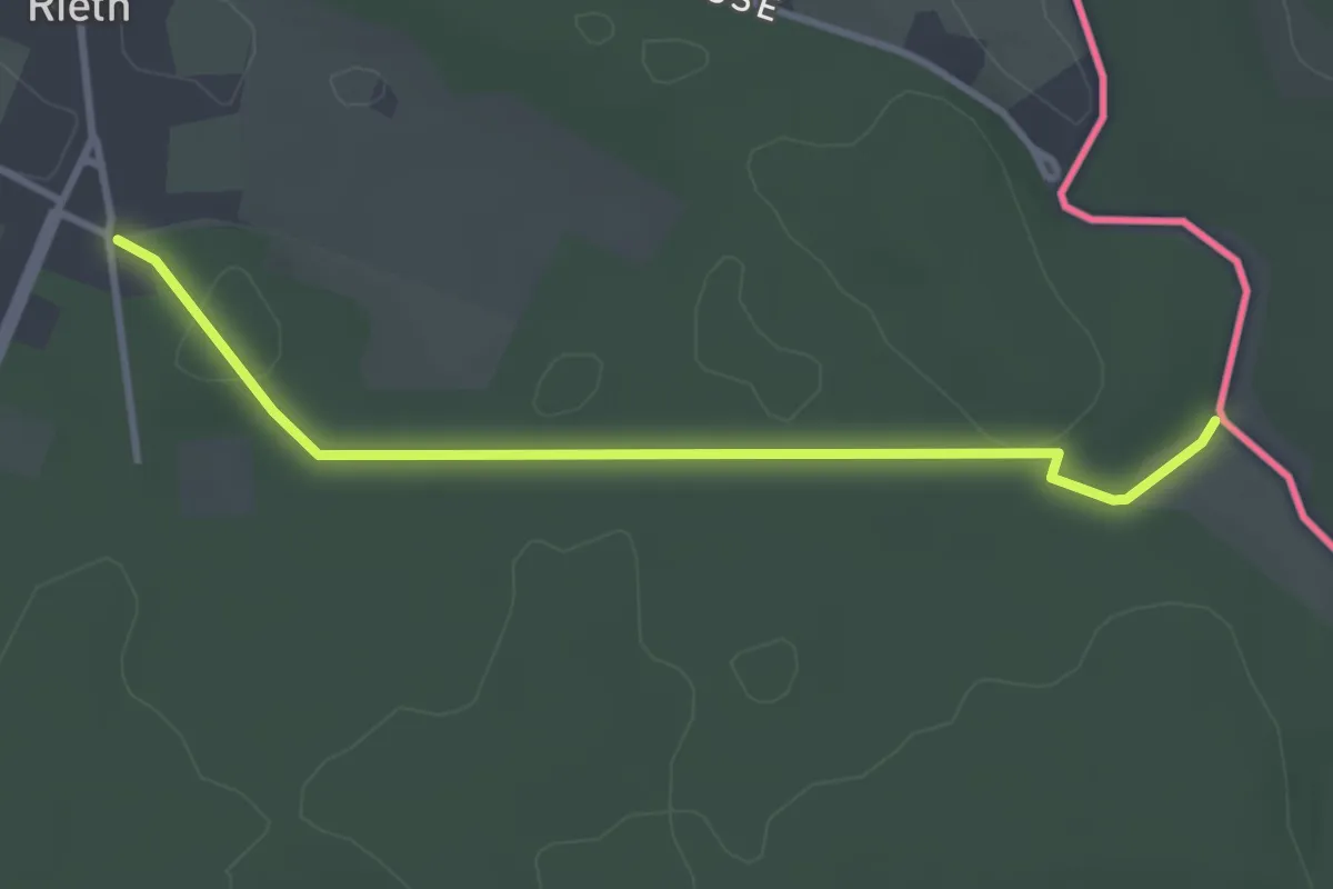
Randersacker R6 Schlenderrunde
2.4 km · ↑ 4 m · 36 min
Easy · Trail
Randower Kleinbahn
2.9 km · ↑ 22 m · 44 min
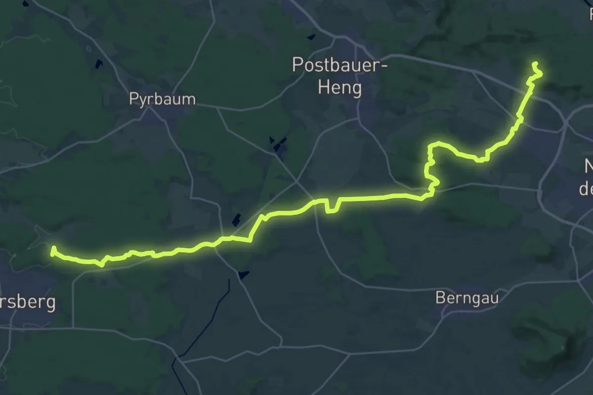
Demanding · Summit
Rangau-Pfalz-Weg
37.0 km · ↑ 484 m · 9 h 47 min
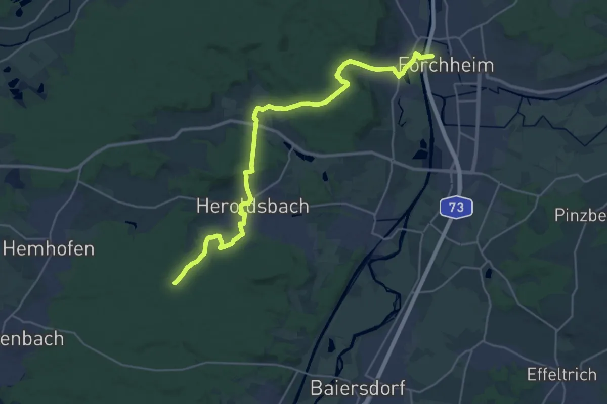
Demanding · Trail
Rangau-Randweg
21.8 km · ↑ 408 m · 6 h 1 min