Trails in Germany
36,852 hiking trails, each with its route, climb, walking time and grade.
All trails, page 435 of 768
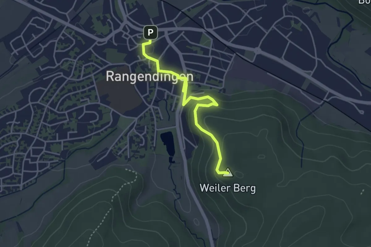
Easy · Summit
Rangendingen-Bildstöckle im Spitalwald
3.7 km · ↑ 128 m · 1 h 10 min
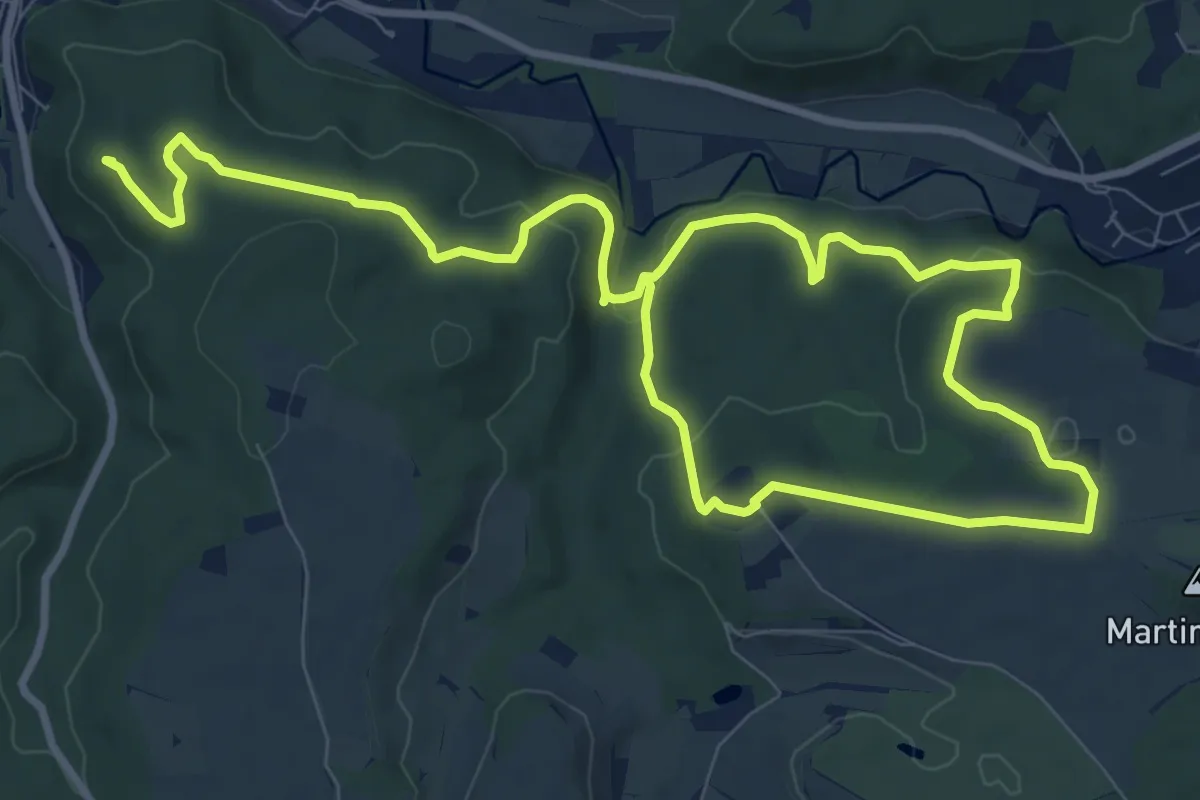
Medium · Summit
Rangendingen Umgebung
15.3 km · ↑ 333 m · 4 h 19 min
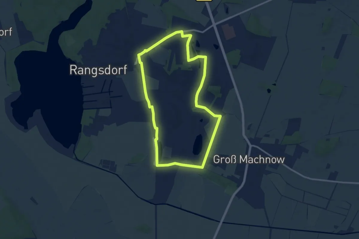
Medium · Trail
Rangsdorfer Herz
8.4 km · ↑ 43 m · 2 h 11 min
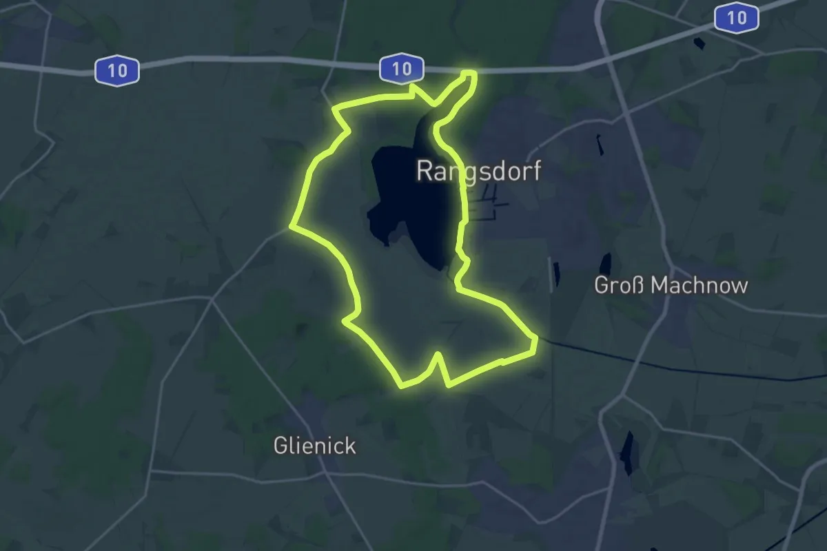
Medium · Trail
Rangsdorfer See
17.3 km · ↑ 41 m · 4 h 25 min
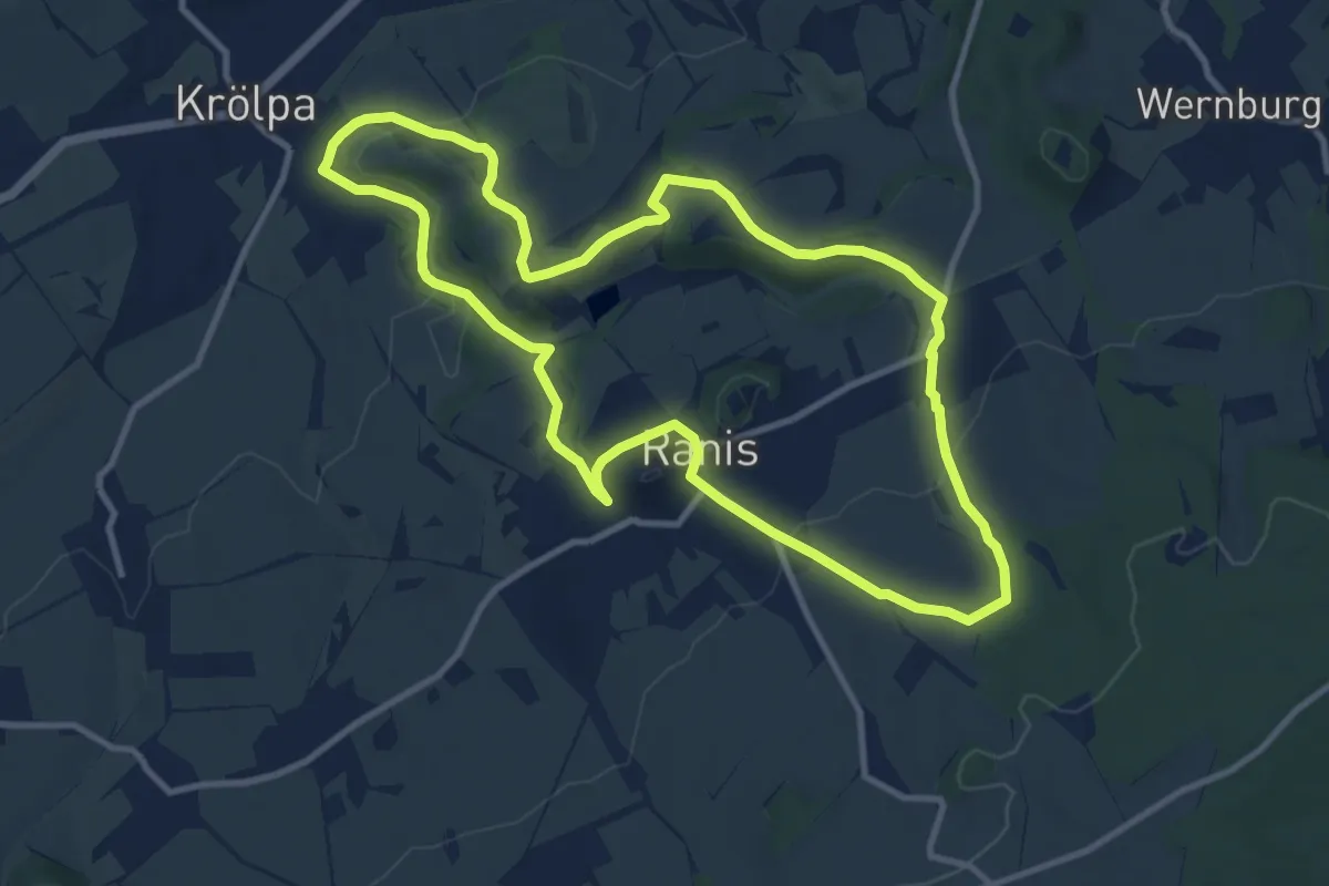
Medium · Trail
Raniser Raubrittersteig
9.8 km · ↑ 214 m · 2 h 55 min
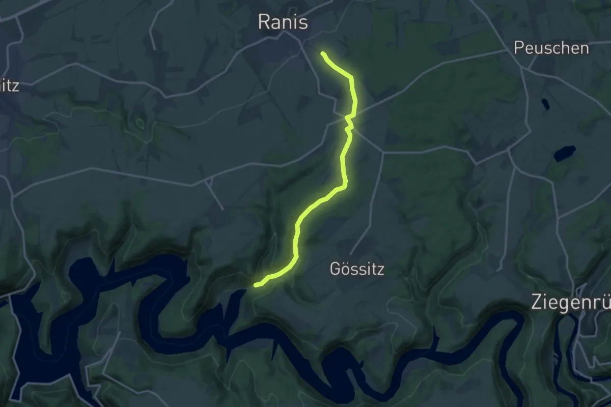
Medium · Trail
Ranis-Schmorda-Portenschmiede
12.0 km · ↑ 279 m · 3 h 26 min
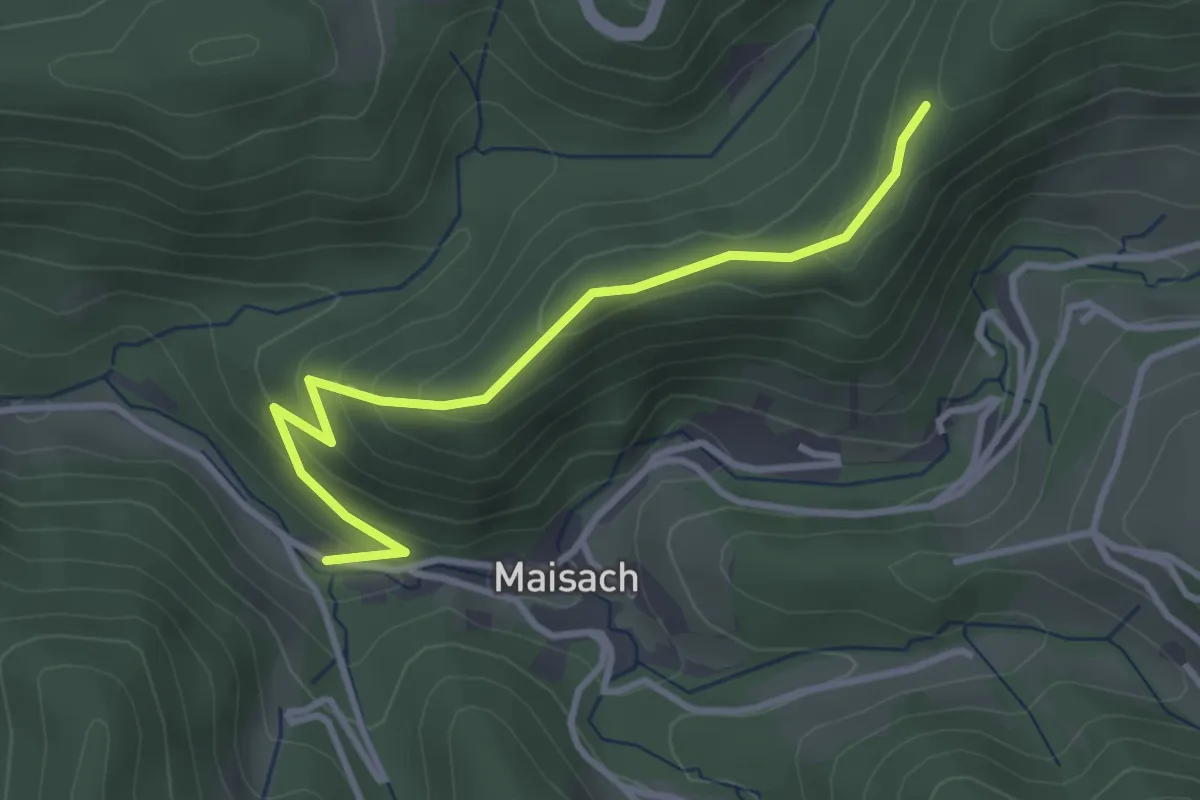
Medium · Trail
Rankeck - Unterm Grat
3.2 km · ↑ 192 m · 1 h 10 min
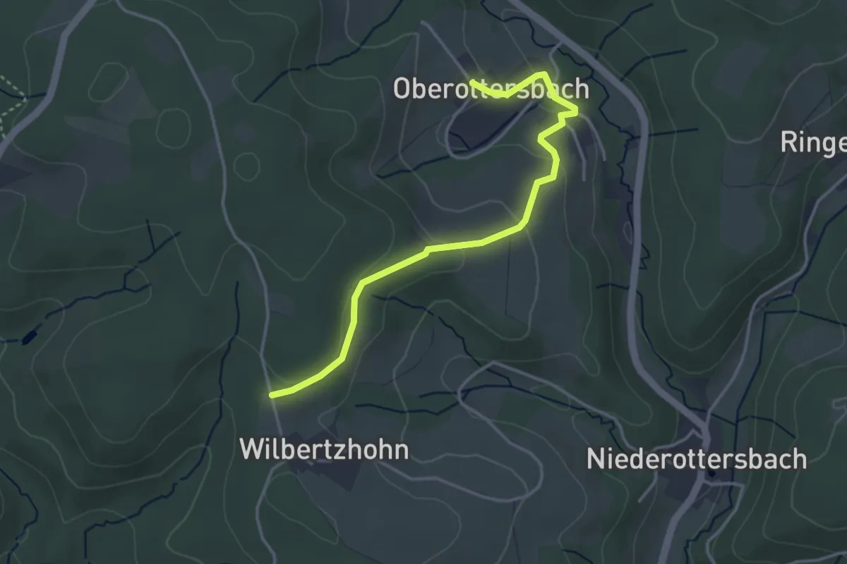
Easy · Trail
Rankenhohn Rundweg A2
1.7 km · ↑ 87 m · 35 min
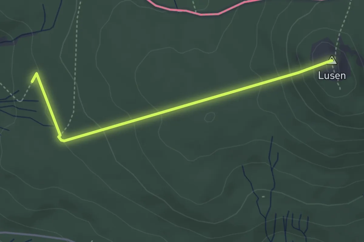
Medium · Summit
Ranne
3.6 km · ↑ 173 m · 1 h 14 min
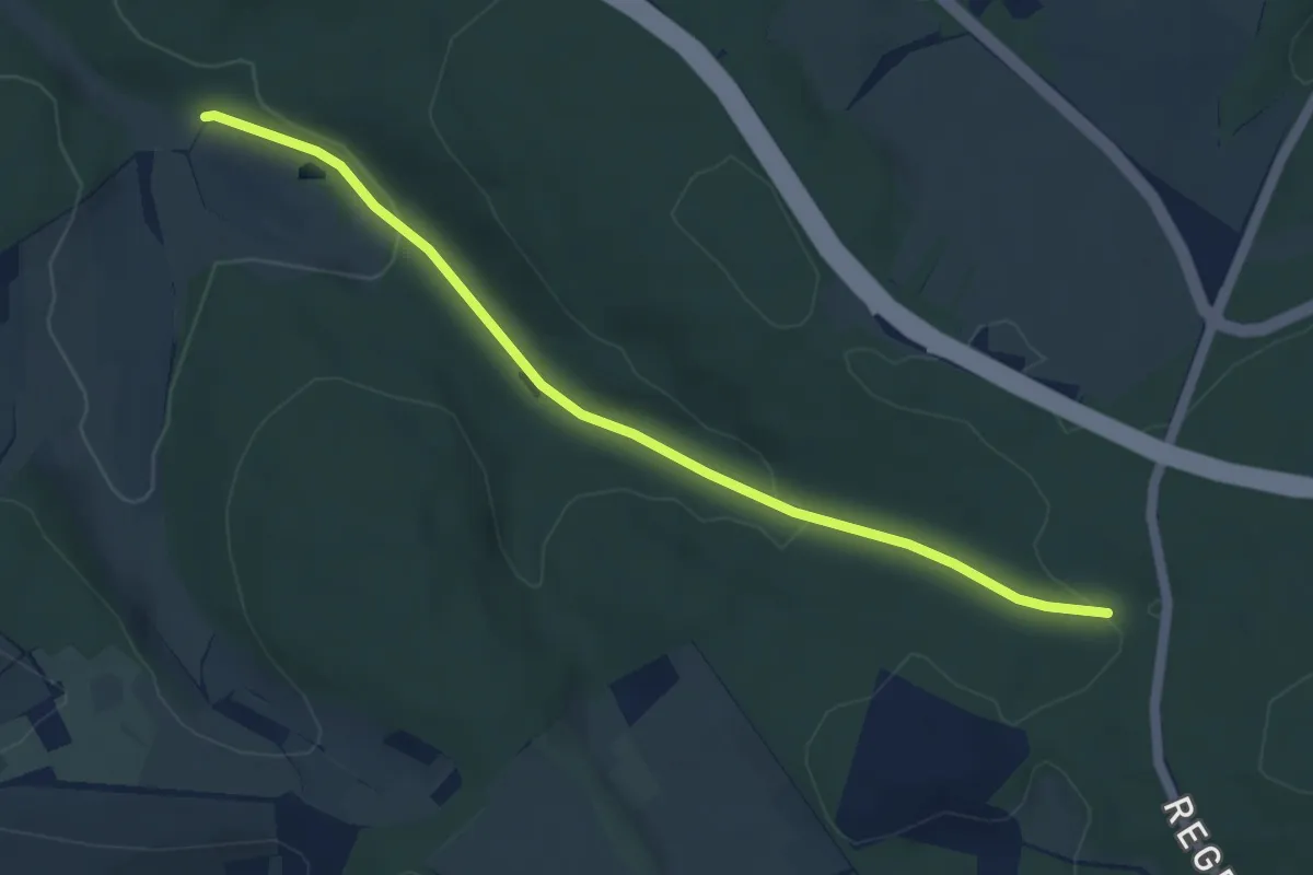
Easy · Trail
Ranntal Kutscherweg - Große Eiche
4.7 km · ↑ 116 m · 1 h 22 min
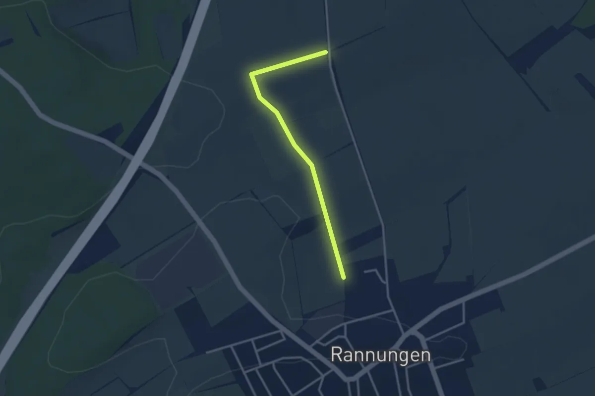
Easy · Trail
Rannunger Bänklesweg 2
1.3 km · ↑ 9 m · 20 min
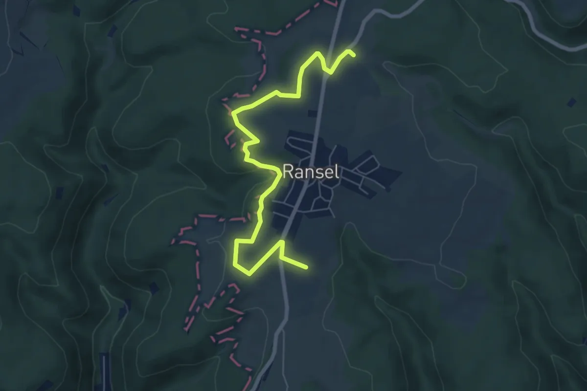
Easy · Summit
Ranseler Höhenrausch
3.2 km · ↑ 42 m · 53 min
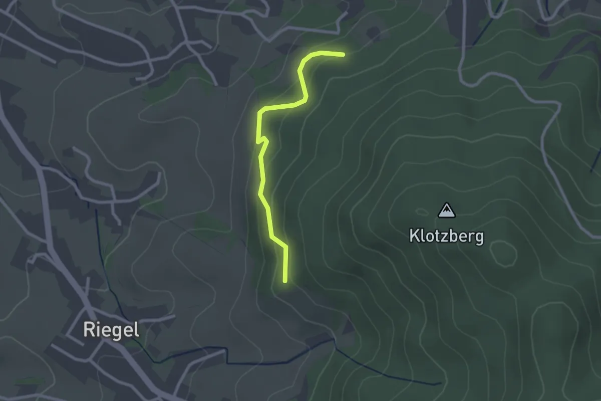
Easy · Trail
Rappenberg - Oberer Danngraben
2.0 km · ↑ 139 m · 47 min
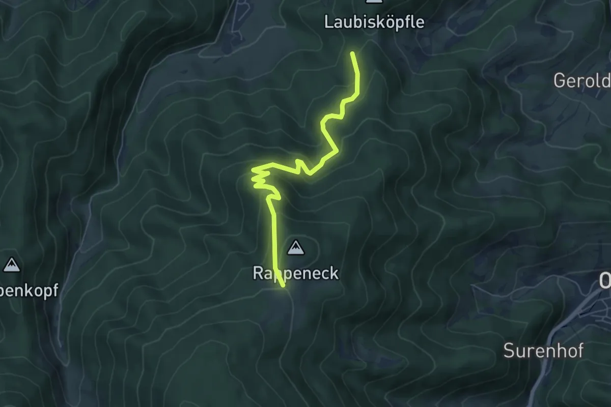
Medium · Trail
Rappenecksattel - Molzenwald
5.9 km · ↑ 439 m · 2 h 20 min
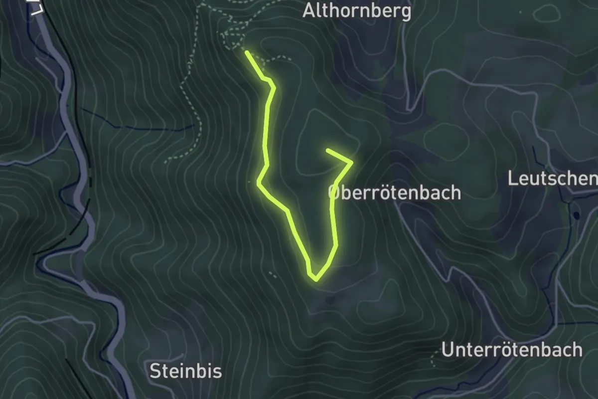
Easy · Summit
Rappenfelsen - Kreuzacker
3.4 km · ↑ 175 m · 1 h 11 min
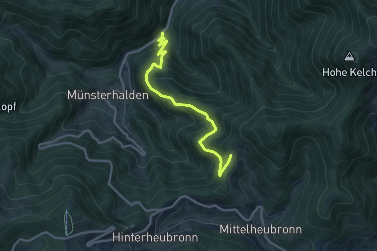
Medium · Trail
Rappenfelsen - Spänplatz
6.4 km · ↑ 470 m · 2 h 32 min
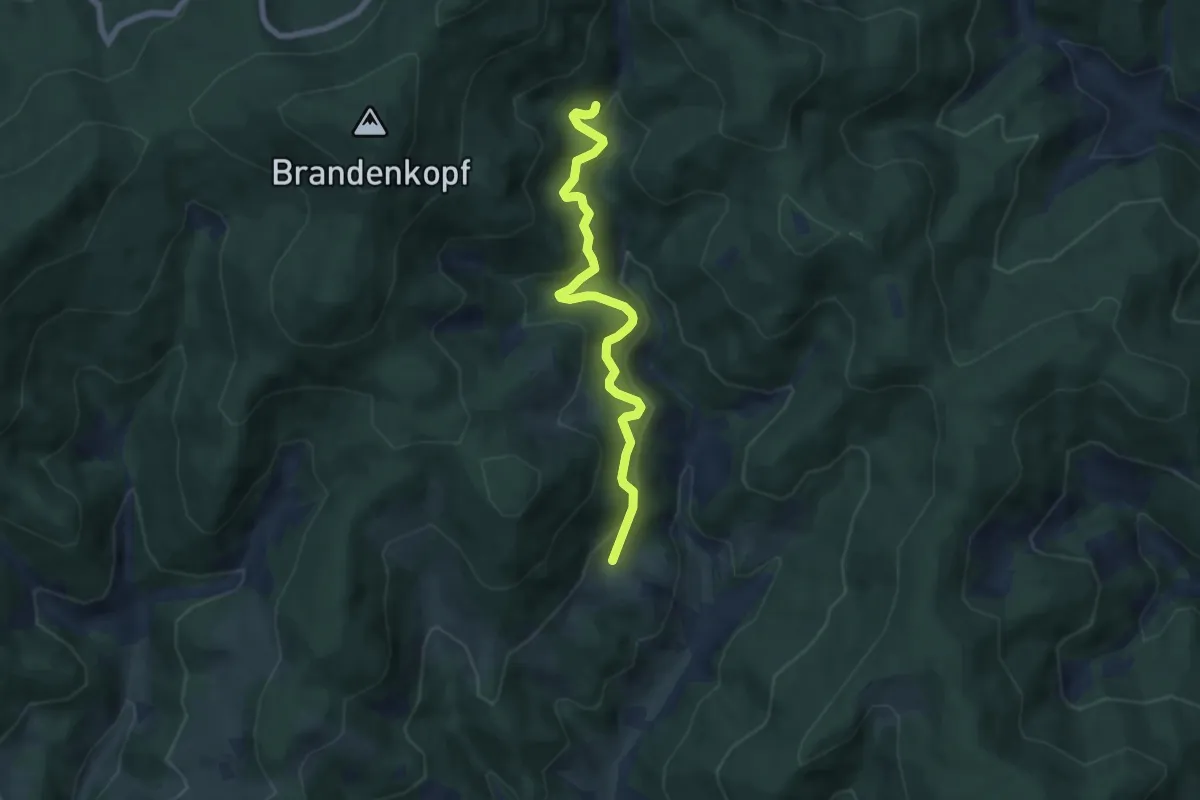
Medium · Trail
Rappengrund - Hintere Rautsch
6.2 km · ↑ 503 m · 2 h 34 min
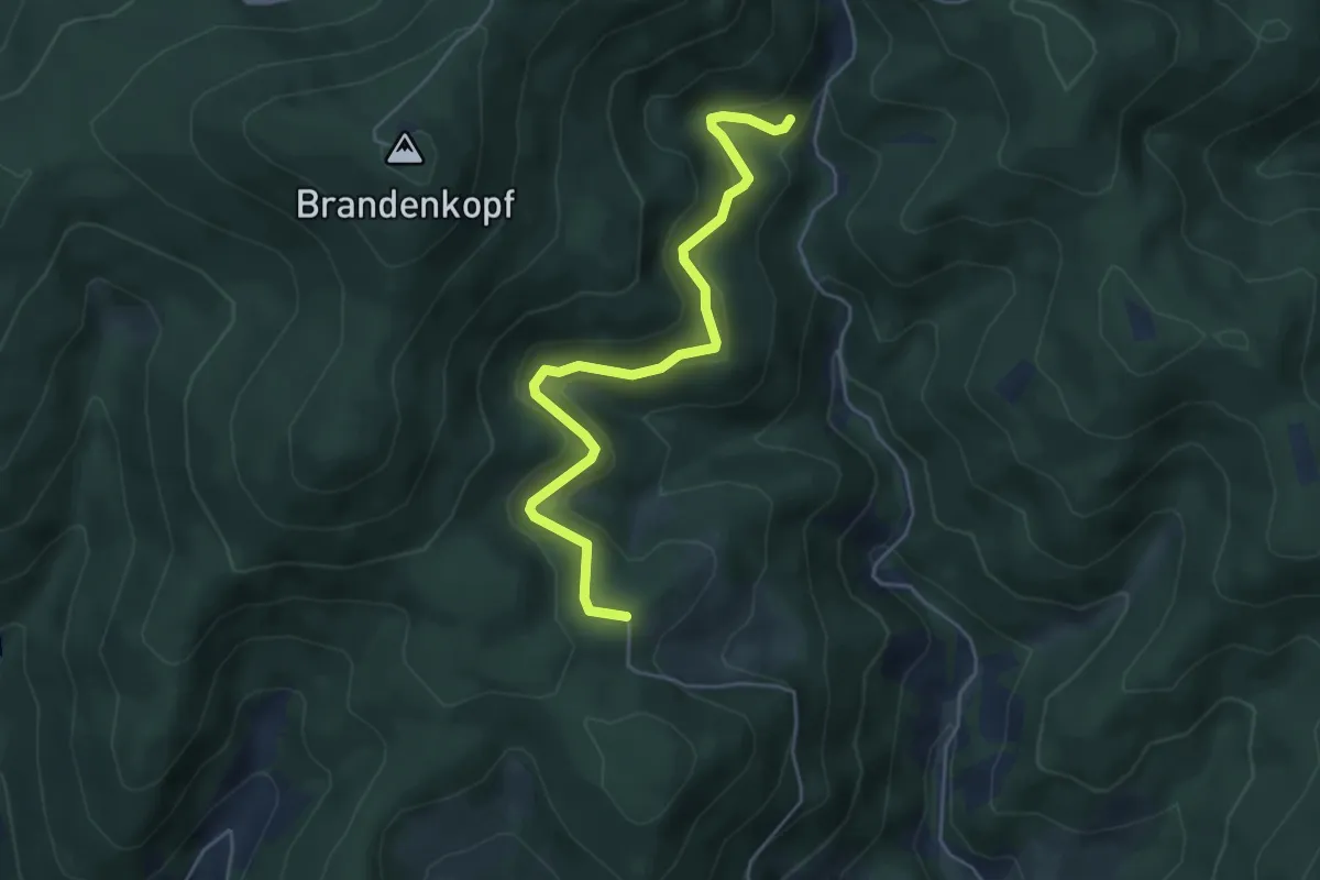
Easy · Trail
Rappengrund - Kreuzbühl
5.0 km · ↑ 277 m · 1 h 47 min
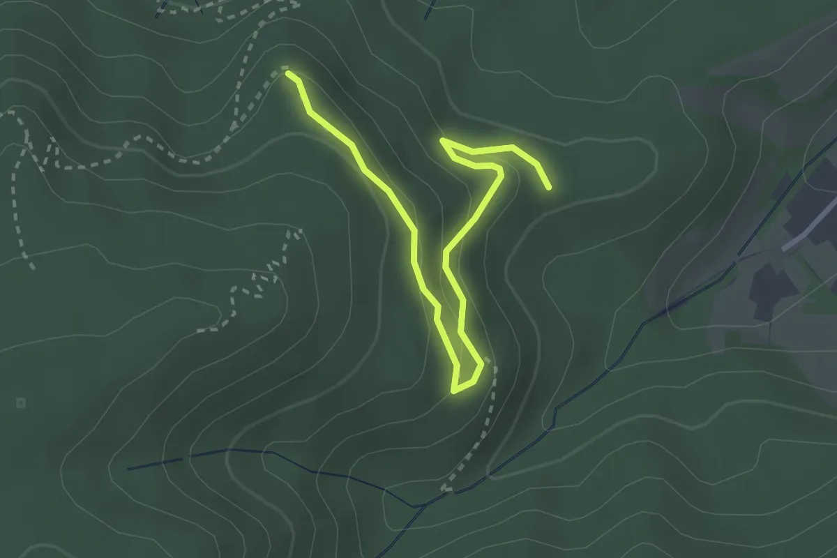
Easy · Trail
Rappenhalde - Waldhaus Batschari
3.0 km · ↑ 140 m · 1 h 1 min
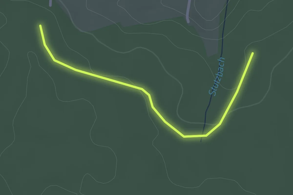
Easy · Trail
Rappenhütte - Beim Elsenbronnen
2.1 km · ↑ 36 m · 34 min
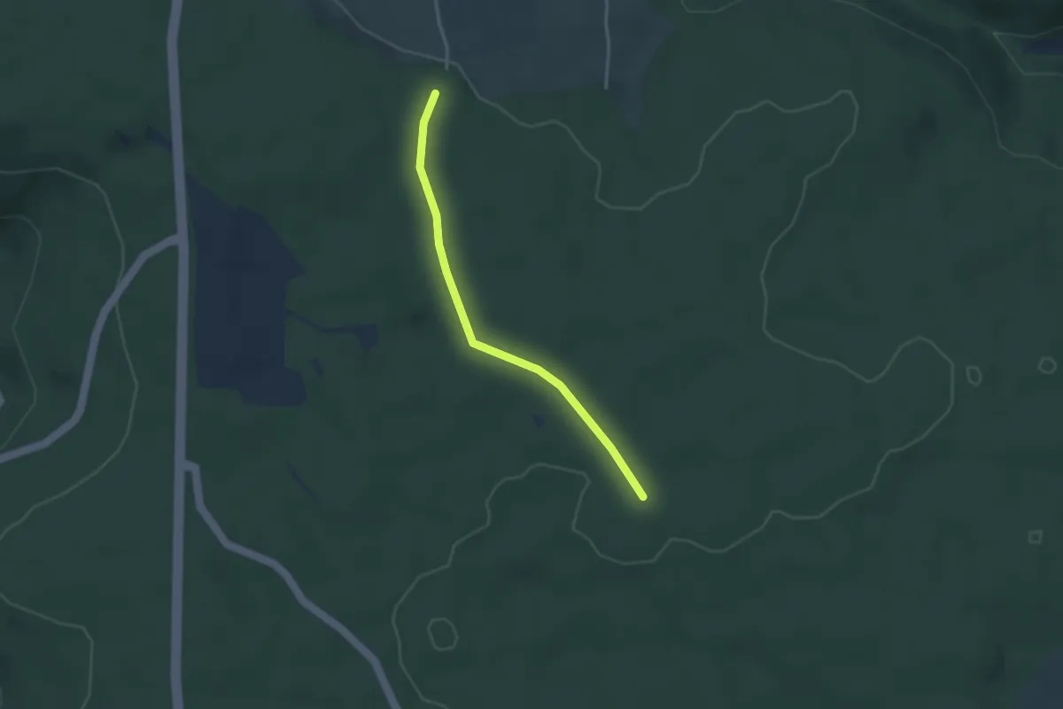
Easy · Trail
Rappenhütte - Stutzweg
2.9 km · ↑ 20 m · 43 min
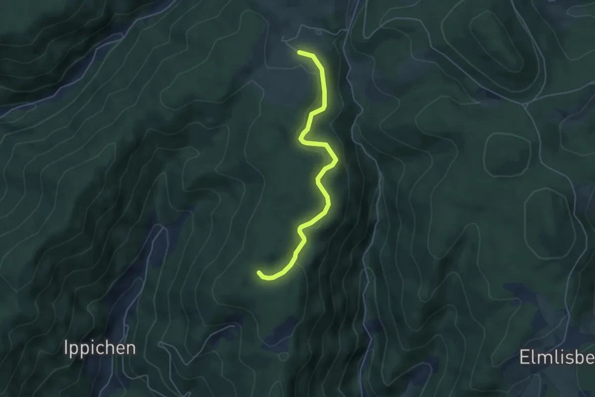
Easy · Trail
Rappenloch - Eckenhöfe Alexenhof
4.4 km · ↑ 149 m · 1 h 22 min
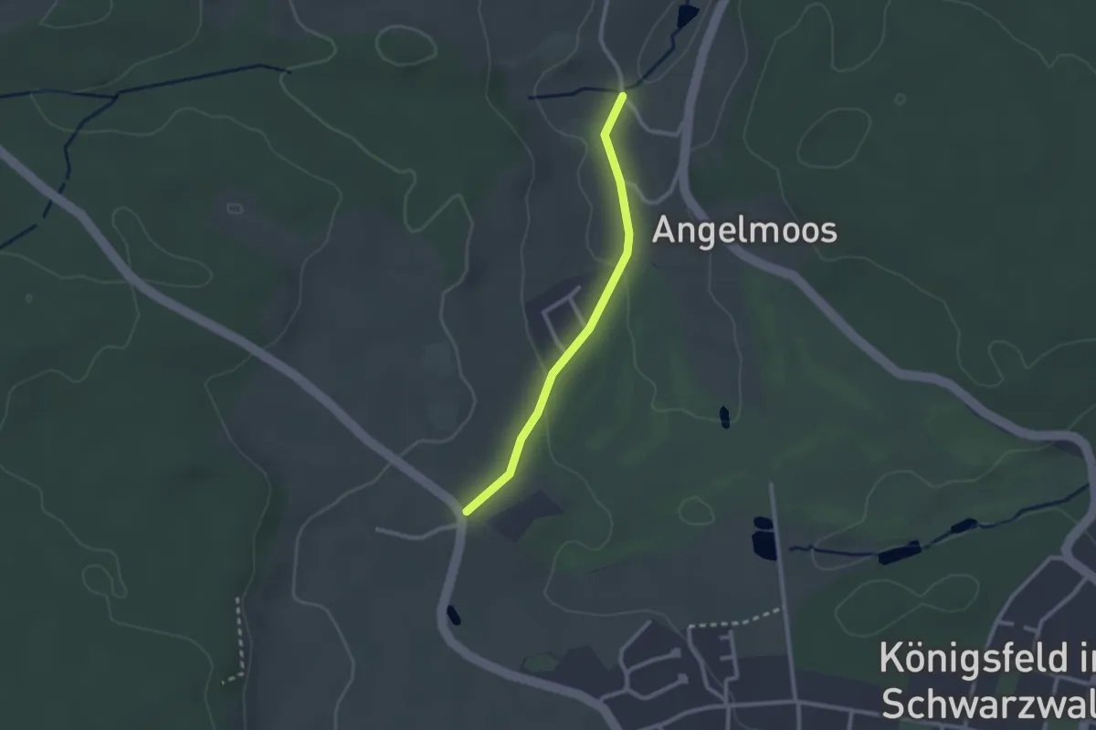
Easy · Trail
Rappenloch - Obermartinsweiler
2.1 km · ↑ 48 m · 36 min
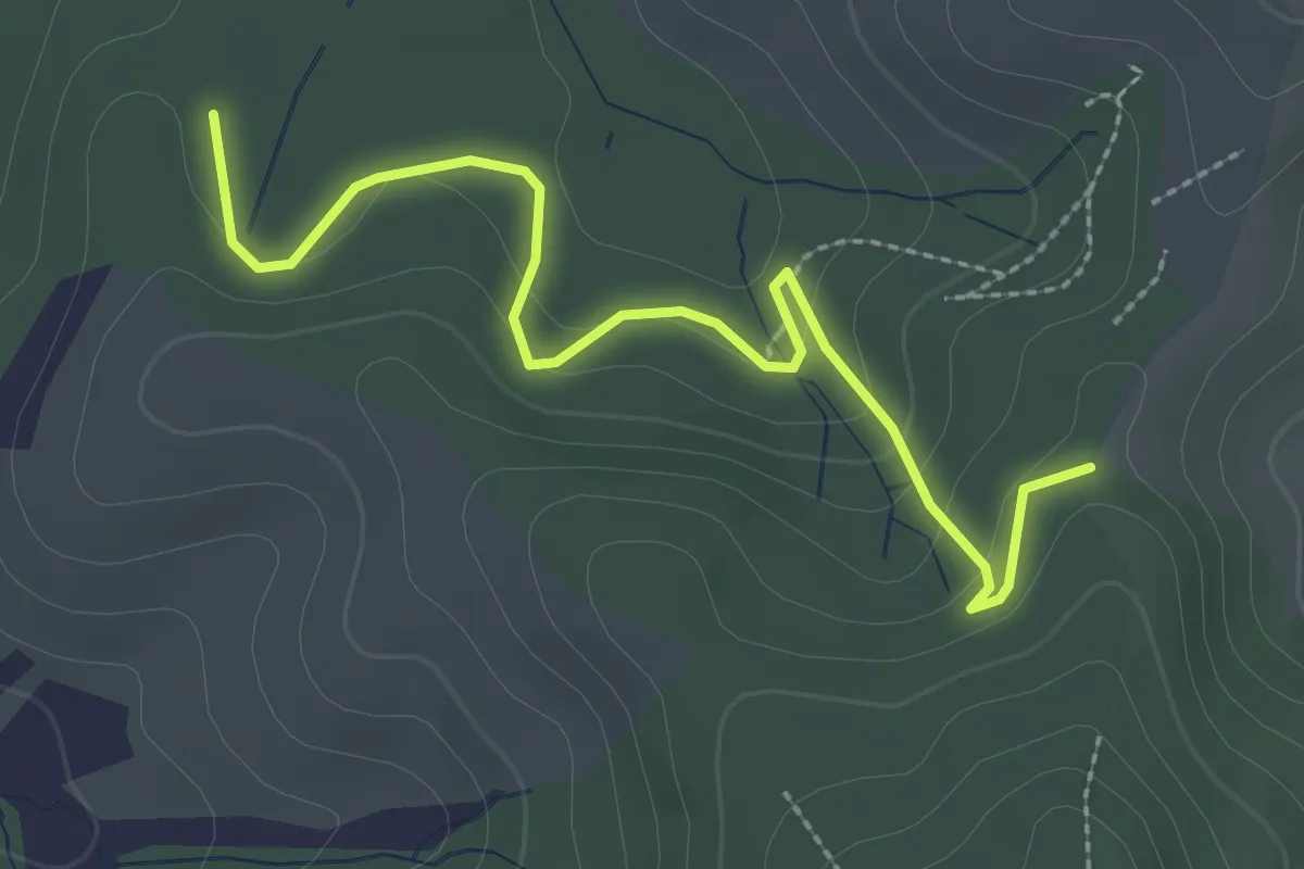
Easy · Trail
Rappenloch - Rohrbacher Eck
2.8 km · ↑ 122 m · 56 min
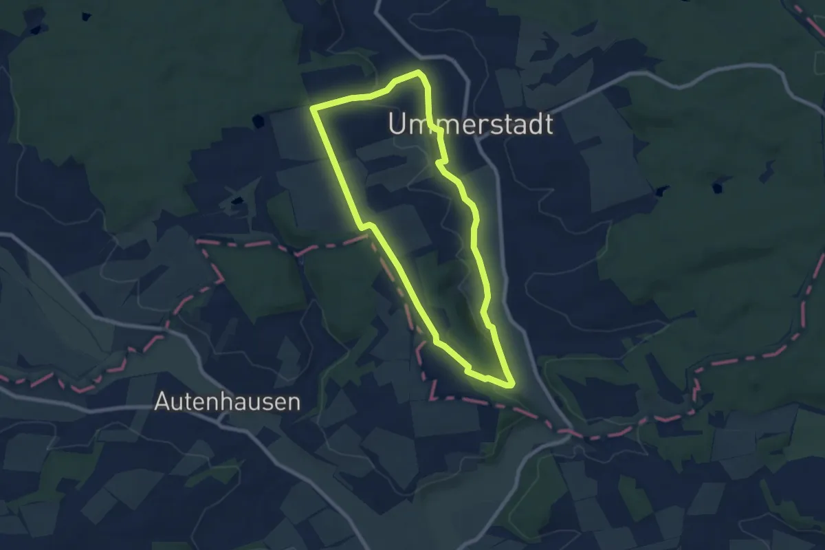
Easy · Trail
Rappersgraben-Weg
6.4 km · ↑ 87 m · 1 h 48 min
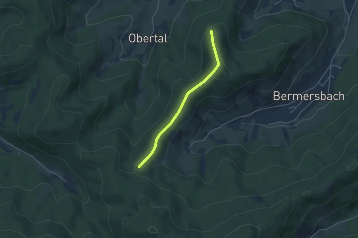
Easy · Trail
Räpples Eck - Windeck
3.0 km · ↑ 74 m · 52 min
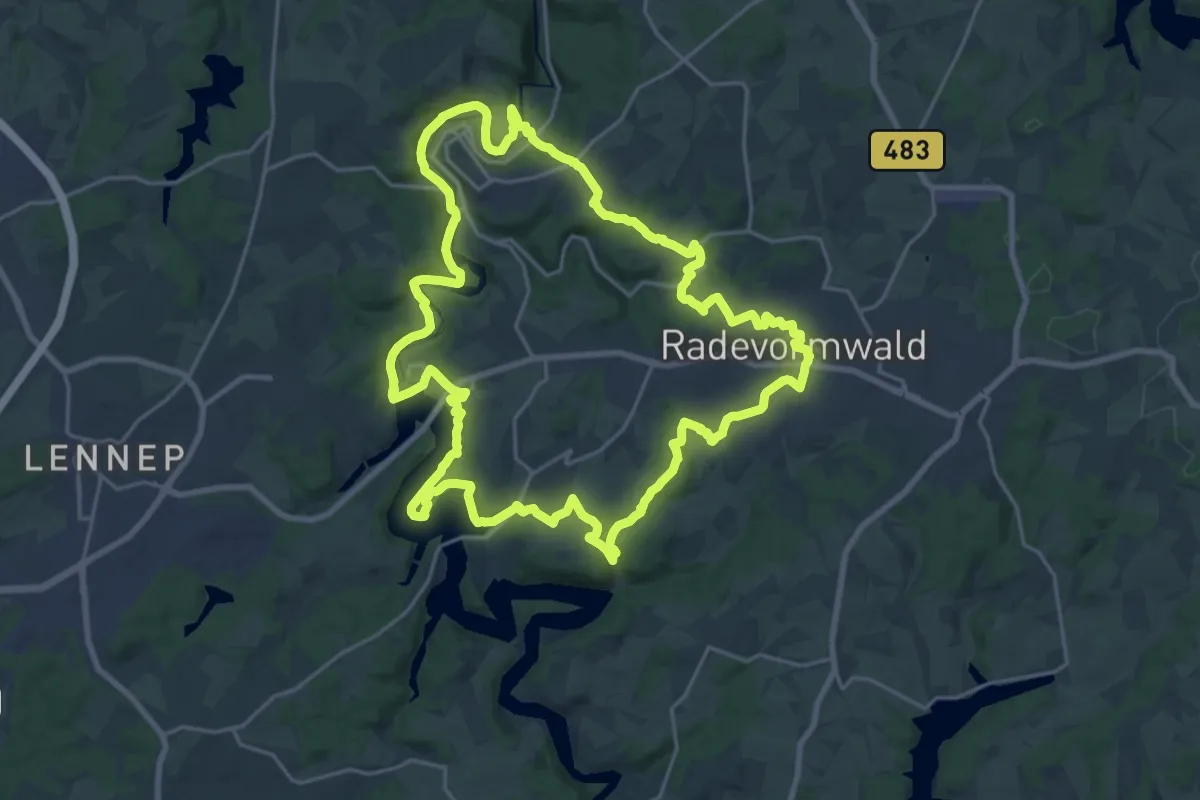
Demanding · Trail
[Ra] Rund um Radevormwald
20.8 km · ↑ 423 m · 6 h 7 min
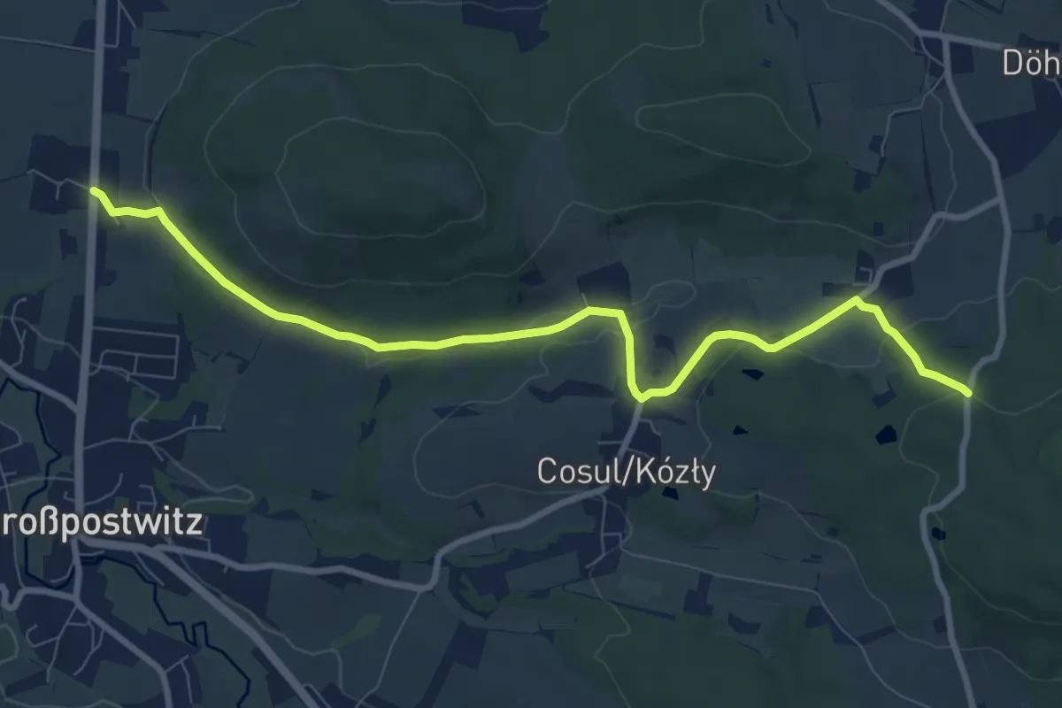
Medium · Trail
Rascha – Pielitzhöhe
8.6 km · ↑ 168 m · 2 h 24 min
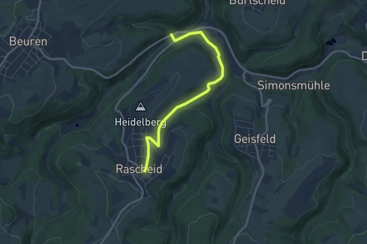
Easy · Trail
Rascheid 1
6.2 km · ↑ 148 m · 1 h 47 min
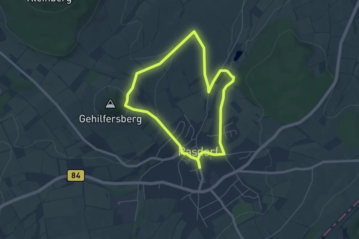
Easy · Trail
Rasdorf - Rhön-Rundweg 2
4.5 km · ↑ 120 m · 1 h 23 min
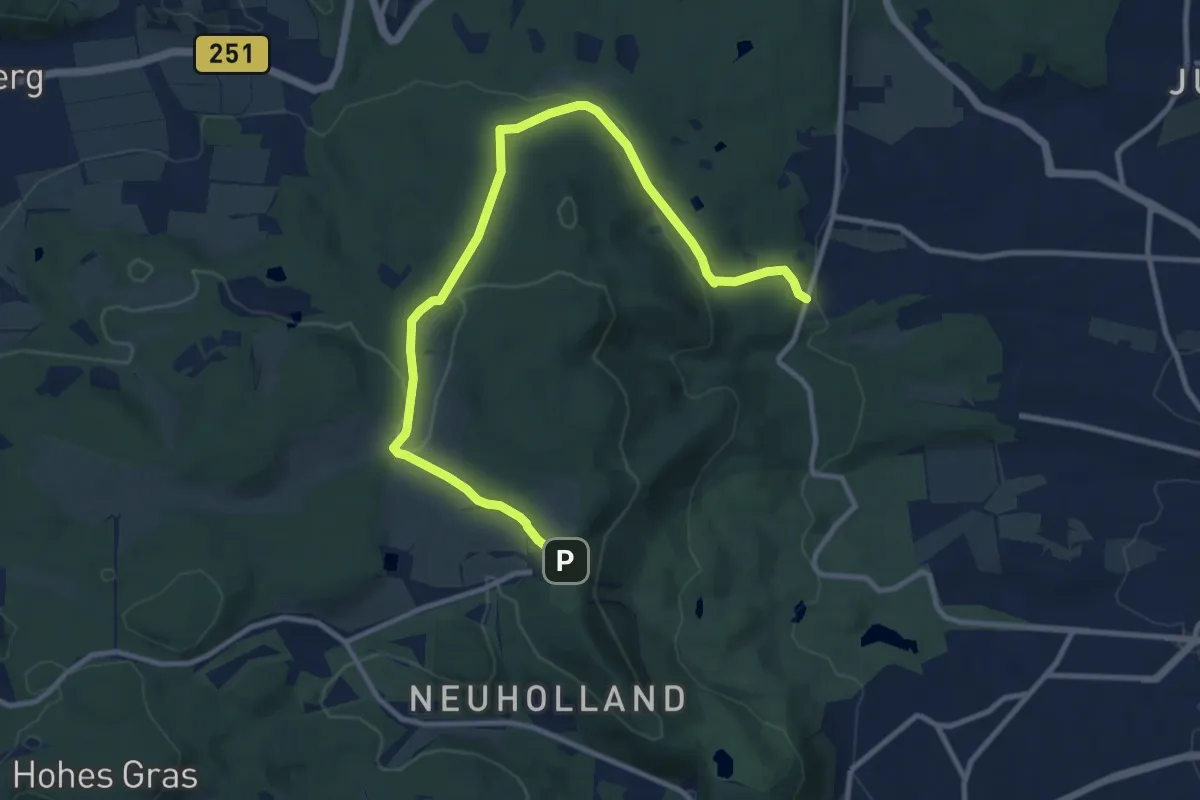
Medium · Trail
Rasenalle - Herkules
11.3 km · ↑ 278 m · 3 h 17 min
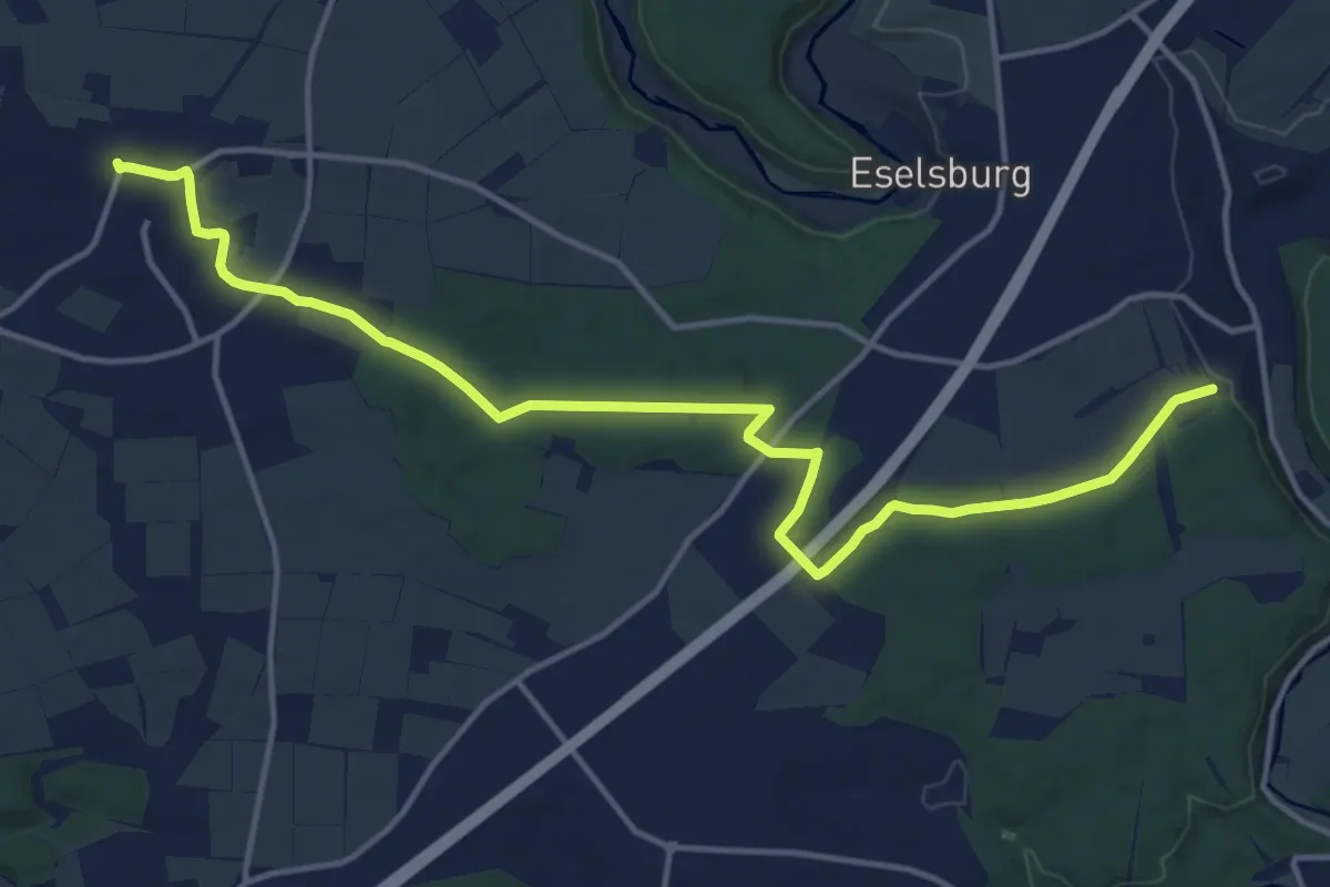
Medium · Trail
Rasthof Lonetal - Dettingen
15.8 km · ↑ 158 m · 4 h 5 min
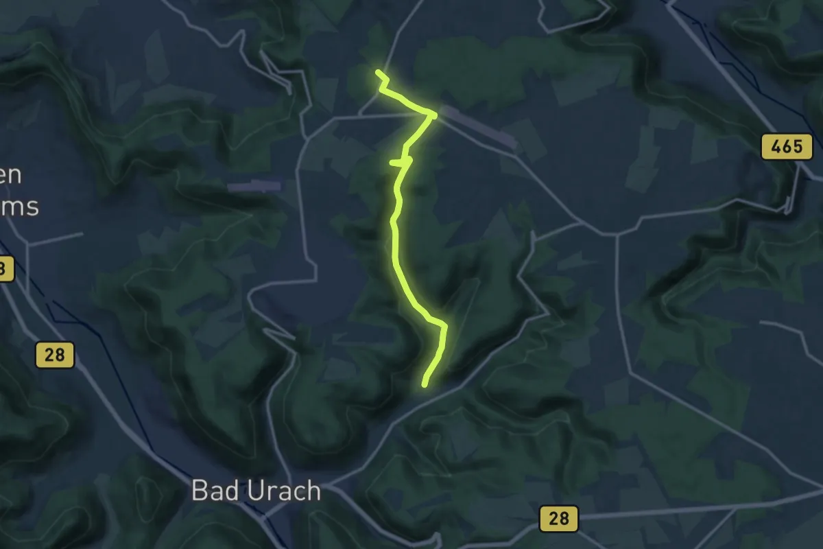
Medium · Trail
Rastplatz Schanze - Pfählhof
11.1 km · ↑ 245 m · 3 h 9 min
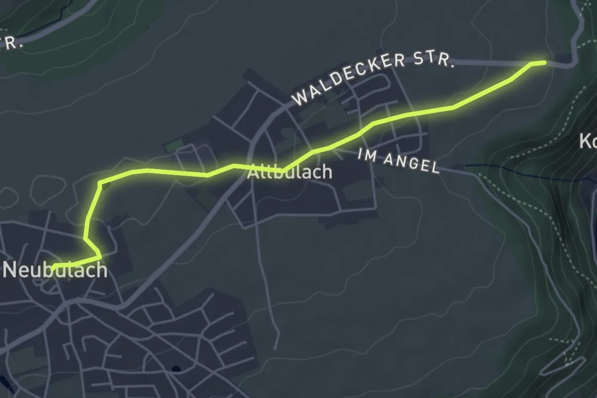
Easy · Trail
Rastplatz Wasen - Neubulach Marktplatz
4.8 km · ↑ 59 m · 1 h 16 min
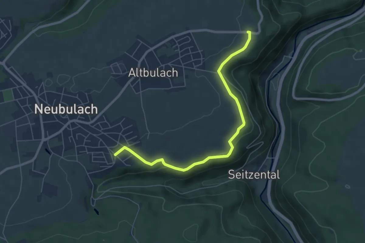
Easy · Trail
Rastplatz Wasen - Neubulach Minigolfplatz
6.0 km · ↑ 110 m · 1 h 40 min
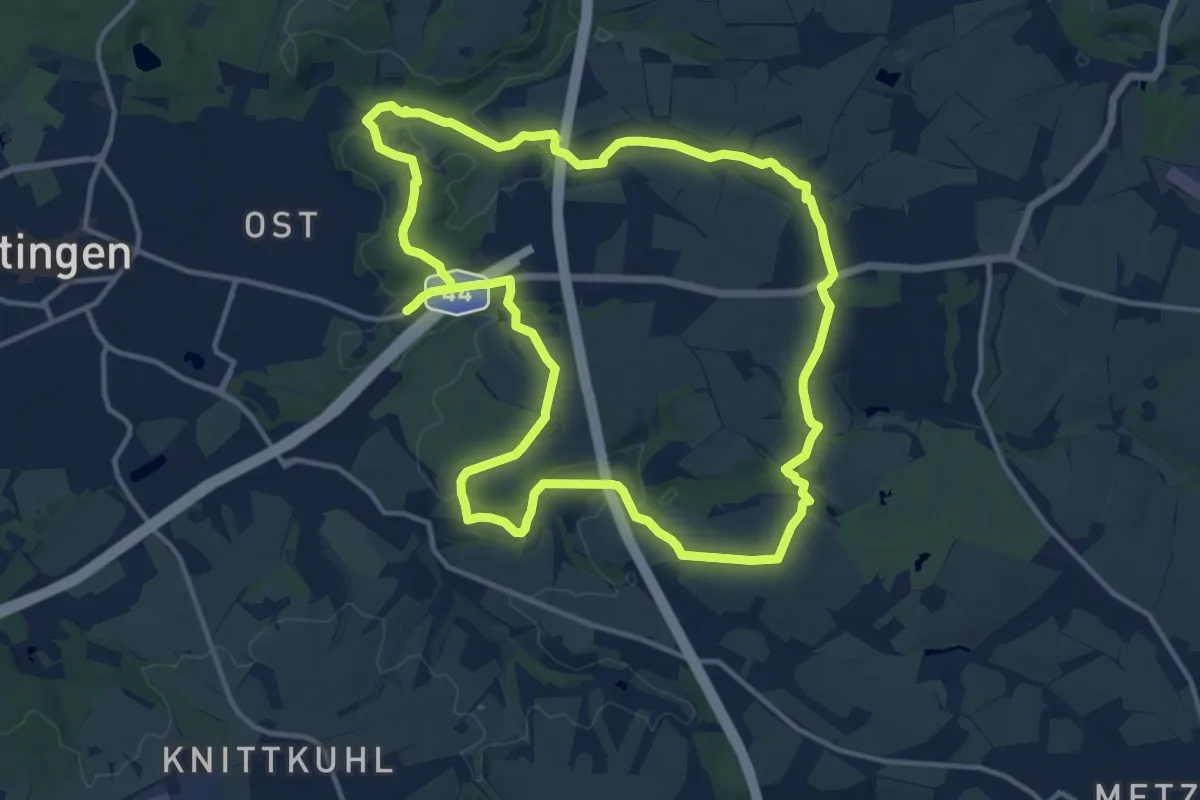
Medium · Trail
Ratingen Aue Rundweg A1
12.4 km · ↑ 183 m · 3 h 29 min
Medium · Trail
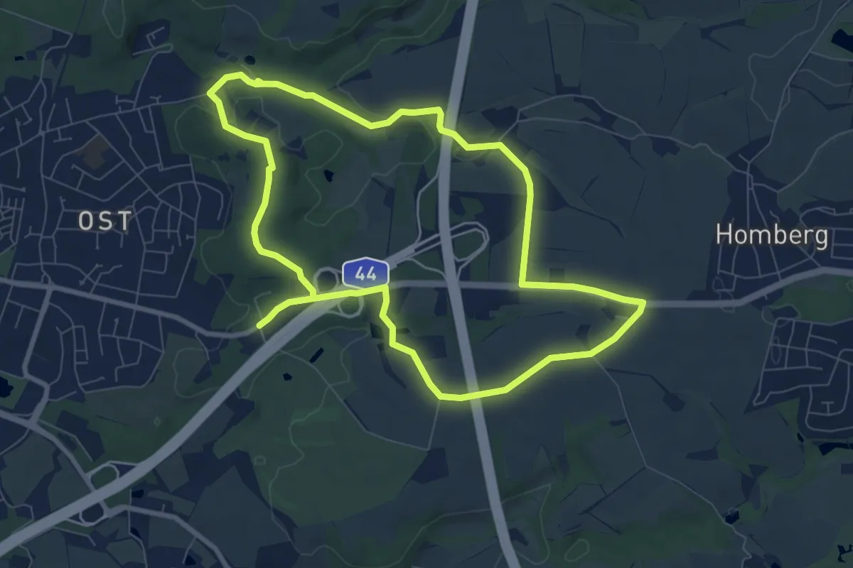
Ratingen Aue Rundweg A2
14.4 km · ↑ 163 m · 3 h 45 min
Easy · Trail
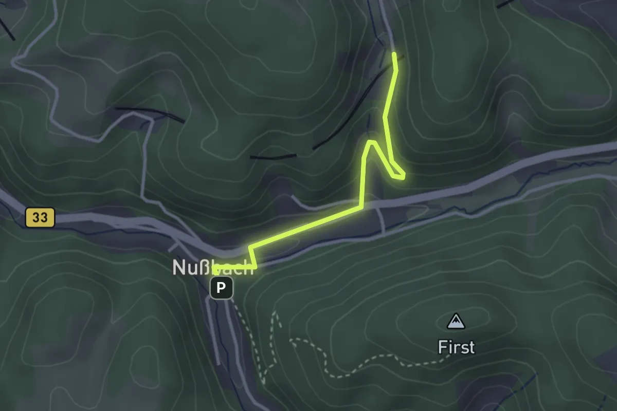
Ratshaus - Bahnübergang Kreisbach
2.7 km · ↑ 154 m · 58 min
Easy · Trail
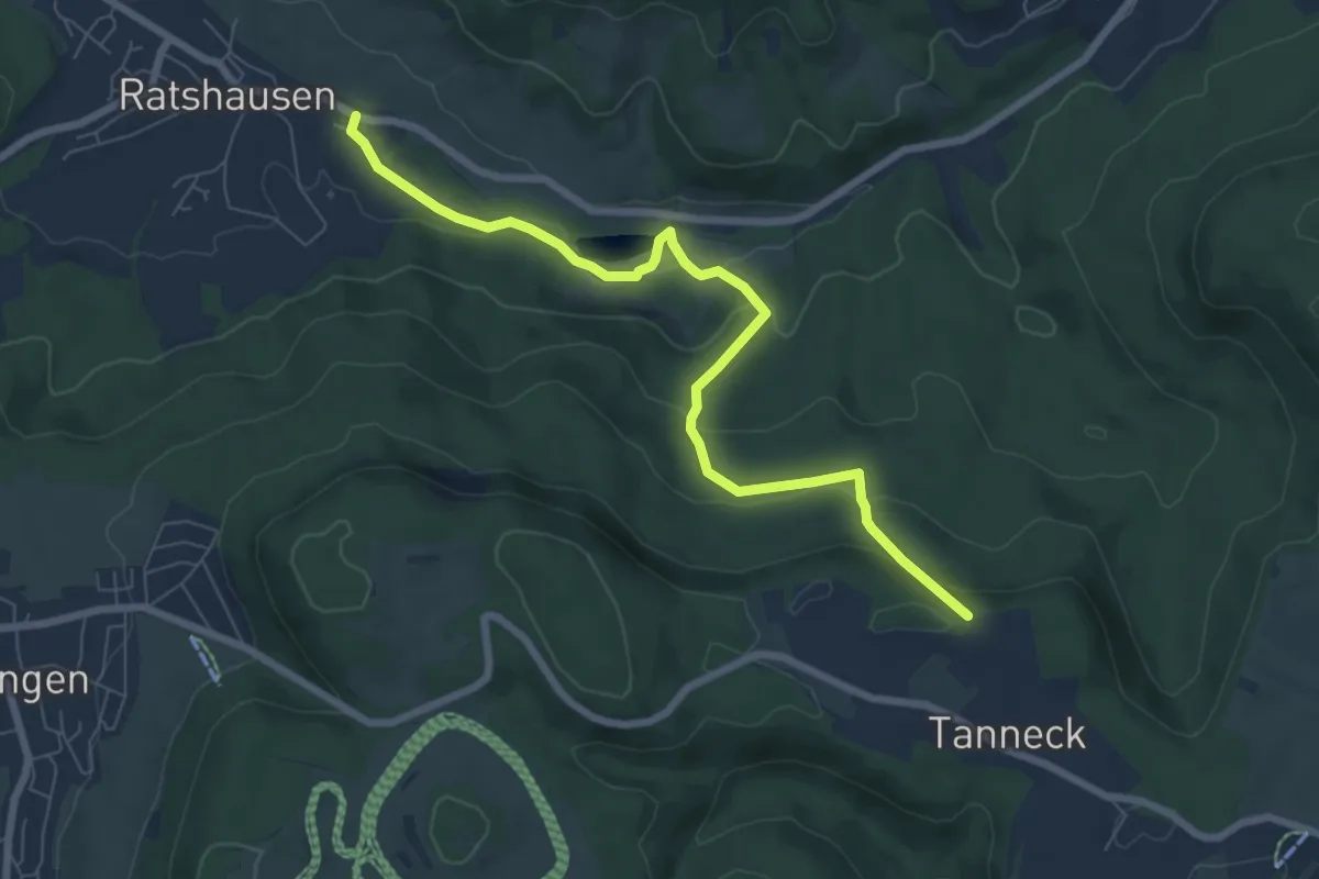
Ratshausen - Tanneck Nord
7.4 km · ↑ 282 m · 2 h 21 min
Easy · Summit
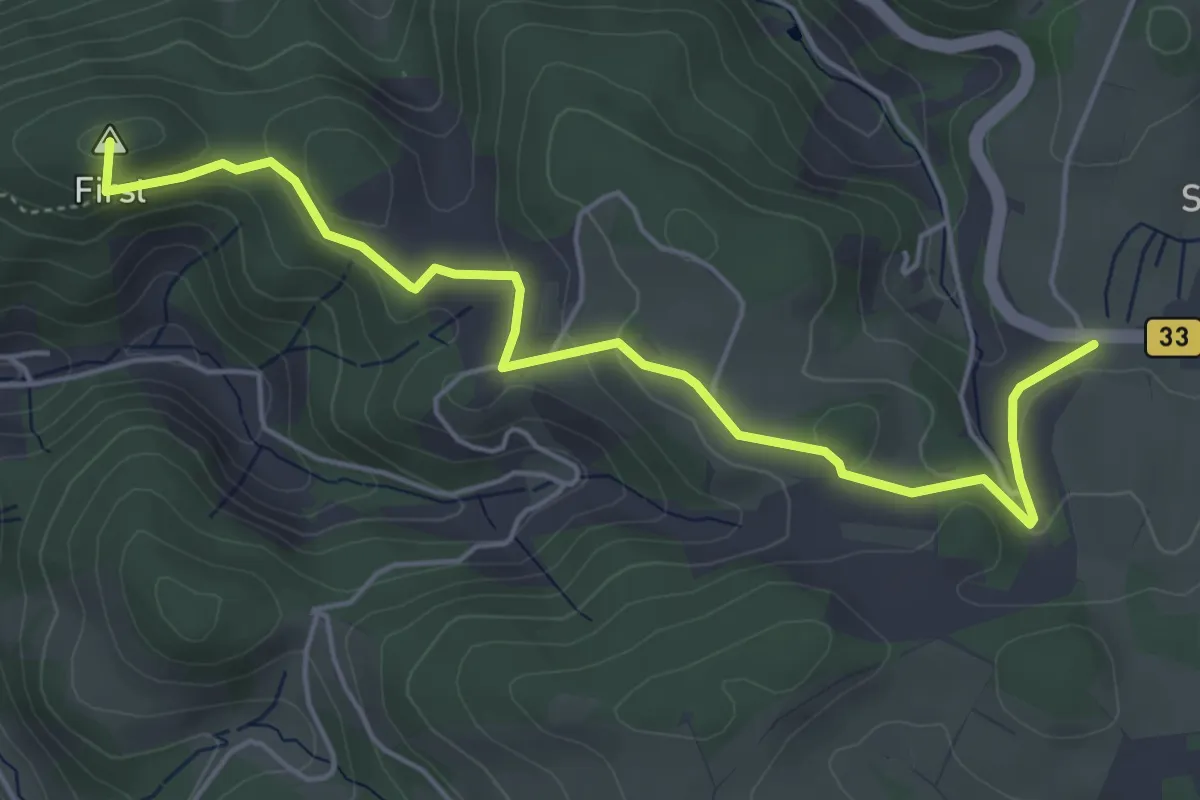
Ratshaus - Sommerauer Höhe
5.4 km · ↑ 167 m · 1 h 38 min
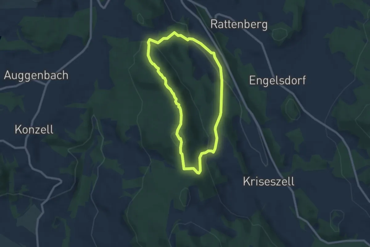
Easy · Trail
Rattenberger Höhenrundweg (Rattenberger Wanderweg 10)
5.1 km · ↑ 231 m · 1 h 47 min
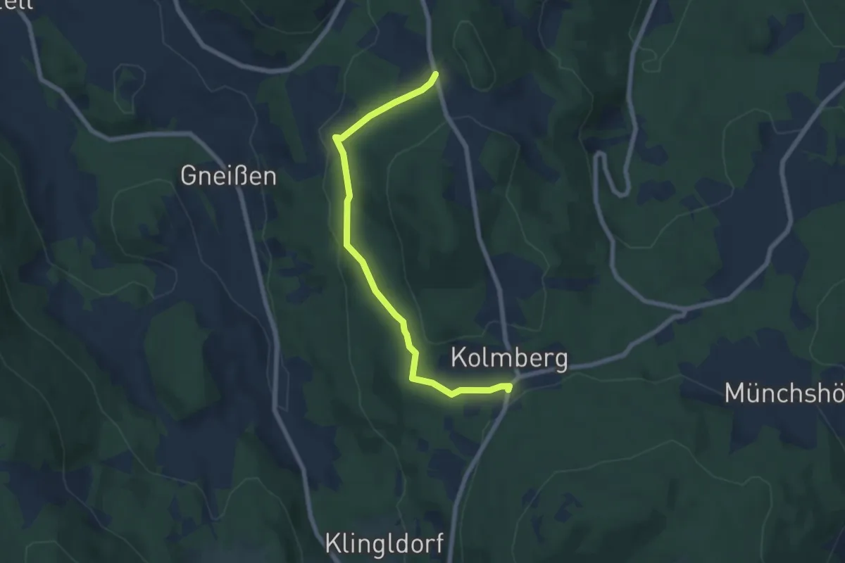
Easy · Trail
Rattenberger Wanderweg 15
6.0 km · ↑ 174 m · 1 h 47 min
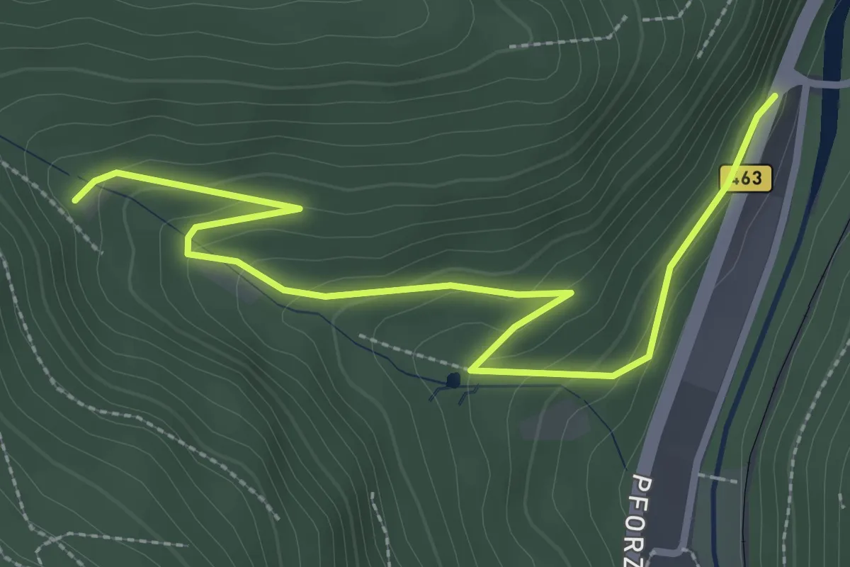
Easy · Trail
Rattenkönig - Talwiesen
3.3 km · ↑ 144 m · 1 h 5 min
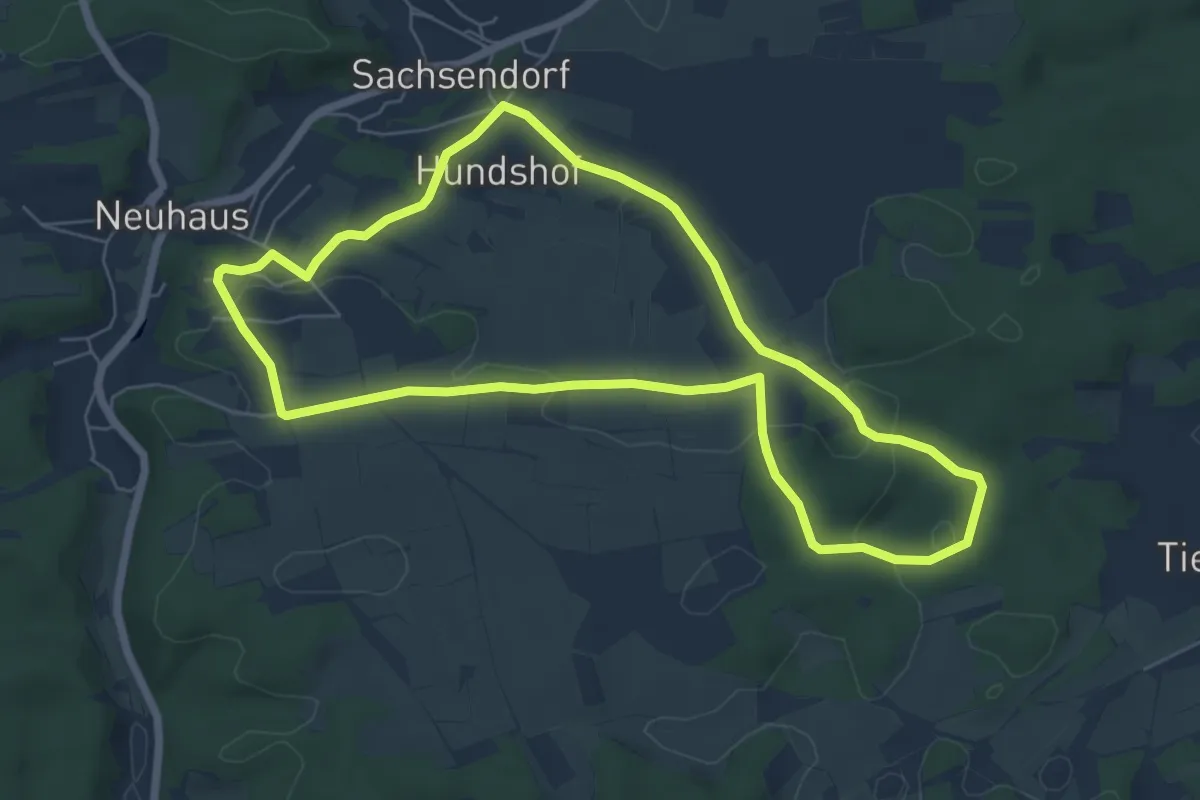
Easy · Trail
Räuberhöhle Hohlloch
6.0 km · ↑ 67 m · 1 h 39 min
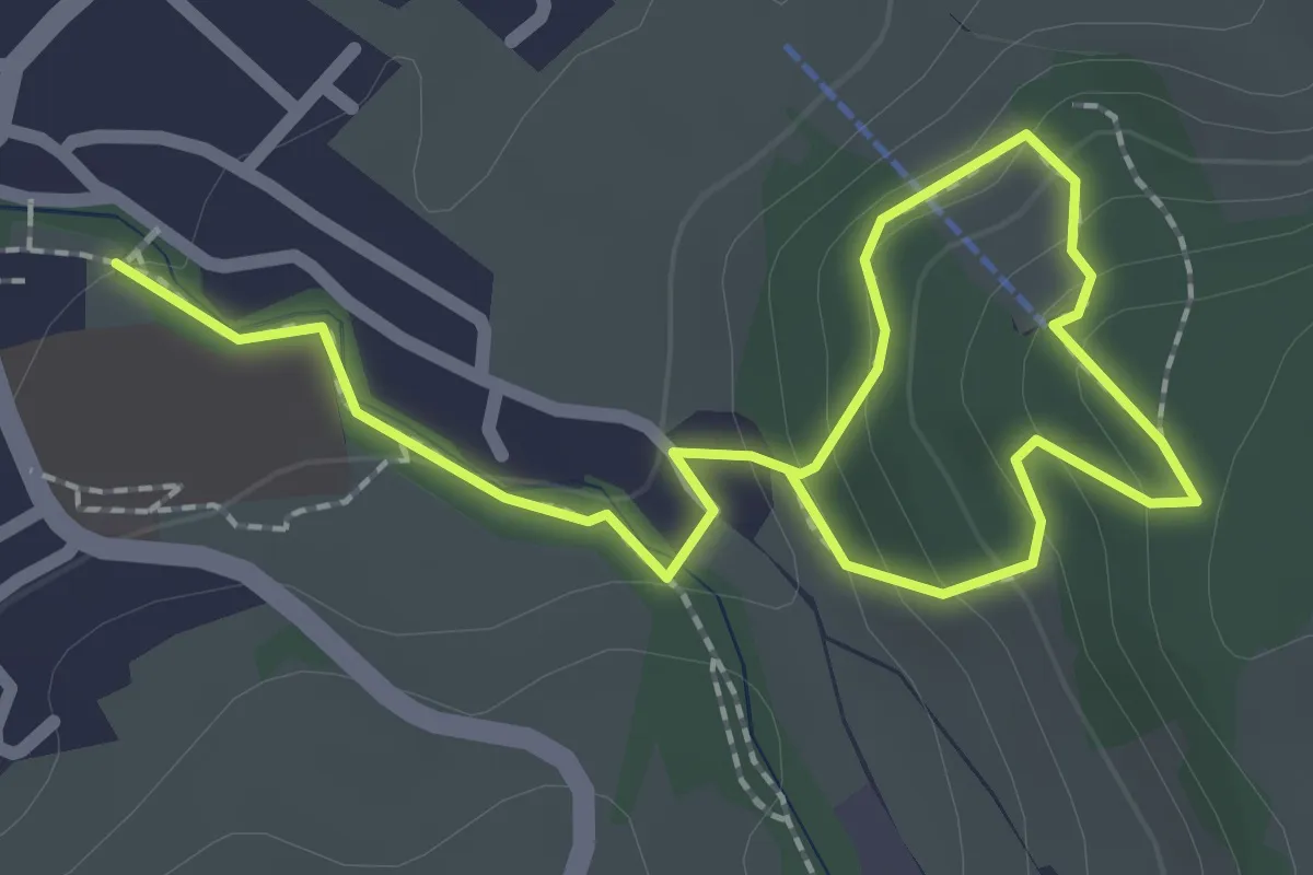
Easy · Trail
Räuber Kasimir Weg
3.1 km · ↑ 166 m · 1 h 5 min
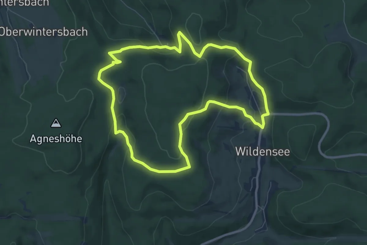
Easy · Trail
RÄUBERpfad Eschau "Insel der Ruhe"
6.8 km · ↑ 249 m · 2 h 14 min
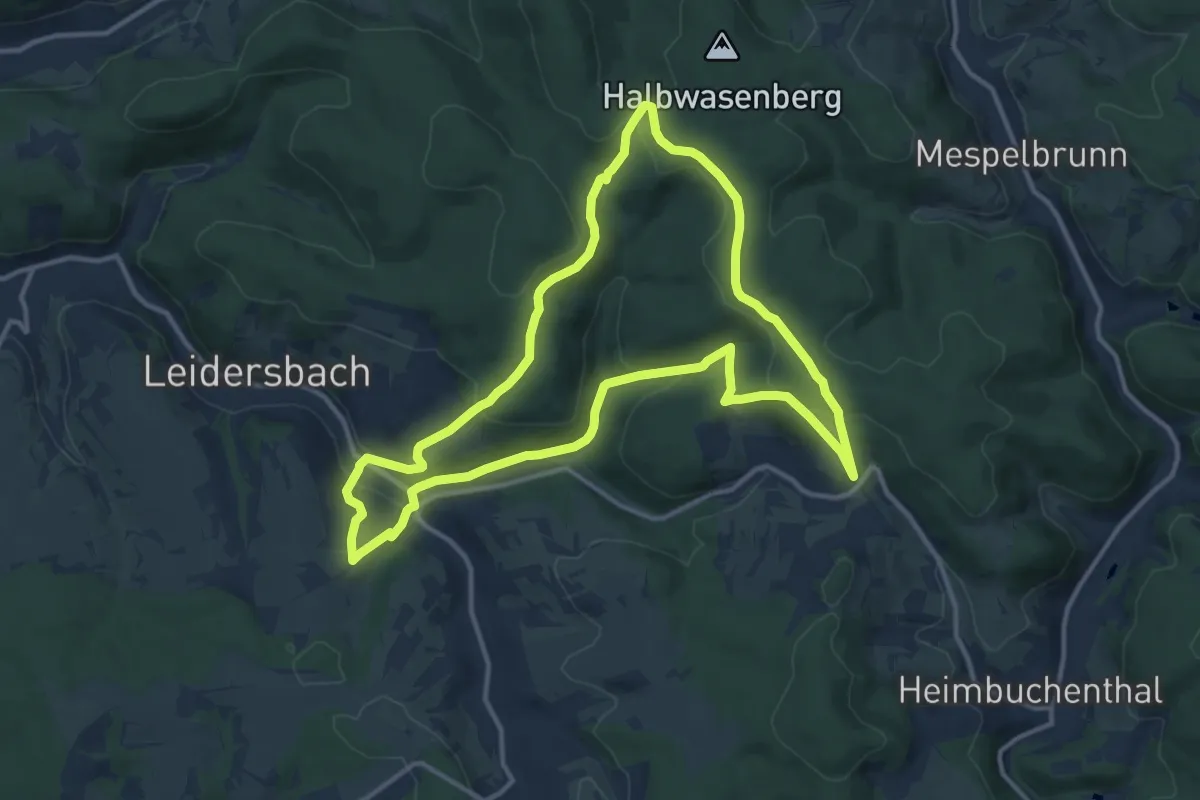
Medium · Trail
RÄUBERpfad Leidersbach "Natur PUR erleben"
11.9 km · ↑ 394 m · 3 h 50 min
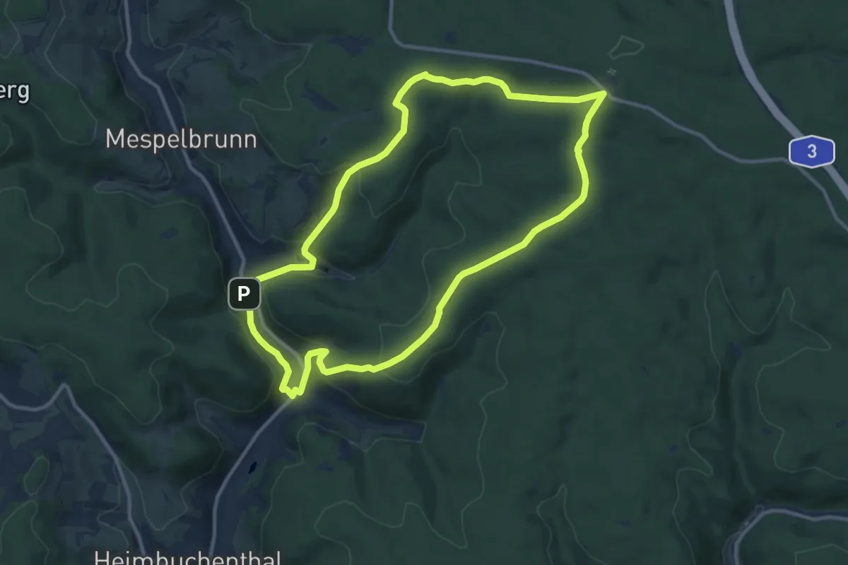
Medium · Summit
RÄUBERpfad Mespelbrunn "Geschichten und Geschichtchen"
9.9 km · ↑ 322 m · 3 h 10 min