Trails in Germany
36,852 hiking trails, each with its route, climb, walking time and grade.
All trails, page 436 of 768
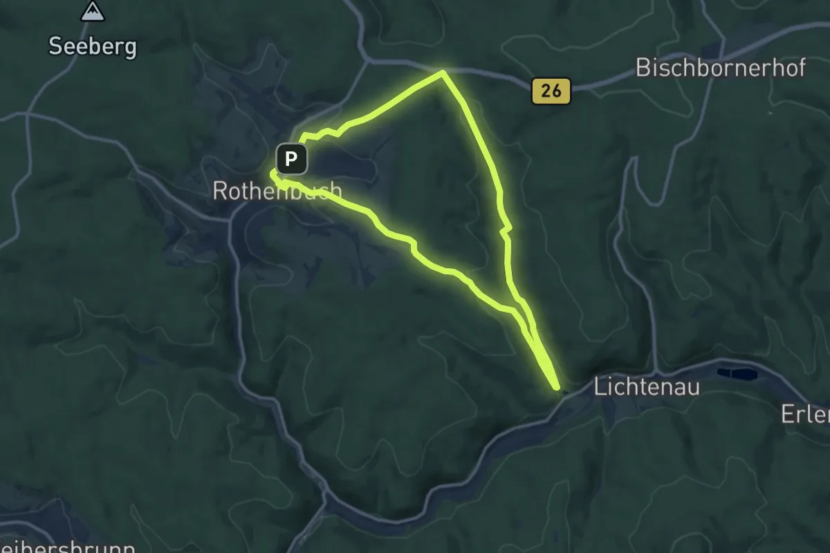
Medium · Summit
RÄUBERpfad Rothenbuch "Natur trifft Geschichte"
10.2 km · ↑ 293 m · 3 h 11 min
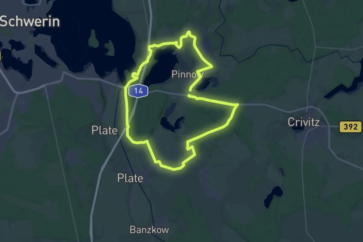
Demanding · Summit
Räuber Röpke Sagenpfad
27.1 km · ↑ 137 m · 7 h 5 min
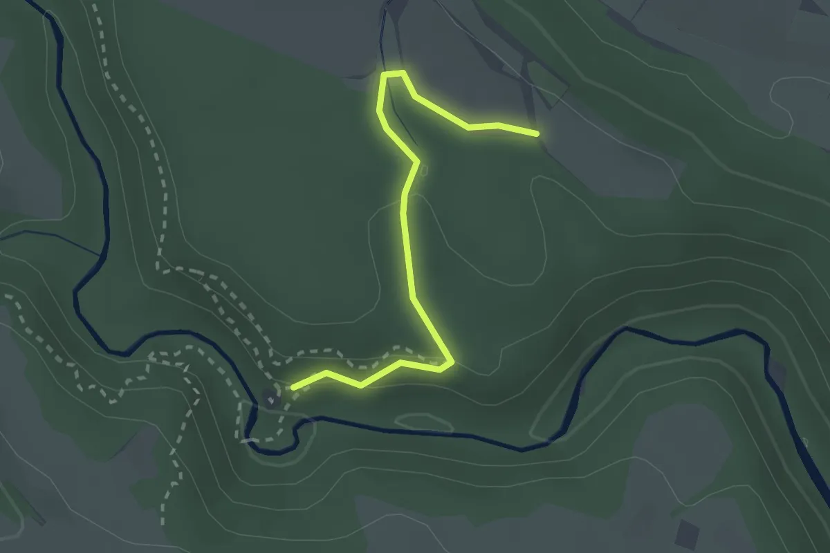
Easy · Trail
Räuberschlössle - Eichwäldle
2.3 km · ↑ 62 m · 41 min
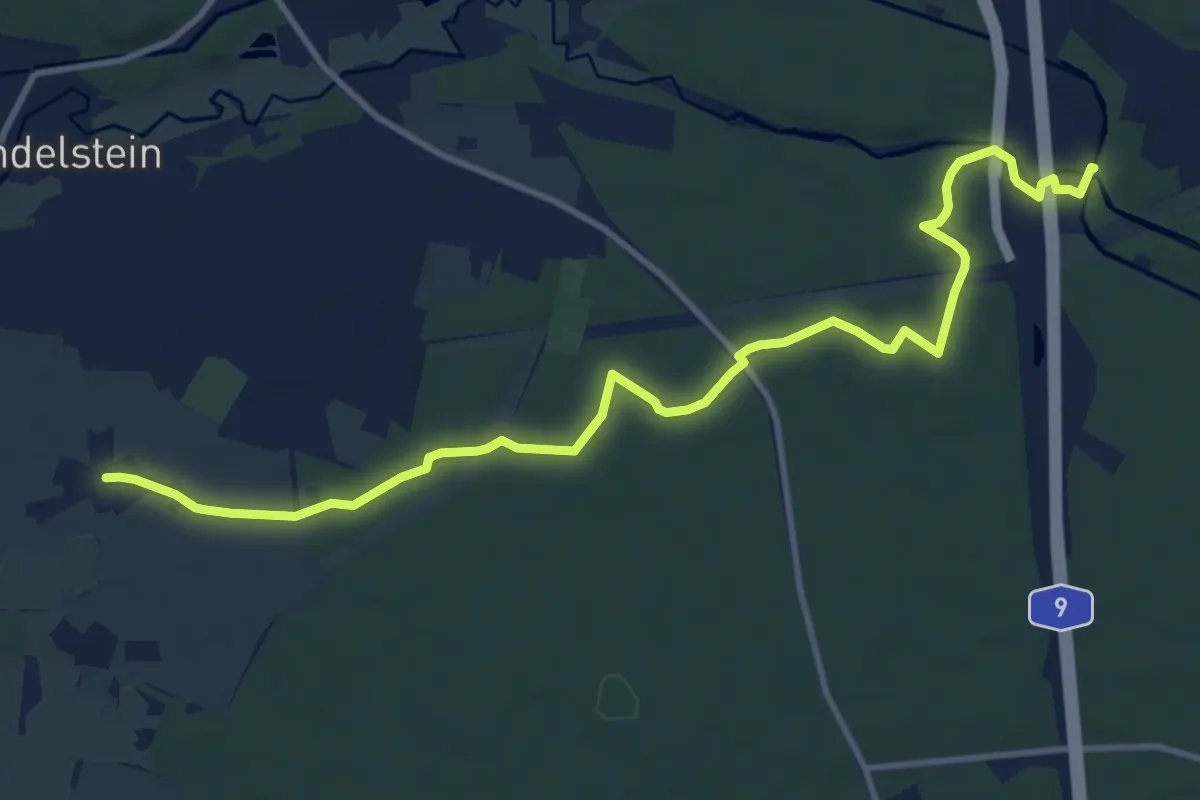
Medium · Trail
Raubersried-Nerreth
12.4 km · ↑ 82 m · 3 h 6 min
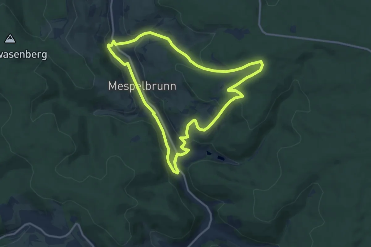
Medium · Trail
Räuberwanderweg
8.1 km · ↑ 232 m · 2 h 31 min
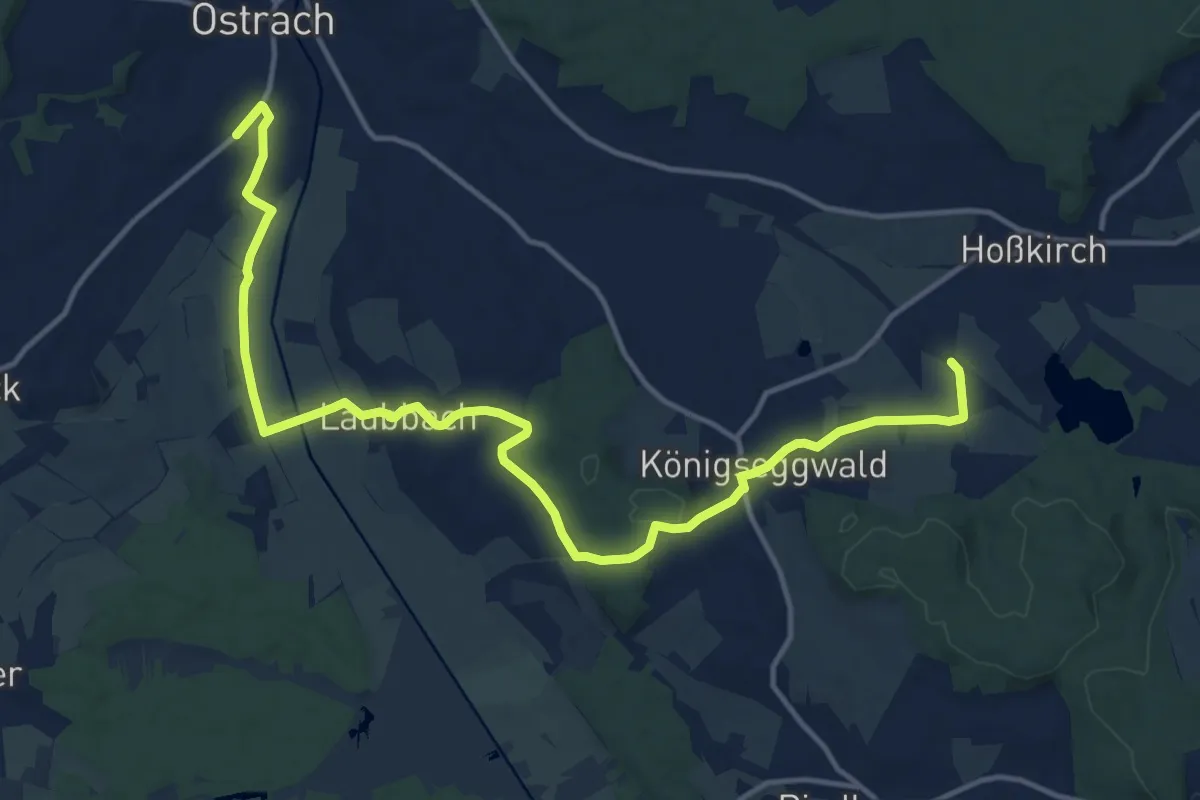
Medium · Trail
Räuberweg
17.0 km · ↑ 213 m · 4 h 28 min
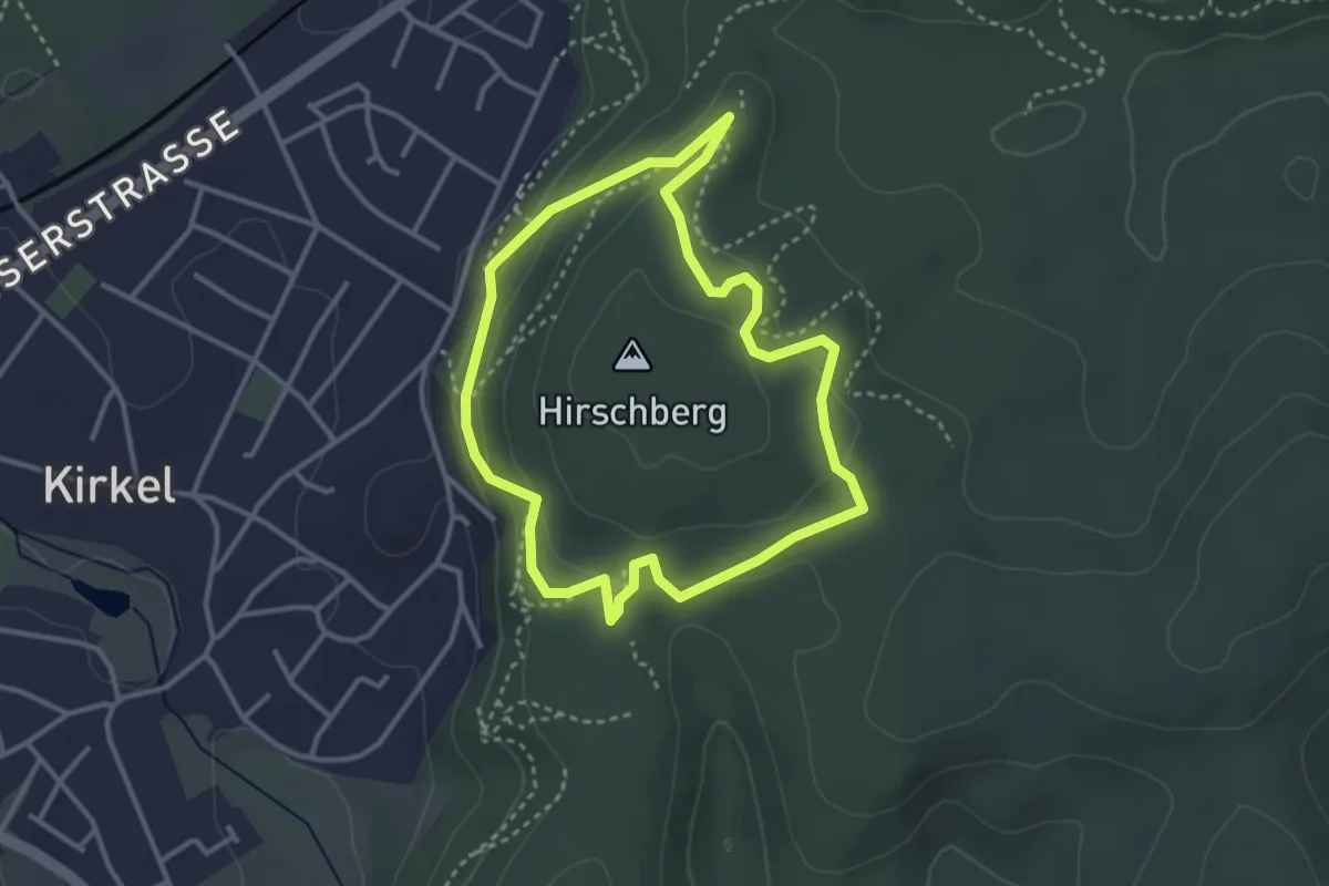
Easy · Trail
Räuberweg
2.9 km · ↑ 142 m · 1 h 3 min
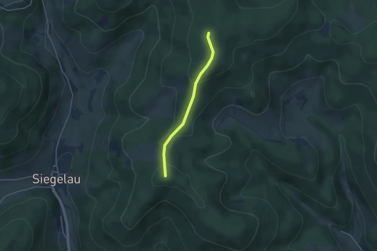
Easy · Trail
Rauchsbühl - Röscheneck
2.5 km · ↑ 88 m · 47 min
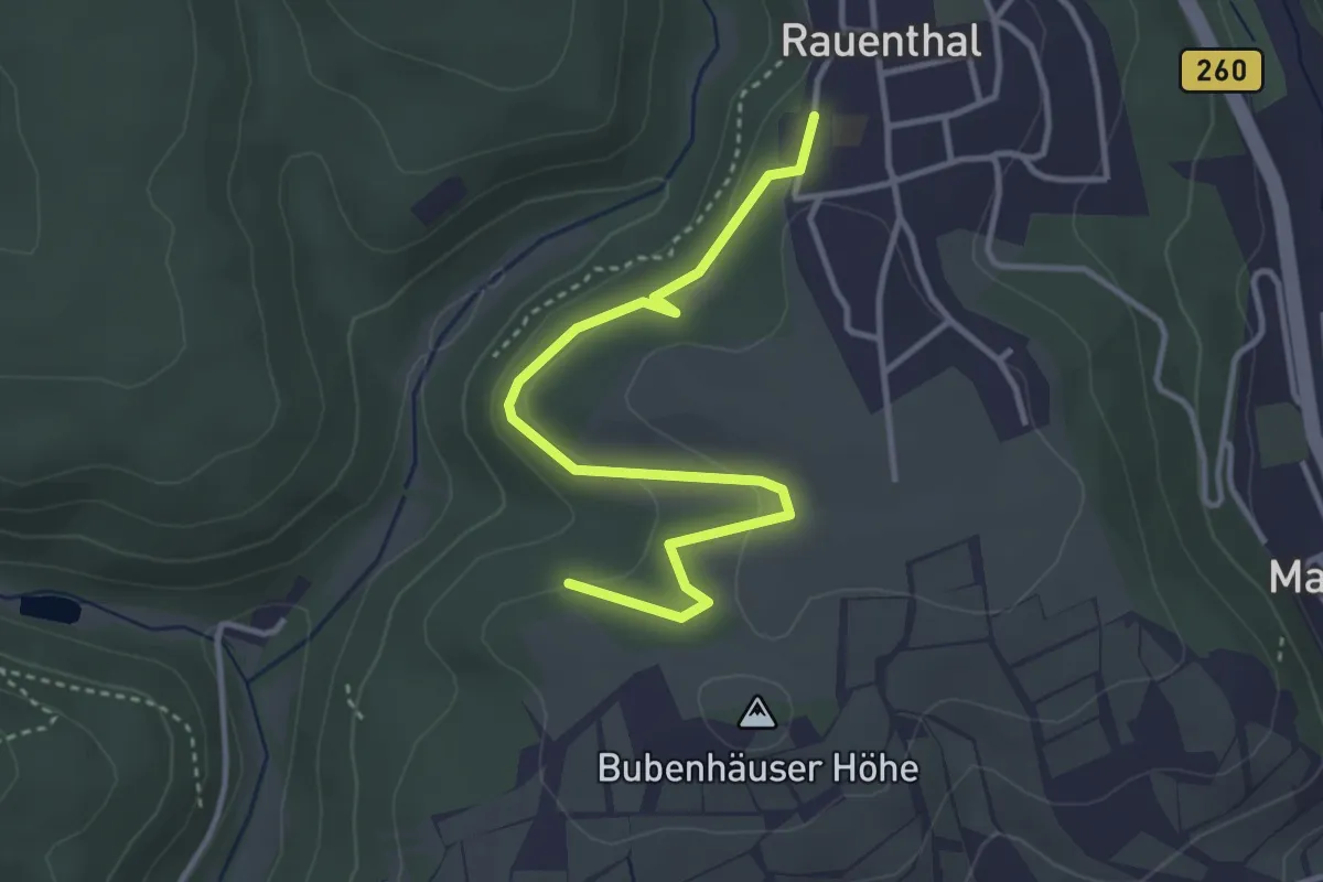
Easy · Trail
Rauenthal: Heinzentalweg
3.5 km · ↑ 146 m · 1 h 9 min
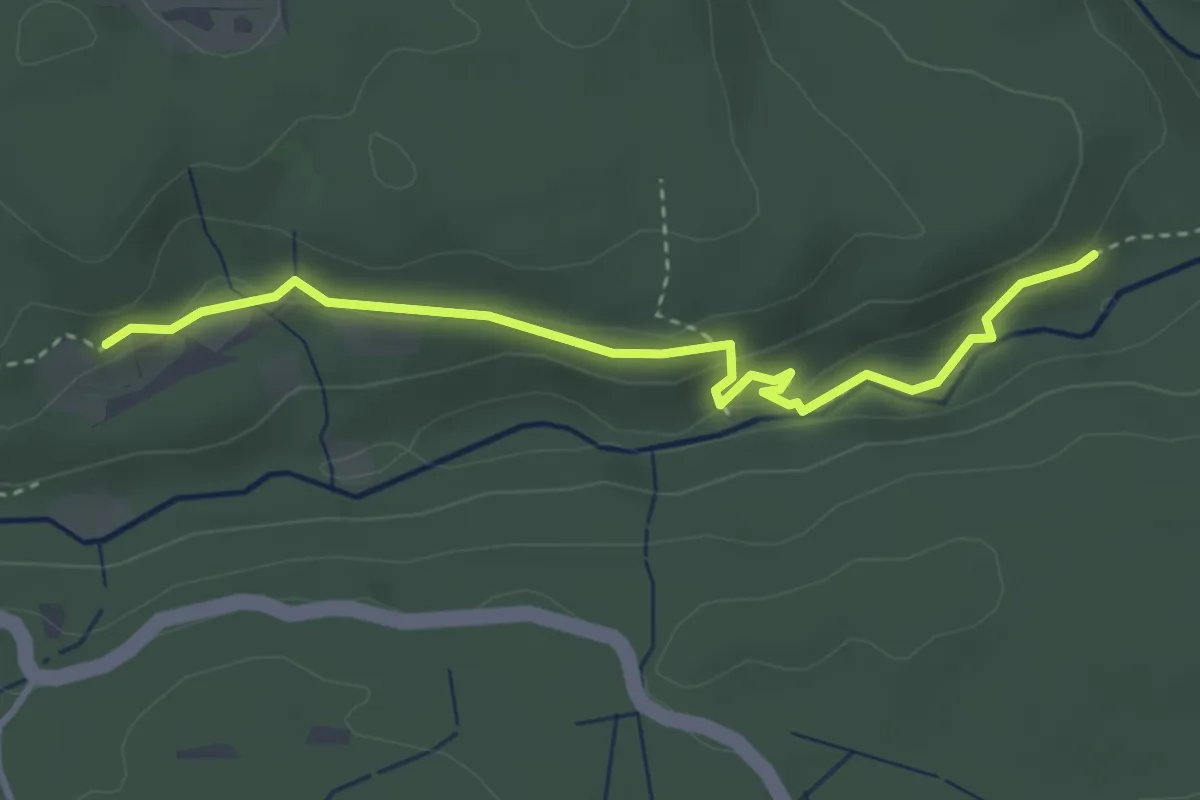
Medium · Trail
Rauhalde - Bei der Haslachmündung
3.5 km · ↑ 88 m · 1 h 1 min
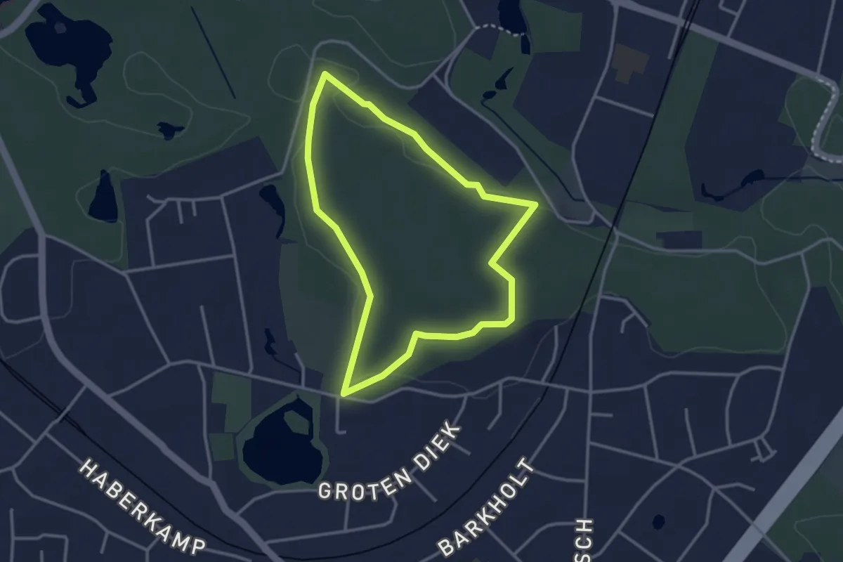
Easy · Trail
Rauhe Berge
2.5 km · ↑ 23 m · 40 min
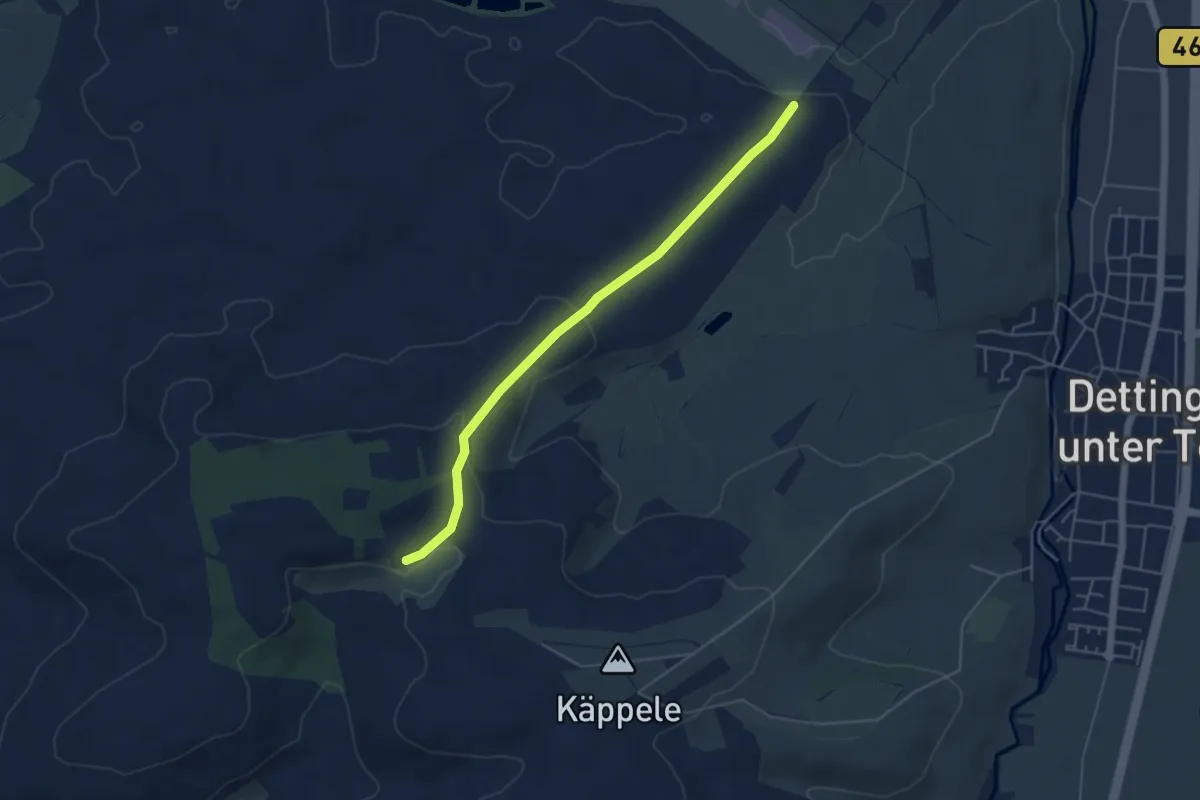
Easy · Trail
Rauhe Wiesen - Hahnweide
4.6 km · ↑ 128 m · 1 h 21 min
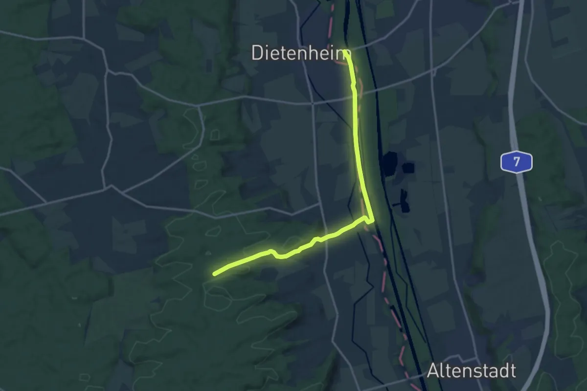
Medium · Trail
Rauhghau - Unterbalzheim - Illerdamm
13.1 km · ↑ 92 m · 3 h 18 min
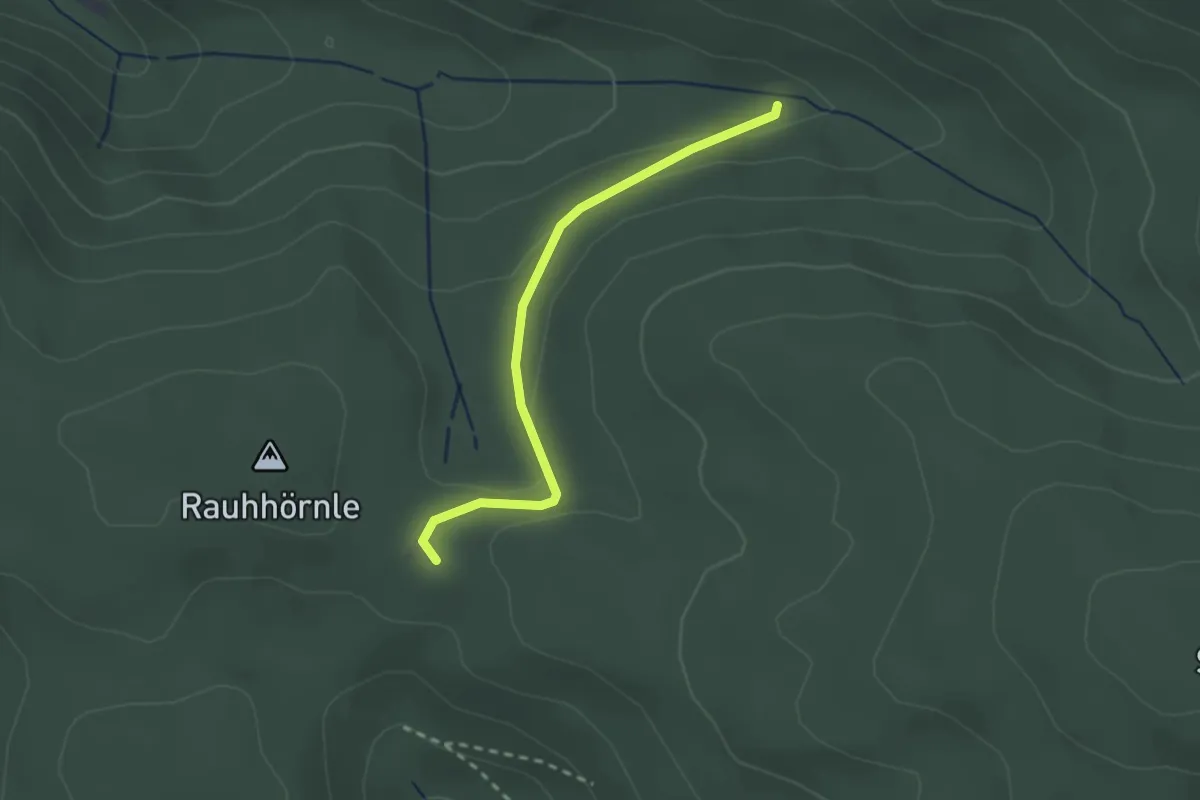
Easy · Trail
Rauhhörnlehütte - Schnaigbuhlrank
2.2 km · ↑ 70 m · 41 min
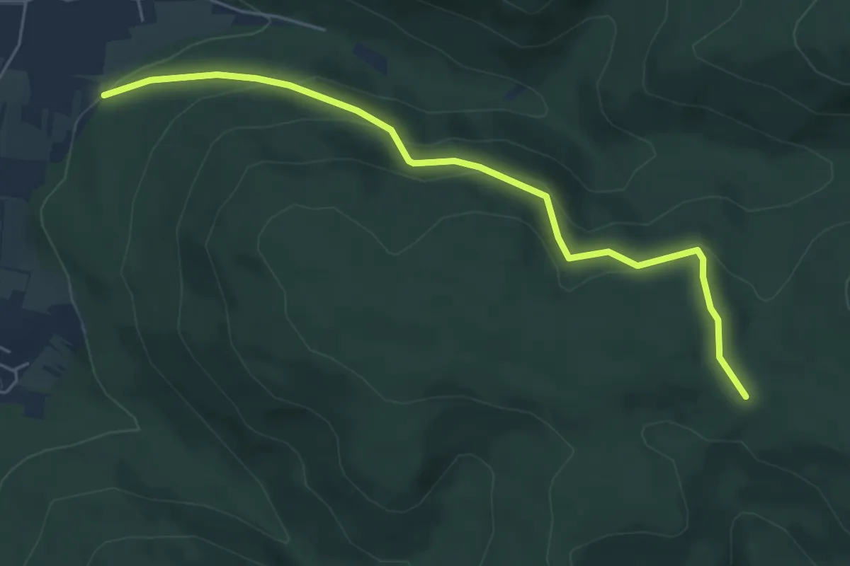
Easy · Trail
Rauhhörnlehütte - Vollmereiche
5.4 km · ↑ 223 m · 1 h 46 min
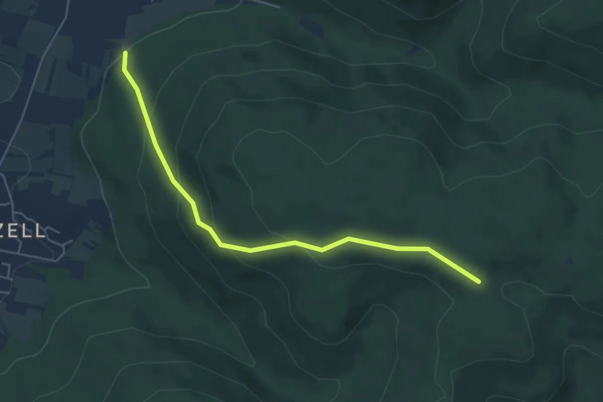
Easy · Trail
Rauhhörnle - Vollmereiche
4.6 km · ↑ 229 m · 1 h 34 min
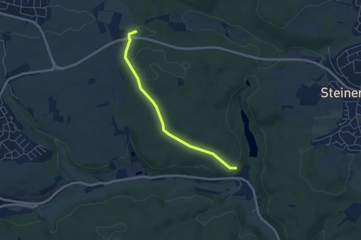
Easy · Trail
Rauhmühle - Roter Berg
4.3 km · ↑ 82 m · 1 h 11 min
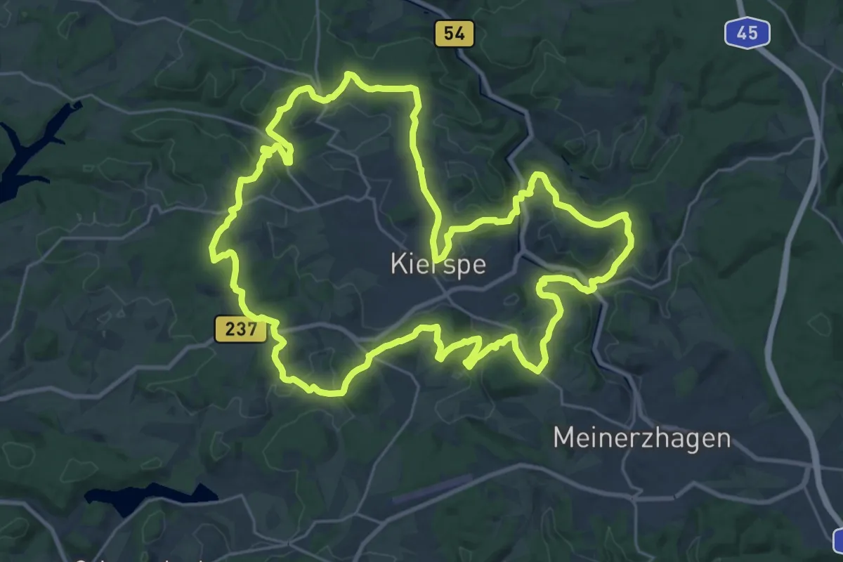
Demanding · Summit
Raukweg
24.3 km · ↑ 548 m · 7 h 16 min
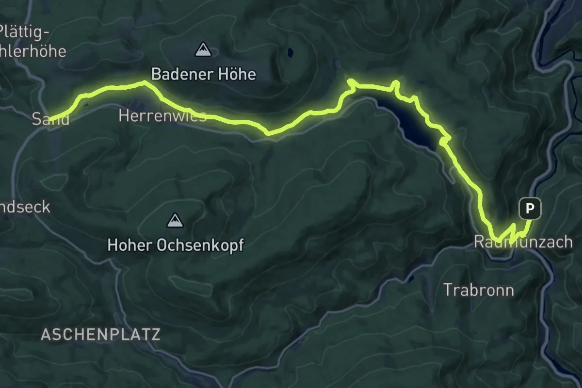
Demanding · Trail
Raumünzach - Sand
24.9 km · ↑ 723 m · 7 h 26 min
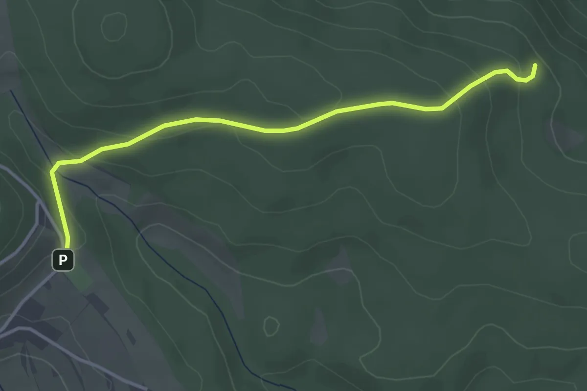
Easy · Trail
Rausbach - Fetzenberg
3.6 km · ↑ 130 m · 1 h 8 min
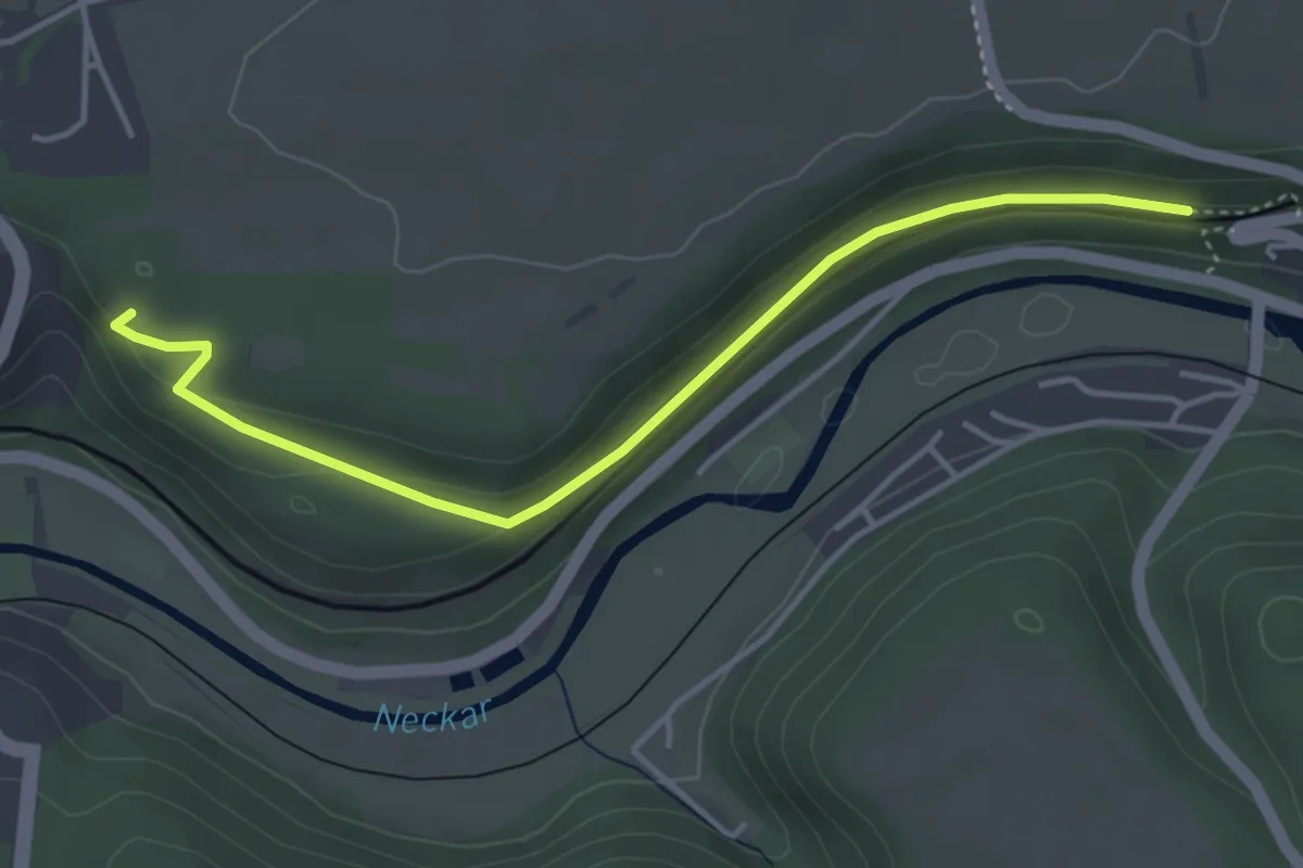
Easy · Trail
Rauschbart Aussicht - Mühlen-Tunnel
4.1 km · ↑ 91 m · 1 h 10 min
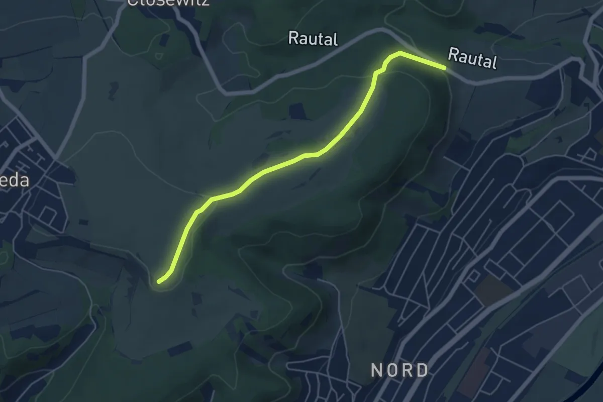
Easy · Trail
Rautal-Napoleonstein
4.6 km · ↑ 118 m · 1 h 21 min
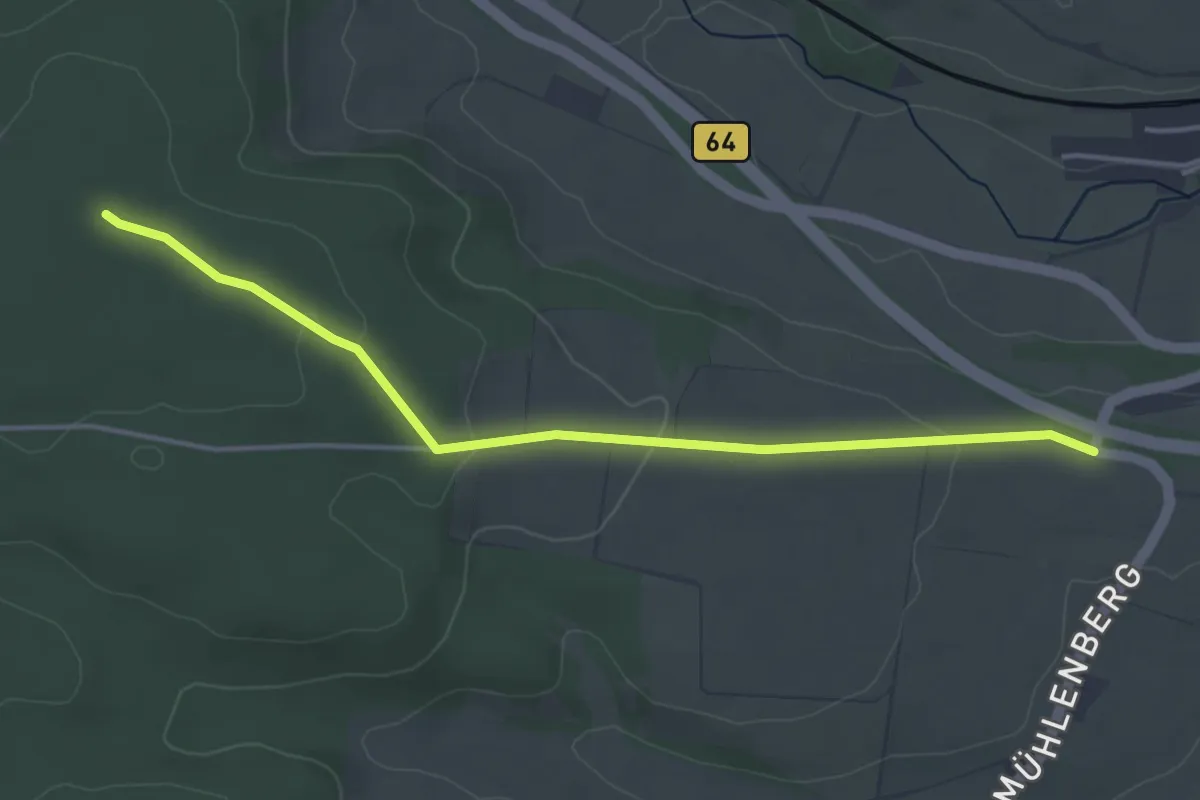
Easy · Trail
"Raute"
3.8 km · ↑ 82 m · 1 h 5 min
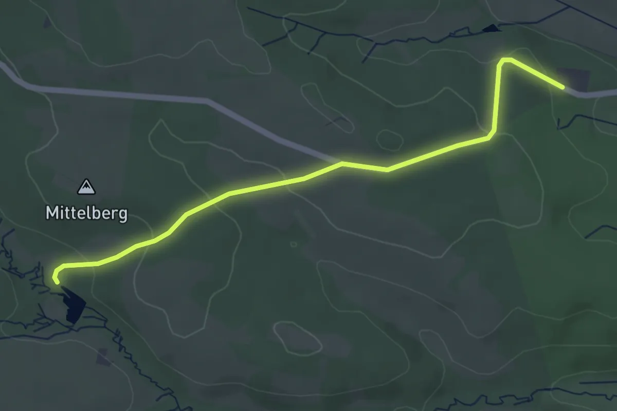
Easy · Trail
Raute
4.1 km · ↑ 87 m · 1 h 9 min
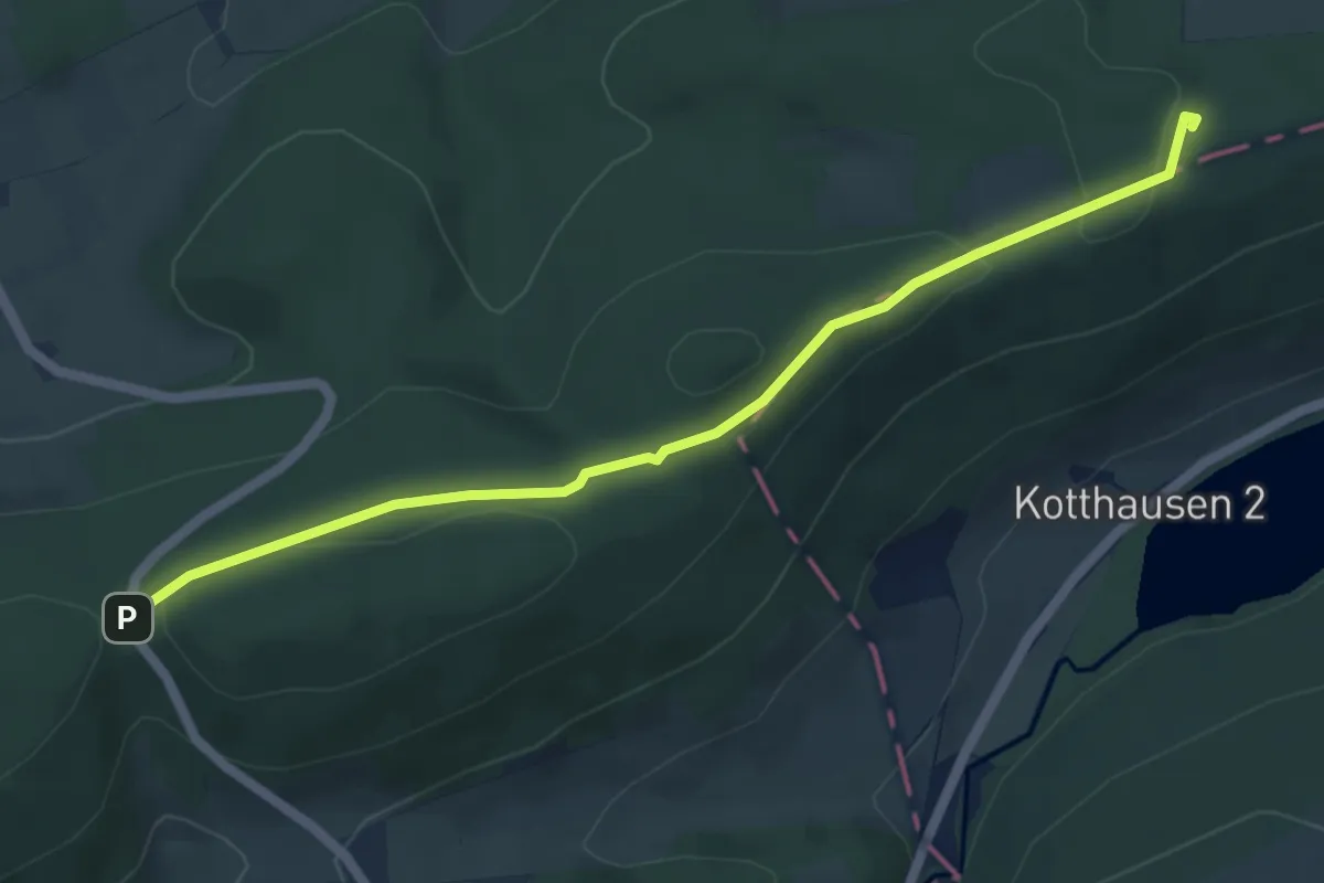
Easy · Summit
Raute
5.0 km · ↑ 69 m · 1 h 20 min
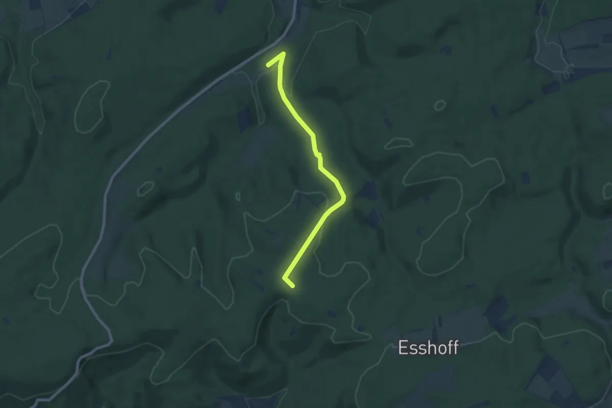
Easy · Trail
Raute
6.3 km · ↑ 164 m · 1 h 51 min
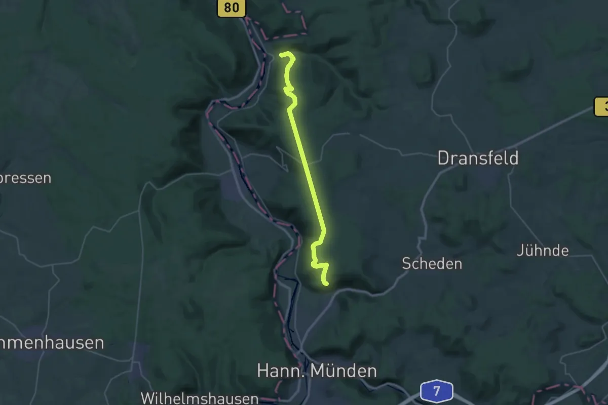
Demanding · Trail
Raute
25.2 km · ↑ 460 m · 6 h 56 min
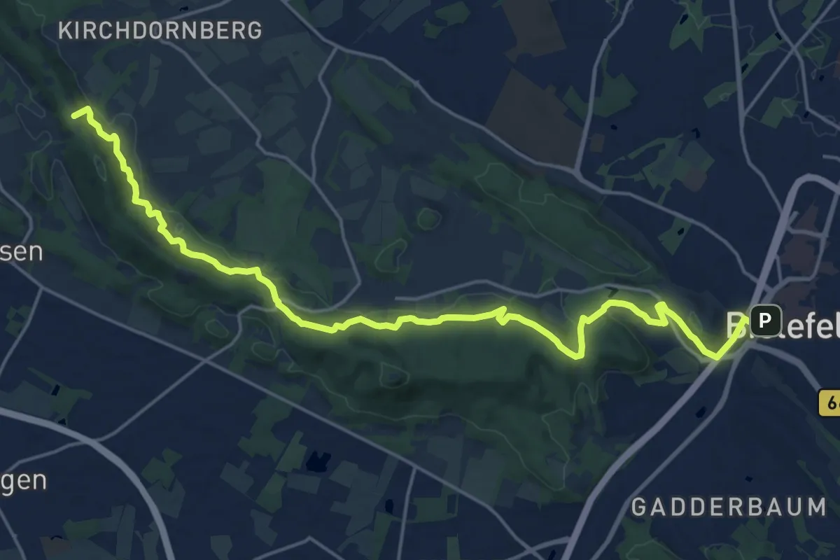
Demanding · Summit
Raute 10
19.8 km · ↑ 520 m · 5 h 48 min
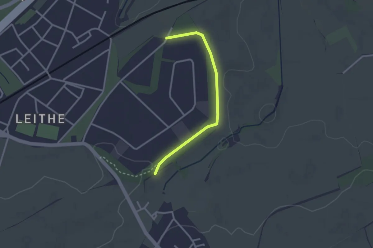
Easy · Trail
Raute10 Hugo-Kracht-Weg
2.2 km · ↑ 9 m · 32 min
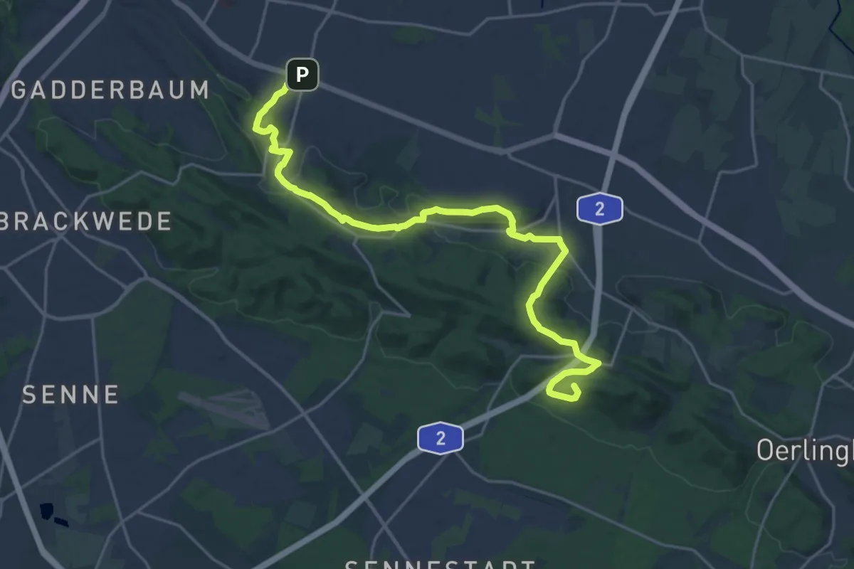
Demanding · Summit
Raute 11
21.0 km · ↑ 512 m · 6 h 4 min
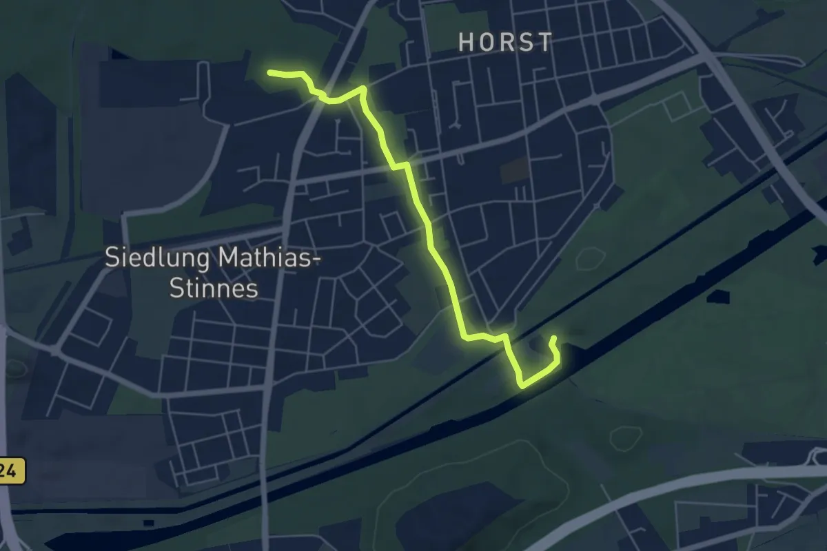
Easy · Summit
[Raute11] Nord-Süd-Wanderweg
4.8 km · ↑ 9 m · 1 h 9 min
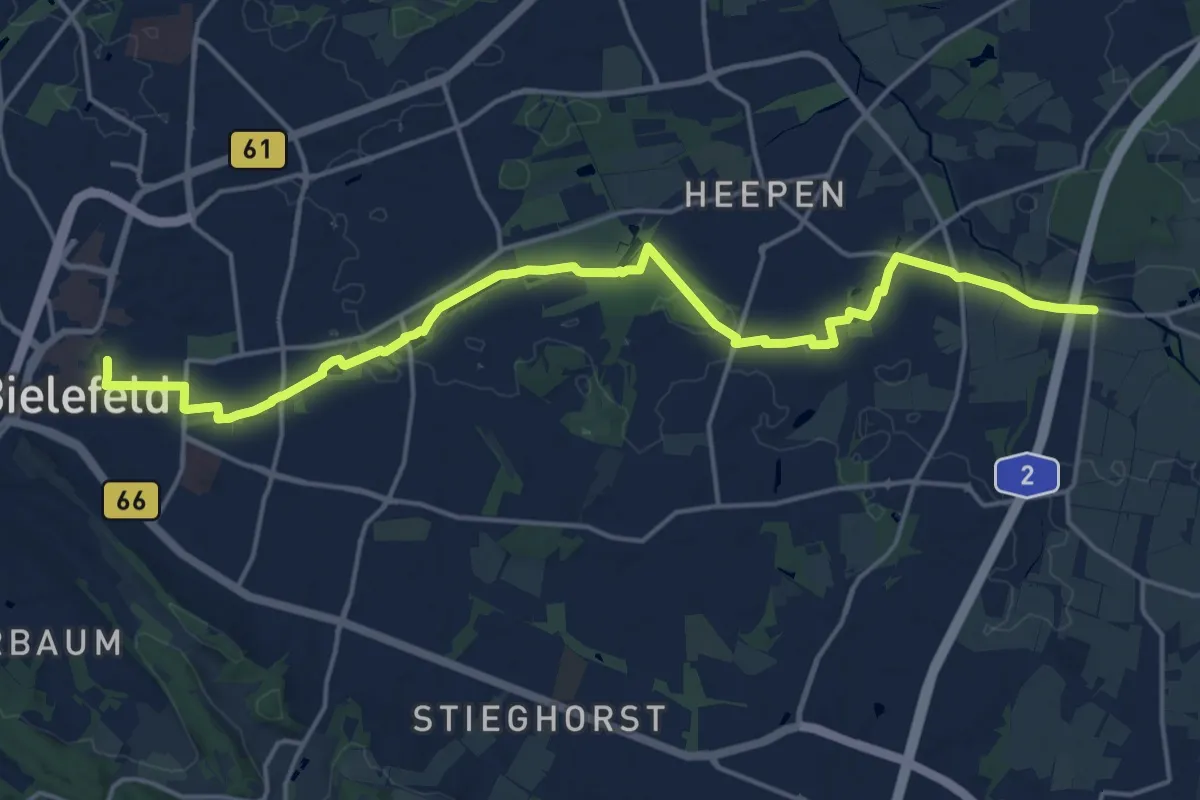
Demanding · Trail
Raute 15
18.2 km · ↑ 75 m · 4 h 28 min
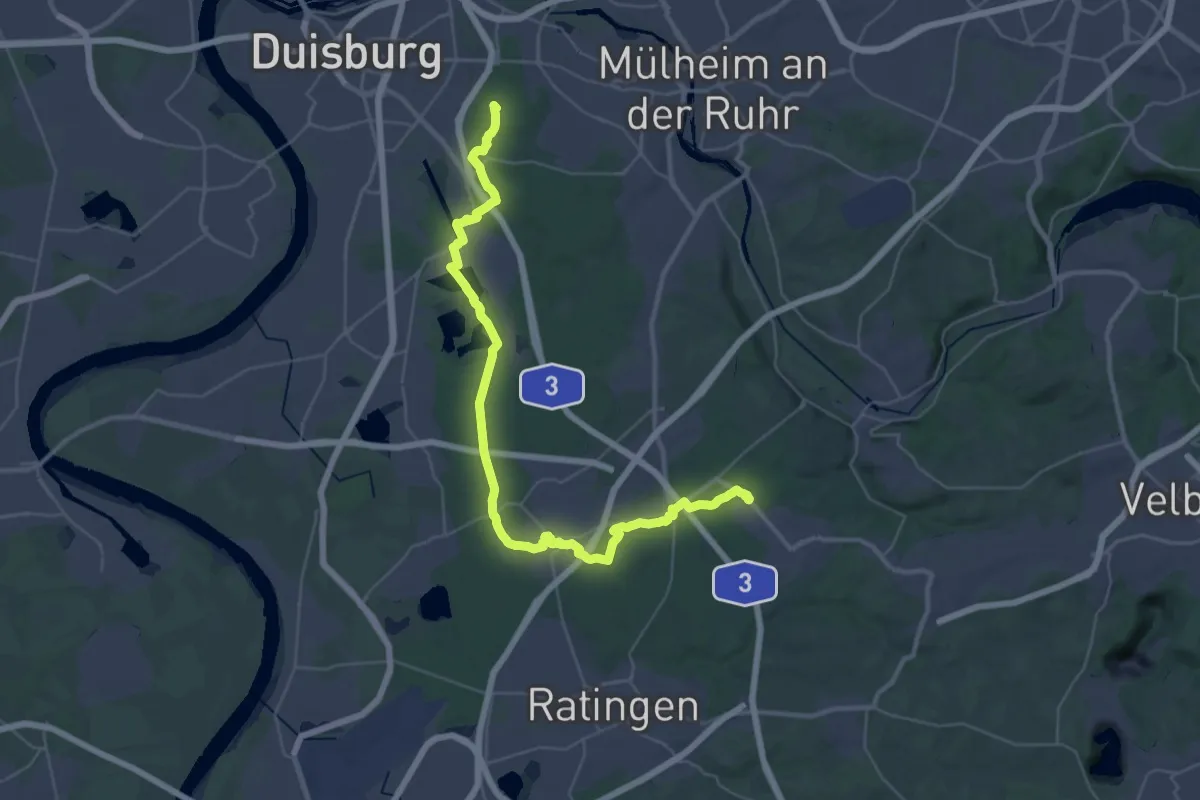
Demanding · Summit
[Raute1] Angerlandweg
41.0 km · ↑ 179 m · 10 h 4 min
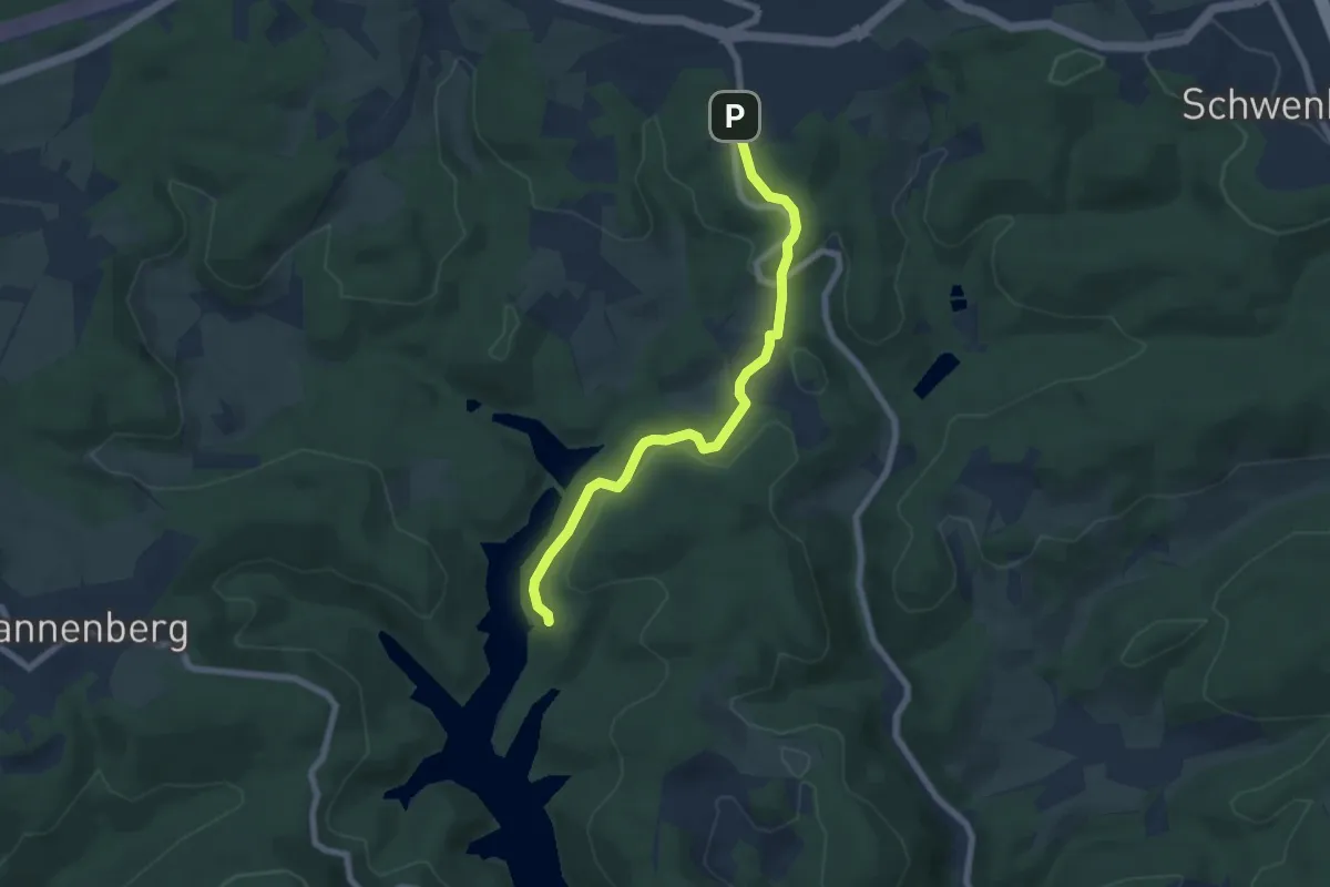
Easy · Trail
Raute1 Meinerzhagen - Aggertalsperre
6.1 km · ↑ 155 m · 1 h 47 min
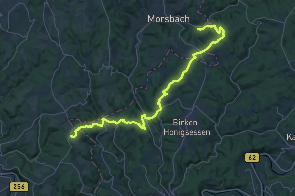
Medium · Trail
[Raute1] Schladern - Forsthaus Mohrenbach
14.6 km · ↑ 330 m · 4 h 24 min
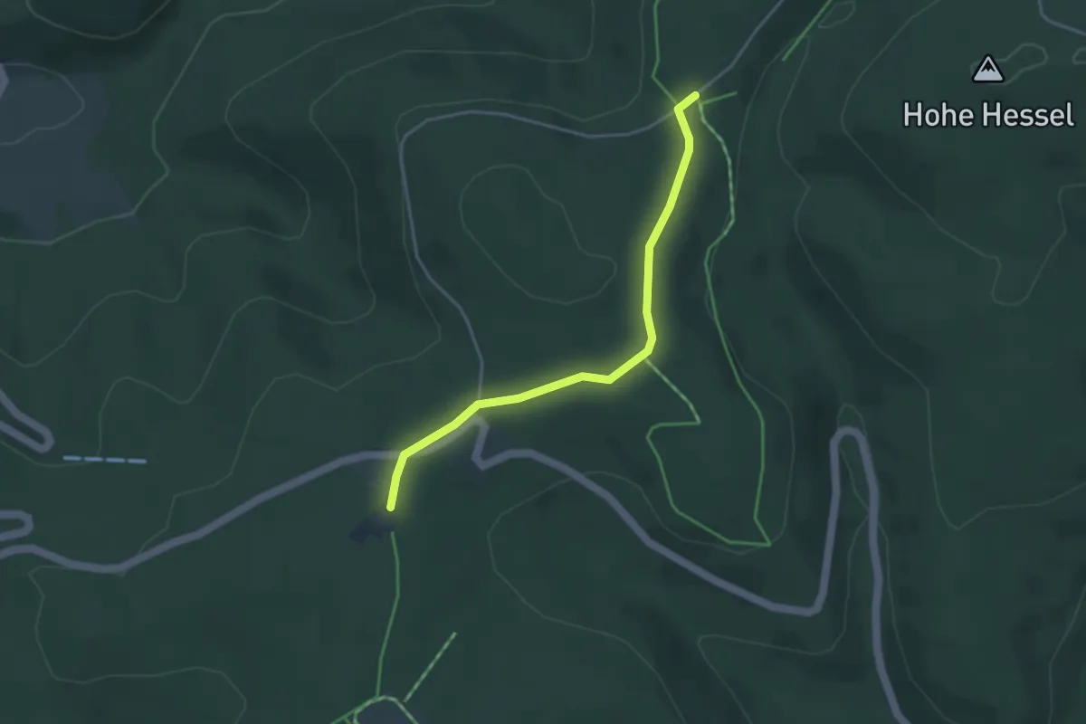
Easy · Trail
Raute1 Wunderthausen - Rhein-Weser-Turm
3.3 km · ↑ 43 m · 53 min
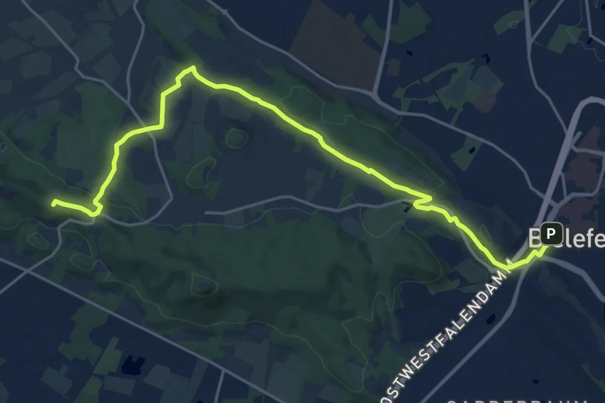
Medium · Summit
Raute 2
15.4 km · ↑ 350 m · 4 h 24 min
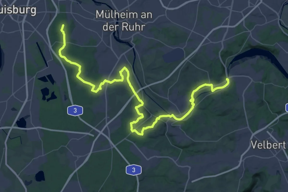
Demanding · Summit
[Raute2] Aubergweg
61.2 km · ↑ 750 m · 16 h 4 min
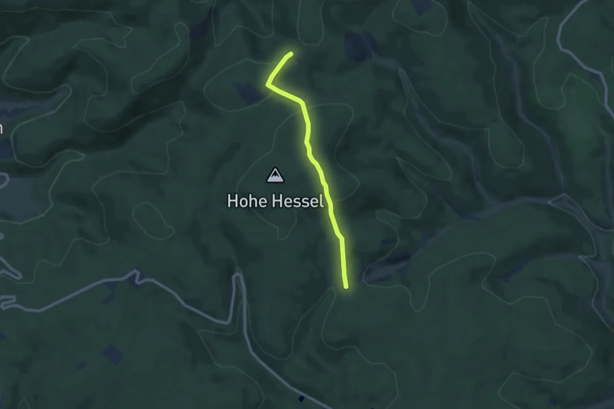
Medium · Trail
Raute2 Bad Laasphe - Margaretenstein
5.5 km · ↑ 185 m · 1 h 42 min
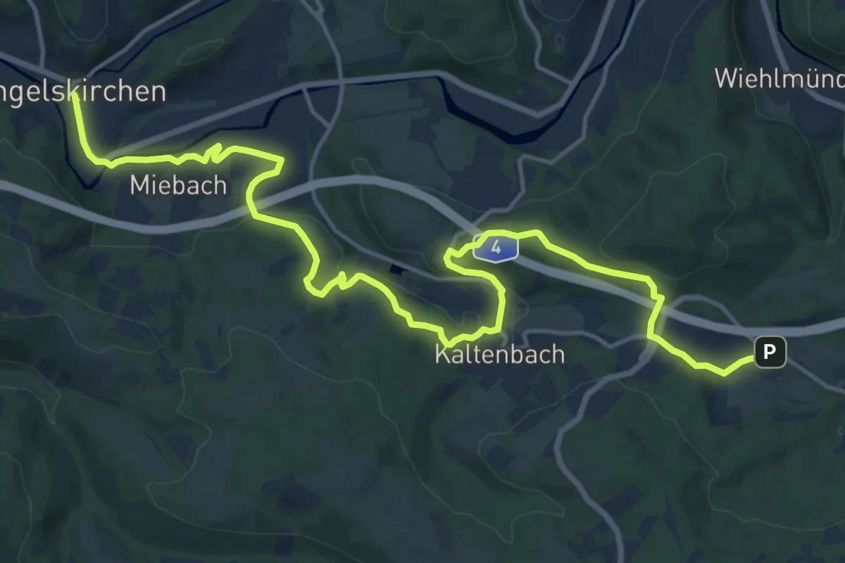
Medium · Trail
[Raute2] Engelskirchen - Bergneustadt
16.6 km · ↑ 402 m · 4 h 47 min
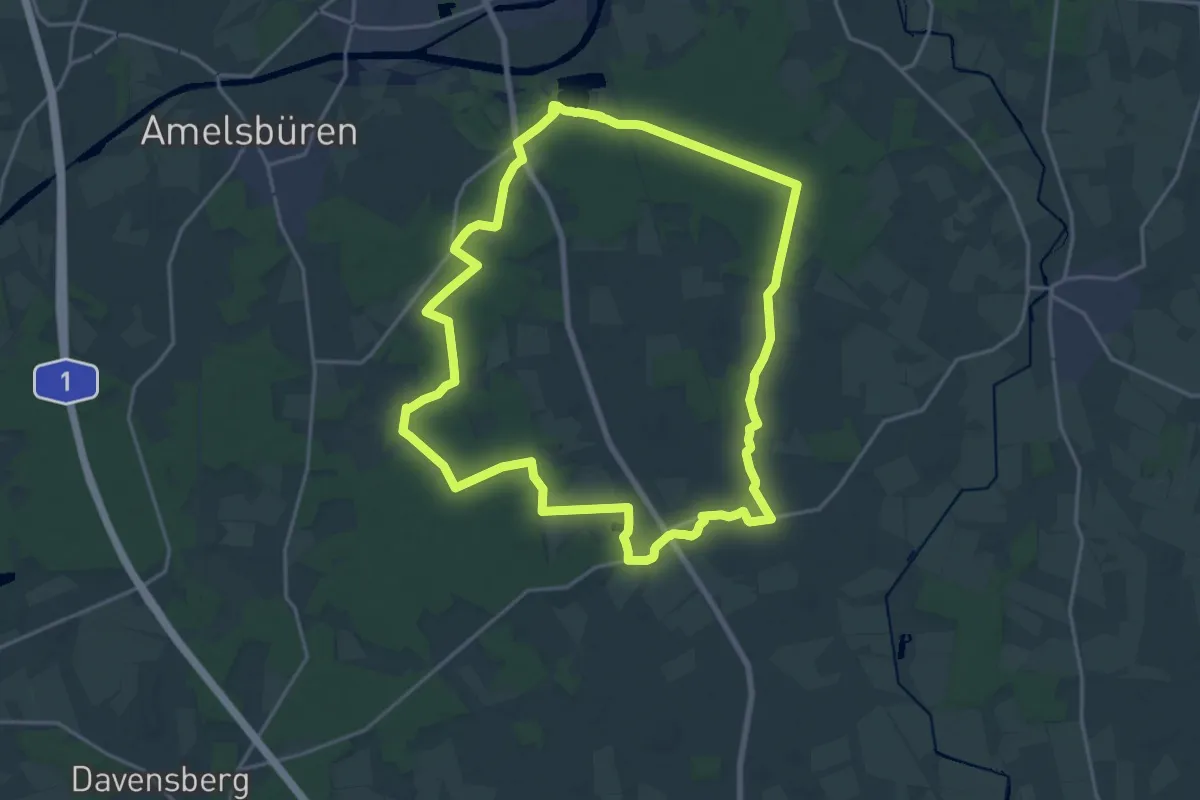
Medium · Trail
Raute 2 Wanderung in Rinkerode und durch die Davert
17.6 km · ↑ 60 m · 4 h 32 min
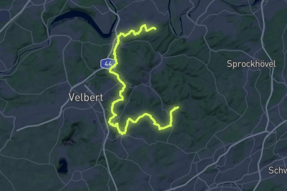
Demanding · Trail
[Raute3] Bergisch-Märkischer Weg
26.2 km · ↑ 644 m · 7 h 57 min
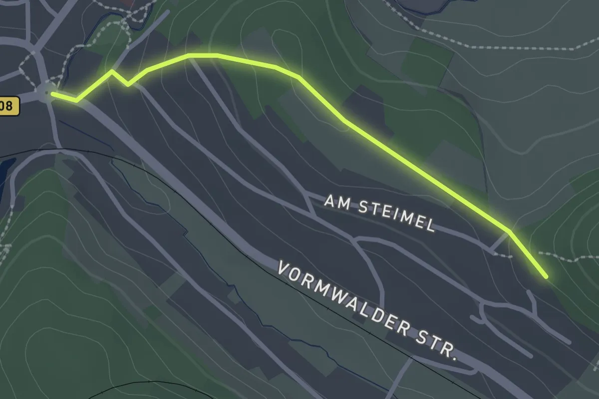
Easy · Trail
Raute3 Erndtebrück-Hilchenbach
2.2 km · ↑ 69 m · 40 min
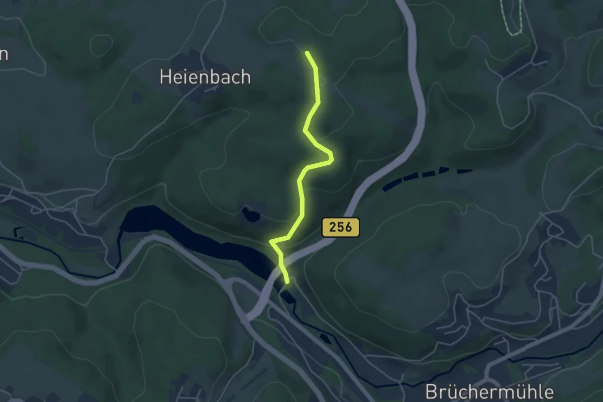
Easy · Trail
[Raute3] Waldbröl - Valbert
3.3 km · ↑ 121 m · 1 h 3 min
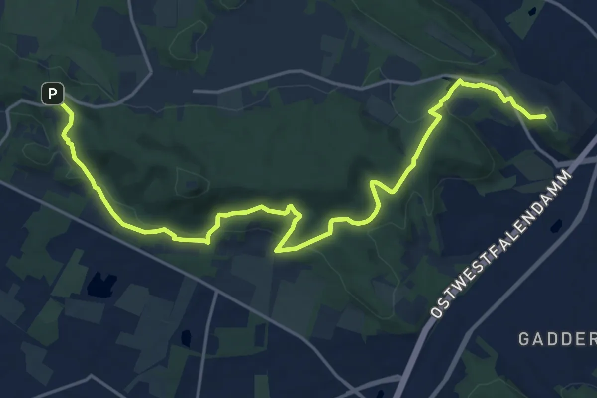
Medium · Summit
Raute 4
13.9 km · ↑ 504 m · 4 h 23 min
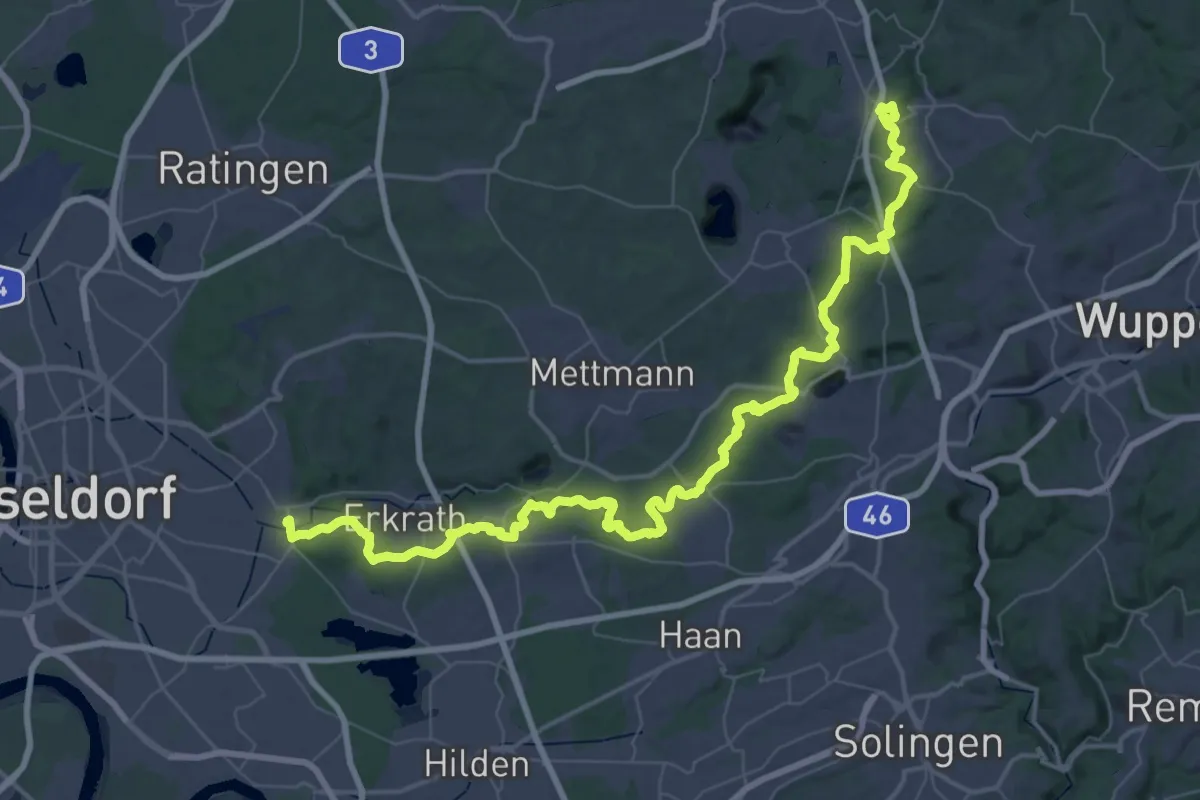
Demanding · Trail
[Raute4] Düsseltalweg
32.2 km · ↑ 506 m · 9 h 2 min
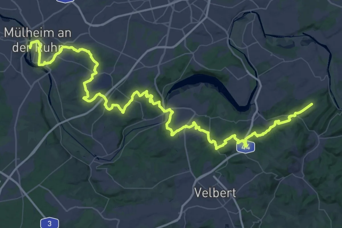
Demanding · Trail
[Raute4] Eggenweg
36.8 km · ↑ 664 m · 10 h 43 min
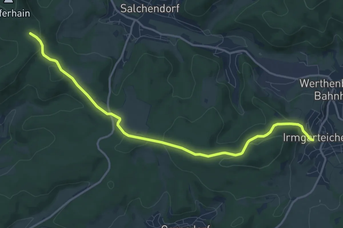
Medium · Trail
Raute4 Siegen-Irmgarteichen
9.5 km · ↑ 196 m · 2 h 40 min