Trails in Germany
36,852 hiking trails, each with its route, climb, walking time and grade.
All trails, page 437 of 768
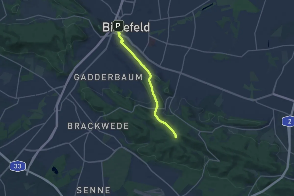
Medium · Summit
Raute 5
10.0 km · ↑ 205 m · 2 h 48 min
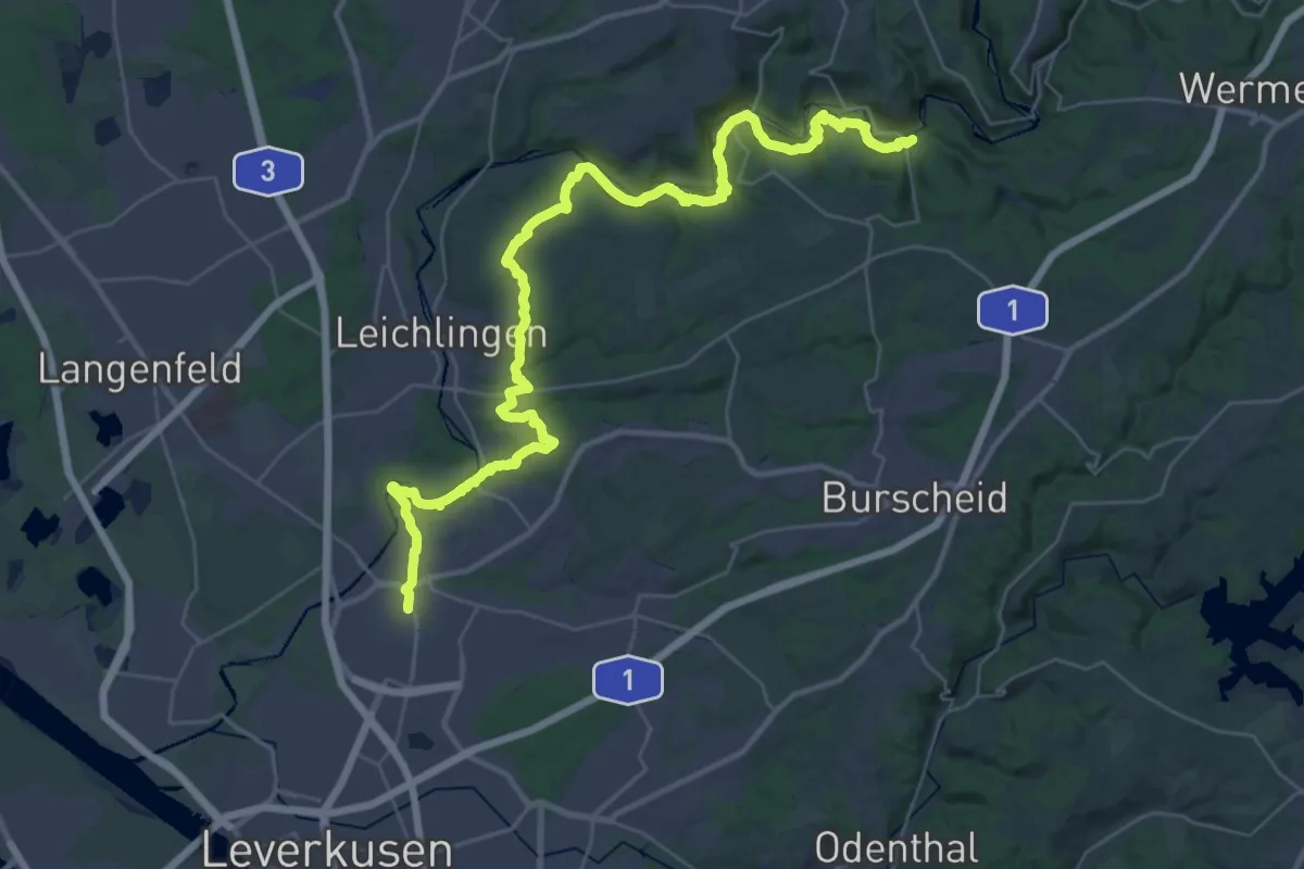
Demanding · Trail
[Raute5] Landrat-Lucas-Weg
20.7 km · ↑ 552 m · 6 h 22 min
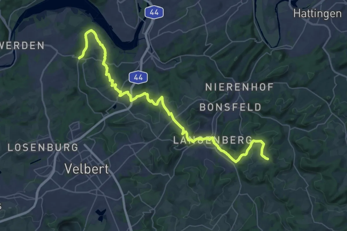
Medium · Trail
[Raute6] Hügellandweg
16.0 km · ↑ 229 m · 4 h 34 min
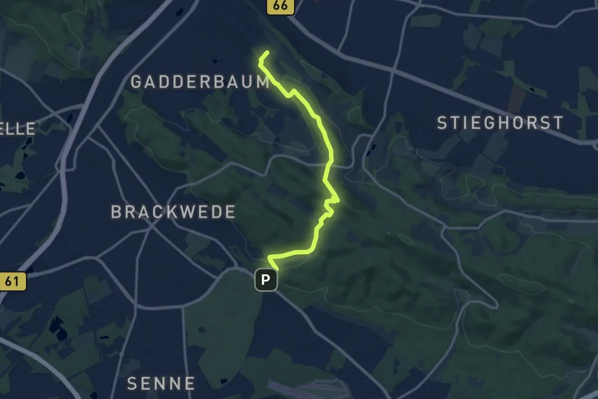
Medium · Summit
Raute 7
9.1 km · ↑ 222 m · 2 h 38 min
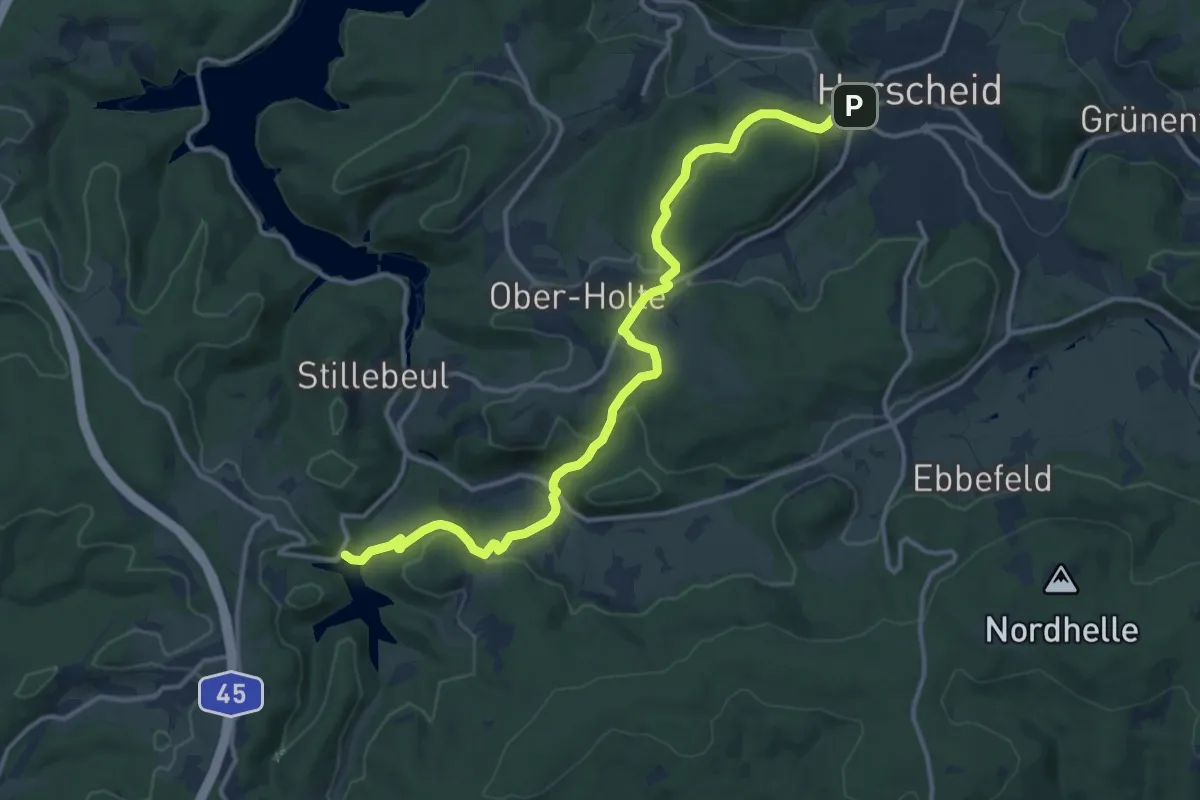
Medium · Trail
[Raute7] Herscheid - Fürwiggetalsperre
13.4 km · ↑ 395 m · 4 h 2 min
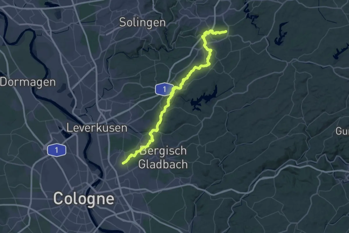
Demanding · Trail
[Raute8] Köln - Radevormwald
37.0 km · ↑ 844 m · 10 h 57 min
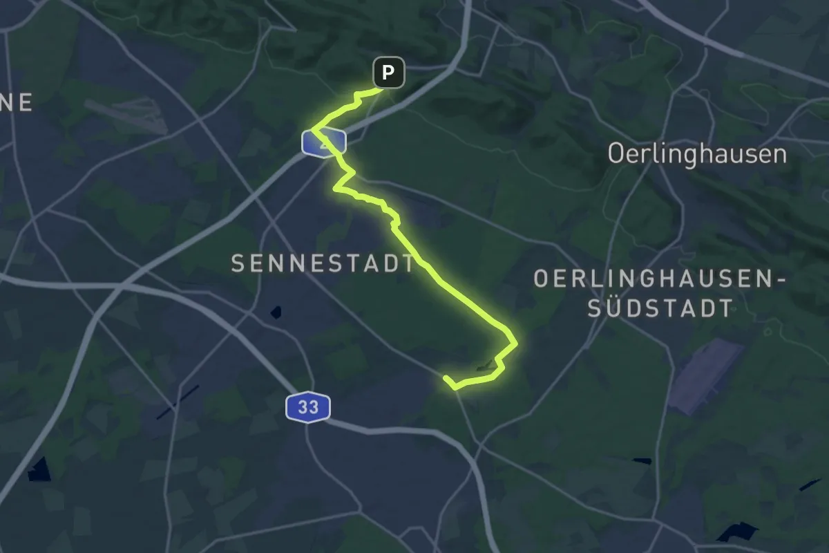
Medium · Trail
Raute 9
15.7 km · ↑ 85 m · 3 h 53 min
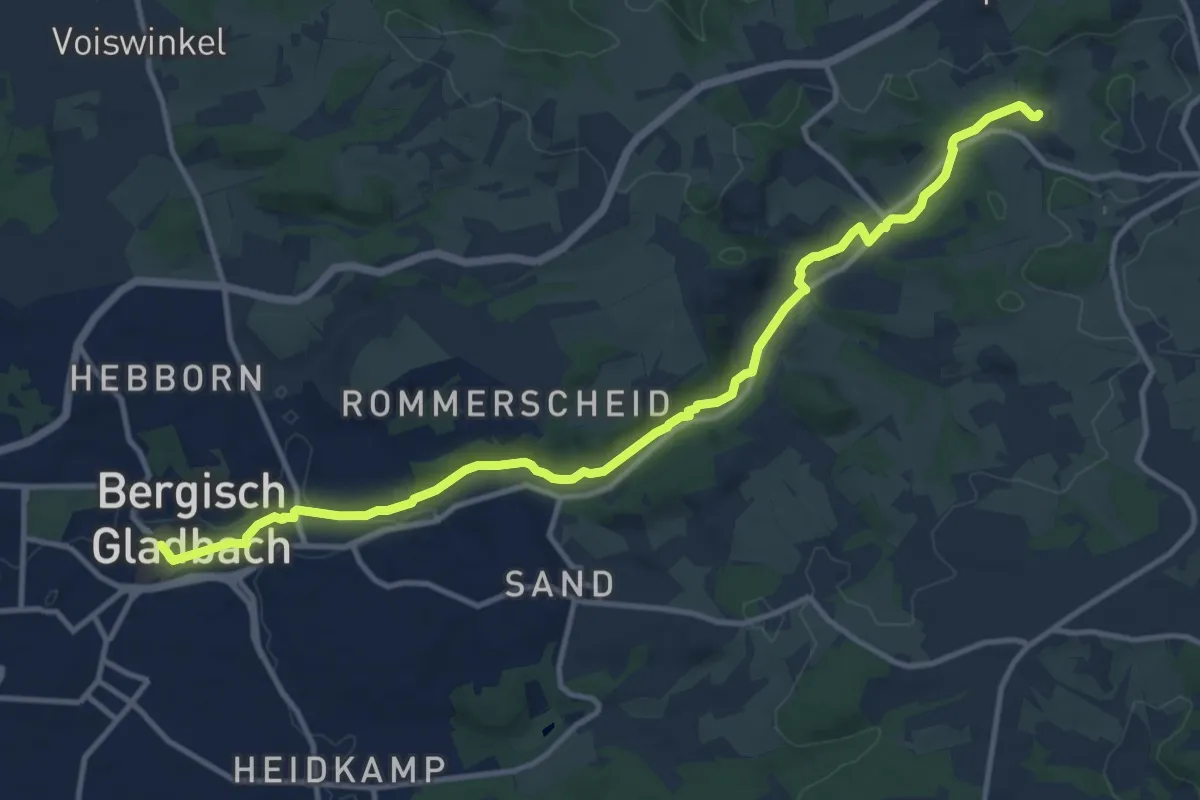
Medium · Trail
[Raute9] Bezirksweg 9 [Bergisch-Gladbach]
12.5 km · ↑ 139 m · 3 h 15 min
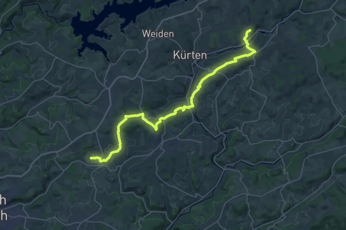
Demanding · Trail
[Raute9] Bezirksweg 9 [Kürten]
26.6 km · ↑ 599 m · 7 h 34 min
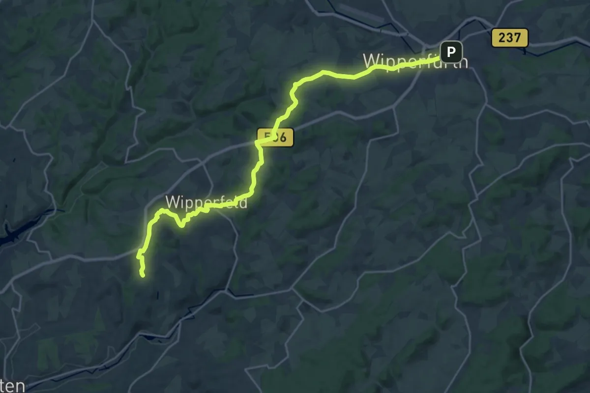
Demanding · Trail
[Raute9] Bezirksweg 9 [Wipperfürth]
21.5 km · ↑ 360 m · 5 h 51 min
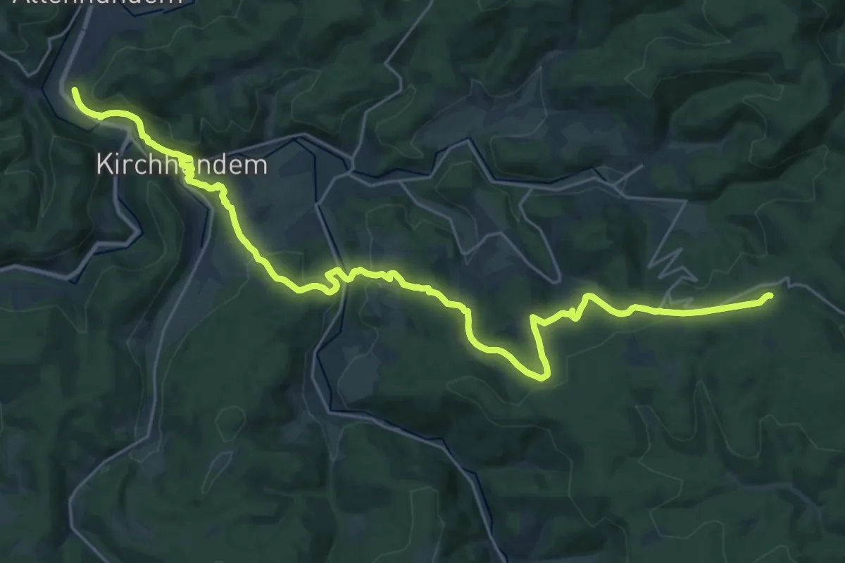
Medium · Trail
Raute Altenhundem - Rhein-Weser-Turm
13.9 km · ↑ 612 m · 4 h 37 min
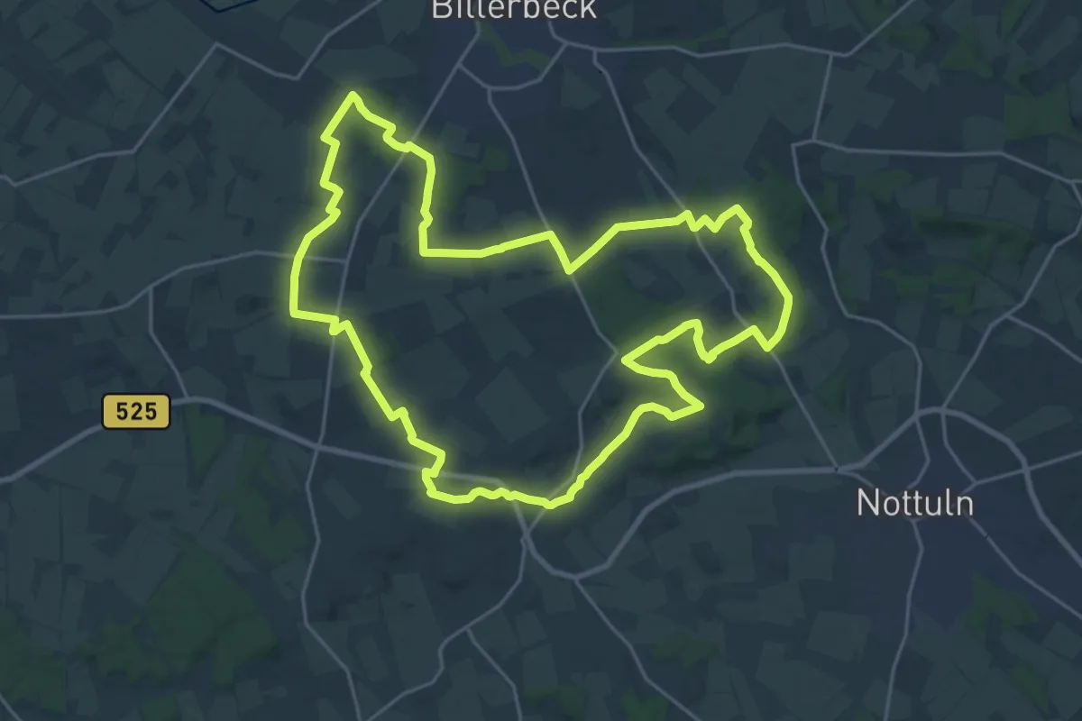
Demanding · Trail
Raute Baumberge
21.0 km · ↑ 267 m · 5 h 49 min
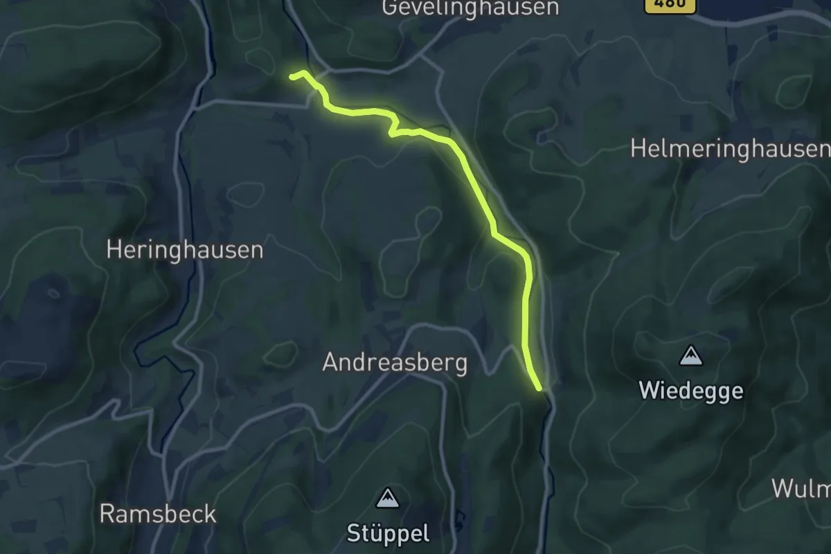
Easy · Trail
Raute Bestwig-Bruchhauser Steine
7.9 km · ↑ 204 m · 2 h 19 min
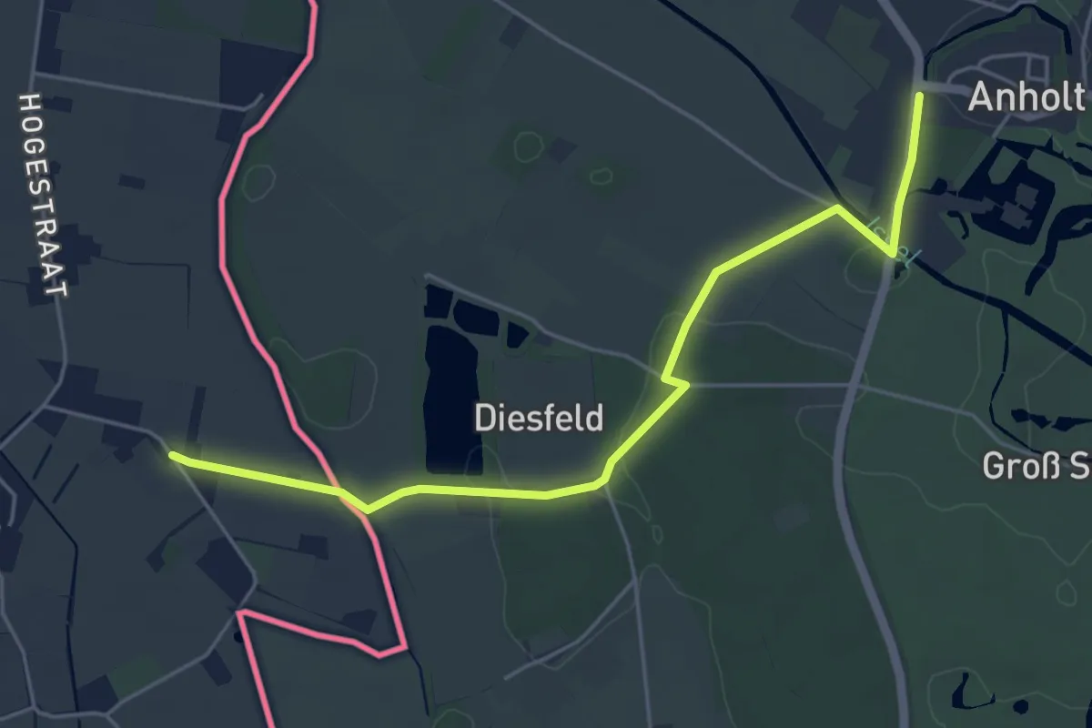
Easy · Trail
Raute Bienen-Anholt
4.7 km · ↑ 22 m · 1 h 9 min
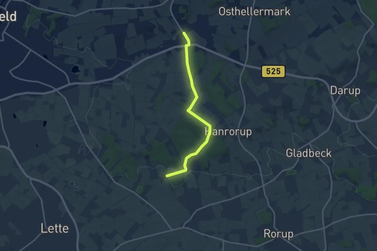
Easy · Trail
Raute Billerbeck - Merfeld
4.6 km · ↑ 62 m · 1 h 18 min
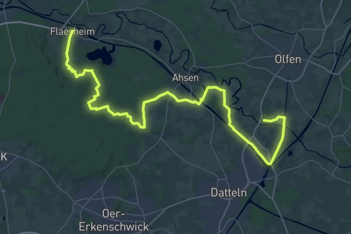
Demanding · Trail
Raute Flaesheim - Rauschenburg
22.9 km · ↑ 173 m · 6 h 5 min
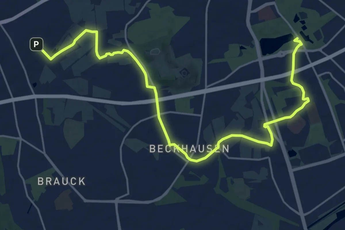
Medium · Trail
Raute Gladbeck - Schloß Berge
17.1 km · ↑ 60 m · 4 h 10 min
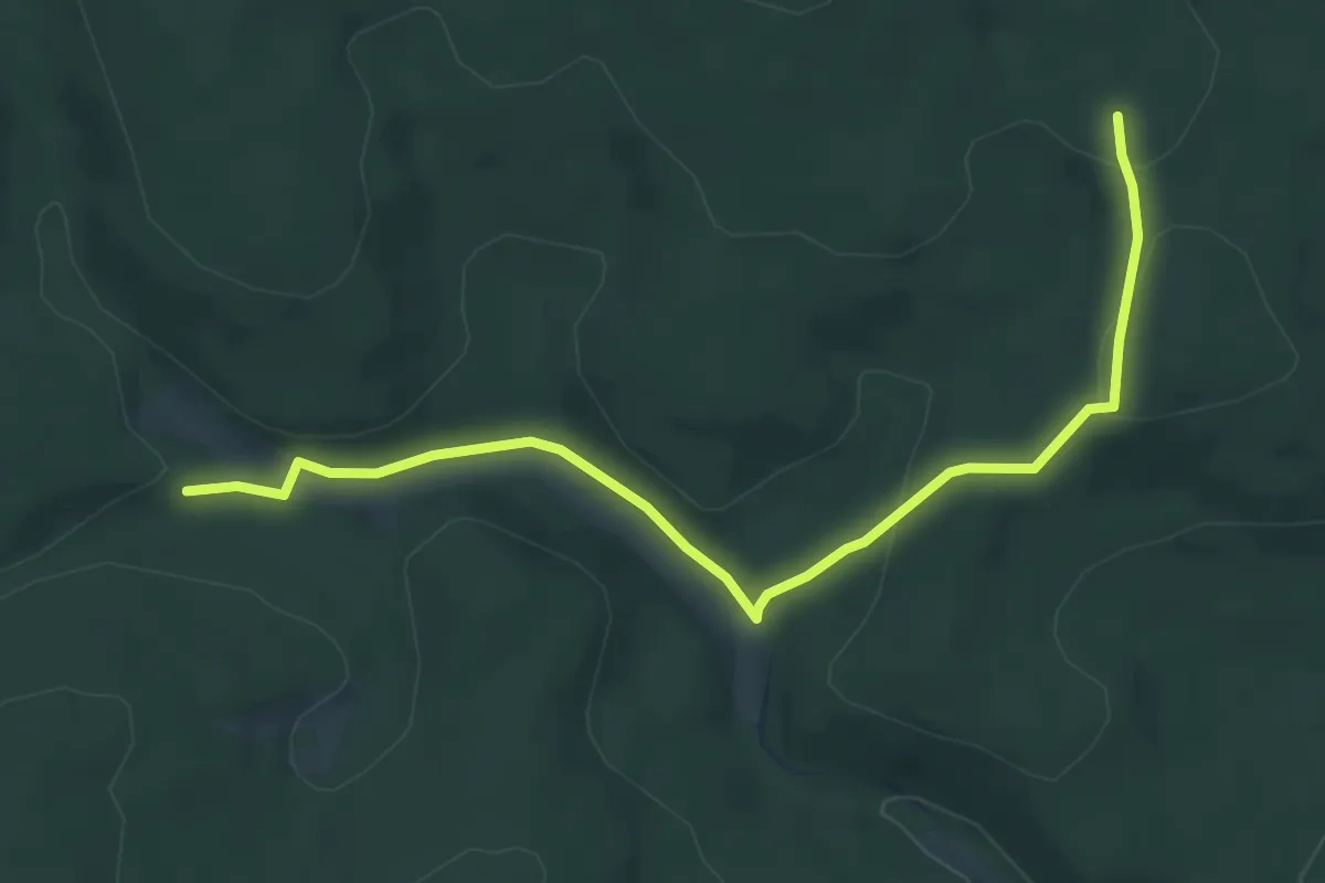
Easy · Trail
Raute Heinsberg - Rüspe
5.6 km · ↑ 139 m · 1 h 38 min
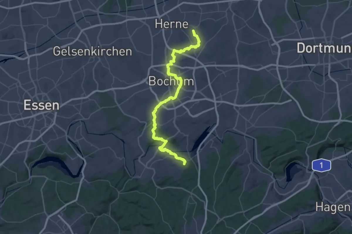
Demanding · Trail
Raute Katzenstein - Gysenberg
30.0 km · ↑ 387 m · 8 h 22 min
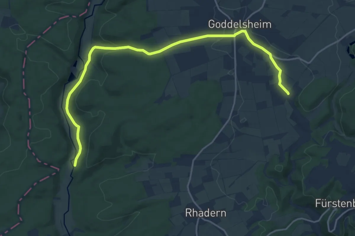
Medium · Trail
Raute Medebach - Siedlinghausen
13.7 km · ↑ 214 m · 3 h 42 min
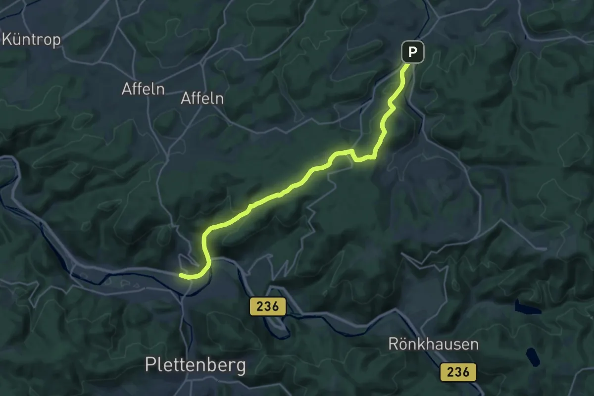
Demanding · Trail
Raute Plettenberg - Allendorf
19.1 km · ↑ 692 m · 6 h
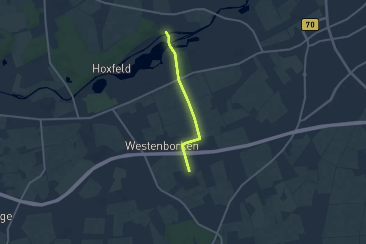
Easy · Trail
Raute Pröbsting
4.3 km · ↑ 10 m · 1 h 2 min
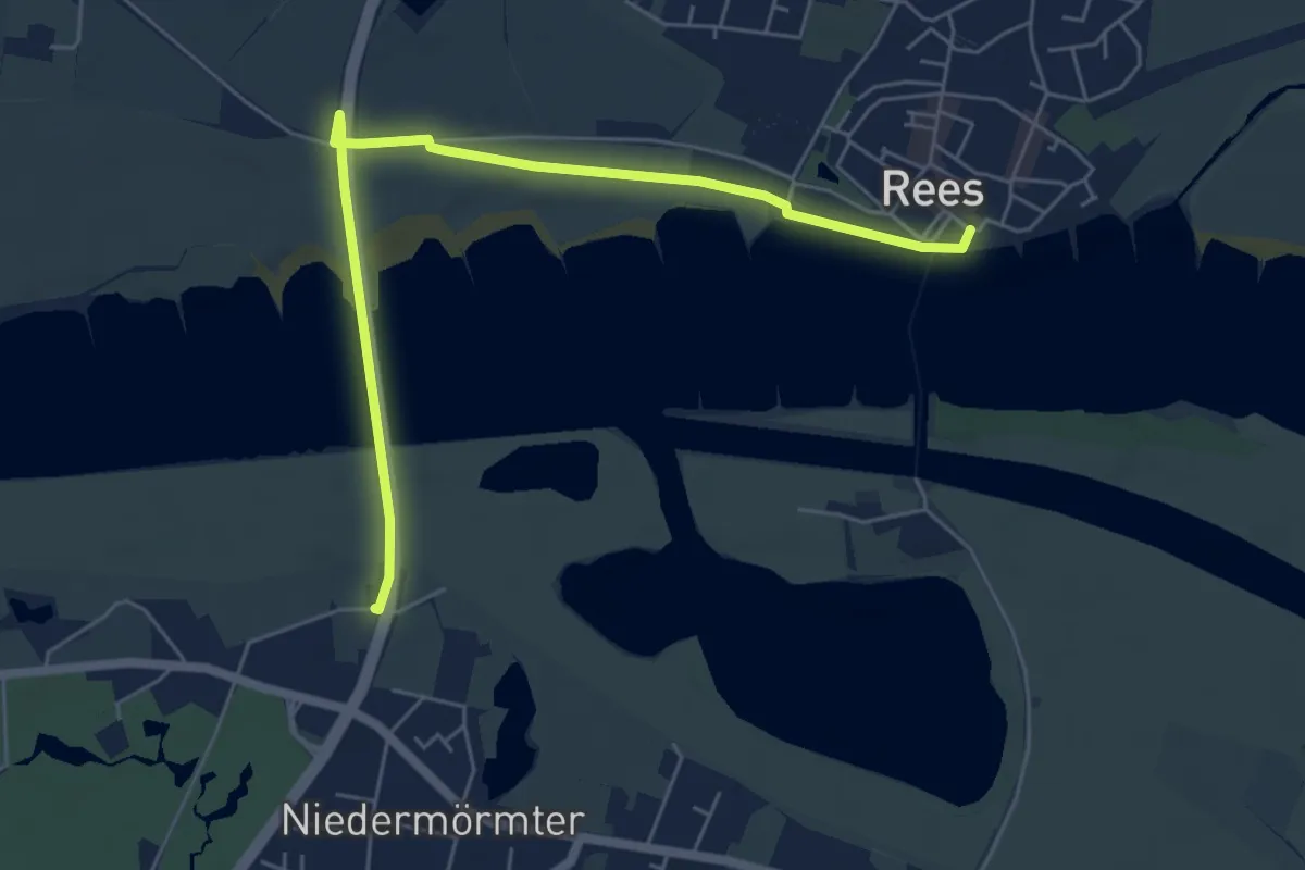
Easy · Trail
Raute Rees - Niedermörmter
5.5 km · ↑ 13 m · 1 h 20 min
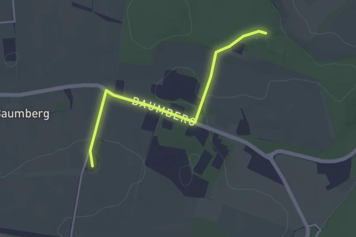
Easy · Summit
Raute Sophienburg - Longinusturm
2.7 km · ↑ 31 m · 43 min
Demanding · Summit
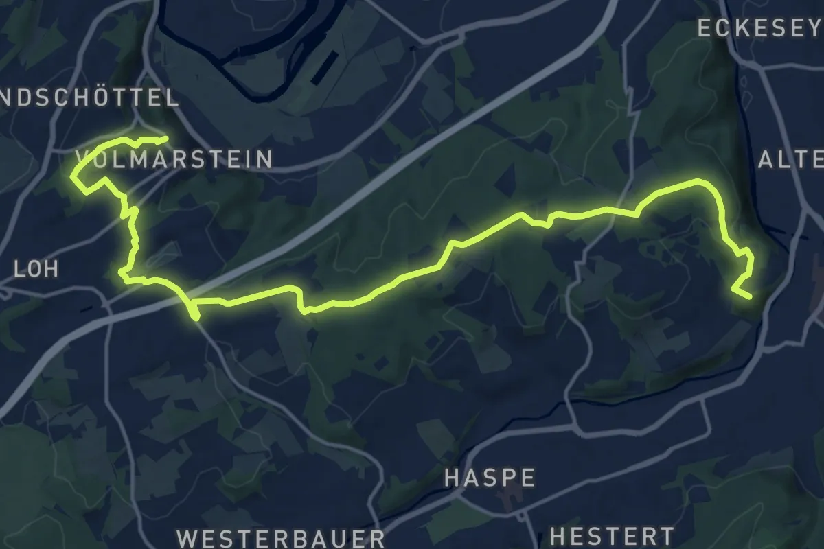
Raute Volmarstein - Hagen
19.0 km · ↑ 331 m · 5 h 12 min
Demanding · Trail
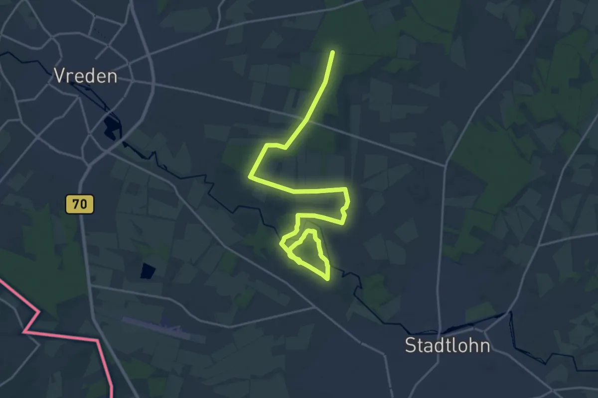
Raute Vreden - Stadtlohn
19.2 km · ↑ 74 m · 4 h 42 min
Demanding · Trail
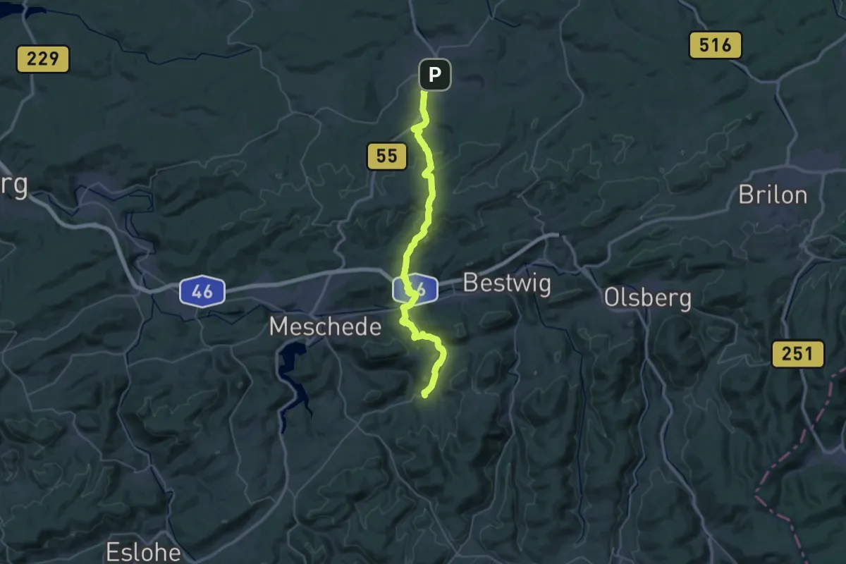
[Raute] Warstein, Eversberg, Wehrstapel, Klause
18.4 km · ↑ 592 m · 5 h 49 min
Demanding · Trail
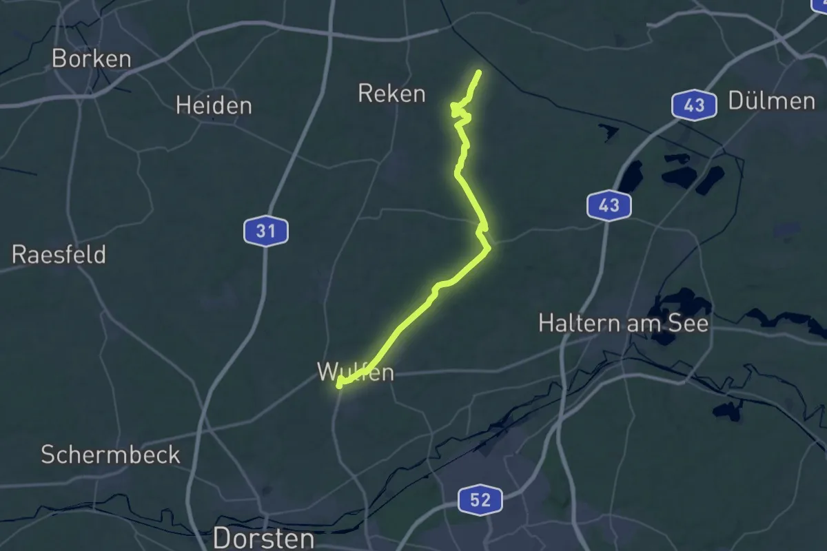
Raute Wulfen - Maria Veen
19.4 km · ↑ 165 m · 5 h 13 min
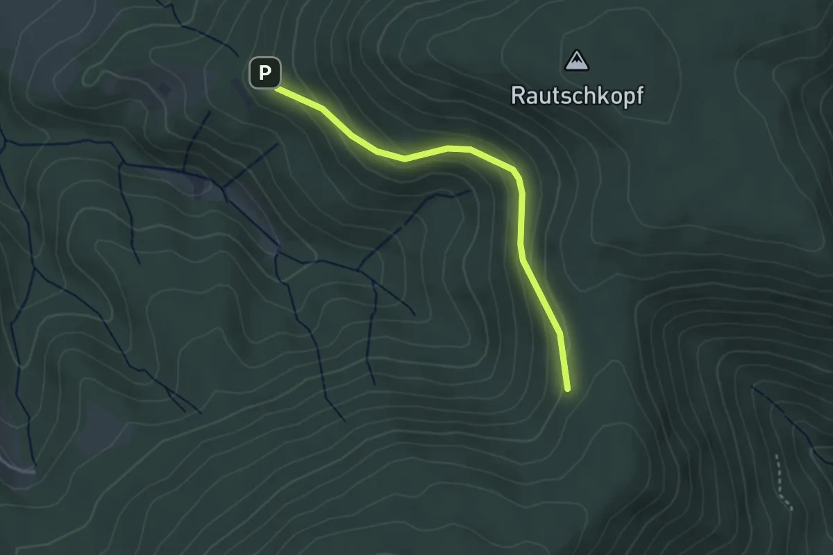
Easy · Trail
Rautschhütte - Rosbedunnenhütte
3.0 km · ↑ 135 m · 1 h
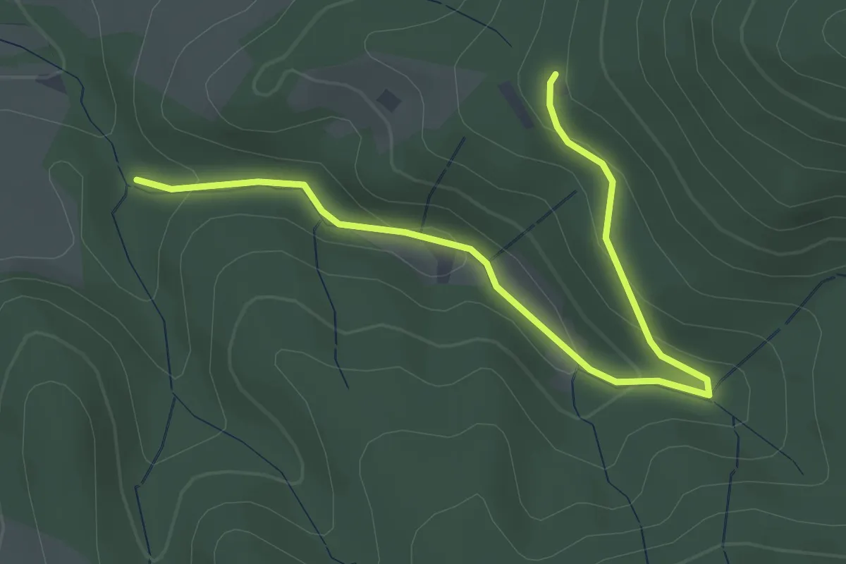
Easy · Trail
Rautschhütte - Wippersbach
3.7 km · ↑ 151 m · 1 h 12 min
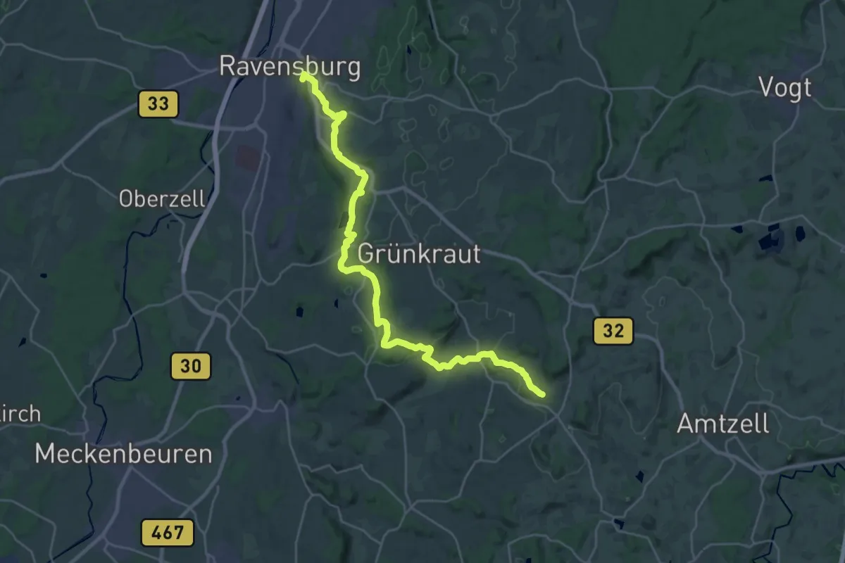
Demanding · Summit
Ravensburg - Bodnegg
27.8 km · ↑ 652 m · 7 h 59 min
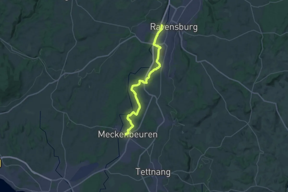
Demanding · Trail
Ravensburg - Meckenbeuren
27.4 km · ↑ 143 m · 6 h 47 min
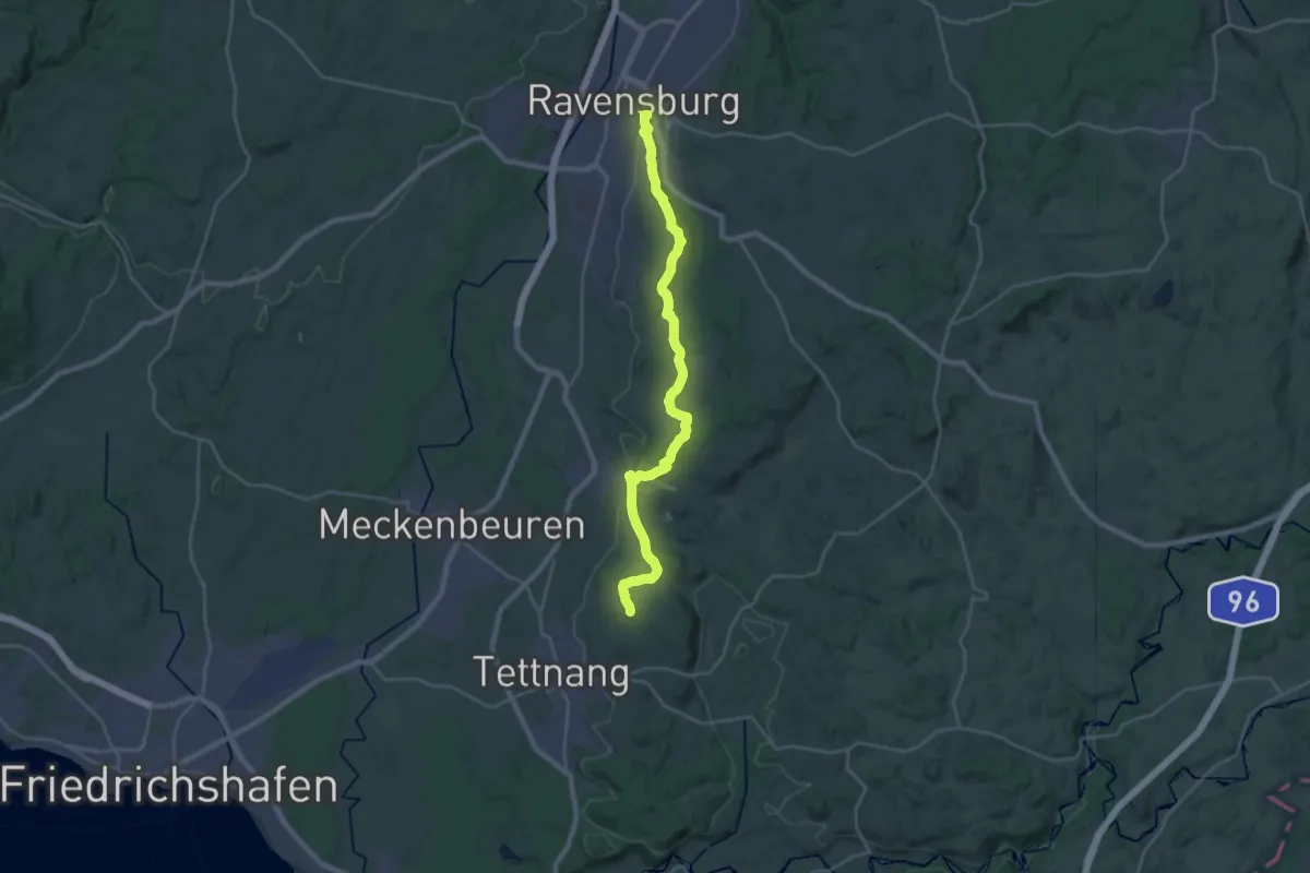
Demanding · Summit
Ravensburg - Tettnang
26.8 km · ↑ 463 m · 7 h 20 min
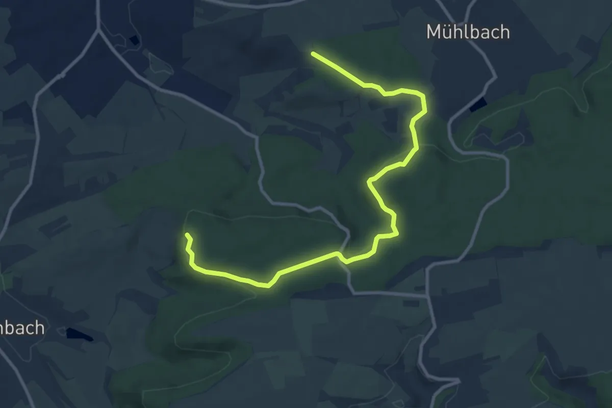
Medium · Trail
Ravensburg-Tour
9.8 km · ↑ 249 m · 2 h 51 min
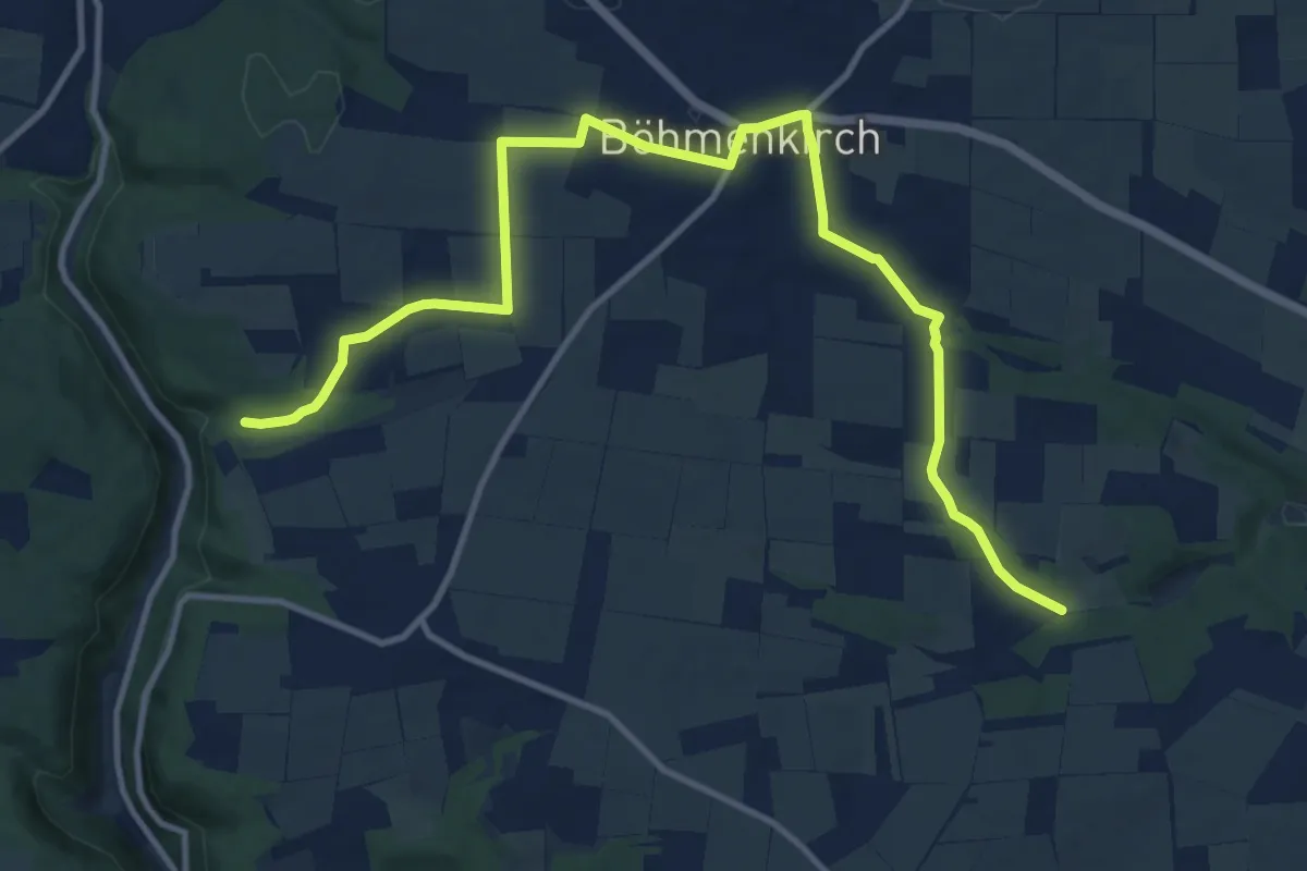
Medium · Trail
Ravenstein - Böhmenkirch
13.4 km · ↑ 177 m · 3 h 32 min
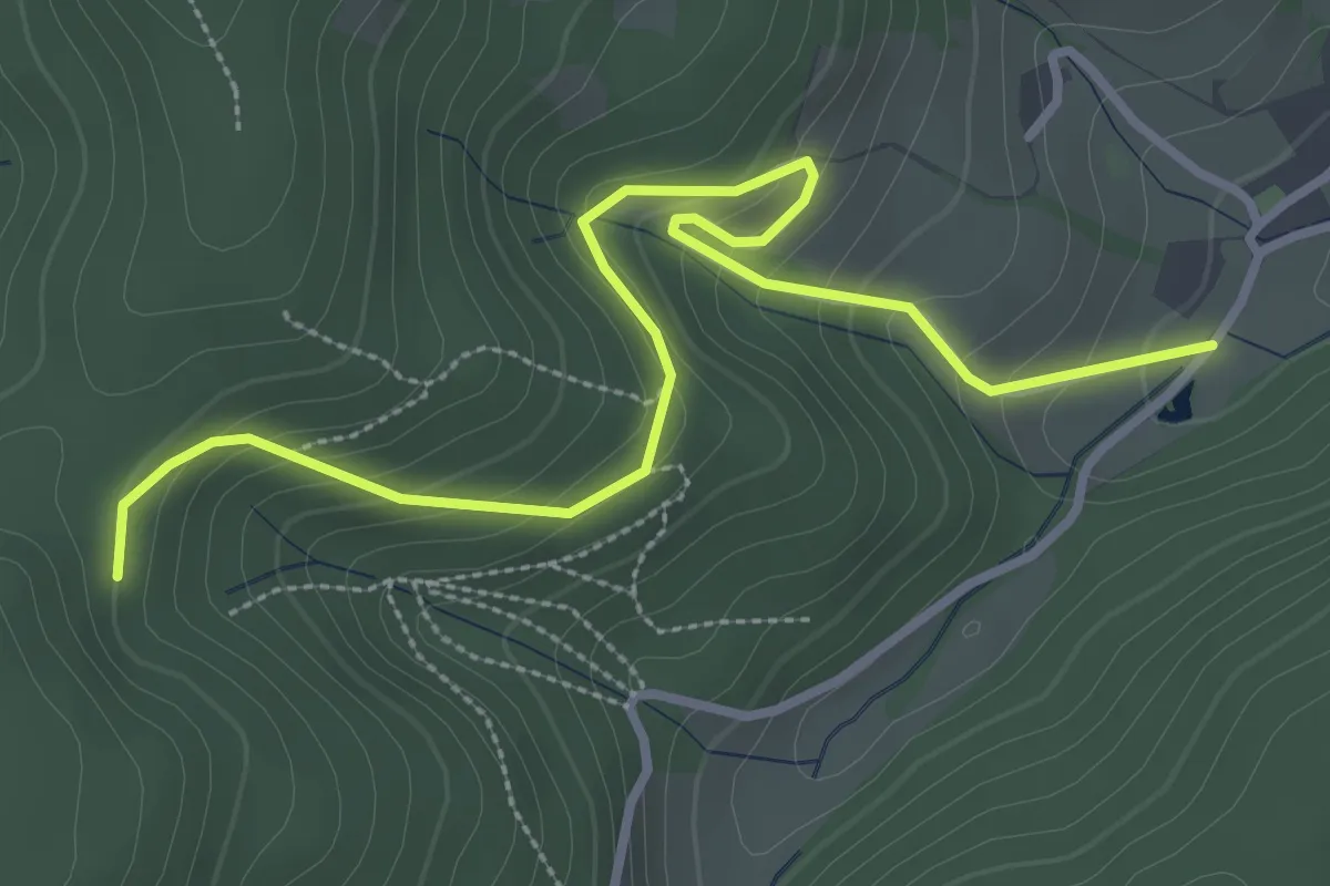
Easy · Trail
Räzmatt - Ruhehalde
3.6 km · ↑ 232 m · 1 h 21 min
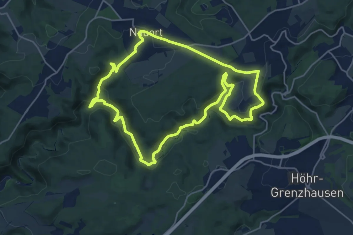
Medium · Summit
[RB1] Ransbach-Baumbach Rundwanderweg
12.7 km · ↑ 341 m · 3 h 54 min
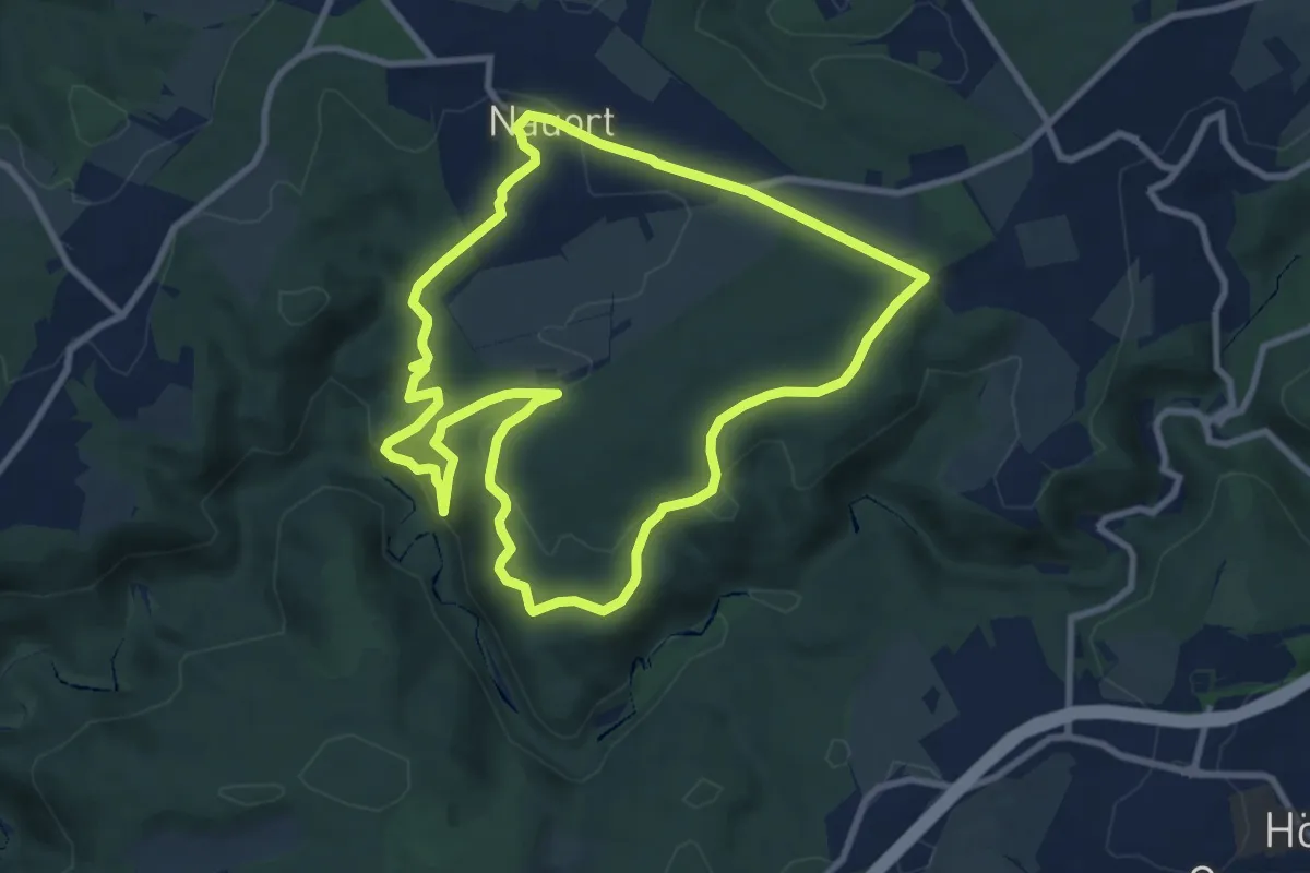
Medium · Summit
[RB2] Ransbach-Baumbach Rundwanderweg
8.6 km · ↑ 233 m · 2 h 40 min
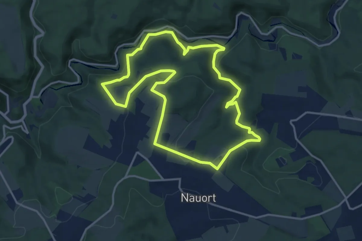
Medium · Trail
[RB3] Ransbach-Baumbach Rundwanderweg
8.8 km · ↑ 255 m · 2 h 45 min
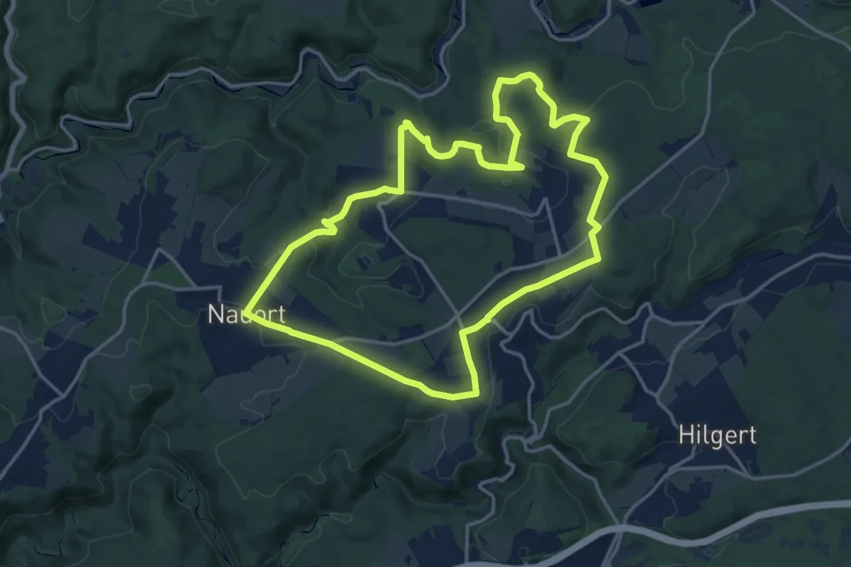
Medium · Trail
[RB4] Ransbach-Baumbach Rundwanderweg
12.8 km · ↑ 252 m · 3 h 45 min
Medium · Trail
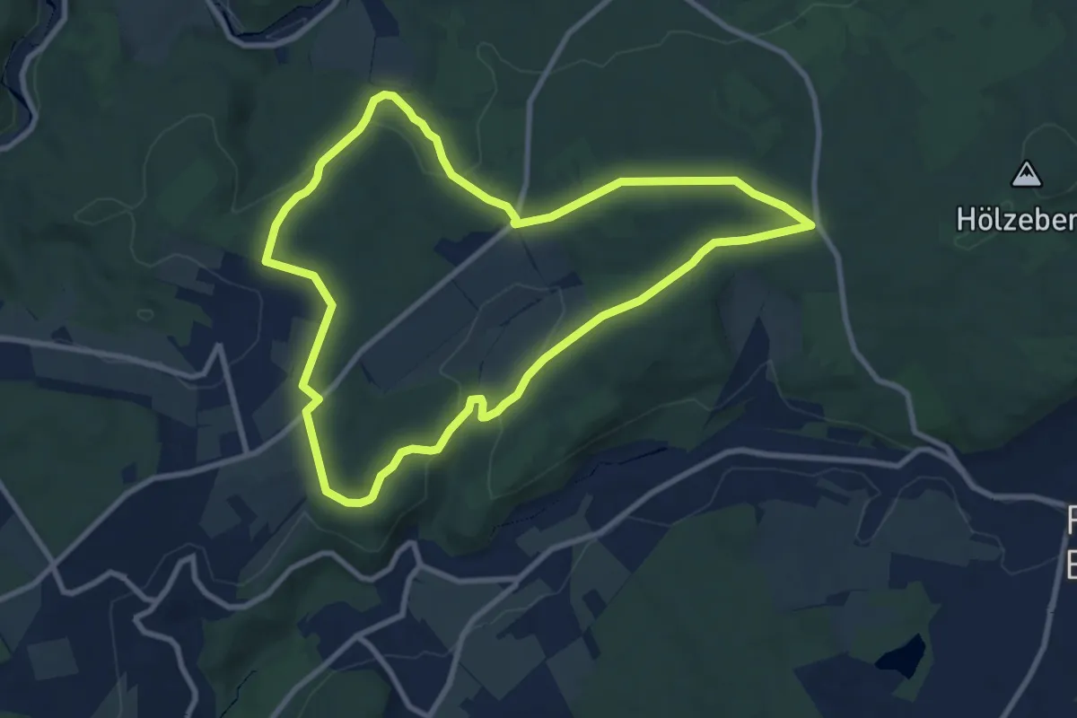
[RB5] Ransbach-Baumbach Rundwanderweg
8.3 km · ↑ 156 m · 2 h 25 min
Medium · Trail
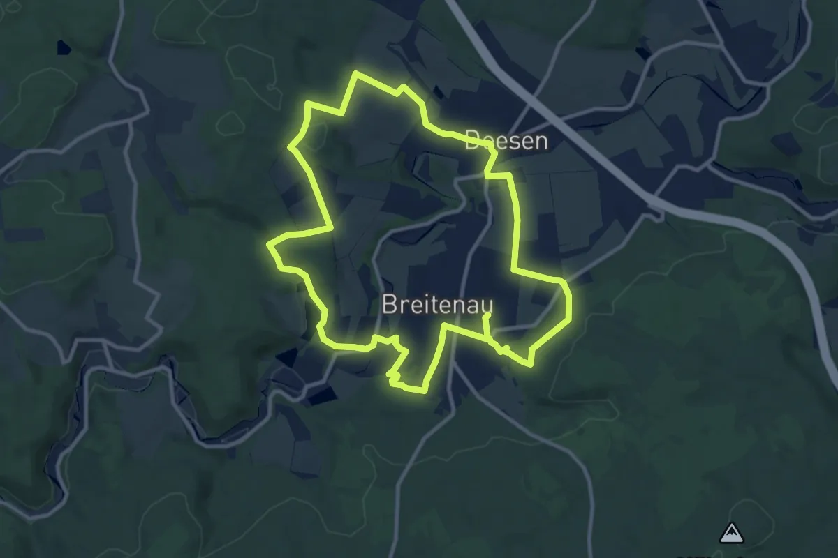
[RB6] Ransbach-Baumbach Rundwanderweg
9.5 km · ↑ 186 m · 2 h 47 min
Easy · Summit
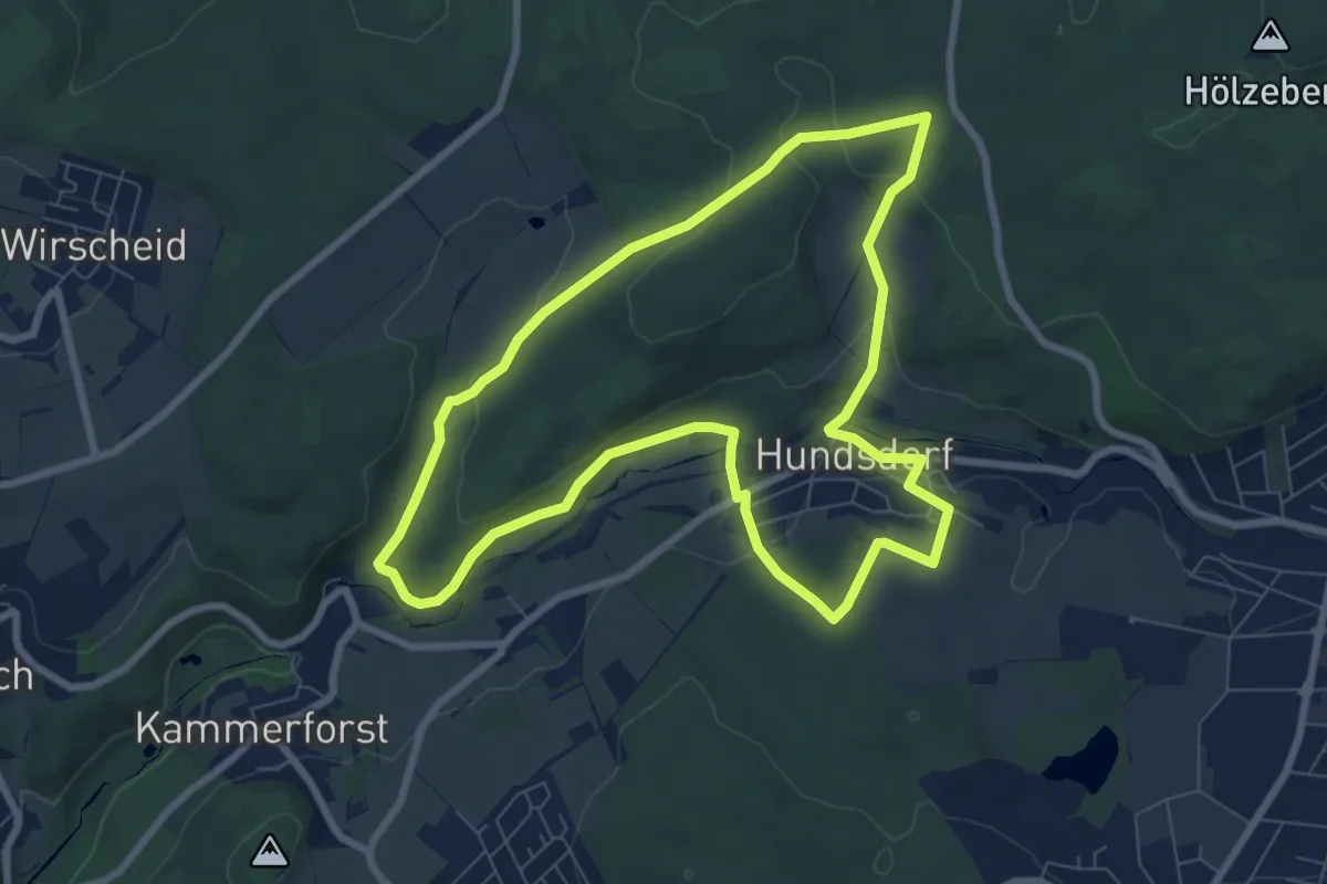
[RB7] Ransbach-Baumbach Rundwanderweg
7.3 km · ↑ 166 m · 2 h 11 min
Medium · Trail
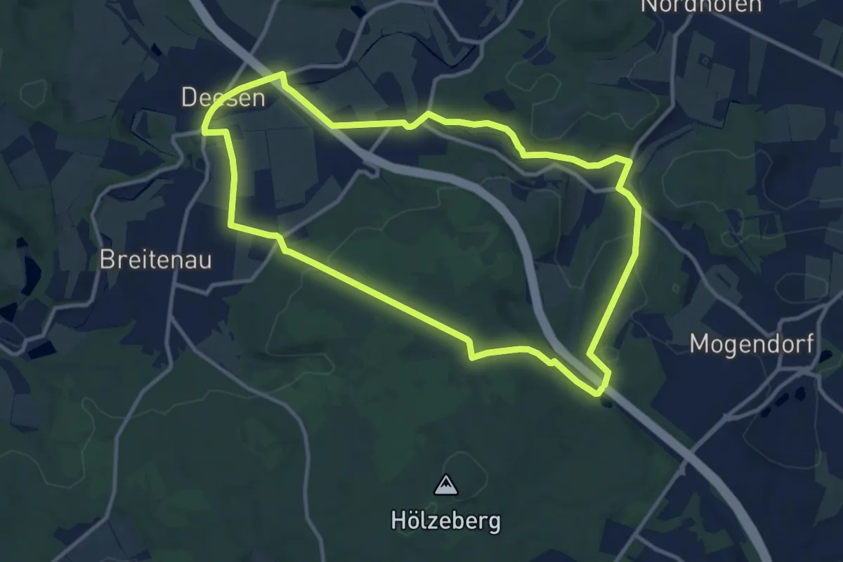
[RB8] Ransbach-Baumbach Rundwanderweg
10.0 km · ↑ 197 m · 2 h 55 min
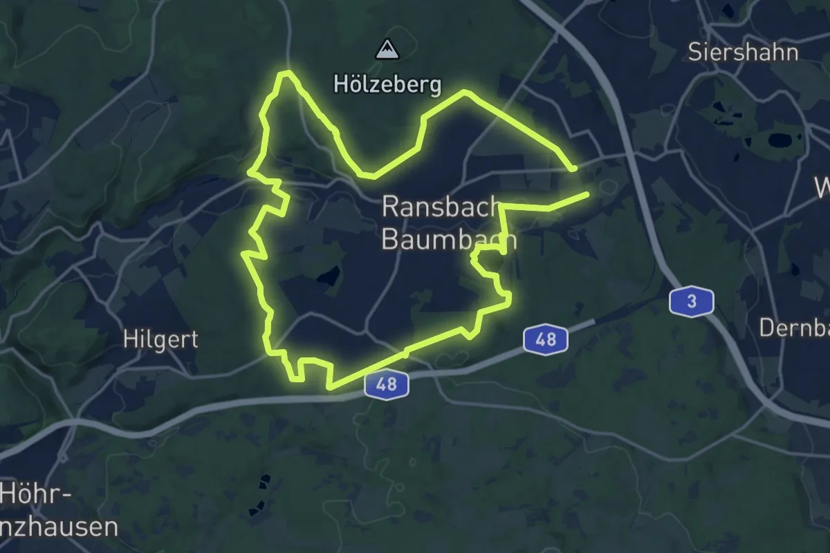
Medium · Summit
[RB9] Ransbach-Baumbach Rundwanderweg
15.0 km · ↑ 234 m · 4 h 16 min
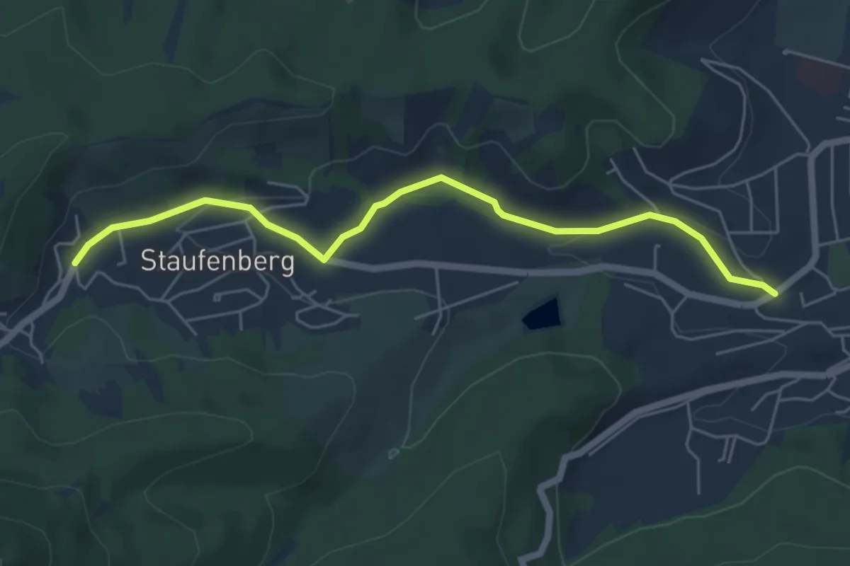
Easy · Trail
Realschule - Sternen
5.1 km · ↑ 95 m · 1 h 24 min
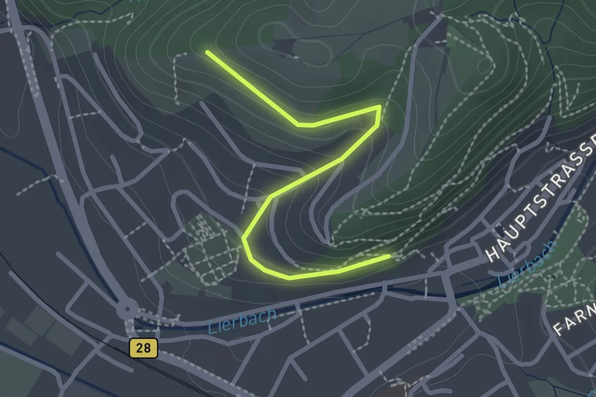
Easy · Trail
Rebberg - Oppenau Am Panoramaweg
2.2 km · ↑ 111 m · 46 min
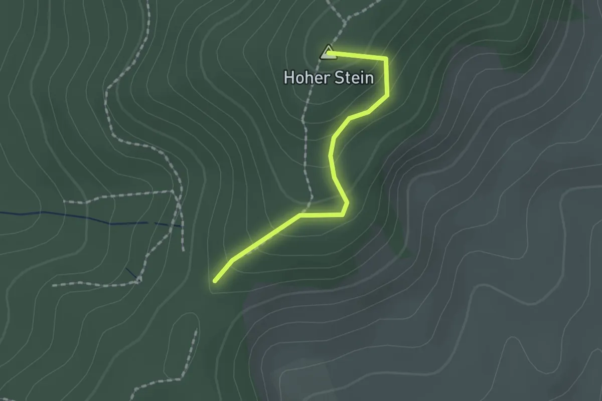
Easy · Summit
Rebdobel - Am Hohen Stein
1.4 km · ↑ 97 m · 32 min