Trails in Germany
36,852 hiking trails, each with its route, climb, walking time and grade.
All trails, page 438 of 768
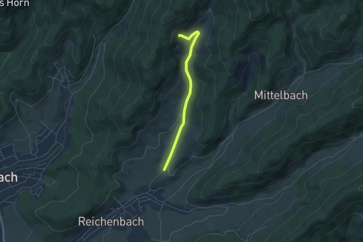
Easy · Trail
Rebdobel - Schwärzenbach
4.2 km · ↑ 128 m · 1 h 16 min
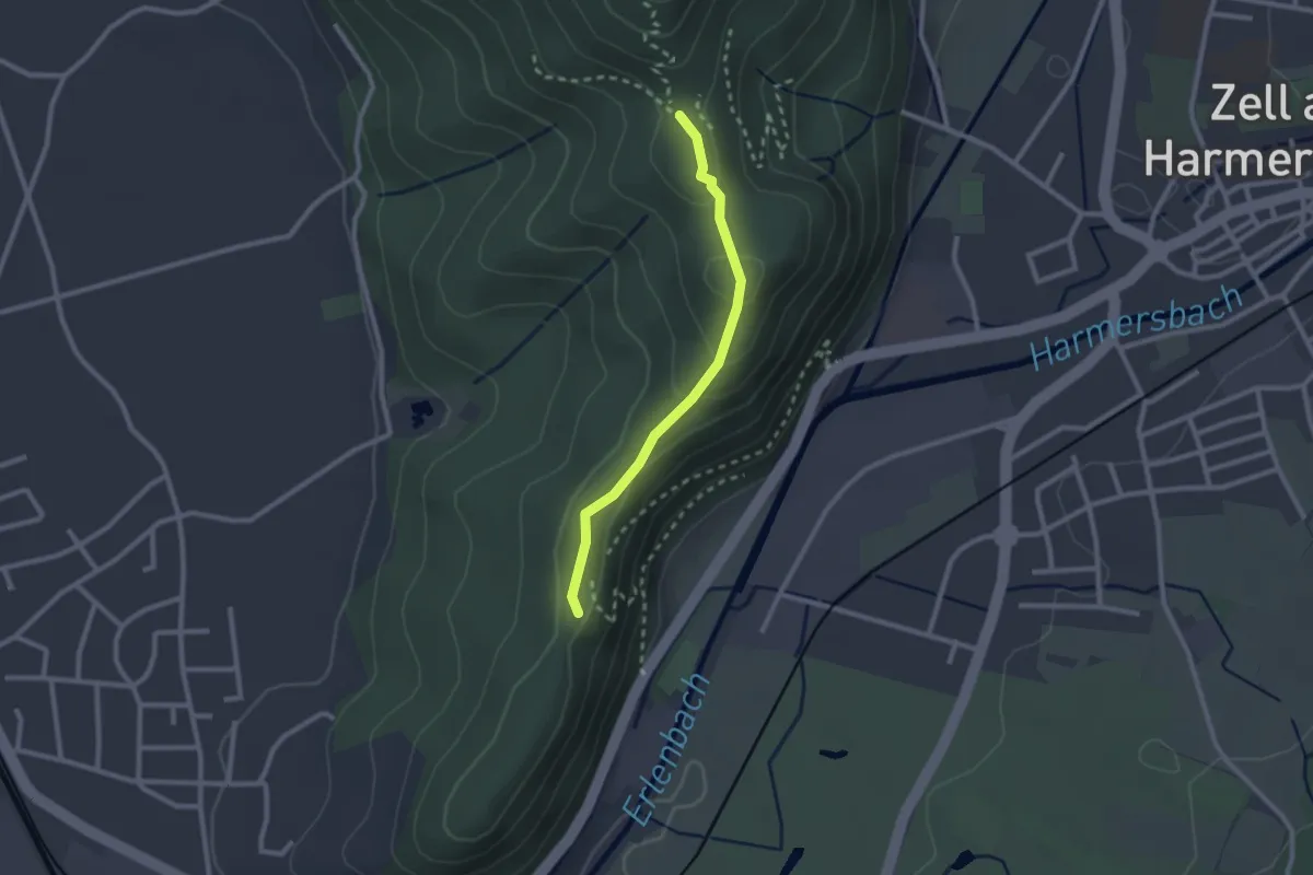
Easy · Trail
Rebeck - Badwaldsattel
2.1 km · ↑ 78 m · 40 min
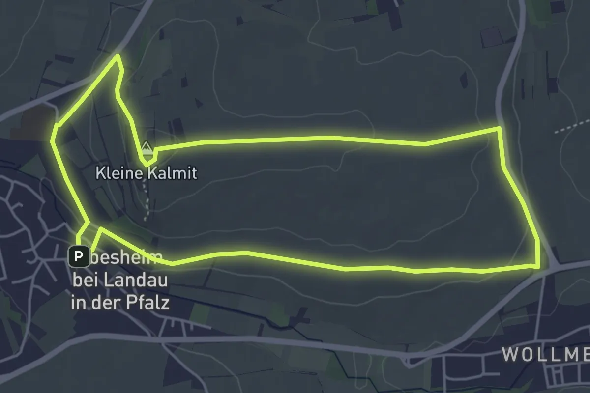
Easy · Summit
Rebenmeerweg
4.8 km · ↑ 83 m · 1 h 23 min
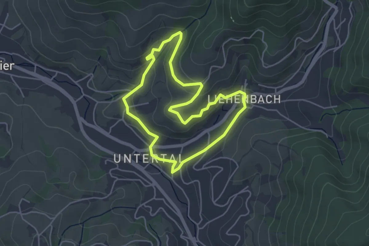
Easy · Trail
Reben-Rundweg
3.6 km · ↑ 109 m · 1 h 8 min
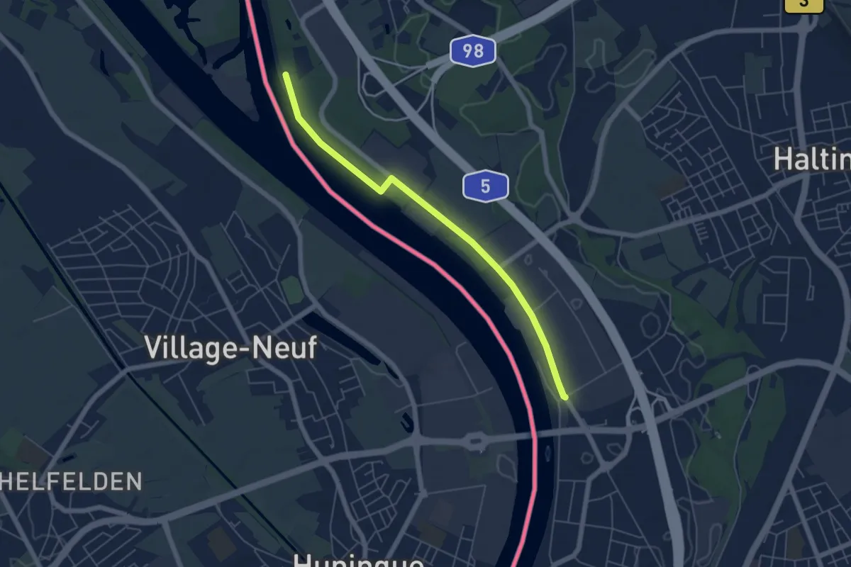
Easy · Trail
Rebgarten - Stauwehr Märkt
5.3 km · ↑ 8 m · 1 h 16 min
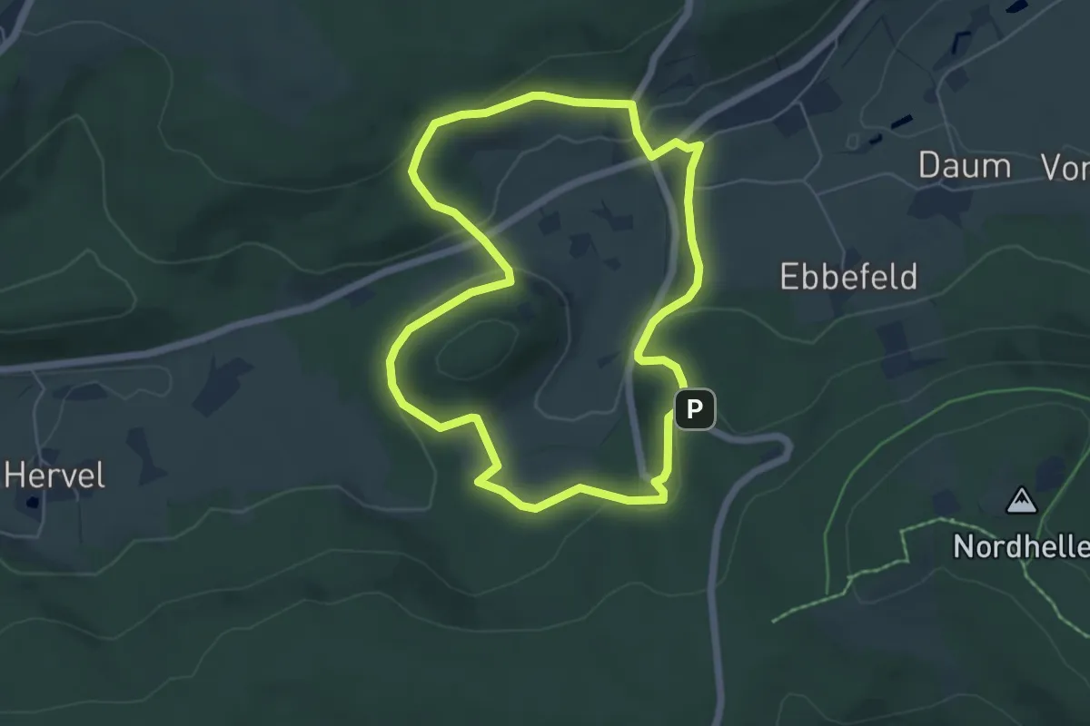
Easy · Trail
Reblin Rundweg A1
4.9 km · ↑ 177 m · 1 h 37 min
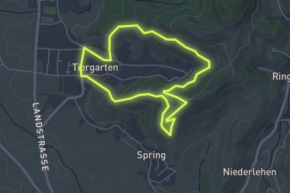
Easy · Trail
Rebstibberweg
3.8 km · ↑ 148 m · 1 h 16 min
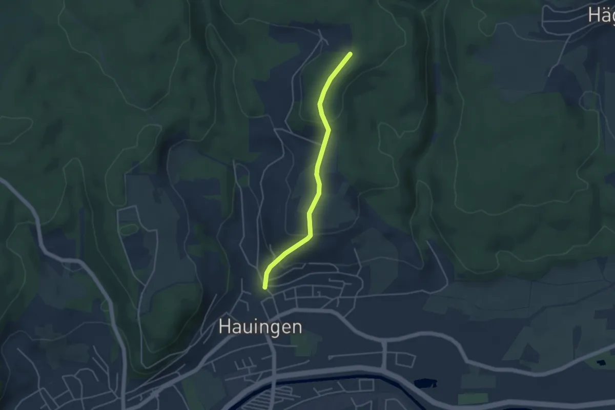
Easy · Trail
Rechberg - Hauingen Dornhalde
3.6 km · ↑ 161 m · 1 h 12 min
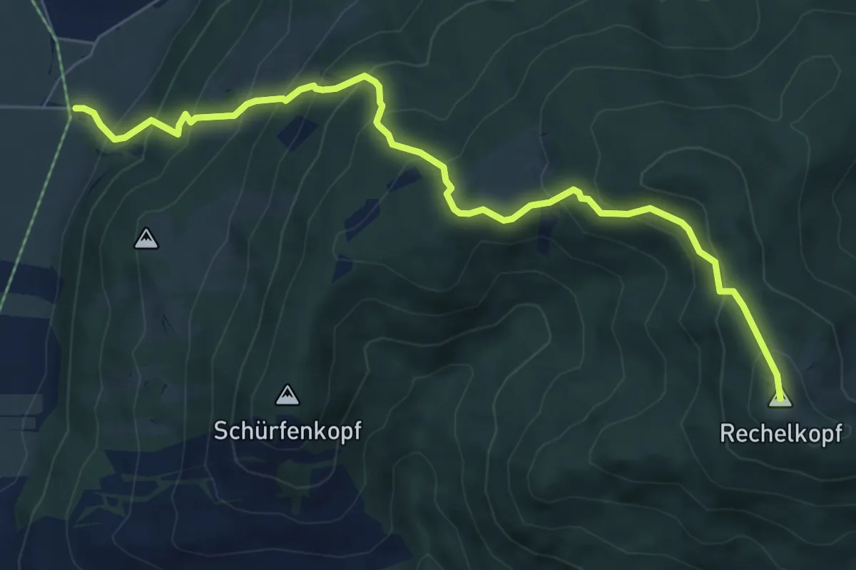
Medium · Summit
Rechelkopf
7.3 km · ↑ 654 m · 3 h 9 min
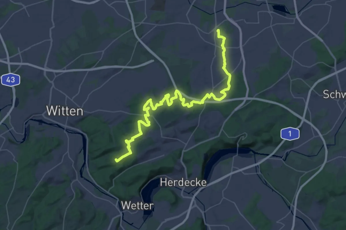
Demanding · Summit
Rechteck Dortmund - Wetter
40.4 km · ↑ 732 m · 11 h 7 min
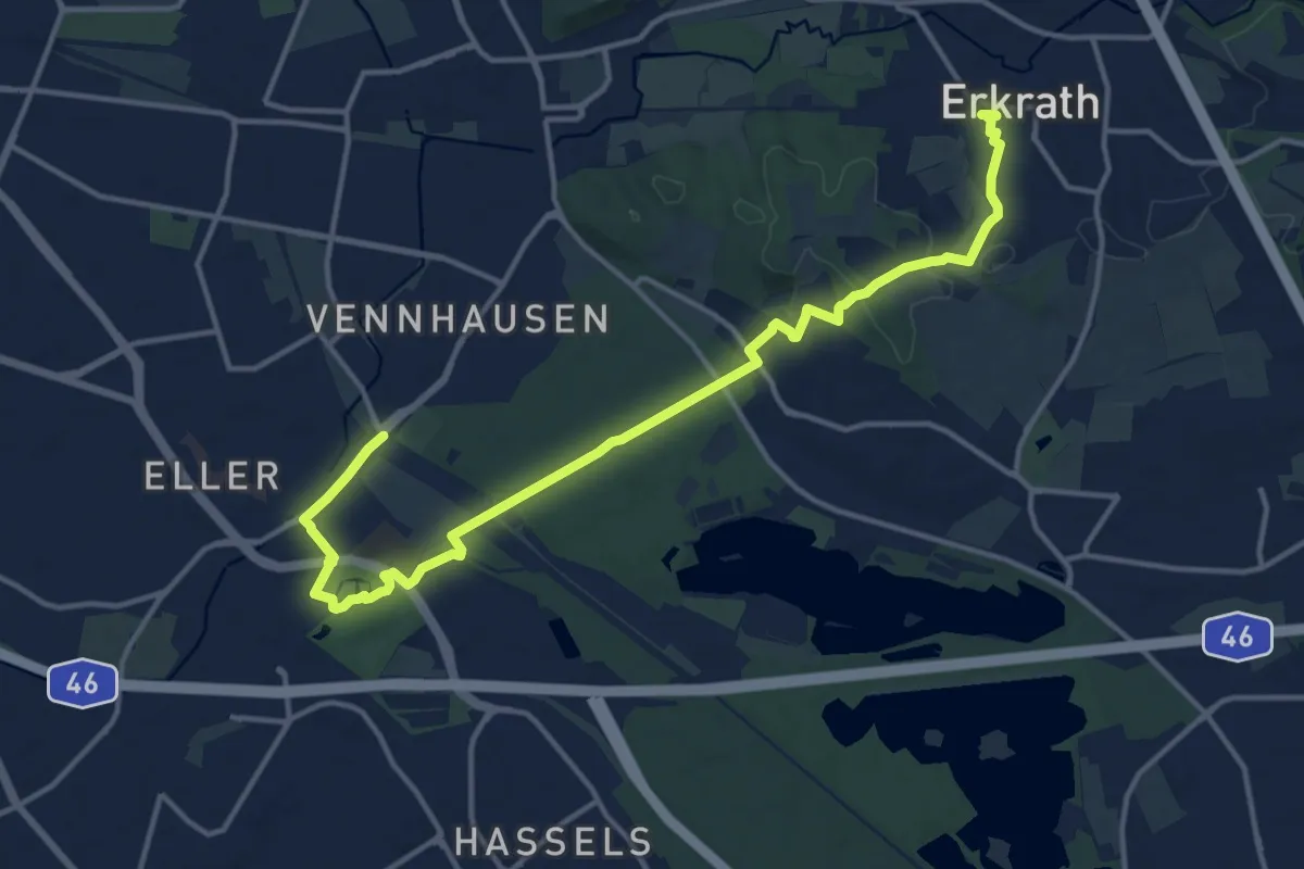
Easy · Trail
Rechteck Erkrath-Eller
7.5 km · ↑ 59 m · 2 h 1 min
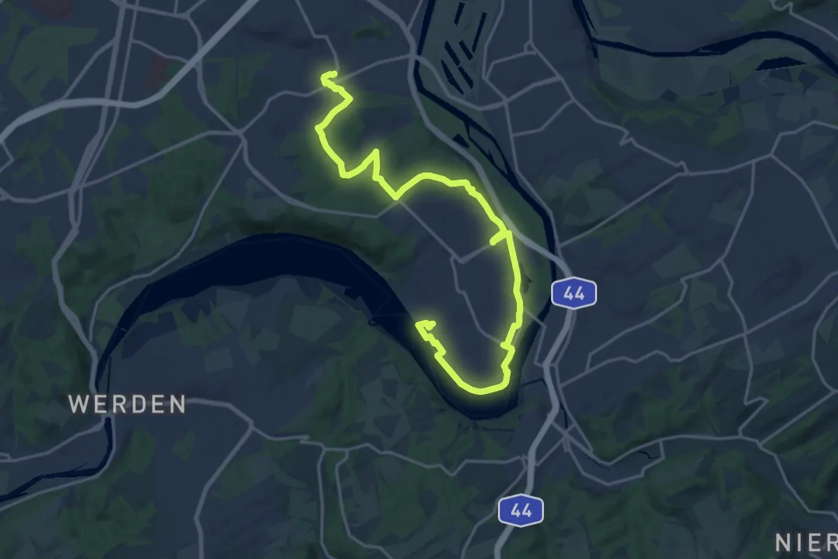
Demanding · Trail
[Rechteck] Heisingen-Rellinghausen
19.3 km · ↑ 267 m · 5 h 8 min
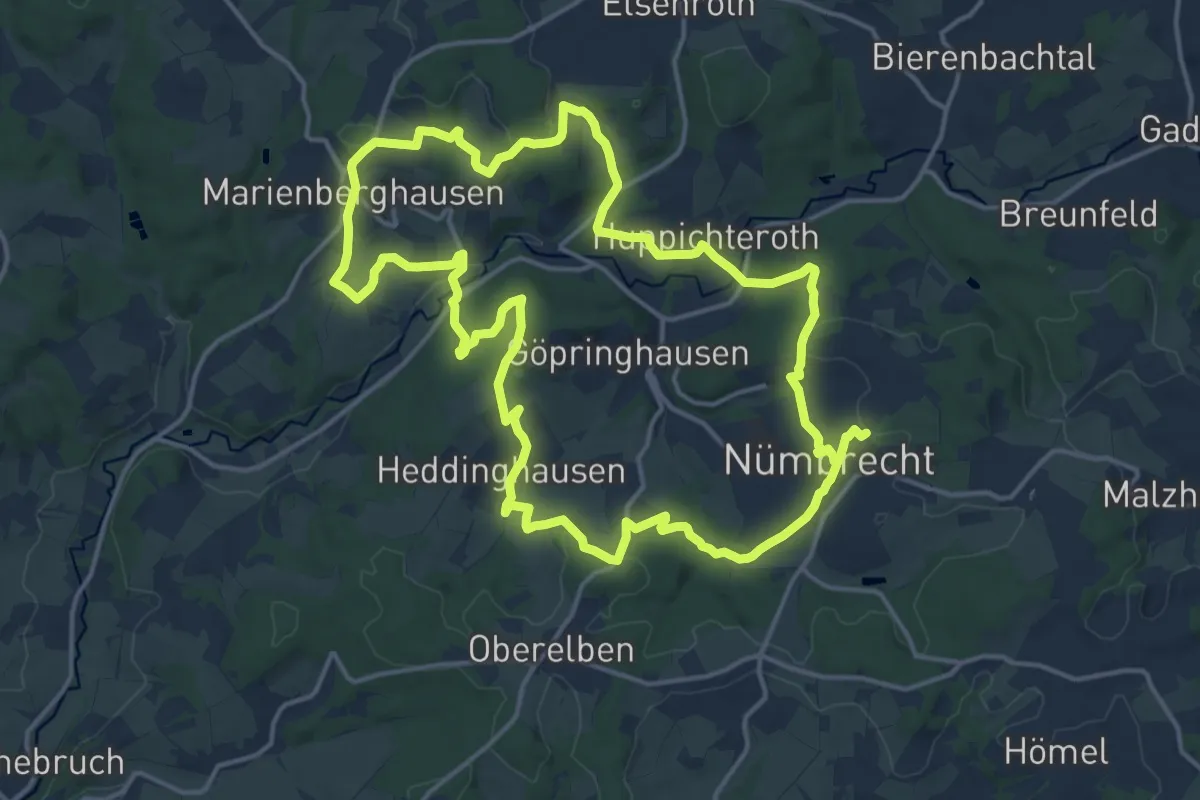
Medium · Trail
Rechteck Nümbrecht-Homburg-Marienberghausen
15.3 km · ↑ 338 m · 4 h 33 min
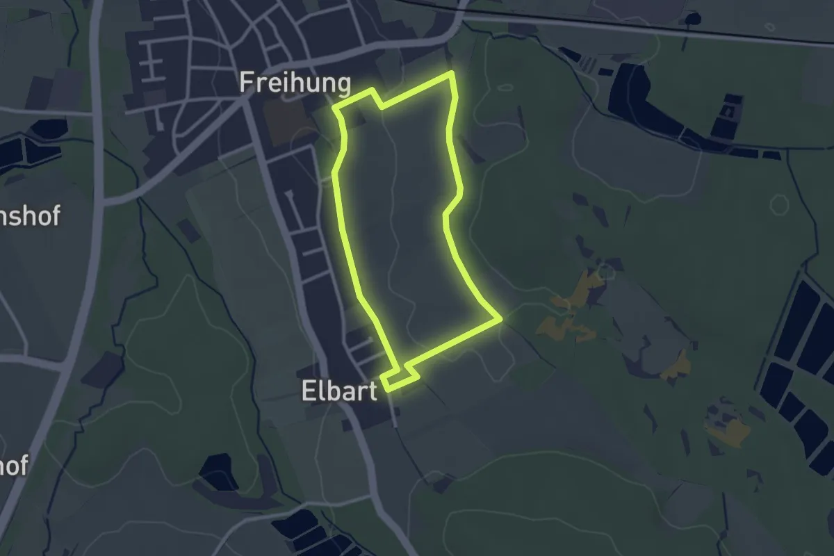
Easy · Trail
Rechte der Kinder
2.4 km · ↑ 18 m · 38 min
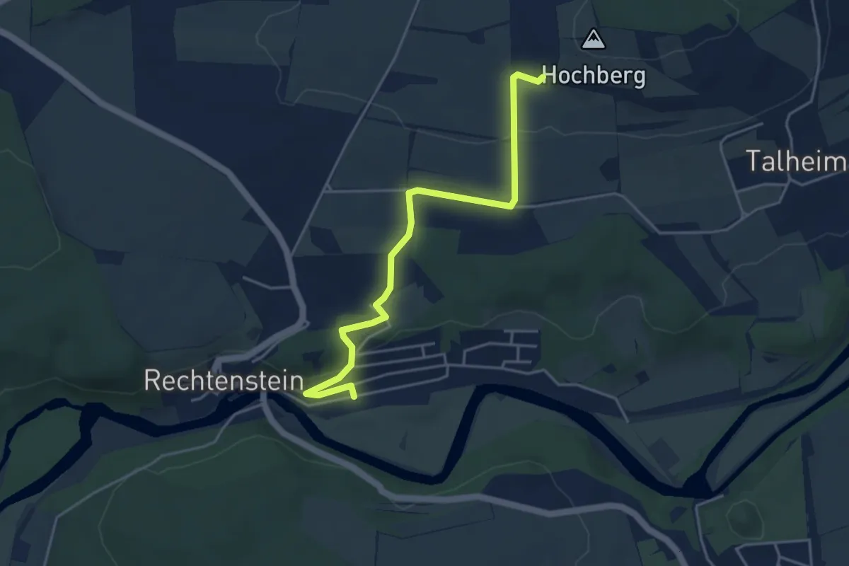
Easy · Trail
Rechtenstein - Hochberg
4.3 km · ↑ 93 m · 1 h 13 min
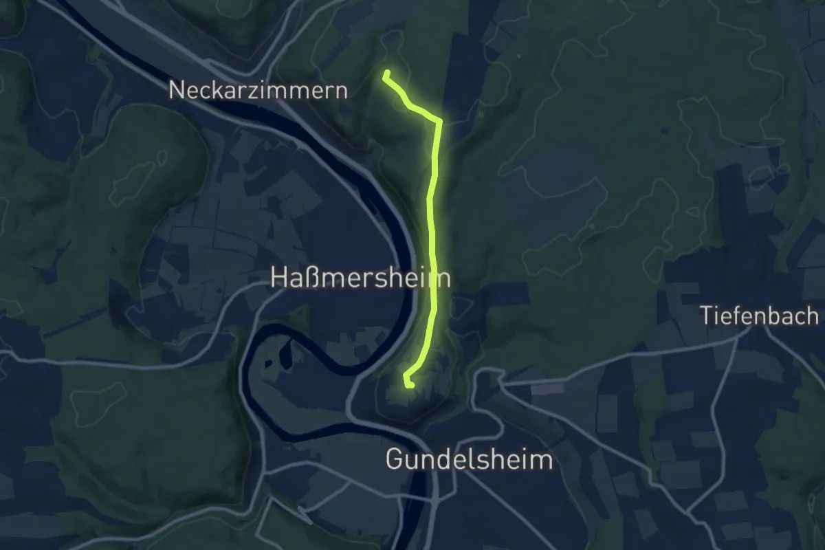
Easy · Summit
Rechter Neckarrandweg
7.2 km · ↑ 170 m · 2 h 5 min
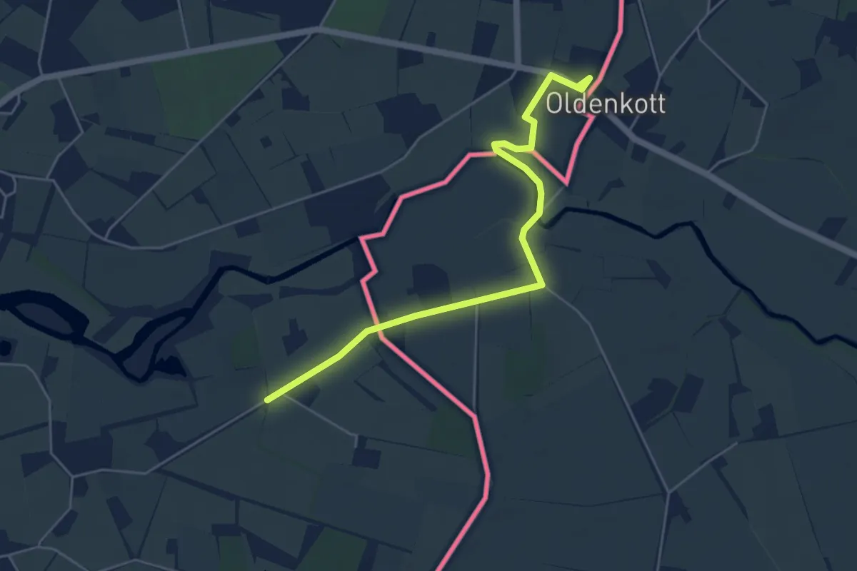
Easy · Trail
Reckense Markepad Alternatieve route
2.4 km · ↑ 4 m · 36 min
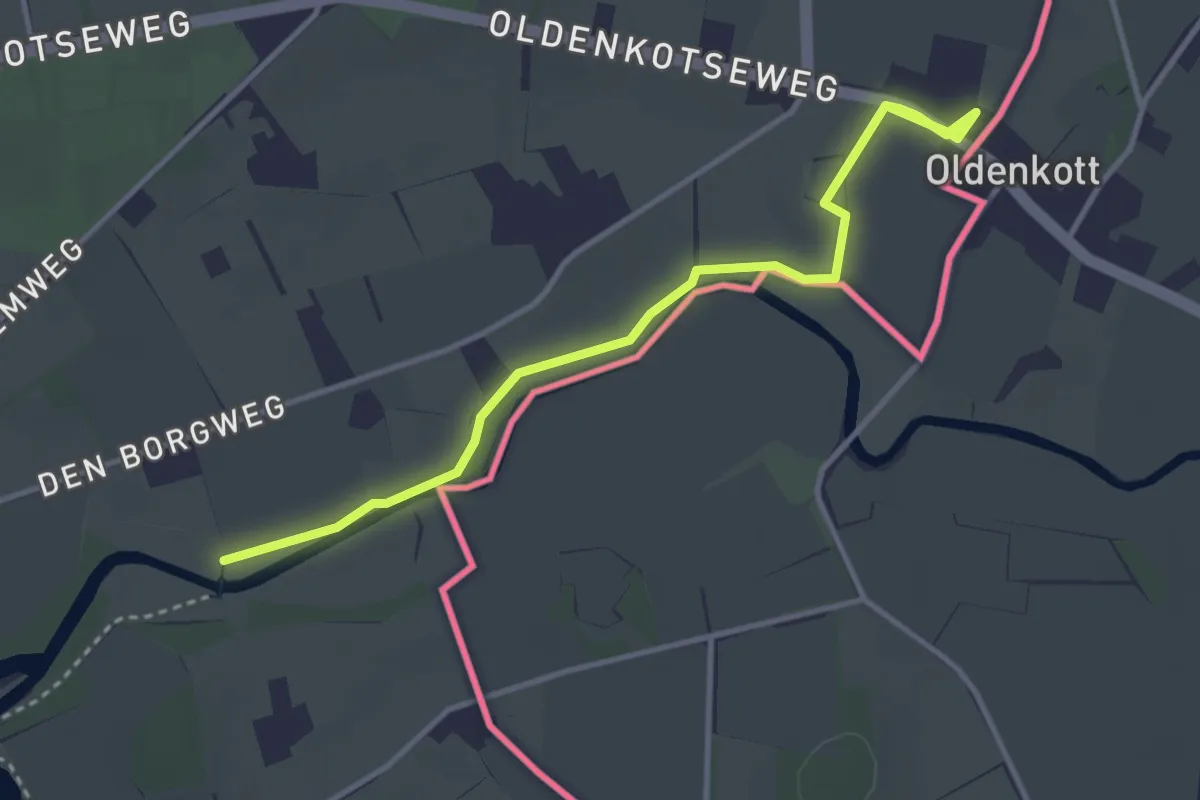
Easy · Trail
Reckense Markepad Hoofdroute
1.9 km · ↑ 0 m · 28 min
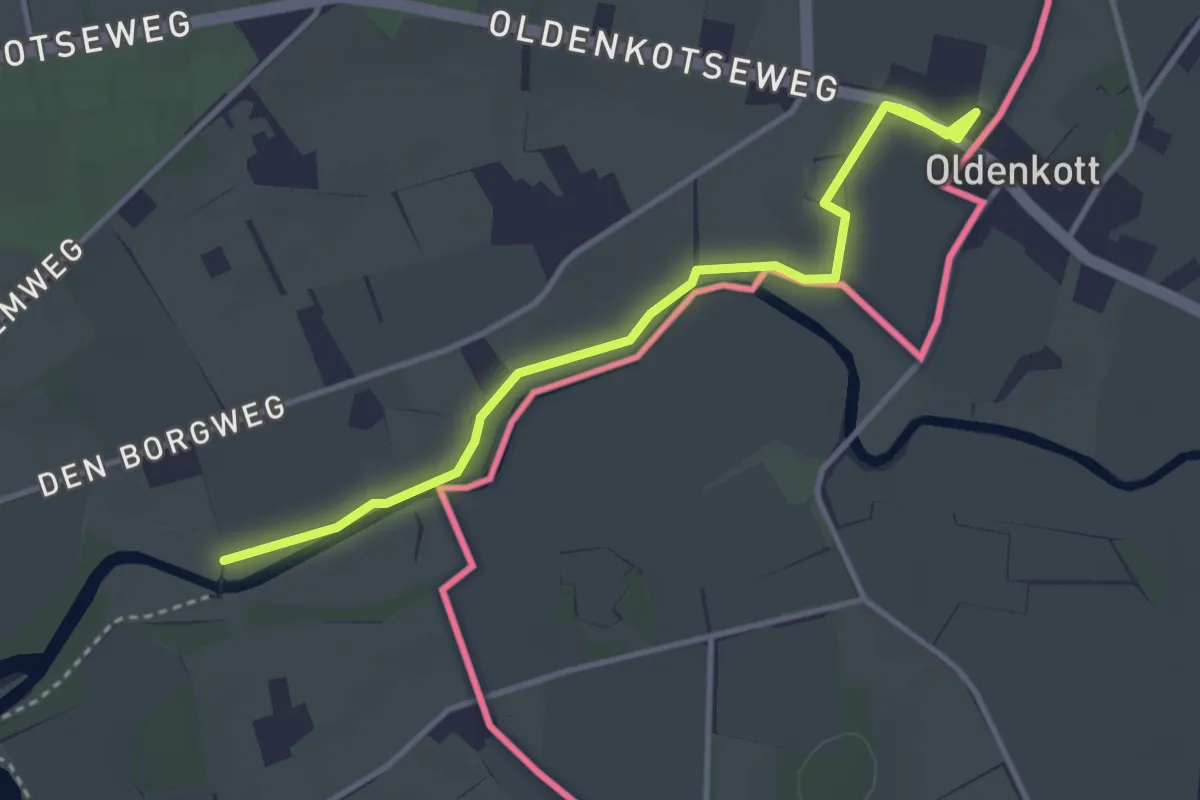
Easy · Trail
Reckense Markepad Verlengd
1.9 km · ↑ 0 m · 28 min
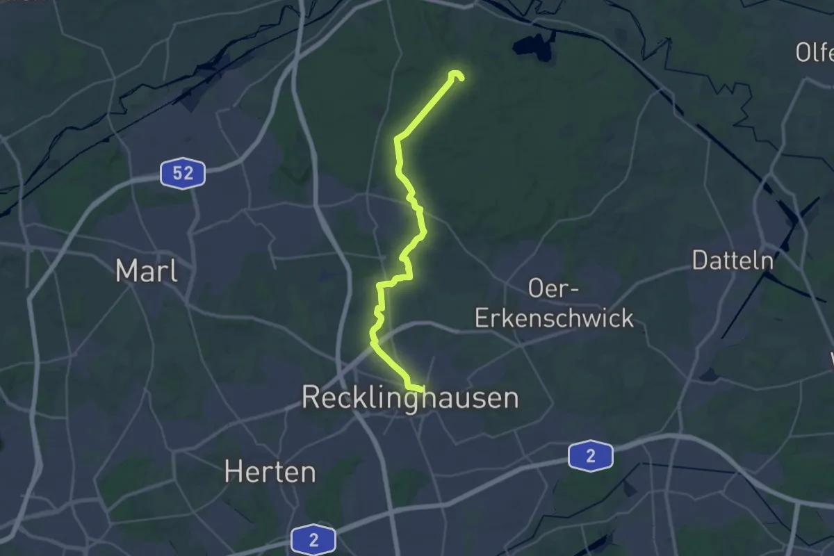
Demanding · Summit
Recklinghausen - Flaesheim X16
26.3 km · ↑ 172 m · 6 h 35 min
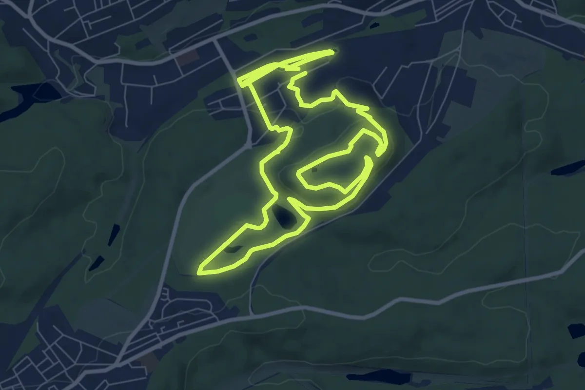
Medium · Trail
Redener Panoramapfad
7.8 km · ↑ 130 m · 2 h 13 min
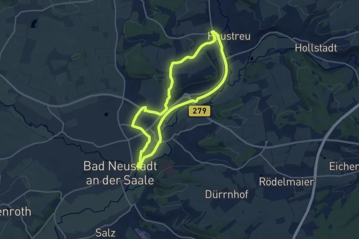
Medium · Trail
Rederkreuz-Rundweg
10.7 km · ↑ 102 m · 2 h 53 min
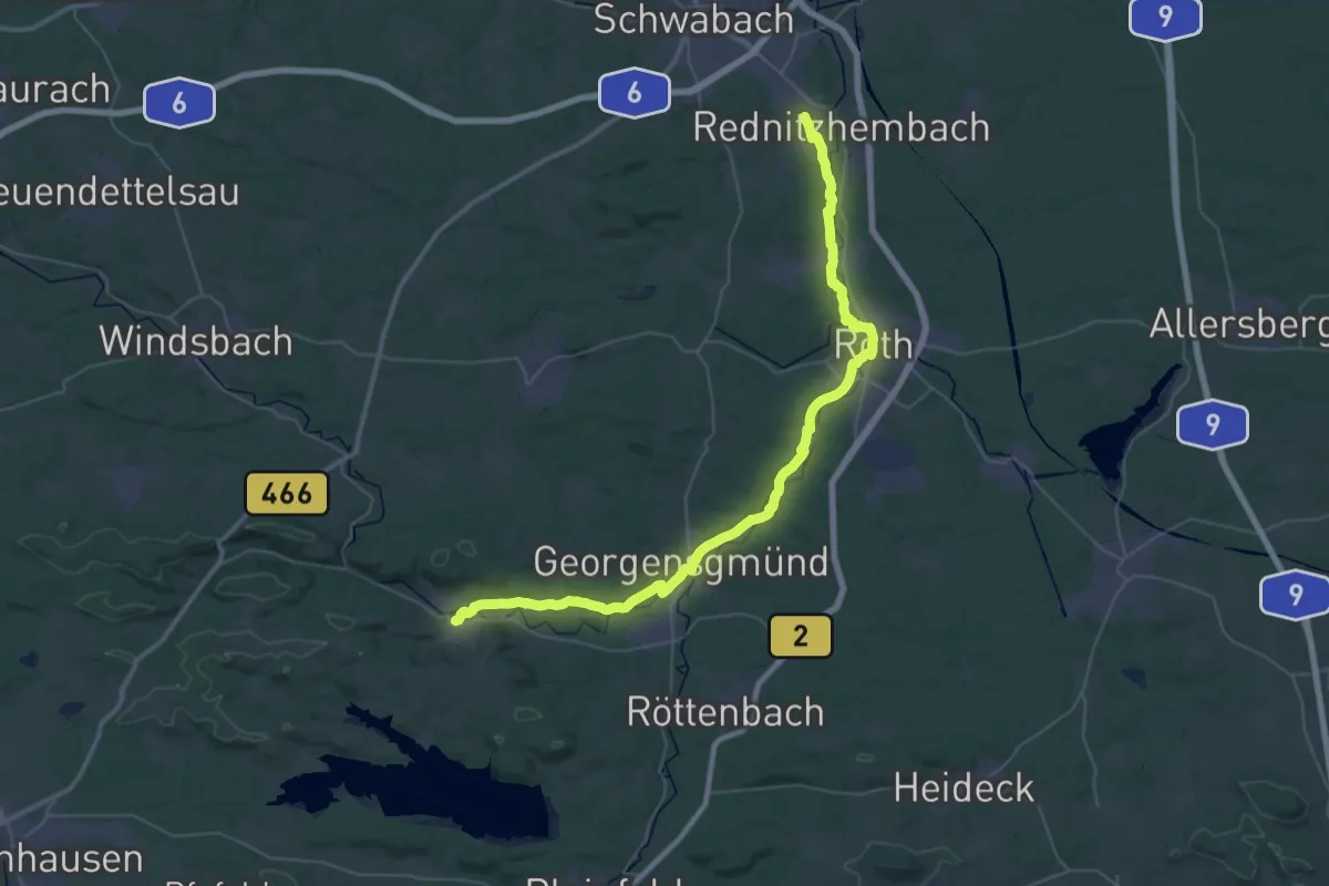
Demanding · Trail
Rednitz-Rezat-Weg
25.0 km · ↑ 186 m · 6 h 40 min
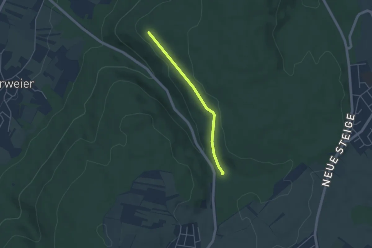
Easy · Trail
Redoute - Sommerberg
3.1 km · ↑ 51 m · 51 min
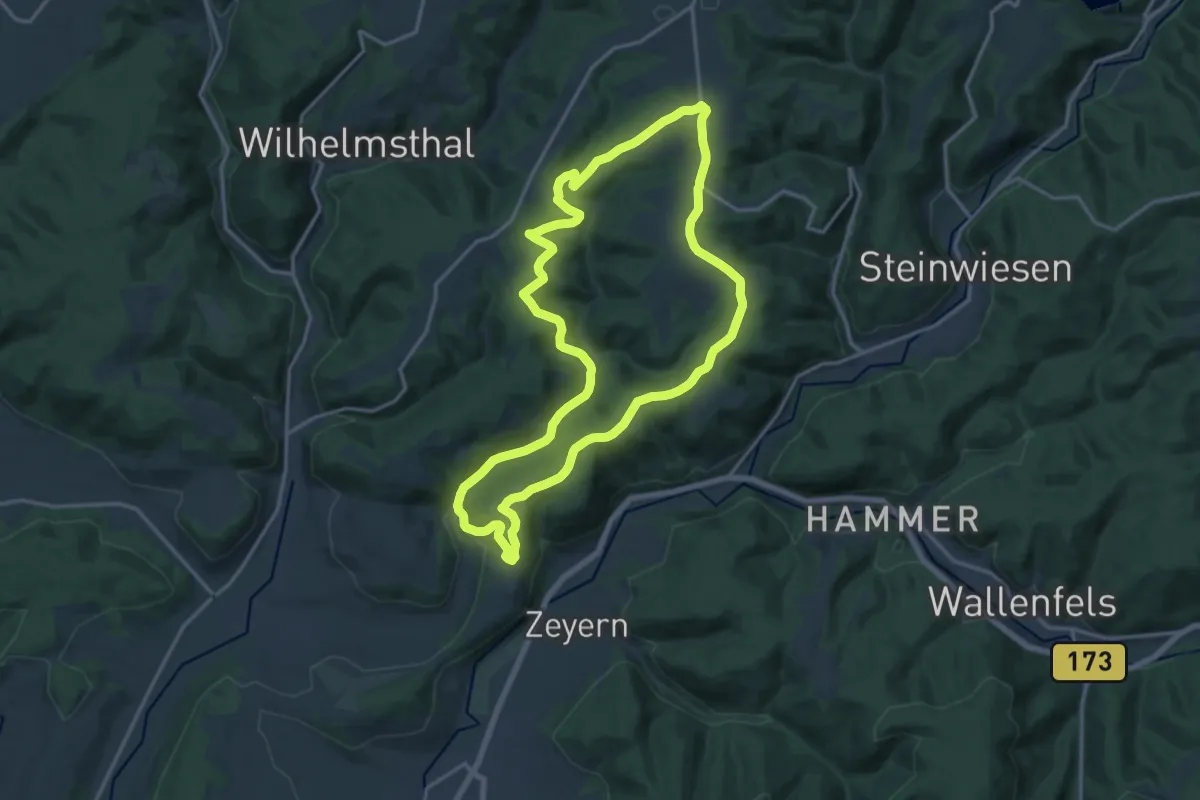
Medium · Trail
Redwitzer Höhenweg RT 27
14.9 km · ↑ 331 m · 4 h 27 min
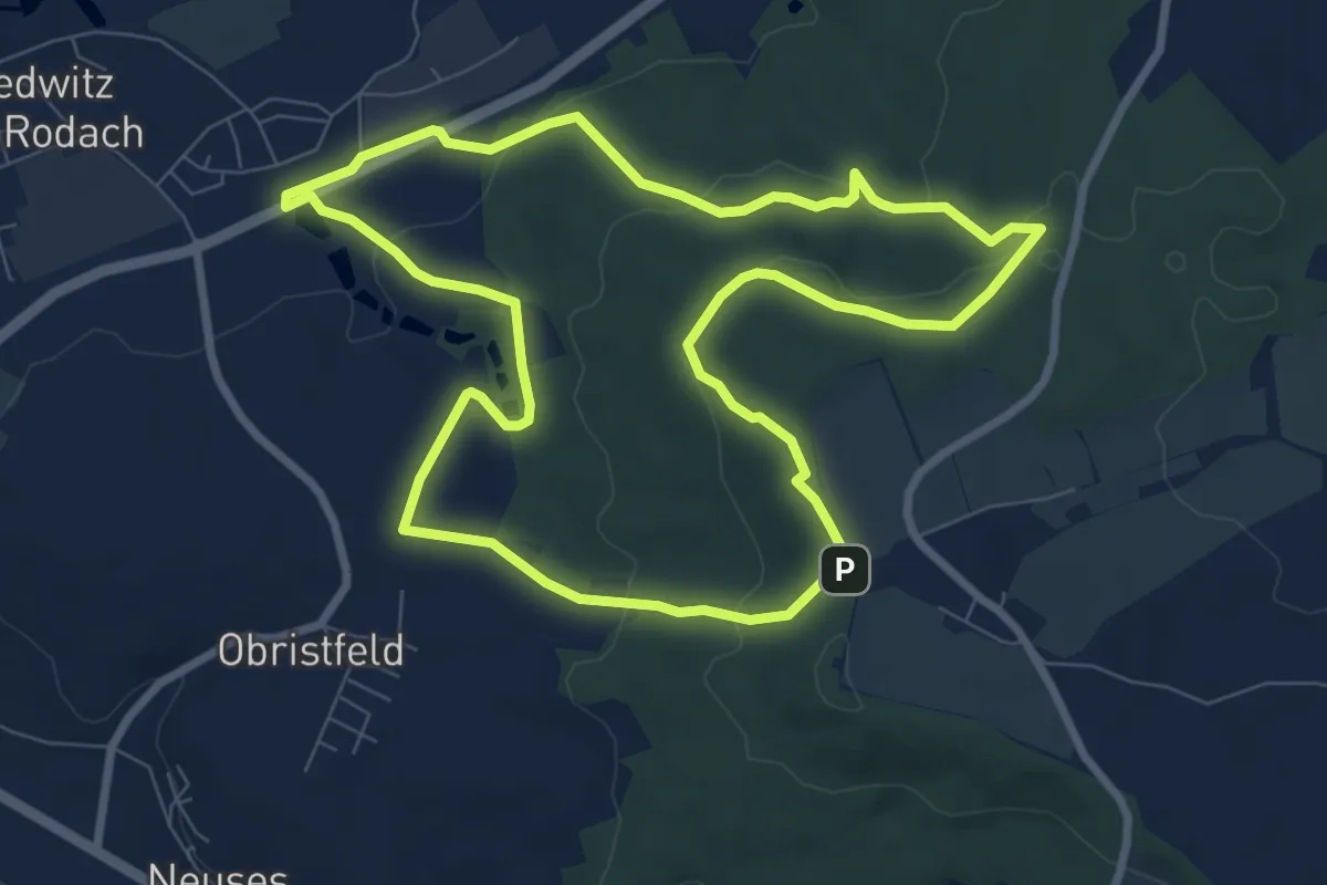
Easy · Trail
Redwitzer Kleeblattrunde
7.9 km · ↑ 197 m · 2 h 25 min
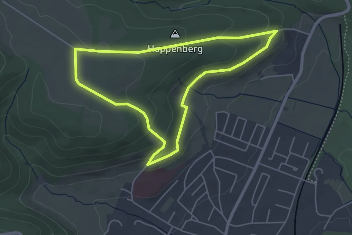
Easy · Trail
Reelsen Rundweg A1
3.6 km · ↑ 105 m · 1 h 7 min
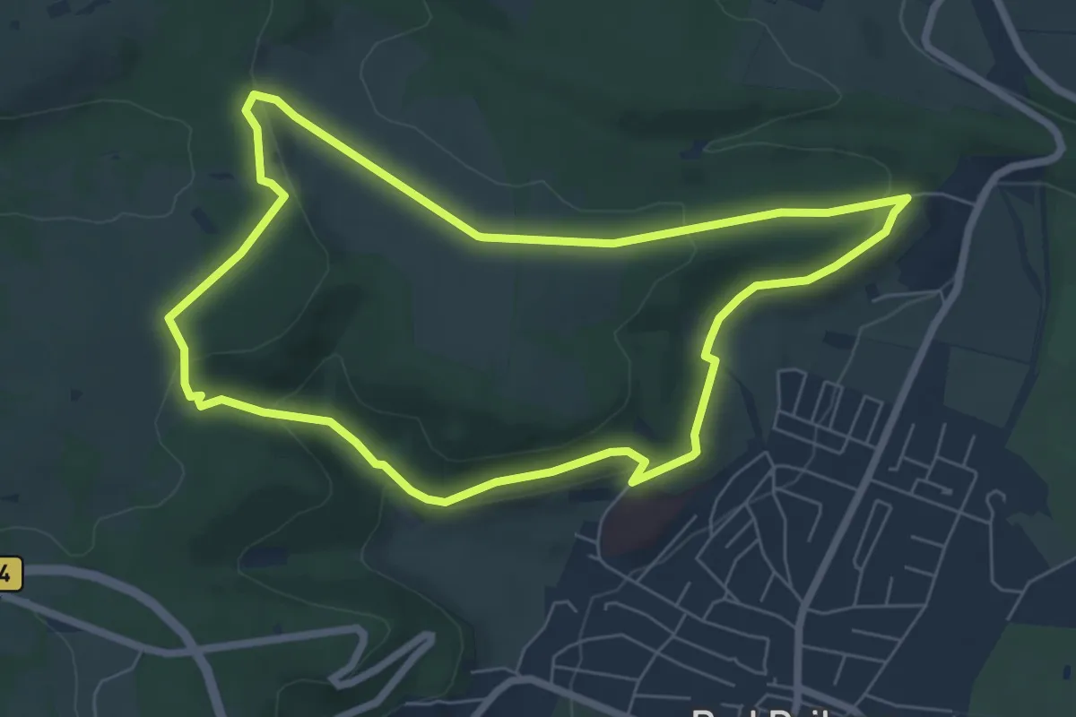
Easy · Trail
Reelsen Rundweg A2
5.9 km · ↑ 171 m · 1 h 50 min
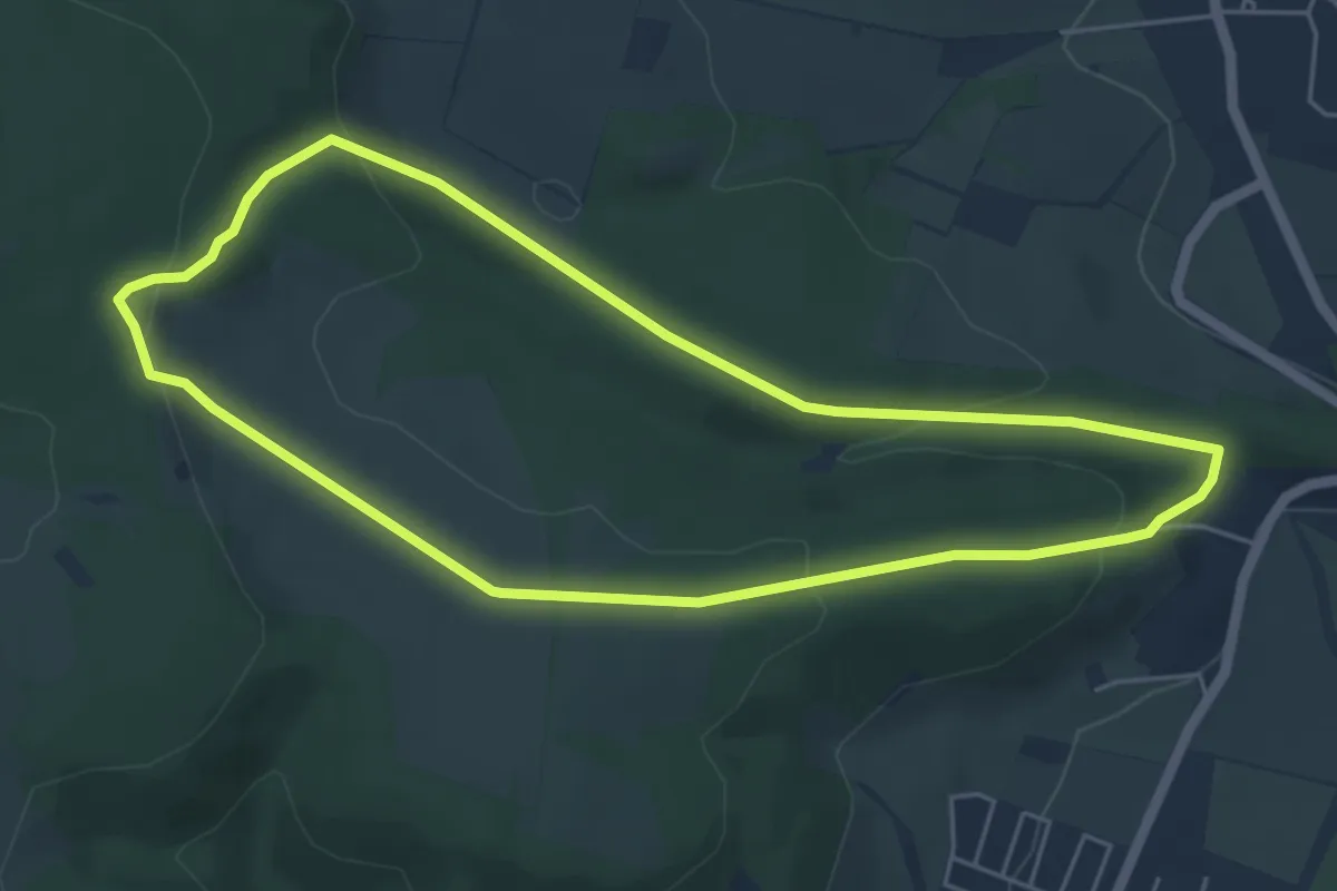
Easy · Trail
Reelsen Rundweg A5
4.7 km · ↑ 147 m · 1 h 29 min
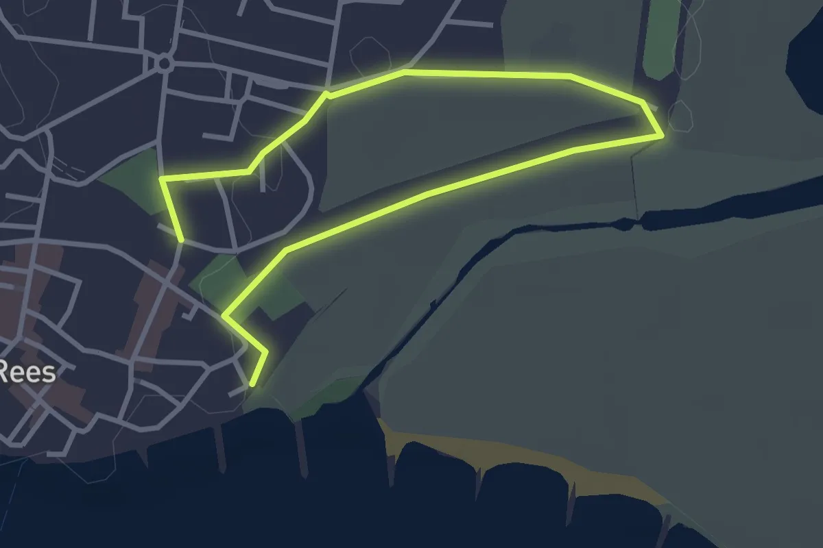
Easy · Trail
Rees Rundweg A1
2.0 km · ↑ 4 m · 30 min
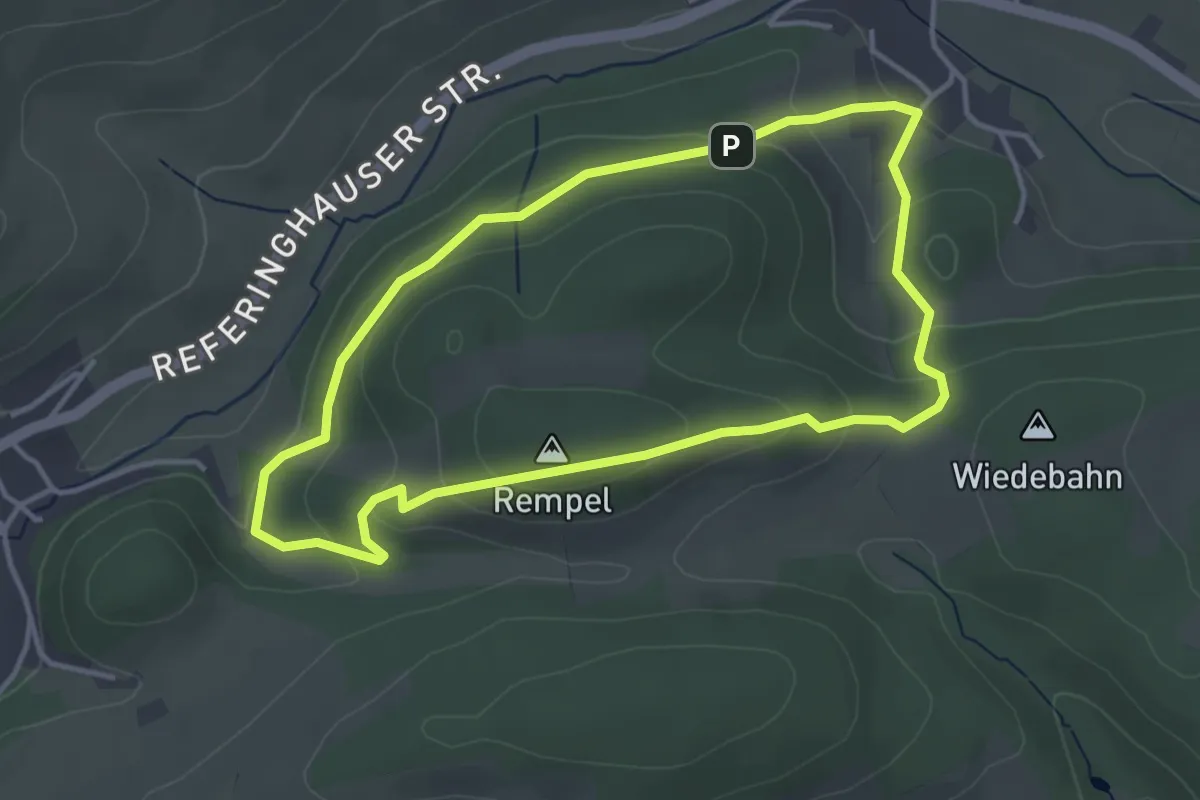
Easy · Summit
Referinghausen Rundweg R3
3.3 km · ↑ 157 m · 1 h 11 min
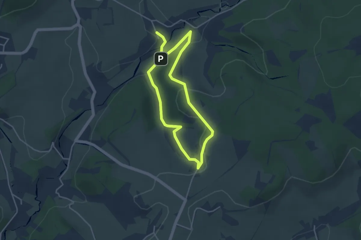
Easy · Trail
Reformationsweg Delling
2.6 km · ↑ 85 m · 51 min
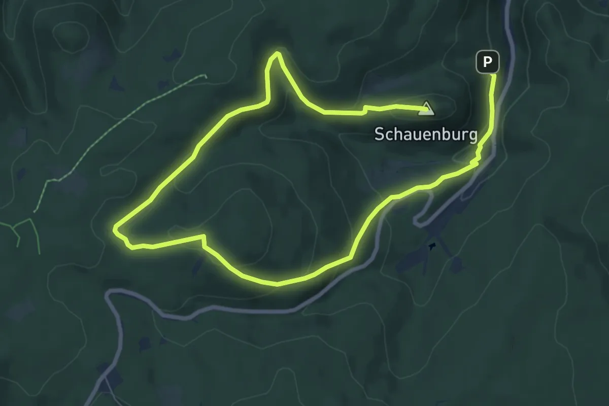
Medium · Summit
Regenbergring
11.7 km · ↑ 381 m · 3 h 35 min
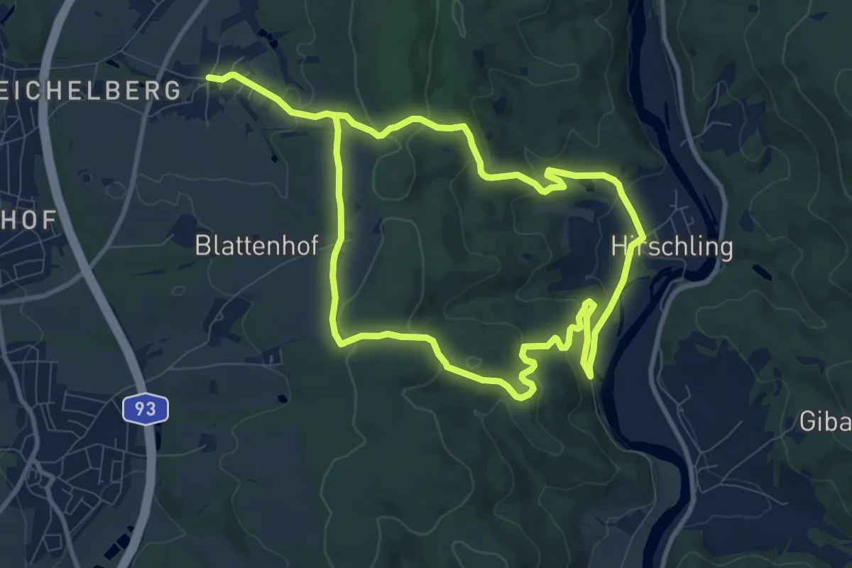
Medium · Trail
Regentalsteig nach Hirschling (Gelbe 8)
8.2 km · ↑ 293 m · 2 h 41 min
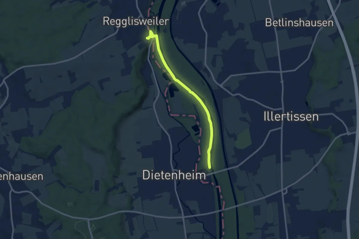
Medium · Trail
Regglisweiler-Dietenheim
9.6 km · ↑ 24 m · 2 h 19 min
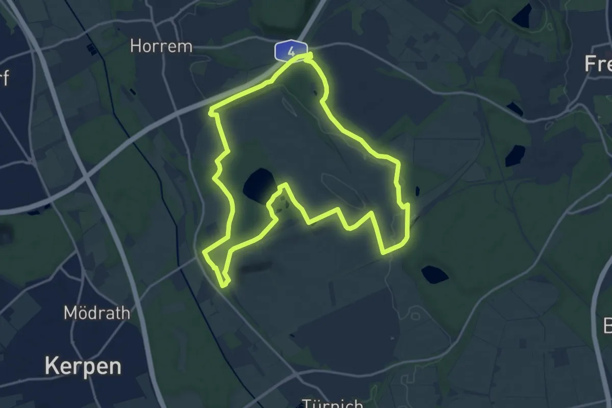
Medium · Trail
RegioGrün Marienfeld Kirchenweg
13.6 km · ↑ 64 m · 3 h 32 min
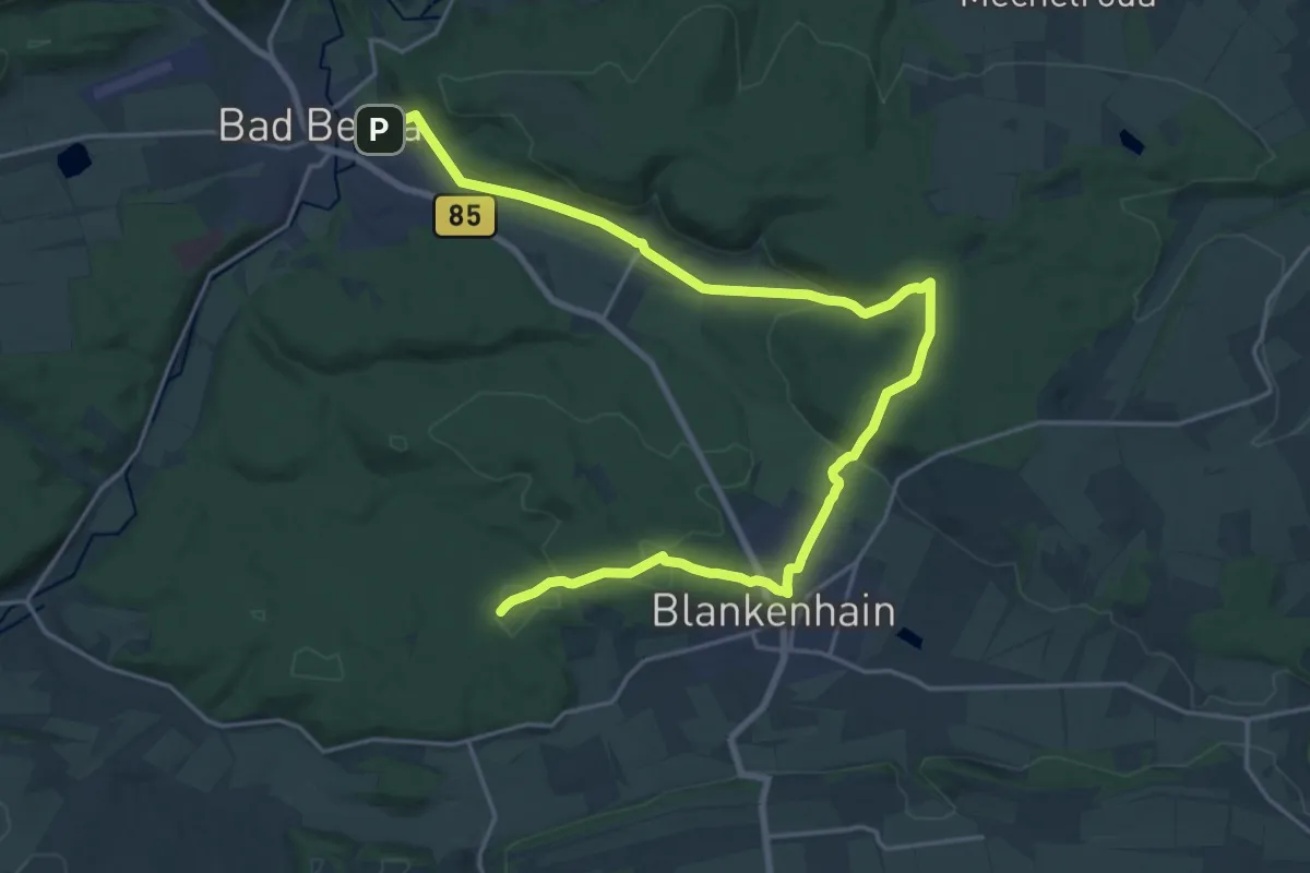
Demanding · Summit
Regionaler Wanderweg
24.0 km · ↑ 413 m · 6 h 33 min
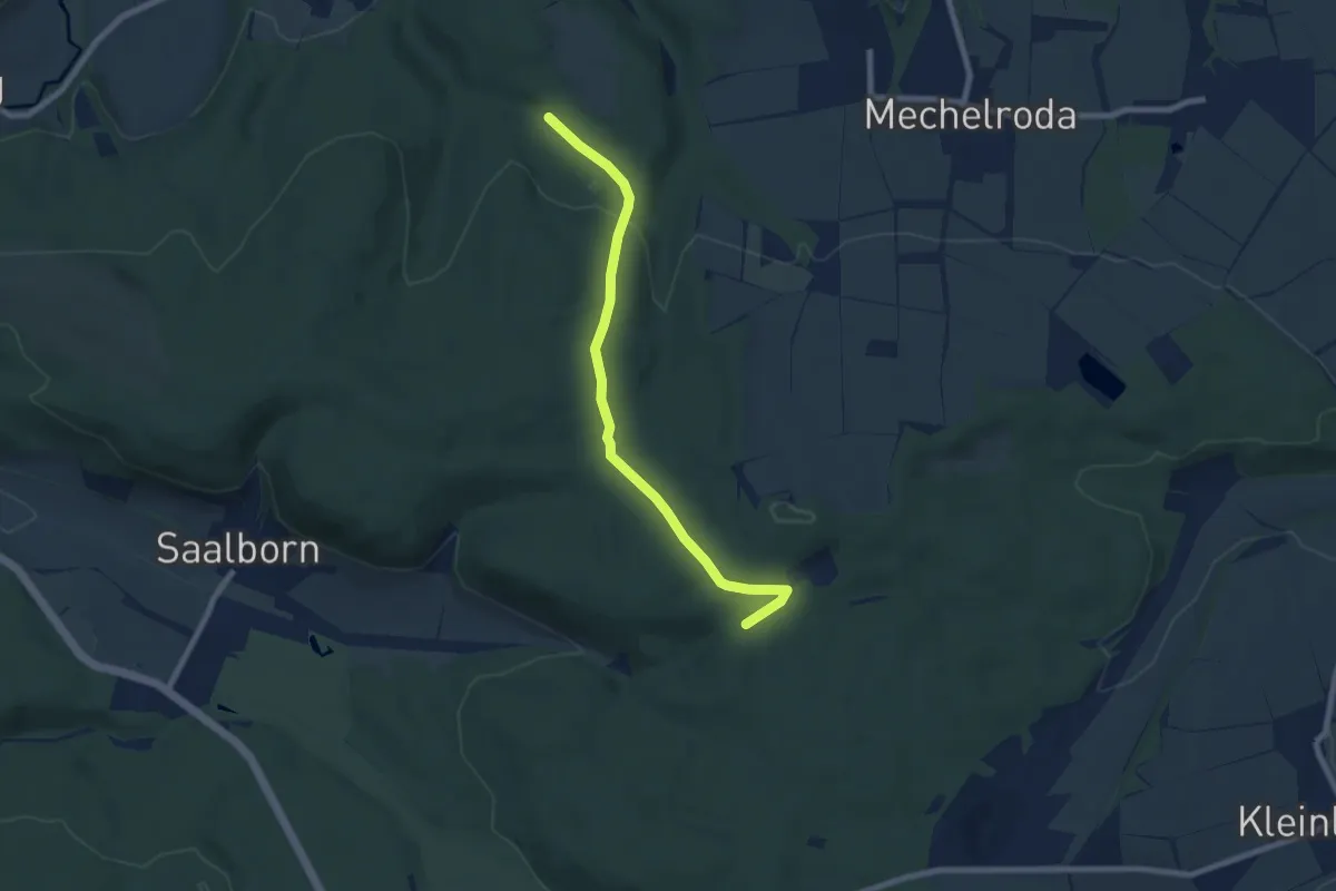
Easy · Trail
Regionaler Wanderweg (grün-weiß-grün)
6.9 km · ↑ 122 m · 1 h 54 min
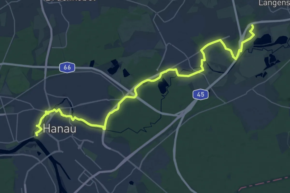
Demanding · Trail
Regionalpark Rhein-Main - Kinzigtalroute
29.4 km · ↑ 60 m · 7 h 4 min
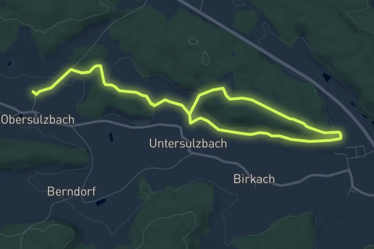
Easy · Summit
Reh
6.0 km · ↑ 104 m · 1 h 44 min
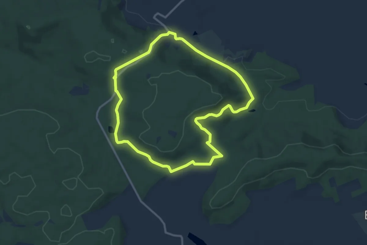
Easy · Trail
Reh
7.0 km · ↑ 167 m · 2 h 7 min
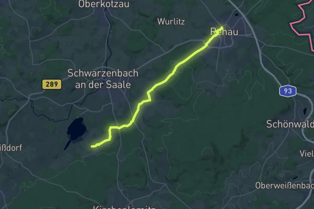
Demanding · Trail
Rehau - Hallerstein
24.4 km · ↑ 298 m · 6 h 24 min
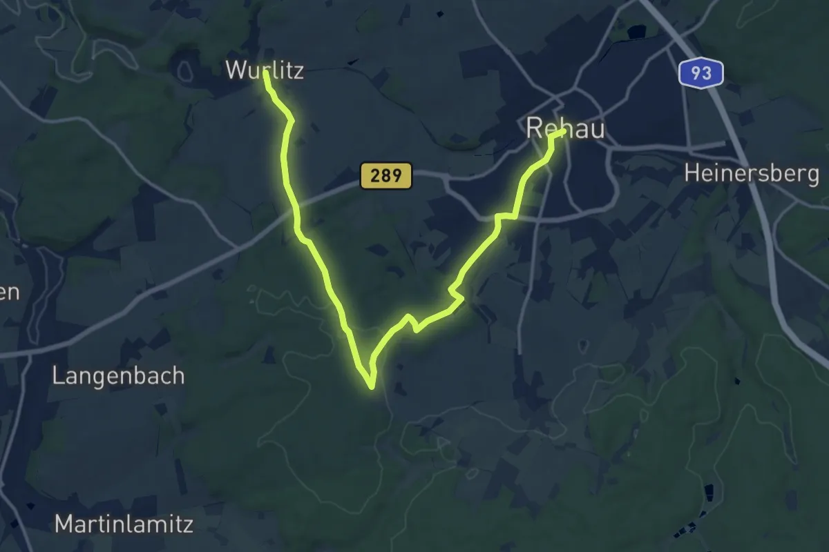
Medium · Trail
Rehau - Hirschberg - Wurlitz
15.4 km · ↑ 215 m · 4 h 7 min
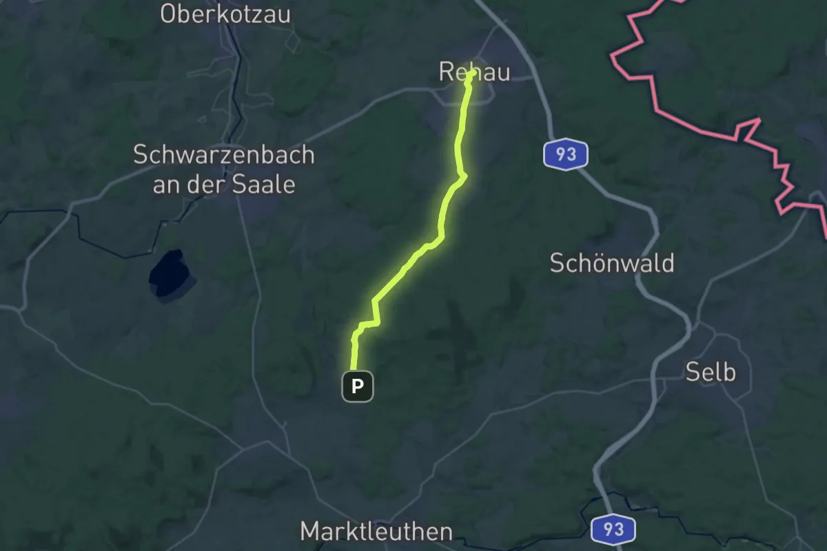
Demanding · Trail
Rehau - Niederlamitz
22.0 km · ↑ 413 m · 6 h 5 min
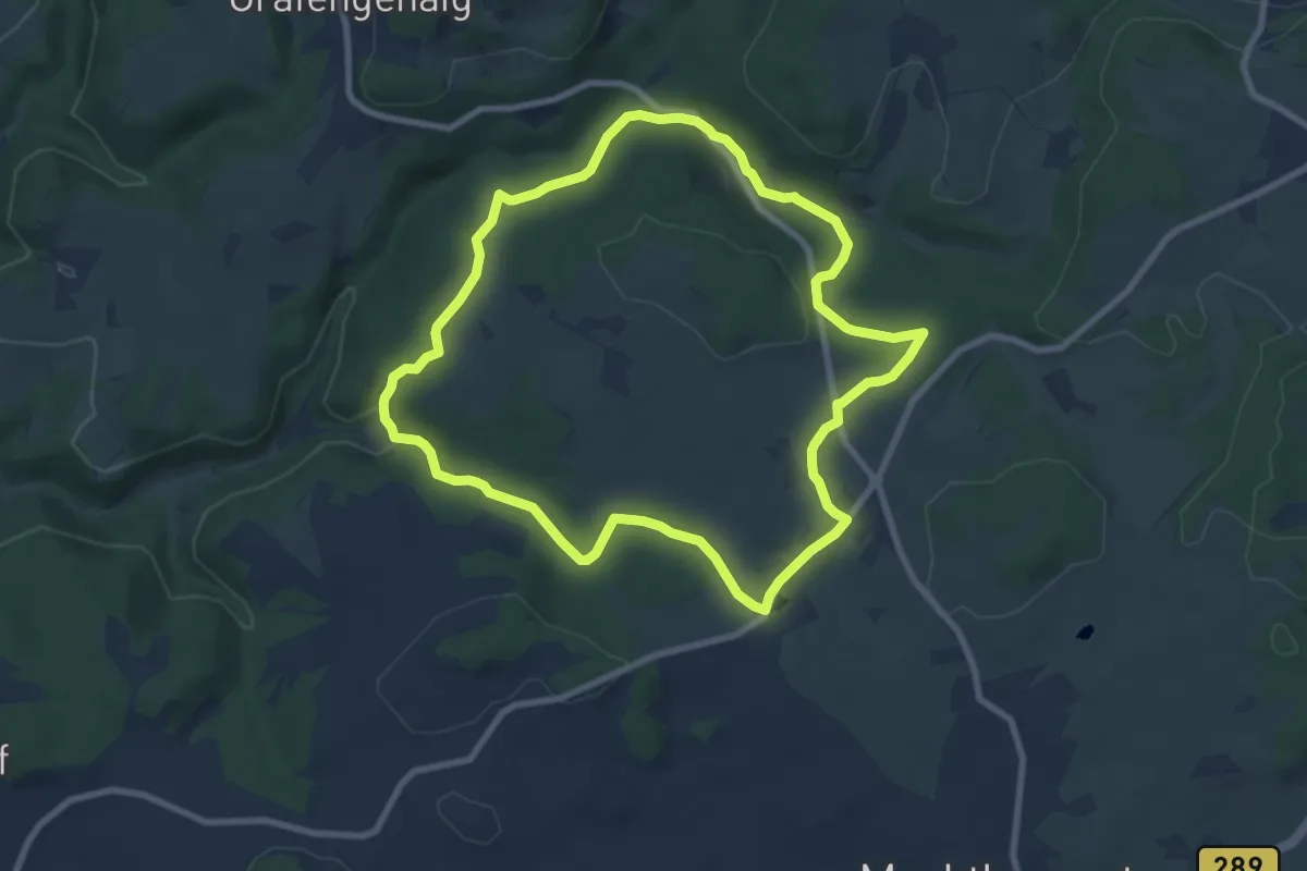
Easy · Trail
Rehbachtal-Weg KU 74
7.6 km · ↑ 119 m · 2 h 10 min
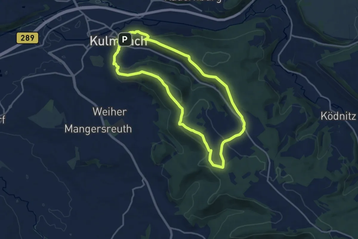
Medium · Summit
Rehberg-Weg
10.2 km · ↑ 271 m · 3 h 8 min
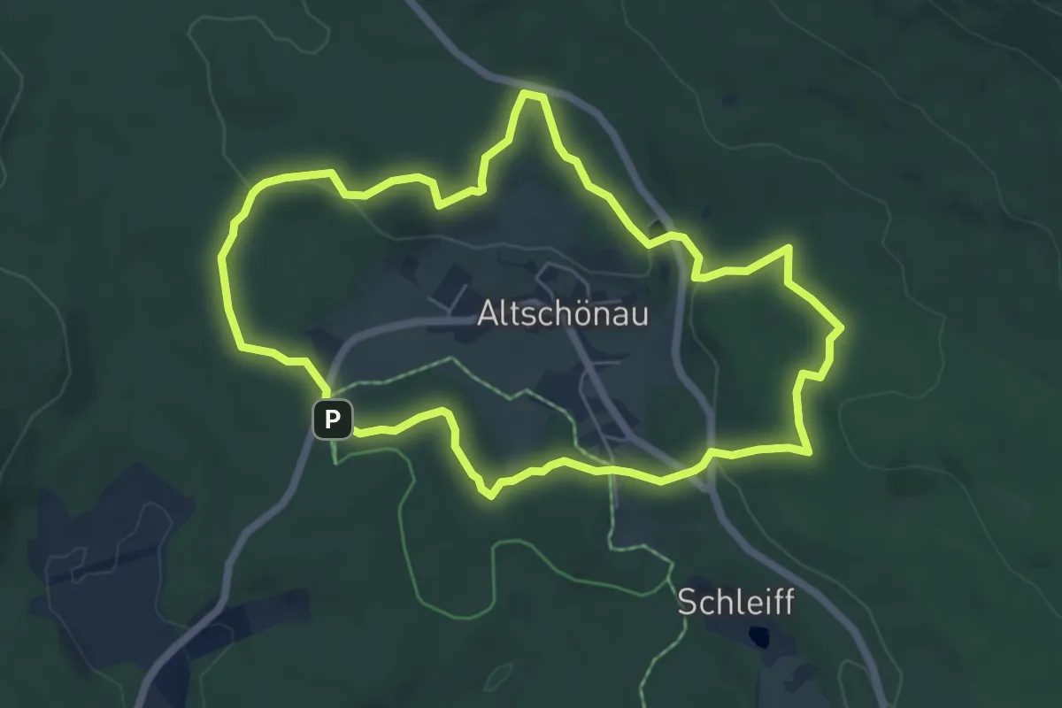
Easy · Trail
Rehbock
5.5 km · ↑ 107 m · 1 h 37 min
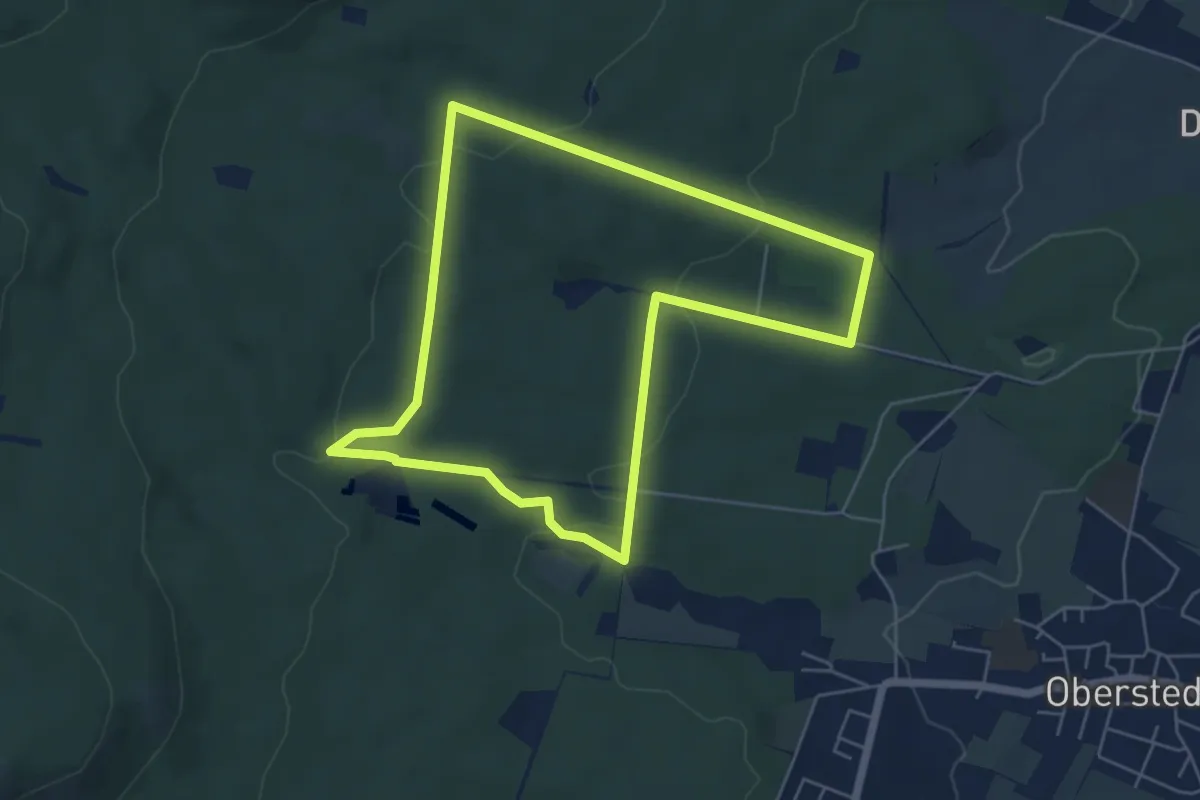
Easy · Trail
Rehbockweg
5.1 km · ↑ 99 m · 1 h 30 min