Trails in Germany
36,852 hiking trails, each with its route, climb, walking time and grade.
All trails, page 439 of 768
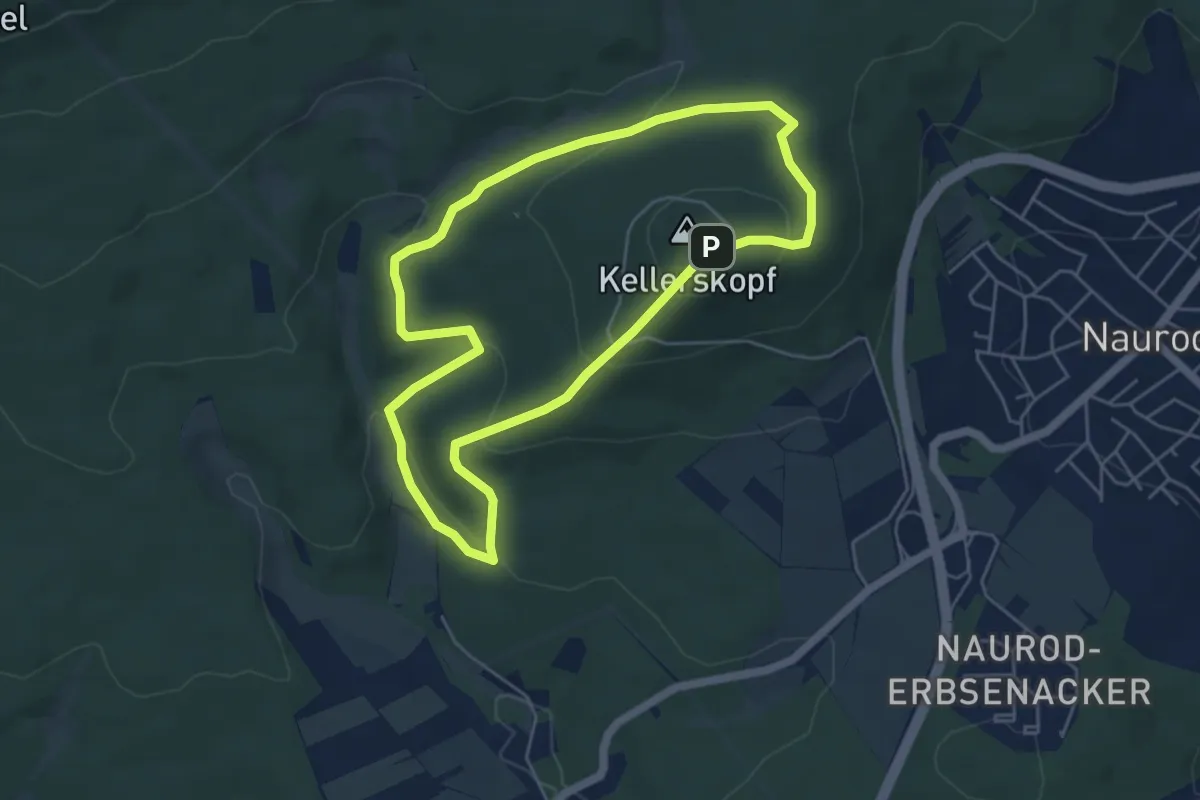
Easy · Summit
Rehbockweg
4.6 km · ↑ 195 m · 1 h 34 min
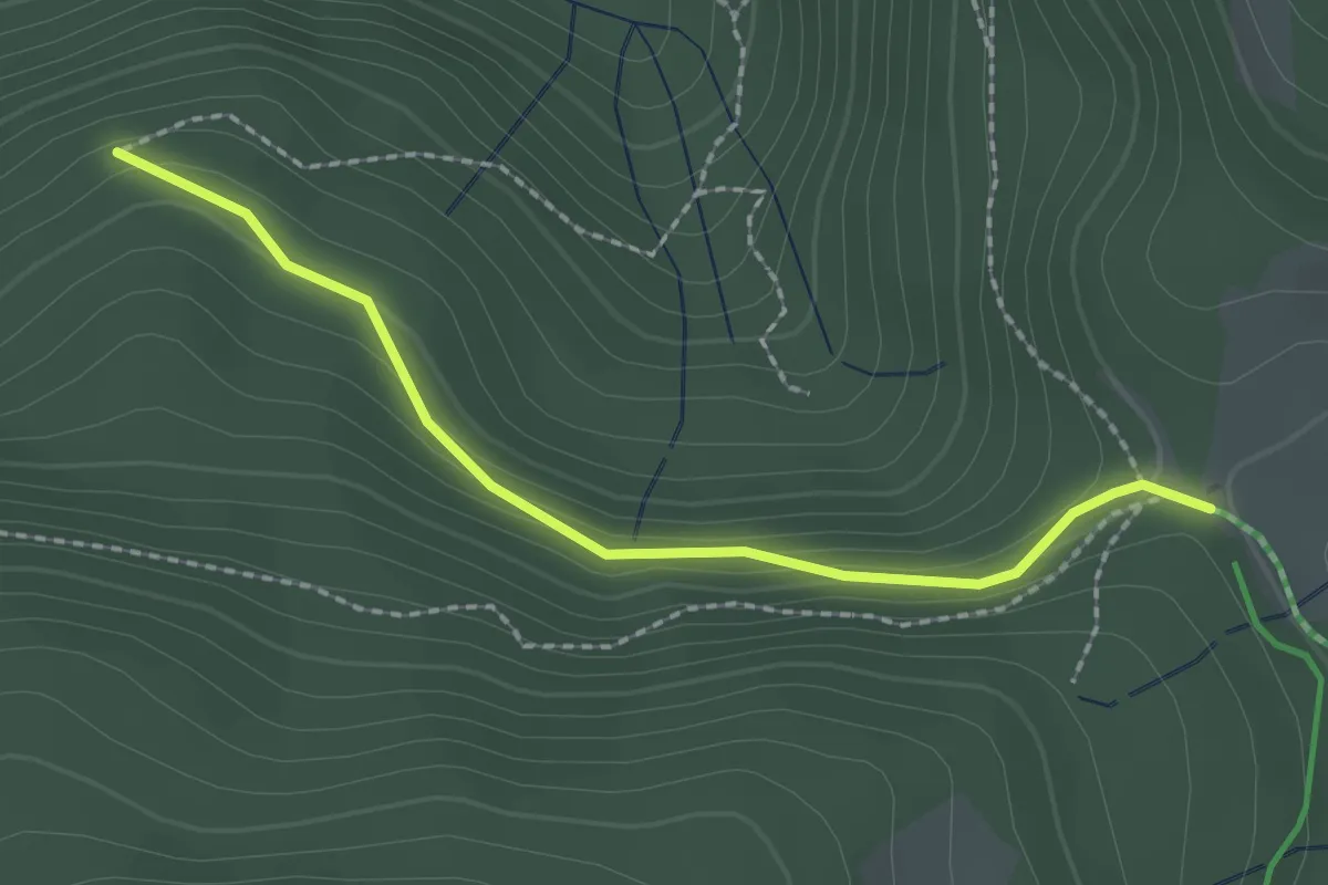
Easy · Trail
Rehbühl - Rinken
2.0 km · ↑ 93 m · 41 min
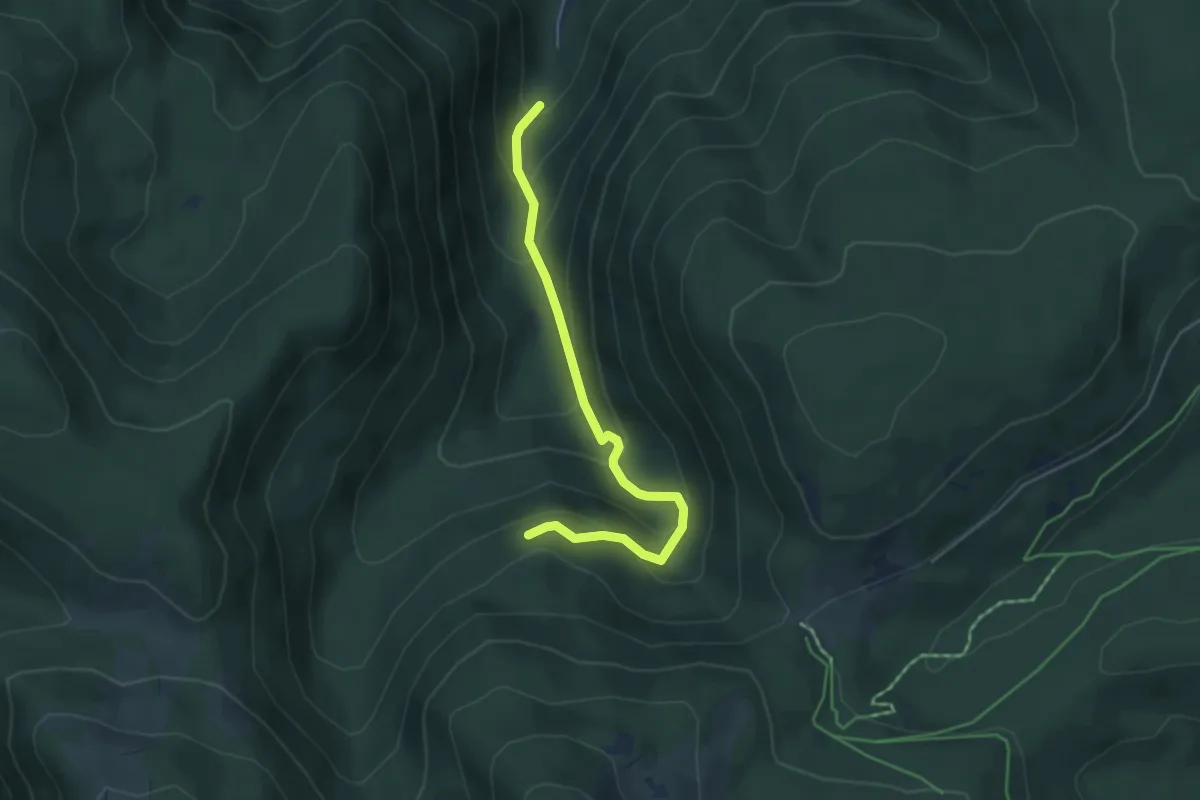
Medium · Trail
Rehbühl - Zastler Eislöcher
4.4 km · ↑ 337 m · 1 h 46 min
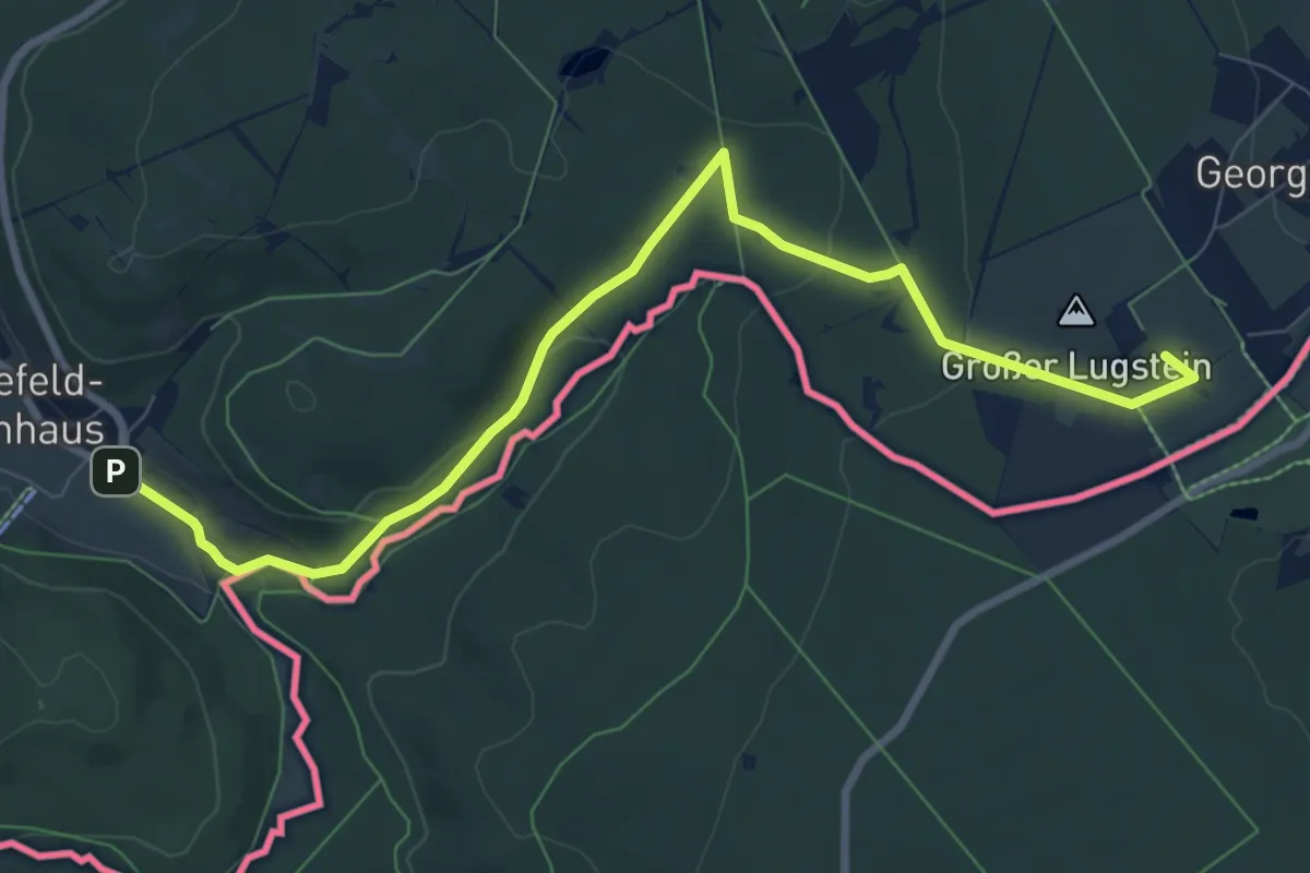
Medium · Summit
Rehefeld-Zinnwald
8.8 km · ↑ 197 m · 2 h 30 min
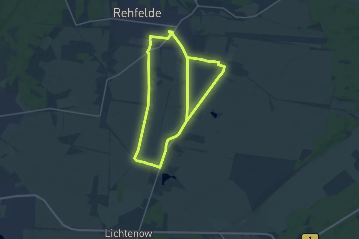
Medium · Summit
Rehfelder Liederweg
11.8 km · ↑ 12 m · 2 h 58 min
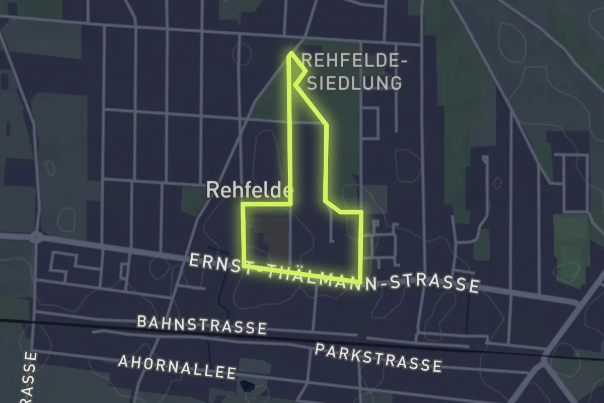
Easy · Trail
Rehfelder Naturlehrpfad
2.1 km · ↑ 0 m · 31 min
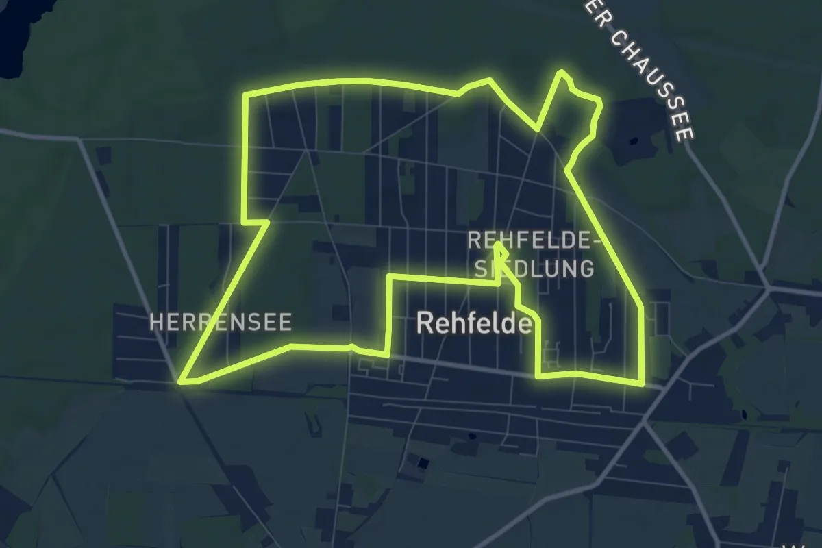
Medium · Trail
Rehfelder Natur- und Erlebnisrundweg
9.8 km · ↑ 22 m · 2 h 30 min
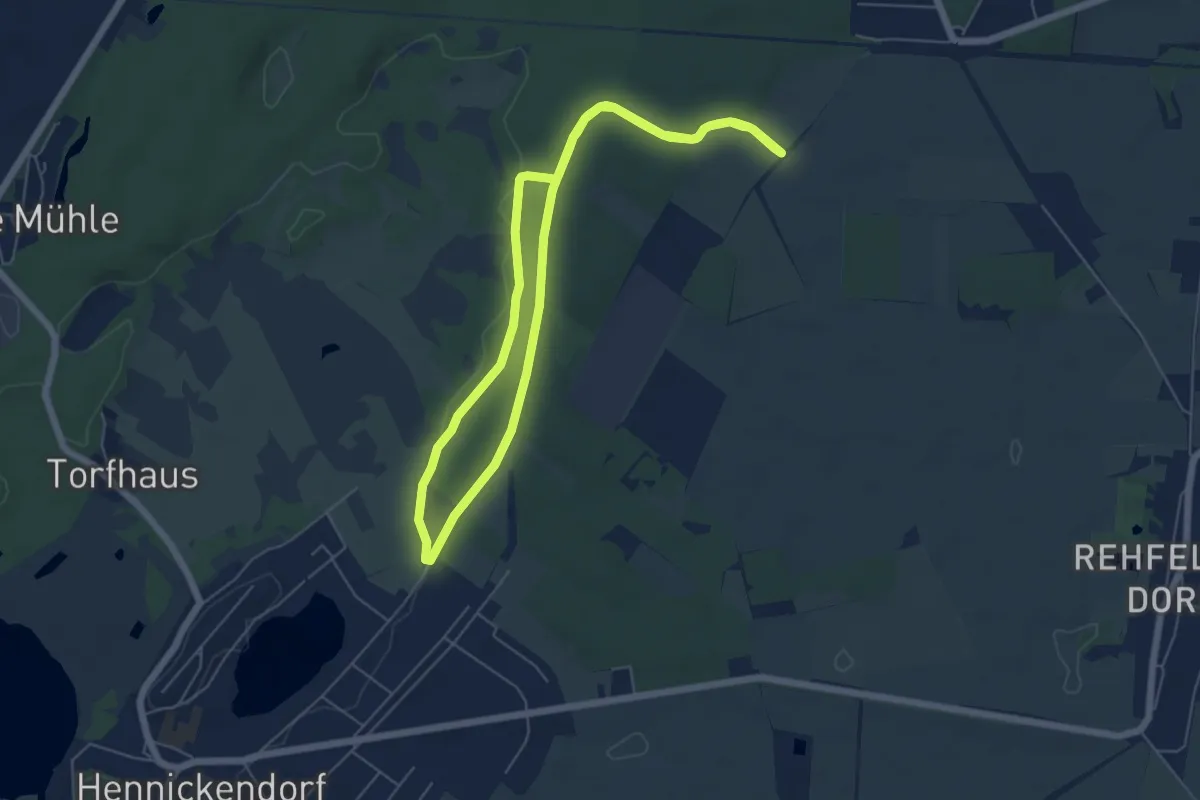
Easy · Trail
Rehfelder Rundweg Lange Dammwiesen
5.0 km · ↑ 25 m · 1 h 19 min
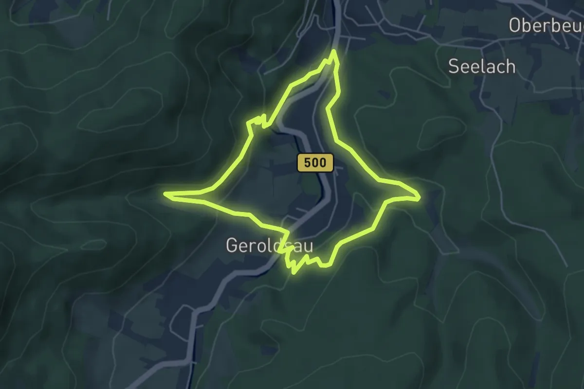
Easy · Trail
Rehgarten Rundweg
4.5 km · ↑ 185 m · 1 h 31 min
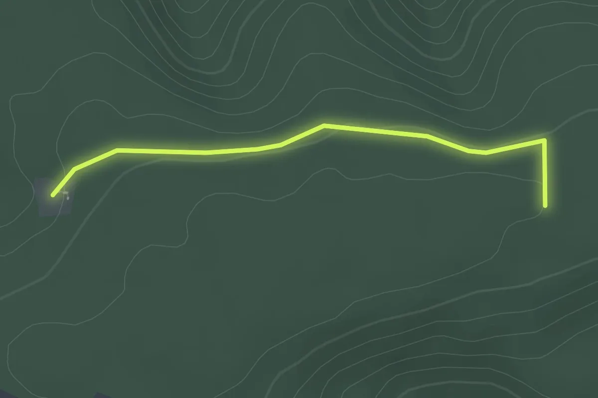
Easy · Trail
Rehhag - Rosshütte
2.2 km · ↑ 20 m · 34 min
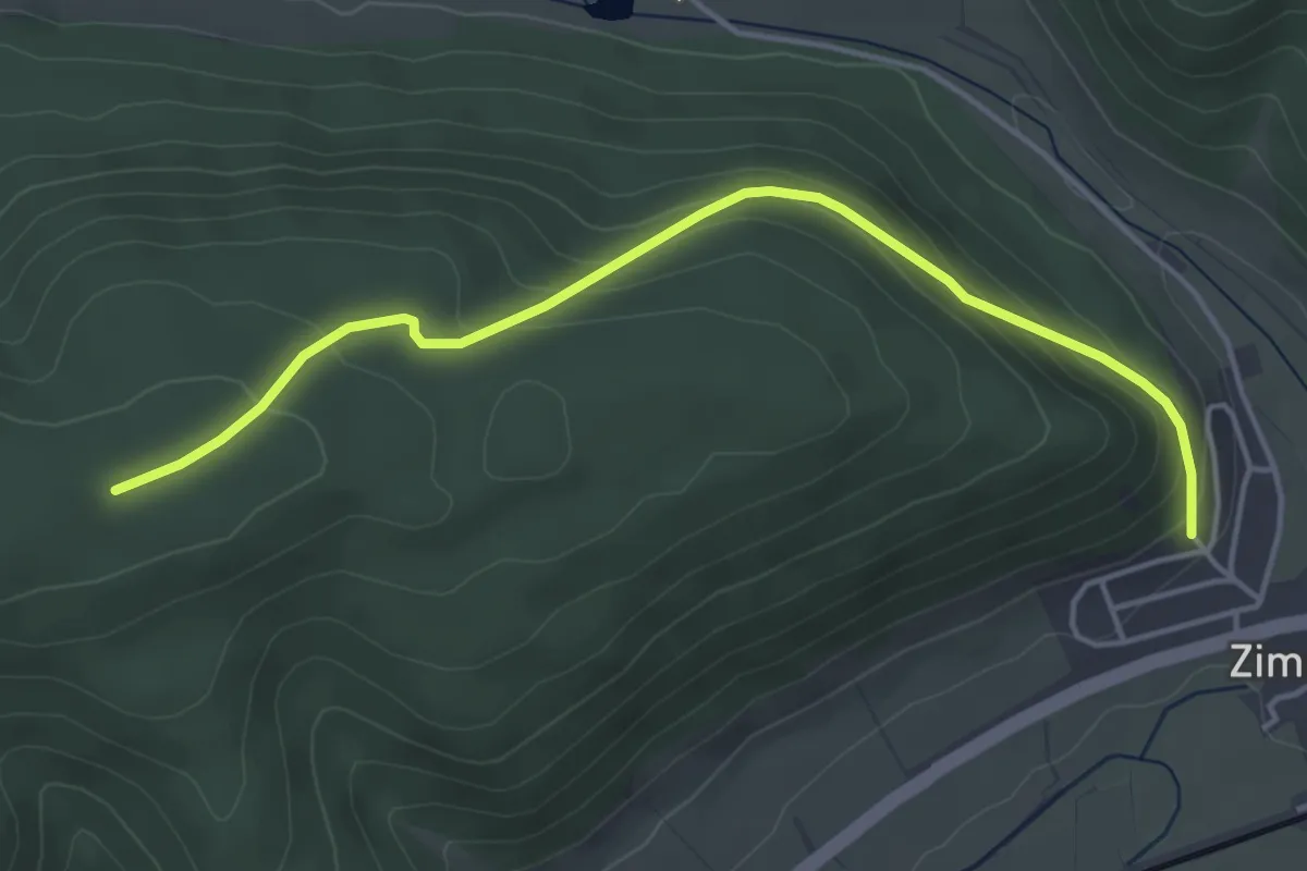
Easy · Trail
Rehhag - Zimmern Am Hornenberg
4.5 km · ↑ 208 m · 1 h 31 min
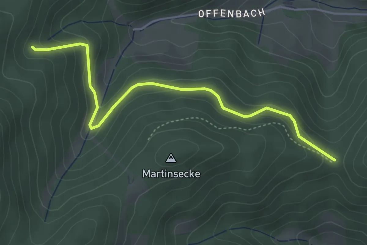
Easy · Trail
Rehhalde - Adenbauerneckle
4.2 km · ↑ 277 m · 1 h 35 min
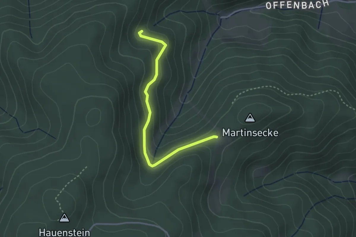
Easy · Trail
Rehhalde - Martinsecke Rennerebel
2.9 km · ↑ 204 m · 1 h 7 min
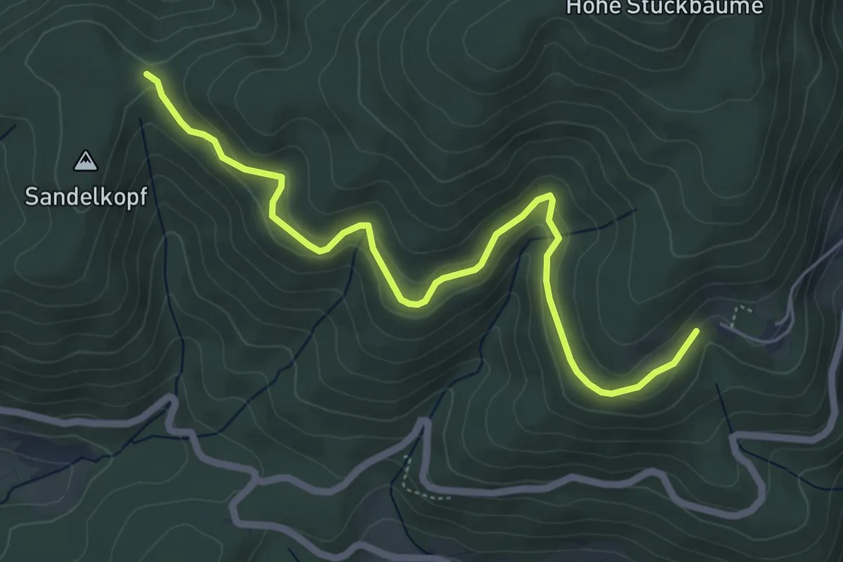
Easy · Trail
Rehhütte - Hagenmatt
5.7 km · ↑ 157 m · 1 h 41 min
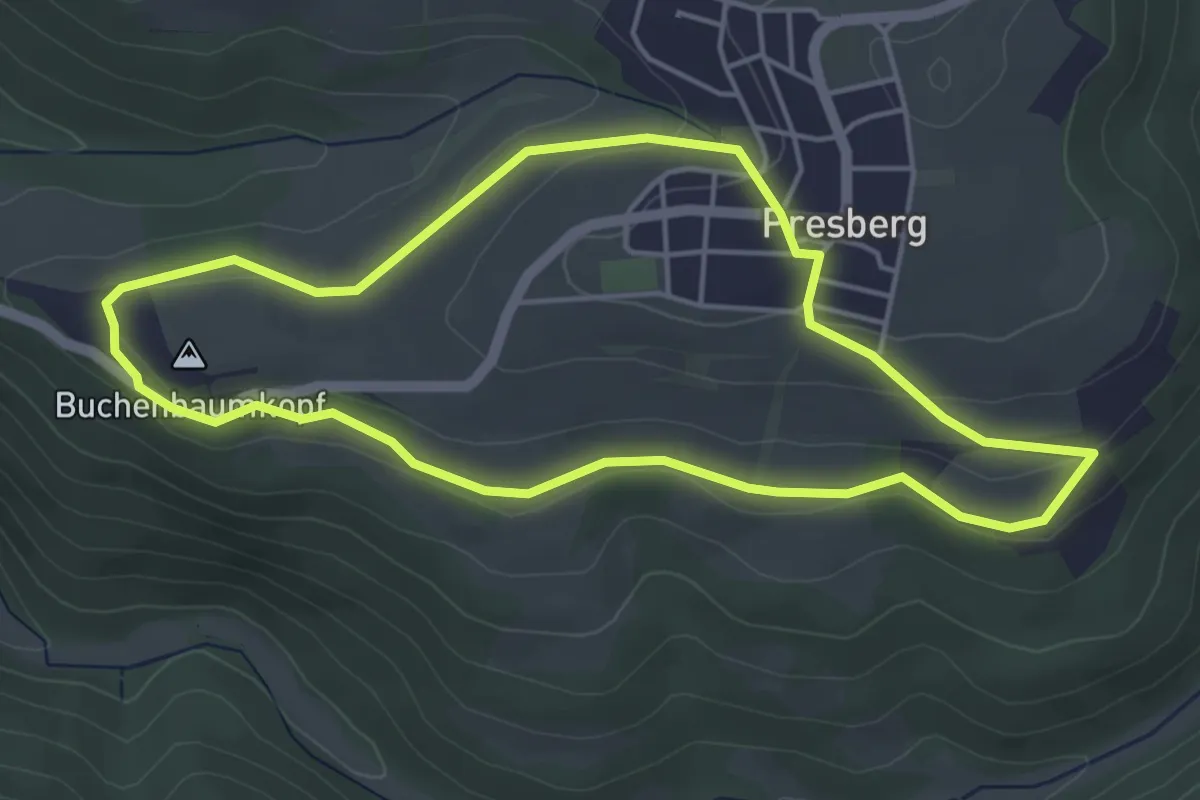
Easy · Summit
Rehkopf
4.2 km · ↑ 71 m · 1 h 12 min
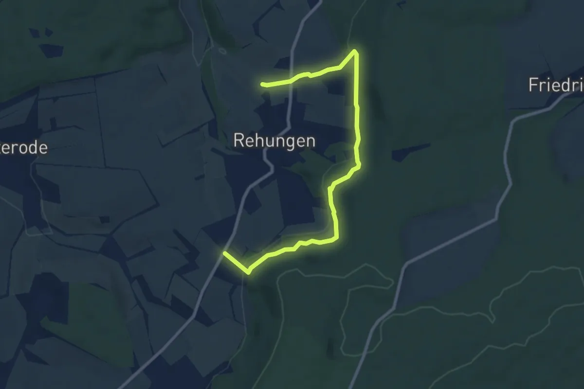
Easy · Trail
Rehsteig
3.8 km · ↑ 165 m · 1 h 17 min
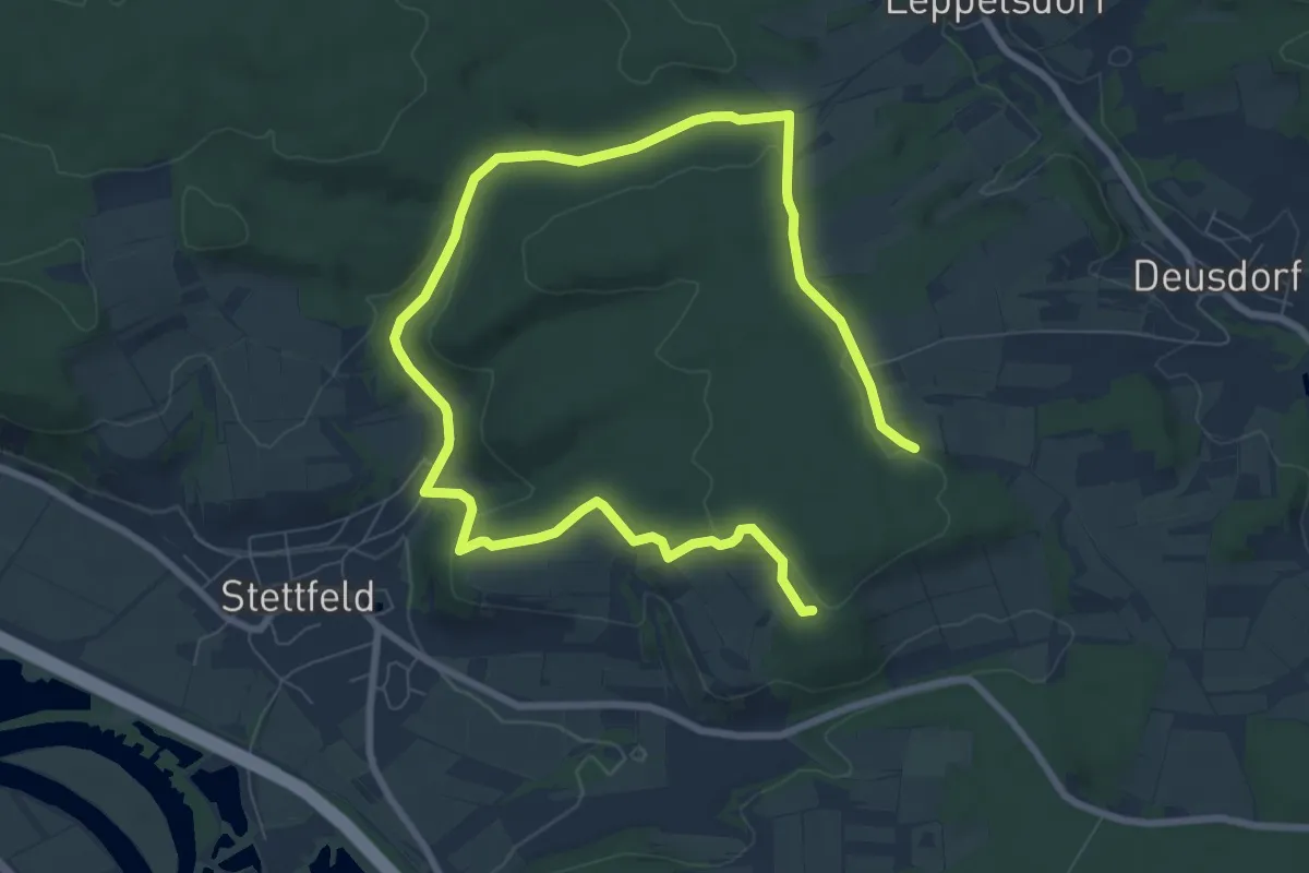
Medium · Trail
Reh-Wanderweg Stettfeld
11.7 km · ↑ 227 m · 3 h 16 min
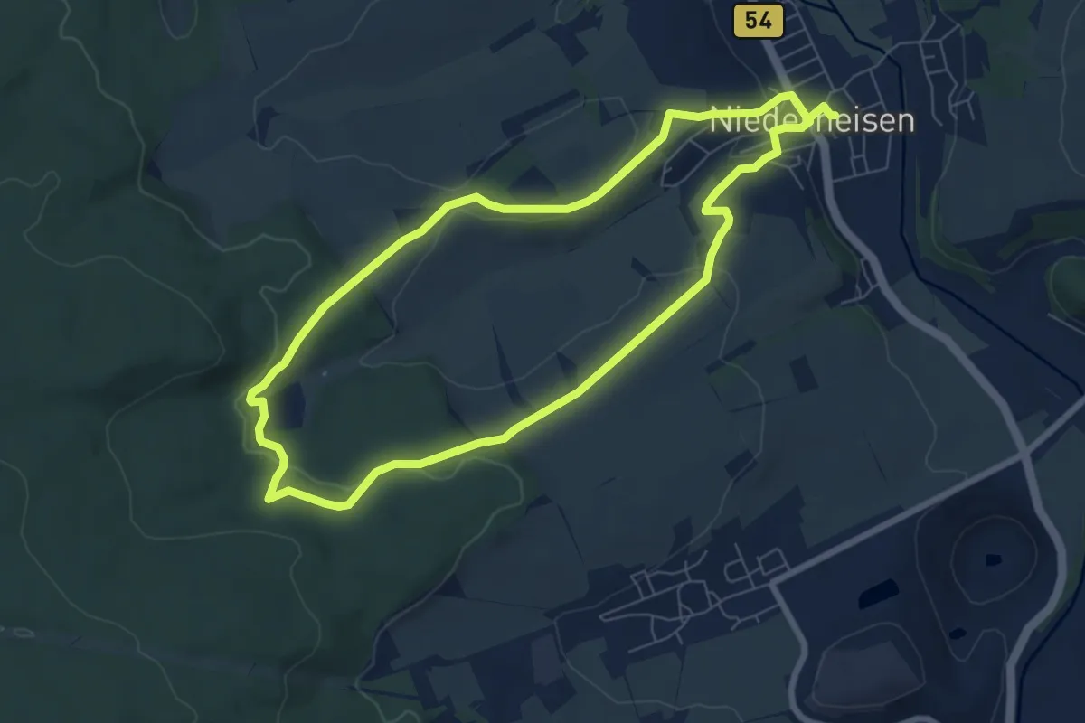
Easy · Summit
Rehweg
6.4 km · ↑ 173 m · 1 h 59 min
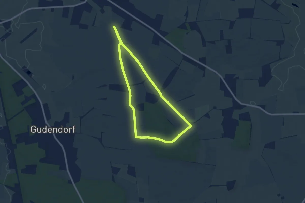
Easy · Trail
Rehweg
4.9 km · ↑ 33 m · 1 h 17 min
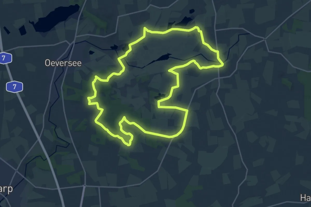
Demanding · Trail
Rehweg
18.0 km · ↑ 61 m · 4 h 38 min
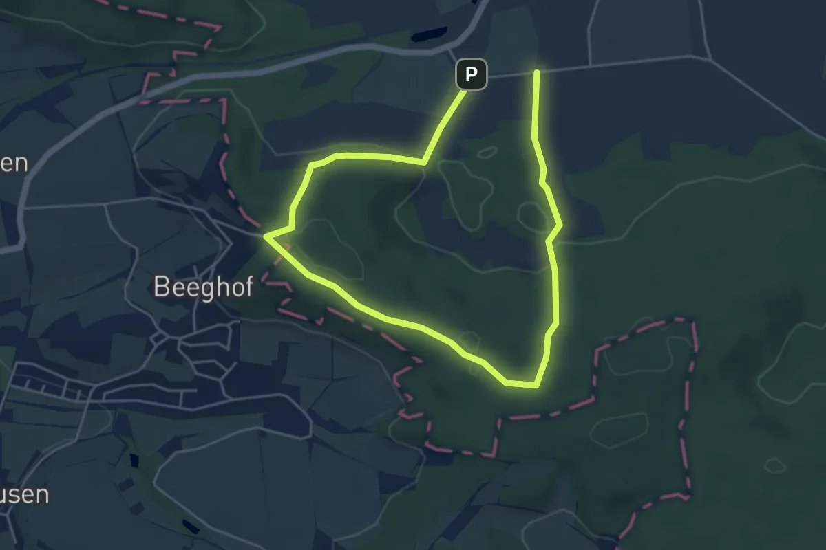
Medium · Summit
Rehweg Schnelldorf
3.6 km · ↑ 86 m · 1 h 5 min
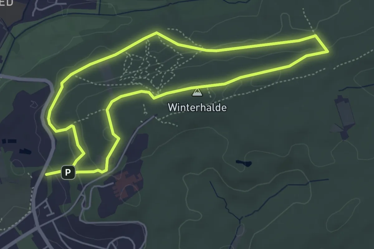
Easy · Summit
Rehweg Sindelfingen (kleine Runde)
4.6 km · ↑ 101 m · 1 h 22 min
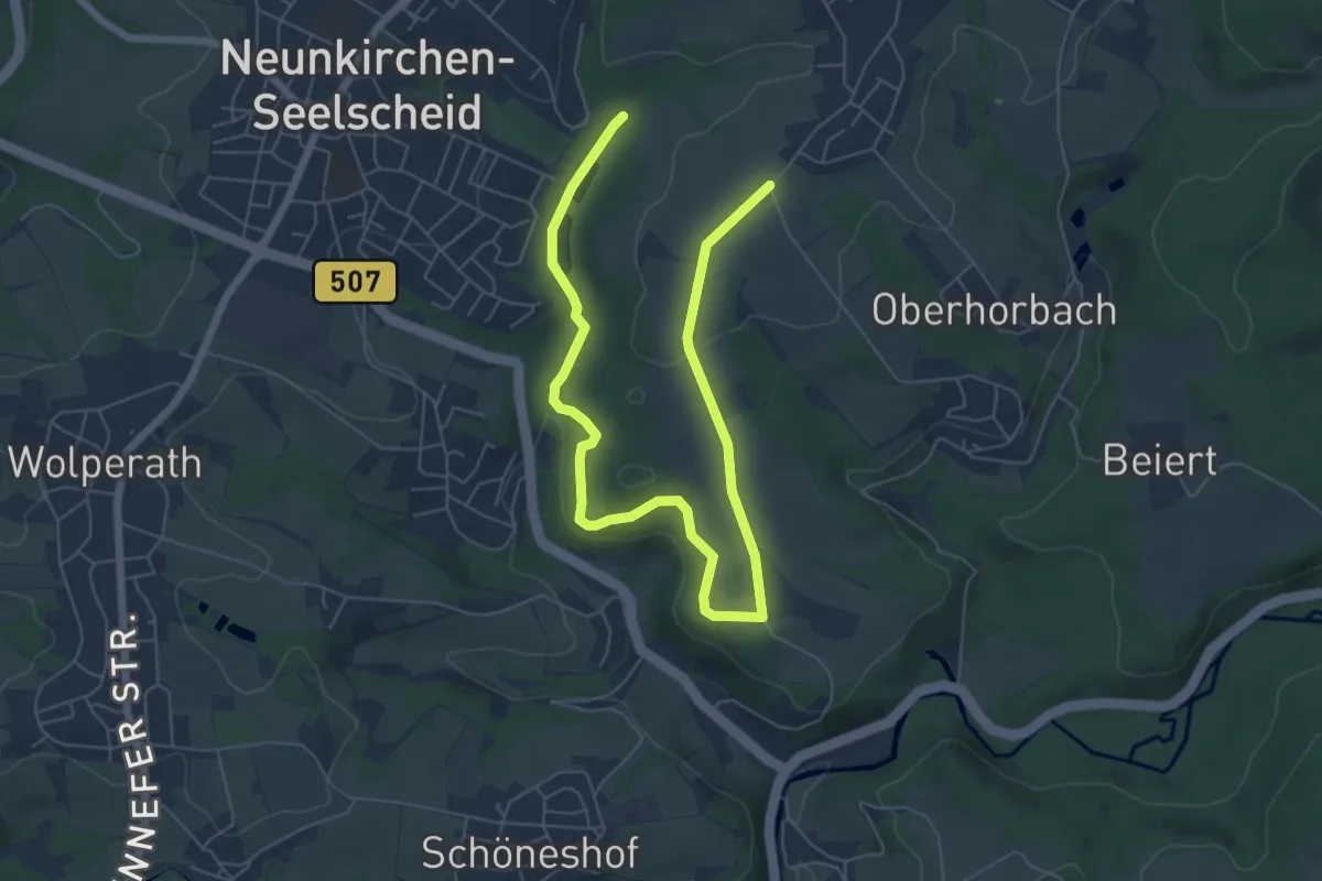
Easy · Trail
Rehwiese Rundweg A3
4.0 km · ↑ 65 m · 1 h 9 min
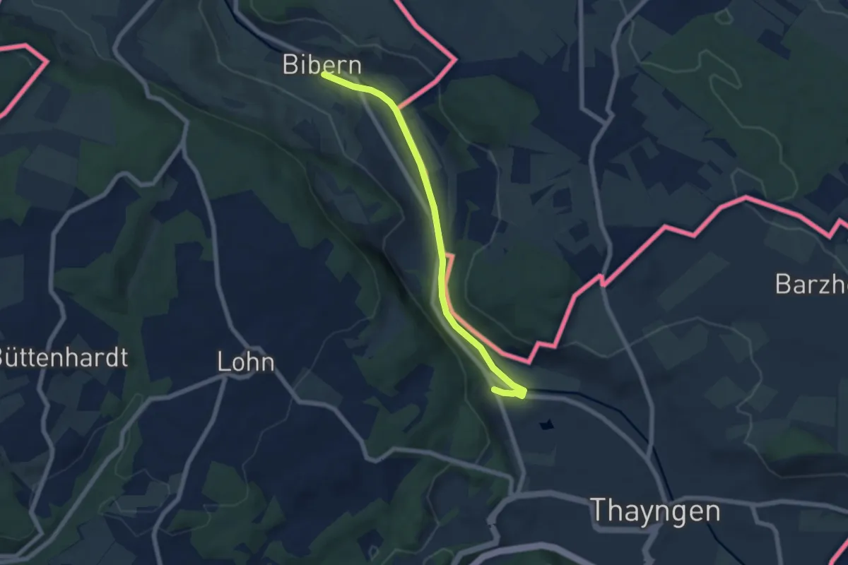
Easy · Trail
Reiatweg
5.8 km · ↑ 59 m · 1 h 29 min
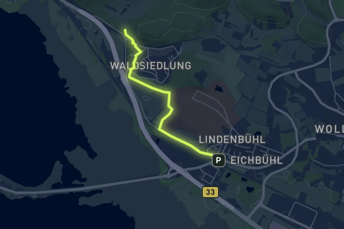
Easy · Trail
Reichenau Bahnhof - Waldparkplatz Dachsberg
4.4 km · ↑ 32 m · 1 h 7 min
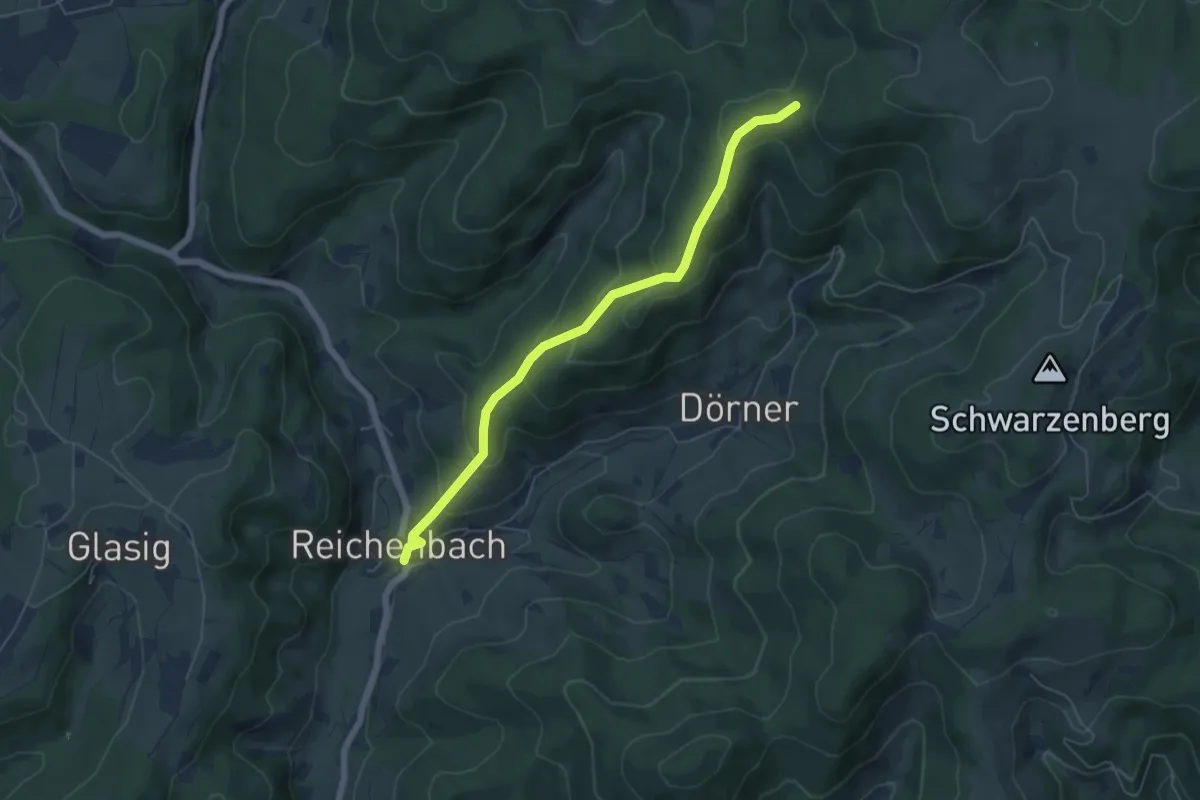
Easy · Trail
Reichenbach Dorf - Molchenwaldhütte
5.4 km · ↑ 315 m · 1 h 58 min
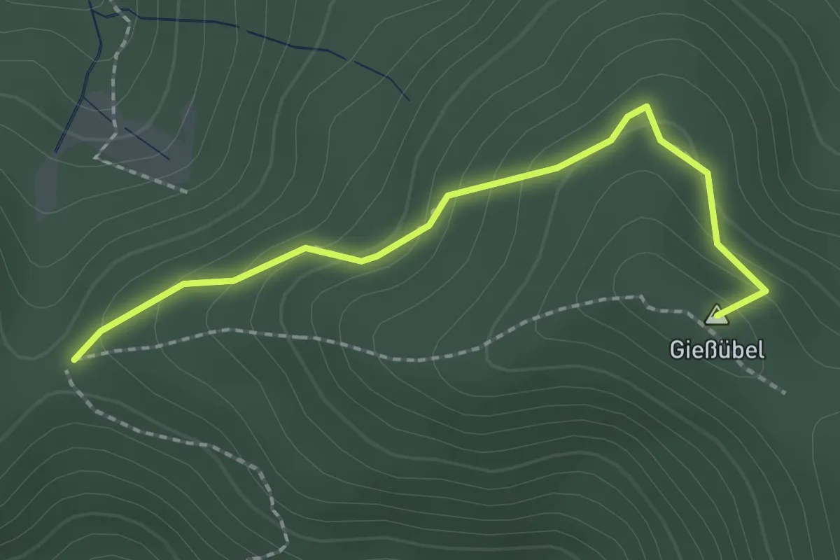
Easy · Summit
Reichenbacher Eckle - Satteleck
2.0 km · ↑ 135 m · 47 min
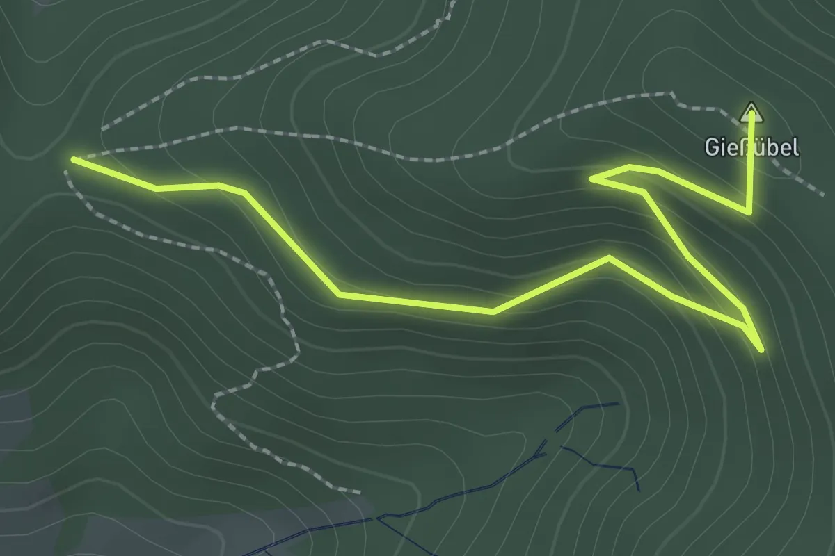
Easy · Summit
Reichenbacher Eckle - Satteleck
2.7 km · ↑ 138 m · 56 min
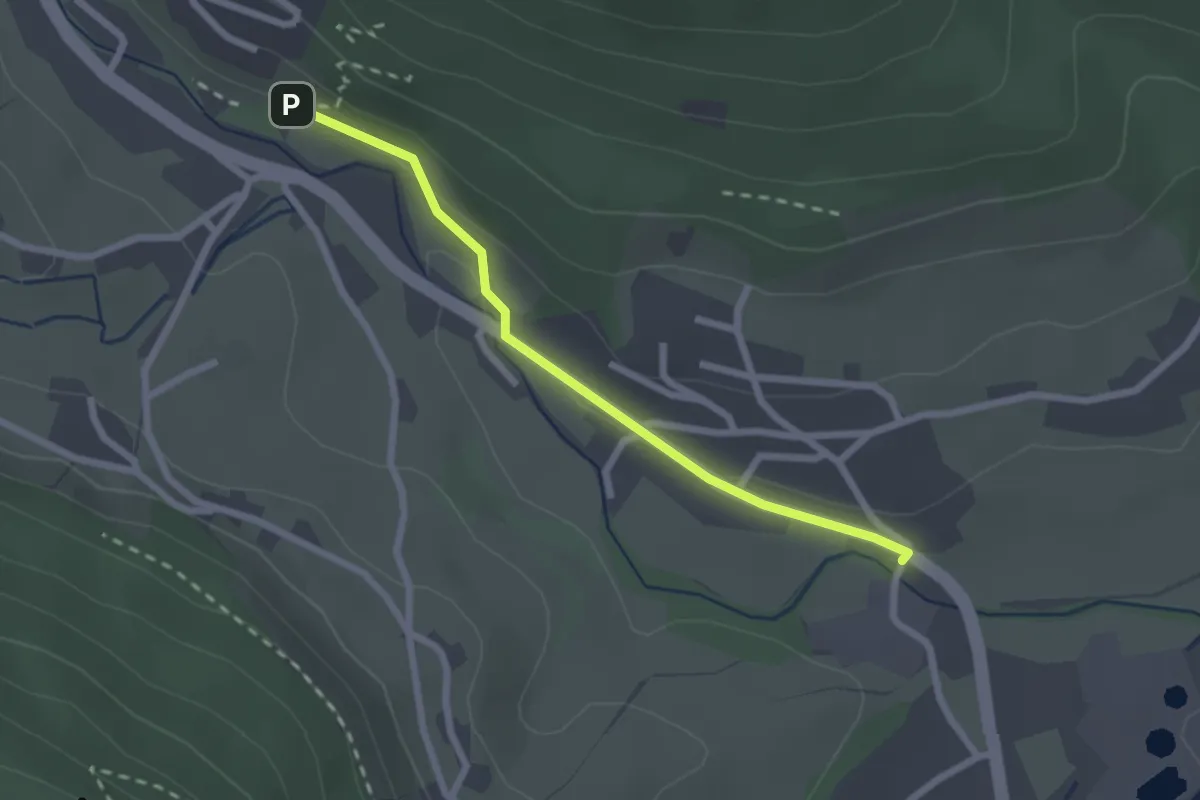
Easy · Trail
Reichenbacher Höfe - Steinriegel
2.1 km · ↑ 32 m · 35 min
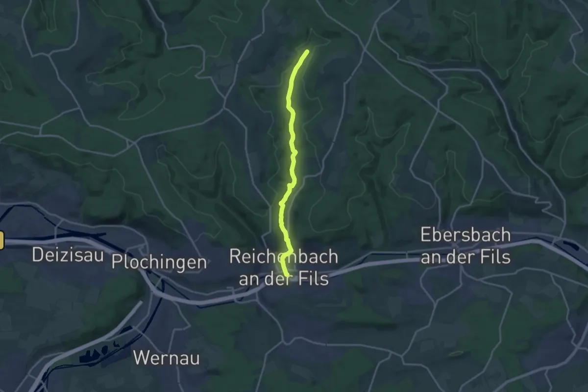
Medium · Trail
Reichenbach - Hohengehren
12.9 km · ↑ 265 m · 3 h 37 min
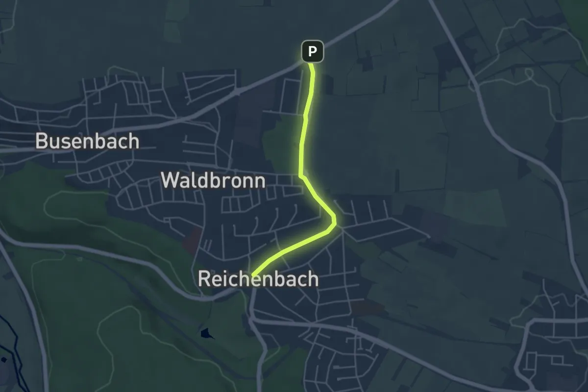
Easy · Trail
Reichenbach Ortsmitte - Wasserreservoir
3.6 km · ↑ 38 m · 56 min
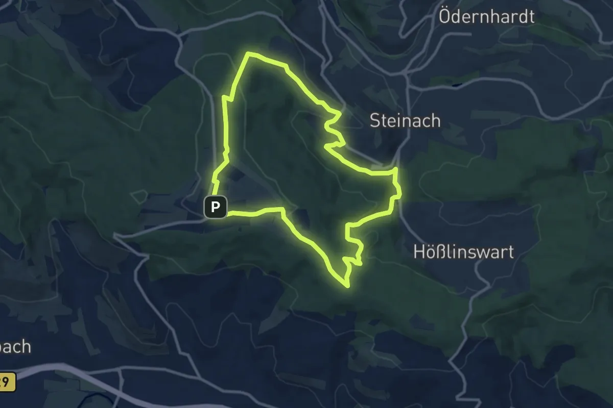
Medium · Summit
Reichenbach-Rundweg
9.3 km · ↑ 219 m · 2 h 47 min
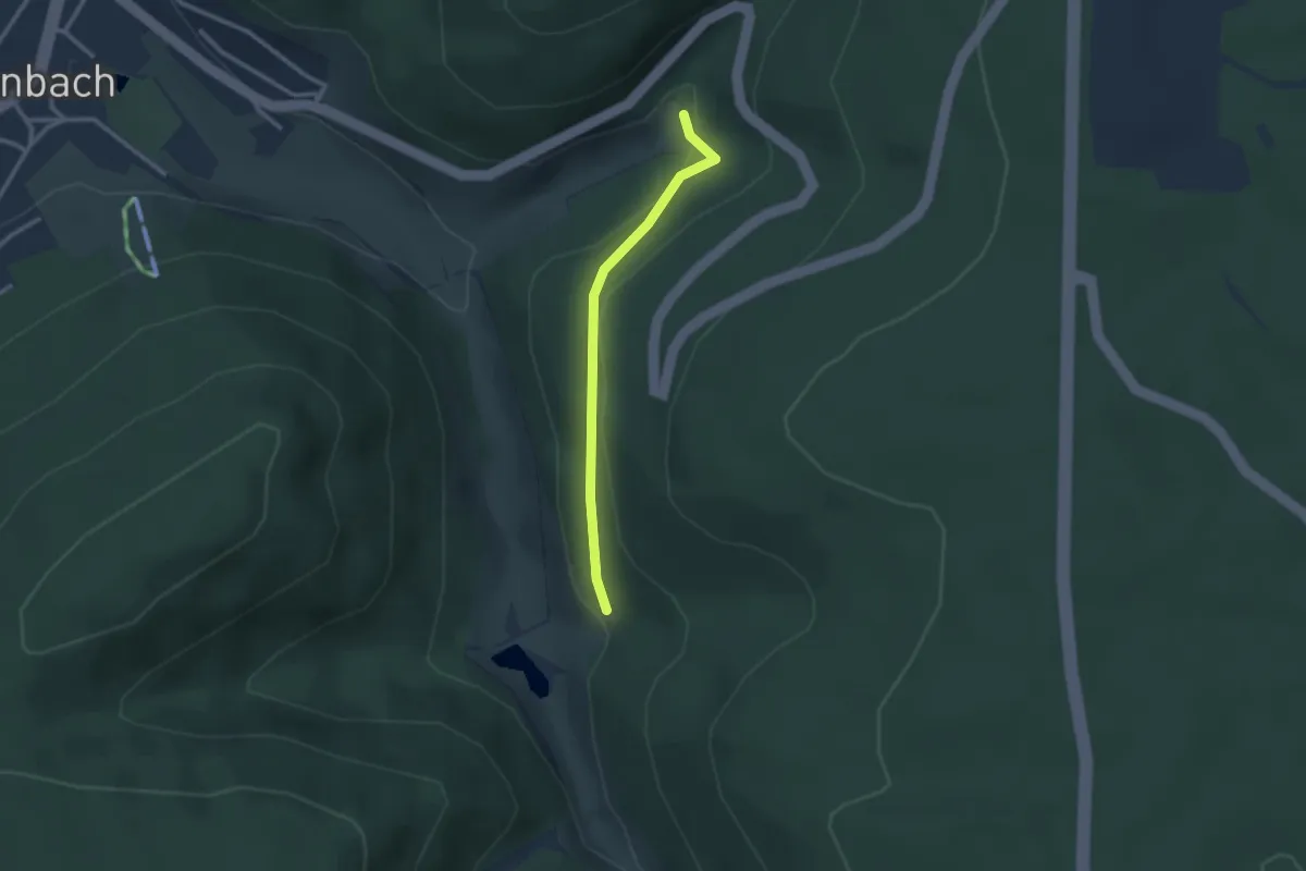
Easy · Trail
Reichenbachtal - Reuthäberle
2.3 km · ↑ 92 m · 44 min
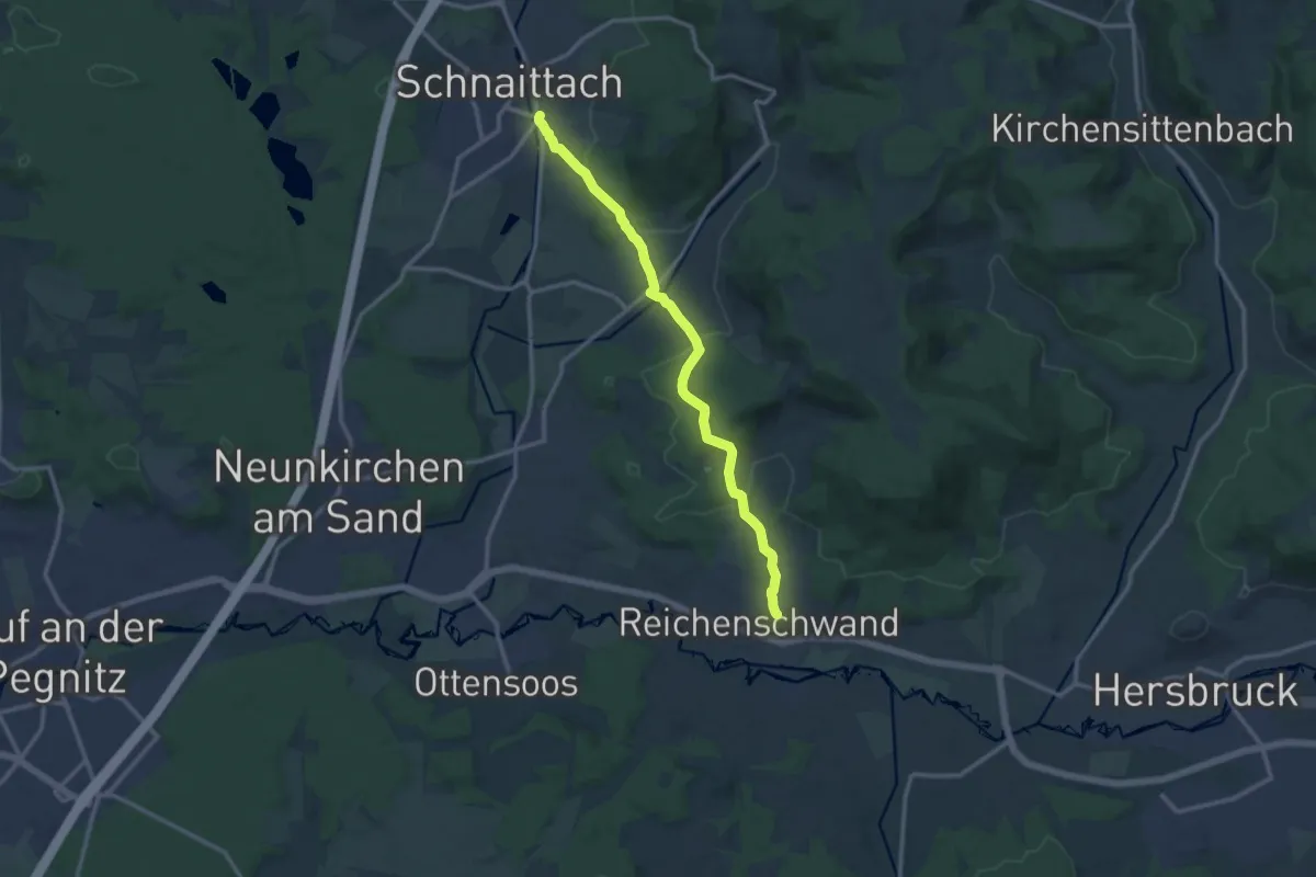
Medium · Trail
Reichenschwand -Schnaittach
11.5 km · ↑ 312 m · 3 h 24 min
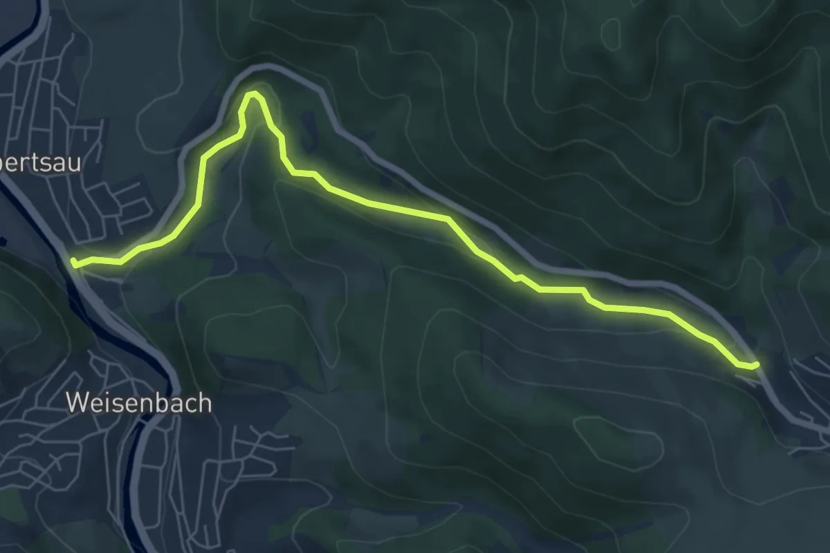
Easy · Trail
Reichentaler Straße - Am Ölberg
6.6 km · ↑ 184 m · 1 h 57 min
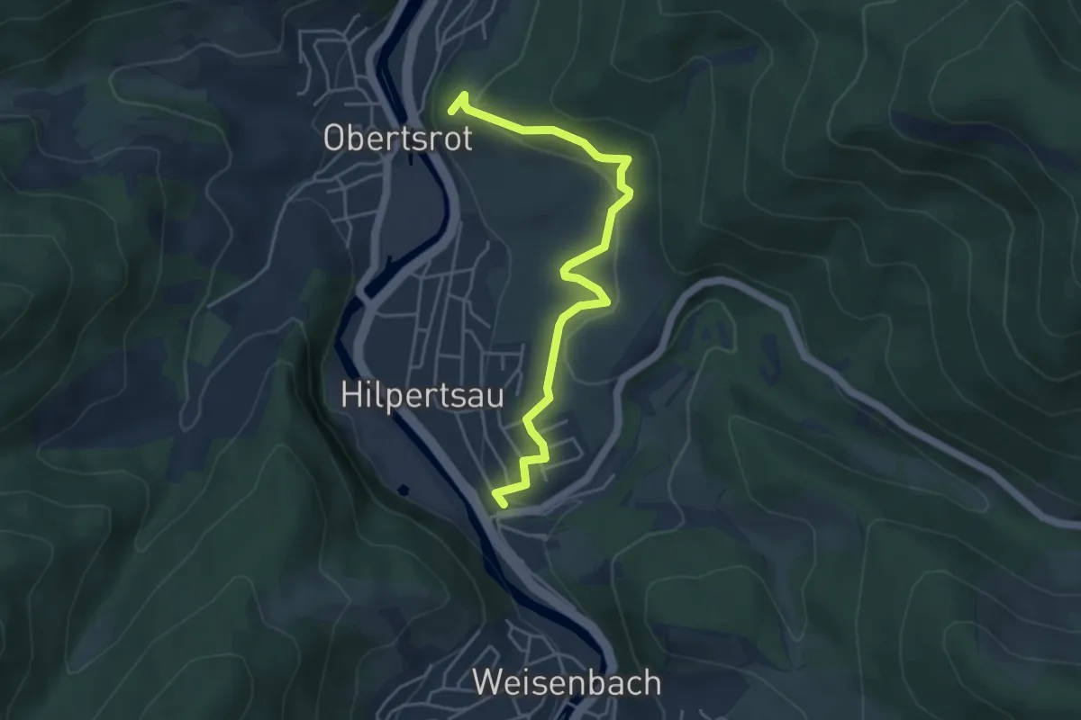
Easy · Trail
Reichentaler Straße - Hengstberger Rück
4.3 km · ↑ 178 m · 1 h 25 min
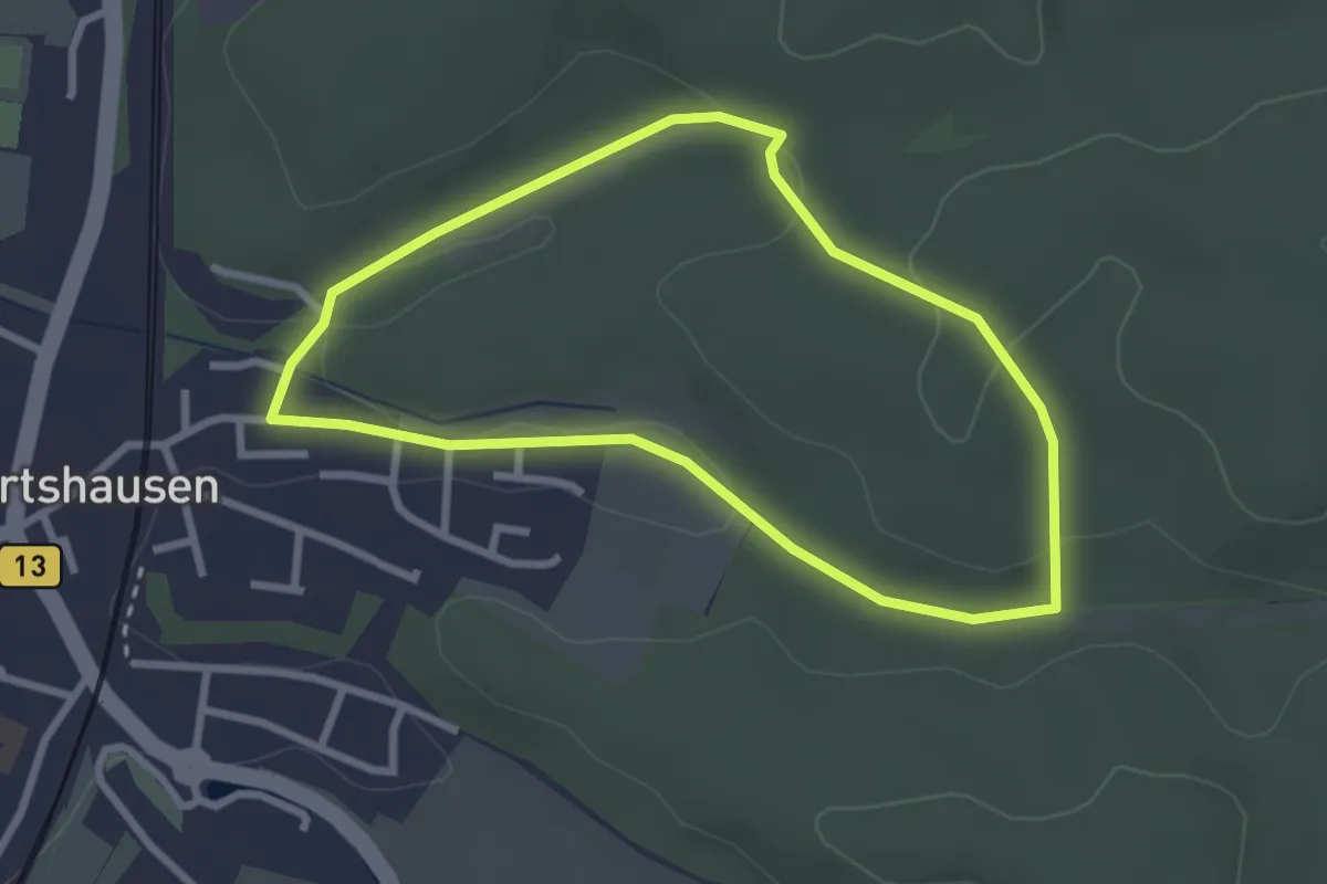
Easy · Trail
Reichertshausener Wege (4 / rot-kurz)
2.5 km · ↑ 46 m · 43 min
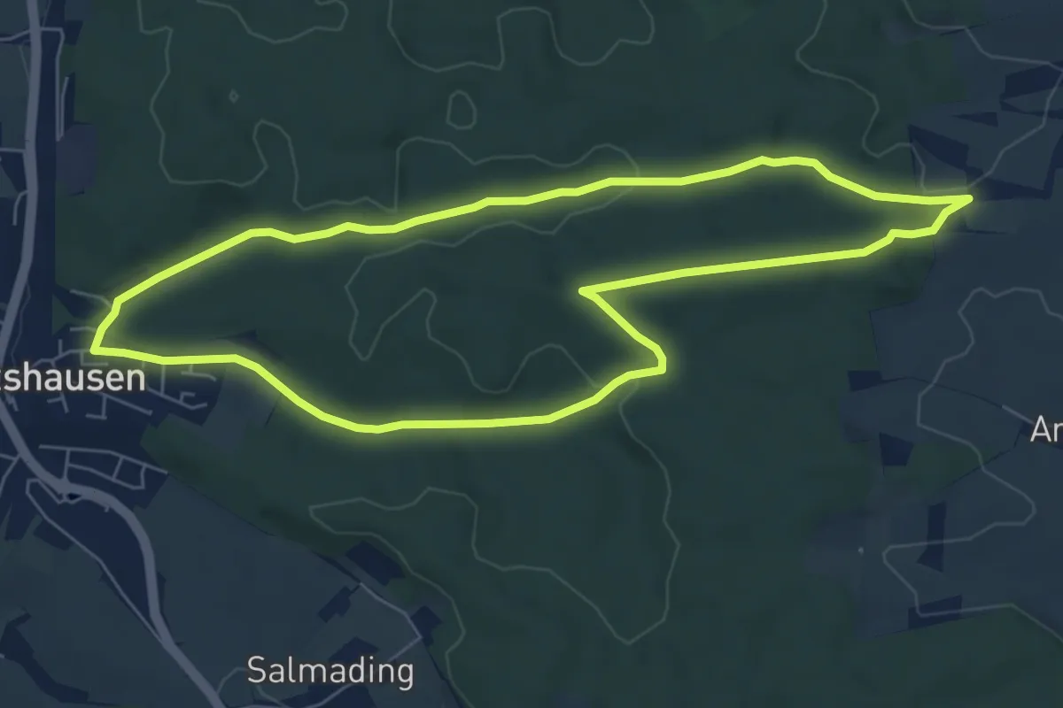
Easy · Trail
Reichertshausener Wege (4 / rot-lang)
6.3 km · ↑ 91 m · 1 h 47 min
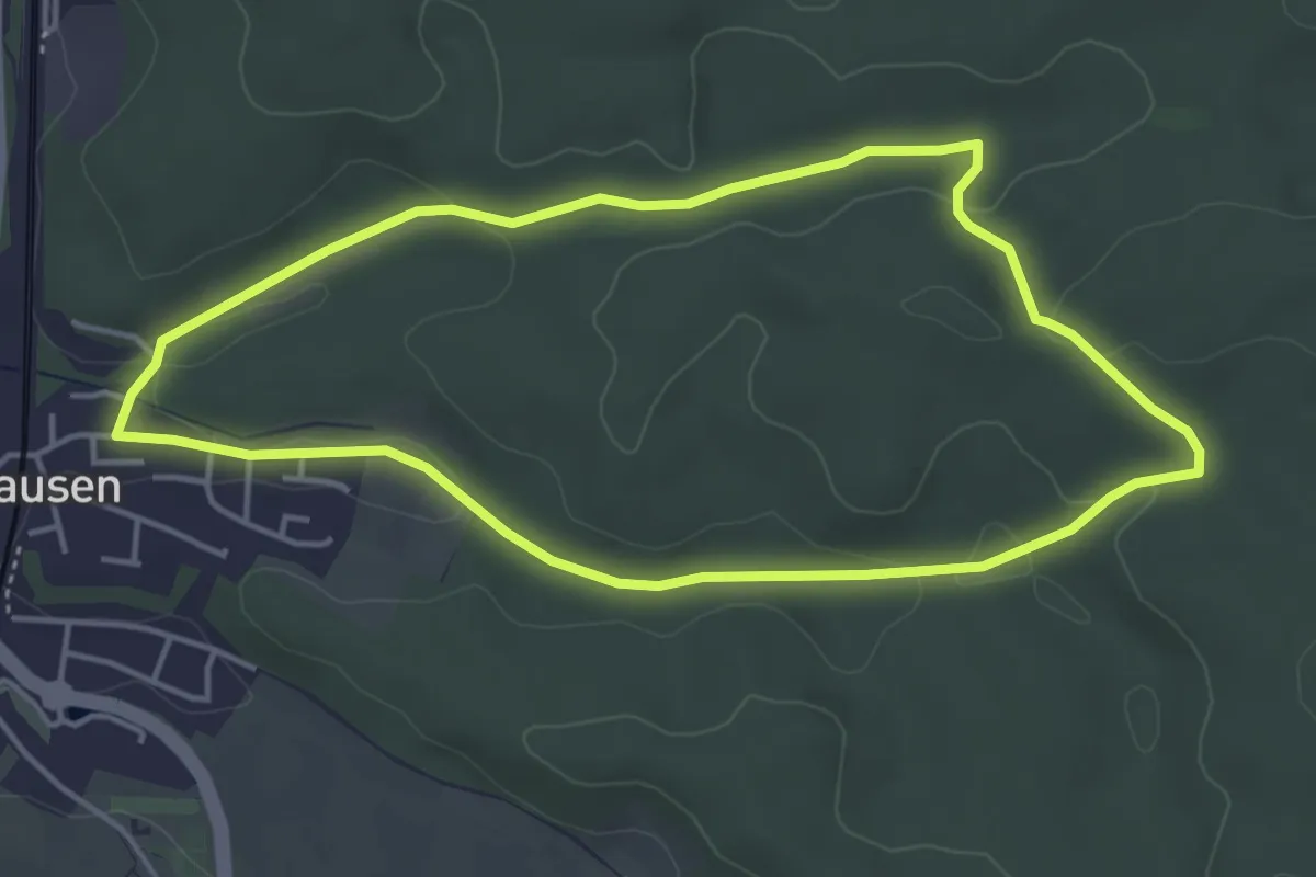
Easy · Trail
Reichertshausener Wege (4 / rot-mittel)
4.1 km · ↑ 62 m · 1 h 10 min
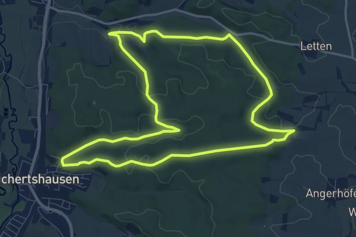
Medium · Trail
Reichertshausen-Ilmmünster-Weg (2 / grün)
8.9 km · ↑ 157 m · 2 h 34 min
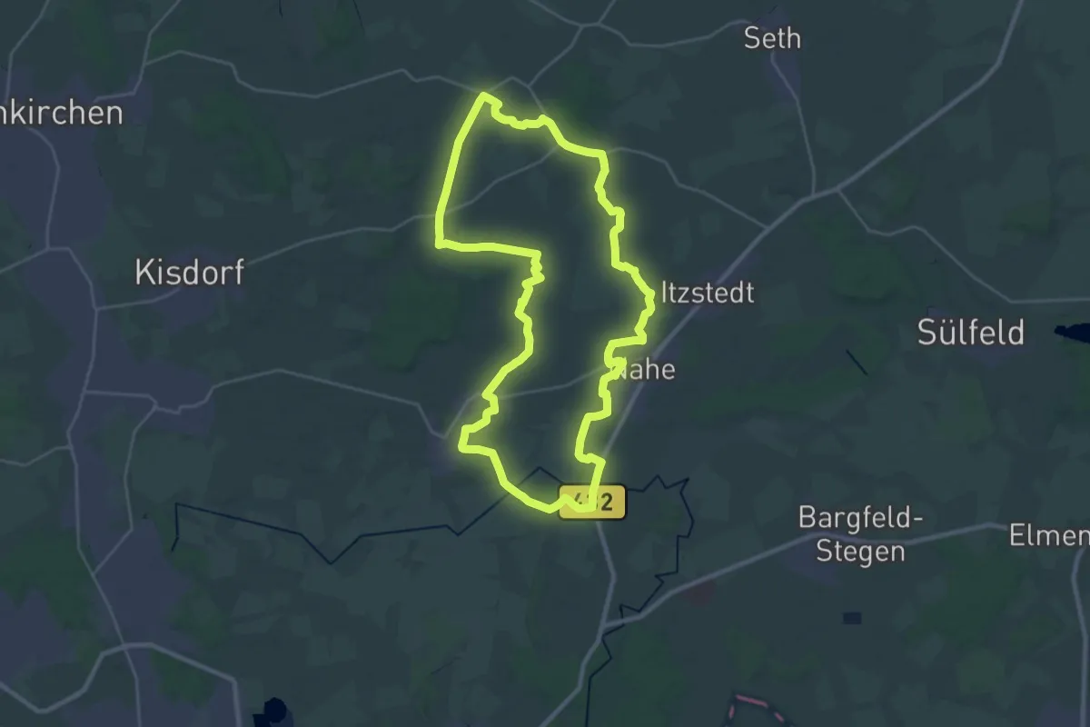
Demanding · Trail
Reichhaltige Rönne-Runde
24.9 km · ↑ 68 m · 6 h 22 min
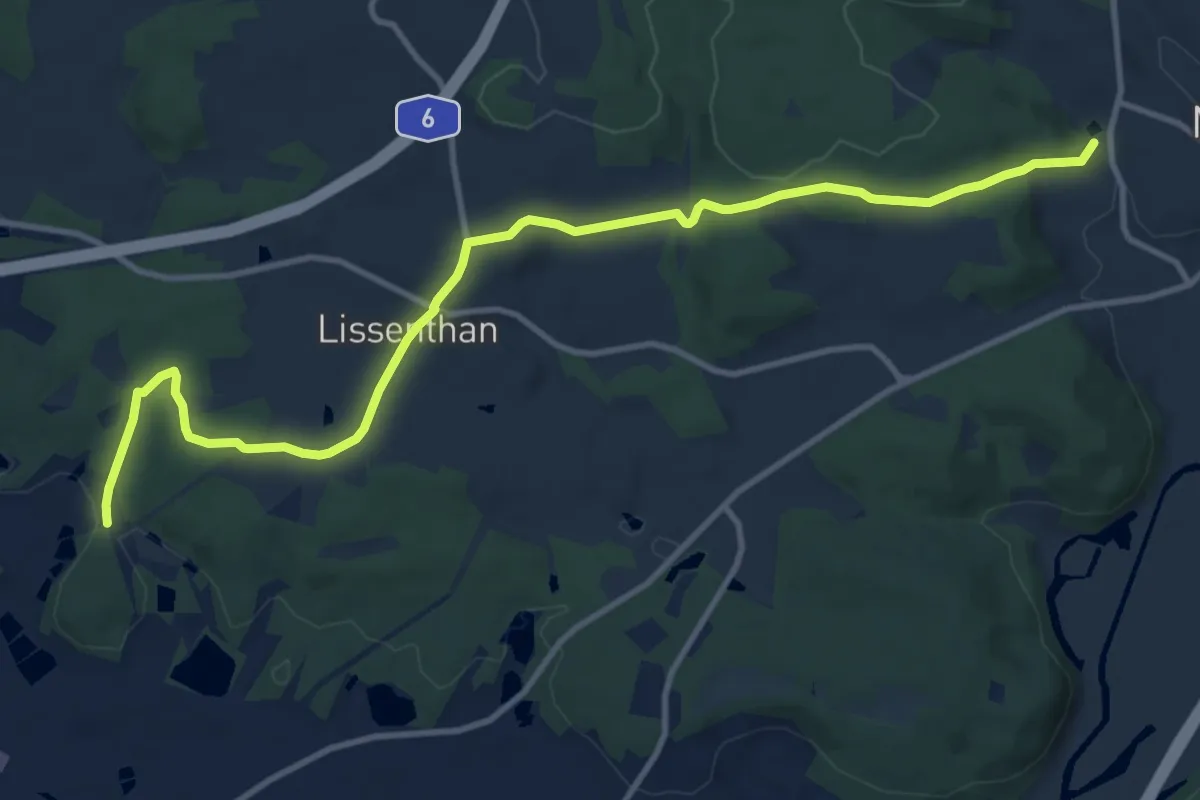
Medium · Trail
Reichhartschacht
12.0 km · ↑ 230 m · 3 h 20 min
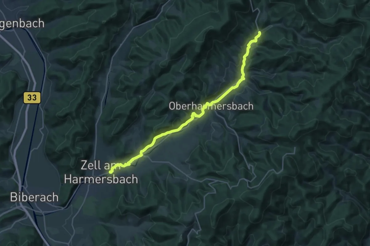
Demanding · Trail
Reichstalpfad
21.5 km · ↑ 436 m · 6 h 1 min
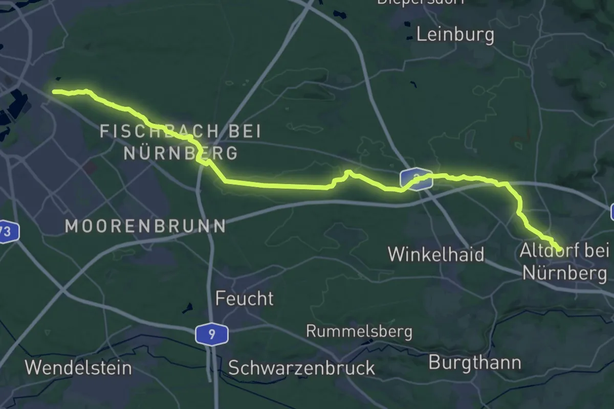
Demanding · Trail
Reichswaldweg
19.8 km · ↑ 246 m · 5 h 25 min
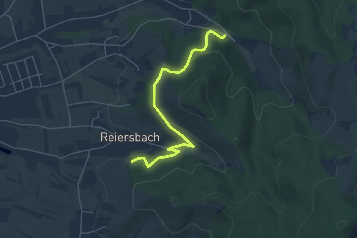
Easy · Trail
Reiersbach - Waldparkplatz Kaier
4.2 km · ↑ 144 m · 1 h 18 min
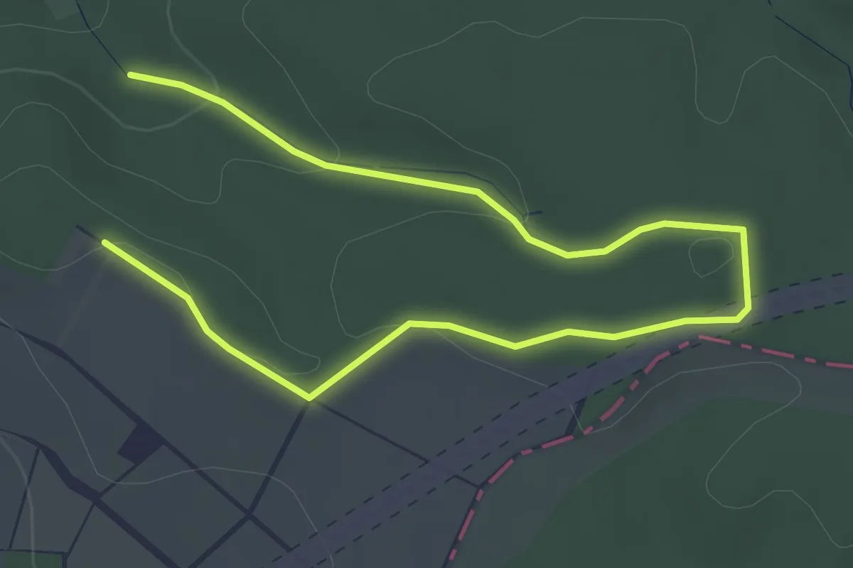
Easy · Summit
Reiffenhausen Blau
2.4 km · ↑ 64 m · 44 min
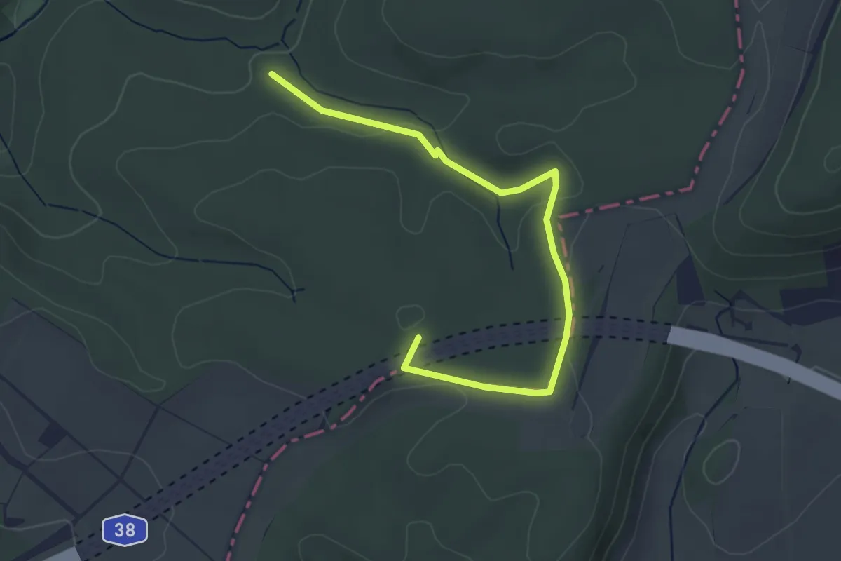
Easy · Summit
Reiffenhausen Gelb
3.9 km · ↑ 65 m · 1 h 3 min
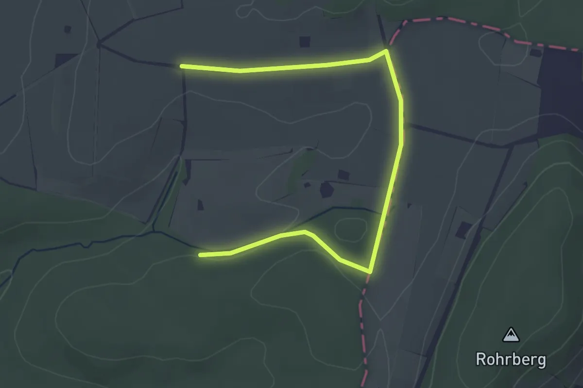
Easy · Trail
Reiffenhausen Grün
3.8 km · ↑ 53 m · 1 h