Trails in Germany
36,852 hiking trails, each with its route, climb, walking time and grade.
All trails, page 454 of 768
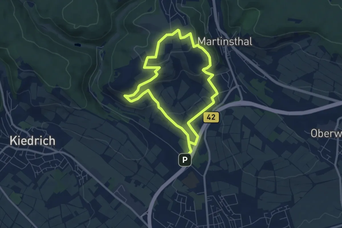
Easy · Summit
Riesling Schleife Rauenthaler Baiken
5.8 km · ↑ 152 m · 1 h 46 min
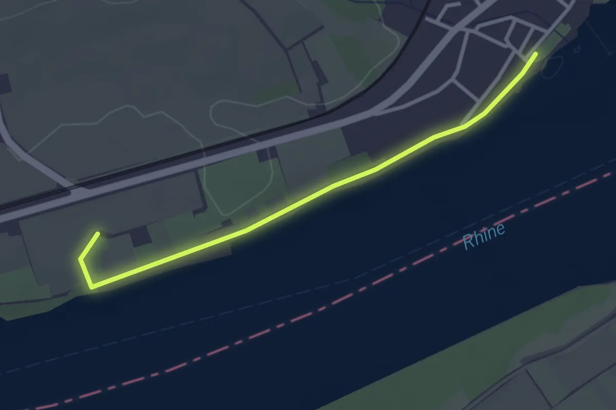
Easy · Trail
Riesling Schleife Rhein und Reben
1.4 km · ↑ 9 m · 22 min
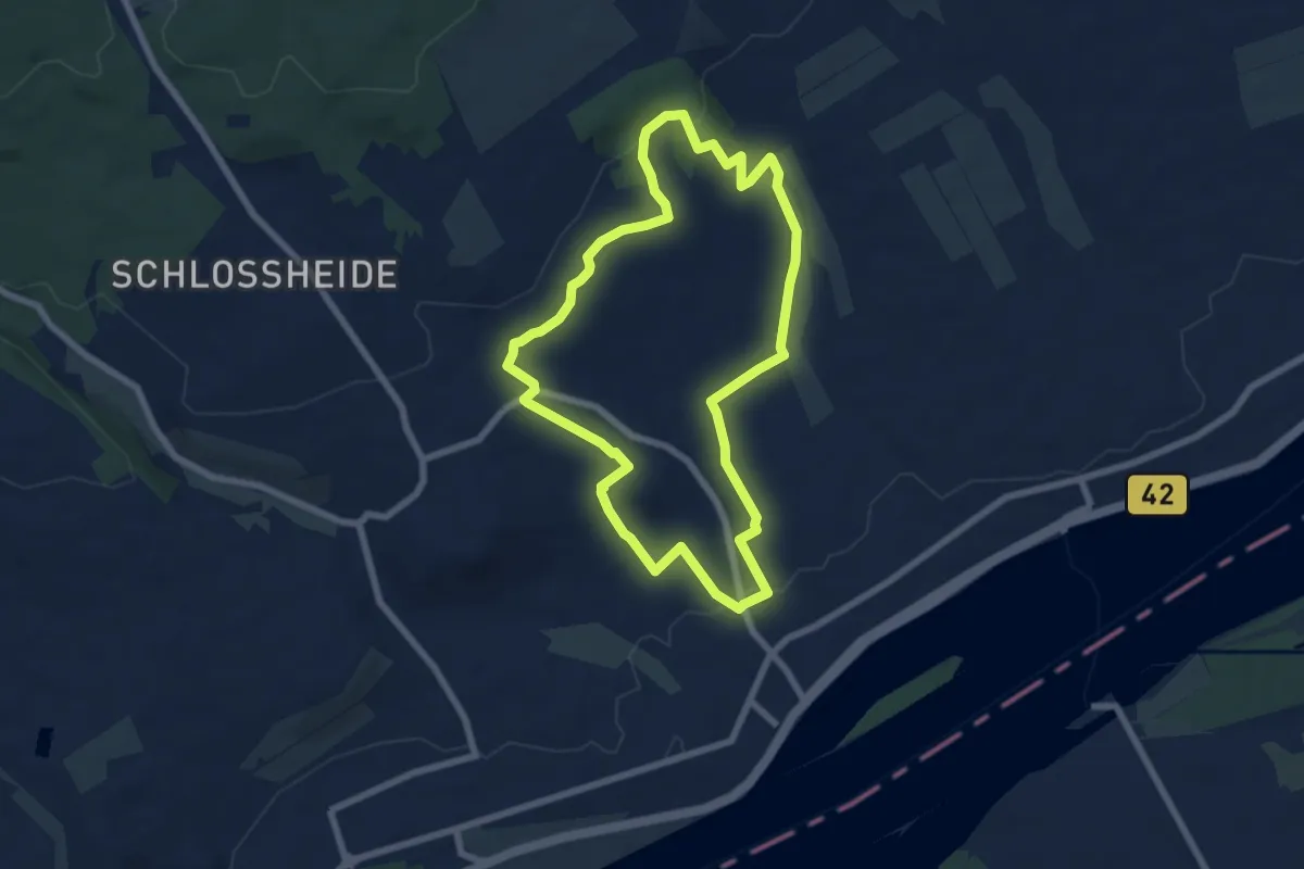
Easy · Trail
Riesling Schleife Schlösserblick
6.4 km · ↑ 128 m · 1 h 52 min
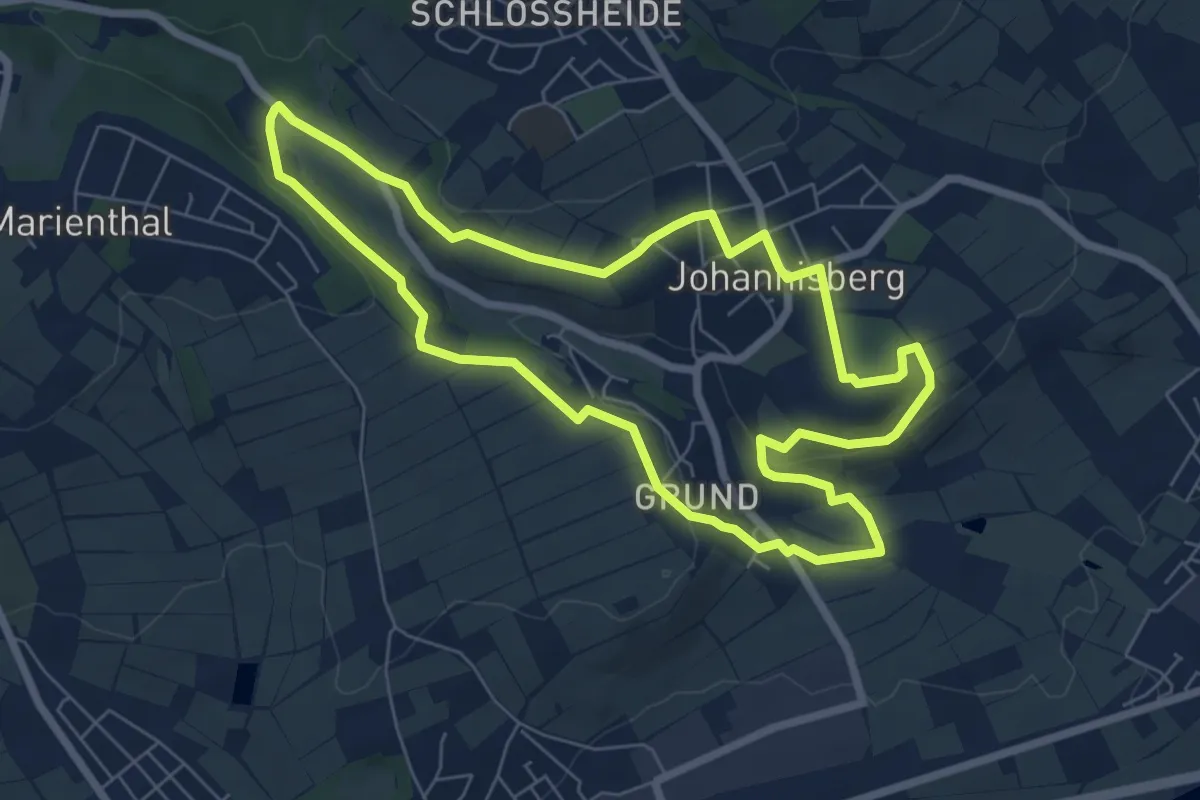
Easy · Trail
Riesling Schleife Spätlesereiter
6.4 km · ↑ 113 m · 1 h 50 min
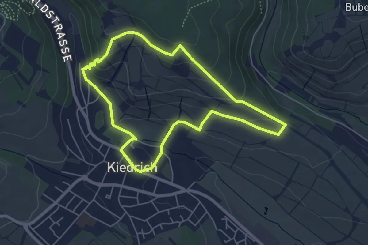
Easy · Trail
Riesling Schleife Terroir Terroir!
4.1 km · ↑ 133 m · 1 h 18 min
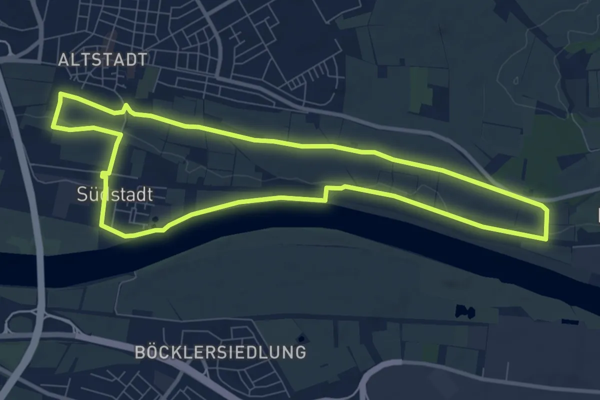
Easy · Trail
Riesling Schleife Wein und Victoria
7.7 km · ↑ 54 m · 2 h 2 min
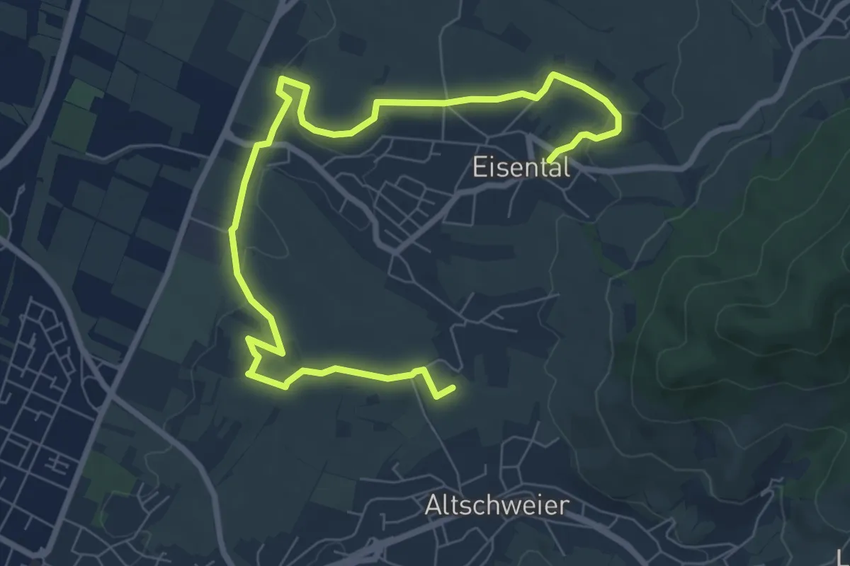
Medium · Trail
Rieslingweg
9.3 km · ↑ 159 m · 2 h 32 min
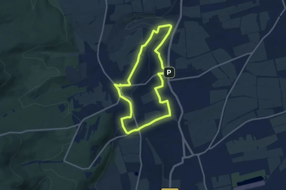
Easy · Summit
Rieslingweg
6.5 km · ↑ 125 m · 1 h 54 min
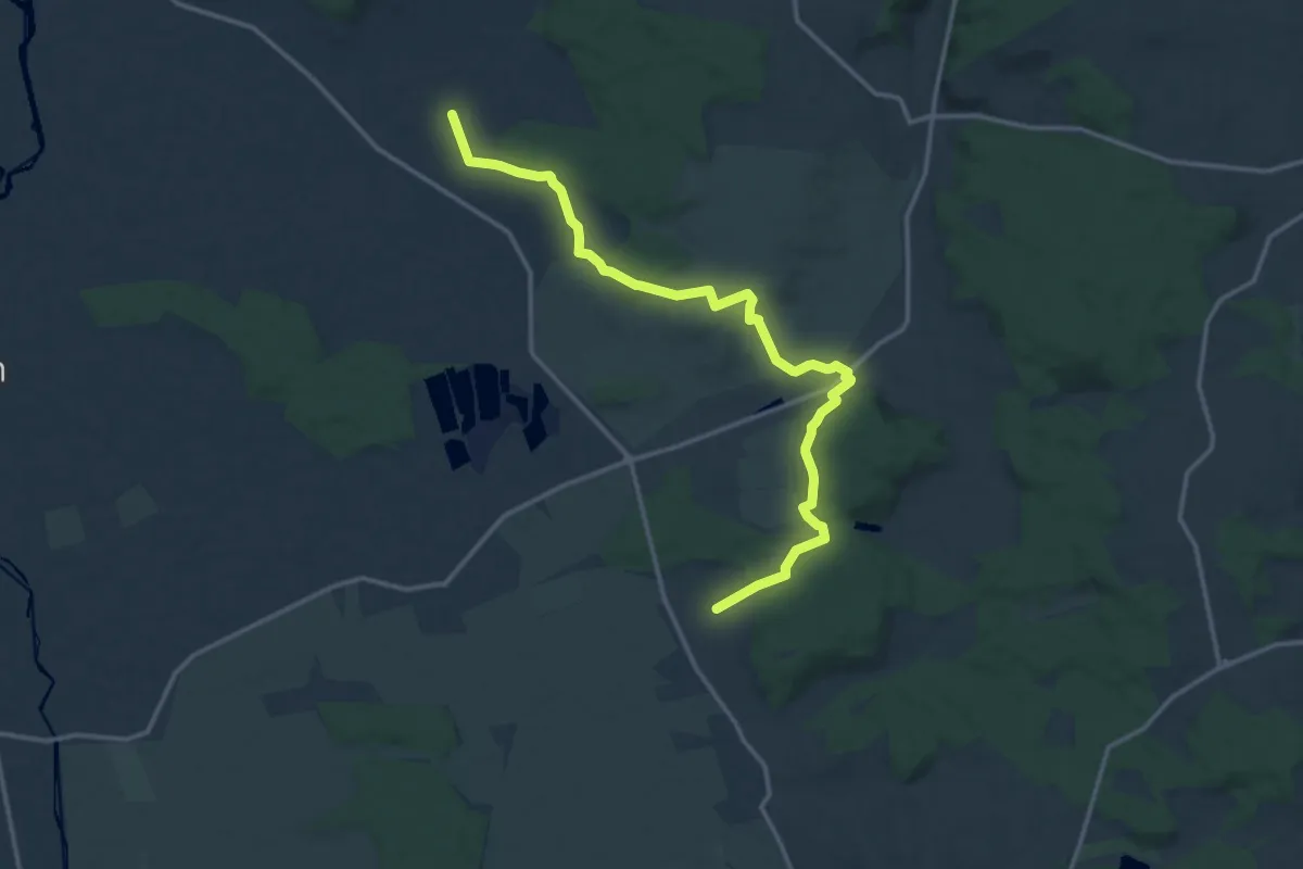
Easy · Trail
Ries-Panoramaweg
7.6 km · ↑ 104 m · 2 h 7 min
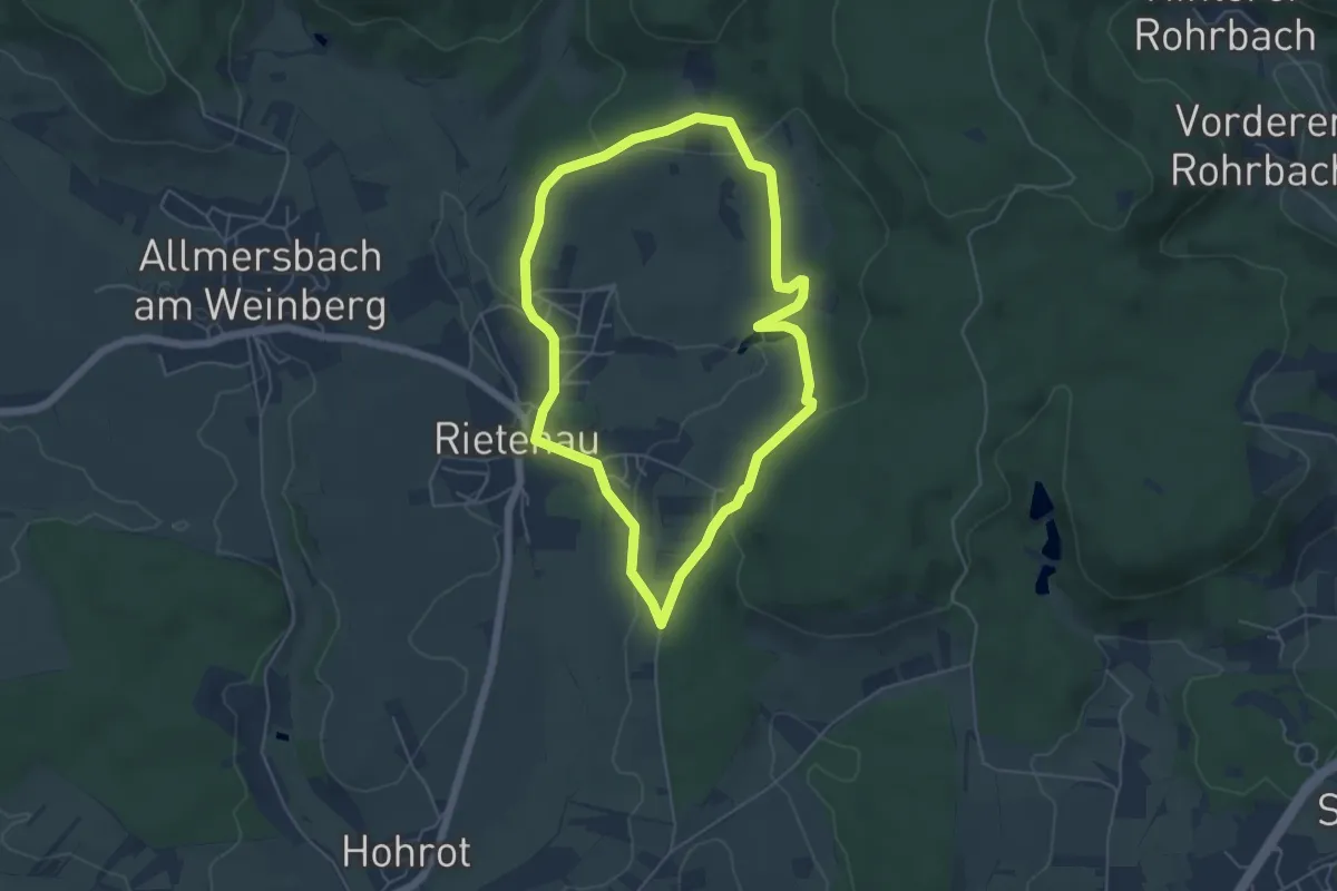
Easy · Trail
Rietenauer Tonspur
4.7 km · ↑ 119 m · 1 h 26 min
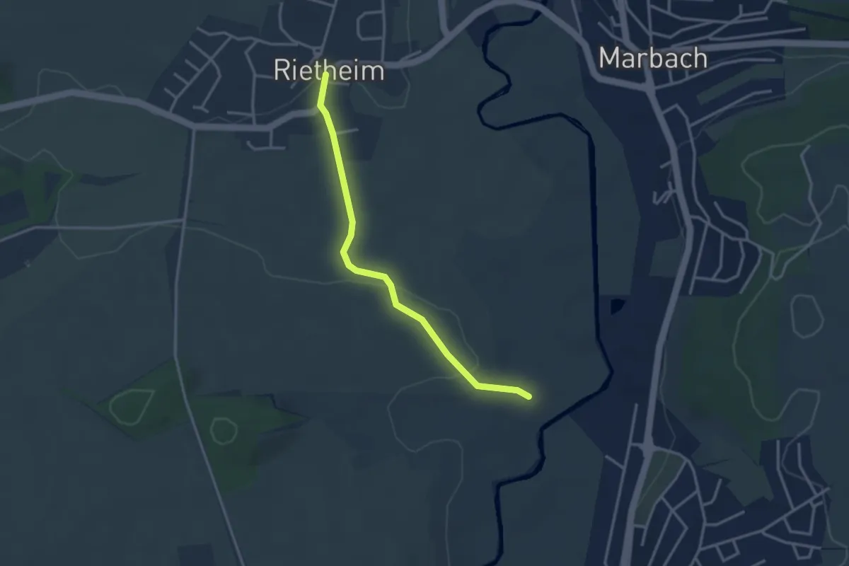
Easy · Trail
Rietheim Rathaus - Holenbach
2.9 km · ↑ 41 m · 47 min
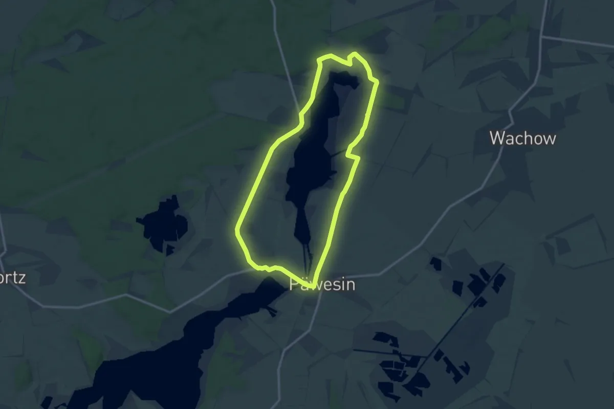
Medium · Summit
Riewend-Burgwall-Wanderweg
9.4 km · ↑ 25 m · 2 h 25 min
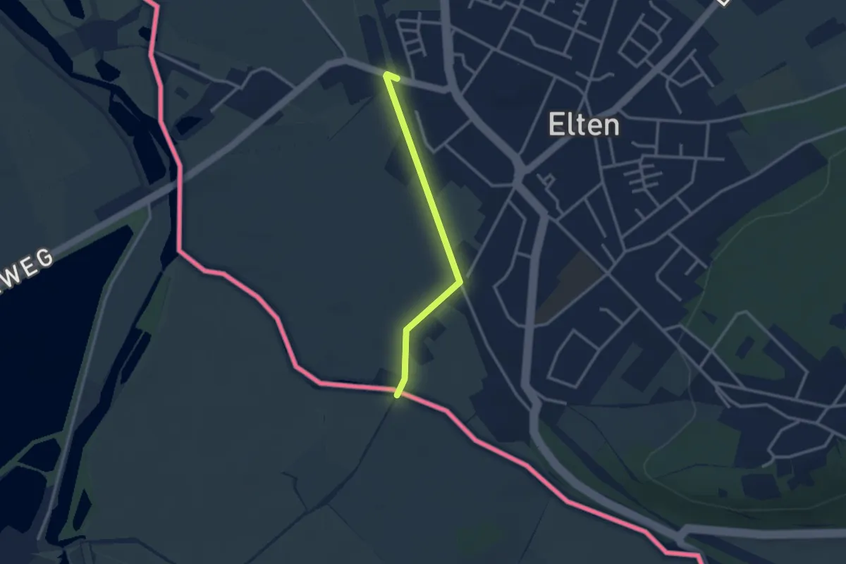
Easy · Trail
Rijnweidepad Aanlooproute Station Elten-Emmerich
2.2 km · ↑ 5 m · 32 min
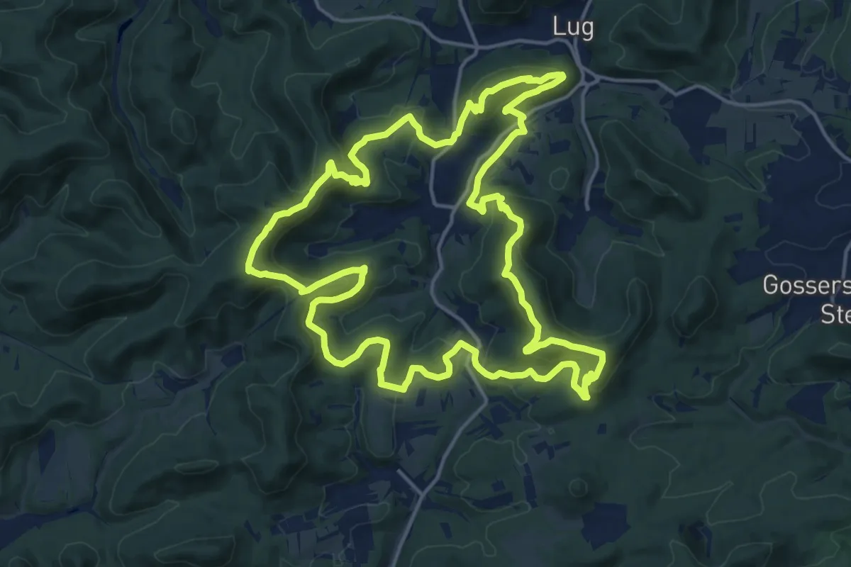
Medium · Summit
Rimbach-Steig
16.9 km · ↑ 792 m · 5 h 56 min
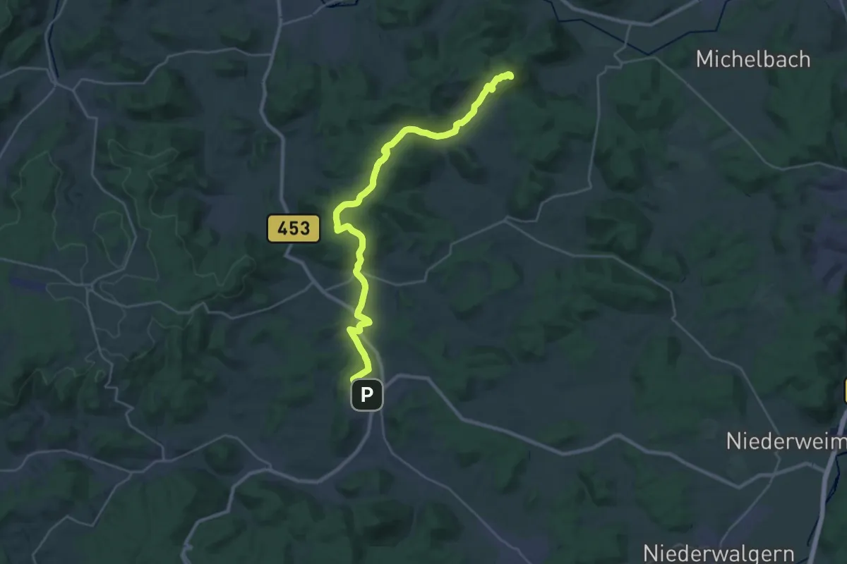
Demanding · Summit
Rimbergweg
26.2 km · ↑ 659 m · 7 h 37 min
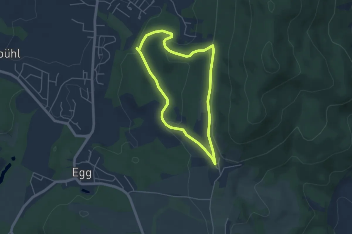
Easy · Trail
Rindberger Weg
3.5 km · ↑ 110 m · 1 h 6 min
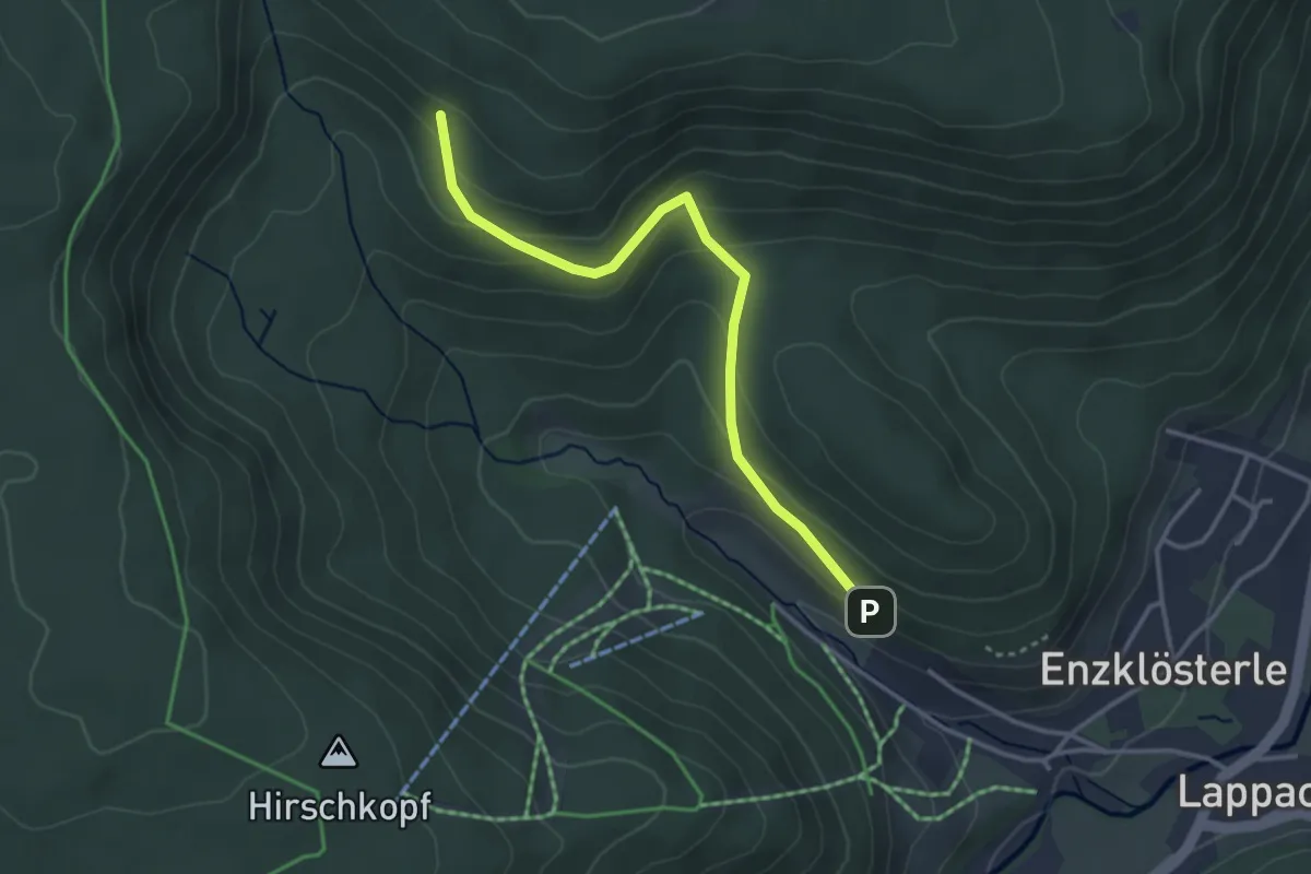
Easy · Trail
Rindenhütte - G.A. Volz Weg
3.3 km · ↑ 194 m · 1 h 11 min
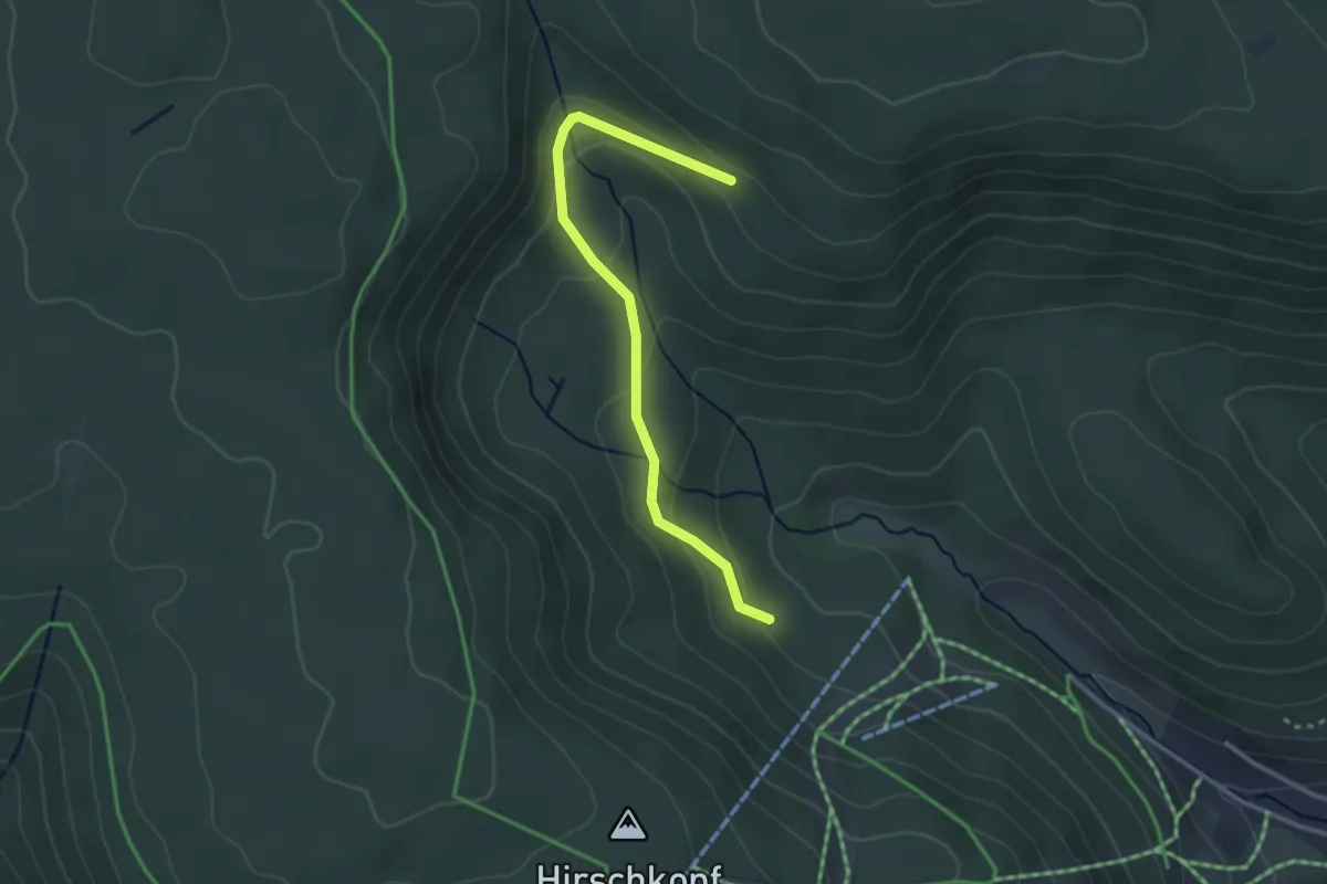
Easy · Trail
Rindenhütte - Skiabfahrt
2.9 km · ↑ 125 m · 57 min
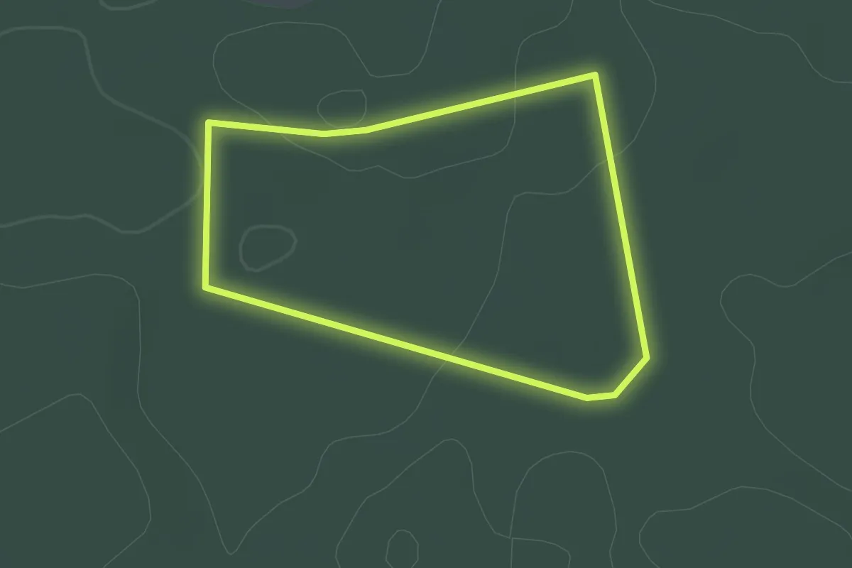
Easy · Trail
Rindenmoos: Wanderweg 1
1.5 km · ↑ 12 m · 25 min
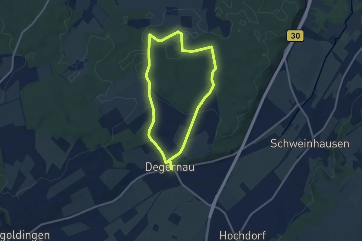
Easy · Trail
Rindenmoos: Wanderweg 2
5.6 km · ↑ 70 m · 1 h 33 min
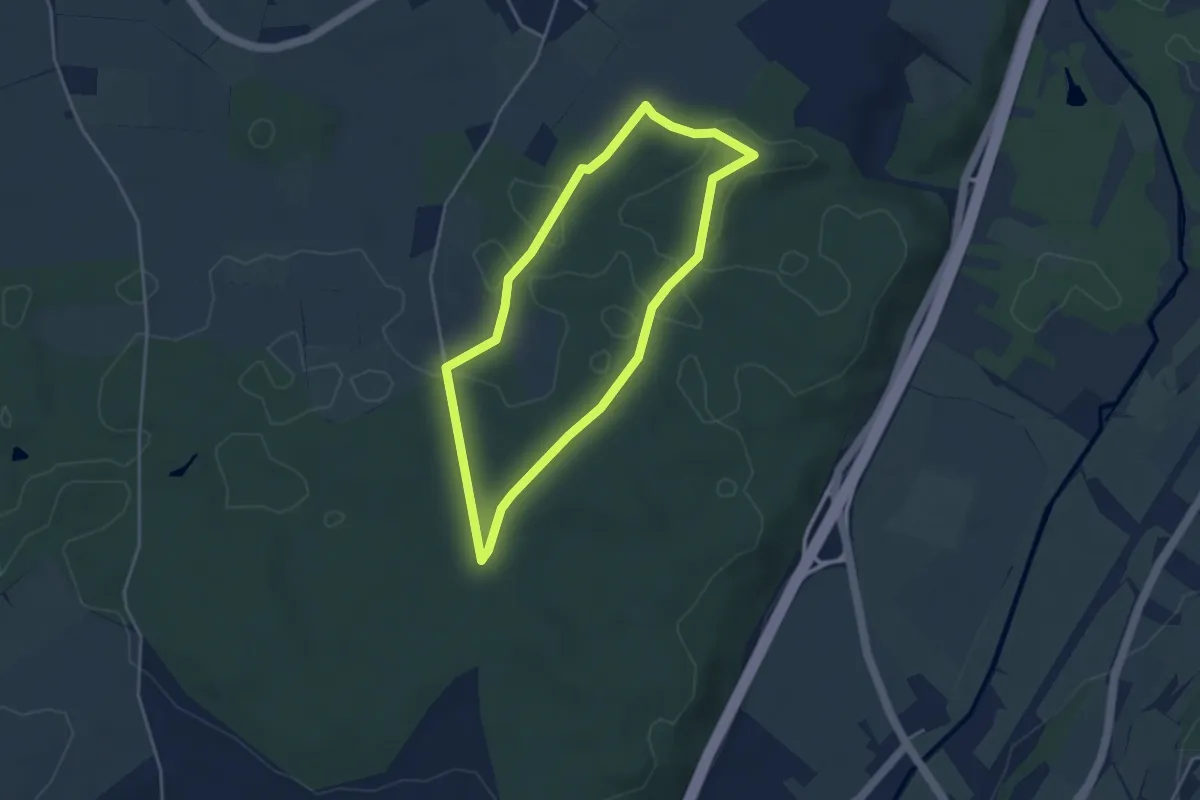
Easy · Trail
Rindenmoos: Wanderweg 3
3.5 km · ↑ 28 m · 56 min
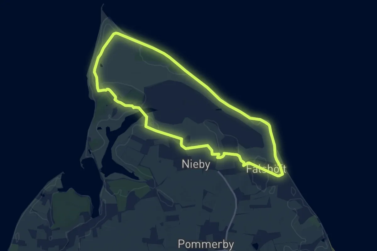
Medium · Trail
RinderWeg
10.5 km · ↑ 25 m · 2 h 41 min
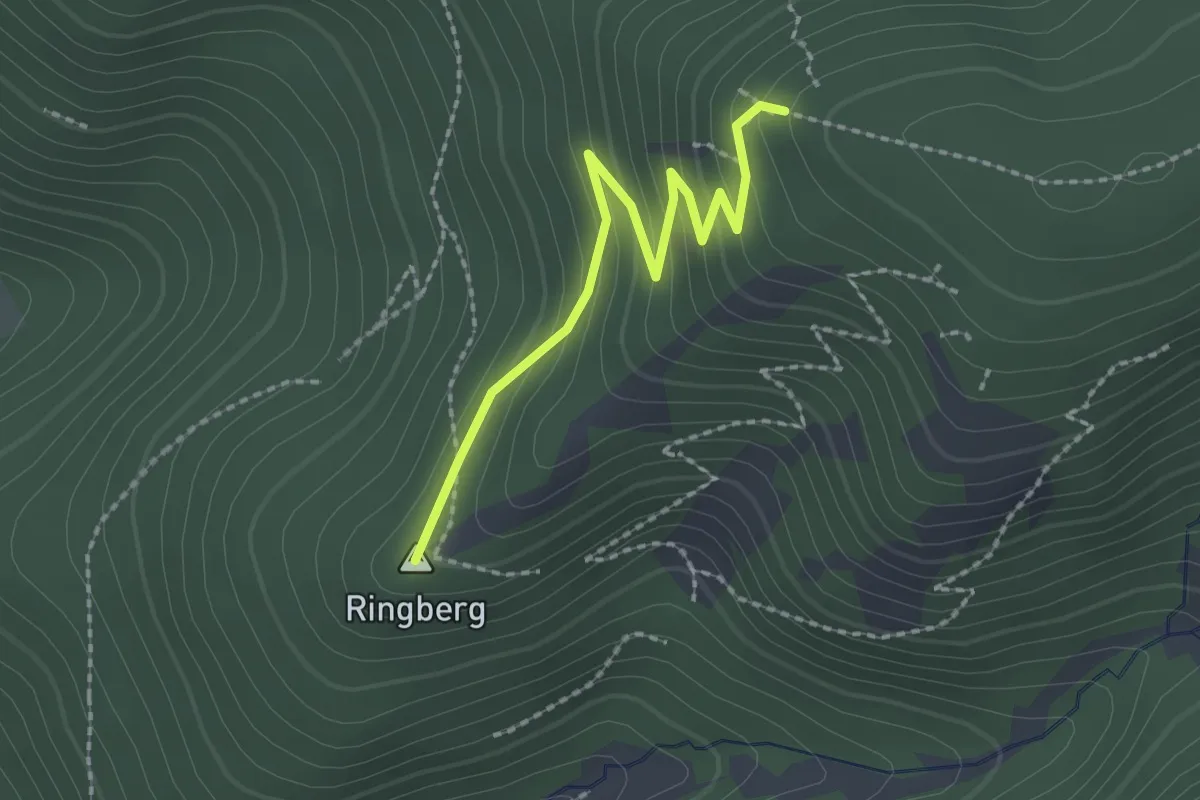
Medium · Summit
Ringberg - Latschigfelsen
2.1 km · ↑ 131 m · 46 min
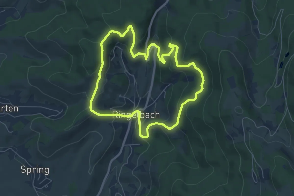
Medium · Trail
Ringelbacher Keschdeweg
5.5 km · ↑ 334 m · 2 h 6 min
Medium · Trail
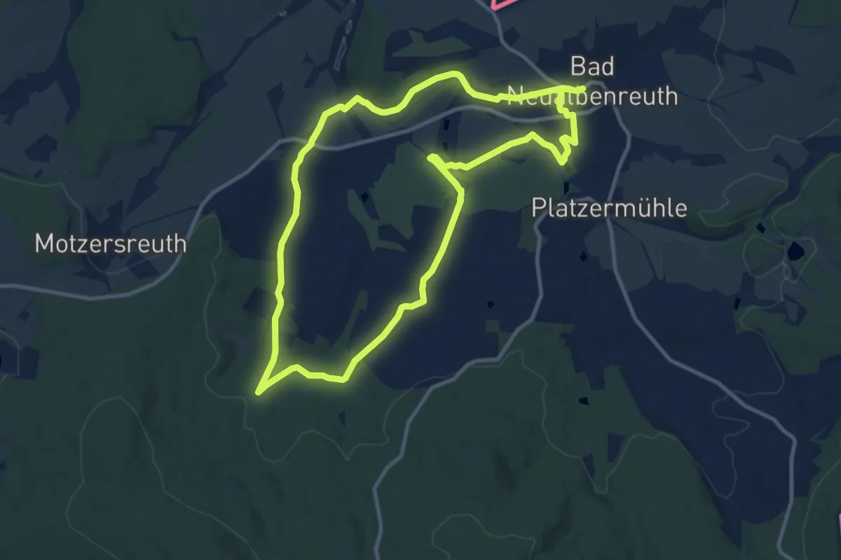
Ringelfelsen-Weg
9.9 km · ↑ 139 m · 2 h 47 min
Easy · Trail
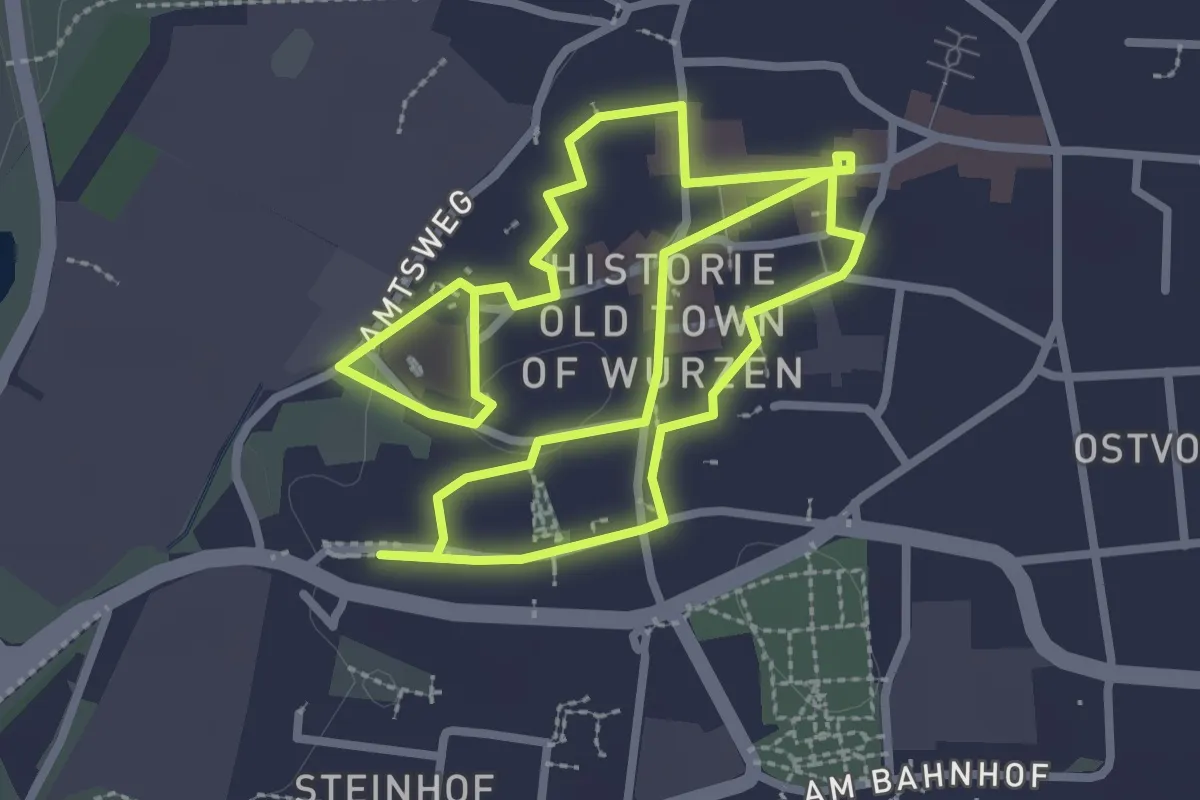
Ringelnatzpfad
5.3 km · ↑ 17 m · 1 h 17 min
Easy · Trail
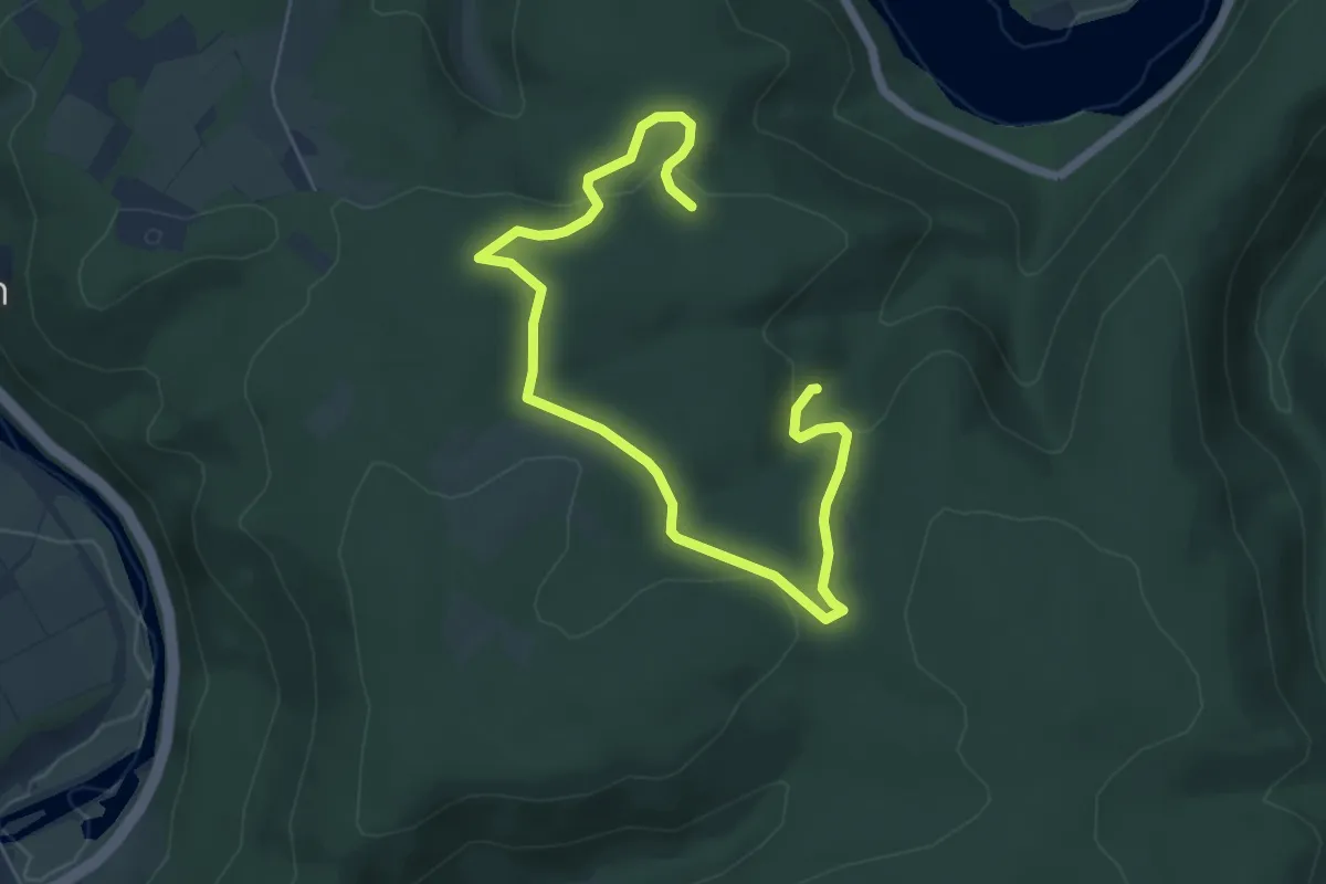
Ringelsberg-Route
3.4 km · ↑ 90 m · 1 h 2 min
Easy · Trail
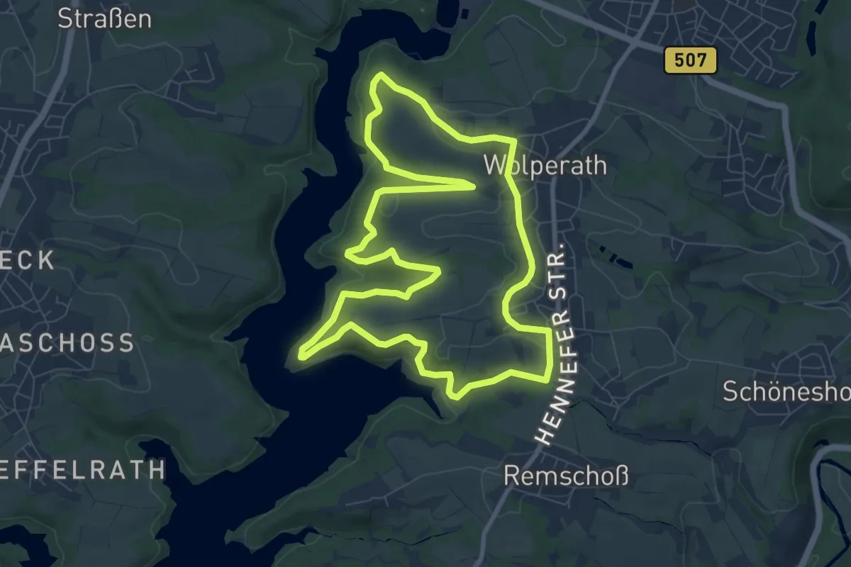
Ringelsteinweg
7.9 km · ↑ 184 m · 2 h 23 min
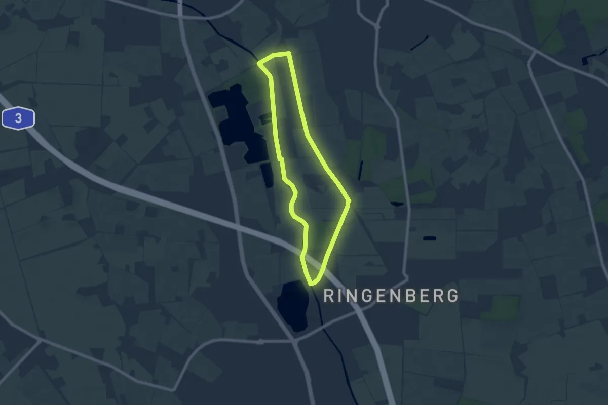
Easy · Trail
Ringenberg Rundweg A4
5.3 km · ↑ 13 m · 1 h 21 min
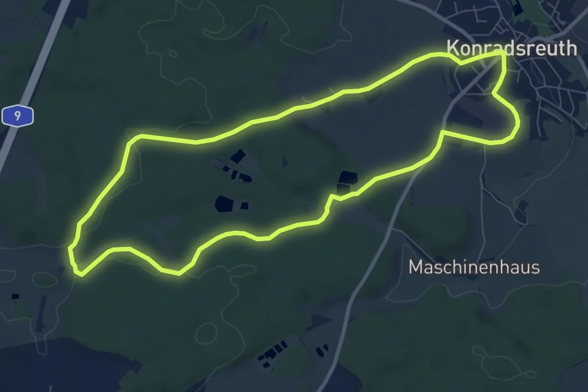
Easy · Trail
Ringlas-Weg US 81
7.5 km · ↑ 106 m · 2 h 6 min
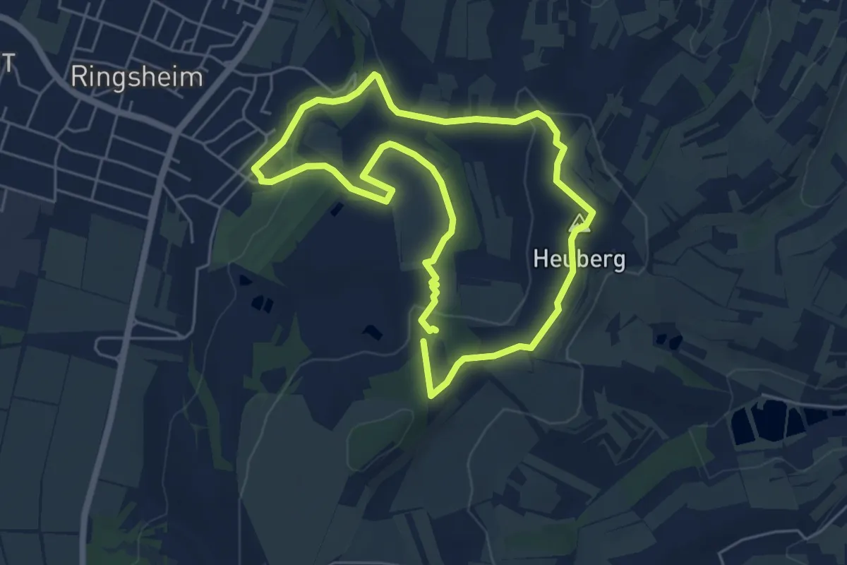
Easy · Summit
Ringsheimer Genussrunde
4.7 km · ↑ 121 m · 1 h 26 min
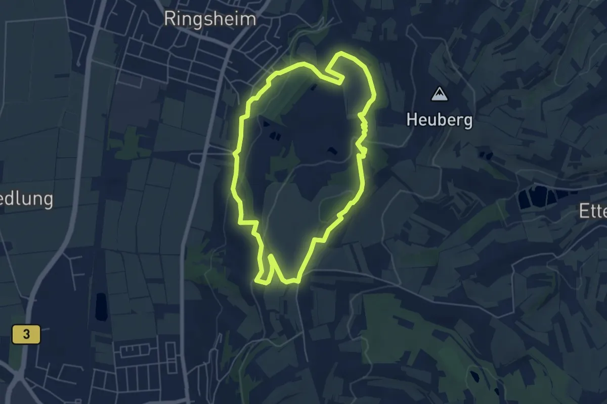
Easy · Trail
Ringsheimer Glückauf Schleife
5.2 km · ↑ 124 m · 1 h 35 min
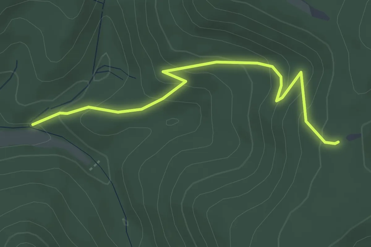
Easy · Trail
Ringsheimer Hütte - Wolfstein
3.9 km · ↑ 225 m · 1 h 24 min
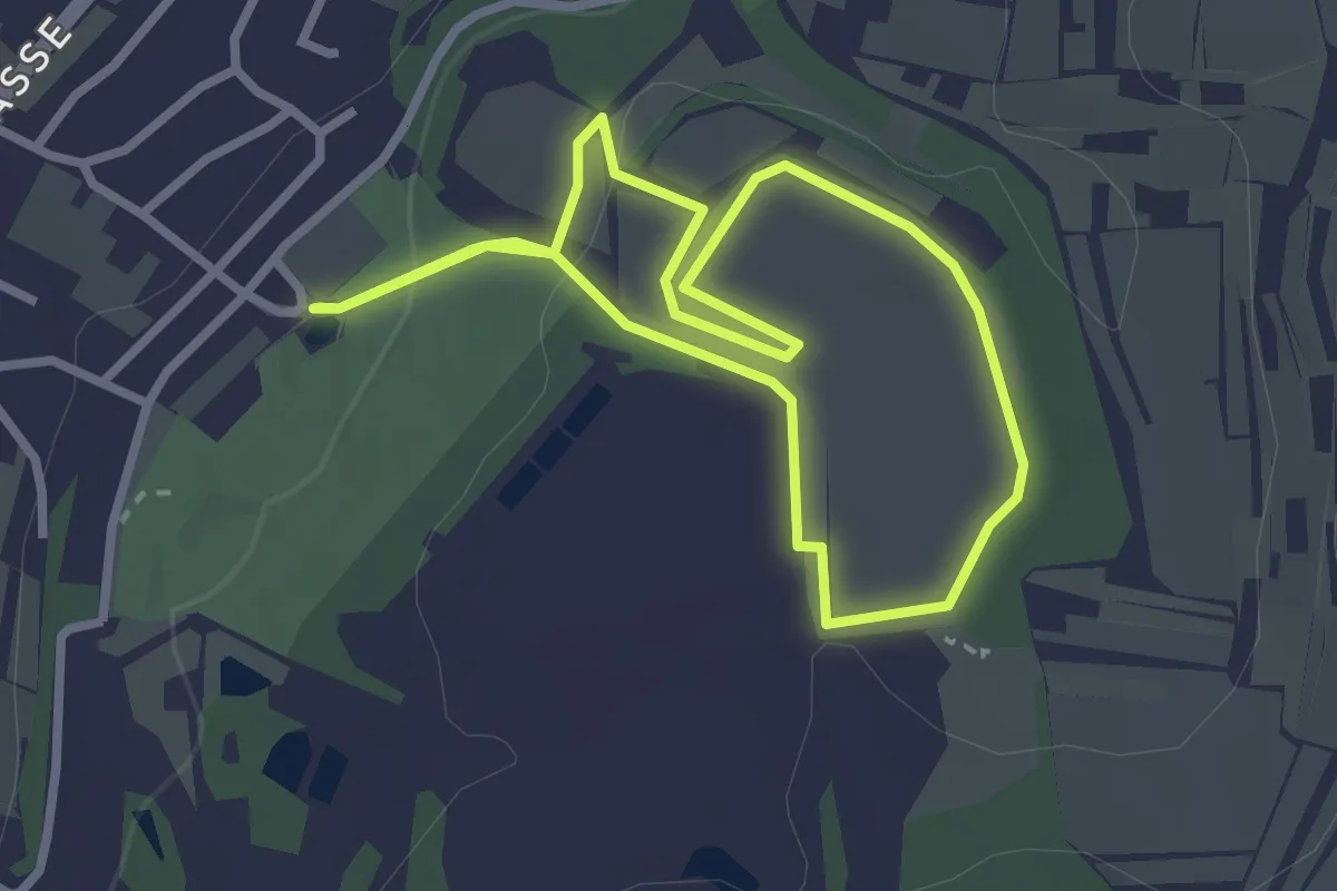
Easy · Trail
Ringsheimer Wein-Kunst-Weg
2.5 km · ↑ 55 m · 44 min
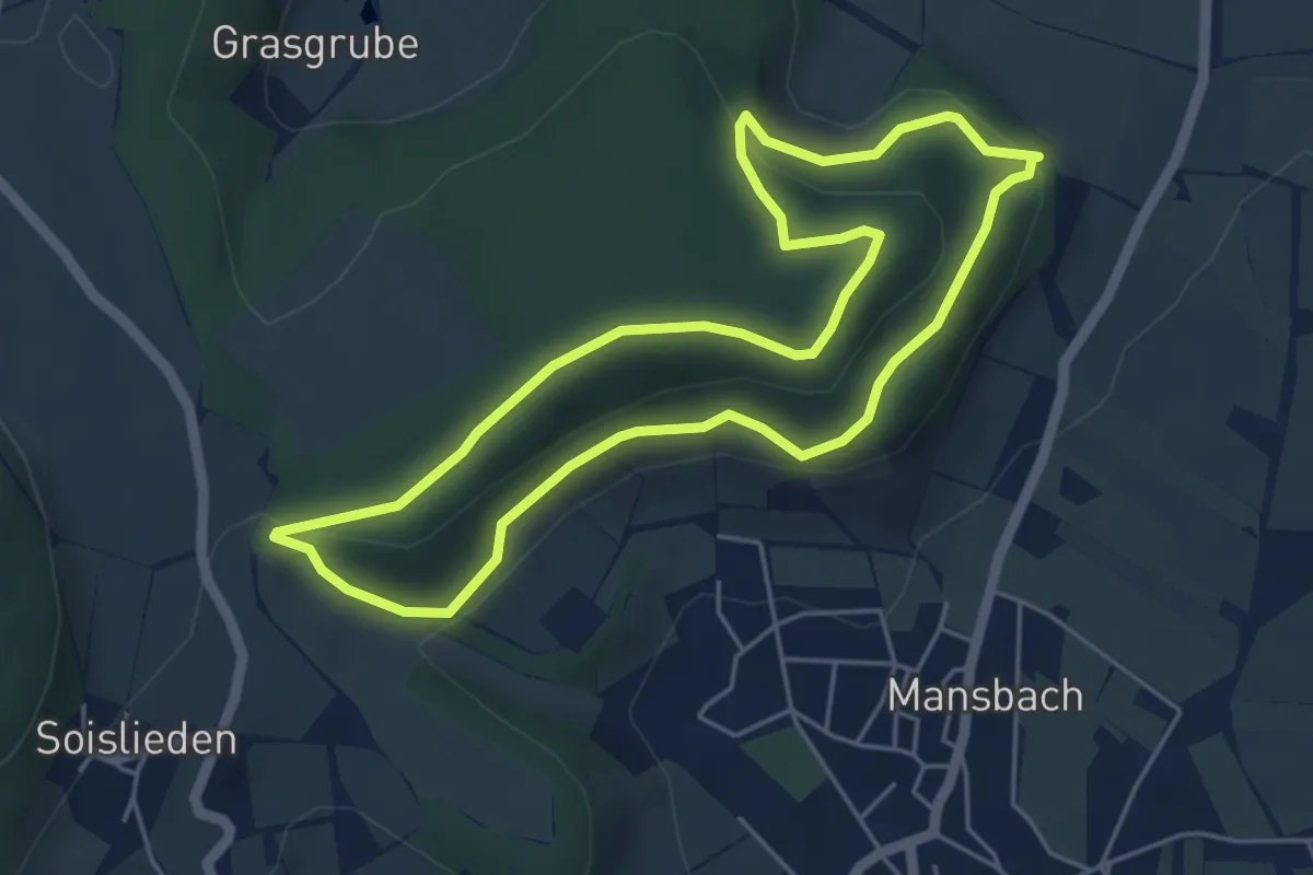
Easy · Summit
Ringwall Rundwanderweg
4.5 km · ↑ 145 m · 1 h 26 min
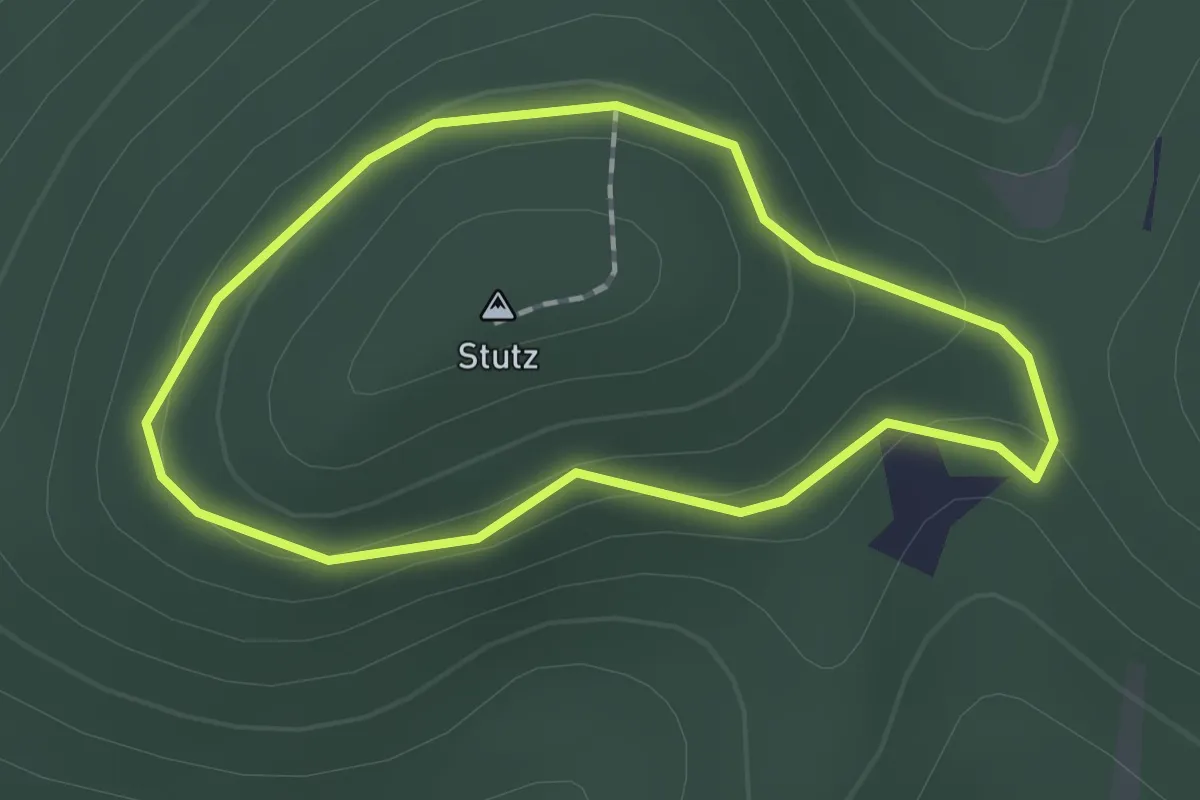
Easy · Summit
Ringwall-Weg
1.3 km · ↑ 44 m · 25 min
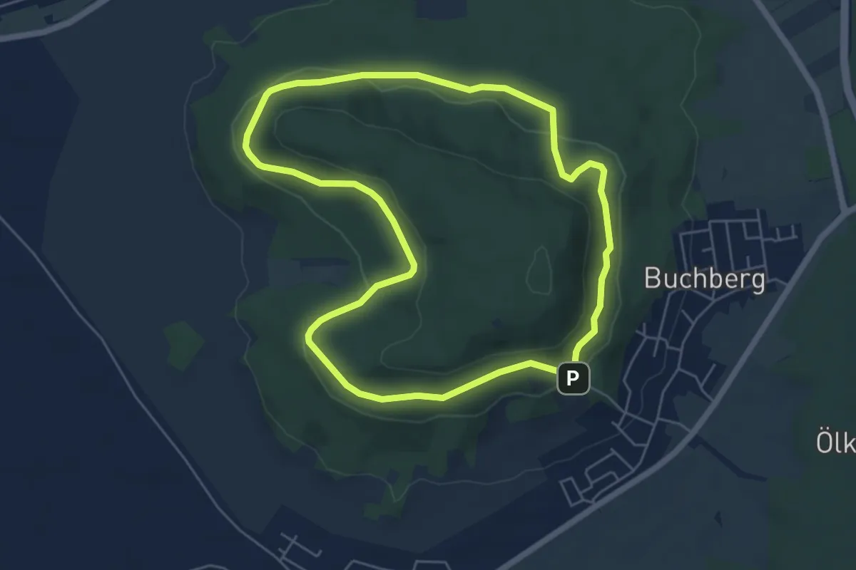
Medium · Trail
Ringweg
5.3 km · ↑ 150 m · 1 h 38 min
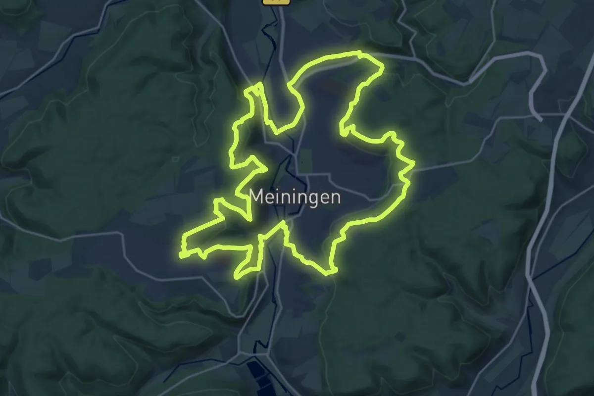
Demanding · Summit
Ringweg
22.8 km · ↑ 551 m · 6 h 54 min
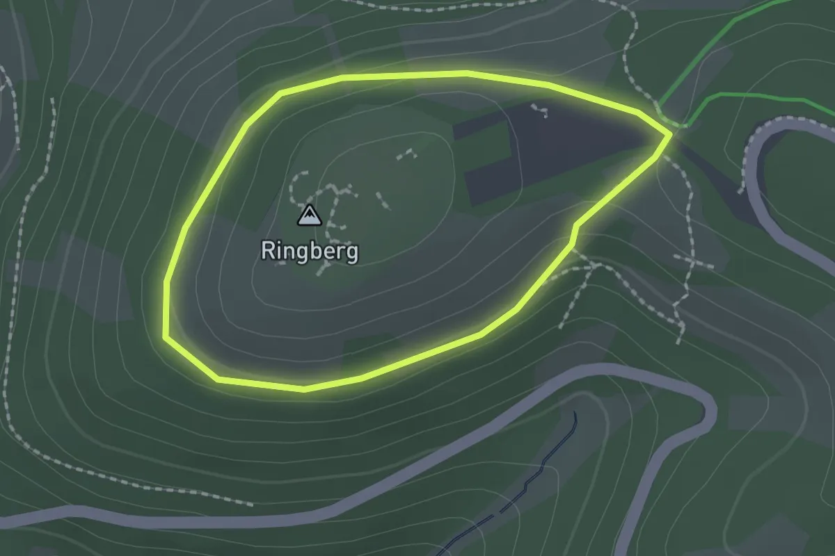
Easy · Summit
Ringweg
1.6 km · ↑ 50 m · 30 min
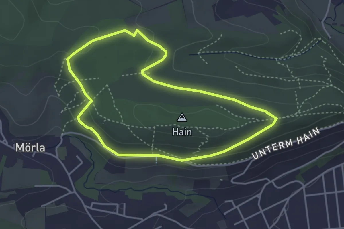
Easy · Trail
Ringweg
3.1 km · ↑ 51 m · 54 min
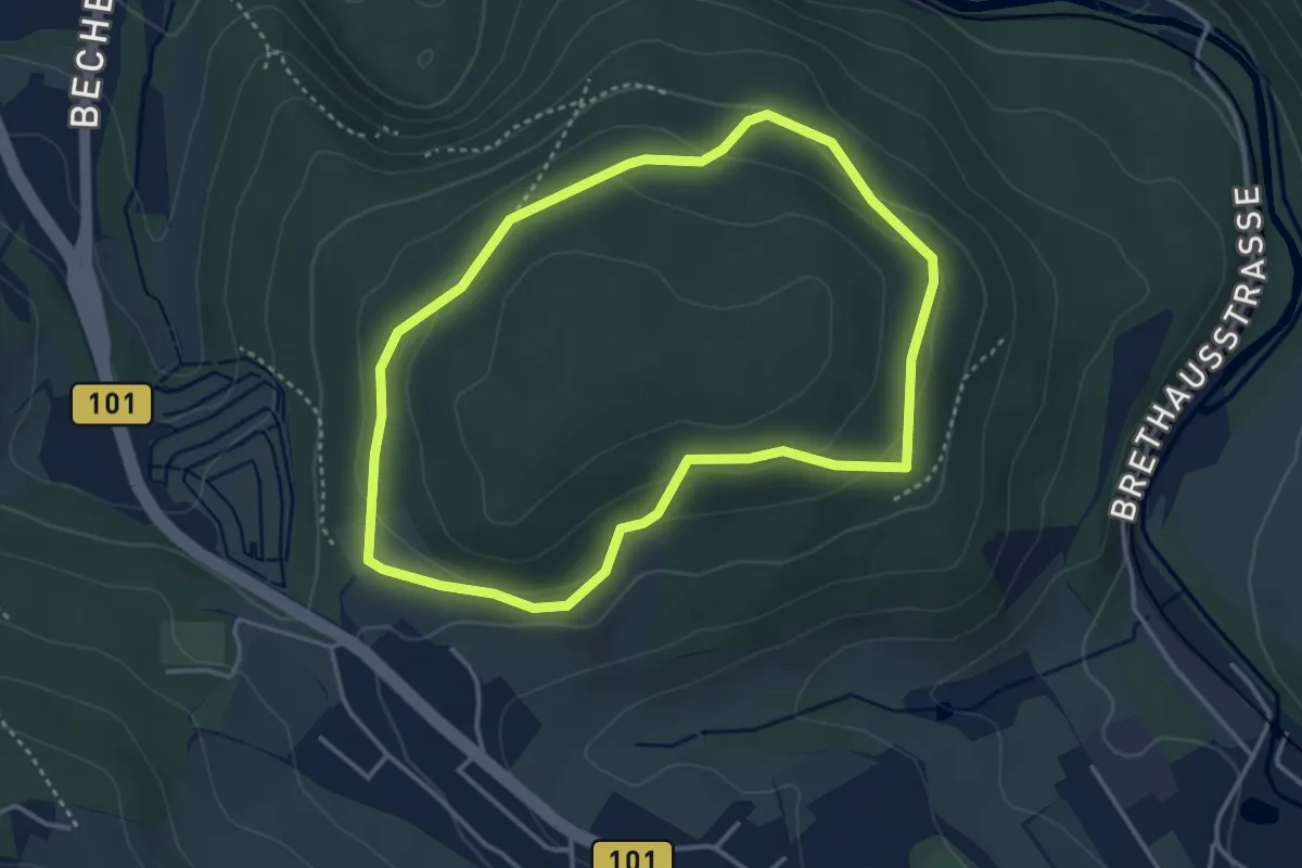
Easy · Trail
Ringweg
3.3 km · ↑ 96 m · 1 h 1 min
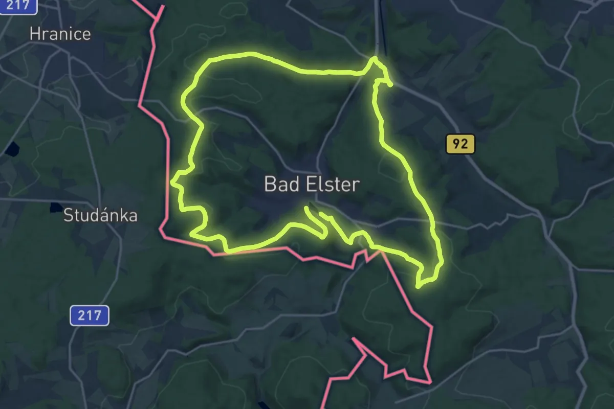
Demanding · Trail
Ringweg
18.3 km · ↑ 386 m · 5 h 24 min
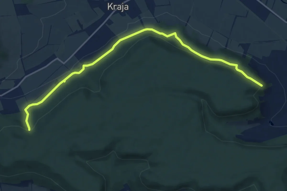
Medium · Trail
Ringweg
11.2 km · ↑ 311 m · 3 h 19 min
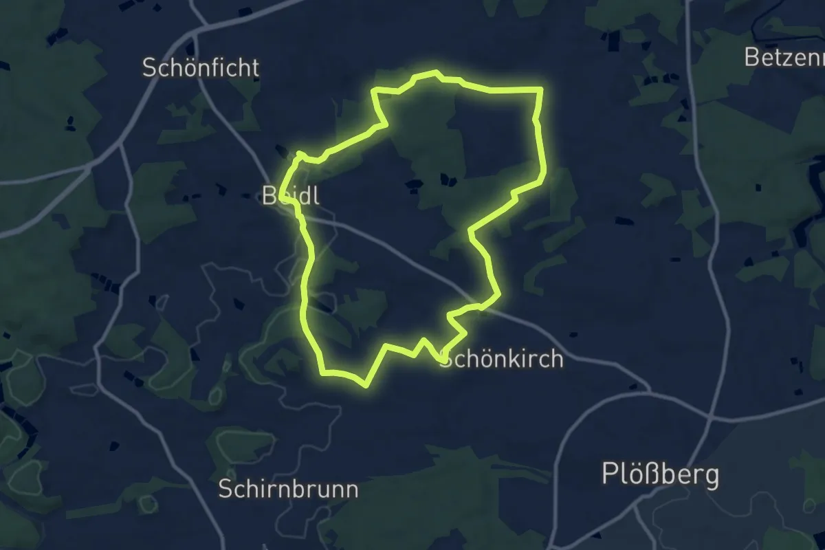
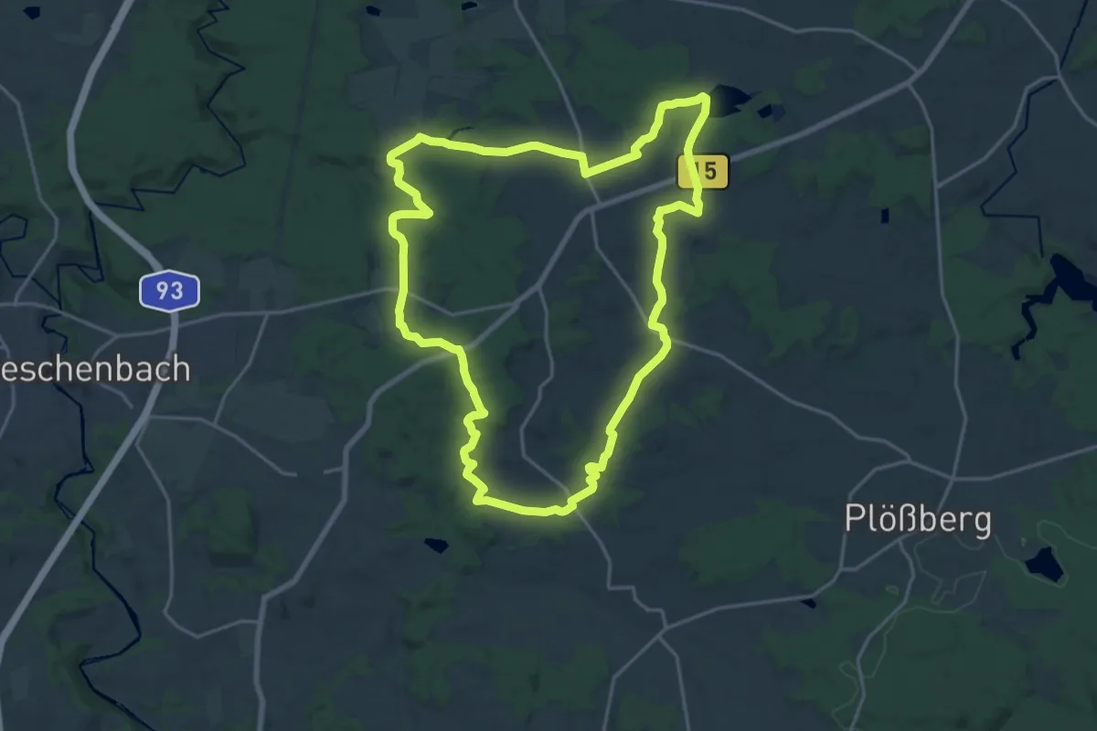
Medium · Trail
Ringweg Beidl 10 km
9.4 km · ↑ 131 m · 2 h 37 min
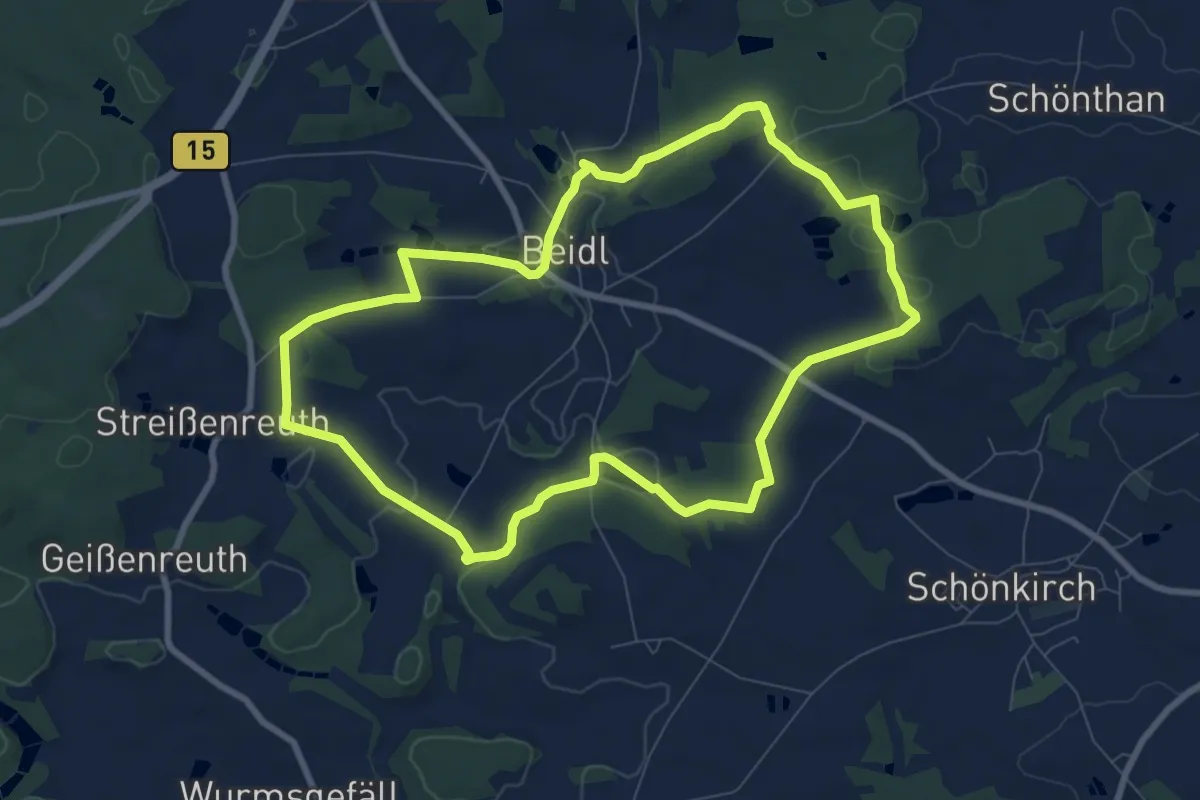
Demanding · Summit
Ringweg Beidl 20 km
18.3 km · ↑ 245 m · 5 h 6 min
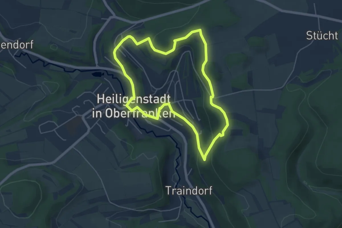
Easy · Trail
Ringweg Beidl 8 km
8.0 km · ↑ 122 m · 2 h 15 min
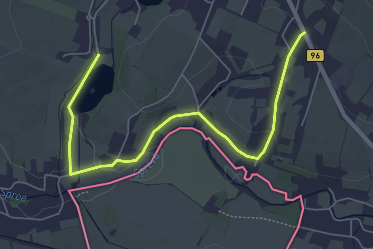
Easy · Trail
Ringweg Judenfriedhof
4.4 km · ↑ 142 m · 1 h 24 min
Easy · Trail
Ringweg Oppach
2.6 km · ↑ 41 m · 44 min