Trails in Germany
36,852 hiking trails, each with its route, climb, walking time and grade.
All trails, page 455 of 768
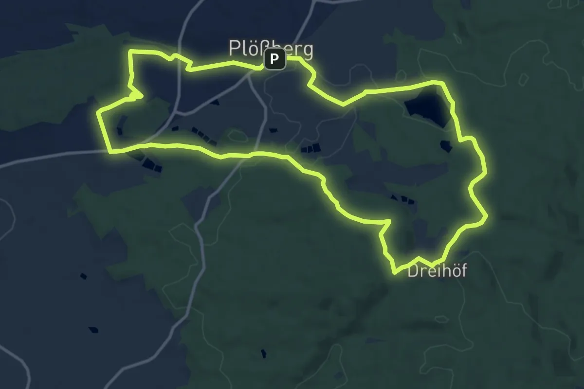
Medium · Summit
Ringweg Plößberg
11.4 km · ↑ 190 m · 3 h 16 min
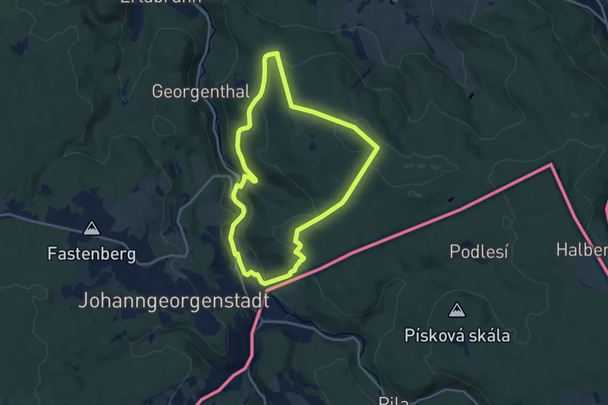
Medium · Trail
Ringweg Rabenberg
10.0 km · ↑ 304 m · 3 h 10 min
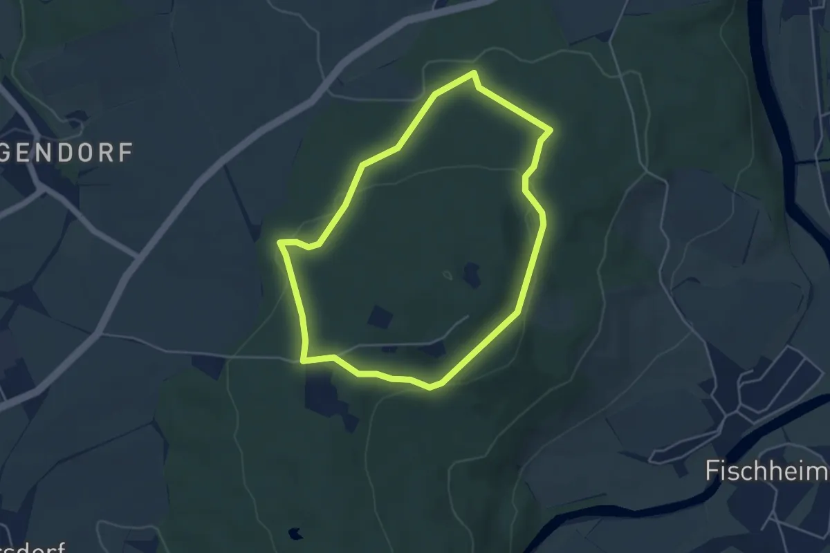
Easy · Trail
Ringweg Rochlitzer Berg
3.8 km · ↑ 93 m · 1 h 10 min
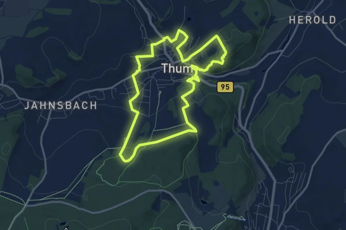
Easy · Trail
Ringweg Thum
7.4 km · ↑ 205 m · 2 h 17 min
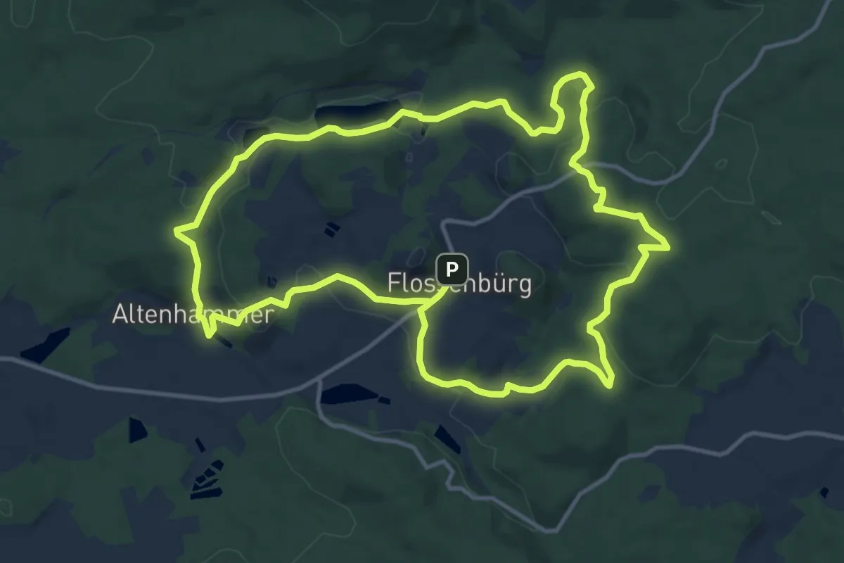
Medium · Summit
Ringweg um Flossenbürg
11.5 km · ↑ 254 m · 3 h 26 min
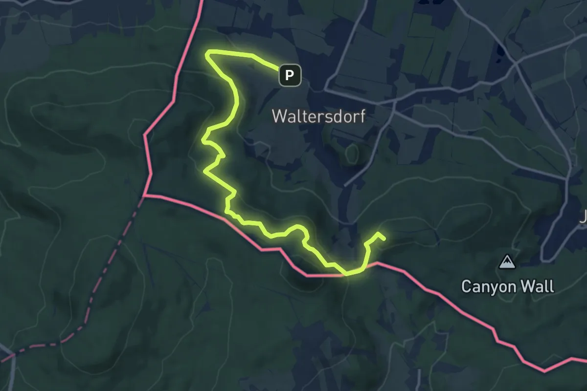
Medium · Summit
Ringweg Waltersdorf (grüner Punkt)
13.6 km · ↑ 531 m · 4 h 21 min
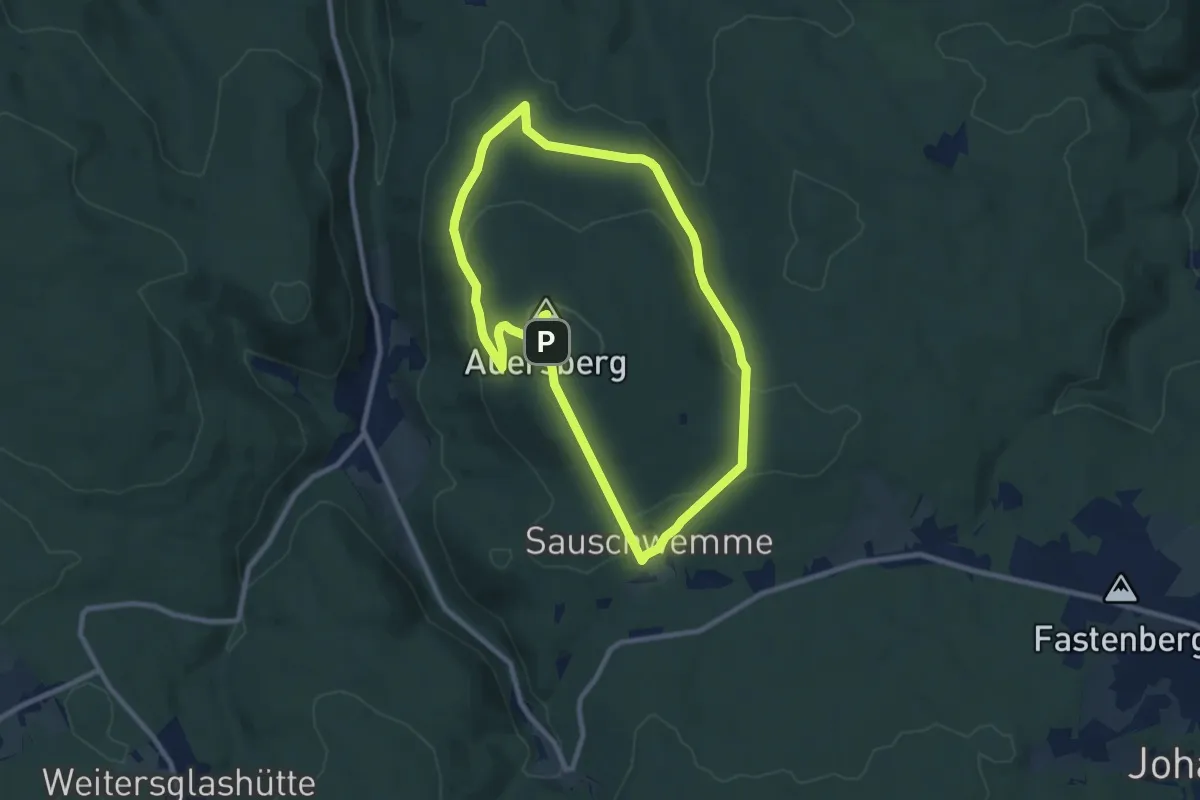
Medium · Summit
Ringweg zum Auersberg
8.1 km · ↑ 225 m · 2 h 31 min
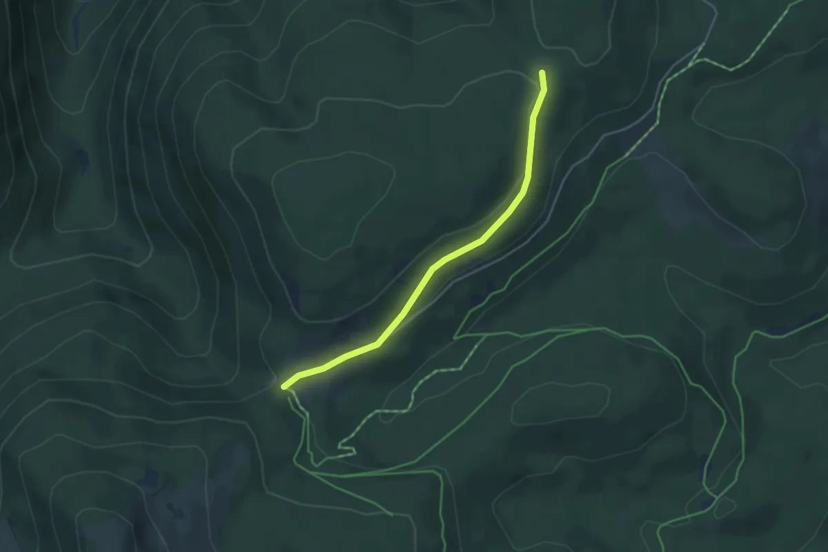
Easy · Trail
Rinken - Spähnplatz
3.7 km · ↑ 71 m · 1 h 1 min
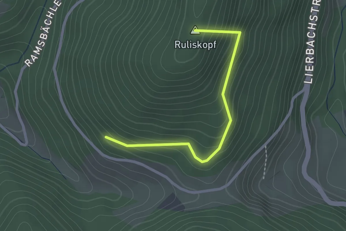
Easy · Summit
Rinken - Wachtschrofen
2.0 km · ↑ 169 m · 50 min
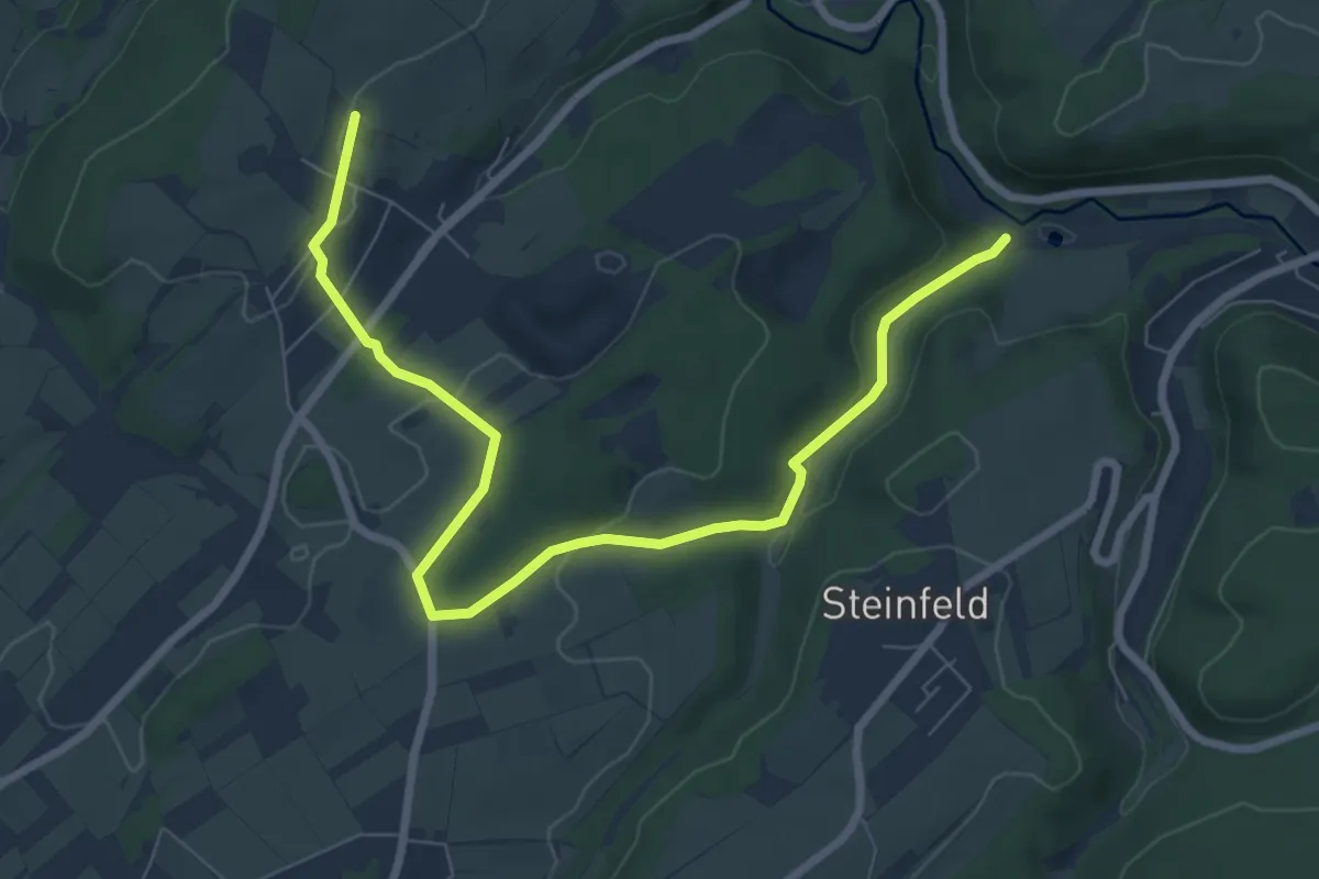
Medium · Trail
Rinnen Rundweg 5
8.2 km · ↑ 160 m · 2 h 16 min
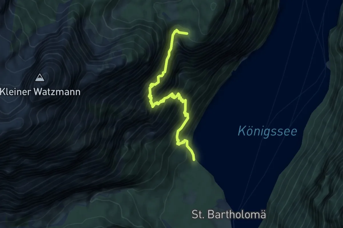
Expert · Trail
Rinnkendlsteig
6.3 km · ↑ 1011 m · 3 h 40 min
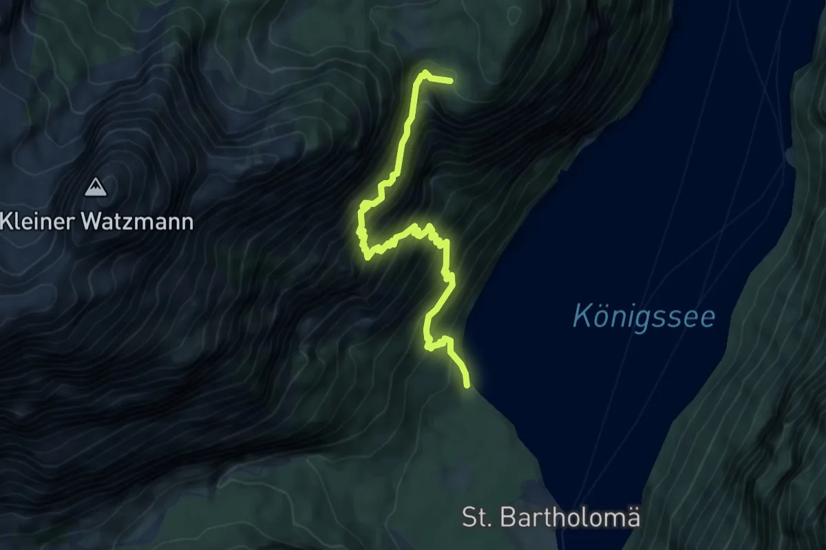
Expert · Trail
Rinnkendlsteig
6.3 km · ↑ 1011 m · 3 h 40 min
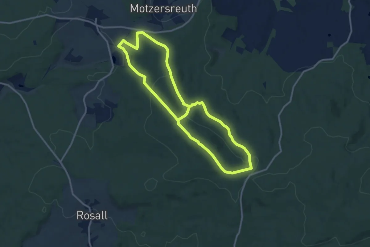
Medium · Summit
Rinnlstein - Rundweg (Historische Zeiten)
8.3 km · ↑ 255 m · 2 h 36 min
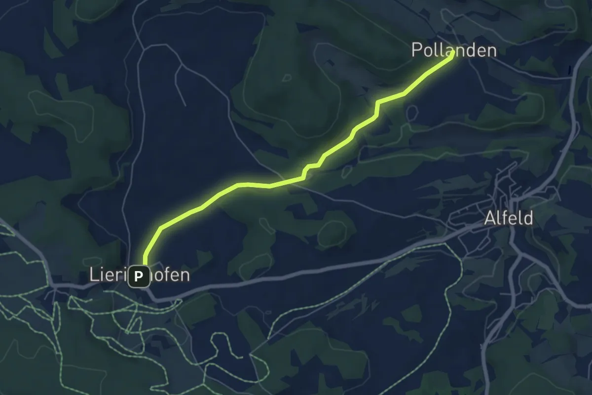
Easy · Trail
Rinntalweg (10)
5.6 km · ↑ 106 m · 1 h 33 min
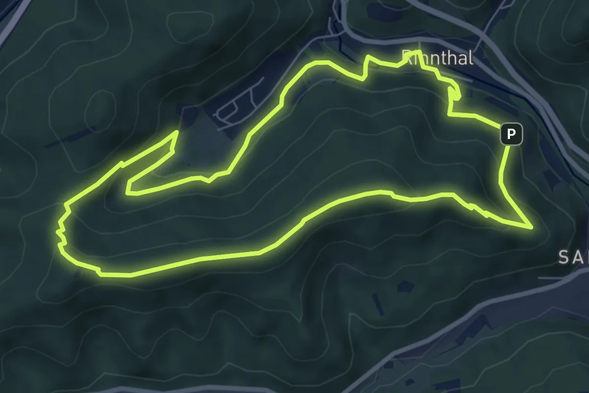
Medium · Trail
Rinnthal Höhenweg
6.9 km · ↑ 327 m · 2 h 26 min
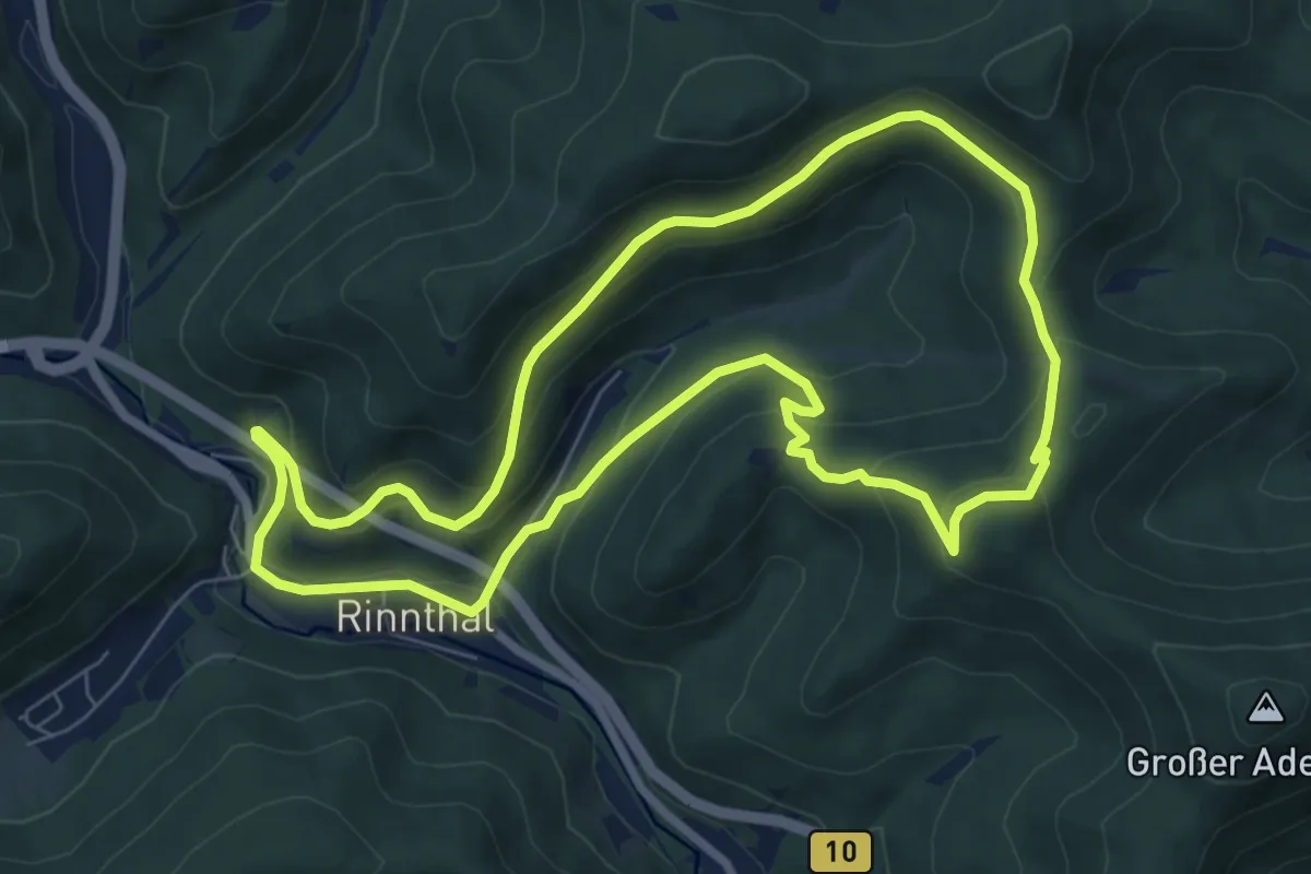
Medium · Summit
Rinnthal Hüttenweg
7.2 km · ↑ 365 m · 2 h 36 min
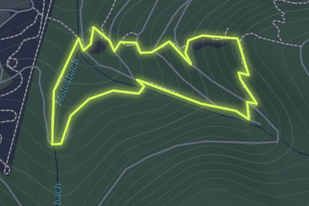
Expert · Trail
Rioler Klettersteig
1.3 km · ↑ 129 m · 37 min
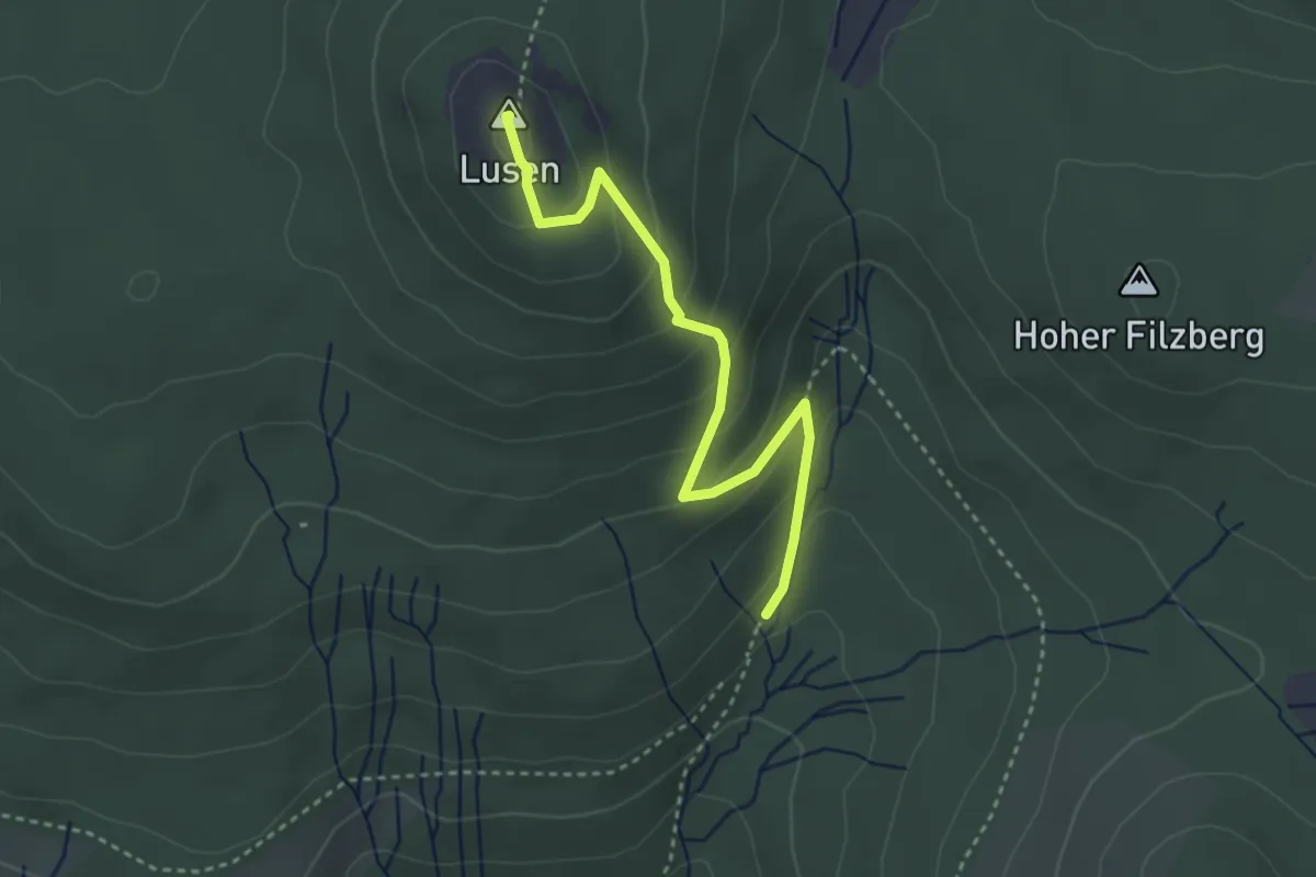
Medium · Summit
Rippenfarn
3.2 km · ↑ 211 m · 1 h 13 min
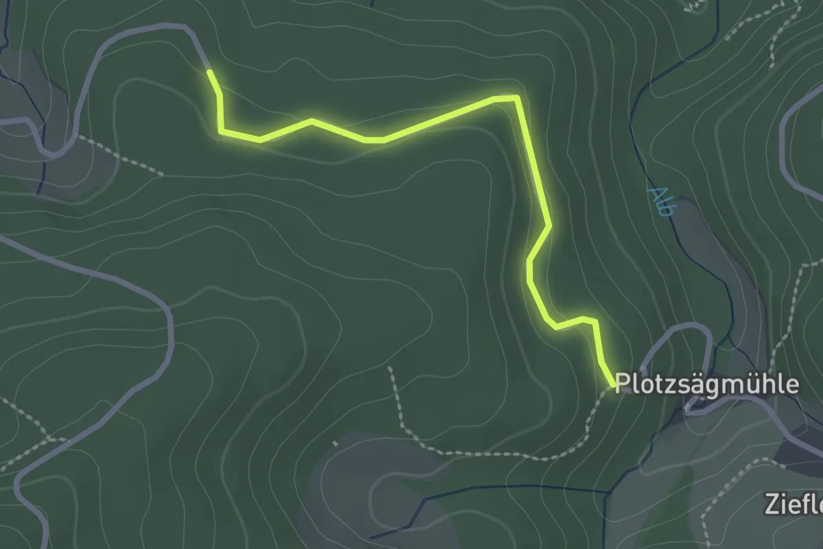
Easy · Trail
Rißbuckel - Sandgrube
2.2 km · ↑ 51 m · 38 min
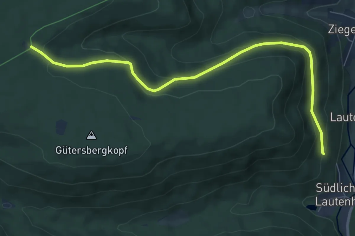
Easy · Trail
Rißhalde - Stürmleslochhütte
6.7 km · ↑ 290 m · 2 h 13 min
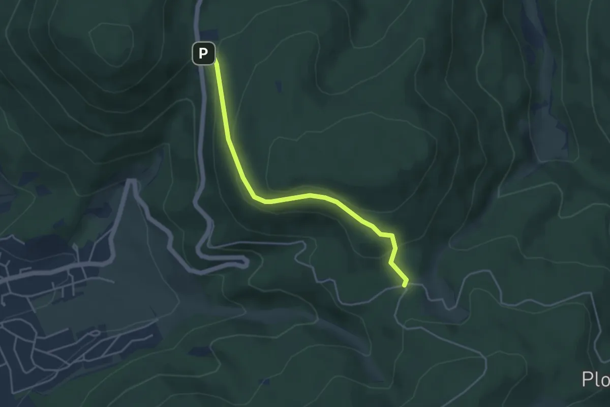
Easy · Trail
Rißwasen - Käppele Wanderparkplatz
3.7 km · ↑ 149 m · 1 h 11 min
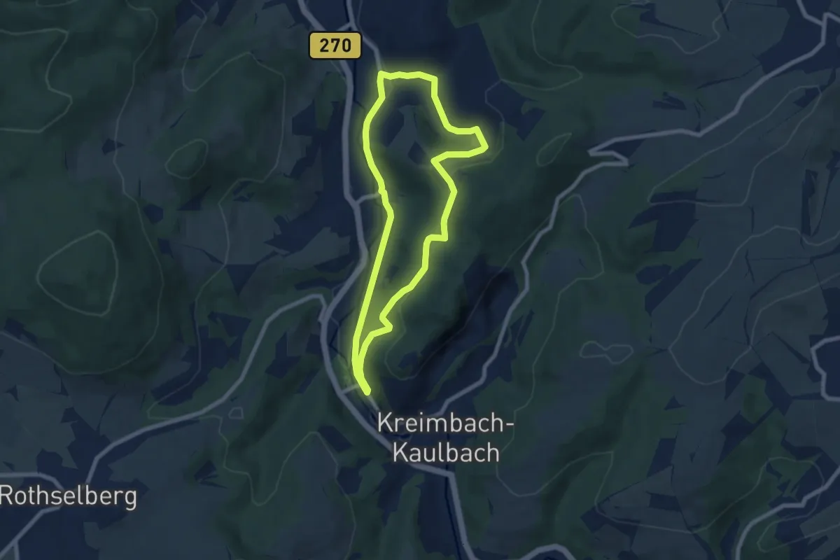
Easy · Trail
Ritschelbusch-Runde
6.0 km · ↑ 169 m · 1 h 52 min
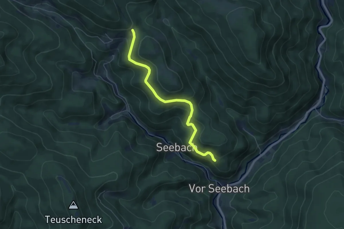
Easy · Trail
Ritschert - Sattellege
5.3 km · ↑ 297 m · 1 h 54 min
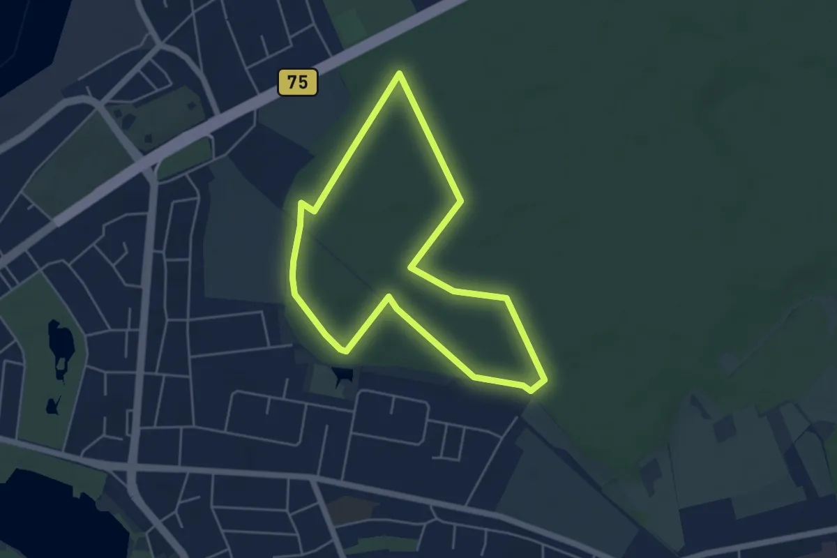
Easy · Trail
Rittbrookpfad
3.8 km · ↑ 13 m · 59 min
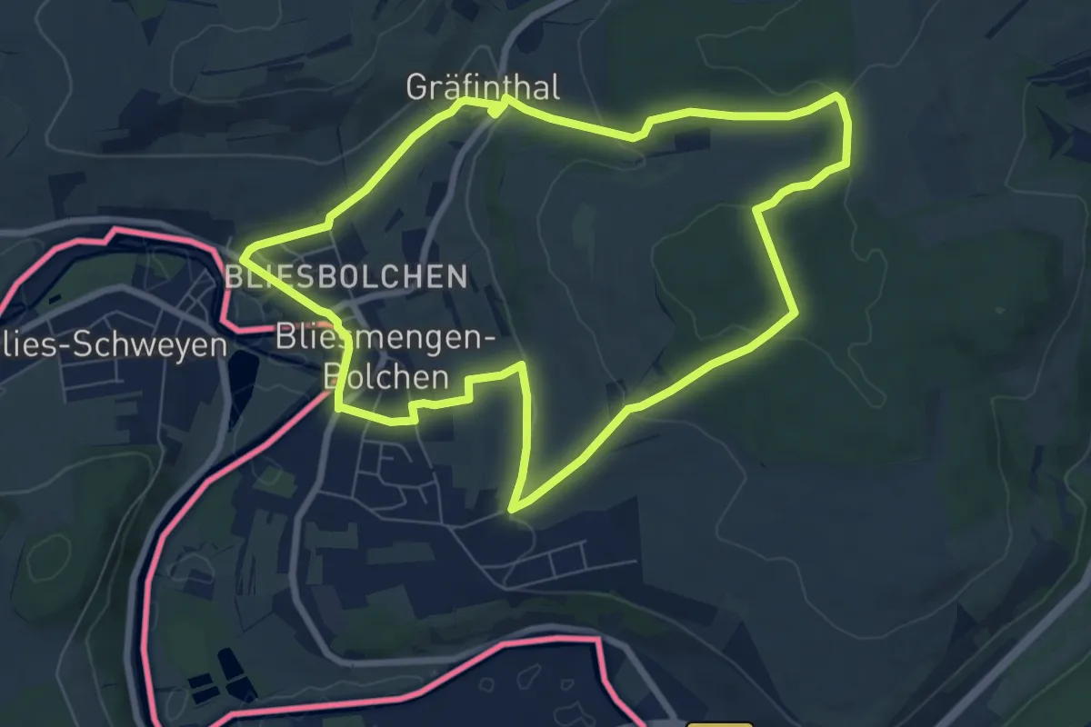
Easy · Trail
Ritter-Bolch-Rundweg
7.2 km · ↑ 186 m · 2 h 13 min
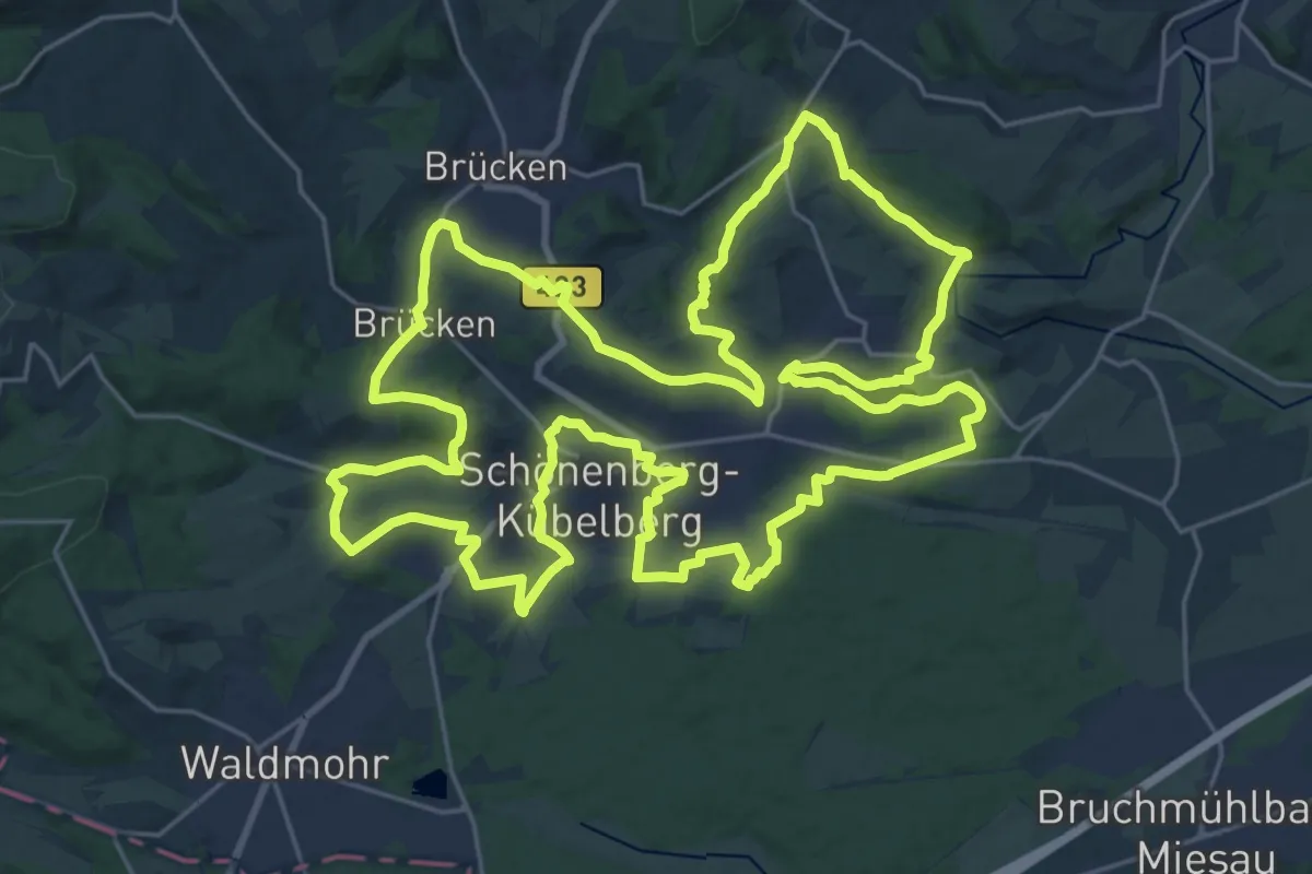
Demanding · Summit
Ritter-Gerin-Weg
28.7 km · ↑ 496 m · 8 h 16 min
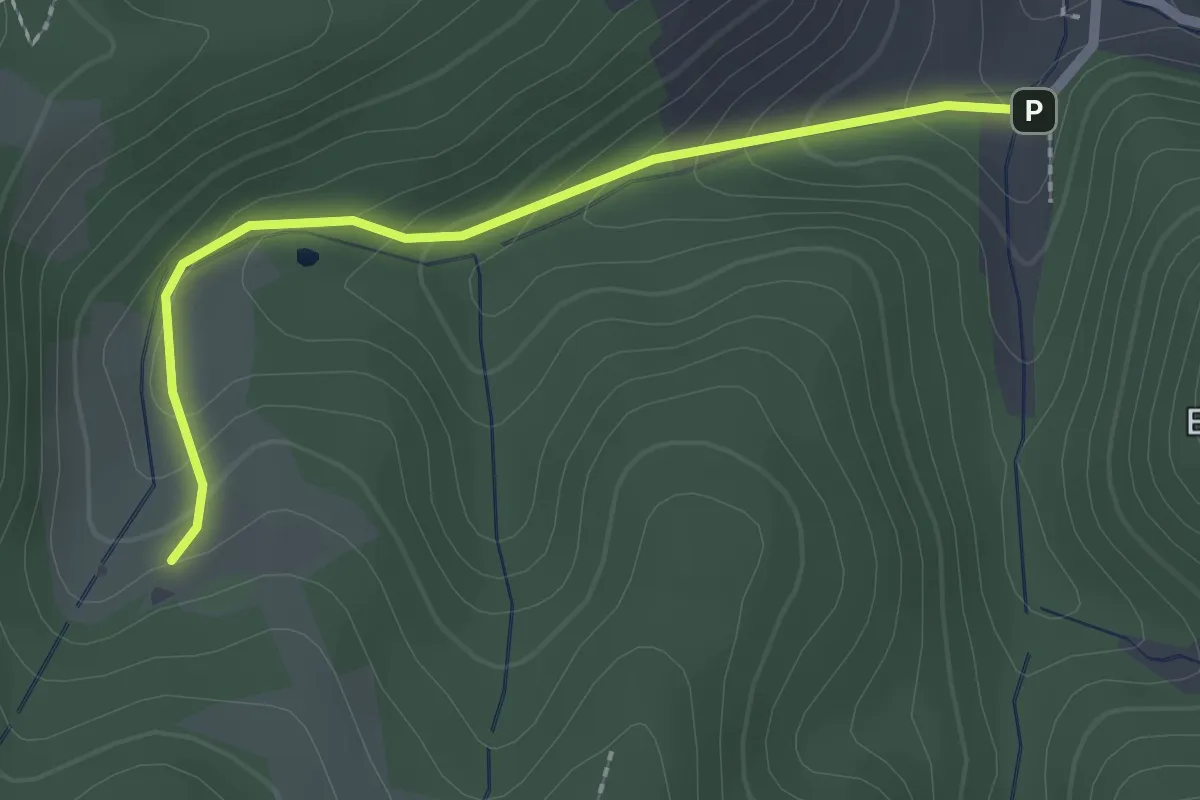
Easy · Trail
Ritterhof - Wanderparkplatz Höfe-Weg
2.1 km · ↑ 143 m · 48 min
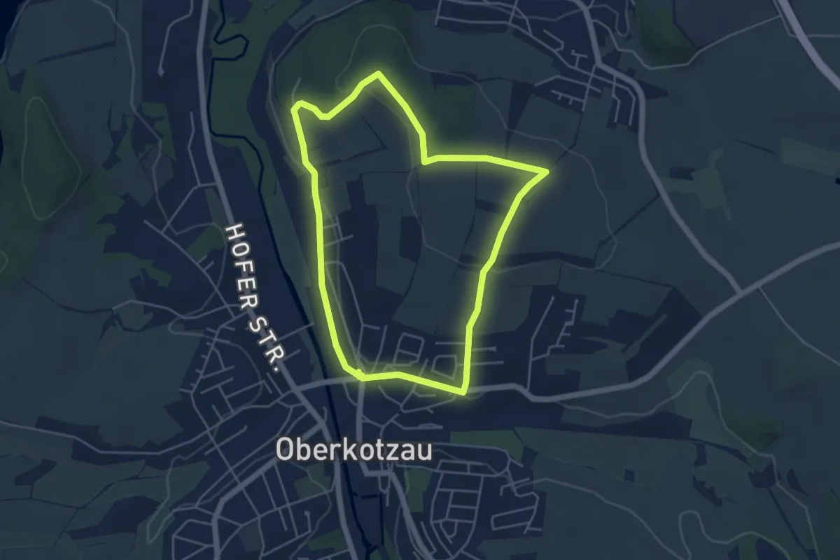
Easy · Trail
Ritter-Rain-Wanderweg
4.2 km · ↑ 81 m · 1 h 14 min
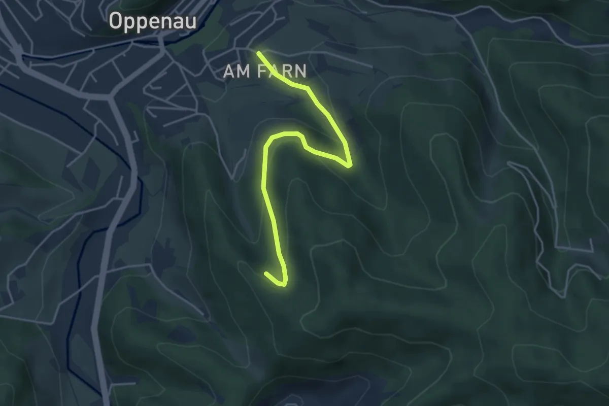
Easy · Trail
Rittersbächle - Oppenau Farn
3.7 km · ↑ 191 m · 1 h 17 min
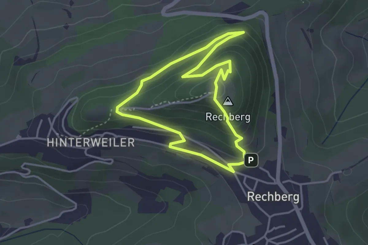
Easy · Summit
Rittersteig
3.1 km · ↑ 190 m · 1 h 11 min
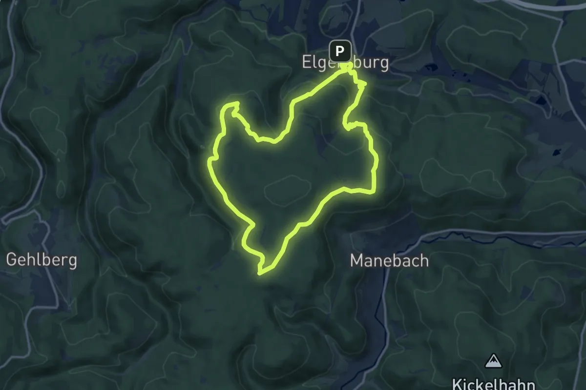
Medium · Summit
Ritter und Mönche
11.1 km · ↑ 426 m · 3 h 40 min
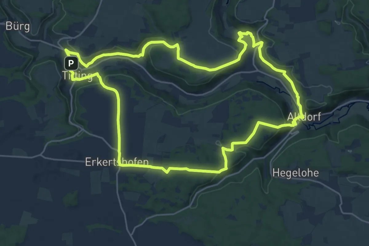
Medium · Trail
Ritter- und Römerweg
17.5 km · ↑ 404 m · 5 h 14 min
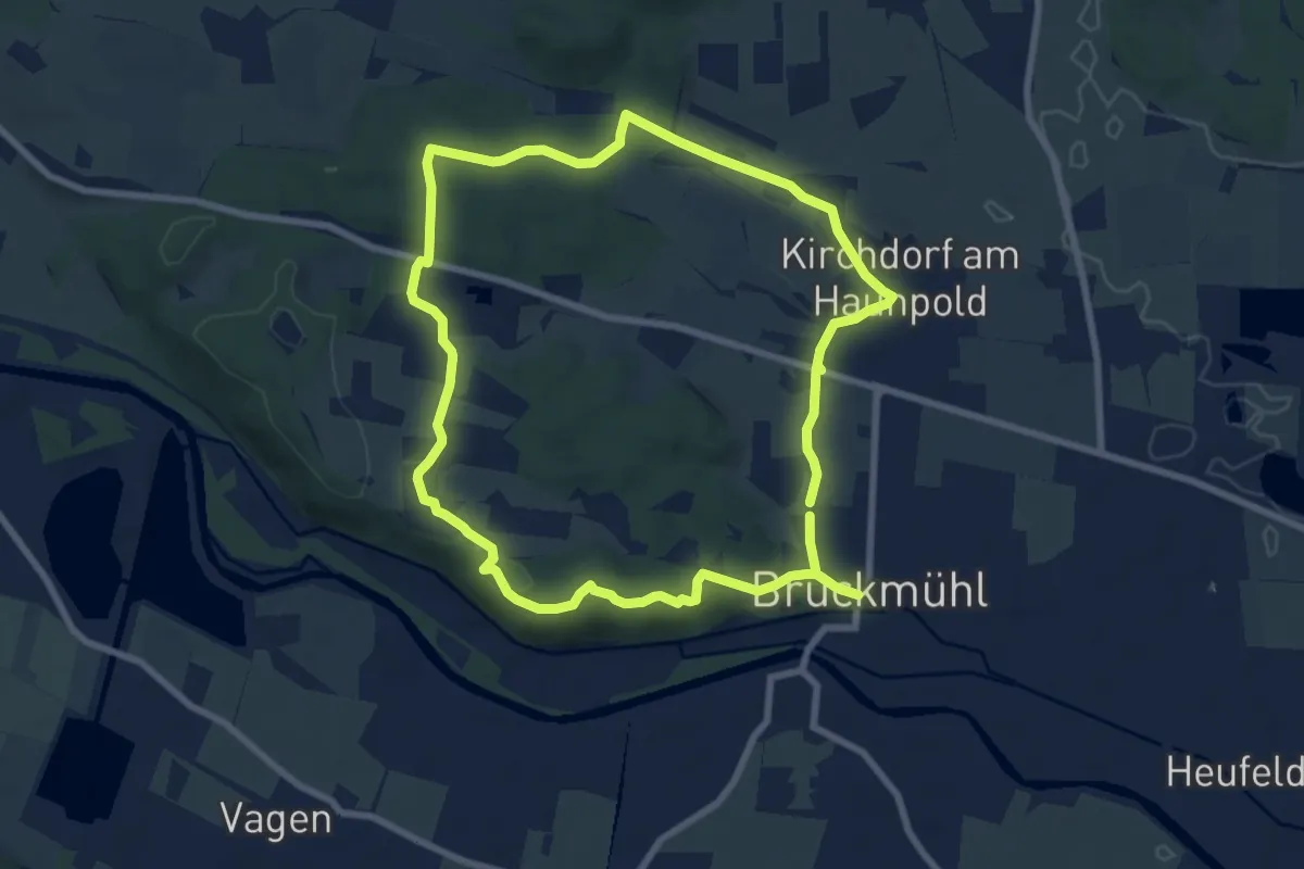
Easy · Trail
Ritter von Holnstain-Runde
7.8 km · ↑ 111 m · 2 h 12 min
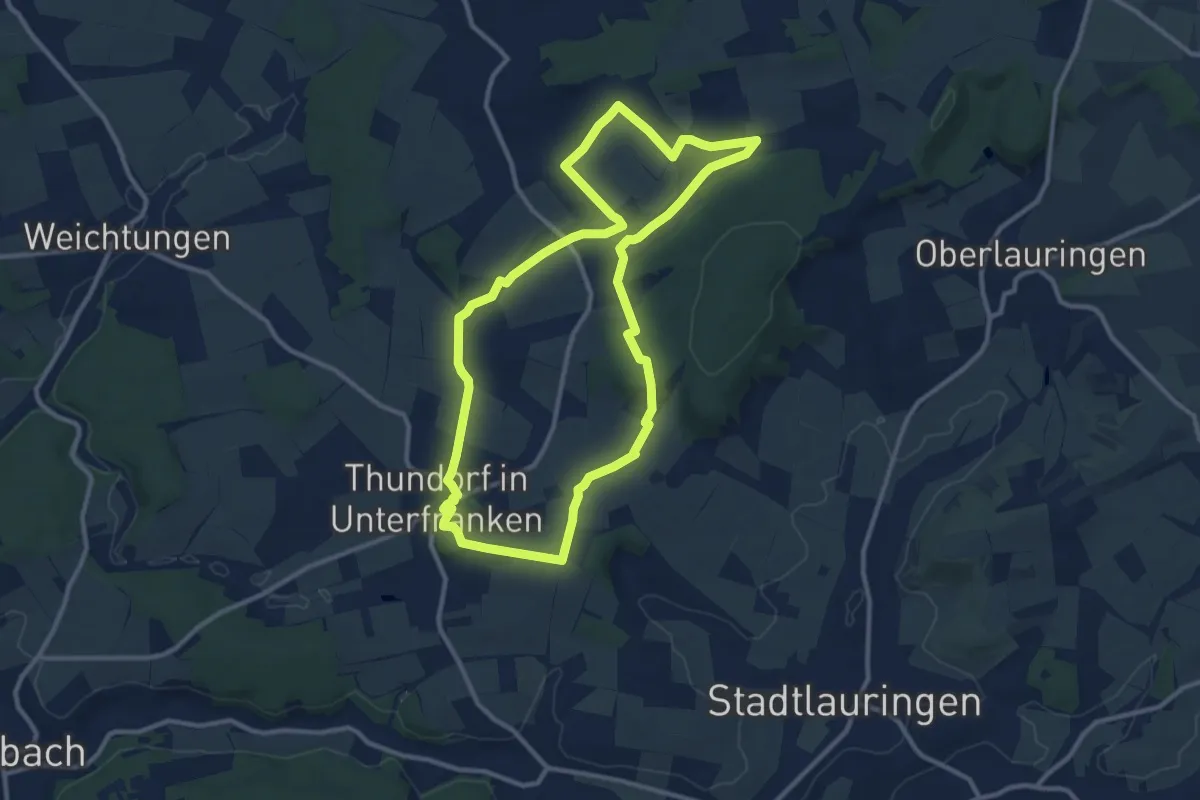
Medium · Summit
Ritterweg Thundorf
10.3 km · ↑ 116 m · 2 h 49 min
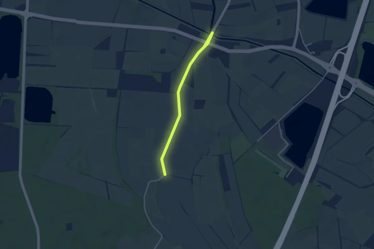
Easy · Trail
Rittgraben - Acherbrücke Engert
2.9 km · ↑ 0 m · 41 min
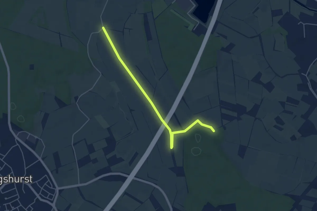
Easy · Trail
Rittgraben - Acherner Schlag
4.7 km · ↑ 4 m · 1 h 7 min
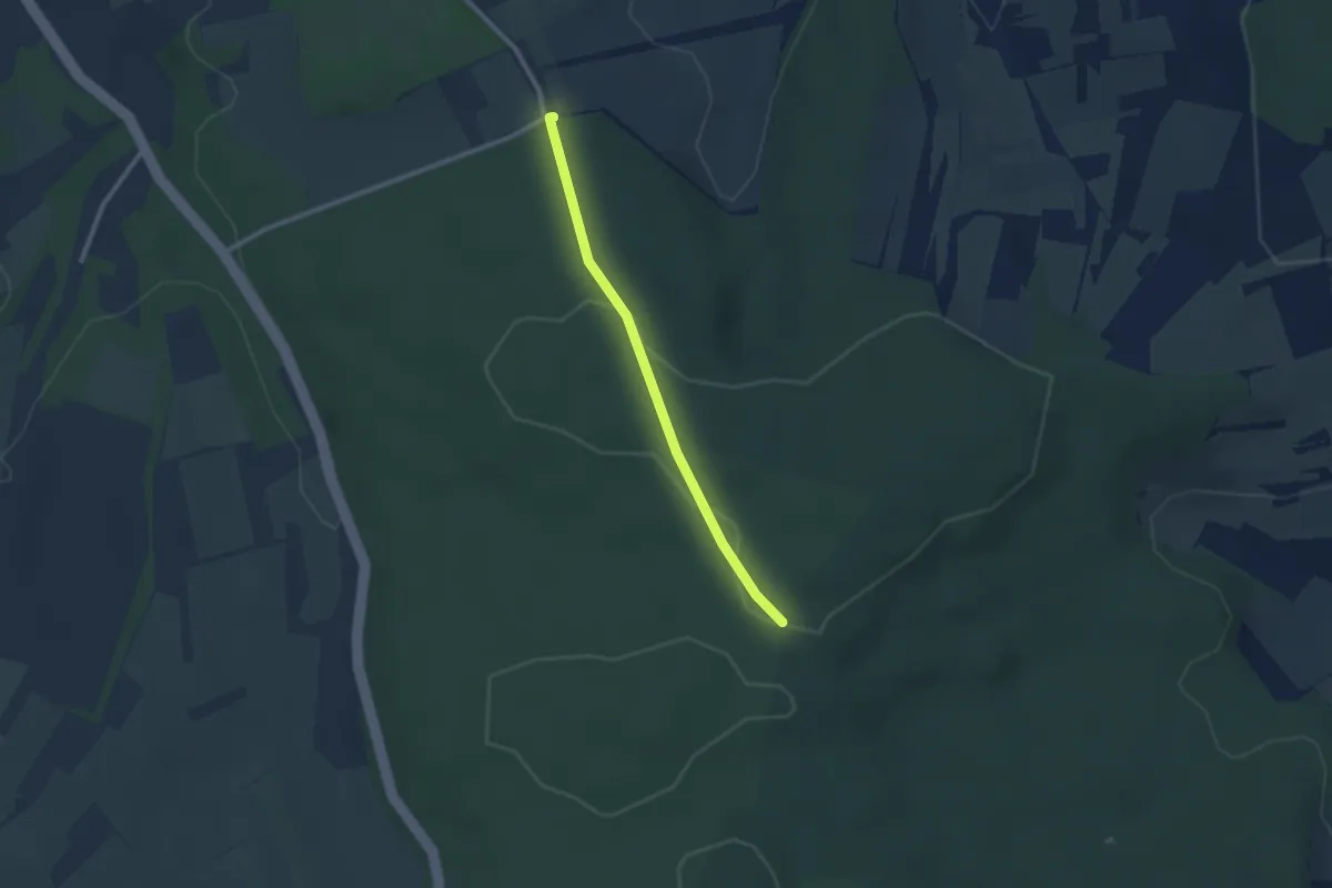
Easy · Trail
Rittnerthof - Sonnenberg Richtstatt
2.1 km · ↑ 28 m · 34 min
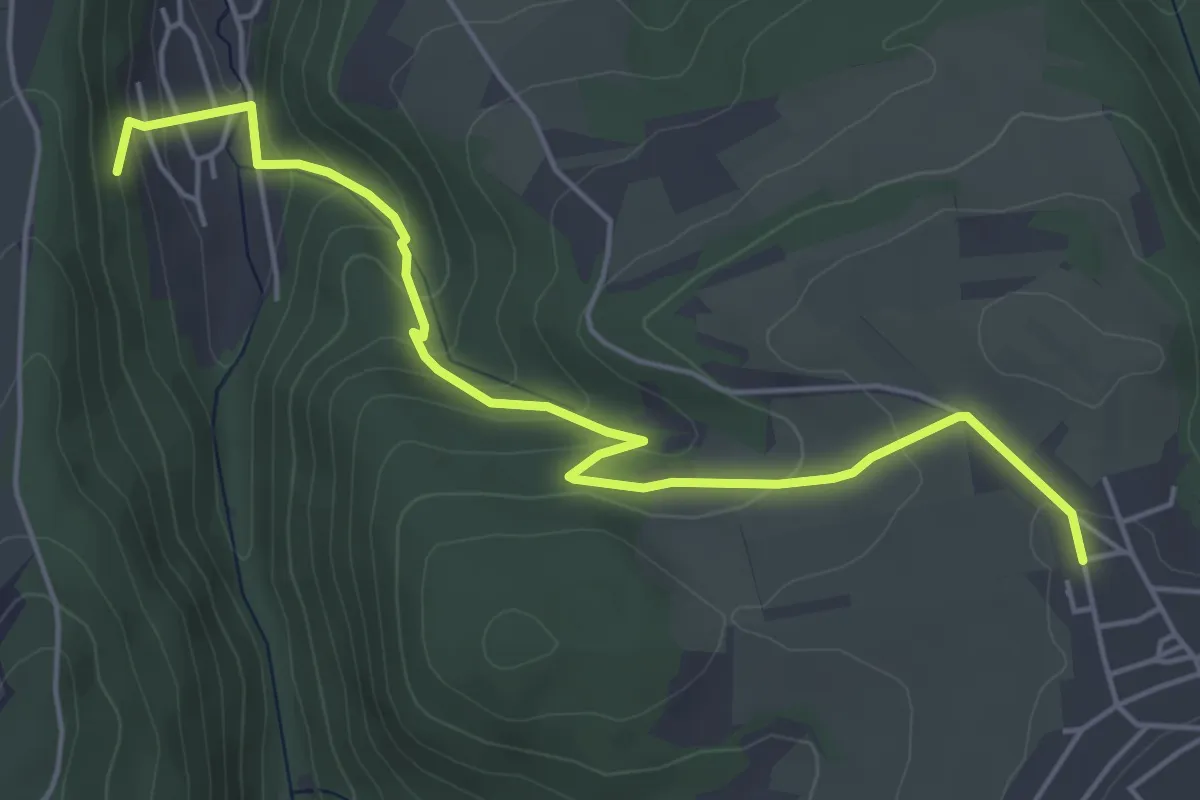
Easy · Trail
Riveris 1
5.2 km · ↑ 275 m · 1 h 49 min
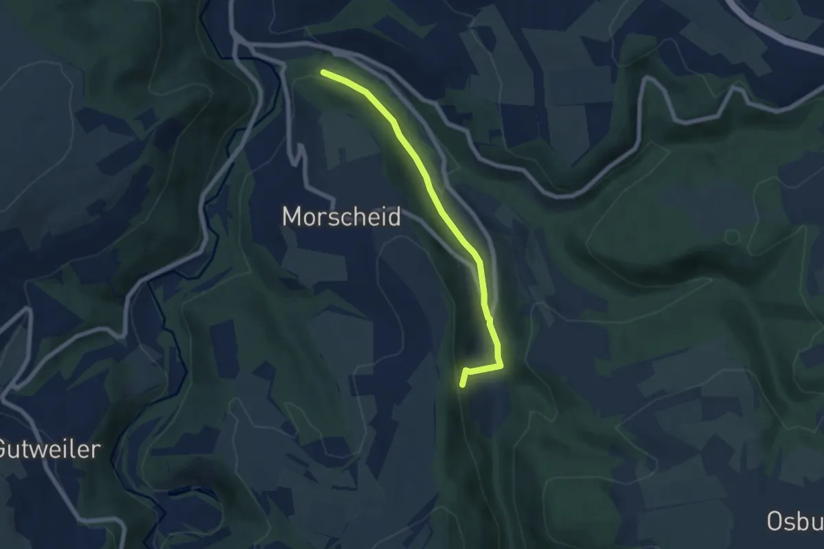
Easy · Trail
Riveris 2
5.1 km · ↑ 150 m · 1 h 31 min
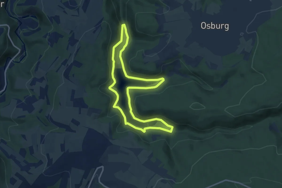
Easy · Trail
Riveristalsperre
7.8 km · ↑ 259 m · 2 h 30 min
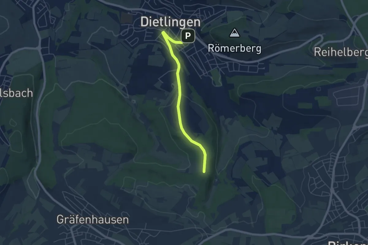
Easy · Trail
Rix - Dietlingen Spitzgarten
5.0 km · ↑ 101 m · 1 h 23 min
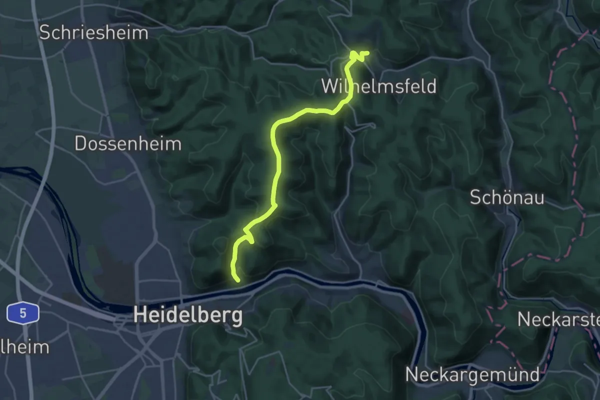
Demanding · Trail
Rizal Historic Trail
18.4 km · ↑ 574 m · 5 h 35 min
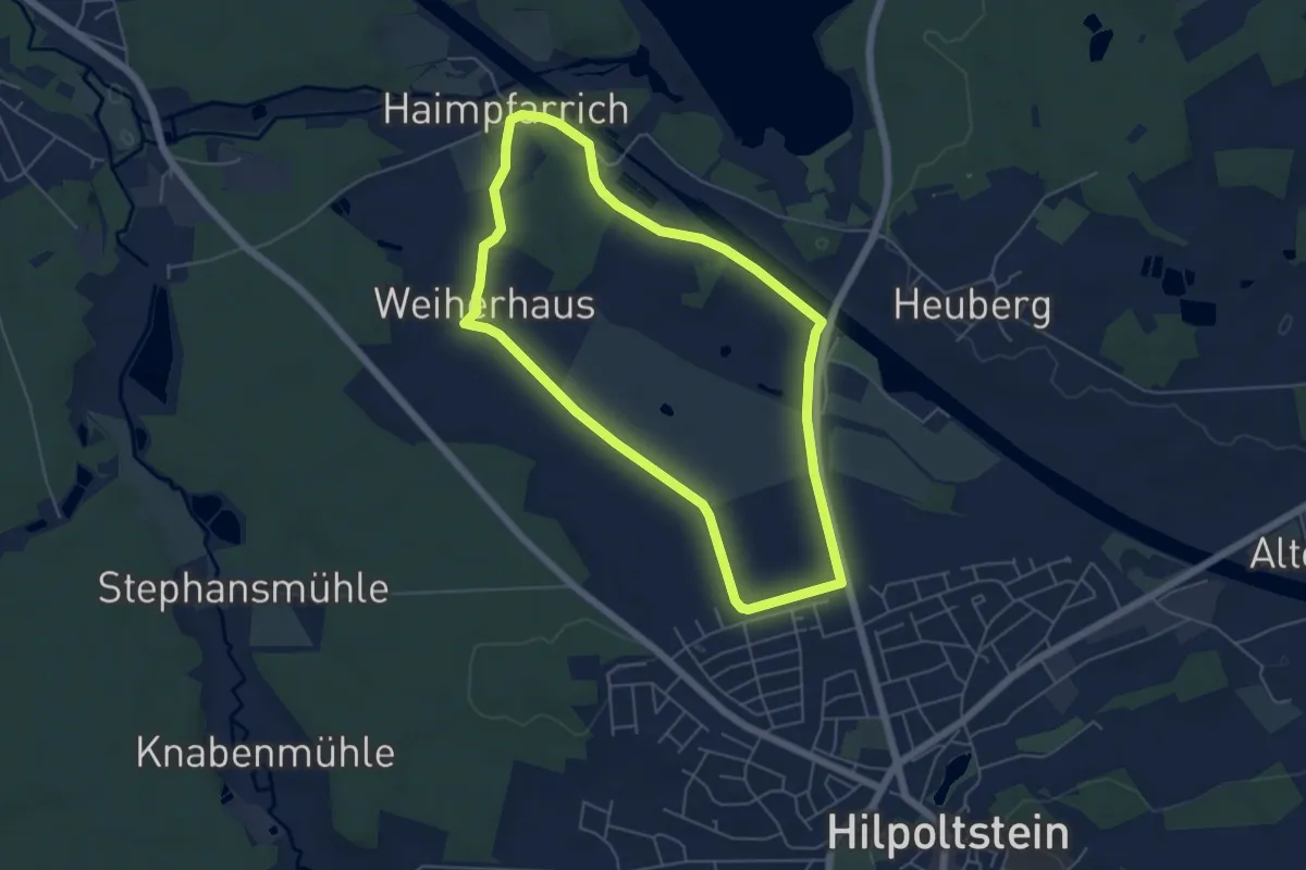
Easy · Trail
RMD-Kanalweg
5.0 km · ↑ 40 m · 1 h 20 min
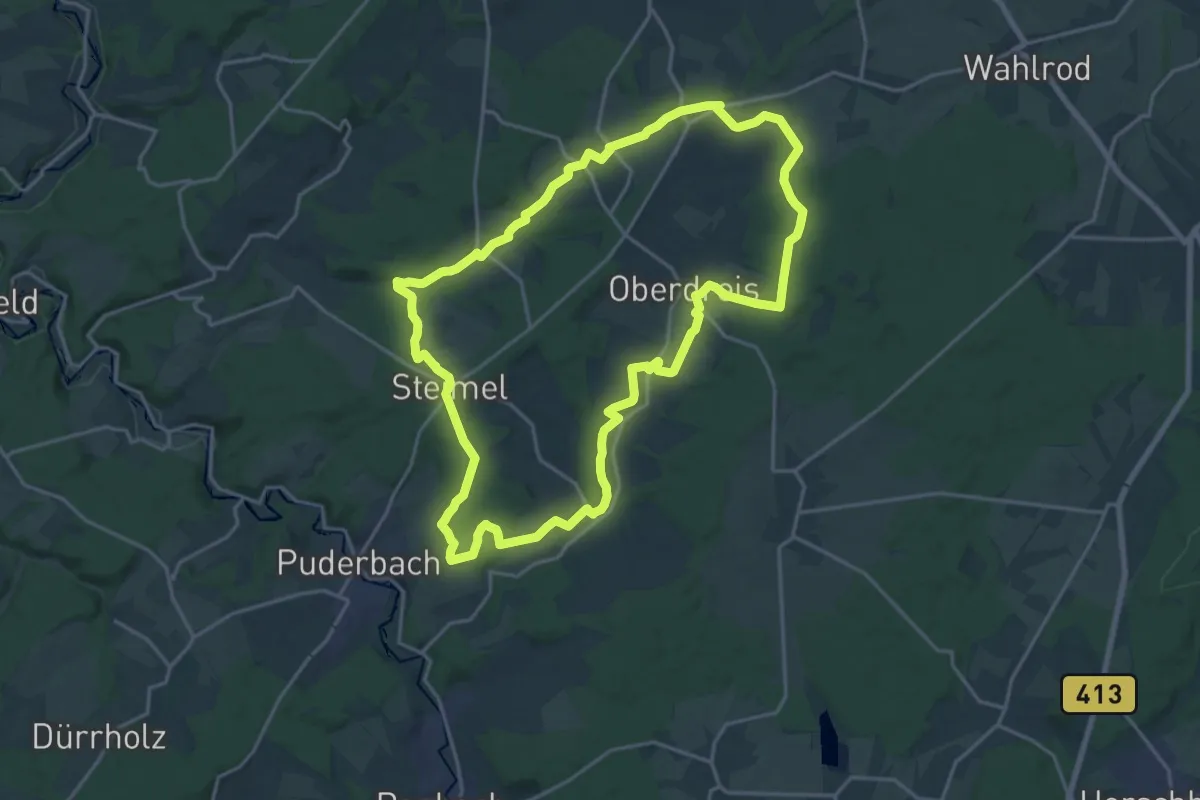
Demanding · Trail
[RM] Rotmilanwanderweg
18.5 km · ↑ 309 m · 5 h 17 min
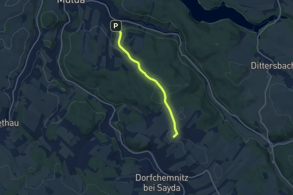
Easy · Summit
[R] Mulda - Clausnitz
7.5 km · ↑ 188 m · 2 h 10 min
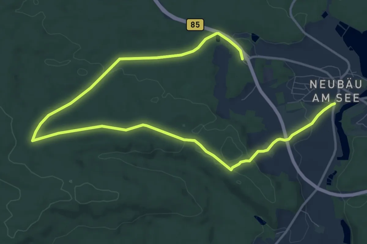
Medium · Trail
Ro19, 39, Naturpark Vorderer Bayerischer Wald
14.1 km · ↑ 203 m · 3 h 47 min
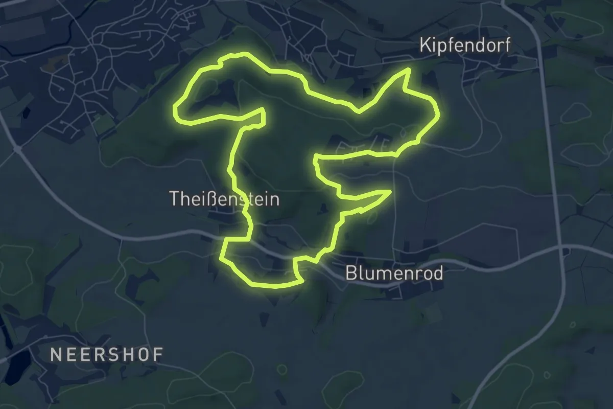
Medium · Summit
RÖ5 - Einberger Schweiz
8.7 km · ↑ 171 m · 2 h 32 min
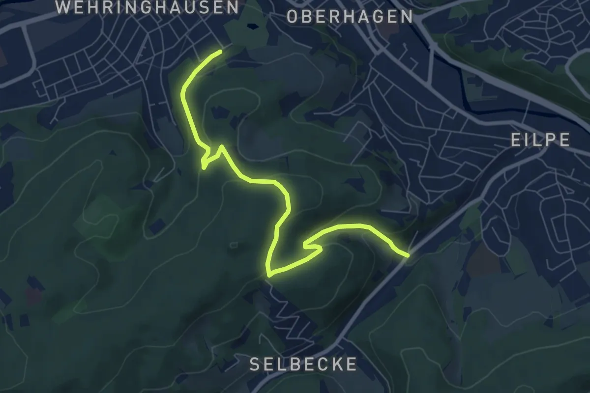
Easy · Trail
Robert-Kolb-Weg
6.9 km · ↑ 293 m · 2 h 15 min