Trails in Germany
36,852 hiking trails, each with its route, climb, walking time and grade.
All trails, page 457 of 768
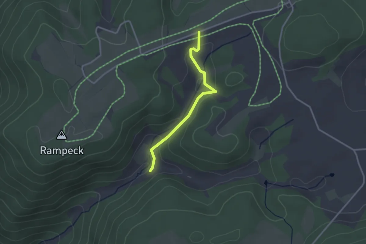
Easy · Trail
Rohrenbauernhof - Hoher Straßenacker
2.2 km · ↑ 70 m · 41 min
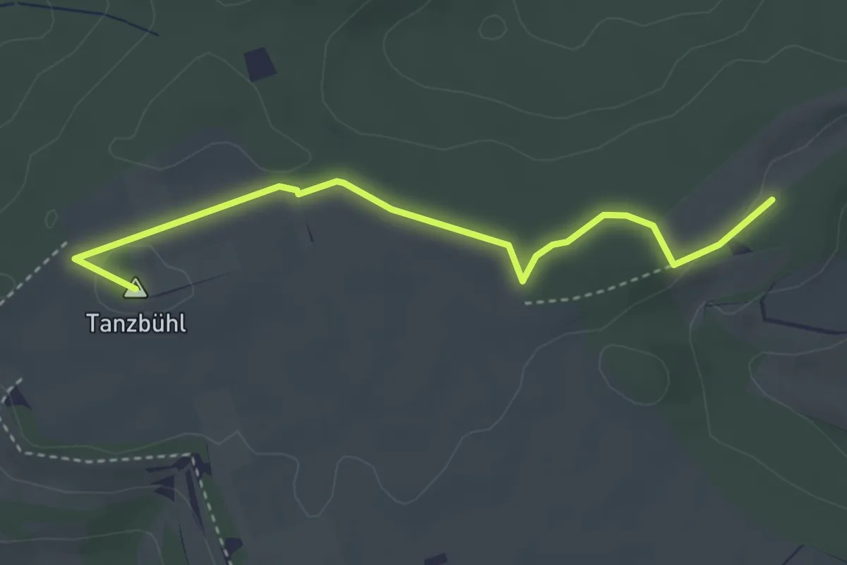
Easy · Summit
Röhrenbrunnen - Stockacker
3.5 km · ↑ 29 m · 54 min
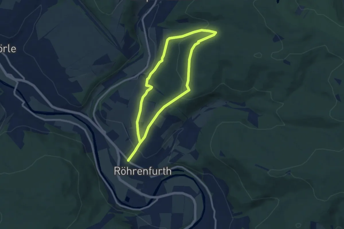
Easy · Trail
Röhrenfurther Rundwanderweg R1
5.9 km · ↑ 180 m · 1 h 52 min
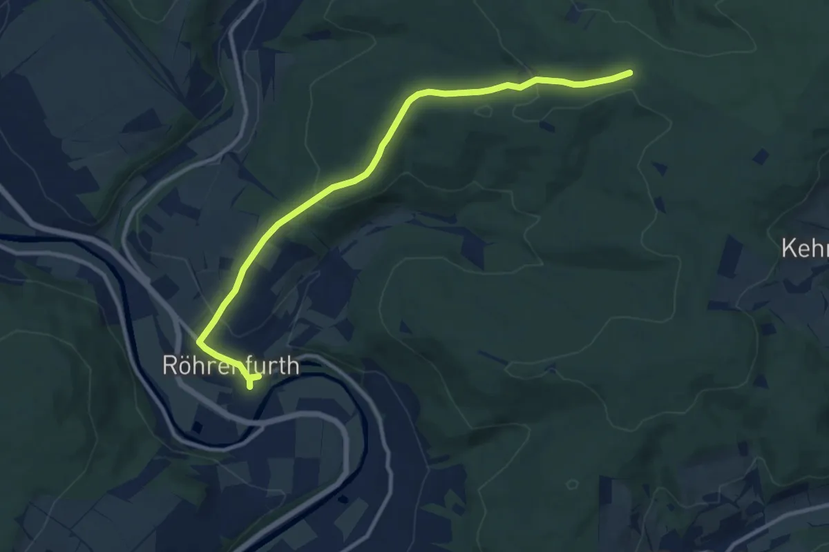
Easy · Trail
Röhrenfurther Rundwanderweg R3
4.9 km · ↑ 20 m · 1 h 23 min
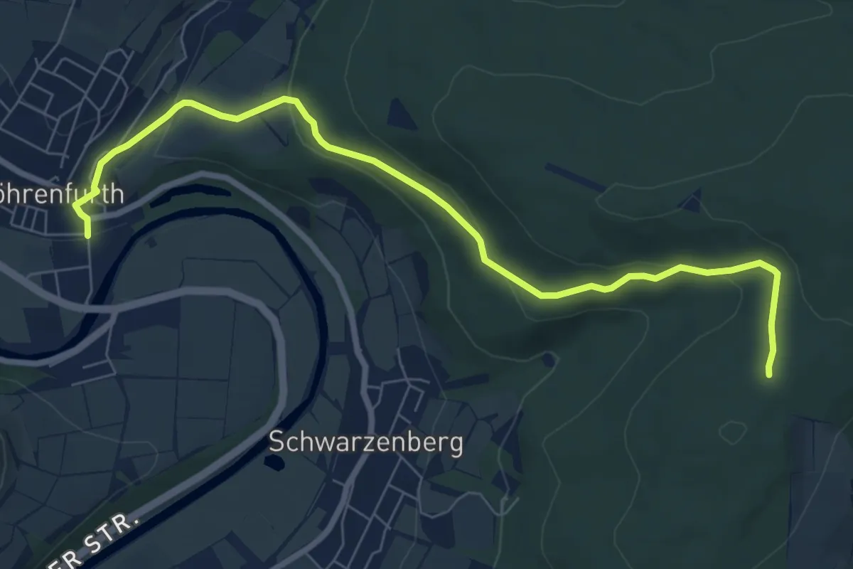
Easy · Trail
Röhrenfurth - Kroneneiche
7.5 km · ↑ 227 m · 2 h 15 min
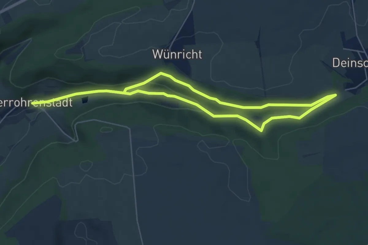
Medium · Trail
Rohrenstädter Tal (Rotring)
8.3 km · ↑ 167 m · 2 h 20 min
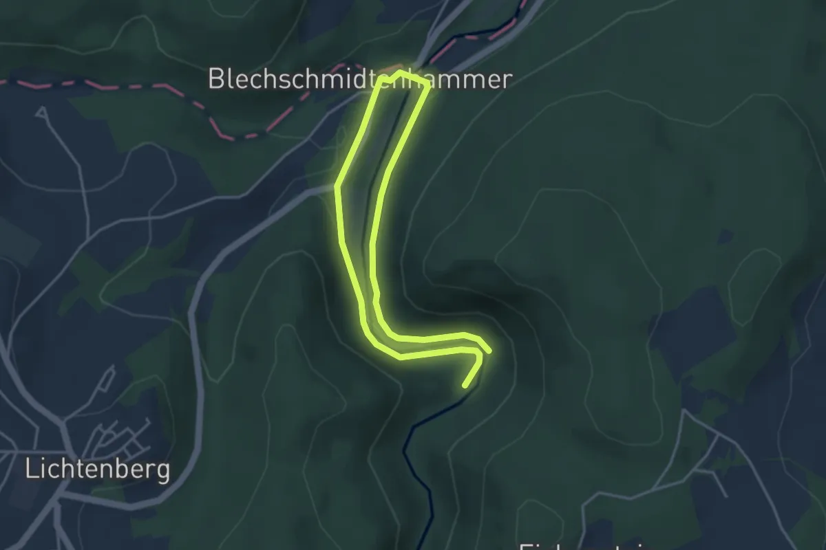
Easy · Trail
Röhrensteig US11
2.7 km · ↑ 37 m · 46 min
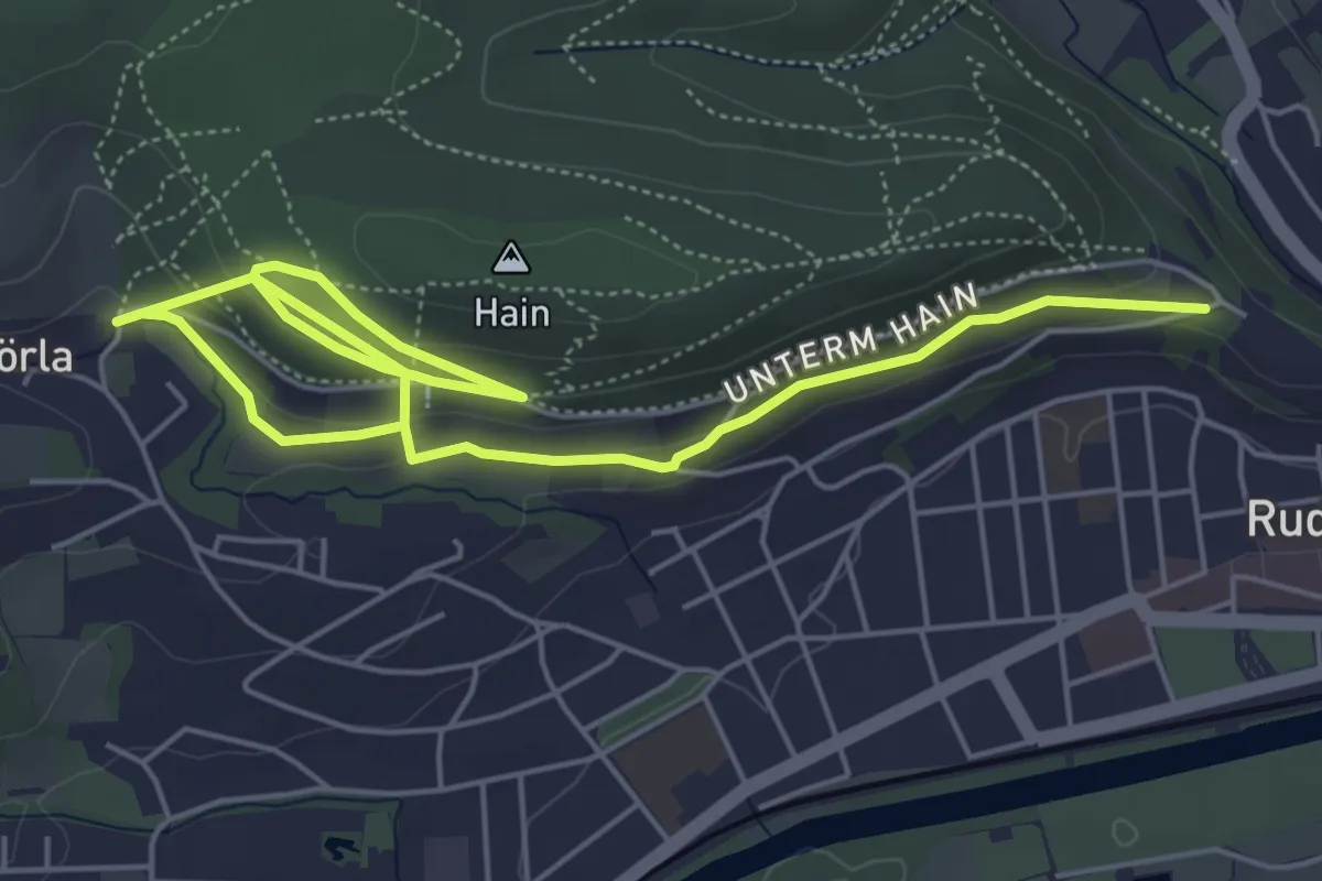
Easy · Trail
Röhrenweg
7.2 km · ↑ 237 m · 2 h 13 min
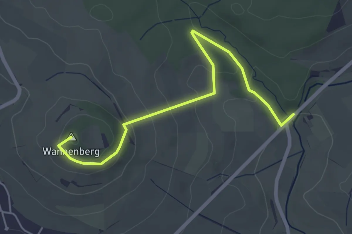
Easy · Summit
Rohrertal - Grub
4.6 km · ↑ 176 m · 1 h 28 min
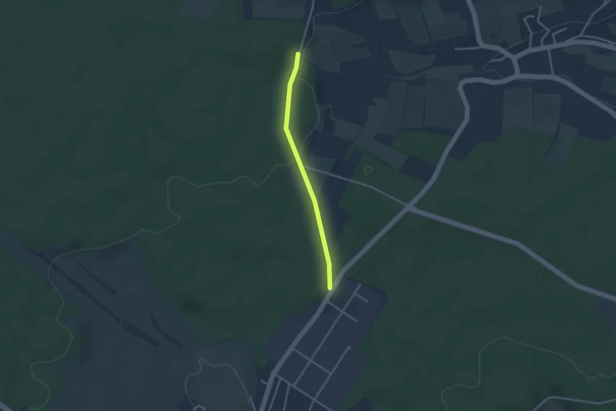
Easy · Trail
Rohrmüsse - Stockmüsse
2.3 km · ↑ 32 m · 37 min
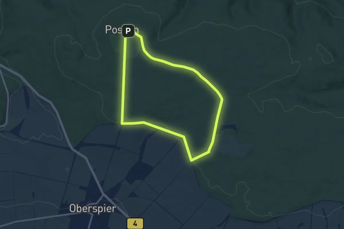
Easy · Summit
Rohrteich-Rundweg
6.6 km · ↑ 101 m · 1 h 52 min
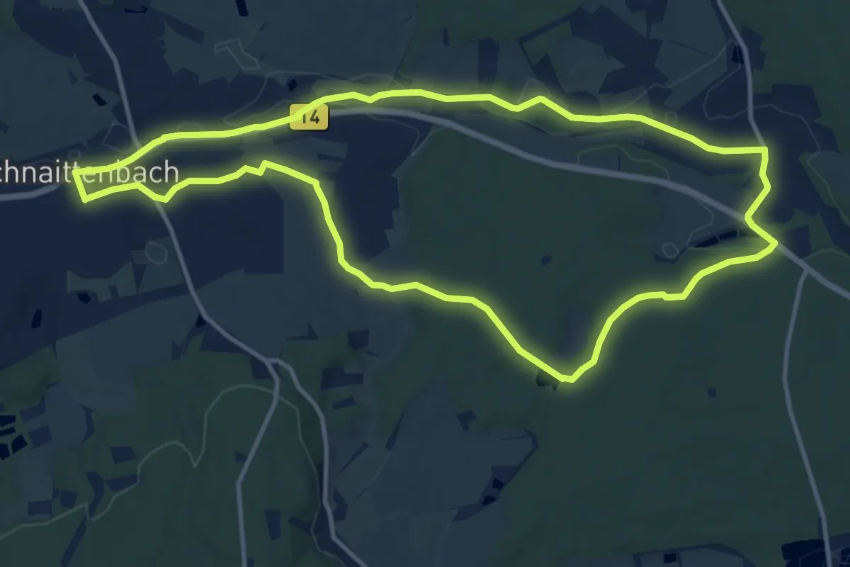
Medium · Trail
Rohrweiherweg
10.8 km · ↑ 60 m · 2 h 49 min
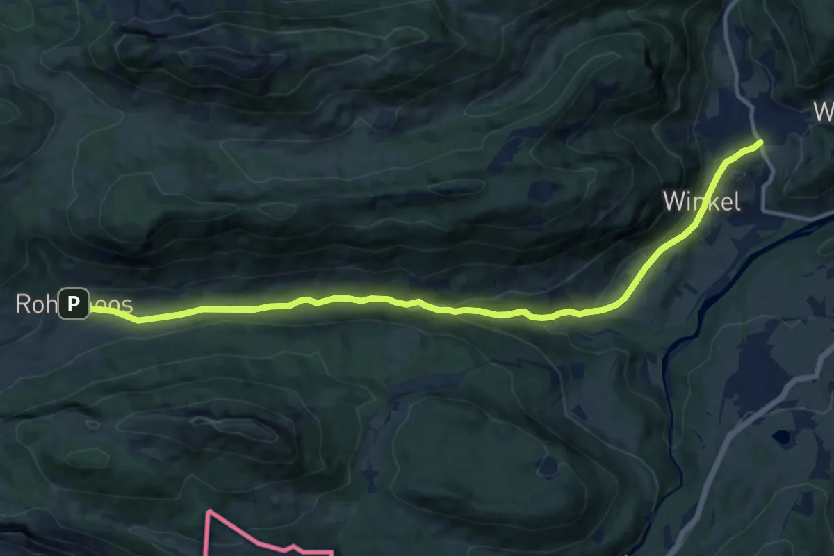
Medium · Trail
Ro - Ins winterliche Rohrmoos
12.7 km · ↑ 270 m · 3 h 36 min
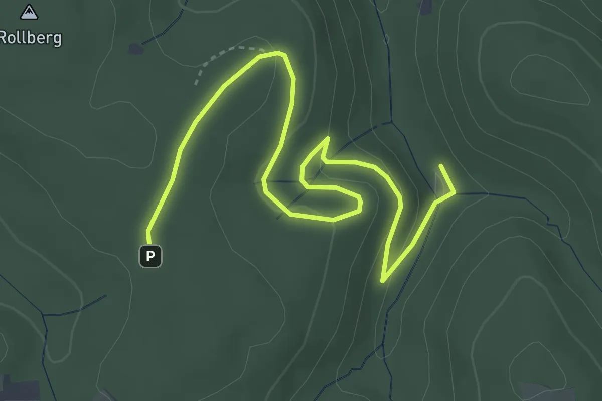
Easy · Trail
Rollberg - Untere Rostmühle
4.6 km · ↑ 137 m · 1 h 23 min
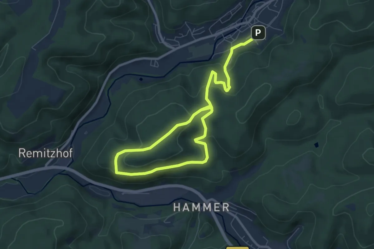
Easy · Summit
Rollenberg-Weg RT 21
4.9 km · ↑ 235 m · 1 h 41 min
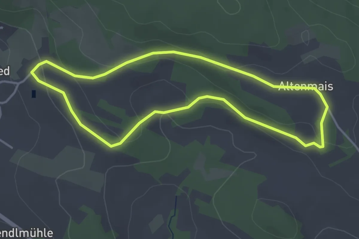
Easy · Trail
Rollersau-Rundweg
3.2 km · ↑ 72 m · 58 min
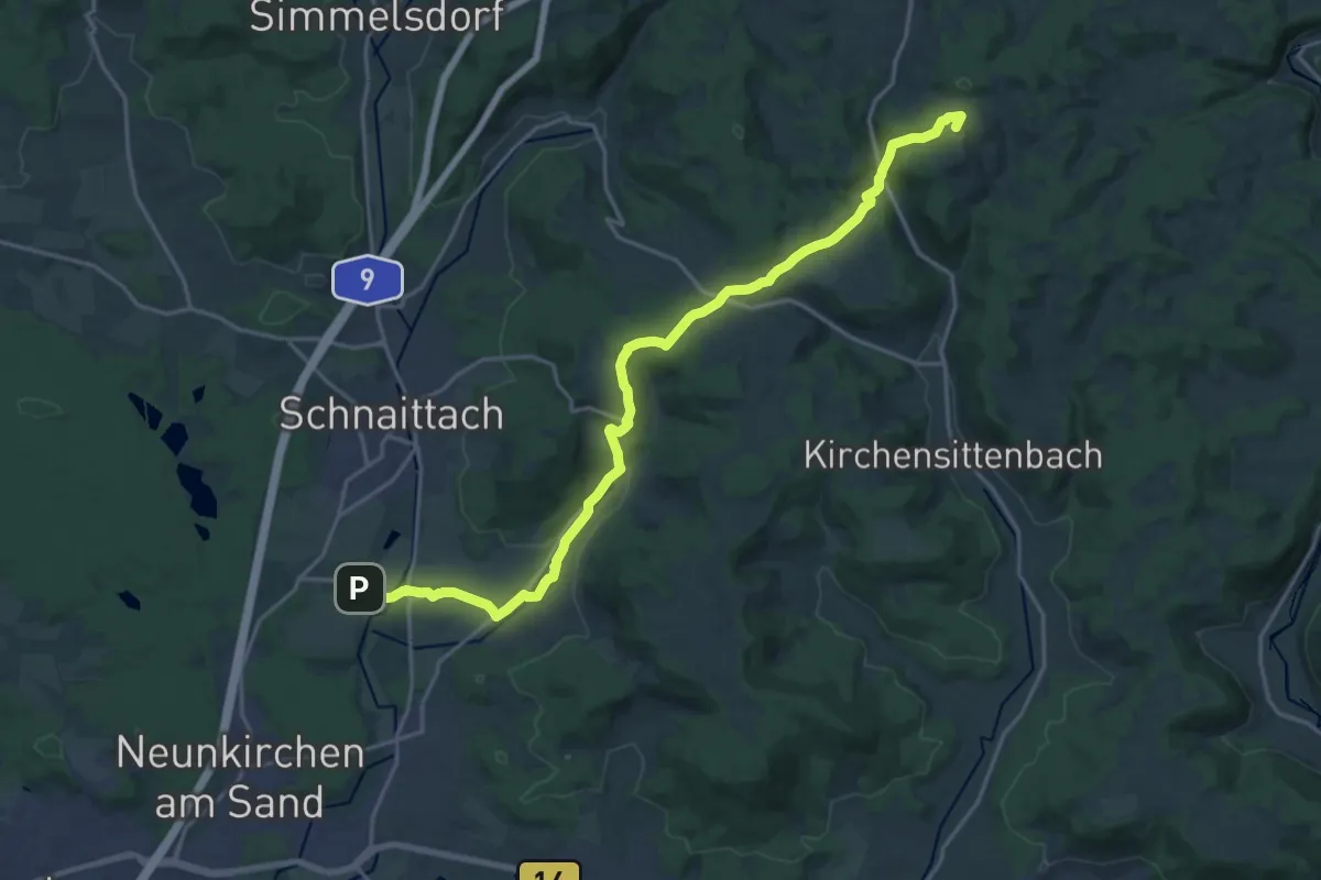
Demanding · Summit
Rollhofen-Rupprechtstegen
20.3 km · ↑ 550 m · 5 h 59 min
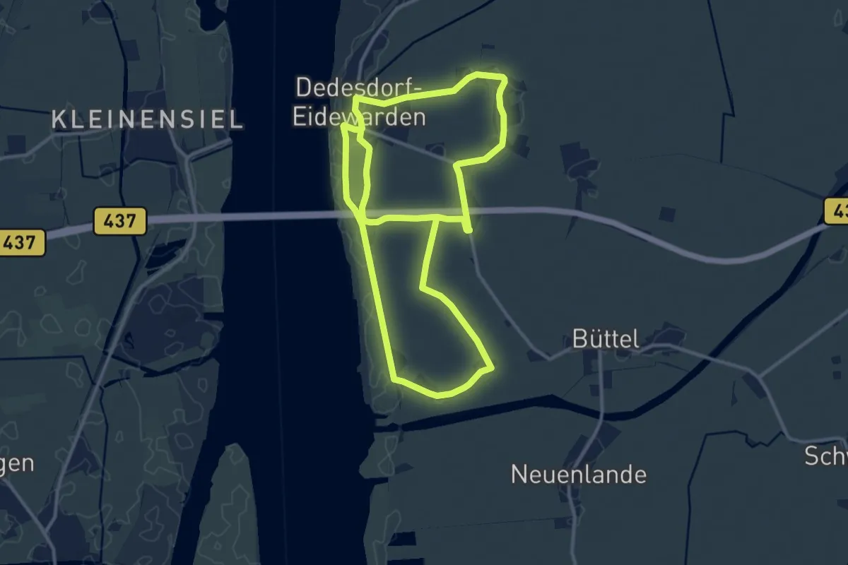
Demanding · Trail
Rolli-Route
20.9 km · ↑ 12 m · 4 h 58 min
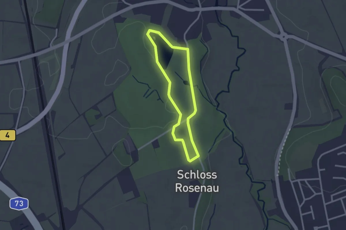
Easy · Trail
RolliTour Schloßpark Rosenau
1.8 km · ↑ 5 m · 28 min
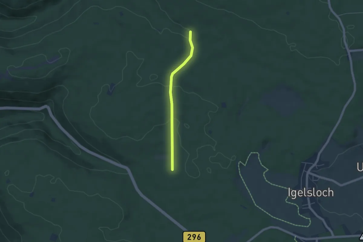
Easy · Trail
Rollmiss - Schwannbrückle
3.6 km · ↑ 68 m · 1 h
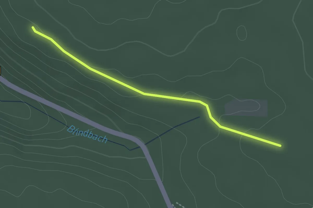
Easy · Trail
Rollmiss - Zellerholzhütte
2.3 km · ↑ 41 m · 38 min
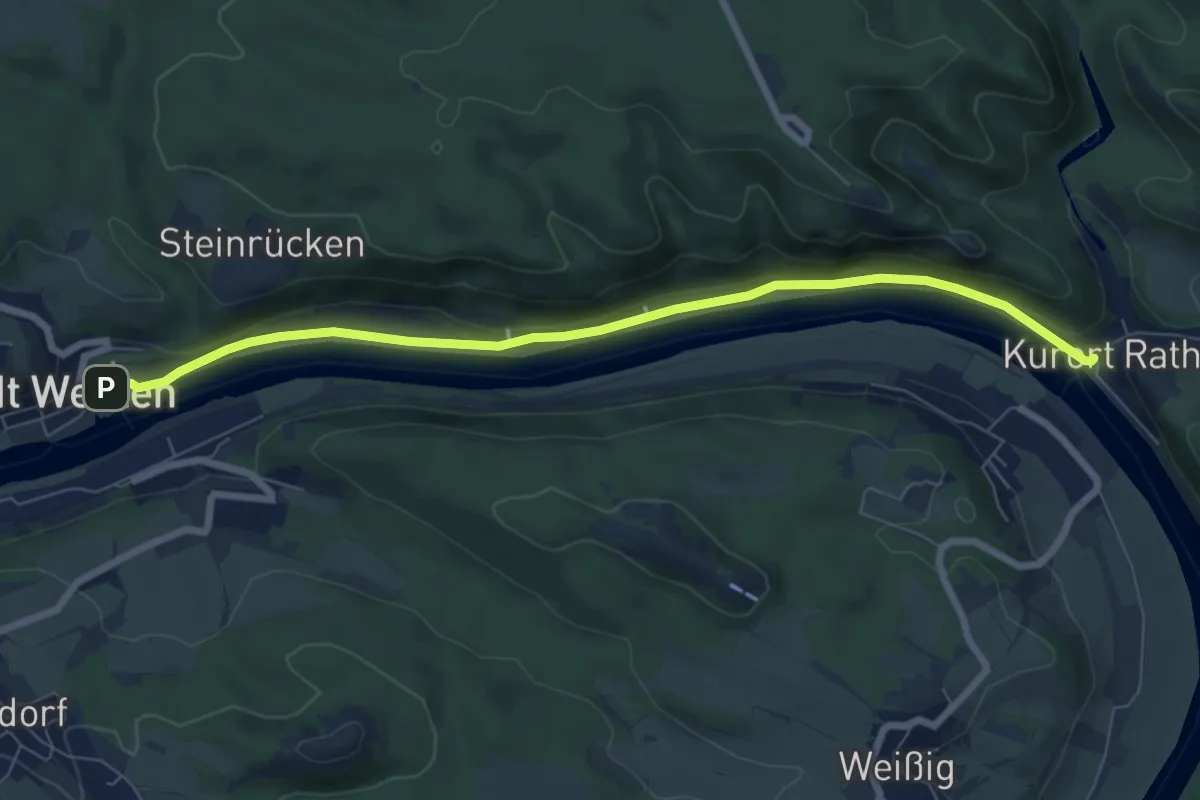
Easy · Trail
Rollstuhlrundweg
6.9 km · ↑ 72 m · 1 h 48 min
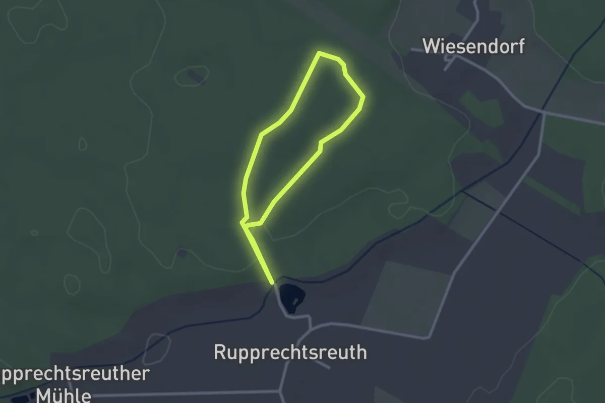
Easy · Trail
Rollstuhlwanderweg
1.9 km · ↑ 13 m · 30 min
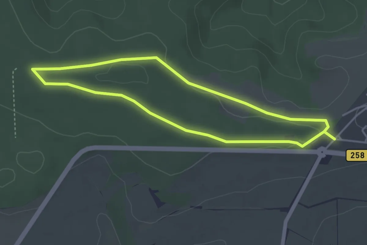
Easy · Trail
Rollstuhlwanderweg
3.2 km · ↑ 27 m · 51 min
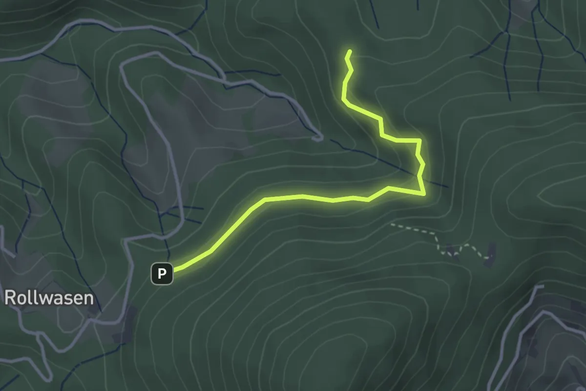
Easy · Trail
Rollwasen Parkplatz - Wassereck
2.9 km · ↑ 144 m · 1 h
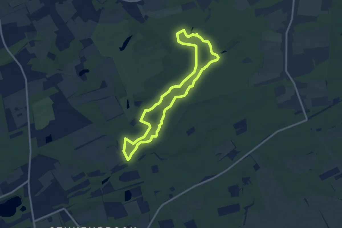
Easy · Trail
Romantisches Furlbachtal
6.1 km · ↑ 28 m · 1 h 36 min
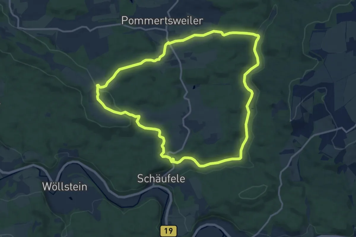
Medium · Trail
Romantisches Rottal
10.3 km · ↑ 221 m · 3 h 3 min
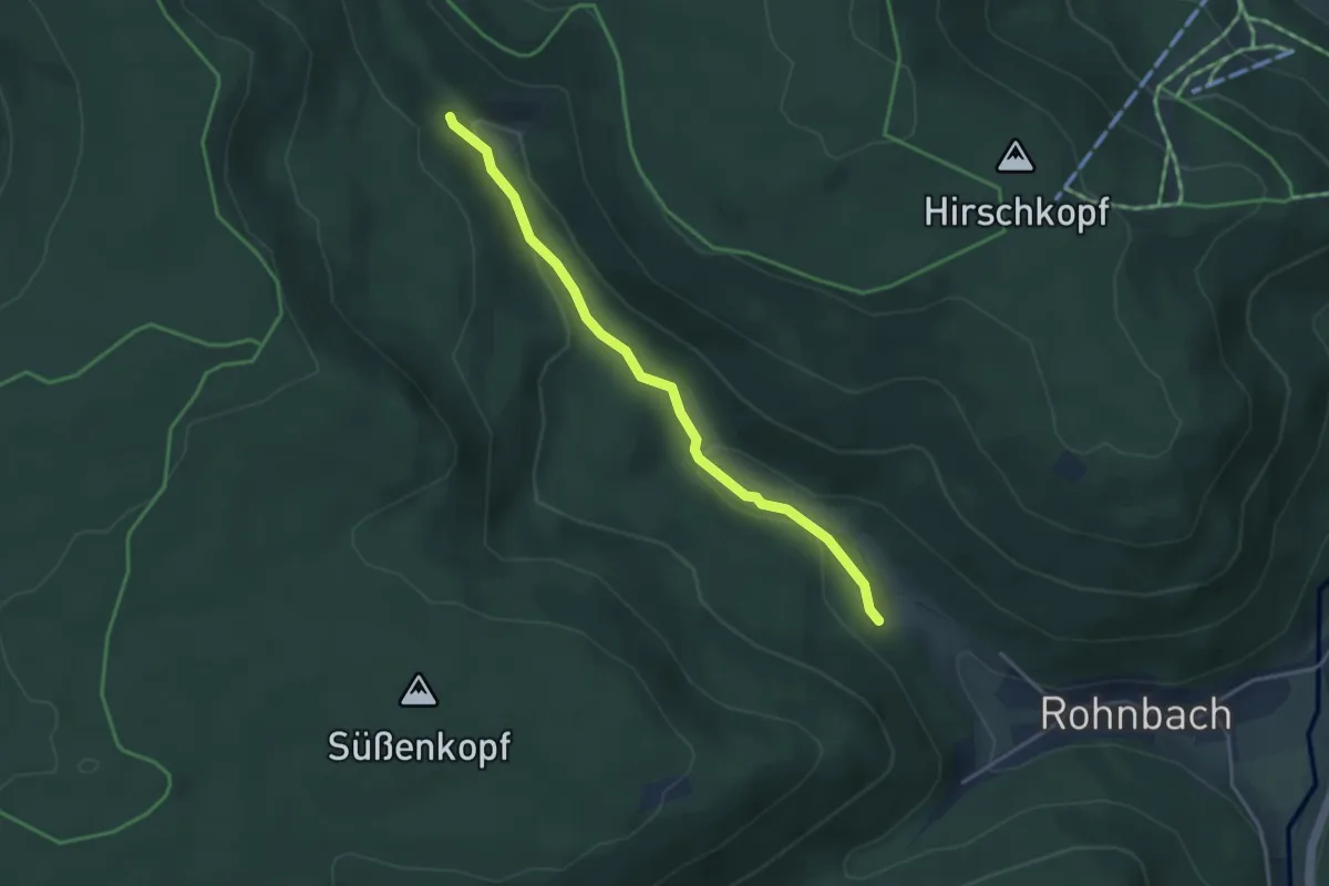
Easy · Trail
Rombachhof - Riesteich
3.5 km · ↑ 89 m · 1 h 1 min
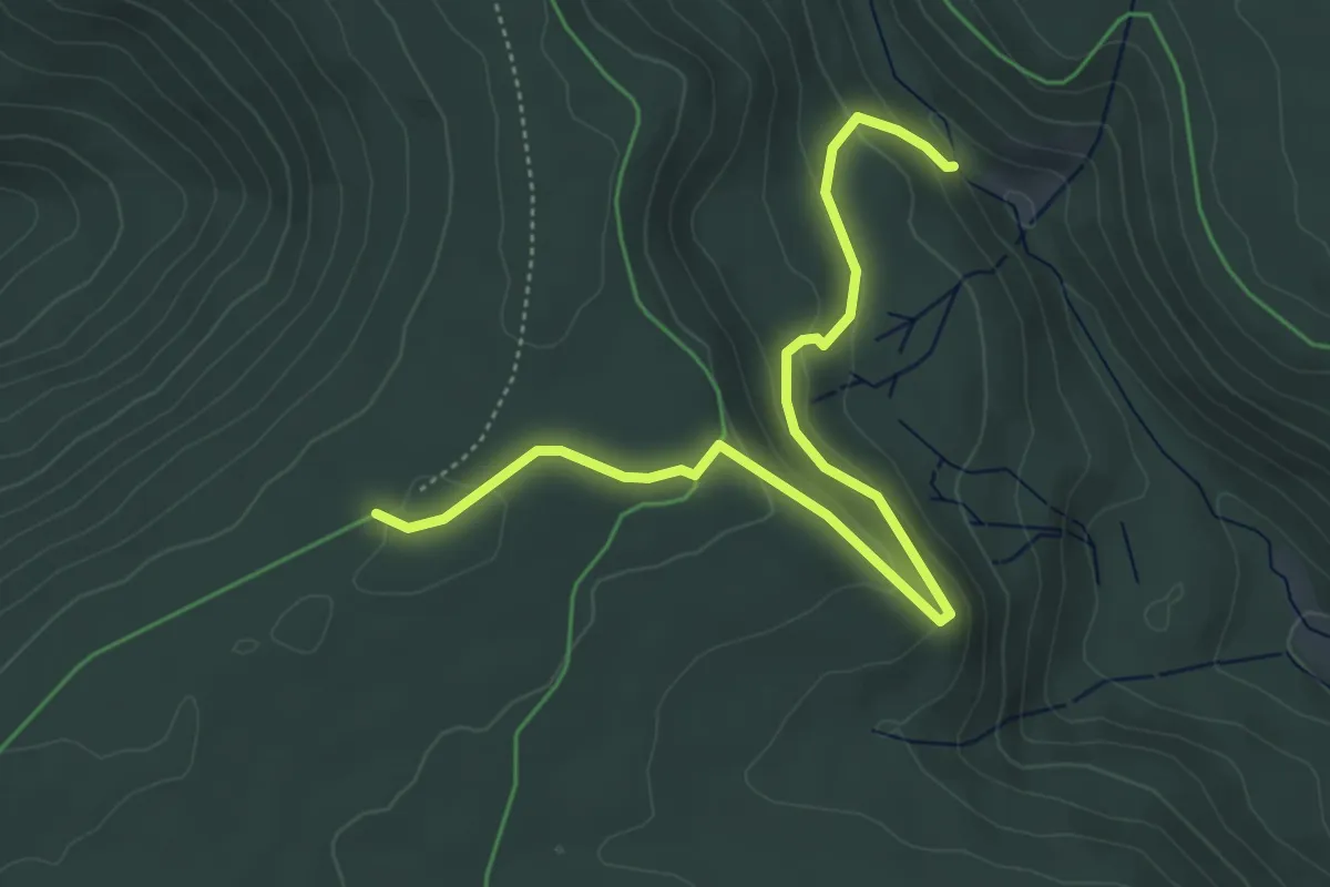
Easy · Trail
Rombachhof - Toter Mann
5.2 km · ↑ 178 m · 1 h 37 min
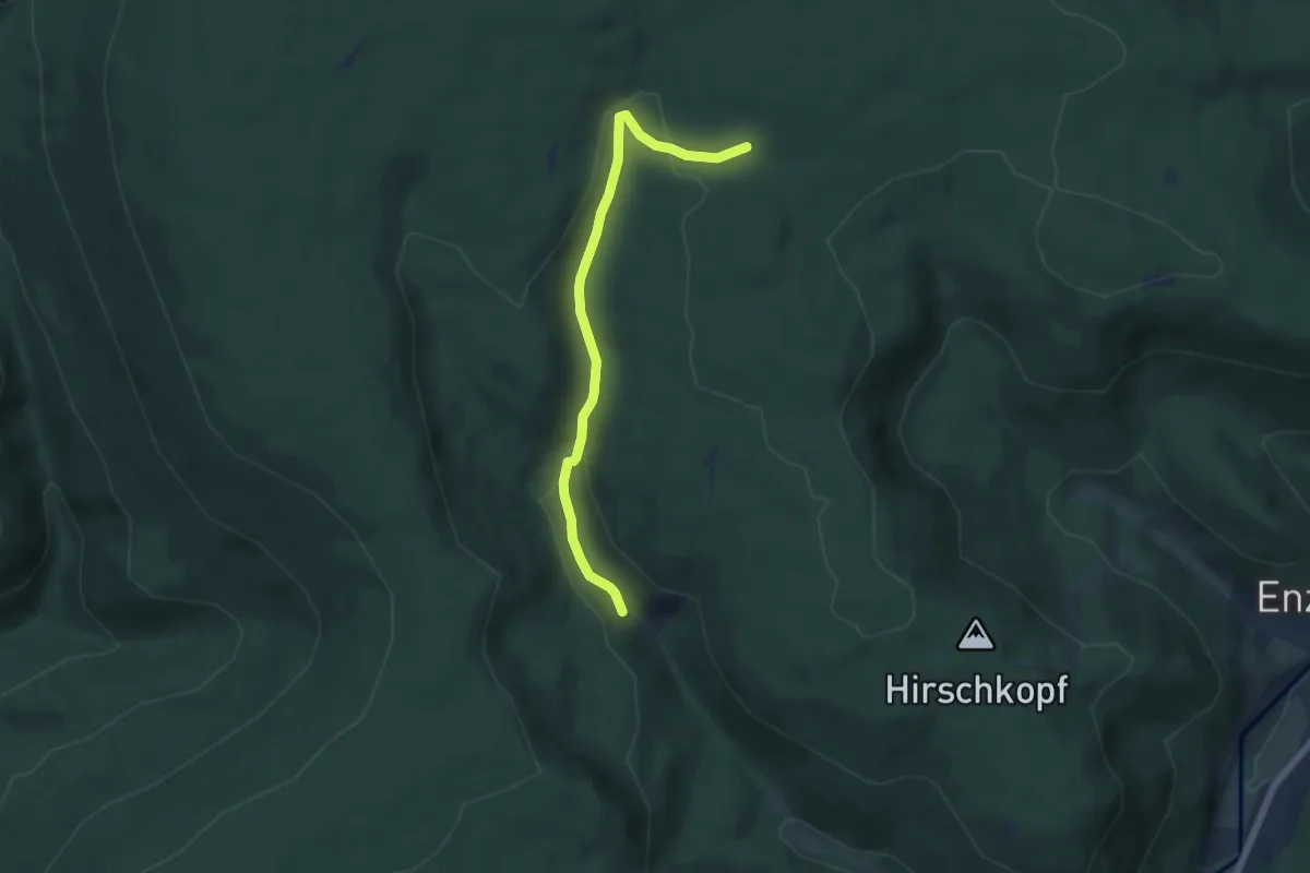
Easy · Trail
Rombachhof - Viereichenhütte
5.4 km · ↑ 162 m · 1 h 38 min
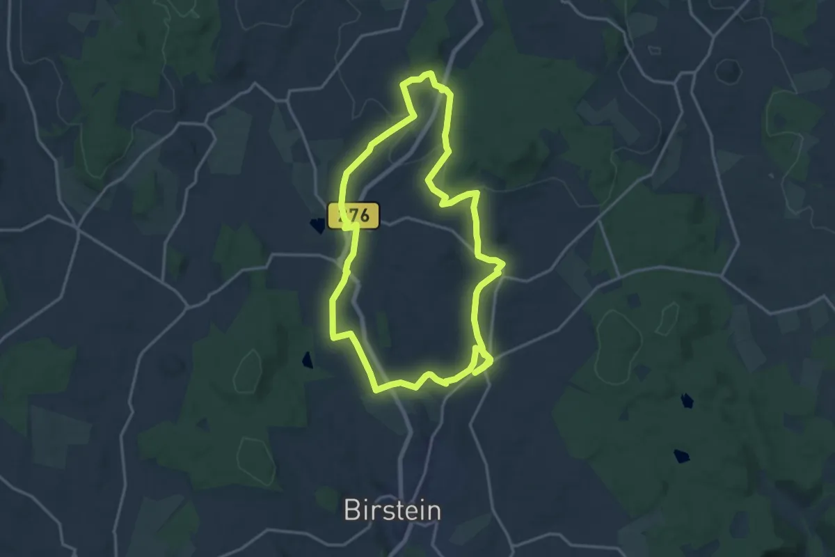
Medium · Trail
Rombachs Weg
13.9 km · ↑ 145 m · 3 h 48 min
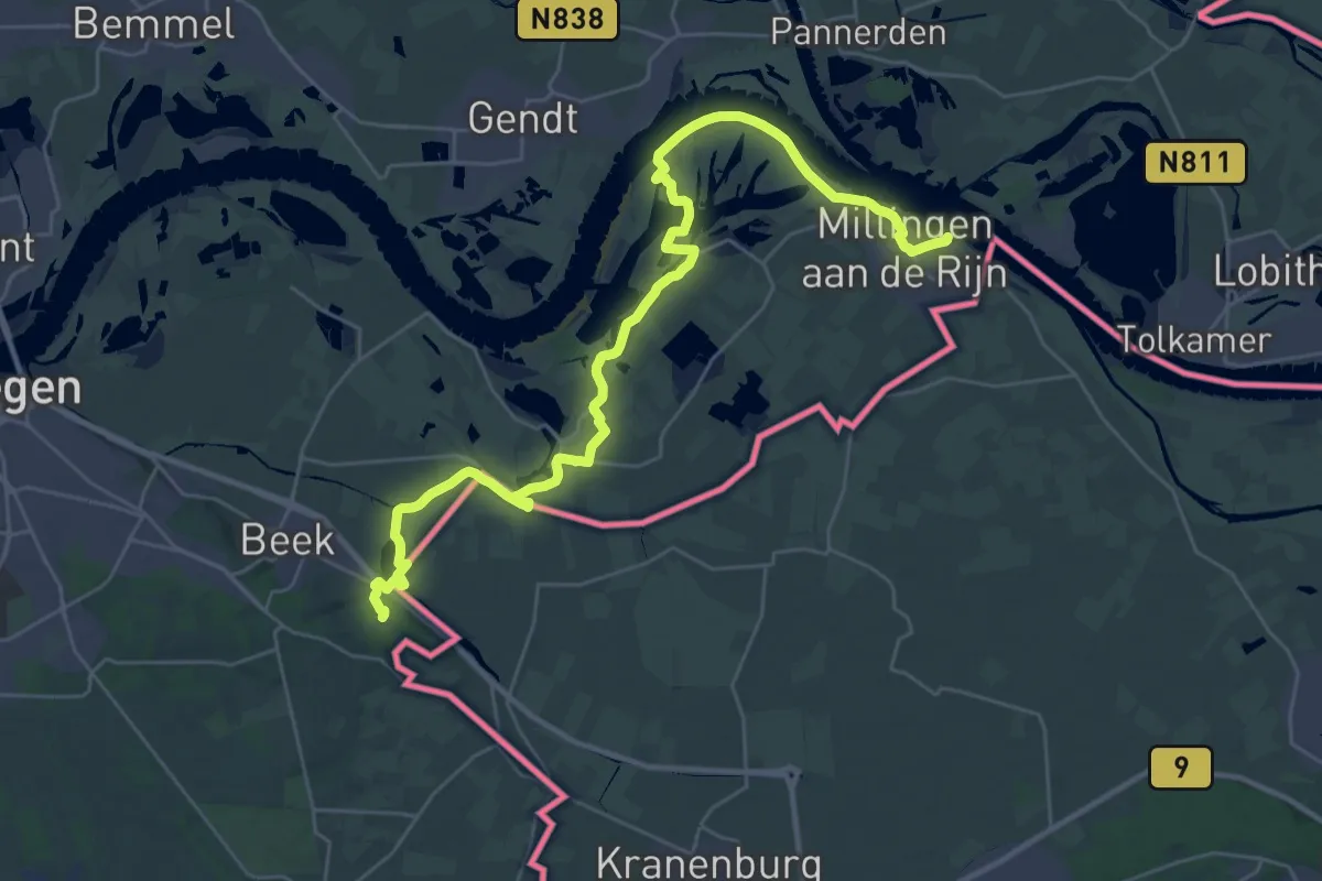
Medium · Trail
Romeinse Limespad - 18
16.8 km · ↑ 4 m · 4 h 14 min
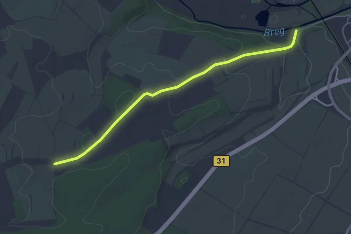
Easy · Trail
Römerbad - Auf Schosen
4.1 km · ↑ 79 m · 1 h 8 min
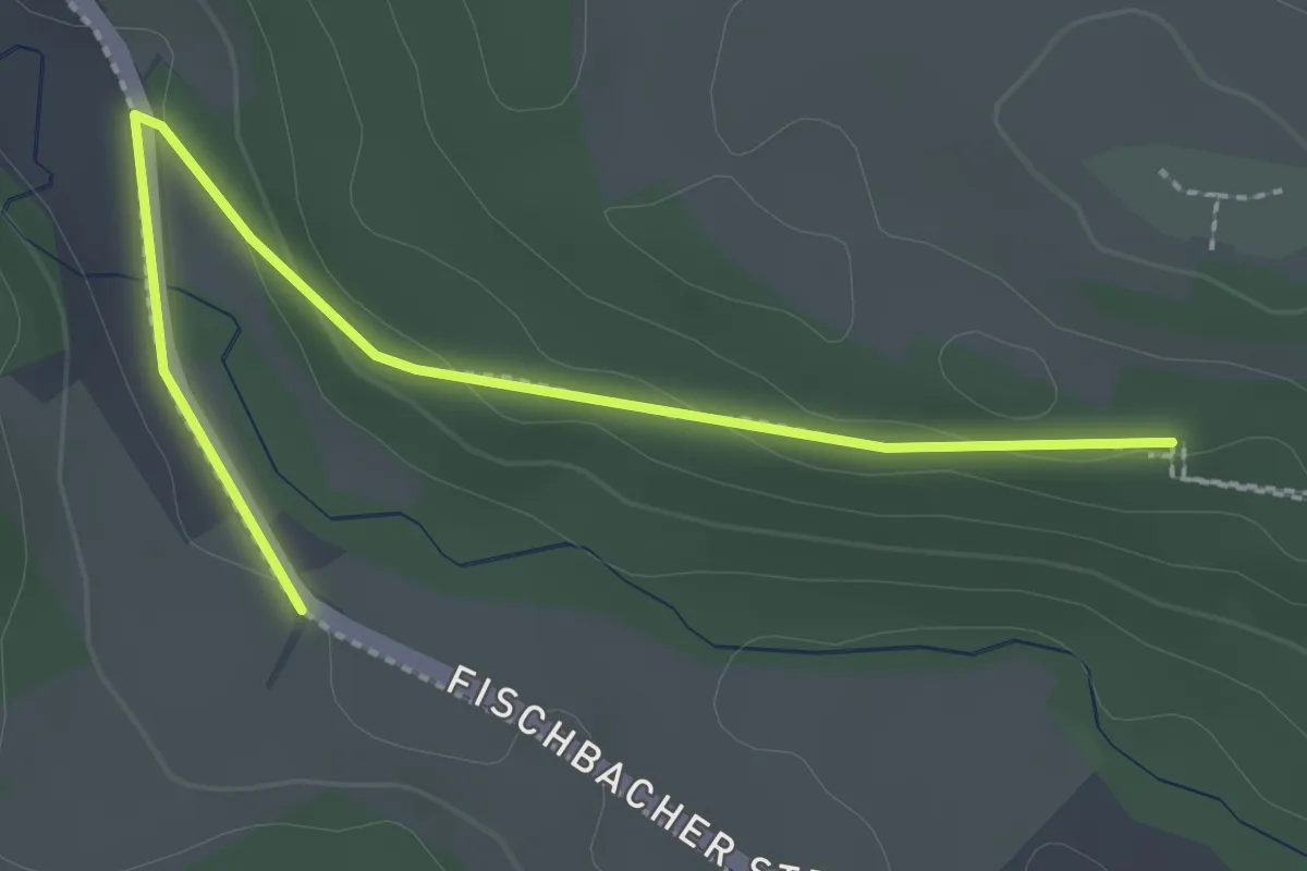
Easy · Trail
Römerbad - Vogelsang-Hof
2.7 km · ↑ 51 m · 44 min
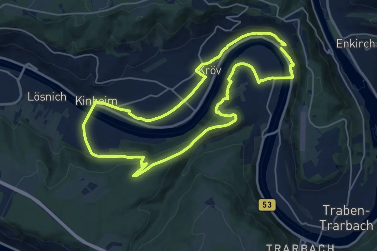
Medium · Trail
Römer, Kloster und Franzosenfestung
13.5 km · ↑ 399 m · 4 h 15 min
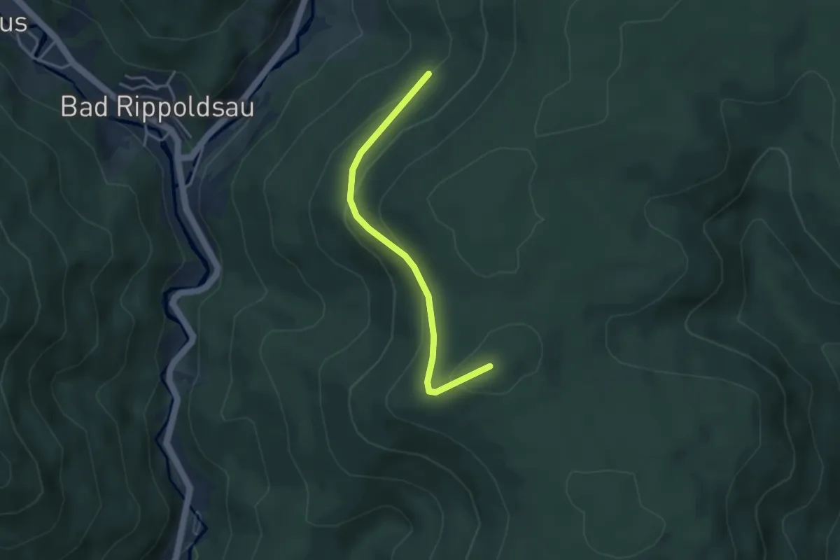
Easy · Trail
Römerloch - Roßhardthöhe
3.1 km · ↑ 155 m · 1 h 5 min
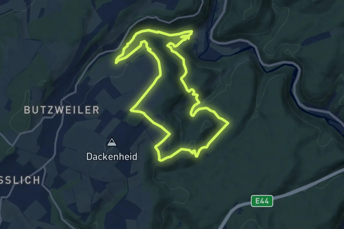
Expert · Trail
Römerpfad
9.5 km · ↑ 382 m · 3 h 13 min
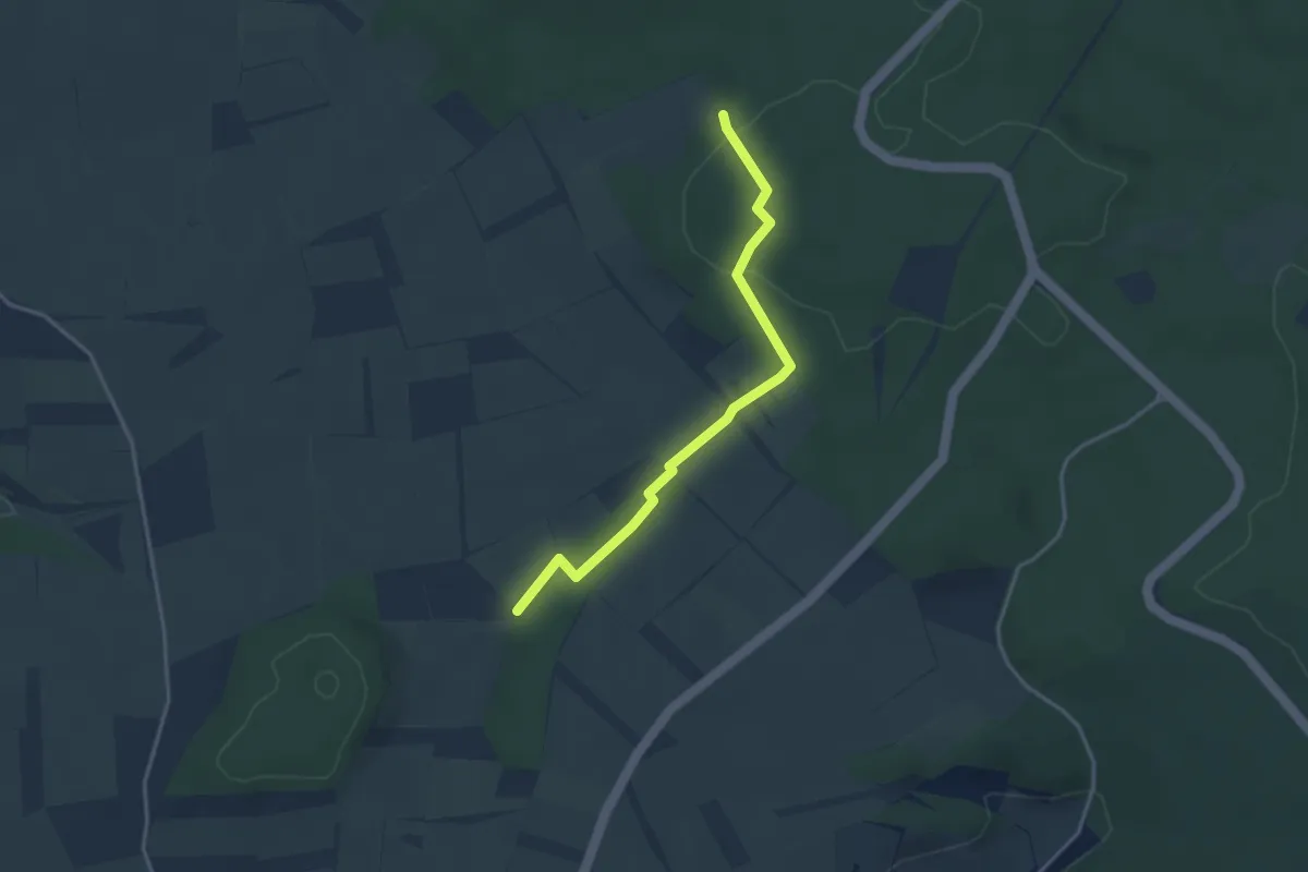
Easy · Trail
Römerpfad Herkulespfad
3.3 km · ↑ 79 m · 56 min
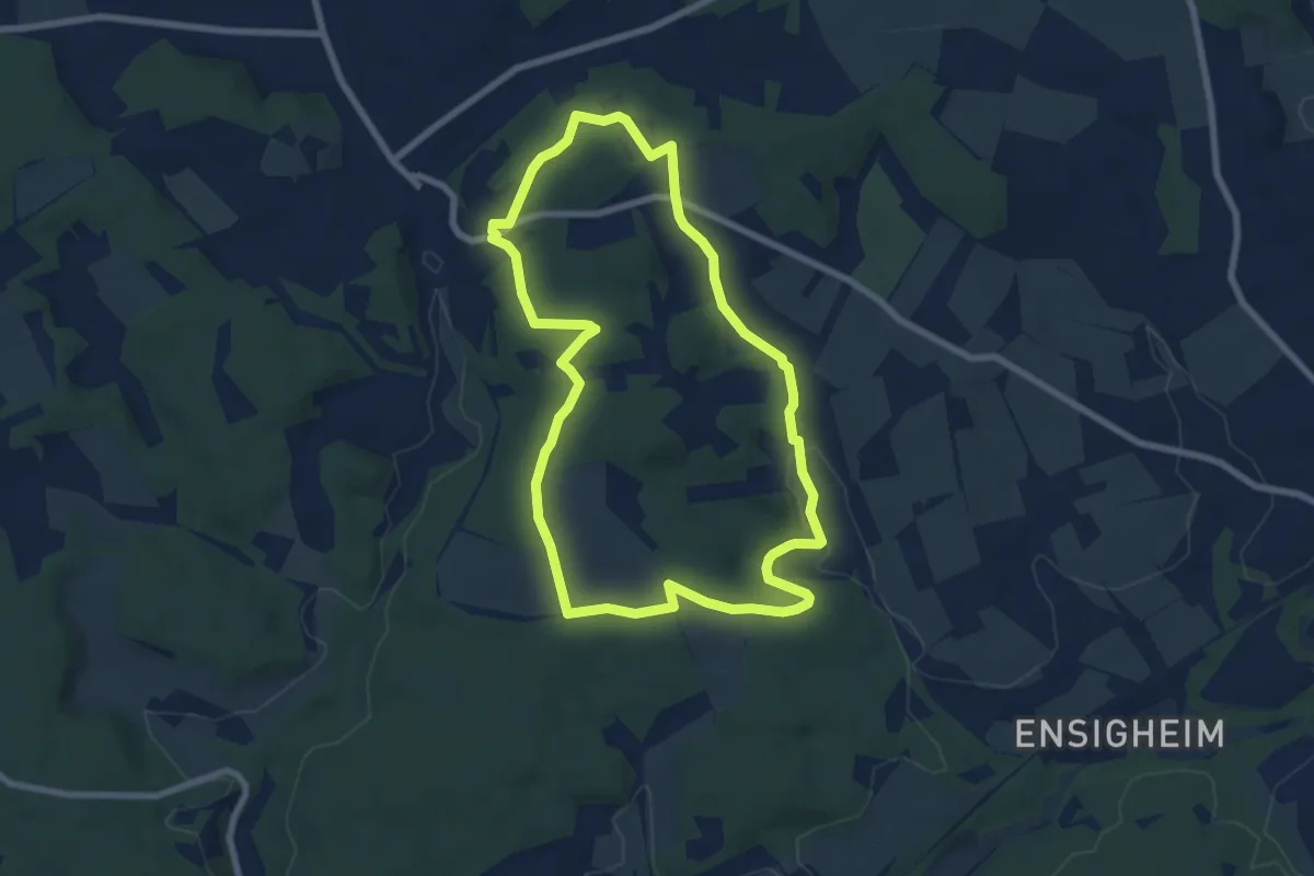
Easy · Trail
Römerpfad Merkurpfad
6.9 km · ↑ 136 m · 2 h 2 min
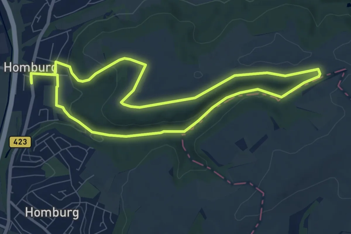
Easy · Trail
Römer Runde
7.3 km · ↑ 139 m · 2 h 8 min
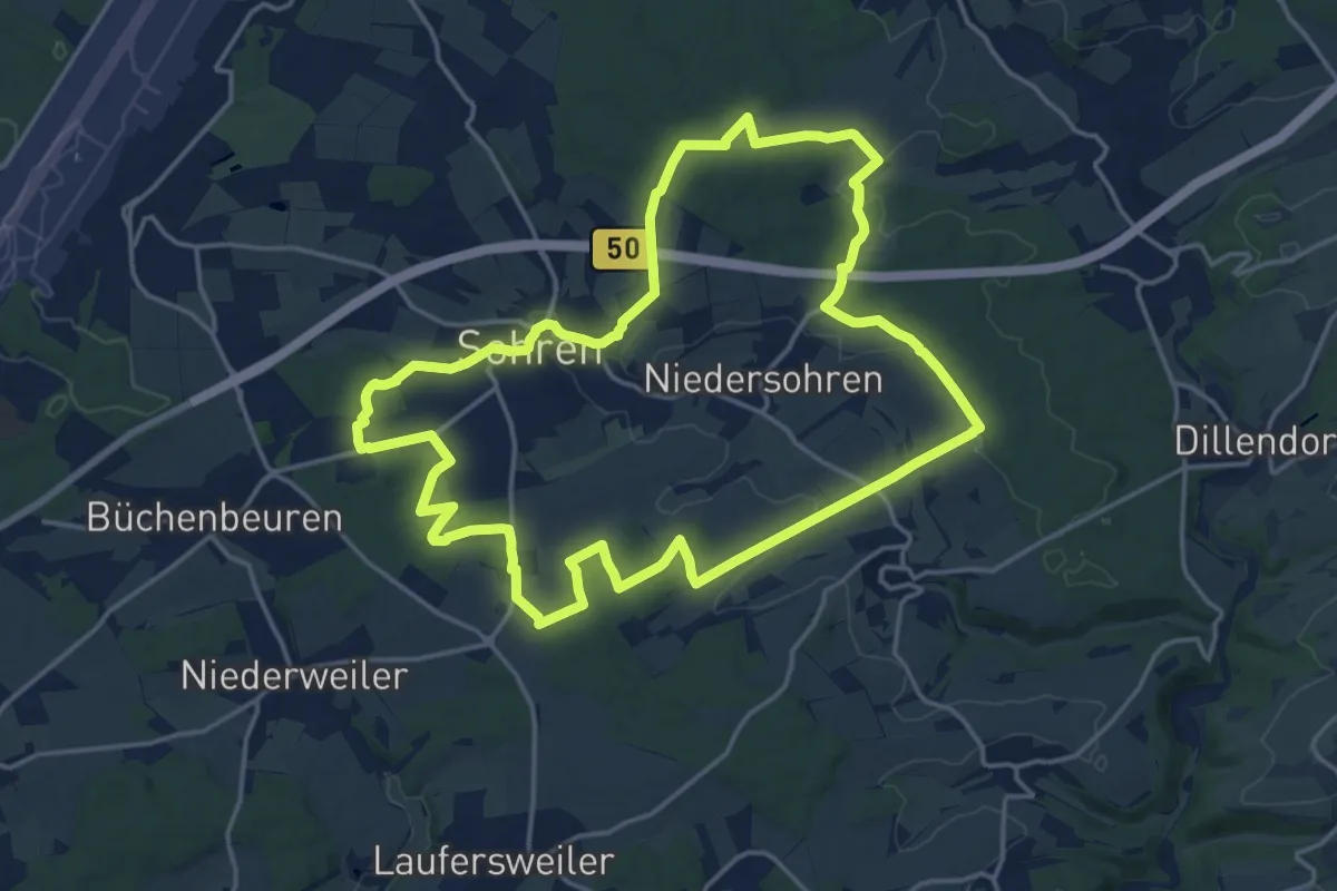
Medium · Trail
Römer Runde Sohren
16.6 km · ↑ 267 m · 4 h 44 min
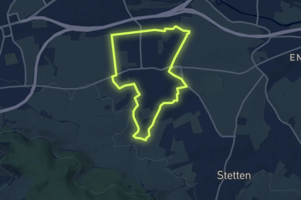
Easy · Trail
Römer Rundwanderweg
7.3 km · ↑ 70 m · 1 h 59 min
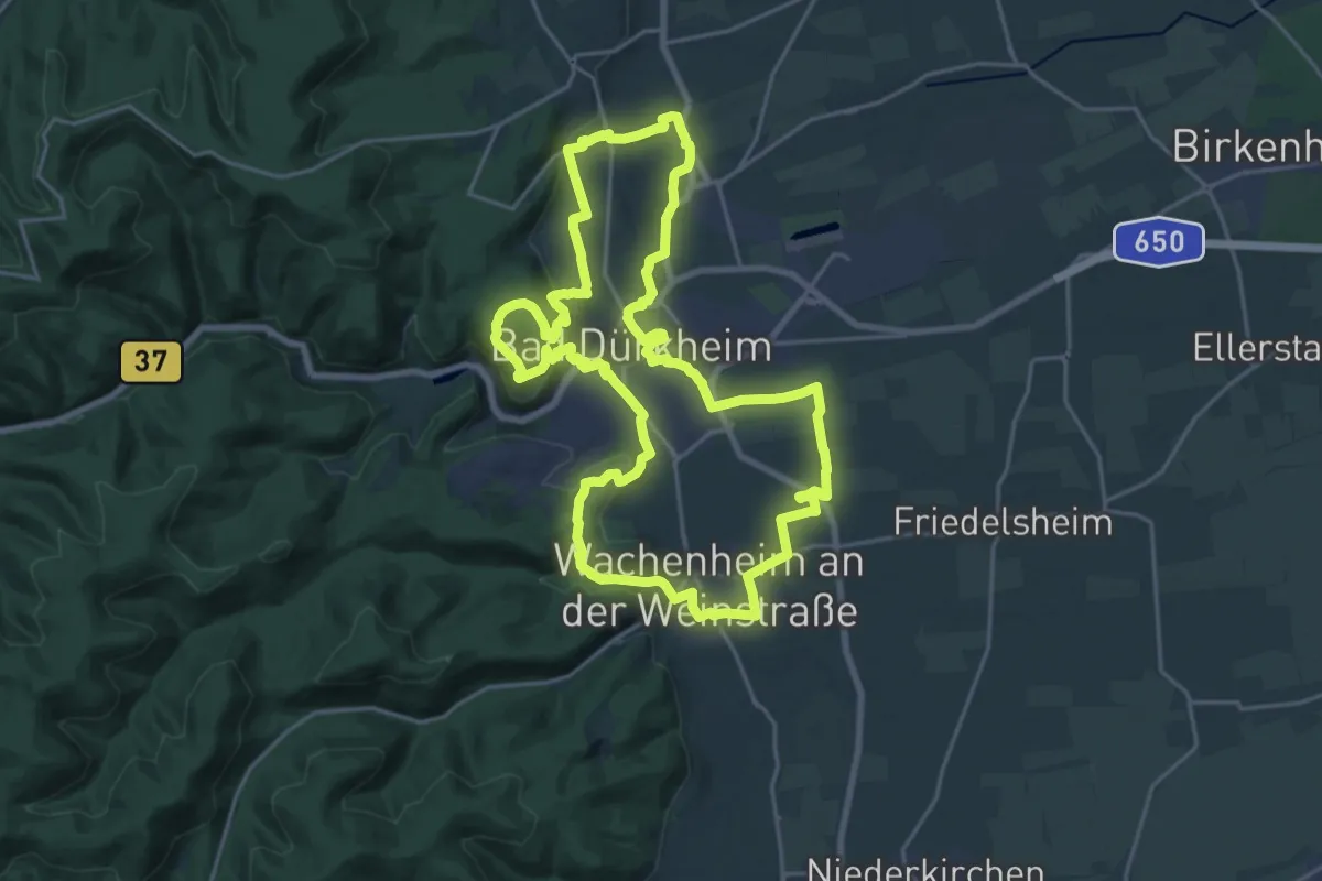
Demanding · Summit
Römer-Rundwanderweg
21.3 km · ↑ 415 m · 6 h 13 min
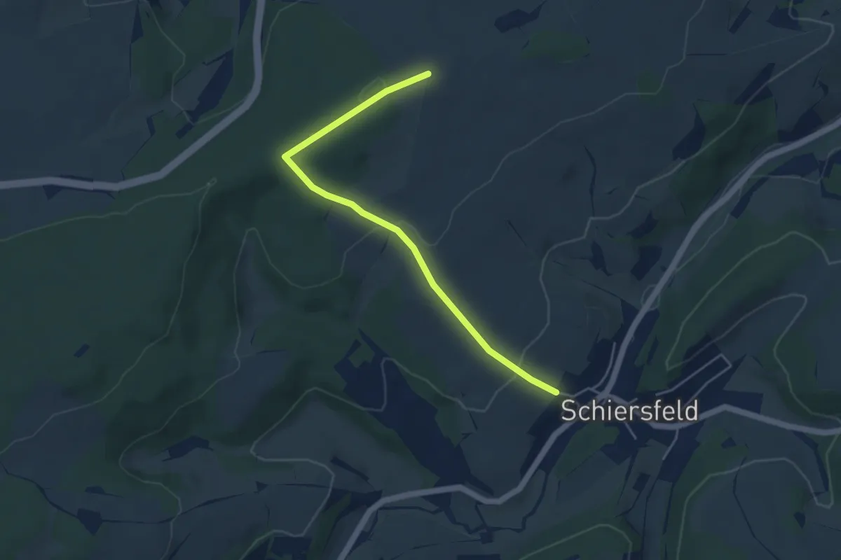
Easy · Trail
Römerschleife Schiersfeld
2.2 km · ↑ 14 m · 38 min
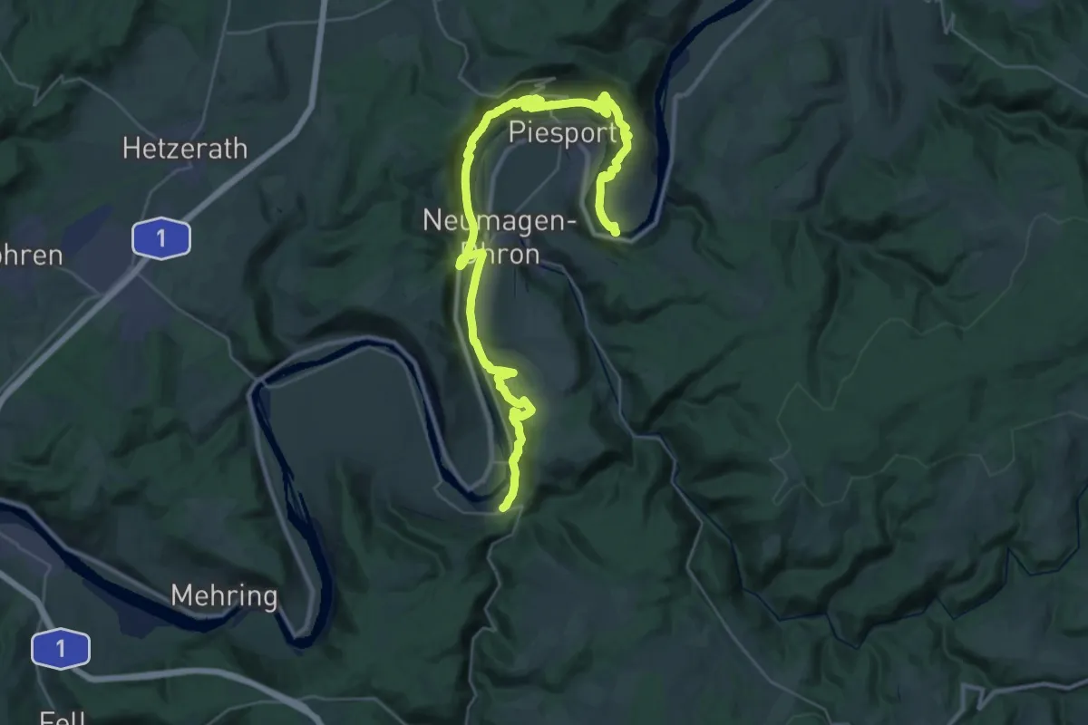
Demanding · Trail
Römersteig
18.9 km · ↑ 738 m · 6 h 18 min
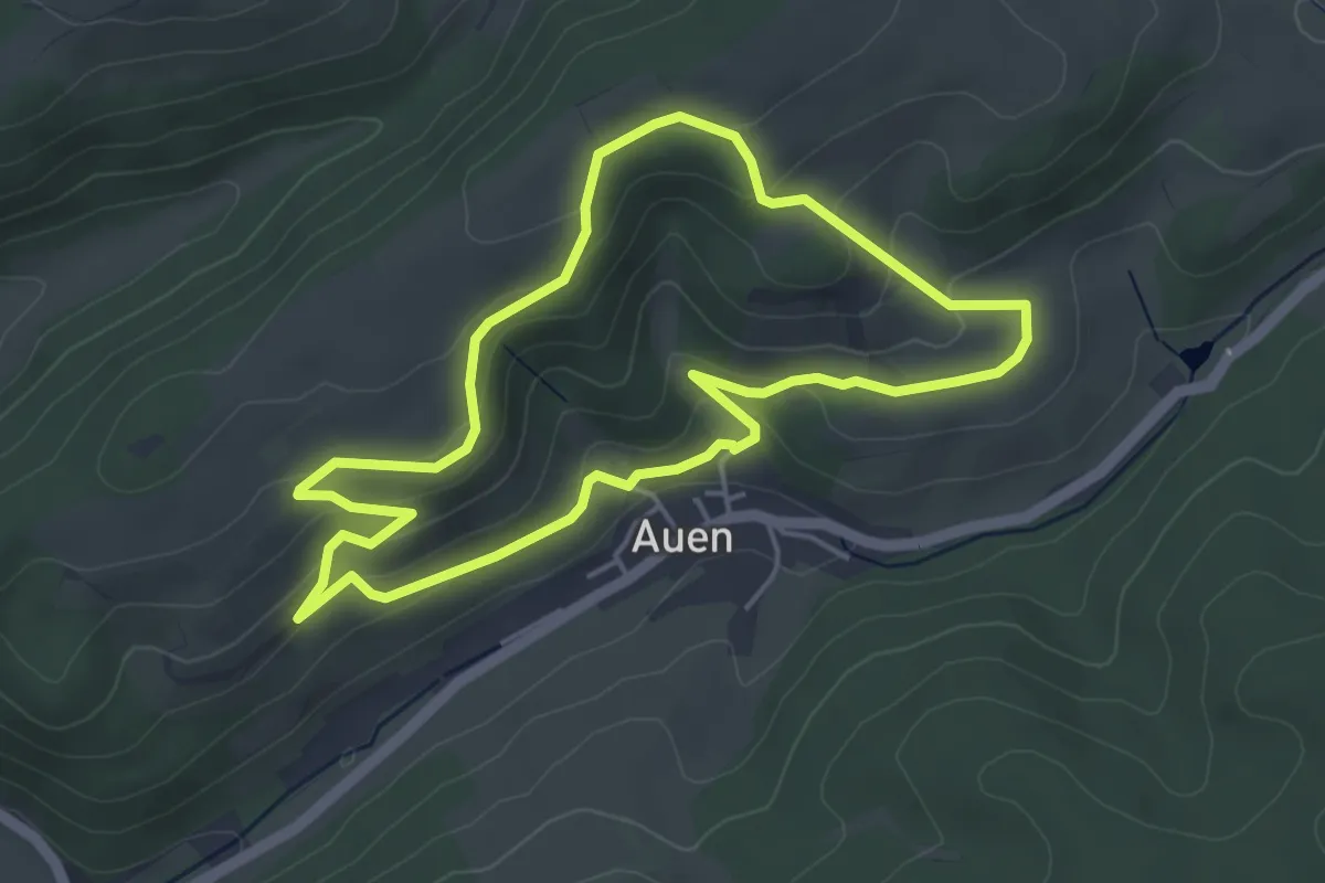
Easy · Trail
Römerstich A1
4.1 km · ↑ 167 m · 1 h 24 min
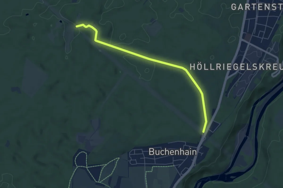
Easy · Trail
Römerstraße
5.9 km · ↑ 55 m · 1 h 31 min
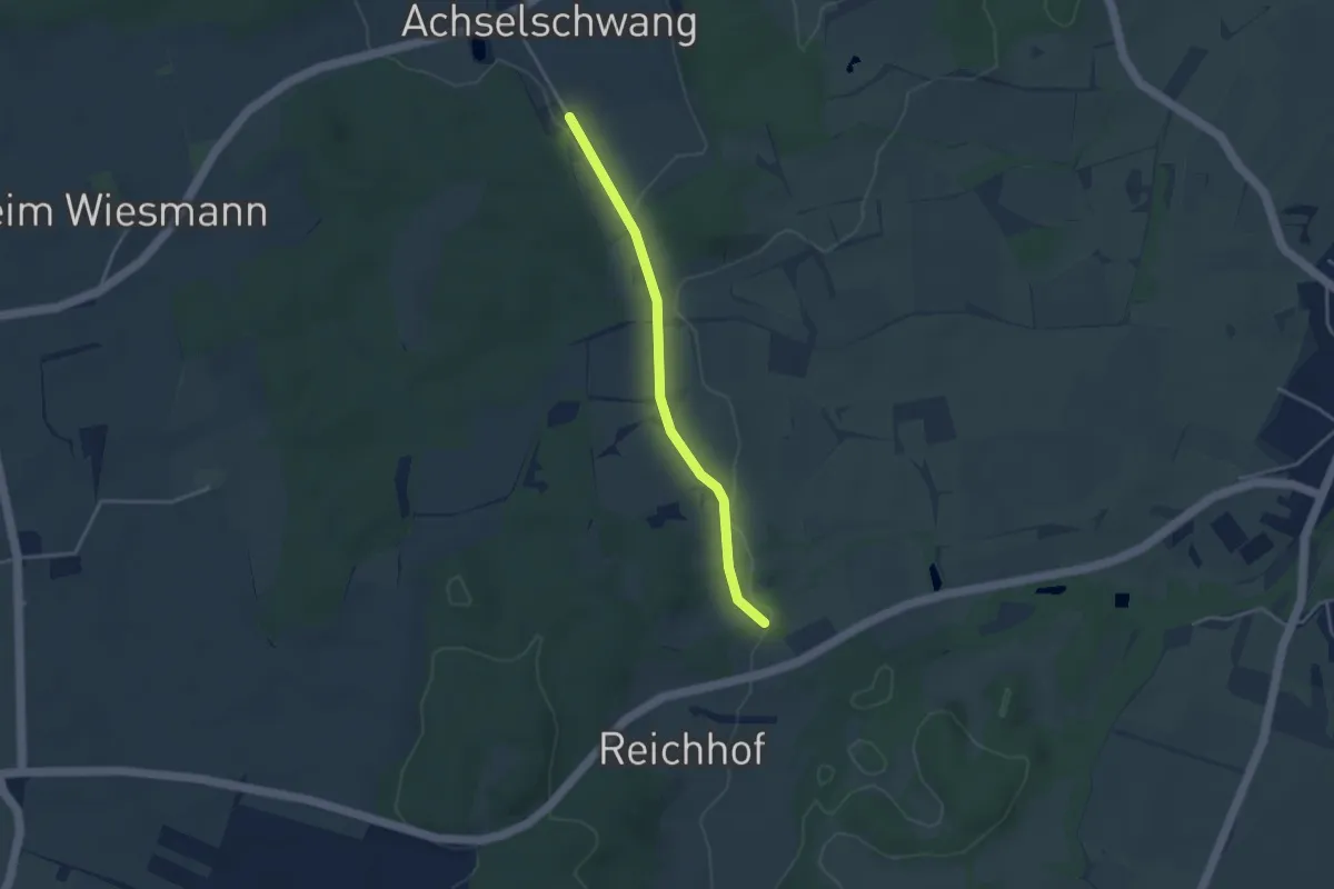
Easy · Trail
Römerstraße Augsburg-Brenner
3.3 km · ↑ 22 m · 50 min