Trails in Germany
36,852 hiking trails, each with its route, climb, walking time and grade.
All trails, page 458 of 768
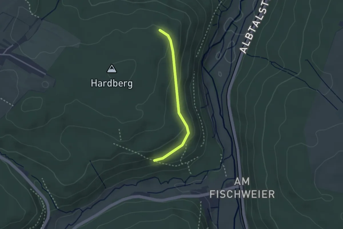
Easy · Trail
Römerstraße - Beim Toter Mann Stein
2.2 km · ↑ 55 m · 39 min
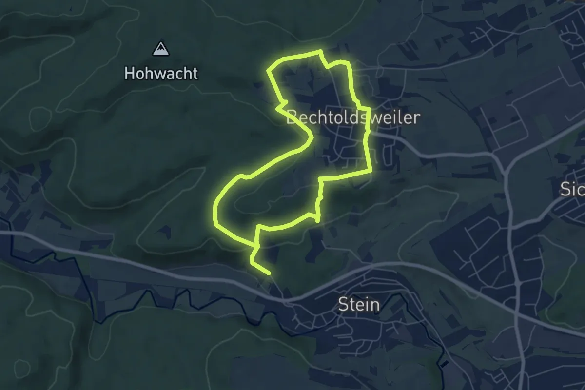
Easy · Trail
Römer-Tour
5.5 km · ↑ 134 m · 1 h 39 min
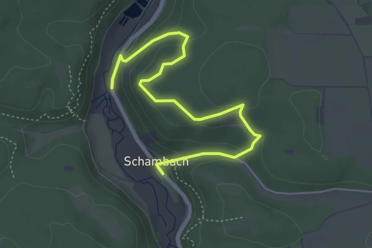
Easy · Trail
Römerweg
4.6 km · ↑ 214 m · 1 h 33 min
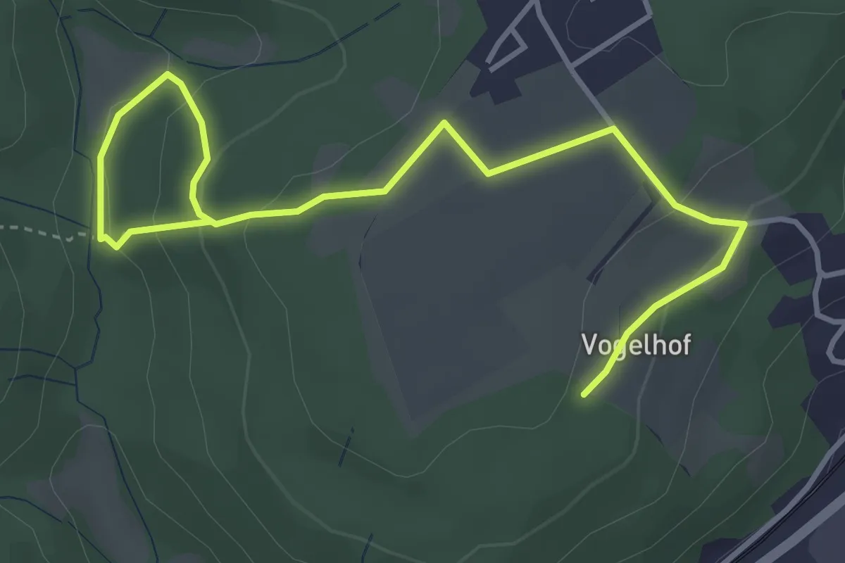
Easy · Trail
Römerweg
4.5 km · ↑ 204 m · 1 h 31 min
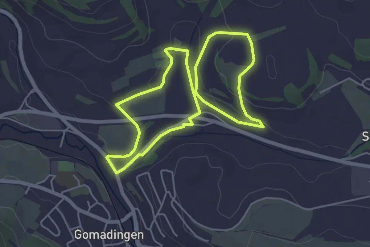
Easy · Trail
Römerweg
3.7 km · ↑ 63 m · 1 h 3 min
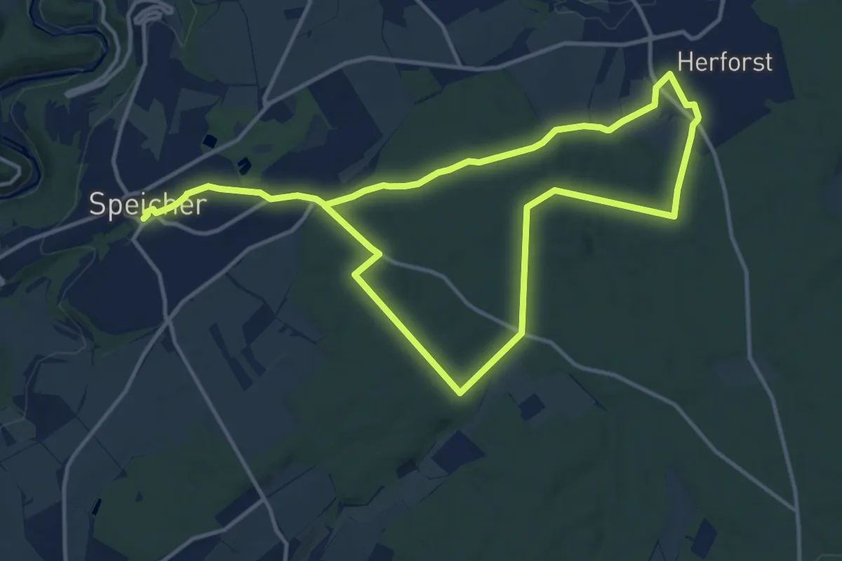
Medium · Trail
Römerweg
10.4 km · ↑ 146 m · 2 h 54 min
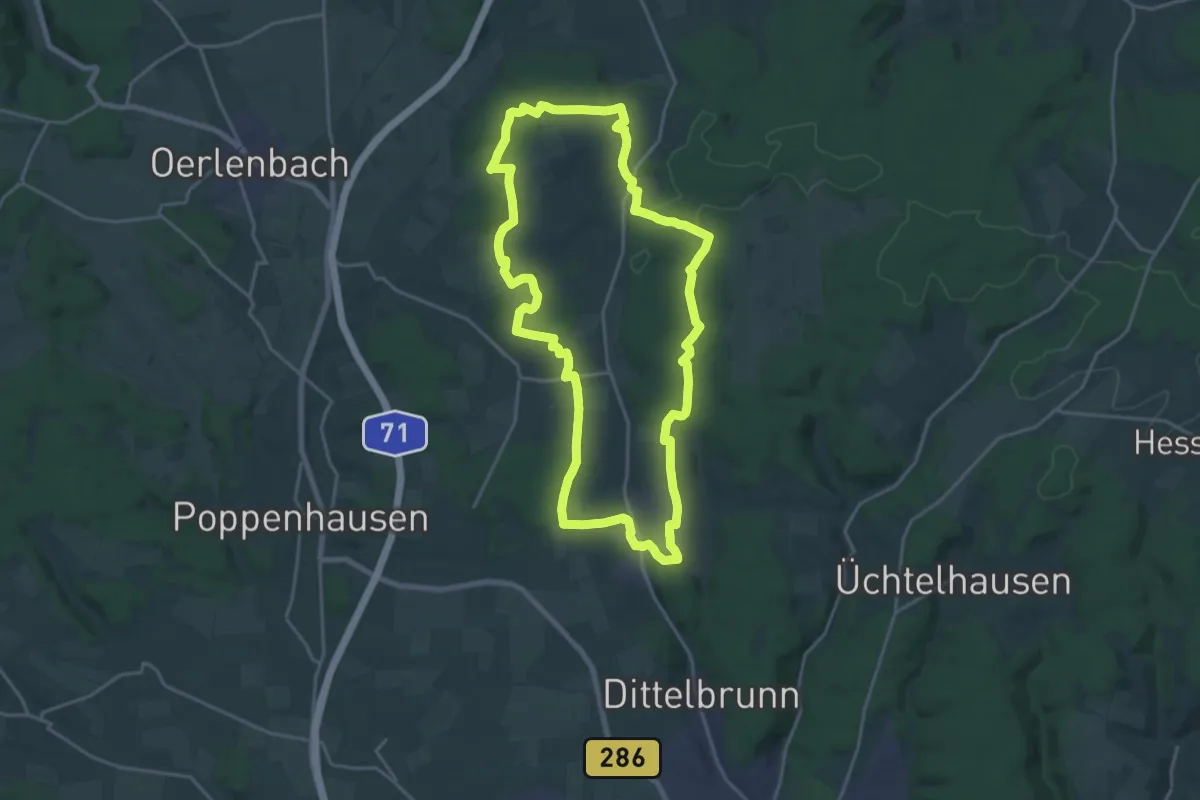
Demanding · Trail
Römerweg
19.2 km · ↑ 268 m · 5 h 22 min
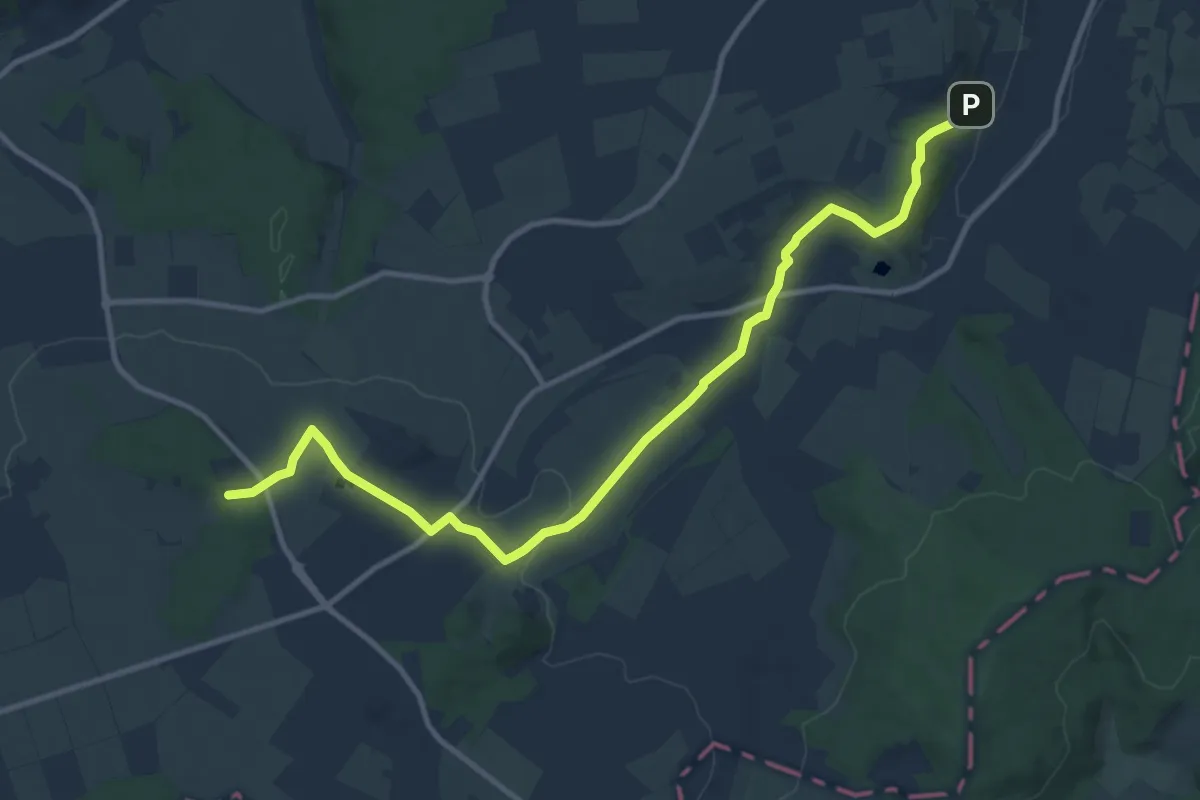
Medium · Trail
Römerweg
11.6 km · ↑ 205 m · 3 h 11 min
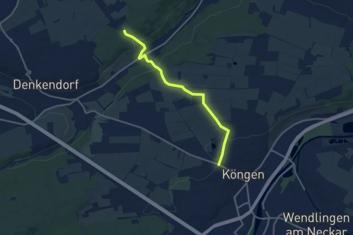
Easy · Trail
Römerweg - Köngen
7.4 km · ↑ 152 m · 2 h 5 min
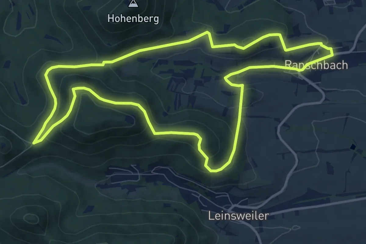
Medium · Summit
Römerweg Ranschbach
9.6 km · ↑ 316 m · 3 h 4 min
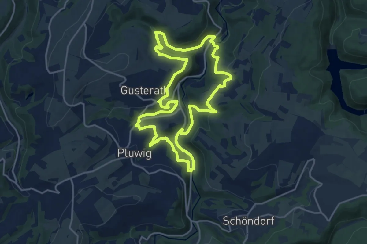
Medium · Trail
Romika-Weg
11.6 km · ↑ 372 m · 3 h 42 min
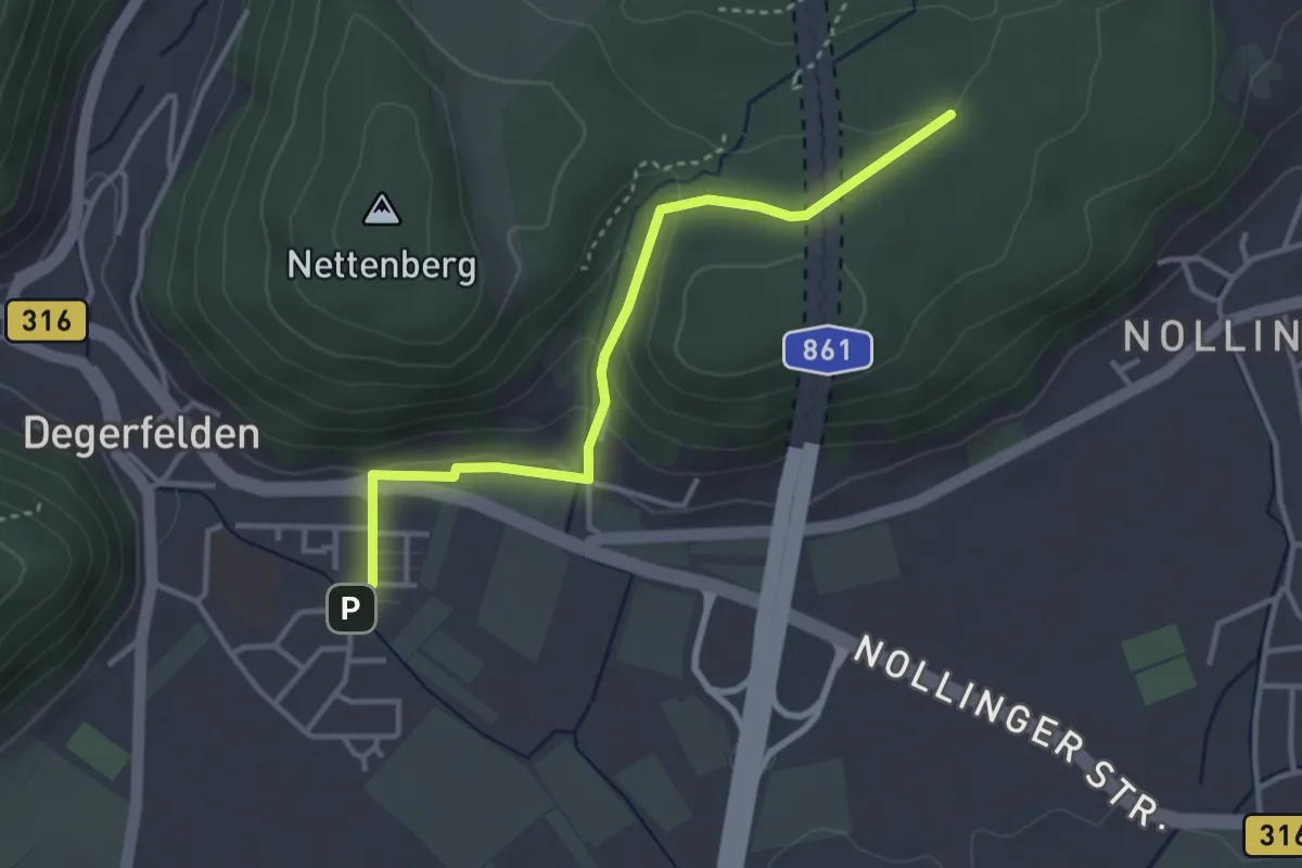
Easy · Trail
Römischer Gutshof - Degerfelden Langgärten
3.4 km · ↑ 123 m · 1 h 4 min
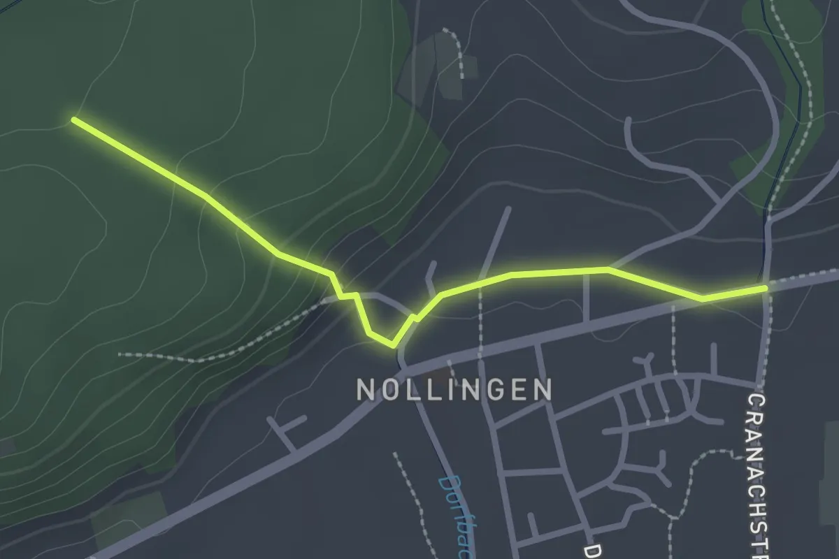
Easy · Trail
Römischer Gutshof - Nollingen Grüttgass
2.3 km · ↑ 102 m · 46 min
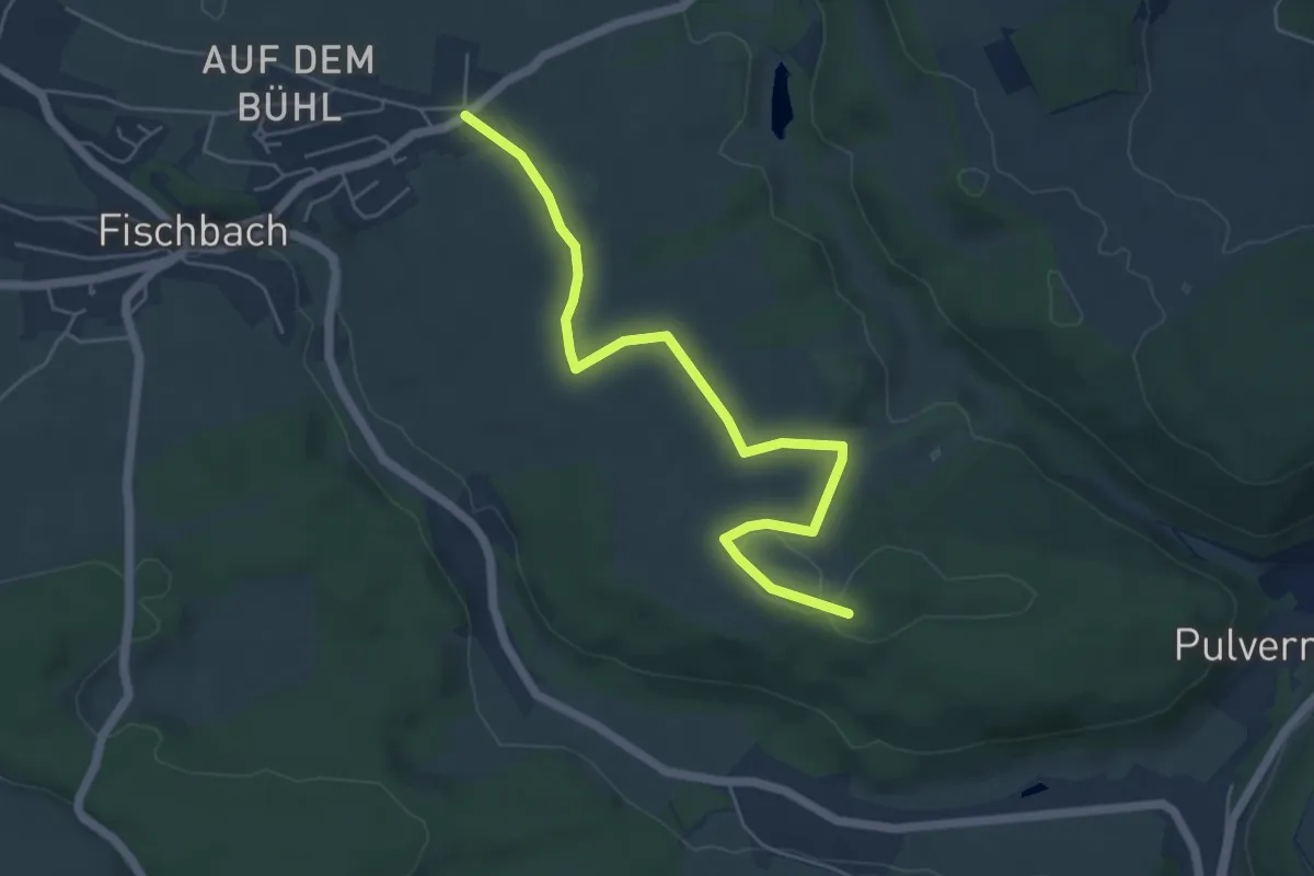
Easy · Trail
Römischer Gutshof - Sinkingen
5.5 km · ↑ 68 m · 1 h 27 min
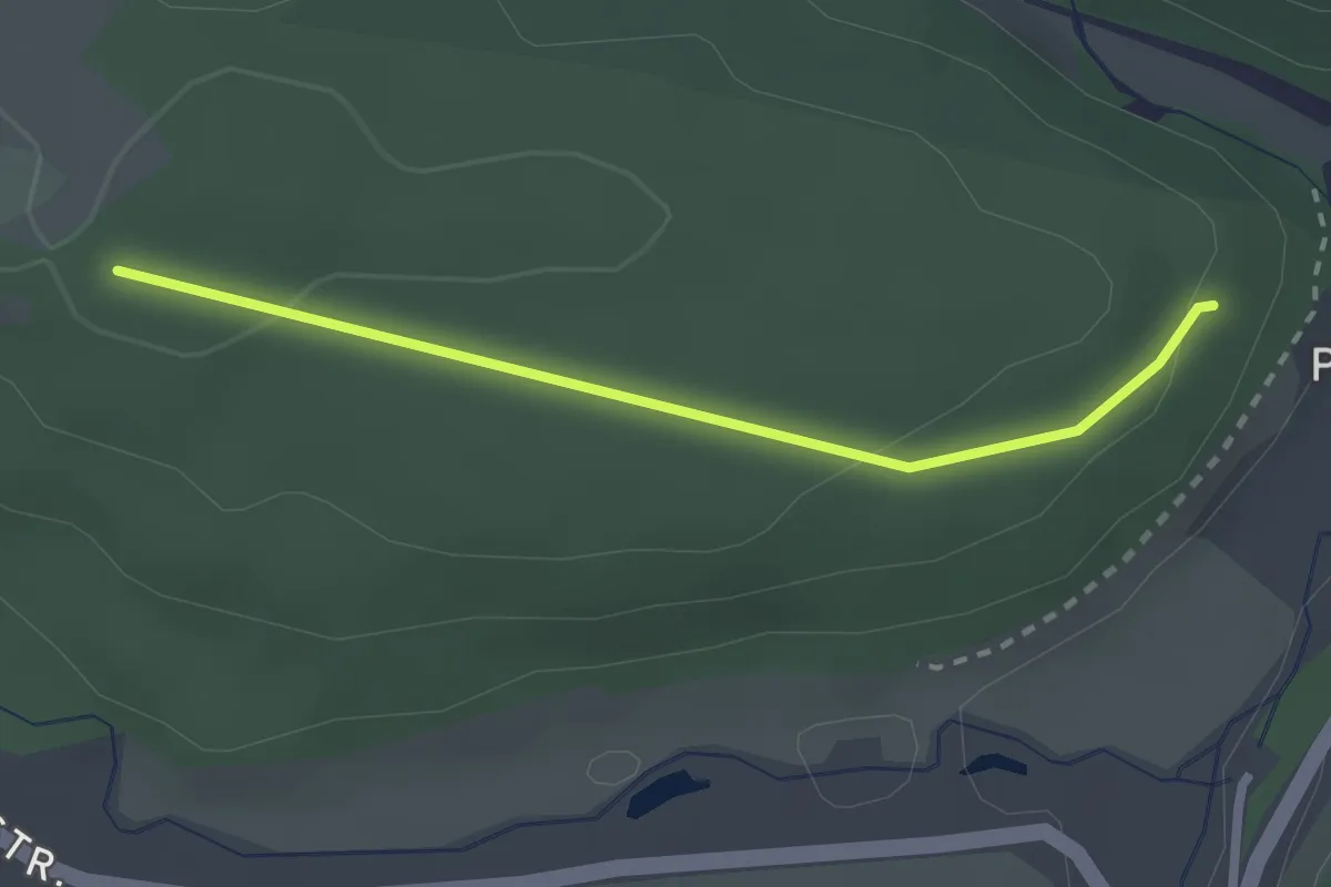
Easy · Trail
Römischer Gutshof - Teufenwald
2.3 km · ↑ 46 m · 38 min
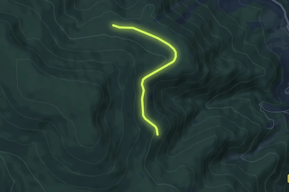
Easy · Trail
Romiss - Büchet
4.5 km · ↑ 128 m · 1 h 20 min
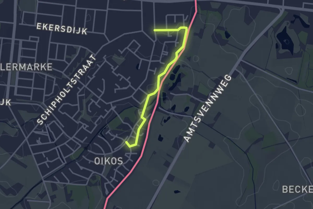
Easy · Trail
Rondje Enschede
2.5 km · ↑ 0 m · 35 min
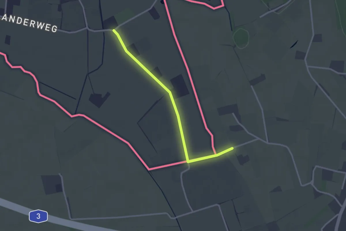
Easy · Trail
Rondje Megchelen - Brüggenhütte
1.2 km · ↑ 0 m · 18 min
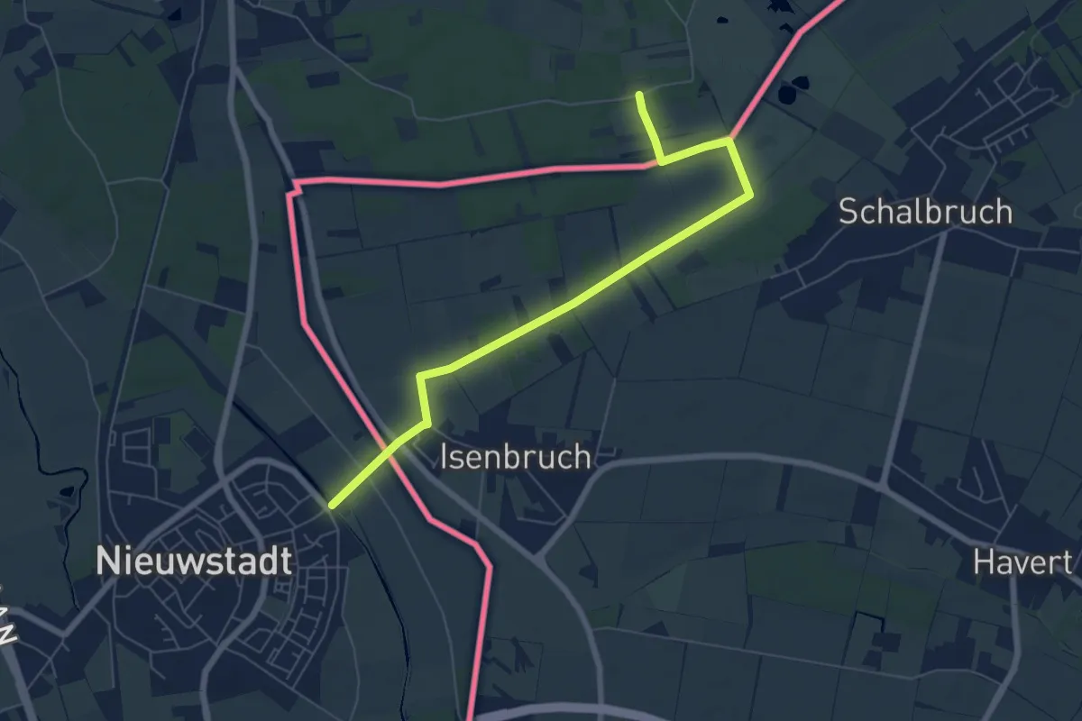
Easy · Trail
Rondje Wolfrath naar het Pieterpad
3.1 km · ↑ 4 m · 47 min
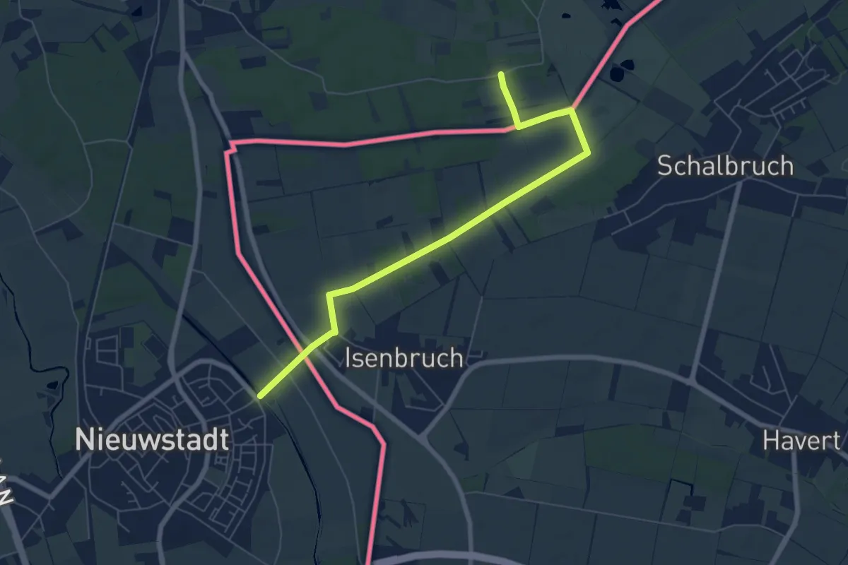
Easy · Trail
Rondje Wolfrath naar het Pieterpad
3.1 km · ↑ 4 m · 47 min
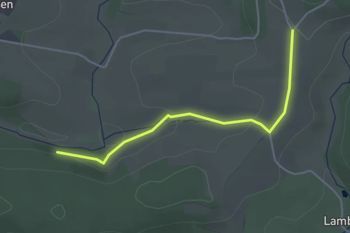
Easy · Trail
Rönsahl A2
3.0 km · ↑ 59 m · 50 min
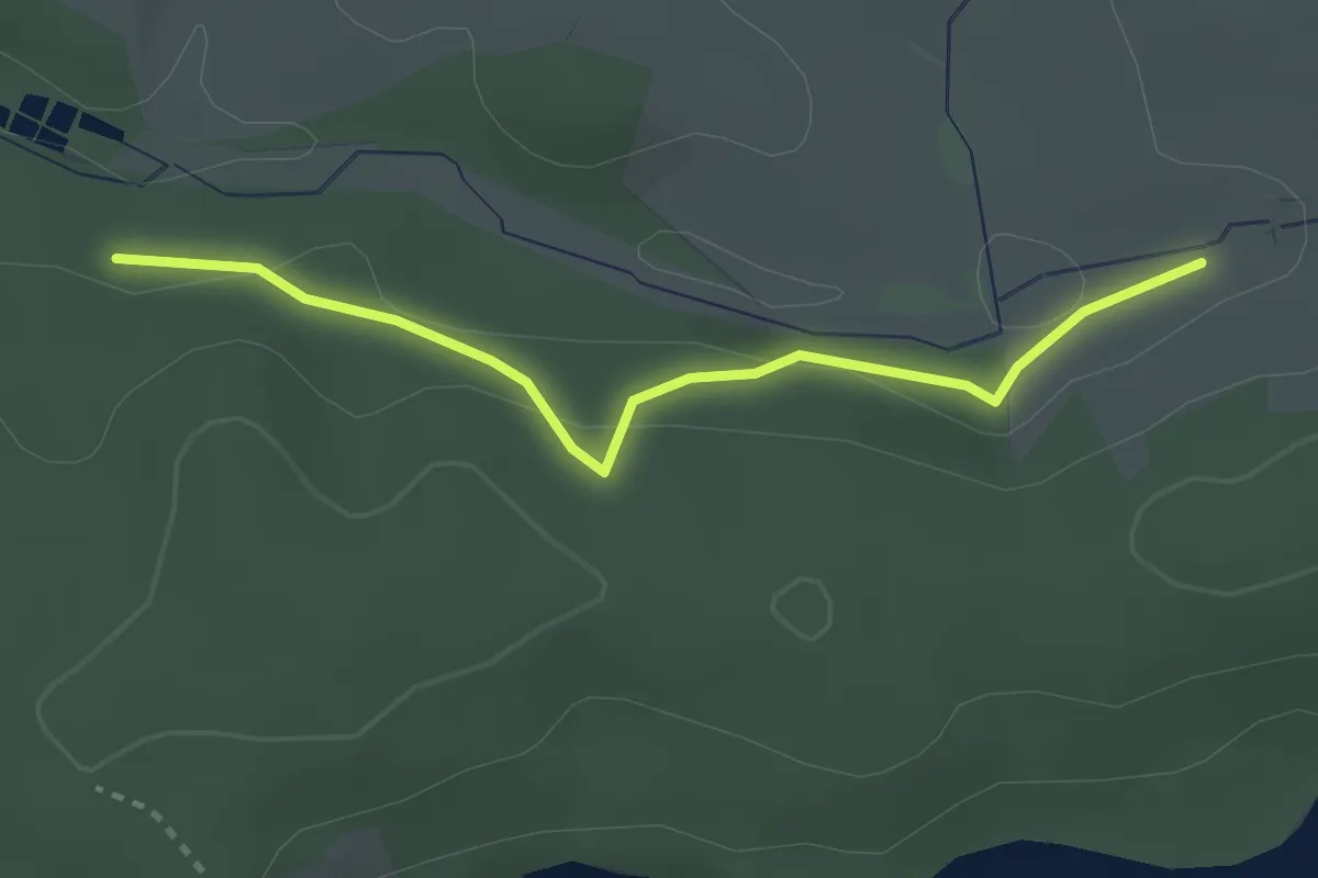
Easy · Trail
Rönsahl A8
2.6 km · ↑ 76 m · 47 min
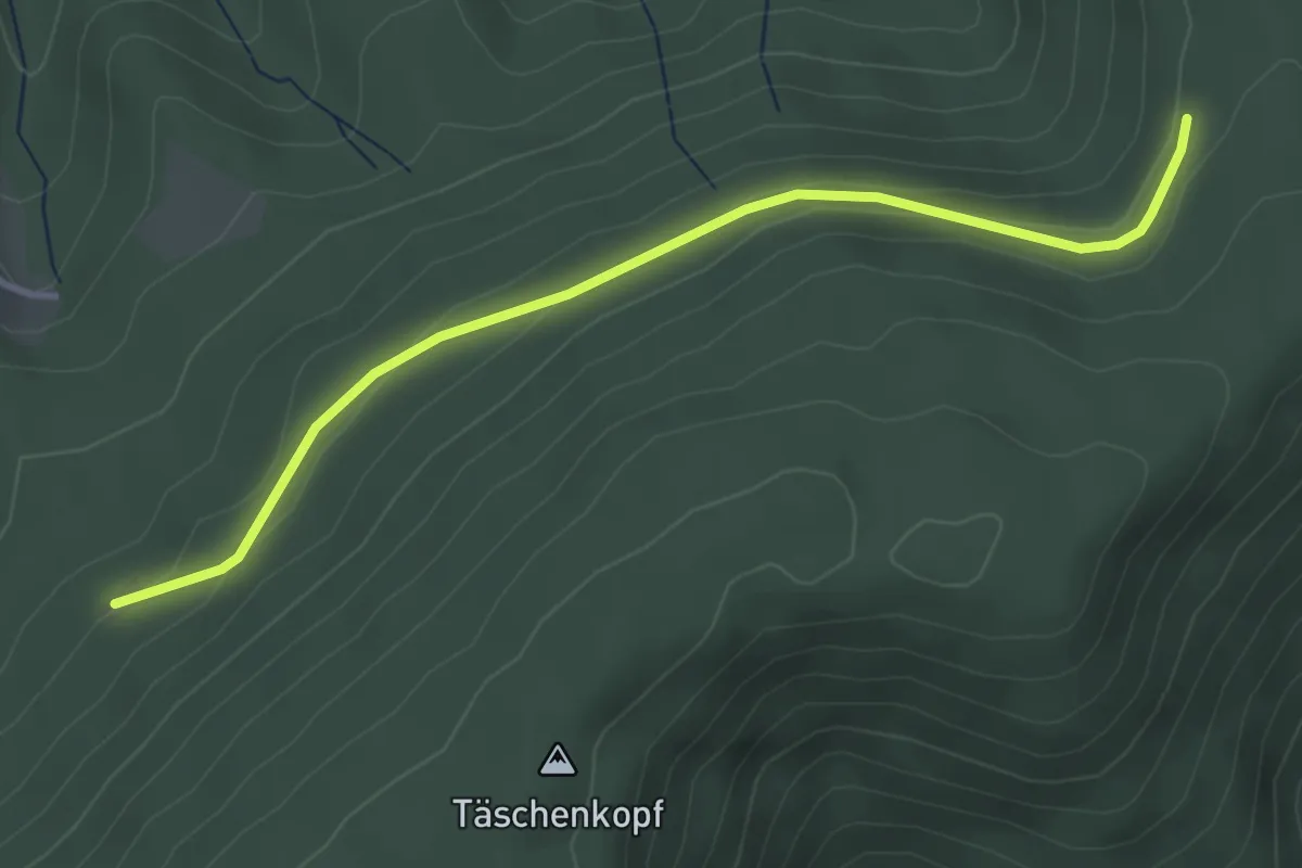
Easy · Trail
Rosbedunnenhütte - Stollengrundhütte
3.6 km · ↑ 83 m · 1 h 2 min
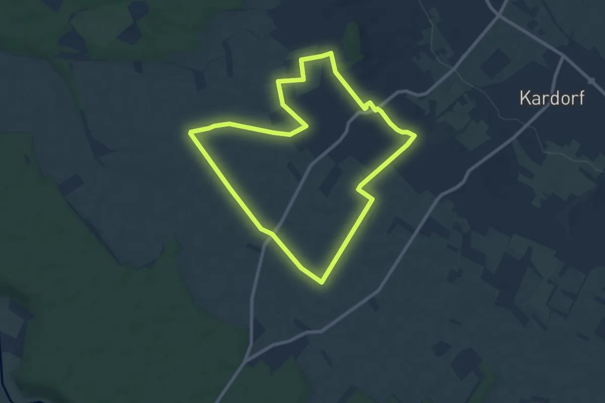
Easy · Trail
Rösberger Heiligenhäuschen Wanderweg
6.4 km · ↑ 12 m · 1 h 38 min
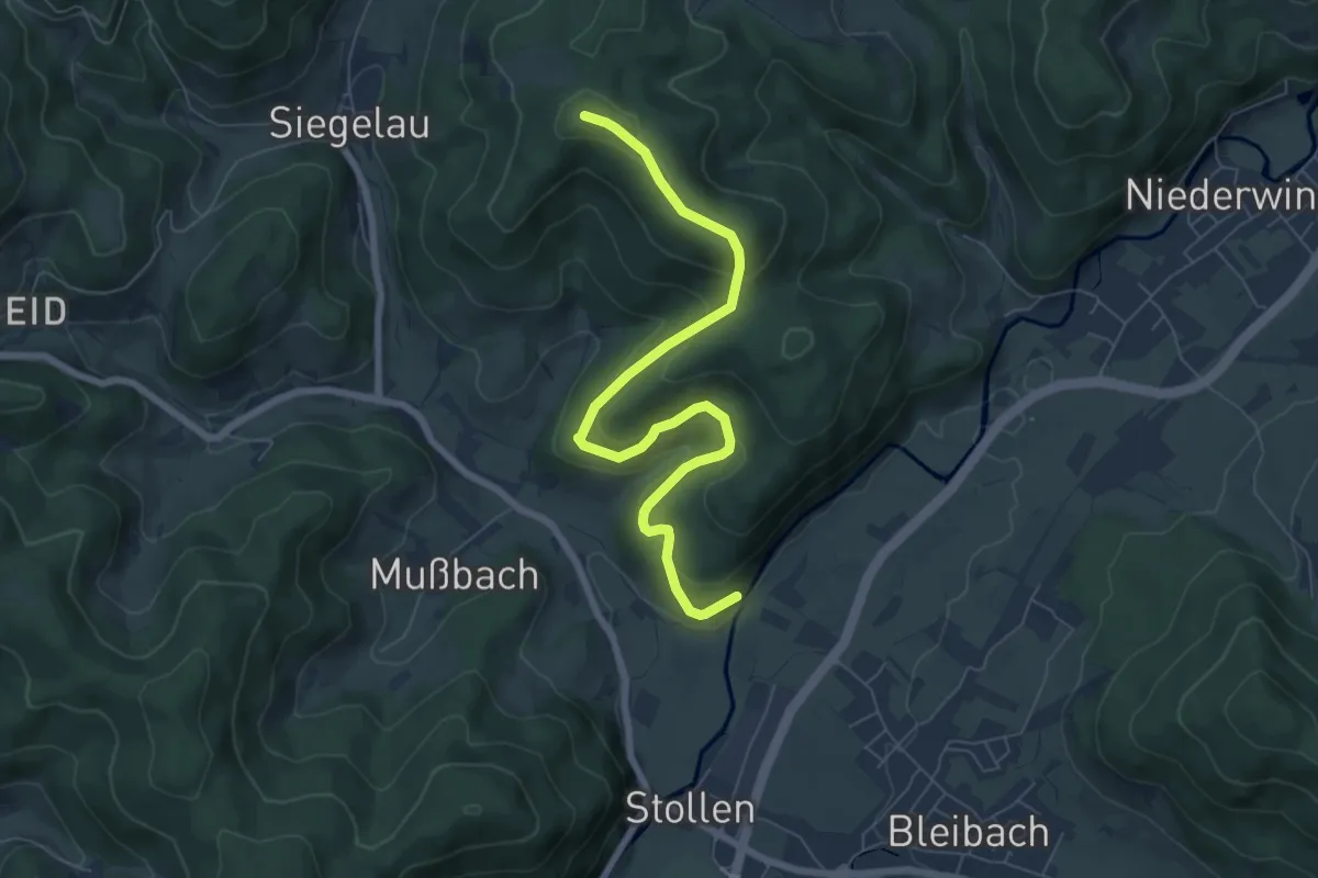
Medium · Trail
Röscheneck - Am Eulenwald
7.2 km · ↑ 360 m · 2 h 29 min
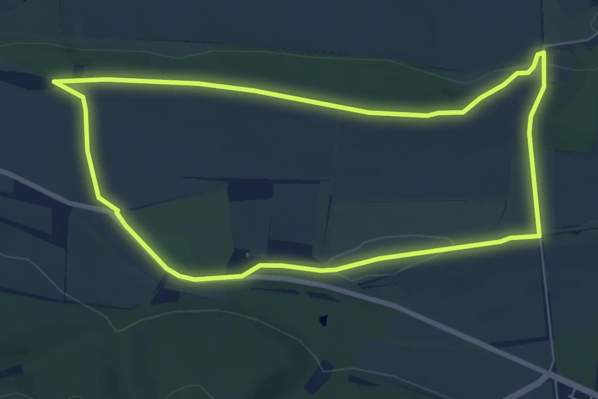
Easy · Summit
Roseburg Rundweg
5.3 km · ↑ 71 m · 1 h 28 min
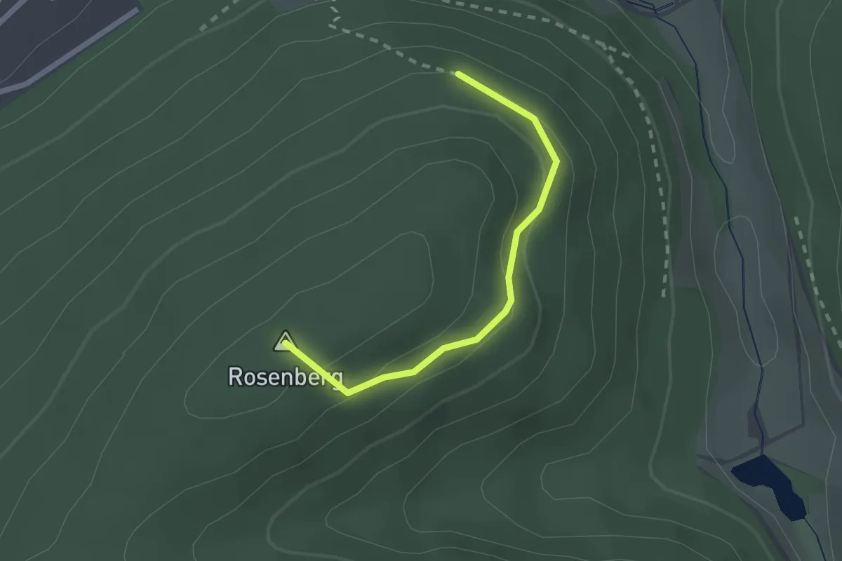
Easy · Summit
Rosenbergwegle - Rosenberg
1.8 km · ↑ 93 m · 38 min
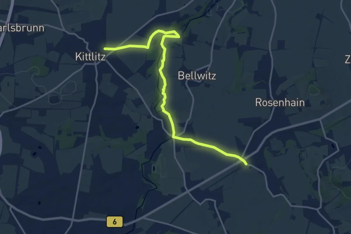
Medium · Trail
Rosenhain - Kittlitz (gelber Strich)
11.0 km · ↑ 141 m · 2 h 54 min
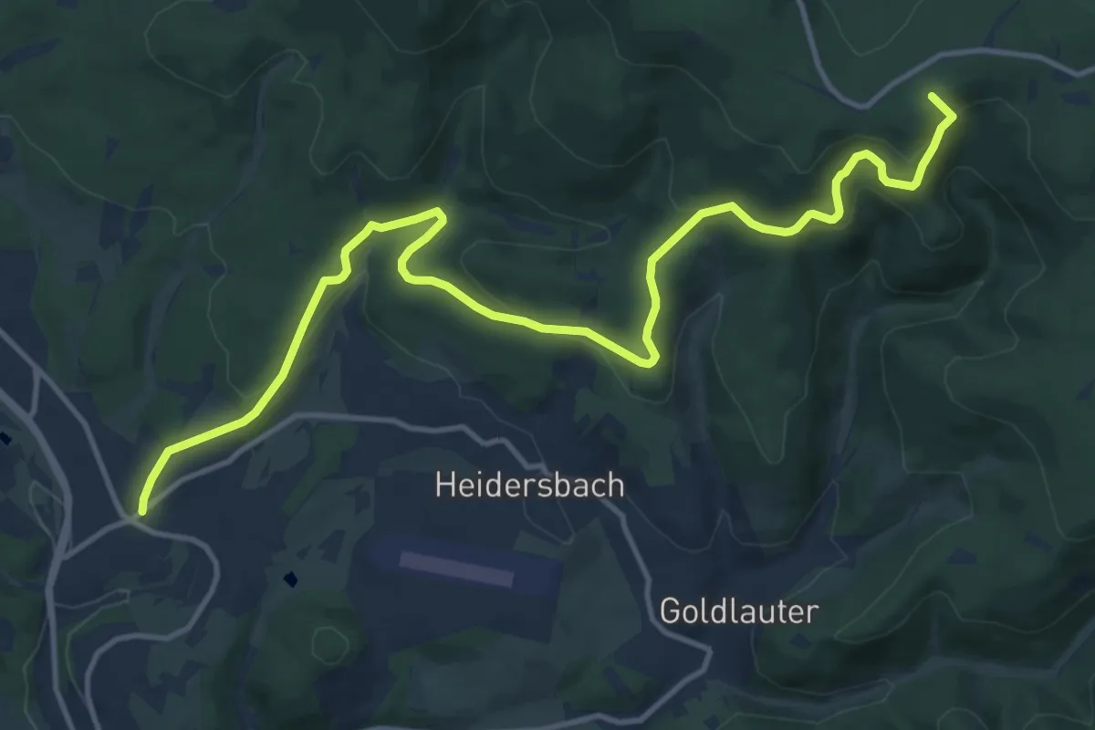
Medium · Summit
Rosenkopfstraße
14.2 km · ↑ 561 m · 4 h 34 min
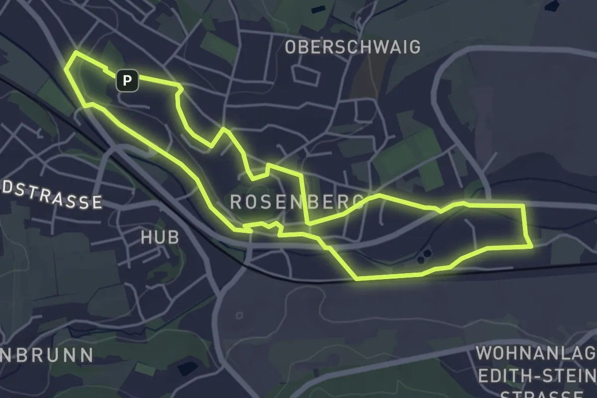
Easy · Summit
Rosenpfad
4.5 km · ↑ 42 m · 1 h 13 min
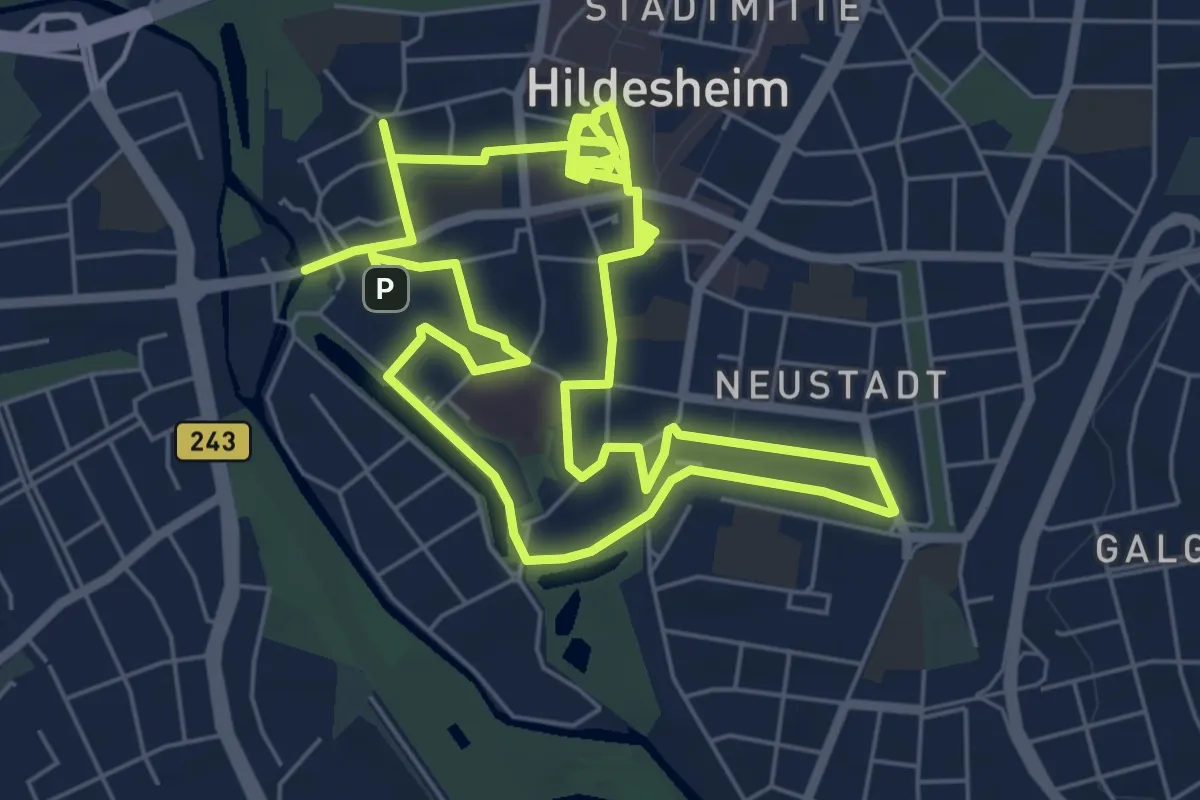
Easy · Summit
Rosenroute
6.1 km · ↑ 18 m · 1 h 34 min
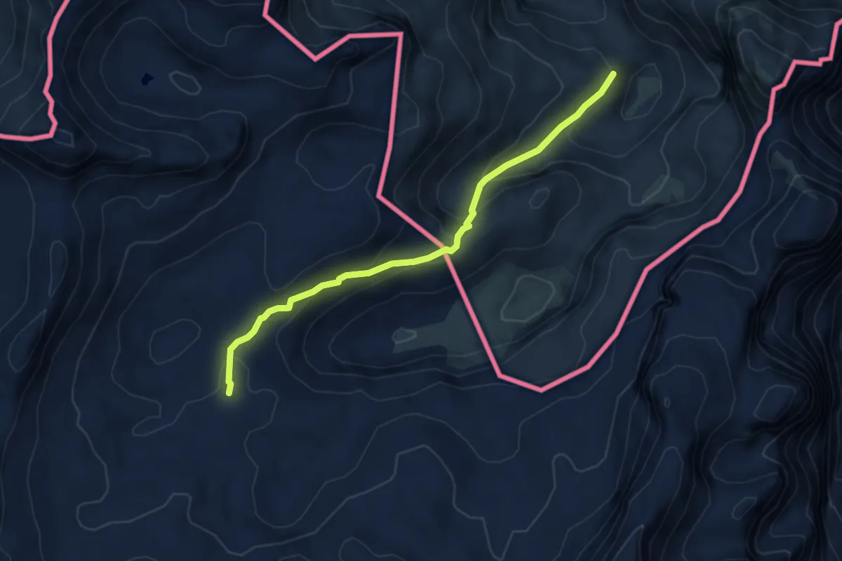
Demanding · Trail
Rosental
5.3 km · ↑ 262 m · 1 h 49 min
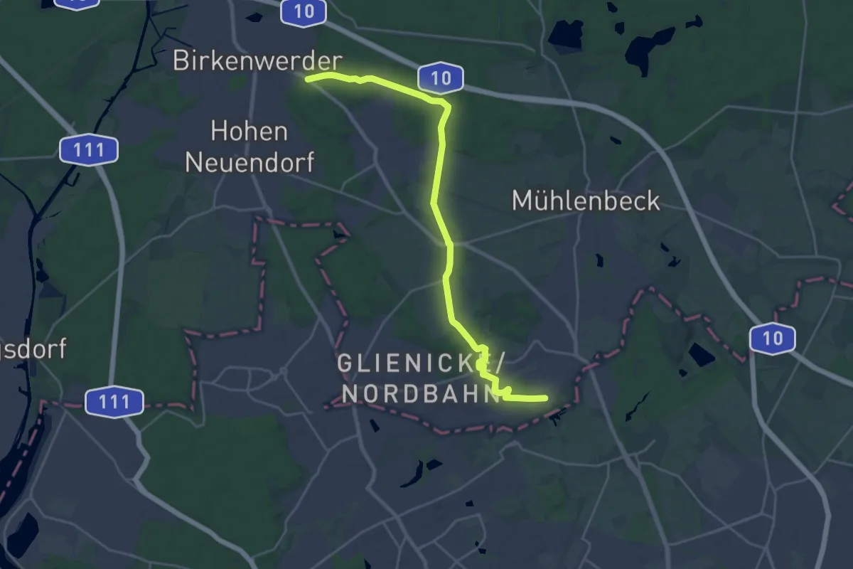
Demanding · Trail
Rosenthal - Birkenwerder
21.2 km · ↑ 103 m · 5 h 14 min
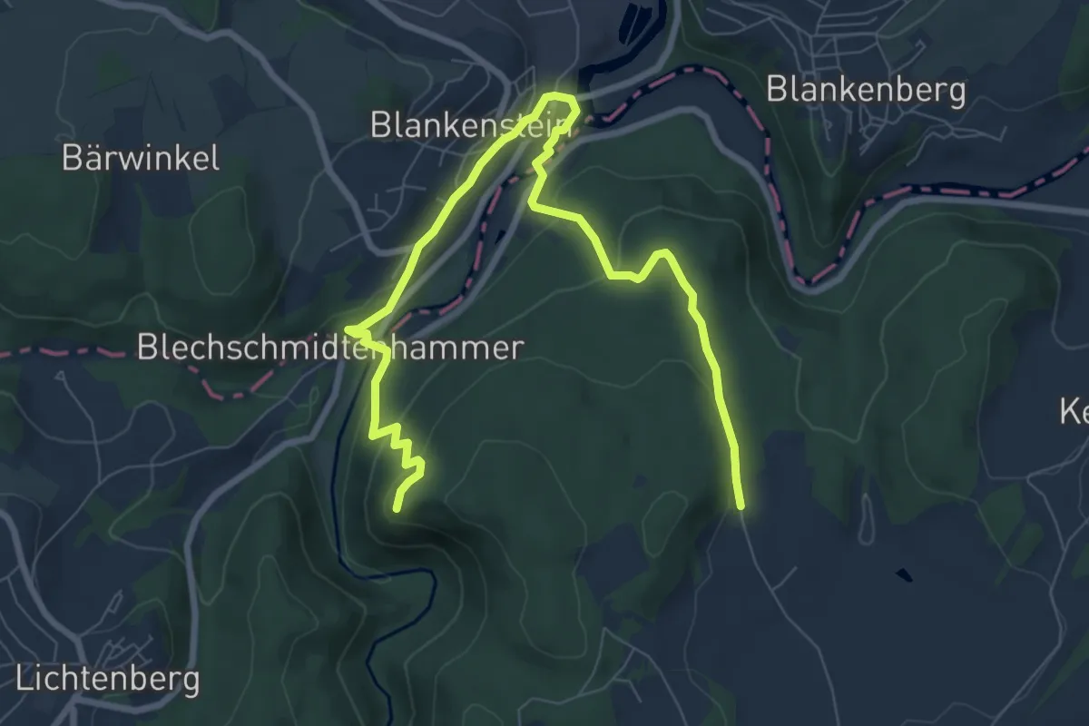
Medium · Summit
Rosenthal-Weg US 13
4.6 km · ↑ 150 m · 1 h 29 min
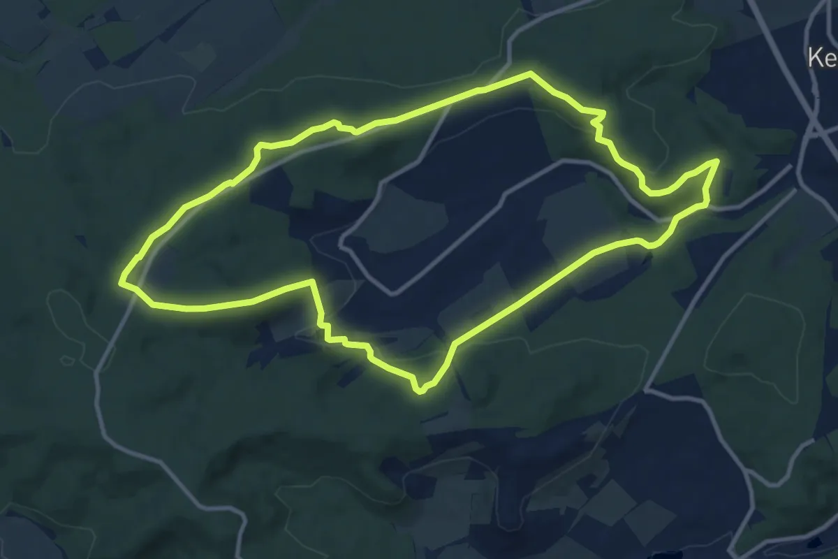
Medium · Trail
Rosenwanderweg
10.1 km · ↑ 226 m · 3 h
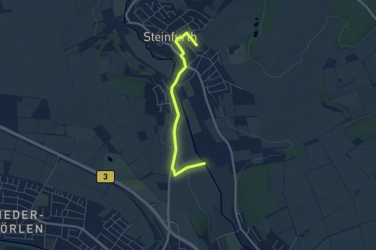
Easy · Trail
Rosen-Wanderweg
2.4 km · ↑ 33 m · 39 min
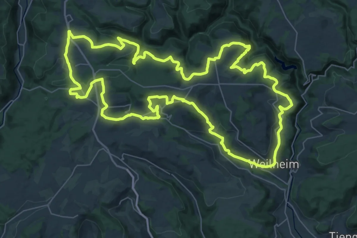
Demanding · Trail
Rosenweg
33.2 km · ↑ 811 m · 10 h 3 min
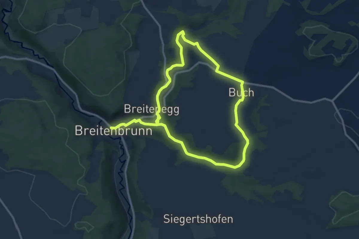
Easy · Trail
Rosenweg
6.7 km · ↑ 139 m · 1 h 58 min
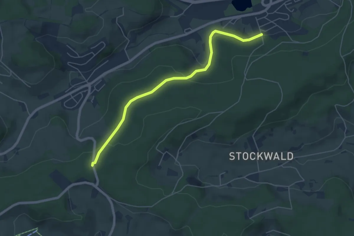
Easy · Trail
Rosenweg - Am Kreuzweg
5.2 km · ↑ 164 m · 1 h 34 min
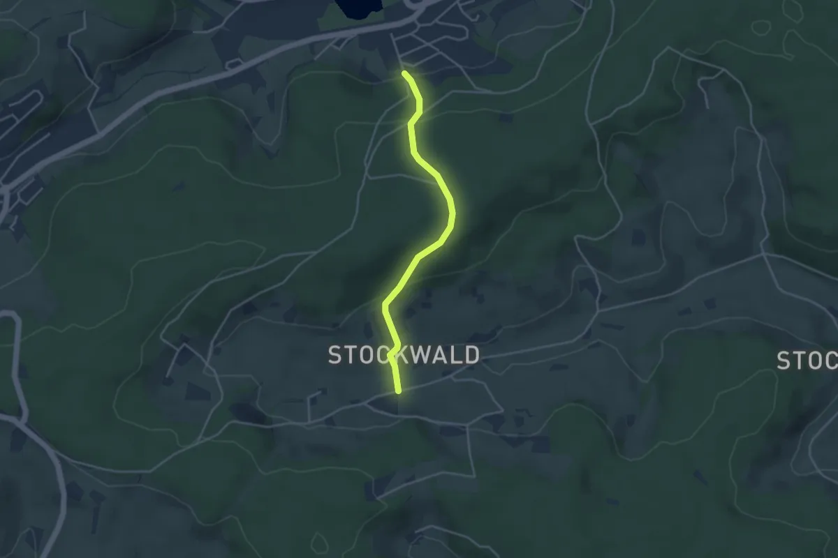
Easy · Trail
Rosenweg - Klinik Rosengarten
3.3 km · ↑ 180 m · 1 h 10 min
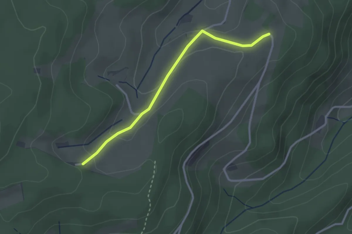
Easy · Trail
Rosers Häldele - Ob dem Pflughof
2.5 km · ↑ 71 m · 45 min
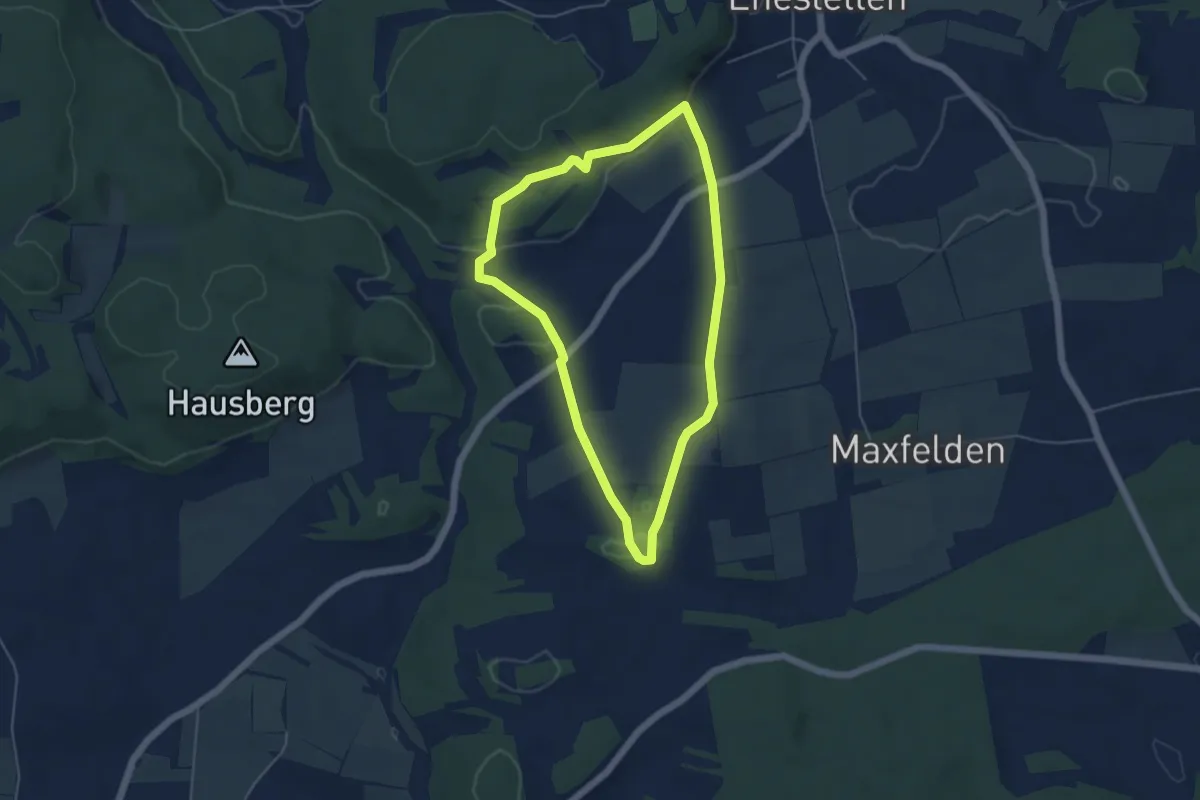
Easy · Trail
Rose-Rundweg
4.5 km · ↑ 58 m · 1 h 14 min
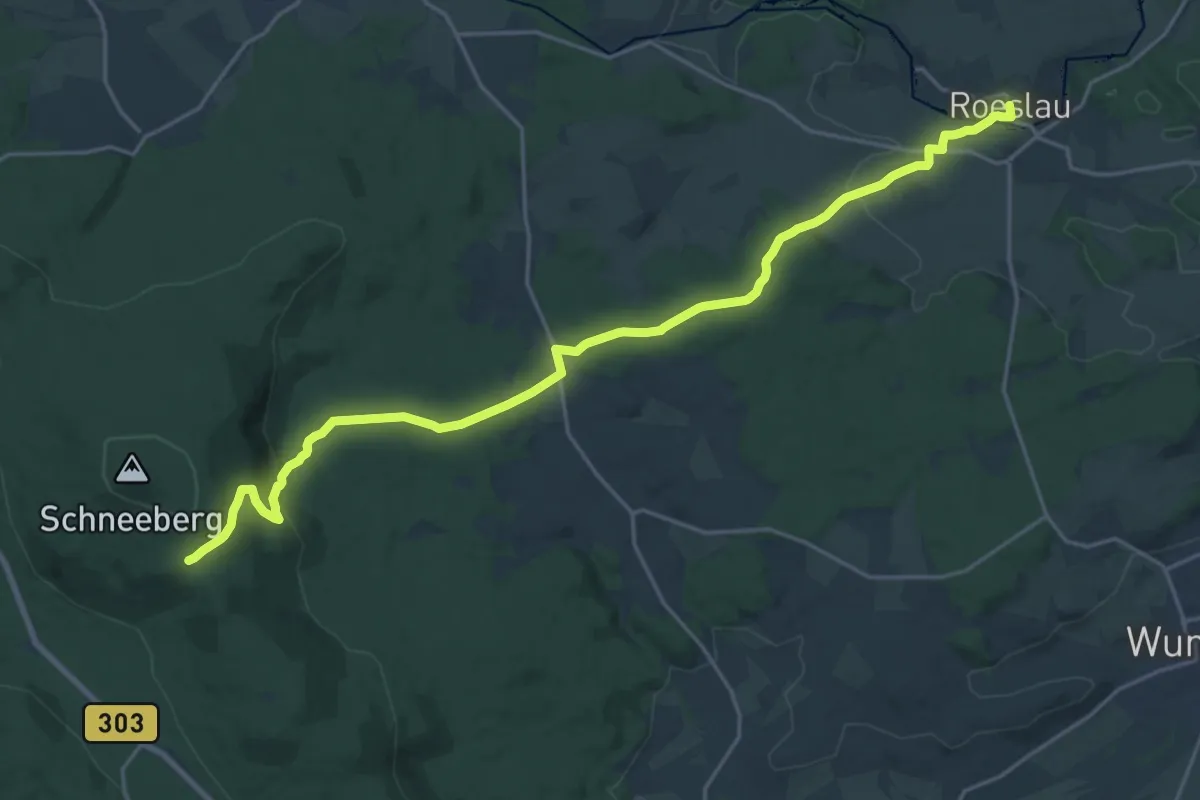
Demanding · Trail
Röslau - Schneeberg
21.9 km · ↑ 502 m · 6 h 15 min
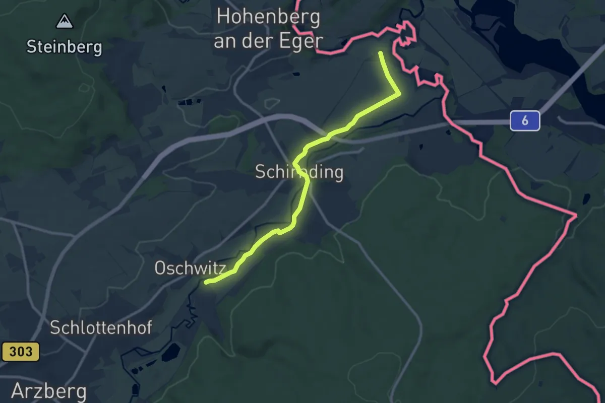
Medium · Trail
Röslauweg
8.6 km · ↑ 58 m · 2 h 10 min
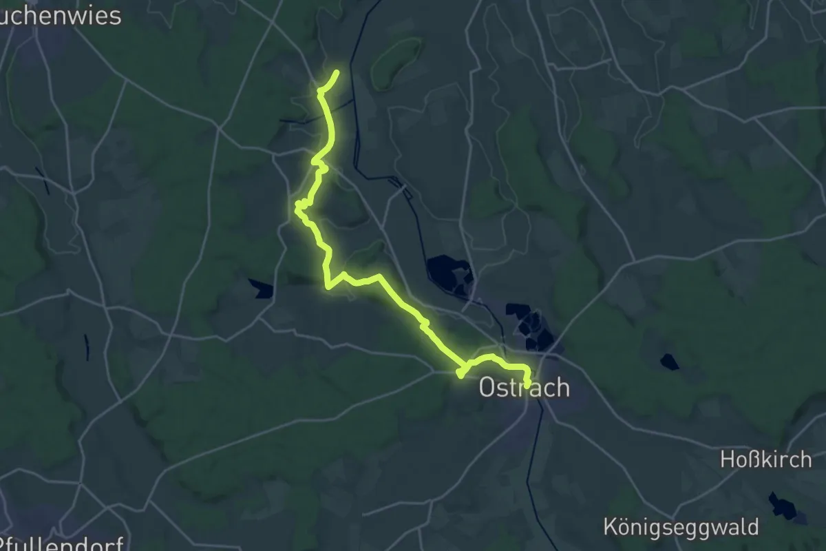
Demanding · Trail
Rosna - Ostrach
23.0 km · ↑ 342 m · 6 h 10 min
Easy · Trail
Rossackerweg Süd - Kuhmoos
2.7 km · ↑ 32 m · 42 min
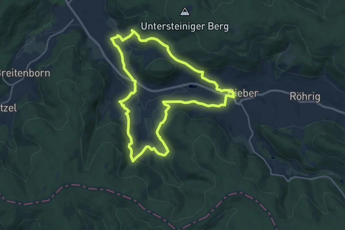
Medium · Trail
Roßbacher Biebertal-Fährte (Spessartfährten )
11.5 km · ↑ 265 m · 3 h 27 min
Easy · Trail
Roßbedunnen - Überm Kornjörgle
3.6 km · ↑ 74 m · 1 h