Trails in Germany
36,852 hiking trails, each with its route, climb, walking time and grade.
All trails, page 459 of 768
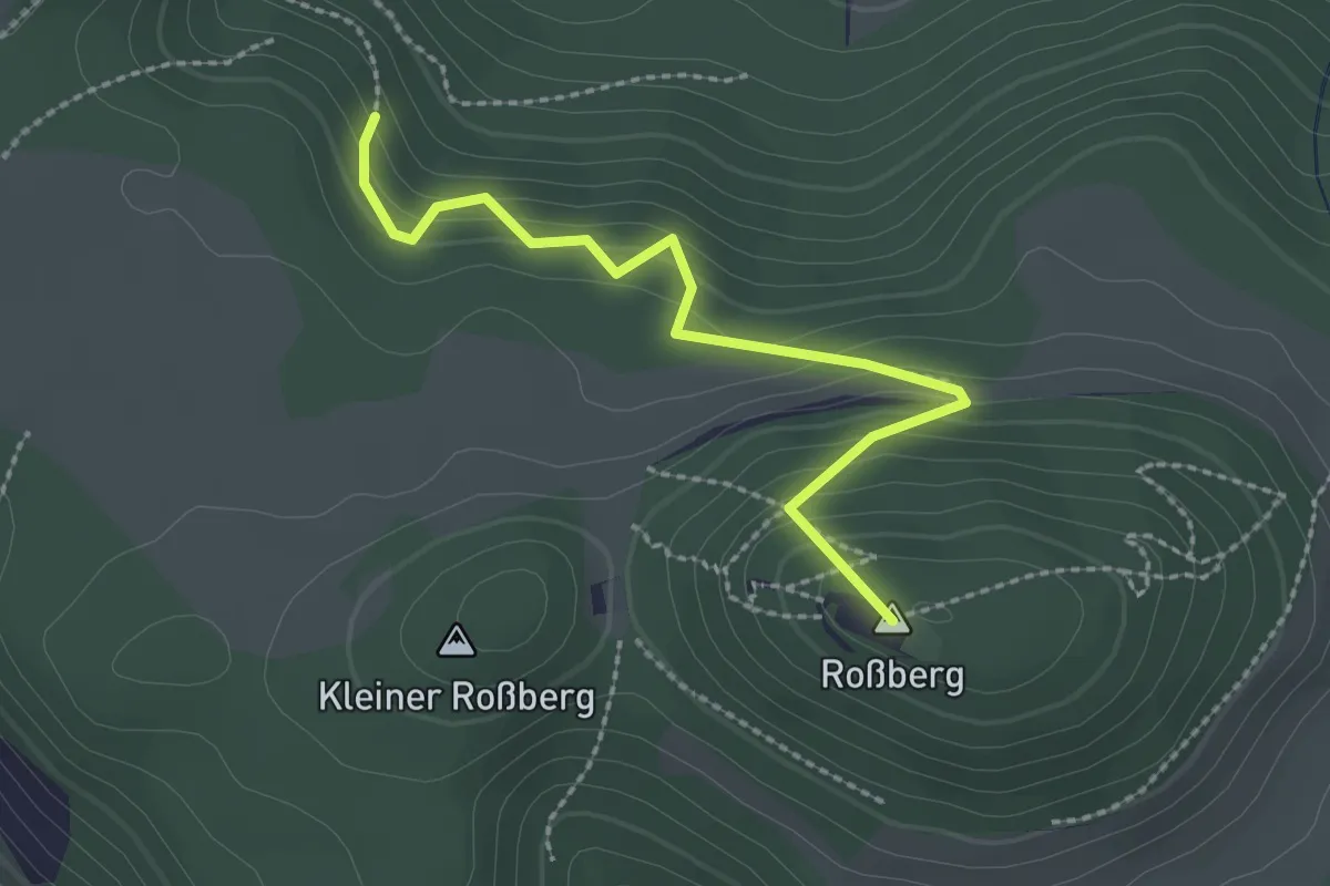
Easy · Summit
Roßberg-Gönningen
2.3 km · ↑ 197 m · 59 min
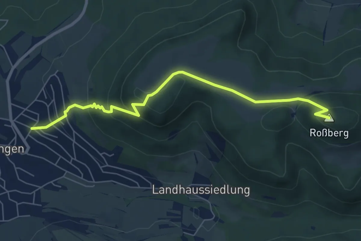
Medium · Summit
Roßberg-Öschingen
5.9 km · ↑ 334 m · 2 h 7 min
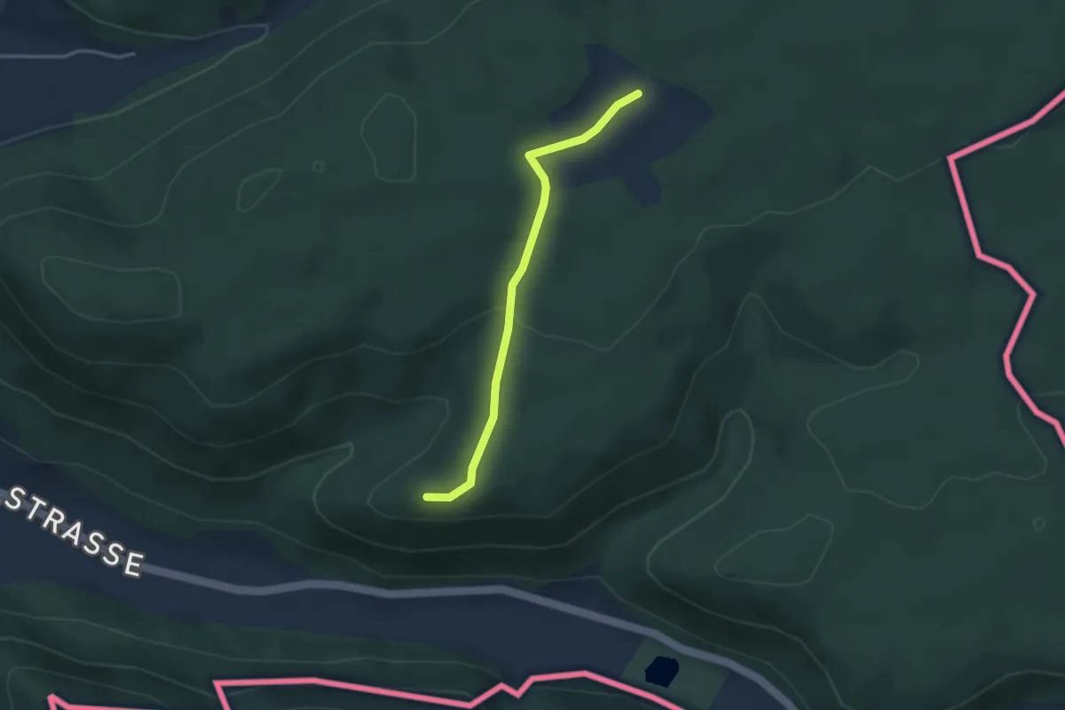
Easy · Trail
Rossberg - Ruine Radegg
2.9 km · ↑ 79 m · 52 min
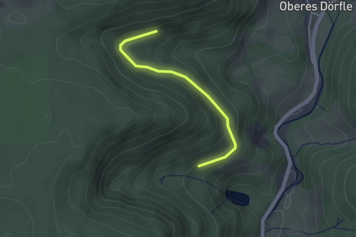
Easy · Trail
Roßbergsteige - Gansberg
2.5 km · ↑ 109 m · 50 min
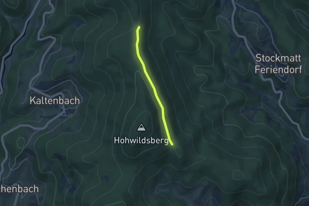
Easy · Trail
Roßboden - Bergle
2.9 km · ↑ 77 m · 51 min
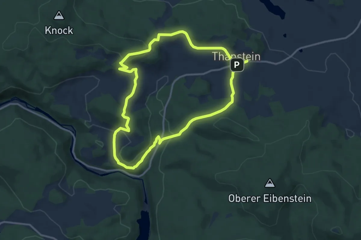
Medium · Trail
Rösselbergweg "T 12"
8.2 km · ↑ 231 m · 2 h 33 min
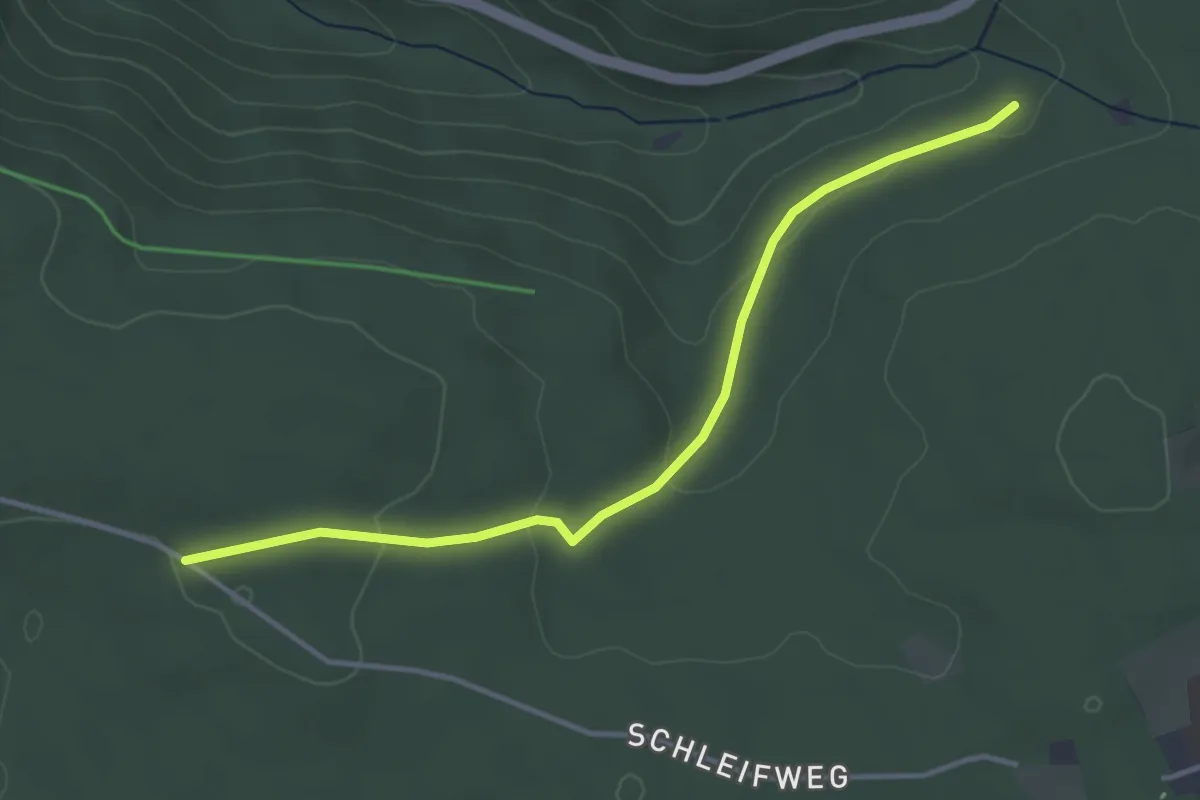
Easy · Trail
Roßgrund - Hüttwald
3.7 km · ↑ 79 m · 1 h 2 min
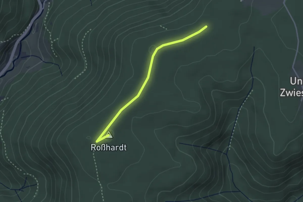
Easy · Summit
Roßhardthöhe - Schwabachhöhe
2.7 km · ↑ 31 m · 43 min
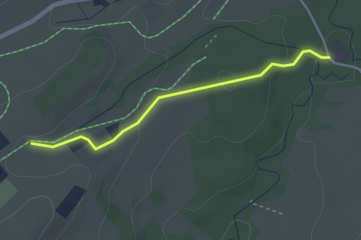
Easy · Trail
Roßholzen - Esbaum
2.4 km · ↑ 65 m · 43 min
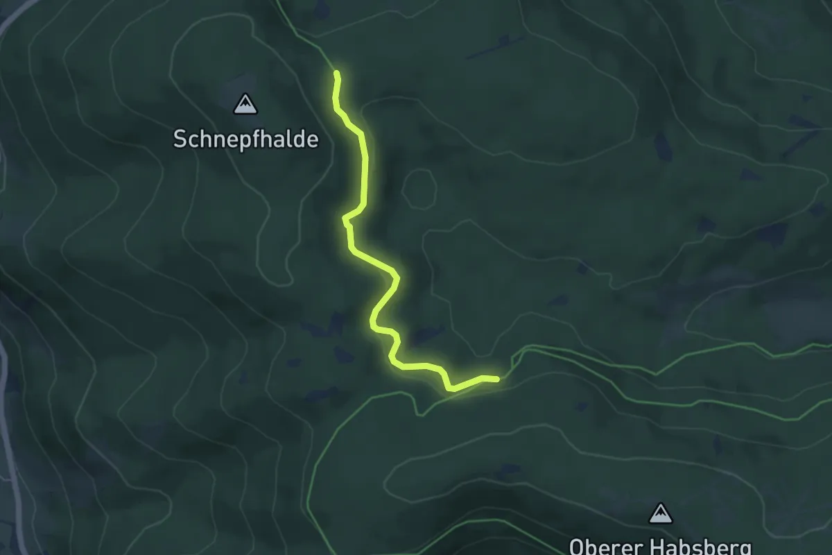
Easy · Trail
Rosshütte - Roßhüttenweg
4.2 km · ↑ 127 m · 1 h 17 min
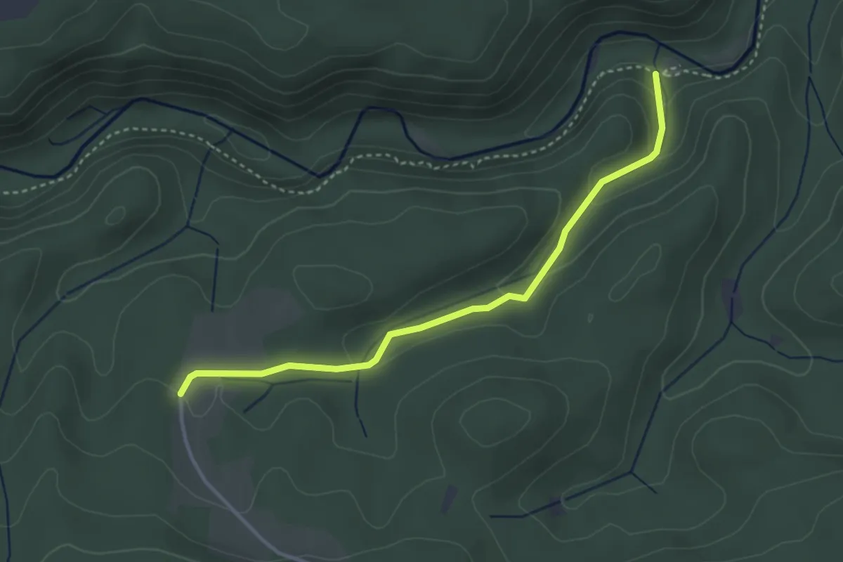
Easy · Trail
Rosshütte - Schurhammerhütte
3.4 km · ↑ 125 m · 1 h 4 min
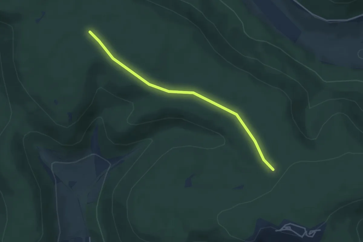
Easy · Trail
Rosshütte - Tännlehau
3.6 km · ↑ 38 m · 57 min
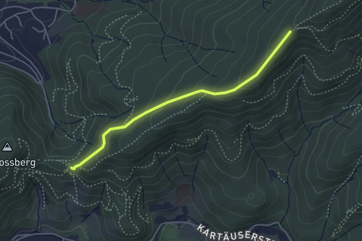
Easy · Trail
Roßkopfhaldenweg - Sieben Linden
3.6 km · ↑ 212 m · 1 h 18 min
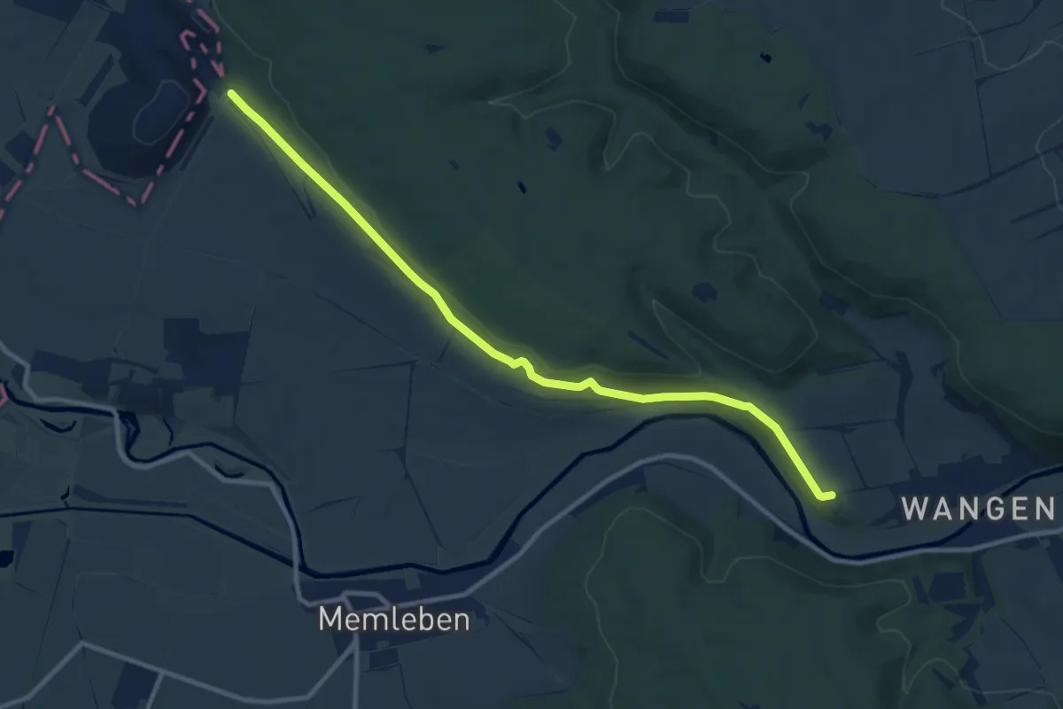
Medium · Trail
Roßleben-Arche-Nebra
9.9 km · ↑ 150 m · 2 h 40 min
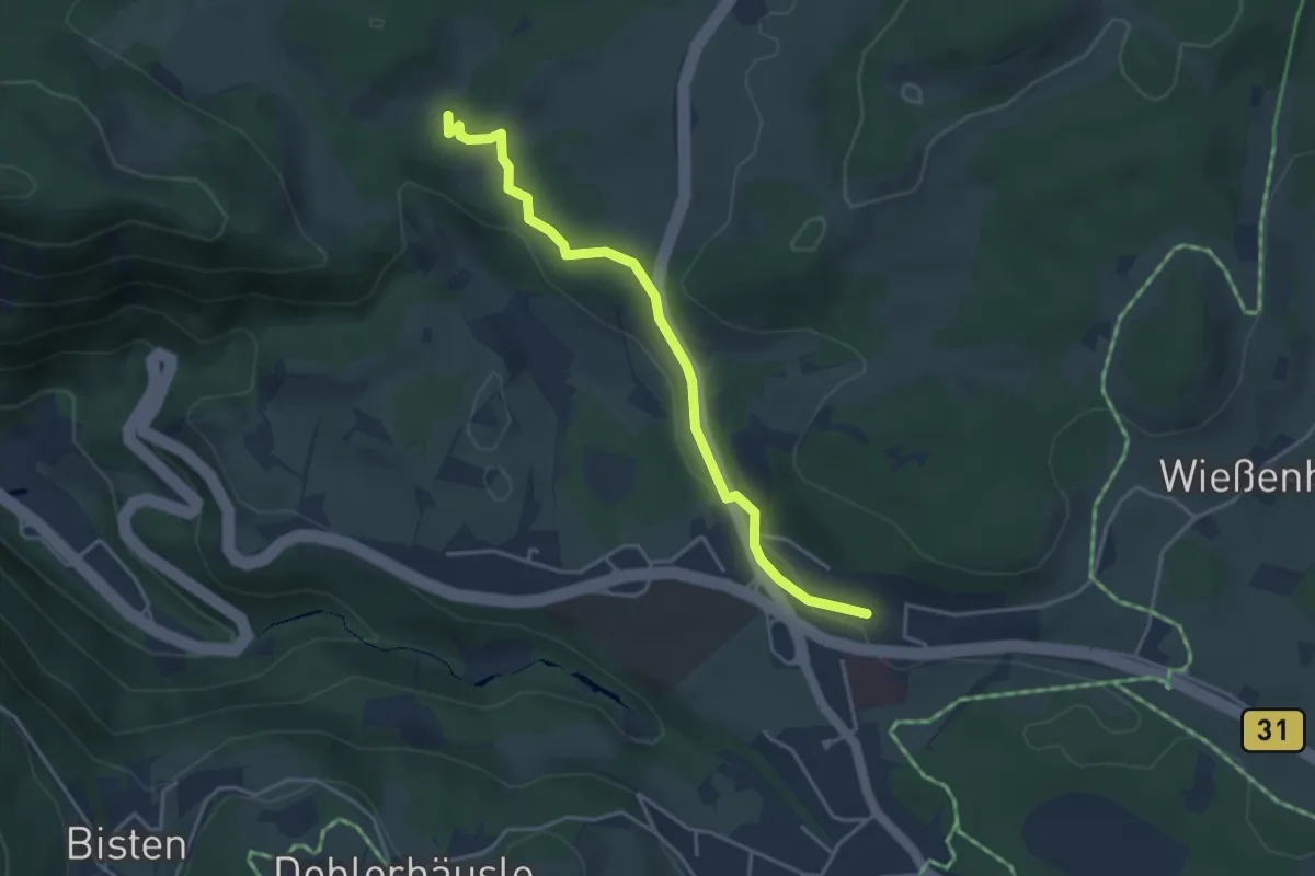
Easy · Trail
Rössleberg - Seiltrieb
3.7 km · ↑ 82 m · 1 h 3 min
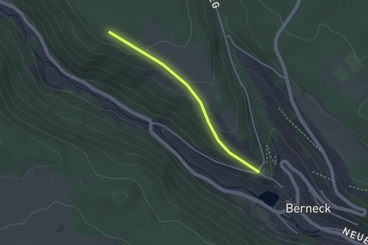
Easy · Trail
Rossrücken - Berneck Schloss
2.4 km · ↑ 103 m · 48 min
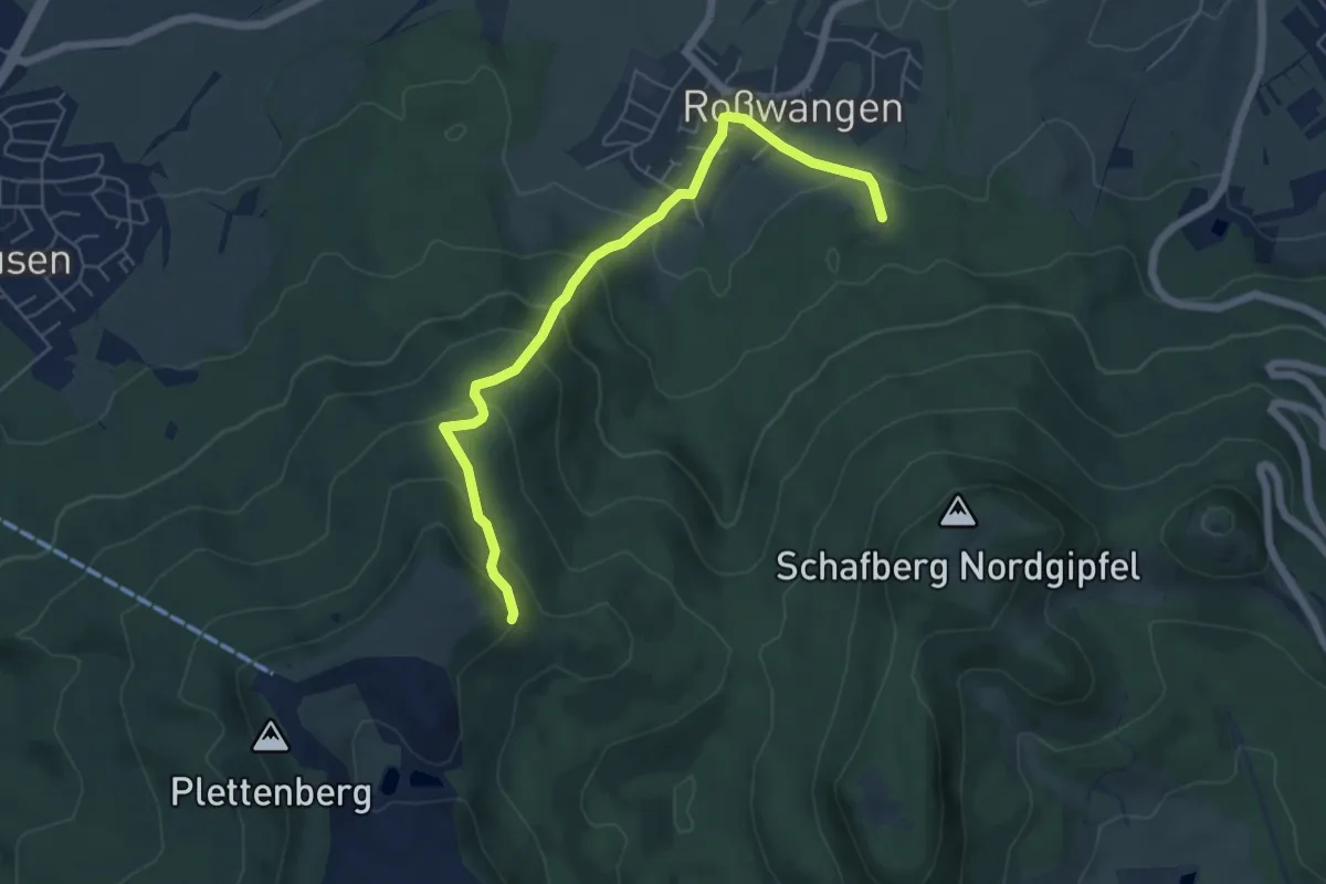
Medium · Trail
Roßwangen - Dotternhausen
5.8 km · ↑ 370 m · 2 h 10 min
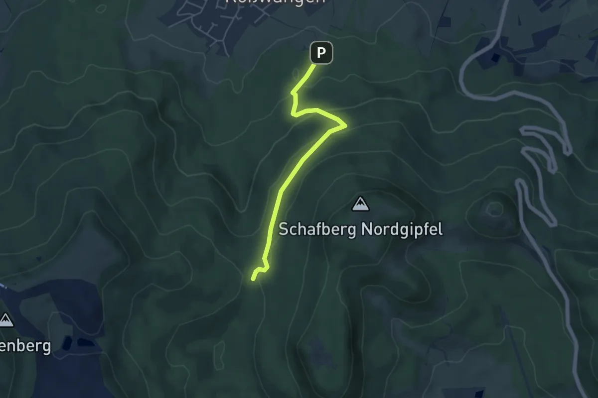
Easy · Trail
Roßwangen - Streitwaldsattel
4.2 km · ↑ 180 m · 1 h 22 min
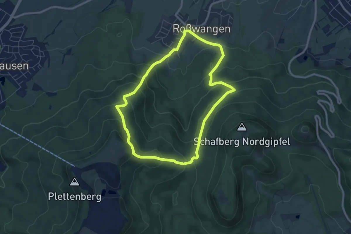
Medium · Trail
Roßwanger Rundweg
5.8 km · ↑ 324 m · 2 h 9 min
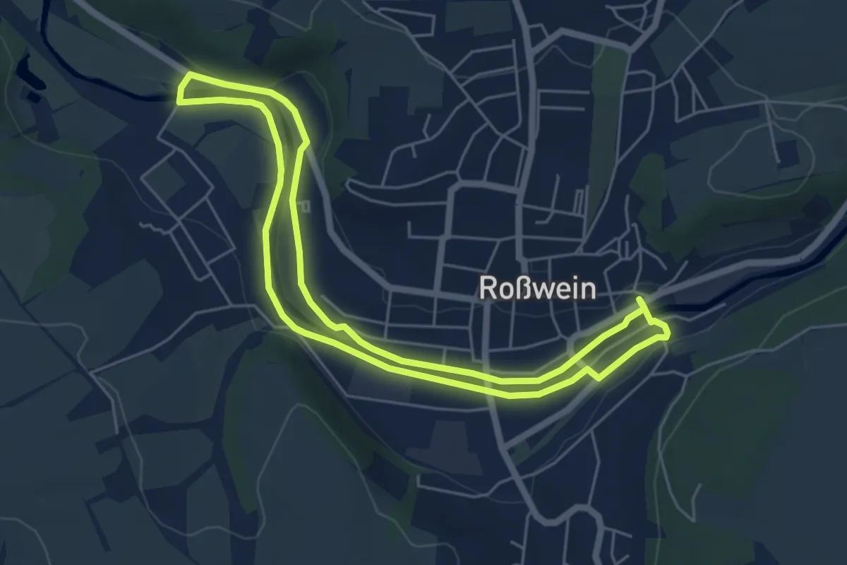
Easy · Trail
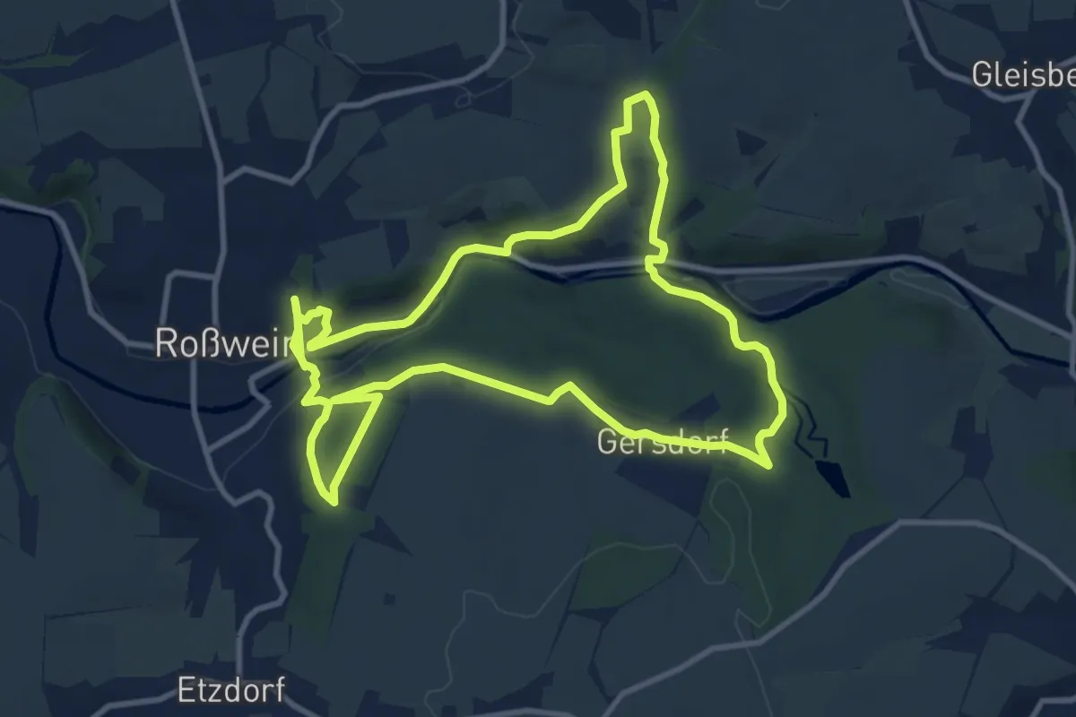
Roßweiner Bergbau(Lehr)pfad 1
4.8 km · ↑ 18 m · 1 h 14 min
Medium · Trail
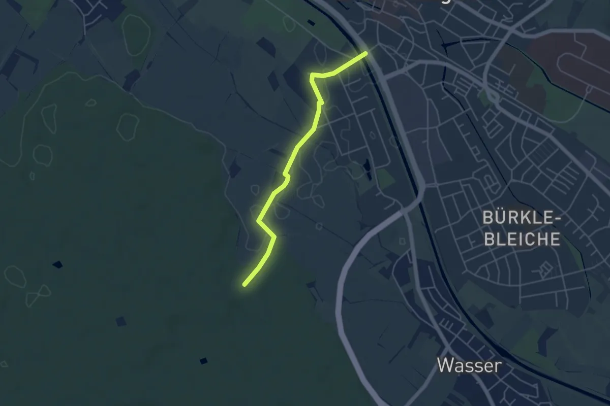
Roßweiner Bergbau(Lehr)pfad 2
9.4 km · ↑ 282 m · 2 h 57 min
Easy · Trail
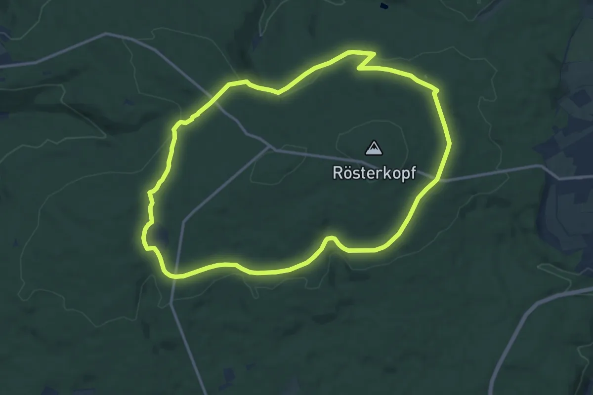
Roßwinkel - Emmendingen Festplatz
4.1 km · ↑ 13 m · 1 h
Medium · Trail
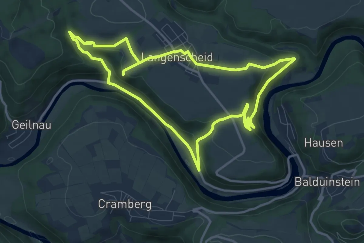
Rösterkopf Rundweg
10.0 km · ↑ 190 m · 2 h 55 min
Medium · Trail
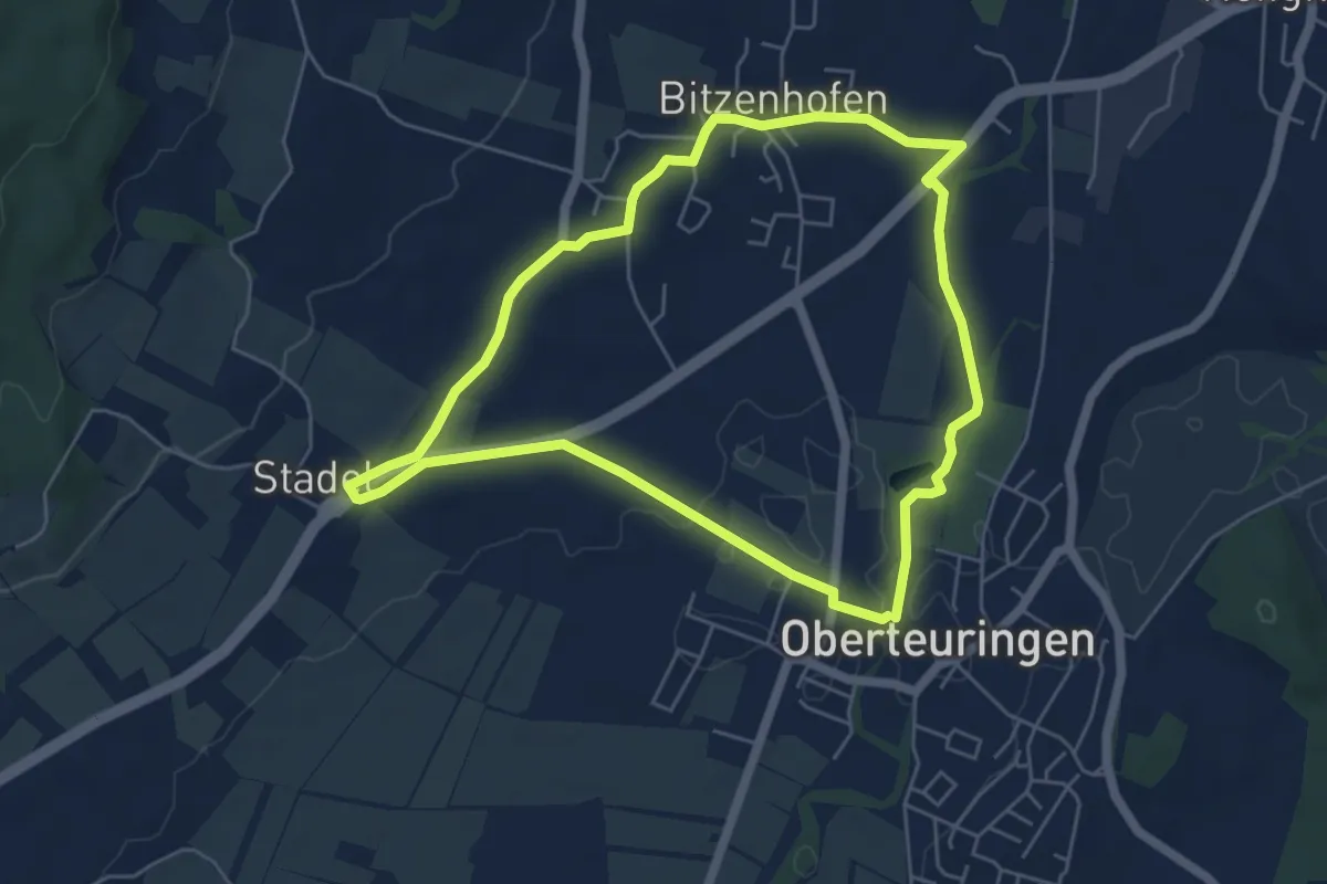
Rot
8.1 km · ↑ 252 m · 2 h 34 min
Easy · Trail
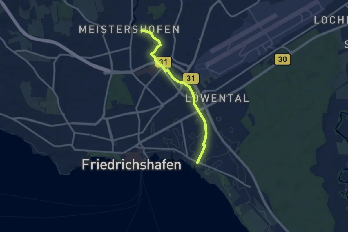
Rotachweg
5.3 km · ↑ 42 m · 1 h 24 min
Easy · Trail
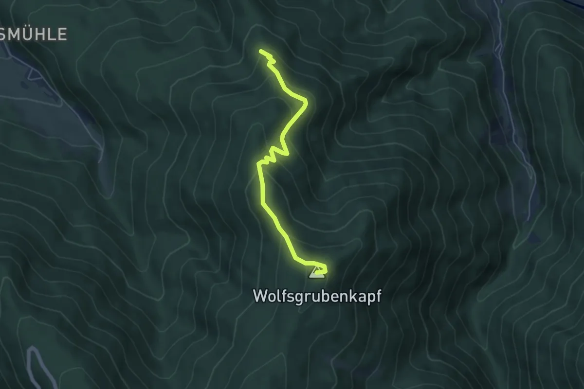
Rotachweg - Meistershofen
6.3 km · ↑ 23 m · 1 h 33 min
Easy · Summit
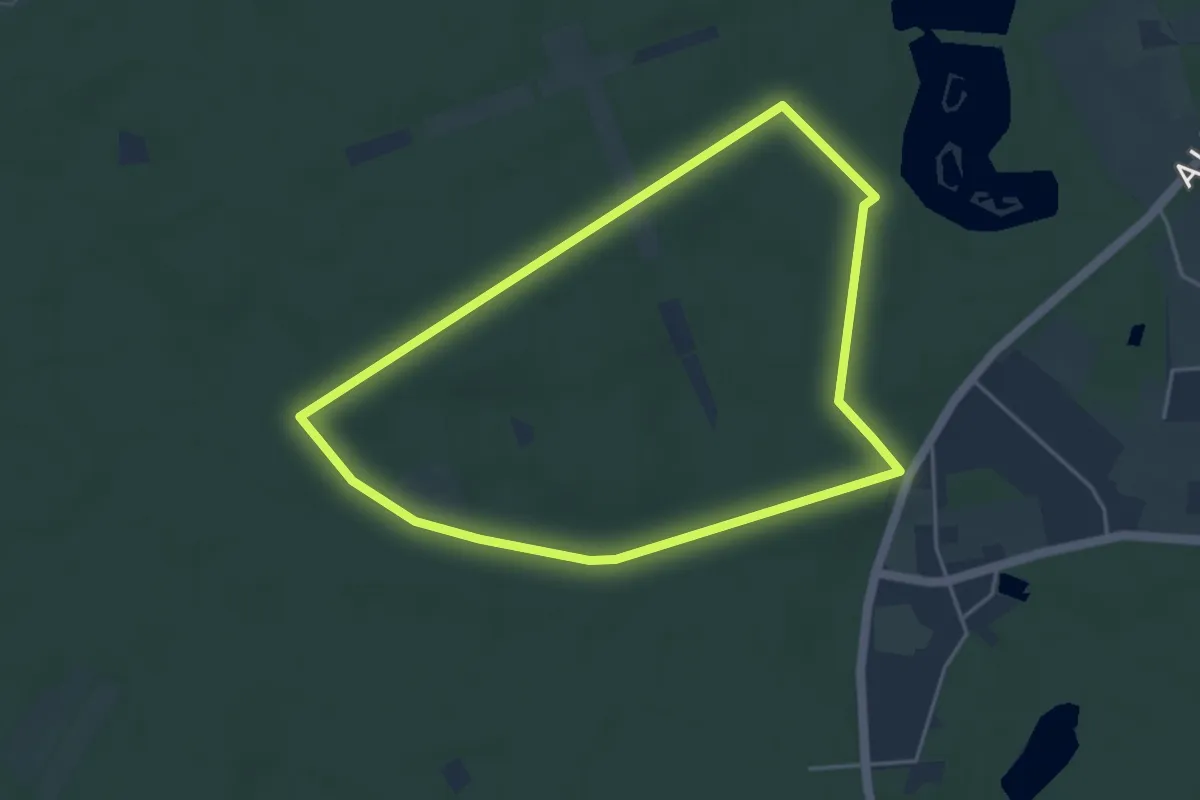
Rotacker - Kandelwiese
4.7 km · ↑ 319 m · 1 h 48 min
Easy · Trail
Rotbach Rundweg A1
3.7 km · ↑ 13 m · 58 min
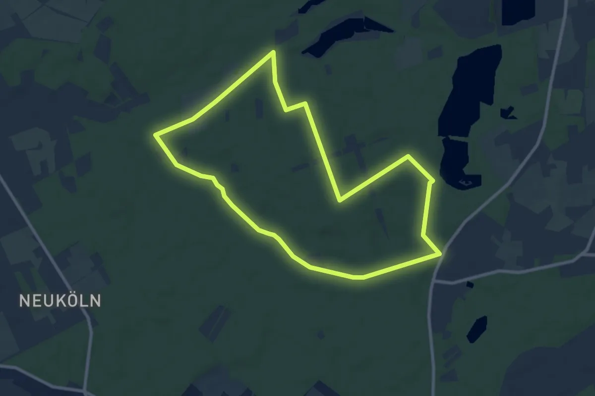
Easy · Trail
Rotbach Rundweg A4
7.3 km · ↑ 31 m · 1 h 54 min
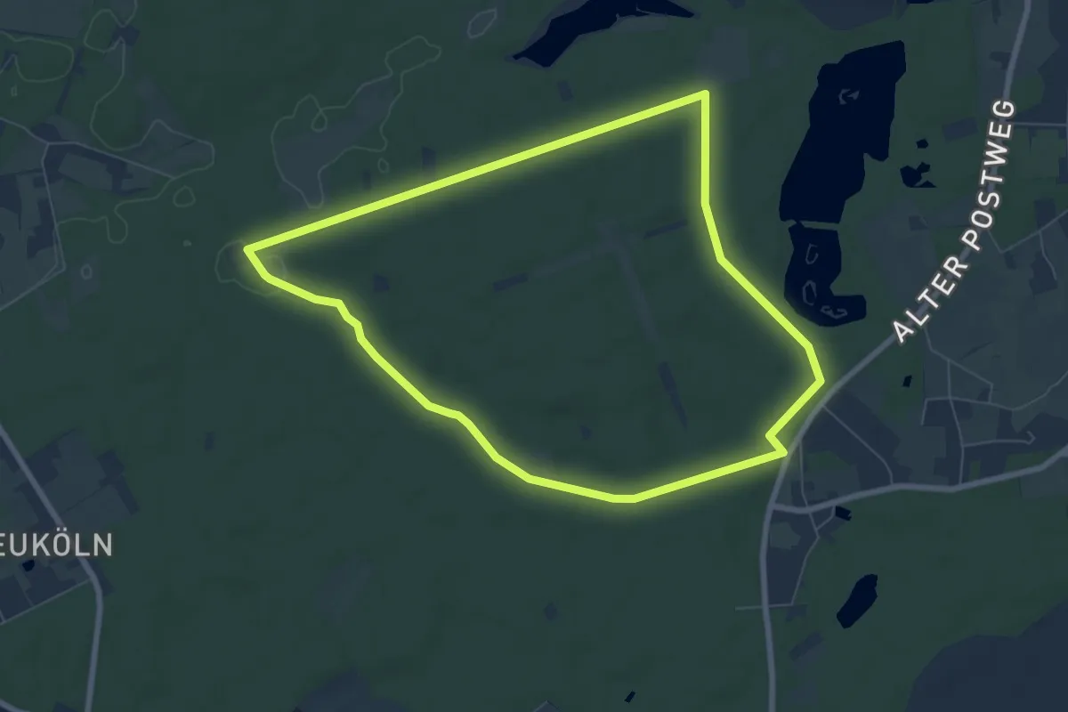
Easy · Trail
Rotbach Rundweg A5
6.6 km · ↑ 21 m · 1 h 42 min
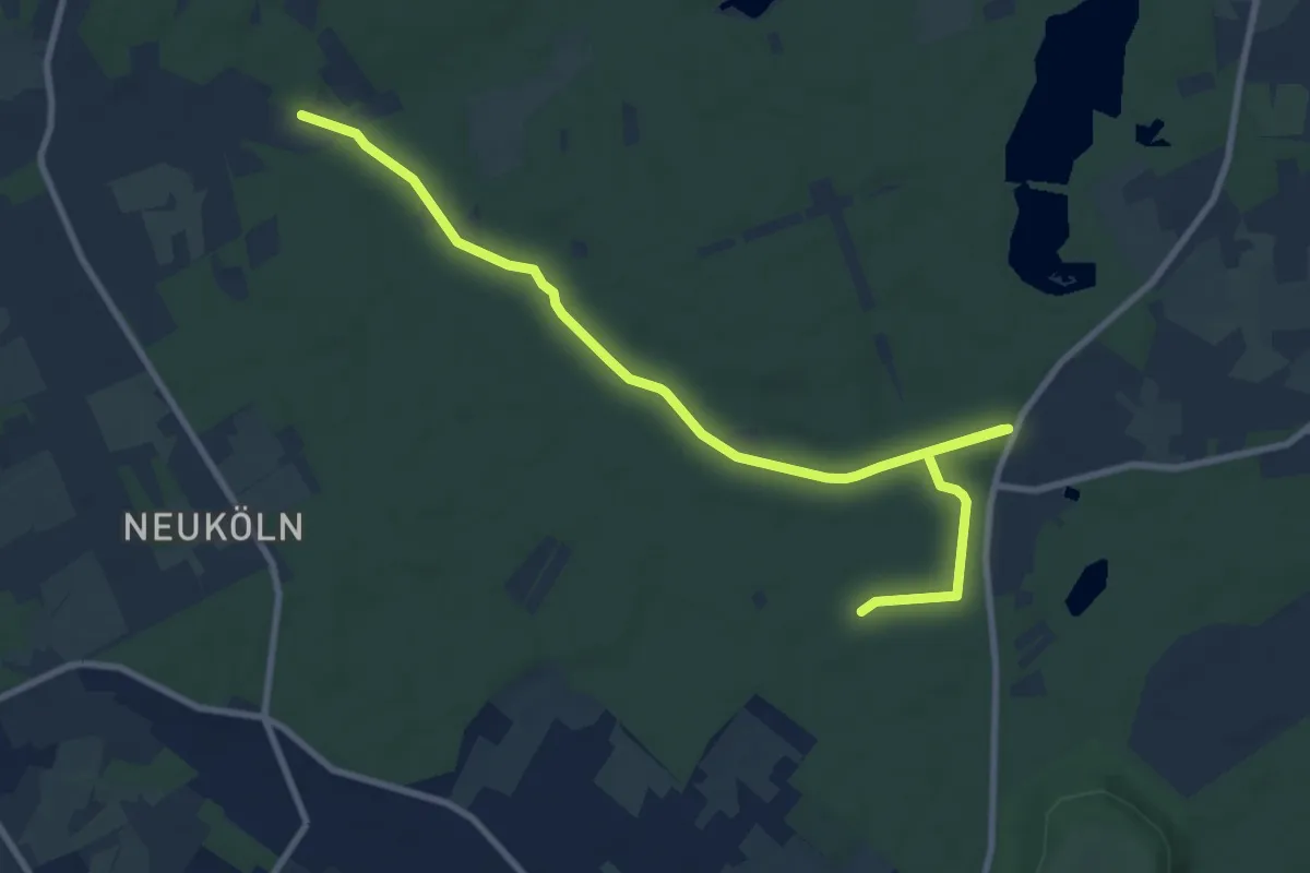
Easy · Trail
Rotbach Rundweg A6
4.8 km · ↑ 26 m · 1 h 15 min
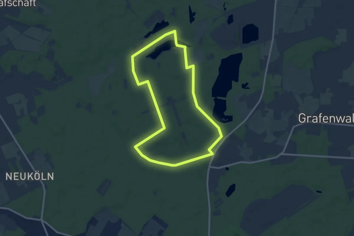
Easy · Trail
Rotbach Rundweg A8
7.2 km · ↑ 32 m · 1 h 52 min
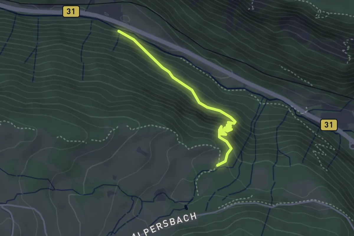
Demanding · Trail
Rotbach - Weißtannenhütte
3.3 km · ↑ 295 m · 1 h 24 min
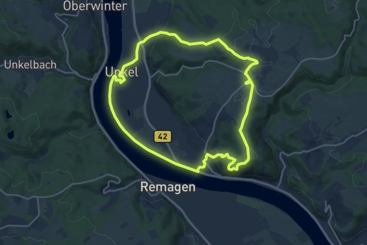
Medium · Summit
Rotbäckchen Rundwanderweg
11.1 km · ↑ 209 m · 3 h 13 min
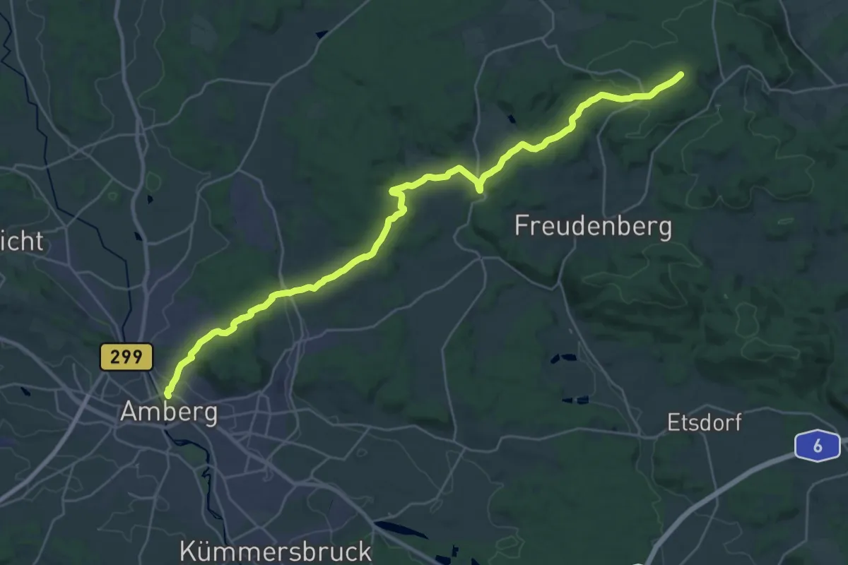
Medium · Trail
Rotbühlwanderweg
15.0 km · ↑ 470 m · 4 h 38 min
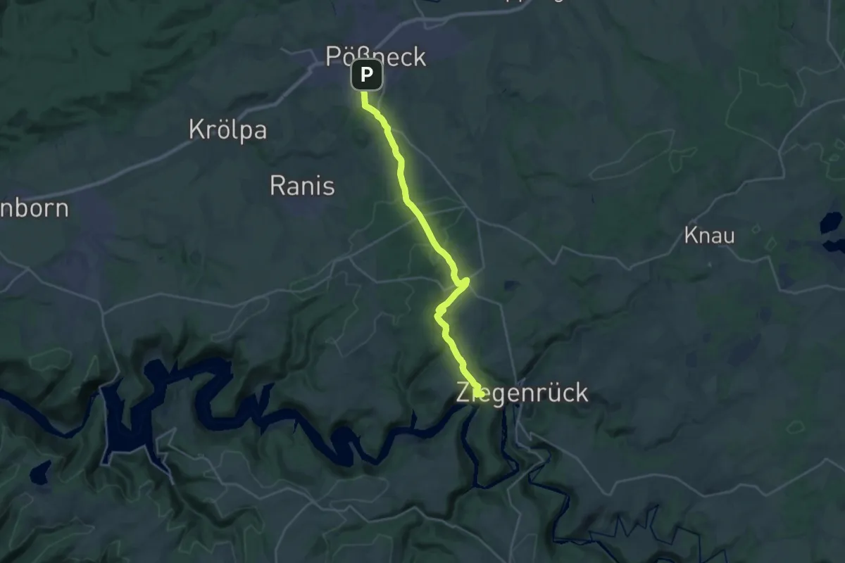
Demanding · Summit
Rote Balken
21.8 km · ↑ 541 m · 6 h 19 min
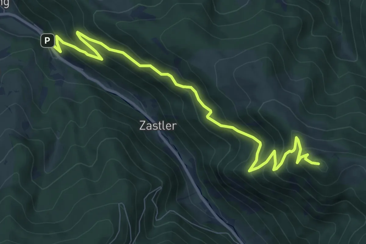
Medium · Summit
Rotecksattel - Sommerhaldenweg
9.7 km · ↑ 755 m · 3 h 55 min
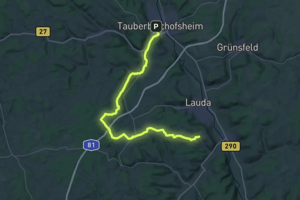
Demanding · Trail
Rote Diagonale - Tauberbischofsheim nach Beckstein
19.8 km · ↑ 366 m · 5 h 42 min
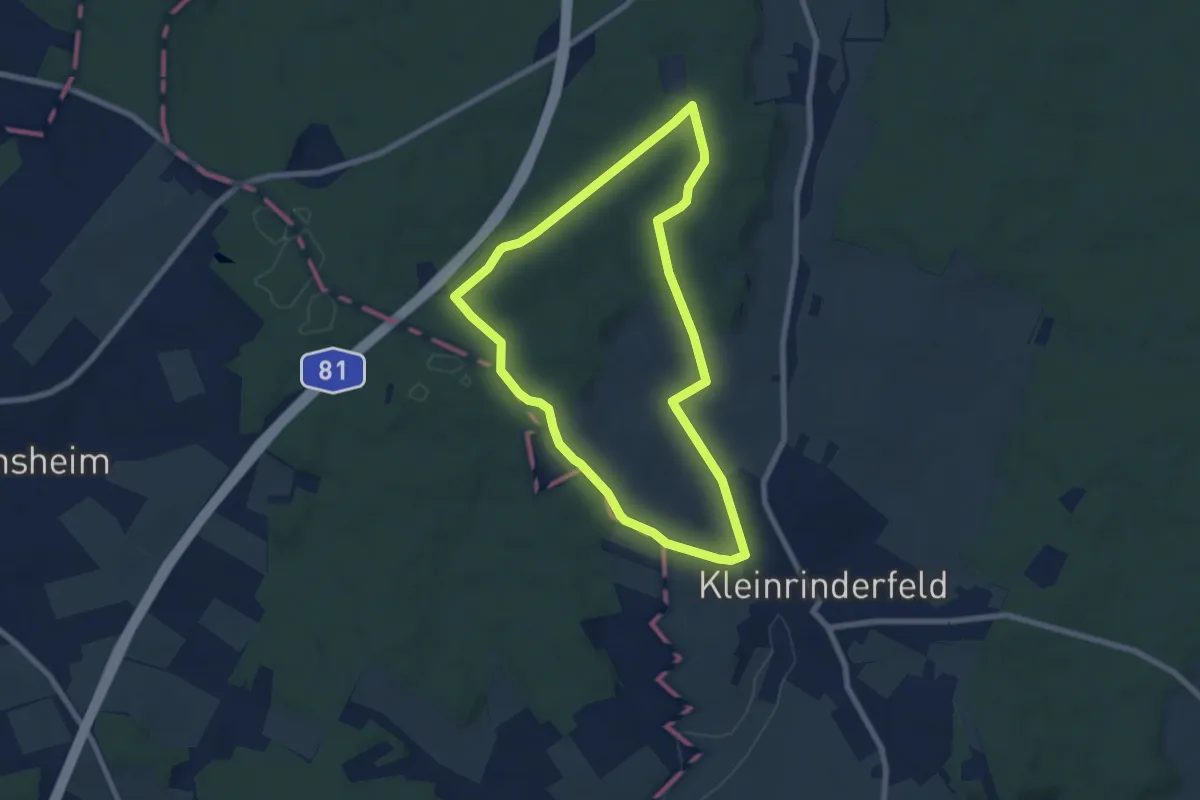
Easy · Trail
Rote Ente - Kleinrinderfeld
6.6 km · ↑ 115 m · 1 h 54 min
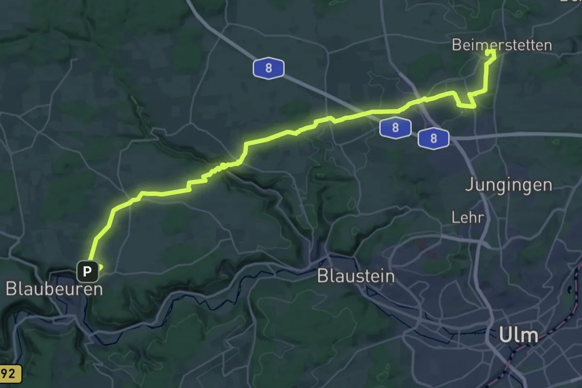
Demanding · Trail
rote Gabel Blaubeuren - Oberelchingen
20.1 km · ↑ 192 m · 5 h 30 min
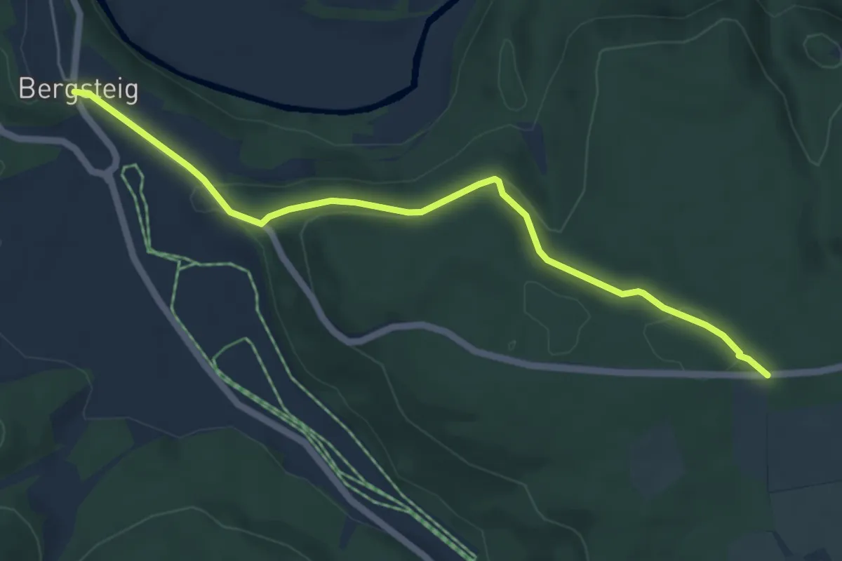
Easy · Trail
rote Gabel Fridingen Bergsteig -
5.4 km · ↑ 115 m · 1 h 31 min
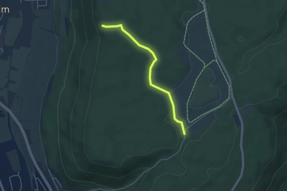
Easy · Trail
rote Gabel Fürstenstein -Steigkreuz
3.2 km · ↑ 51 m · 53 min
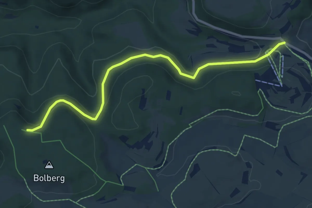
Easy · Trail
rote Gabel Genkingen - Bolberg
6.5 km · ↑ 173 m · 1 h 55 min
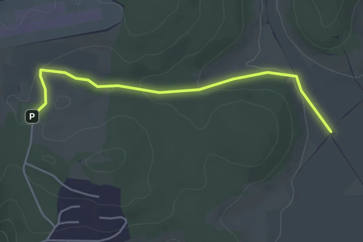
Easy · Trail
rote Gabel Göllesberg
3.7 km · ↑ 62 m · 1 h
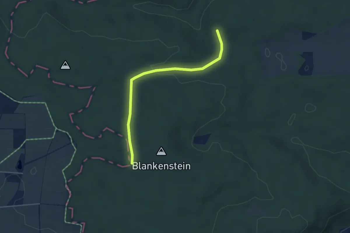
Easy · Summit
rote Gabel HW1 Schweindorf - Hürnheim - Karlshof HW1
3.5 km · ↑ 80 m · 1 h
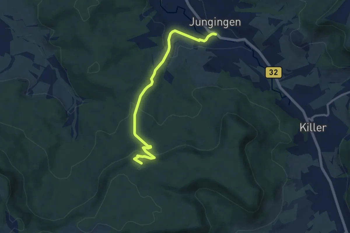
Easy · Trail
rote Gabel - Jungingen - Jägersteigle - HW1
7.1 km · ↑ 302 m · 2 h 20 min
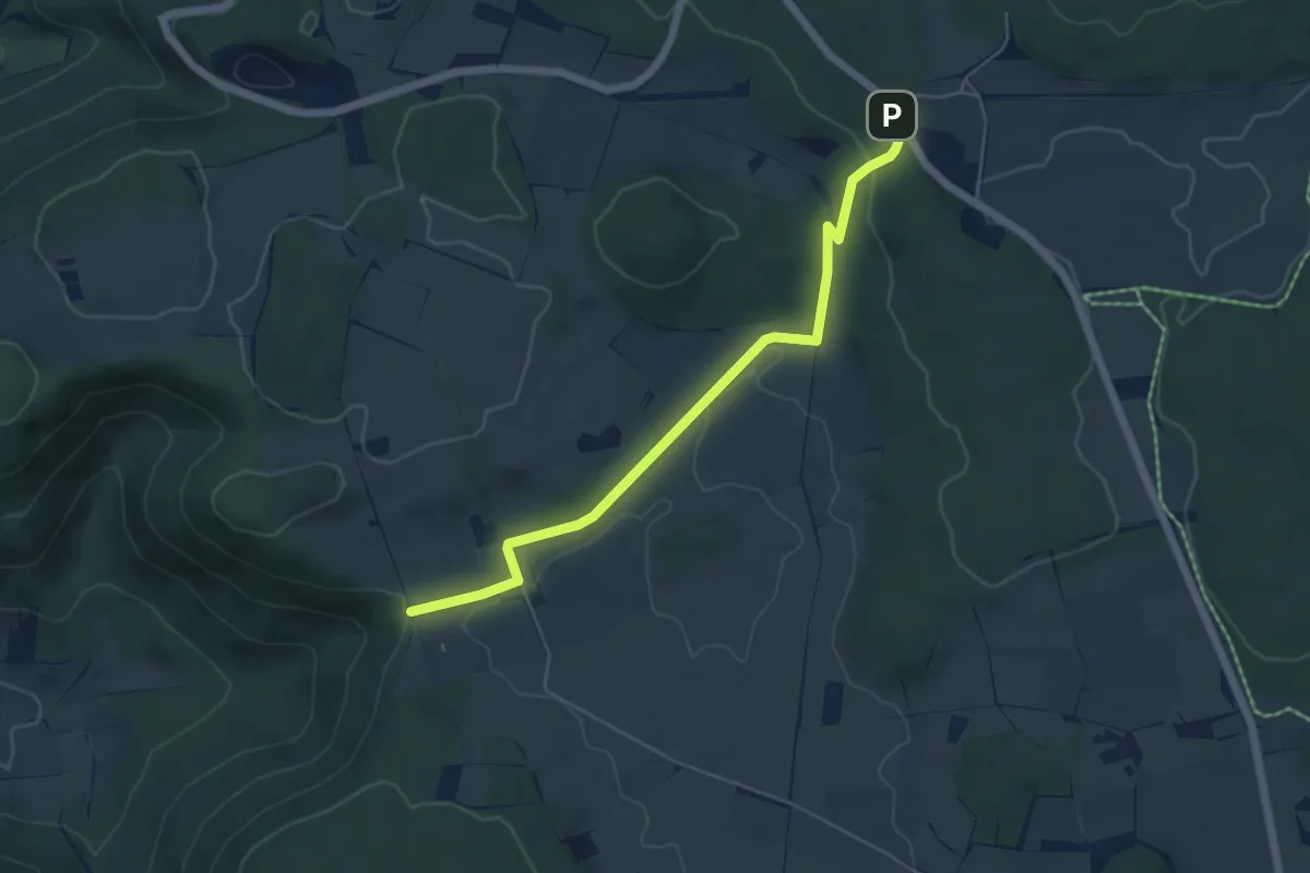
Easy · Trail
rote Gabel Oberer Lindenhof - Gestütshof St. Johann
5.3 km · ↑ 85 m · 1 h 26 min
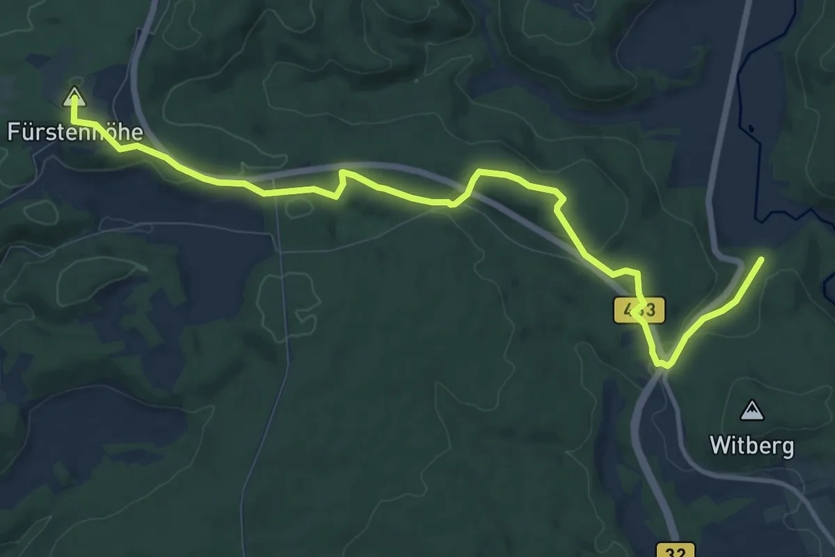
Medium · Summit
rote Gabel Oberschmeien - Nollhof B463/B32
11.6 km · ↑ 225 m · 3 h 13 min