Trails in Germany
36,852 hiking trails, each with its route, climb, walking time and grade.
All trails, page 460 of 768
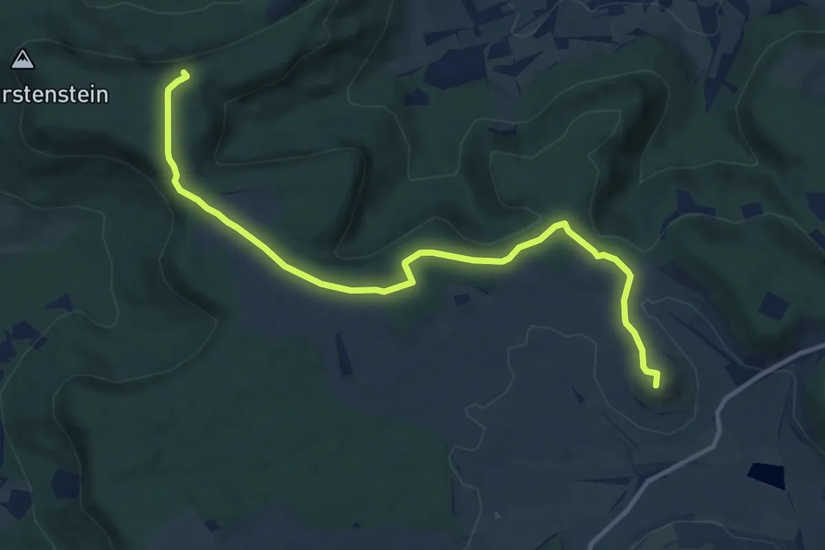
Medium · Summit
rote Gabel Salmendingen HW1
10.2 km · ↑ 142 m · 2 h 43 min
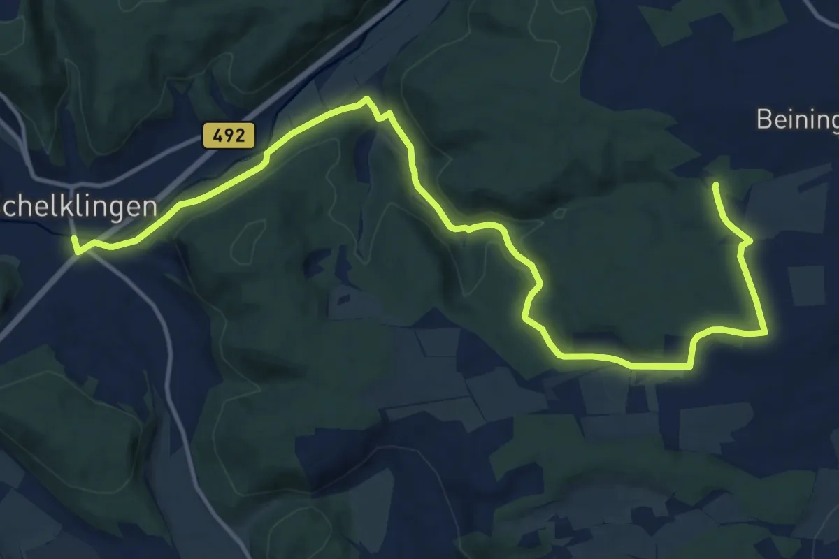
Medium · Trail
rote Gabel Schelklingen - Pappelau
15.9 km · ↑ 301 m · 4 h 25 min
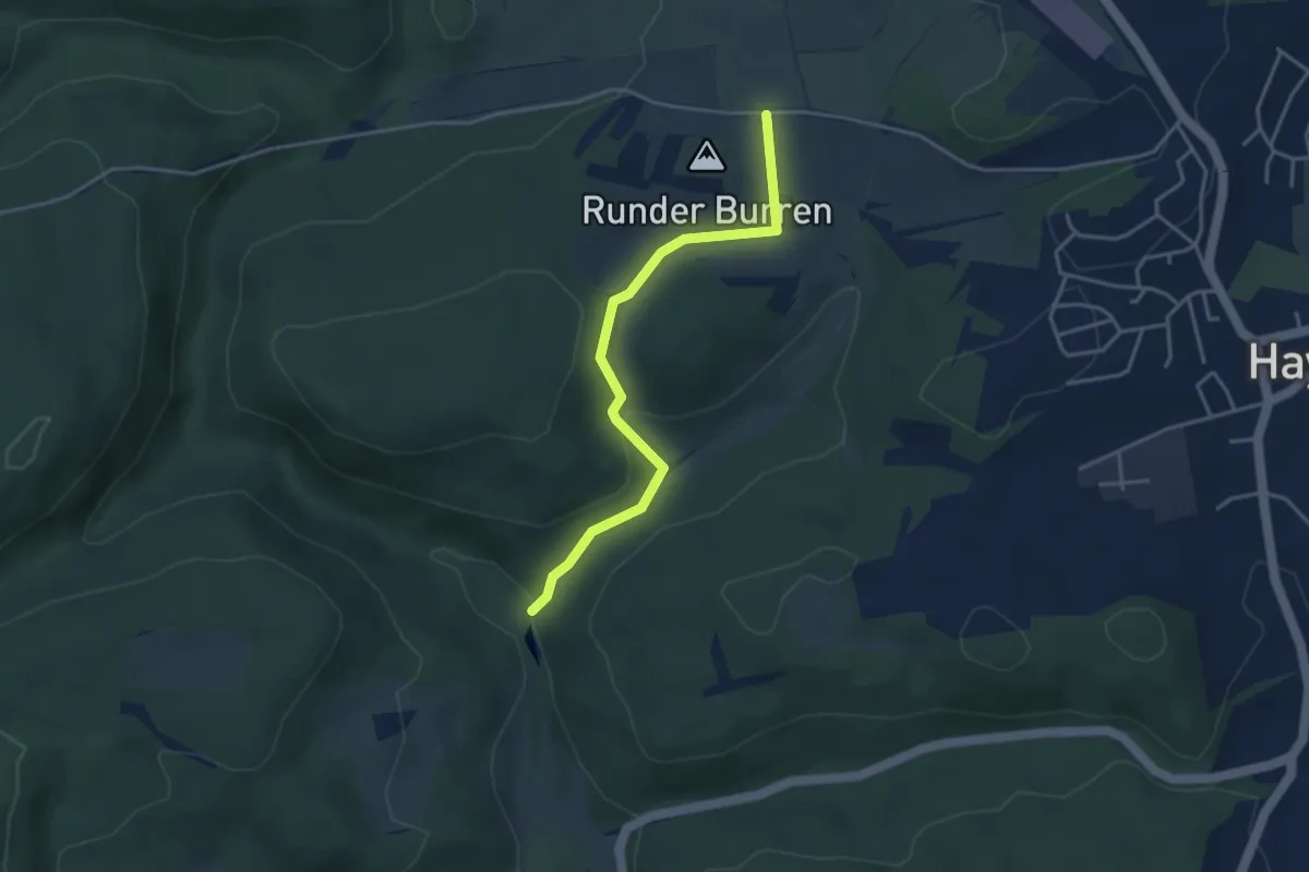
Easy · Trail
rote Gabel Schweiftal - Digelfeld
3.6 km · ↑ 120 m · 1 h 6 min
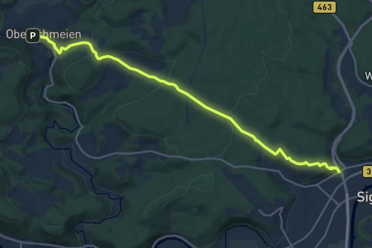
Medium · Trail
rote Gabel Sigmaringen - Oberschmeien
11.8 km · ↑ 400 m · 3 h 39 min
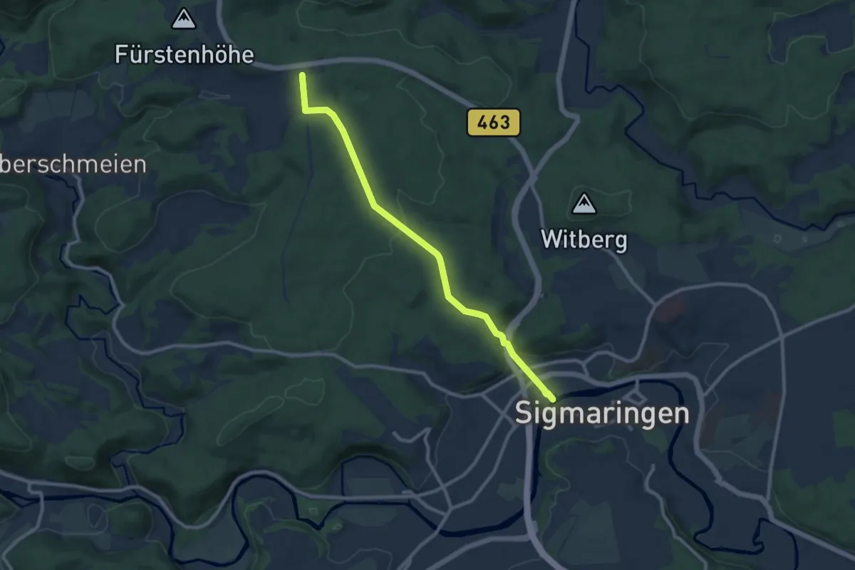
Medium · Trail
rote Gabel Sigmaringen - Römerstraße
8.9 km · ↑ 188 m · 2 h 31 min
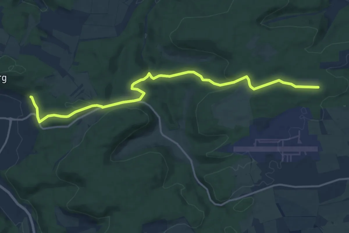
Medium · Trail
rote Gabel Tuttlingen - Neuhausen
11.9 km · ↑ 281 m · 3 h 25 min
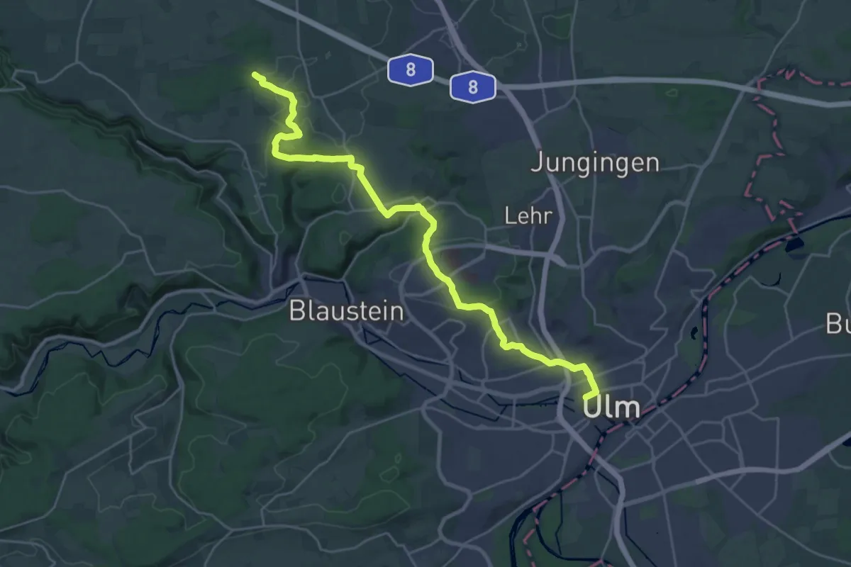
Demanding · Trail
rote Gabel Ulm - Bollingen
25.8 km · ↑ 521 m · 7 h 14 min
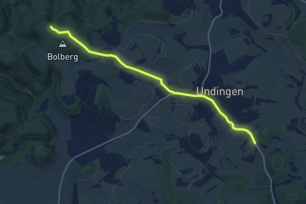
Medium · Trail
rote Gabel Undingen - HW1
9.8 km · ↑ 162 m · 2 h 40 min
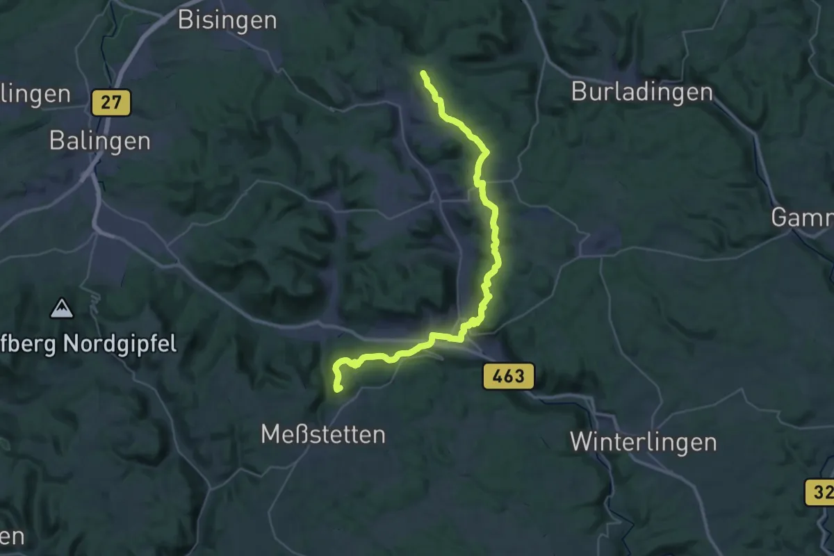
Demanding · Summit
rote Gabel Untersloch - Ebingen - Messstetten
38.7 km · ↑ 966 m · 11 h 14 min
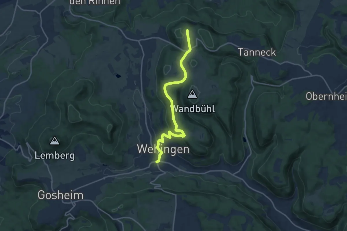
Medium · Trail
rote Gabel Wehingen
11.8 km · ↑ 279 m · 3 h 24 min
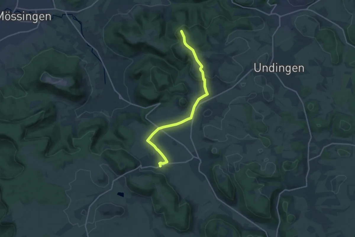
Medium · Trail
rote Gabel Willmandingen
13.9 km · ↑ 214 m · 3 h 44 min
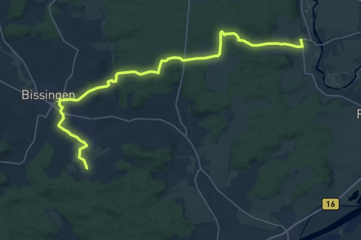
Demanding · Trail
rote Gabel Wörnitzstein - Bissingen
23.1 km · ↑ 529 m · 6 h 36 min
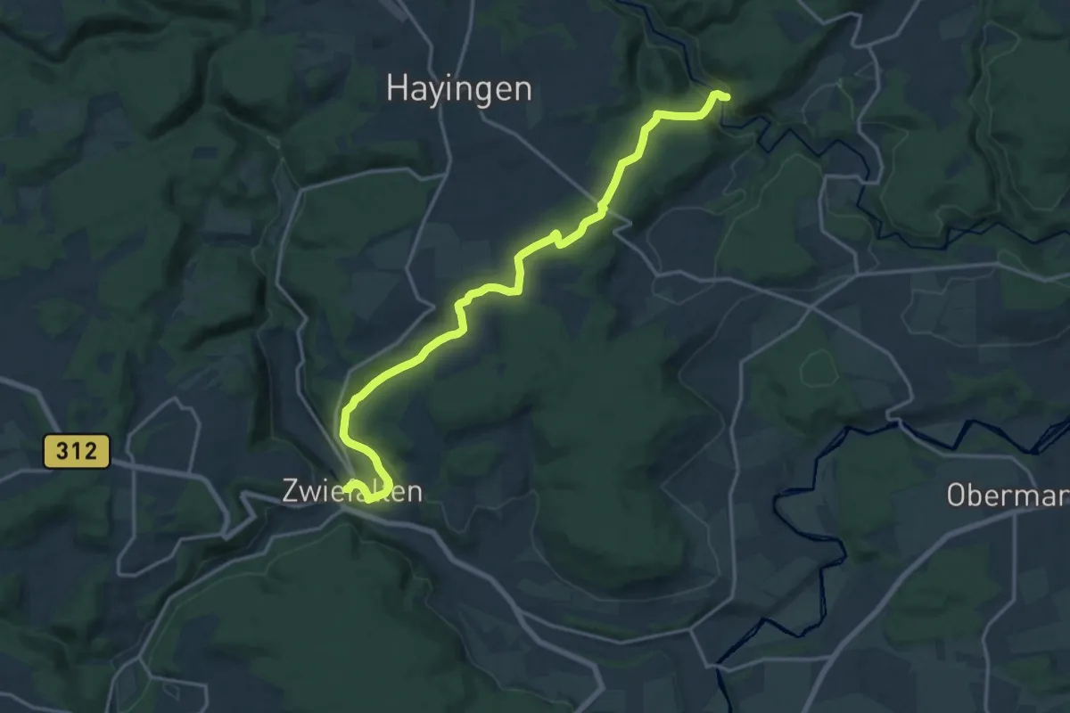
Medium · Trail
rote Gabel Zwiefalten - Lautertal
17.2 km · ↑ 382 m · 4 h 54 min
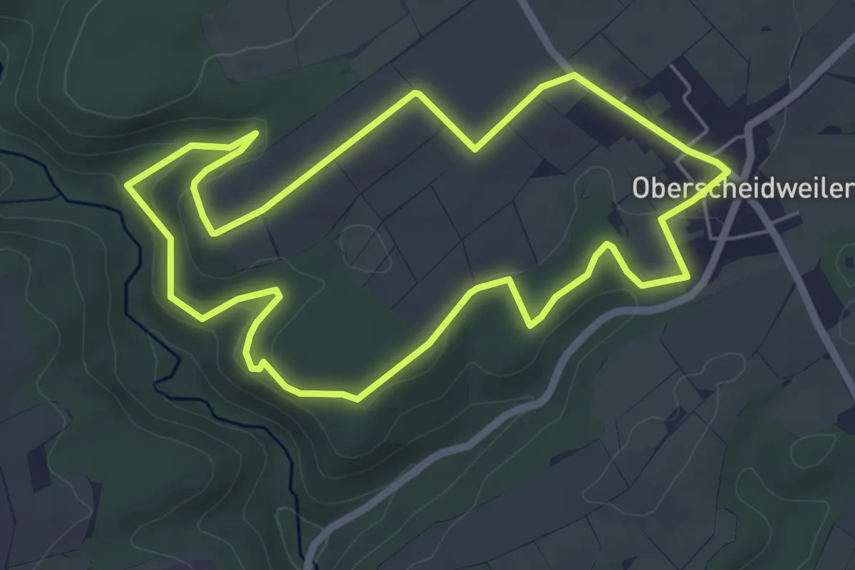
Easy · Trail
Roteichenweg
5.3 km · ↑ 98 m · 1 h 31 min
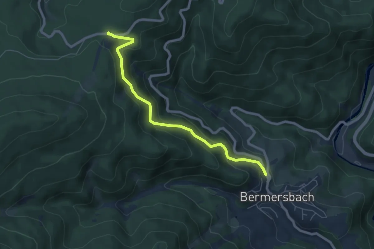
Medium · Trail
Rote Lache - Oberrain
5.3 km · ↑ 320 m · 1 h 56 min
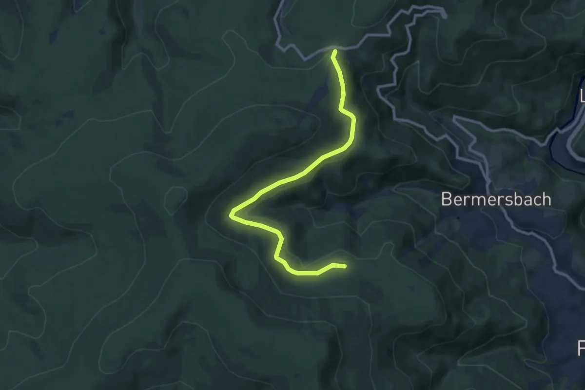
Medium · Trail
Rote Lache Süd - Romiss
8.3 km · ↑ 193 m · 2 h 22 min
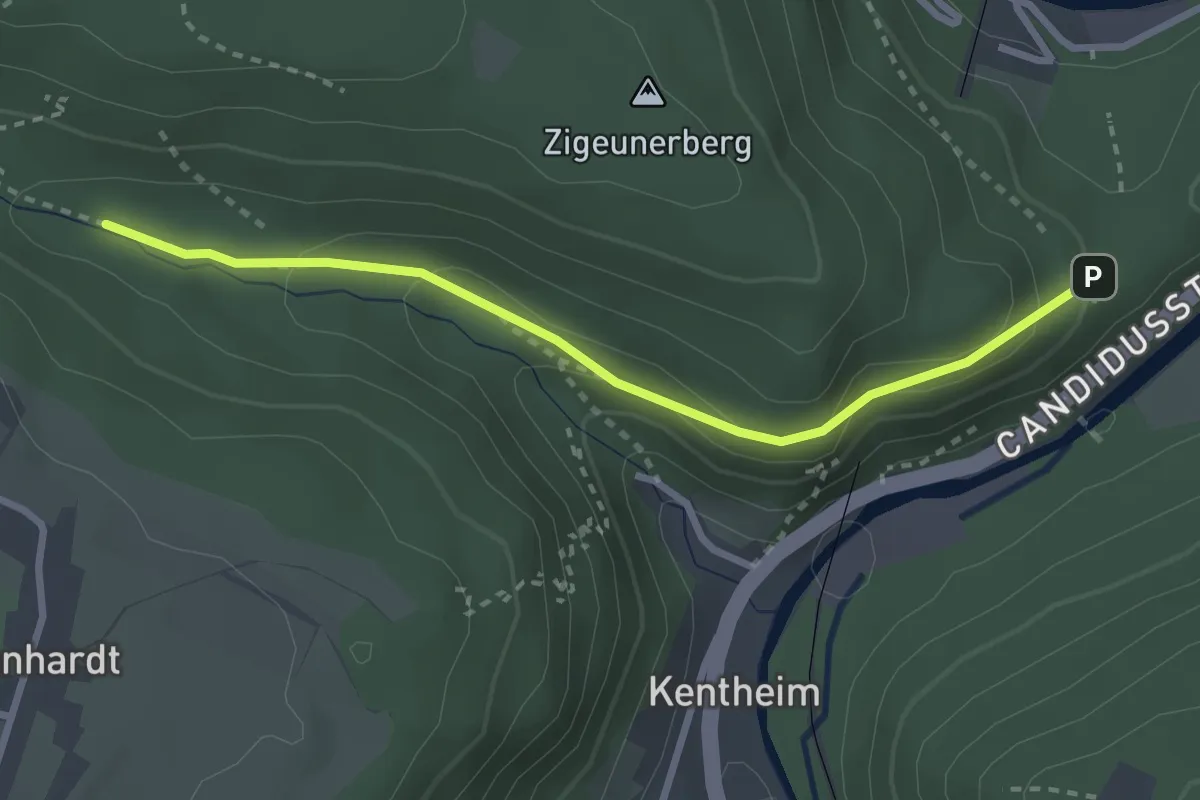
Easy · Trail
Rötelbachbrückle - Rudersberg
2.7 km · ↑ 131 m · 56 min
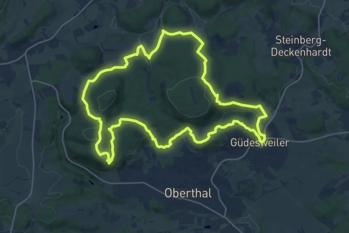
Medium · Summit
Rötelsteinpfad
14.4 km · ↑ 411 m · 4 h 29 min
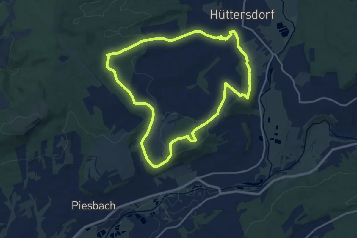
Medium · Trail
Rötelweg
9.6 km · ↑ 195 m · 2 h 50 min
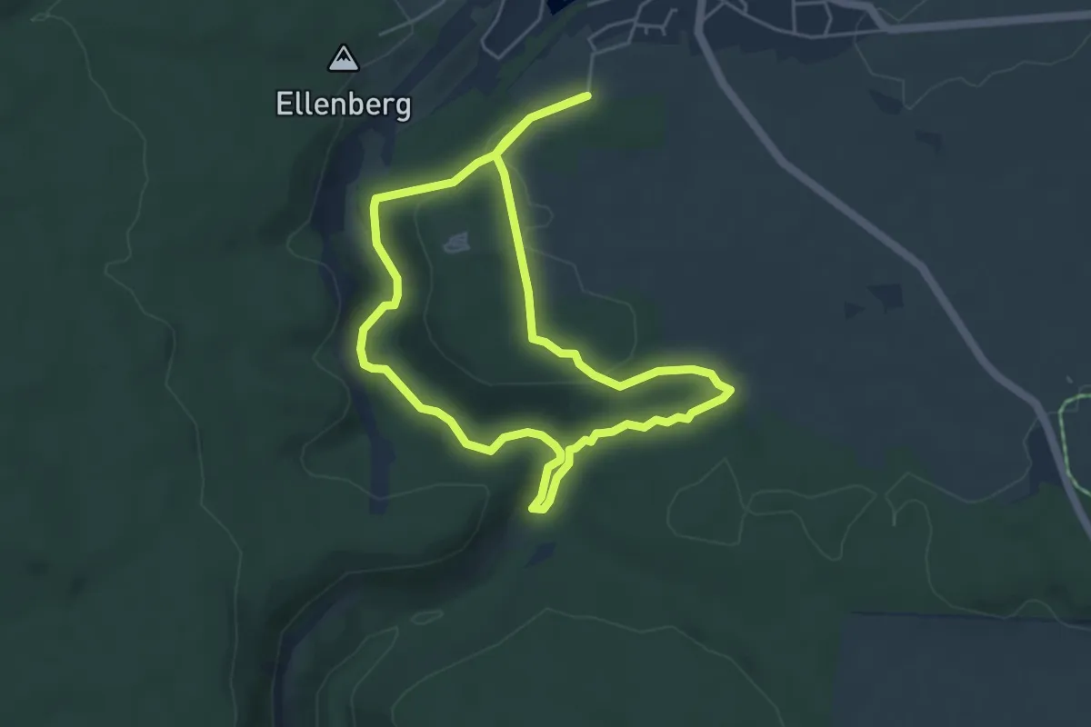
Medium · Trail
Rötenbacher Ameisenpfad
4.4 km · ↑ 101 m · 1 h 19 min
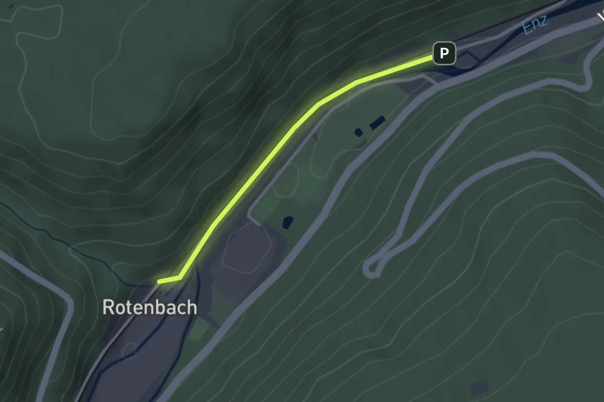
Easy · Trail
Rotenbach - Haltepunkt Eisenfurt
2.3 km · ↑ 23 m · 35 min
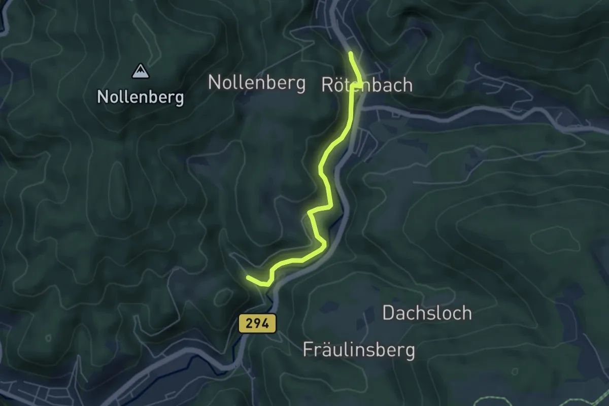
Easy · Trail
Rötenbach Hinterer Weg - Wanderparkplatz Rinkenbach
4.4 km · ↑ 137 m · 1 h 20 min
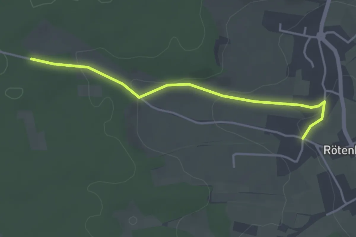
Easy · Trail
Rötenbach Jägerweg - Lange Forchen
3.2 km · ↑ 73 m · 55 min
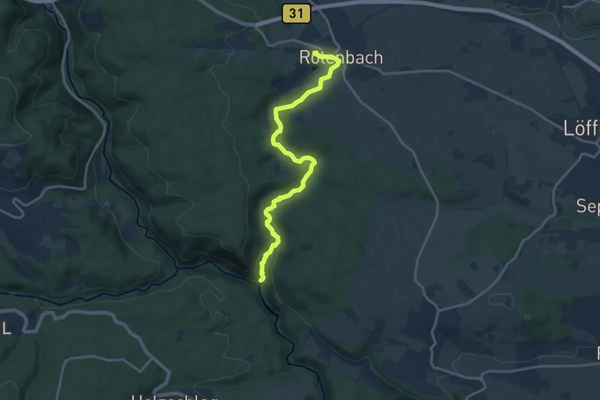
Medium · Trail
Rötenbachschlucht
10.3 km · ↑ 181 m · 2 h 49 min
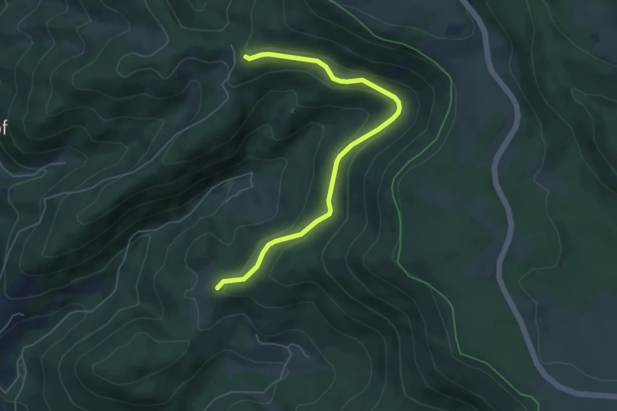
Easy · Trail
Rotenbach - Wahlholz
5.2 km · ↑ 251 m · 1 h 46 min
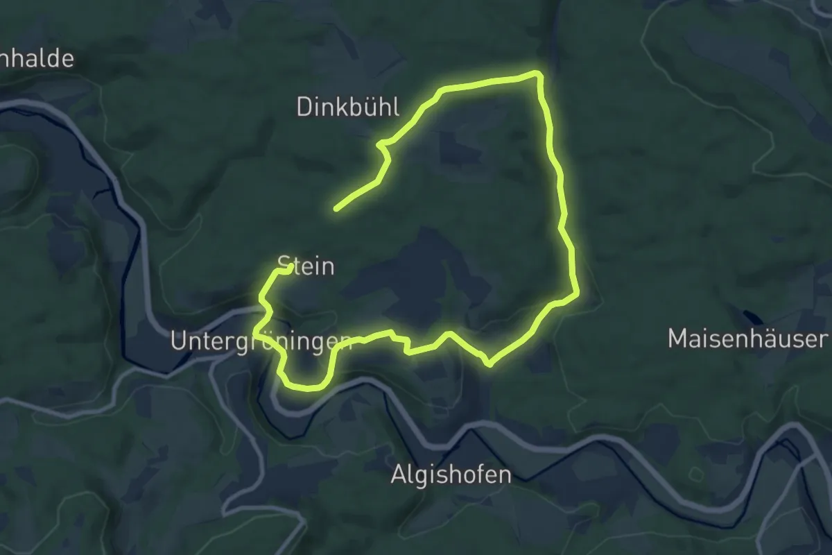
Easy · Trail
Rötenbach-Wald-Tour
7.5 km · ↑ 173 m · 2 h 15 min
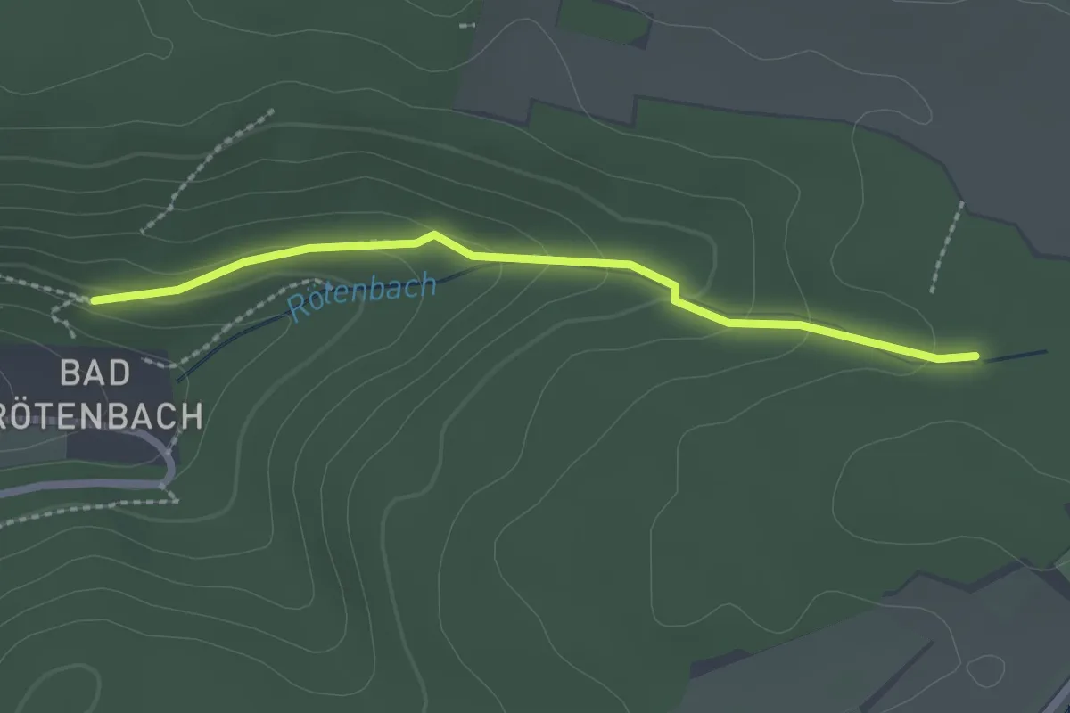
Easy · Trail
Rötenbad - Rötenbachsteige
2.1 km · ↑ 80 m · 40 min
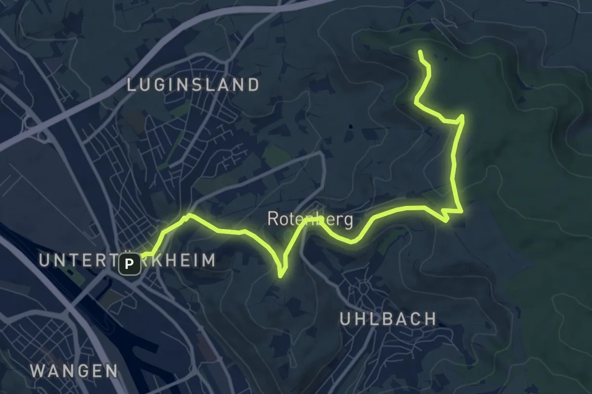
Medium · Summit
Rotenbergweg Fellbach
11.1 km · ↑ 316 m · 3 h 18 min
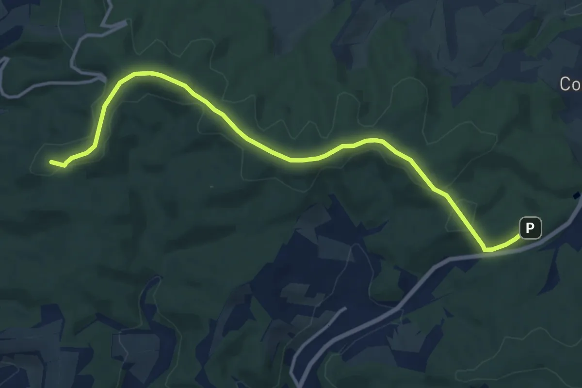
Medium · Summit
Rotenburg-Cornberg
10.3 km · ↑ 128 m · 2 h 43 min
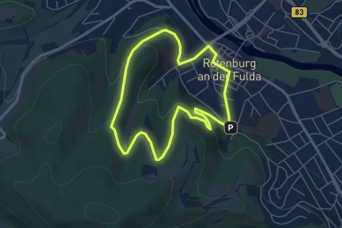
Easy · Summit
Rotenburg Wanderweg R1
4.0 km · ↑ 167 m · 1 h 22 min
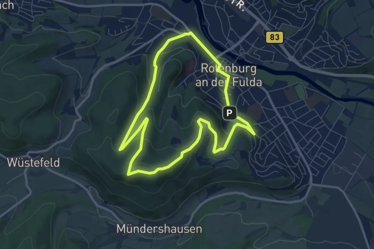
Easy · Trail
Rotenburg Wanderweg R2
6.5 km · ↑ 253 m · 2 h 11 min
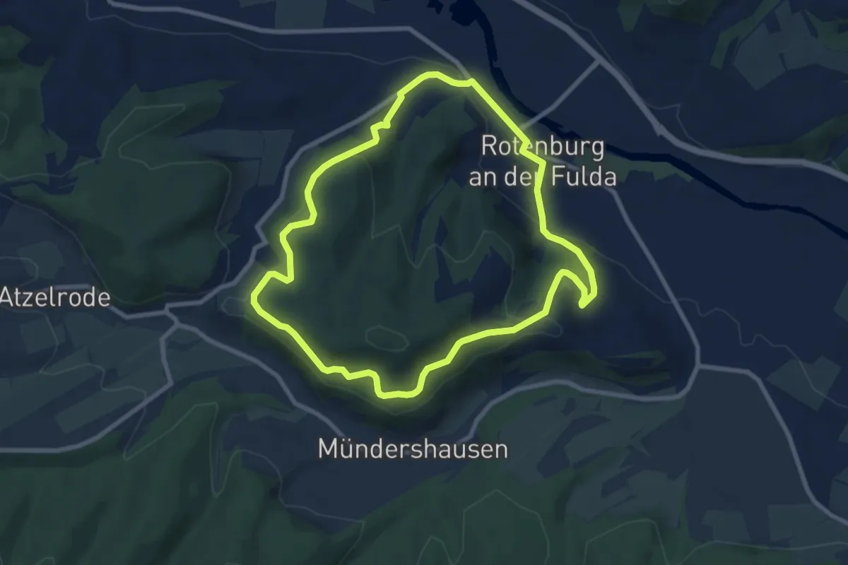
Easy · Trail
Rotenburg Wanderweg R3
6.8 km · ↑ 262 m · 2 h 16 min
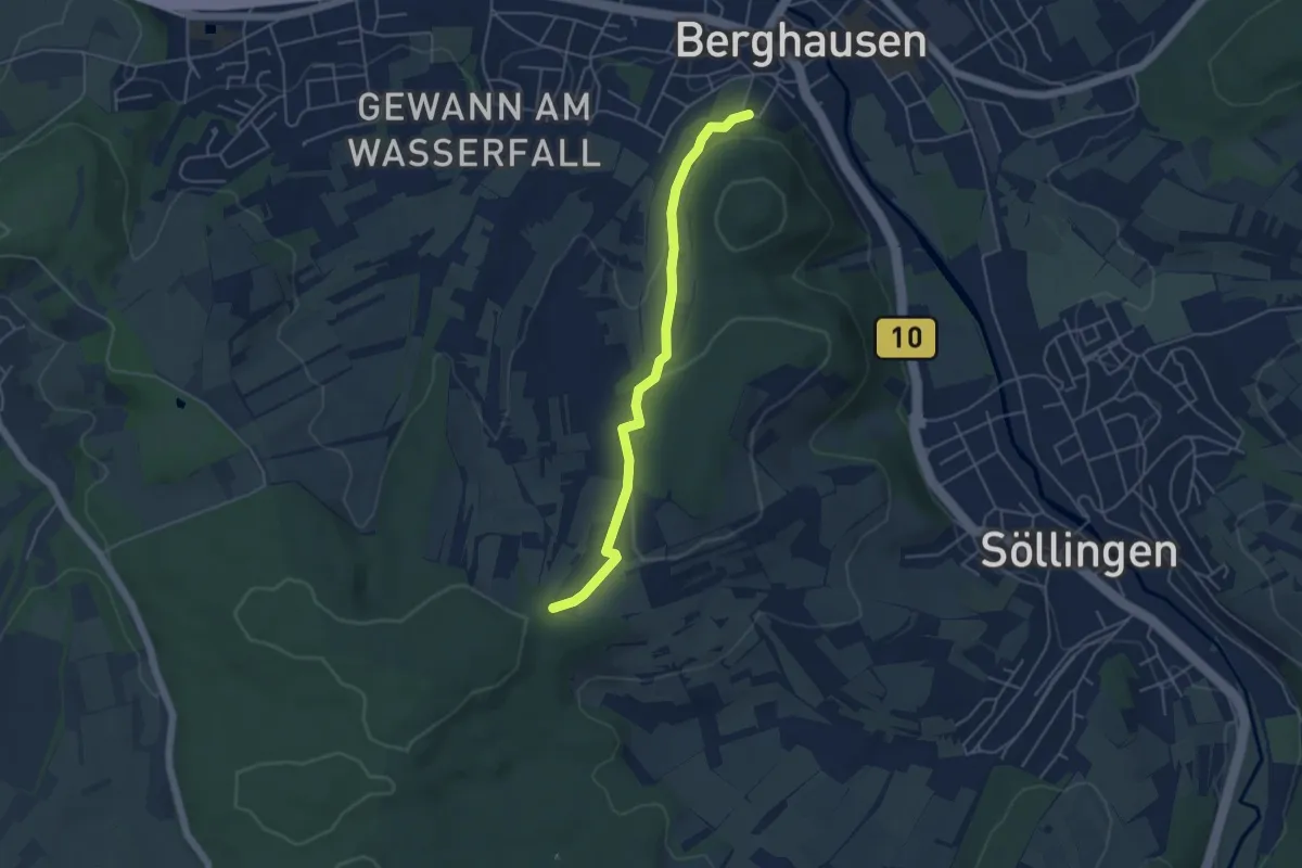
Easy · Trail
Rotenbusch - Naturfreundehaus Berghausen
4.4 km · ↑ 89 m · 1 h 14 min
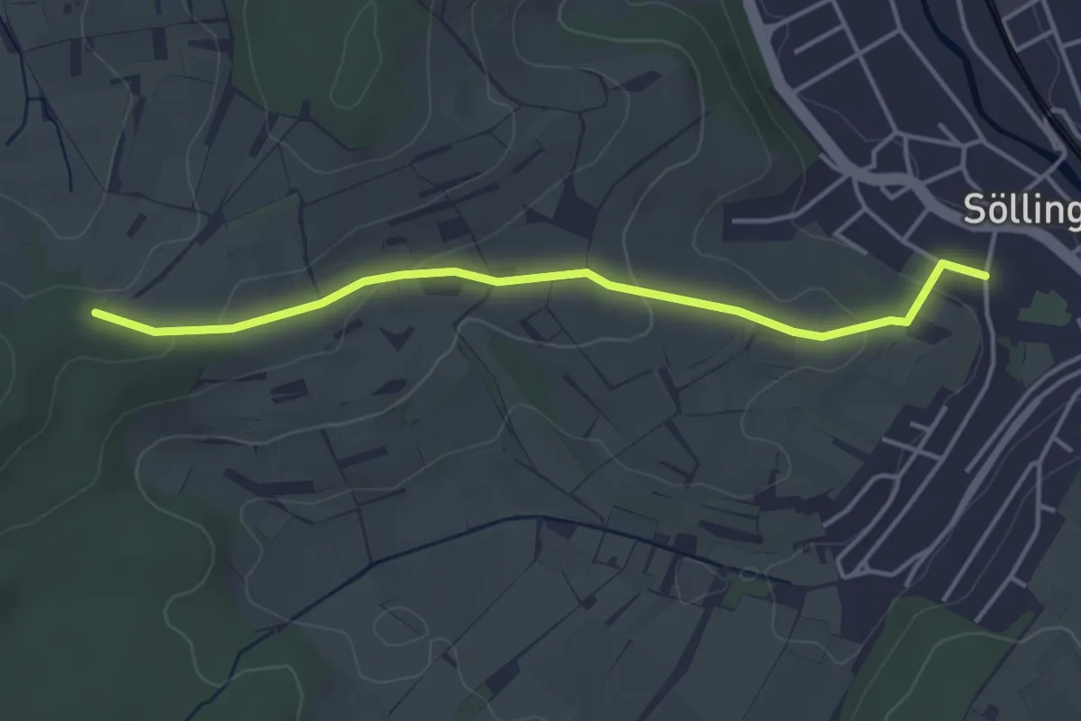
Easy · Trail
Rotenbusch - Söllingen Michaelskirche
3.9 km · ↑ 89 m · 1 h 6 min
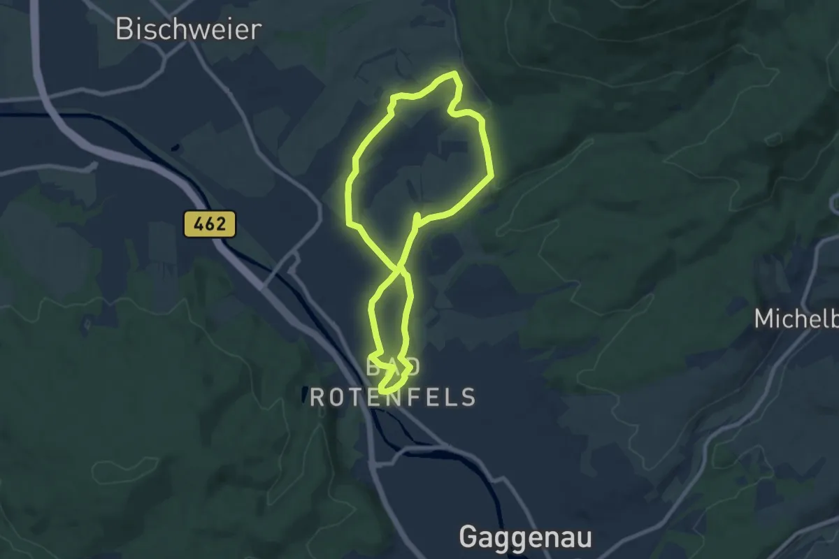
Easy · Trail
Rotenfelswege - Großer Rundweg
6.8 km · ↑ 77 m · 1 h 52 min
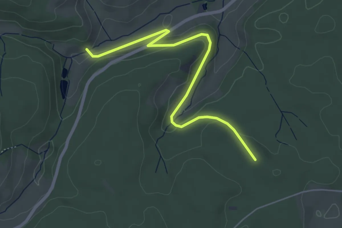
Easy · Trail
Rötenloch - Schlegelwaldweg
5.1 km · ↑ 130 m · 1 h 29 min
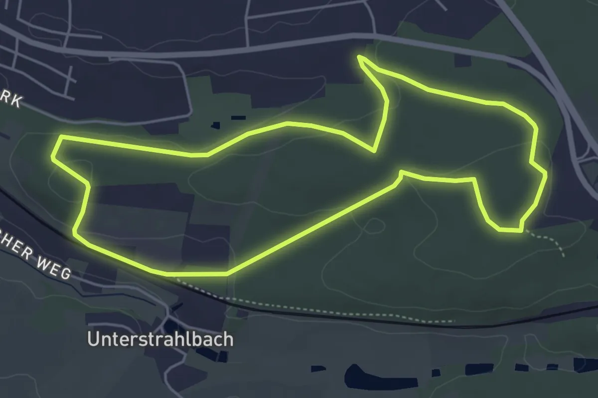
Easy · Trail
Rote Nordic Walking Strecke
4.9 km · ↑ 88 m · 1 h 25 min
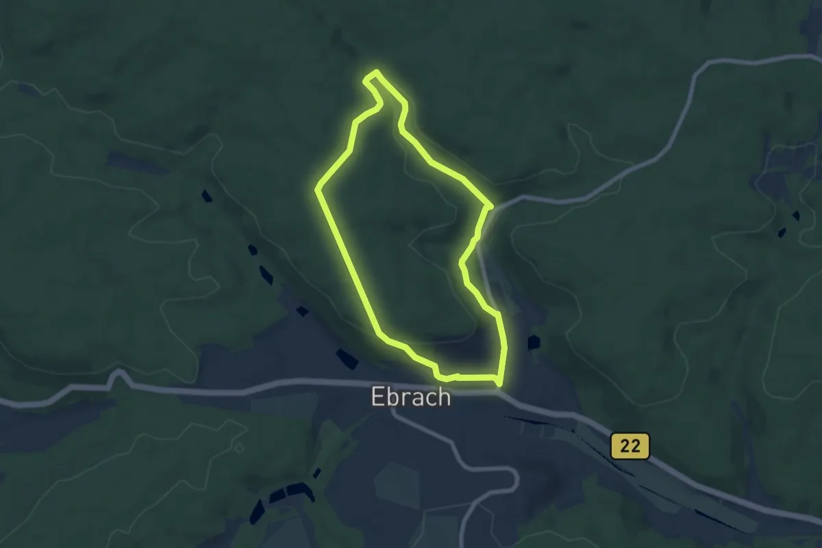
Easy · Trail
Rote Nordic Walking Strecke Ebrach
5.6 km · ↑ 113 m · 1 h 39 min
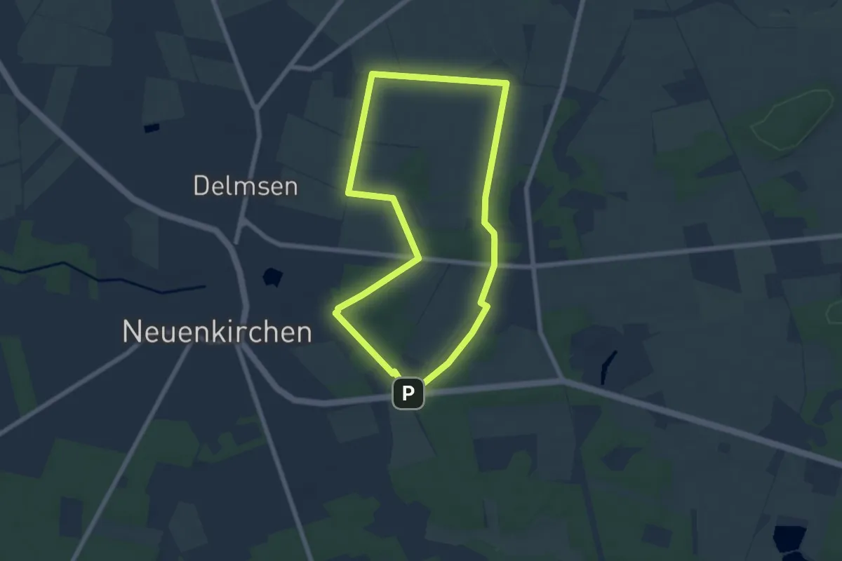
Easy · Trail
Rote Nordic-Walking-Strecke Neuenkirchen
5.3 km · ↑ 33 m · 1 h 23 min
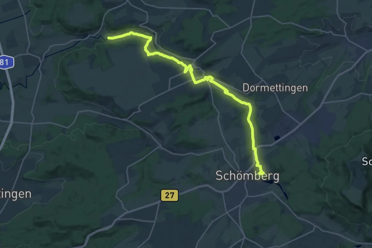
Demanding · Trail
Rotenzimmern-Stausee Schömberg
21.1 km · ↑ 368 m · 5 h 47 min
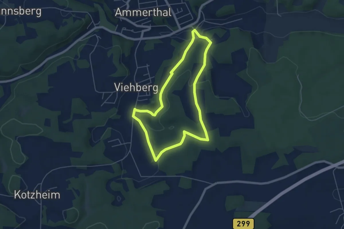
Easy · Trail
Rote Raute
4.4 km · ↑ 67 m · 1 h 14 min
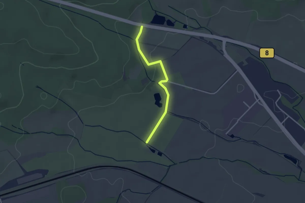
Easy · Trail
Rote Raute
2.4 km · ↑ 22 m · 36 min
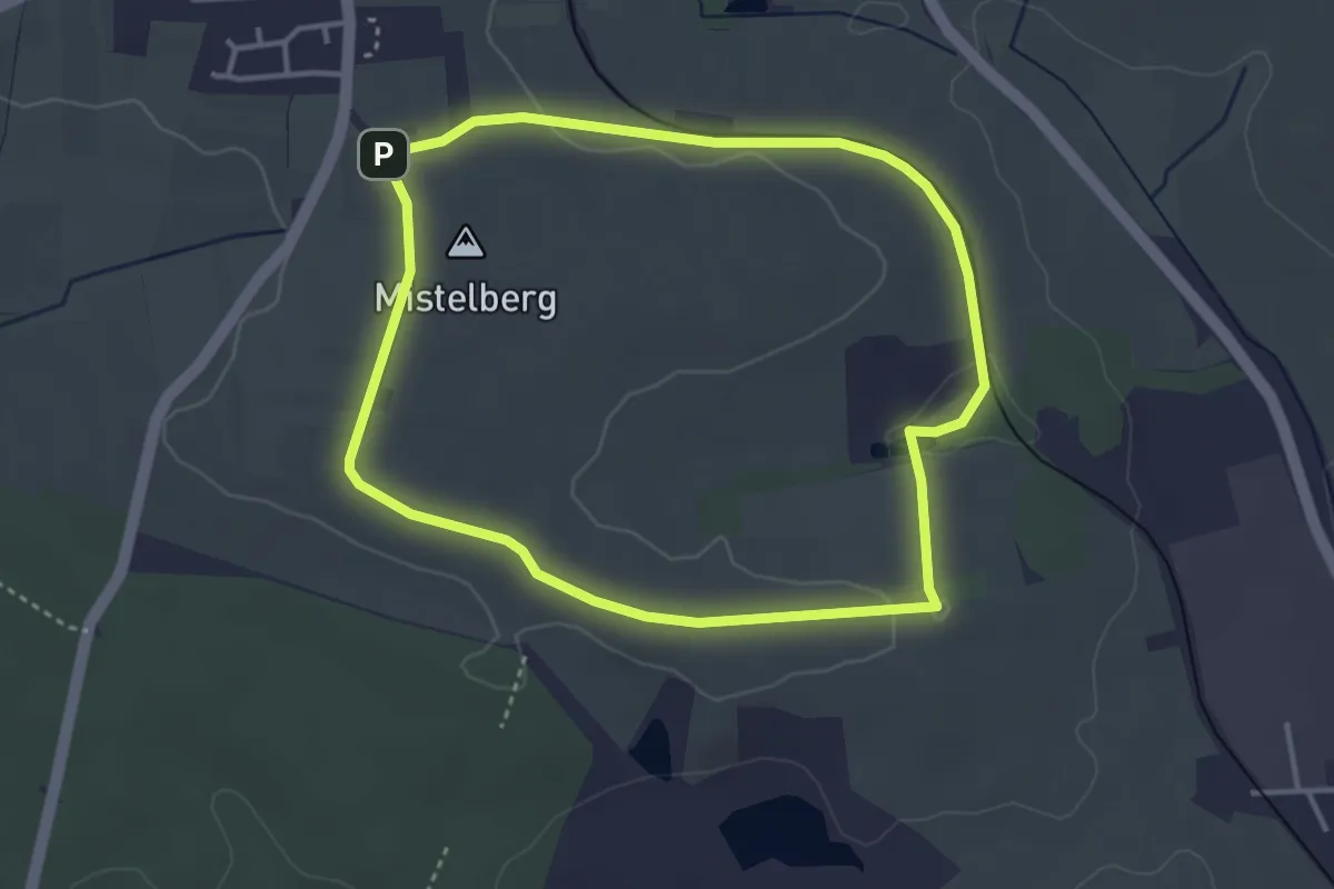
Easy · Summit
Rote Raute bei Kalchreuth
3.3 km · ↑ 32 m · 53 min
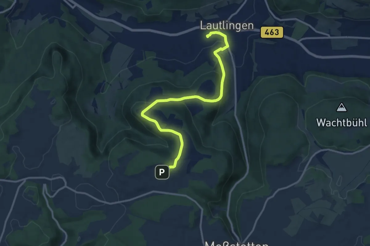
Medium · Trail
rote Raute Bhf Lautingen - Tierberg
9.6 km · ↑ 294 m · 2 h 54 min
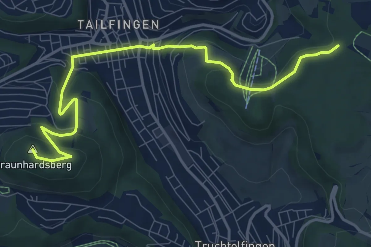
Medium · Summit
rote Raute Braunhardsberg
8.9 km · ↑ 427 m · 3 h 2 min
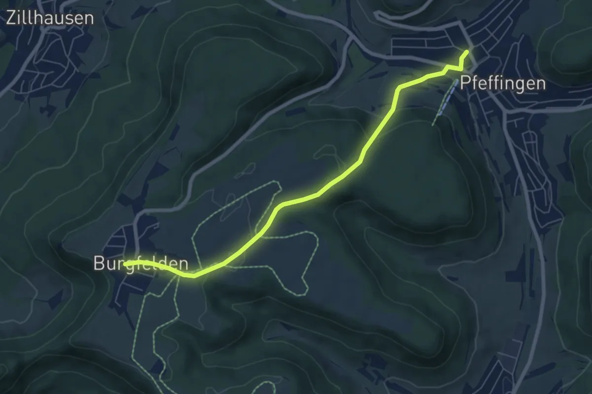
Easy · Trail
rote Raute Burgfelden - Pfeffingen
6.4 km · ↑ 182 m · 1 h 55 min
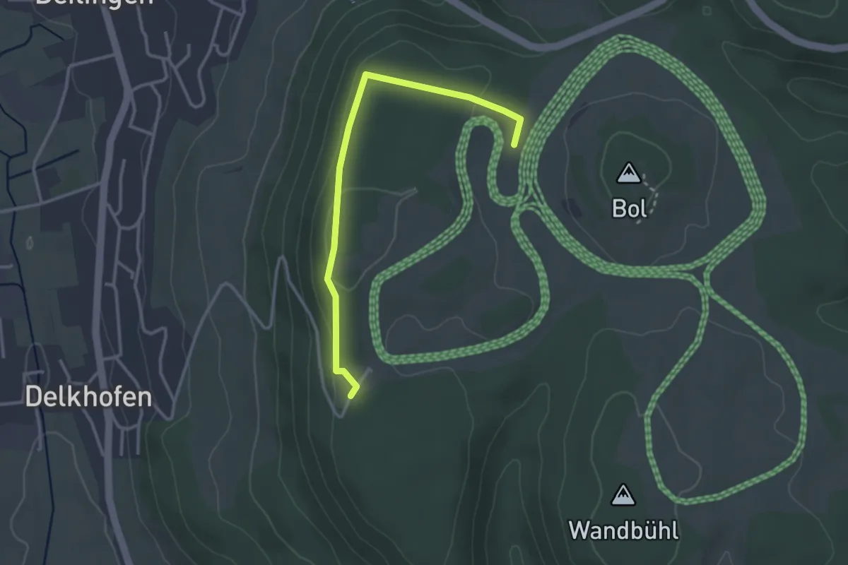
Easy · Trail
rote Raute Deilingen
3.0 km · ↑ 68 m · 52 min
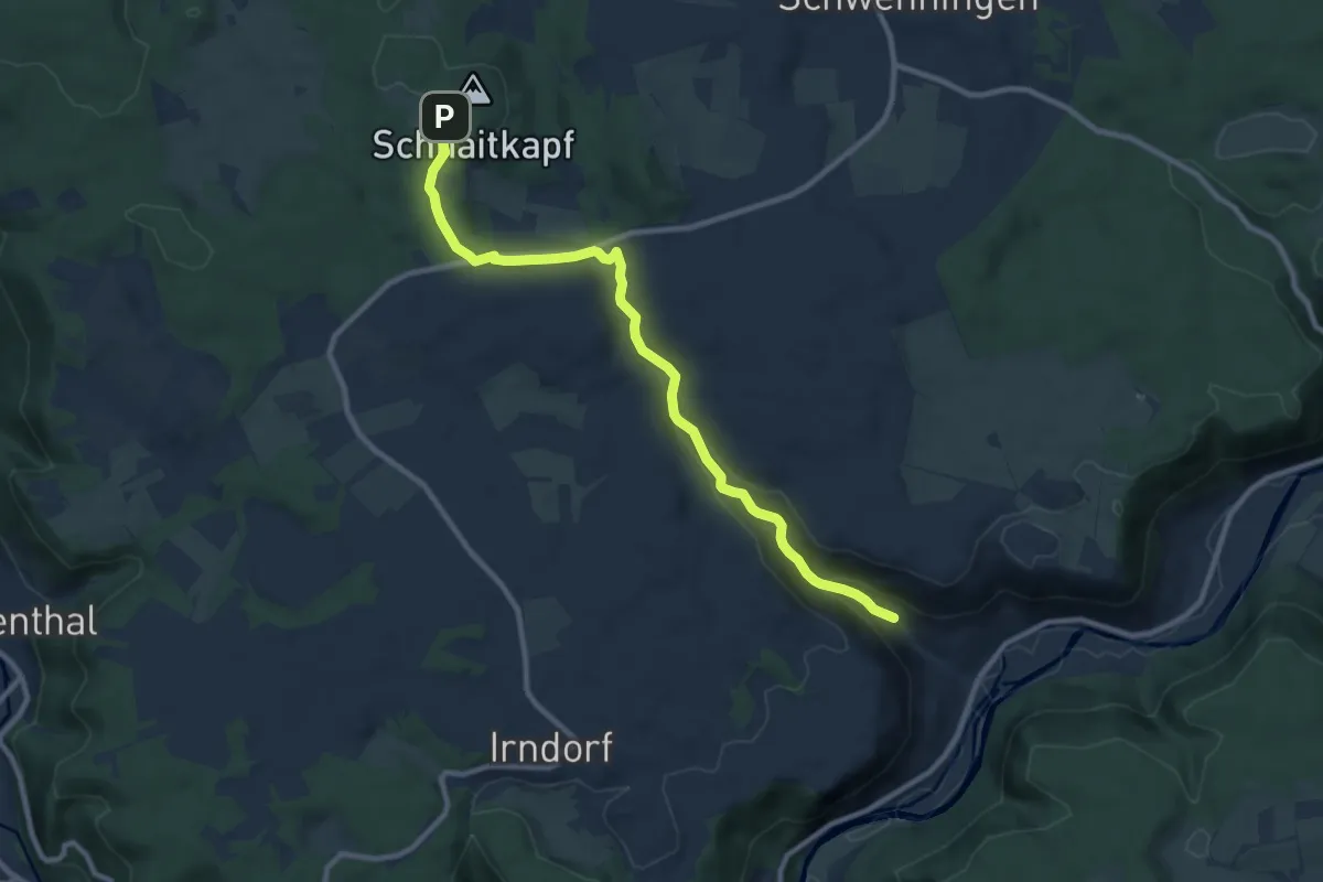
Medium · Trail
rote Raute Finstertal - Talhof
9.7 km · ↑ 265 m · 2 h 52 min