Trails in Germany
36,852 hiking trails, each with its route, climb, walking time and grade.
All trails, page 461 of 768
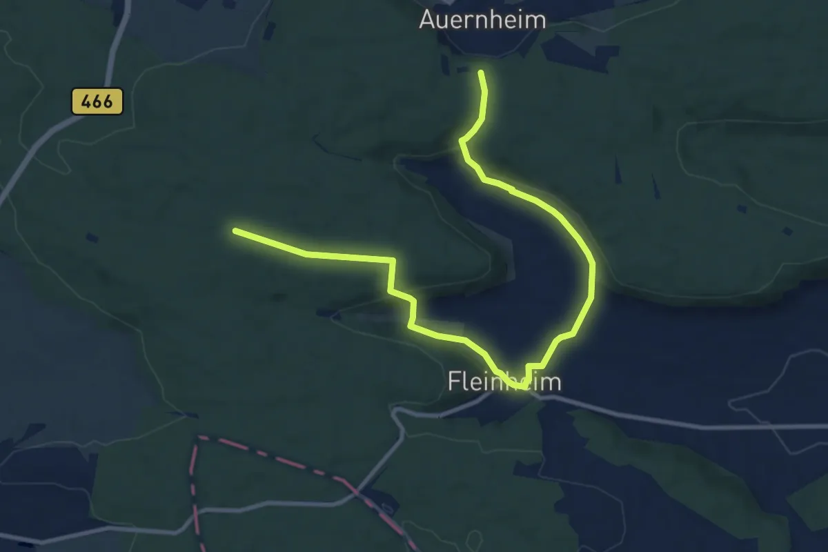
Medium · Trail
rote Raute Fleinheim - Auernheim
11.1 km · ↑ 287 m · 3 h 14 min
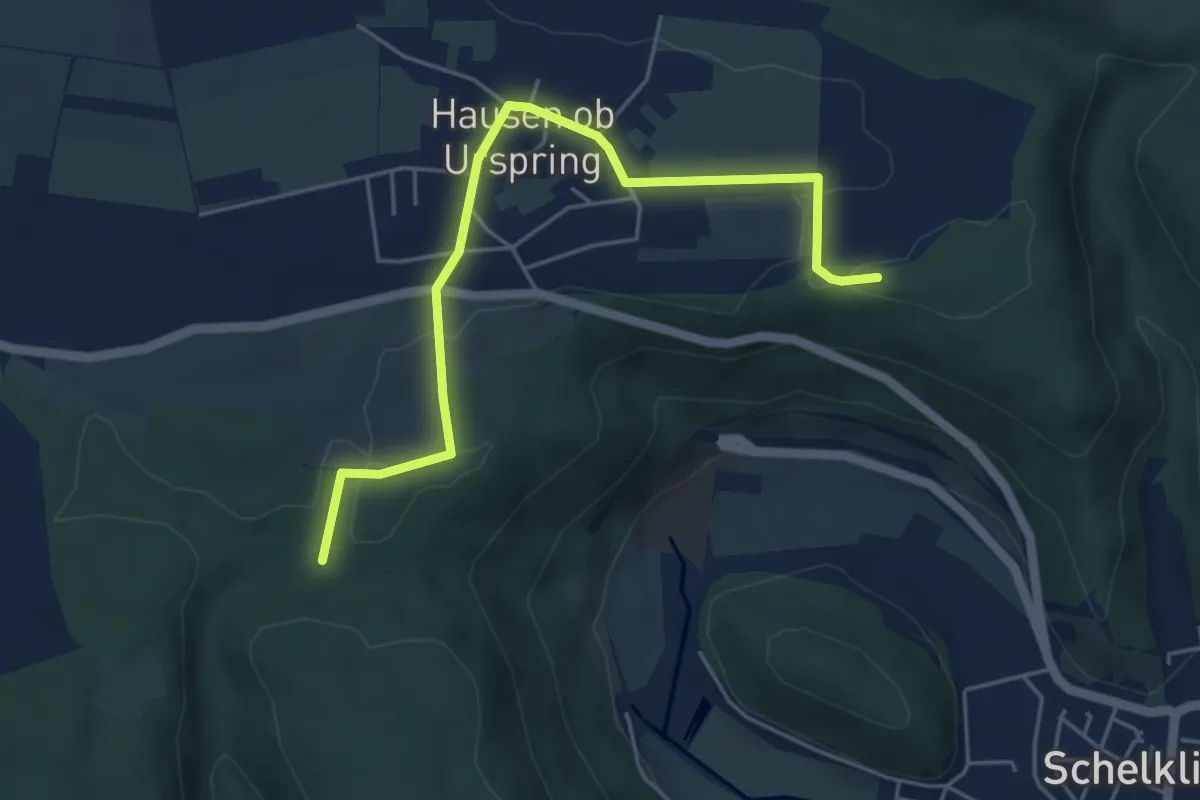
Easy · Trail
rote Raute Hausen
5.0 km · ↑ 73 m · 1 h 21 min
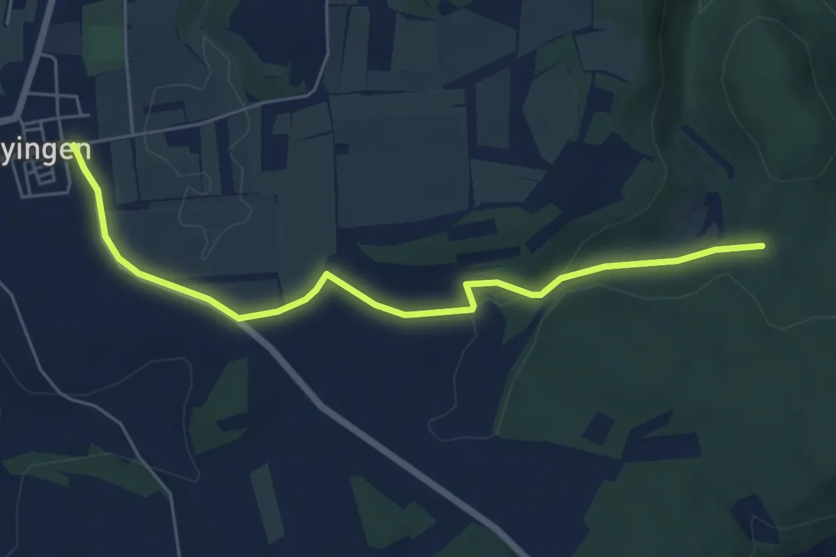
Easy · Trail
rote Raute Hayingen
5.3 km · ↑ 77 m · 1 h 26 min
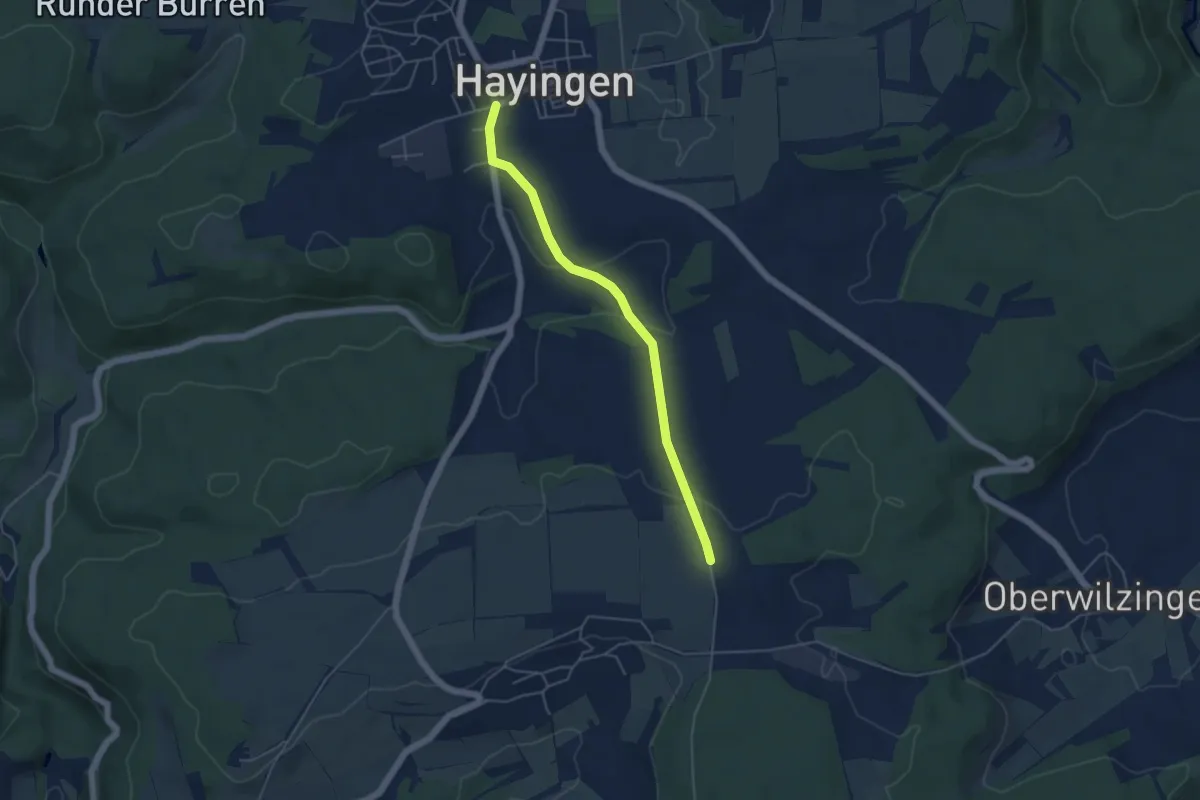
Easy · Trail
rote Raute Hayingen - Sonderbuch
4.4 km · ↑ 89 m · 1 h 14 min
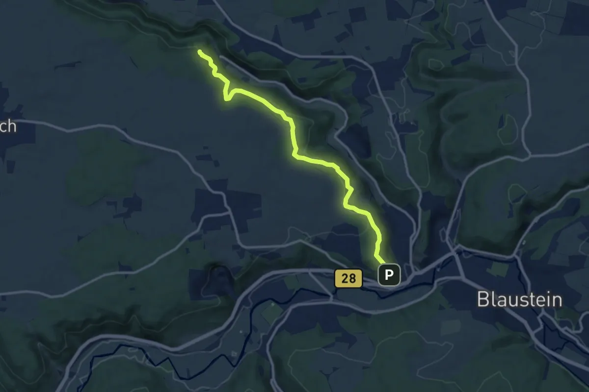
Medium · Trail
rote Raute Herrlingen - Lauterhalde Nord
10.1 km · ↑ 338 m · 3 h 8 min
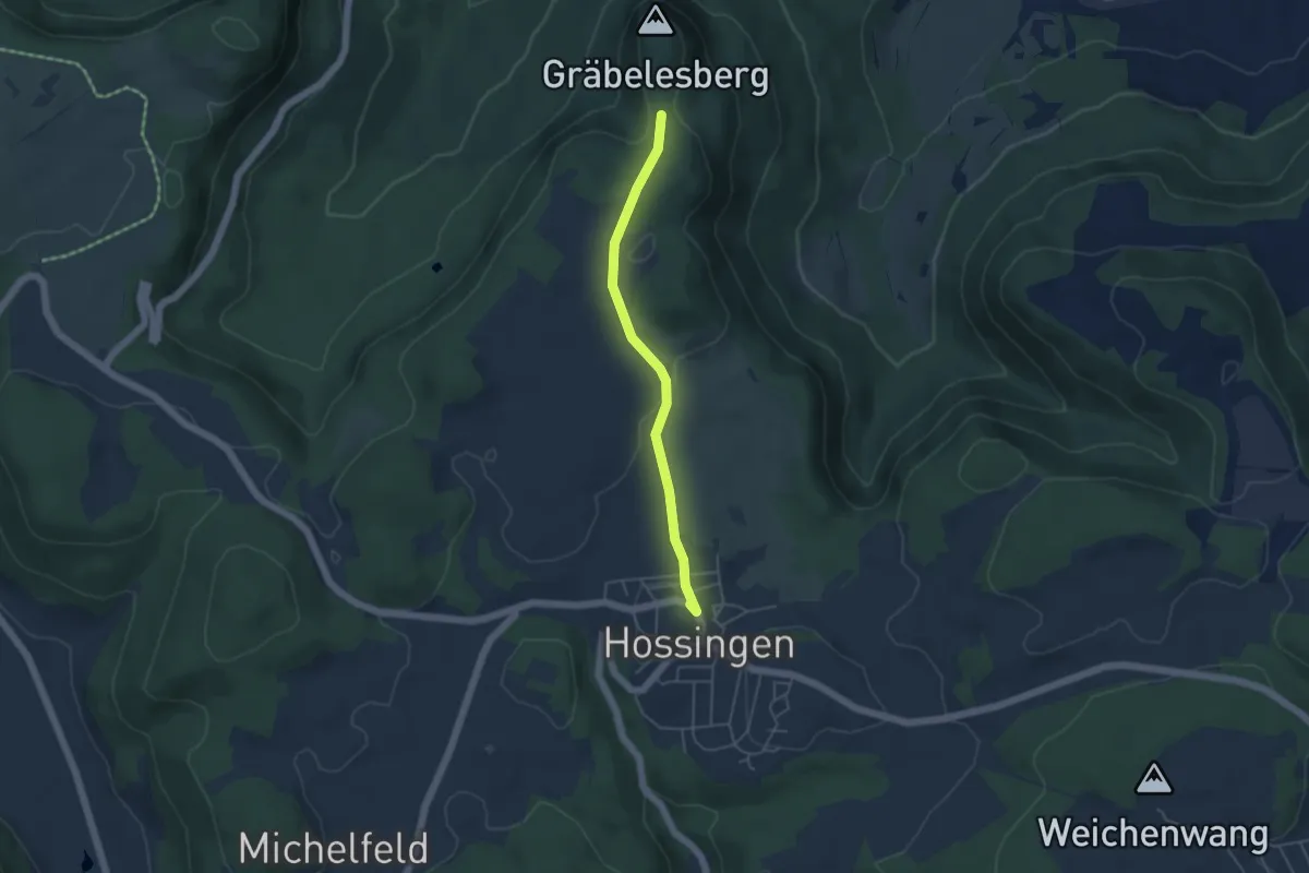
Easy · Trail
rote Raute Hossingen - Keltenschanze
4.1 km · ↑ 51 m · 1 h 5 min
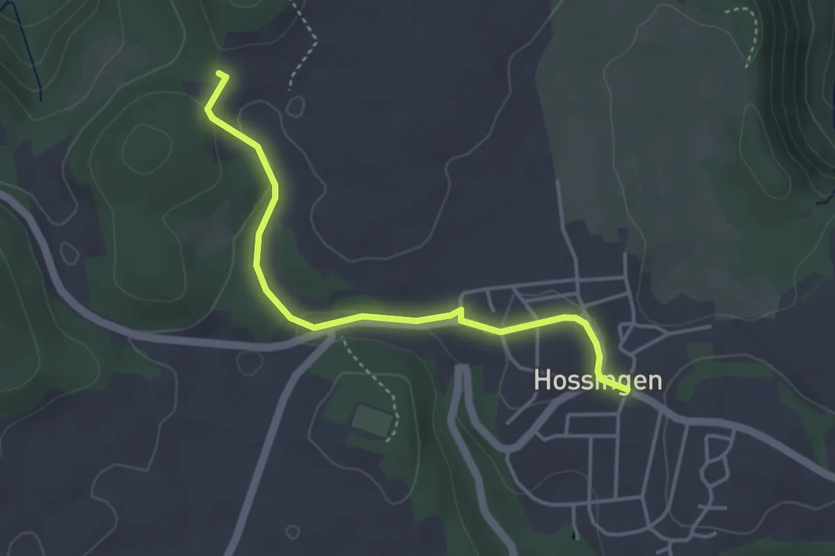
Easy · Trail
rote Raute Hossingen - Schopfenloch
3.7 km · ↑ 74 m · 1 h 2 min
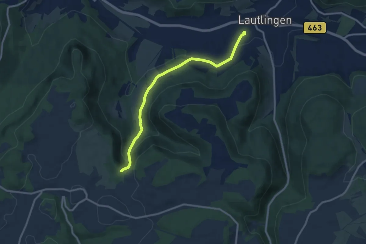
Easy · Trail
rote Raute Hossinger Leiter - Bhf Lautlingen
7.0 km · ↑ 205 m · 2 h 6 min
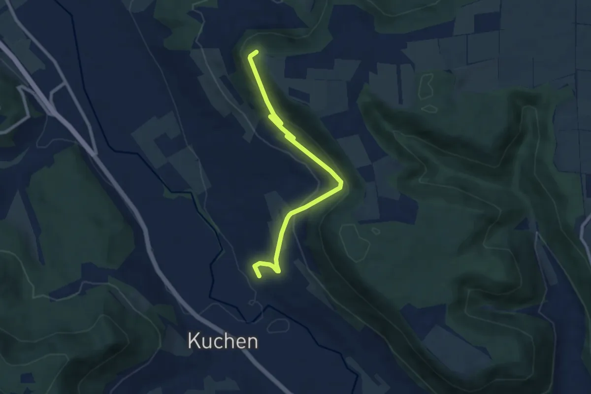
Medium · Summit
rote Raute Kuchen - Hohenstein
6.5 km · ↑ 332 m · 2 h 16 min
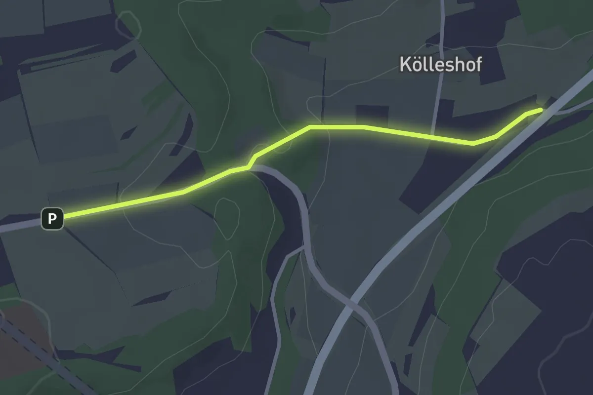
Easy · Trail
rote Raute Lämmerbuckel - Kölleshöfe A8
2.7 km · ↑ 59 m · 45 min
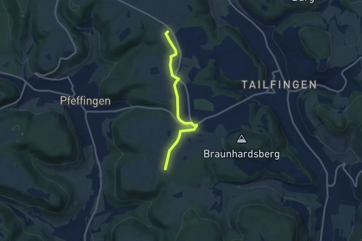
Easy · Trail
rote Raute Langenwand
6.6 km · ↑ 21 m · 1 h 36 min
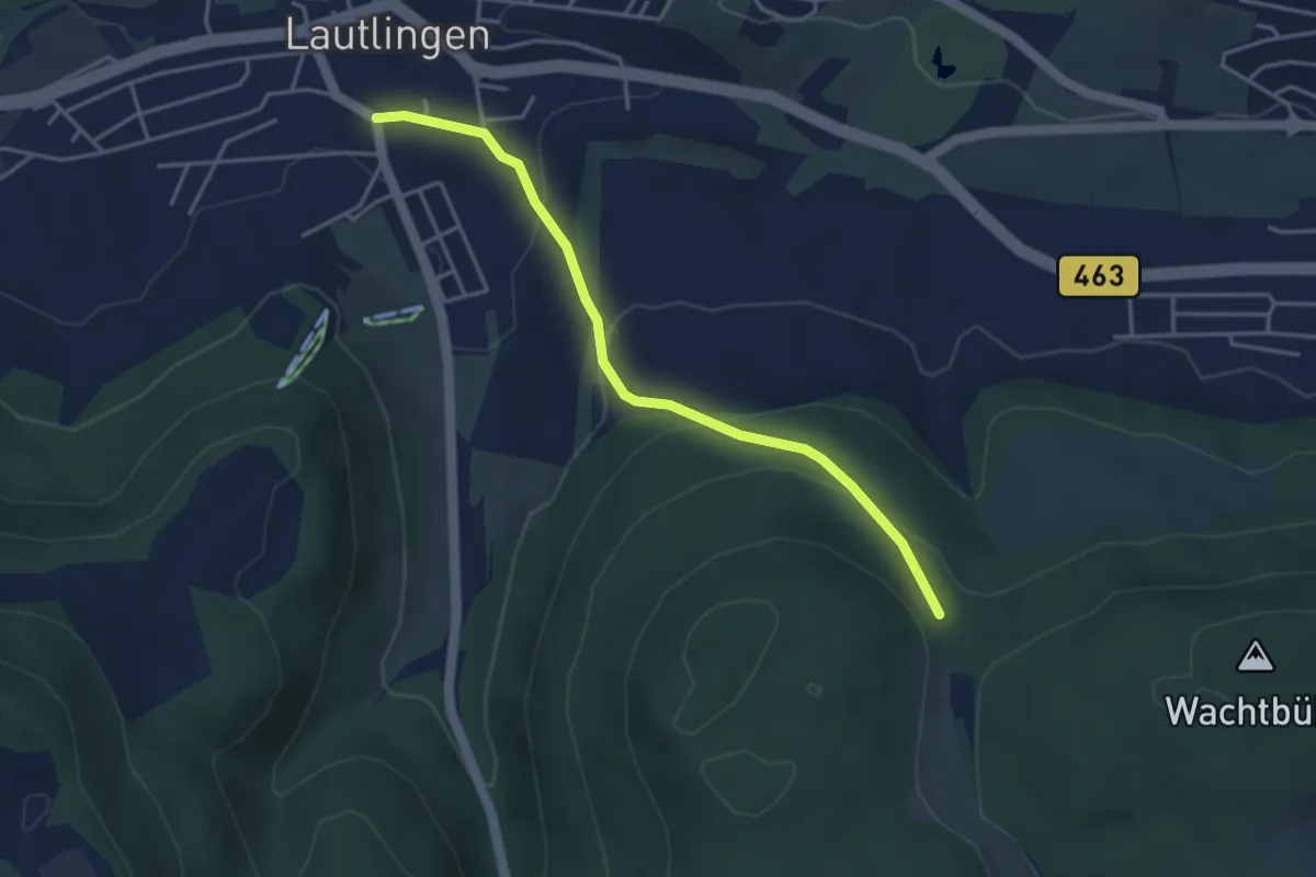
Easy · Trail
rote Raute Lautlingen - Meßstetten
3.8 km · ↑ 196 m · 1 h 19 min
Medium · Trail
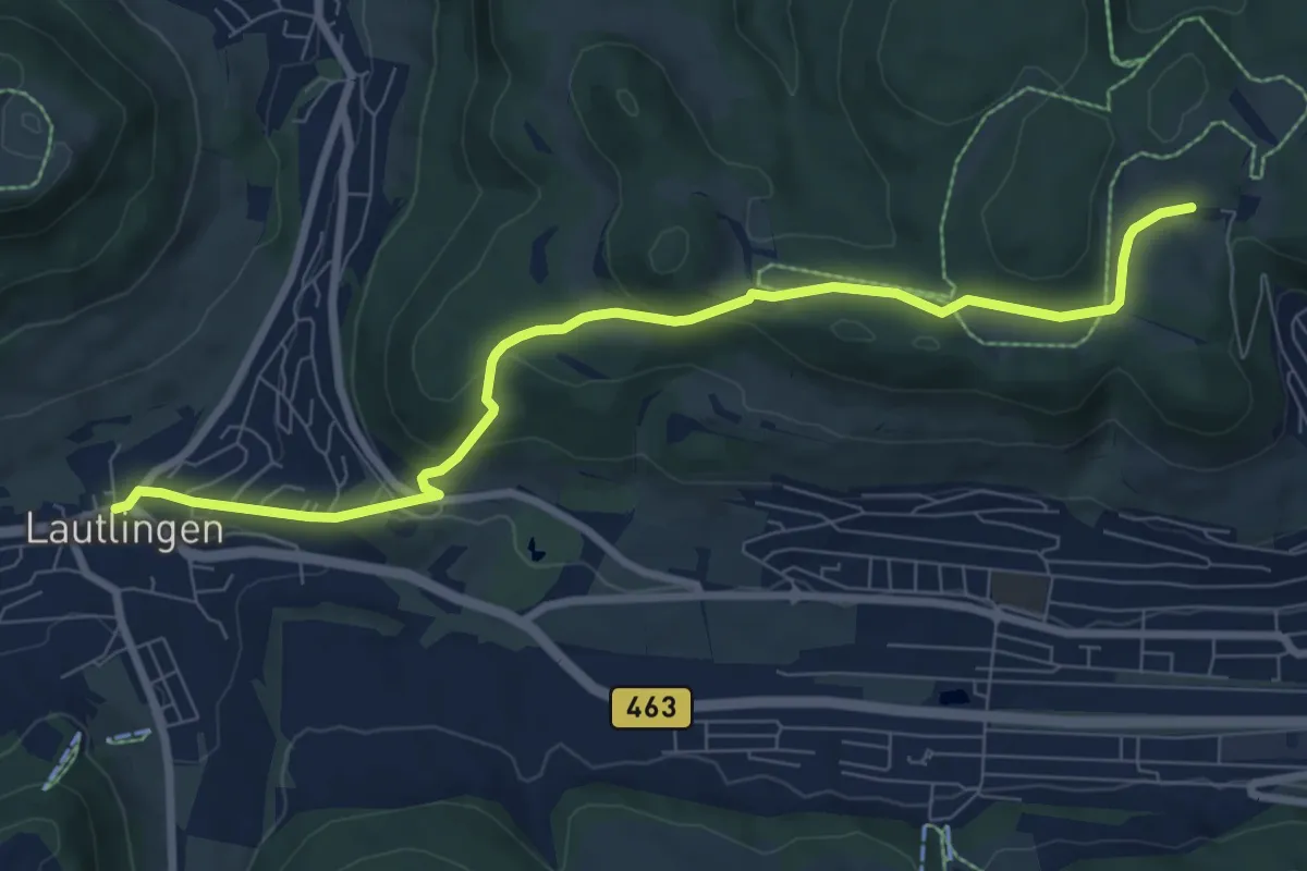
rote Raute Lautlingen - Ochsenberg
8.2 km · ↑ 274 m · 2 h 32 min
Medium · Trail
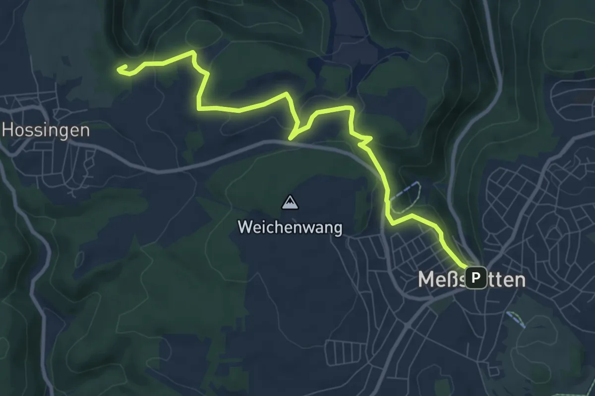
rote Raute Messstetten - Hossinger Leiter
8.9 km · ↑ 201 m · 2 h 31 min
Medium · Trail
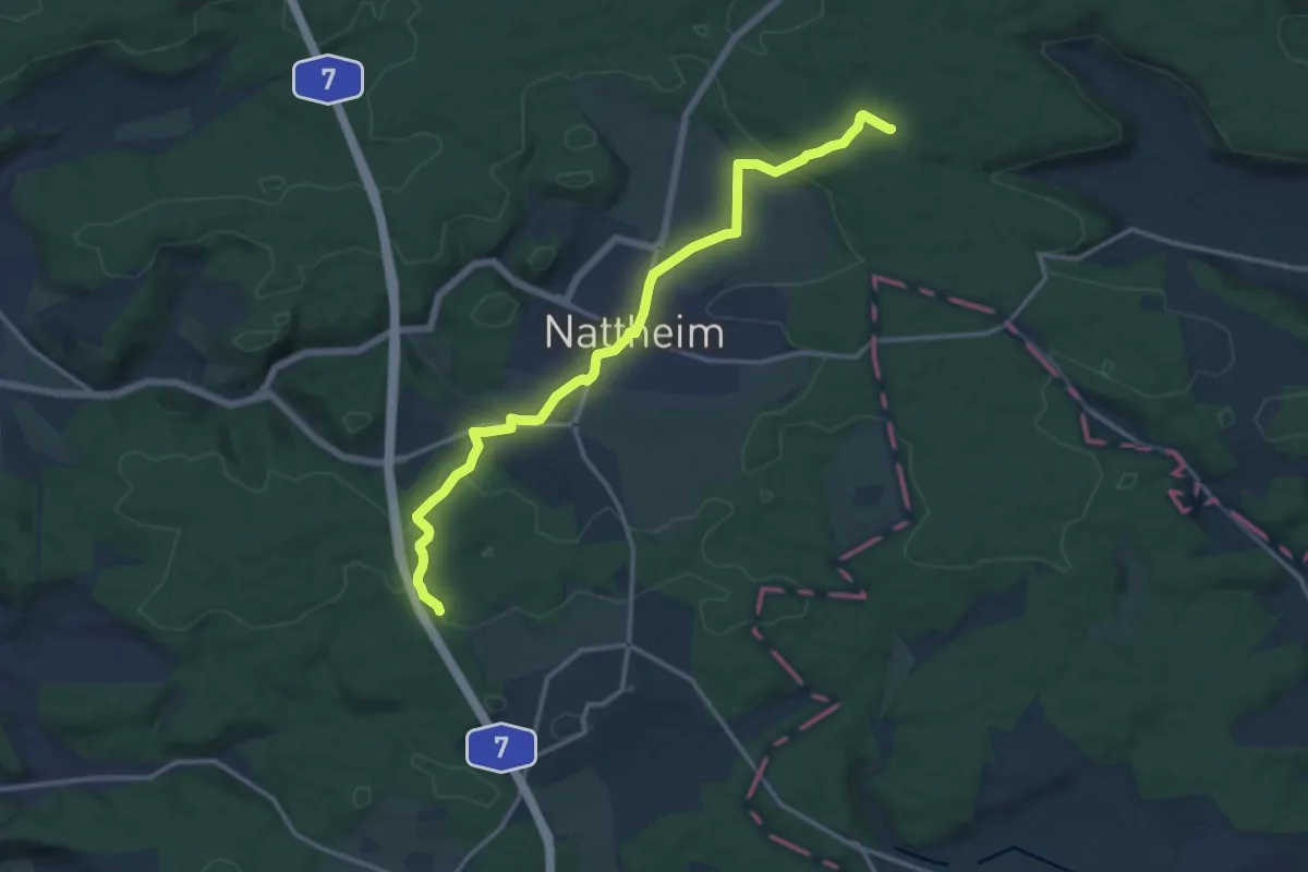
Rote Raute: Nattheim - Erzgruben
13.9 km · ↑ 225 m · 3 h 47 min
Easy · Trail
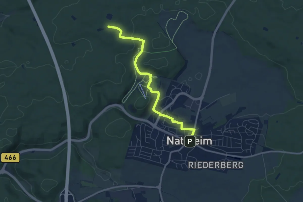
Rote Raute: Nattheim - Spitzhau
6.6 km · ↑ 142 m · 1 h 52 min
Easy · Trail
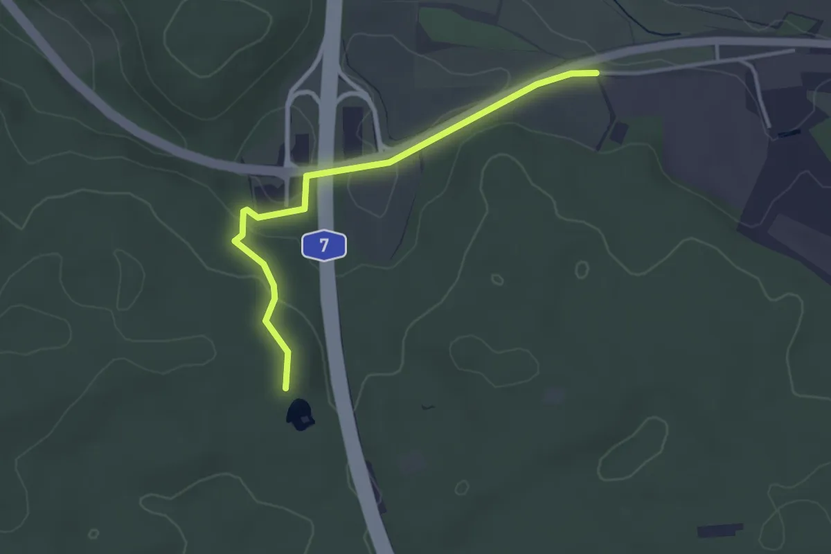
Rote Raute: Nattheim - Wagnersgrube
3.2 km · ↑ 72 m · 54 min
Easy · Trail
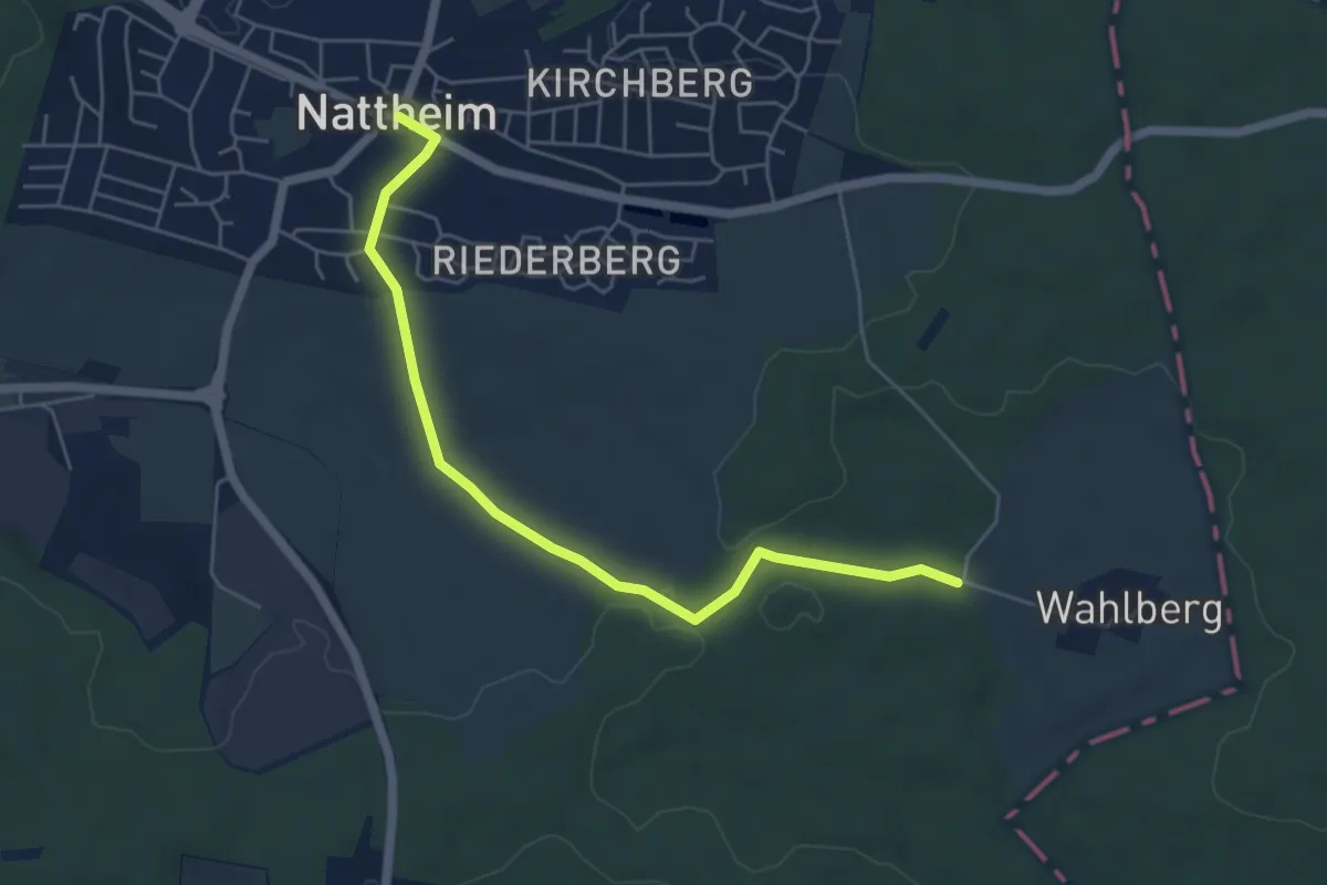
Rote Raute: Nattheim - Wahlberg
5.4 km · ↑ 89 m · 1 h 28 min
Easy · Trail
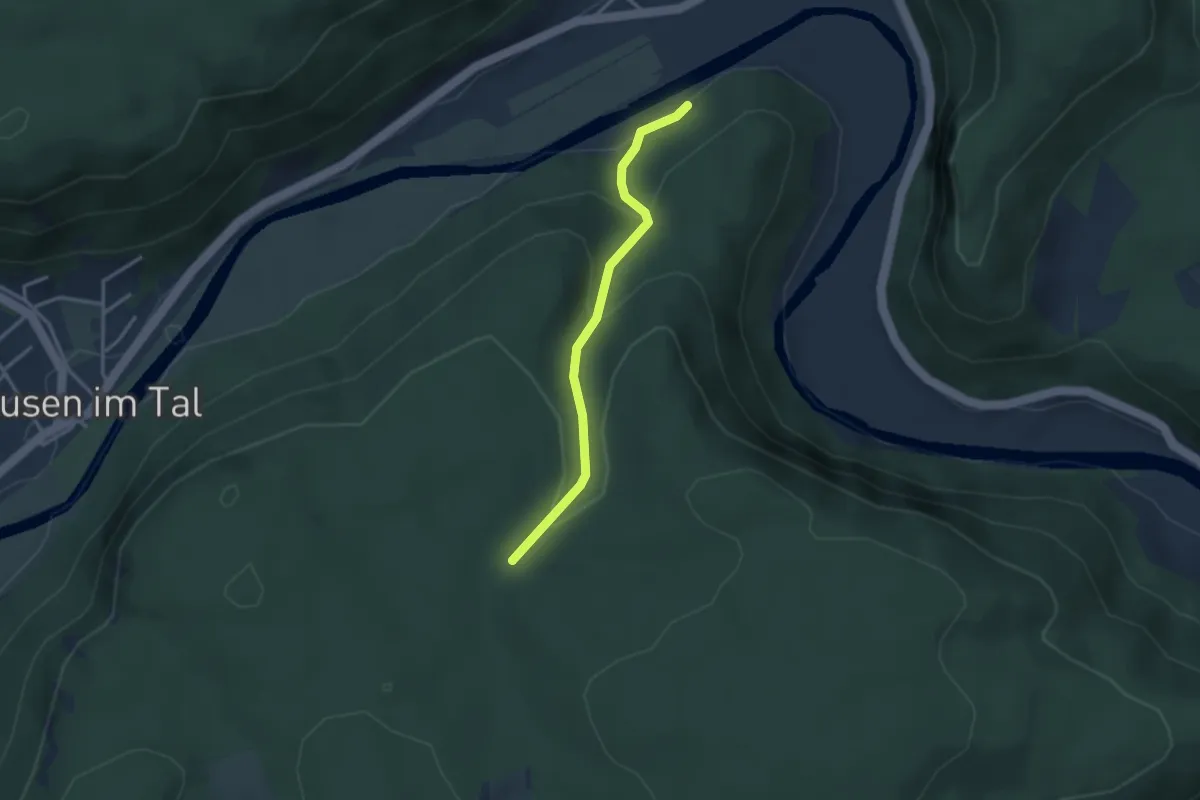
rote Raute Neidingen - Kohlerjörgle
2.8 km · ↑ 161 m · 1 h 1 min
Easy · Trail
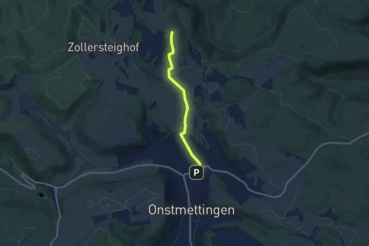
rote Raute Onstmettingen - Nägelehaus
5.1 km · ↑ 140 m · 1 h 30 min
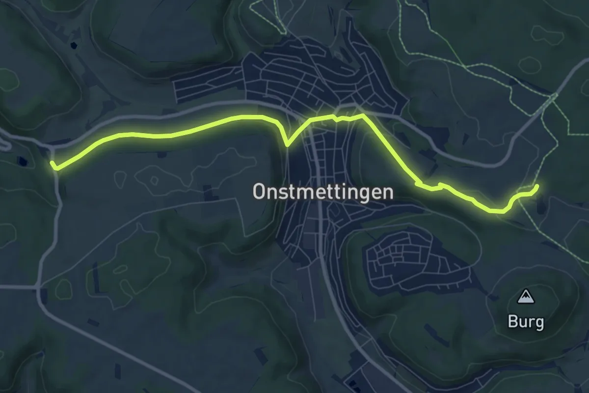
Medium · Trail
rote Raute Onstmettingen - Orthalde
9.2 km · ↑ 165 m · 2 h 32 min
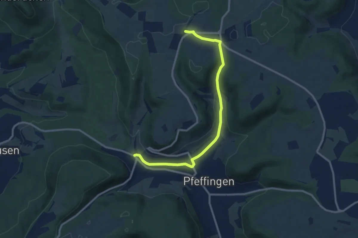
Easy · Trail
rote Raute Pfeffingen - HW1
7.3 km · ↑ 149 m · 2 h 2 min
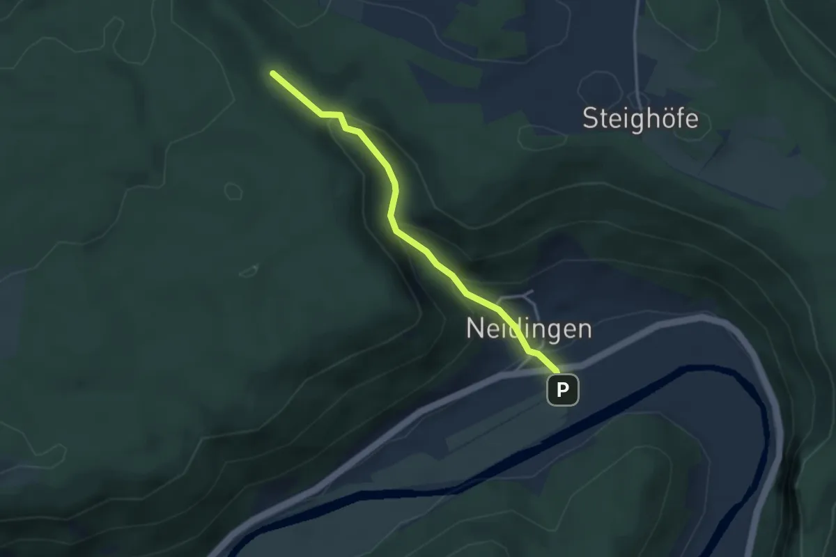
Easy · Trail
rote Raute Reiftal - Neidingen
3.0 km · ↑ 177 m · 1 h 5 min
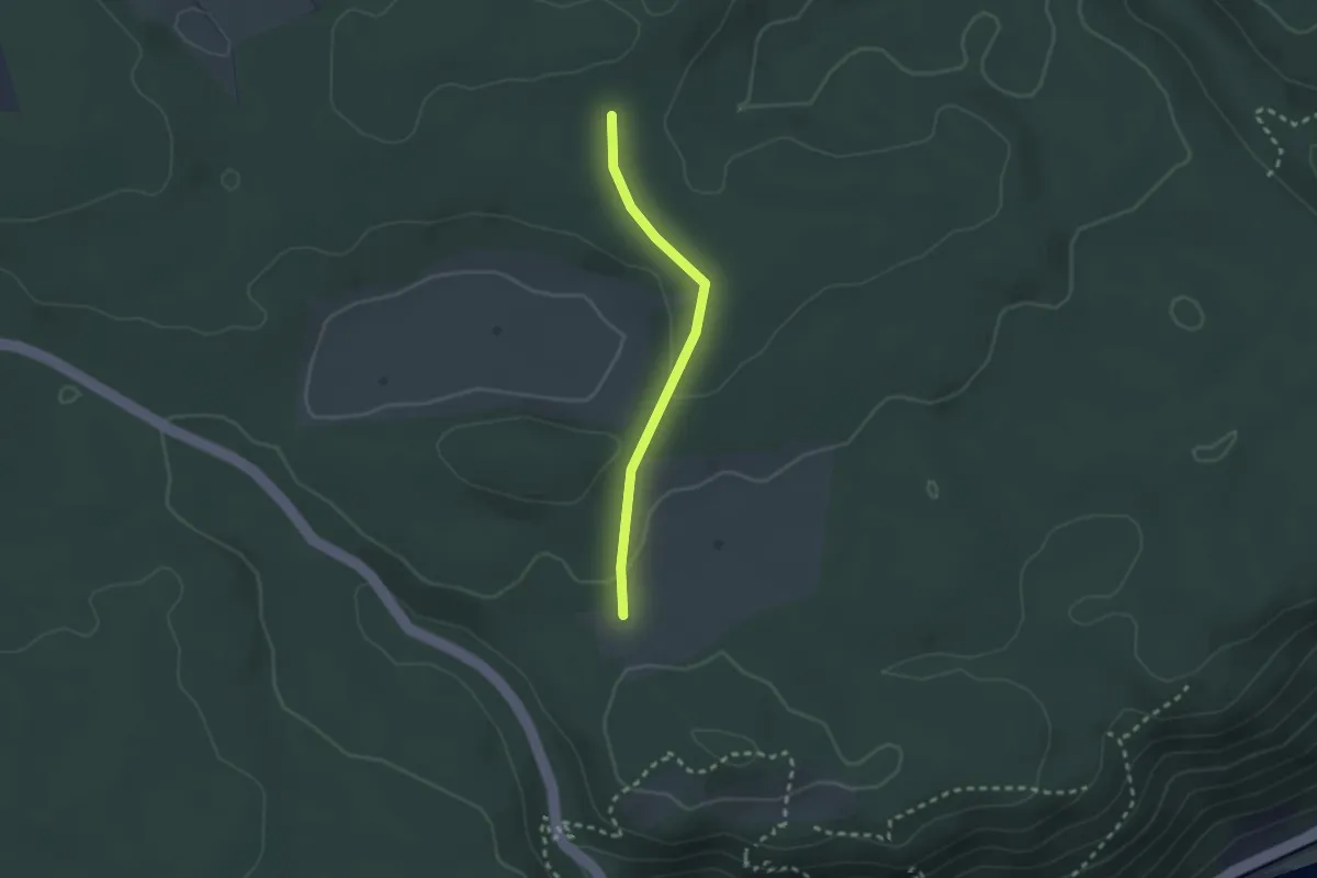
Easy · Trail
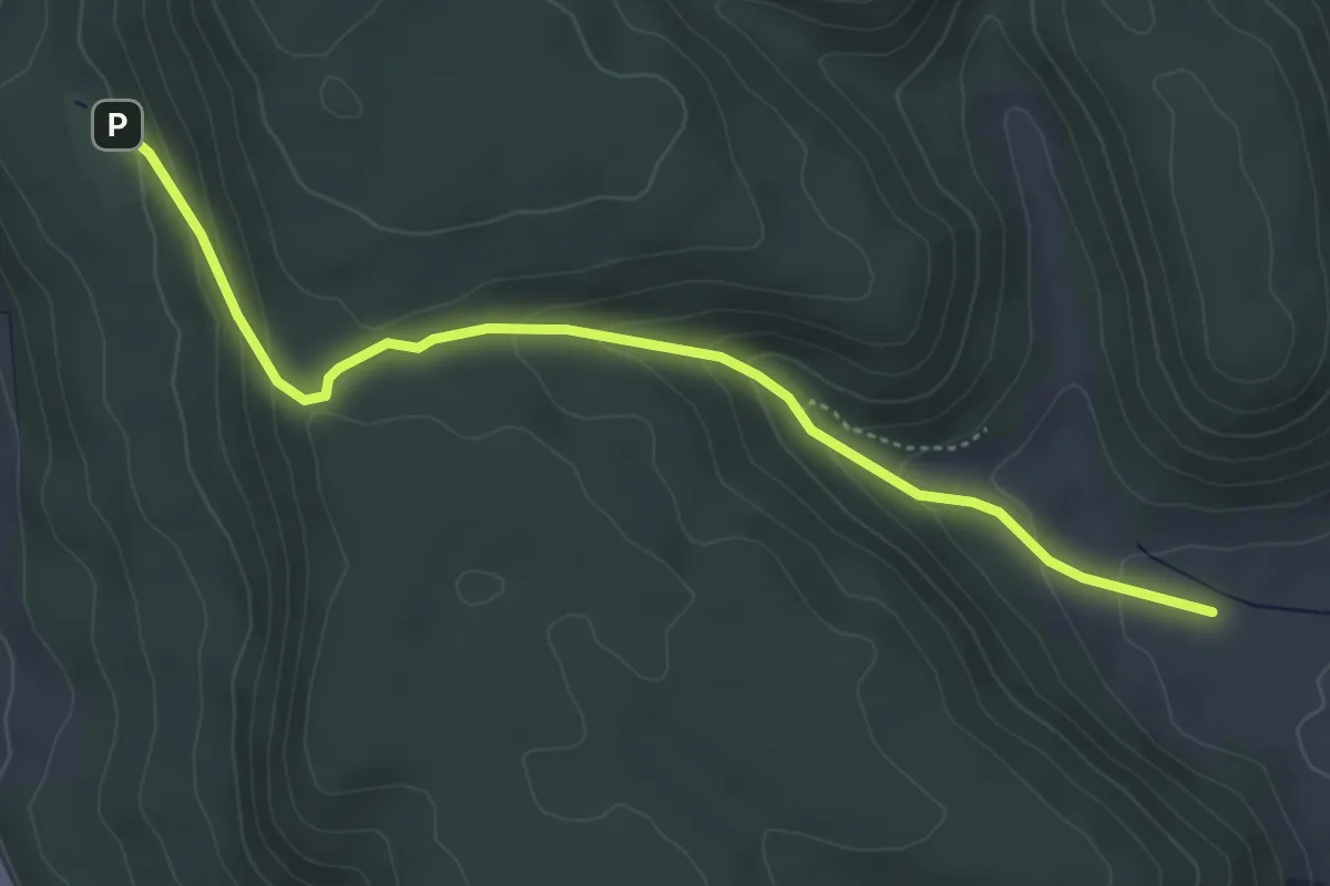
rote Raute Schloß Hausen Schwenningen Schnaitkopf
2.1 km · ↑ 36 m · 34 min
Easy · Trail
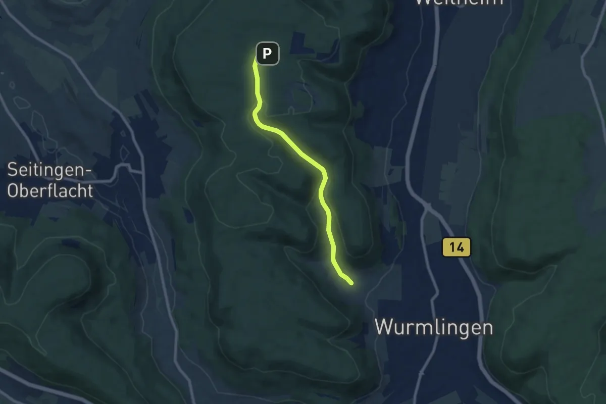
rote Raute Seitingen - Spitzwieshalde
4.7 km · ↑ 235 m · 1 h 38 min
Easy · Trail
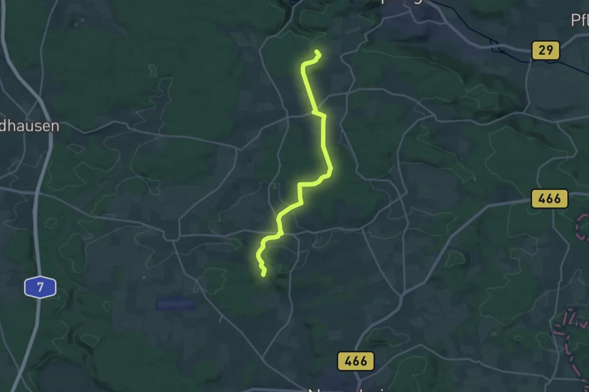
rote Raute Selttal
6.8 km · ↑ 213 m · 2 h 4 min
Medium · Trail
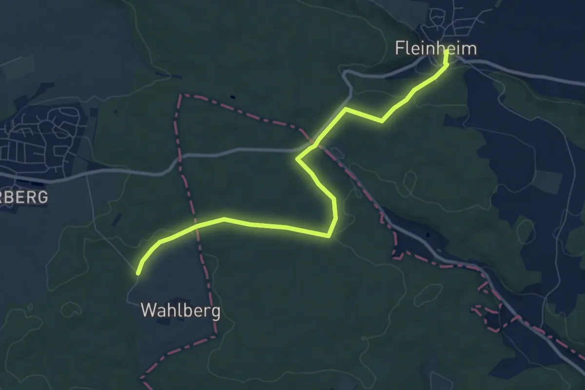
rote Raute Unterriffingen - Dorfmerkingen
17.1 km · ↑ 403 m · 4 h 54 min
Medium · Trail
Rote Raute: Wahlberg - Fleinheim
8.5 km · ↑ 160 m · 2 h 21 min
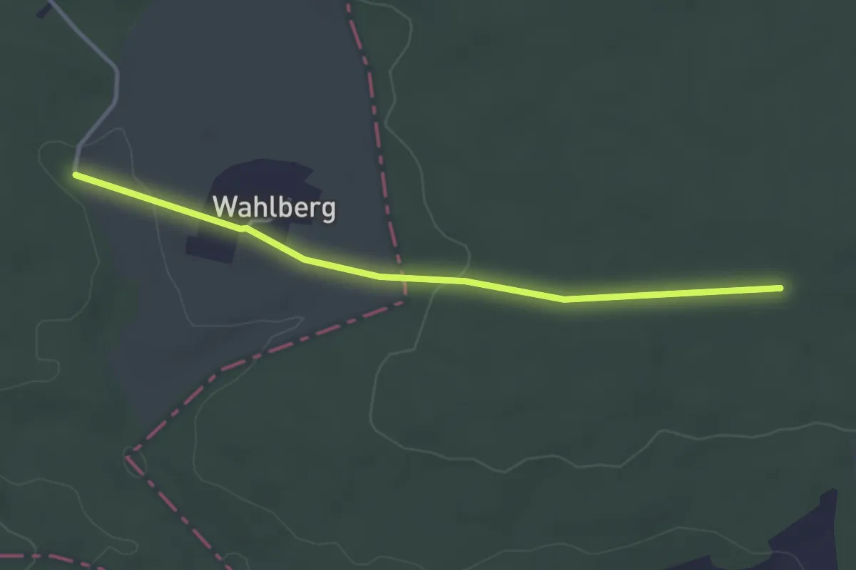
Easy · Trail
Rote Raute: Wahlberg - HW2
3.3 km · ↑ 33 m · 51 min
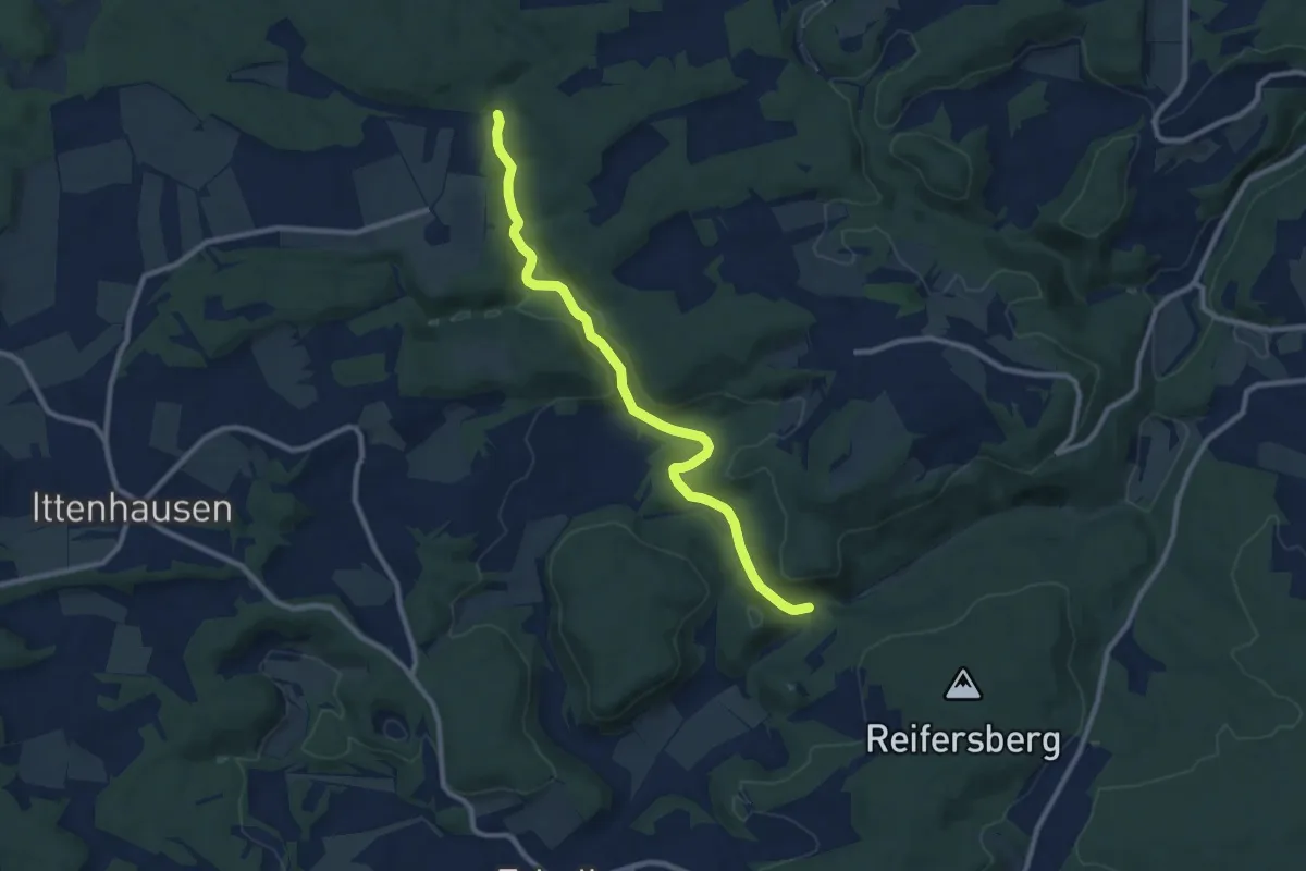
Medium · Trail
rote Raute Waldstetter Tal
9.4 km · ↑ 178 m · 2 h 36 min
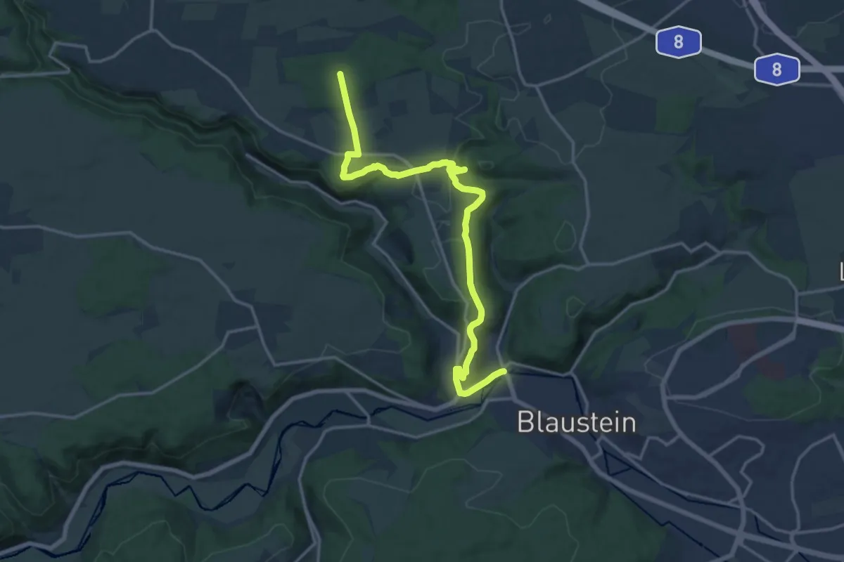
Medium · Trail
rote Raute Weidach
15.7 km · ↑ 307 m · 4 h 22 min
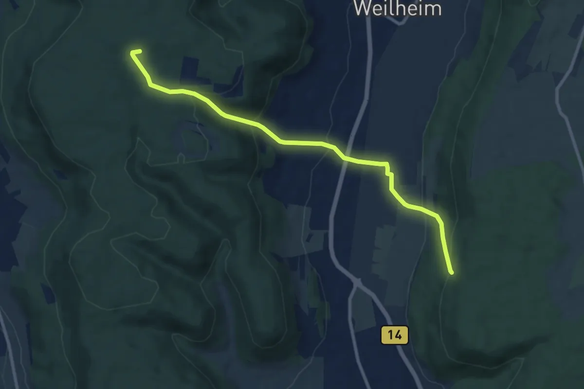
Medium · Summit
rote Raute Weilheim - Dreiangel
8.2 km · ↑ 398 m · 2 h 47 min
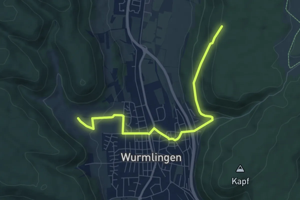
Easy · Trail
rote Raute Wurmlingen - Spitzwieshalde
7.9 km · ↑ 225 m · 2 h 21 min
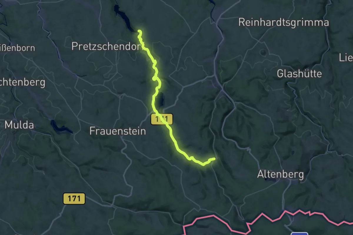
Demanding · Trail
Roter Balken
18.4 km · ↑ 445 m · 5 h 27 min
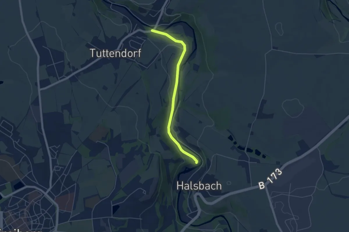
Easy · Trail
Roter Balken
4.4 km · ↑ 36 m · 1 h 8 min
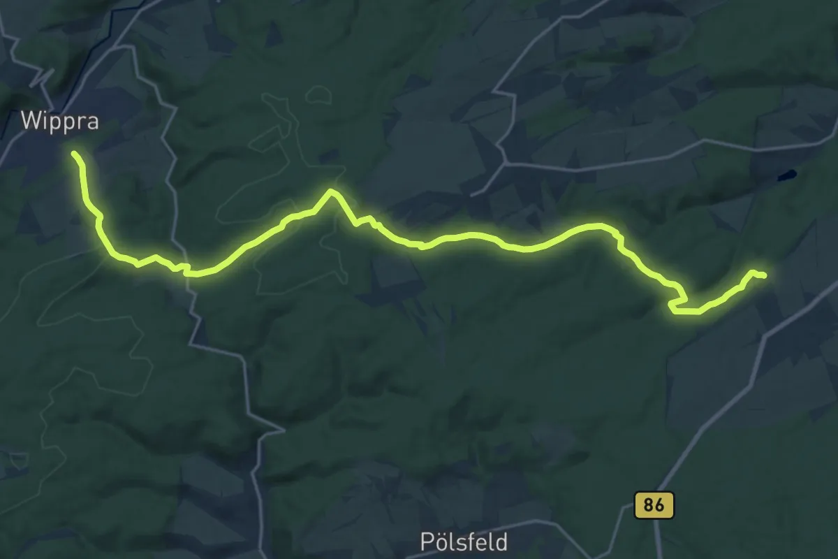
Demanding · Trail
Roter Balken
22.2 km · ↑ 471 m · 6 h 16 min
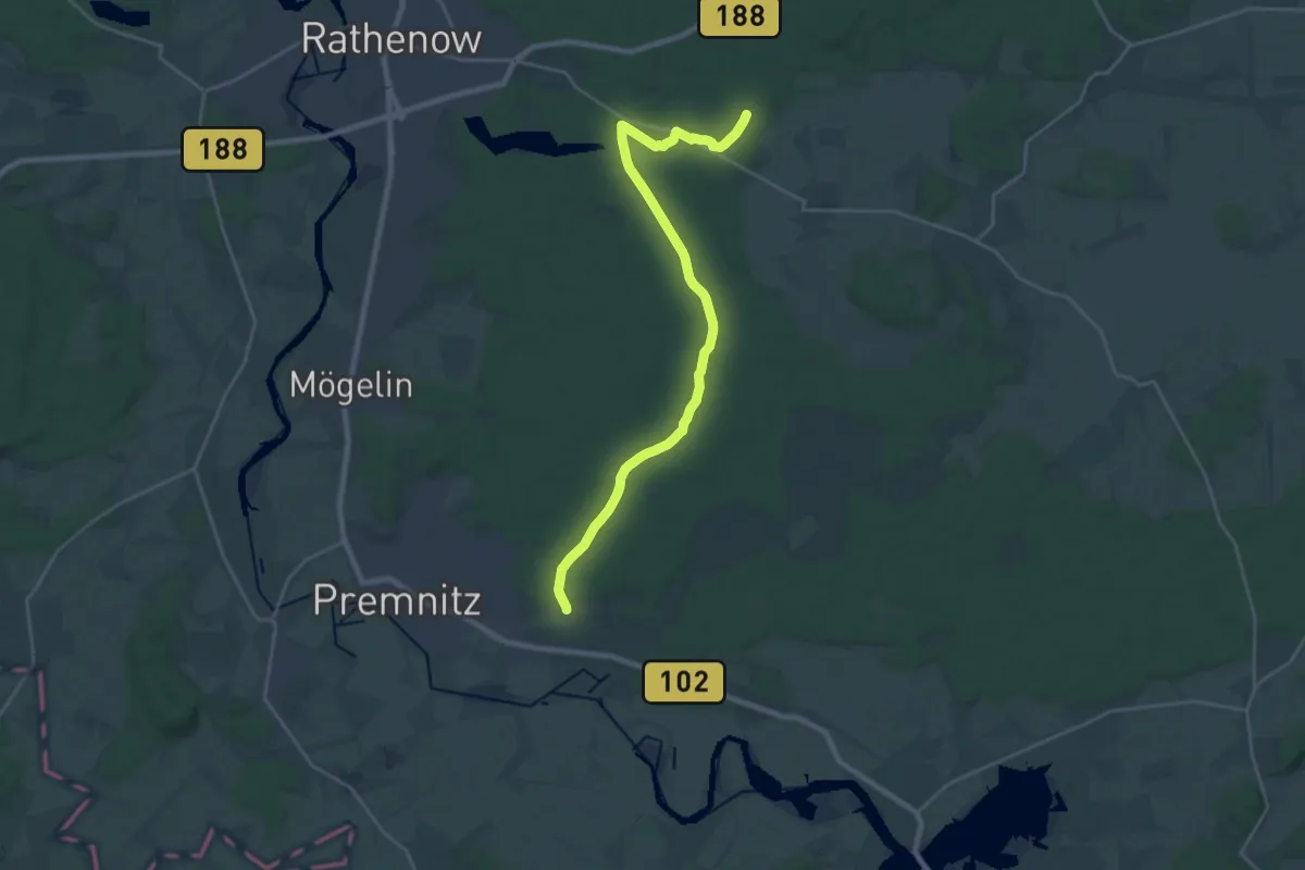
Demanding · Trail
Roter Balken
22.6 km · ↑ 30 m · 5 h 25 min
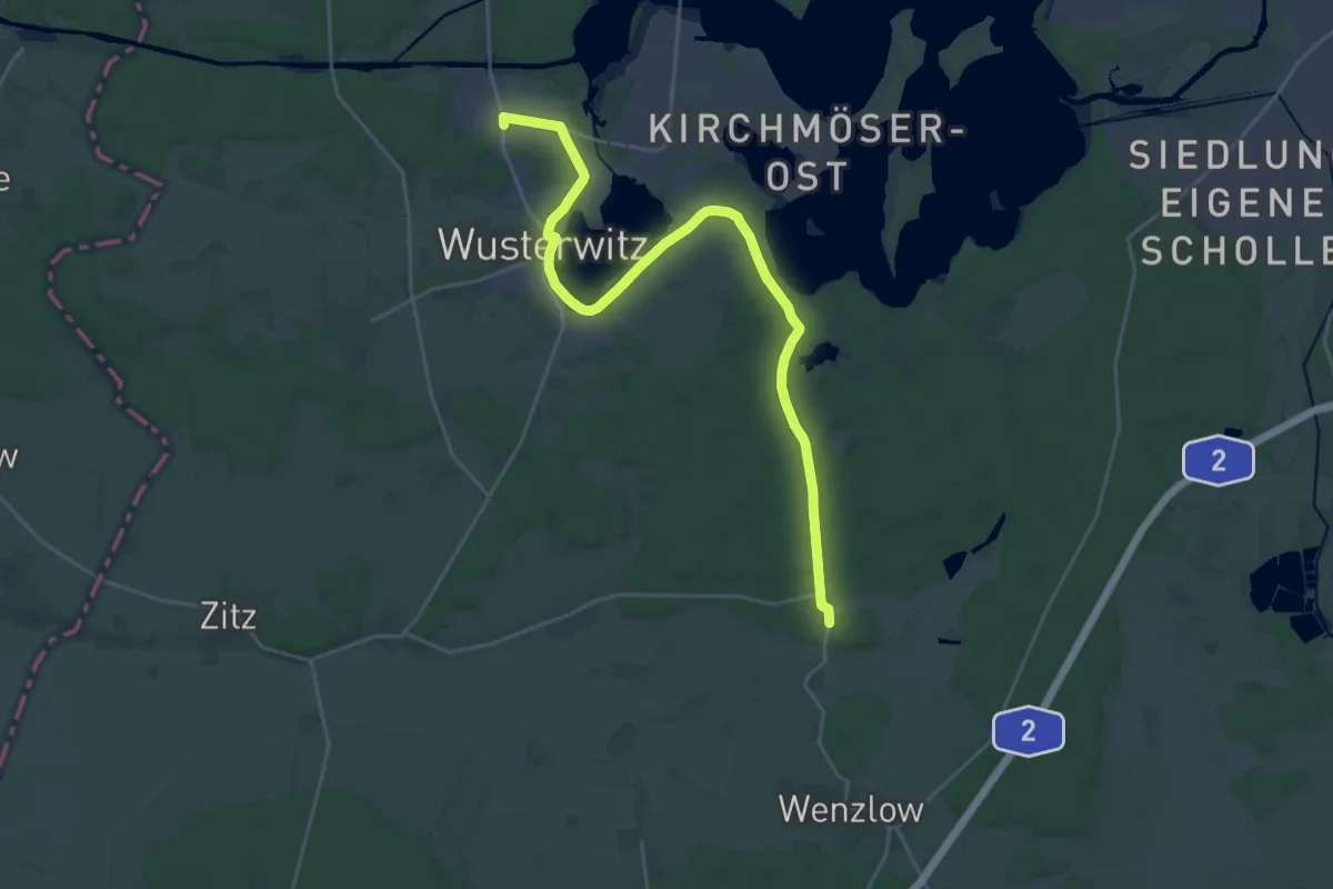
Demanding · Trail
Roter Balken
25.3 km · ↑ 101 m · 6 h 11 min
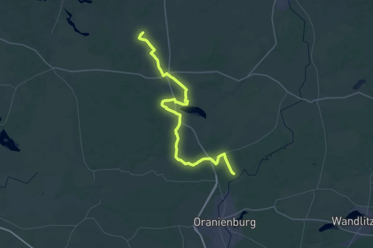
Demanding · Trail
Roter Balken
31.1 km · ↑ 102 m · 8 h
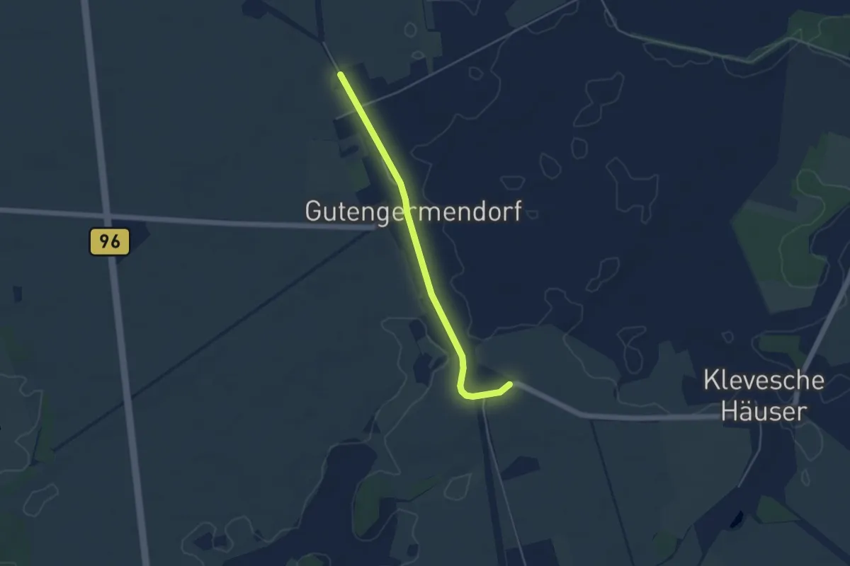
Easy · Trail
Roter Balken
3.7 km · ↑ 8 m · 54 min
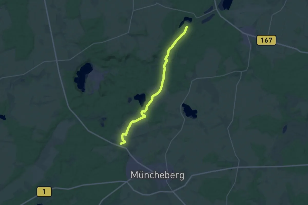
Demanding · Trail
Roter Balken
22.9 km · ↑ 207 m · 5 h 51 min
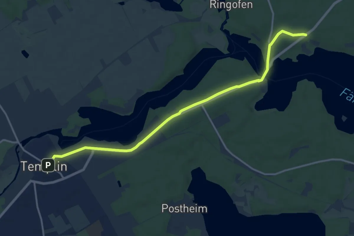
Medium · Trail
Roter Balken
9.8 km · ↑ 64 m · 2 h 27 min
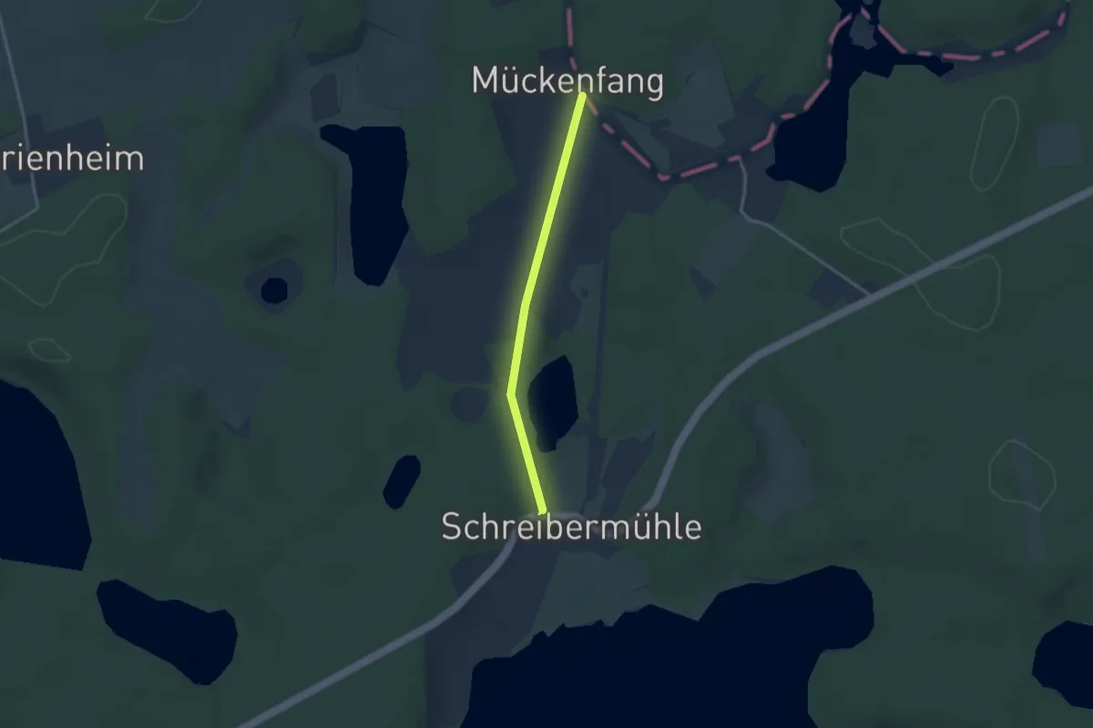
Easy · Trail
Roter Balken
2.4 km · ↑ 9 m · 35 min
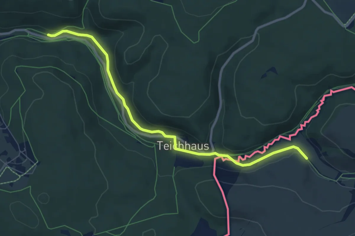
Easy · Trail
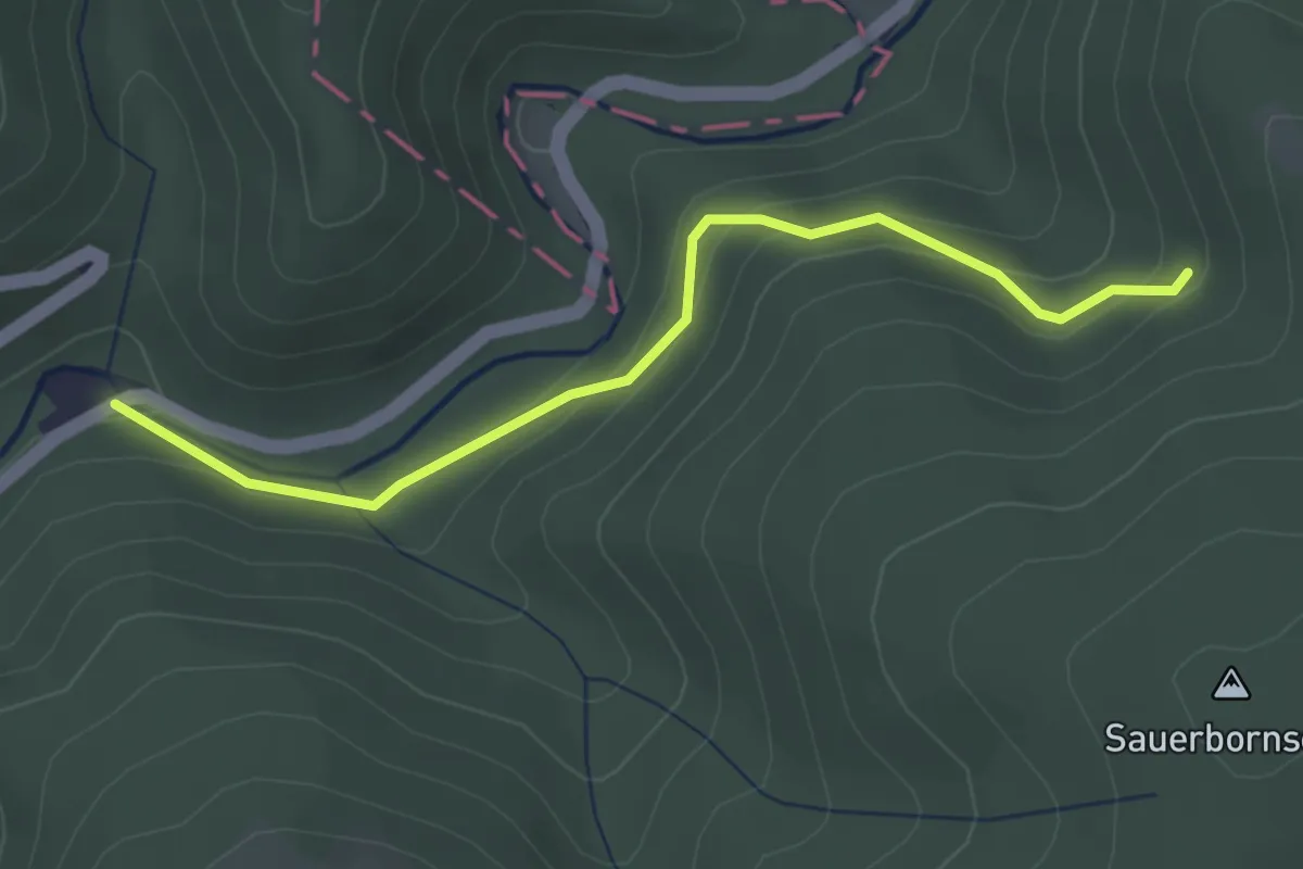
Roter Balken bei Holzhau
7.2 km · ↑ 83 m · 1 h 53 min
Easy · Trail
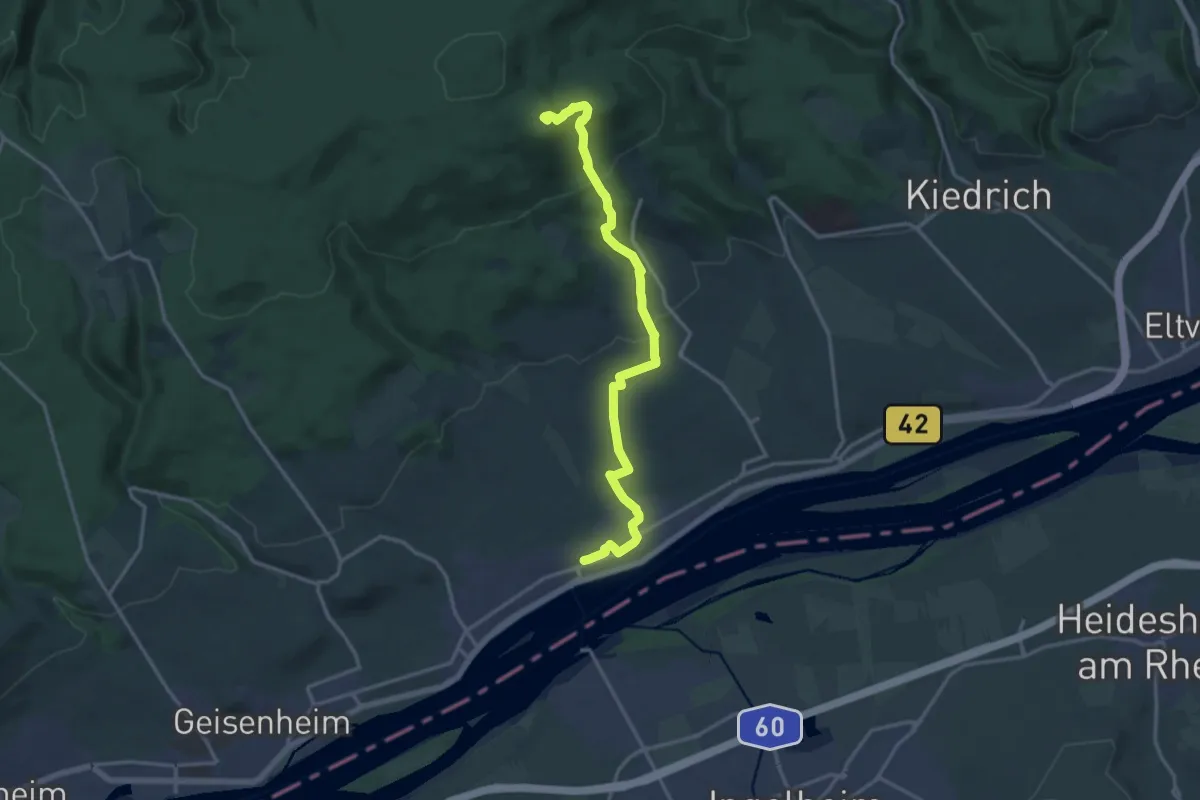
Roter Balken Eltville nach Laukenmühle
3.0 km · ↑ 172 m · 1 h 5 min
Demanding · Trail
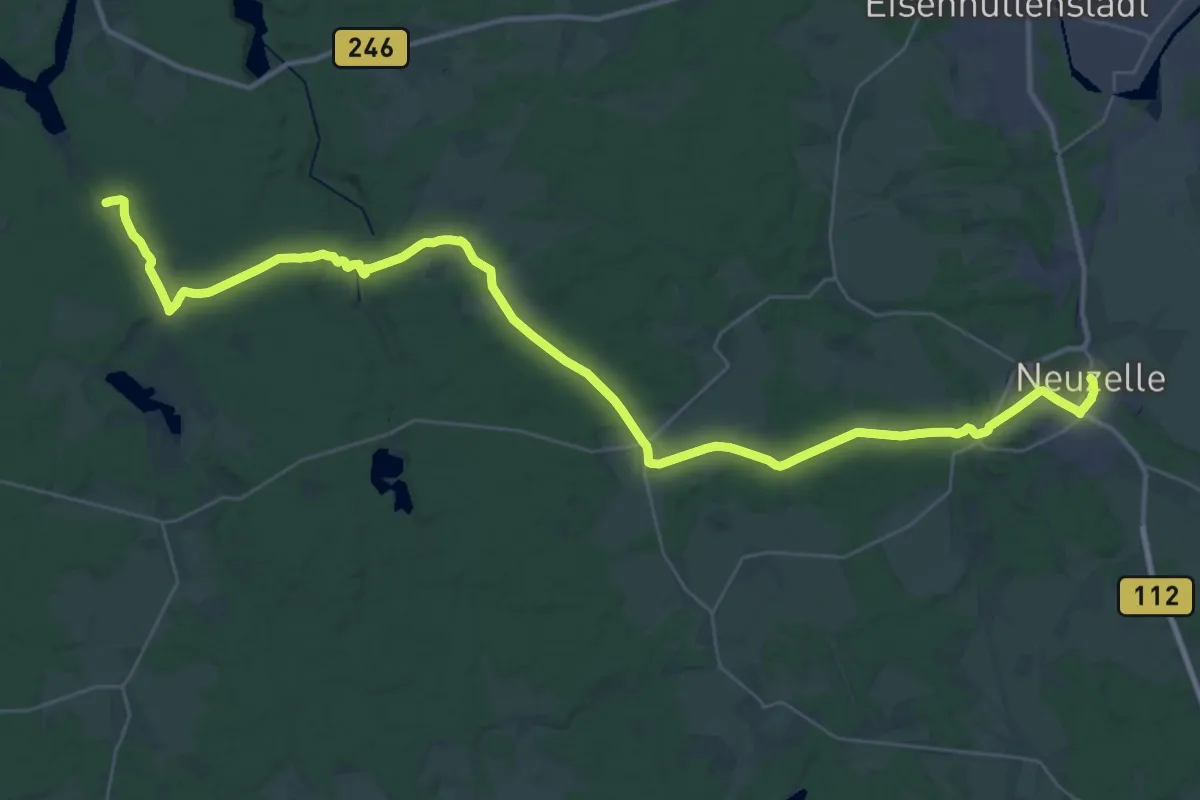
Roter Balken Kloster Neuzelle - Walkemühle
20.7 km · ↑ 187 m · 5 h 36 min
Medium · Trail
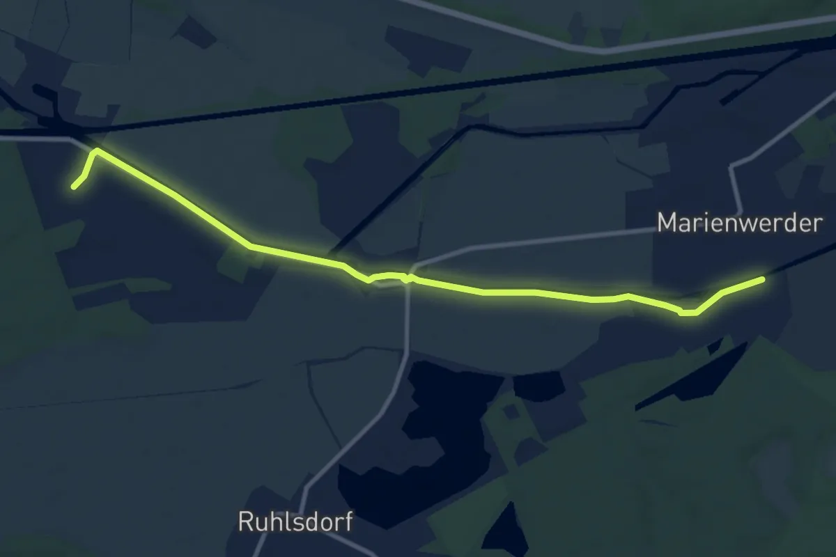
Roter Balken mit 5
8.9 km · ↑ 4 m · 2 h 6 min
Medium · Summit
Roter Balken Oestrich Winkel nach Hallgarter Zange
15.2 km · ↑ 489 m · 4 h 39 min