Trails in Germany
36,852 hiking trails, each with its route, climb, walking time and grade.
All trails, page 463 of 768
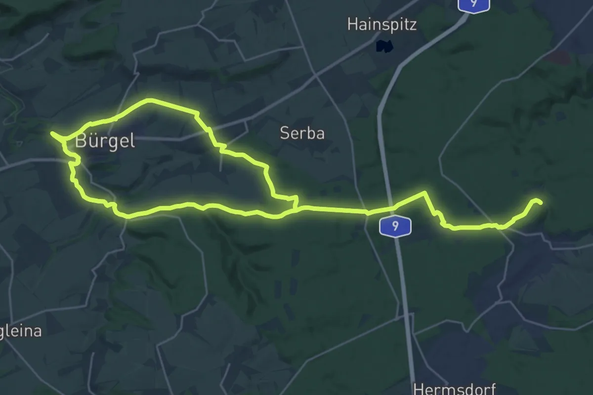
Demanding · Trail
Roter Punkt
18.4 km · ↑ 249 m · 5 h 7 min
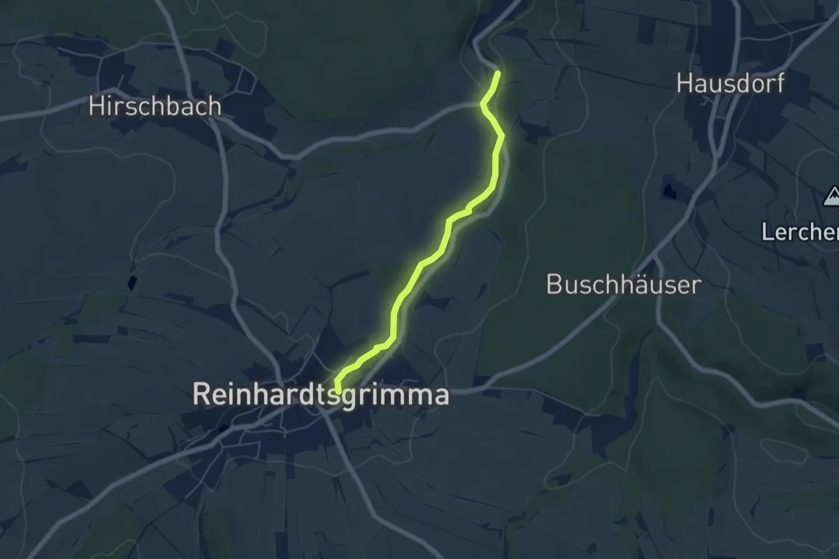
Easy · Trail
Roter Punkt
4.4 km · ↑ 35 m · 1 h 6 min
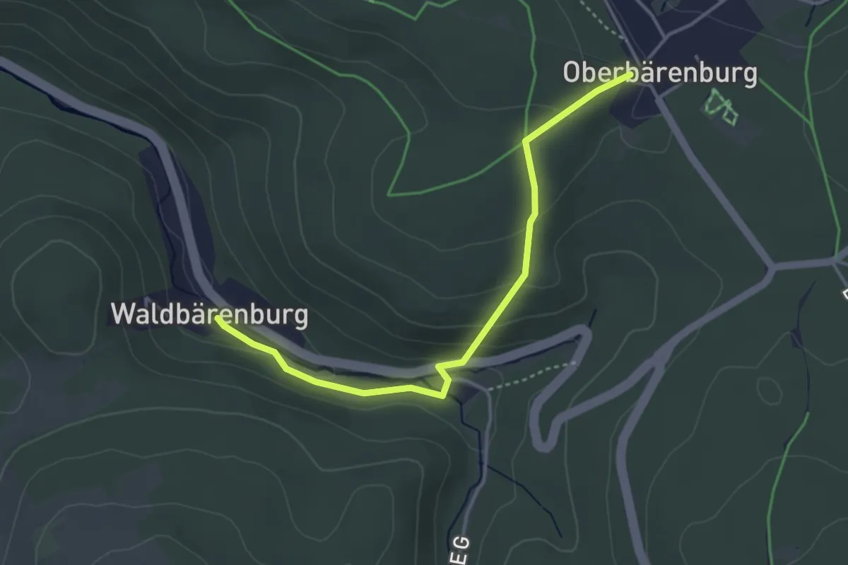
Medium · Trail
Roter Punkt
3.5 km · ↑ 136 m · 1 h 8 min
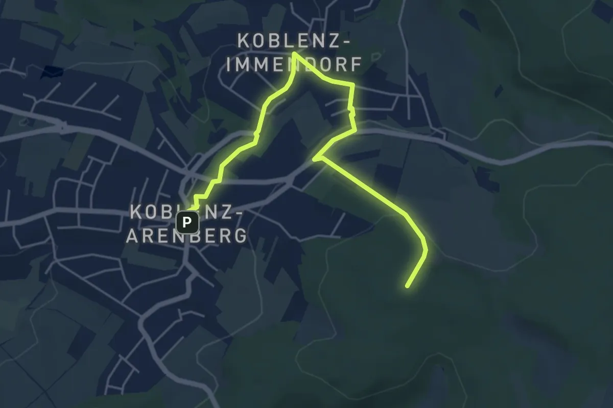
Easy · Summit
Roter Punkt
4.9 km · ↑ 162 m · 1 h 30 min
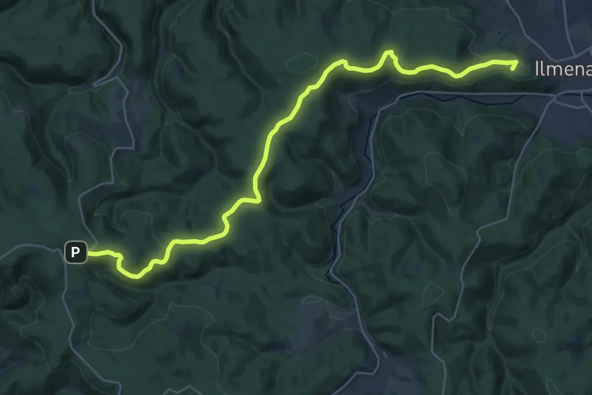
Demanding · Summit
Roter Punkt, Alte Straße
25.0 km · ↑ 580 m · 7 h 10 min
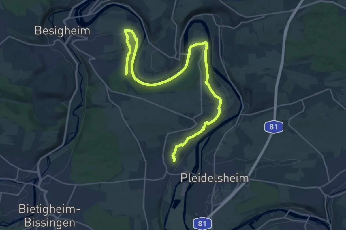
Demanding · Trail
roter Punkt Besigheim - Hessigheim
21.5 km · ↑ 411 m · 5 h 58 min
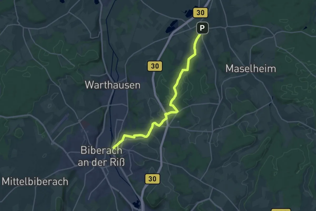
Demanding · Trail
roter Punkt Biberach - Äpfingen
18.2 km · ↑ 311 m · 4 h 58 min
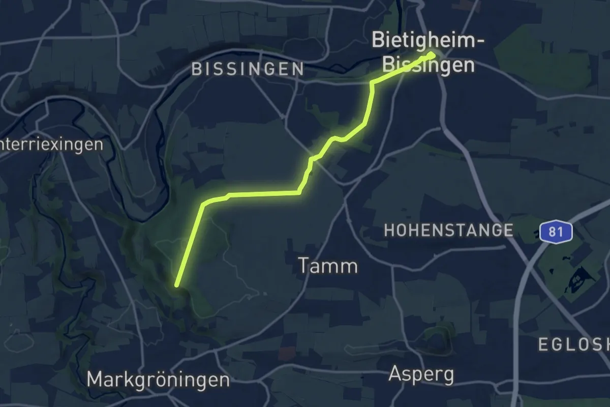
Medium · Trail
Roter Punkt Bietigheim - Markgröningen
12.3 km · ↑ 156 m · 3 h 15 min
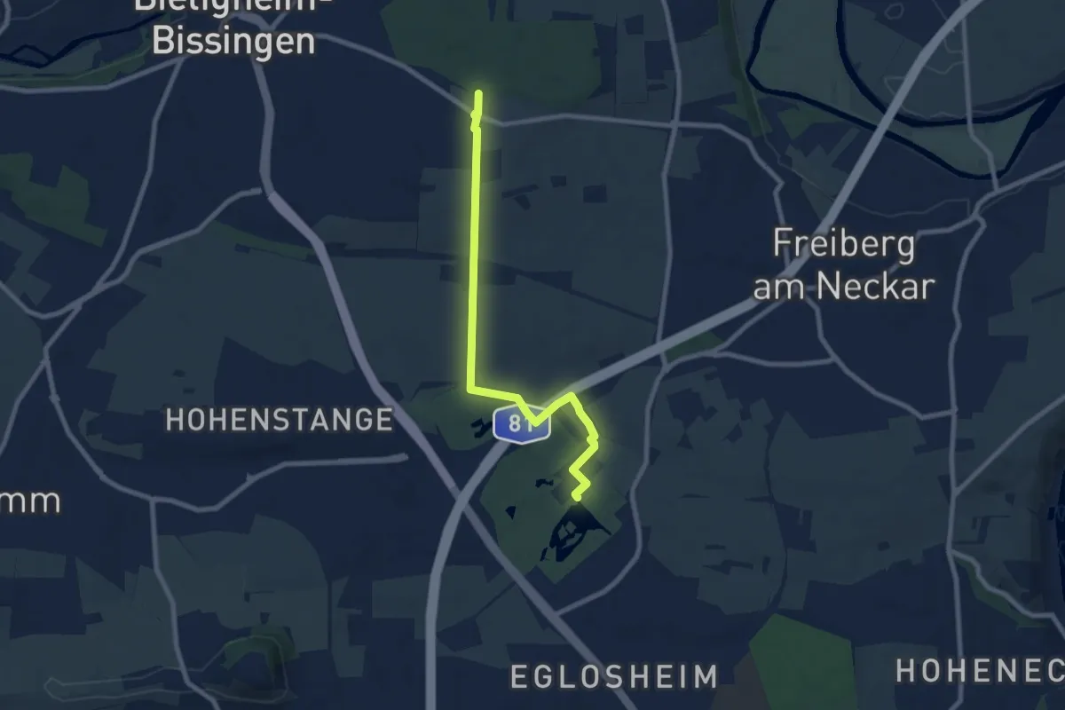
Easy · Trail
roter Punkt Brandholz - Monrepos
7.4 km · ↑ 114 m · 2 h
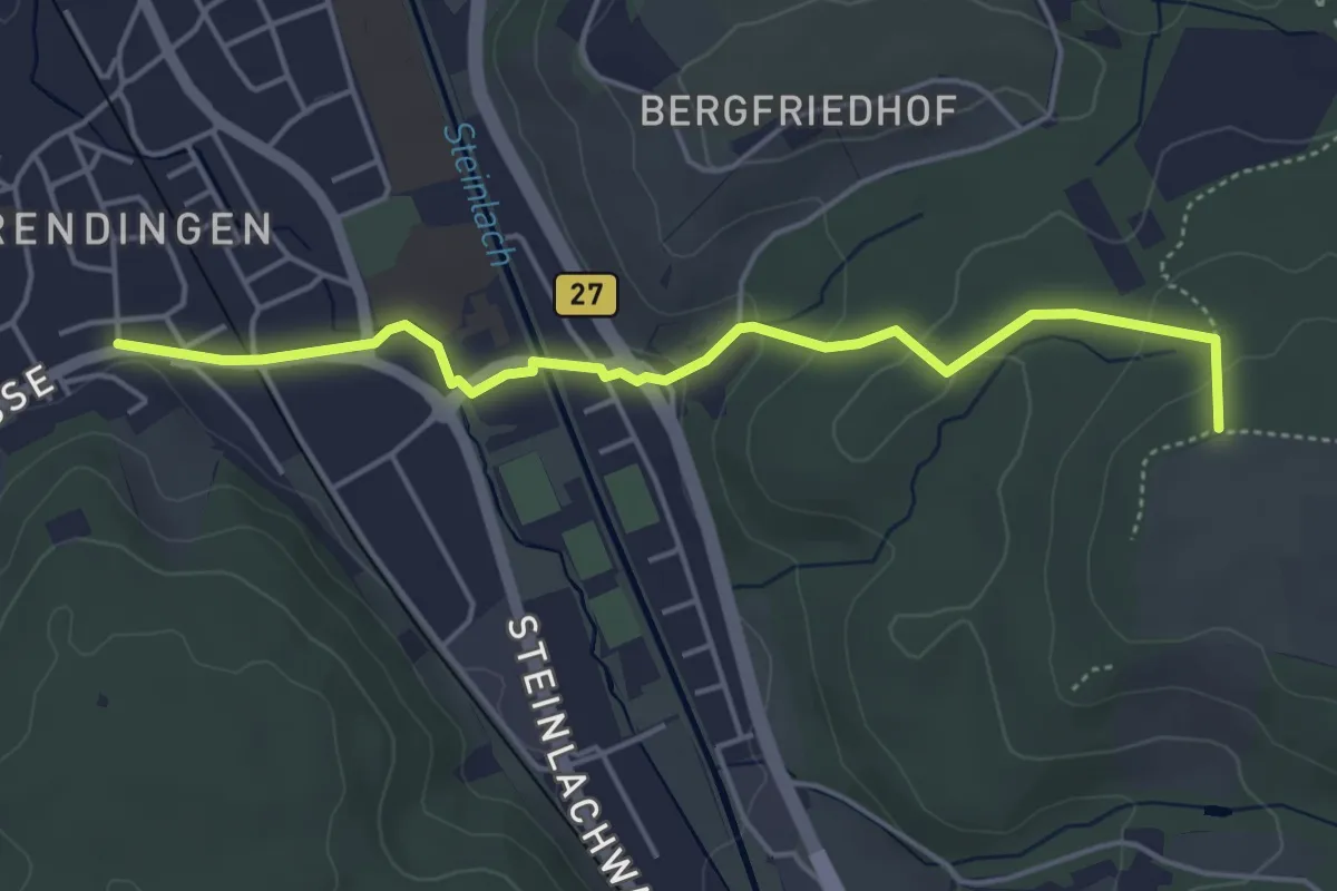
Easy · Trail
roter Punkt Derendingen - Aspenhau
4.6 km · ↑ 114 m · 1 h 20 min
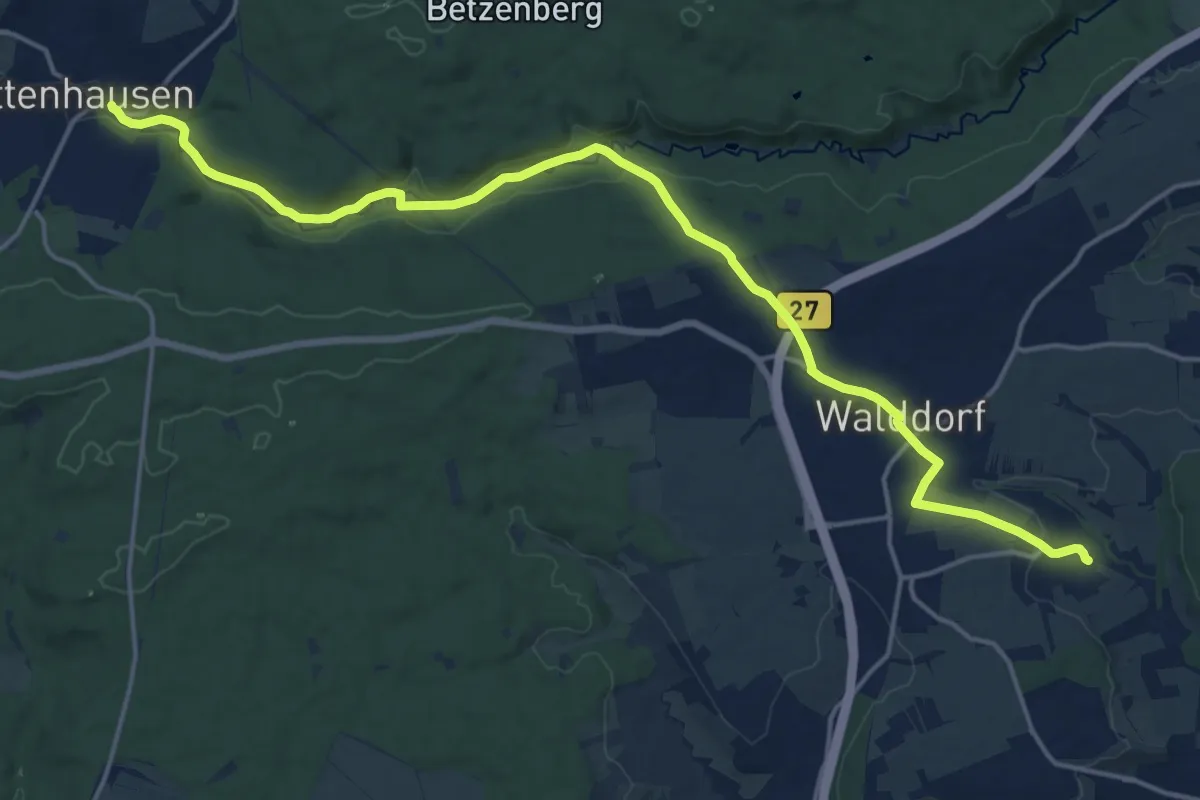
Demanding · Trail
roter Punkt Dörnach - Dettenhausen
19.1 km · ↑ 354 m · 5 h 16 min
Easy · Trail
Roter Punkt, Ehmetsklinge - Langrain bei Sternenfels
5.6 km · ↑ 81 m · 1 h 29 min
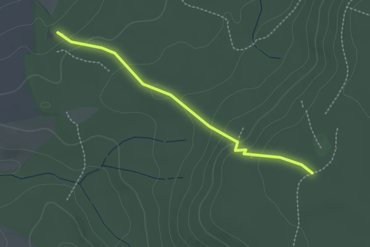
Easy · Trail
roter Punkt Eppingen -
2.1 km · ↑ 89 m · 41 min
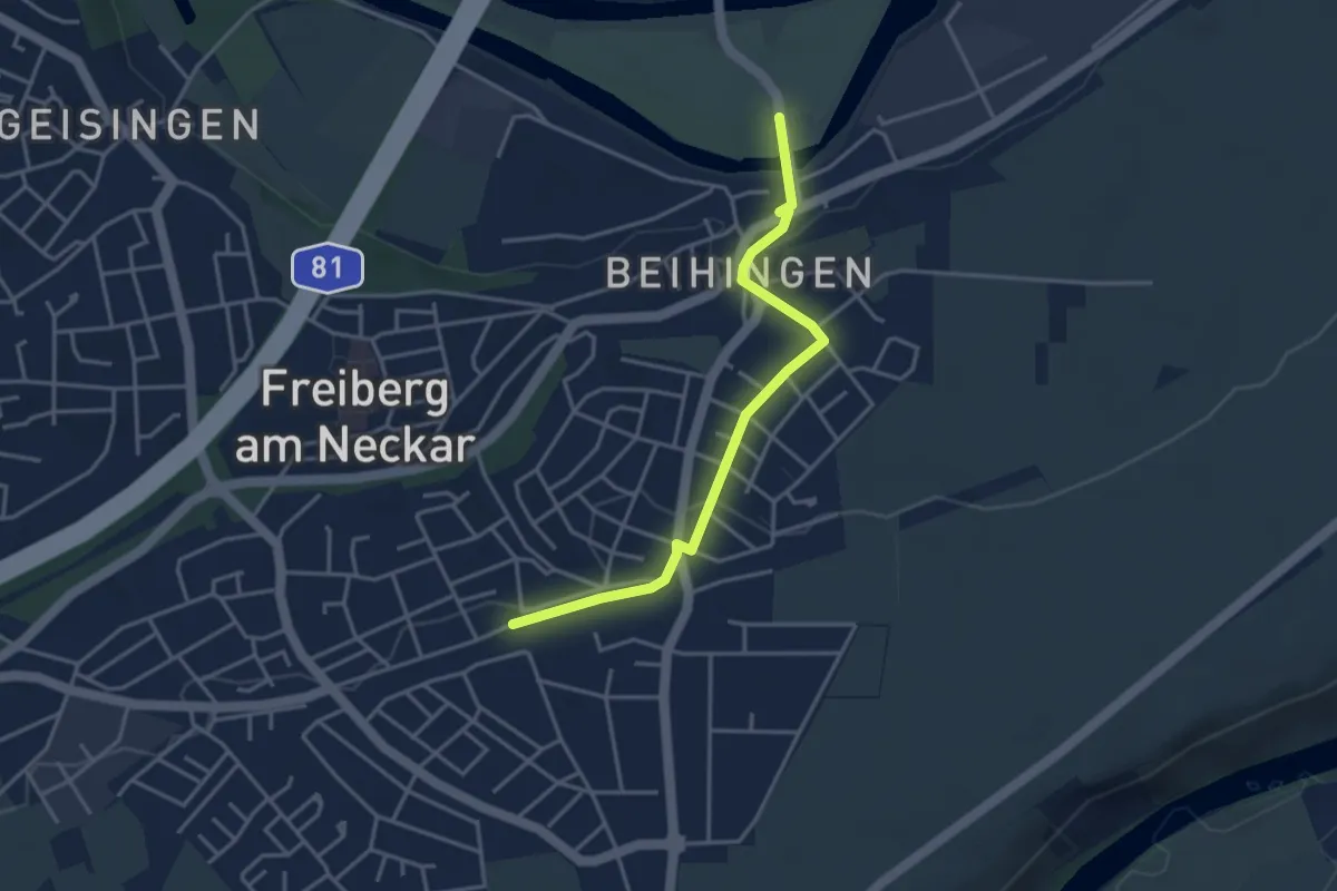
Easy · Trail
roter Punkt Freiberg (Neckar) - HW 10
3.5 km · ↑ 61 m · 58 min
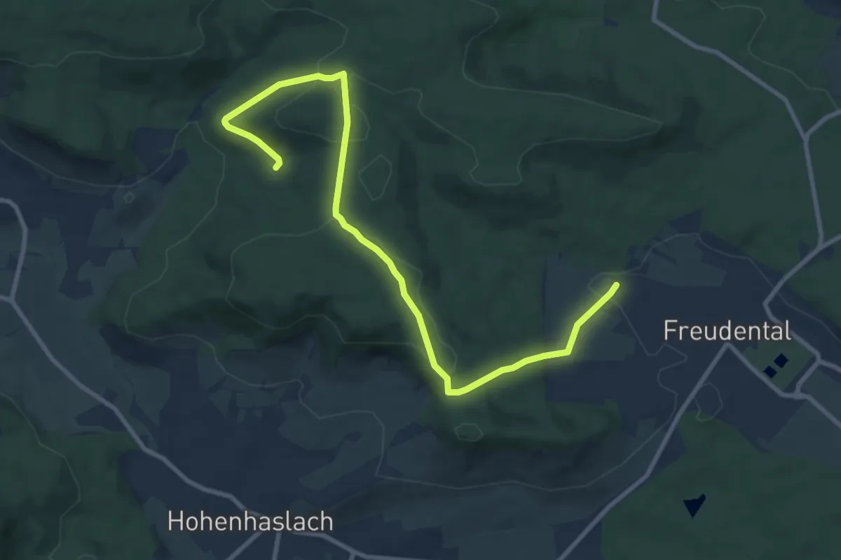
Medium · Trail
Roter Punkt Freudental - Hohenhaslach
9.5 km · ↑ 238 m · 2 h 46 min
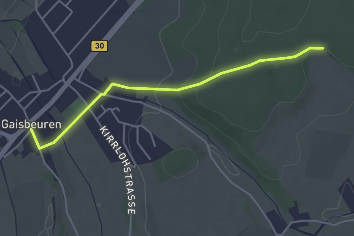
Easy · Trail
roter Punkt Gaisbeuren
3.3 km · ↑ 65 m · 56 min
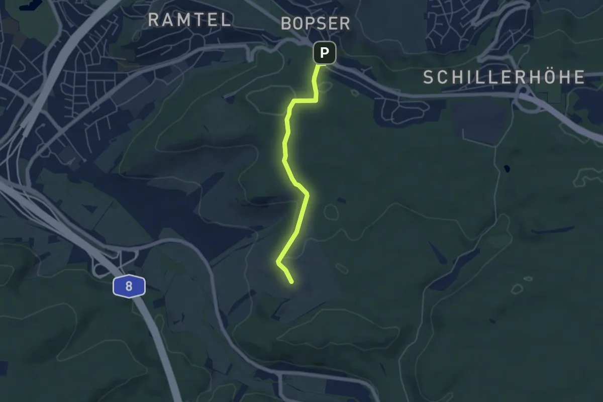
Easy · Trail
roter Punkt Gerlingen-Bopser
4.2 km · ↑ 82 m · 1 h 11 min
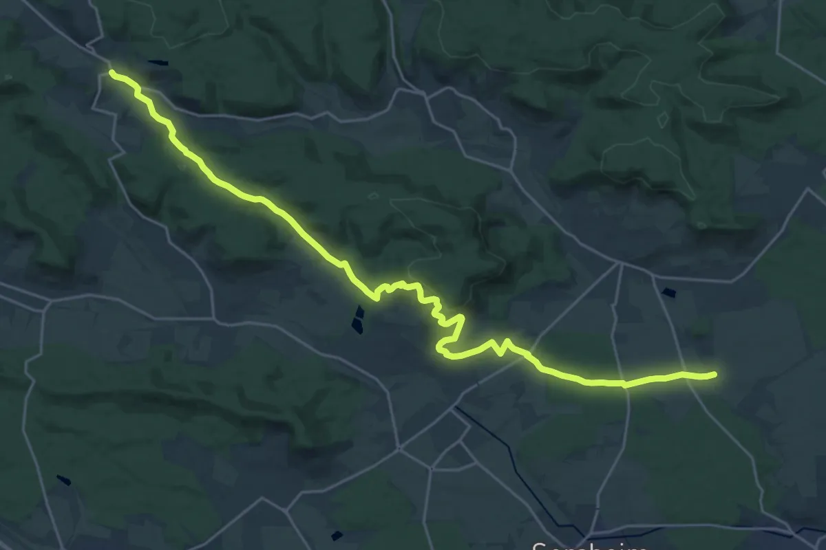
Demanding · Trail
Roter Punkt, Häfnerhaslach - Langmantel
25.4 km · ↑ 609 m · 7 h 19 min
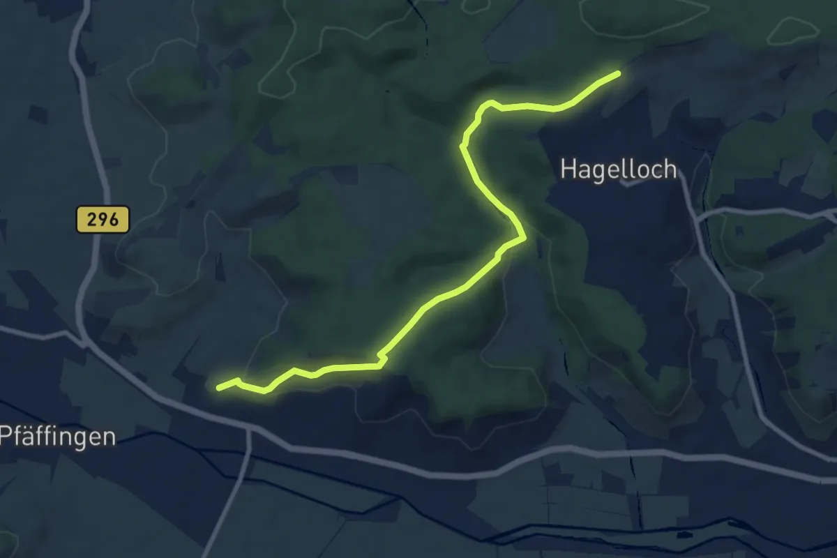
Medium · Trail
roter Punkt Hagelloch - Unterjesingen
8.5 km · ↑ 280 m · 2 h 37 min
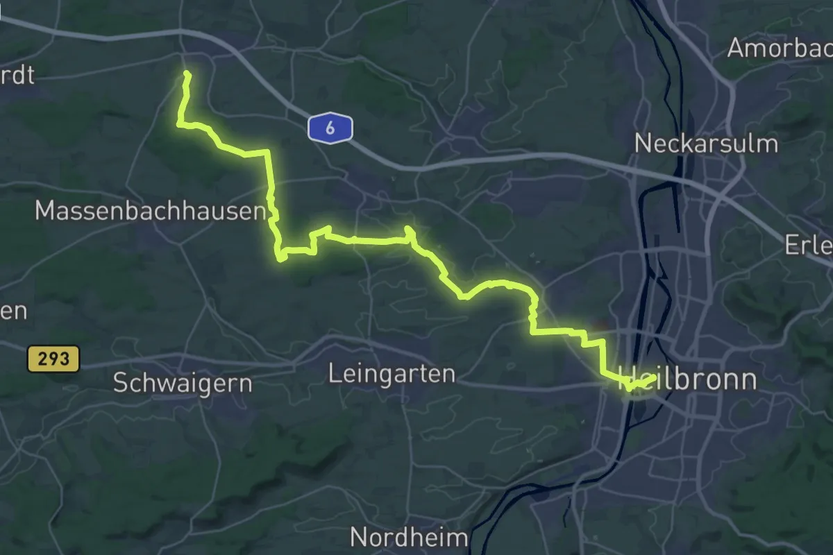
Demanding · Trail
Roter Punkt, Heilbronn Hbf - Stöckach bei Fürfeld
20.2 km · ↑ 152 m · 5 h 25 min
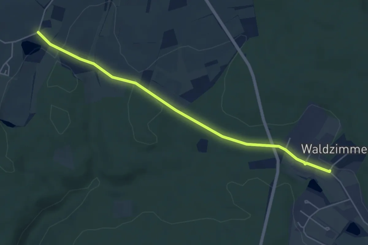
Easy · Trail
roter Punkt Hermersberg - Waldzimmern
4.5 km · ↑ 65 m · 1 h 13 min
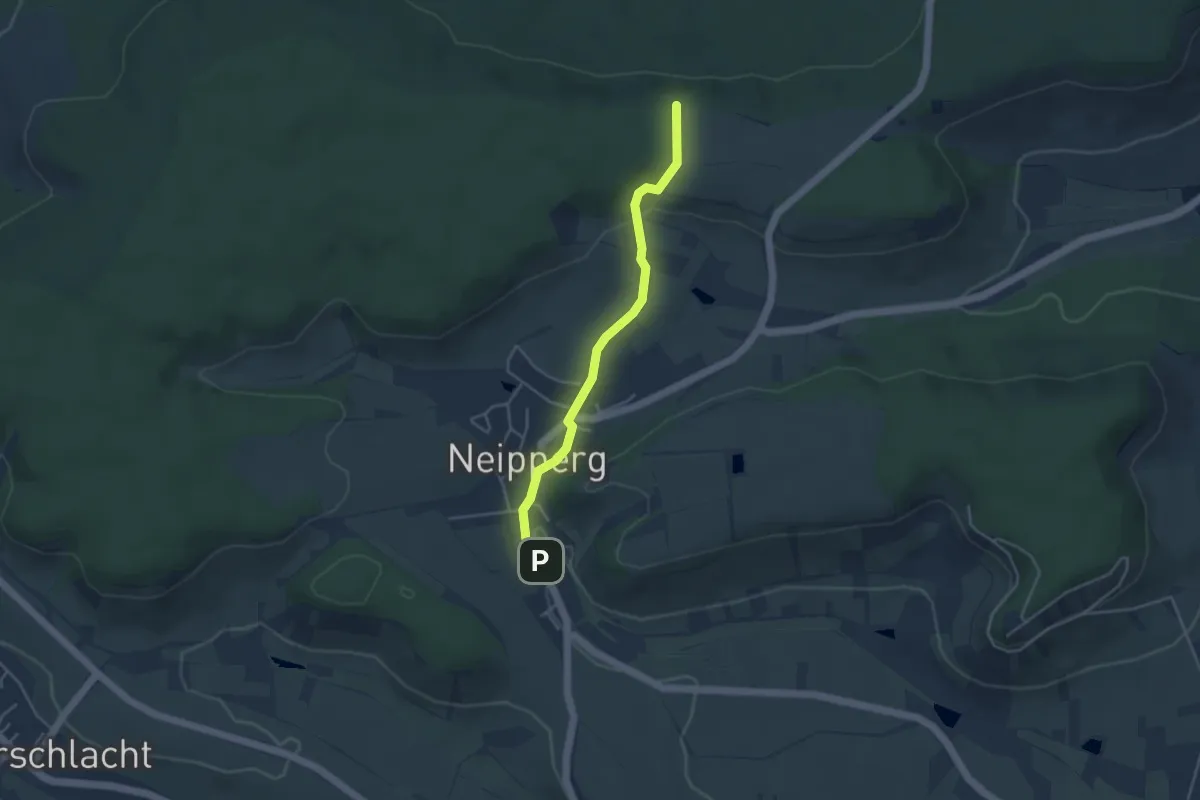
Easy · Trail
Roter Punkt, Heuchelberg - Neipperg - Hörnle
3.6 km · ↑ 83 m · 1 h 2 min
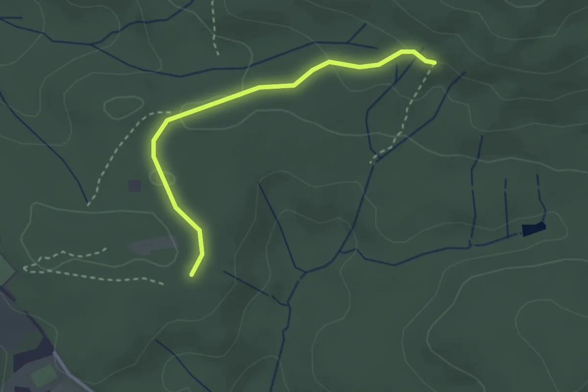
Easy · Trail
roter Punkt Hohbergkopf
2.5 km · ↑ 59 m · 44 min
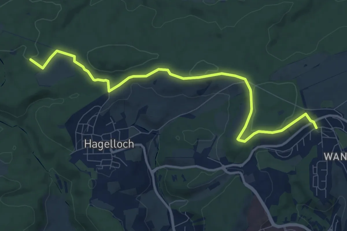
Medium · Trail
roter Punkt Hornkopf - Tübingen
9.6 km · ↑ 135 m · 2 h 34 min
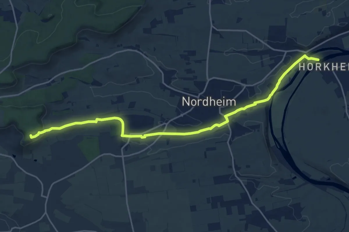
Medium · Summit
Roter Punkt, Hörnle - Sontheim
16.3 km · ↑ 196 m · 4 h 16 min
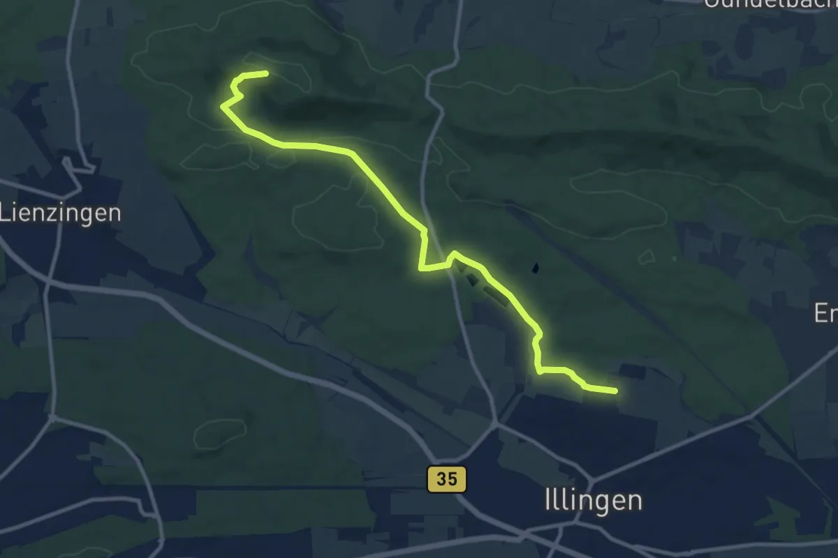
Medium · Trail
roter Punkt Illingen - Burgberg
10.2 km · ↑ 188 m · 2 h 49 min
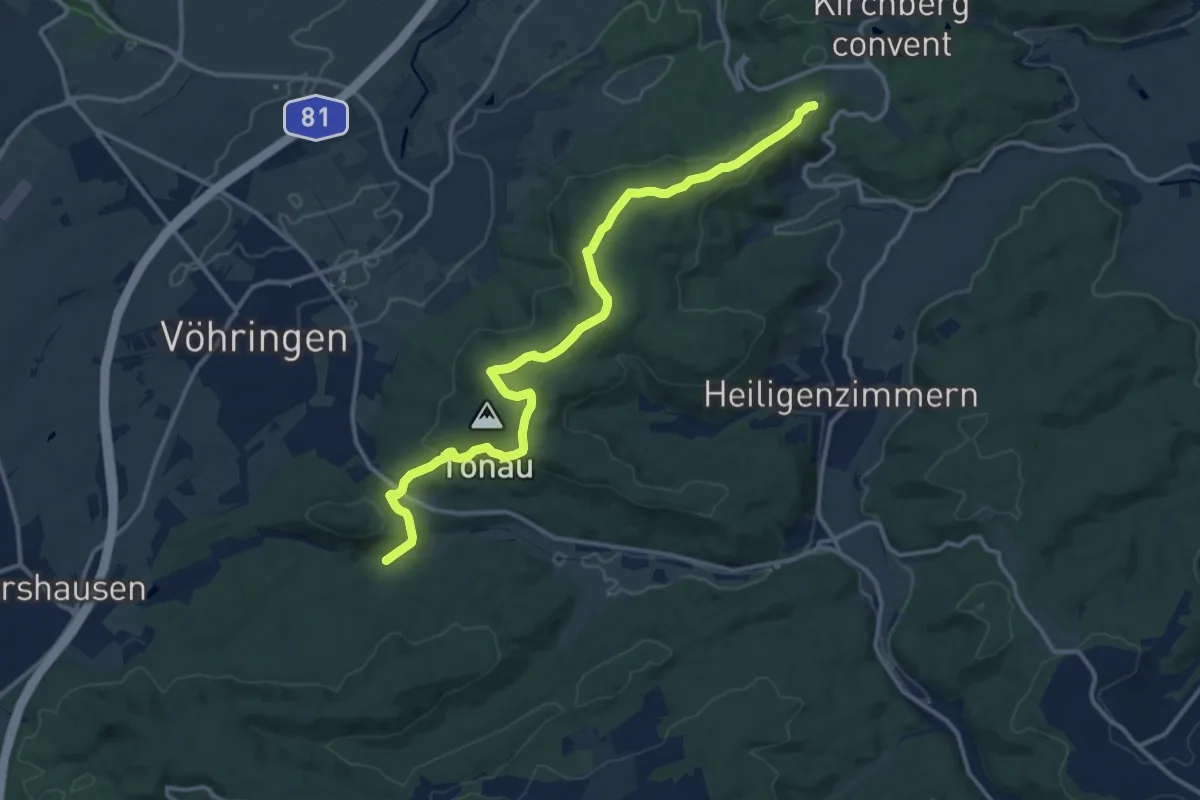
Medium · Trail
roter Punkt Keltental - Bernstein
13.9 km · ↑ 351 m · 4 h 2 min
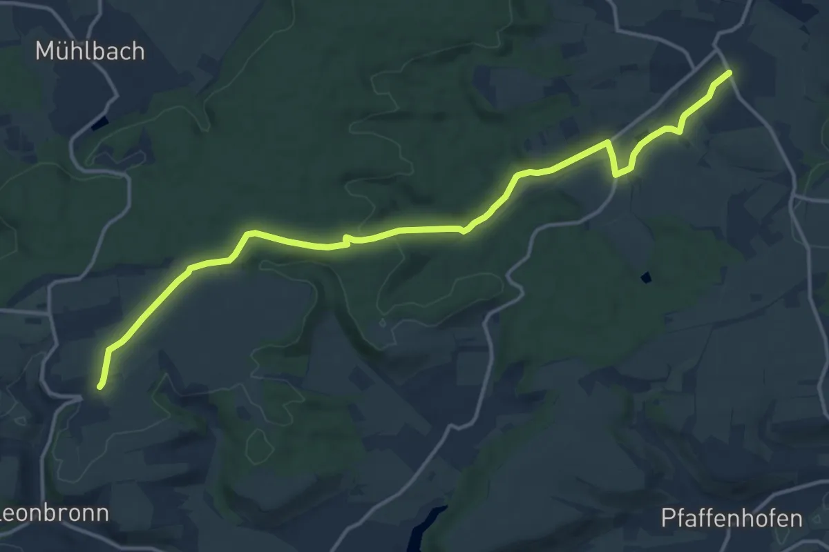
Medium · Trail
Roter Punkt, Kleingartach - Ochsenburg
14.3 km · ↑ 146 m · 3 h 41 min
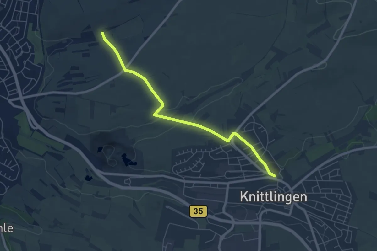
Easy · Trail
roter Punkt Knittlingen - Hofladen Burkhard
5.7 km · ↑ 109 m · 1 h 35 min
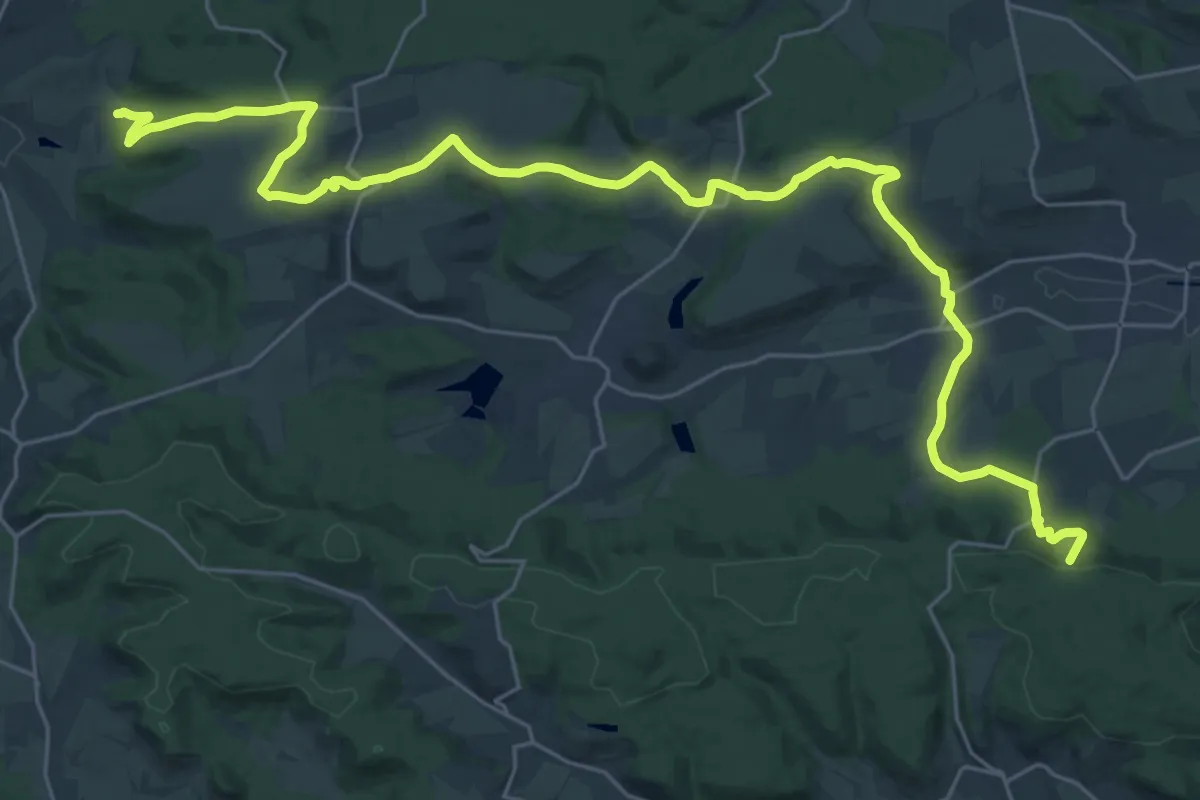
Medium · Trail
Roter Punkt, Kürnbach - Ruine Blankenhorn
16.5 km · ↑ 377 m · 4 h 52 min
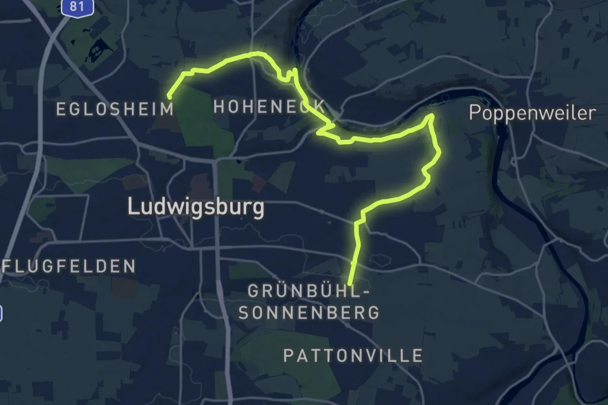
Demanding · Trail
roter Punkt LB Favoritepark - Oßweil
20.3 km · ↑ 307 m · 5 h 28 min
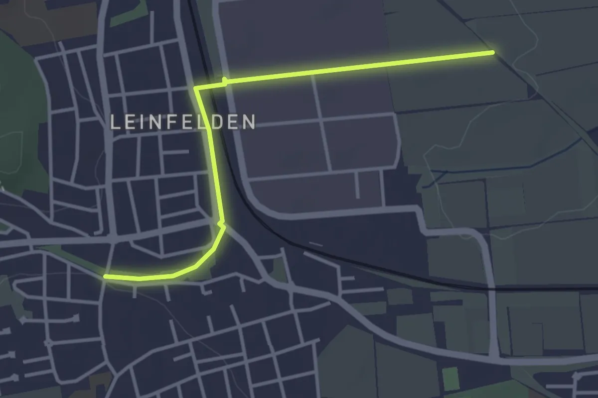
Easy · Trail
Roter Punkt Leinfelden
3.3 km · ↑ 17 m · 49 min
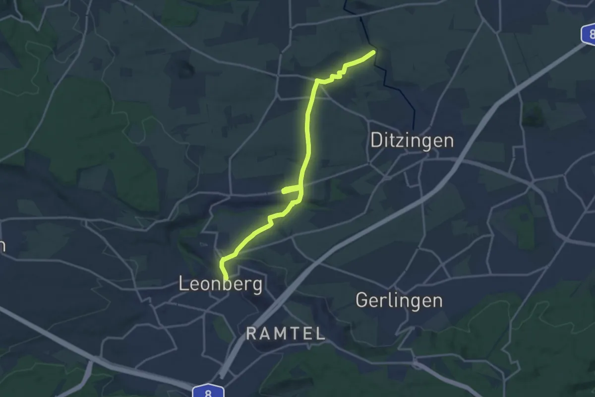
Medium · Trail
Roter Punkt Leonberg - Talmühle
13.9 km · ↑ 250 m · 3 h 50 min
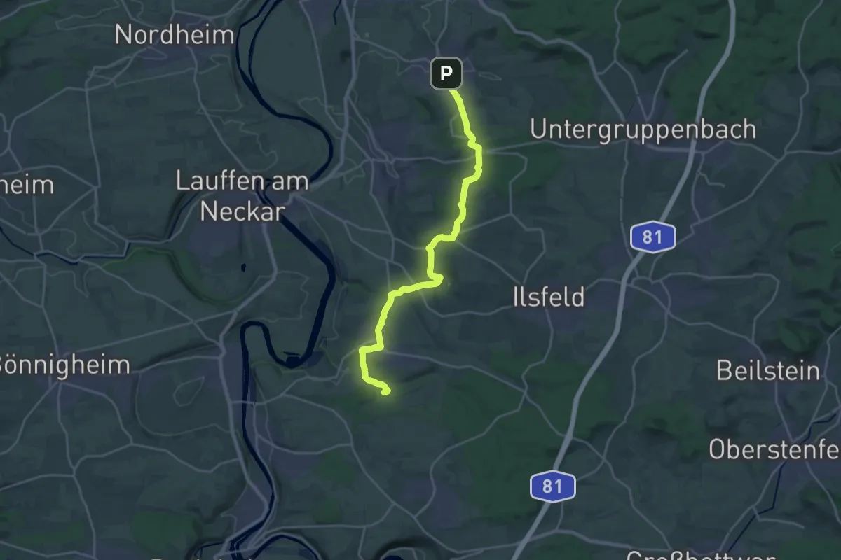
Demanding · Trail
roter Punkt Liebenstein - Neckarwestheim - Schozach - Flein
20.3 km · ↑ 437 m · 5 h 44 min
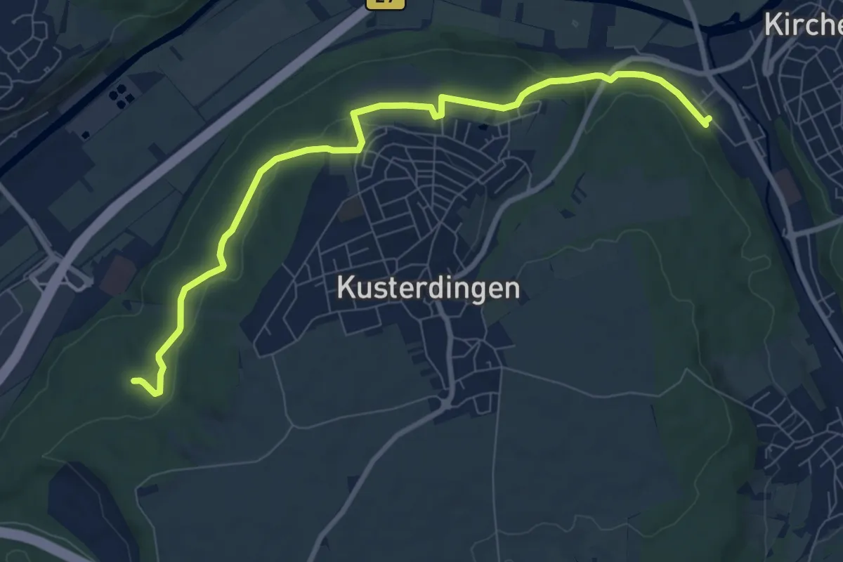
Medium · Trail
roter Punkt Lustnau - Kirchentellinsfurt
8.6 km · ↑ 134 m · 2 h 19 min
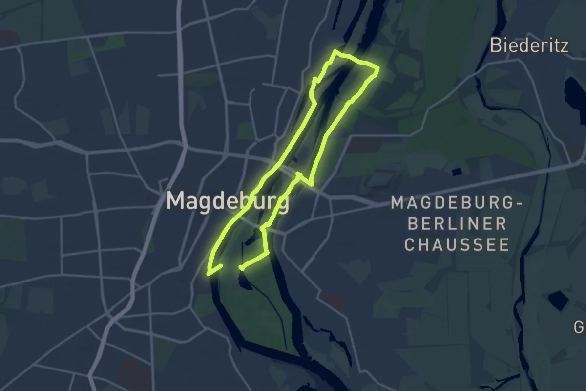
Demanding · Trail
Roter Punkt Magdeburg
22.4 km · ↑ 56 m · 5 h 24 min
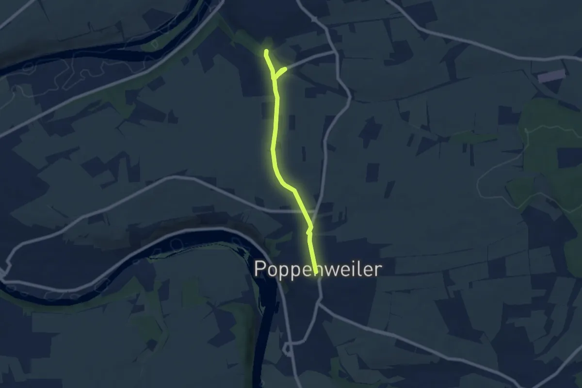
Easy · Trail
roter Punkt Marbach - Poppenweiler
5.4 km · ↑ 88 m · 1 h 28 min
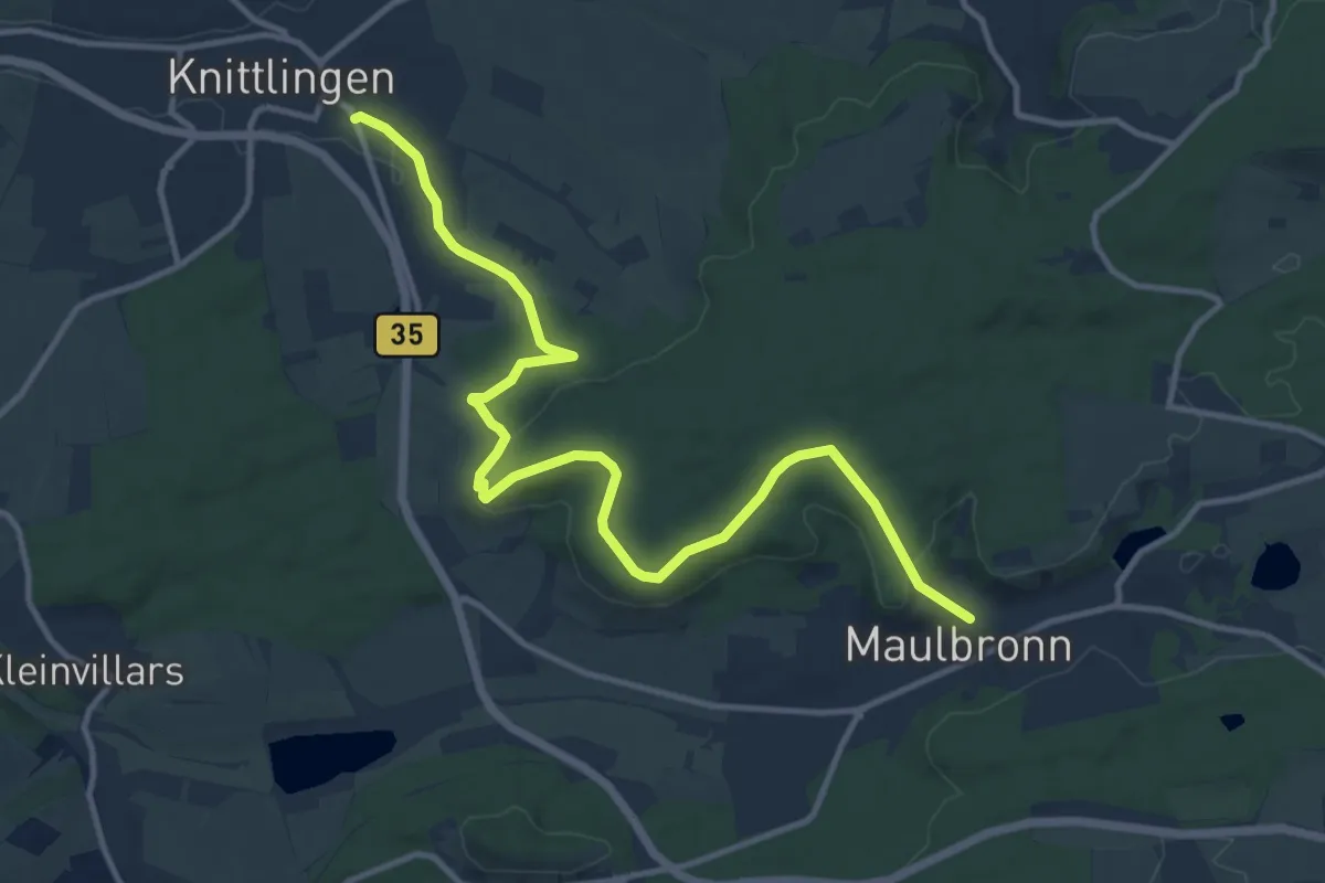
Medium · Trail
roter Punkt Maulbronn - Knittlingen
13.2 km · ↑ 335 m · 3 h 51 min
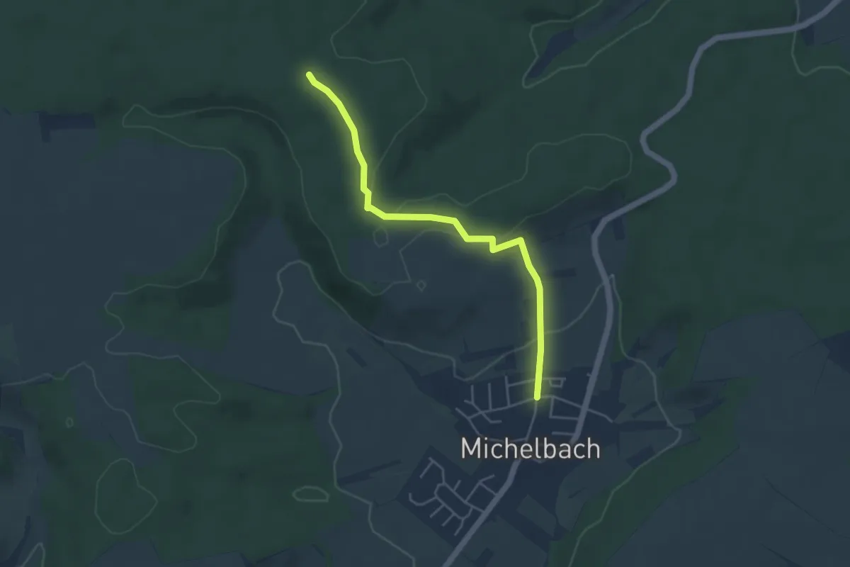
Easy · Trail
roter Punkt Michelbach - Holzmichelhütte
4.1 km · ↑ 85 m · 1 h 8 min
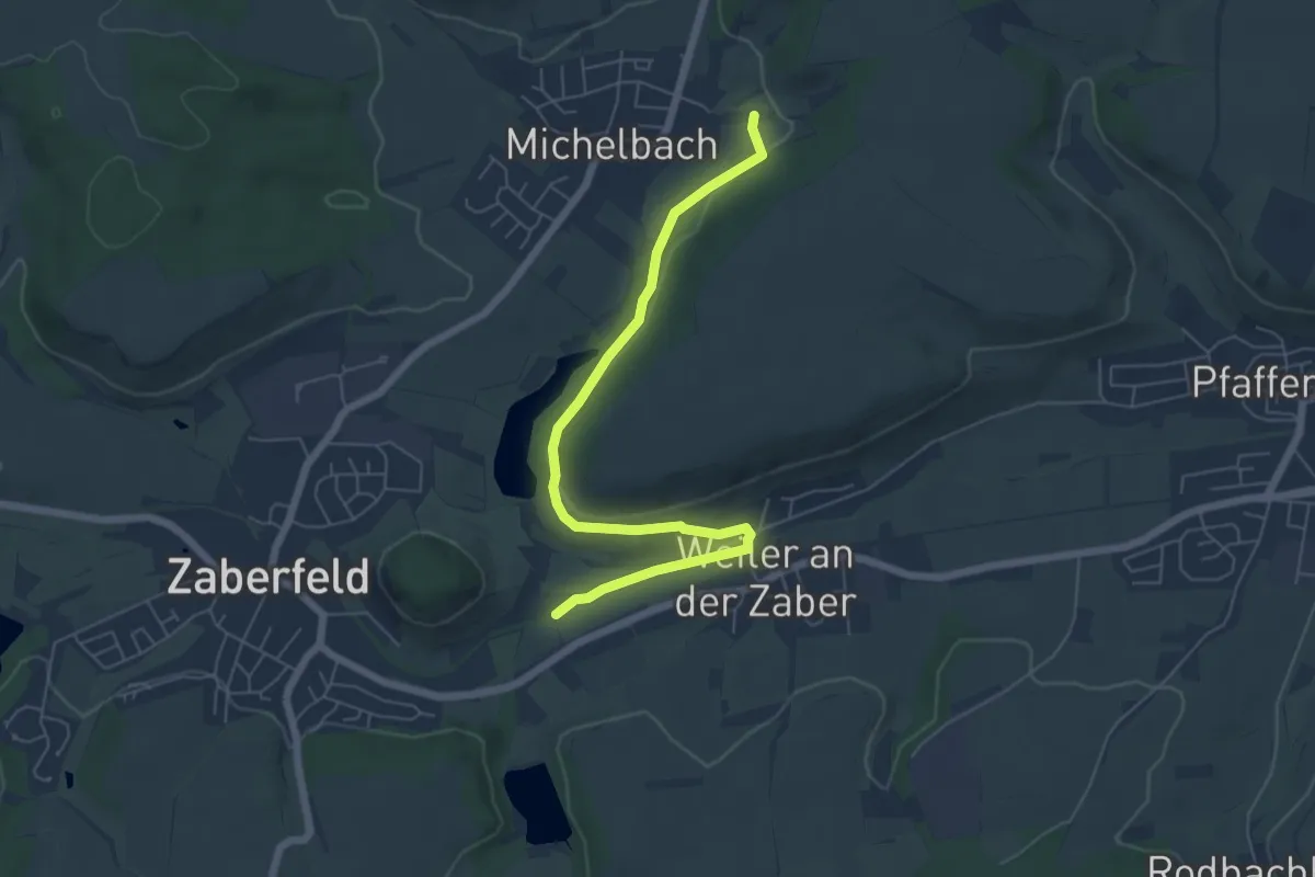
Easy · Trail
Roter Punkt, Michelbach - Weiler - Reisenmühle
6.2 km · ↑ 99 m · 1 h 40 min
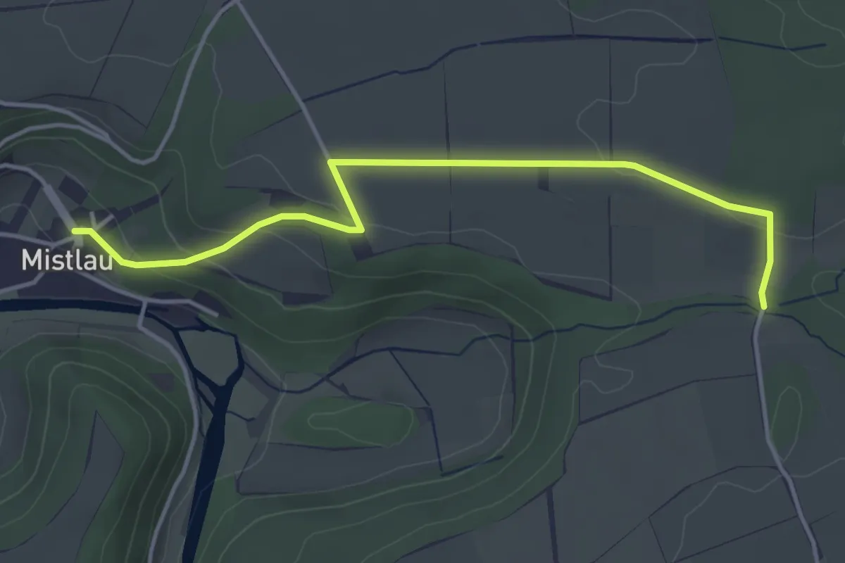
Easy · Trail
roter Punkt Mistlau - Im Morgen HW4
4.1 km · ↑ 102 m · 1 h 11 min
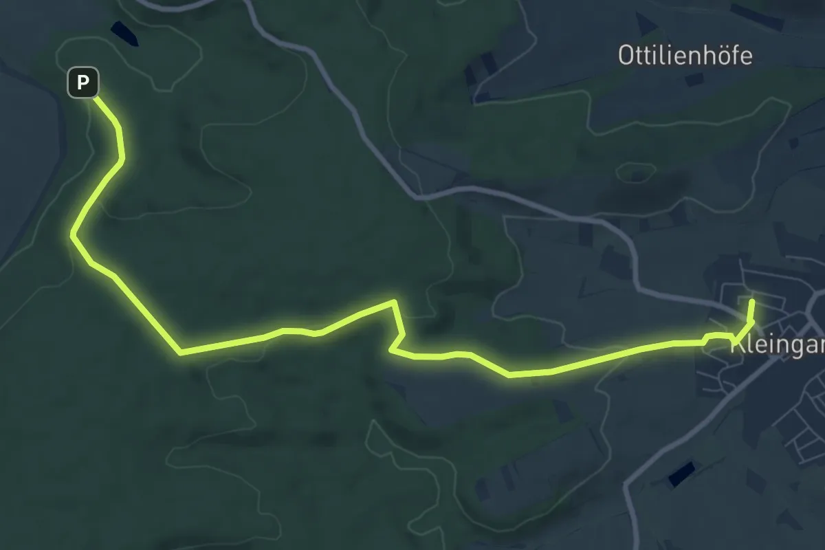
Medium · Trail
Roter Punkt, Mühlbach - Jägersee - Kleingartach
10.0 km · ↑ 212 m · 2 h 50 min
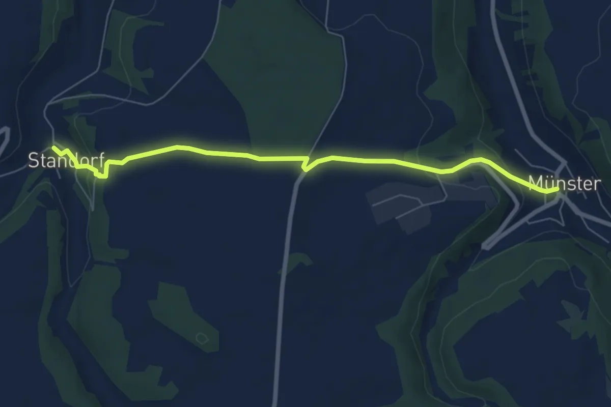
Easy · Trail
roter Punkt Münster - Standorf
6.2 km · ↑ 177 m · 1 h 51 min
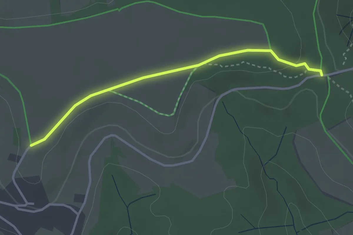
Easy · Trail
roter Punkt Nassach - Zollstock
2.7 km · ↑ 36 m · 43 min
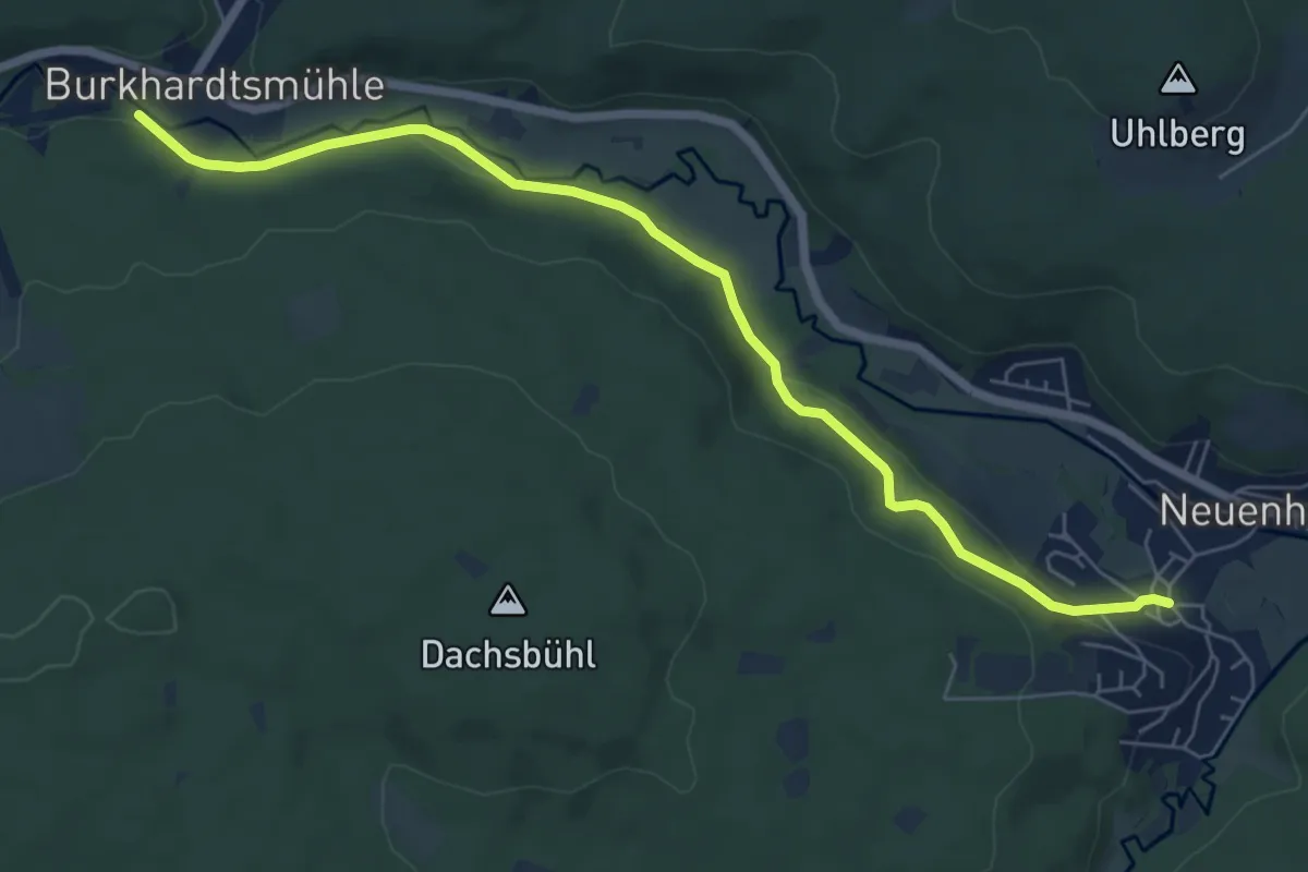
Easy · Trail
Roter Punkt, Neuenhaus - Burkhardtsmühle
6.8 km · ↑ 146 m · 1 h 56 min
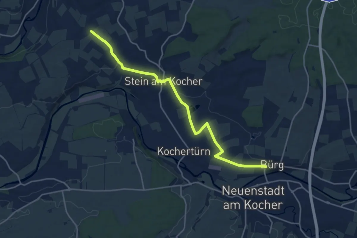
Medium · Trail
Roter Punkt, Neuenstadt - Bad Friedrichshall
13.3 km · ↑ 117 m · 3 h 24 min
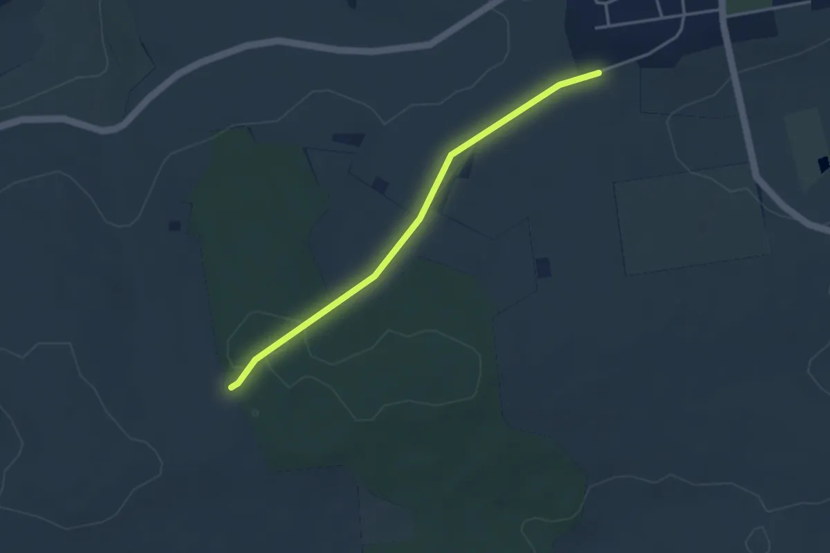
Easy · Trail
roter Punkt Nussdorf
3.1 km · ↑ 55 m · 52 min
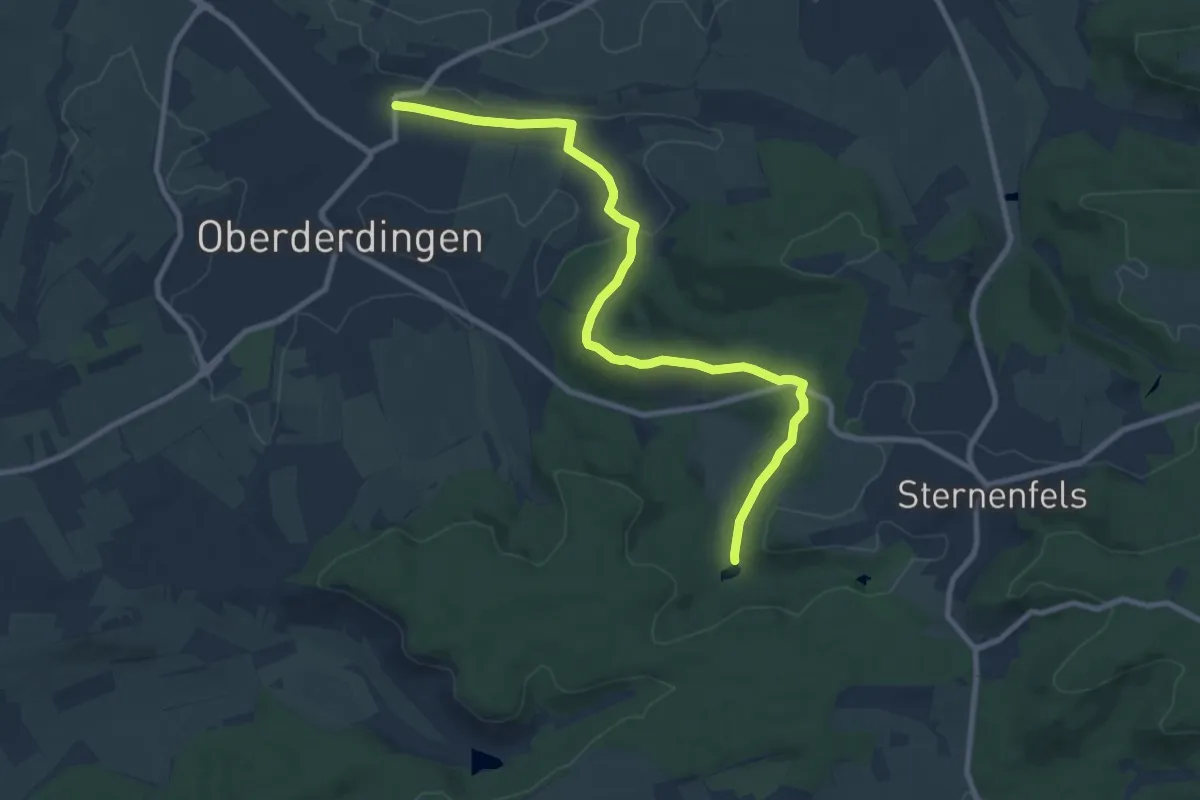
Medium · Trail
roter Punkt Oberderdingen - Kraichsee
9.6 km · ↑ 195 m · 2 h 41 min