Trails in Germany
36,852 hiking trails, each with its route, climb, walking time and grade.
All trails, page 464 of 768
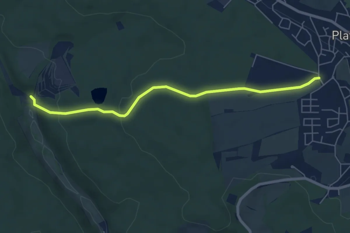
Easy · Trail
Roter Punkt, Plattenhardt - Kochenmühle
5.0 km · ↑ 115 m · 1 h 26 min
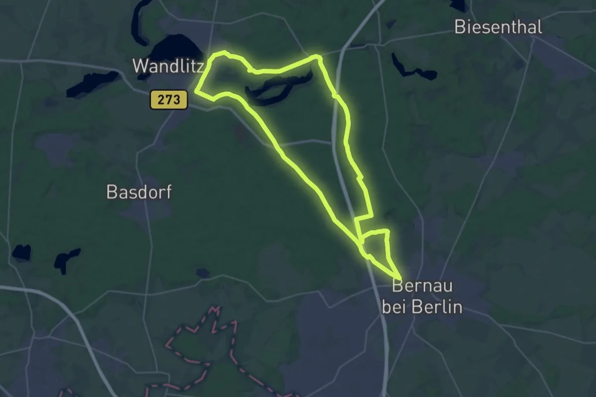
Demanding · Trail
Roter Punkt Rundweg Bernau - Liepnitzsee
27.2 km · ↑ 122 m · 7 h 3 min
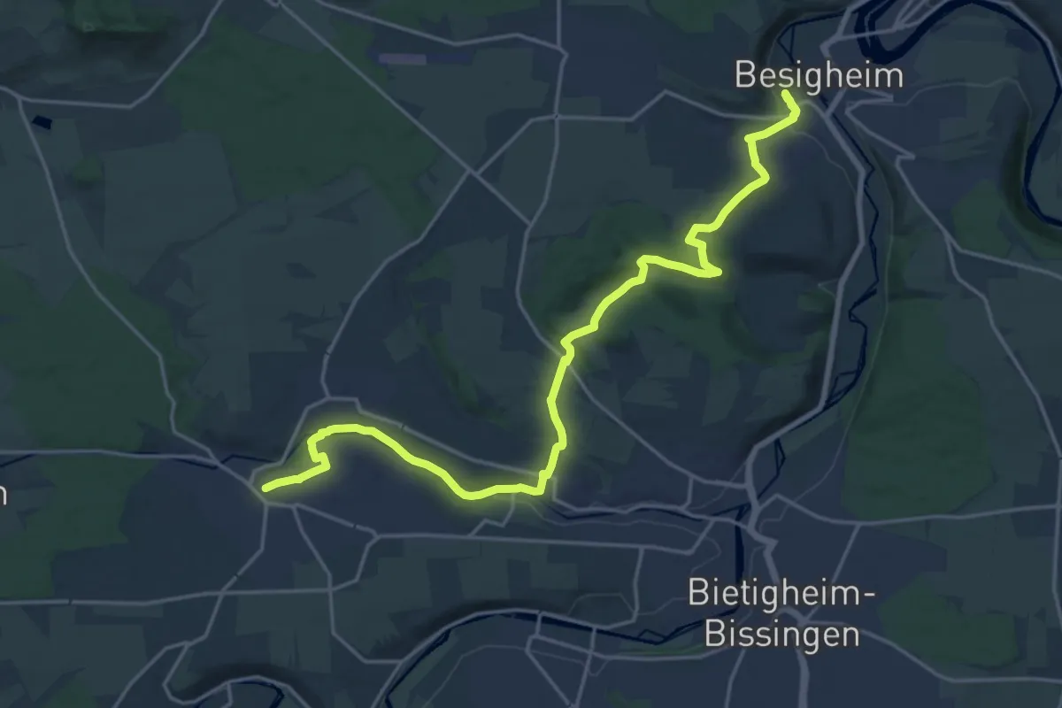
Demanding · Trail
Roter Punkt Sachsenheim - Besigheim
21.7 km · ↑ 366 m · 5 h 55 min
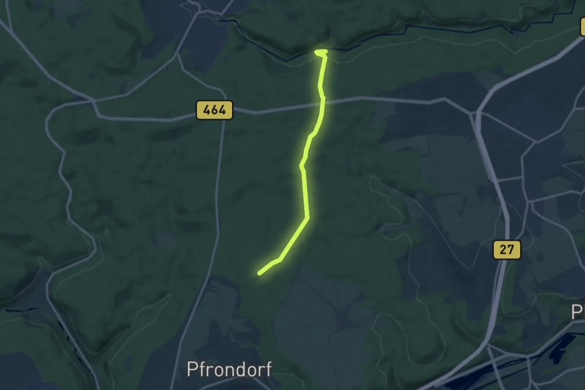
Medium · Trail
roter Punkt Schaichtal - Einsiedel
9.5 km · ↑ 254 m · 2 h 48 min
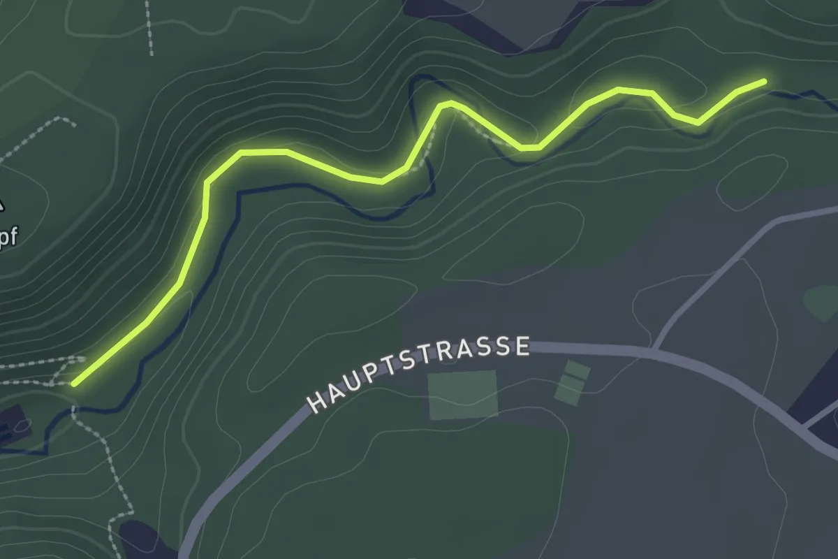
Easy · Trail
roter Punkt Schenkenbach - Harthausen
2.7 km · ↑ 86 m · 50 min
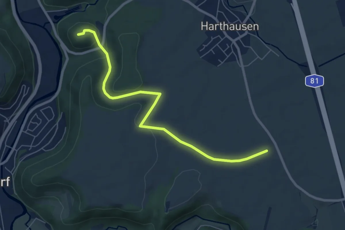
Easy · Trail
roter Punkt Schenkenburg
6.4 km · ↑ 133 m · 1 h 48 min
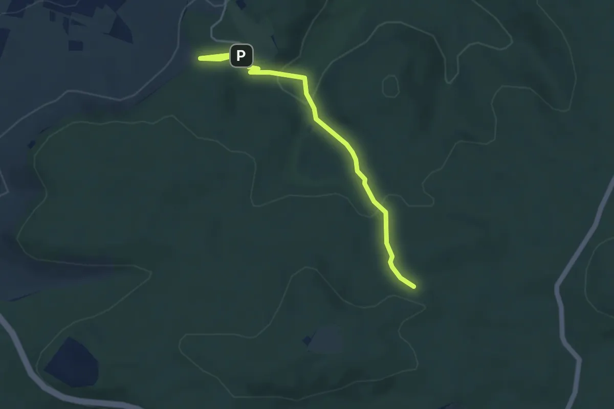
Medium · Trail
Roter Punkt, Schozach - Wartberg
3.8 km · ↑ 120 m · 1 h 10 min
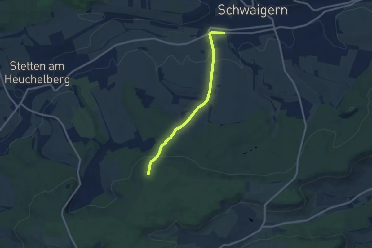
Easy · Trail
roter Punkt Schwaigern - HW8
5.9 km · ↑ 145 m · 1 h 42 min
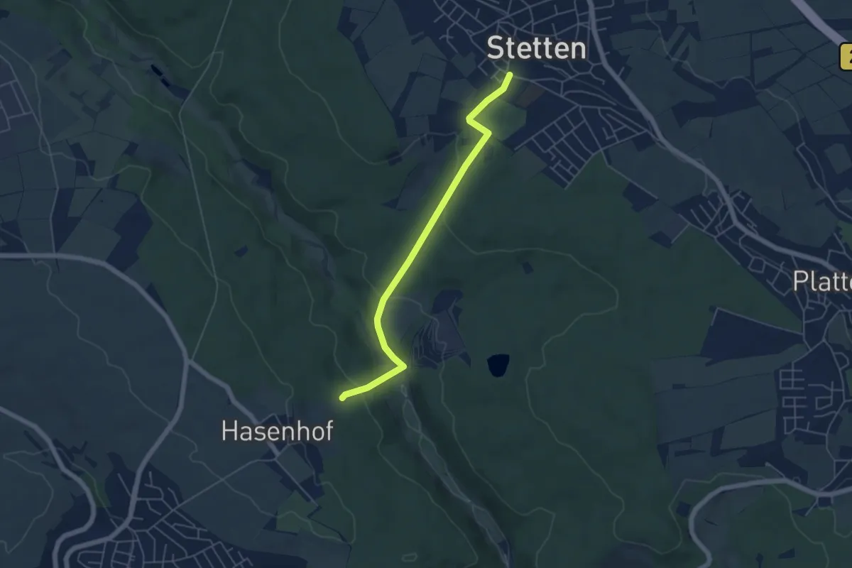
Easy · Trail
roter Punkt - Stetten - Neuenhaus- Hasenhof
4.9 km · ↑ 162 m · 1 h 30 min
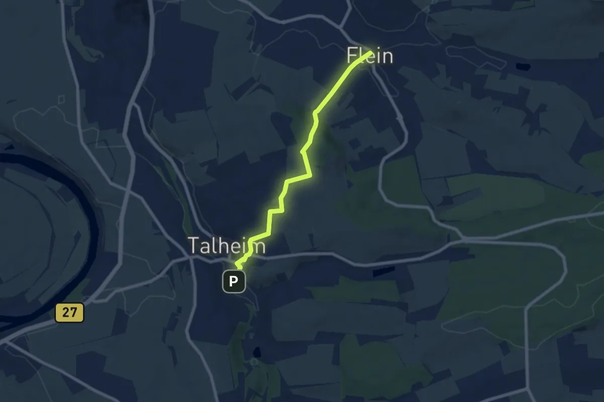
Easy · Trail
Roter Punkt, Talheim - Flein
5.9 km · ↑ 178 m · 1 h 46 min
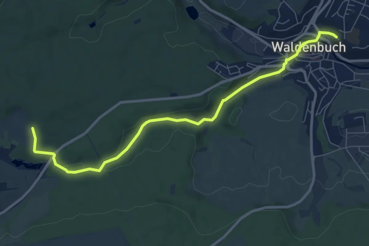
Easy · Trail
roter Punkt Totenbachmühle - Waldenbuch
7.2 km · ↑ 110 m · 1 h 57 min
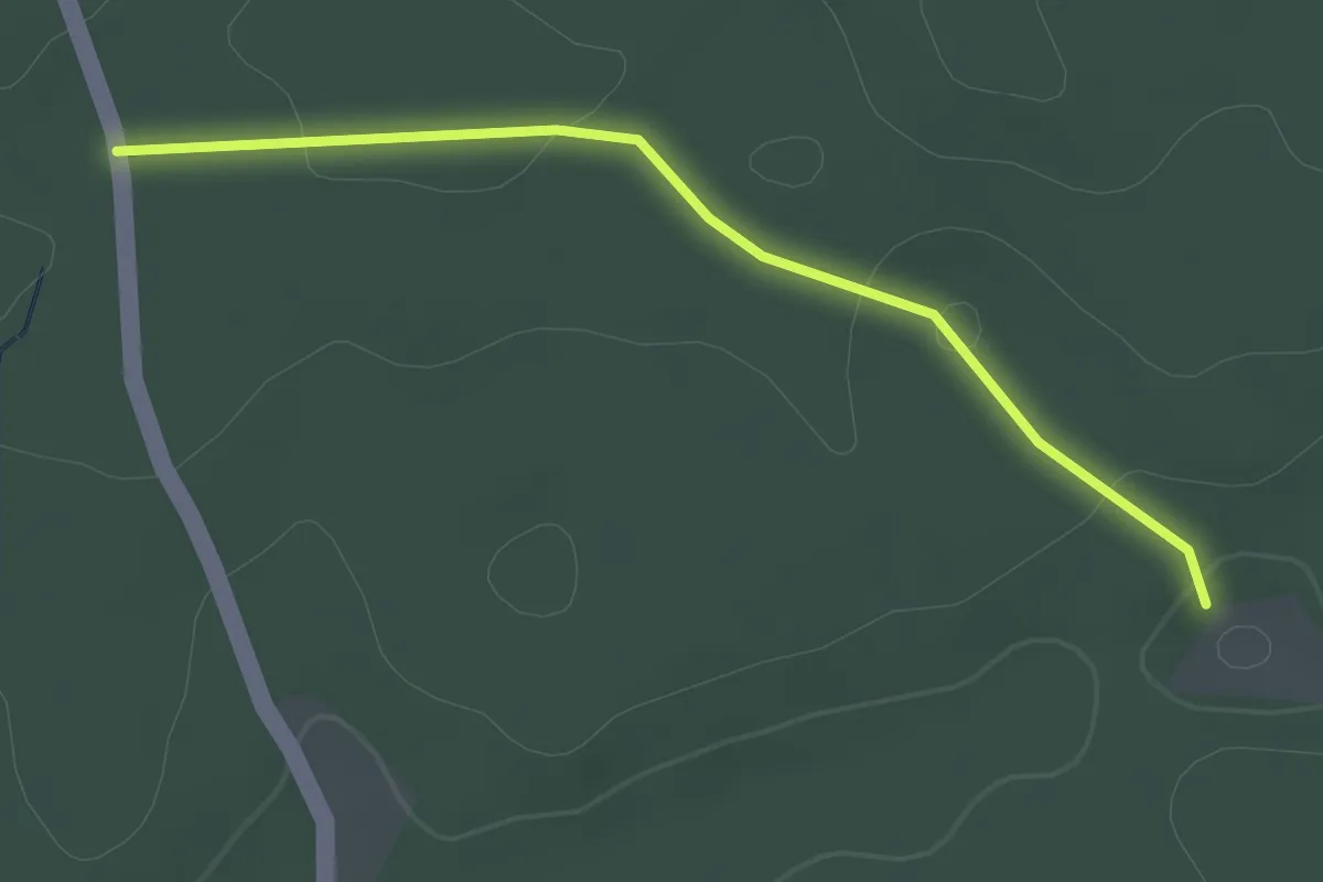
Easy · Trail
roter Punkt Trinkstubenweg
2.0 km · ↑ 35 m · 33 min
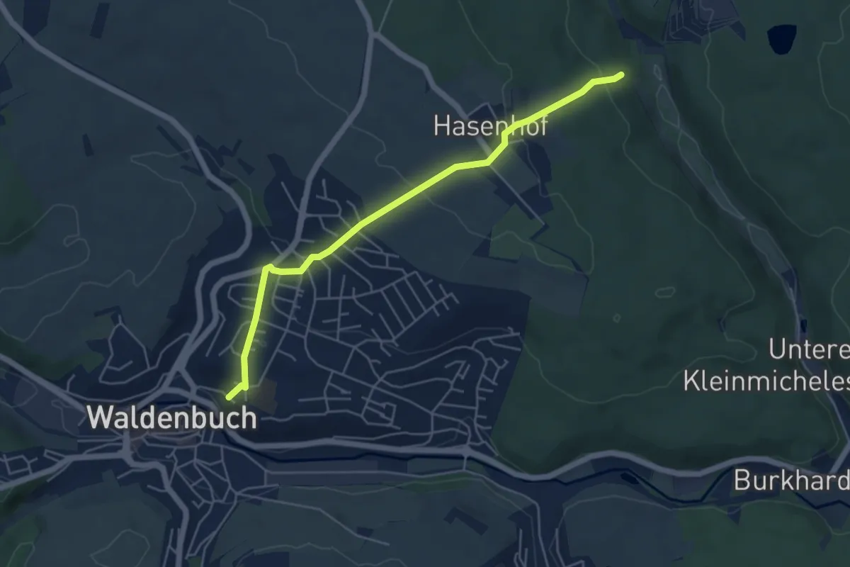
Easy · Trail
roter Punkt Waldenbuch - Hasenhof
4.9 km · ↑ 158 m · 1 h 30 min
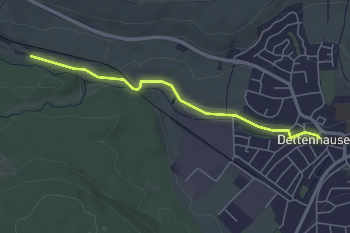
Easy · Trail
roter Punkt Weil im Schönbuch - Dettenhausen
3.8 km · ↑ 24 m · 56 min
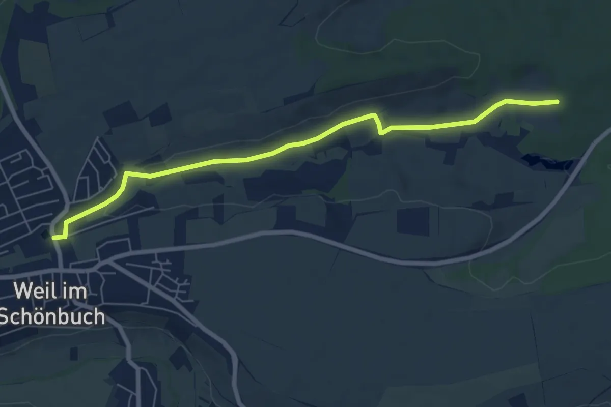
Easy · Trail
roter Punkt Weil im Schönbuch - Totenbachmühle
6.1 km · ↑ 70 m · 1 h 35 min
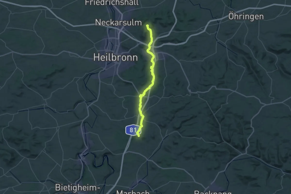
Demanding · Trail
roter Punkt Winzerhausen - Weinsberg
23.0 km · ↑ 338 m · 6 h 27 min
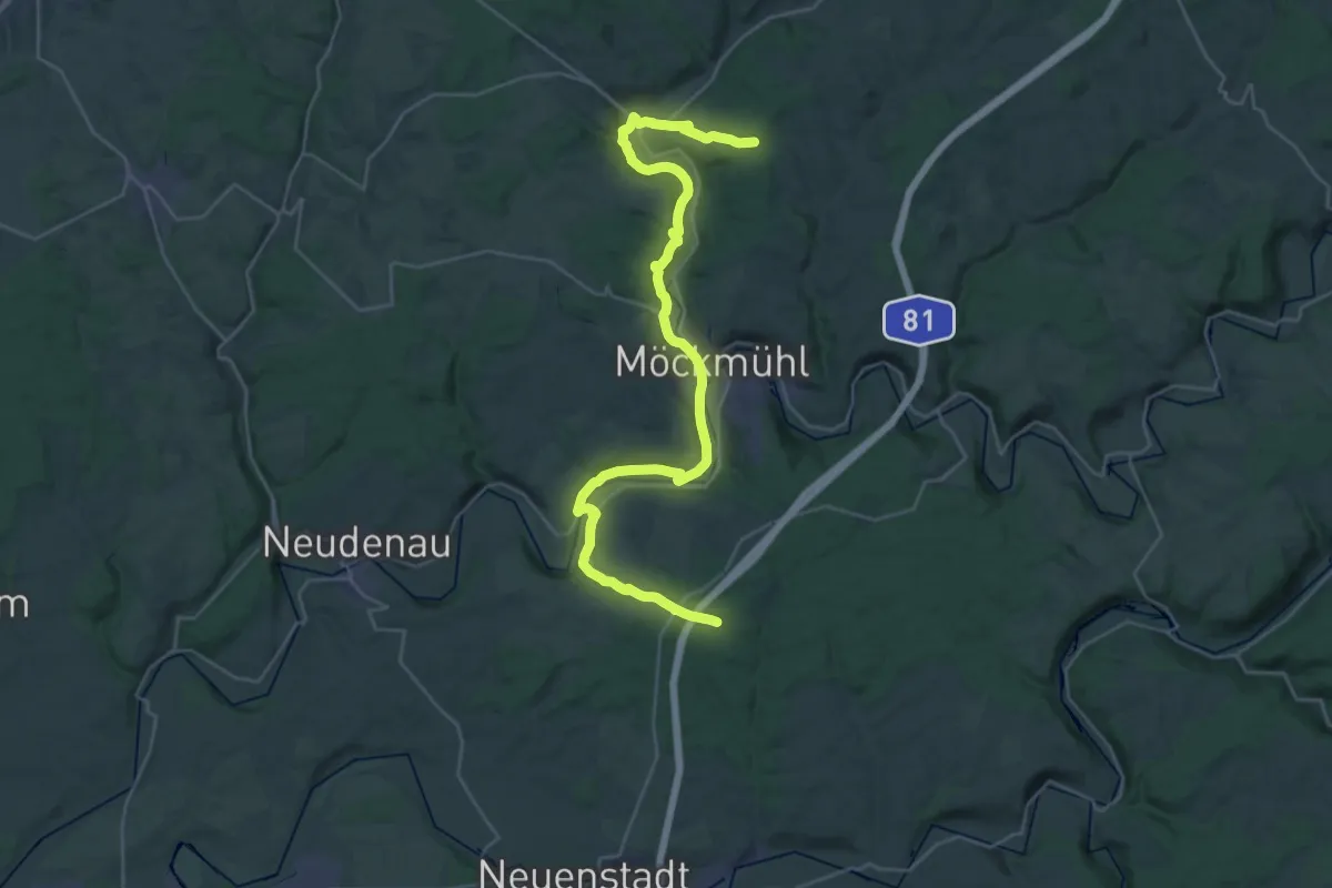
Medium · Trail
Roter Punkt, Züttlingen - Möckmühl - Roigheim
17.6 km · ↑ 324 m · 5 h 4 min
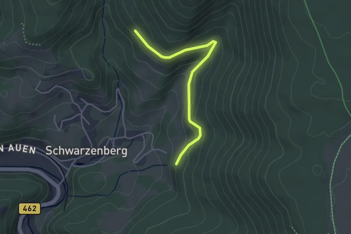
Easy · Trail
Roter Rain - Eichäcker
3.3 km · ↑ 177 m · 1 h 9 min
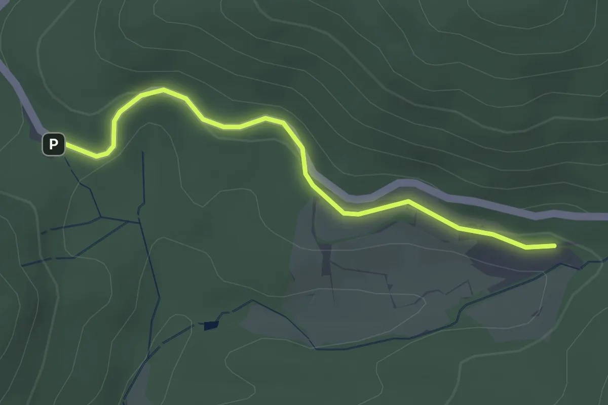
Easy · Trail
Roter Rain - Glashütte St. Christoph
2.7 km · ↑ 87 m · 49 min
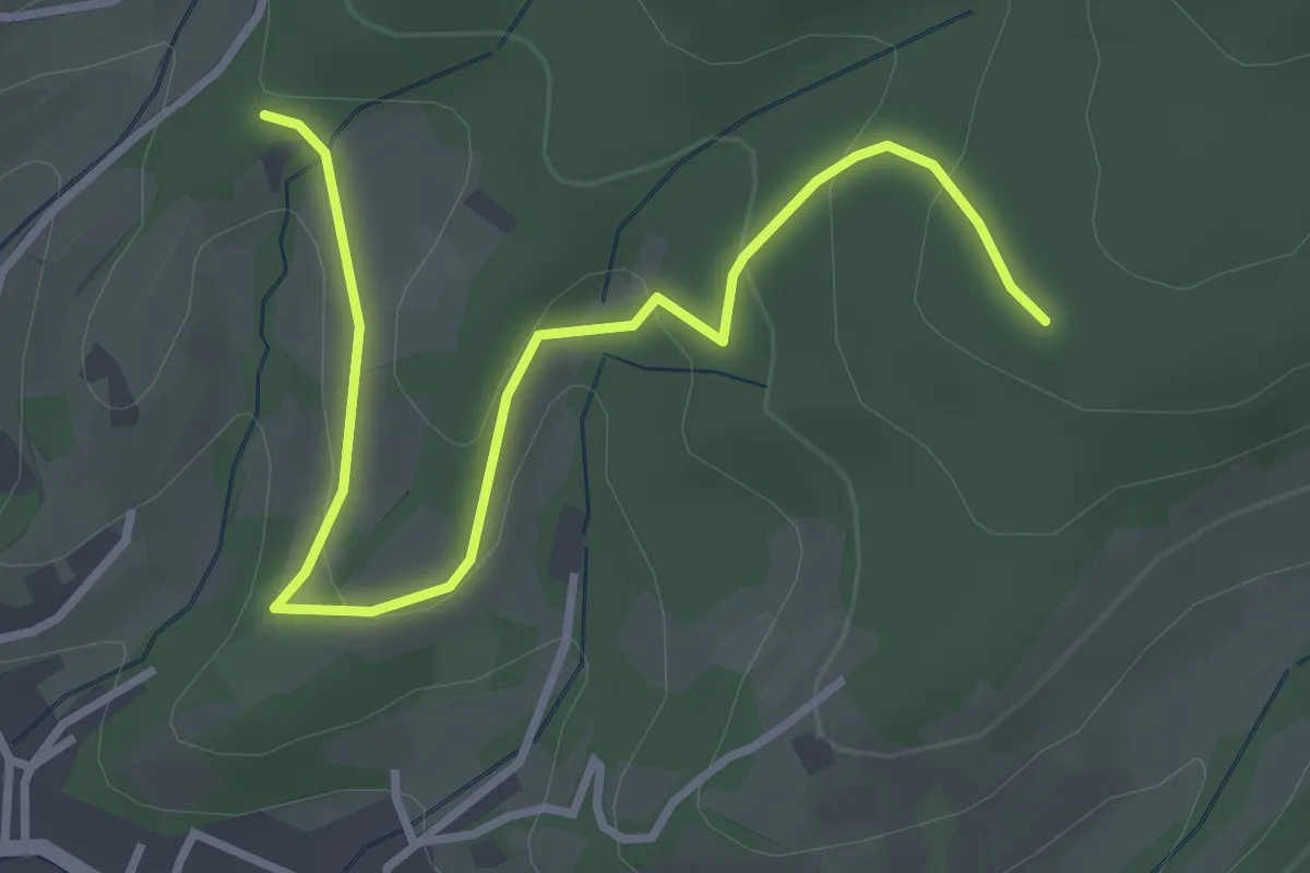
Easy · Trail
Roter Rain - Heuberg
3.6 km · ↑ 130 m · 1 h 7 min
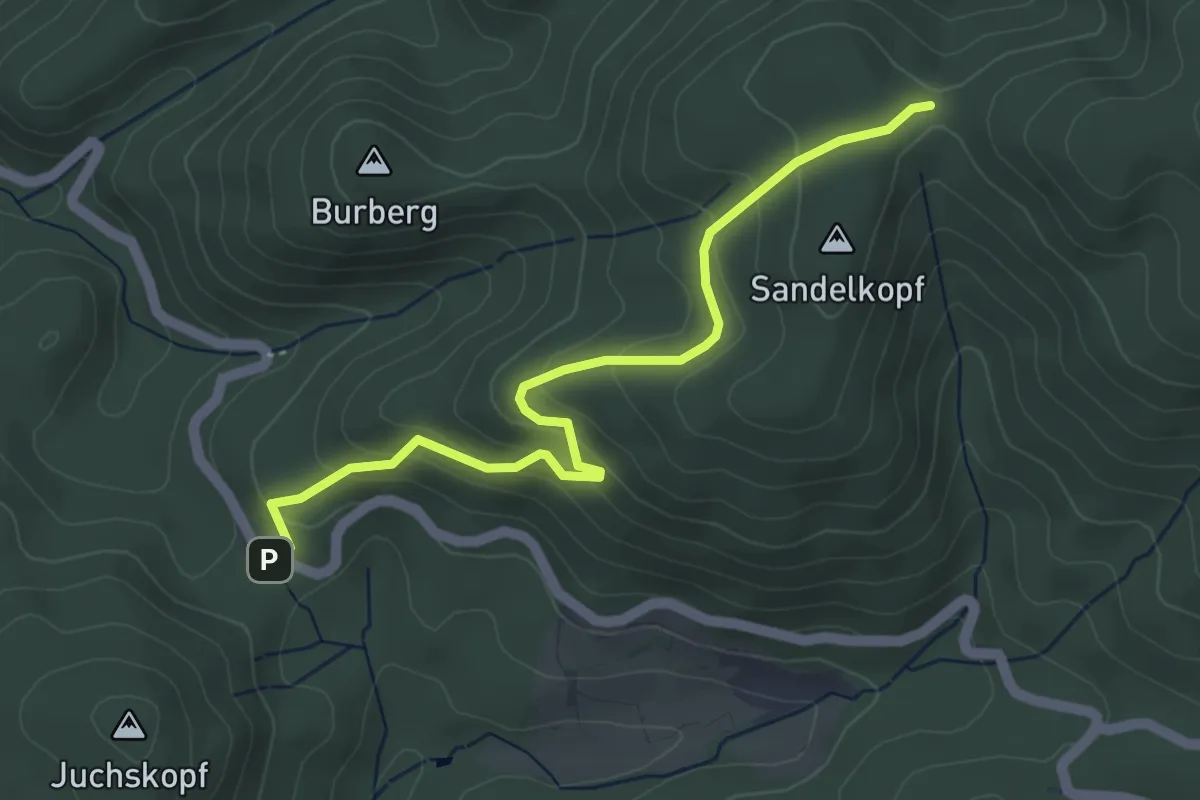
Easy · Trail
Roter Rain - Rehhütte
4.5 km · ↑ 252 m · 1 h 36 min
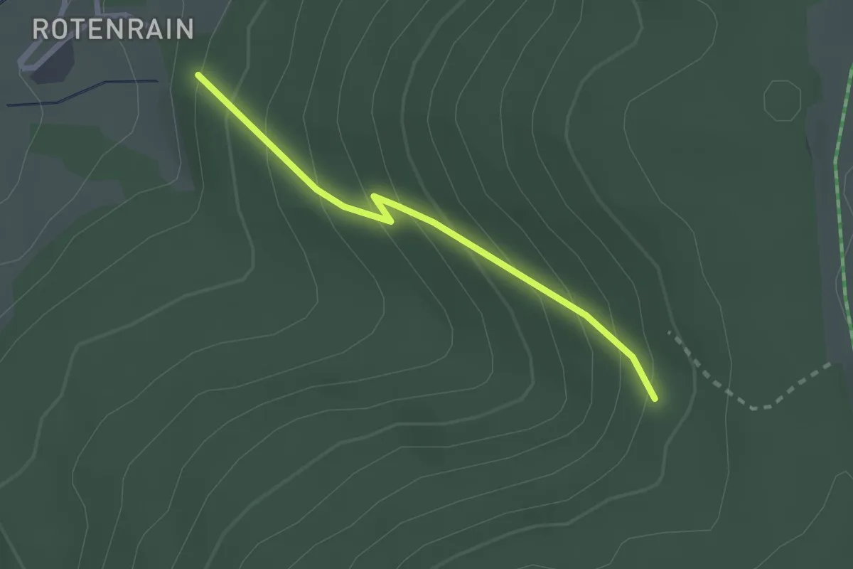
Easy · Trail
Roter Rain - Steigbergwegle
2.1 km · ↑ 215 m · 57 min
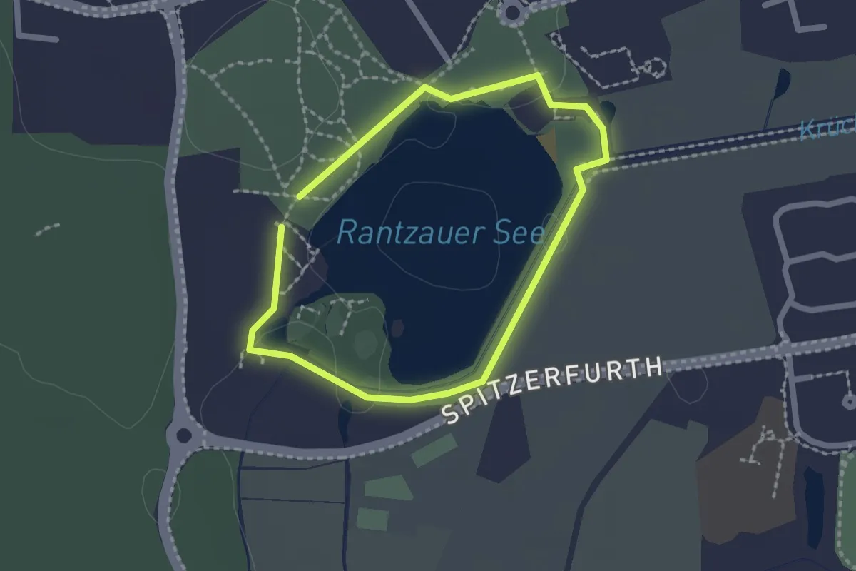
Easy · Trail
Roter Rundweg
1.4 km · ↑ 4 m · 21 min
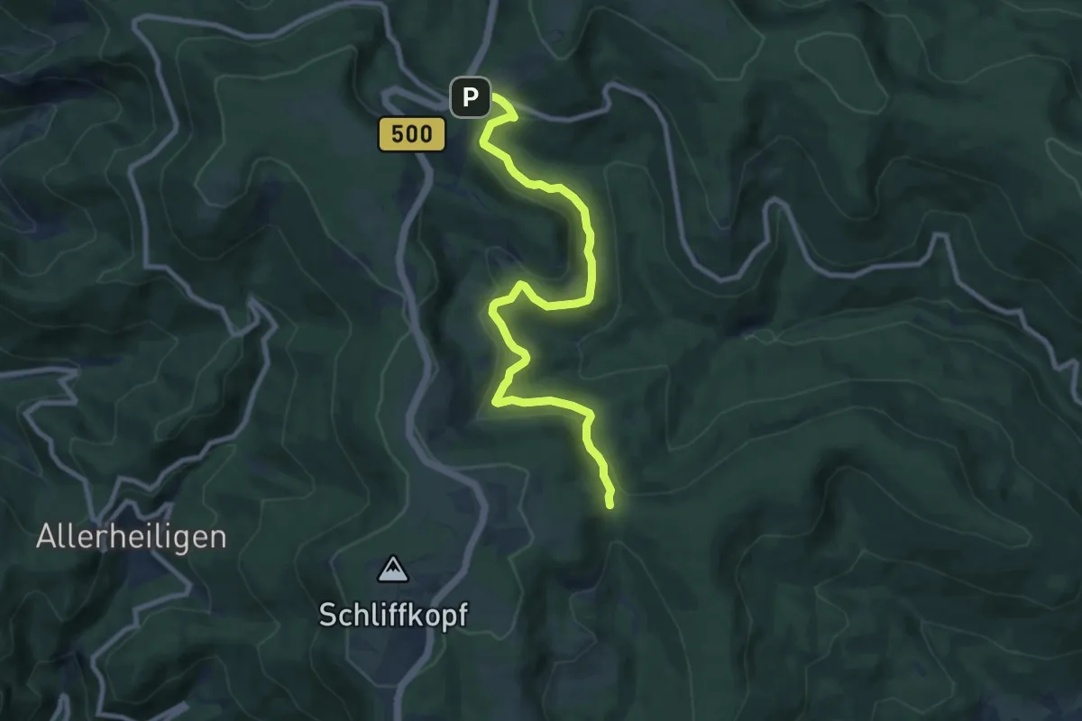
Medium · Trail
Roter Schliff - Ruhestein Parkplatz
9.1 km · ↑ 311 m · 2 h 49 min
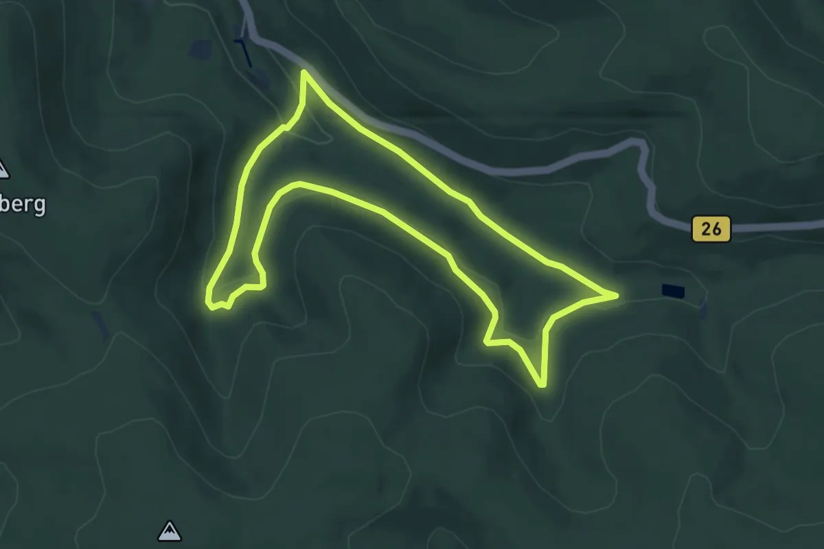
Easy · Trail
Roter Schmetterling, Rundwandeerweg Hain Seebachtal
5.3 km · ↑ 128 m · 1 h 36 min
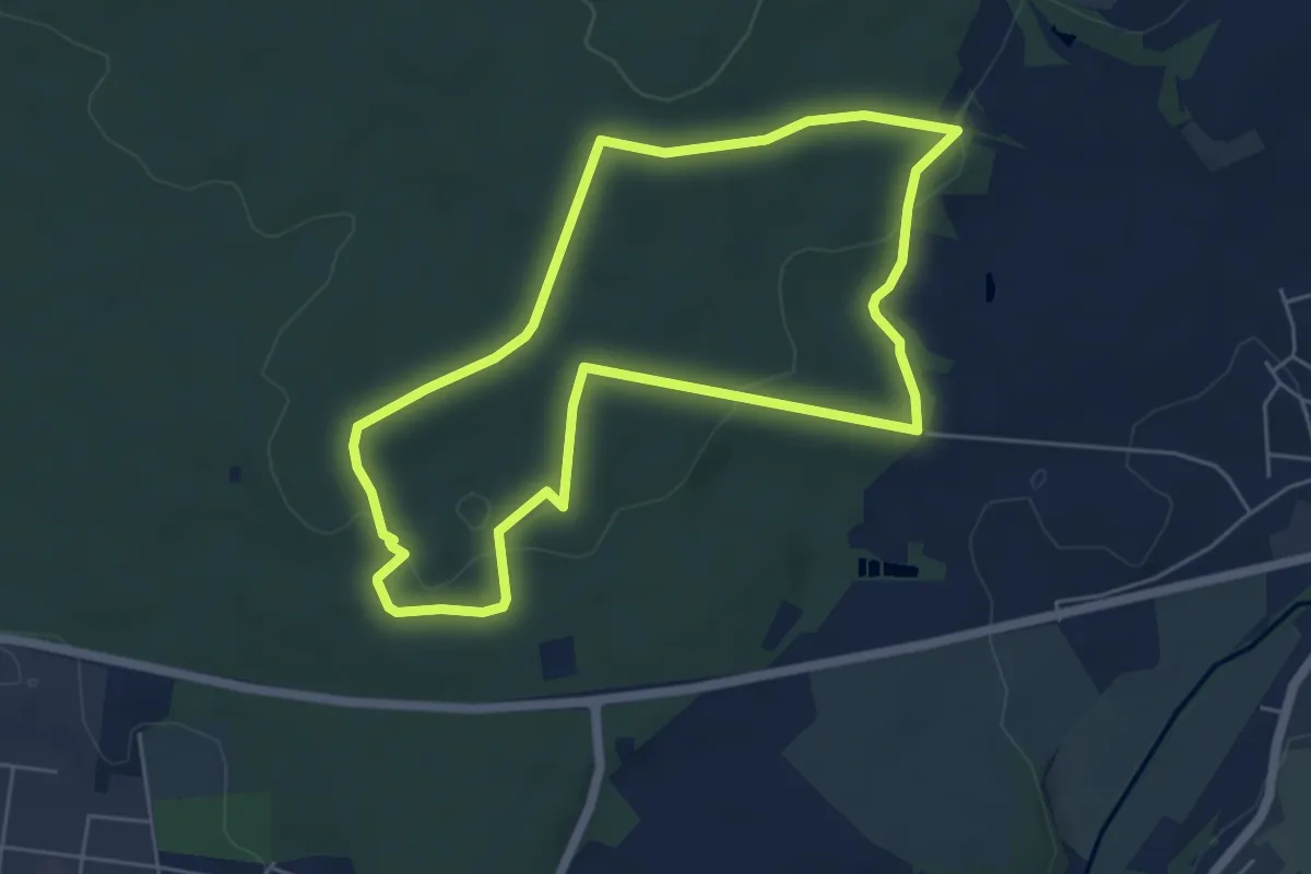
Easy · Trail
Roter Schmetterling, Rundwanderweg Alzenau - Wanderparkplatz Mühlmark
5.1 km · ↑ 93 m · 1 h 28 min
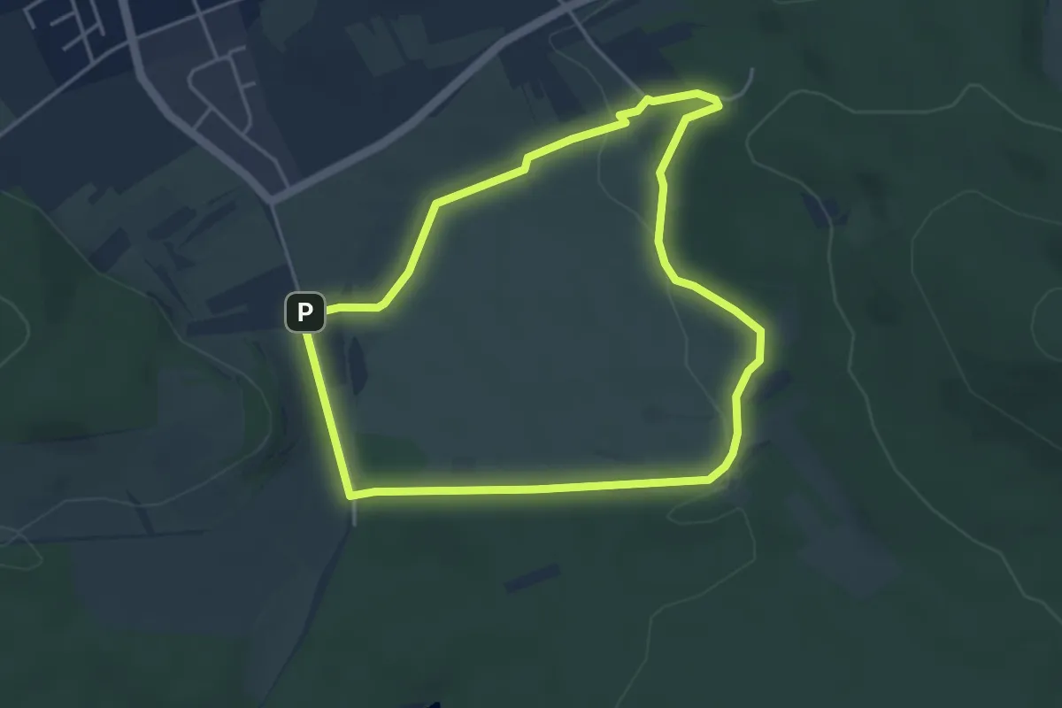
Easy · Summit
Roter Schmetterling, Rundwanderweg Aschaffenburg- Schweinheim ehem. StOÜp
3.6 km · ↑ 66 m · 1 h 3 min
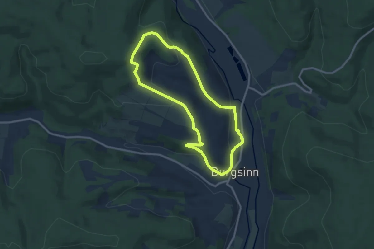
Easy · Trail
Roter Schmetterling, Rundwanderweg Burgsinn
6.0 km · ↑ 189 m · 1 h 55 min
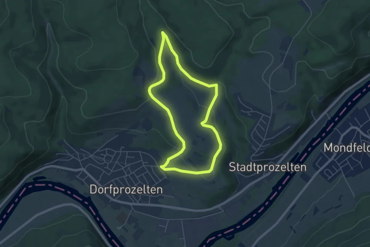
Easy · Trail
Roter Schmetterling, Rundwanderweg Dorfprozelten
4.4 km · ↑ 145 m · 1 h 25 min
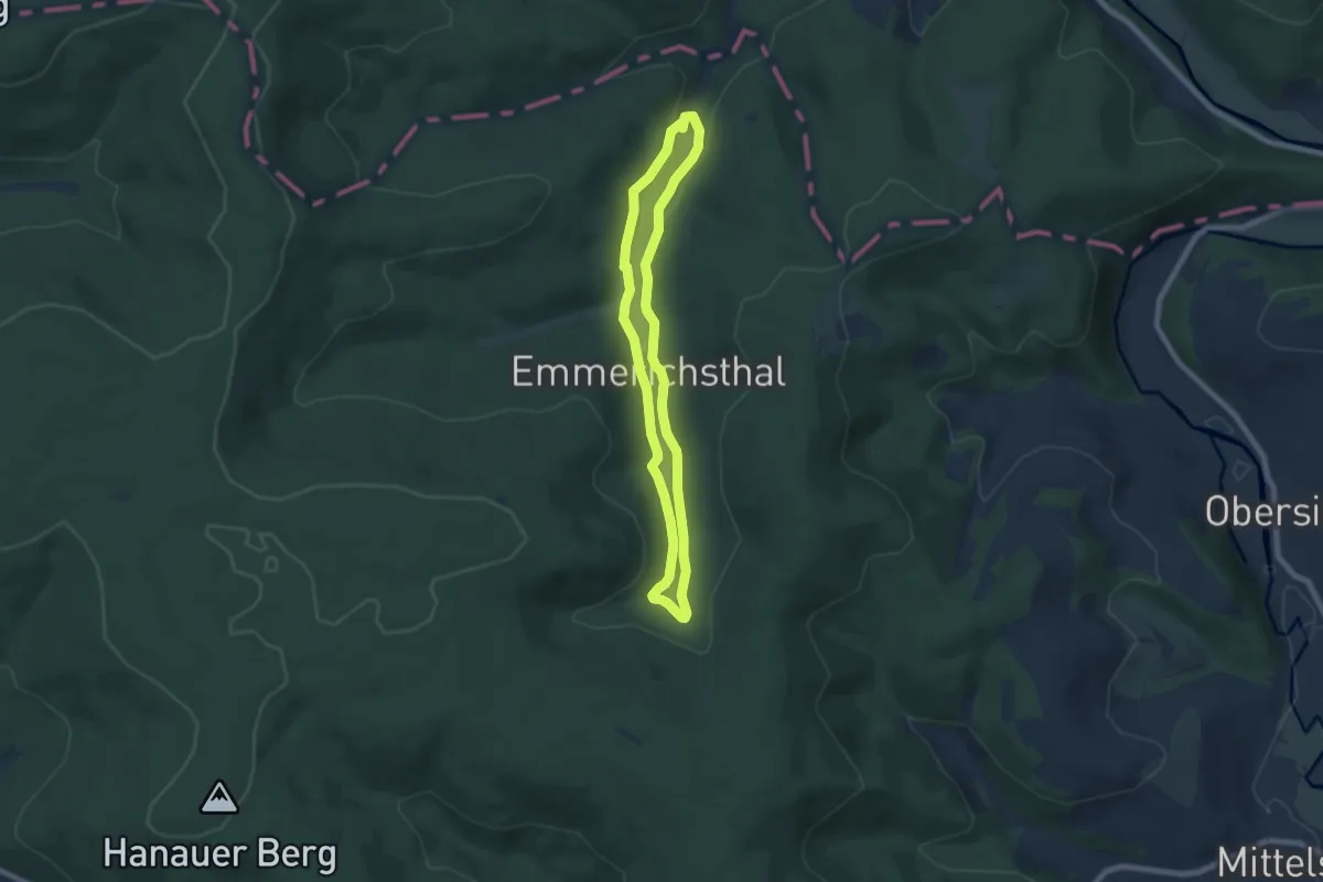
Easy · Trail
Roter Schmetterling, Rundwanderweg Emmerichsthal
6.0 km · ↑ 107 m · 1 h 44 min
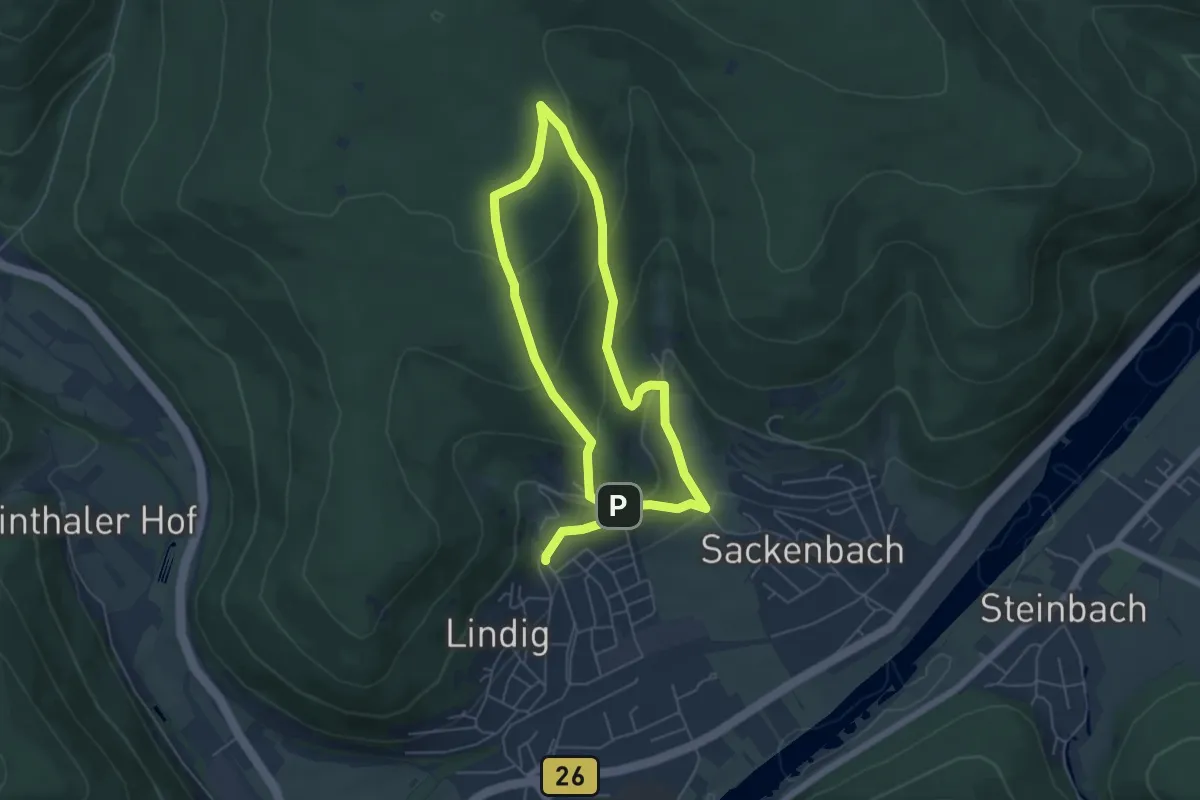
Easy · Trail
Roter Schmetterling, Rundwanderweg Franziskushöhe
4.5 km · ↑ 210 m · 1 h 35 min
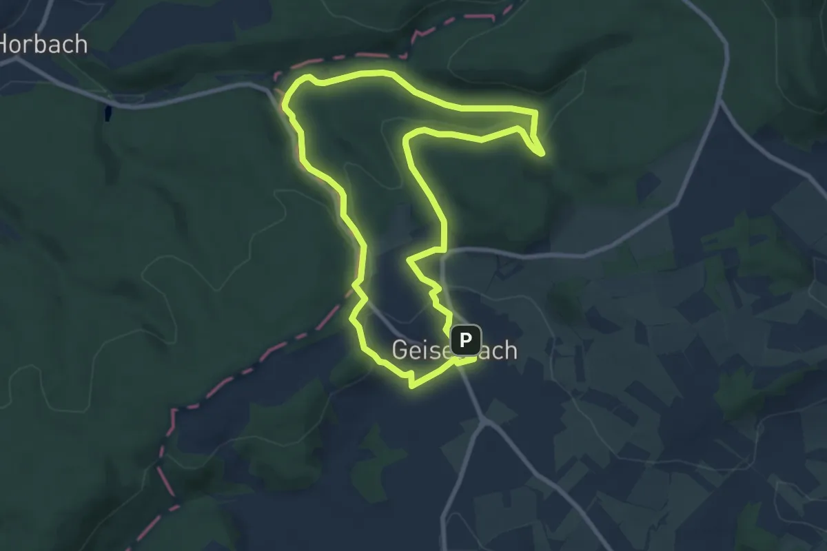
Easy · Trail
Roter Schmetterling, Rundwanderweg Geiselbach
7.4 km · ↑ 163 m · 2 h 13 min
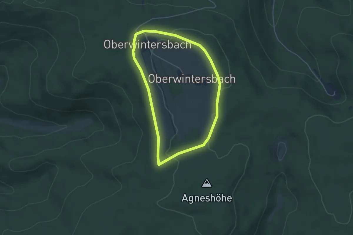
Easy · Trail
Roter Schmetterling, Rundwanderweg Geishöhe
3.4 km · ↑ 41 m · 57 min
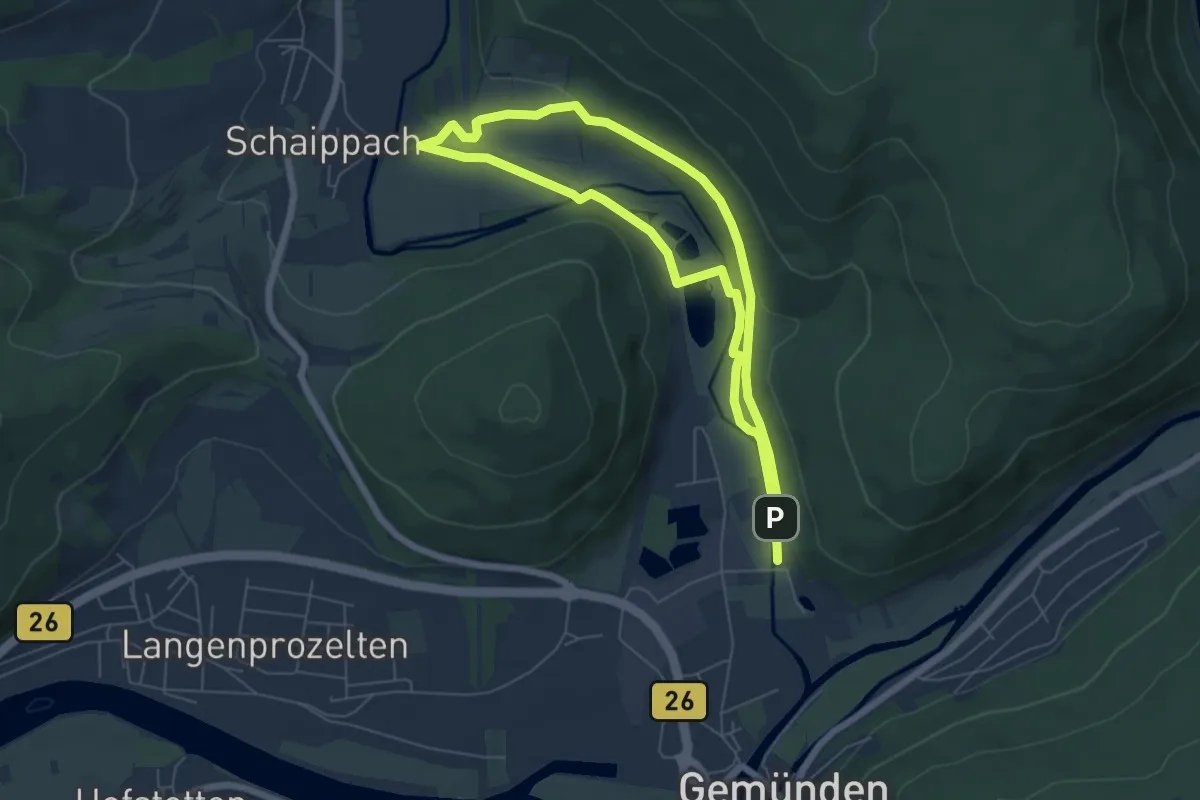
Easy · Trail
Roter Schmetterling, Rundwanderweg Gemünden - Schaippach
5.1 km · ↑ 72 m · 1 h 27 min
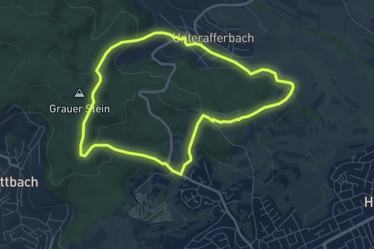
Easy · Summit
Roter Schmetterling, Rundwanderweg Goldbach (Waldschwimmbad)
6.2 km · ↑ 197 m · 1 h 58 min
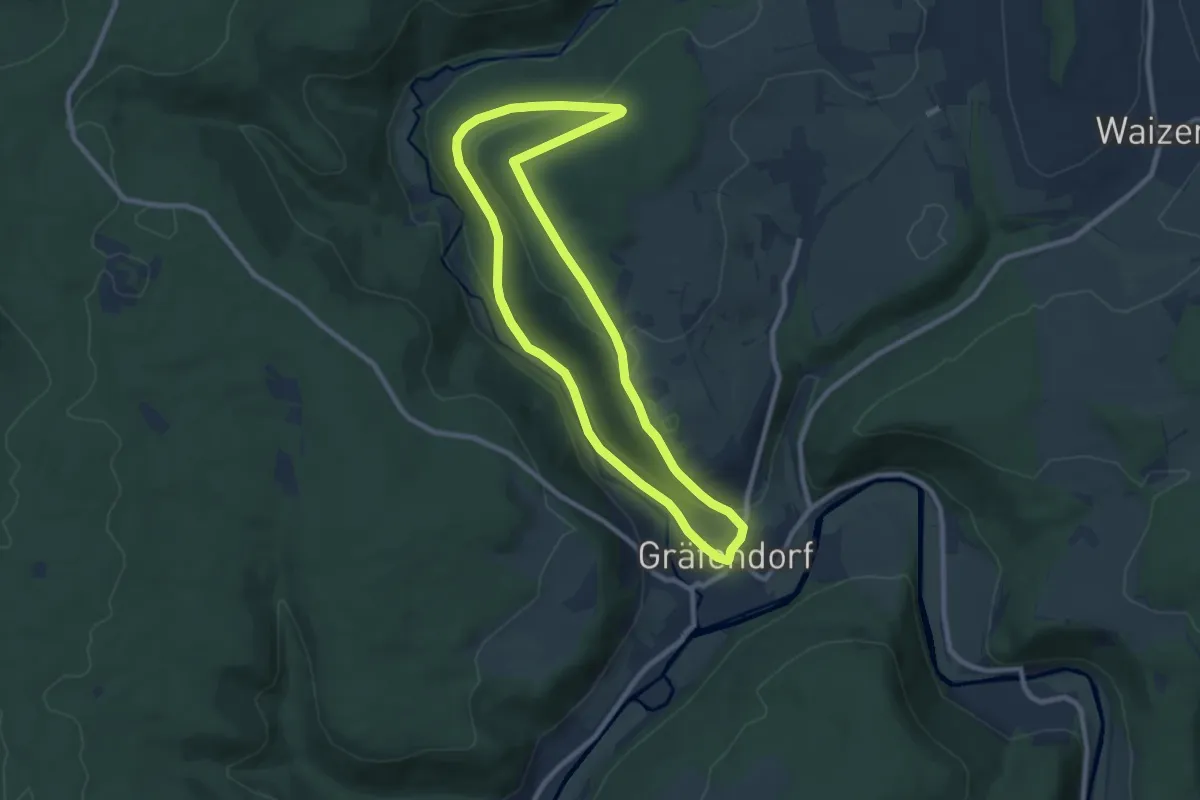
Medium · Trail
Roter Schmetterling, Rundwanderweg Gräfendorf
8.0 km · ↑ 178 m · 2 h 23 min
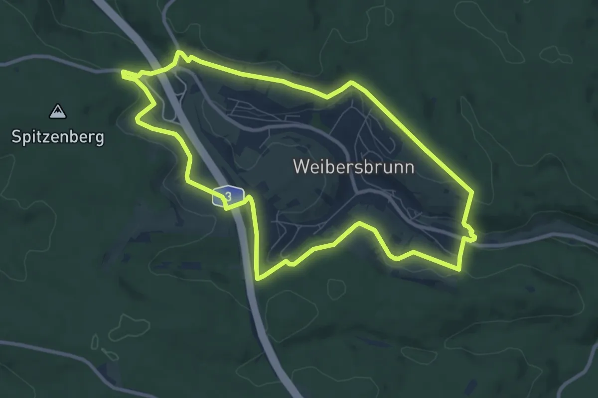
Easy · Trail
Roter Schmetterling, Rundwanderweg Heigenbrücken
7.8 km · ↑ 177 m · 2 h 20 min
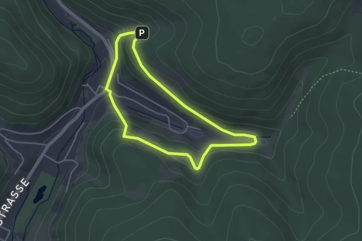
Easy · Trail
Roter Schmetterling, Rundwanderweg Heimbuchenthal
2.8 km · ↑ 92 m · 54 min
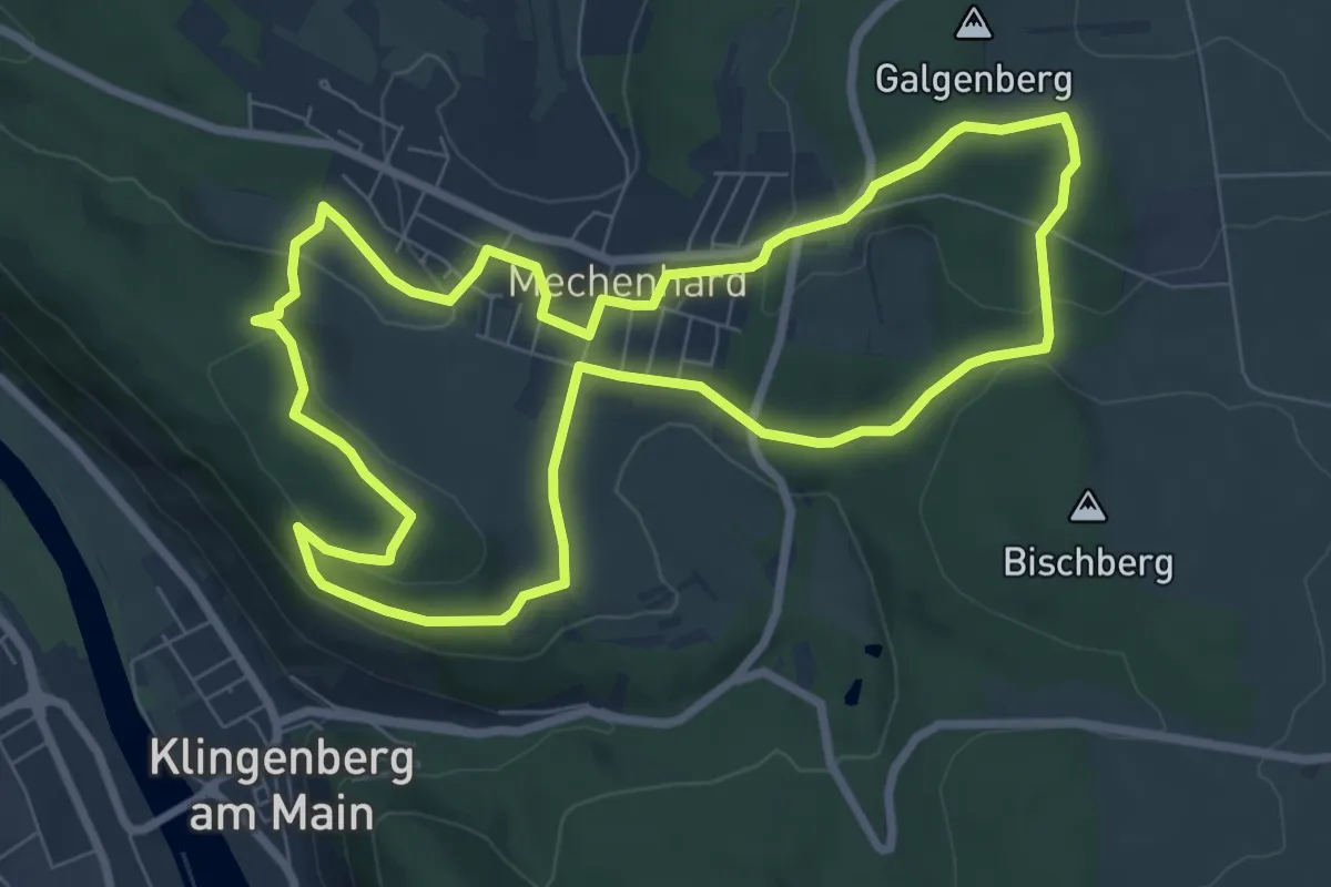
Easy · Trail
Roter Schmetterling, Rundwanderweg Mechenhard
7.5 km · ↑ 164 m · 2 h 14 min
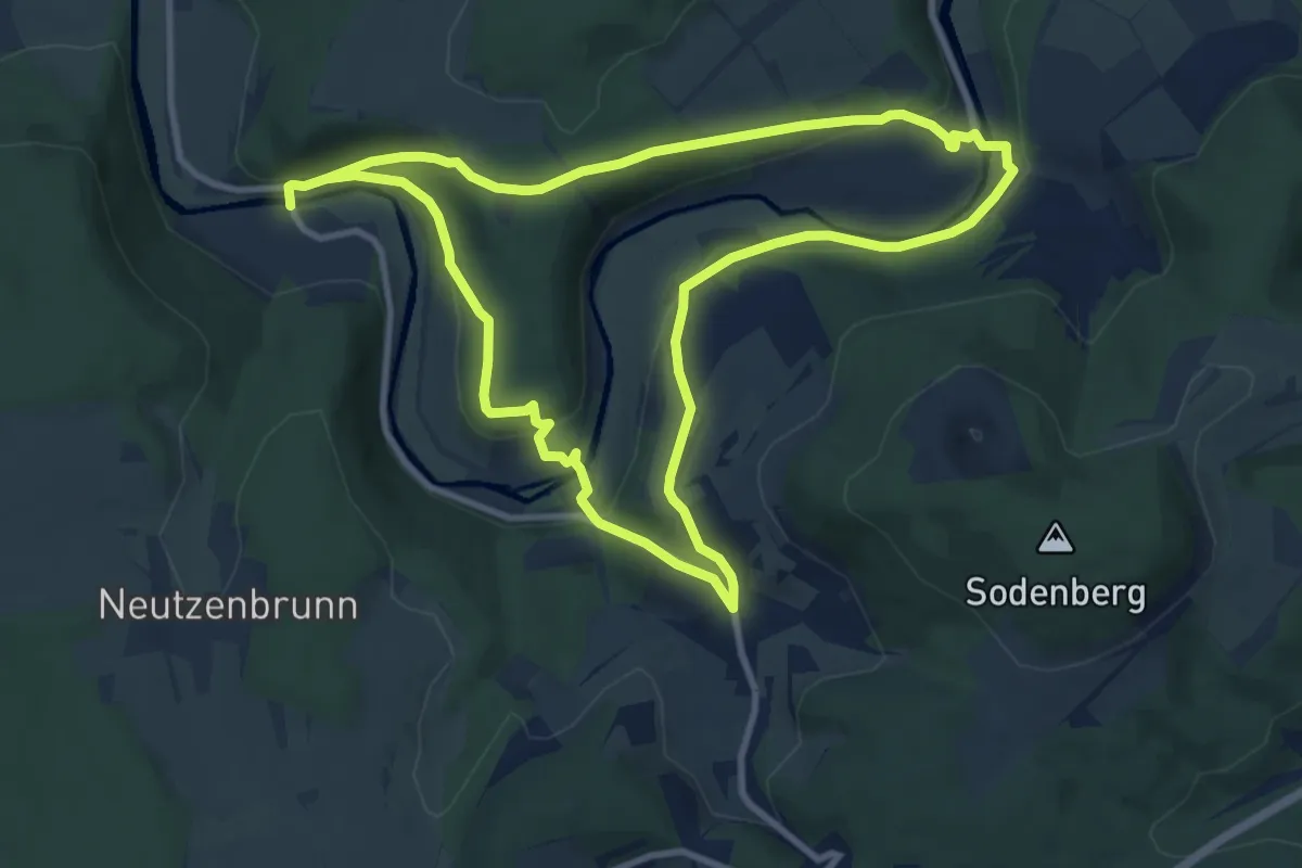
Medium · Trail
Roter Schmetterling Rundwanderweg Michelau
9.1 km · ↑ 238 m · 2 h 49 min
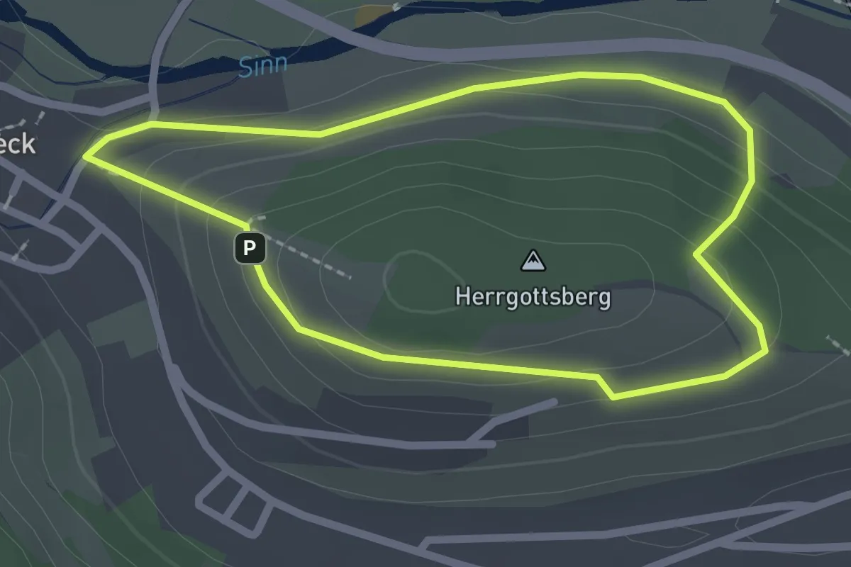
Easy · Summit
Roter Schmetterling, Rundwanderweg Rieneck
1.8 km · ↑ 72 m · 37 min
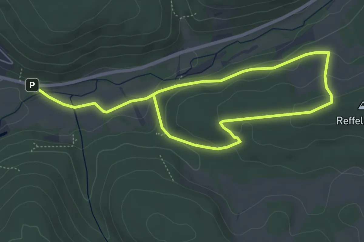
Easy · Trail
Roter Schmetterling, Rundwanderweg Röllfeld
3.8 km · ↑ 120 m · 1 h 12 min
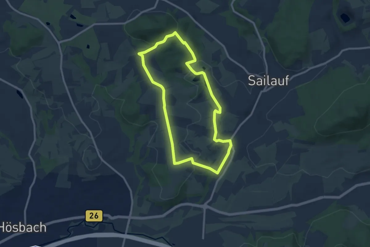
Easy · Summit
Roter Schmetterling, Rundwanderweg Sailauf
6.4 km · ↑ 160 m · 1 h 57 min
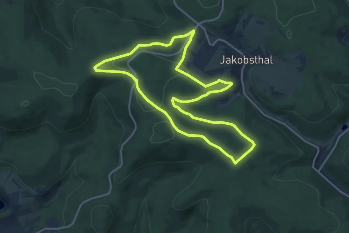
Medium · Trail
Roter Schmetterling, Rundwanderweg Sailauf
8.4 km · ↑ 160 m · 2 h 27 min
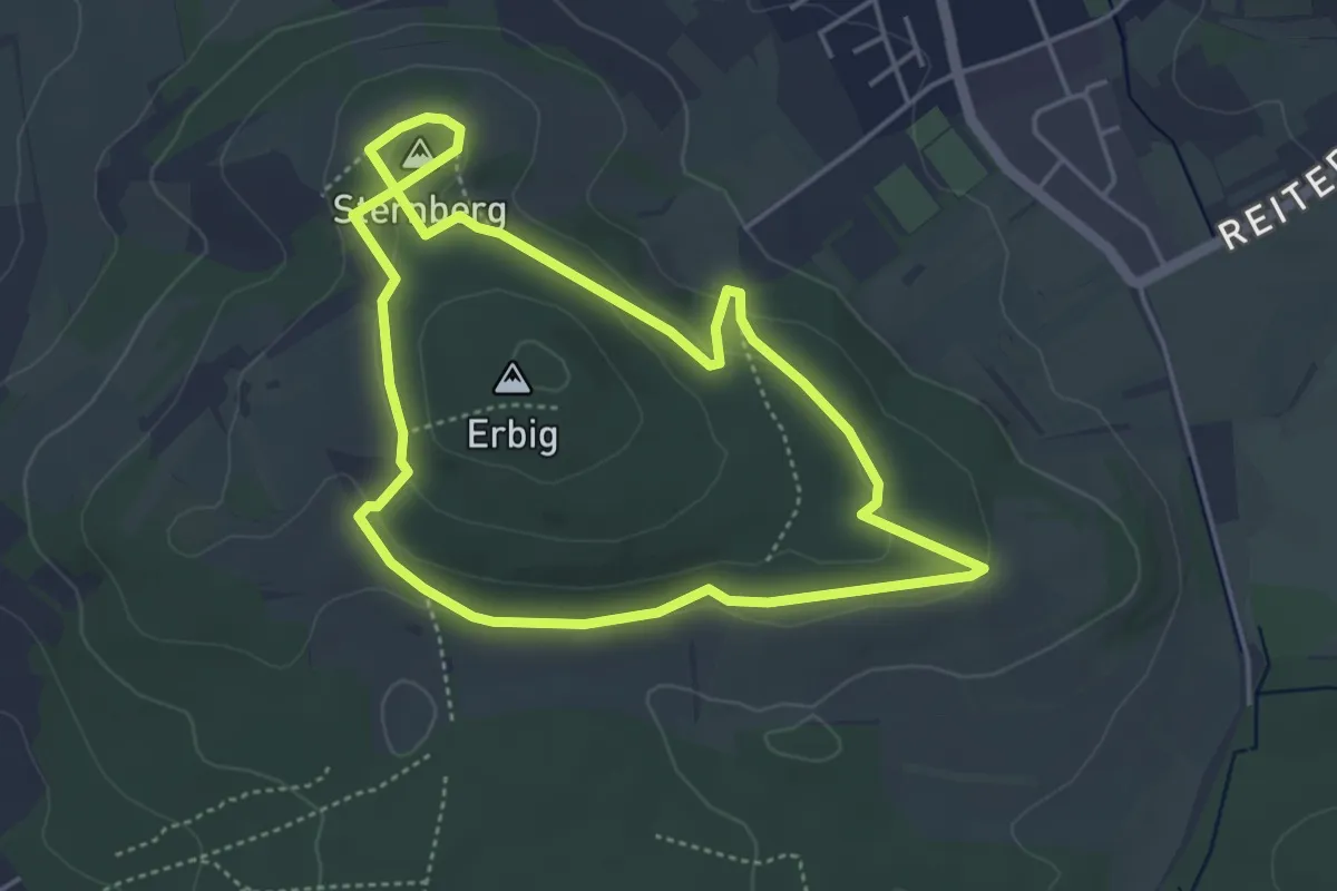
Easy · Summit
Roter Schmetterling, Rundwanderweg Schweinheim Erbig
4.0 km · ↑ 78 m · 1 h 10 min
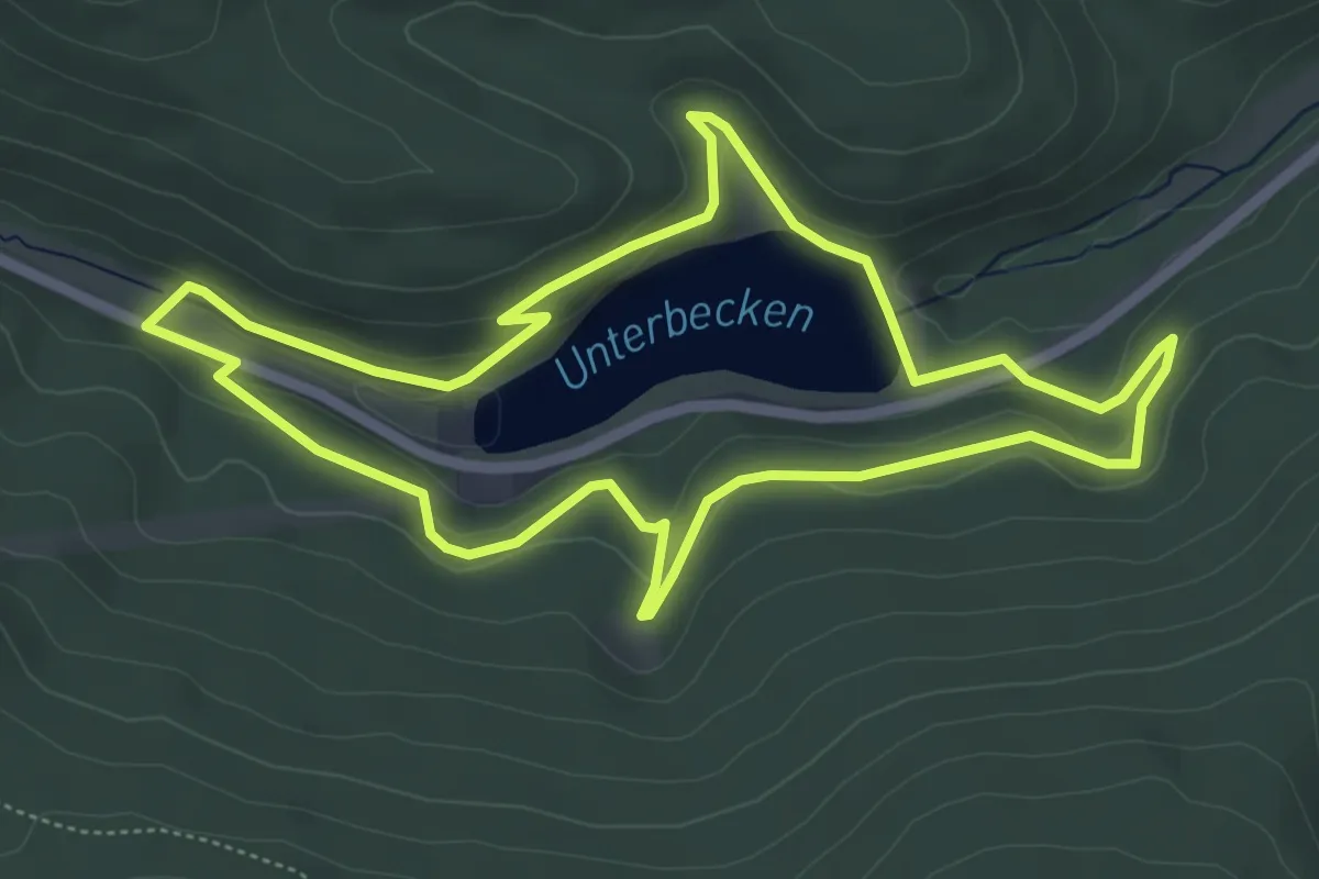
Easy · Trail
Roter Schmetterling, Rundwanderweg Sinderbachtal
5.2 km · ↑ 149 m · 1 h 38 min
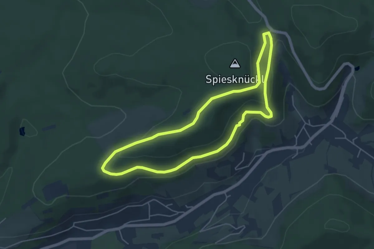
Easy · Trail
Roter Schmetterling, Rundwanderweg Soden
4.1 km · ↑ 103 m · 1 h 15 min
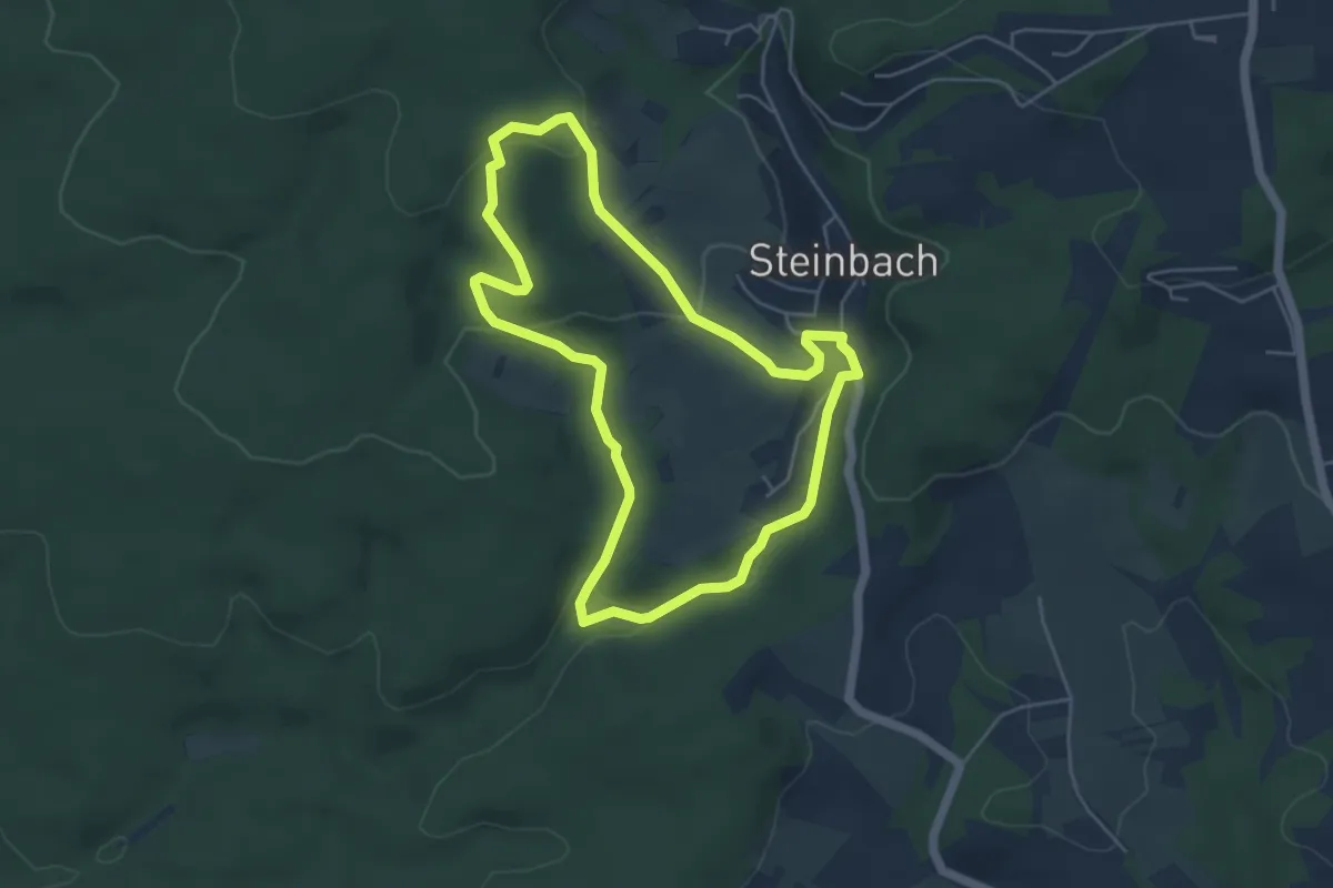
Easy · Trail
Roter Schmetterling, Rundwanderweg Steinbach
4.5 km · ↑ 111 m · 1 h 22 min