Trails in Germany
36,852 hiking trails, each with its route, climb, walking time and grade.
All trails, page 466 of 768
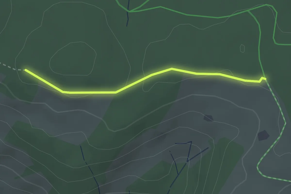
Easy · Trail
Rotes Kreuz - Bei der Vogesenkapelle
2.3 km · ↑ 9 m · 34 min
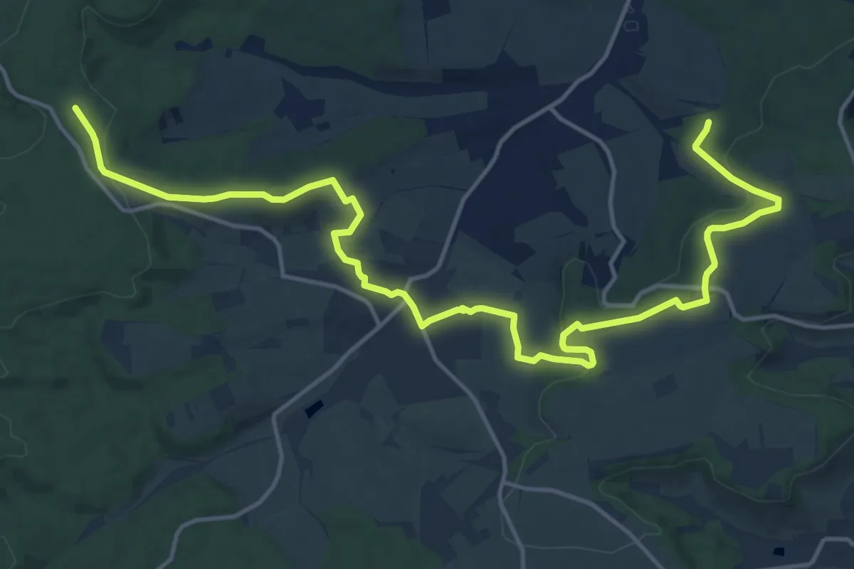
Medium · Trail
Rotes Kreuz, bei Niederhofen
17.3 km · ↑ 377 m · 4 h 54 min
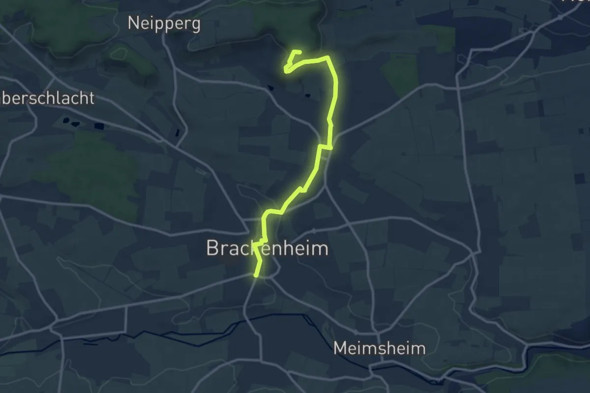
Medium · Summit
Rotes Kreuz, Brackenheim - Schwaigern
9.4 km · ↑ 185 m · 2 h 37 min
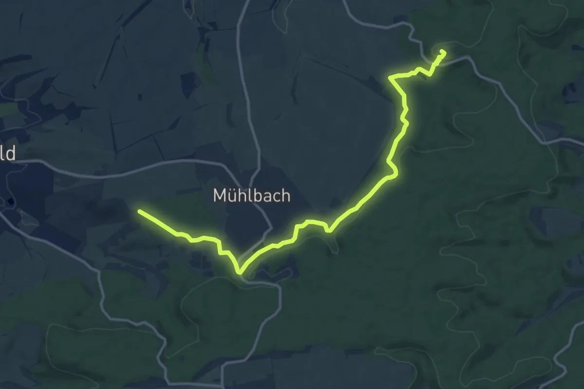
Medium · Summit
Rotes Kreuz, Eppingen - Sulzfeld
12.5 km · ↑ 272 m · 3 h 32 min
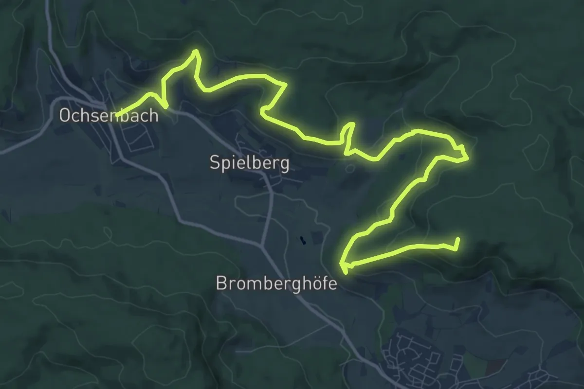
Medium · Summit
Rotes Kreuz, Freudental - Ochsenbach
14.8 km · ↑ 578 m · 4 h 45 min
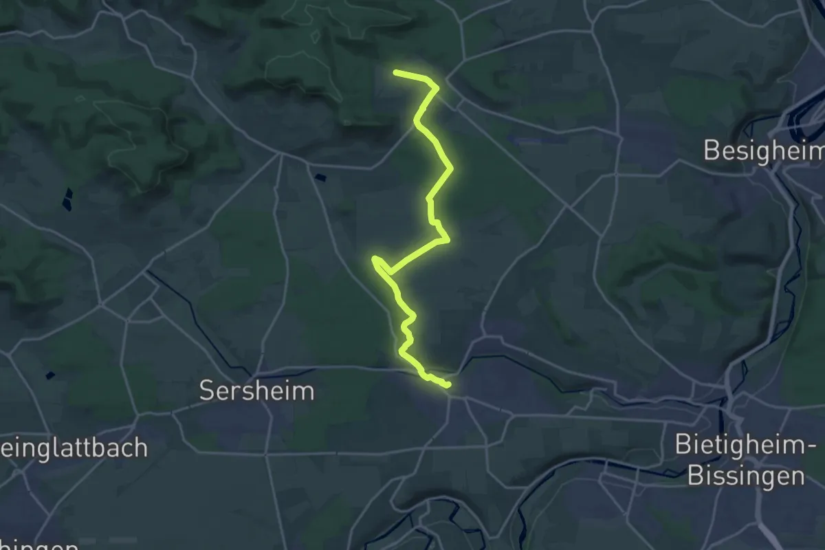
Medium · Trail
Rotes Kreuz Freudental - Sachsenheim
18.0 km · ↑ 162 m · 4 h 36 min
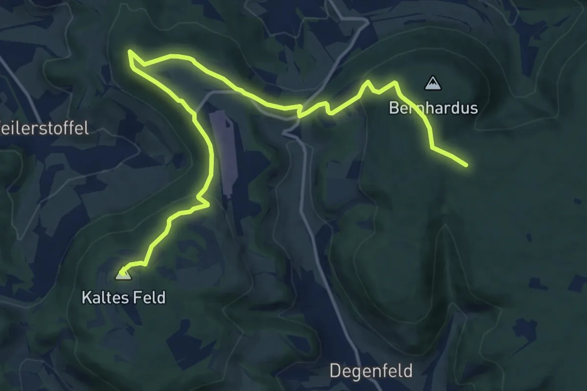
Medium · Summit
rotes Kreuz, Kaltes Feld - Flugplatz-Hornberg-Bernhardus, SAV
13.6 km · ↑ 374 m · 4 h 2 min
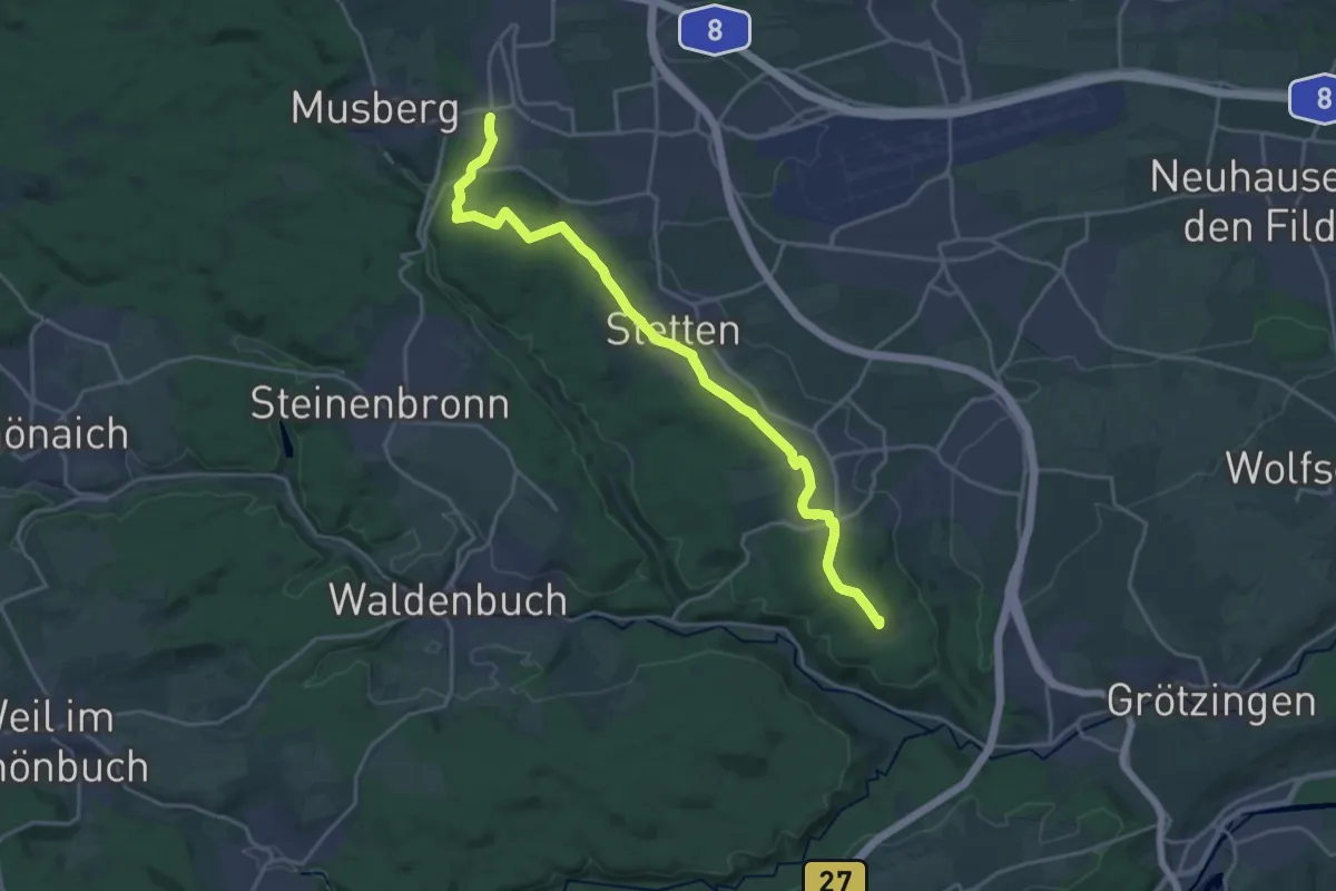
Demanding · Summit
Rotes Kreuz Leinfelden - Uhlbergturm
20.9 km · ↑ 249 m · 5 h 28 min
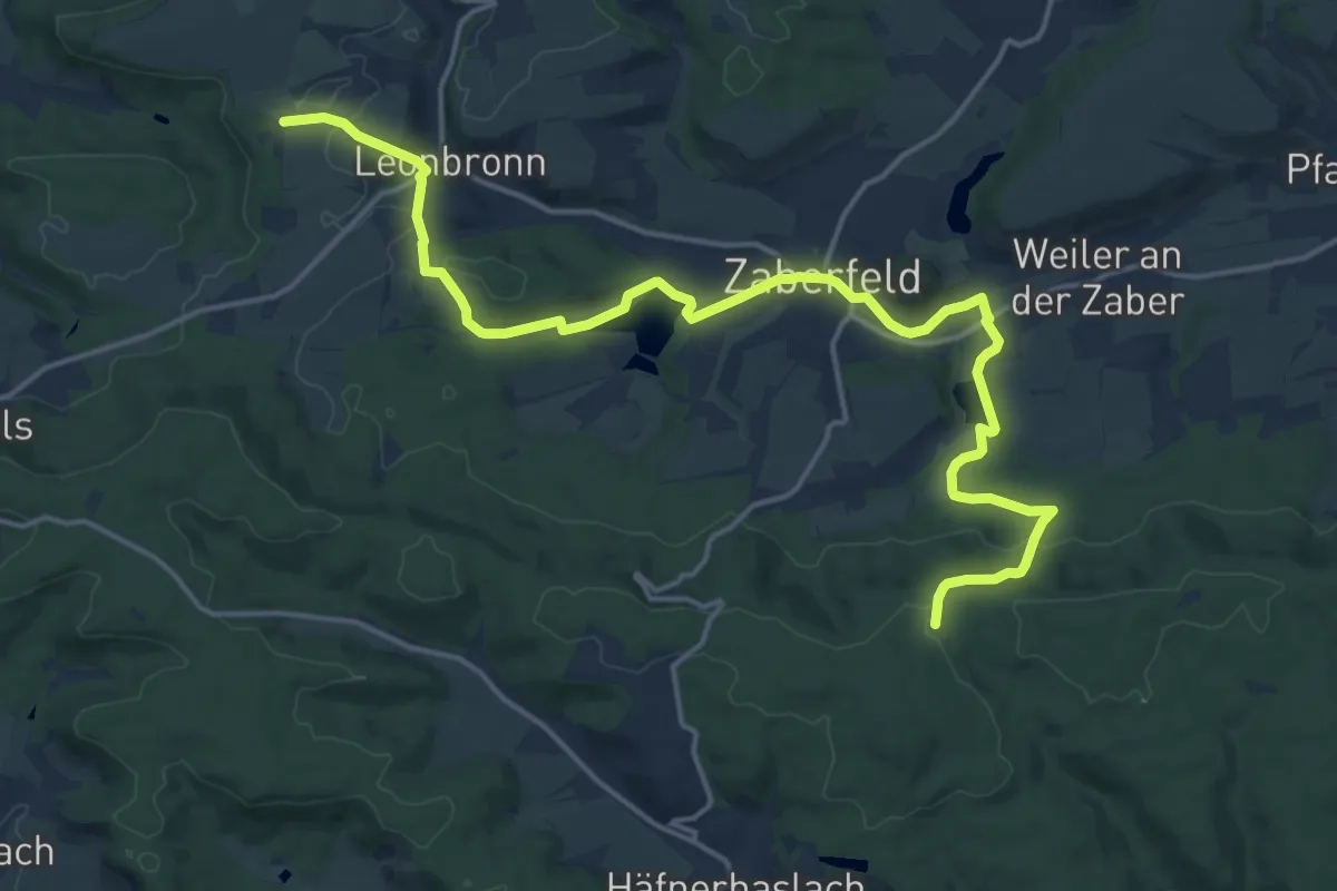
Demanding · Trail
Rotes Kreuz, Leonbronn - Zaberfeld
18.4 km · ↑ 402 m · 5 h 13 min
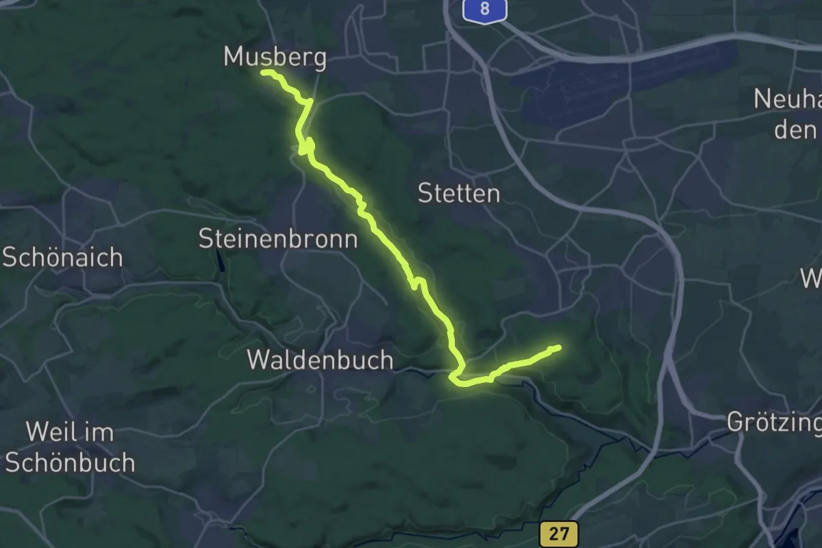
Demanding · Trail
Rotes Kreuz Musberg - Burkhardtsmühle - Uhlberg
24.3 km · ↑ 392 m · 6 h 35 min
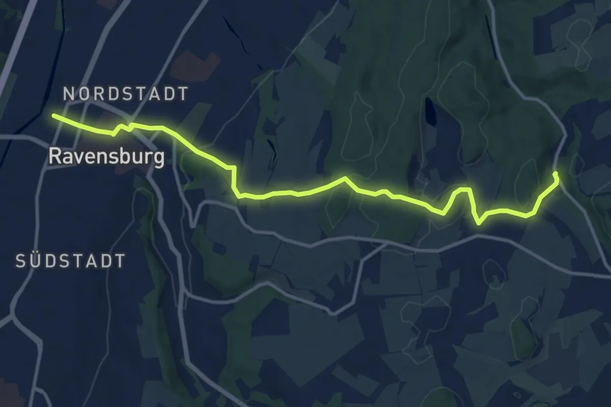
Medium · Trail
rotes Kreuz - Nebenlinie des Schwäbischen Albvereins
10.9 km · ↑ 288 m · 3 h 12 min
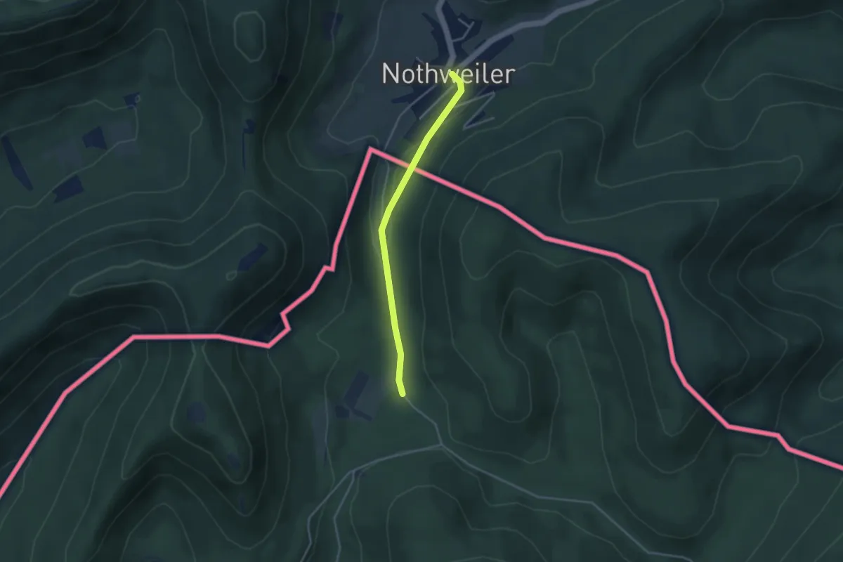
Easy · Trail
Rotes Kreuz Nothweiler - Lembach
3.0 km · ↑ 75 m · 53 min
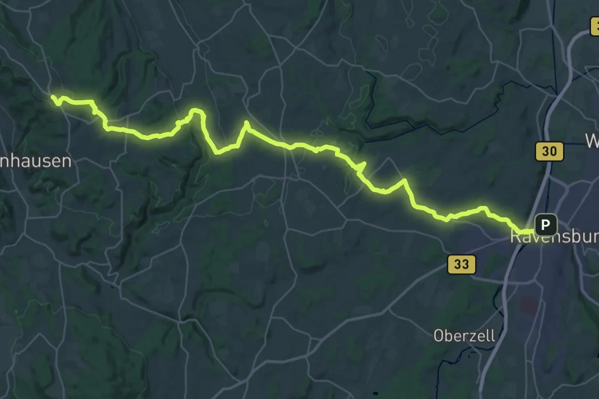
Demanding · Trail
rotes Kreuz: Ravensburg- Höchsten
21.6 km · ↑ 512 m · 6 h 19 min
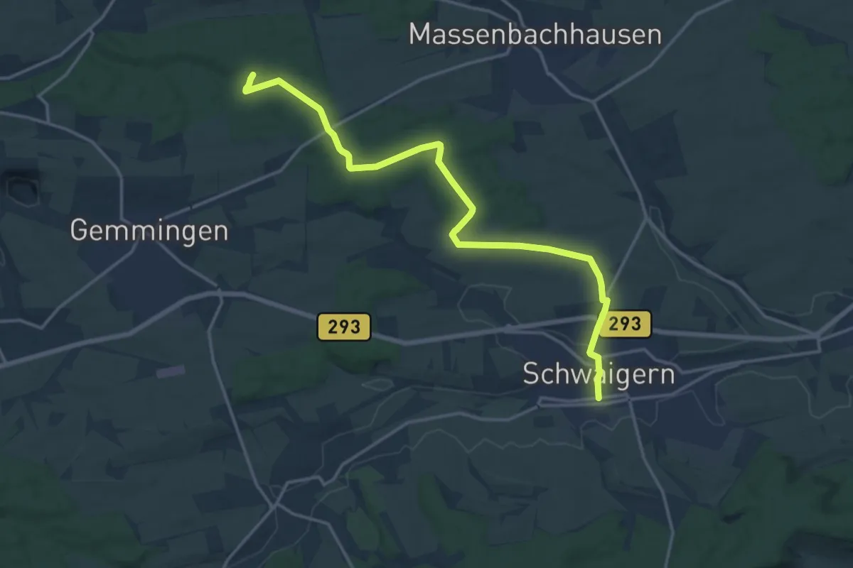
Medium · Trail
Rotes Kreuz, Schwaigern - Berwangen
15.9 km · ↑ 152 m · 4 h 6 min
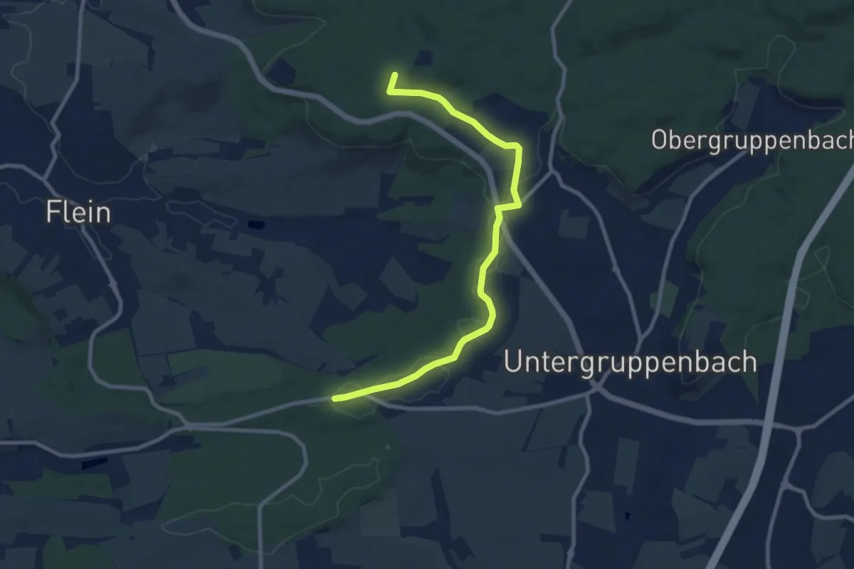
Medium · Summit
rotes Kreuz Schweinsberg - Donnbronn - Ilsfeld
8.9 km · ↑ 124 m · 2 h 22 min
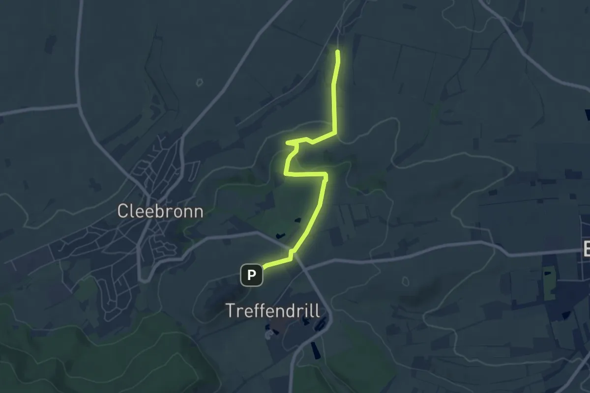
Easy · Trail
Rotes Kreuz, Wanderwegfragment Michaelsberg - Brackenheim
5.9 km · ↑ 156 m · 1 h 44 min
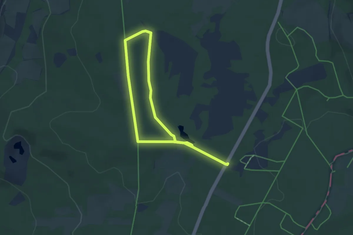
Easy · Trail
Rotes Moor Rundweg 2
5.9 km · ↑ 54 m · 1 h 30 min
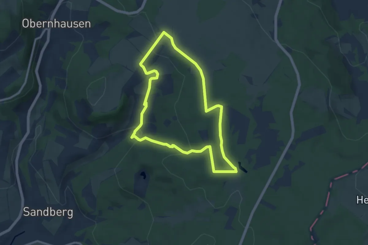
Easy · Summit
Rotes Moor Rundweg 4
6.2 km · ↑ 142 m · 1 h 52 min
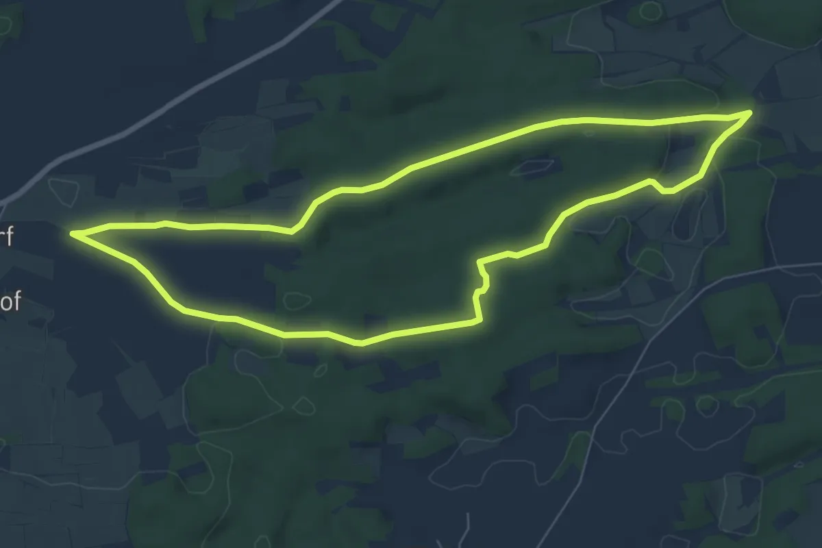
Easy · Trail
Rote-Spitze-Weg Sachsendorf
6.7 km · ↑ 55 m · 1 h 48 min
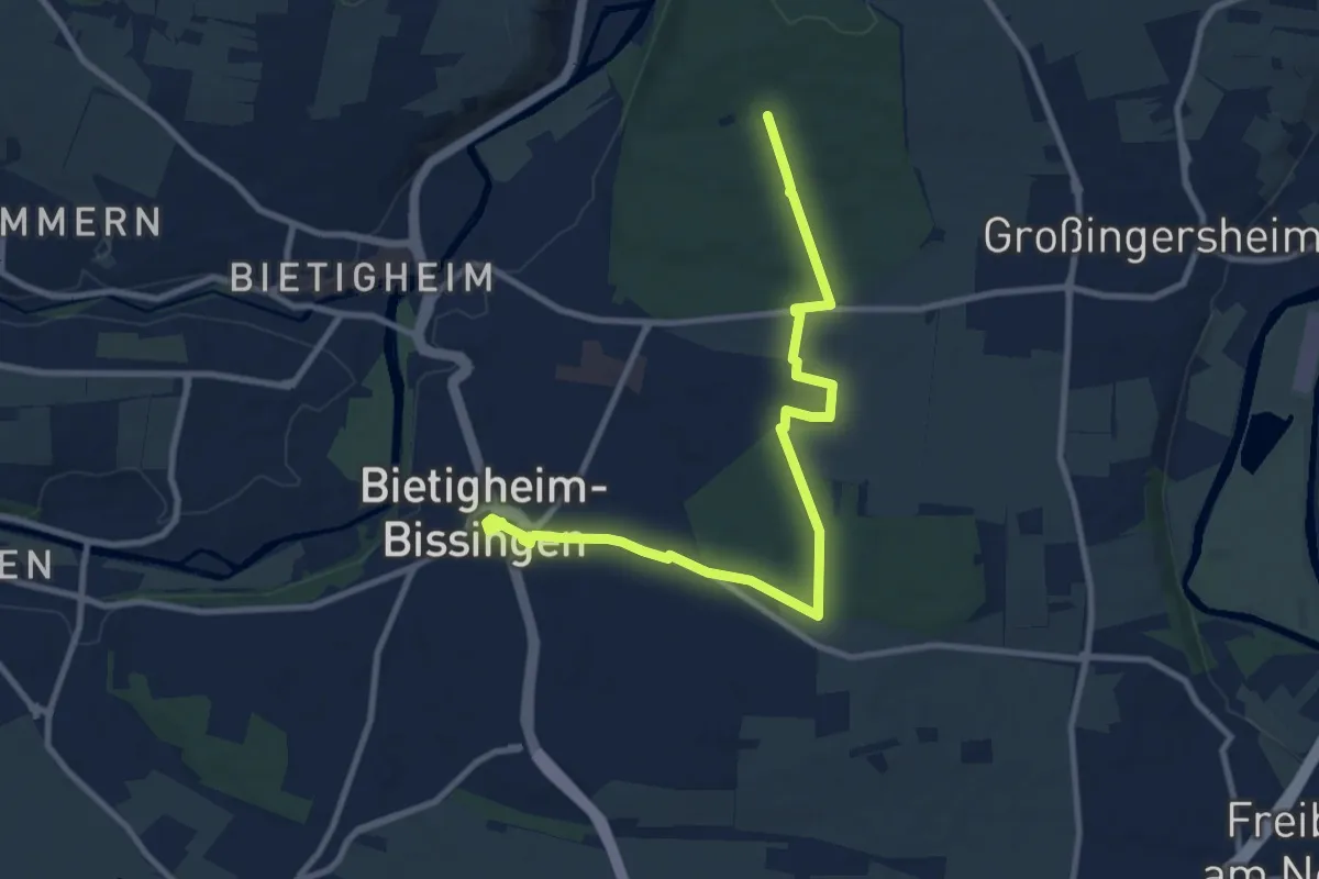
Medium · Trail
rotes Plus
10.2 km · ↑ 103 m · 2 h 38 min
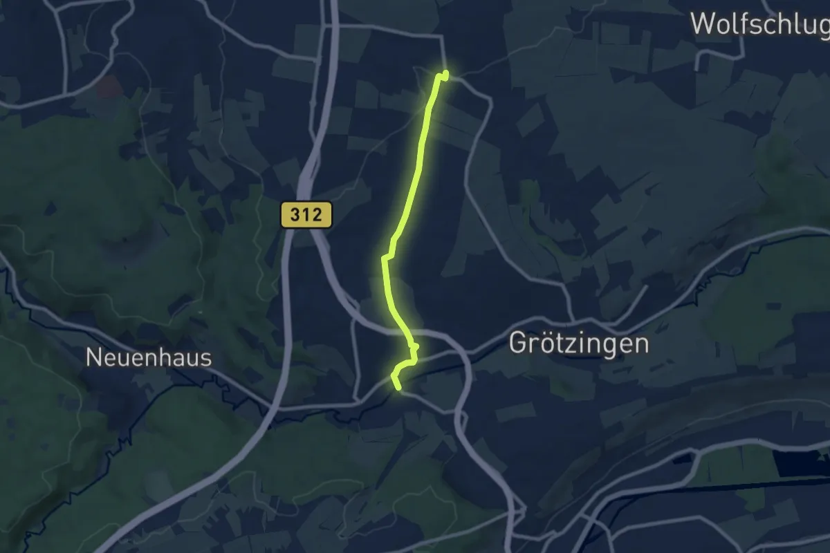
Easy · Trail
rotes Plus Aich - Harthausen
6.7 km · ↑ 91 m · 1 h 46 min
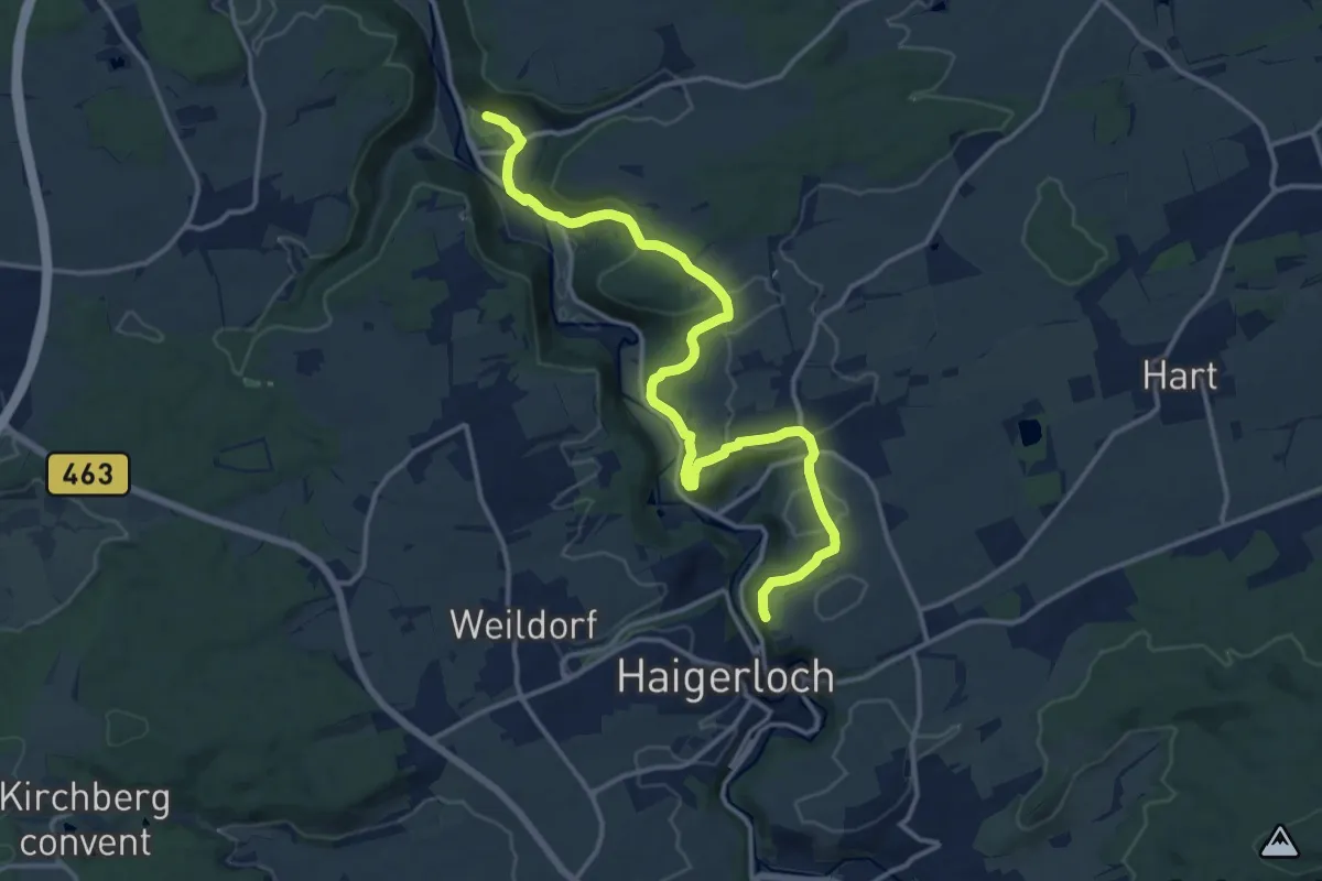
Medium · Trail
rotes Plus Bad Imnau - Haigerloch
15.1 km · ↑ 374 m · 4 h 23 min
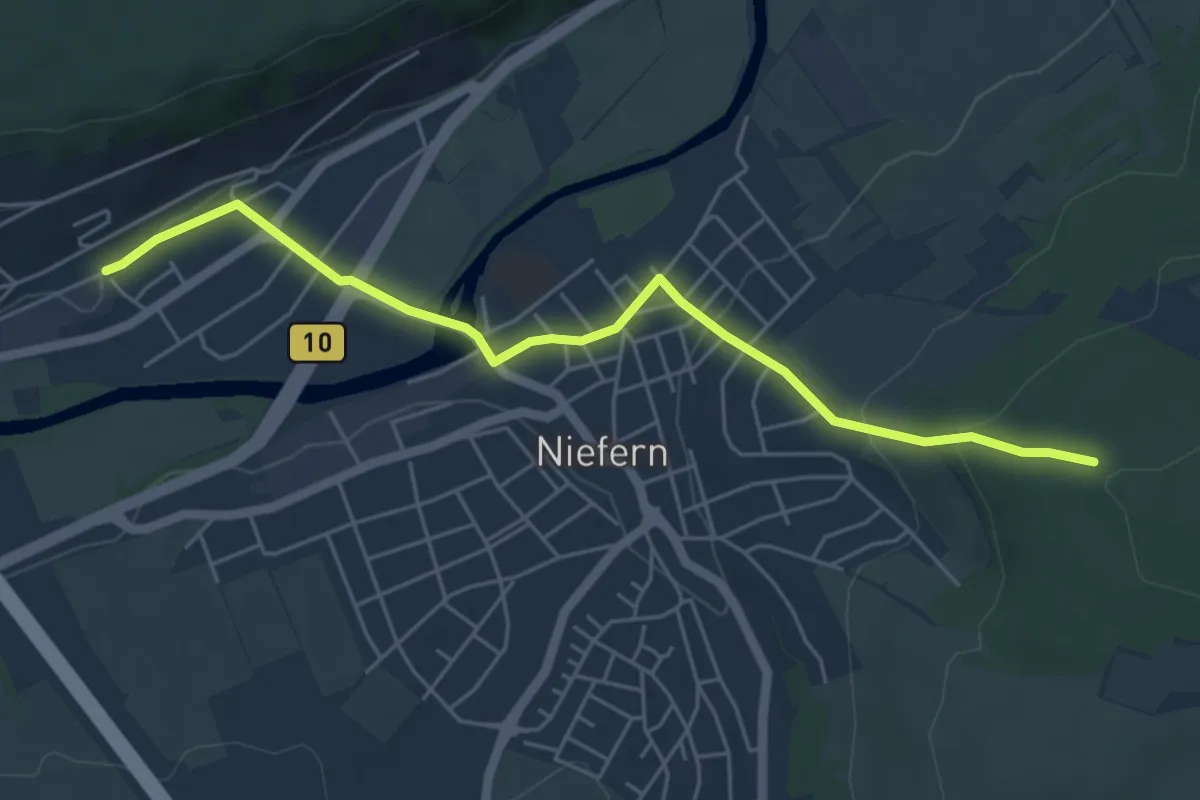
Easy · Summit
rotes Plus Bhf Niefern
5.2 km · ↑ 173 m · 1 h 37 min
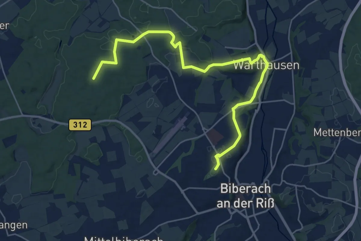
Demanding · Summit
rotes Plus Biberach-Birkenhard
20.8 km · ↑ 313 m · 5 h 35 min
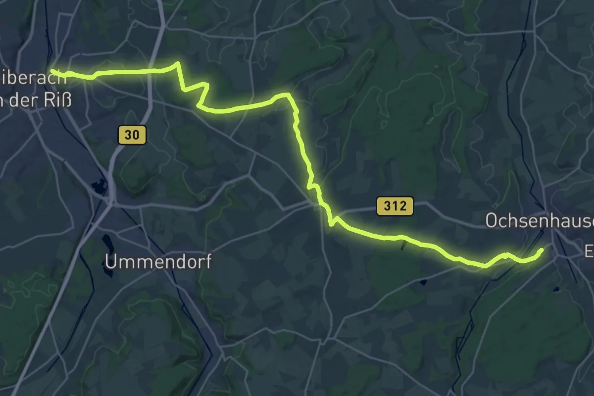
Medium · Trail
rotes Plus Biberach - Ochsenhausen
16.1 km · ↑ 201 m · 4 h 29 min
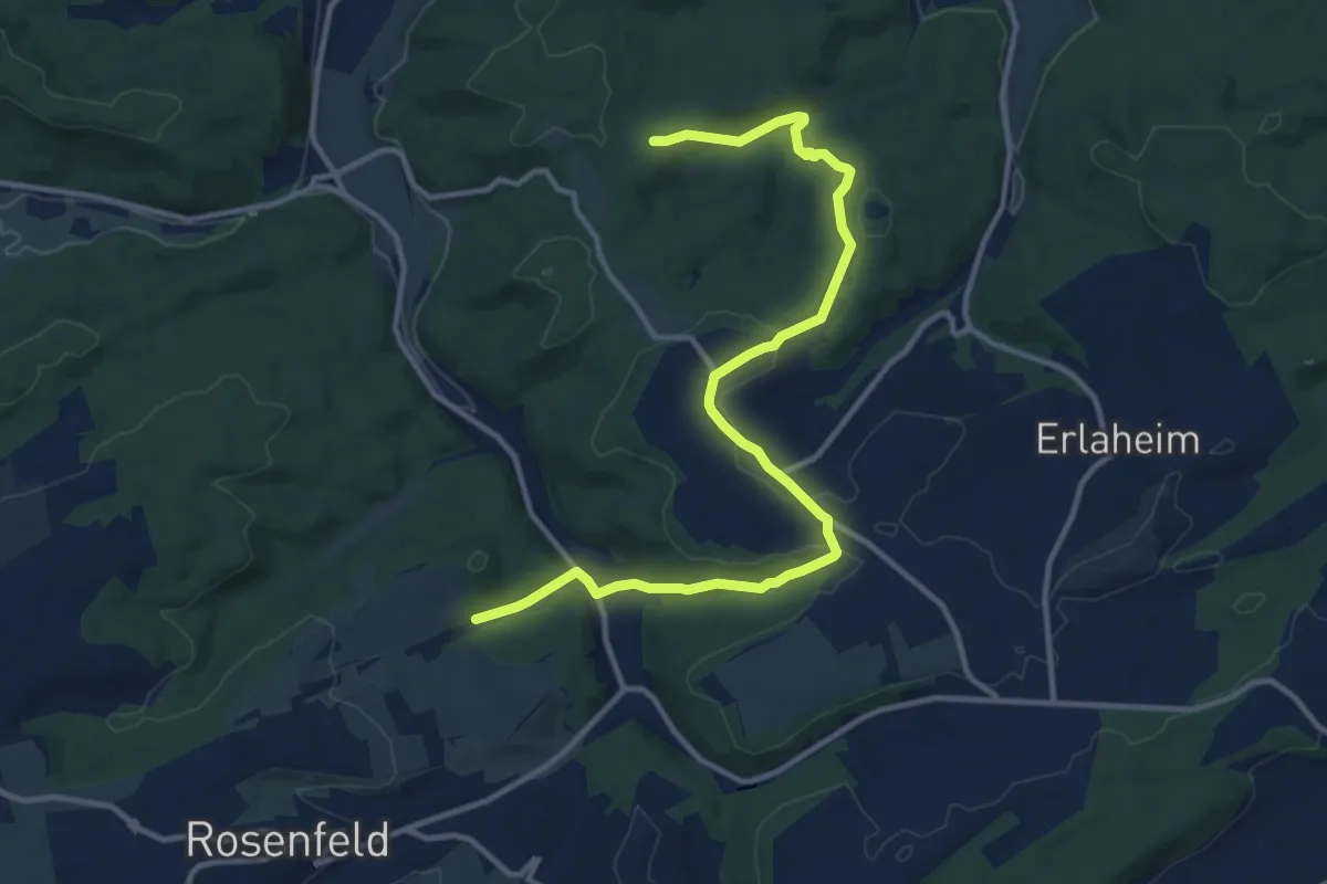
Medium · Trail
rotes Plus Binsdorf - Heiligenzimmern
13.1 km · ↑ 299 m · 3 h 44 min
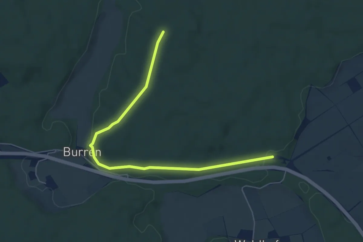
Easy · Trail
rotes Plus Burren
5.6 km · ↑ 69 m · 1 h 29 min
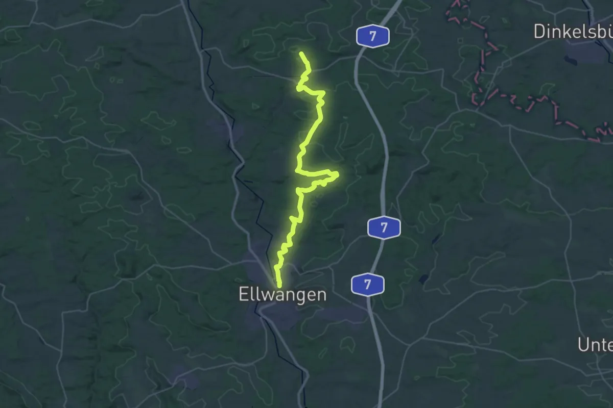
Medium · Trail
rotes Plus Crailsheim - Ellwangen
17.7 km · ↑ 258 m · 5 h 1 min
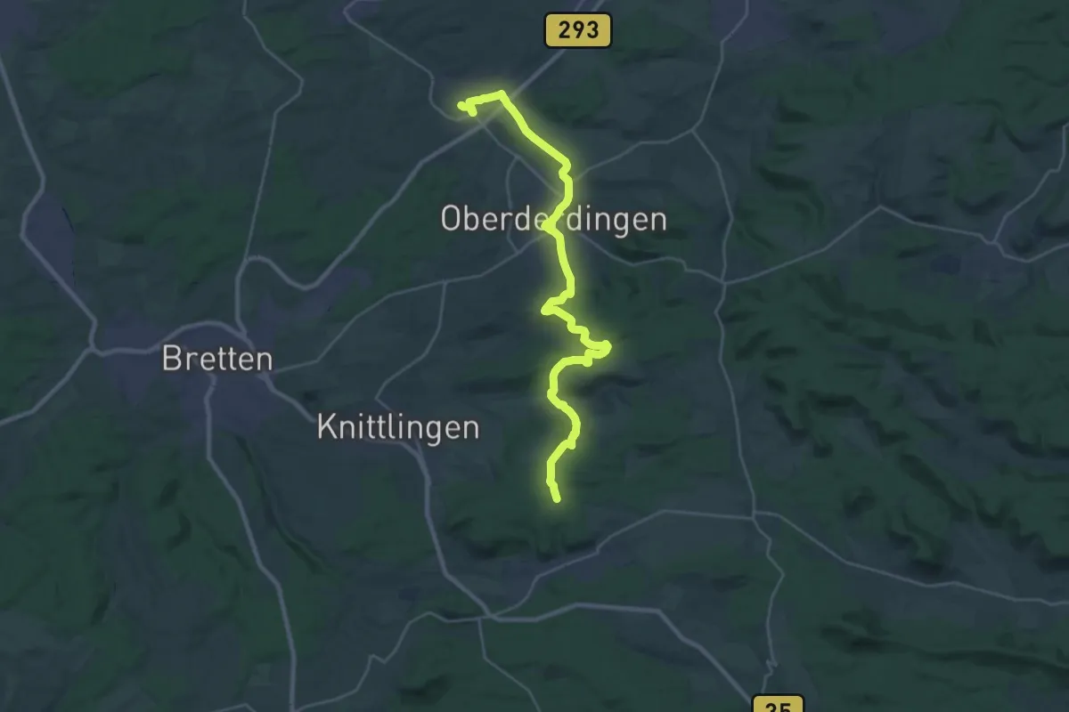
Demanding · Trail
rotes Plus Flehingen - Maulbronn
27.6 km · ↑ 599 m · 7 h 49 min
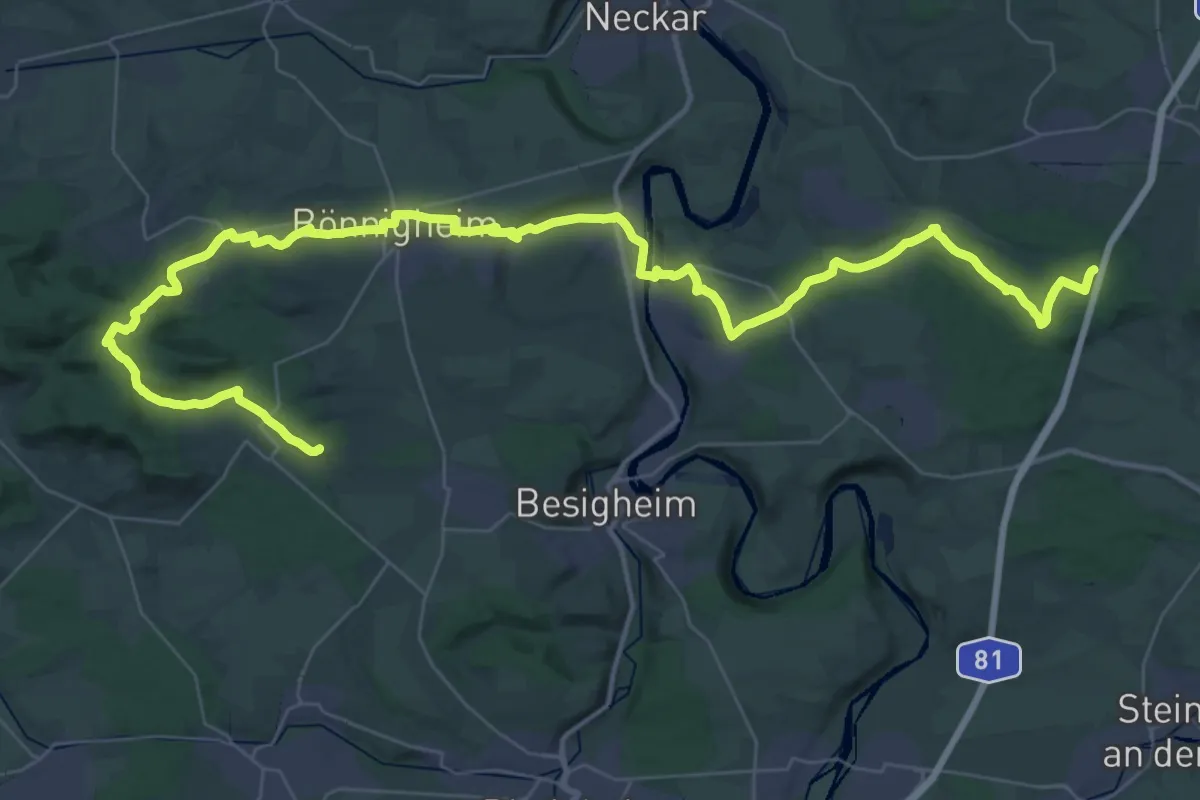
Demanding · Trail
rotes Plus Freudental - Liebenstein
27.8 km · ↑ 403 m · 7 h 49 min
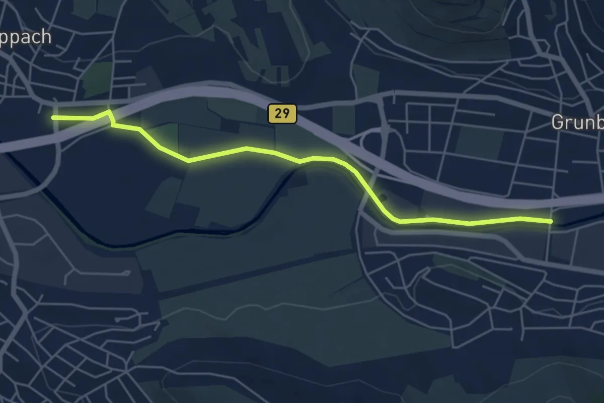
Easy · Trail
rotes Plus Großheppach - Grunbach
4.8 km · ↑ 0 m · 1 h 8 min
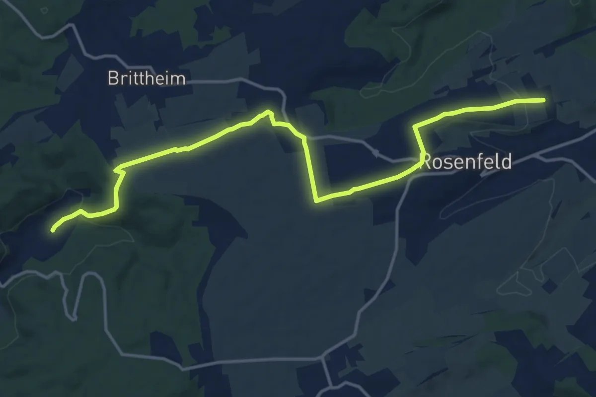
Medium · Trail
rotes Plus Harthausen - Rosenfeld
13.2 km · ↑ 239 m · 3 h 38 min
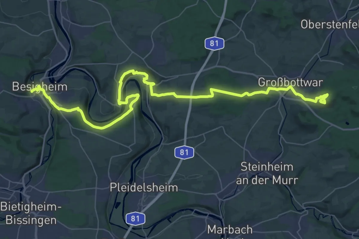
Demanding · Summit
rotes Plus Harzberg - Besigheim
43.3 km · ↑ 932 m · 12 h 14 min
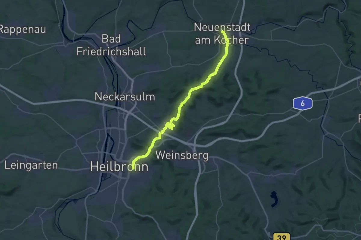
Medium · Trail
rotes Plus Heilbronn - Neuenstadt
16.3 km · ↑ 358 m · 4 h 51 min
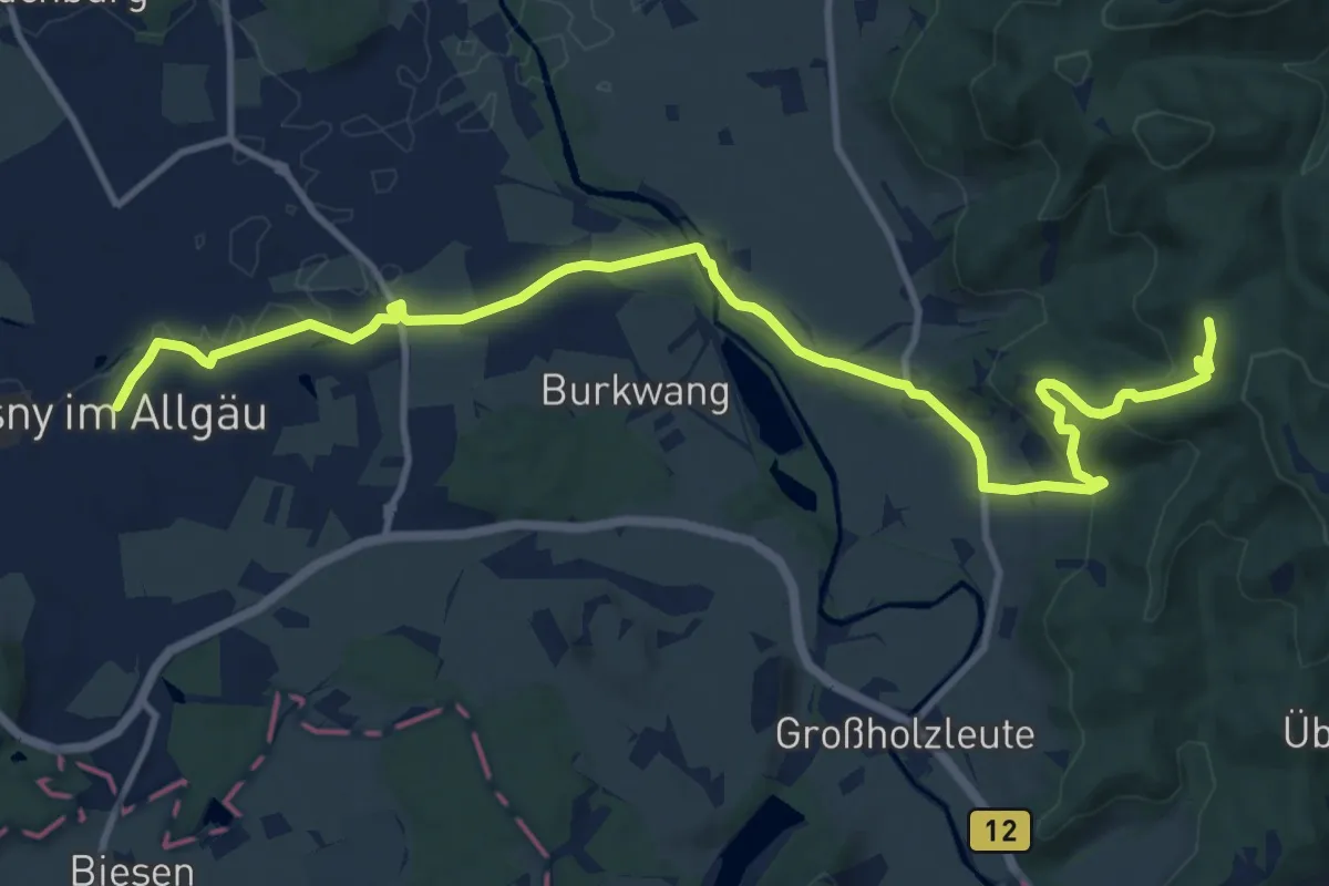
Medium · Trail
rotes Plus Isny - Kreuzthal
14.0 km · ↑ 317 m · 3 h 59 min
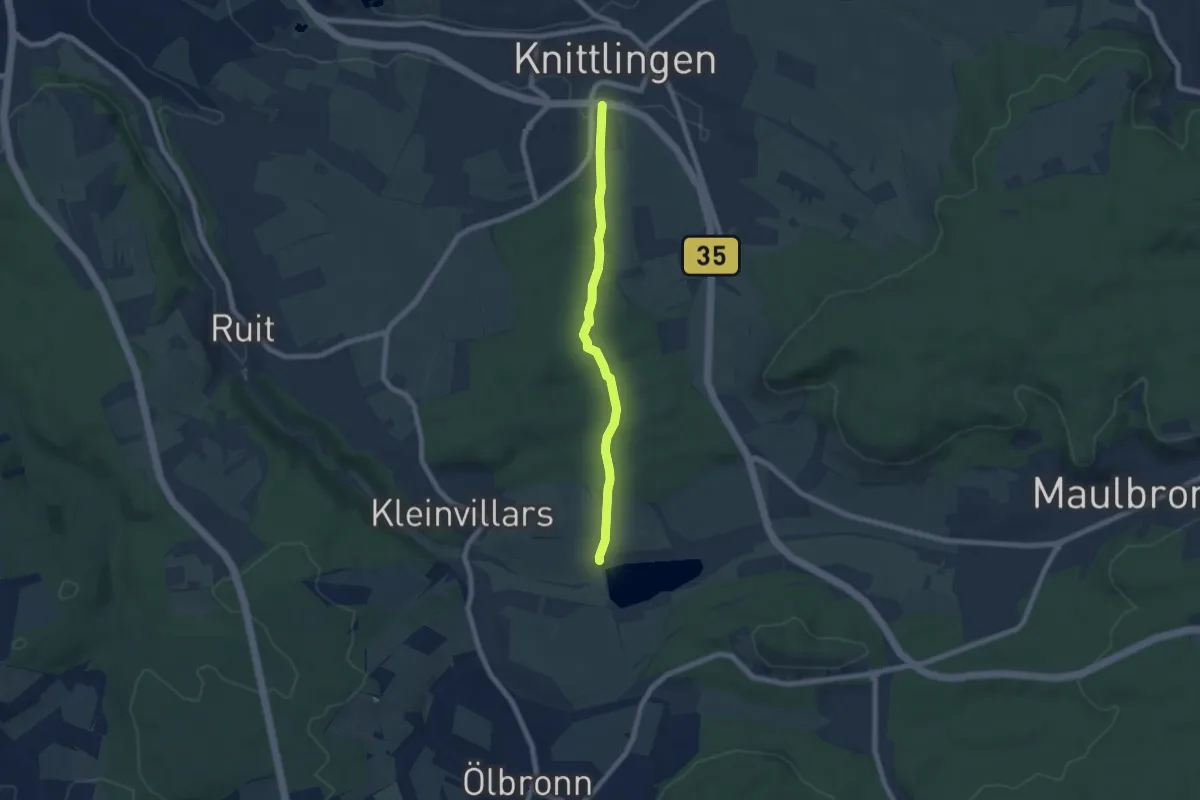
Easy · Trail
rotes Plus Knittlingen - Aalkistensee
6.1 km · ↑ 121 m · 1 h 42 min
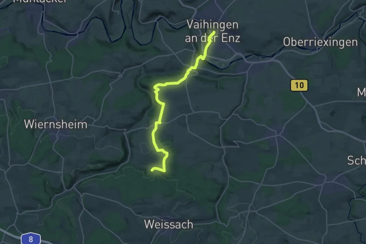
Demanding · Trail
rotes Plus Mönsheim - Vaihingen/Enz
21.6 km · ↑ 435 m · 6 h 2 min
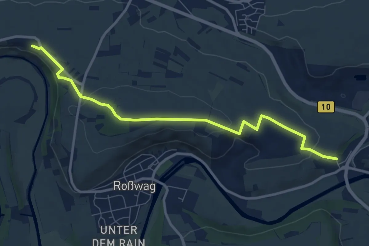
Easy · Trail
rotes Plus Mühlacker - Vaihingen
7.4 km · ↑ 175 m · 2 h 8 min
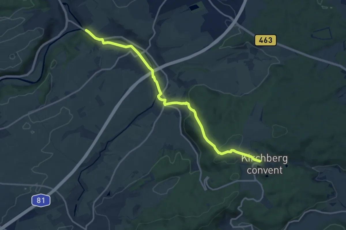
Medium · Trail
rotes Plus Mühlheim - Kloster Kirchberg
10.8 km · ↑ 247 m · 3 h 5 min
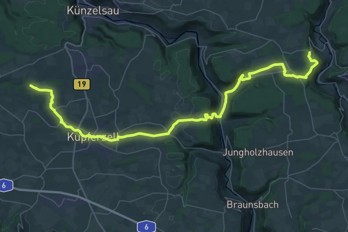
Demanding · Trail
rotes Plus Neufels - Oberregenbach
20.0 km · ↑ 324 m · 5 h 45 min
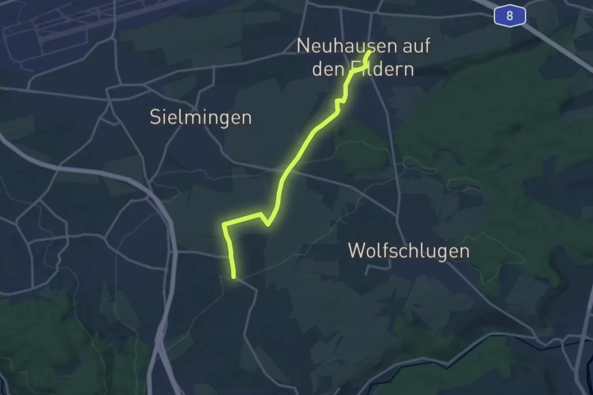
Medium · Trail
rotes Plus Neuhausen - Harthausen
11.3 km · ↑ 132 m · 2 h 57 min
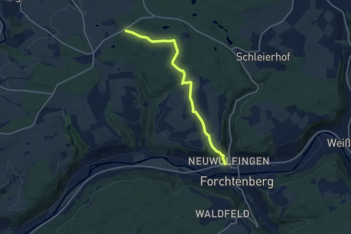
Medium · Summit
rotes Plus Neuwülfingen - Neusaß
9.5 km · ↑ 266 m · 2 h 49 min
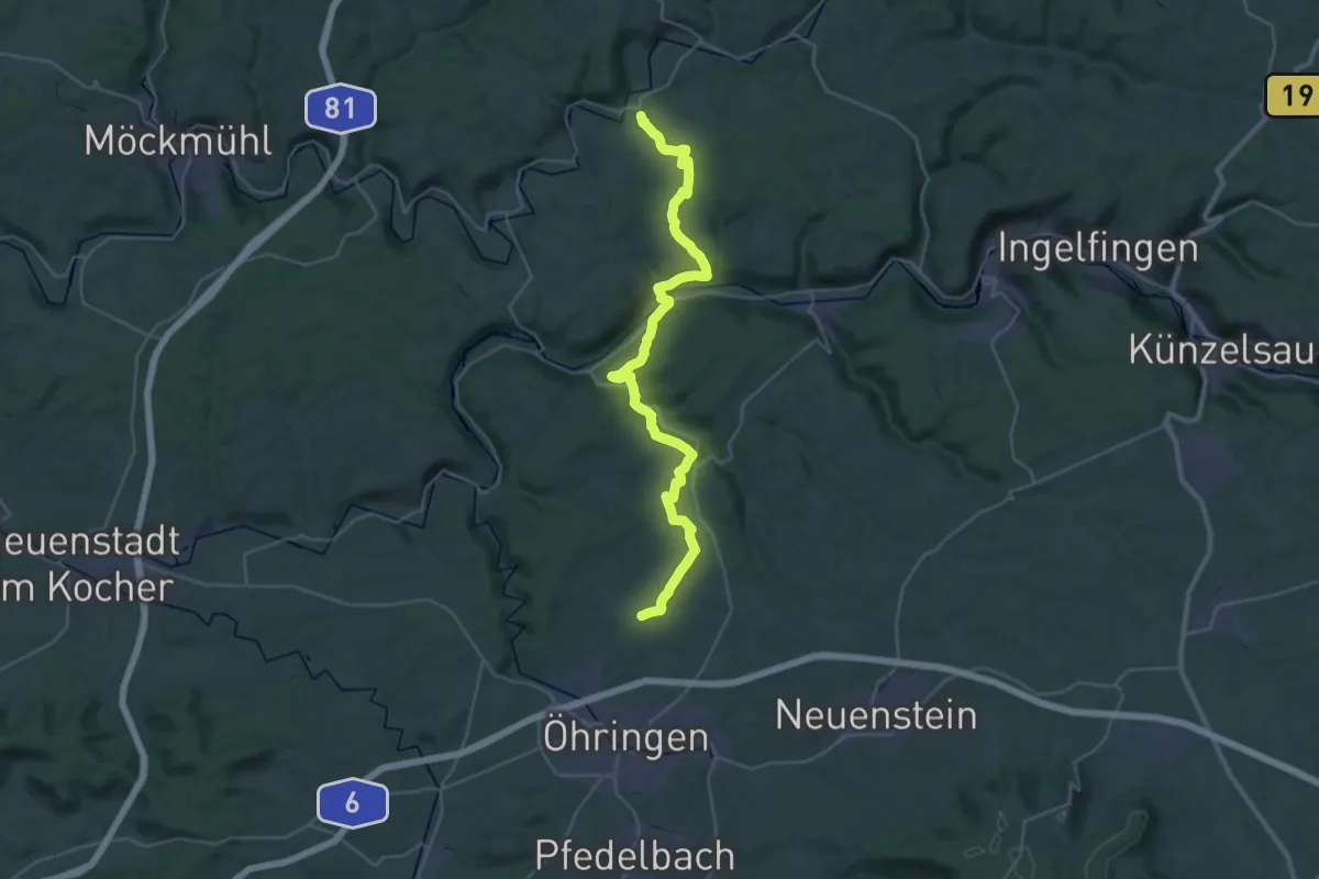
Medium · Trail
rotes Plus Obermaßholderbach - Schöntal
17.3 km · ↑ 423 m · 5 h 16 min
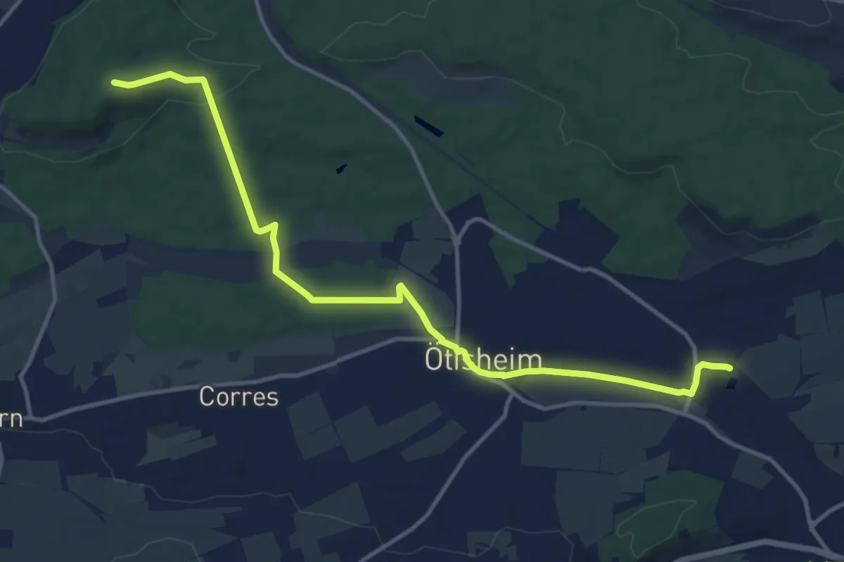
Medium · Trail
rotes Plus Ölbronn - Ötisheim
12.3 km · ↑ 155 m · 3 h 14 min
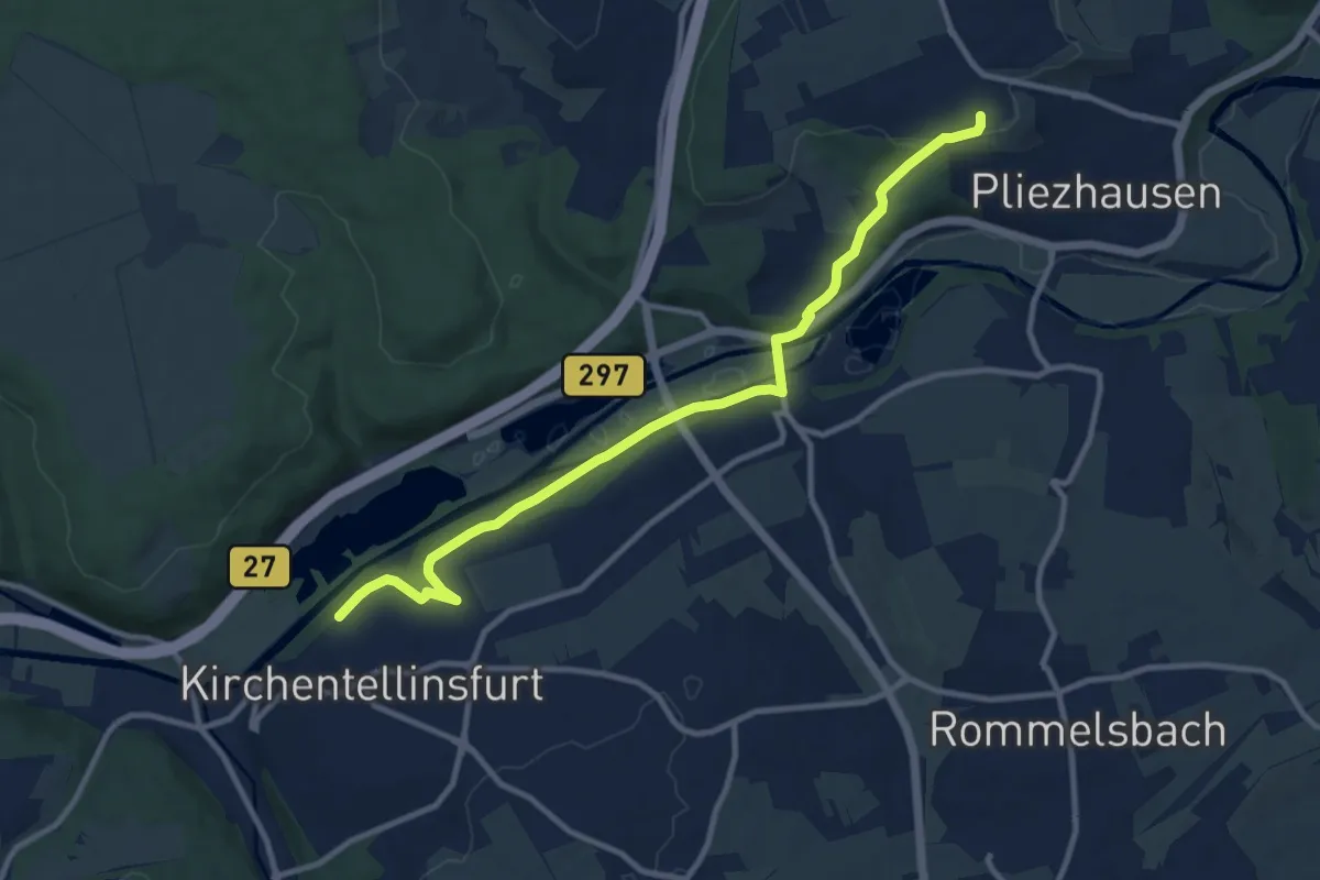
Medium · Trail
rotes Plus, Pliezhausen Zweieichenturm - Altenburg - Kirchentellinsfurt
11.4 km · ↑ 191 m · 3 h 7 min
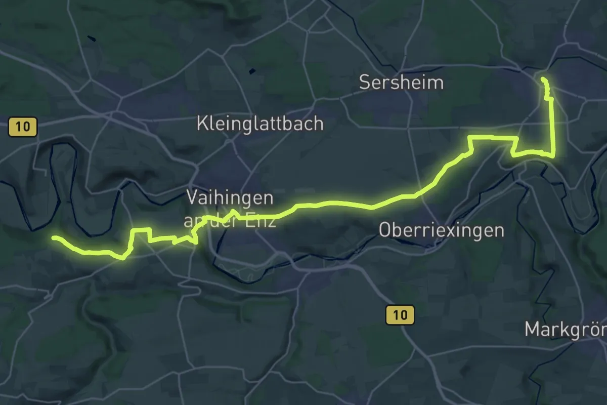
Demanding · Trail
rotes Plus Sachsenheim - Vaihingen
18.3 km · ↑ 298 m · 5 h 10 min
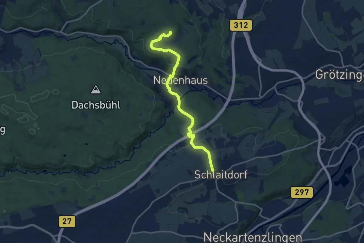
Medium · Summit
rotes Plus - Schlaitdorf - Neuenhaus - Uhlbergturm
10.5 km · ↑ 305 m · 3 h 8 min
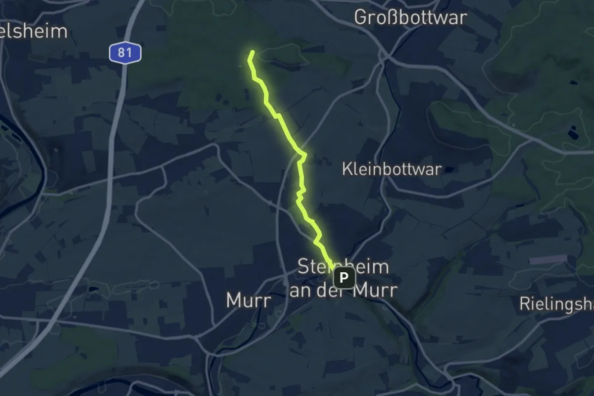
Medium · Trail
rotes Plus Steinheim/Murr - Mundelsheim
8.5 km · ↑ 113 m · 2 h 16 min