Trails in Germany
36,852 hiking trails, each with its route, climb, walking time and grade.
All trails, page 467 of 768
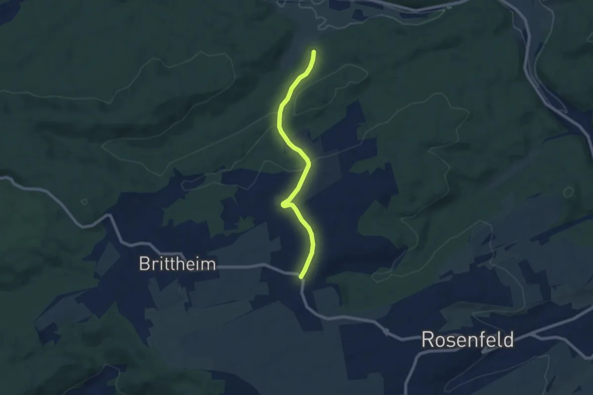
Easy · Trail
rotes Plus Sulz - Vöhringen - Bickelsberg
5.8 km · ↑ 179 m · 1 h 45 min
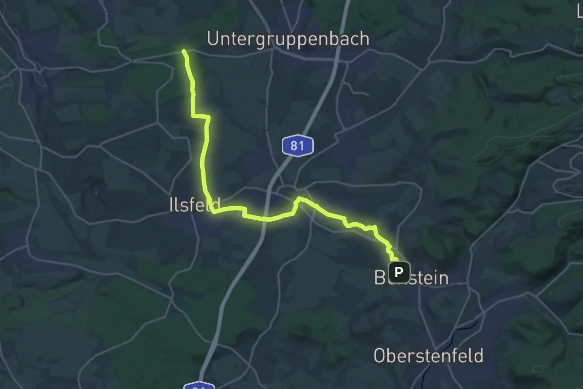
Demanding · Trail
rotes Plus Talheim - Beilstein
19.9 km · ↑ 286 m · 5 h 19 min
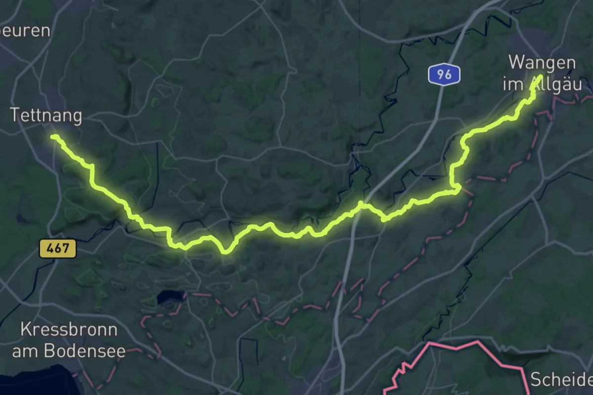
Demanding · Trail
rotes Plus Tettnang - Wangen
28.3 km · ↑ 439 m · 8 h 4 min
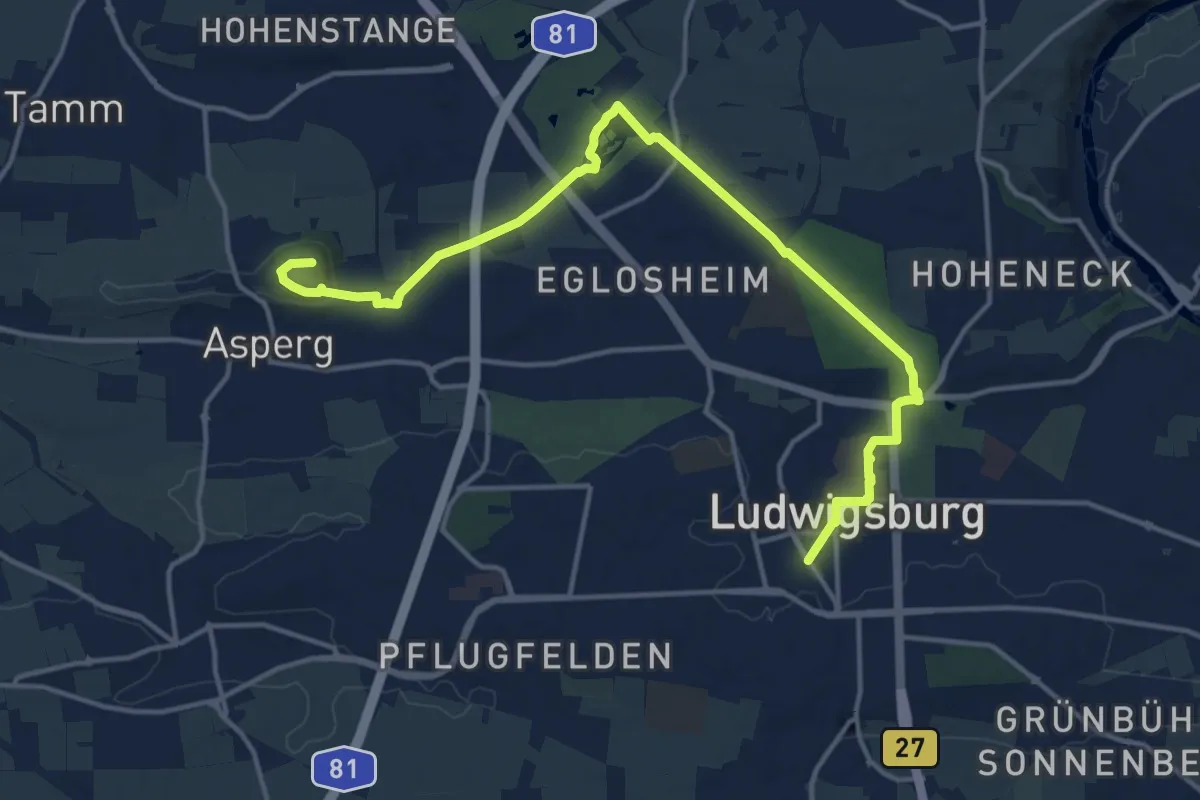
Medium · Summit
rotes Plus Unterriexingen - Ludwigsburg
16.5 km · ↑ 217 m · 4 h 22 min
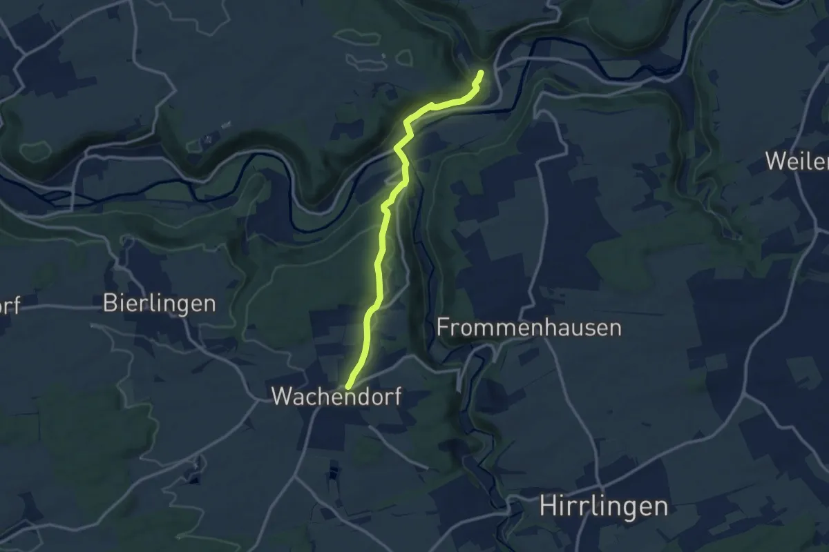
Medium · Trail
rotes Plus Wachendorf-Bieringen-Obernau
9.7 km · ↑ 327 m · 3 h
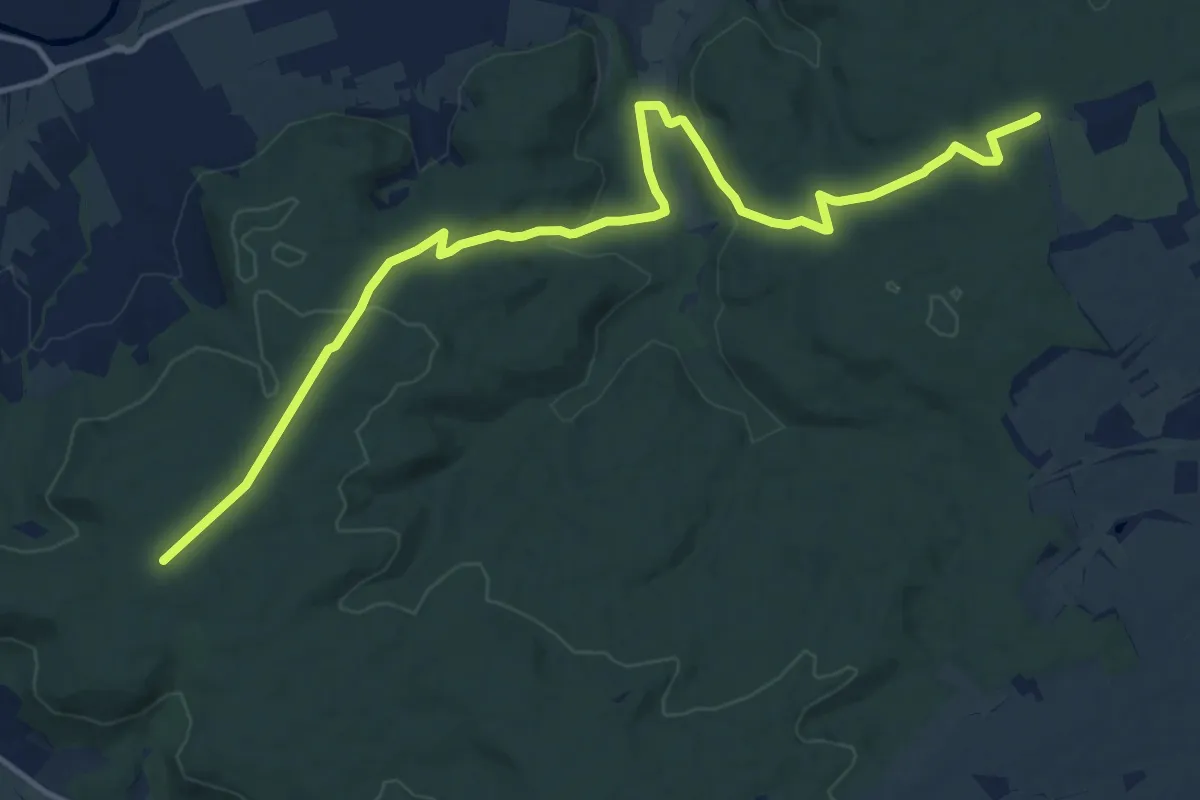
Medium · Trail
rotes Plus Weiler Burg - Hofgut Eck
16.1 km · ↑ 370 m · 4 h 36 min
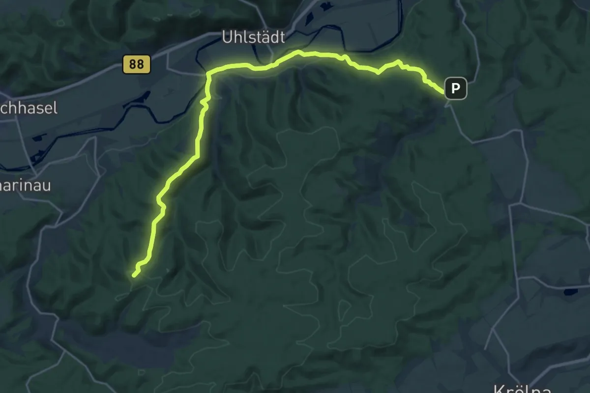
Demanding · Summit
Rotes Quadrat Uhlstädter Heide
21.3 km · ↑ 759 m · 6 h 40 min
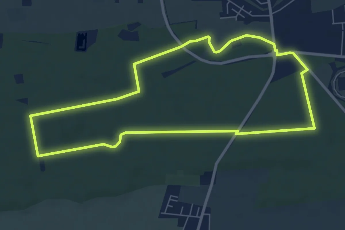
Easy · Trail
Rotes Rechteck - Rundwanderweg in Herxheim ab Waldkapelle
5.6 km · ↑ 32 m · 1 h 28 min
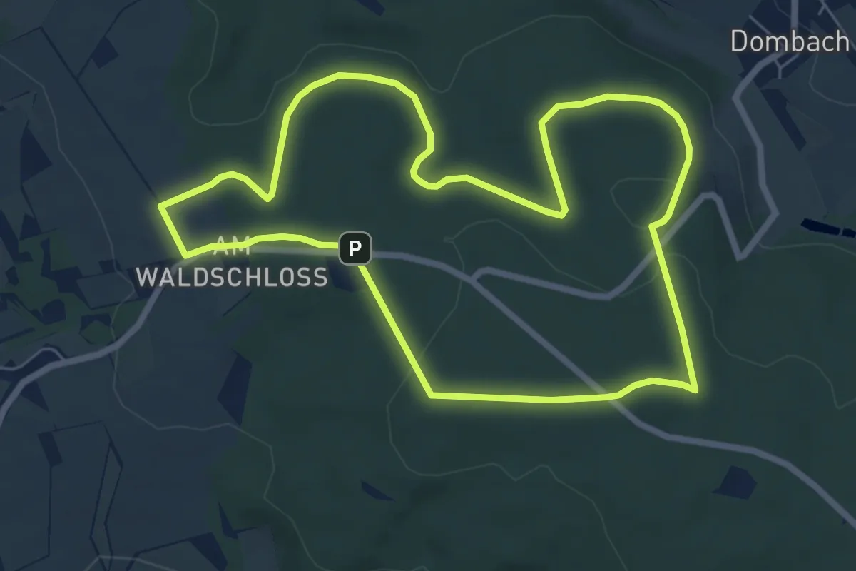
Easy · Trail
Rote Strecke
6.0 km · ↑ 100 m · 1 h 43 min
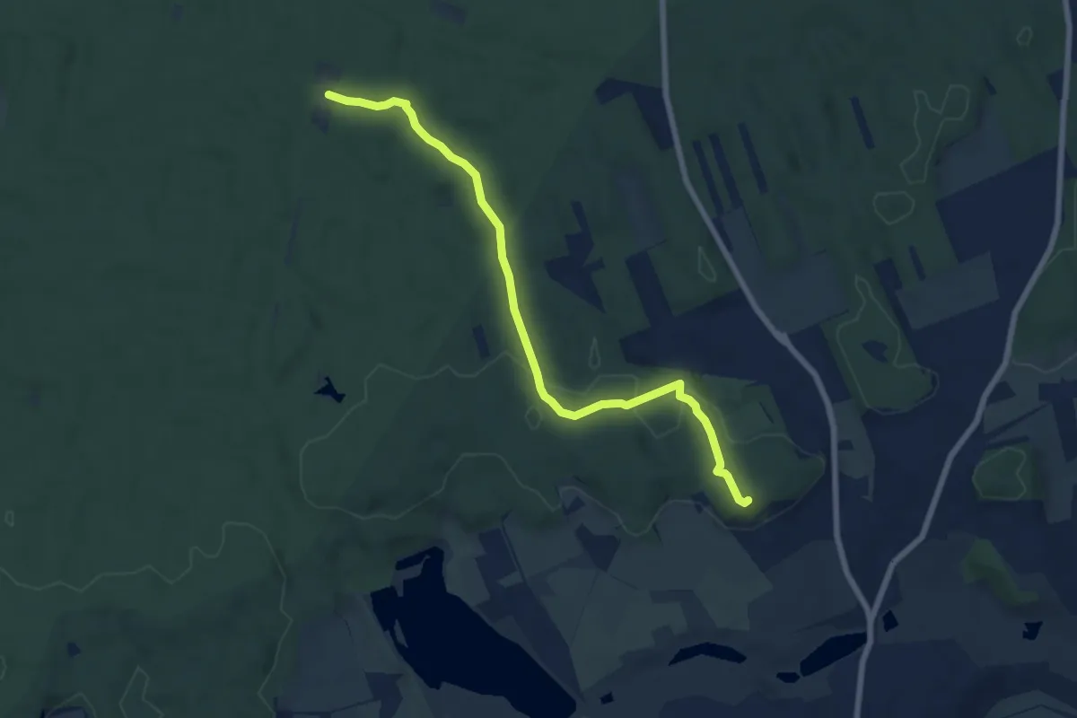
Easy · Summit
Rotes Viereck
7.0 km · ↑ 141 m · 1 h 58 min
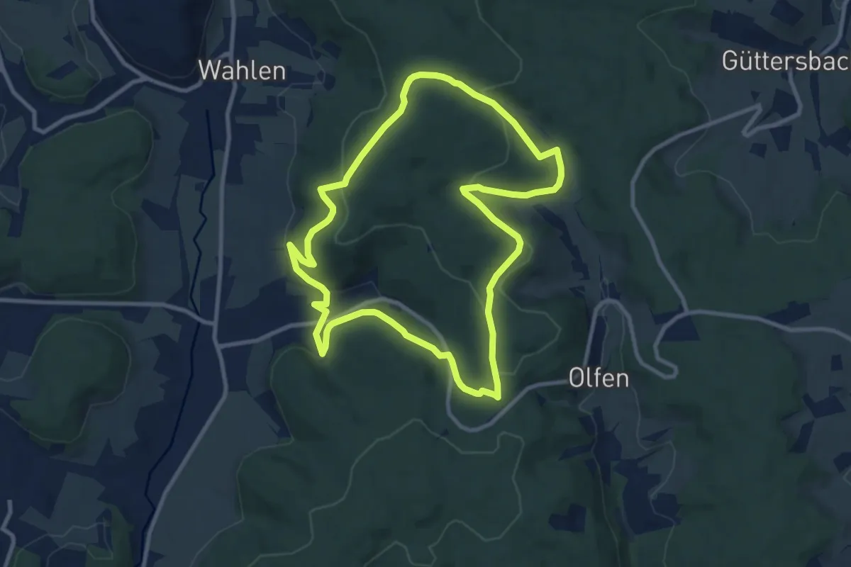
Medium · Trail
Rotes-Wasser-Weg
8.7 km · ↑ 254 m · 2 h 44 min
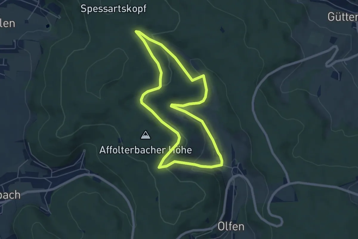
Easy · Trail
Rotes-Wasser-Weg
5.1 km · ↑ 146 m · 1 h 36 min
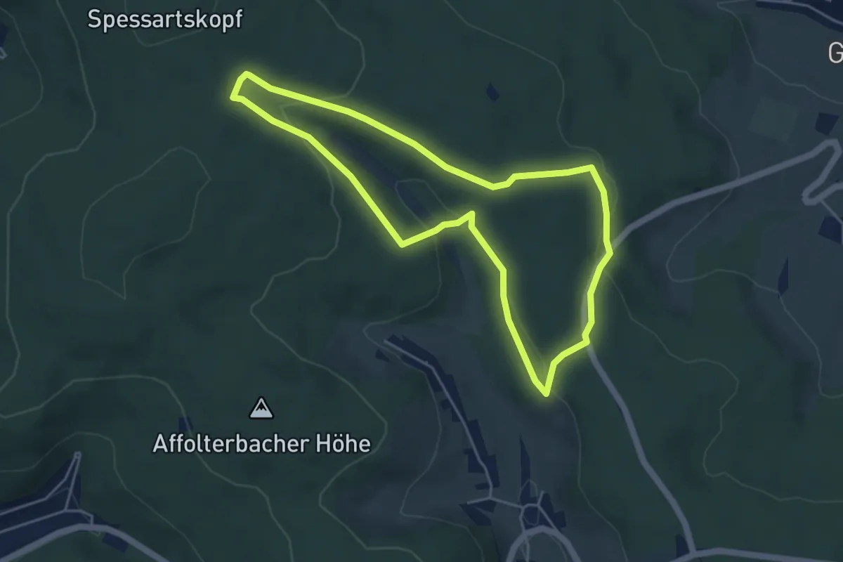
Easy · Trail
Rotes-Wasser-Weg
4.2 km · ↑ 117 m · 1 h 18 min
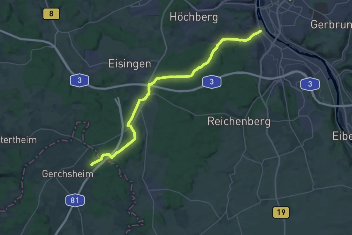
Demanding · Trail
Rotes X - Tauberbischofsheim - Würzburg
27.9 km · ↑ 446 m · 7 h 34 min
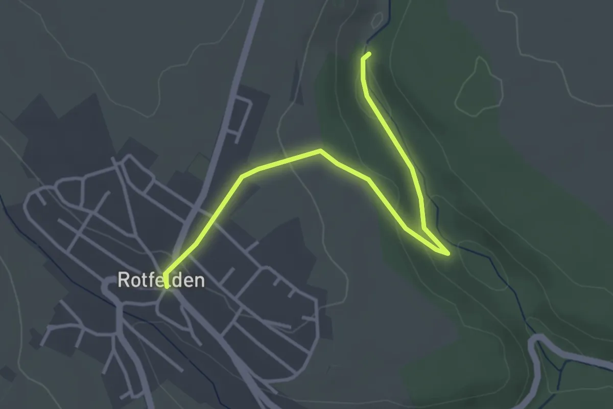
Easy · Trail
Rotfelden Kirche - Schwarzenbachmühle
3.5 km · ↑ 75 m · 1 h
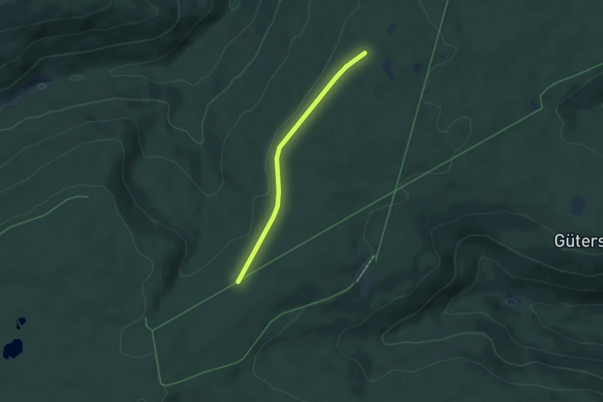
Easy · Trail
Rotfußenweg - Blockhauswald
3.6 km · ↑ 45 m · 57 min
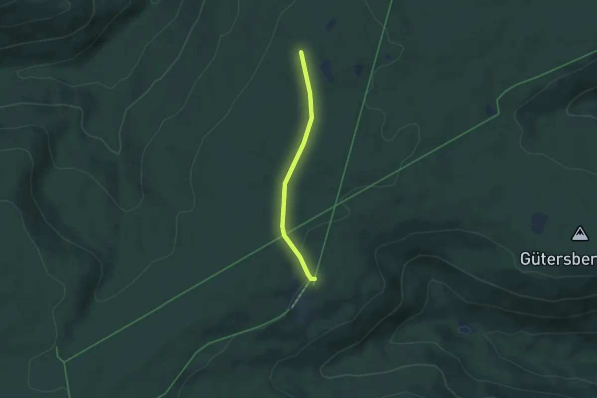
Easy · Trail
Rotfußenweg - Langenwald
2.9 km · ↑ 28 m · 45 min
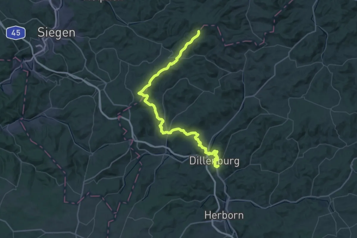
Demanding · Summit
Rothaarsteig Etappen 6-8
62.7 km · ↑ 1675 m · 18 h 26 min
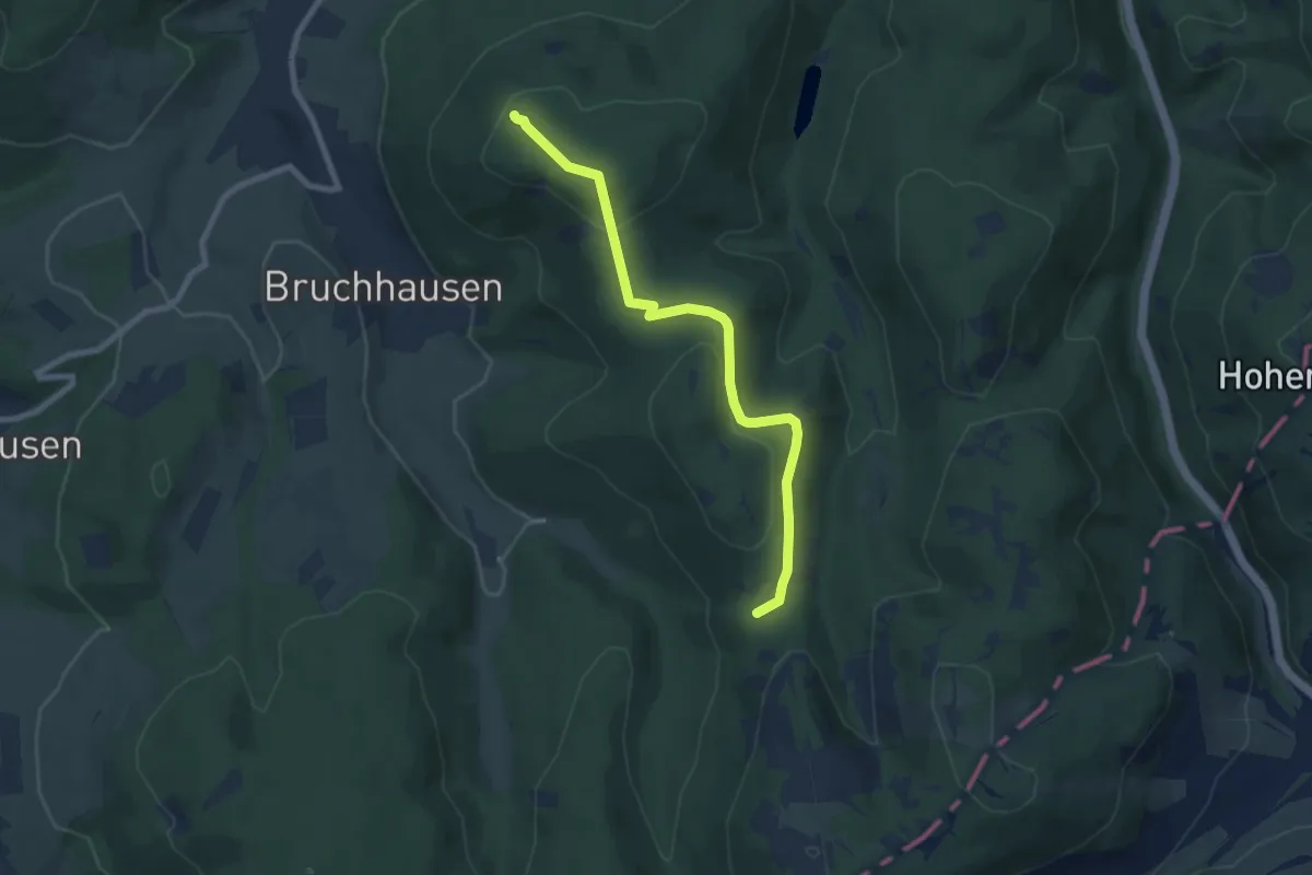
Demanding · Summit
Rothaarsteig Kammvariante
6.9 km · ↑ 153 m · 1 h 58 min
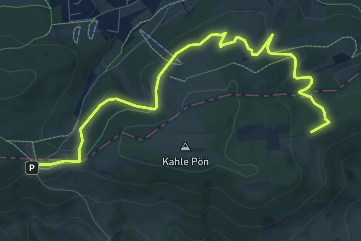
Medium · Trail
Rothaarsteig-Spur BlickinsLand - Kahle Pön
8.5 km · ↑ 188 m · 2 h 25 min
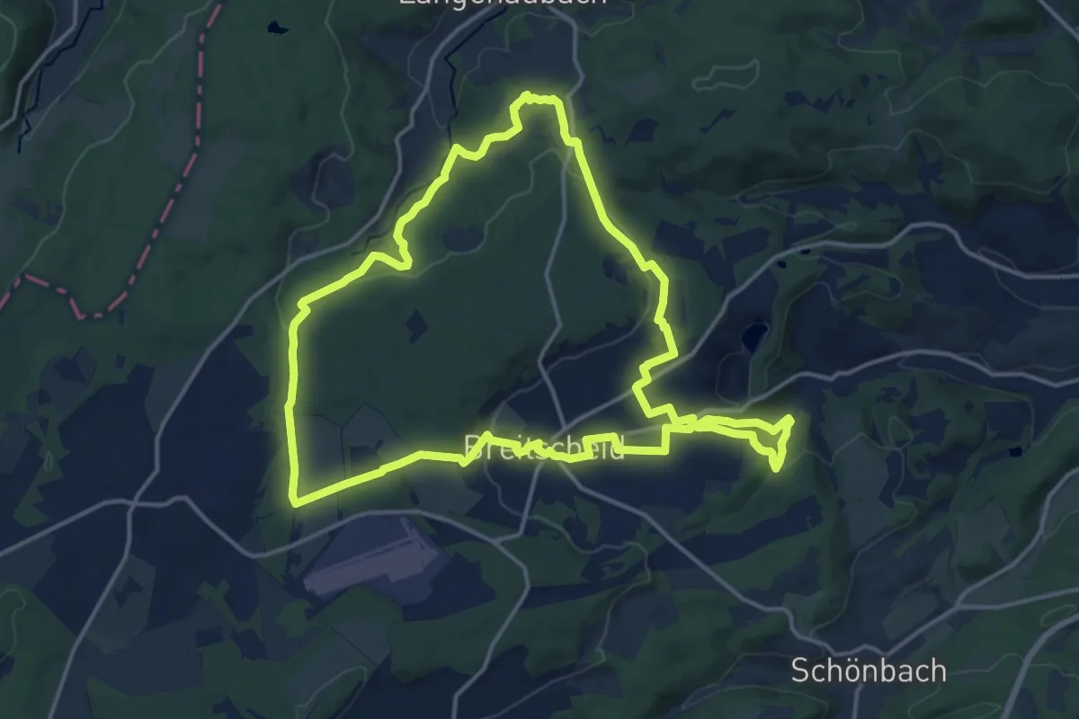
Medium · Trail
Rothaarsteig-Spur Breitscheider Höhlenweg
14.4 km · ↑ 366 m · 4 h 23 min
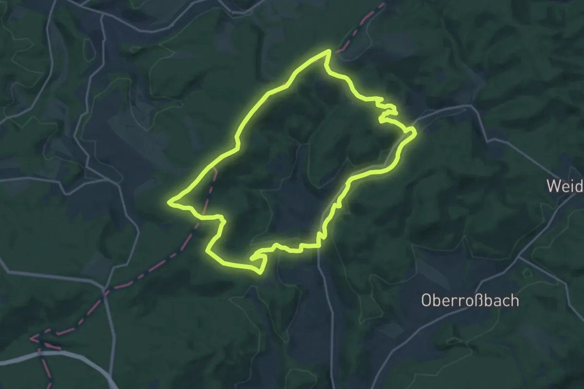
Medium · Summit
Rothaarsteig-Spur Dill-Bergtour
15.8 km · ↑ 317 m · 4 h 38 min
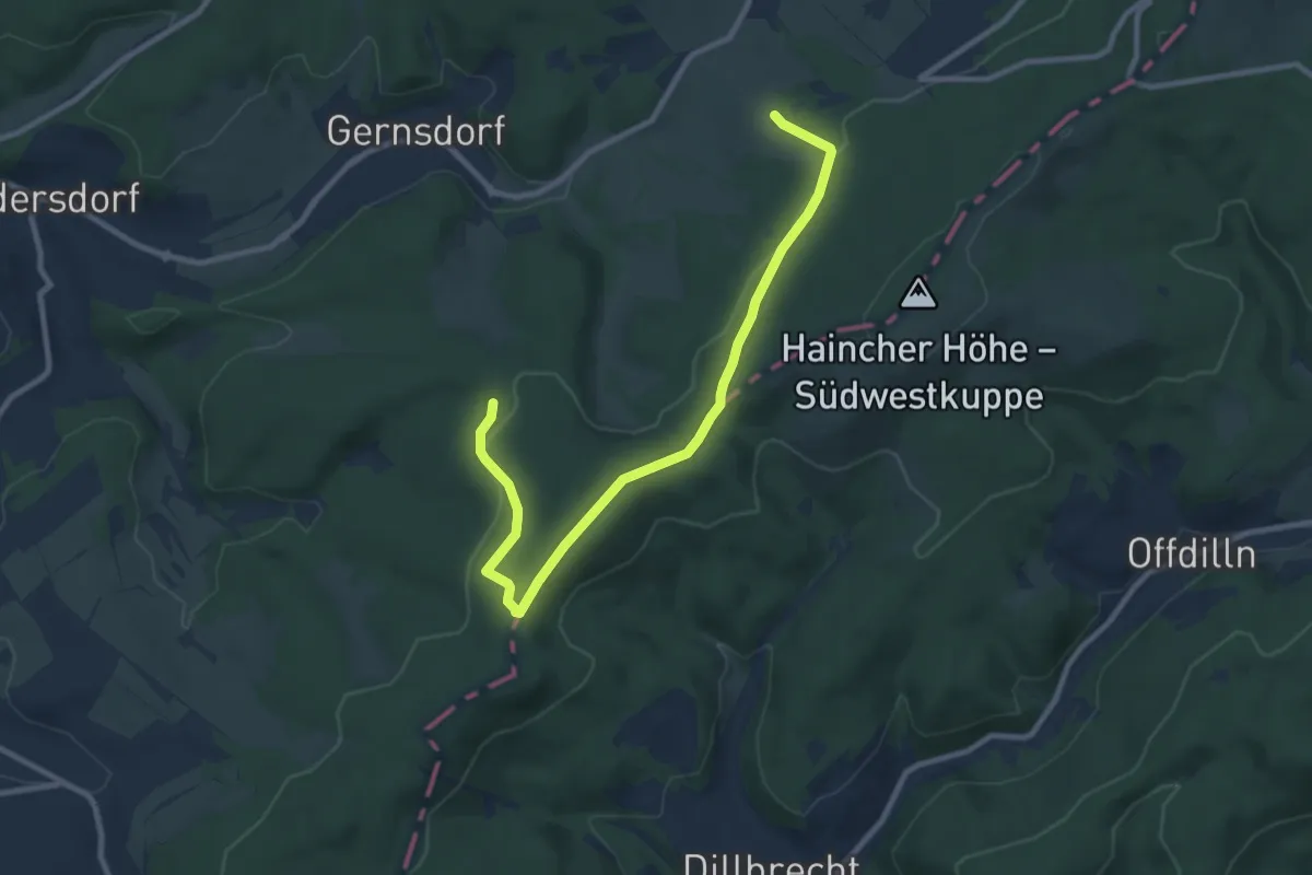
Easy · Trail
Rothaarsteig-Spur Gernsdorfer Höhentour
4.7 km · ↑ 93 m · 1 h 22 min
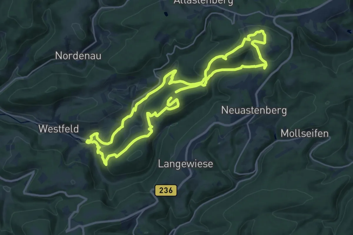
Medium · Summit
Rothaarsteig-Spur Kahler Asten-Steig, R
15.6 km · ↑ 498 m · 4 h 59 min
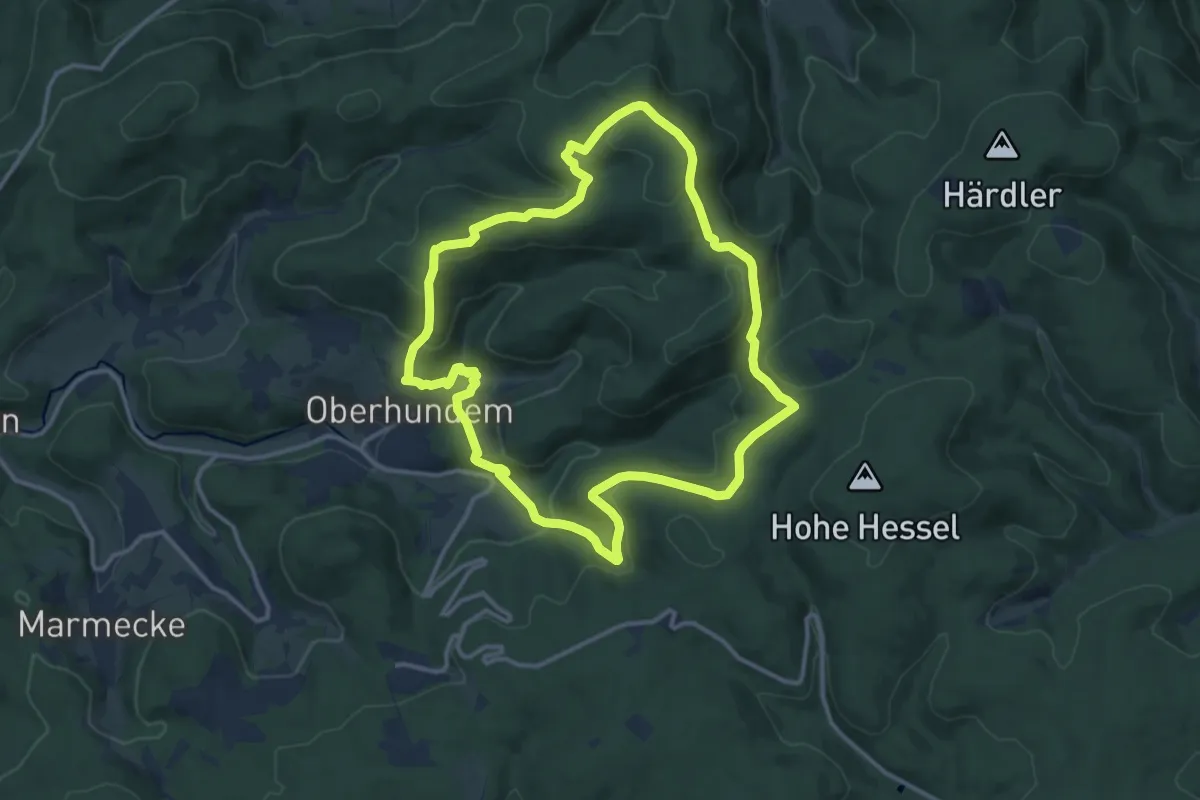
Medium · Summit
Rothaarsteig-Spur Oberhundemer Bergtour
11.5 km · ↑ 397 m · 3 h 44 min
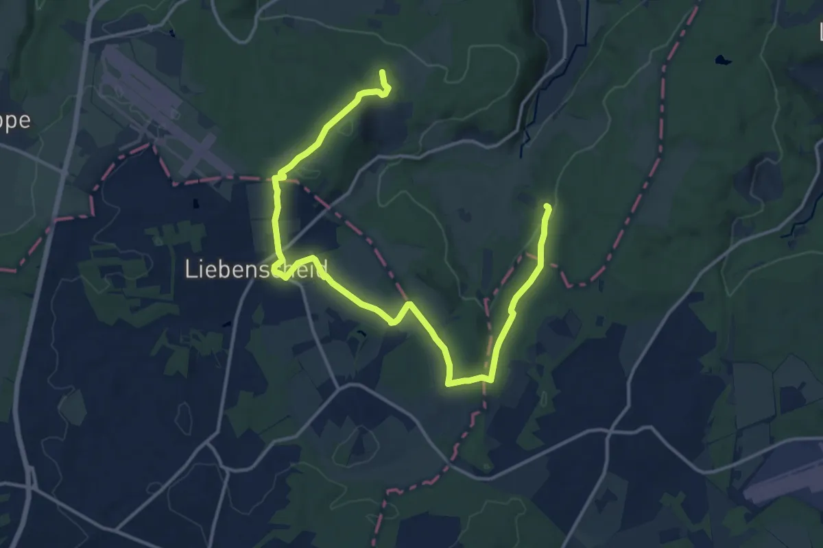
Easy · Trail
Rothaarsteig-Spur Romantischer Hickengrund
7.8 km · ↑ 136 m · 2 h 16 min
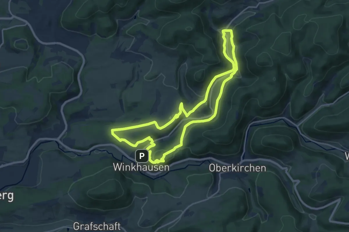
Medium · Trail
Rothaarsteig-Spur Sorper-Panoramapfad
12.5 km · ↑ 316 m · 3 h 49 min
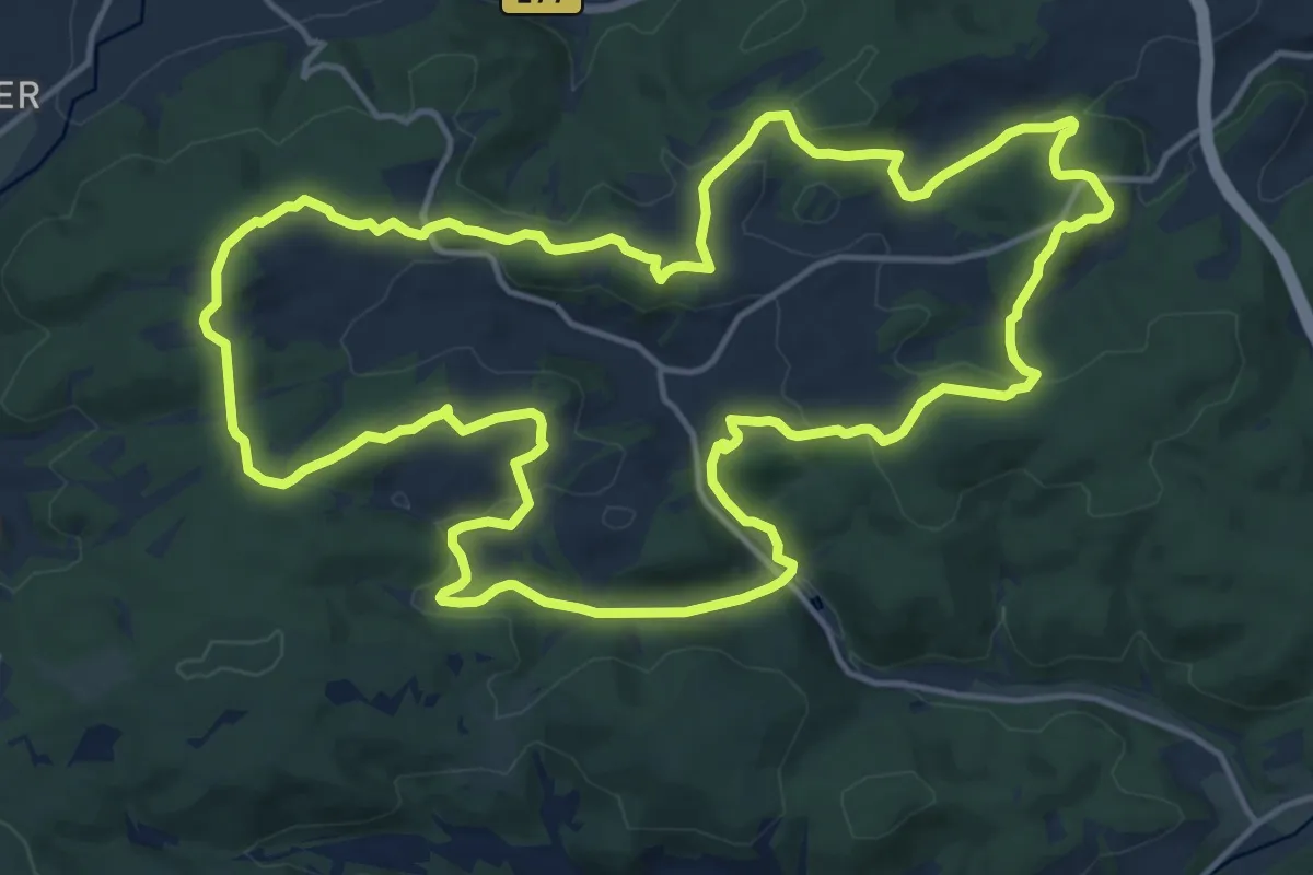
Medium · Summit
Rothaarsteig-Spur Wacholderweg
15.8 km · ↑ 392 m · 4 h 48 min
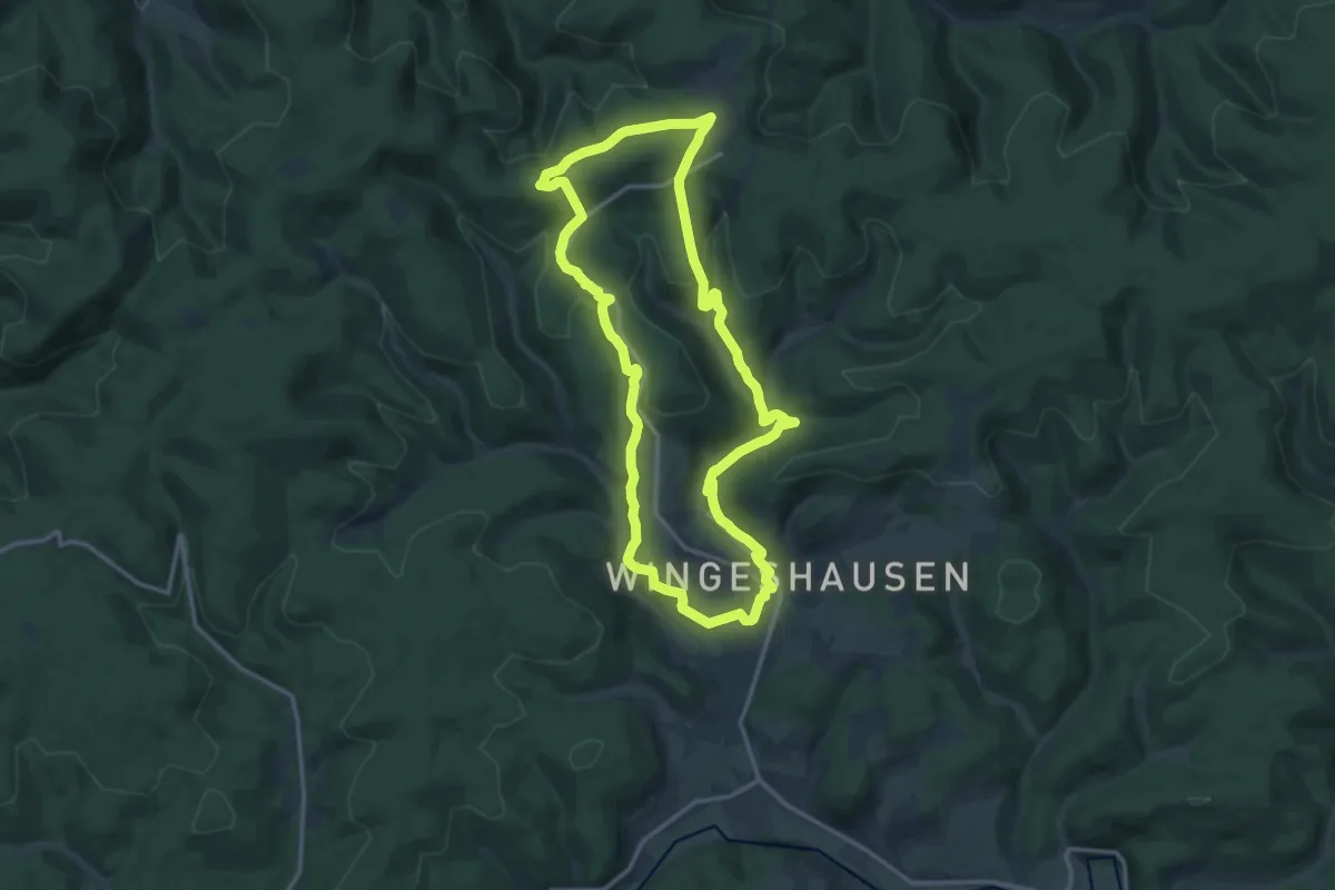
Medium · Trail
Rothaarsteig-Spur Wisent-Pfad
13.2 km · ↑ 391 m · 4 h 8 min
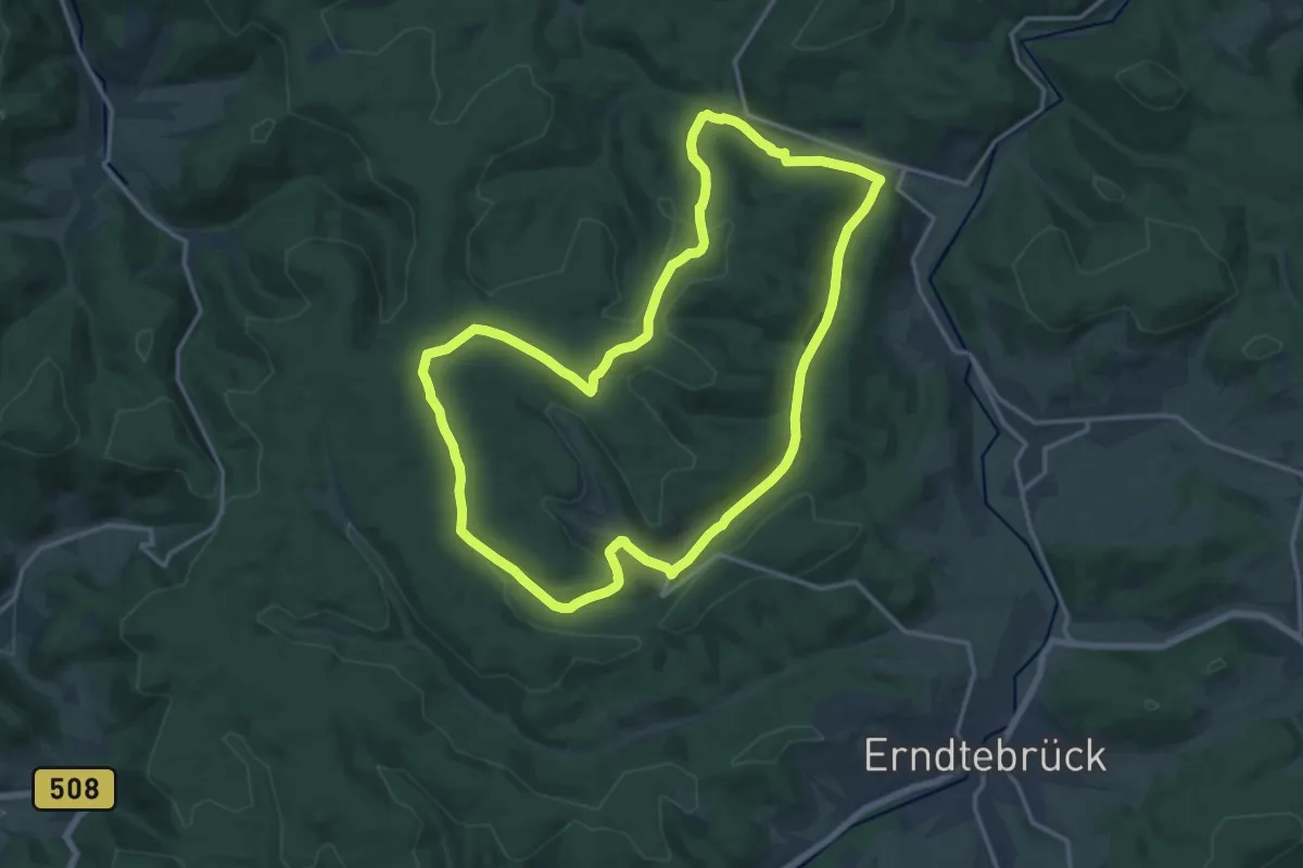
Medium · Summit
Rothaarsteig-Spur Zinser Grenzpfad
14.3 km · ↑ 318 m · 4 h 16 min
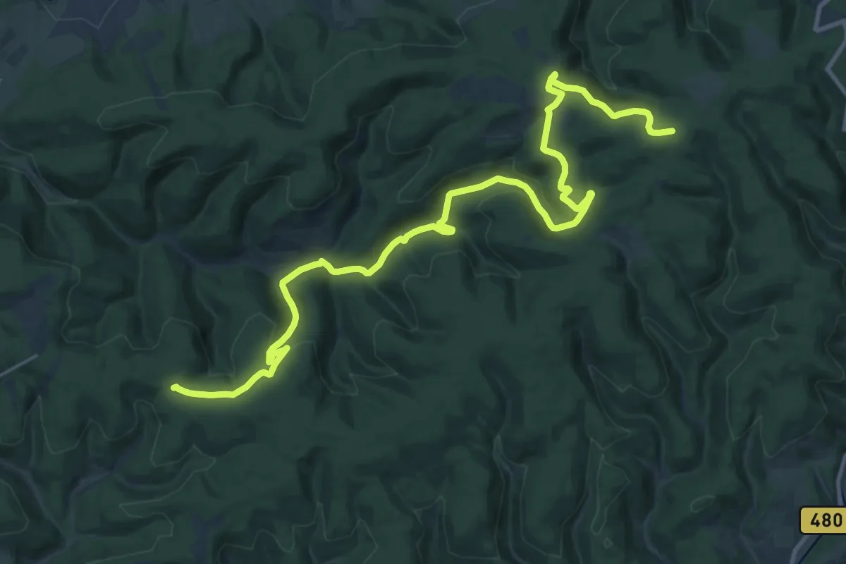
Demanding · Trail
Rothaarsteig-Talvariante
26.3 km · ↑ 755 m · 7 h 51 min
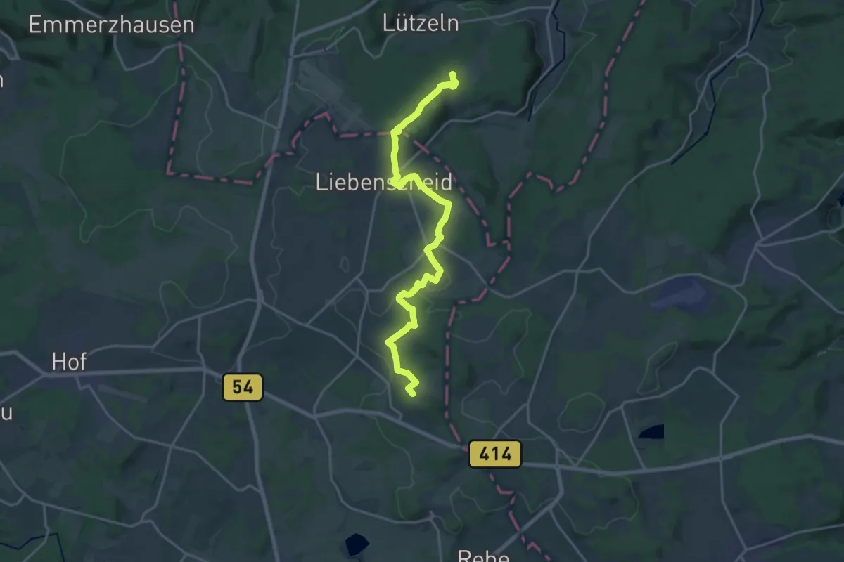
Demanding · Summit
Rothaarsteig-Westerwaldvariante
18.3 km · ↑ 331 m · 5 h 3 min
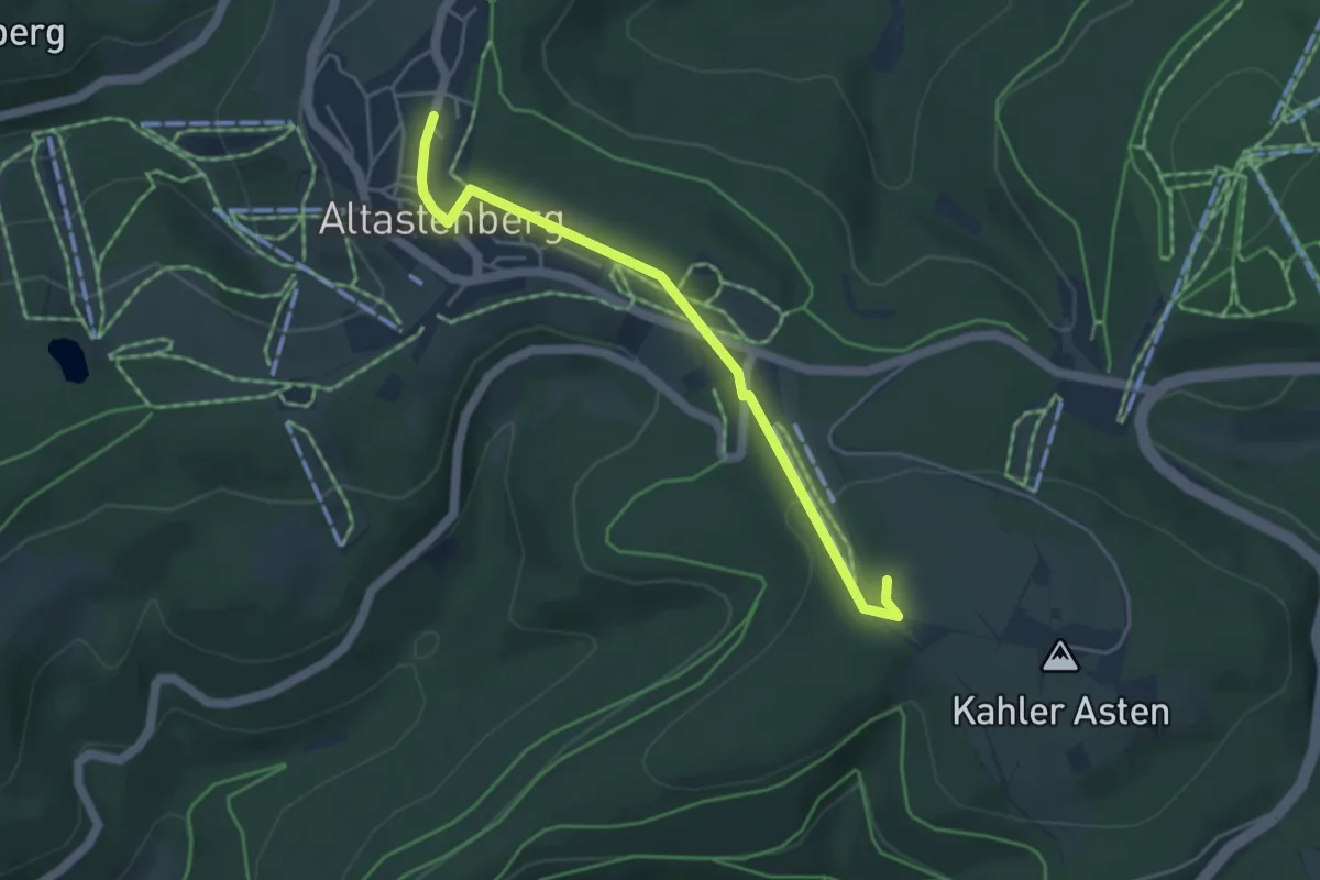
Easy · Trail
Rothaarsteig - Zugang Altastenberg
4.1 km · ↑ 83 m · 1 h 8 min
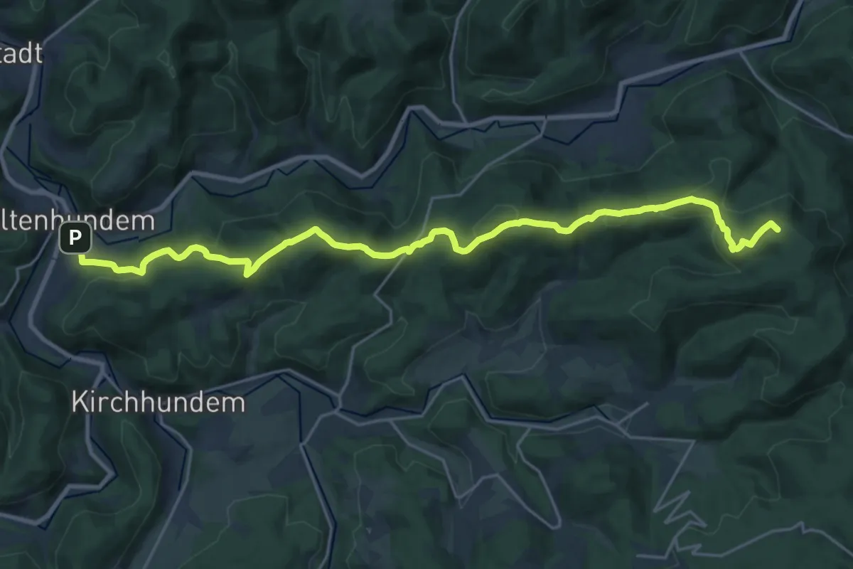
Demanding · Summit
Rothaarsteig Zugang Altenhundem
21.4 km · ↑ 739 m · 6 h 40 min
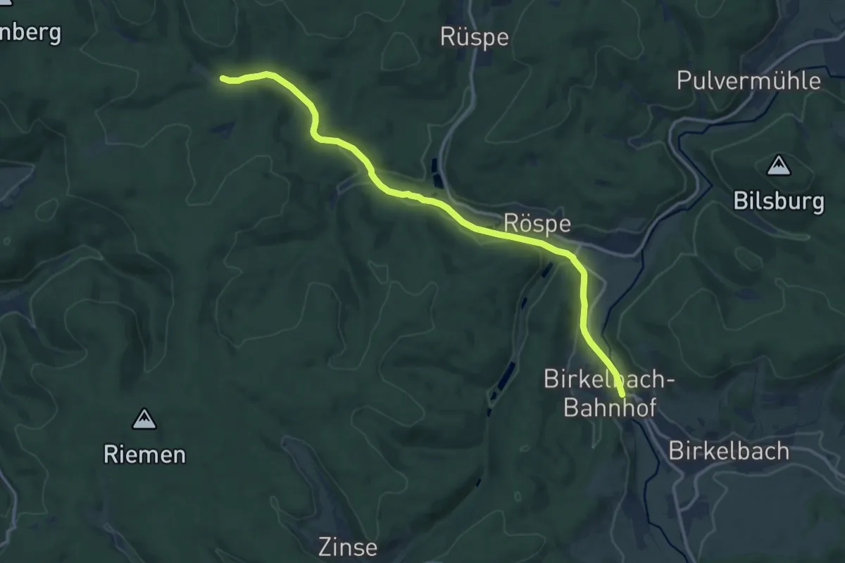
Medium · Trail
Rothaarsteig Zugang Birkelbach
11.9 km · ↑ 121 m · 3 h 5 min
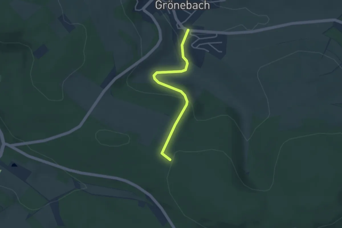
Easy · Trail
Rothaarsteig Zugang Grönebach
2.8 km · ↑ 100 m · 53 min
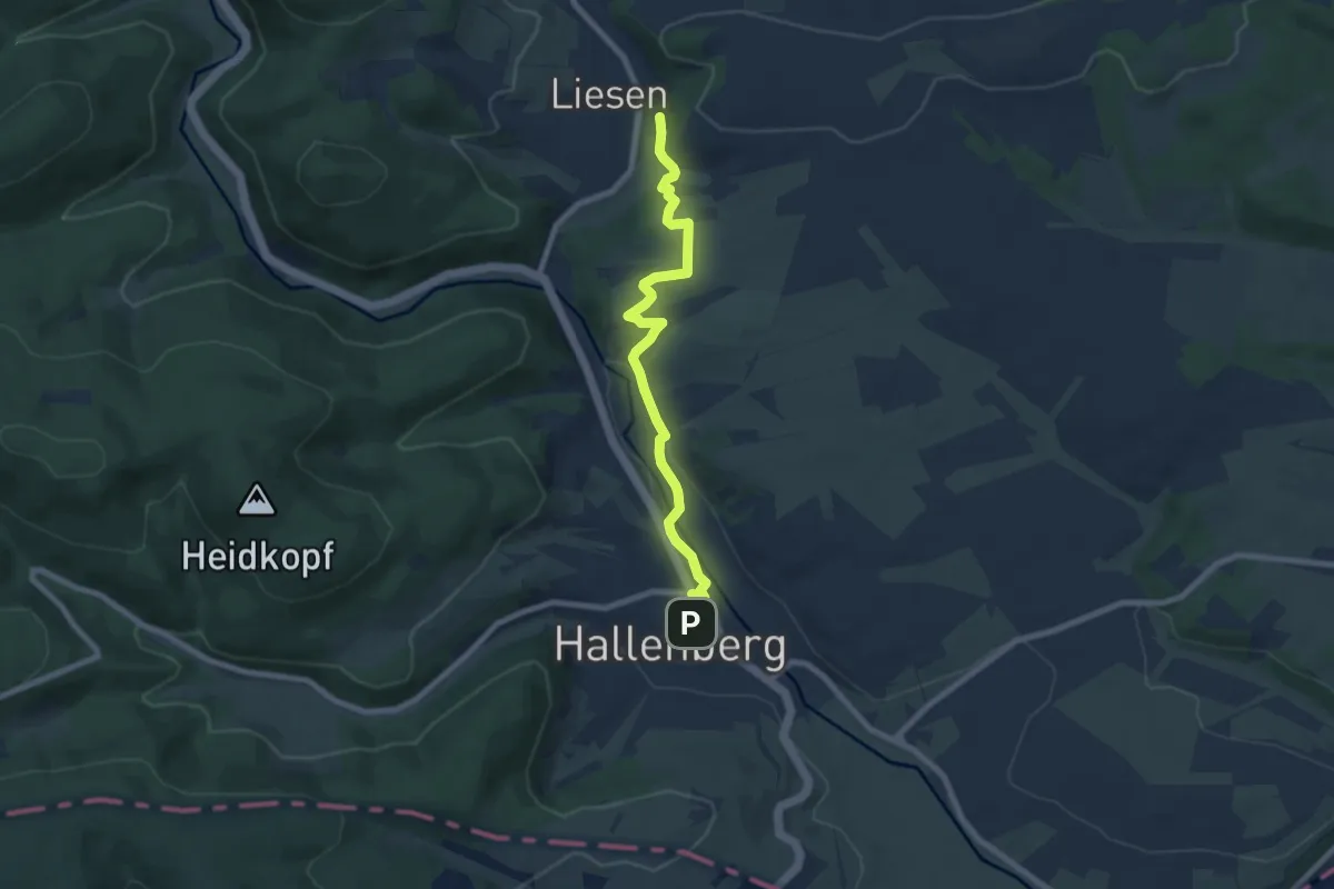
Easy · Trail
Rothaarsteig Zugang Hallenberg
7.0 km · ↑ 151 m · 1 h 58 min
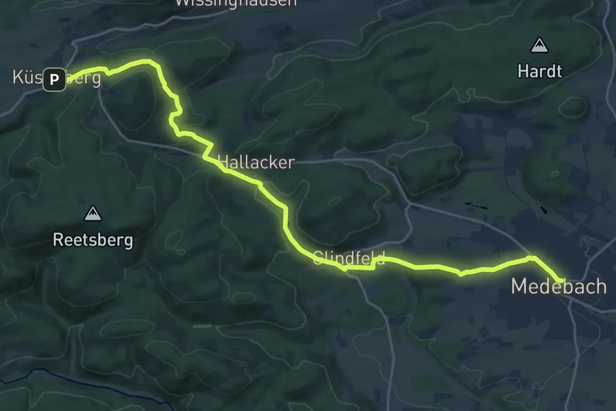
Demanding · Trail
Rothaarsteig Zugang Medebach
19.0 km · ↑ 491 m · 5 h 33 min
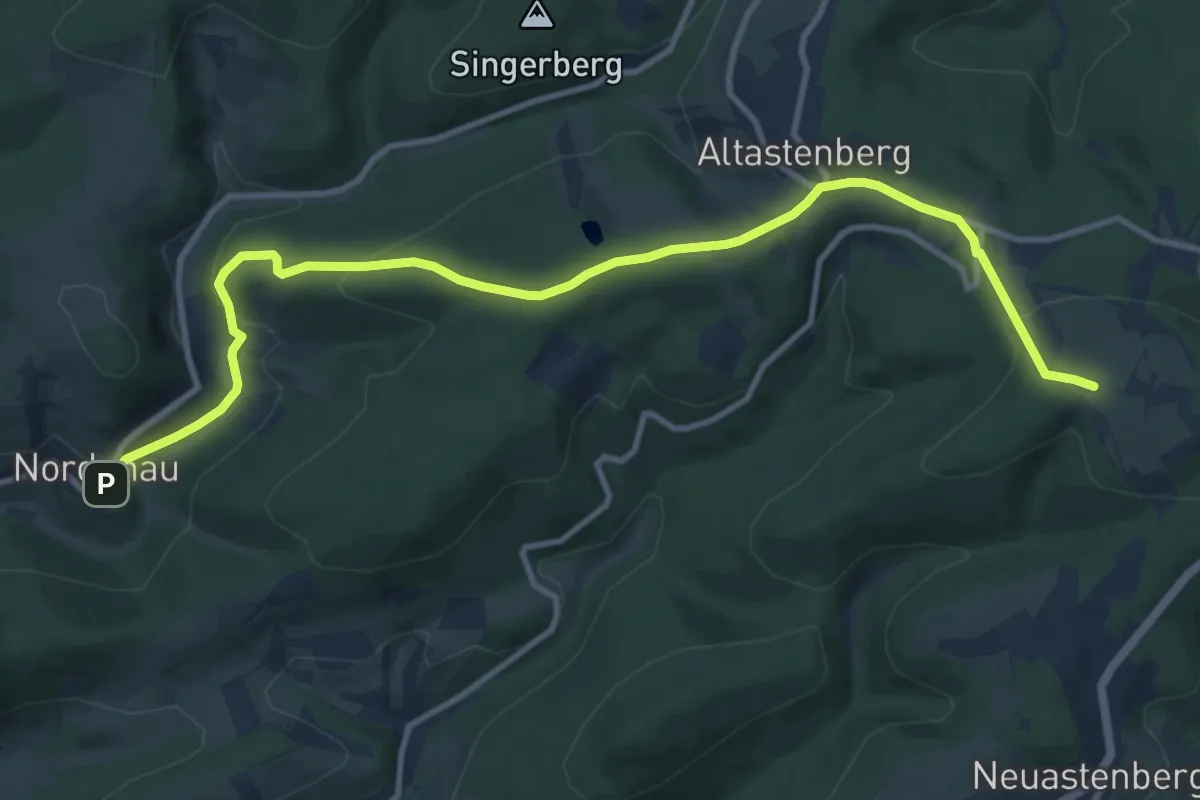
Medium · Trail
Rothaarsteig Zugang Nordenau
11.2 km · ↑ 331 m · 3 h 22 min
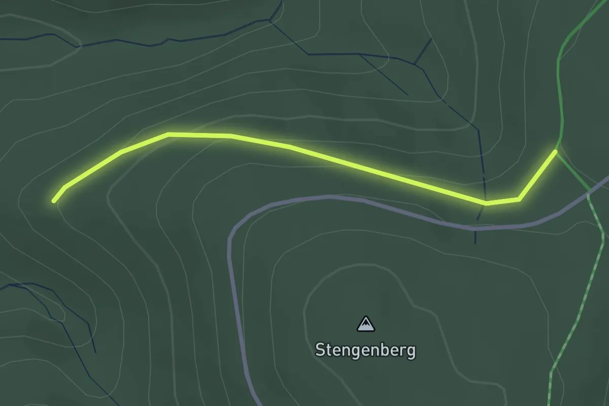
Easy · Trail
Rothaarsteig Zugang Oberhundem
2.4 km · ↑ 81 m · 44 min
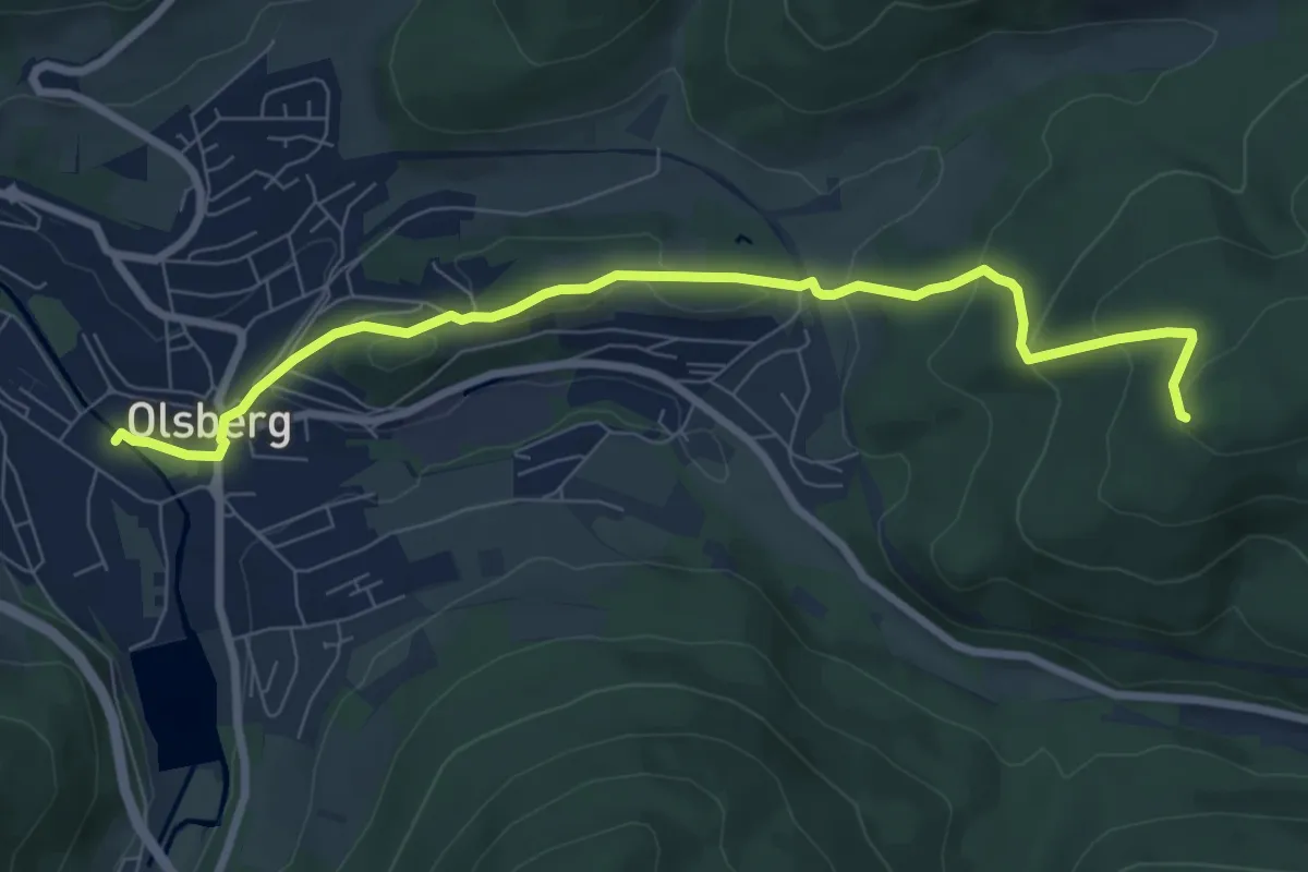
Easy · Trail
Rothaarsteig Zugang Olsberg
7.6 km · ↑ 298 m · 2 h 27 min
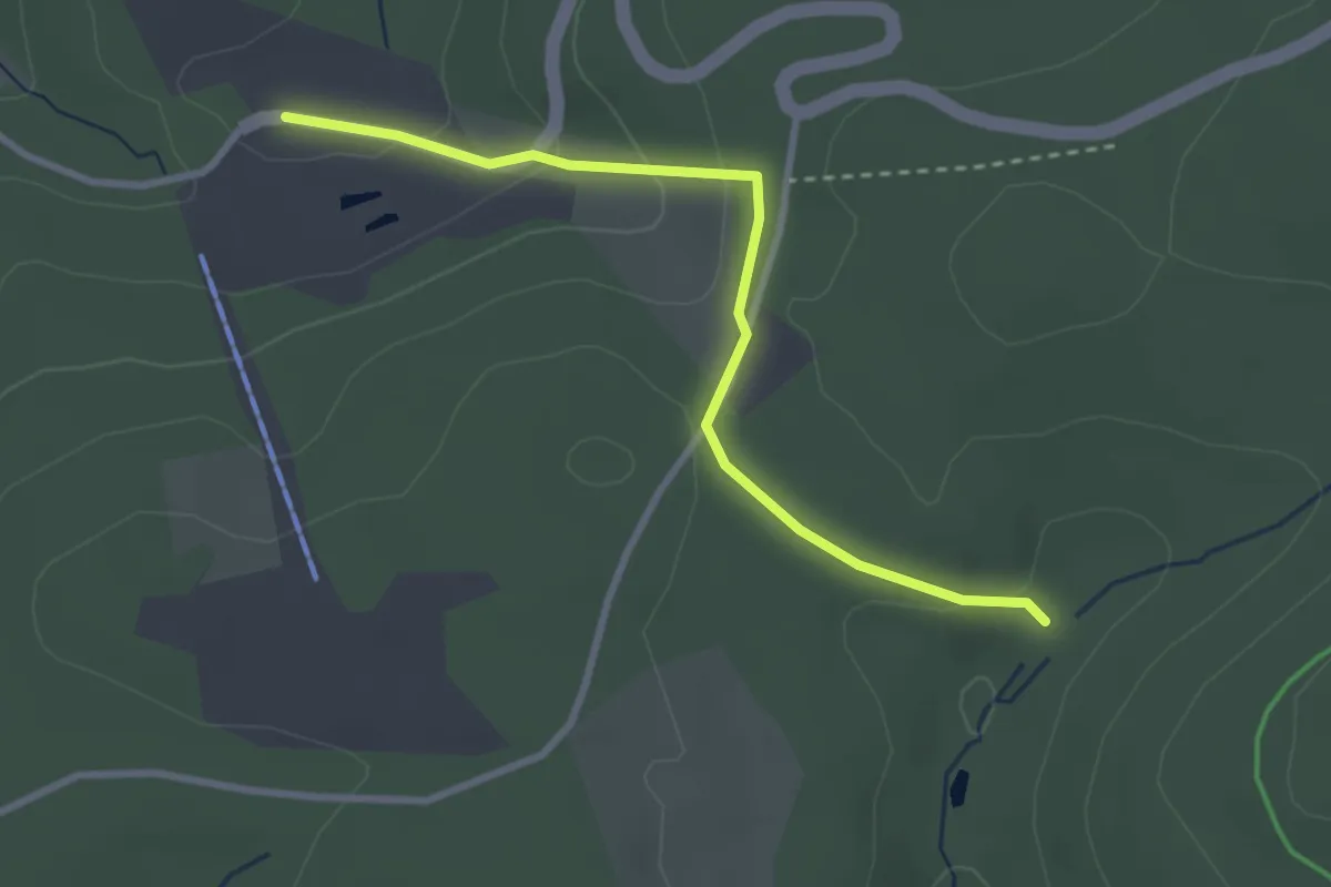
Easy · Trail
Rothaarsteig Zugang Panoramapark
2.8 km · ↑ 95 m · 52 min
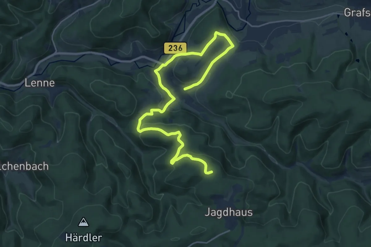
Medium · Trail
Rothaarsteig Zugang Schmallenberg
17.6 km · ↑ 526 m · 5 h 17 min
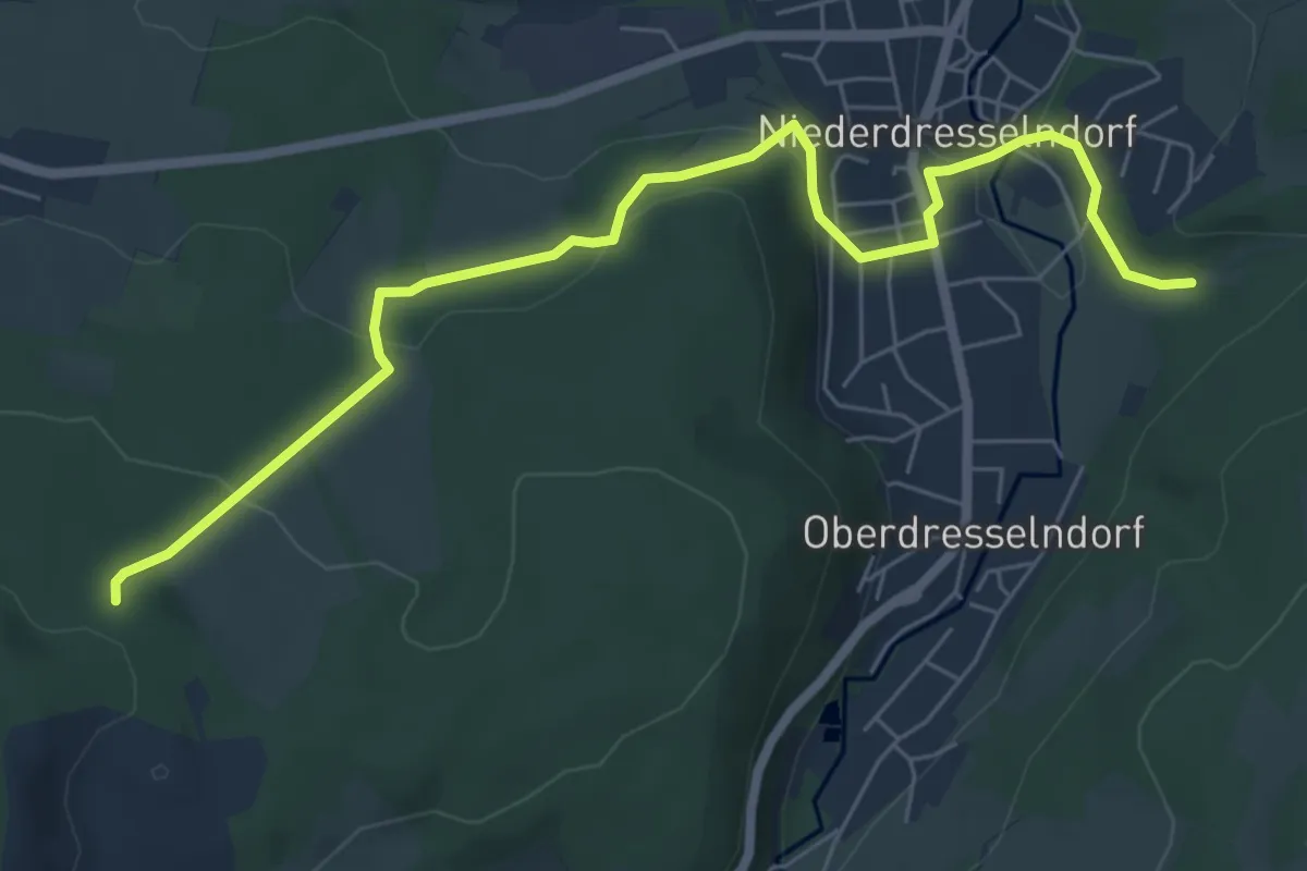
Medium · Trail
Rothaarsteig-Zugangsweg Niederdresselndorf
6.8 km · ↑ 277 m · 2 h 12 min
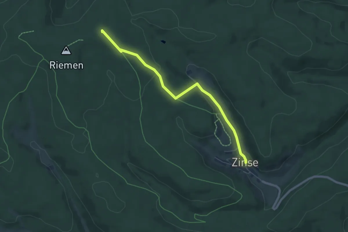
Easy · Summit
Rothaarsteig Zugang Zinse
5.4 km · ↑ 135 m · 1 h 34 min
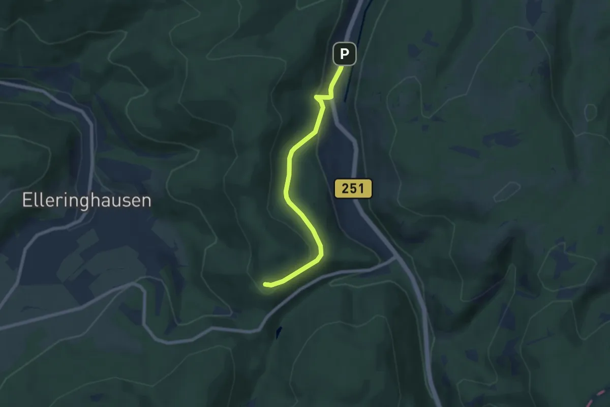
Easy · Trail
Rothaarsteig-Zuweg Brilon-Wald
5.1 km · ↑ 165 m · 1 h 34 min
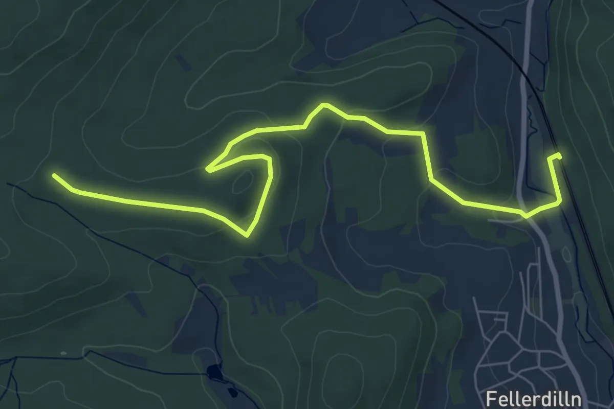
Easy · Trail
Rothaarsteig-Zuweg Dillbrecht
6.6 km · ↑ 146 m · 1 h 53 min
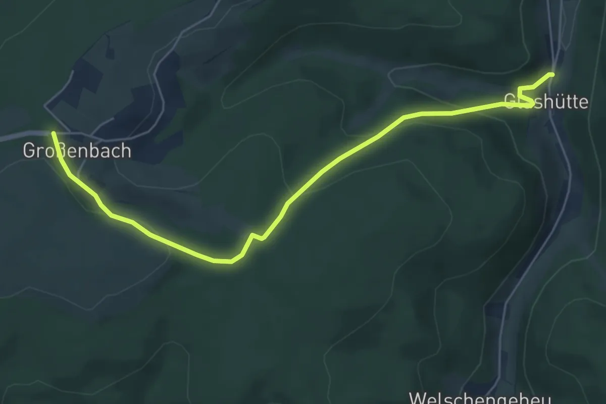
Easy · Trail
Rothaarsteig-Zuweg Glashütte
5.3 km · ↑ 177 m · 1 h 38 min