Trails in Germany
36,852 hiking trails, each with its route, climb, walking time and grade.
All trails, page 468 of 768
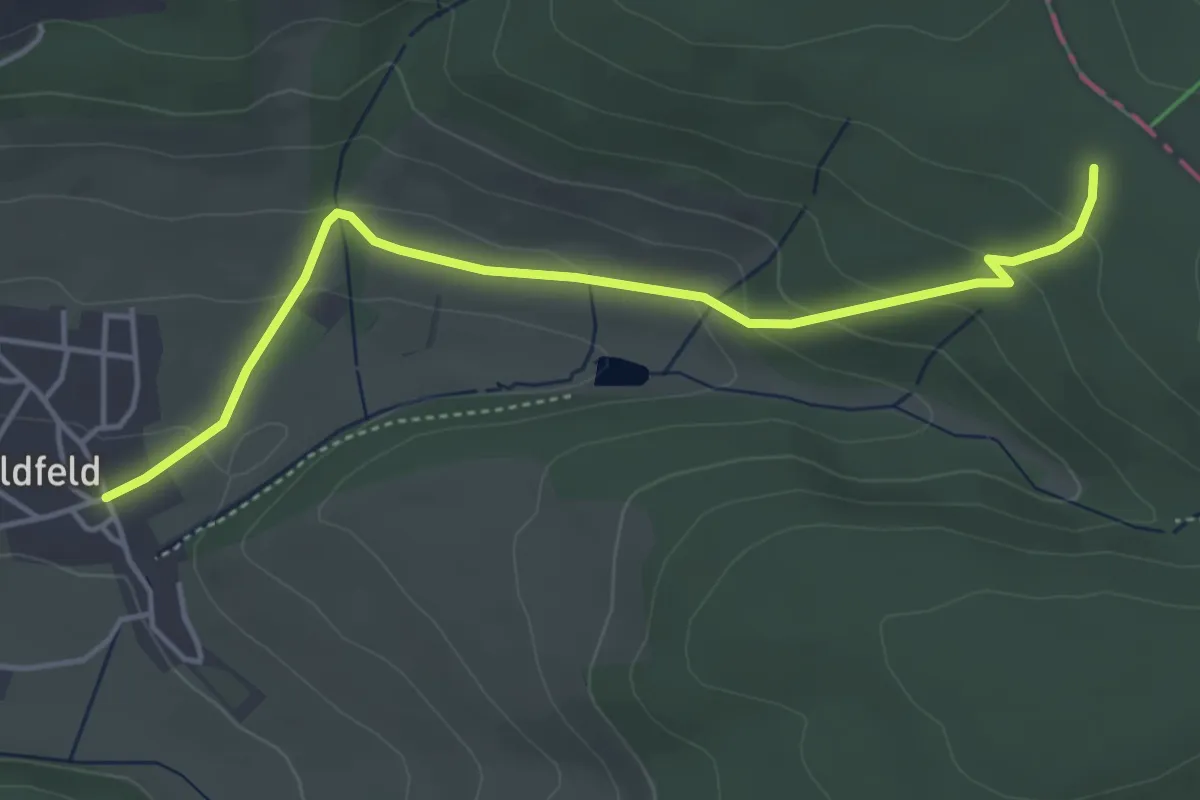
Easy · Trail
Rothaarsteig-Zuweg Hildfeld
4.1 km · ↑ 150 m · 1 h 18 min
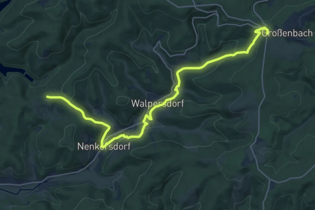
Medium · Trail
Rothaarsteig-Zuweg Netphen
17.1 km · ↑ 501 m · 5 h 8 min
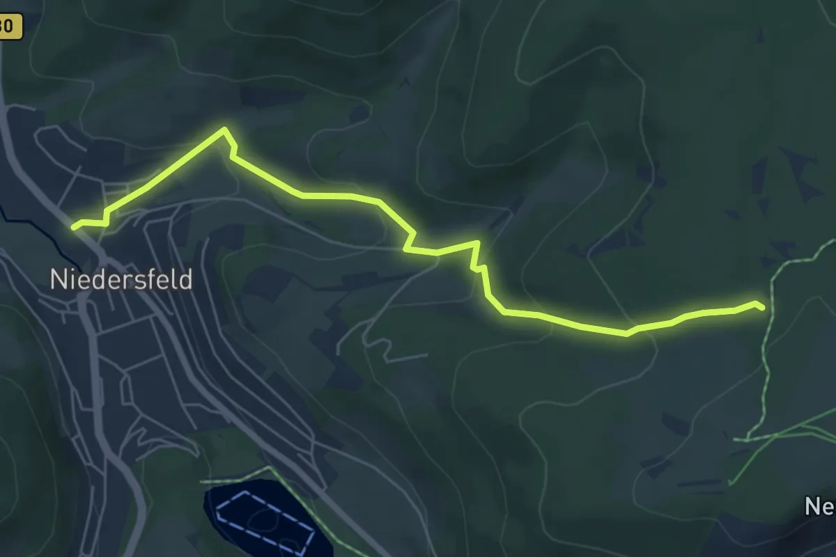
Easy · Trail
Rothaarsteig-Zuweg Niedersfeld
5.7 km · ↑ 283 m · 1 h 58 min
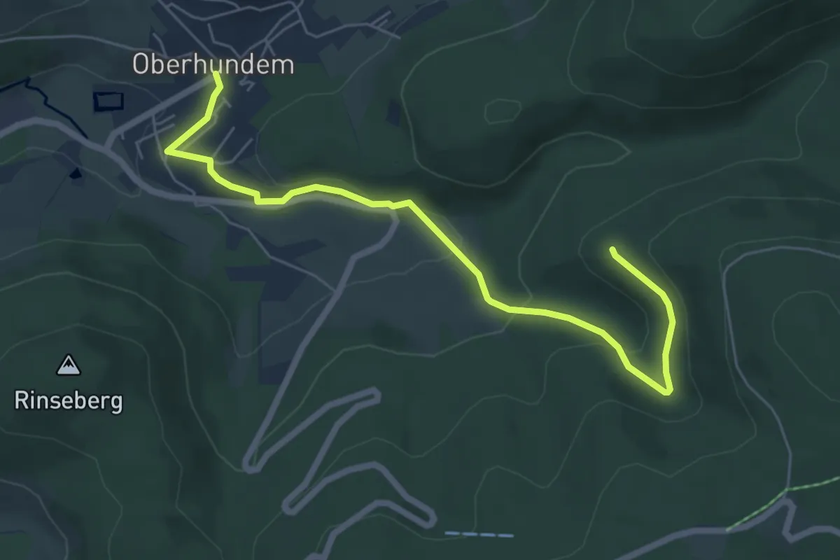
Easy · Trail
Rothaarsteig Zuweg Oberhundem Süd
5.9 km · ↑ 203 m · 1 h 50 min
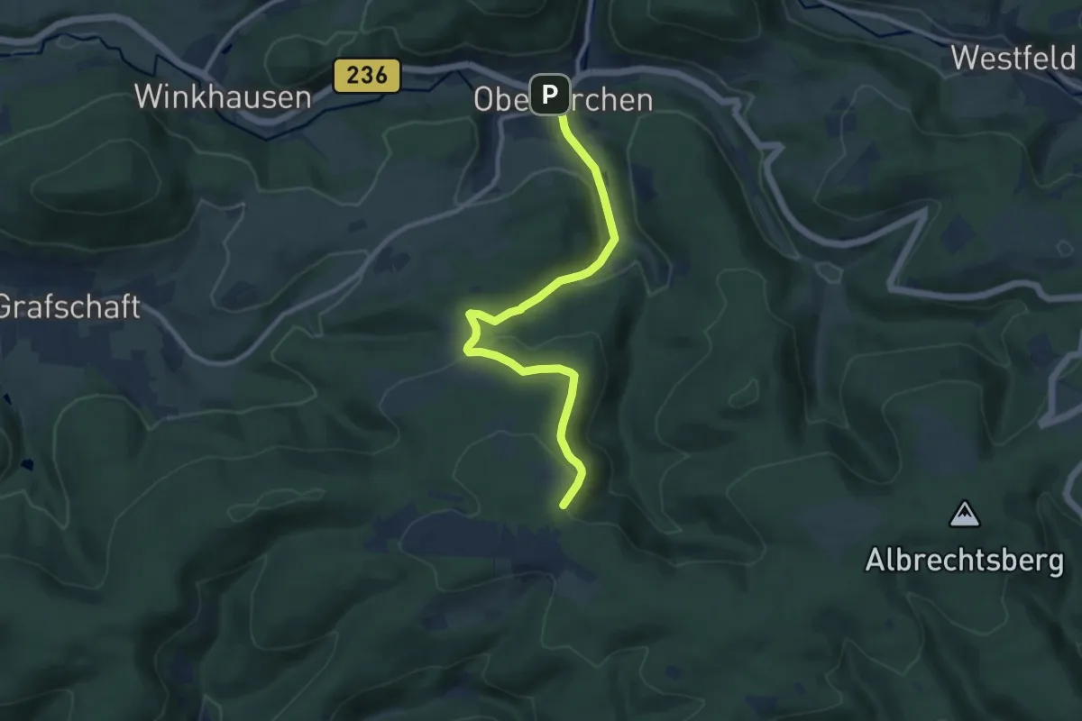
Medium · Trail
Rothaarsteig-Zuweg Oberkirchen
8.6 km · ↑ 277 m · 2 h 38 min
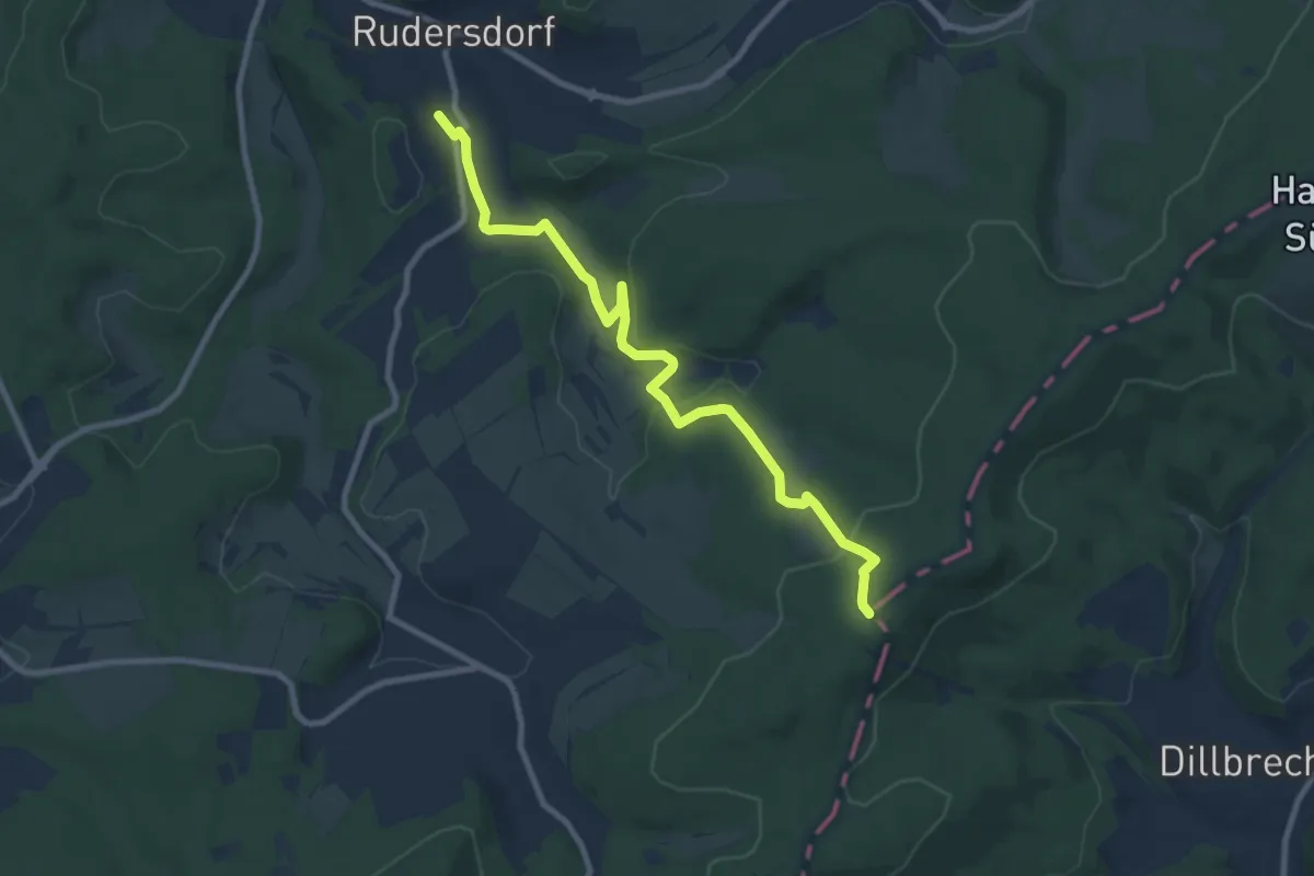
Medium · Summit
Rothaarsteig-Zuweg Rudersdorf
8.7 km · ↑ 228 m · 2 h 33 min
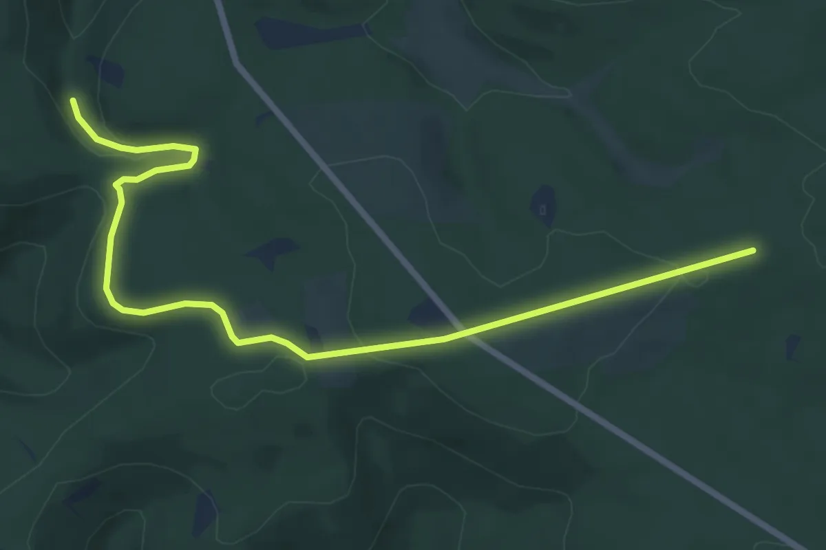
Easy · Trail
Rothaarsteig-Zuweg Sohlbach
6.8 km · ↑ 137 m · 1 h 54 min
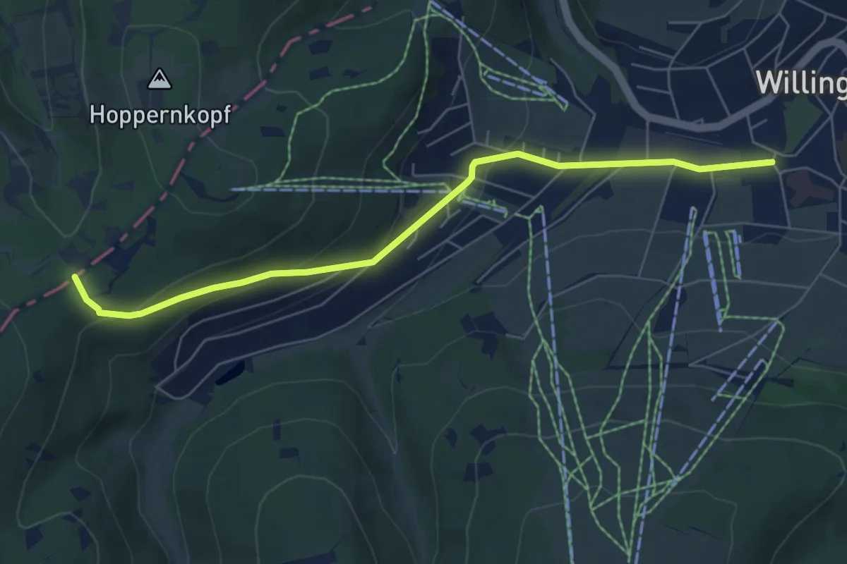
Easy · Trail
Rothaarsteig-Zuweg Willingen
5.8 km · ↑ 205 m · 1 h 49 min
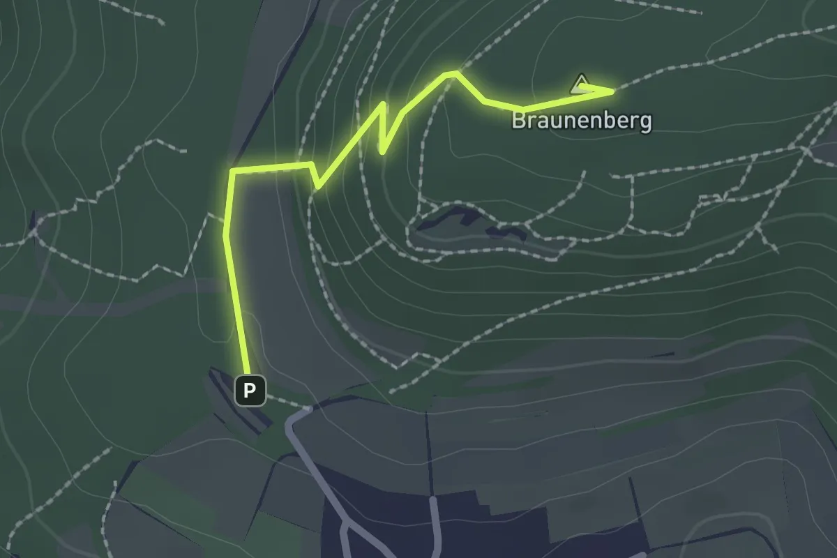
Easy · Summit
Röthardt - Braunenberg
1.8 km · ↑ 108 m · 40 min
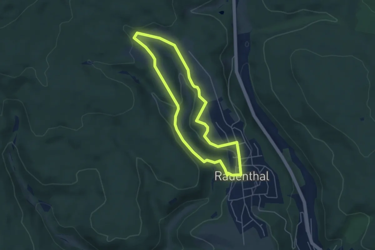
Easy · Trail
Rothausweg
4.1 km · ↑ 91 m · 1 h 14 min
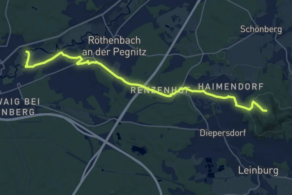
Demanding · Trail
Röthenbach a. d. Pegnitz– Moritzberg
19.1 km · ↑ 331 m · 5 h 14 min
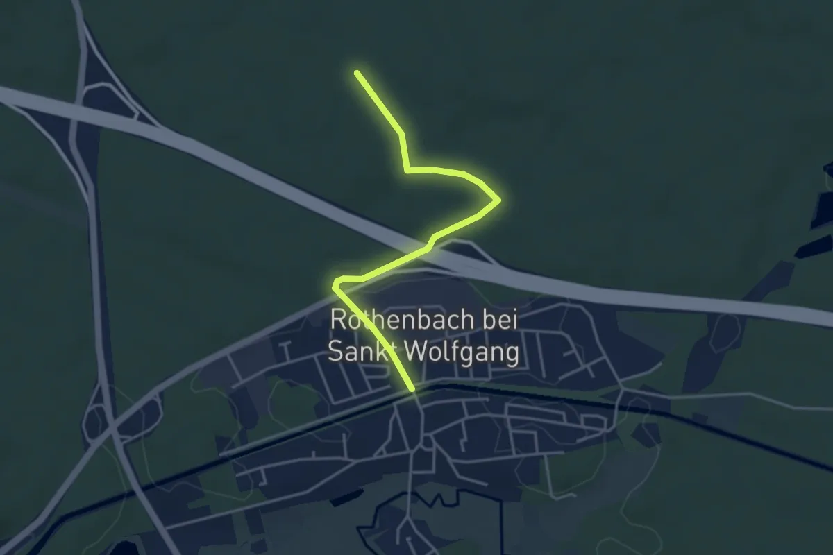
Easy · Trail
Röthenbach-Grünstrich
3.5 km · ↑ 30 m · 54 min
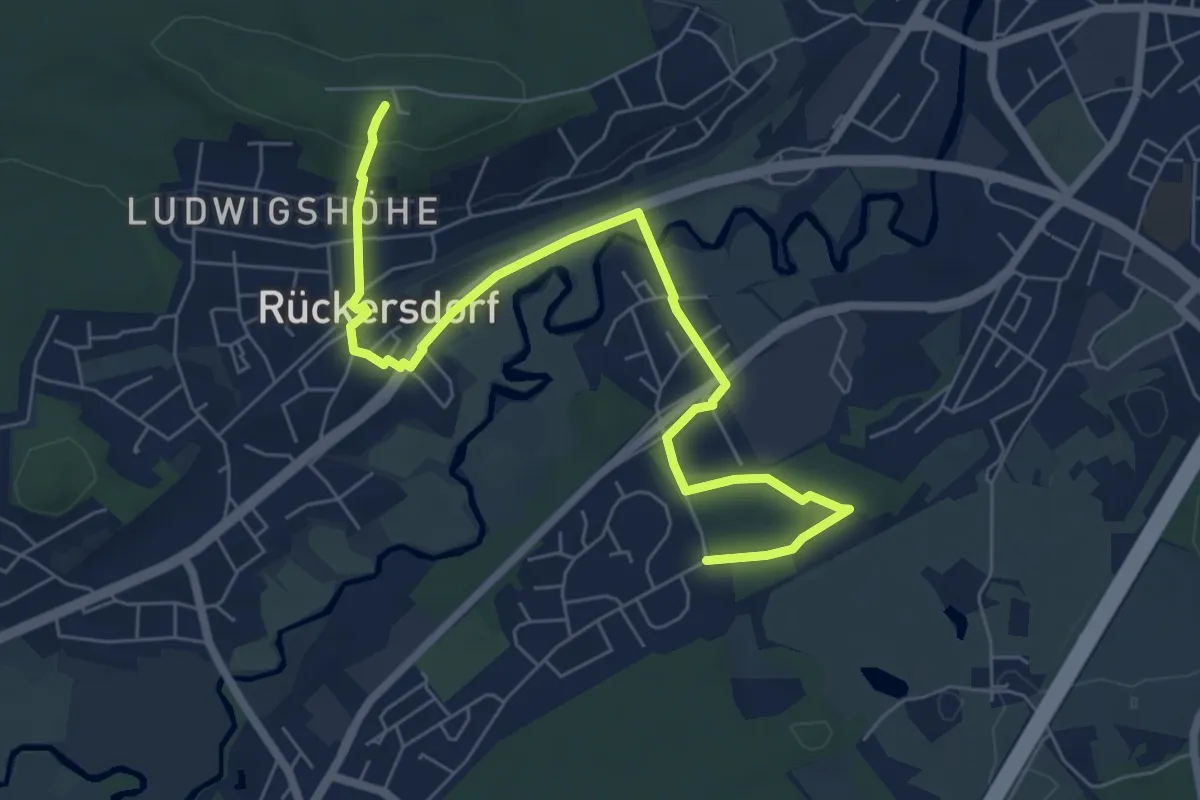
Easy · Summit
Röthenbach – Nuschelberg
7.4 km · ↑ 129 m · 2 h 1 min
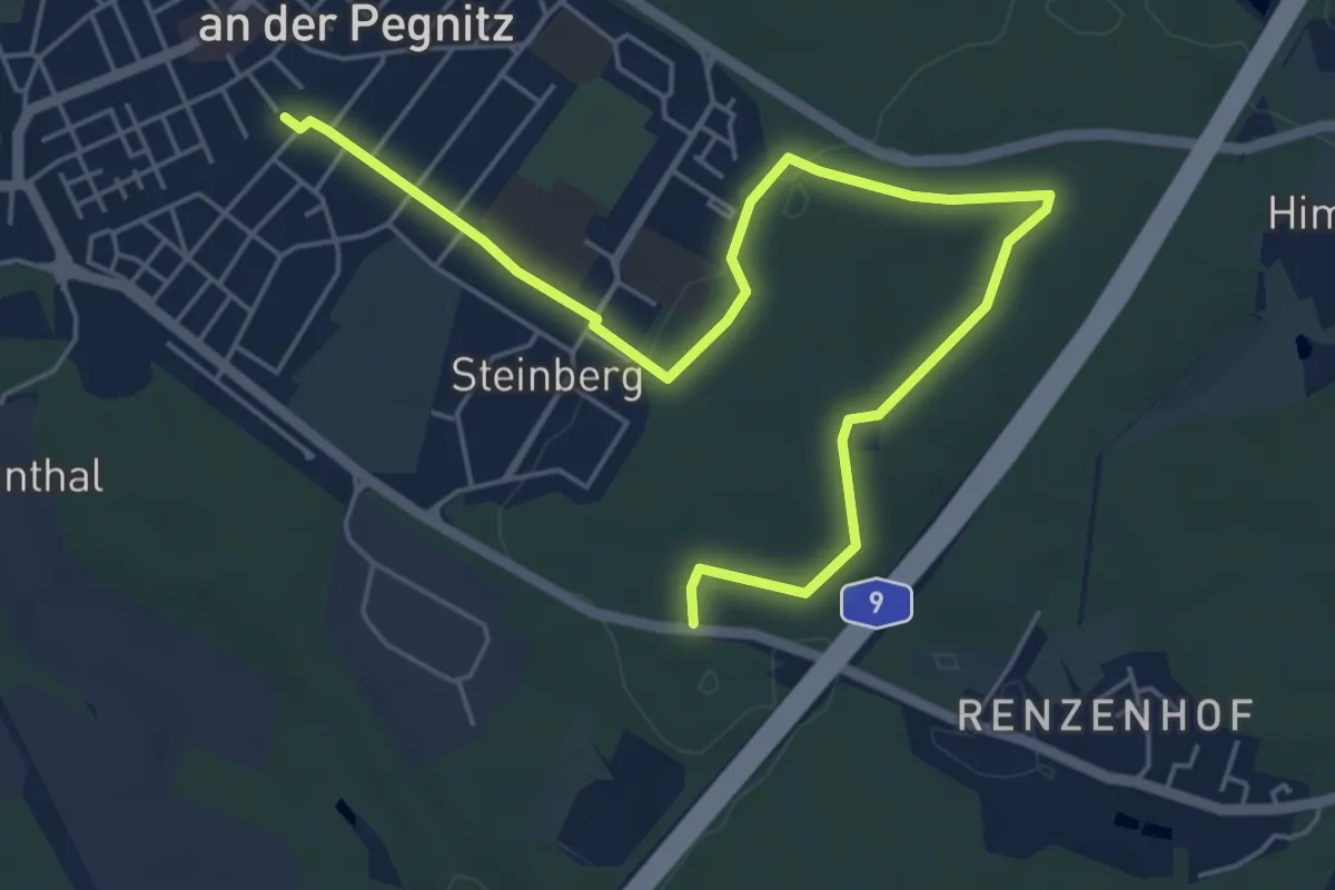
Easy · Trail
Röthenbach-Renzenhofer Straße
6.4 km · ↑ 77 m · 1 h 40 min
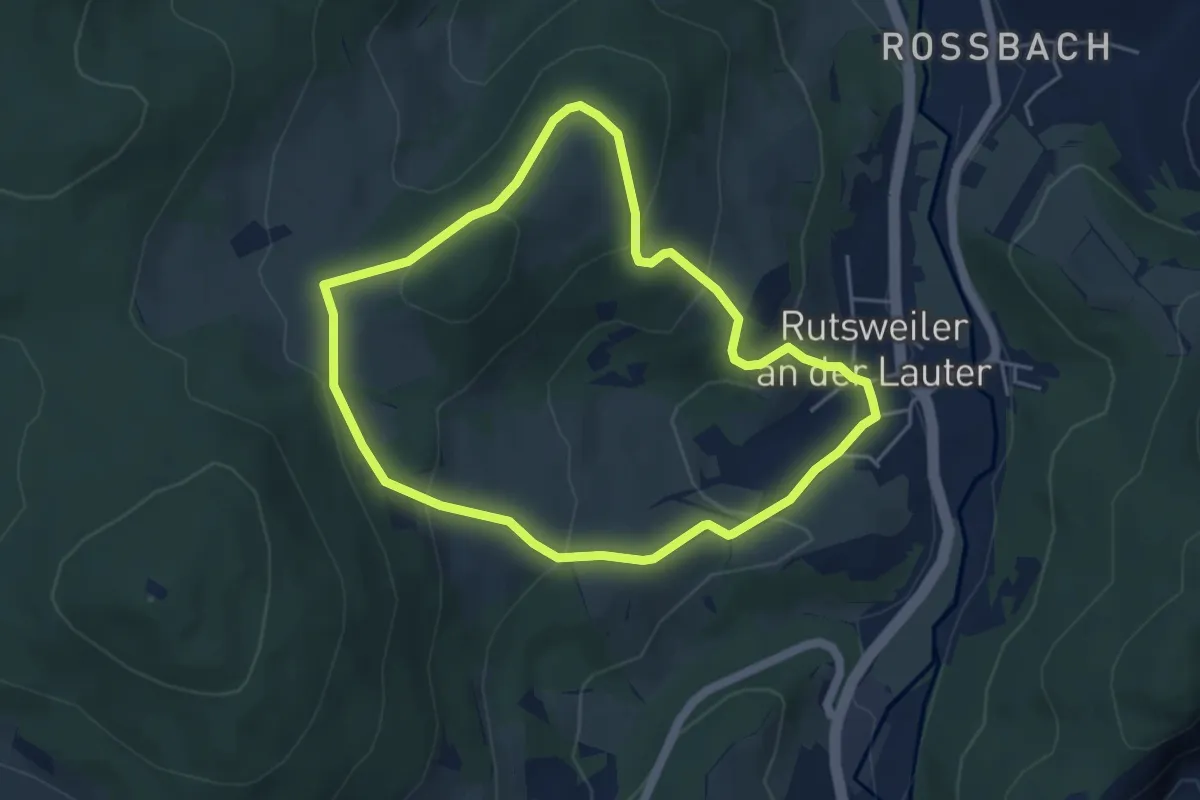
Easy · Trail
Rothenbühlsteig
4.3 km · ↑ 191 m · 1 h 29 min
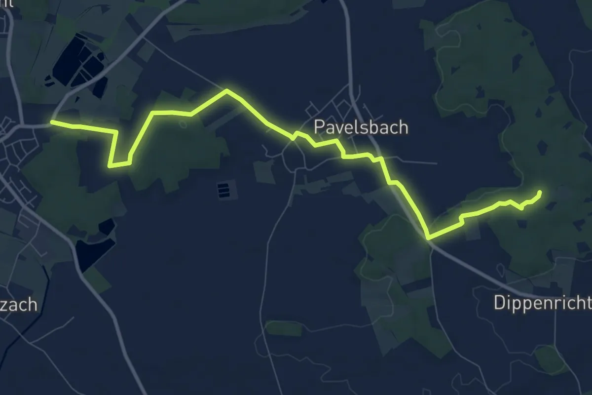
Medium · Trail
Rothenbühl-Weg
10.1 km · ↑ 106 m · 2 h 36 min
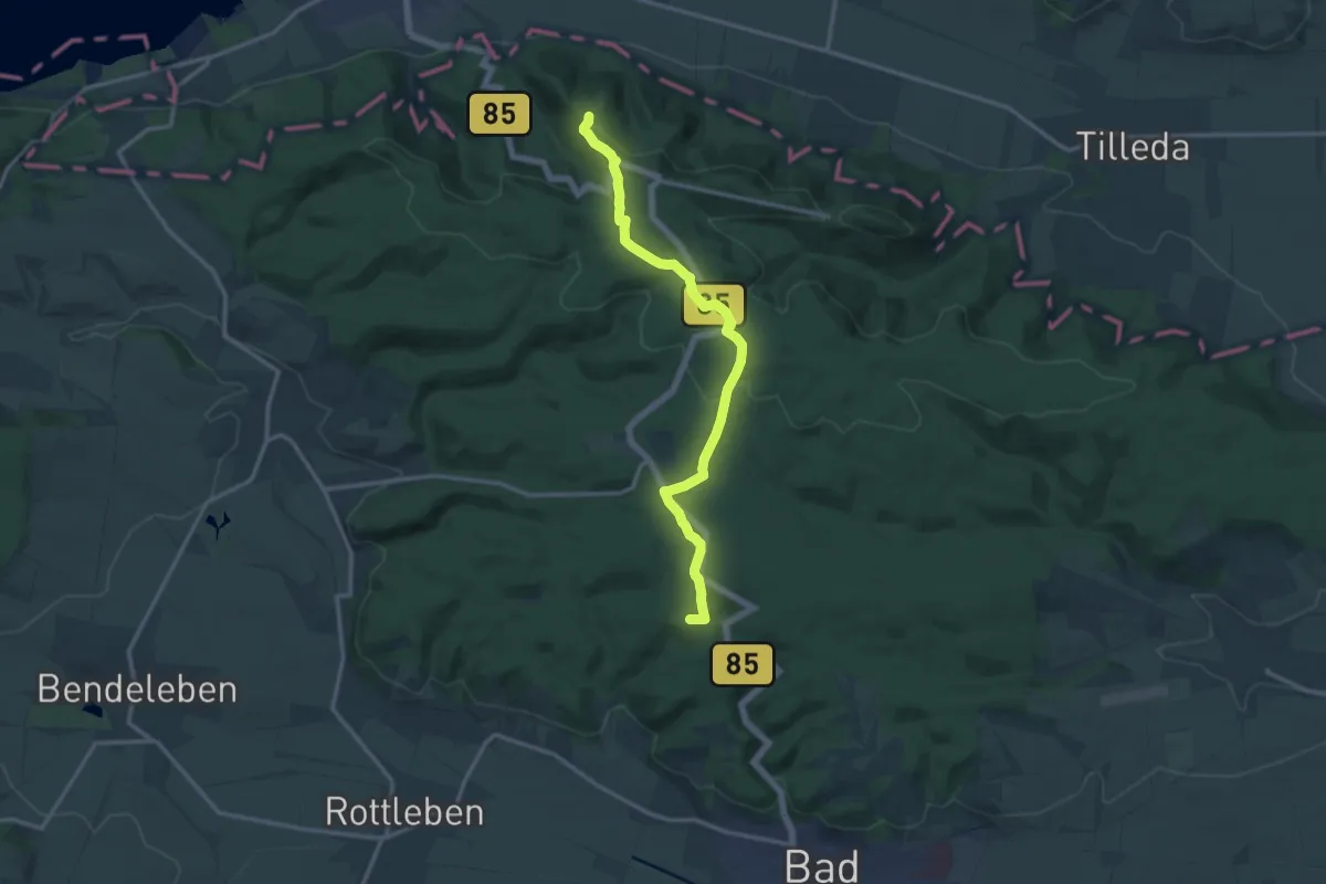
Medium · Summit
Rothenburg - Bad Frankenhausen (rotes Dreieck)
12.7 km · ↑ 271 m · 3 h 35 min
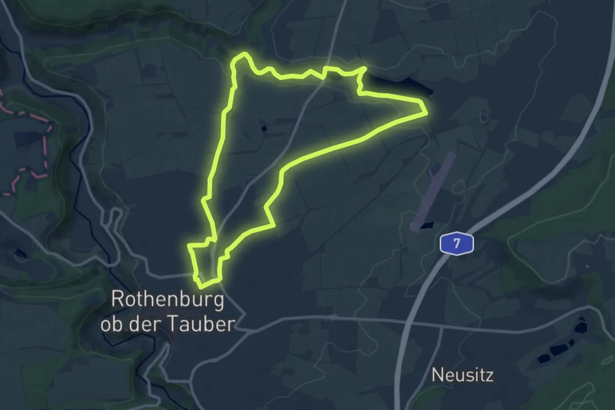
Medium · Trail
Rothenburger W10 - Lindleinsee
9.2 km · ↑ 71 m · 2 h 27 min
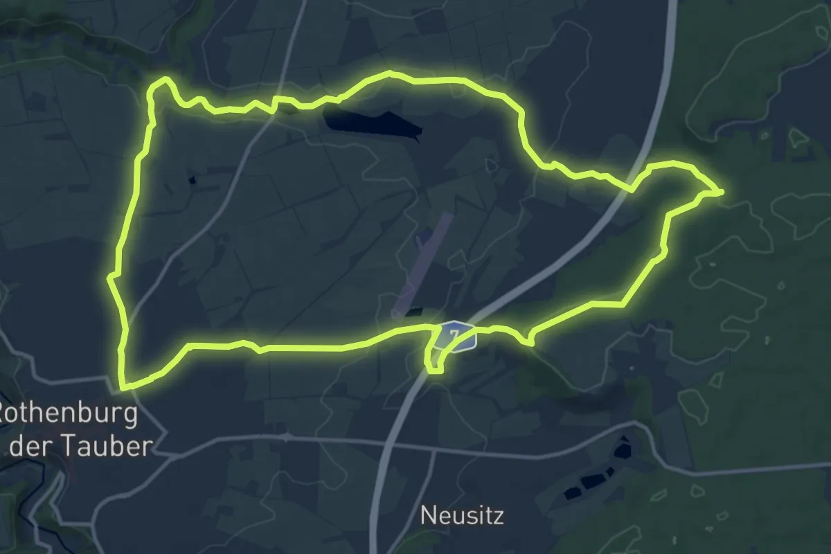
Medium · Summit
Rothenburger W11 - Lug ins Land
14.3 km · ↑ 186 m · 3 h 59 min
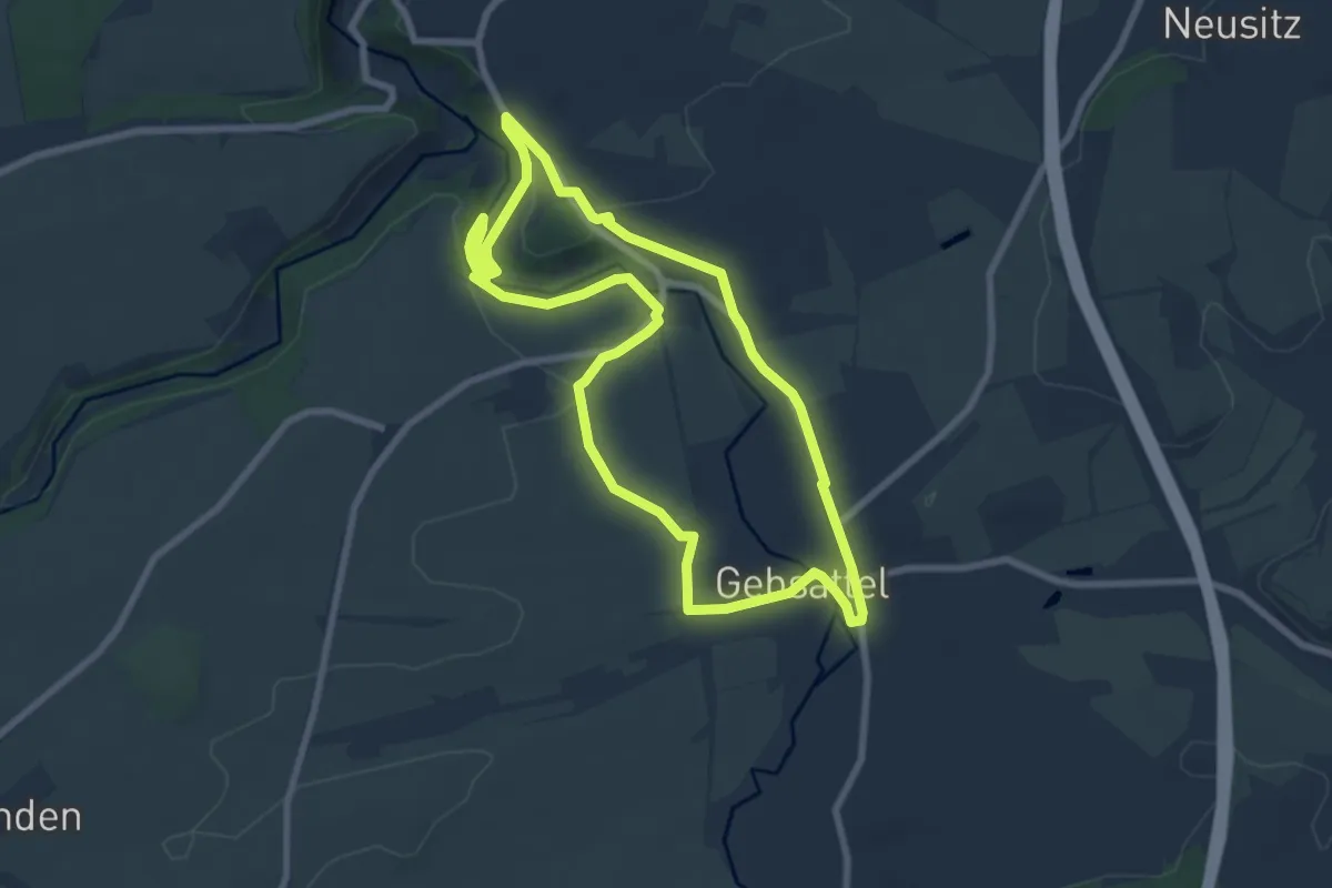
Easy · Trail
Rothenburger W12 - Gebsattel
7.0 km · ↑ 76 m · 1 h 56 min
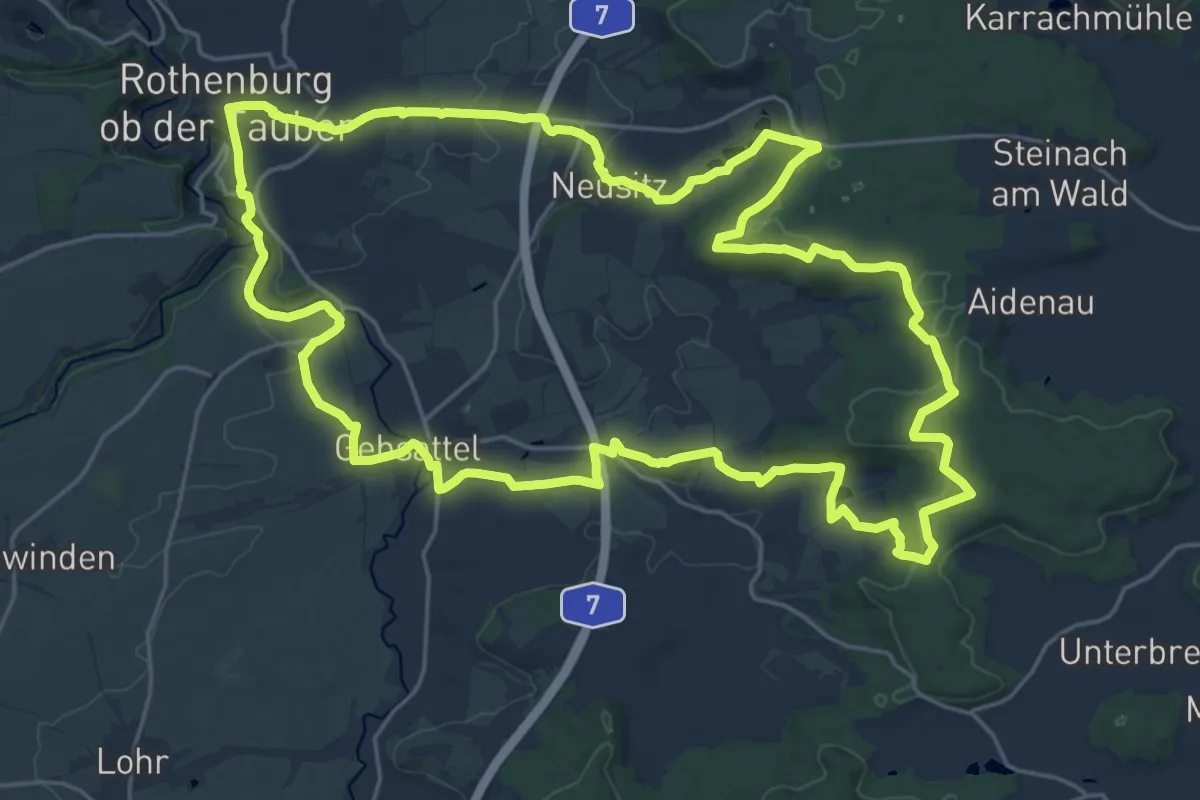
Demanding · Summit
Rothenburger W13 - Kirnberger Weg
22.9 km · ↑ 330 m · 6 h 27 min
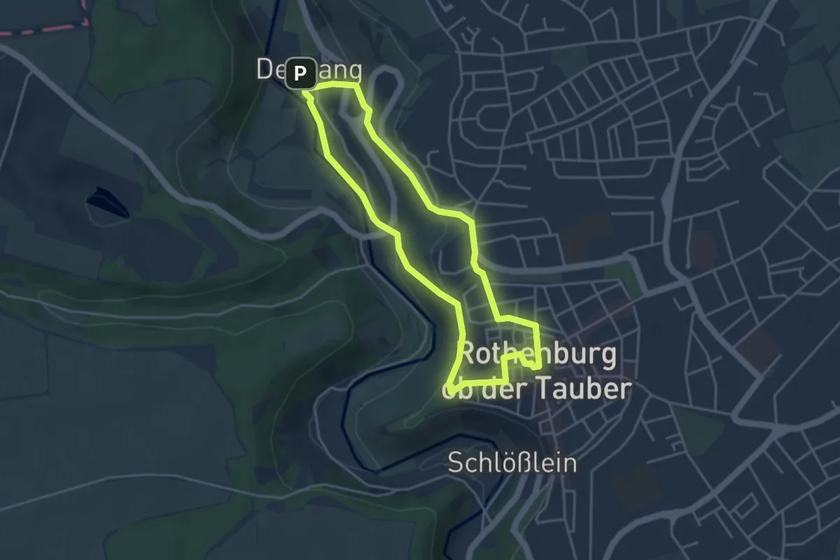
Easy · Trail
Rothenburger W1 - Detwanger Weg
3.4 km · ↑ 103 m · 1 h 5 min
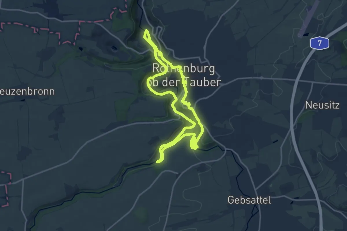
Medium · Trail
Rothenburger W2 - Zu den Rothenburger Mühlen
10.7 km · ↑ 201 m · 3 h 6 min
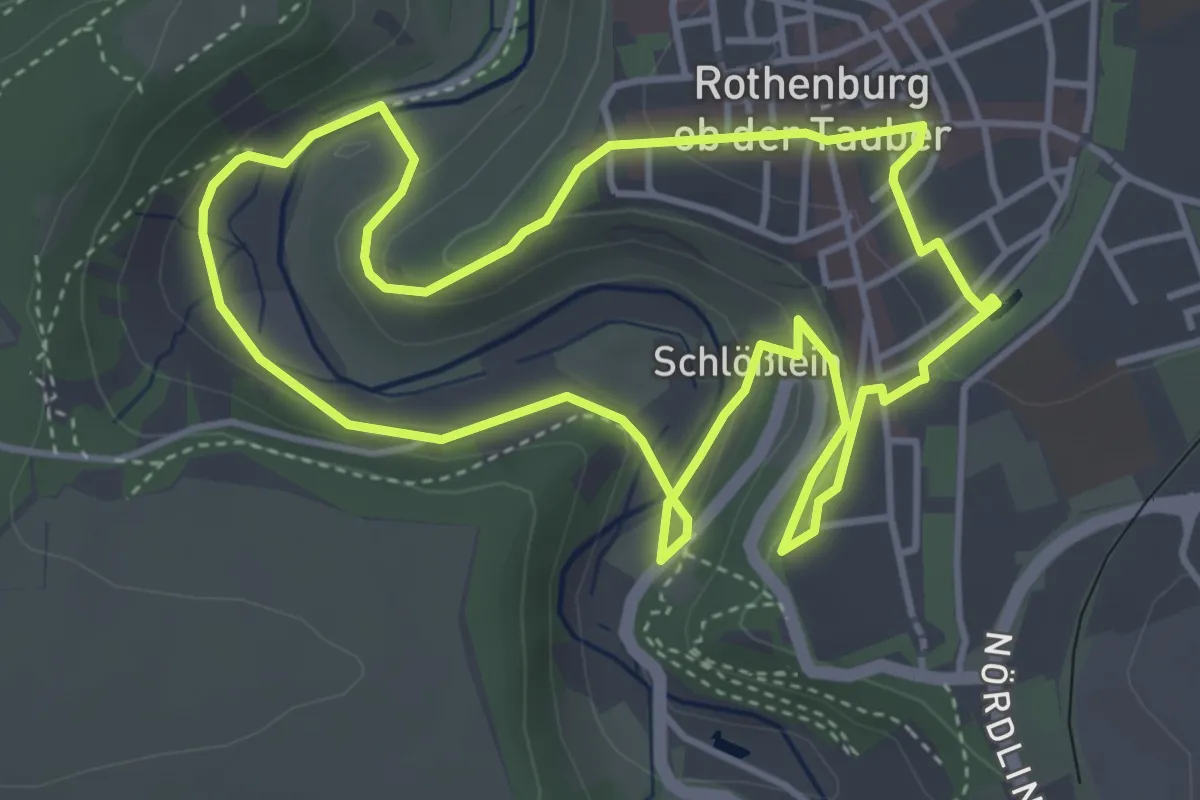
Easy · Trail
Rothenburger W3 - Kleiner Taubertalweg
4.0 km · ↑ 96 m · 1 h 13 min
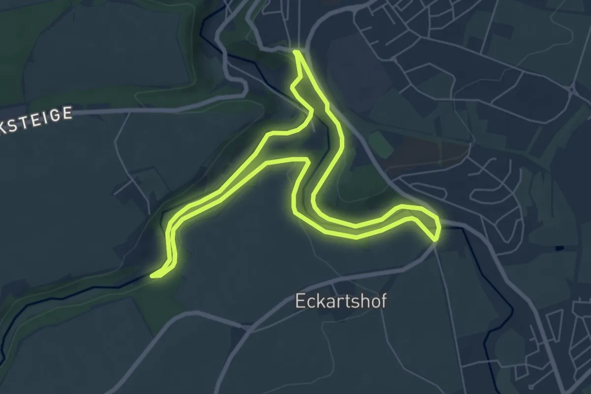
Easy · Trail
Rothenburger W4 - Natursteig
5.9 km · ↑ 102 m · 1 h 42 min
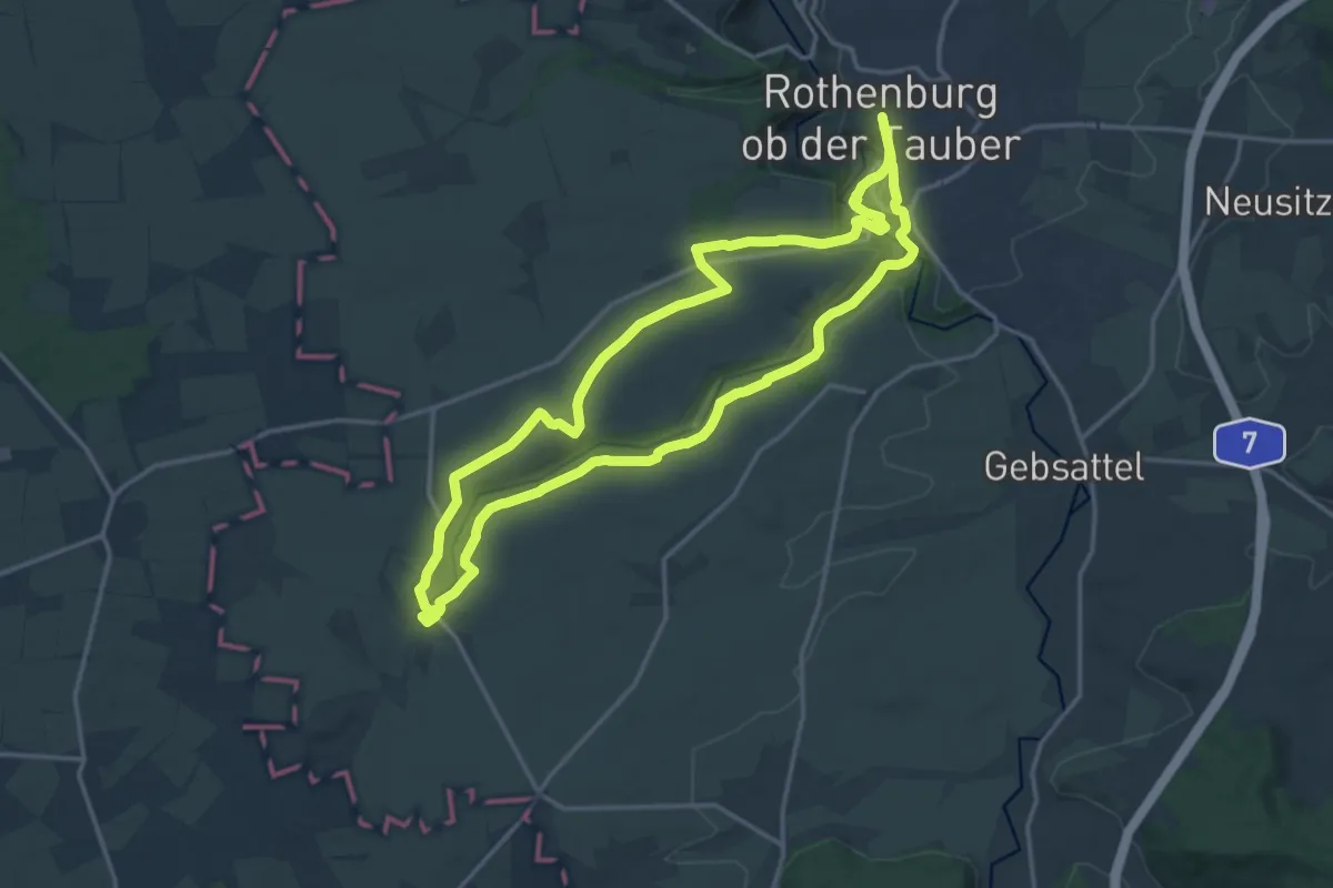
Medium · Trail
Rothenburger W5 - Jakobsweg
14.4 km · ↑ 187 m · 4 h 1 min
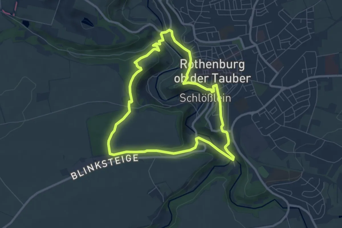
Easy · Trail
Rothenburger W6 - Panoramaweg
6.4 km · ↑ 173 m · 1 h 59 min
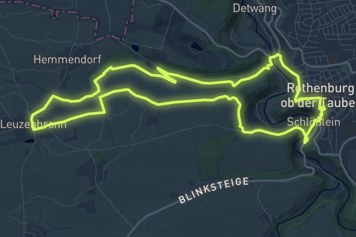
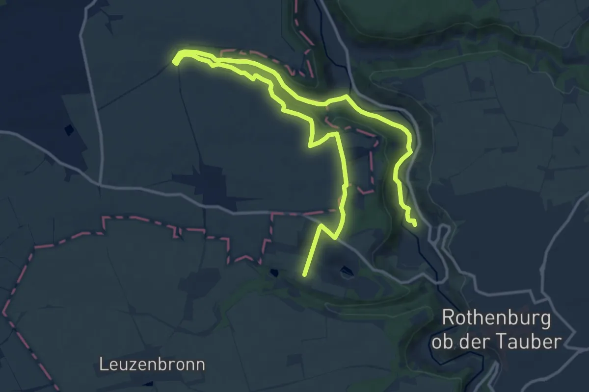
Medium · Trail
Rothenburger W7 - Leuzenbronn
10.9 km · ↑ 210 m · 3 h 11 min
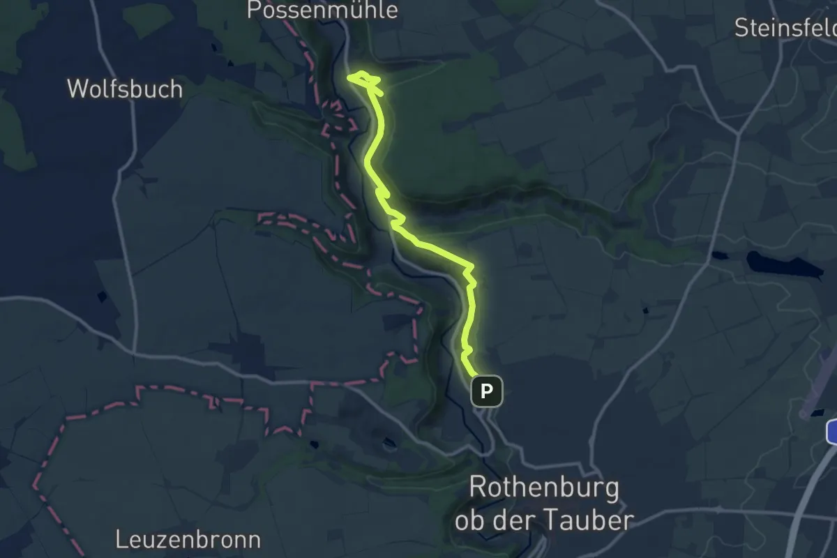
Medium · Trail
Rothenburger W8 - Postbotenweg
8.3 km · ↑ 98 m · 2 h 20 min
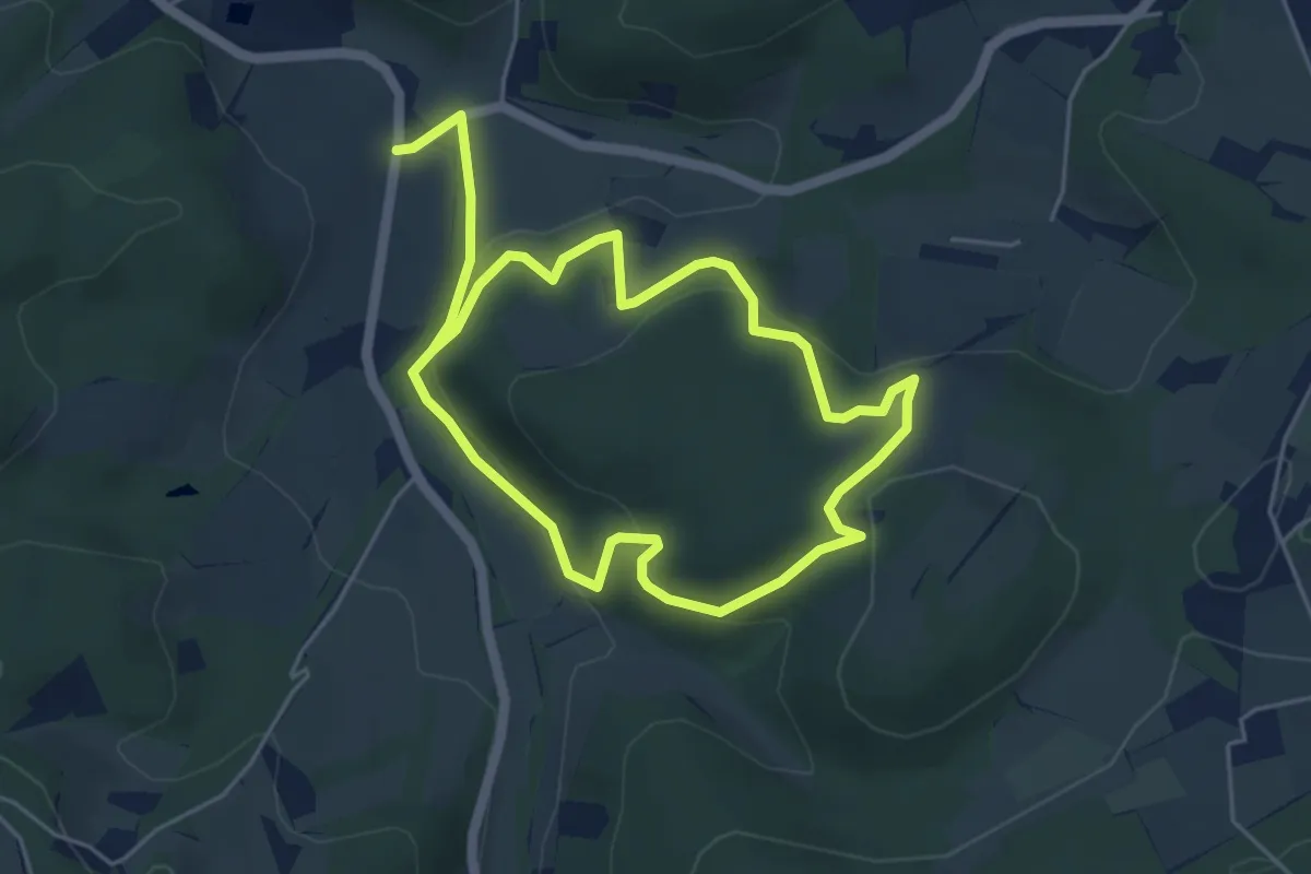
Easy · Trail
Rothenburger W9 - Bettwar
5.0 km · ↑ 192 m · 1 h 40 min
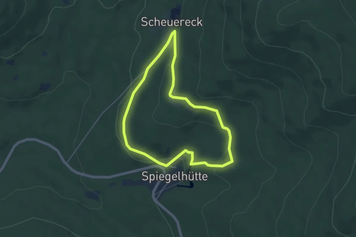
Easy · Trail
Rothenhaus Rundweg A2
4.1 km · ↑ 153 m · 1 h 21 min
Easy · Trail
Rothirsch
3.7 km · ↑ 108 m · 1 h 10 min
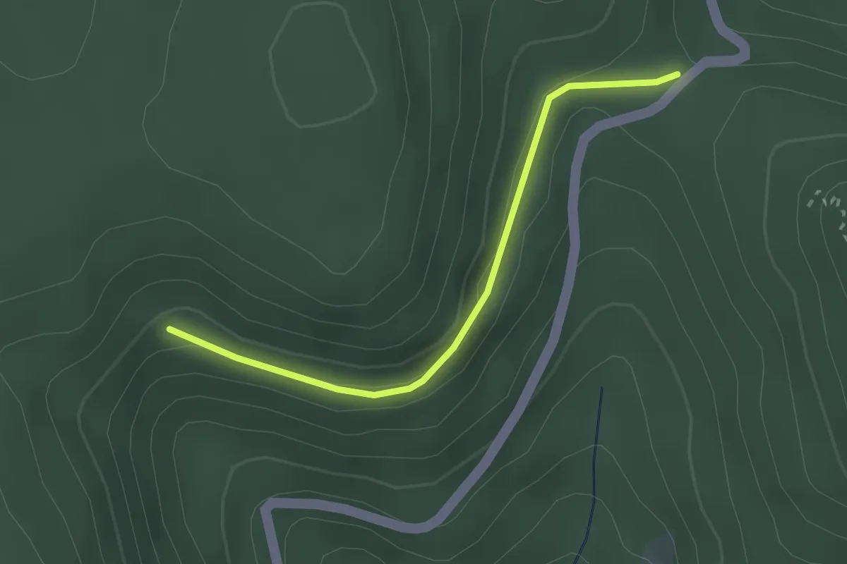
Easy · Trail
Rothmanns Eckle - Löcherbergwasen
2.4 km · ↑ 87 m · 46 min
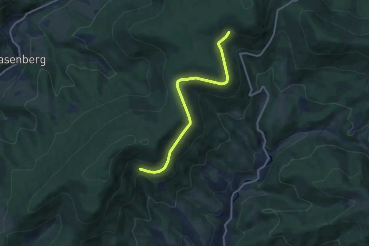
Easy · Trail
Rothmanns Eckle - Überm Kornjörgle
6.6 km · ↑ 136 m · 1 h 51 min
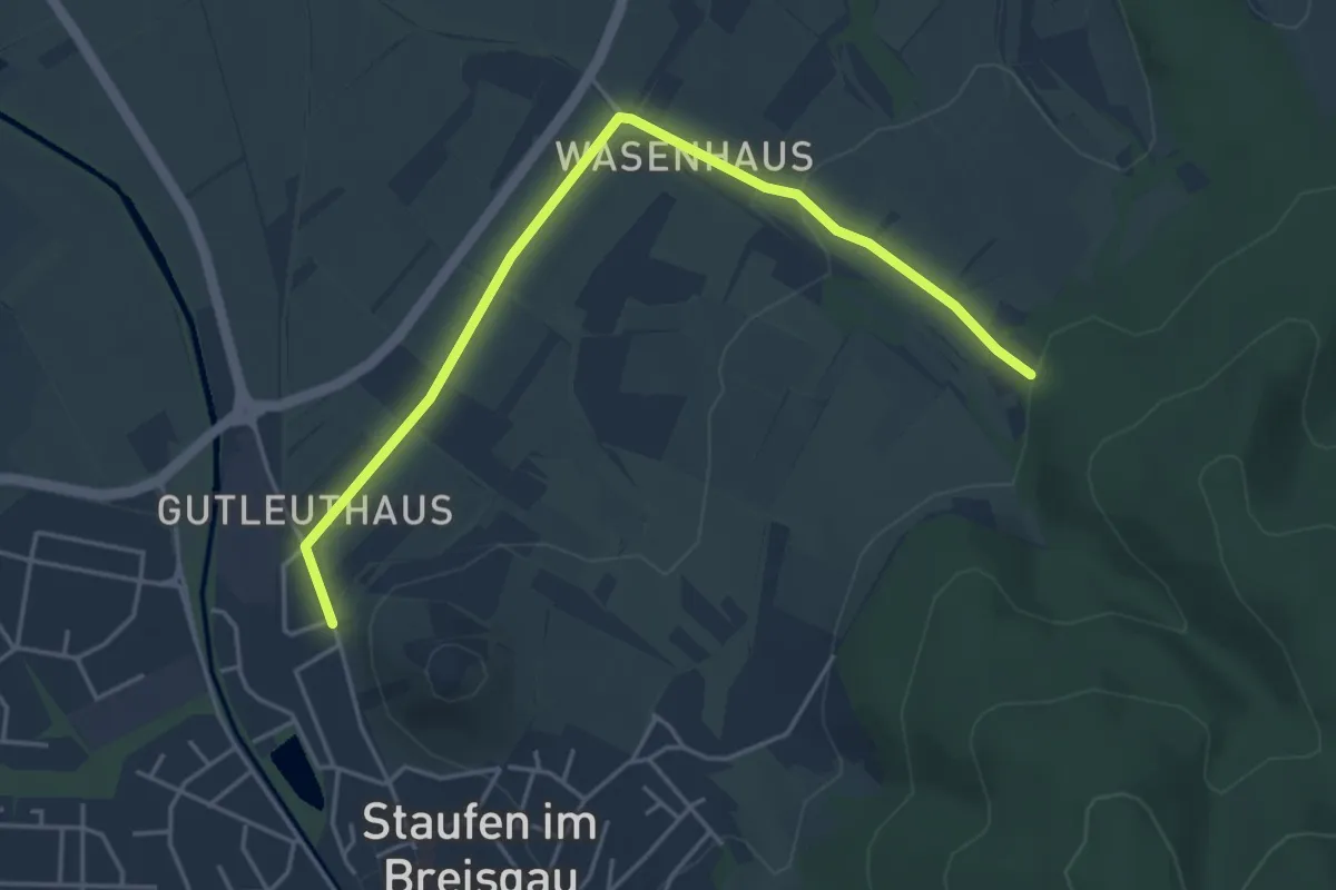
Easy · Trail
Rothof - Staufen Burggärtchen
4.6 km · ↑ 83 m · 1 h 16 min
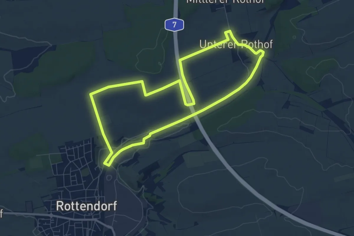
Easy · Trail
Rothofwanderweg
8.0 km · ↑ 59 m · 2 h 7 min
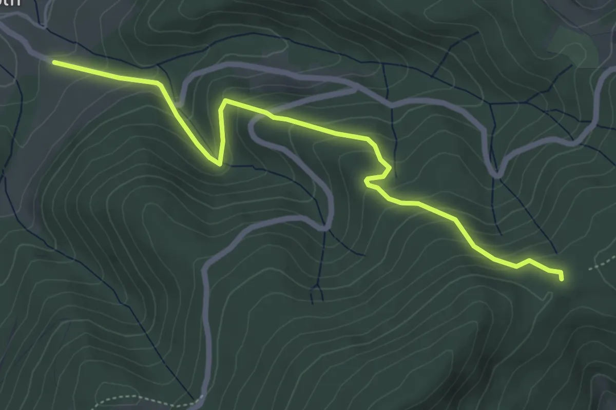
Medium · Trail
Roth - Schwarzenbachsattel
5.3 km · ↑ 379 m · 2 h 4 min
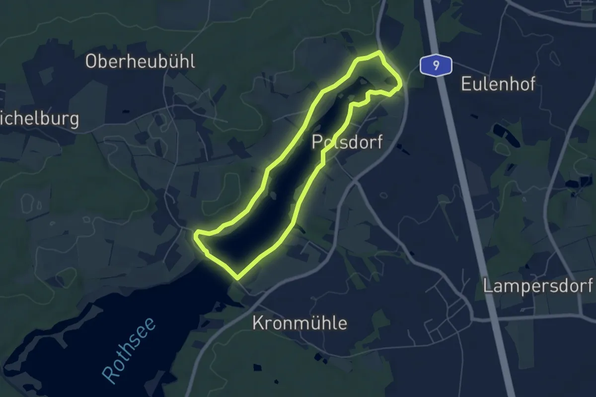
Easy · Trail
Rothsee Rundweg No.1
5.2 km · ↑ 18 m · 1 h 20 min
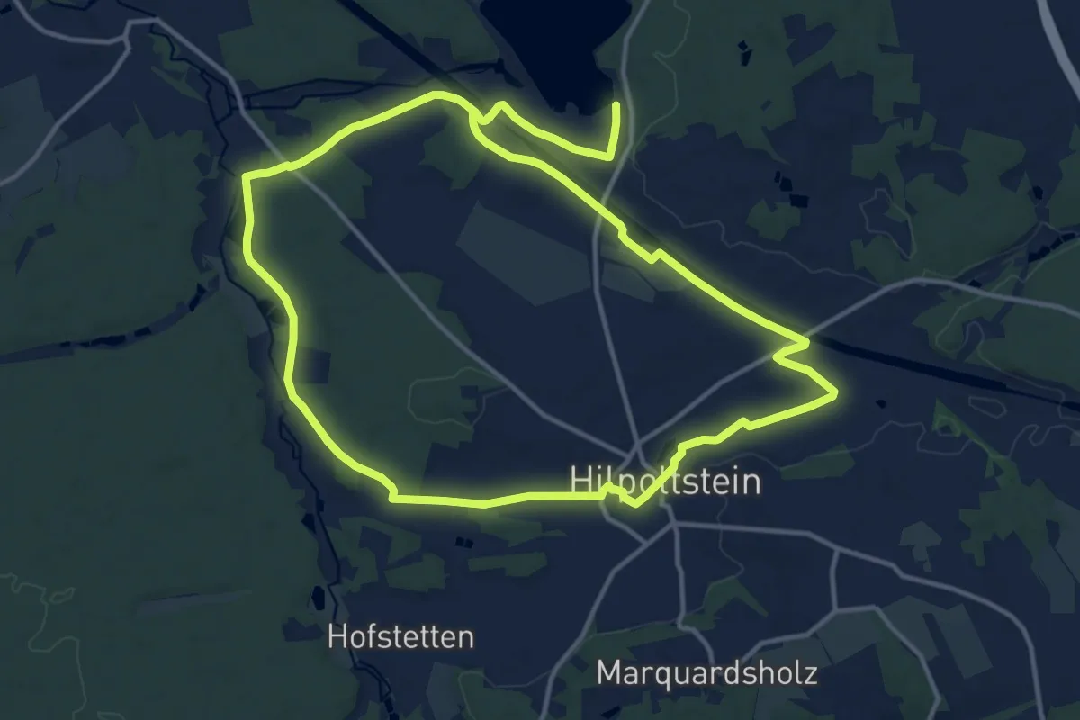
Medium · Trail
Rothsee Rundweg No.10
12.5 km · ↑ 102 m · 3 h 21 min
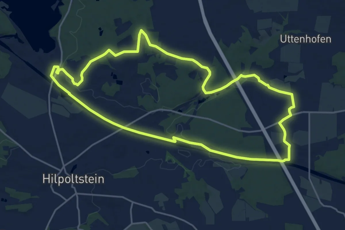
Medium · Trail
Rothsee Rundweg No.11
13.6 km · ↑ 131 m · 3 h 41 min
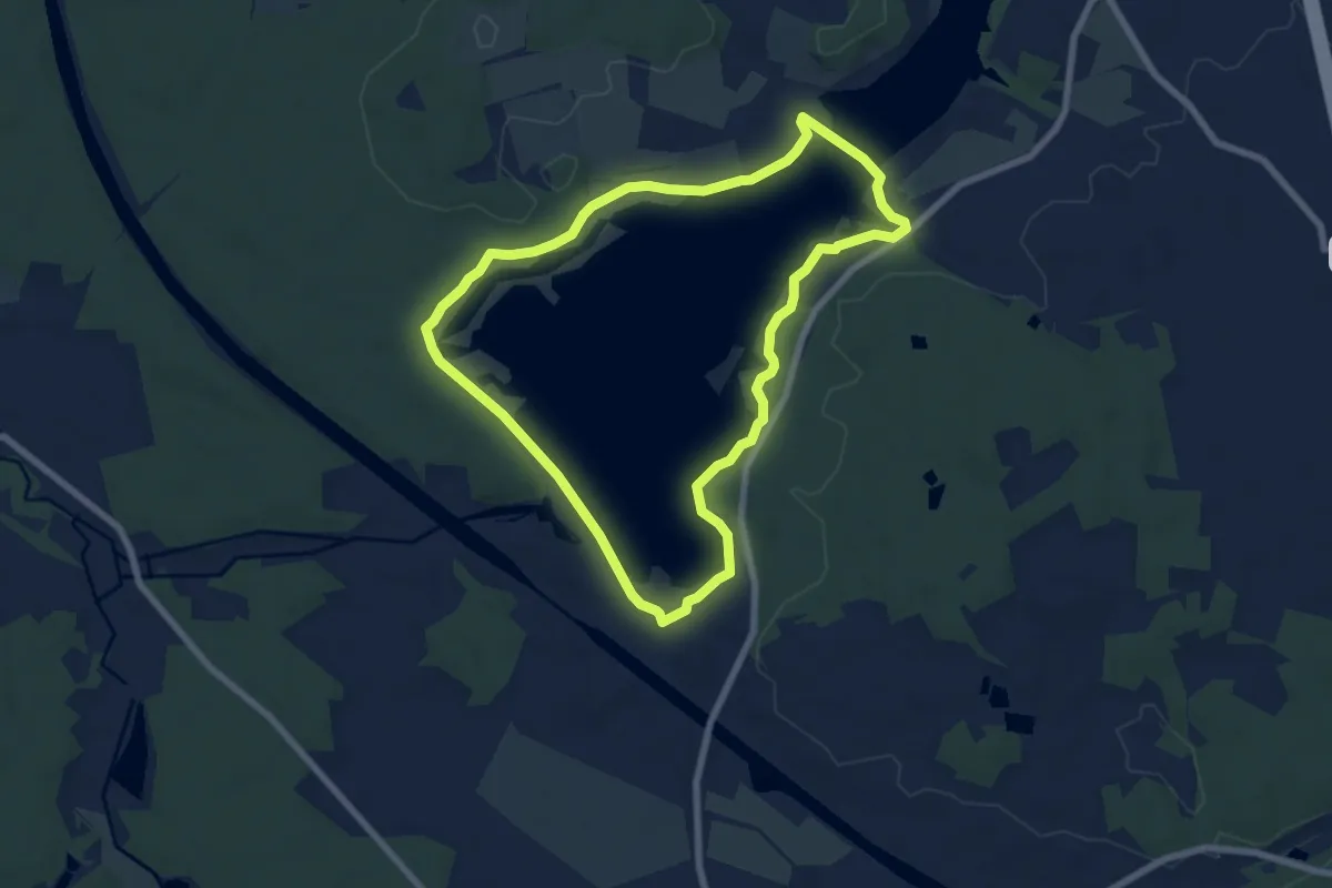
Easy · Trail
Rothsee Rundweg No.2
6.7 km · ↑ 19 m · 1 h 43 min
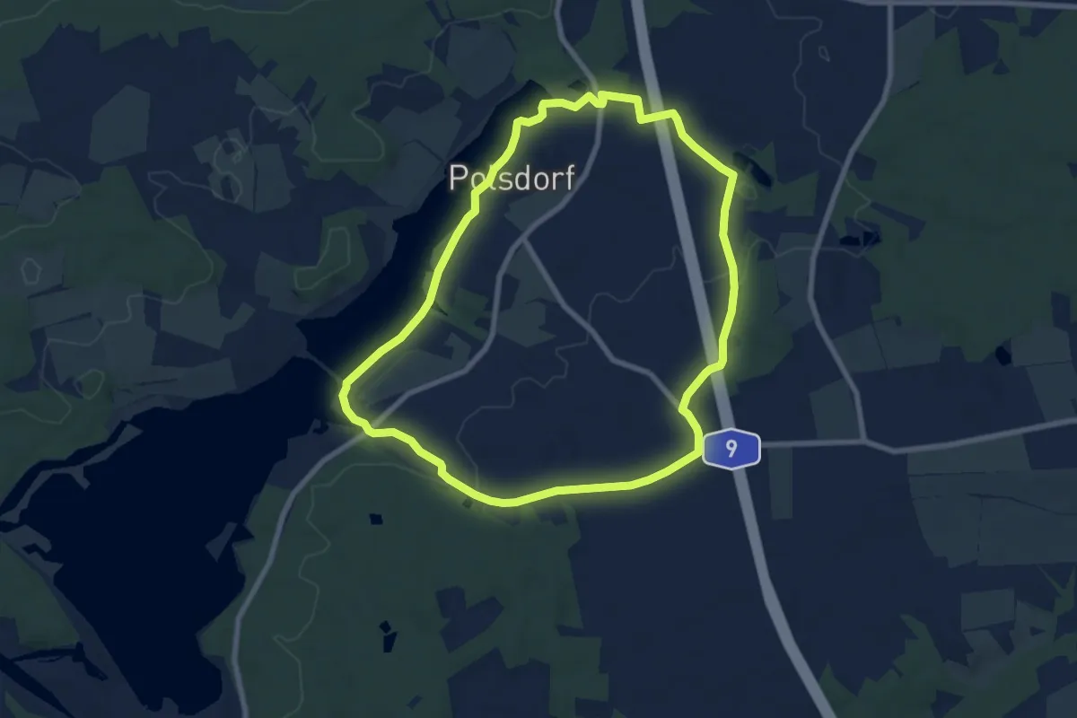
Easy · Trail
Rothsee Rundweg No.3
7.1 km · ↑ 59 m · 1 h 54 min
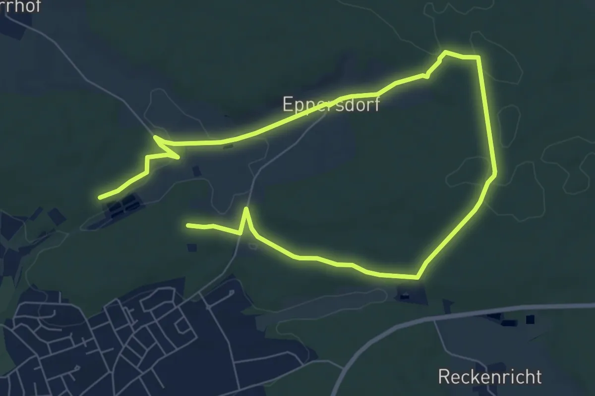
Easy · Trail
Rothsee Rundweg No.4
5.3 km · ↑ 81 m · 1 h 31 min
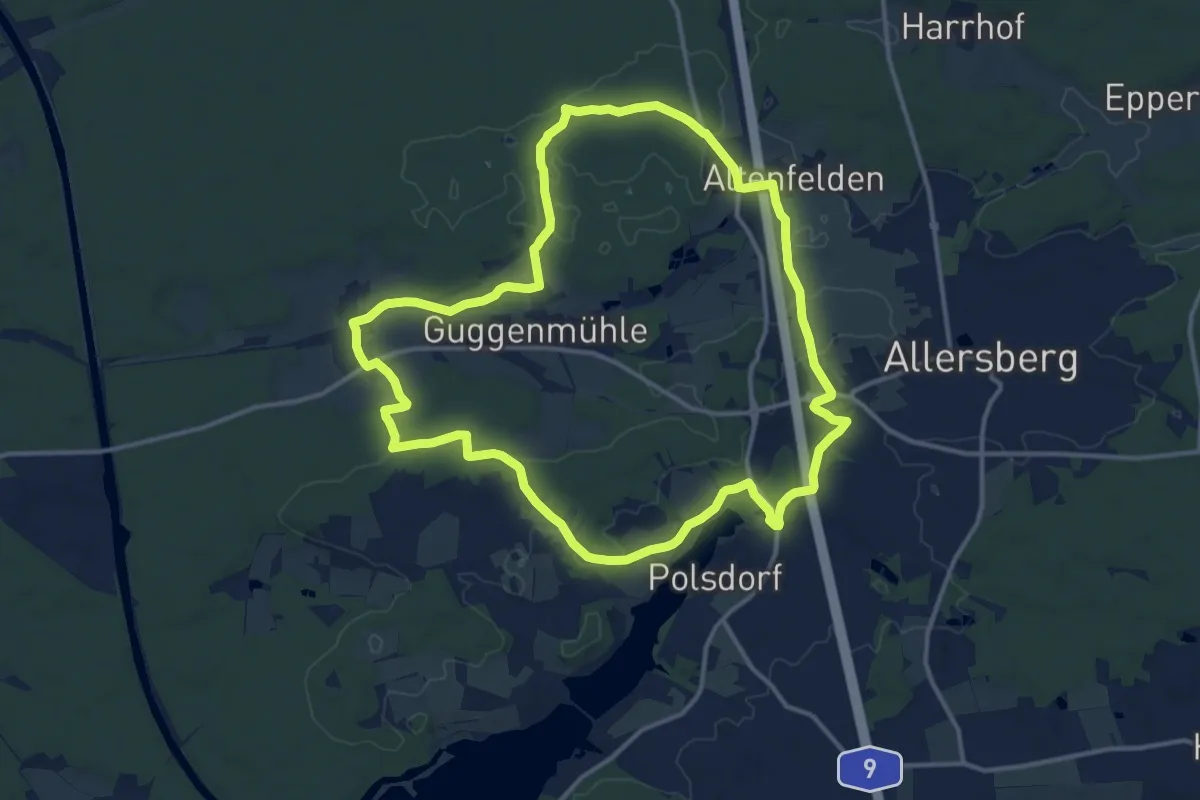
Medium · Trail
Rothsee Rundweg No.5
13.0 km · ↑ 132 m · 3 h 33 min
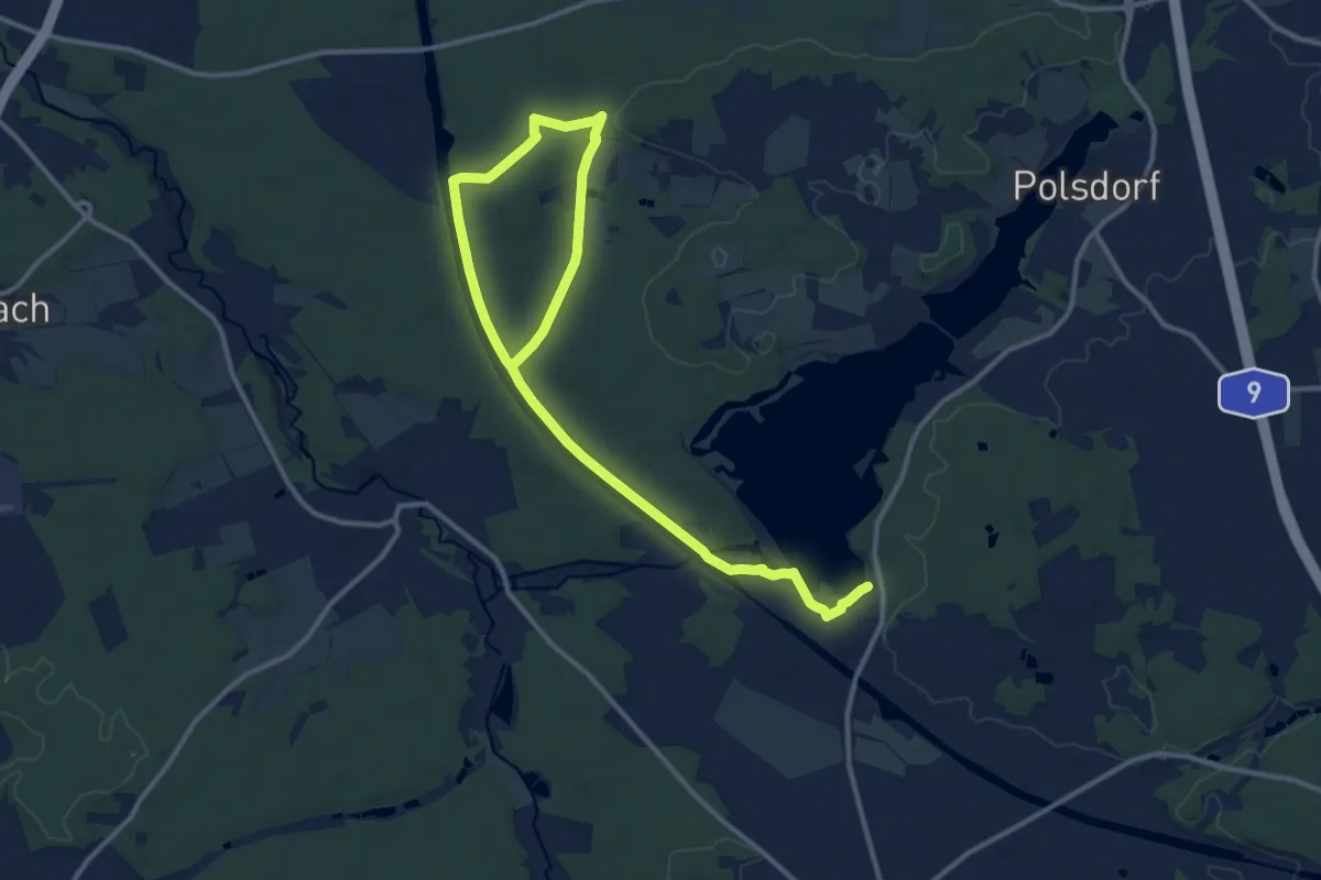
Easy · Trail
Rothsee Rundweg No.6
7.9 km · ↑ 61 m · 2 h 6 min
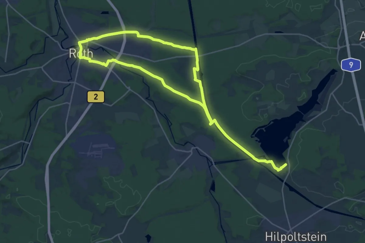
Medium · Trail
Rothsee Rundweg No.7
16.9 km · ↑ 111 m · 4 h 28 min
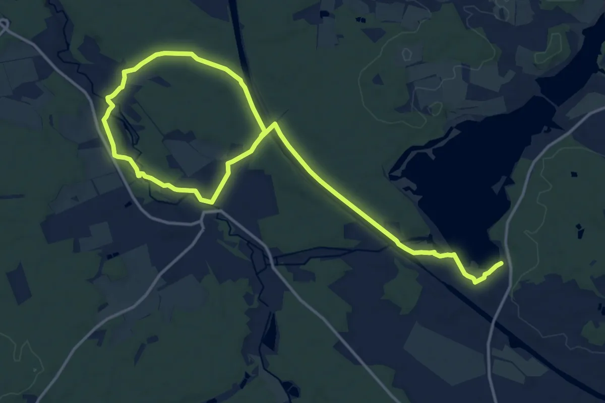
Medium · Trail
Rothsee Rundweg No.8
8.9 km · ↑ 89 m · 2 h 25 min
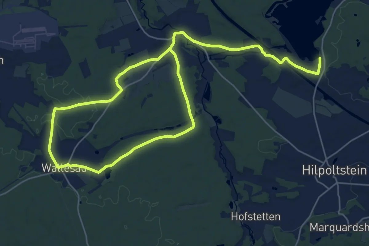
Medium · Trail
Rothsee Rundweg No.9
14.2 km · ↑ 127 m · 3 h 49 min