Trails in Germany
36,852 hiking trails, each with its route, climb, walking time and grade.
All trails, page 469 of 768
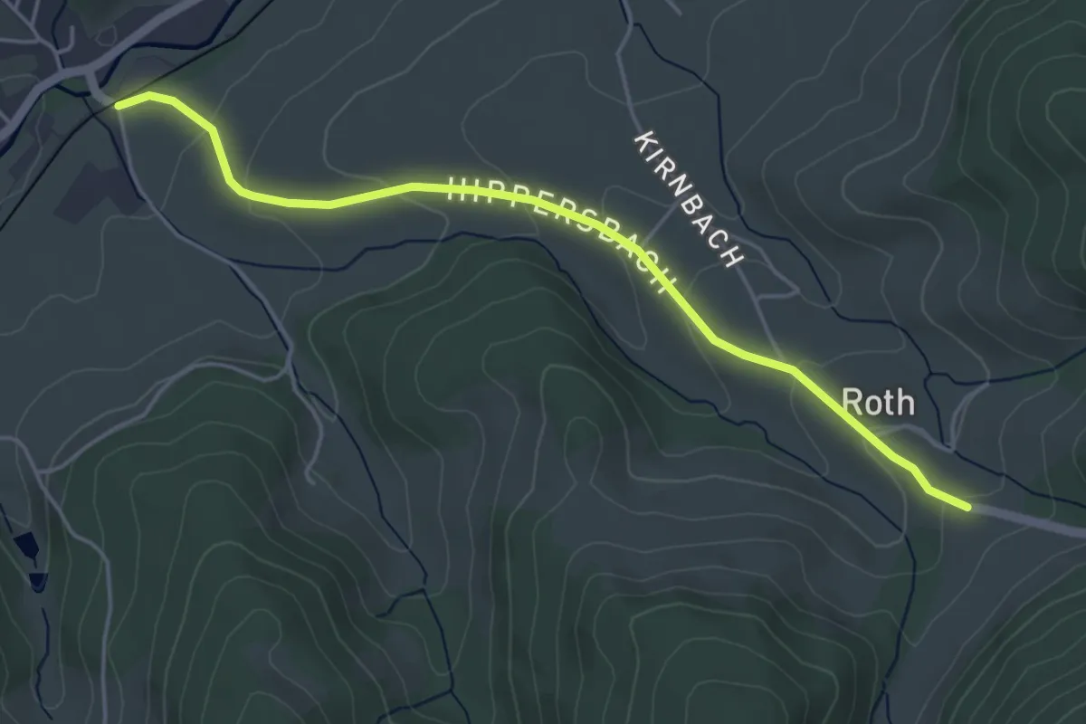
Easy · Trail
Roth - Unterharmersbach Bahnhof
4.6 km · ↑ 168 m · 1 h 26 min
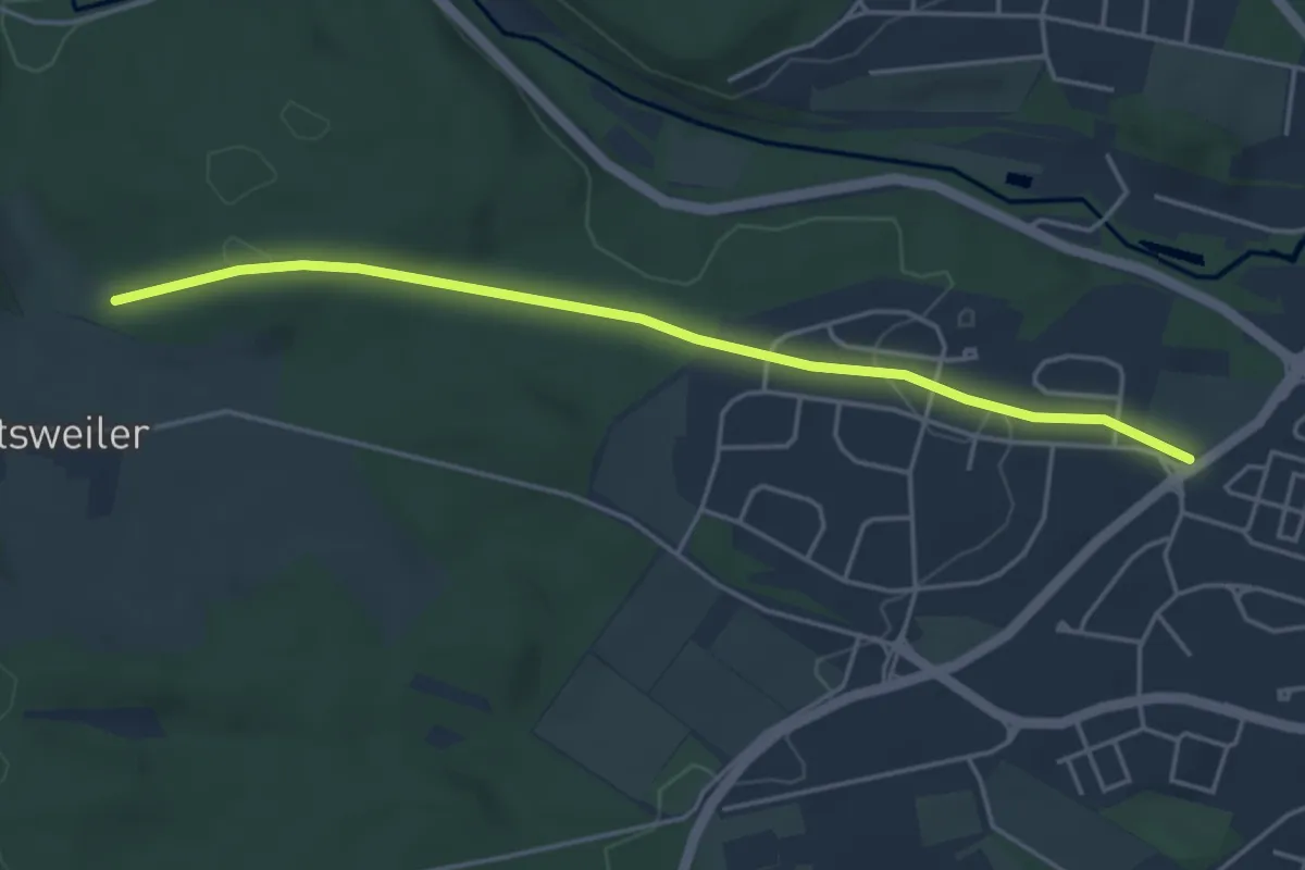
Easy · Trail
Rotkäpplehalde - Villingen An der Hammerhalde
4.3 km · ↑ 89 m · 1 h 13 min
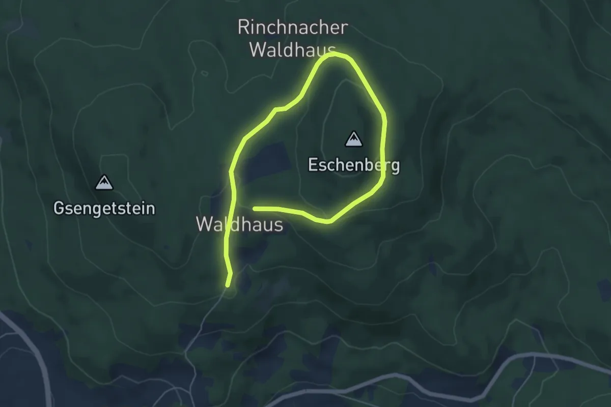
Easy · Trail
Rotkreis 3
7.1 km · ↑ 249 m · 2 h 13 min
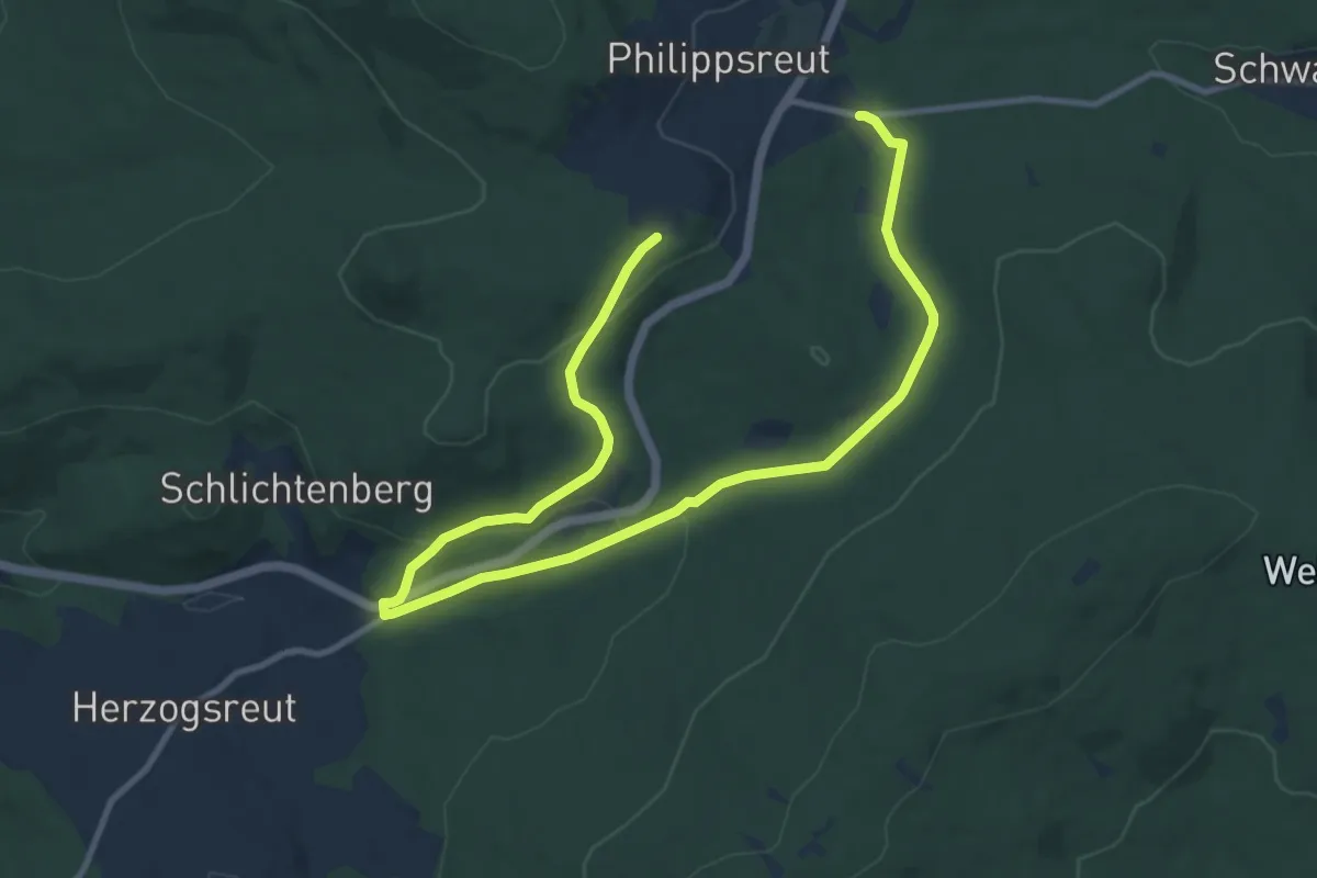
Medium · Trail
Rotkreis (5)
13.8 km · ↑ 402 m · 4 h 7 min
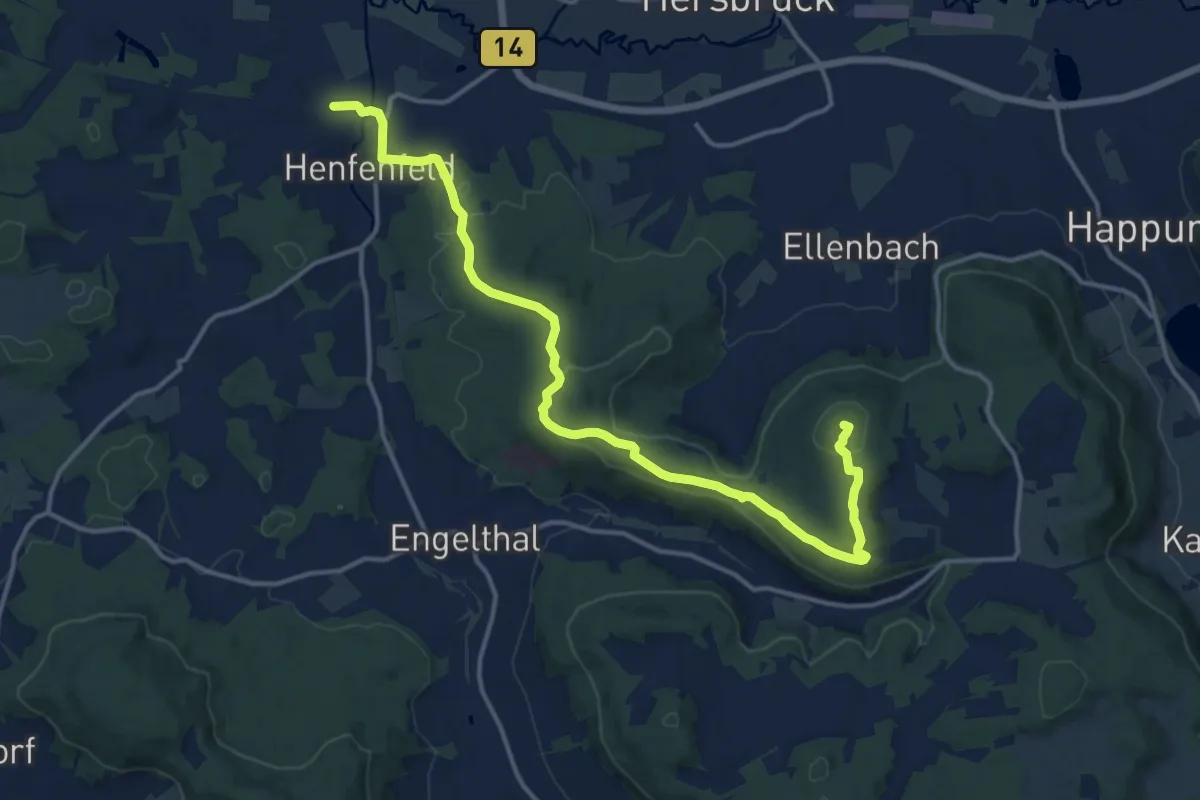
Medium · Summit
Rotkreuz
15.4 km · ↑ 386 m · 4 h 29 min
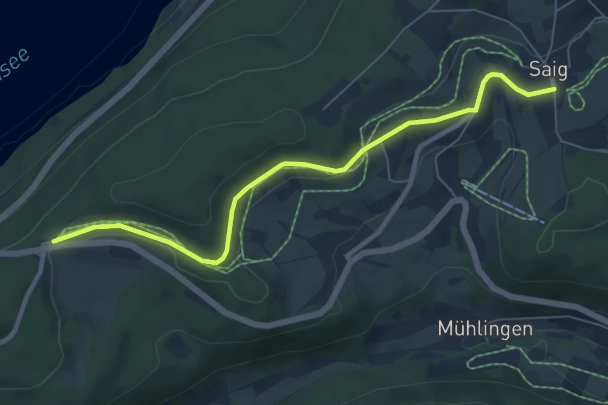
Easy · Trail
Rotkreuz - Saig Ochsen
5.7 km · ↑ 86 m · 1 h 32 min
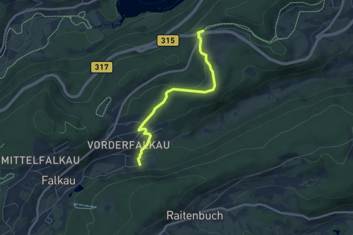
Easy · Trail
Rotkreuz - Vorderfalkau Lenzkircher Weg
5.1 km · ↑ 127 m · 1 h 29 min
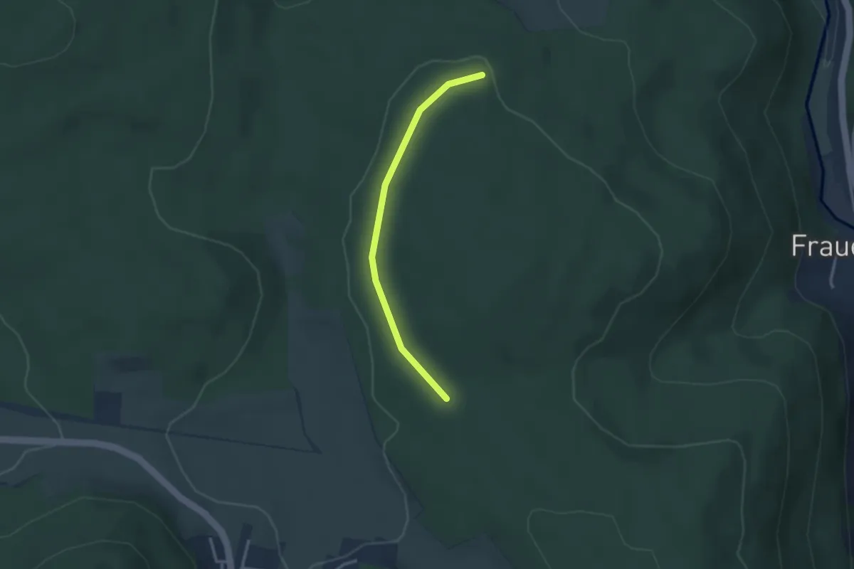
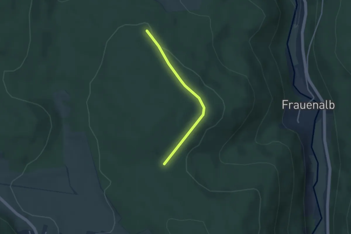
Easy · Trail
Rotlachenschlag - Großklosterwald
2.5 km · ↑ 35 m · 40 min
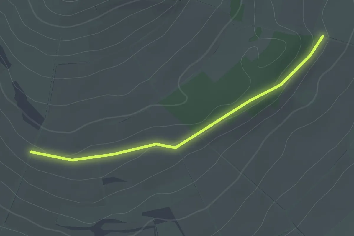
Easy · Trail
Rotlachenschlag - Ziegelbuckel
2.4 km · ↑ 27 m · 38 min
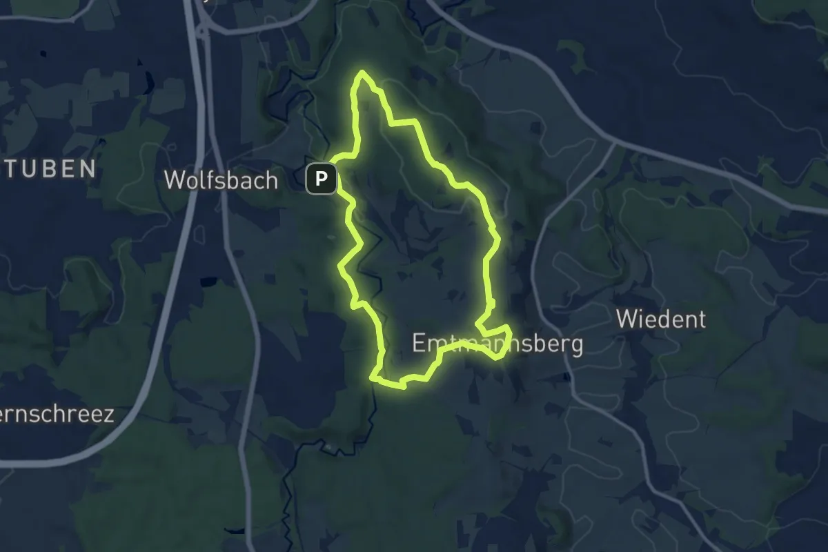
Easy · Trail
Rotlaube - Bergäcker
2.2 km · ↑ 22 m · 34 min
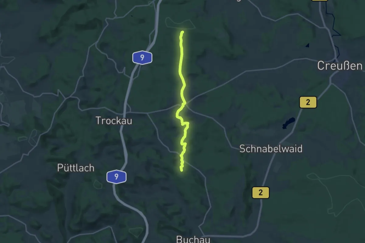
Medium · Summit
Rot-Main-Auen-Weg Rundweg Emtmannsberg
9.4 km · ↑ 197 m · 2 h 46 min
Medium · Summit
Rotmainquelle - Pegnitz
13.8 km · ↑ 264 m · 3 h 49 min
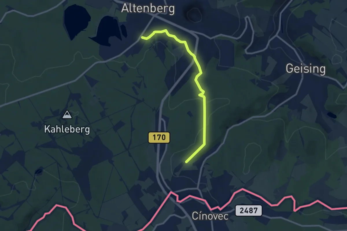
Easy · Trail
Rotmarkierter Wanderweg
7.1 km · ↑ 173 m · 2 h 4 min
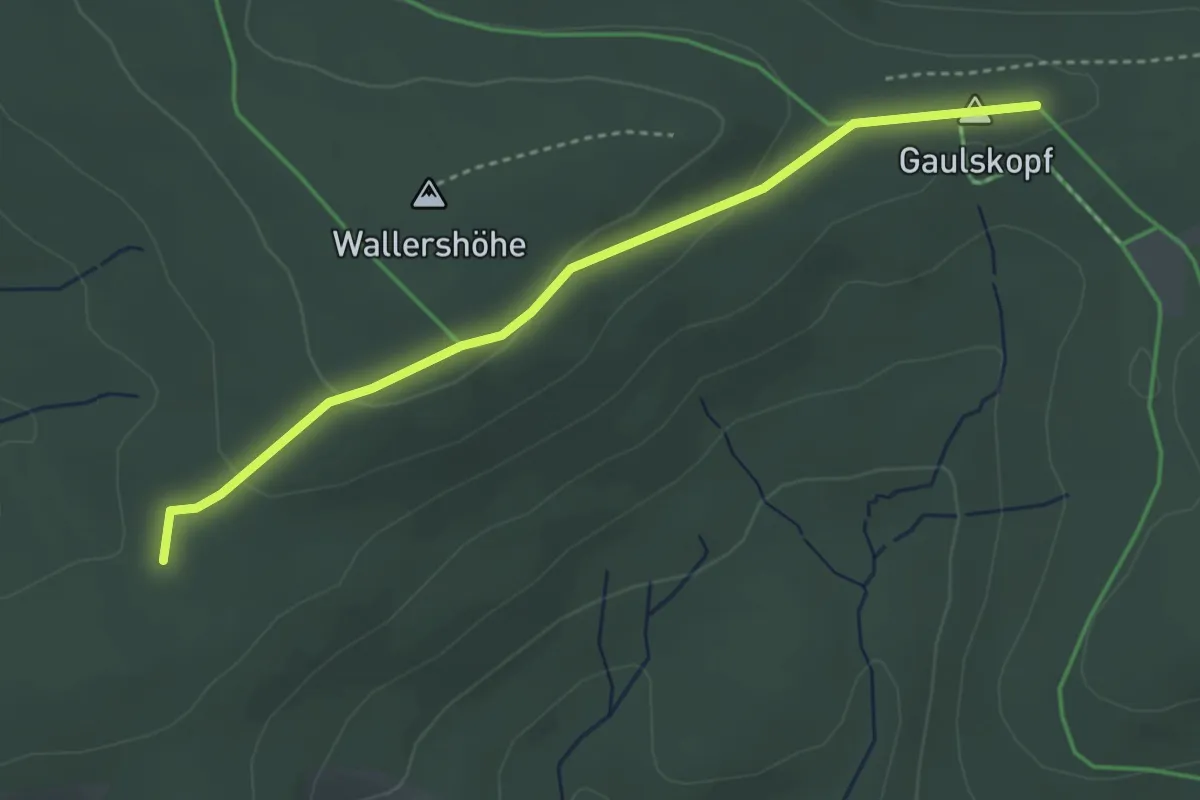
Easy · Summit
Rotmilan Höhenweg
3.5 km · ↑ 80 m · 1 h
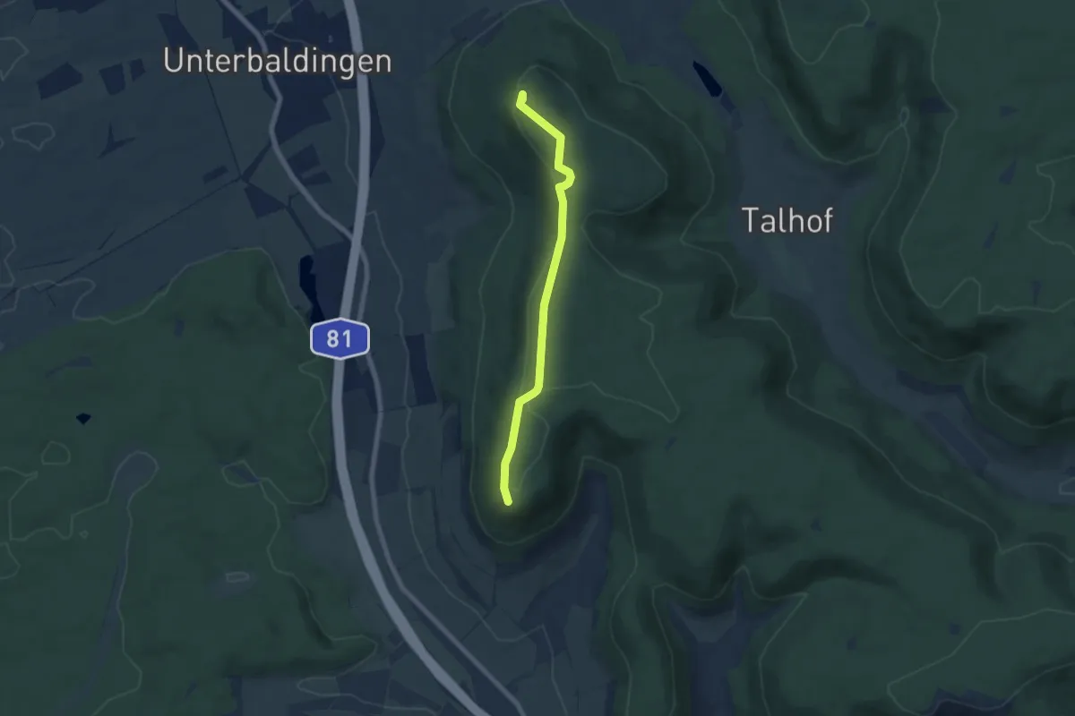
Easy · Summit
Rotmund - Hörnekapf Hubertushütte
5.8 km · ↑ 83 m · 1 h 32 min
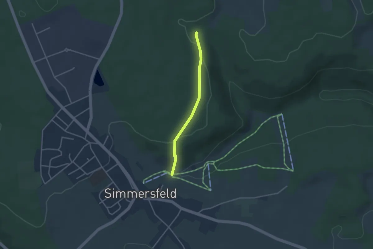
Easy · Trail
Rotmüsse - Oberer Skilift
2.3 km · ↑ 65 m · 41 min
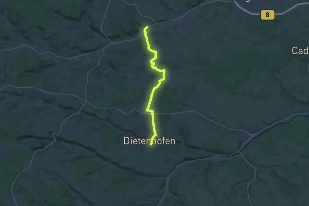
Demanding · Trail
Rotpunkt
22.5 km · ↑ 258 m · 5 h 53 min
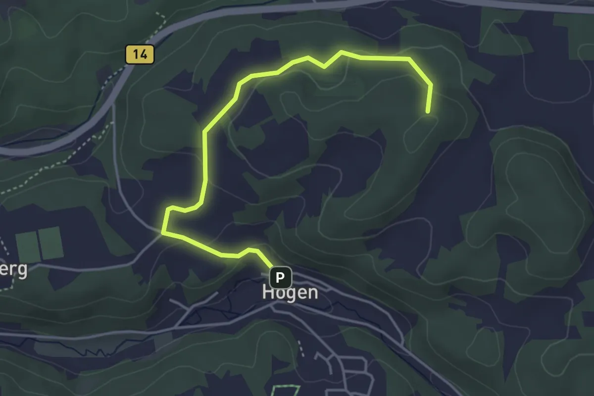
Easy · Summit
Rotpunkt
4.1 km · ↑ 114 m · 1 h 13 min
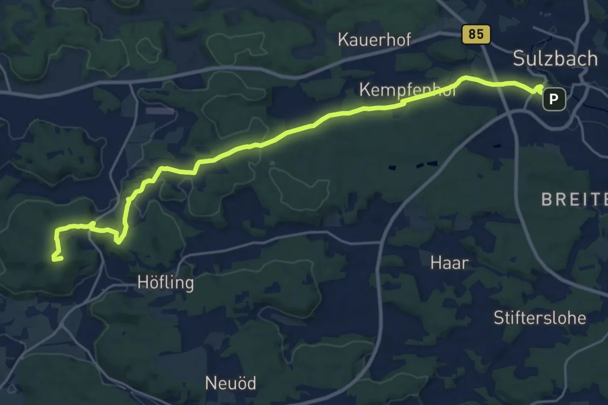
Demanding · Summit
Rotpunkt
19.2 km · ↑ 356 m · 5 h 18 min
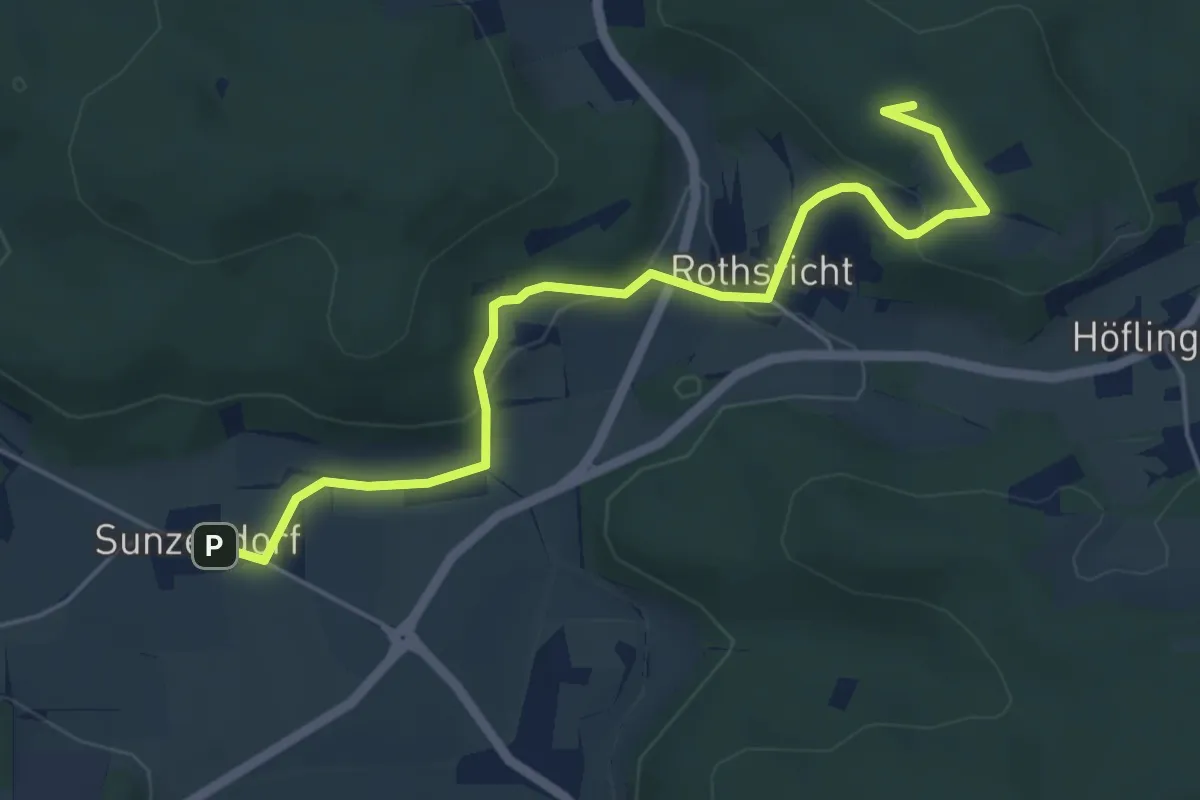
Easy · Summit
Rotpunkt
5.3 km · ↑ 149 m · 1 h 35 min
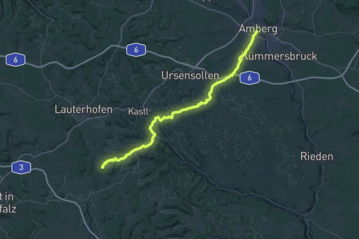
Demanding · Summit
Rotpunkt
54.6 km · ↑ 1316 m · 15 h 44 min
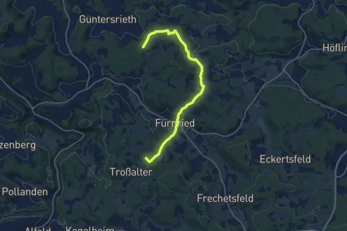
Medium · Summit
Rotpunkt
12.2 km · ↑ 423 m · 3 h 48 min
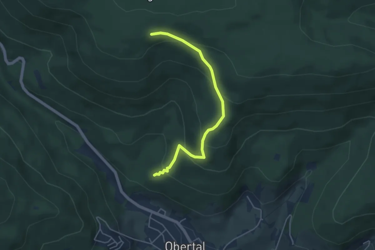
Easy · Trail
Rotrainsberg - Rotrainsteich
3.8 km · ↑ 249 m · 1 h 26 min
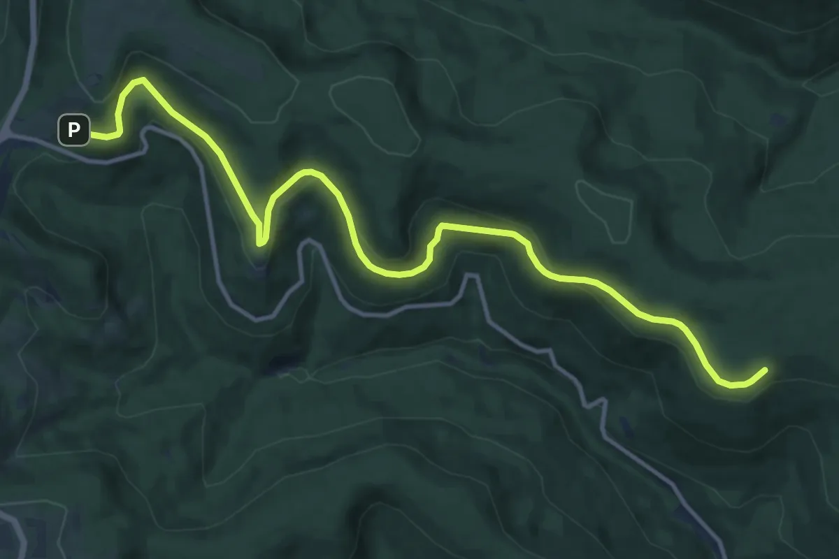
Medium · Trail
Rotrainsberg - Skilift Ruhestein
12.6 km · ↑ 433 m · 3 h 55 min
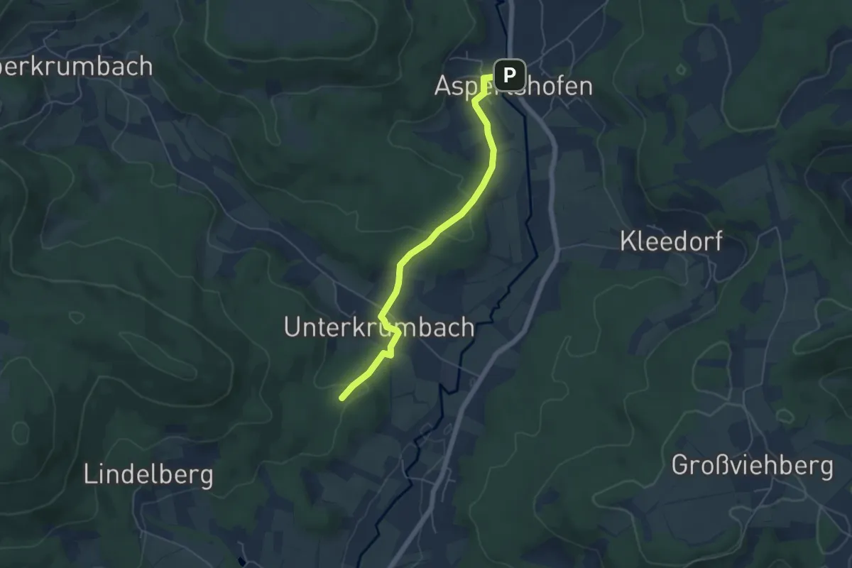
Easy · Trail
Rotring
4.8 km · ↑ 125 m · 1 h 24 min
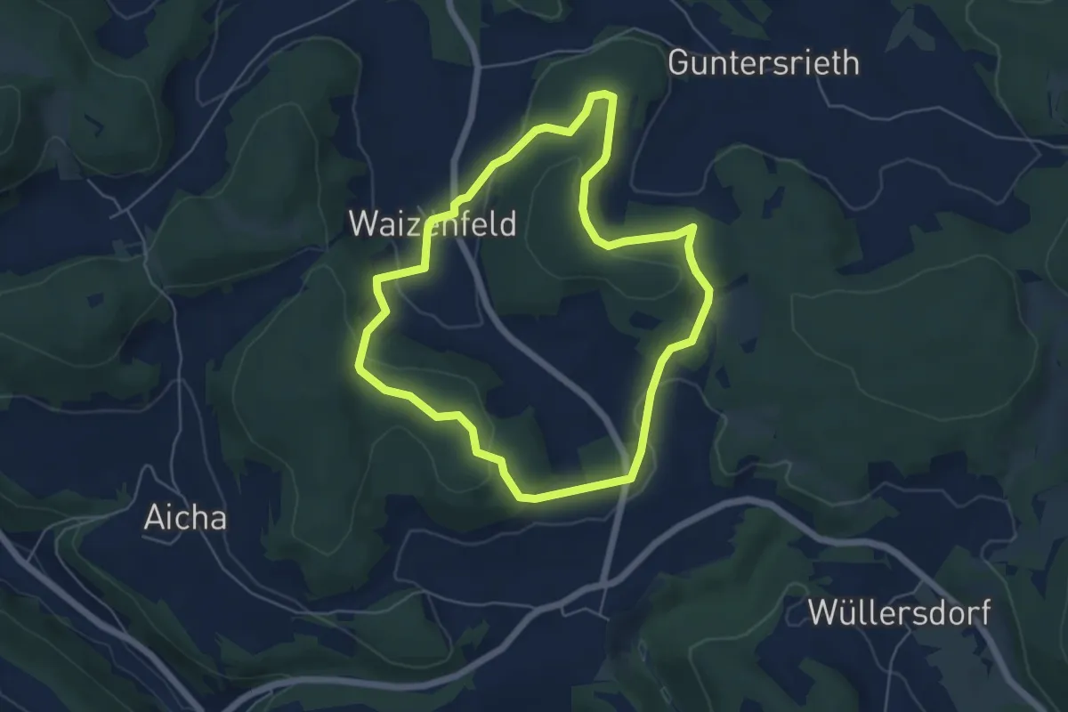
Easy · Summit
Rotring
5.0 km · ↑ 160 m · 1 h 35 min
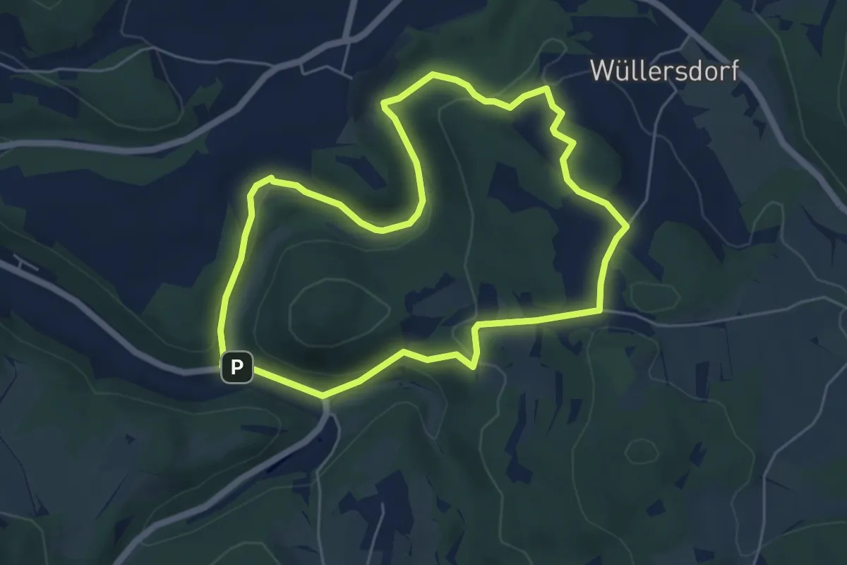
Medium · Trail
Rotring
4.9 km · ↑ 160 m · 1 h 34 min
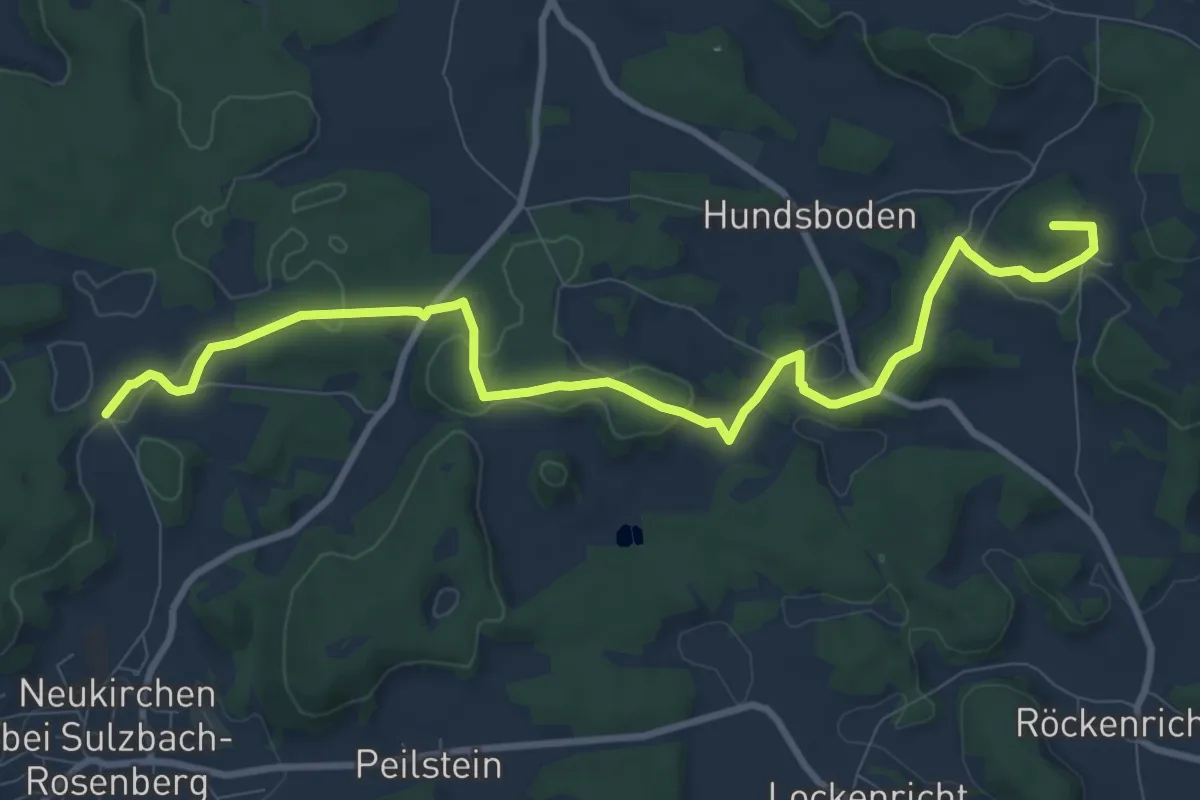
Medium · Summit
Rotring
10.4 km · ↑ 195 m · 2 h 53 min
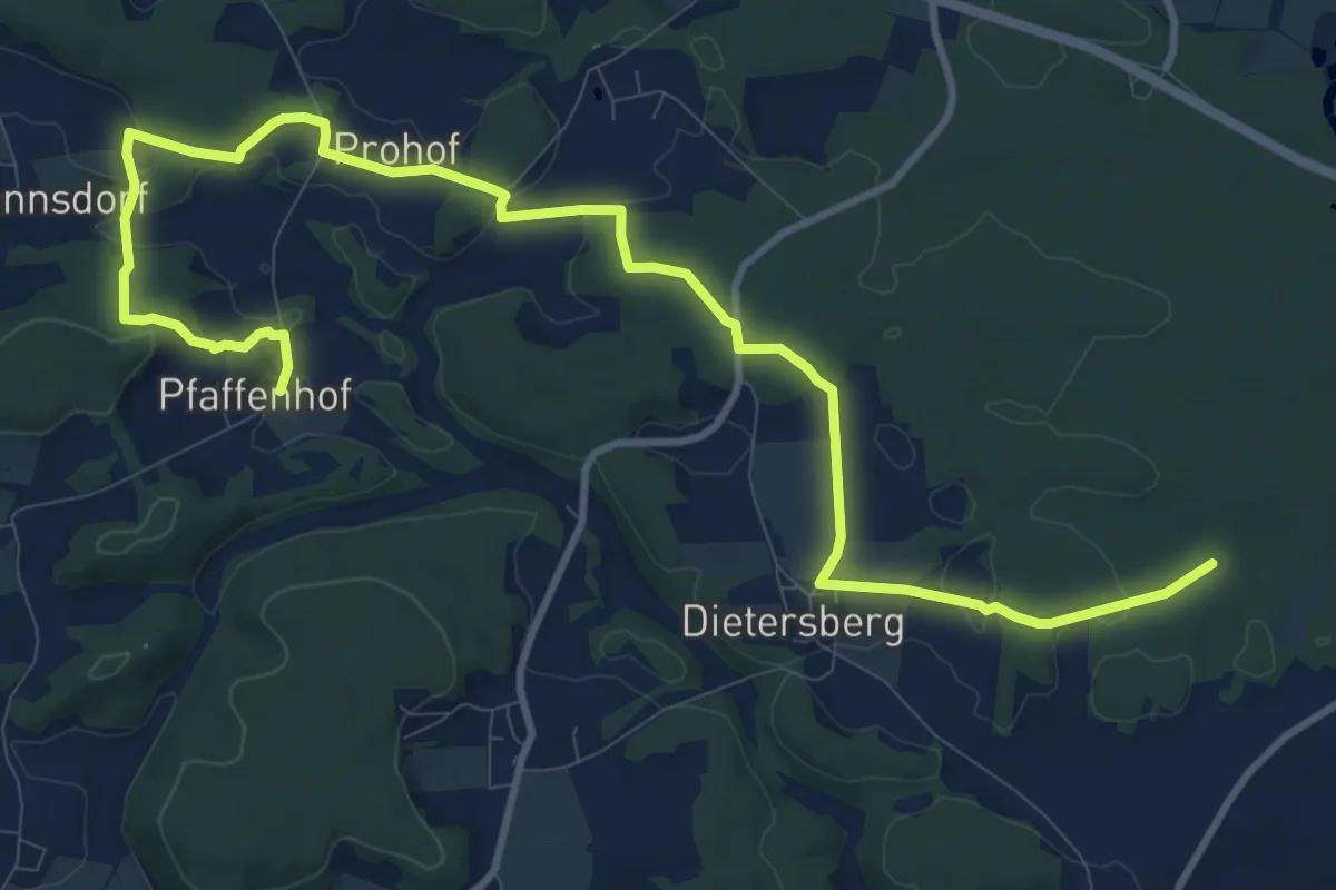
Medium · Trail
Rotring
13.5 km · ↑ 256 m · 3 h 45 min
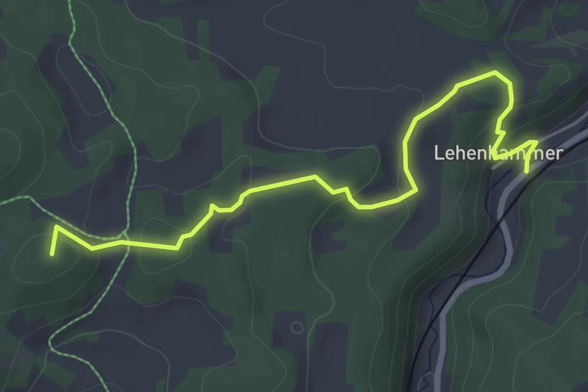
Easy · Summit
Rotring
5.0 km · ↑ 143 m · 1 h 29 min
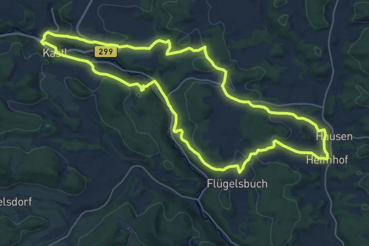
Medium · Trail
Rotring Kastl
16.9 km · ↑ 350 m · 4 h 59 min
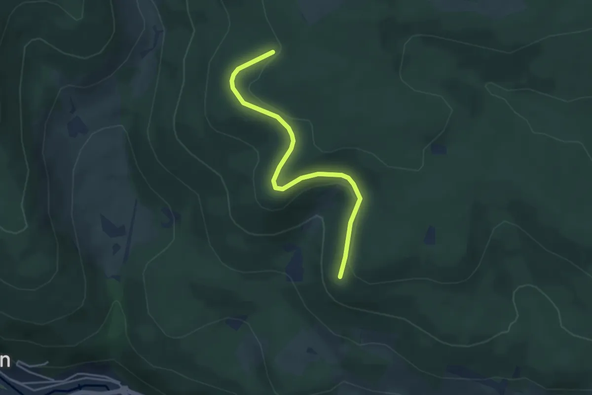
Easy · Trail
Rotrütte - Sandgrube
3.7 km · ↑ 117 m · 1 h 7 min
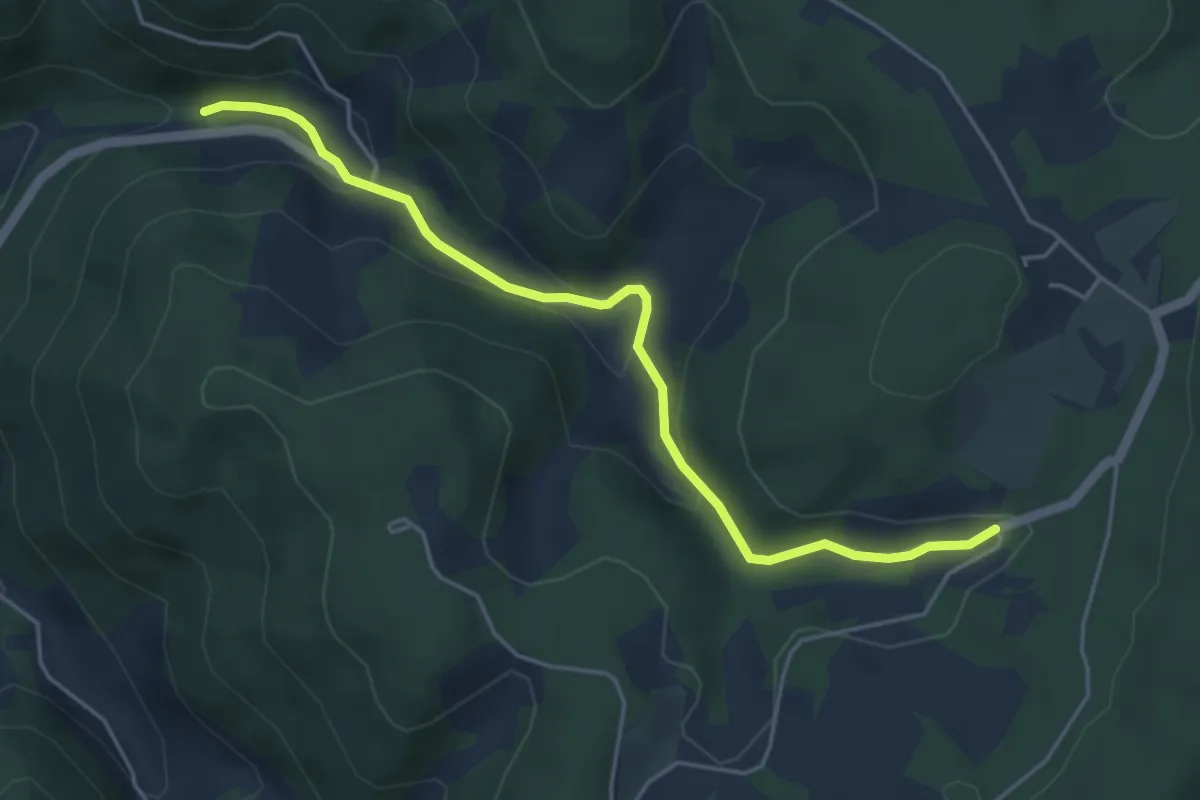
Easy · Trail
Rotsal - Sumhof
4.7 km · ↑ 200 m · 1 h 33 min
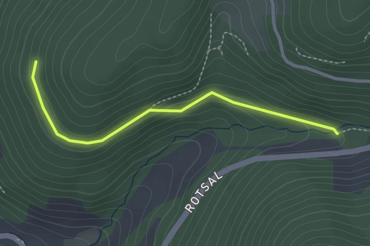
Easy · Trail
Rotsal - Teufelsküche
2.1 km · ↑ 57 m · 37 min
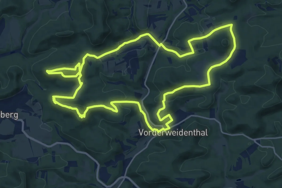
Medium · Summit
Rotsandsteinweg
15.4 km · ↑ 587 m · 5 h 7 min
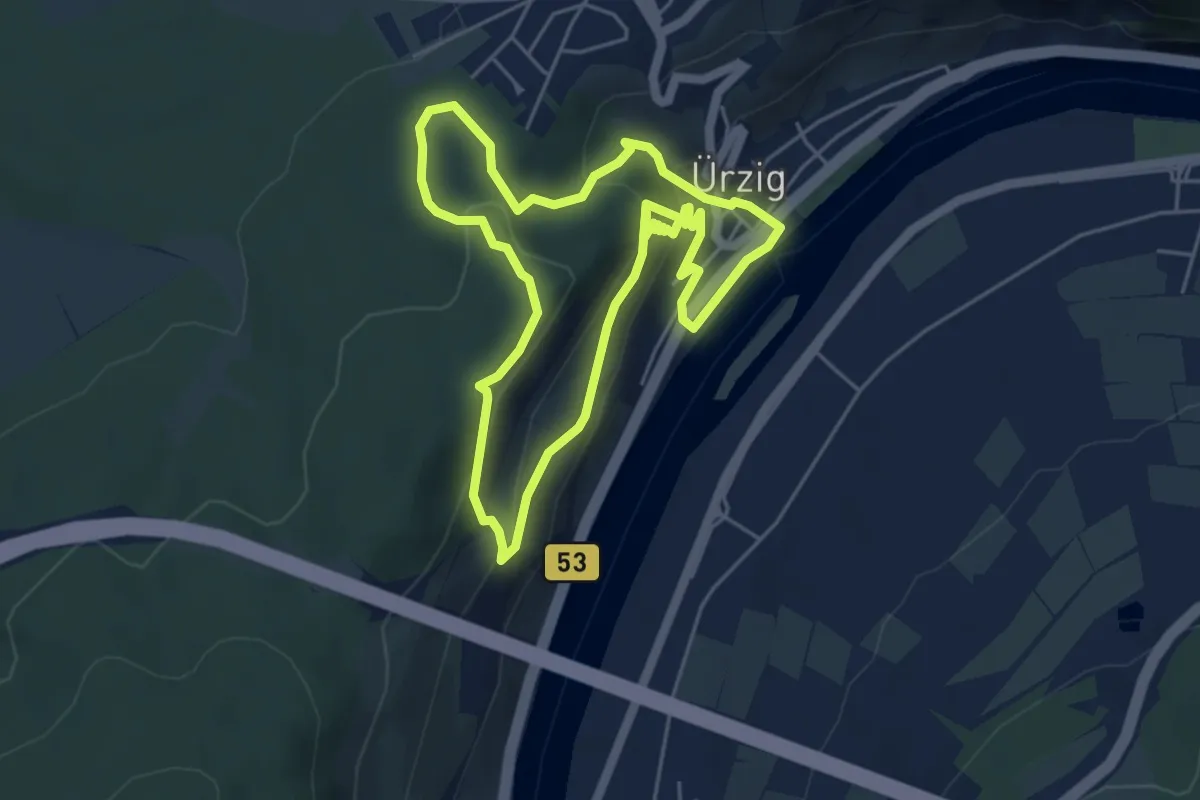
Easy · Trail
Rotschwänzchen Route
4.7 km · ↑ 218 m · 1 h 40 min
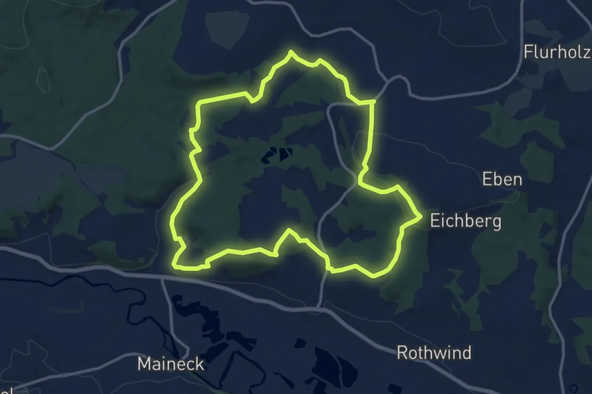
Medium · Trail
Rotsteinweg
10.1 km · ↑ 236 m · 3 h 2 min
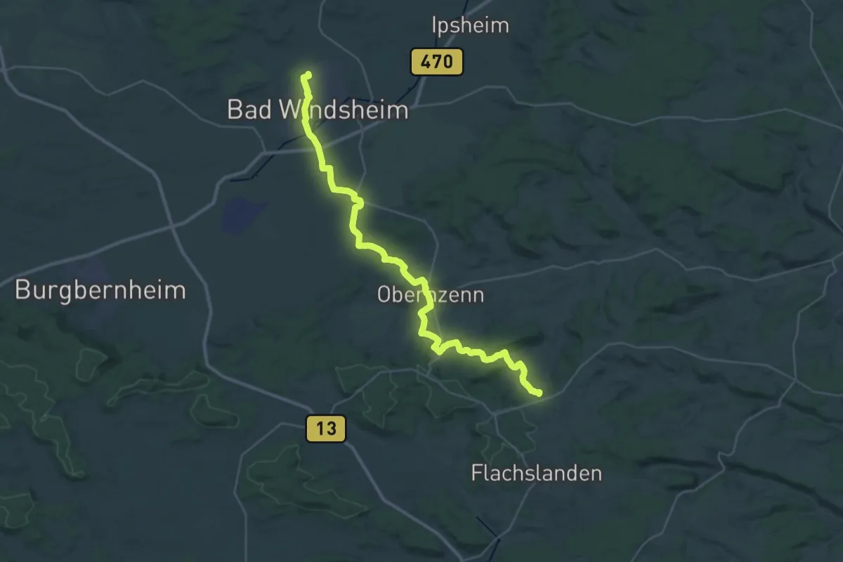
Demanding · Summit
Rotstrich
34.8 km · ↑ 463 m · 9 h 14 min
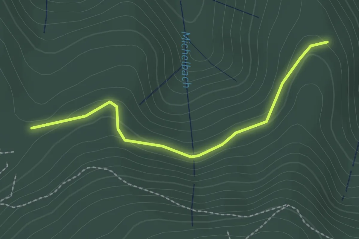
Easy · Trail
Rottecksruhe Nord - Heidelbeerhütte
2.0 km · ↑ 57 m · 36 min
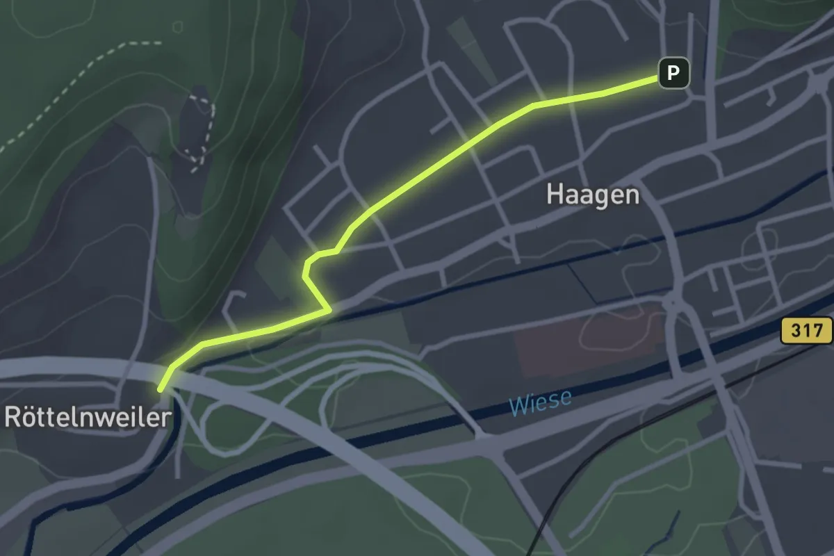
Easy · Trail
Röttelnweiler Hasenloch - Haagen Lichsen
2.7 km · ↑ 22 m · 41 min
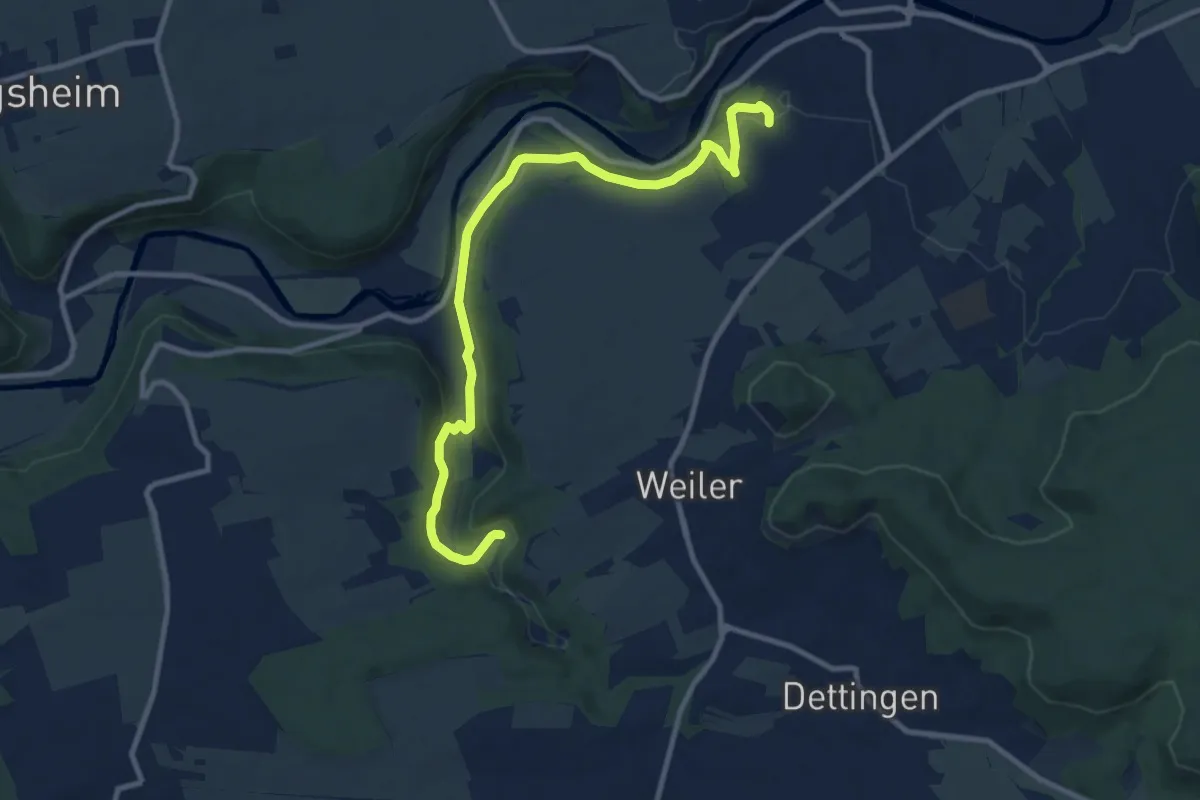
Medium · Trail
Rottenburg - Katzenbachtal
10.7 km · ↑ 302 m · 3 h 10 min
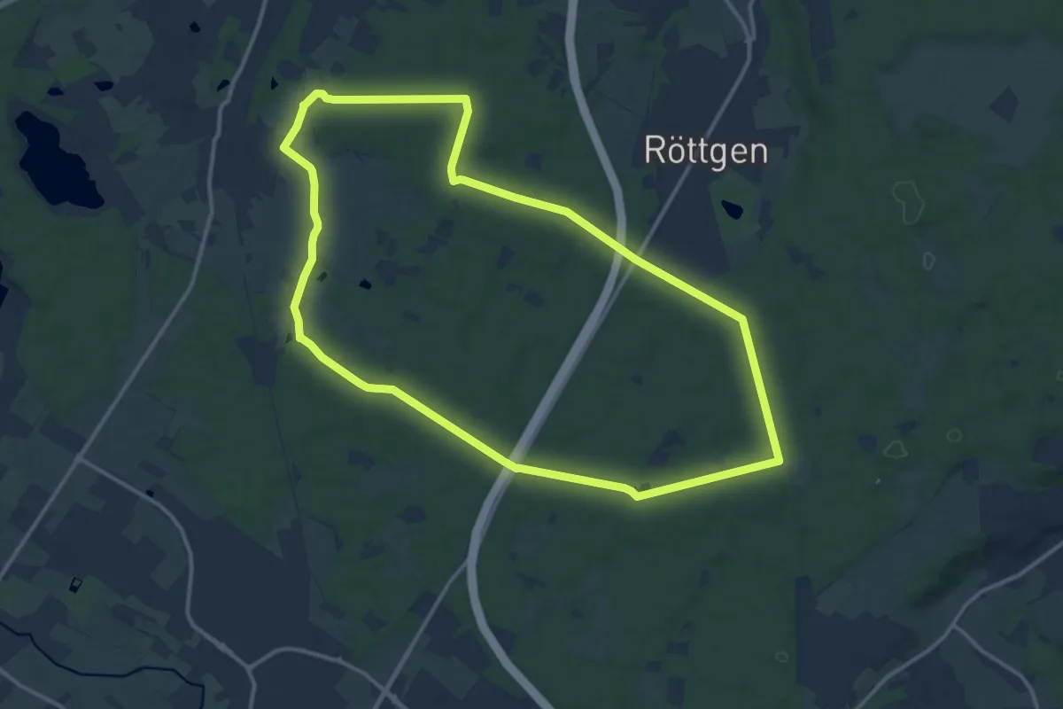
Medium · Trail
Röttgen-Runde
11.9 km · ↑ 43 m · 3 h 4 min
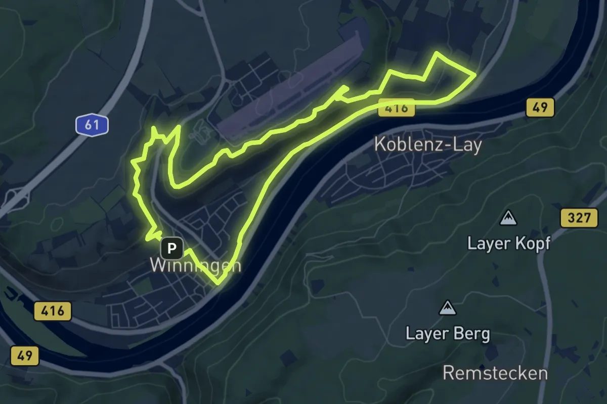
Easy · Summit
Röttgen Weinpfad
8.0 km · ↑ 211 m · 2 h 27 min
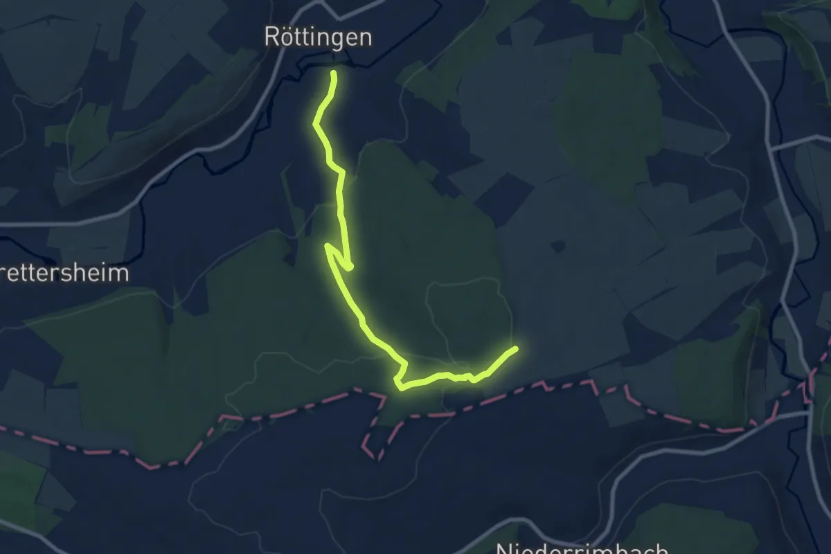
Medium · Trail
Röttingen - Bürgerwald
8.3 km · ↑ 191 m · 2 h 22 min
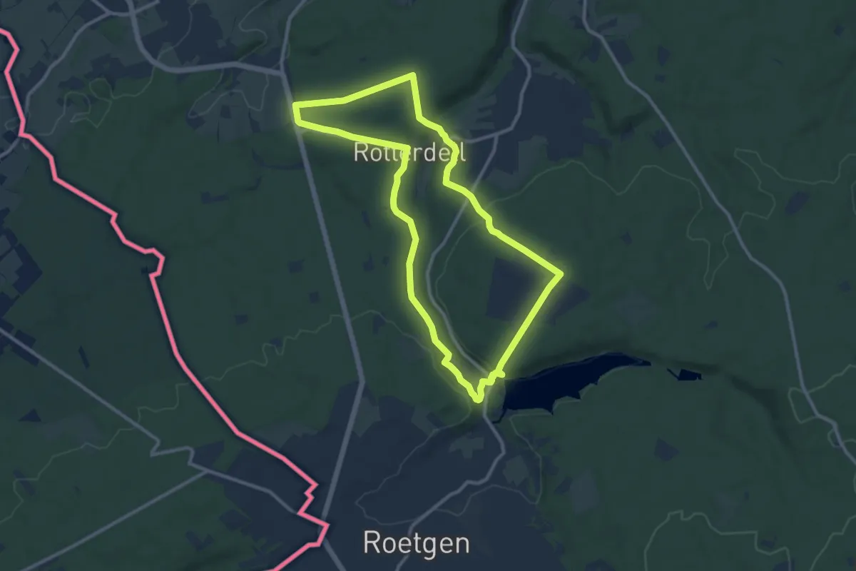
Medium · Trail
Rott Rundweg A1
9.4 km · ↑ 218 m · 2 h 48 min
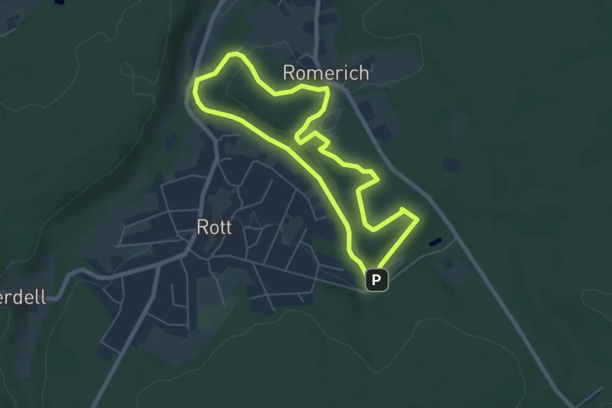
Easy · Summit
Rott Rundweg A3
4.4 km · ↑ 97 m · 1 h 19 min
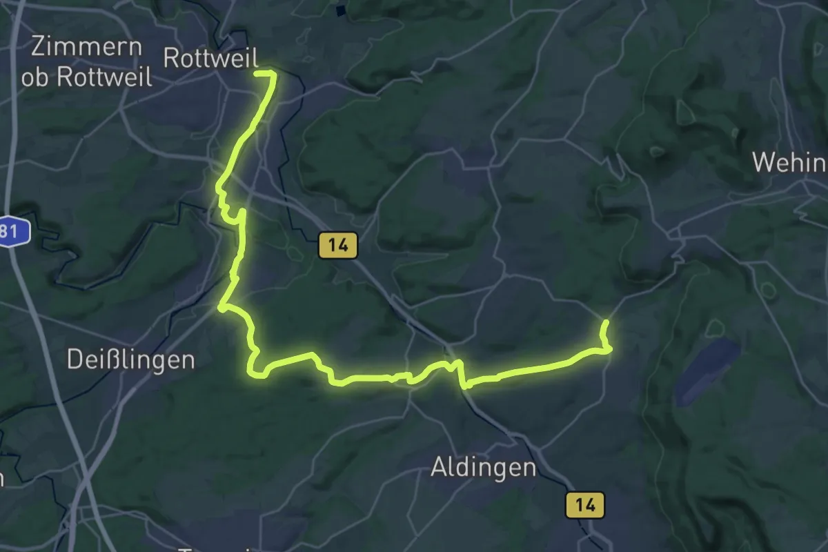
Medium · Trail
Rottweil / Deißlingen - Aixheim - Klippeneck/Dreifaltigkeitsberg
18.0 km · ↑ 345 m · 5 h 11 min
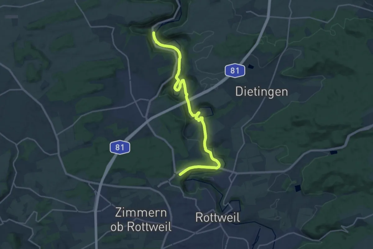
Medium · Trail
Rottweil - Talhausen
16.5 km · ↑ 418 m · 4 h 49 min