Trails in Germany
36,852 hiking trails, each with its route, climb, walking time and grade.
All trails, page 470 of 768
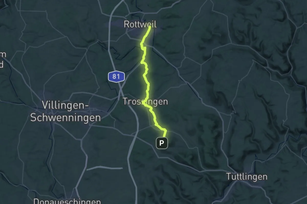
Demanding · Trail
Rottweil - Trossingen - Lupfen
20.7 km · ↑ 167 m · 5 h 41 min
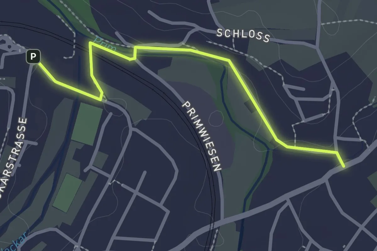
Easy · Trail
Rottweil - Wellendingen - Lemberg
2.5 km · ↑ 9 m · 37 min
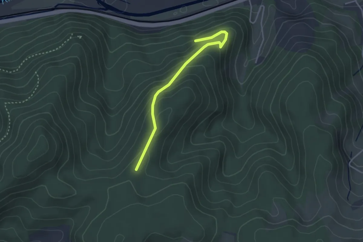
Easy · Trail
Rotweinbänkle - Stimmel
2.9 km · ↑ 187 m · 1 h 6 min
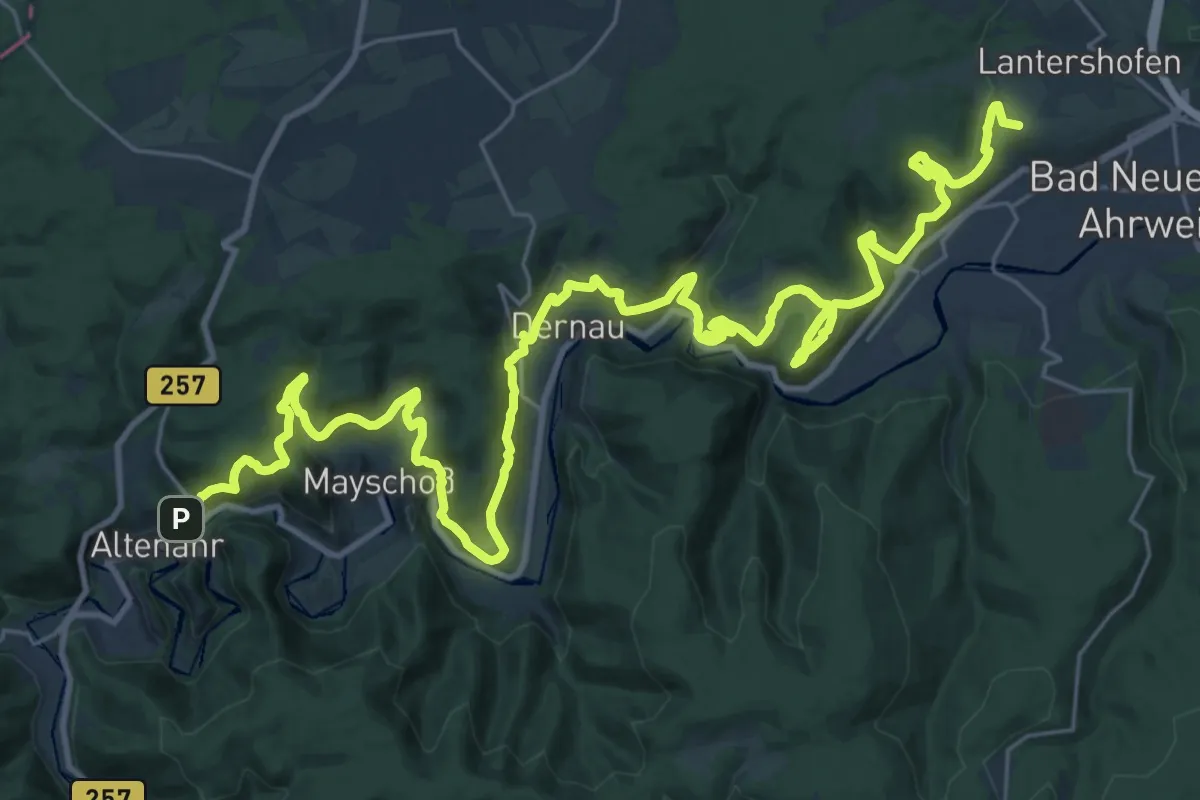
Demanding · Summit
Rotweinwanderweg
39.0 km · ↑ 1529 m · 12 h 32 min
Easy · Trail
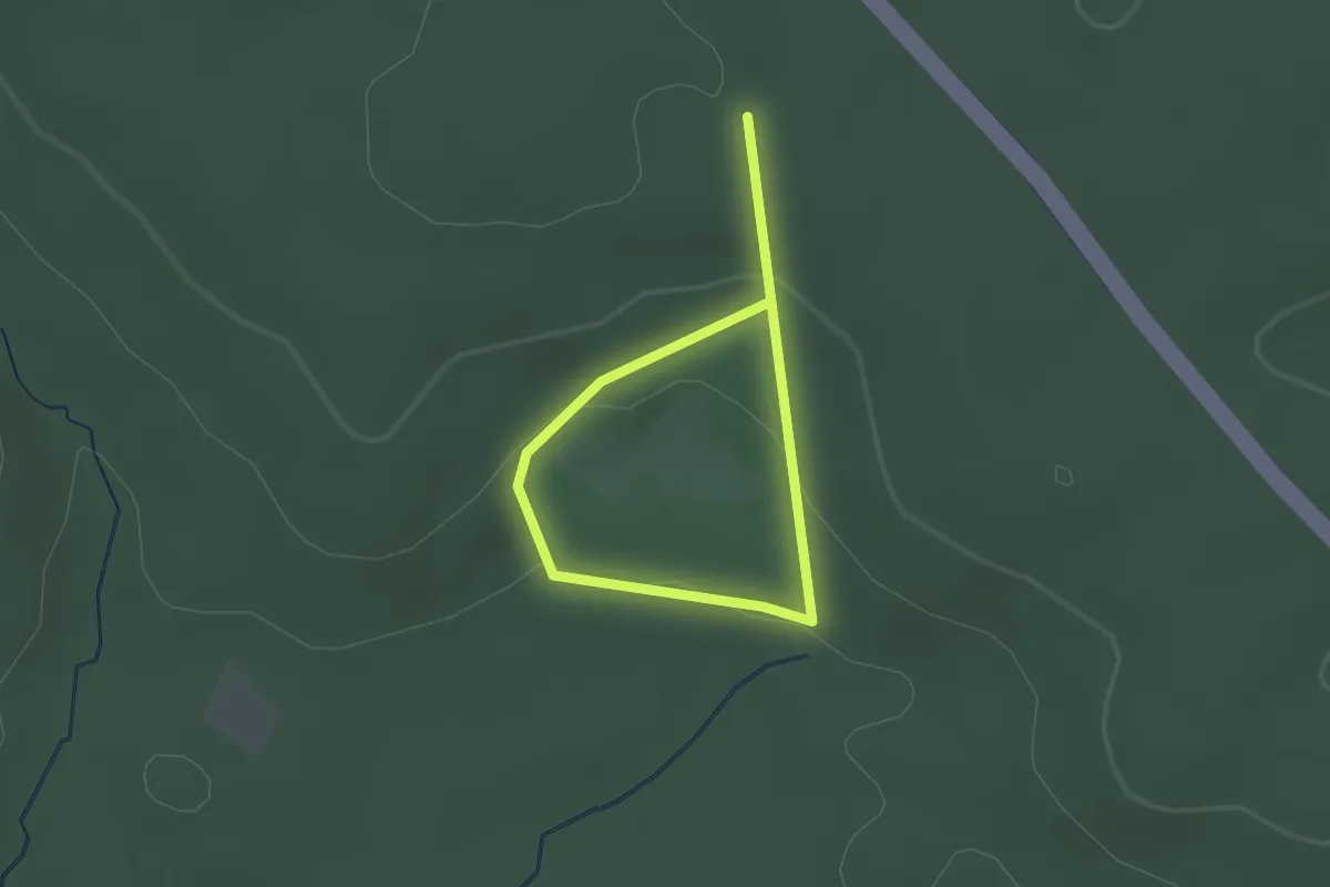
Rotwilderlebnispfad
1.4 km · ↑ 36 m · 26 min
Demanding · Trail
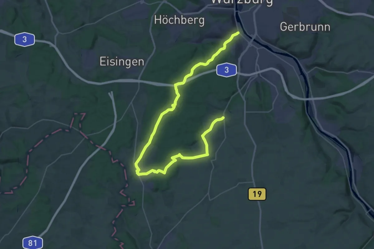
Rot: Wü-Steinbachtal - Reichenberg
20.4 km · ↑ 357 m · 5 h 50 min
Medium · Trail
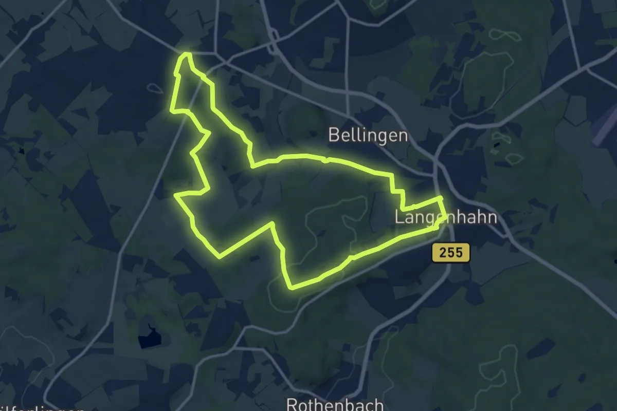
Rotzenhahner Rundwanderweg R4
11.4 km · ↑ 152 m · 3 h 10 min
Easy · Trail
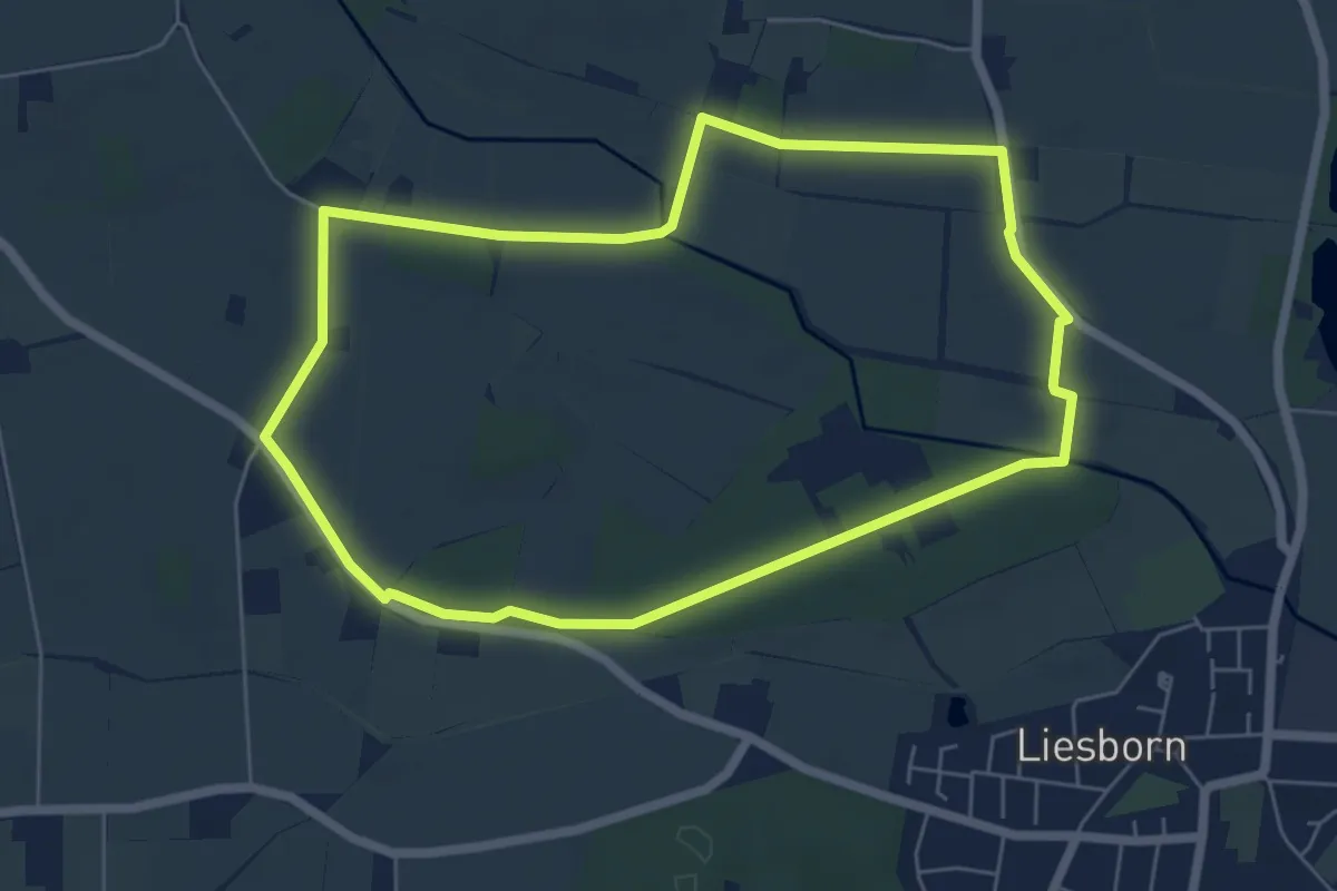
Route 02
5.4 km · ↑ 18 m · 1 h 23 min
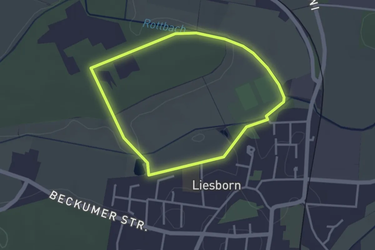
Easy · Trail
Route 03
2.3 km · ↑ 13 m · 36 min
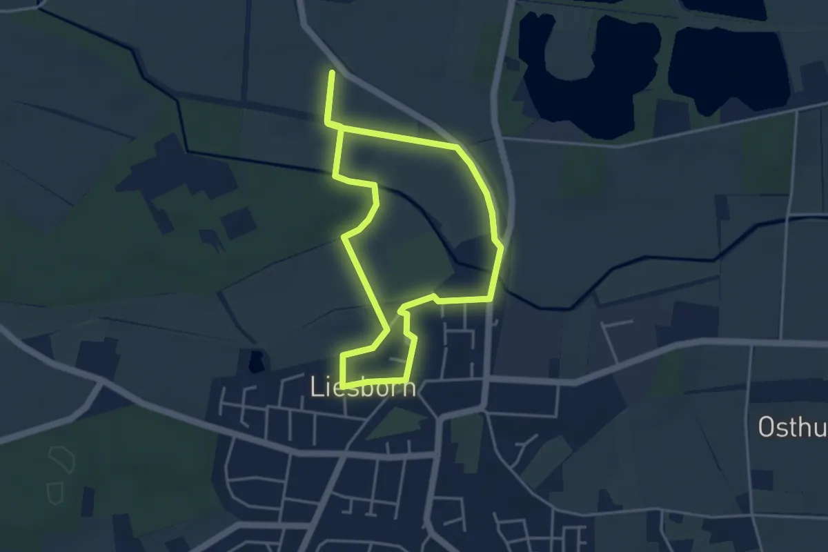
Easy · Trail
Route 04
3.2 km · ↑ 9 m · 49 min
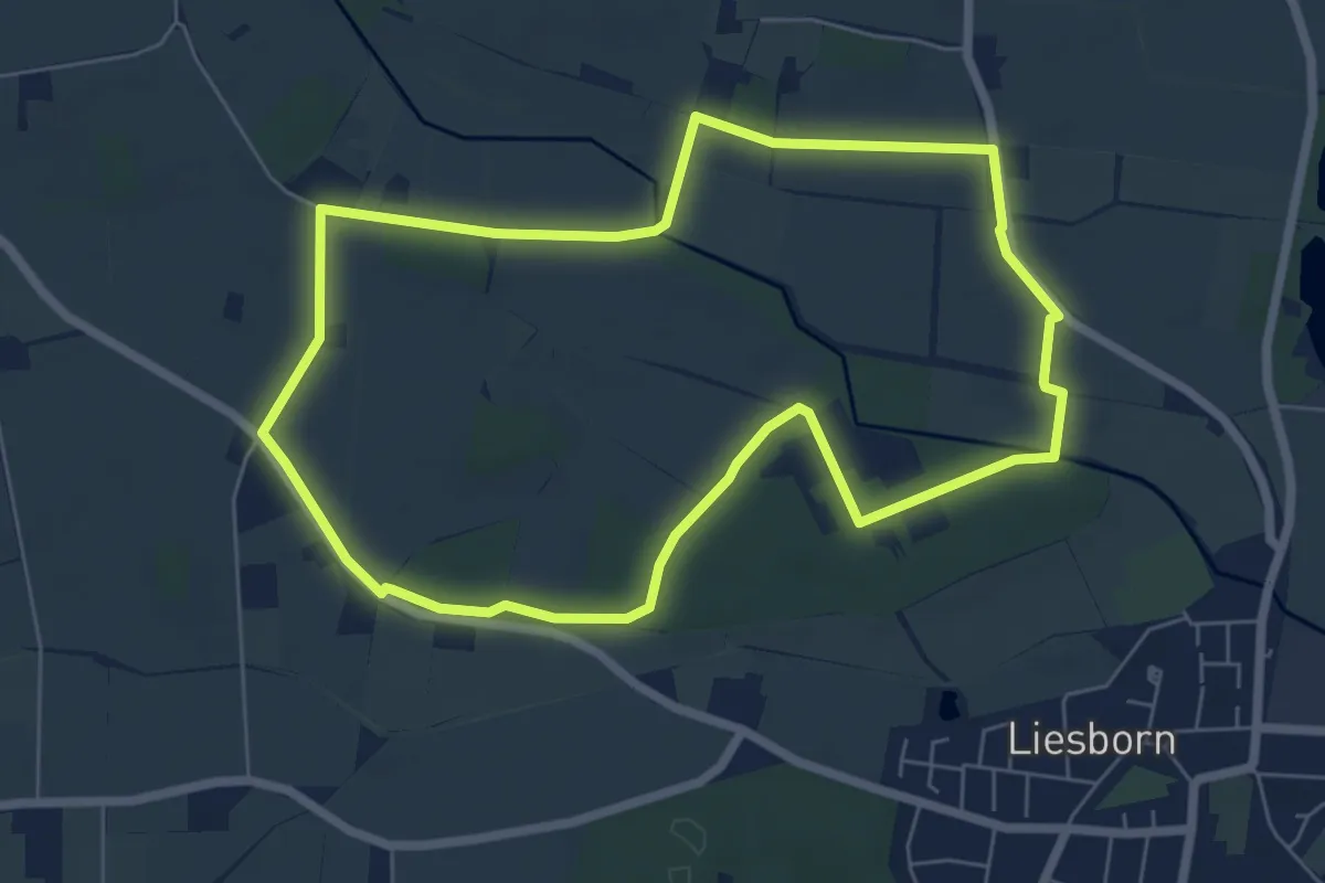
Easy · Trail
Route 05
5.8 km · ↑ 26 m · 1 h 30 min
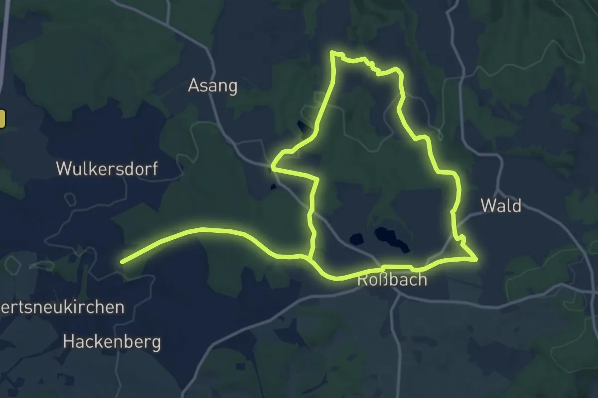
Medium · Trail
Route 154: Fürster Rundweg
10.5 km · ↑ 170 m · 3 h 1 min
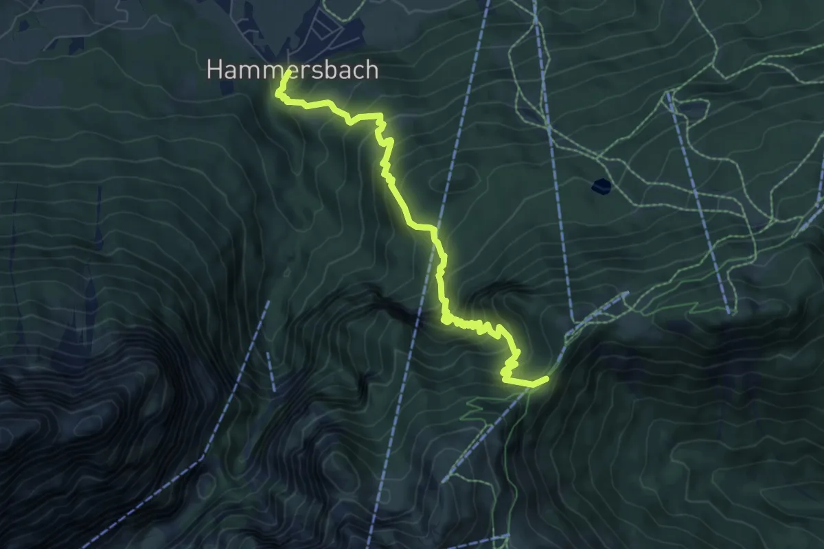
Demanding · Trail
Route 17
7.6 km · ↑ 858 m · 3 h 40 min
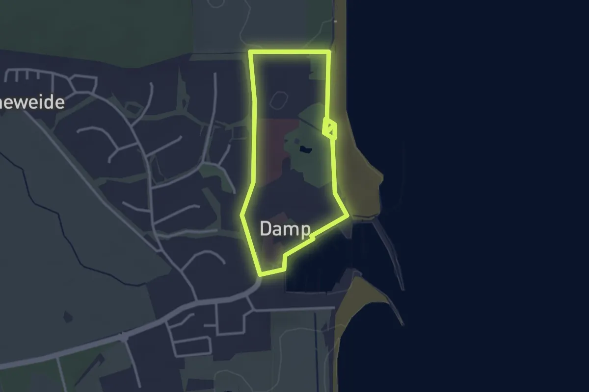
Easy · Trail
Route 1, Damp
2.2 km · ↑ 0 m · 32 min
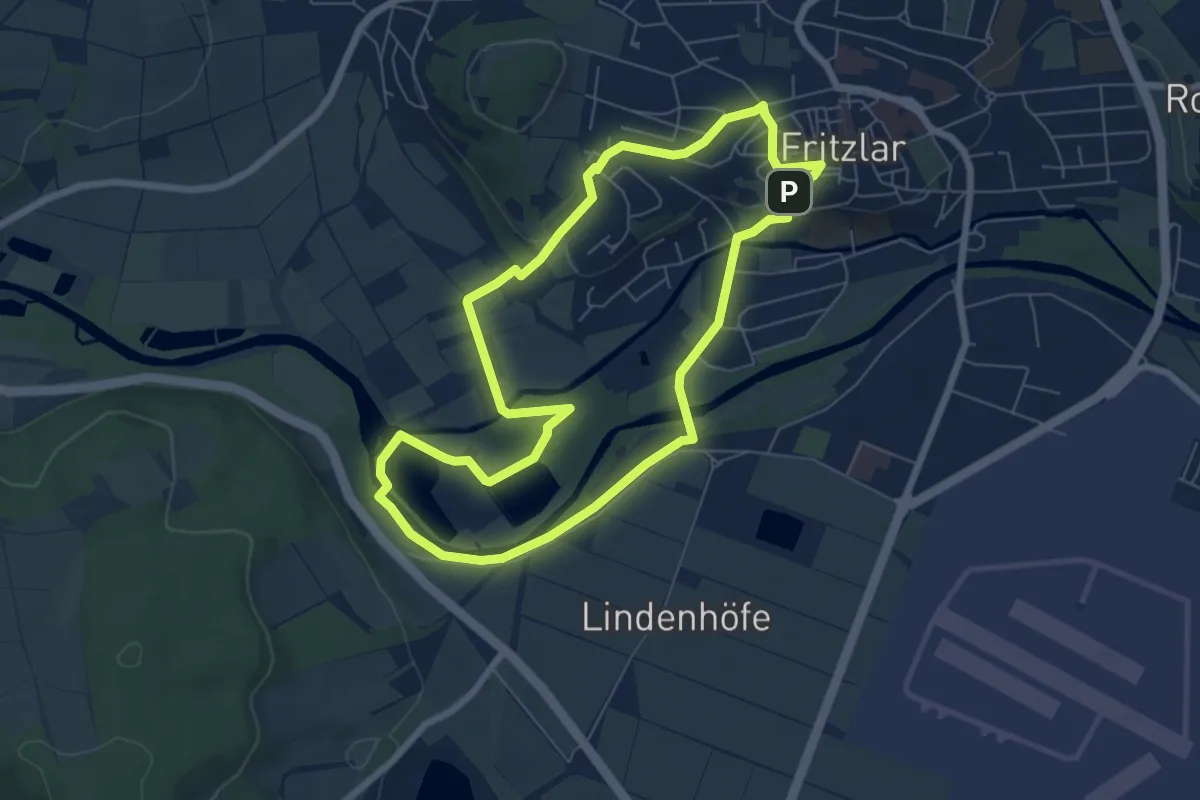
Easy · Trail
Route 2
6.1 km · ↑ 60 m · 1 h 40 min
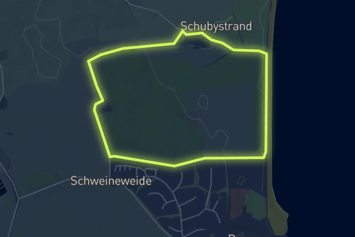
Easy · Trail
Route 2, Damp
4.0 km · ↑ 8 m · 1 h 2 min
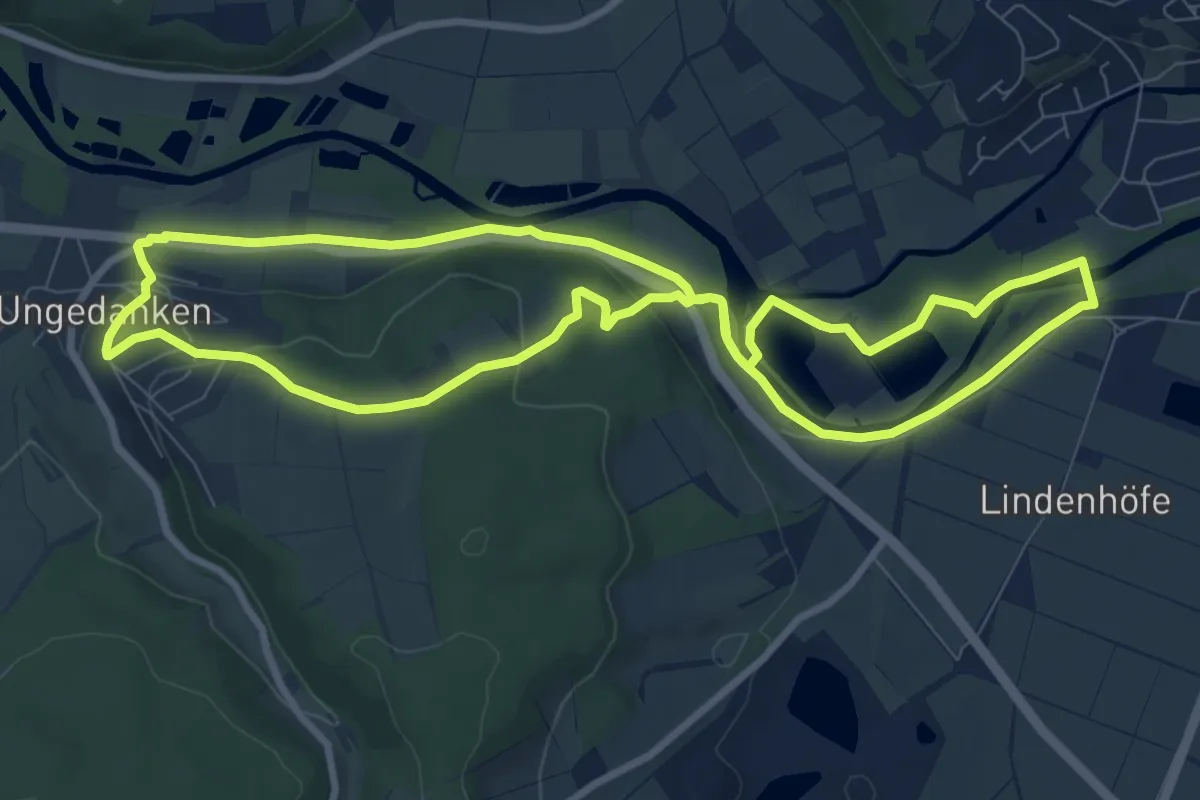
Medium · Summit
Route 3
8.2 km · ↑ 115 m · 2 h 19 min
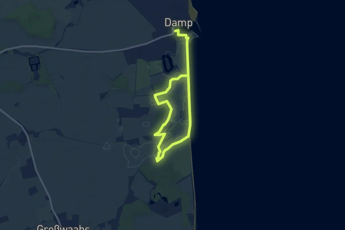
Medium · Trail
Route 3, Damp
10.4 km · ↑ 13 m · 2 h 29 min
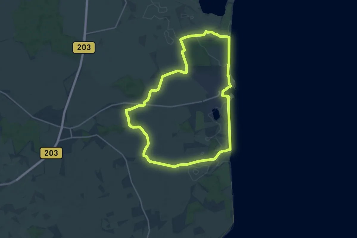
Medium · Trail
Route 4, Damp
12.0 km · ↑ 27 m · 3 h 3 min
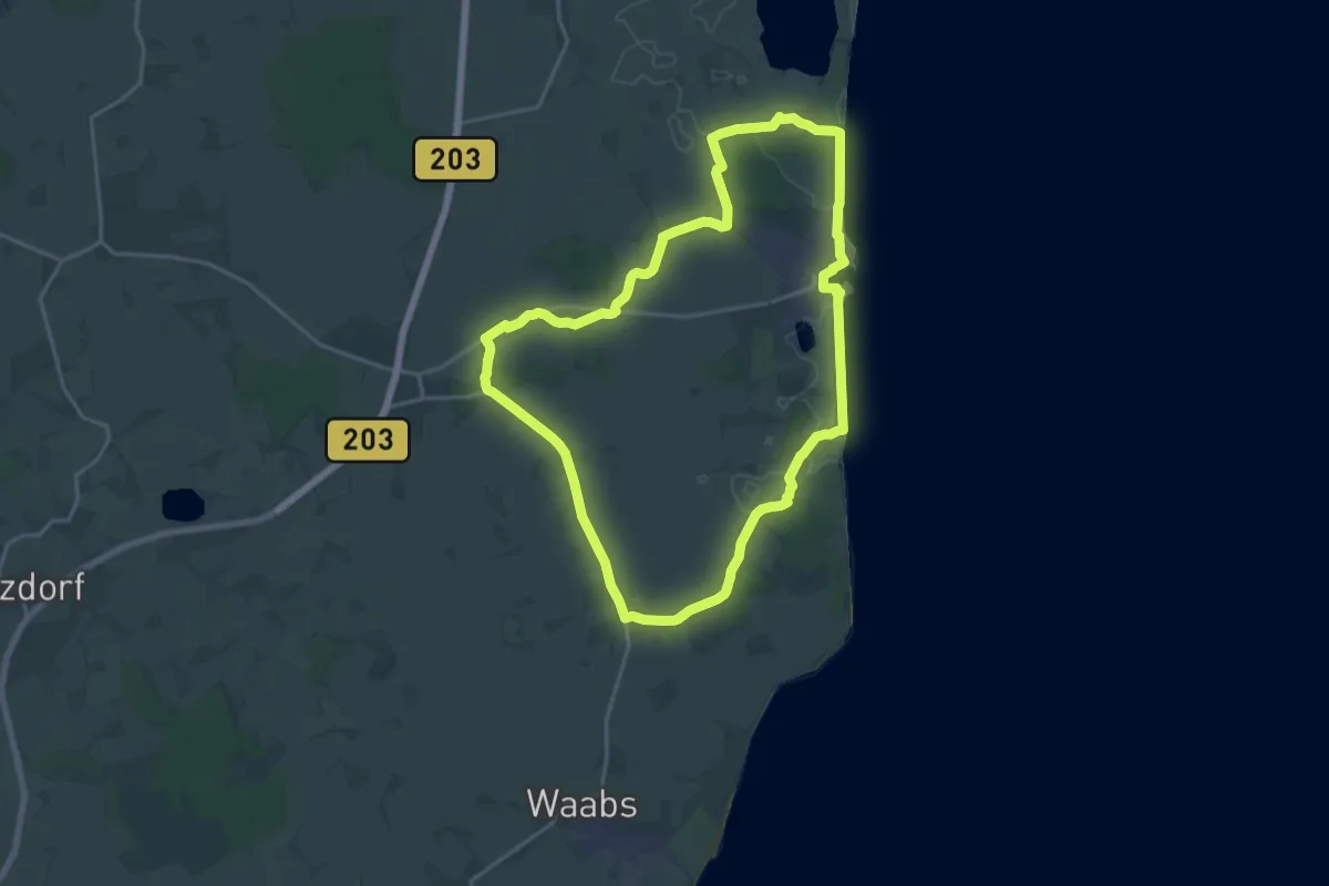
Medium · Trail
Route 5, Damp
15.5 km · ↑ 31 m · 3 h 56 min
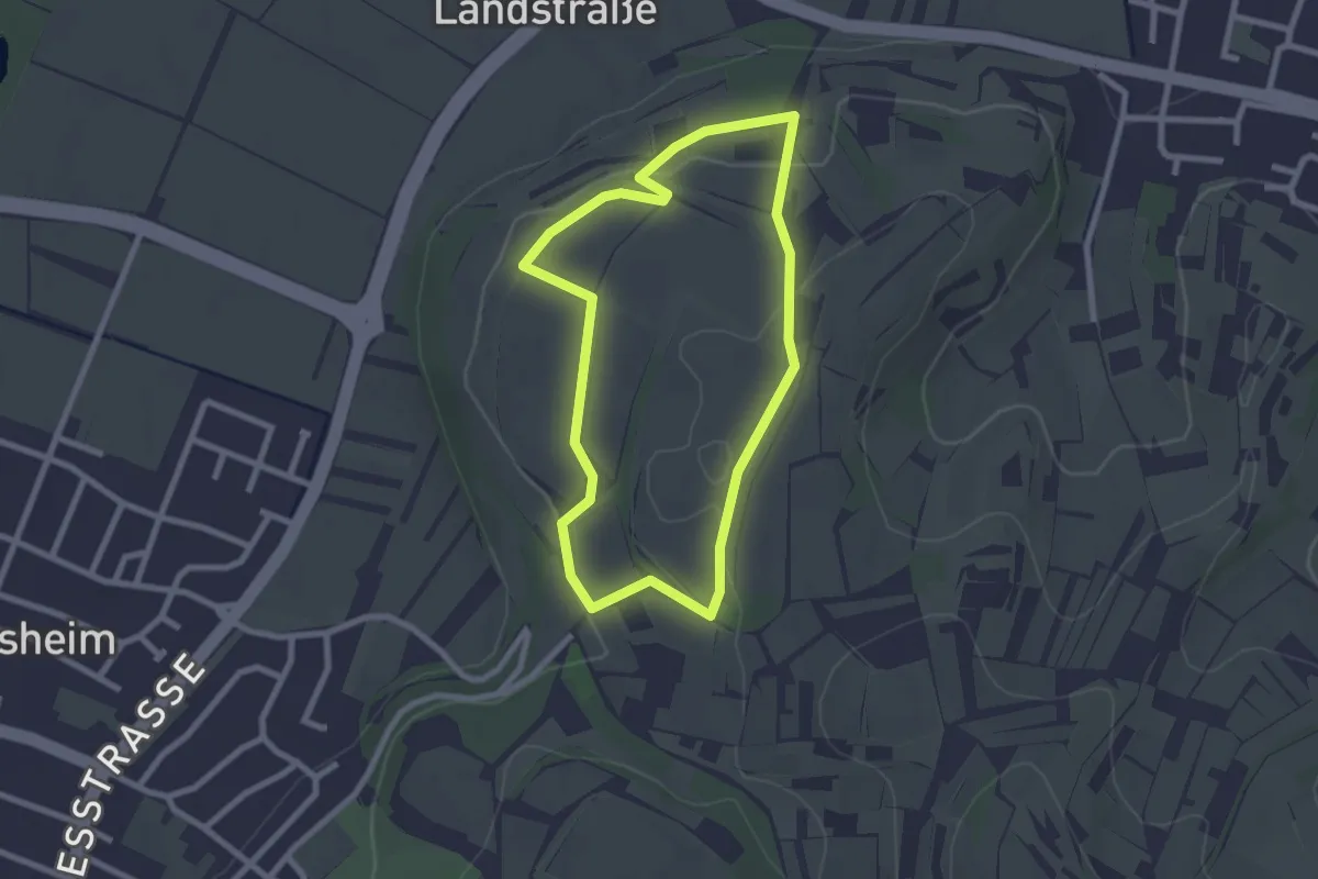
Easy · Trail
Route B
2.2 km · ↑ 43 m · 39 min
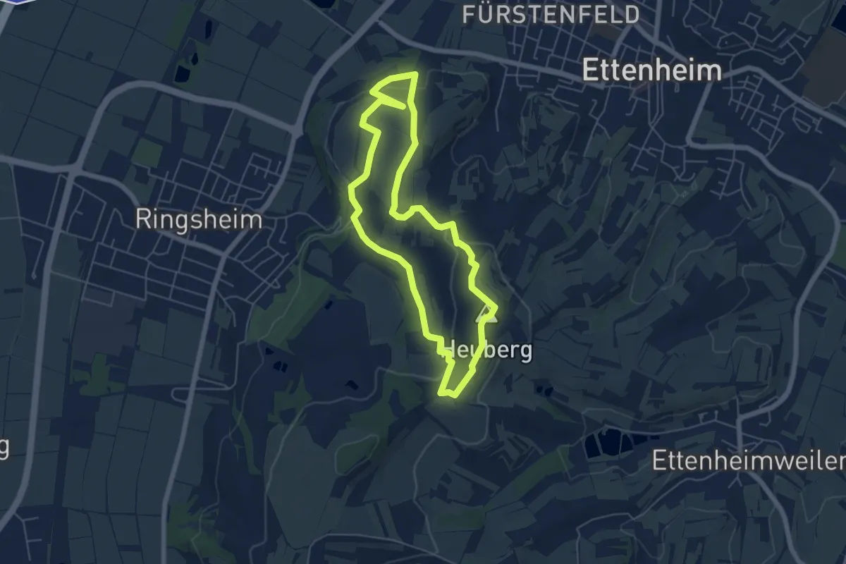
Easy · Summit
Route C
5.1 km · ↑ 107 m · 1 h 30 min
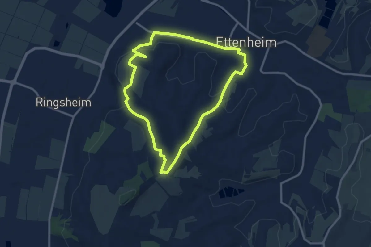
Easy · Summit
Route D
6.3 km · ↑ 120 m · 1 h 51 min
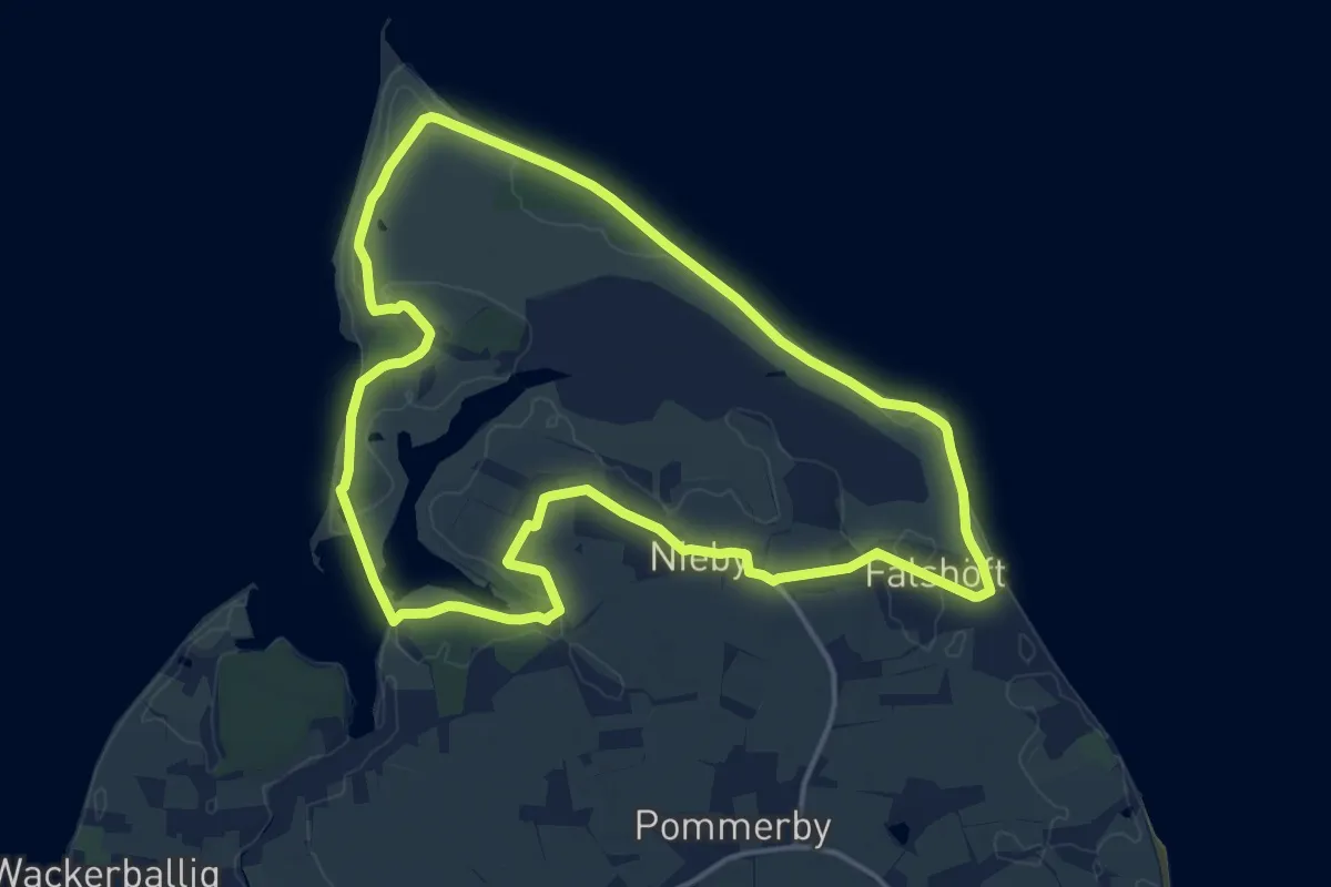
Medium · Trail
Route Geltinger Birk
13.0 km · ↑ 60 m · 3 h 22 min
Easy · Trail
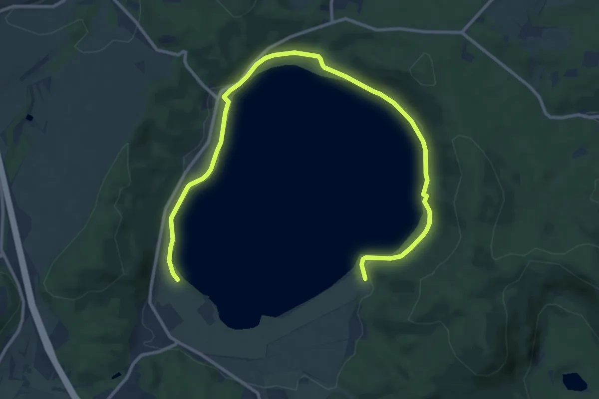
Route L Rund um den Laacher See
5.5 km · ↑ 98 m · 1 h 35 min
Easy · Trail
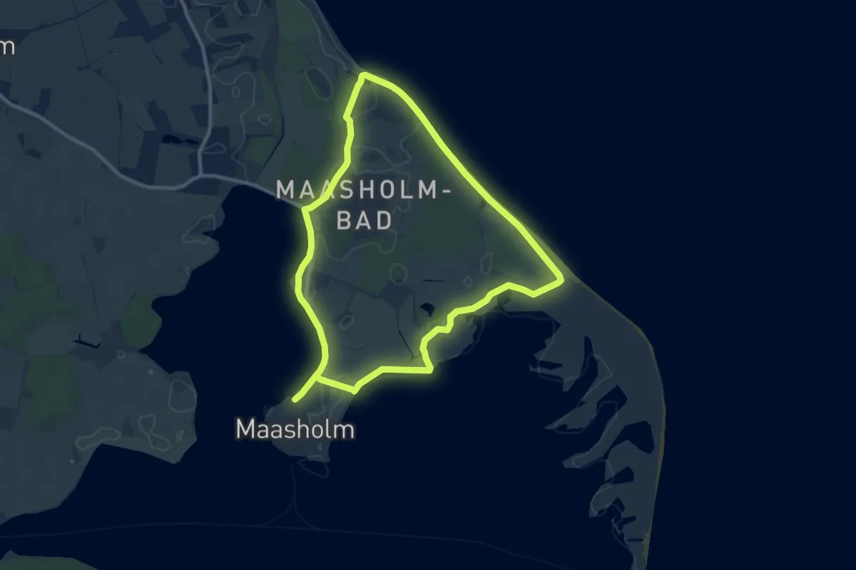
Route Maasholm-Schleimünde
7.7 km · ↑ 8 m · 1 h 57 min
Easy · Trail
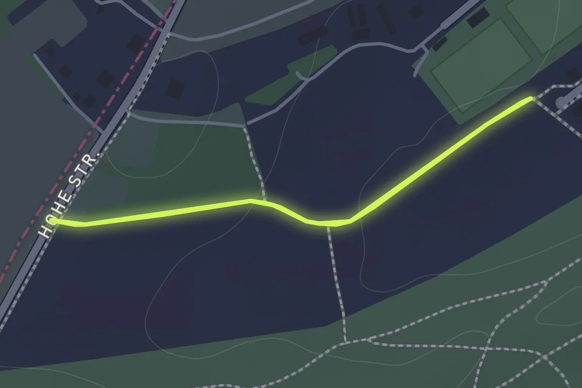
Route Meerathon
1.1 km · ↑ 15 m · 18 min
Expert · Trail
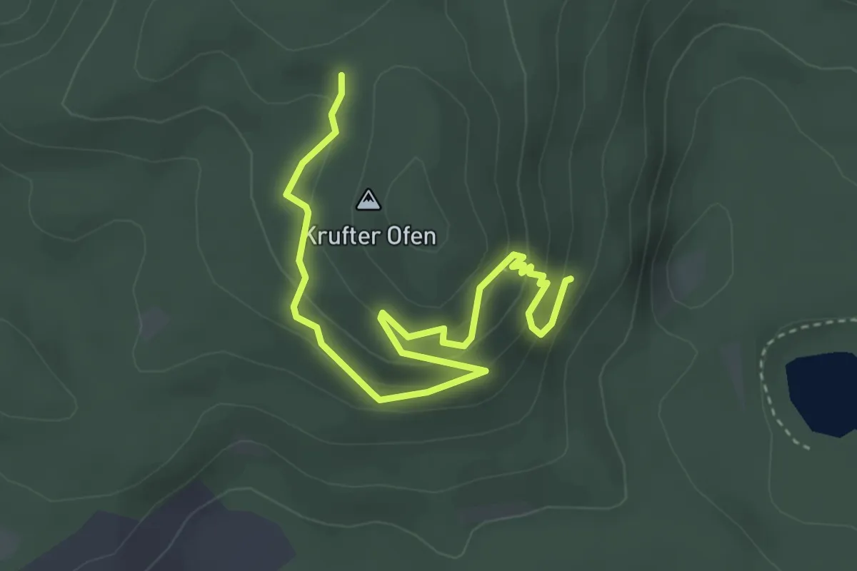
Route N
4.0 km · ↑ 226 m · 1 h 25 min
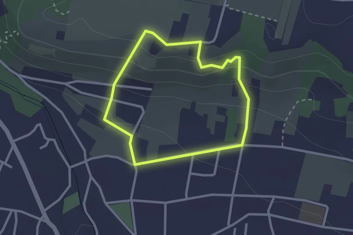
Easy · Trail
Route Oberlößnitz
1.7 km · ↑ 99 m · 38 min
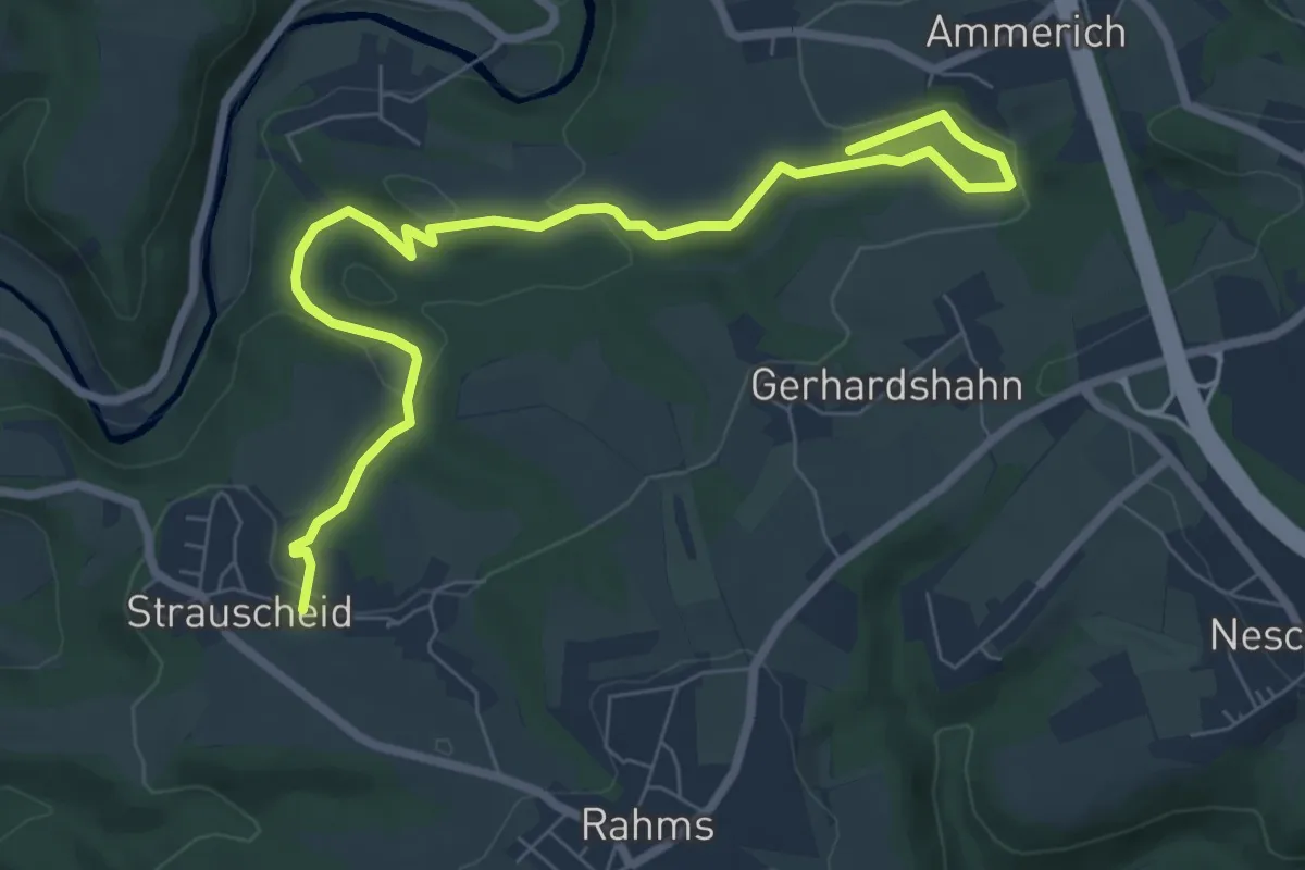
Easy · Trail
Route Strauscheid 1a Nordic Walking Neustadt (Wied)
7.9 km · ↑ 196 m · 2 h 17 min
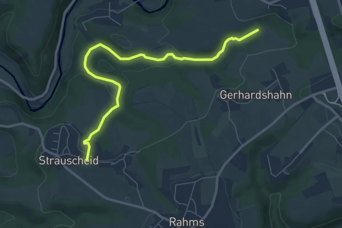
Easy · Trail
Route Strauscheid 1b Nordic Walking Neustadt (Wied)
6.1 km · ↑ 148 m · 1 h 45 min
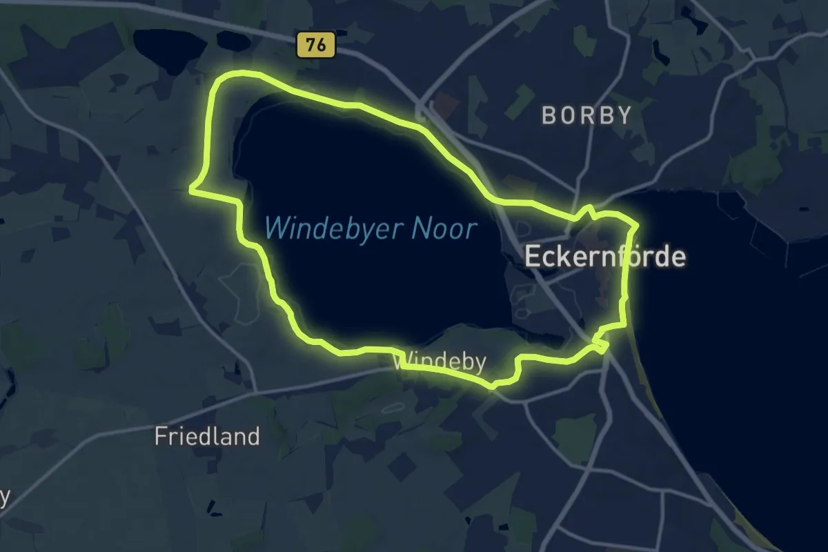
Medium · Trail
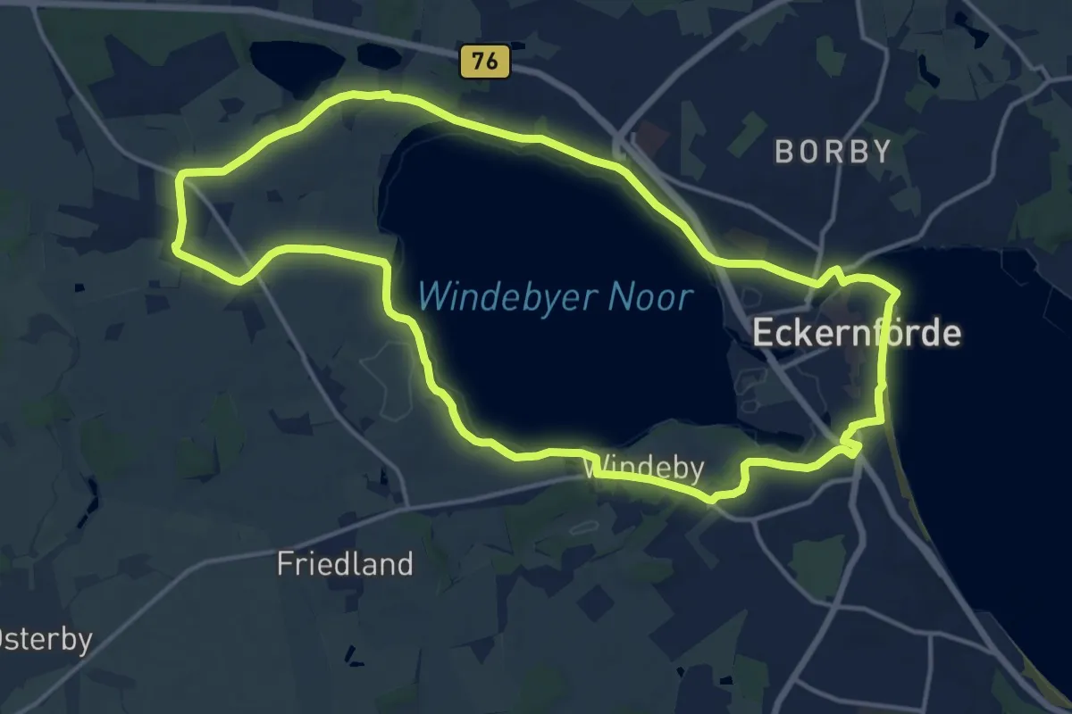
Route um das Windebyer Noor
11.1 km · ↑ 36 m · 2 h 51 min
Medium · Trail
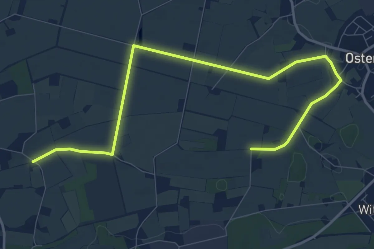
Route um das Windebyer Noor und Kochendorf
13.1 km · ↑ 40 m · 3 h 22 min
Medium · Trail
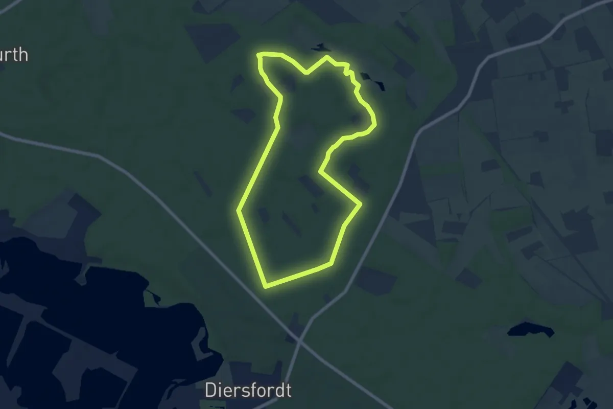
Route Valepage (Delbrück)
9.5 km · ↑ 17 m · 2 h 16 min
Easy · Trail
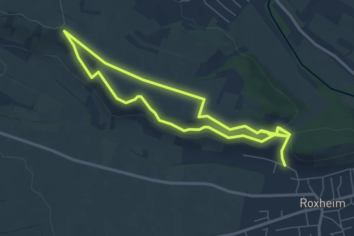
Route Wildgatter
5.6 km · ↑ 13 m · 1 h 26 min
Easy · Trail
Roxl Wein-Erlebnispfad
4.8 km · ↑ 87 m · 1 h 24 min
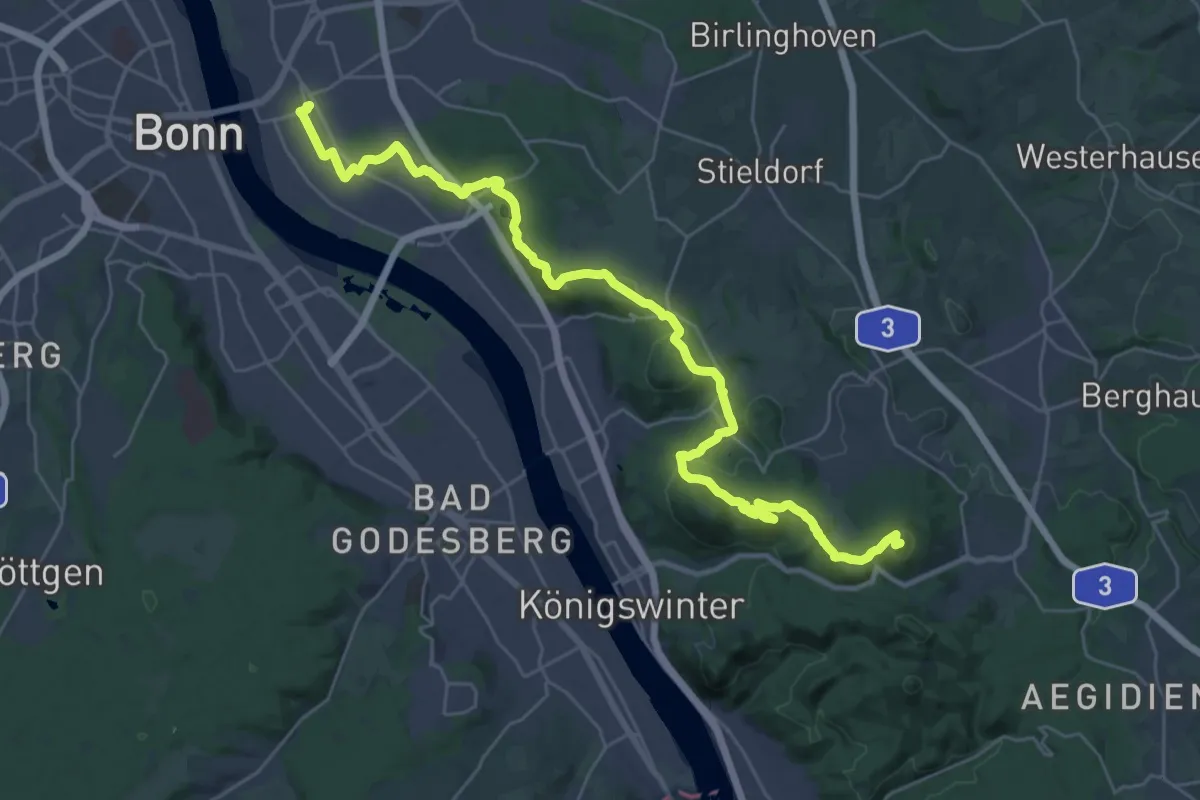
Demanding · Summit
[R] Rheinhöhenweg [rrh. Lahnstein → Bonn Beuel]
33.2 km · ↑ 810 m · 9 h 36 min
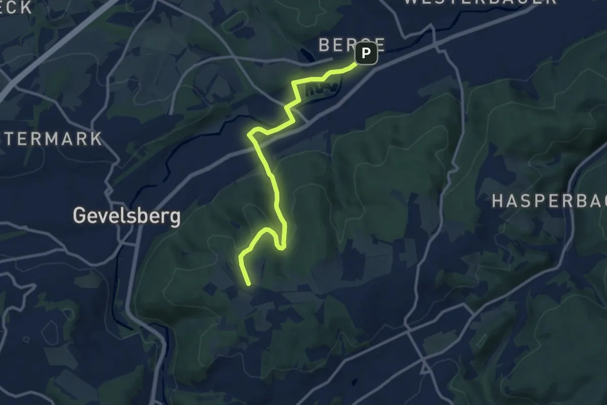
Medium · Trail
[R] Rocholz-Weg
8.9 km · ↑ 283 m · 2 h 42 min
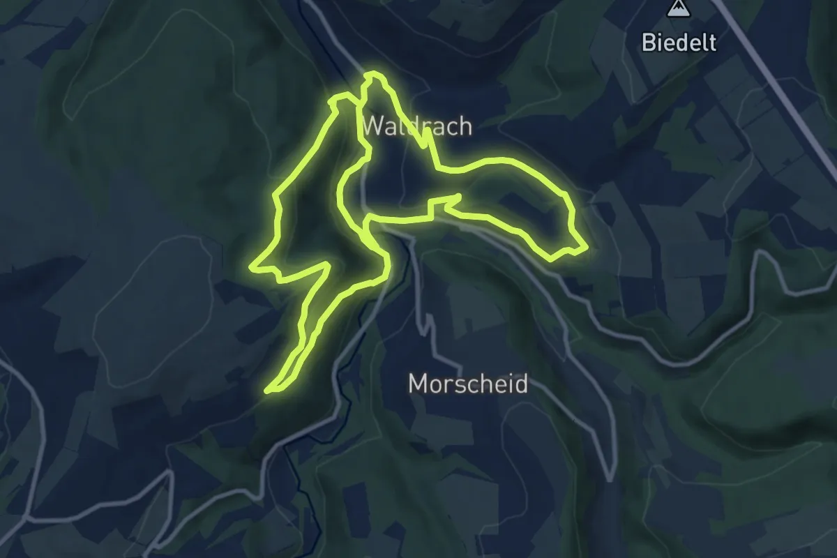
Demanding · Trail
RT1
20.2 km · ↑ 743 m · 6 h 23 min
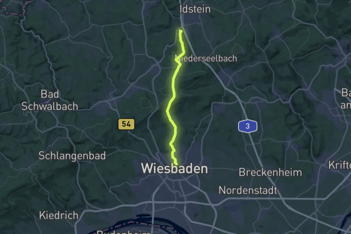
Demanding · Summit
RTK-Weg 12 (schwarzer Punkt)
29.5 km · ↑ 799 m · 8 h 42 min
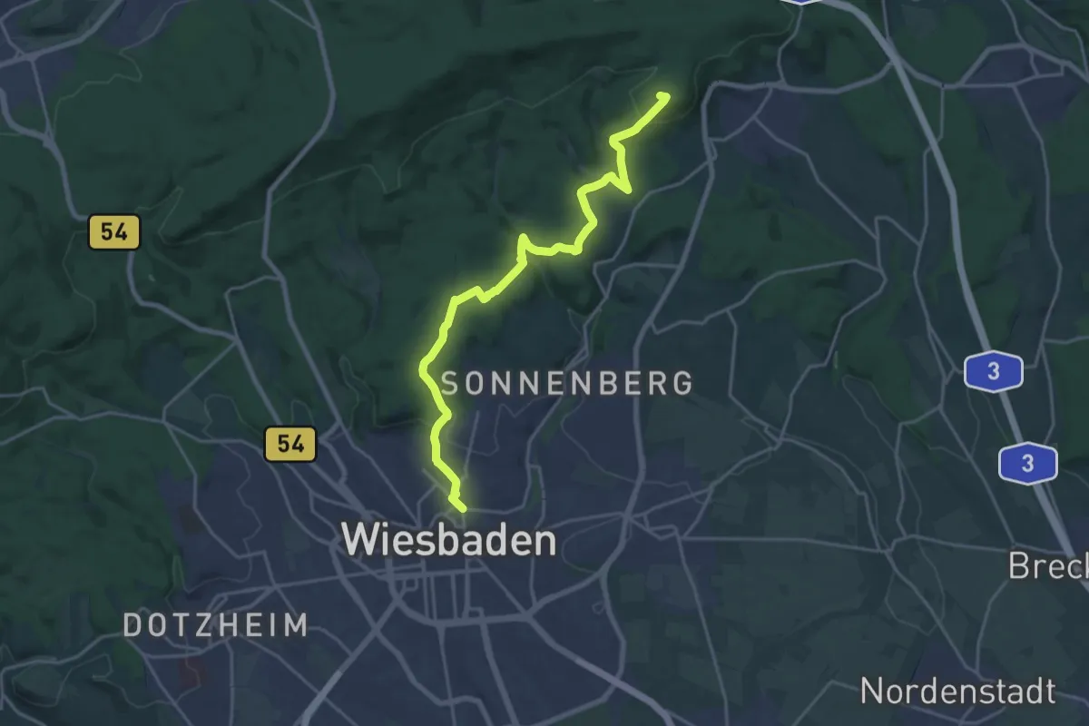
Demanding · Summit
RTK-Weg 6 (gelber Balken)
19.1 km · ↑ 557 m · 5 h 43 min
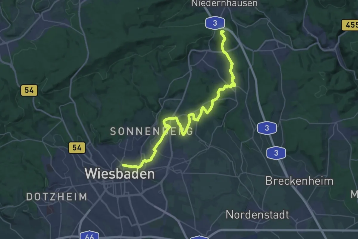
Demanding · Summit
RTK-Weg 7 (roter Balken)
29.9 km · ↑ 612 m · 8 h 23 min
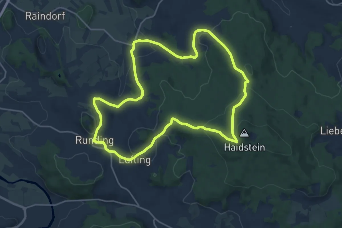
Medium · Trail
Ru01 Rundweg Haidstein 1
11.9 km · ↑ 388 m · 3 h 48 min
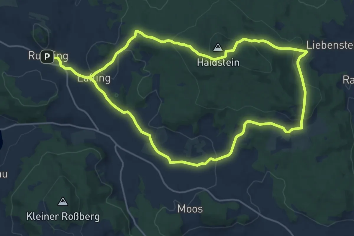
Medium · Trail
Ru02 Rundweg Haidstein 2
12.3 km · ↑ 379 m · 3 h 54 min
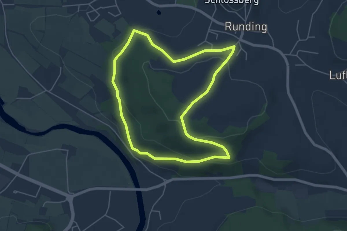
Easy · Trail
Ru03 Rundweg Eyberg
4.1 km · ↑ 116 m · 1 h 17 min
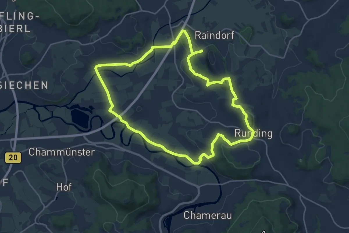
Medium · Summit
Ru04 Chamb-Regen-Rundweg
13.7 km · ↑ 240 m · 3 h 57 min
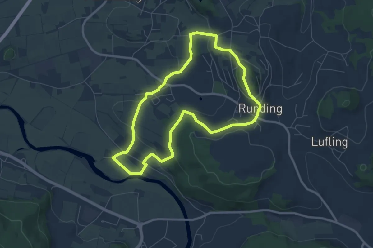
Easy · Summit
Ru05 Rundweg Runding West
6.2 km · ↑ 175 m · 1 h 56 min
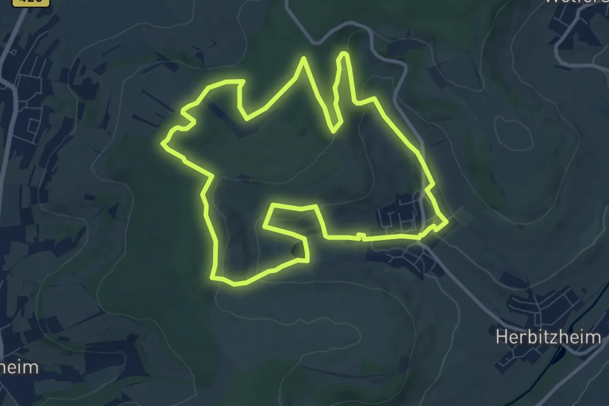
Medium · Trail
Rubenheimer Brunnenweg
9.4 km · ↑ 250 m · 2 h 54 min