Trails in Germany
36,852 hiking trails, each with its route, climb, walking time and grade.
All trails, page 471 of 768
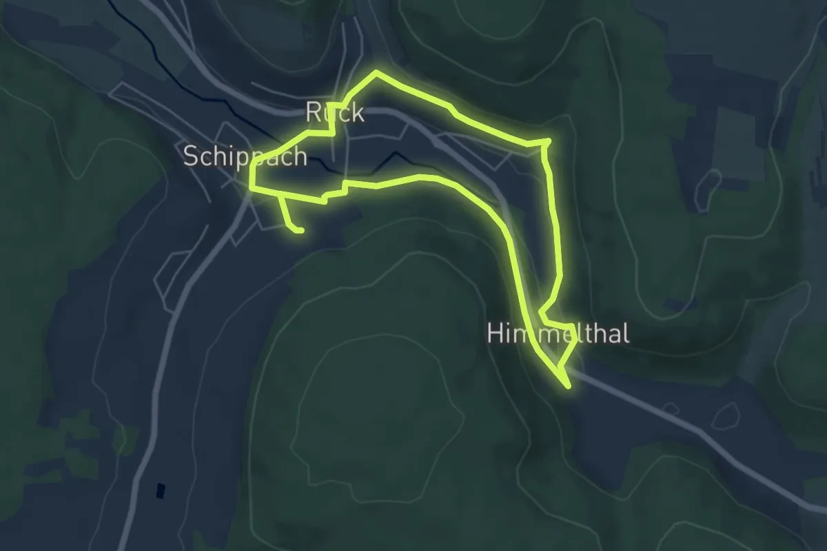
Easy · Trail
Rück-Besinnungsweg
4.7 km · ↑ 95 m · 1 h 22 min
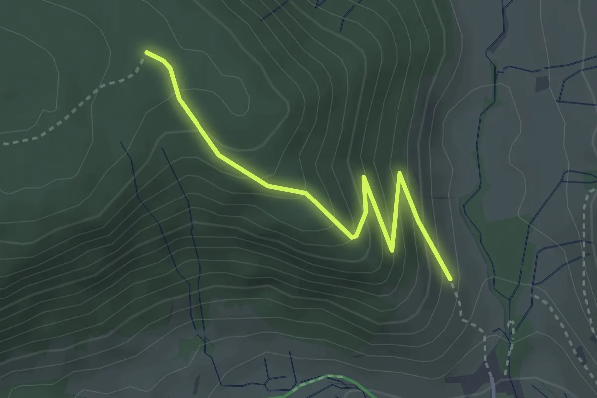
Medium · Trail
Ruckenhütte - Schesslong dü Boah
3.1 km · ↑ 274 m · 1 h 20 min
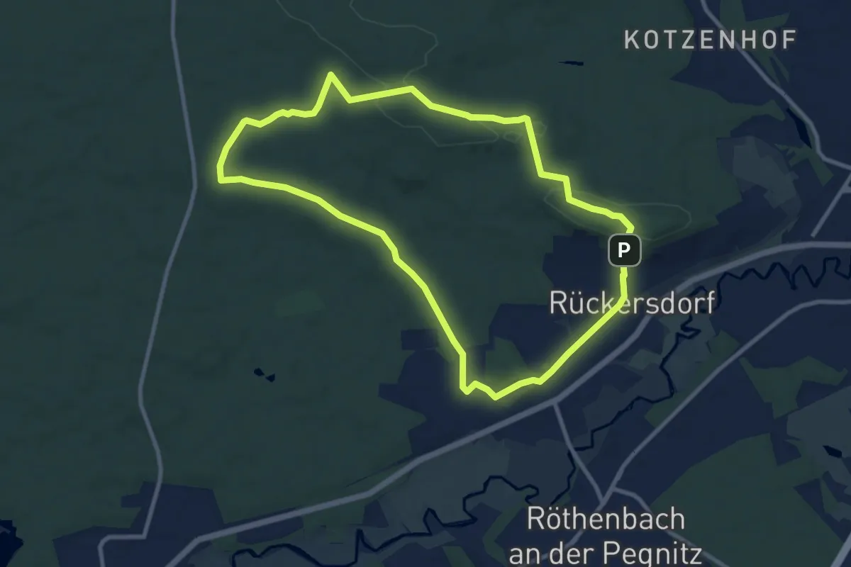
Medium · Summit
Rückersdorfer Rundweg
8.6 km · ↑ 136 m · 2 h 27 min
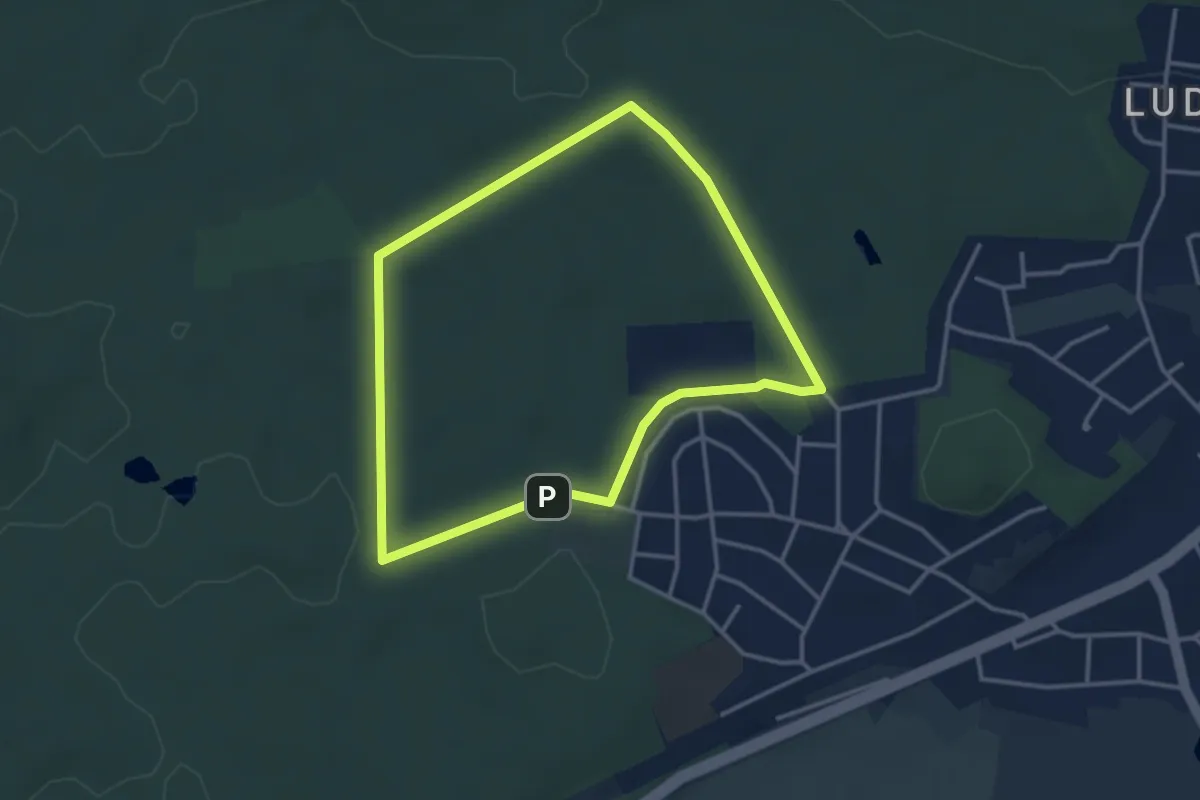
Easy · Trail
Rückersdorfer Rundweg 1
3.1 km · ↑ 18 m · 48 min
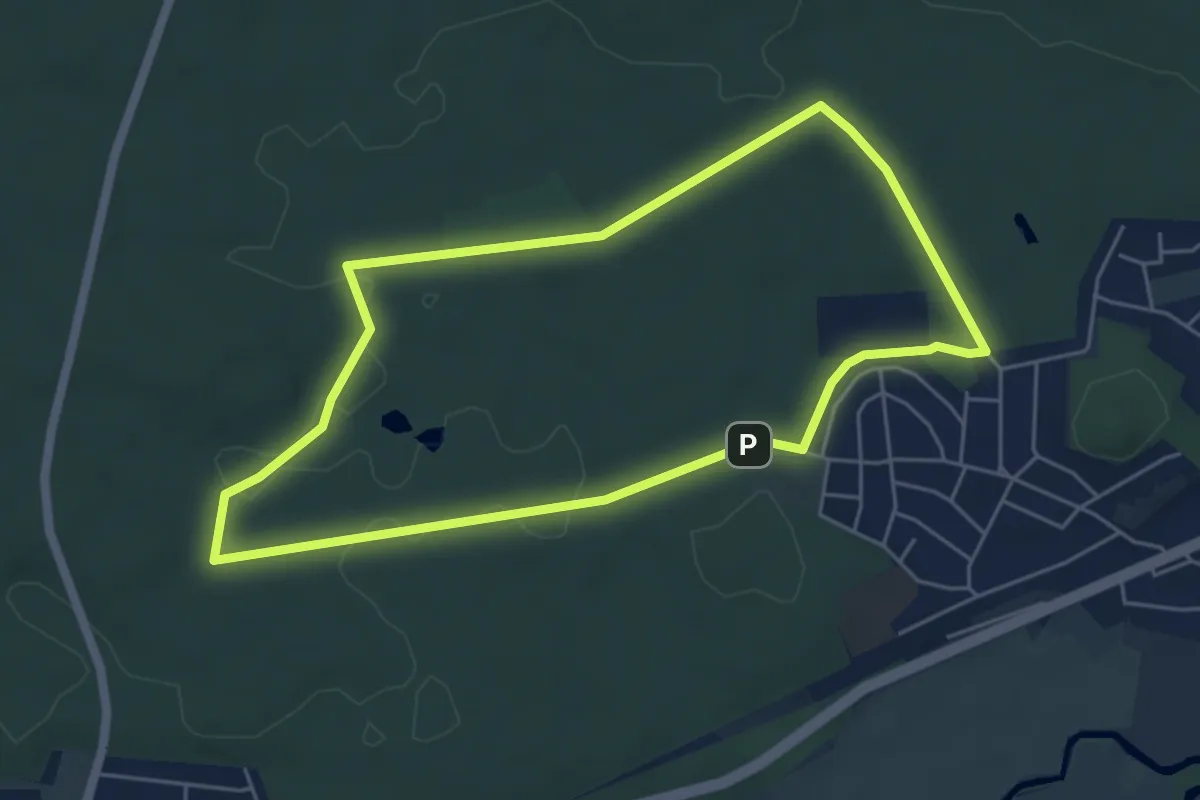
Easy · Trail
Rückersdorfer Rundweg 2
4.9 km · ↑ 35 m · 1 h 18 min
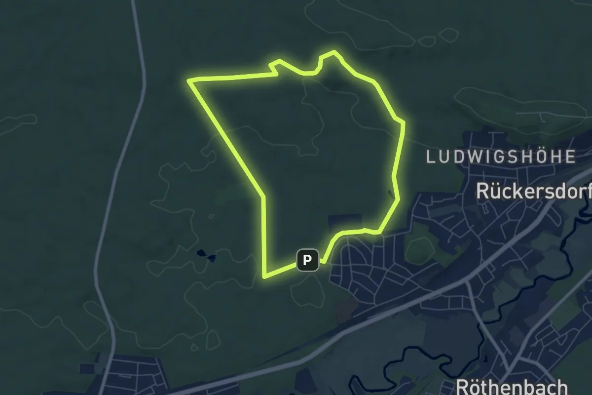
Easy · Trail
Rückersdorfer Rundweg 3
6.0 km · ↑ 77 m · 1 h 40 min
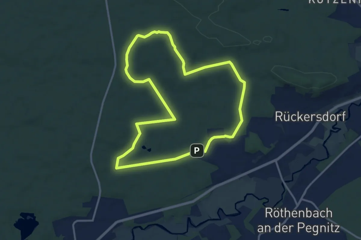
Medium · Trail
Rückersdorfer Rundweg 4
8.7 km · ↑ 91 m · 2 h 23 min
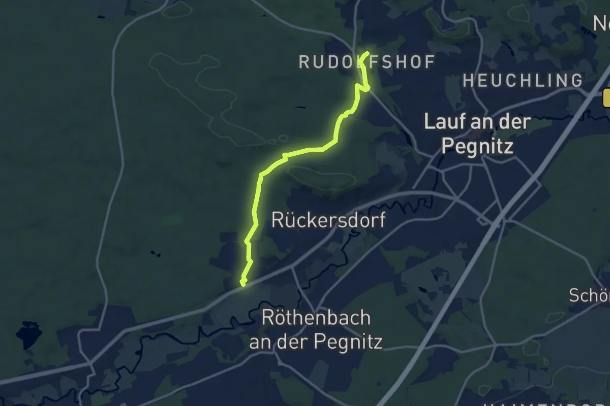
Medium · Trail
Rückersdorf - Rudolfshof
9.9 km · ↑ 89 m · 2 h 31 min
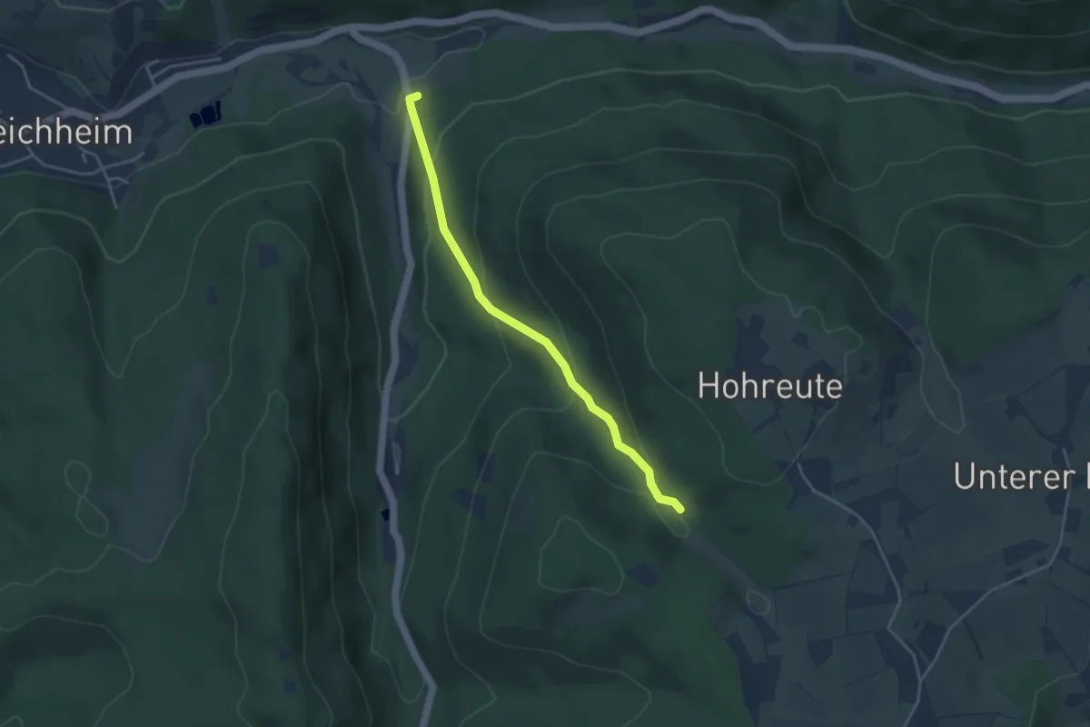
Easy · Trail
Rückhaltebecken Bleichheim - Erzbuck
3.6 km · ↑ 195 m · 1 h 16 min
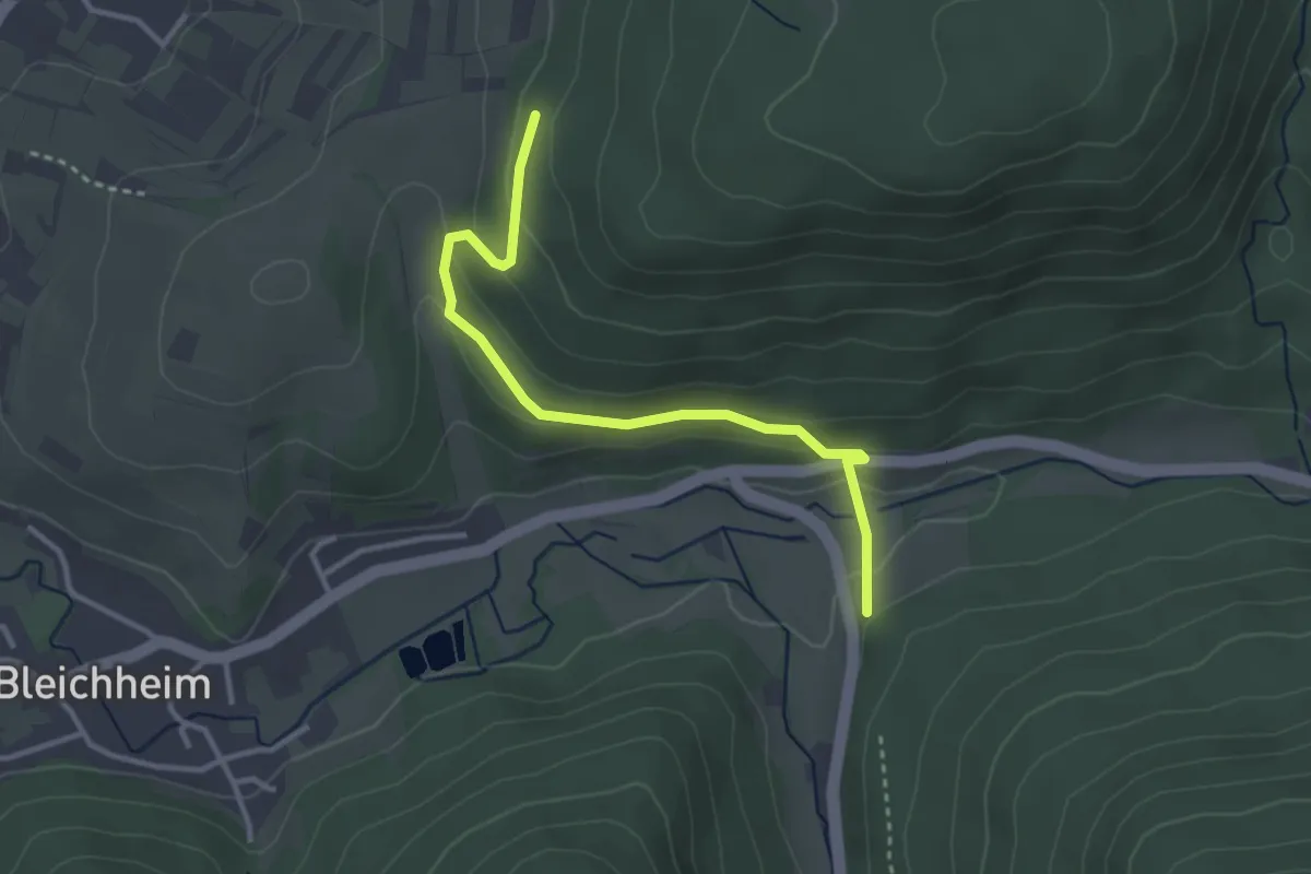
Easy · Trail
Rückhaltebecken Bleichheim - Steiggraben
3.2 km · ↑ 125 m · 1 h 1 min
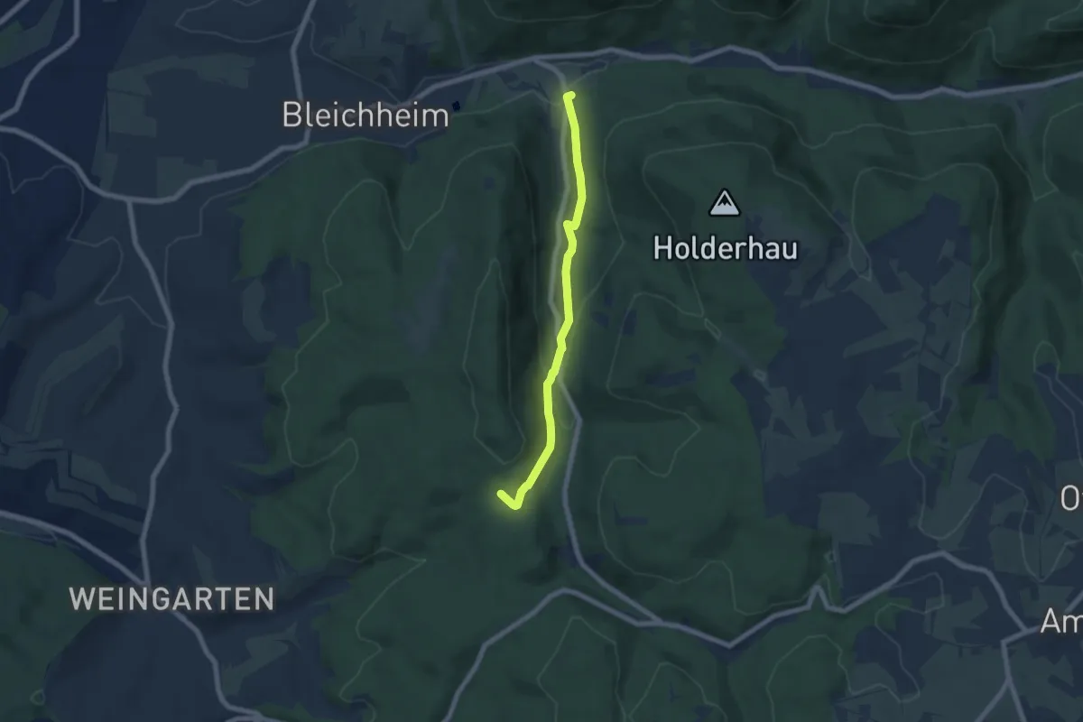
Easy · Trail
Rückhaltebecken Bleichheim - Vogtskreuz
5.7 km · ↑ 212 m · 1 h 49 min
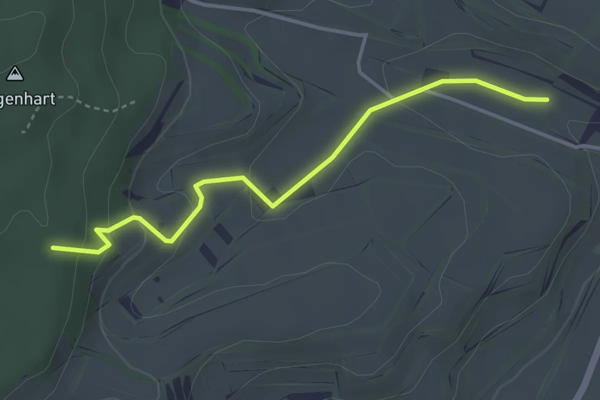
Easy · Trail
Rückhaltebecken Laire - Gagenhart
3.3 km · ↑ 144 m · 1 h 5 min
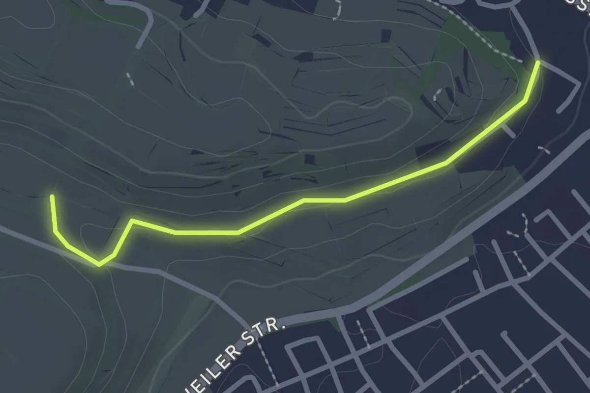
Easy · Trail
Rückhaltebecken Laire - Seelenberg
2.2 km · ↑ 19 m · 33 min
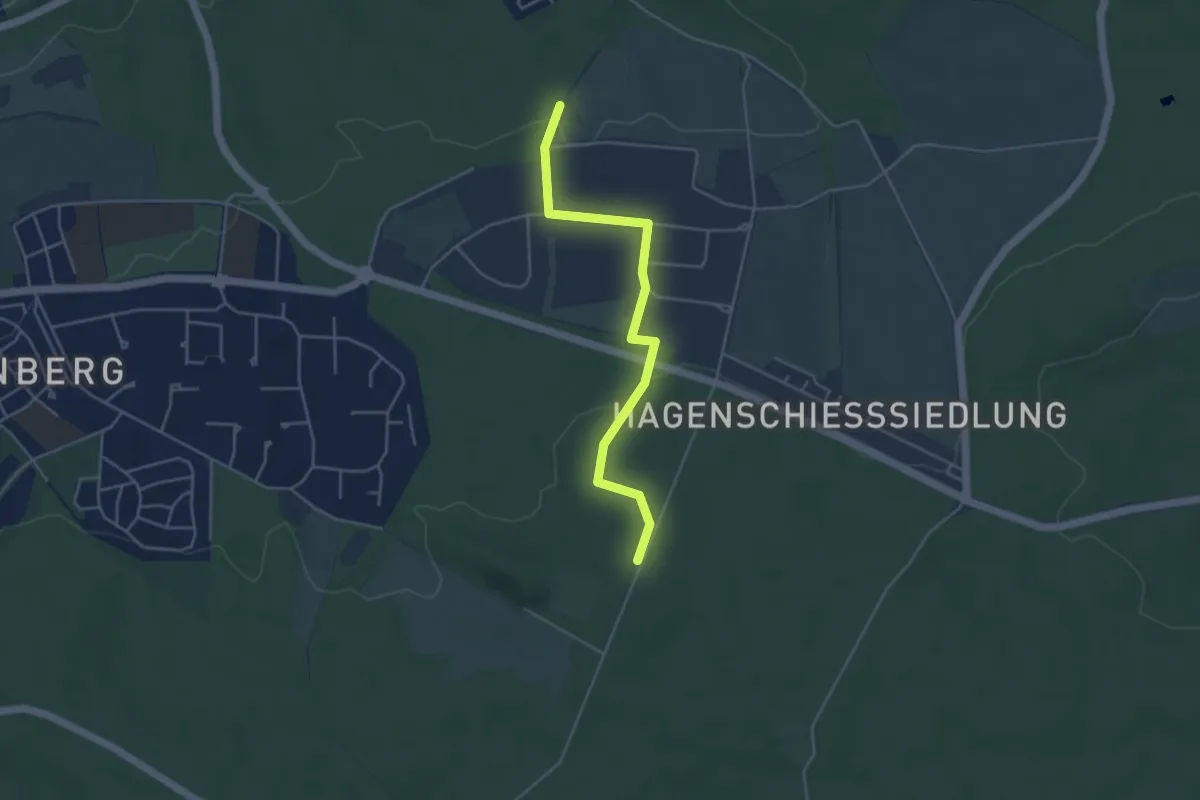
Easy · Trail
Rückhaltebecken - Plattenbruch
4.1 km · ↑ 69 m · 1 h 7 min
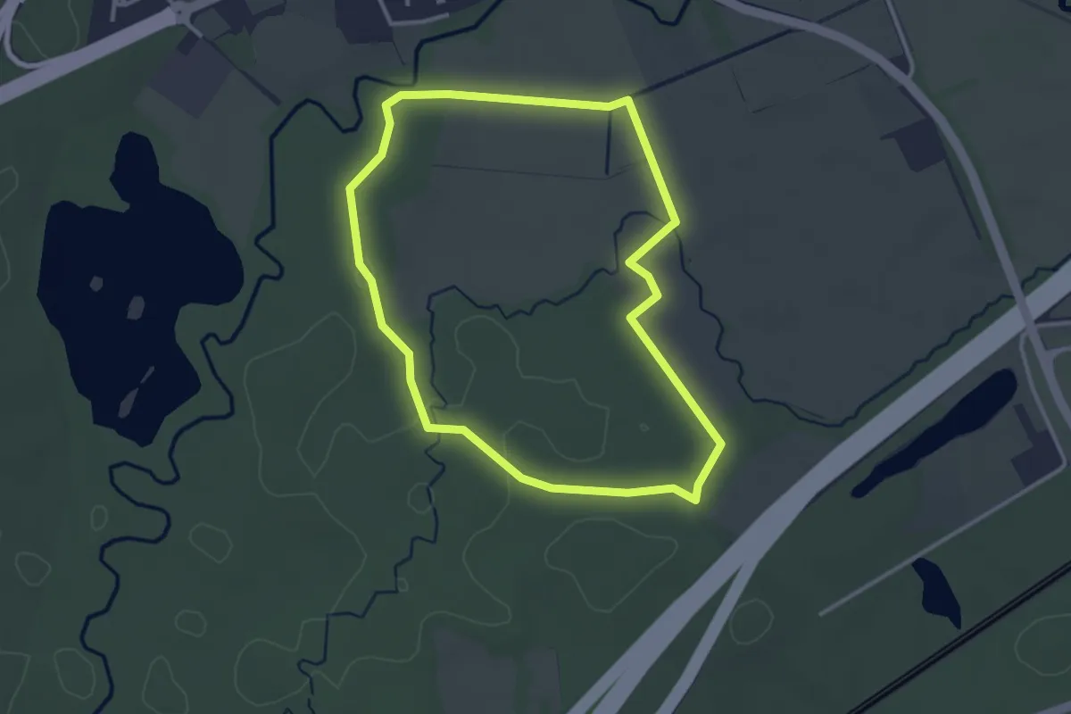
Easy · Trail
Rückingen - Rundwanderweg Zecke
2.9 km · ↑ 9 m · 45 min
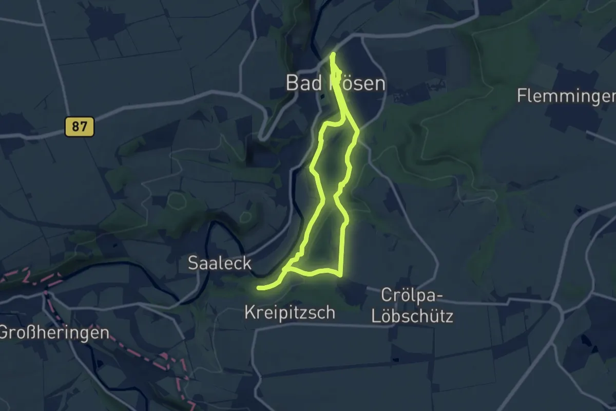
Medium · Trail
Rudelsburgweg
16.1 km · ↑ 477 m · 4 h 50 min
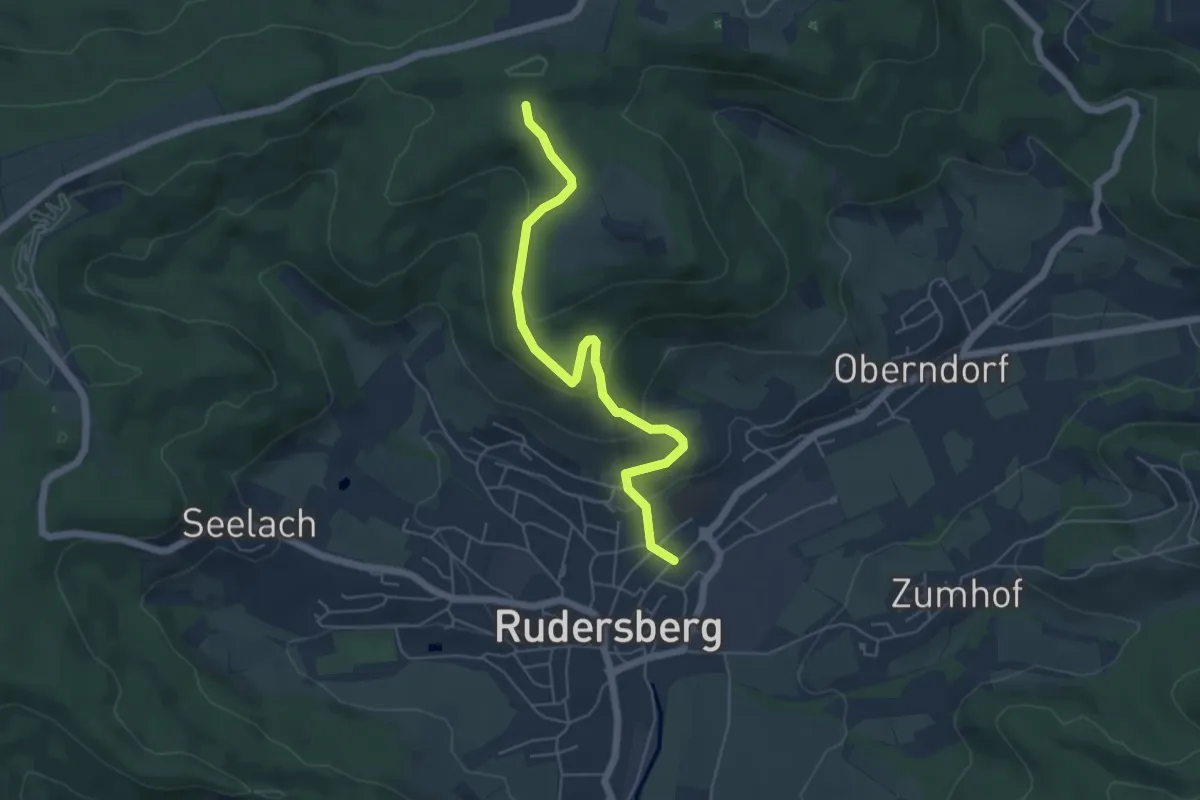
Easy · Trail
Rudersberg - Jux
5.3 km · ↑ 206 m · 1 h 42 min
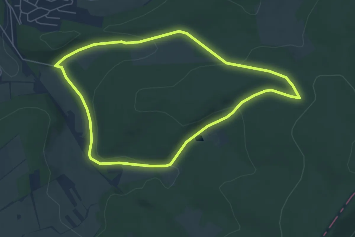
Easy · Trail
Rudersdorf Rundweg A2
4.6 km · ↑ 122 m · 1 h 25 min
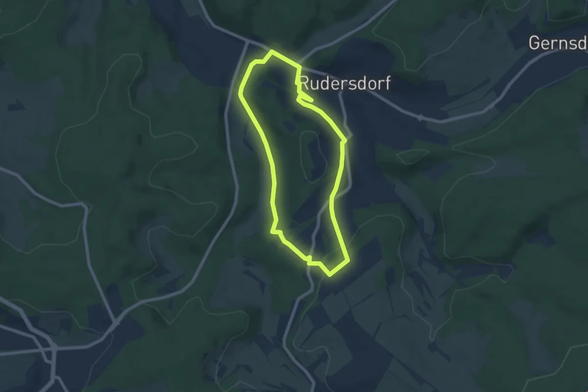
Easy · Trail
Rudersdorf Rundweg A3
5.1 km · ↑ 112 m · 1 h 32 min
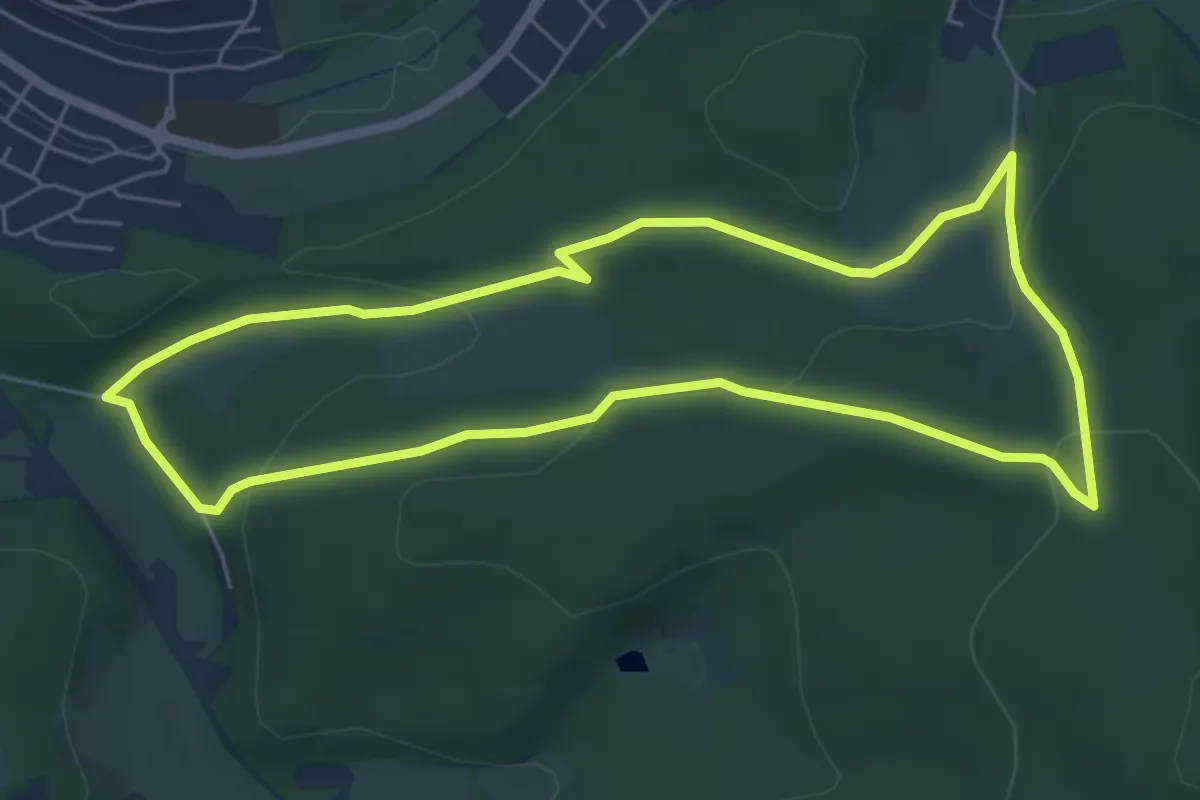
Easy · Trail
Rudersdorf Rundweg A4
5.2 km · ↑ 151 m · 1 h 38 min
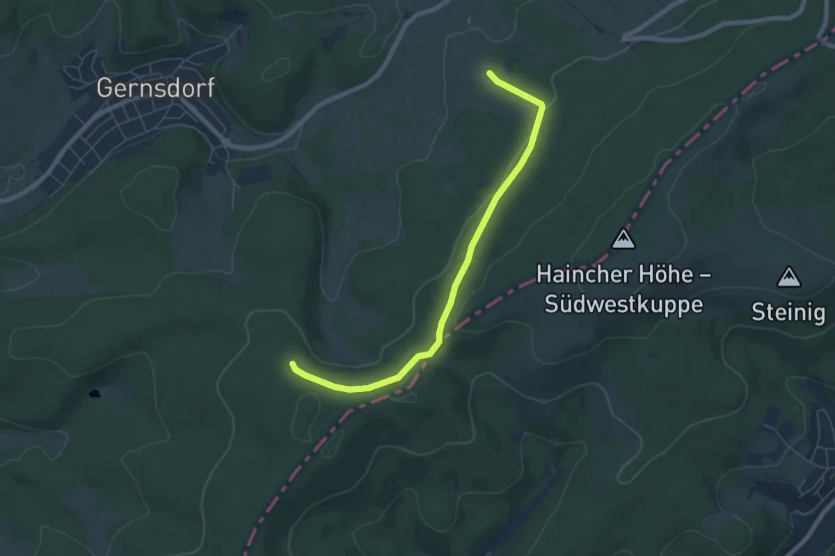
Easy · Trail
Rudersdorf Rundweg A7
5.6 km · ↑ 89 m · 1 h 30 min
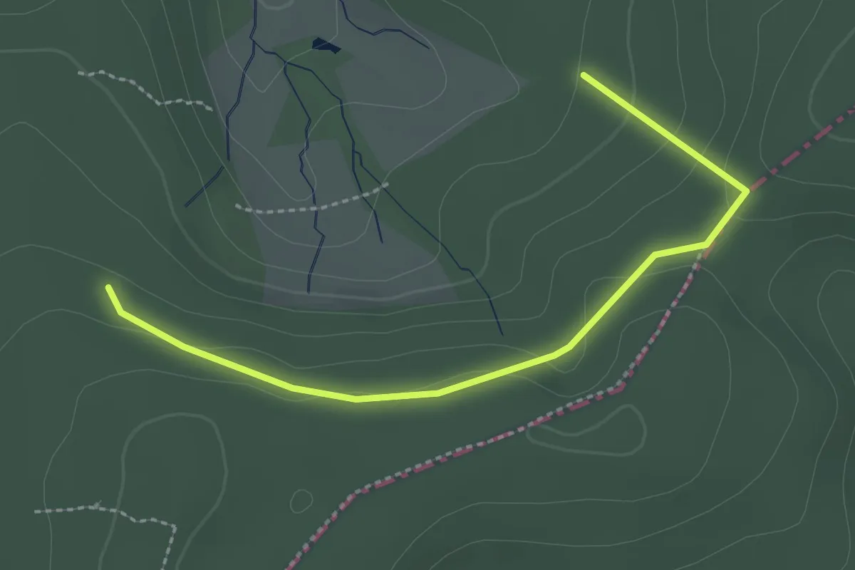
Easy · Trail
Rudersdorf Rundweg A8
1.2 km · ↑ 4 m · 20 min
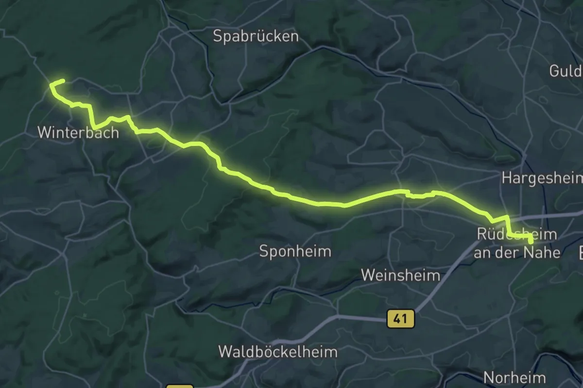
Medium · Trail
Rüdesheim - Kreershäuschen
17.5 km · ↑ 97 m · 4 h 44 min
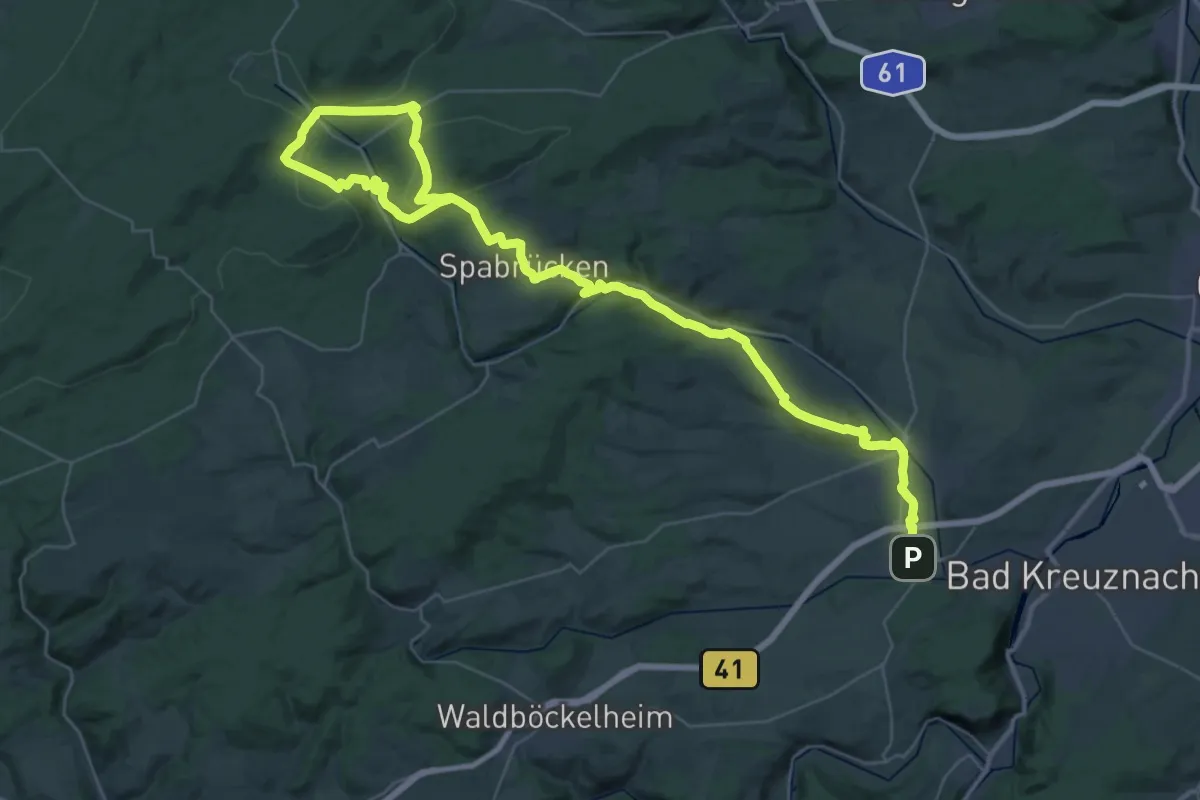
Demanding · Trail
Rüdesheim - Opelwiese
26.1 km · ↑ 642 m · 7 h 44 min
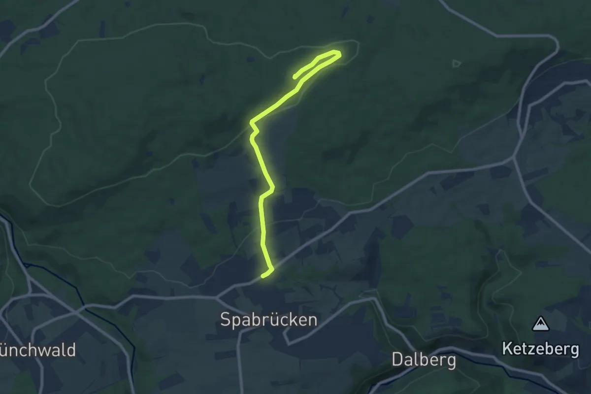
Easy · Summit
Rüdesheim - Opelwiese Abstecher Walderlebniszentrum Neupfalz
7.1 km · ↑ 186 m · 2 h 5 min
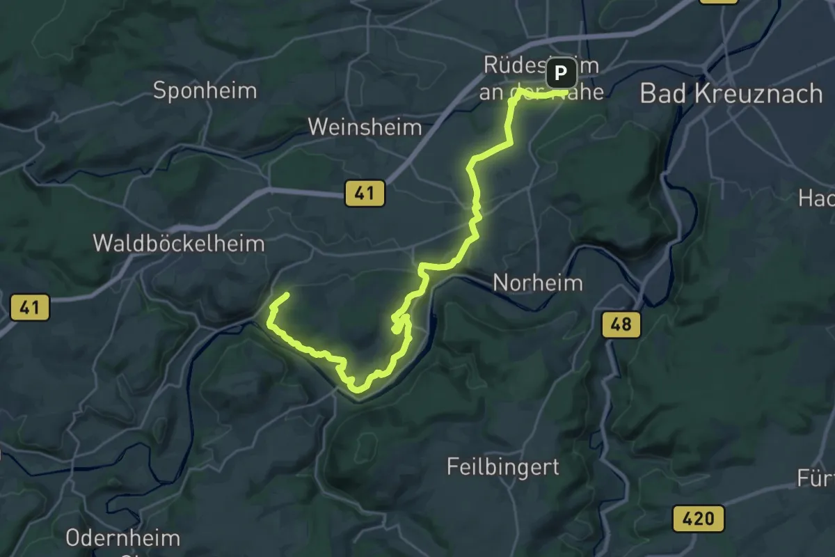
Medium · Trail
Rüdesheim - Schloßböckelheim
13.7 km · ↑ 403 m · 4 h 15 min
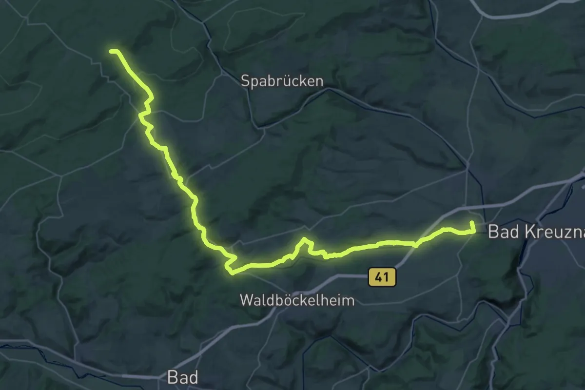
Demanding · Trail
Rüdesheim - Soonwaldsteig, Ellerspring
25.7 km · ↑ 633 m · 7 h 32 min
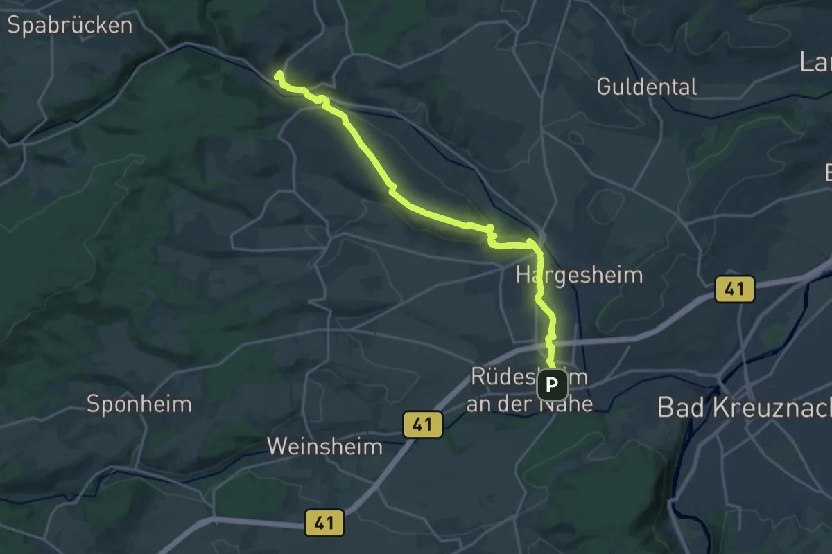
Medium · Summit
Rüdesheim - Stromberg
17.8 km · ↑ 233 m · 4 h 43 min
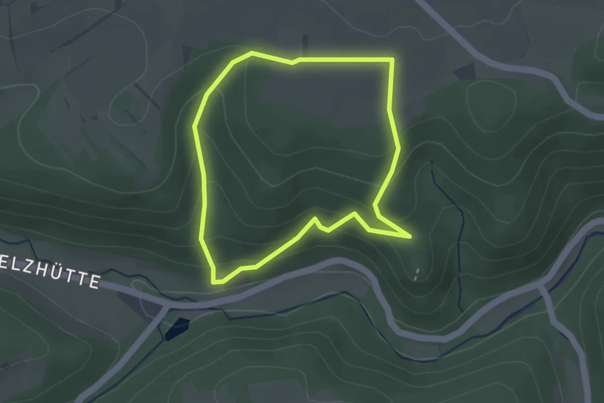
Easy · Trail
Rudolfstal und Bilstein
2.3 km · ↑ 141 m · 53 min
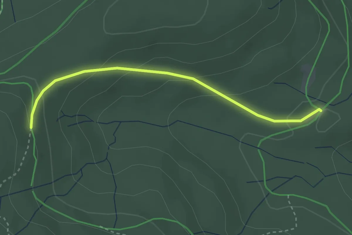
Easy · Trail
Rufenholzplatz - Seewald
2.7 km · ↑ 115 m · 53 min
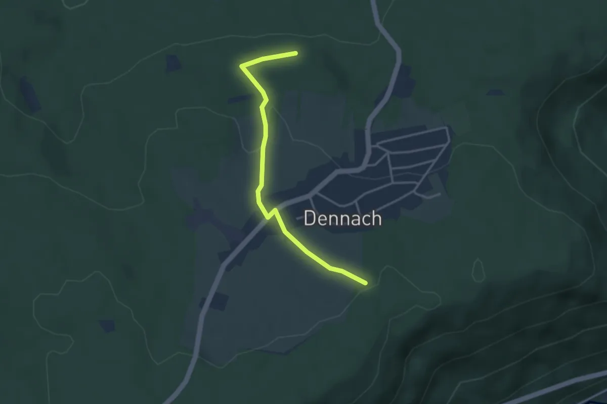
Easy · Trail
Rufenloch - Wagenweg
3.0 km · ↑ 77 m · 53 min
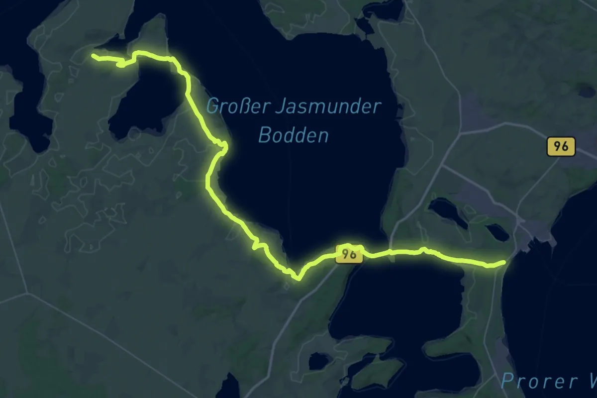
Demanding · Trail
Rügener Bodden-Panoramaweg
24.2 km · ↑ 166 m · 6 h 24 min
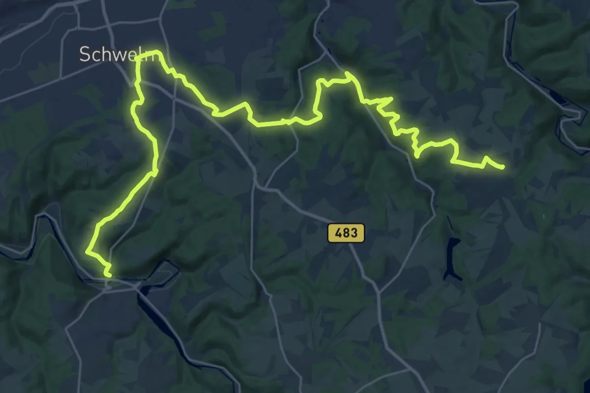
Medium · Trail
Rüggeberg-Schwelm-Beyenburg
15.3 km · ↑ 504 m · 4 h 51 min
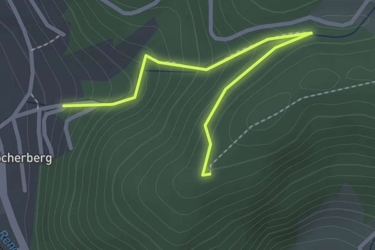
Easy · Trail
Ruhbächle - Schirmkopf
2.1 km · ↑ 156 m · 50 min
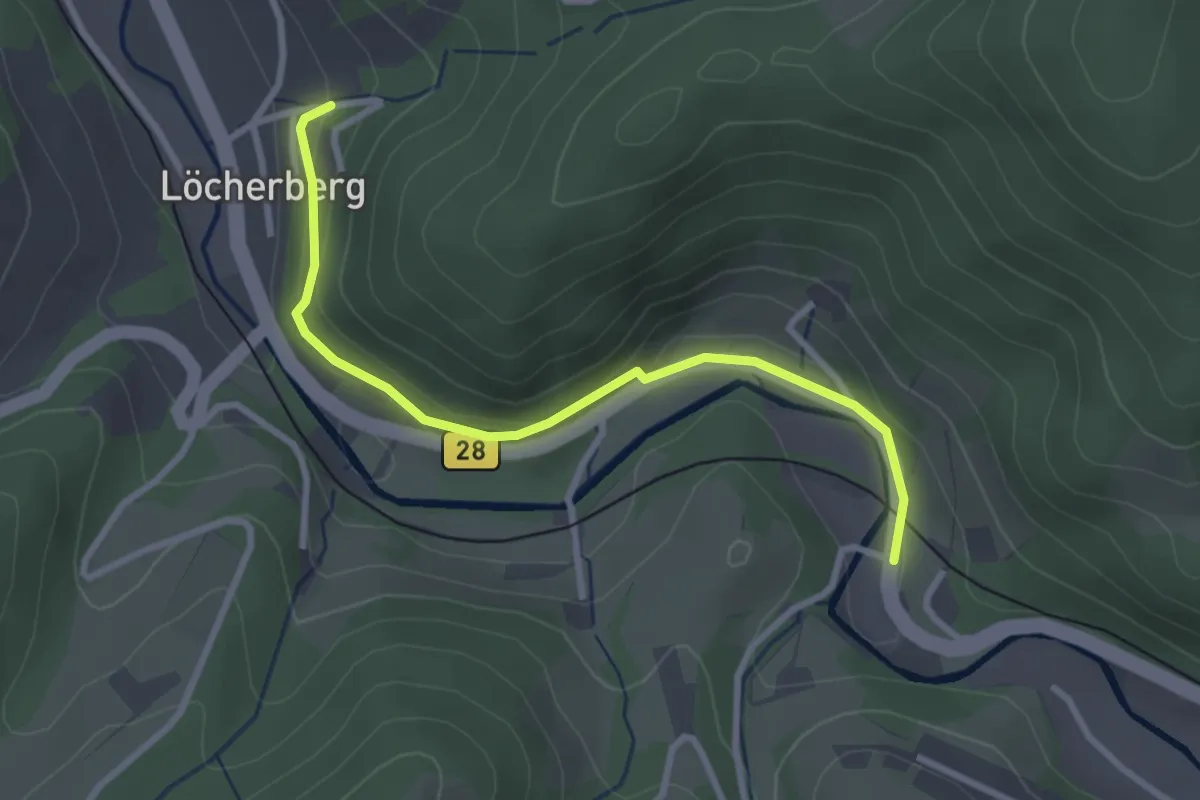
Easy · Trail
Ruhbächle - Viadukt
2.8 km · ↑ 42 m · 46 min
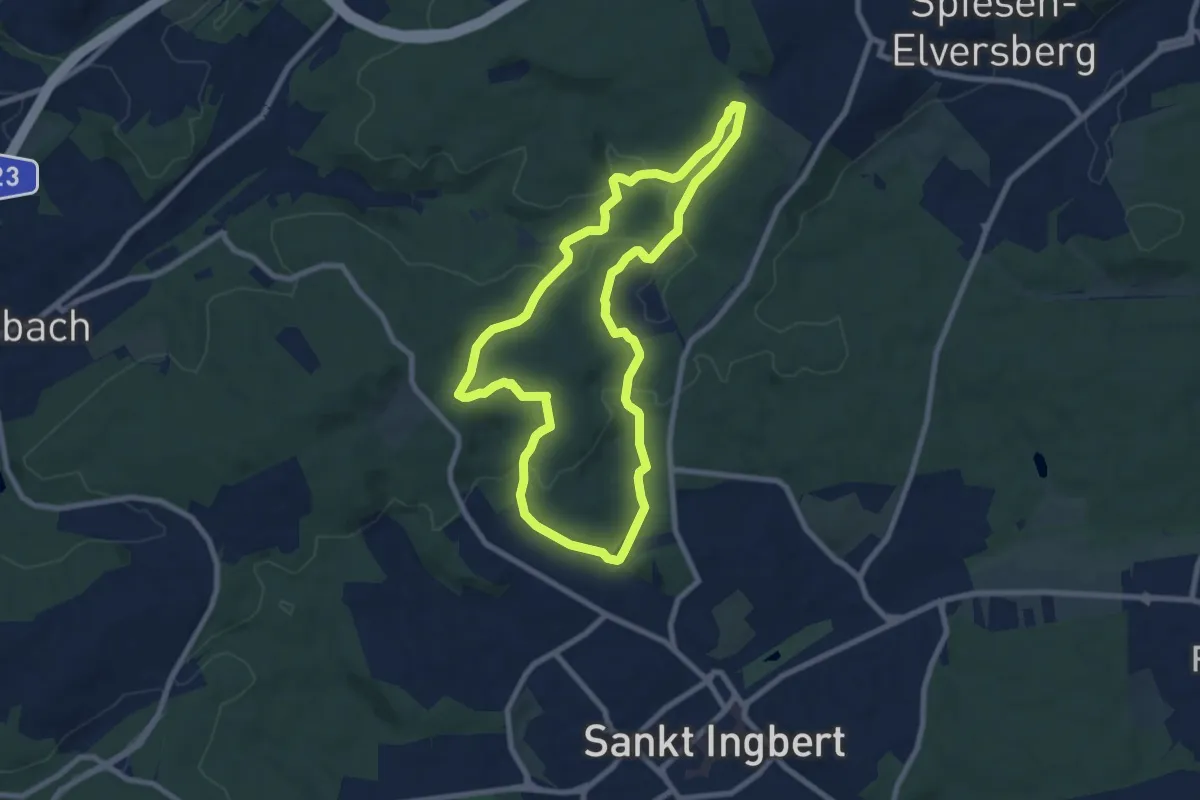
Easy · Trail
Ruhbachtal Runde
7.6 km · ↑ 187 m · 2 h 18 min
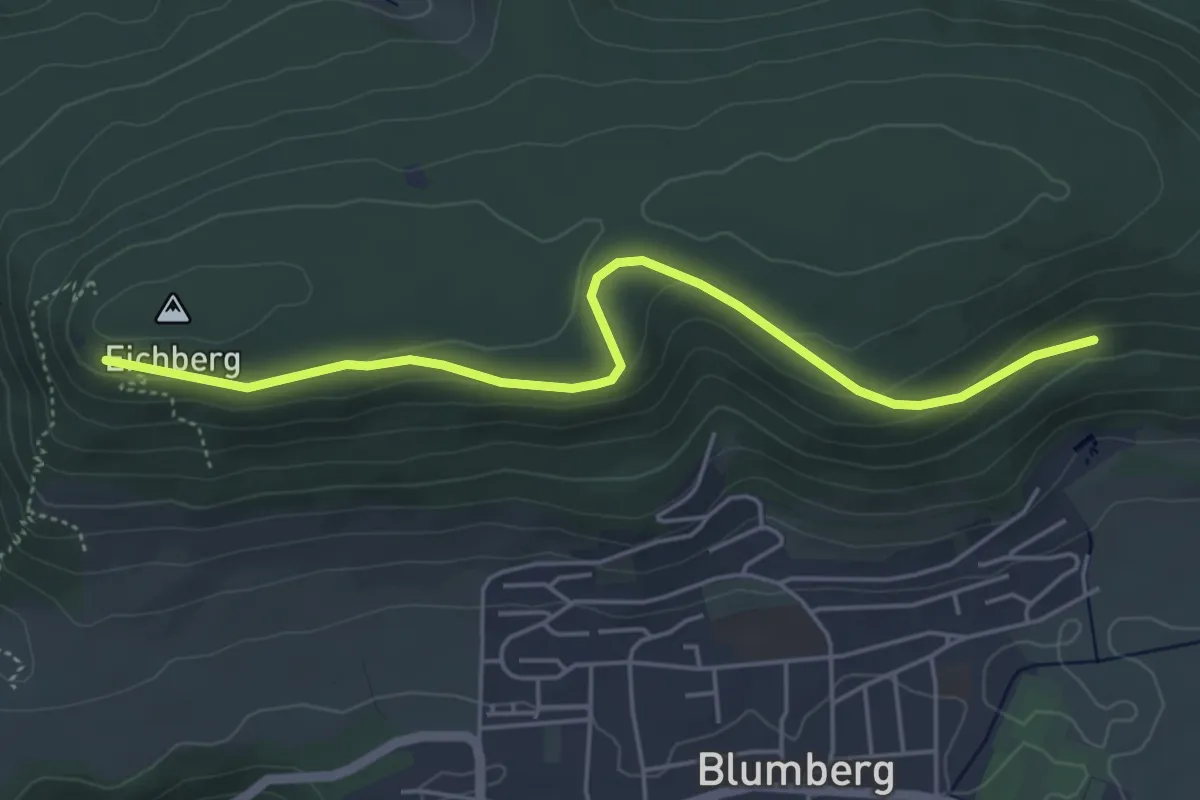
Easy · Trail
Ruhebank Bleicheweg - Eichbergstutz
4.9 km · ↑ 133 m · 1 h 27 min
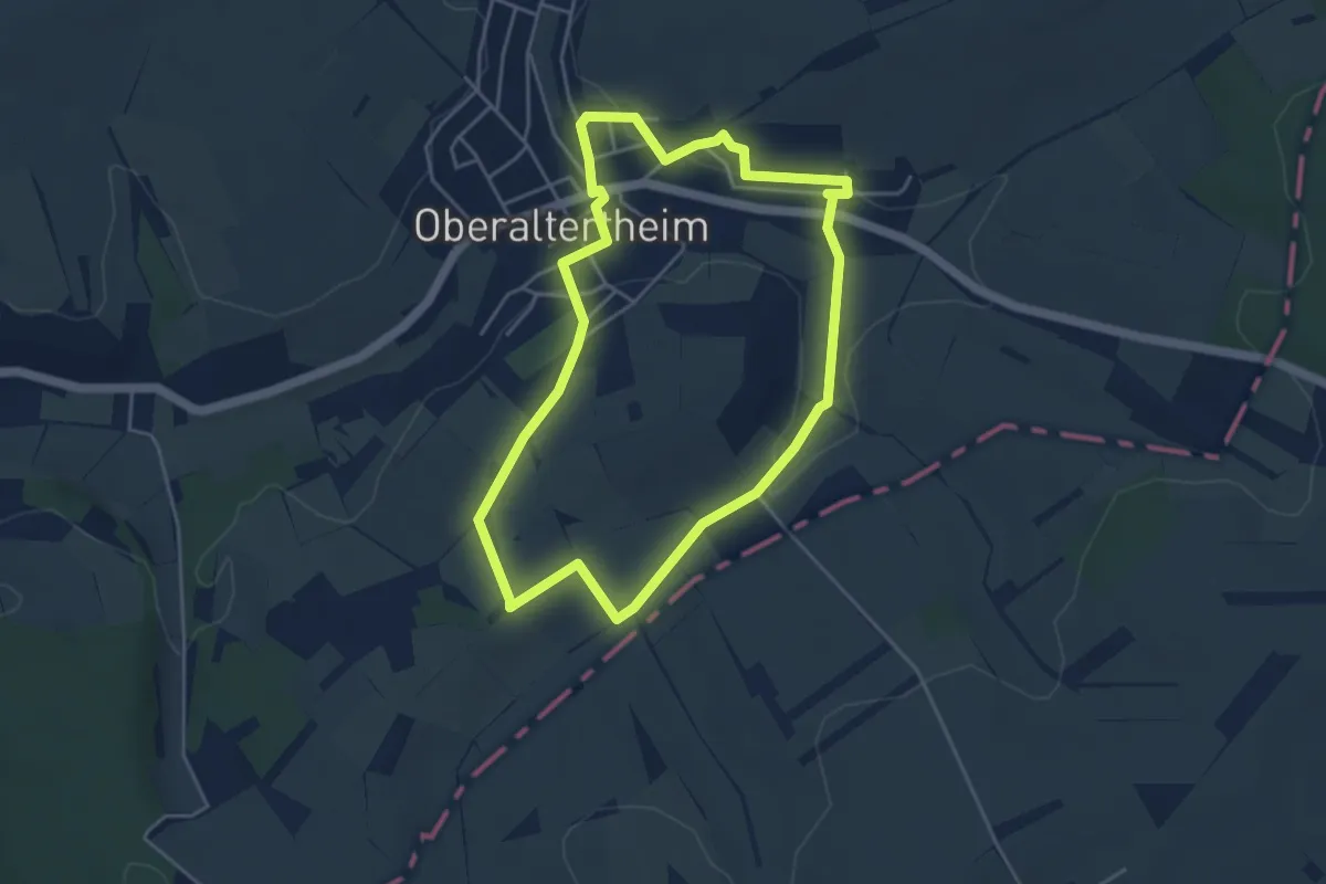
Easy · Trail
Ruheberg Runde
4.1 km · ↑ 65 m · 1 h 9 min
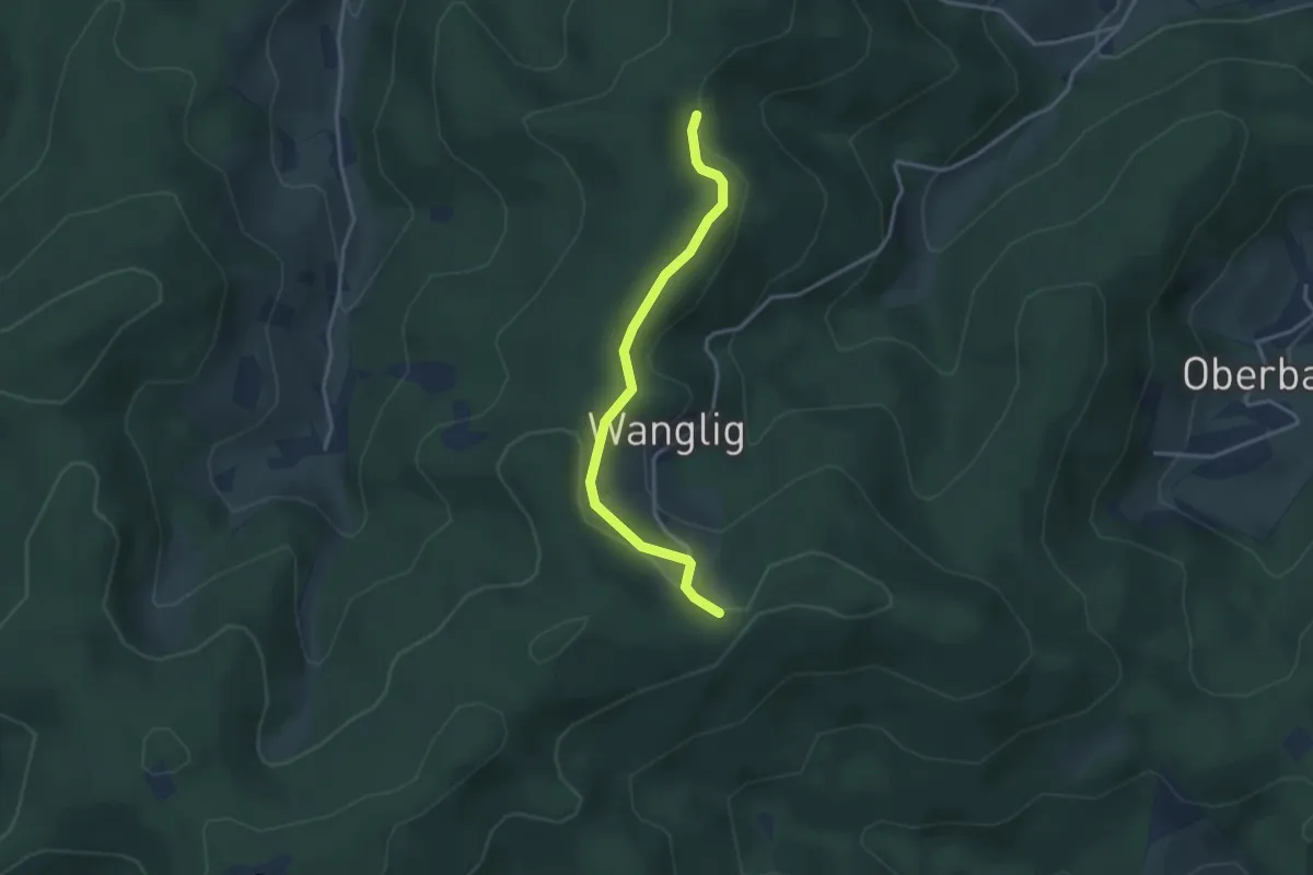
Easy · Trail
Ruhehalde - Wanglig
3.0 km · ↑ 87 m · 54 min
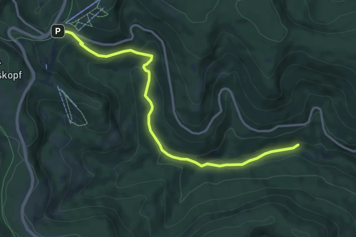
Easy · Trail
Ruhestein Parkplatz - Teufelsmühle
7.8 km · ↑ 242 m · 2 h 23 min
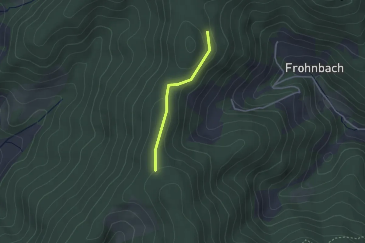
Easy · Trail
Ruhgutsch - Bergbauernhöhe
2.0 km · ↑ 37 m · 33 min
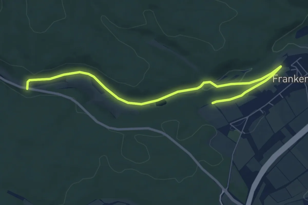
Easy · Trail
Ruhlandpfad
3.5 km · ↑ 29 m · 56 min
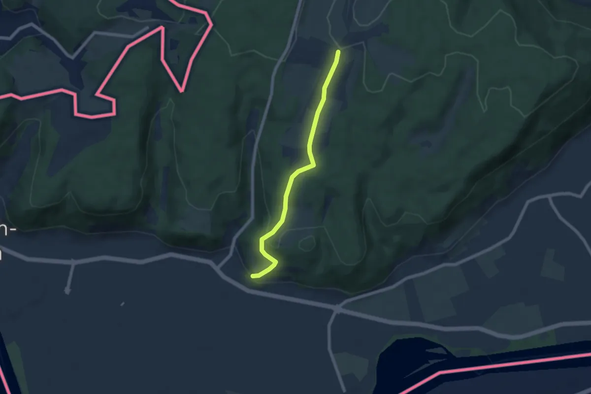
Easy · Trail
Rührberg Rührberger Hof - Wyhlen Hohligass
5.2 km · ↑ 203 m · 1 h 40 min
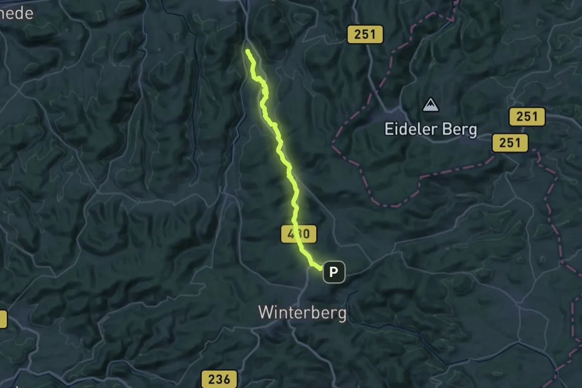
Demanding · Summit
Ruhrhöhenweg (Bestwig-Ruhrquelle)
32.1 km · ↑ 604 m · 8 h 53 min
Easy · Trail
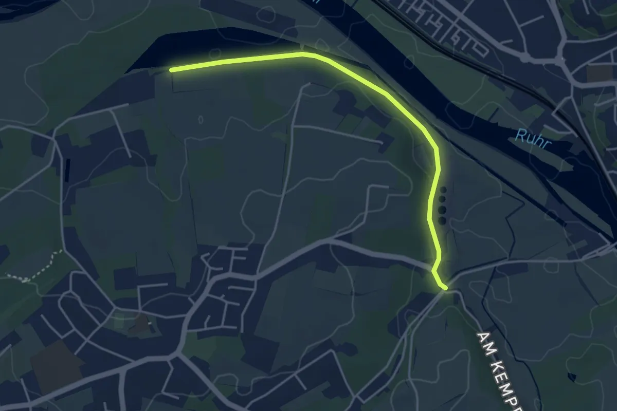
Ruhrhöhenweg (Duisburg-Essen)
3.5 km · ↑ 20 m · 51 min
Medium · Summit
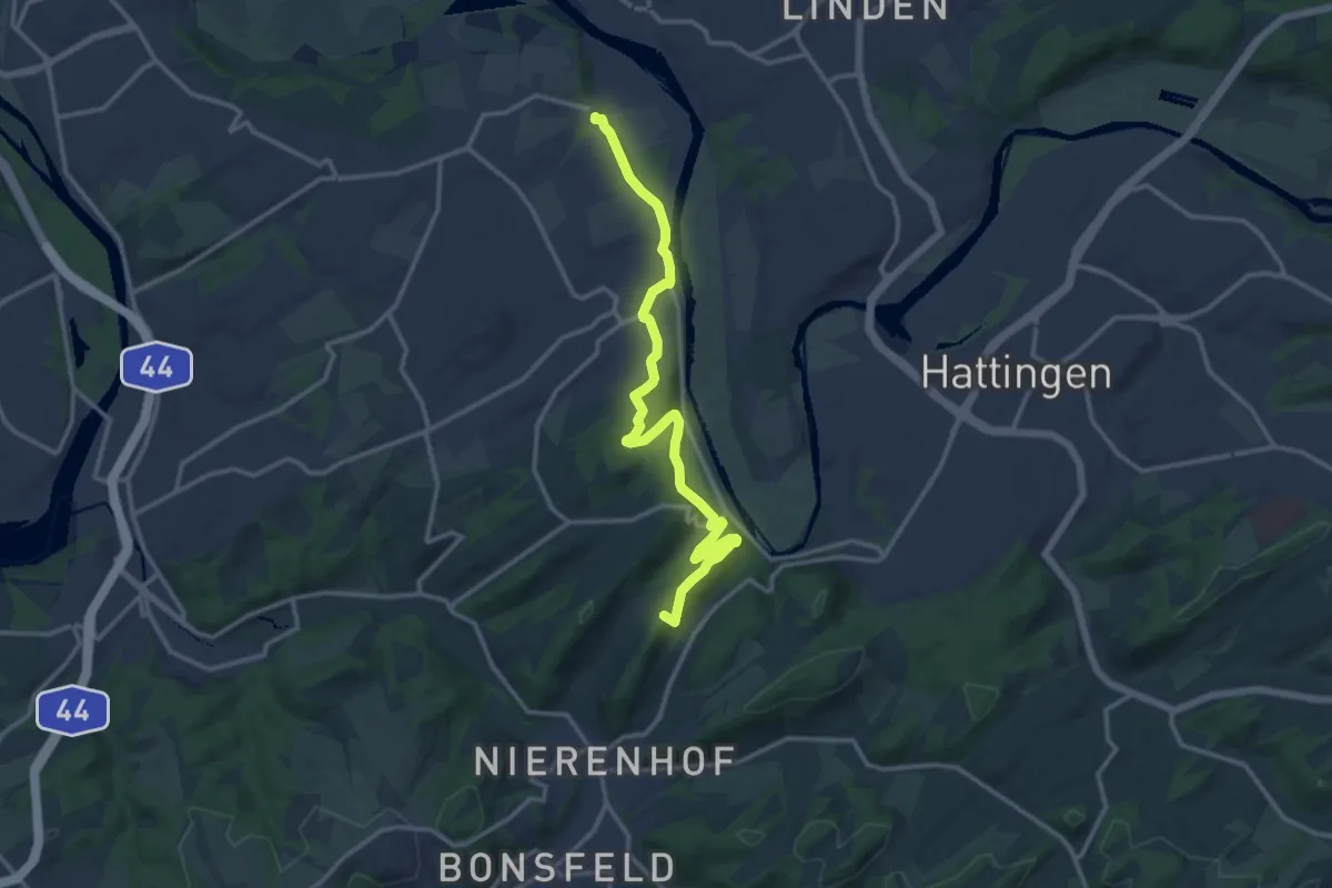
Ruhrhöhenweg (Essen - Hattingen)
13.2 km · ↑ 356 m · 3 h 53 min
Demanding · Summit
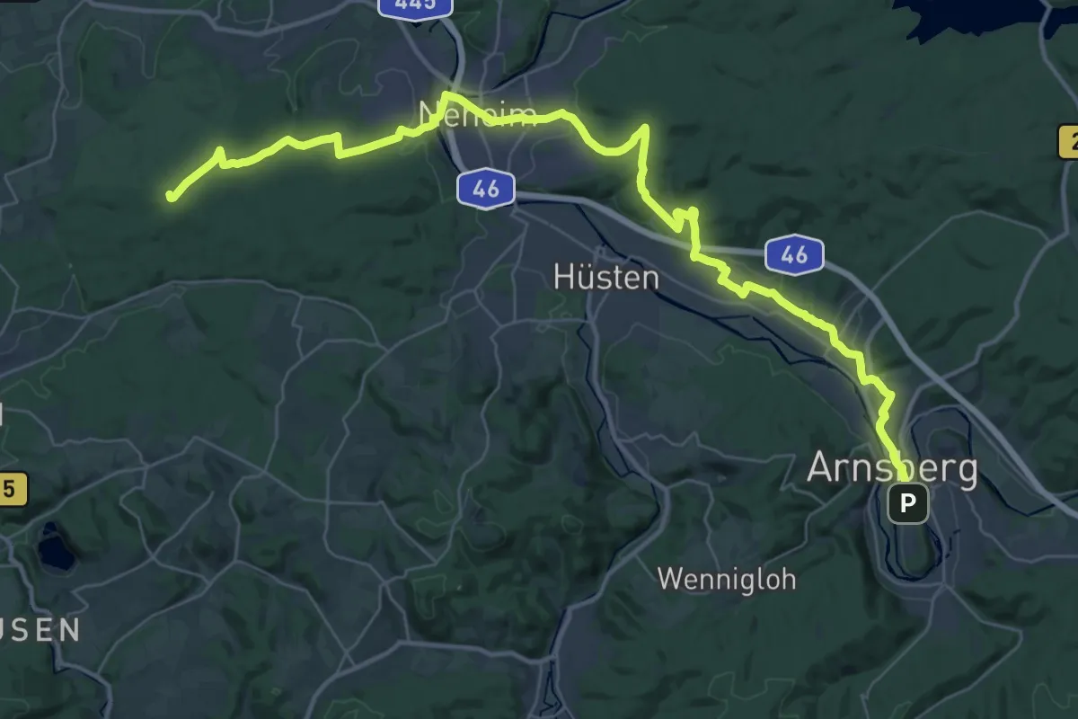
Ruhrhöhenweg (Menden-Arnsberg) XR
41.0 km · ↑ 731 m · 11 h 16 min
Easy · Summit
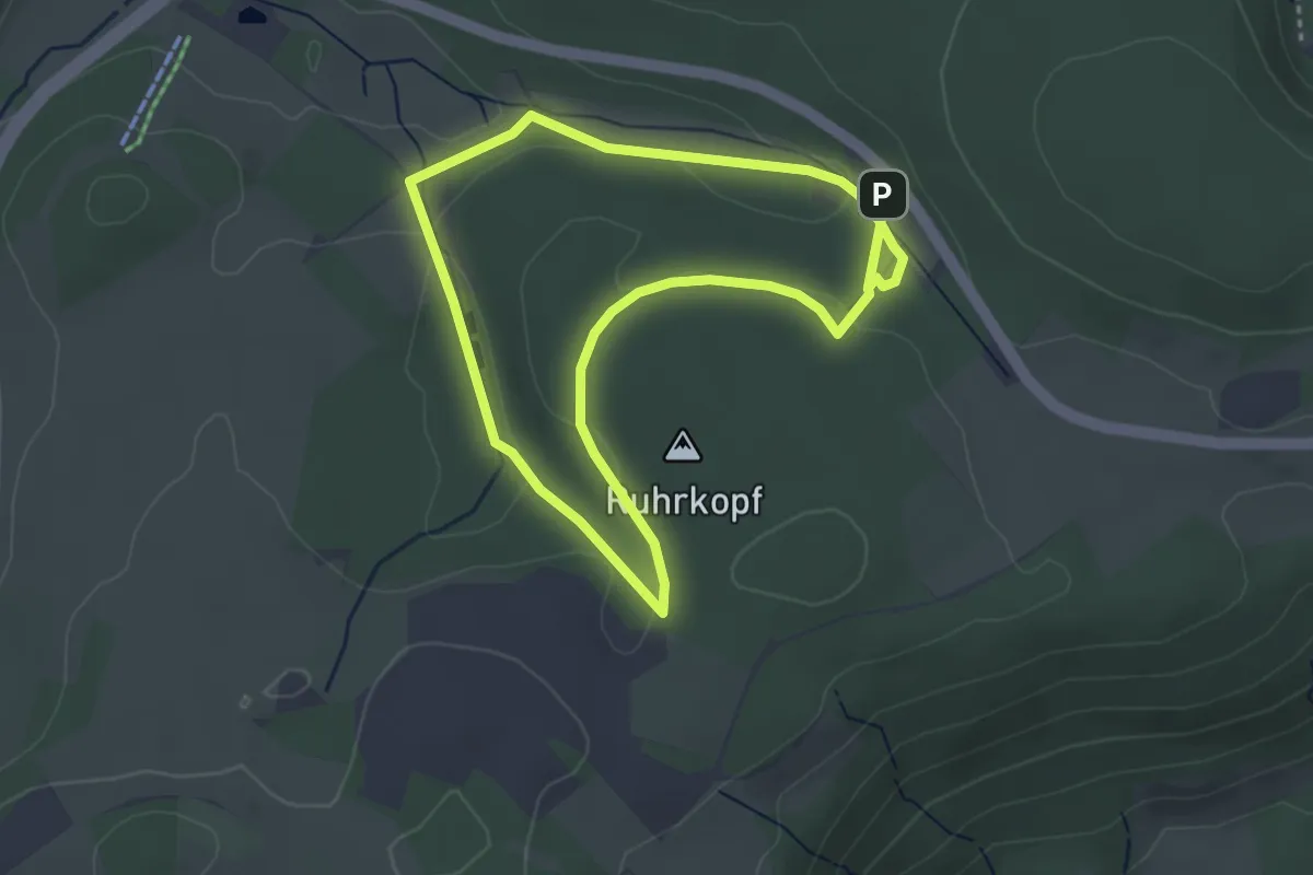
Ruhrquelle Rundweg A1
3.1 km · ↑ 34 m · 51 min