Trails in Germany
36,852 hiking trails, each with its route, climb, walking time and grade.
All trails, page 472 of 768
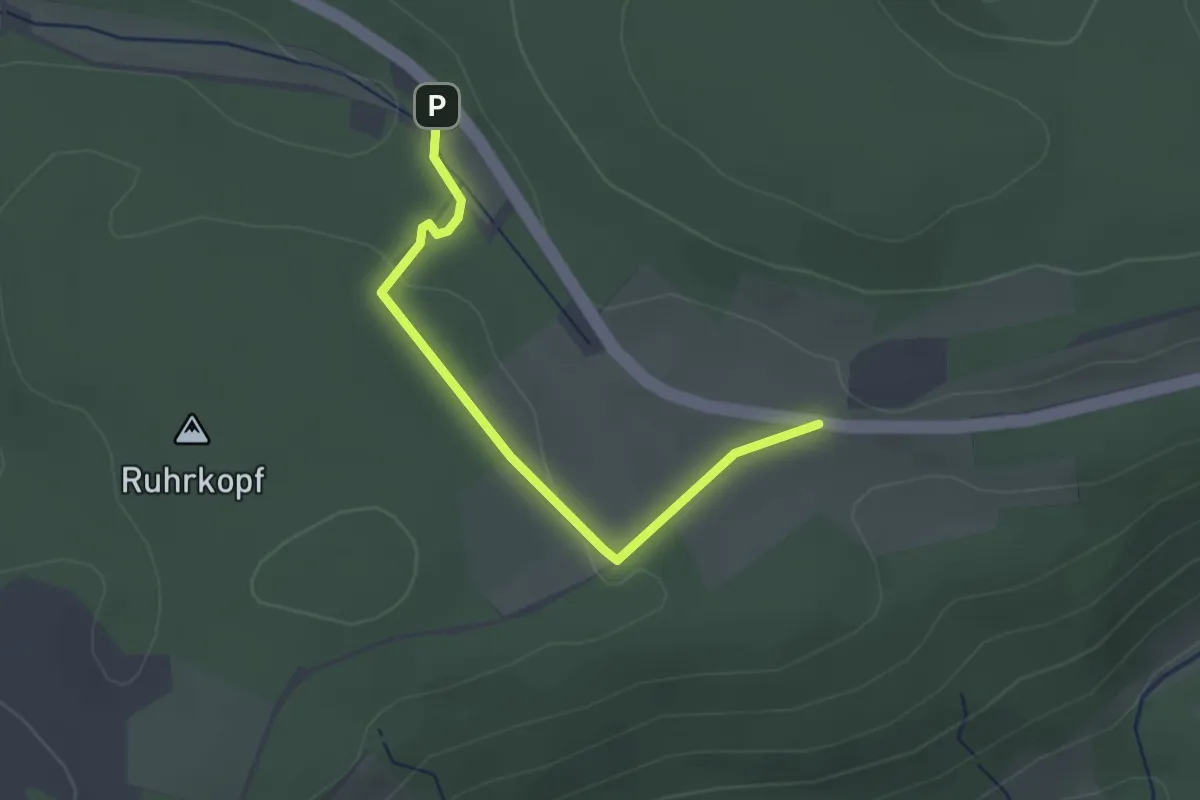
Easy · Trail
Ruhrquelle Rundweg A2
2.3 km · ↑ 28 m · 36 min
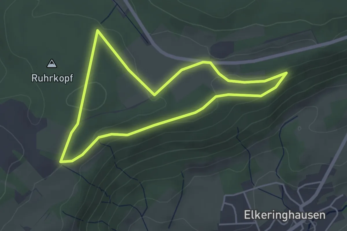
Easy · Trail
Ruhrquelle Rundweg A3
3.5 km · ↑ 56 m · 1 h
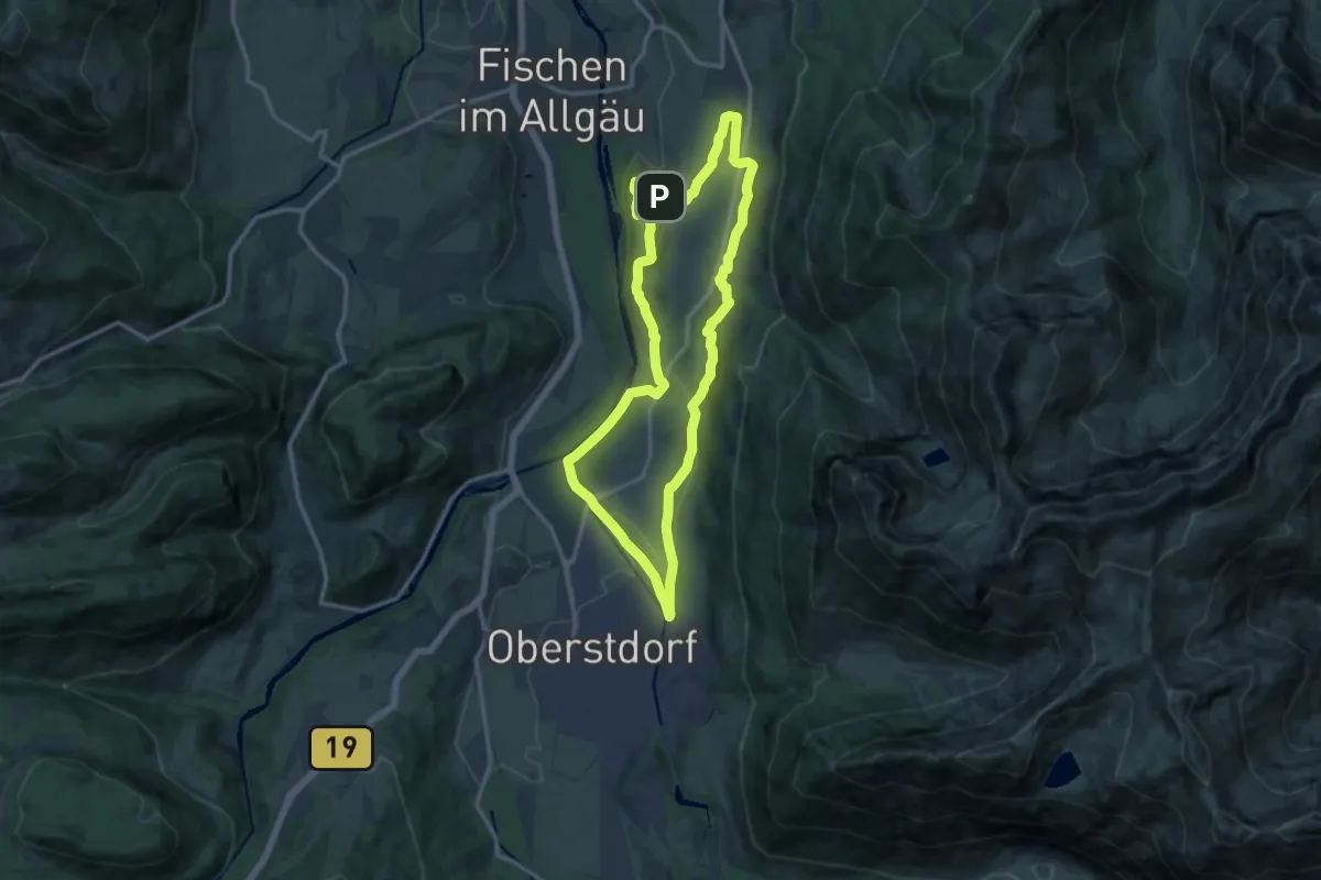
Medium · Summit
Ru - Im Winter zur Schöllanger Burgkirche
12.9 km · ↑ 259 m · 3 h 46 min
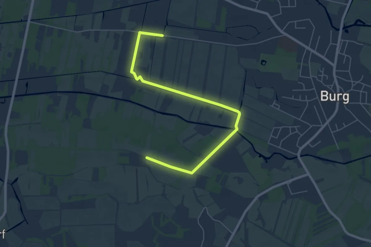
Easy · Trail
Ruindwanderweg gelber Punkt
2.9 km · ↑ 0 m · 43 min
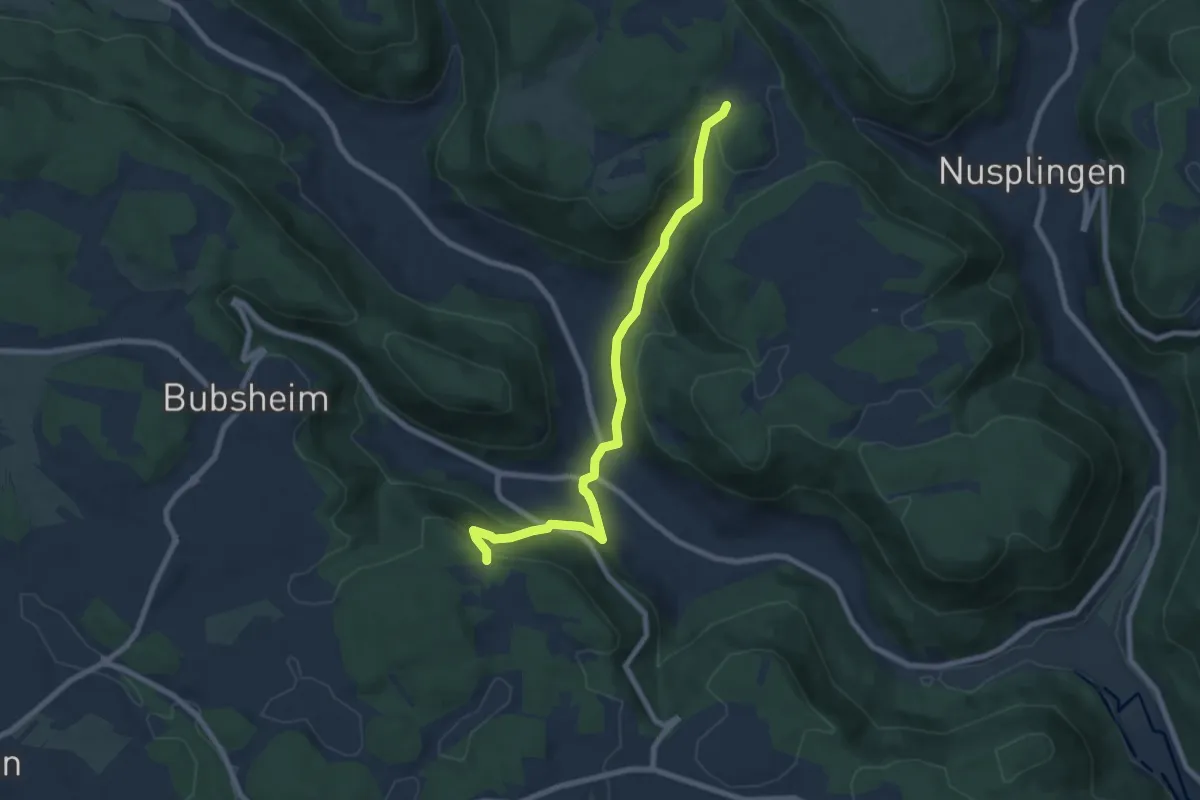
Medium · Trail
Ruine Granegg - Egesheim - Nusplingen
7.7 km · ↑ 373 m · 2 h 37 min
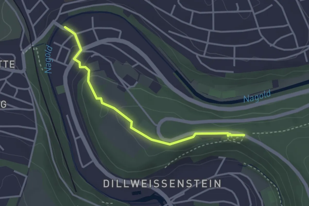
Easy · Trail
Ruine Hoheneck - Dillstein Steinerne Brücke
2.9 km · ↑ 72 m · 50 min
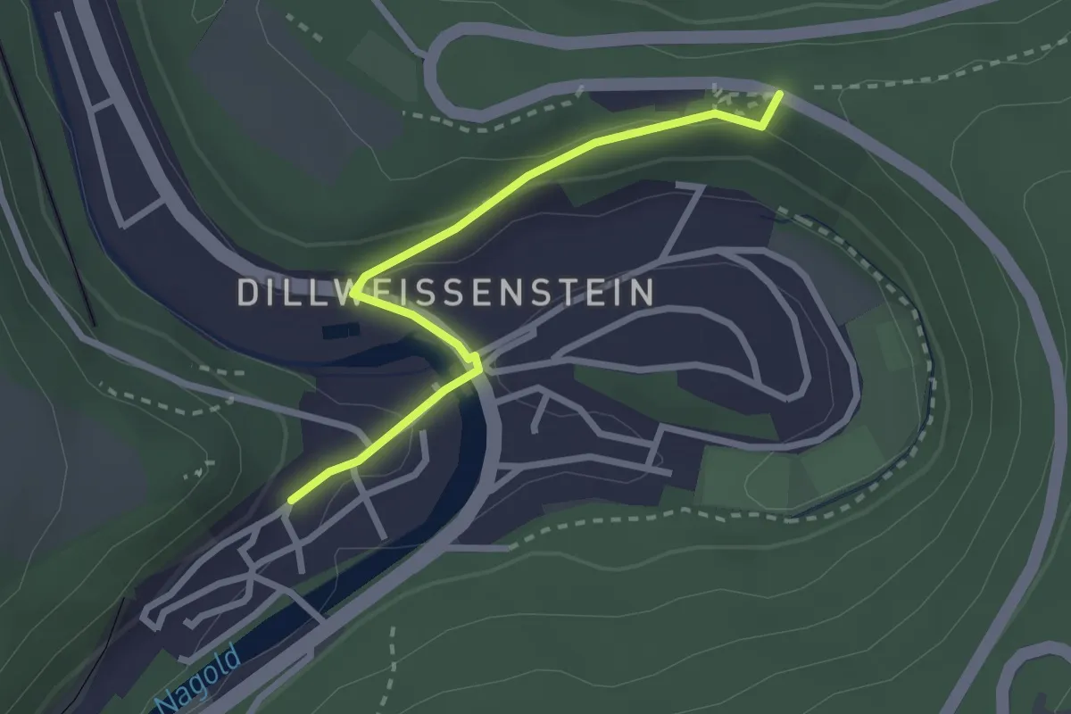
Easy · Trail
Ruine Hoheneck - Weißenstein
2.4 km · ↑ 72 m · 43 min
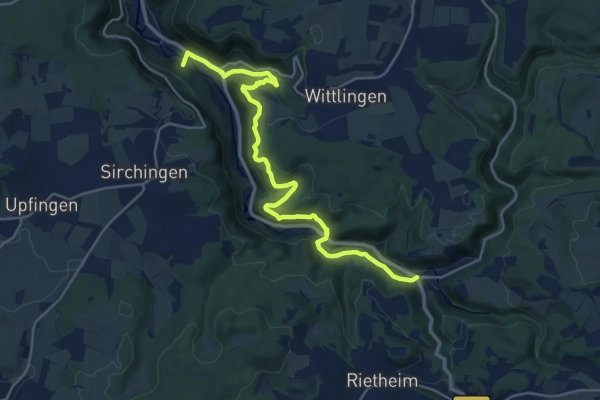
Medium · Trail
Ruine Hohenwittlingen - Seeburg
14.8 km · ↑ 675 m · 4 h 58 min
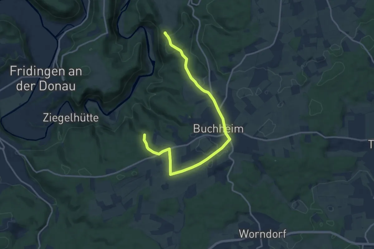
Medium · Trail
Ruine Kallenberg - Buchheim - Schloss Bronnen
12.3 km · ↑ 145 m · 3 h 13 min
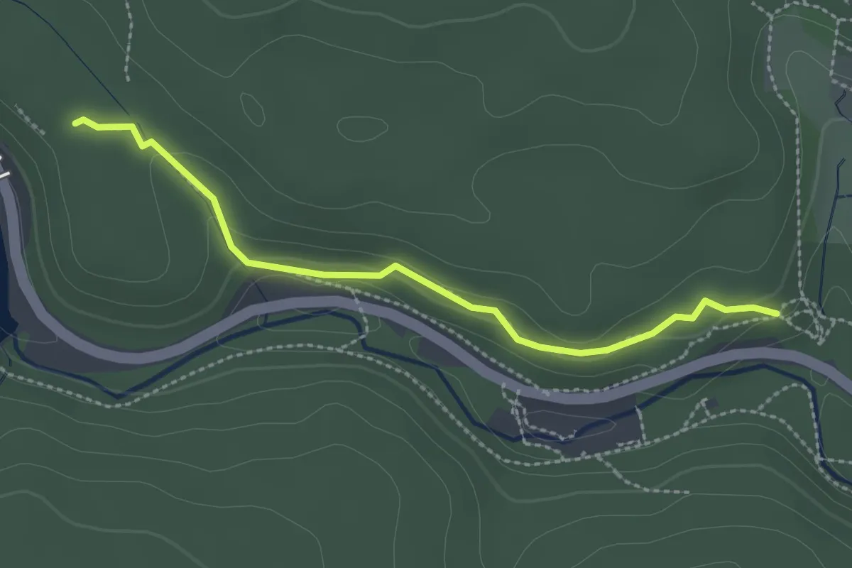
Easy · Trail
Ruine Kirneck West - Schuhmacherhäusleweg
2.4 km · ↑ 67 m · 43 min
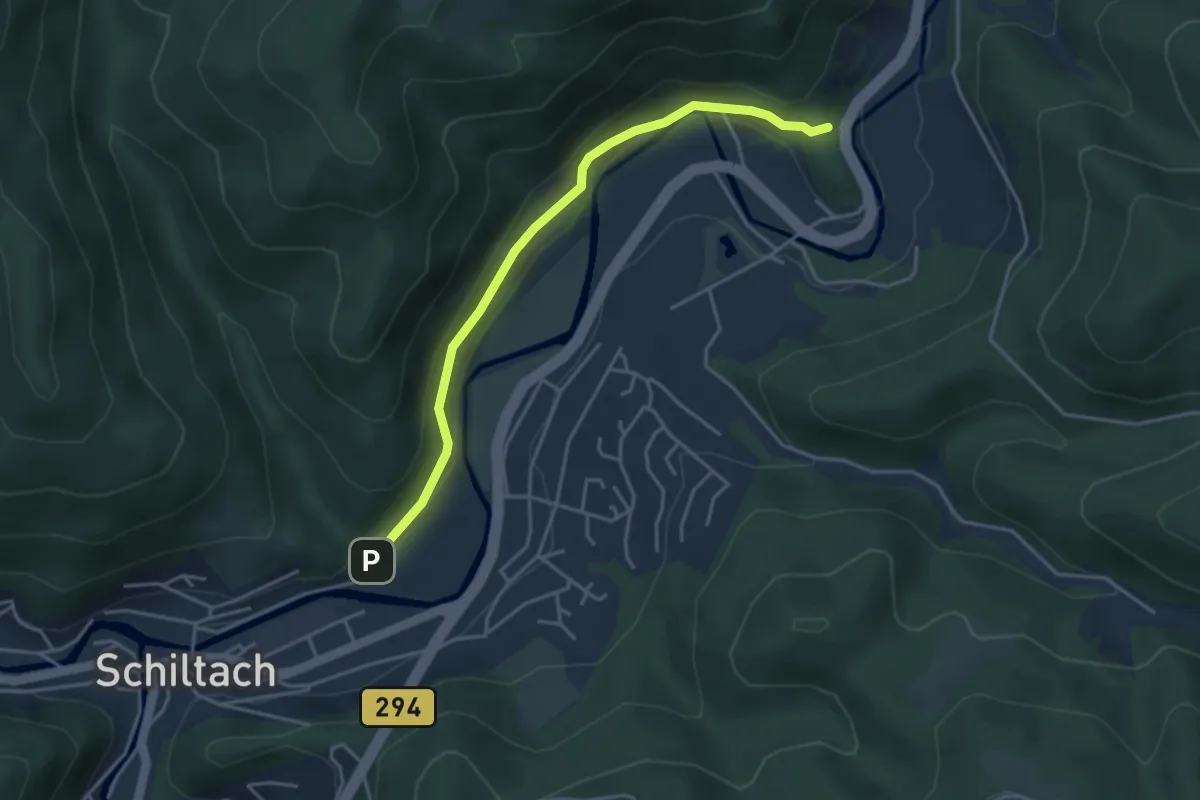
Easy · Trail
Ruine Schenkenburg - Vor Kuhbach
3.8 km · ↑ 129 m · 1 h 10 min
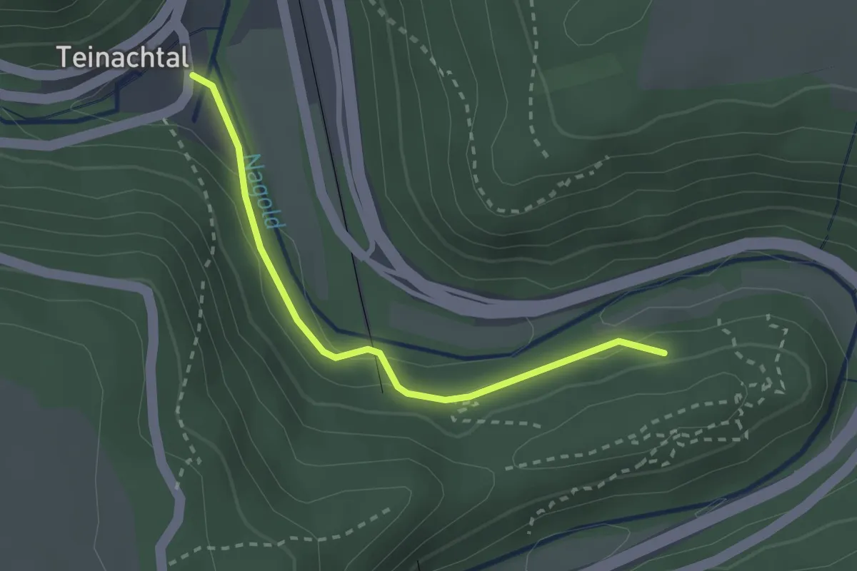
Easy · Trail
Ruine Waldeck - E-Werk
2.3 km · ↑ 56 m · 40 min
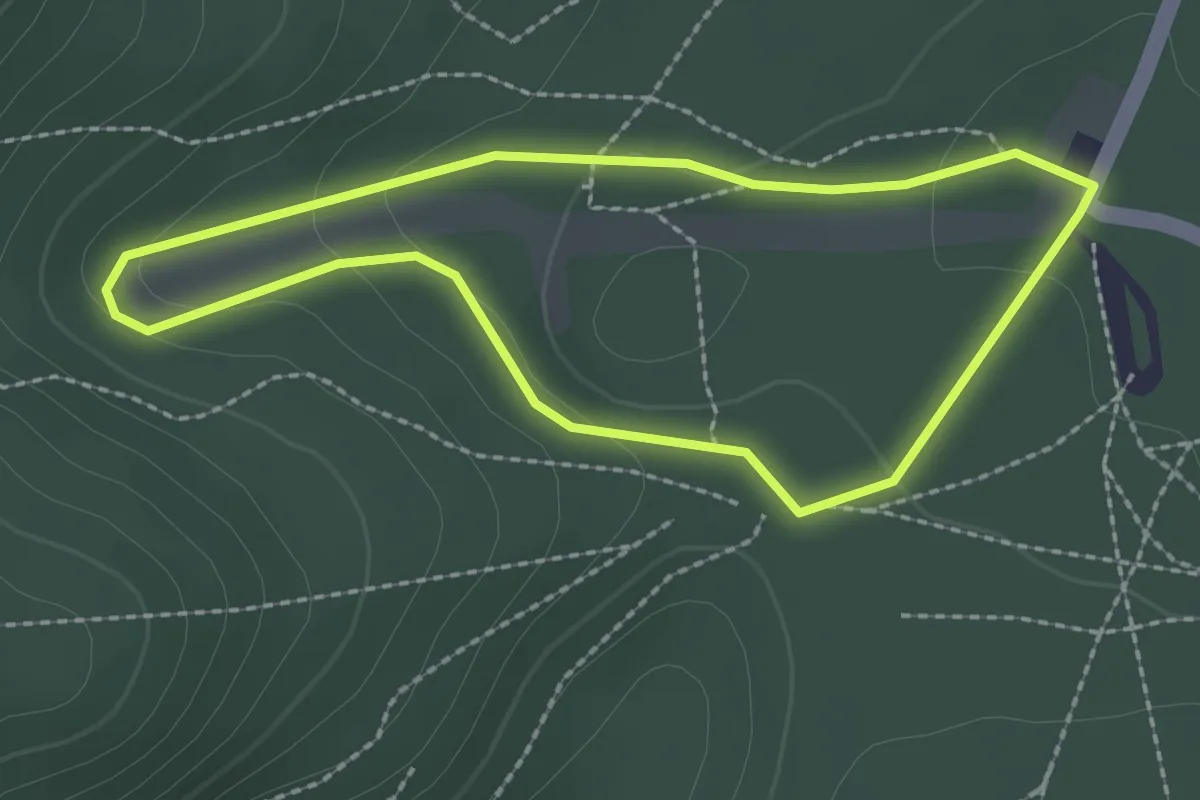
Easy · Trail
Ruine Weilach
2.0 km · ↑ 56 m · 37 min
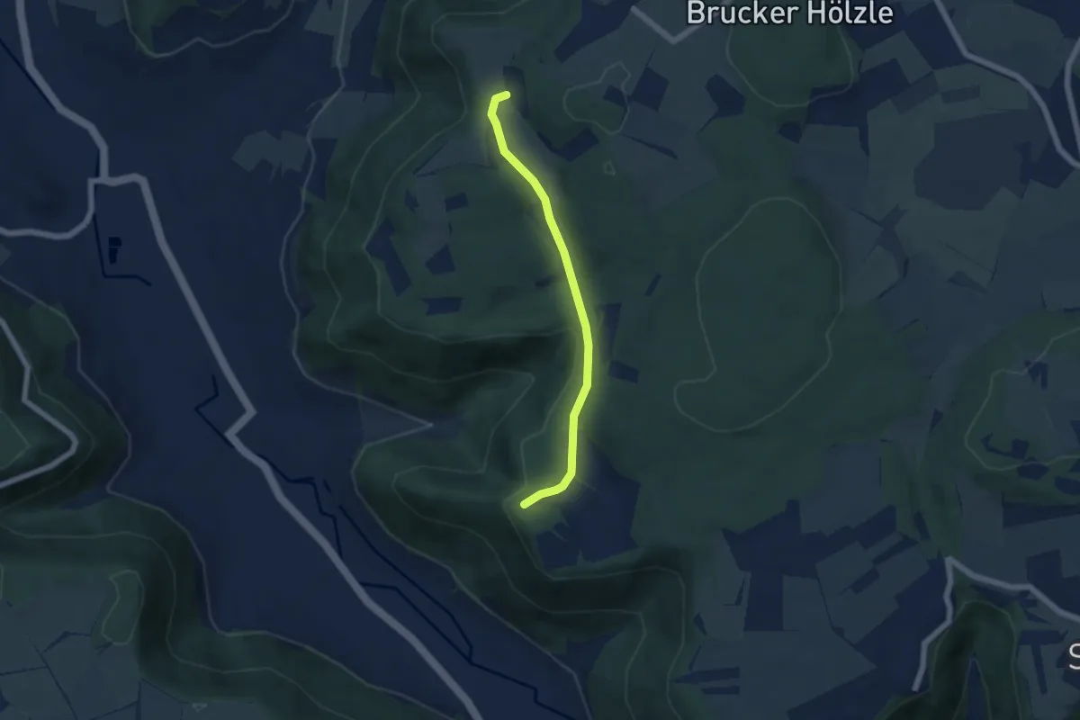
Easy · Trail
Ruine Wielandstein - Engelhof - Diepoldsburg (Friedhof)
4.7 km · ↑ 72 m · 1 h 16 min
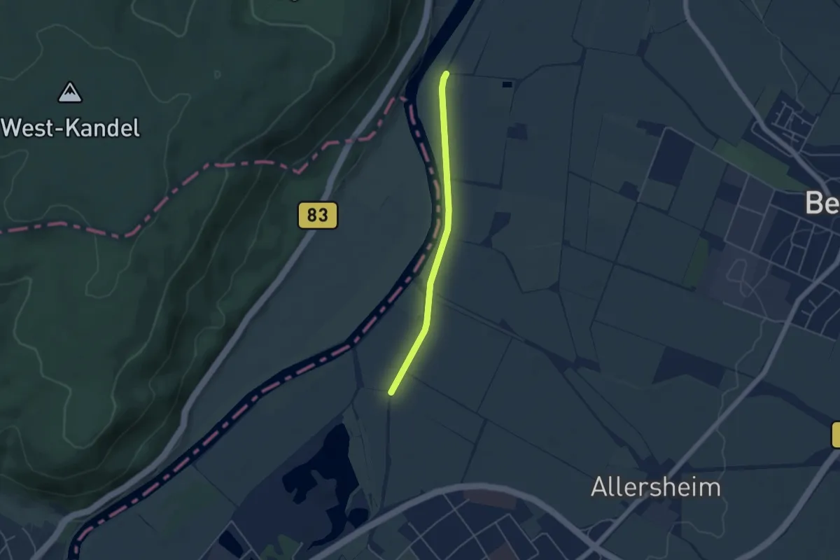
Easy · Trail
Rumbecker/Boerry Weg X10
3.6 km · ↑ 0 m · 50 min
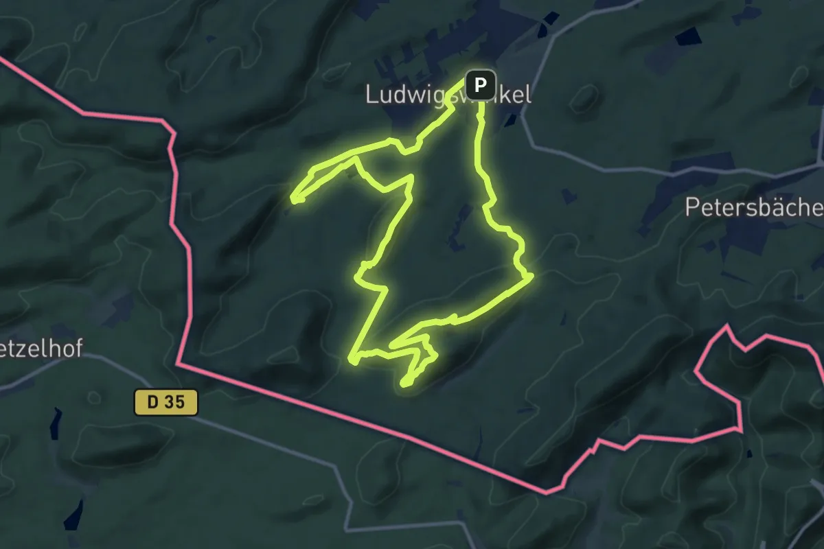
Medium · Summit
Rumberg-Steig
11.2 km · ↑ 343 m · 3 h 32 min
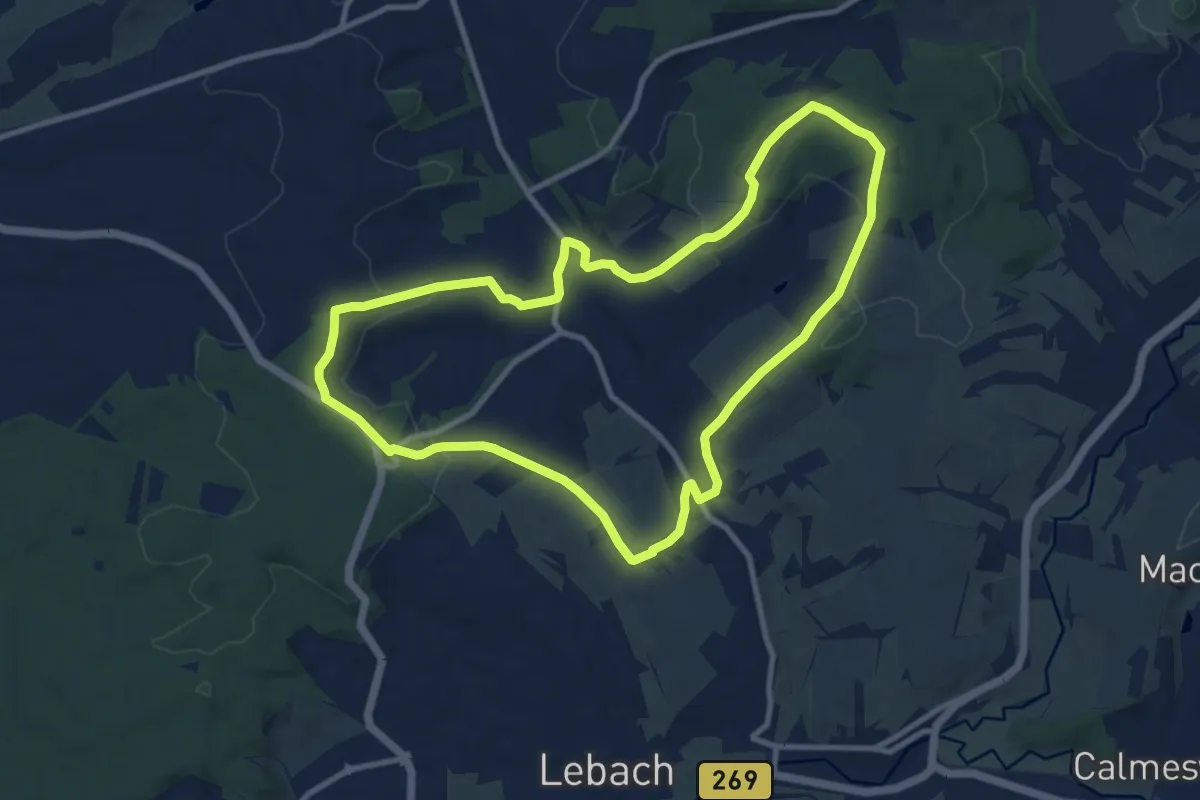
Medium · Trail
Rümmelbach-Humberg-Weg
9.6 km · ↑ 193 m · 2 h 49 min
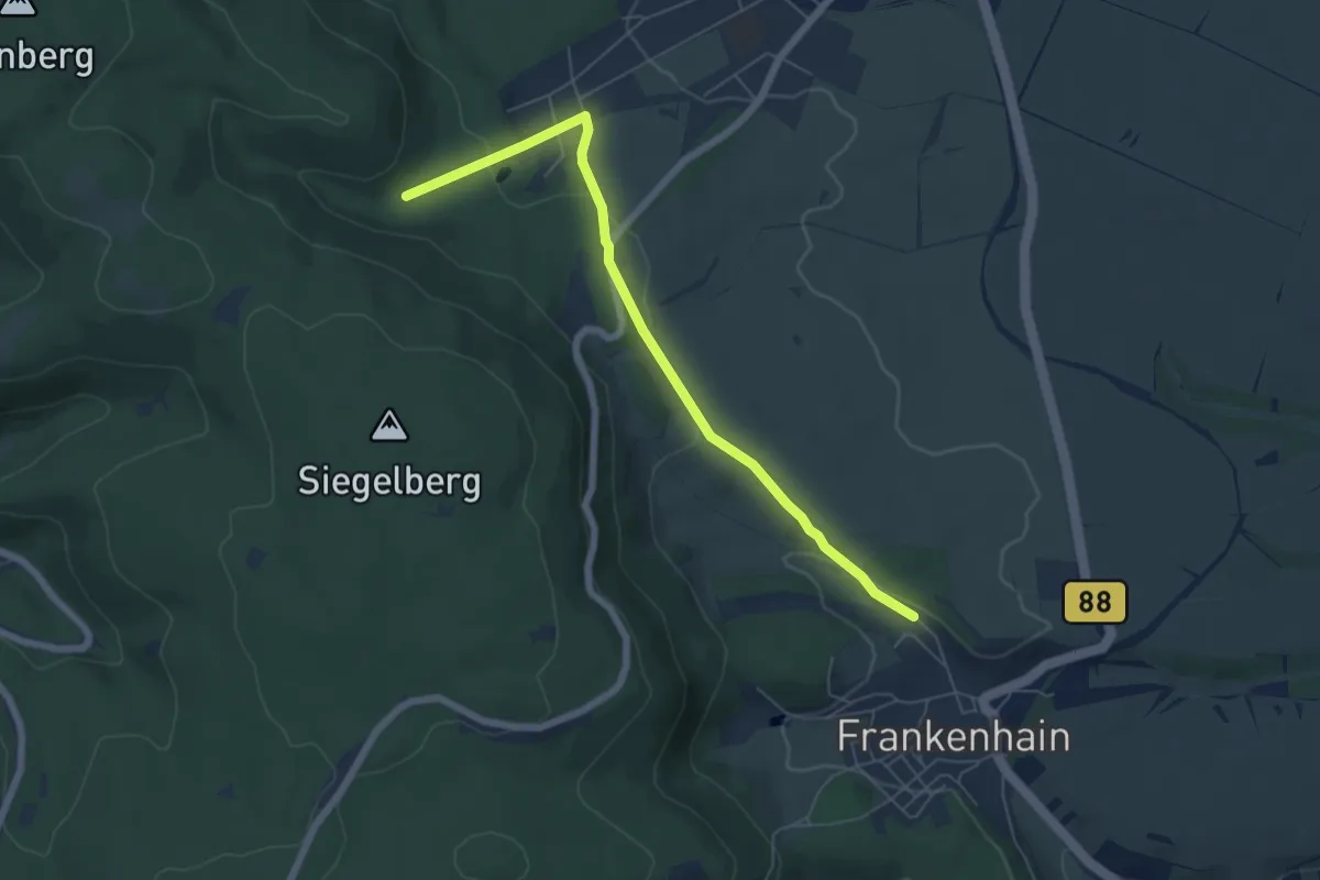
Easy · Trail
Rumpelweg
5.8 km · ↑ 162 m · 1 h 43 min
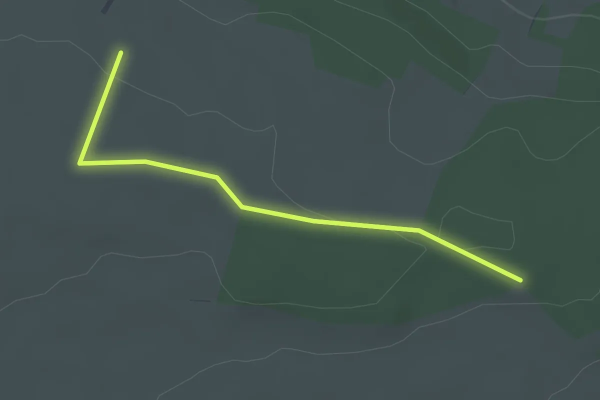
Easy · Trail
Rundblick - Volkerthütte
2.8 km · ↑ 33 m · 44 min
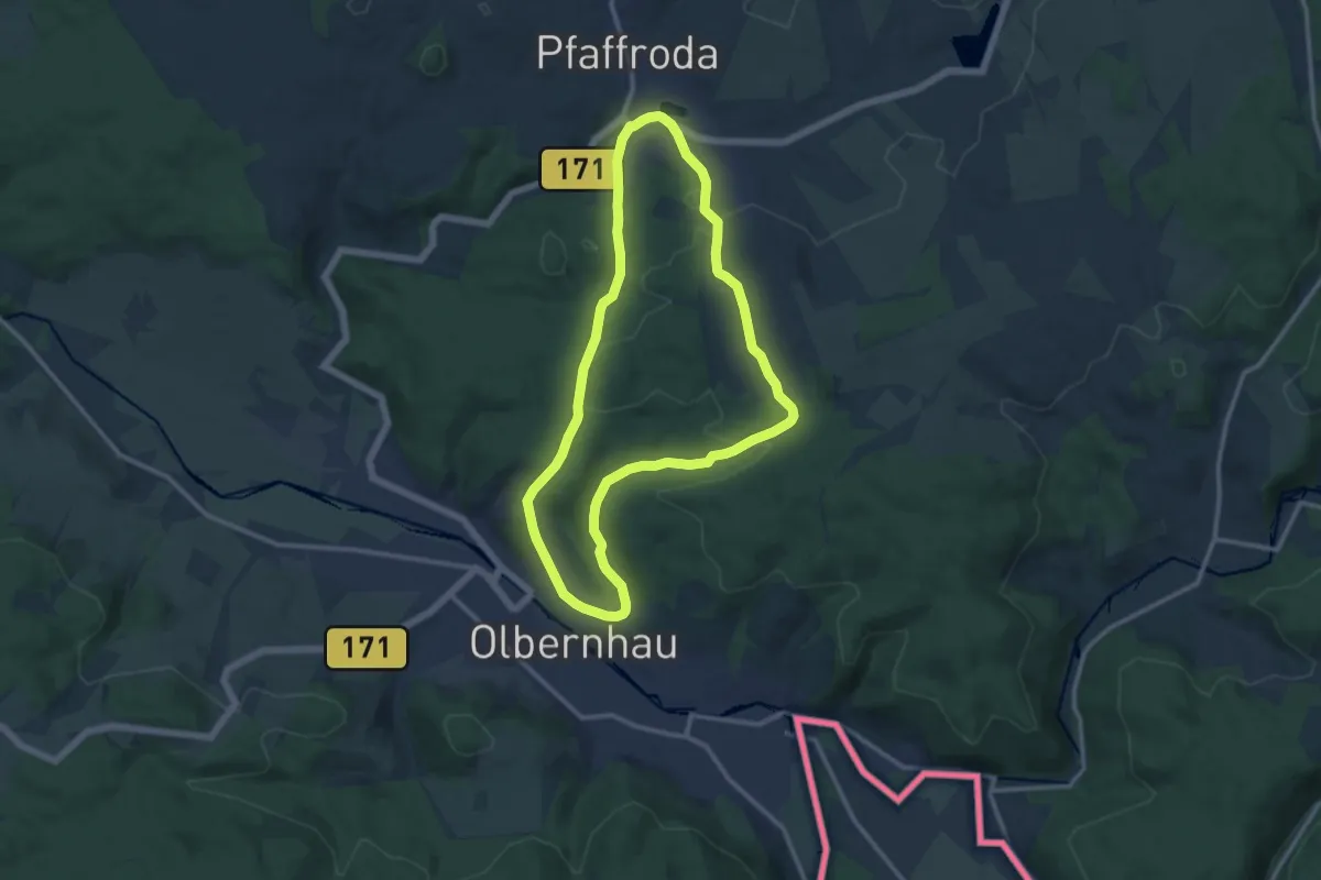
Medium · Summit
Runde Arlitzwald
10.6 km · ↑ 233 m · 3 h 9 min
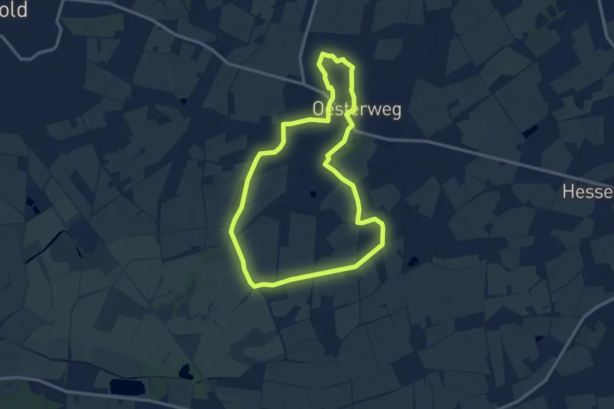
Easy · Trail
Runde Burg
6.8 km · ↑ 4 m · 1 h 42 min
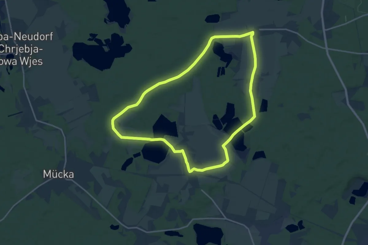
Medium · Trail
Runde Petershain (grüner Strich)
12.7 km · ↑ 39 m · 3 h 15 min
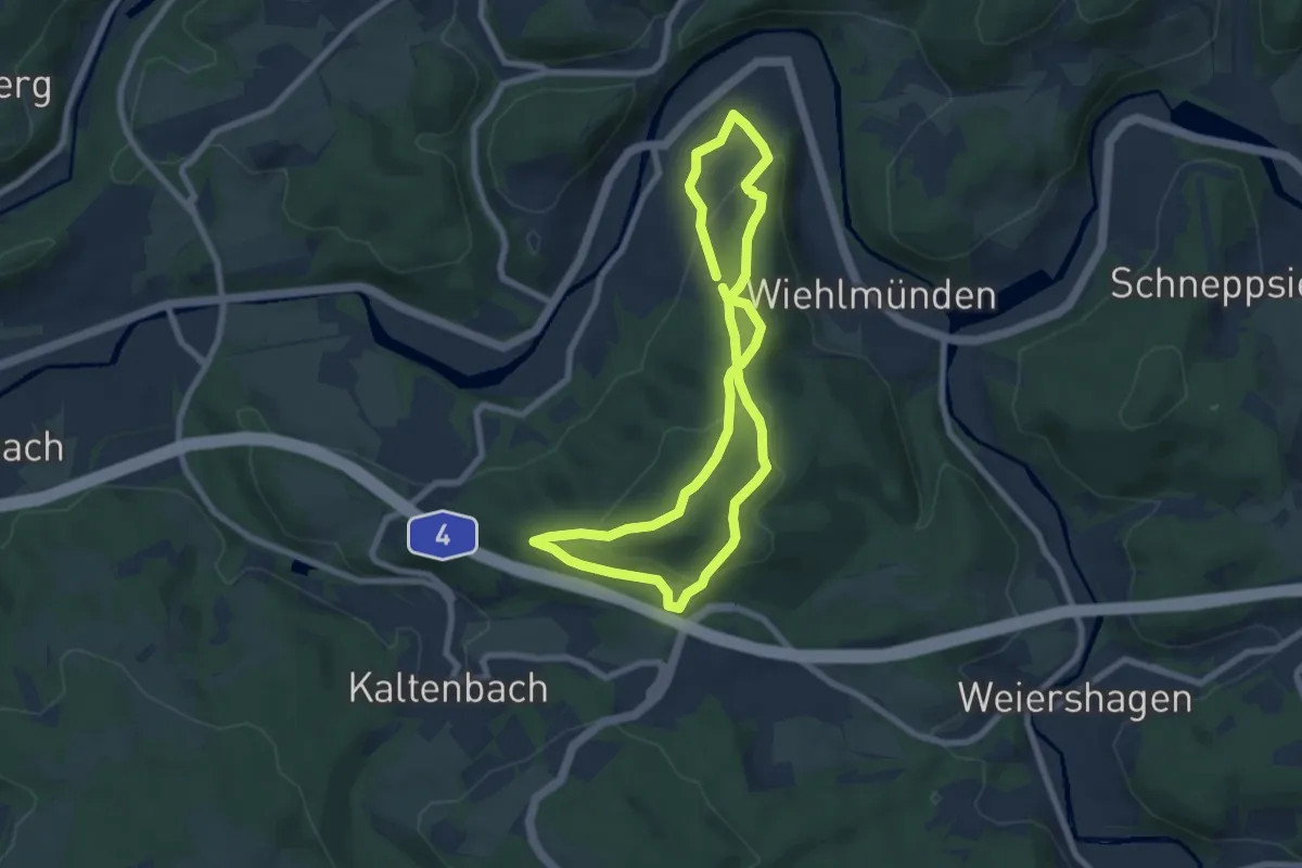
Easy · Summit
Ründeroth Rundweg A4
6.2 km · ↑ 263 m · 2 h 6 min
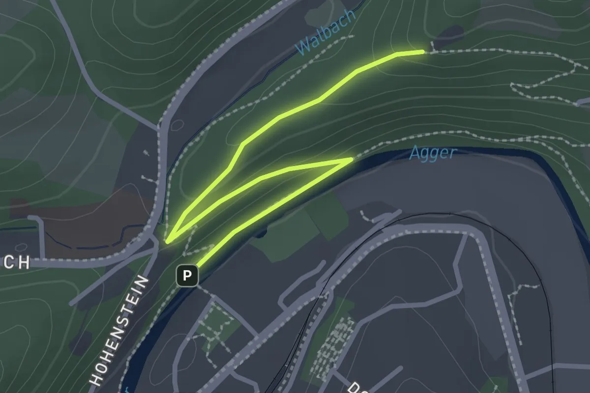
Easy · Trail
Ründeroth Rundweg A5
1.3 km · ↑ 69 m · 26 min
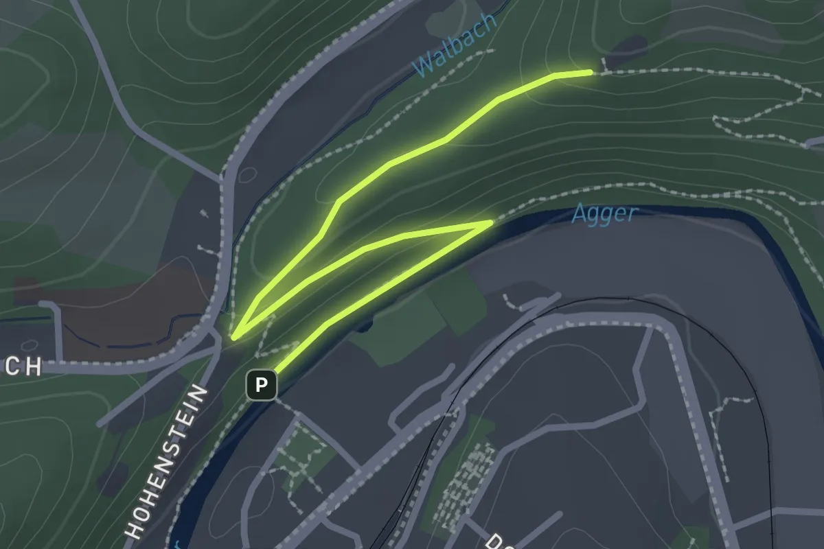
Easy · Trail
Ründeroth Rundweg A6
1.3 km · ↑ 69 m · 26 min
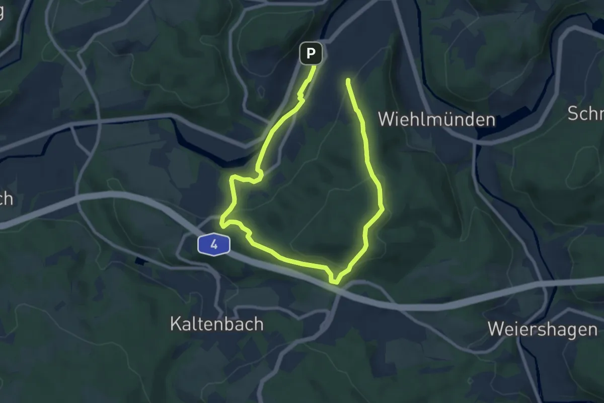
Easy · Summit
Ründeroth Rundweg U
5.3 km · ↑ 201 m · 1 h 44 min
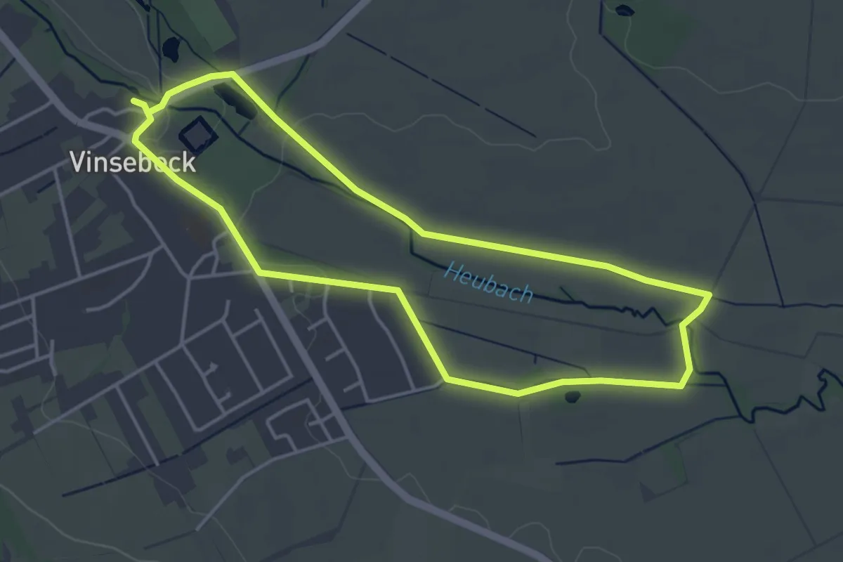
Easy · Trail
Runderweg A3 [Vinsebeck]
3.6 km · ↑ 8 m · 55 min
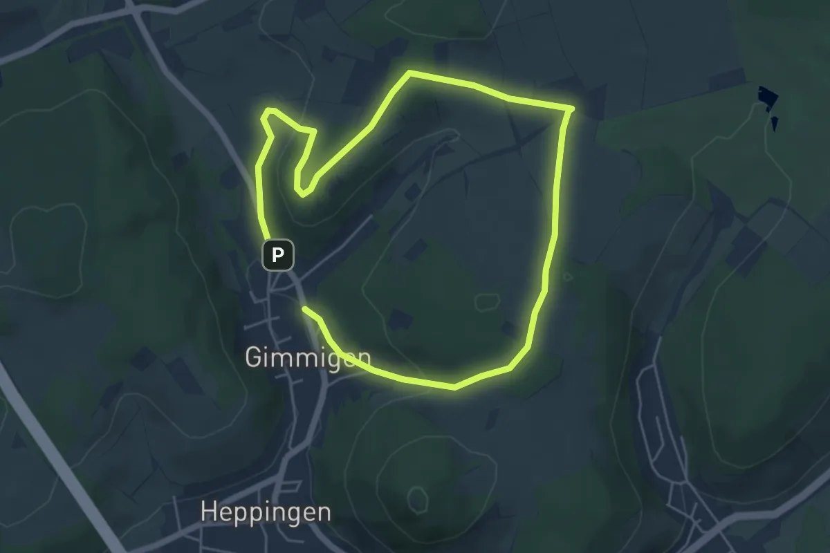
Easy · Trail
Rundgang 25 Gimmingen
4.1 km · ↑ 101 m · 1 h 14 min
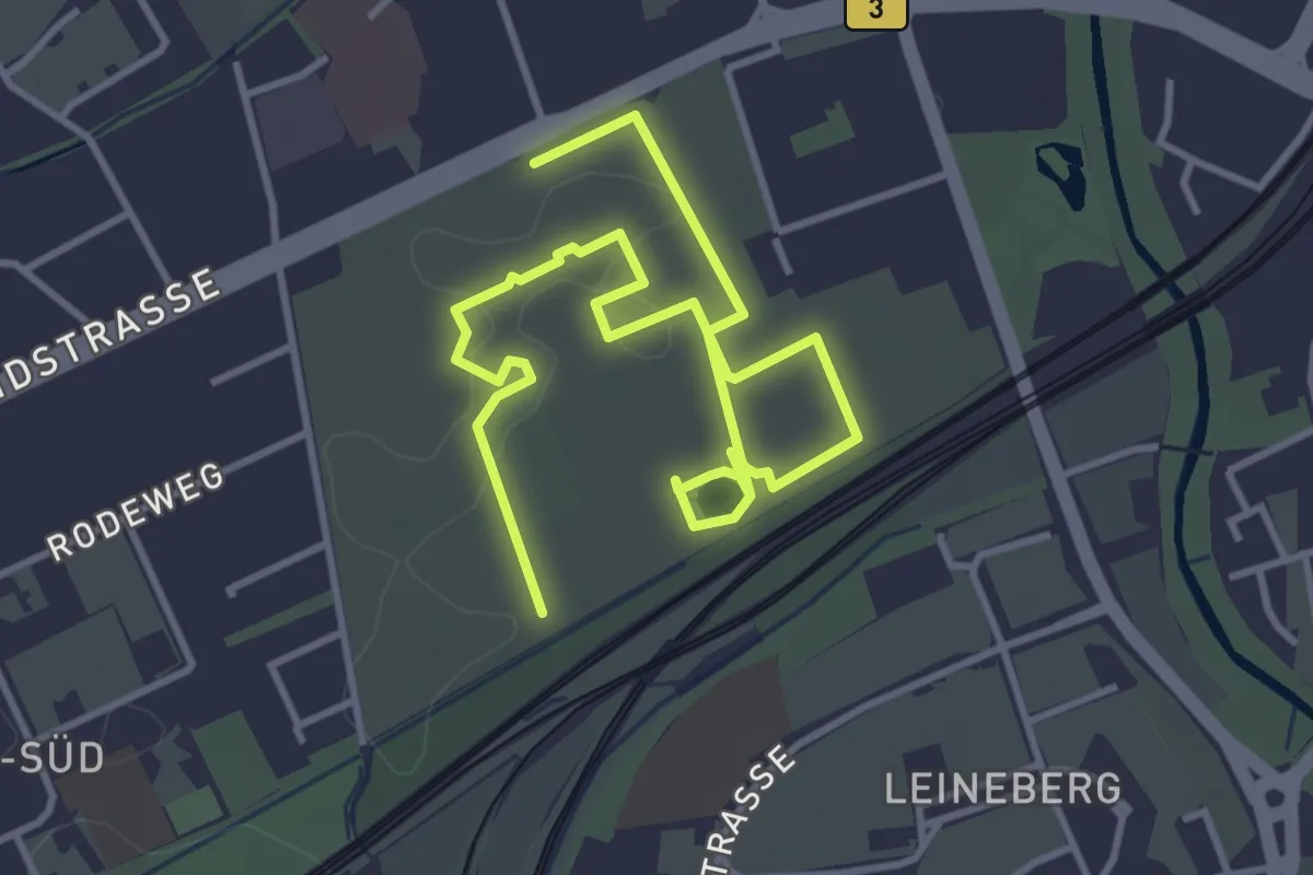
Easy · Trail
Rundgang Stadtfriedhof
2.6 km · ↑ 5 m · 39 min
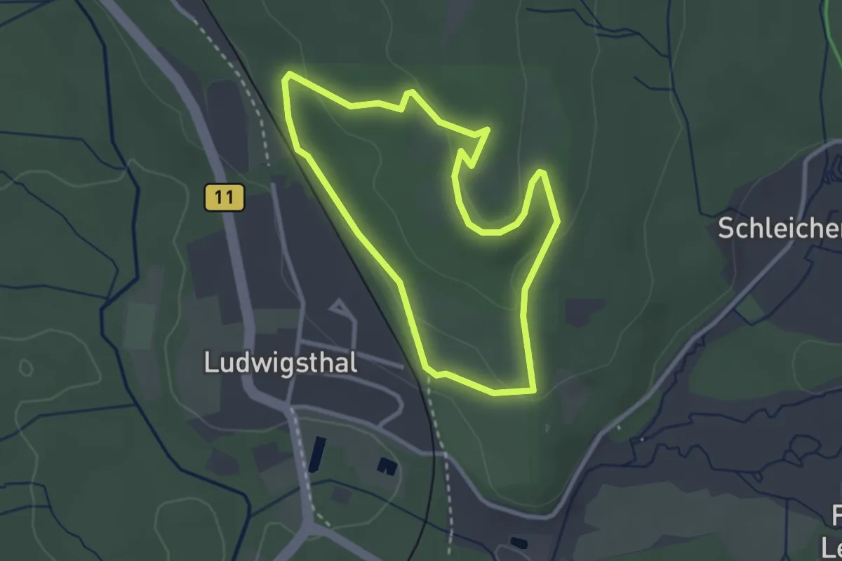
Easy · Trail
Rundgang Wildtiere
2.5 km · ↑ 60 m · 45 min
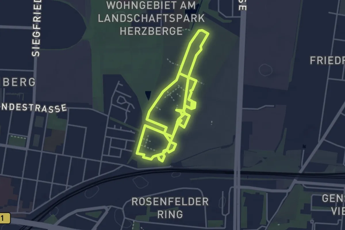
Easy · Trail
Rundgang Zentralfriedhof Friedrichsfelde
7.6 km · ↑ 8 m · 1 h 48 min
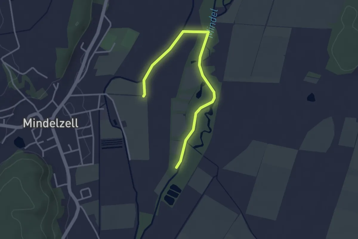
Easy · Trail
Rundkurs 2A, Nordic Walking
3.3 km · ↑ 4 m · 47 min
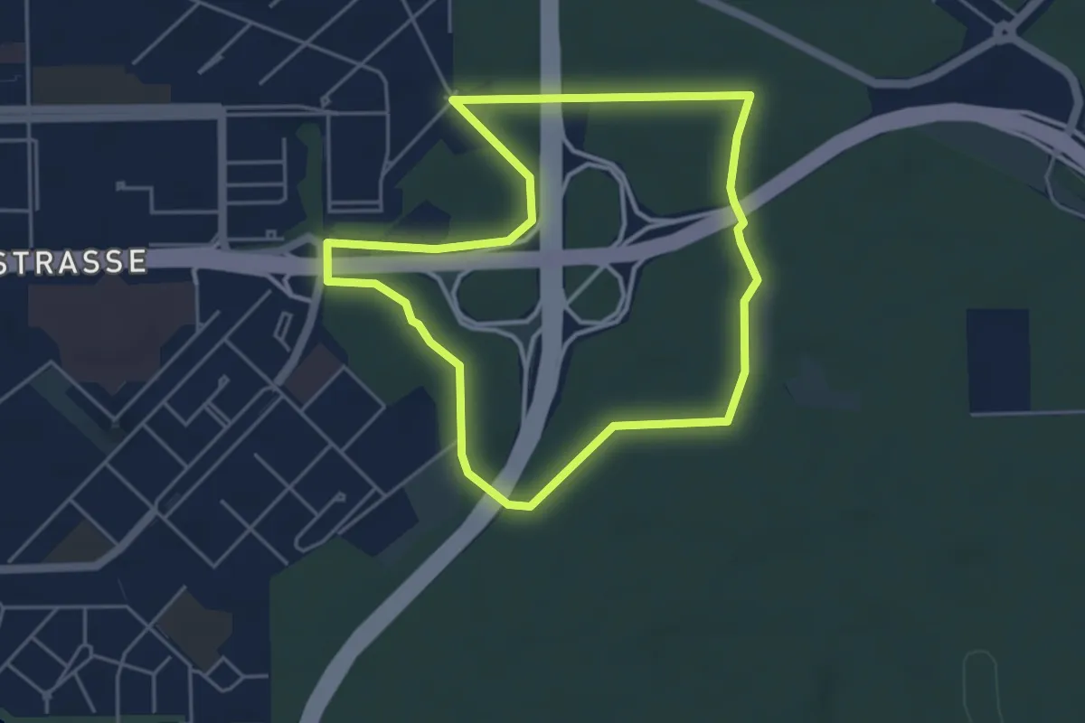
Easy · Trail
Rundkurs durch die Parforceheide
3.9 km · ↑ 5 m · 59 min
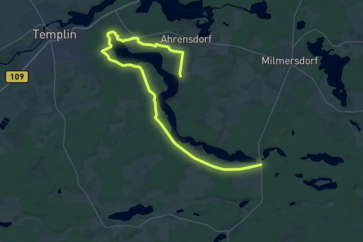
Demanding · Trail
Rundkurs Lübbesee
28.8 km · ↑ 162 m · 7 h 9 min
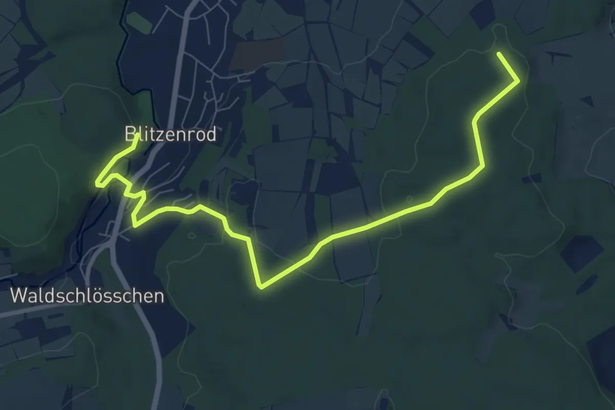
Medium · Trail
Rund Lauterbach-Tour
8.6 km · ↑ 195 m · 2 h 26 min
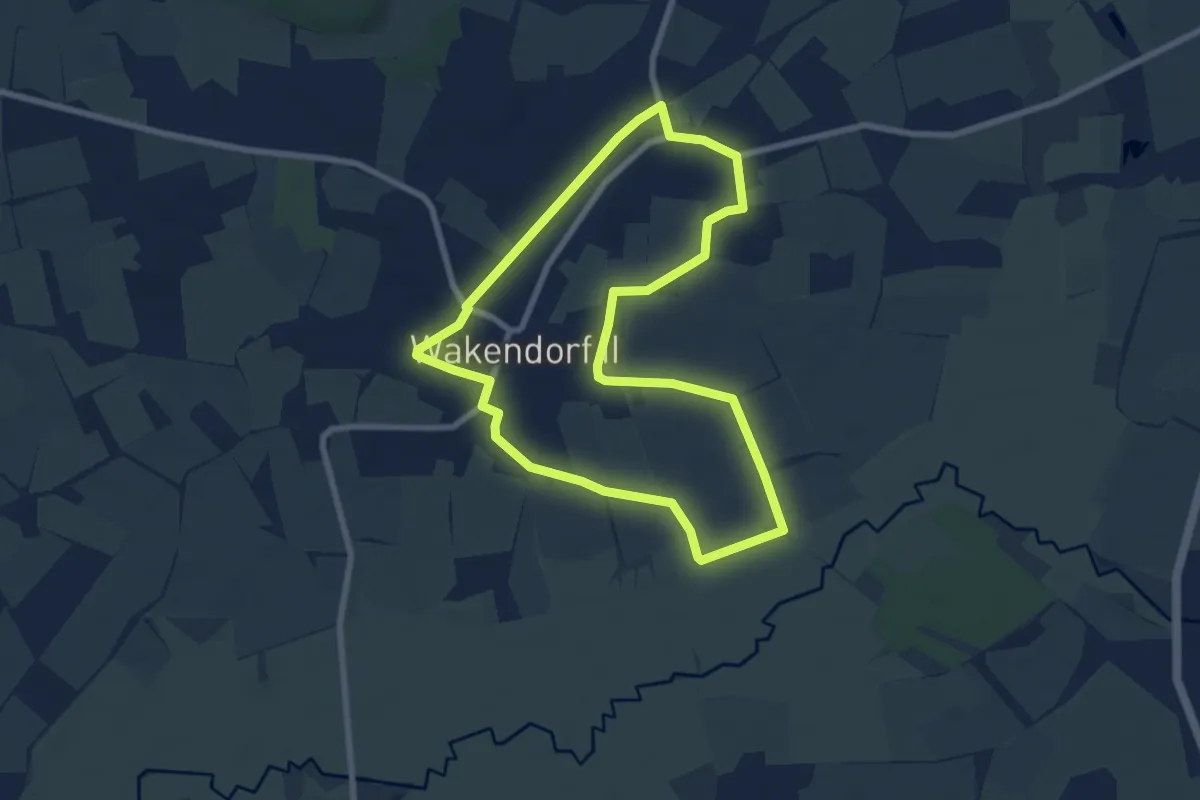
Easy · Trail
Rundtour durch Wakendorf Ⅱ zur Alsterniederung
6.4 km · ↑ 35 m · 1 h 41 min
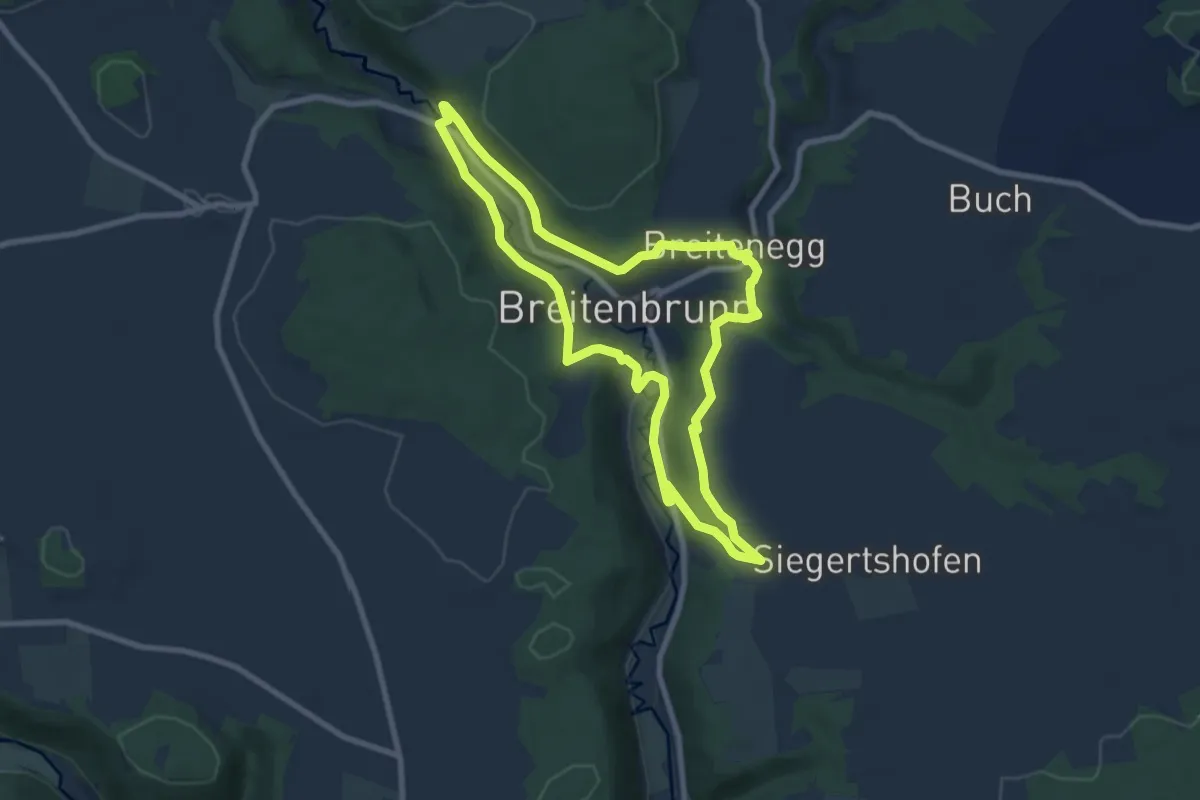
Easy · Trail
Rund uma dum Breitenbrunn
7.7 km · ↑ 213 m · 2 h 23 min
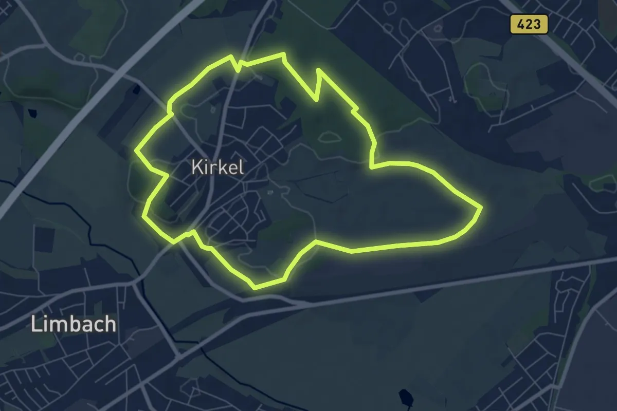
Easy · Trail
Rund um Altstadt
6.9 km · ↑ 100 m · 1 h 57 min
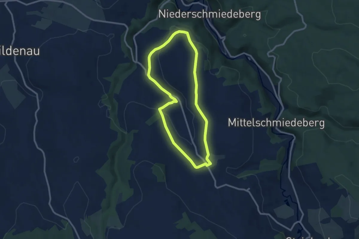
Easy · Trail
Rund um Arnsfeld
6.9 km · ↑ 114 m · 1 h 58 min
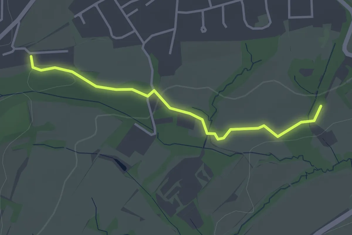
Easy · Trail
Rund um Bad Meinberg
2.7 km · ↑ 32 m · 43 min
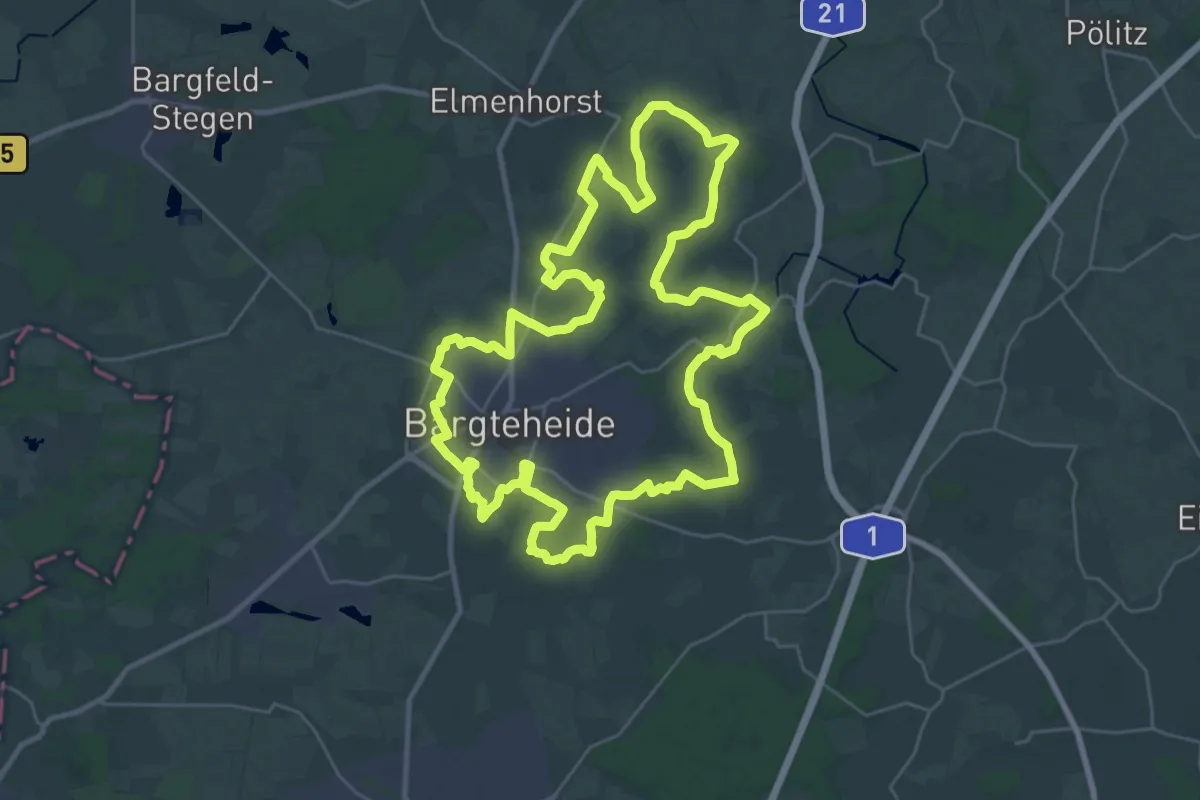
Demanding · Trail
Rund um Bargteheide
27.6 km · ↑ 43 m · 6 h 59 min
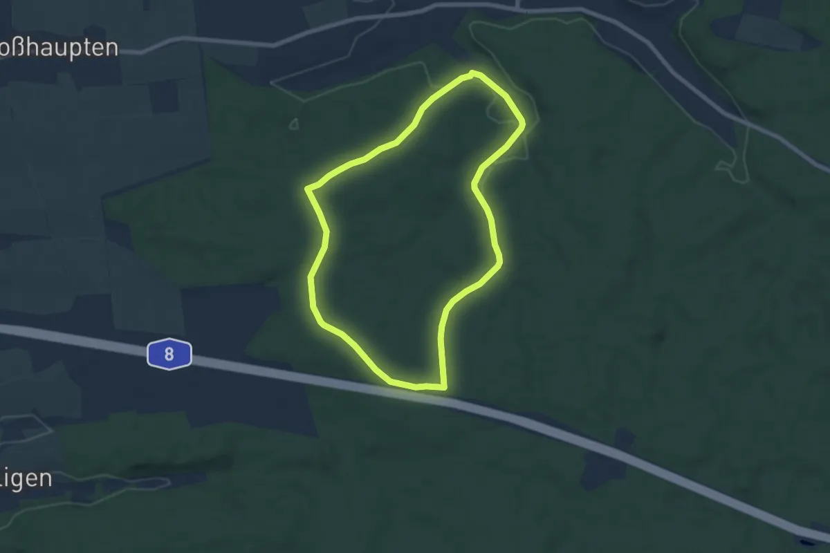
Easy · Trail
Rundum bei Glöttweng
6.0 km · ↑ 73 m · 1 h 39 min
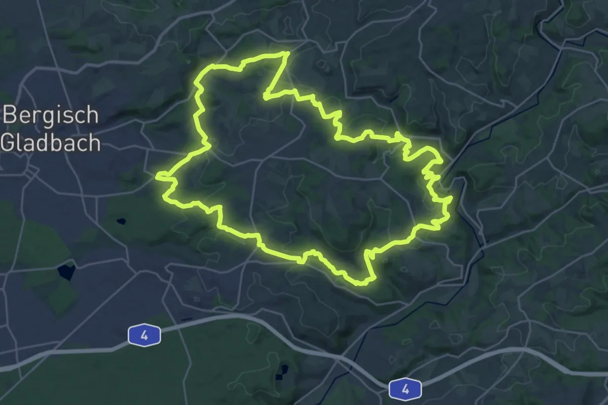
Demanding · Trail
Rund um Bergisch Gladbach-Herkenrath
25.5 km · ↑ 671 m · 7 h 50 min
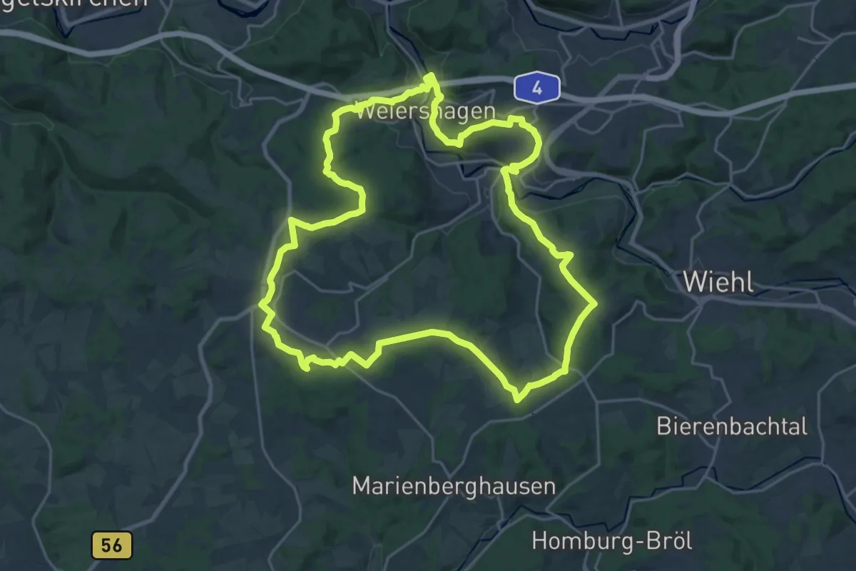
Demanding · Trail
Rund um Bielstein
21.3 km · ↑ 406 m · 6 h 12 min
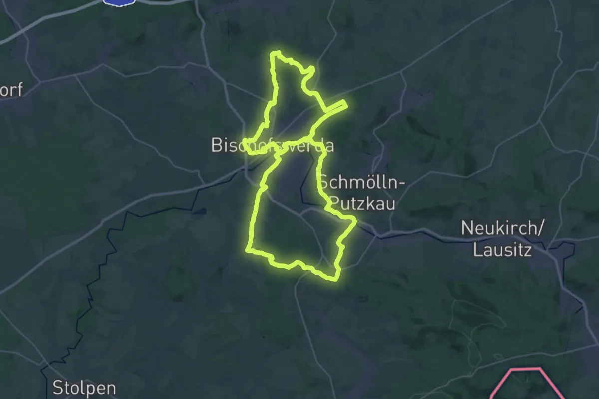
Demanding · Summit
Rund um Bischofswerda
29.7 km · ↑ 381 m · 8 h 15 min
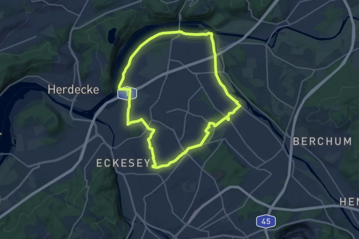
Medium · Trail
Rund um Boele B
13.5 km · ↑ 92 m · 3 h 34 min
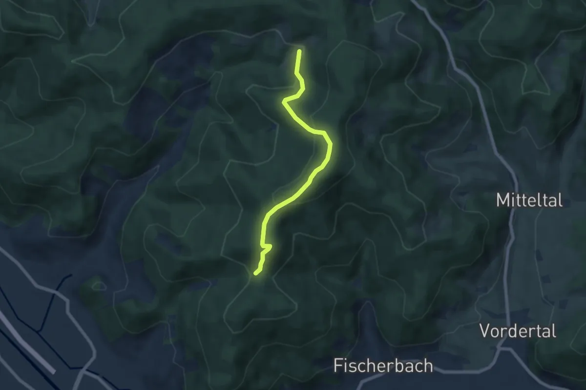
Easy · Trail
Rund um Bollenbach
5.2 km · ↑ 294 m · 1 h 52 min
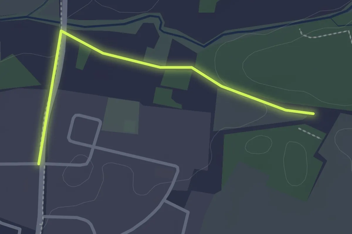
Easy · Trail
Rund um Brand
2.3 km · ↑ 19 m · 35 min