Trails in Germany
36,852 hiking trails, each with its route, climb, walking time and grade.
All trails, page 473 of 768
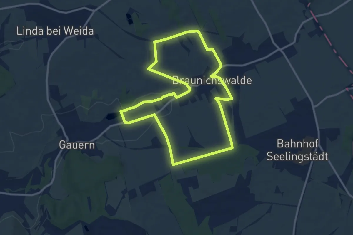
Easy · Trail
Rund um Braunichswalde
7.6 km · ↑ 70 m · 2 h 3 min
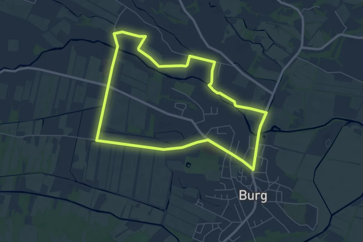
Easy · Trail
Rund um Burg-Dorf
5.8 km · ↑ 0 m · 1 h 27 min
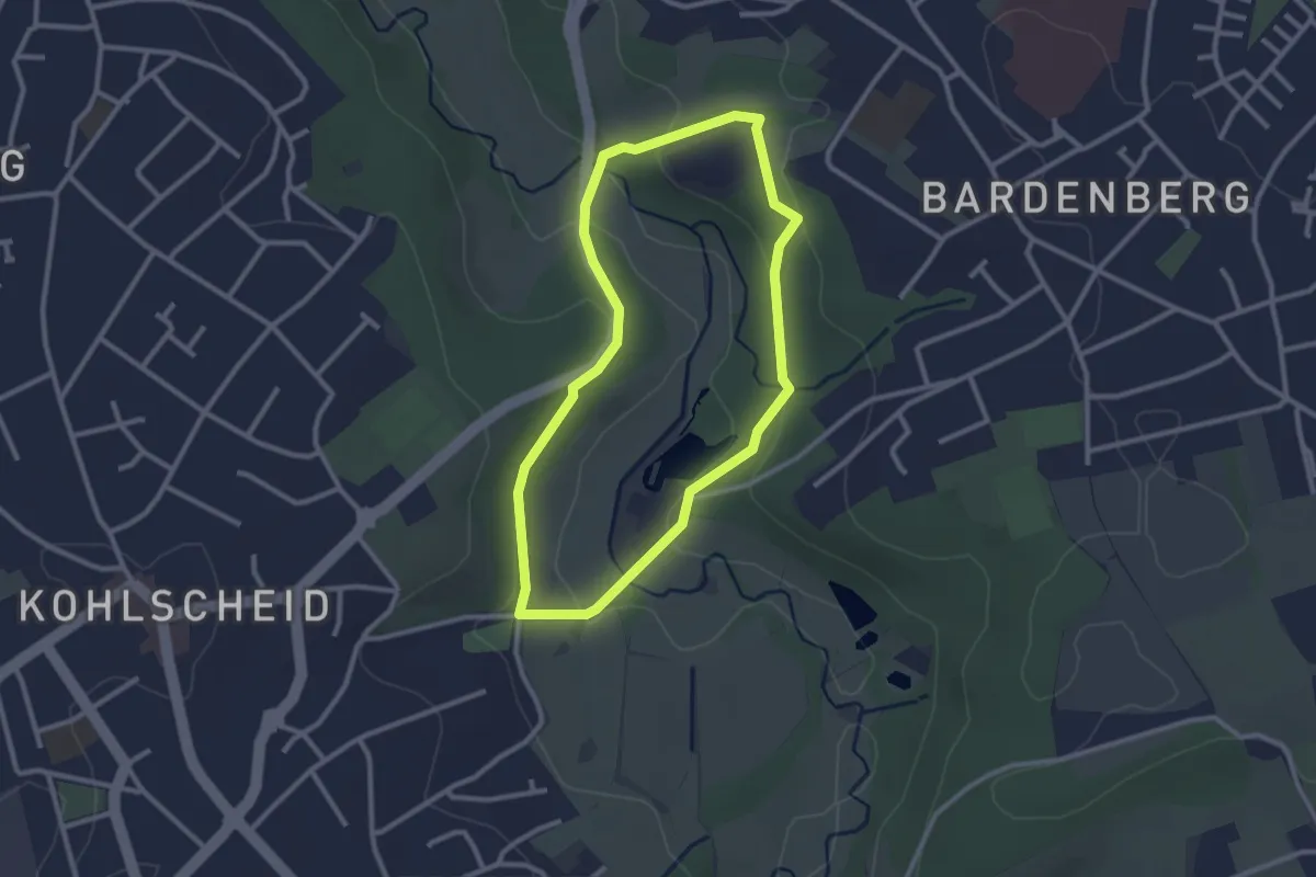
Easy · Trail
Rund um Burg Wilhelmstein - A2
2.3 km · ↑ 60 m · 43 min
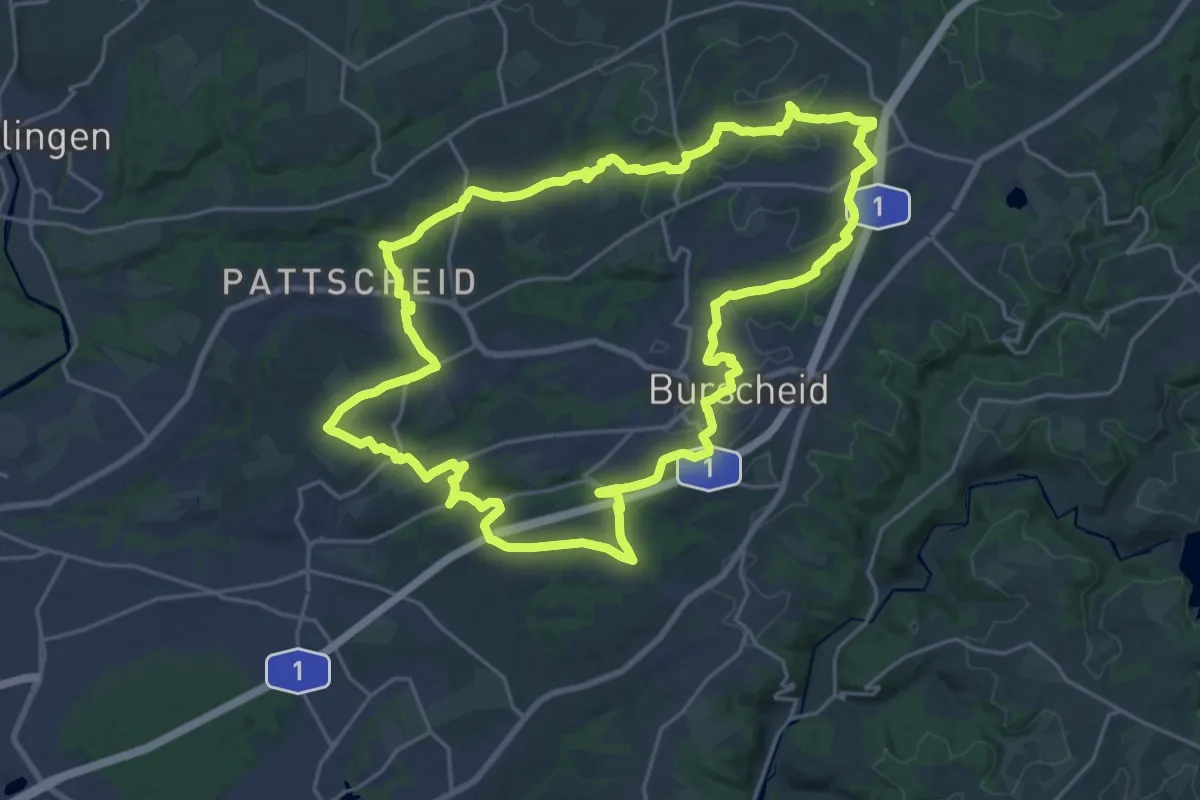
Demanding · Trail
Rund um Burscheid B
21.6 km · ↑ 333 m · 6 h 8 min
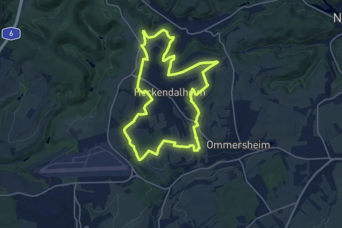
Medium · Trail
Rund um Dalem
12.1 km · ↑ 294 m · 3 h 40 min
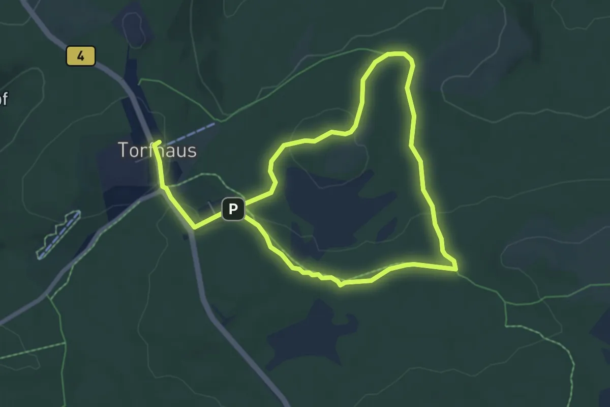
Easy · Summit
Rund um das Große Torfhausmoor
4.9 km · ↑ 82 m · 1 h 24 min
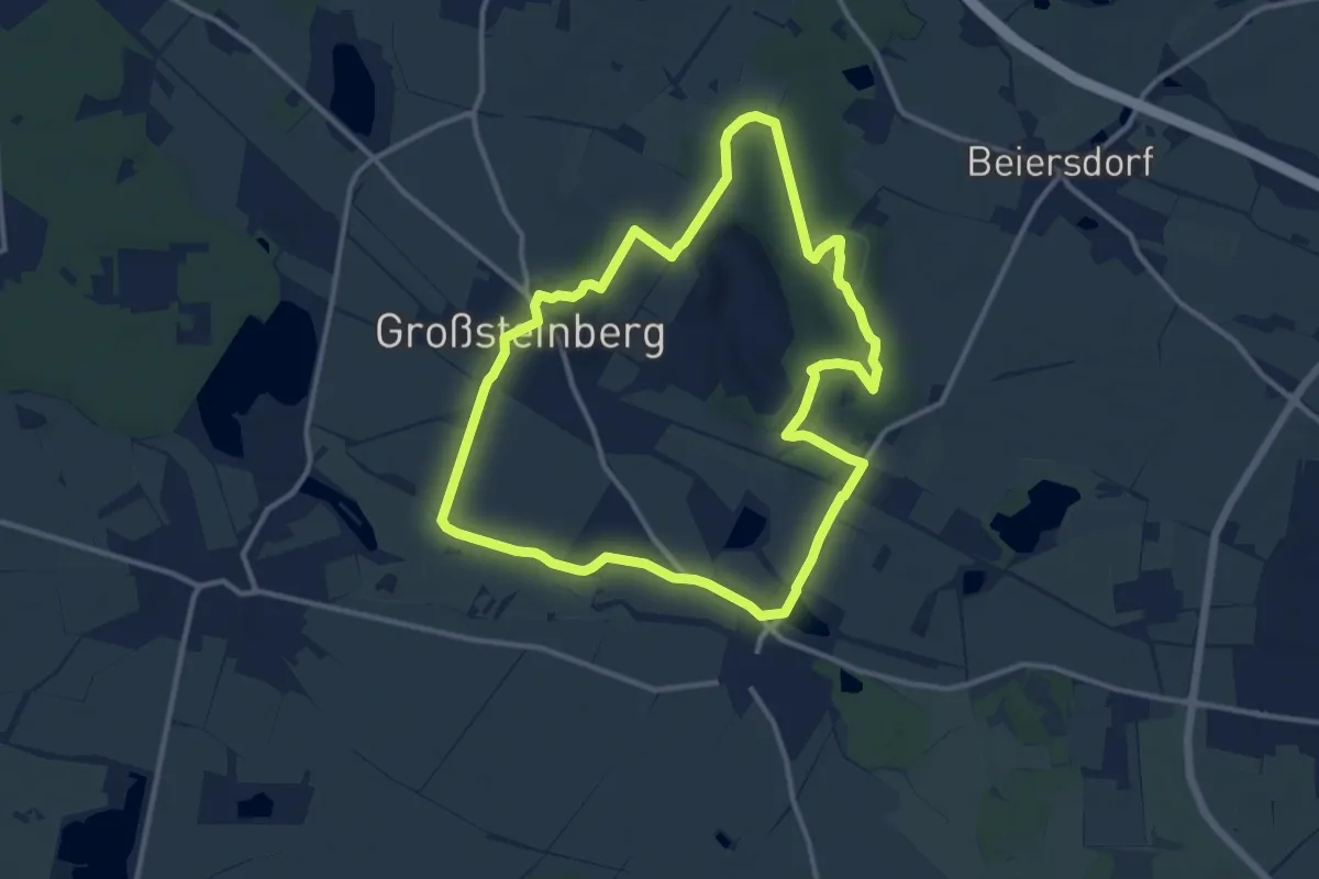
Medium · Summit
Rund um das Naturfreundehaus
10.8 km · ↑ 104 m · 2 h 55 min
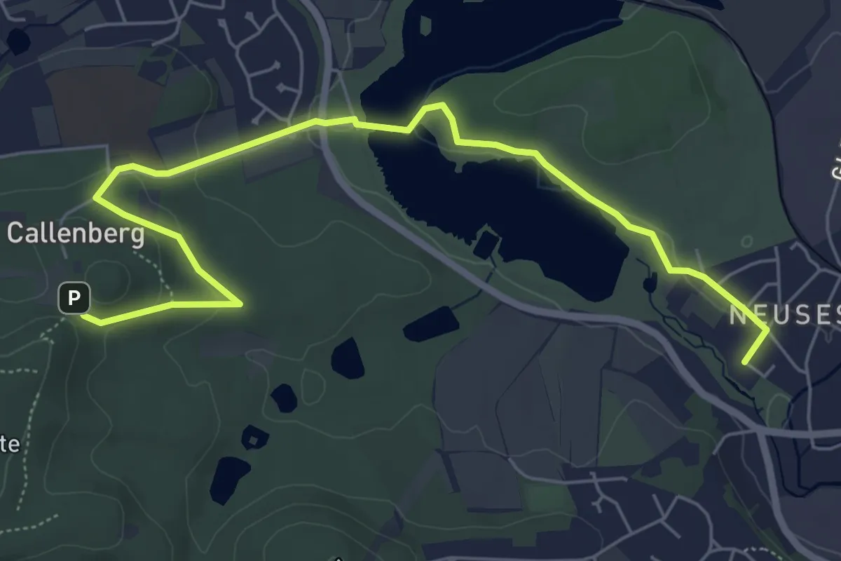
Easy · Trail
Rund um das Naturschutzgebiet Goldbergsee
6.7 km · ↑ 107 m · 1 h 49 min
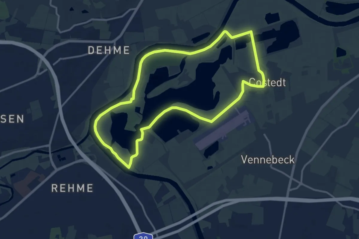
Medium · Trail
Rund um das Rittergut Rothenhoff
8.7 km · ↑ 9 m · 2 h 11 min
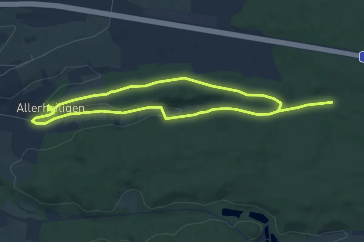
Easy · Trail
Rund um das Weihergehau
6.0 km · ↑ 69 m · 1 h 39 min
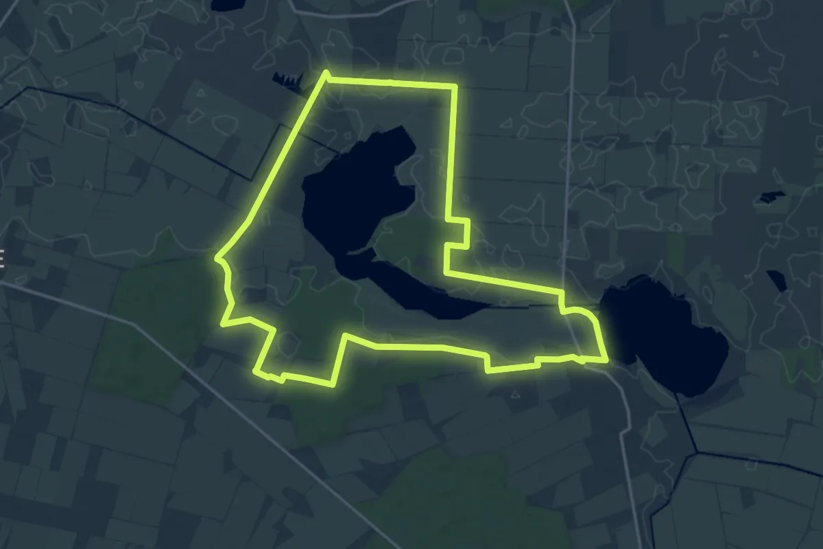
Medium · Trail
Rund üm dat Ahlenmoor
15.9 km · ↑ 26 m · 4 h 2 min
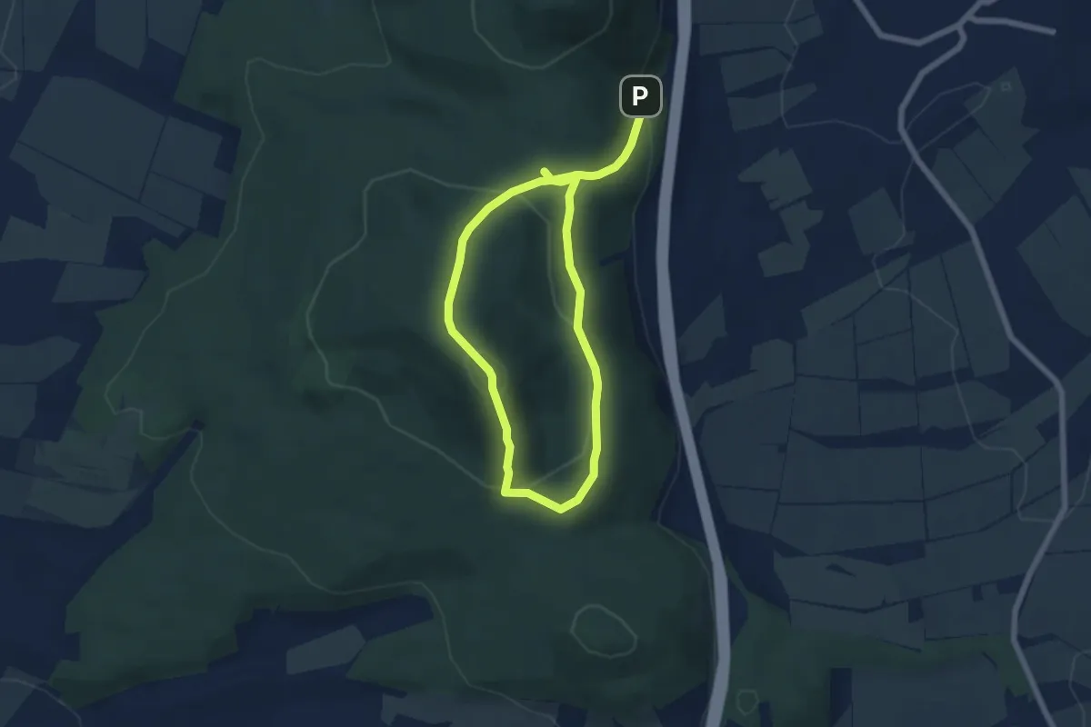
Medium · Summit
"Rund um den Bärenberg": Rundwanderweg 2 des Naturpark Habichtswald
4.4 km · ↑ 229 m · 1 h 33 min
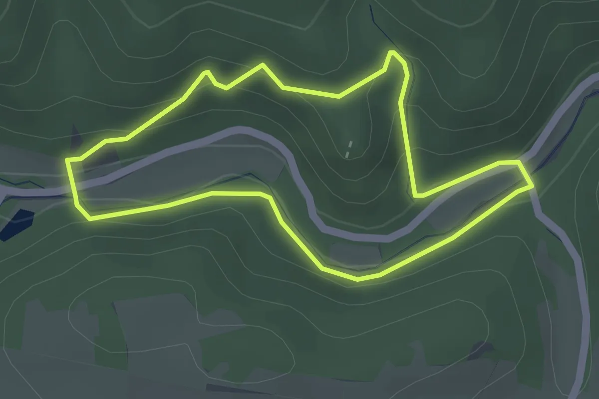
Easy · Trail
Rund um den Bilstein
2.5 km · ↑ 111 m · 52 min
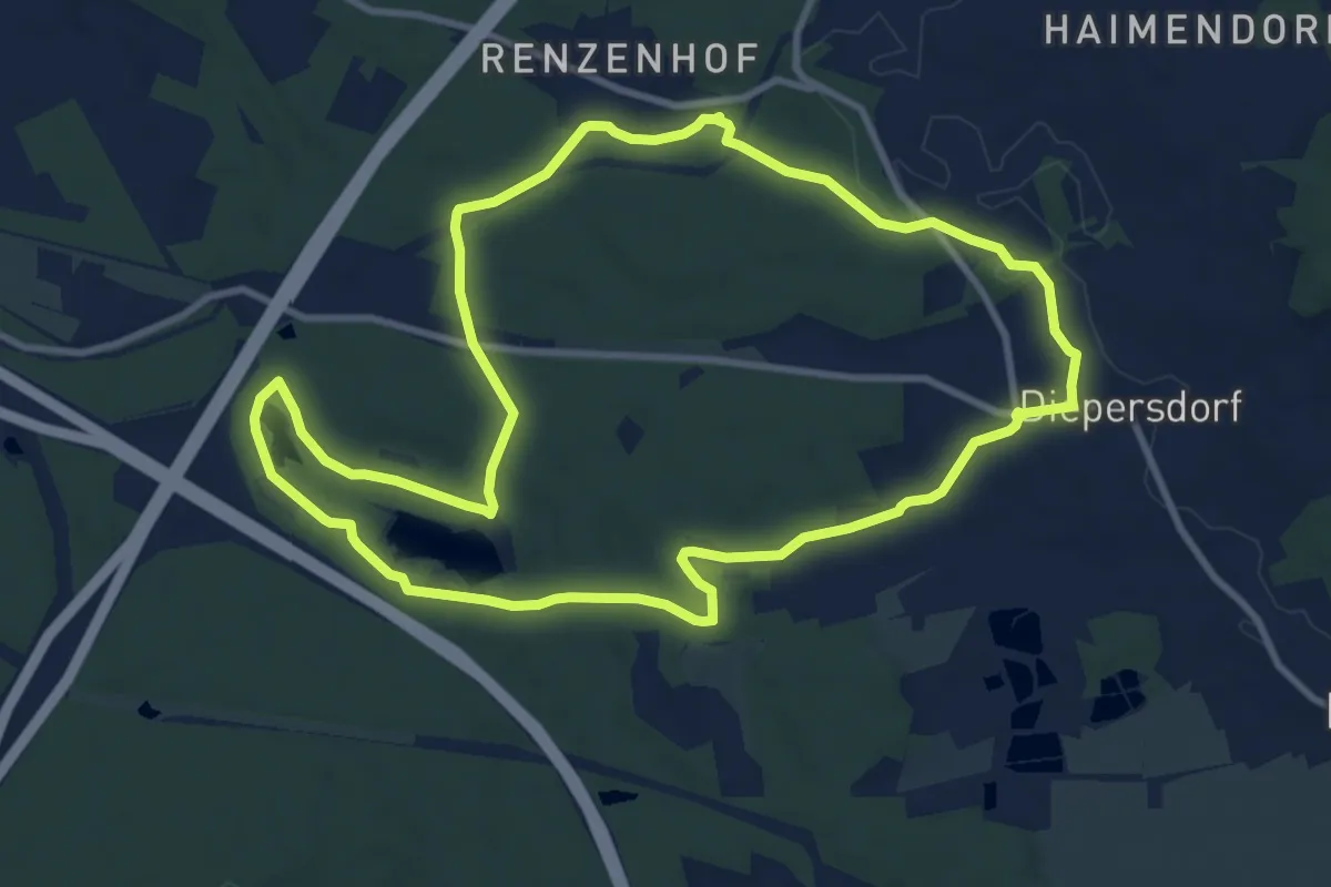
Medium · Trail
Rund um den Birkensee
9.6 km · ↑ 65 m · 2 h 33 min
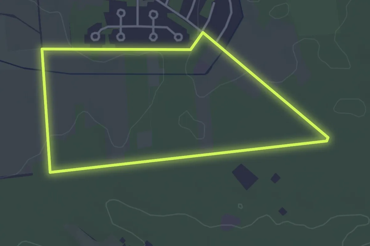
Easy · Trail
Rund um den Bullen-Berg
3.1 km · ↑ 9 m · 47 min
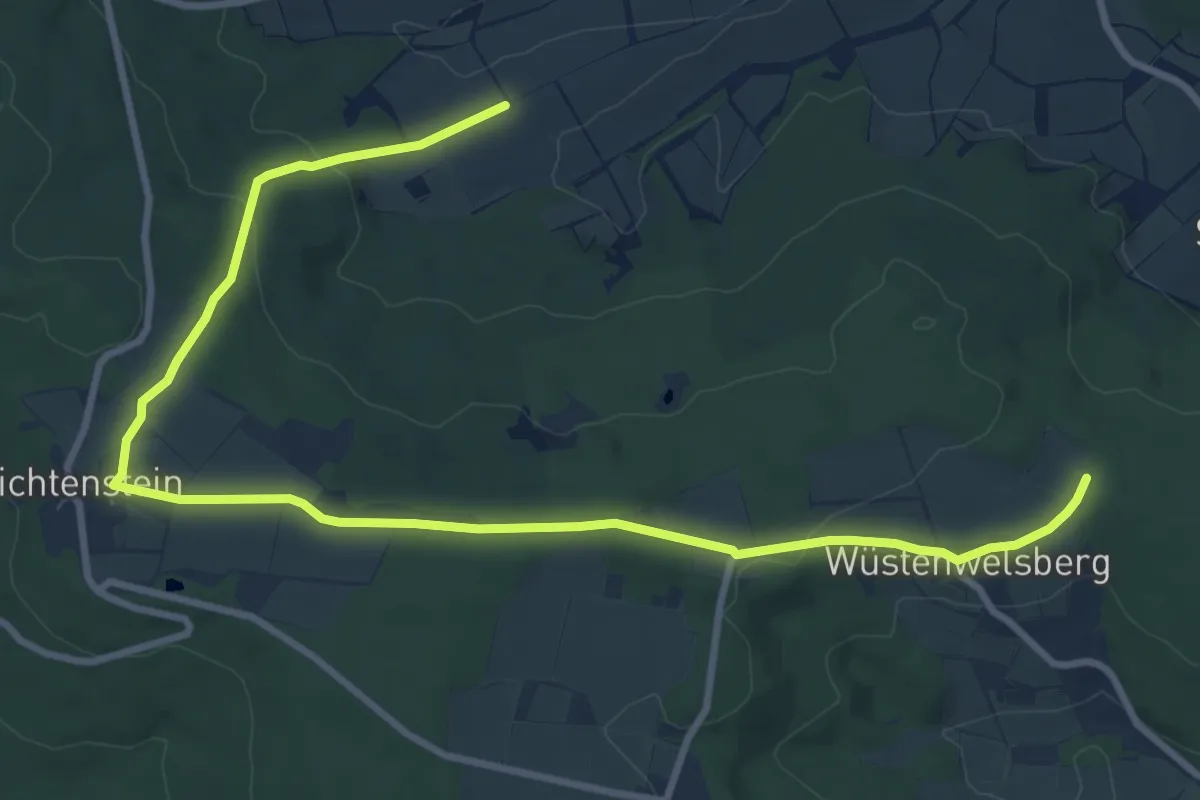
Easy · Trail
Rund um den Christenstein
5.6 km · ↑ 138 m · 1 h 41 min
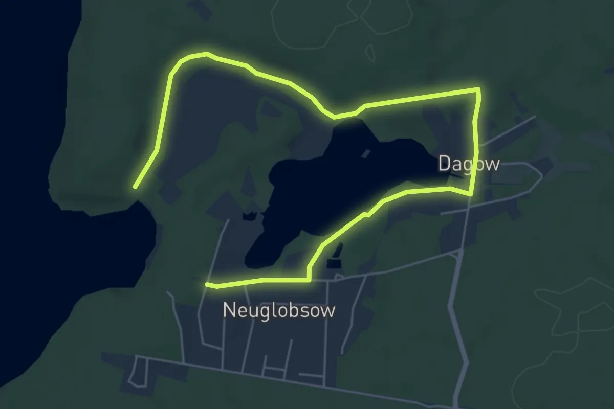
Easy · Trail
Rund um den Dagowsee
6.9 km · ↑ 71 m · 1 h 47 min
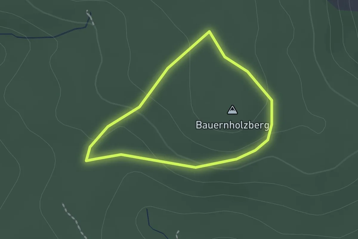
Easy · Summit
Rund um den Eichelschlag
1.4 km · ↑ 31 m · 24 min
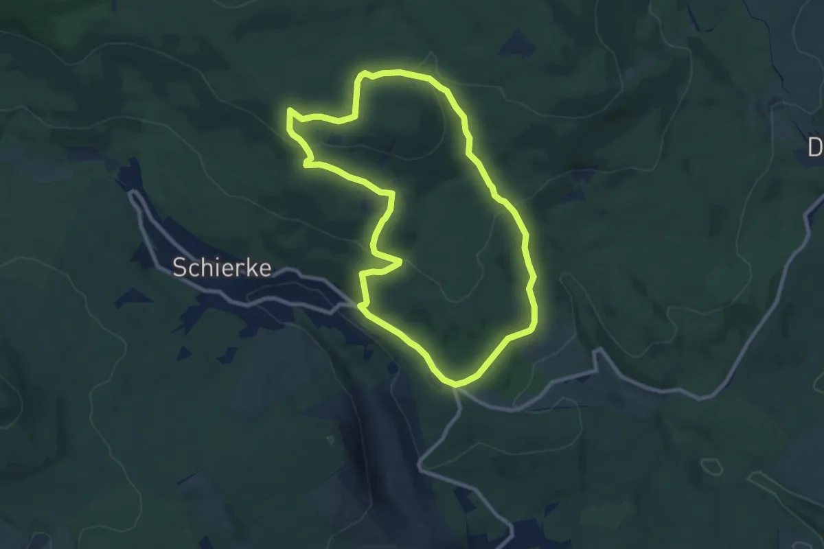
Easy · Summit
Rund um den Erdbeerkopf - Rundwanderweg 1
7.5 km · ↑ 213 m · 2 h 20 min
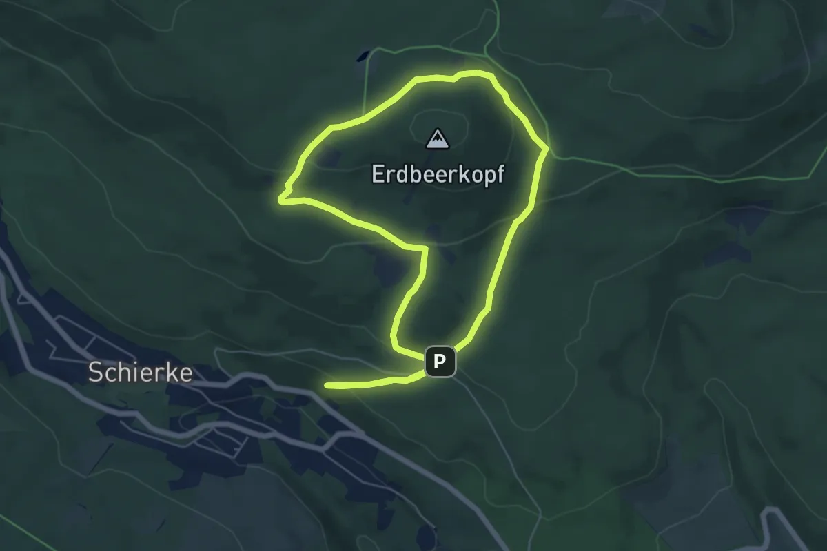
Medium · Summit
Rund um den Erdbeerkopf - Rundwanderweg 2
5.1 km · ↑ 181 m · 1 h 40 min
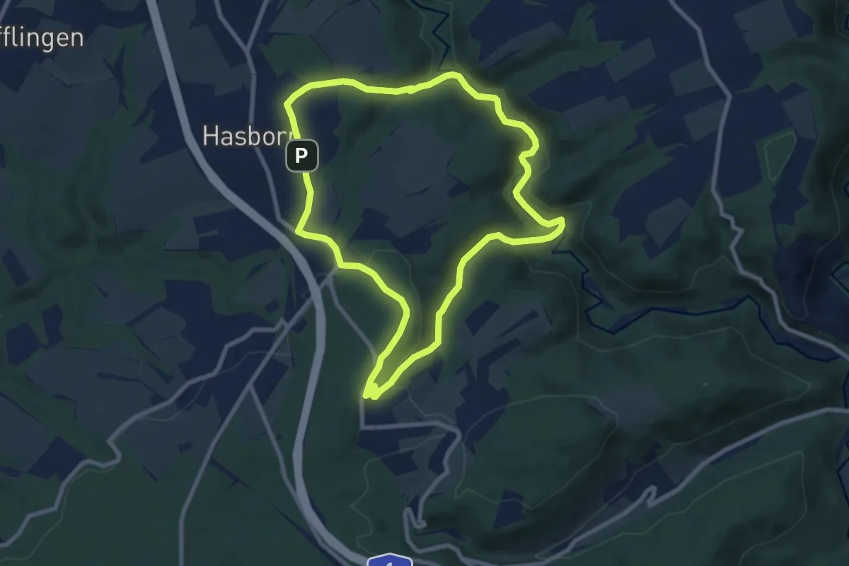
Easy · Trail
Rund um den Eselsberg
7.2 km · ↑ 184 m · 2 h 12 min
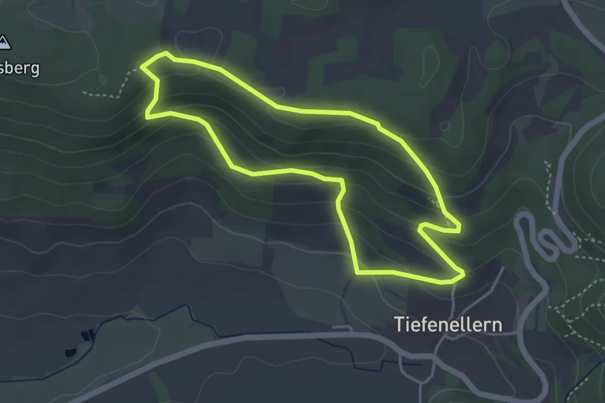
Easy · Trail
Rund um den Gänsberg
3.4 km · ↑ 169 m · 1 h 13 min
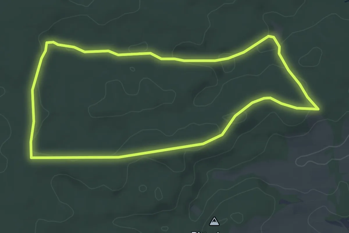
Easy · Trail
Rund um den Gehren
5.0 km · ↑ 73 m · 1 h 25 min
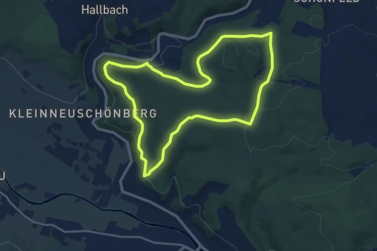
Medium · Trail
Rund um den Geißelberg
8.0 km · ↑ 187 m · 2 h 25 min
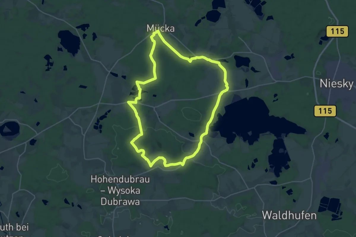
Demanding · Summit
Rund um den Gemeindeberg (grüner Punkt)
21.6 km · ↑ 248 m · 5 h 57 min
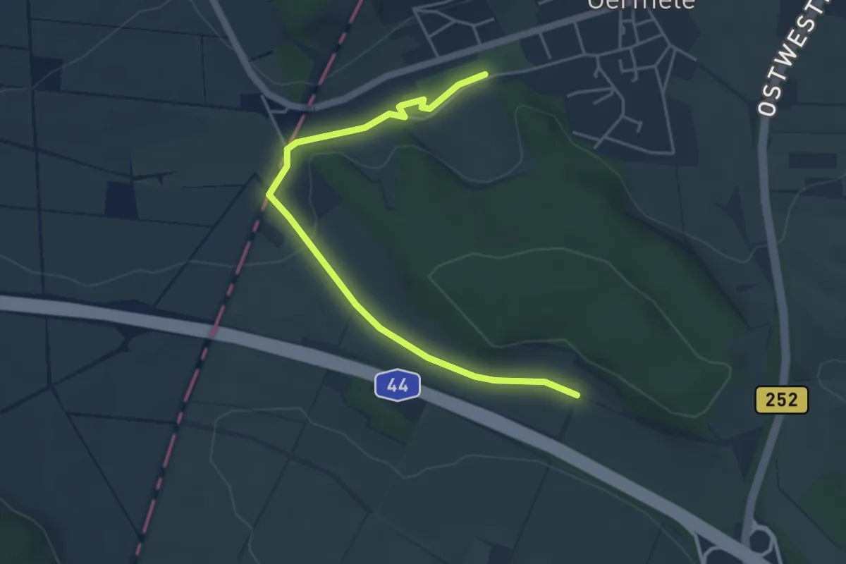
Easy · Trail
Rund um den Germeter Wald
2.1 km · ↑ 0 m · 33 min
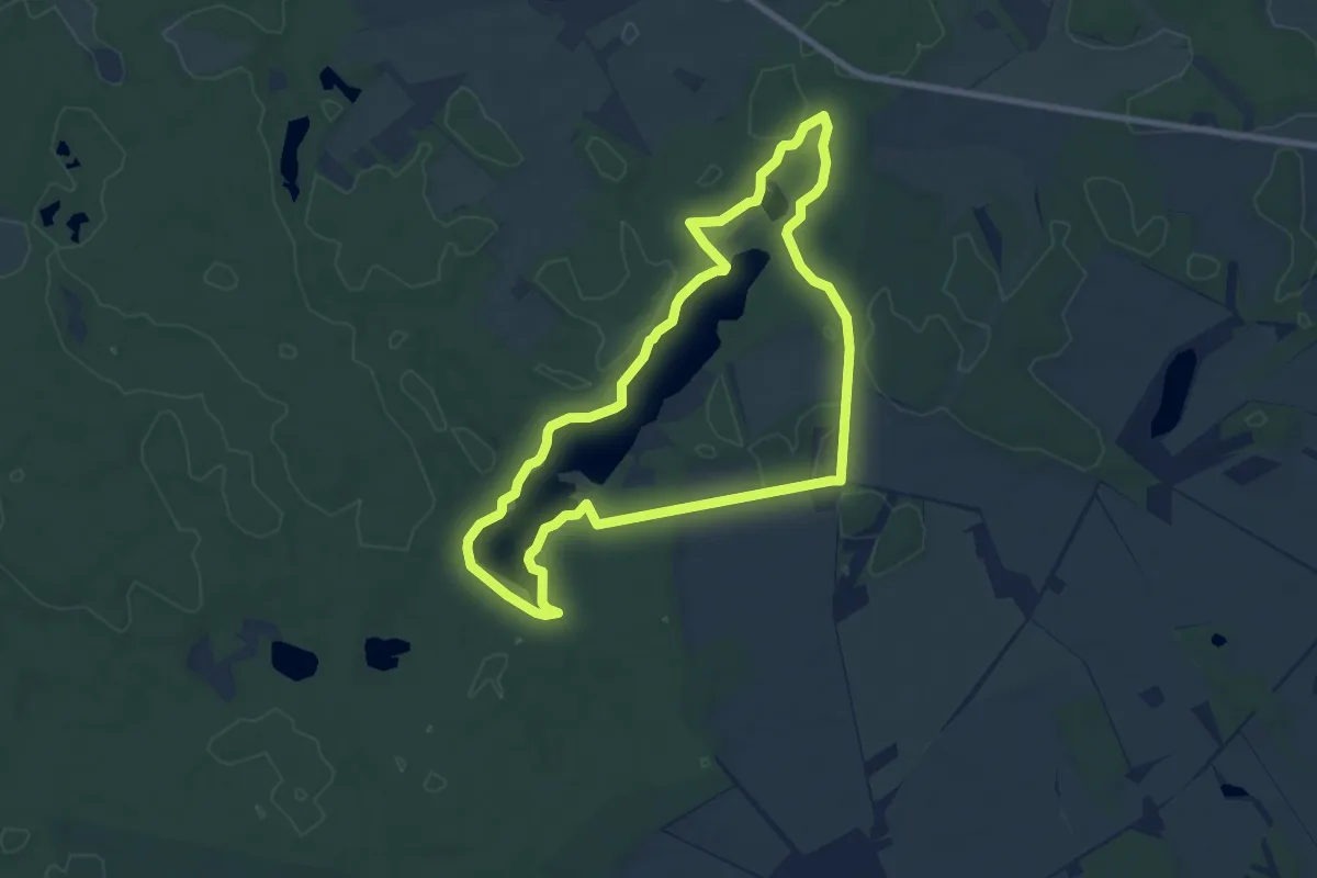
Easy · Trail
Rund um den Göhlensee
7.6 km · ↑ 71 m · 2 h 3 min
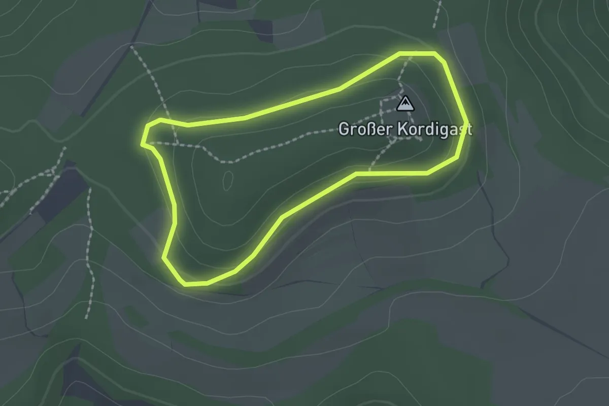
Easy · Summit
Rund um den Großen Kordigast
1.7 km · ↑ 35 m · 30 min
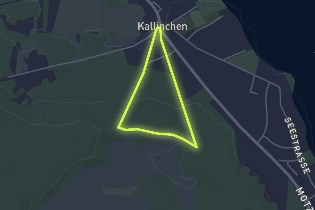
Easy · Summit
Rund um den Guhringsberg
2.1 km · ↑ 32 m · 35 min
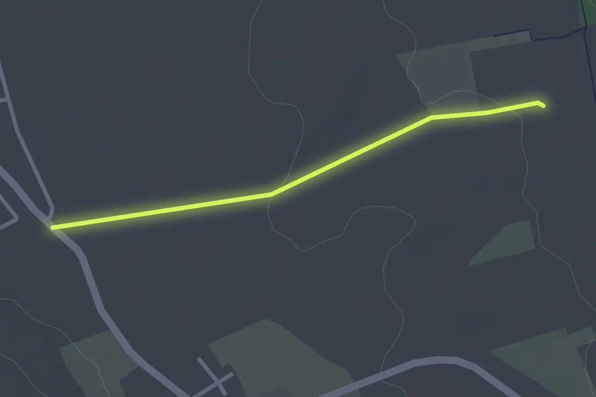
Easy · Trail
Rund um den Hagenbühl
2.3 km · ↑ 31 m · 37 min
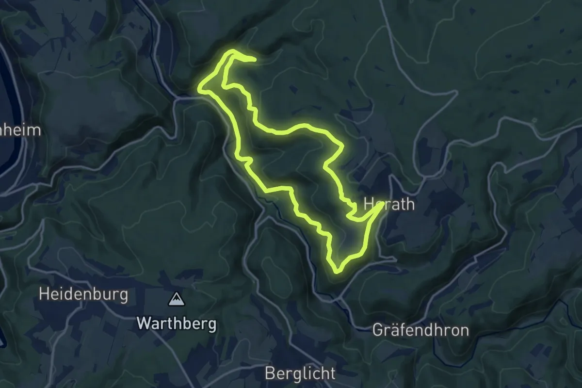
Medium · Trail
Rund um den Harpelstein
12.4 km · ↑ 431 m · 4 h 3 min
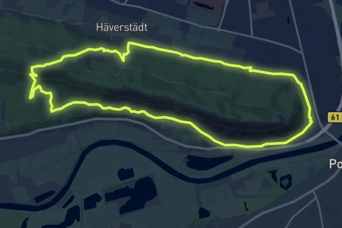
Medium · Summit
Rund um den Häverstädter Berg A1-PWB
10.6 km · ↑ 353 m · 3 h 25 min
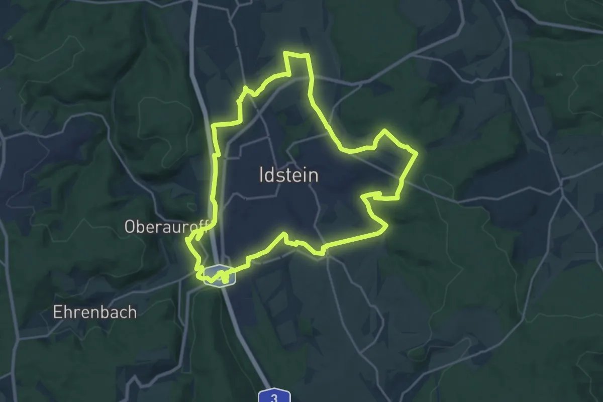
Medium · Trail
Rund um den Hexenturm
16.6 km · ↑ 327 m · 4 h 52 min
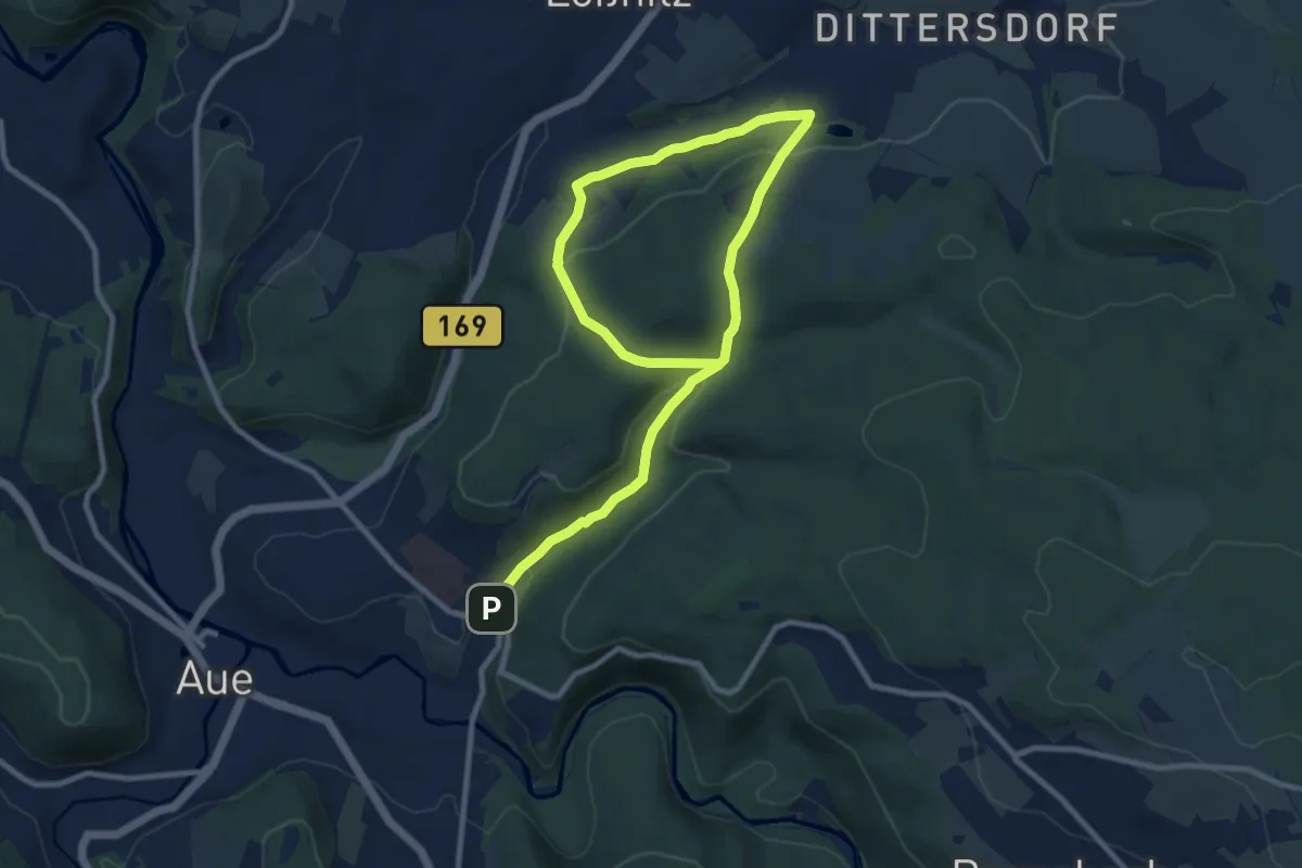
Easy · Trail
Rund um den Hirnschädel mit Abzweig Bärengrund
6.5 km · ↑ 285 m · 2 h 10 min
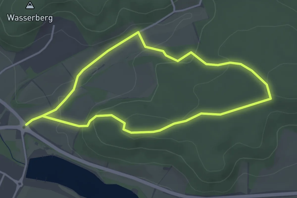
Easy · Trail
Rund um den Kellerberg
3.3 km · ↑ 83 m · 1 h 1 min
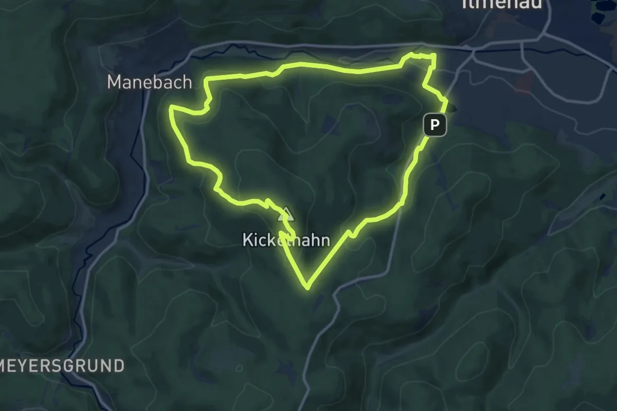
Medium · Summit
Rund um den Kickelhahn
10.0 km · ↑ 413 m · 3 h 24 min
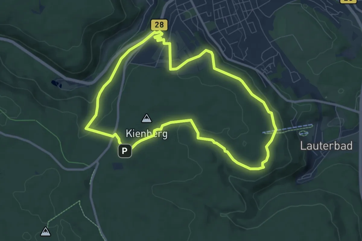
Easy · Trail
Rund um den Kienberg
7.4 km · ↑ 174 m · 2 h 14 min
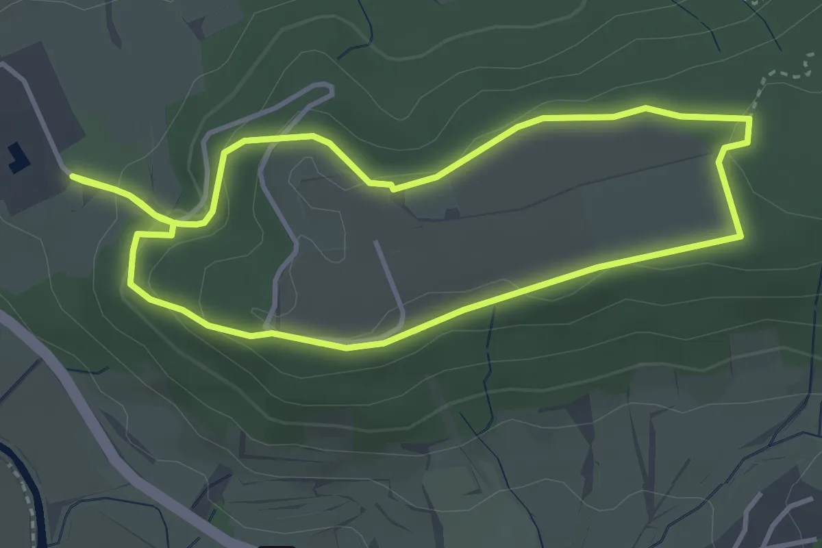
Easy · Trail
Rund um den Kieselberg
7.4 km · ↑ 259 m · 2 h 18 min
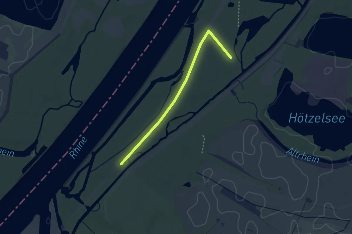
Easy · Trail
Rund um den kleinen Bodensee
2.8 km · ↑ 4 m · 40 min
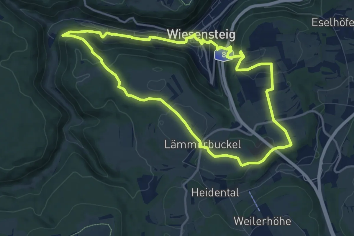
Medium · Summit
Rund um den Lämmerbuckel
9.2 km · ↑ 261 m · 2 h 51 min
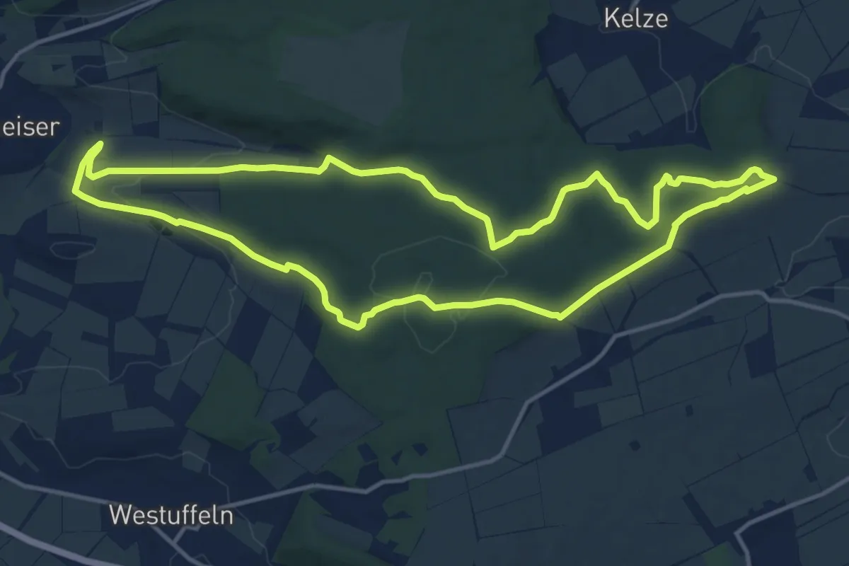
Medium · Trail
Rund um den Langenberg
11.9 km · ↑ 232 m · 3 h 28 min
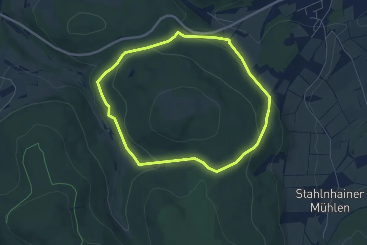
Easy · Trail
Rund um den Langhals
4.9 km · ↑ 156 m · 1 h 34 min
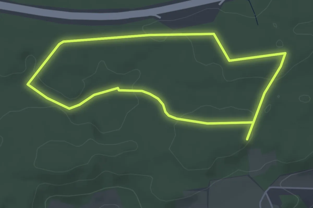
Easy · Trail
Rund um den Lindgraben
3.9 km · ↑ 50 m · 1 h 4 min
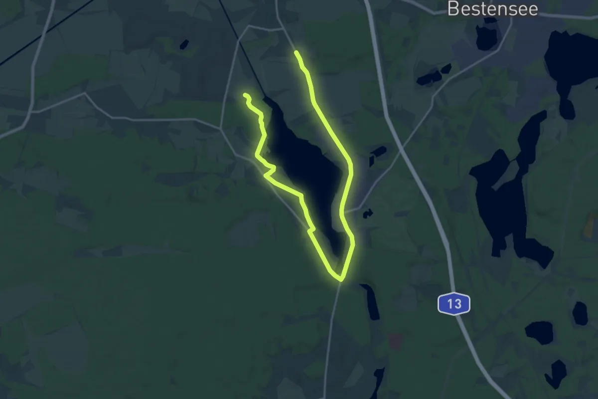
Demanding · Trail
Rund um den Motzener See
20.1 km · ↑ 57 m · 4 h 53 min
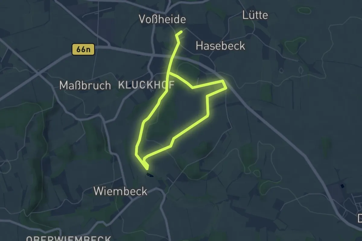
Easy · Trail
Rund um den Mühlenberg A3
4.1 km · ↑ 98 m · 1 h 15 min
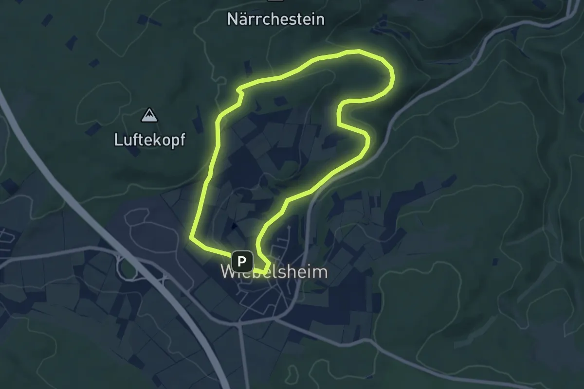
Easy · Summit
Rund um den Nölgeskopf
5.5 km · ↑ 123 m · 1 h 39 min
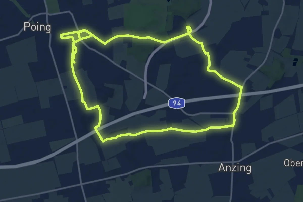
Medium · Trail
Rund um den Poinger Wildpark
10.7 km · ↑ 61 m · 2 h 48 min
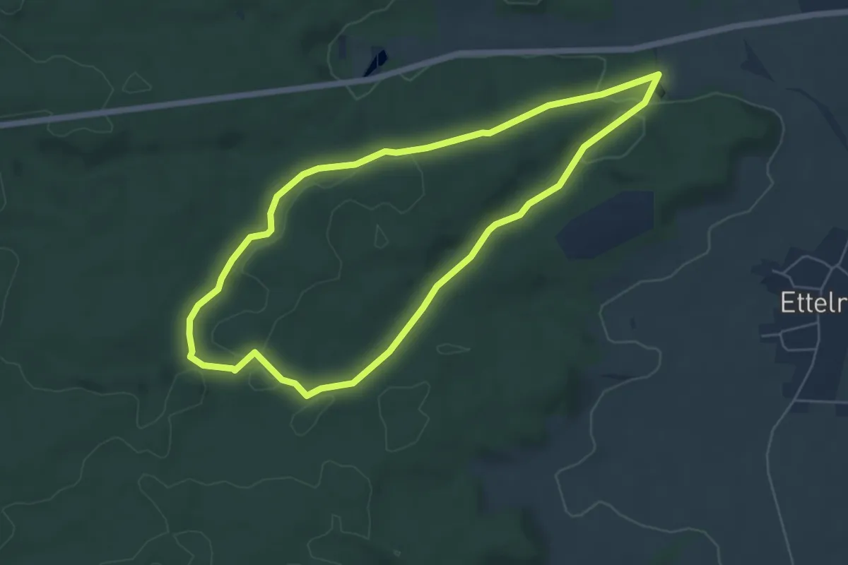
Easy · Trail
Rund um den Rauhenberg
5.3 km · ↑ 99 m · 1 h 32 min