Trails in Germany
36,852 hiking trails, each with its route, climb, walking time and grade.
All trails, page 474 of 768
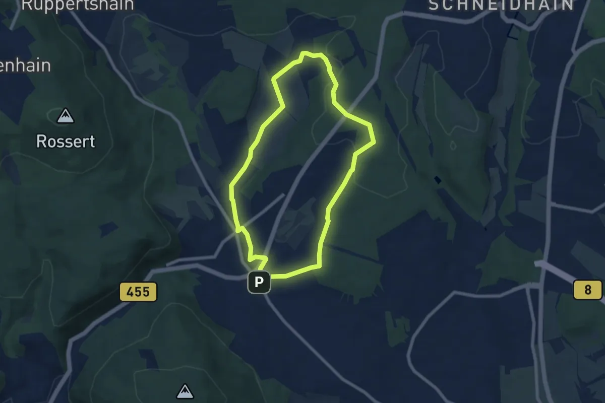
Easy · Trail
Rund um den Rettershof: Weg 2
5.7 km · ↑ 89 m · 1 h 37 min
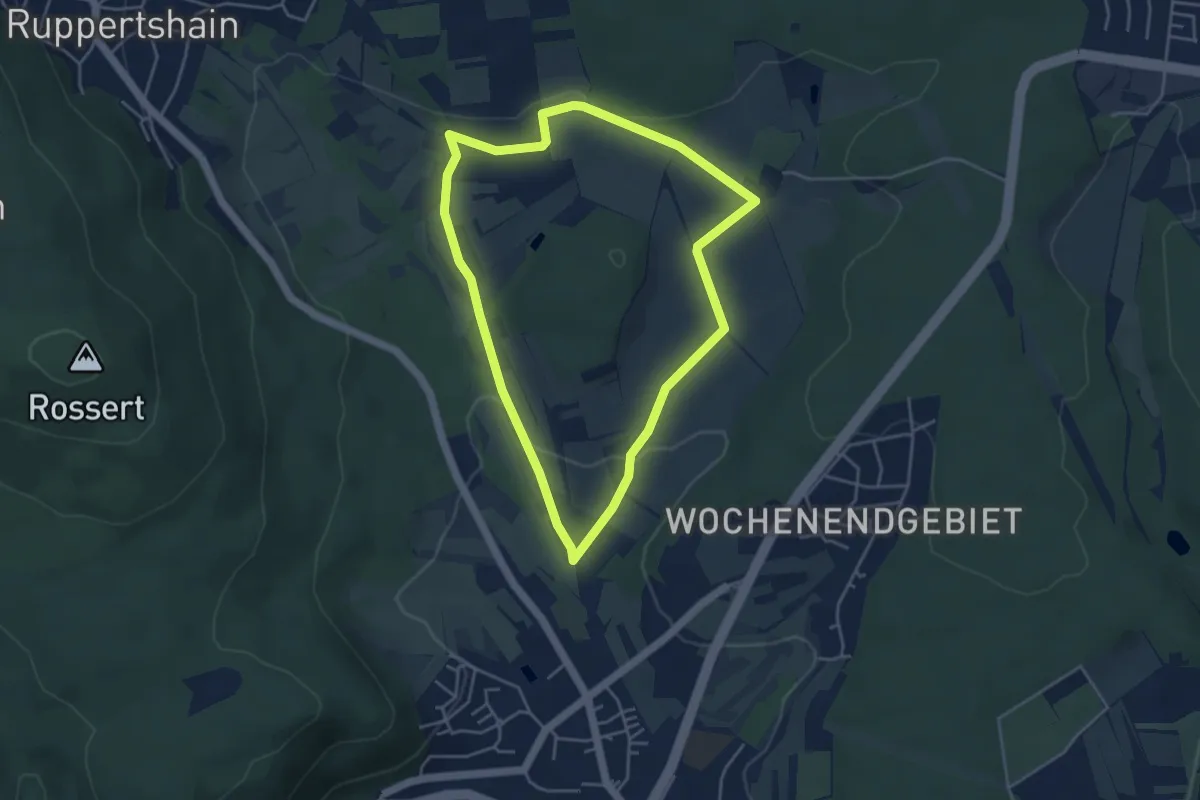
Easy · Trail
Rund um den Rettershof: Weg 4
3.9 km · ↑ 62 m · 1 h 6 min
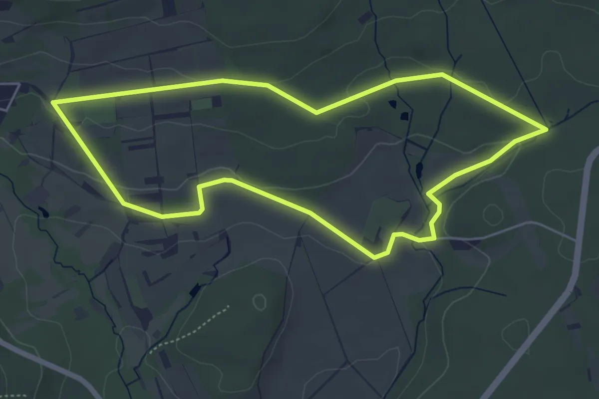
Easy · Trail
Rund um den Rettershof: Weg 5
4.6 km · ↑ 64 m · 1 h 17 min
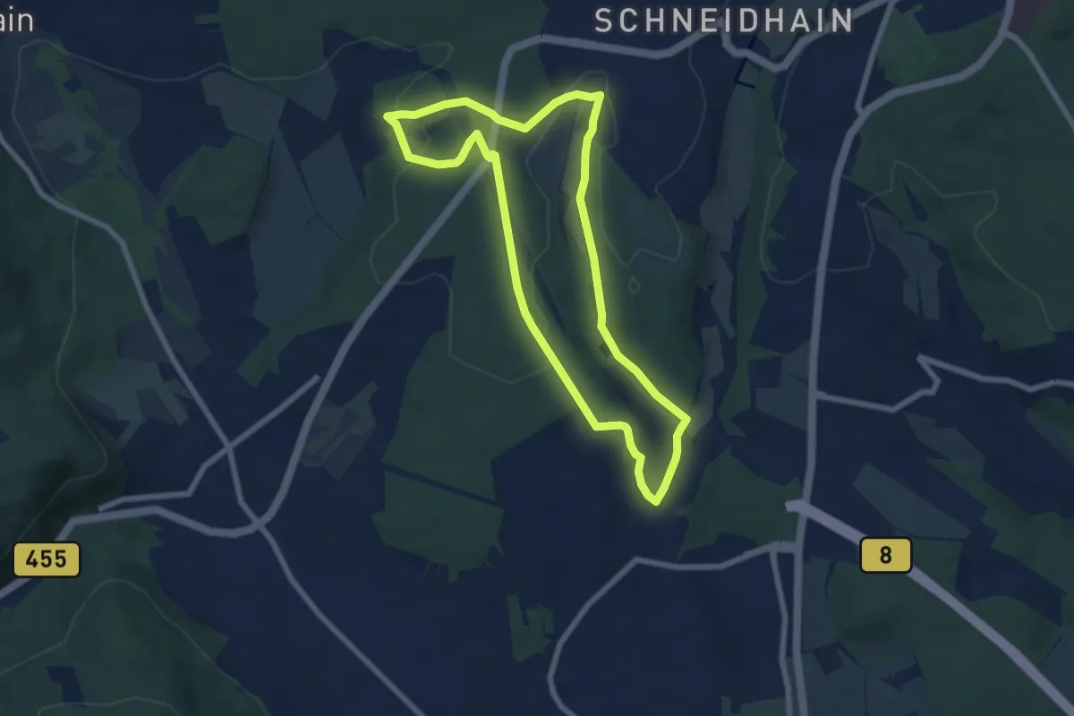
Easy · Trail
Rund um den Rettershof: Weg 7
6.1 km · ↑ 114 m · 1 h 46 min
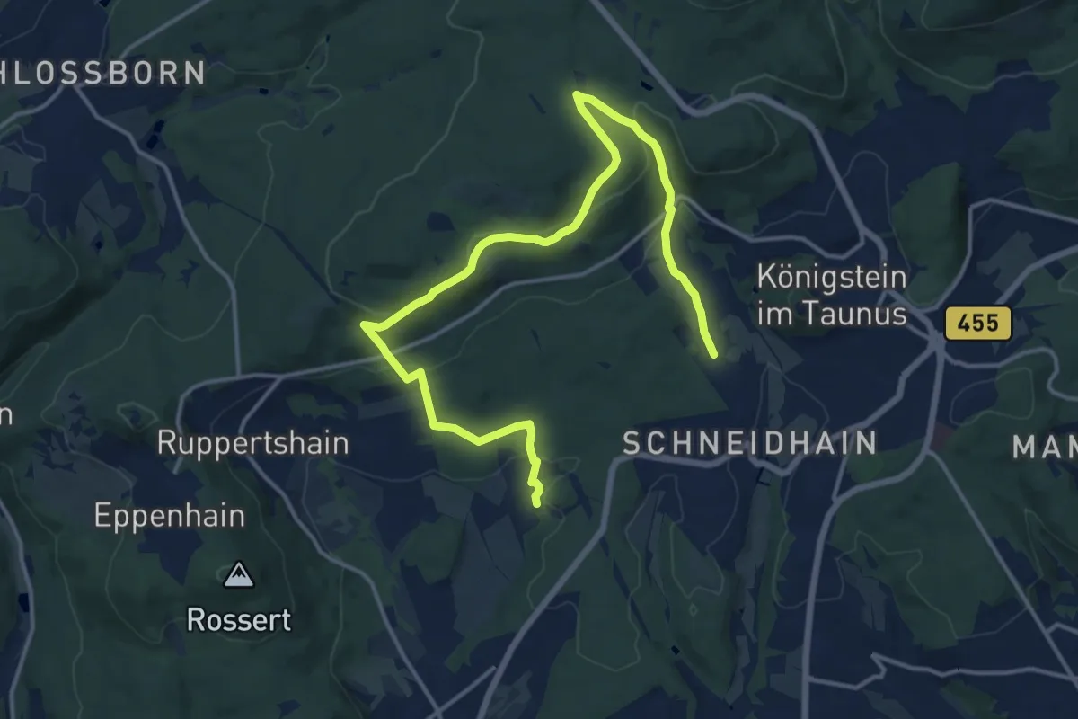
Medium · Trail
Rund um den Rettershof: Weg 8
8.1 km · ↑ 276 m · 2 h 37 min
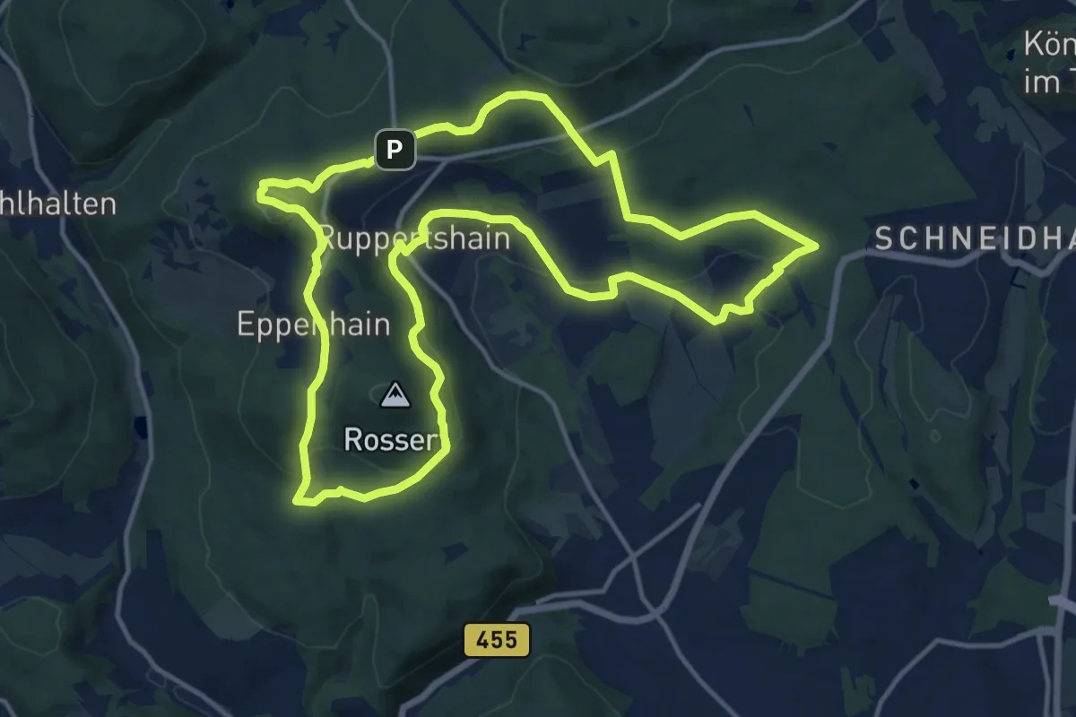
Medium · Summit
Rund um den Rettershof: Weg 9
13.1 km · ↑ 340 m · 4 h
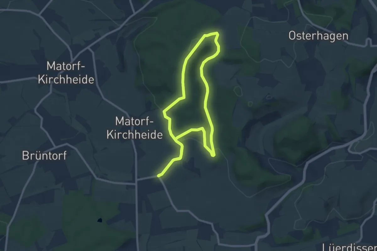
Easy · Trail
Rund um den Rießen
6.4 km · ↑ 192 m · 2 h 1 min
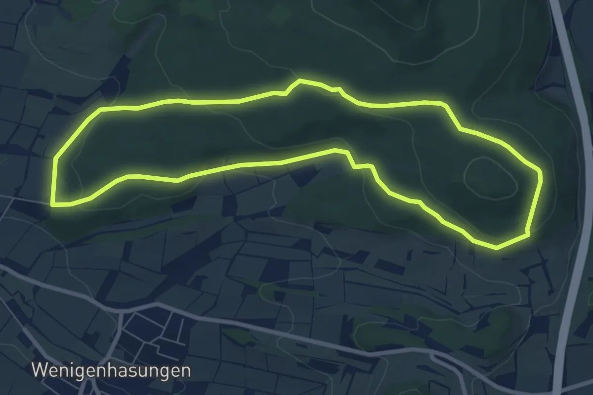
Easy · Trail
"Rund um den Rohrberg": Rundwanderweg 1 des Naturpark Habichtswald
6.5 km · ↑ 179 m · 2 h 1 min
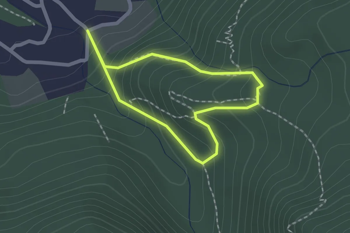
Medium · Trail
rund um den Schloßberg
1.3 km · ↑ 117 m · 34 min
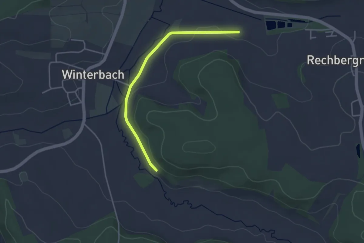
Easy · Trail
Rund um den Schloßberg
3.1 km · ↑ 12 m · 45 min
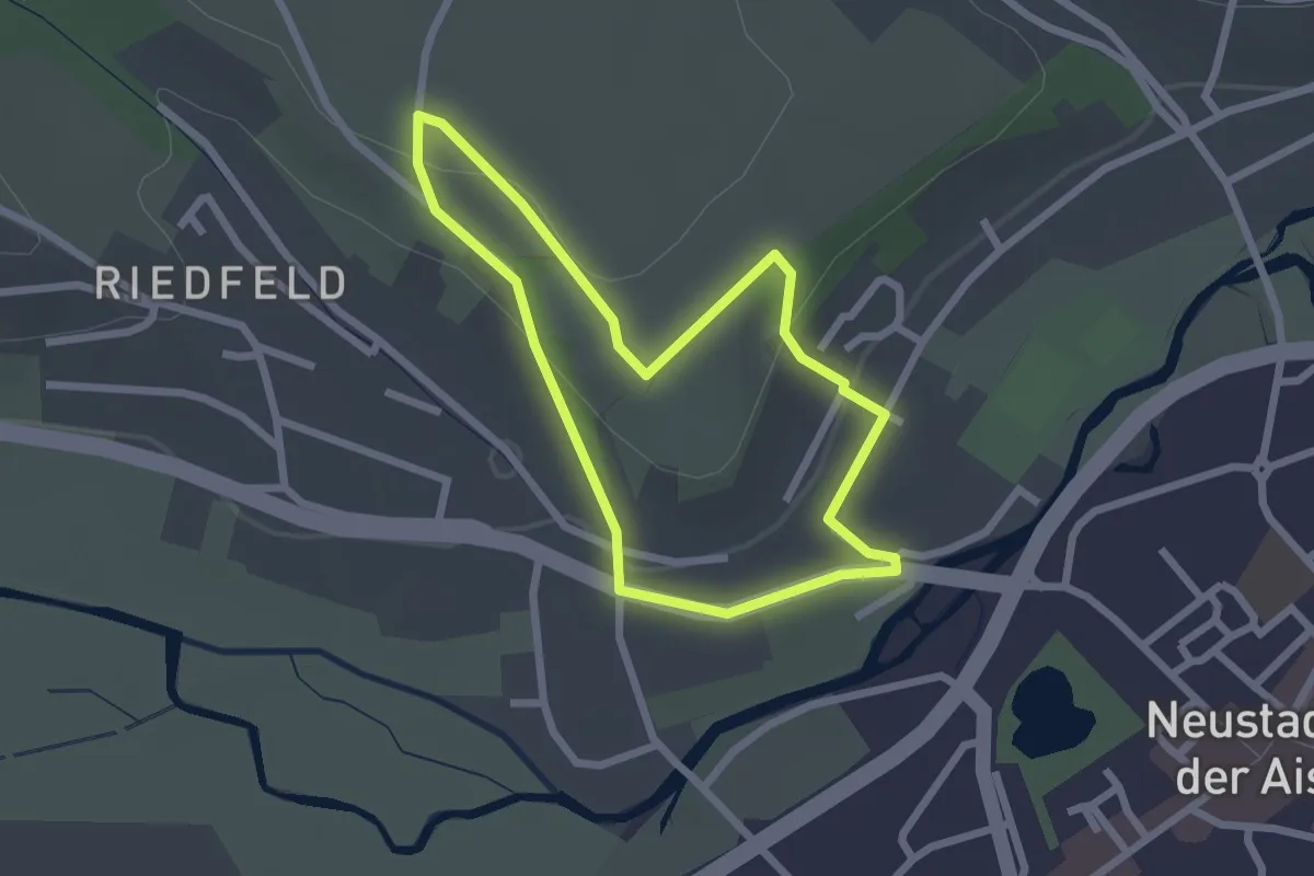
Easy · Trail
Rund um den Schnappenstein
2.0 km · ↑ 45 m · 36 min
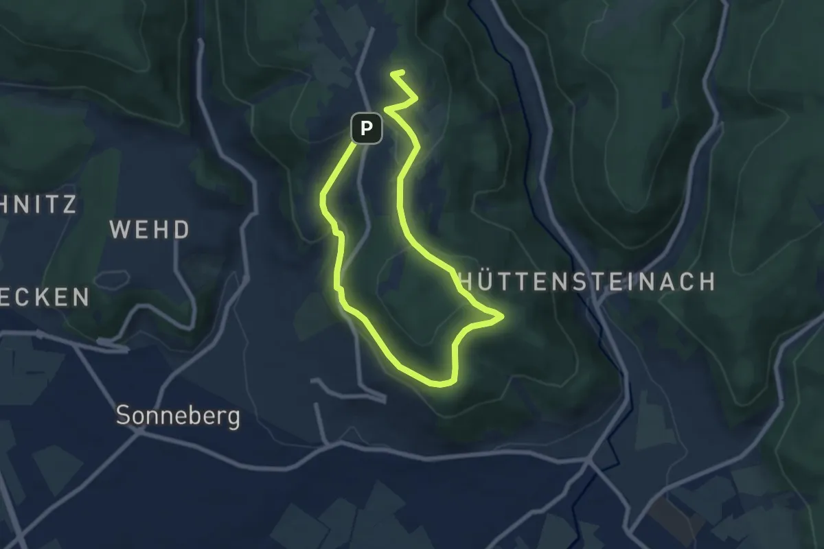
Medium · Summit
Rund um den Schönberg
10.1 km · ↑ 298 m · 3 h 2 min
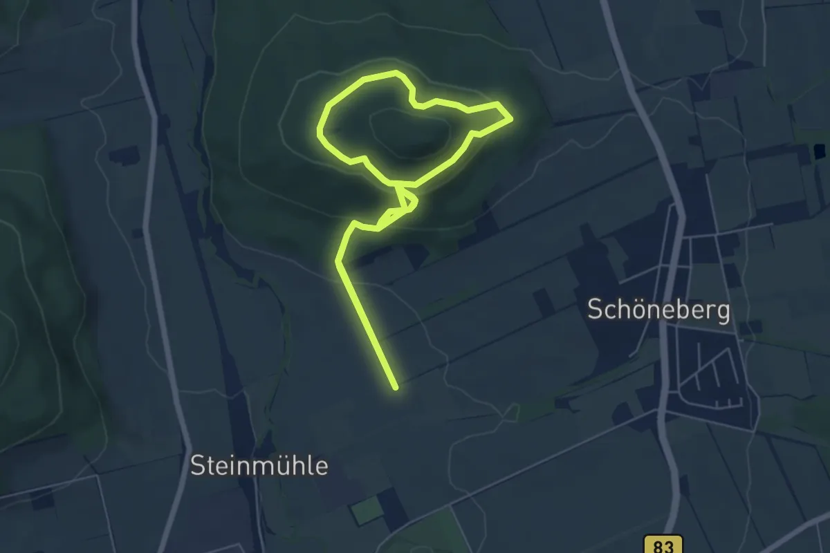
Easy · Summit
Rund um den Schöneberg
4.8 km · ↑ 252 m · 1 h 43 min
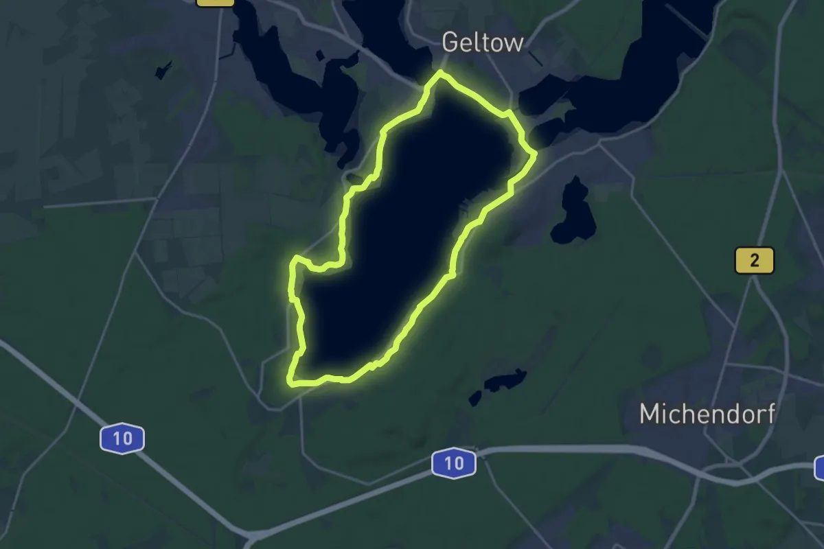
Medium · Trail
Rund um den Schwielowsee
15.5 km · ↑ 96 m · 4 h 5 min
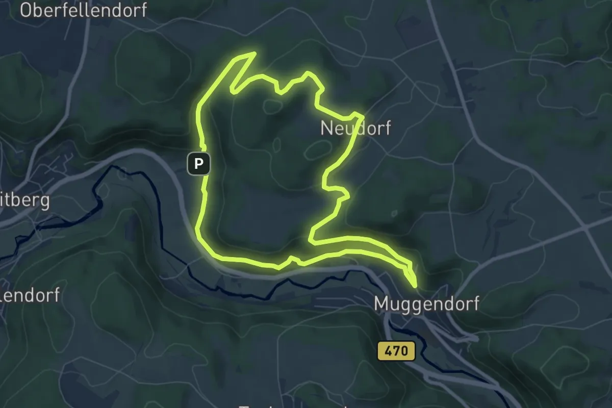
Easy · Trail
Rund um den Schwingbogen
7.4 km · ↑ 251 m · 2 h 24 min
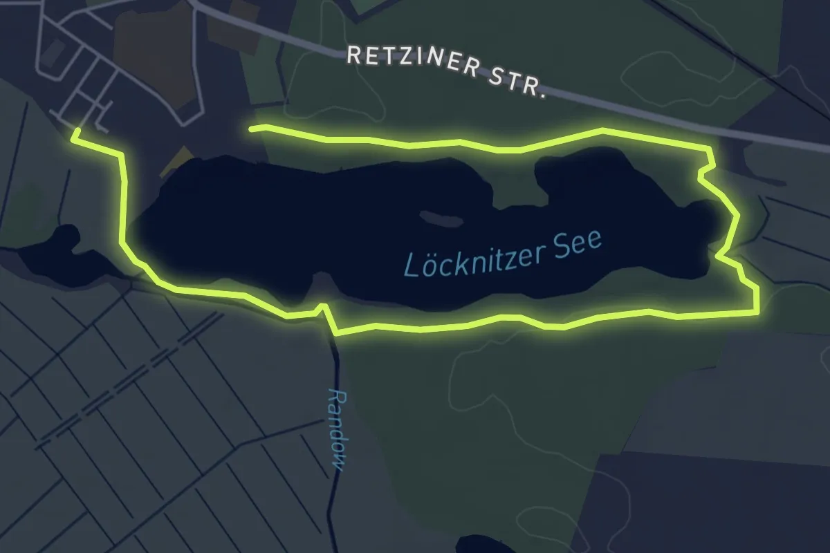
Easy · Trail
Rund um den See
3.9 km · ↑ 8 m · 1 h
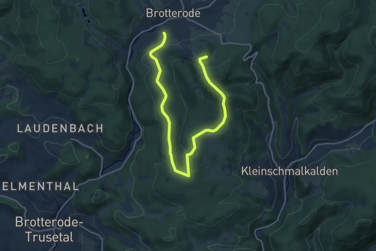
Medium · Summit
Rund um den Seimberg
13.3 km · ↑ 314 m · 3 h 49 min
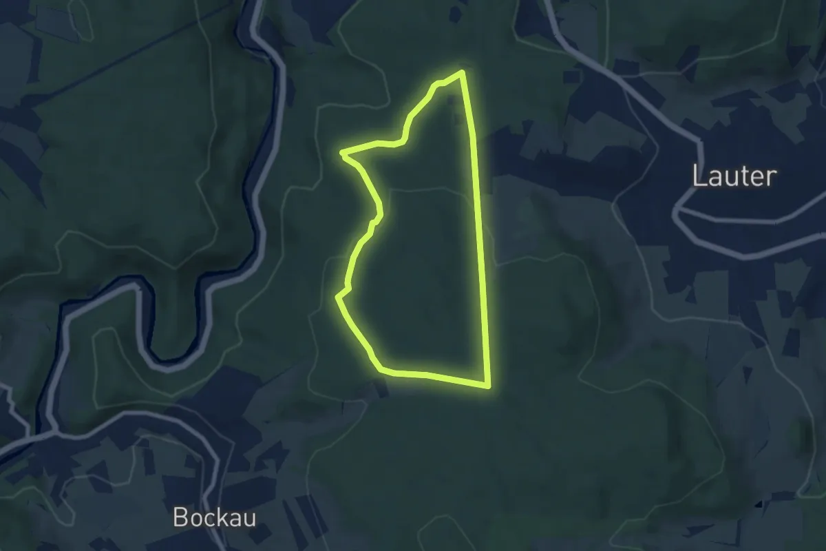
Easy · Trail
Rund um den Spanhübel
5.8 km · ↑ 143 m · 1 h 45 min
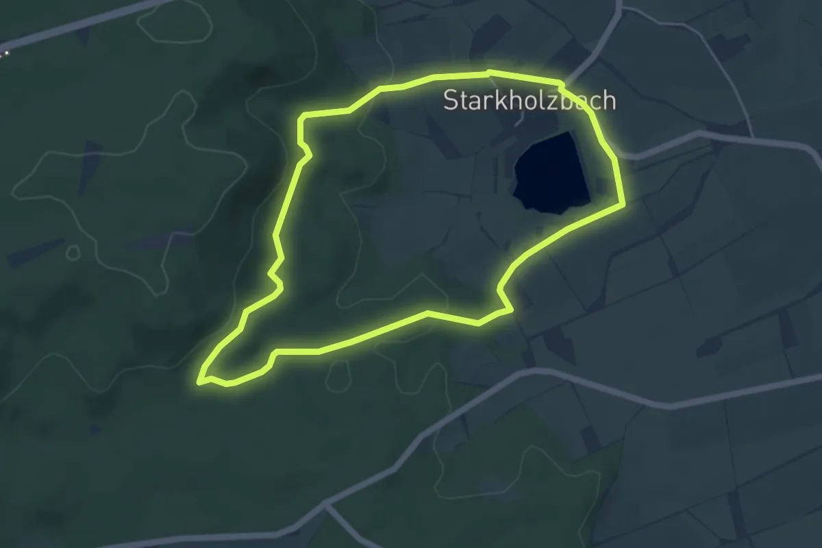
Easy · Trail
Rund um den Starkholzbacher See
4.6 km · ↑ 86 m · 1 h 20 min
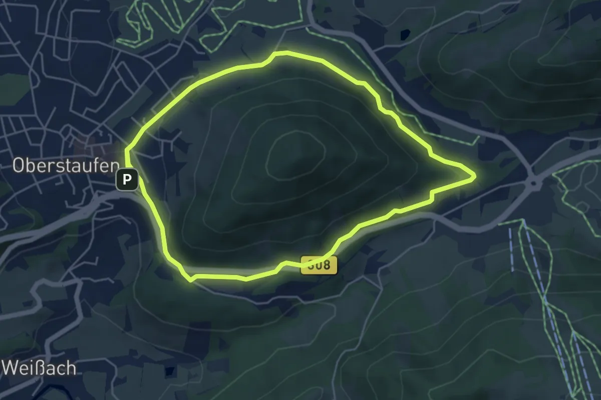
Easy · Trail
Rund um den Staufen
4.6 km · ↑ 101 m · 1 h 22 min
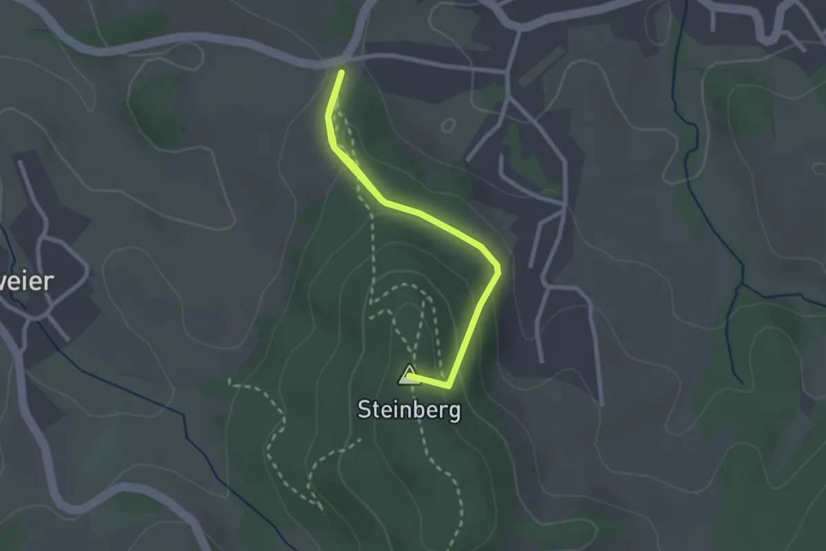
Easy · Summit
Rund um den Steinberg
2.6 km · ↑ 123 m · 53 min
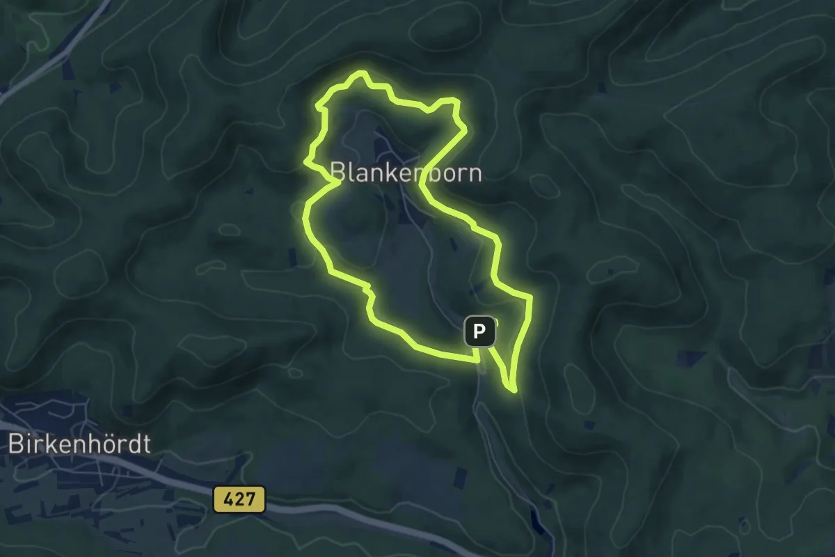
Easy · Trail
Rund um den Steinkopf, Blankenborn
6.0 km · ↑ 211 m · 1 h 58 min
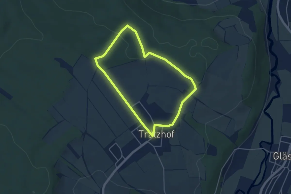
Easy · Trail
Rund um den Trätzhof
3.1 km · ↑ 45 m · 52 min
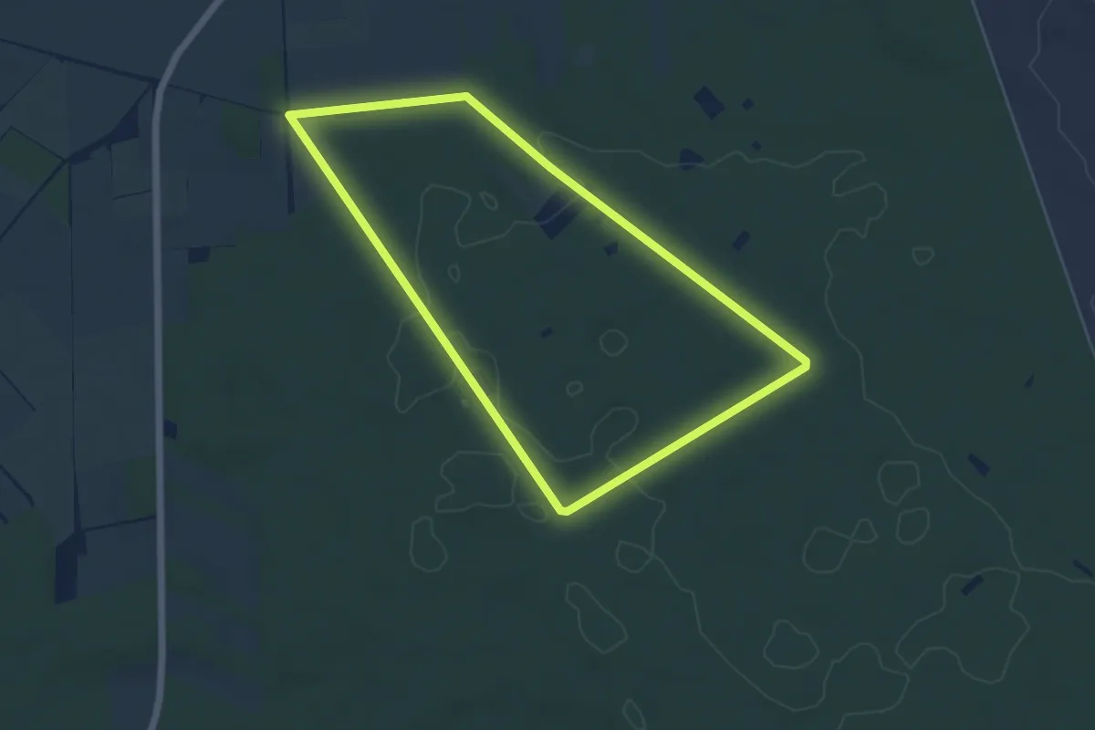
Easy · Trail
Rund um den Truers-Berg
4.6 km · ↑ 30 m · 1 h 13 min
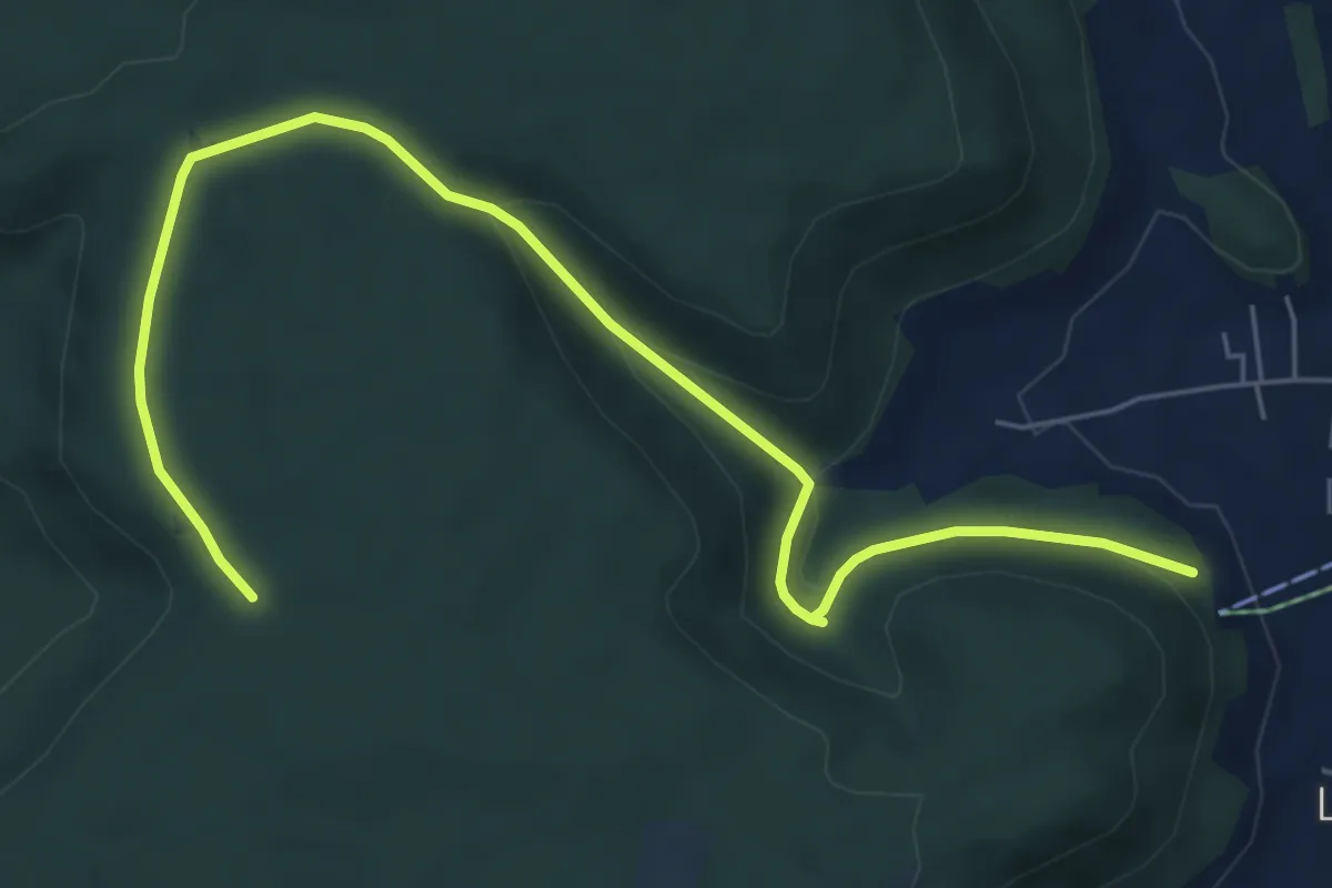
Easy · Trail
Rund um den Weilheimer Berg
7.2 km · ↑ 195 m · 2 h 8 min
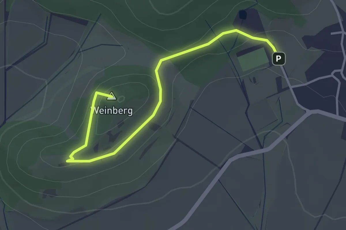
Easy · Summit
Rund um den Weinberg Ho 1
3.2 km · ↑ 86 m · 56 min
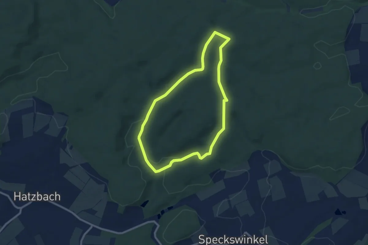
Easy · Trail
Rund um den Wetzstein
5.8 km · ↑ 113 m · 1 h 42 min
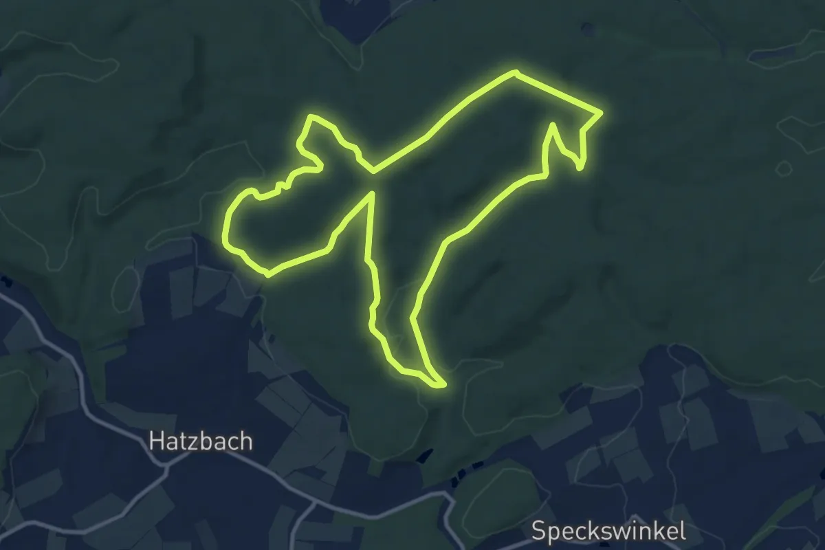
Medium · Trail
Rund um den Wetzstein
10.5 km · ↑ 143 m · 2 h 56 min
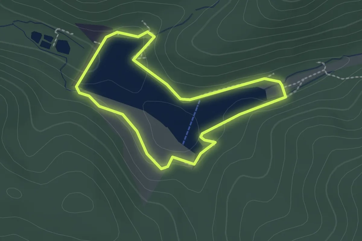
Easy · Trail
Rund um den Wiesenbeker Teich
1.8 km · ↑ 42 m · 33 min
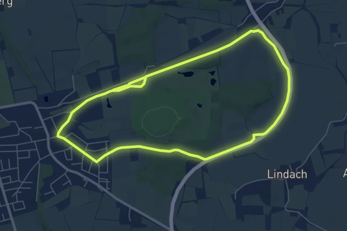
Easy · Trail
Rund um den Wildpark Poing
5.9 km · ↑ 26 m · 1 h 33 min
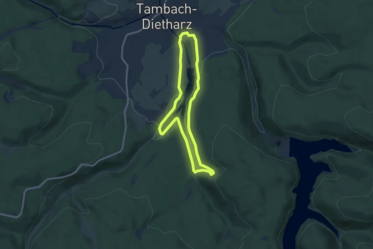
Easy · Trail
Rund um die Alte Tambacher Talsperre
5.7 km · ↑ 170 m · 1 h 48 min
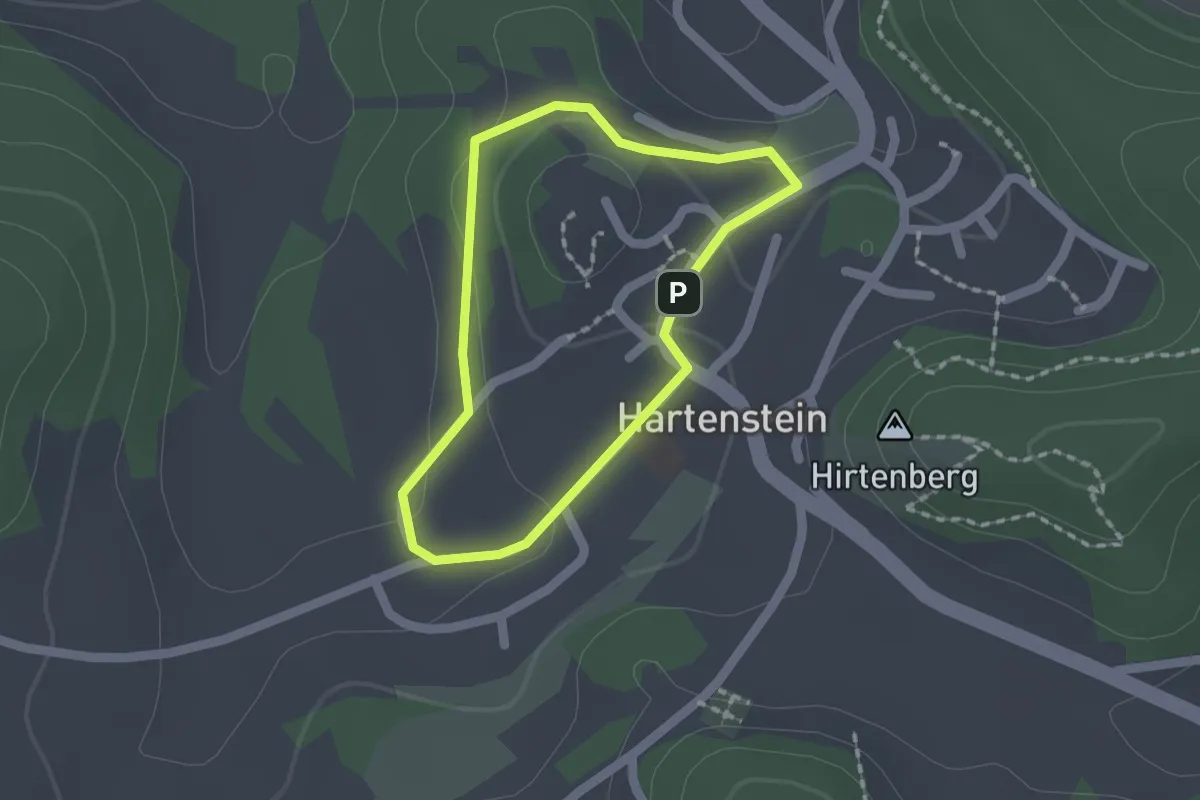
Easy · Trail
Rund um die Burg Hartenstein
1.3 km · ↑ 32 m · 24 min
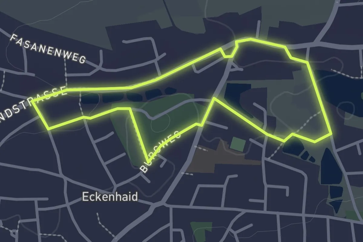
Easy · Trail
Rund um die Eckenhaider Weiher und zum Eckenhaider Schloss
2.5 km · ↑ 18 m · 39 min
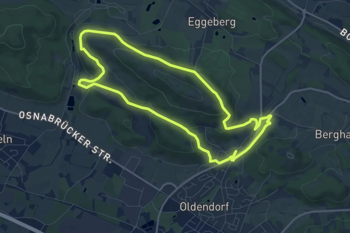
Medium · Trail
Rund um die Haller Egge
8.1 km · ↑ 245 m · 2 h 33 min
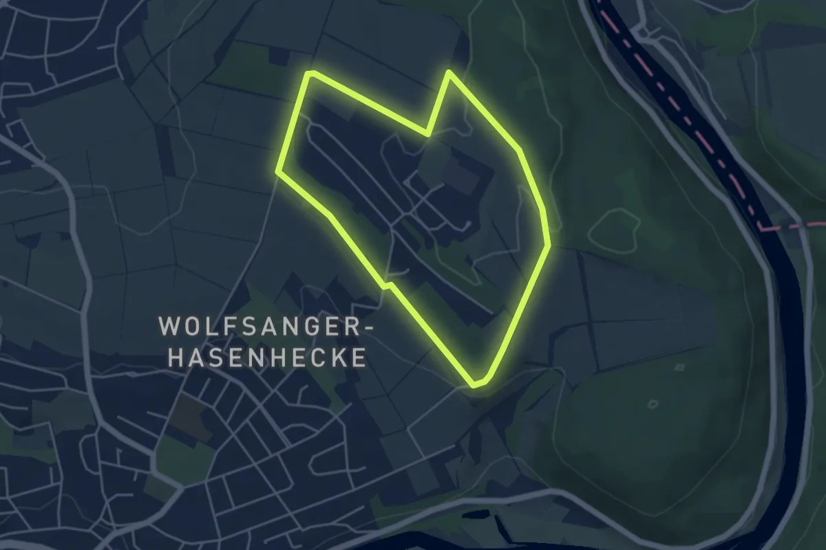
Easy · Summit
Rund um die Hasenhecke
3.8 km · ↑ 40 m · 1 h 2 min
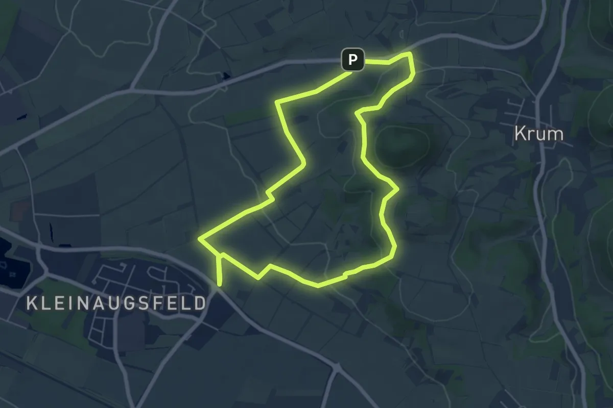
Easy · Trail
Rund um die Hohe Wann
5.7 km · ↑ 114 m · 1 h 40 min
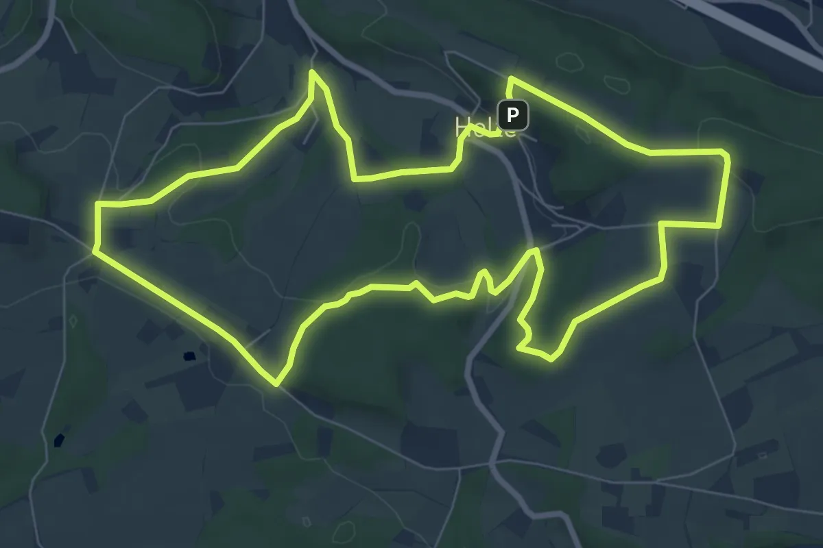
Easy · Trail
Rund um die Holter Burg
7.3 km · ↑ 136 m · 2 h 7 min
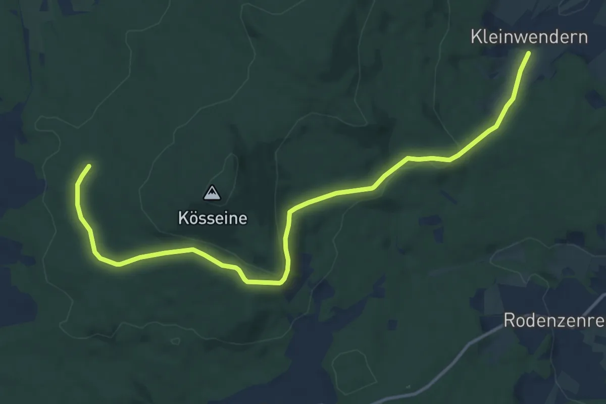
Easy · Trail
Rund um die Kösseine
6.0 km · ↑ 217 m · 1 h 55 min
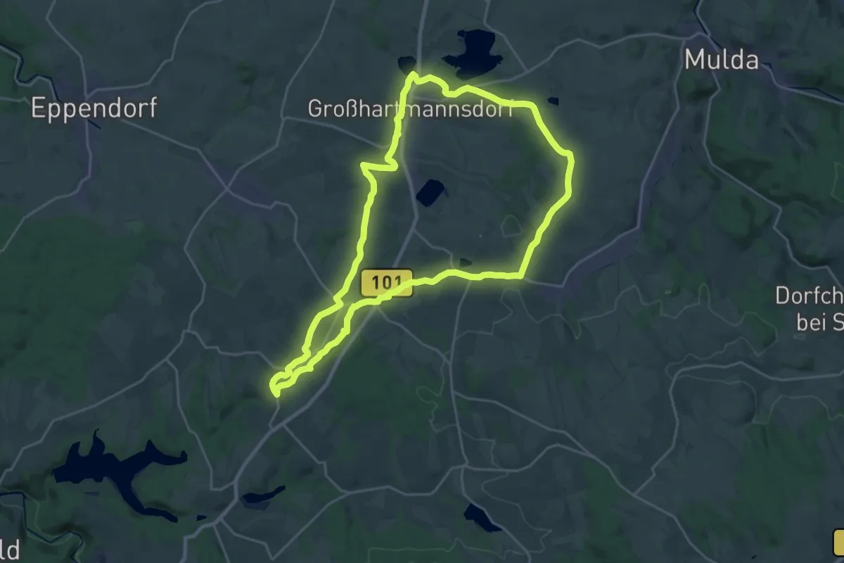
Demanding · Trail
Rund um die Lichte
21.5 km · ↑ 235 m · 5 h 53 min
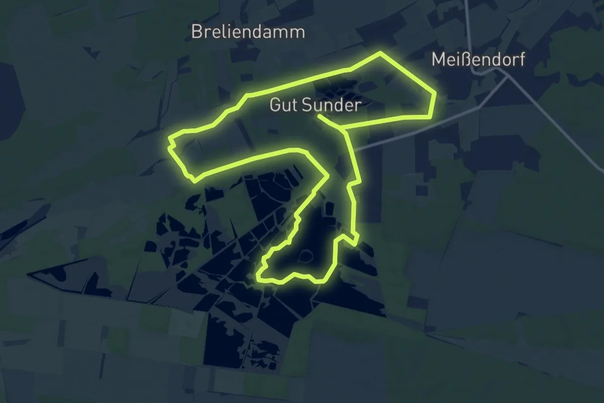
Medium · Trail
Rund um die Meißendorfer Teiche
10.9 km · ↑ 56 m · 2 h 51 min
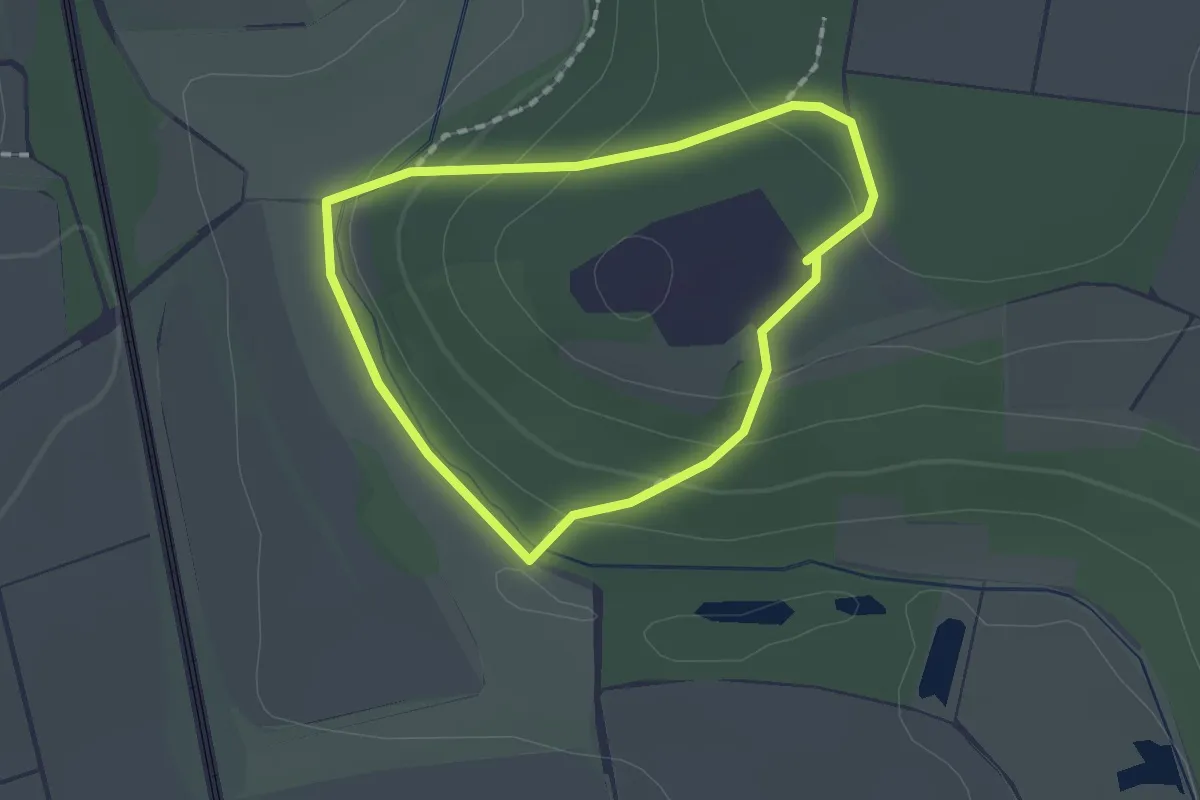
Easy · Trail
Rund um die Naumburg
1.3 km · ↑ 46 m · 25 min
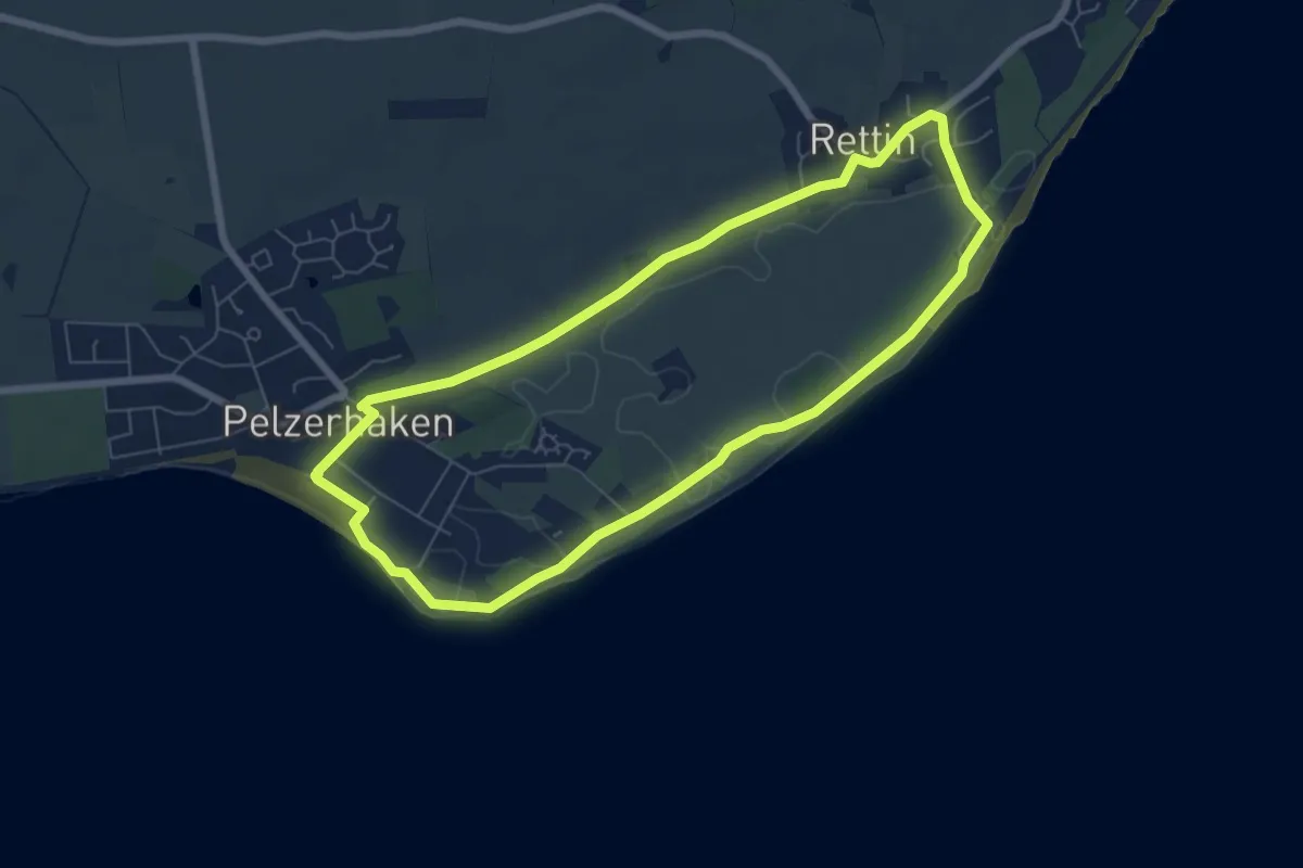
Easy · Trail
Rund um die Rettiner Wiesen
5.7 km · ↑ 0 m · 1 h 25 min
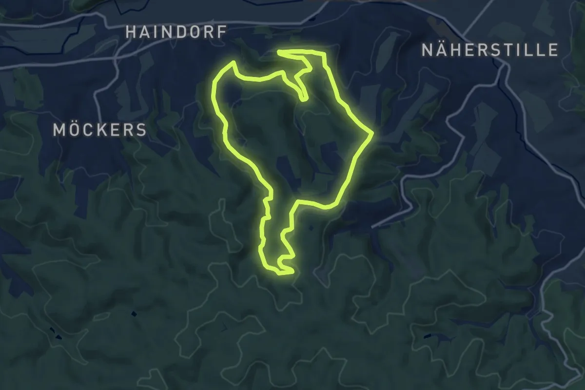
Medium · Summit
Rund um die Roßbachhöhe
11.2 km · ↑ 222 m · 3 h 16 min
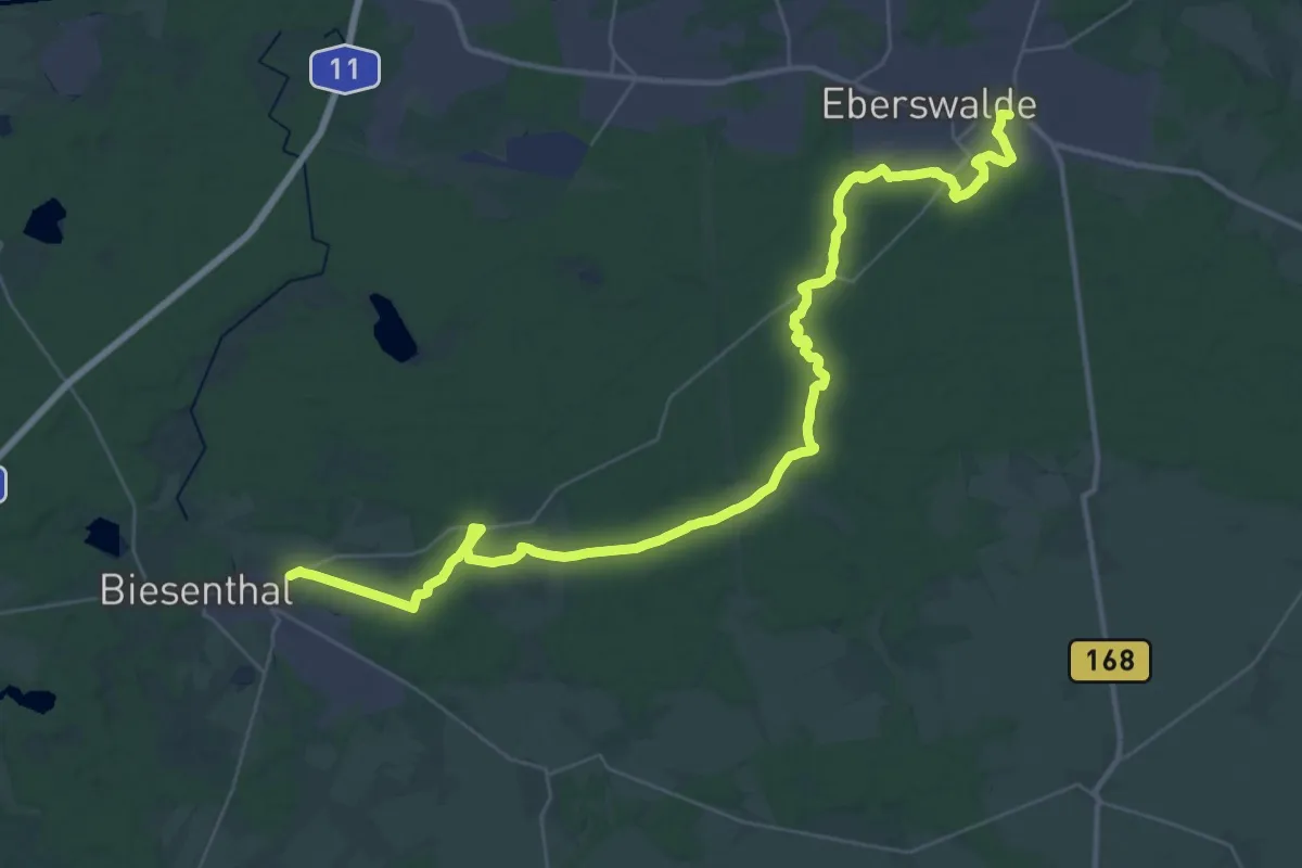
Demanding · Trail
Rund um die Schorfheide Etappe 1
20.4 km · ↑ 112 m · 5 h 22 min
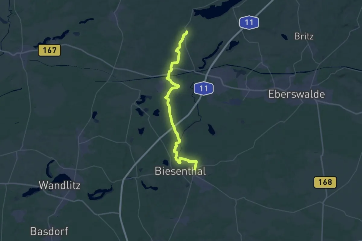
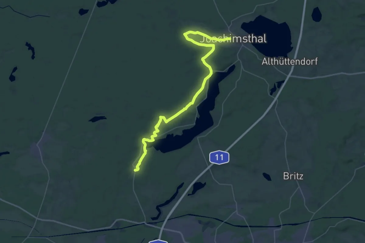
Demanding · Trail
Rund um die Schorfheide Etappe 2
19.8 km · ↑ 113 m · 5 h 11 min
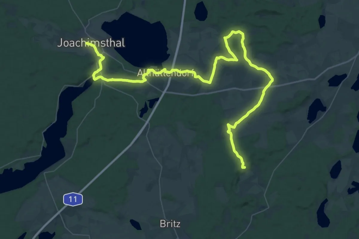
Demanding · Trail
Rund um die Schorfheide Etappe 3
20.1 km · ↑ 139 m · 5 h 20 min
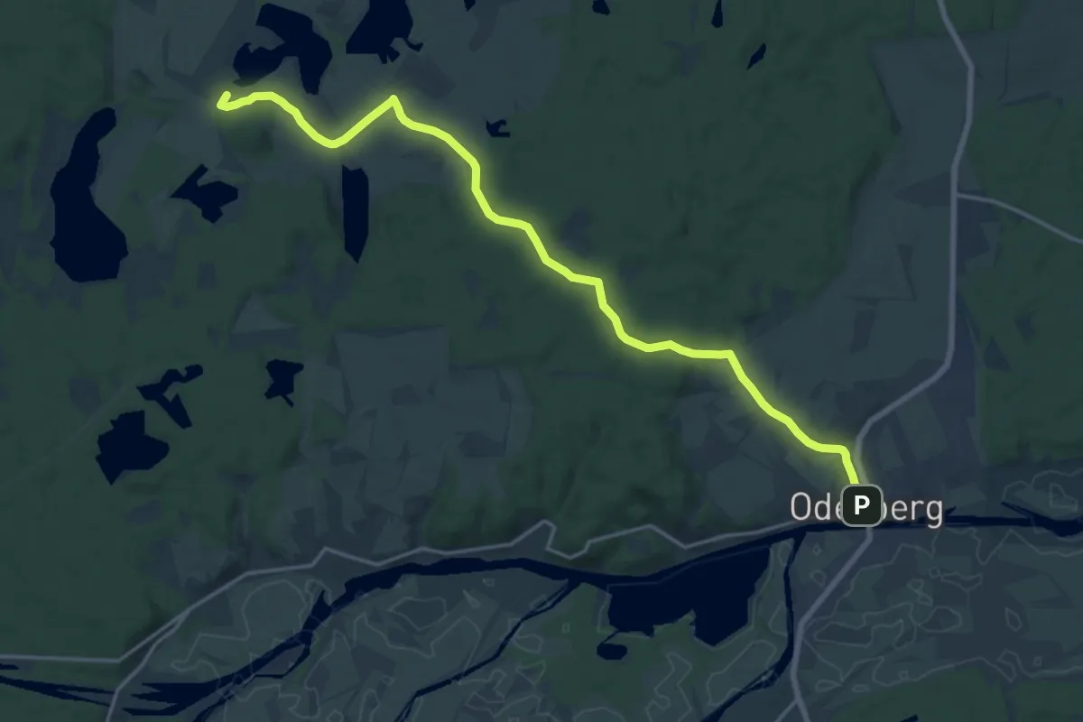
Demanding · Summit
Rund um die Schorfheide Etappe 4
52.2 km · ↑ 343 m · 13 h 4 min
Medium · Summit
Rund um die Schorfheide Etappe 5
16.9 km · ↑ 176 m · 4 h 22 min