Trails in Germany
36,824 hiking trails, each with its route, climb, walking time and grade.
All trails, page 48 of 768
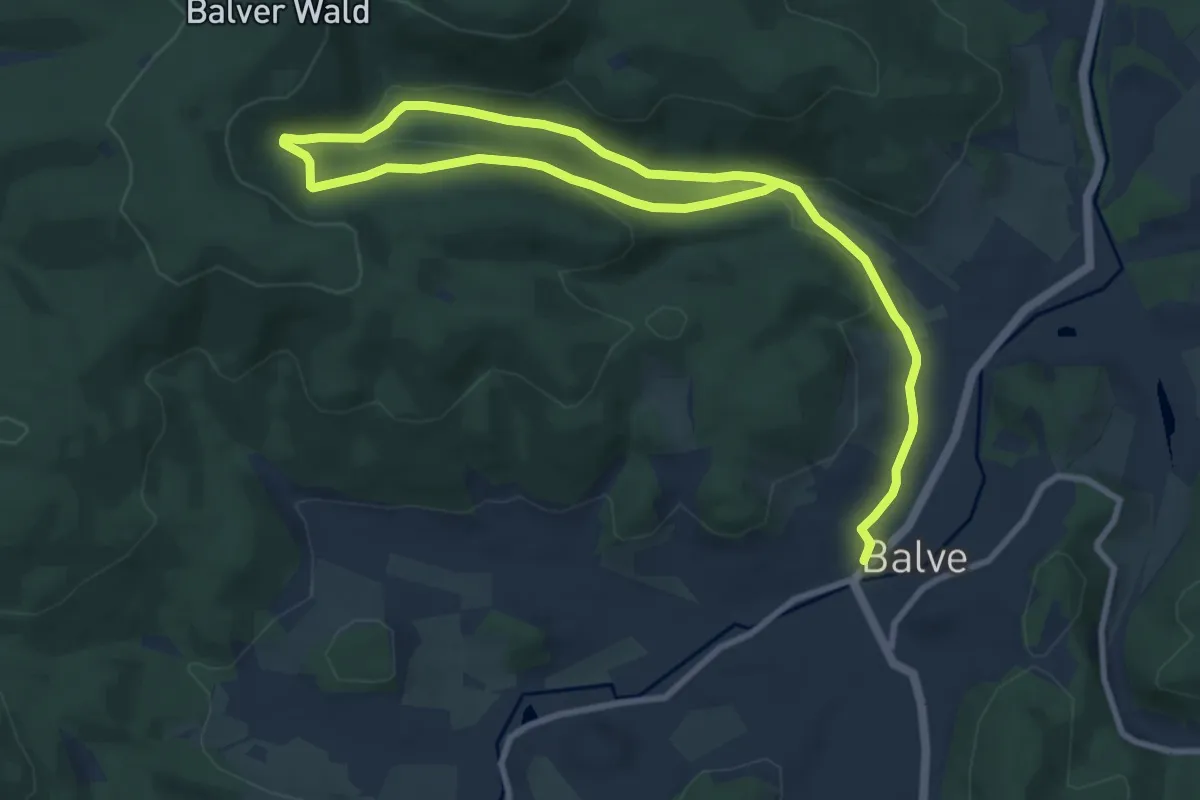
Medium · Trail
Balve Rundweg A1
12.7 km · ↑ 392 m · 3 h 51 min
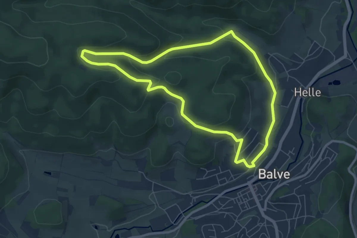
Easy · Trail
Balve Rundweg A2
5.9 km · ↑ 214 m · 1 h 56 min
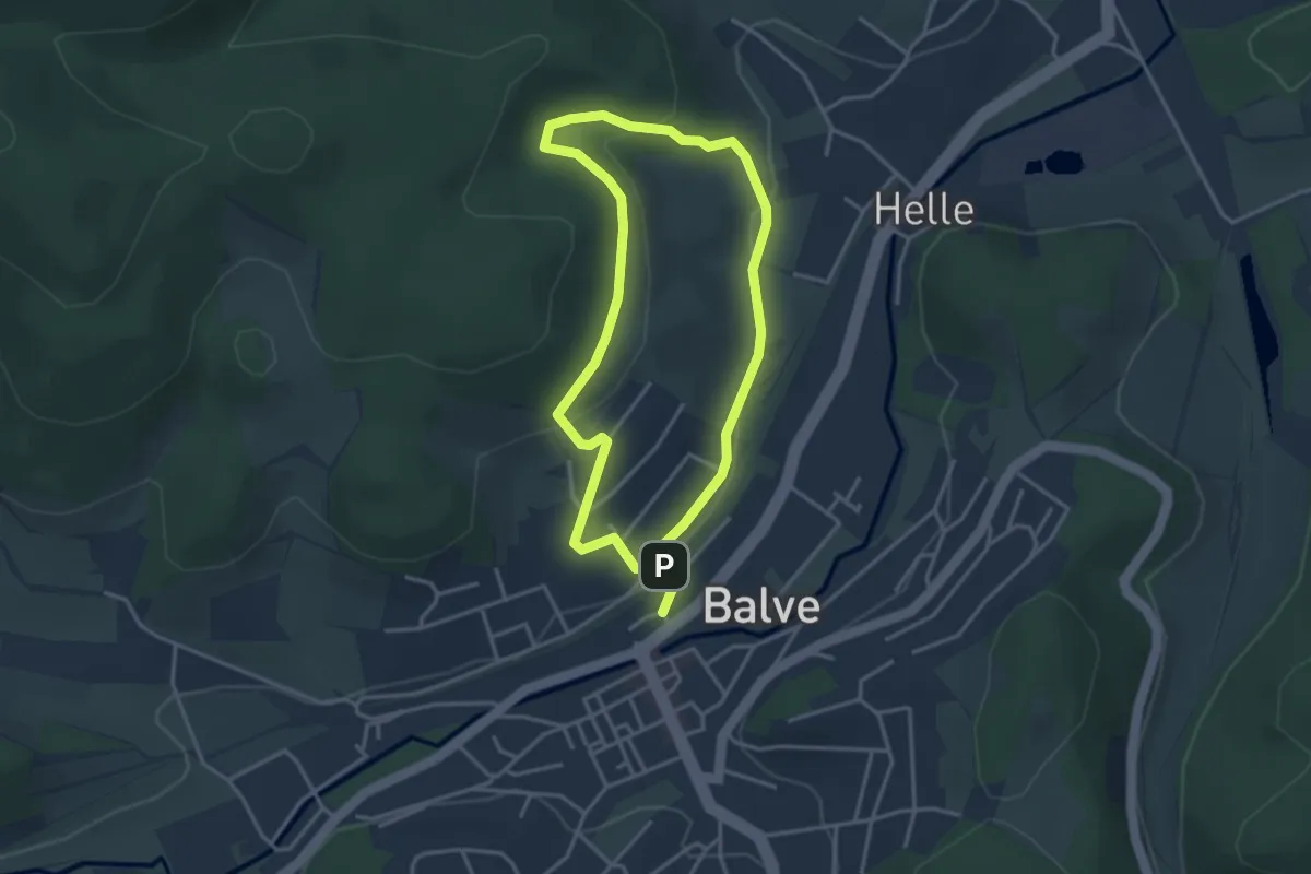
Easy · Trail
Balve Rundweg A3
2.9 km · ↑ 101 m · 56 min
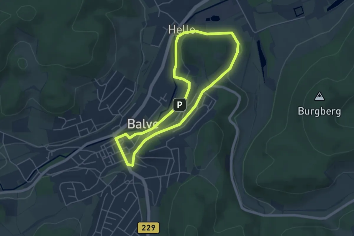
Easy · Trail
Balve Rundweg A4
3.8 km · ↑ 50 m · 1 h 3 min
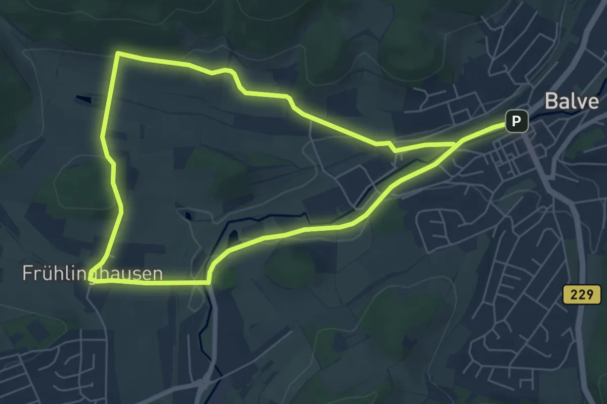
Medium · Trail
Balve Rundweg A9
10.4 km · ↑ 164 m · 2 h 49 min
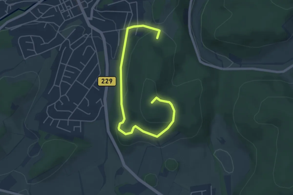
Easy · Summit
Balve Rundweg B1
4.5 km · ↑ 145 m · 1 h 23 min
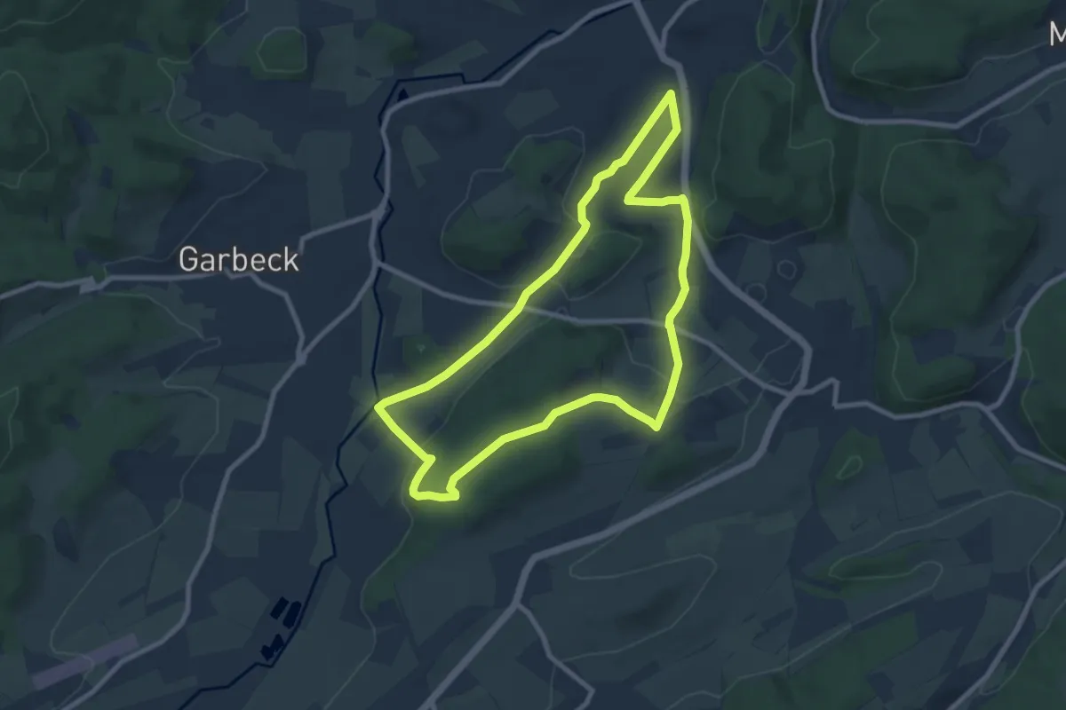
Easy · Trail
Balve Rundweg B2
7.5 km · ↑ 174 m · 2 h 15 min
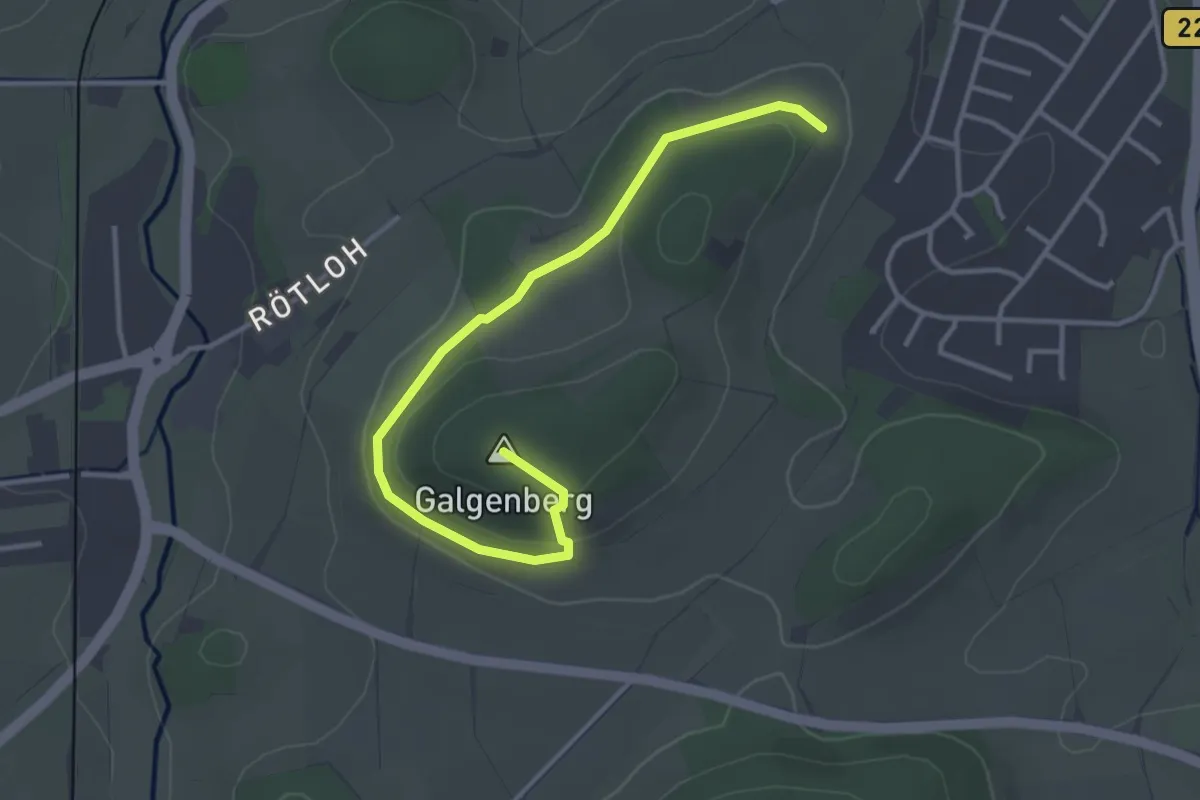
Easy · Summit
Balve Rundweg B3
3.4 km · ↑ 104 m · 1 h 2 min
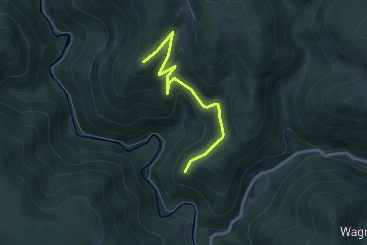
Easy · Trail
Balzerhergott - In der Guten
4.2 km · ↑ 270 m · 1 h 35 min
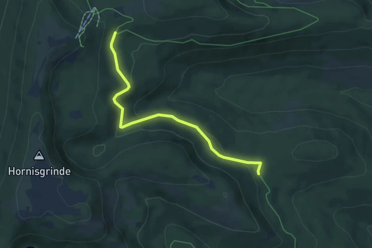
Easy · Trail
Balzgänger - Ochsenstall Abzweig
4.7 km · ↑ 139 m · 1 h 24 min
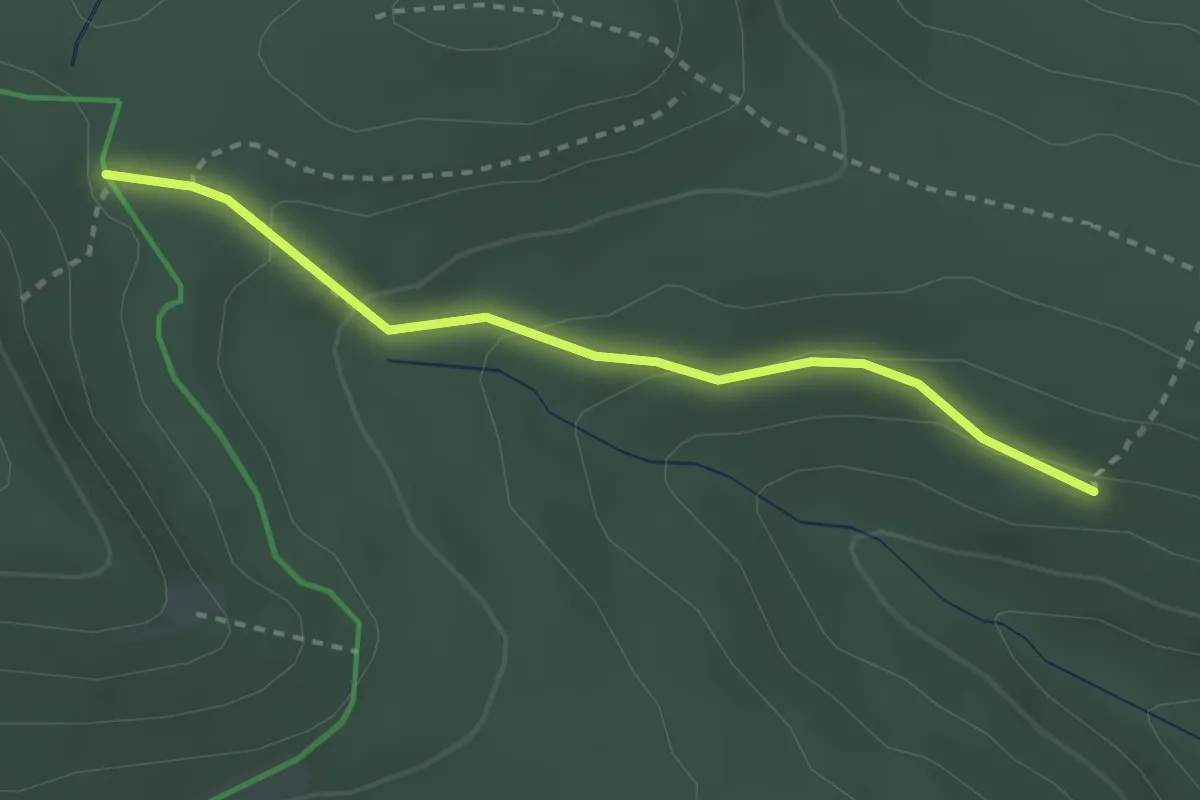
Medium · Trail
Balzgänger - Zwieseleckpfad
2.6 km · ↑ 95 m · 49 min
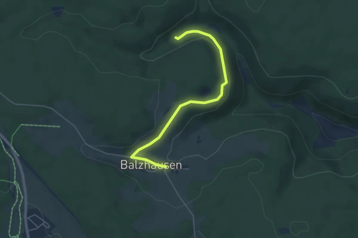
Easy · Trail
Balzhausen - Gfällhalde
4.2 km · ↑ 98 m · 1 h 12 min
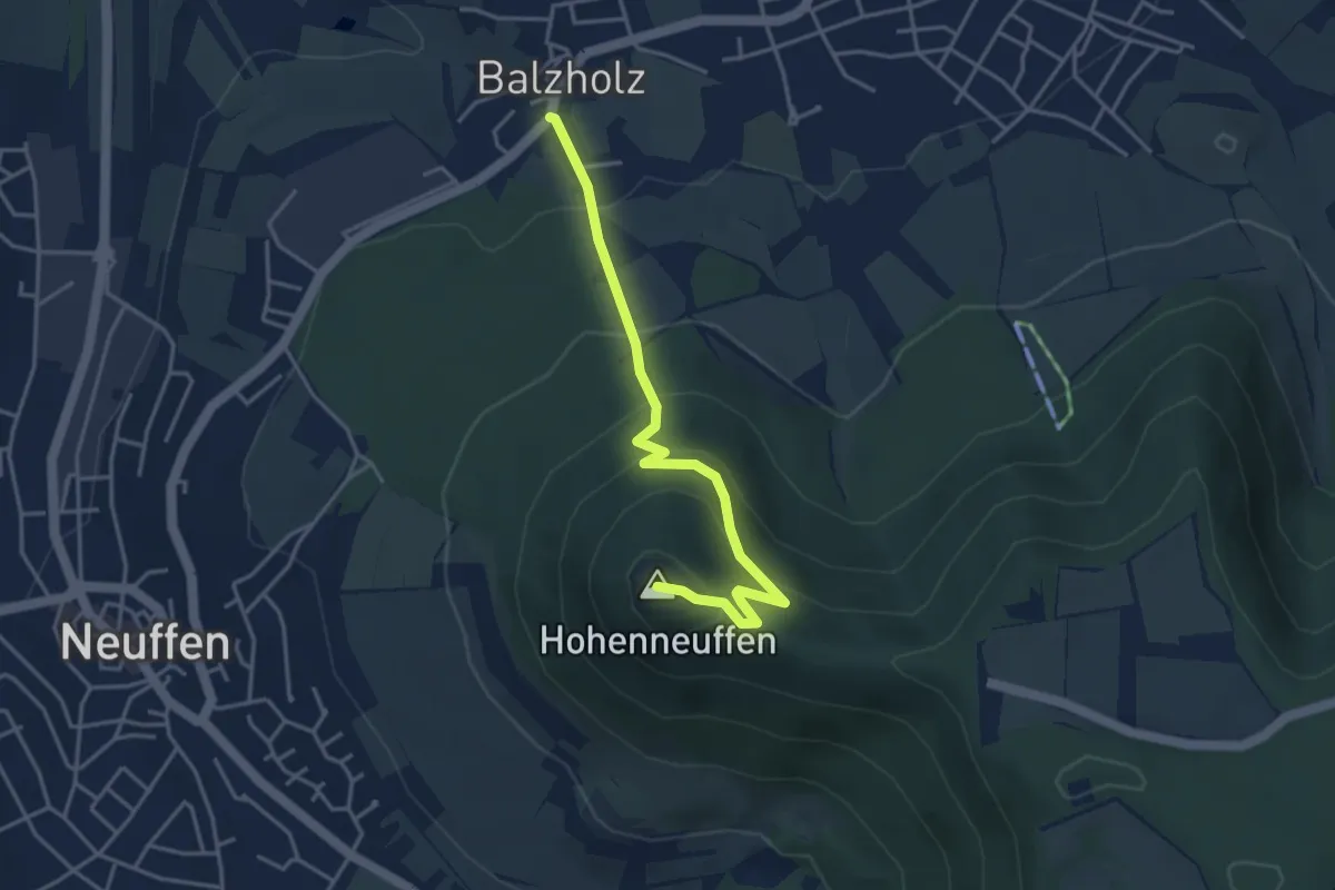
Easy · Summit
Balzholz - Hohenneuffen
3.9 km · ↑ 285 m · 1 h 32 min
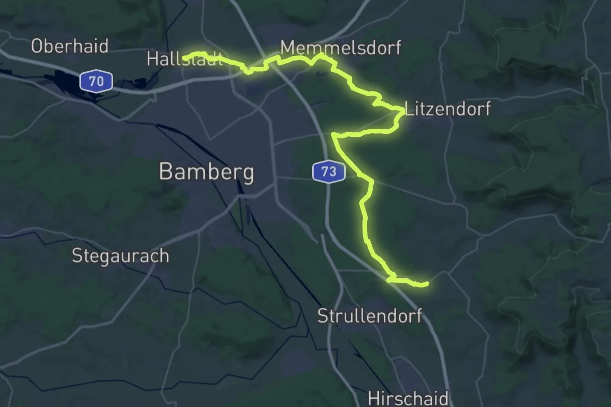
Demanding · Trail
Bamberger Rennsteig
22.3 km · ↑ 135 m · 5 h 53 min
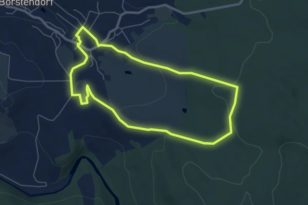
Easy · Trail
Bambiniwanderweg
4.6 km · ↑ 96 m · 1 h 21 min
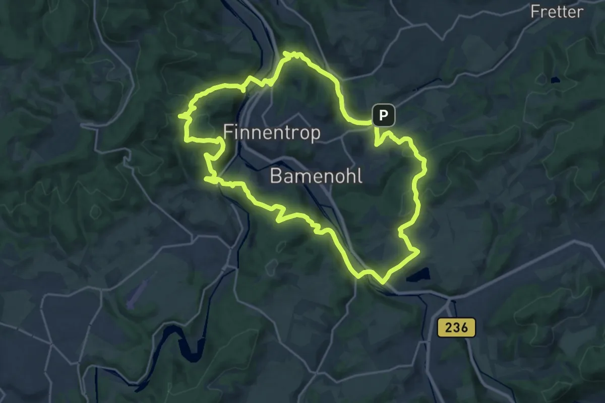
Demanding · Summit
Bamenohler Rundwanderweg
18.4 km · ↑ 614 m · 5 h 56 min
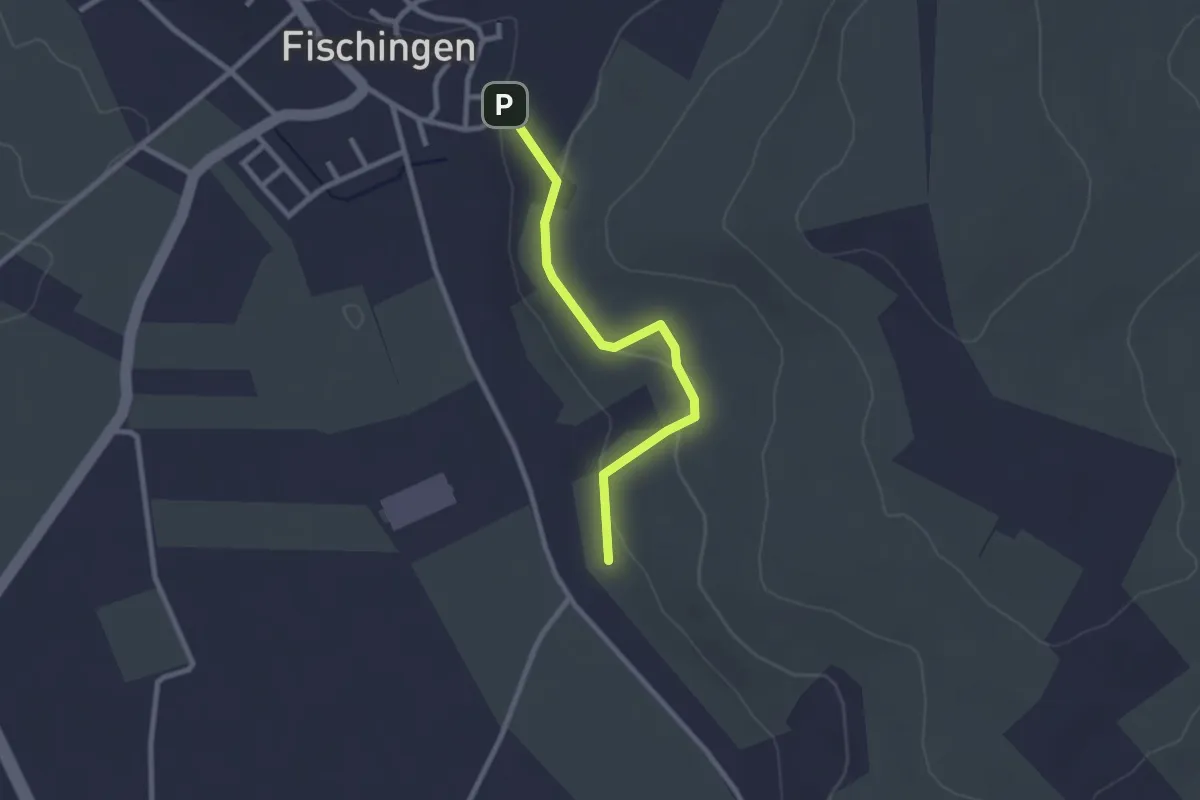
Easy · Trail
Bammerthüsli Eimeldingen - Mattenberg
2.3 km · ↑ 48 m · 39 min
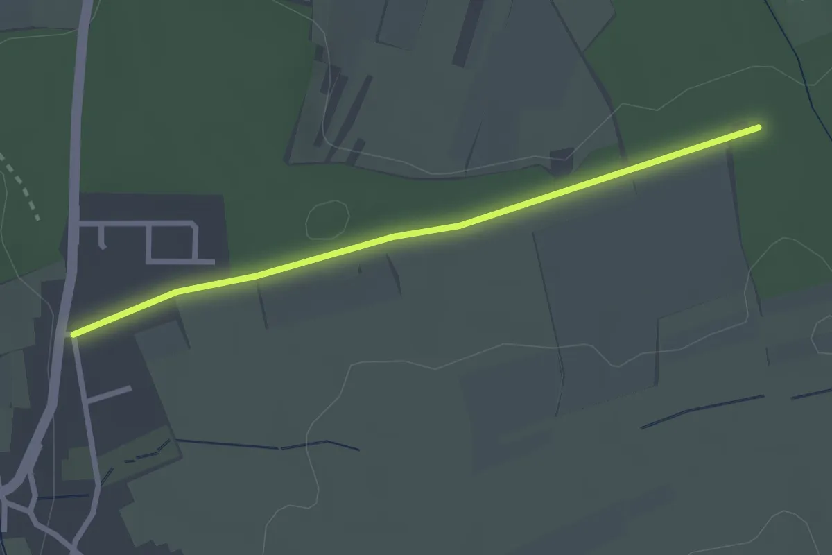
Easy · Trail
Banholz - Feldrennach Kreuz
2.4 km · ↑ 23 m · 36 min
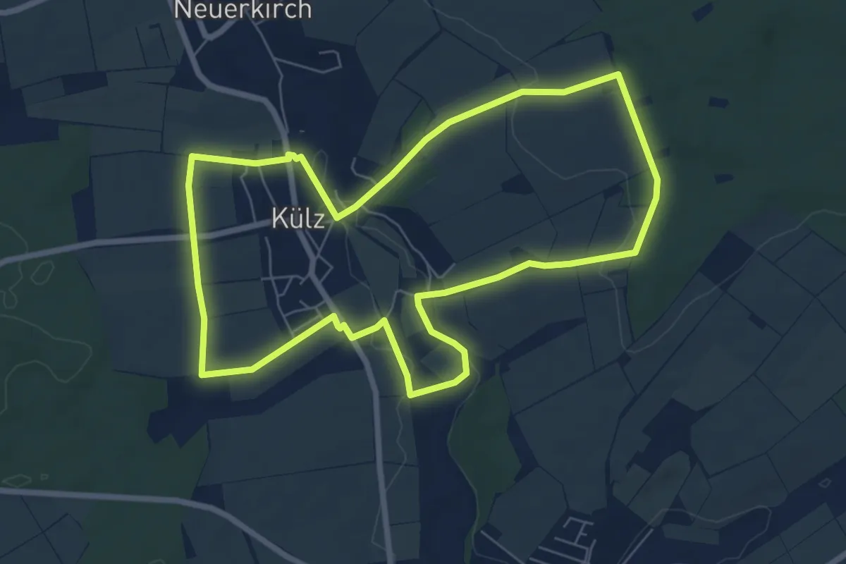
Easy · Trail
Bänkches-Tour Külz 6 km
6.5 km · ↑ 105 m · 1 h 51 min
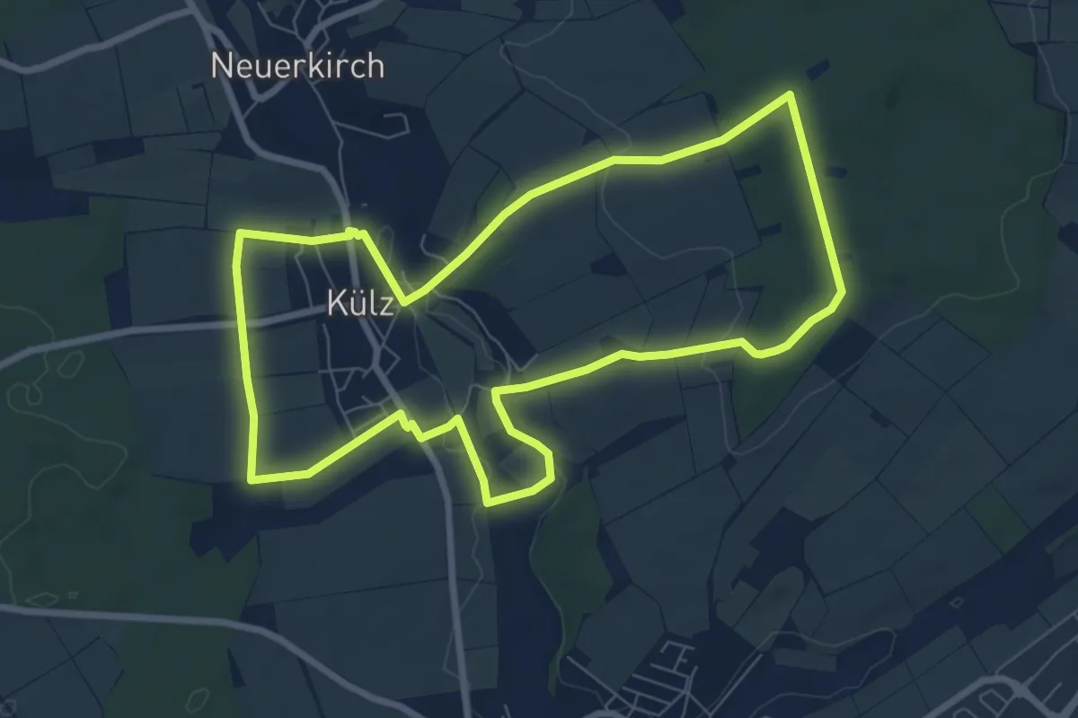
Easy · Trail
Bänkches-Tour Külz 7 km
7.2 km · ↑ 110 m · 2 h 2 min
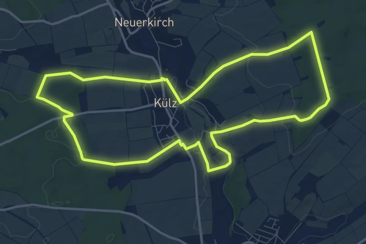
Medium · Trail
Bänkches-Tour Külz 9 km
8.9 km · ↑ 125 m · 2 h 29 min
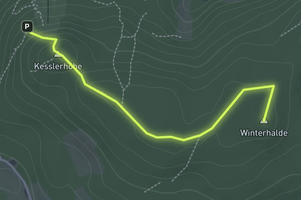
Medium · Summit
Bankenhansenkreuz - Scheibenfelsen
2.6 km · ↑ 79 m · 48 min
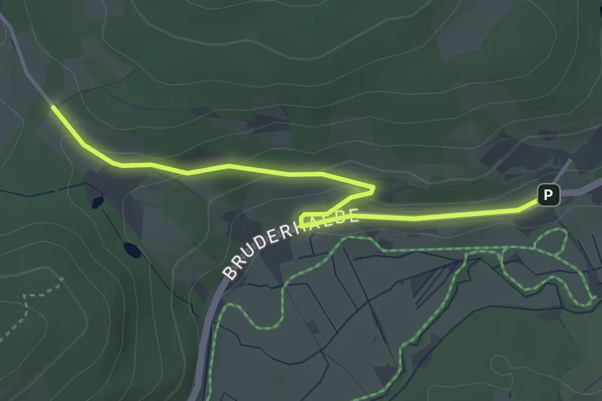
Easy · Trail
Bankenhof - Erlenbruck
3.6 km · ↑ 76 m · 1 h 1 min
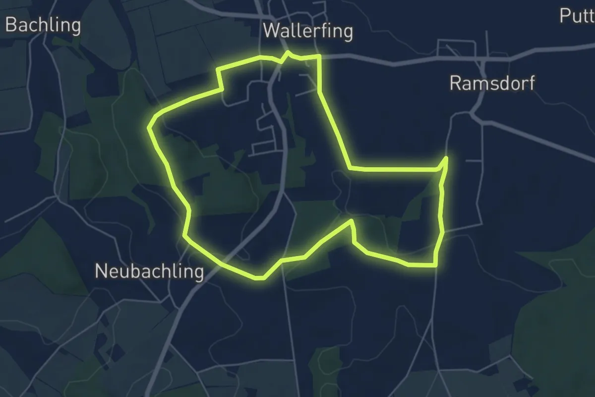
Easy · Trail
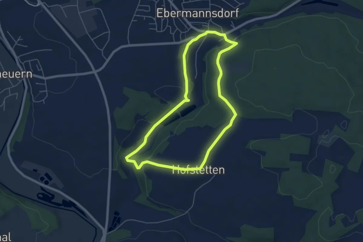
Bankerlweg
5.4 km · ↑ 86 m · 1 h 32 min
Easy · Trail
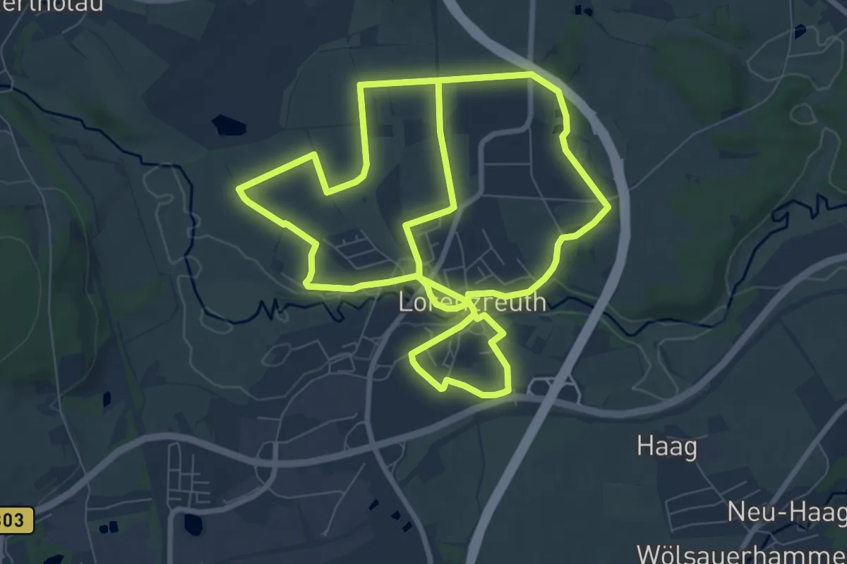
Bankerlweg
4.6 km · ↑ 62 m · 1 h 17 min
Medium · Trail
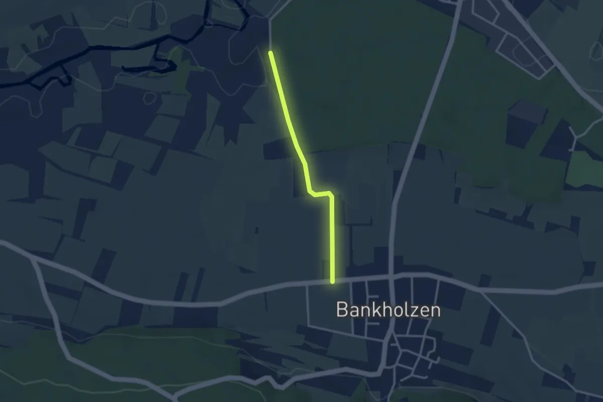
Bankerlweg
8.2 km · ↑ 45 m · 2 h 9 min
Easy · Trail
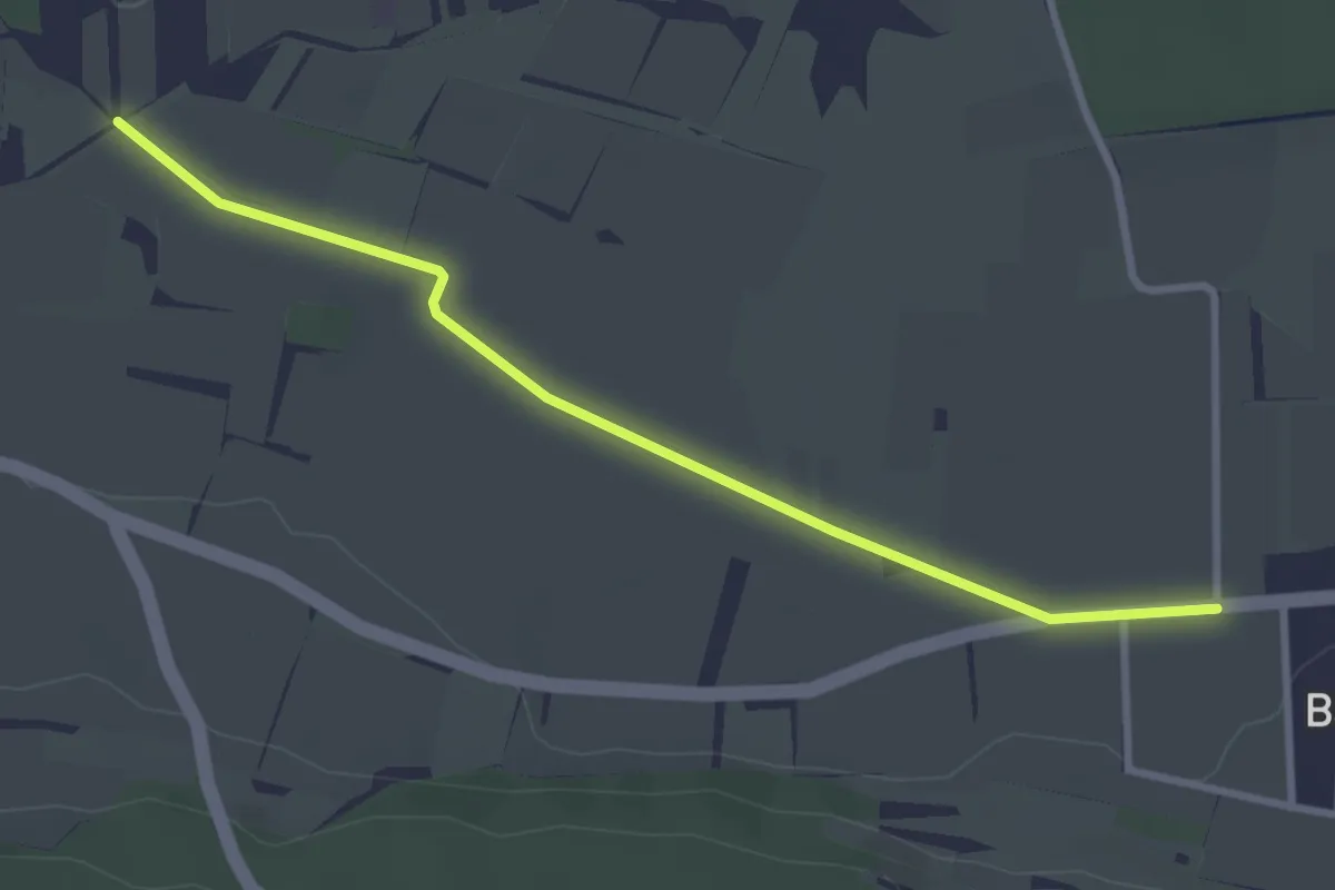
Bankholzen Mühlweg - Mooswald Mühlweg
2.3 km · ↑ 4 m · 34 min
Easy · Trail
Bankholzen Mühlweg - Ziegelhof
3.2 km · ↑ 4 m · 46 min
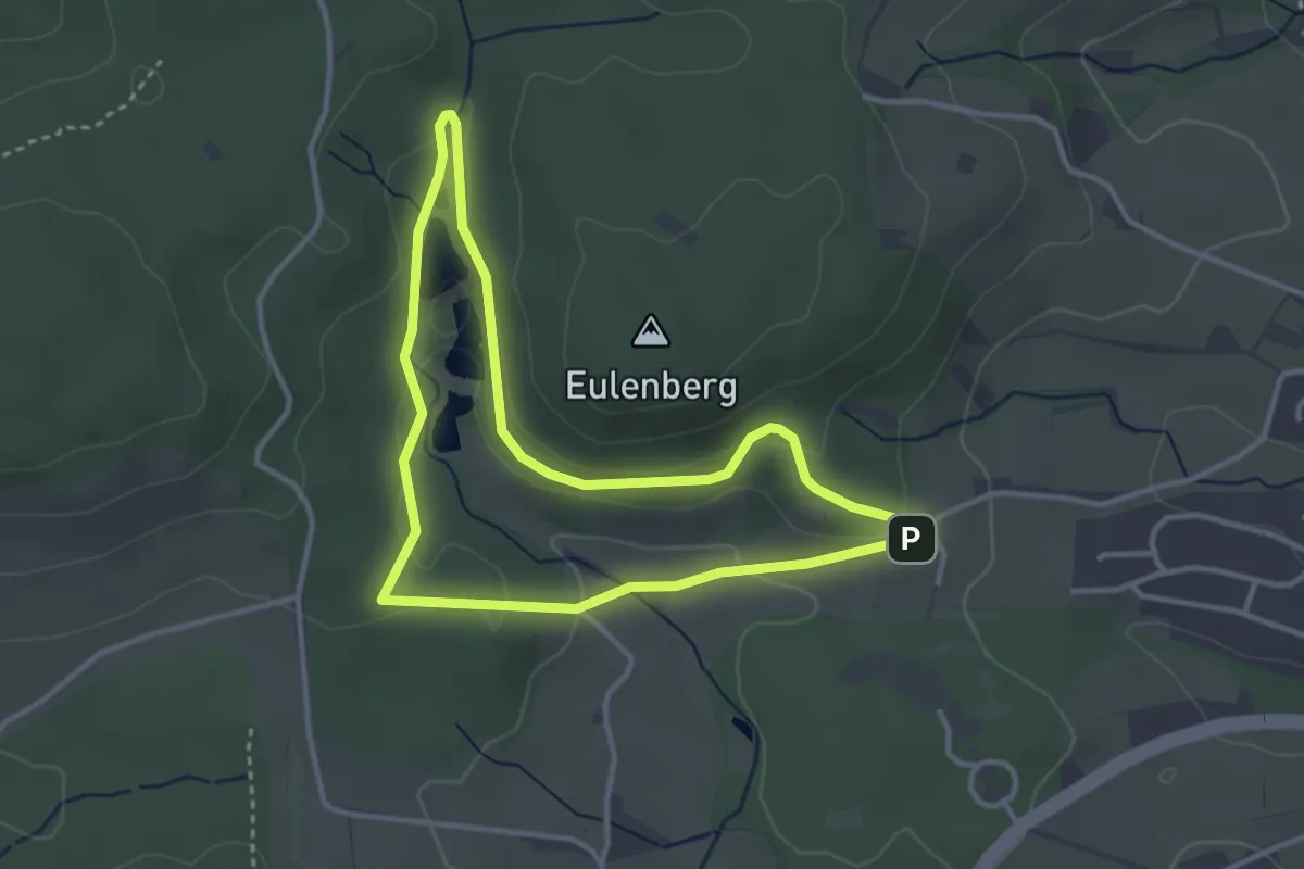
Easy · Trail
Bänklesweg
3.1 km · ↑ 69 m · 55 min
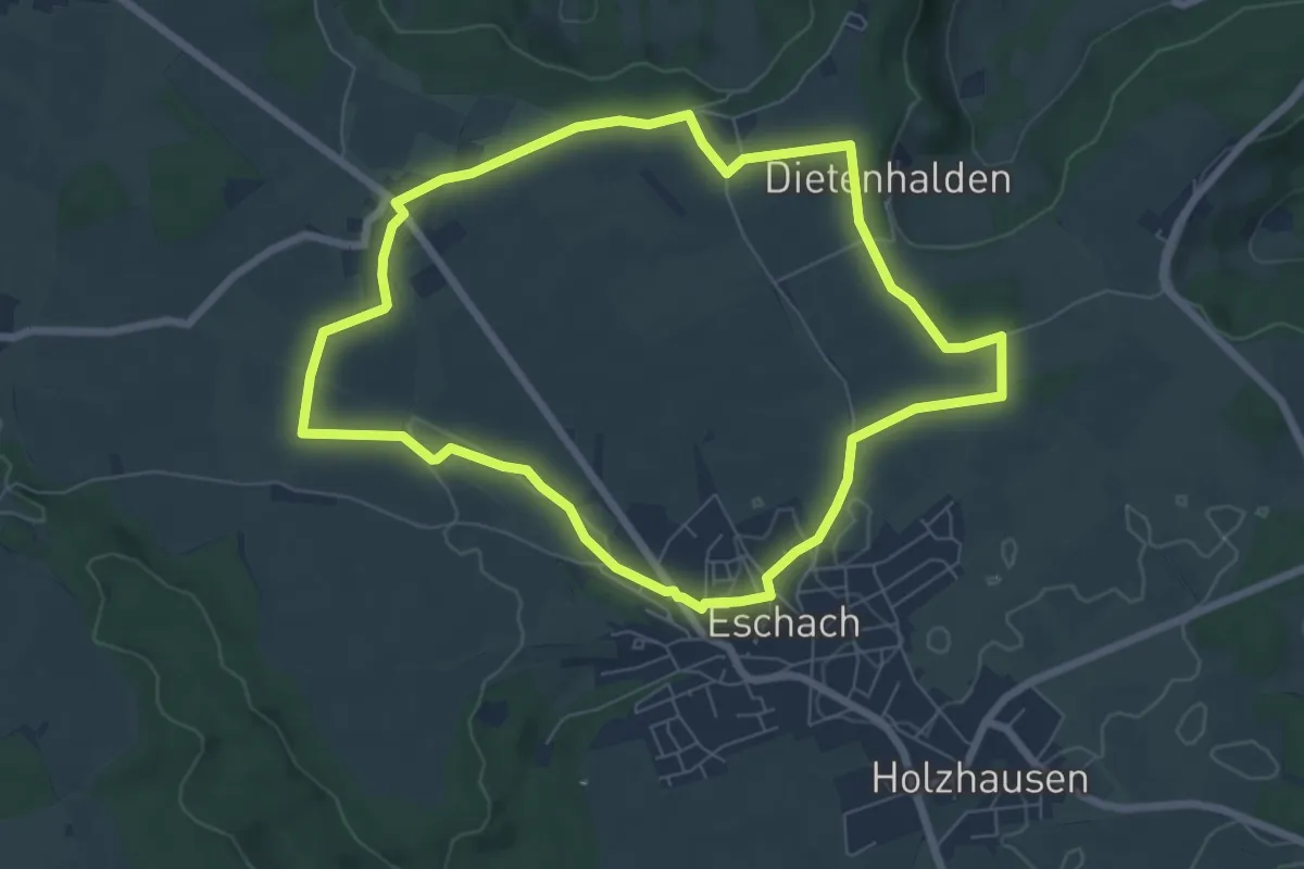
Easy · Trail
Bänklesweg
6.5 km · ↑ 30 m · 1 h 42 min
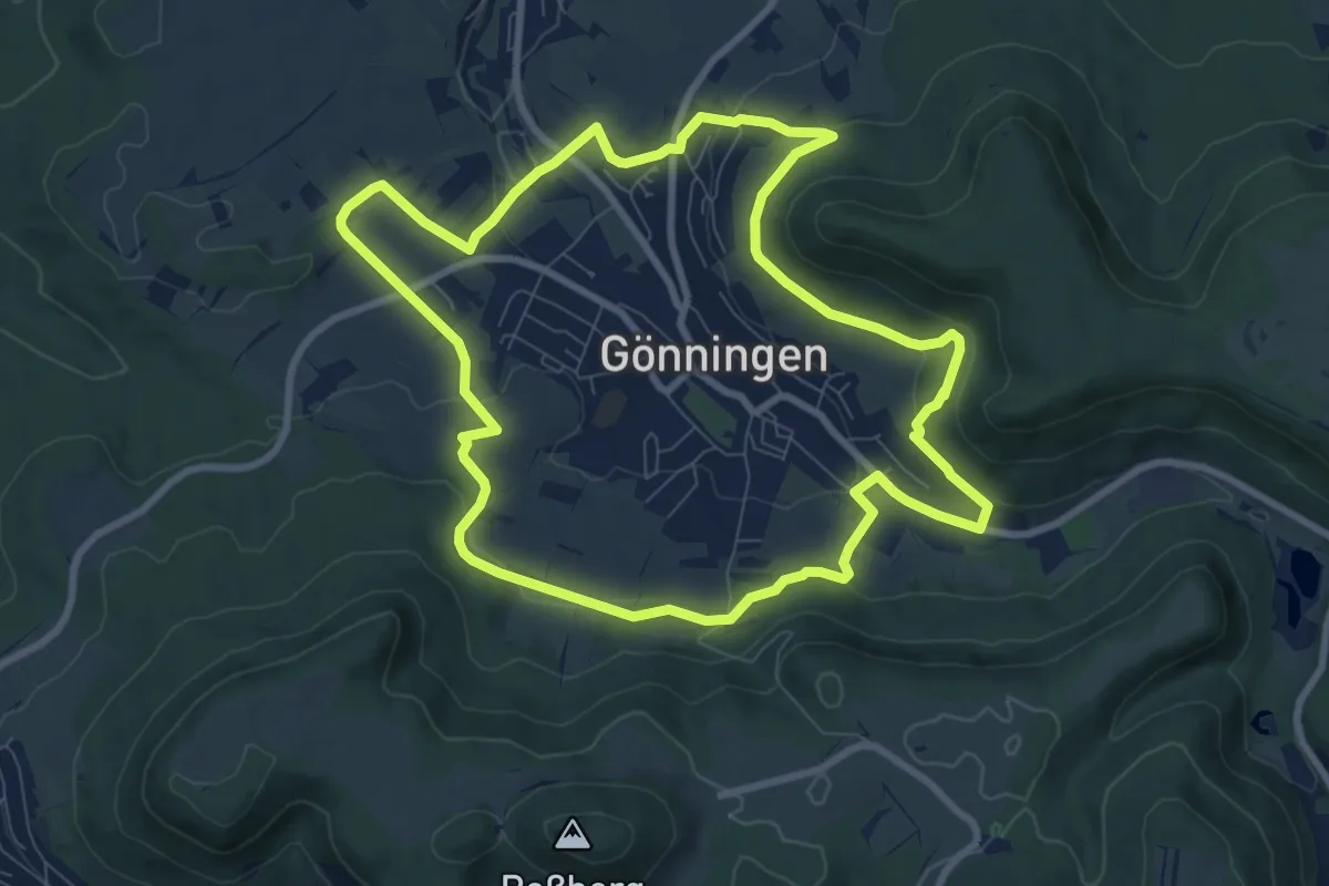
Medium · Trail
Bänklesweg Gönningen
8.6 km · ↑ 245 m · 2 h 41 min
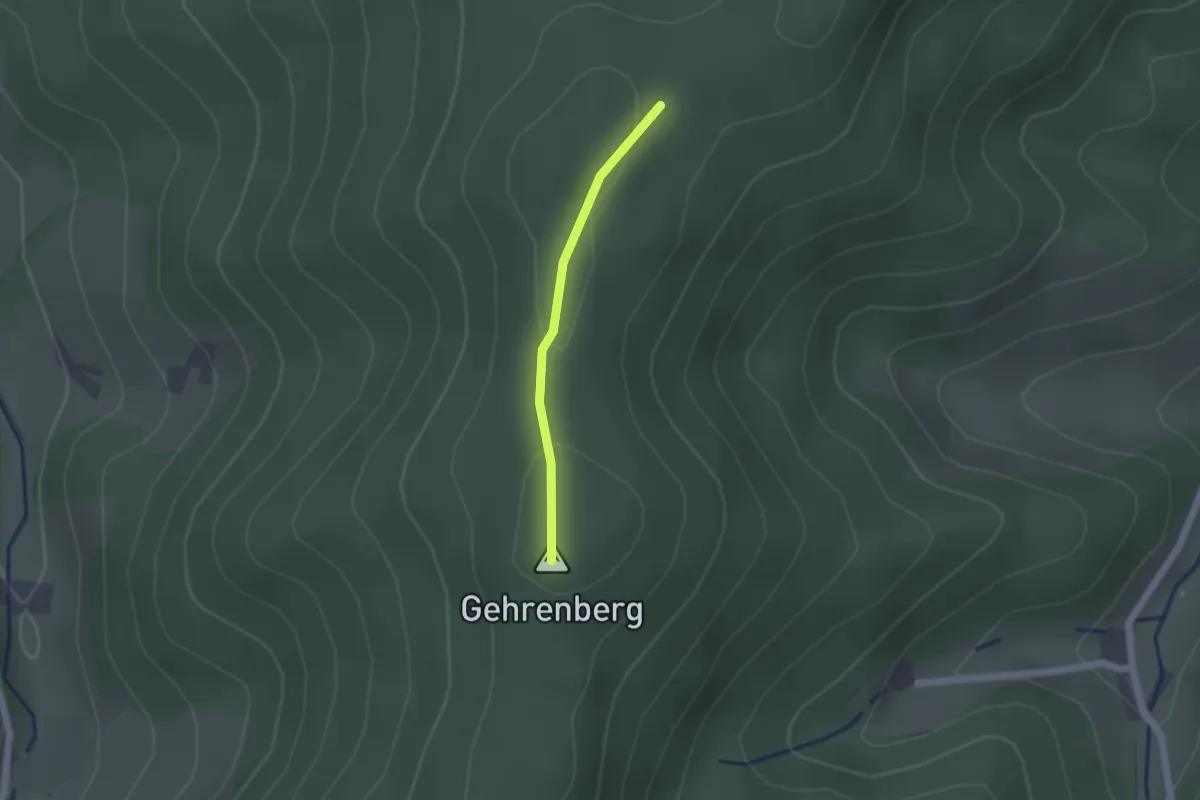
Easy · Summit
Bannstein - Gährenberg
1.3 km · ↑ 27 m · 22 min
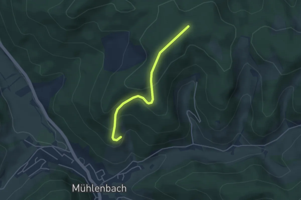
Easy · Trail
Bannstein - Pavillon
3.2 km · ↑ 200 m · 1 h 11 min
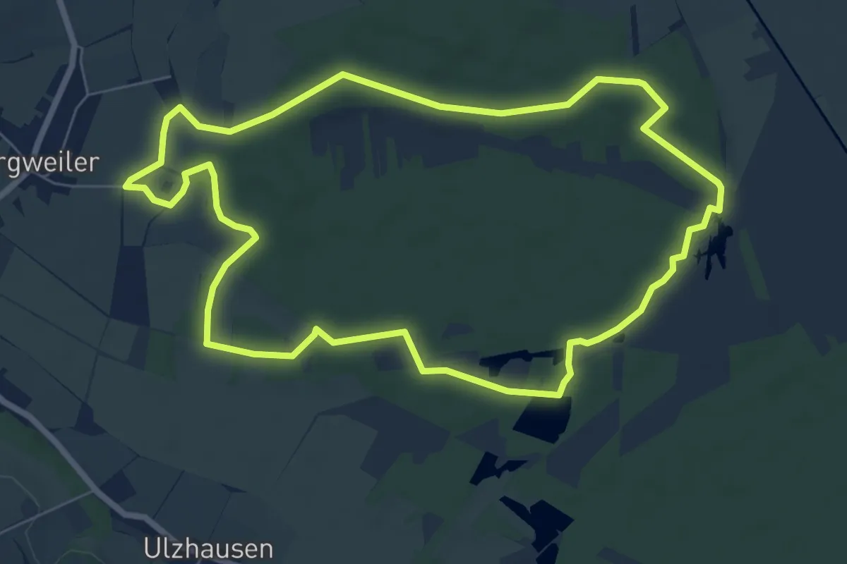
Easy · Trail
Bannwald
7.1 km · ↑ 60 m · 1 h 54 min
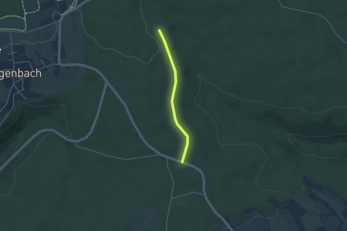
Easy · Trail
Bannwald - Messners Eigenschaft
2.5 km · ↑ 18 m · 38 min
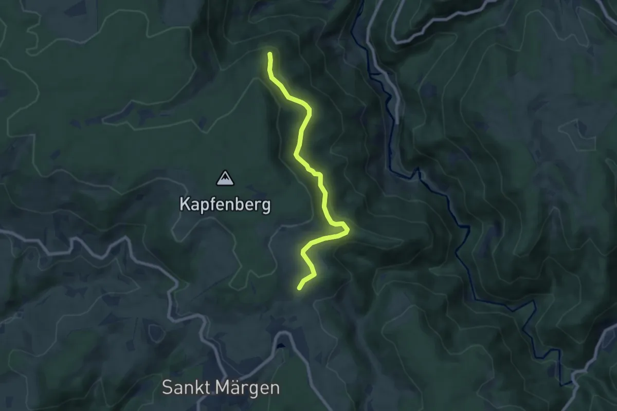
Easy · Trail
Bannwald Zweribach - Habstmoos
6.4 km · ↑ 207 m · 1 h 58 min
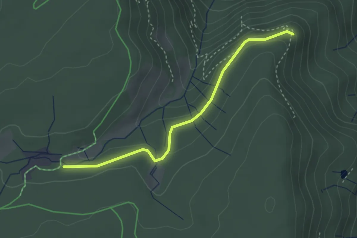
Easy · Trail
Bannwald Zweribach - Hirschmatte
3.0 km · ↑ 90 m · 54 min
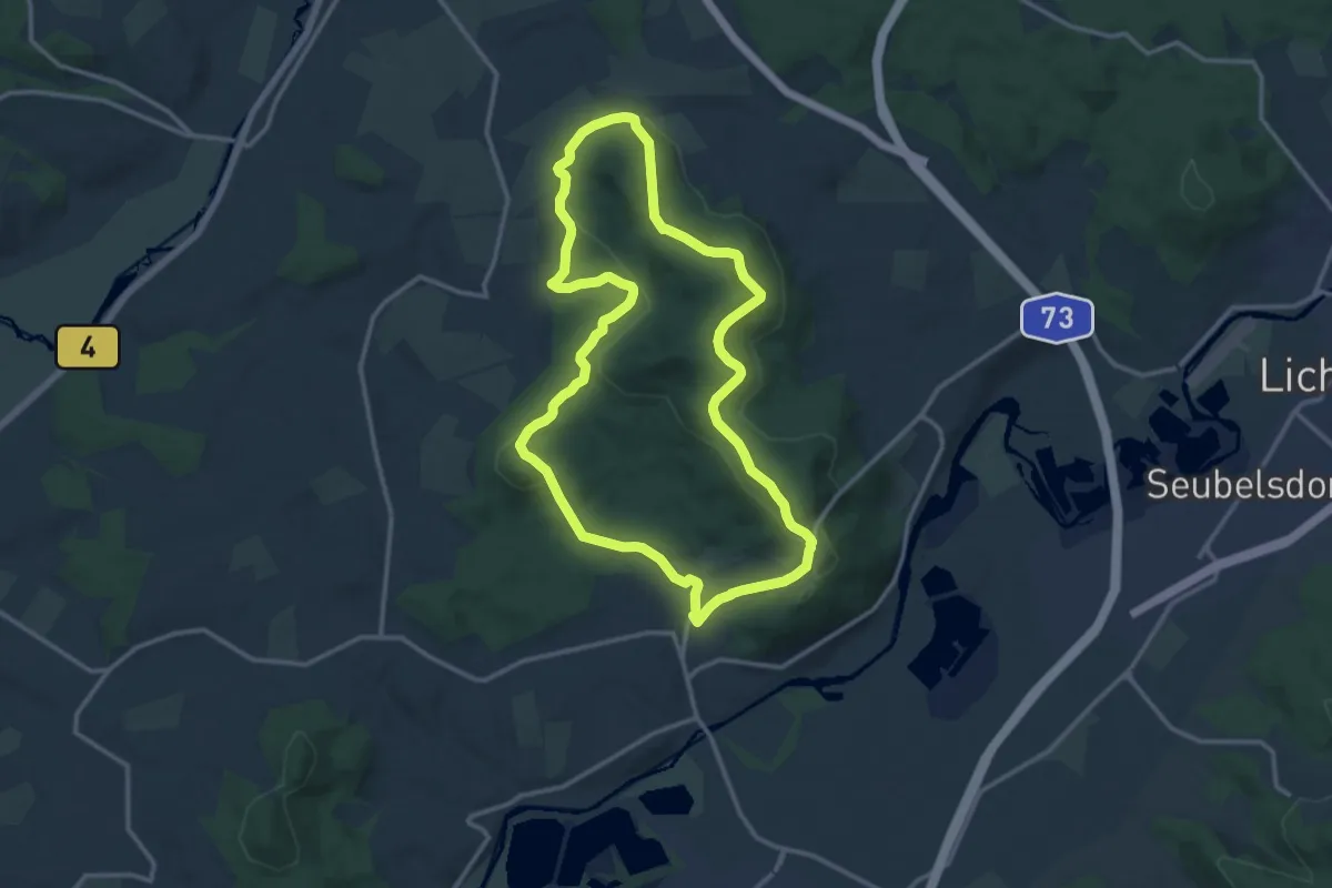
Medium · Summit
Banzrundweg
12.7 km · ↑ 363 m · 3 h 57 min
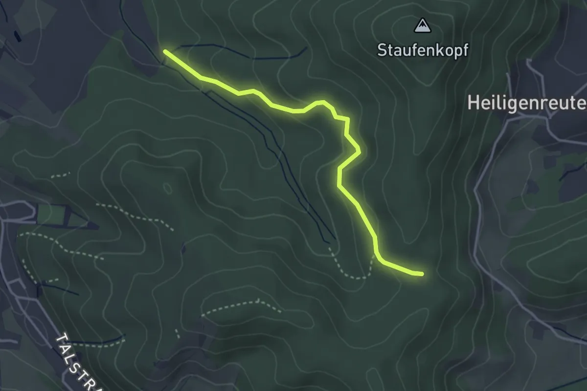
Easy · Trail
Barack - Blauer Weiher
3.3 km · ↑ 138 m · 1 h 4 min
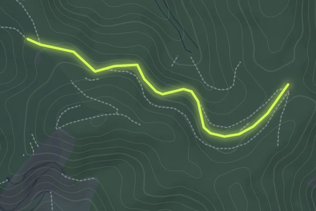
Easy · Trail
Barack - Handwerkerhütte
2.5 km · ↑ 65 m · 44 min
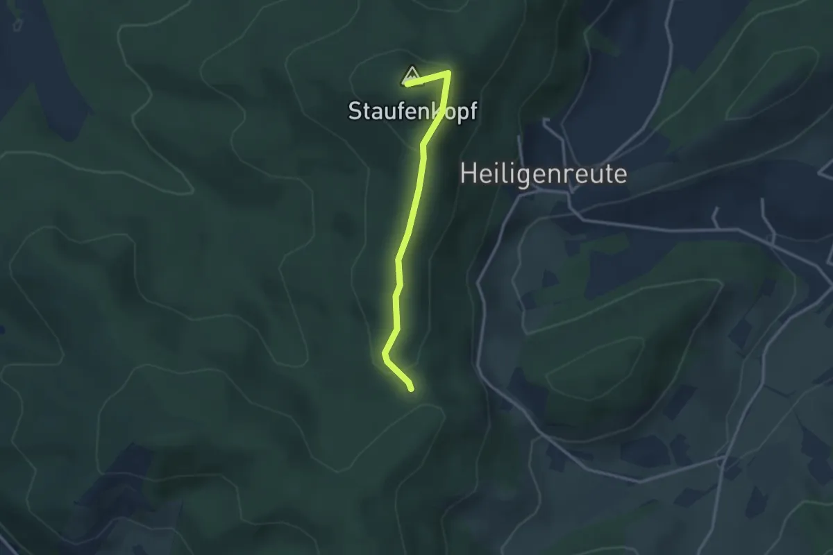
Easy · Summit
Barack - Sägereck
2.3 km · ↑ 76 m · 43 min
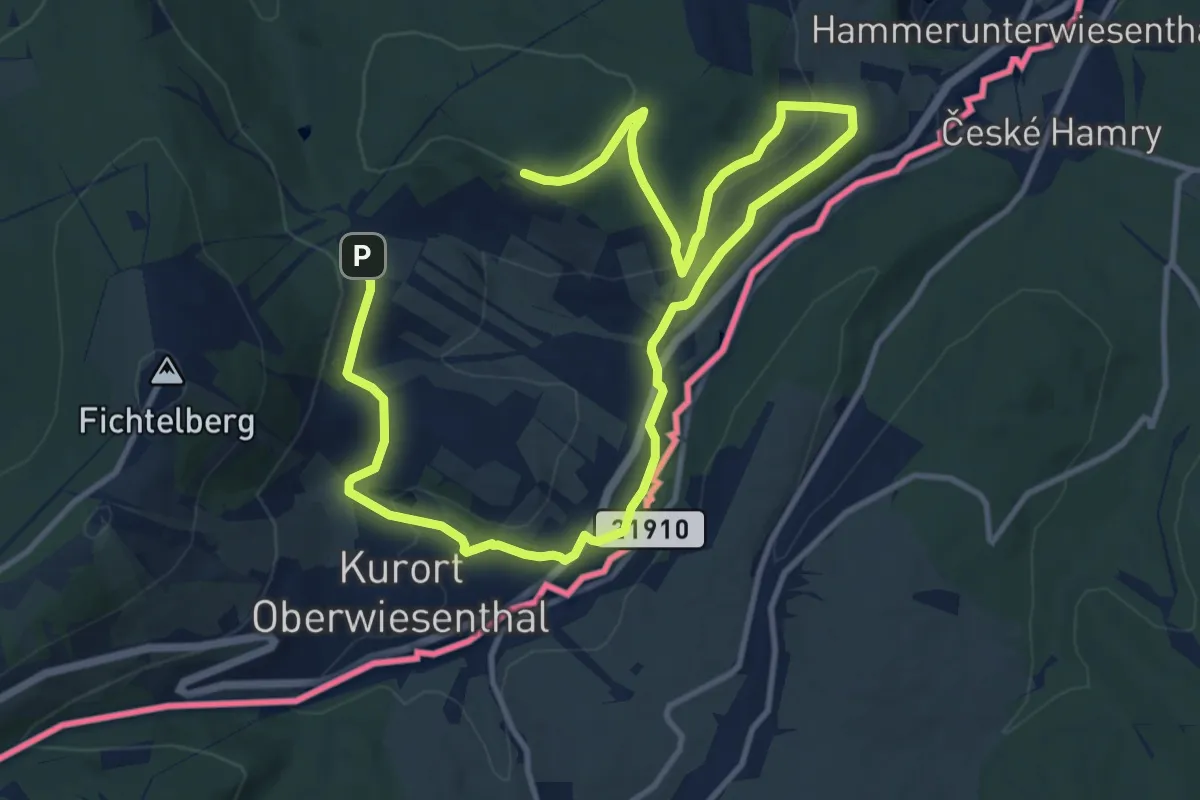
Medium · Trail
Barbara-Petzold-Tour
8.5 km · ↑ 208 m · 2 h 34 min
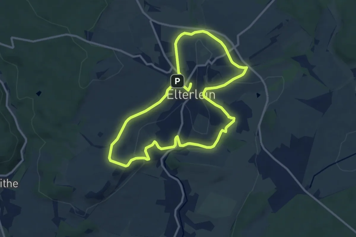
Medium · Trail
Barbaras Mitmach-Tour Elterlein
15.1 km · ↑ 211 m · 4 h 1 min
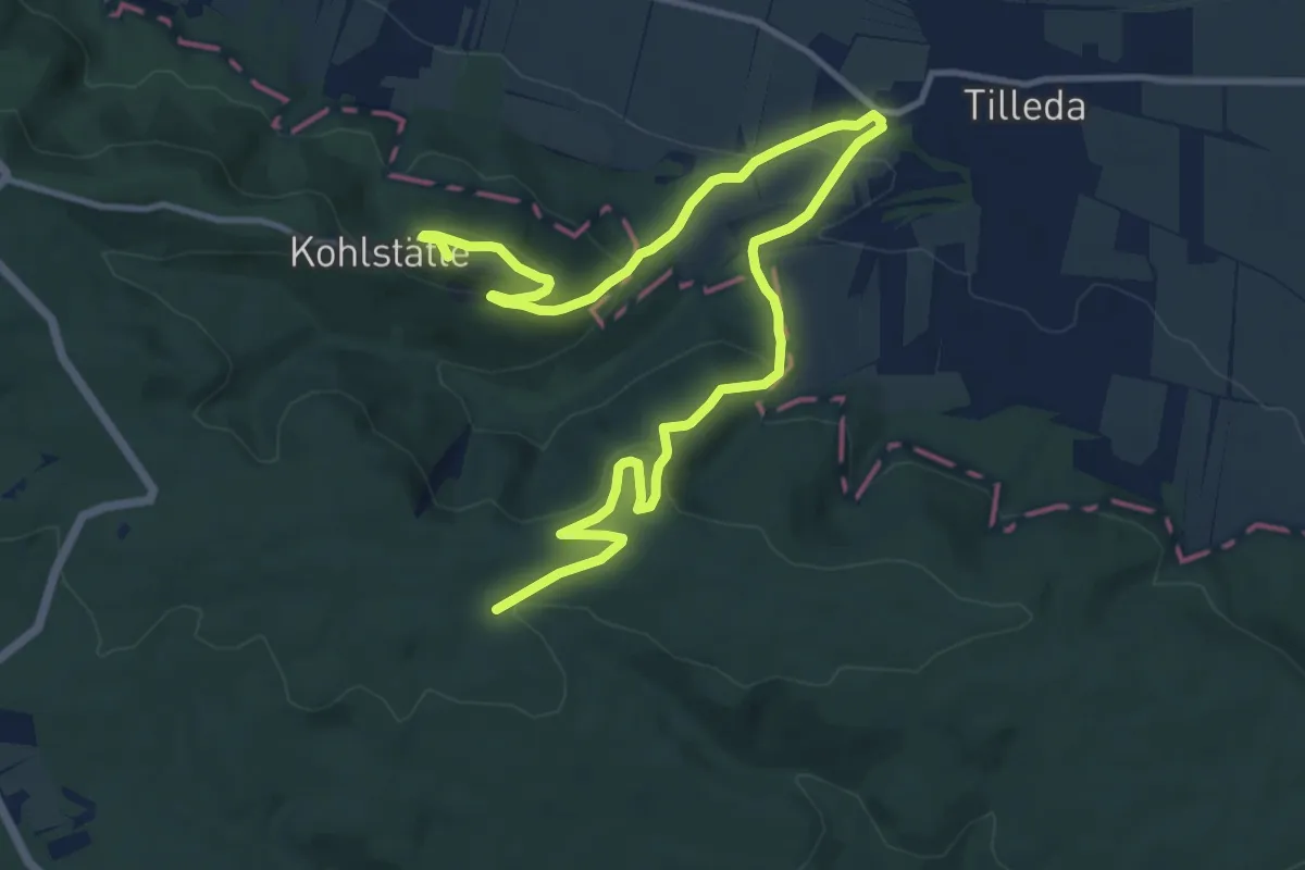
Medium · Summit
Barbarossaweg (Teilstück Friedrichslohra - Tilleda)
14.5 km · ↑ 561 m · 4 h 38 min
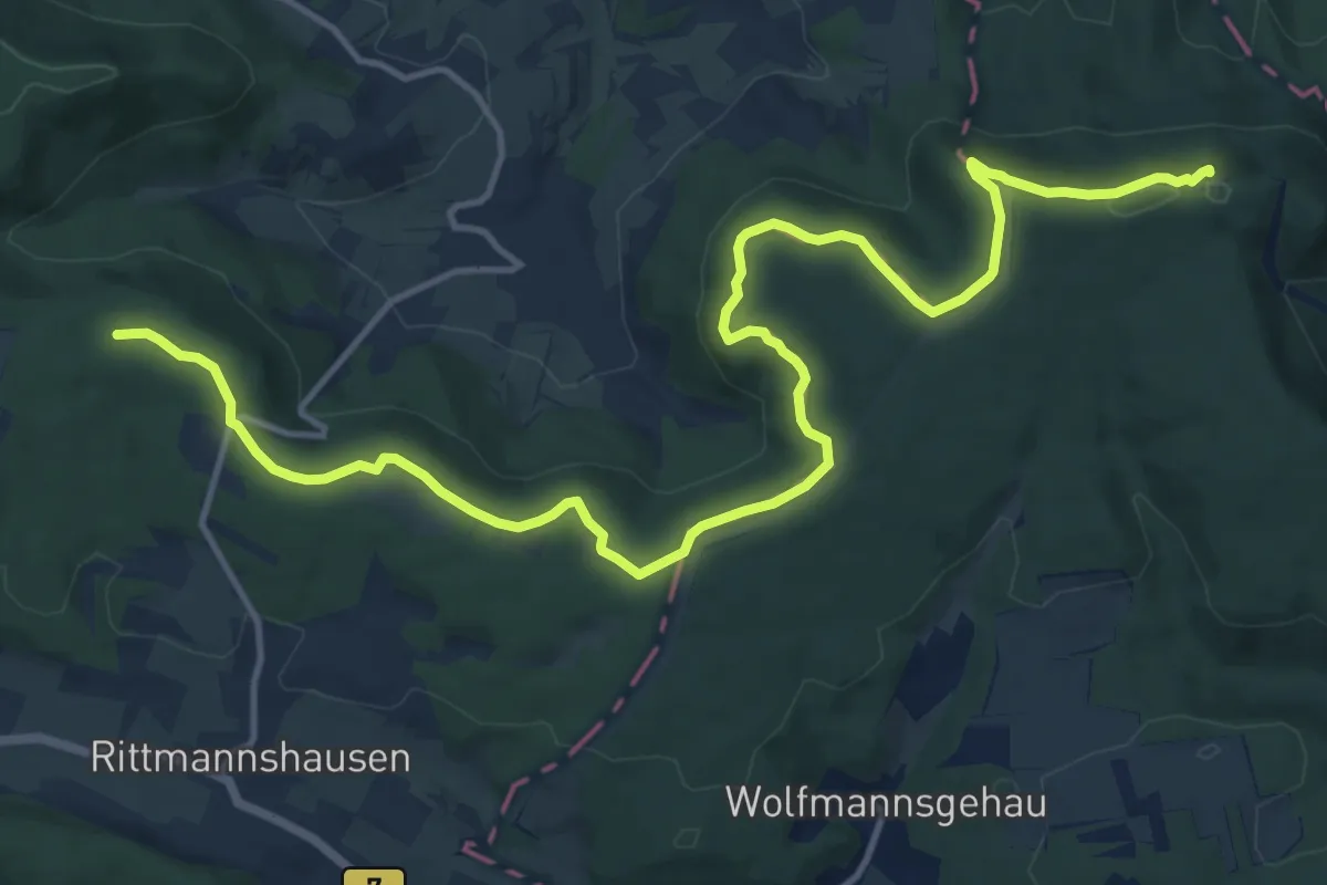
Medium · Summit
Barbarossaweg (Teilstück Reichenbach - Treffurt)
15.9 km · ↑ 211 m · 4 h 12 min
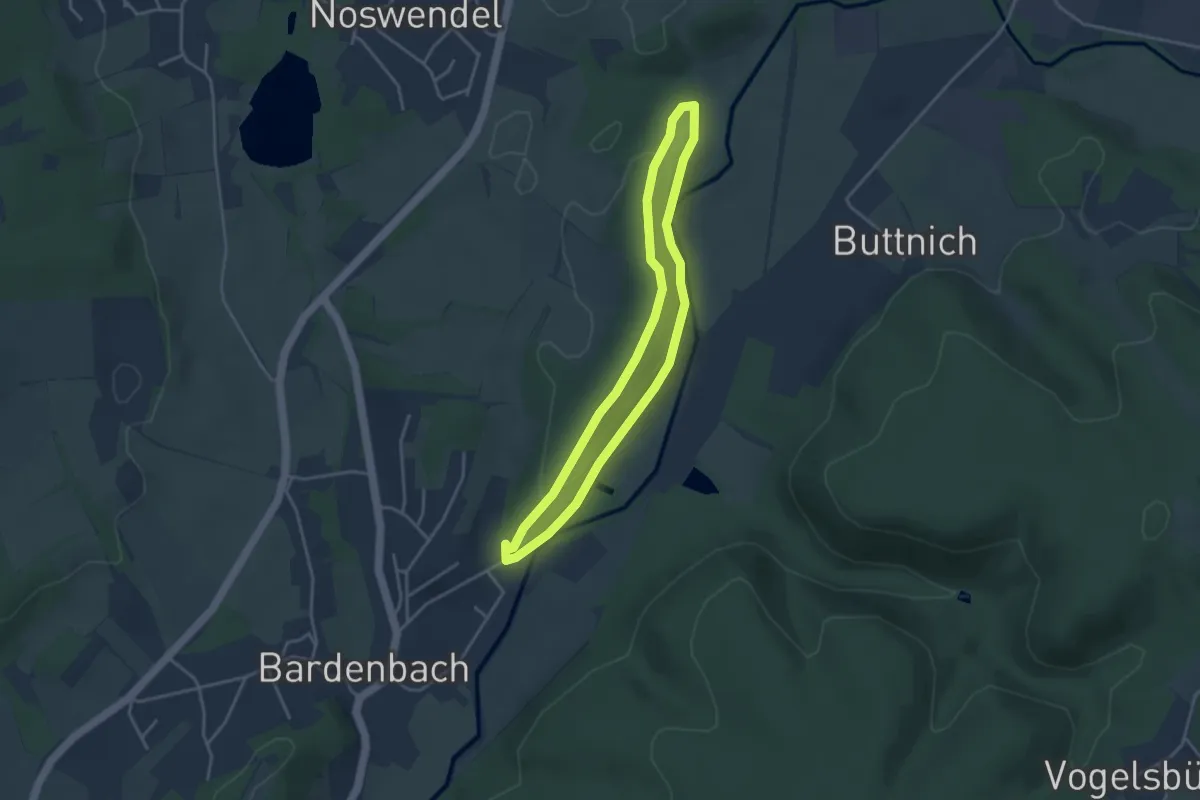
Easy · Trail
Bardenbacher Fels
3.2 km · ↑ 79 m · 58 min
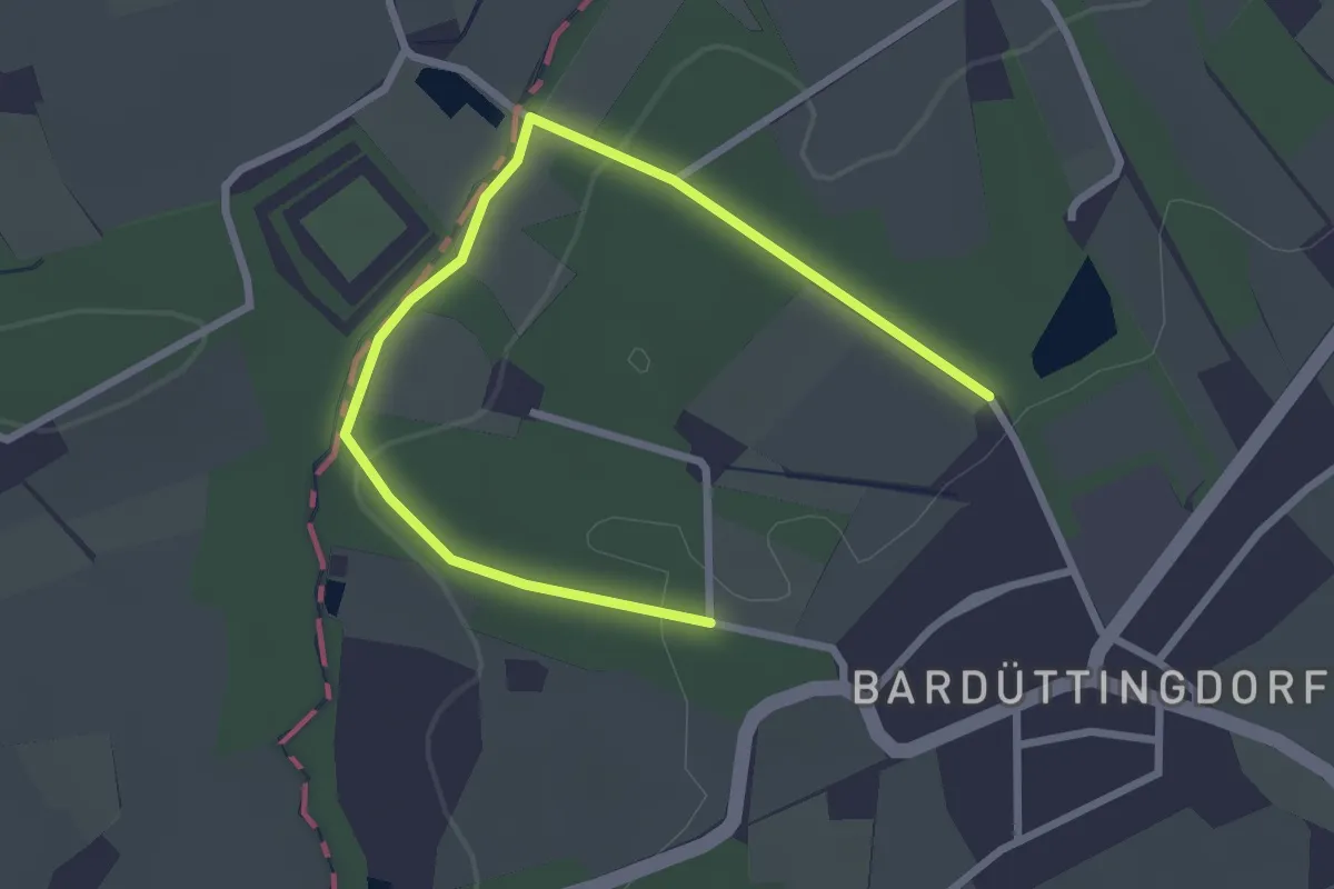
Easy · Trail
Bardüttingdorf Rundwanderweg A1
1.5 km · ↑ 30 m · 26 min
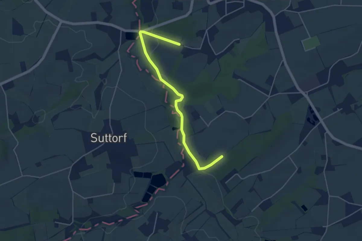
Easy · Trail
Bardüttingdorf Rundwanderweg A2
2.0 km · ↑ 36 m · 34 min