Trails in Germany
36,824 hiking trails, each with its route, climb, walking time and grade.
All trails, page 49 of 768
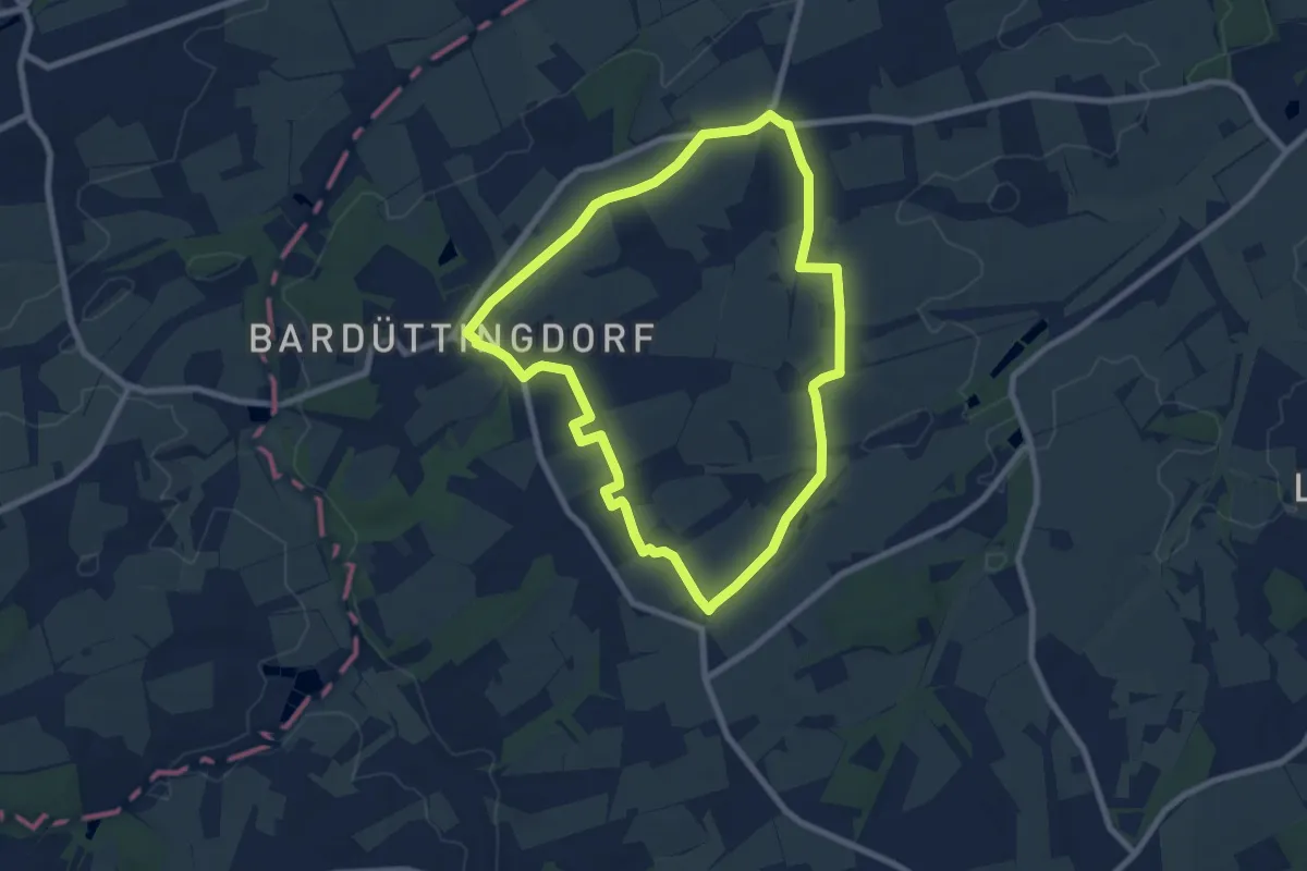
Easy · Trail
Bardüttingdorf Rundwanderweg A3
6.8 km · ↑ 39 m · 1 h 47 min
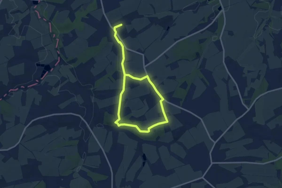
Easy · Trail
Bardüttingdorf Rundwanderweg A4
4.6 km · ↑ 32 m · 1 h 14 min
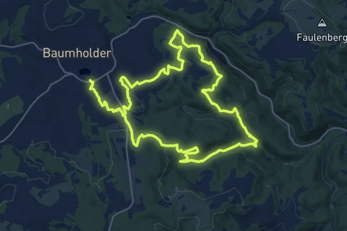
Medium · Trail
Bärenbachpfad
13.5 km · ↑ 361 m · 4 h 11 min
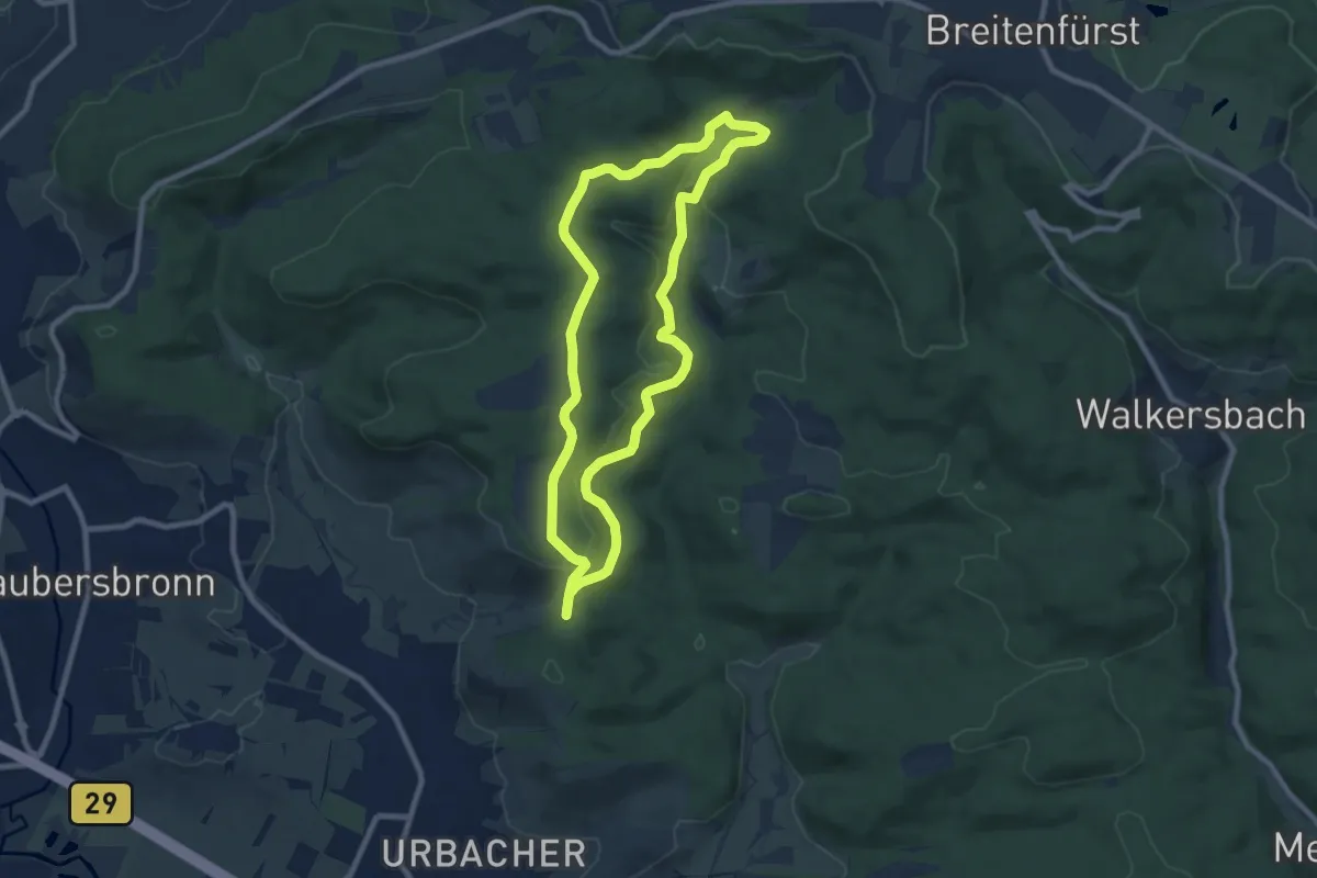
Easy · Trail
Bärenbachsee-Weg
7.9 km · ↑ 188 m · 2 h 23 min
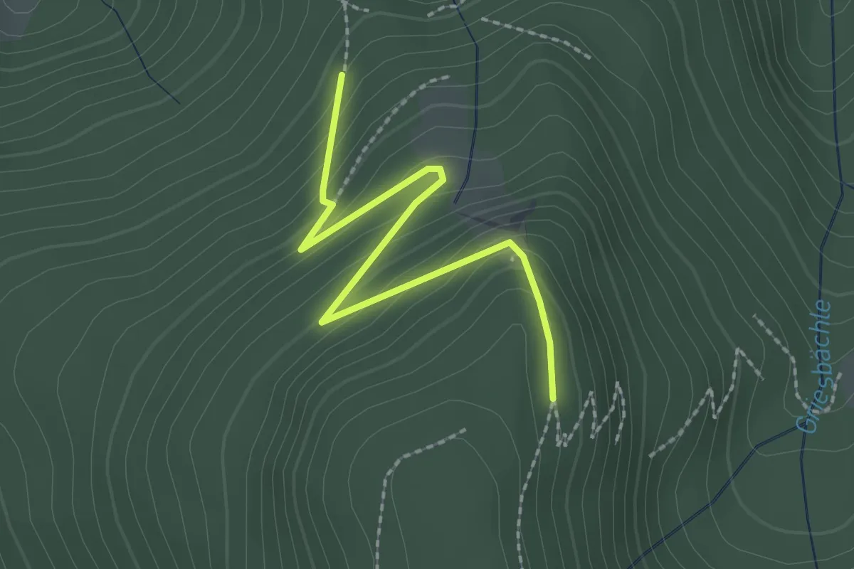
Easy · Trail
Bärenfelsen - Beim Rappenschliff
2.2 km · ↑ 159 m · 52 min
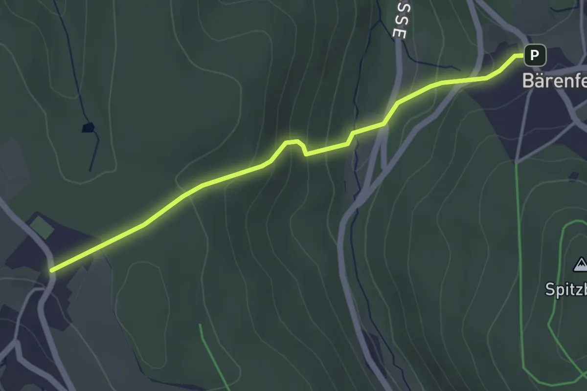
Easy · Trail
Bärenfels - Schönfeld
3.5 km · ↑ 192 m · 1 h 14 min
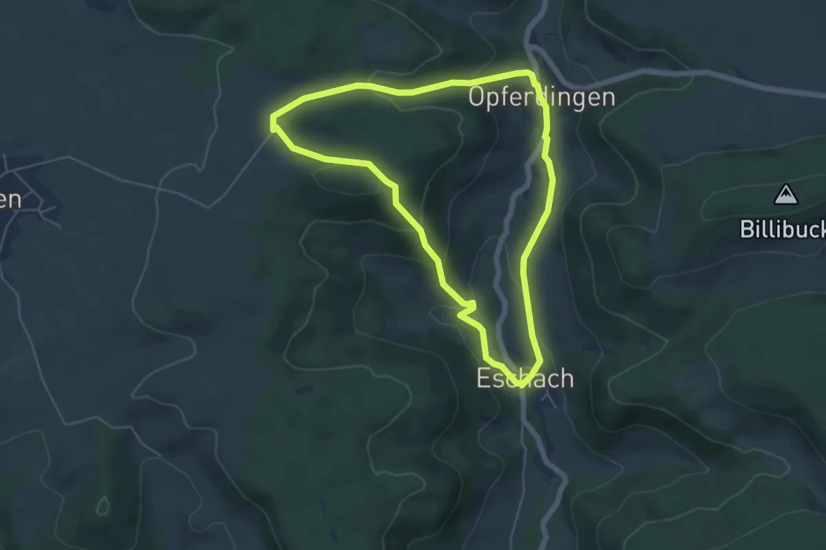
Easy · Trail
Bärenholzweg
4.8 km · ↑ 185 m · 1 h 36 min
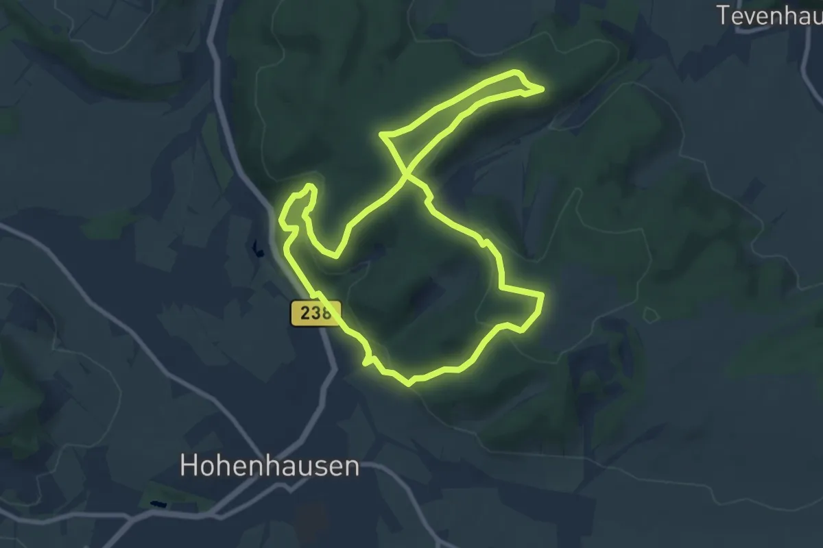
Easy · Summit
Bärenkopfroute
7.7 km · ↑ 276 m · 2 h 32 min
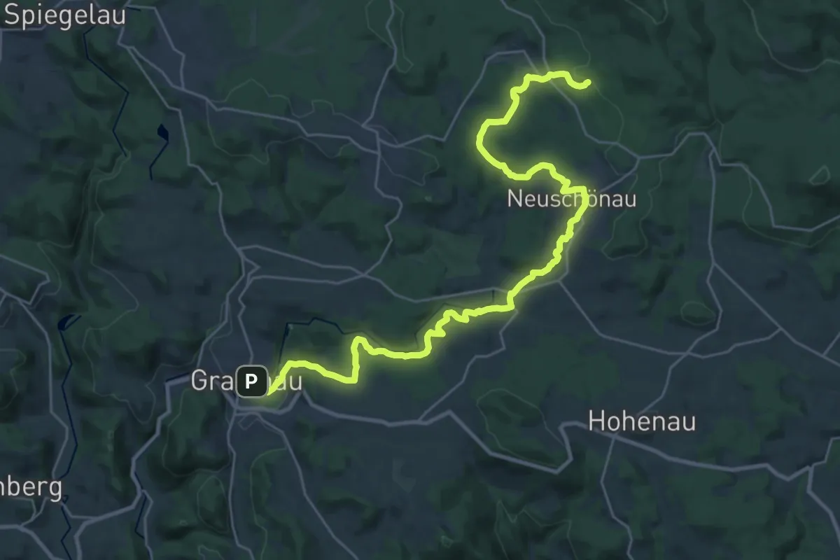
Medium · Trail
Bärenpfad
15.2 km · ↑ 442 m · 4 h 39 min
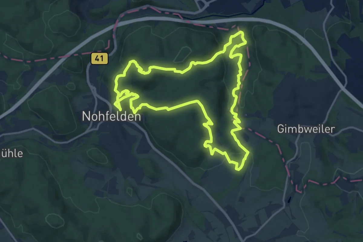
Demanding · Trail
Bärenpfad
23.6 km · ↑ 733 m · 7 h 9 min
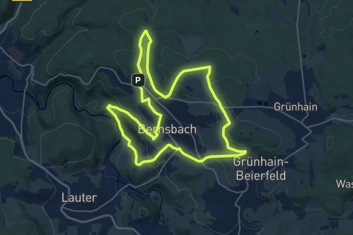
Medium · Trail
Bärenrundweg
14.4 km · ↑ 431 m · 4 h 32 min
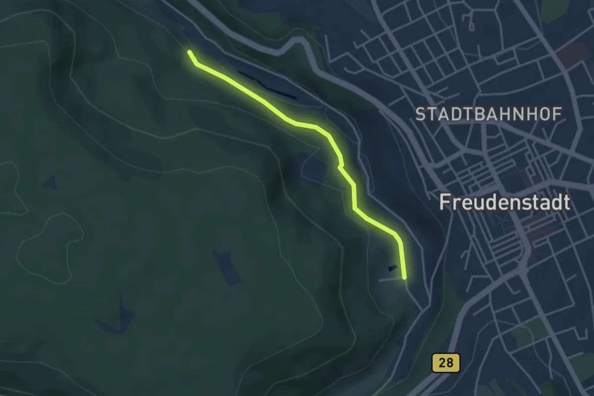
Easy · Trail
Bärenschlößle - Über den Fischweihern
3.0 km · ↑ 102 m · 56 min
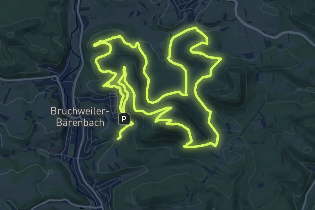
Medium · Summit
Bären-Steig
13.5 km · ↑ 566 m · 4 h 36 min
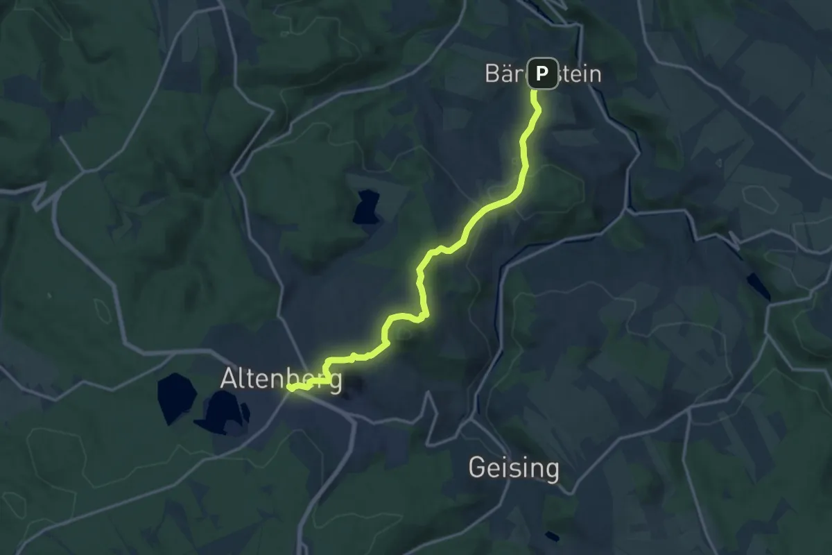
Medium · Trail
Bärenstein - Geisingberg (grüner Punkt)
12.9 km · ↑ 339 m · 3 h 46 min
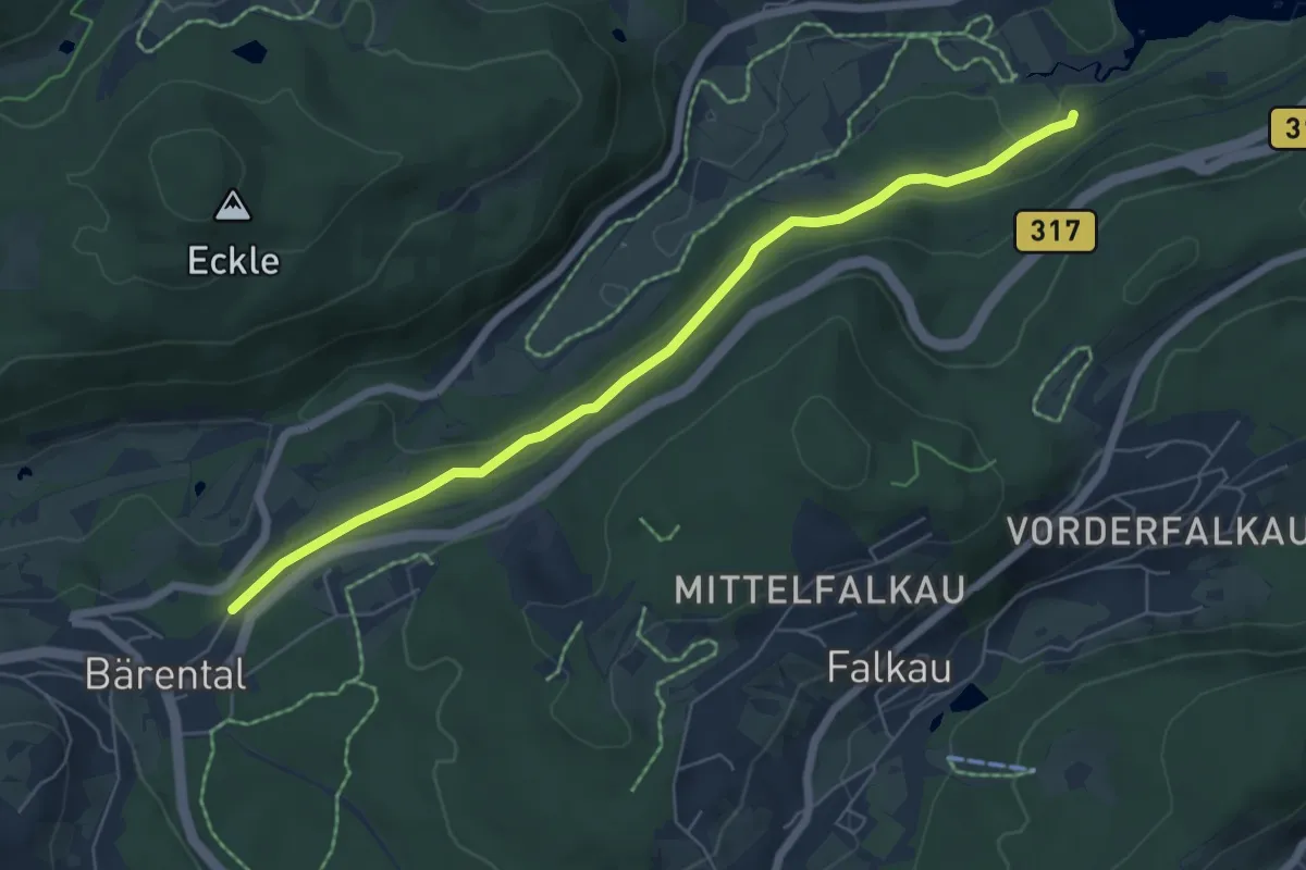
Easy · Trail
Bärental Bahnhof - Campingplatz Bankenhof
6.2 km · ↑ 213 m · 1 h 55 min
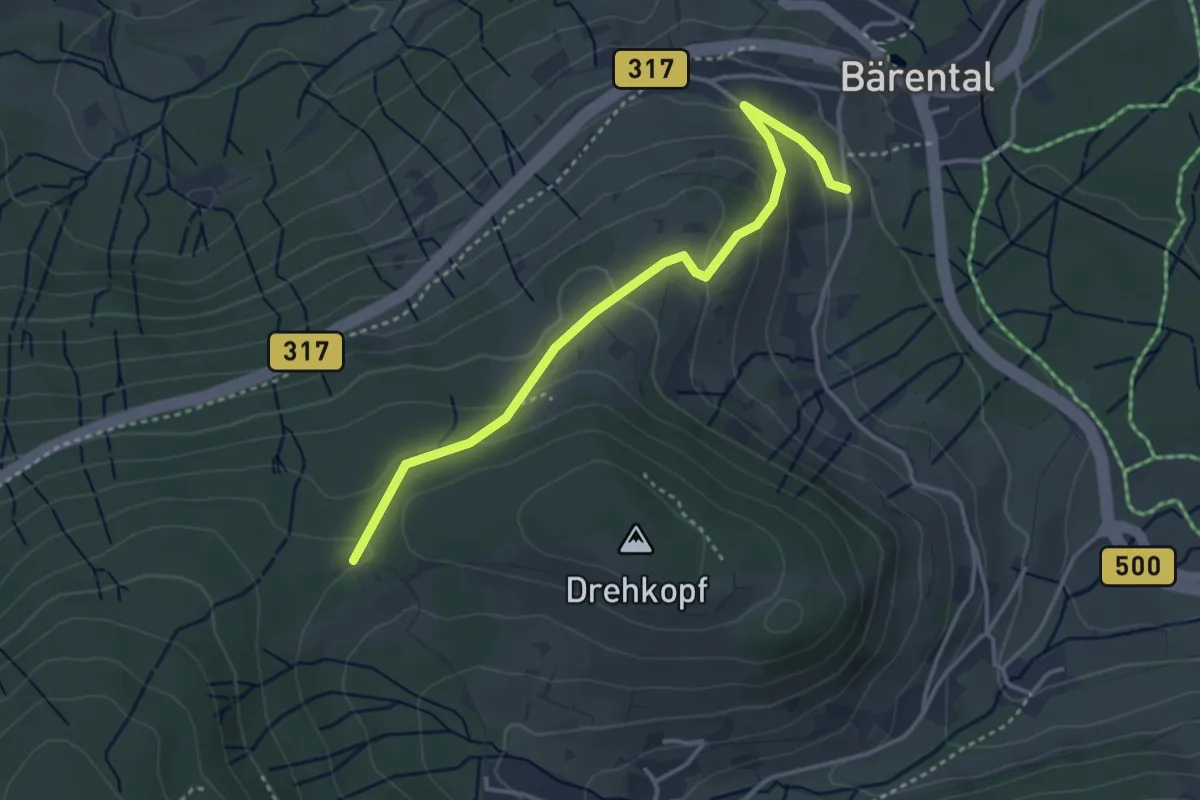
Easy · Trail
Bärental Benezkapelle - Happ
3.6 km · ↑ 146 m · 1 h 10 min
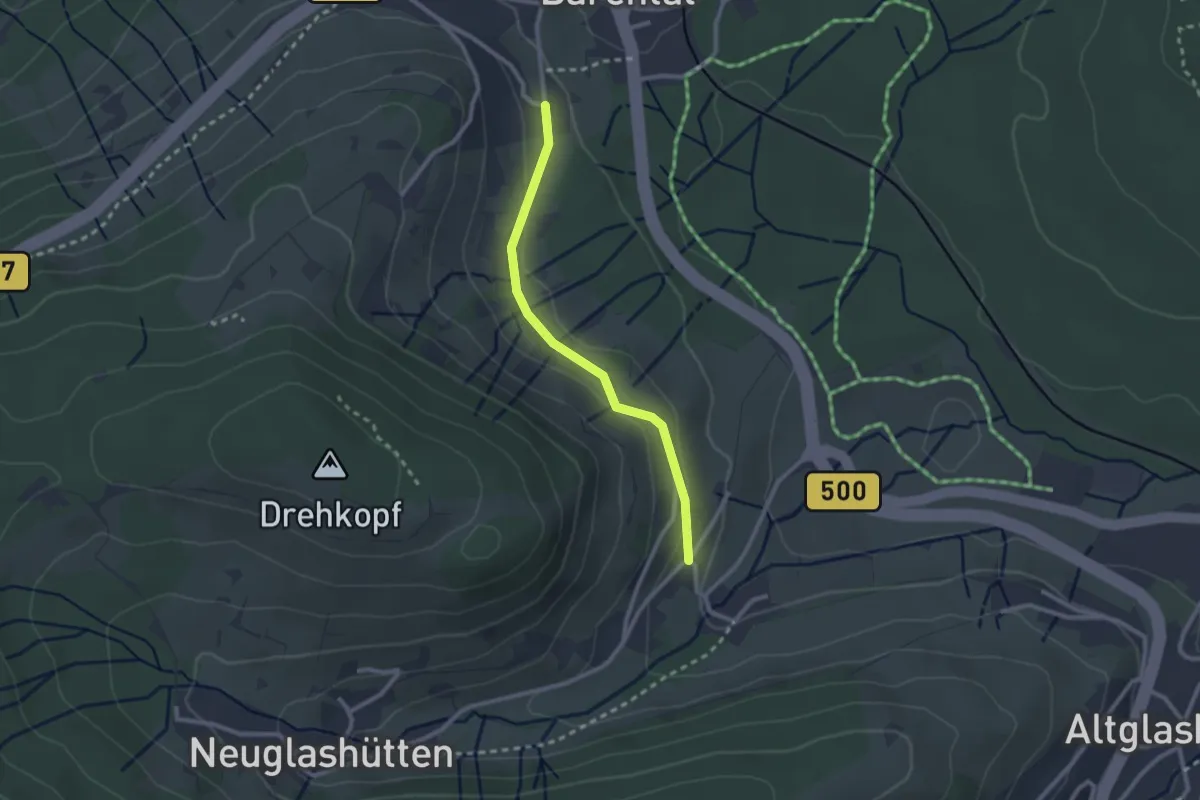
Easy · Trail
Bärental Benezkapelle - Neuglashütten Großmüllerhof
2.2 km · ↑ 55 m · 39 min
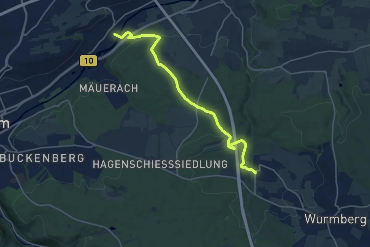
Medium · Trail
Bärentaler Weg Eutingen - Neubärental
13.1 km · ↑ 272 m · 3 h 41 min
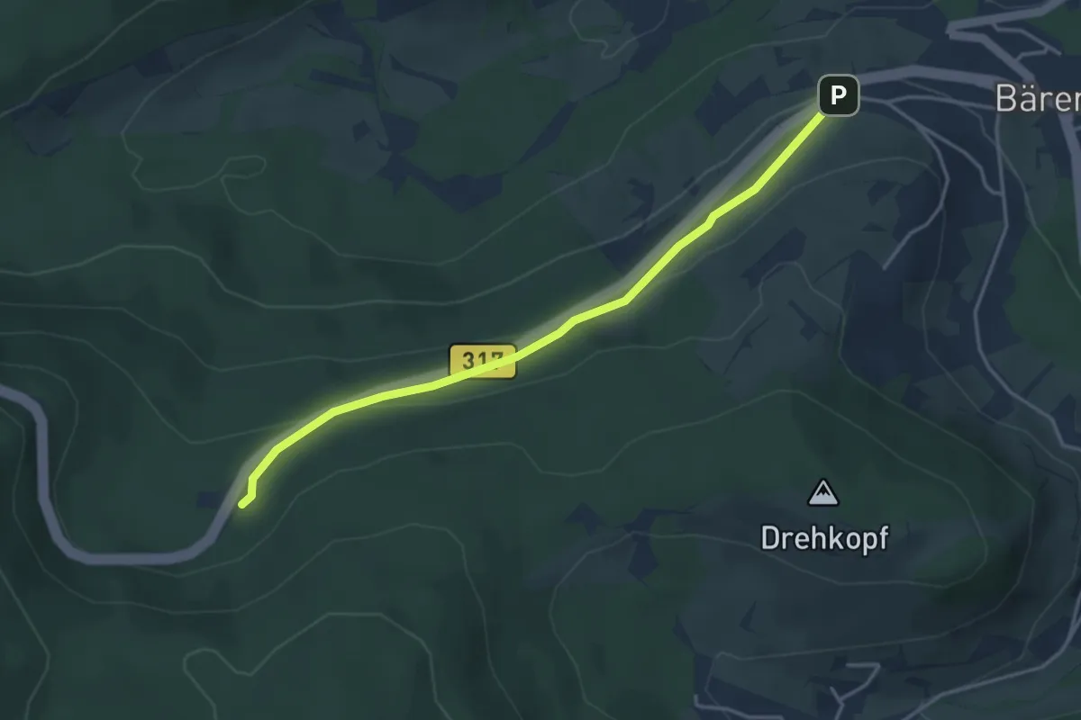
Easy · Trail
Bärental Hotel Diana - Kohlplatz
3.7 km · ↑ 131 m · 1 h 10 min
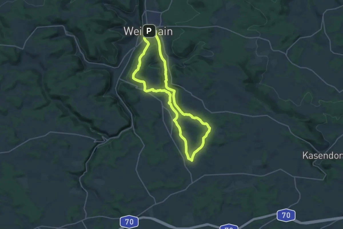
Medium · Summit
Bärental-Rundweg
15.8 km · ↑ 268 m · 4 h 32 min
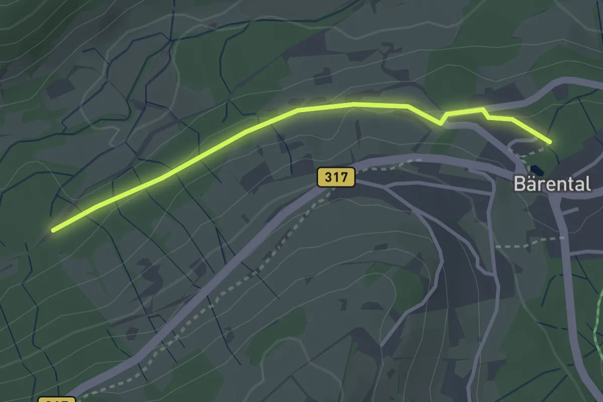
Easy · Trail
Bärental Tannenweg - Feldsee Seebachweg
2.8 km · ↑ 53 m · 47 min
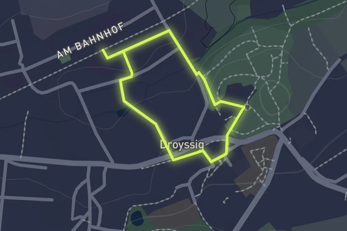
Easy · Trail
Bärentatzenweg Droyßig
1.1 km · ↑ 14 m · 19 min
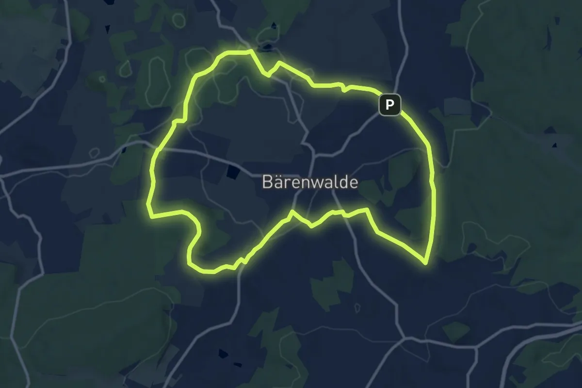
Medium · Summit
Bärenwalder Rundweg
10.4 km · ↑ 215 m · 3 h 3 min
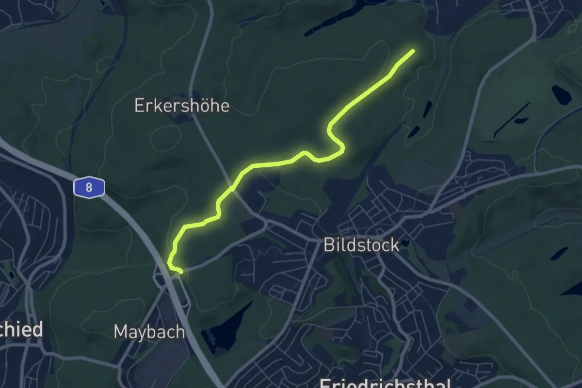
Easy · Trail
Bärenweg
6.3 km · ↑ 128 m · 1 h 47 min
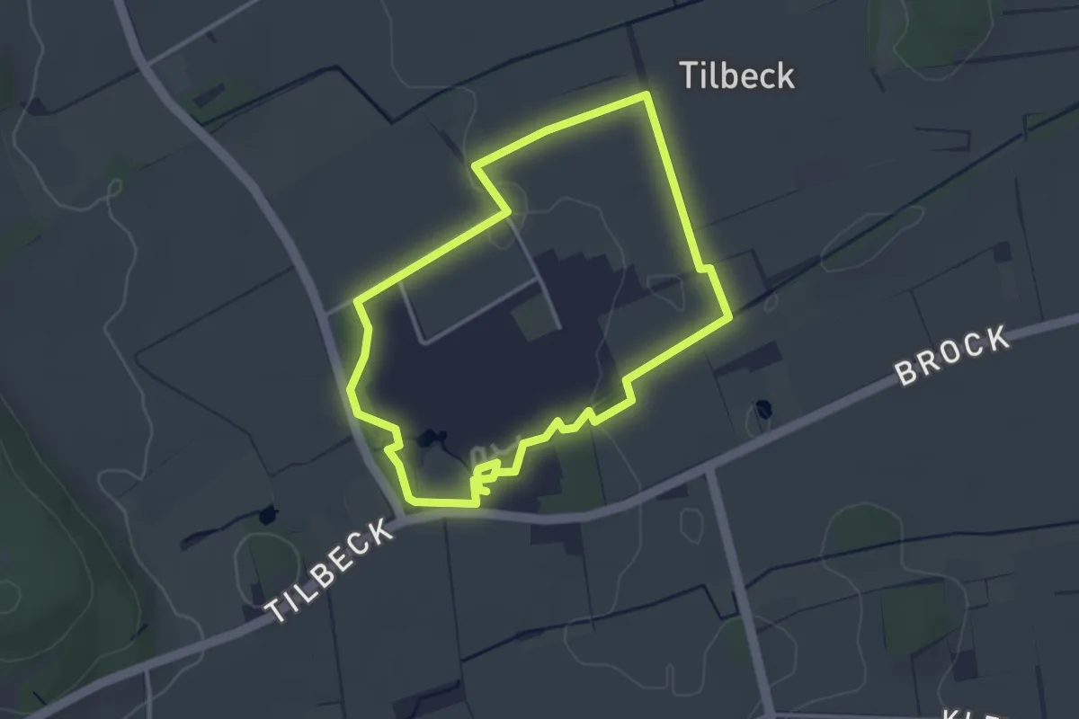
Easy · Trail
Barfussgang Stift Tilbeck
2.8 km · ↑ 9 m · 43 min
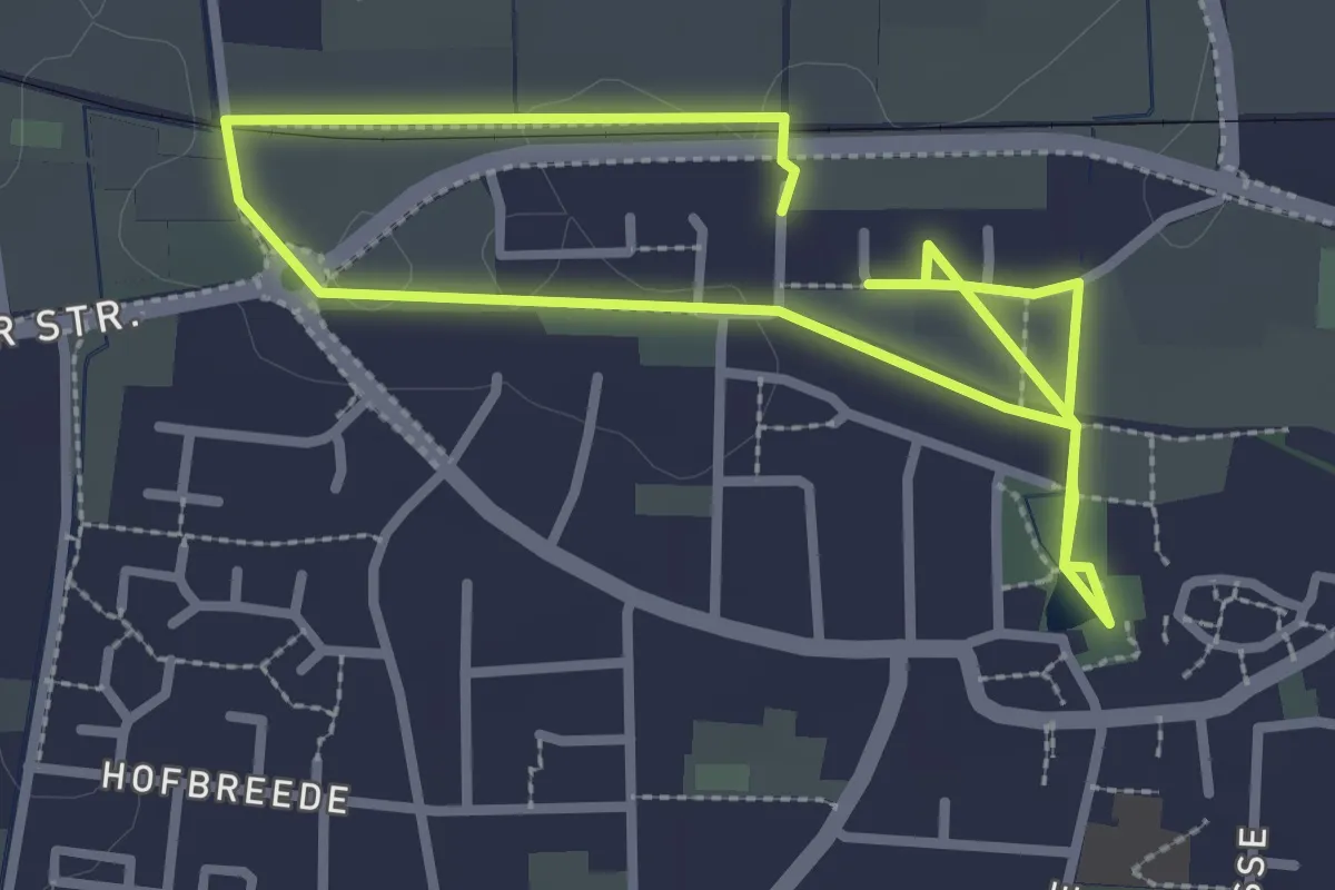
Easy · Trail
Barfuß-Park Lienen
4.4 km · ↑ 4 m · 1 h 3 min
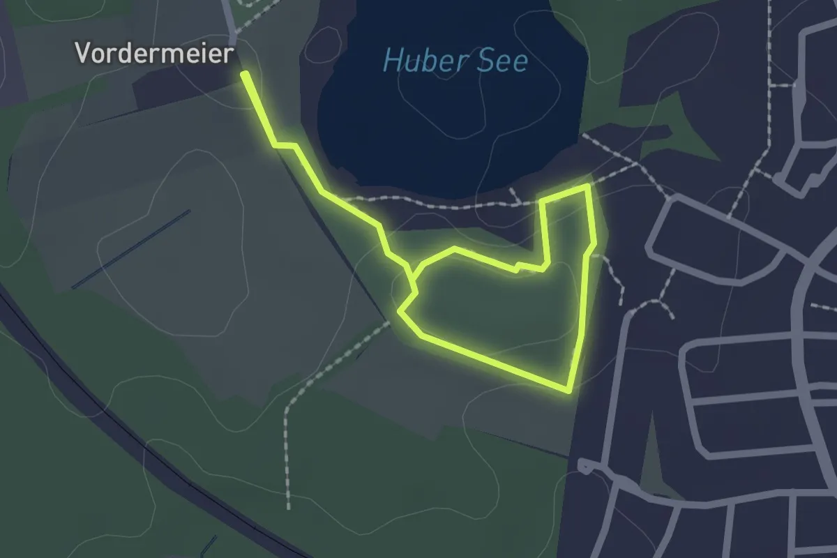
Easy · Trail
Barfusspark Penzberg
1.3 km · ↑ 13 m · 22 min
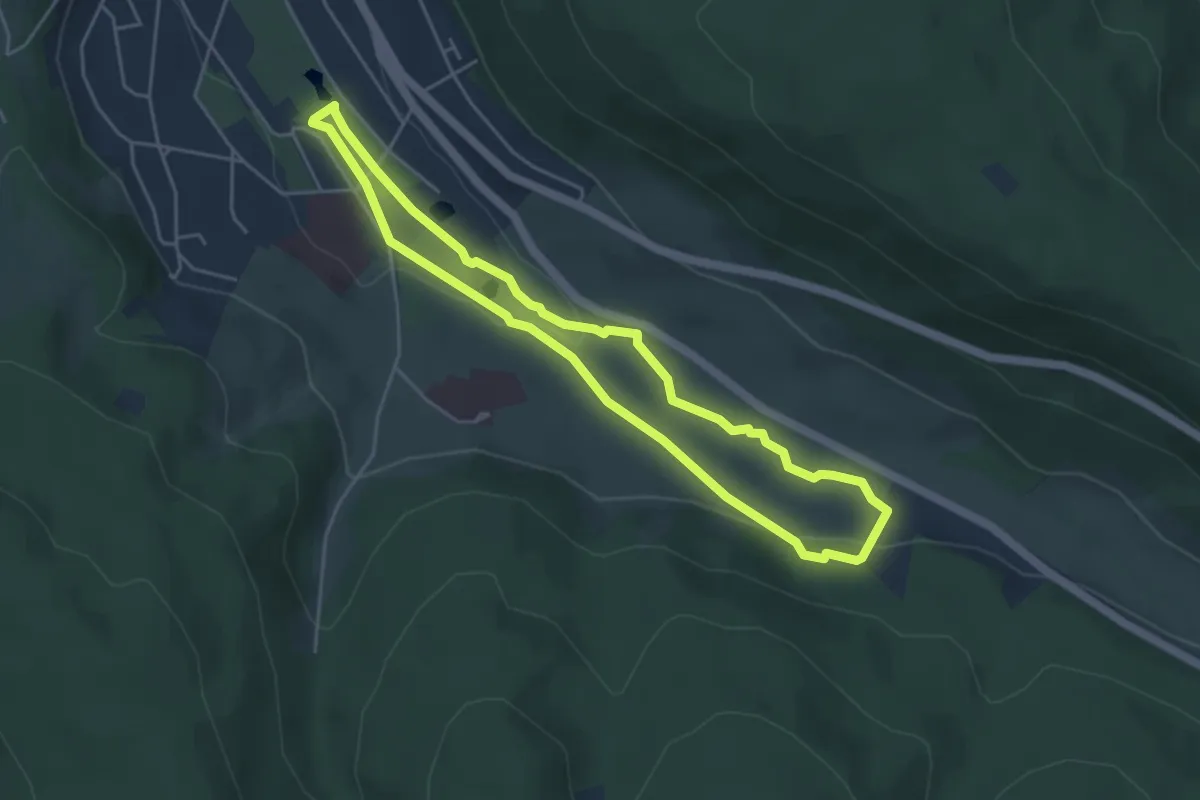
Easy · Trail
Barfußpfad Bad Orb
4.0 km · ↑ 63 m · 1 h 9 min
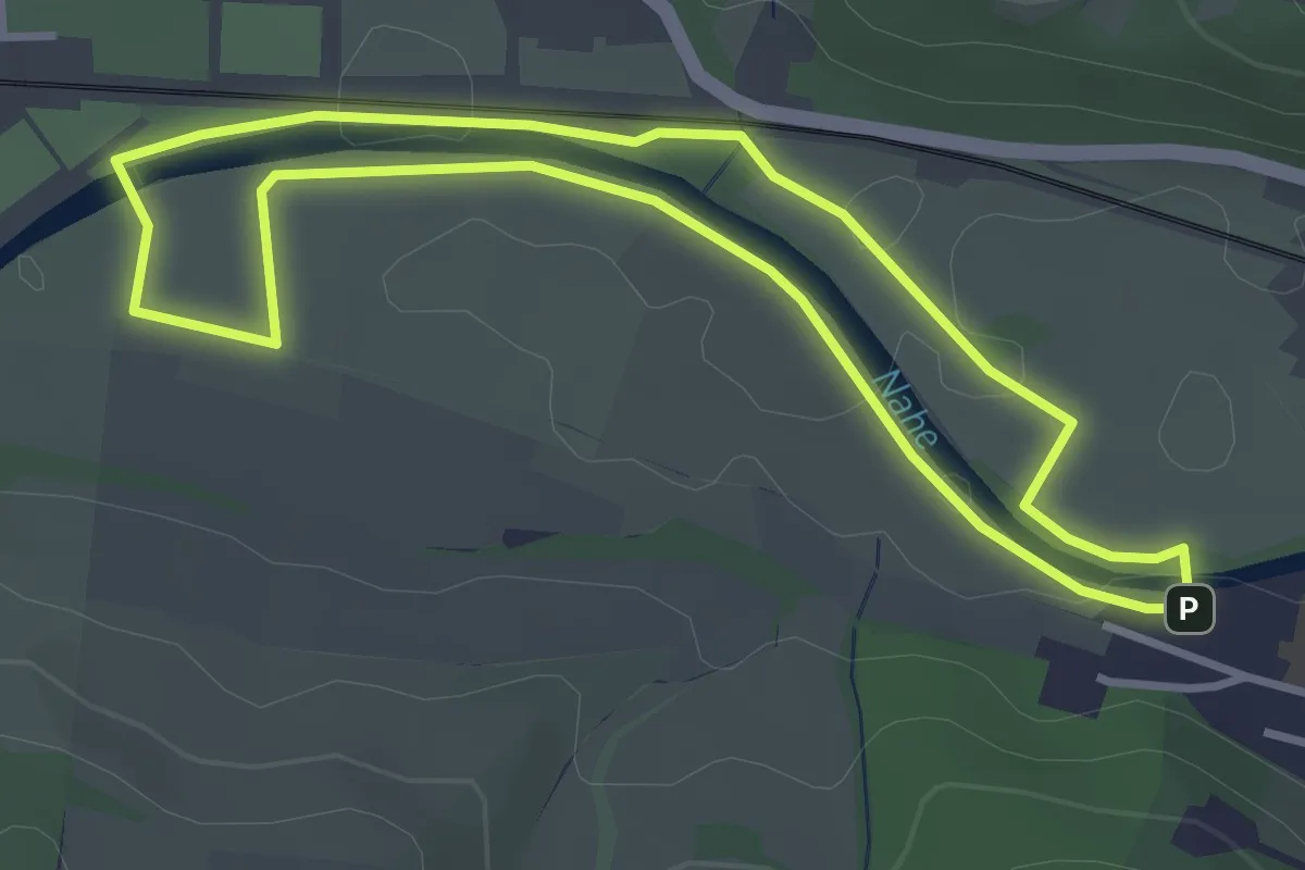
Easy · Trail
Barfußpfad Bad Sobernheim
3.1 km · ↑ 9 m · 48 min
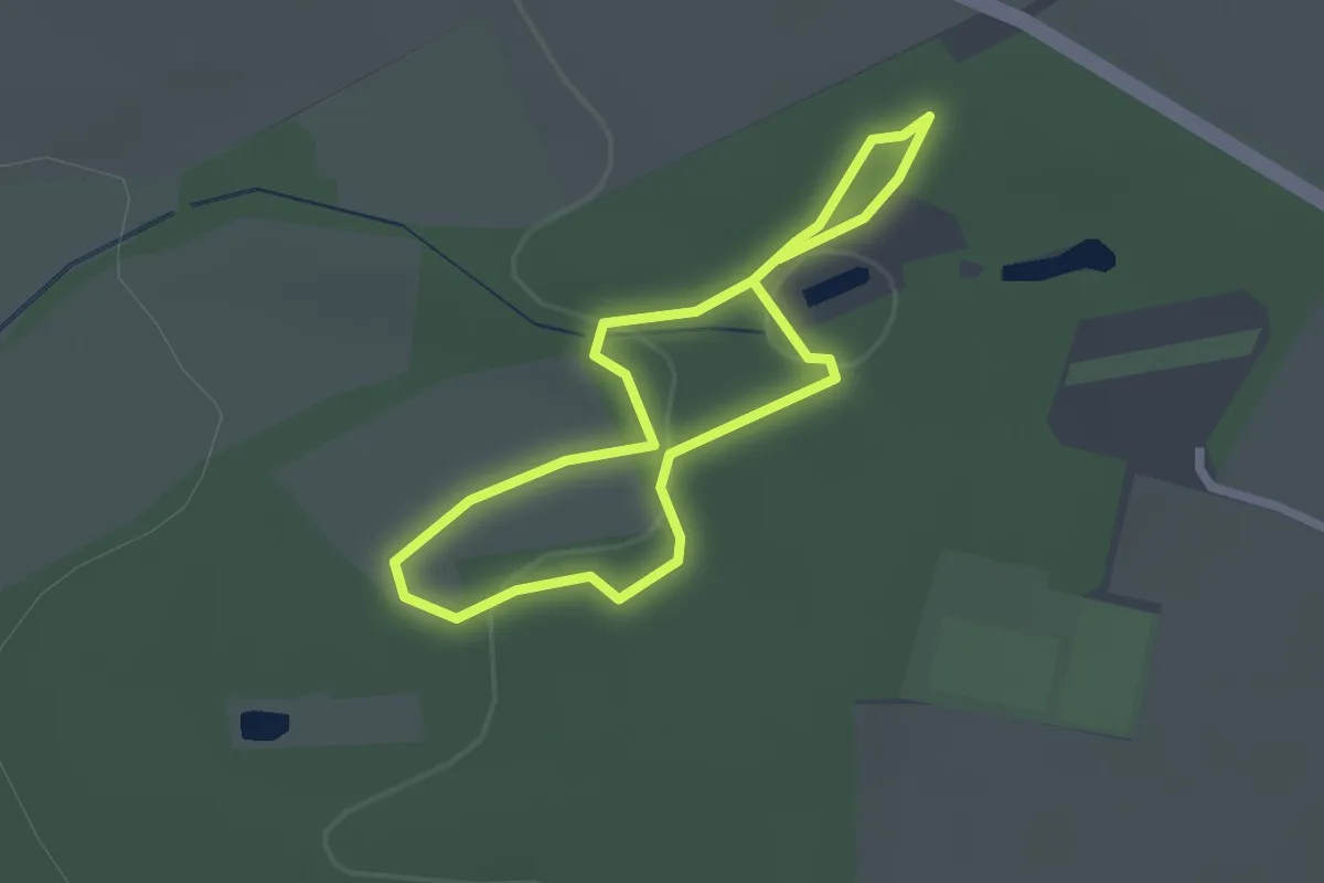
Easy · Trail
Barfußpfad Egestorf mittlerer Weg
1.6 km · ↑ 29 m · 28 min
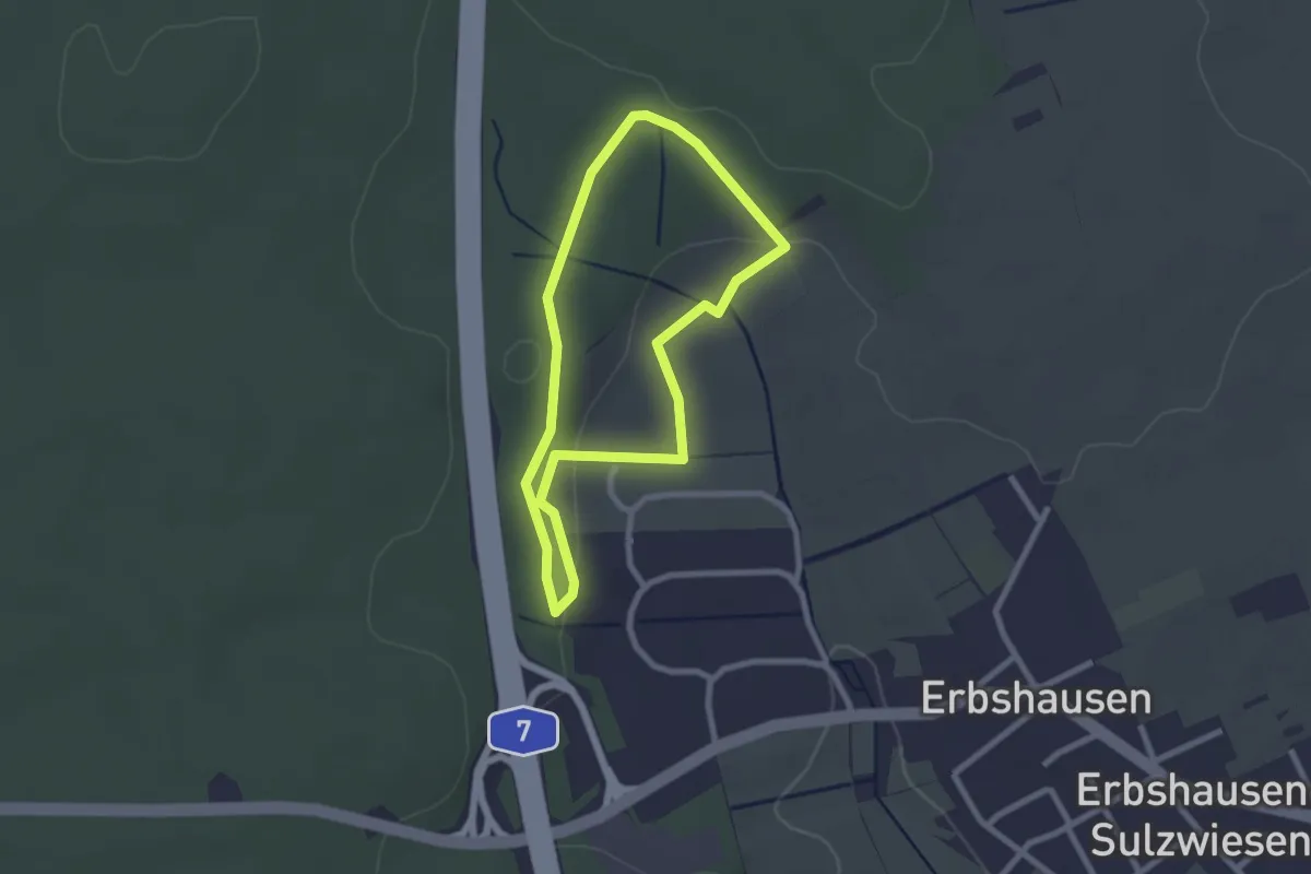
Easy · Trail
Barfußpfad Gramschatzer Wald
2.0 km · ↑ 37 m · 35 min
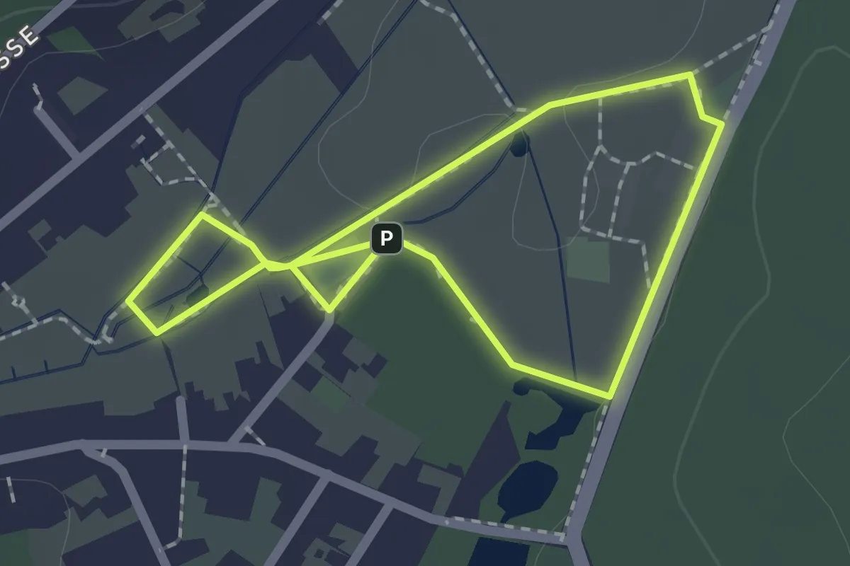
Easy · Trail
Barfußpfad Ludwigswinkel
1.5 km · ↑ 9 m · 24 min
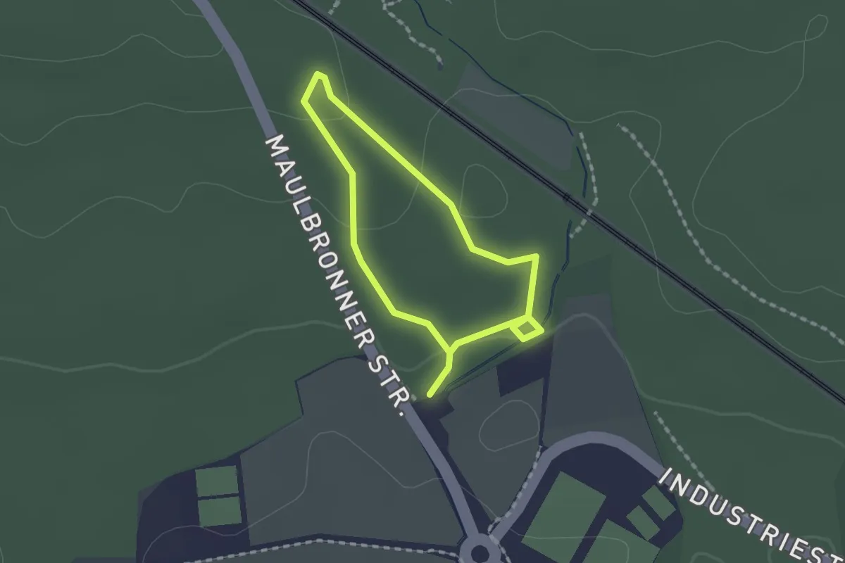
Easy · Trail
Barfußpfad Ötisheim
1.2 km · ↑ 24 m · 21 min
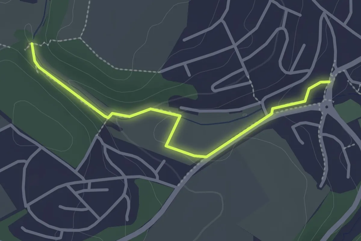
Easy · Trail
Barfußpfad Thalfang
2.5 km · ↑ 38 m · 41 min
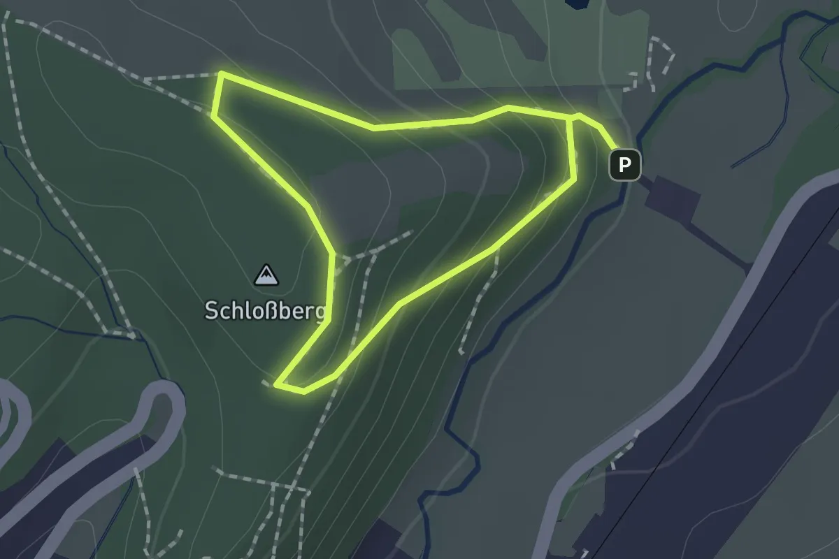
Easy · Summit
Barfußpfad Wippra
1.2 km · ↑ 70 m · 27 min
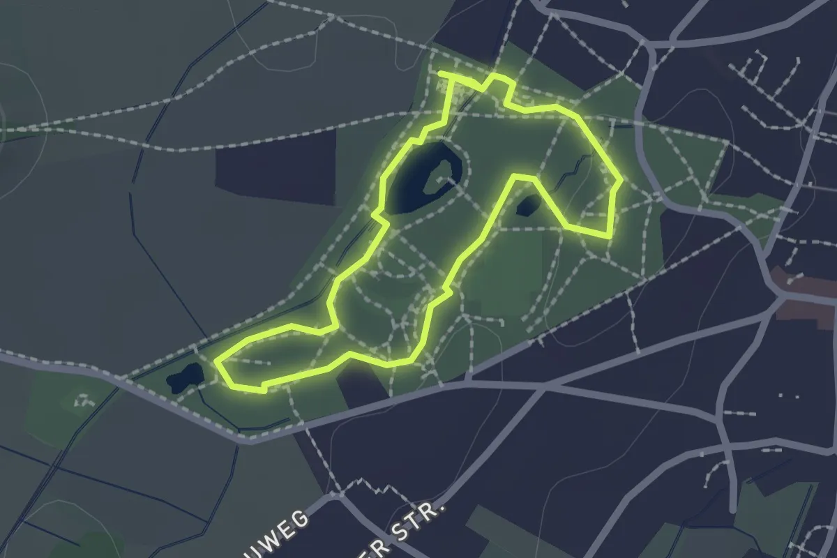
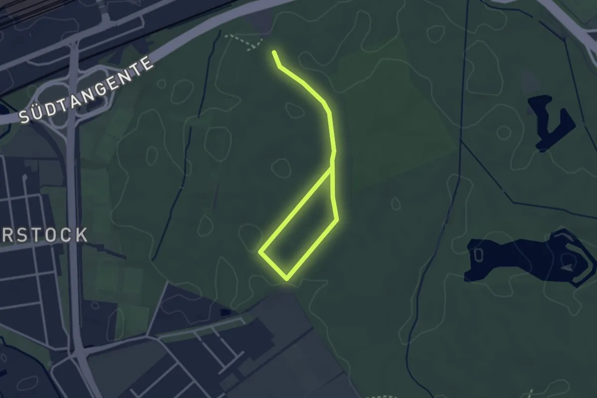
Easy · Trail
Barfußweg
1.7 km · ↑ 10 m · 26 min
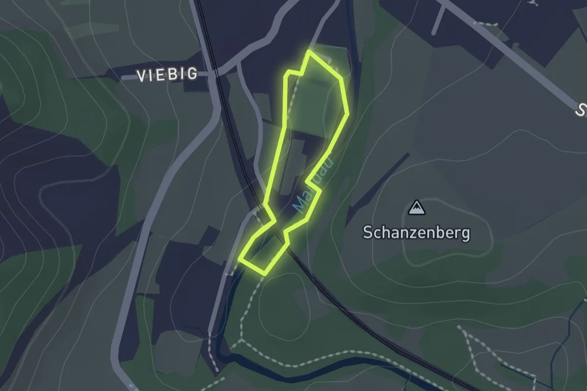
Easy · Trail
Barfußweg
3.4 km · ↑ 13 m · 50 min
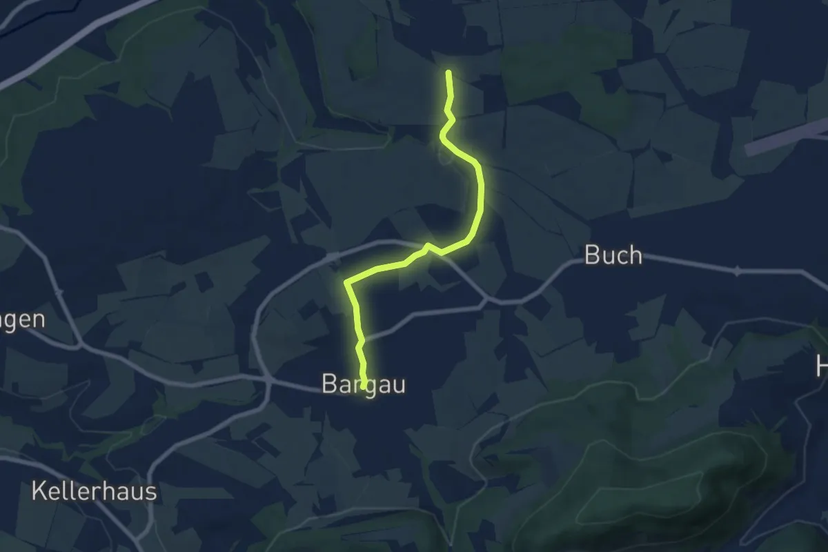
Easy · Trail
Barfußweg an der Mandau
1.2 km · ↑ 5 m · 18 min
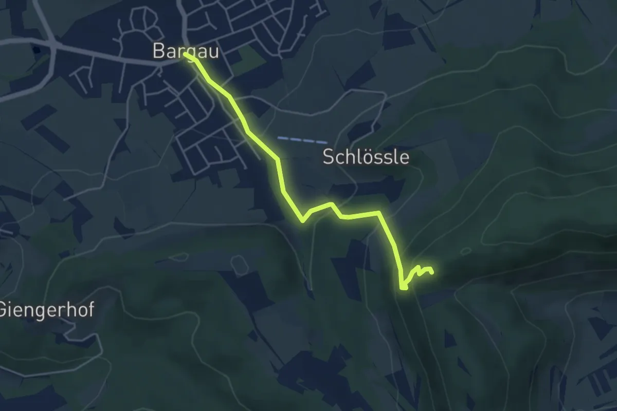
Easy · Trail
Bargau - Böbingen
5.9 km · ↑ 69 m · 1 h 33 min
Medium · Trail
Bargau - Scheuelberg (Hoher Felsen)
4.2 km · ↑ 253 m · 1 h 32 min
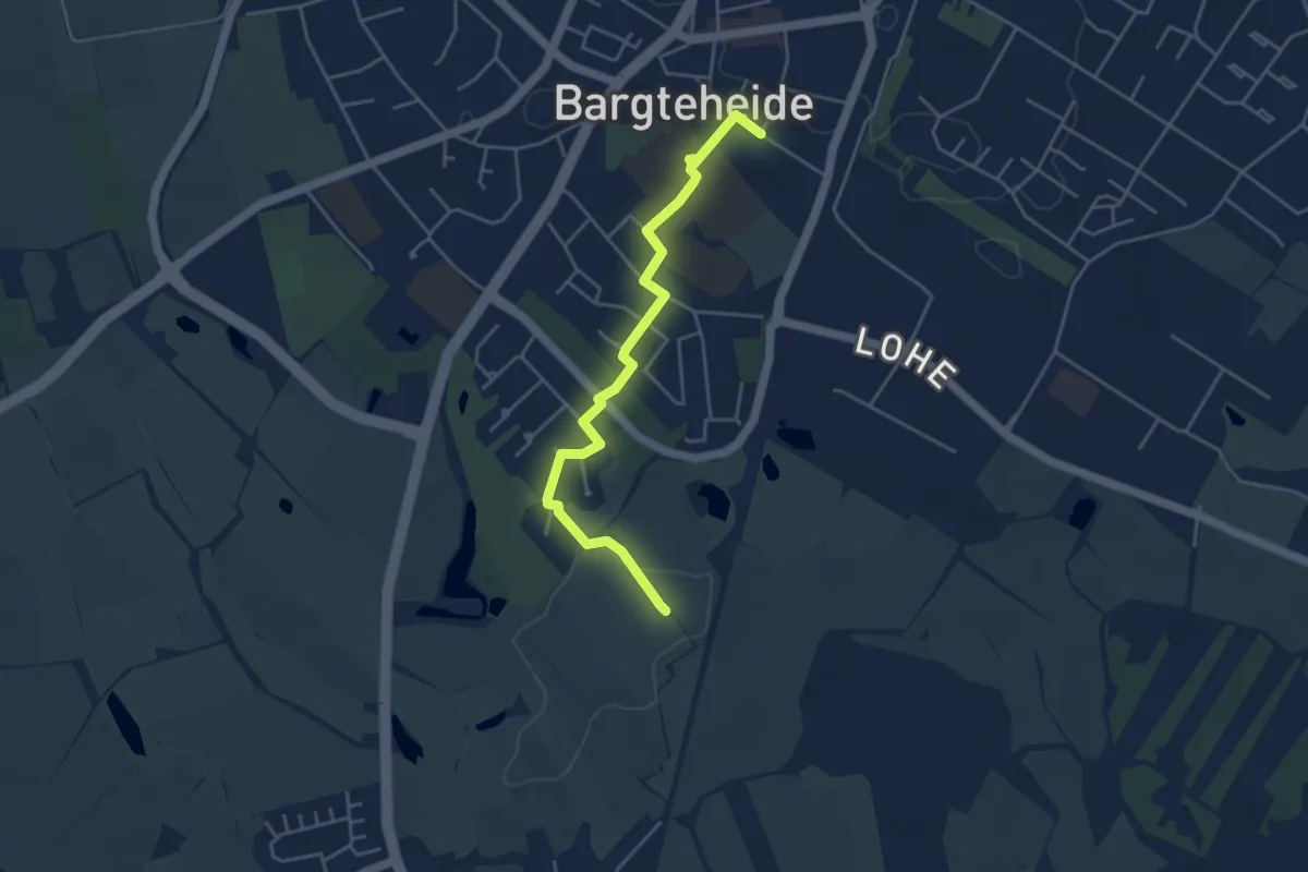
Easy · Summit
Bargteheide-Delingsdorf
3.9 km · ↑ 4 m · 56 min
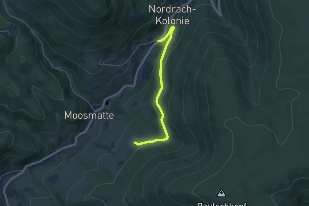
Easy · Trail
Bärhag - Klausenbachklinik
3.7 km · ↑ 125 m · 1 h 8 min
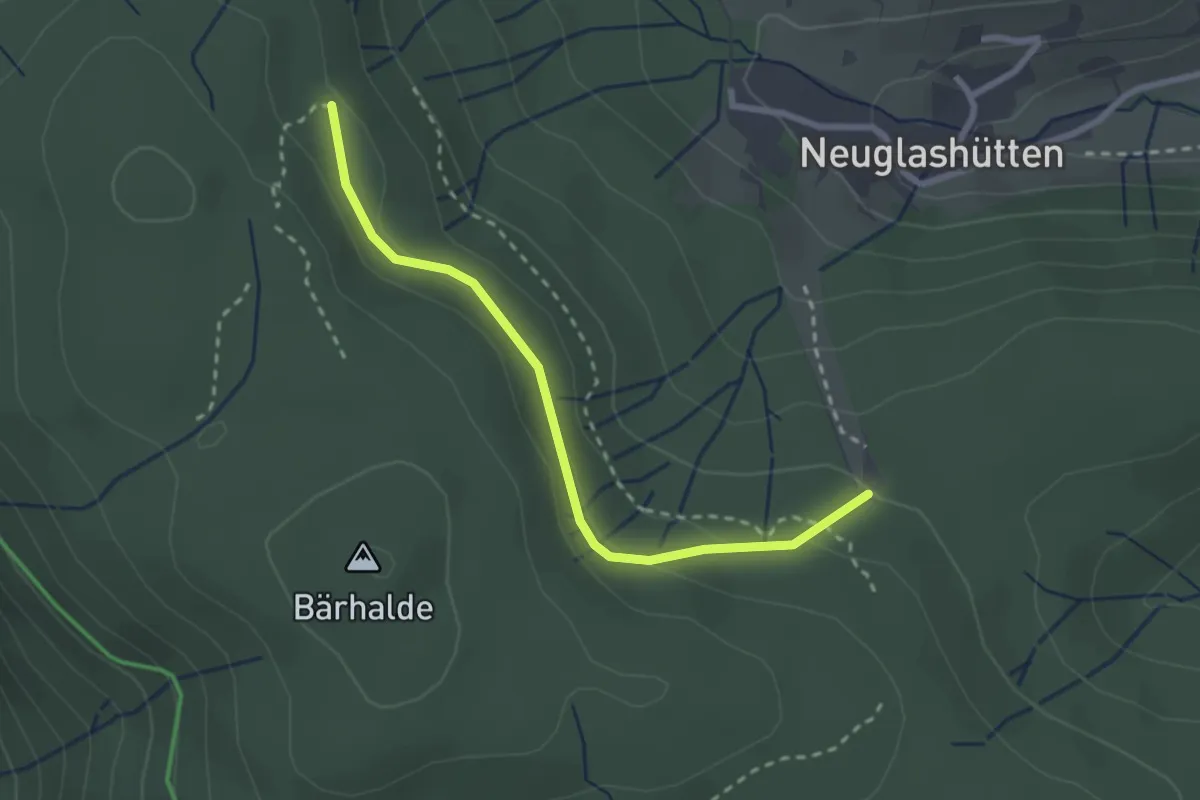
Easy · Trail
Bärhaldenweg - Gamseck-Steig
2.5 km · ↑ 88 m · 47 min
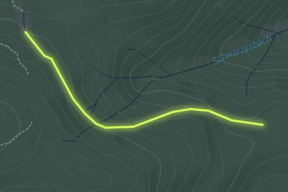
Easy · Trail
Bärhaldenweg - Hohlgasse
2.0 km · ↑ 68 m · 37 min
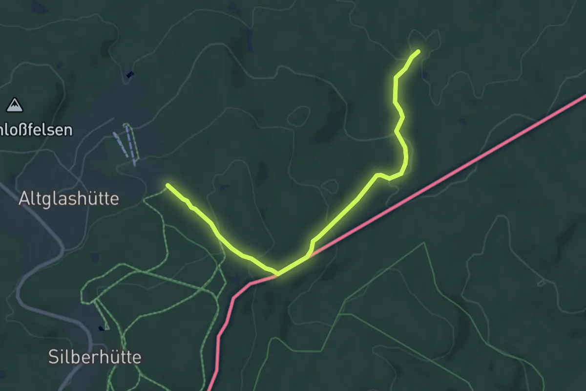
Easy · Trail
Bärnau Rundweg 1: Zur Altglashütte und zur Waldnaabquelle
3.2 km · ↑ 155 m · 1 h 5 min
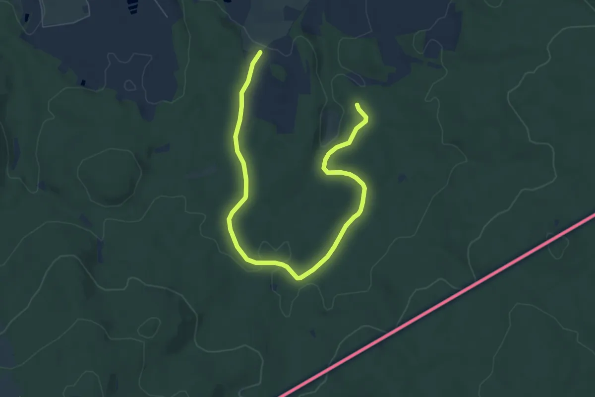
Easy · Trail
Bärnau Rundweg 5
7.7 km · ↑ 144 m · 2 h 8 min
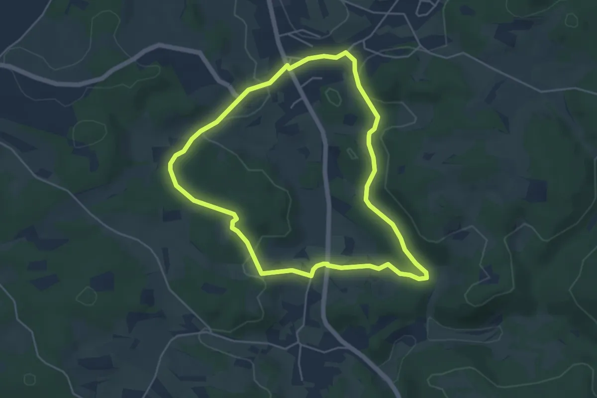
Easy · Trail
Bärnfels Rundwanderweg Herzogwind
4.1 km · ↑ 67 m · 1 h 10 min
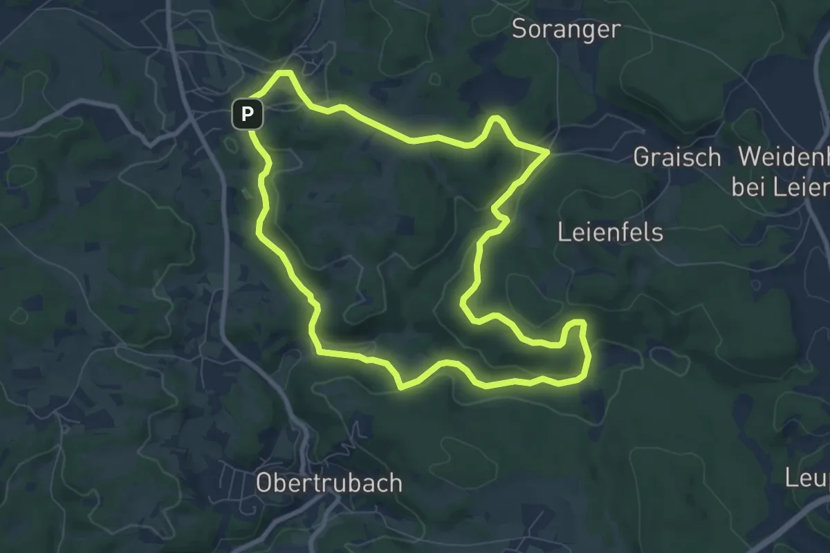
Easy · Trail
Bärnfels Rundwanderweg Leienfelser Wald
7.9 km · ↑ 167 m · 2 h 20 min