Trails in Germany
36,824 hiking trails, each with its route, climb, walking time and grade.
All trails, page 50 of 768
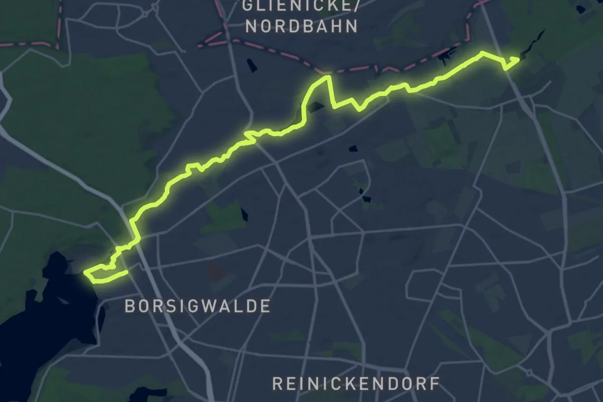
Demanding · Summit
Barnimer Dörferweg
26.1 km · ↑ 69 m · 6 h 19 min
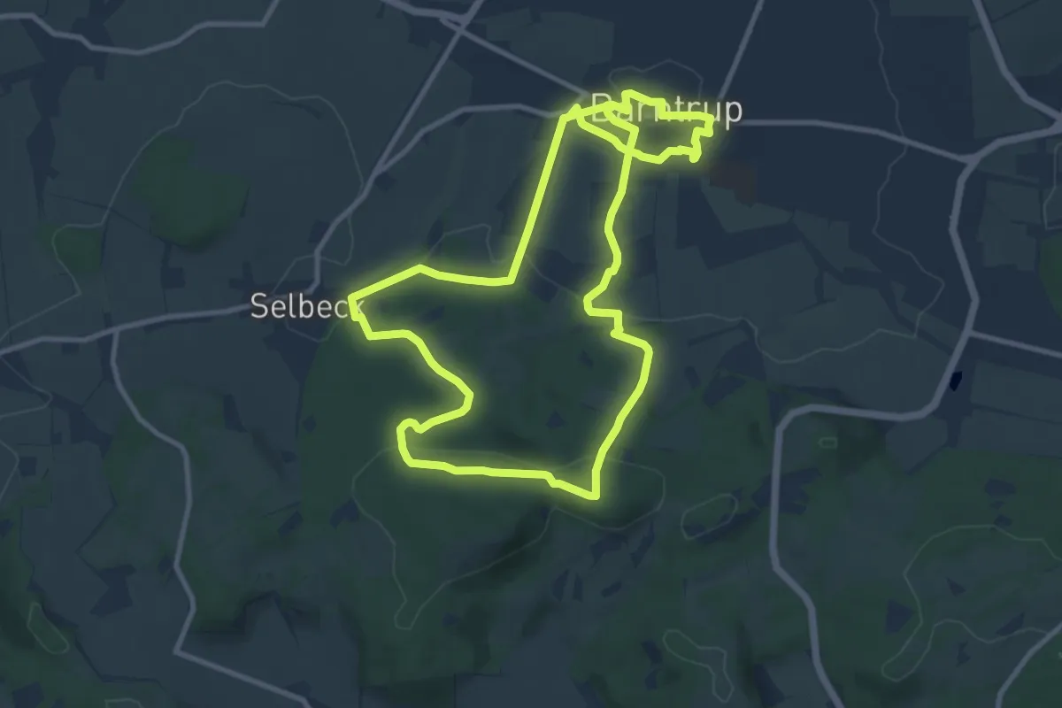
Medium · Trail
Barntruper Kunstpfad
9.3 km · ↑ 196 m · 2 h 45 min
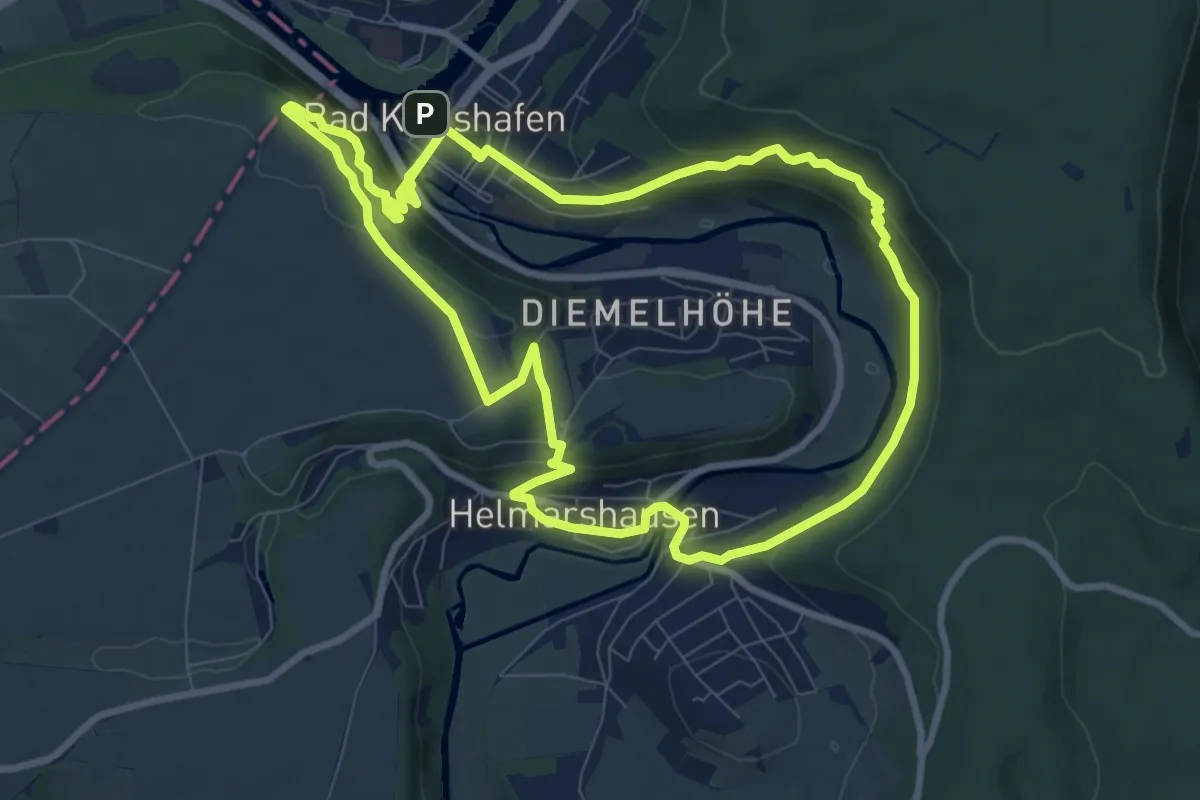
Medium · Summit
Barock trifft Mittelalter
8.4 km · ↑ 316 m · 2 h 45 min
Easy · Trail
Barongartenhütte - Flößerhaus
3.2 km · ↑ 164 m · 1 h 7 min
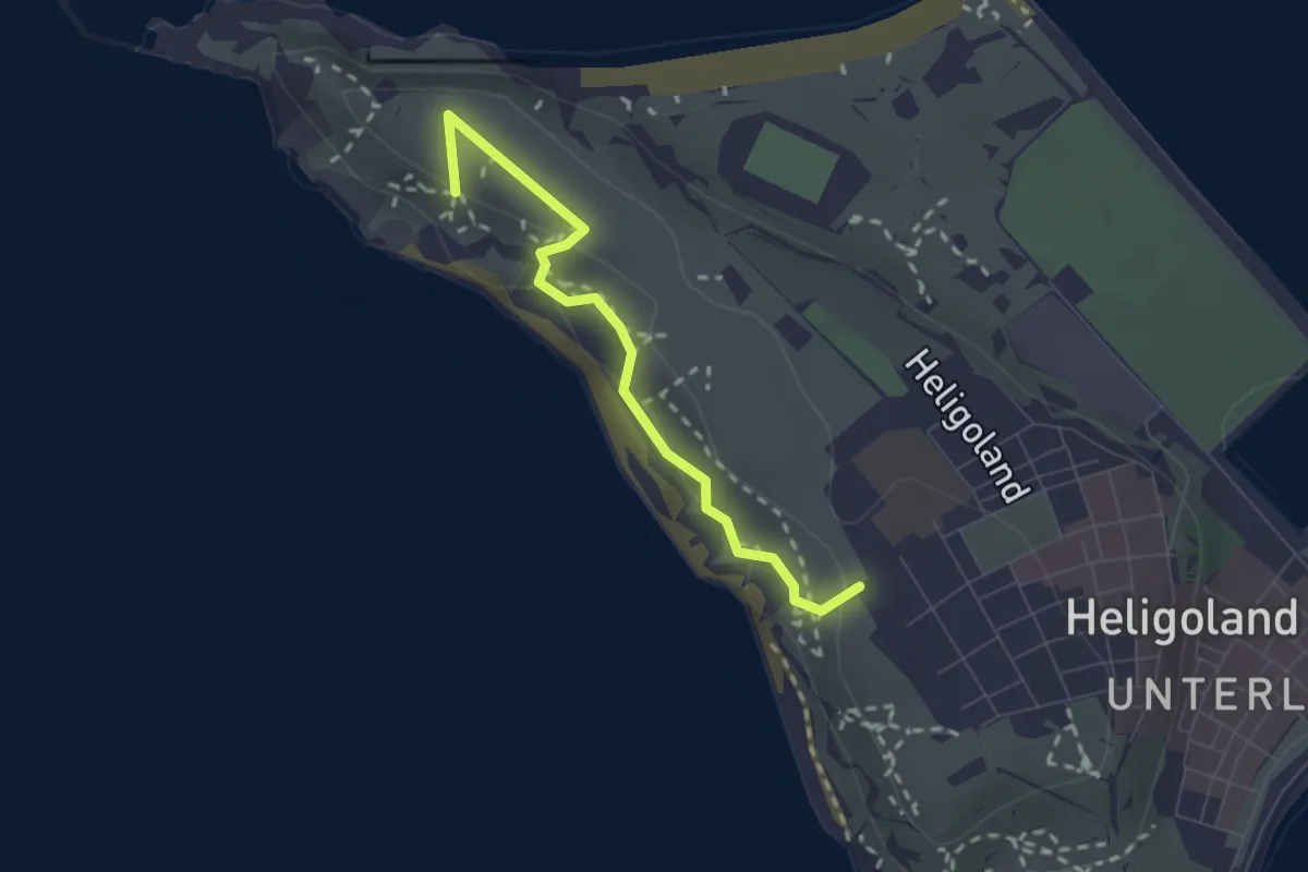
Easy · Summit
Barrierearmer Rundweg
2.0 km · ↑ 37 m · 33 min
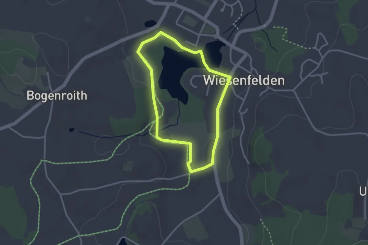
Easy · Trail
Barrierefreier Rundweg
2.2 km · ↑ 14 m · 36 min
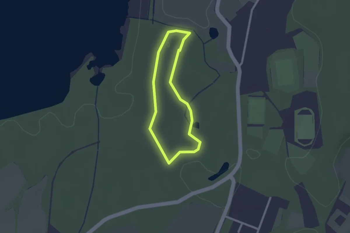
Easy · Trail
Barrierefreier Rundweg
1.5 km · ↑ 4 m · 22 min
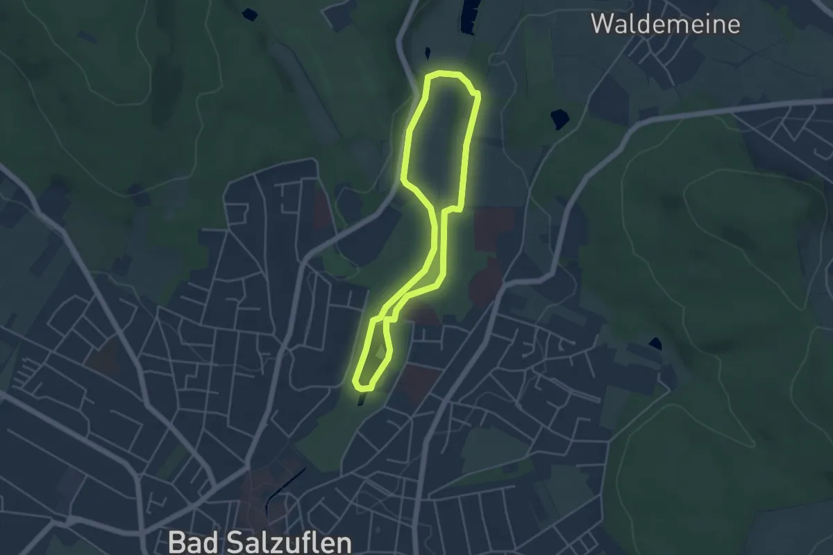
Easy · Trail
Barrierefreier Wanderweg Bad Salzuflen
3.5 km · ↑ 9 m · 53 min
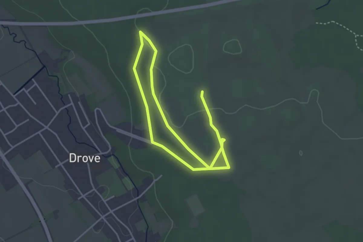
Easy · Trail
barrierefreier Weg Drover Heide
2.8 km · ↑ 17 m · 44 min
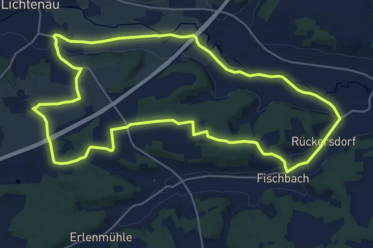
Medium · Summit
Barsch
12.4 km · ↑ 93 m · 3 h 19 min
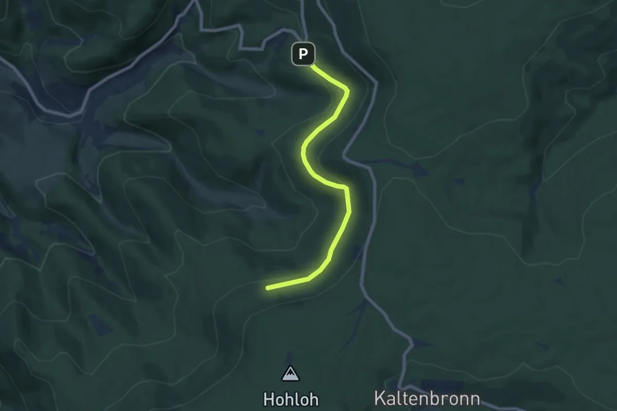
Easy · Trail
Bärtann - Bärtannweg
6.0 km · ↑ 174 m · 1 h 48 min
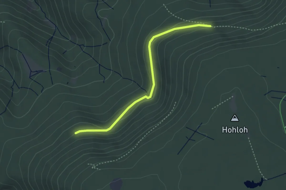
Easy · Trail
Bärtann - Oberried
3.5 km · ↑ 111 m · 1 h 3 min
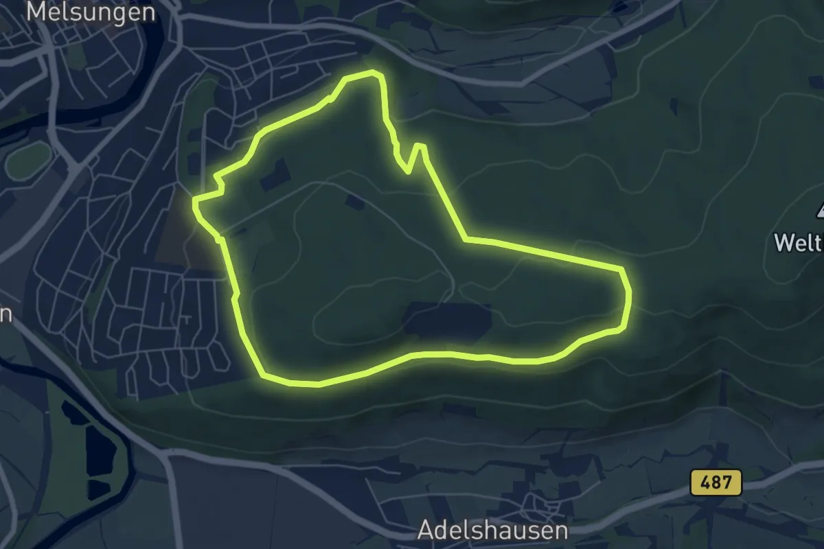
Easy · Trail
Bartenwetzer- Rundwanderweg B 1
6.0 km · ↑ 133 m · 1 h 48 min
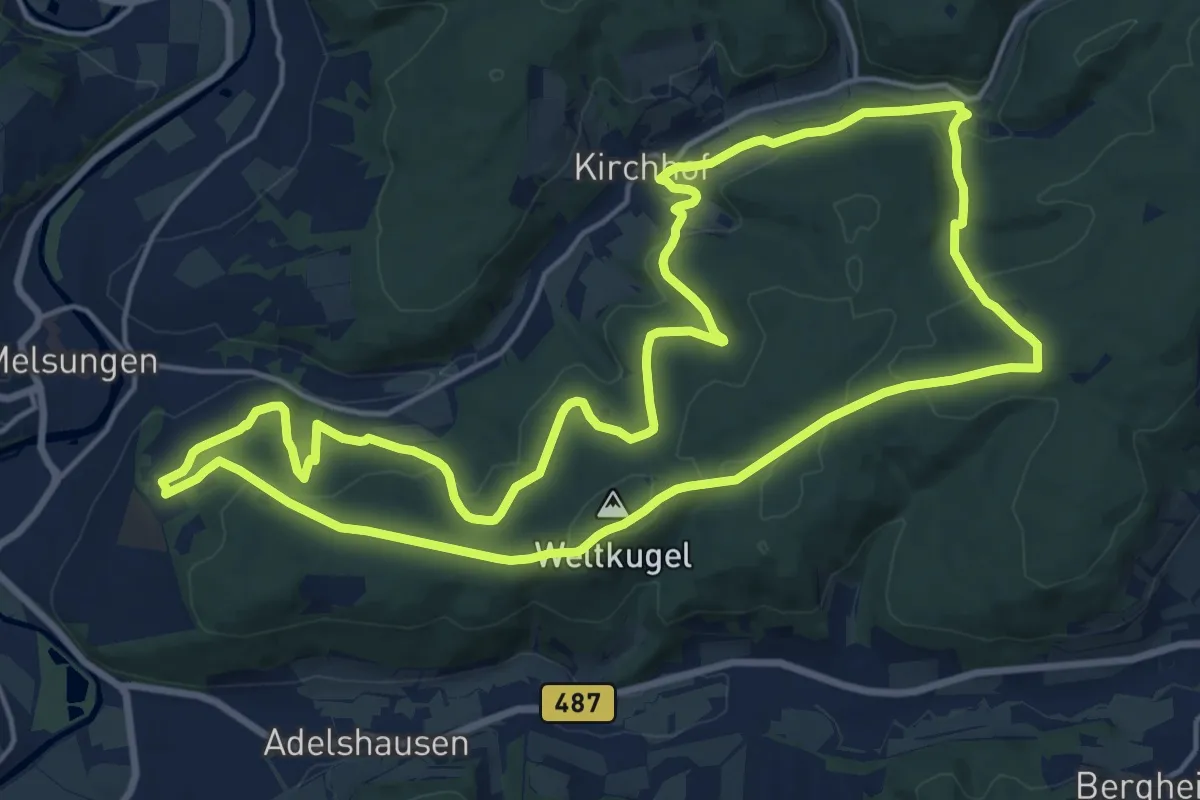
Medium · Summit
Bartenwetzer-Rundwanderweg B 3
17.6 km · ↑ 467 m · 5 h 25 min
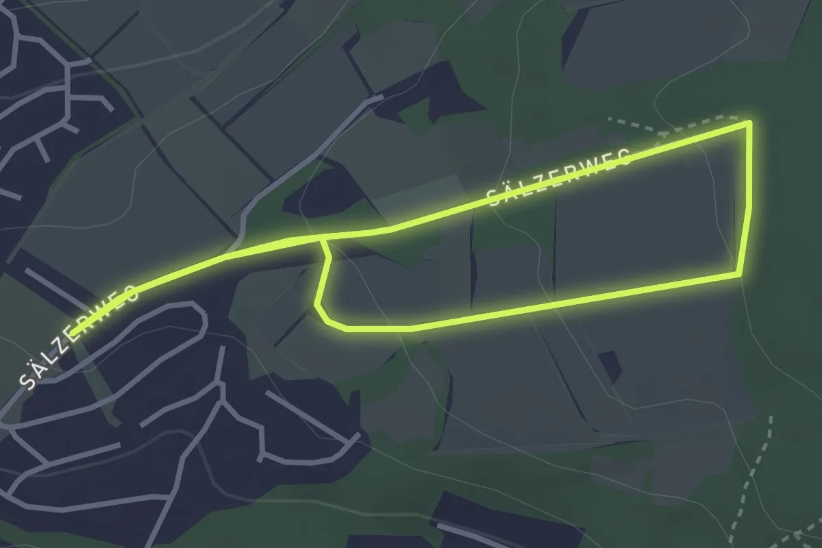
Easy · Trail
Bartenwetzer- Rundwanderweg B 4
2.6 km · ↑ 69 m · 48 min
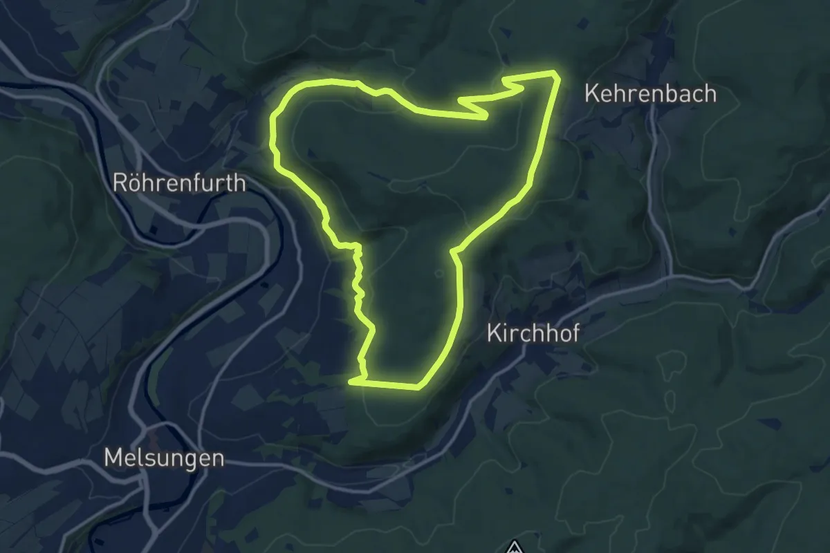
Medium · Trail
Bartenwetzer- Rundwanderweg B 6
11.7 km · ↑ 299 m · 3 h 34 min
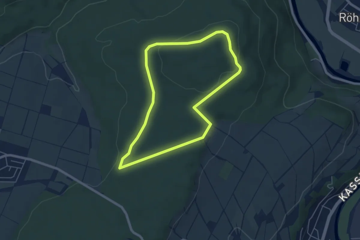
Easy · Trail
Bartenwetzer- Rundwanderweg B 7
4.2 km · ↑ 60 m · 1 h 11 min
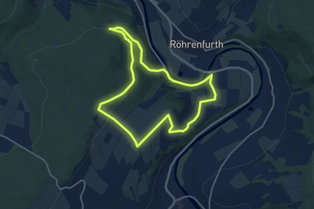
Easy · Trail
Bartenwetzer- Rundwanderweg B 8
7.2 km · ↑ 199 m · 2 h 13 min
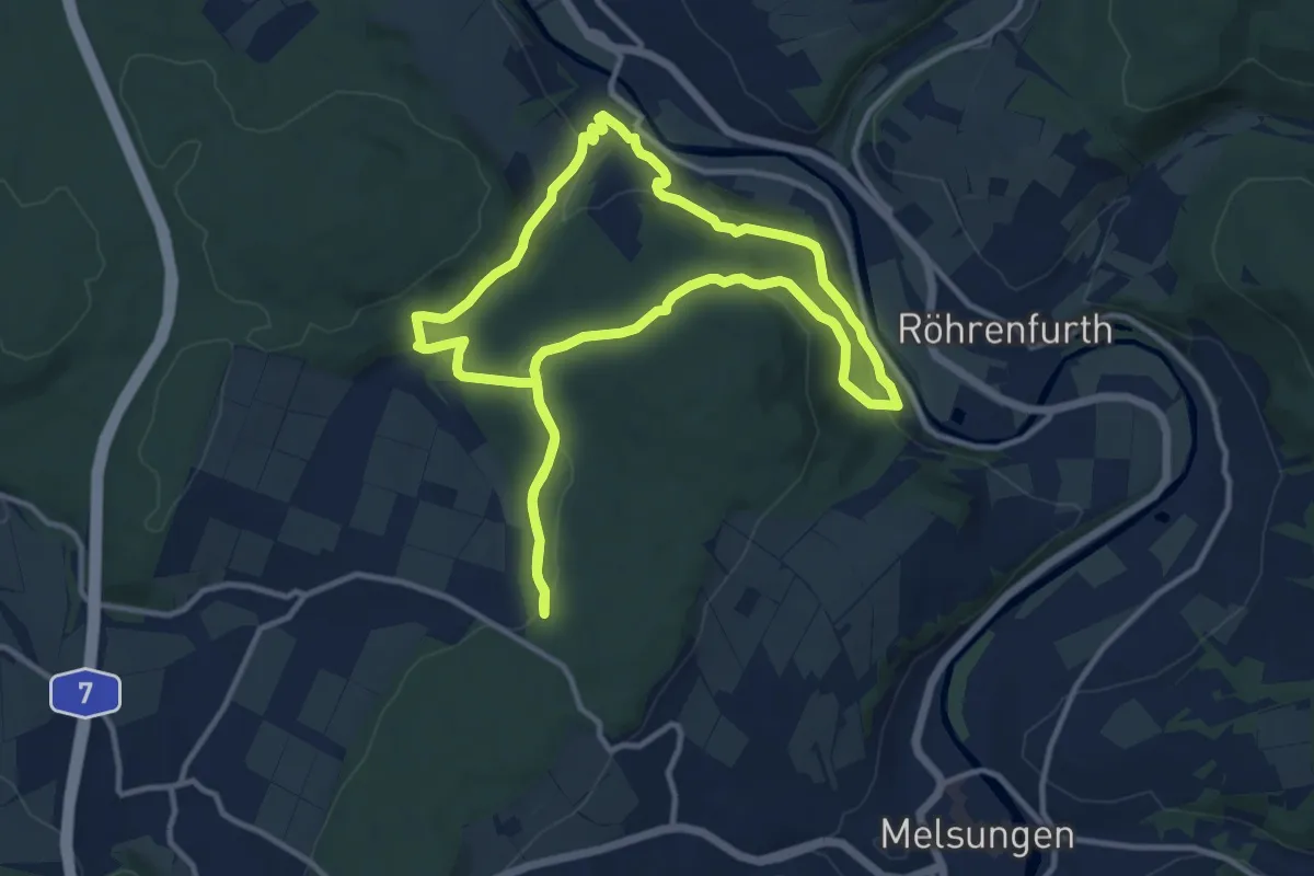
Medium · Trail
Bartenwetzer-Rundwanderweg B9
10.6 km · ↑ 291 m · 3 h 17 min
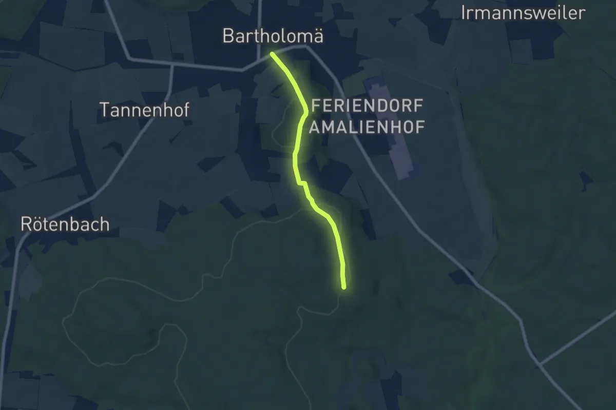
Easy · Trail
Bartholomä - Bibersohl
5.0 km · ↑ 145 m · 1 h 29 min
Easy · Trail
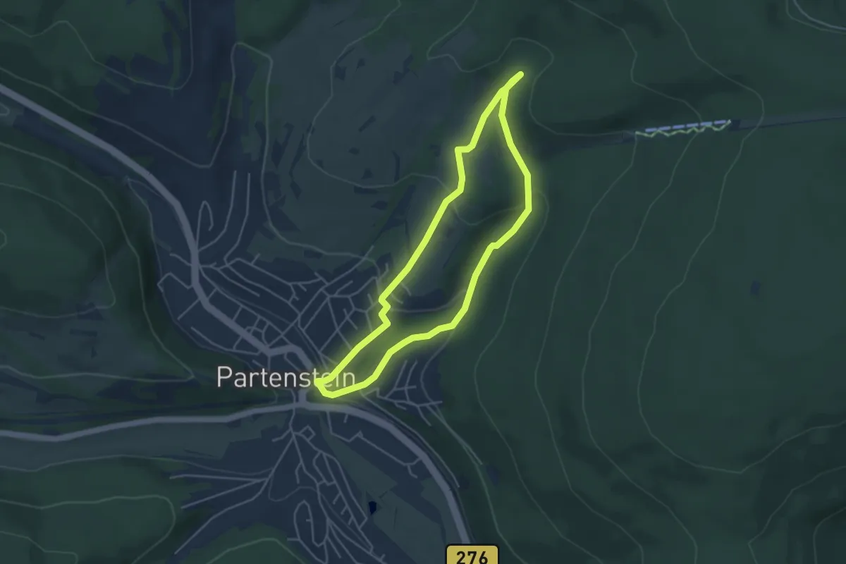
Baryt-Rundwanderweg
3.8 km · ↑ 141 m · 1 h 15 min
Easy · Summit
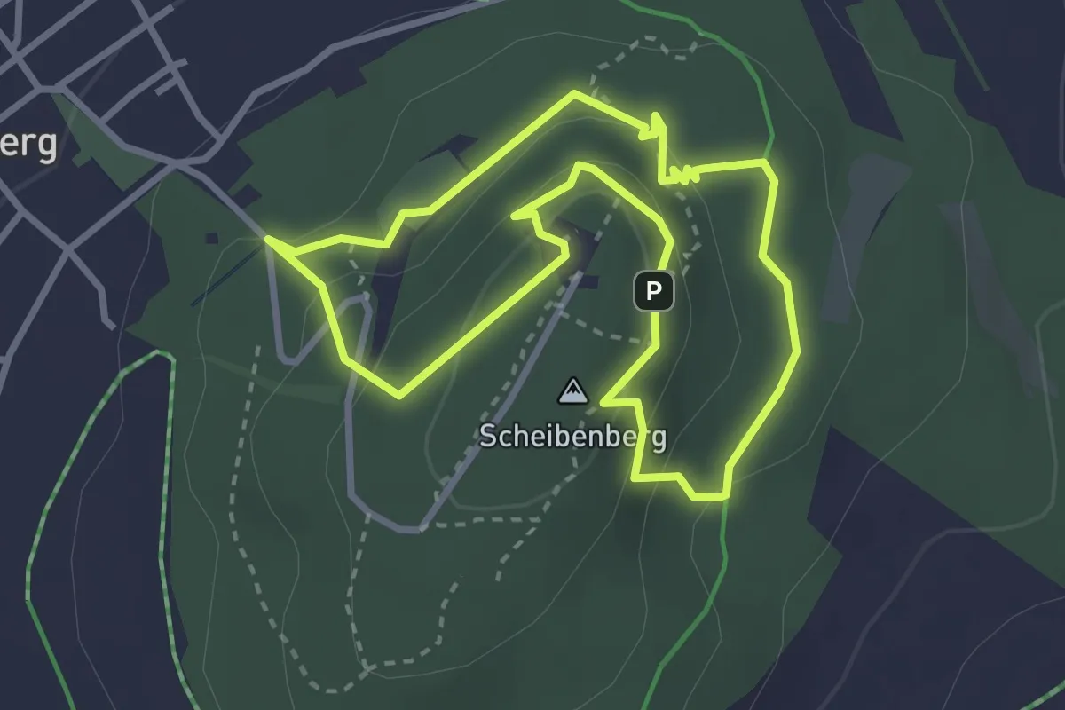
Basalt-Pfad
2.7 km · ↑ 100 m · 53 min
Demanding · Summit
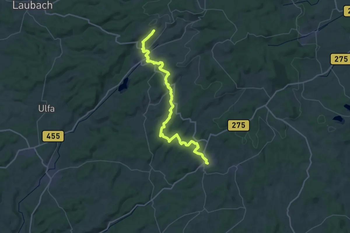
Basaltweg
41.5 km · ↑ 837 m · 11 h 36 min
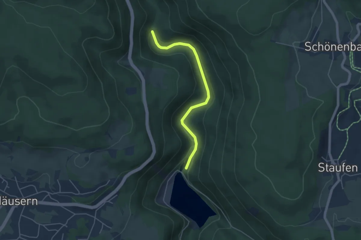
Easy · Trail
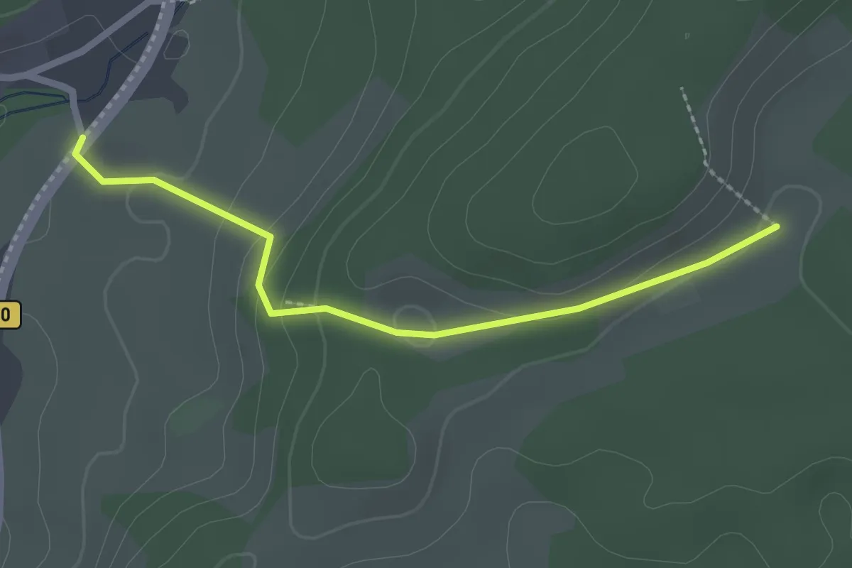
Baschihof - Steiertenhäusle
2.2 km · ↑ 86 m · 42 min
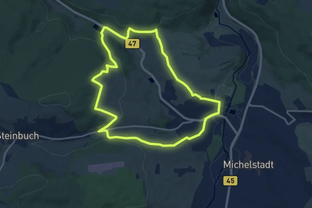
Easy · Trail
Baschnagelweg - Mahlerhöfle
3.9 km · ↑ 138 m · 1 h 14 min
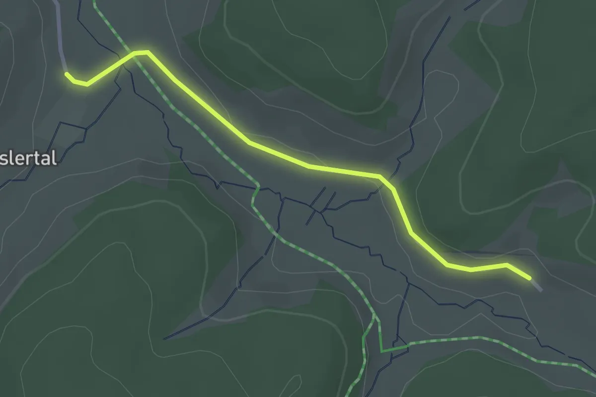
Easy · Trail
Basilika-Rundweg
8.0 km · ↑ 201 m · 2 h 26 min
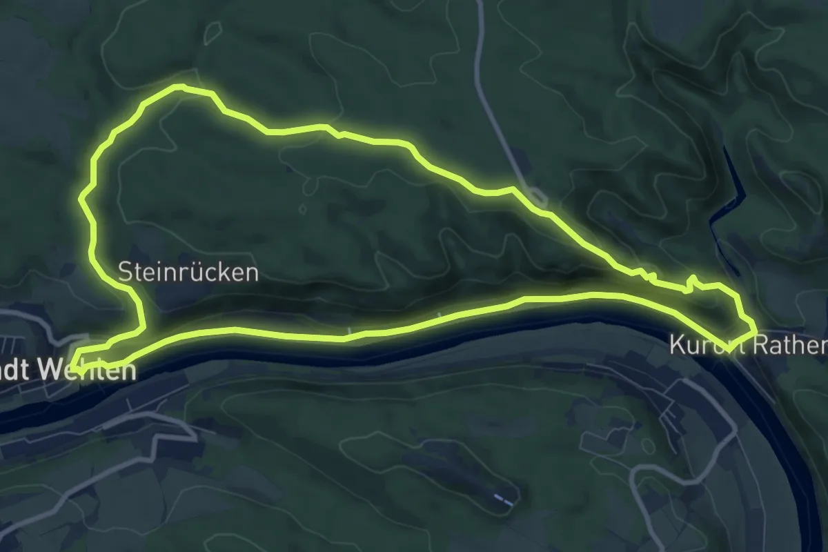
Easy · Trail
Baslertal - Herrenwälderweg
2.6 km · ↑ 66 m · 45 min
Medium · Summit
Basteirundweg
9.4 km · ↑ 228 m · 2 h 50 min
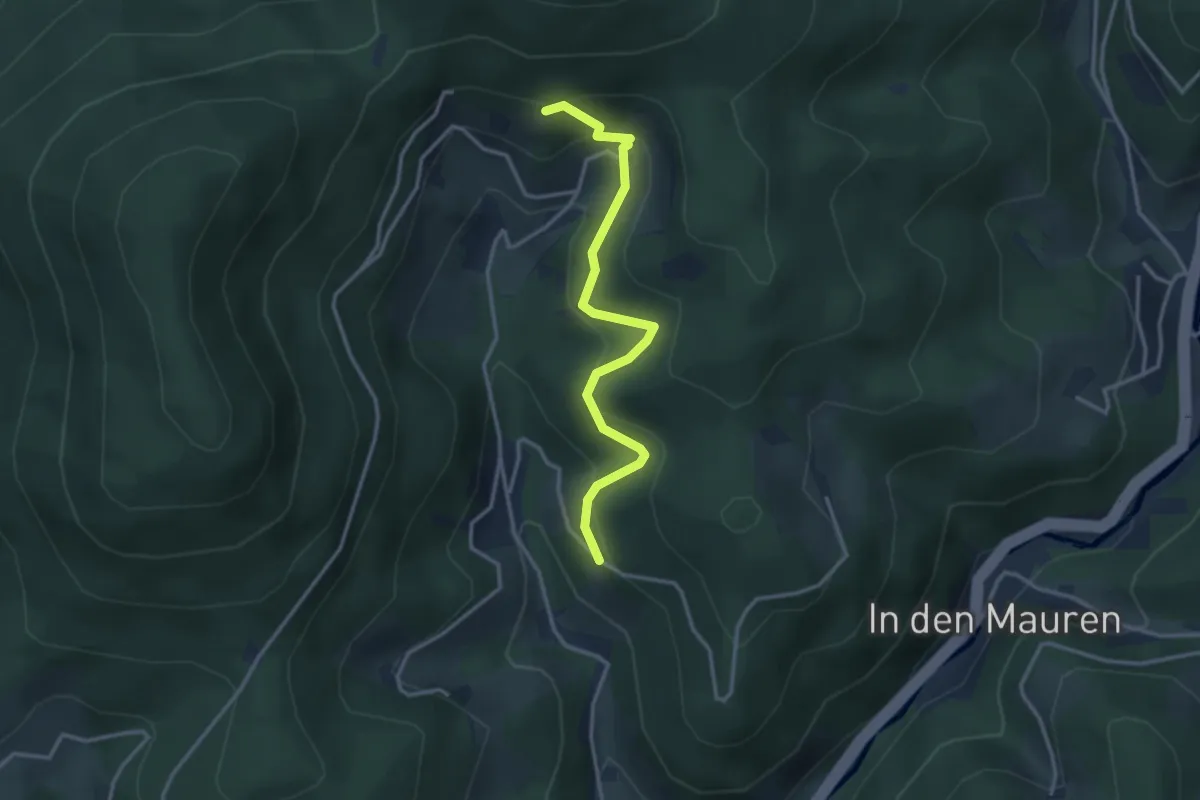
Easy · Trail
Bästenbachblick - Bühlacker
3.1 km · ↑ 237 m · 1 h 14 min
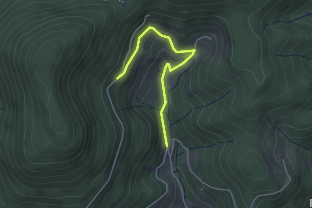
Easy · Trail
Bästenbach Urbansebelweg - Hinter Bästenbach
3.0 km · ↑ 173 m · 1 h 5 min
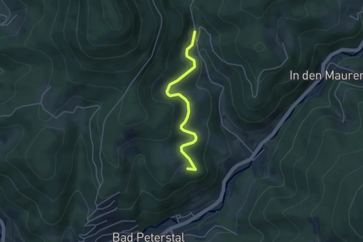
Easy · Trail
Bästenbach Urbansebelweg - Wieseneck
3.4 km · ↑ 214 m · 1 h 16 min
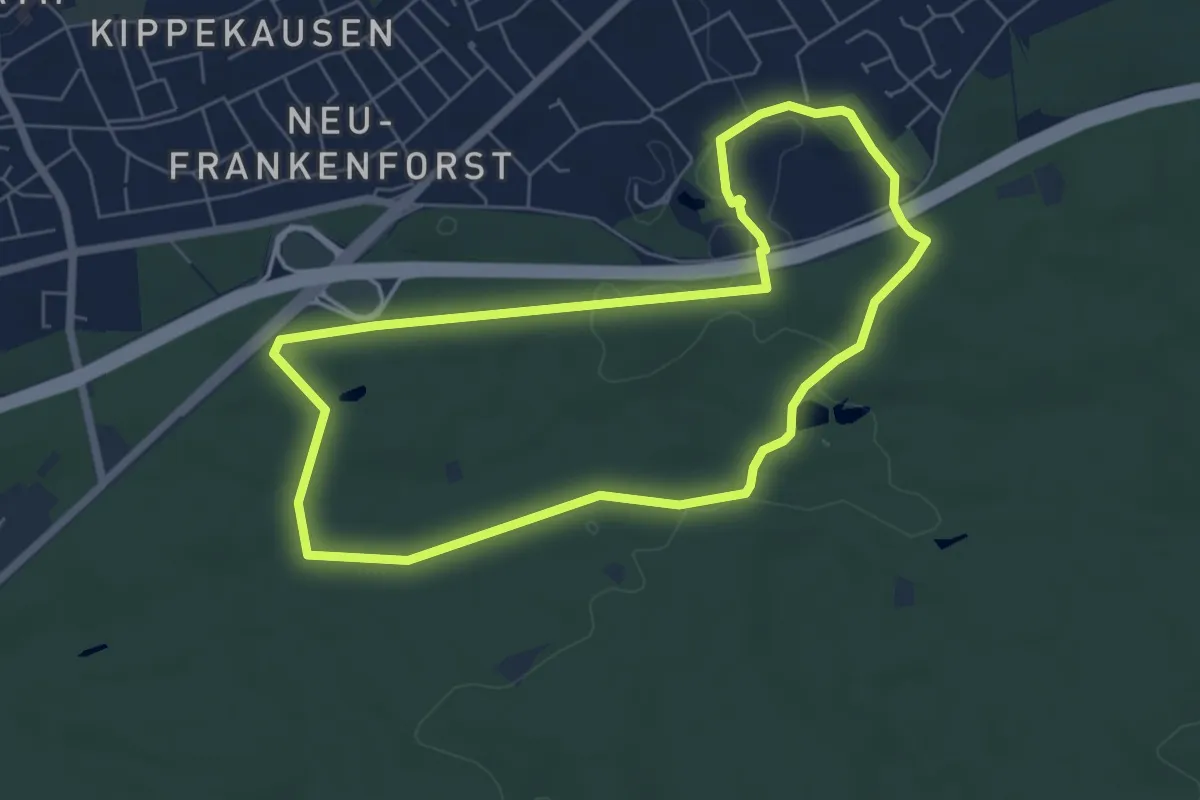
Easy · Trail
BASt Rundweg A1
5.6 km · ↑ 27 m · 1 h 28 min
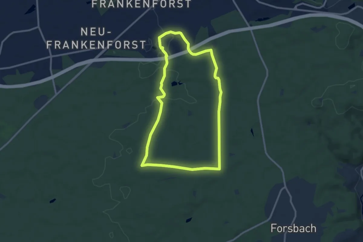
Easy · Summit
BASt Rundweg A2
7.1 km · ↑ 65 m · 1 h 54 min
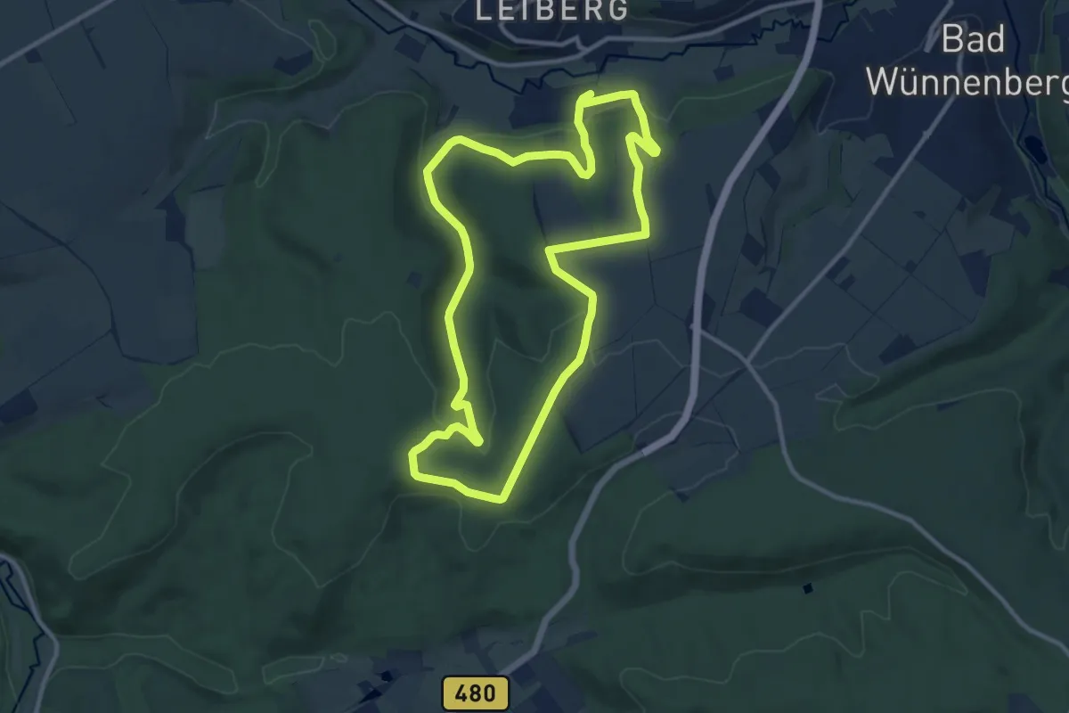
Medium · Summit
Battelmai Route
9.8 km · ↑ 208 m · 2 h 54 min
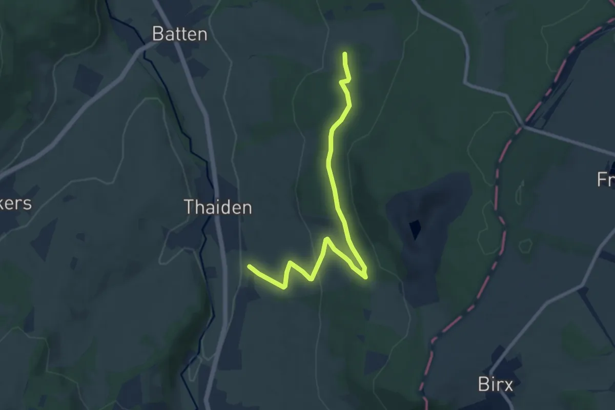
Easy · Trail
Batten Rundweg 14
3.6 km · ↑ 52 m · 1 h 4 min
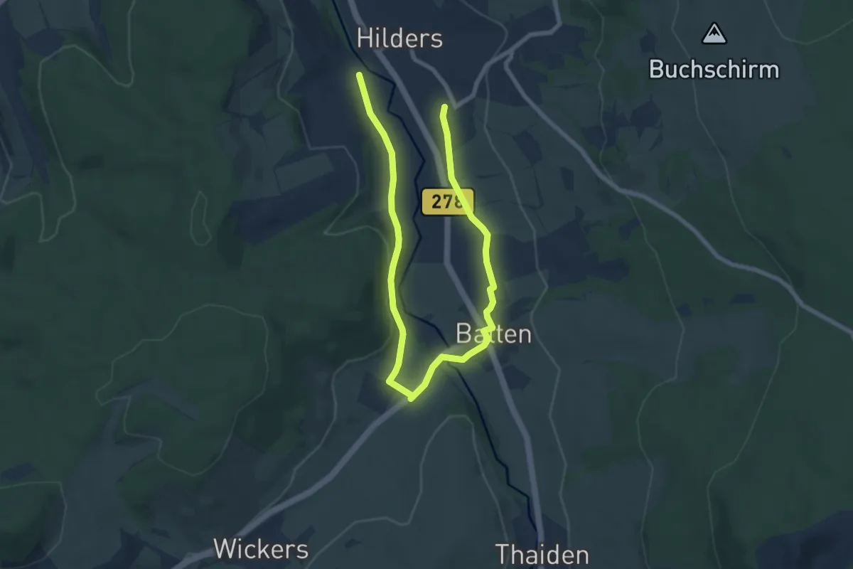
Medium · Trail
Batten Rundweg 2
9.2 km · ↑ 137 m · 2 h 28 min
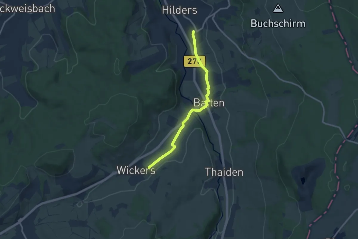
Easy · Trail
Batten Rundweg 5
7.2 km · ↑ 67 m · 1 h 50 min
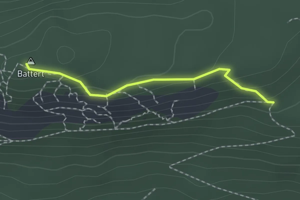
Medium · Summit
Battert Altes Schloss - Untere Batterthütte
1.4 km · ↑ 65 m · 29 min
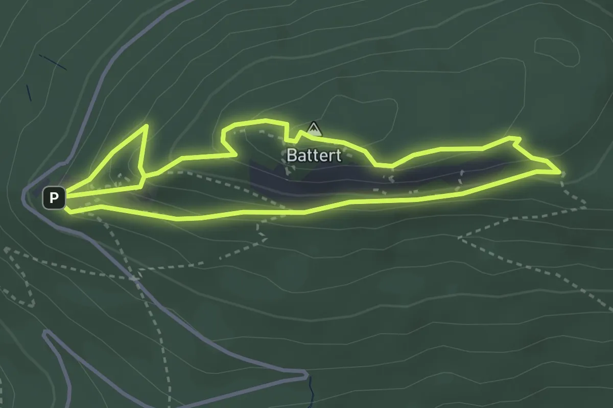
Medium · Summit
Battert-Rundweg
3.2 km · ↑ 194 m · 1 h 11 min
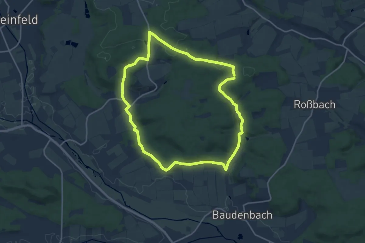
Medium · Trail
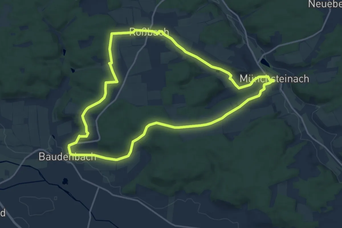
Baudenbach Rundweg B1
10.8 km · ↑ 168 m · 3 h 4 min
Medium · Trail
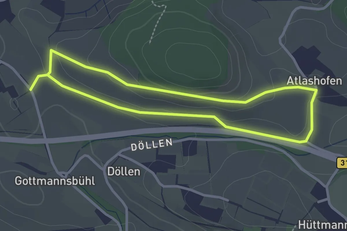
Baudenbach Rundweg B2
12.2 km · ↑ 201 m · 3 h 30 min
Easy · Trail
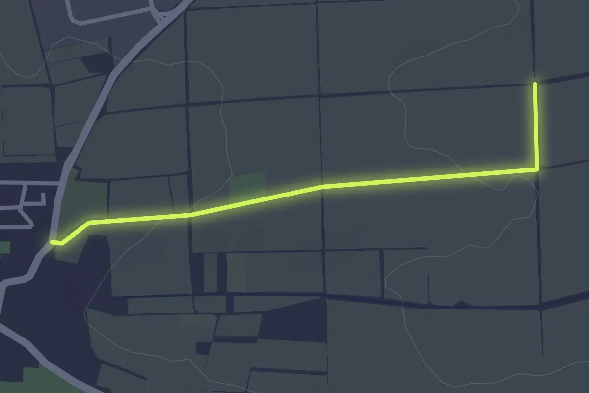
Bauernpfad Kressbronn
2.3 km · ↑ 55 m · 42 min
Easy · Trail
Bauernwald-Rundweg
2.5 km · ↑ 35 m · 40 min
Easy · Trail
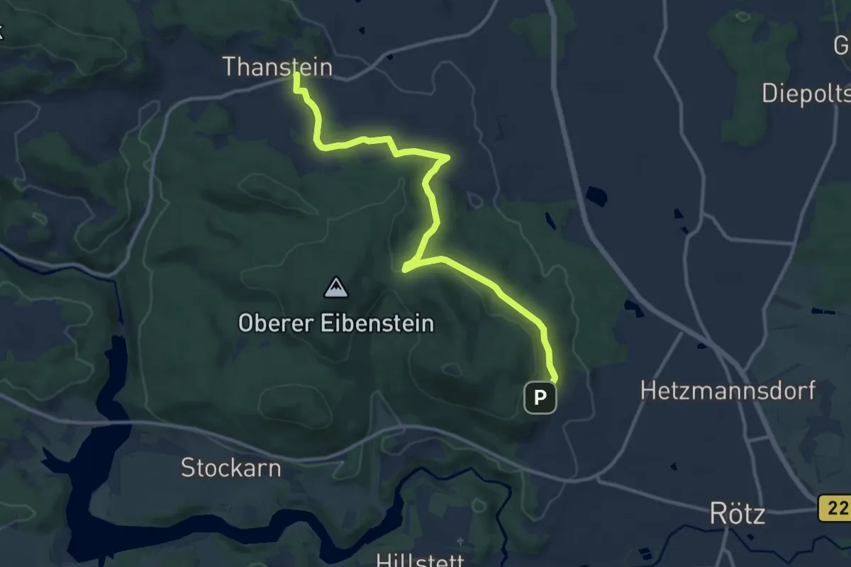
Bauhof-Thanstein-Weg "T 4"
5.6 km · ↑ 80 m · 1 h 36 min
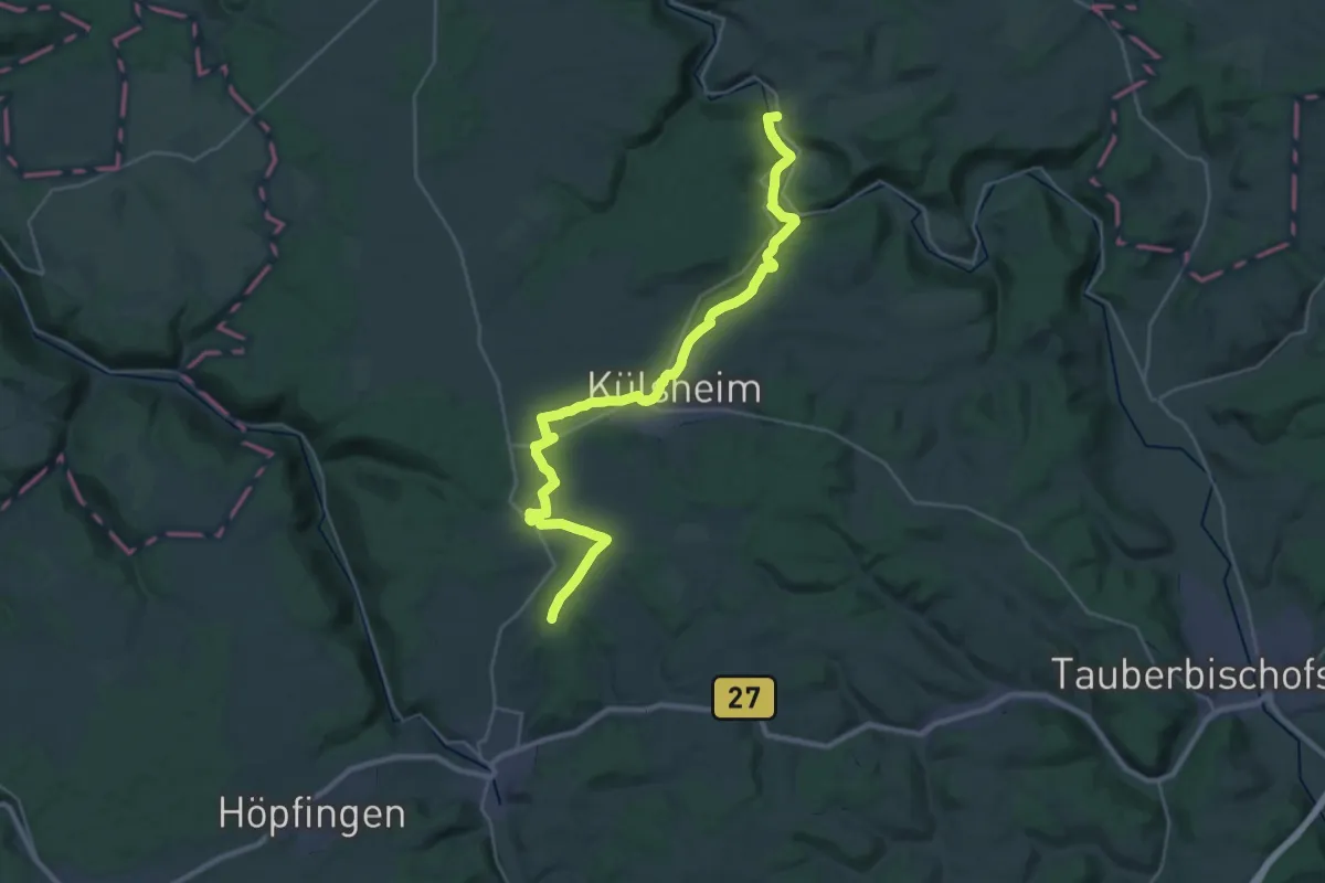
Medium · Trail
Baulandweg
15.4 km · ↑ 102 m · 4 h 11 min
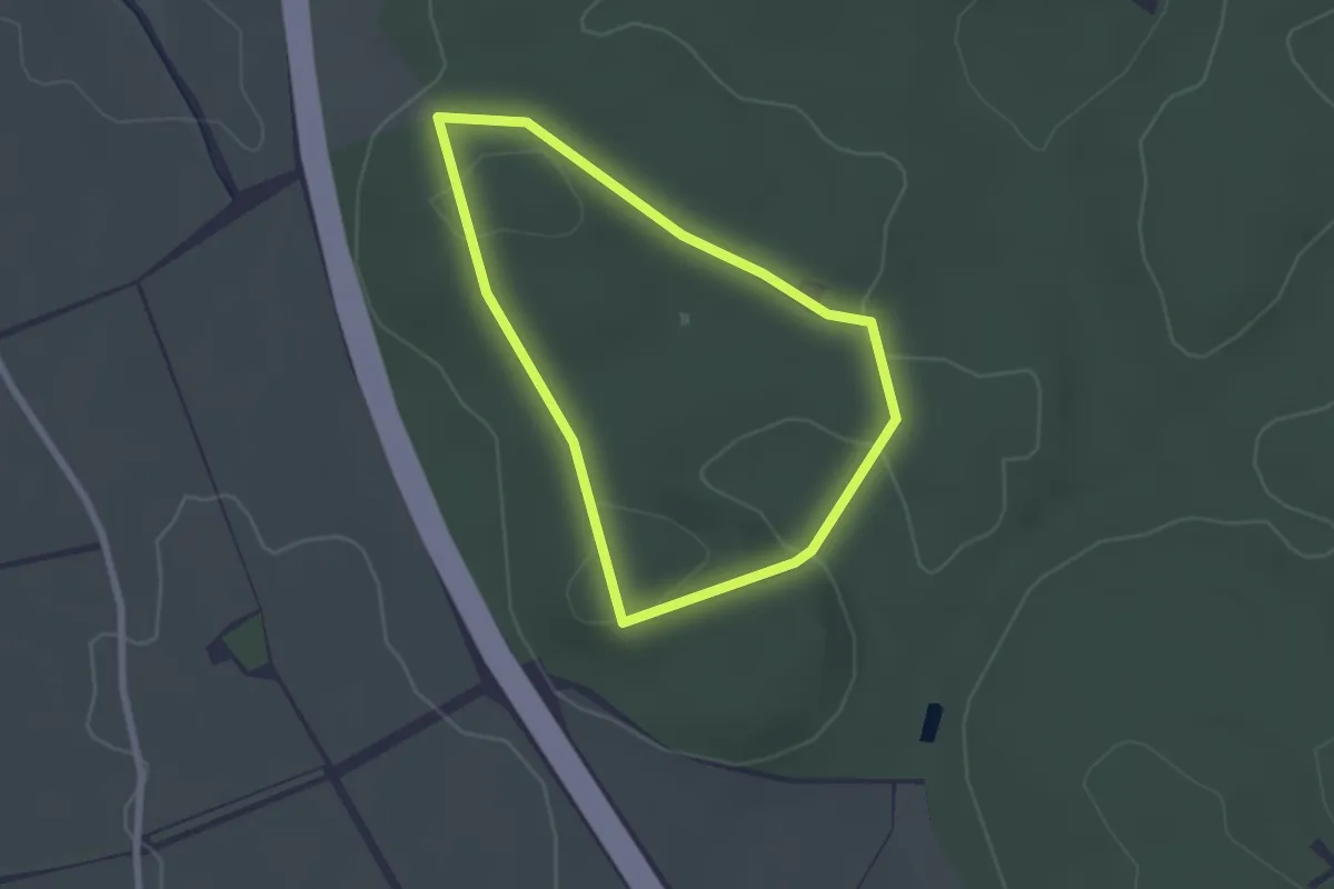
Easy · Trail
Baumartenlehrpfad
2.0 km · ↑ 26 m · 33 min
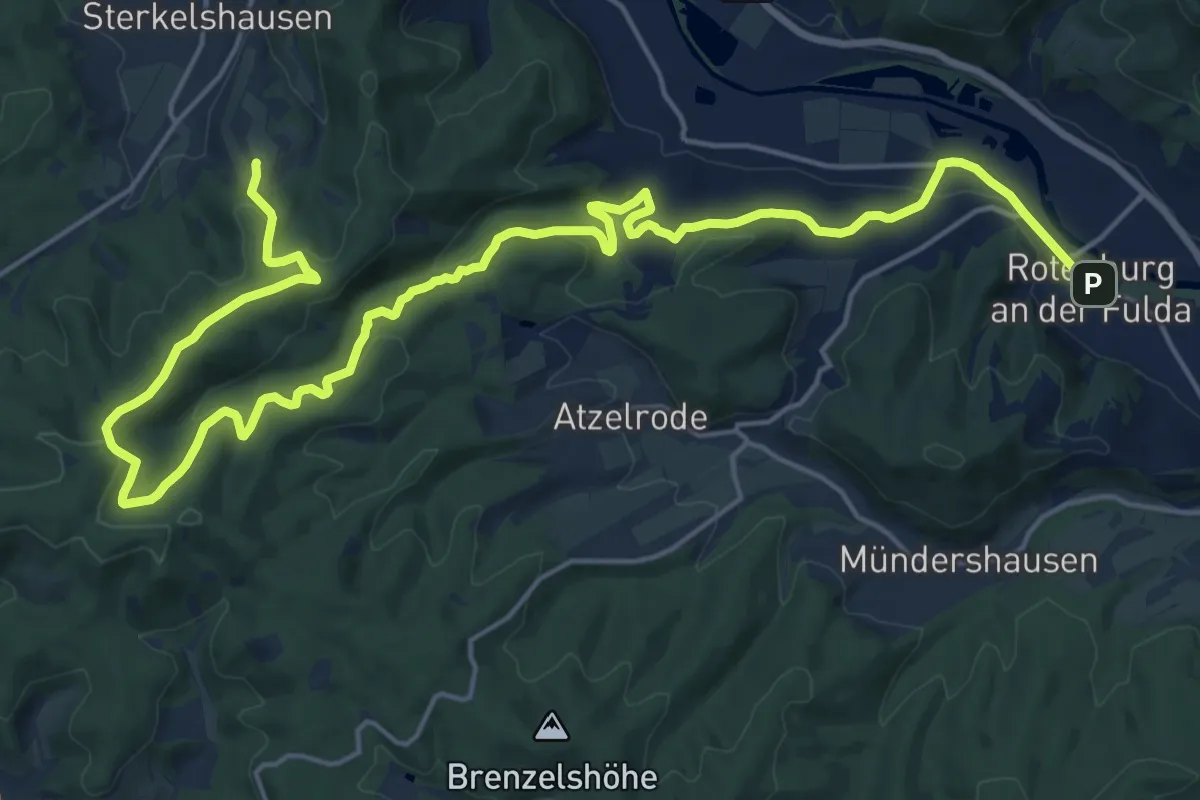
Demanding · Summit
Baumbach-Rotenburg/Fulda
24.8 km · ↑ 729 m · 7 h 26 min
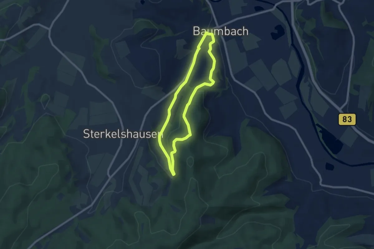
Easy · Trail
Baumbach Rundweg Ba1
5.2 km · ↑ 153 m · 1 h 38 min