Trails in Germany
36,824 hiking trails, each with its route, climb, walking time and grade.
All trails, page 51 of 768
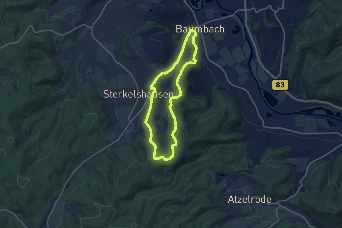
Easy · Summit
Baumbach Rundweg Ba2
8.0 km · ↑ 282 m · 2 h 36 min
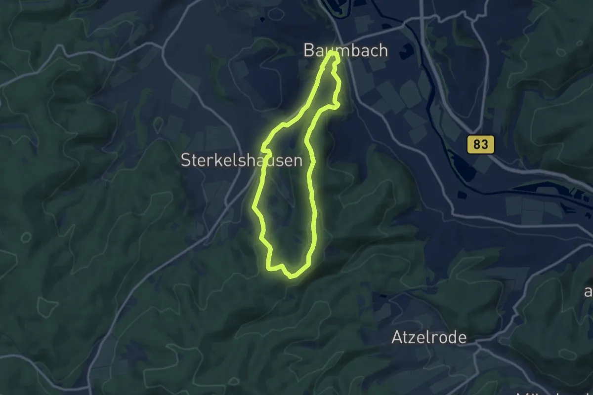
Easy · Summit
Baumbach Rundweg Ba3
7.9 km · ↑ 236 m · 2 h 29 min
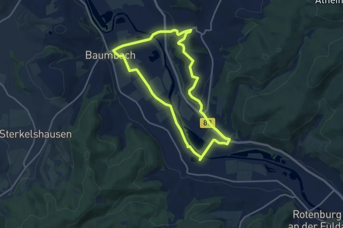
Medium · Summit
Baumbach Rundweg Ba4
8.5 km · ↑ 90 m · 2 h 19 min
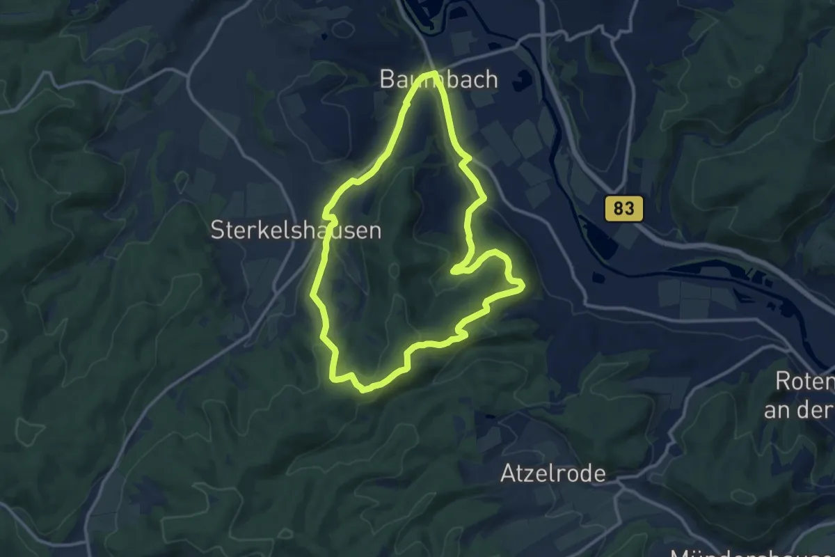
Medium · Summit
Baumbach Rundweg Ba5
10.1 km · ↑ 285 m · 3 h 8 min
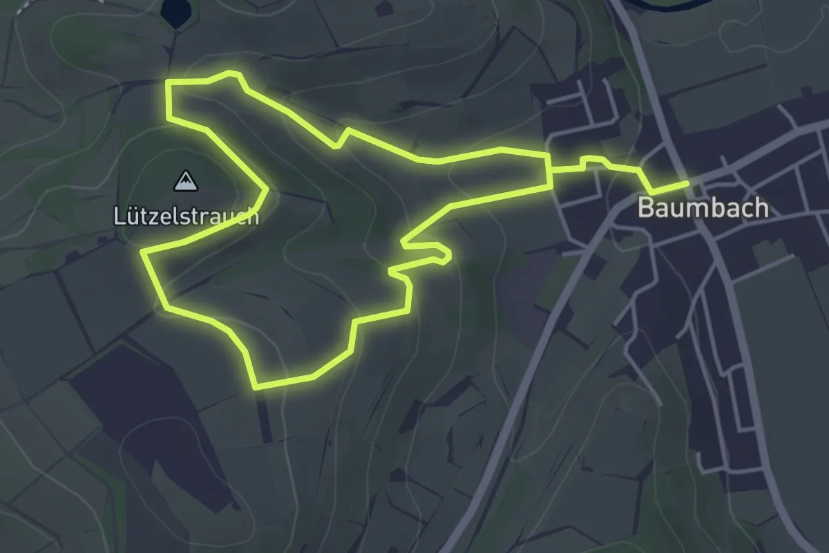
Easy · Summit
Baumbach Rundweg Ba6
3.6 km · ↑ 117 m · 1 h 10 min
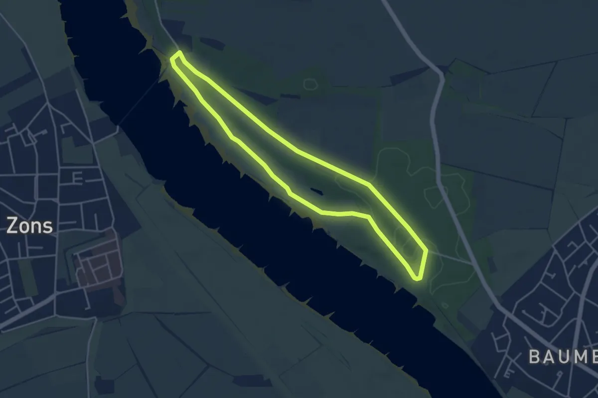
Easy · Trail
Baumberger Aue Rundweg A6
3.6 km · ↑ 17 m · 57 min
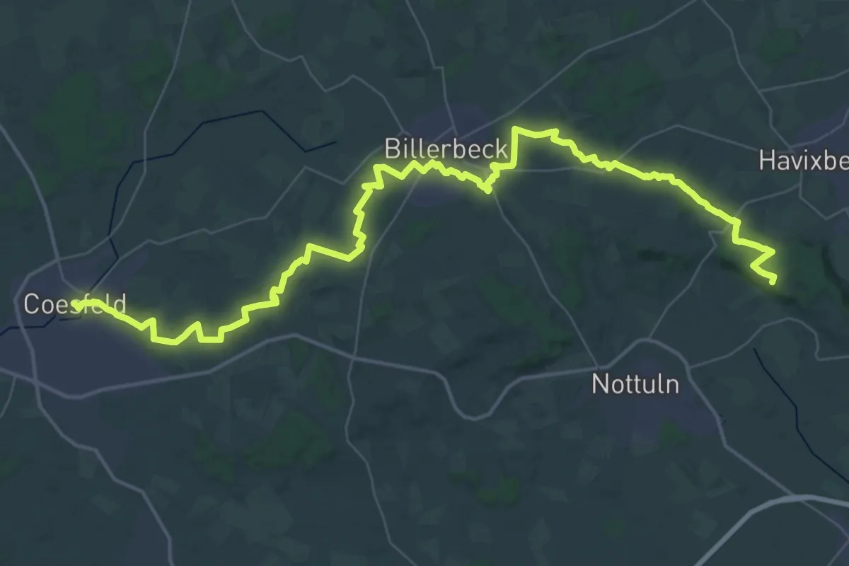
Demanding · Summit
Baumberger Ludgerusweg
52.7 km · ↑ 474 m · 13 h 28 min
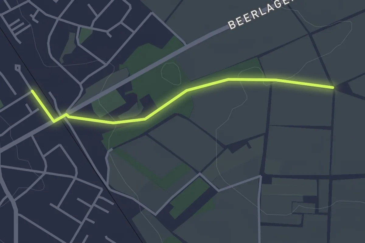
Easy · Trail
Baumberger Ludgerusweg - Zugangsweg Billerbeck
2.5 km · ↑ 32 m · 40 min
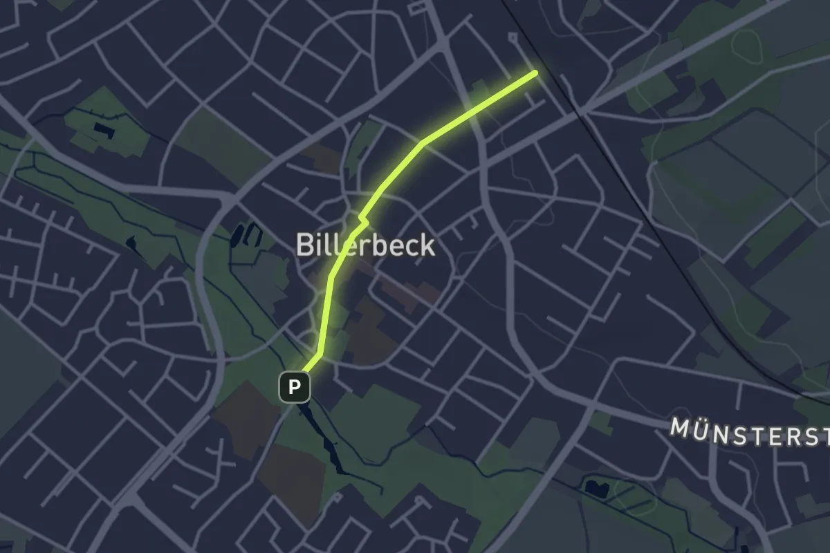
Easy · Trail
Baumberger Ludgerusweg - Zugangsweg Billerbeck
2.1 km · ↑ 18 m · 32 min
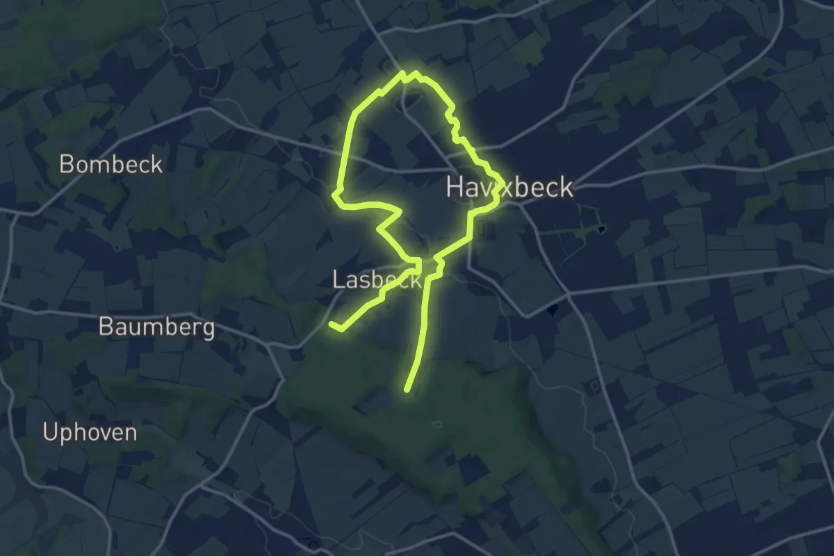
Medium · Trail
Baumberger Ludgerusweg - Zugangsweg Havixbeck
17.9 km · ↑ 165 m · 4 h 35 min
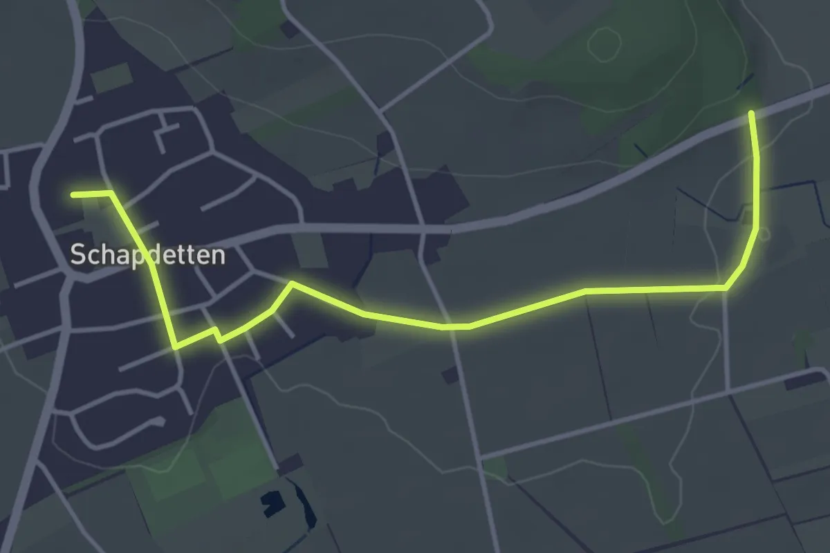
Easy · Trail
Baumberger Ludgerusweg - Zugangsweg Schapdetten
3.7 km · ↑ 19 m · 55 min
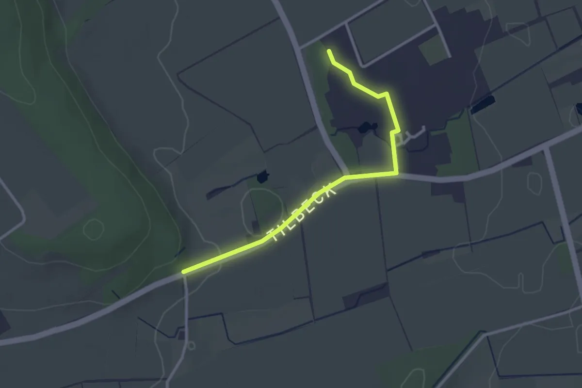
Easy · Trail
Baumberger Ludgerusweg - Zugangsweg Tilbeck
2.5 km · ↑ 20 m · 38 min
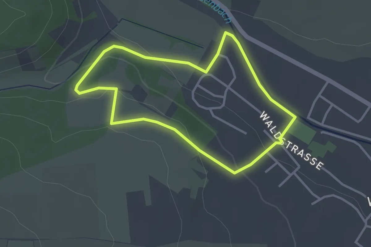
Easy · Trail
Baum des Jahres
2.4 km · ↑ 67 m · 45 min
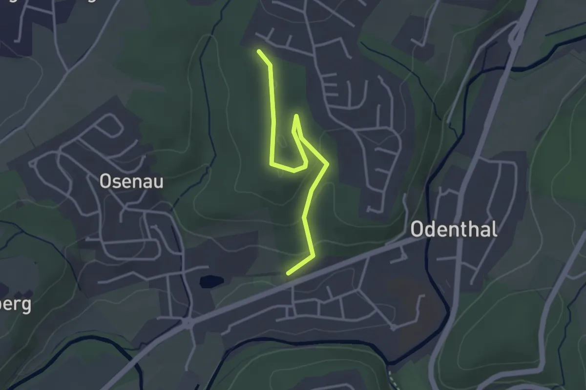
Easy · Trail
Baum-des-Jahres-Pfad Odenthal
2.8 km · ↑ 67 m · 48 min
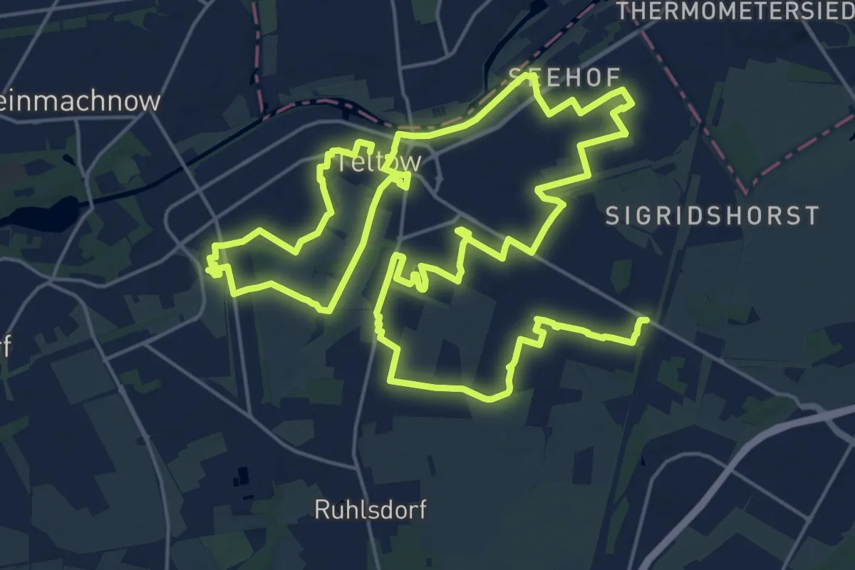
Demanding · Trail
"\"Bäume für 17 Ziele Weg in Teltow"\"
18.7 km · ↑ 21 m · 4 h 43 min
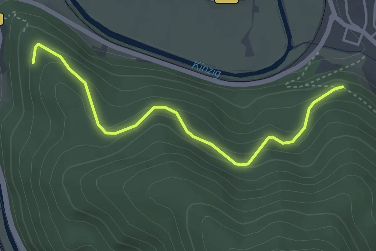
Easy · Trail
Baumensteinweg - Am Schänzle
3.4 km · ↑ 224 m · 1 h 17 min
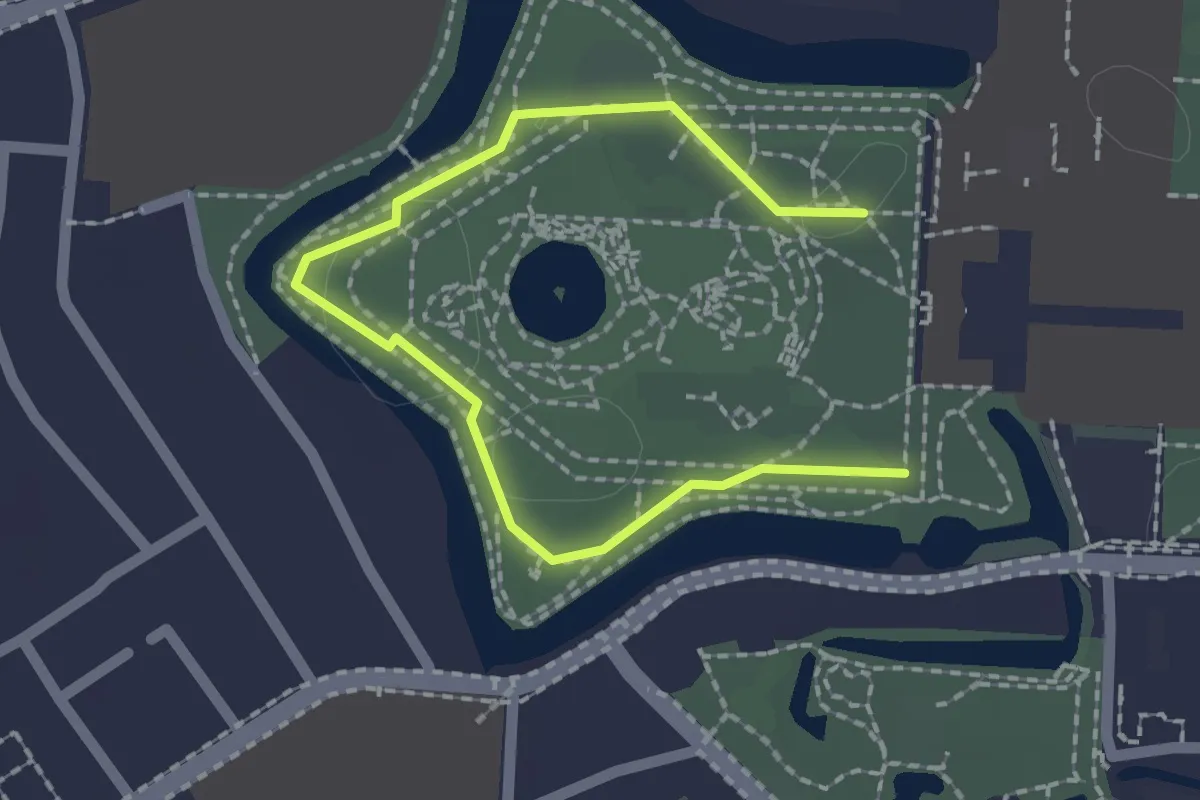
Easy · Trail
Baumerlebnispfad
2.1 km · ↑ 0 m · 30 min
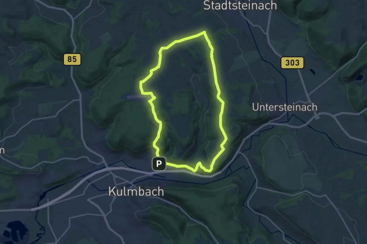
Medium · Trail
Baumgartener-Weg KU 43
13.3 km · ↑ 260 m · 3 h 53 min
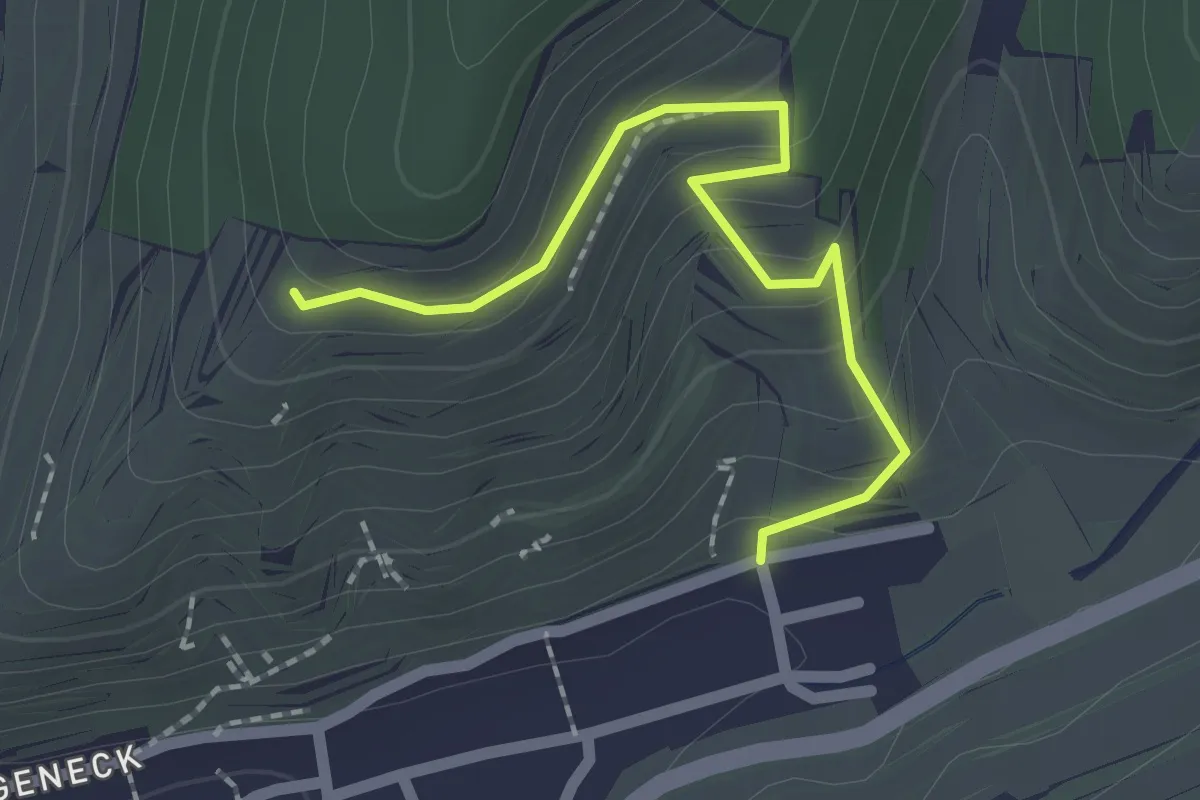
Easy · Trail
Baumgartenkreuz - Schneckenberg
2.0 km · ↑ 144 m · 47 min
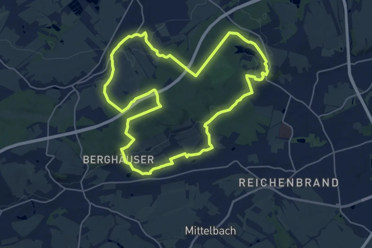
Medium · Trail
Baumgarten-Rundweg
16.2 km · ↑ 272 m · 4 h 38 min
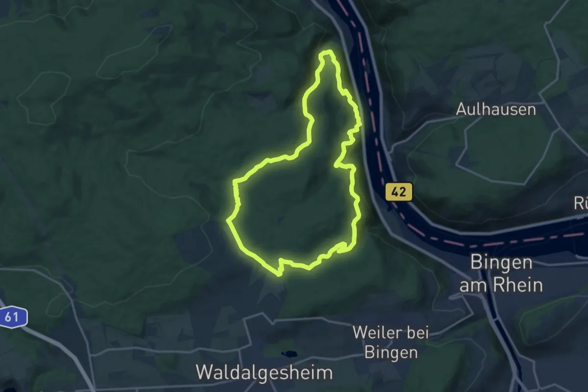
Medium · Trail
Baumgeister-Tour
12.6 km · ↑ 447 m · 4 h 7 min
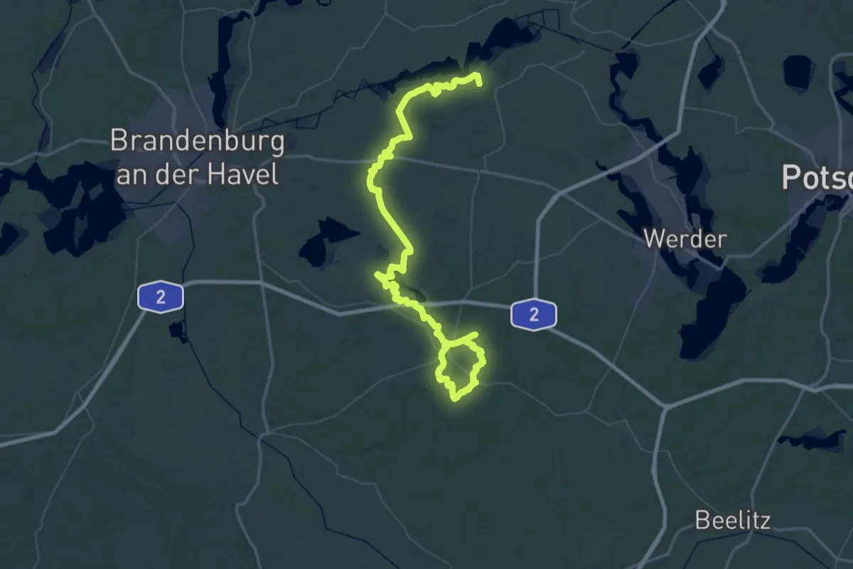
Demanding · Trail
Baumkreiswanderweg
38.7 km · ↑ 144 m · 9 h 59 min
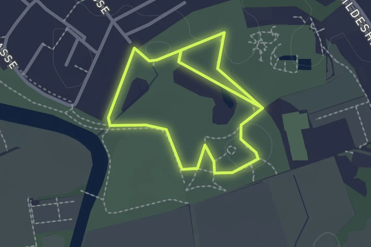
Easy · Trail
Baumlehrpfad
3.3 km · ↑ 0 m · 46 min
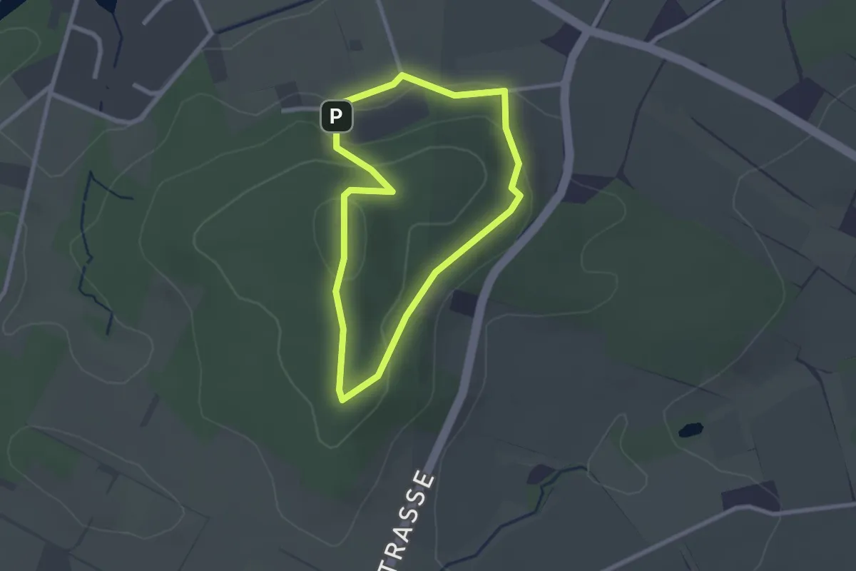
Easy · Summit
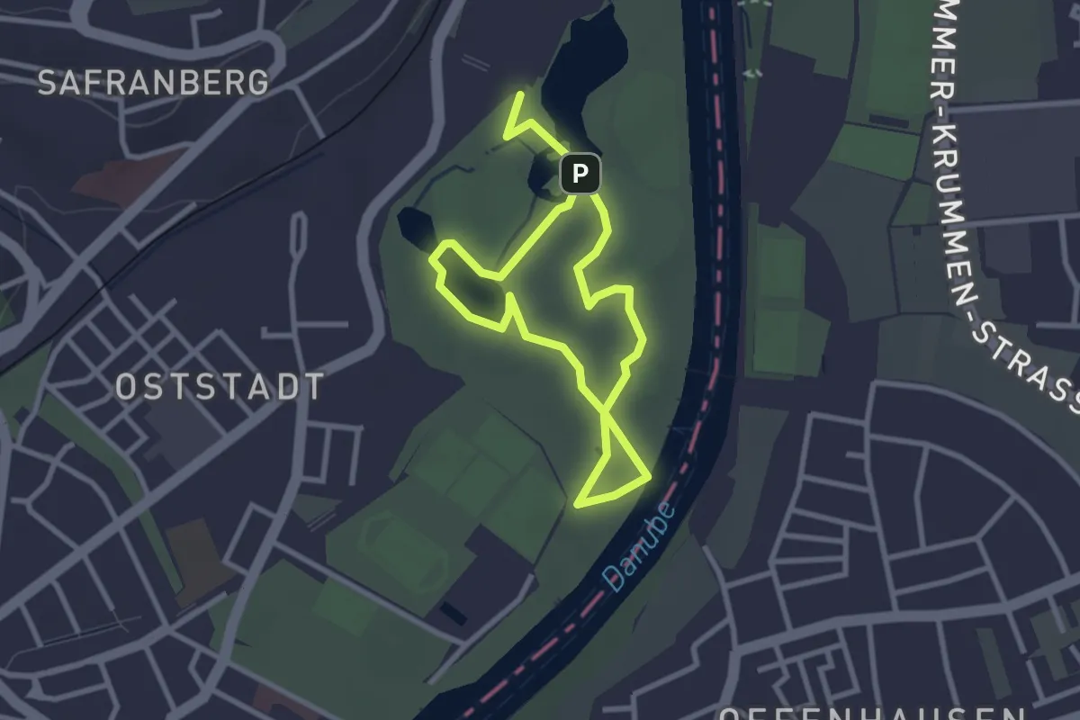
Baumlehrpfad Beutling
1.9 km · ↑ 75 m · 38 min
Easy · Trail
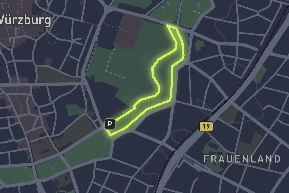
Baumlehrpfad Friedrichsau
2.2 km · ↑ 4 m · 33 min
Easy · Trail
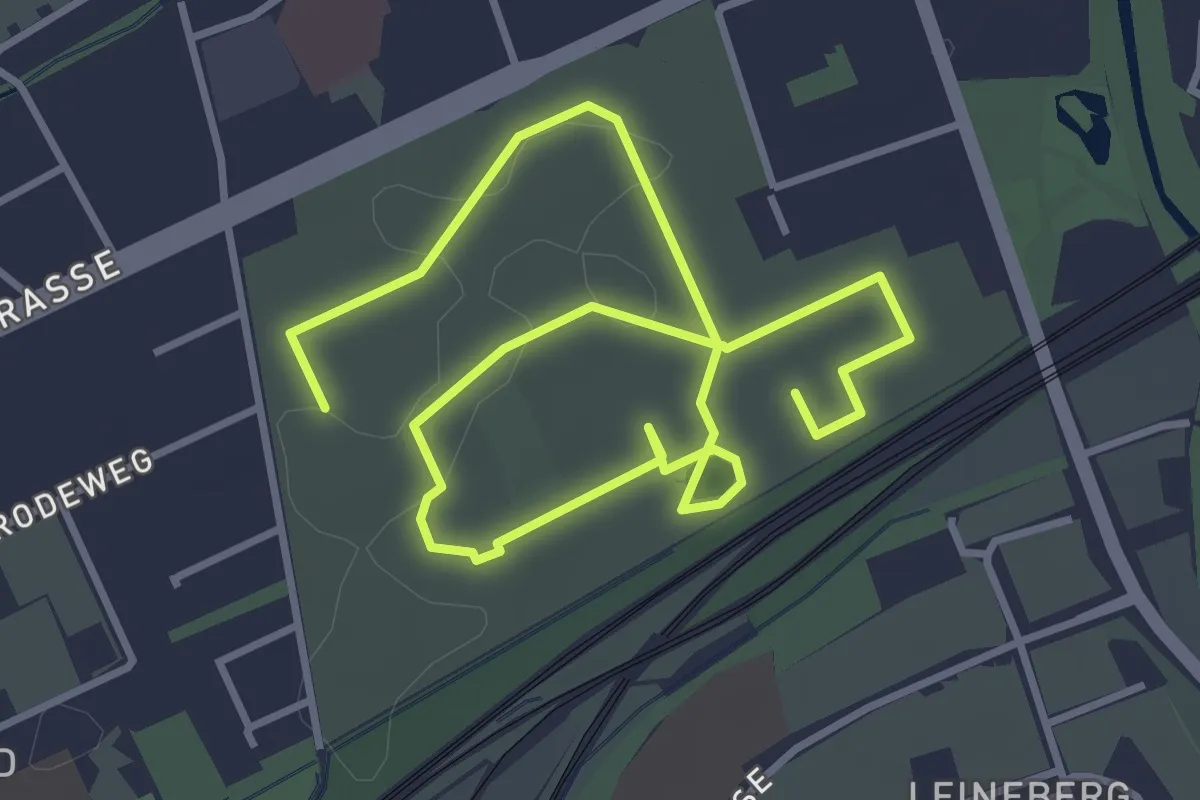
Baumlehrpfad Ringpark
1.7 km · ↑ 4 m · 25 min
Easy · Trail
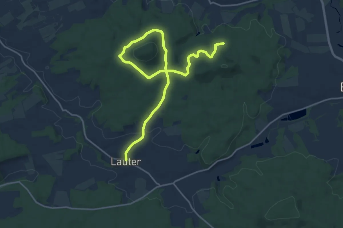
Baumlehrpfad Stadtfriedhof Göttingen
5.3 km · ↑ 12 m · 1 h 17 min
Medium · Trail
Baumlehrpfad um die Raidelhütte
13.5 km · ↑ 170 m · 3 h 34 min
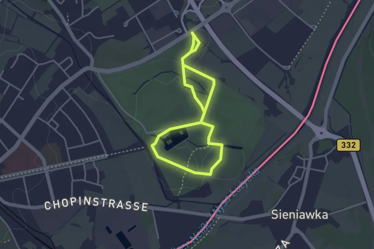
Easy · Trail
Baumlehrpfad Weinau
2.4 km · ↑ 13 m · 37 min
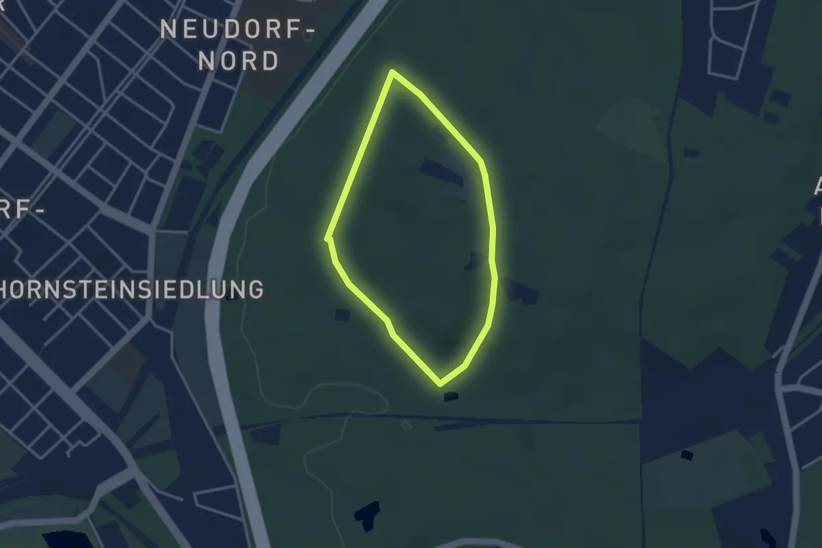
Easy · Summit
[Baum] Rundwanderweg Duisburg
2.3 km · ↑ 32 m · 39 min
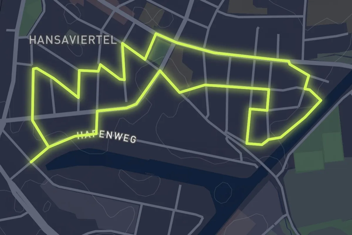
Easy · Trail
Baumrundweg Hansaviertel
3.6 km · ↑ 4 m · 54 min
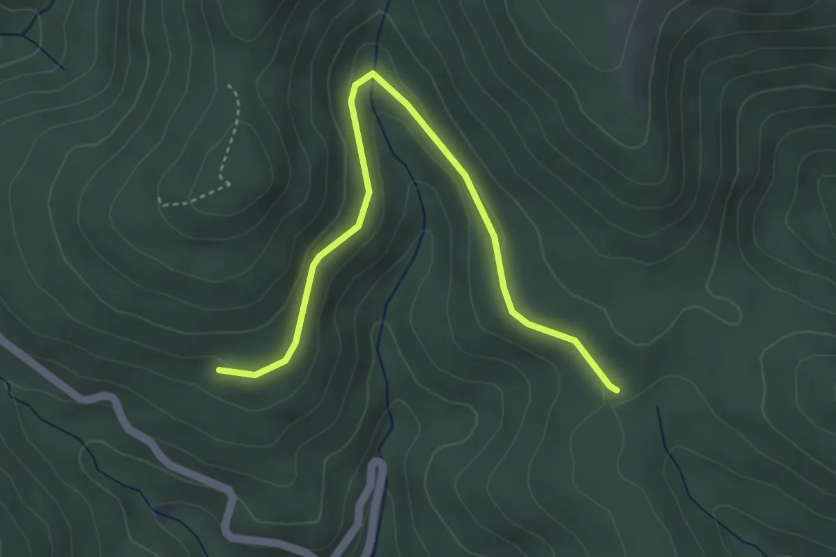
Easy · Trail
Baumschiebe - Unterm Klagstein
4.0 km · ↑ 127 m · 1 h 14 min
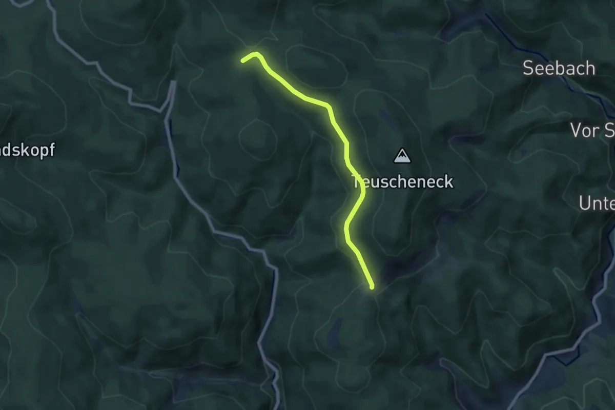
Easy · Trail
Baumschiebe - Vorderer Kupferberg
5.3 km · ↑ 147 m · 1 h 34 min
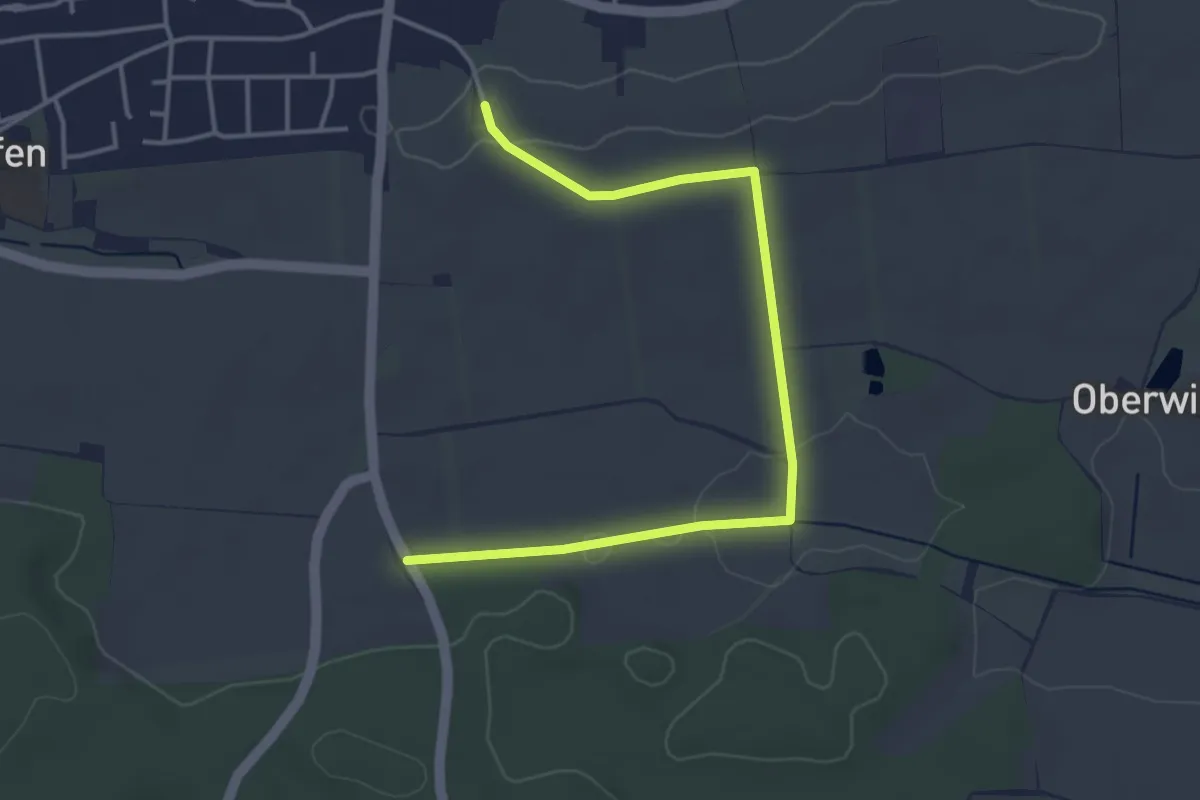
Easy · Trail
Baum- und Gehölzweg
4.2 km · ↑ 27 m · 1 h 3 min
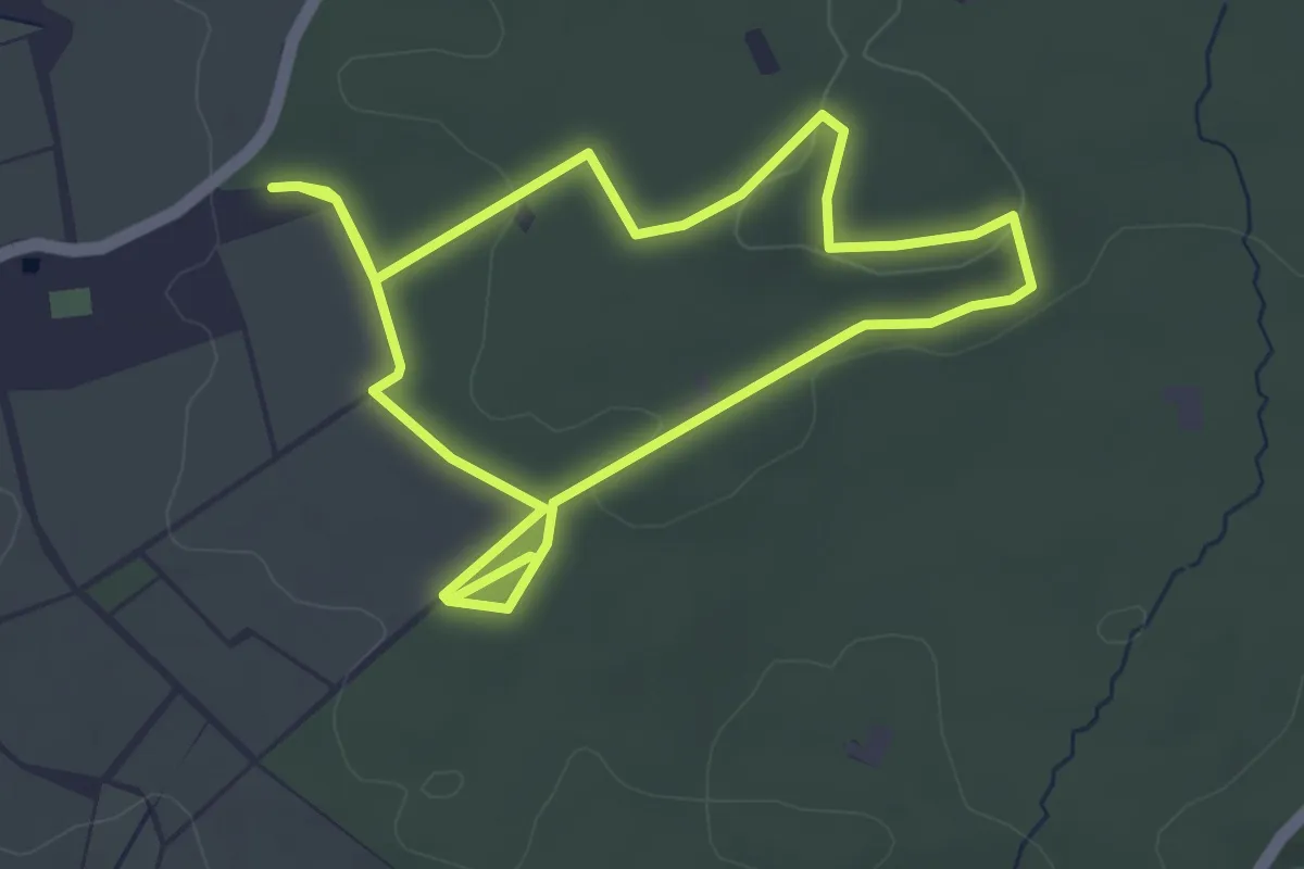
Easy · Trail
Baumwanderweg
3.7 km · ↑ 55 m · 1 h 2 min
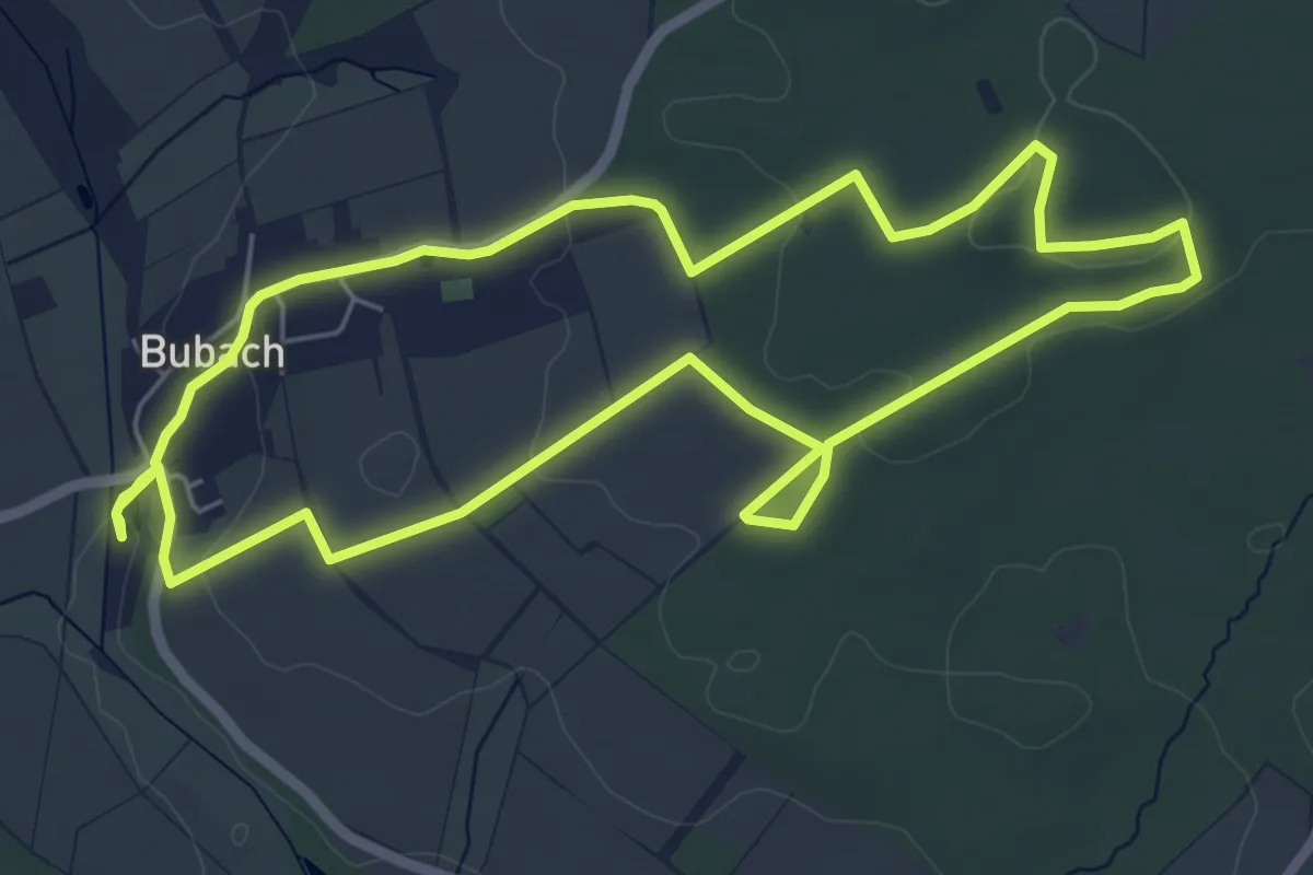
Easy · Trail
Baumwanderweg mit Zusatzschleife
6.0 km · ↑ 96 m · 1 h 42 min
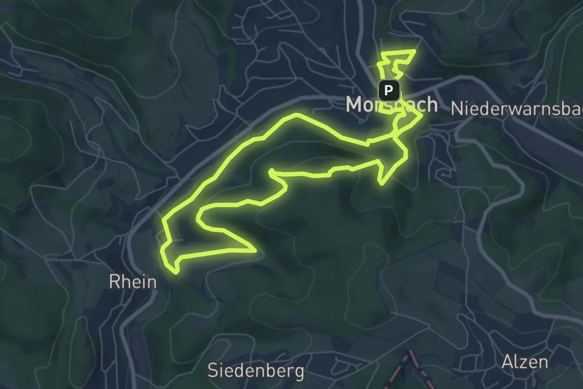
Easy · Summit
Baumweg [24]
6.6 km · ↑ 244 m · 2 h 10 min
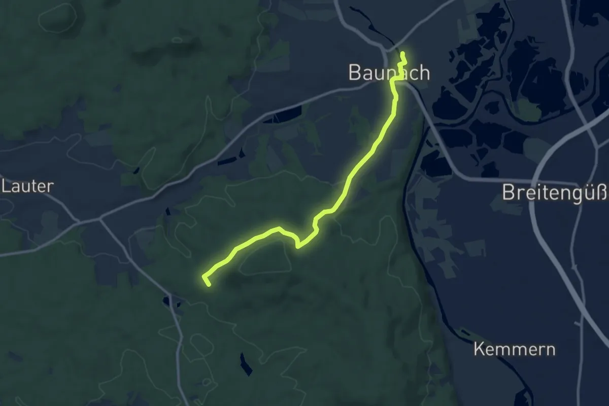
Medium · Summit
Baunach Sembergrunde
9.6 km · ↑ 191 m · 2 h 41 min
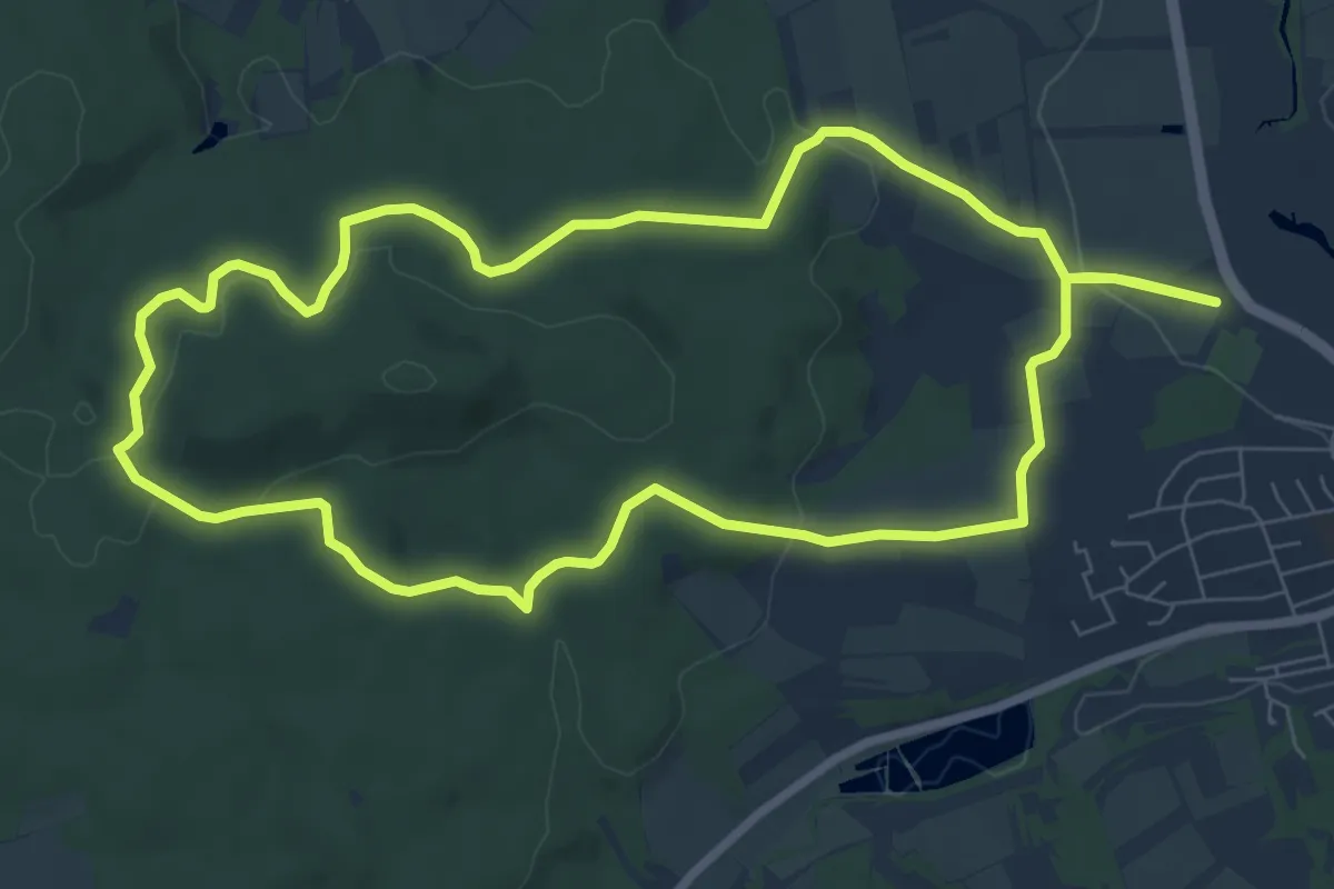
Easy · Trail
Baunach Stiefenbergrunde
7.8 km · ↑ 145 m · 2 h 15 min
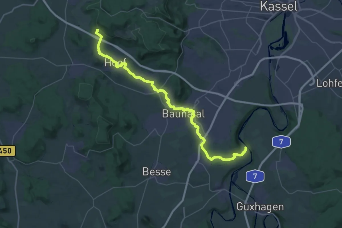
Medium · Trail
Baunapfad
17.7 km · ↑ 390 m · 5 h 7 min
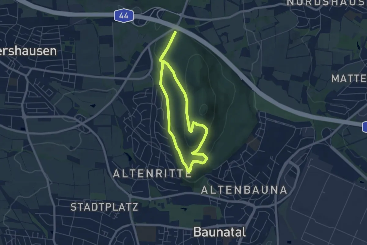
Easy · Trail
Baunatal-Altenritte, Rundweg 1
4.5 km · ↑ 132 m · 1 h 24 min
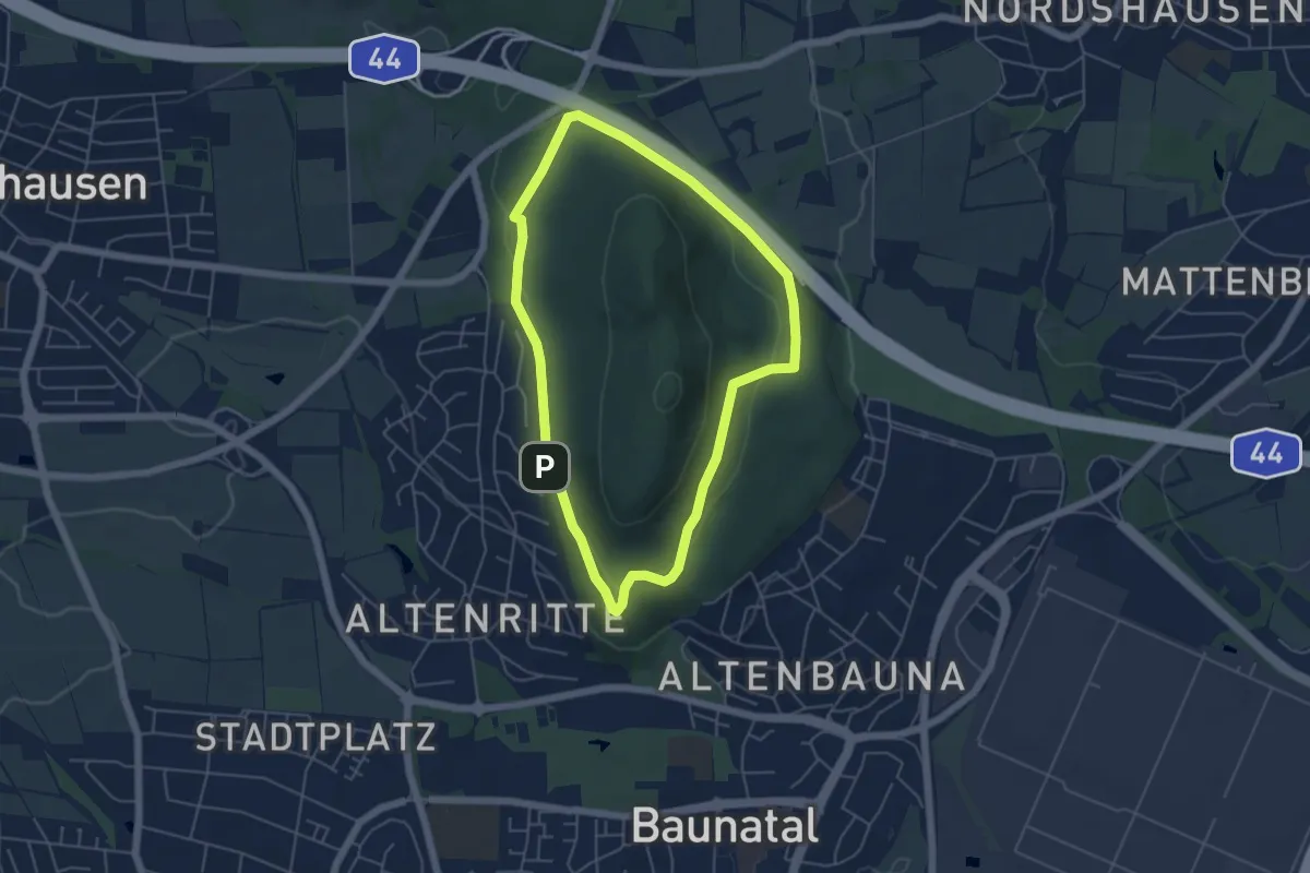
Easy · Trail
Baunatal-Altenritte, Rundweg 2
4.4 km · ↑ 111 m · 1 h 20 min
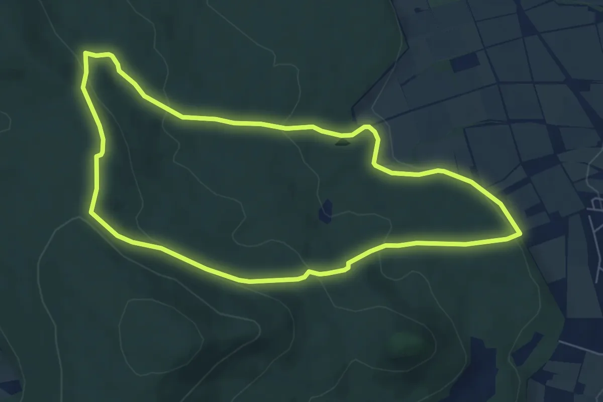
Easy · Trail
Baunatal-Großenritte, Rundweg 1
5.9 km · ↑ 204 m · 1 h 55 min
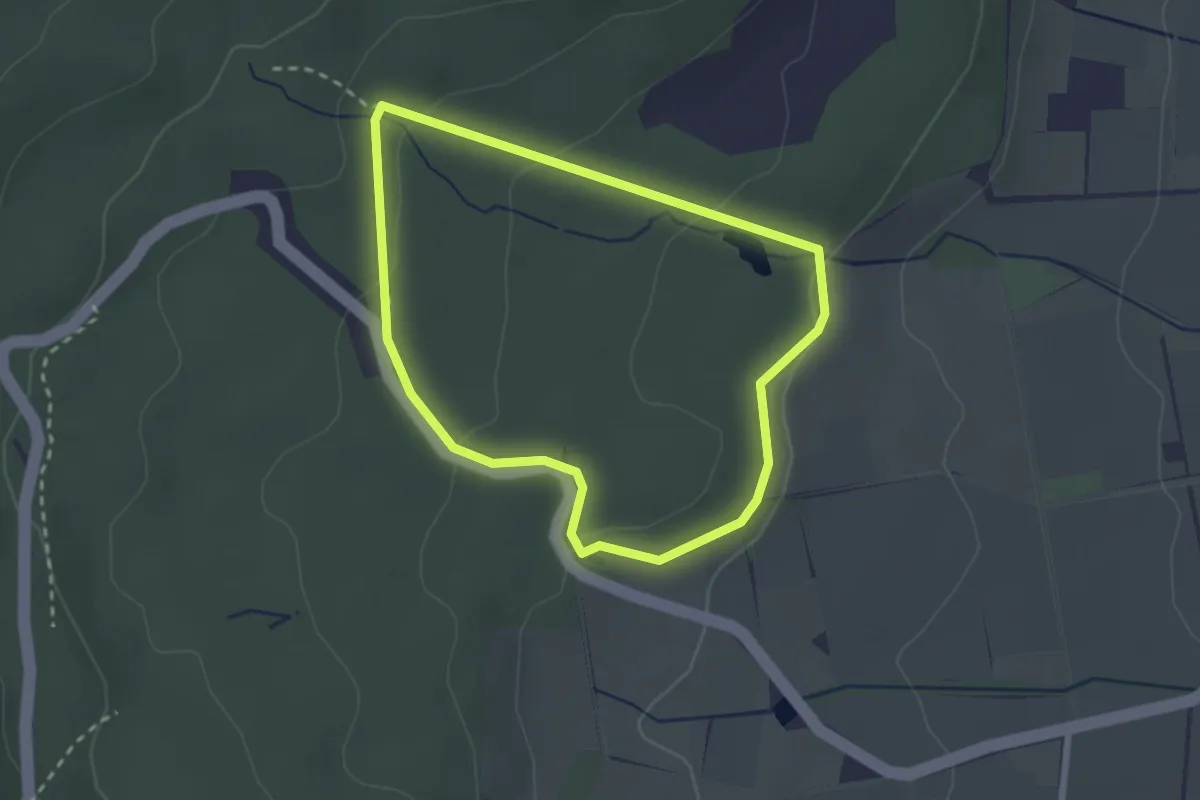
Easy · Trail
Baunatal-Großenritte, Rundweg 4
2.2 km · ↑ 68 m · 41 min
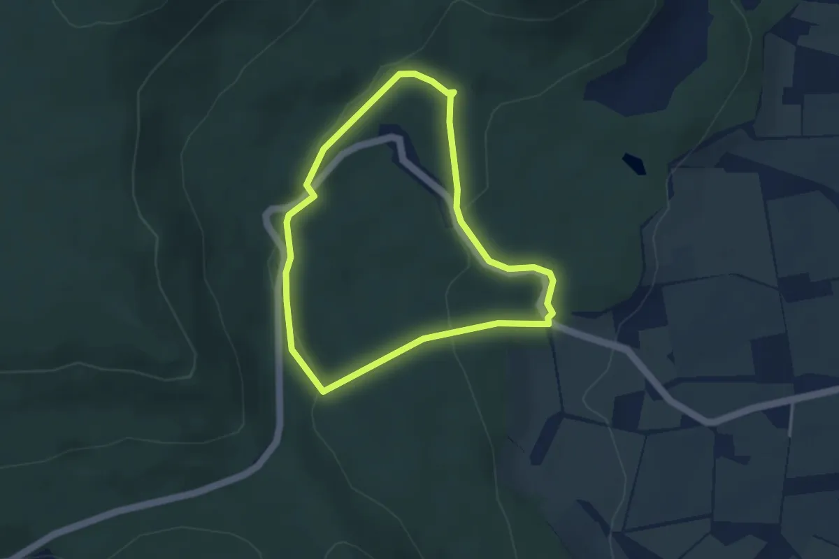
Easy · Trail
Baunatal-Großenritte, Rundweg 5
2.8 km · ↑ 80 m · 53 min
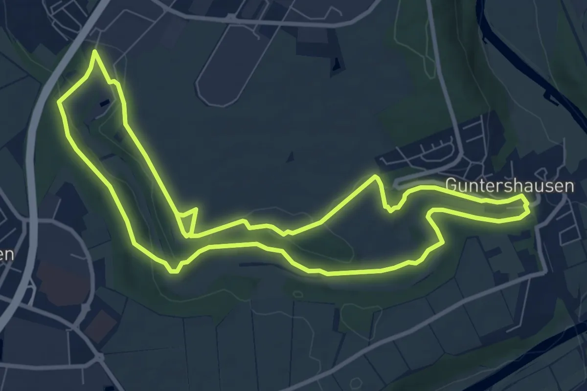
Easy · Trail
Baunatal-Guntershausen, Rundweg 1
7.7 km · ↑ 110 m · 2 h 10 min
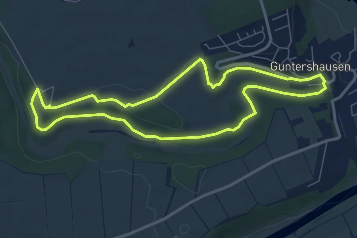
Easy · Trail
Baunatal-Guntershausen, Rundweg 2
5.1 km · ↑ 58 m · 1 h 24 min
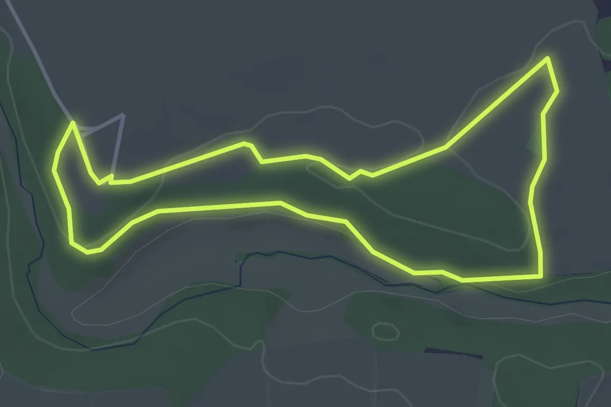
Easy · Trail
Baunatal-Guntershausen, Rundweg 3
3.1 km · ↑ 33 m · 51 min