Trails in Germany
36,824 hiking trails, each with its route, climb, walking time and grade.
All trails, page 52 of 768
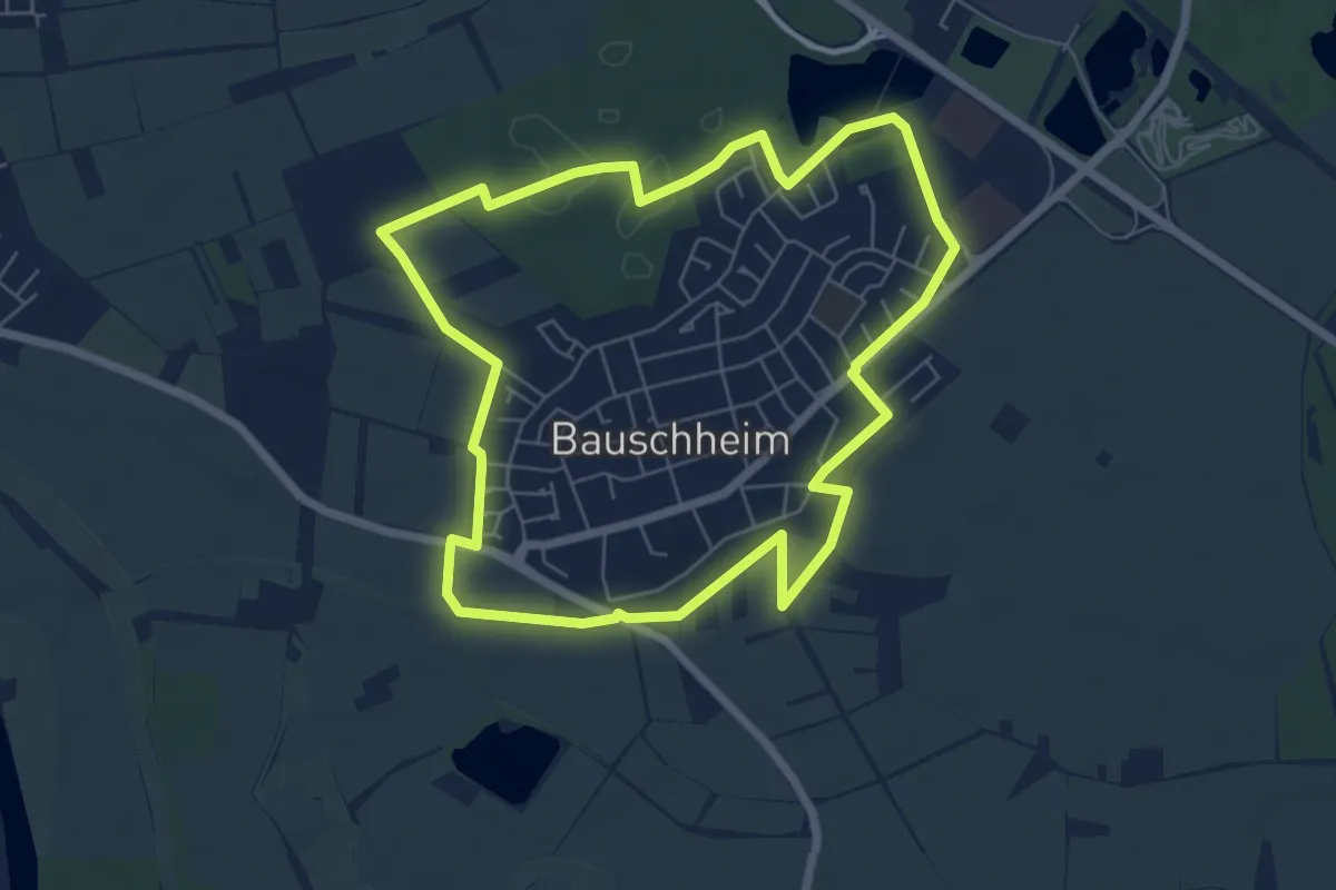
Easy · Trail
Bauschheimer Runde
6.0 km · ↑ 13 m · 1 h 32 min
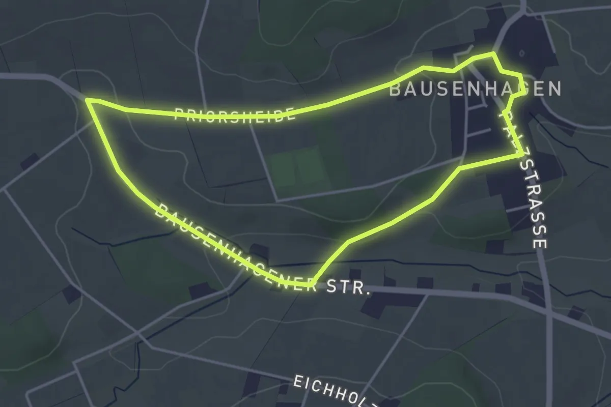
Easy · Trail
Bausenhagen Rundweg 8
3.6 km · ↑ 44 m · 1 h
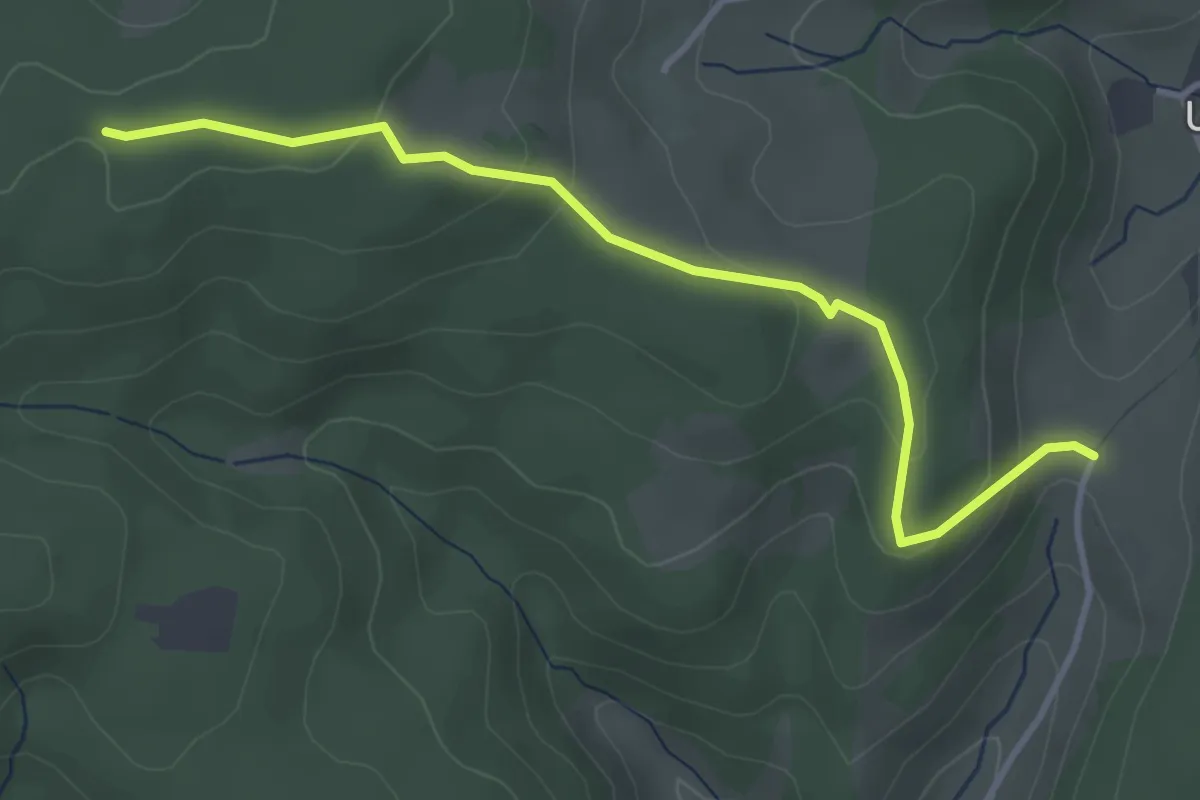
Easy · Trail
Bauset-Höhe - Schlegelsberg
3.7 km · ↑ 139 m · 1 h 10 min
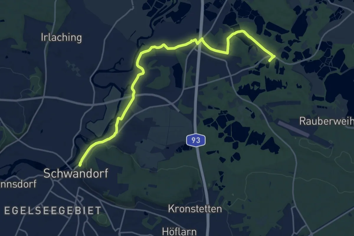
Medium · Trail
Baustadl-Lindenlohe-Holzhaus
17.0 km · ↑ 180 m · 4 h 24 min
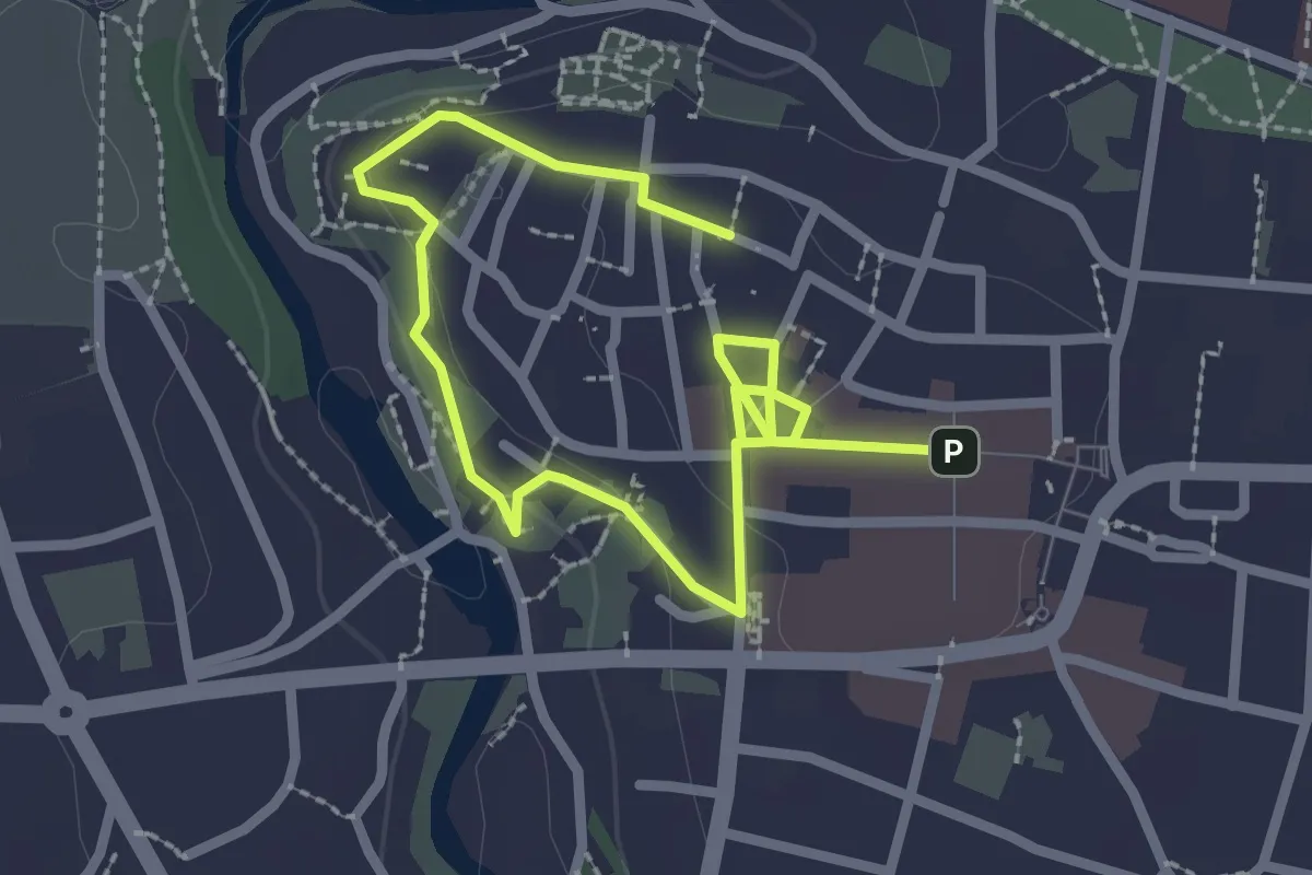
Easy · Trail
Bautzener Geschichtspfad gelbe Route 1h
3.3 km · ↑ 49 m · 53 min
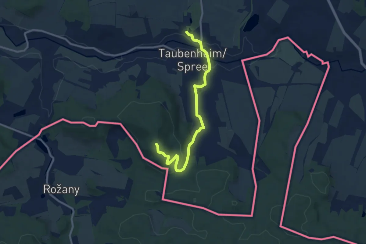
Easy · Summit
Bautzen - Picho (grüner Strich)
6.8 km · ↑ 153 m · 1 h 56 min
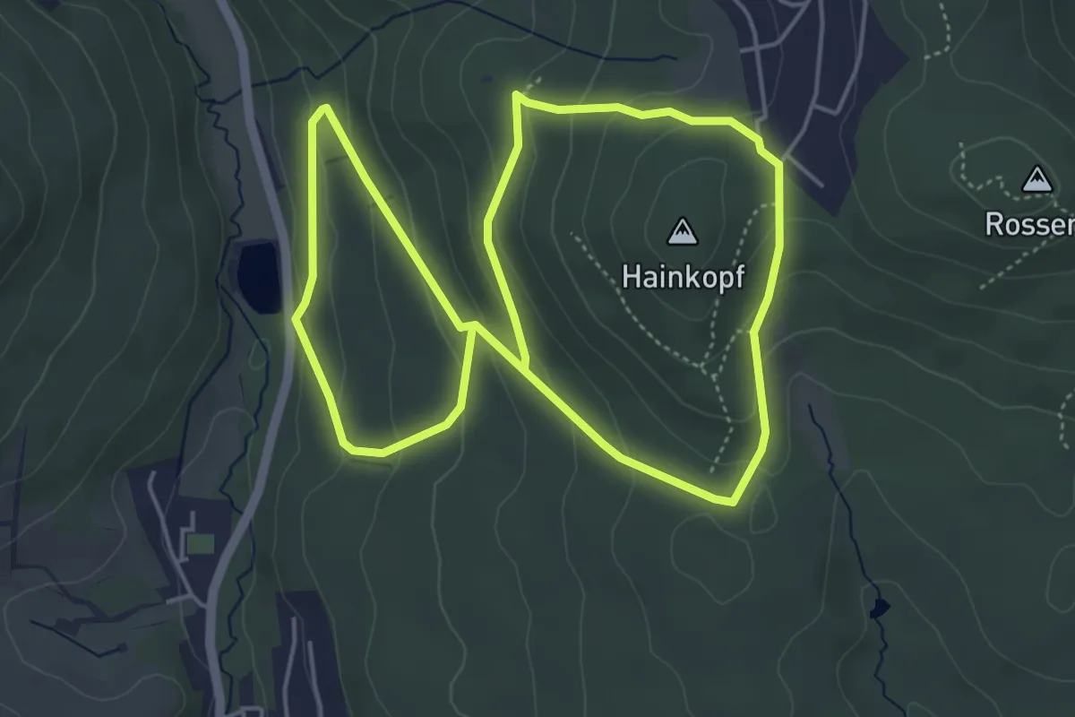
Easy · Trail
Bauwaldfels: Geweih
4.5 km · ↑ 209 m · 1 h 35 min
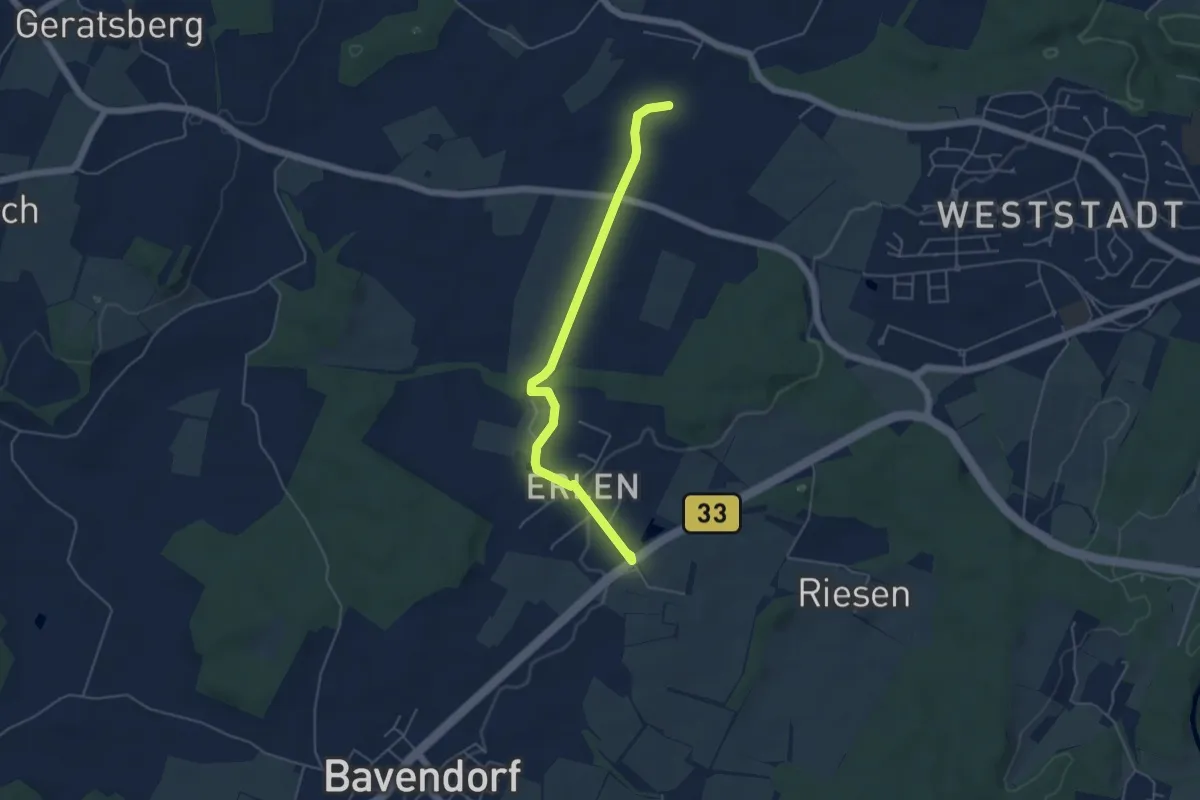
Easy · Trail
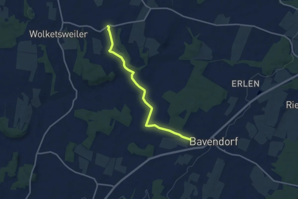
Bavendorf-Hagenbach
4.9 km · ↑ 31 m · 1 h 13 min
Easy · Trail
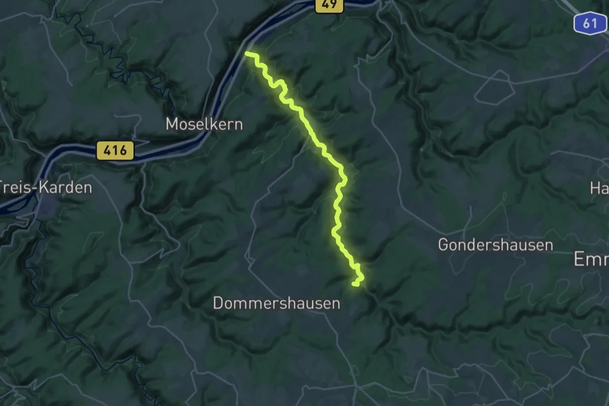
Bavendorf-Horgenzell
7.2 km · ↑ 75 m · 1 h 52 min
Demanding · Summit
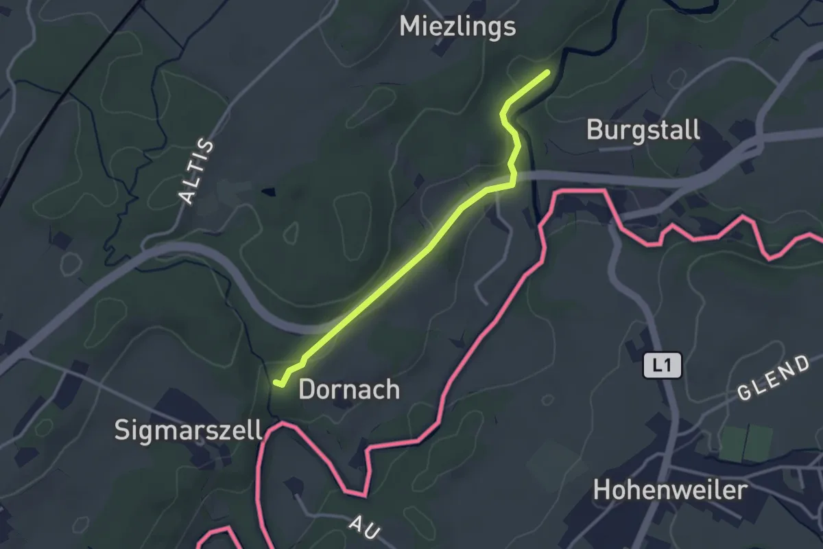
Baybachtal-Weg
20.3 km · ↑ 729 m · 6 h 22 min
Easy · Pilgrim path
Bayerisch-Schwäbischer Jakobsweg MM-LI
1.3 km · ↑ 46 m · 26 min
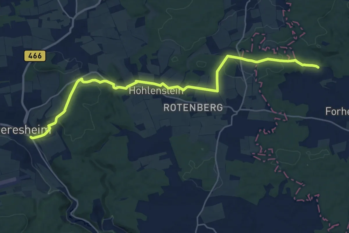
Medium · Pilgrim path
Bayerisch-Schwäbischer Jakobsweg Ner-DON
9.6 km · ↑ 207 m · 2 h 49 min
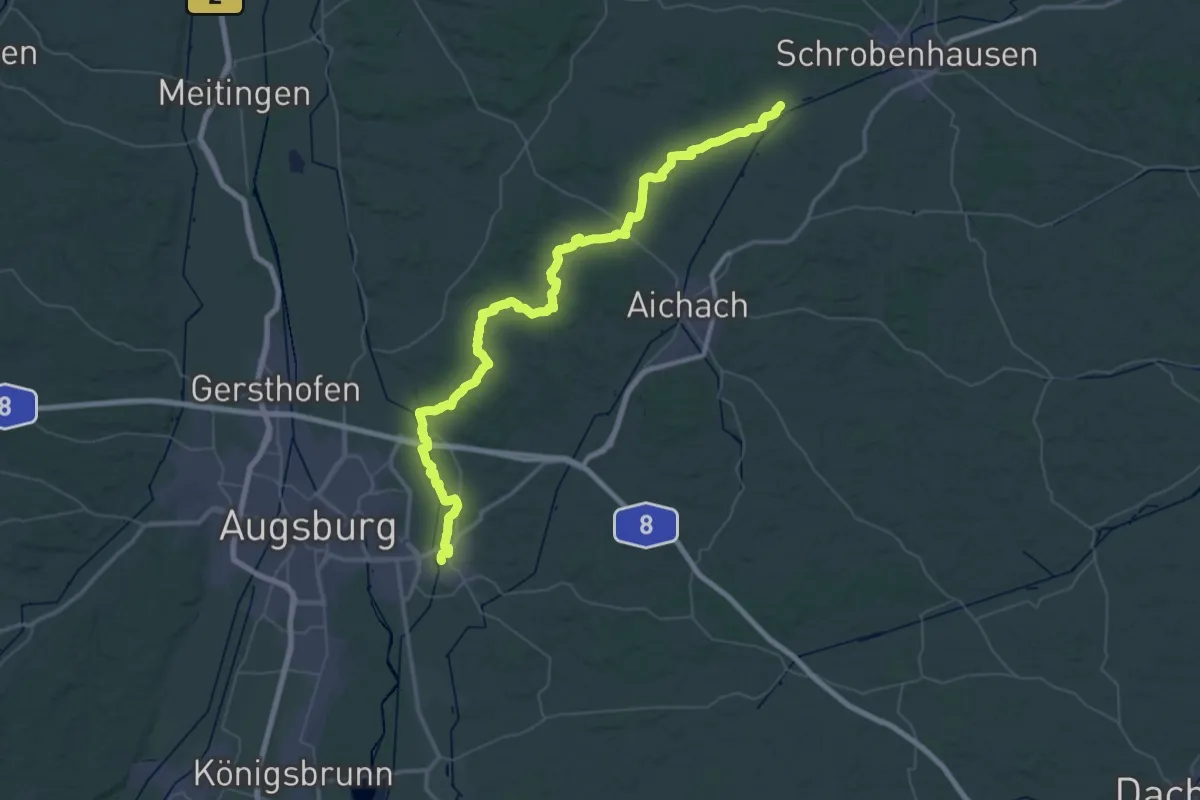
Demanding · Pilgrim path
Bayerisch-Schwäbischer Jakobsweg SOB-FB
37.3 km · ↑ 411 m · 10 h 10 min
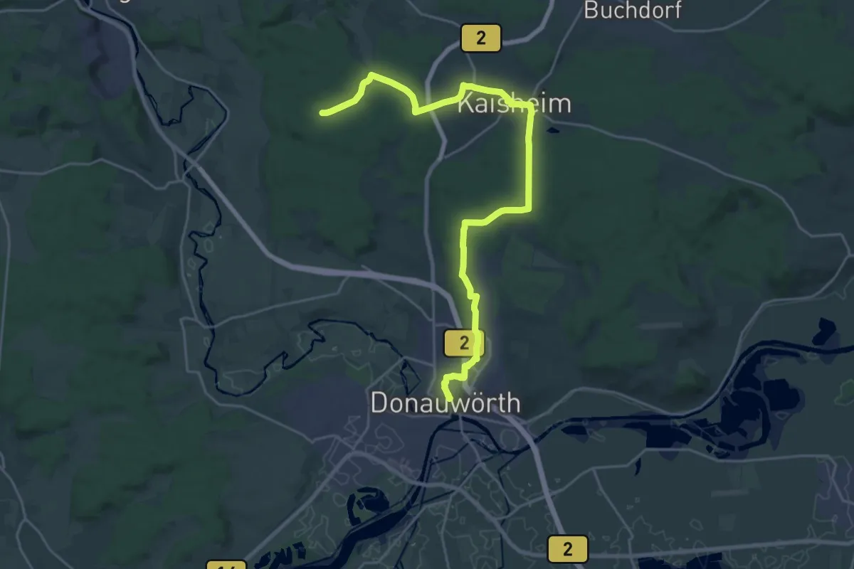
Medium · Pilgrim path
Bayerisch-Schwäbischer Jakobsweg Var Kaisheim
12.3 km · ↑ 157 m · 3 h 26 min
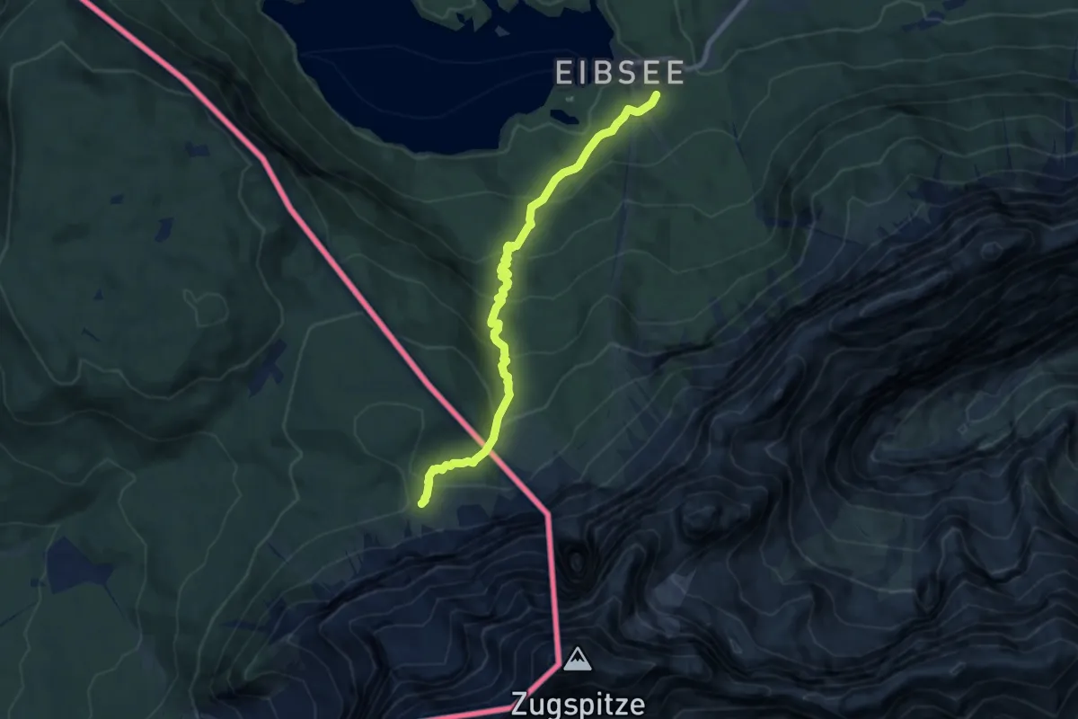
Medium · Trail
Bayernsteig
8.0 km · ↑ 613 m · 3 h 13 min
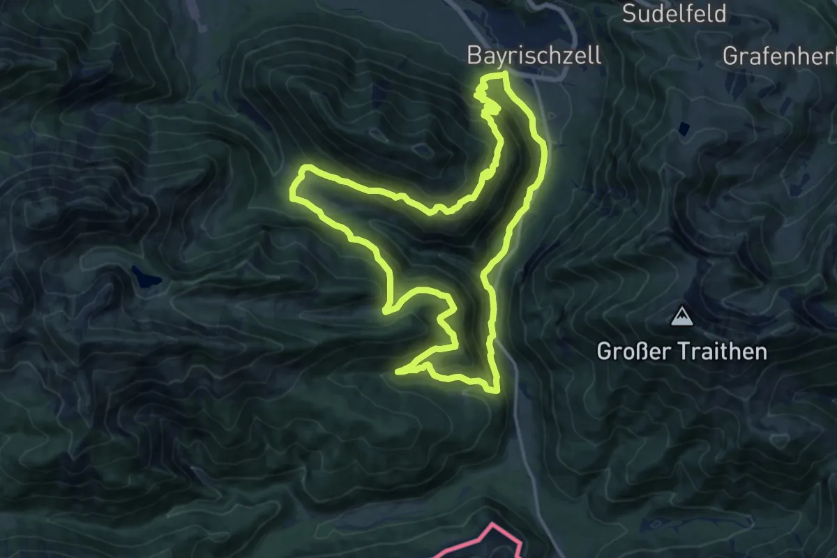
Demanding · Trail
Bayrischzeller Höhenweg
15.0 km · ↑ 903 m · 5 h 43 min
Medium · Trail
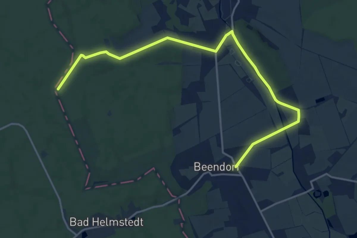
BBB-Weg
11.8 km · ↑ 116 m · 3 h 3 min
Medium · Summit
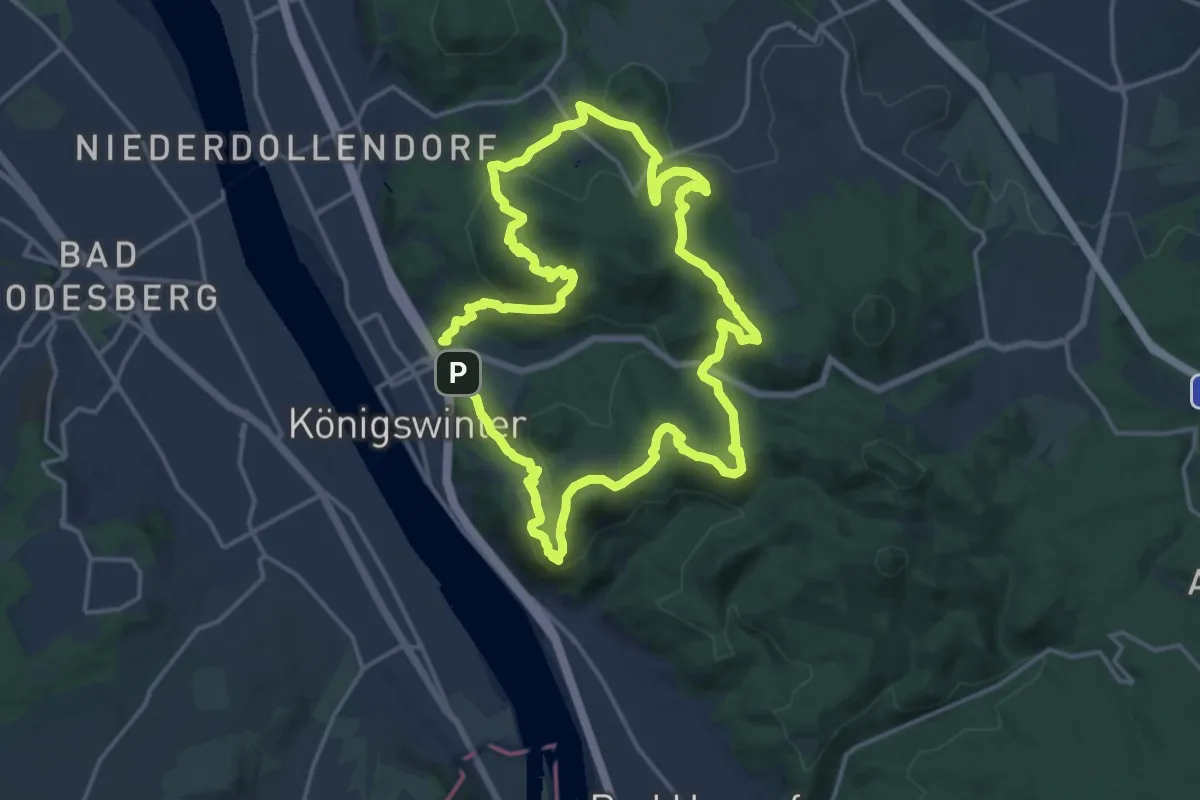
[B] Beethoven Wanderweg
14.9 km · ↑ 597 m · 5 h 1 min
Medium · Summit
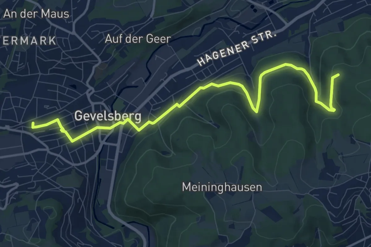
[B] Brahms-Kopf-Weg
10.7 km · ↑ 298 m · 3 h 11 min
Easy · Trail
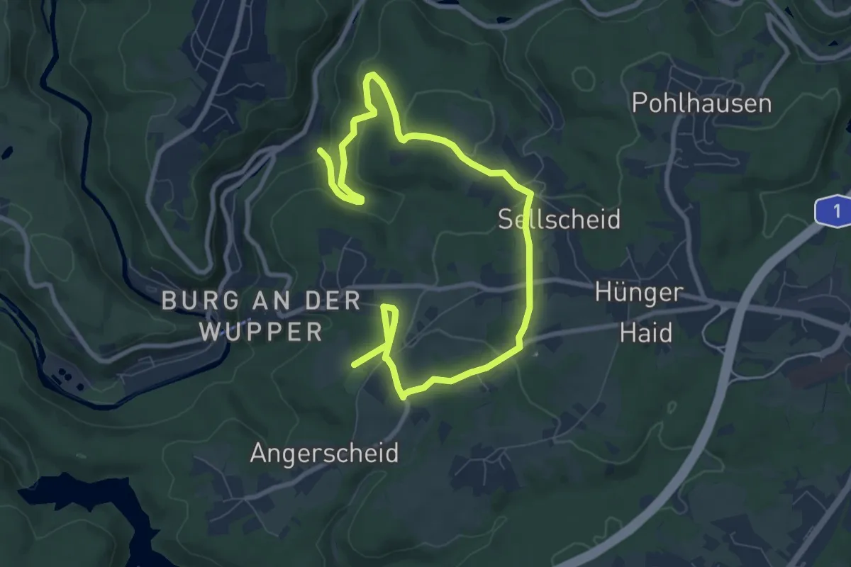
(B) Brezelweg (Rund um Burg)
5.2 km · ↑ 92 m · 1 h 33 min
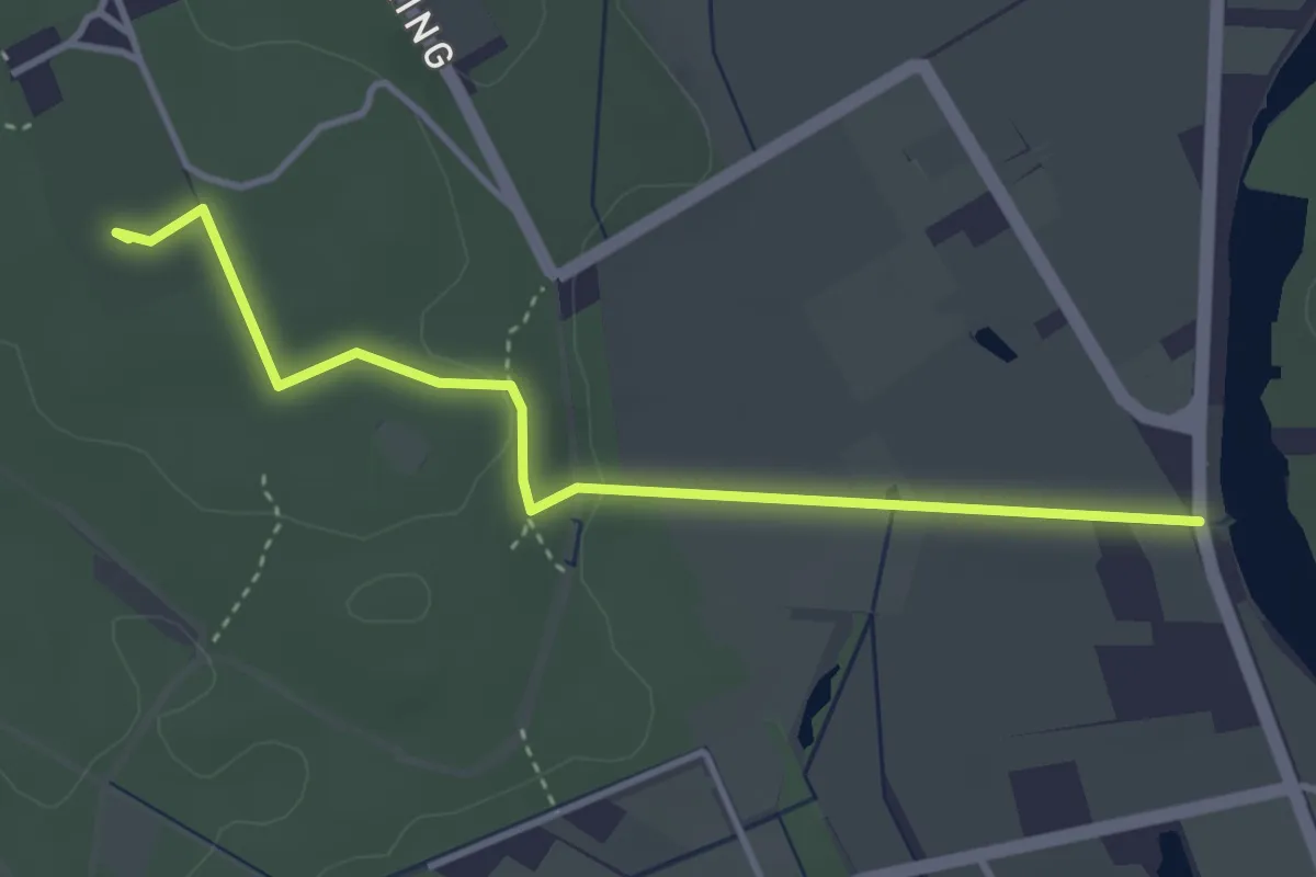
Easy · Summit
B Dr. Bertram-Weg
3.4 km · ↑ 38 m · 53 min
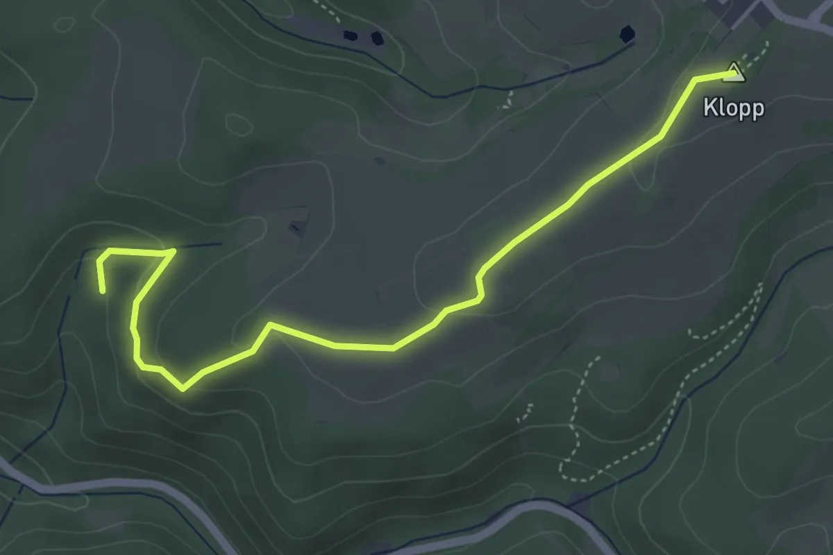
Easy · Summit
Be1
4.7 km · ↑ 127 m · 1 h 22 min
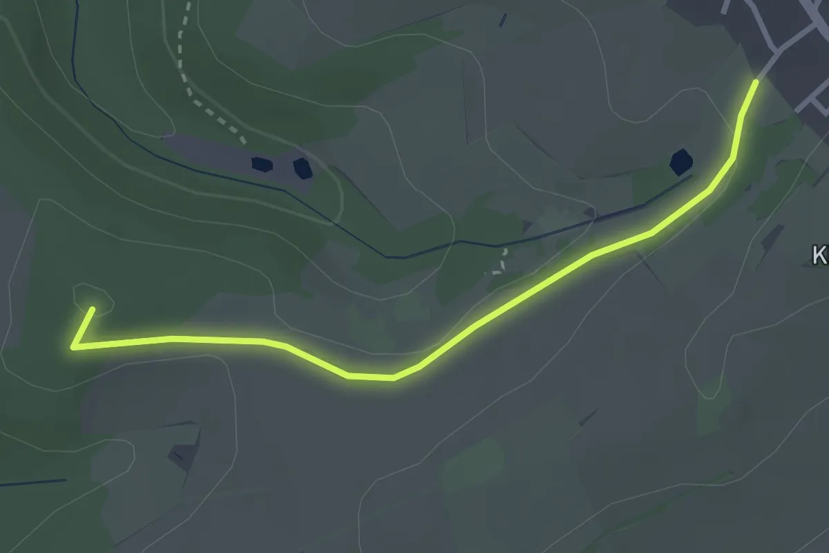
Easy · Summit
Be2
2.7 km · ↑ 36 m · 43 min
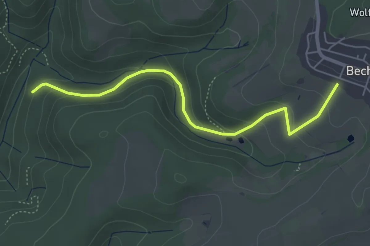
Easy · Trail
Be3
4.4 km · ↑ 160 m · 1 h 23 min
Easy · Trail
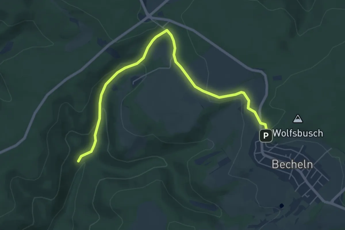
Be4
6.0 km · ↑ 201 m · 1 h 51 min
Easy · Trail
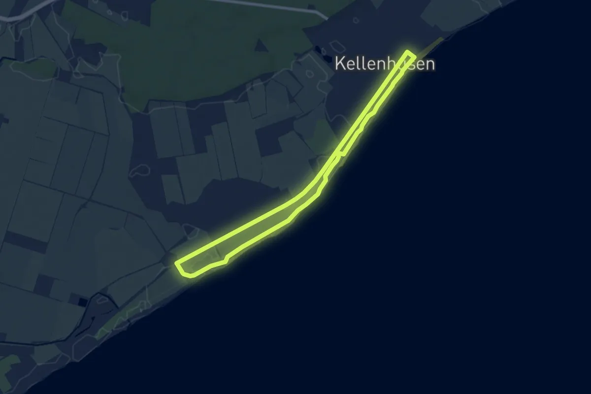
Beach-route, Kellenhusen
6.7 km · ↑ 4 m · 1 h 42 min
Easy · Trail
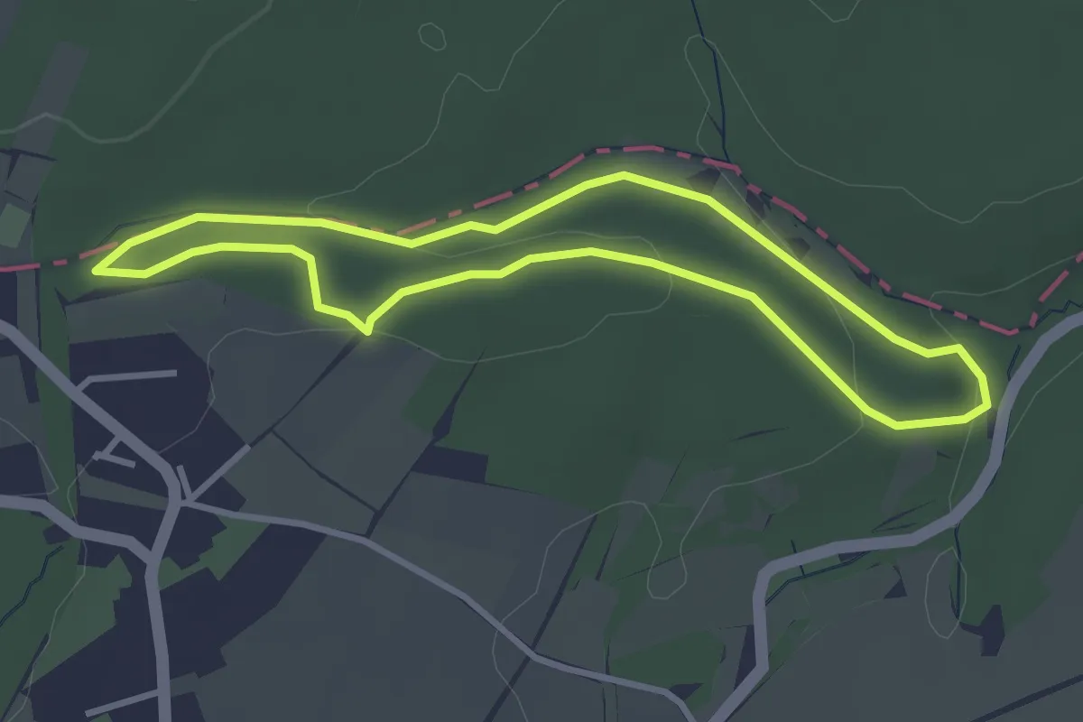
Beaufort 12
2.8 km · ↑ 46 m · 48 min
Easy · Trail
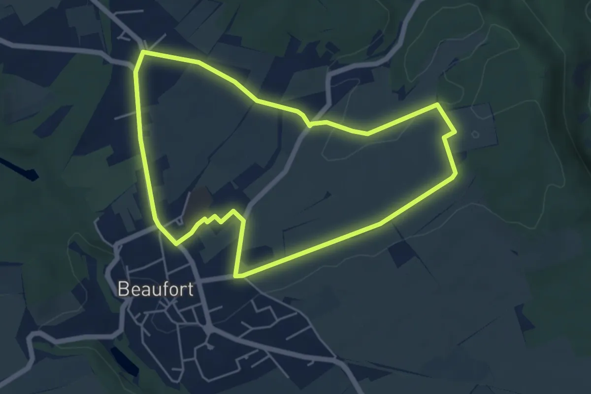
Beaufort 16
4.3 km · ↑ 34 m · 1 h 9 min
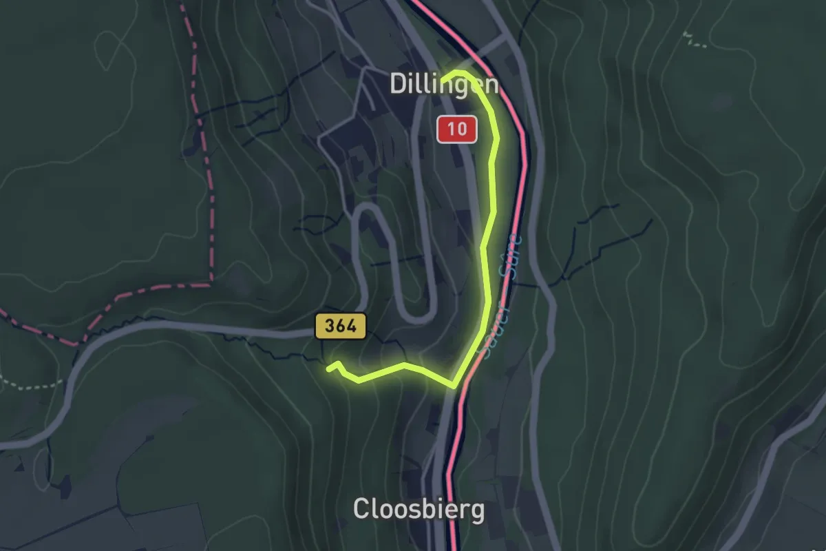
Easy · Trail
Beaufort 18
2.8 km · ↑ 103 m · 53 min
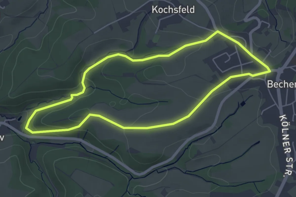
Easy · Trail
Bechen Rundweg A1
4.2 km · ↑ 88 m · 1 h 14 min
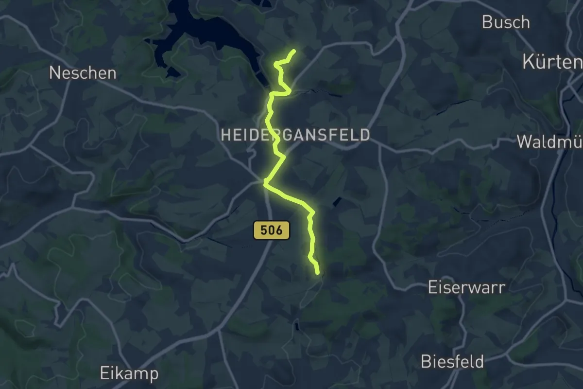
Easy · Trail
Bechen Rundweg A2
3.8 km · ↑ 70 m · 1 h 7 min
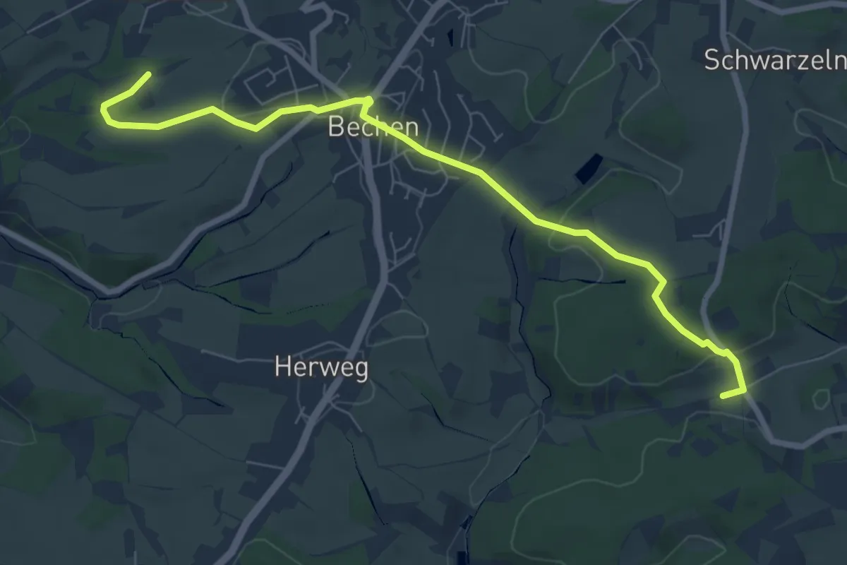
Easy · Trail
Bechen Rundweg A3
3.6 km · ↑ 71 m · 1 h 3 min
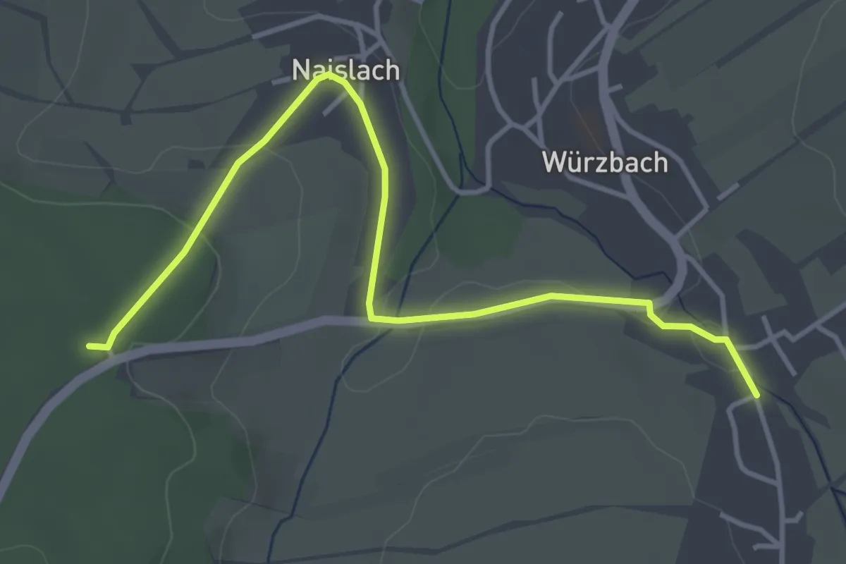
Easy · Trail
Bechergass - Würzbach
4.1 km · ↑ 54 m · 1 h 4 min
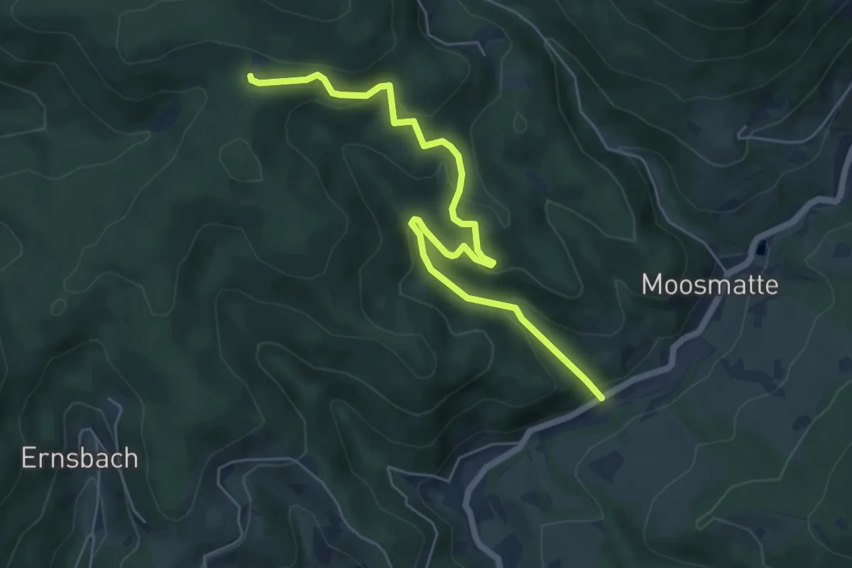
Medium · Cabin
Bechtenbach - Kornebene
5.9 km · ↑ 392 m · 2 h 14 min
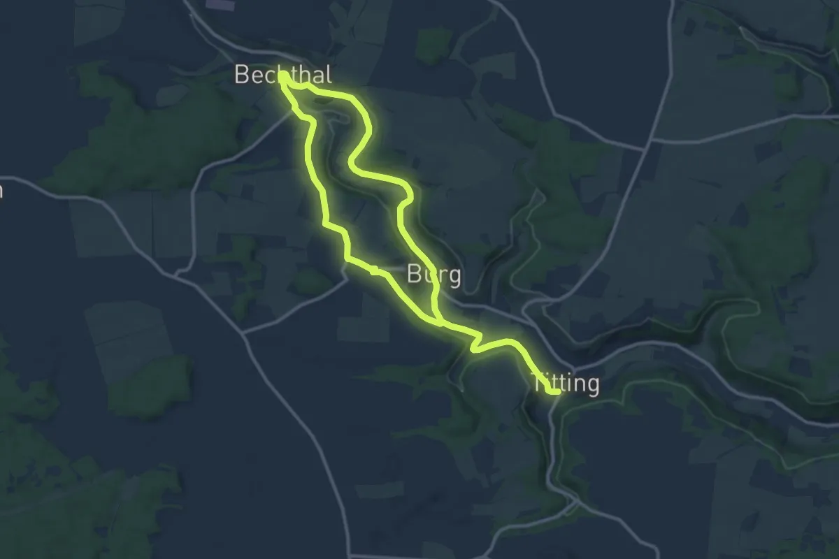
Medium · Trail
Bechthaler Weg
8.9 km · ↑ 127 m · 2 h 31 min
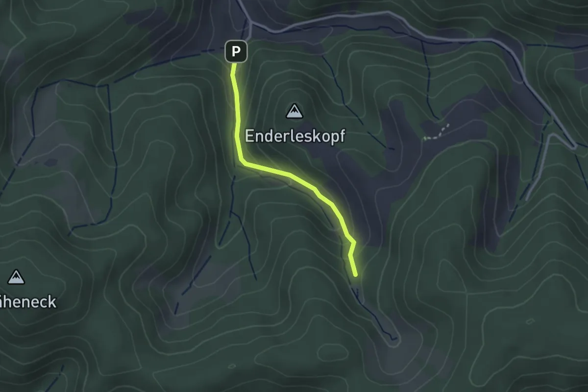
Easy · Trail
Bechtolsberg - Wanderparkplatz Höfe-Weg
2.2 km · ↑ 133 m · 49 min
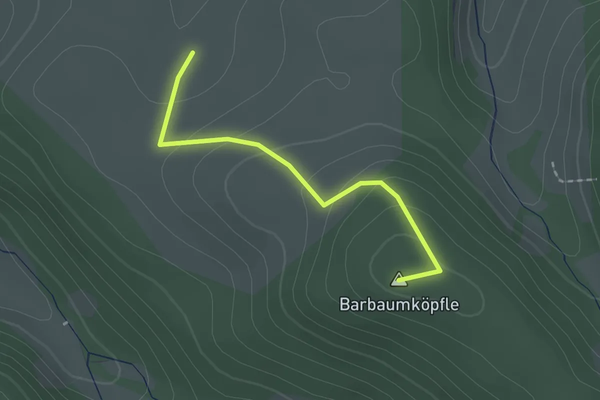
Easy · Summit
Beckenfelsen - Wegkreuz Eben
1.6 km · ↑ 79 m · 32 min
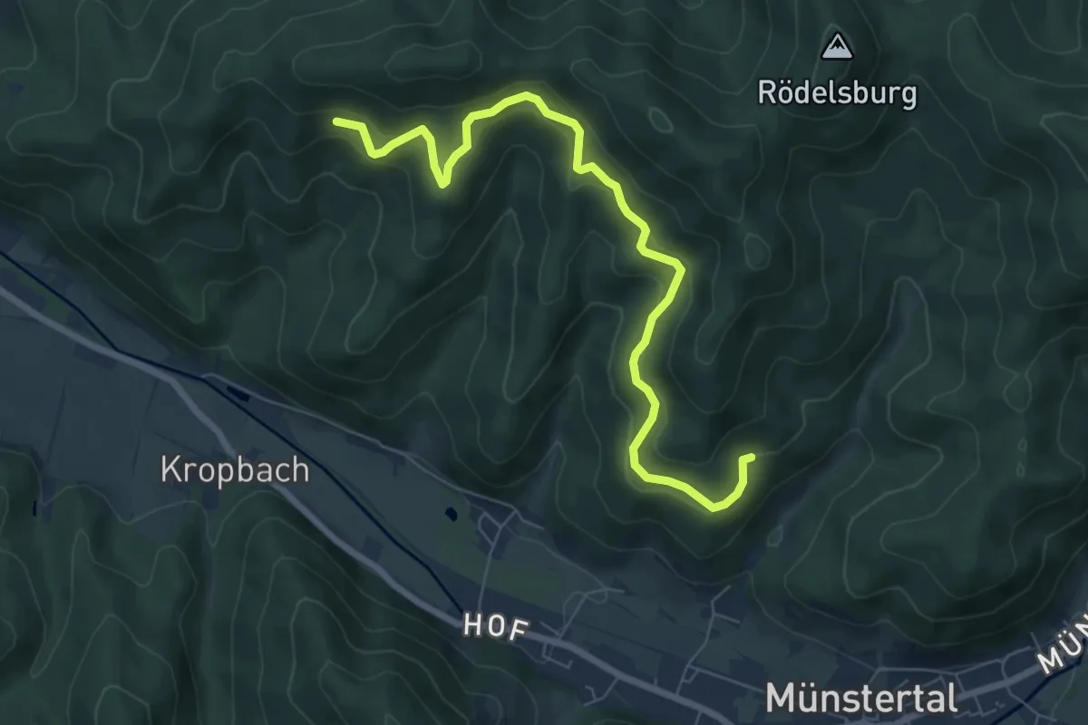
Medium · Trail
Beckengründle - Rauhalde
7.4 km · ↑ 362 m · 2 h 32 min
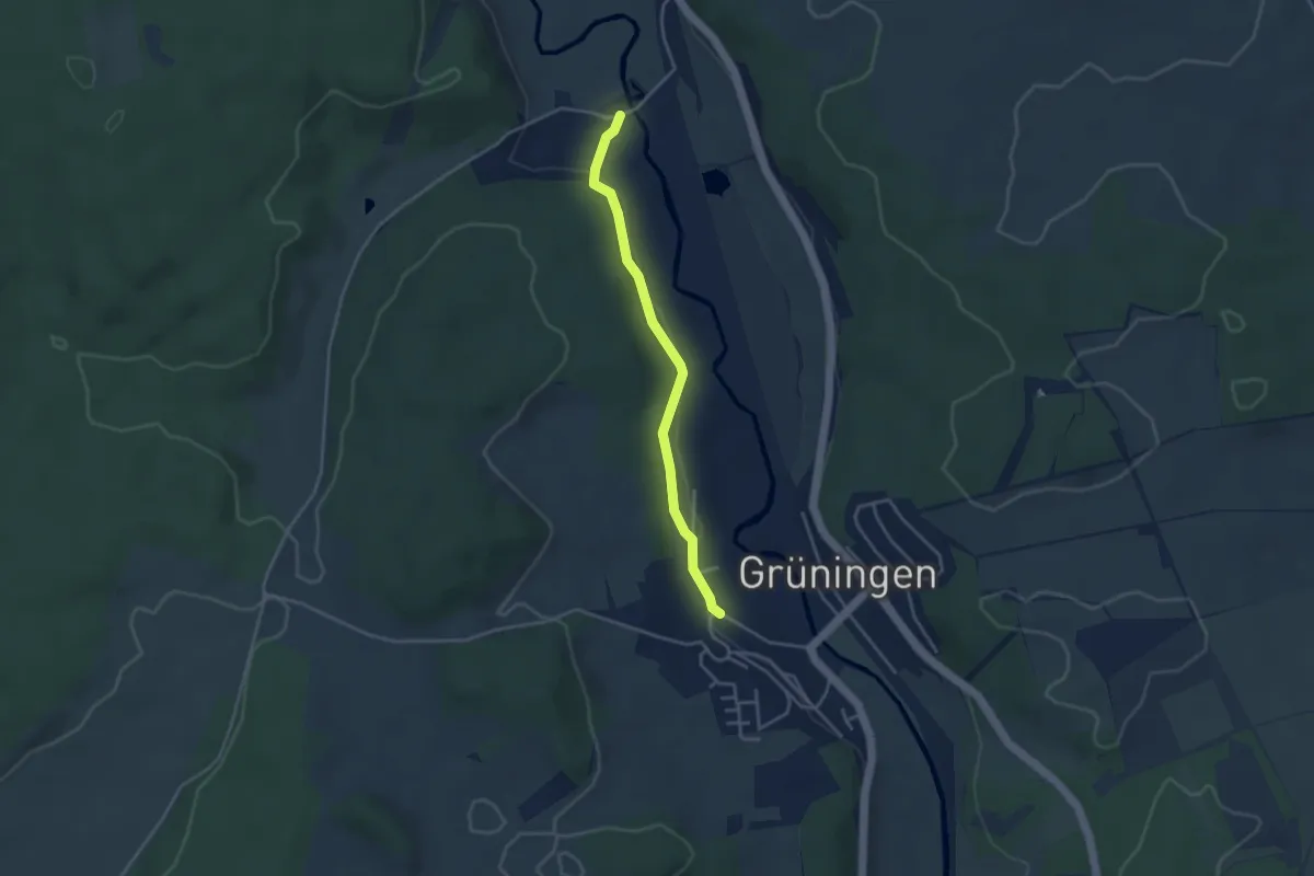
Easy · Trail
Beckhofen - Grüningen Laden
3.4 km · ↑ 56 m · 56 min
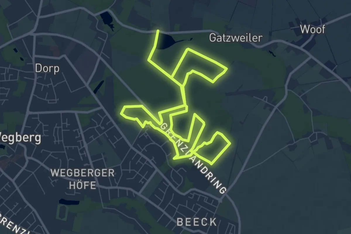
Medium · Trail
Beecker Grenzland Tour
8.4 km · ↑ 30 m · 2 h 9 min
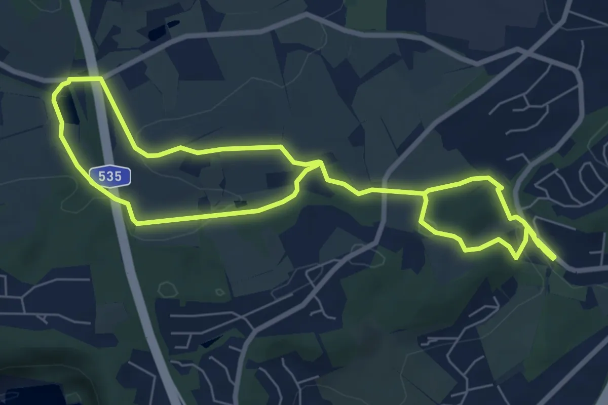
Easy · Trail
Beek Rundweg A1
5.1 km · ↑ 108 m · 1 h 30 min
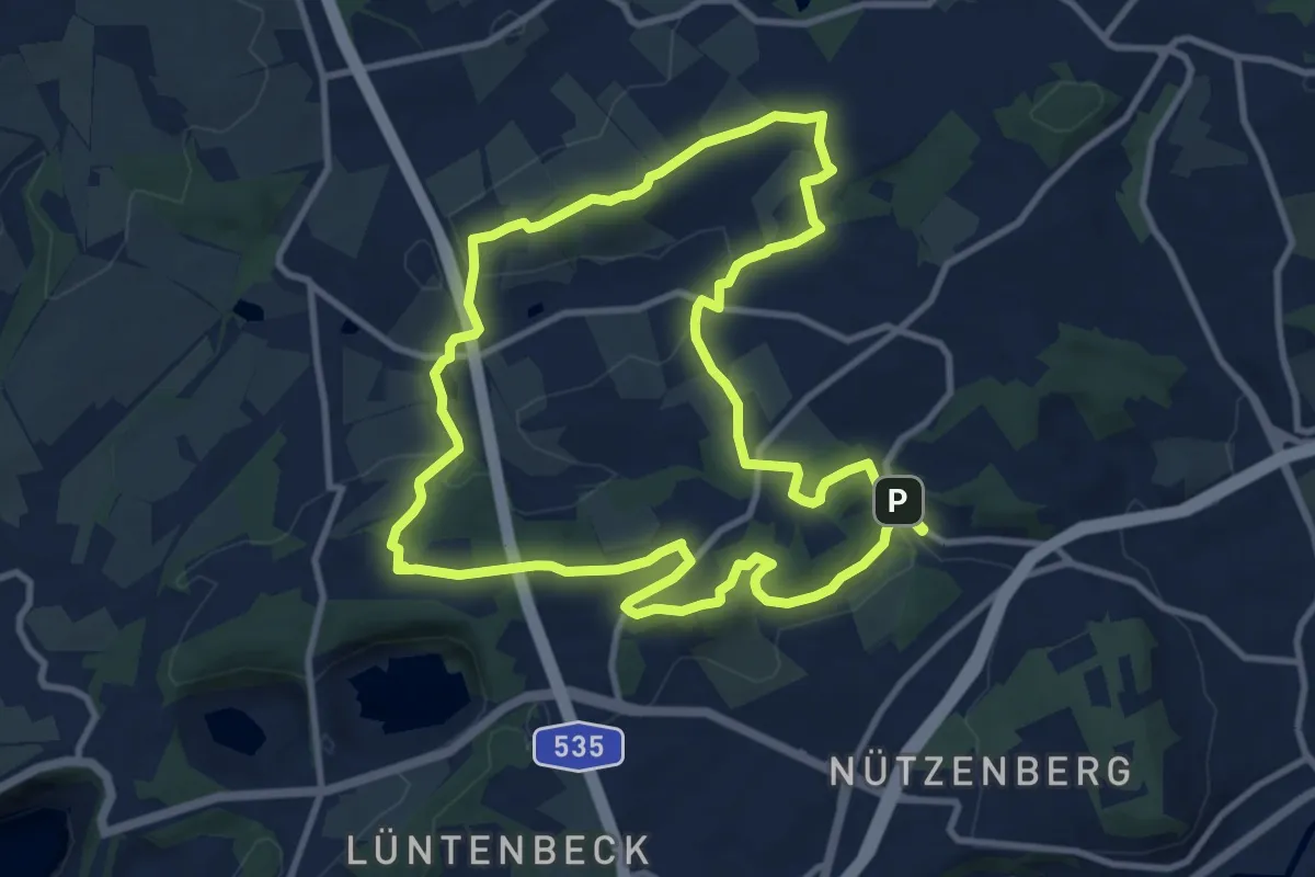
Medium · Trail
Beek Rundweg A3
9.9 km · ↑ 166 m · 2 h 50 min
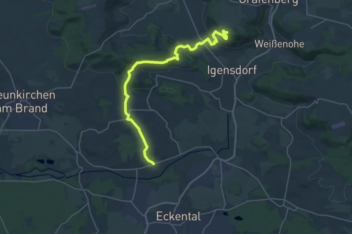
Demanding · Summit
Beerbacher Weg (Teil 2)
19.1 km · ↑ 591 m · 5 h 47 min
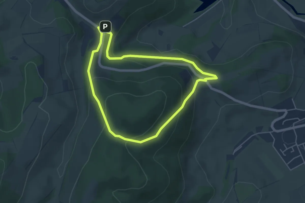
Easy · Trail
Beerenberg Rundweg A1
3.5 km · ↑ 155 m · 1 h 13 min
Easy · Summit
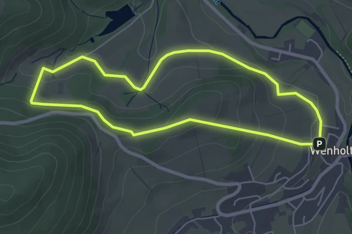
Beerenberg Rundweg A2
4.0 km · ↑ 102 m · 1 h 13 min
Medium · Trail
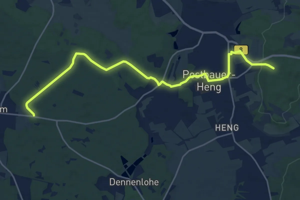
Beerenschlag-Weg
14.3 km · ↑ 169 m · 3 h 45 min
Easy · Trail
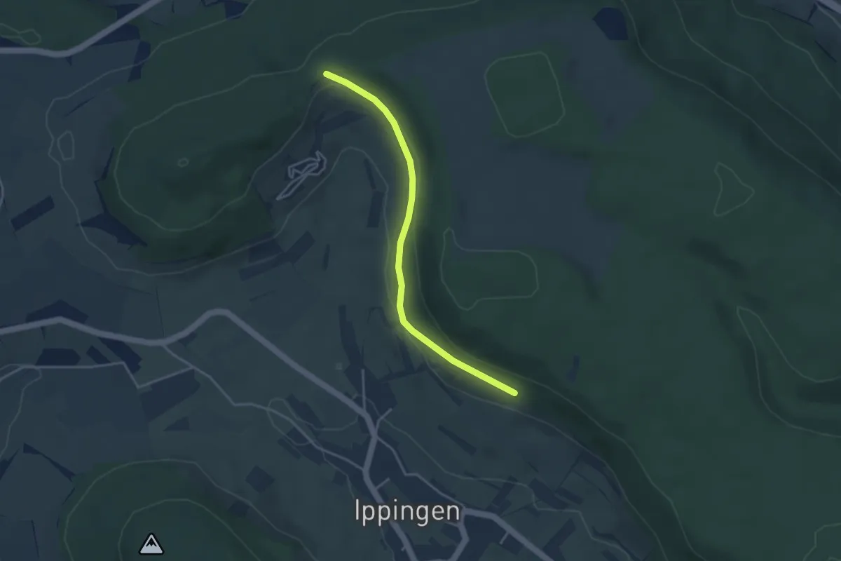
Beerenzipfel - Am Eßlinger Weg
3.4 km · ↑ 78 m · 58 min
Easy · Trail
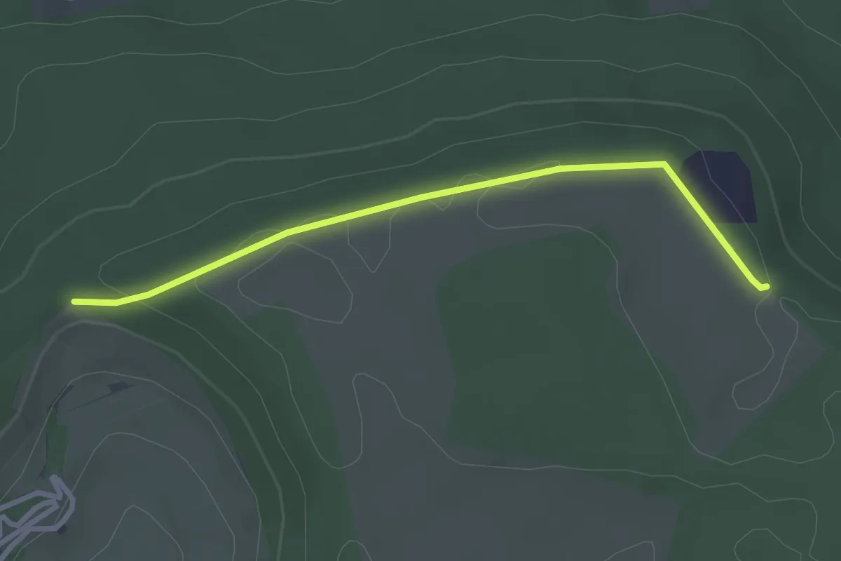
Beerenzipfel - Reifenberg
2.7 km · ↑ 33 m · 43 min