Trails in Germany
36,852 hiking trails, each with its route, climb, walking time and grade.
All trails, page 539 of 768
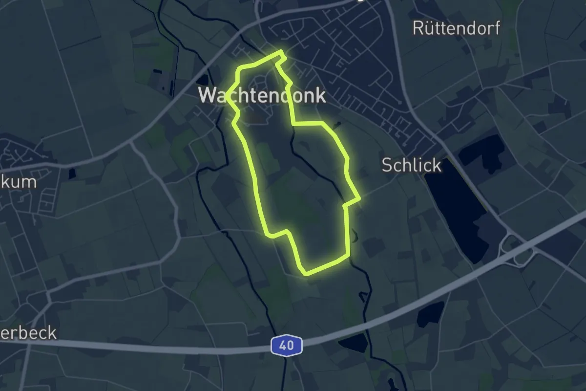
Easy · Trail
Rundweg "A7 Nette"
4.7 km · ↑ 4 m · 1 h 11 min
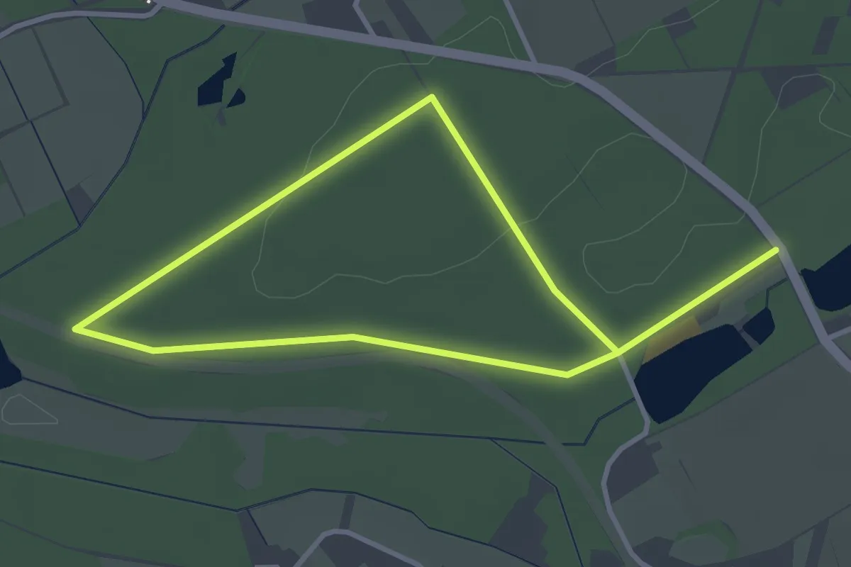
Easy · Trail
Rundweg A7 Tippheide
2.5 km · ↑ 9 m · 39 min
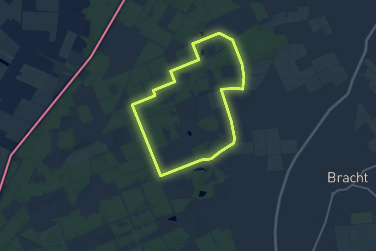
Easy · Trail
Rundweg "A7 Vennweg"
6.2 km · ↑ 26 m · 1 h 36 min
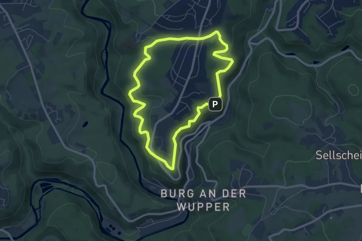
Easy · Trail
Rundweg A7 - Westhausen
5.5 km · ↑ 195 m · 1 h 48 min
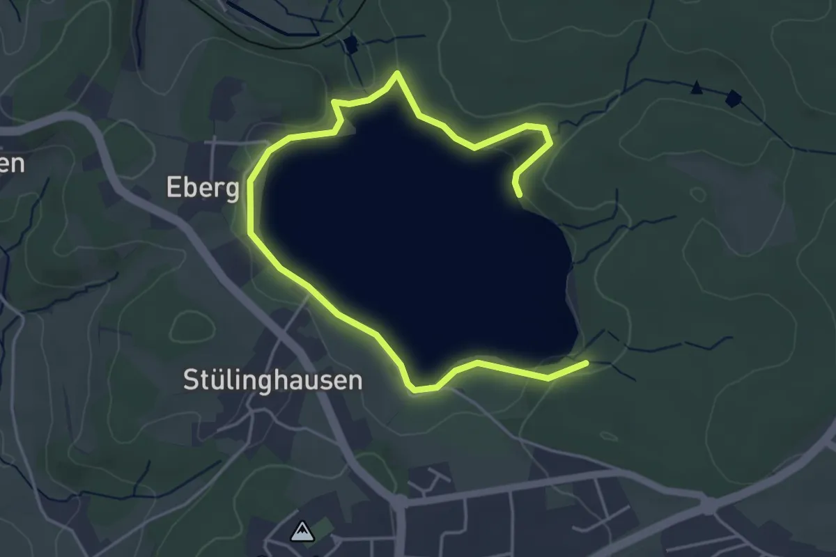
Easy · Trail
Rundweg A8 (Brucher Talsperre)
2.7 km · ↑ 67 m · 48 min
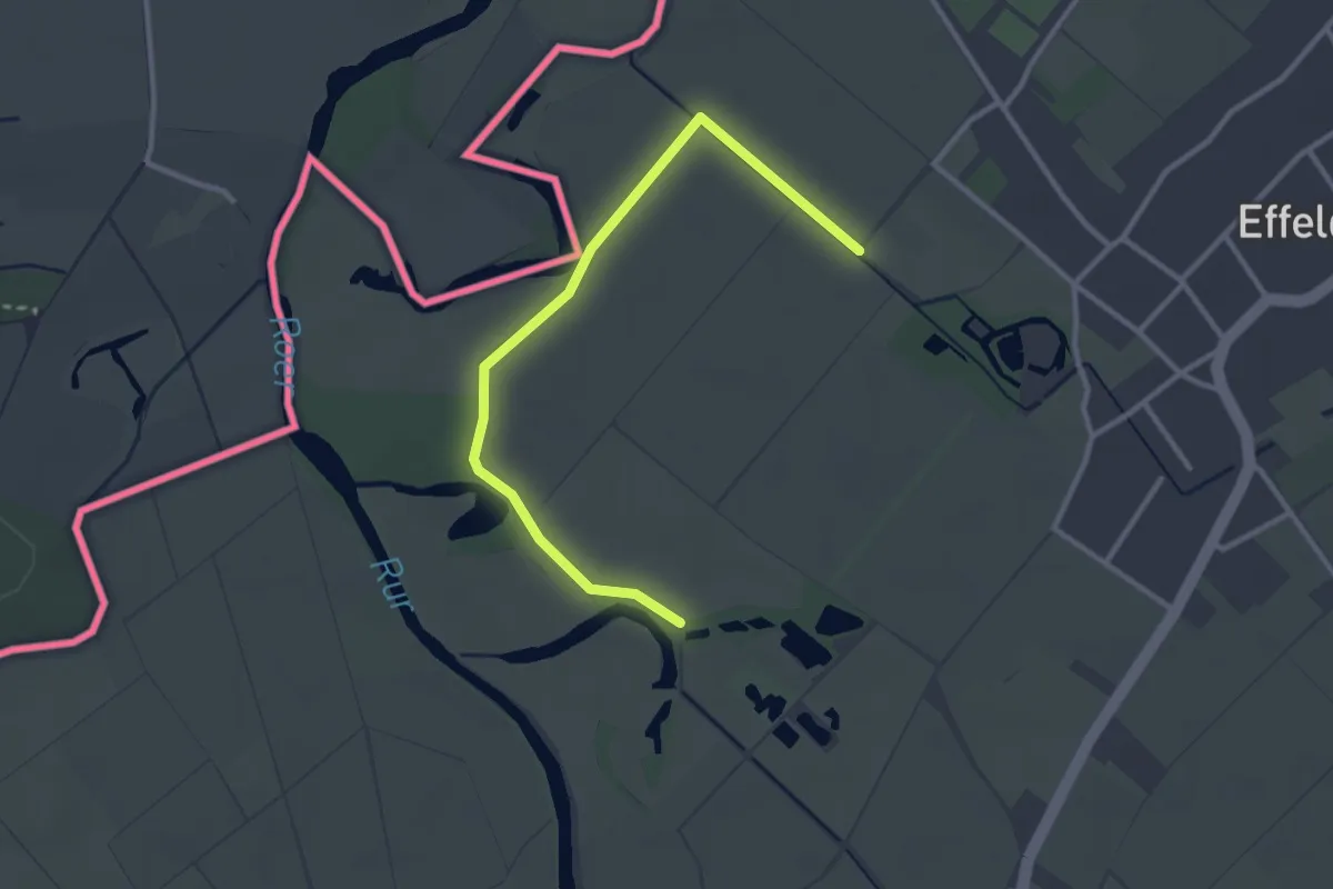
Easy · Trail
Rundweg A8 Effeld
1.4 km · ↑ 0 m · 22 min
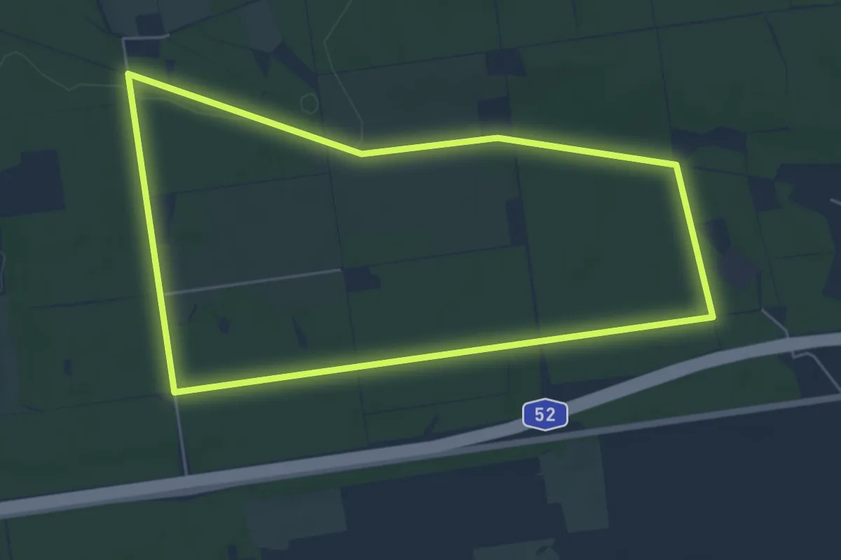
Easy · Trail
Rundweg "A8 Galgenberg"
5.0 km · ↑ 33 m · 1 h 20 min
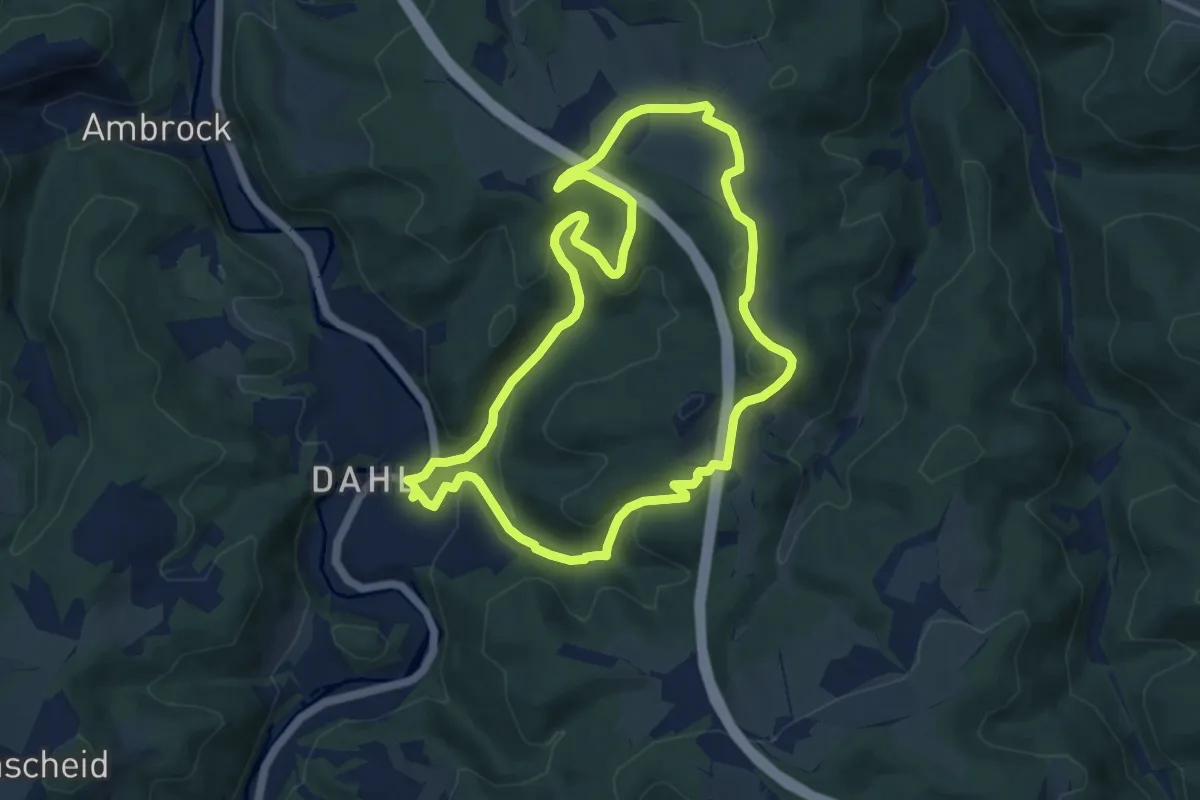
Medium · Trail
Rundweg A8 Höhenweg rechts der Volme (Dahl)
8.8 km · ↑ 251 m · 2 h 45 min
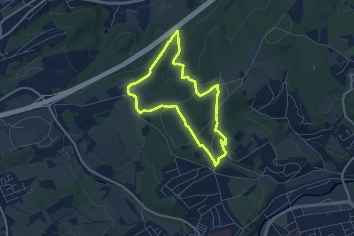
Easy · Summit
Rundweg A8 Homberger Höhenweg (Hasper Stadtwald)
4.6 km · ↑ 190 m · 1 h 34 min
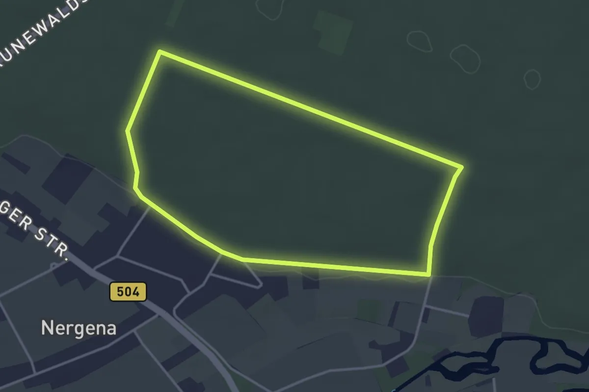
Easy · Trail
Rundweg A8 Kessel-Nord
3.2 km · ↑ 13 m · 49 min
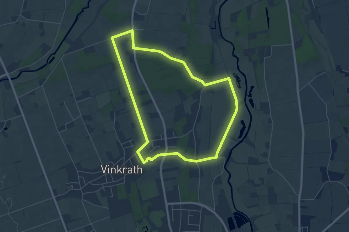
Easy · Trail
Rundweg A8 Vinkrath
5.3 km · ↑ 13 m · 1 h 22 min
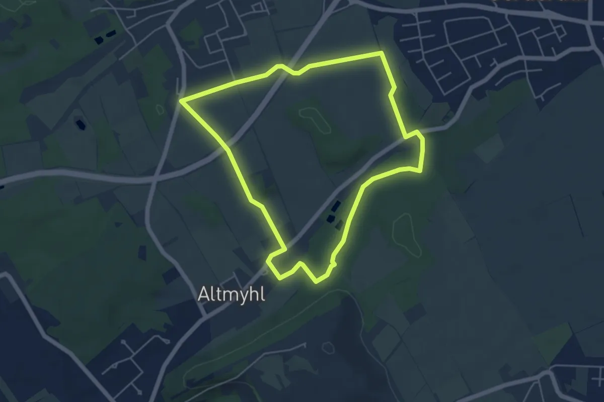
Easy · Trail
Rundweg A9 Altmyhl
4.3 km · ↑ 37 m · 1 h 10 min
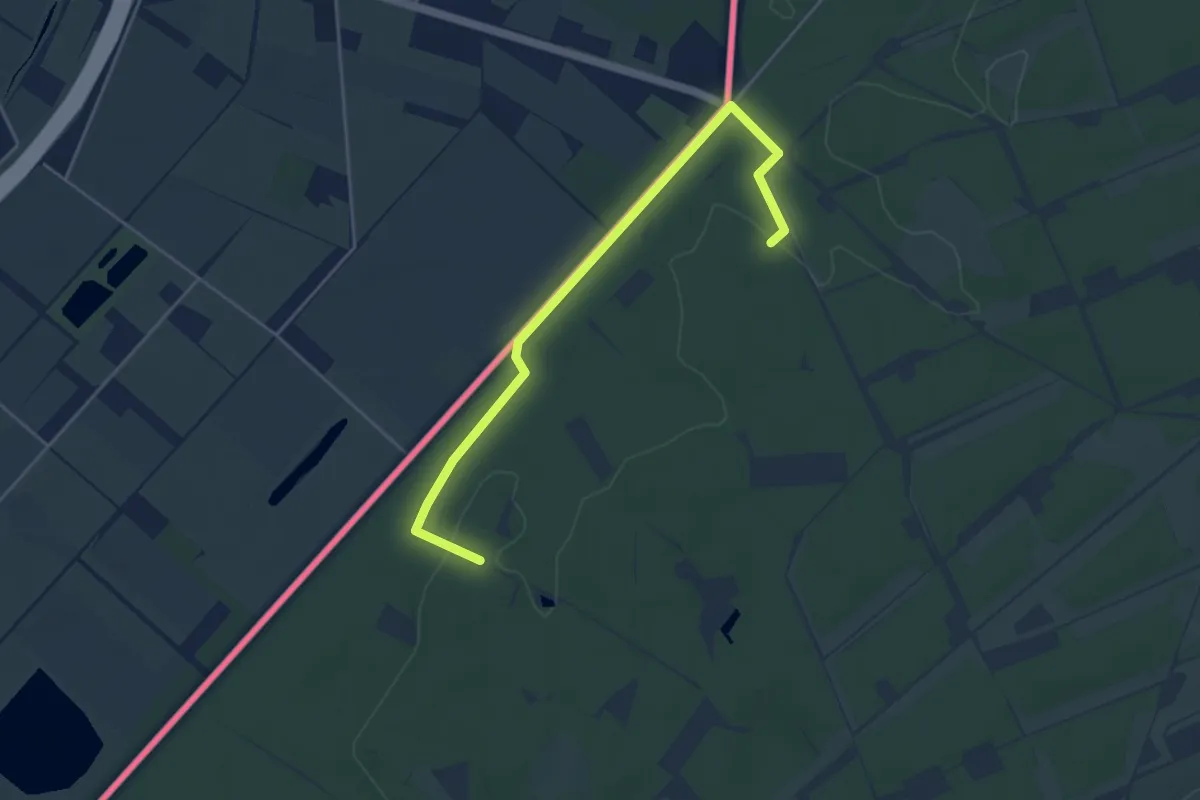
Easy · Trail
Rundweg A9 Dassenberg
2.2 km · ↑ 13 m · 34 min
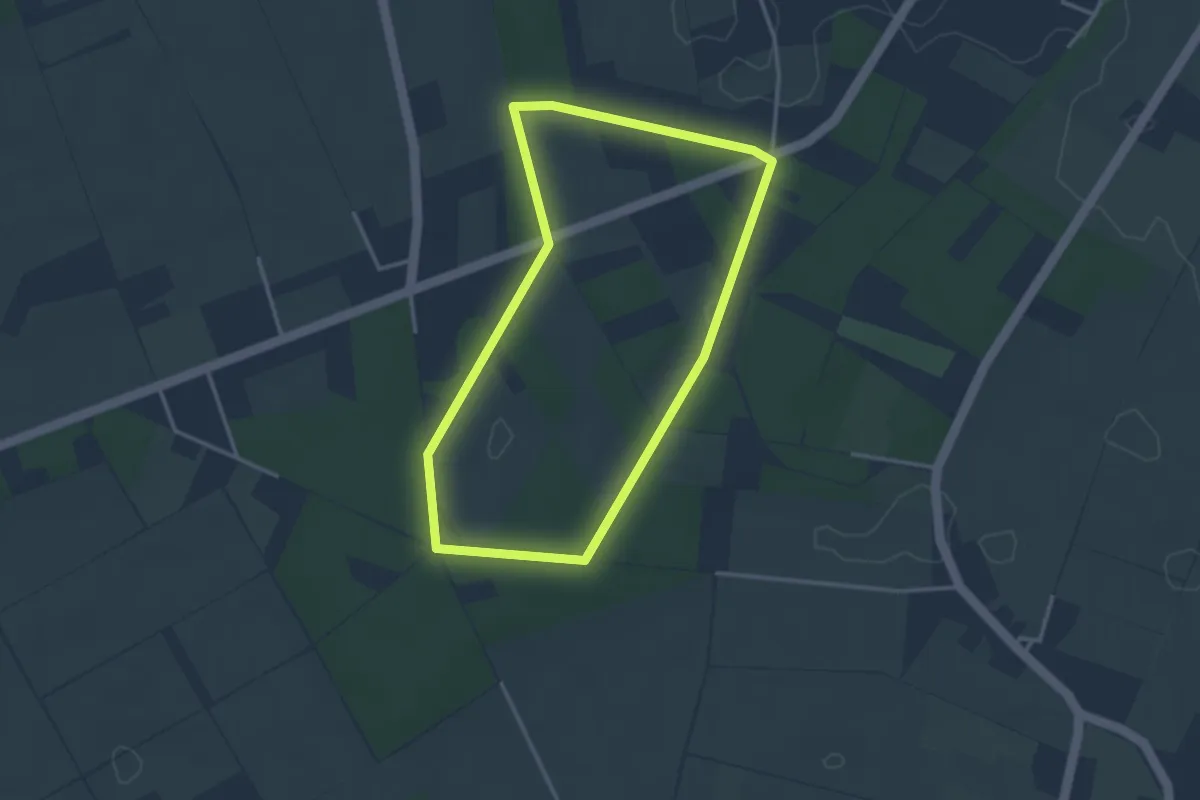
Easy · Trail
Rundweg A9 Happelter Heide
2.9 km · ↑ 14 m · 45 min
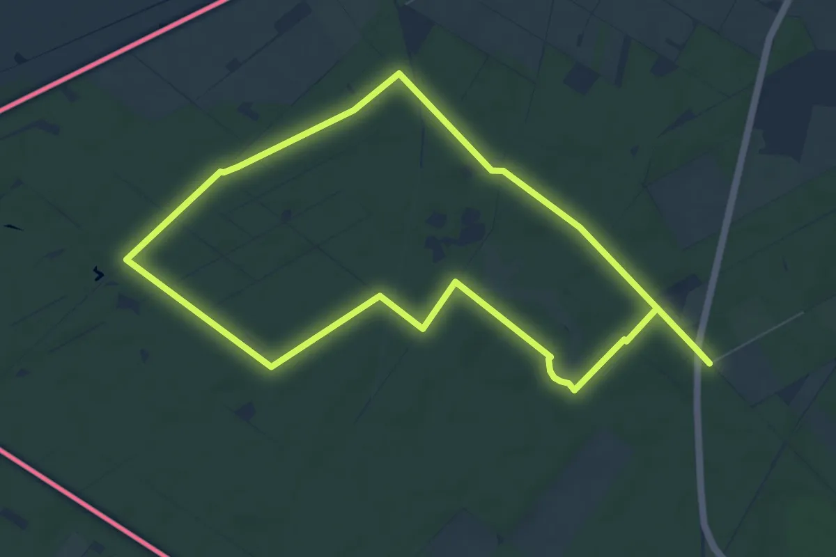
Easy · Trail
Rundweg "A9 Oberkrüchten Meinweg"
7.1 km · ↑ 34 m · 1 h 51 min
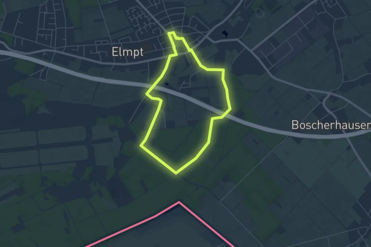
Easy · Trail
Rundweg A9 Rurheide
4.7 km · ↑ 23 m · 1 h 14 min
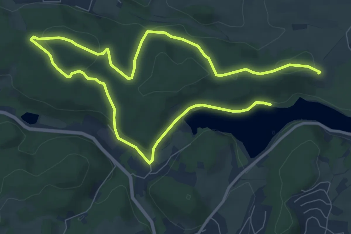
Easy · Trail
Rundweg A9 (Schmitzwipper)
5.9 km · ↑ 122 m · 1 h 45 min
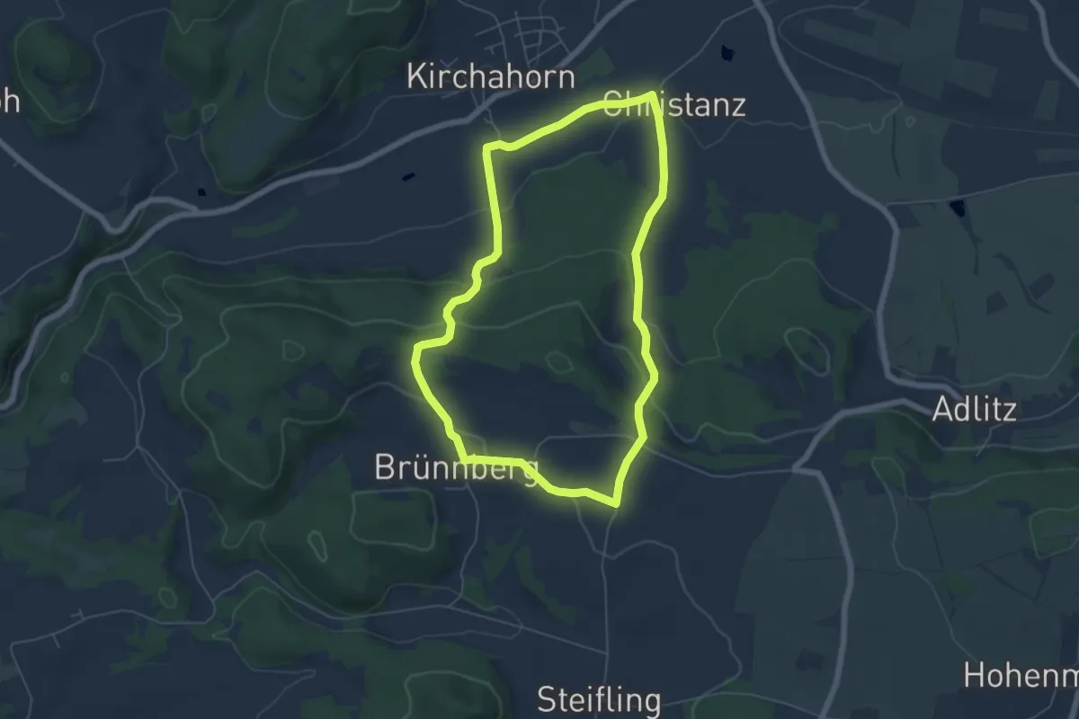
Easy · Trail
Rundweg Ahorntal (Grüner Ring)
5.3 km · ↑ 158 m · 1 h 40 min
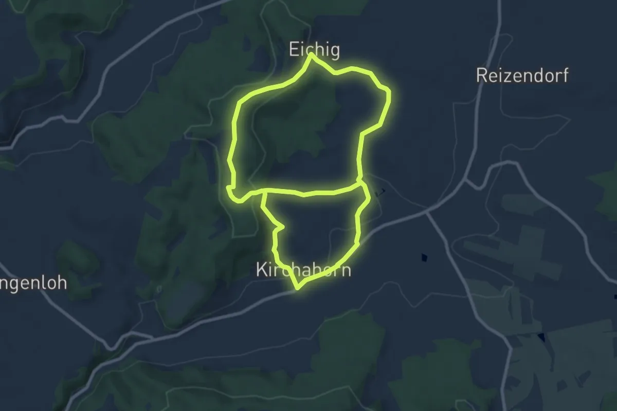
Medium · Trail
Rundweg Ahorntal (Roter Ring)
14.1 km · ↑ 365 m · 4 h 7 min
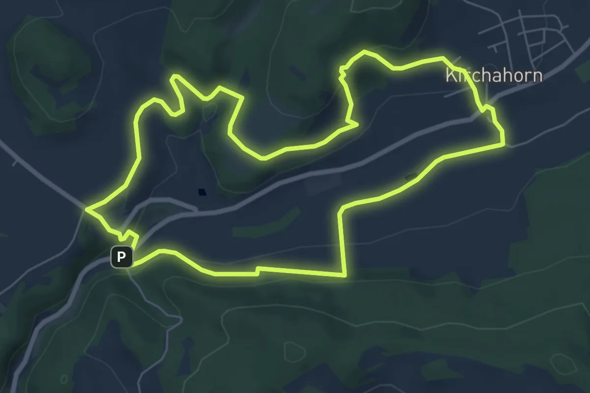
Easy · Trail
Rundweg Ahorntal (Schwarzer Ring)
6.2 km · ↑ 168 m · 1 h 54 min
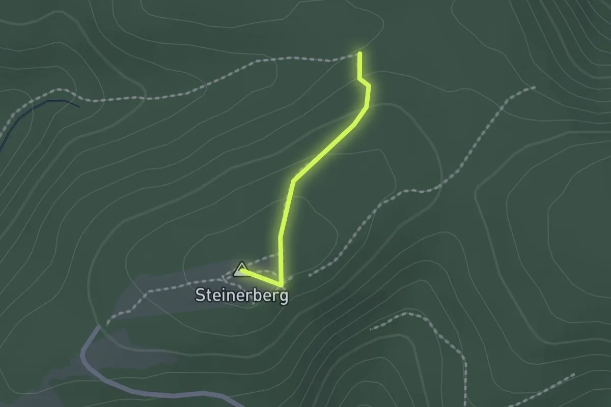
Easy · Summit
Rundweg Ahrbrück 2
1.1 km · ↑ 39 m · 21 min
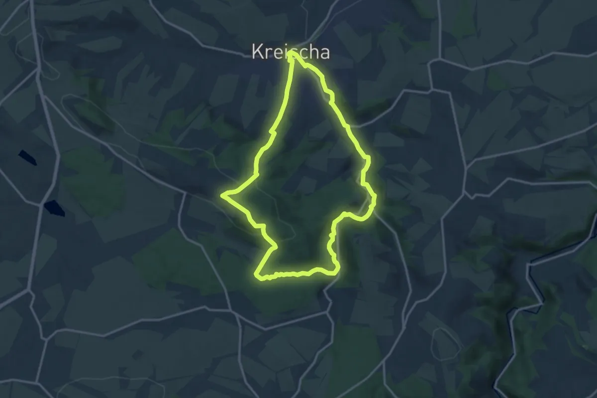
Medium · Summit
Rundweg A Kreischa
11.3 km · ↑ 293 m · 3 h 28 min
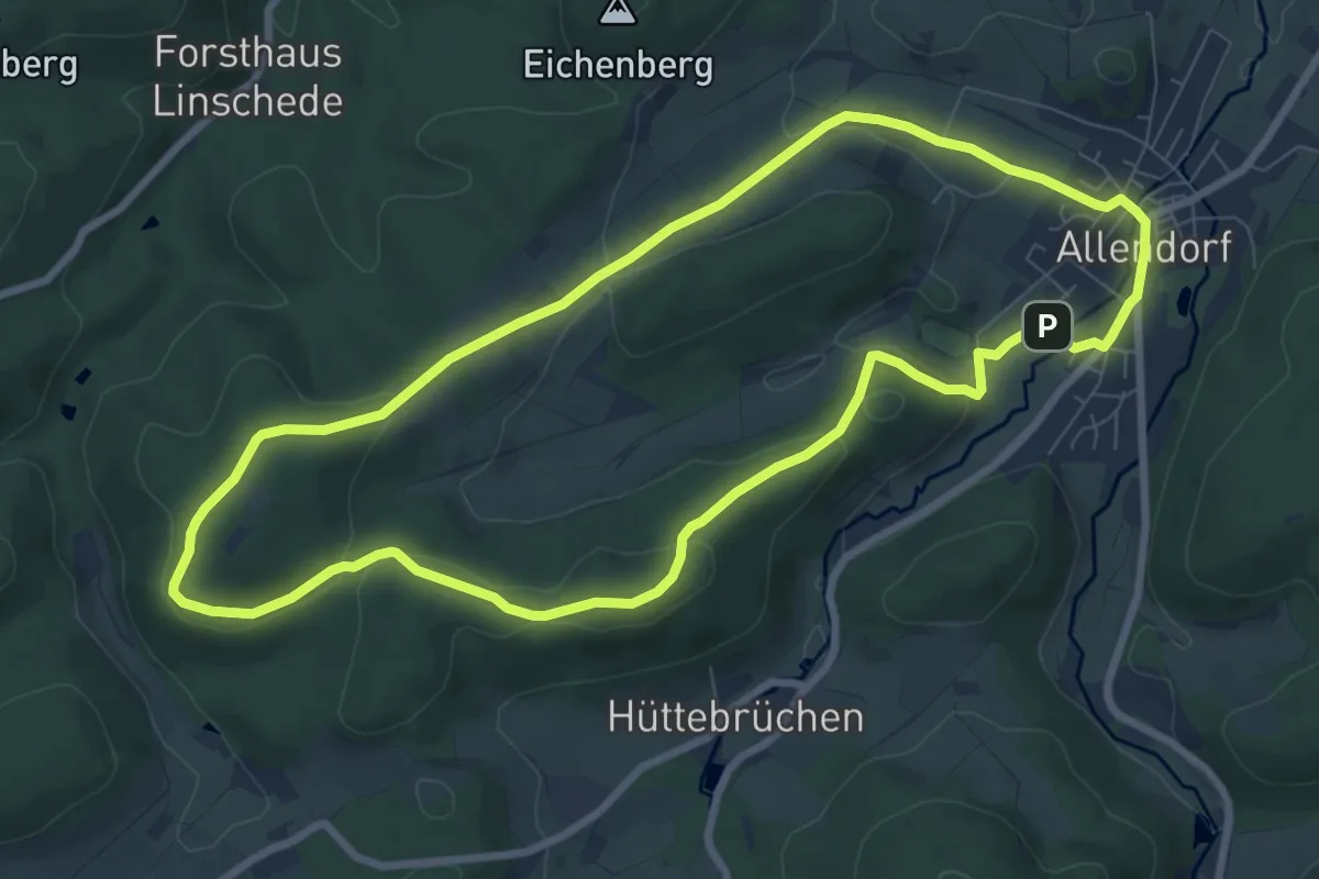
Easy · Summit
Rundweg Allendorf 3
7.6 km · ↑ 188 m · 2 h 19 min
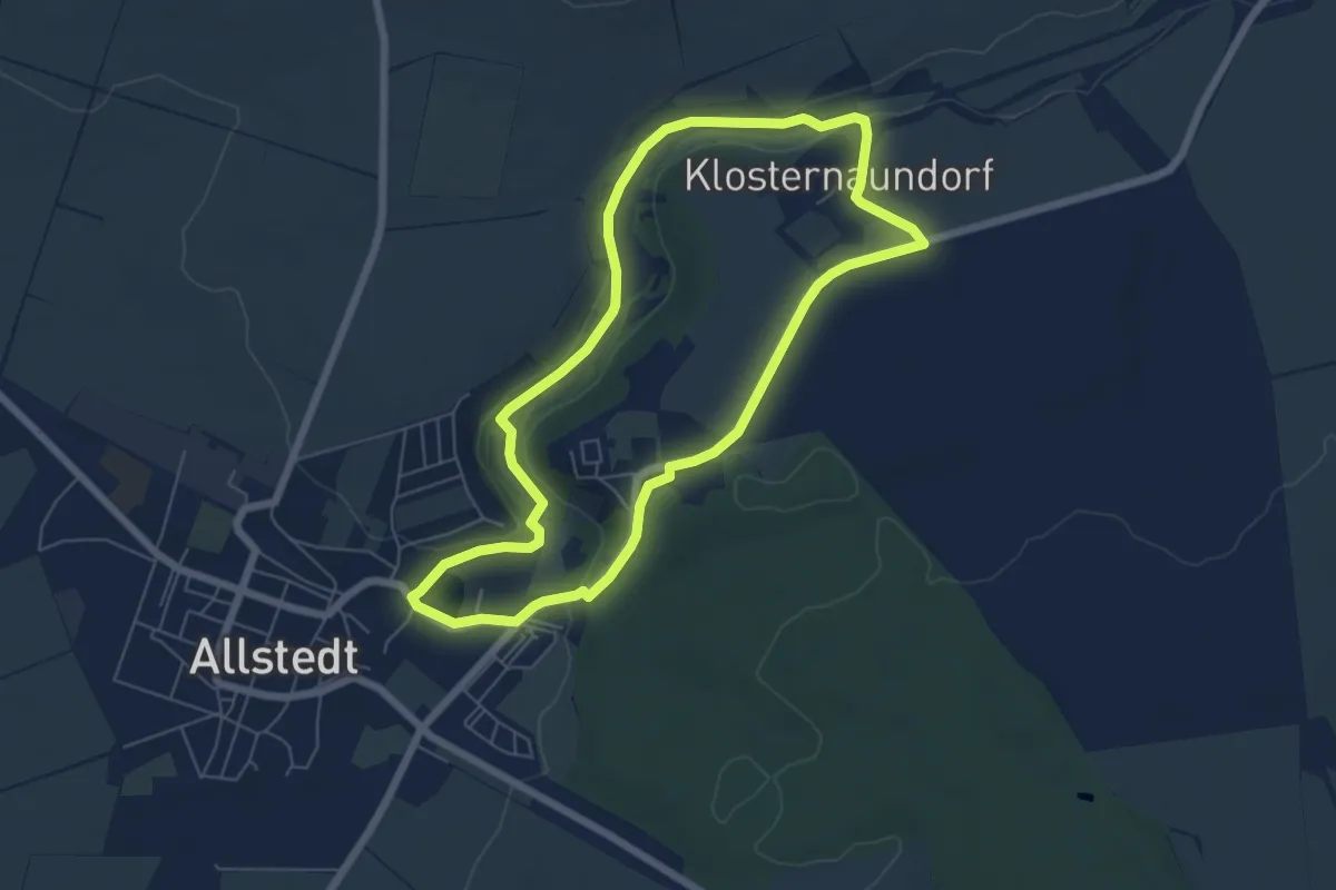
Easy · Trail
Rundweg Allstedt Goethe und Müntzer
5.5 km · ↑ 67 m · 1 h 32 min
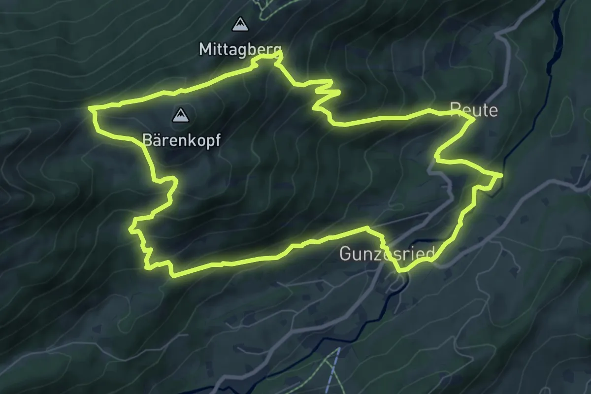
Medium · Trail
Rundweg Alpvielfalt
9.0 km · ↑ 615 m · 3 h 35 min
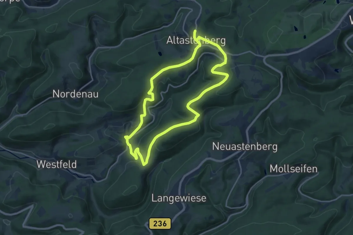
Medium · Trail
Rundweg Altastenberg, Hoher-Knochen-Weg, As3
11.2 km · ↑ 294 m · 3 h 26 min
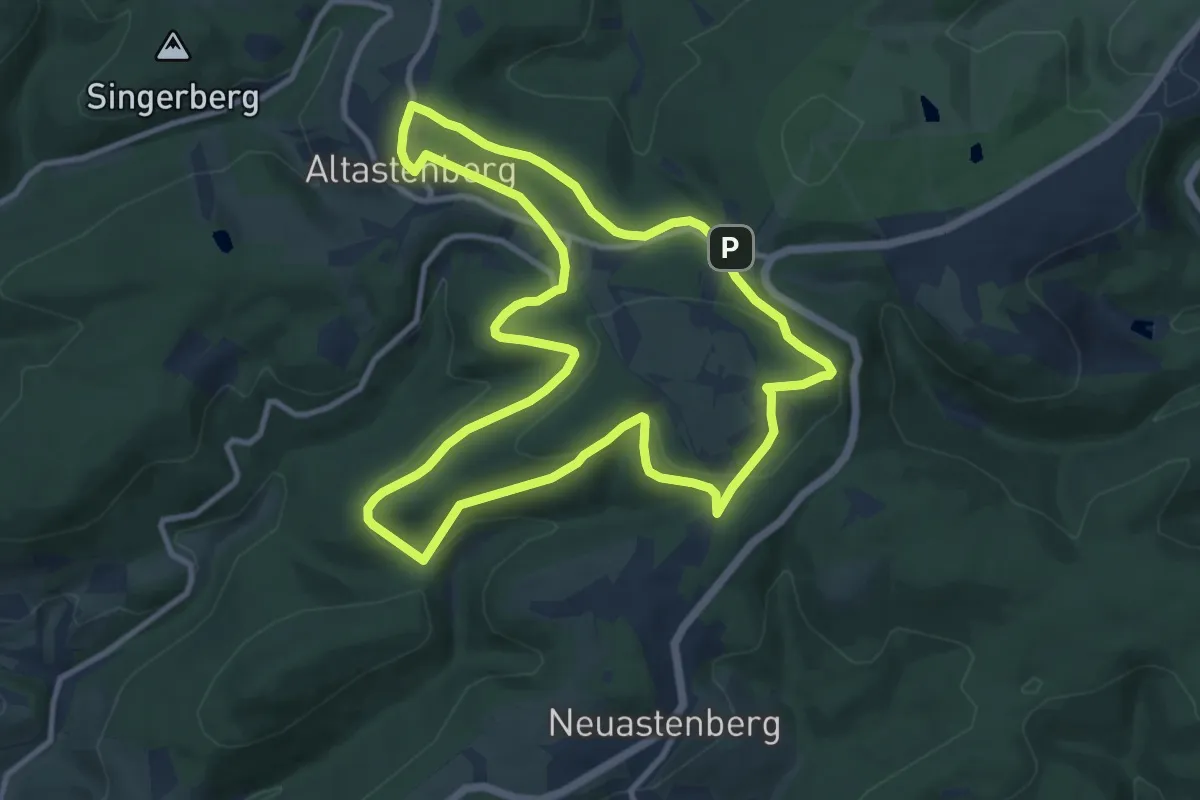
Medium · Trail
Rundweg Altastenberg, Kahler-Asten Weg, As4
9.6 km · ↑ 223 m · 2 h 52 min
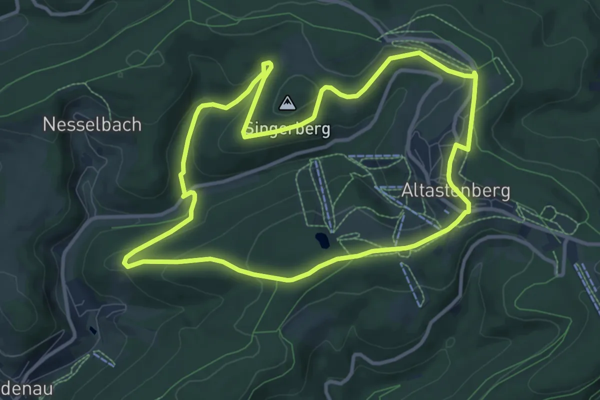
Medium · Trail
Rundweg Altastenberg, Kapellenweg, As2
8.2 km · ↑ 203 m · 2 h 29 min
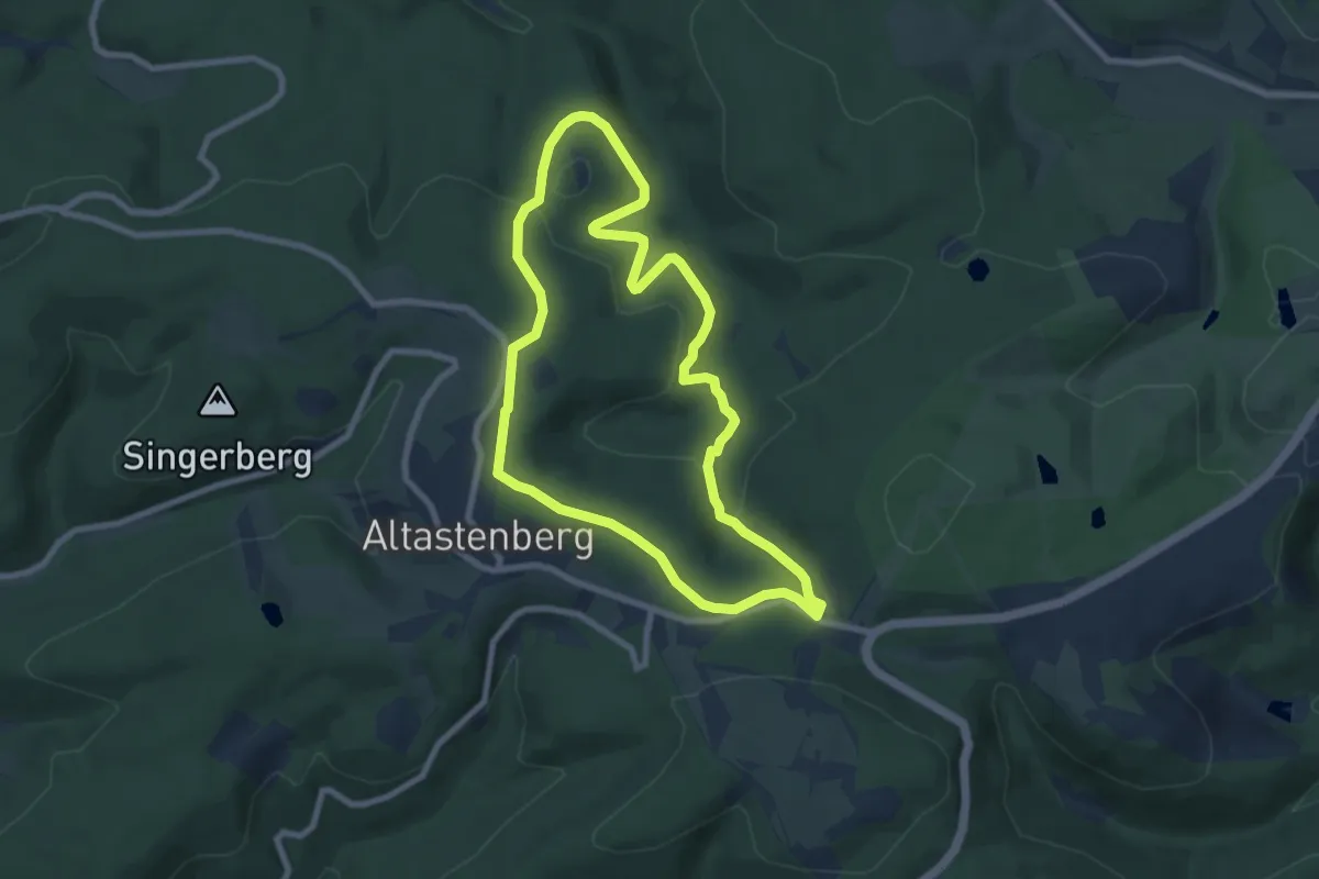
Easy · Trail
Rundweg Altastenberg, Renautalweg, As1
7.0 km · ↑ 173 m · 2 h 7 min
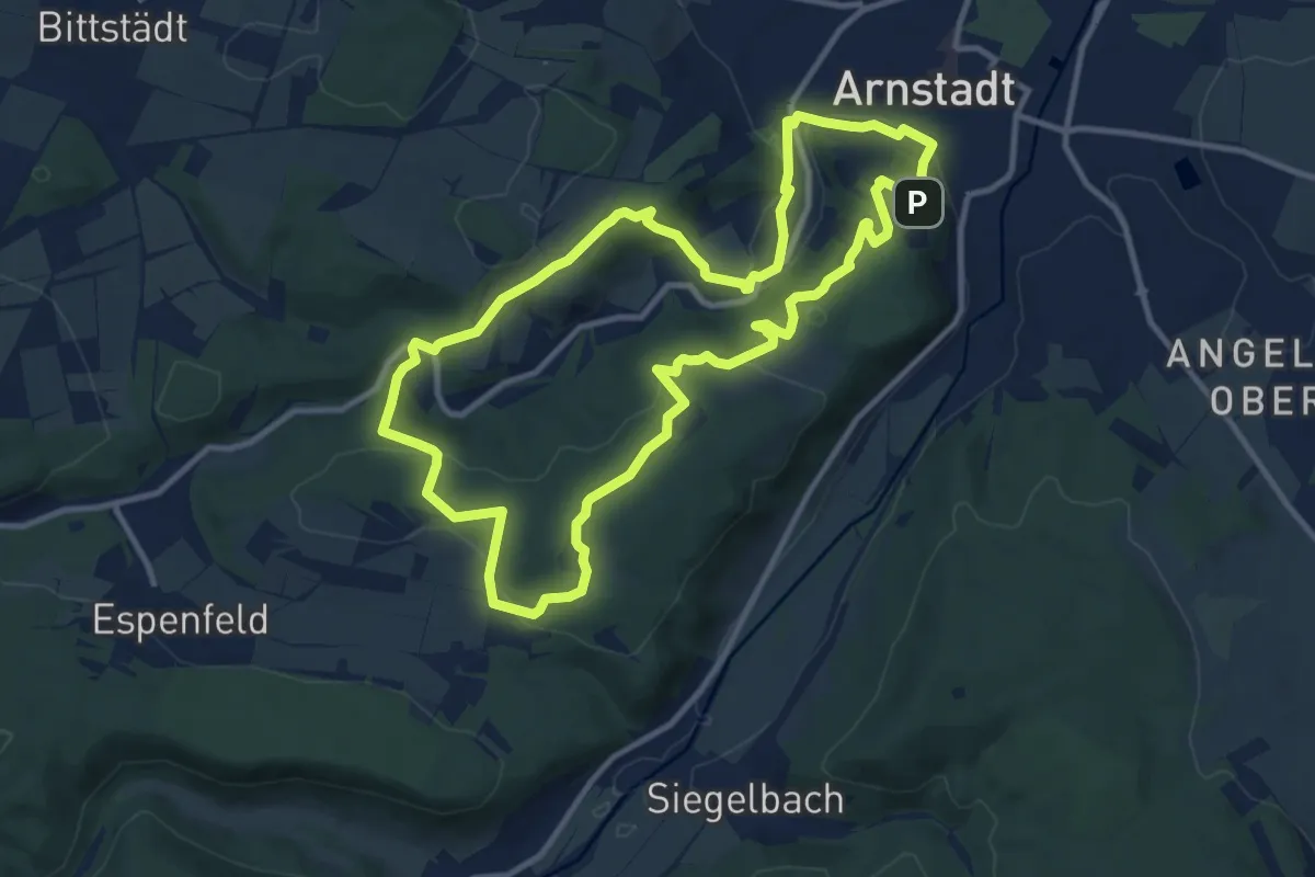
Medium · Trail
Rundweg Alteburg - Jungfernsprung
10.5 km · ↑ 309 m · 3 h 18 min
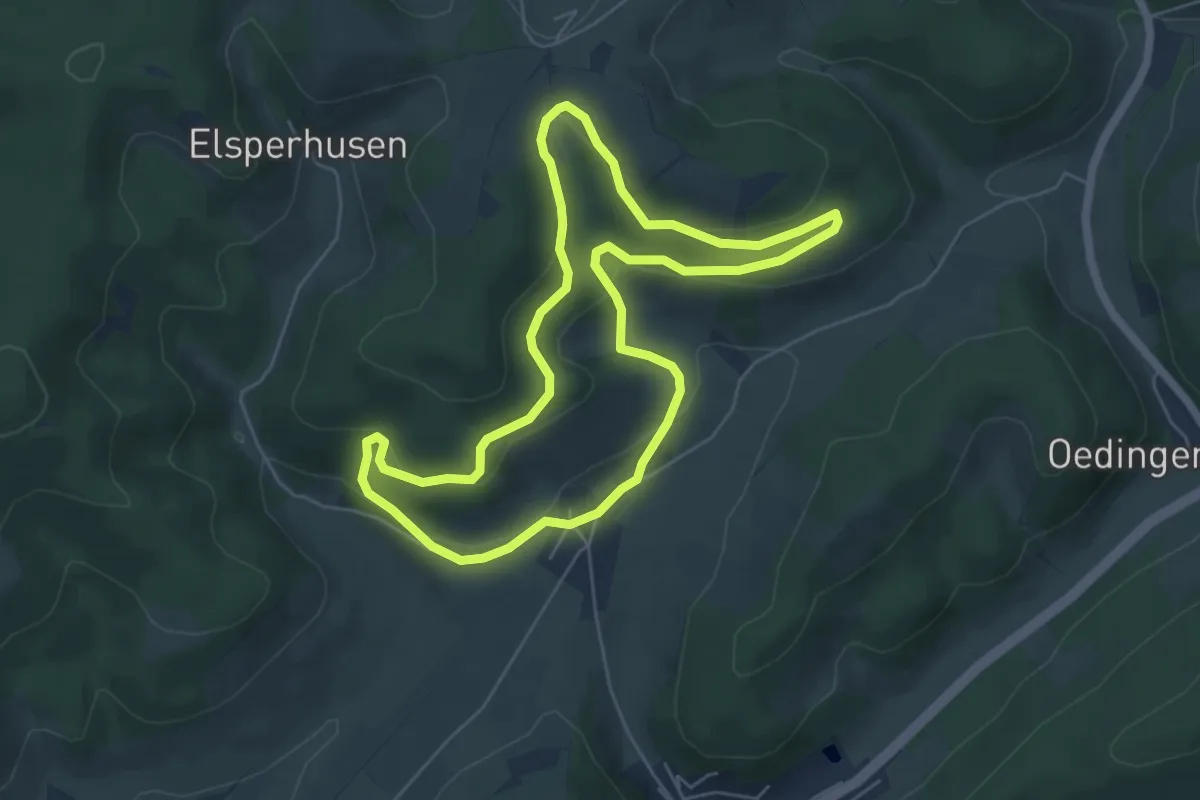
Easy · Summit
Rundweg Altenvalbert =
5.2 km · ↑ 170 m · 1 h 40 min
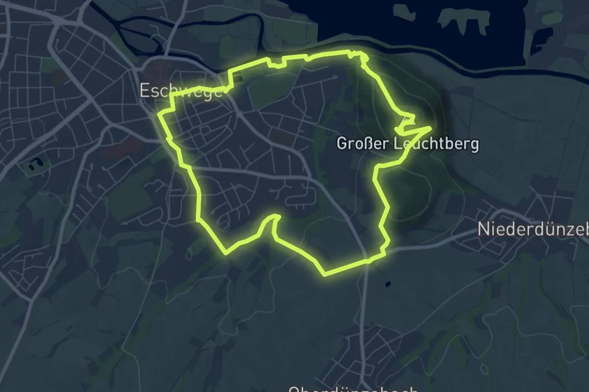
Easy · Summit
Rundweg Altstadt Bismarckturm
7.3 km · ↑ 184 m · 2 h 13 min
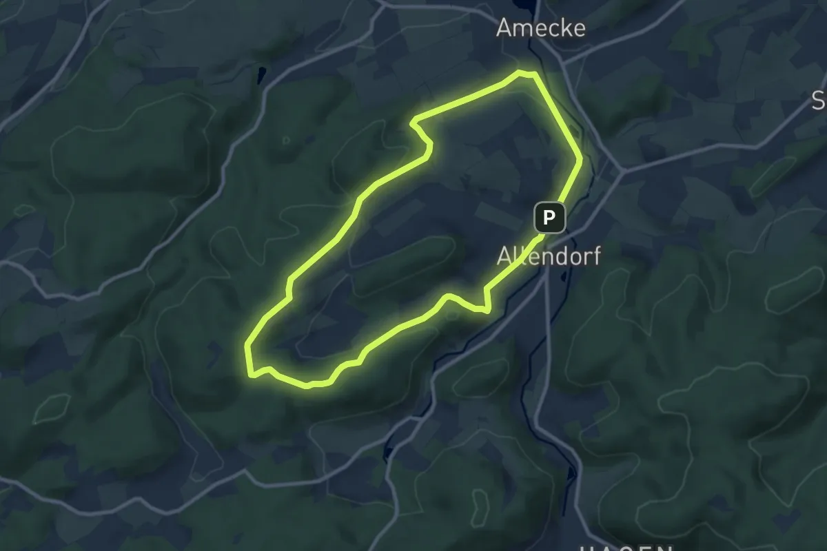
Medium · Trail
Rundweg Amecke 4
8.5 km · ↑ 215 m · 2 h 35 min
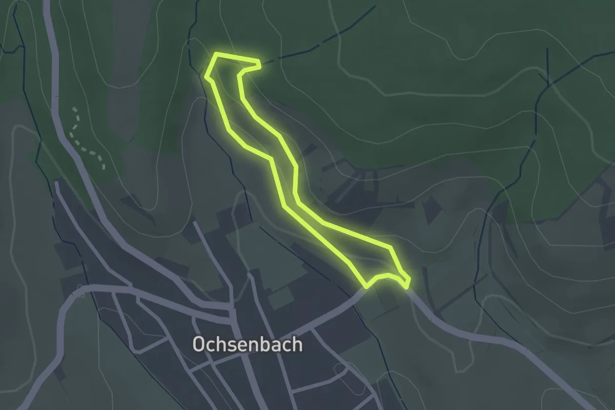
Easy · Trail
Rundweg am Geigersberg
1.8 km · ↑ 69 m · 35 min
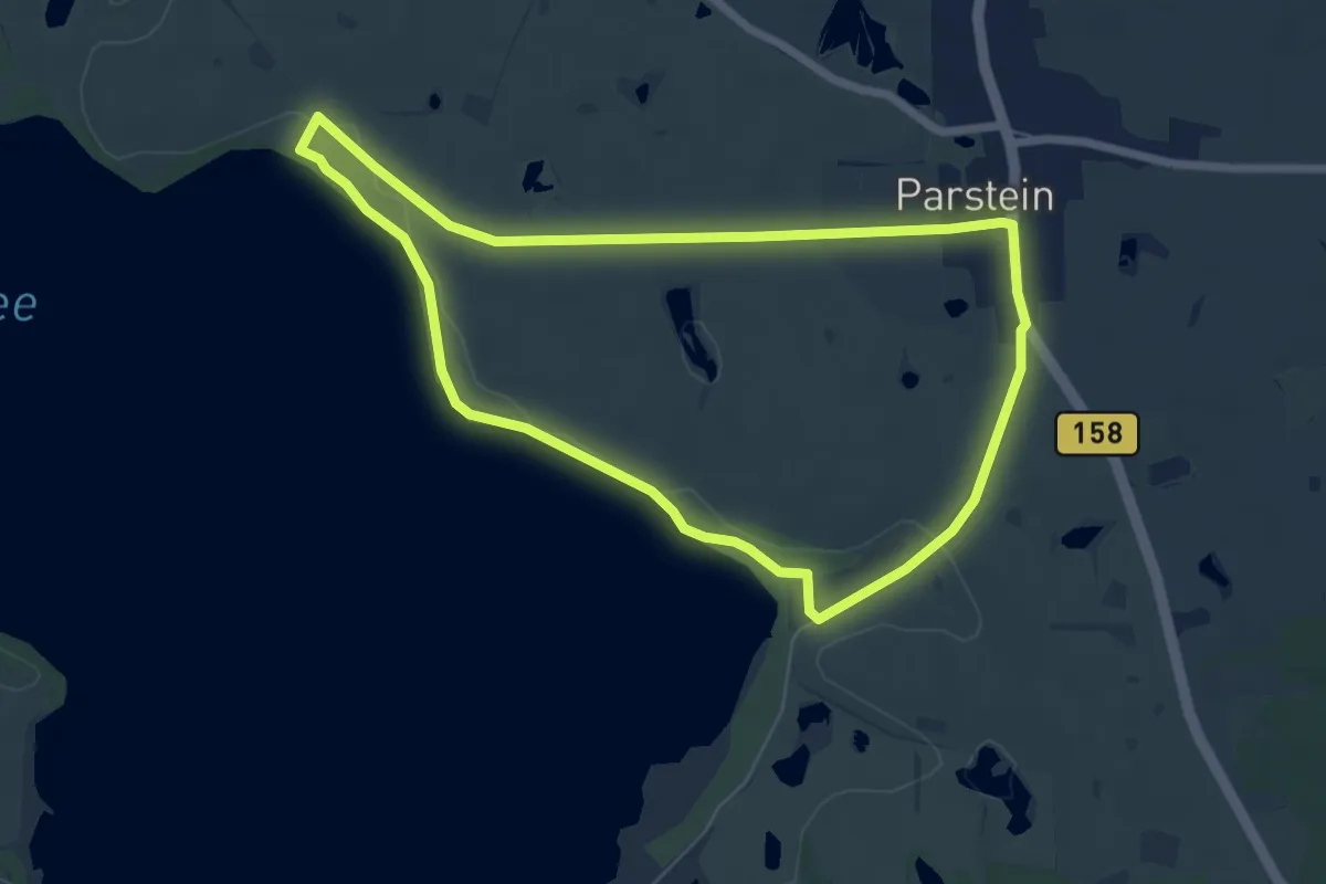
Easy · Trail
Rundweg am Parsteinsee
5.5 km · ↑ 15 m · 1 h 25 min
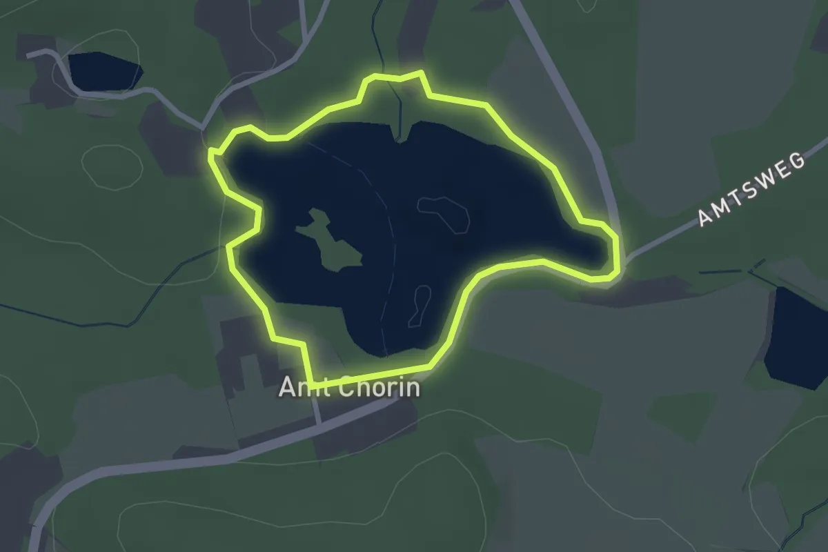
Easy · Trail
Rundweg Amtssee
2.0 km · ↑ 14 m · 32 min
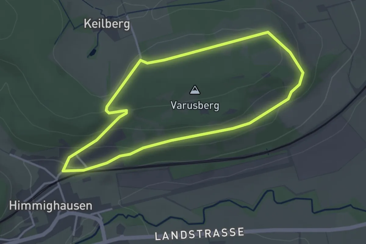
Easy · Trail
Rundweg am Varusberg
2.9 km · ↑ 68 m · 53 min
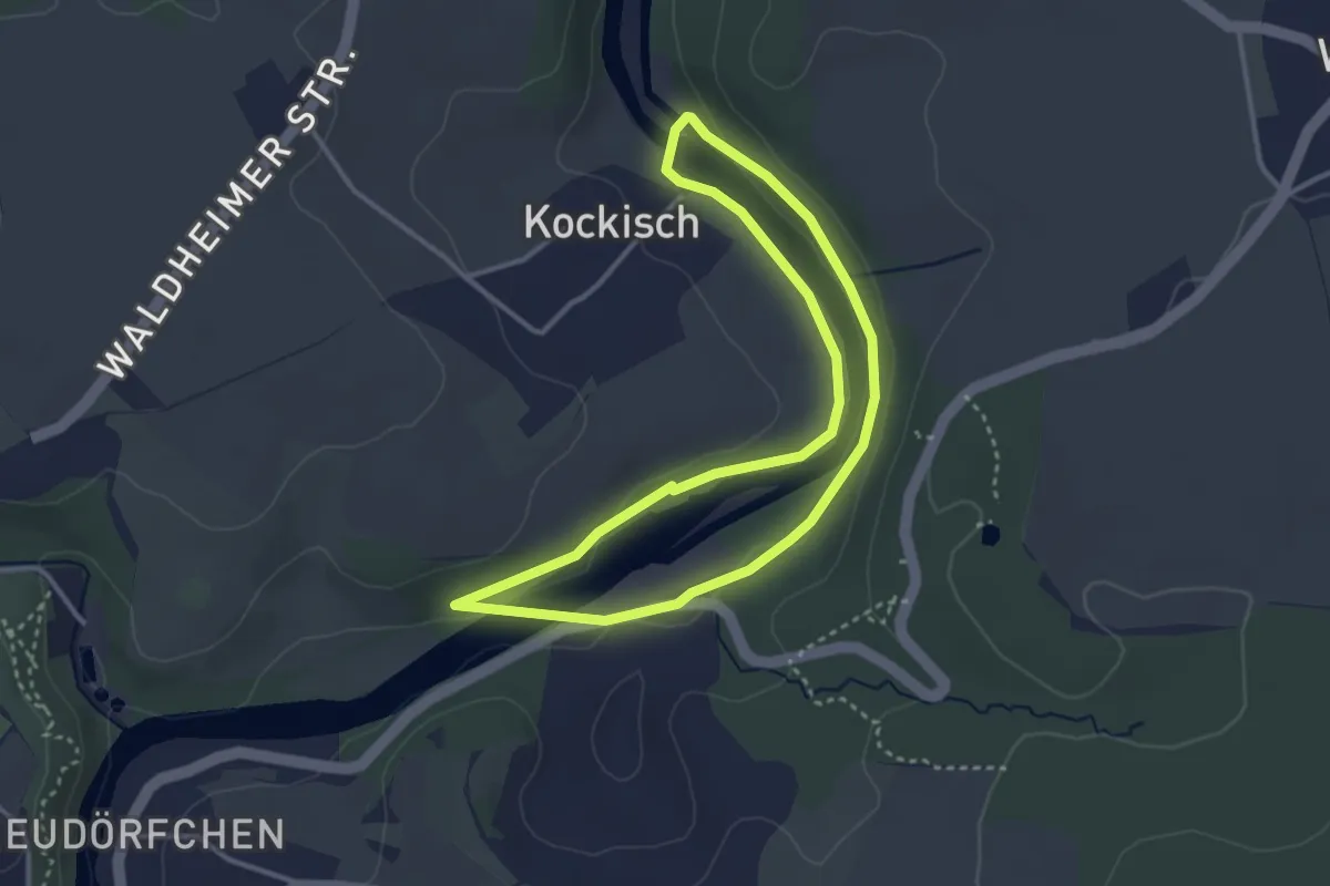
Easy · Trail
Rundweg am Wasser
2.9 km · ↑ 30 m · 48 min
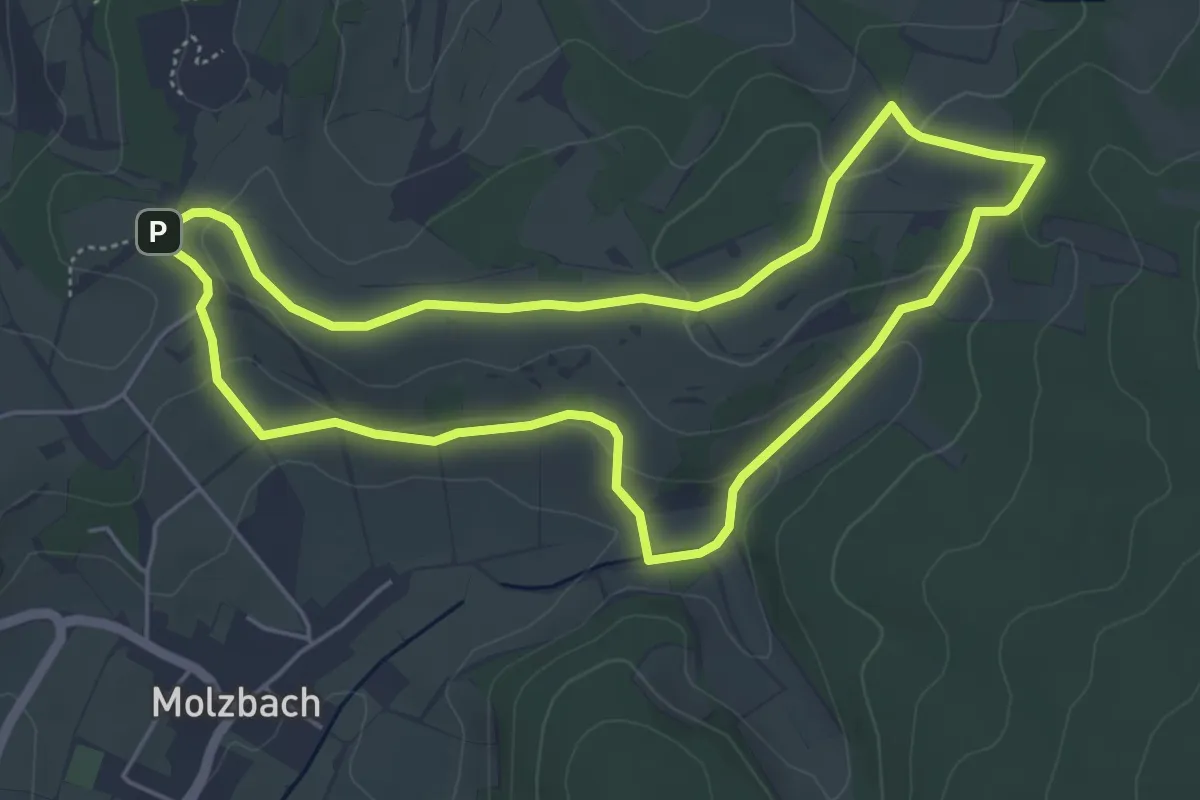
Easy · Trail
Rundweg am Weinberg
4.8 km · ↑ 105 m · 1 h 25 min
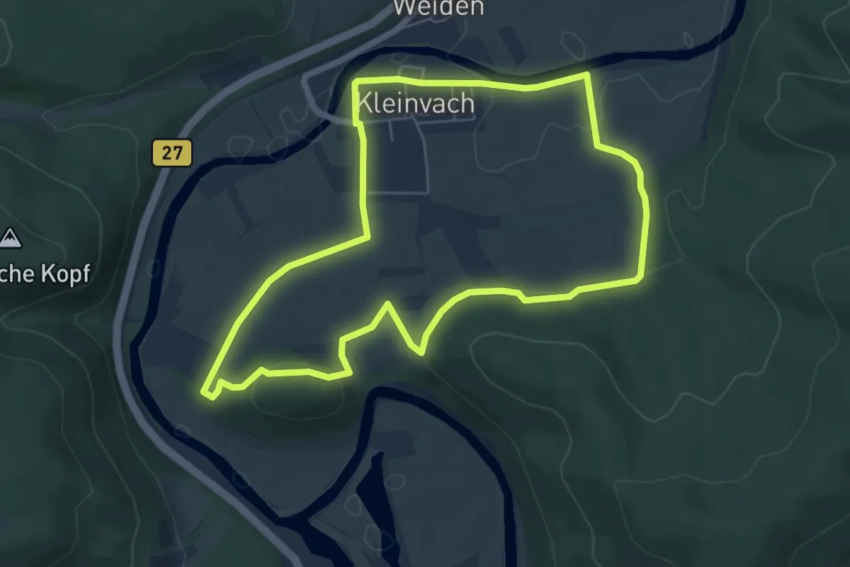
Easy · Trail
Rundweg Andreaskapelle
5.1 km · ↑ 82 m · 1 h 27 min
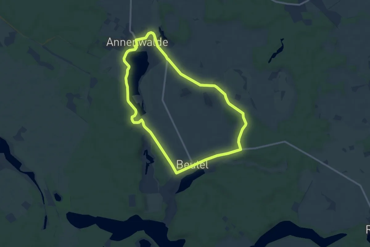
Easy · Trail
Rundweg Annenwalde-Beutel
7.6 km · ↑ 57 m · 2 h 1 min
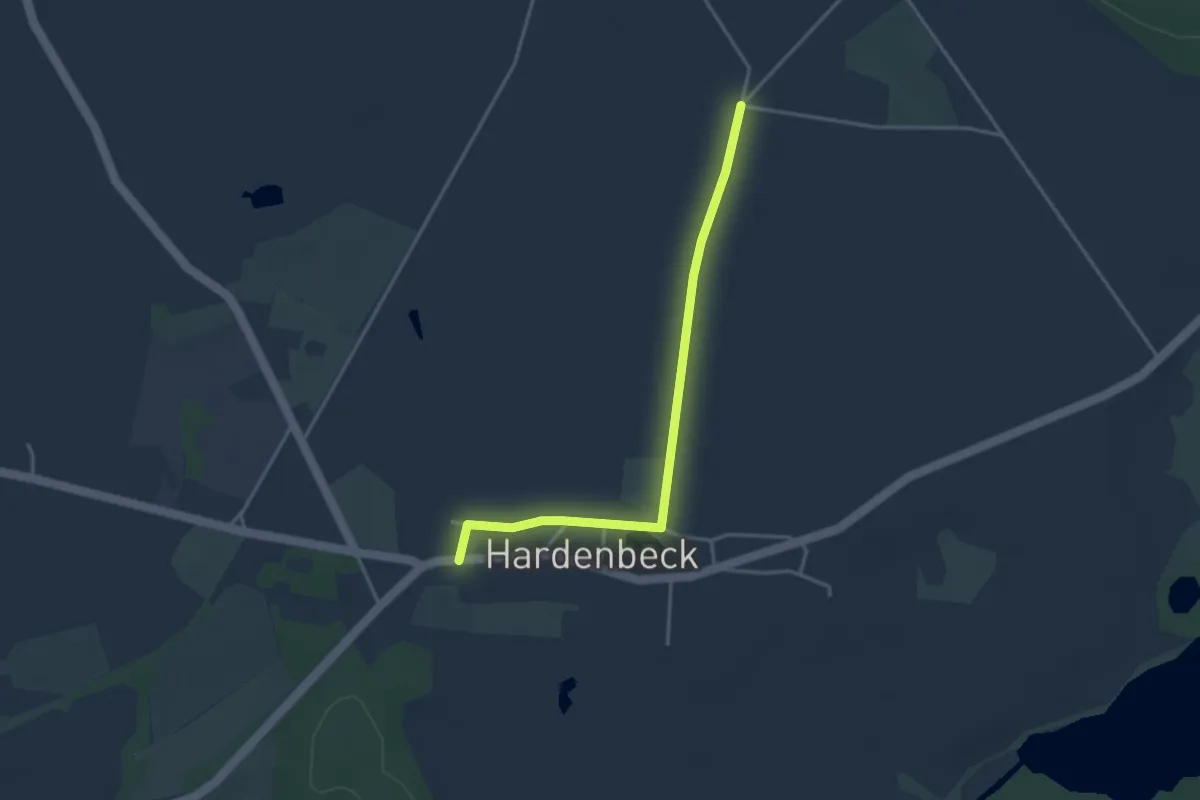
Easy · Trail
Rundweg Archehof
1.6 km · ↑ 4 m · 24 min
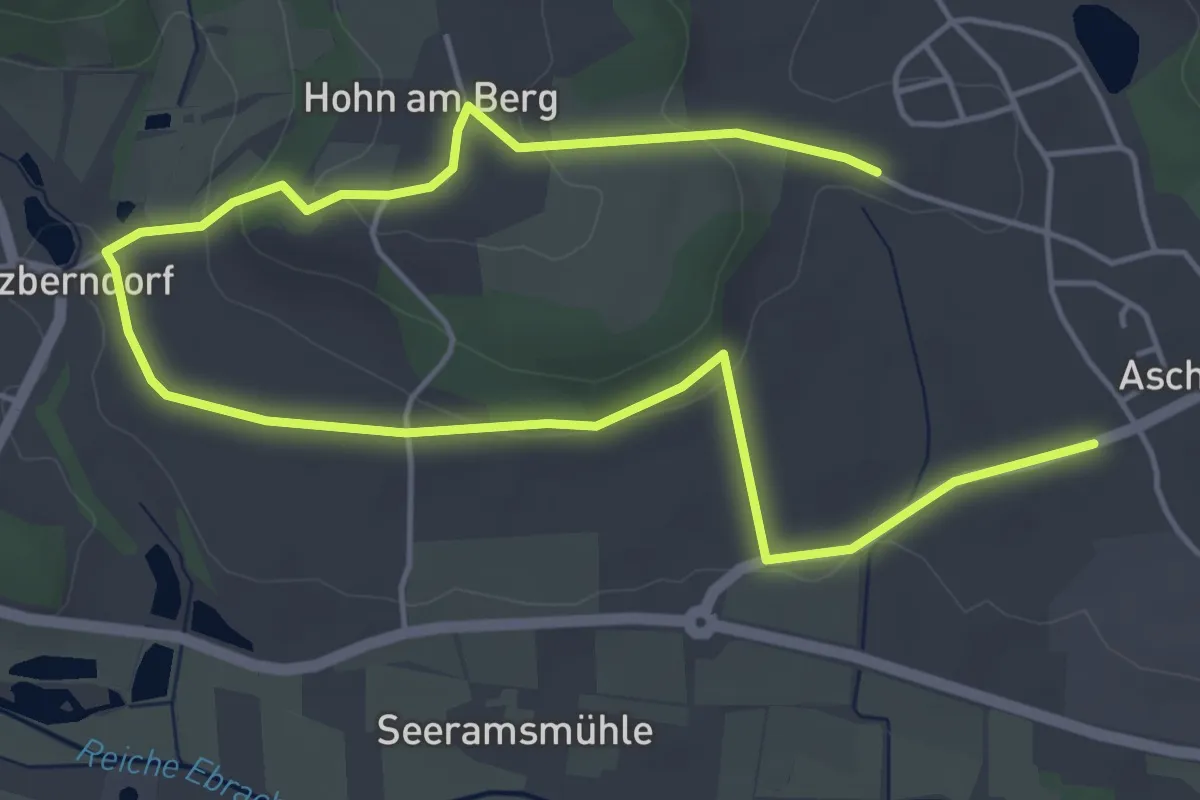
Easy · Trail
Rundweg Aschbach A 1
3.6 km · ↑ 76 m · 1 h 4 min
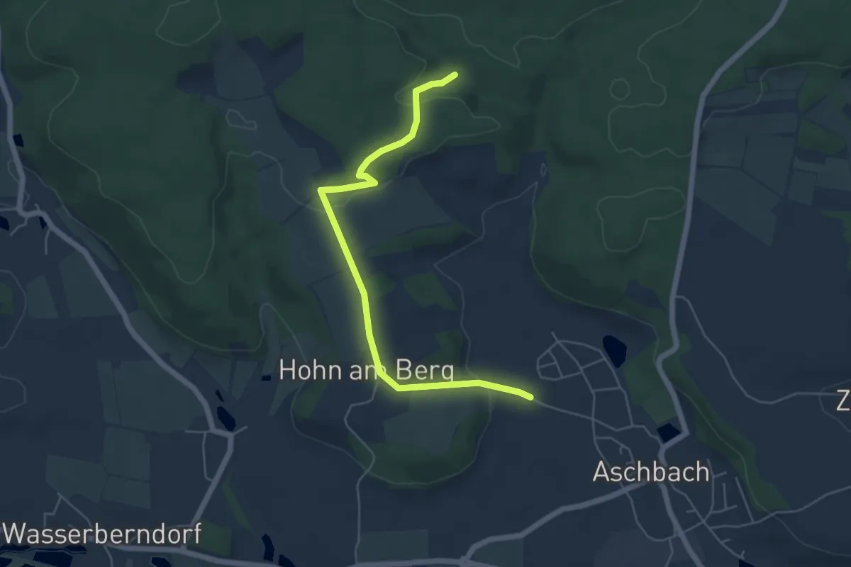
Easy · Trail
Rundweg Aschbach A 2
2.6 km · ↑ 38 m · 45 min
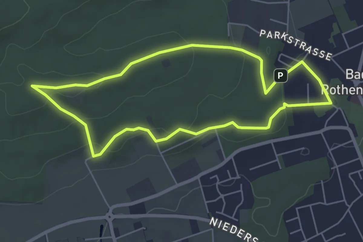
Easy · Summit
Rundweg Aschendorfer Berg
4.2 km · ↑ 93 m · 1 h 15 min
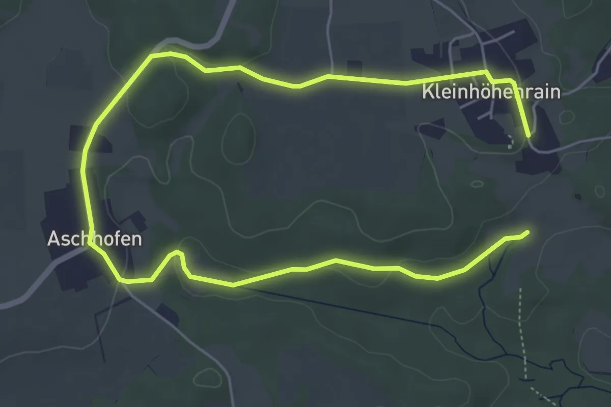
Medium · Trail
Rundweg Aschhofen
8.1 km · ↑ 87 m · 2 h 6 min
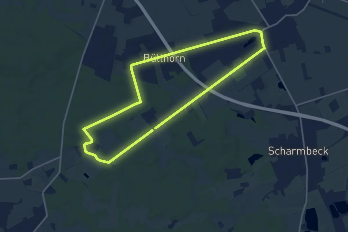
Medium · Trail
Rundweg Ashausen - Mondscheinweg
8.4 km · ↑ 53 m · 2 h 13 min
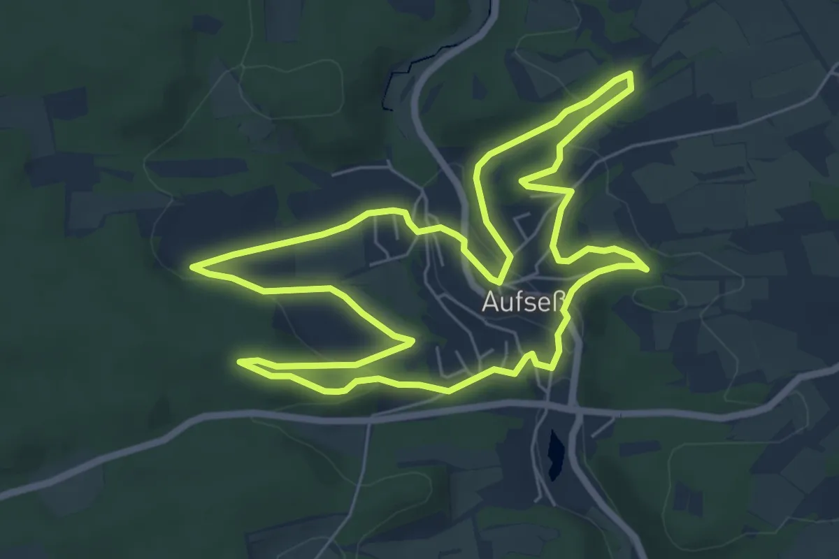
Easy · Trail
Rundweg Aufseß
5.9 km · ↑ 160 m · 1 h 50 min